Skyway

44 photos · 2017–2025

44 photographs tagged Skyway, 2017–2025.

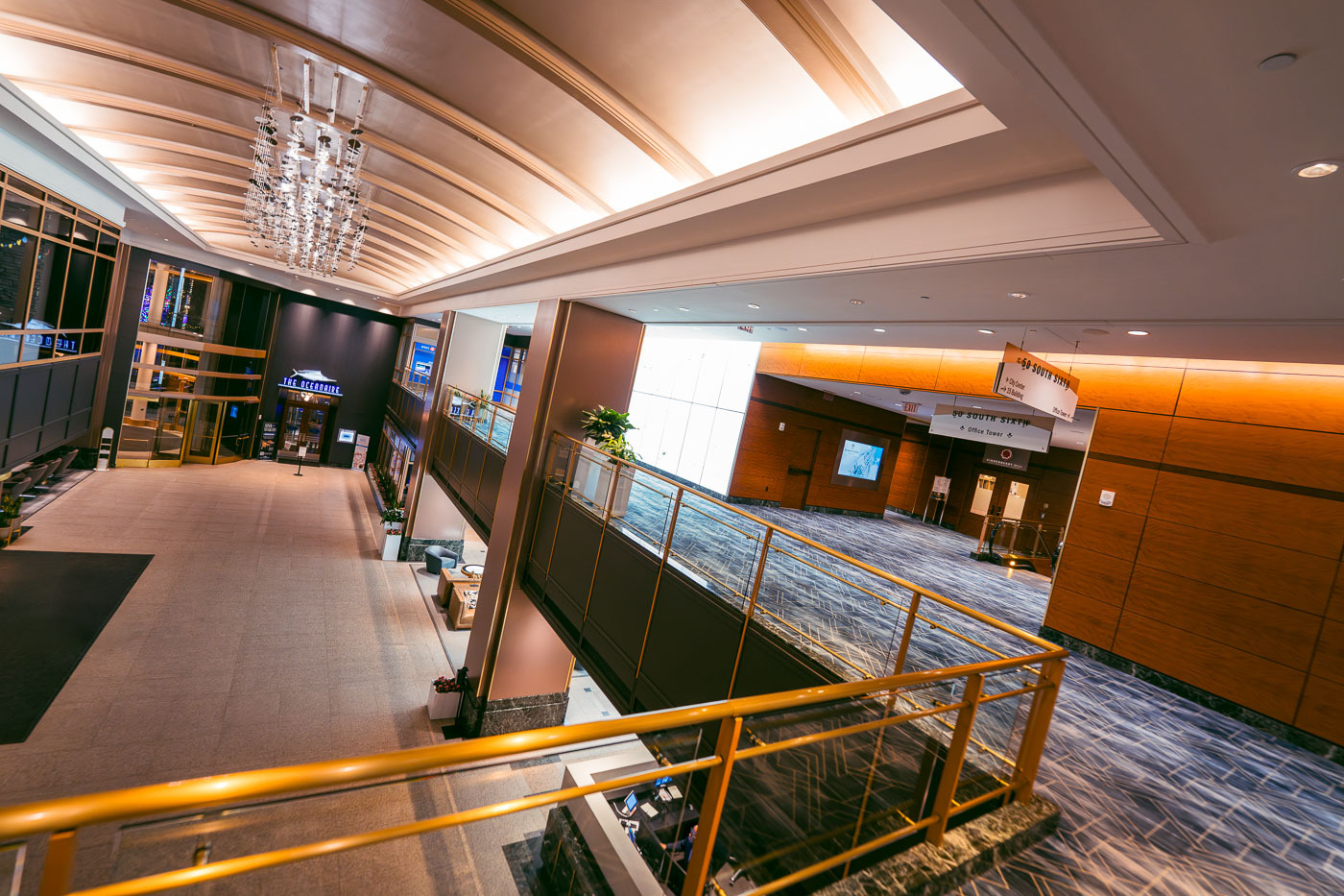
The Oceanaire Seafood Room entrance and 50 South Sixth office tower signage in downtown Minneapolis, MN.
The interior of the 50 South Sixth building in downtown Minneapolis, featuring the entrance to The Oceanaire Seafood Room. Signage indicates "50 SOUTH SIXTH" and "Office Tower."

The Oceanaire Seafood Room, 50 South Sixth, Minneapolis

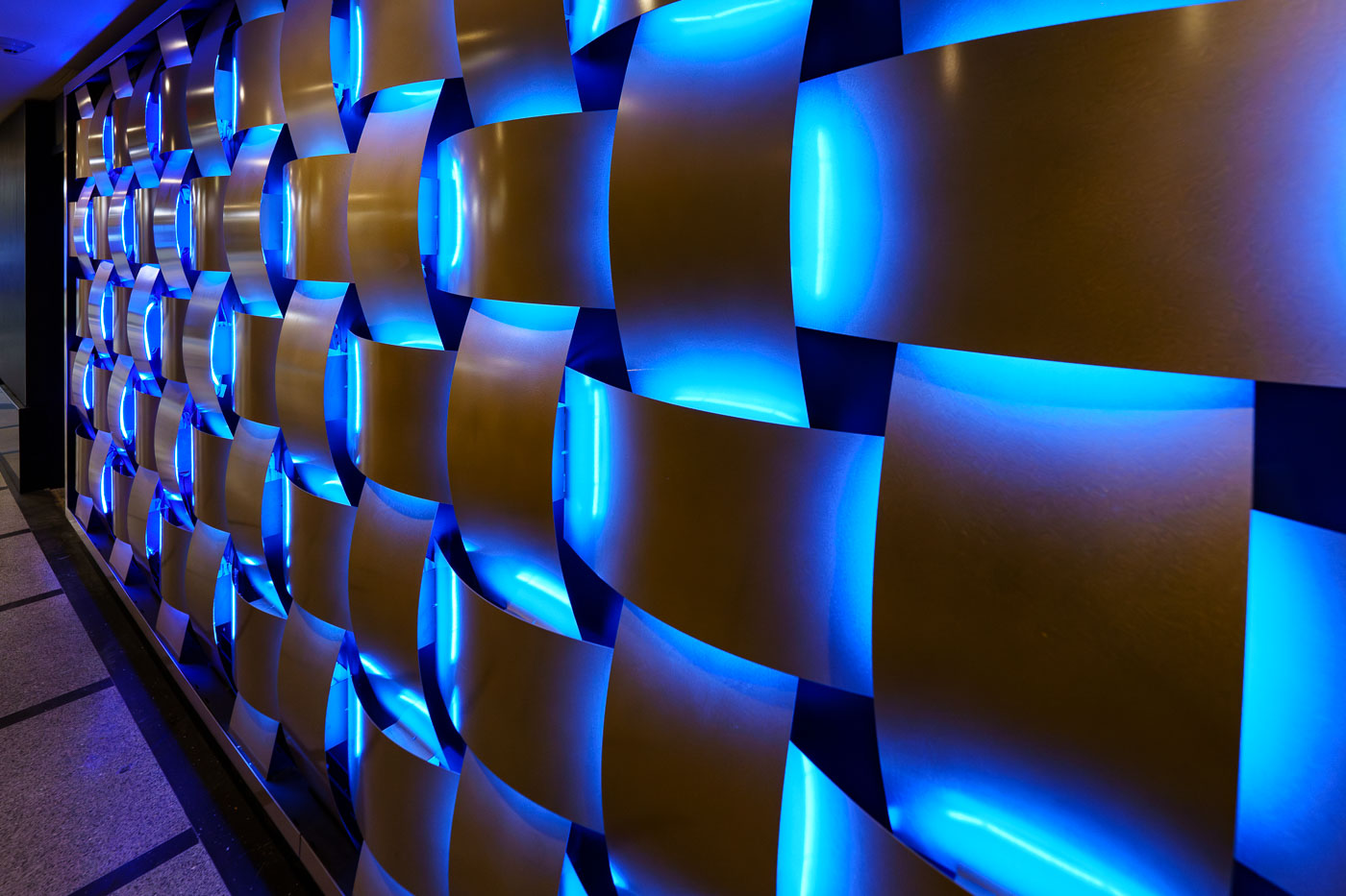
Illuminated blue neon lines geometric metallic wall panels in Minneapolis Skyway pedestrian corridor.
A metallic, woven wall with integrated blue neon lighting lines the interior of the Minneapolis Skyway system. The skyway connects buildings in downtown Minneapolis, providing a climate-controlled pedestrian walkway. This architectural feature is part of the extensive network of enclosed pedestrian bridges that define the urban experience in Minneapolis. The skyway system, one of the longest in the world, was developed to facilitate year-round movement and commerce between downtown businesses and institutions.

Minneapolis Skyway: Illuminated Metal Wall

Skyway at Target Headquarters
Skyway between Target Plaza North and Target Plaza South. The buildings are home to the headquarters of retail giant Target.

Skyway at Target Headquarters

People walk in the Minneapolis skyways in July 2024
People utilize the Minneapolis Skyway system, an enclosed pedestrian bridge network connecting buildings in downtown Minneapolis. The skyway was first conceived in the 1960s to provide a climate-controlled environment for pedestrians, shielding them from harsh winter weather and facilitating movement between offices and shops.

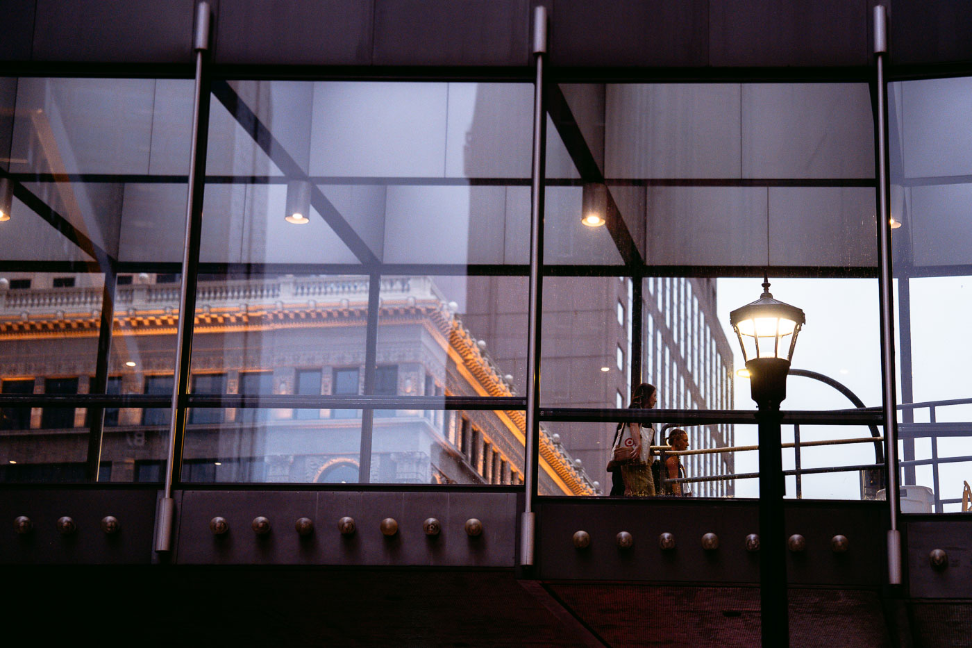
Streetlamp and Skyway Reflections in Downtown Minneapolis
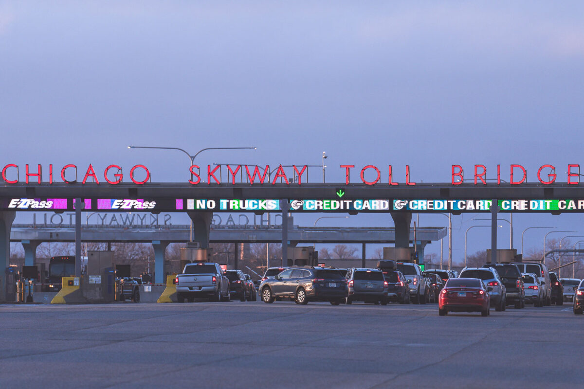
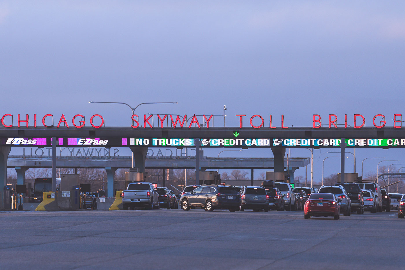
Chicago Skyway Toll Bridge toll plaza in Chicago, Illinois, with lanes and electronic toll signs.
The Chicago Skyway Toll Bridge toll plaza on Interstate 90 in Chicago, Illinois. The facility collects tolls for traffic using the Chicago Skyway, a toll road connecting the city with northwest Indiana.

Chicago Skyway Toll Bridge Toll Plaza
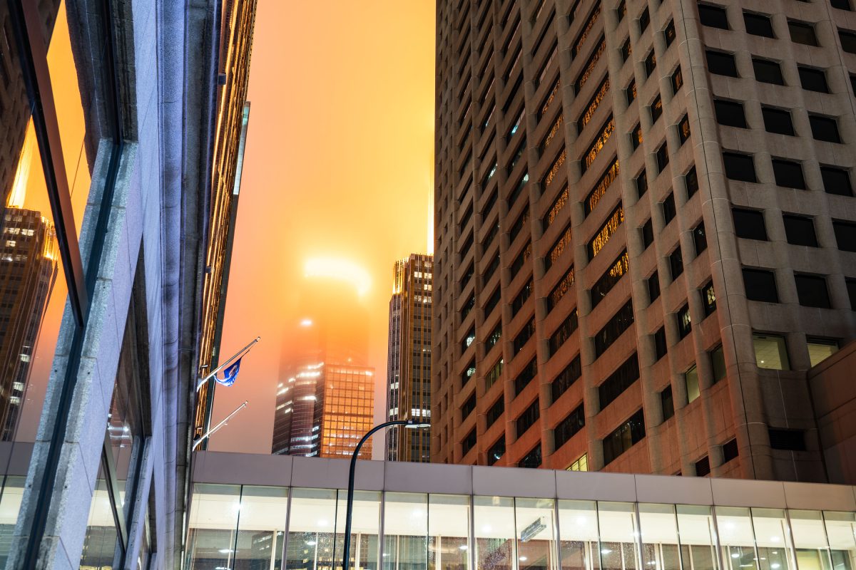
Downtown Minneapolis office buildings and street-level skyway during sunset with orange sky.
Capella Tower rises 776 feet above downtown Minneapolis, making it the city's second-tallest building after the IDS Center.

Orange Light in the Fog Wraps Capella Tower in Downtown Minneapolis
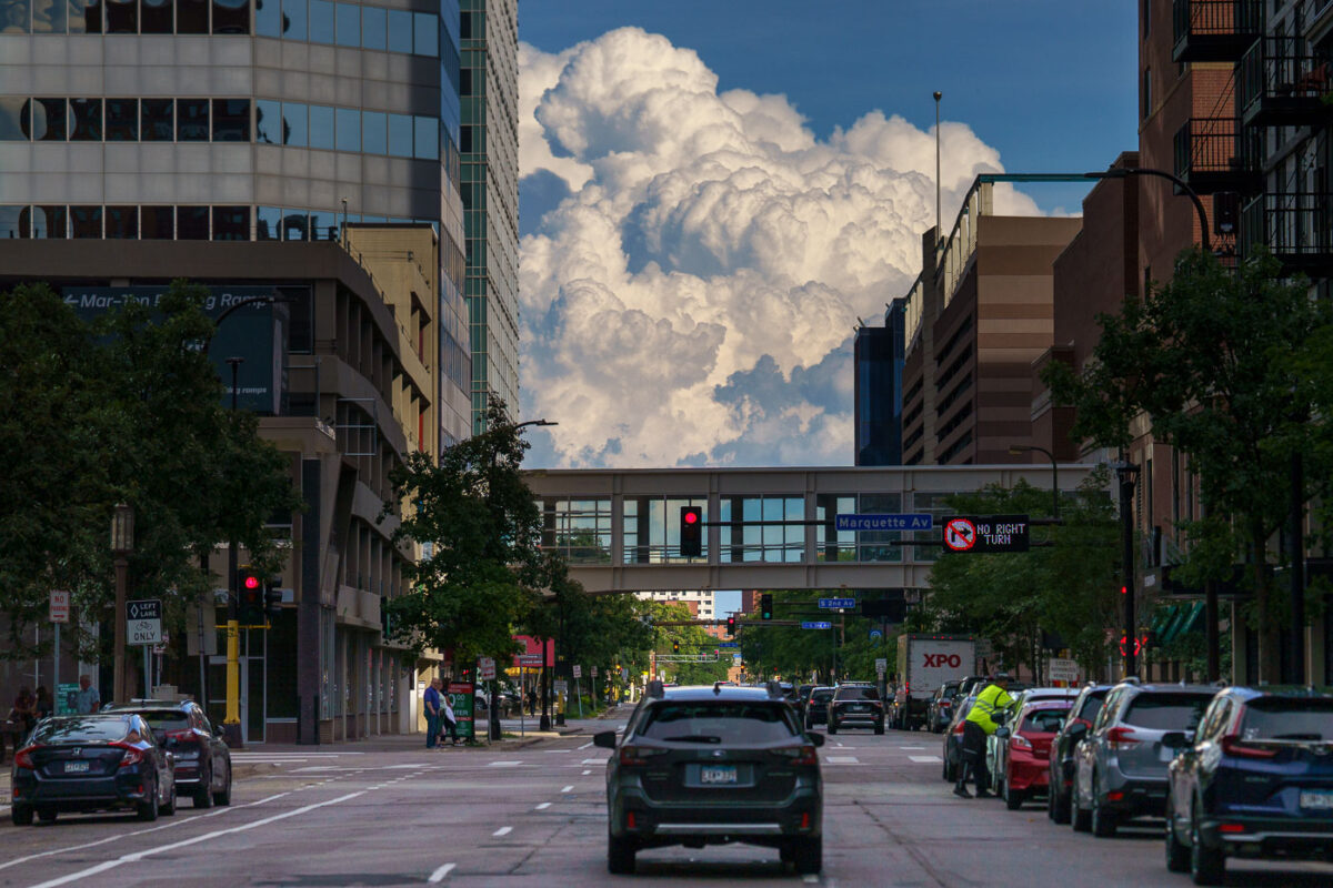
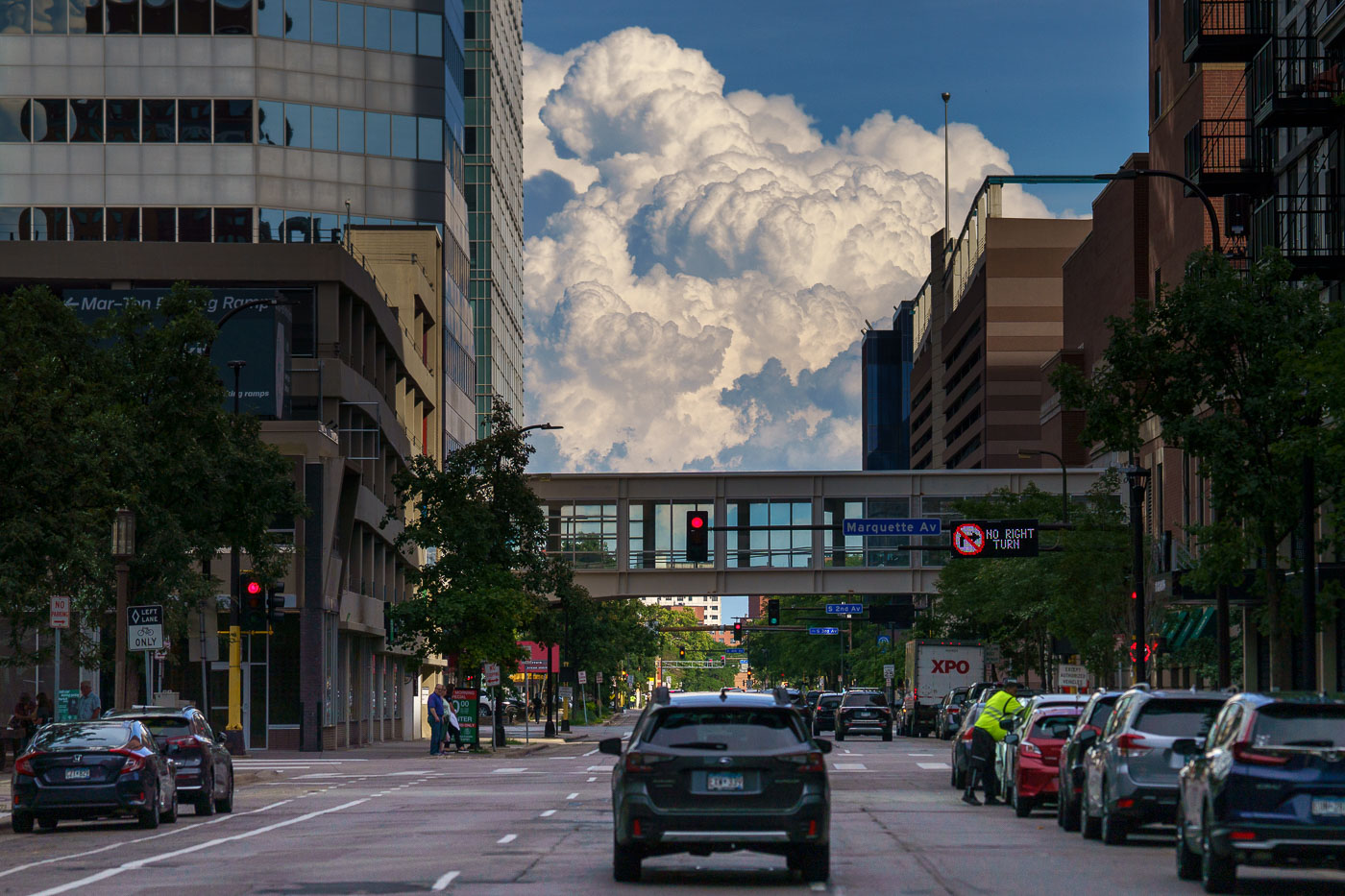
Dramatic cumulus clouds tower above South 10th Street in downtown Minneapolis, framed by buildings and a skyway bridge.
Large clouds above 10th Street in Downtown Minneapolis on August 3, 2023.

Storm Clouds Building Over Marquette Avenue in Downtown Minneapolis

Clearing snow on sidewalks in Downtown Minneapolis
A sidewalk snow polow on the first snowfall of the season in Minneapolis.

Clearing snow on sidewalks in Downtown Minneapolis

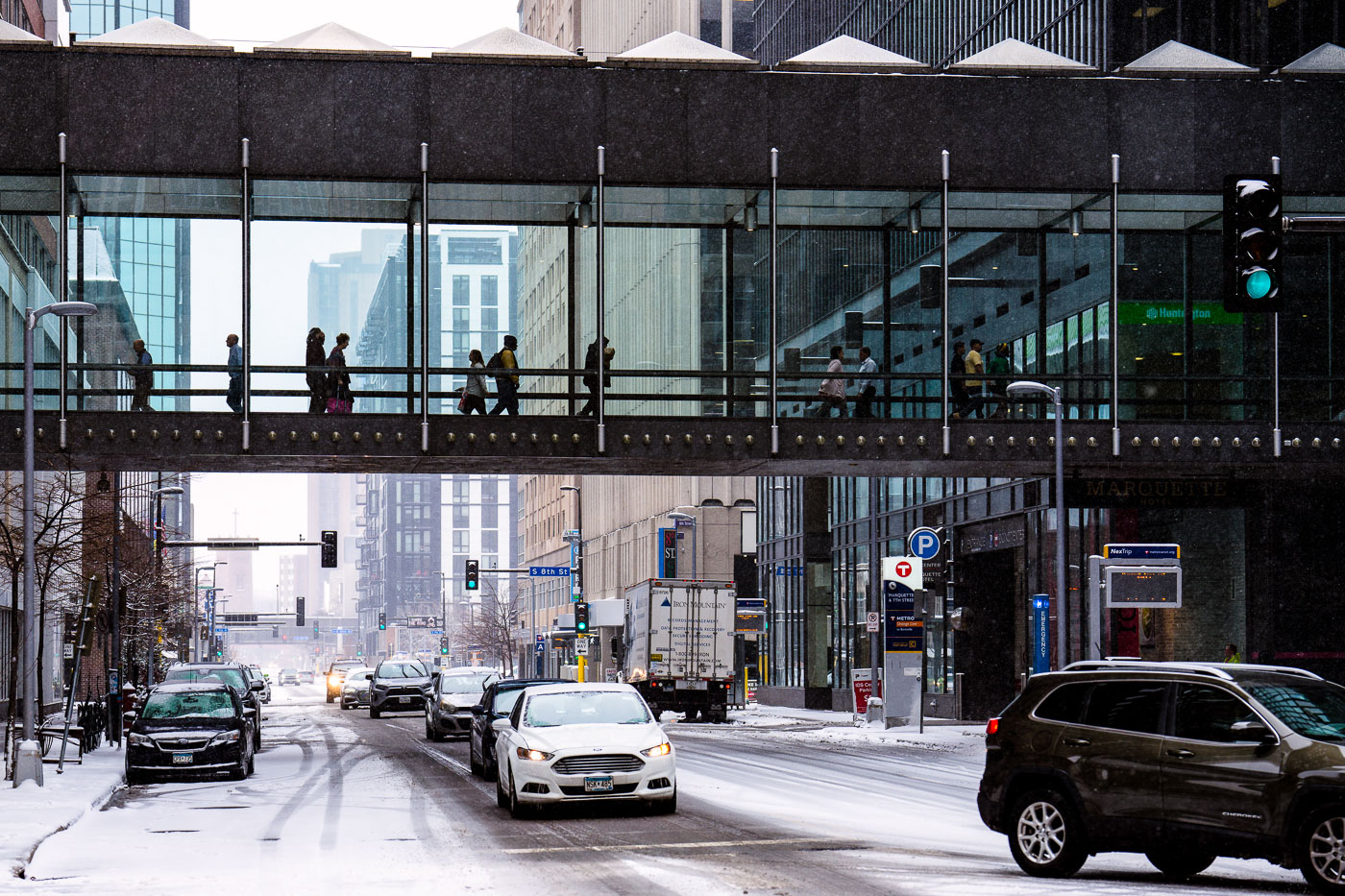
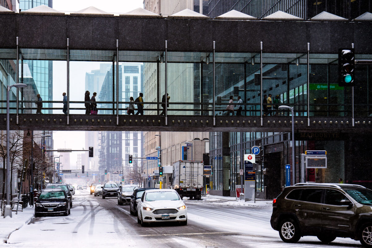
Snow falling with people in IDS Center skyway downtown Minneapolis
Pedestrians utilize the Minneapolis Skyway system, a network of enclosed pedestrian bridges connecting buildings in downtown Minneapolis, during the first snowfall of the season. The IDS Center, a prominent skyscraper completed in 1973, is visible in the background, with its skyway spanning Marquette Avenue. This elevated walkway system, initiated in 1962, allows people to navigate the city center year-round, shielded from weather conditions like the snow seen here.

IDS Center Skyway and Marquette Ave in Snow, Minneapolis
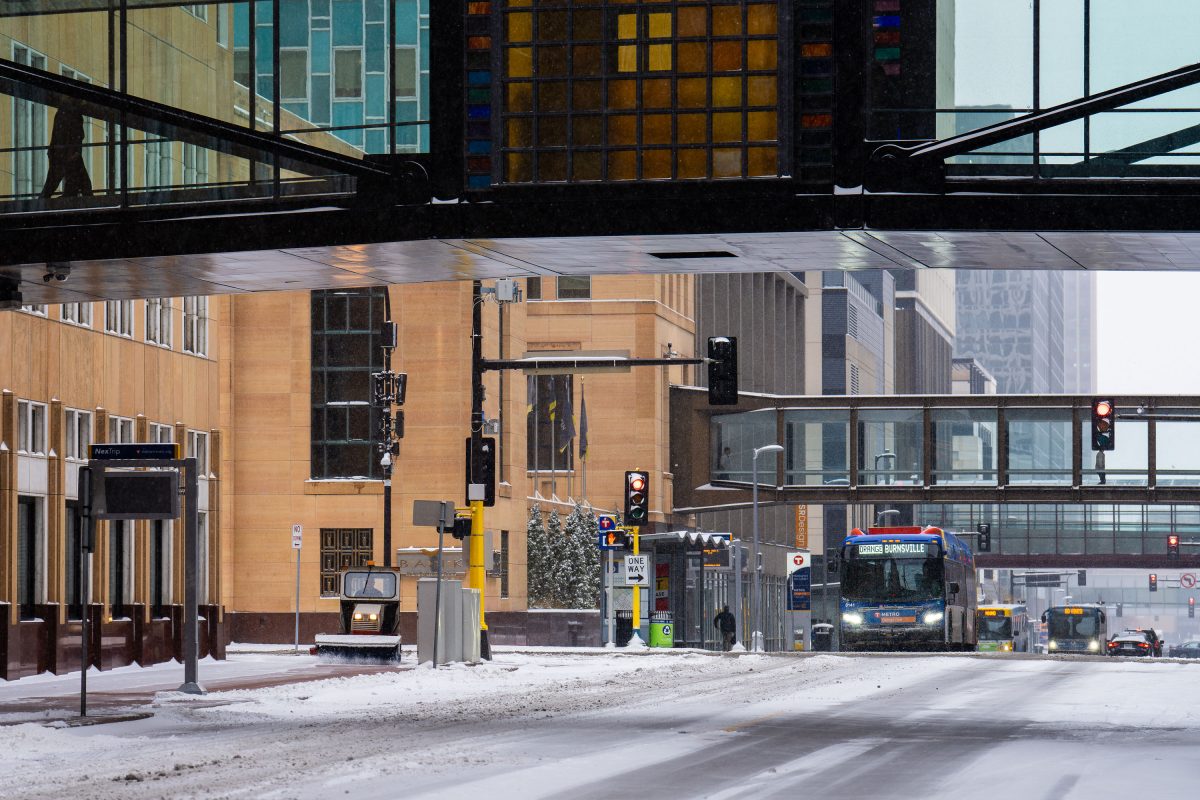
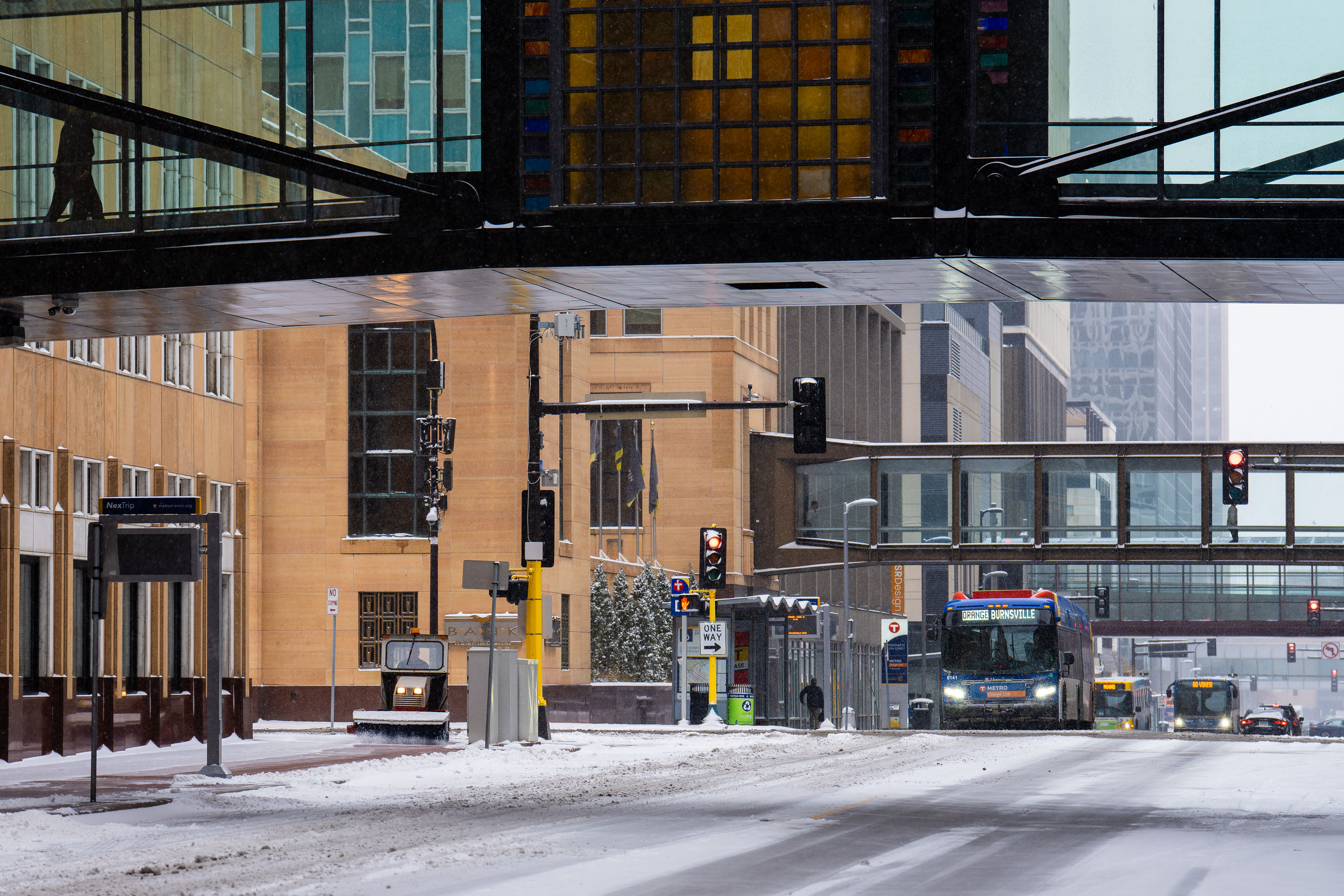
Metro Transit bus on snow-covered Marquette Avenue in downtown Minneapolis beneath an elevated skyway.
Marquette Avenue runs through the heart of downtown Minneapolis and serves as a primary corridor for Metro Transit's bus network. The METRO Orange Line, which opened in 2021, connects downtown to Burnsville along a dedicated bus rapid transit route running parallel to Interstate 35W. Marquette Avenue also sits beneath several segments of the Minneapolis Skyway System, an 8-mile network of enclosed pedestrian bridges connecting downtown buildings at the second-story level, first built in 1962 and now the largest continuous skyway system in the world.

Metro Transit Bus on Marquette Avenue, Minneapolis
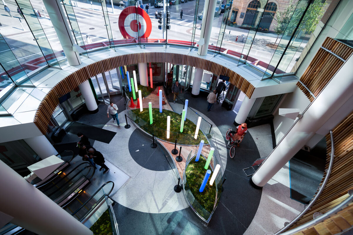
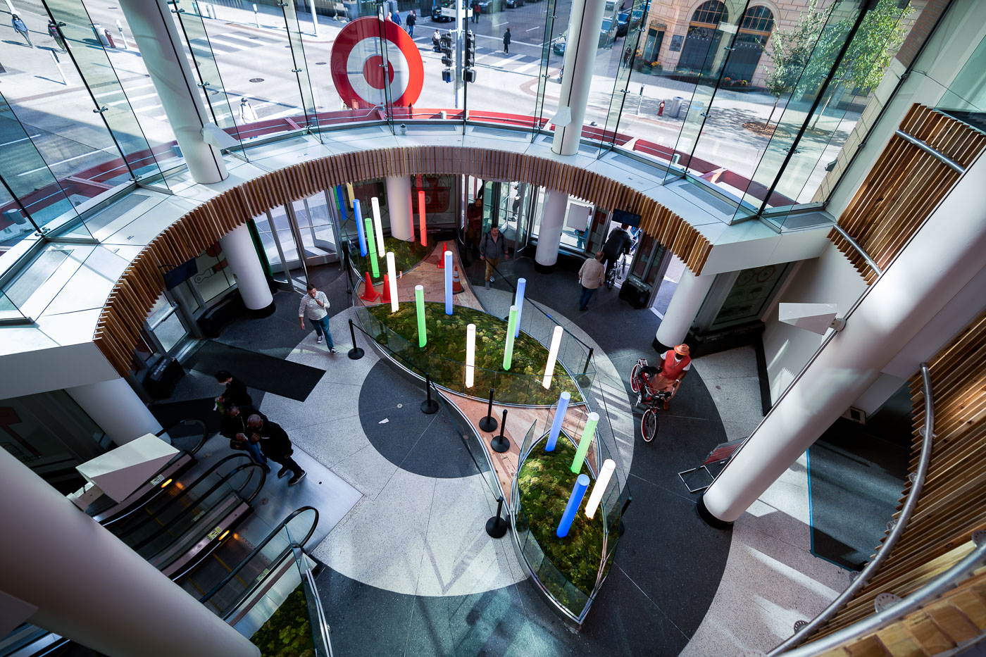
New entrance at Target store in Minneapolis
The entrance to the Target flagship store in downtown Minneapolis is a prominent feature of the city's retail landscape. Located within the Nicollet Mall area, this entrance serves as a gateway to the company's primary retail presence.

Target Flagship Store Entrance, Downtown Minneapolis

Woman walks in the Minneapolis skyway May 2022
The Minneapolis Skyway, a network of enclosed pedestrian bridges, connects buildings throughout downtown Minneapolis. This particular walkway links the IDS Center, a prominent skyscraper completed in 1973, to other structures. The skyway system, initiated in 1962, was designed to provide weather-protected passage for pedestrians and to encourage commercial activity by making downtown more accessible. The IDS Center itself was designed by architect Philip Johnson and is a significant example of modernist architecture in the city.

Minneapolis Skyway and IDS Center Pedestrian Walkway

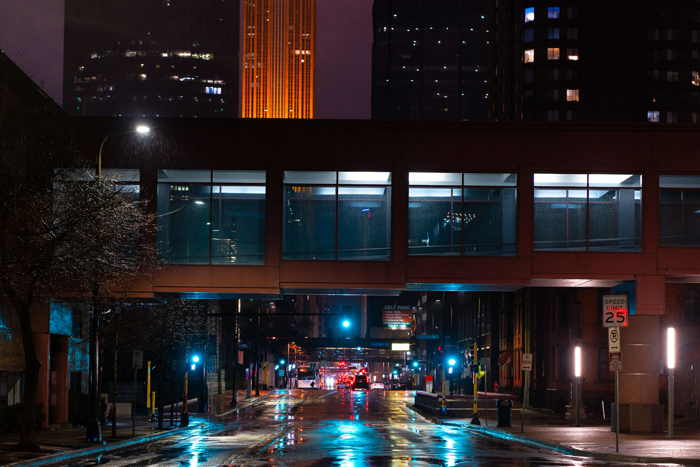
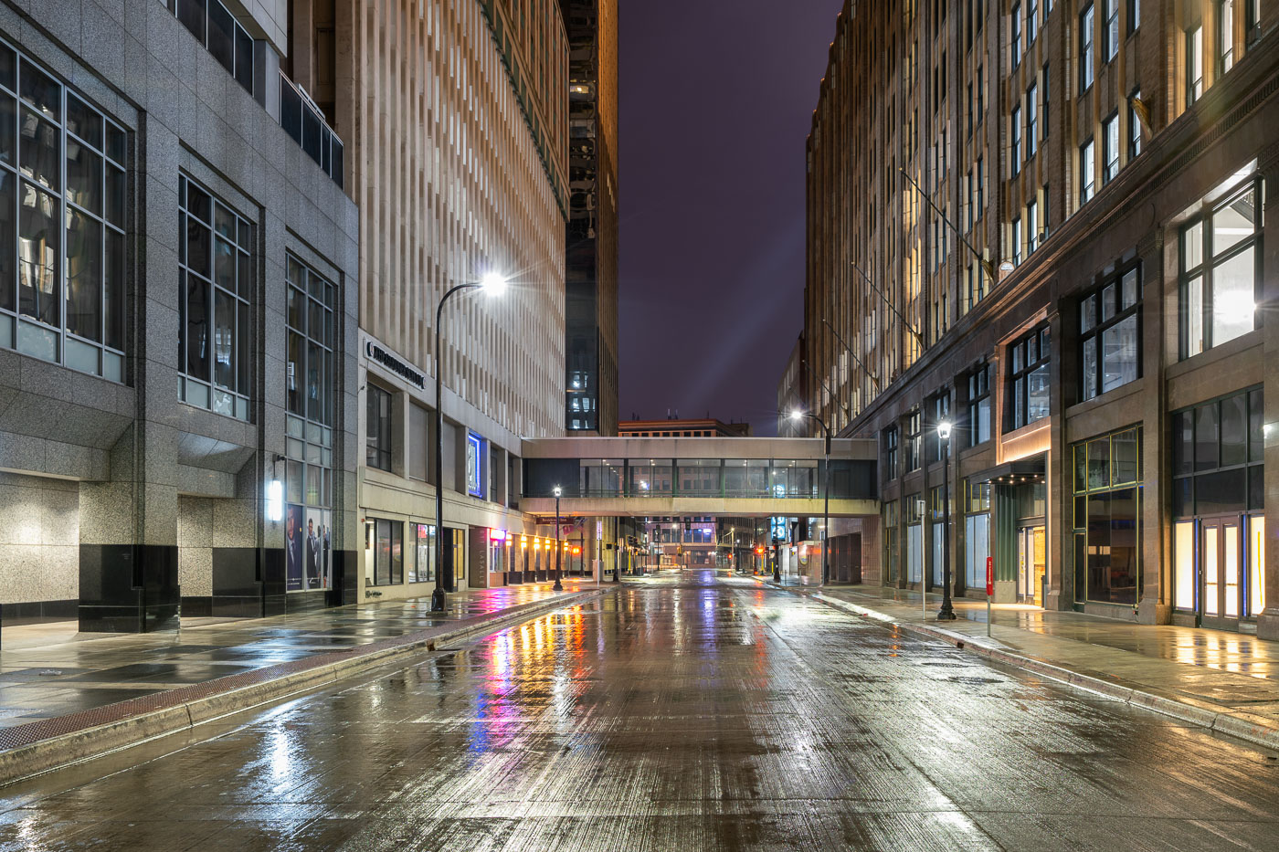
Minneapolis skyways on a rainy night
The Minneapolis Skyway system, the longest continuous network of enclosed pedestrian bridges in the world, is visible here at night during a spring rain. Completed in 1974, the skyway connects buildings across 11 kilometers of downtown Minneapolis, providing a climate-controlled environment for pedestrians. This infrastructure was developed to encourage downtown development and to offer a safe and convenient way to navigate the city, especially during harsh winter months. The wet streets reflect the city lights, highlighting the skyway's role in shaping the urban experience of Minneapolis.

Minneapolis Skyway at Night in Spring Rain
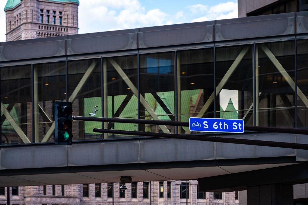
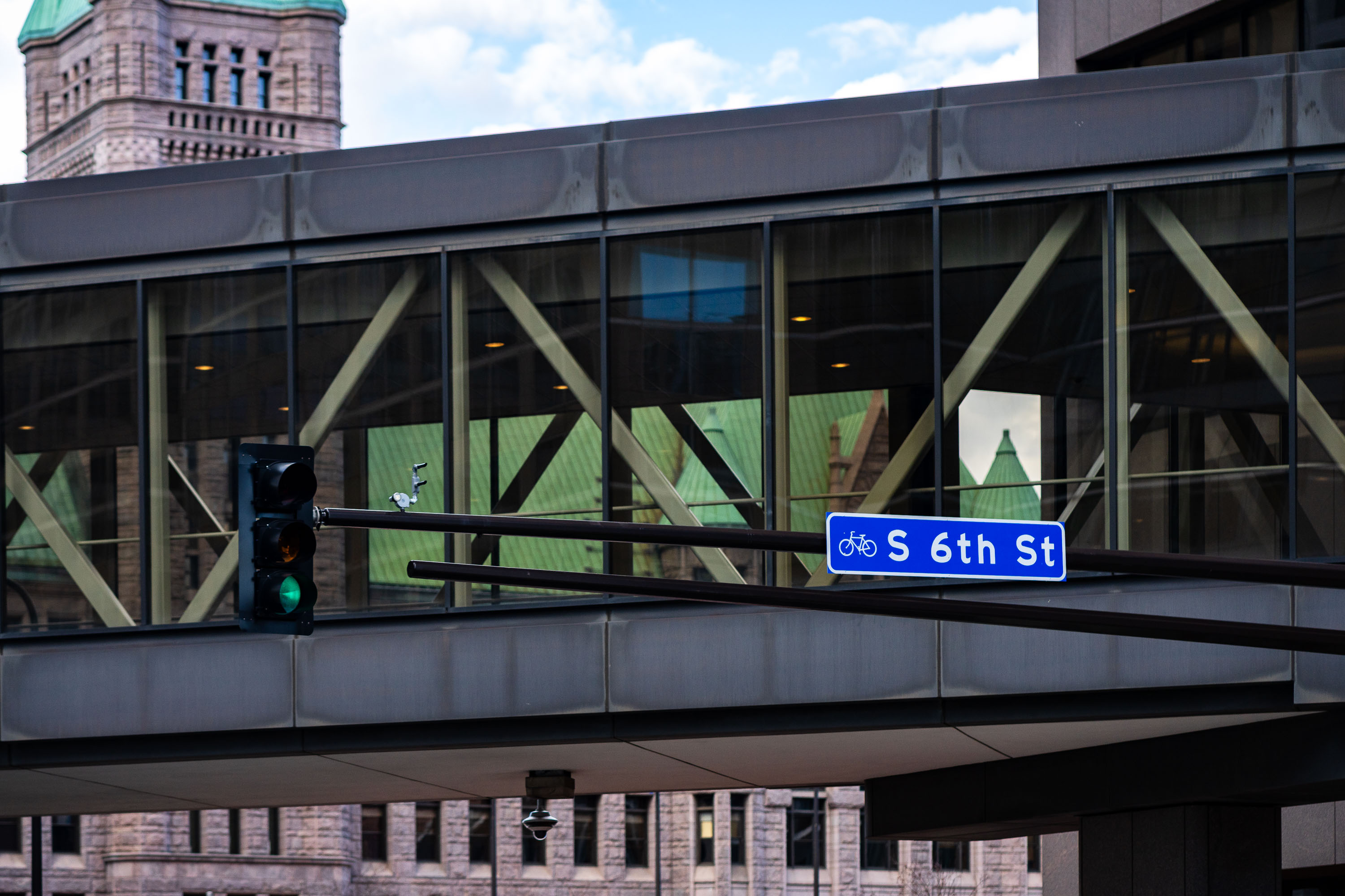
S 6th Street sign on downtown Minneapolis skyway with City Hall visible behind.
S 6th Street runs through downtown Minneapolis, linking the government and financial districts near the Hennepin County Government Center and City Hall. A second-story skyway crosses above the street here, part of the Minneapolis Skyway System, which links more than 80 city blocks and is often cited as the longest continuous system of its kind in the world. The network dates to 1962, when the first bridge connected the Northstar Center to an adjacent building, and it has since expanded to give pedestrians climate-controlled routes between offices, hotels, and retail through the winter months. The tower rising behind the skyway belongs to Minneapolis City Hall, completed in 1906 as the Municipal Building and shared originally with Hennepin County courts.

S 6th Street Skyway, Downtown Minneapolis

C.J. Duffey Paper Company skyway spans brick buildings in Minneapolis's North Loop neighborhood.
The C.J. Duffey Paper Company Skyway in the North Loop Minneapolis.

Snowfall Beneath the C.J. Duffey Paper Co. Skyway
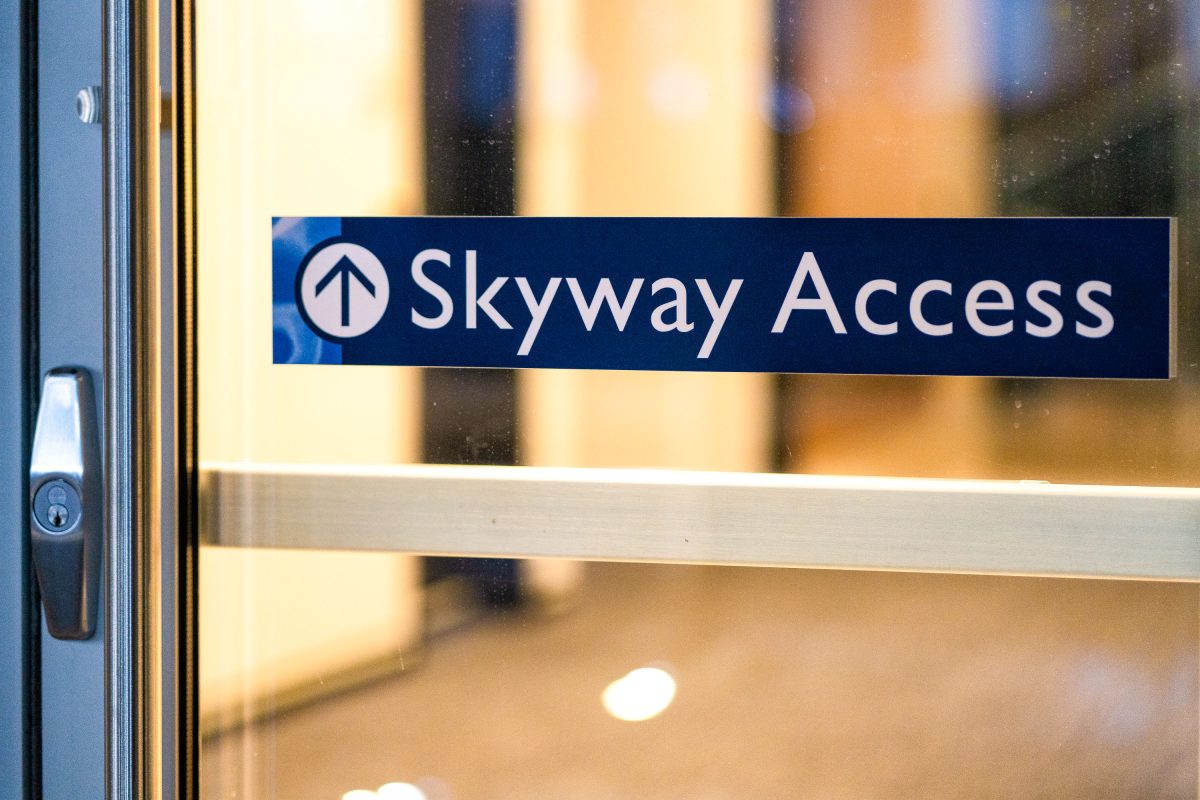
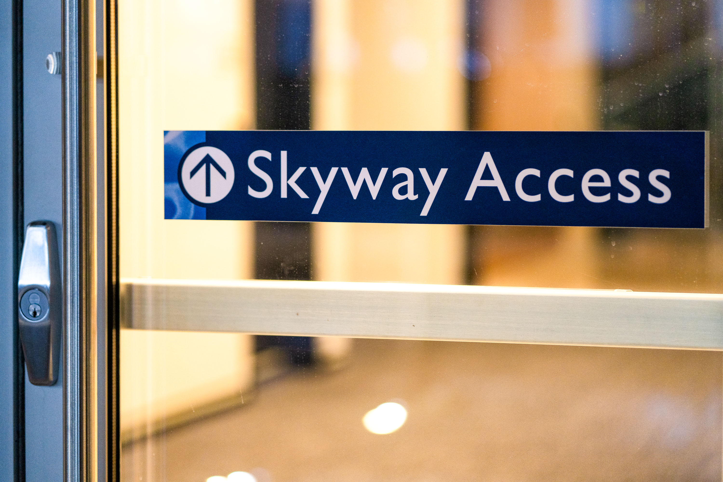
Skyway Access sign directs pedestrians into the enclosed walkway system at the Thrivent Financial building in downtown
The Minneapolis Skyway System connects more than 80 city blocks of downtown buildings via enclosed, elevated walkways, forming one of the largest networks of its kind in the world. Skyway entrances like this one direct pedestrians to the second-level walkway system, letting people move between buildings without going outside. The system dates to 1962.

Skyway Access Sign, Thrivent Financial Building, Minneapolis

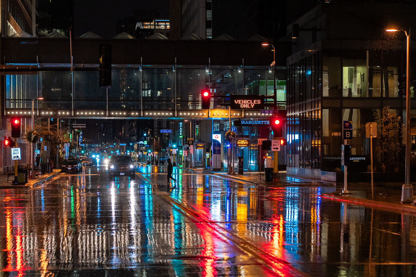
Rainy night on Marquette Ave in December 2021
Marquette Avenue in downtown Minneapolis is shown during a December rain in 2021, with reflections of traffic lights and building signage shimmering on the wet pavement. The Minneapolis Skyway system, a network of enclosed pedestrian bridges connecting buildings, is visible overhead, a characteristic feature of the city's downtown architecture designed to facilitate movement during inclement weather. This street serves as a major artery through the central business district, reflecting the city's ongoing development and its adaptation to climate conditions.

Marquette Ave, Minneapolis: December Rain Reflections 2021
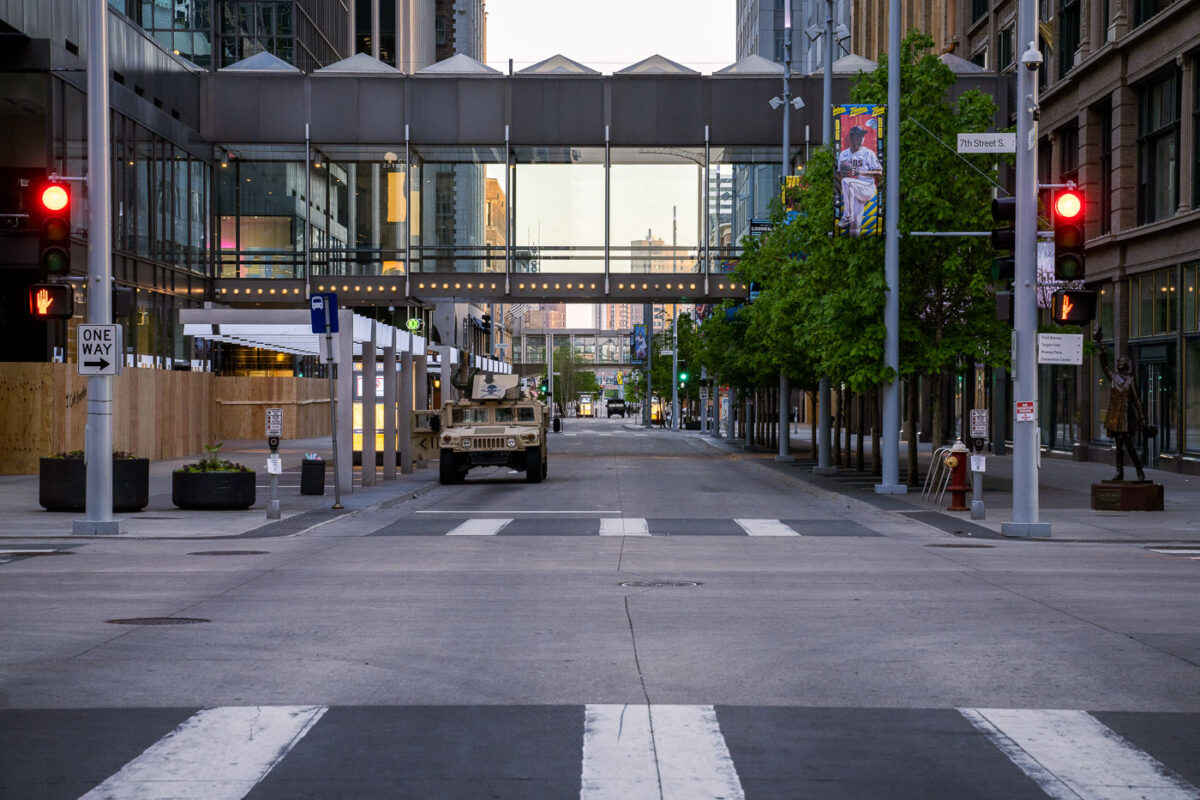
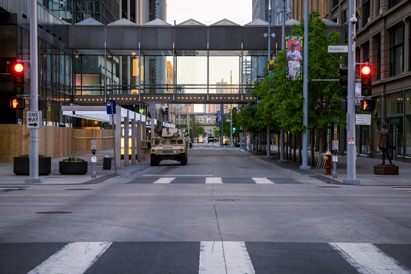
Minnesota National Guard Humvee on Nicollet Mall in downtown Minneapolis during unrest in June 2020.
A Minnesota National Guard Humvee is parked on Nicollet Mall in downtown Minneapolis, beneath the city’s skyway system near 7th Street South. The photograph was taken on June 1, 2020, during the period of unrest that followed the May 25 killing of George Floyd. Storefronts along the pedestrian corridor are covered with plywood, and the otherwise empty street shows the security presence in the central business district.

National Guard Humvee on Nicollet Mall, Minneapolis, June 2020
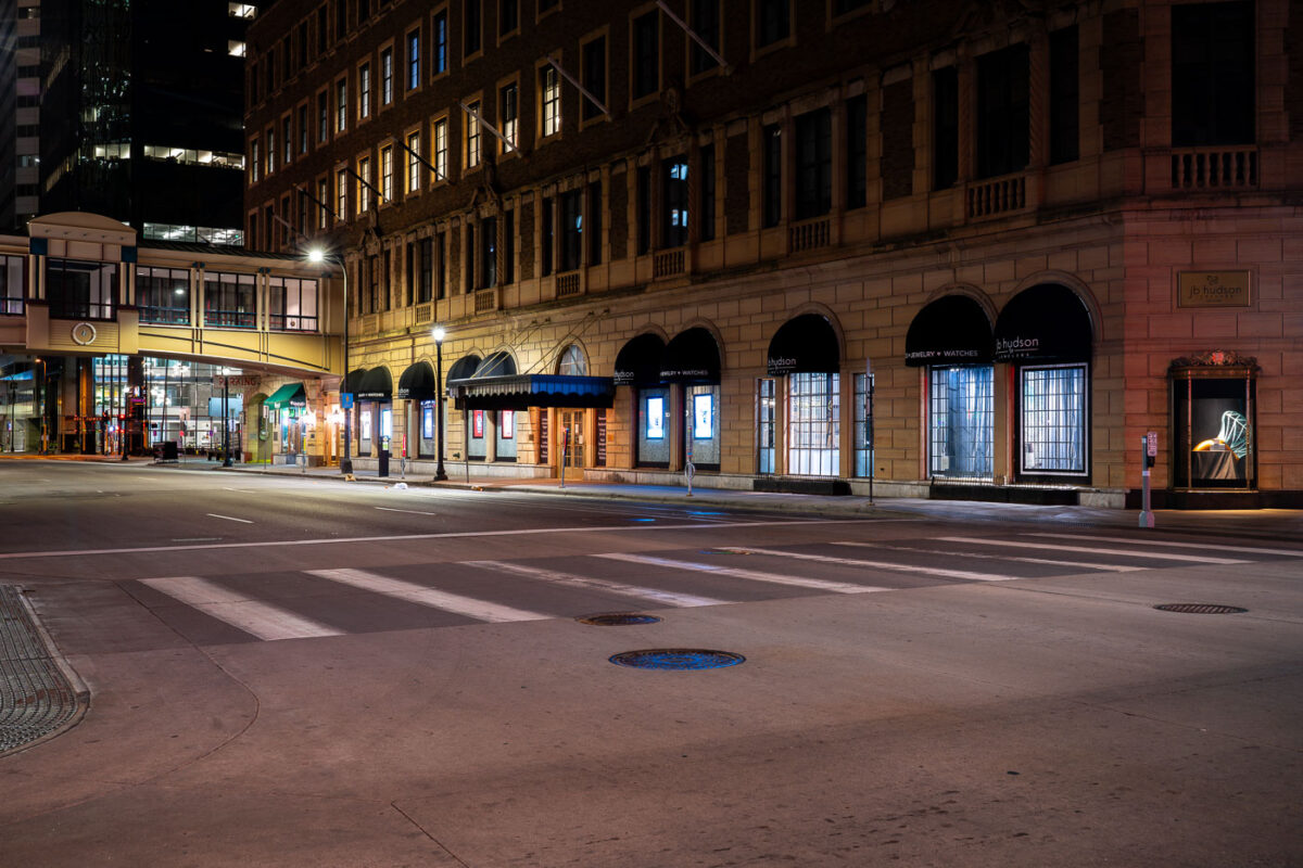
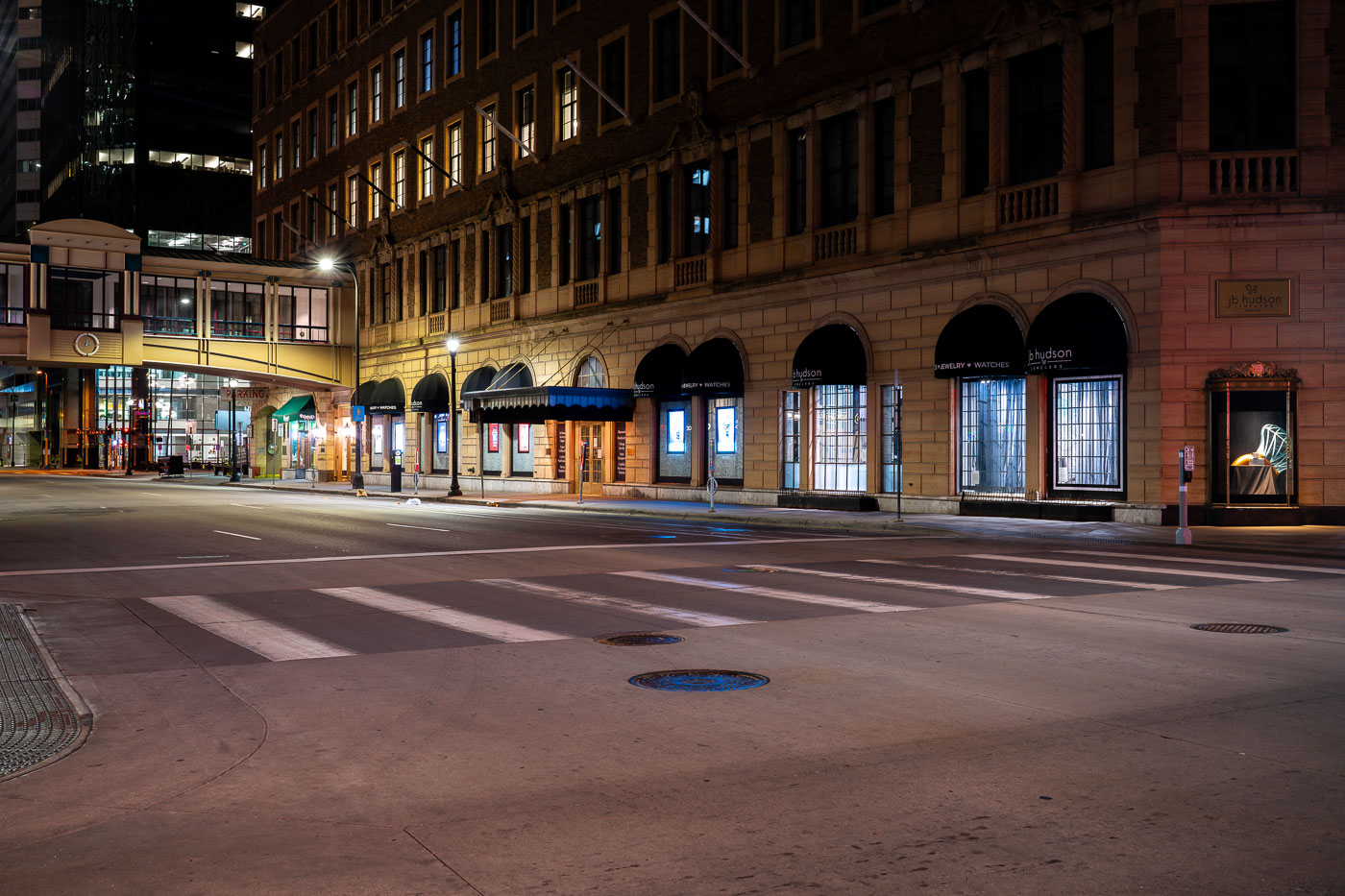
Nicollet Mall storefronts and retail businesses at night in downtown Minneapolis.
Nicollet Mall is a pedestrian shopping district in downtown Minneapolis featuring retail storefronts and restaurants along a tree-lined walkway. The mall, which opened in 1968, was designed as a mixed-use urban space connecting downtown businesses and offices. JB Hudson Jewelers operates among the various retailers along the mall, which has served as a commercial and gathering destination for decades.

Nicollet Mall storefronts at night, downtown Minneapolis
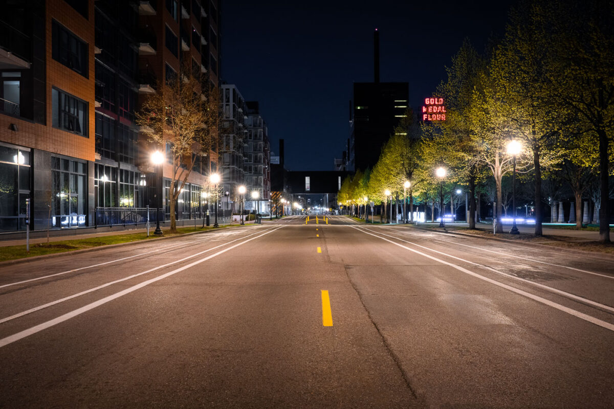
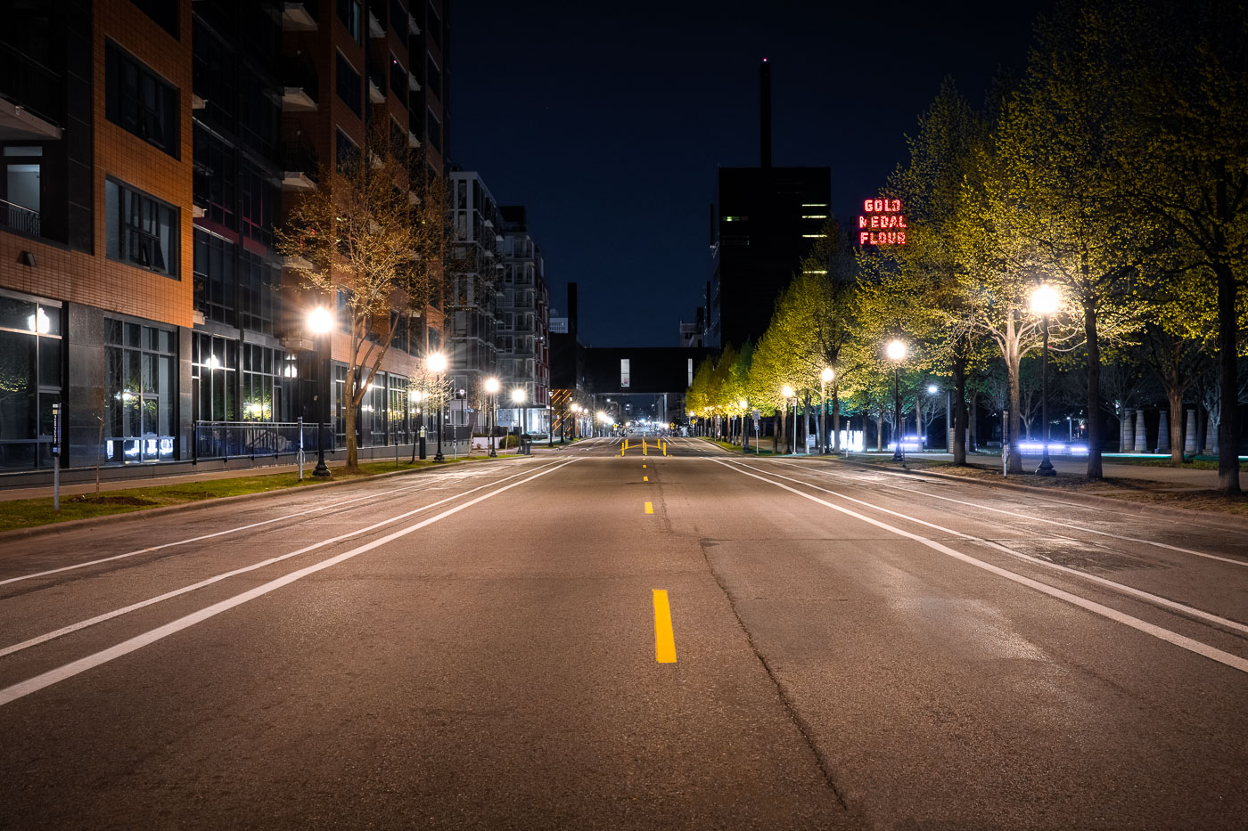
Gold Medal Flour neon sign as seen from 2nd st
South Second Street in downtown Minneapolis during the coronavirus (COVID-19) shutdown.

South Second Street in Downtown Minneapolis
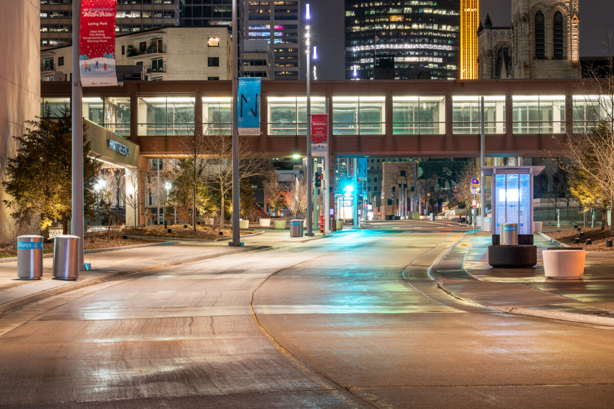
Nicollet Mall in Minneapolis during Stay At Home Orders
Nicollet Mall in downtown Minneapolis is seen during Minnesota's COVID-19 stay-at-home orders.

Nicollet Mall, Downtown Minneapolis During COVID-19 Stay-at-Home
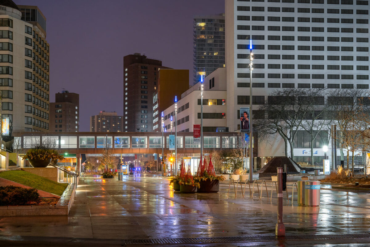
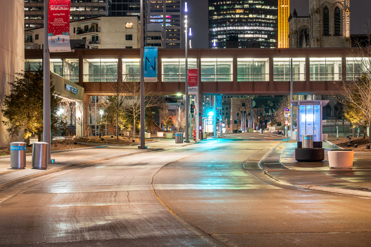
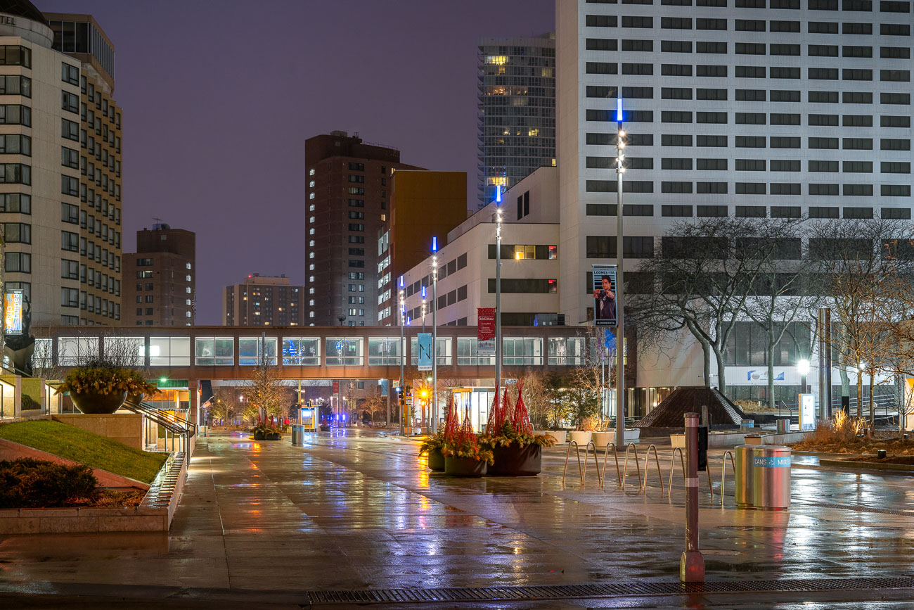
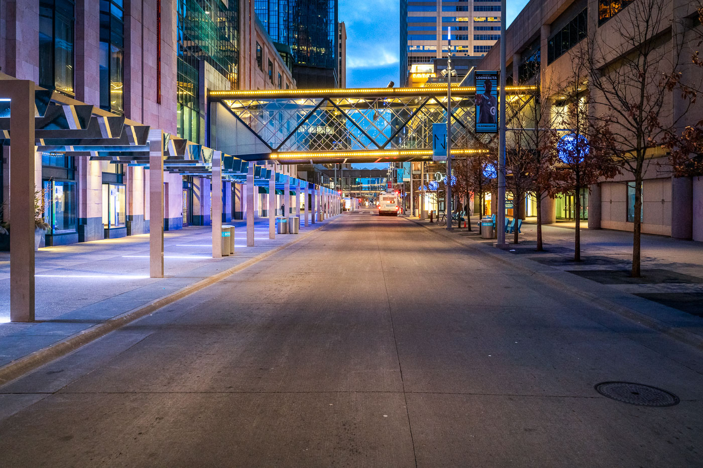
Wet Nicollet Mall pedestrian plaza in downtown Minneapolis at dusk with high-rise buildings and sparse foot traffic.
Nicollet Mall is downtown Minneapolis's main pedestrian and transit corridor, running roughly twelve blocks between Washington Avenue and Grant Street. The city closed it to general traffic in 1967, and a $50 million redesign led by James Corner Field Operations reopened it in 2017 with wider sidewalks, new lighting, and dedicated space for buses and cyclists. The Hyatt Regency Minneapolis has anchored the corridor since 1973, standing near the skyway network that links downtown's office towers and hotels. In March 2020, the mall's usual foot traffic all but disappeared as Minnesota's stay-at-home order took hold during the early weeks of the COVID-19 pandemic.

Nicollet Mall Deserted on a Rainy Night During COVID-19
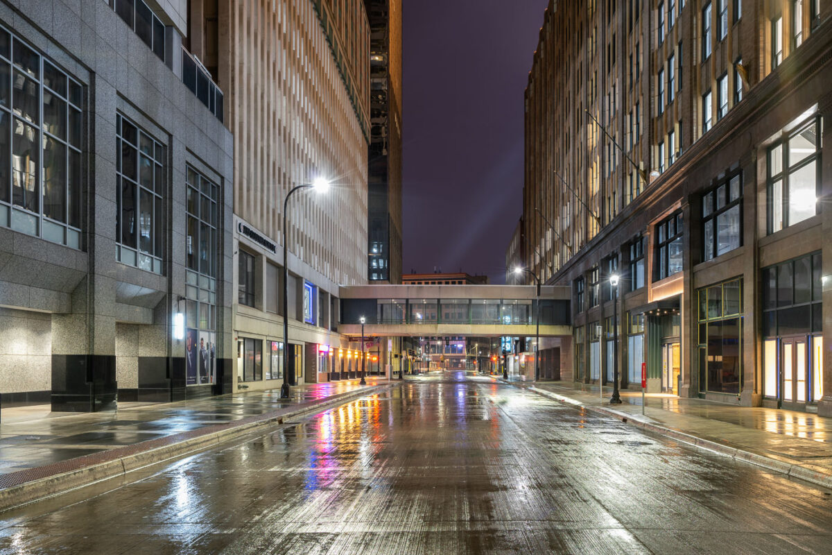
Looking down S 8th Street during COVID19 on rainy night
South 8th Street in downtown Minneapolis is seen on March 22, 2020, during the early stages of the COVID-19 pandemic. The street, typically bustling with activity, are empty.

Downtown Minneapolis S 8th St During COVID-19 Pandemic
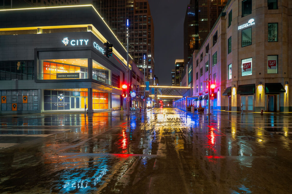
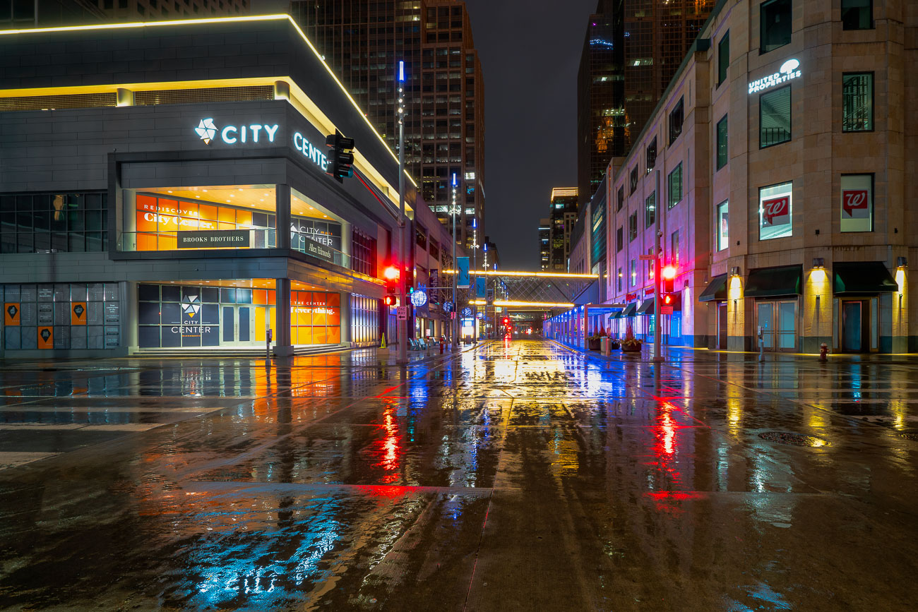
Rainy night outside CIty Center on Nicolelt Mall in Minneapolis.
Nicollet Mall in Downtown Minneapolis is reflected in the wet pavement on a rainy night in early 2020, during the initial phase of the COVID-19 pandemic.

Rainy Night on Nicollet Mall, Downtown Minneapolis, Early COVID-19

Chairs on Nicollet Mall during a rainy early COVID19 night
Nicollet Mall in Minneapolis is seen on a rainy night during the early stages of the COVID-19 pandemic.

Nicollet Mall, Minneapolis: Rainy Night During COVID-19
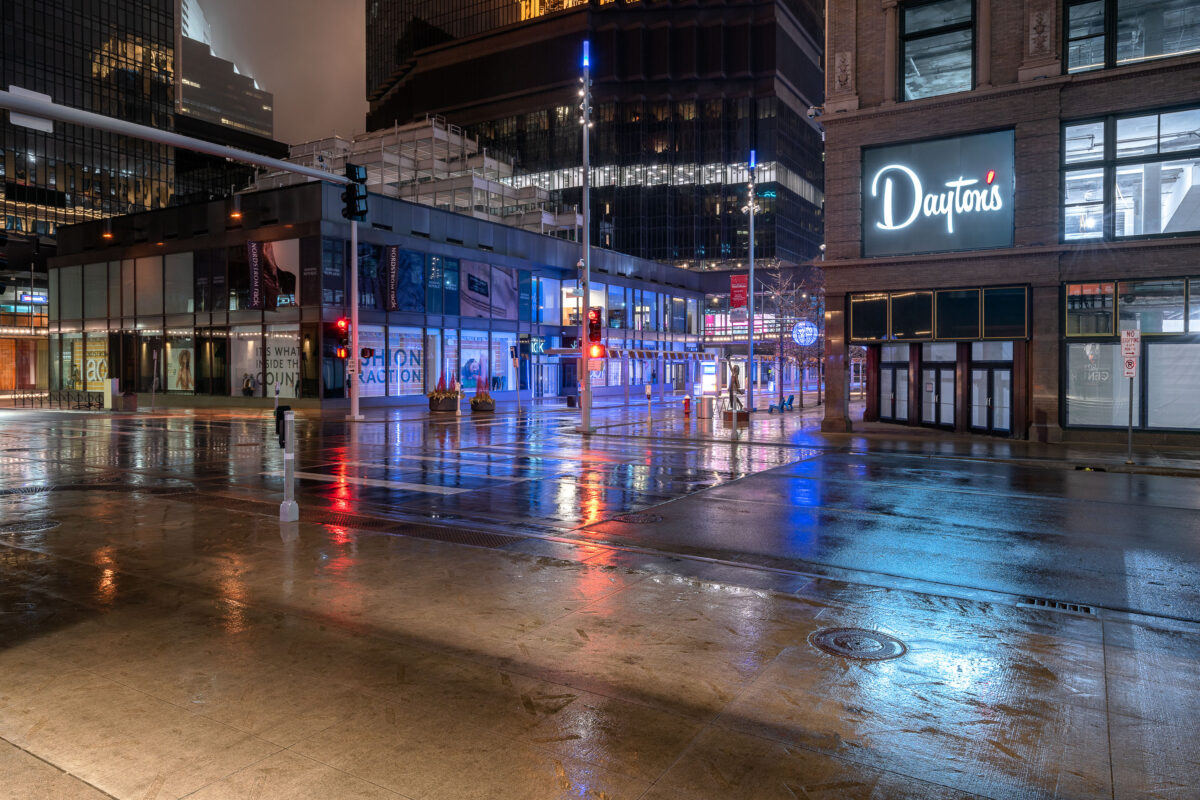
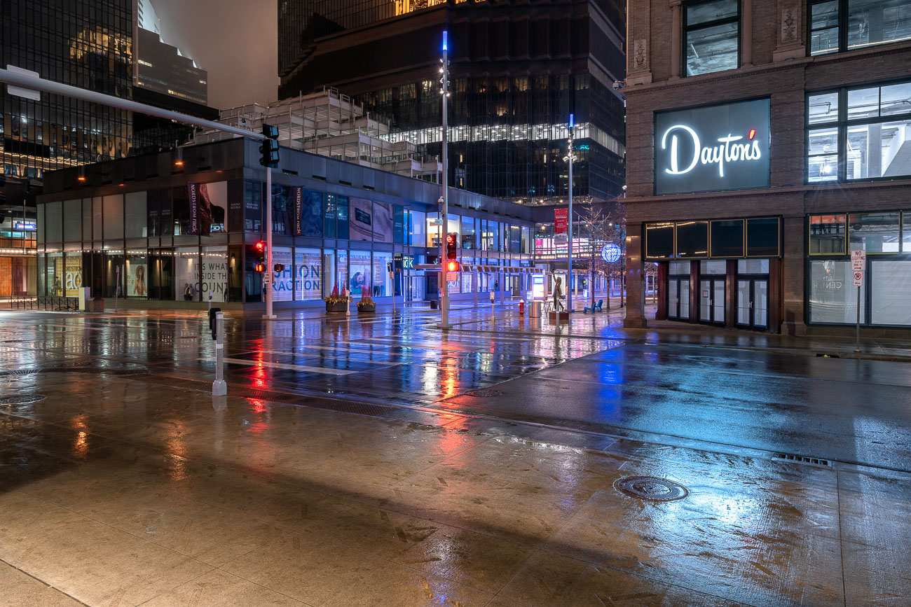
Daytons and IDS Center on Nicollet Mall in the rain
The Dayton's Project and the IDS Center stand on Nicollet Mall in Minneapolis during the early stages of the COVID-19 pandemic. The Dayton's building, a historic landmark in the city's retail landscape, was a prominent fixture on the mall for decades.

Dayton’s and IDS Center, Nicollet Mall, Minneapolis, Early COVID-19
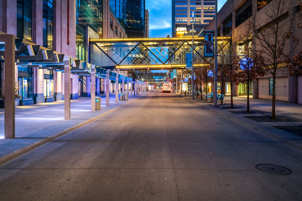
Empty Nicollet Mall pedestrian street in downtown Minneapolis at dusk during COVID-19 pandemic shutdowns.
Nicollet Mall is downtown Minneapolis's mile-long pedestrian and transit corridor, running between Washington Avenue and Grant Street. Cars have been barred from the mall since it opened in 1967, leaving the roadway to buses, taxis, and foot traffic. A $50 million redesign led by James Corner Field Operations, the firm behind New York's High Line, reopened the corridor in 2017 with wider sidewalks, new lighting, and updated bus shelters. Skyways link many of the office towers and retail buildings along the mall, letting workers move between blocks without going outside. In March 2020, Minnesota's stay-at-home order emptied the corridor of the office workers and shoppers who normally fill it on weekdays.

Nicollet Mall at Dusk During Minneapolis’s COVID-19 Shutdown
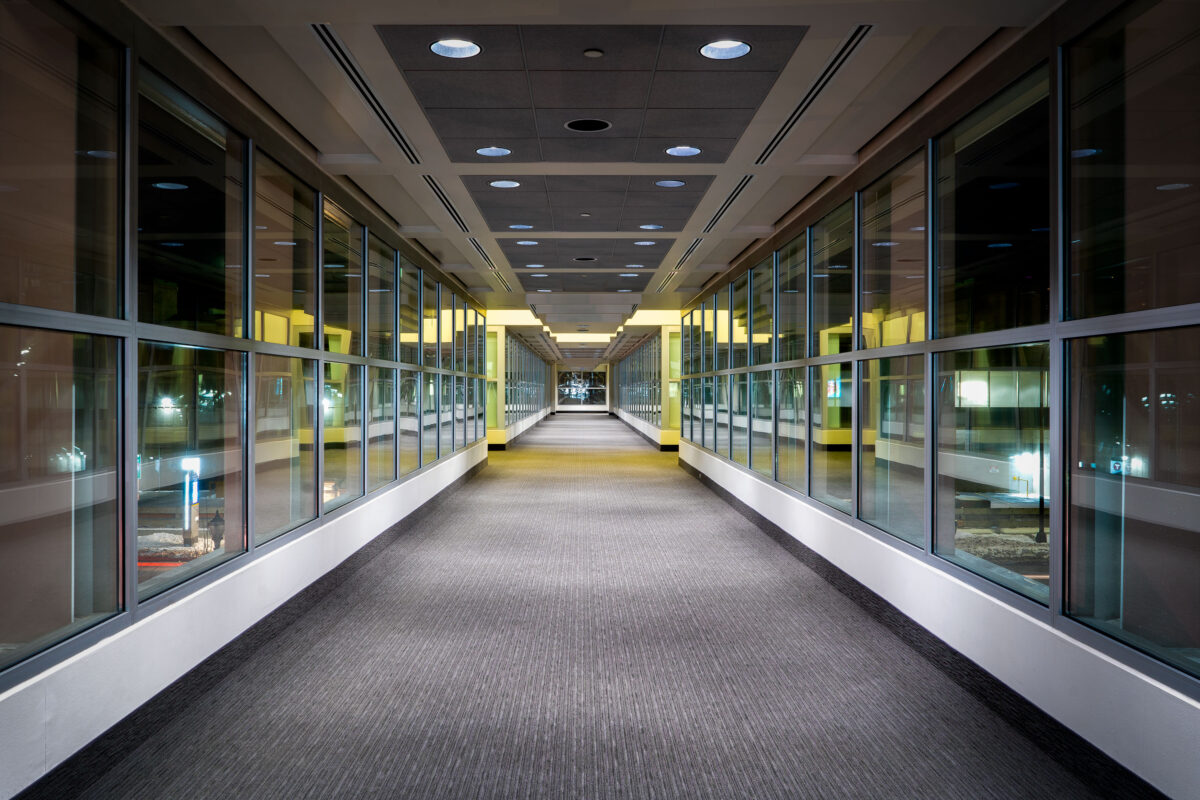
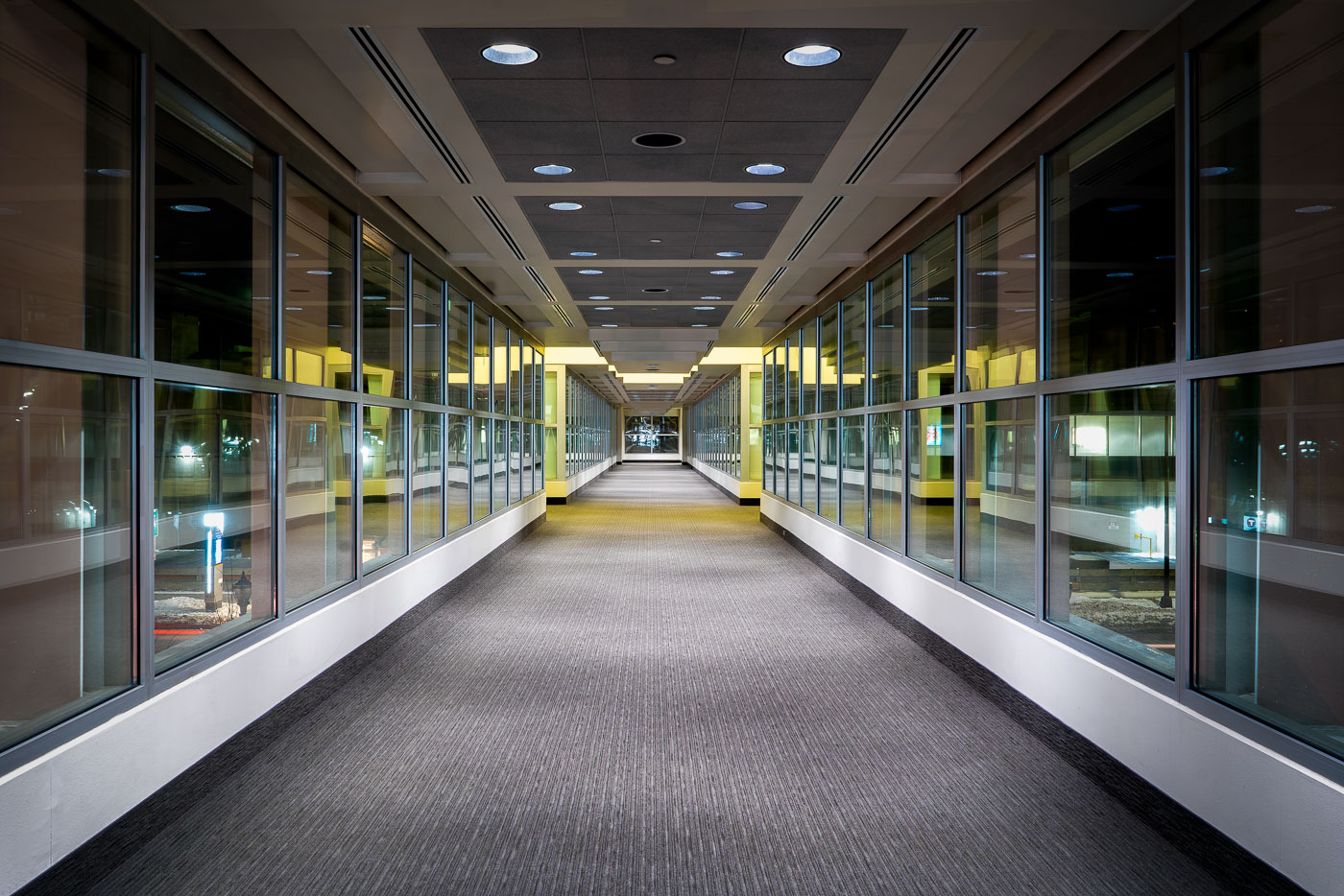
SPS Tower skyway corridor in downtown Minneapolis with windows lining the elevated walkway.
The SPS Tower skyway in downtown Minneapolis is part of the Minneapolis Skyway System. The enclosed elevated walkway connects downtown buildings above street level and supports pedestrian movement through the central business district.

SPS Tower Skyway, Downtown Minneapolis
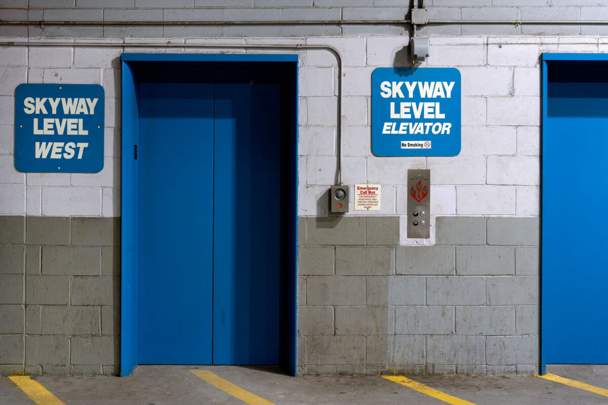
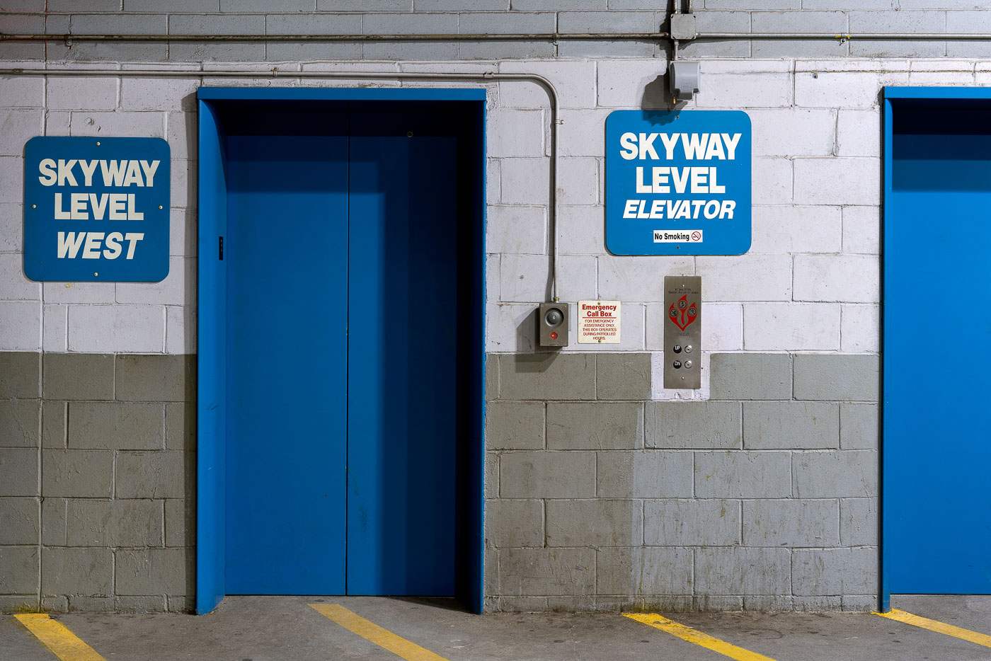
Blue directional signs for Skyway Level elevators in a downtown Minneapolis parking ramp.
Directional signs for Skyway Level elevators mark access points in a downtown Minneapolis parking ramp. The Minneapolis Skyway System connects downtown buildings at the second-floor level, allowing pedestrians to move between structures without exposure to weather. Elevator access from parking facilities is essential infrastructure for the skyway network's operation.

Skyway Level Elevator Signs, Minneapolis Parking Ramp
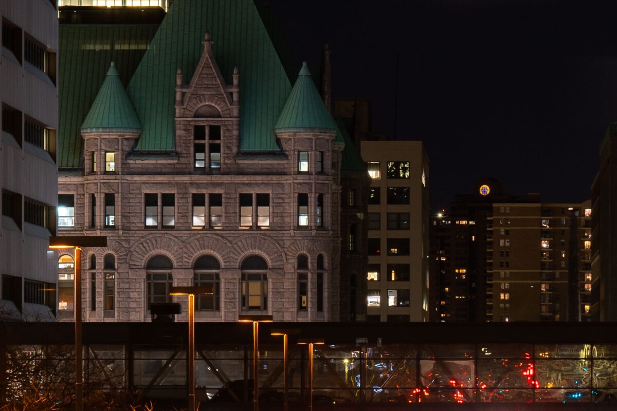
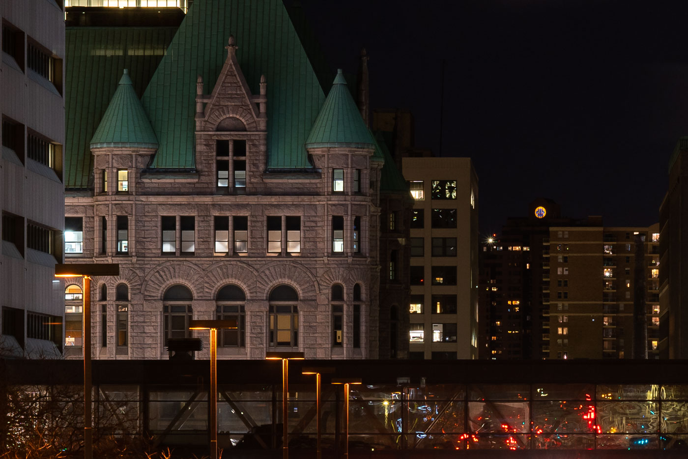
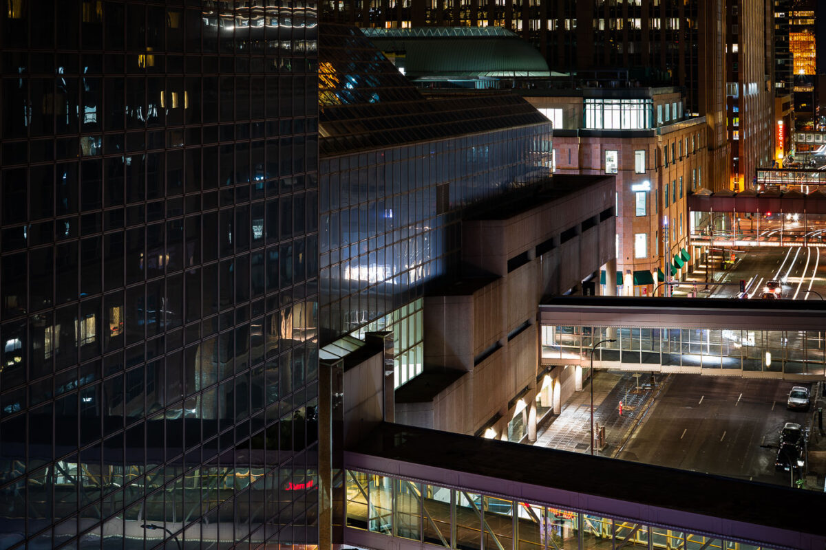
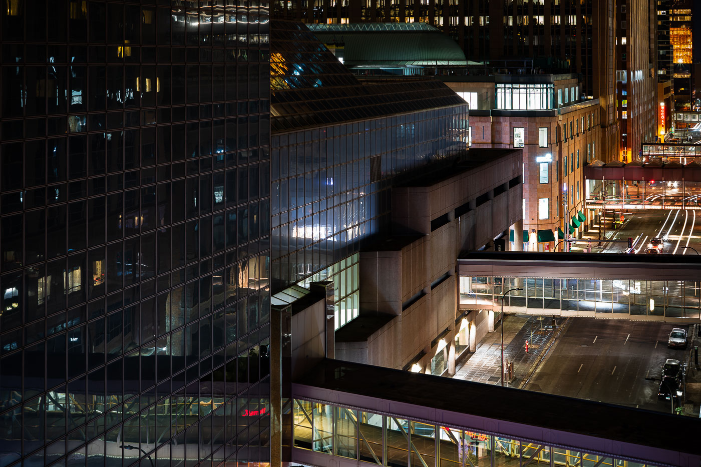
Minneapolis City Hall's green-roofed clock tower illuminated at night above downtown buildings and street lights.
Minneapolis City Hall rises behind a skyway in downtown Minneapolis at night. The historic building’s green roof and stone façade are lit against nearby apartment and office buildings.

Minneapolis City Hall Amid Downtown Towers at Night
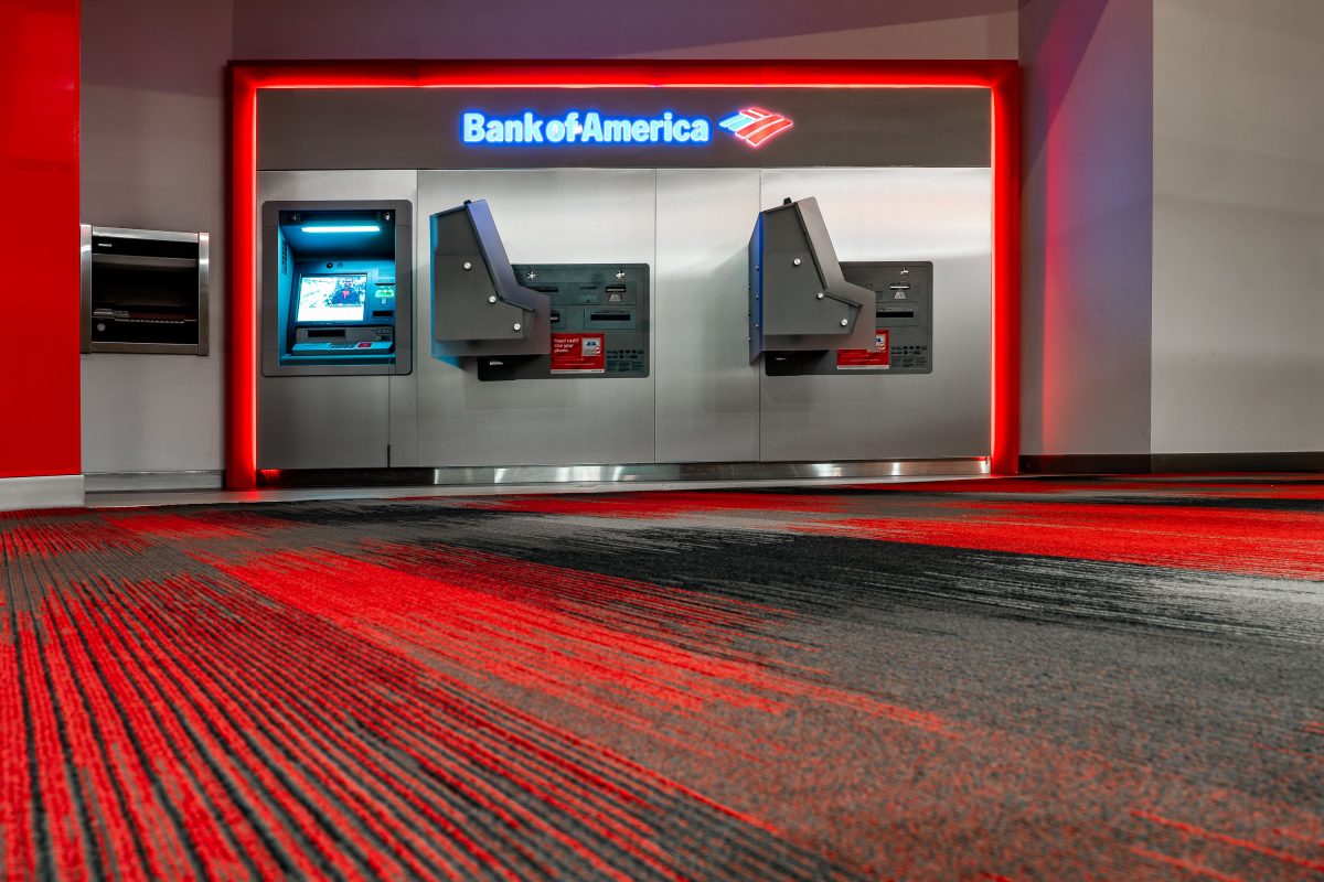
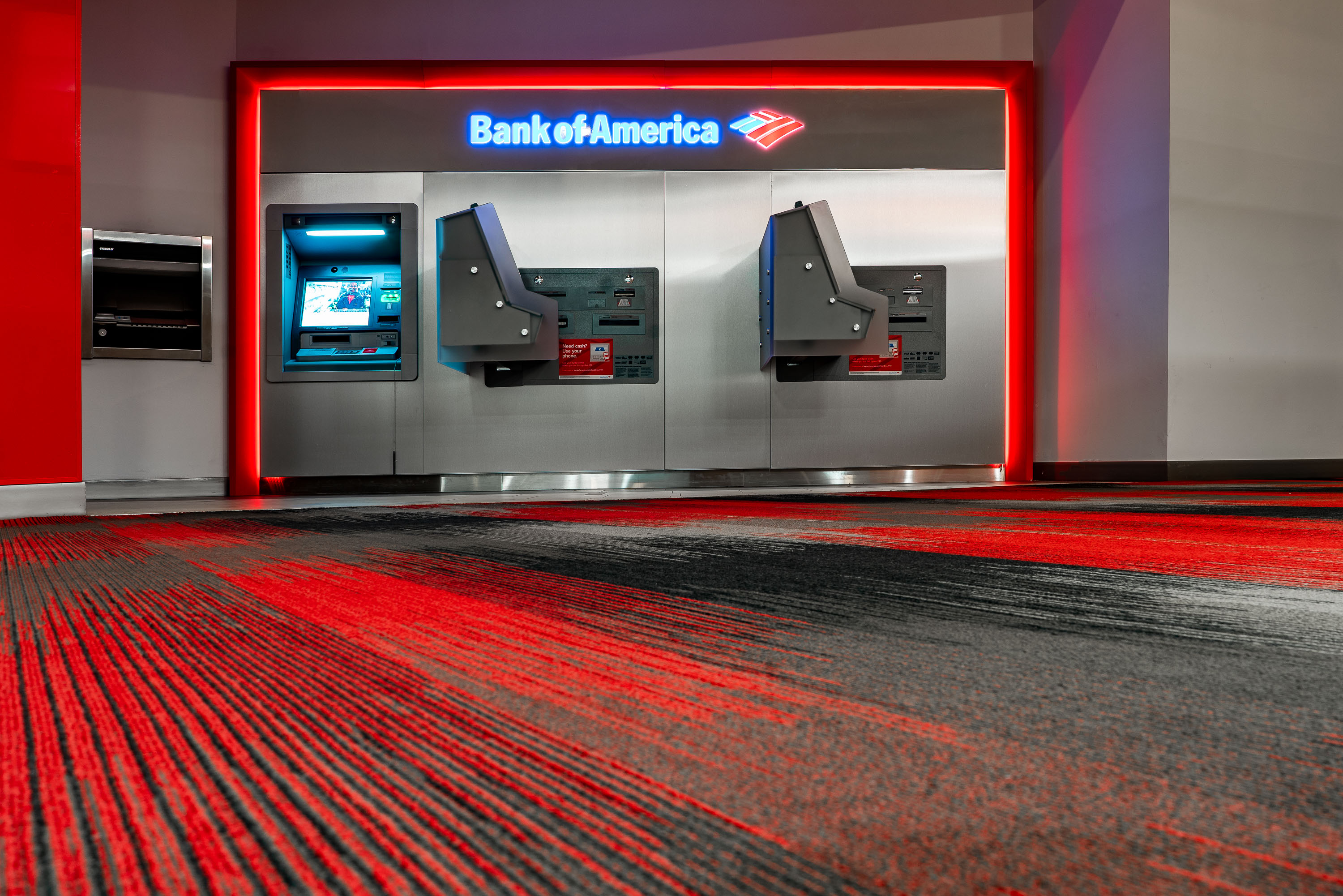
Bank Of America ATM Downtown Minneapolis
Bank Of America ATMs in the IDS Center in Downtown Minneapolis.

Bank Of America ATM Downtown Minneapolis

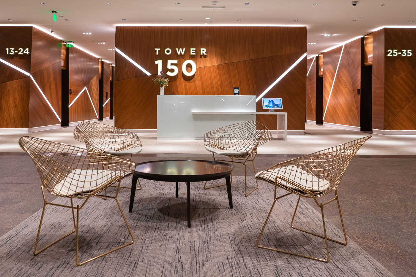
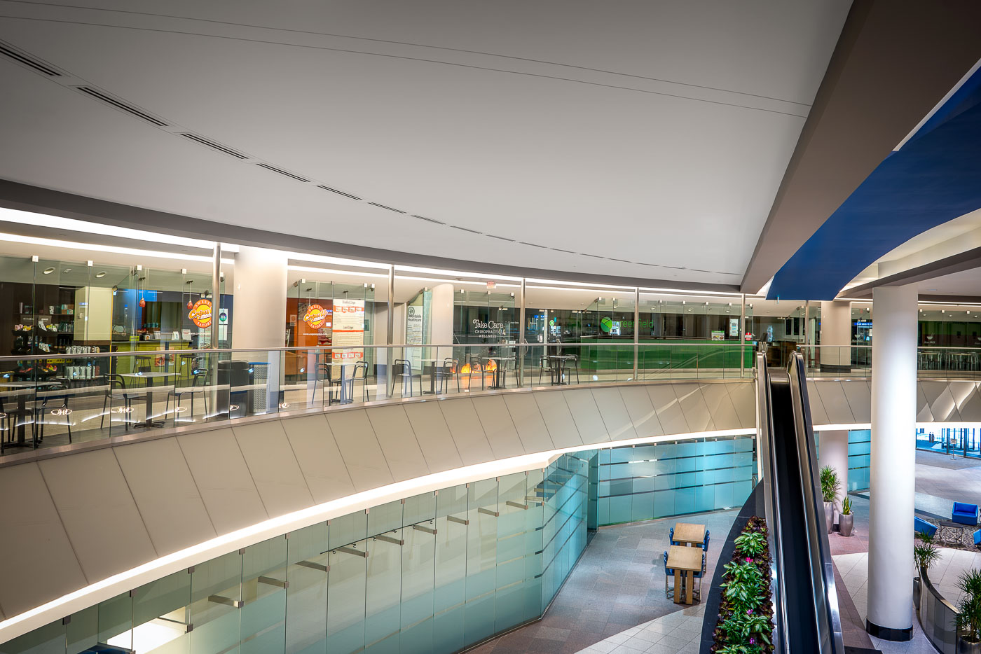
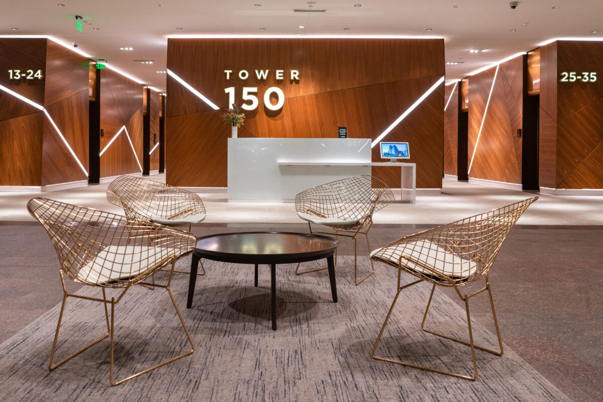
Tower 150 lobby at Fifth Street Towers in downtown Minneapolis with elevator banks and seating.
Tower 150 lobby at Fifth Street Towers in downtown Minneapolis. The office tower is part of the Fifth Street Towers complex, which connects to the Minneapolis Skyway system. The lobby provides elevator access to upper-floor offices and links building tenants and visitors with the downtown skyway network.

Tower 150 Lobby at Fifth Street Towers
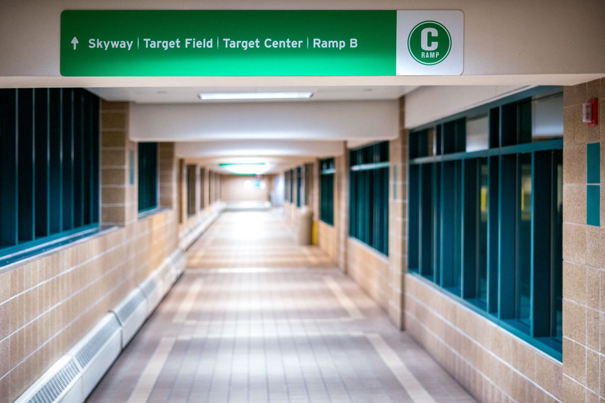
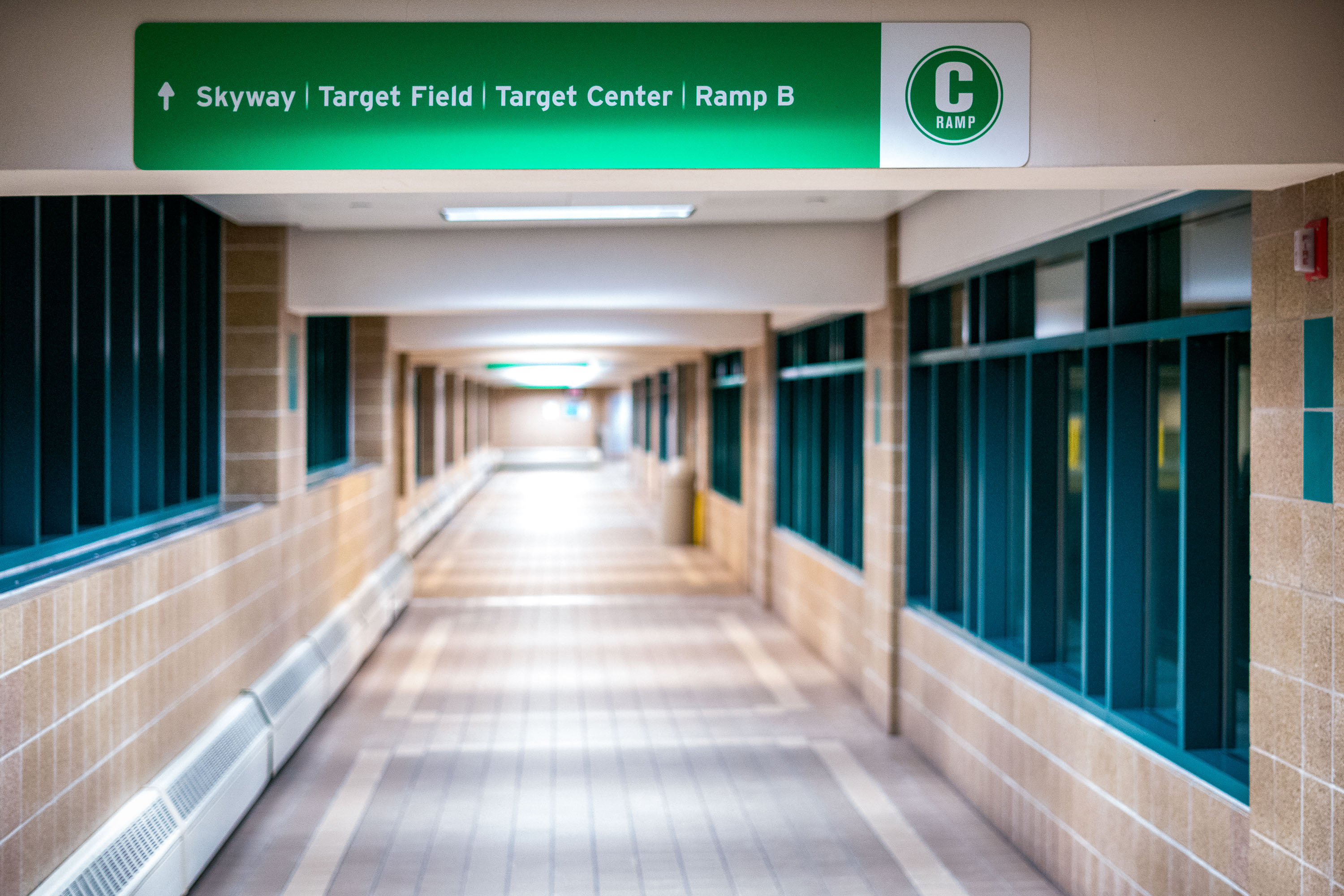
Interior corridor of Ramp C in the Minneapolis Skyway System with directional signage for Target Field and Target Center.
Minneapolis's Skyway System is the largest continuous skyway network in the world, linking more than 80 blocks of downtown through roughly 9.5 miles of enclosed, climate-controlled walkways. This particular corridor runs through Ramp C, a municipal parking structure, and directs pedestrians toward Target Field, home of the Minnesota Twins since 2010, and Target Center, the arena that has hosted the Minnesota Timberwolves since 1990.

Ramp C Skyway to Target Field and Target Center, Minneapolis
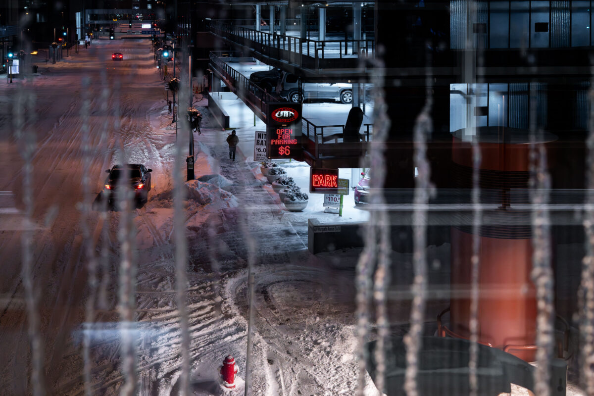
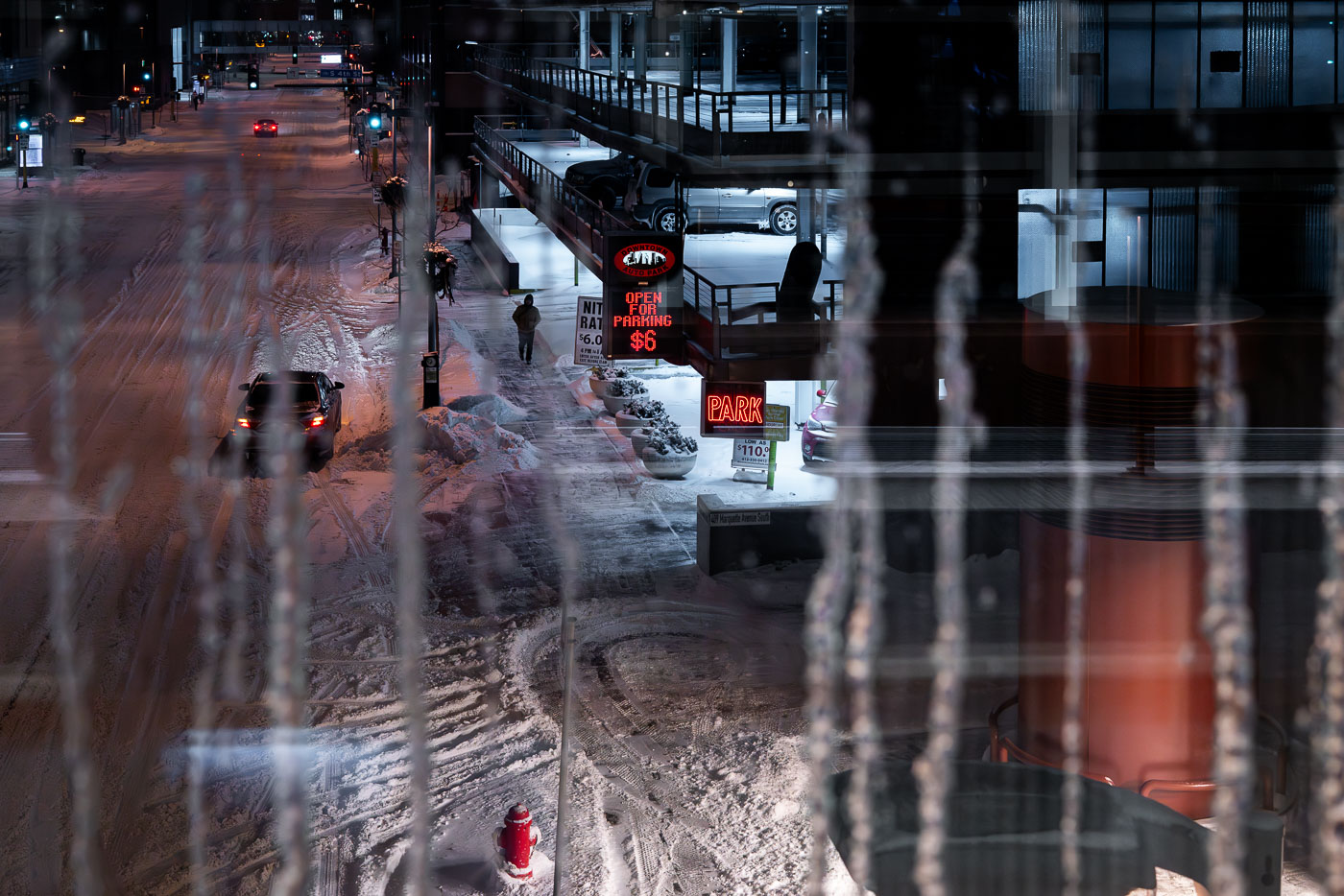
Icy downtown Minneapolis street beside a skyway parking ramp at night
A snow-covered street in downtown Minneapolis runs past a skyway-connected parking ramp at night. Icicles hang in the foreground, and neon signs mark the parking entrance and rate information.

Icy downtown Minneapolis street beside skyway parking ramp
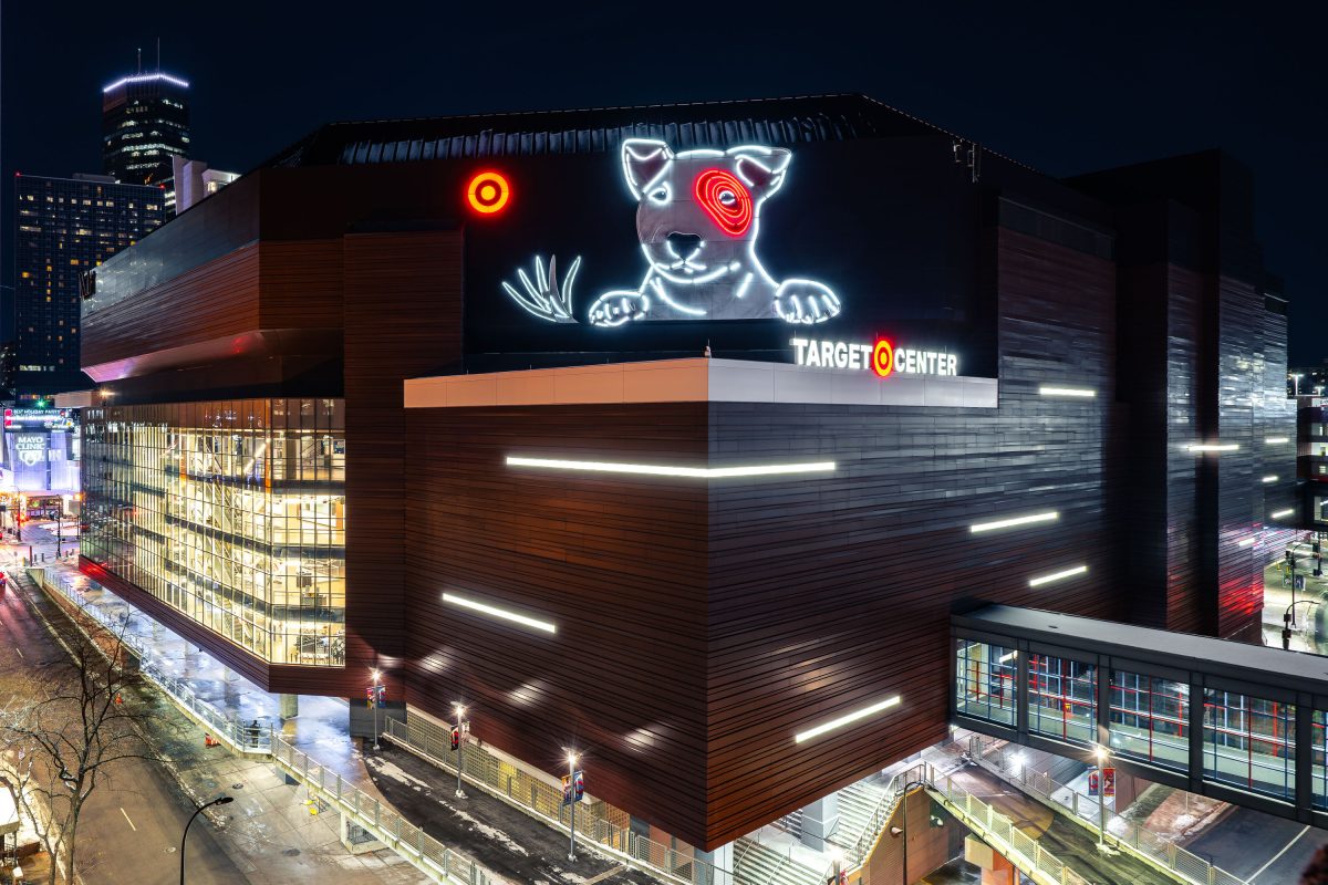
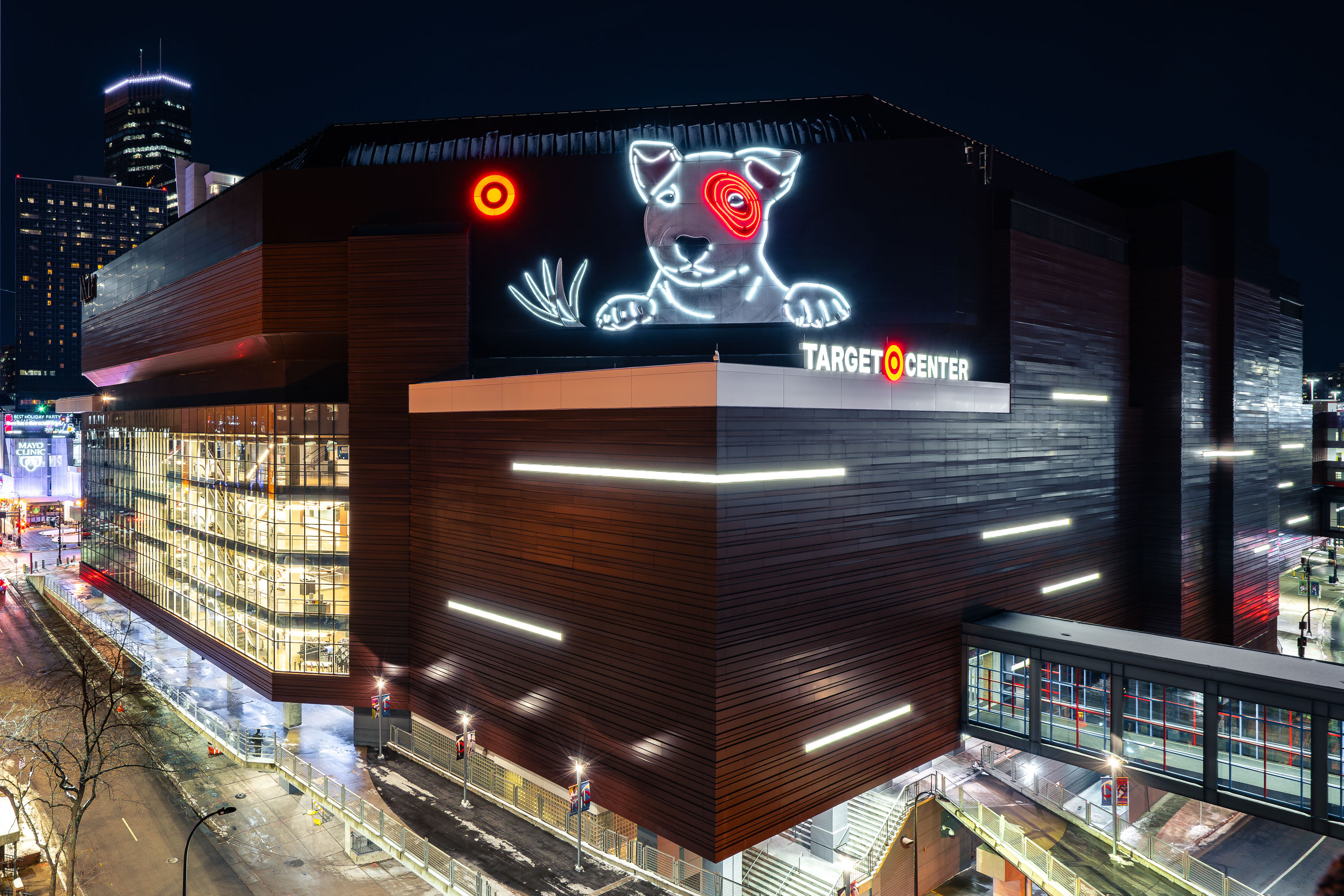
Target Center's illuminated neon bullseye dog logo displays above the arena entrance in downtown Minneapolis at night.
Target Center opened in downtown Minneapolis in 1990 as home to the NBA's Minnesota Timberwolves and, later, the WNBA's Minnesota Lynx. The arena seats roughly 19,000 for basketball and hosts concerts and other events year-round. A skyway connection links the building to the surrounding downtown buildings.

Neon Bullseye Dog Sign on Target Center at Night
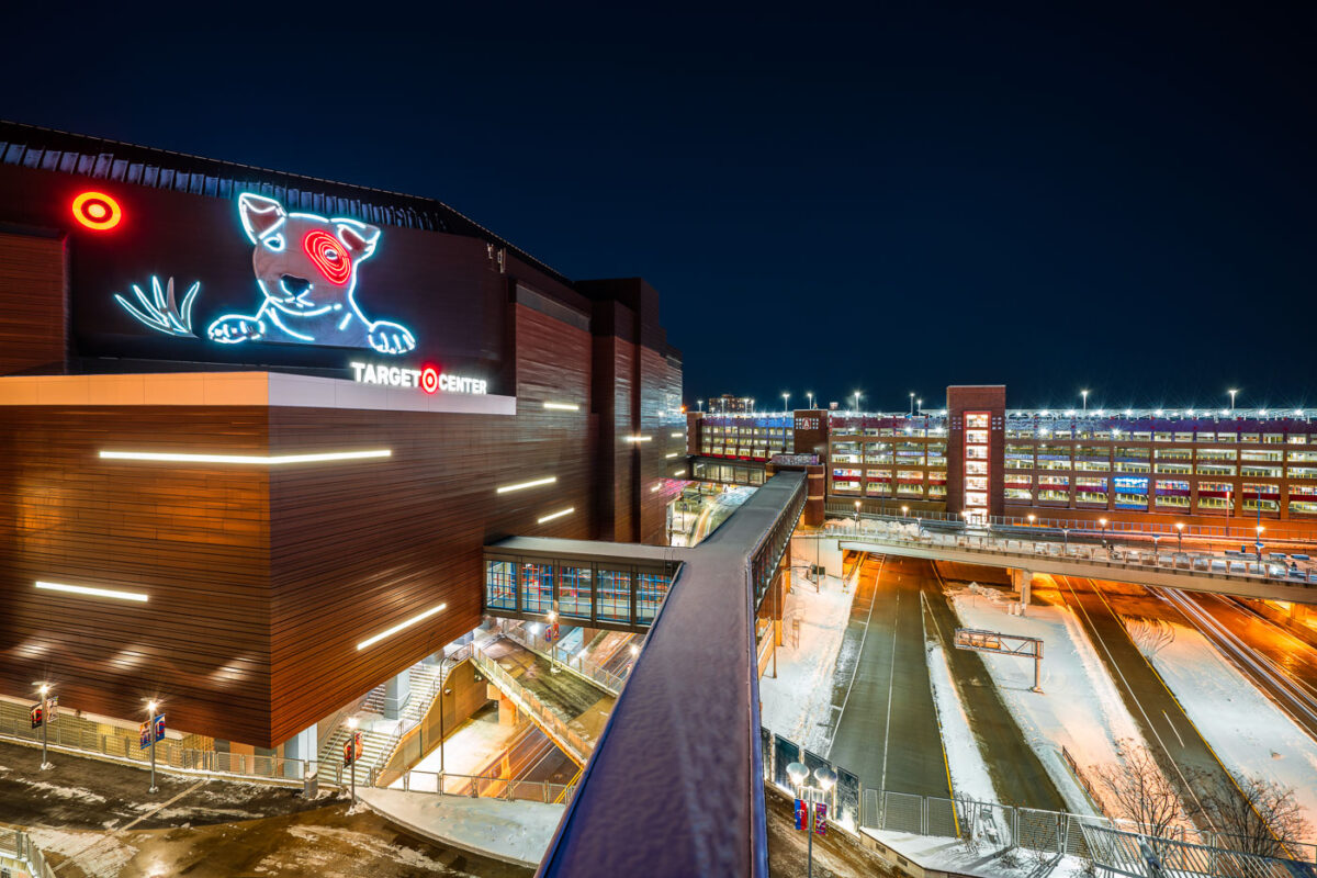
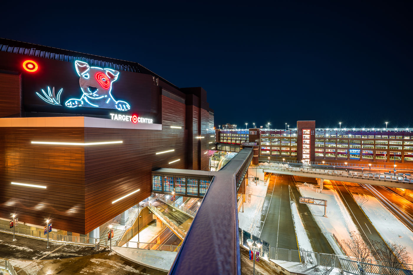
Target Center and Ramp A skyway in downtown Minneapolis at night.
Target Center in downtown Minneapolis is a multi-purpose arena opened in 1990 and renovated in 2017. It is the home court of the Minnesota Timberwolves and is connected to Ramp A by an enclosed skyway. The Minneapolis skyway system links buildings and parking ramps across the downtown core.

Target Center and Ramp A Skyway, Minneapolis
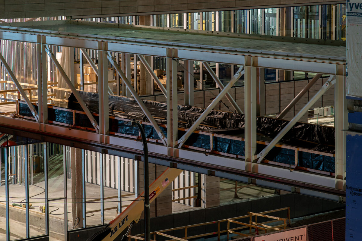
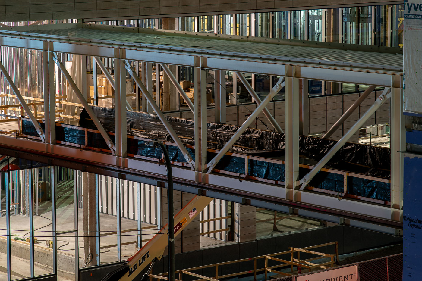
Minneapolis skyway under construction between downtown buildings.
A Minneapolis skyway is under construction in downtown Minneapolis. The elevated pedestrian walkway connects buildings in the city’s enclosed skyway system, which links offices, shops, and transit access across the downtown core.

Downtown Minneapolis Skyway Construction in 2019
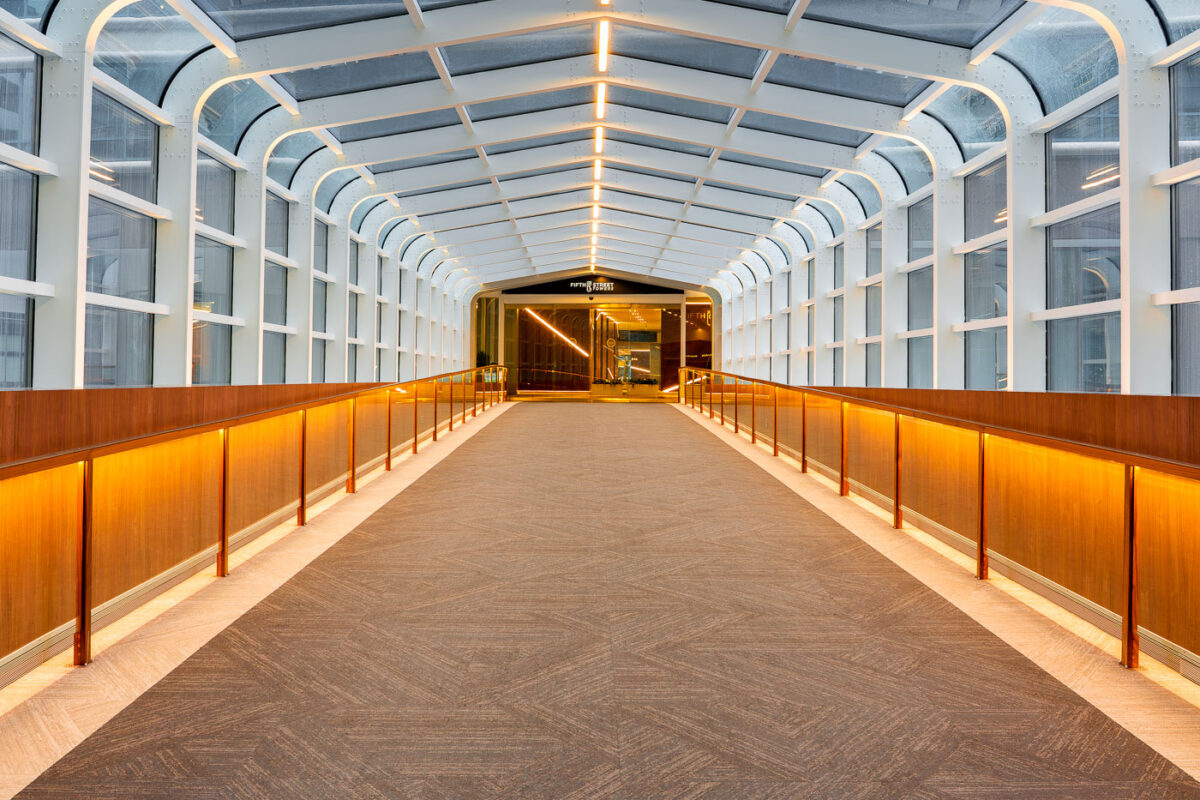
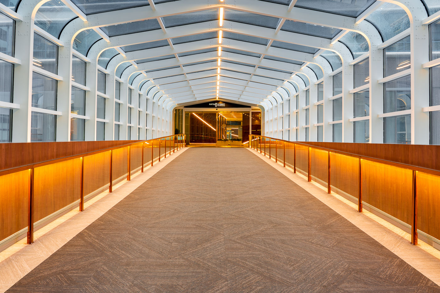
Inside the Fifth Street Towers skyway
The skyway connecting the Soo Line Apartments to the Fifth Street Towers. The skyway is part of the large Minneapolis Skyway System.

Inside the Fifth Street Towers skyway

Inside the Canadian Pacific Plaza Skyway Minneapolis
Located at 120 South 6th St, the 28 story Canadian Pacific Plaza was the tallest building in Minneapolis built in the 1960s.

Inside the Canadian Pacific Plaza
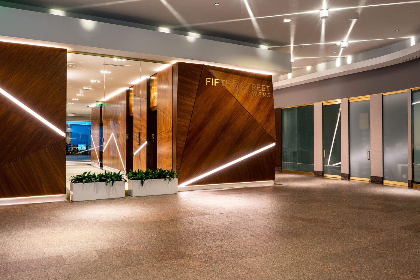
Fifth Street Towers skyway entrance in downtown Minneapolis with wood-paneled walls and lit planters.
Inside the Fifth Street Towers in Downtown Minneapolis.

Fifth Street Towers Skyway Entrance, Minneapolis

Minneapolis Skyway over Nicollet Mall in downtown Minneapolis, linking office towers across the street.
Minneapolis Skyway over Nicollet Mall in downtown Minneapolis. The enclosed pedestrian network connects office towers, hotels, parking ramps, and retail spaces across the city center. It allows indoor pedestrian crossings above street level.

Minneapolis Skyway over Nicollet Mall

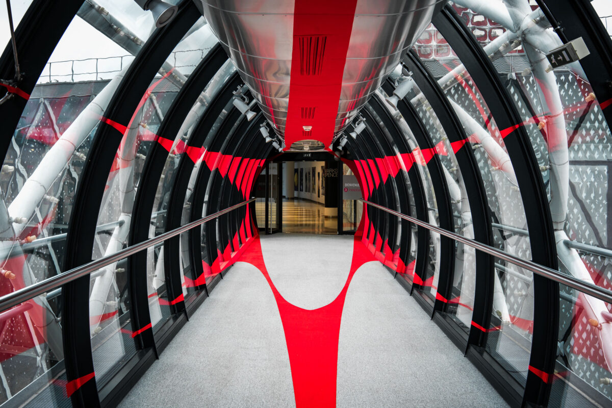
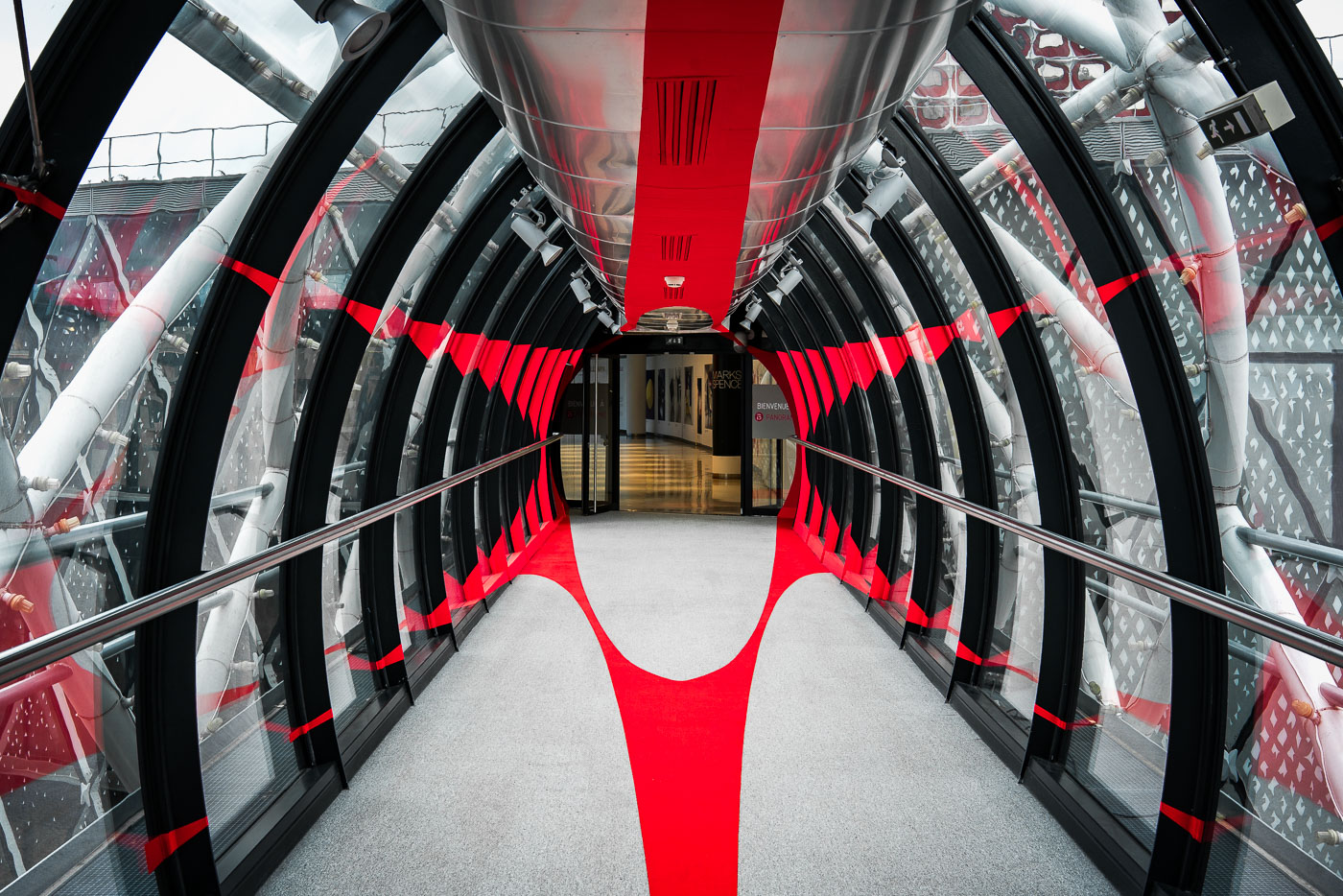
Paris shopping mall skyway interior with glass walls and red accents
An enclosed pedestrian skyway inside a shopping mall in Paris, France, connects retail units on either side. The tubular glass-and-steel passage has black framing, exposed structural members, and bold red interior accents.
Paris Shopping Mall Skyway Interior
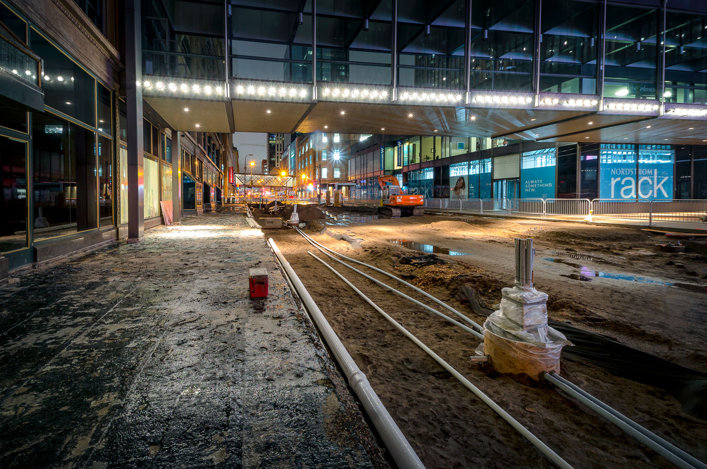
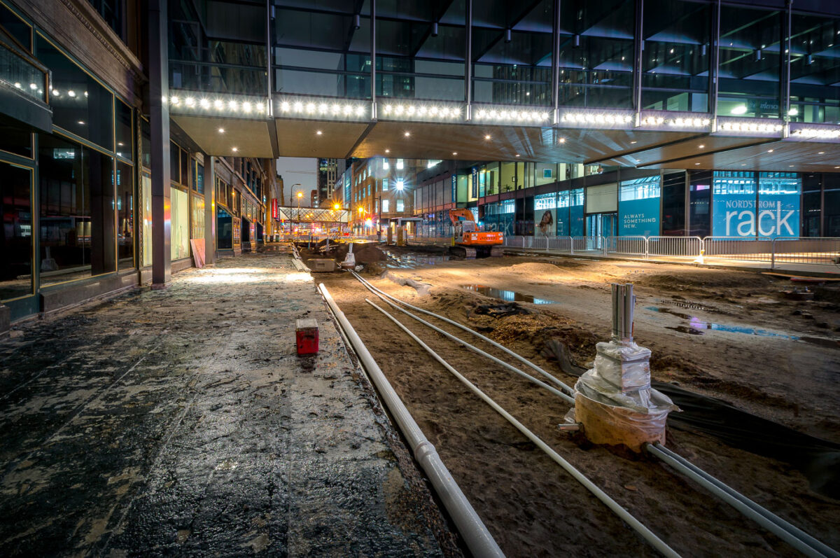
Construction on Nicollet Mall in downtown Minneapolis between the IDS Center and Nordstrom Rack involves infrastructure work and paving.
Construction on Nicollet Mall in downtown Minneapolis is underway, impacting the area between the IDS Center and Nordstrom Rack. This multi-year project aims to revitalize the pedestrian mall, a key thoroughfare in the city's business district. The construction involves significant infrastructure work, including the installation of new utilities and paving. Nicollet Mall, originally developed in the 1960s and redesigned in the 1990s, serves as a central hub for retail, dining, and public life in Minneapolis.

Nicollet Mall Construction, Minneapolis: Nordstrom Rack and IDS Center
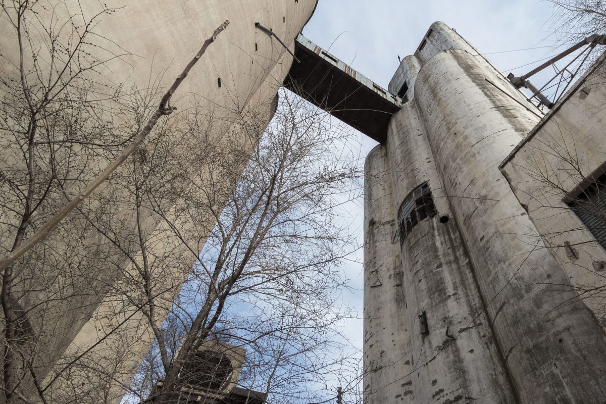
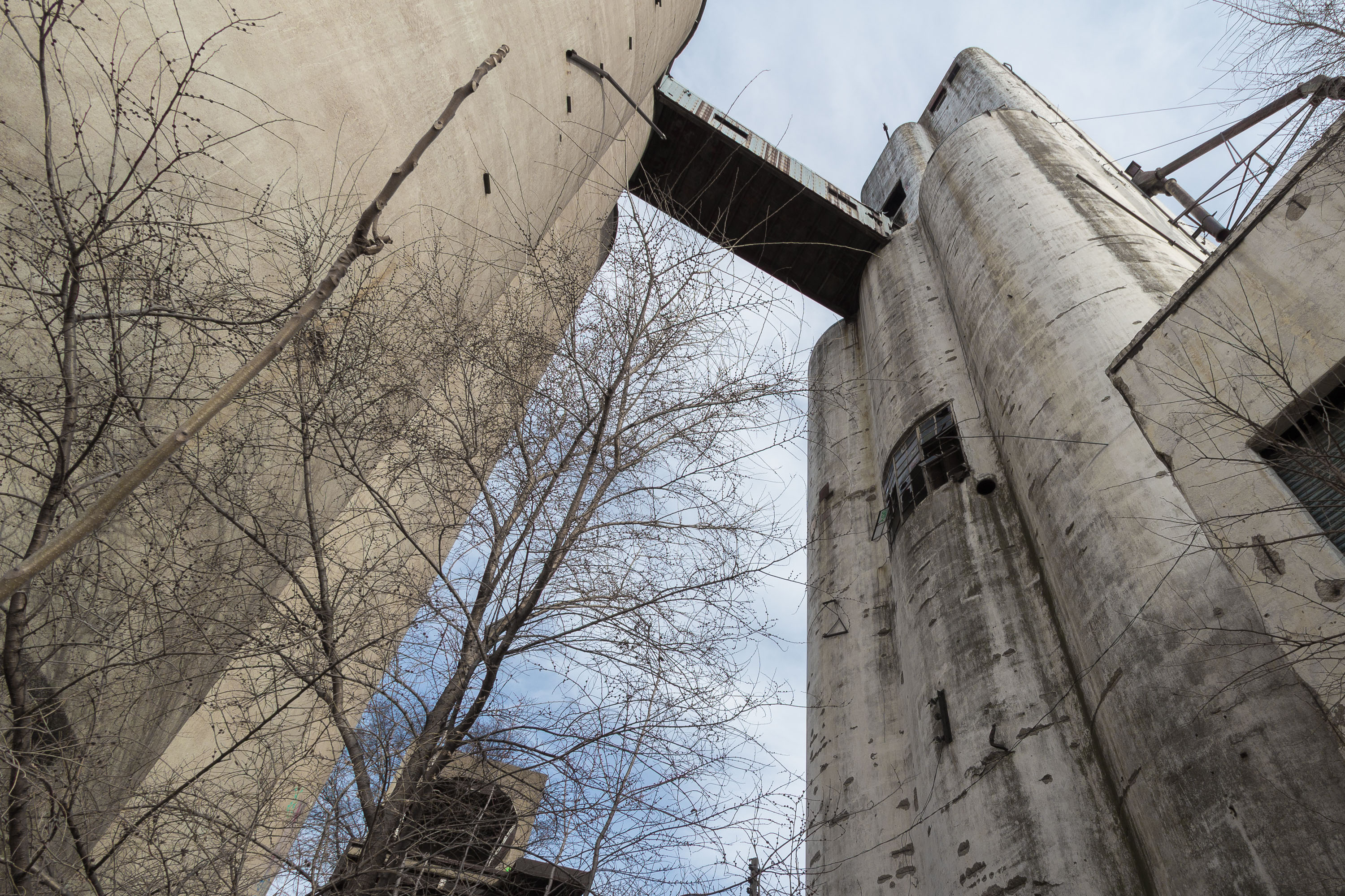
Concrete grain silos connected by an elevated enclosed walkway at a grain elevator complex in Omaha, Nebraska.
This grain elevator complex is located in Omaha, Nebraska. The structure consists of multiple reinforced concrete silos connected by an elevated enclosed walkway.

Concrete Grain Silos and Elevated Walkway, Omaha, Nebraska