
Map
More from Minneapolis Skyway

Nicollet Mall Deserted on a Rainy Night During COVID-19
Nicollet Mall is downtown Minneapolis's main pedestrian and transit corridor, running roughly twelve blocks between Washington Avenue and Grant Street.…
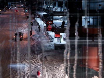
Icy downtown Minneapolis street beside skyway parking ramp
A snow-covered street in downtown Minneapolis runs past a skyway-connected parking ramp at night. Icicles hang in the foreground, and…

Minneapolis Skyway at Night in Spring Rain
The Minneapolis Skyway system, the longest continuous network of enclosed pedestrian bridges in the world, is visible here at night…

National Guard Humvee on Nicollet Mall, Minneapolis, June 2020
A Minnesota National Guard Humvee is parked on Nicollet Mall in downtown Minneapolis, beneath the city’s skyway system near 7th…
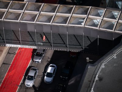
Minneapolis Skyway and IDS Center Pedestrian Walkway
The Minneapolis Skyway, a network of enclosed pedestrian bridges, connects buildings throughout downtown Minneapolis. This particular walkway links the IDS…

S 6th Street Skyway, Downtown Minneapolis
S 6th Street runs through downtown Minneapolis, linking the government and financial districts near the Hennepin County Government Center and…
Nearby Photos