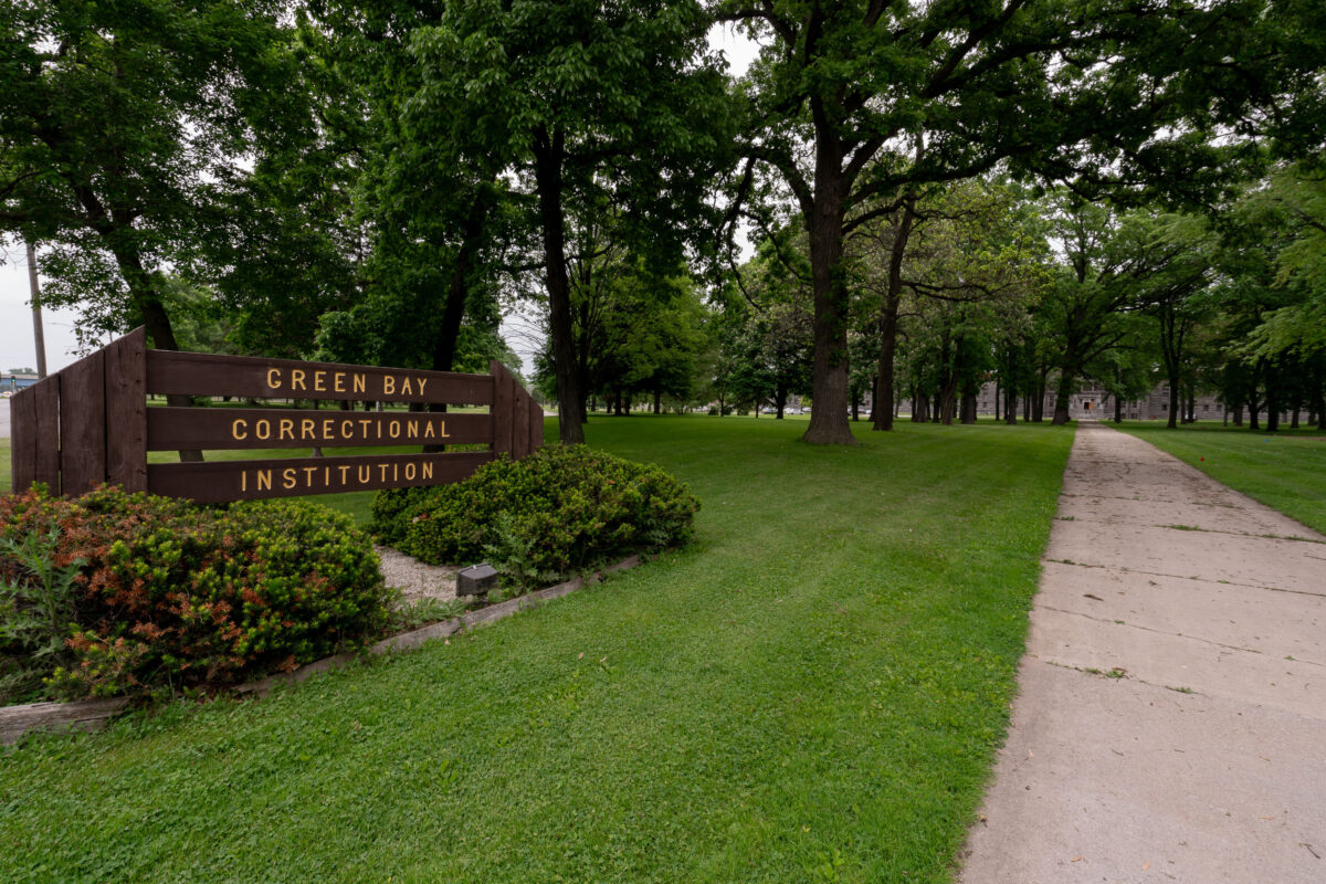
Green Bay Correctional Institution Entrance, Allouez, Wisconsin
June 2019
—
The entrance to Green Bay Correctional Institution in Allouez, Wisconsin, shows the tree-lined approach to one of the state’s oldest operating prisons. Opened in 1898 as the Wisconsin State Reformatory, the facility was designed during an era emphasizing reform and rehabilitation, reflected in its spacious campus and classical stone buildings visible in the distance. Today, the institution remains part of the Wisconsin Department of Corrections system, standing as a significant piece of the state’s correctional history and architectural heritage.
Green Bay Fire Station No. 3, Shawano Ave, Wisconsin
June 2019
—
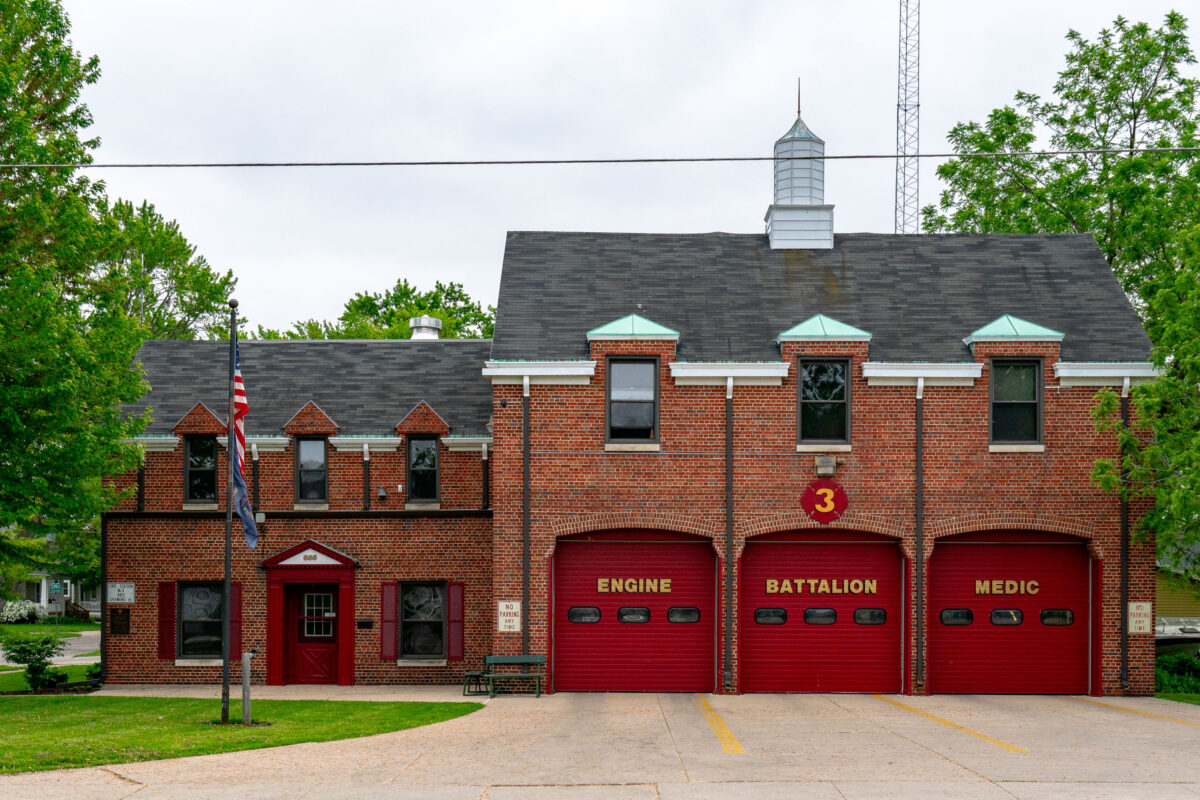
Green Bay Fire Station No. 3, located in Green Bay, Wisconsin, represents a classic mid-20th-century firehouse design with its red brick façade, steep rooflines, and distinctive arched bay doors. Serving the west side of the city, this station houses an engine company, battalion chief, and medic unit, providing rapid response coverage to nearby residential and commercial areas. The building’s architecture reflects an era when civic structures balanced functionality with traditional craftsmanship, embodying a sense of permanence and community trust.
Daymark Apartments Under Construction, Uptown Minneapolis
June 2019
—
Dinkytown Greenway Bike Trail in Minneapolis
June 2019
—
John Deere 843L Feller Buncher – Southwest LRT Construction
June 2019
—
A John Deere 843L feller buncher sits parked near the railway tracks in St. Louis Park, Minnesota, during the early stages of construction for the Southwest Light Rail Transit (LRT) project. Designed primarily for forestry work, this heavy-duty machine—with its massive front grapple and thick treaded tires—was adapted for clearing brush and trees along the rail corridor. The mix of heavy equipment, rail infrastructure, and suburban backdrop highlights the region’s ongoing transformation as the light rail expansion reshapes Minneapolis’s western suburbs.
John Deere Feller Buncher at Southwest LRT Construction, St. Louis Park
June 2019
—
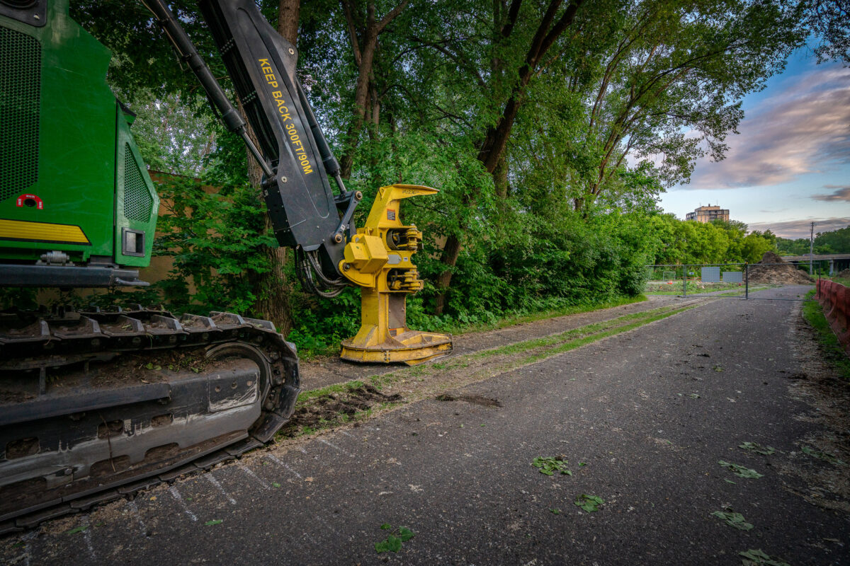
A tracked John Deere feller buncher with a yellow cutting head sits idle beside the Cedar Lake Trail in St. Louis Park, Minnesota, during early site preparation for the Southwest Light Rail Transit (LRT) extension. The machine’s “KEEP BACK 300 FT / 90 M” arm warning and the trail’s closed fencing mark the transition from a popular cycling route to an active construction corridor. In the distance, the bridge approach and industrial structures hint at the scale of redevelopment that reshaped the rail and trail landscape through Minneapolis’s western suburbs.
Hopkins, MN: Electrical Outlet in Abandoned Warehouse
June 2019
—
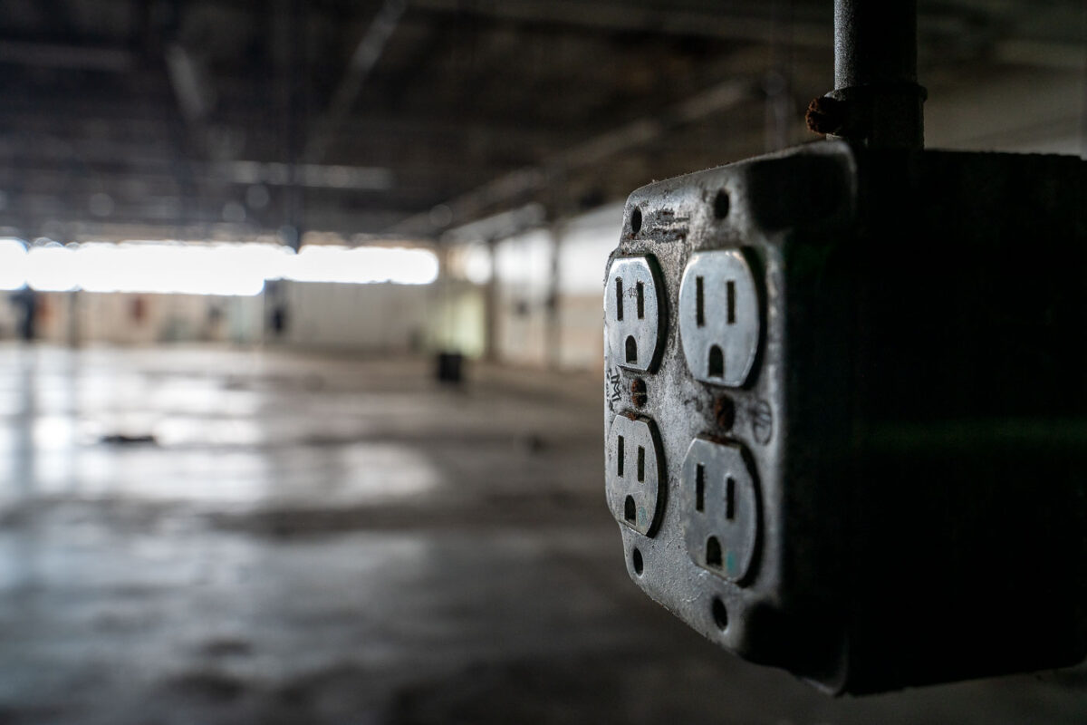
An electrical outlet inside an empty warehouse.
Minneapolis Industrial Water Valves and Pipes
June 2019
—
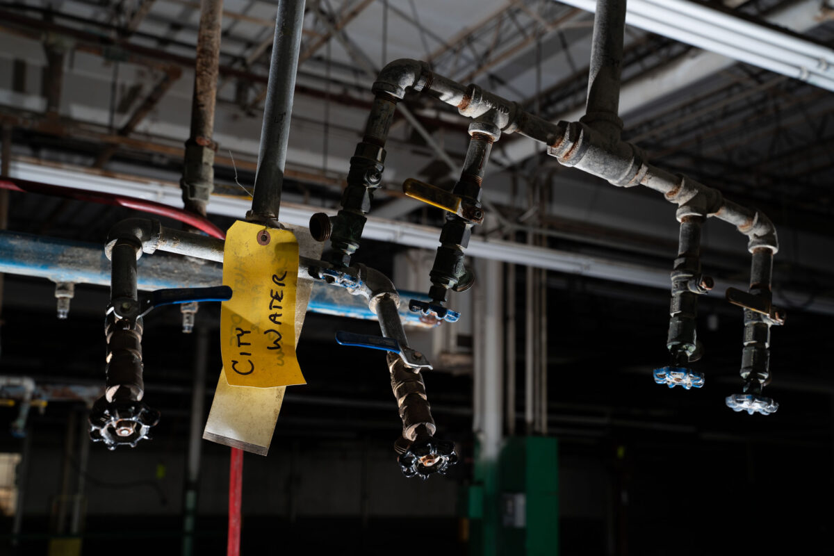
Inside an abandoned industrial building, a set of corroded water valves and pipes hangs overhead, marked with a fading yellow tag reading “City Water.” The scene captures the quiet afterlife of urban infrastructure—where once-busy mechanical systems now sit dormant beneath exposed rafters and dim fluorescent tubes. These remaining fixtures, wrapped in aging insulation and patched tape, reveal the skeletal logic of a space once dependent on pressurized networks, maintenance routines, and municipal supply lines that connected the factory to the city’s hidden circulatory systems.
Steaming Mulch on Midtown Greenway
June 2019
—
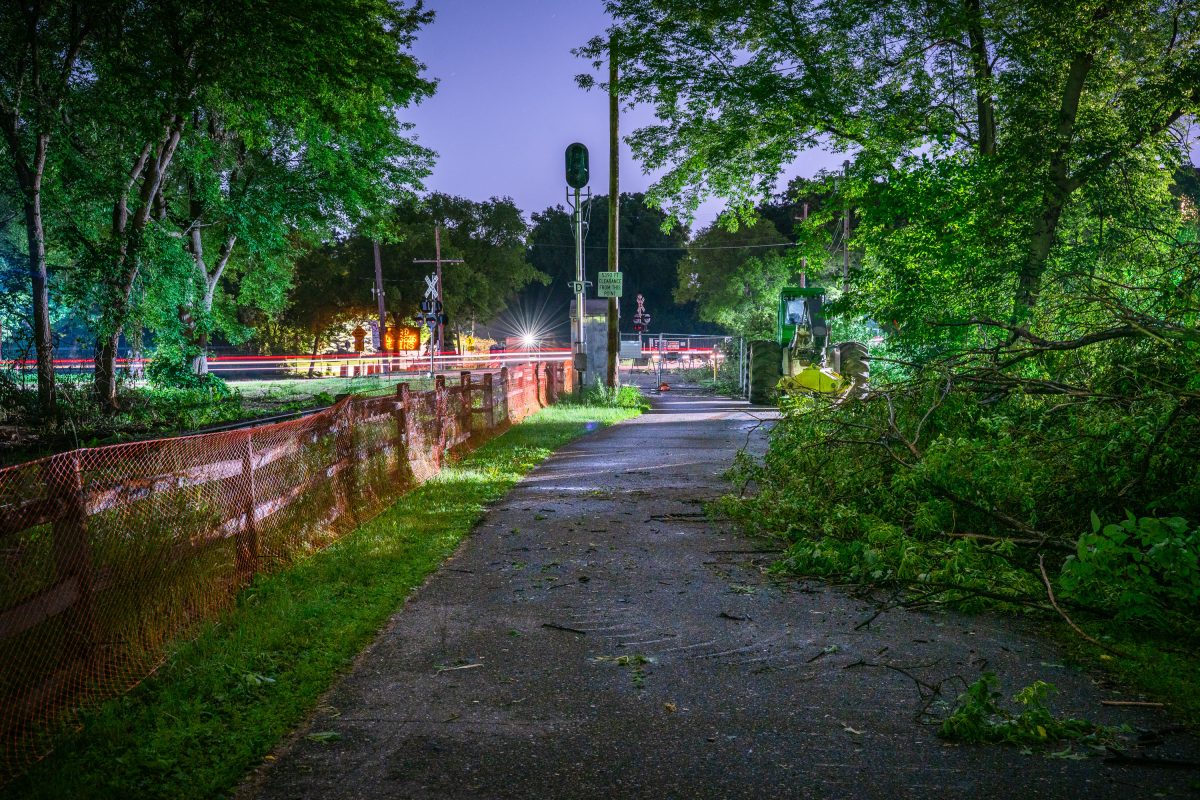
Burnham Trail during Light Rail construction June 2019
June 2019
—
Leder Bros. Scrap Metal Recycling, Minneapolis
June 2019
—
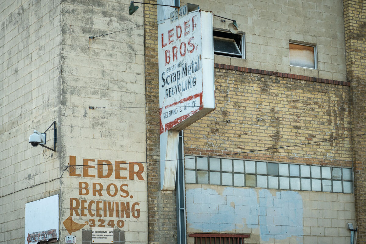
The weathered brick façade of Leder Bros. Scrap Metal Recycling reflects a century of small-scale industrial life in north Minneapolis. Faded hand-painted lettering and a rusting mid-century sign mark the receiving entrance for what was once a busy recycling yard, a place where scrap from the city’s rail lines and factories found new purpose. The combination of concrete block, yellow brick, and glass block windows speaks to a utilitarian design typical of the post-war industrial boom. Today, its aging surfaces and surveillance cameras evoke a district in transition, where traces of heavy industry linger amid redevelopment and adaptive reuse.
Stone Arch Bridge, Minneapolis, Evening Light
June 2019
—
Stone Arch Bridge, Minneapolis
Pillsbury A-Mill Historic Building at Sunset, Minneapolis
June 2019
—
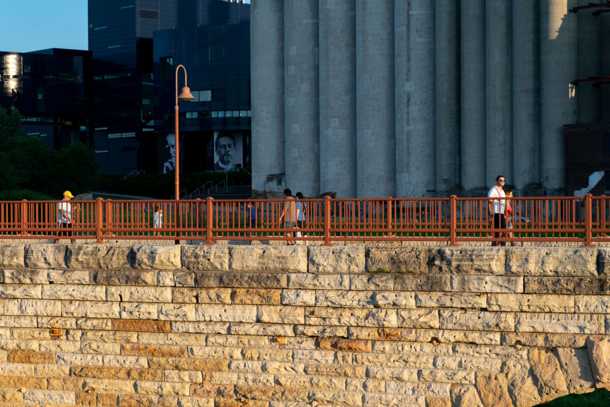
The Pillsbury A-Mill is a former flour mill located on the east bank of the Mississippi River in Minneapolis, Minnesota. It held the distinction of being the world's largest flour mill for 40 years. Completed in 1881, it was owned by the Pillsbury Company and operated two of the most powerful direct-drive waterwheels ever built, each capable of generating 1,200 horsepower (895 kW). The mill was named a National Historic Landmark in 1966 and has since been converted into resident artist lofts.
Downtown Minneapolis as seen from Cedar Lake Trail
June 2019
—
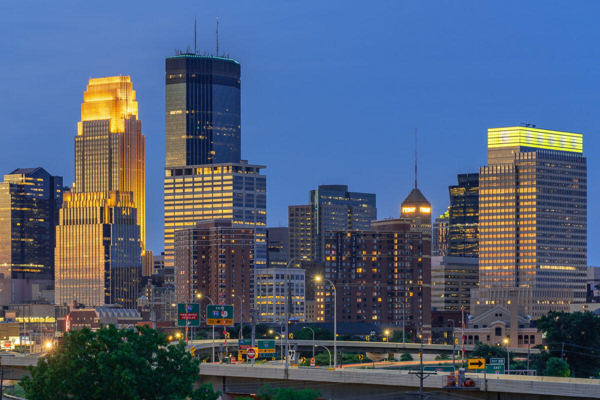
Downtown Minneapolis seen from near the Cedar Lake Trail.
Garretson Truss Bridge over Split Rock Creek
July 2019
—
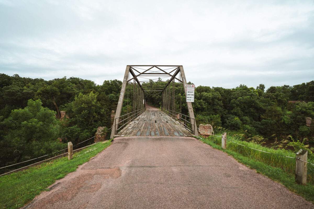
An old steel truss bridge spans Split Rock Creek near the town of Garretson, South Dakota, carrying a narrow, weathered wooden deck over the rocky gorge below. Built in the early 20th century, this Pratt through truss design reflects an era when such riveted steel frameworks connected small Midwestern towns before the advent of modern concrete spans. Its utilitarian geometry and riveted latticework remain intact, framed by the lush, tree-lined valley of Split Rock Creek—a setting that once hosted flour mills, quarries, and river crossings essential to the region’s early development. The bridge now stands as a quiet relic of rural American engineering, linking history and landscape on the edge of the prairie.
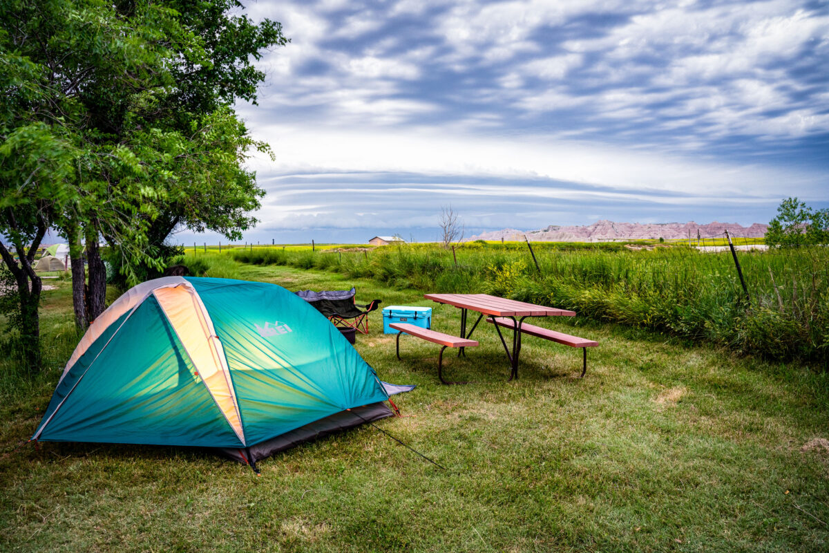
Campsite with Tent and Picnic Table, Interior, South Dakota
July 2019
—
Tatanka Trading Post, Highway 44, Scenic, South Dakota
July 2019
—
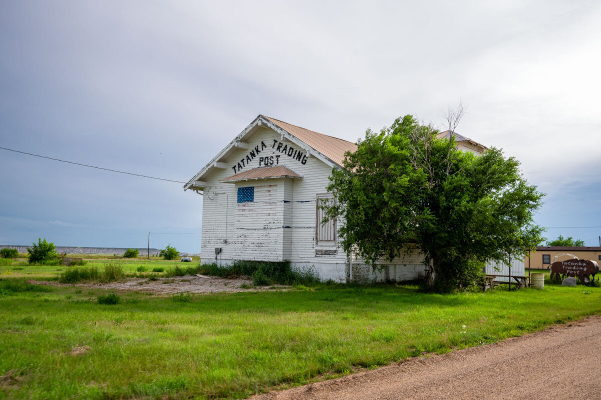
The Tatanka Trading Post in Scenic, South Dakota, stands as a weathered relic of roadside commerce along the gateway to Badlands National Park. Once a small but lively hub for travelers and locals, the post’s peeling white paint and simple gabled design speak to decades of wind, sun, and changing times on the Great Plains. The name Tatanka—Lakota for “bison”—reflects the deep cultural ties of the region’s Indigenous heritage and the area’s rugged frontier identity. Today, the building endures as a quiet landmark of rural South Dakota’s layered history.
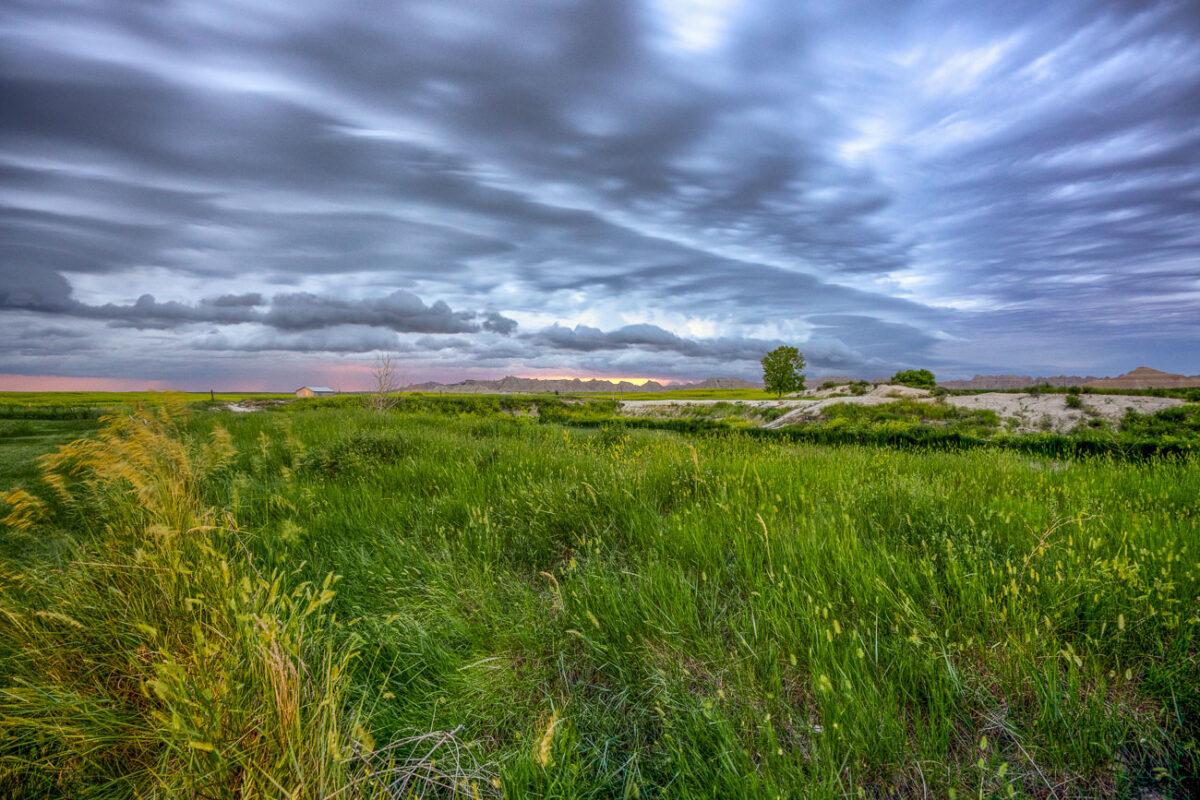
Storm Clouds Over Badlands National Park, South Dakota
July 2019
—
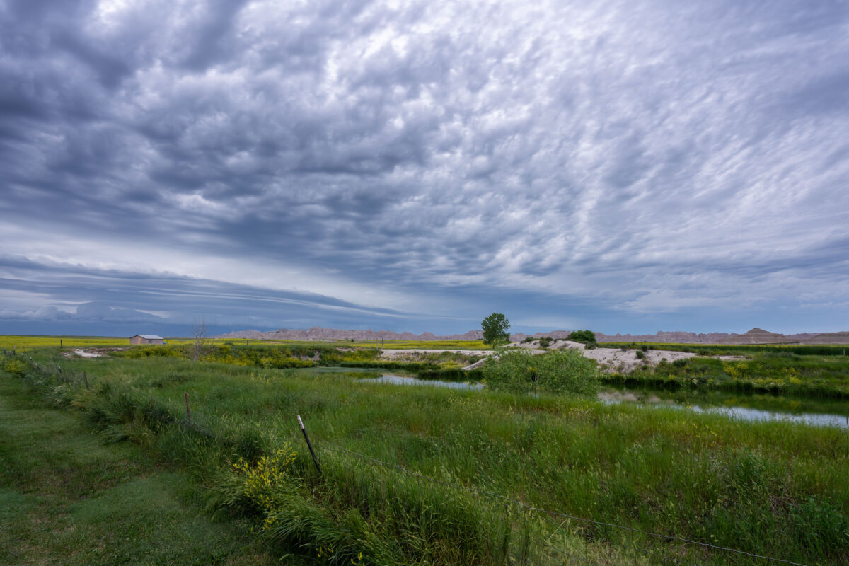
An approaching storm looms over the rolling grasslands near Interior, South Dakota, at the edge of Badlands National Park. The layered clouds form dramatic bands above the wetland and open prairie, where a small structure and fence line mark the human presence in this otherwise vast and untamed landscape. From this vantage point near the White River, the eroded formations of the Badlands rise faintly in the distance, emphasizing the contrast between the lush foreground and the arid, sculpted terrain beyond.
Badlands National Park: Storm Approaching Shed
July 2019
—
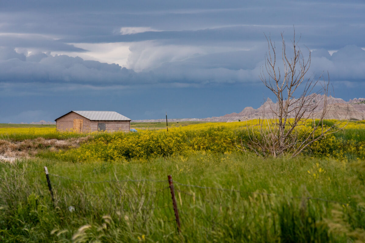
A lone wooden shed stands among fields of wild grasses and yellow blooms as storm clouds gather near Interior, South Dakota, on the outskirts of Badlands National Park. The layered sky hints at an incoming summer storm sweeping across the plains, with the rugged formations of the Badlands visible on the horizon. The muted colors and boarded windows evoke both isolation and endurance, capturing the tension between human settlement and the vast, unpredictable prairie environment.
Sheep Mountain Table Road, South Unit, Badlands National Park
July 2019
—
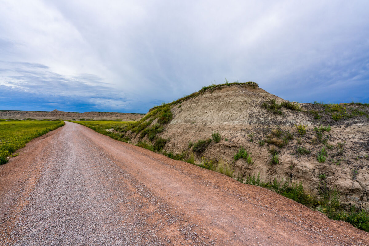
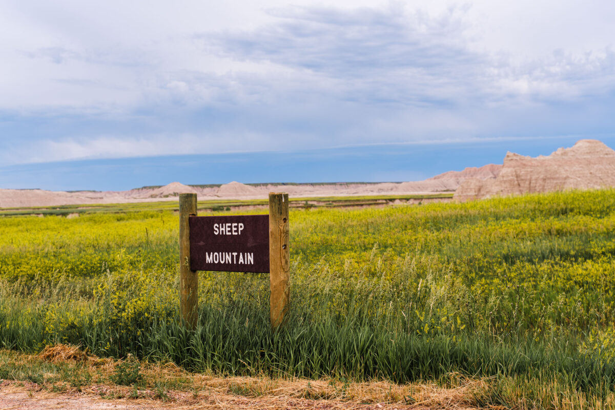
A weathered wooden sign marks the rugged entrance to Sheep Mountain in the southern reaches of Badlands National Park, South Dakota. This remote area, surrounded by the sweeping prairies of Buffalo Gap National Grassland, offers one of the park’s most dramatic and less-visited overlooks. The region sits within Oglala Lakota lands, where erosion has sculpted colorful buttes and steep ridges over millions of years. Accessible by an unpaved road, Sheep Mountain remains a quiet, untamed corner of the Badlands, revealing the deep geologic and cultural layers of the Northern Plains.
Sheep Mountain Table Sign, Badlands National Park
July 2019
—
Sheep Mountain in South Dakota near the Badlands National Park.
Gravel Road Along Indian Creek, Badlands National Park
July 2019
—
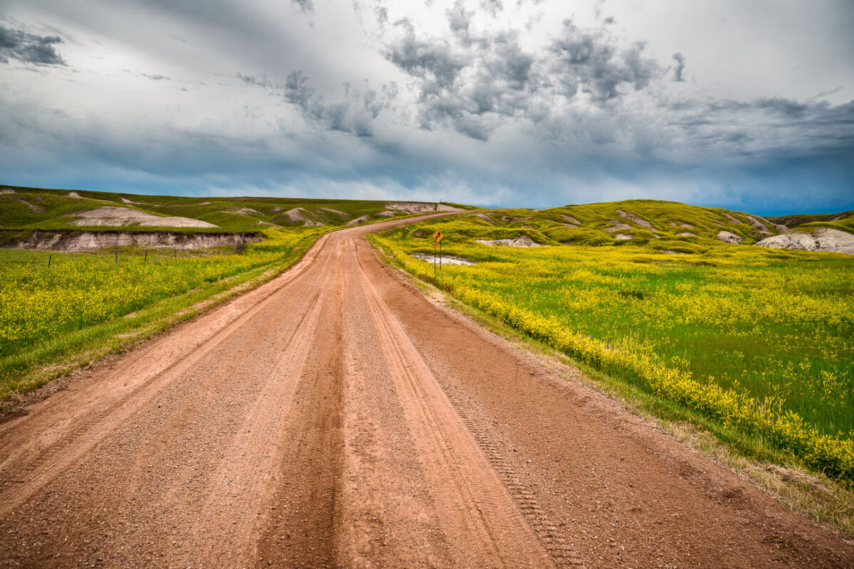
A dirt road cuts through the rolling prairie of Indian Creek Drive in the western reaches of Badlands National Park, near the small town of Scenic, South Dakota. Storm clouds build over the mixed-grass plains, casting dramatic light on the green hills and wildflower fields typical of the park’s early summer landscape. This remote section of the Badlands, less traveled than the main loop road, reveals the quieter beauty of the park—where erosion-carved ridges and open grasslands merge under a vast and changeable sky.
Badlands National Park, South Dakota: Storm Clouds Over Grasslands
July 2019
—
Amazing storm clouds rolling into Interior, South Dakota at our camp site near the Badlands National Park. It seems every year we get at least one really great thunderstorm when camping.
Black Elk Peak Fog, Black Hills, South Dakota
July 2019
—
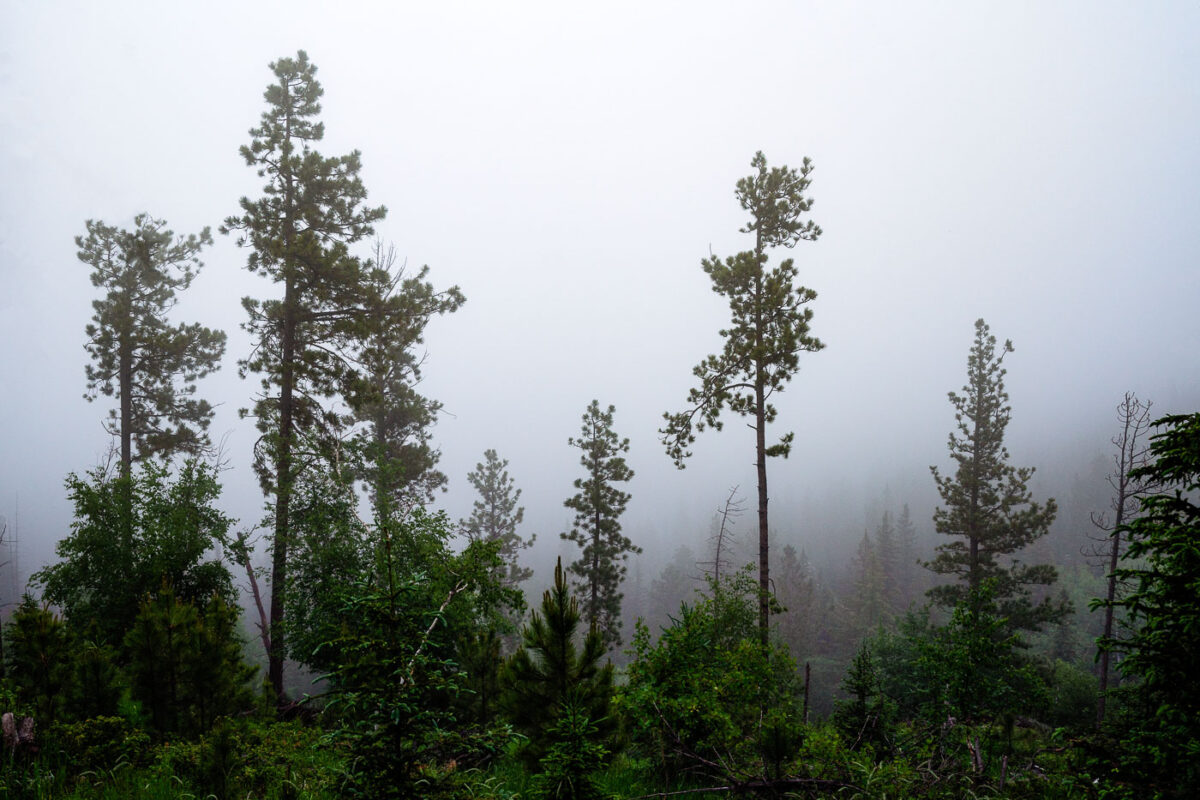
A dense morning fog envelops the Ponderosa pines of the Black Hills in South Dakota, softening the outlines of the forest and muting the green tones of early summer. The moisture-laden air clings to the tall trunks, creating an atmosphere of quiet stillness and mystery. This type of fog commonly forms in the higher elevations near Custer State Park and the Needles Highway, where rapid temperature shifts cause mist to settle among the rugged hillsides and conifer stands, briefly transforming the landscape into an ethereal woodland veil.
Black Elk Peak Summit Fog and Stone Tower
July 2019
—
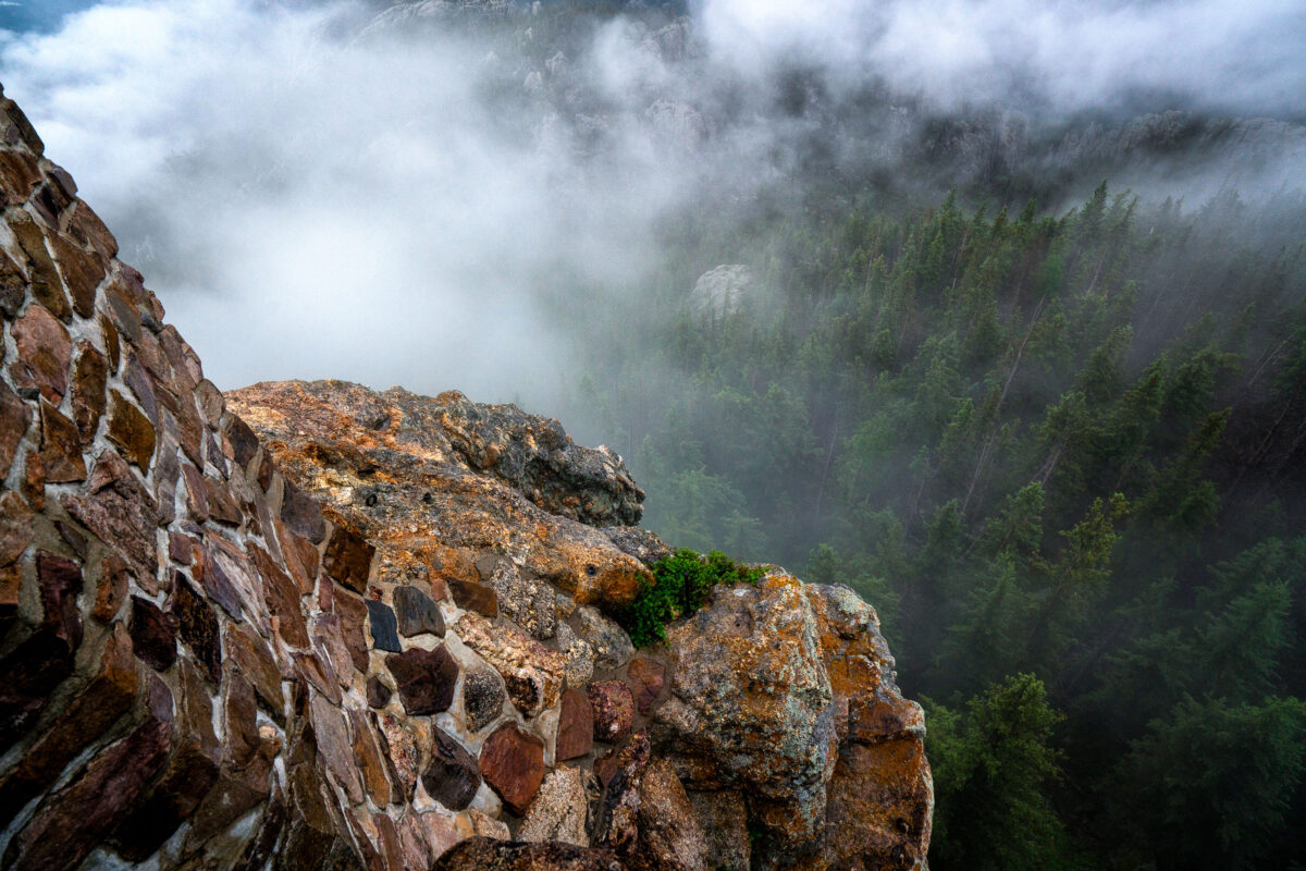
At the summit of Black Elk Peak, low clouds roll through the granite spires and dense pine forest below, wrapping the mountain in a shifting veil of fog. The historic stone fire tower, built by the Civilian Conservation Corps in the 1930s, stands as a testament to early forest conservation in the Black Hills. From this vantage point—the highest in South Dakota—views often stretch into Wyoming and Nebraska, but on misty mornings like this one, the world feels confined to the mountaintop itself, suspended between rock and cloud.
The Needles at Sunset, Custer State Park, South Dakota
July 2019
—
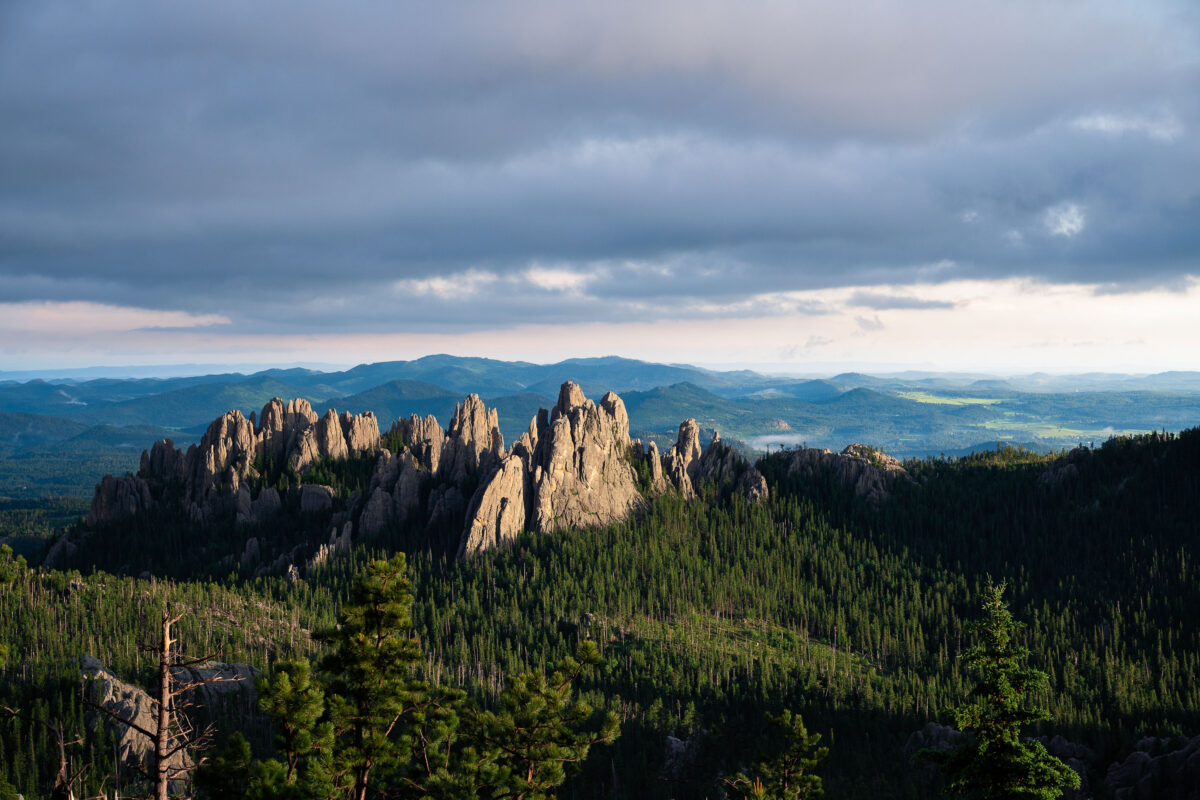
Evening light breaks through heavy clouds to illuminate the Needles, a cluster of towering granite spires rising above dense pine forest in the Black Hills of South Dakota. The sharp pinnacles, part of Custer State Park’s Cathedral Spires formation, are composed of eroded granite that dates back more than a billion years, sculpted by time and weather into their distinctive vertical forms. This region, accessible by the winding Needles Highway, is both a geological marvel and a spiritual landscape—its rugged skyline long revered by the Lakota Sioux and later celebrated by photographers, climbers, and travelers drawn to the surreal beauty of South Dakota’s mountain heartland.
Badlands Loop Road, Badlands National Park
July 2019
—
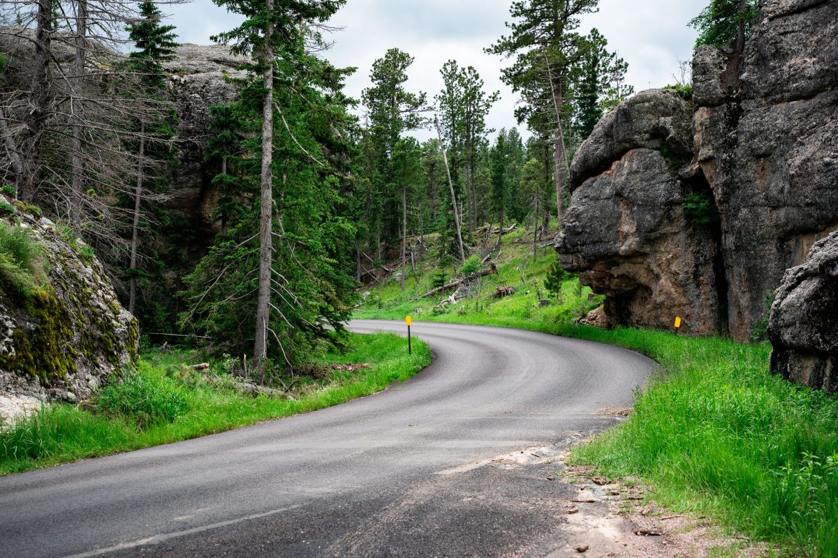
Needles Highway, Custer State Park, South Dakota
July 2019
—
Foggy Summit of Black Elk Peak, Black Hills National Forest
July 2019
—
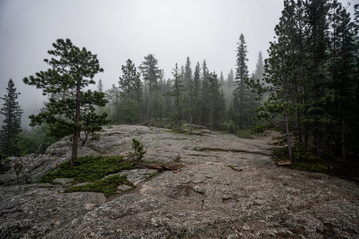
A dense fog envelops the granite summit area of Black Elk Peak, the highest natural point in South Dakota at 7,242 feet. The rocky terrain and scattered pines of the Black Hills fade into the mist, creating an ethereal atmosphere above Custer State Park. Once known as Harney Peak, the mountain holds deep spiritual significance for the Lakota Sioux and remains a striking natural landmark where weather and history intertwine in quiet solitude.
Foggy Trail to Black Elk Peak, Black Hills, South Dakota
July 2019
—
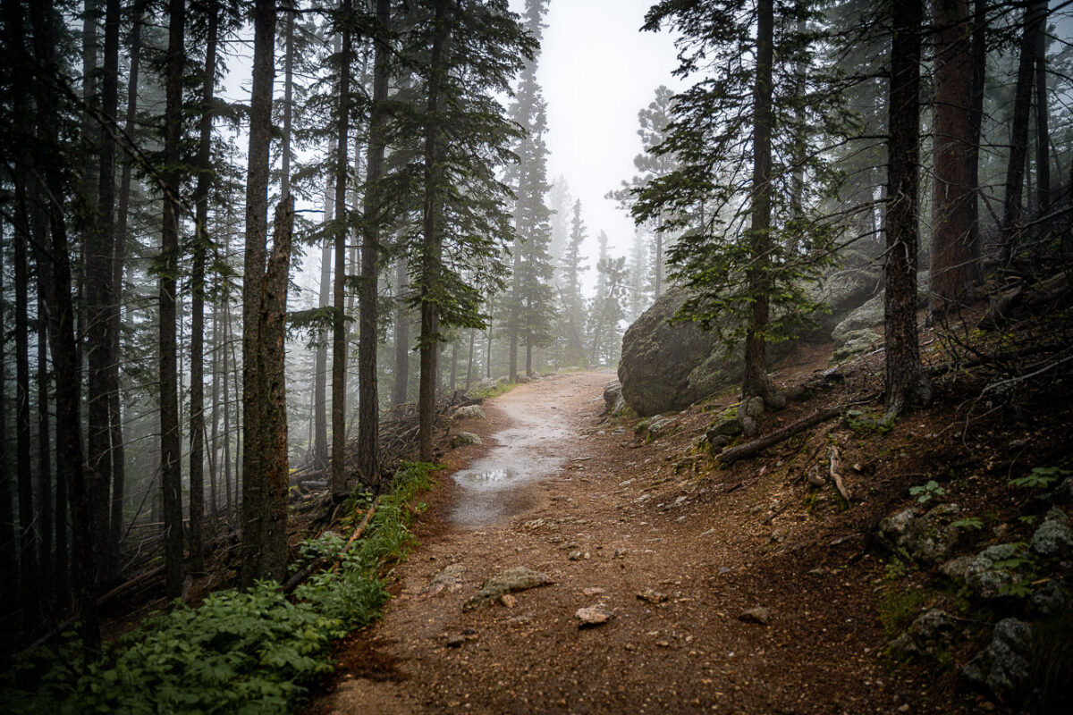
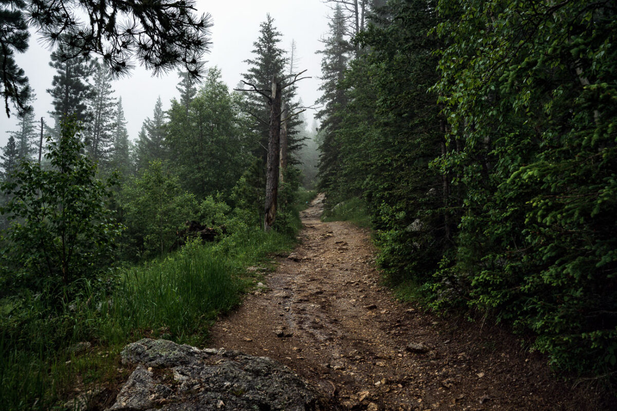
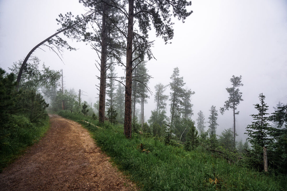
A narrow trail winds through the fog-drenched forest of Black Elk Peak, South Dakota, as light rain dampens the granite path and pine needles. The area—part of the rugged Black Hills—sits at over 7,200 feet, the highest elevation east of the Rockies. The mist settles among ponderosa pines and spruce, creating a hushed, atmospheric climb through terrain sacred to the Lakota people and known for its sweeping, often cloud-hidden views.
Highway 44 Through Badlands National Park, South Dakota
July 2019
—
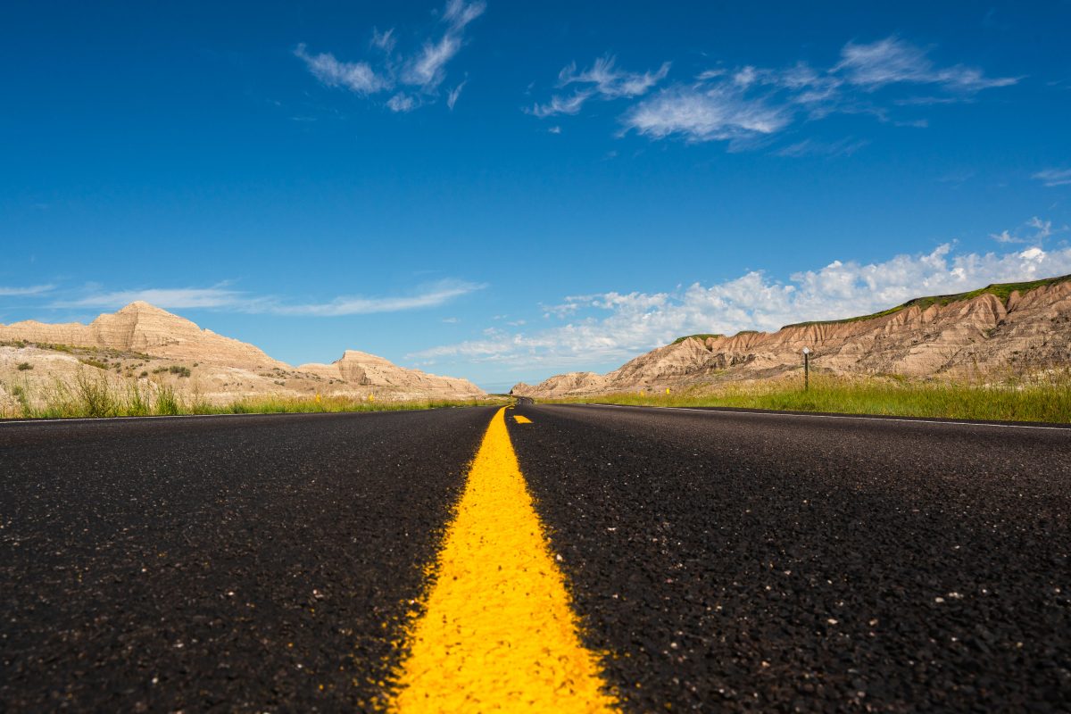
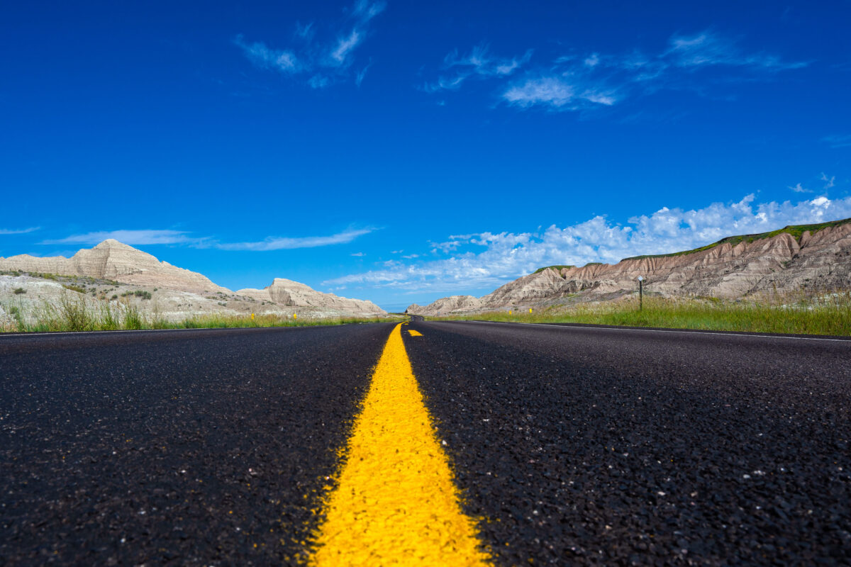
A newly paved stretch of Highway 44 cuts through the rugged formations near Scenic, South Dakota, beneath a vivid summer sky. This east–west route skirts the southern boundary of Badlands National Park, where blacktop meets eroded buttes carved by millennia of wind and water. The low-angle view emphasizes the contrast between the engineered precision of the highway and the raw geologic textures of the surrounding landscape—an enduring symbol of travel through one of the Great Plains’ most striking natural corridors.
Horseback riders on Black Elk Peak trail, South Dakota
July 2019
—
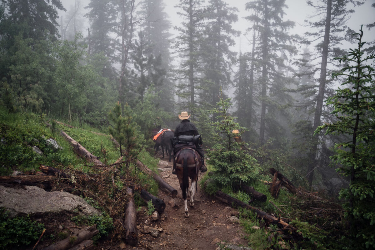
Horseback riders navigate a mist-covered trail near the summit of Black Elk Peak in South Dakota’s Black Hills. The fog clings to the ponderosa pines, softening the rugged landscape that rises above Custer State Park. This peak—renamed in 2016 to honor Lakota spiritual leader Black Elk—has long served as both a place of pilgrimage and a vantage point over the vast granite formations and pine forests of the region.
Cathedral Spires, Black Hills, South Dakota, Morning Fog
July 2019
—
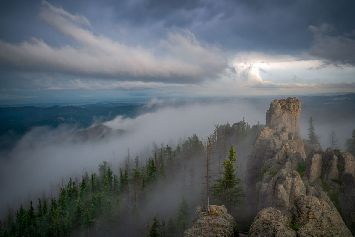
Low clouds sweep across the granite pinnacles of the Cathedral Spires in the Black Hills of South Dakota, wrapping the rugged landscape in drifting fog just after dawn. These towering formations—some rising more than 5,000 feet above sea level—are part of the Needles range within Custer State Park, a region shaped by millions of years of erosion and uplift. The rock spires, composed primarily of Harney Peak granite, are a hallmark of the park’s dramatic geology and a favorite destination for climbers and photographers. On mornings like this, the fog often settles in the valleys below, creating a fleeting illusion of islands floating above the forest, while the peaks catch the first light breaking through the storm-heavy sky.
Black Elk Peak Trail Descent at Dusk, Black Hills, South Dakota
July 2019
—
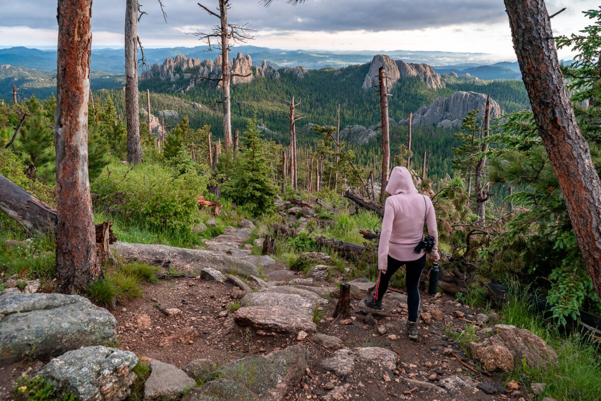
A hiker descends the rugged granite path from Black Elk Peak, the highest summit in South Dakota, as the evening light softens over the Cathedral Spires. The trail—part of the Norbeck Wildlife Preserve within Custer State Park—winds through a landscape shaped by ancient uplift and erosion, where ponderosa pines cling to stone outcrops and fire-scarred trunks bear witness to the region’s cycles of renewal. From this vantage point, the Black Hills stretch endlessly toward the horizon, a place sacred to the Lakota people and enduringly wild in its beauty.
Foggy Trail to Black Elk Peak, Black Hills, South Dakota
July 2019
—
A fog-covered hiking trail winds through the dense pines and granite slopes of Black Elk Peak in South Dakota’s Black Hills. The path, slick with rain and scattered with stones, climbs steadily toward the summit through ponderosa pine, birch, and spruce. This mountain—sacred to the Lakota and once called Harney Peak—rises to 7,244 feet, making it the highest natural point between the Rockies and the Pyrenees. In the early morning fog, the quiet forest and damp earth lend the trail a timeless stillness, recalling centuries of spiritual and geological history beneath the mist.
Ponderosa Pine Trail near Black Elk Peak, Black Hills, South Dakota
July 2019
—
A mist-laden trail winds through the ponderosa pine forest near the summit of Black Elk Peak in the Black Hills of South Dakota. The fog softens the rugged terrain, reducing the visibility of distant ridges and creating a quiet, atmospheric stillness in the morning air. This area, once known as Harney Peak, stands as the highest point east of the Rocky Mountains and is a sacred place to the Lakota Sioux, where natural beauty and cultural heritage converge in the clouds.
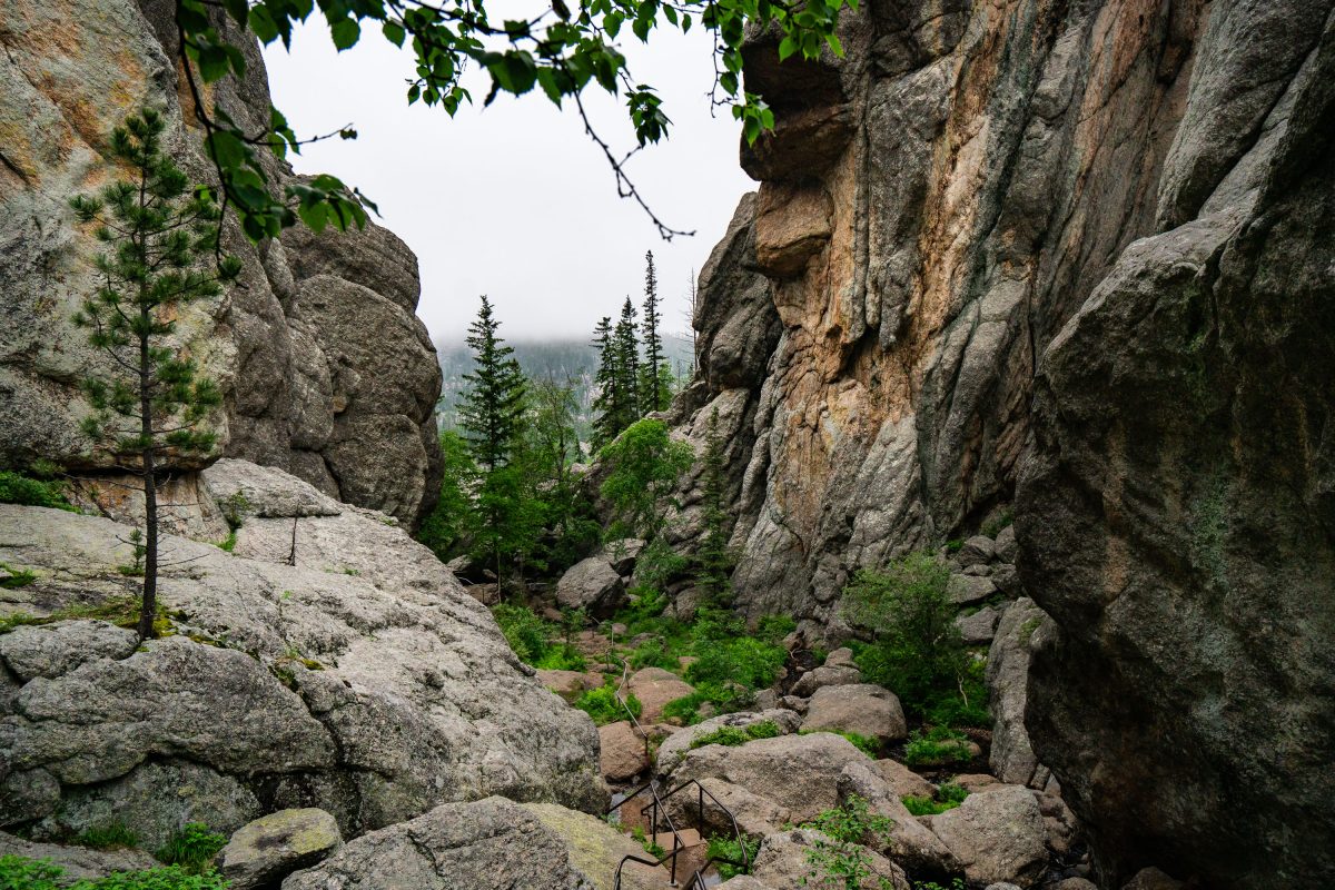
Mossy Granite Outcrop Near Sylvan Lake, Custer State Park
July 2019
—
Granite Boulder Cascade Near Sylvan Lake, Custer State Park
July 2019
—
Granite Rock Formations Near Sylvan Lake, Custer State Park
July 2019
—
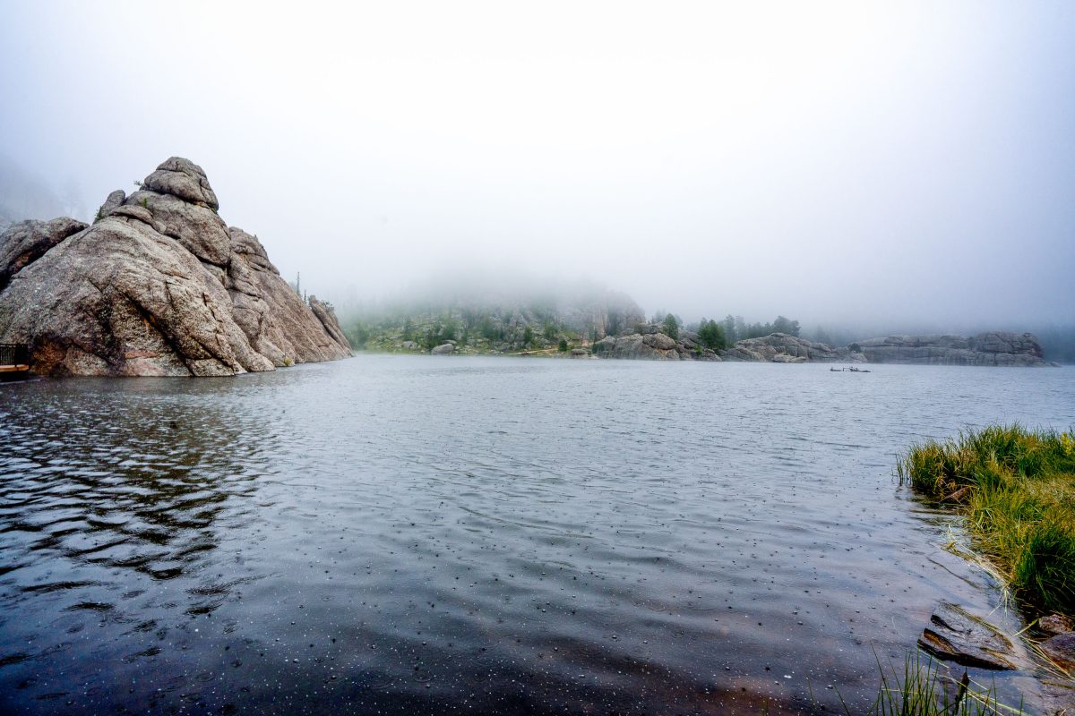
Fog Over Sylvan Lake, Custer State Park, South Dakota
July 2019
—
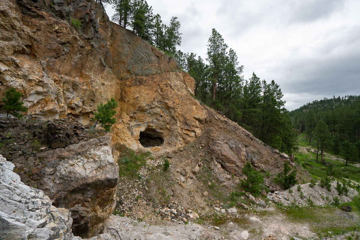
Abandoned Gold Rush Mine Entrance, Black Hills, SD
July 2019
—
Carved into a rugged slope of weathered schist and limestone, this small mine entrance sits near the historic mining corridors west of Custer, South Dakota — a remnant of the Black Hills’ 19th-century gold rush. The opening, likely hand-dug or expanded with early blasting techniques, leads into mineral-rich rock layers once prospected for gold, silver, and iron sulfides that fueled the regional boom of the 1870s. Surrounding the portal are piles of tailings and fractured quartz veins that reveal the area’s geologic complexity — part of an ancient mountain uplift more than 1.8 billion years old. Today, the forest has begun to reclaim the site, with pines and brush growing over the spoil heaps, blending traces of human industry back into the Black Hills landscape.
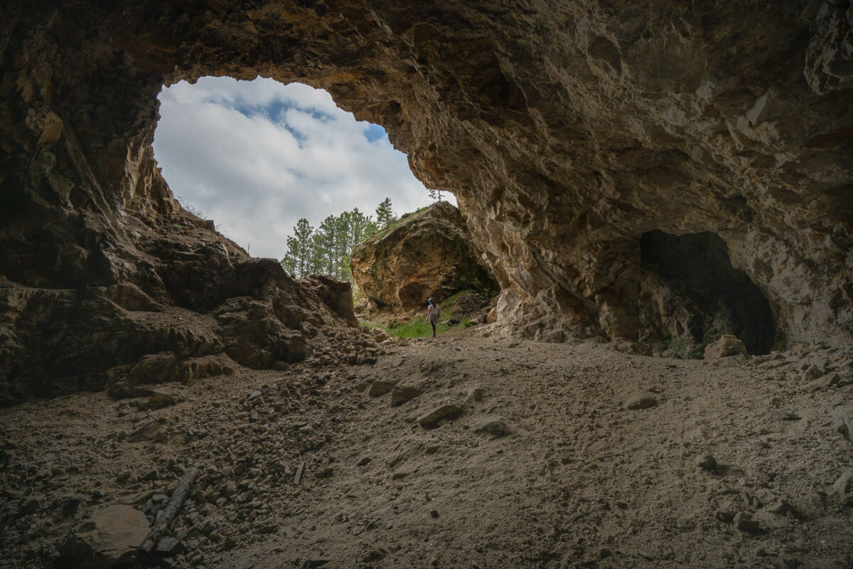
Abandoned Mine Entrance, Black Hills, South Dakota
July 2019
—
An abandoned mine in South Dakota near the Black Hills.
Granite Outcrops Along Highway 87, Black Hills National Forest
July 2019
—
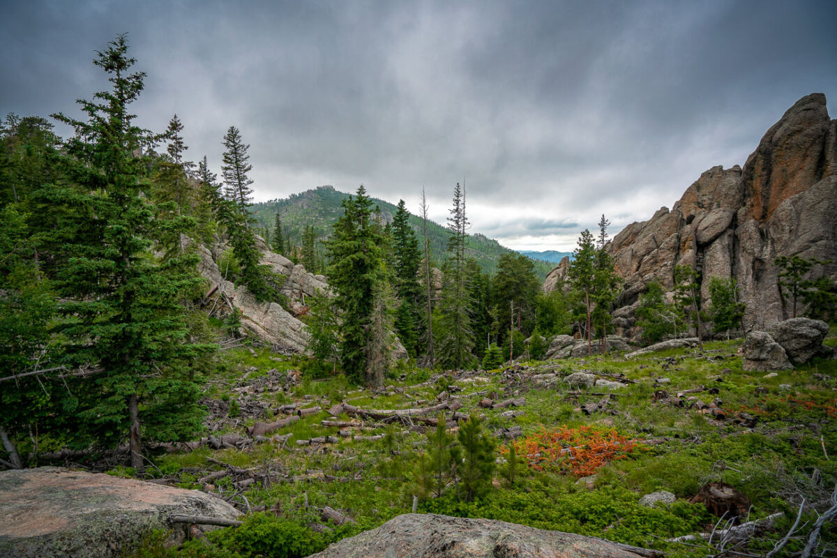
Along Highway 87 in the central Black Hills National Forest, this view captures the rugged landscape typical of the region’s granite highlands. Massive weathered outcrops rise sharply from the forest floor, remnants of the ancient Harney Peak granite formation that underlies much of this terrain. Scattered ponderosa pines cling to crevices in the rock, while fallen trunks and new saplings trace the slow recovery of the forest from past fires. The setting lies near the scenic Needles Highway corridor—an area known for its narrow tunnels, steep grades, and ever-changing mountain light that defines the wilderness character of western South Dakota.
Sylvan Lake, Custer State Park, South Dakota
July 2019
—
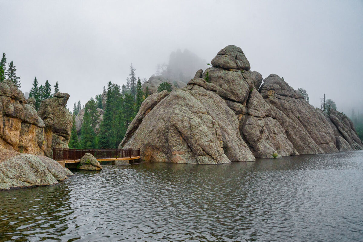
Sylvan Lake is a lake located in Custer State Park, in the Black Hills of South Dakota, United States. It was created in 1881 when Theodore Reder built a dam (the Sylvan Lake Water Dam) across Sunday Gulch Creek. The lake area offers picnic places, rock climbing, small rental boats, swimming, and hiking trails. It is also popular as a starting point for excursions to Black Elk Peak and The Needles. -- Wikipedia
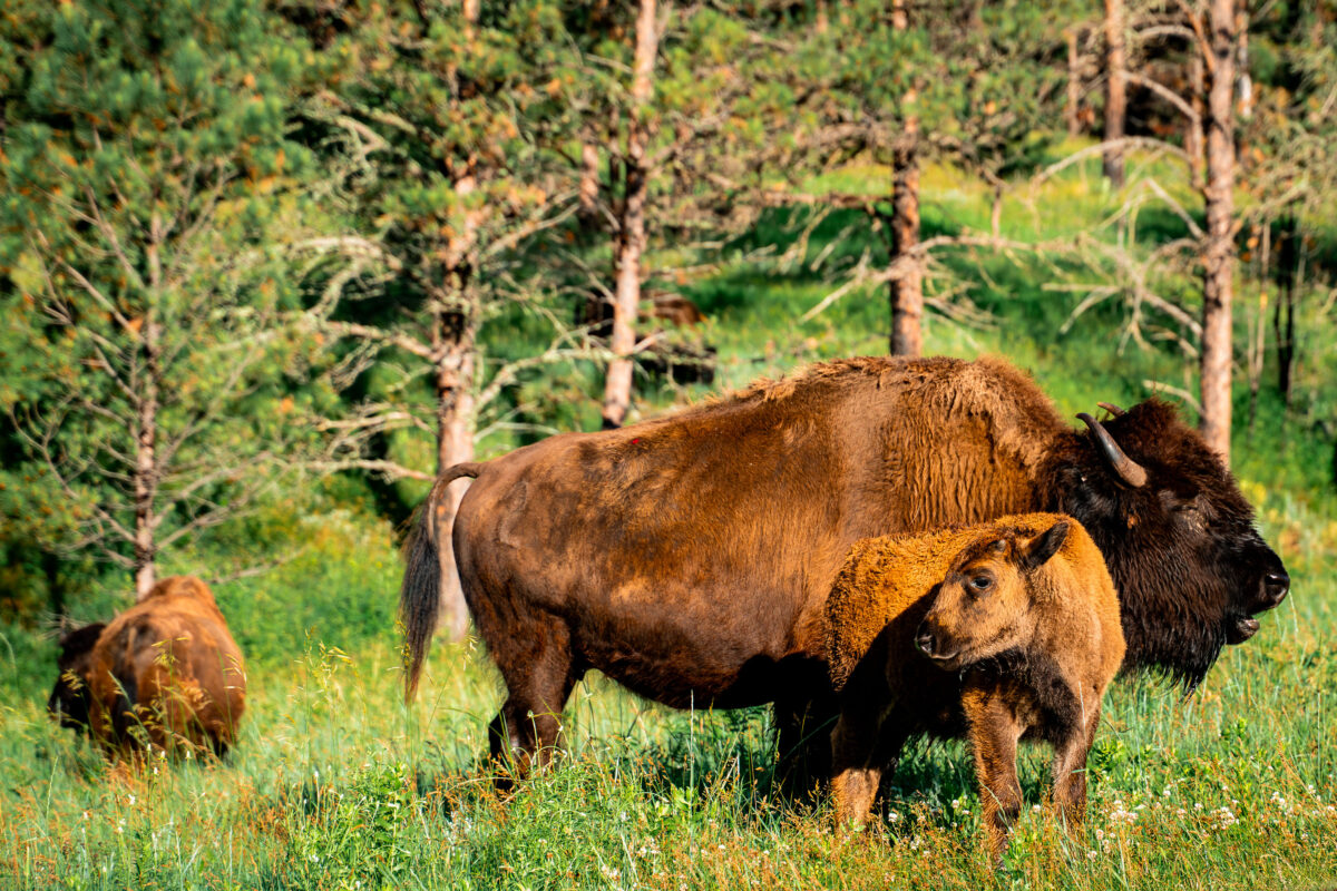
Bison Cow and Calf Crossing Wildlife Loop Road, Custer State Park
July 2019
—
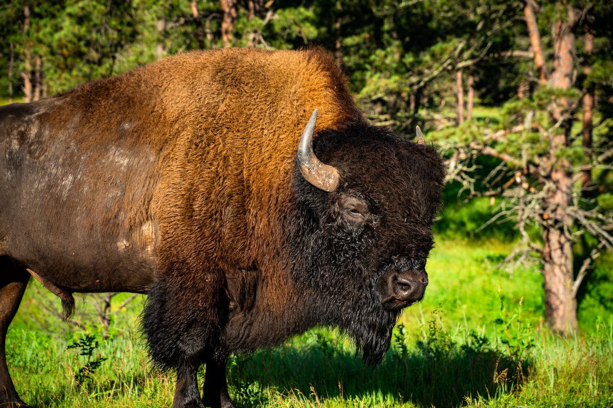
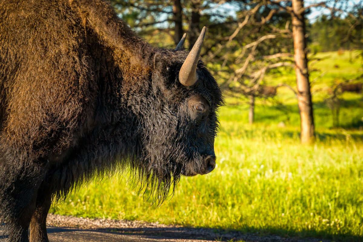
Bison Bull Along Wildlife Loop Road, Custer State Park
July 2019
—
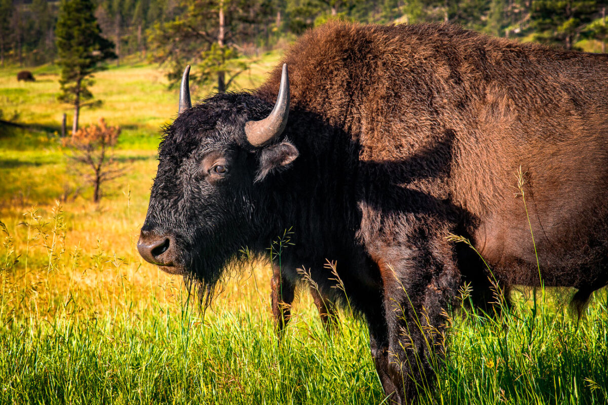
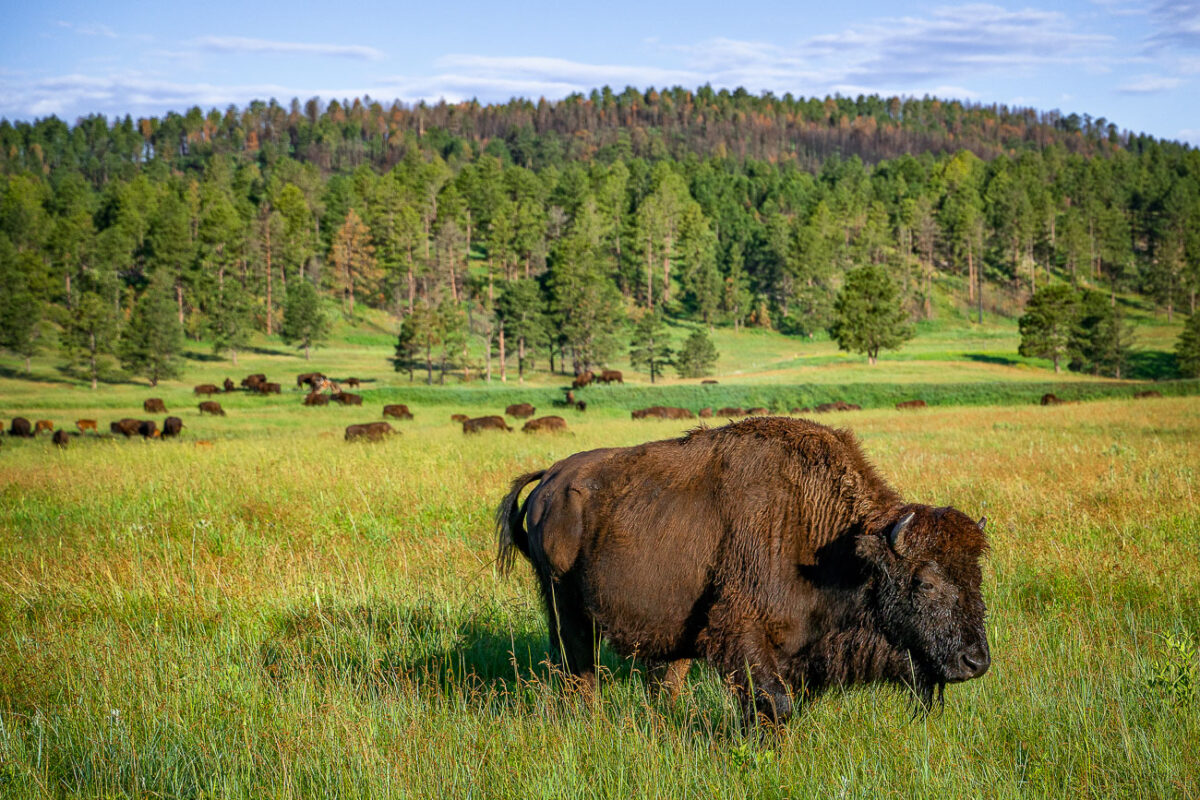
A mature American bison grazes in the rolling prairie of Custer State Park in South Dakota, part of one of the largest publicly owned herds in the United States. Once on the brink of extinction, the park’s bison herd—established in 1914—now numbers more than a thousand animals, representing a critical effort in the preservation of the species. These massive mammals, capable of weighing over a ton, roam freely across the park’s 71,000 acres of mixed-grass prairie and ponderosa pine forest. The setting reflects both the ecological restoration of the Great Plains and the enduring legacy of America’s native megafauna, which has been tied to the land for millennia.
American Bison Cow and Calf, Wildlife Loop Road, Custer State Park
July 2019
—
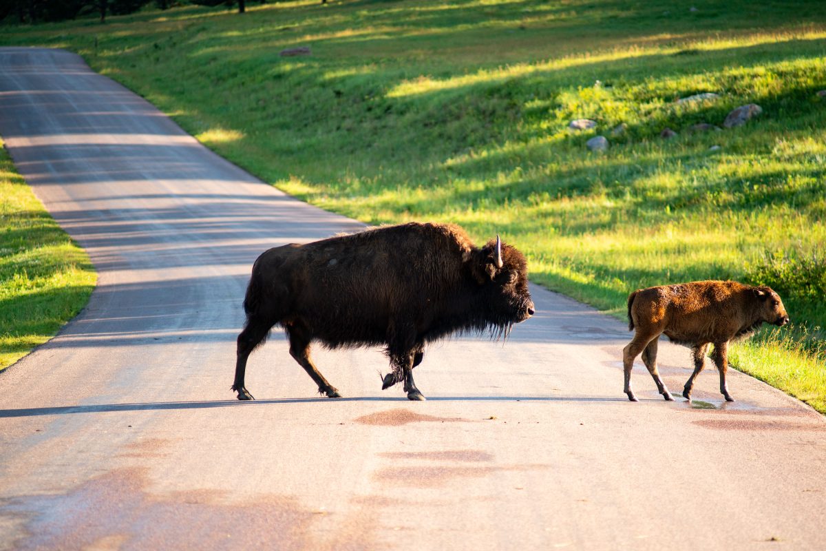
A bison cow stands watch over her calf in the rolling meadows of Custer State Park, South Dakota. Each spring, the park’s herd welcomes hundreds of reddish-brown calves, often called “red dogs,” whose lighter coats gradually darken as they mature. The park maintains roughly 1,300 animals within its 71,000-acre reserve, a landscape of prairie and ponderosa pine forest that mirrors the natural habitat once spanning the Great Plains. This scene reflects both the resilience of the American bison and the conservation success that brought the species back from near extinction in the early 20th century.
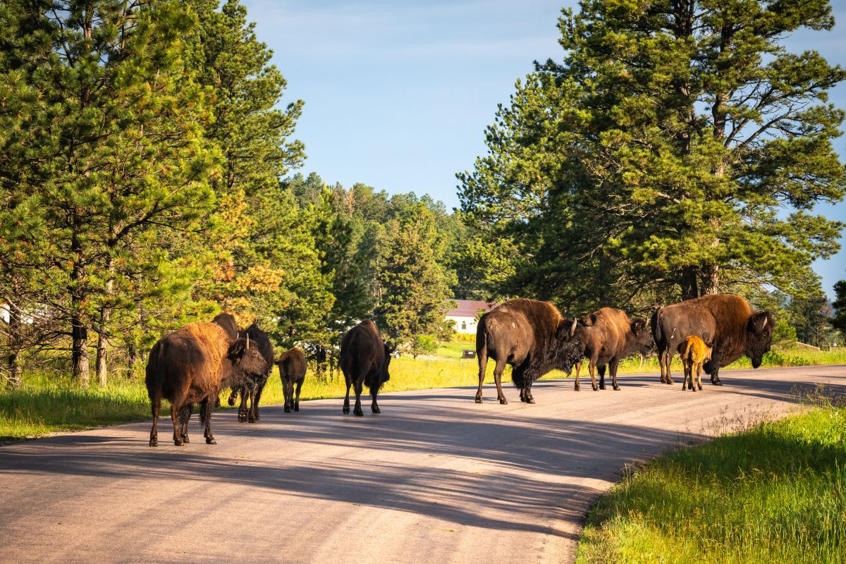
Bison Herd Crossing Wildlife Loop Road, Custer State Park
July 2019
—
American Bison Along Wildlife Loop Road, Custer State Park
July 2019
—
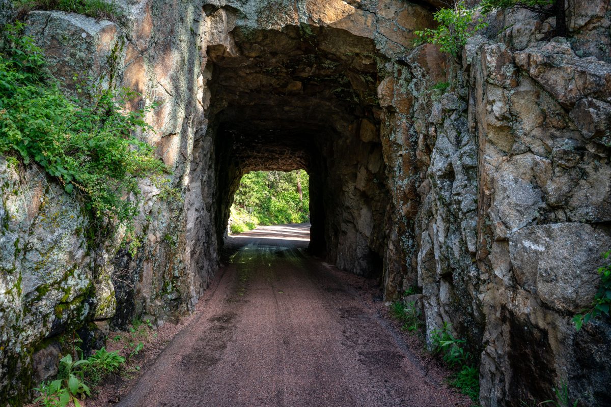
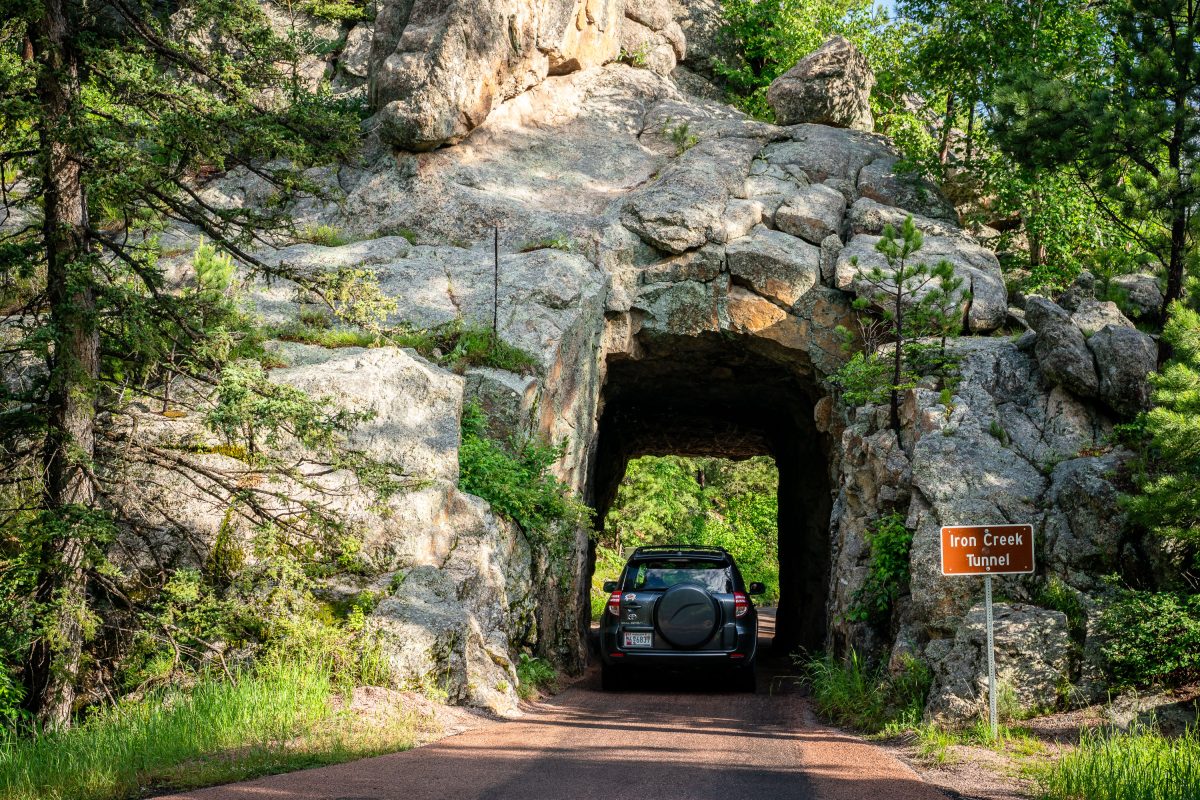
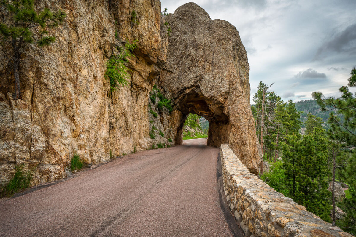
Inside Iron Creek Tunnel, Custer State Park, South Dakota
July 2019
—
Car Enters Iron Creek Tunnel, Custer State Park
July 2019
—
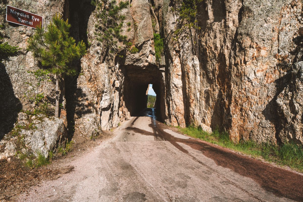
Needles Eye Tunnel Sign in Custer State Park South Dakota
July 2019
—
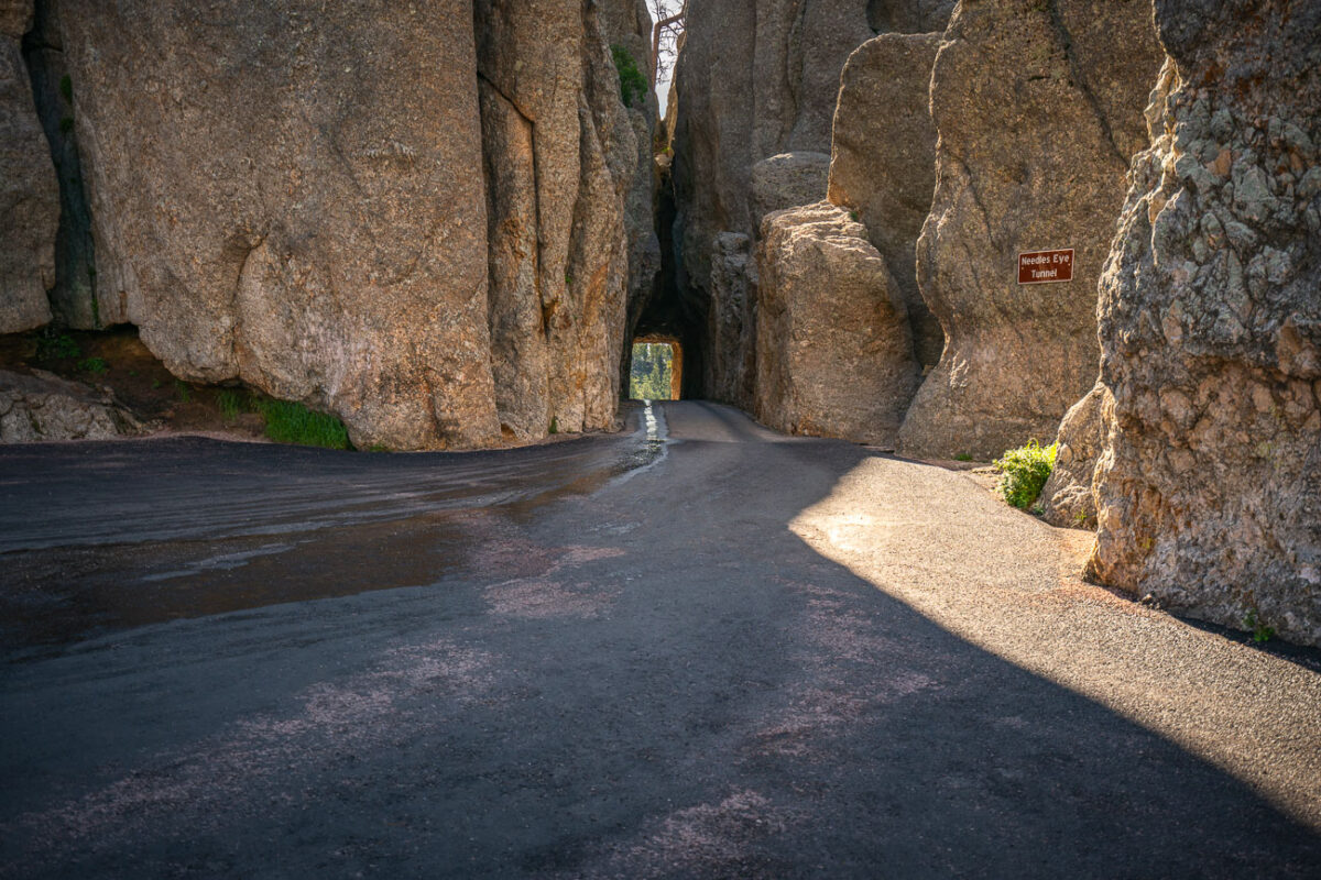
Needles Eye Tunnel Along Needles Highway, Custer State Park
July 2019
—
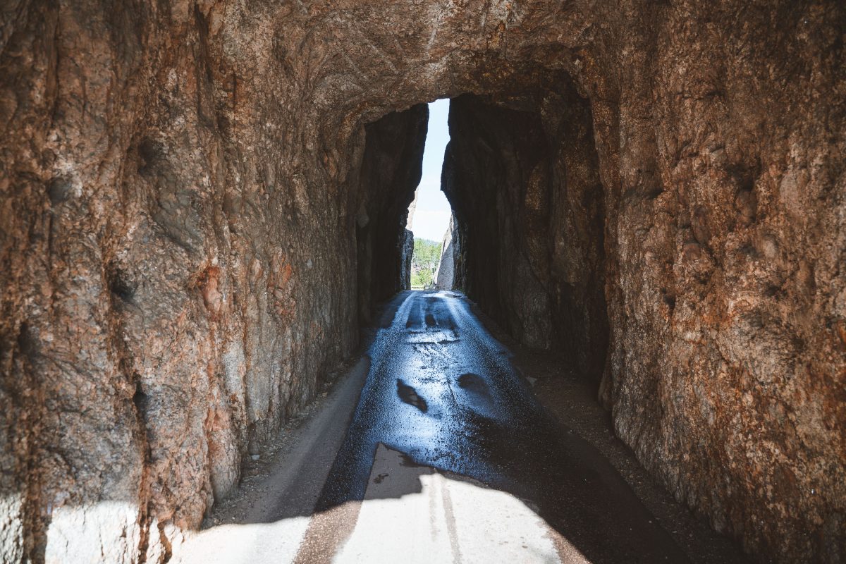
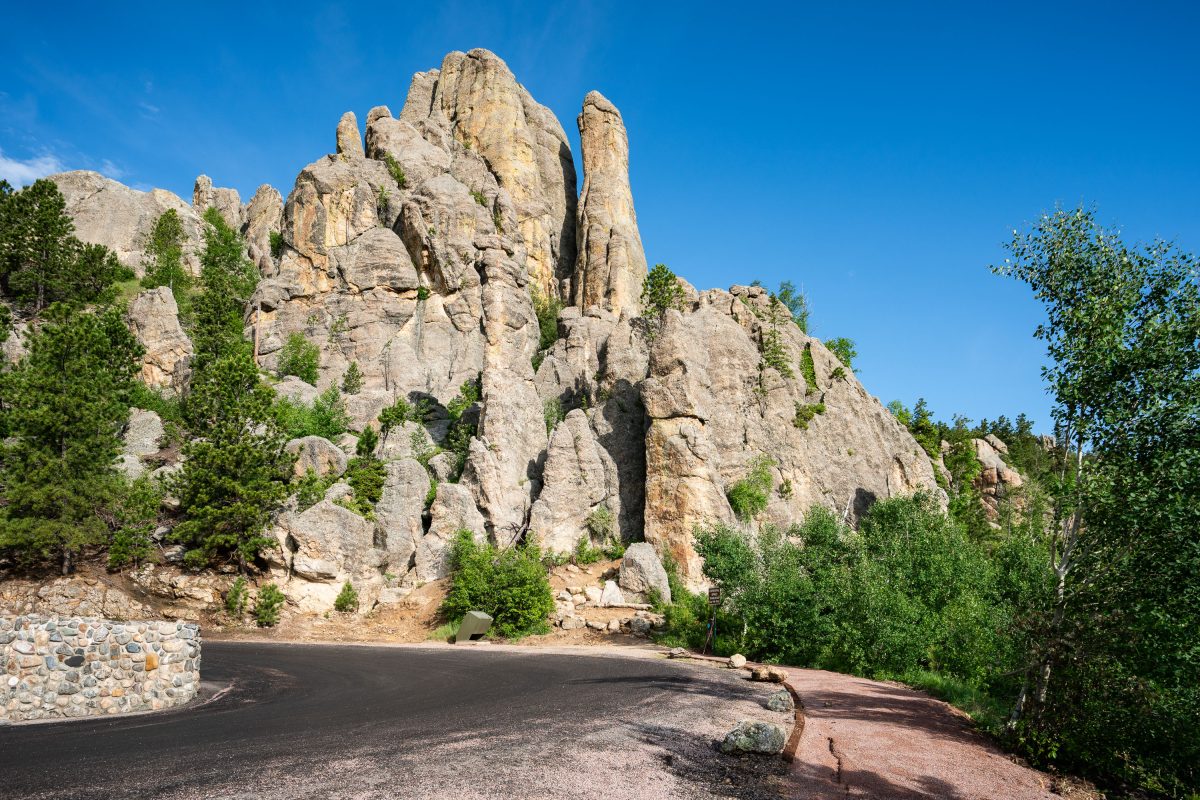
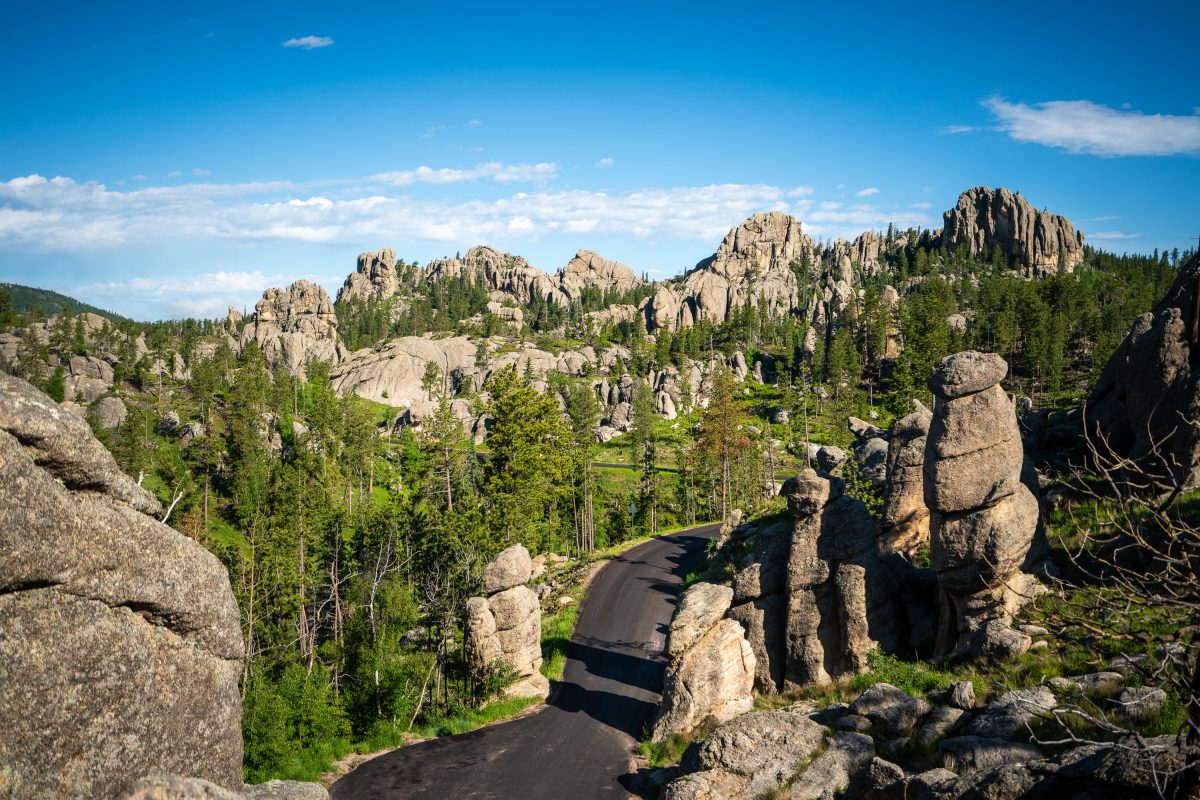
The Needles of the Black Hills of South Dakota are a region of eroded granite pillars, towers, and spires within Custer State Park. Popular with rock climbers and tourists alike, the Needles are accessed from the Needles Highway, which is a part of Sylvan Lake Road (SD 87/89). The Cathedral Spires and Limber Pine Natural Area, a 637-acre portion of the Needles containing six ridges of pillars as well as a disjunct stand of limber pine, was designated a National Natural Landmark in 1976. -- Wikipedia
Inside The Needles Eye Tunnel, Custer State Park, South Dakota
July 2019
—
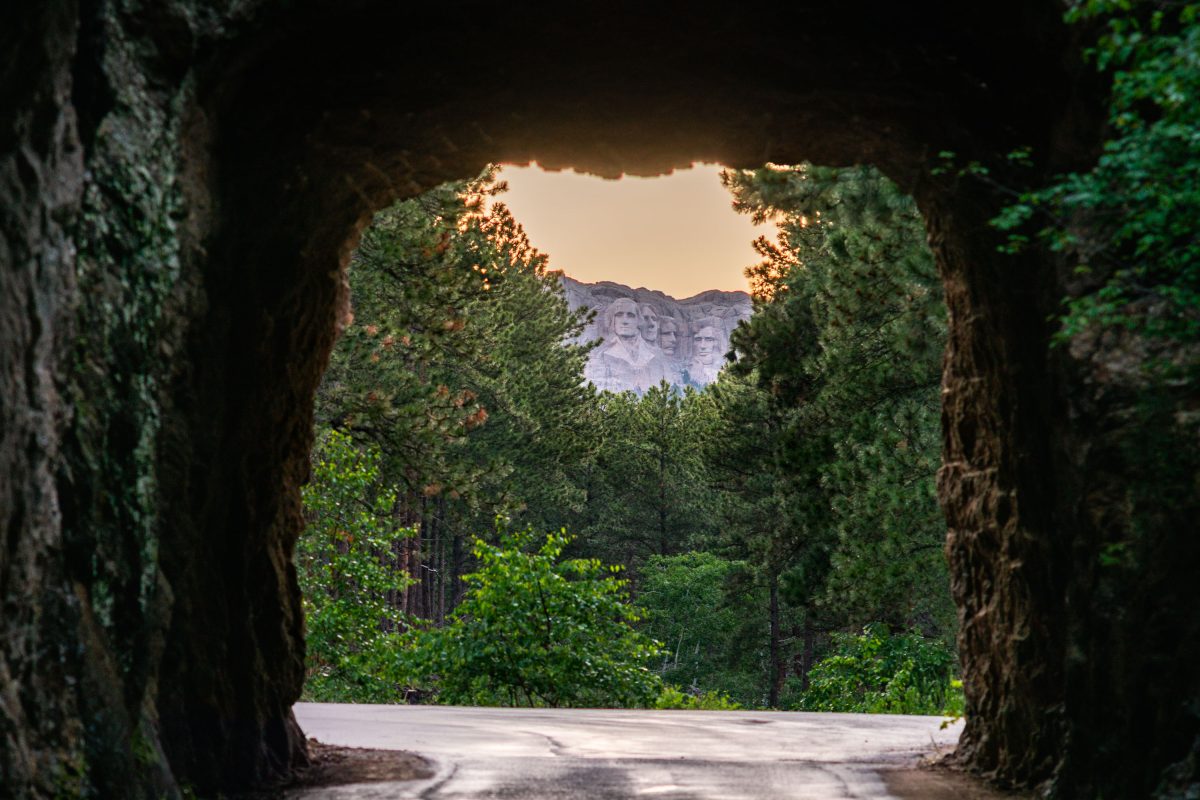
Mount Rushmore Through Iron Mountain Road Tunnel, South Dakota
July 2019
—
Granite Spires on the Needles Highway, Custer State Park
July 2019
—
Granite Spires Along Needles Highway, Custer State Park
July 2019
—
Bison Herd in Custer State Park, South Dakota
July 2019
—
Bison in Custer State Park in Custer, South Dakota.
American Bison, Wildlife Loop Road, Custer State Park
July 2019
—
An American bison stands along the Wildlife Loop Road in Custer State Park, South Dakota, illuminated by the first light of morning. The park’s herd, one of the largest managed populations in the country, roams freely across a landscape that mirrors the open grasslands once dominated by millions of these animals before the 19th-century decline. Bison are a keystone species of the Great Plains ecosystem, their grazing patterns shaping the prairie’s biodiversity. At Custer, annual roundups and controlled management preserve both the health of the land and the continuation of a lineage deeply tied to Native history and American conservation.
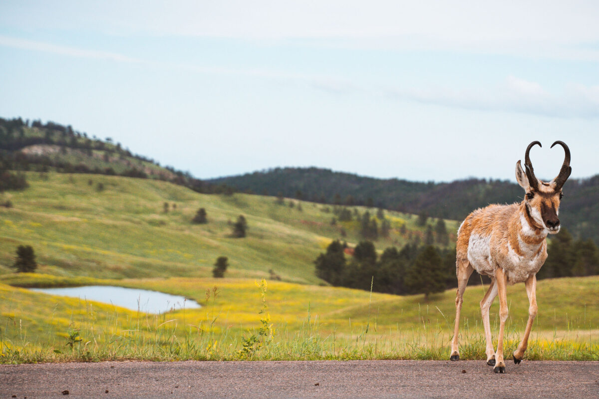
Pronghorn Antelope on Wildlife Loop Road, Custer State Park
July 2019
—
Needles Eye Tunnel, Custer State Park, South Dakota
July 2019
—
Carved directly through a narrow granite spire in the Black Hills, the Needles Eye Tunnel stands as one of South Dakota’s most distinctive engineering feats. Completed in 1922 as part of the Needles Highway (SD 87), the one-lane tunnel measures just 8 feet 4 inches wide and 11 feet 3 inches high, requiring careful navigation by passing vehicles. Its name comes from the adjacent rock formation, where centuries of wind and water erosion sculpted a sharp, needle-like opening. Surrounded by dense ponderosa pine forest and sheer stone walls, this section of the highway offers one of the most dramatic mountain drives in the American Midwest, linking the spire formations of Custer State Park with the scenic byways leading toward Sylvan Lake and Mount Rushmore.
Sylvan Lake Fog, Black Hills, South Dakota
July 2019
—
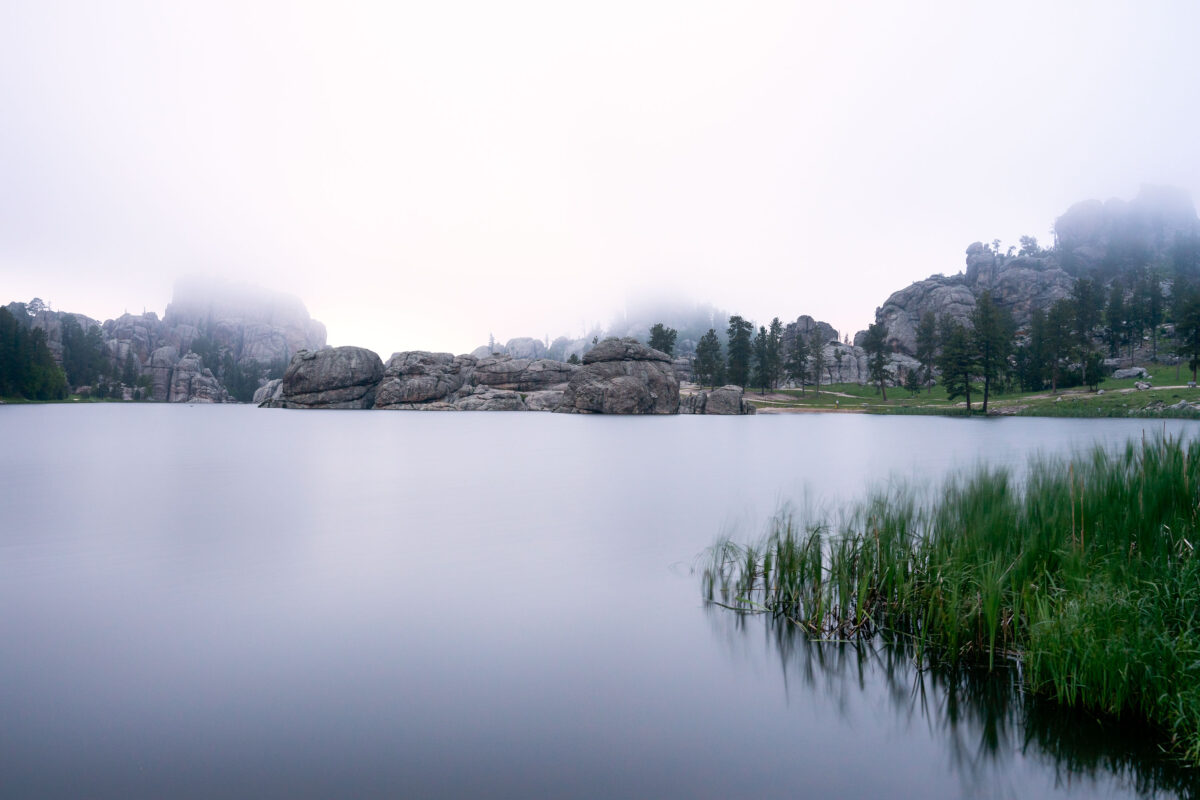
Early morning fog drifts across Sylvan Lake in the Black Hills of South Dakota, softening the granite spires and reflecting still light off the water’s surface. Created in 1891 by Theodore Reder’s dam, the lake sits at the head of the scenic Needles Highway and is surrounded by granite formations that attract climbers, photographers, and hikers. On this mist-covered morning, visibility narrows to the immediate shoreline, turning the familiar outcrops into shadowed silhouettes. The calm water and diffused light capture a rare quiet moment in one of Custer State Park’s most iconic and photographed landscapes.
Minneapolis Skyline and Bde Maka Ska Lake Aerial View
July 2019
—
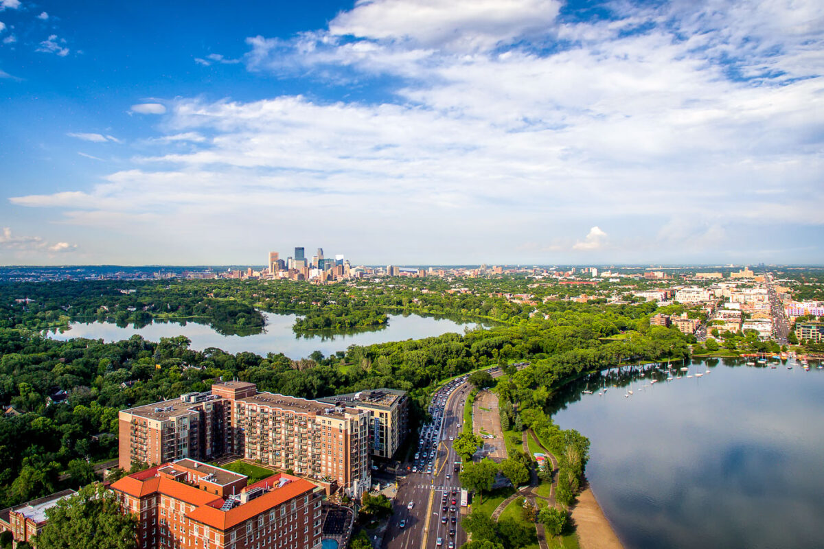
Lake of the Isles and Bde Maka Ska in Minneapolis.
Traffic on Excelsior Boulevard, Minneapolis
July 2019
—
Bde Maka Ska Baseball Field, Minneapolis
July 2019
—
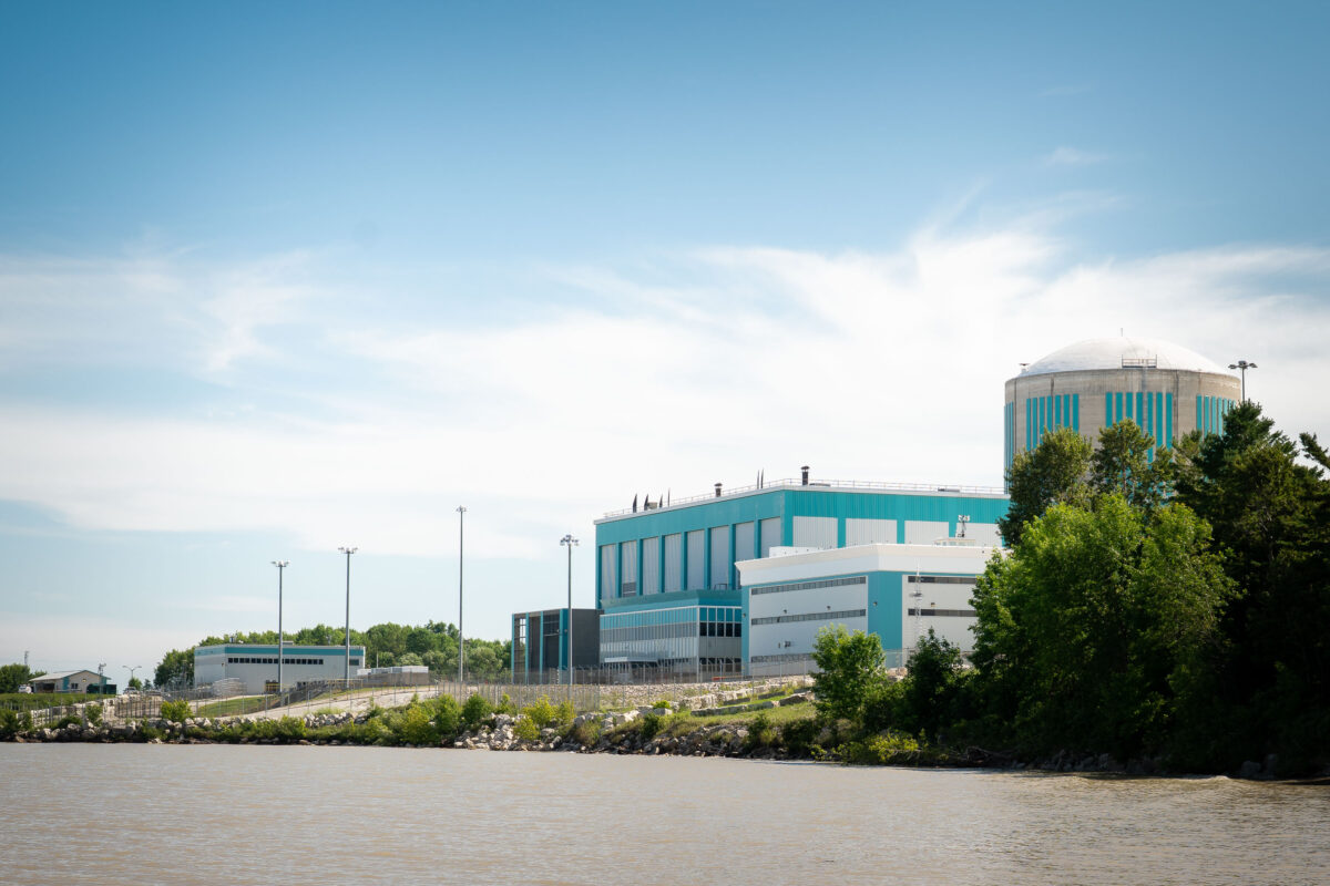
Kewaunee Nuclear Power Plant on Lake Michigan
July 2019
—
The Kewaunee Power Station is a decommissioned nuclear power plant, located on a 900 acres (360 ha) plot in the town of Carlton, Wisconsin, 27 miles (43 km) southeast of Green Bay, Wisconsin in Kewaunee County, and south of the city of Kewaunee.
KPS was the fourth nuclear power plant built in Wisconsin, and the 44th built in the United States. Due to falling electricity prices resulting from the falling price of natural gas, the plant ceased operation May 7, 2013.
Kewaunee Power Station on Lake Michigan, Wisconsin
July 2019
—
Lake Michigan in Kewaunee, Wisconsin outside the Kewaunee Power Station nuclear power plant.
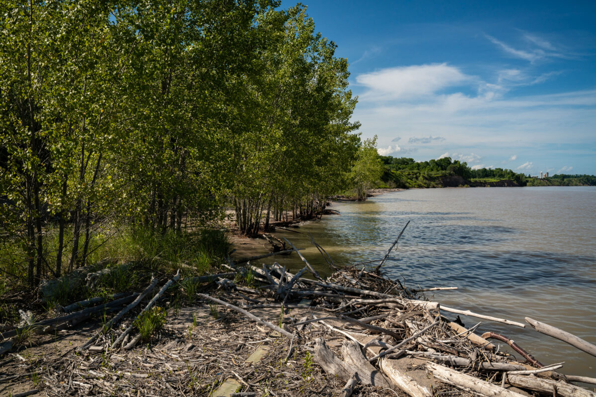
Kewaunee Shoreline with Driftwood and Nuclear Plant
July 2019
—
Wood floats up onto the shore in Kewaunee near the Nuclear Power Plant.
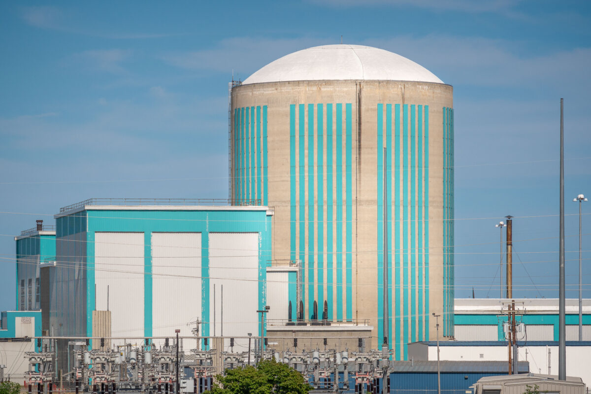
Kewaunee Nuclear Power Plant Cooling Tower, Wisconsin
July 2019
—
Located in Kewaunee, Wiscomnsin, the plant is in the middle of a 50 year decomissioning process.
Cedar Lake Trail Ripped Up, Metro Transit Light Rail Construction
July 2019
—
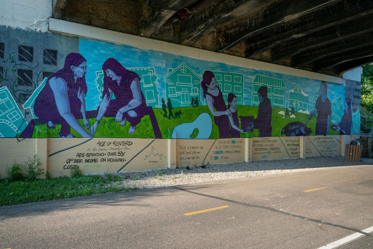
Cori Nakamura Lin & Tori Hong Mural on Midtown Greenway, Minneapolis
July 2019
—
Mural by Cori Nakamura Lin, and Tori Hong on the Midtown Greenway in South Minneapolis.
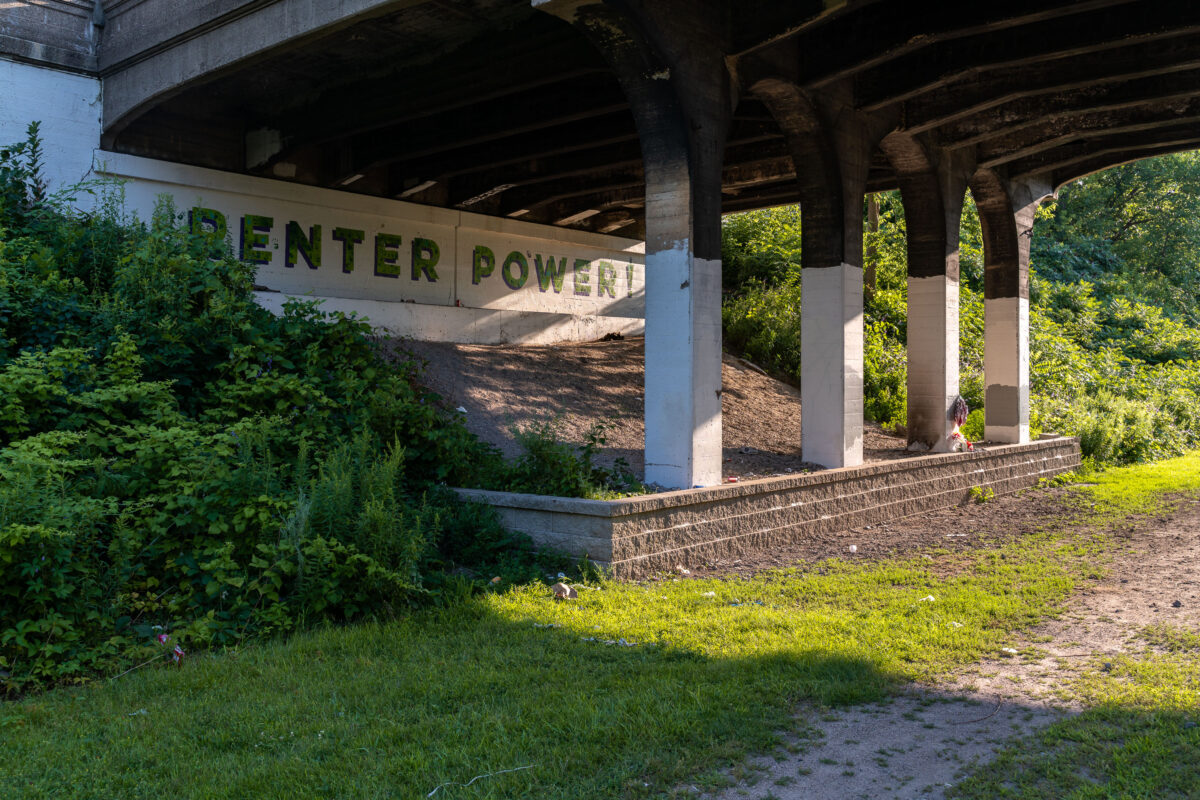
Renter Power! Mural on Midtown Greenway, Minneapolis
July 2019
—
Renter Power! Seen on the Midtown Greenway in Minneapolis, MN
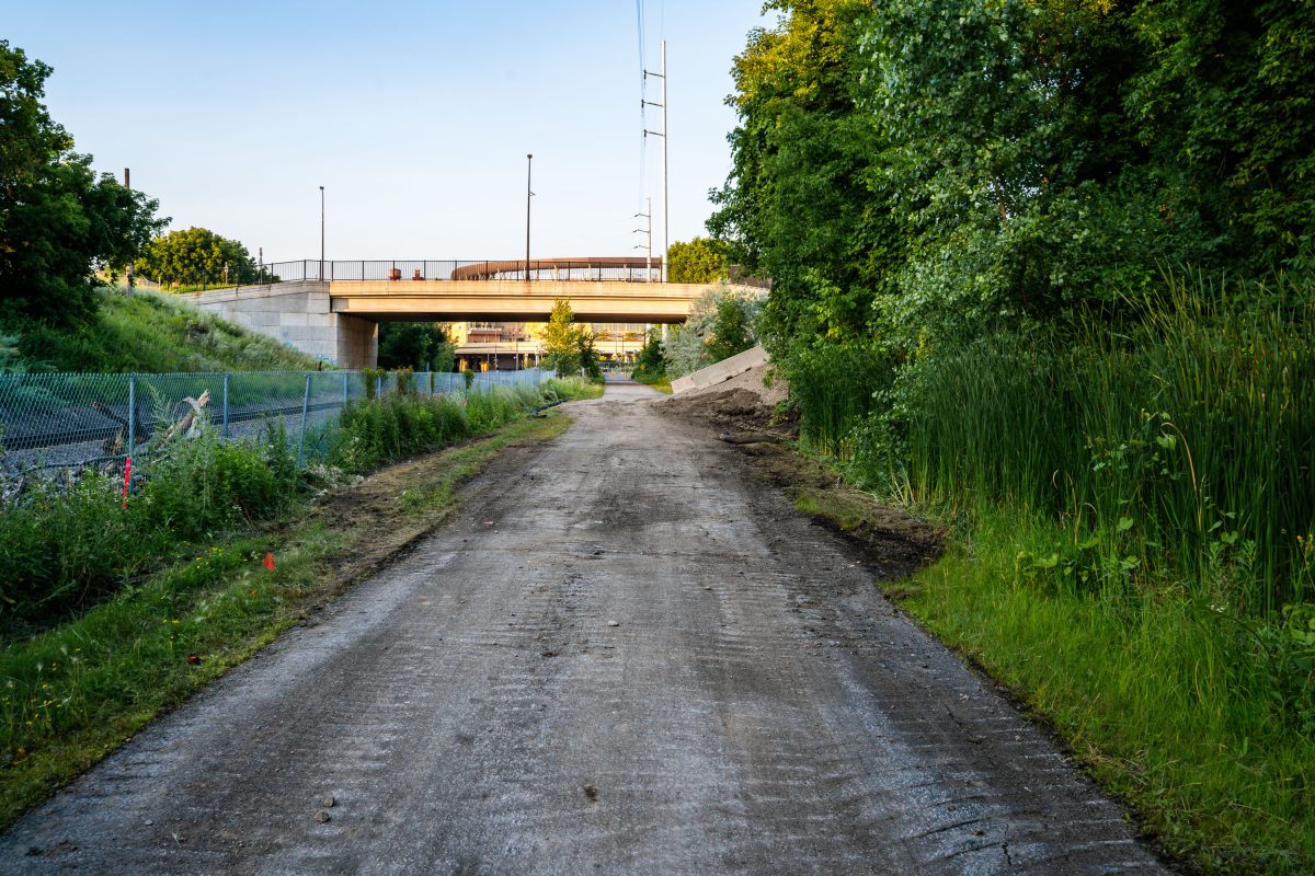
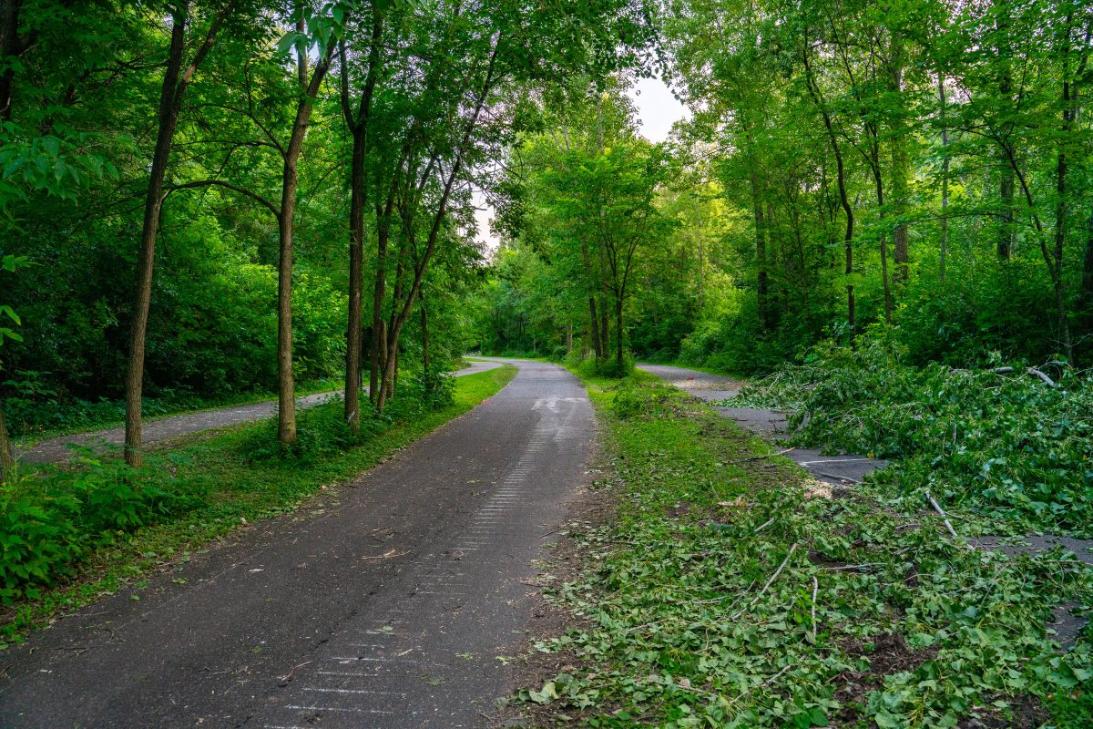
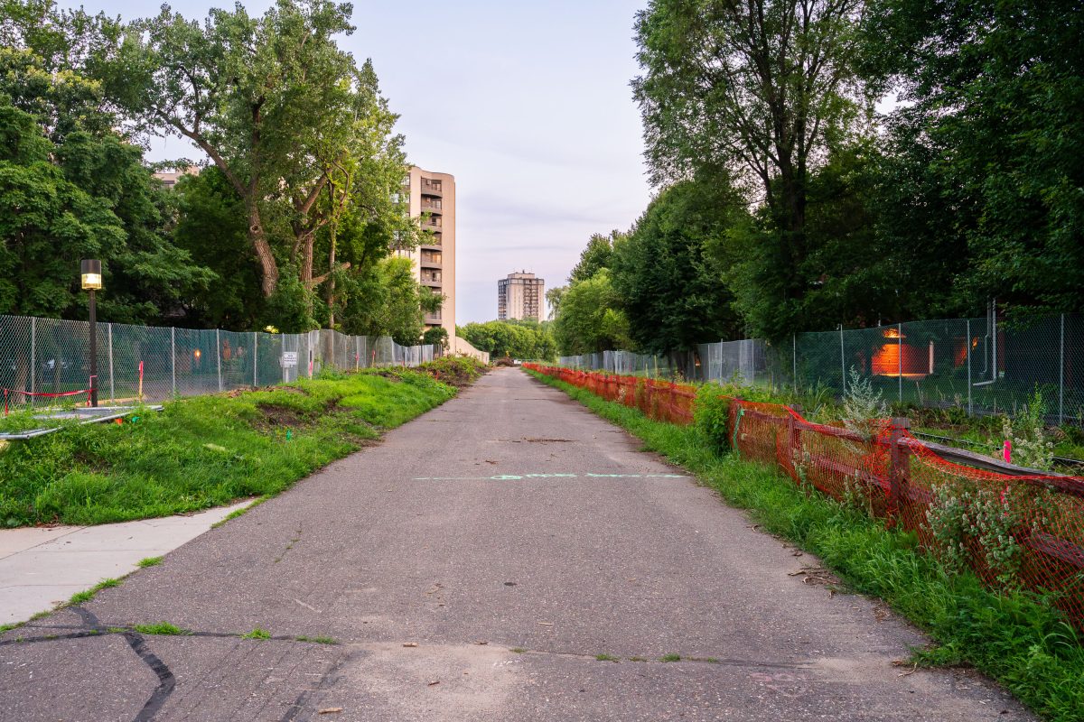
Kenilworth Trail During Light Rail Construction in July 2019
July 2019
—
Kenilworth Trail Construction in July 2019
July 2019
—
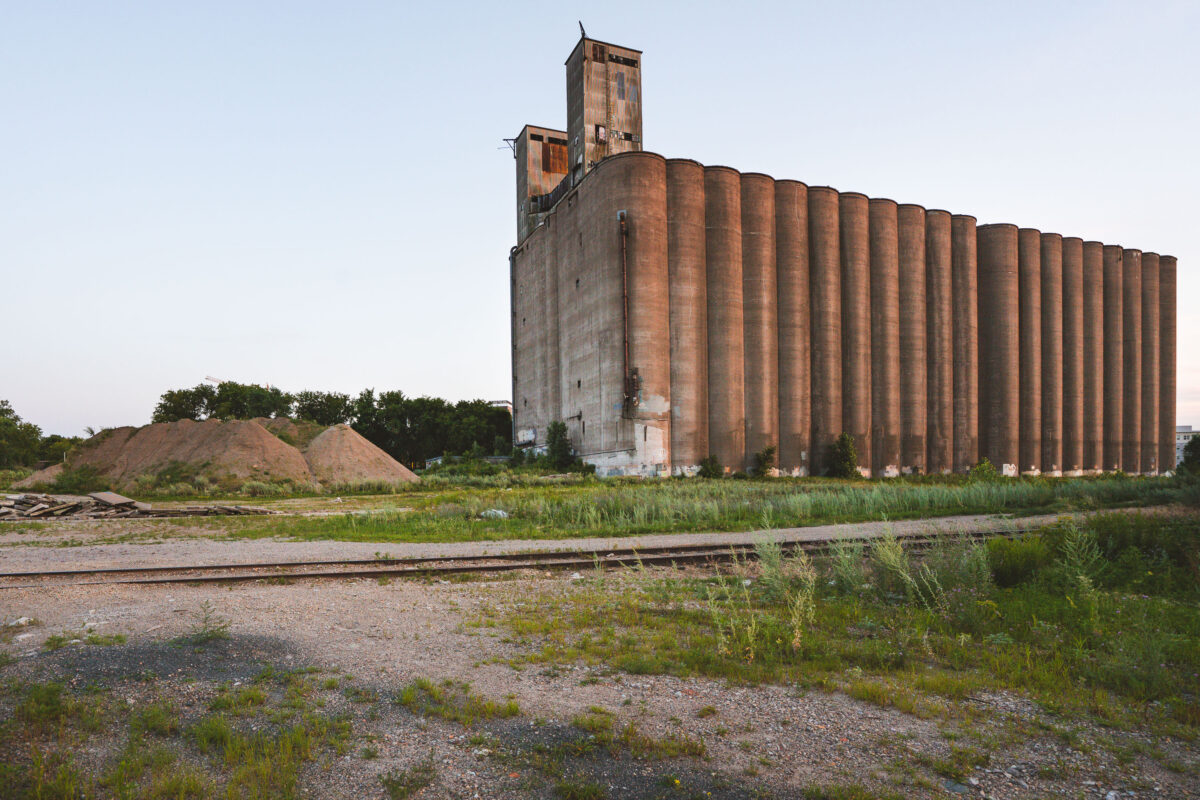
Archer Daniels-Midland Delmar Elevator No 7
July 2019
—
The long abandoned massive concrete Archer-Daniels-Midland Delmar Elevator No. 7 in Minneapolis.
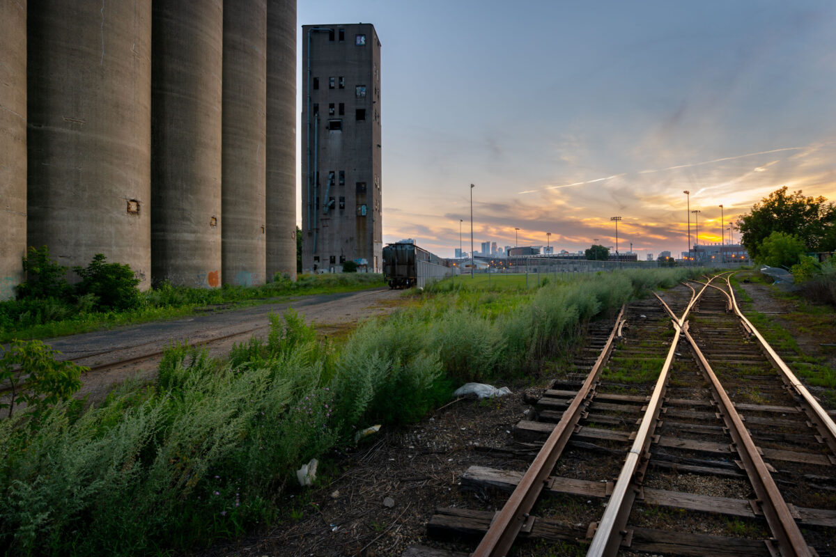
Tracks at Archer Daniels Midland Elevator
July 2019
—
Train tracks outside the long abandoned massive concrete Archer-Daniels-Midland Delmar Elevator No. 7 in Minneapolis.
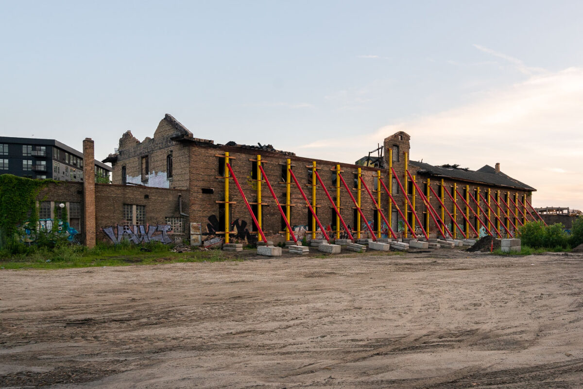
Harris Machinery Building Stabilization, Minneapolis
July 2019
—
Formerly the Harris Machinery building has since been renovated into The Market at Malcolm Yards.
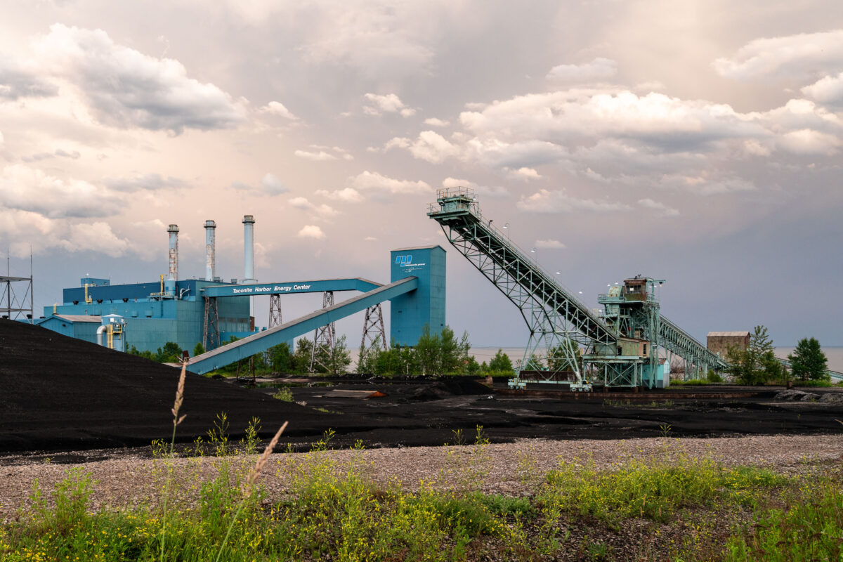
Taconite Harbor Energy Center, Schroeder, Minnesota
July 2019
—
Taconite Harbor Energy Center in Schroeder, Minnesota
Storm Clouds Over Taconite Harbor, Minnesota
July 2019
—
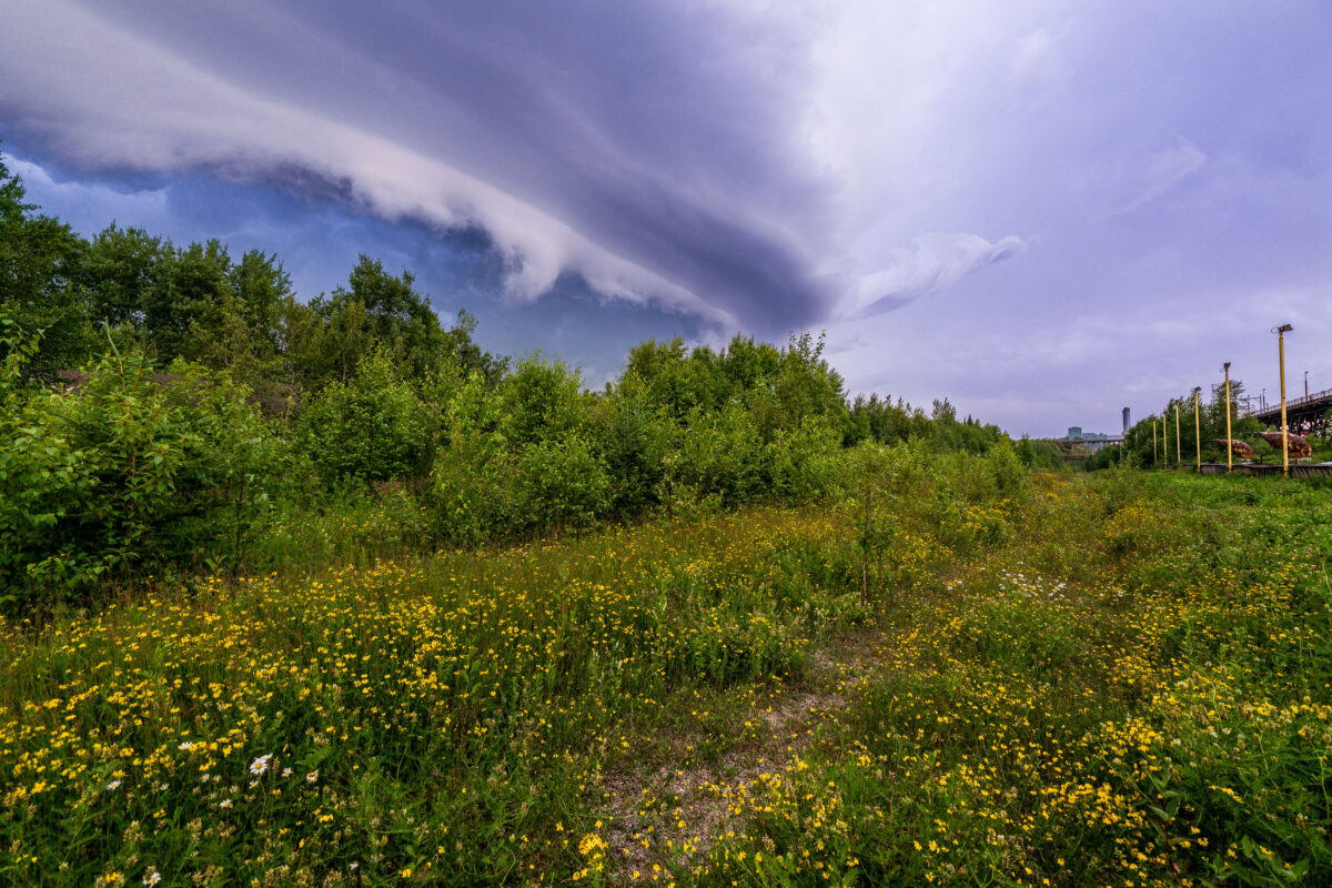
Storm clouds rolling into Taconite Harbor and Lake Superior. The storm didn't last long but provided some incredible clouds.
Knife Falls Dam Hydroelectric Plant, Cloquet, Minnesota
July 2019
—
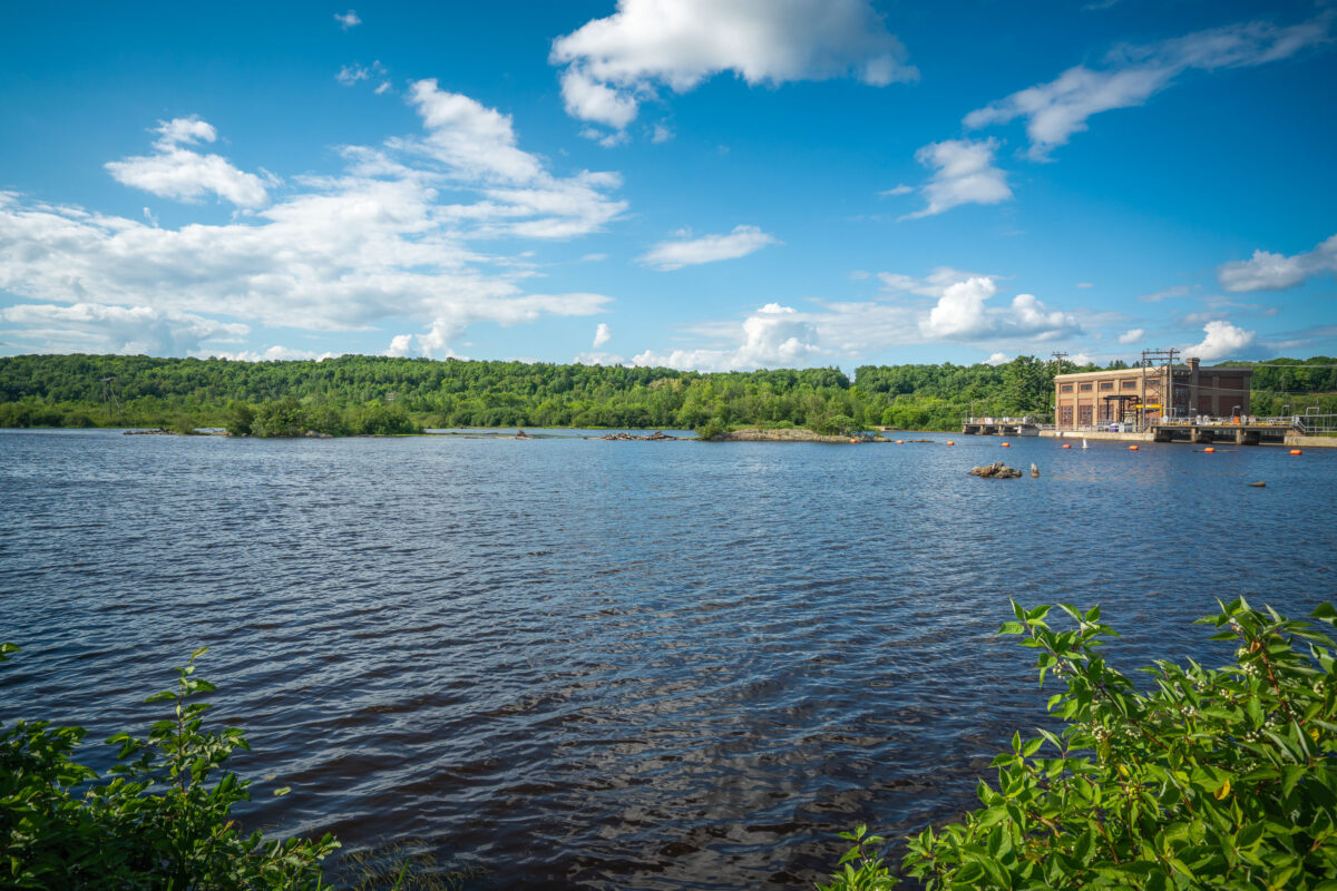
The Knife Falls Dam in Cloquet, MN. The hydro plant produces an output of 2.4-megawatts.
Hansen-Mueller Grain Elevator Complex, Superior, Wisconsin
July 2019
—
Cramer Tunnel Entrance, Cramer Minnesota
July 2019
—
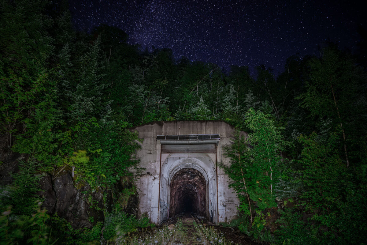
Cramer Tunnel in Cramer Minnesota. The tunnel operated from 1957 to 2001. The tunnel connect the LTV Steel taconite plant in Hoyt Lakes to the ore dock at Taconite Harbor.
The Sporting House, Minneapolis
July 2019
—
Built circa 1889, this building in Downtown Minneapolis on 11th Avenue used to operate as a brothel per historical records.
Cavalier King Charles Spaniel Resting on a Couch
August 2019
—
Cavalier King Charles Spaniel laying on a couch.
August 2019
—
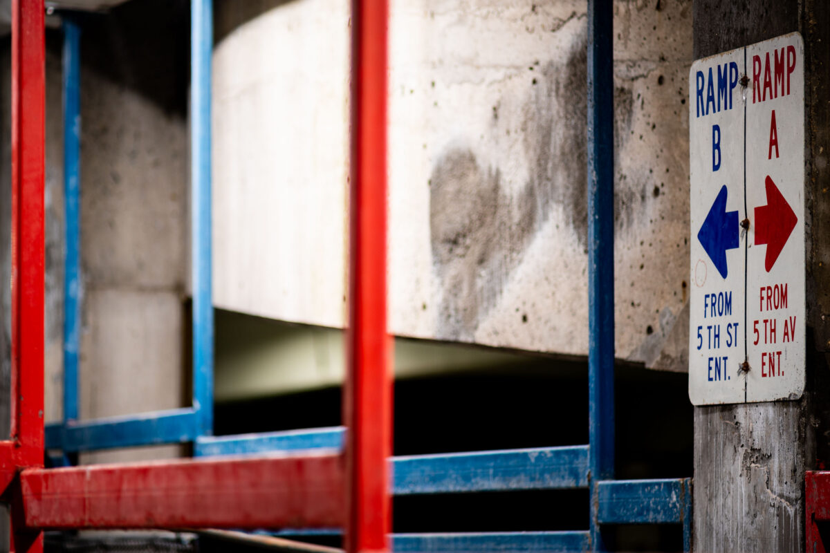
Signs in a Minneapolis parking ramp.
Elevators sign in Minneapolis parking garage
August 2019
—
Reflection in a Minneapolis parking garage.
Slippery When Wet Sign in Downtown Minneapolis Parking Garage
August 2019
—
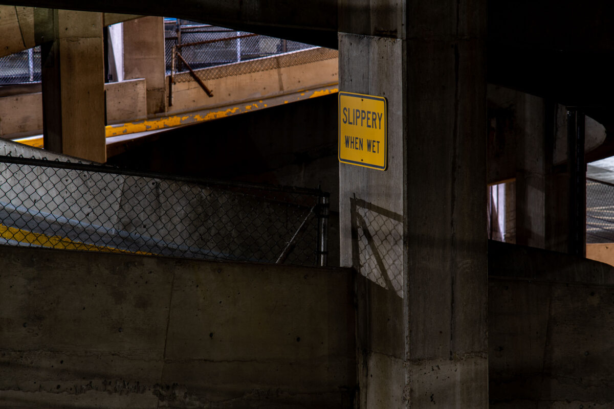
A "Slippery When Wet" sign in a downtown Minneapolis parking garage.
Development at 6th and 5th in Downtown Minneapolis
August 2019
—
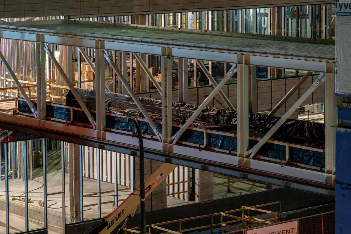
Downtown Minneapolis Skyway Construction in 2019
August 2019
—
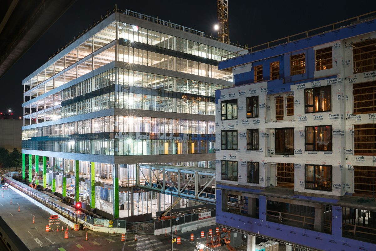
Skyway under construction in downtown Minneapolis.
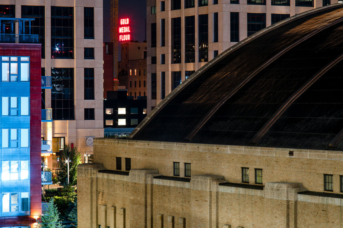
The Armory and Gold Medal Flour sign in Downtown Minneapolis
August 2019
—
Gold Medal Flour sign seen from Downtown East.
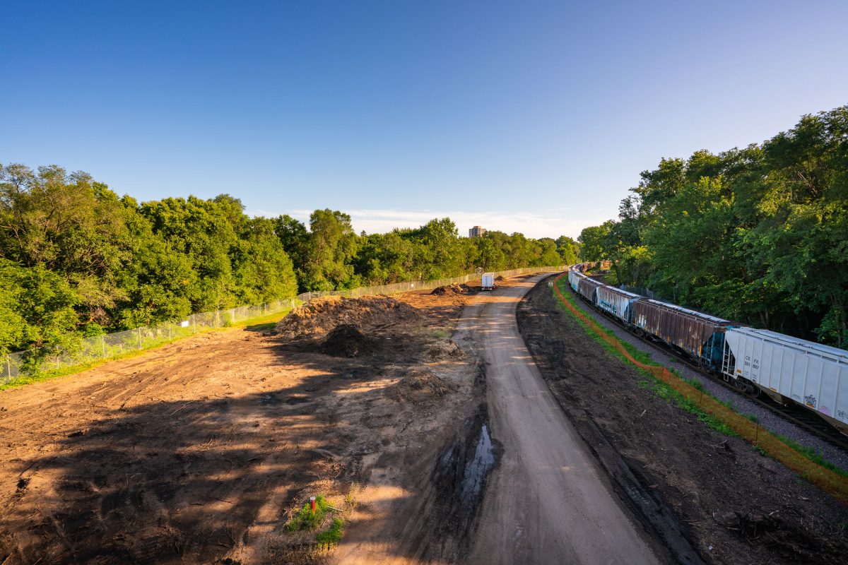
Cedar Lake Trail Light Rail Construction, Burnham Road
August 2019
—
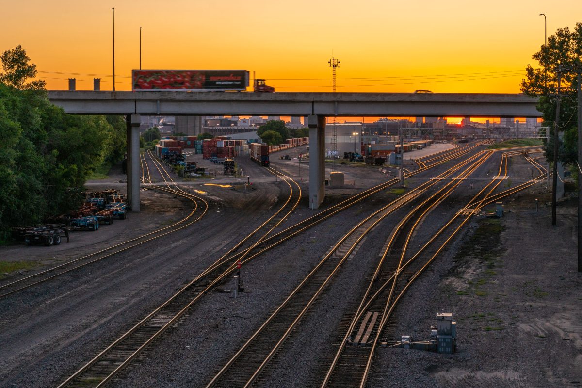
University of Minnesota Transitway rail yard view
August 2019
—
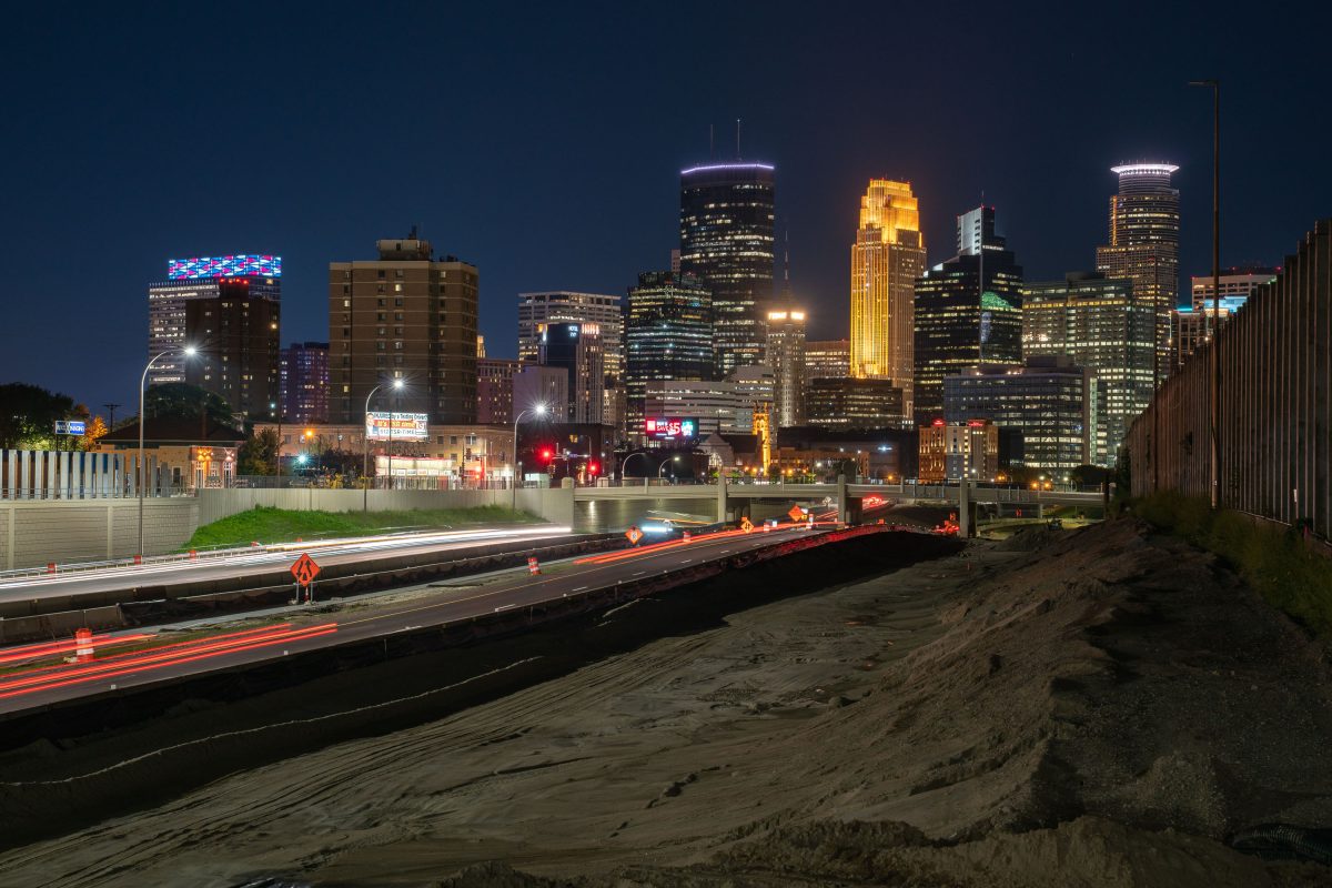
35W leading to downtown Minneapolis during construction
August 2019
—
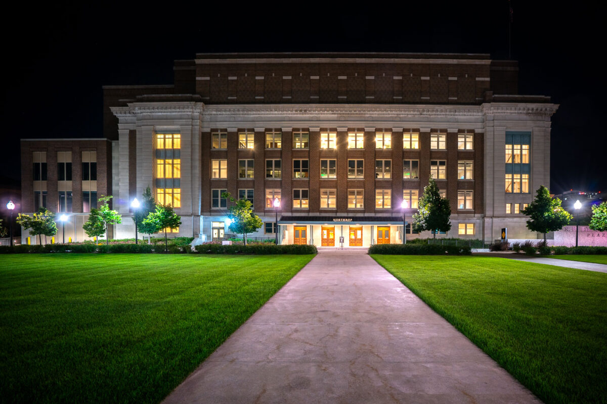
Cyrus Northrop Memorial Auditorium, Minneapolis, MN
August 2019
—
Located on the University of Minnesota campus at 84 Church Street SE, the Cyrus Northrop Memorial Auditorium is a performing arts venue. It is named after the Universities second president.
Ameriprise Financial Center, Downtown Minneapolis
August 2019
—
498 foot high rise at 707 2nd Avenue South, Minneapolis, MN
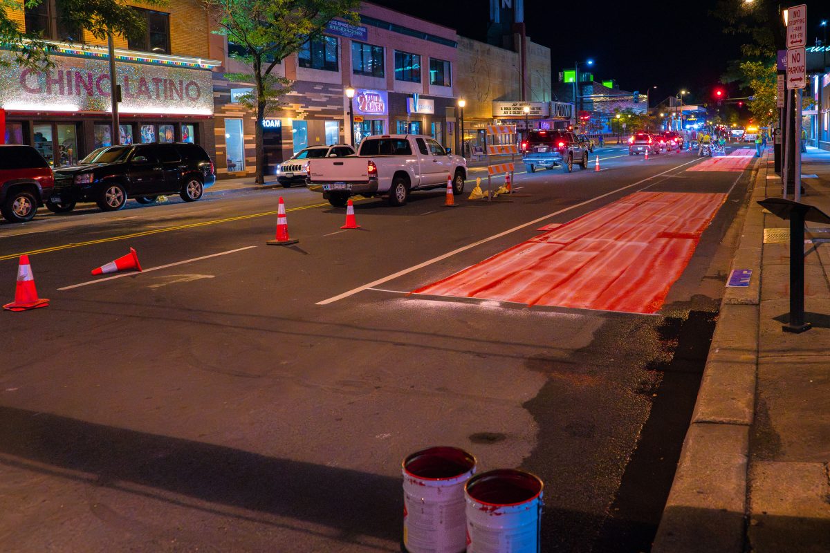
Bus Lane Paint on Hennepin Avenue
August 2019
—
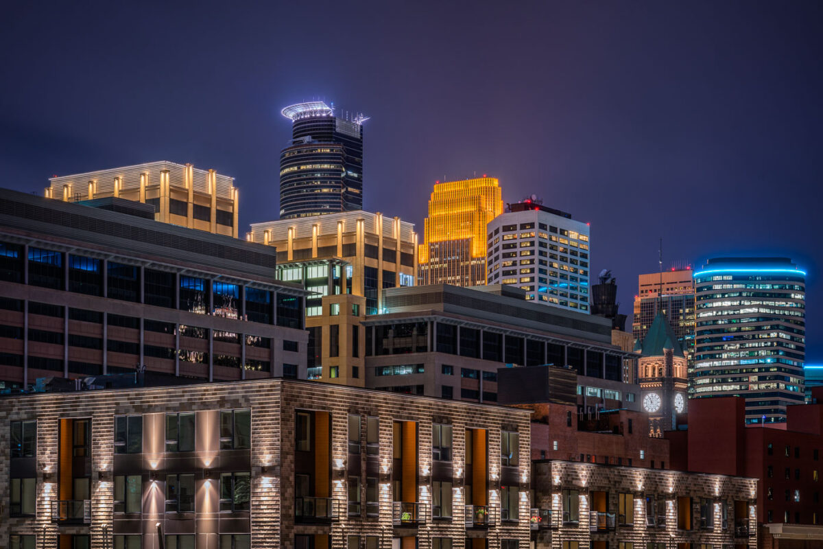
Minneapolis Skyline Viewed At Night From Downtown East
August 2019
—
A night view of downtown Minneapolis glows with vibrant hues from its illuminated skyline. The IDS Center and Wells Fargo Tower stand prominently among the city’s modern high-rises, their lights reflecting the urban energy below. New residential buildings in the foreground contrast with the historic clock tower in the distance, highlighting the city’s mix of old and new architecture.
Super Dog State Fair Vendor Sign
August 2019
—
A brightly lit “Super Dog” food stand sign glows with yellow bulbs at a carnival or fairground. Surrounded by flags and festive colors, the concession stand evokes the classic atmosphere of American fairs where hot dogs and snacks are a staple of the midway.
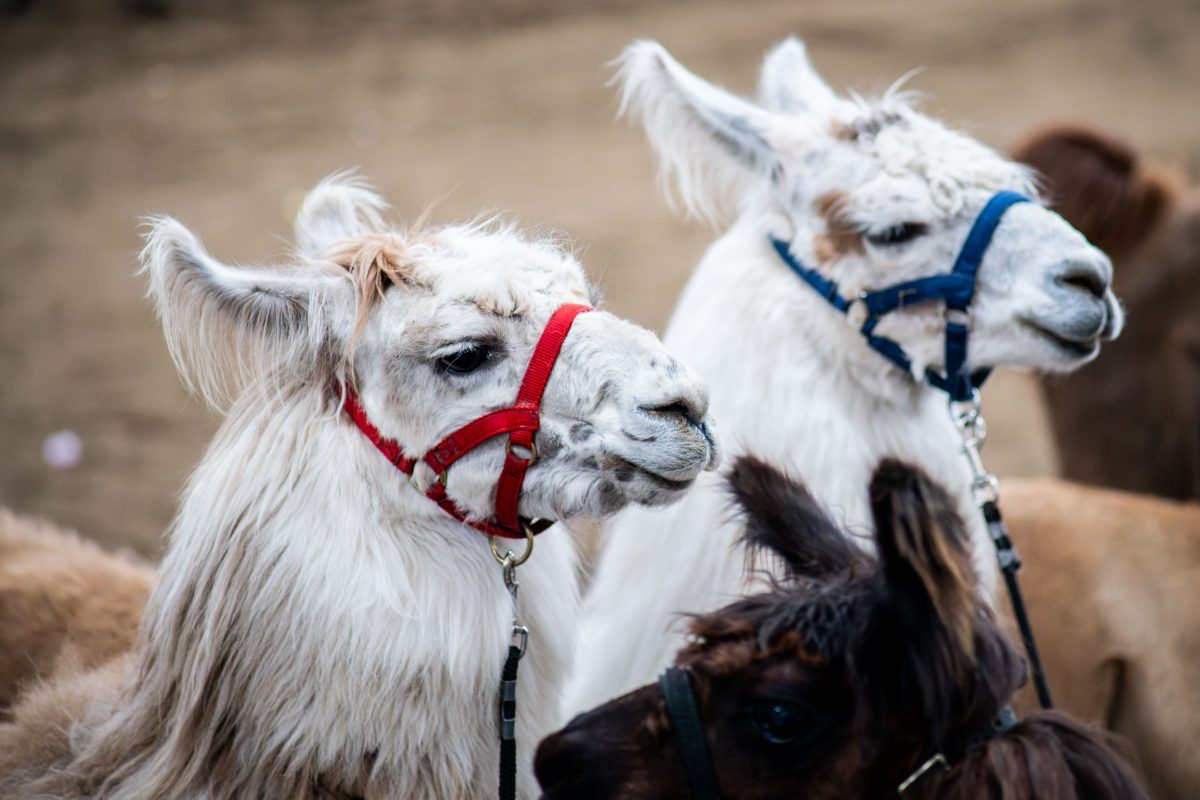
Haltered Llamas at the Minnesota State Fair
August 2019
—
Slushies and Cotton Candy Booth, Minnesota State Fair
August 2019
—
Show Llama in Red Halter, Minnesota State Fair
August 2019
—
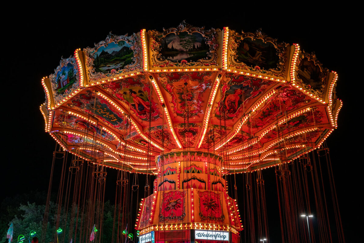
Wellenflug Swing Ride, Minnesota State Fair
August 2019
—
Brightly lit with rows of orange and yellow bulbs, a vintage-style swing carousel glows against the night sky at a fairground. The ornate ride features hand-painted panels depicting alpine landscapes and traditional figures, creating a striking contrast between old-world artistry and modern amusement park energy.
Sweet Martha Cookie Jar at State Fair
August 2019
—
A brightly painted cookie shop features bold signage advertising chocolate chip cookies, ice cold milk, and hot coffee. The storefront, with its yellow siding, red-and-white awnings, and whimsical design, captures the festive atmosphere typical of fairgrounds and boardwalk-style concessions.
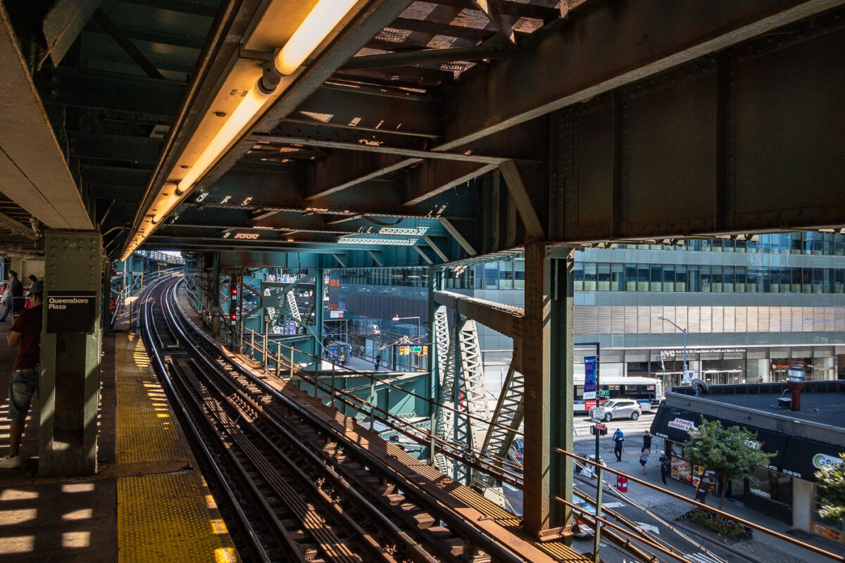
Queensboro Plaza Elevated Train Station, NYC
August 2019
—
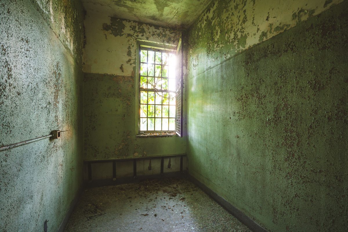
Patient Room, Creedmoor Psychiatric Center, Queens
August 2019
—
Barred Window, Creedmoor Psychiatric Center, Queens
August 2019
—
Derelict Classroom, Creedmoor Psychiatric Center, Queens
August 2019
—
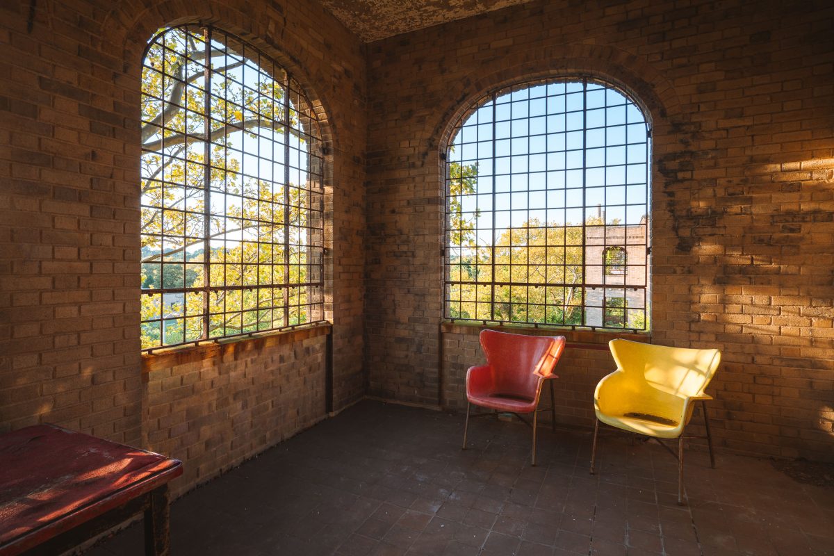
Red and Yellow Chairs, Creedmoor Psychiatric Center
August 2019
—
Utility Sink and Barred Window, Creedmoor Psychiatric Center
August 2019
—
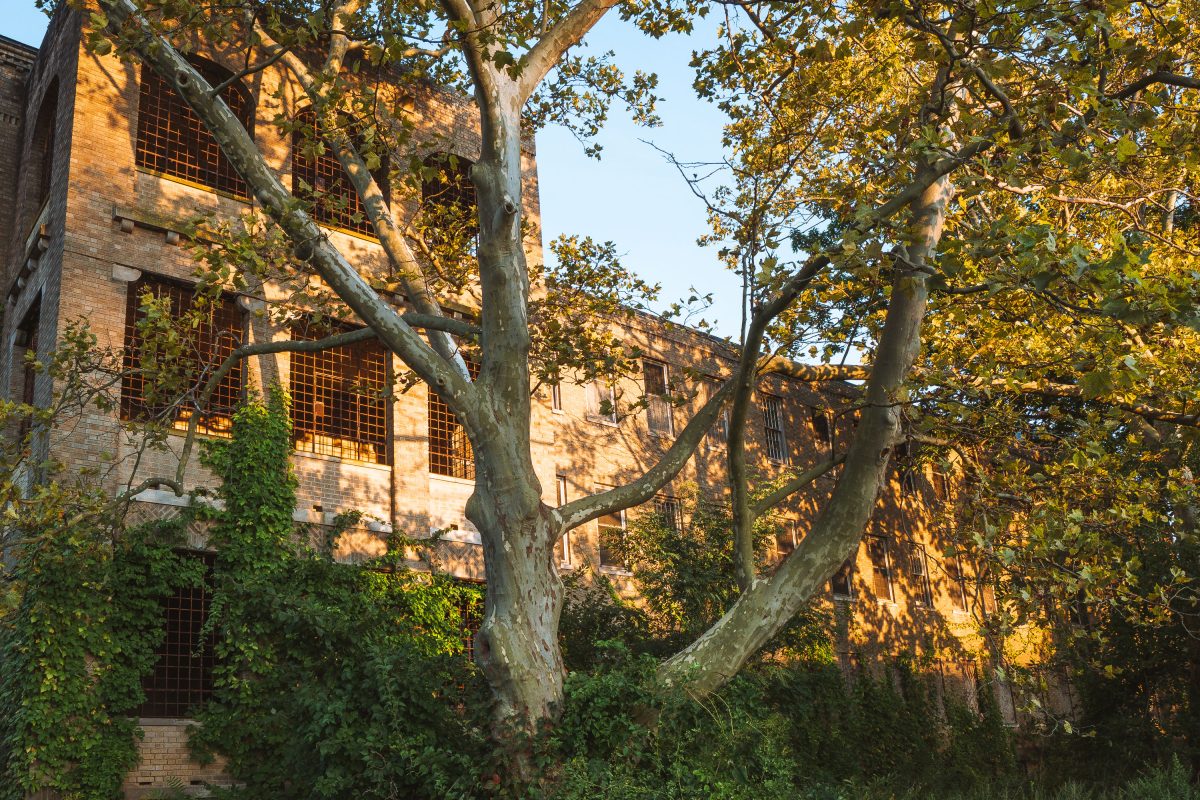
Overgrown Grounds, Creedmoor Psychiatric Center, Queens
August 2019
—
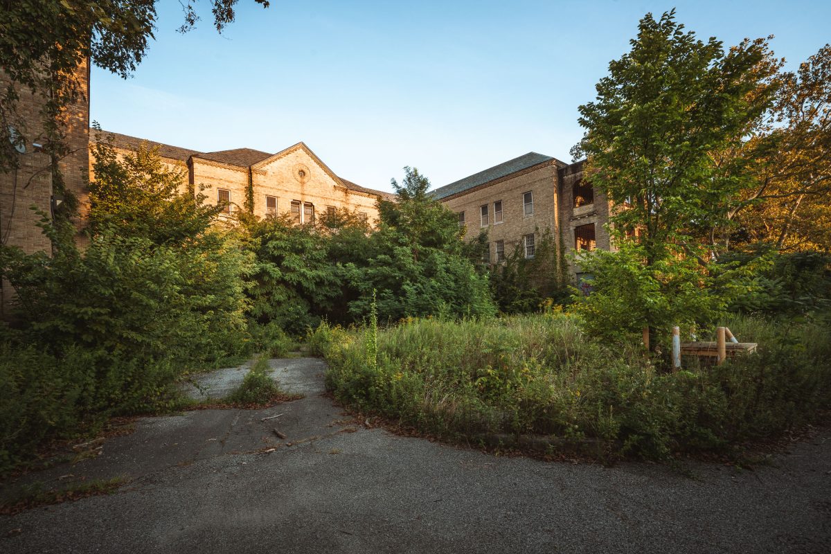
Overgrown Ward Building, Creedmoor Psychiatric Center, Queens
August 2019
—
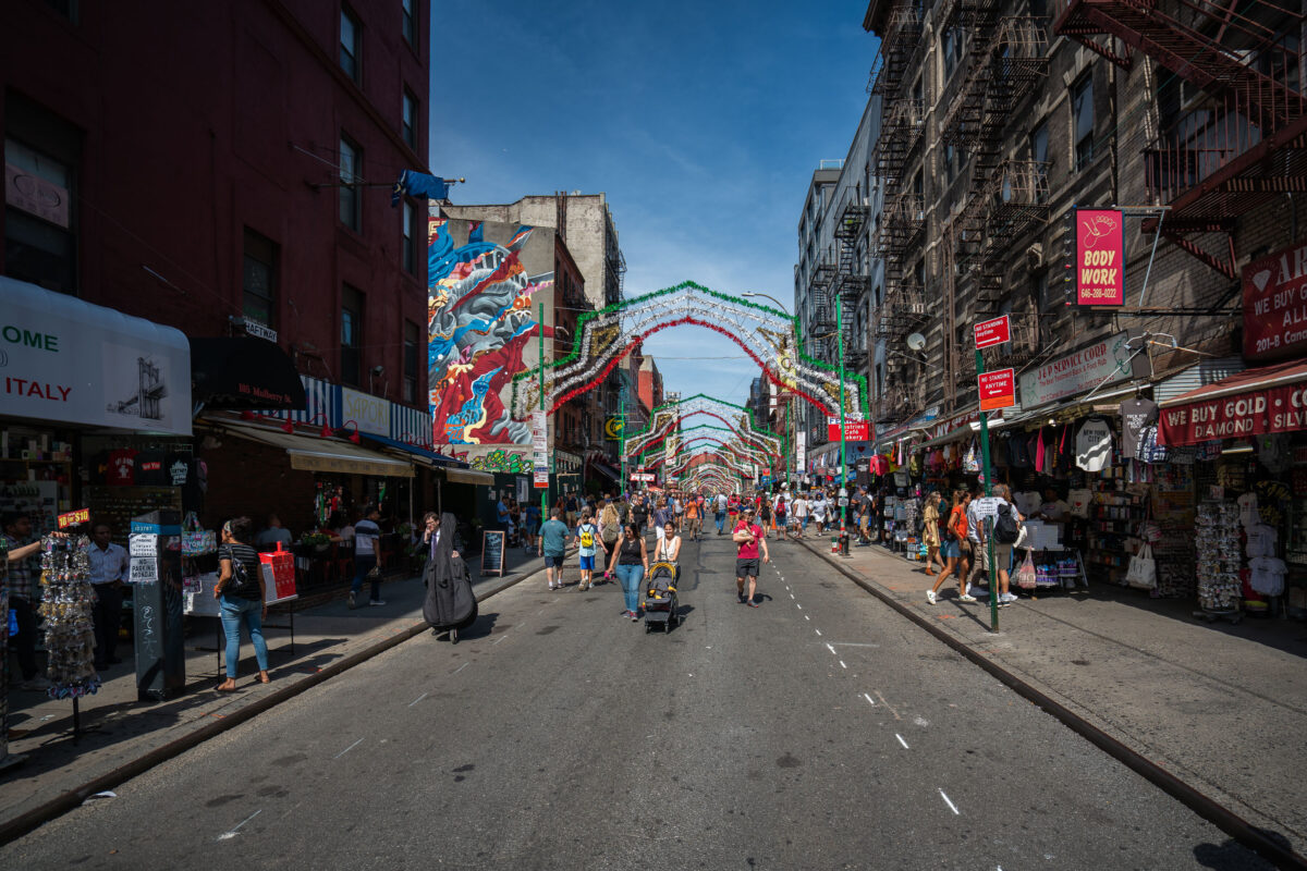
Mulberry Street Little Italy Manhattan
August 2019
—
People walk along Mulberry Street in Manhattan’s Little Italy under rows of simple festive arches. Shops and cafés line the street as vendors sell food and souvenirs to passersby. The scene reflects the neighborhood’s everyday rhythm and long-standing cultural roots.
Long Island Sign, East River, Queens
August 2019
—
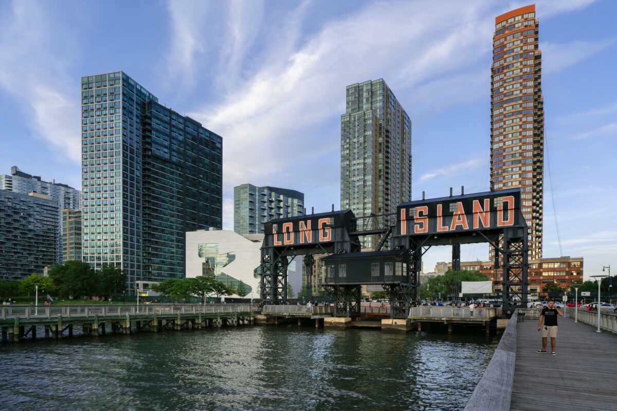
The iconic Long Island sign towers over the East River waterfront in Queens as evening light reflects off the glassy high-rises of Long Island City. Once a gritty industrial dock, the area has transformed into one of New York City’s fastest-growing neighborhoods.
Pepsi-Cola Sign, Long Island City
August 2019
—
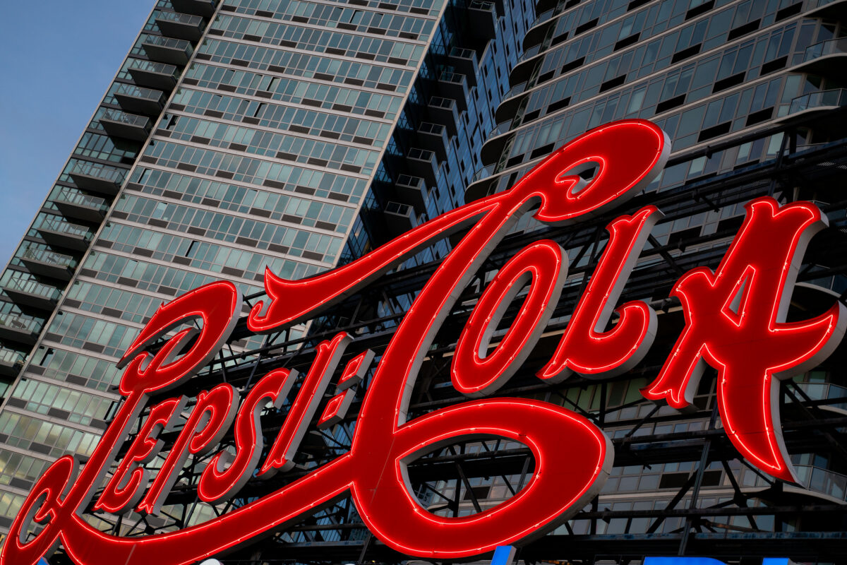
The iconic Pepsi-Cola sign glows in red neon along the East River waterfront in Long Island City, Queens. The landmark sign, originally installed in 1936, now stands in front of modern residential towers and remains a prominent feature of the New York City skyline.
Midtown Manhattan Skyline Viewed From Long Island City
August 2019
—
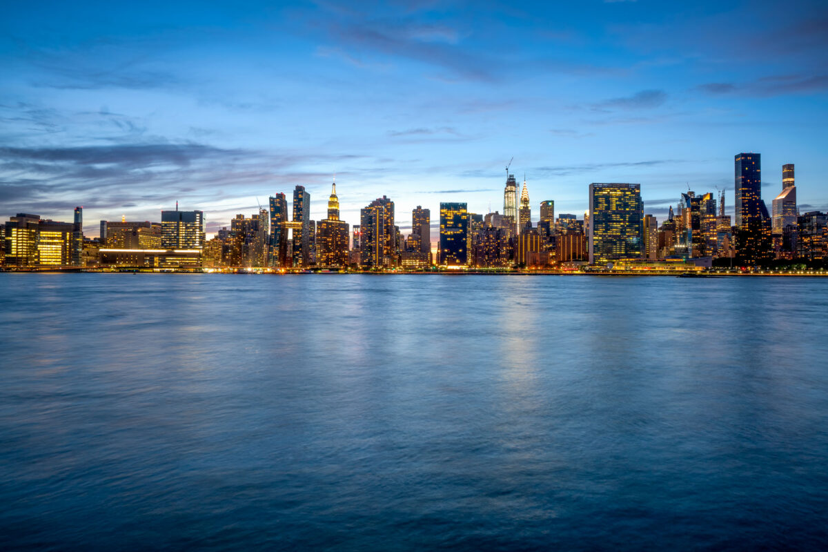
Manhattan as seen from Long Island City
Long Island City Apartment Towers, New York
August 2019
—
High rises in Long Island City, NY.
Manhattan Skyline Across the East River at Dusk
August 2019
—
Manhattan as seen from across the East River.
Manhattan skyline and Queensboro Bridge from Long Island City
August 2019
—
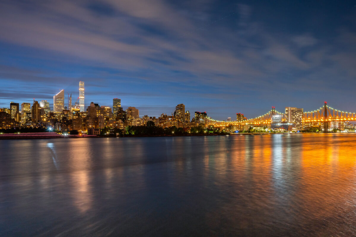
Manhattan as seen from Long Island City
Built in Minneapolis
Minneapolis Photographer
Browse by location, move through long-running series, or start with recent work.