Map
More from South Dakota

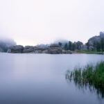
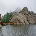
Sylvan Lake Fog, Black Hills, South Dakota
Early morning fog blankets Sylvan Lake in South Dakota's Black Hills, obscuring the surrounding granite formations. Created in 1891 by…

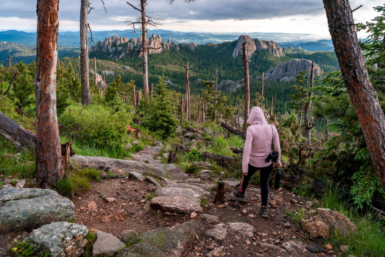
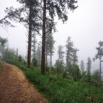
Ponderosa Pine Trail near Black Elk Peak, Black Hills, South Dakota
Black Elk Peak, once named Harney Peak, rises to 7,244 feet in South Dakota's Black Hills, making it the highest…
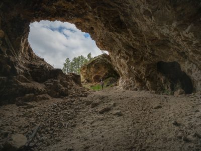
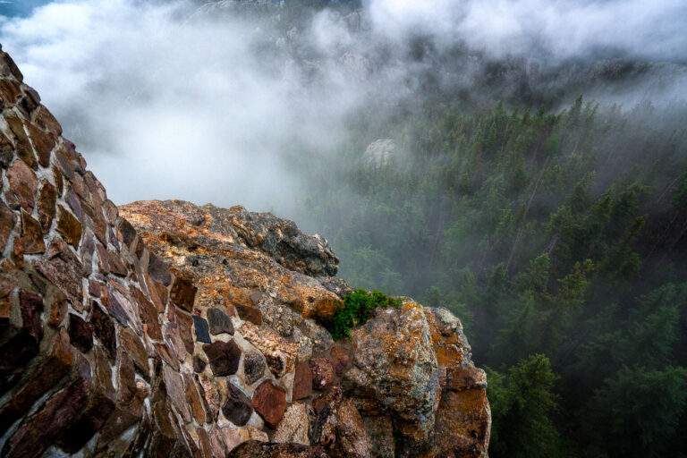
Abandoned Mine Entrance, Black Hills, South Dakota
This natural rock formation, resembling an abandoned mine entrance, is located in the Black Hills region of South Dakota. The…

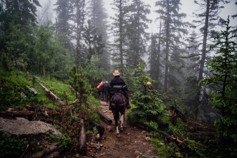
Foggy Trail to Black Elk Peak, Black Hills, South Dakota
Black Elk Peak, in the Black Hills of South Dakota, rises to 7,244 feet, making it the highest point in…
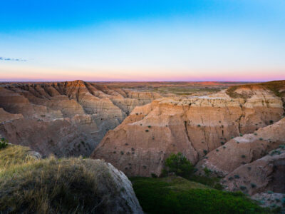
Twilight Over the Badlands at Buffalo Gap National Grassland
Buffalo Gap National Grasslands, South Dakota. The grasslands include rugged badlands terrain along the southern edge of the Black Hills…
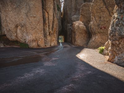
Needles Eye Tunnel Along Needles Highway, Custer State Park
The Needles Eye Tunnel carries South Dakota Highway 87 through a granite spire along the Needles Highway in Custer State…
Nearby Photos