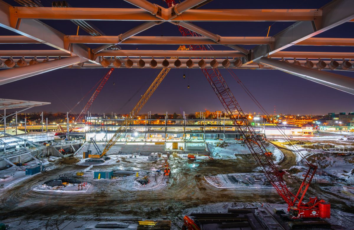
Cranes Rise Over Allianz Field Construction, St. Paul
March 2018 —
Explore photos in Uncategorized.
March 2018 —
March 2018 —
March 2018 —
March 2018 —
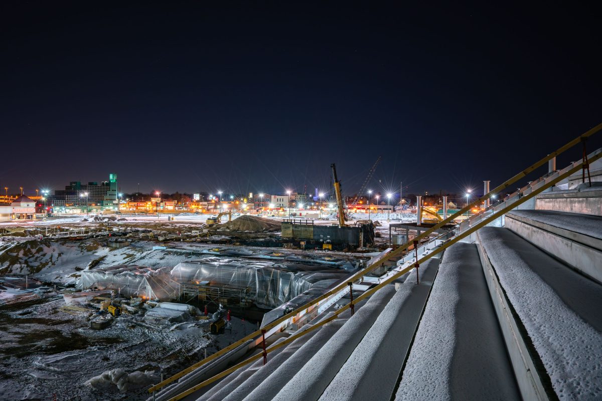
March 2018 —
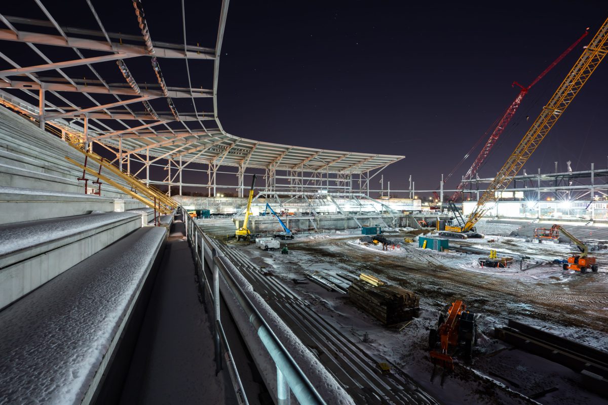
March 2018 —
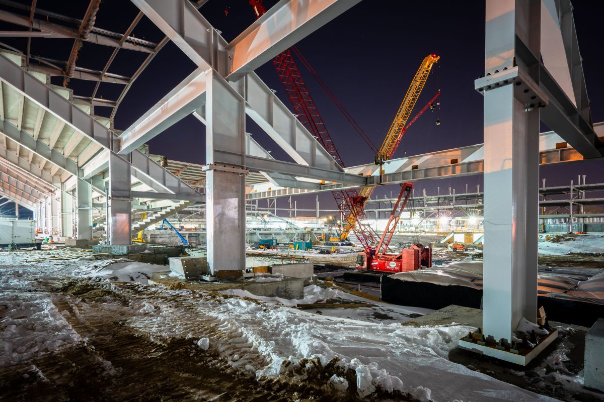
March 2018 —
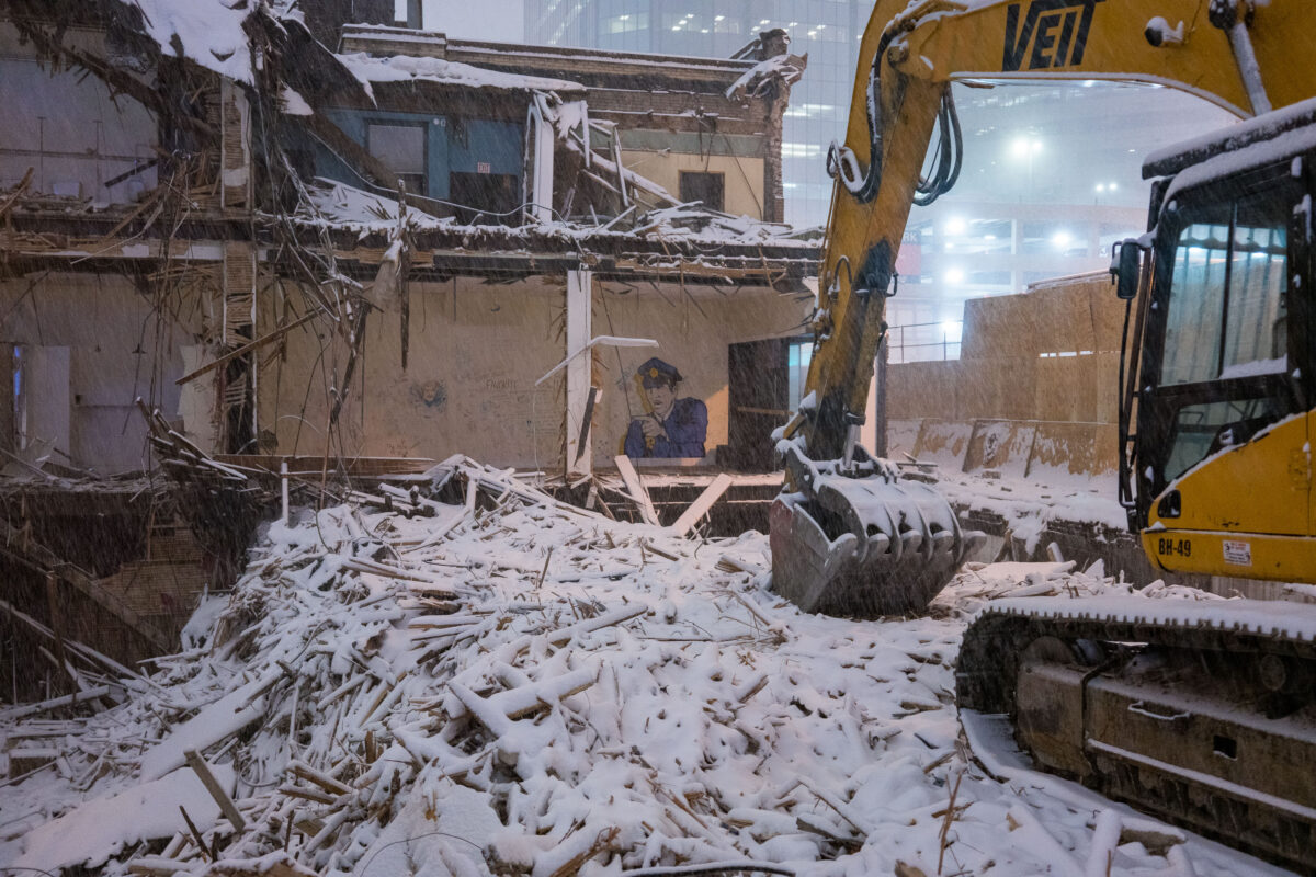
February 2018 — Demolition on Marquette Ave of a building to make way for City Club Apartments.
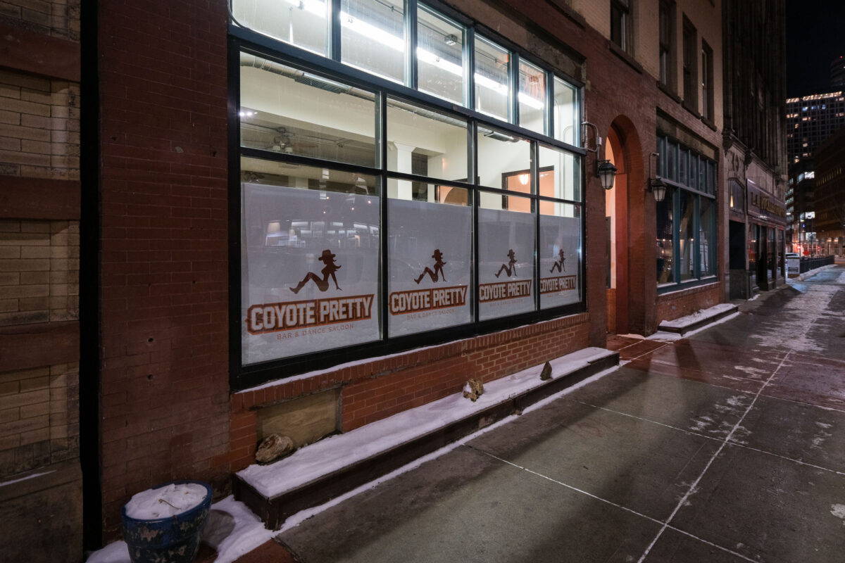
January 2018 — A temporary danceclub being setup in downtown Minneapolis in preparation for Super Bowl LII, held on February 4, 2018.
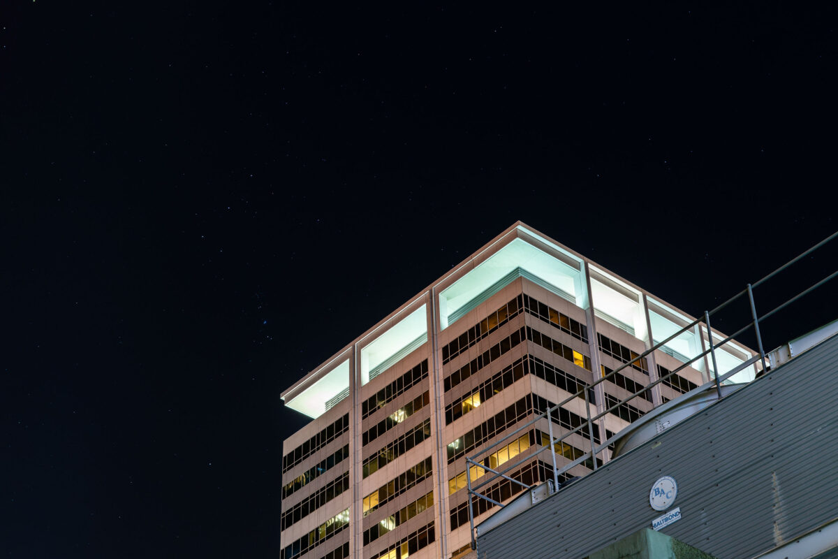
January 2018 —
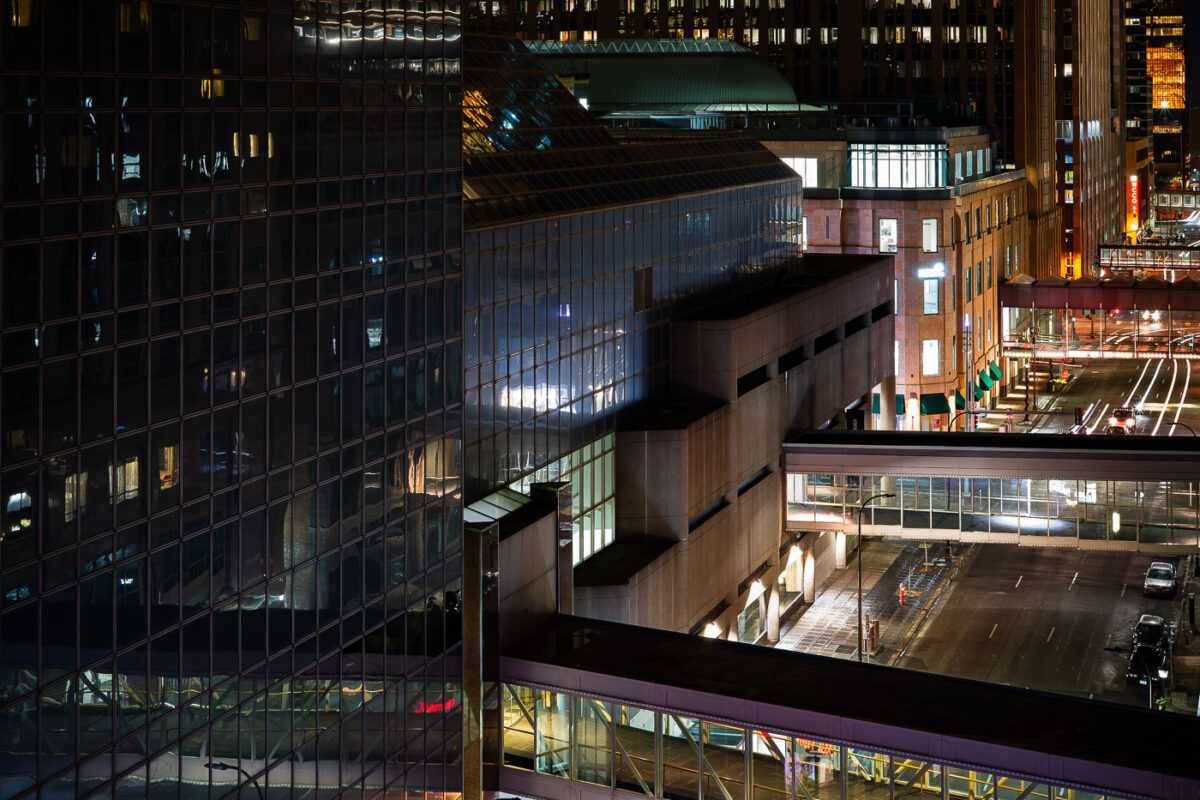
January 2018 — The Minneapolis Skyways while looking towards Nicollet Avenue in Downtown Minneapolis.
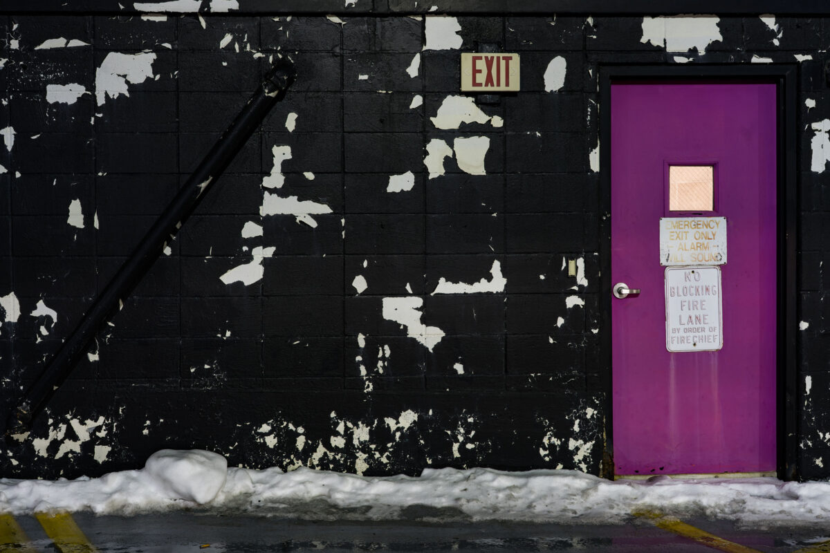
January 2018 — An emergency exit door on top of a Minneapolis parking ramp. Paint peeling on the walls.
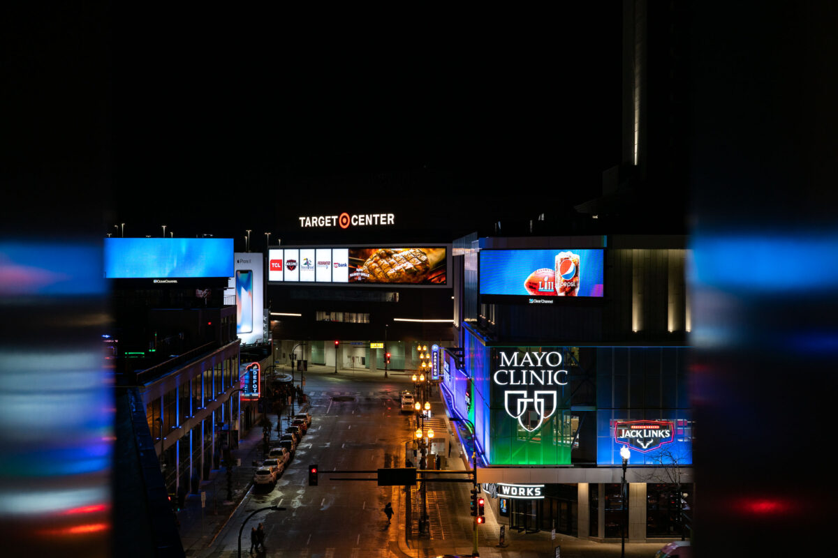
January 2018 — Target Center and Mayo Clinic in Downtown Minneapolis
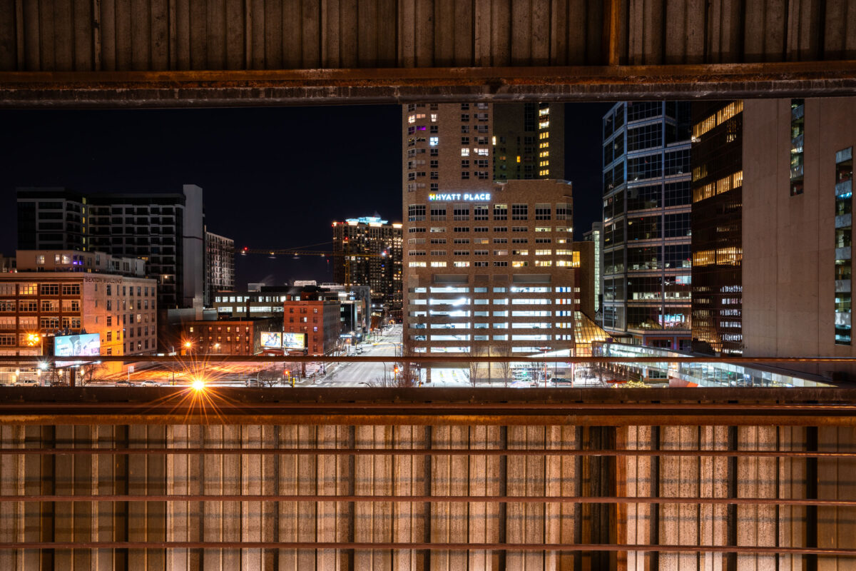
January 2018 —
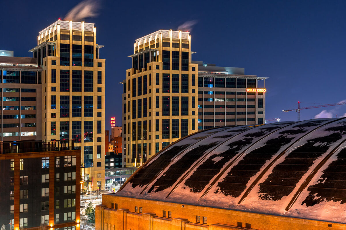
January 2018 — The Armory and new Downtown East development in Minneapolis.
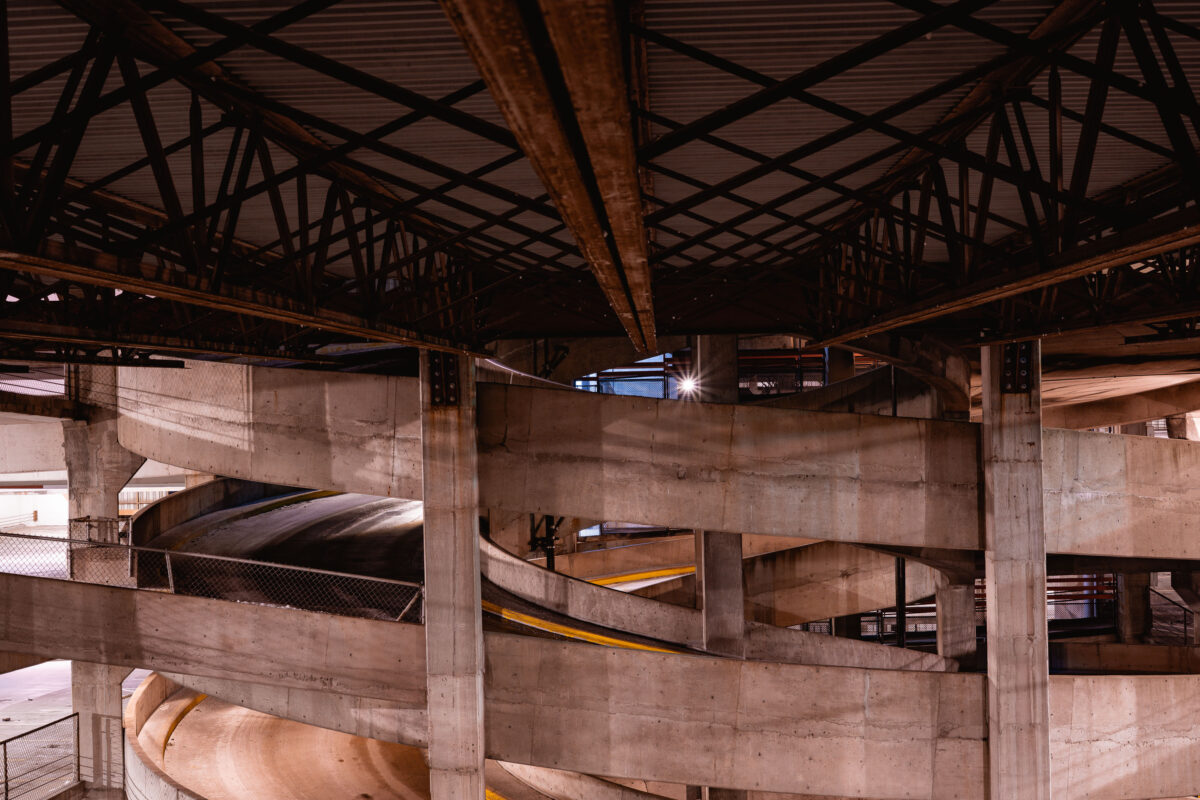
January 2018 — A parking ramp in downtown Minneapolis.
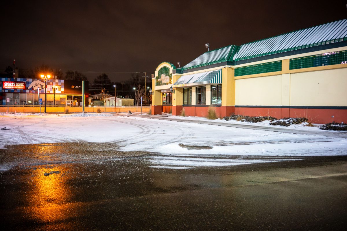
January 2018 —
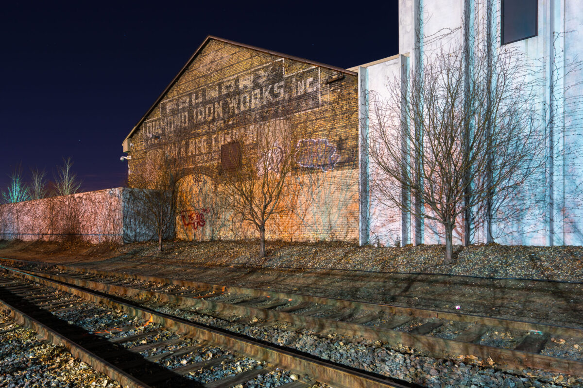
December 2017 —
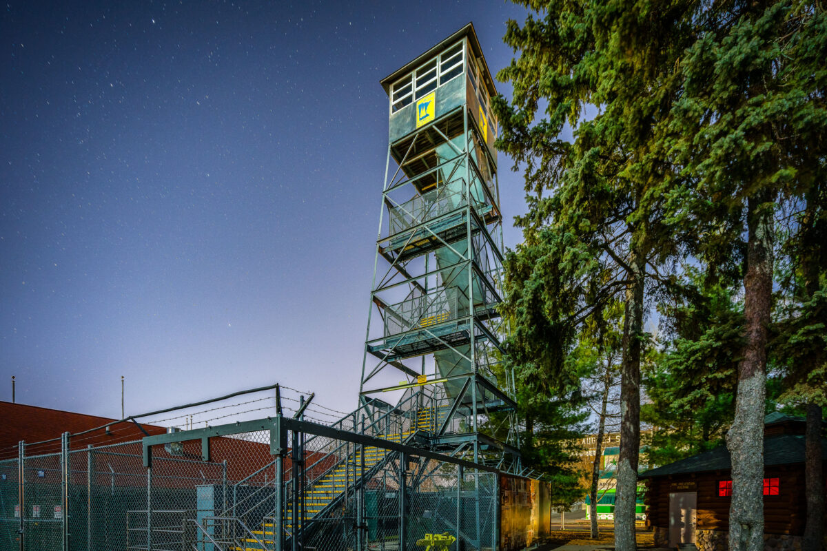
November 2017 —
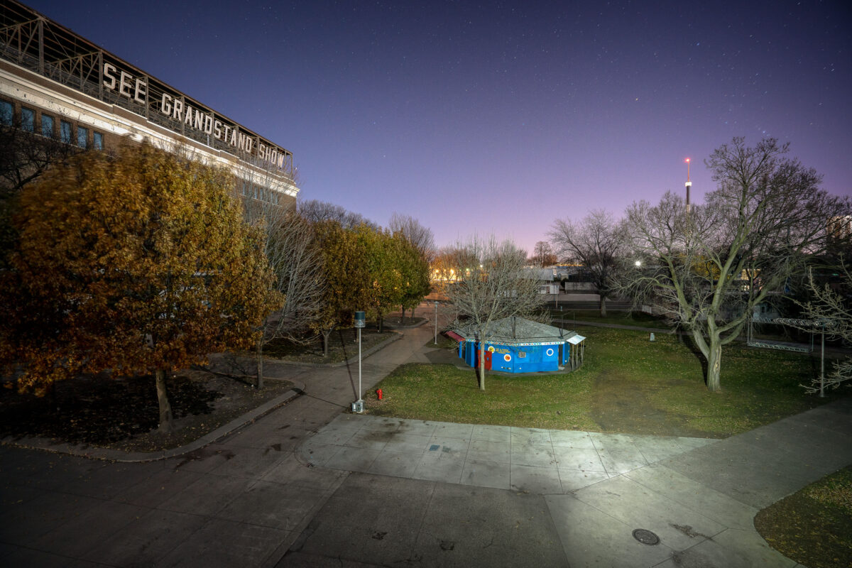
November 2017 — Minnesota State Fairgrounds Grandstand near Minneapolis.
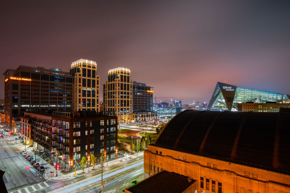
November 2017 — Downtown East Minneapolis. Wells Fargo Towers, The Armory, and US Bank Stadium.
November 2017 —
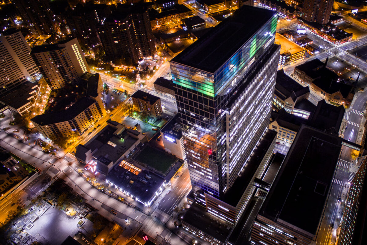
October 2017 — Target Headquarters, Downtown Minneapolis
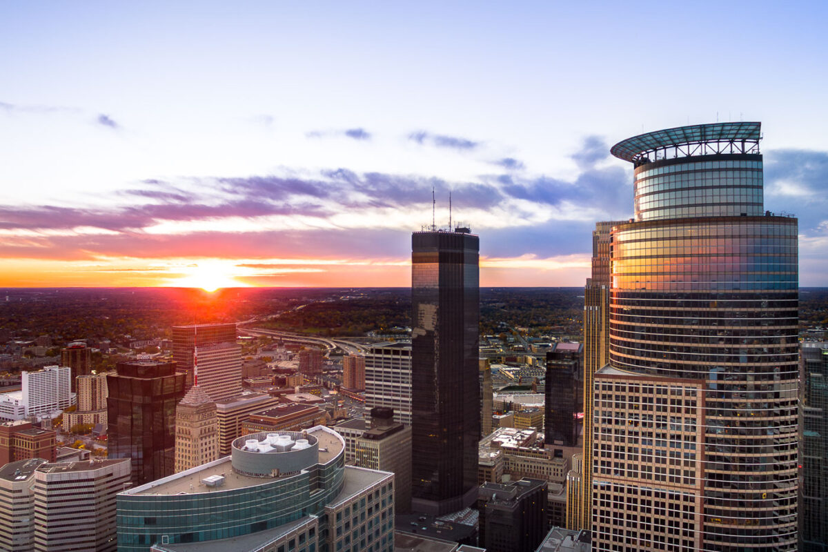
October 2017 — Beautiful sunset behind the IDS Center, Capella Tower and Foshay in Downtown Minneapolis.
October 2017 —
October 2017 —
October 2017 —
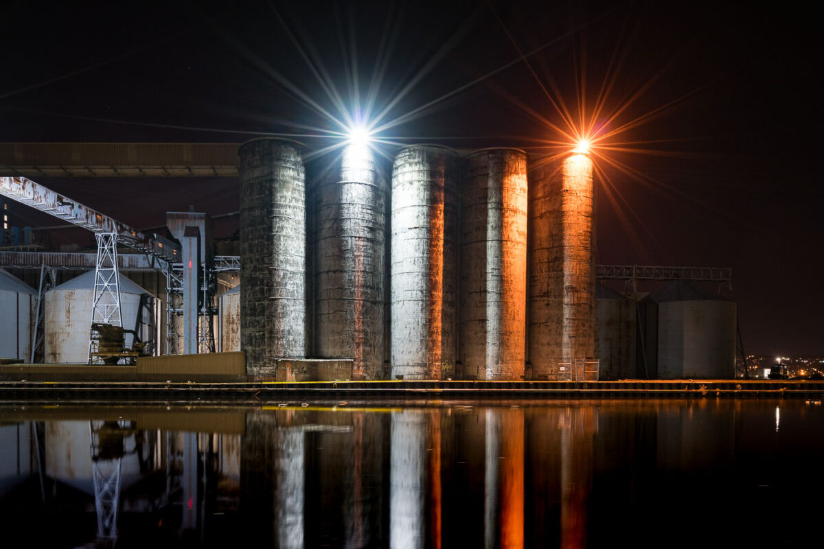
October 2017 — CHS elevators in Superior, Wisconsin.
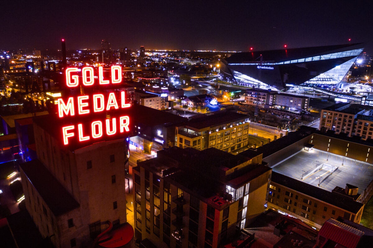
October 2017 —
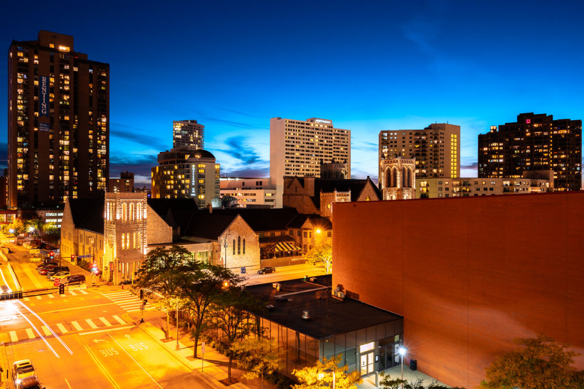
October 2017 — Apartment buildings in Minneapolis. Looking down Marquette Avenue.
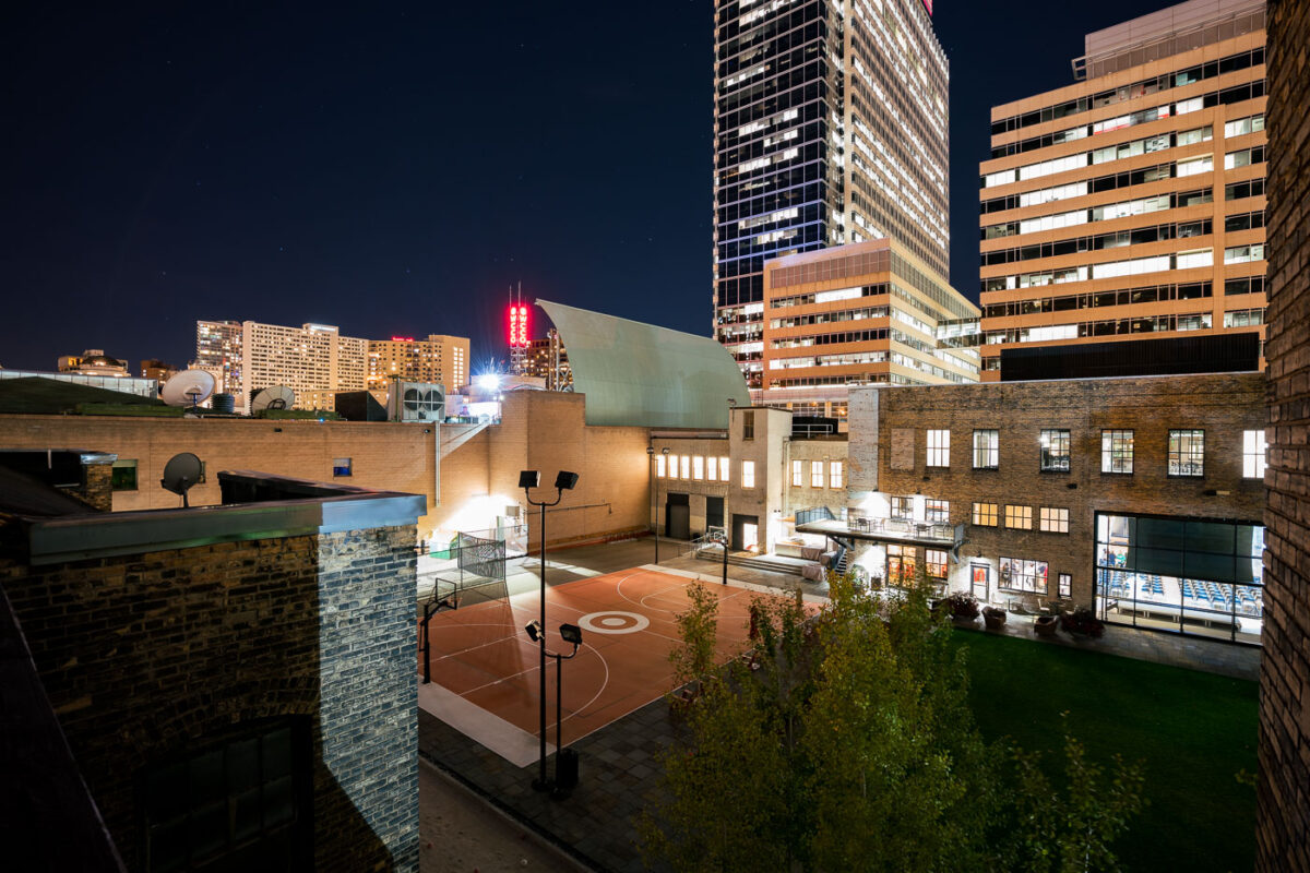
October 2017 — A Target branded basketball court in Downtown Minneapolis.
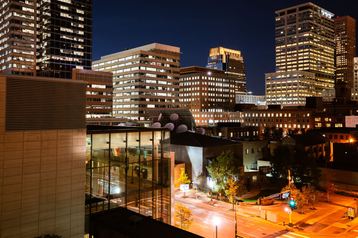
October 2017 — Marquette Ave in Downtown Minneapolis at night
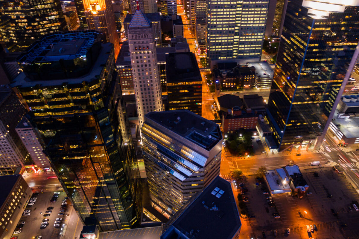
October 2017 — Aerial photo of downtown Minneapolis. Showing the Foshay Tower and AT&T Tower.
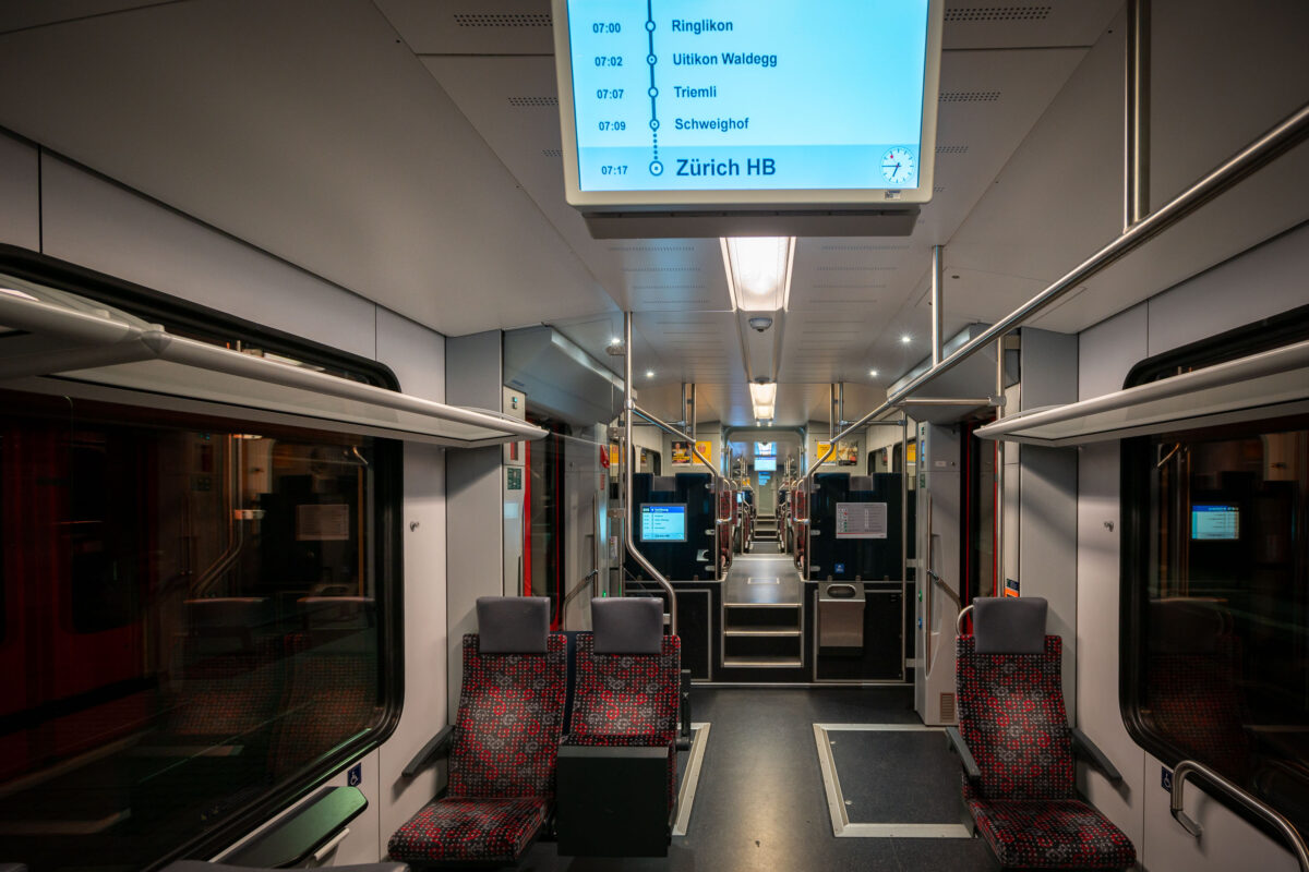
October 2017 — An early morning S-Bahn train heads toward Zürich Hauptbahnhof, Switzerland’s busiest railway hub. The interior, illuminated by soft fluorescent lighting and digital displays, reflects the precision and cleanliness that define Swiss rail travel. With clearly marked stops and ergonomic seating, the S-Bahn system connects Zürich’s suburbs to the city center with remarkable efficiency and punctuality. The Zürich S-Bahn network began operation in 1990 as one of Europe’s first regional rail systems to integrate multiple operators under a unified timetable. Zürich HB serves as its central interchange, handling over 400,000 passengers daily and linking regional, national, and international routes. This modernization transformed local commuting and reinforced Switzerland’s reputation for world-class rail infrastructure.
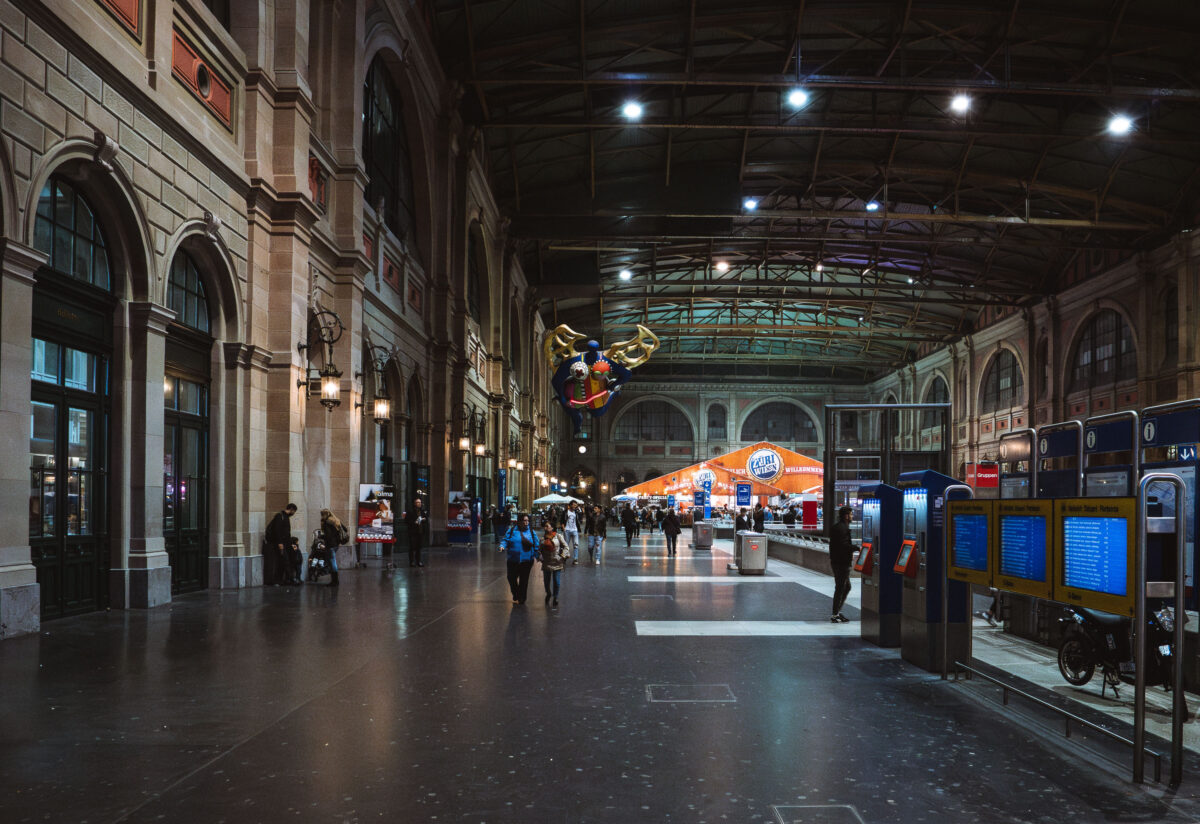
October 2017 — The interior of Zurich Hauptbahnhof, the main train station in Zurich, Switzerland, is shown in this nighttime photograph. The station features a high, arched ceiling with exposed metal framework and large windows along the walls. Several passengers are seen walking or waiting near ticket machines and information boards. In the background, a brightly lit orange tent with the Zurich logo and a festive decoration hanging from the ceiling add a lively atmosphere to the historic station. The station's architecture combines classic European design with modern amenities, serving as a central hub for travelers in Zurich.
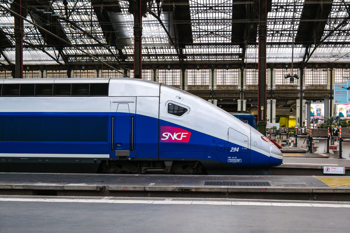
October 2017 — SNCF high‑speed service at Paris’s Gare de Lyon. A blue‑and‑silver TGV unit marked with the SNCF logo and the number 294 stands at a platform beneath the station’s iron-and-glass train shed at Gare de Lyon in Paris, France. The streamlined nose of the train faces a row of barriers and signage, while maintenance equipment and timetable boards are visible in the concourse behind. Open work bays, columns, and tall windows define the historic terminal architecture, one of the capital’s main gateways to southeastern France. Operated by the national rail company SNCF, Gare de Lyon handles frequent high‑speed services toward Lyon, Marseille, the French Riviera, and cross‑border connections to Switzerland.
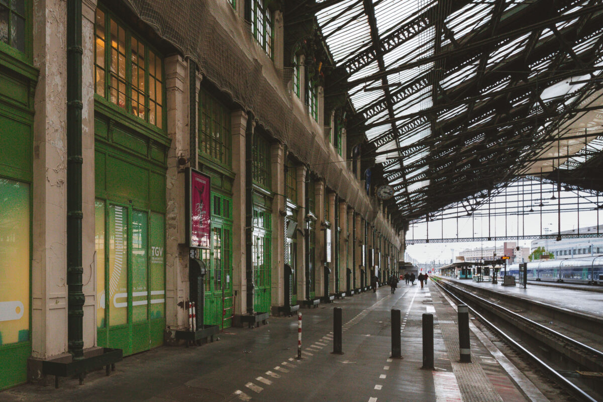
October 2017 — Platforms under the iron-and-glass train shed at Paris Gare de Lyon appear quiet as a few travelers walk along the concourse beside multiple sets of tracks. On the left, a row of weathered stone pillars and green-painted doors bears signage for TGV services, with protective netting strung high above the facade. Dark bollards line a marked pedestrian lane, and electronic displays and clocks hang near the platform edge. Through the canopy, an overcast sky is visible, and long-distance SNCF trains wait in the distance. Located in the 12th arrondissement, the station is one of France’s busiest hubs, connecting Paris to southeastern cities via high-speed lines since the late 20th century and serving conventional routes established long before.
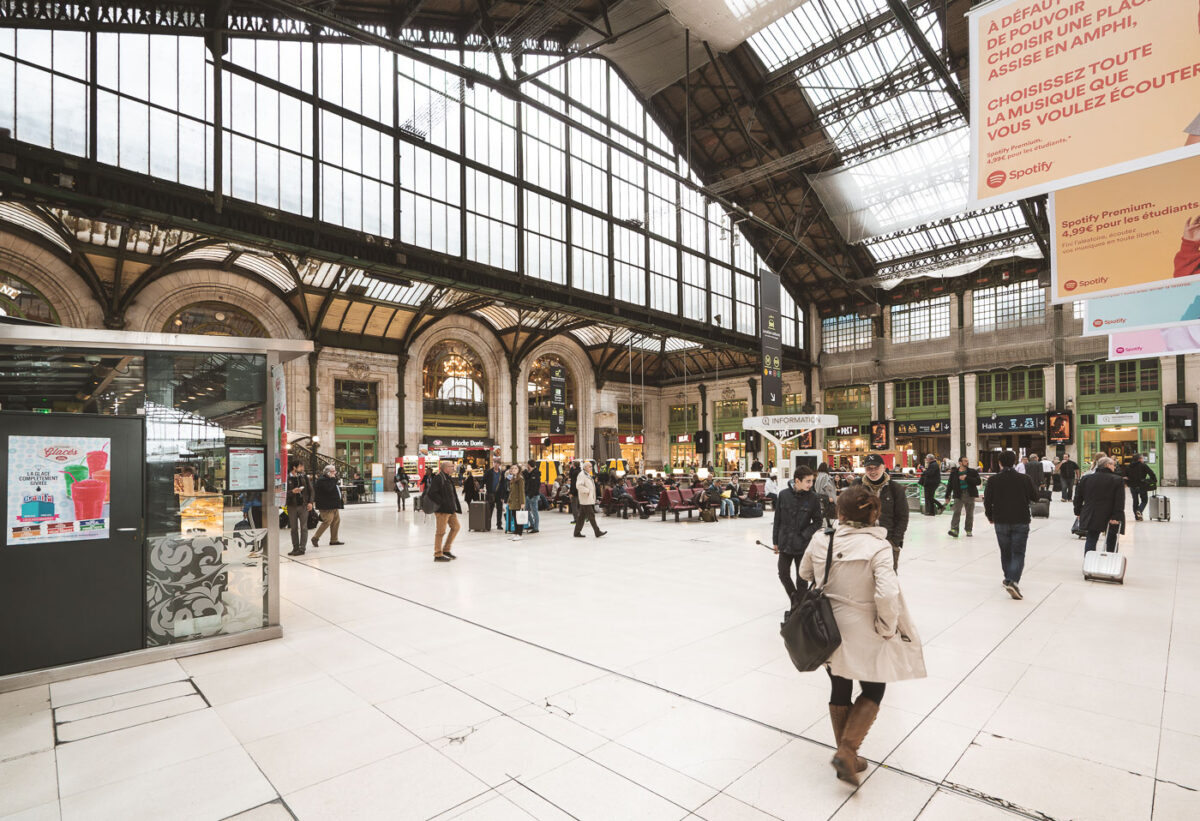
October 2017 — Passengers cross the main concourse of Paris Gare de Lyon, 12th arrondissement, France, near coordinates. Under the iron-and-glass train shed, travelers wheel suitcases past an information point, rows of red seats, and storefronts with green-trimmed windows. Large banners in French promoting a music-streaming service hang from the rafters, while overhead signs direct people toward Hall 2 and other platforms. The Beaux-Arts arches and clerestory windows, part of a station complex inaugurated for the 1900 Exposition Universelle, frame the busy interior. Gare de Lyon is one of Paris’s principal rail hubs, serving TGV and regional lines to southeastern France and beyond, as well as RER and Métro connections for city transit.
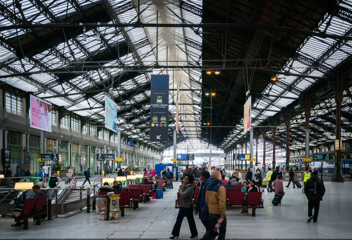
October 2017 — Passengers wait and walk through the main concourse of Gare de Lyon in Paris, France, a major rail hub located in the 12th arrondissement. Rows of red seating, baggage trolleys, and electronic boards marked with concourse letters C through G line the iron-and-glass train hall, while SNCF trains are visible at the platforms to the right. Overhead signage points to “Information,” car rental, and connections to Paris Métro lines 1 and 14 and the RER A and D. The station, opened for the 1900 Exposition Universelle, serves high-speed TGV and regional services toward southeastern France and international destinations, making it one of the city’s busiest gateways.
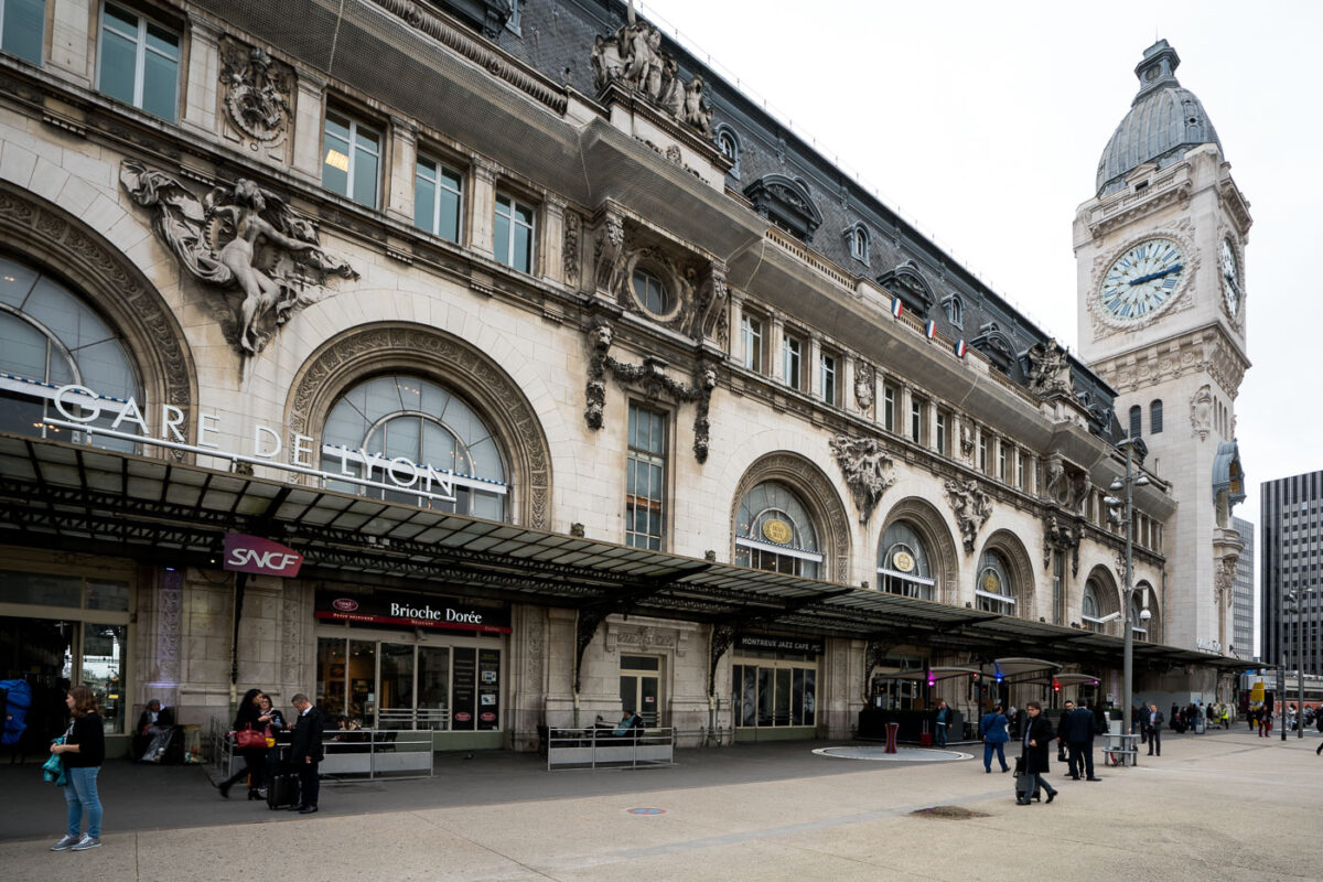
October 2017 — The Gare de Lyon train station in Paris, France, is depicted in this photograph taken during daytime. The historic building features ornate architectural details, including sculptures and decorative stonework, with a prominent clock tower displaying the time. The station's entrance is visible, with signs indicating SNCF and other services, and people are seen walking and waiting outside. The scene captures the bustling activity typical of a major transportation hub in the city.
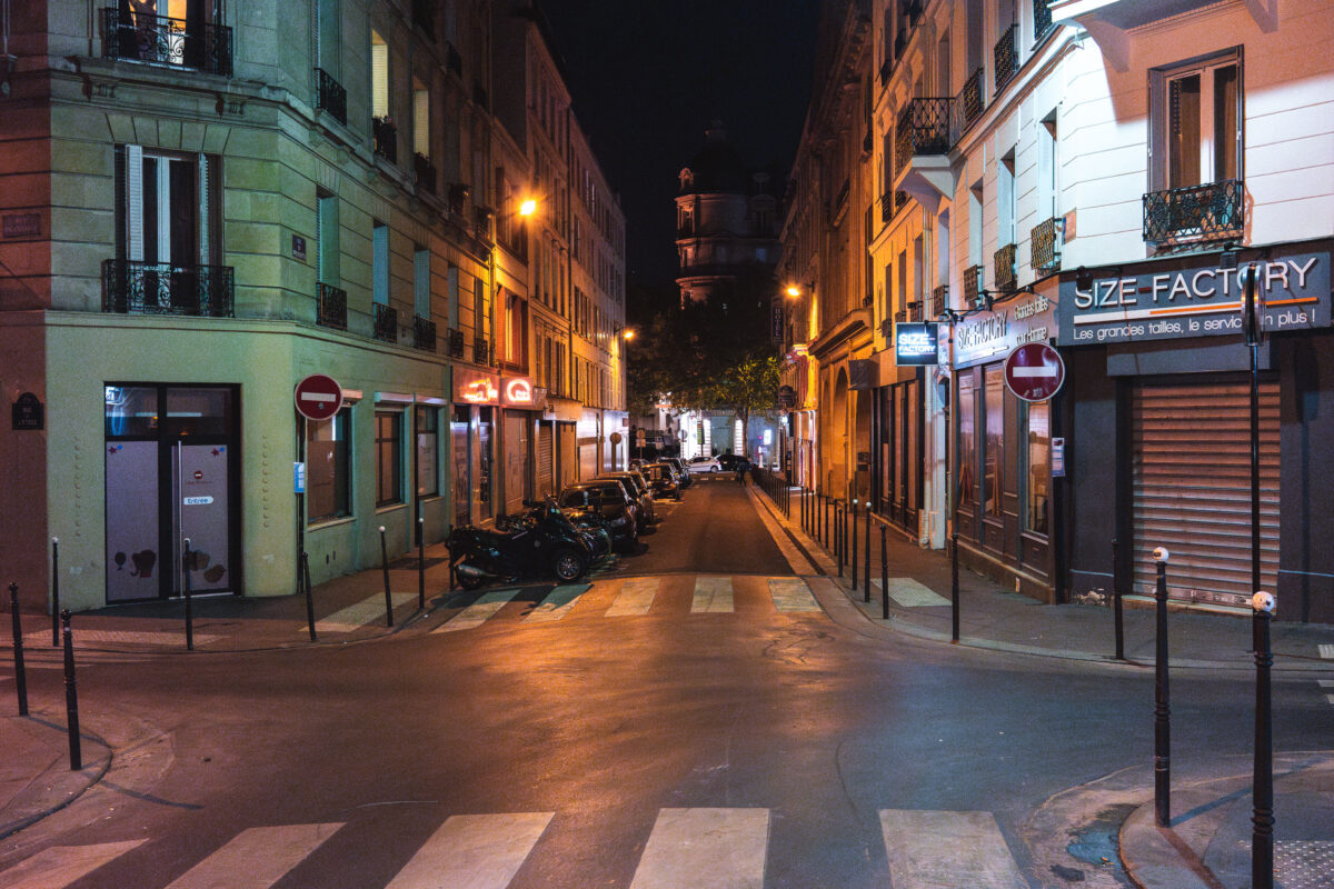
October 2017 — A narrow Parisian street glows beneath the amber wash of lamplight, its cobblestones slick with the faint sheen of evening rain. The shutters are drawn, shopfronts closed — Size Factory and a handful of neon signs hint at the mix of boutiques and cafés that fill the 10th arrondissement’s maze of lanes. In the distance, a domed tower rises in silhouette, framed by the quiet symmetry of Haussmann-era façades. Scenes like this are part of Paris’s enduring nocturnal character — the calm that settles between the pulse of the day and the hum of dawn. These residential side streets once carried the city’s artisans and tradesmen home from nearby workshops; today, they form the backdrop to a newer rhythm of late-night wine bars, scooters, and the solitude of modern city life.
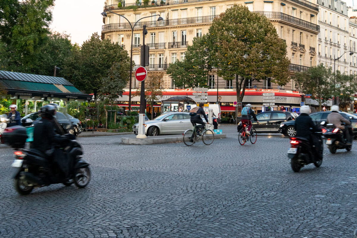
October 2017 — Evening commuters navigate the cobblestone intersection at Place de l’Alma, a busy roundabout near the Seine that connects several major Parisian avenues. Cyclists, scooters, and cars intermingle beneath the façades of Haussmann-era buildings, a familiar rhythm in the city’s daily life. The area blends elegance and intensity—its limestone balconies and cafés standing in contrast to the constant motion of urban transit. Completed in the mid-19th century, Place de l’Alma became a symbolic gateway between the Right Bank and the Left, linking the fashionable avenues of the 8th and 16th arrondissements. The nearby Pont de l’Alma, inaugurated in 1856 by Napoleon III, was once guarded by four statues of French soldiers—only one, the Zouave, remains today, still serving as an informal flood gauge for the rising Seine.
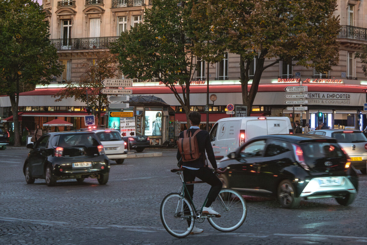
October 2017 — Cyclist at Place des Ternes, Paris evening traffic. A bicyclist with a backpack waits astride a single‑speed bike at a busy intersection at Place des Ternes on the border of Paris’s 8th and 17th arrondissements. Cars and a white delivery van circle the roundabout as storefronts and a news kiosk glow at dusk. The Belle Époque façade of Brasserie La Lorraine is visible across the square, along with direction signs to Porte d’Asnières, the Périphérique, Place de Wagram, and Porte de Clichy. Trees line the square’s cobblestones, and an illuminated ad for a luxury brand is posted on the kiosk, typical of evening rush hour near the Arc de Triomphe corridor. Keywords — Activities: Biking, Commuting, Waiting; Buildings: Brasserie La Lorraine, Haussmannian apartments, News kiosk; Location: Place des Ternes, Paris, France; Objects: Street signs, Backpack, Bicycle, Advertisements, Traffic lights; People: Bicyclist, Pedestrians (unidentified); Moods: Urban bustle, Dusk; Sceneries: City square, Tree‑lined boulevard; Texts: “Brasserie La Lorraine,” “Pte d’Asnières Périphérique,” “Place de Wagram,” “Porte de Clichy,” storefront signage; Companies: Givenchy (advertising); Weather: Clear, mild evening; Plants: Street trees; Animals: None; Vehicles: Compact cars, Delivery van.
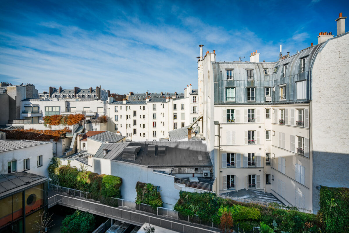
October 2017 — A view of a typical Parisian apartment building in the 9th arrondissement, captured on a clear autumn day. The white facades of the buildings are contrasted by the gray, curved rooftops and chimneys, with some windows open and flower boxes visible. The scene includes a small courtyard with greenery and a modern glass extension, set against a bright blue sky with wispy clouds. The photograph was taken from an elevated position, showcasing the dense urban architecture characteristic of Paris, France.
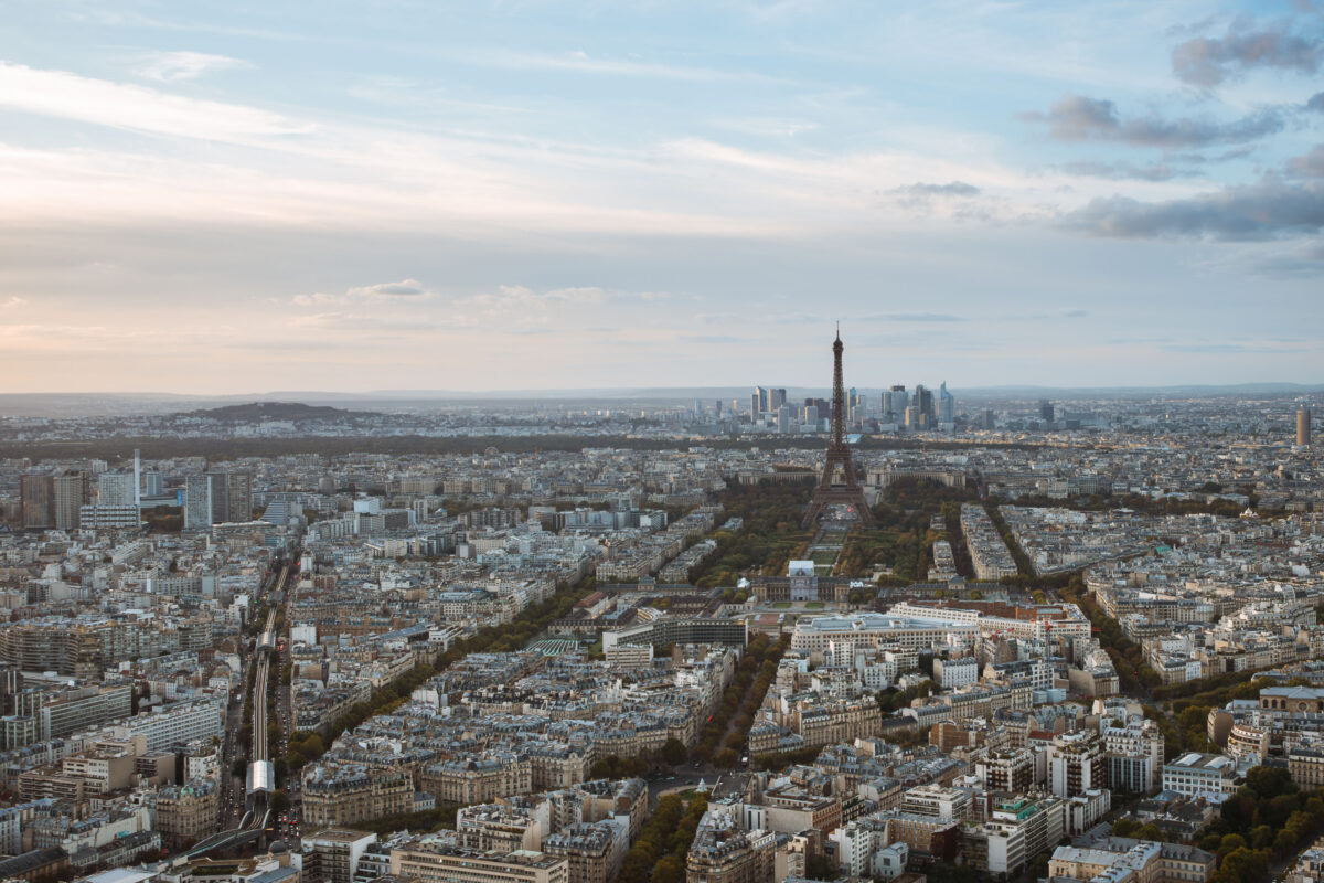
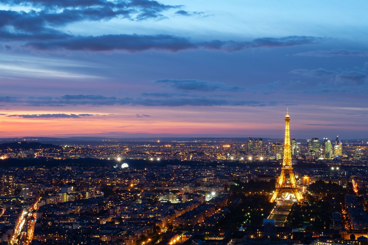
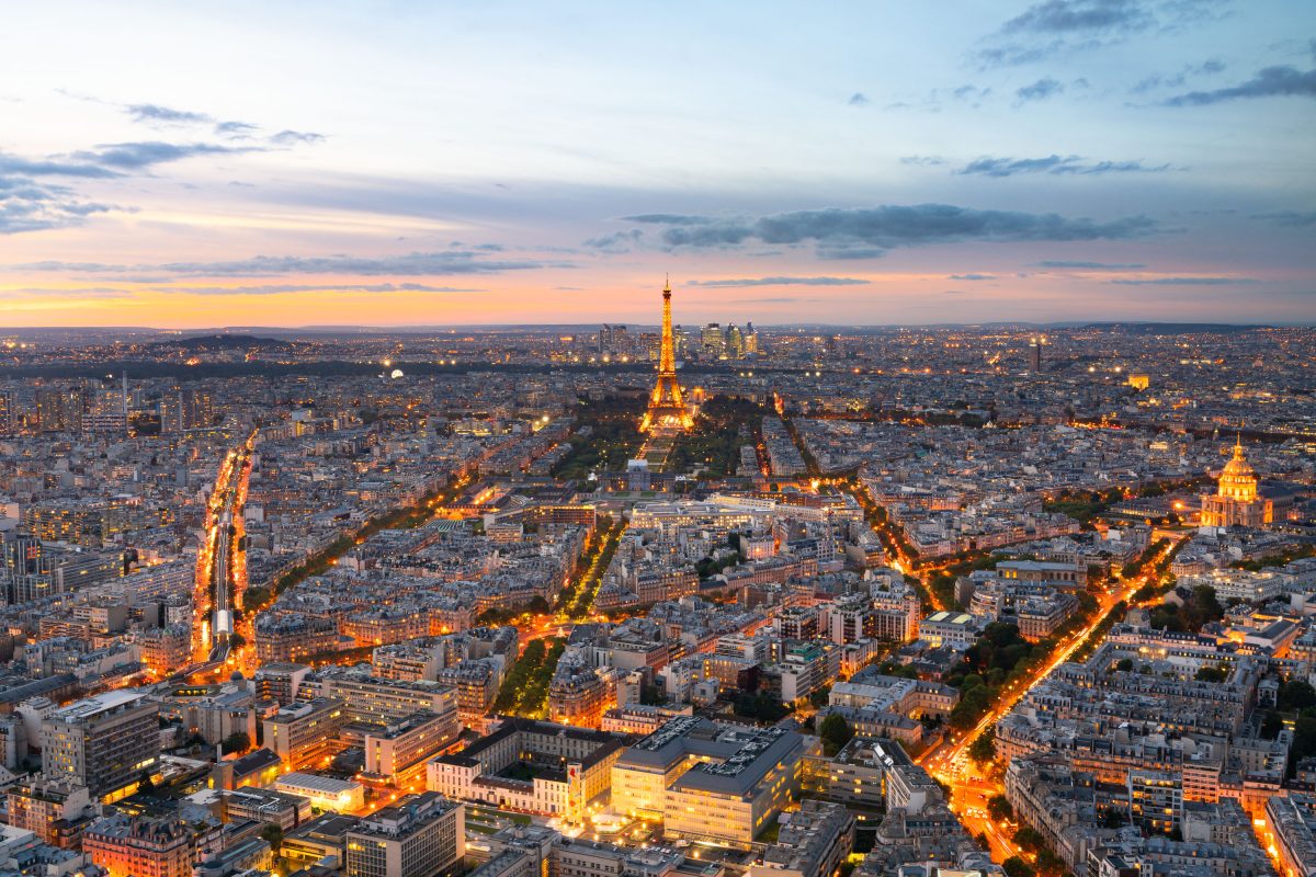
October 2017 — An expansive view of Paris stretches toward the Eiffel Tower and the La Défense business district beyond. The photograph reveals the city’s Haussmannian grid — a pattern of symmetrical boulevards and stone façades that define the French capital’s architectural identity. The Champ de Mars park forms a long green corridor leading to the tower, while the modern high-rises of La Défense rise in sharp contrast to the 19th-century architecture in the foreground. Taken in the late afternoon light, the scene highlights Paris’s urban planning legacy — a city that preserves its historic skyline even as it embraces modern commercial growth on its periphery. The Eiffel Tower, completed in 1889, remains a central anchor in the city’s layout and one of the most recognizable landmarks in the world.
October 2017 —
October 2017 —
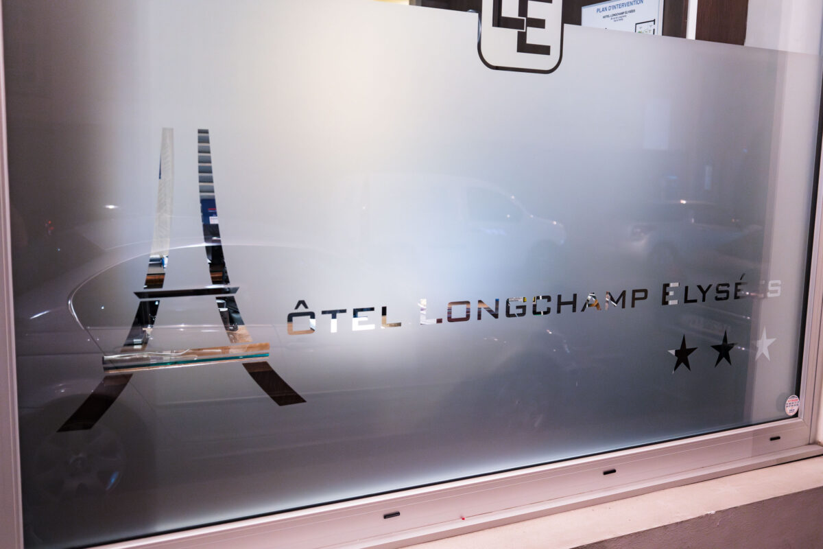
October 2017 — A frosted glass window at Hôtel Longchamp Elysées in Paris features a cutout design of the Eiffel Tower and minimalist typography reflecting the hotel’s modern aesthetic. Located in the 16th arrondissement near the Trocadéro, the boutique hotel caters to visitors seeking proximity to Paris’s major landmarks while offering a contemporary and refined interior. The surrounding neighborhood, long associated with French diplomacy and elegance, developed significantly during the late 19th and early 20th centuries as Paris expanded westward. Its architecture—ranging from Haussmann-era façades to postwar hotels like the Longchamp Elysées—embodies the city’s ongoing blend of tradition and modernity, just steps from one of the most photographed icons in the world.
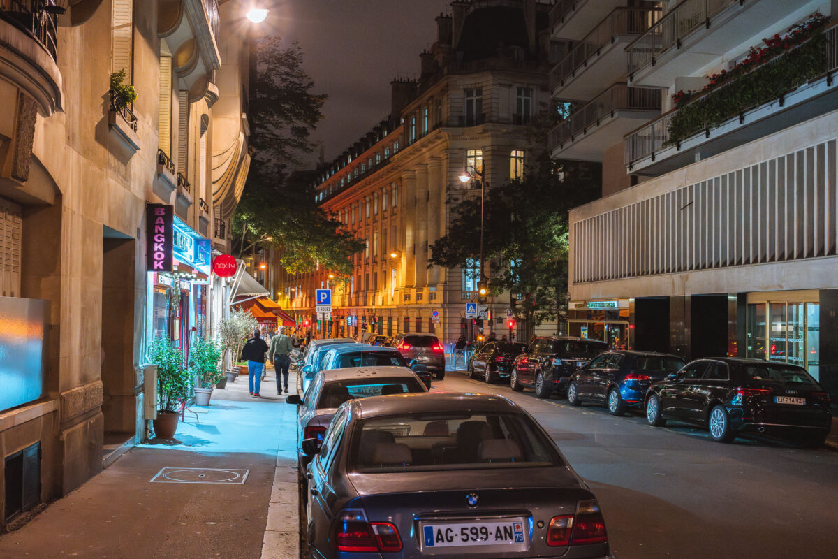
October 2017 — Outside Bangkok Restaurant in Paris France in October 2017.
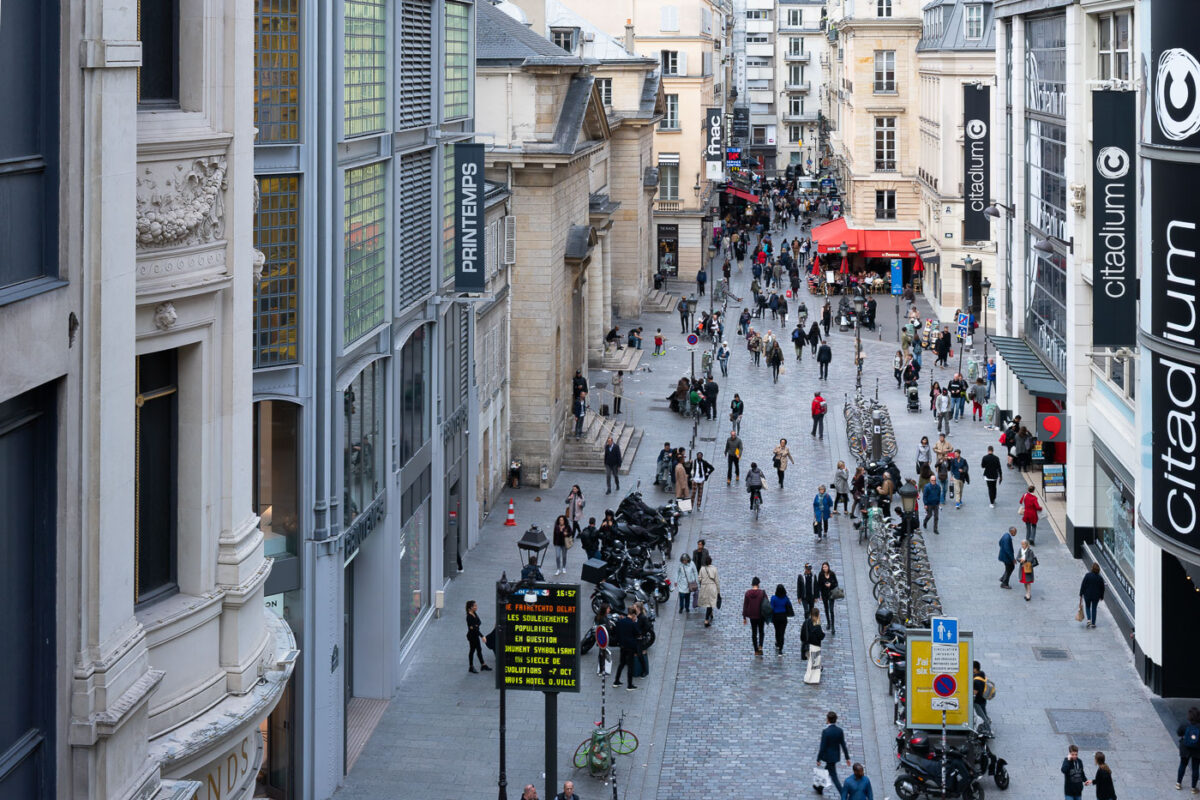
October 2017 — Rue de Caumartin Paris France
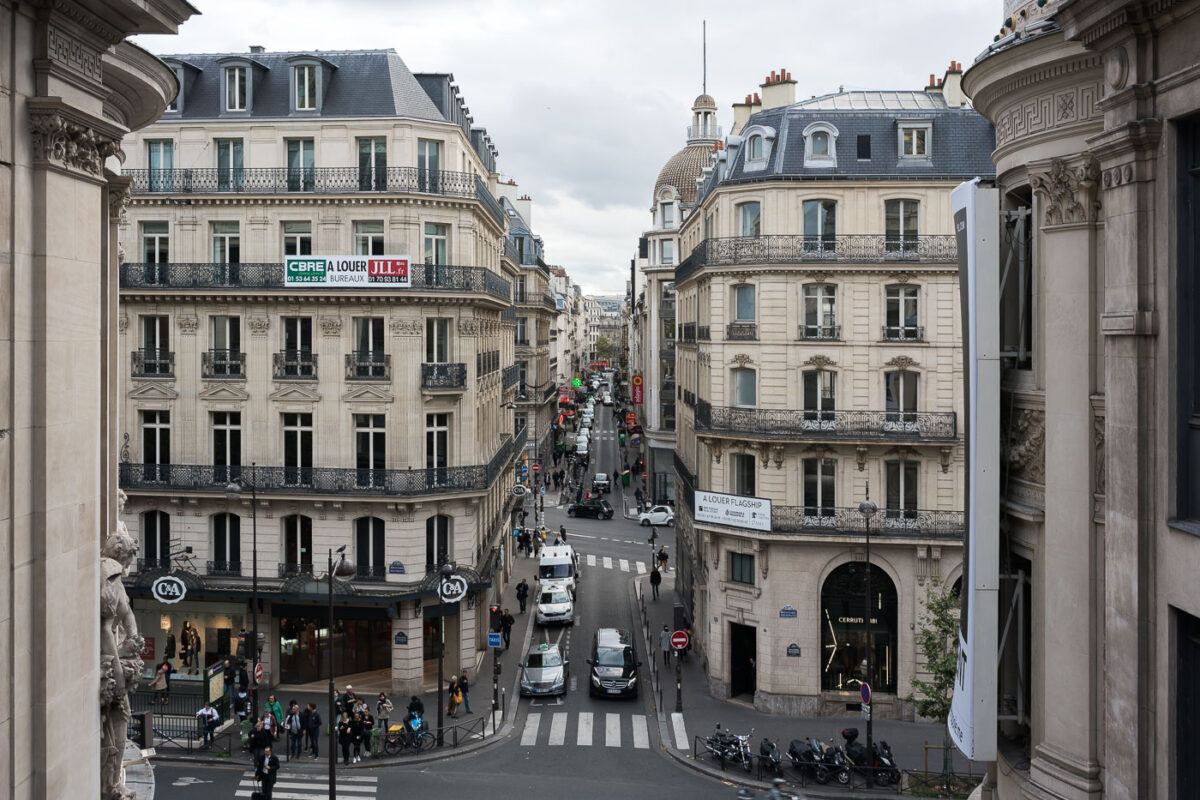
October 2017 — Rue de Caumartin Paris France as seen from Printemps skyway.
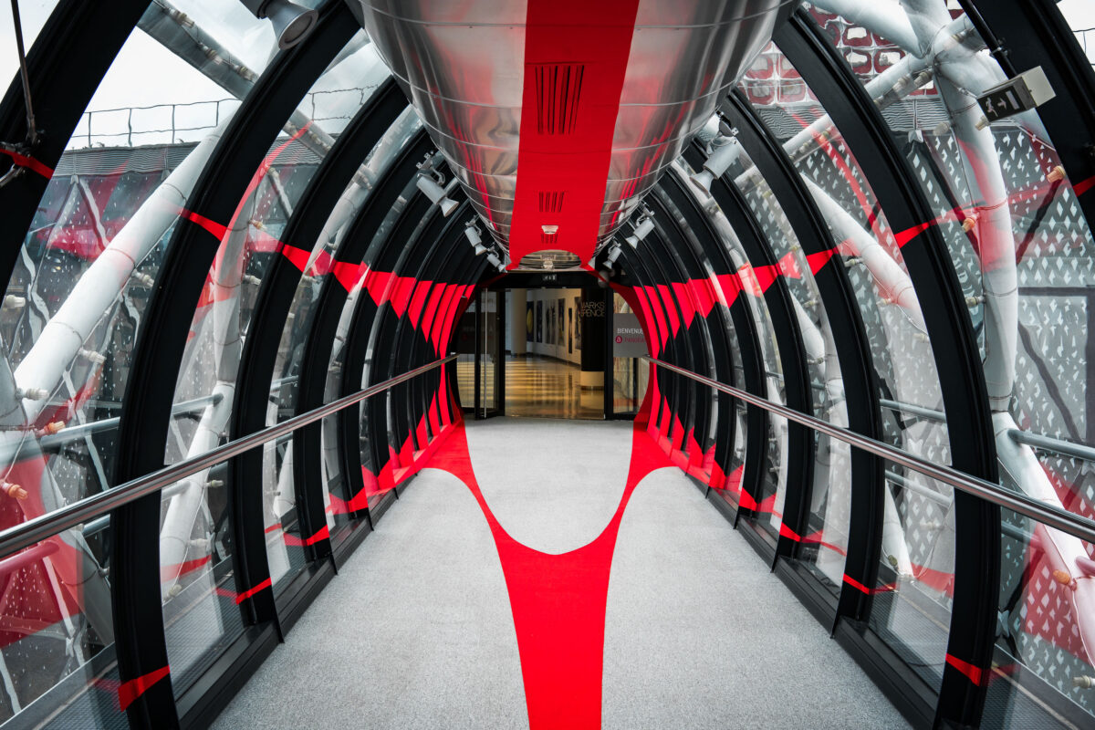
October 2017 — A skyway to a shopping mall in Paris. If you know what mall this is, i'd love to know!
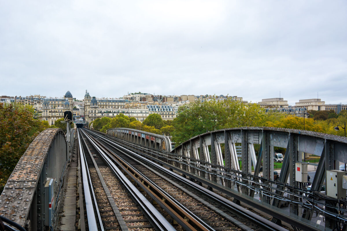
October 2017 — Paris Metro Line 6 crosses the Seine on the Pont de Bir-Hakeim, a two-level bridge completed in 1905 that combines roadway, pedestrian walkway, and elevated railway. The steel viaduct, designed to support one of the city’s earliest elevated metro lines, features riveted beams typical of early 20th-century engineering. In the distance is the Passy district in the 16th arrondissement, known for its Haussmann-era architecture and ornate façades. This elevated section of Line 6 was intentionally built above ground to provide air circulation for the early steam-powered trains, making it one of the few Paris metro routes that offer open views of the city’s urban landscape.
October 2017 —

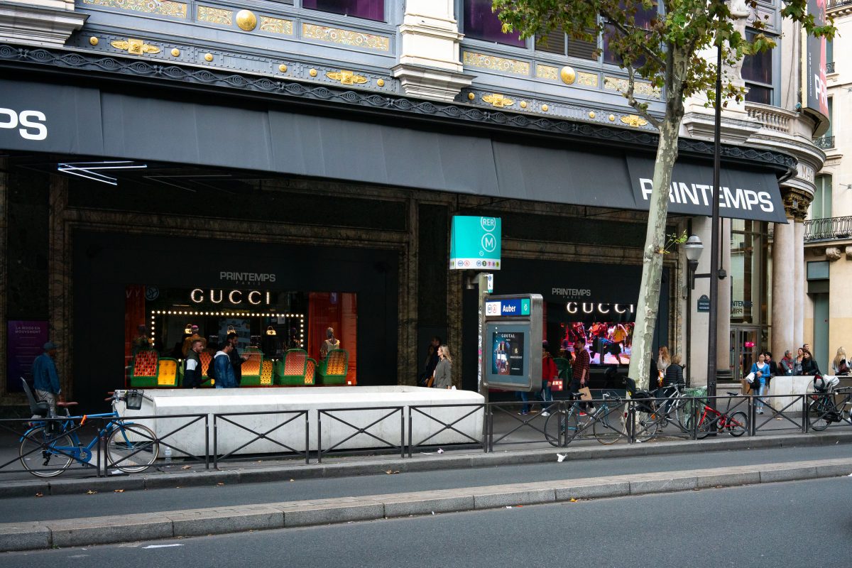
October 2017 — A vibrant Gucci x Printemps display inside Paris’s historic Printemps department store, featuring illuminated shelving and an array of designer footwear. The installation’s electric purple décor and marquee-style lighting reflect the brand’s maximalist creative direction under Alessandro Michele during the mid-2010s, a period marked by bold colors and theatrical presentation. Printemps, founded in 1865, has long been a landmark of Parisian retail innovation—among the first to introduce electric lighting and glass-domed architecture in department stores. Its collaborations with luxury brands like Gucci blend heritage and modernity, cementing its role as both a shopping destination and a showcase for contemporary design trends in the city’s fashion district along Boulevard Haussmann.
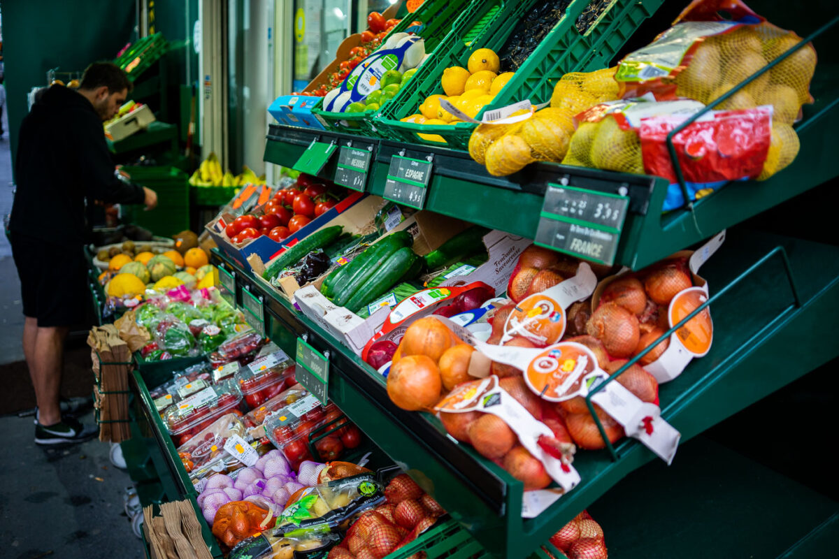
October 2017 — A man shops at a market in Paris, France.
October 2017 —
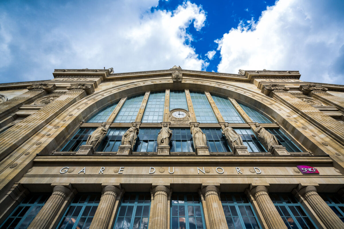
September 2017 — Gare du Nord’s monumental Beaux‑Arts facade is pictured from street level in the 10th arrondissement of Paris, France. The stone frontage features tall arched windows, a central clock, and a row of allegorical statues that represent major European cities historically served by the station’s routes. The inscription “GARE DU NORD” is set above fluted columns, and a magenta SNCF logo marks the national rail operator; cumulus clouds break over a blue sky above the cornice. Opened in the 1860s and designed by architect Jacques-Ignace Hittorff, Paris-Nord is among Europe’s busiest rail hubs, linking regional Transilien lines, RER services, the Paris Métro, and international trains including the Eurostar to London. The station has long served as a gateway for commuters and cross‑border travelers, reflecting the growth of rail travel in northern Europe since the 19th century.
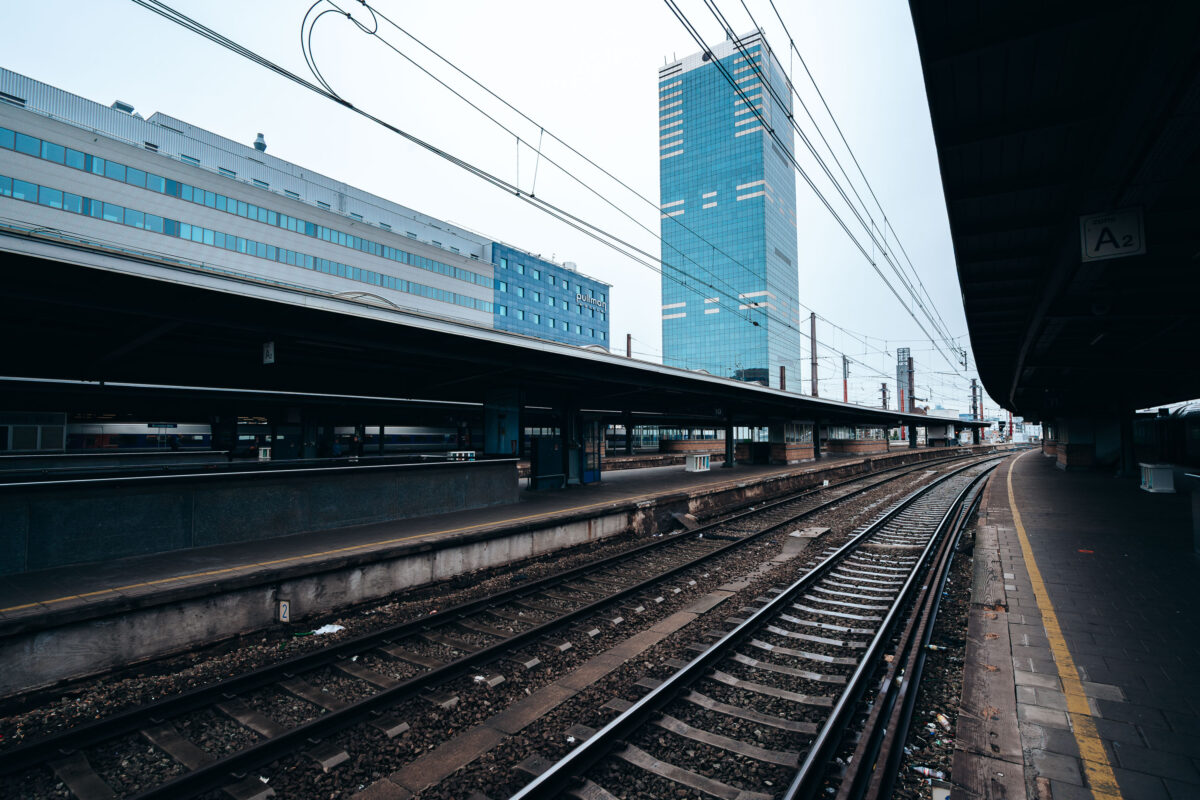
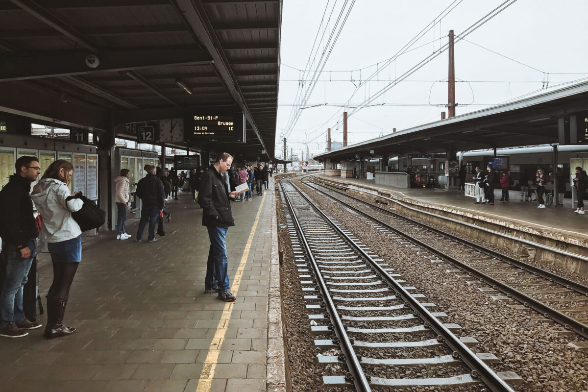
September 2017 — Brussels South/Midi Train Station in Belgium. September 2017.
September 2017 —
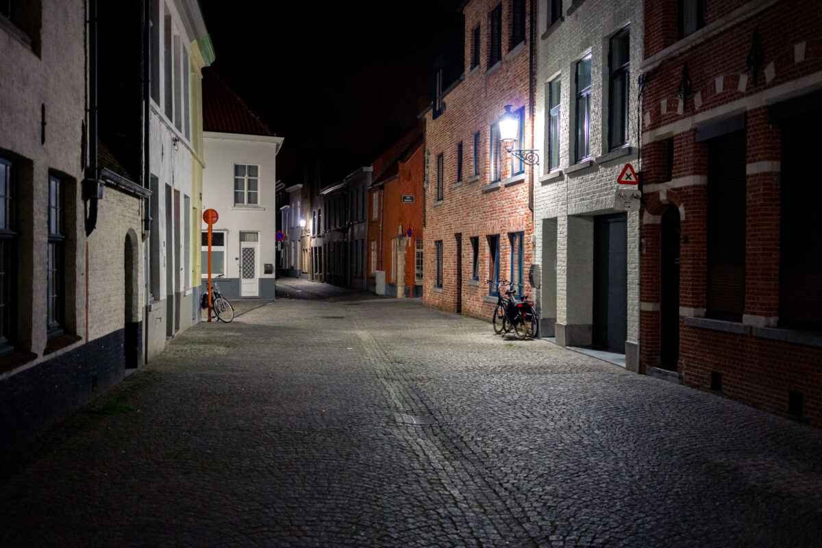
September 2017 — A quiet cobblestone lane in the historic center of Bruges, Belgium, stands nearly empty at night. Rows of brick and plaster townhouses line the narrow street, their windows dark, while a wall-mounted streetlamp casts light on a pair of parked bicycles. Standard European road signs are visible, including a red no‑entry sign at left and a triangular warning sign indicating cycle traffic on the right. Bruges’ medieval core, a UNESCO World Heritage site, retains many car‑restricted streets where bicycles are a common mode of transport for residents and visitors. The scene reflects the city’s emphasis on preserving historic architecture and prioritizing slow, local traffic in its dense urban fabric.
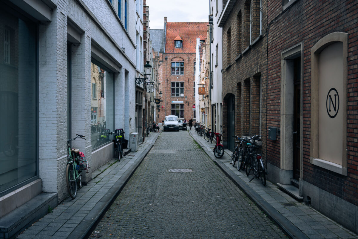
September 2017 — A alleyway in Bruges, Belgium. September 2017.
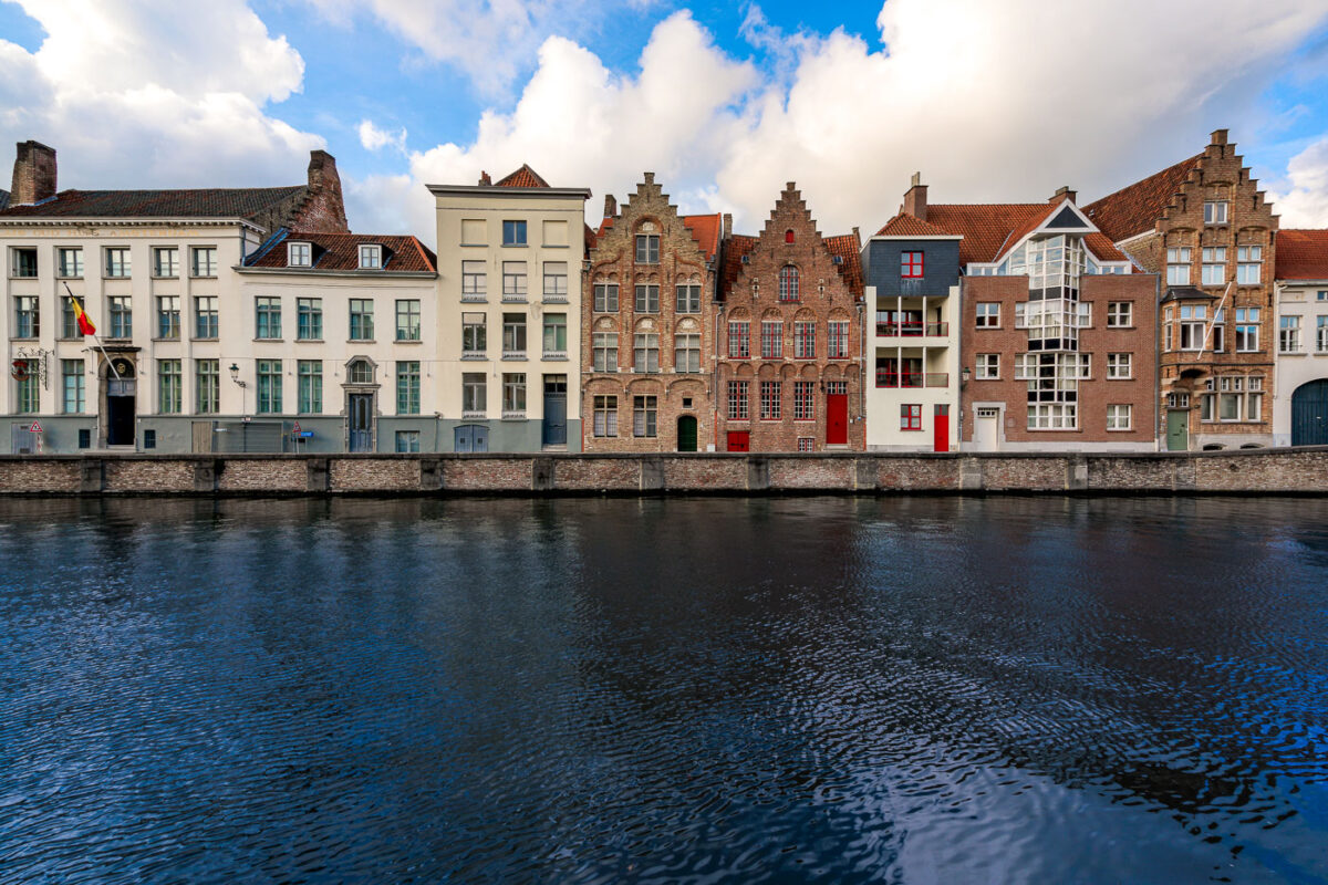
September 2017 — Stepped-gable townhouses line a canal of the River Reie in central Bruges, Belgium. A row of brick and plaster façades, some medieval in style and others with modern additions, faces the water across a stone quay. A Belgian tricolor flag hangs from a doorway at left, while red-painted doors and window frames punctuate several of the buildings. Bruges’ historic center, a UNESCO World Heritage Site since 2000, preserves the canal network that once linked this former medieval trading hub to the North Sea. No pedestrians or boats are visible on the quiet waterfront under partly cloudy skies. Keywords — Activities: sightseeing, canal-side walking; Buildings: stepped-gable townhouses, guildhouses, apartments; Location: Bruges, West Flanders, Belgium, River Reie; Objects: Belgian flag, windows, doors, balconies, stone quay; People: none visible; Moods: tranquil; Sceneries: urban waterfront; Texts: traffic signs; Companies: none; Weather: partly cloudy; Plants: none; Animals: none; Vehicles: none.
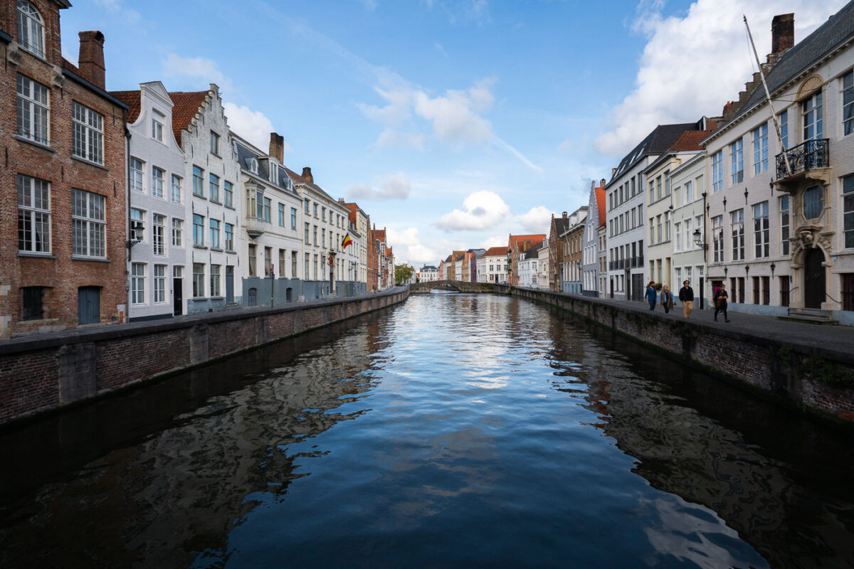
September 2017 — River Reie canal through Bruges’ historic center. Rows of brick and whitewashed townhouses with stepped gables line both banks of the River Reie in Bruges, Belgium. A Belgian tricolor flag hangs from one façade, and wrought-iron street lamps and balconies frame tall windows along the quay. Several pedestrians walk the right-hand embankment as calm water reflects the buildings and a low arched bridge visible in the distance. The scene is photographed in daylight under a partly cloudy sky within the UNESCO-listed medieval core known for its preserved canal network. Keywords — Activities: walking, sightseeing; Buildings: gabled townhouses, historic façades; Location: Bruges, Belgium, River Reie, historic center; Objects: Belgian flag, street lamps, balconies, canal walls; People: pedestrians, tourists; Moods: calm, reflective; Sceneries: canal, waterfront, bridge; Texts: none visible; Companies: none; Weather: partly cloudy, fair; Plants: sparse greenery on quay; Animals: none; Vehicles: none.
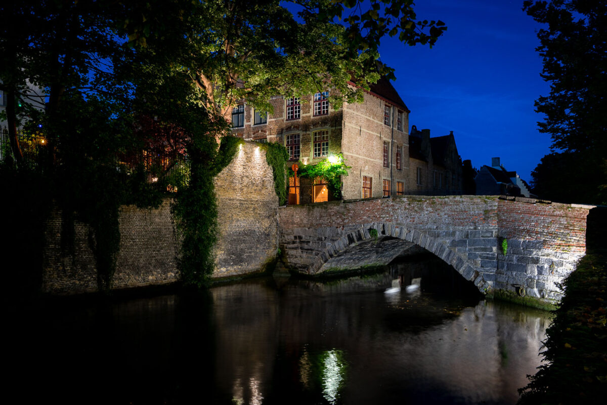
September 2017 — Medieval bridge on the Reie, Bruges at dusk. A single-arch stone and brick bridge spans a quiet bend of the River Reie in Bruges, Belgium, its parapet and adjoining quay lit by warm lamps that reflect on the canal. Behind the bridge, ivy climbs weathered brick facades and gabled townhouses typical of the city’s historic core, a UNESCO World Heritage site. Leafy trees frame the scene, and the waterway shows faint ripples but no pedestrians or boats are visible. The location sits along one of Bruges’ centuries-old canals that once supported trade and still anchor the city’s tourism and daily life. Keywords — Activities: evening strolls, sightseeing; Buildings: historic townhouses, canal quay; Location: Bruges, Belgium, River Reie, historic center; Objects: streetlights, ivy-covered walls, windows; People: none visible; Moods: tranquil, contemplative; Sceneries: canal, old bridge, reflections; Texts: none; Companies: none; Weather: clear evening; Plants: trees, ivy; Animals: none visible; Vehicles: none visible.
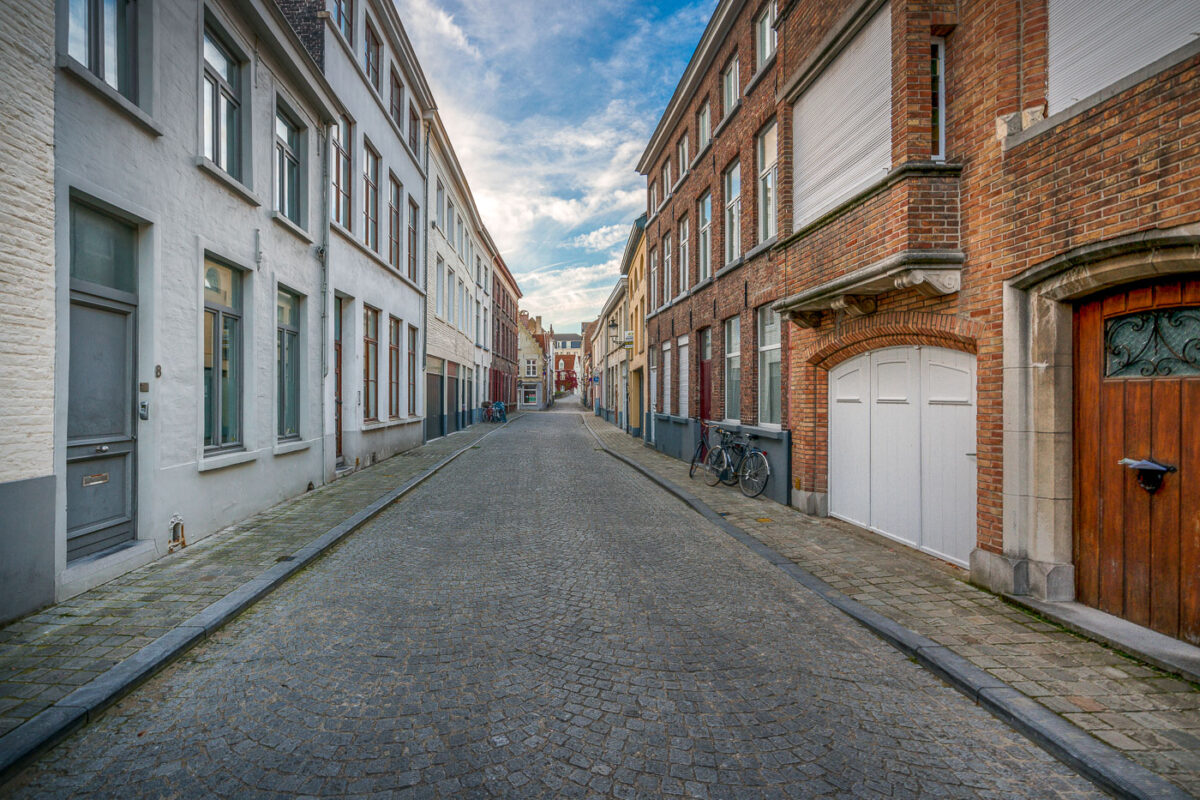
September 2017 — A quiet residential lane in Bruges, Belgium, stretches between rows of brick and plastered townhouses. Cobblestones pave the narrow street, which is lined with ground‑floor doors, shuttered windows, and a white arched garage entrance on the right. Several bicycles are parked against the façades, and a small traffic sign is visible toward the intersection in the distance. The scene sits within Bruges’ historic center, a UNESCO World Heritage site known for its well‑preserved medieval street grid and domestic architecture. Daytime clouds drift over the low‑rise buildings, and no pedestrians or vehicles are present.
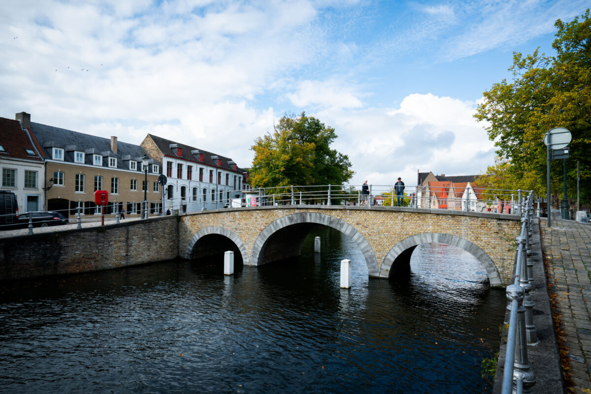
September 2017 — Pedestrians cross a three-arched brick bridge over a branch of the River Reie in Bruges, Belgium. Historic row houses with red-tiled roofs and a mix of gabled and flat façades line the canal, while bollards and railings mark the waterway and walkway. Trees showing early autumn color frame the scene, and a partly cloudy sky brightens the medieval streetscape. The canal network, once the commercial lifeline of the city, is part of the UNESCO-listed Historic Centre of Brugge and remains a focal point for daily life and tourism.
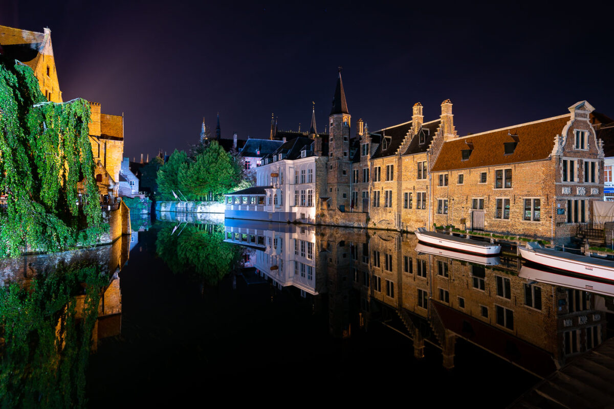
September 2017 — Nighttime reflections line a bend of the River Reie in Bruges, Belgium, as historic brick guild houses and stepped-gable facades mirror perfectly on the still canal. Two white tour boats sit moored for the night along the quay, while a vine-draped wall and a waterside restaurant pavilion are illuminated across the water. Church spires rise in silhouette behind the row of houses, anchoring the skyline of the medieval core. Bruges’ historic center, a UNESCO World Heritage Site, is known for its preserved canals and architecture that draw heavy daytime tourism; after hours, the waterways fall quiet except for lights from hotels and eateries along the quay.
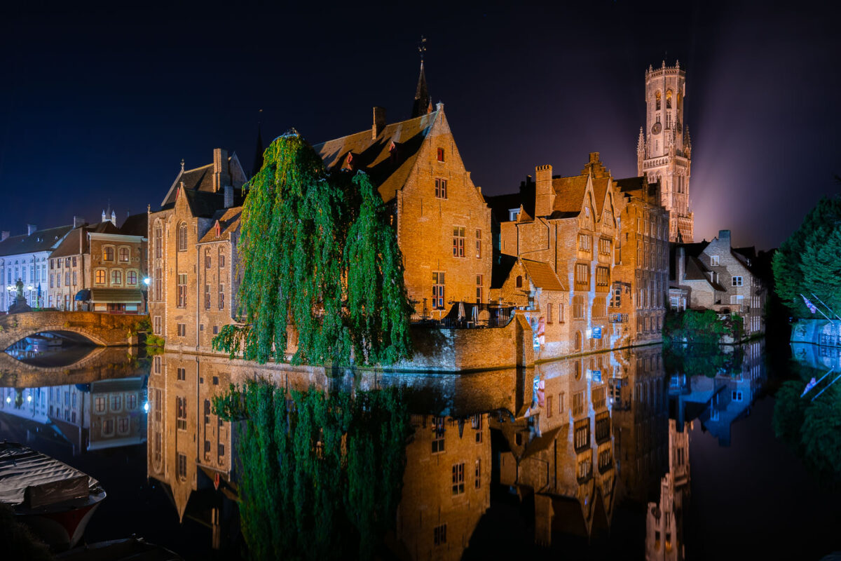
September 2017 — Bruges’ medieval waterfront is illuminated at night along the River Reie in the historic center of Bruges, Belgium. Brick gabled houses line the canal, their facades reflected in still water beside a stone arch bridge at left and moored boats in the foreground. A cascading willow tree drapes over the quay, while cafe terraces sit behind a low brick wall. In the background, the Belfry of Bruges rises above the rooftops, its 13th‑century tower lit from behind. The UNESCO‑listed old town’s canals, once part of a medieval trading network, are a focal point for visitors and local commerce throughout the year.
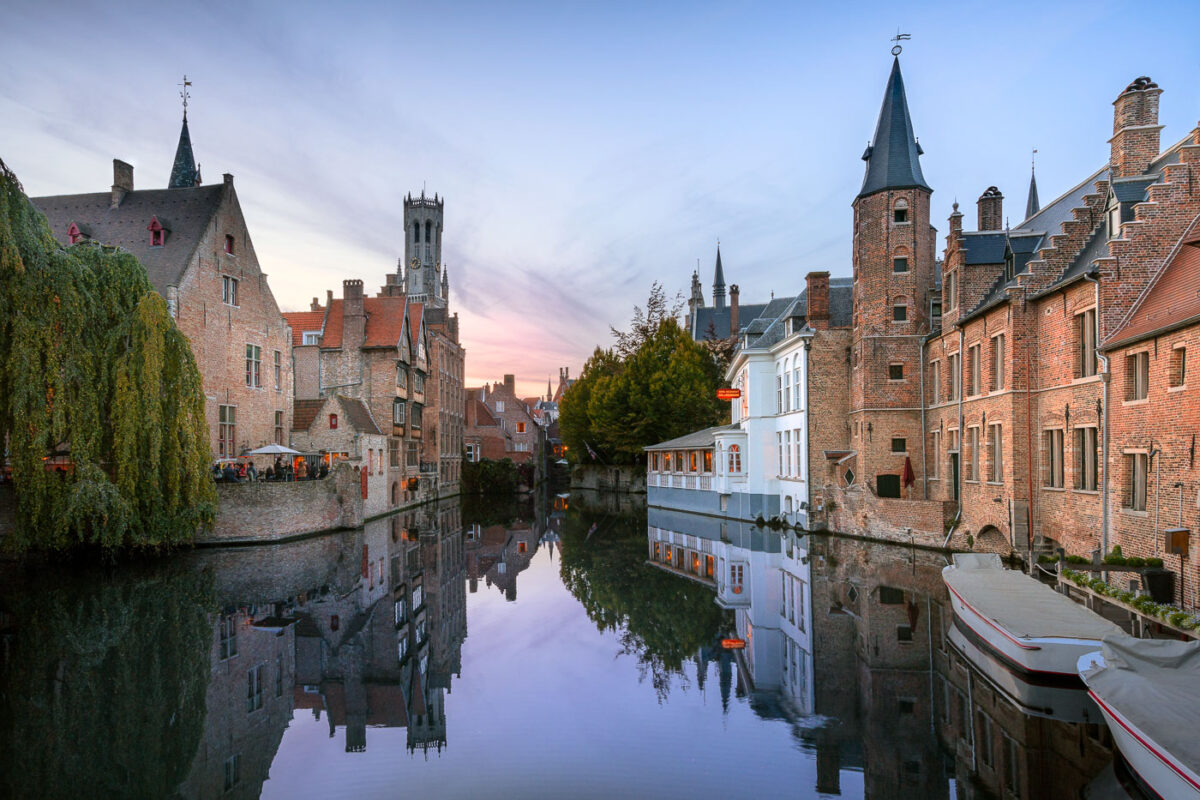
September 2017 — Rozenhoedkaai at dusk, Bruges, Belgium. Historic brick guildhouses and stepped gables line the River Reie, their facades and spires reflected in the still canal water. The Belfry of Bruges rises in the background, while a round turret and narrow townhouses frame the right bank. Covered canal tour boats are moored in the foreground, and a café terrace on the left hosts diners under umbrellas. This vantage, among the city’s most photographed, sits within the UNESCO-listed medieval core of Bruges in West Flanders, a reminder of the trading wealth that shaped the canal network. Keywords — Activities: dining, sightseeing, canal tours; Buildings: medieval guildhouses, Belfry of Bruges, turreted townhouses; Location: Bruges, West Flanders, Belgium, Rozenhoedkaai, River Reie; Objects: umbrellas, café tables, red sign, mooring posts; People: diners, pedestrians; Moods: tranquil, reflective; Sceneries: canal, historic cityscape; Texts: signage on canal-side building; Companies: none visible; Weather: clear, calm evening; Plants: weeping willow, canal-side trees; Animals: none visible; Vehicles: tour boats.
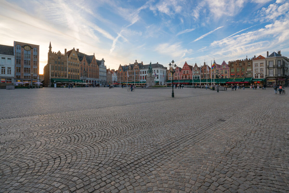
September 2017 — Evening on the Markt, Bruges, Belgium. Visitors cross the wide cobblestoned square as sunset light outlines the row of step‑gabled guild houses that front cafés with green awnings. At the center stands the 1887 monument to Jan Breydel and Pieter de Coninck, ringed by flagpoles and a cast‑iron lamppost. The scene captures a typical early evening in Bruges’ historic core, a UNESCO‑listed medieval city where the Markt has hosted trade and civic life for centuries. Contrails and thin clouds streak the sky while small groups linger near bicycles and restaurant terraces. Keywords - Activities: strolling, sightseeing, cycling, dining - Buildings: step-gabled guild houses, cafés, monument plinths - Location: Bruges, West Flanders, Belgium; Market Square (Markt) - Objects: cobblestones, lamppost, flagpoles, café awnings, clock - People: tourists, locals, pedestrians - Moods: calm, unhurried, early evening - Sceneries: historic town square, open plaza - Texts: storefront signage, building numbers (unreadable at distance) - Companies: local cafés and restaurants (unidentified) - Weather: clear with high clouds at sunset - Plants: none visible - Animals: none visible - Vehicles: bicycles
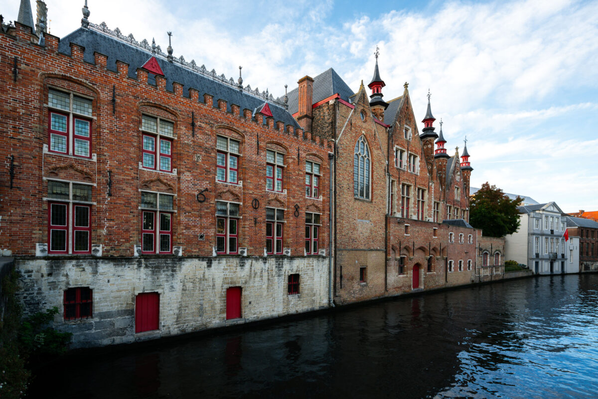
September 2017 — A row of red-brick Gothic buildings lines the River Reie in central Bruges, Belgium. The canal-facing facades feature crenellated rooflines, arched windows with red-painted frames, and small doors set into a pale stone base at water level. Iron wall anchors form decorative numerals on the brickwork, and slender spires and turrets rise above the gables on the right. Across the water, lighter-colored townhouses complete the scene, one flying a red-and-white flag. This view lies within Bruges’ UNESCO-listed historic center, where medieval canals once powered commerce and connected warehouses, hospitals, and guild structures. The Reie remains a defining feature of the city’s urban fabric and is a popular route for boat tours and heritage walks.
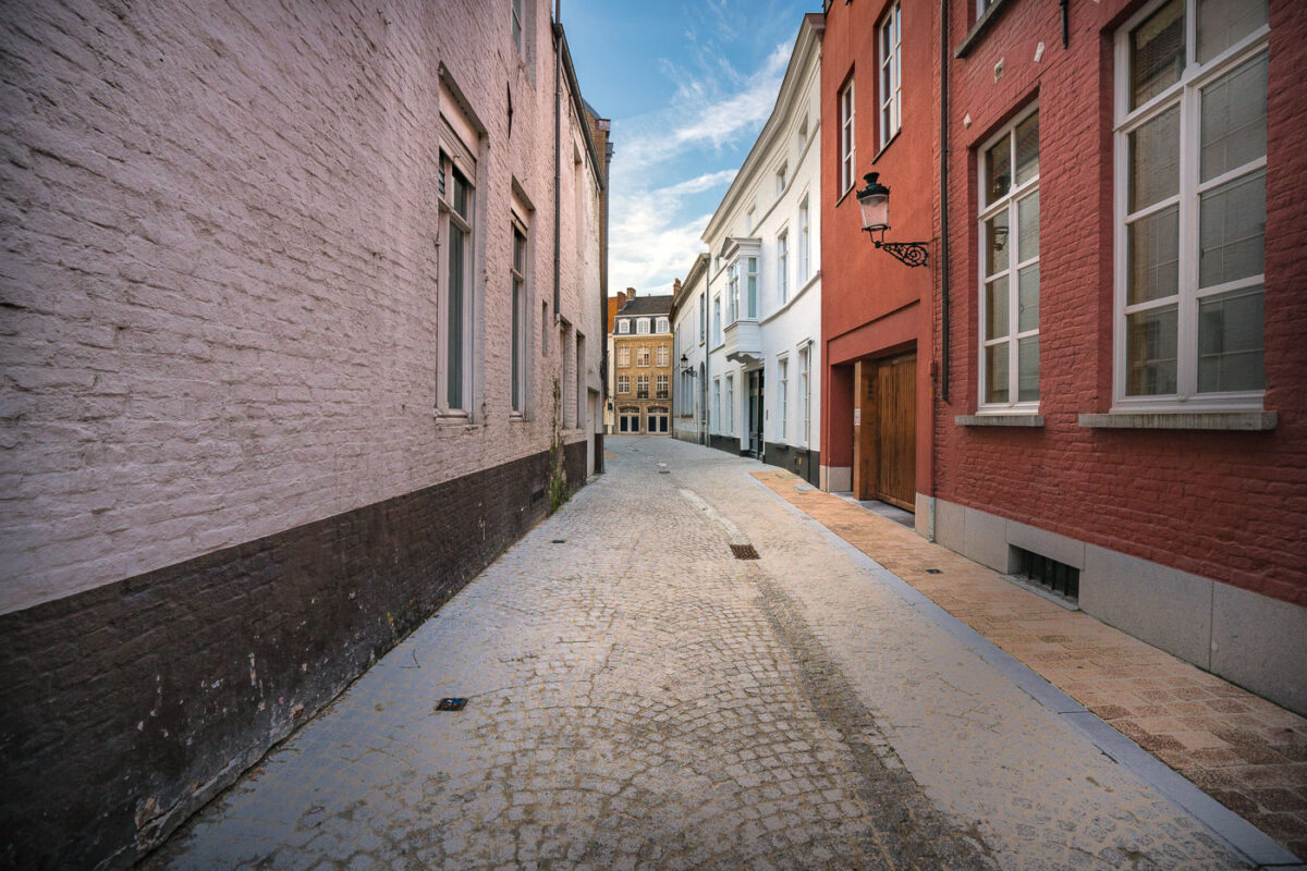
September 2017 —
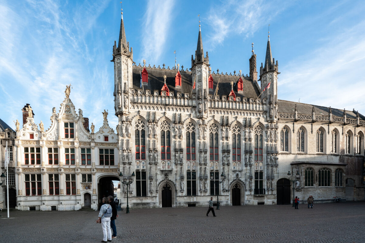
September 2017 — Bruges City Hall (Stadhuis van Brugge), completed in 1421, is one of the oldest and most ornate Gothic town halls in the Low Countries. Located on Burg Square in the heart of Bruges, Belgium, the structure features a richly detailed facade with vertical pinnacles, traceried windows, and over fifty sculpted figures representing biblical and historical figures important to the city’s heritage. The red dormer windows punctuating the steep slate roof are typical of Flemish civic architecture from the period. To the left, the adjoining Renaissance-style Oude Civiele Griffie (Old Civil Registry), built in 1537, complements the Gothic hall with gilded stonework and classical ornamentation. Together, the buildings form a symbolic center of Bruges’ civic identity and remain a key stop for visitors exploring this UNESCO World Heritage city.
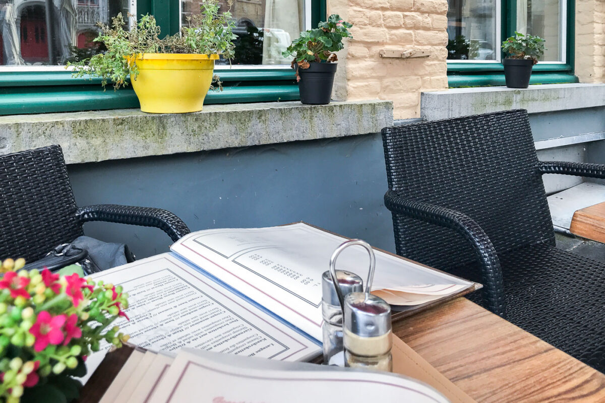
September 2017 — A small café table set along a cobblestone street in Bruges, Belgium, with a menu laid open beside salt and pepper shakers and woven black chairs. The table sits beneath pastel-colored brick façades and flower pots on stone ledges—typical of the city’s historic core where cafés blend seamlessly into centuries-old townhouses. Outdoor seating like this is common throughout Bruges’ quieter lanes, offering a relaxed view of daily life amid the preserved medieval architecture.
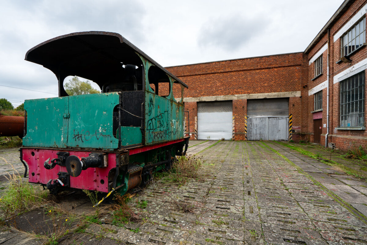
September 2017 — Abandoned trains in Belgium.
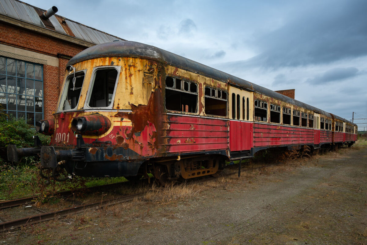
September 2017 — A decommissioned SNCB/NMBS Autorail Série 400, unit no. 4001, rests abandoned on a disused siding near Charleroi, Belgium. Built in the early 1950s by BN (La Brugeoise et Nivelles), these diesel multiple units were among Belgium’s first post-war efforts to modernize regional and intercity rail travel, replacing steam on secondary lines. The streamlined design and two-tone red-and-cream livery reflected the optimism of that era’s industrial renewal. Decades later, this car’s faded paint, shattered windows, and rust-etched steel now mark the slow decay of a machine that once represented progress in Belgian transport history. The surrounding derelict depot underscores the decline of Wallonia’s railway manufacturing heritage.
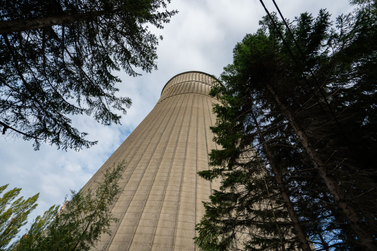
September 2017 — A 118-meter-tall cooling tower stands amid overgrown trees at the former Monceau-sur-Sambre power station near Charleroi, Belgium. Constructed in the 1960s as part of a large coal-fired generating complex operated by Electrabel, the hyperboloid structure was engineered from reinforced concrete with vertical ribbing to support its weight and withstand wind pressure. The tower once cooled thousands of cubic meters of water per hour, discharging excess heat from the station’s turbines that supplied electricity to the industrial Walloon region. Following the plant’s closure in the early 2000s, the site has remained disused, its monumental scale and weathered surface now emblematic of Charleroi’s industrial decline and gradual environmental recovery.
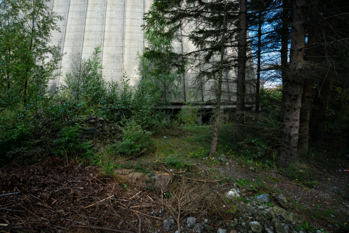
September 2017 — Dense vegetation surrounds the concrete base of a decommissioned cooling tower in Charleroi, Belgium. The structure’s massive form rises from a patch of overgrowth and debris, where nature has begun reclaiming the once-industrial site. The cooling tower, part of an abandoned power plant complex, remains a reminder of the region’s post-industrial landscape and transition away from coal-era energy infrastructure.
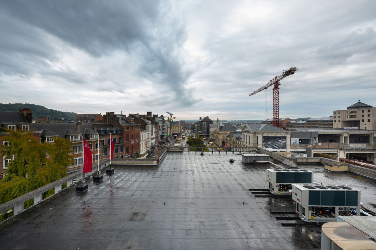
September 2017 — Looking along Rue de Fer toward Namur’s main station in Wallonia, Belgium. Historic brick and limestone façades line the street, with the HEMA storefront sign visible among local shops and cafés. Buses and pedestrians move through the late afternoon traffic on a damp autumn day, reflecting the city’s mix of preserved 19th-century architecture and contemporary commercial life near the railway hub.
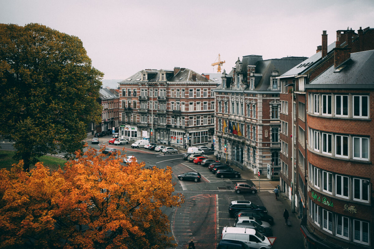
September 2017 — Namur, Belgium
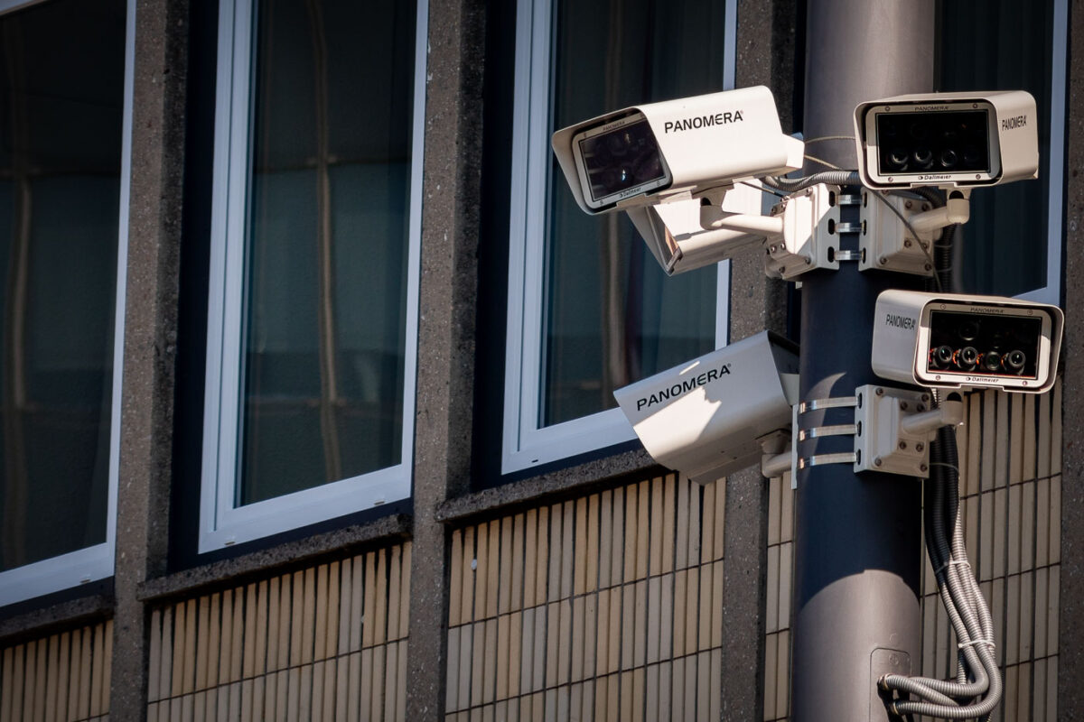
September 2017 — Panomera Surveillance Cameras found in Germany.
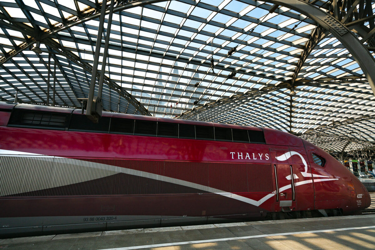
September 2017 — A Thalys PBKA high-speed train waits at Köln Hauptbahnhof beneath the station’s large arched glass canopy. The streamlined red train, built by Alstom and operated on international routes between Germany, Belgium, France, and the Netherlands, reflects the late-afternoon light along its metallic bodywork. Overhead, the steel lattice roof filters the daylight across the platforms, and through the patterned glass, the spires of Cologne Cathedral rise faintly in the background—a visual reminder of the station’s central location beside one of Europe’s most recognizable landmarks.
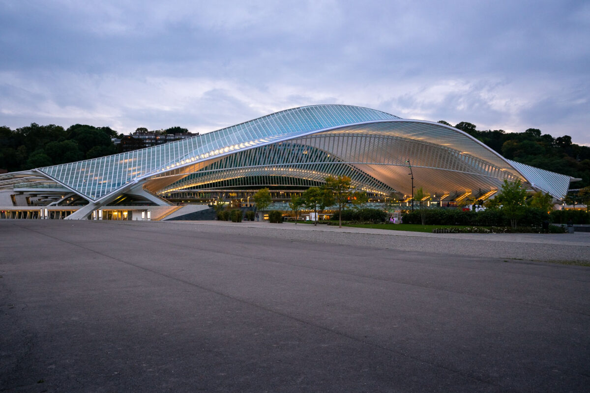
September 2017 — Liège-Guillemins Station, located in Liège, Belgium, serves as one of the country’s primary high-speed rail hubs and a striking example of modern European transport architecture. The current structure, designed by Spanish architect Santiago Calatrava, officially opened on September 18, 2009, following nearly a decade of planning and construction. Built to accommodate Belgium’s integration into the European high-speed rail network, the station connects Liège with major cities such as Brussels, Paris, Aachen, and Cologne through Thalys, ICE, and InterCity services. The building’s sweeping glass and steel canopy extends over 160 meters in length and 32 meters in height, eliminating the need for traditional walls and creating a sense of openness and transparency. Beneath its arched form, five railway platforms are arranged along ten tracks, with pedestrian bridges and elevators providing clear lines of movement between levels. The structure replaced a 1958 station on the same site, symbolizing Liège’s transition from its industrial past toward a contemporary, design-focused identity. Today, Liège-Guillemins stands not only as a critical piece of transportation infrastructure but also as a civic landmark. The station anchors a redeveloped district along the Meuse River, linking the city’s historic center with new public spaces, and continues to draw attention for its combination of engineering precision and architectural expression.
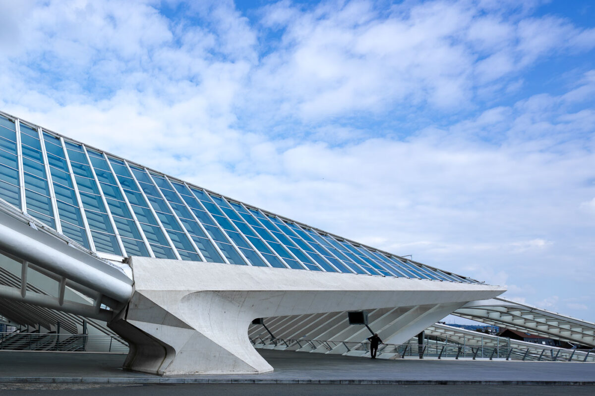
September 2017 — The sweeping steel-and-glass structure of Liège-Guillemins railway station stands as one of Europe’s most recognizable contemporary transport terminals. Designed by Spanish architect Santiago Calatrava and opened in 2009, the station was conceived as both a functional rail hub and a civic landmark, replacing an older mid-20th-century facility on the same site. Its vast, arching roof—constructed without a traditional façade—allows daylight to flood the platforms while emphasizing openness and movement rather than enclosure. Liège-Guillemins serves as a major junction on Belgium’s high-speed rail network, connecting Liège with Brussels, Paris, Cologne, and Frankfurt. The station’s design reflects early 21st-century priorities in European rail infrastructure: intermodality, passenger flow efficiency, and architectural visibility as a symbol of urban reinvestment. The exposed structure, rhythmic ribs, and inclined glazing make the engineering legible, turning the building itself into an expression of transit in motion.
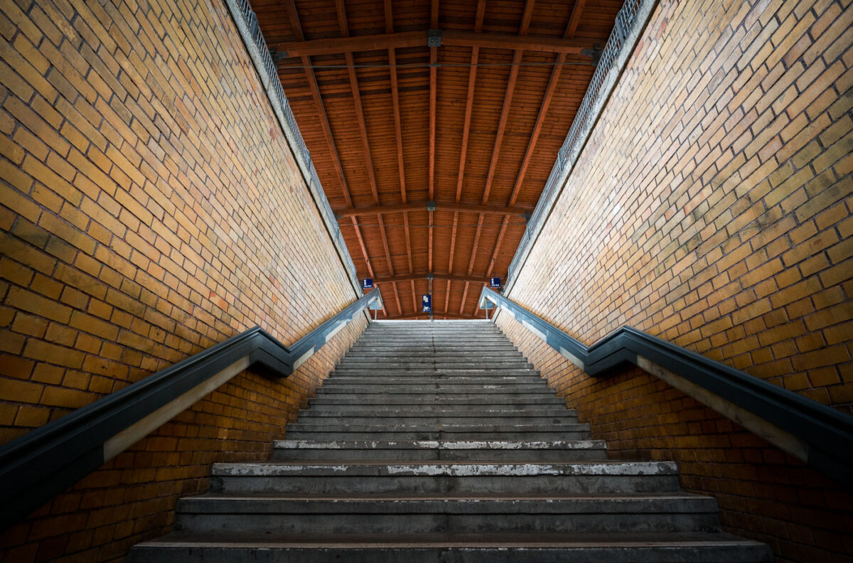
September 2017 — Entering a Berlin train station.
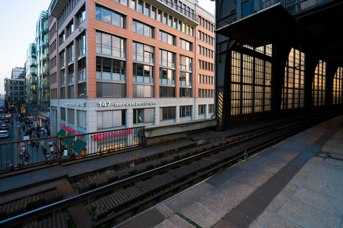
September 2017 — View from the platform at Berlin Friedrichstraße station overlooking Georgenstraße below. The elevated tracks run alongside a mix of modern and postwar office buildings, including the Aerztezentrum at No. 147. Pedestrians and cyclists move through the busy commercial street beneath, while the station’s glass and steel structure reflects the late-day light.
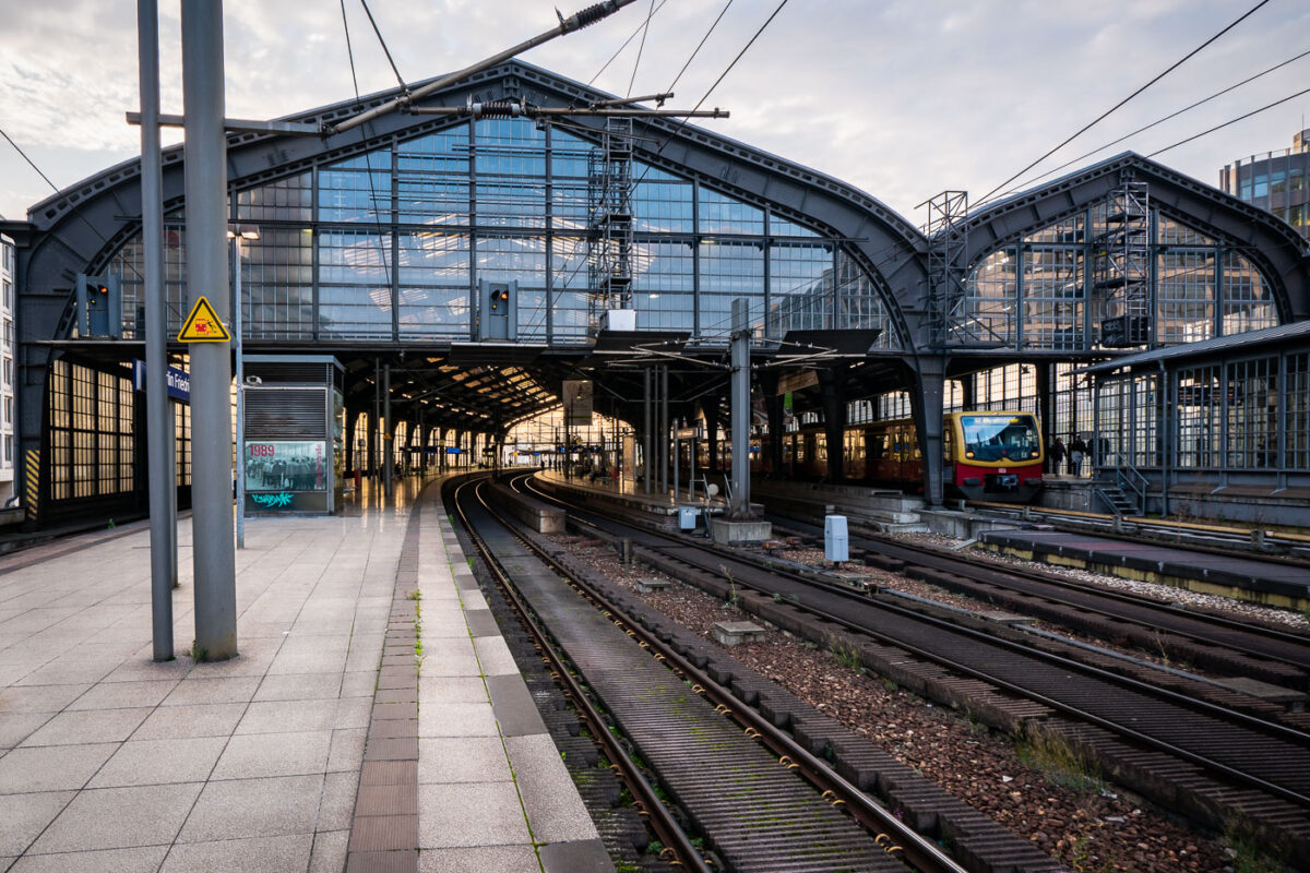
September 2017 — Berlin Friedrichstraße station in the early evening, with an S-Bahn BR 481 series train stopped under the steel and glass canopy. The curved elevated tracks lead into the main hall, a design characteristic of the city’s prewar rail architecture. Overhead wires and support structures frame the scene, while a few commuters move along the quiet platform as daylight fades into artificial light.
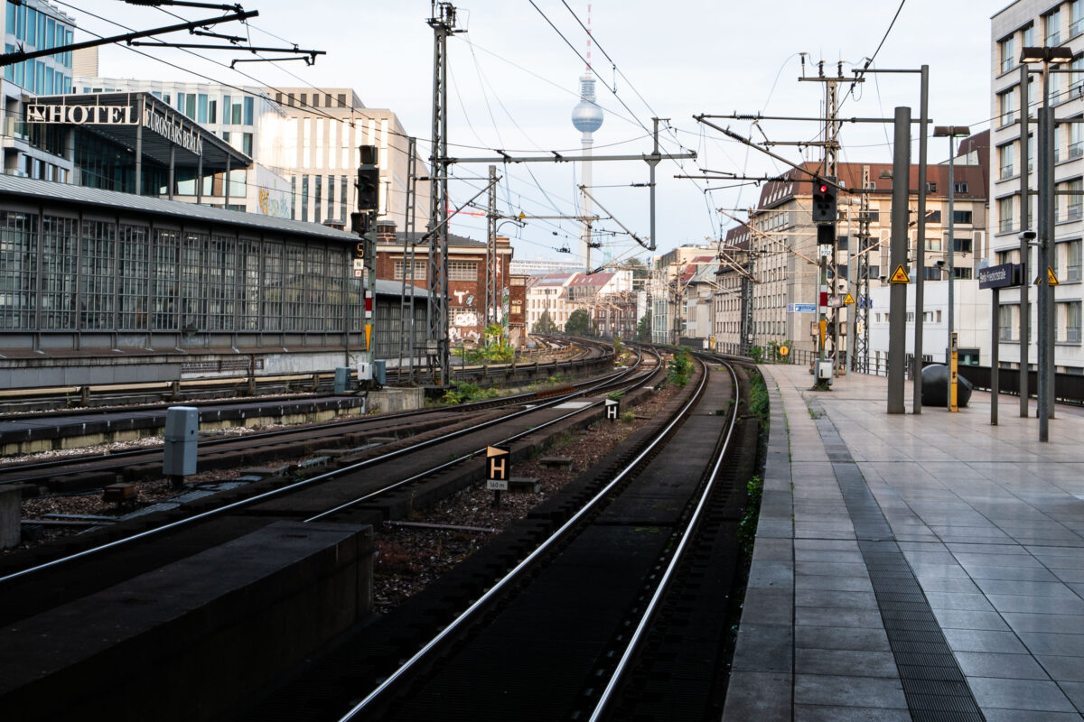
September 2017 — Tracks curve eastward from Berlin Friedrichstraße station, one of the city’s busiest S-Bahn and regional rail interchanges. The elevated viaduct carries multiple lines, including the S3, S5, S7, and S9, which link central Berlin with its outer districts and neighboring cities. The view looks toward Alexanderplatz, with the Fernsehturm television tower visible in the distance — a defining landmark of the former East Berlin skyline. Friedrichstraße station opened in 1882 and served as a symbolic and logistical border crossing during the Cold War, when it connected both East and West Berlin rail networks. Today, the station remains a major transit hub, handling thousands of passengers daily and sitting at the junction of the north–south and east–west S-Bahn corridors. The surrounding area has since been redeveloped with modern offices, hotels, and shops while retaining its role as one of Berlin’s central transport arteries.
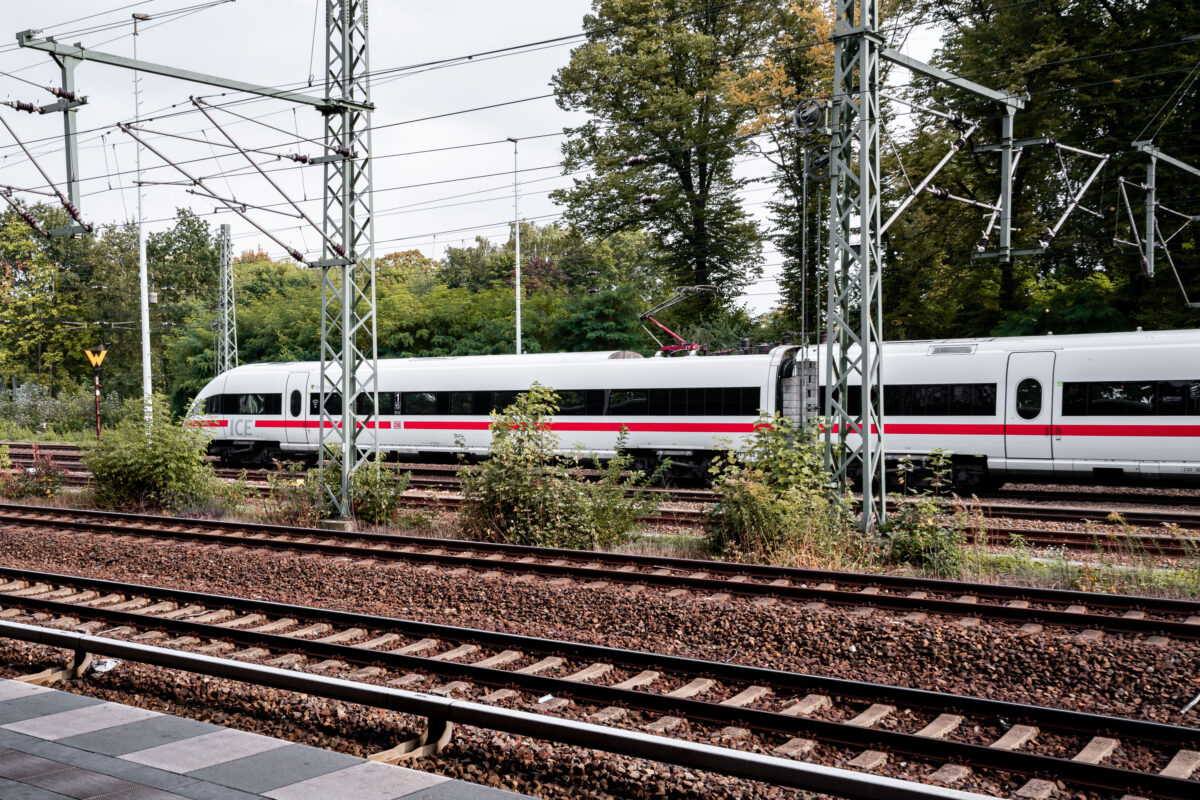
September 2017 — A Deutsche Bahn Intercity-Express (ICE) train moves through the rail network, distinguished by its white body and red horizontal stripe. The train belongs to the ICE 3 or ICE T family, units designed for high-speed operation up to 300 km/h and used on long-distance routes across Germany and neighboring countries. Overhead catenary lines supported by lattice-steel gantries deliver 15 kV AC power, the standard for Germany’s electrified mainlines. The ICE network, launched in the early 1990s, forms the backbone of long-distance rail travel in the country, linking cities such as Berlin, Frankfurt, Cologne, and Munich. These trains are built for both speed and efficiency, with lightweight aluminum bodies, regenerative braking, and pressure-sealed cabins for tunnel travel. The scene reflects the characteristic organization of German rail infrastructure—multiple tracks, overhead power, and vegetation at the margins—where local and international services share one of Europe’s busiest and most interconnected systems.
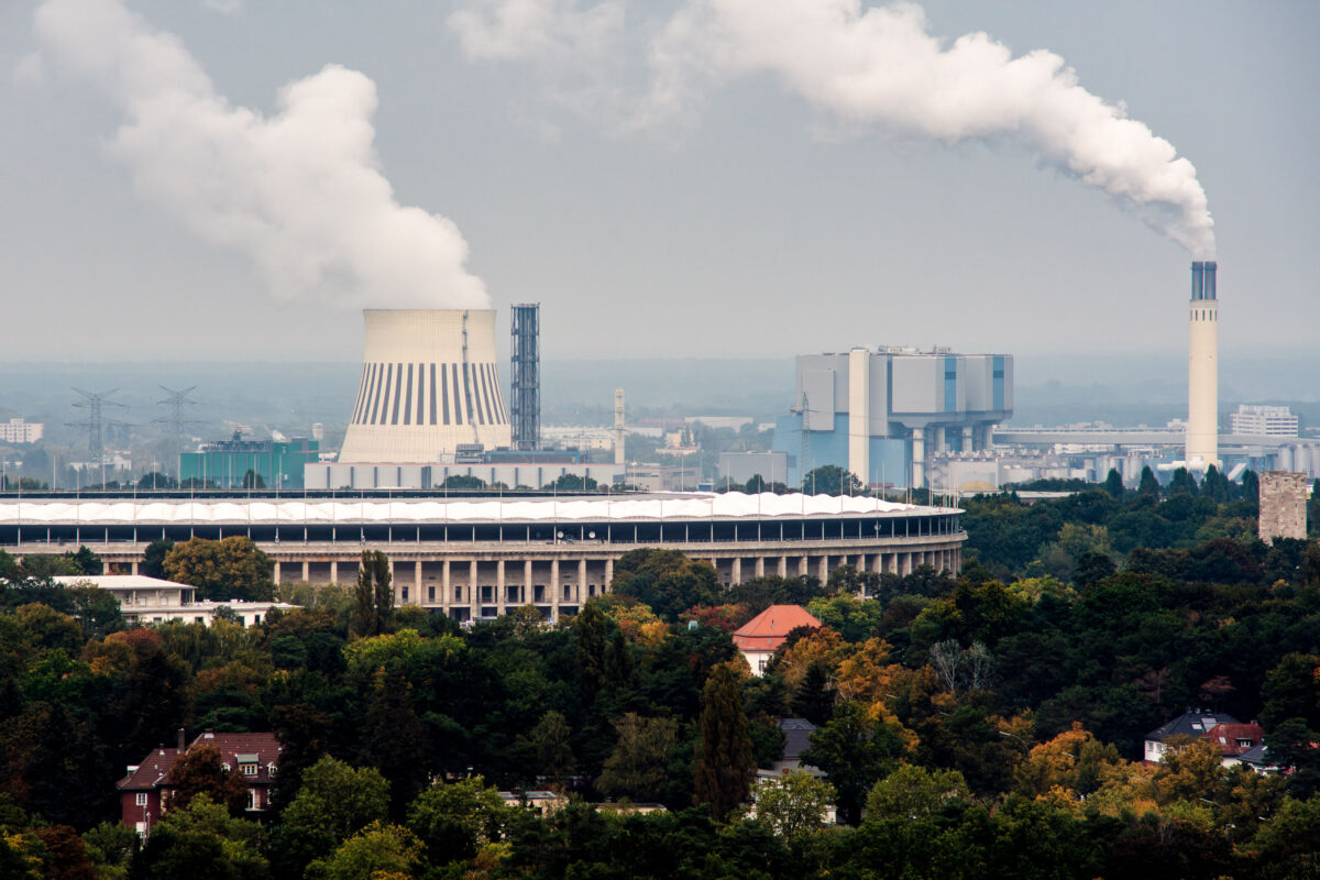
September 2017 — The Olympiastadion in Berlin stands in the foreground, framed by the dense tree cover of the Westend district. Behind it, the cooling towers and chimneys of the Reuter power plants dominate the skyline — part of Berlin’s long-standing energy infrastructure along the Spree River. The large natural-draft cooling tower at left belongs to the Reuter West plant, commissioned in the late 1980s and operated by Vattenfall, while the taller stack at right is part of the older Reuter facility dating back to 1930, later converted to modern combined-heat-and-power operation. The contrast between the stone colonnades of the 1936 Olympic Stadium and the industrial silhouettes in the distance captures the layered character of Berlin’s western edge — where historic architecture, post-war redevelopment, and ongoing energy production coexist within a few kilometers. The area remains one of the city’s key power-generation corridors, supplying electricity and district heating to much of central and western Berlin.
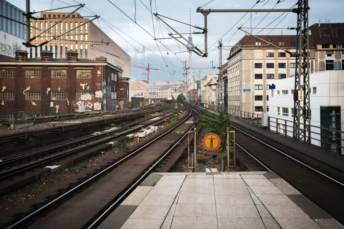
September 2017 — View east from Berlin Friedrichstraße station showing the elevated S-Bahn tracks leading toward Alexanderplatz. Overhead wires and supporting steel structures frame the route, with graffiti-covered industrial buildings on the left and mid-century offices on the right. The Berlin TV Tower (Fernsehturm) rises in the distance, a landmark visible across the city skyline.
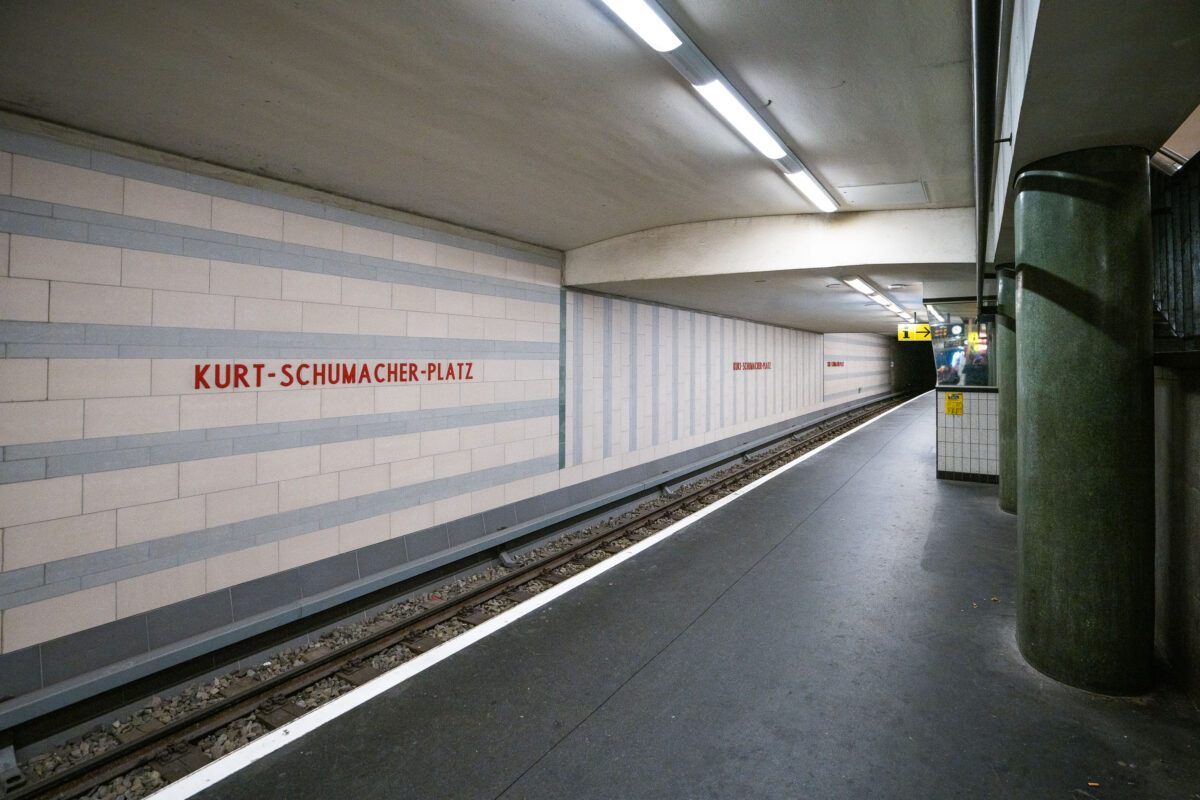
September 2017 — Kurt-Schumacher-Platz station serves Berlin’s U6 U-Bahn line in the Reinickendorf district, located in the city’s northwest. Opened on May 3, 1956, the station was part of the first postwar U-Bahn expansion and named after German statesman Kurt Schumacher, a key figure in rebuilding the Social Democratic Party after World War II. The station features light-colored wall tiles with horizontal gray stripes and minimalist red lettering, reflecting mid-1950s West Berlin design. It includes a central island platform and two tracks, serving as an important stop between Afrikanische Straße and Scharnweberstraße. Above ground, the station connects to several bus routes and lies near the approach to the U6 tunnel under the former Tegel Airport area. Today, it remains a key link for northern Berlin commuters traveling toward the city center.
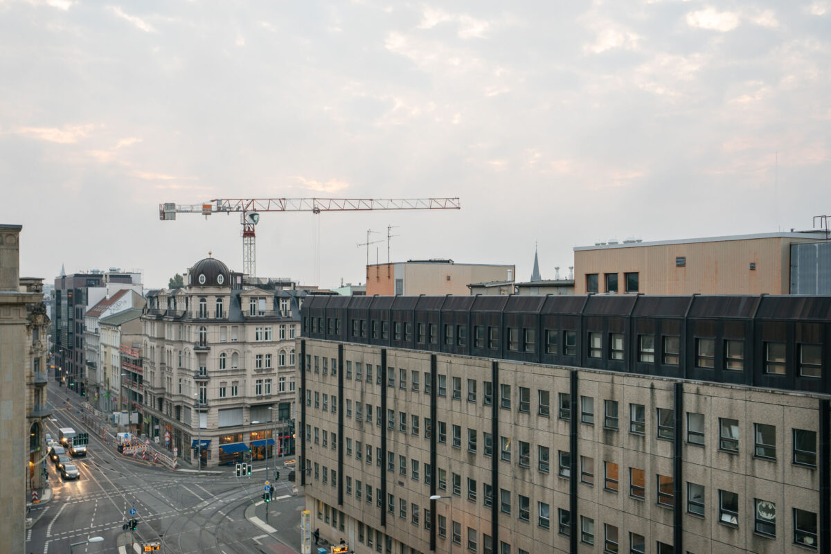
September 2017 — Looking down Invalidenstraße street in Berlin Germany.
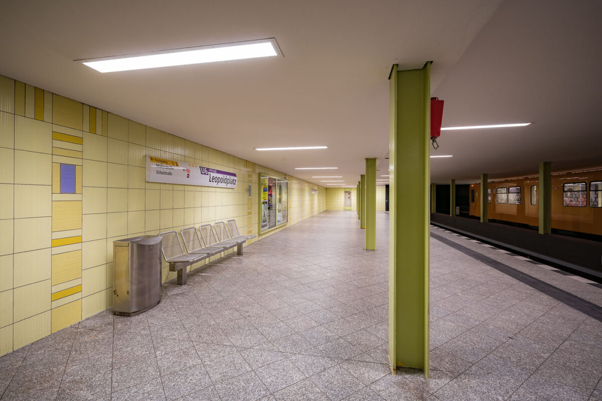
September 2017 — The Leopoldplatz U-Bahn Station in Berlin Germany.
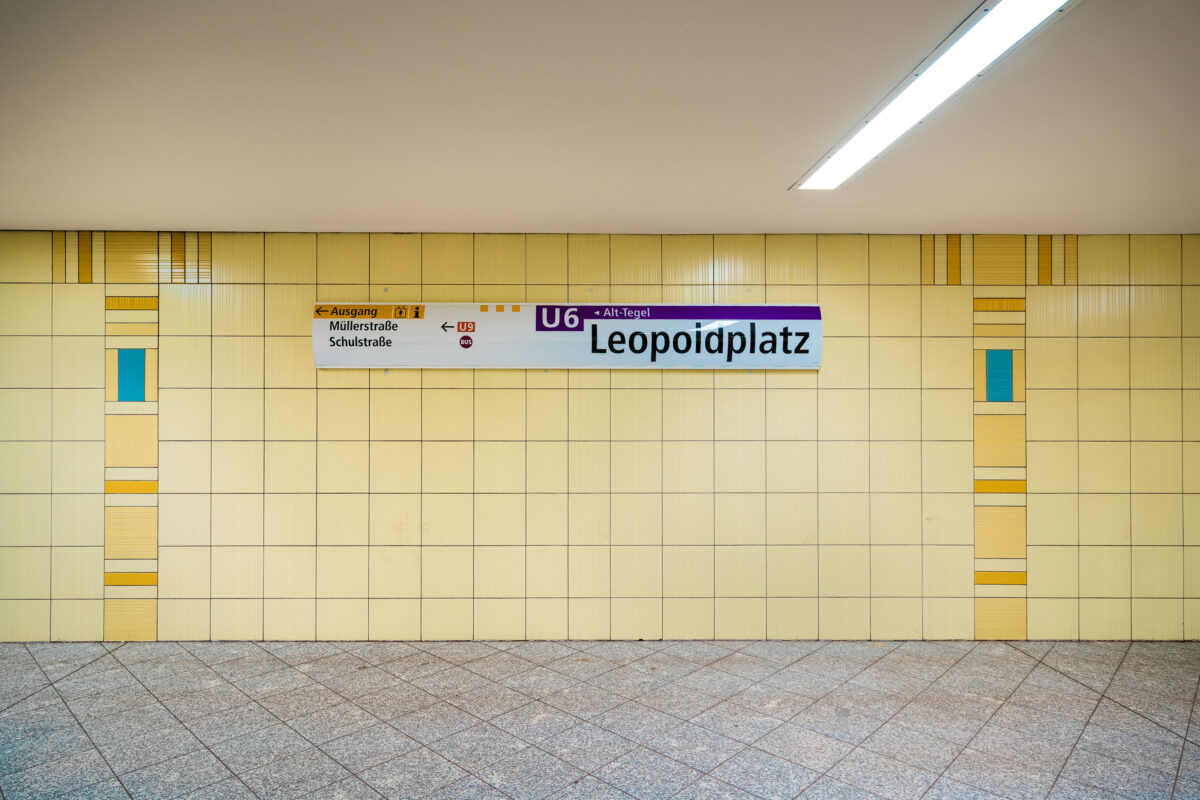
September 2017 — The Leopoldplatz U-Bahn Station in Berlin Germany.
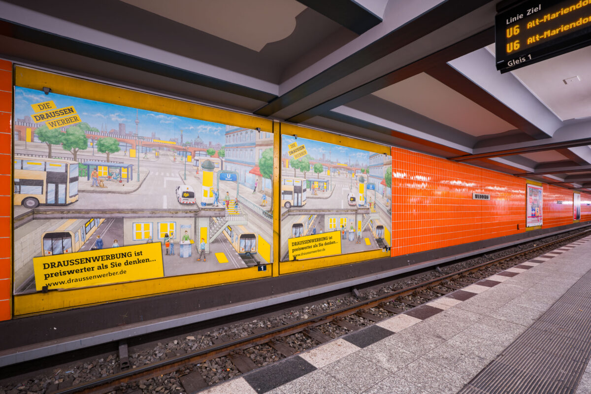
September 2017 — Wittenbergplatz station on Berlin’s U2 line features a distinctive orange-tiled design characteristic of the city’s postwar modernization of U-Bahn interiors. The platform level seen here includes advertising panels with hand-illustrated city scenes, part of a campaign promoting outdoor advertising (“Draussenwerbung”) by Wall GmbH, a longtime transit advertising company in Berlin. Opened in 1902 as part of the city’s first underground railway, Wittenbergplatz is one of Berlin’s oldest stations and a key junction serving the U1, U2, and U3 lines. The orange tiles were installed during mid-20th-century refurbishments to brighten the subterranean space, contrasting with the original Jugendstil architecture preserved at the main hall above. The modern signage displays U6 connections, while the station’s layout—with three island platforms—continues to serve one of the busiest interchange points in Berlin’s U-Bahn network.
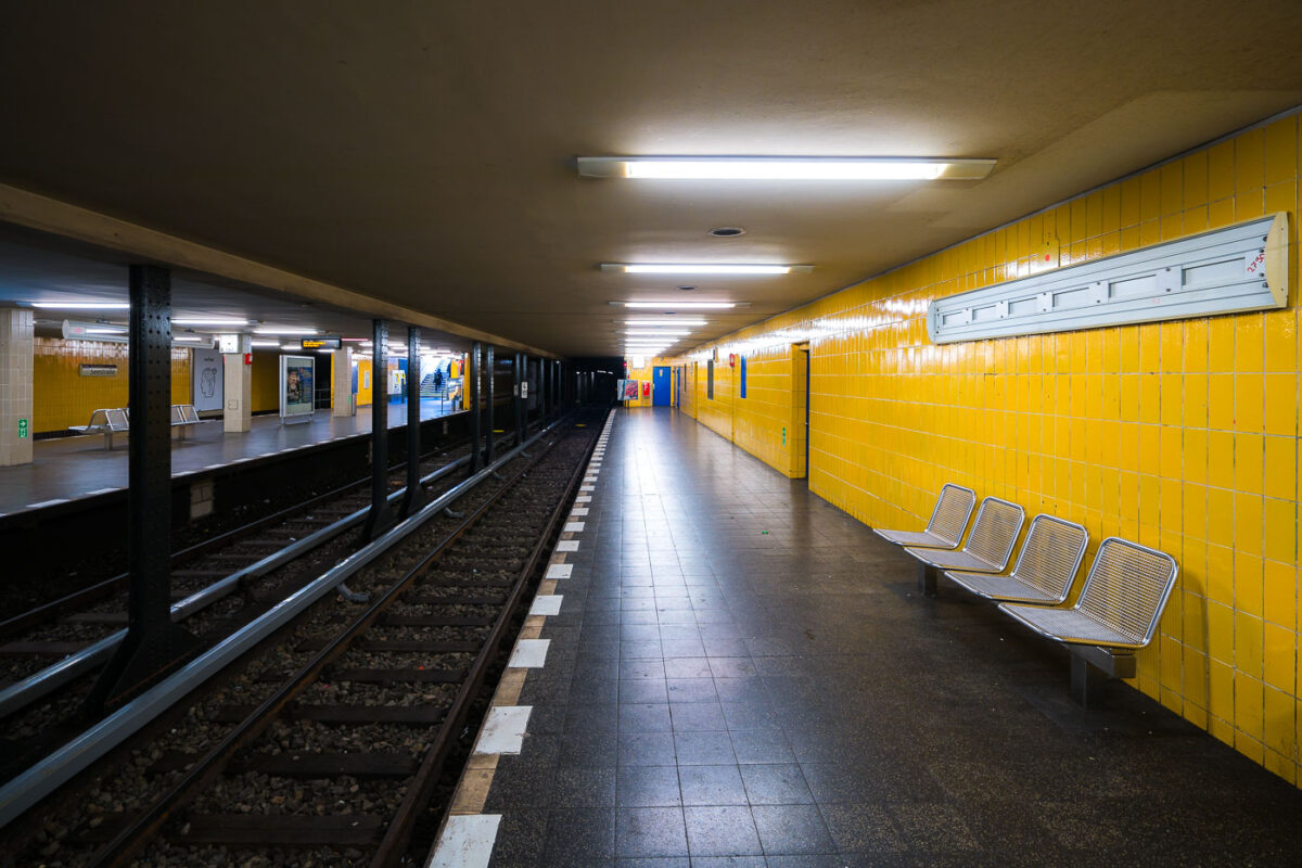
September 2017 — Seestraße U-Bahn Station, Berlin Germany
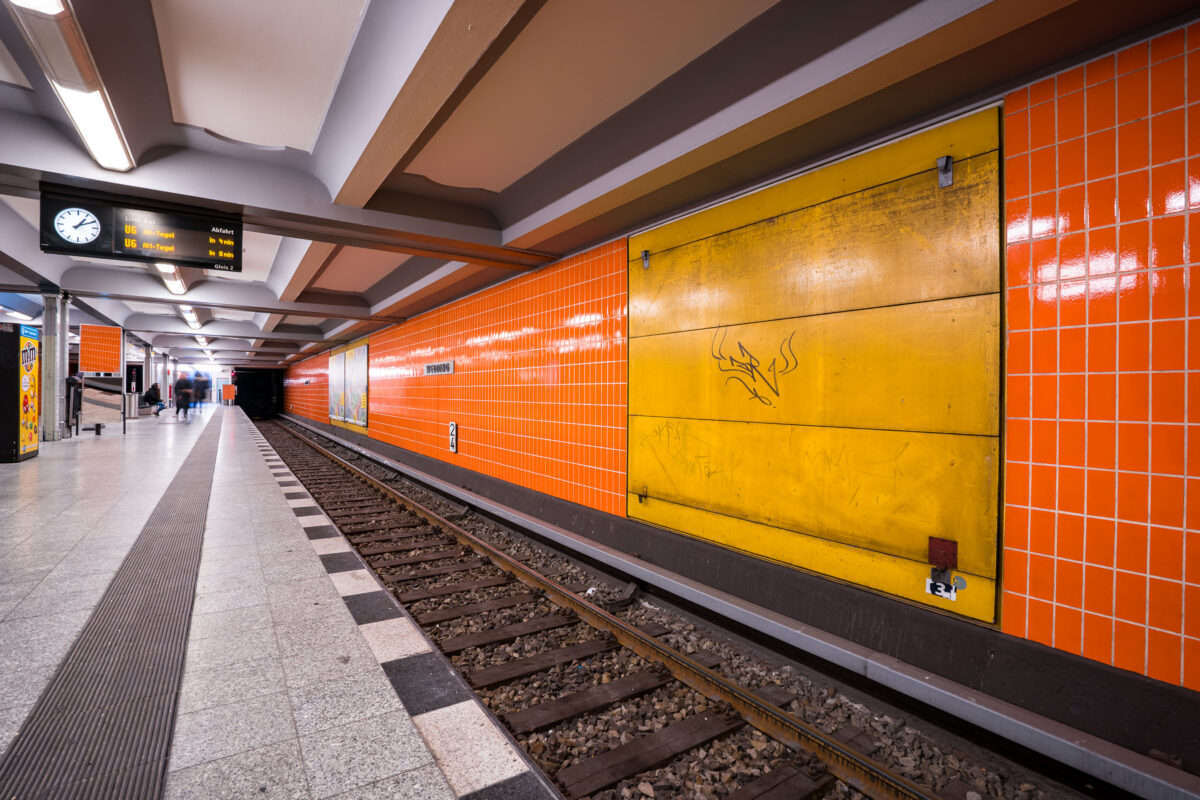
September 2017 — Berlin-Wedding station S-Bahn station in Berlin, Germany
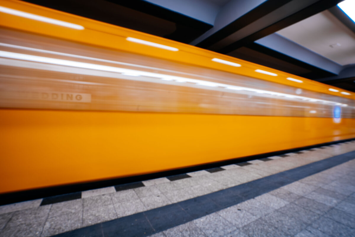
September 2017 — A train passes through the Wedding station in Berlin Germany.
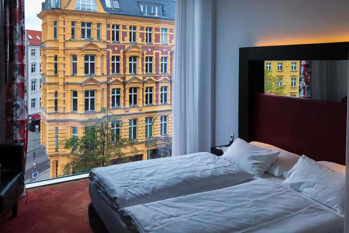
September 2017 — Looking out from a room at the Arcotel Velvet Berlin.
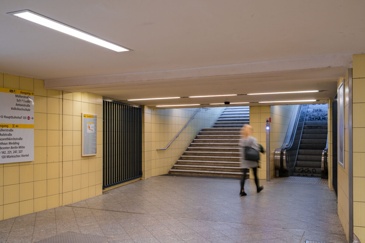
September 2017 — An underground passageway connects the platforms of Wedding U-Bahn station to its street-level exits on Müllerstraße in Berlin’s Mitte district. The corridor is tiled in light yellow ceramic, part of the BVG’s standardized postwar design used throughout many West Berlin stations rebuilt or renovated in the 1960s and 1970s. Directional signage guides passengers toward exits, connecting bus routes, and public facilities, while an escalator and stairway lead to the main entrance. The faint graffiti on the walls and motion blur of a passing commuter emphasize the station’s everyday function within Berlin’s public transport network. Wedding station serves both the U6 line and the S-Bahn Ring, forming a key interchange point in the city’s northern transit system.
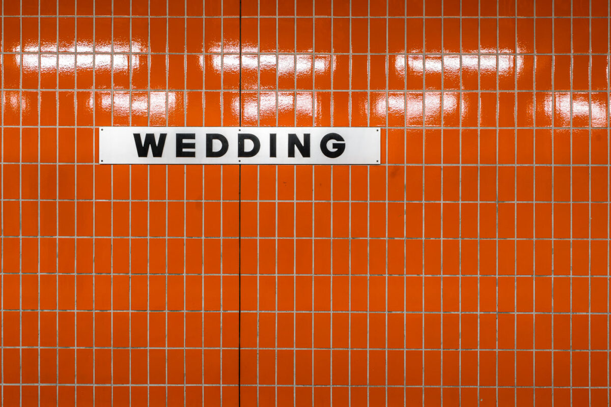
September 2017 — A white station sign reading “Wedding” in black block letters is mounted on an orange, small-rectangle tiled wall inside Wedding station in Berlin, Germany. The station serves the Wedding neighborhood in the Mitte district and functions as an interchange between the U6 U‑Bahn line and the Berlin Ringbahn S‑Bahn. The stark typography and modular tiles reflect the practical design found across much of Berlin’s postwar transit architecture. Operated by BVG for the U‑Bahn and S‑Bahn Berlin GmbH for suburban rail, Wedding is a local hub for commuters moving between the north of the city and central Berlin. No passengers are visible in the frame, emphasizing the graphic clarity of the station’s wayfinding.
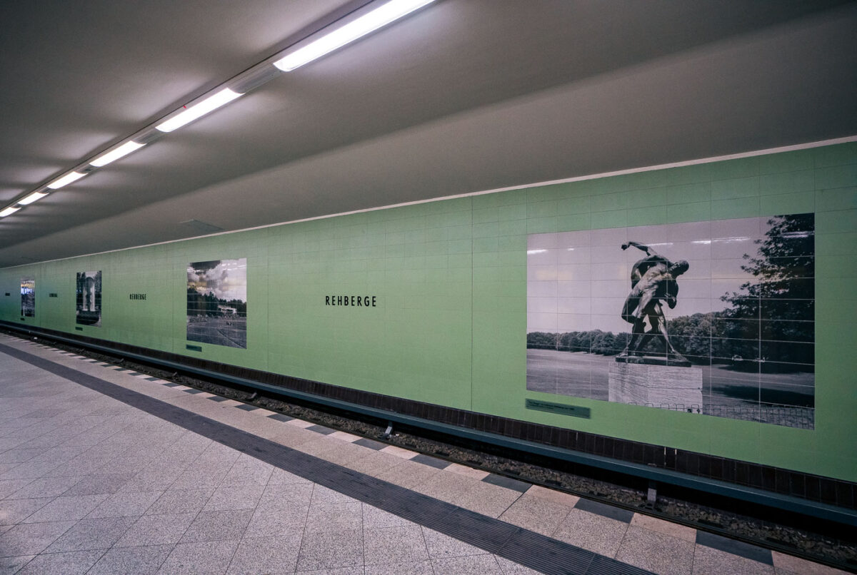
September 2017 — Rehberge U-Bahn Station, Berlin
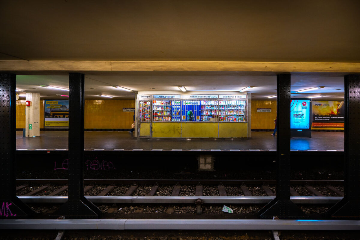
September 2017 — A store at the Seestrabe Station in Berlin.
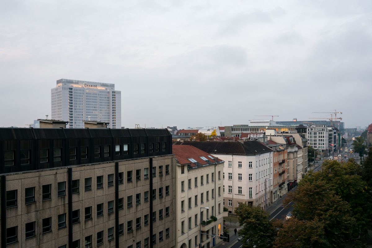
September 2017 —
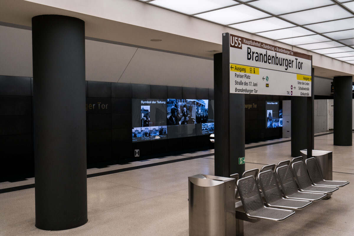
September 2017 — The Brandenburger Tor station in Berlin, Germany. Metal benches on the train platform.
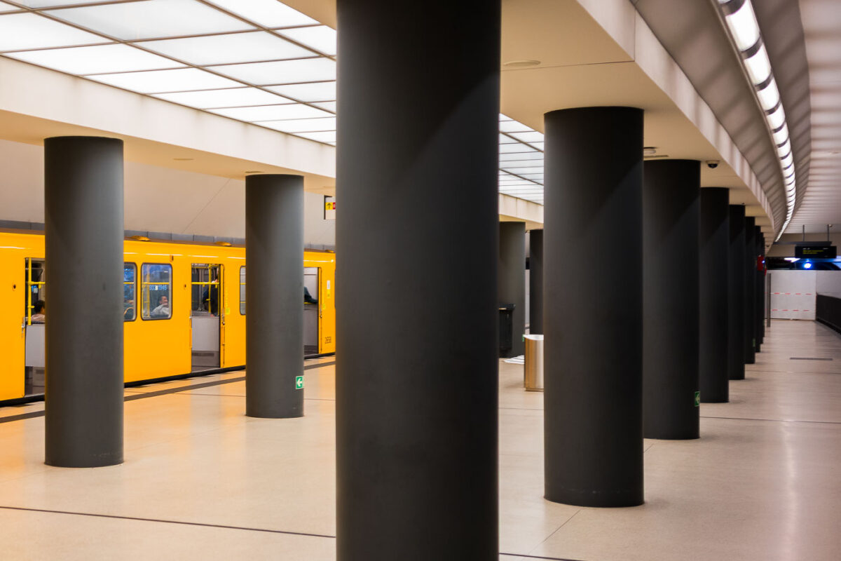
September 2017 — The Brandenburger Tor station in Berlin, Germany.
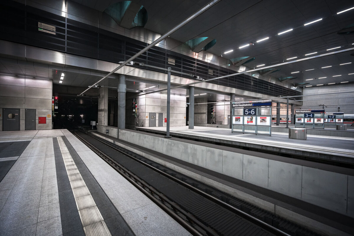
September 2017 — Berlin Hauptbahnhof’s lower-level platforms, located roughly 15 meters below street level, form part of Germany’s central north–south high-speed rail corridor. The underground section, opened in 2006 alongside the completion of the station’s glass-and-steel main hall, accommodates long-distance and regional trains running through the Tiergarten tunnel. The design emphasizes polished concrete, steel, and indirect lighting—elements typical of the Deutsche Bahn architectural style of the early 2000s. Platforms 1 through 8 serve ICE and IC services linking Berlin with cities such as Munich, Frankfurt, and Hamburg, while upper levels connect to the S-Bahn and U-Bahn networks.
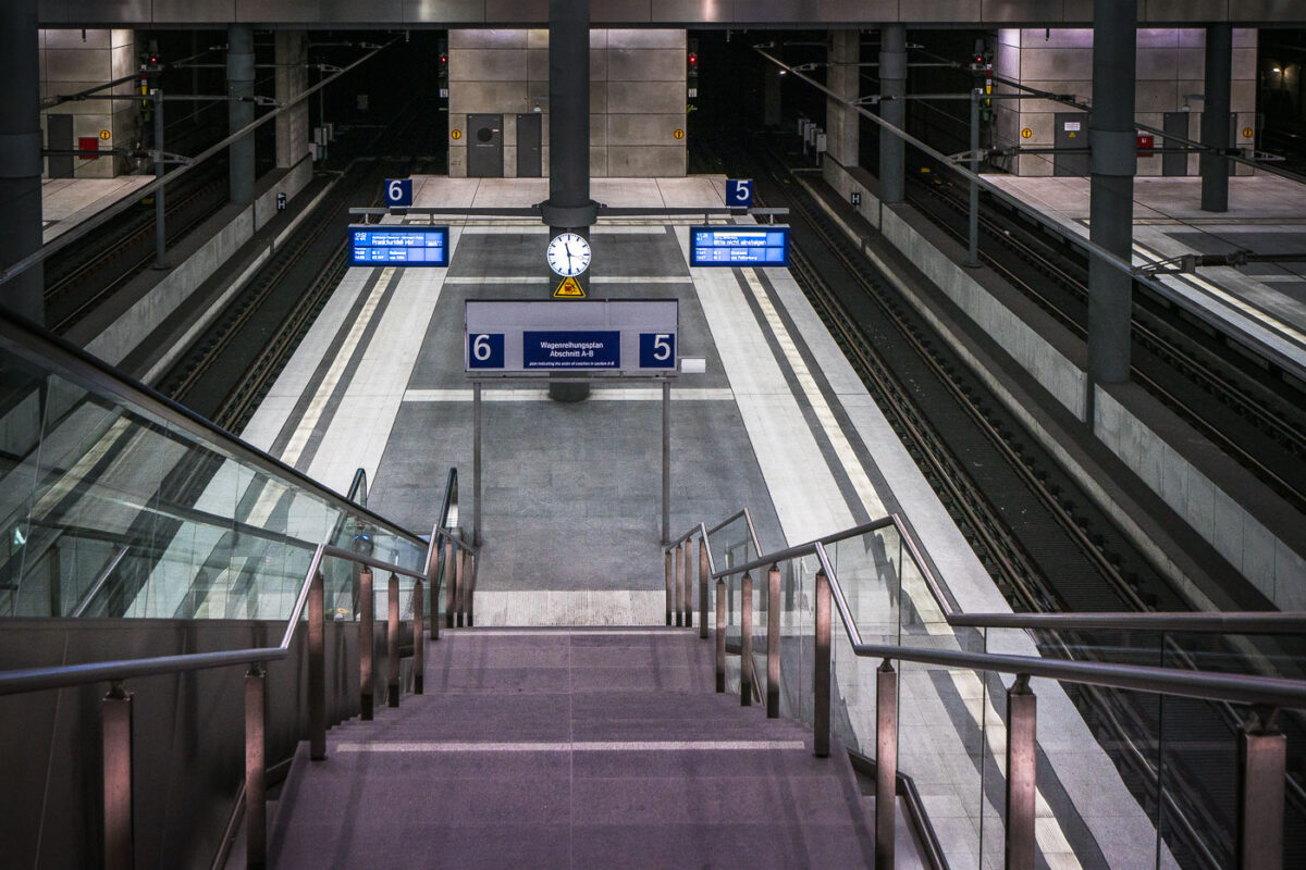
September 2017 — The lower platforms of Berlin Hauptbahnhof, serving tracks 5 and 6, form part of the deep-level north–south route opened with the station in 2006. This subterranean level, approximately 15 meters below ground, connects long-distance ICE services between Hamburg, Leipzig, and Munich through the Tiergarten Tunnel. The design reflects the precision and uniformity of modern German rail architecture—clean concrete forms, stainless steel fixtures, and bright LED signage. The symmetrical layout, glass partitions, and central clock emphasize efficiency and clarity, key elements of the Hauptbahnhof’s function as Europe’s largest crossing-station hub.
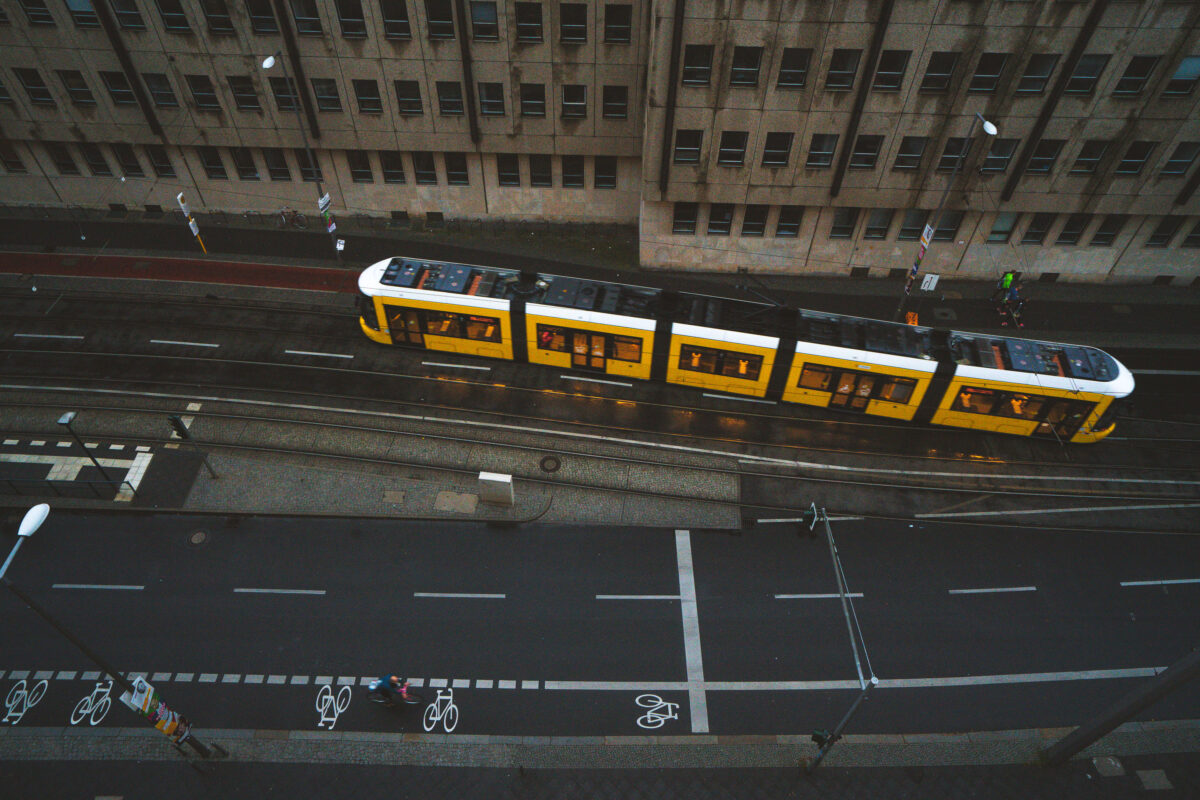
September 2017 — A yellow BVG tram glides through the wet streets of Berlin at dusk, its reflection faintly shimmering on the rain-darkened tracks. The city’s extensive tram system, one of the oldest in the world, continues to serve as a vital part of daily life — connecting neighborhoods across the capital with quiet precision. Cyclists share the street below, a hallmark of Berlin’s commitment to sustainable urban transport and rhythmically layered street design.
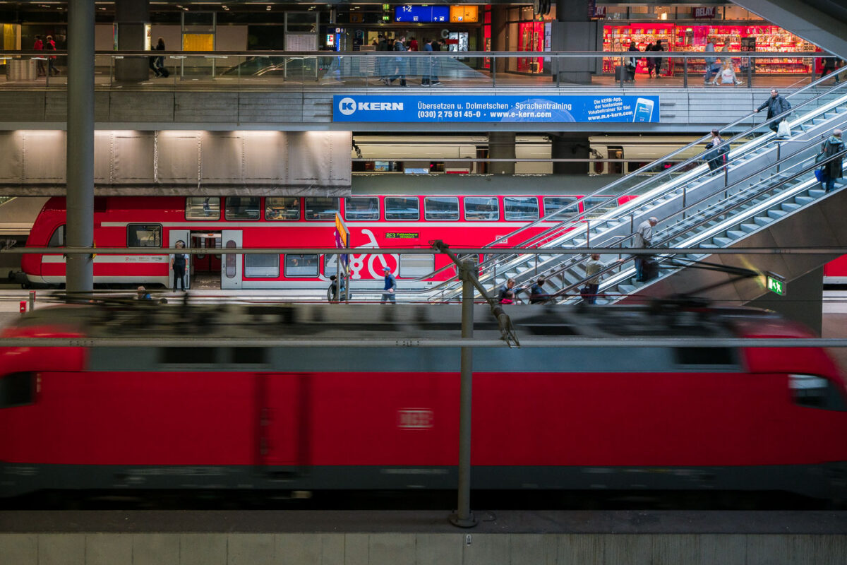
September 2017 — The Berlin Central Station in Berlin, Germany.

September 2017 —
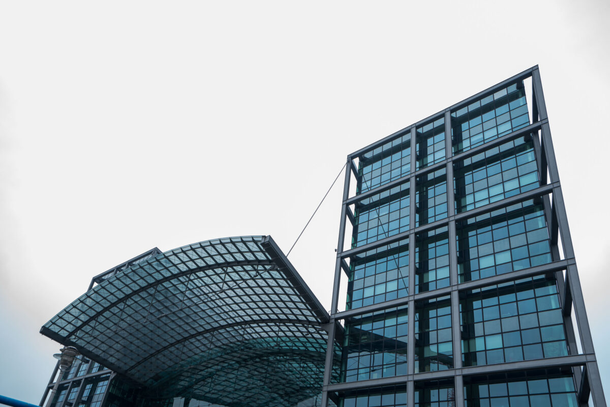
September 2017 — The Berlin Central Station in Berlin, Germany.
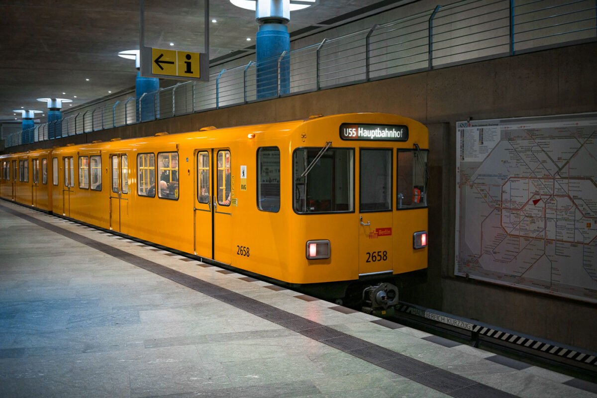
September 2017 — A bright yellow BVG U-Bahn train marked “U55 Hauptbahnhof” stands at the underground platform of Berlin Hauptbahnhof. An information sign with an arrow hangs above the platform, while a large network map of the S- and U-Bahn lines is mounted on the concrete wall to the right. Through the windows, a few seated passengers are visible inside the multi-door carriage numbered 2658. The U55 operated as a short shuttle between Berlin Hauptbahnhof and Brandenburger Tor, opened in 2009 to link the new central station with the government quarter. In December 2020 the shuttle was integrated into the extended U5 line, a major step in Berlin’s east‑west metro connection.
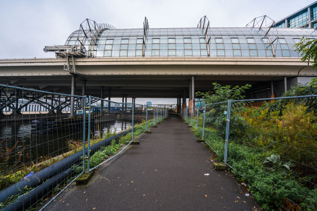
September 2017 — A narrow, fenced pathway runs beneath the towering structure of Berlin Hauptbahnhof — Germany’s largest and most complex railway station — where elevated train lines stretch above the Spree River. The gleaming glass panels and steel framework of the upper platforms contrast sharply with the damp pavement and industrial underpass below. Puddles glisten from a recent rain, while construction barriers and wild greenery frame the scene, hinting at the city’s perpetual state of transformation. Built as a symbol of reunified Berlin, the Hauptbahnhof connects north to south, east to west — a convergence of architecture, engineering, and history that mirrors Berlin’s layered identity. The stillness here beneath the trains creates a hidden perspective on one of Europe’s busiest transport hubs, where modern motion meets quiet decay.
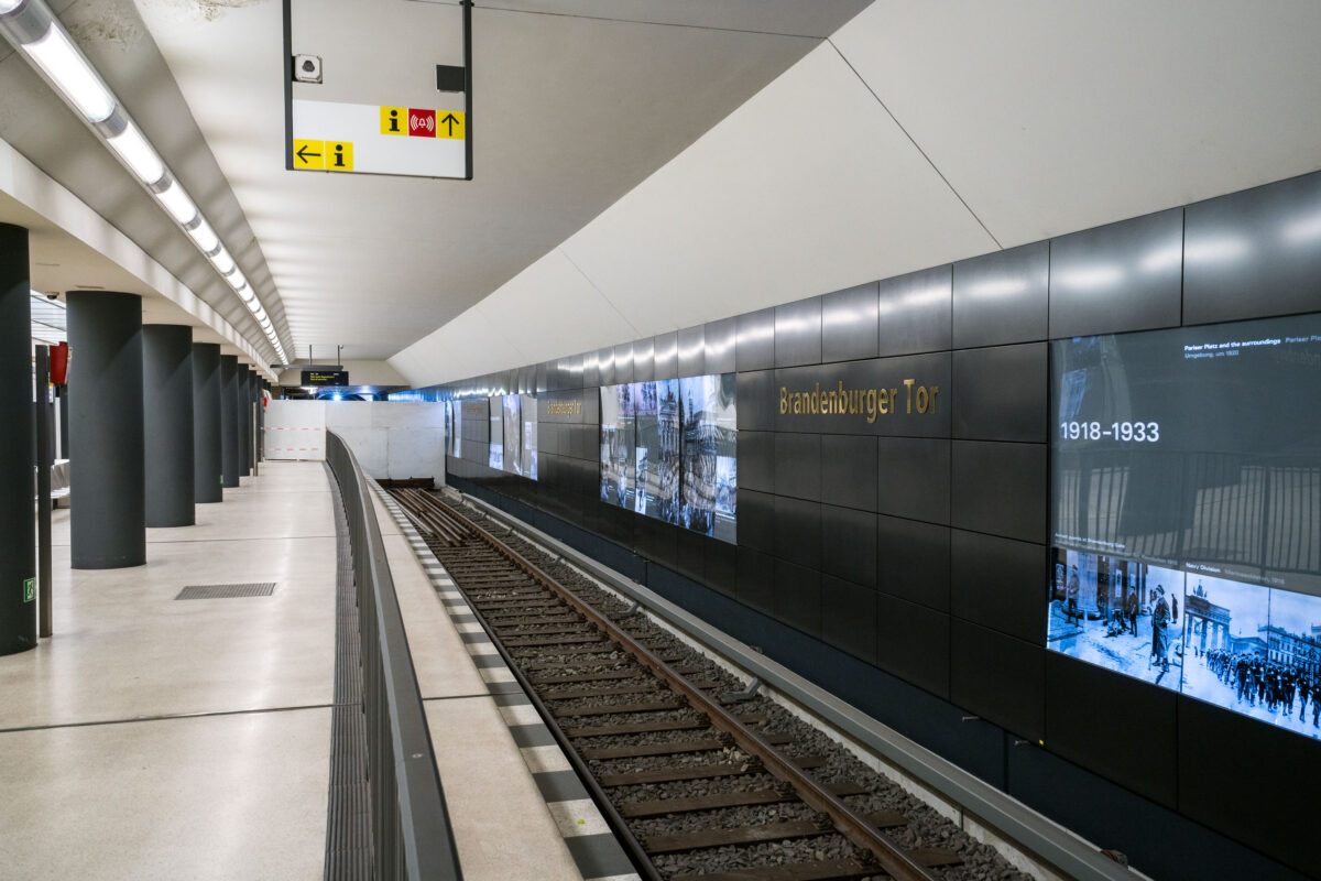
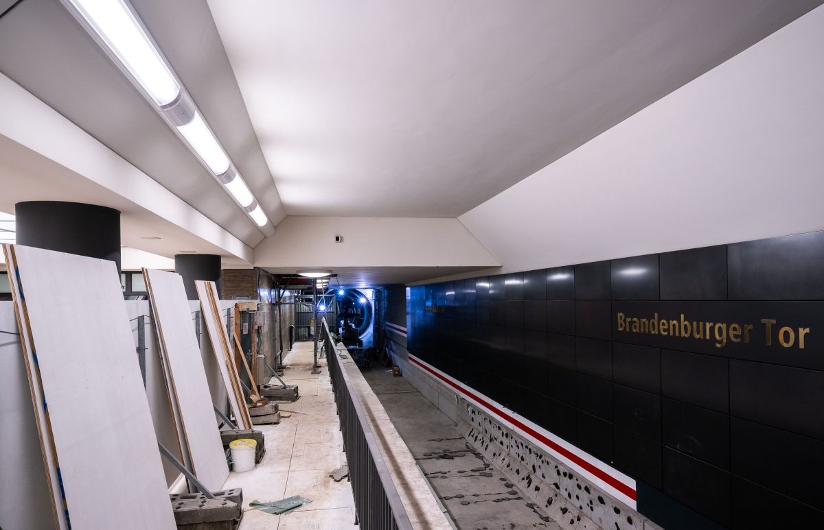
September 2017 — The Brandenburger Tor station on Berlin’s U5 line sits directly beneath Pariser Platz, adjacent to the Brandenburg Gate. The interior features dark composite wall panels inlaid with gold lettering and a series of illuminated displays tracing Berlin’s 20th-century history, including the city’s division and post-reunification development. Originally opened in 2009 as part of the short U55 shuttle between Hauptbahnhof and Bundestag, the station became a through stop in December 2020 when the U5 extension to Alexanderplatz was completed, reconnecting the eastern and western portions of the U-Bahn network after nearly six decades of separation.
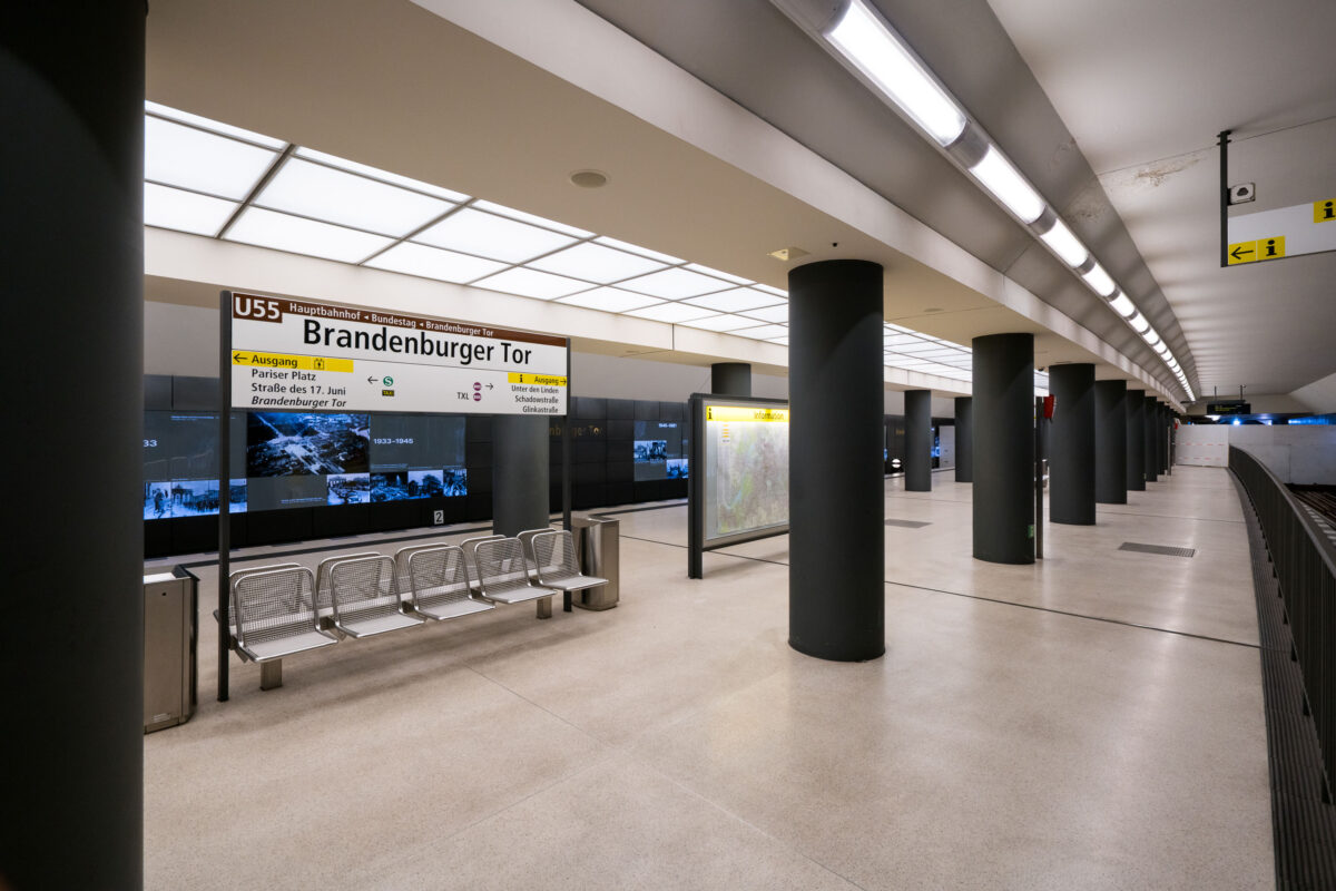
September 2017 — The Brandenburger Tor station in Berlin, Germany.
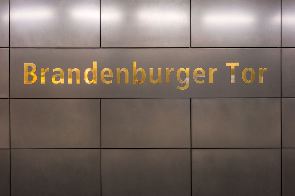
September 2017 — The Brandenburger Tor station in Berlin, Germany.
September 2017 —