National Forest

91 photos · 2015–2026

91 photographs tagged National Forest, 2015–2026.
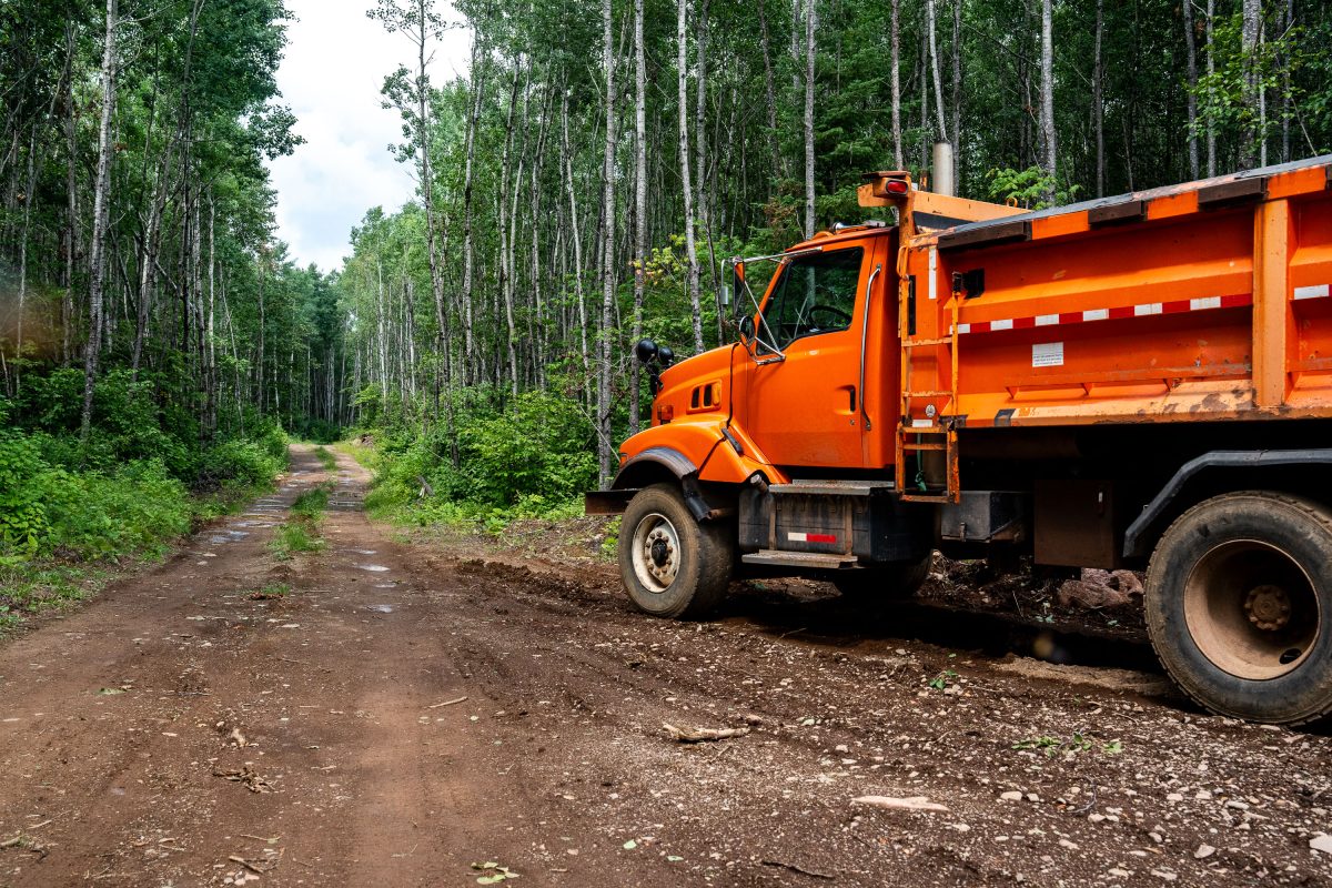
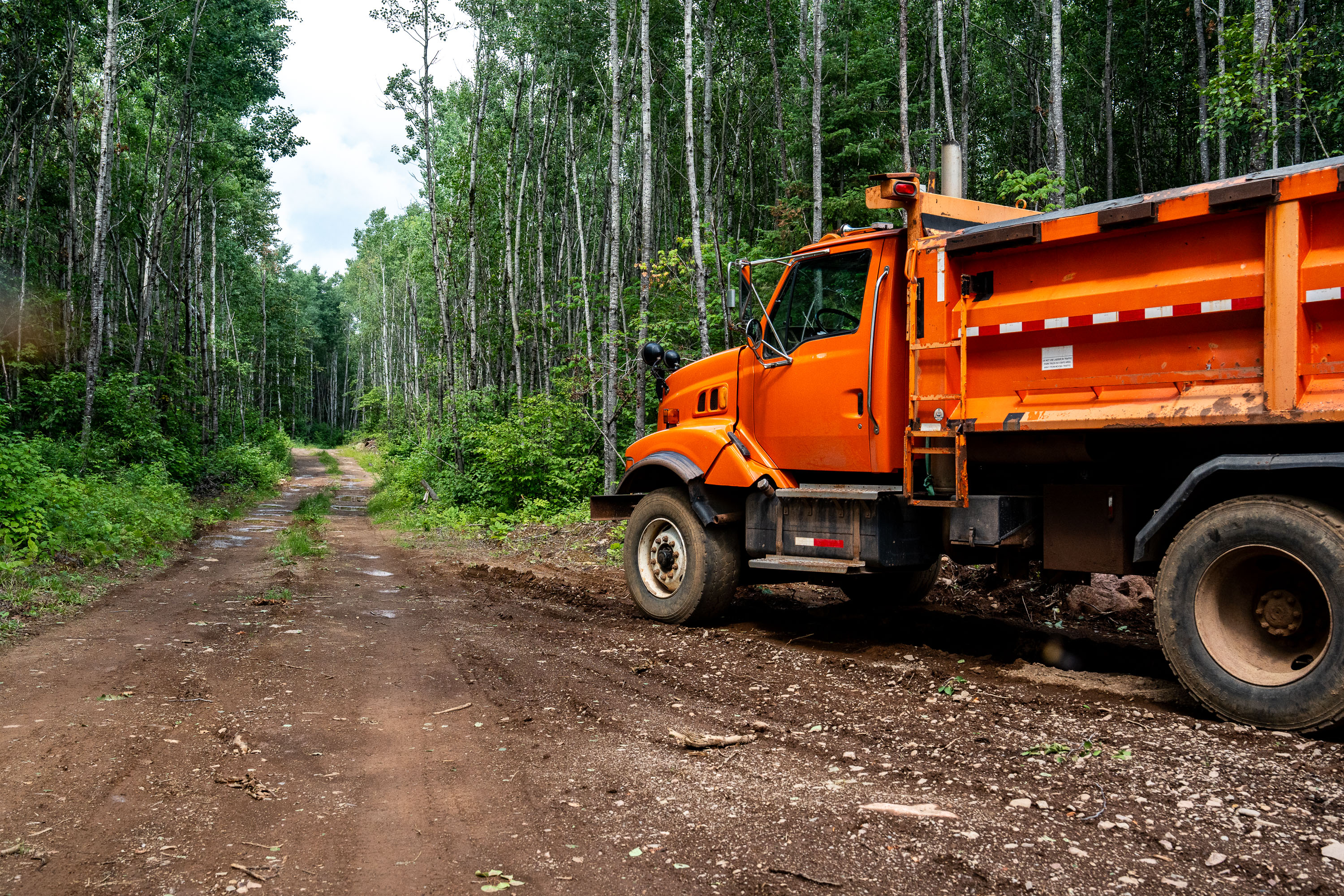
Logging Truck in the Superior National Forest
A logging truck deep in the Superior National Forest in Minnesota. Seen in July 2026.

Logging Truck in the Superior National Forest

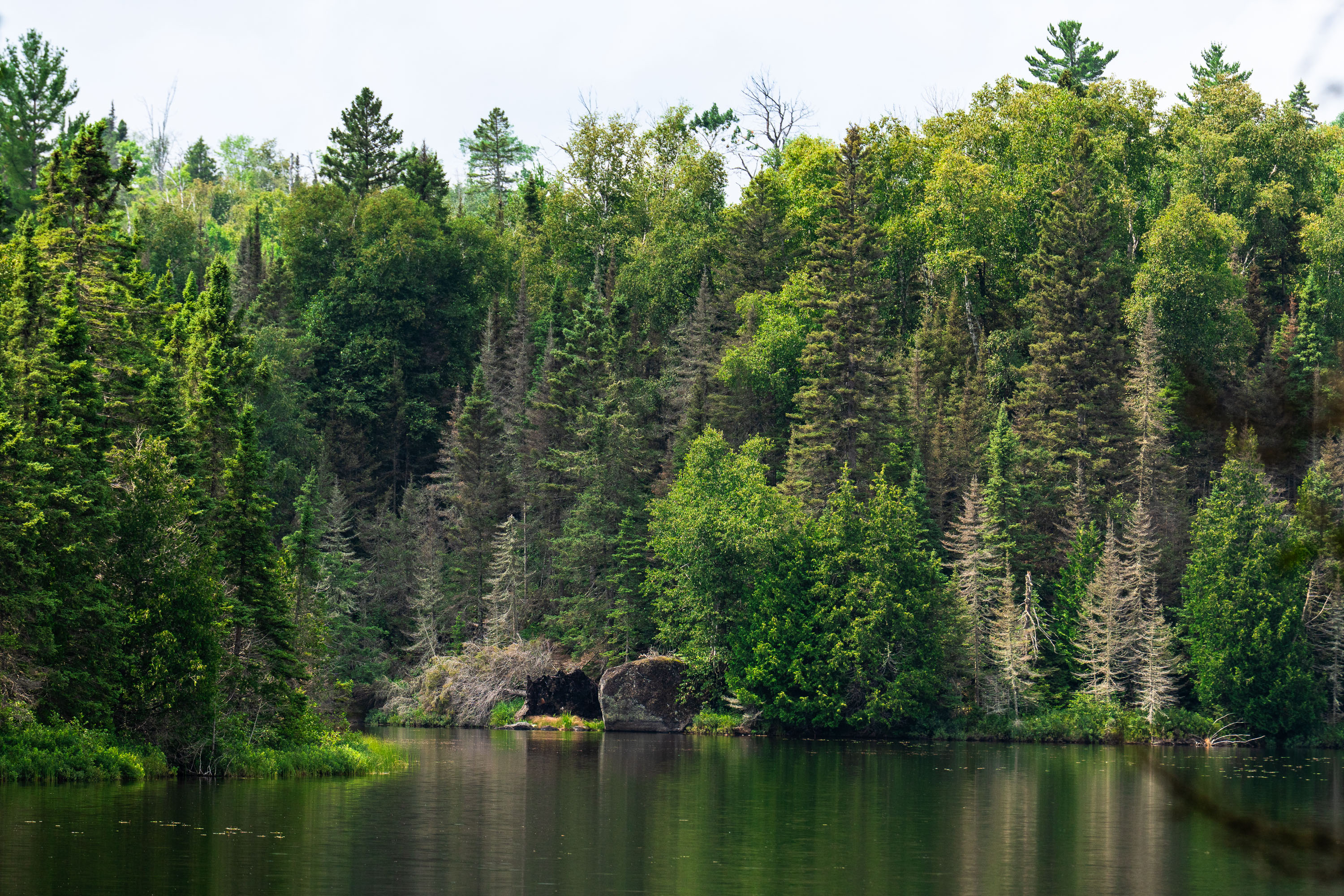
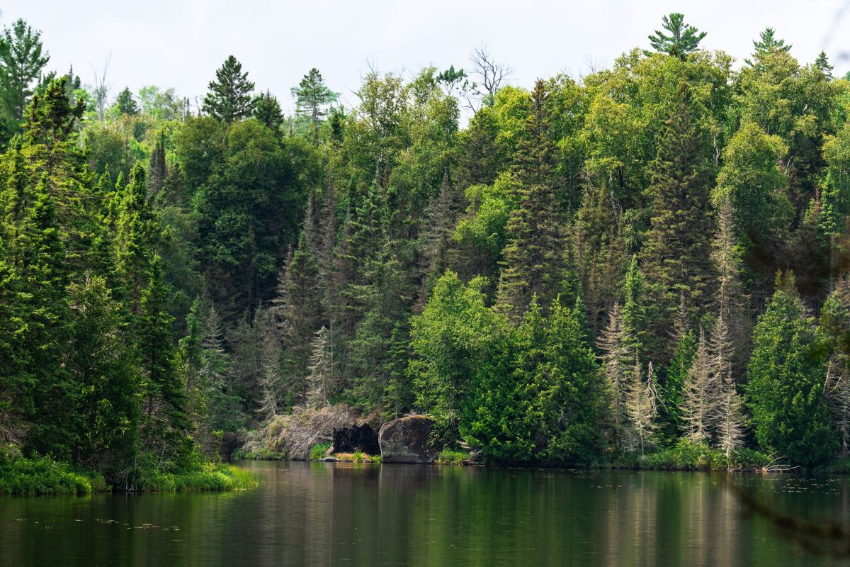
Homestead Lake, Superior National Forest, Minnesota
Homestead Lake in the Superior National Forest. As seen in July 2026.

Homestead Lake, Superior National Forest, Minnesota

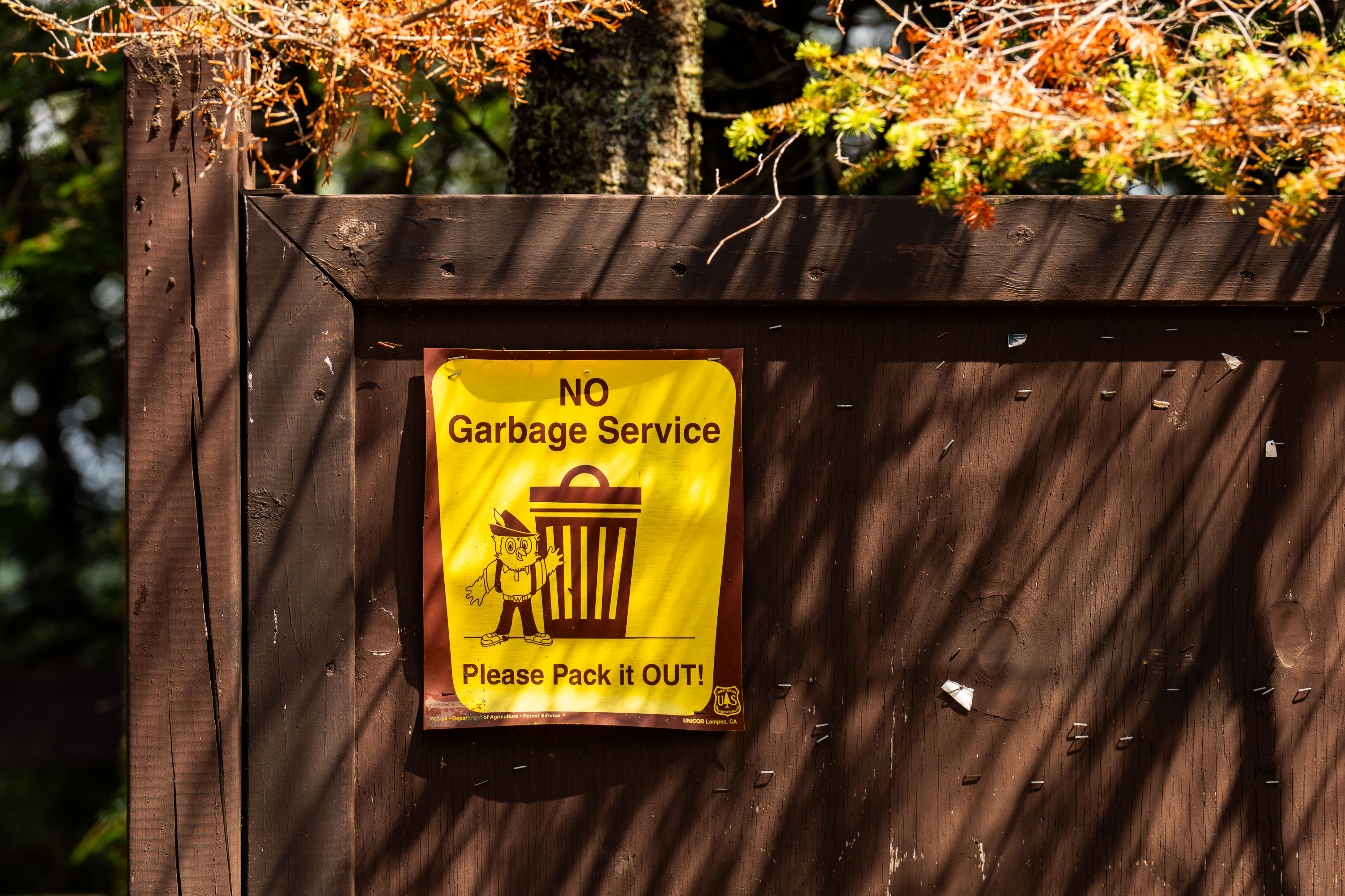
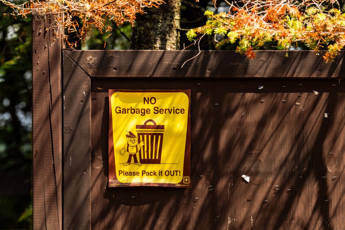
No Garbage Service sign in the Superior National Forest
A sign in the Superior National Forest that reads "No Garbage Service Please Pack It OUT!"

No Garbage Service Sign, Superior National Forest
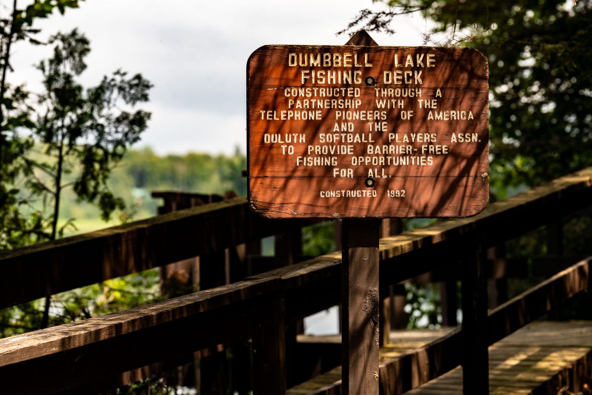
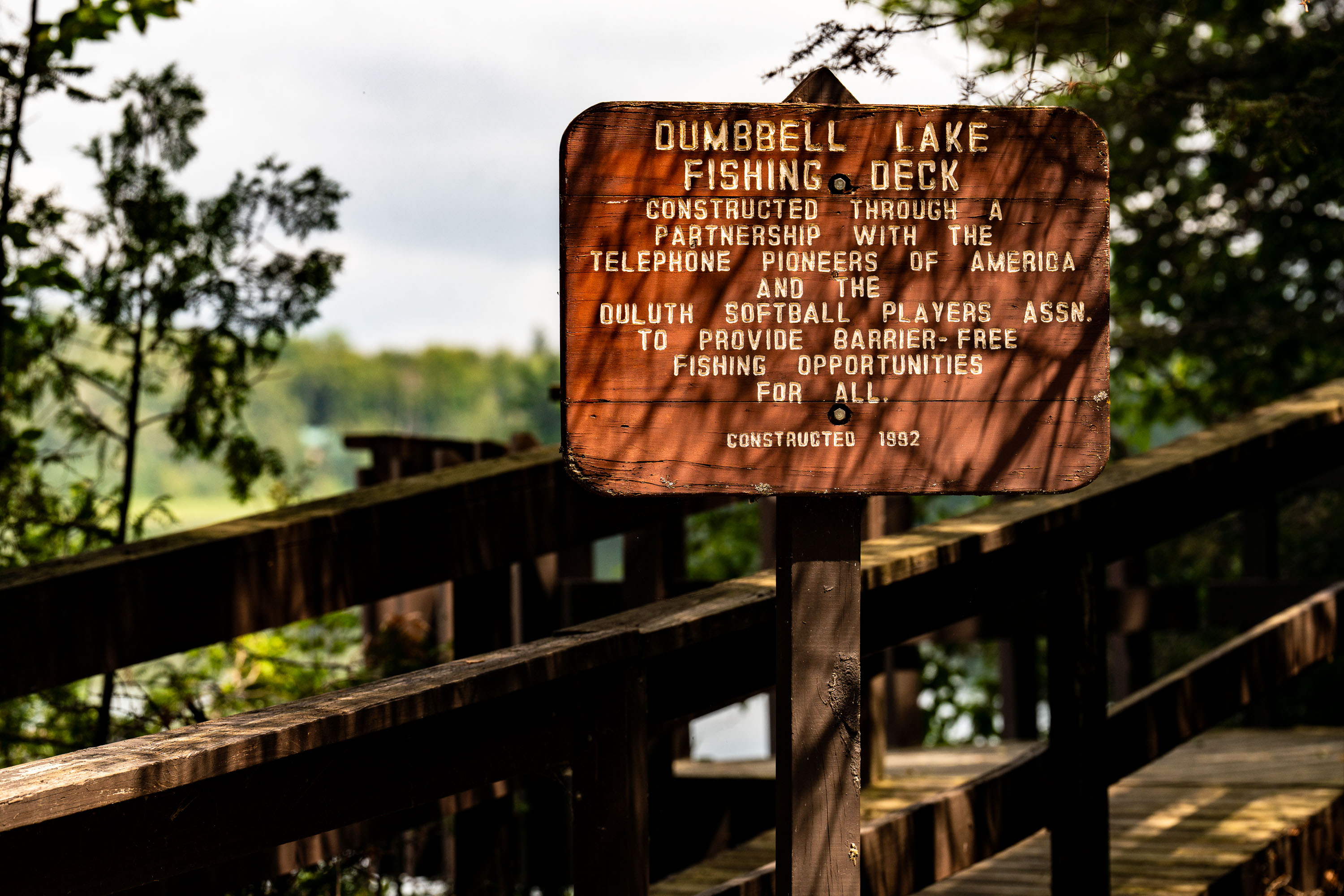
Dumbbell Lake Fishing Deck, Superior National Forest
A sign on the Dumbbell Lake Fishing Deck that reads "Dumbbell Lake Fishing Deck Constructed through a partnership with the Telephone Pioneers of America and the Duluth Softball Players Assn. to provide barrier-free fishing opportunities for all. Constructed 1992"

Dumbbell Lake Fishing Deck, Superior National Forest

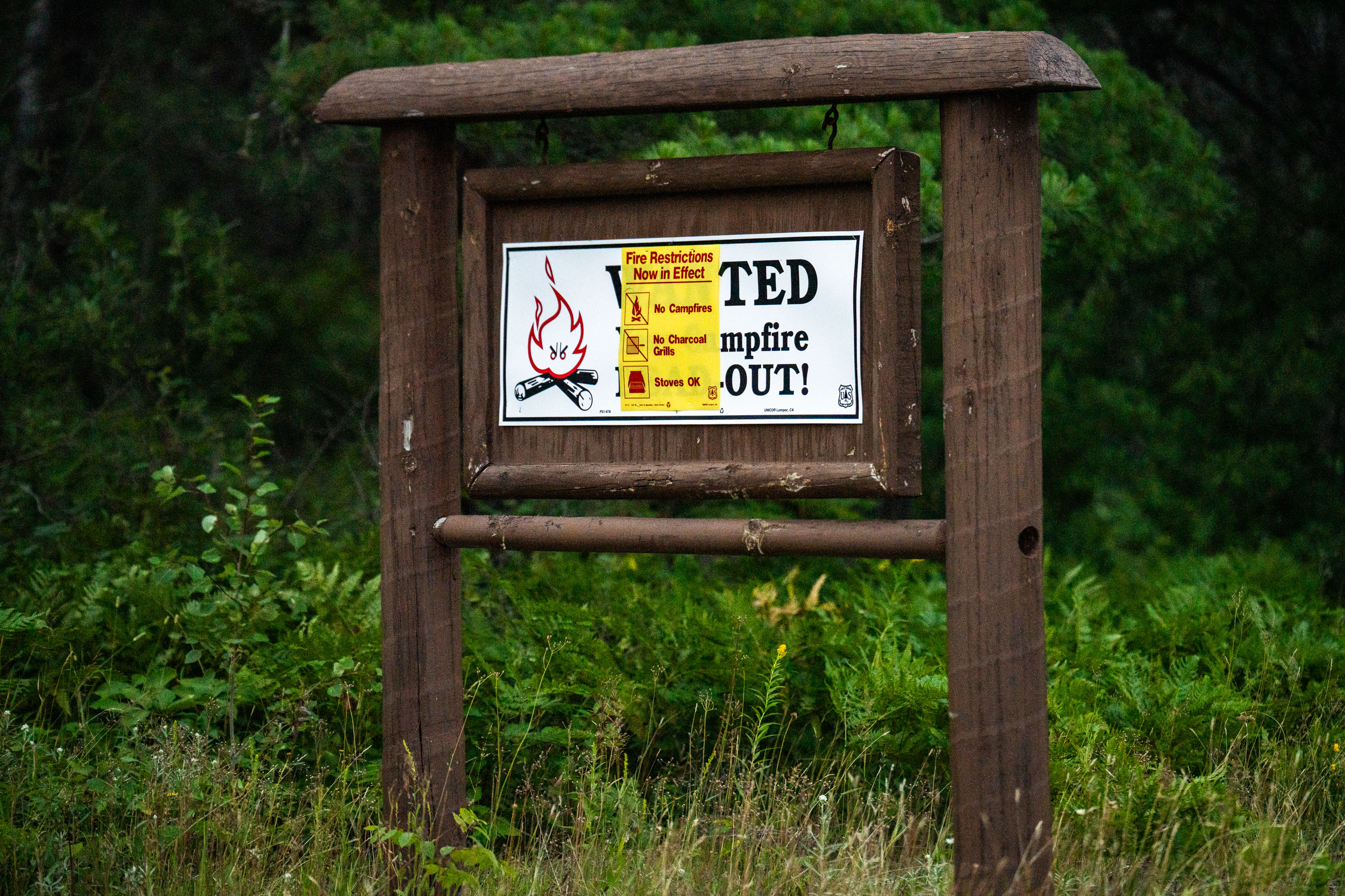
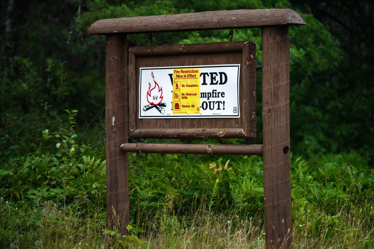
Fire restrictions sign in Minnesota

"Fire restrictions now in effect" sign seen in the Superior National Forest on Jukly 26, 2026.

Fire restrictions sign in Minnesota

No Fires flag in Superior National Forest fire pit
No Fires Due to Wildfire Danger flag seen in a fire pit in the Superior National Forest on July 25, 2026. There has been a campfire ban with BWCA closures this year due to multiple fires burning.

No Fires flag in Superior National Forest fire pit

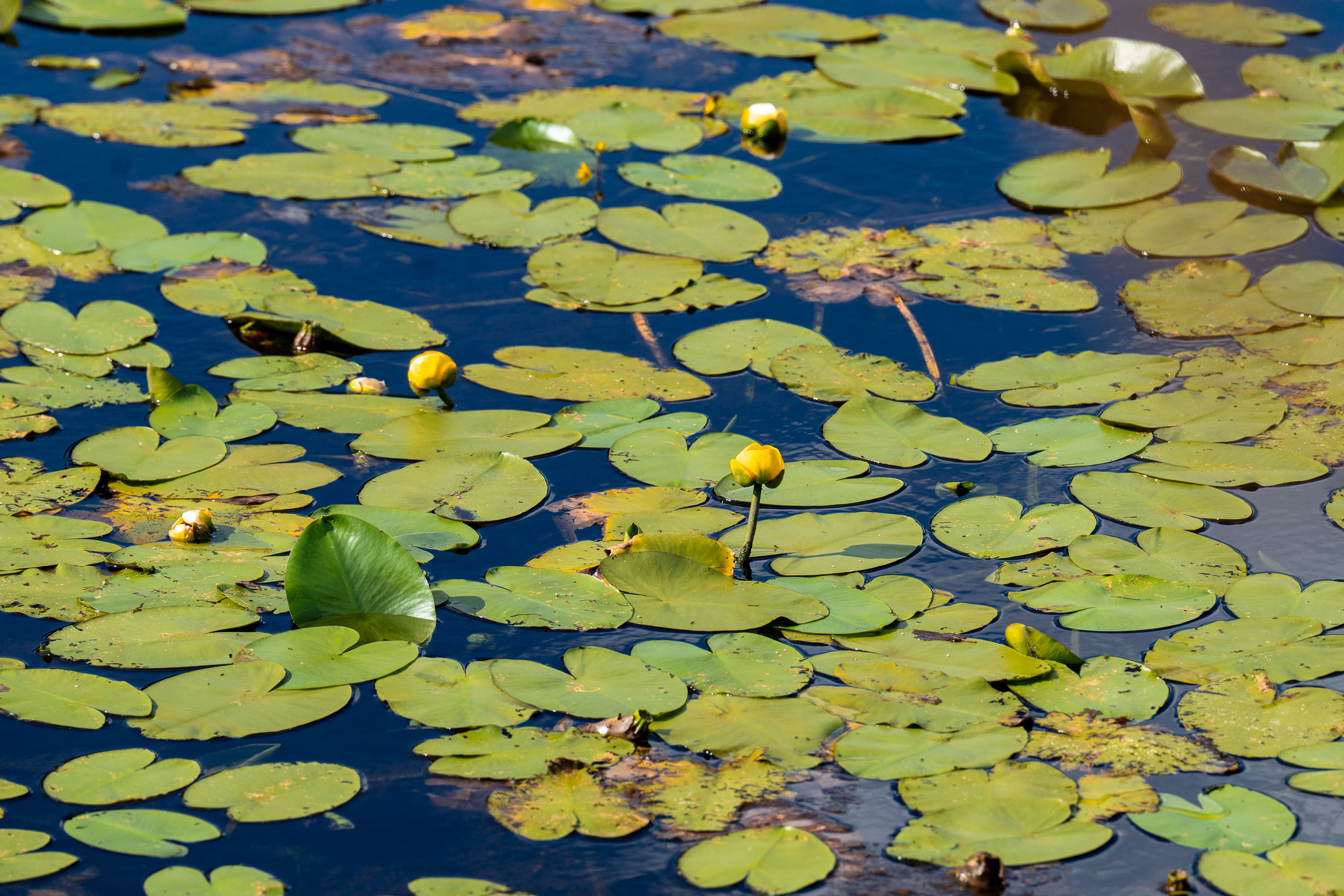
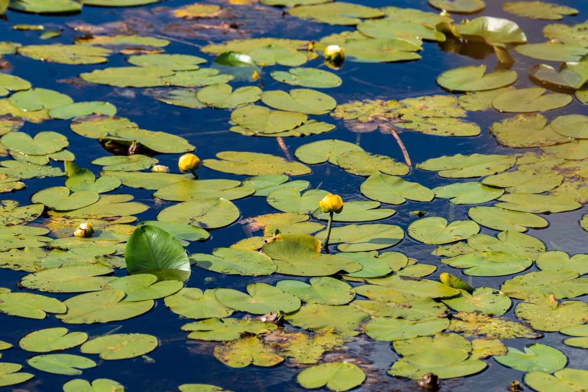
Dense covering of green lily pads and yellow pond lily flowers floating on a calm freshwater pond.
Yellow pond lilies (*Nuphar* species) and their broad floating pads cover the surface of a calm freshwater pond. Nuphar, commonly called yellow pond lilies or spatterdock, are native aquatic plants found throughout North America in lakes, ponds, and slow-moving streams. The plants root in bottom sediment and send up long stems that support both the floating leaves and the small, globe-shaped yellow flowers visible above the water's surface.

Yellow Pond Lilies and Lily Pads on Still Water
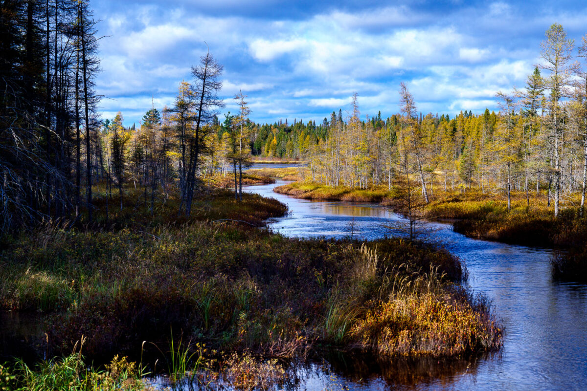
West Baptism River winds through coniferous forest in Superior National Forest, Minnesota.
The West Baptism River flows through the Superior National Forest near Isabella, Minnesota. This waterway is part of the Boundary Waters Canoe Area Wilderness, a protected region known for its pristine lakes and rivers. The forest itself is a significant ecological area, supporting diverse wildlife and showcasing the natural beauty of the North Shore region. The river's name is believed to originate from early European explorers or missionaries who may have performed baptisms in its waters.

West Baptism River, Superior National Forest, Minnesota
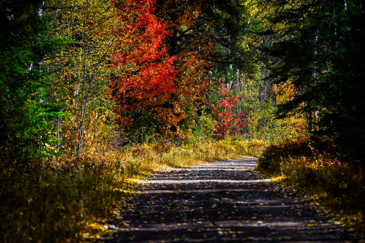
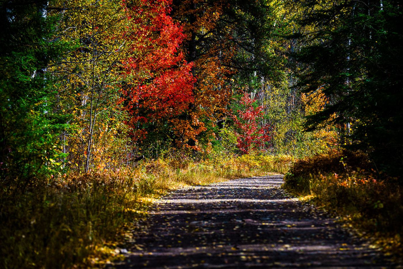
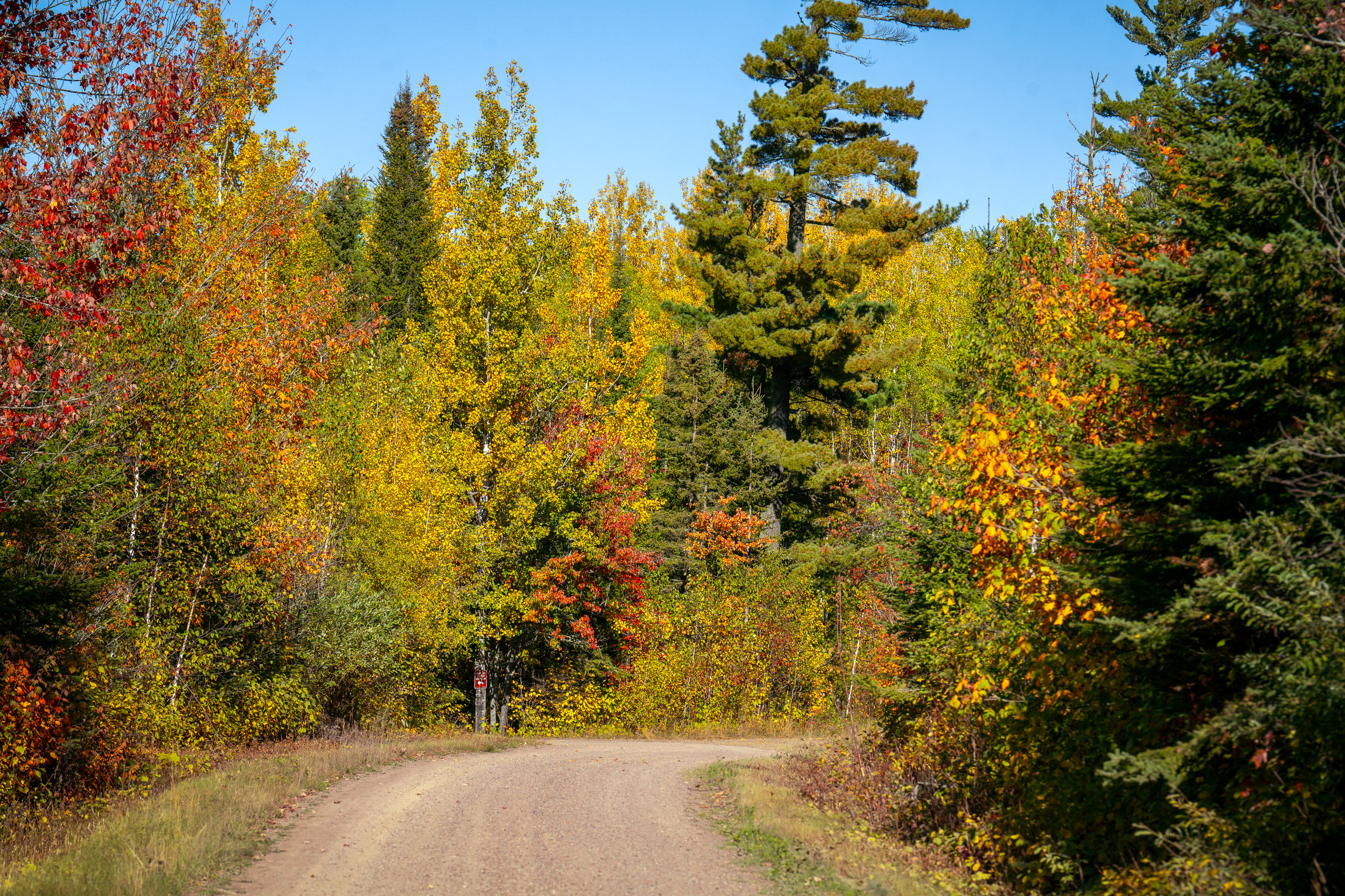
A gravel road winds through Superior National Forest in Minnesota during autumn, showcasing vibrant fall foliage.
A gravel road winds through the Superior National Forest in northern Minnesota during autumn. This forest, established in 1932, encompasses over 3 million acres and is the largest national forest east of the Mississippi River. It is renowned for its vast wilderness, including the Boundary Waters Canoe Area Wilderness, and serves as a critical habitat for diverse wildlife. The road provides access for visitors to explore the forest's natural beauty and recreational opportunities, particularly during the fall foliage season.

Superior National Forest Road in Autumn, Minnesota
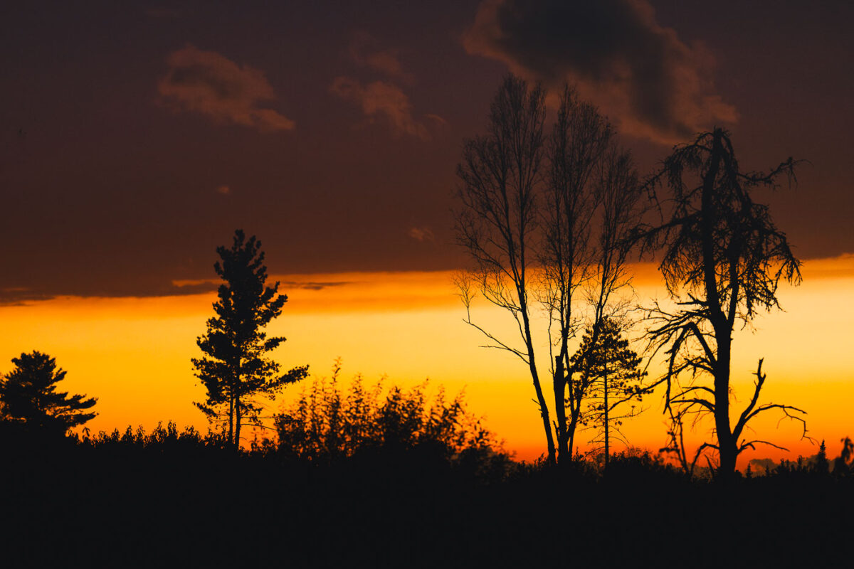
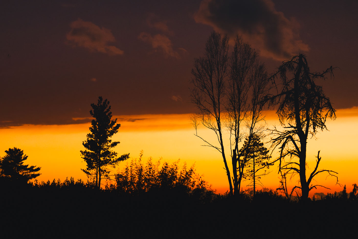
Sunset clouds in National Forest
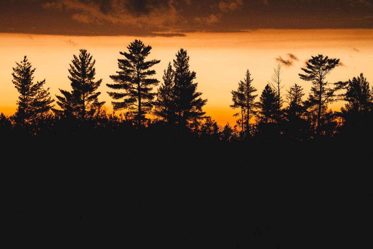
Sunset in the Superior National Forest in Northern Minnesota.

Sunset clouds in National Forest

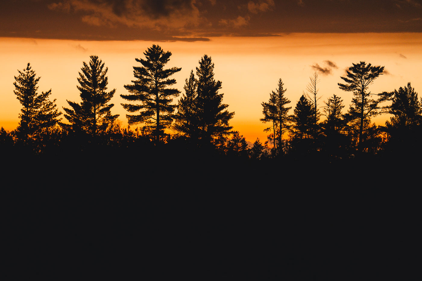
Autumn sunset trees in Minnesota
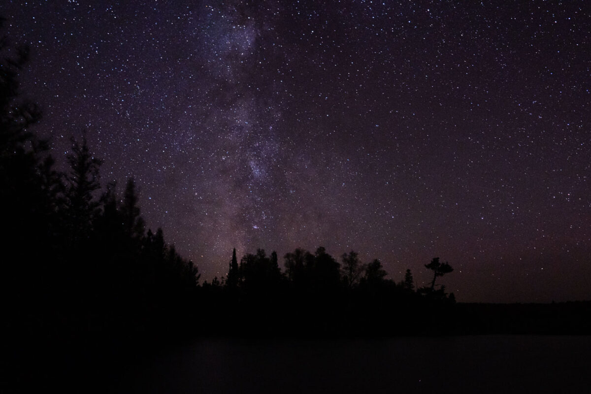
Sunset in the Superior National Forest in Northern Minnesota.

Autumn sunset trees in Minnesota

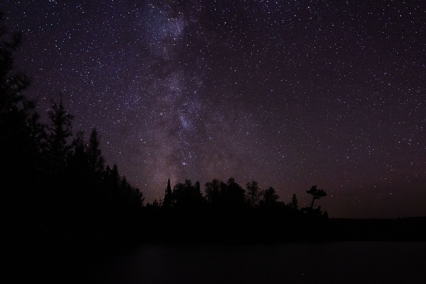
Milky Way galaxy above the treeline of Superior National Forest in Minnesota at night.
The Milky Way galaxy is visible above the treeline of the Superior National Forest in Minnesota, near the Boundary Waters Canoe Area Wilderness (BWCAW). Established in 1964, the BWCAW protects over a million acres of lakes and forests, preserving a pristine natural environment. This region's minimal light pollution makes it an ideal location for astronomical observation, offering unobstructed views of the cosmos. The vast wilderness of the Superior National Forest has been a protected area since 1909, safeguarding its natural character for future generations.

Milky Way Over Superior National Forest, Minnesota
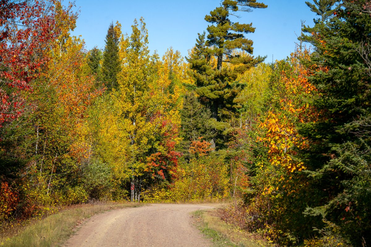
Dirt road through Superior National Forest lined with autumn foliage in Northern Minnesota.
Superior National Forest covers more than 3 million acres of northeastern Minnesota, making it the largest national forest east of the Mississippi River. The Forest Service manages the land for timber, recreation, and wildlife habitat, with birch and aspen stands turning gold and orange each September alongside stands of red and white pine. Gravel and dirt roads, many built originally for logging access, crisscross the forest and remain open to the public for driving, hiking, and hunting. The forest also contains the Boundary Waters Canoe Area Wilderness along its northern edge, one of the most visited wilderness areas in the country.

Gravel Forest Road in Autumn, Superior National Forest
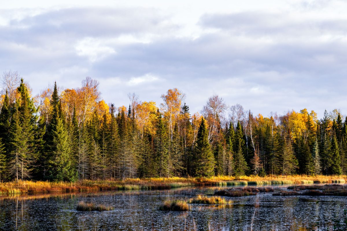
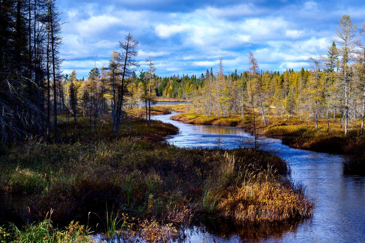
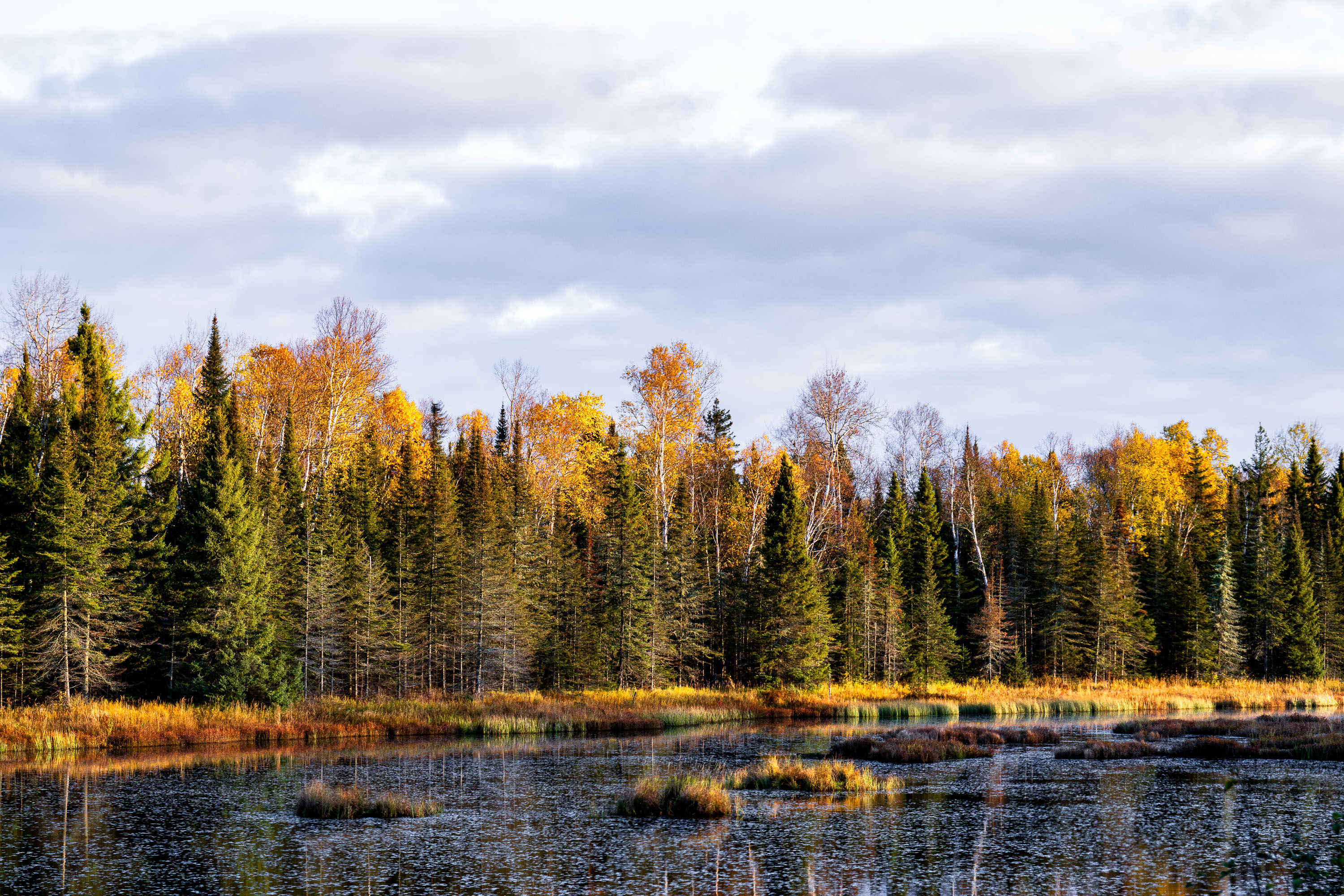
Boreal forest with birch and conifer trees in autumn colors beside a northern Minnesota wetland.
The Superior National Forest covers more than three million acres across northeastern Minnesota, stretching along the Canadian border from near International Falls to Grand Portage. Congress established it in 1909, and the U.S. Forest Service now manages it as one of the most water-rich forests in the country, with roughly 2,000 lakes and hundreds of miles of streams and wetlands like the one pictured here. More than a million acres of the forest fall within the Boundary Waters Canoe Area Wilderness, the most-visited wilderness area in the United States. The forest's mix of birch, aspen, and conifer stands produces some of the region's most reliable fall color displays each October.

Wetland Marsh in Autumn, Superior National Forest, Minnesota
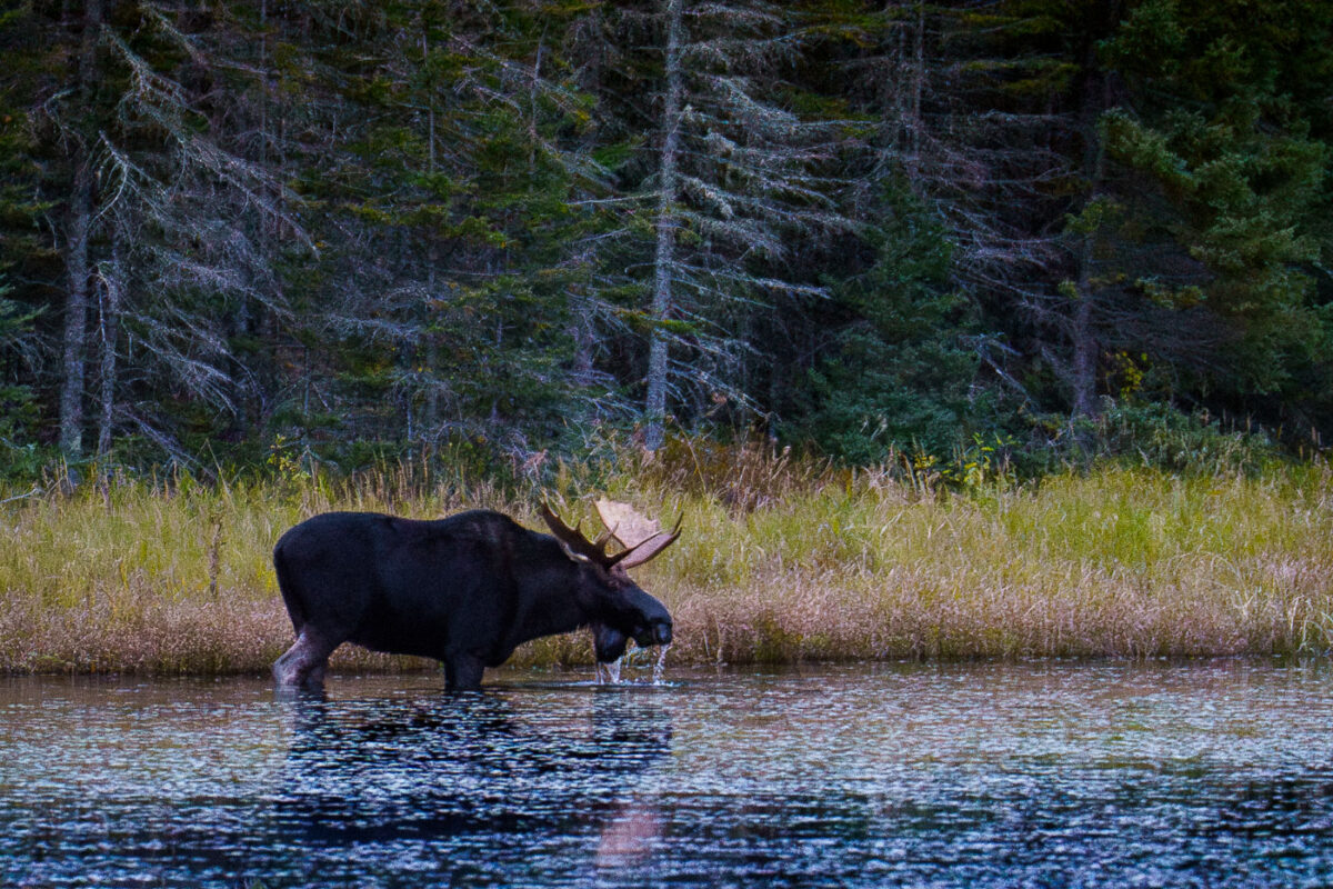
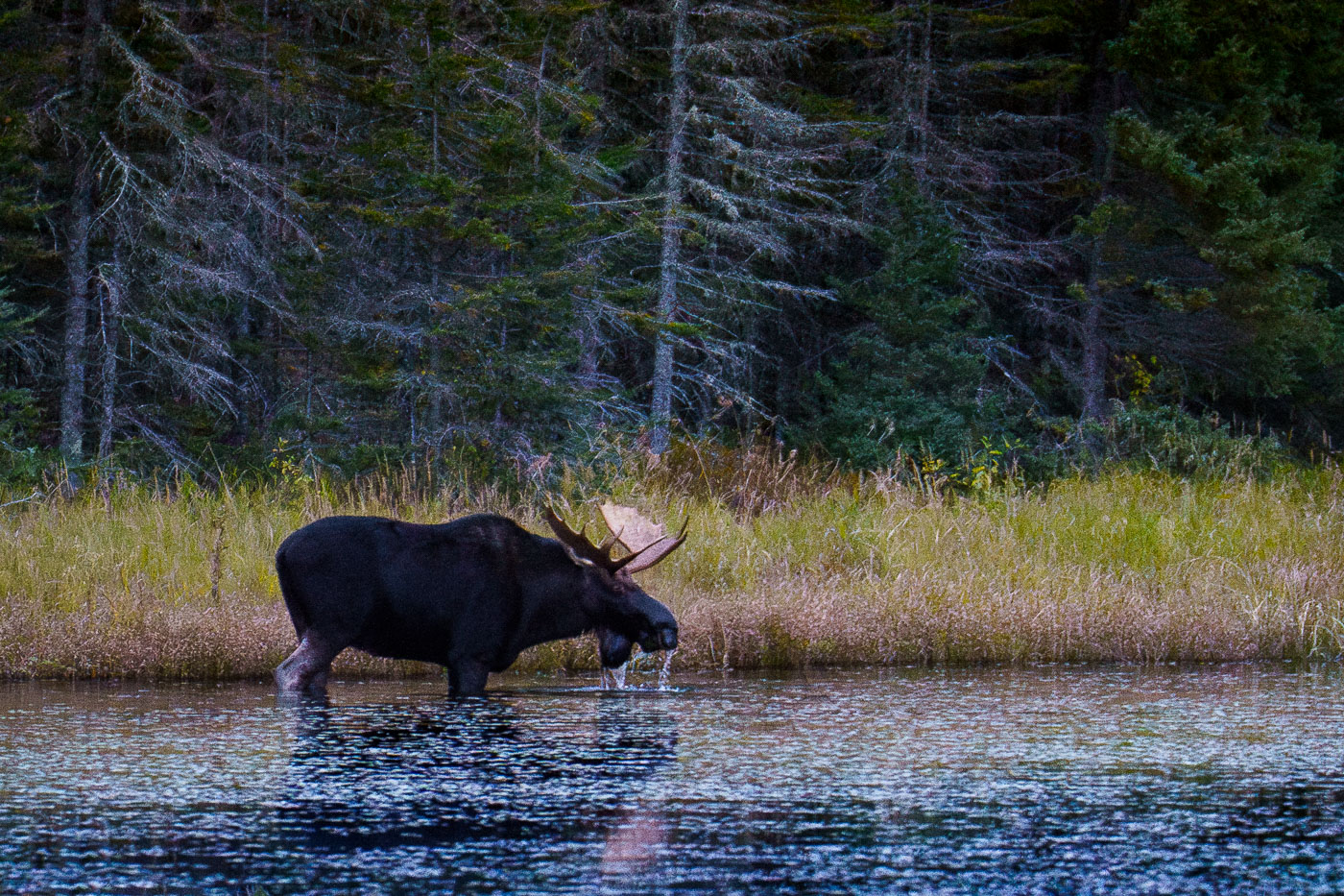
A bull moose drinks water in the Superior National Forest, Minnesota, surrounded by boreal forest and lake in October 2023.
A bull moose stands in the shallow water of a lake in the Superior National Forest, Minnesota, drinking in October 2023. The dense boreal forest forms the backdrop to the tranquil waters where the animal is foraging. This image documents a common sight within the protected wilderness area, which is known for its extensive lake systems and abundant wildlife. The Superior National Forest is a vital habitat for moose populations in the region, supporting ecological balance and offering opportunities for wildlife observation.

Moose Drinks Water in Superior National Forest, Minnesota
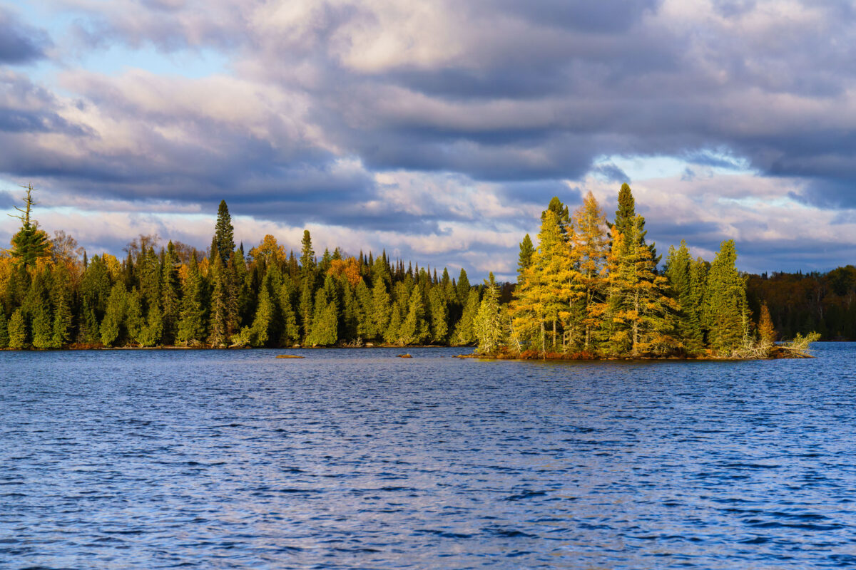
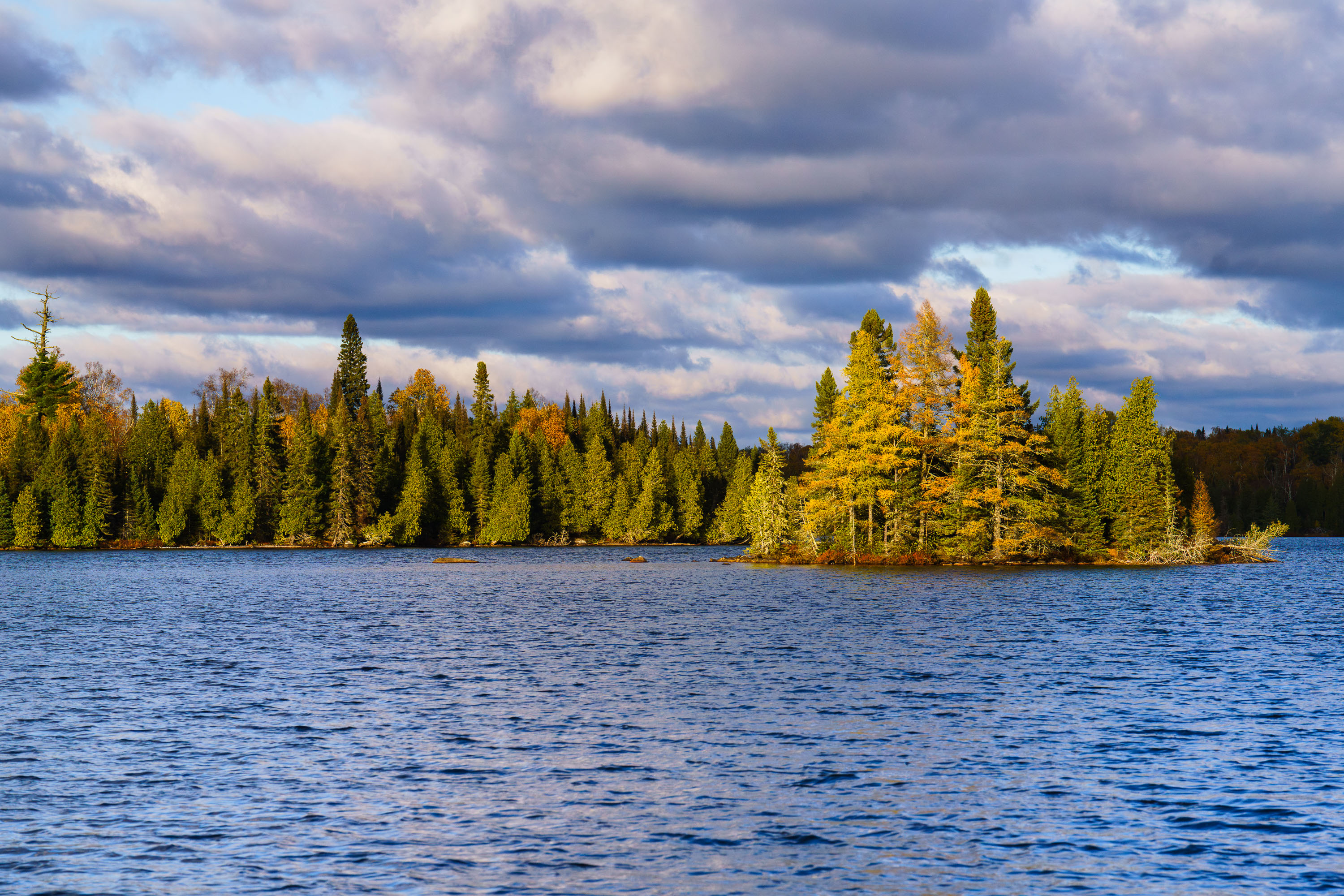
Richey Lake in Superior National Forest, Minnesota, features a tree-lined shore and a small island under a cloudy October sky.
Richey Lake is visible in the Superior National Forest, Northern Minnesota, under a dramatic, cloud-filled sky in October 2023. The image shows a body of water with a tree-lined shore and a small, wooded island. The Superior National Forest is a protected area in northeastern Minnesota known for its wilderness and extensive lake systems. This photograph captures the natural landscape during the autumn season, highlighting the transition of foliage colors amidst the evergreen trees.

Richey Lake, Superior National Forest, Minnesota
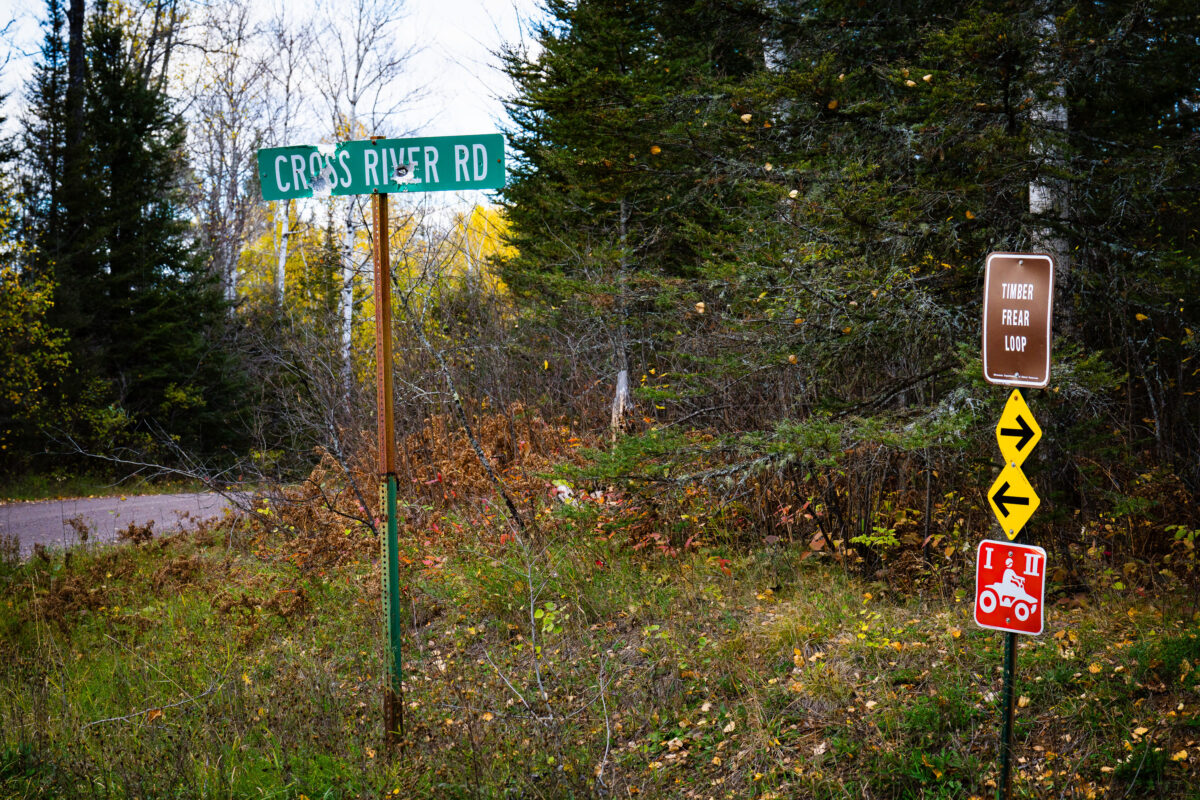
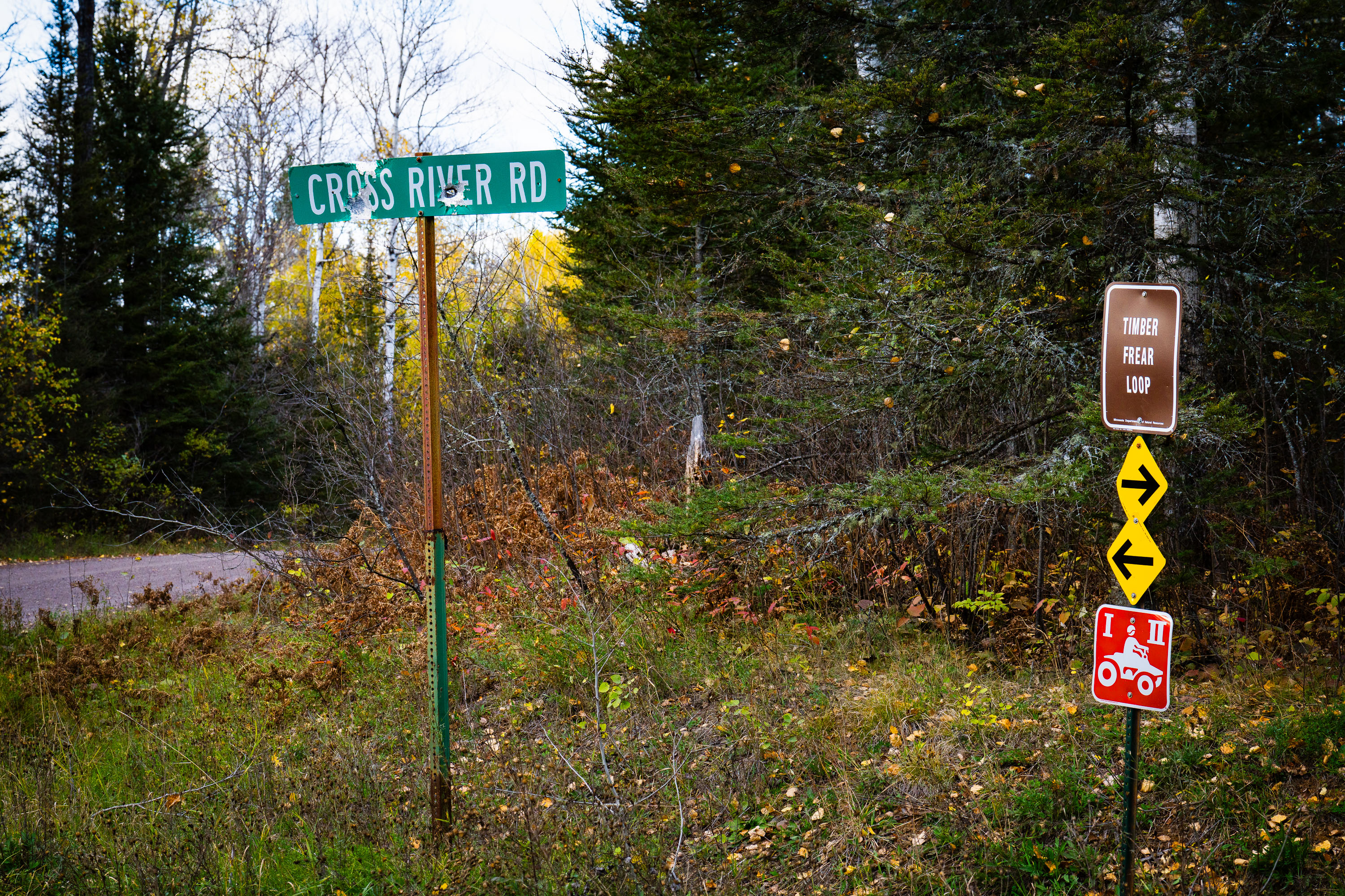
Signs for Cross River Rd and Timber Frear Loop in Superior National Forest, Minnesota, indicate routes for vehicles and ATVs along a gravel road.
A green sign reads "CROSS RIVER RD". Nearby, a brown sign indicates "TIMBER FREAR LOOP" with directional arrows and a red sign featuring a white silhouette of an ATV rider. The signs are situated along a gravel road surrounded by dense forest and autumnal foliage in the Superior National Forest, Minnesota.

Superior National Forest: Cross River Rd & Timber Frear Loop
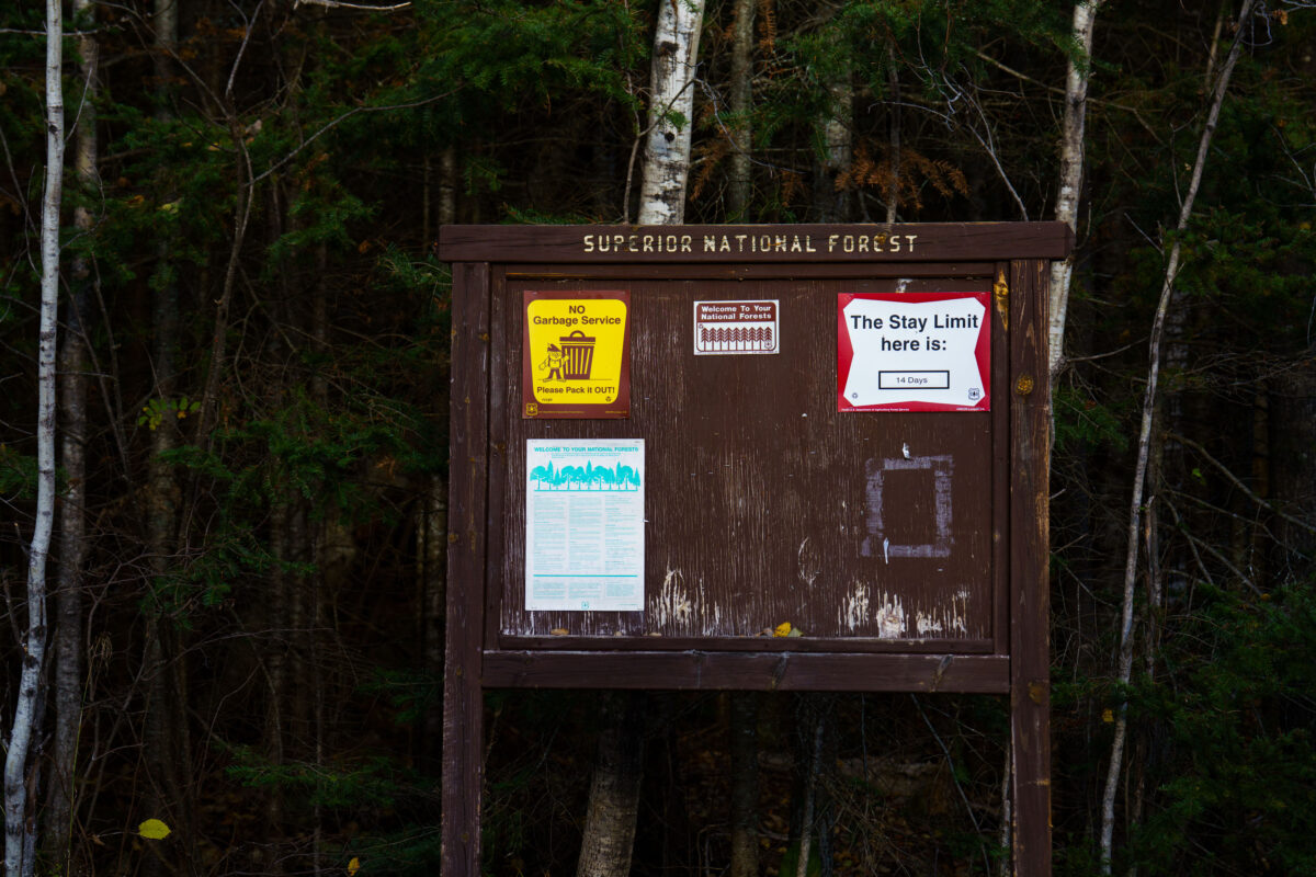
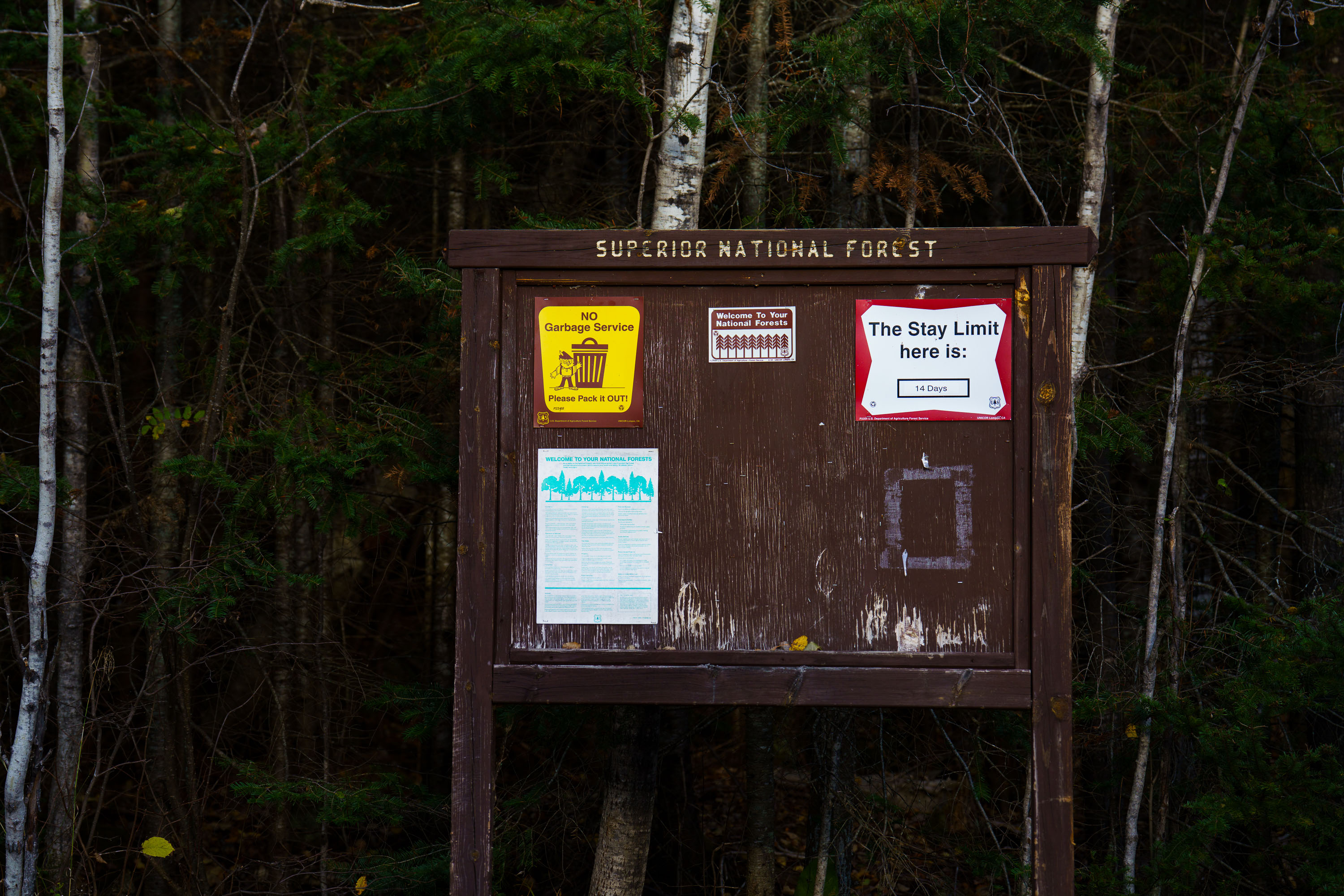
Superior National Forest sign at Whitefish Lake Campground, MN, displays regulations including 'NO Garbage Service Please Pack it OUT!' and a 14-day stay limit.
A weathered wooden signpost at Whitefish Lake Campground in Superior National Forest, Minnesota, displays regulations including 'NO Garbage Service Please Pack it OUT!' and 'The Stay Limit here is: 14 Days'. The sign also includes information about welcoming visitors to the national forests and general rules for their use. The photograph was taken in October 2023, amidst the dense boreal forest characteristic of Northern Minnesota. This sign serves as a directive for campers and visitors, emphasizing self-sufficiency and adherence to the U.S. Forest Service's guidelines for managing public lands. The presence of the stay limit indicates a regulated approach to resource management and visitor access within the campground. Campground, Minnesota, Sign, Superior National Forest, Whitefish Lake, Camping Regulations, Public Lands

Superior National Forest Sign, Whitefish Lake Campground, MN
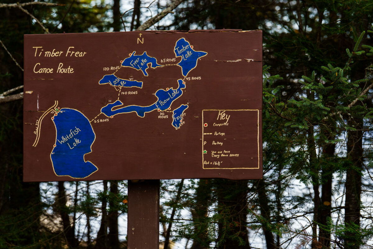
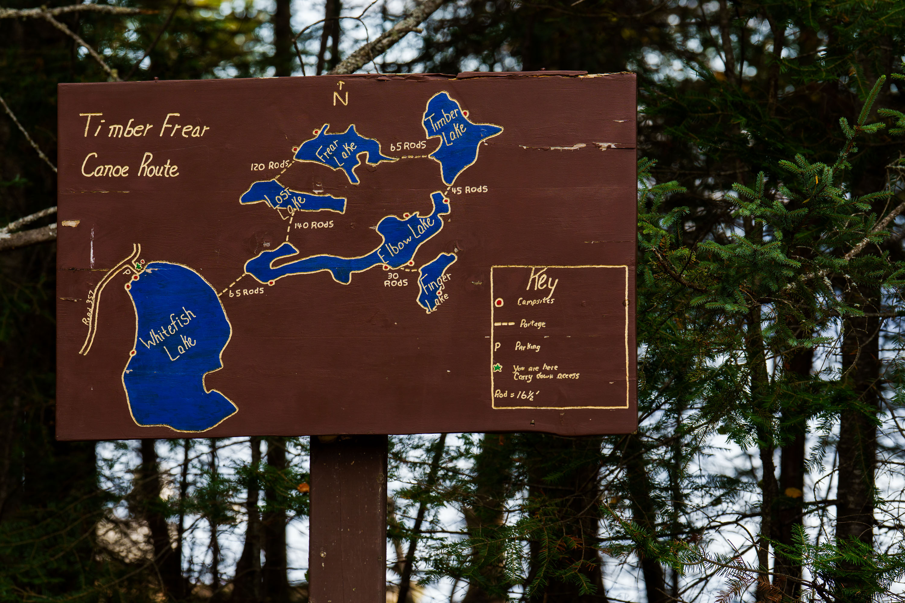
Hand-painted map on wooden sign details the Timber Frear Canoe Route in Superior National Forest, Minnesota, showing lakes, portages, and campsites.
A hand-painted map on a wooden sign details the Timber Frear Canoe Route in Minnesota's Superior National Forest. The map illustrates interconnected lakes including Whitefish Lake, Frear Lake, and Elbow Lake, with portage distances and campsite locations marked. A key explains symbols for campsites, portages, parking, and the user's current location.

Timber Frear Canoe Route Map, Superior National Forest
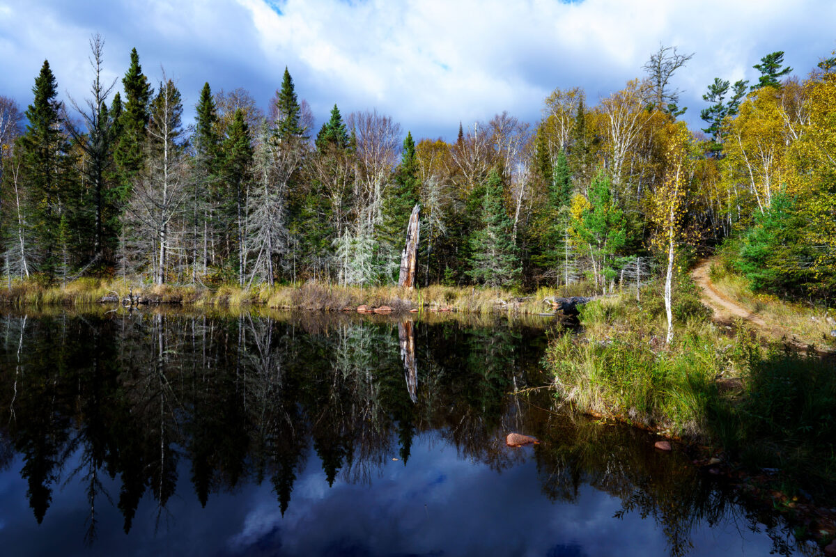
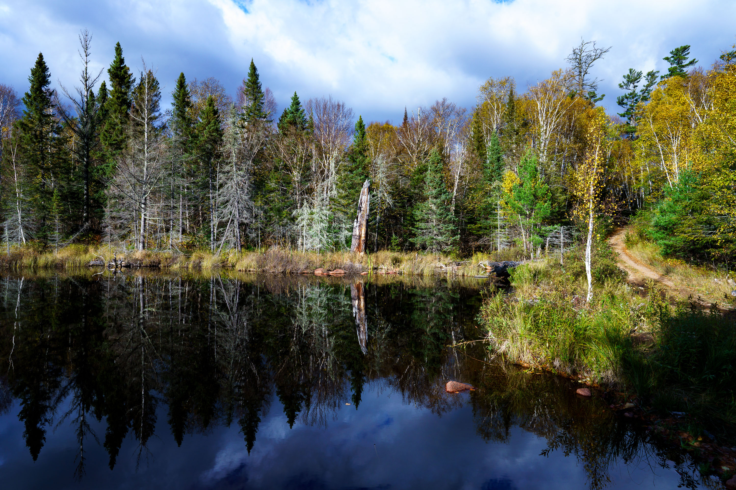
Autumn foliage reflects in a calm lake within Superior National Forest, Minnesota. A dirt path winds through the trees on the right bank.
Autumn foliage lines the shore of a lake in Superior National Forest, Minnesota. The forest, established in 1932, is a protected area known for its wilderness and natural beauty.

Superior National Forest, Minnesota: Autumn Colors Reflected
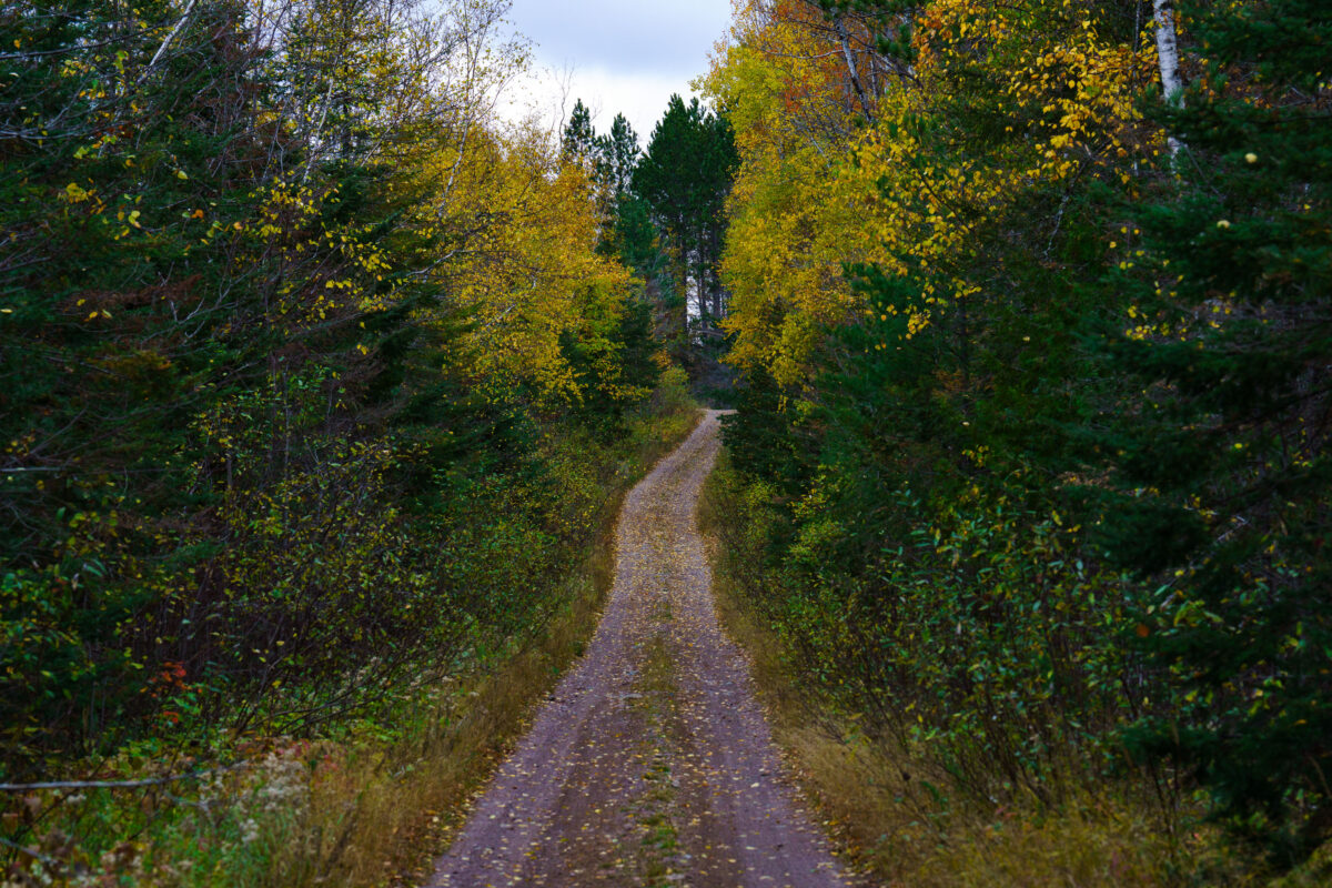
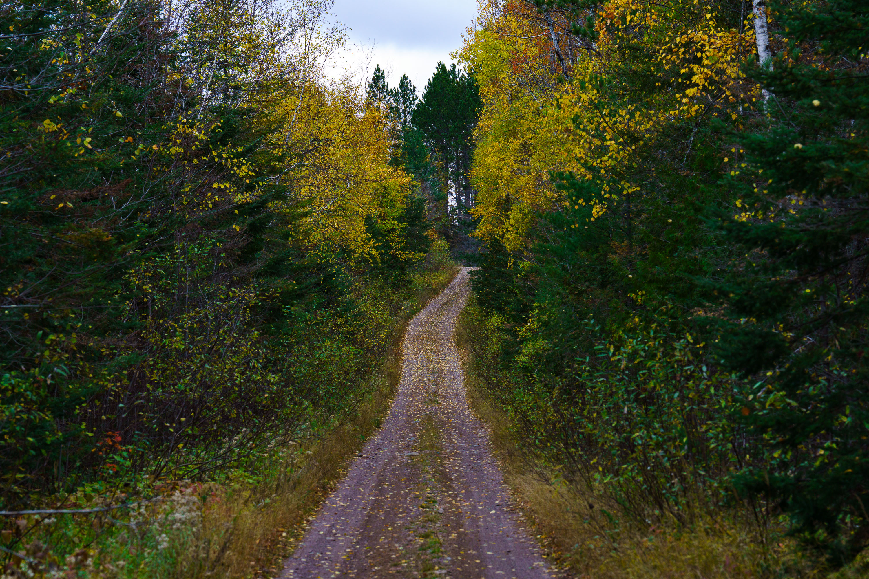
A dirt road winds through the Timber Frear Loop in Minnesota's Superior National Forest during autumn, surrounded by trees with yellow and green foliage.
A dirt road winds through the Timber Frear Loop in Minnesota's Superior National Forest during autumn. The path is covered with fallen leaves, and the surrounding trees display vibrant yellow and green foliage.

Timber Frear Loop, Superior National Forest, Minnesota
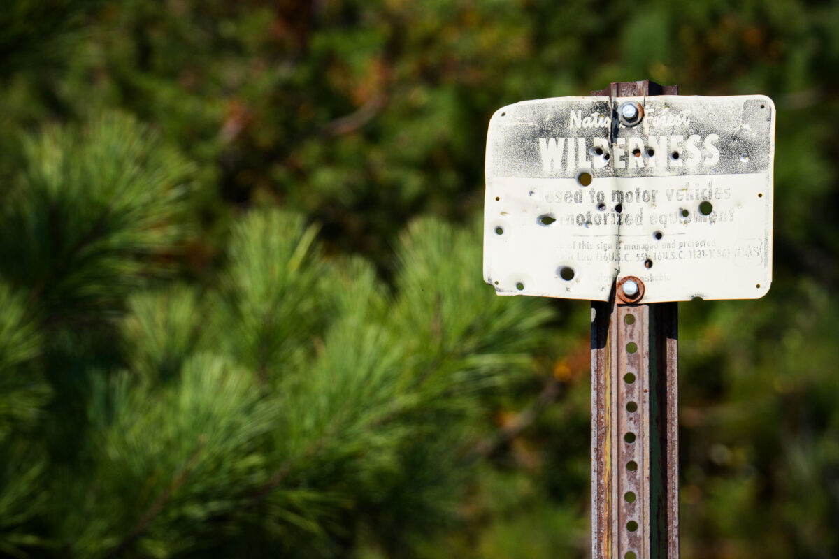
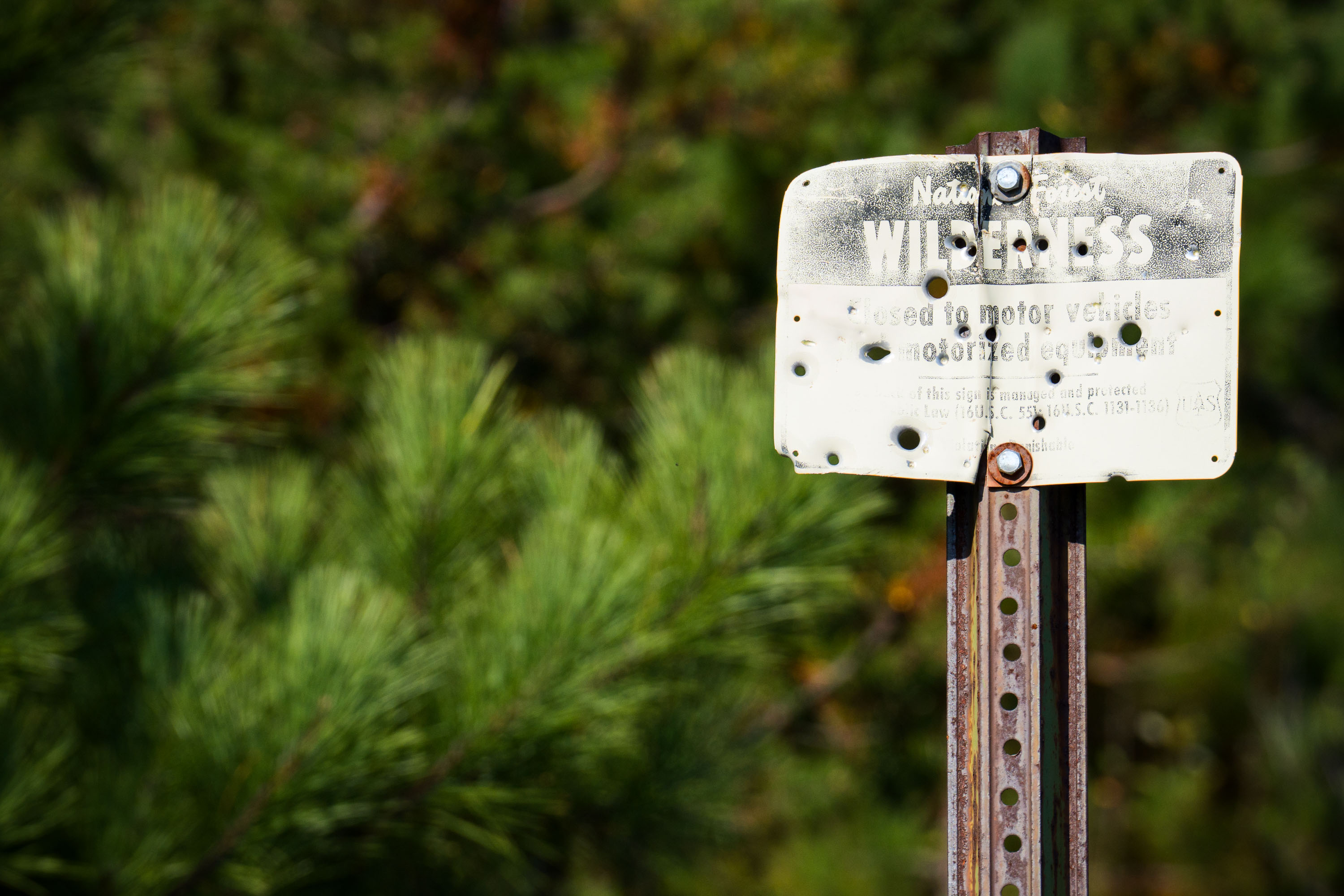
A weathered sign in the Superior National Forest, Boundary Waters, MN, states "WILDERNESS" and is closed to motor vehicles, preserving the natural character of the area.
A weathered sign in the Superior National Forest, Boundary Waters, reads "WILDERNESS" and "Closed to motor vehicles and motorized equipment." The sign also states, "It is the policy of this sign manager and protected by Law (16U.S.C. 1131-1136) that it is unlawful to disturb or damage this sign." The Boundary Waters Canoe Area Wilderness is a federally designated wilderness area in Minnesota, managed by the U.S. Forest Service. Its designation protects the area from commercial development and motorized use, preserving its natural character for primitive recreation.

Boundary Waters Wilderness Sign, Superior National Forest, MN
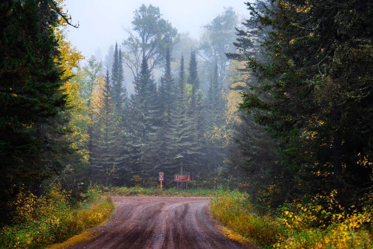
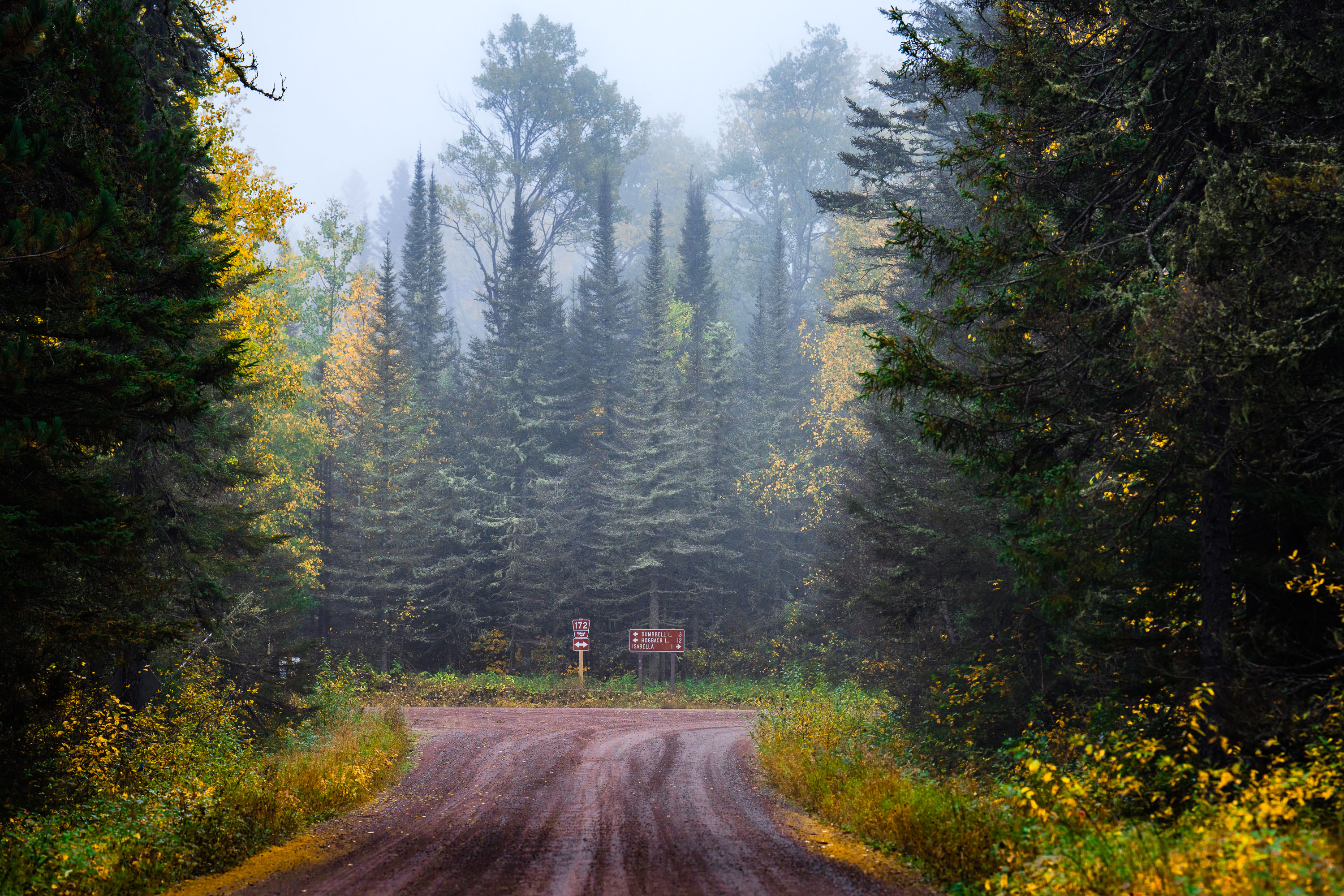
A gravel road winds through a foggy coniferous forest in Superior National Forest, Minnesota, with signs pointing to Dumbbell Lake and Hogback Lake.
A gravel road winds through the dense coniferous forest of Superior National Forest near Isabella, Minnesota. Signs indicate Route 172 and directions to Dumbbell Lake and Hogback Lake. The autumn foliage is visible amidst the evergreen trees, with fog obscuring the distance.

Foggy Road in Superior National Forest, Minnesota
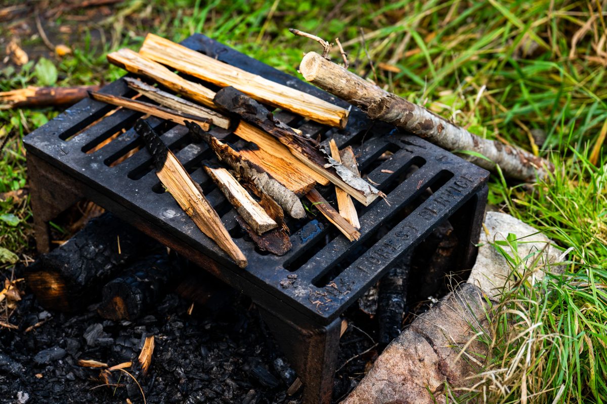
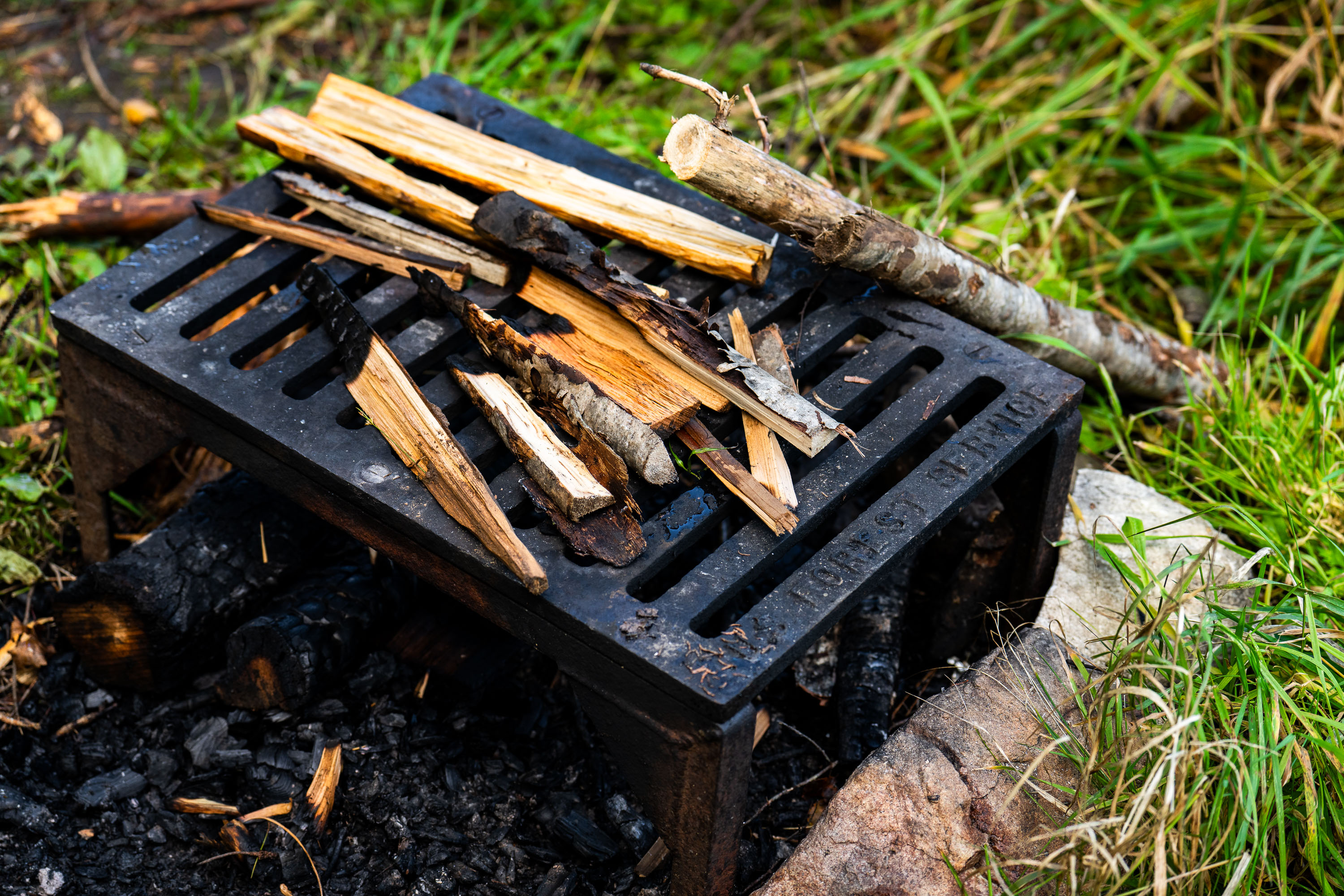
US Forest Service grate
A firepit grate from the US Forest Service seen near the Gunflint Trail in Minnesota.

US Forest Service grate

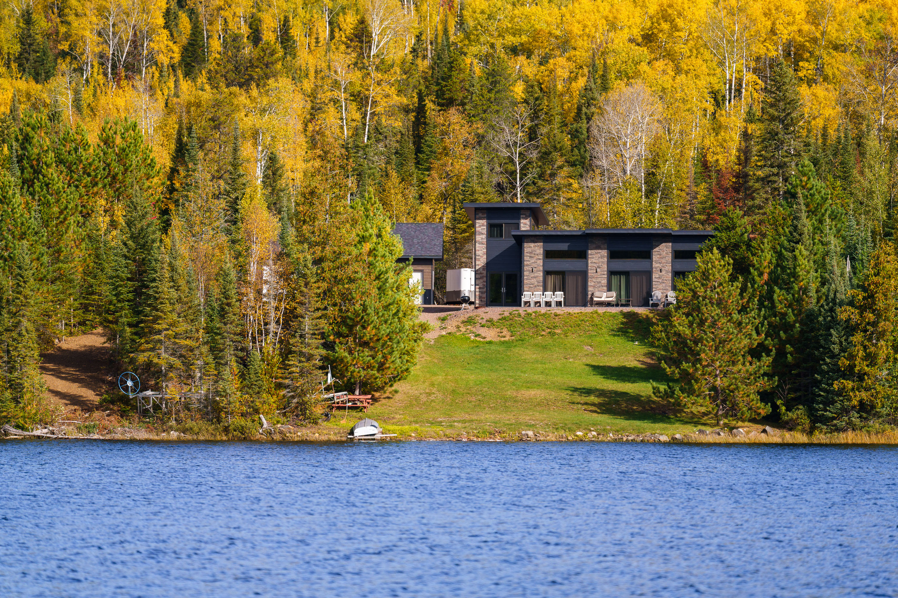
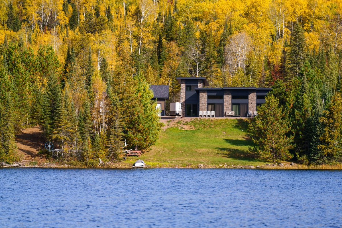
Modern home with stone facade on forested shoreline of Gunflint Lake, Minnesota, during autumn.
Gunflint Lake forms part of the international border between Minnesota and Ontario, Canada, within the Boundary Waters Canoe Area Wilderness and its Canadian counterpart, Quetico Provincial Park. The lake runs roughly six miles long and sits at the far end of the Gunflint Trail, about 45 miles northwest of Grand Marais. It's a popular put-in point for canoe and fishing trips into the connected chain of border lakes, and cabins along its shoreline are among the few private inholdings permitted within the wilderness boundary.

Lakeside Home Along the Gunflint Trail, Minnesota
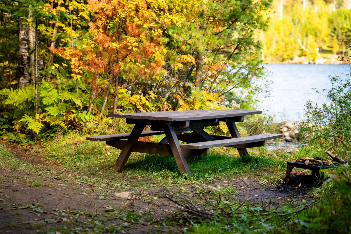
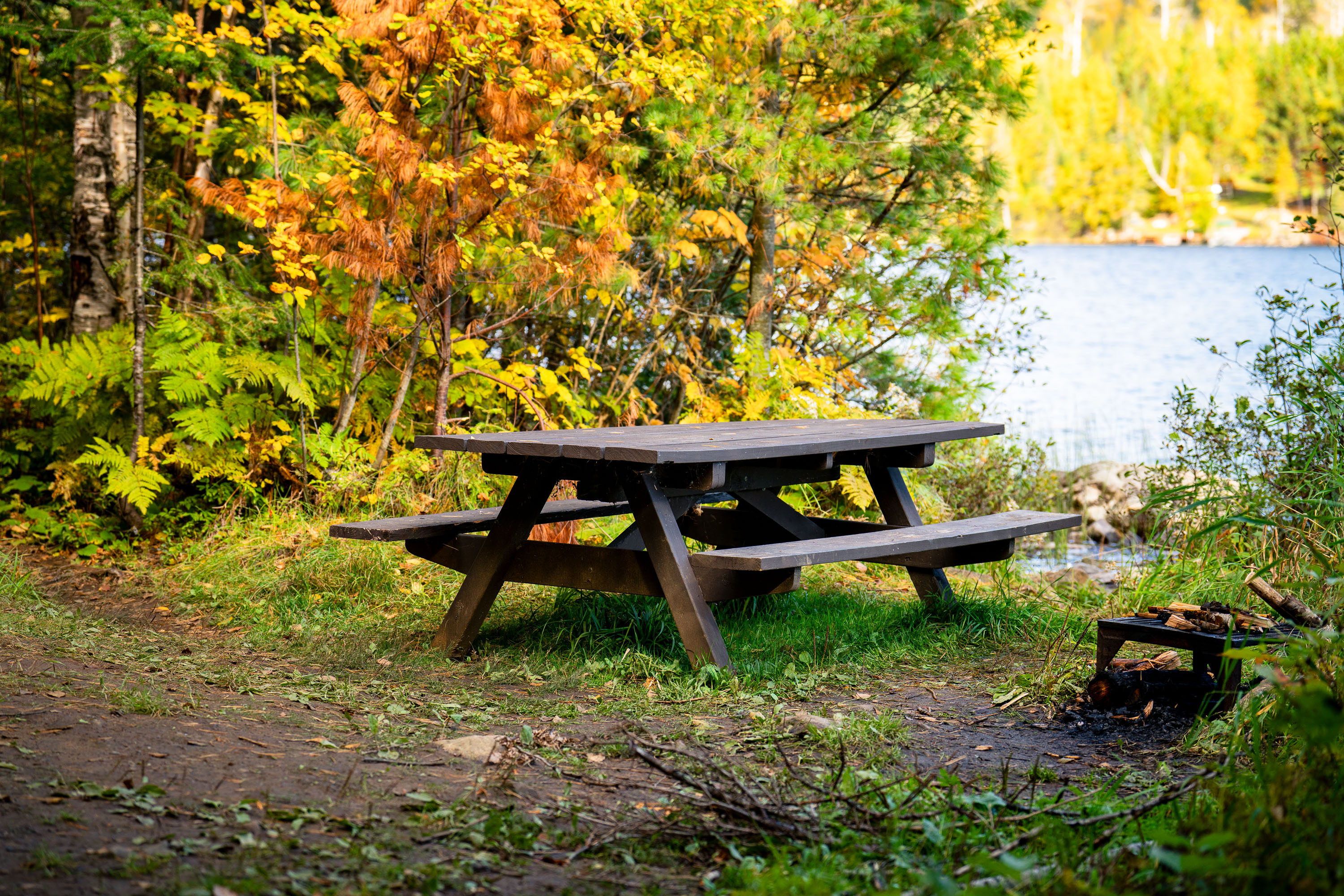
Gunflint Trail picnic table on Birch Lake
A picnic table next to Birch Lake on the Gunflint Trail in Northern Minnesota.

Picnic Table, Birch Lake, Gunflint Trail
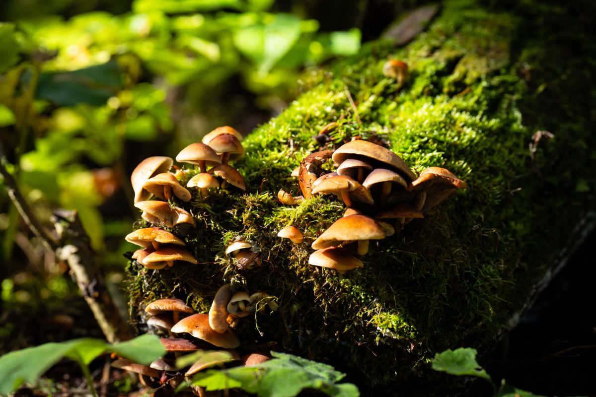
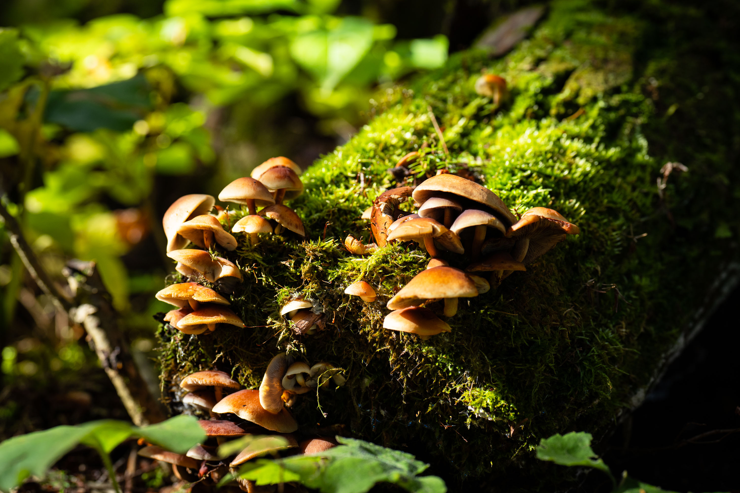
Cluster of gilled mushrooms growing on a moss-covered log in Superior National Forest, Minnesota.
Superior National Forest covers more than three million acres across northeastern Minnesota, bordering Canada along the Boundary Waters Canoe Area Wilderness. Fallen logs and decaying wood throughout the forest support clusters of gilled mushrooms, which break down cellulose and lignin as part of the forest's natural decomposition cycle. These fungi typically appear in fall, often growing in dense groups on moss-covered deadwood.

Wild Mushroom Cluster on Log, Superior National Forest
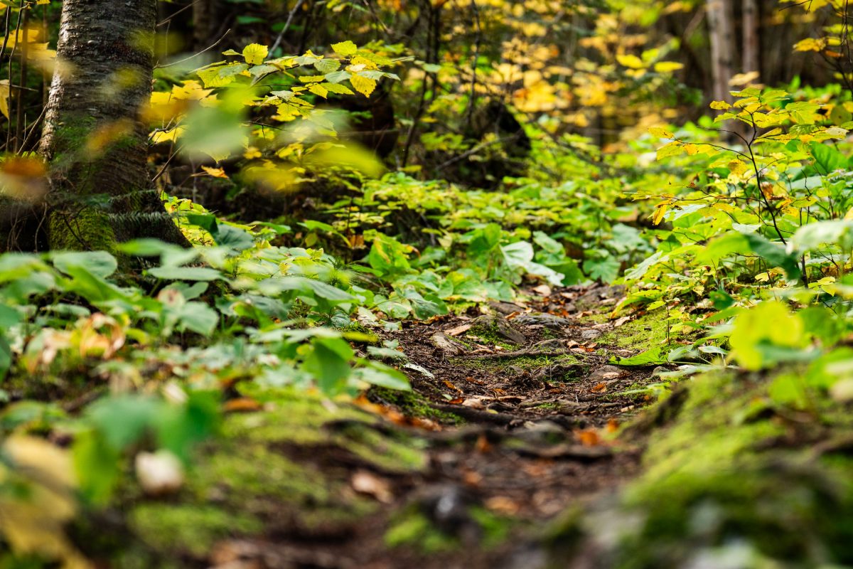
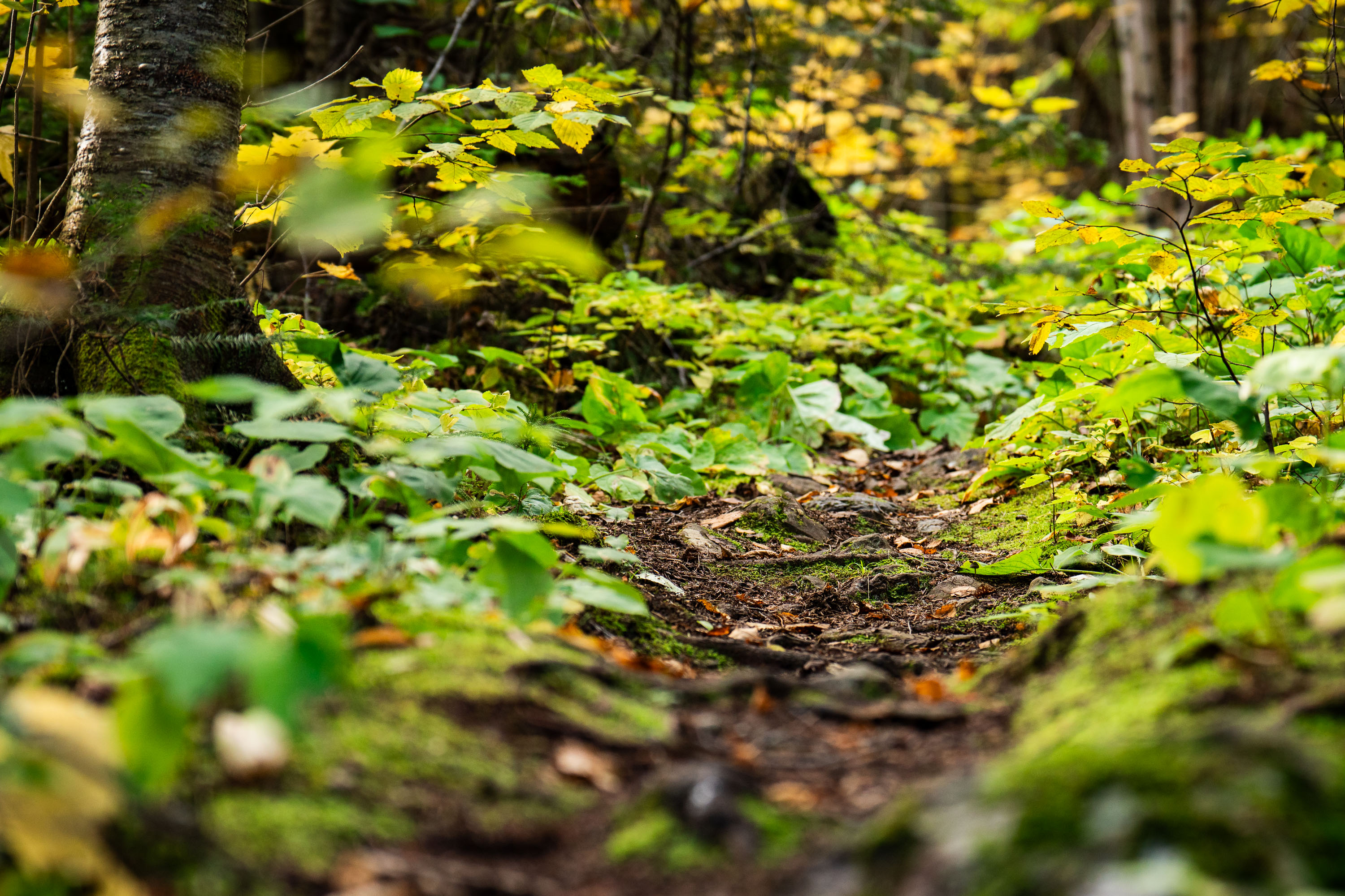
Dirt trail winds through dense underbrush and birch trees in Superior National Forest, Minnesota.
Superior National Forest covers roughly 3.9 million acres in northeastern Minnesota, managed by the U.S. Forest Service. It contains more than a million acres of lakes and streams, including the Boundary Waters Canoe Area Wilderness along its northern edge. The forest is dominated by boreal species such as birch, aspen, and various conifers, with understory plants like wood sorrel and ferns common along its trail systems. Established in 1909, it remains one of the most heavily visited wilderness areas in the country.

Forest Trail, Superior National Forest, Minnesota
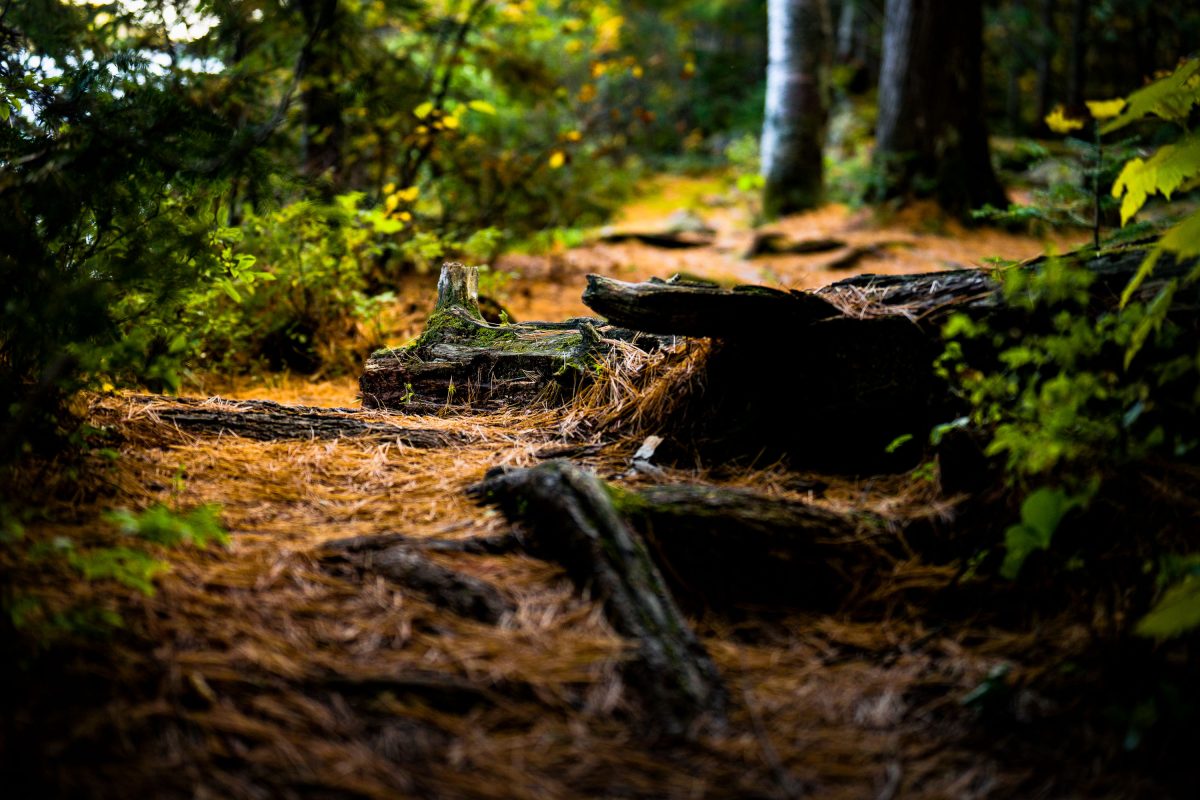
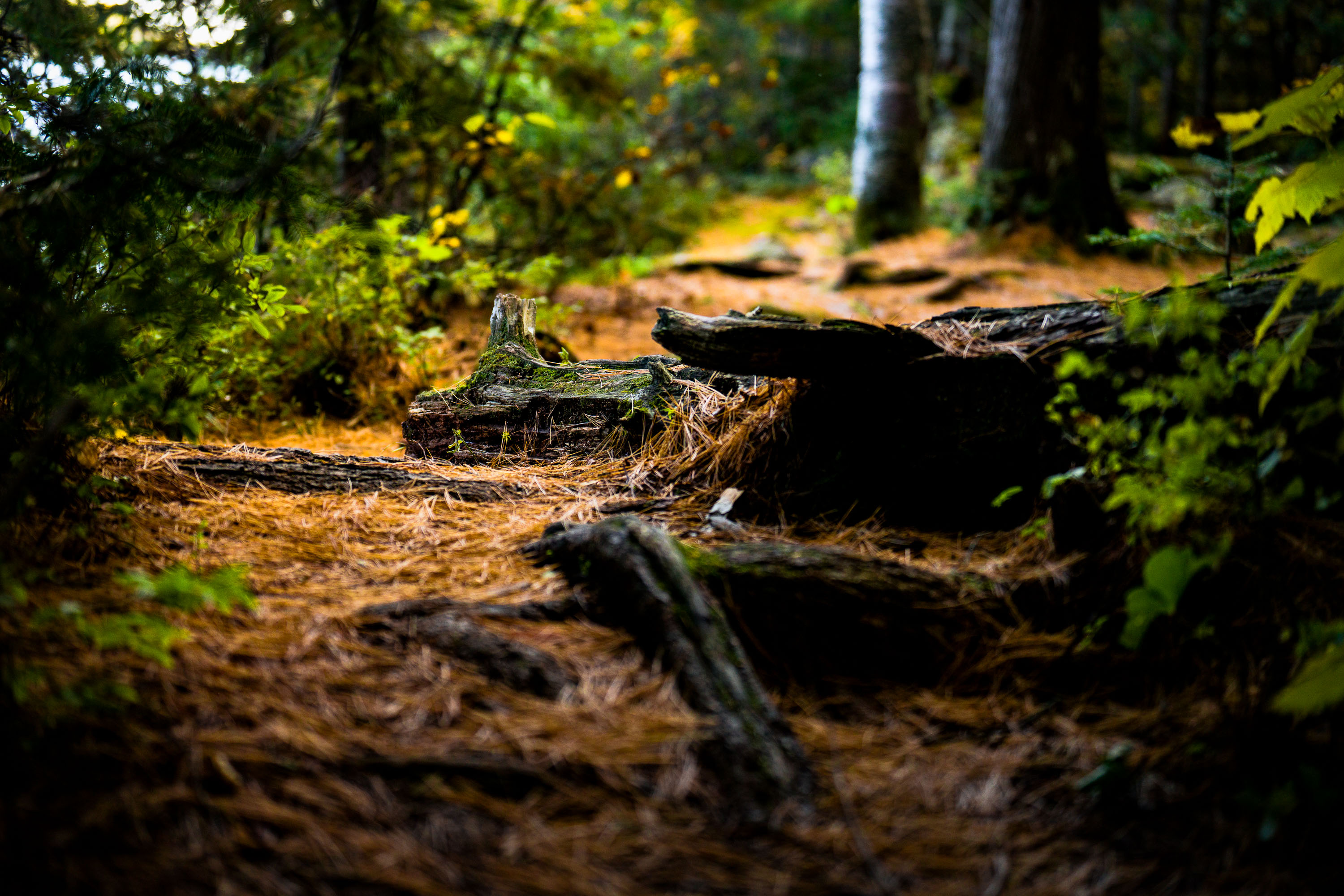
Fallen logs and pine needles line a wooded trail in Superior National Forest, Minnesota.
Superior National Forest covers roughly 3 million acres in northeastern Minnesota, managed by the U.S. Forest Service. It contains more than 445,000 acres of the Boundary Waters Canoe Area Wilderness, the most-visited wilderness area in the country. The forest is dominated by boreal species like jack pine, spruce, and birch, with a mix of maple and aspen contributing to fall color displays. Fallen logs and pine needle litter along its trails are typical of the mixed conifer-hardwood stands found throughout the region.

Fallen Logs Along a Forest Trail, Superior National Forest
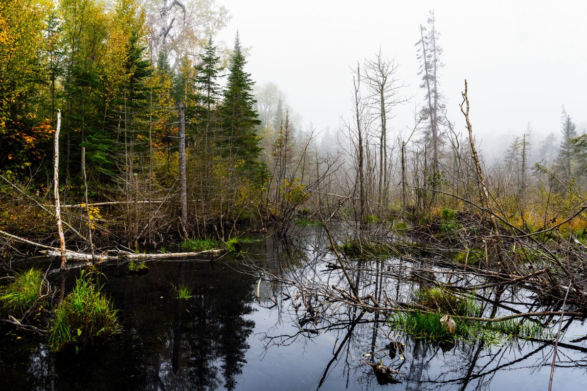
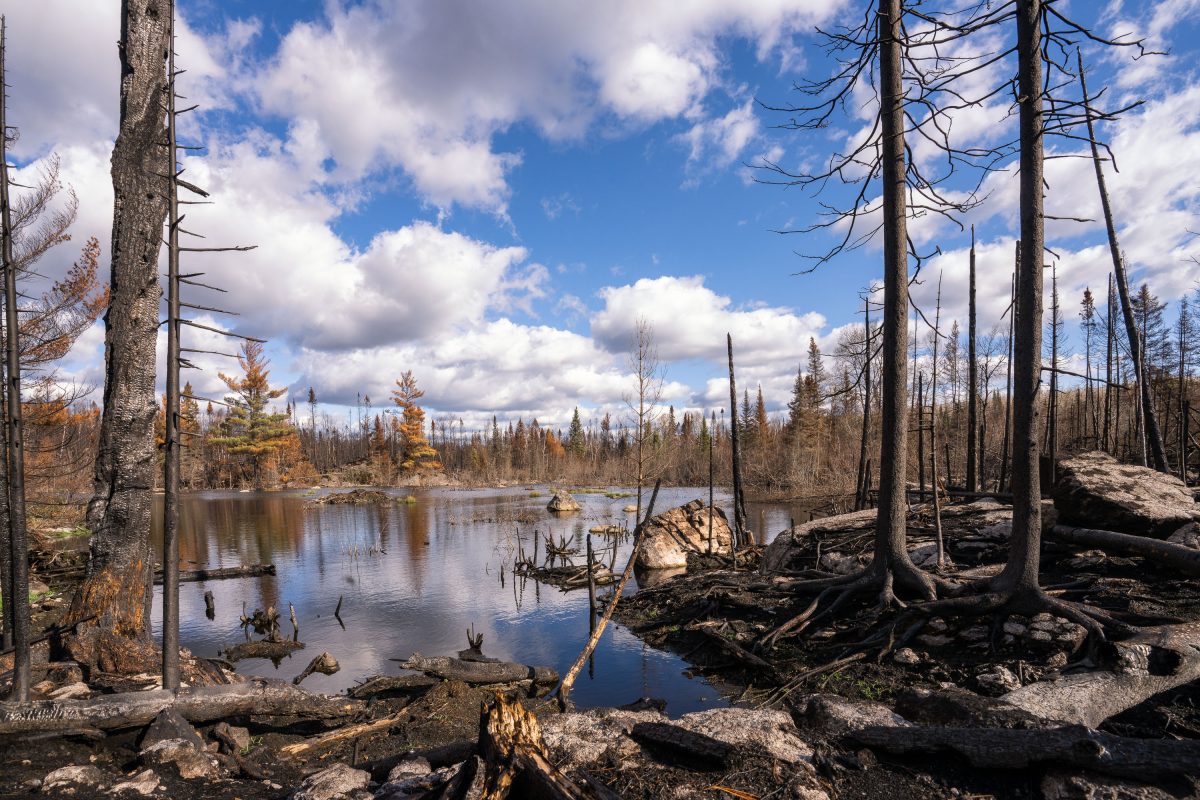
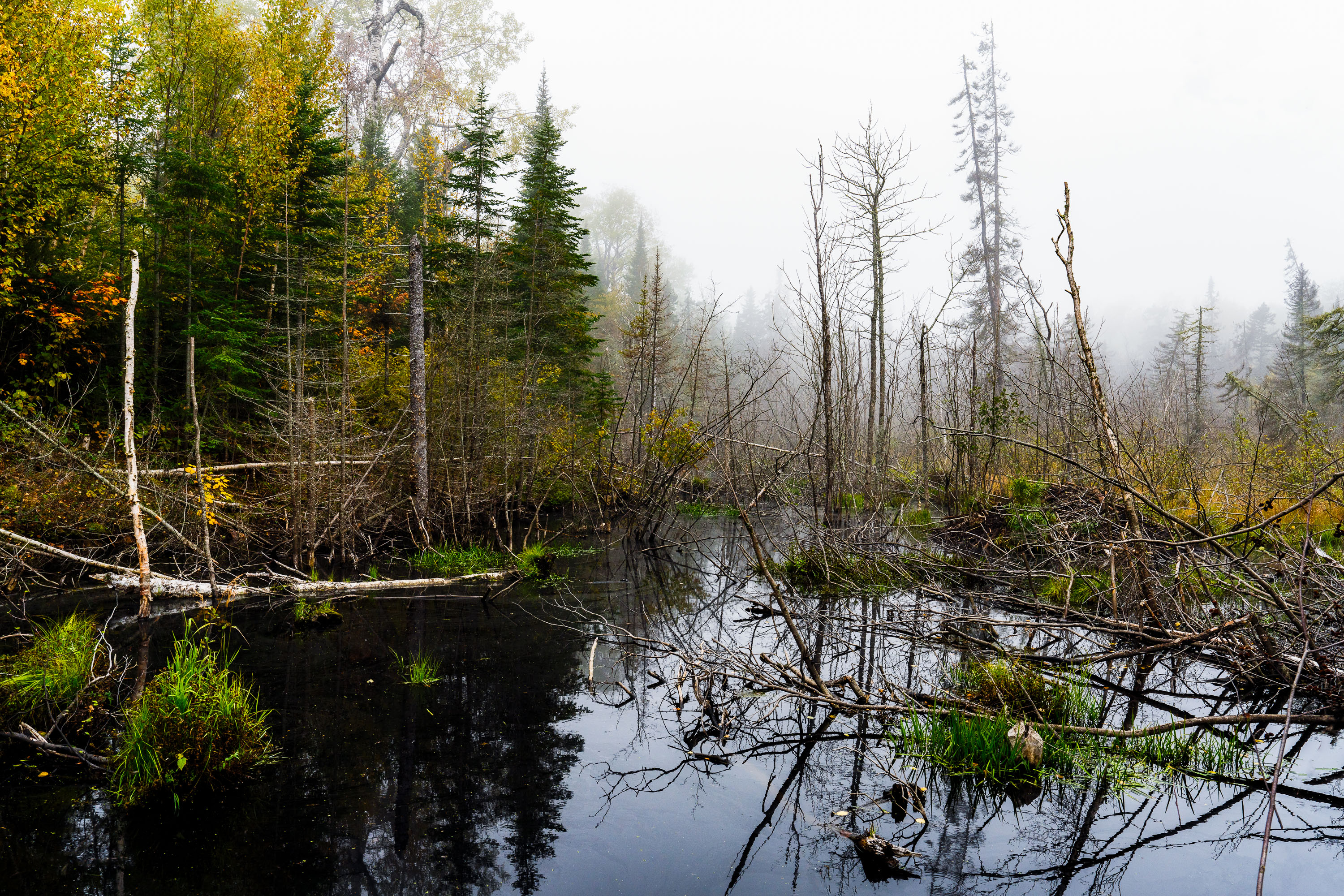
Flooded beaver wetland with standing dead trees near Shoe Lake Road in Superior National Forest, Minnesota.
Shoe Lake Road runs through the Superior National Forest in Cook County, Minnesota, near the edge of the Boundary Waters Canoe Area Wilderness. The surrounding forest is a mix of northern hardwoods and conifers, including birch, spruce, and balsam fir, typical of this part of the Superior National Forest. Beaver activity is common along the region's low-lying wetlands, where dammed water and downed trees create the shallow ponds and standing deadwood found throughout this stretch of forest. The area sits within the Laurentian Divide watershed, which separates drainage toward Lake Superior from waters flowing north toward Hudson Bay.

Beaver Pond Wetland Near Shoe Lake Road, Superior National Forest
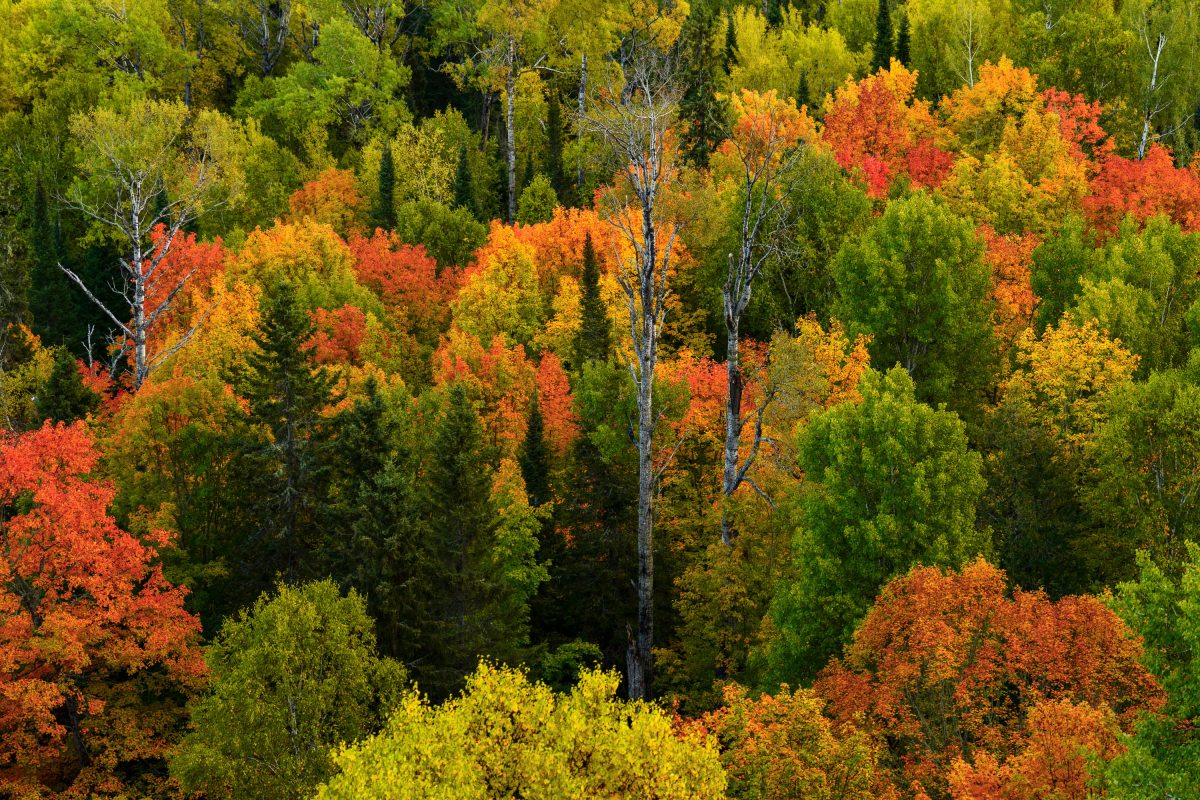
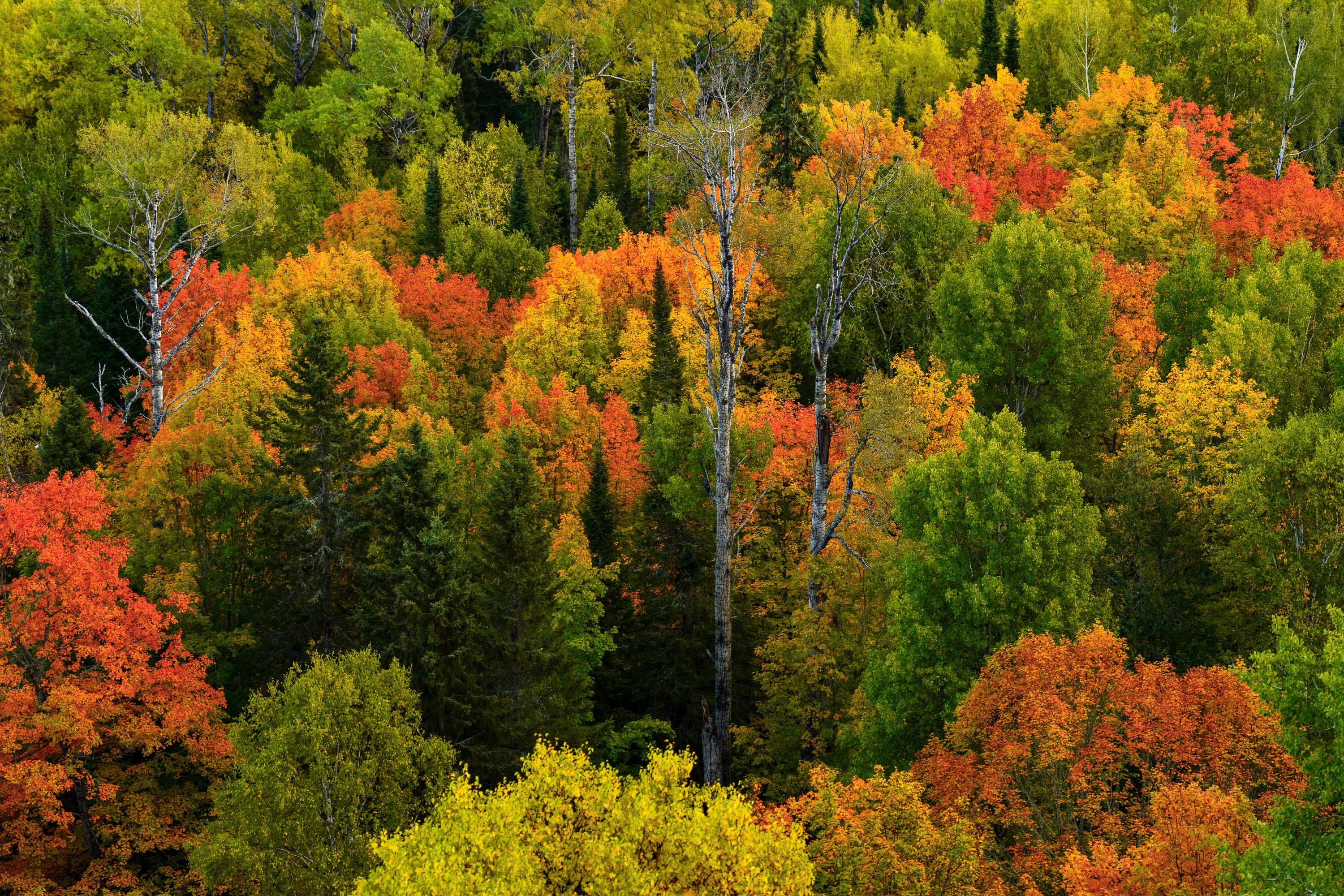
Mixed forest canopy in autumn with red, orange, and yellow deciduous trees among evergreens in Northern Minnesota.
Superior National Forest covers more than three million acres across northeastern Minnesota, including Cook County, and stands as Minnesota's largest national forest. The forest's canopy is a mix of birch, aspen, maple, and conifer species, a combination that produces a wide range of color change each autumn as hardwoods turn while pines and spruce stay green. Birch and aspen typically shift first, often in late September, while maples follow with reds and oranges. The forest is managed by the U.S. Forest Service and includes roughly 445,000 acres of the Boundary Waters Canoe Area Wilderness within its borders.

Mixed Hardwood Forest in Autumn, Superior National Forest
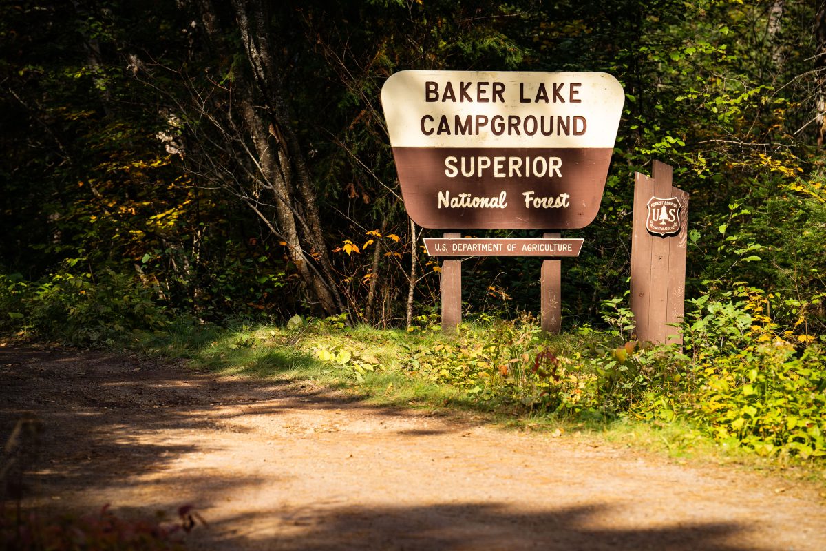
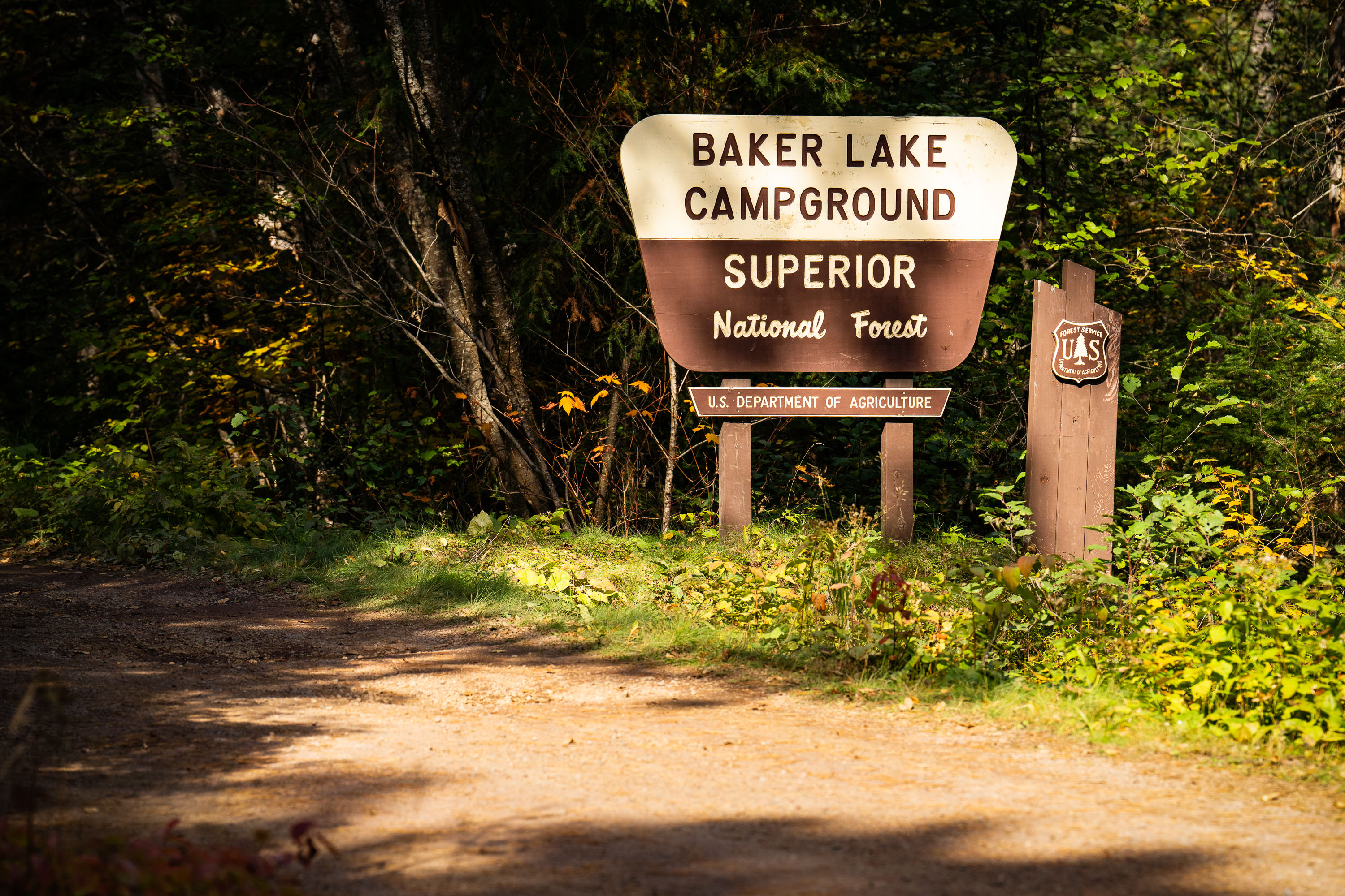
Baker Lake Campground sign in Superior National Forest, Minnesota, surrounded by forest.
Baker Lake Campground sits off the Sawbill Trail in Cook County, part of the Tofte Ranger District within the Superior National Forest. The U.S. Forest Service, an agency of the Department of Agriculture, maintains the site as a small, rustic campground with vault toilets and no electrical hookups. Its boat landing on Baker Lake serves as one of the entry points into the Boundary Waters Canoe Area Wilderness, giving paddlers direct access to the interior lake system. The surrounding forest is managed for multiple use, including timber, recreation, and wildlife habitat, under the Superior National Forest's broader stewardship of more than three million acres in northeastern Minnesota.

Baker Lake Campground Sign, Superior National Forest
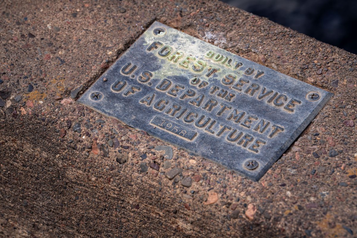
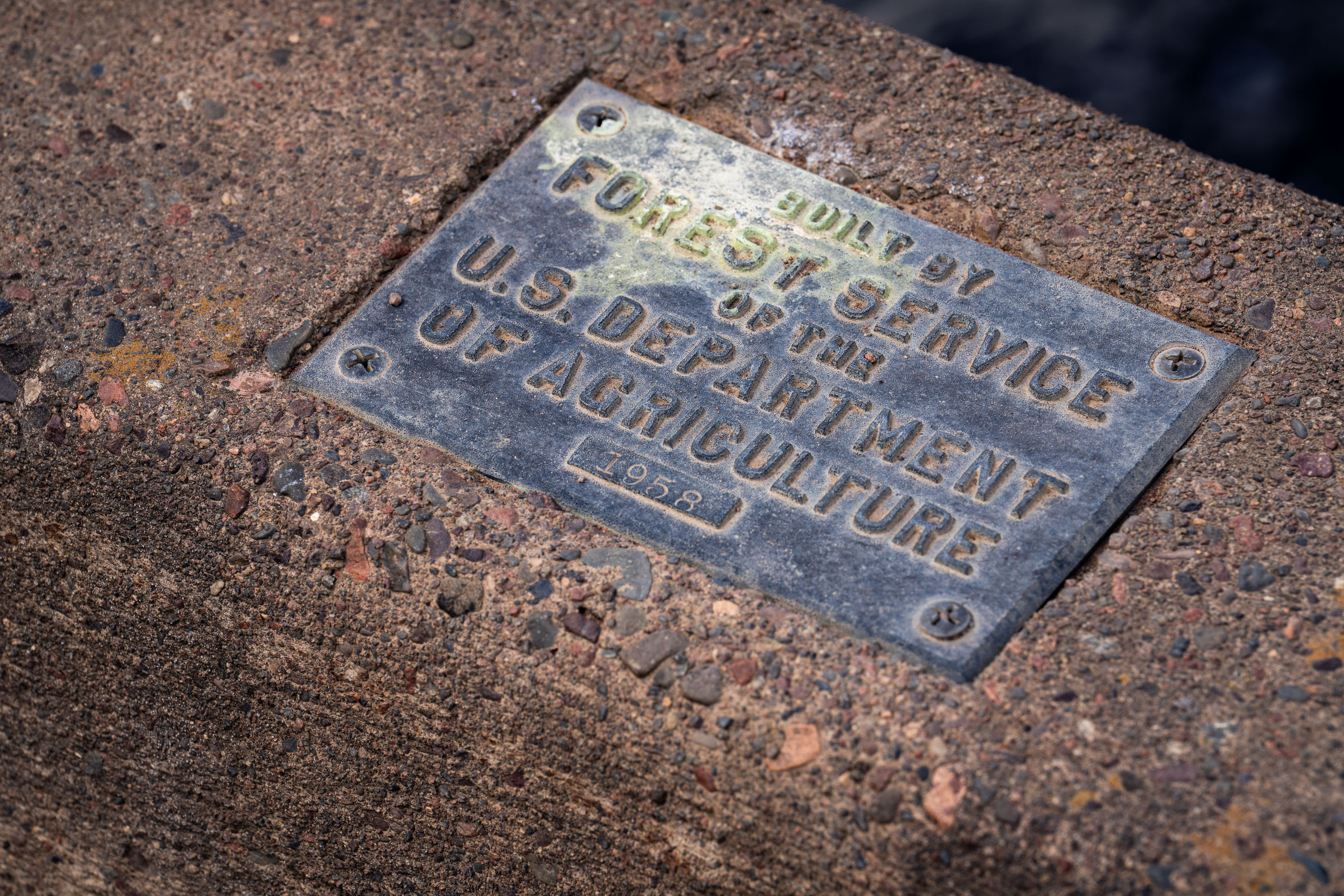
U.S. Forest Service plaque mounted on a bridge in Superior National Forest, Minnesota.
The U.S. Forest Service, part of the Department of Agriculture, builds and maintains bridges, culverts, and other infrastructure across the Superior National Forest in northeastern Minnesota. This plaque, dated 1958, marks one such structure from a decades-long program of forest road and bridge construction tied to logging access, fire management, and recreation. The Superior National Forest itself spans over three million acres and includes the Boundary Waters Canoe Area Wilderness. Forest Service builder's plaques like this one were standard practice for documenting agency construction projects, recording both the responsible agency and the year of completion.

1958 Forest Service Bridge Plaque, Superior National Forest
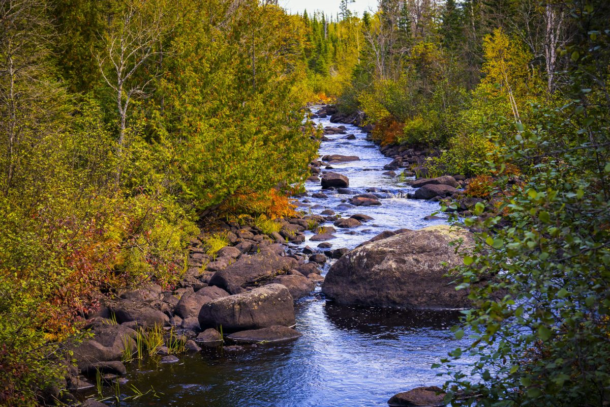
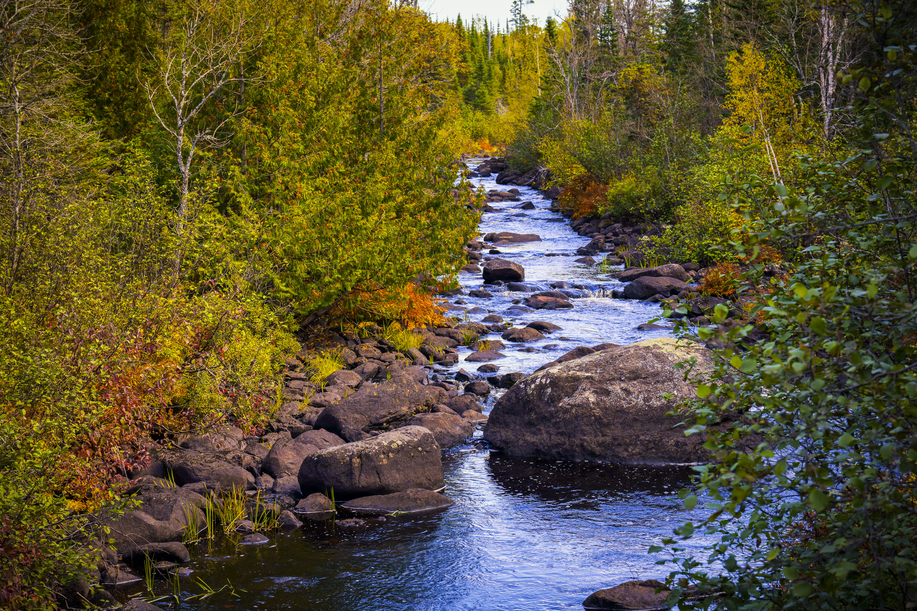
Temperance River flows through golden autumn foliage in Superior National Forest, Minnesota.
The Temperance River runs roughly 22 miles from its origin near the Laurentian Divide to Lake Superior, dropping through a series of potholes and gorges carved into volcanic rock along the way. It's one of the few rivers on Minnesota's North Shore with no sandbar at its mouth, which is how it got its name — early voyageurs who charted the region's rivers by their sandbars, or lack of a "bar," reportedly gave this one a teetotaling nickname. The river and its surrounding old-growth cedar and pine stands sit within the Superior National Forest, which spans nearly three million acres across northeastern Minnesota. Cook County's stretch of the river includes sections popular with anglers seeking steelhead and brook trout during their seasonal runs.

Rocky Stretch of the Temperance River, Superior National Forest
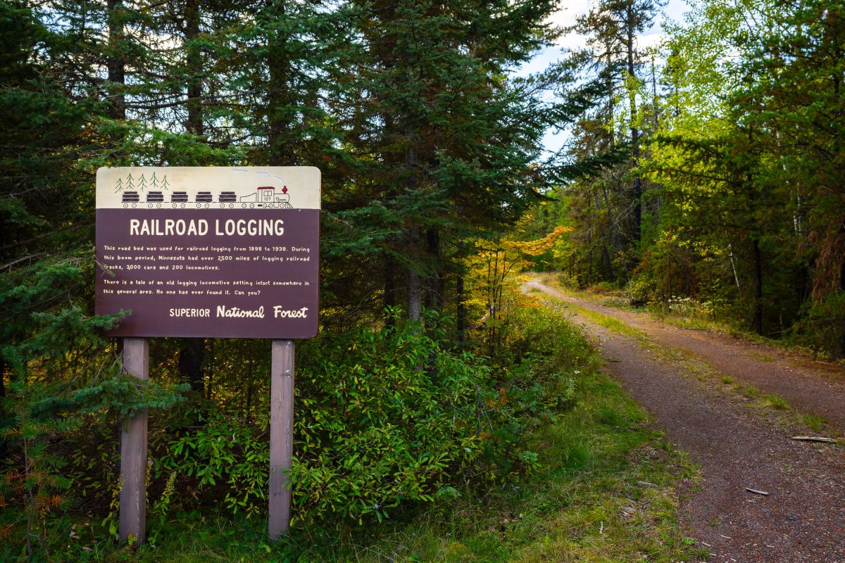
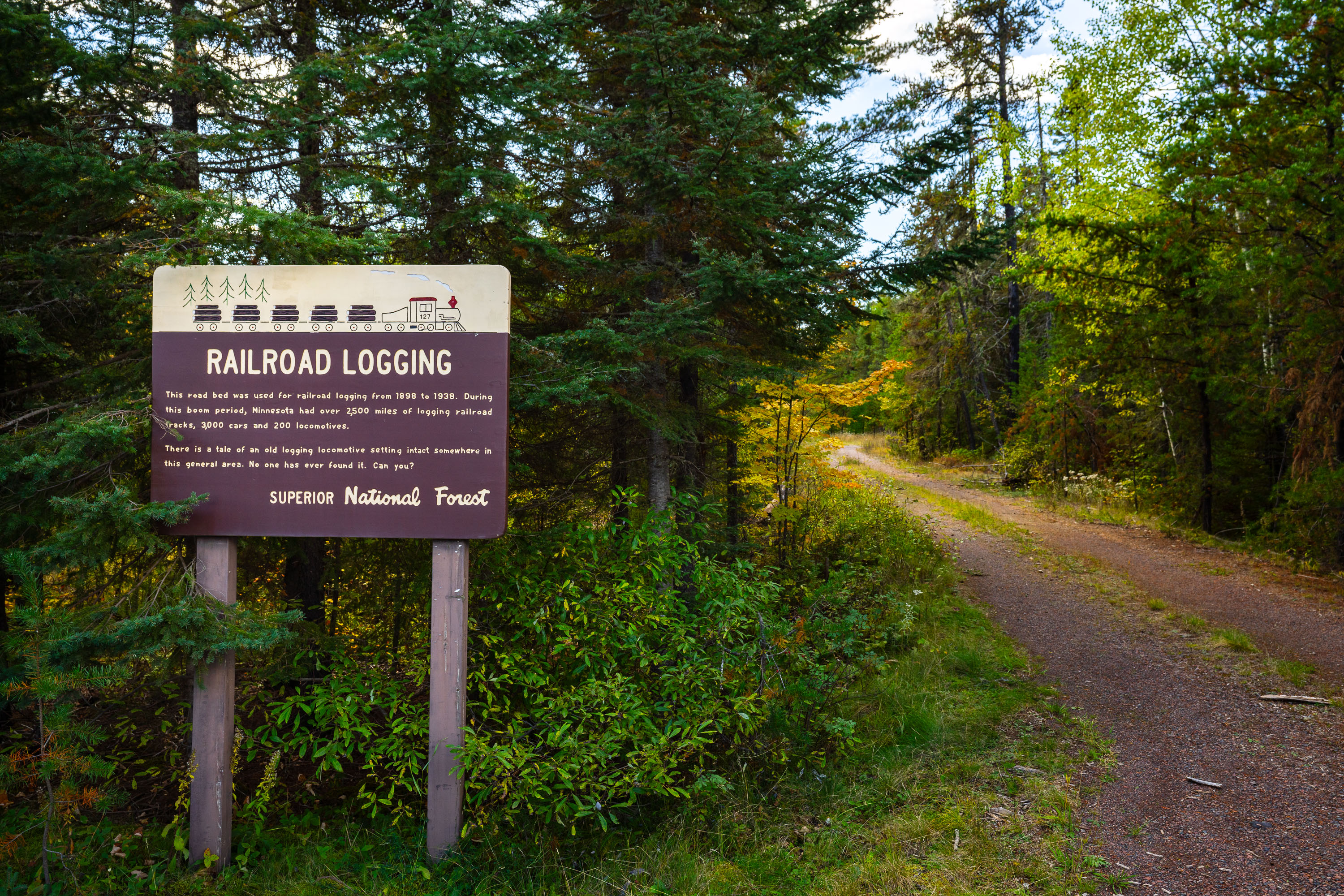
Railroad Logging sign in the Superior National Forest
RAILROAD LOGGING This road bed was used for railroad logging from 1898 to 1938. During this boom period, Minnesota had over 2,500 miles of logging railroad tracks, 3,000 cars and 200 locomotives. There is a tale of an old logging locomotive setting intact somewhere in this general area. No one has ever found it. Can you?

Railroad Logging sign in the Superior National Forest

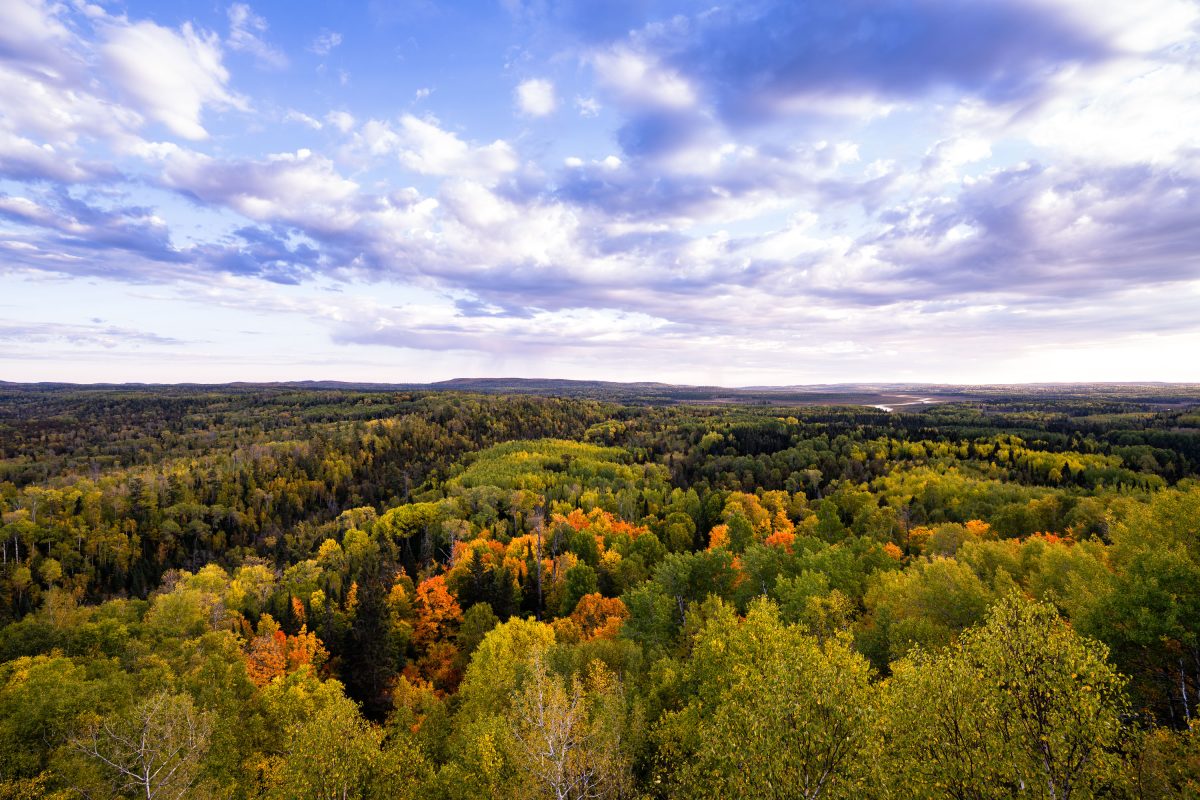
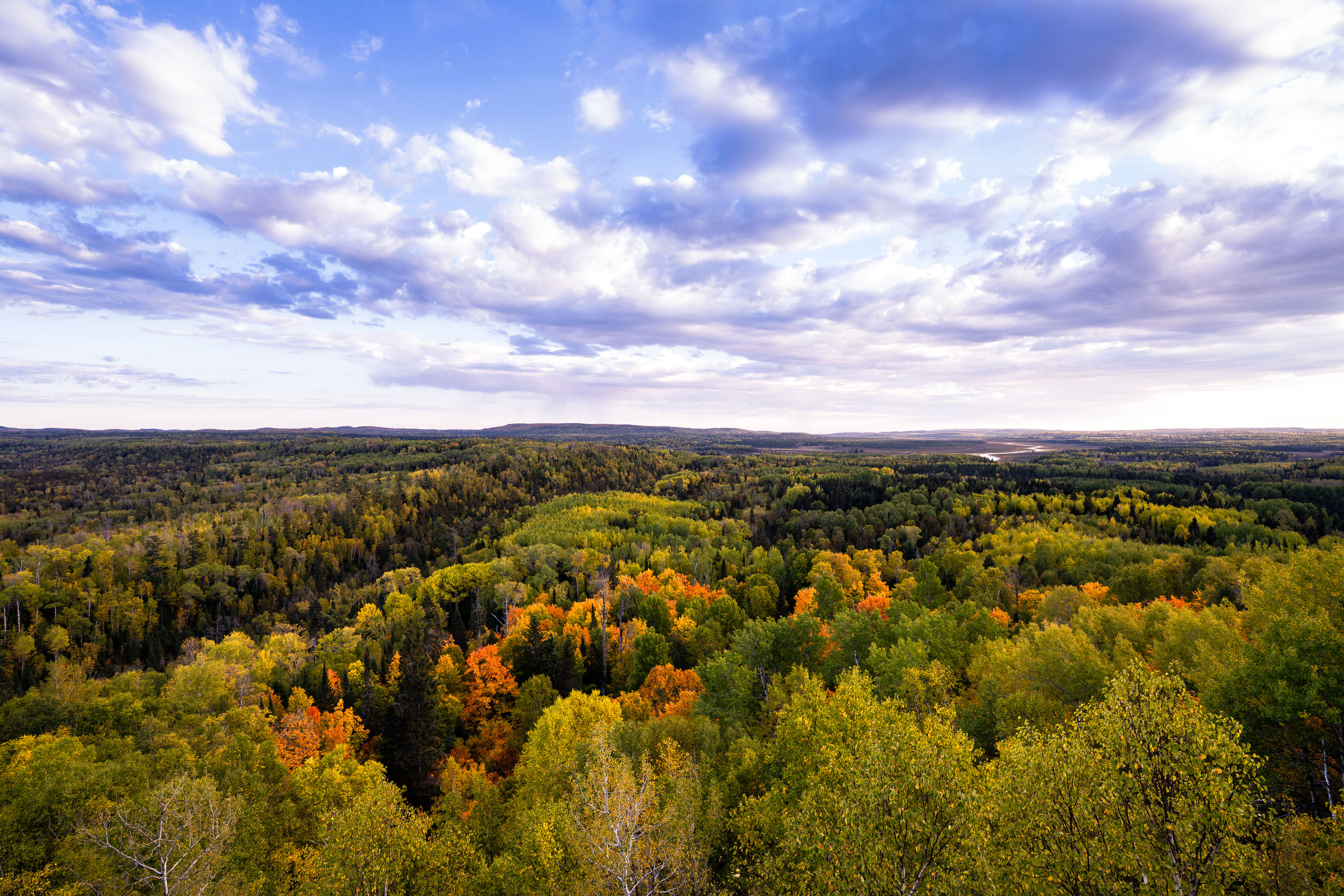
Autumn foliage colors the tree canopy of Superior National Forest in northeastern Minnesota.
Superior National Forest spans roughly 3 million acres across northeastern Minnesota, established in 1909 and managed by the U.S. Forest Service. It encloses the Boundary Waters Canoe Area Wilderness, more than a million acres of interconnected lakes and forest popular with canoeists. Aspen, birch, and pine make up much of its mixed hardwood-conifer cover, turning gold and orange each autumn. The forest holds over 2,000 miles of undeveloped shoreline, among the longest such stretches in the country.

Autumn Colors Over Superior National Forest, Minnesota
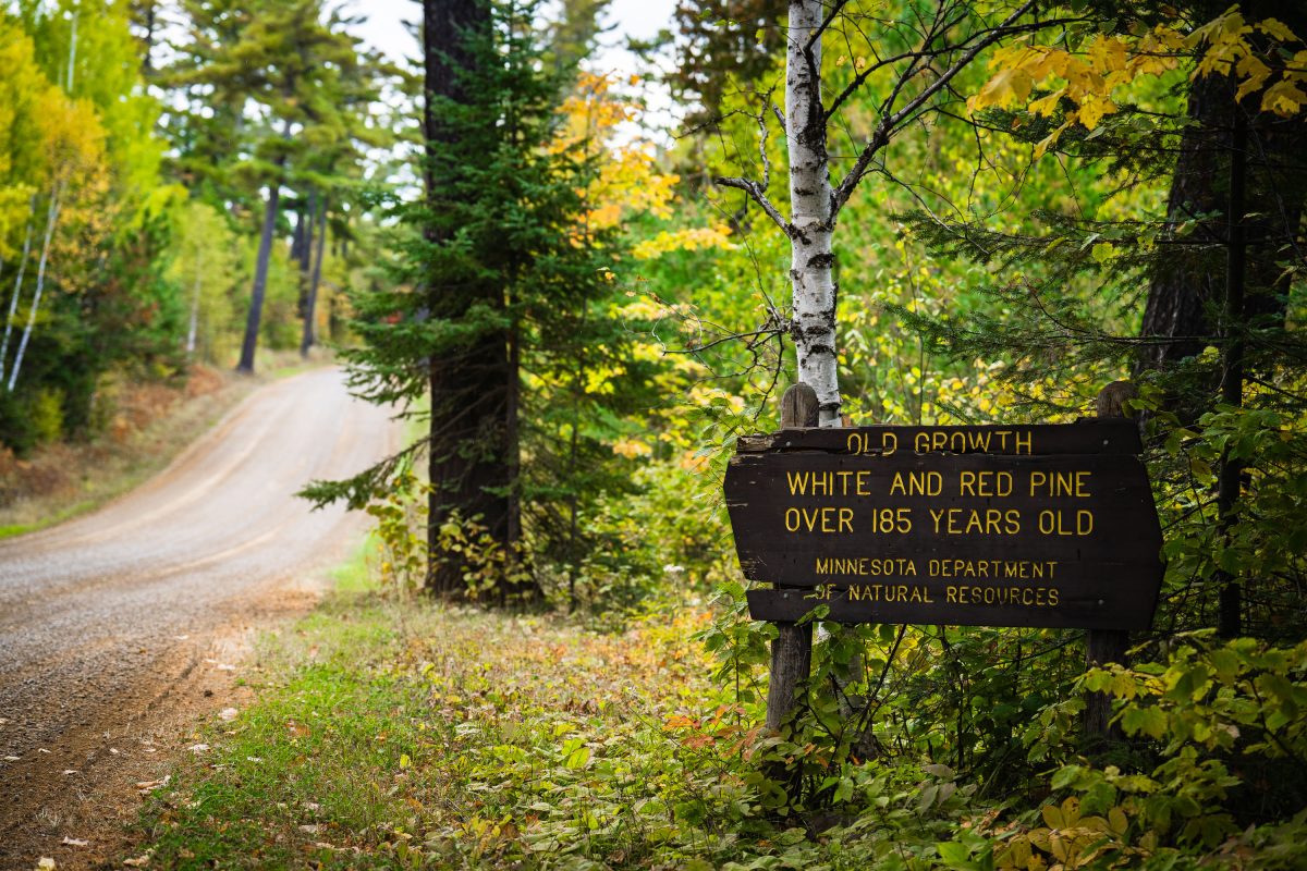
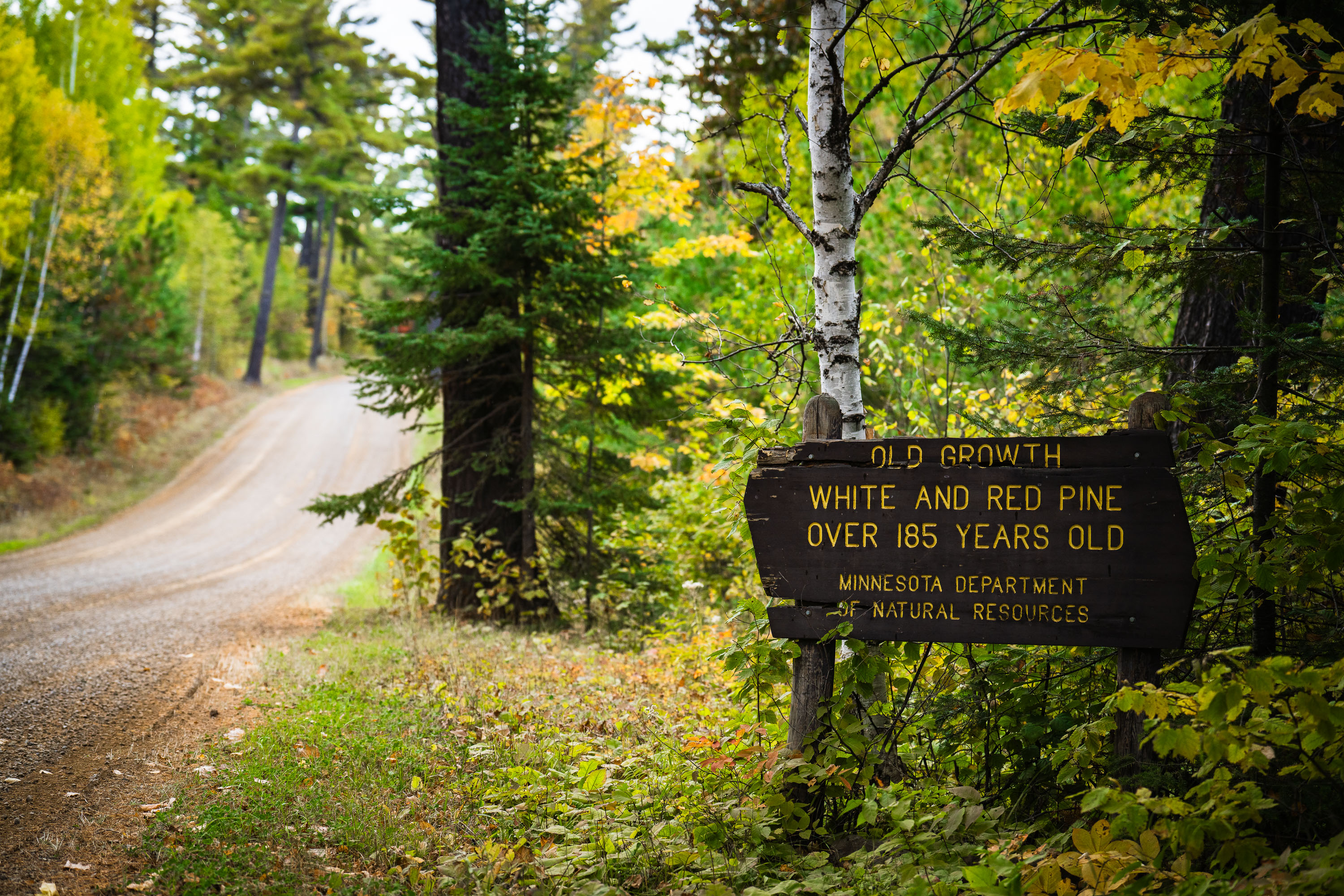
Old growth trees sign from the Minnesota Dept of Natural Resources
"Old growth white and red pine over 185 years old. Minnesota department of natural resources".

Old Growth Trees Sign in Minnesota

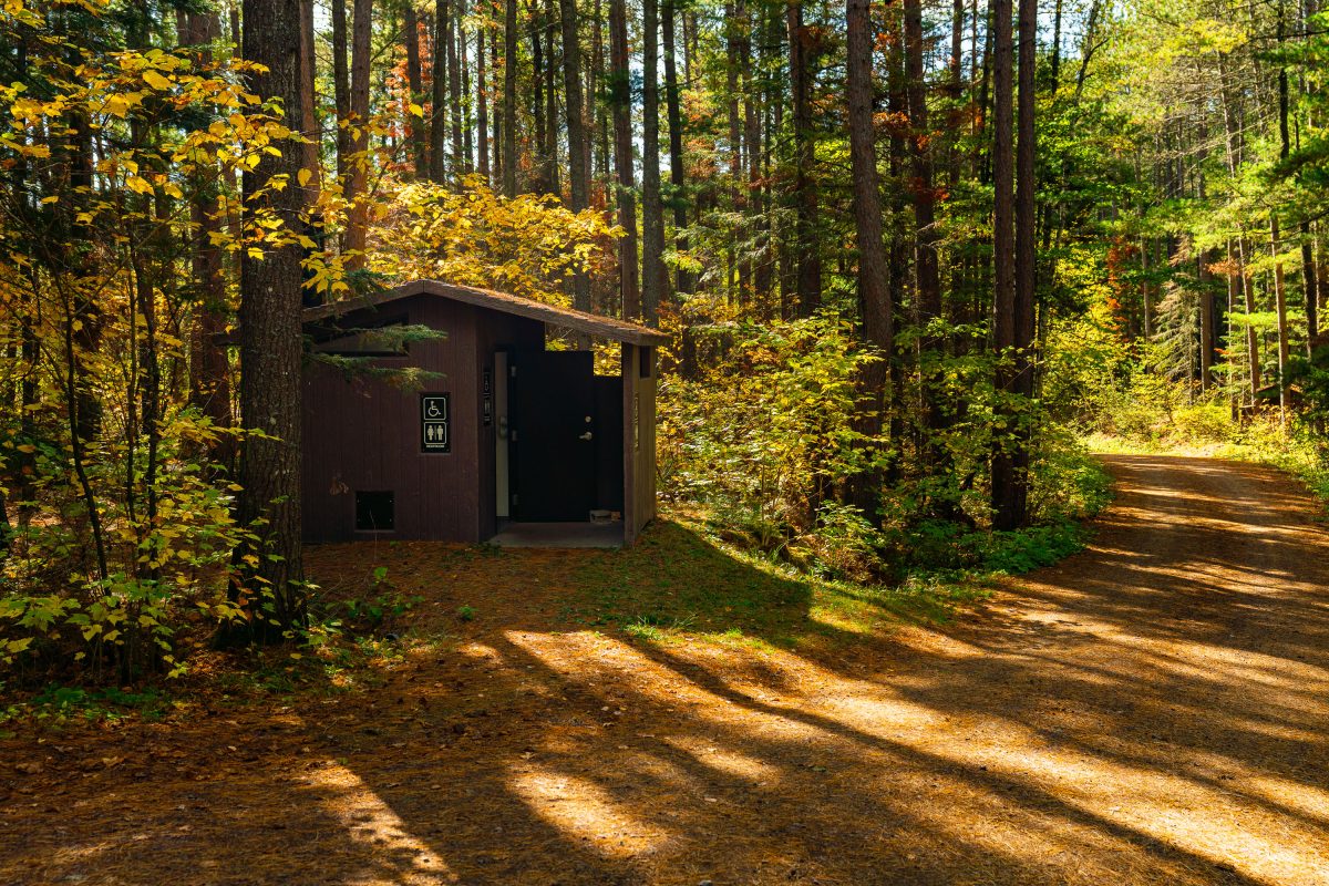
Baker Lake Campground Restrooms in Superior National Foresst
Outhouse at the Baker Lake Campground in the Superior National Forest.

Baker Lake Campground Restrooms in Superior National Foresst

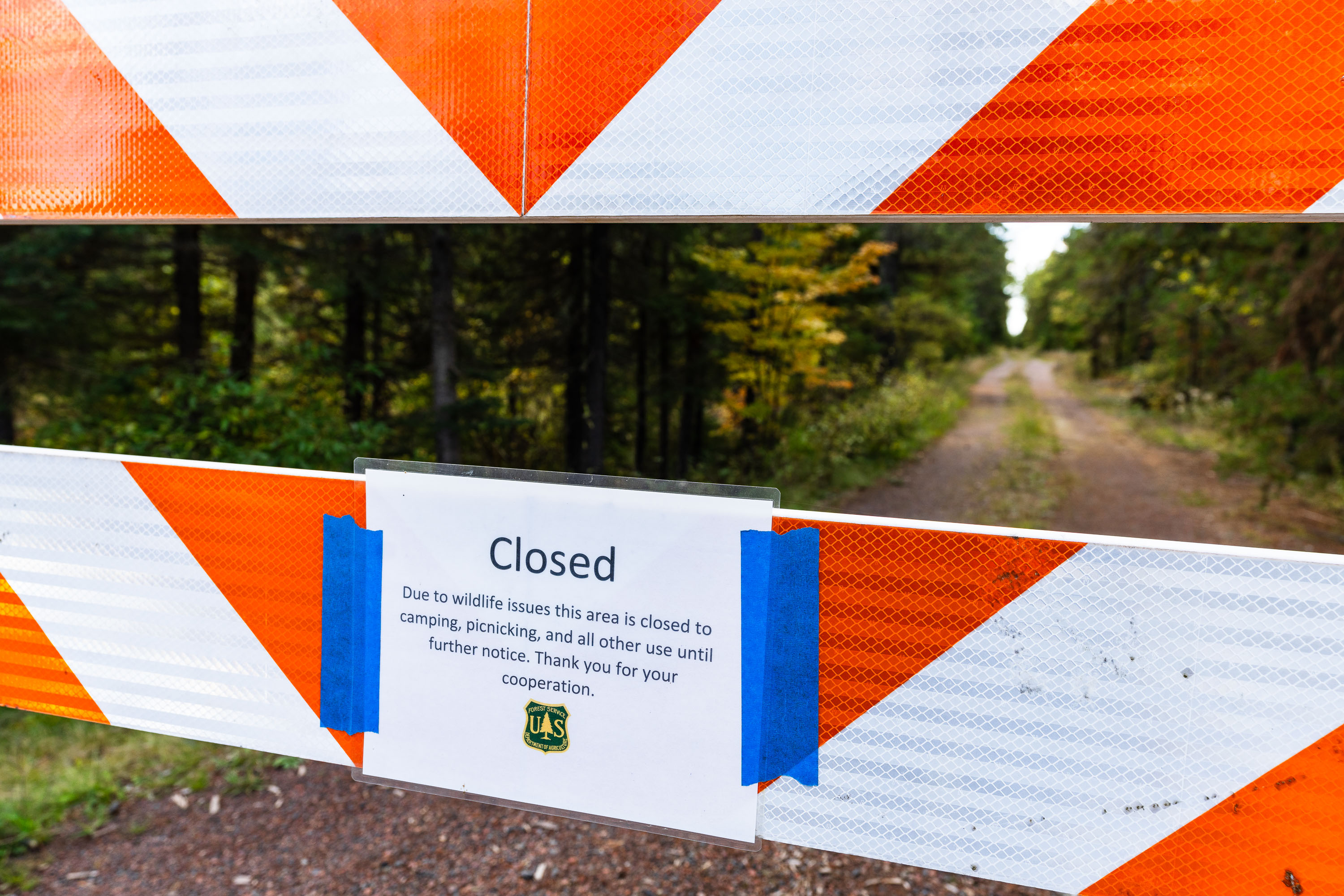
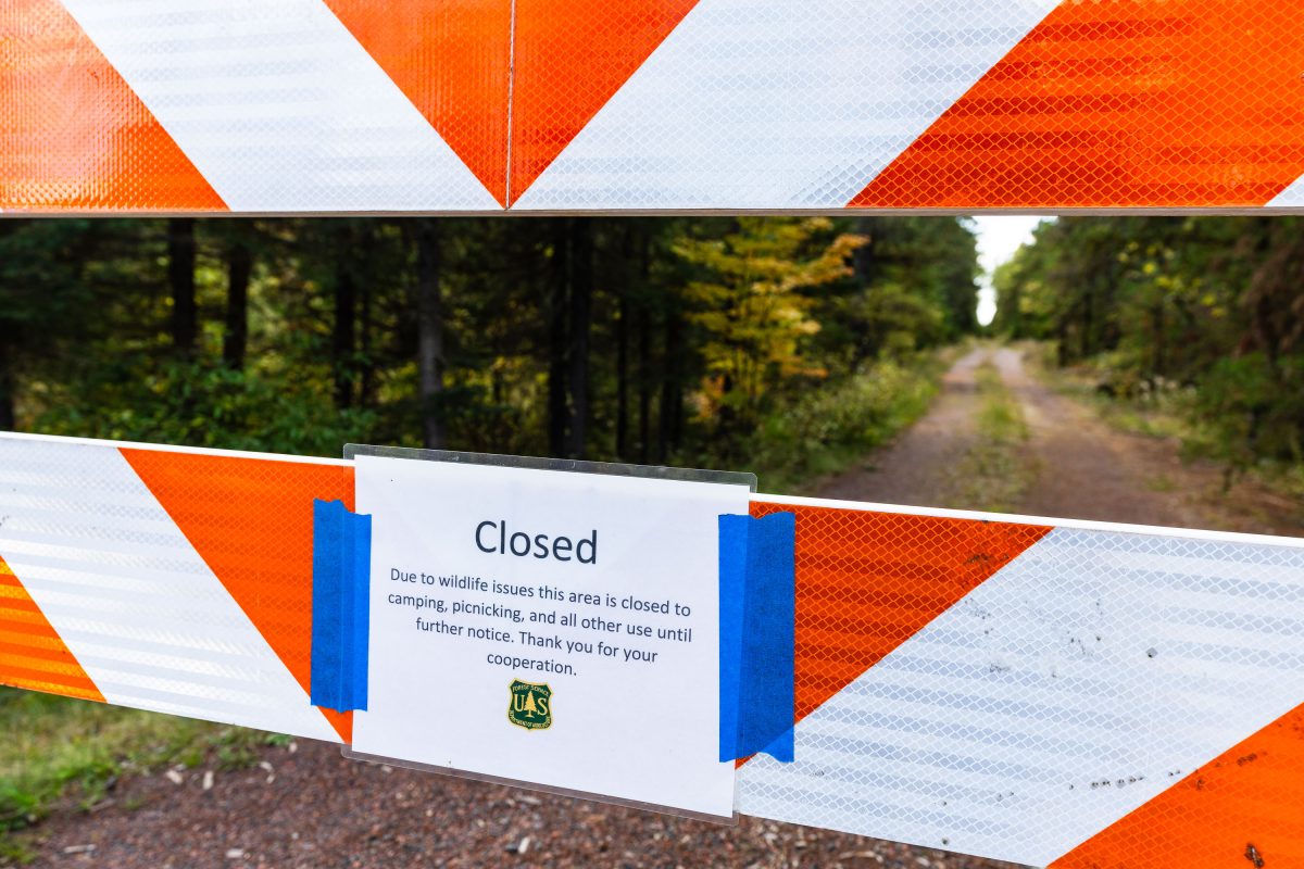
US Forest Service closure notice in Minnesota
"Due to wildlife issues this area is closed to camping, picnicking, and all other use until further notice. Thank you for your cooperation."

Road closure in Superior National Forest, September 2022
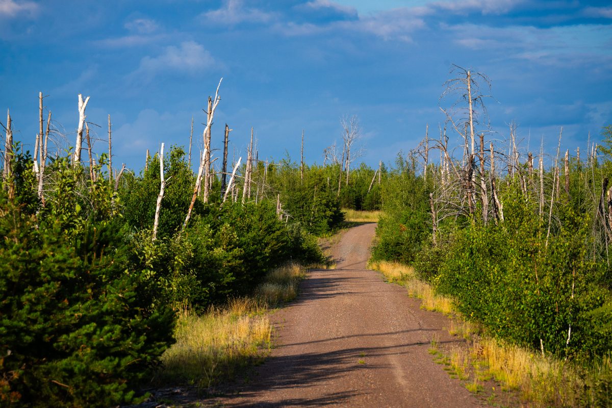
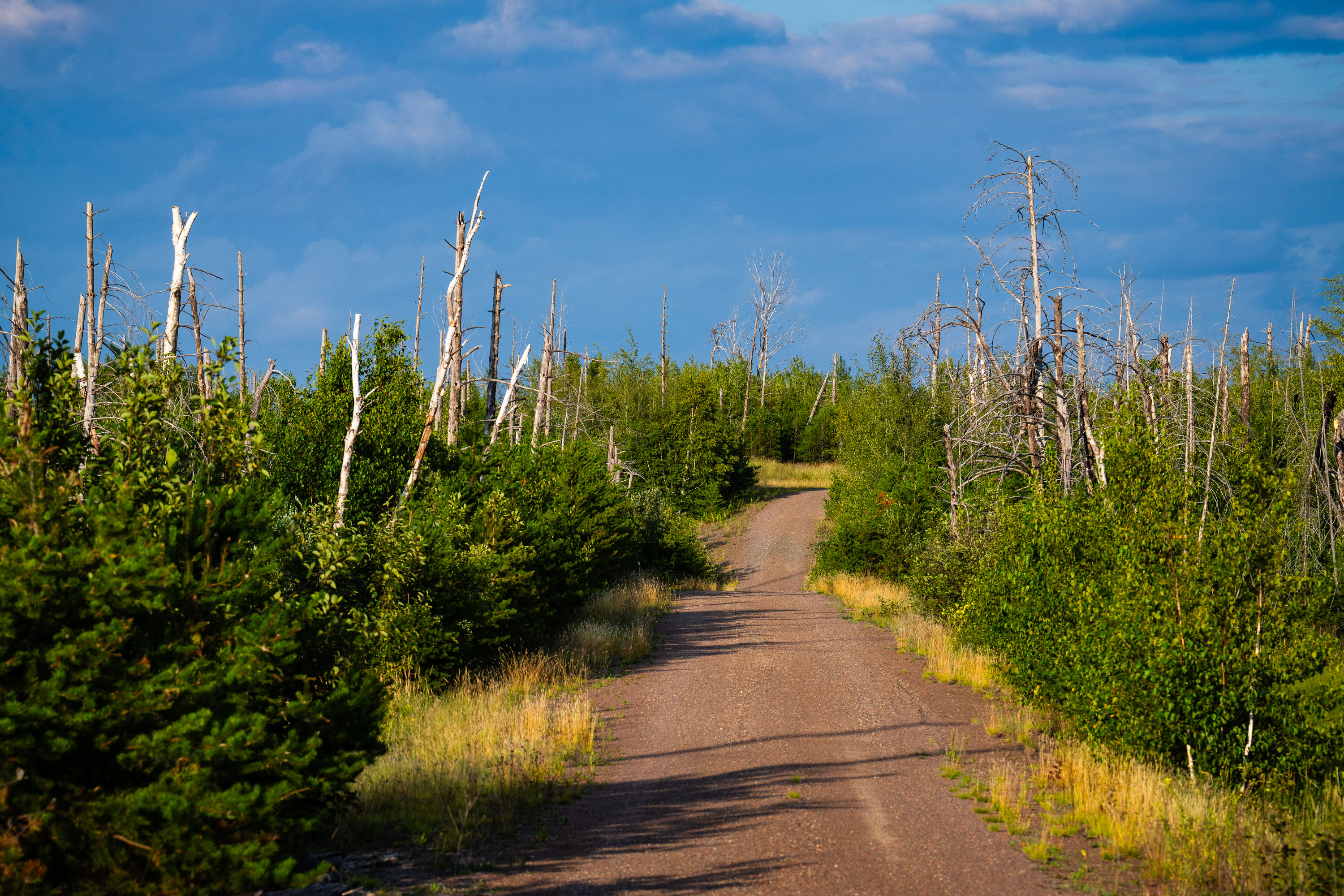
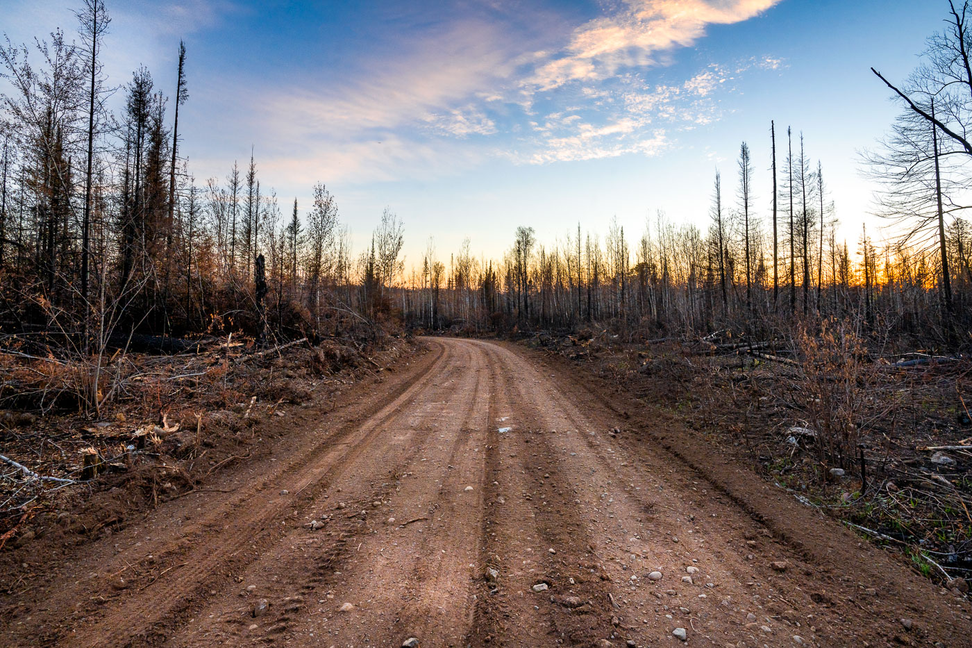
Dirt road through recovering forest with charred tree trunks in Superior National Forest, Minnesota.
Tomahawk Road runs through the Superior National Forest near Isabella, Minnesota, within the area burned by the 2011 Pagami Creek Fire. Lightning sparked the fire in May of that year, and it stayed contained until a windstorm in early September pushed it across more than 36,000 hectares, making it the largest wildfire in Minnesota in over a century. The fire burned into the Boundary Waters Canoe Area Wilderness, killing mature stands of red and white pine. Forest Service crews have since studied the event as a case of extreme fire behavior driven by drought and high winds.

Tomahawk Road, Pagami Creek Burn Area, Superior National Forest
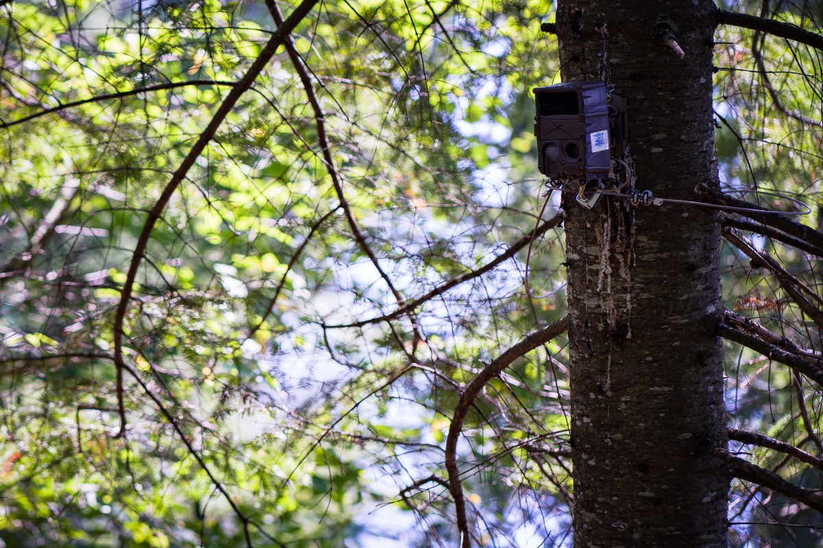
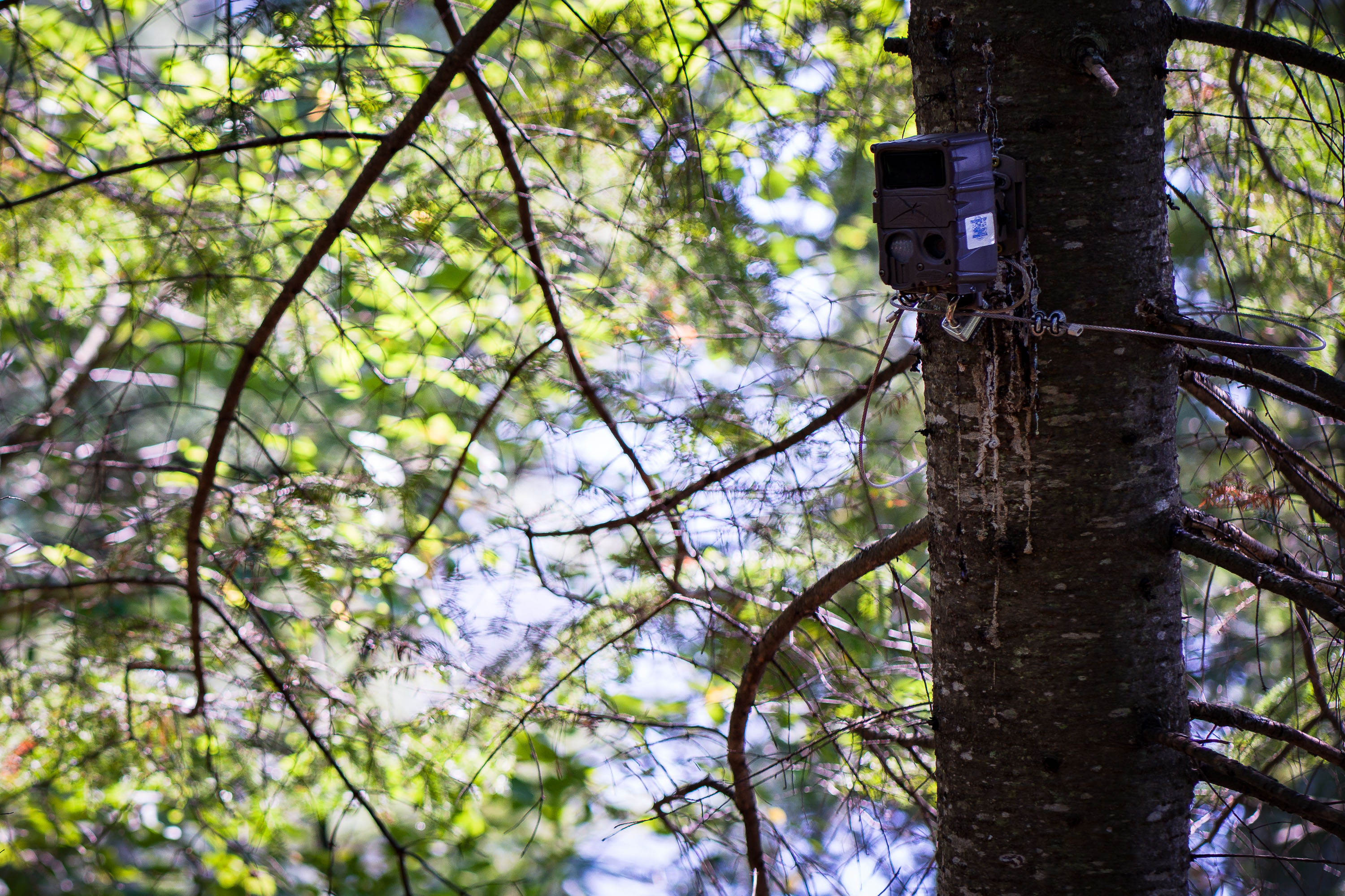
Trail cam in the Superior National Forest, Minnesota
A trail cam found in the Superior National Forest in Northern Minnesota.

Trail cam in the Superior National Forest, Minnesota

Island River in the Superior National Forest
Island River in Superior National Forest in Northern Minnesota. The river runs through the Pagami Creek Fire zone.

Island River in the Superior National Forest

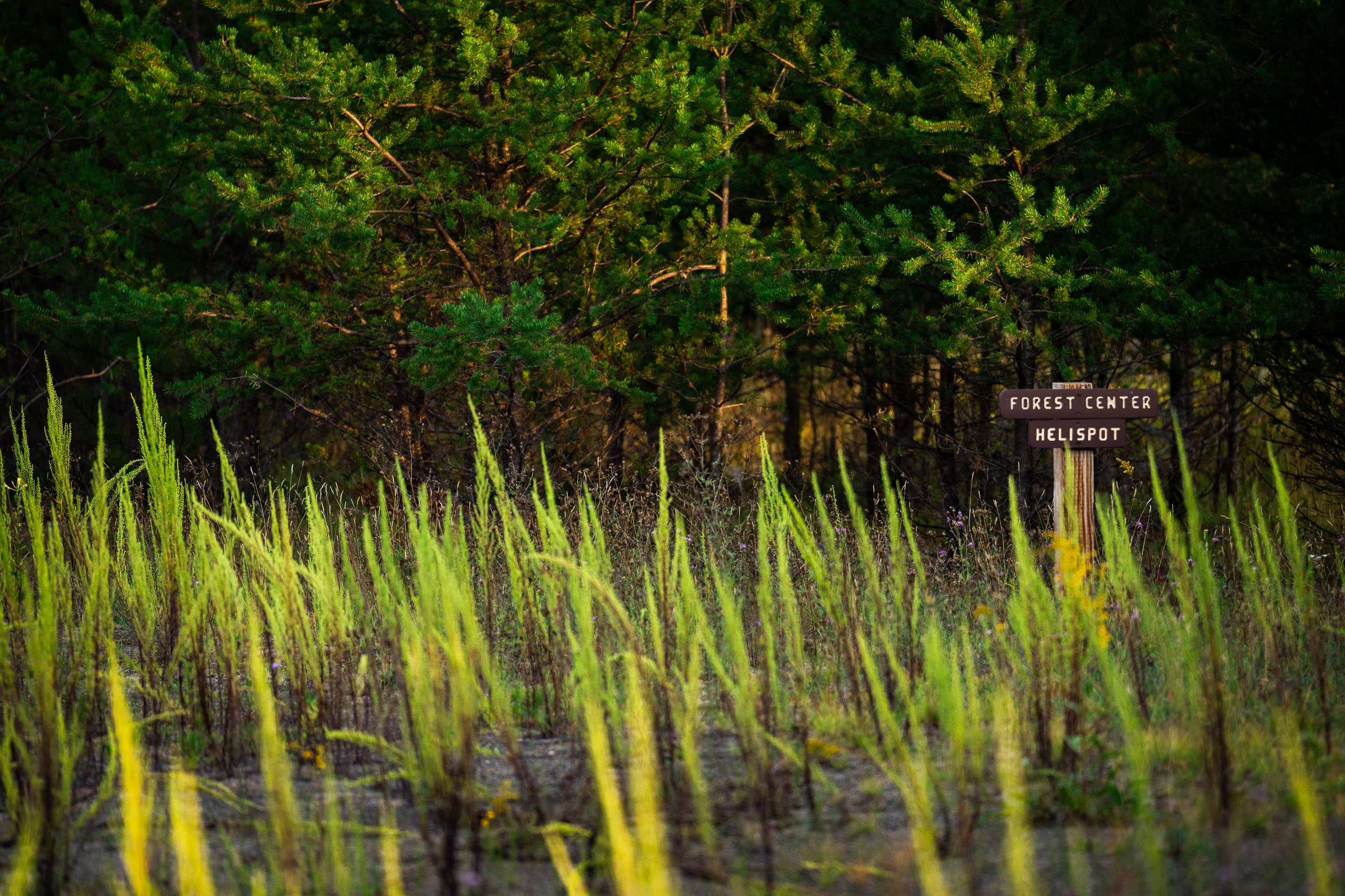
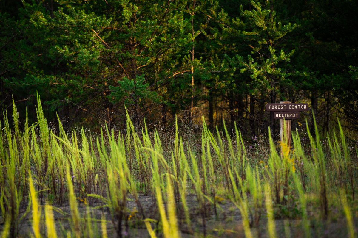
Forest Center Helispot sign near the Boundary Waters
Forest Center Helispot" sign. Forest Center is a small former logging community site within the Superior National Forest, near the Boundary Waters.

Forest Center Helispot sign near the Boundary Waters

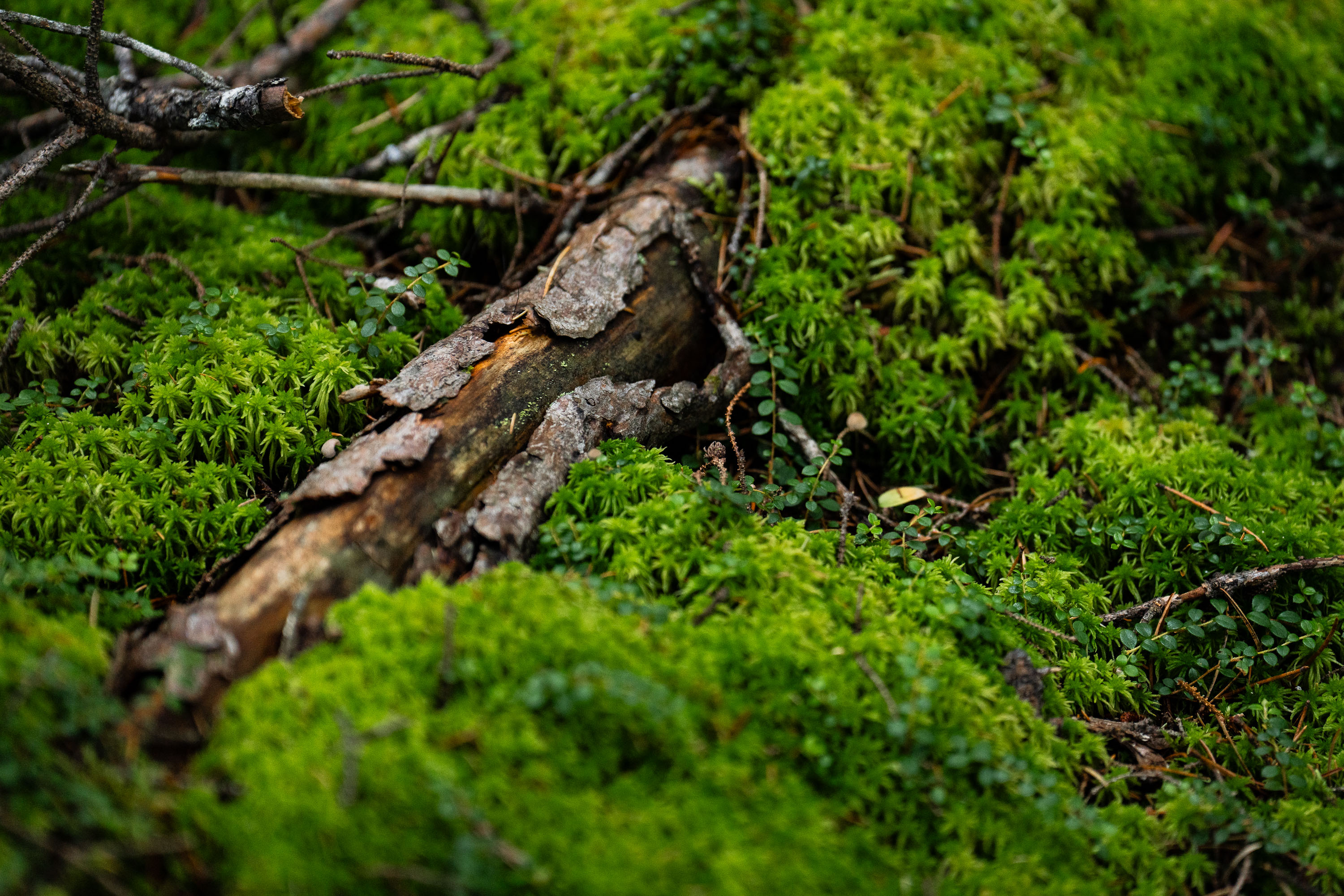
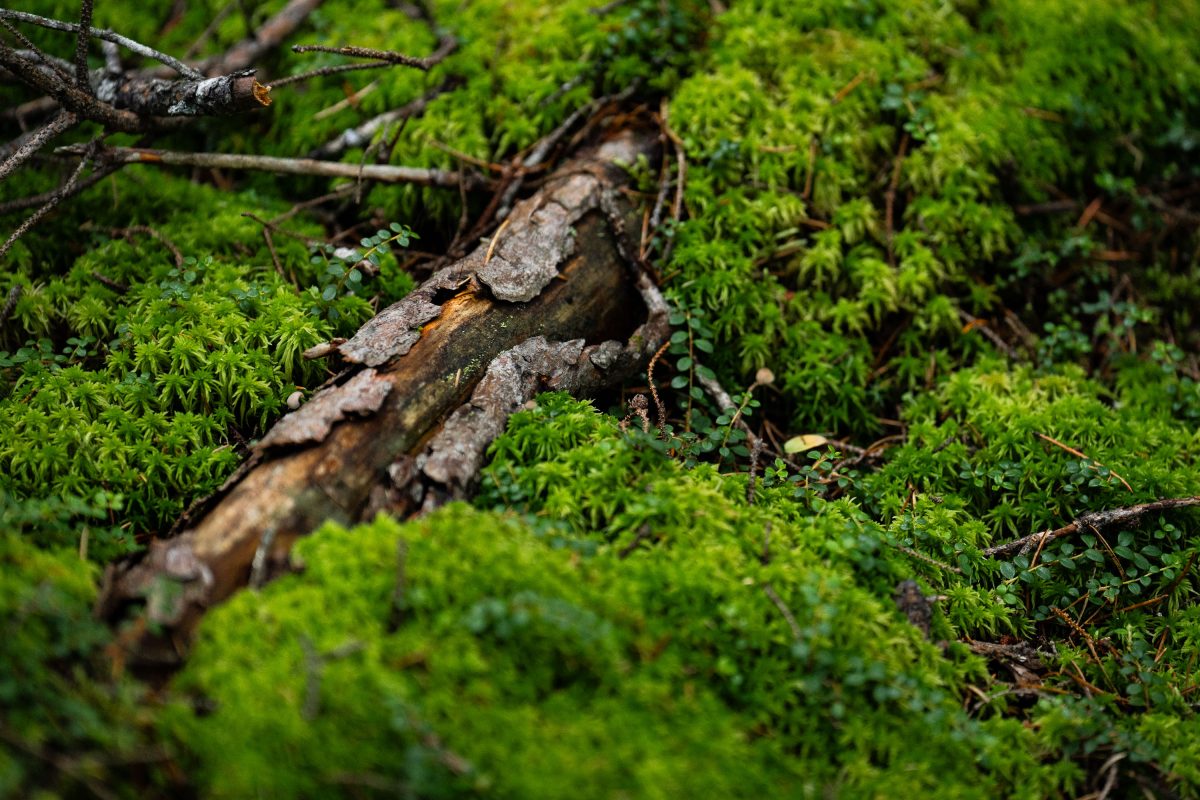
Decaying log laying in the Superior National Forest
A downed tree in the Superior National Forest in Northern Minnesota.

Decaying log laying in the Superior National Forest

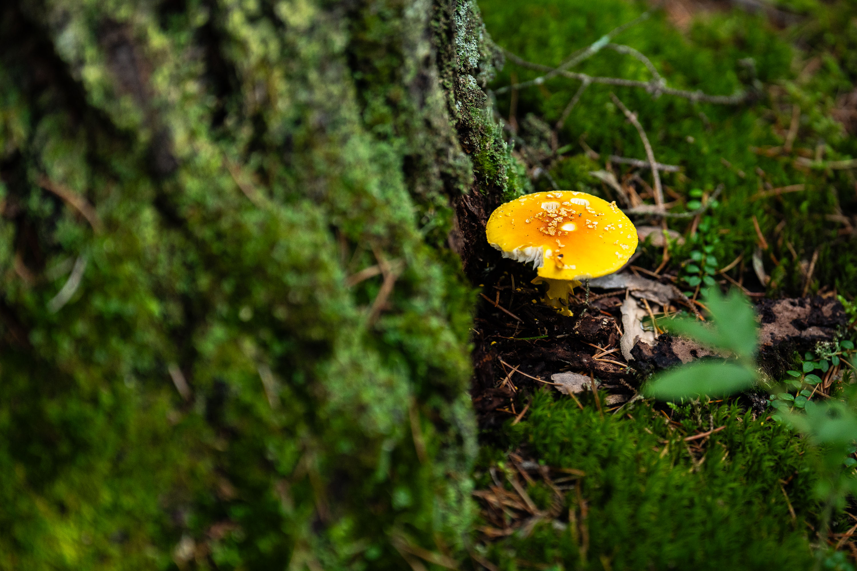
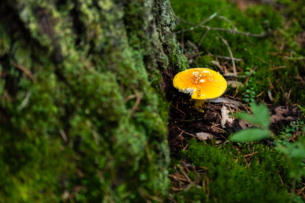
Amanita muscaria mushroom in Minnesota
A mushroom found in the Superior National Forest. Pretty sure it's a amanita muscaria mushroom.

Amanita muscaria mushroom in Minnesota

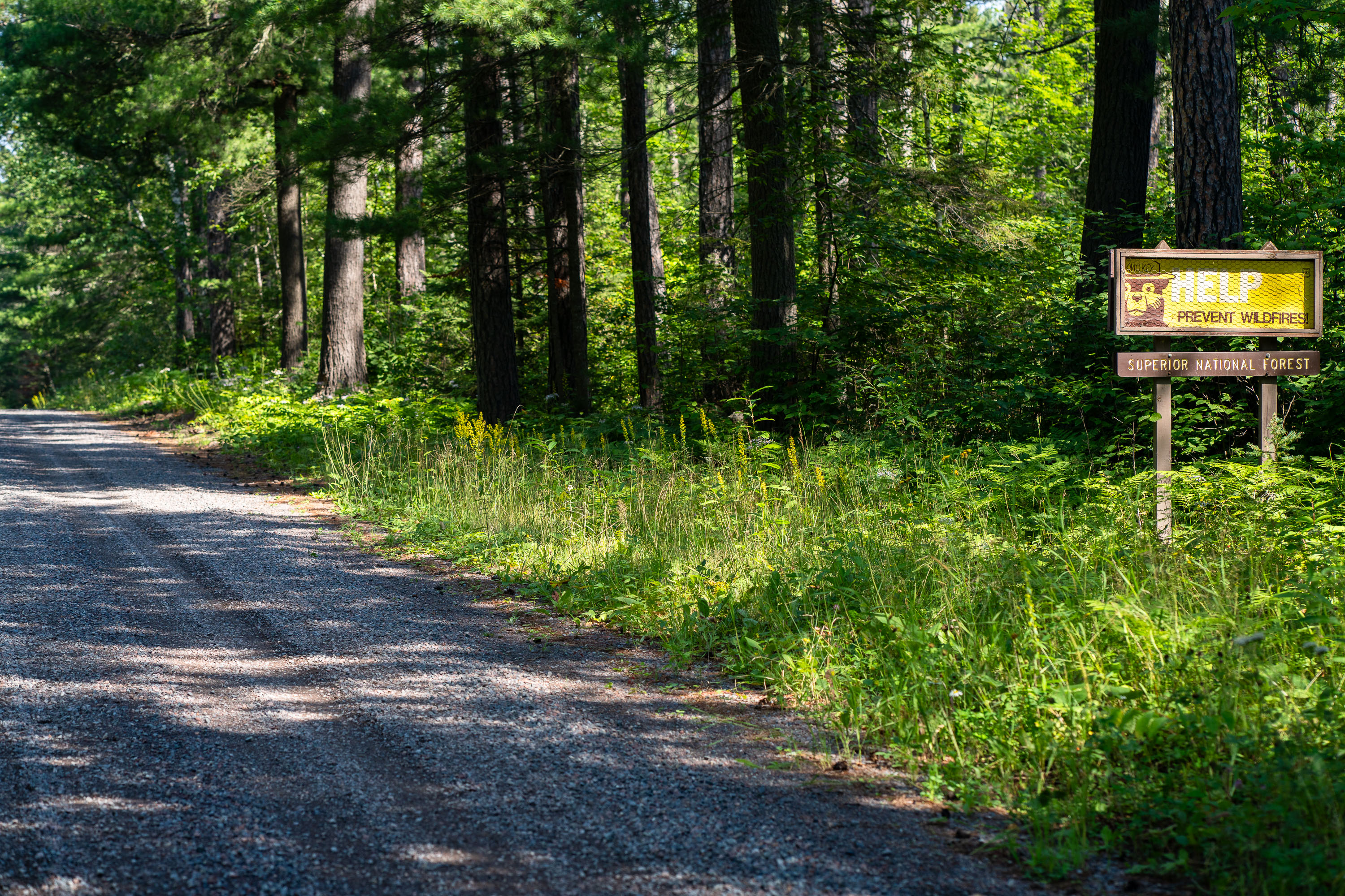
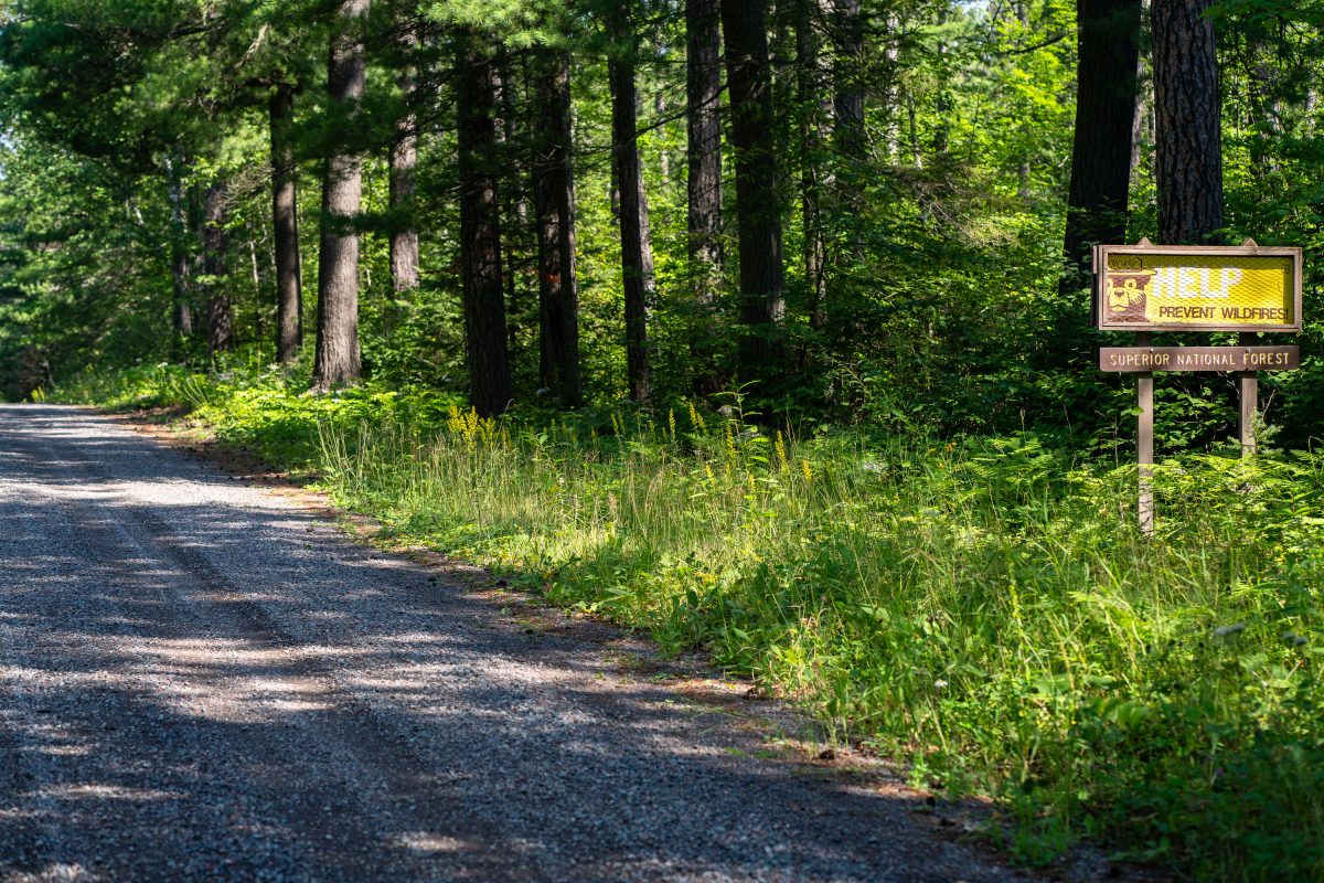
Prevent Wildfires sign in the Superior National Forest in 2022
HELP Prevent Wildfires sign in the Superior National Forest near Isabella, Minnesota.

Prevent Wildfires sign in the Superior National Forest in 2022

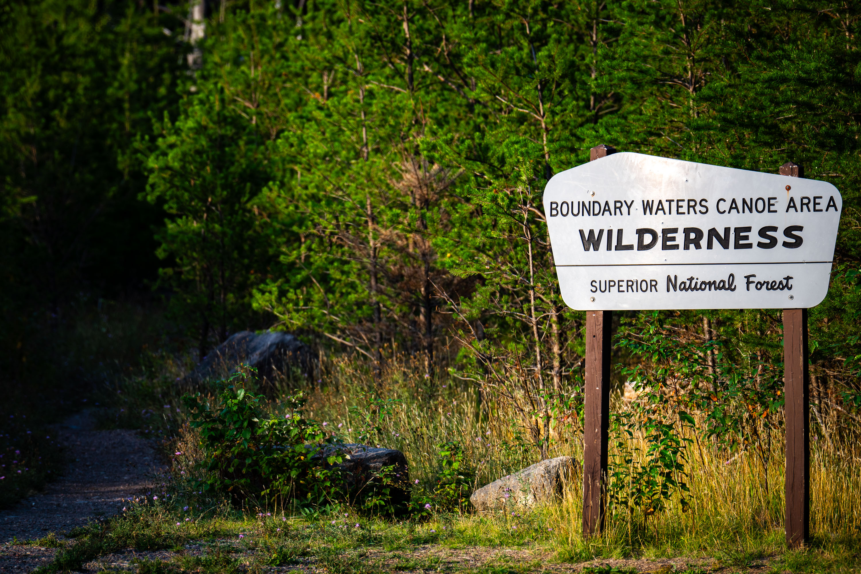
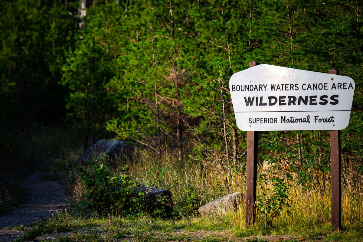
Boundary Waters Canoe Area Wilderness Superior National Forest Sign
A Boundary Waters Canoe Area Wilderness sign in the Superior National Forest.

BWCA SNF Sign in Minnesota

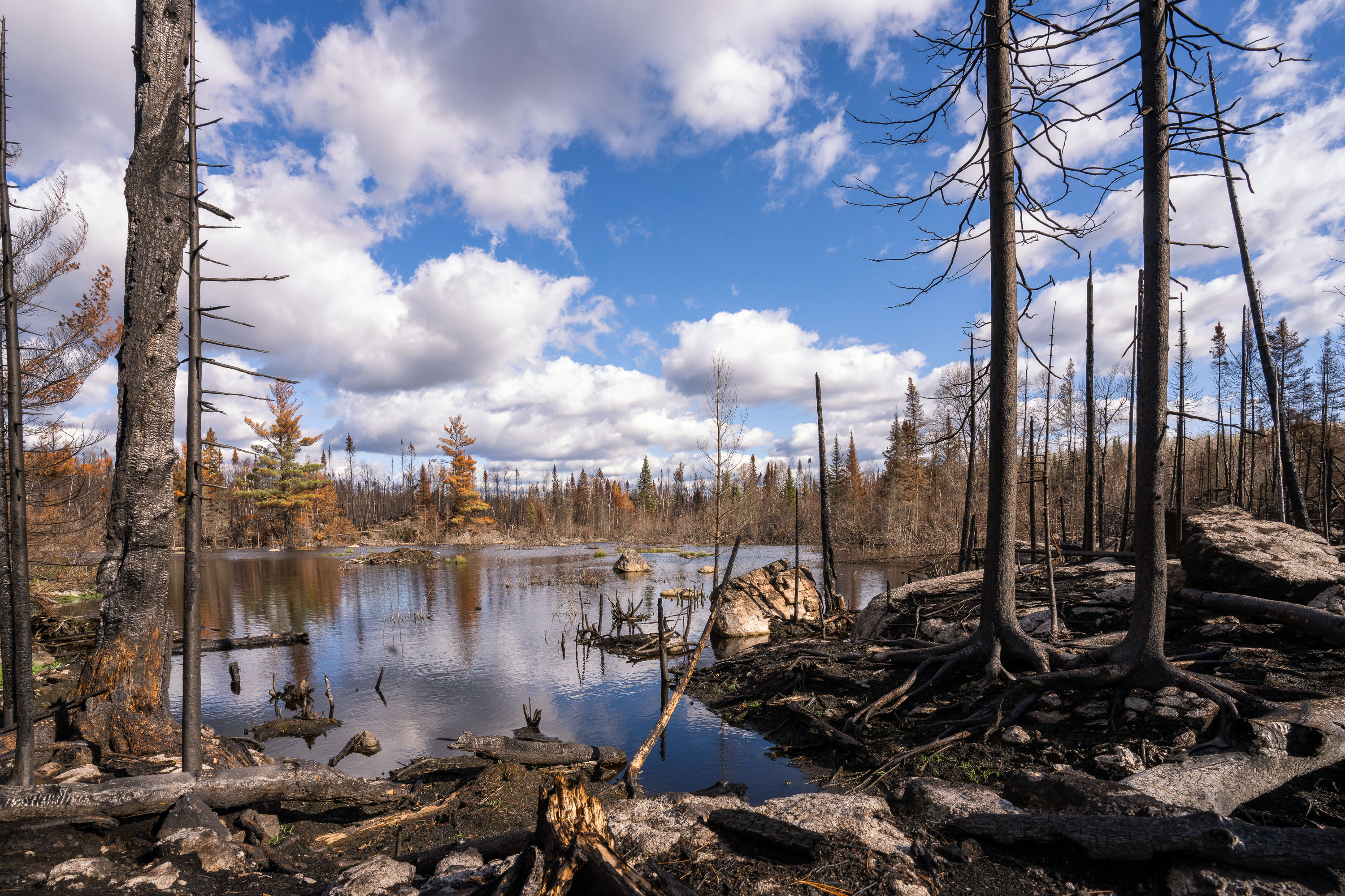
Burned trees in the Greenwood fire closure zone
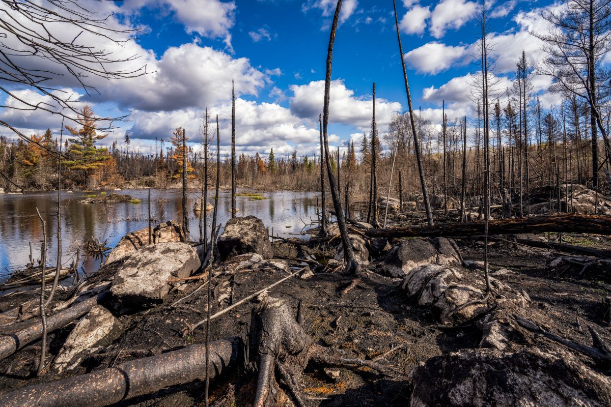
Within the closure zone of the Greenwood Fire that burned from August to September near Isabella, Minnesota in the Superior National Forest.

Burned trees in the Greenwood fire closure zone

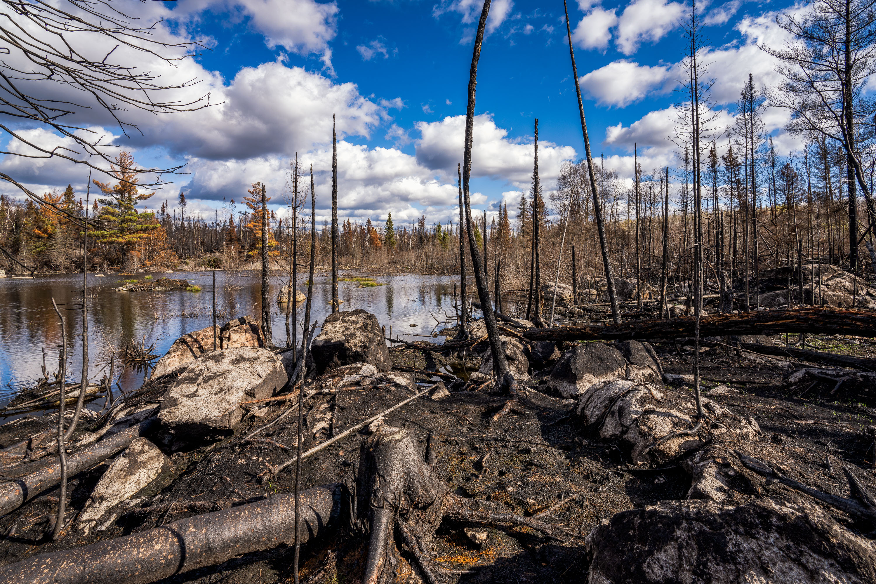
Greenwood Fire damage near Isabella, Minnesota
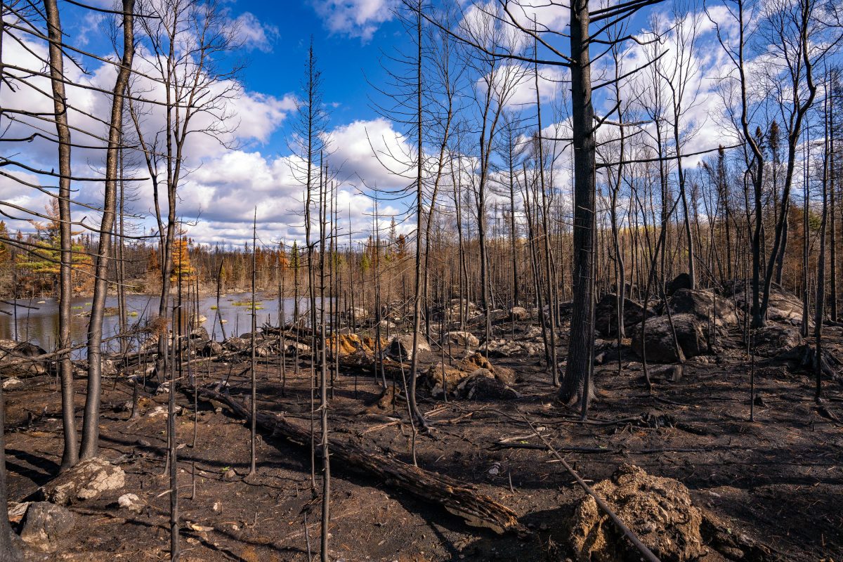
Within the closure zone of the Greenwood Fire that burned from August to September near Isabella, Minnesota in the Superior National Forest.

Greenwood Fire damage near Isabella, Minnesota

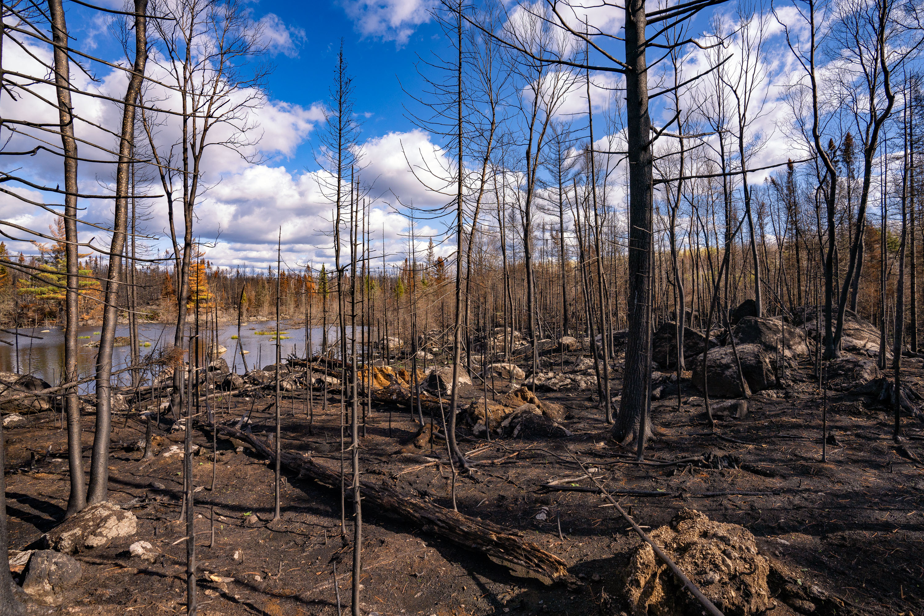
Greenwood Fire damage in Northern Minnesota
Within the closure zone of the Greenwood Fire that burned from August to September near Isabella, Minnesota in the Superior National Forest.

Burned forest after the Greenwood Fire
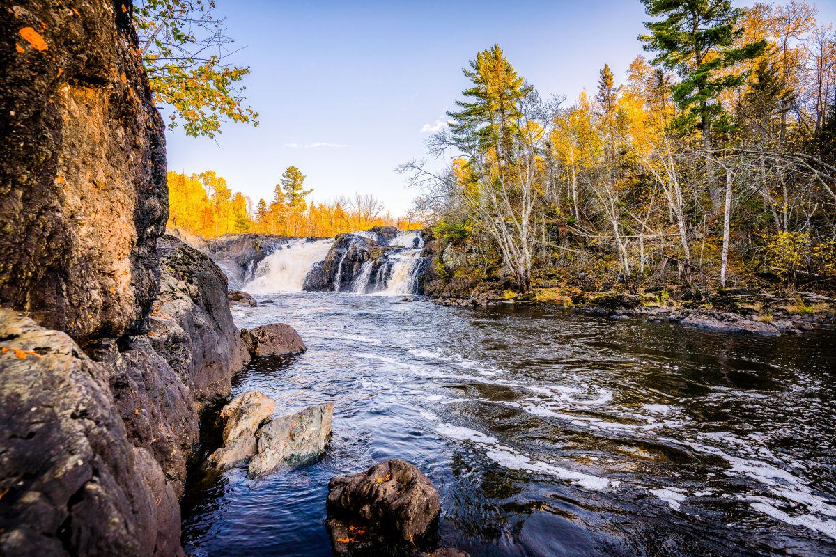
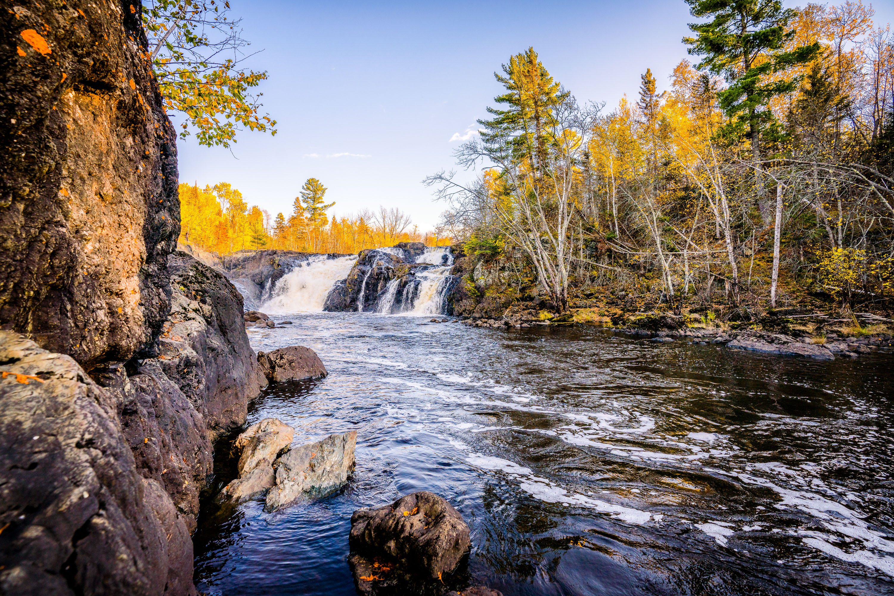
Kawishiwi Falls cascades over rocky outcrops surrounded by autumn forest in Superior National Forest, Minnesota.
Kawishiwi Falls sits along the Kawishiwi River near Ely, Minnesota, within the Superior National Forest. The river is part of the Boundary Waters Canoe Area Wilderness watershed, feeding eventually into Birch Lake and the broader Rainy Lake drainage system. The falls drop over a series of rock ledges typical of the exposed Canadian Shield bedrock that underlies much of the Ely area. Ely itself grew as a mining and logging town before becoming a gateway community for wilderness canoeing and outdoor recreation in the Superior National Forest.

Kawishiwi Falls, Superior National Forest, Minnesota
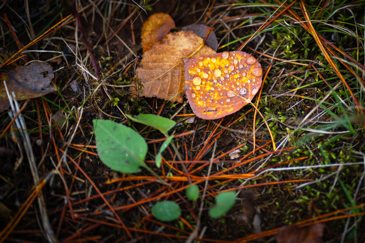
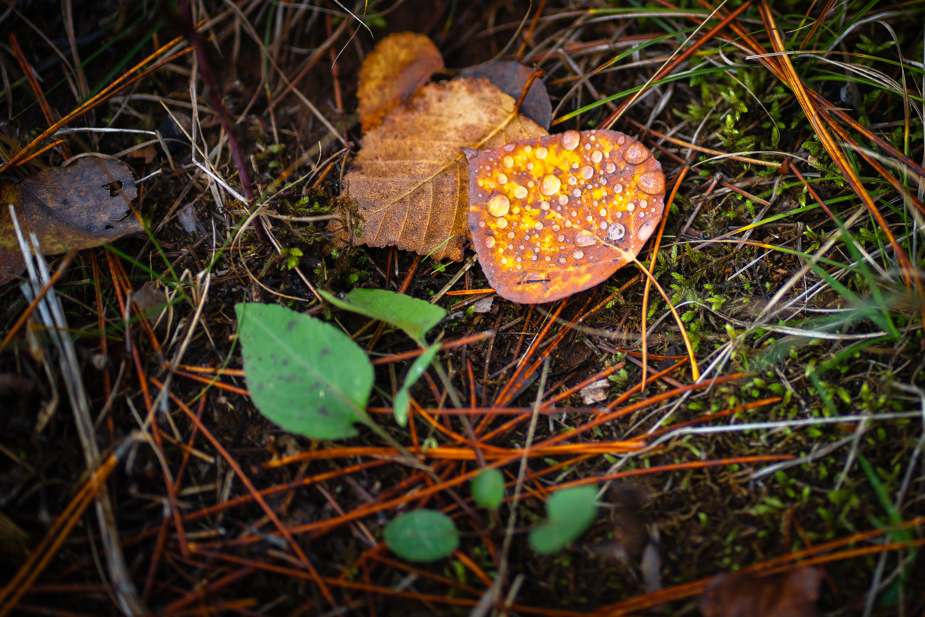
Dewy aspen leaf among pine needles and moss in Superior National Forest, Minnesota
A dewy aspen leaf lies among pine needles and moss in Superior National Forest, Minnesota. The close-up shows water droplets on the leaf and forest floor vegetation after rain or morning moisture.

Dewy Aspen Leaf in Superior National Forest
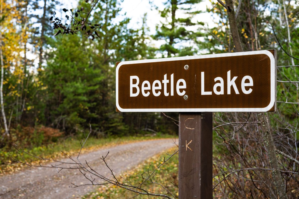
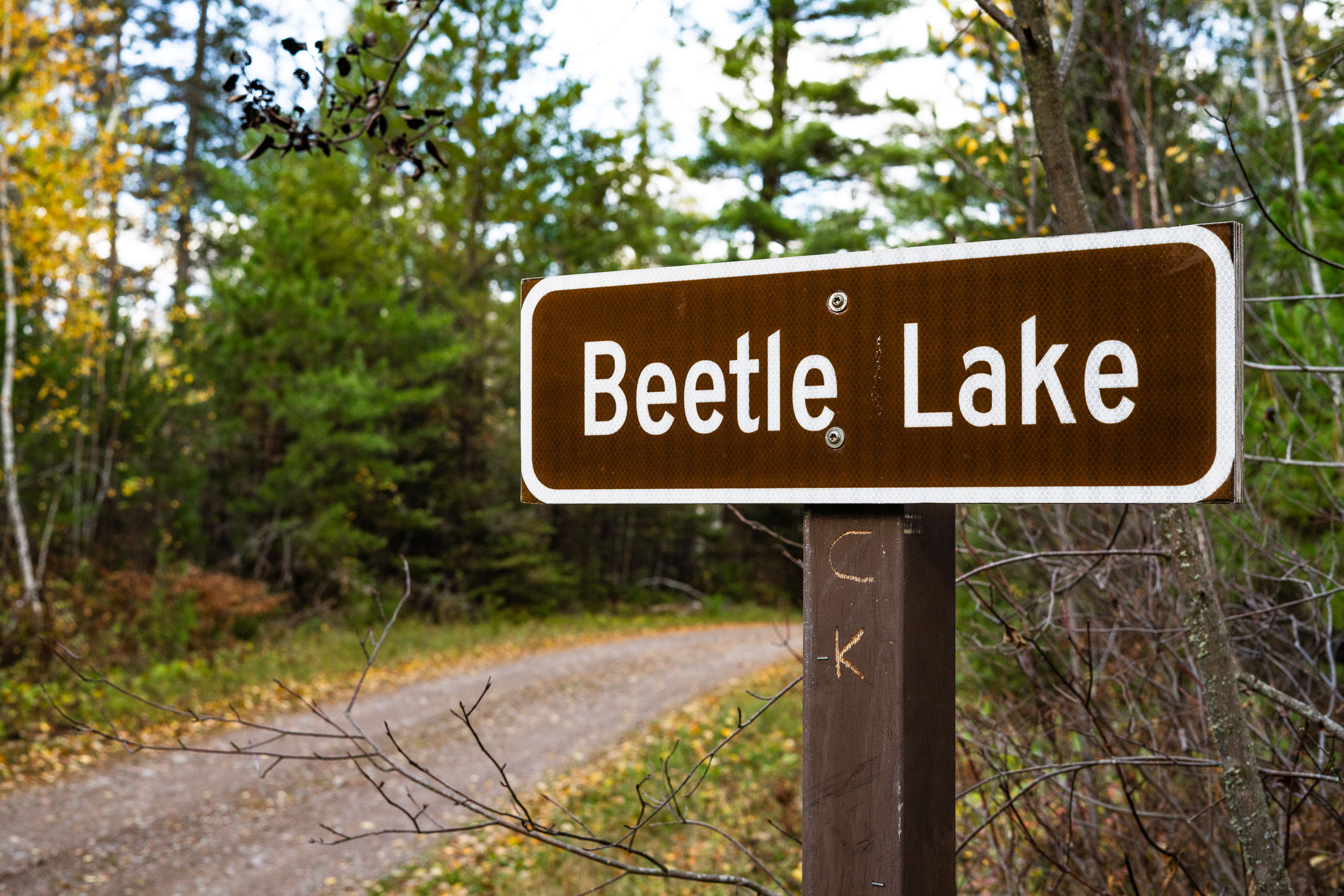
Beetle Lake Sign, Superior National Forest, Minnesota
A sign at the entrance to Beetle Lake in the Superior National Forest in Minnesota.

Beetle Lake Sign, Superior National Forest, Minnesota

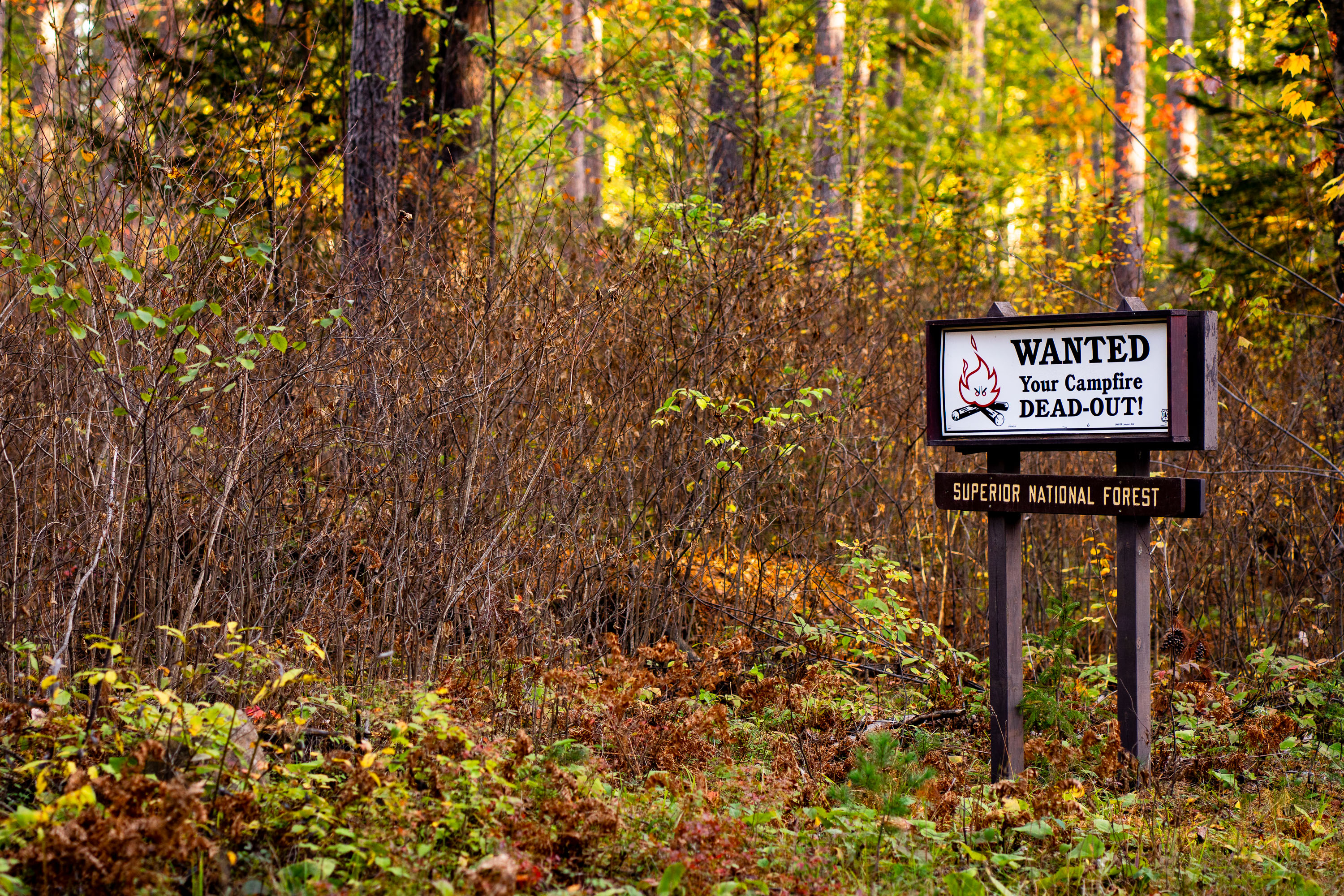
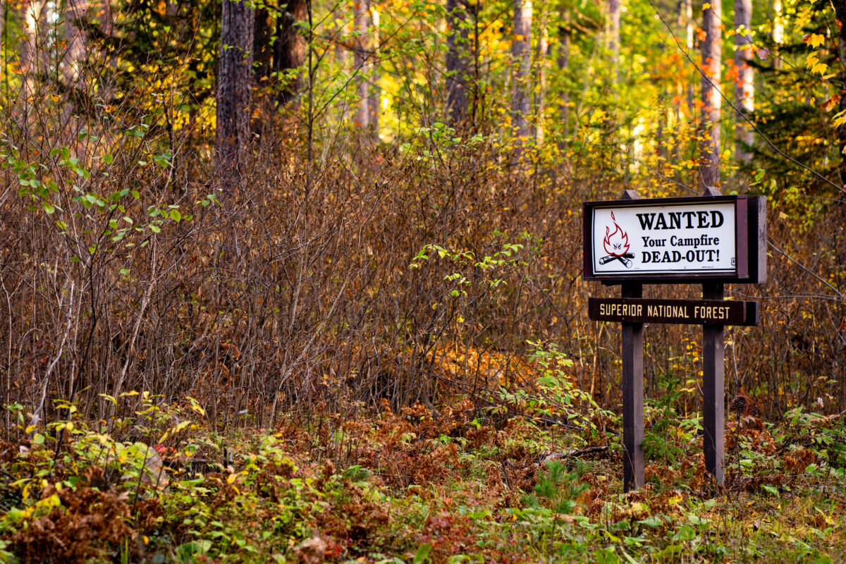
Campfire safety sign in Superior National Forest, Stony River Township, Minnesota
A campfire safety sign stands in Superior National Forest in Stony River Township, Minnesota. The sign reads, “Wanted your campfire DEAD-OUT!” and warns visitors to fully extinguish campfires before leaving the area.

Campfire safety sign in Superior National Forest
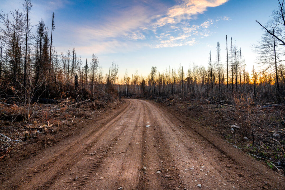
Greenwood Fire Burn Area at Sunset
A Forest Service road traverses the burn scar of the 2021 Greenwood Fire in Superior National Forest, northeastern Minnesota. This wildfire, ignited by a lightning strike in August 2021, consumed over 27,000 acres of drought-stressed timber.

Greenwood Fire Burn Scar Road, Superior National Forest Sunset
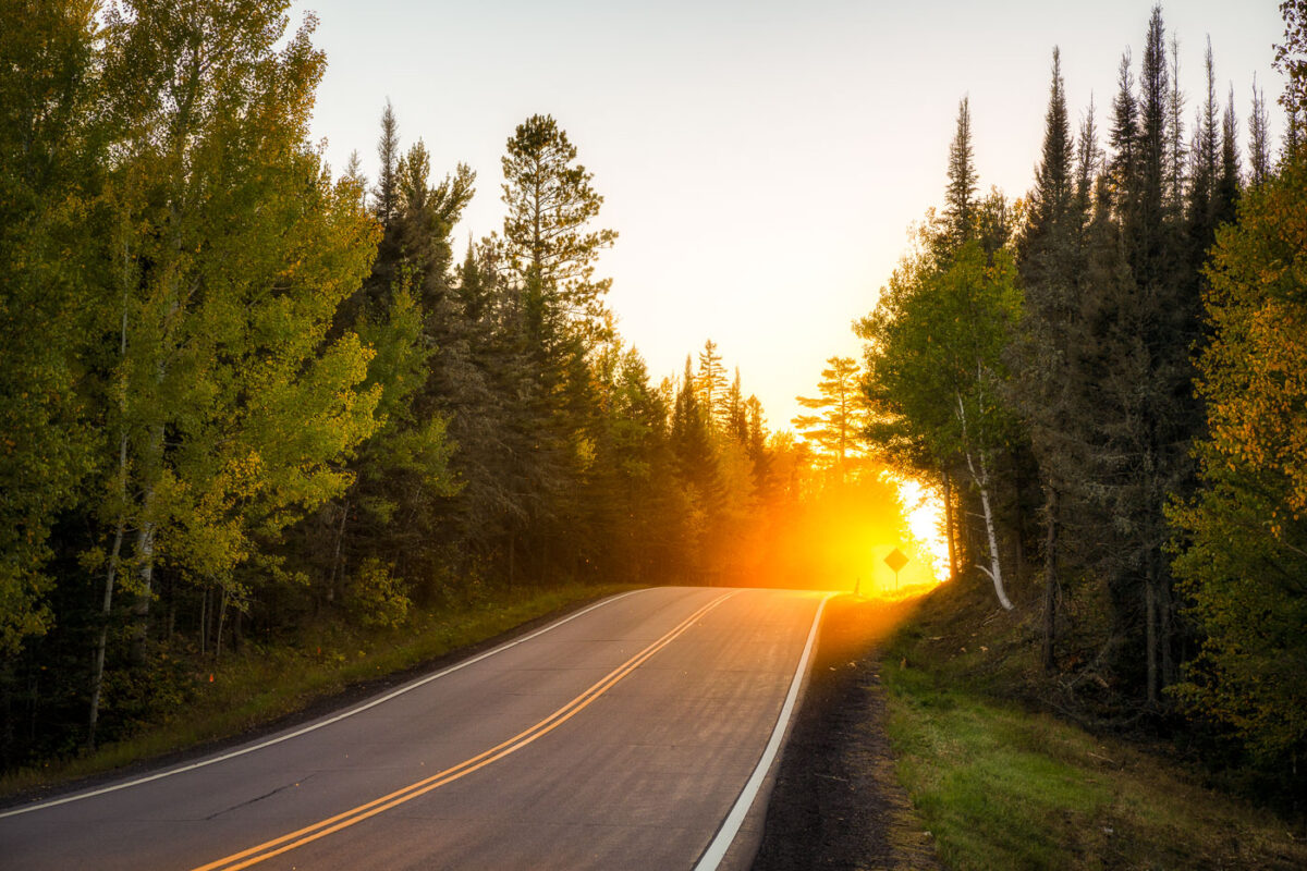
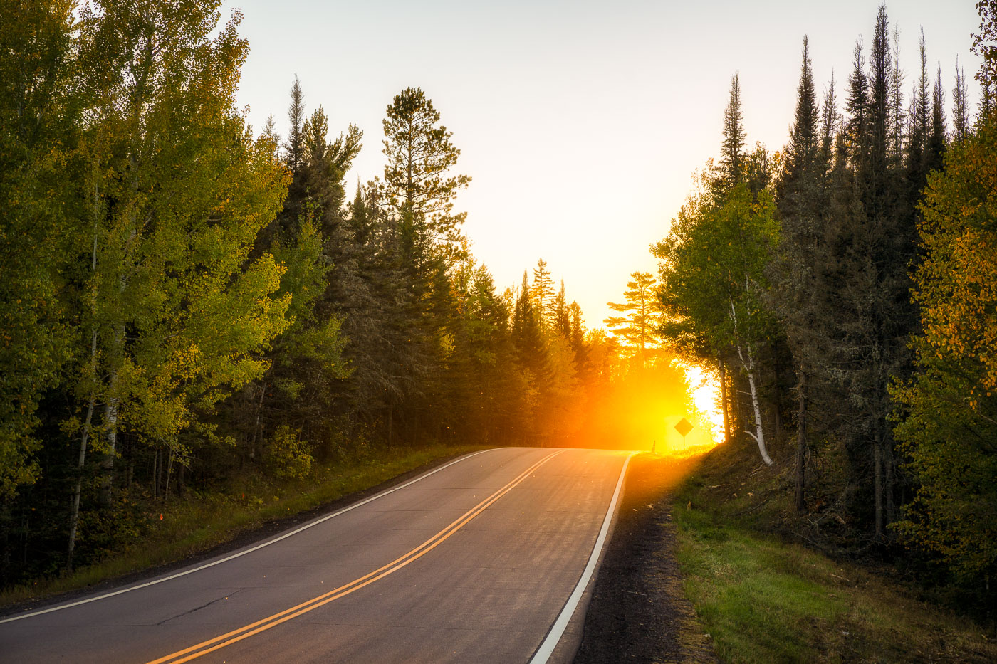
Sunset Along a Forest Road in Superior National Forest
A stretch of forest road in Superior National Forest glows with intense backlight as the sun drops behind the pines, illuminating early-autumn leaves and sending a warm haze across the pavement. This part of the forest lies within the vast Northwoods region of northeastern Minnesota, where mixed stands of birch, aspen, and conifers line quiet two-lane roads leading toward trailheads, lakes, and remote campgrounds. The soft golden light, drifting insects, and dense treeline capture the transition from late summer to fall in one of Minnesota’s most expansive public landscapes—an area managed for recreation, wildlife habitat, and long-term conservation.

Sunset Along a Forest Road in Superior National Forest

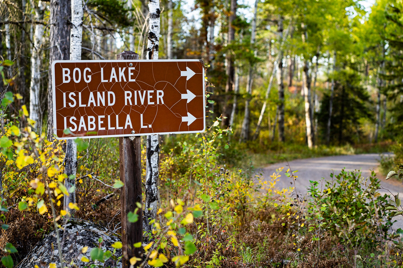
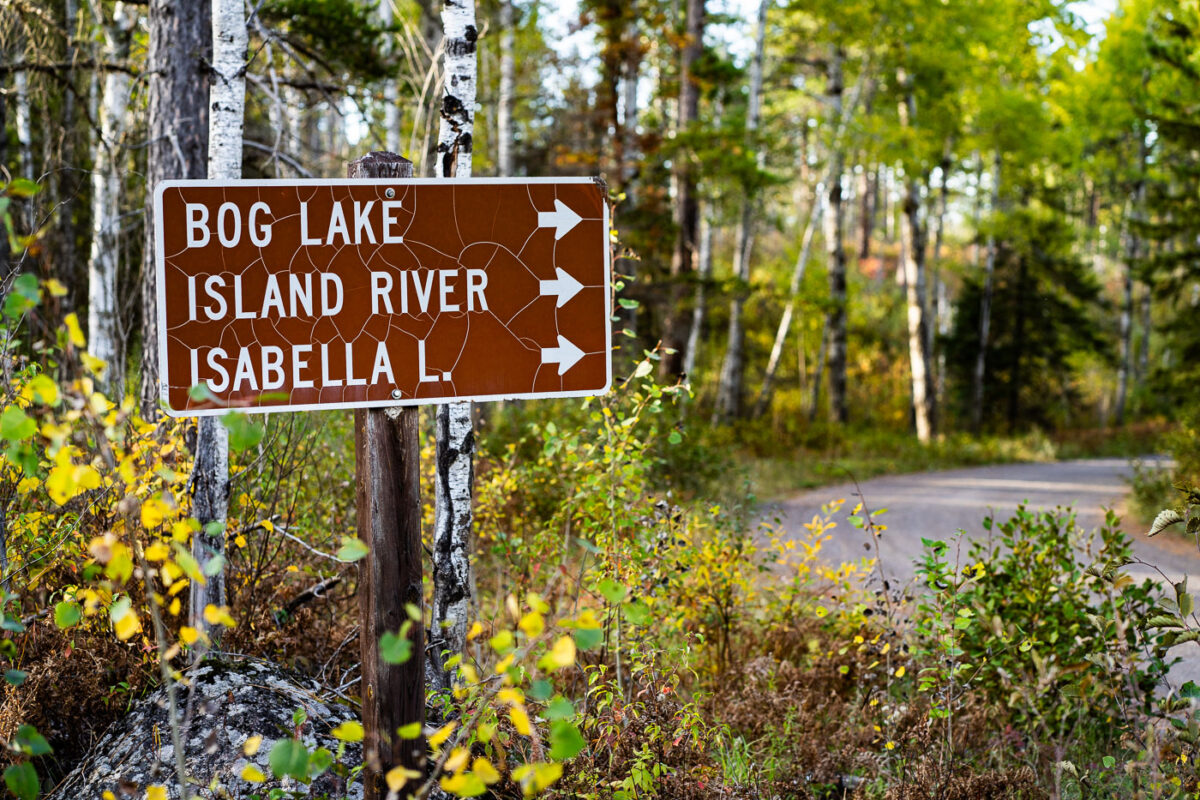
Trail Junction Sign in Superior National Forest
A weathered brown U.S. Forest Service directional sign marks the turnoff for Bog Lake, the Island River, and Isabella Lake within Superior National Forest in northern Minnesota. These destinations sit along a network of remote gravel roads east of Ely and north of Isabella, an area known for its mixed pine–birch forest, quiet canoe routes, and access to the Boundary Waters Canoe Area Wilderness. The cracked reflective surface of the sign hints at decades of harsh winters and summer sun, while the surrounding understory—changing with early autumn color—reflects the rugged, lightly traveled character of this part of the Northwoods.

Trail Junction Sign in Superior National Forest

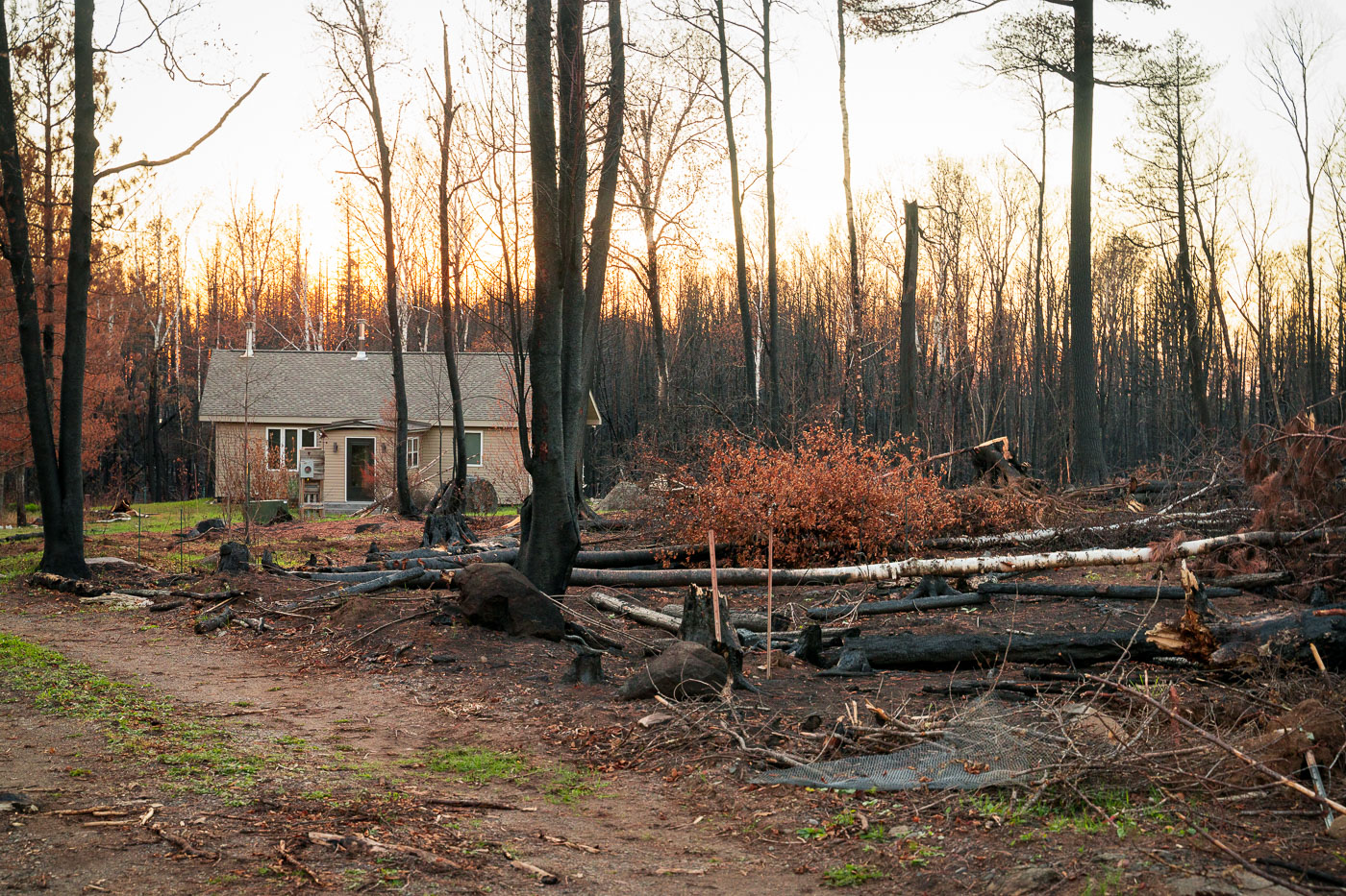
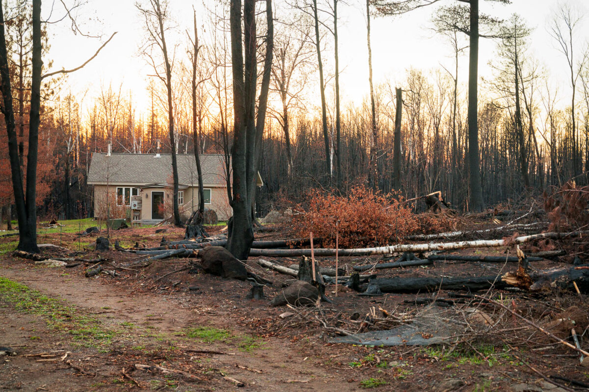
A home in the middle of Greenwood Fire
A home in Isabella, Minnesota, stands within the Superior National Forest, showing the aftermath of the Greenwood Fire. This significant wildfire, ignited by a lightning strike, consumed 27,000 acres across the forest and parts of the Boundary Waters Canoe Area Wilderness. While hundreds of firefighters initially battled the blaze, a smaller contingent of 97 crew members continued working in the closure zone to manage its lasting effects.

Isabella Home, Greenwood Fire Aftermath, Superior National Forest
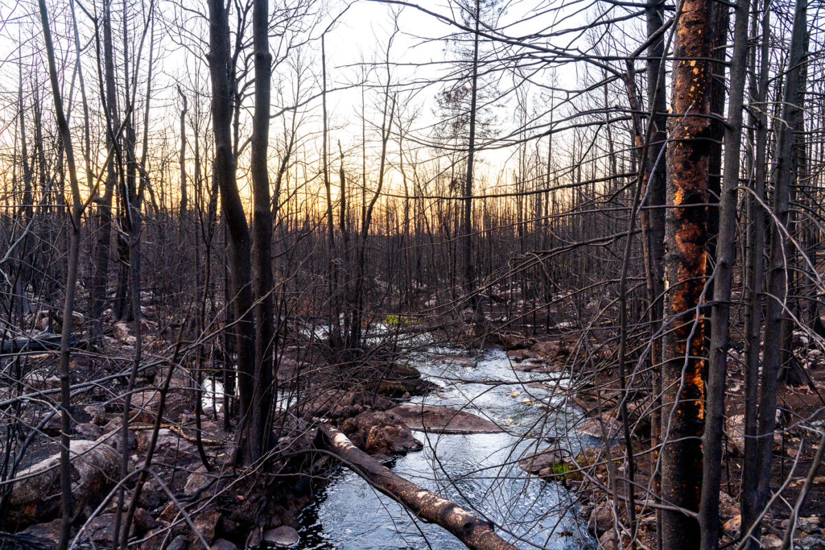
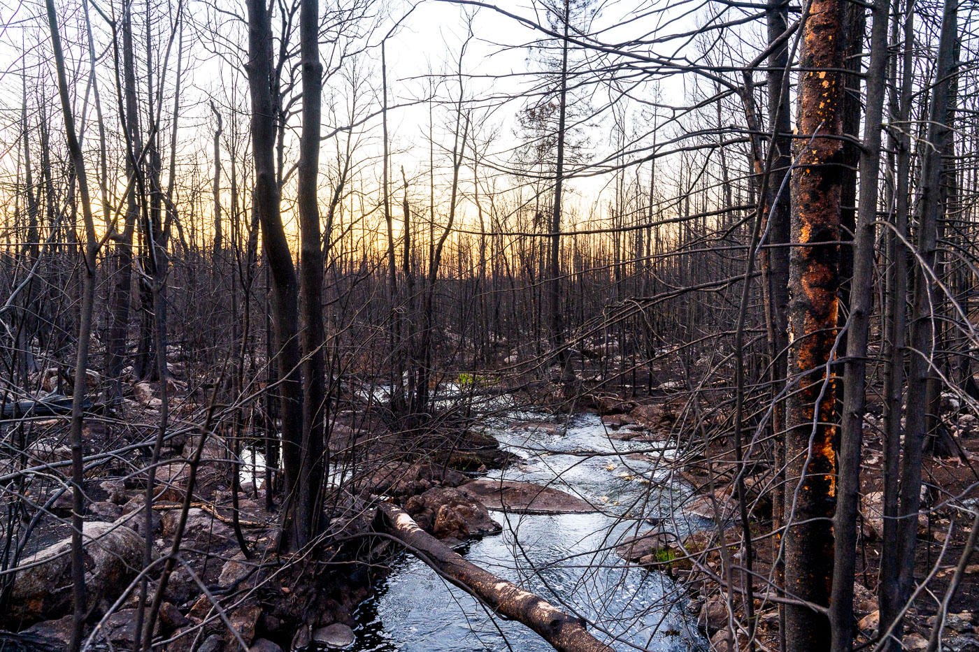
Stream in the middle of the Greenwood Fire SNF
A burnt forest stands within the Greenwood Fire closure zone near Isabella, Minnesota, part of the Superior National Forest and Boundary Waters Canoe Area Wilderness. The Greenwood Fire, ignited by a lightning strike in an exceptionally dry forest, burned approximately 27,000 acres in 2021. Following the extensive wildfire, the US Forest Service deployed hundreds of crew members to manage the area, with 97 personnel continuing operations in the aftermath.

Burnt Forest, Greenwood Fire, Isabella, Minnesota
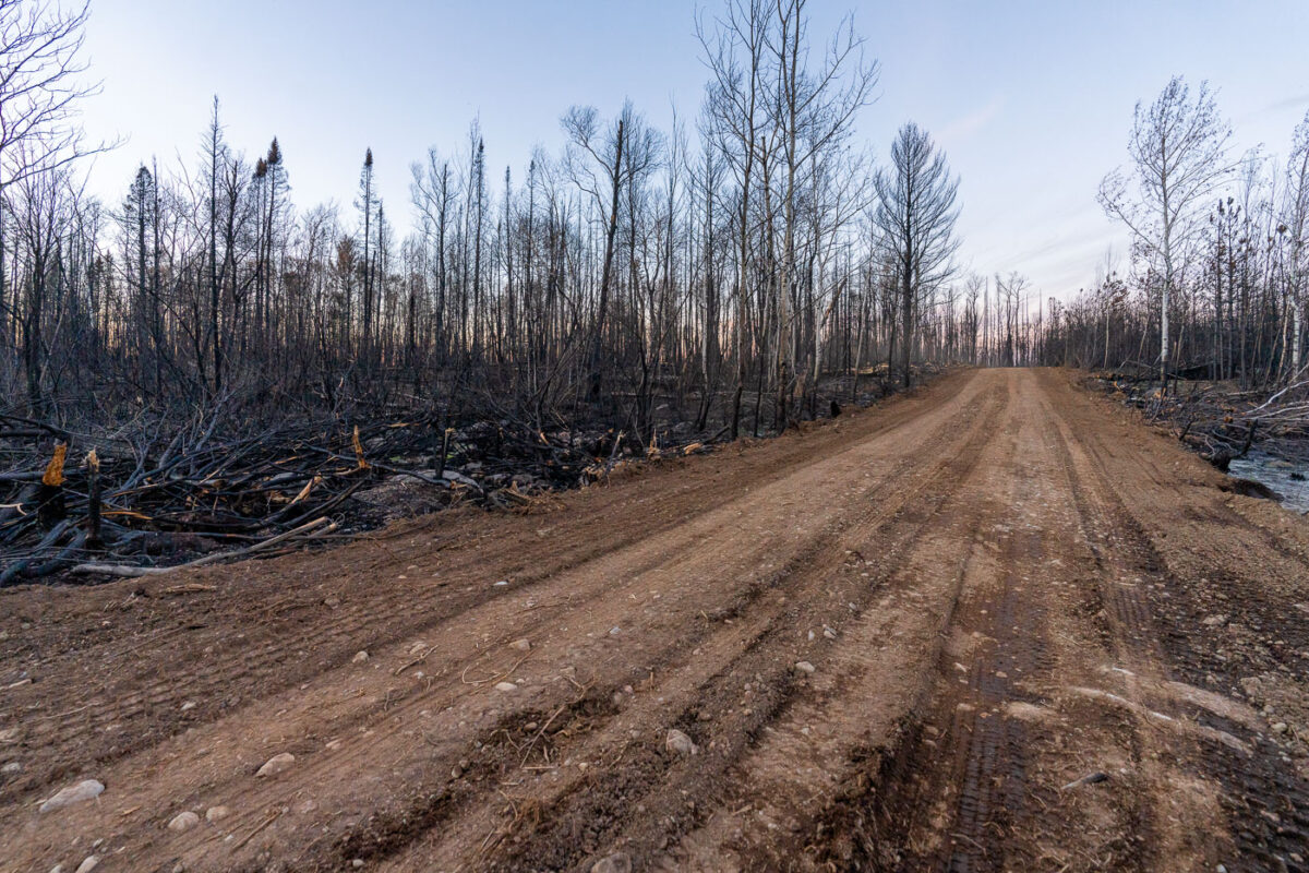
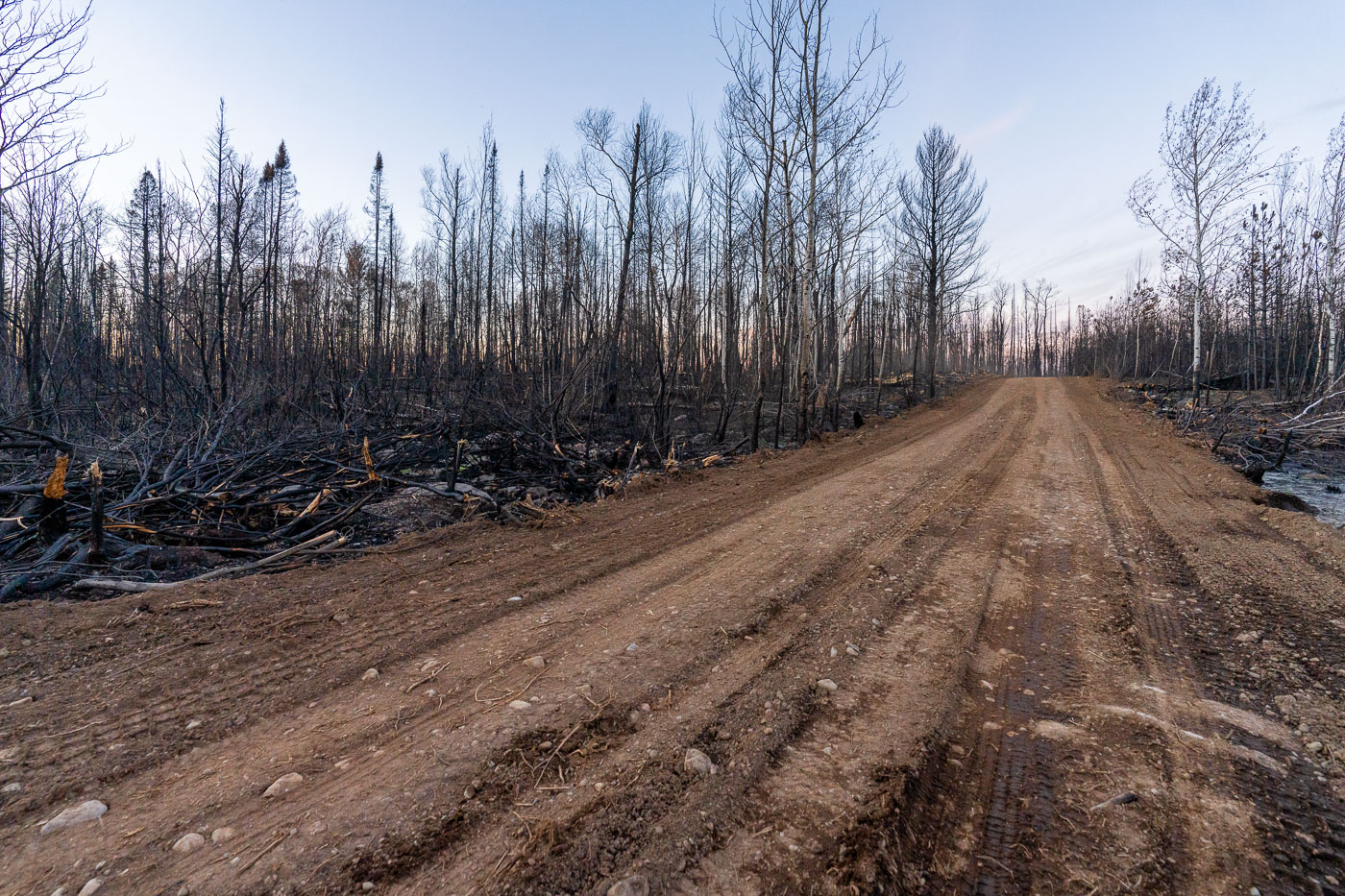
SNF Greenwood Fire 2021
A road traverses the charred landscape within the Greenwood Fire closure zone in Minnesota's Superior National Forest. This area was severely impacted by the Greenwood Fire, which burned 27,000 acres after a lightning strike ignited the extremely dry forest. Hundreds of US Forest Service crew members were deployed to combat the wildfire, with ongoing efforts continuing in the aftermath. The fire significantly affected this northern Minnesota wilderness, including portions of the Boundary Waters Canoe Area Wilderness near Isabella.

Road through Greenwood Fire Aftermath, Superior National Forest
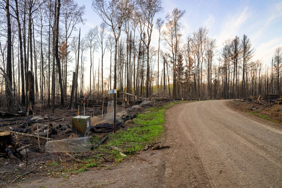
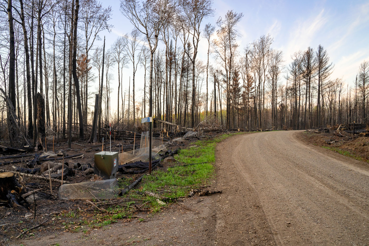
Burned out road Greenwood Fire Minnesota
A road winds through the Greenwood Fire closure zone within Minnesota's Superior National Forest, showcasing the extensive impact of the August 2021 wildfire. The Greenwood Fire, ignited by a lightning strike in an exceptionally dry forest, burned approximately 27,000 acres, affecting parts of the Boundary Waters Canoe Area Wilderness.

Road through Greenwood Fire Zone, Superior National Forest, Minnesota
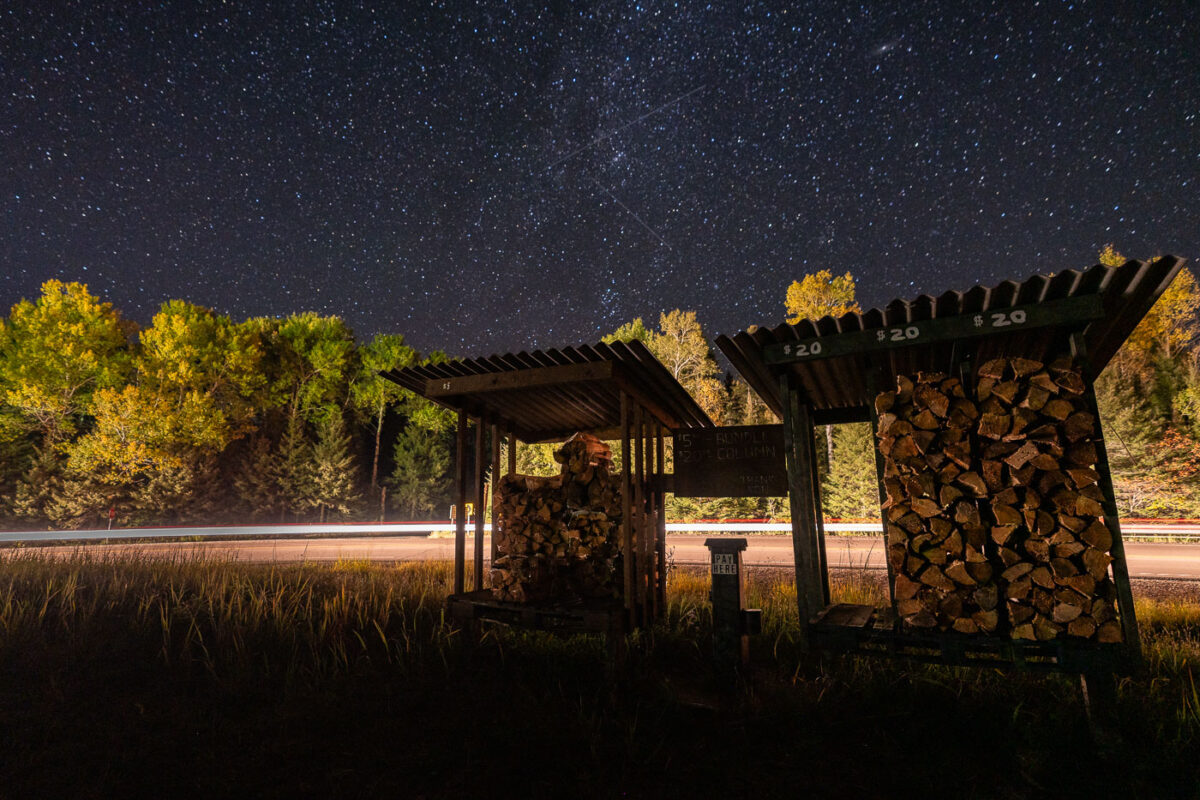
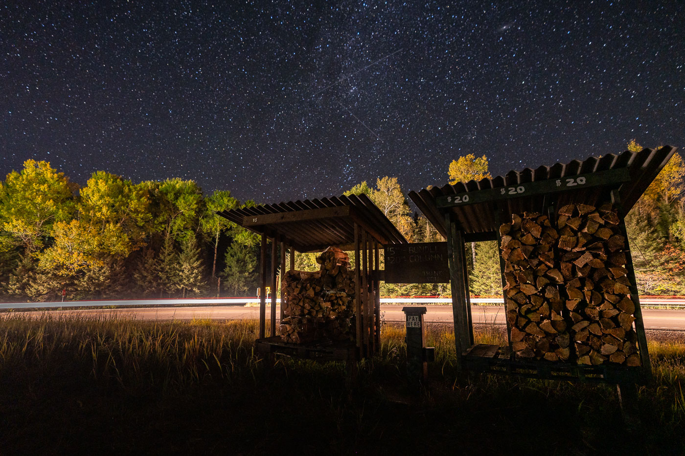
Firewood Stand Under Northern Minnesota’s Night Sky
A small roadside firewood stand sits quietly beneath a star-filled sky near Isabella in northern Minnesota, a gateway community to the Superior National Forest. These honor-system stands are common throughout the Northwoods, supplying bundled campfire wood to travelers headed toward nearby campgrounds, trailheads, and remote lake cabins. Long-exposure headlights from passing vehicles streak across the background, contrasting with the stillness of the surrounding forest and the clear autumn night above.

Firewood Stand Under Northern Minnesota’s Night Sky

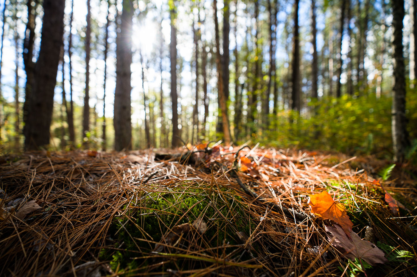
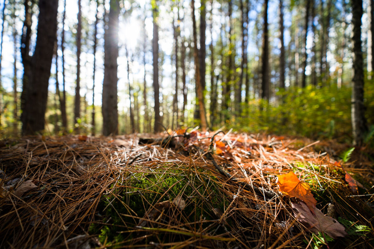
Forest floor detail in Superior National Forest, Minnesota, showing pine needles, moss, and fallen leaves under sunlight filtering through trees.
The Superior National Forest in Minnesota is a vast protected area known for its extensive boreal forests and numerous lakes. Established in 1909, it spans over three million acres and is managed by the U.S. Forest Service. The forest floor, covered in pine needles and moss, illustrates the rich biodiversity and natural processes that sustain this ecosystem. It serves as a critical habitat for wildlife and a significant area for conservation and outdoor activities.

Superior National Forest, Minnesota: Forest Floor Detail
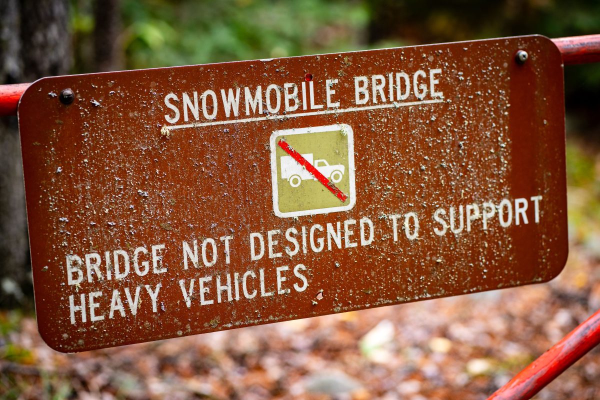
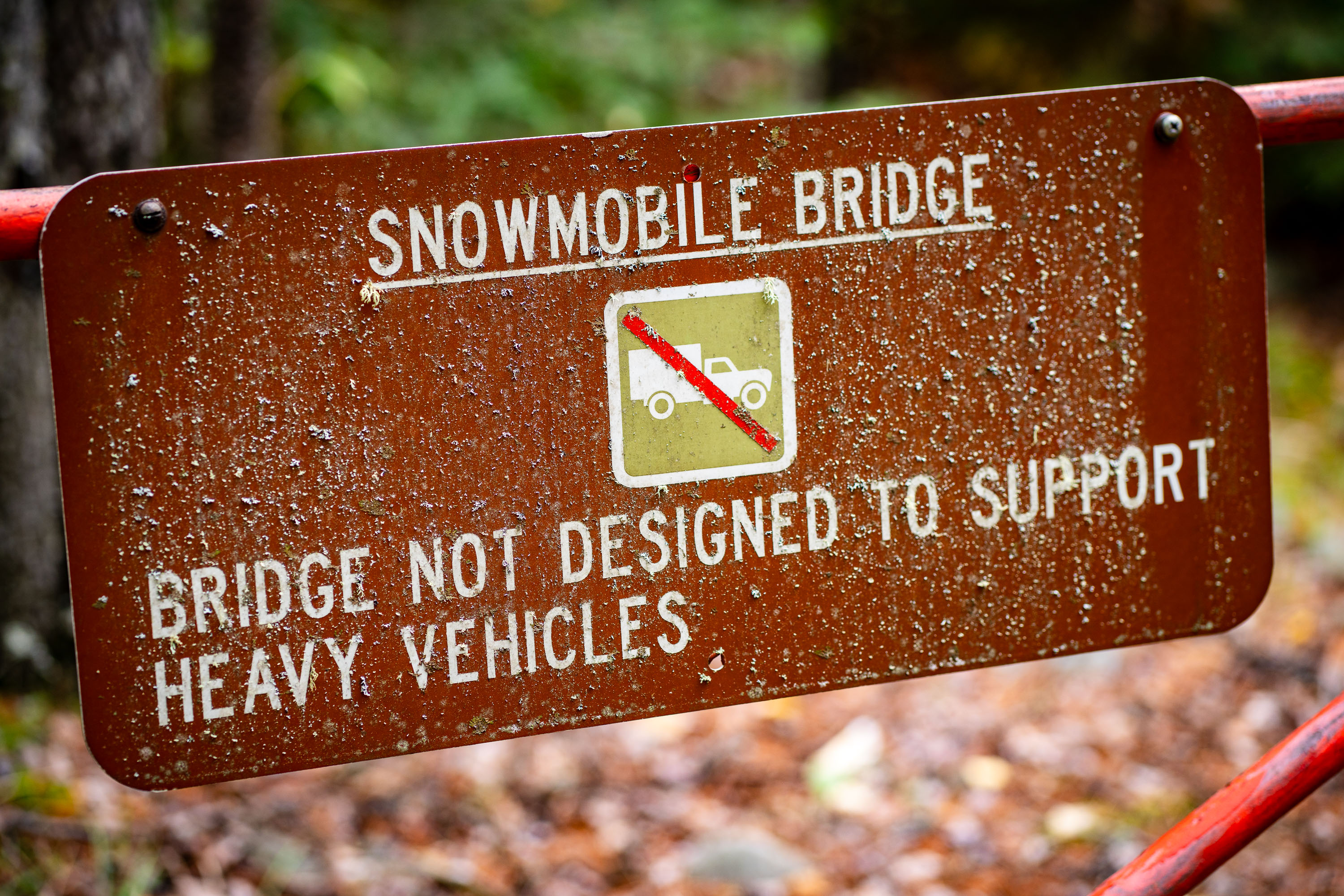
Snowmobile Bridge sign in the Superior National Forest
A warning sign marks a snowmobile bridge in the Superior National Forest, Minnesota.

Snowmobile Bridge sign in the Superior National Forest

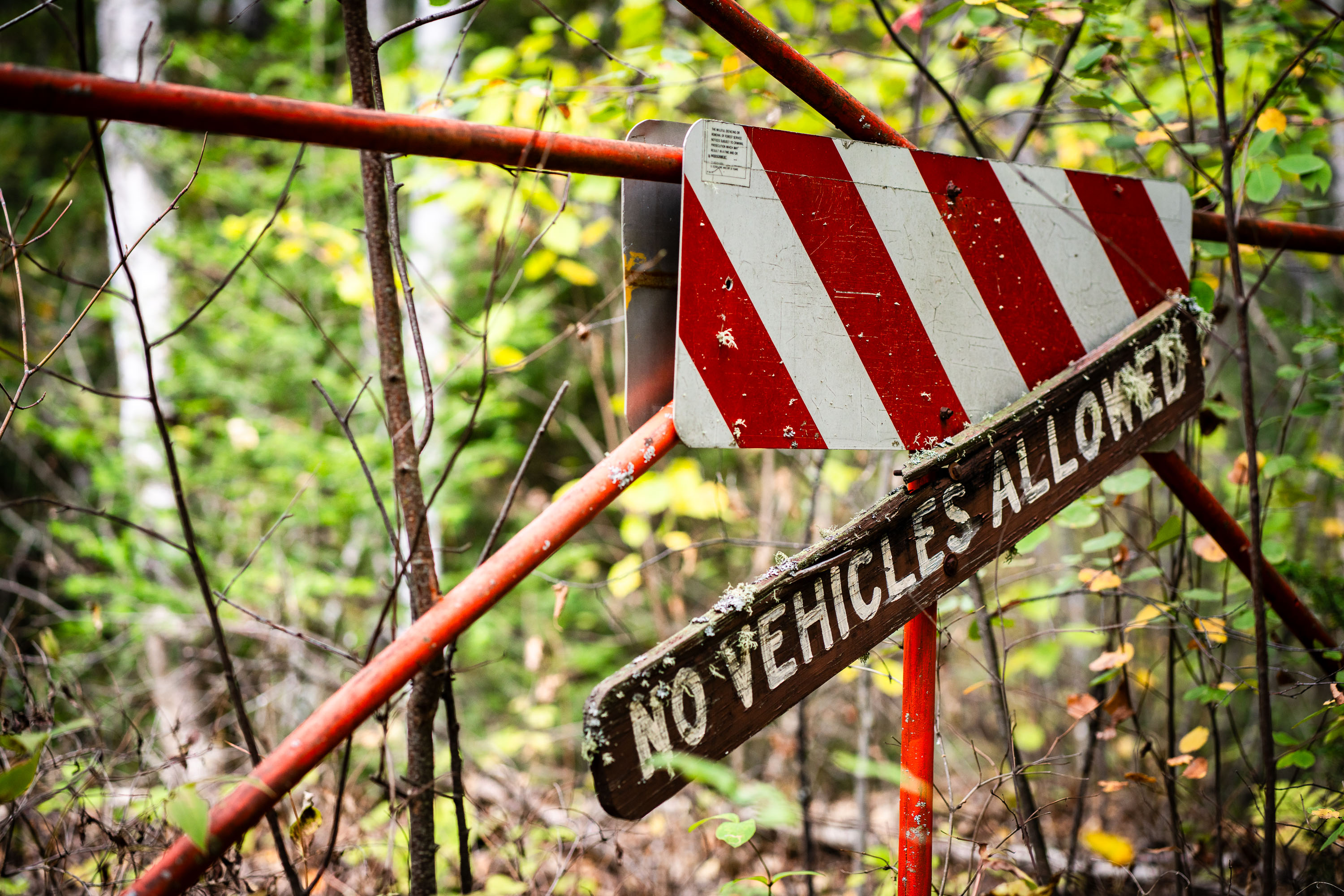
No Vehicles Allowed, Superior National Forest
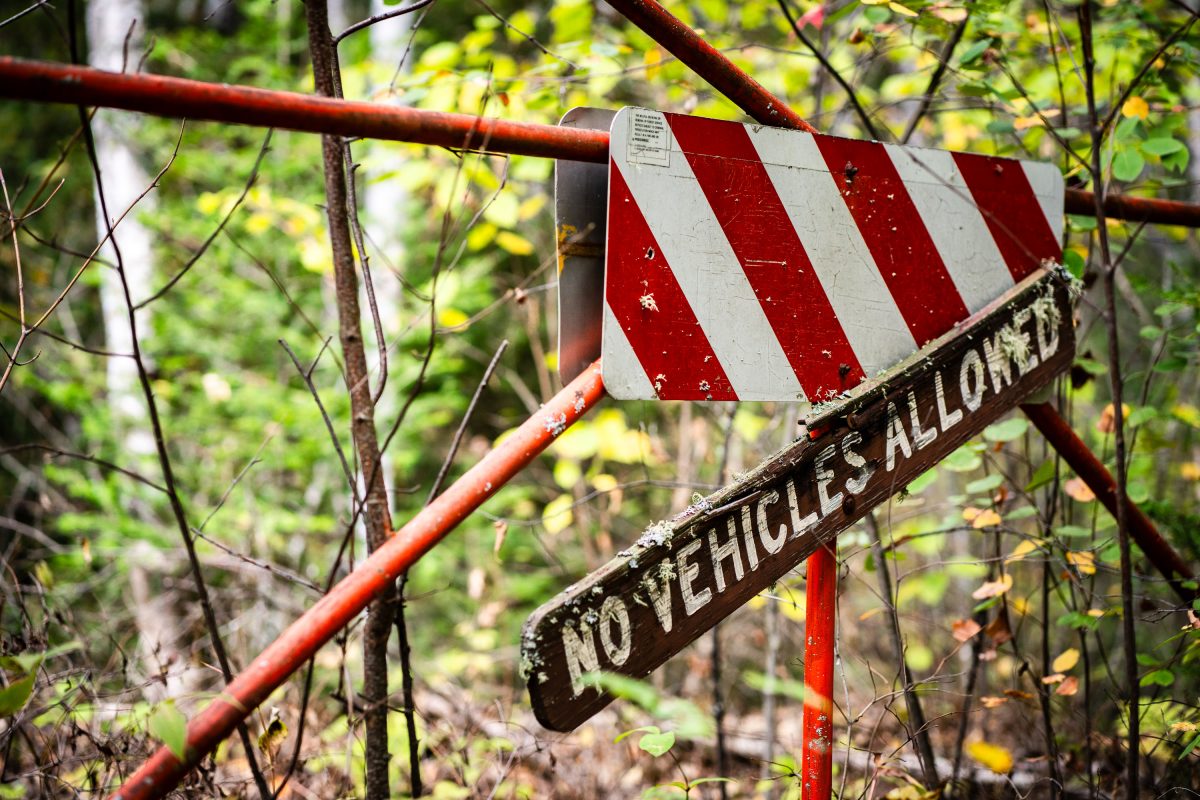
A "No Vehicles Allowed" sign mark a closed forest road in Superior National Forest, a 3.9-million-acre federally managed forest in northeastern Minnesota.

No Vehicles Allowed, Superior National Forest

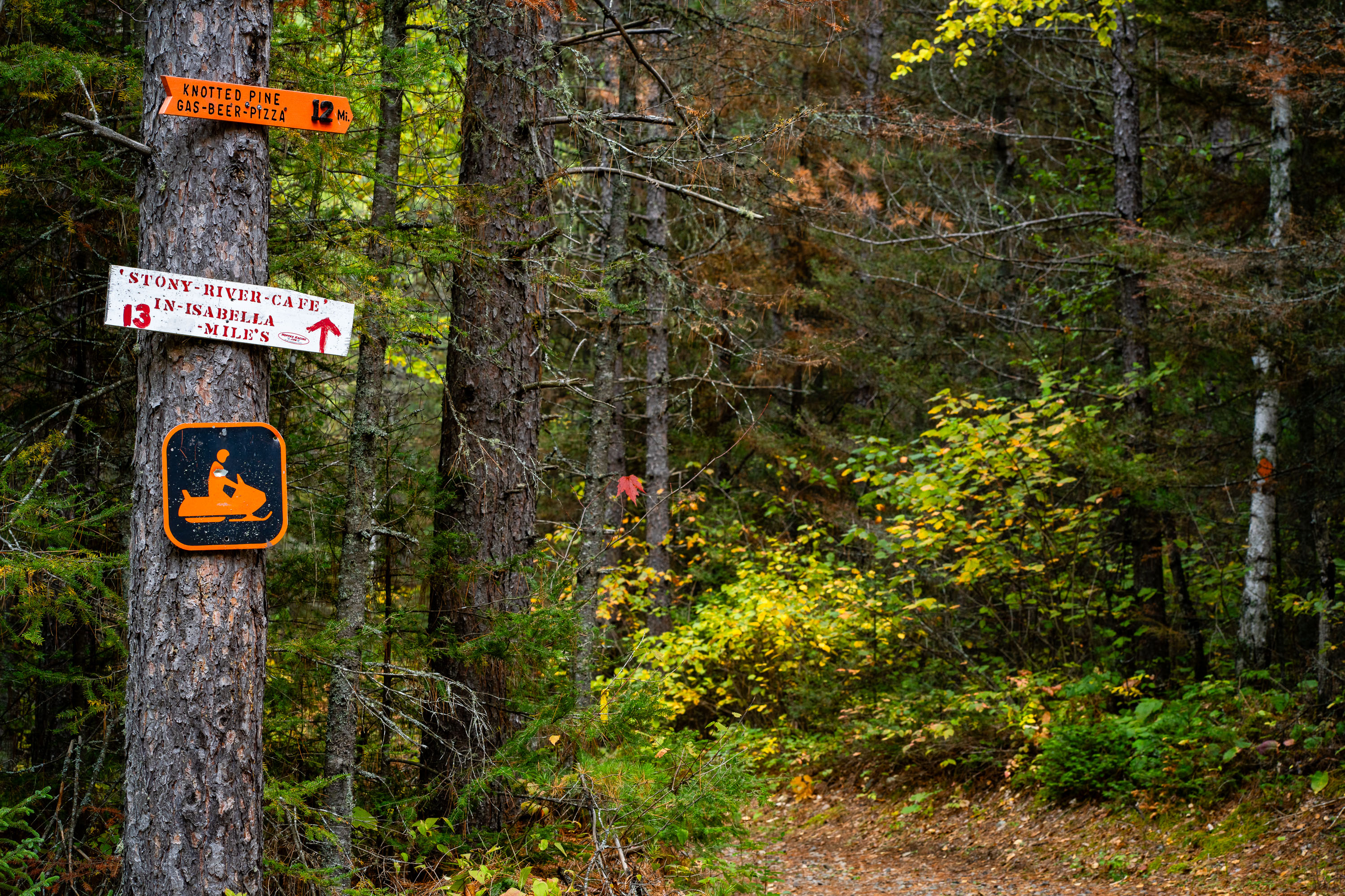
Knotted Pine Bar Sign in Superior National  Forest
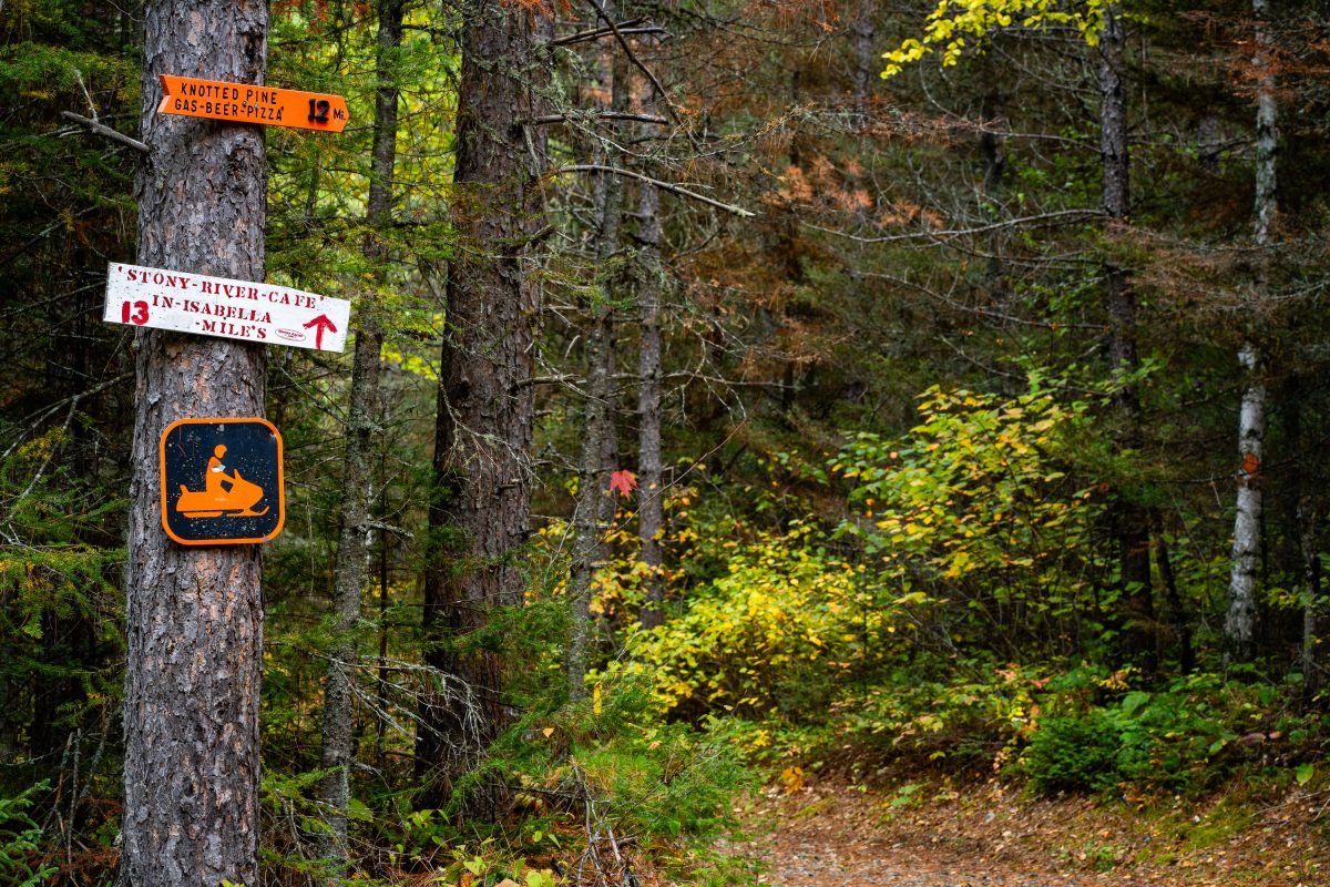
Snowmobile trail markers on the Superior National Forest trail network near Isabella, Minnesota, direct riders to nearby destinations including the Knotted Pine, a gas, beer, and pizza stop 12 miles away, and the Stony River Cafe in Isabella, 13 miles distant.

Knotted Pine Bar Sign in Superior National Forest

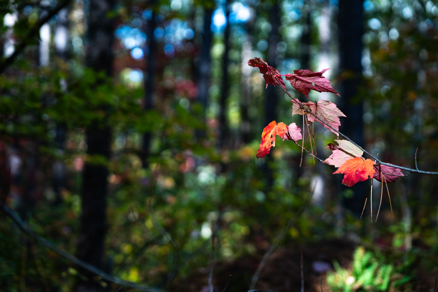
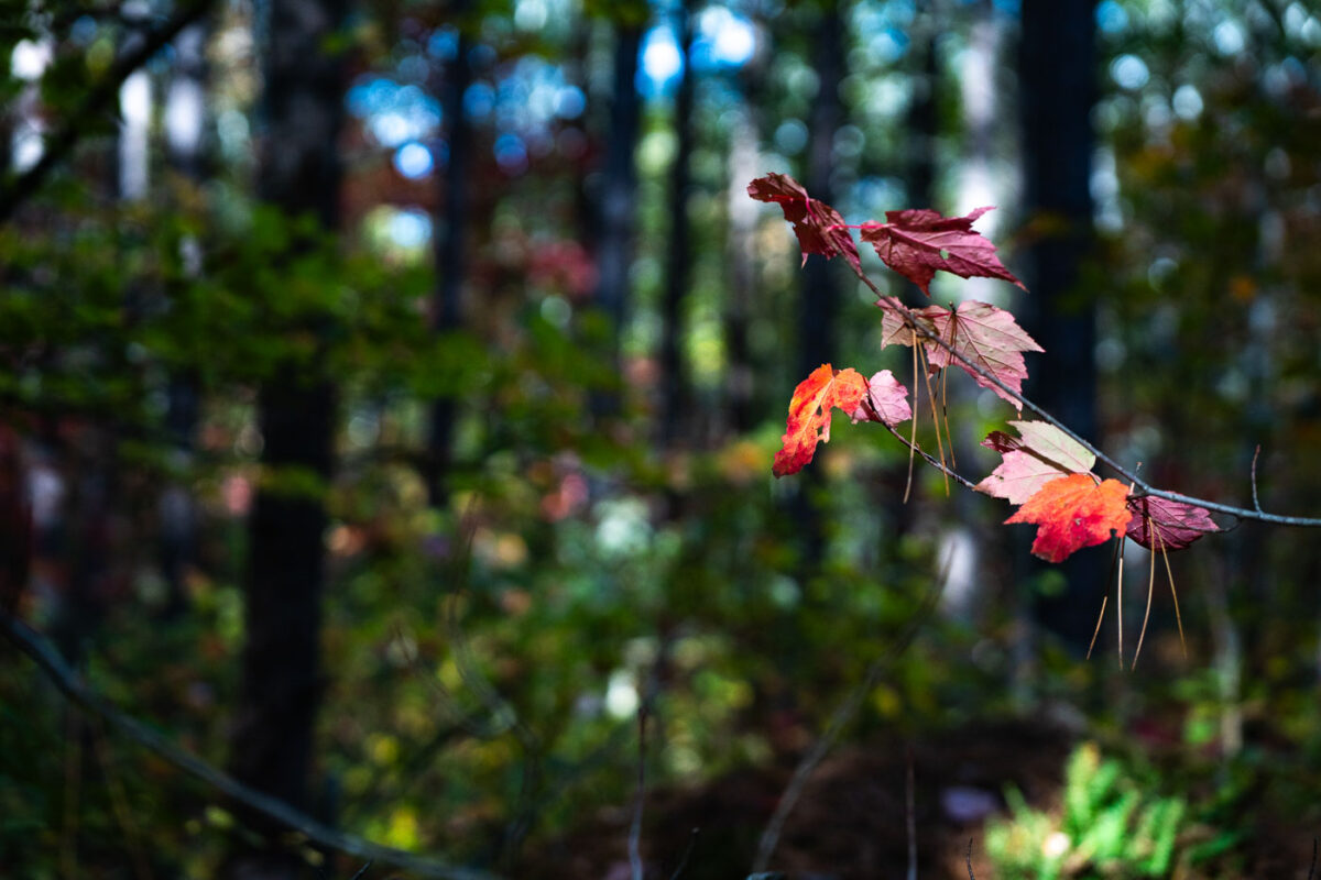
Early Autumn Color in Superior National Forest
A small branch of maple leaves shows the first vivid signs of autumn deep within Superior National Forest in northern Minnesota. Early-season reds stand out against the darker greens and shadows of the surrounding pine-hardwood understory, a characteristic mix of the region’s boreal and temperate forest types. The shallow depth of field highlights the delicate transition of the season—one of the defining visual markers of fall in the Northwoods.

Early Autumn Color in Superior National Forest

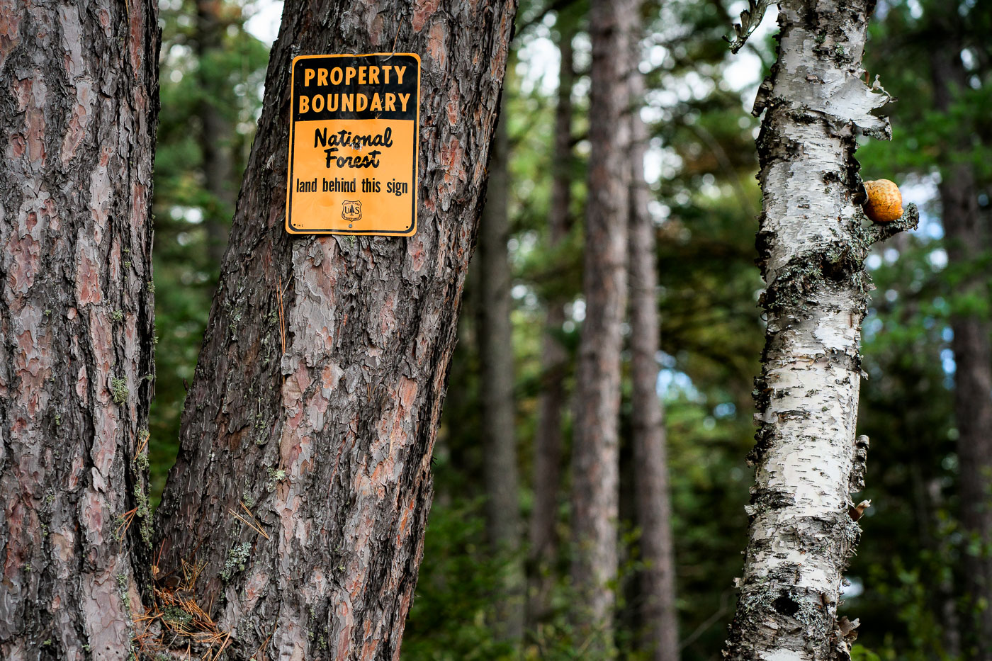
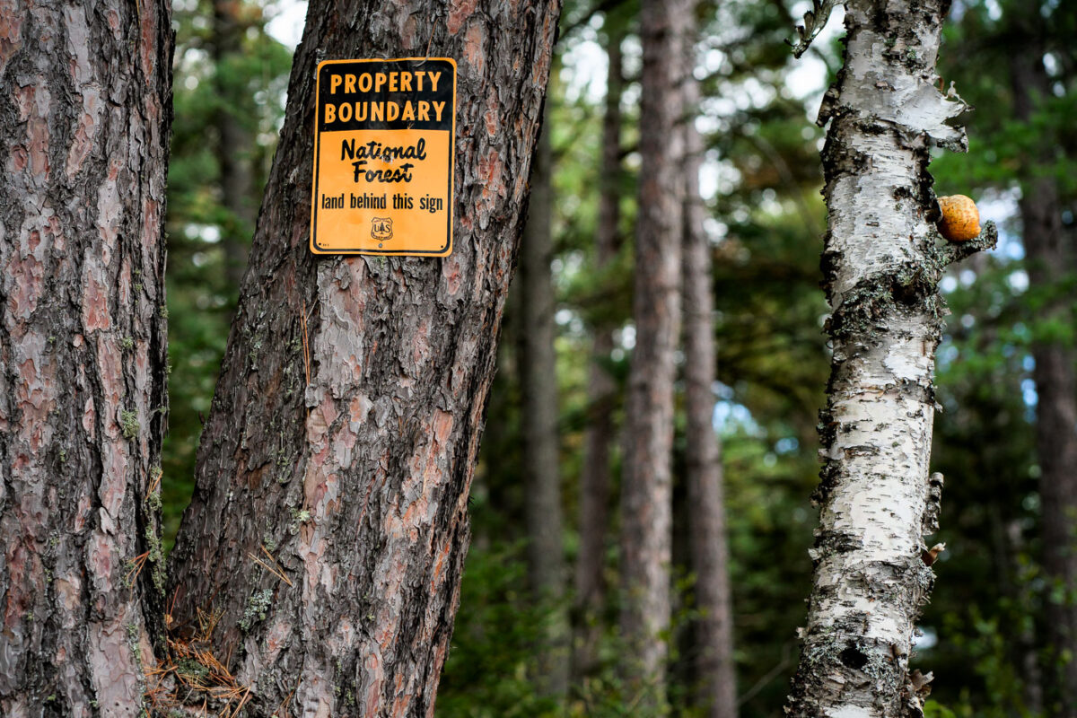
Boundary Marker on Superior National Forest Land
A U.S. Forest Service property boundary sign marks the transition onto Superior National Forest land in northern Minnesota. Signs like this one are posted throughout the region to indicate where federally managed forest begins—part of a system established after the forest’s creation in 1909 to protect timber resources, waterways, and wilderness habitat. Much of Northern Minnesota’s public land is a patchwork of federal, state, county, and private parcels, making boundary markers a practical guide for hunters, hikers, and anyone navigating the extensive backcountry.

Boundary Marker on Superior National Forest Land

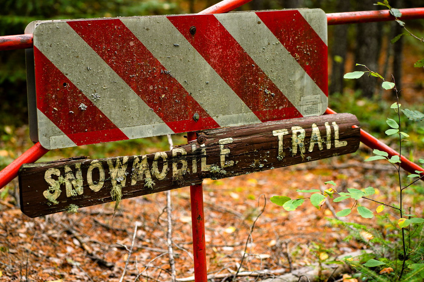
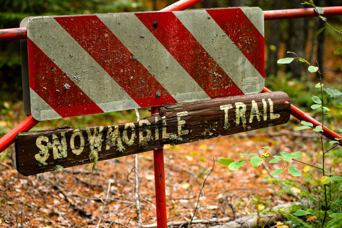
Snowmobile Trail Sign in Stony River Township
An aging “Snowmobile Trail” sign stands along a forested route in Stony River Township in northern Minnesota, an area threaded with seasonal trails maintained for winter travel. Much of this region lies within or near the Superior National Forest, where snowmobile corridors connect remote townships, logging roads, and unpaved access routes used throughout the winter months.

Snowmobile Trail Sign in Stony River Township

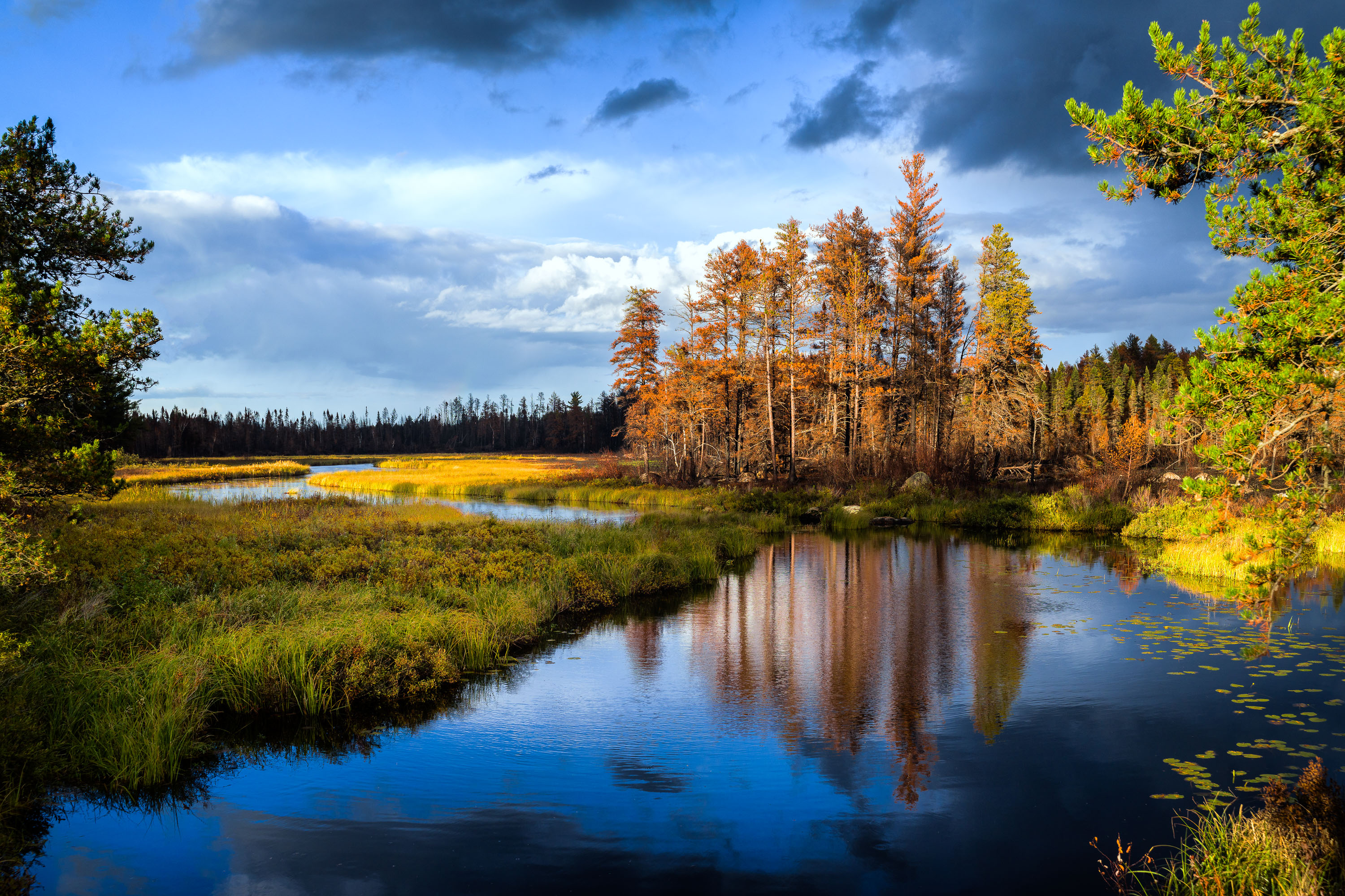
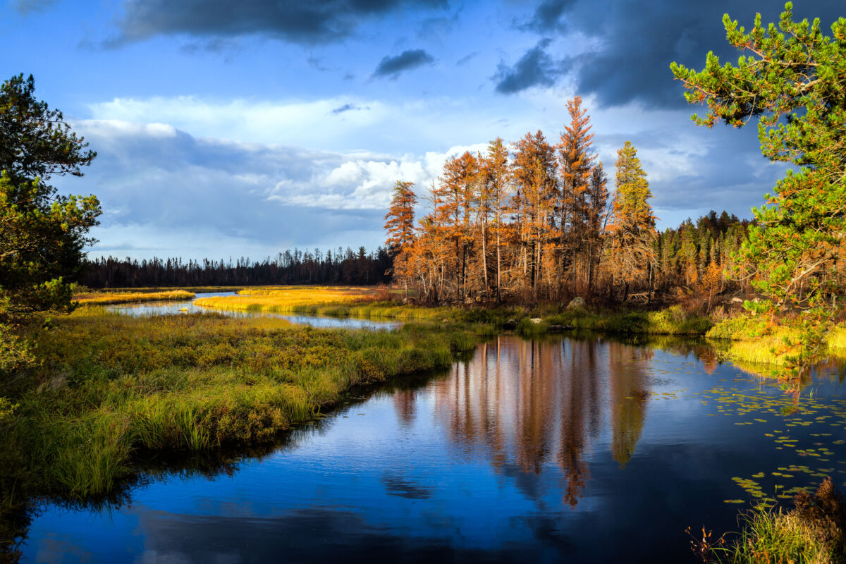
Sand River in Superior National Forest near Isabella, Minnesota, with autumn trees and reflections in calm water
Sand River in Superior National Forest near Isabella, Minnesota. Autumn light illuminates the river bends, wetland grasses, and mixed conifer and hardwood forest under a partly cloudy sky.

Sand River in Superior National Forest, Minnesota
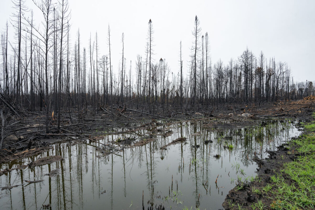
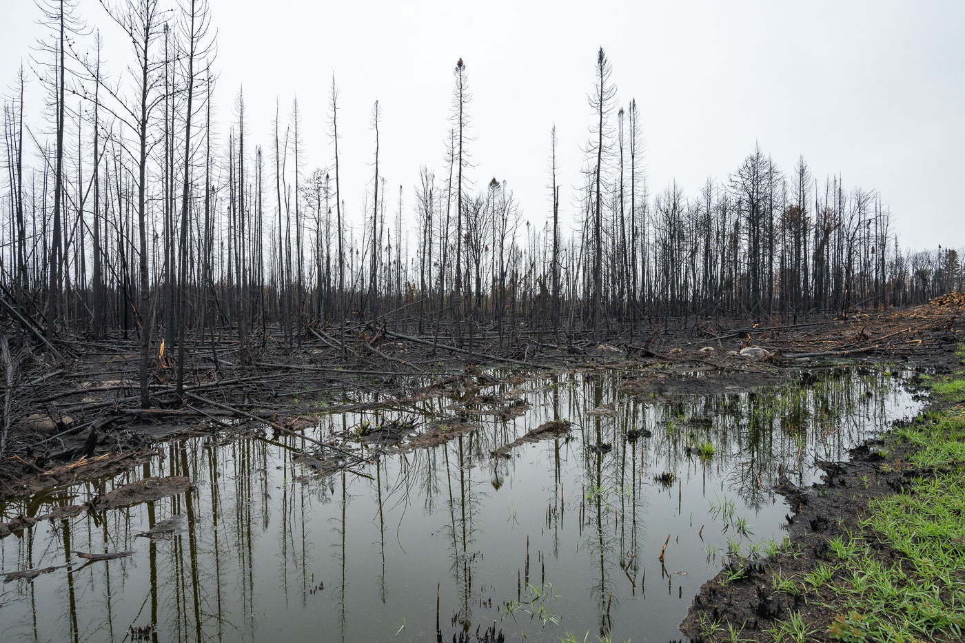
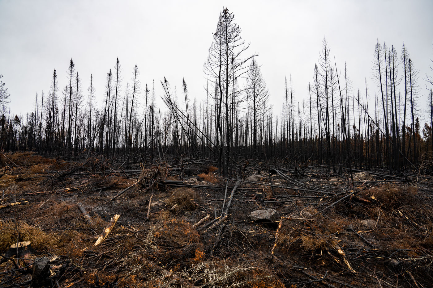
Forest Fire in Northern Minnesota
The landscape near Isabella, Minnesota, displays the aftermath of the Greenwood Fire, which occurred in August 2021. This wildfire significantly impacted the forest and wetland ecosystems within the Superior National Forest, an area adjacent to the Boundary Waters Canoe Area Wilderness.

Greenwood Fire: Burned Forest & Wetland, Isabella
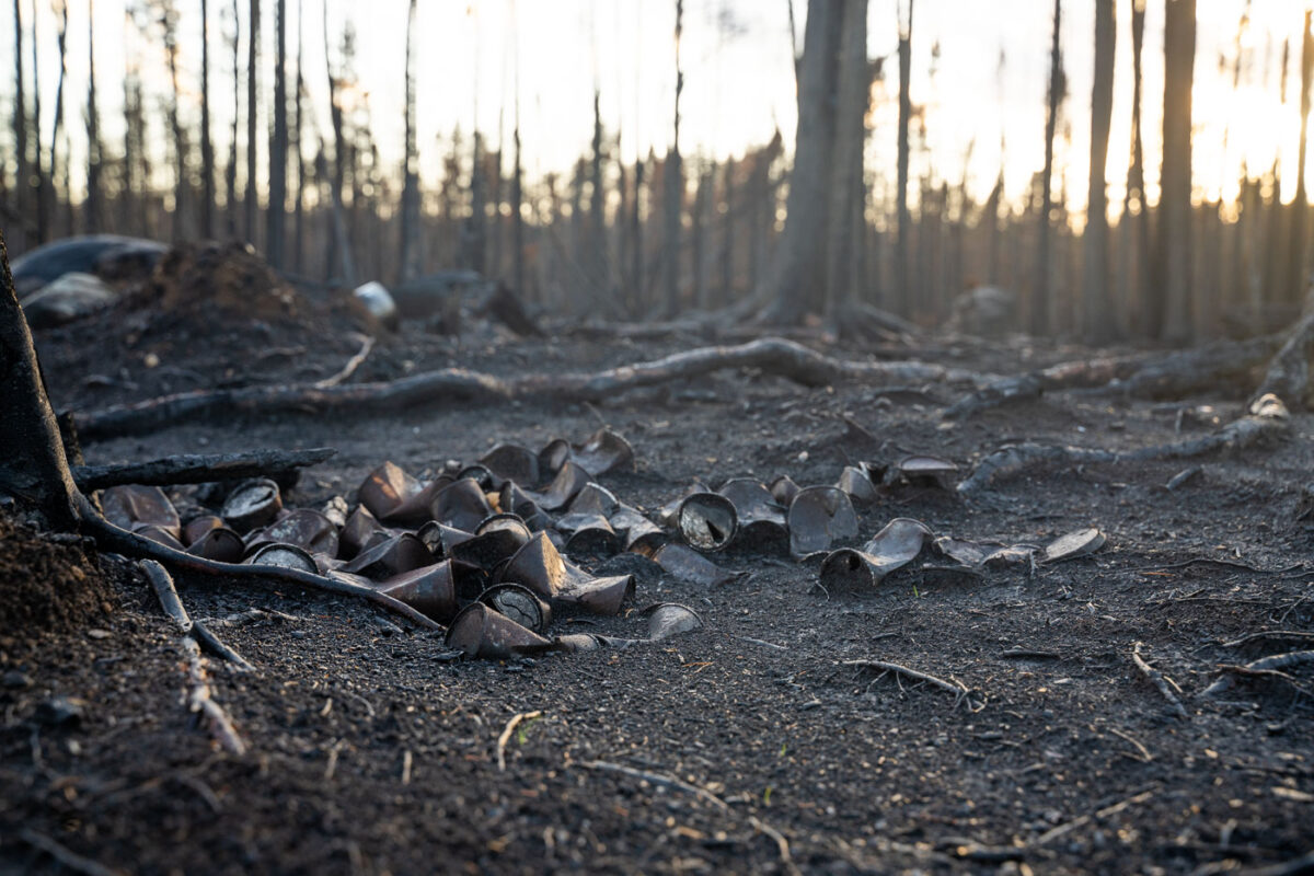
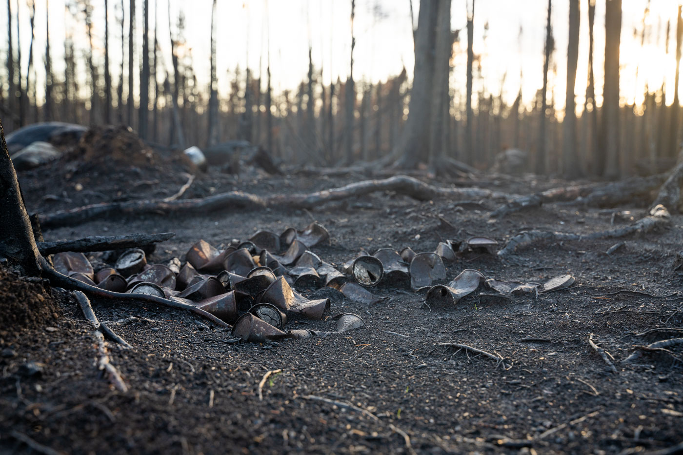
Forest fire in Superior National Forest
Melted cans rest on the charred forest floor in the Superior National Forest, a lasting impact of the Greenwood Fire that ignited in August 2021. This significant wildfire devastated areas near Isabella in northern Minnesota, affecting the landscape within the Superior National Forest and adjacent Boundary Waters Canoe Area Wilderness.

Burnt cans from Greenwood Fire, Superior National Forest
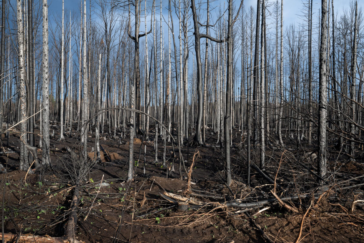
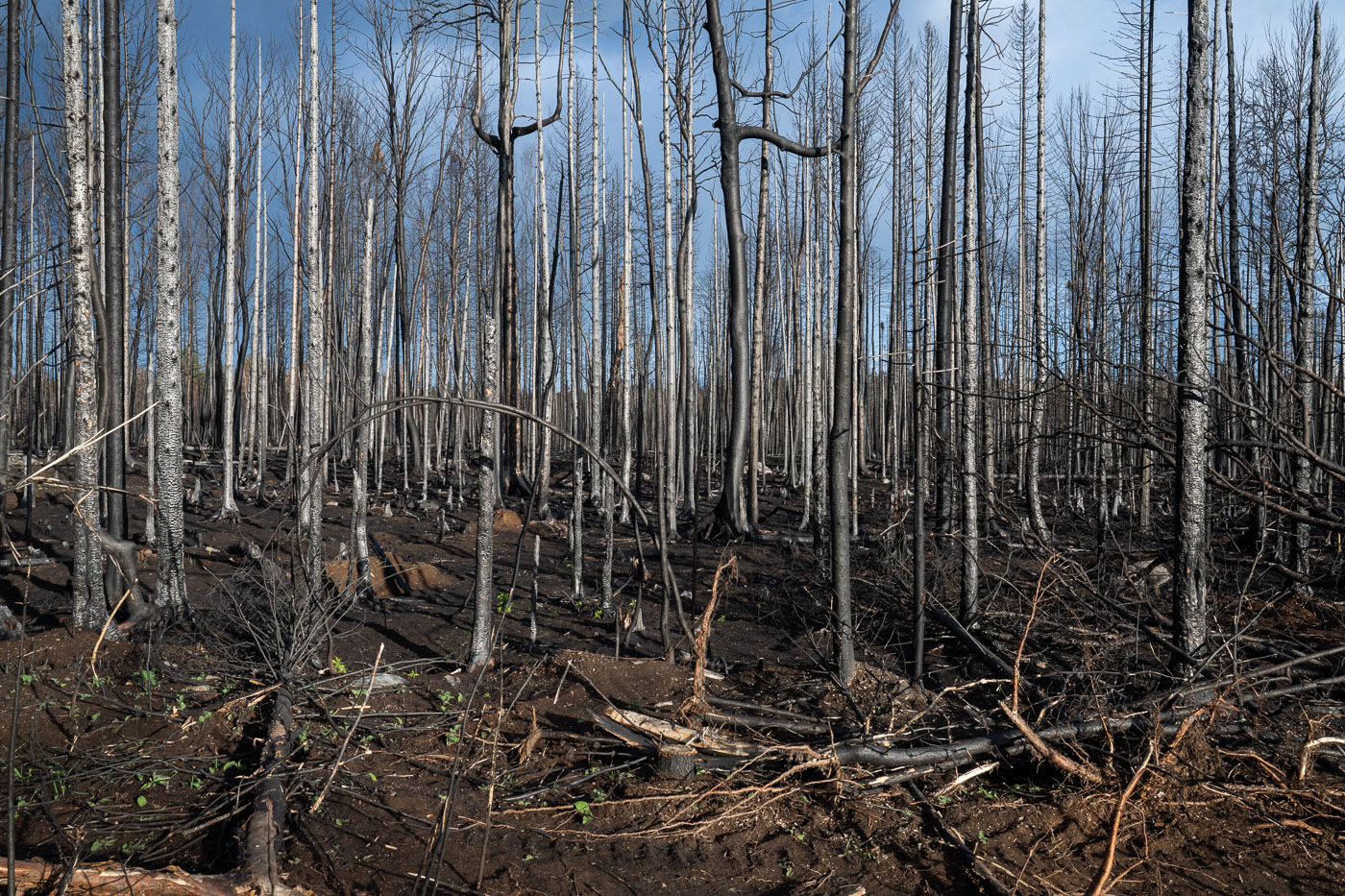
Burnt trees in Superior National Forest
Burned trees stand within the Superior National Forest, illustrating the lasting impact of the Greenwood Fire. This significant wildfire ignited in August 2021 near Isabella in northern Minnesota, affecting a substantial area of the forest. The Superior National Forest, which borders the Boundary Waters Canoe Area Wilderness, is accustomed to natural fire cycles, but the scale of such events has broader ecological implications.

Greenwood Fire Burned Trees, Superior National Forest
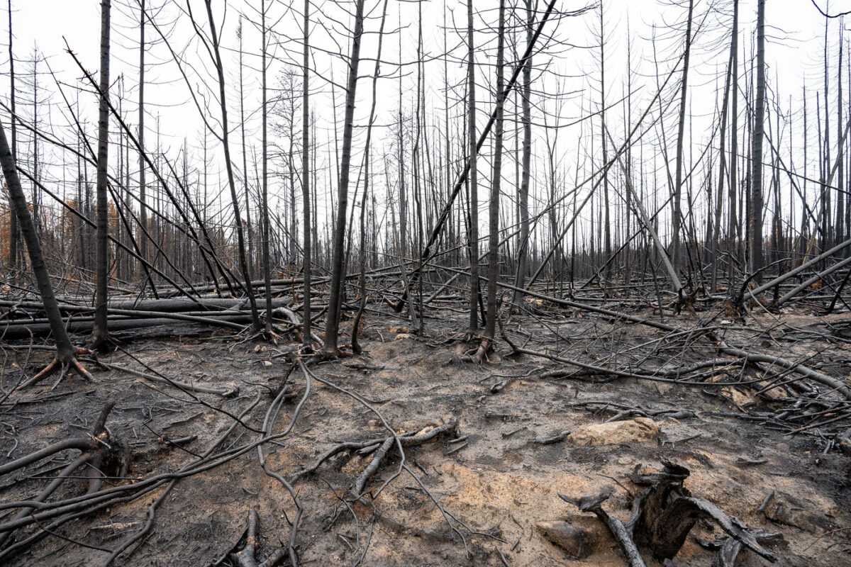
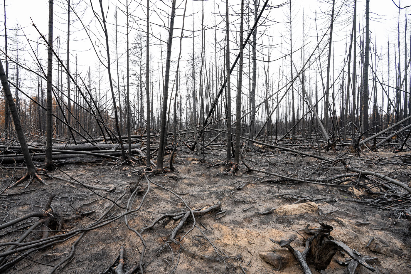
Greenwood Fire Superior National Forest
Charred trees stand in the aftermath of the Greenwood Fire within the Superior National Forest in northern Minnesota. This wildfire burned in August 2021, impacting areas near Isabella and within the broader Boundary Waters Canoe Area Wilderness. The Greenwood Fire consumed over 26,000 acres, leaving behind a landscape of scorched earth and skeletal tree trunks.

Burned Trees, Greenwood Fire, Superior National Forest
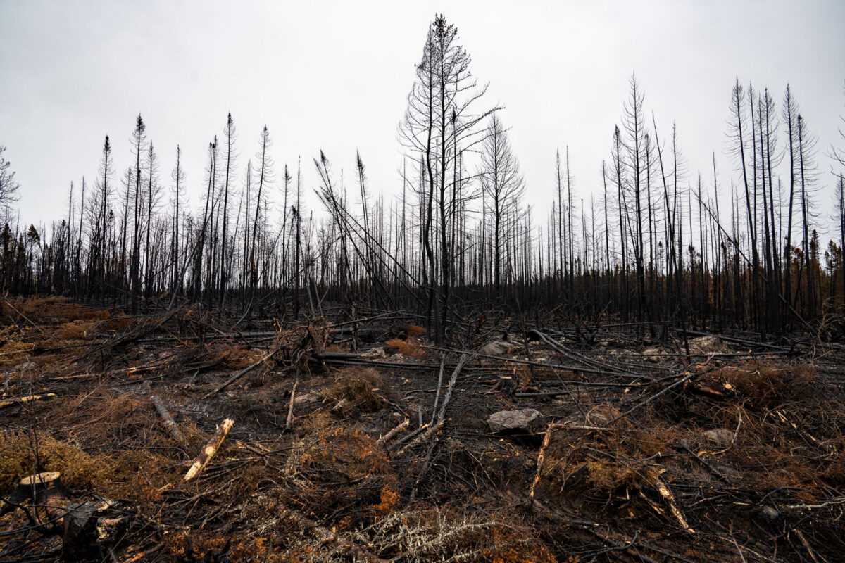
Burned forest during Greenwood Fire
Charred trees stand within the Superior National Forest, marking the extensive burn scar left by the Greenwood Fire. This significant wildfire ignited in August 2021 in northern Minnesota, near Isabella, impacting thousands of acres within a region adjacent to the Boundary Waters Canoe Area Wilderness.

Burnt trees from Greenwood Fire, Superior National Forest
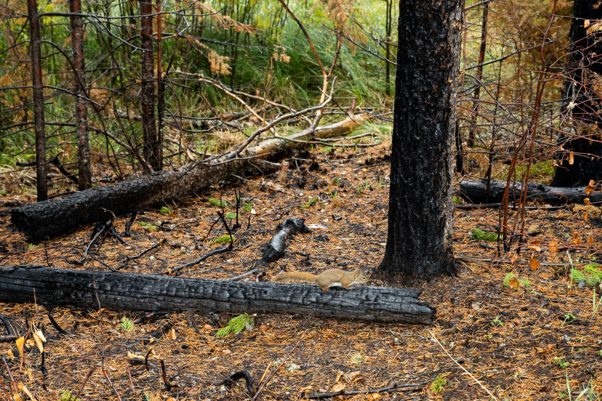
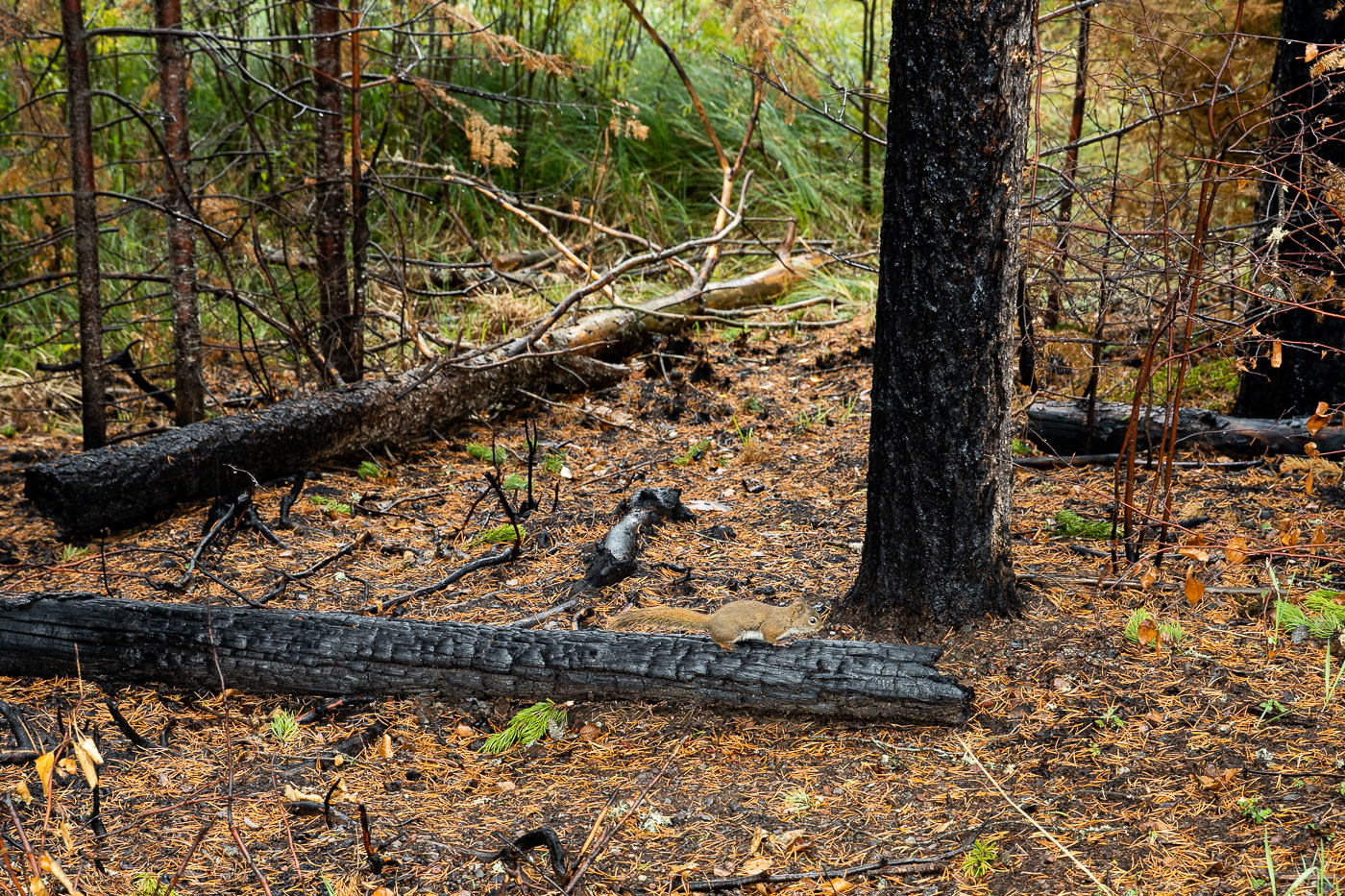
Forest Squirrel on burned log
A squirrel rests on a charred log within the Superior National Forest, an area significantly impacted by the Greenwood Fire. This major wildfire, which occurred near Isabella, Minnesota, burned thousands of acres, including portions of the Boundary Waters Canoe Area Wilderness.

Squirrel on Burned Log, Greenwood Fire, Superior National Forest
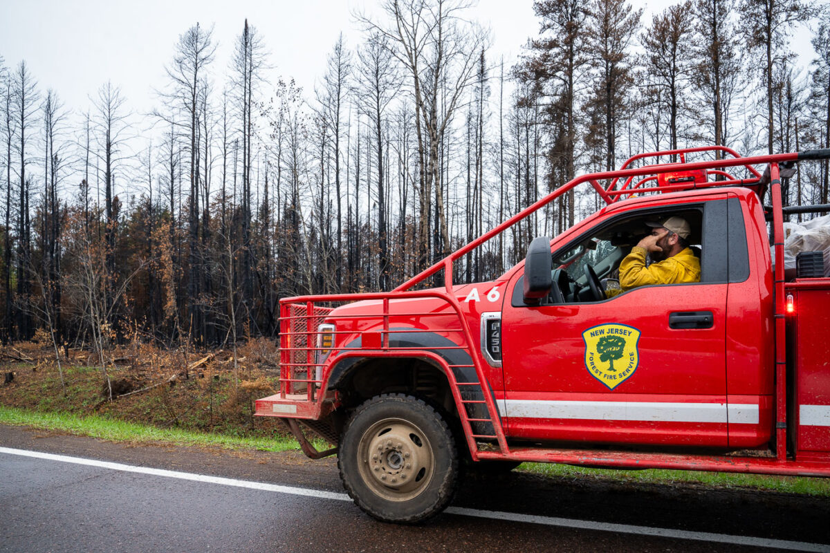
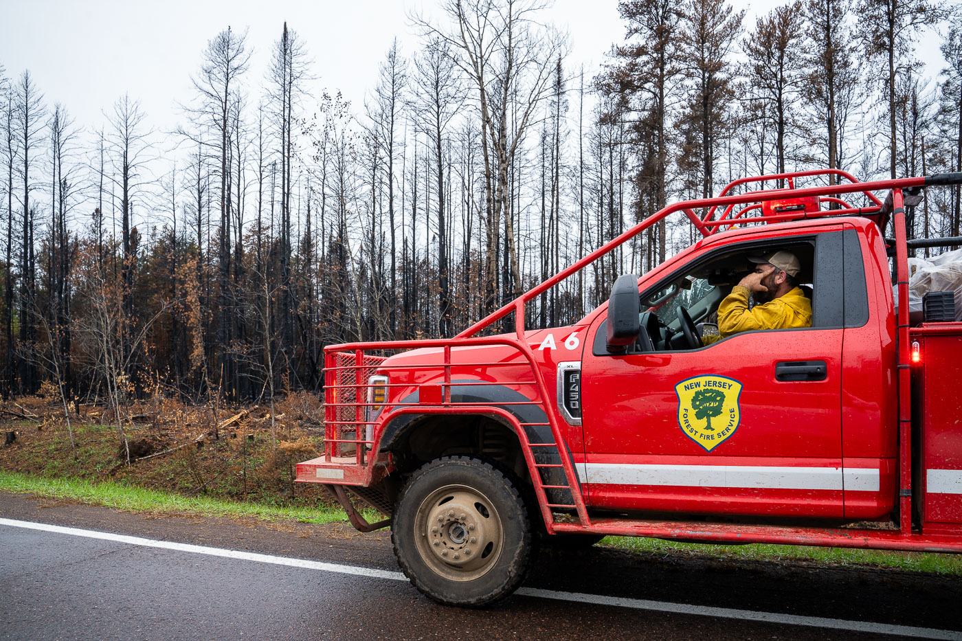
New Jersey Forest Fire Service in SNF
A New Jersey Forest Fire Service firefighter operates a fire apparatus in the Superior National Forest, Minnesota. This deployment occurred during the Glenwood wildfire, a significant forest fire event in the region. Forest fire services from various states often provide mutual aid to combat large-scale wildfires across national forests and other wildland areas.

NJ Forest Fire Service Firefighter, Superior NF, Glenwood Fire
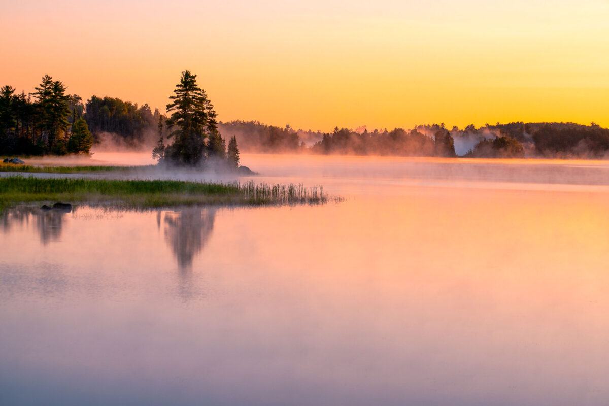
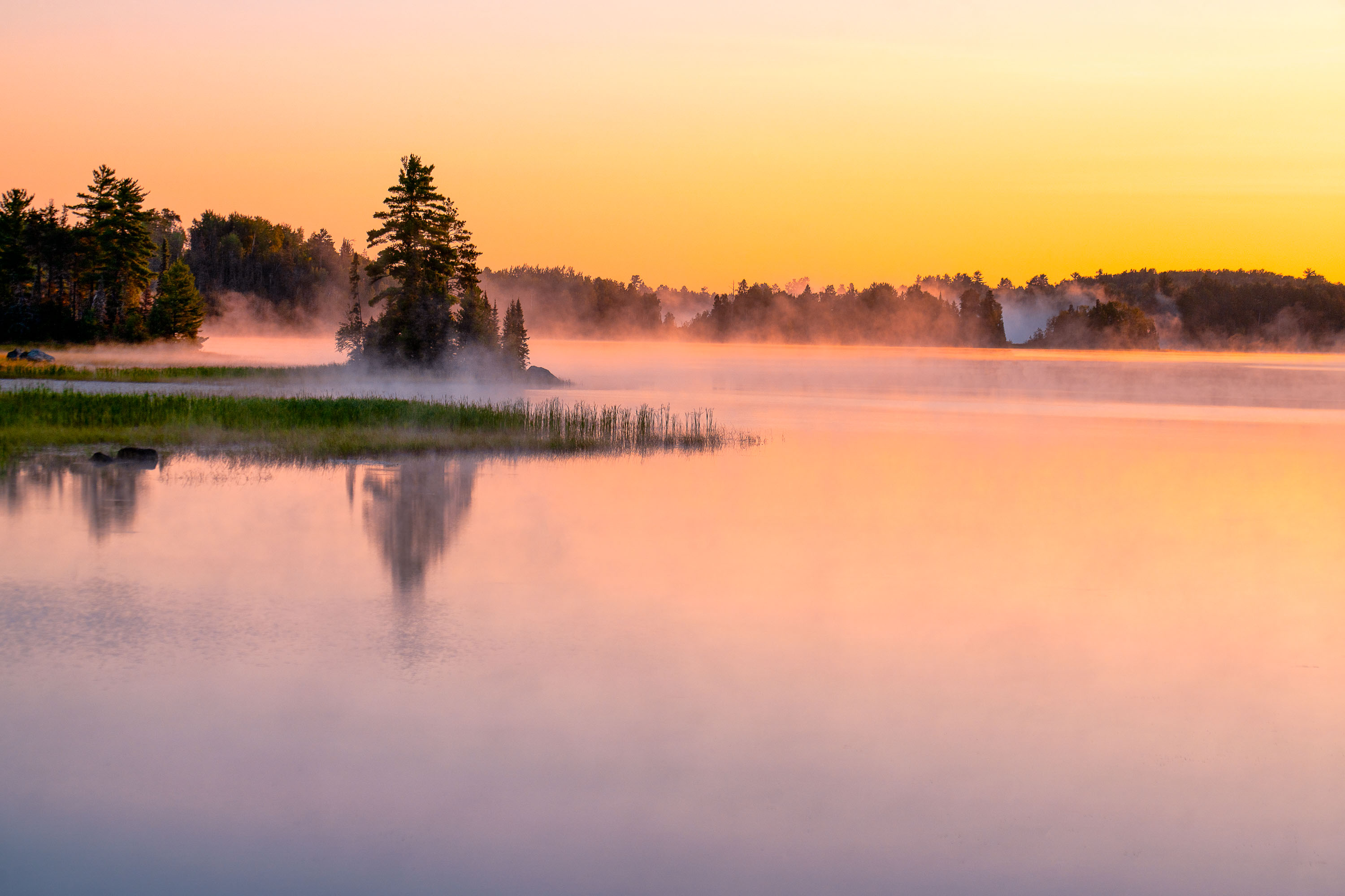
South Kawishiwi River near Ely, Minnesota, at sunrise with mist over calm water.
The South Kawishiwi River near Ely, Minnesota. Forest region of northeastern Minnesota, where calm water and low fog are common in early daylight.

South Kawishiwi River near Ely, Minnesota
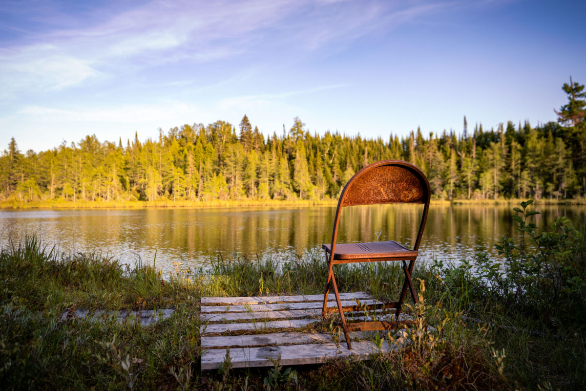
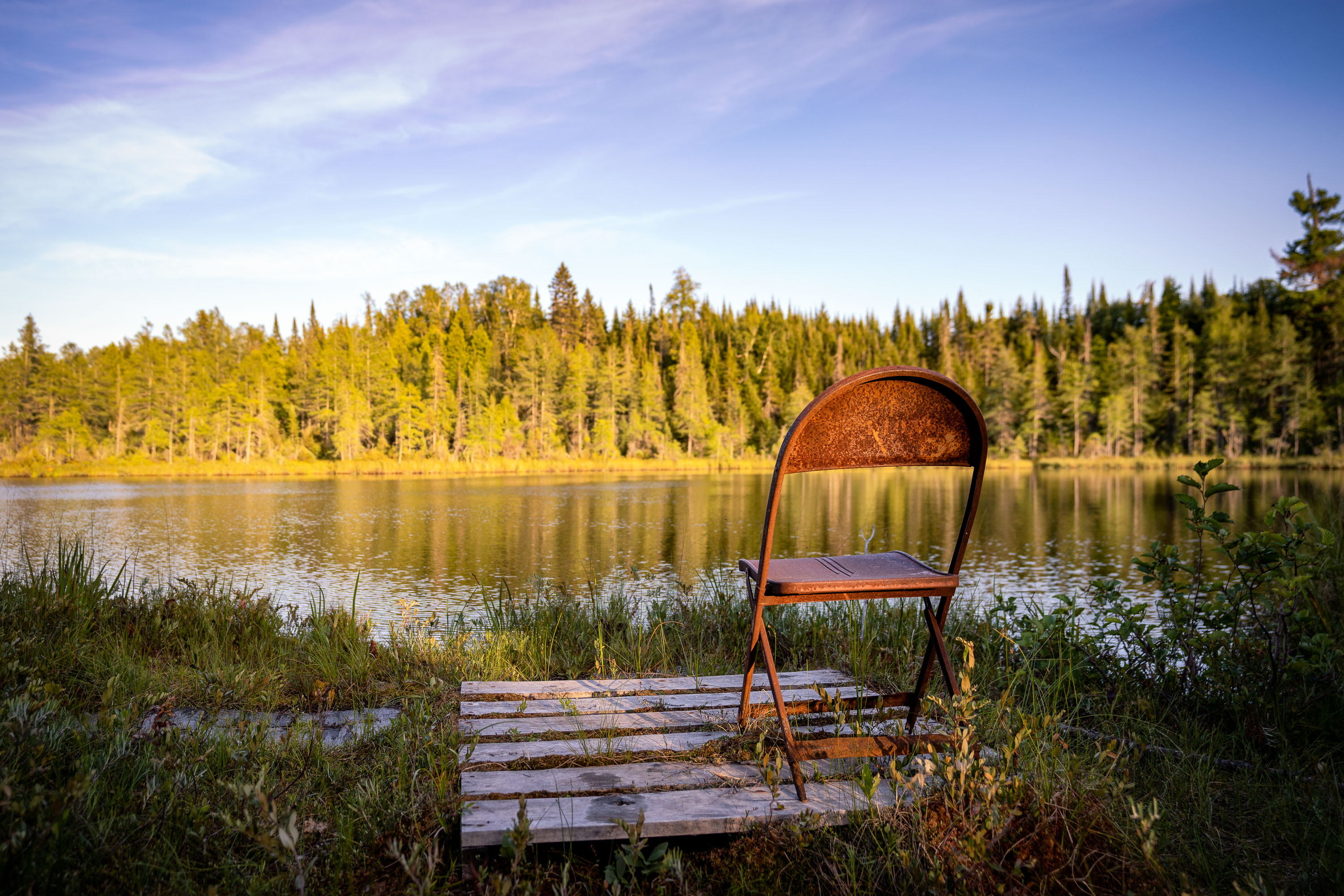
Rusted folding chair on a wooden plank walkway at Jouppi Lake in Minnesota's Superior National Forest.
Jouppi Lake sits within the Superior National Forest in Cook County, Minnesota, near the small community of Isabella. The lake is one of many small backcountry waters scattered through this stretch of the Superior National Forest, accessible by forest roads and used mainly for fishing and quiet paddling. A weathered folding chair and a short plank walkway mark an informal access point along its shoreline.

Weathered Folding Chair at Jouppi Lake, Minnesota
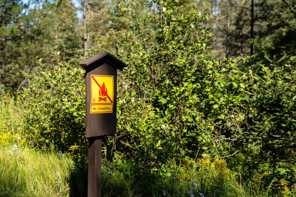
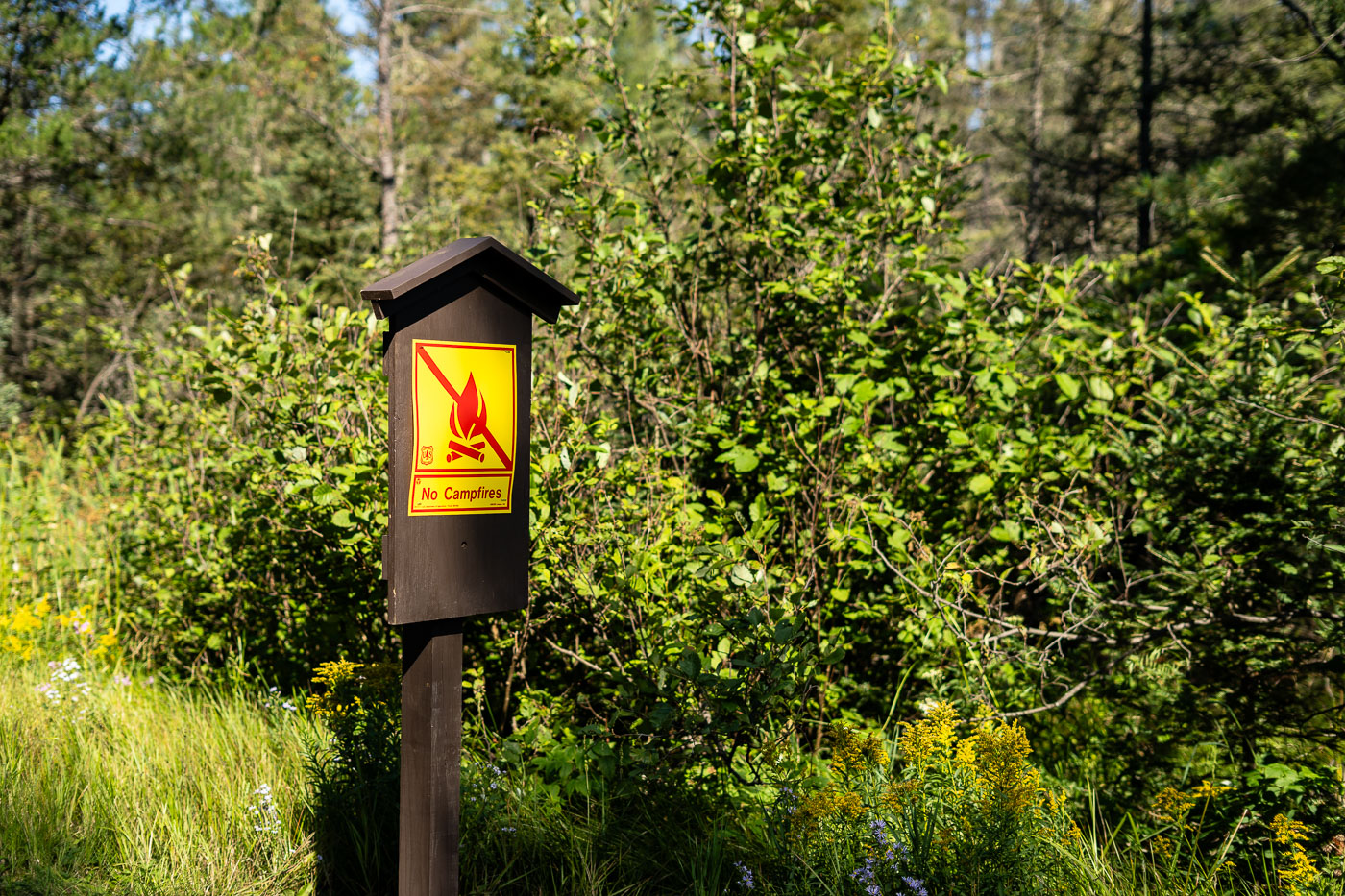
"No Campfires" warning sign posted on a wooden post in Superior National Forest near Isabella, Minnesota.
This posted notice bans open campfires within the Superior National Forest, a 3-million-acre expanse managed by the U.S. Forest Service in northeastern Minnesota near Isabella. Fire restrictions like this one are typically issued during periods of drought, when dry brush and low humidity raise the risk of wildfire spread. The Superior National Forest includes the Boundary Waters Canoe Area Wilderness, where campfire regulations are especially strict due to limited access for firefighting crews.

Fire Ban Signage, Superior National Forest, Minnesota
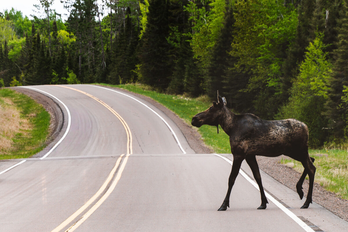
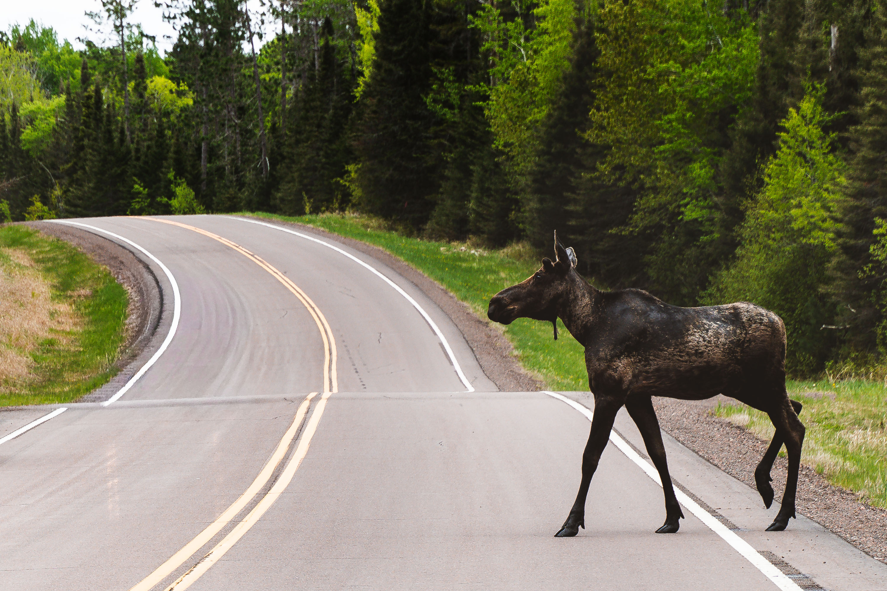
Moose crossing Highway 1 in northern Minnesota near the Superior National Forest
A moose crosses Highway 1 near Isabella in the Superior National Forest.

Moose on Highway 1, Northern Minnesota
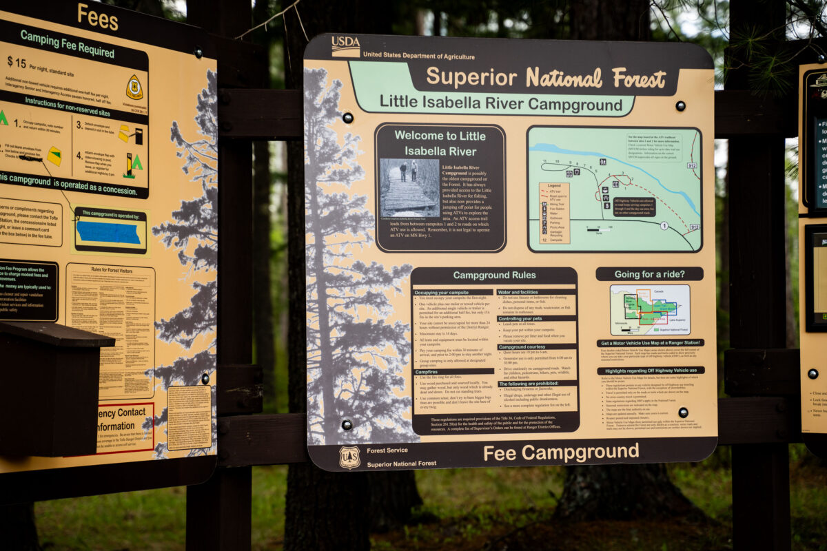
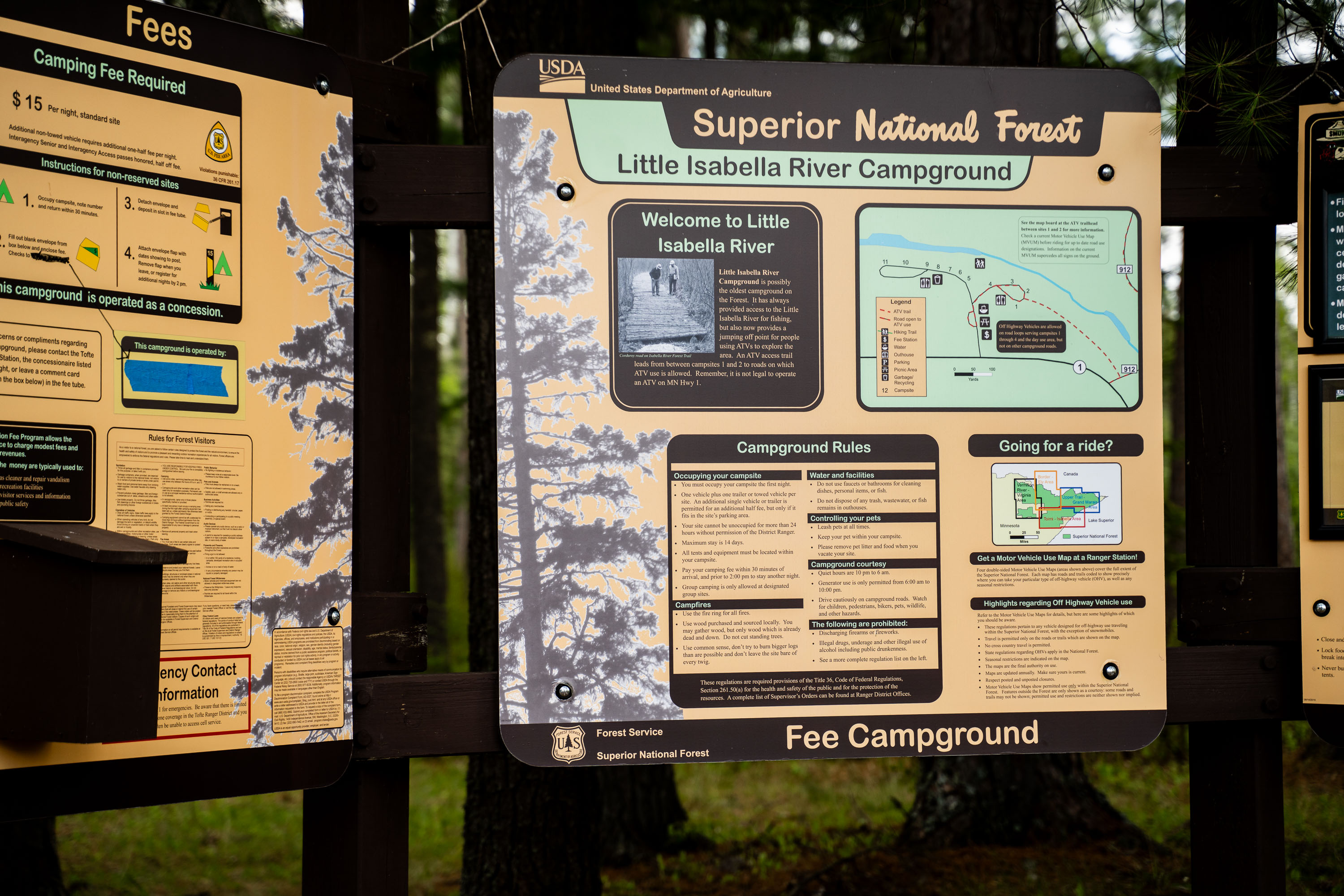
Little Isabella River Campground sign in Superior National Forest with rules and a site map
Little Isabella River Campground in Superior National Forest is shown on a Forest Service information board. The sign lists campground rules, fees, and a map of the site near Lake Isabella River.

Little Isabella River Campground, Superior National Forest
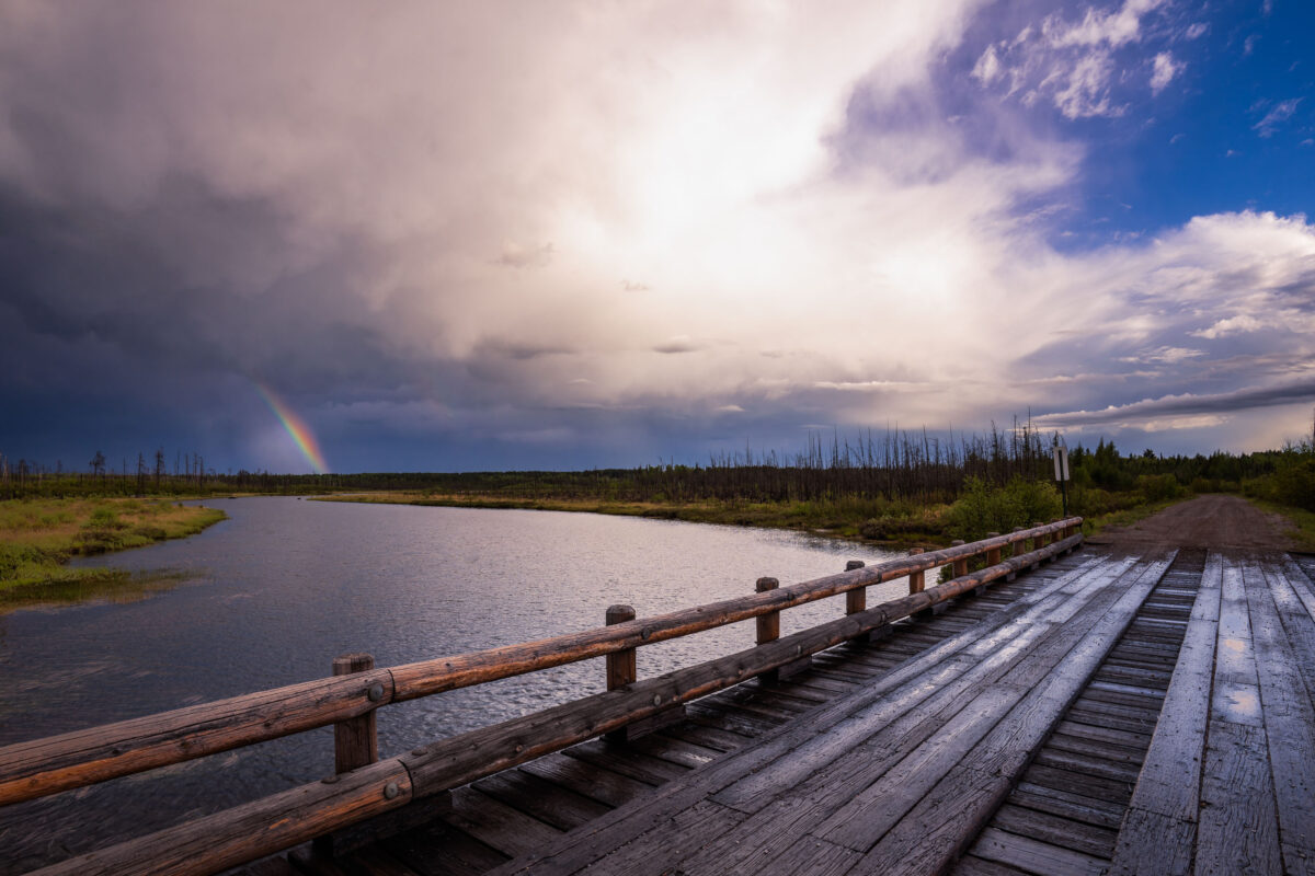
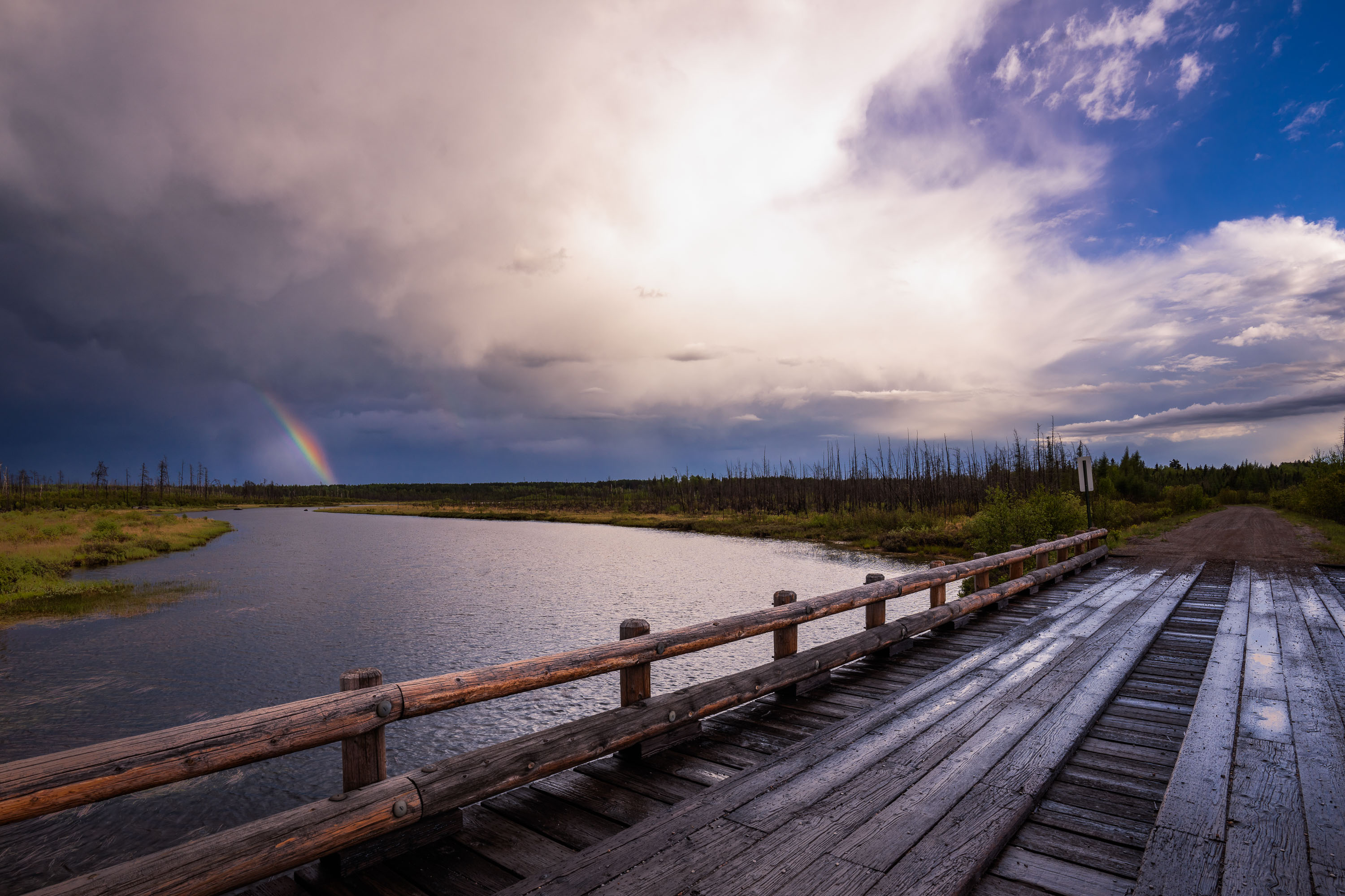
Rainbow over Isabella Lake in Superior National Forest, Minnesota, beside a wooden bridge.
A rainbow appears over Isabella Lake in Superior National Forest, Minnesota, beside a wooden bridge and road crossing. Storm clouds and brighter sky divide the horizon above the water and forest.

Rainbow near Isabella Lake, Superior National Forest
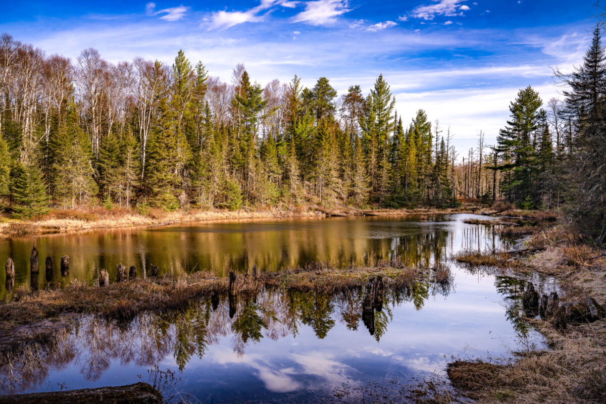
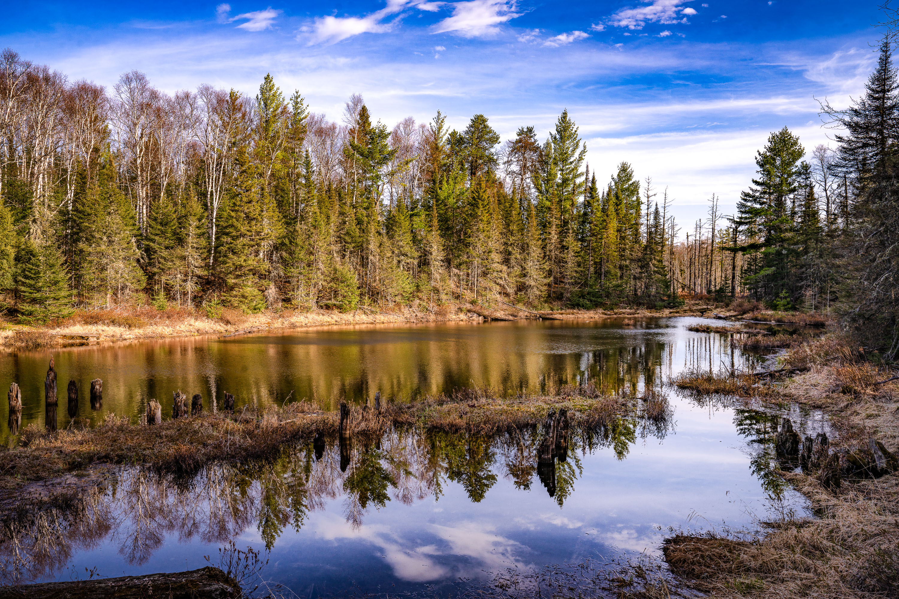
Dumbbell Road in Superior National Forest near Isabella, Minnesota, beside a still pond and forest trees.
Dumbbell Road runs through Superior National Forest near Isabella, Minnesota. A still pond reflects the surrounding conifers and leafless trees under a partly cloudy sky.

Dumbbell Road near Isabella, Minnesota
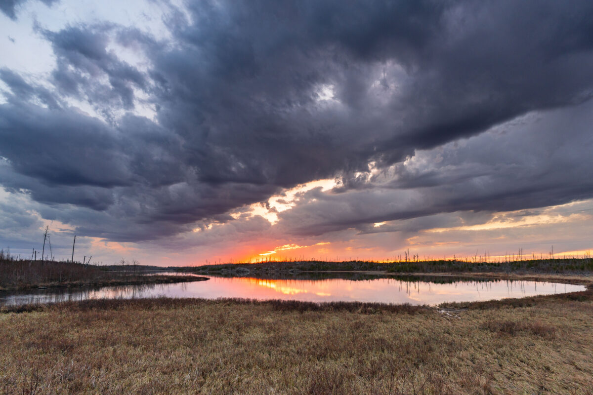
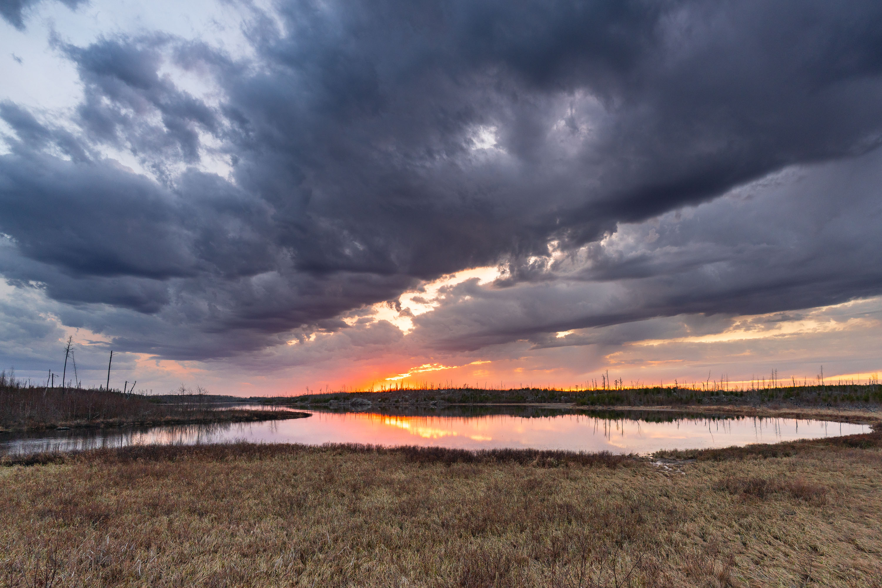
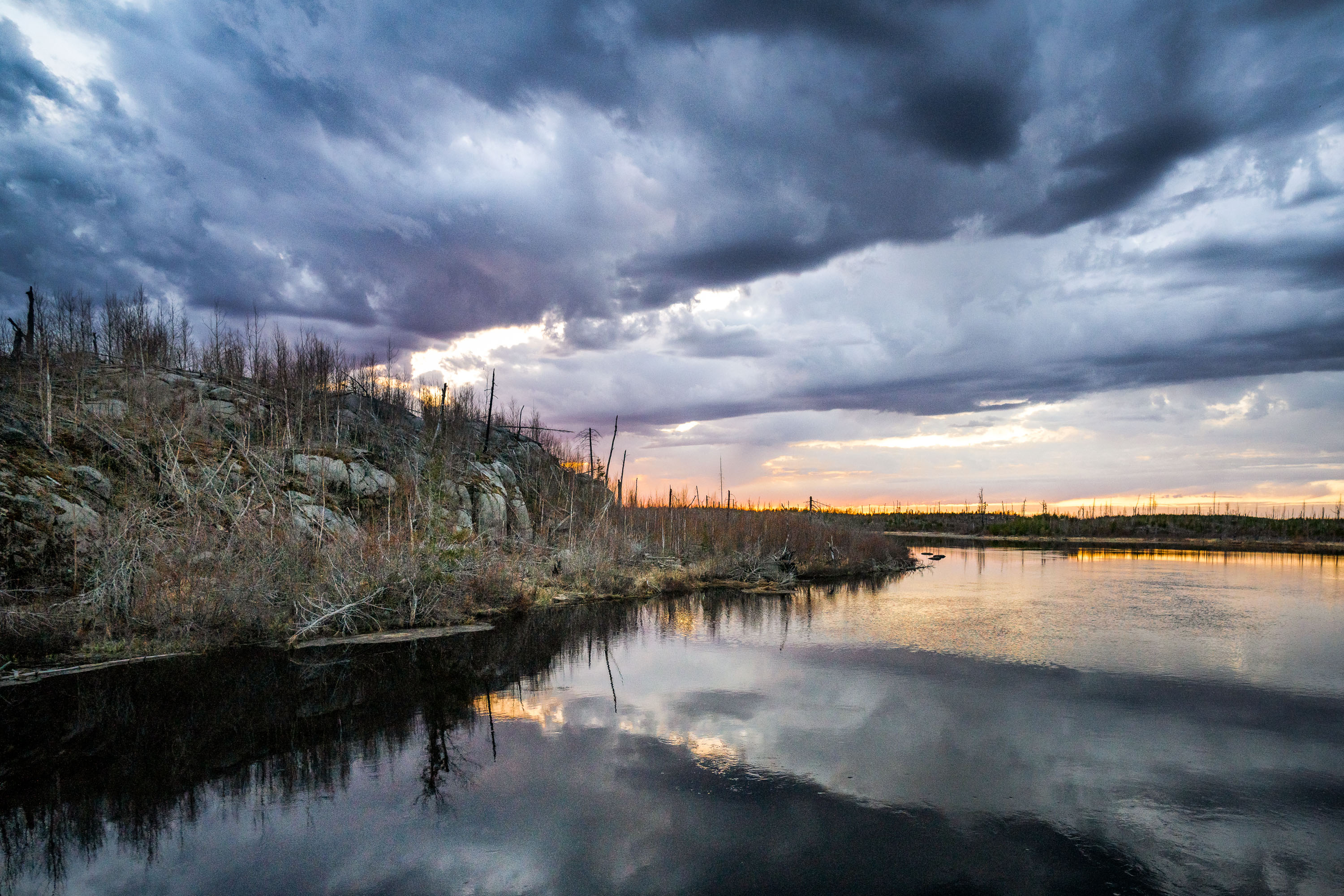
Island River at sunset in Superior National Forest, with storm clouds over reflected water.
Island River in Minnesota’s Superior National Forest at sunset. Dark storm clouds hang over the wetland landscape while the low sun reflects in the water.

Island River Sunset, Superior National Forest
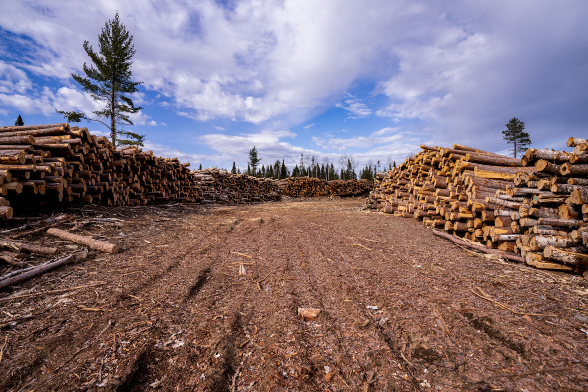
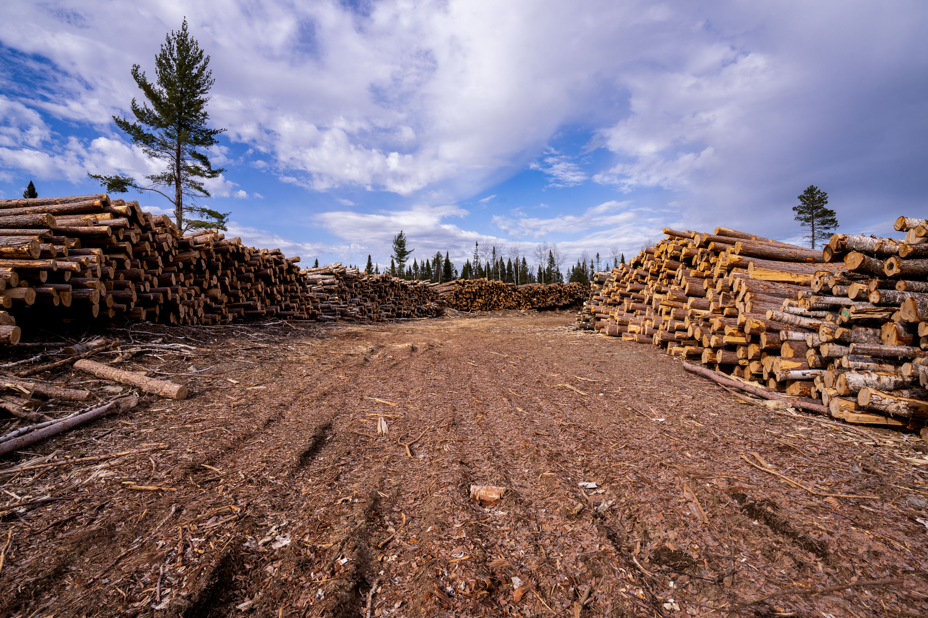
Log piles in Superior National Forest near Isabella, Minnesota, with clearing and conifers
Log piles in Superior National Forest in Stony River Township near Isabella, Minnesota. Cut timber is stacked in a clearing, with access tracks running between the piles and conifers along the edge of the site.

Log Piles in Superior National Forest
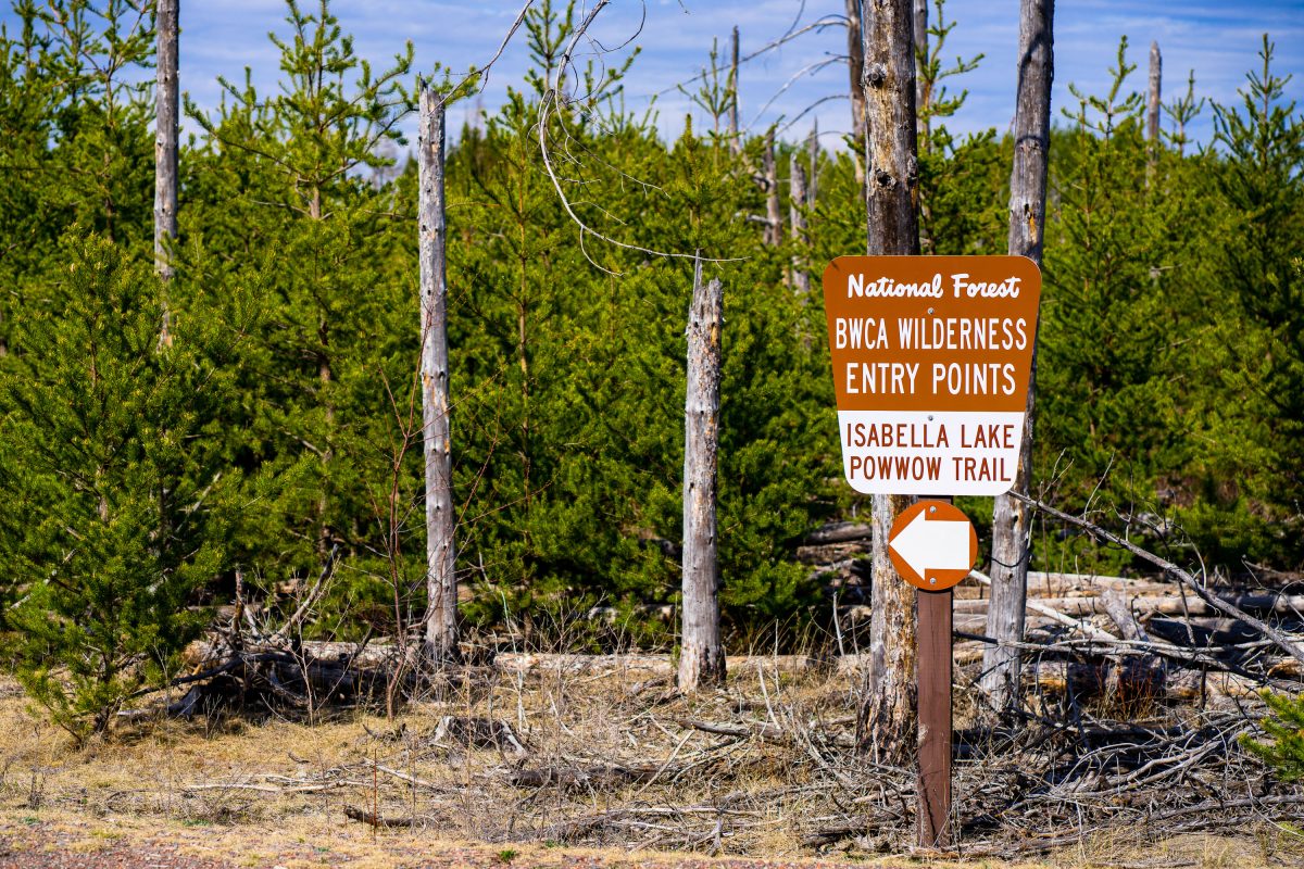
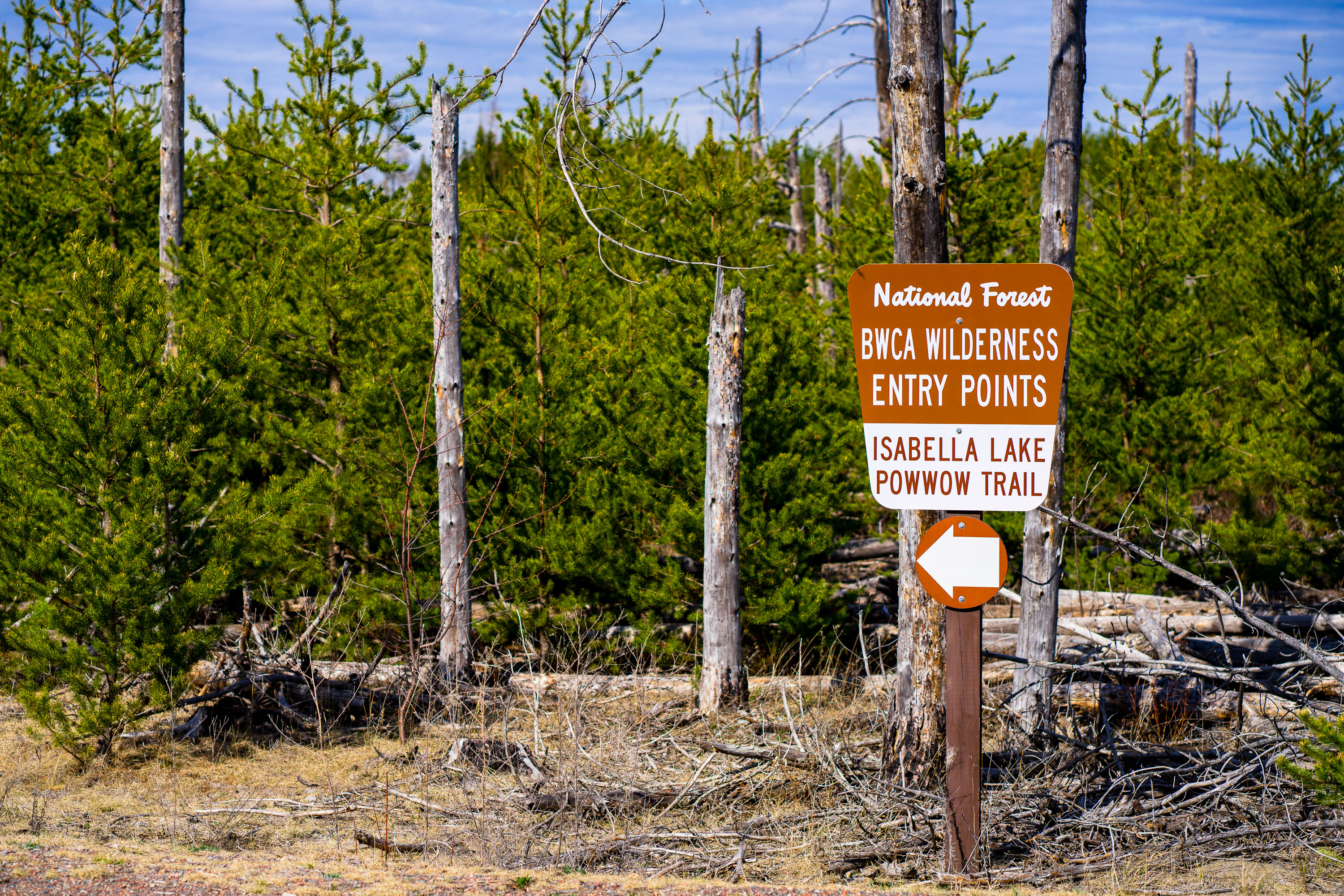
BWCA Wilderness entry sign at Isabella Lake along Powwow Trail.
BWCA Wilderness entry points at Isabella Lake along Powwow Trail in the Boundary Waters Canoe Area Wilderness. A Forest Service sign marks the trail access area in a wooded clearing with young pines and dead standing trees.

BWCA Wilderness Entry Sign at Isabella Lake
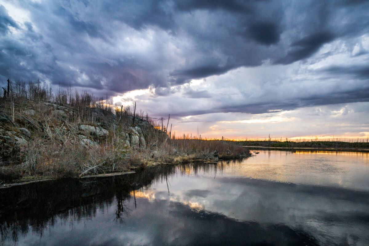
Stony River at Tomahawk Road in the Superior National Forest
Stony River at Tomahawk Road in the Superior National Forest in Northern Minnesota.

Stony River at Tomahawk Road in the Superior National Forest

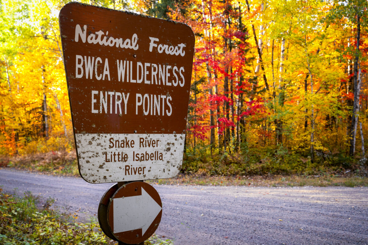
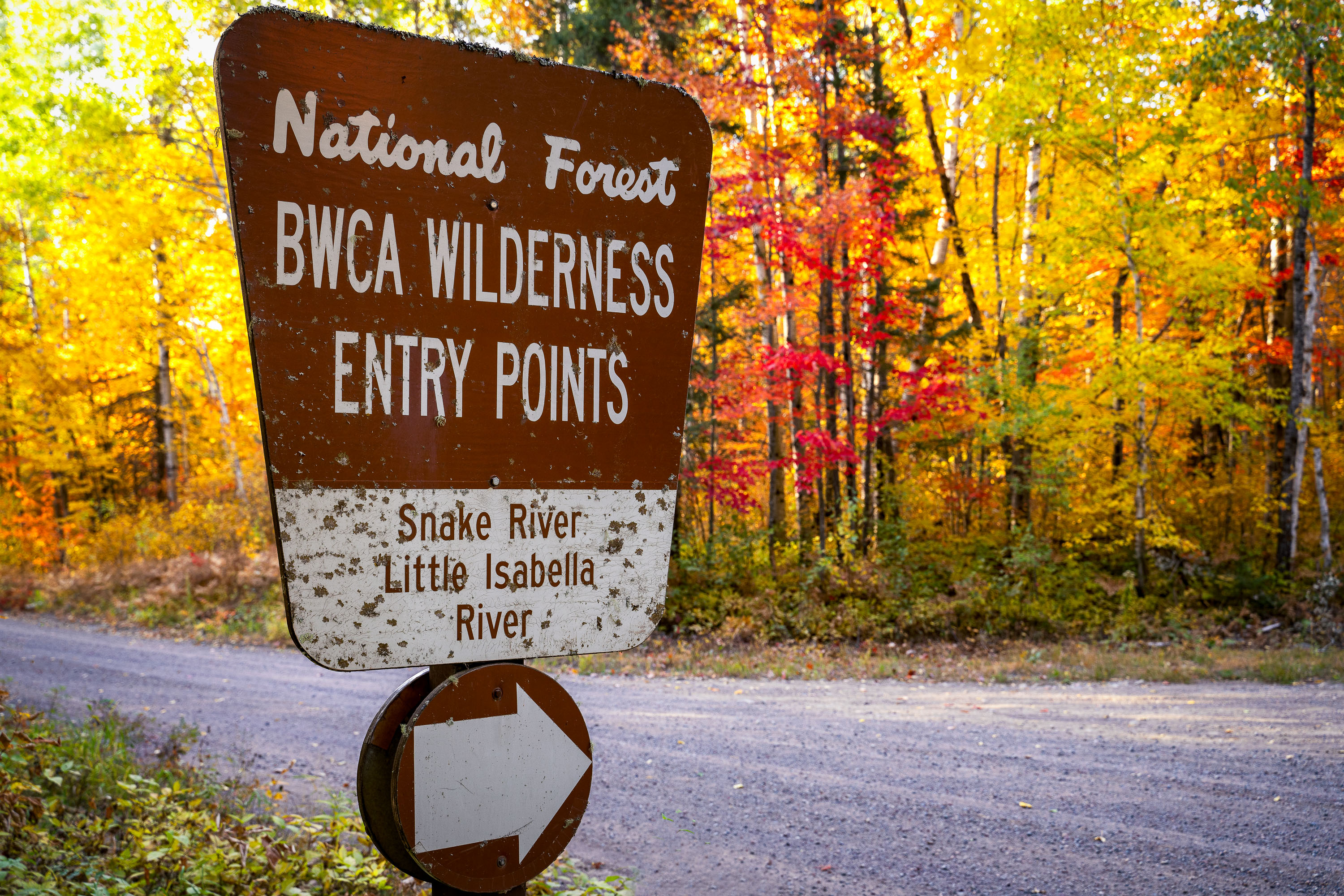
BWCA Wilderness entry sign for Snake River and Little Isabella River in Superior National Forest, Minnesota
A sign for the Boundary Waters Canoe Area Wilderness entry points for Snake River and Little Isabella River stands along a forest road in Superior National Forest, Minnesota. The sign marks access to the BWCA, a protected wilderness area in northern Minnesota. Autumn foliage fills the background.
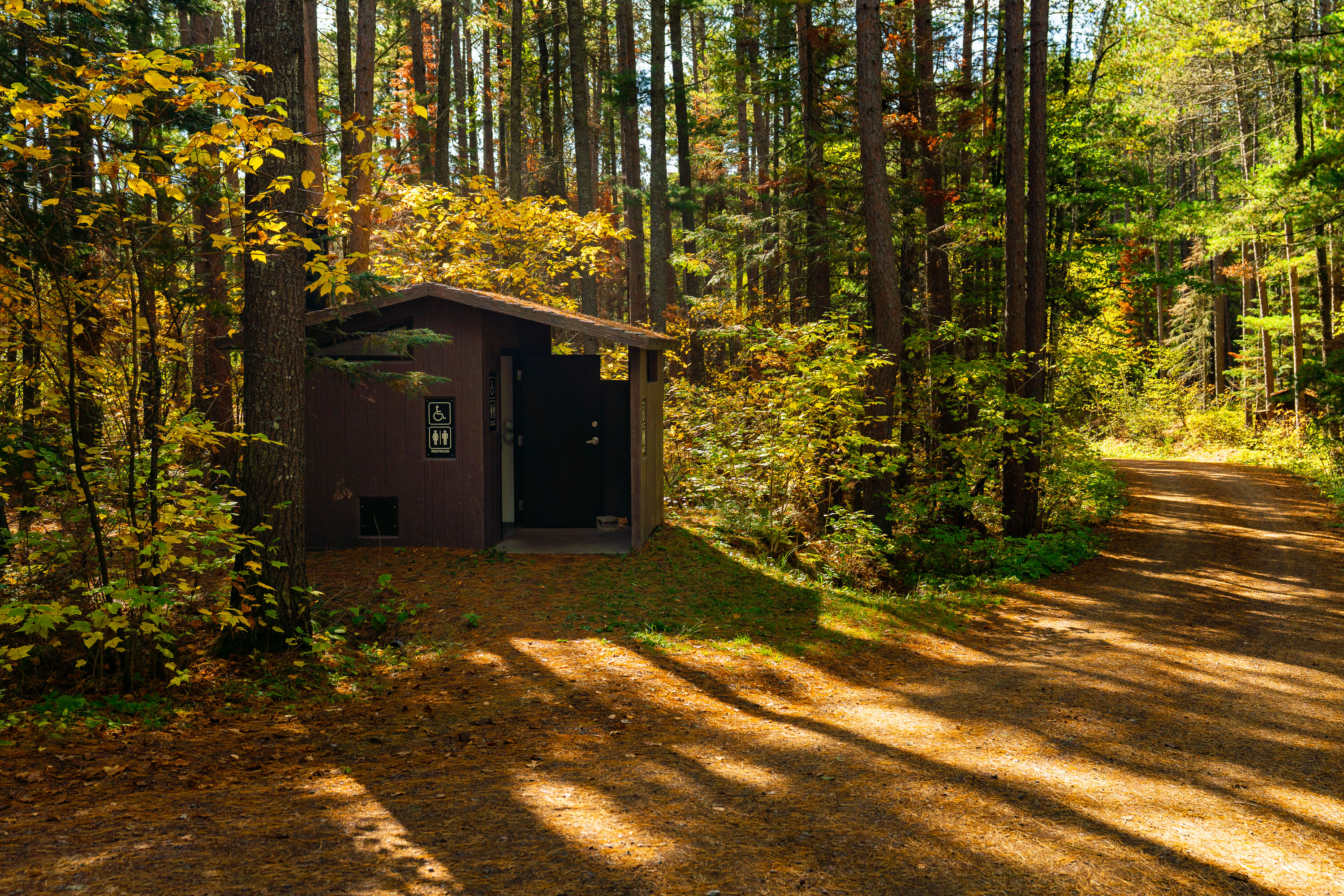
BWCA Wilderness Entry Points Sign, Superior National Forest
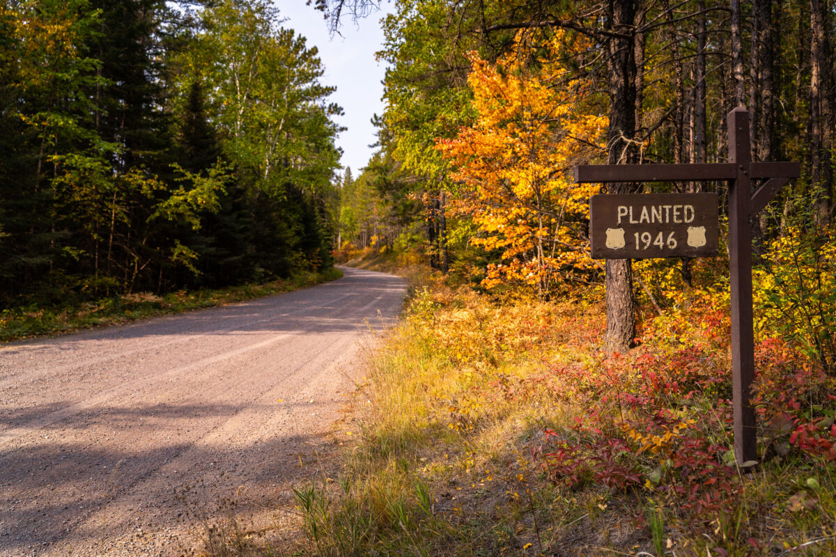
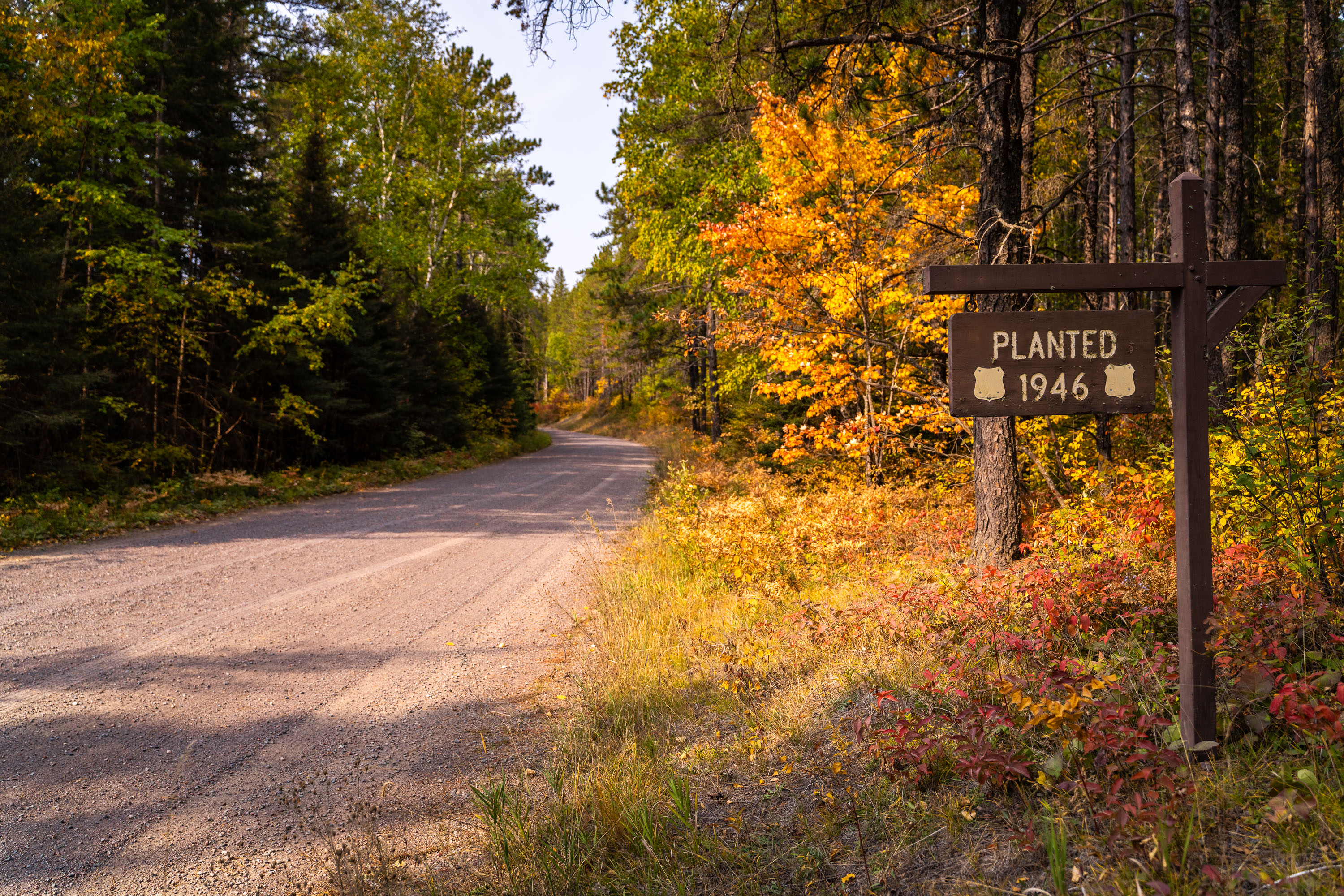
Stony River Road in Superior National Forest with a 1946 planted sign.
Stony River Road in Superior National Forest, Minnesota, curves through mixed forest in early autumn. A roadside sign marks a planted area dated 1946.

Stony River Road in Superior National Forest
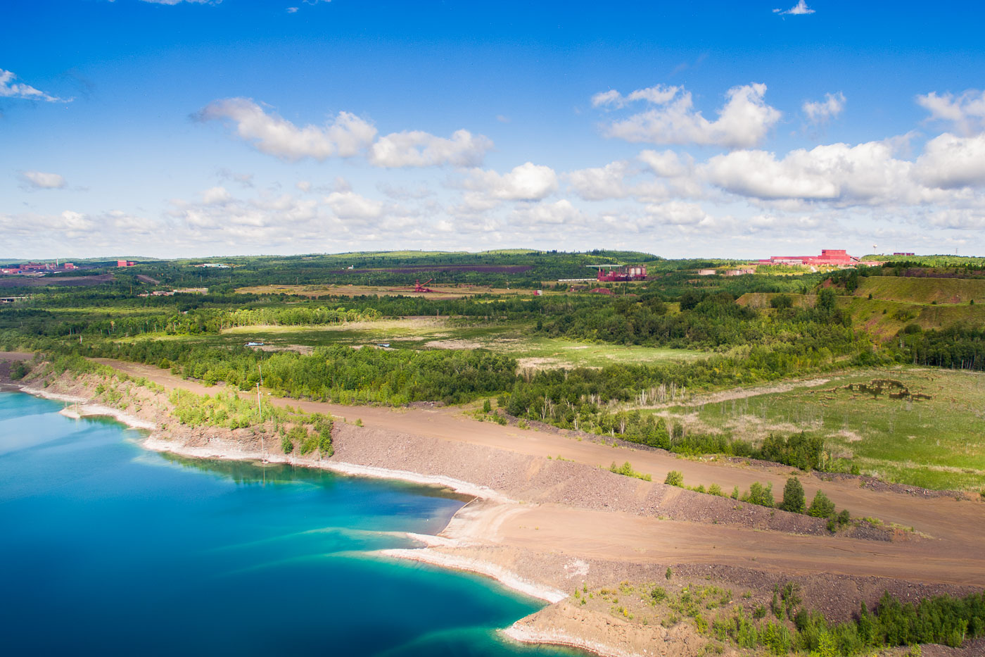
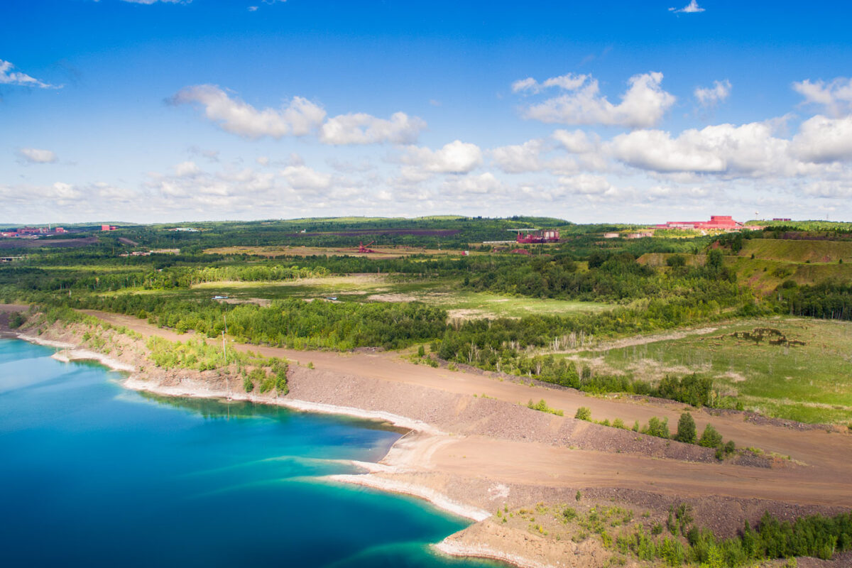
Aerial view of PolyMet mine in Hoyt Lakes, Minnesota, showing open water-filled pits, mining infrastructure, and industrial
The PolyMet mine site in Hoyt Lakes, Minnesota, includes open pits, haul roads, spoil piles, and water-filled excavations in the Erie Basin area. Red industrial buildings and equipment are visible across the reclaimed and active mining property.

Aerial View of PolyMet’s Erie Basin Mine Site Near Hoyt Lakes

Built in Minneapolis

Minneapolis Photographer

Browse by location, move through long-running series, or start with recent work.