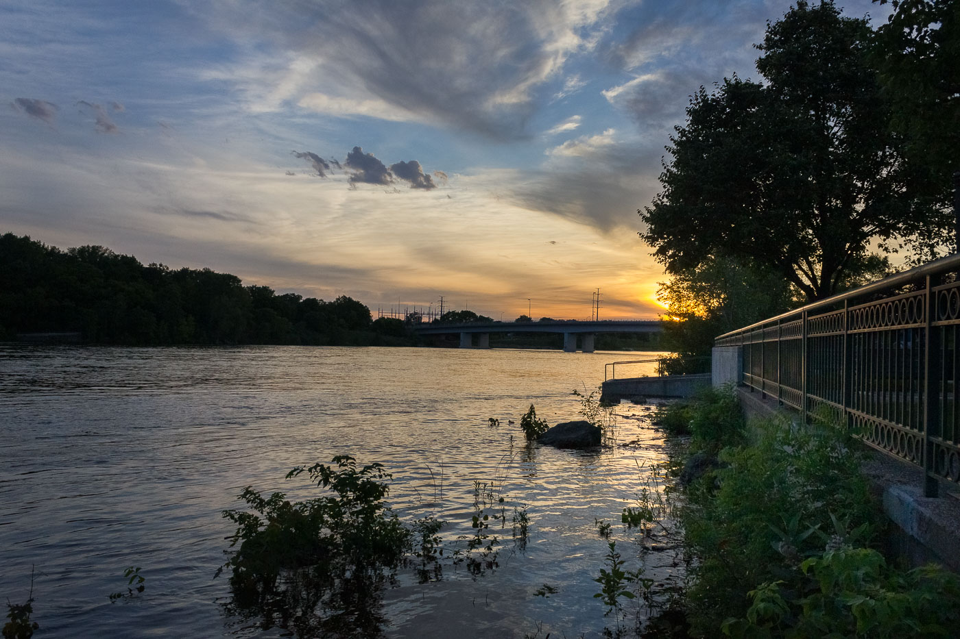
Mississippi River

70 photos · 2012–2025

70 photographs tagged Mississippi River, 2012–2025.
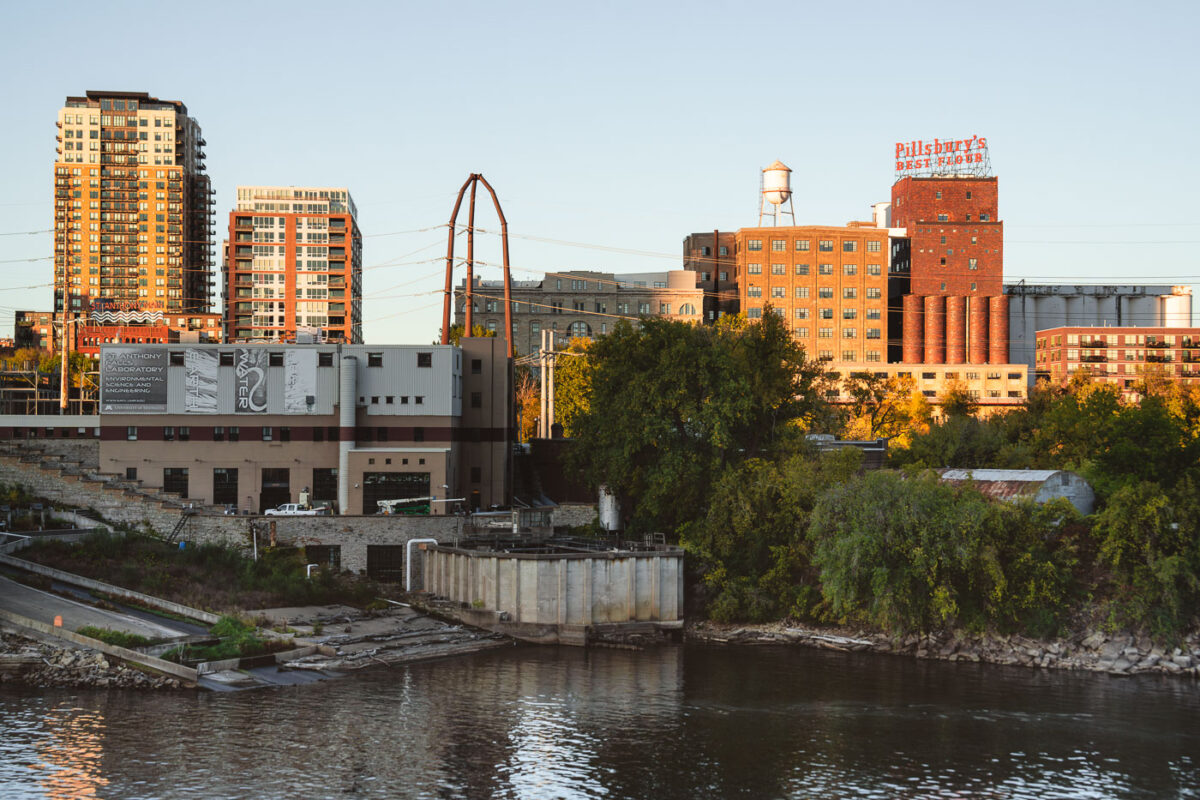
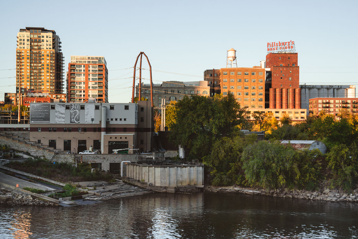
Pillsbury A-Mill on the Mississippi River in Minneapolis, with its rooftop flour sign above the former mill complex.
The Pillsbury A-Mill stands on the east bank of the Mississippi River in Minneapolis, with its rooftop “Pillsbury’s Best Flour” sign visible above the former milling complex. Completed in 1881, the mill was a major part of the flour industry that grew around nearby St. Anthony Falls, where water power drove large-scale grain processing. The brick industrial buildings are seen alongside newer residential towers and the St. Anthony Falls Laboratory, showing the mix of historic industry, research facilities, and redevelopment along the riverfront.

Pillsbury’s Best Flour Sign at Sunset Along the Mississippi River
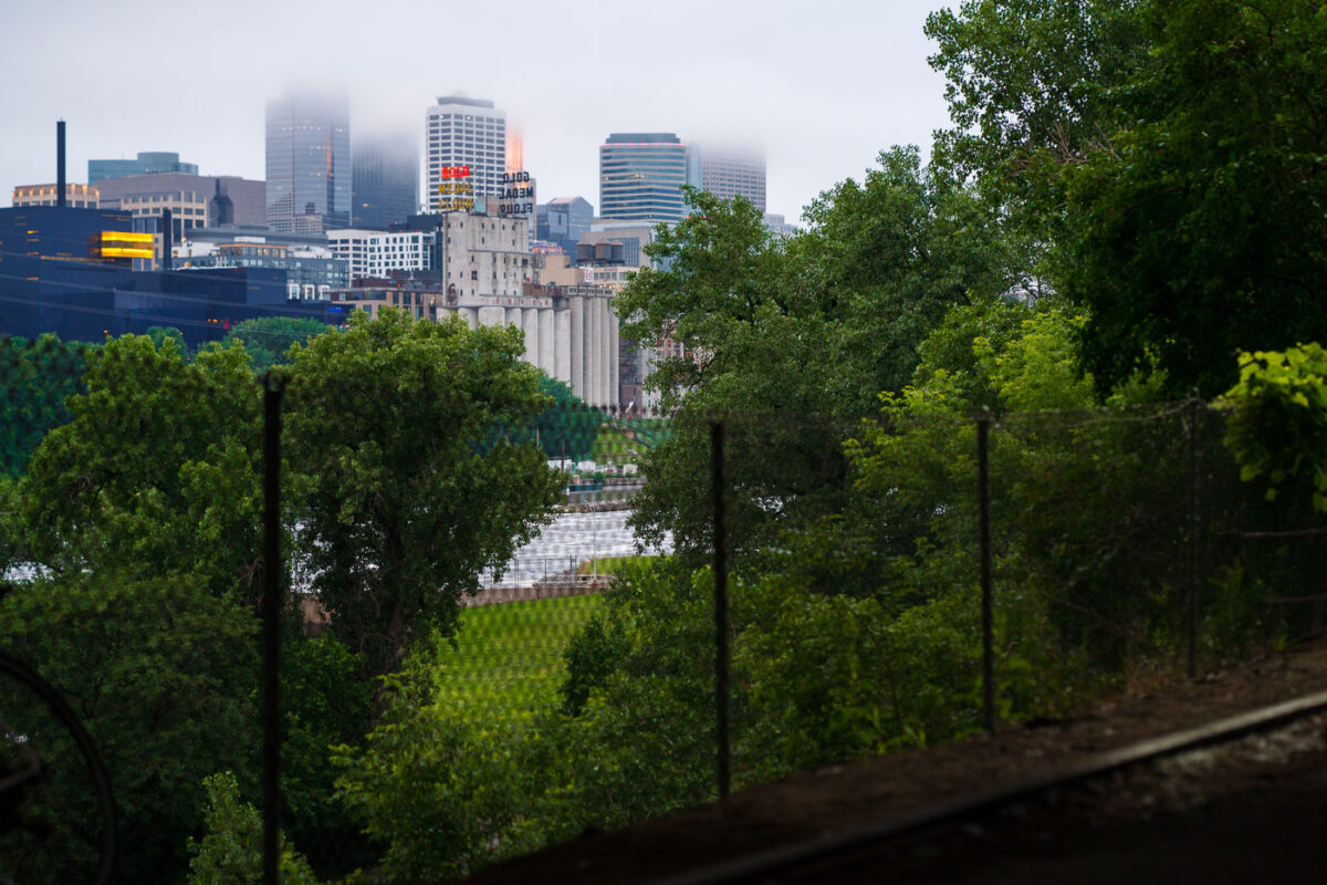
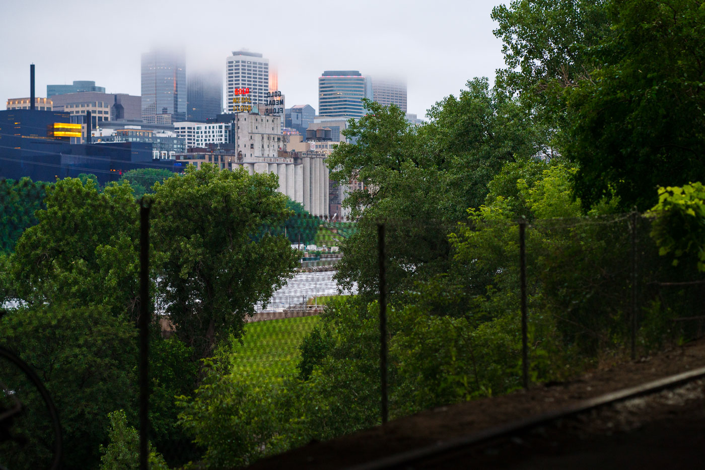
Minneapolis skyline partially obscured by fog and rain, with Grain Belt Brewery silos in the foreground. The city's downtown is situated along the Mississippi River.
The Minneapolis skyline is partially obscured by fog and rain, with the historic Grain Belt Brewery silos visible in the foreground. The city's downtown area, situated along the Mississippi River, has a history rooted in milling and industry, with these silos representing a significant part of that heritage.

Downtown Minneapolis Skyline Behind the Gold Medal Flour Silos in Fog
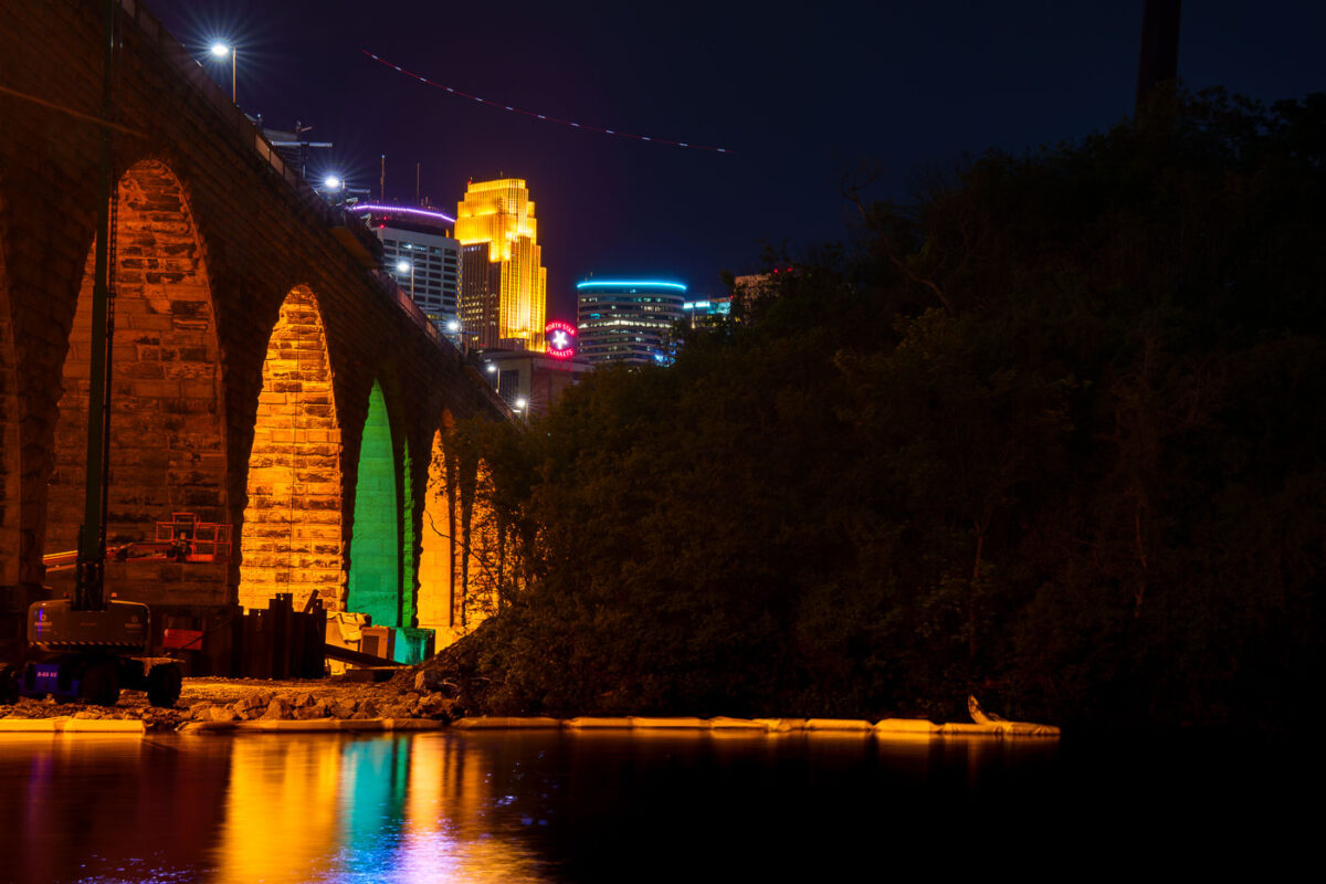
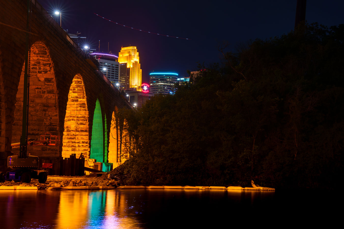
Stone Arch Bridge's illuminated stone arches span the Mississippi River at night with Minneapolis skyline beyond.
The Stone Arch Bridge, a former railroad bridge constructed in 1883, is undergoing repairs. The bridge, which spans the Mississippi River in Minneapolis, is closed to the public for several summers to facilitate this work.

Colorful Arch Lighting During Stone Arch Bridge Construction
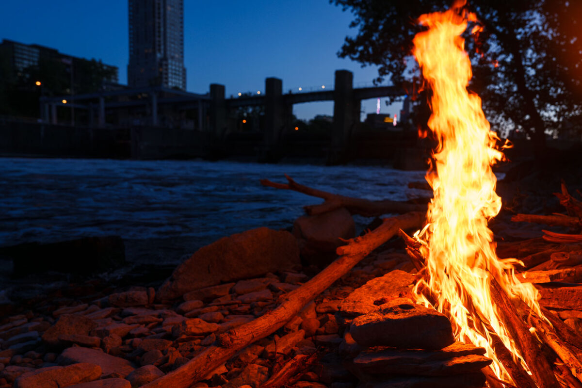
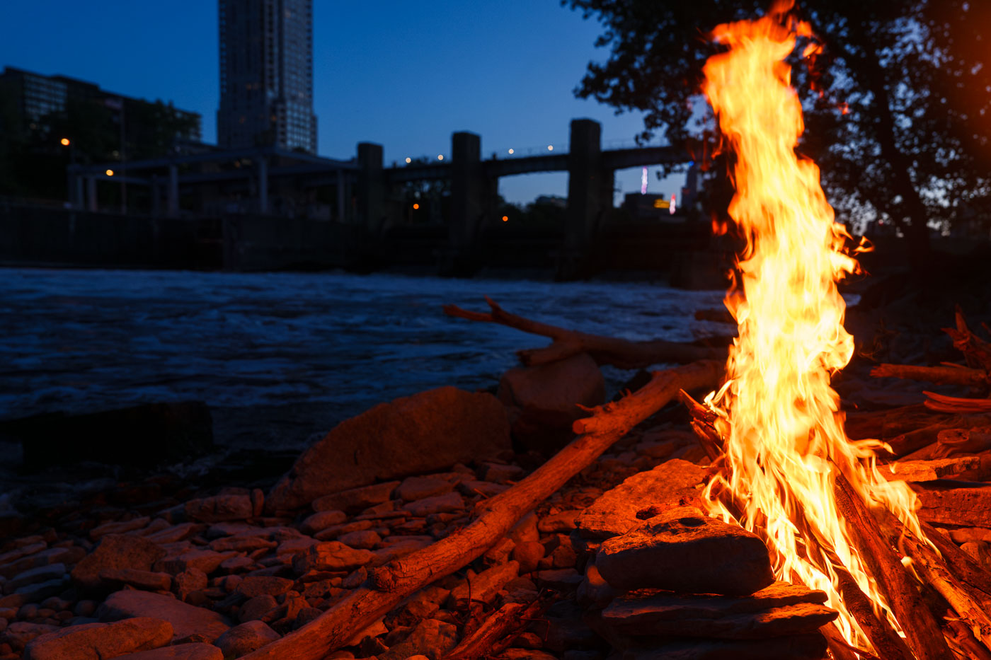
Bonfire burns on the Mississippi River bank in Minneapolis at dusk.
A bonfire burns along the Mississippi River in Minneapolis. The fire is set on the rocky riverbank near the downtown riverfront.

Bonfire on the Mississippi River, Minneapolis
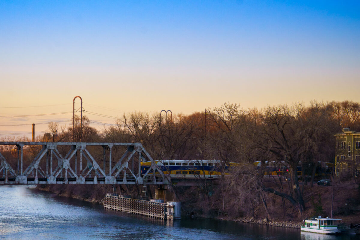
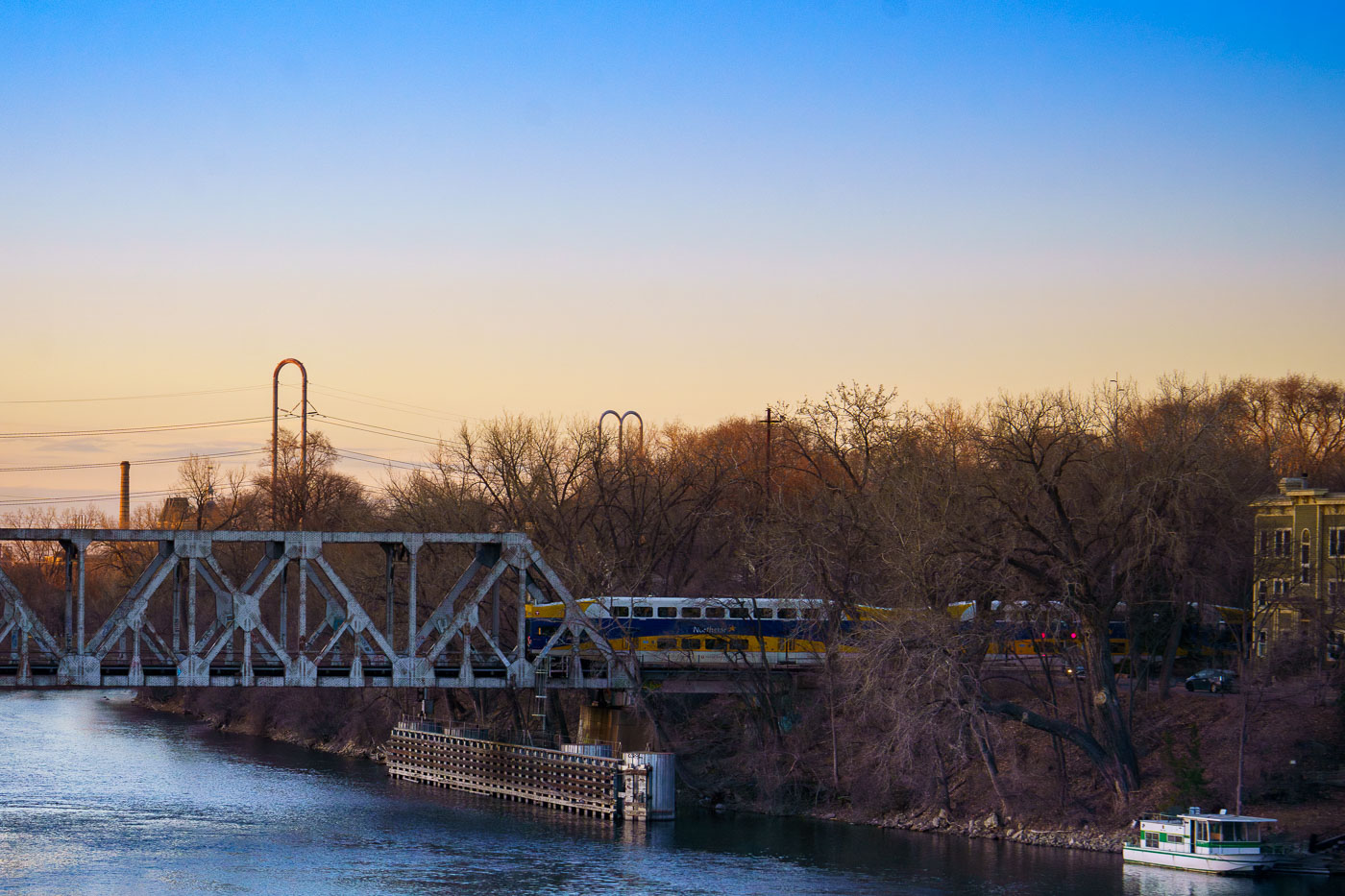
Northstar Line commuter train crosses a railway bridge spanning the Mississippi River in Minneapolis during early evening light.
The Northstar Line commuter train crosses a railway bridge over the Mississippi River in Minneapolis, as observed in March 2024. The Northstar Line began service in 2009, utilizing existing freight rail corridors and new infrastructure.

Northstar Train Crossing the Mississippi River at Dusk
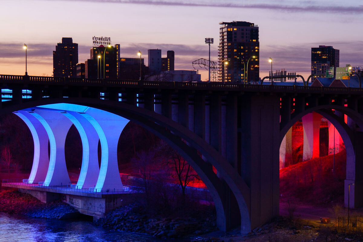
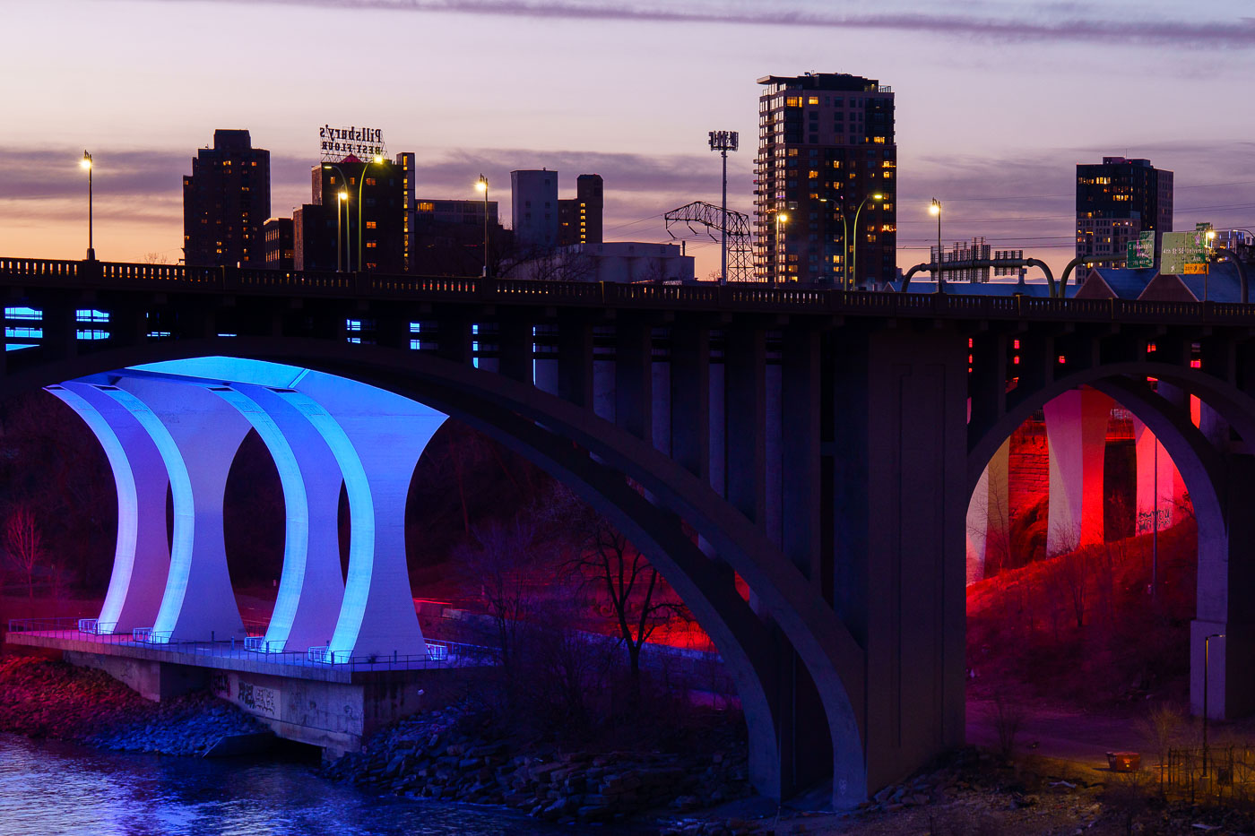
The 10th Avenue Bridge illuminated in blue and the I-35W Bridge lit in red span the Mississippi River at dusk in Minneapolis.
The 10th Avenue Bridge and the I-35W Bridge span the Mississippi River near downtown Minneapolis at sunset in March 2024.

10th Avenue Bridge Lit Blue and Red Over the Mississippi River
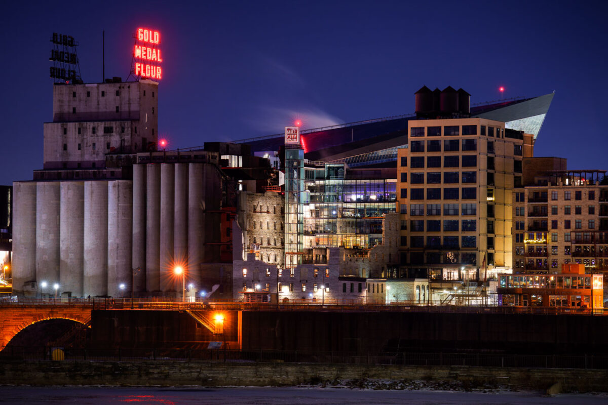
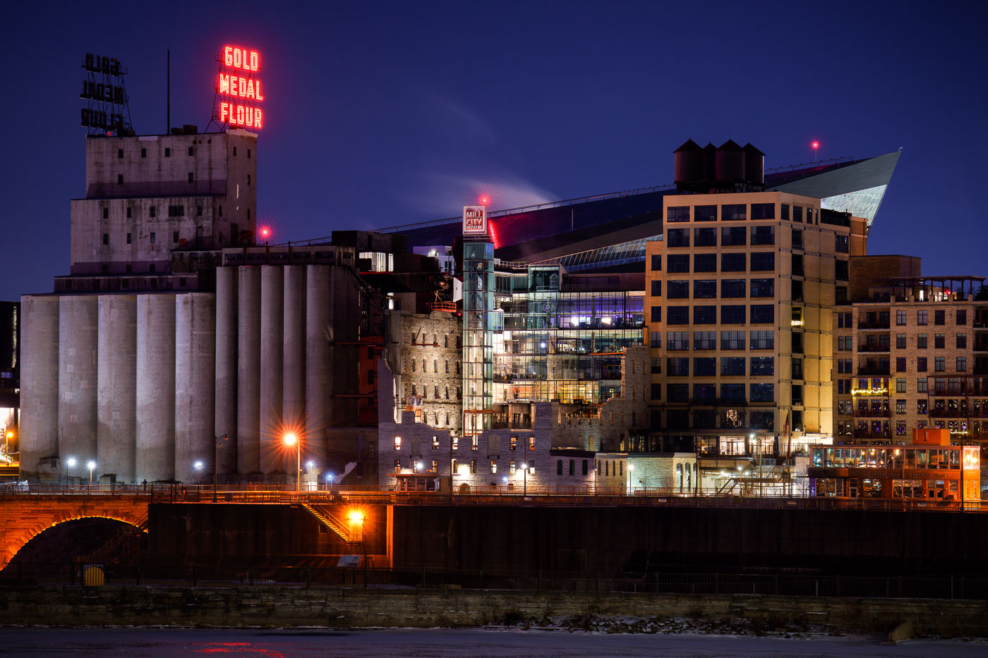
US Bank Stadium and Mill City Museum neon signs
The Washburn A Mill, once the world's largest flour mill, stands illuminated along the Mississippi River in Minneapolis. This historic structure now houses the Mill City Museum, which interprets the city's industrial past as a global flour milling center. In the background, the contemporary architecture of US Bank Stadium signifies Minneapolis's modern urban landscape.

Mill City Museum and Gold Medal Flour Sign Along the Mississippi River
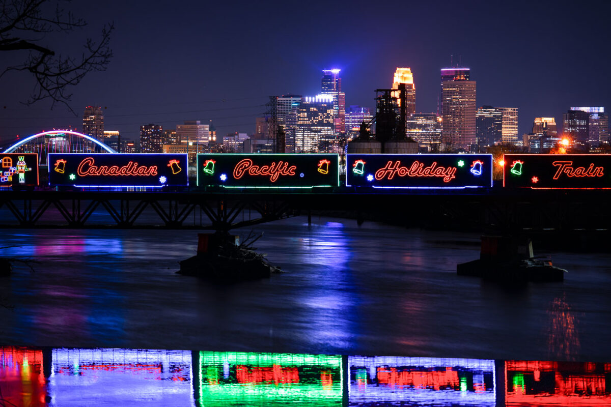
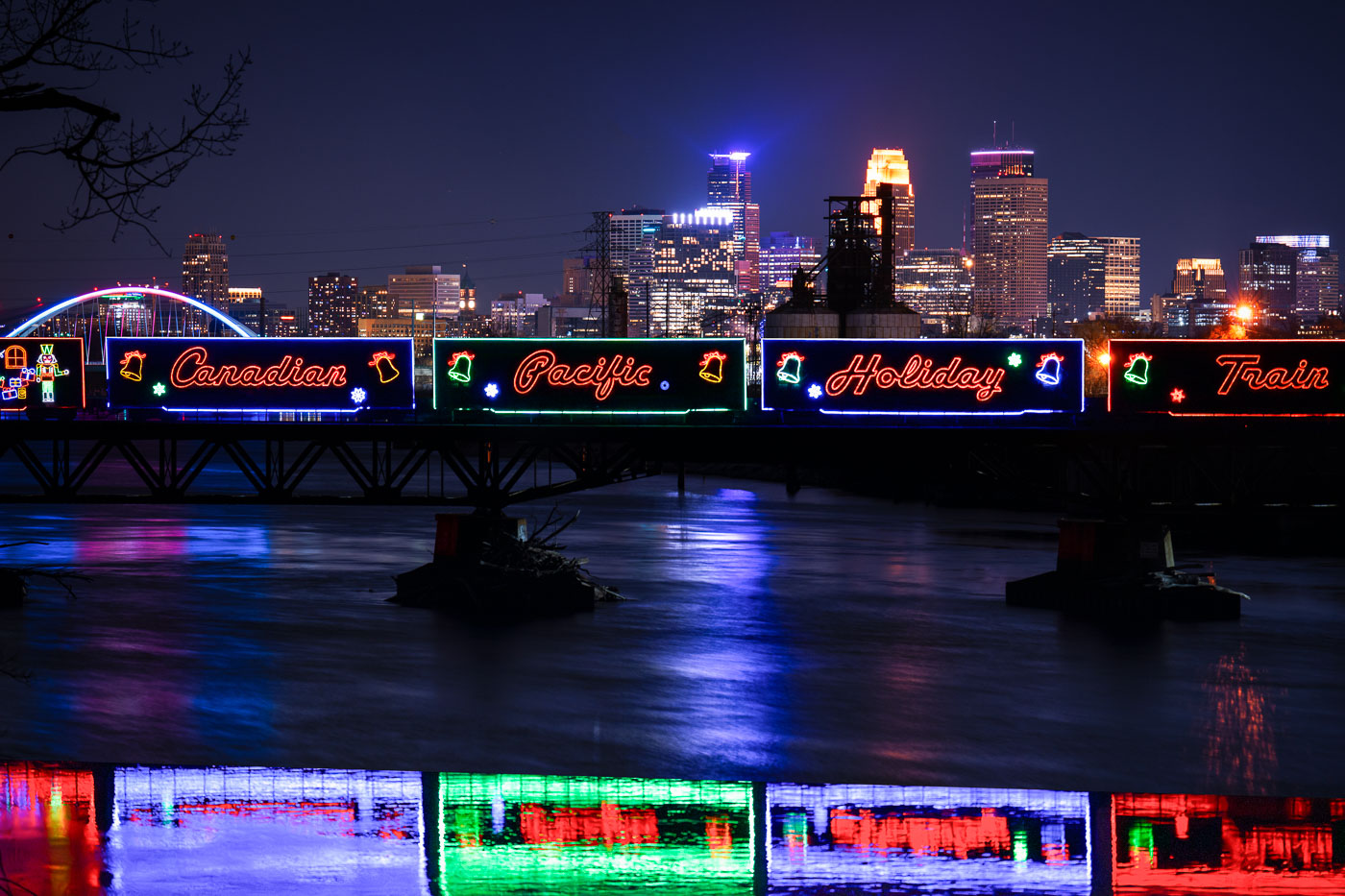
Canadian Pacific Holiday Train with neon signage crosses Lowry Avenue Bridge over Mississippi River in Minneapolis.
The Canadian Pacific Kansas City Holiday Train crosses the Mississippi River on the Lowry Avenue Bridge in Minneapolis on December 11, 2023. The annual train raises money and collects food donations for local food banks as it travels across North America during the holiday season. The decorated cars are part of a long-running program that has generated millions of dollars and millions of pounds of food donations since it began in 1999.
Holiday Train Crossing the Lowry Avenue Bridge in Minneapolis

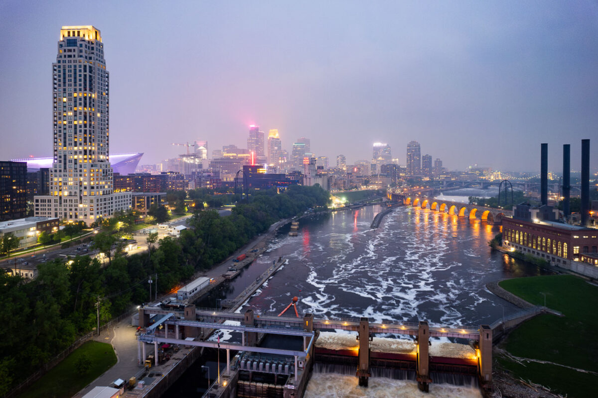
Night photo of river and city skyline with a haze in Minneapolis
The Minneapolis skyline is veiled by smoke from Canadian wildfires, impacting regional air quality. The Mississippi River flows past the historic Stone Arch Bridge, a former railway bridge completed in 1883, now a pedestrian walkway. Adjacent to the bridge is the Upper St. Anthony Falls Lock and Dam, a 20th-century engineering project that regulates the river's flow and supports navigation, a function critical to Minneapolis since its establishment.

Minneapolis Skyline and Mississippi River in Wildfire Smoke

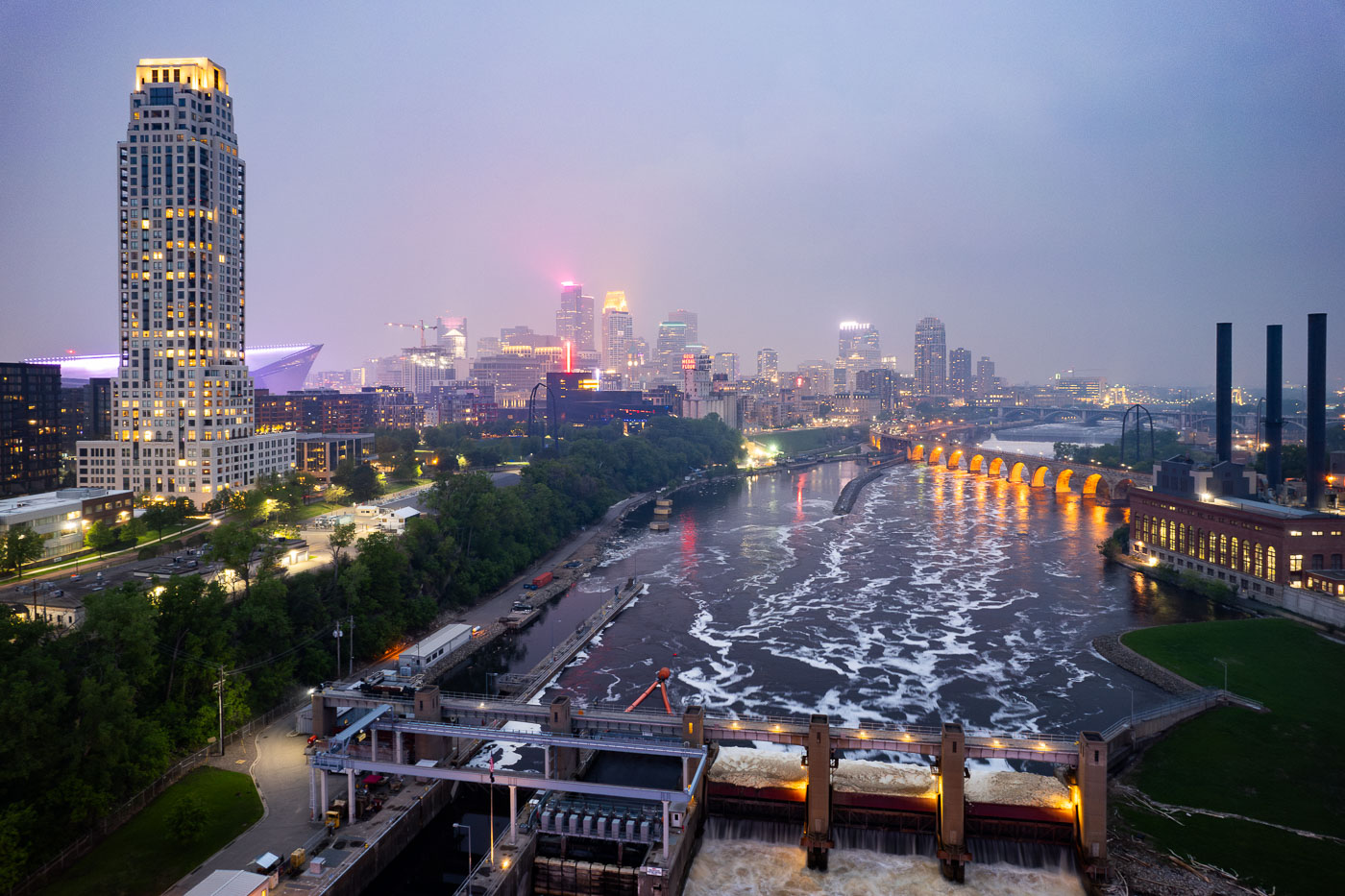
Mississippi River in front of Downtown Minneapolis Skyline
The Minneapolis Lock and Dam on the Mississippi River is obscured by haze from Canadian wildfire smoke, impacting air quality in the downtown area. Constructed in the early 20th century, the lock and dam system was designed to improve navigation on the river, facilitating the transport of goods and materials. Today, it continues to play a role in managing water levels and supporting barge traffic, though its visual presence is altered by atmospheric conditions. The Stone Arch Bridge, a historic landmark, is visible in the background, further contextualizing the industrial and infrastructural history of Minneapolis.

Minneapolis Lock and Dam Under Canadian Wildfire Smoke
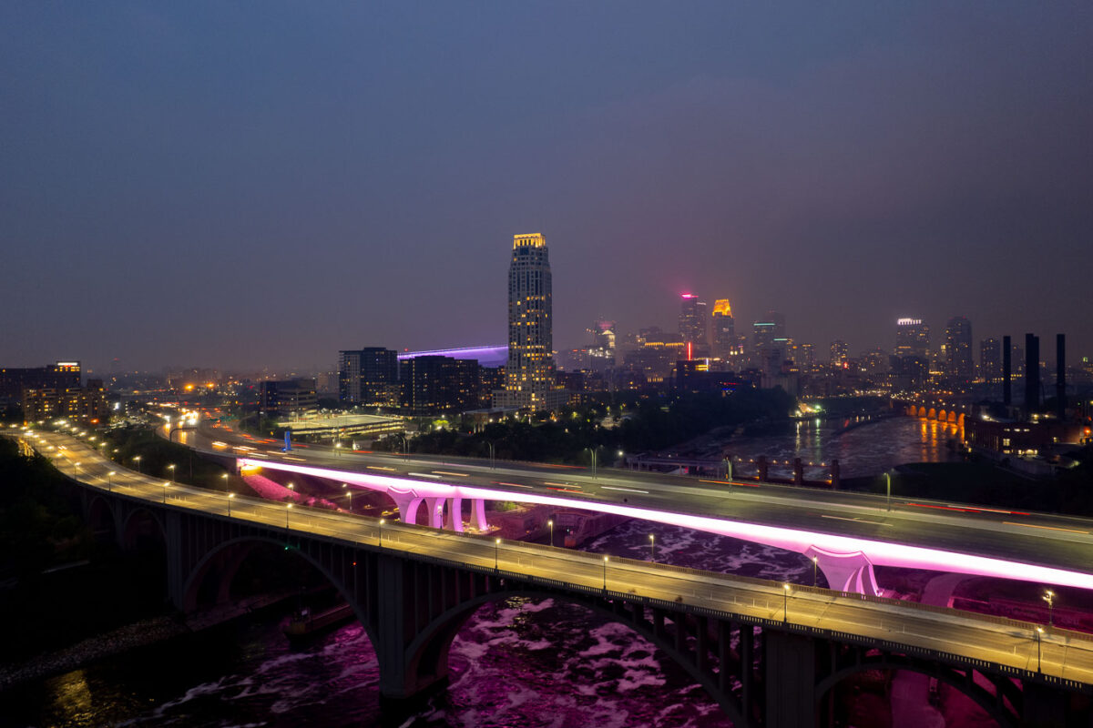
2 bridges over the Mississippi River and city skyline
The I-35W Bridge and the 10th Avenue Bridge cross the Mississippi River in Minneapolis, Minnesota, under a sky obscured by smoke from Canadian wildfires. This atmospheric condition, which led to air quality advisories, significantly reduced visibility across the city. The I-35W Bridge serves as a major north-south transportation route, while the 10th Avenue Bridge, with its distinctive arches, is a notable element of the city's infrastructure.

Minneapolis I-35W Bridge in Wildfire Smoke
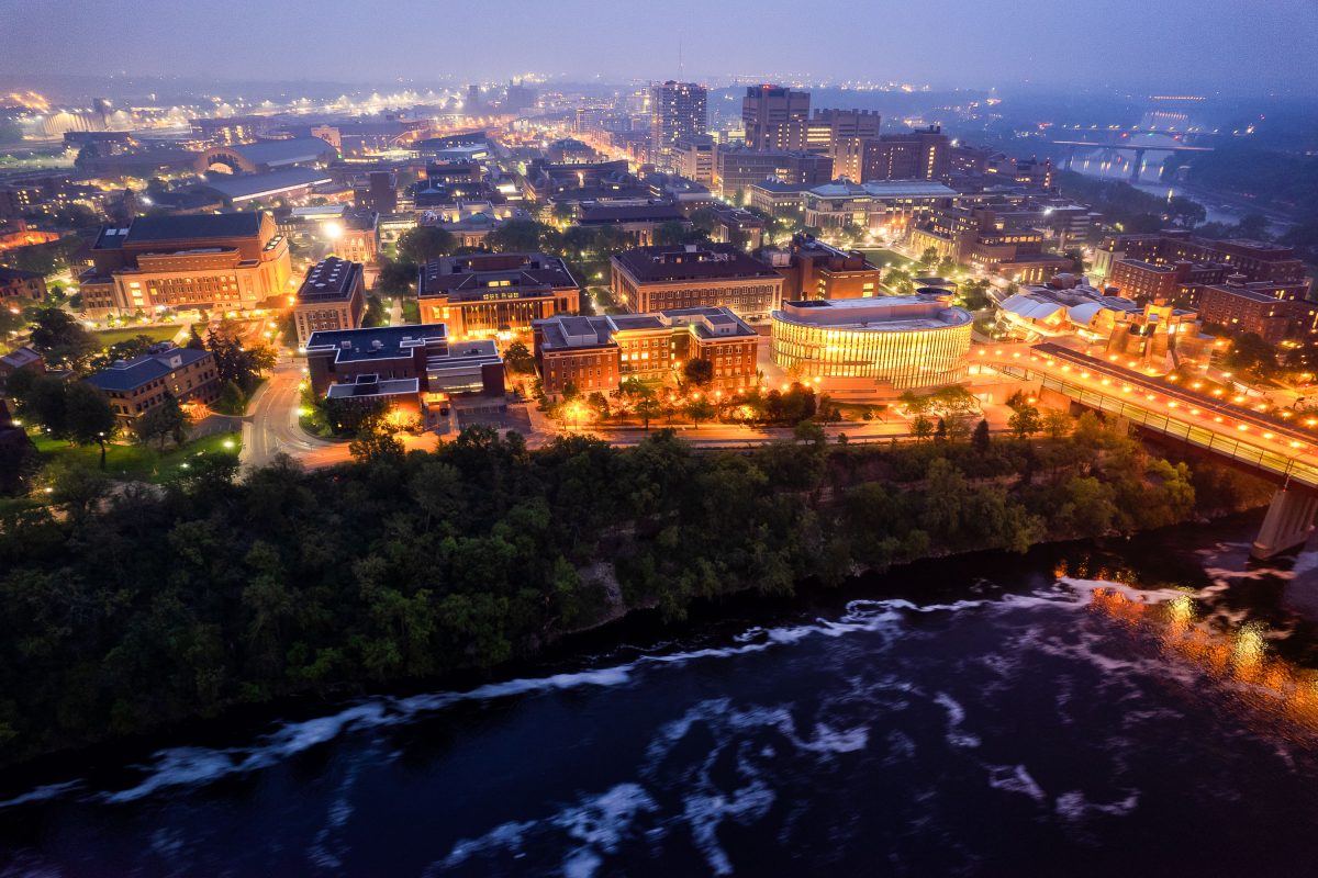
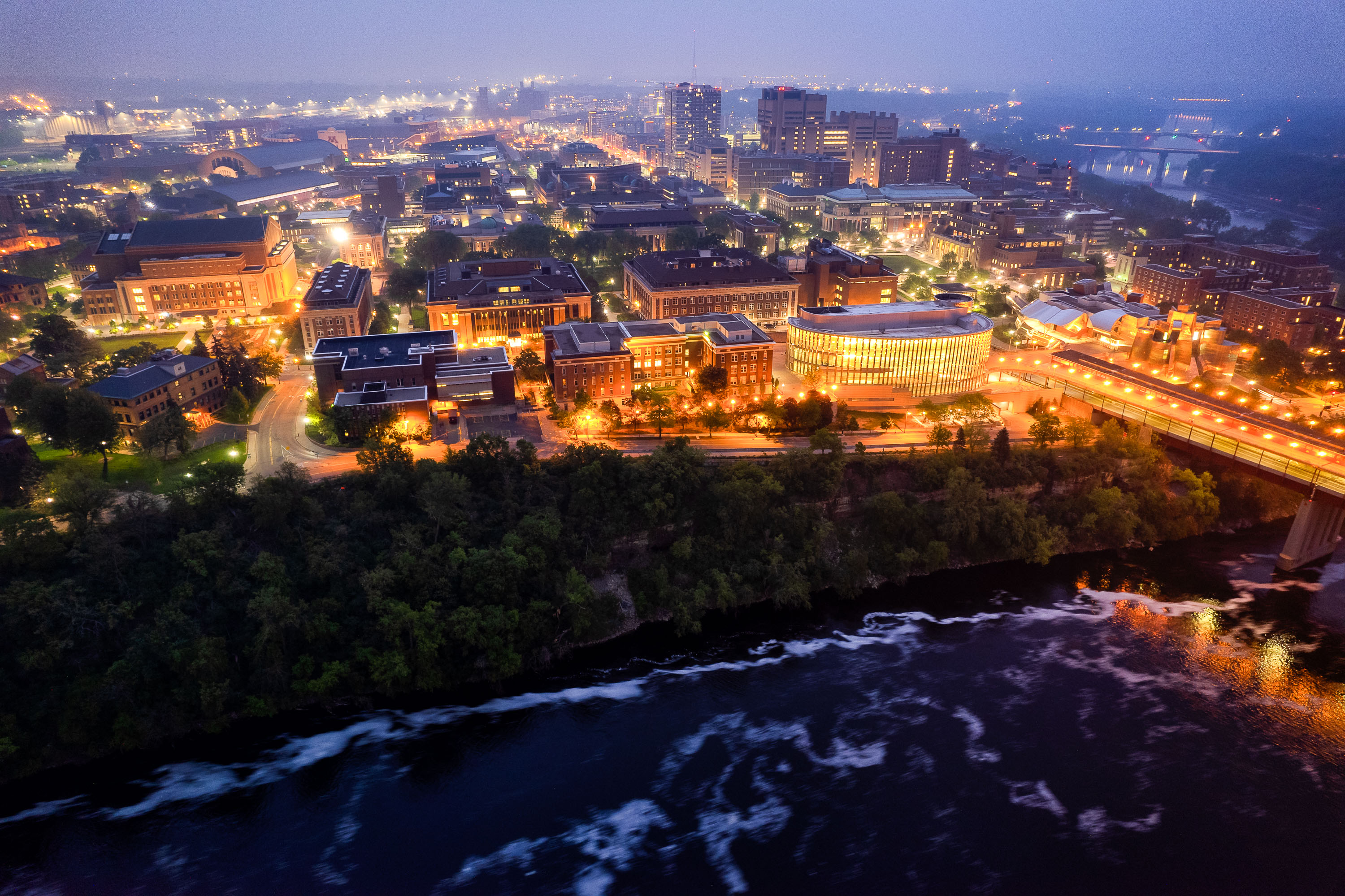
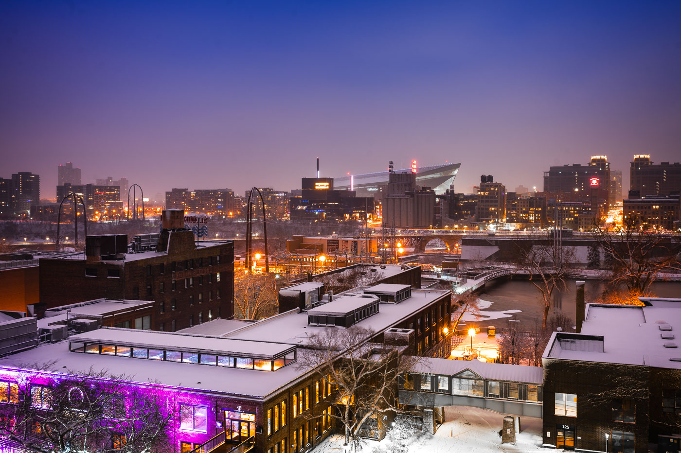
University of Minnesota campus at dusk overlooking the Mississippi River with illuminated buildings and the Washington Avenue Bridge spanning the water.
The University of Minnesota's Twin Cities campus lines both banks of the Mississippi River in Minneapolis, divided between the East Bank and West Bank districts. Founded in 1851, it's the flagship campus of the university system and one of the largest in the country, enrolling more than 50,000 students. The Washington Avenue Bridge links the two campuses, carrying vehicle and pedestrian traffic along with a light-rail line across the river.

Aerial Twilight View of the University of Minnesota’s East Bank
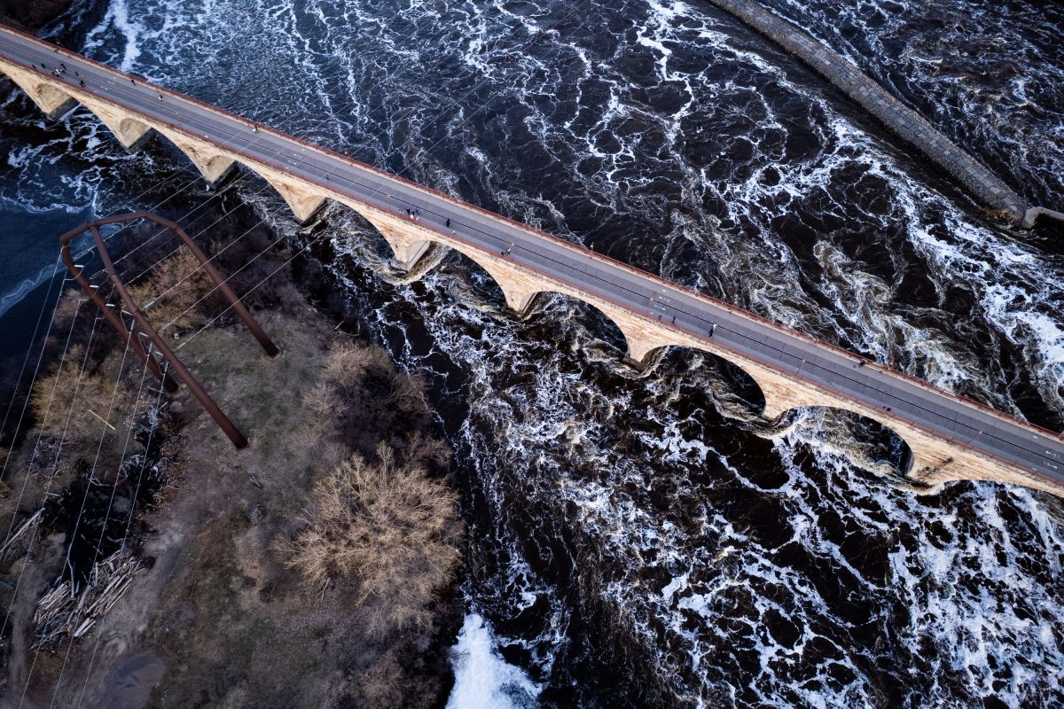
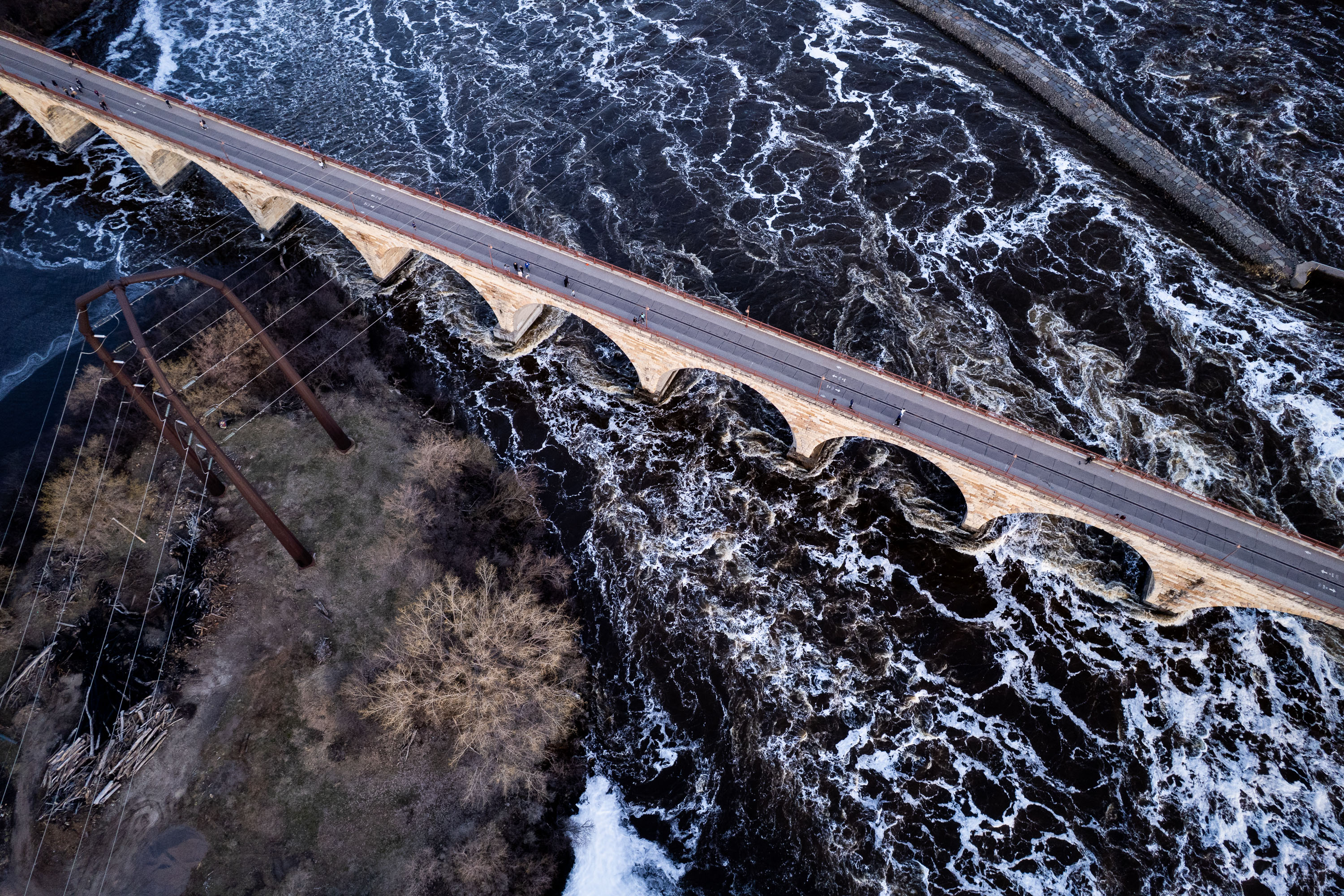
Stone Arch Bridge crosses the Mississippi River at St. Anthony Falls in Minneapolis with white-water rapids visible below.
The Stone Arch Bridge crosses the Mississippi River just below St. Anthony Falls, connecting downtown Minneapolis to the Marcy-Holmes and St. Anthony West neighborhoods. James J. Hill built it in 1883 for his Great Northern Railway, using granite and limestone arches to carry trains across the river to his depot. The bridge stretches roughly 2,100 feet and rests on 23 arches, several set at a curve to align with the railway's approach.

Aerial View of Stone Arch Bridge Over Turbulent Mississippi Rapids
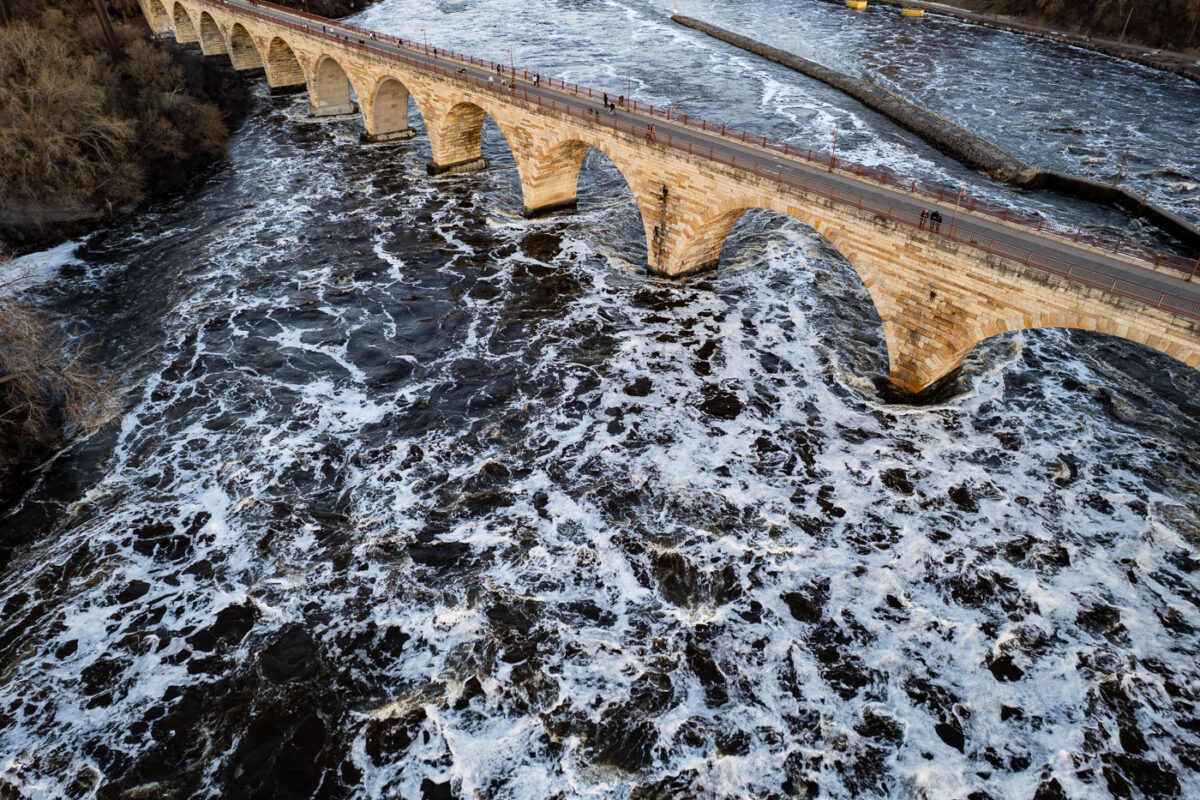
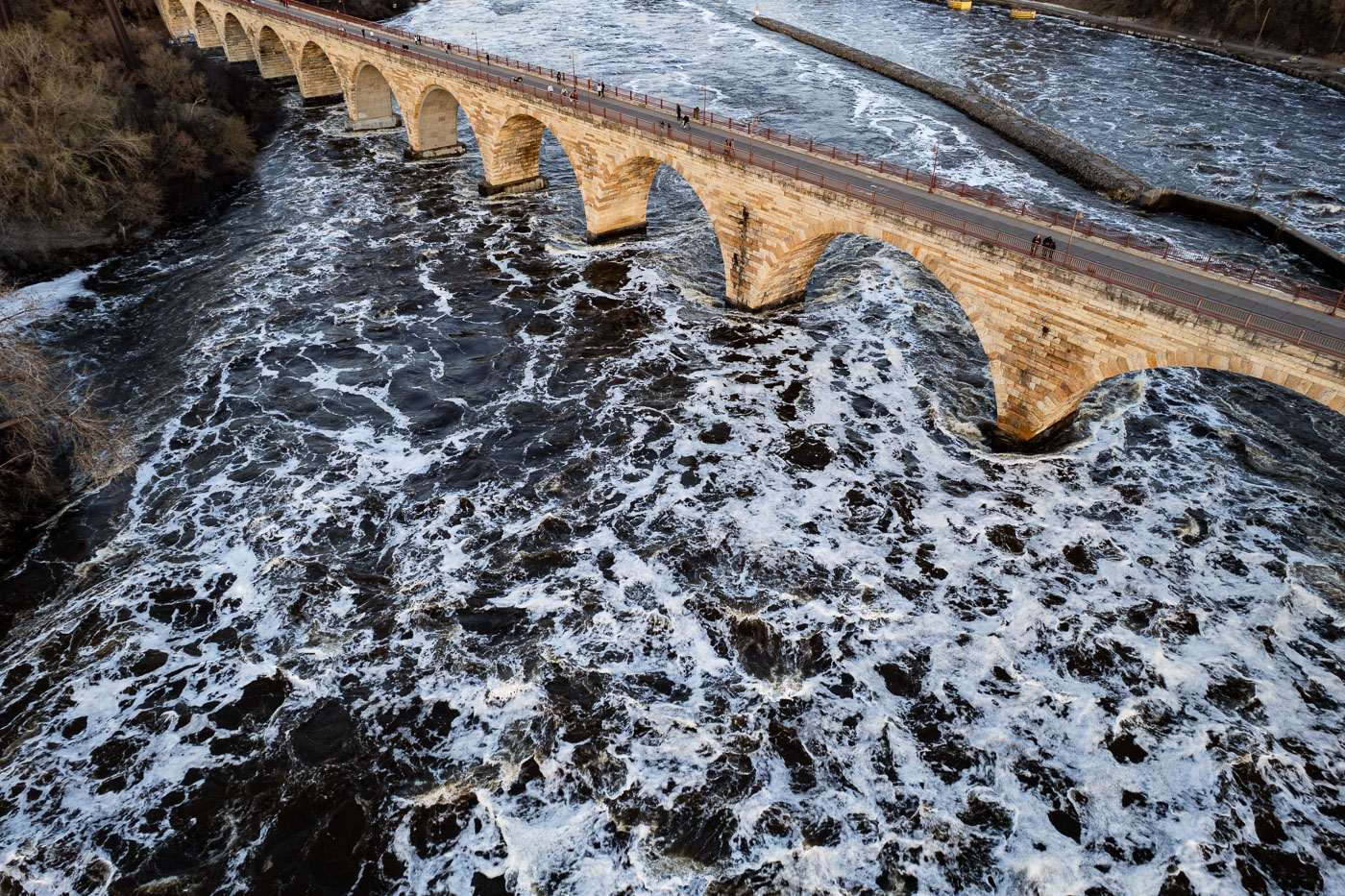
Stone Arch Bridge's arches span turbulent Mississippi River waters in Minneapolis.
The Stone Arch Bridge, completed in 1883, spans the Mississippi River in Minneapolis. Originally built by railroad magnate James J. Hill, it served as a vital transportation link for the Great Northern Railway.

Rushing Spring Floodwaters Under Stone Arch Bridge
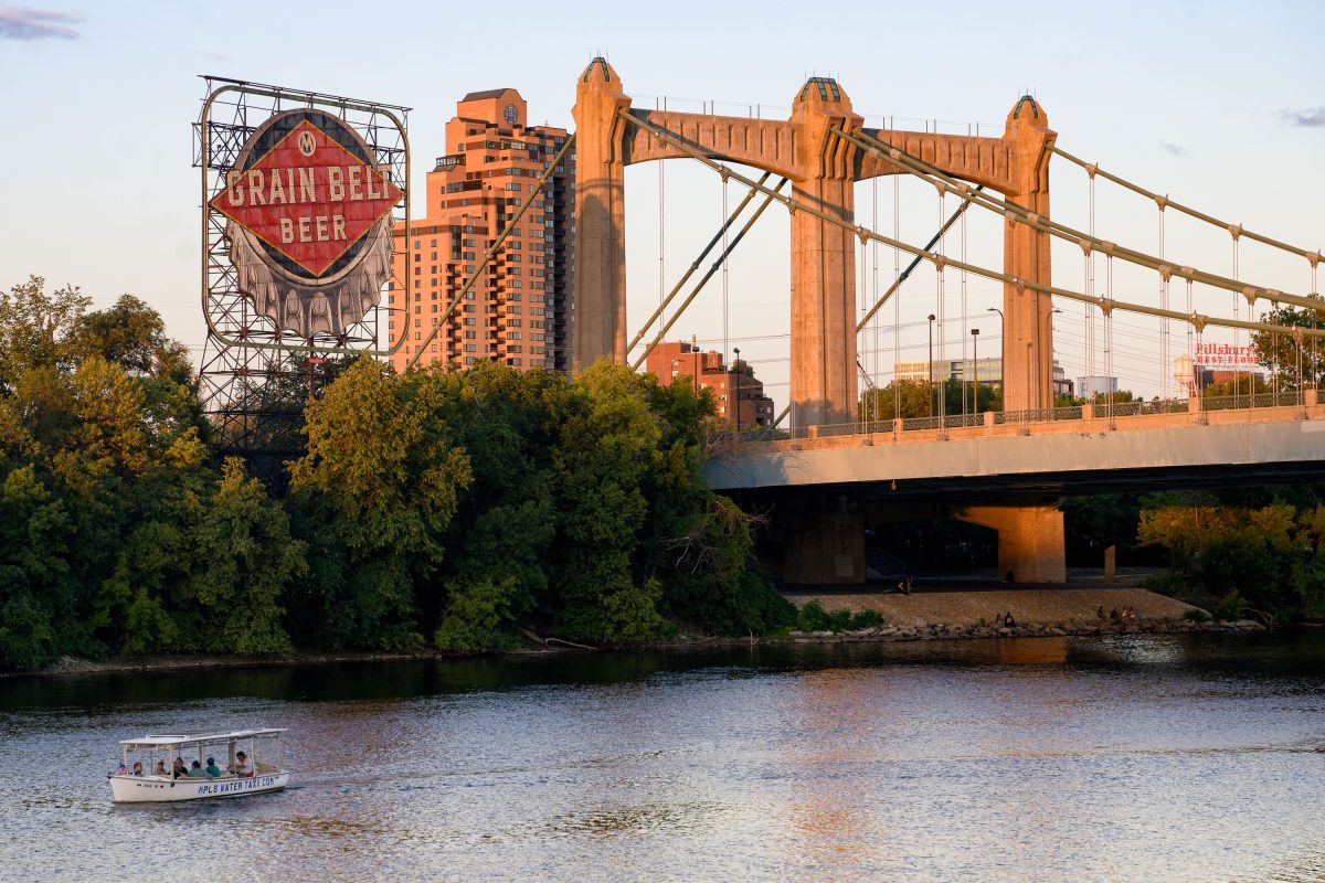
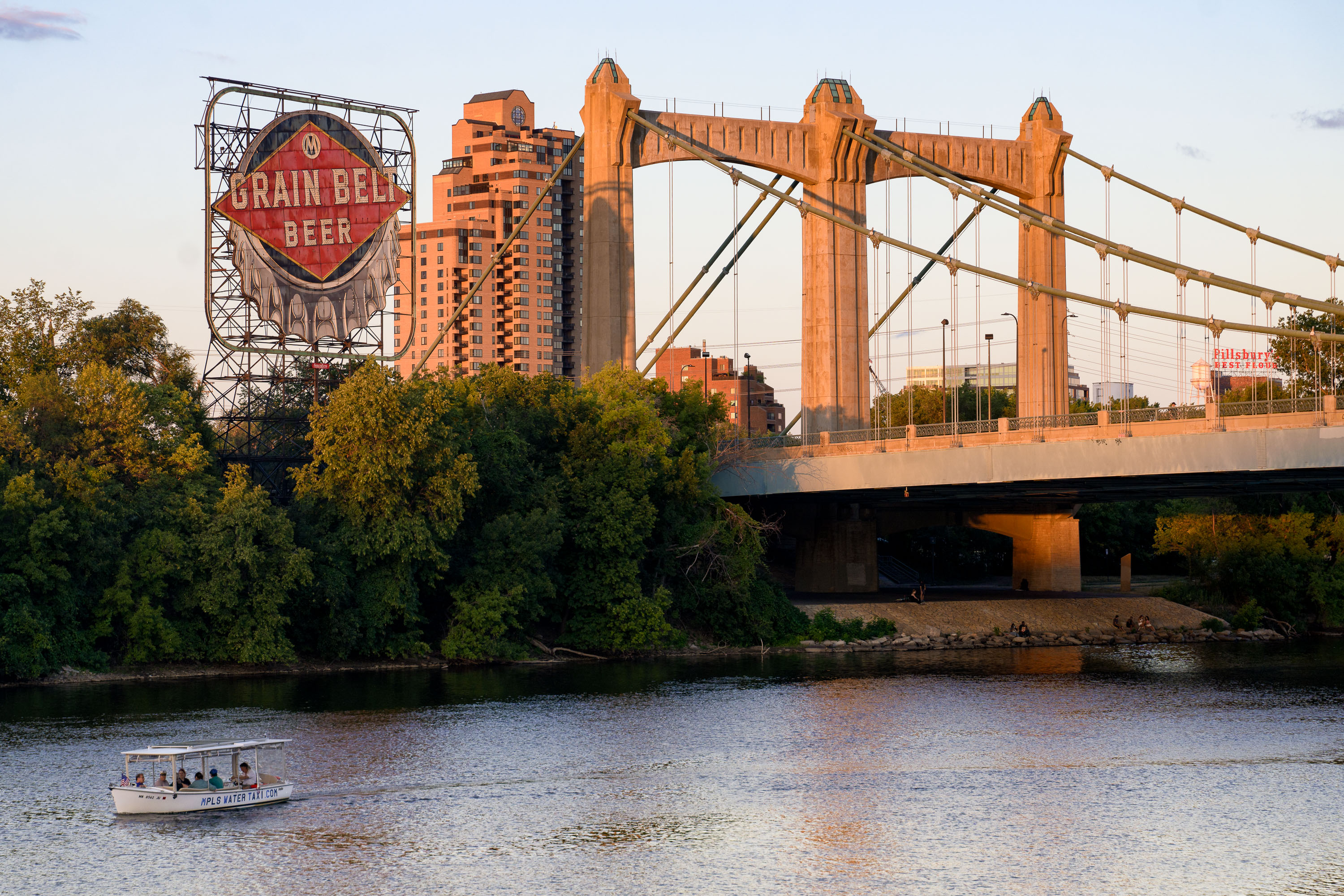
Water taxi on the Mississippi River below Hennepin Avenue Bridge and the Grain Belt sign in Minneapolis.
A water taxi travels on the Mississippi River in Minneapolis, passing under the Hennepin Avenue Bridge. Completed in 1929, the bridge is a significant example of early 20th-century infrastructure. The historic Grain Belt Beer sign, a remnant of the area's industrial past, is visible in the background, alongside modern residential buildings. The Mississippi River remains a vital transportation corridor, with services like the water taxi continuing its historical role.

Minneapolis Water Taxi, Hennepin Ave Bridge, Grain Belt Sign
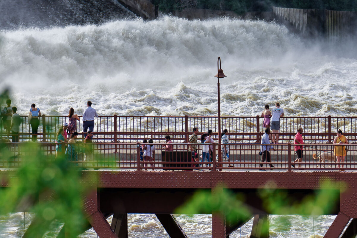
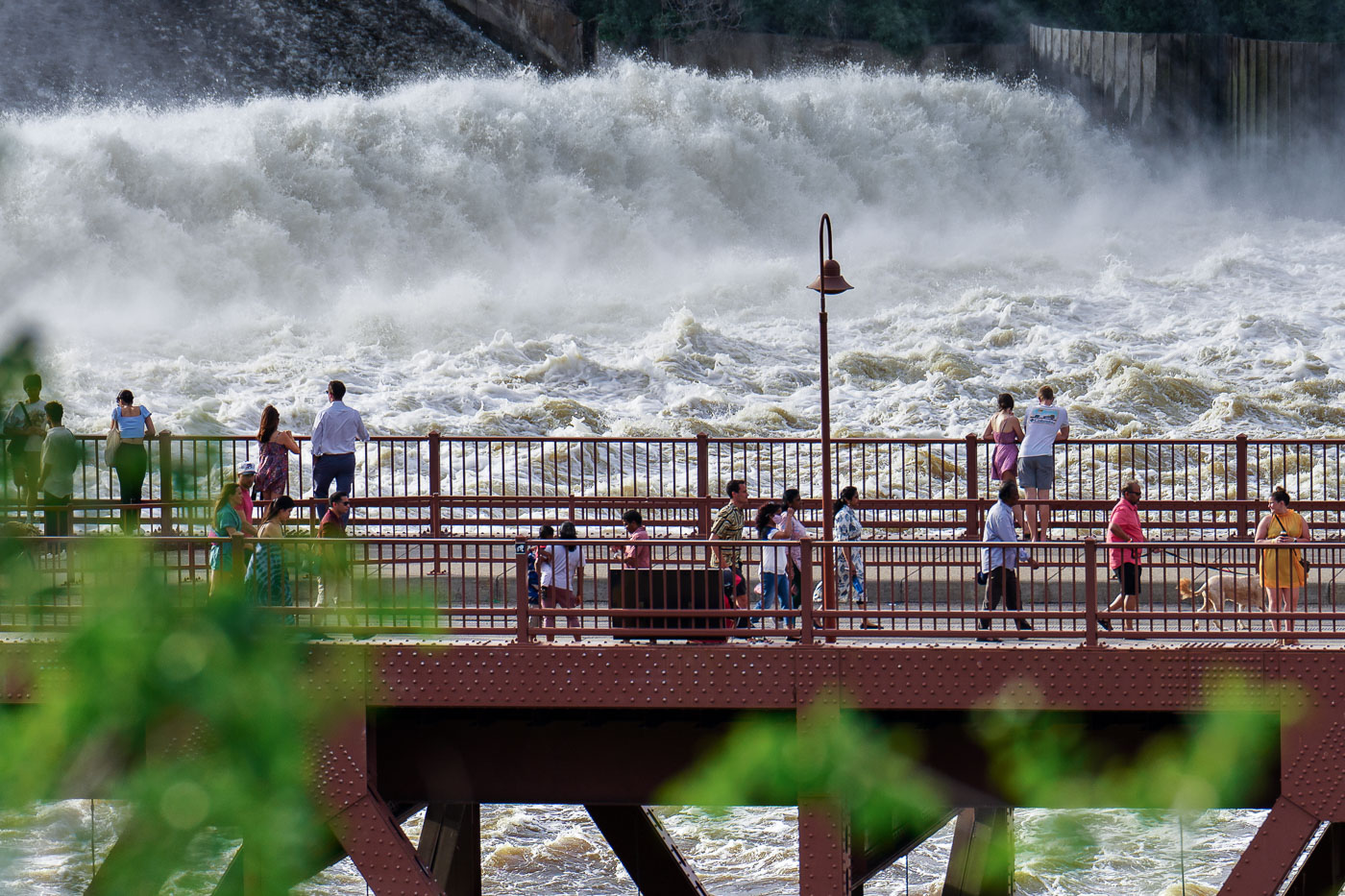
St Anthony Falls in downtown Minneapolis on a summer day
People gather on the Stone Arch Bridge in Minneapolis to observe the powerful flow of St. Anthony Falls on the Mississippi River. Originally constructed in 1883 for the Great Northern Railway, the Stone Arch Bridge is the only arched bridge made of stone-faced concrete in the United States. It was later converted into a pedestrian and bicycle bridge, offering unique views of the river and the historic flour milling district. The falls themselves were once the site of extensive milling operations, powered by the river's force, and remain a significant natural and historical landmark within the city.

People on Stone Arch Bridge watching St. Anthony Falls, Minneapolis
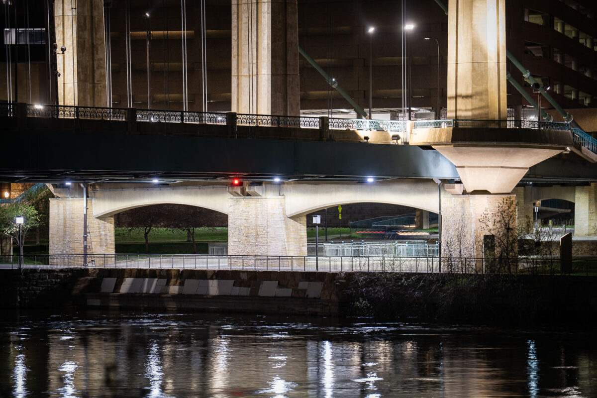
Hennepin Avenue Bridge spans the Mississippi River at night in downtown Minneapolis.
The Hennepin Avenue Bridge crosses the Mississippi River at the site of the first bridge ever built across the river, a suspension span opened in 1855. The current structure, a concrete arch bridge completed in 1990, replaced an 1889 steel suspension bridge that had carried traffic across the same crossing for a century.

Hennepin Avenue Bridge Arches Over the Mississippi at Night
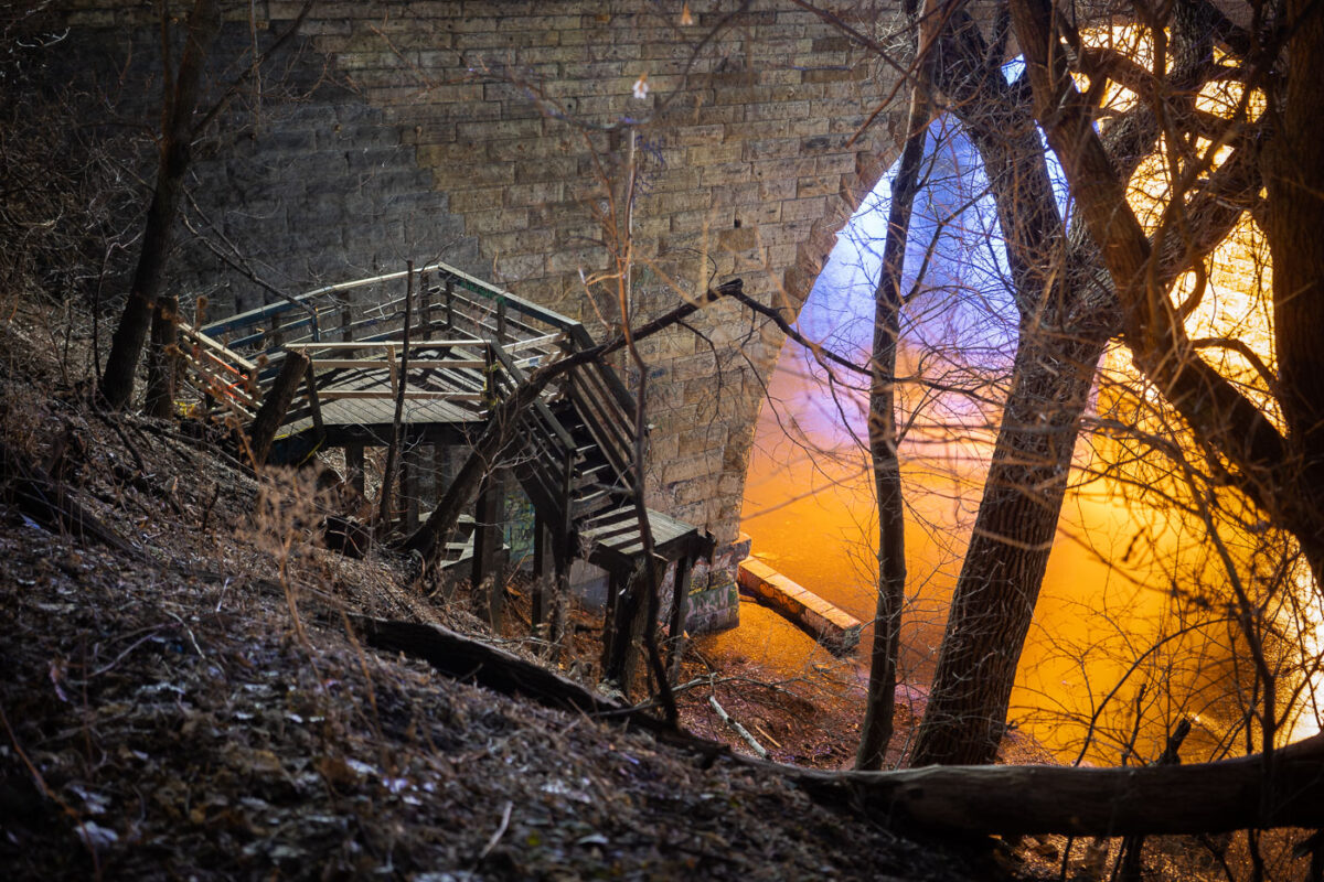
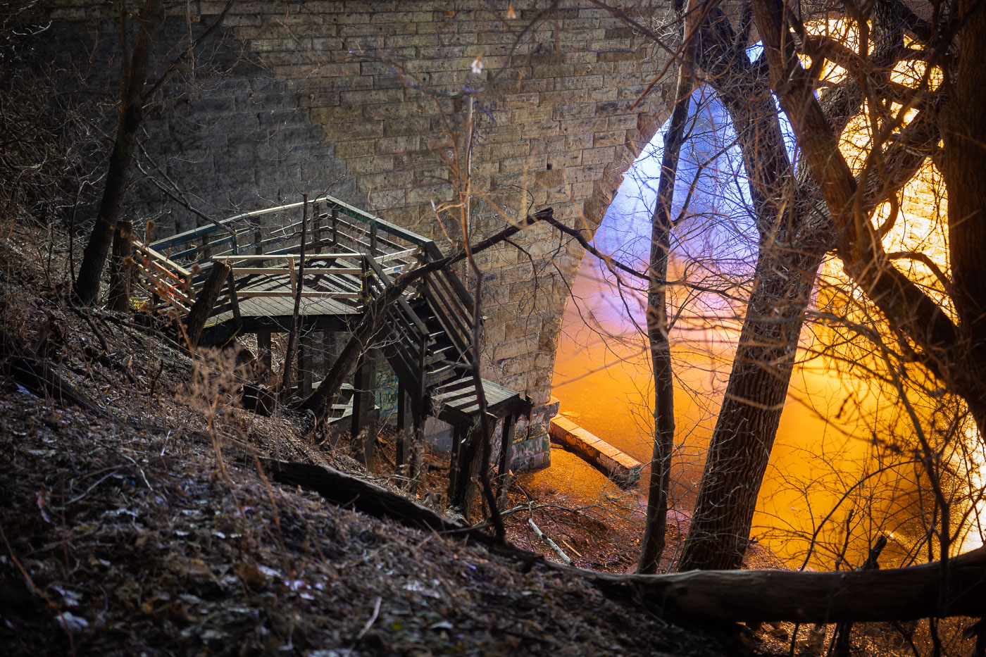
Wooden staircase under dismantling near the Stone Arch Bridge alongside the Mississippi River in Minneapolis.
Wooden stairs being dismantled near the Stone Arch Bridge in Minneapolis, adjacent to the Mississippi River. Originally constructed in 1883, the Stone Arch Bridge served as a vital railway crossing for the Great Northern Railway. It was later repurposed and opened to the public in 1992 as a pedestrian and bicycle bridge.

Dismantled Stairway Beneath the Stone Arch Bridge
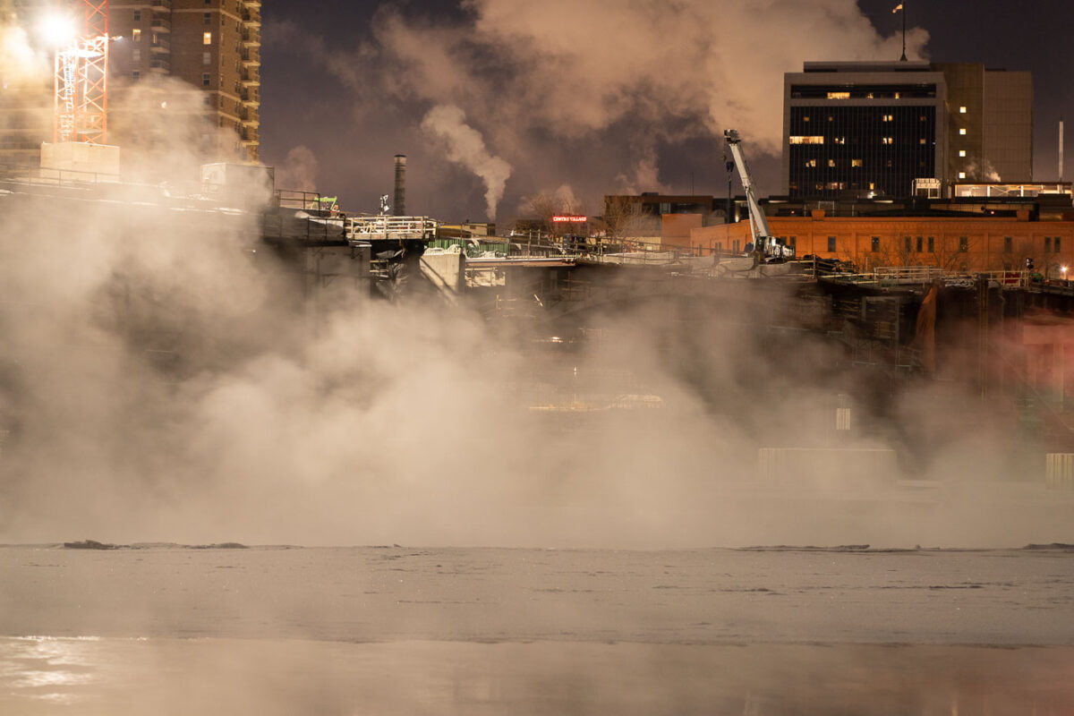
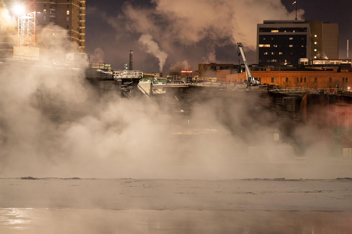
Minneapolis: Steam rises from Mississippi River 2022
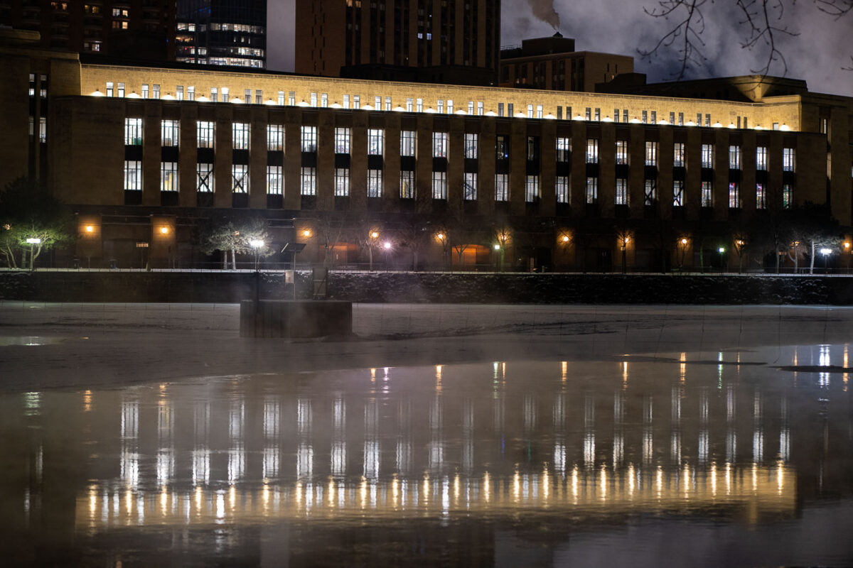
On January 2, 2022, the Mississippi River in Minneapolis was shrouded in thick steam as temperatures plummeted to -15 degrees Fahrenheit. This phenomenon, known as "steam fog" or "arctic sea smoke," occurs when extremely cold air moves over warmer water. The image captures the riverfront area, likely near ongoing construction, where the rising steam obscures the urban landscape. The presence of steam fog highlights the extreme winter weather conditions experienced in Minnesota, a state historically shaped by its harsh climate and the waterways that have facilitated its development.

Minneapolis: Steam rises from Mississippi River 2022

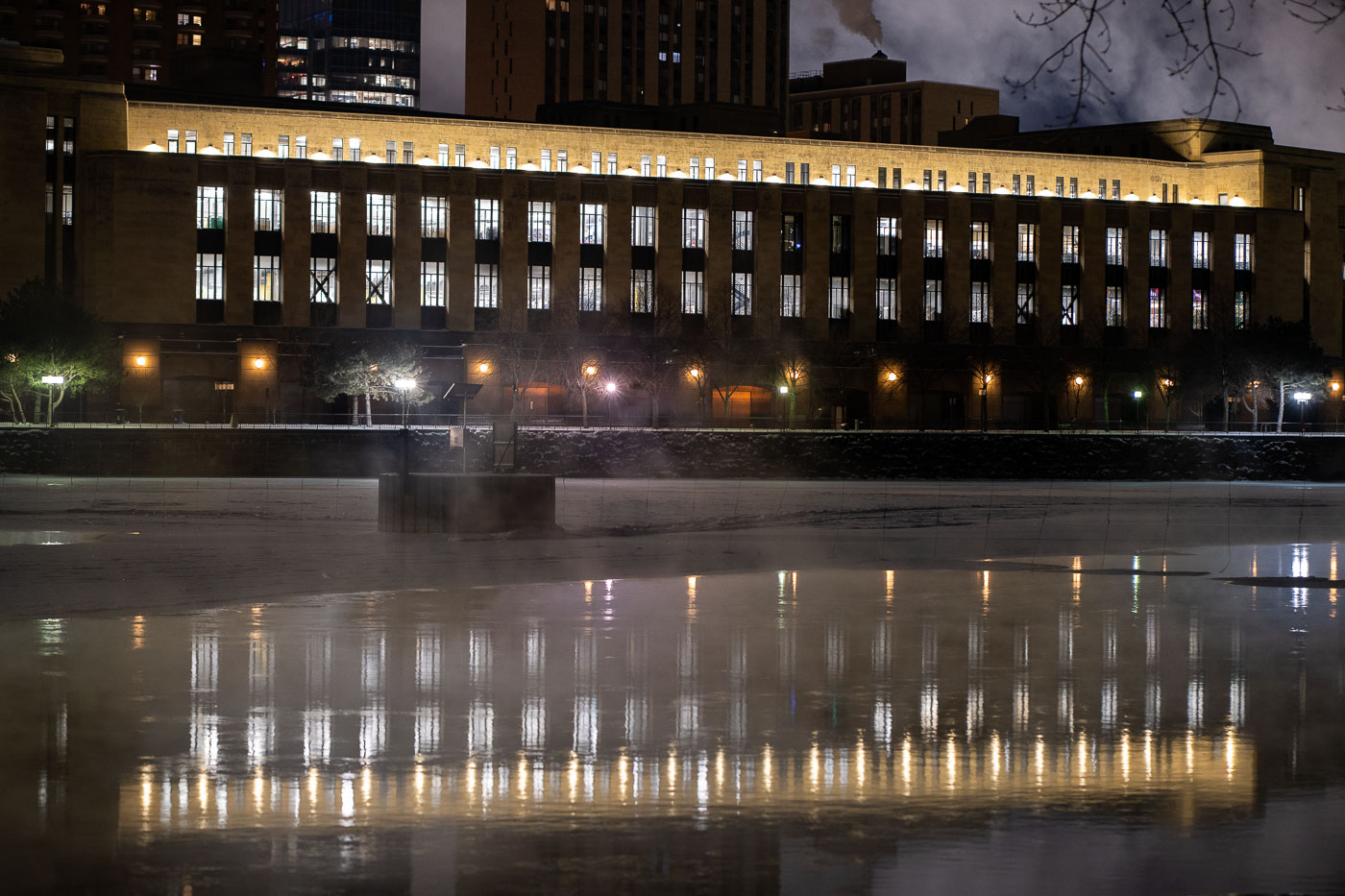
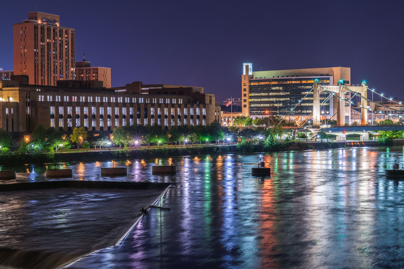
Minneapolis Main Post Office lit at night beside the Mississippi River.
The Minneapolis Main Post Office, a neoclassical structure completed in the 1930s, is illuminated at night along the Mississippi River. This building was a vital center for mail processing and distribution for the city and its surrounding region. Its riverside location underscores its historical role in facilitating commerce and communication. The structure continues to serve its original postal function, demonstrating its lasting significance in Minneapolis.

Minneapolis Main Post Office on Mississippi River at Night
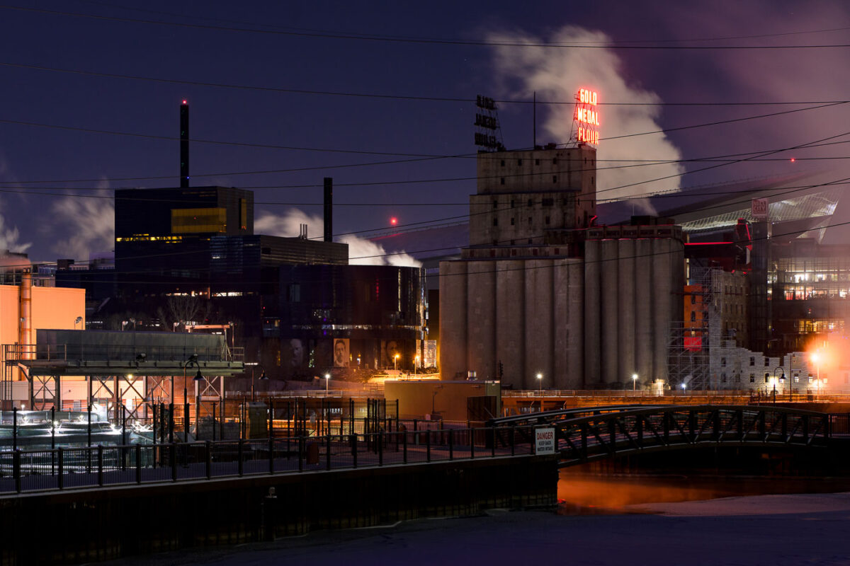
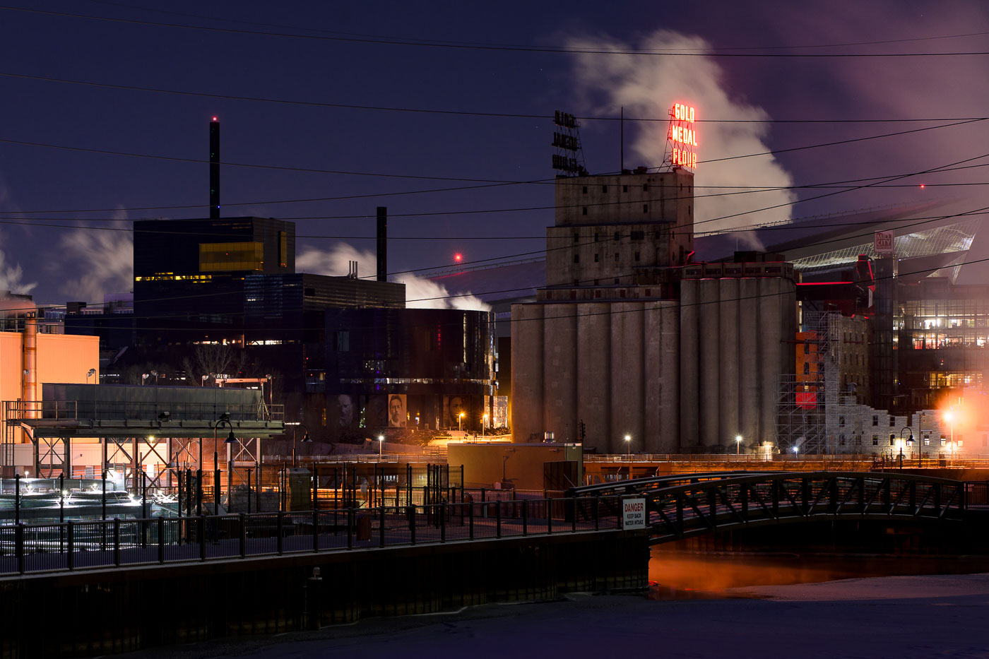
Steam from double digit below zero in Minneapolis
The historic Washburn Crosby Mill, a prominent structure in Minneapolis, is illuminated by its "Gold Medal Flour" sign on a frigid night with temperatures reaching -13°F. Originally built in the late 19th century, the mill was a cornerstone of the Pillsbury Company's operations and a significant contributor to Minneapolis's status as a global flour-producing center.

Gold Medal Flour sign, Washburn Crosby Mill, Minneapolis, -13F
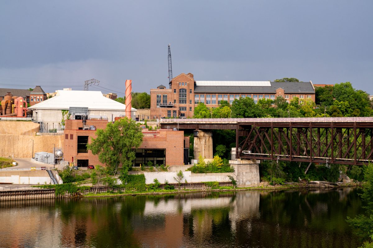
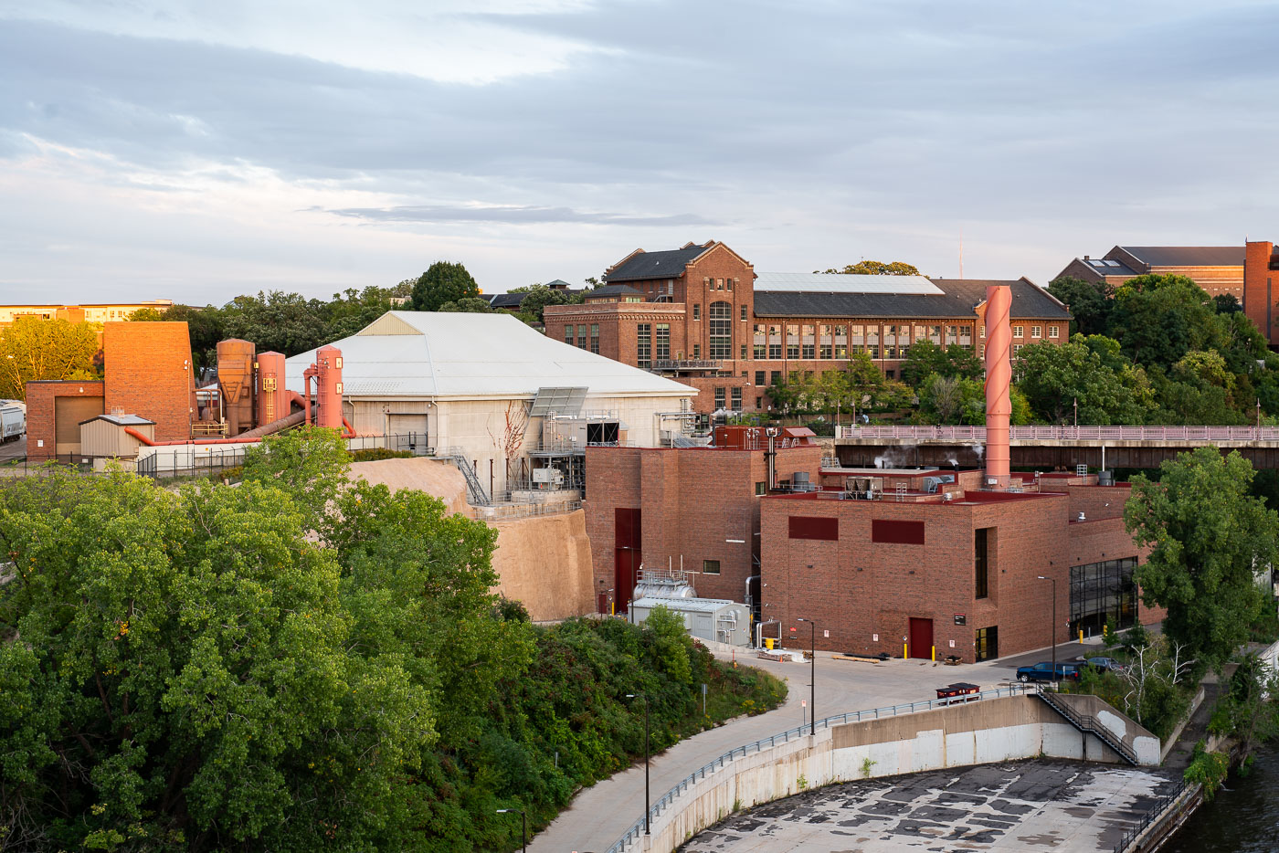
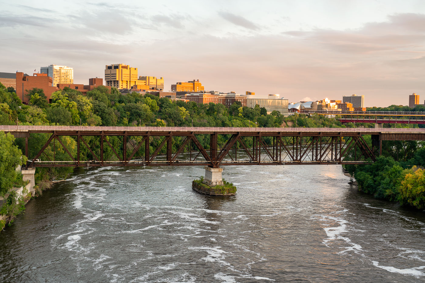
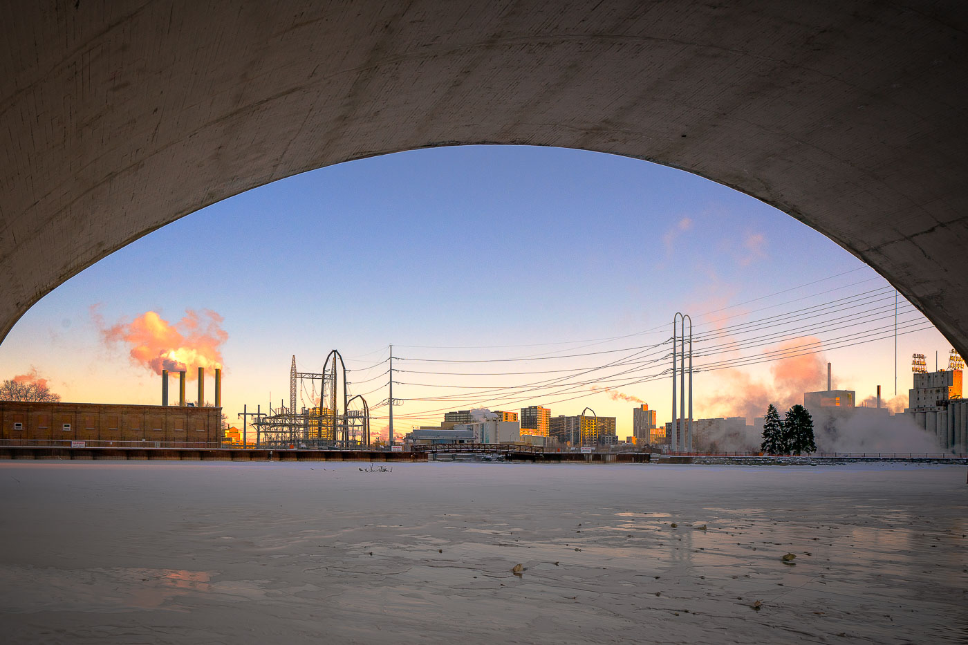
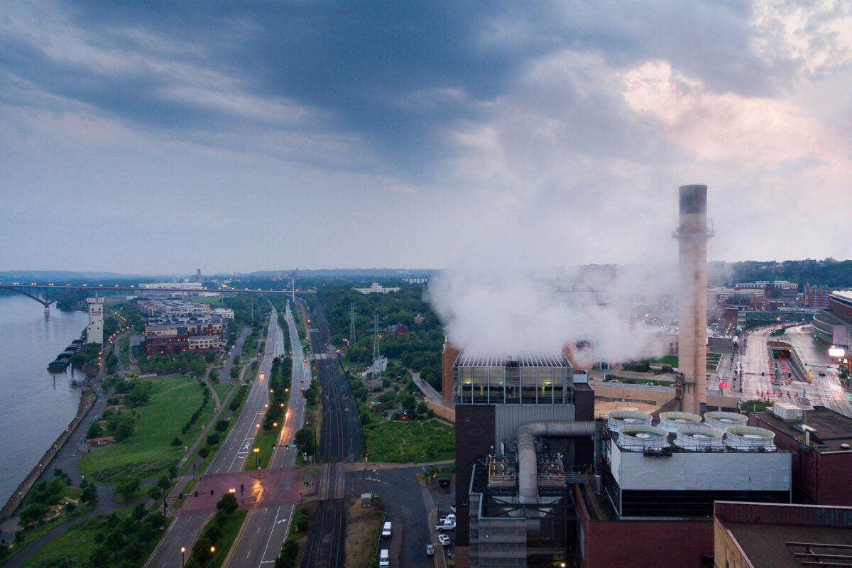
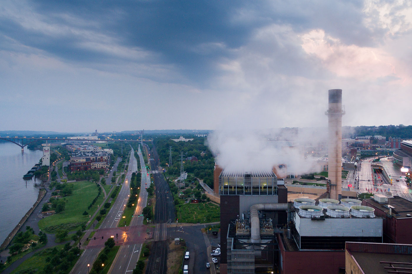
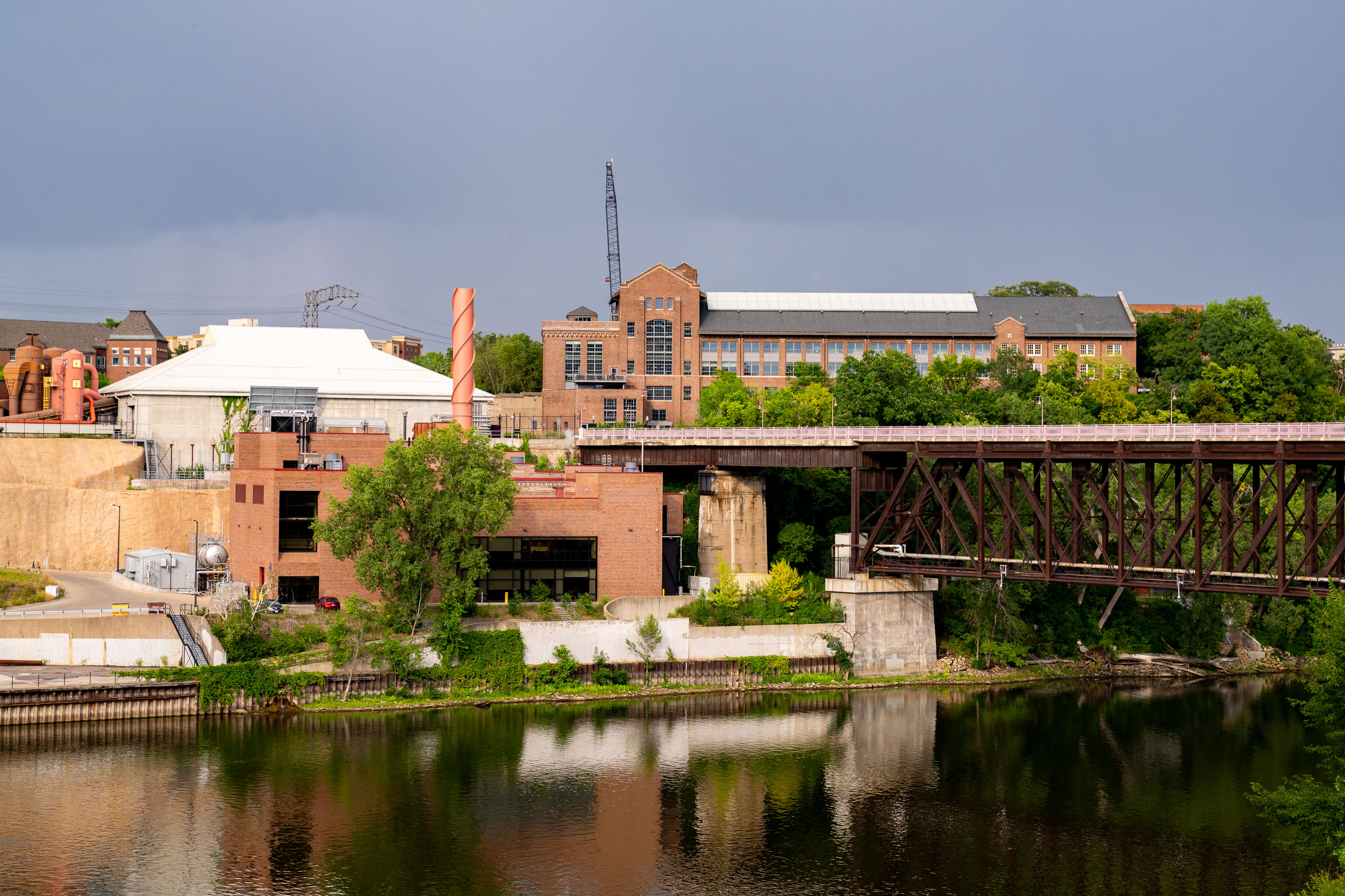
University of Minnesota's Main Energy Plant with railroad bridge spanning the Mississippi River on the Minneapolis campus.
The University of Minnesota's Main Energy Plant stands on the Mississippi River's West Bank, supplying steam and electricity to campus buildings through a district energy system. A railroad bridge crosses the river just beside it, carrying freight traffic through the university area toward downtown Minneapolis.

Rail Bridge Over the Mississippi Near the Main Energy Plant
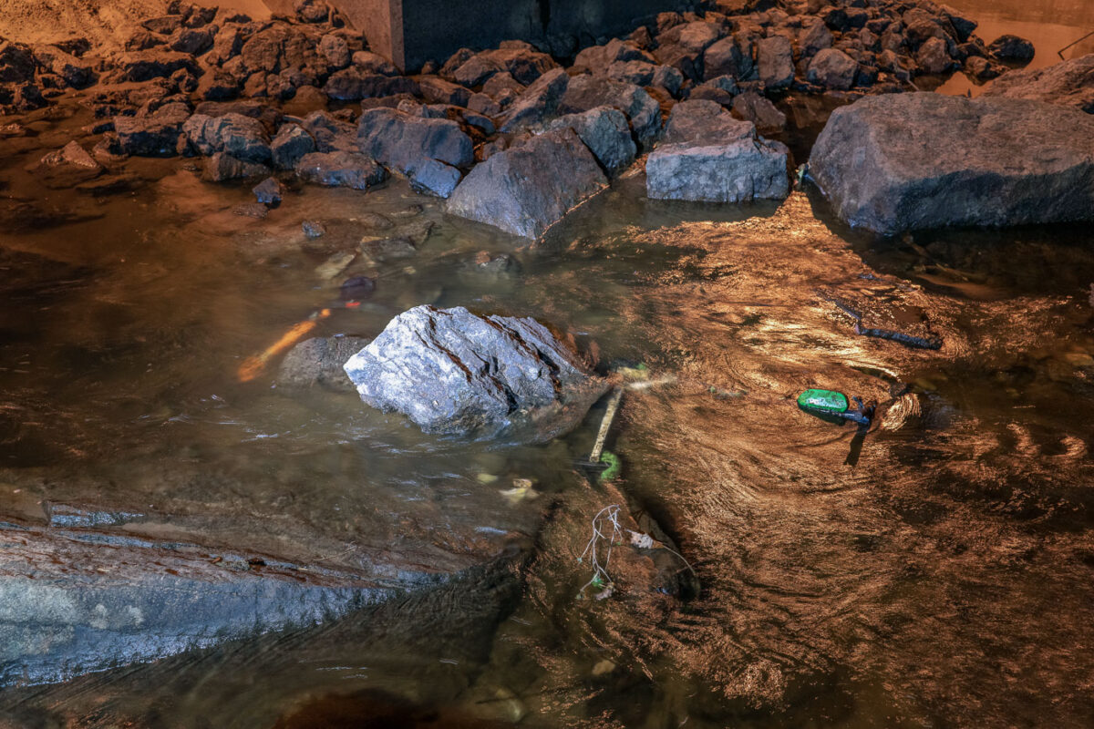
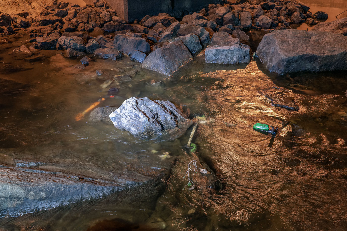
Mississippi Riverbed in Minneapolis with an abandoned Lime scooter among exposed rocks.
The Mississippi Riverbed in Minneapolis contains an abandoned Lime scooter and rocks exposed after the water level dropped. The riverbed was briefly drained to reveal the bottom near the downtown riverfront.

Scooter on the Mississippi Riverbed, Minneapolis
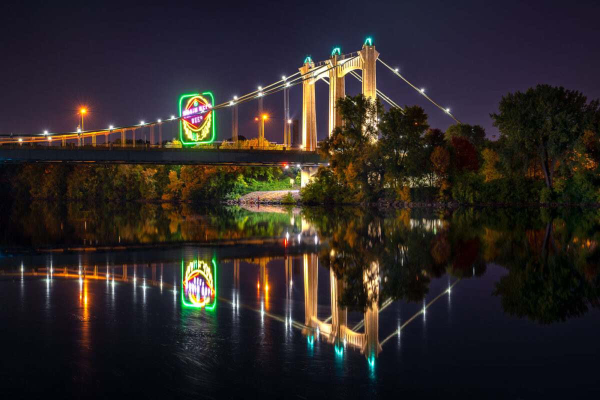
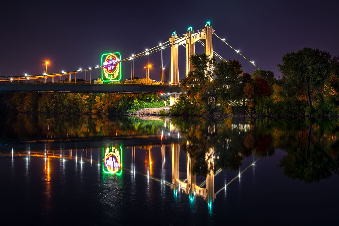
Hennepin Avenue Bridge spans the Mississippi River at night with illuminated suspension cables and a glowing Grain Belt beer sign
The Hennepin Avenue Bridge crosses the Mississippi River in Minneapolis, connecting downtown with Northeast Minneapolis. The suspension bridge, completed in 1990, is the fifth structure at this crossing, where the city’s first bridge over the Mississippi once stood.

Grain Belt Beer Sign Reflected Beneath the Hennepin Avenue Bridge
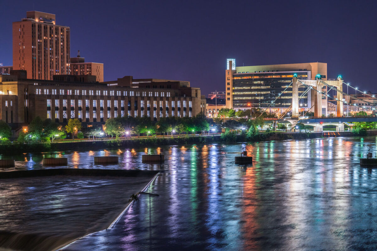
Mississippi River and Hennepin bridge August 2020
The Mississippi River flows through downtown Minneapolis at night, featuring the illuminated Hennepin Avenue Bridge. This historic suspension bridge, originally built in 1855 and rebuilt multiple times, connects the east and west banks of the city, serving as a vital transportation artery. Along the riverfront, the United States Post Office and the Federal Reserve Bank of Minneapolis stand as prominent structures, contributing to the city's commercial and governmental functions.

Minneapolis: Mississippi River, Hennepin Bridge, US Post Office 2020
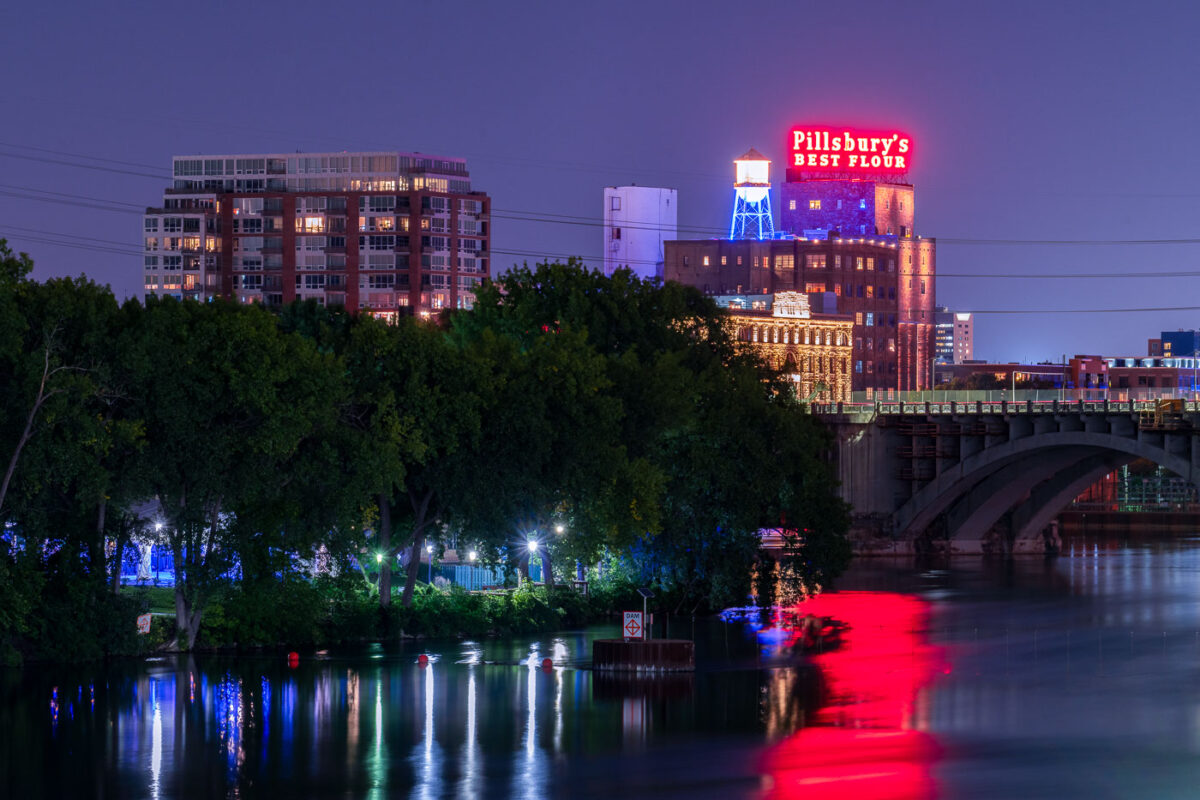
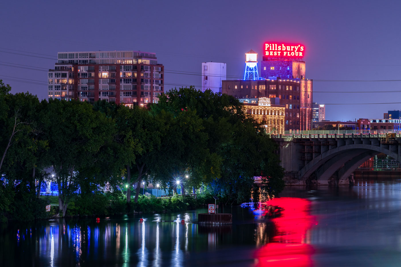
Pillsbury A Mill's illuminated neon sign glows red above the Mississippi River at night in Minneapolis.
The historic Pillsbury A Mill stands illuminated on the Mississippi River near downtown Minneapolis. Once the world's largest flour mill, this National Historic Landmark played a crucial role in Minneapolis's development as a milling center.

Pillsbury’s Best Flour Sign Above the Mississippi River at Night
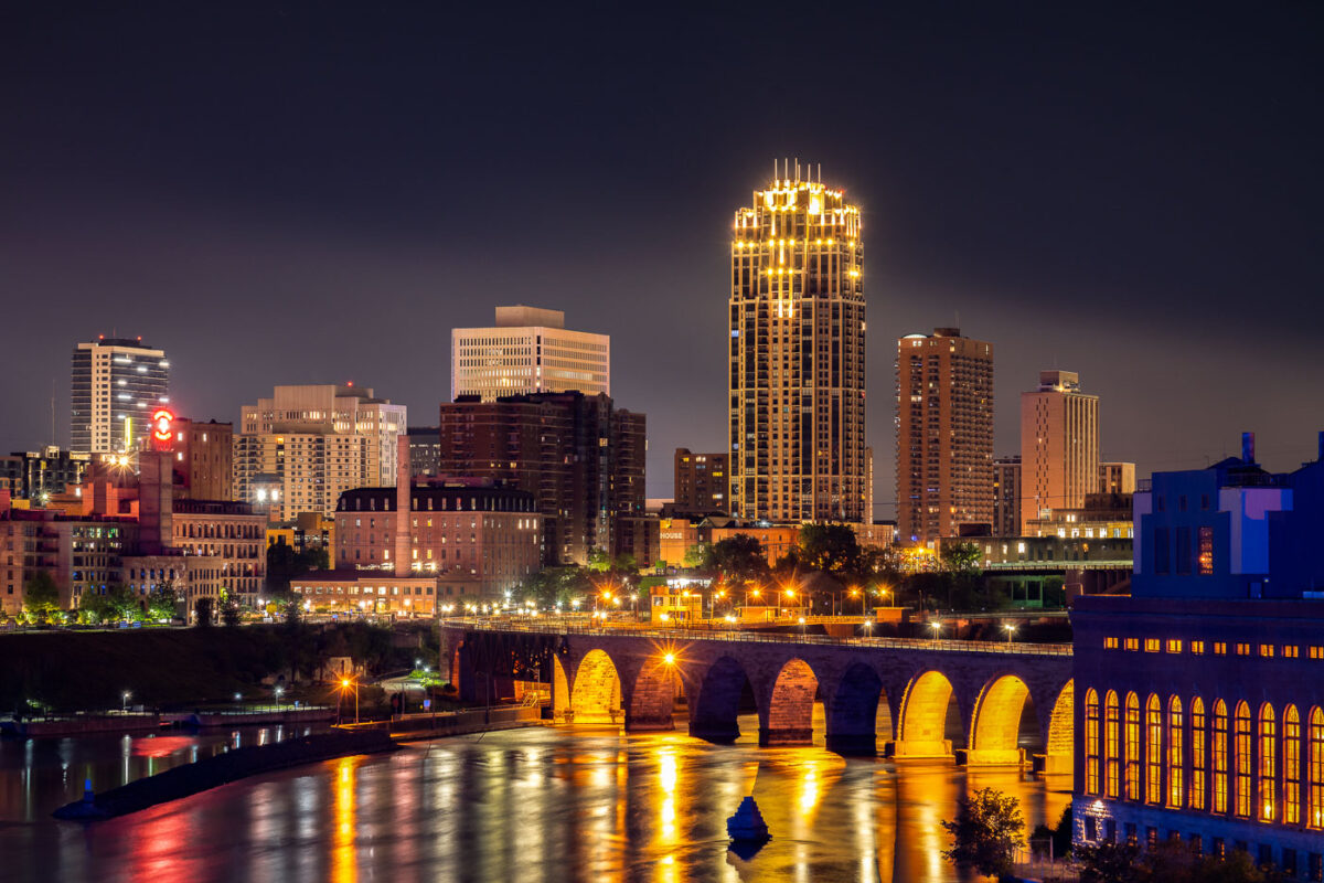
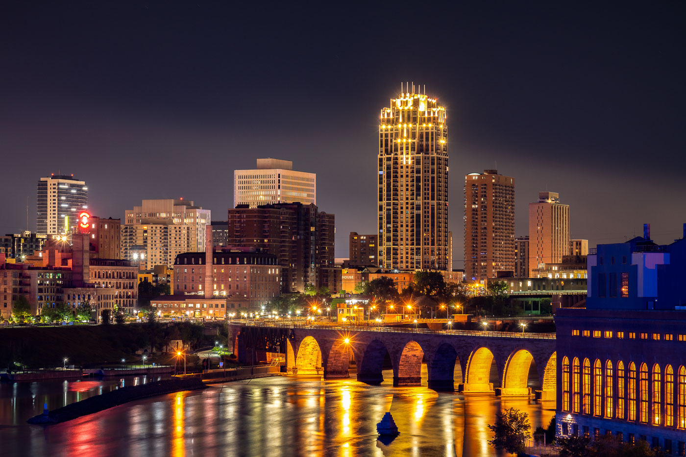
Stone Arch Bridge spanning the Mississippi River with illuminated downtown Minneapolis skyline at night.
The Stone Arch Bridge spans the Mississippi River in Minneapolis. Built in 1883 as a railroad bridge, the structure is a prominent historic landmark along the riverfront near St. Anthony Falls.

Downtown Minneapolis Skyline from the Mississippi Riverfront
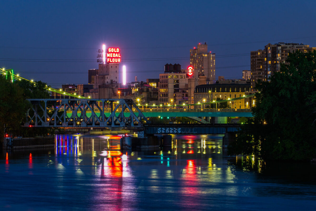
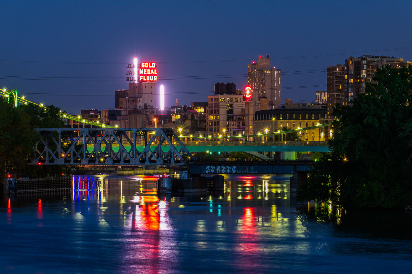
Gold Medal Flour seen from Boom Island in May 2020
Downtown Minneapolis as seen from Boom Island in May 2020. Gold Medal Flour and Northstar Blankets neon signs visible across the Mississippi River.

Neon signs of Downtown Minneapolis

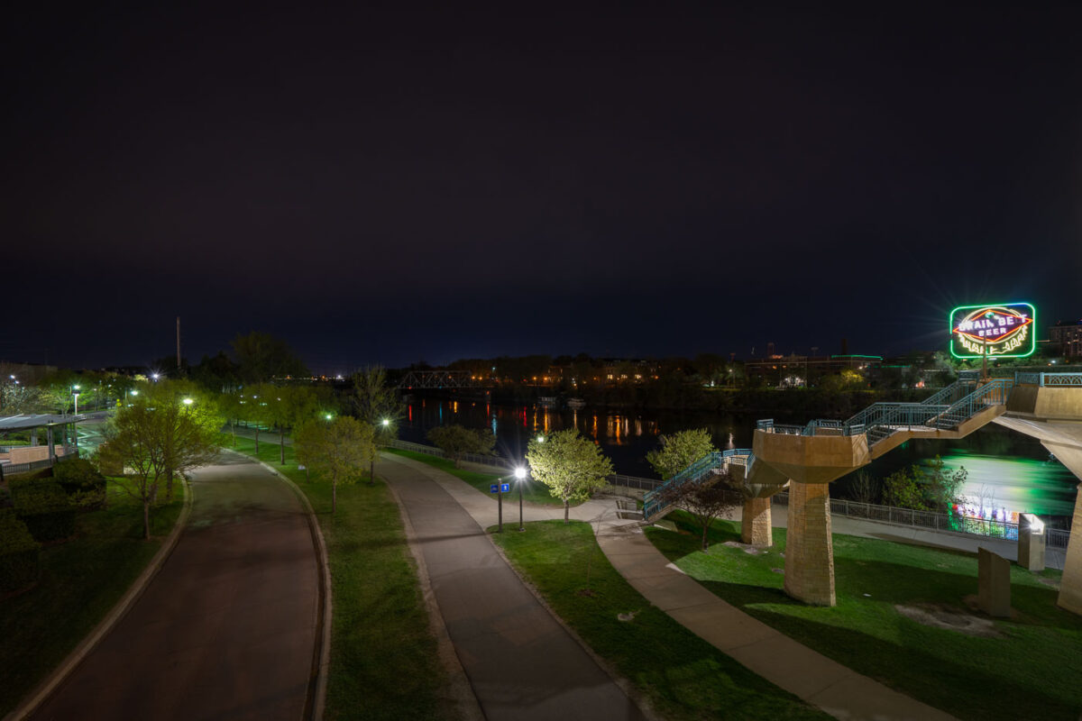
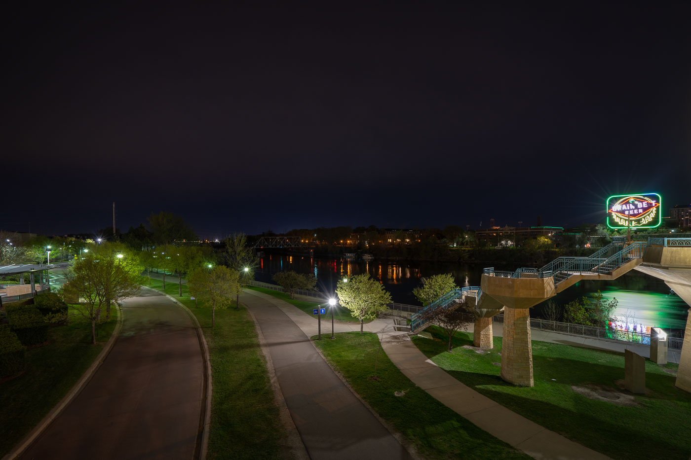
Grain Belt Beer neon sign glowing above West River Parkway at night in Minneapolis.
The Grain Belt Beer sign illuminates West River Parkway along the Mississippi River in Minneapolis. The neon sign is a longtime advertising fixture visible from the parkway, which runs along the river's west bank near downtown. The parkway serves as a recreational corridor through the city's riverfront area.

Grain Belt Beer Sign at West River Parkway, Minneapolis
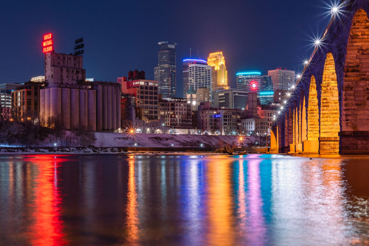
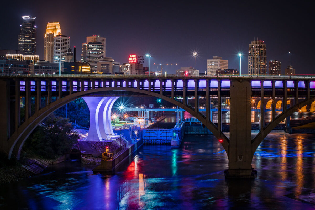
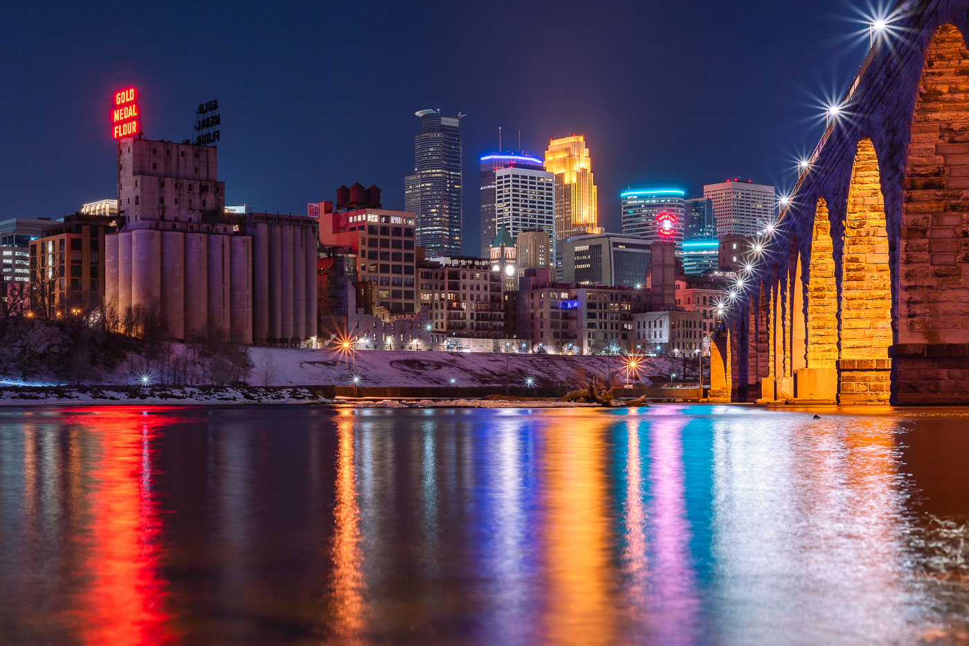
Stone Arch Bridge and Minneapolis skyline at night along the Mississippi River, with Gold Medal Flour mill sign visible.
The Gold Medal Flour sign sits atop the old Washburn-Crosby mill complex, a reminder of Minneapolis's decades as the flour-milling capital of the world. Washburn-Crosby, which later became General Mills, first put up the sign in 1910, and it has been relit and maintained as a fixture of the skyline ever since. The Stone Arch Bridge crosses the Mississippi just downstream, built in 1883 for the St. Paul, Minneapolis and Manitoba Railway to carry trains into the city's rail yards. Its limestone and granite piers were designed to withstand river ice, and the bridge now carries only pedestrians and cyclists between the riverfront and St. Anthony Main.

Gold Medal Flour Sign Above the Minneapolis Riverfront
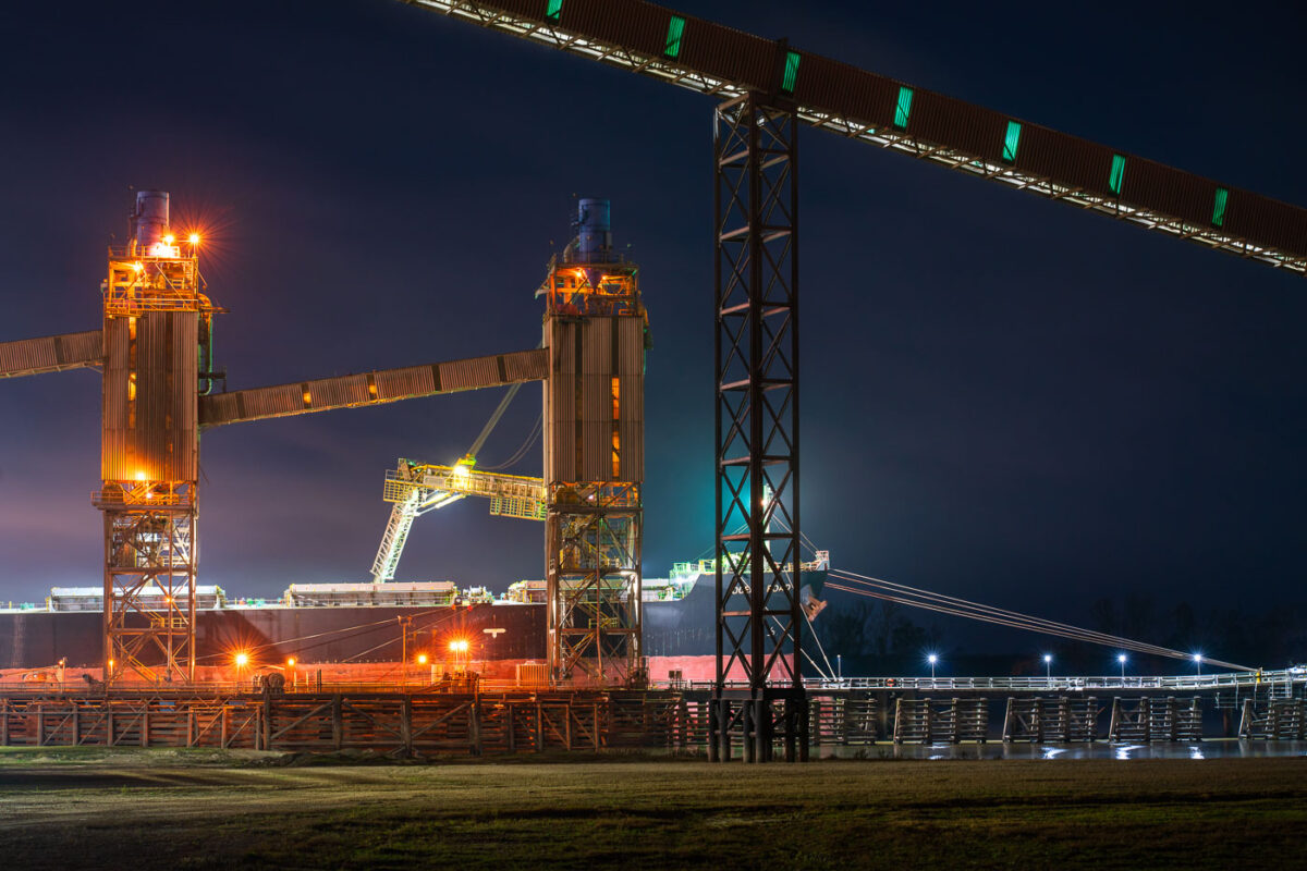
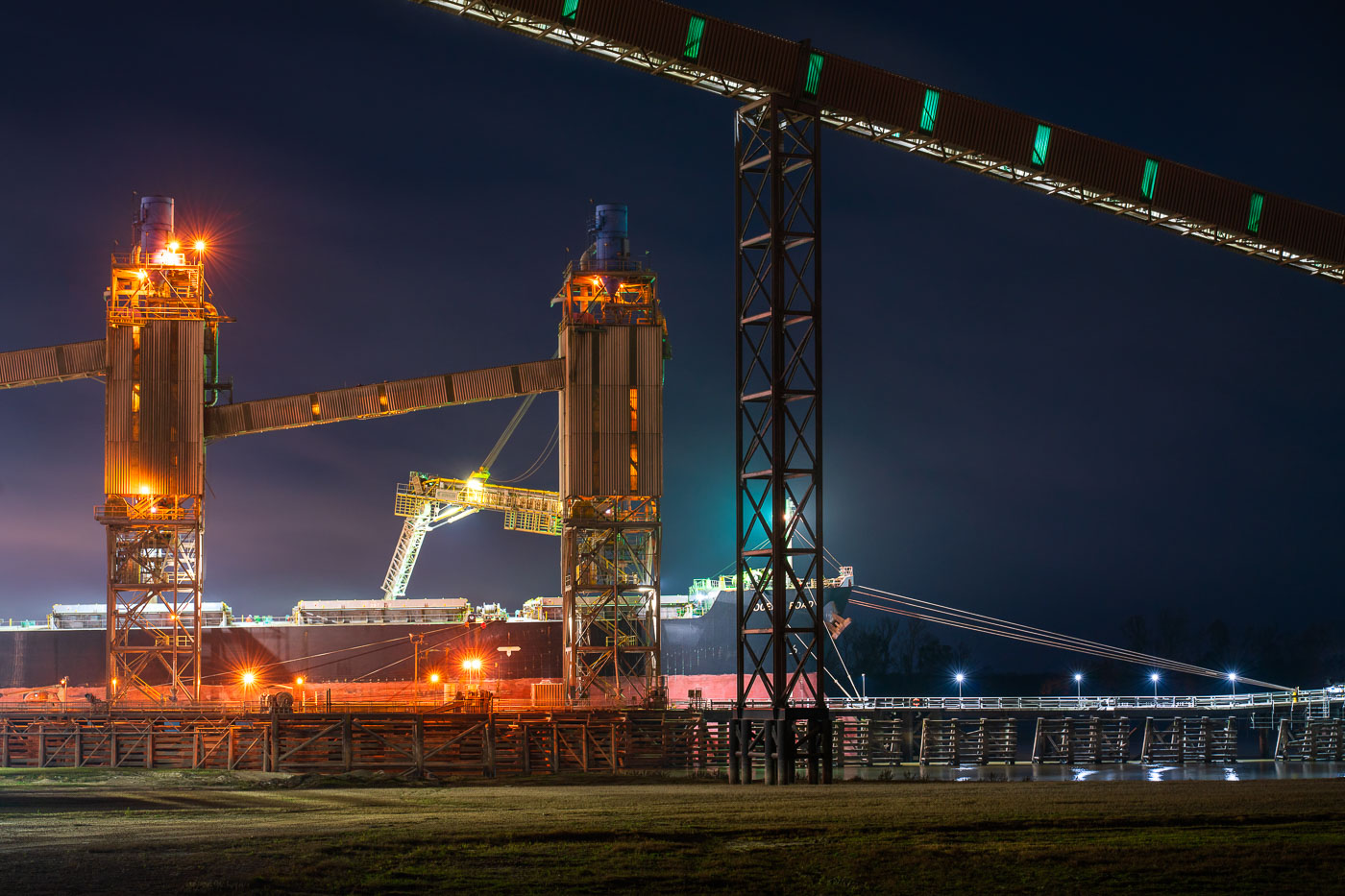
Zen-Noh Grain export facility in Convent, Louisiana, with illuminated grain-loading towers at night.
Zen-Noh Grain Corporation’s export facility in Convent, Louisiana, operates along the Mississippi River as a major grain terminal. The complex loads corn, soybeans, and other bulk commodities for transfer from inland transport to ocean-going vessels.

Zen-Noh Grain Export Facility, Convent, Louisiana
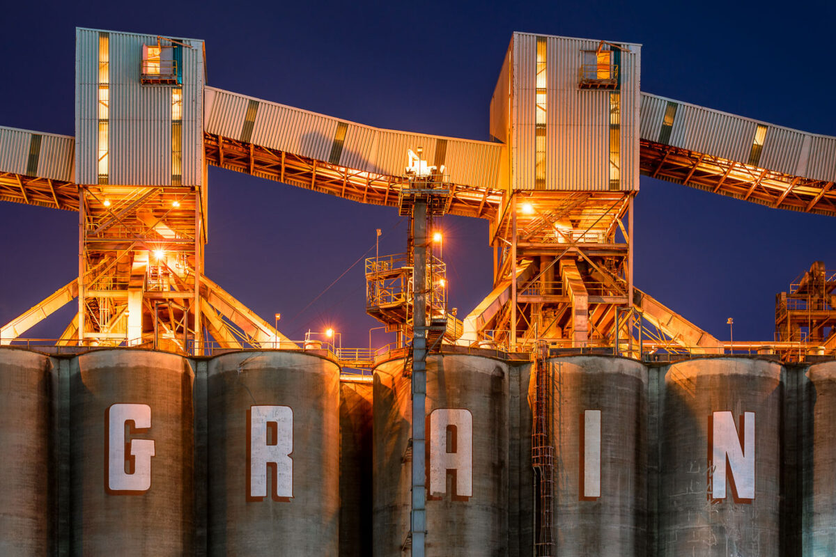
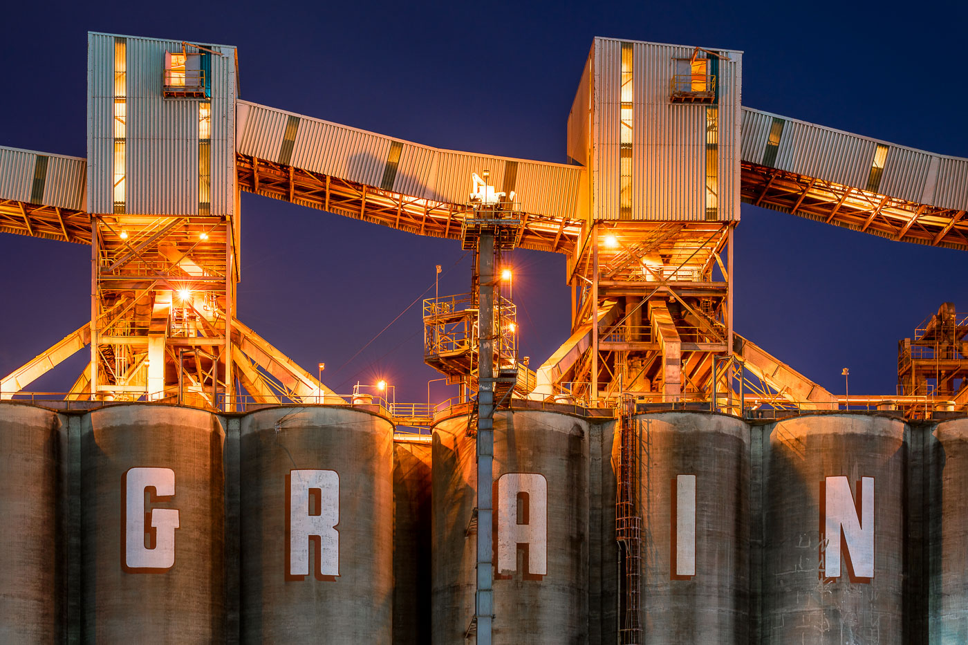
Zen-Noh Grain Corporation terminal in Convent, Louisiana, with illuminated grain silos at night.
Zen-Noh Grain Corporation terminal in Convent, Louisiana. The Mississippi River facility stores and transfers grain for export through the Gulf Coast, handling agricultural commodities from the U.S. interior.

Zen-Noh Grain Terminal at Convent, Louisiana
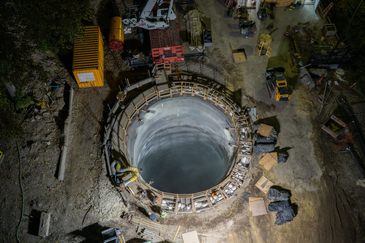
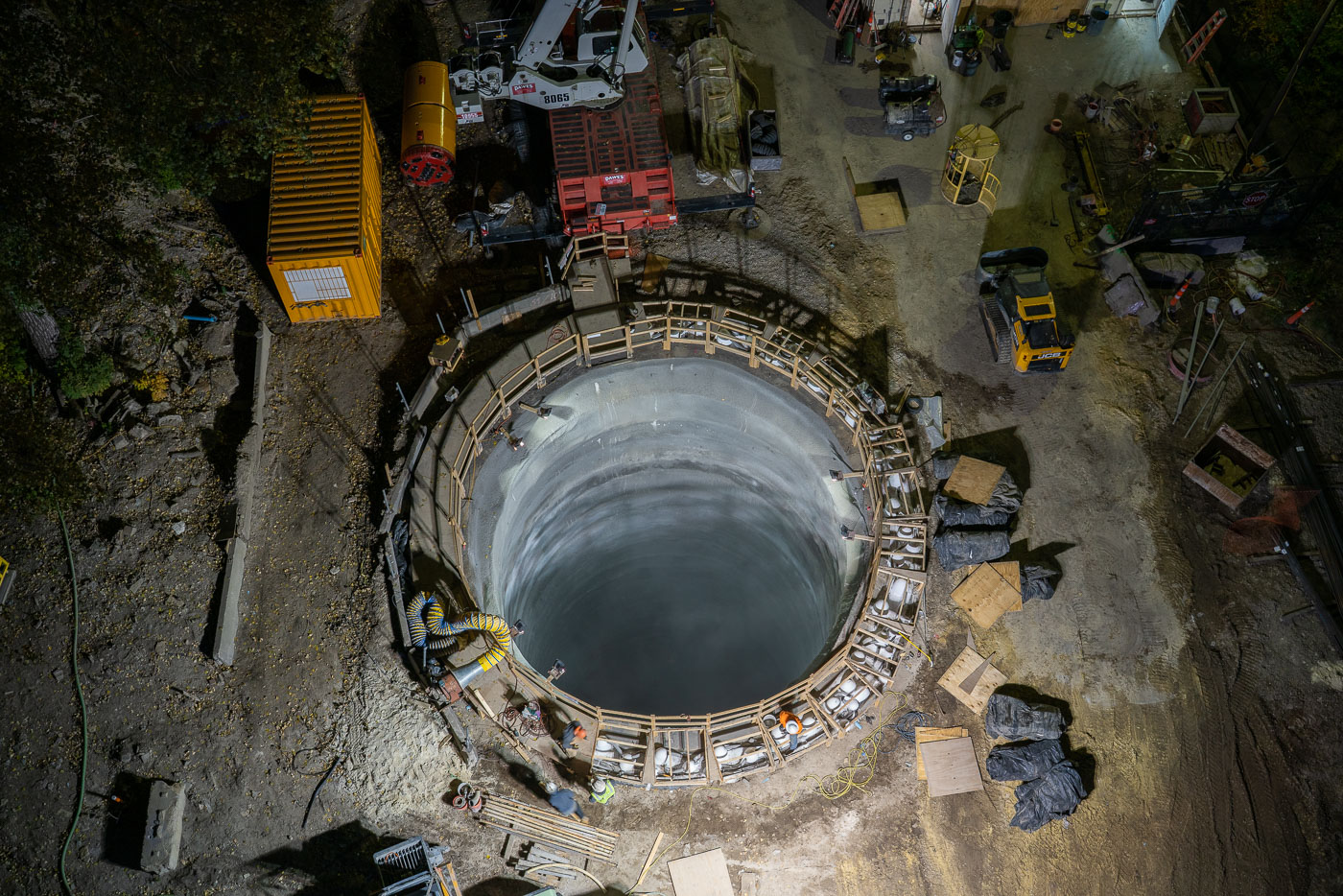
Mississippi River tunnel shaft construction in Minneapolis with a reinforced concrete excavation shaft.
Mississippi River tunnel shaft construction in Minneapolis. The reinforced concrete excavation shaft serves as the launch point for a tunnel boring machine that will build a water main tunnel beneath the river. The project is part of a major upgrade to the city’s water system.

Mississippi River tunnel shaft construction, Minneapolis
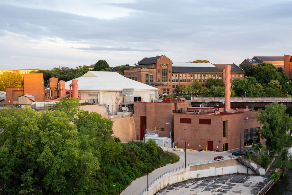
University of Minnesota’s Southeast Steam Plant 2019
The University of Minnesota's Southeast Steam Plant sits along the Mississippi River near the East Bank campus in Minneapolis. Built in the early twentieth century to supply heat and power to the growing university, the plant originally ran on coal before converting to natural gas.

University of Minnesota’s Southeast Steam Plant

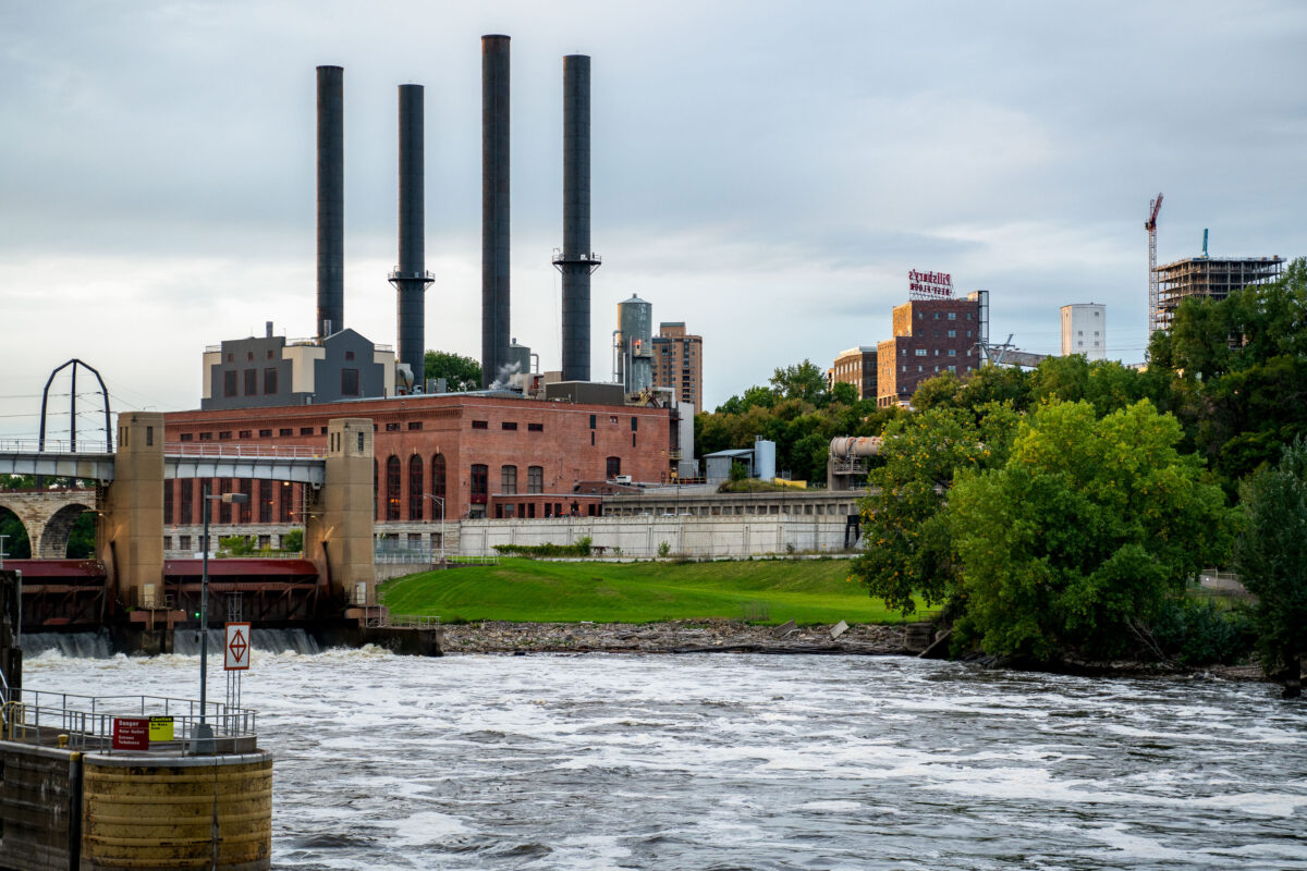
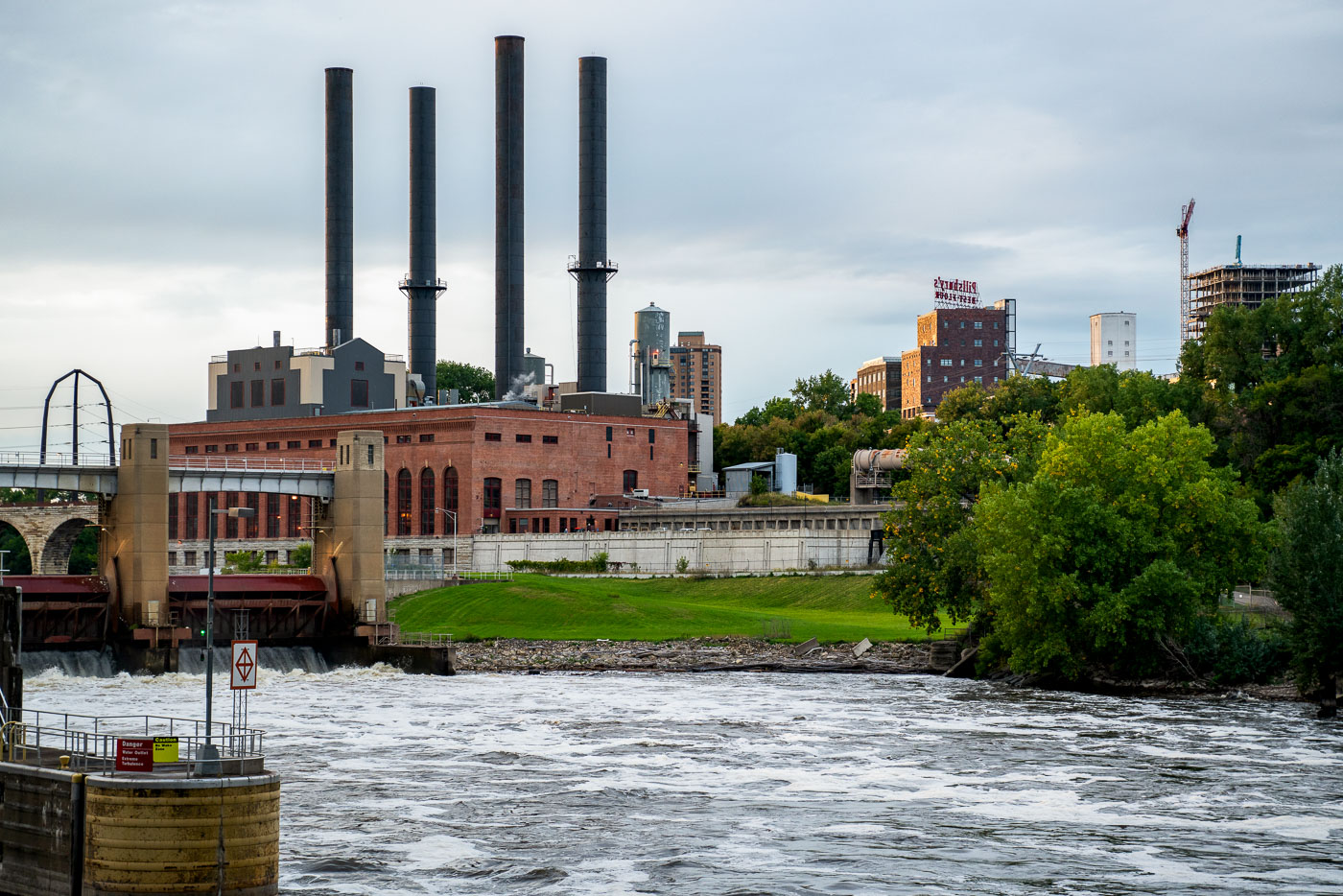
University of Minnesota Southeast Steam Plant
The University of Minnesota Southeast Steam Plant stands on the east bank of the Mississippi River in Minneapolis, adjacent to the St. Anthony Falls hydroelectric facilities near the university’s East Bank campus. Identified by its four tall smokestacks, the plant supplies district steam and other utility services for the university and is part of the institutional infrastructure concentrated along the riverfront. Originally developed as a coal-fired heating plant, the facility was later converted to burn natural gas while remaining in operation as a major campus energy source.

University of Minnesota Southeast Steam Plant

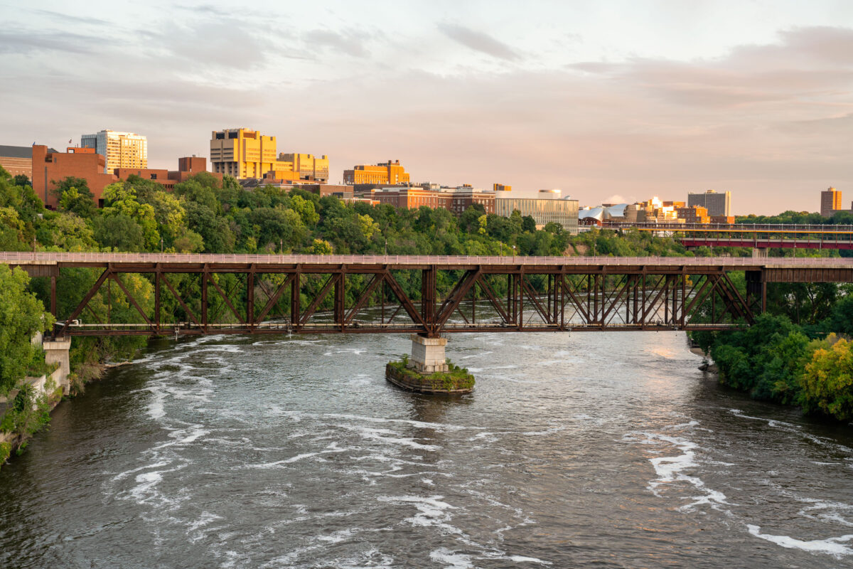
The University Avenue Bridge, a 1960 truss bridge, spans the Mississippi River in Minneapolis, connecting the University of Minnesota's East and West Bank campuses.
The University Avenue Bridge spans the Mississippi River, connecting the East and West Bank campuses of the University of Minnesota in Minneapolis. Constructed in 1960, this truss bridge facilitates pedestrian and vehicular traffic, essential for the university's operations. The surrounding area includes notable campus buildings such as the Weisman Art Museum and the Phillips-Wangensteen Building, visible in the background during evening light.

University Avenue Bridge, University of Minnesota, Minneapolis
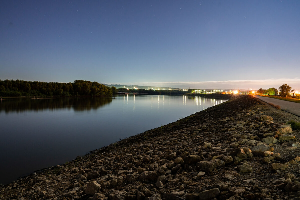
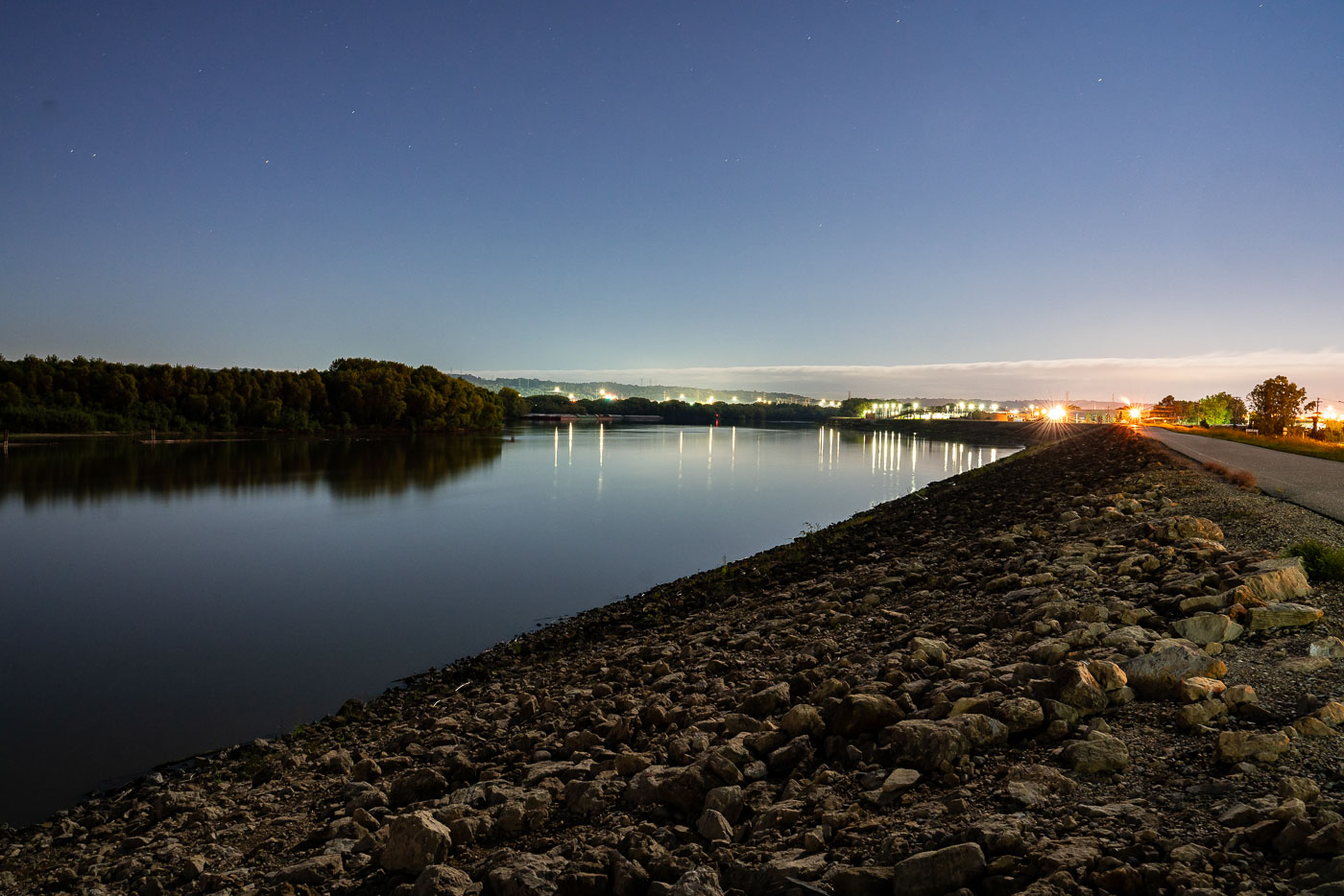
Minnesota River at Savage, Minnesota, at dusk with industrial lights along the shoreline.
The Minnesota River near Savage, Minnesota, flows past an industrial area along its banks. The river serves as a transportation corridor and water resource for the region's industrial operations. Lighting from nearby facilities illuminates the water at dusk, marking the presence of manufacturing and processing infrastructure along the waterway.

Minnesota River at Savage, dusk

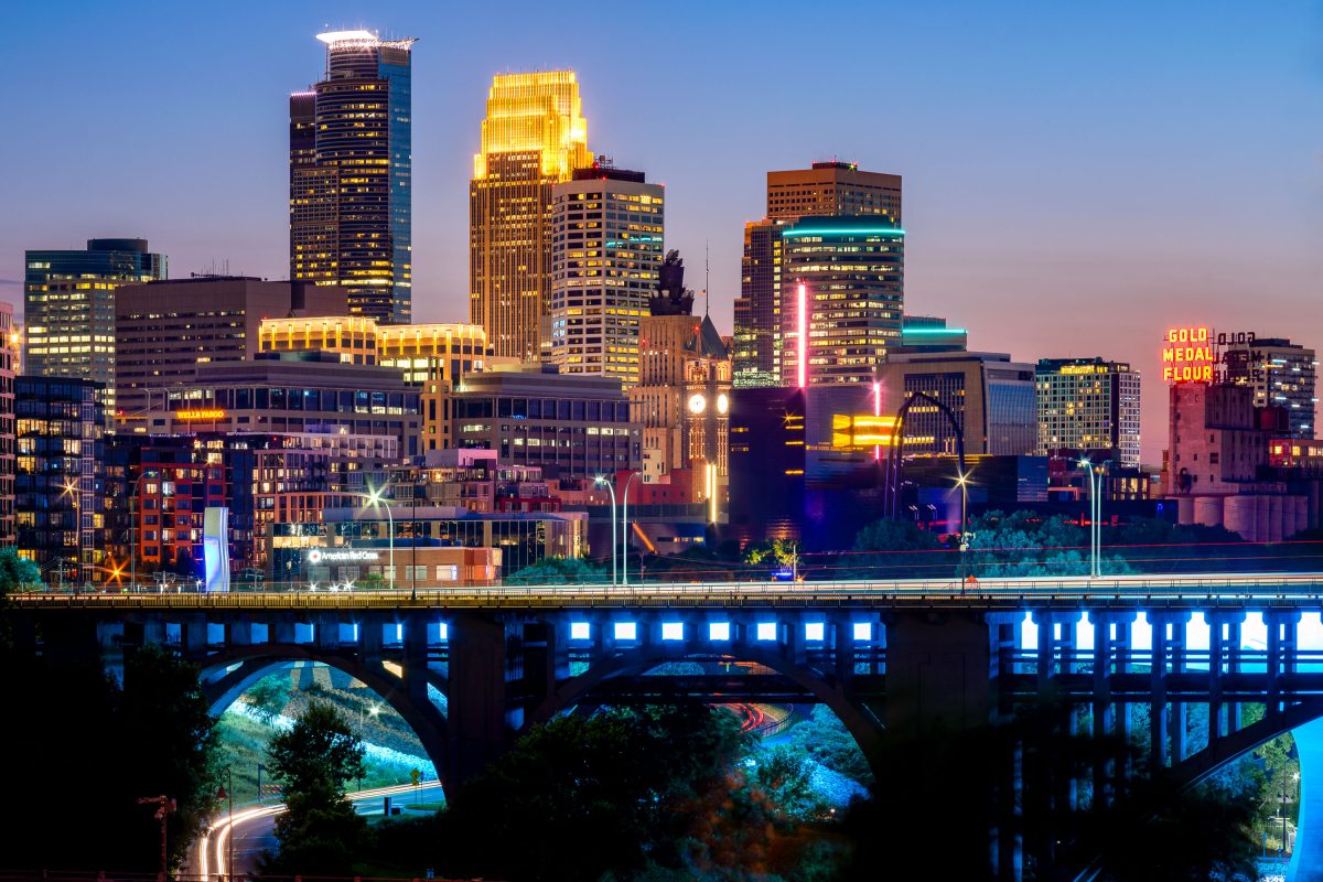
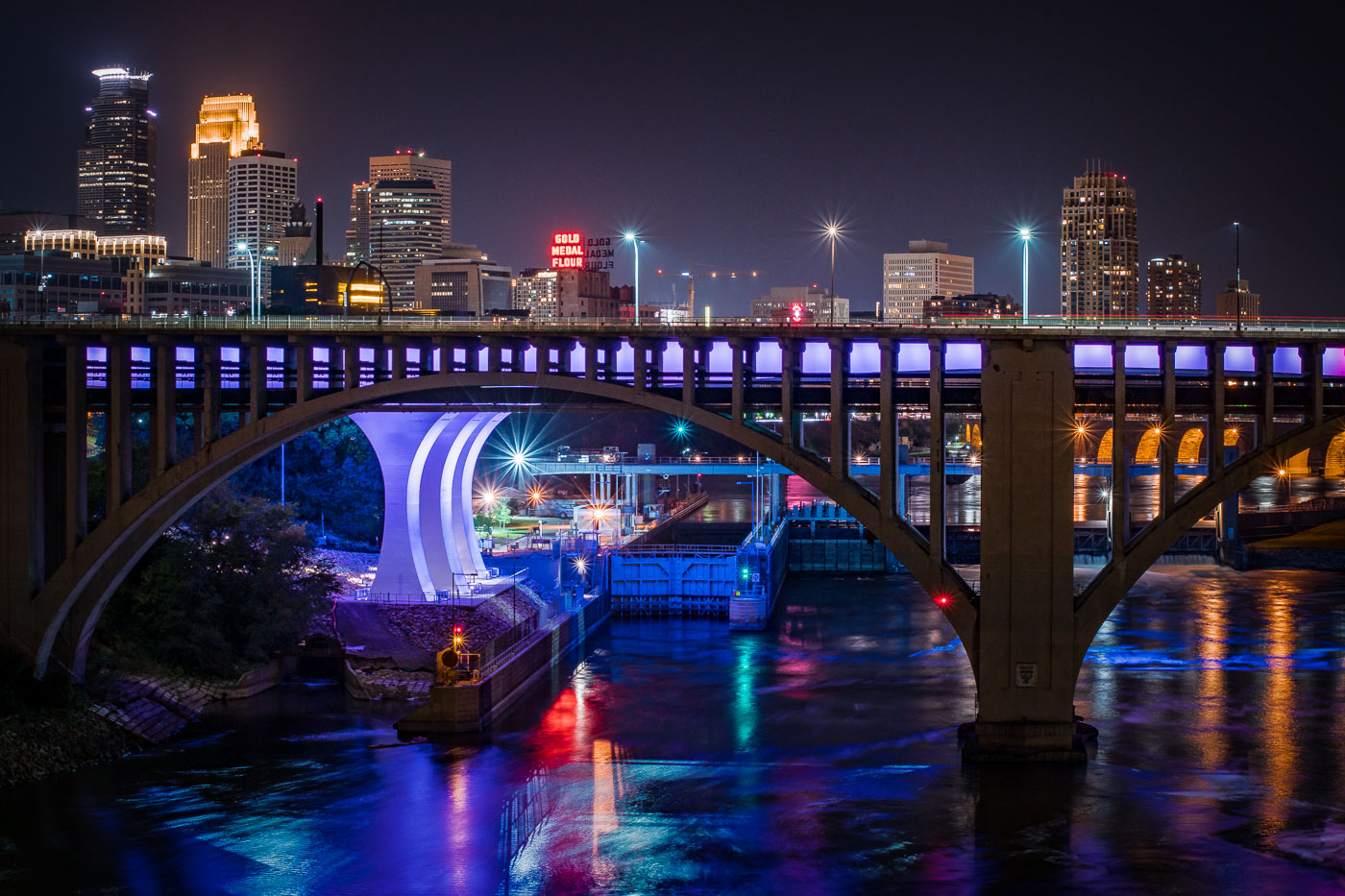
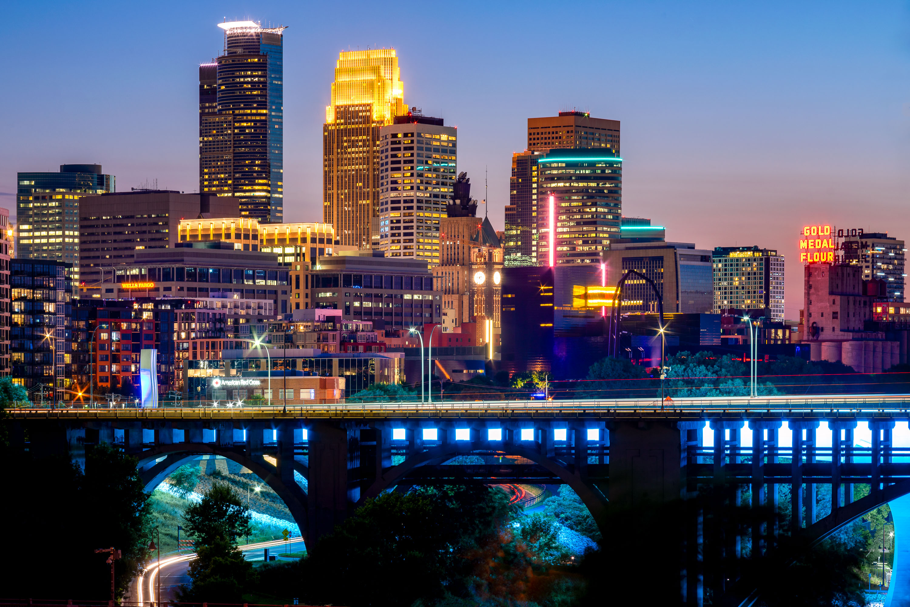
Downtown Minneapolis skyline at dusk with the 10th Avenue Bridge spanning the Mississippi River below.
Built in 1929, the concrete arch bridge spans the river just downstream from Saint Anthony Falls. The Gold Medal Flour sign marks the old Washburn-Crosby mill complex, now home to the Mill City Museum.

Minneapolis Skyline Above the 10th Avenue Bridge
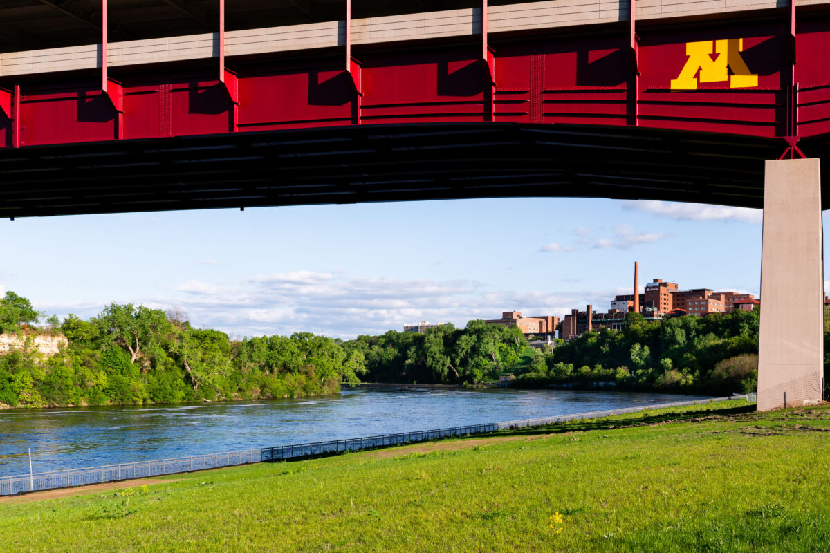
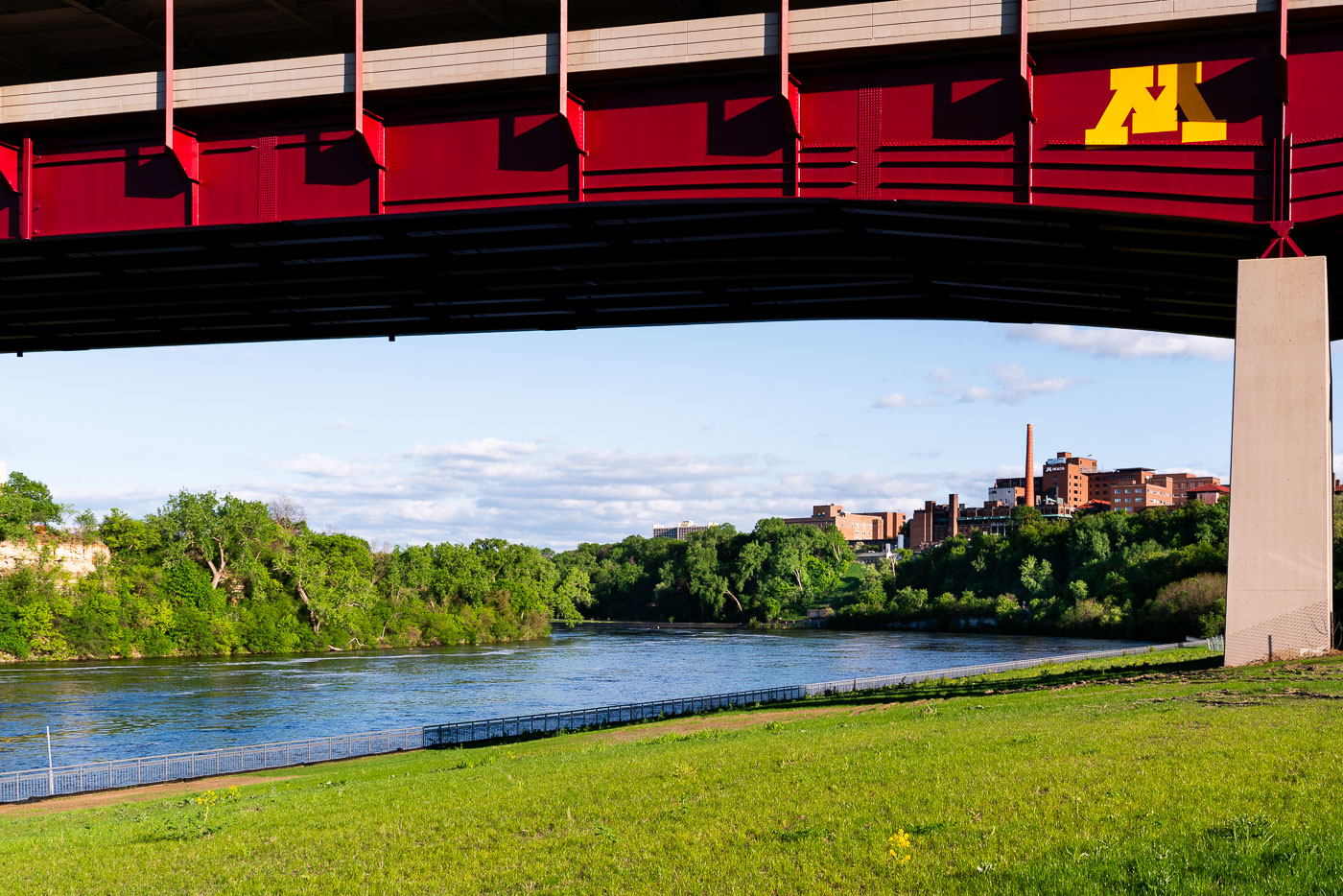
Washington Avenue Bridge spans the Mississippi River with the University of Minnesota campus visible beyond.
The Washington Avenue Bridge spans the Mississippi River, linking the University of Minnesota's East and West Bank campuses. Completed in 1965, it carries vehicles, pedestrians, and light rail on two levels, with the enclosed upper deck reserved for foot traffic between classes. Its maroon and gold paint and the university's "M" emblem mark it as campus property rather than a city-owned crossing. The riverbank below is part of the Mississippi River Gorge, the only true gorge along the river's entire length.

Mississippi River Gorge Beneath the Washington Avenue Bridge
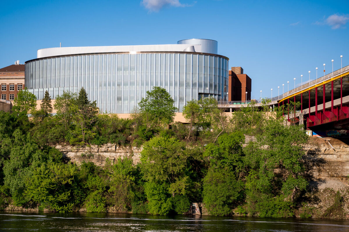
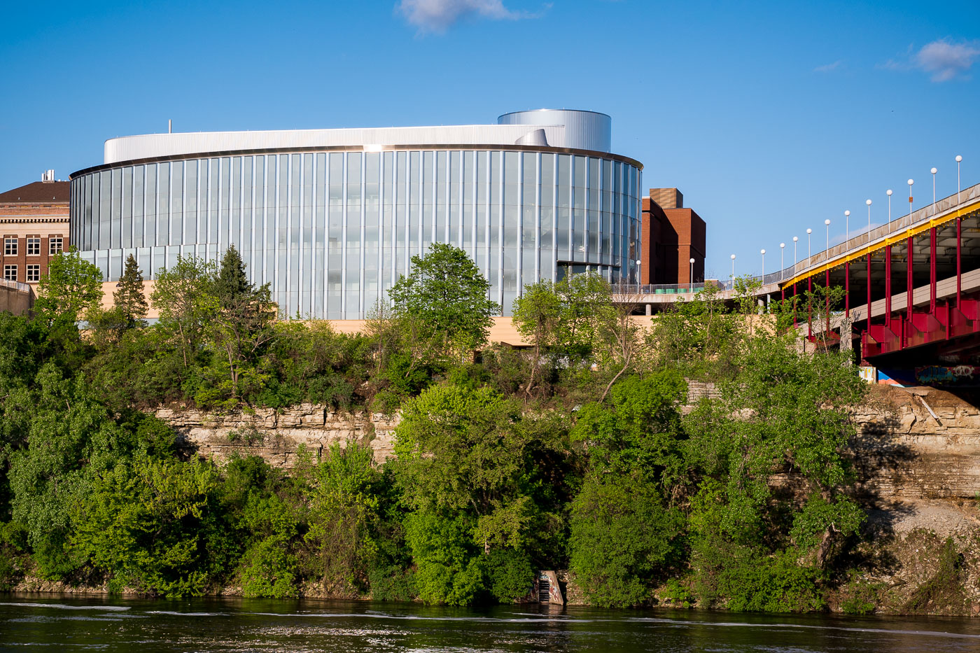
Bruininks Hall, a modern glass building with cylindrical tower, overlooks the Mississippi River gorge on the University of Minnesota campus near the Washington Avenue Bridge.
Bruininks Hall sits on the University of Minnesota's East Bank campus, perched at the edge of the Mississippi River gorge near the Washington Avenue Bridge. The building opened in 2000 as the University Gateway Center and was renamed in 2017 to honor Robert Bruininks, who served as university president from 2002 to 2011. It houses several student-facing offices, including admissions, financial aid, and academic advising, consolidating services once scattered across campus. The building's rounded glass exterior sits atop limestone and sandstone bluffs that have defined this stretch of riverfront long before the university expanded onto it.

Bruininks Hall Above the River Gorge Near Washington Avenue Bridge
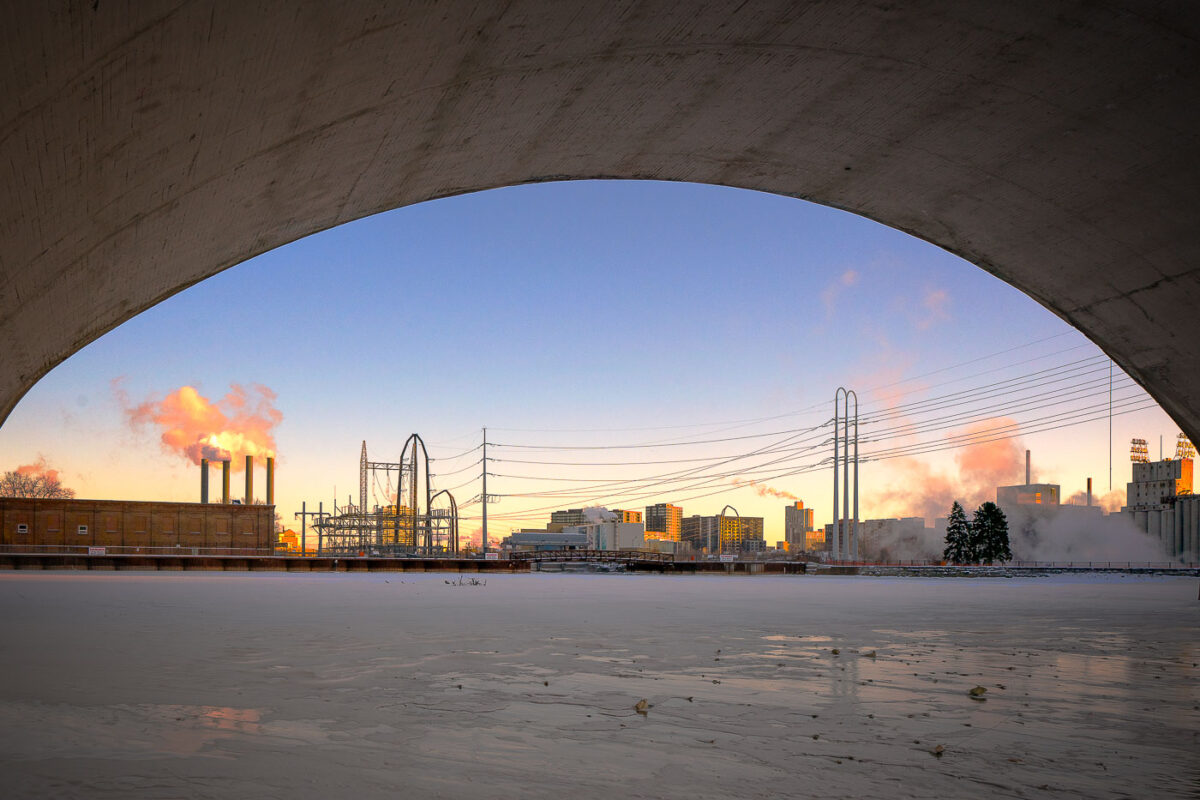
Third Avenue Bridge in Minneapolis spans the frozen Mississippi River near downtown.
Third Avenue Bridge in Minneapolis spans the Mississippi River near downtown. The bridge connects the city’s riverfront with the downtown area over the river. In winter, the river below is often covered with ice during periods of extreme cold.

Third Avenue Bridge Overlook, Minneapolis
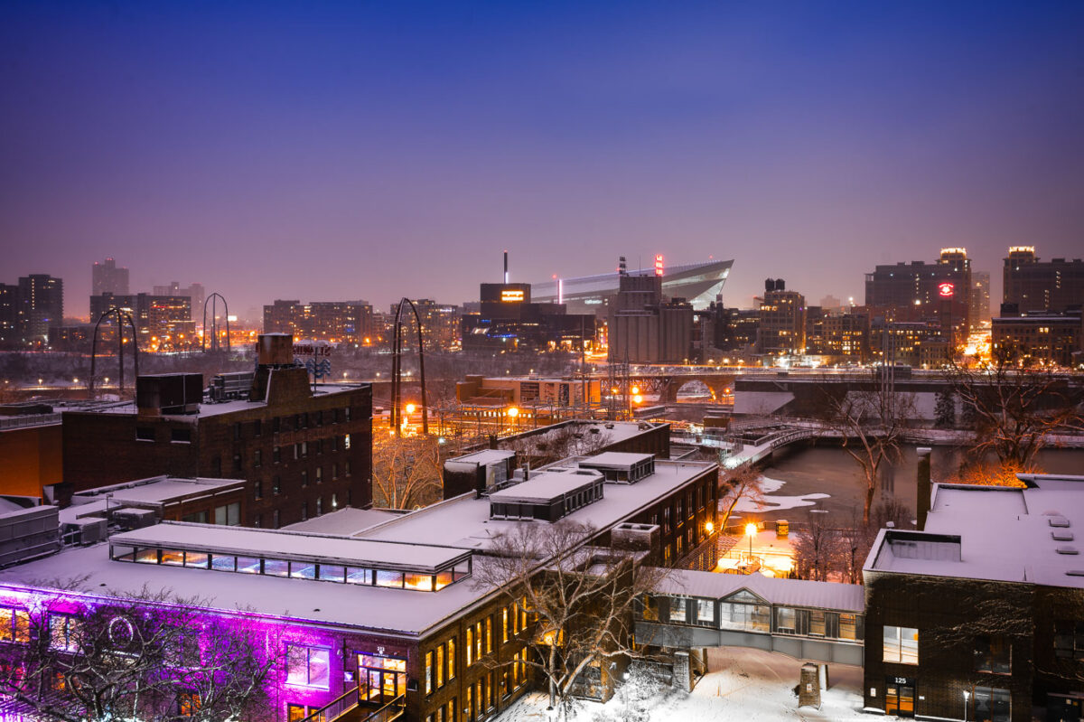
Downtown Minneapolis from St. Anthony Main
The Minneapolis skyline is visible in the distance, with US Bank Stadium prominently featured. In the foreground, the historic Stone Arch Bridge spans the Mississippi River, connecting the St. Anthony Main district to the city's core. Originally built in 1883 for the Great Northern Railway, the bridge is now a pedestrian and bicycle path, offering views of the river and the former industrial buildings that once defined this area.

Minneapolis Skyline and Stone Arch Bridge in Winter
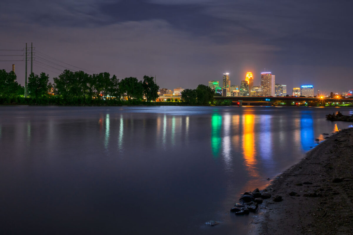
Minneapolis downtown skyline illuminated at night, viewed across the Mississippi River at dusk.
The Mississippi River flows past downtown Minneapolis on its way from Lake Itasca to the Gulf of Mexico, a course of about 2,340 miles.

Downtown Minneapolis Skyline Across the Mississippi River at Night
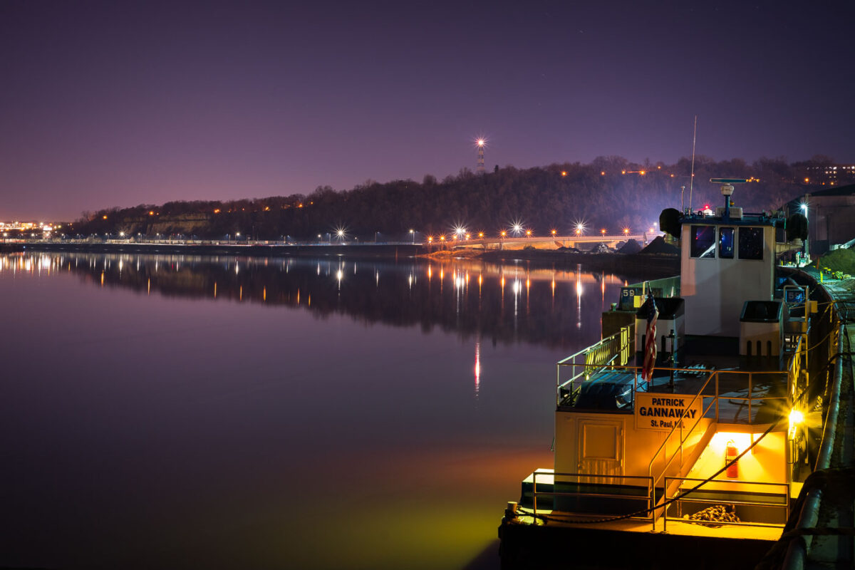
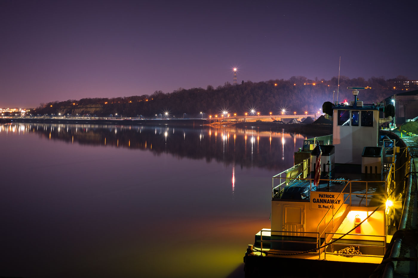
Patrick Gannaway Boat in St Paul
The towboat Patrick Gannaway is moored on the Mississippi River in St. Paul, Minnesota. The vessel is tied along the industrial riverfront below the city’s bluffs, where the Mississippi remains an active commercial navigation corridor for barge traffic and related marine operations. Night lighting along the opposite bank and on nearby riverfront facilities situates the boat within the working infrastructure of the upper Mississippi in March 2018.

Patrick Gannaway Boat in St. Paul

The I-35W Mississippi River Bridge at night, with the Minneapolis skyline in the background.
The I-35W Mississippi River Bridge over the Mississippi River in downtown Minneapolis. The bridge collapsed in 2007 and was replaced in 2008.

Minneapolis I-35W Bridge and Downtown Skyline at Night
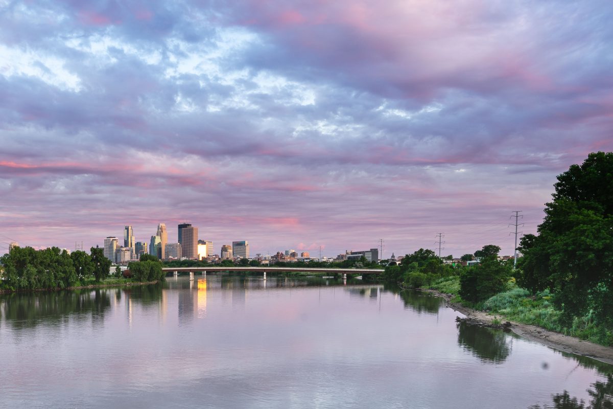
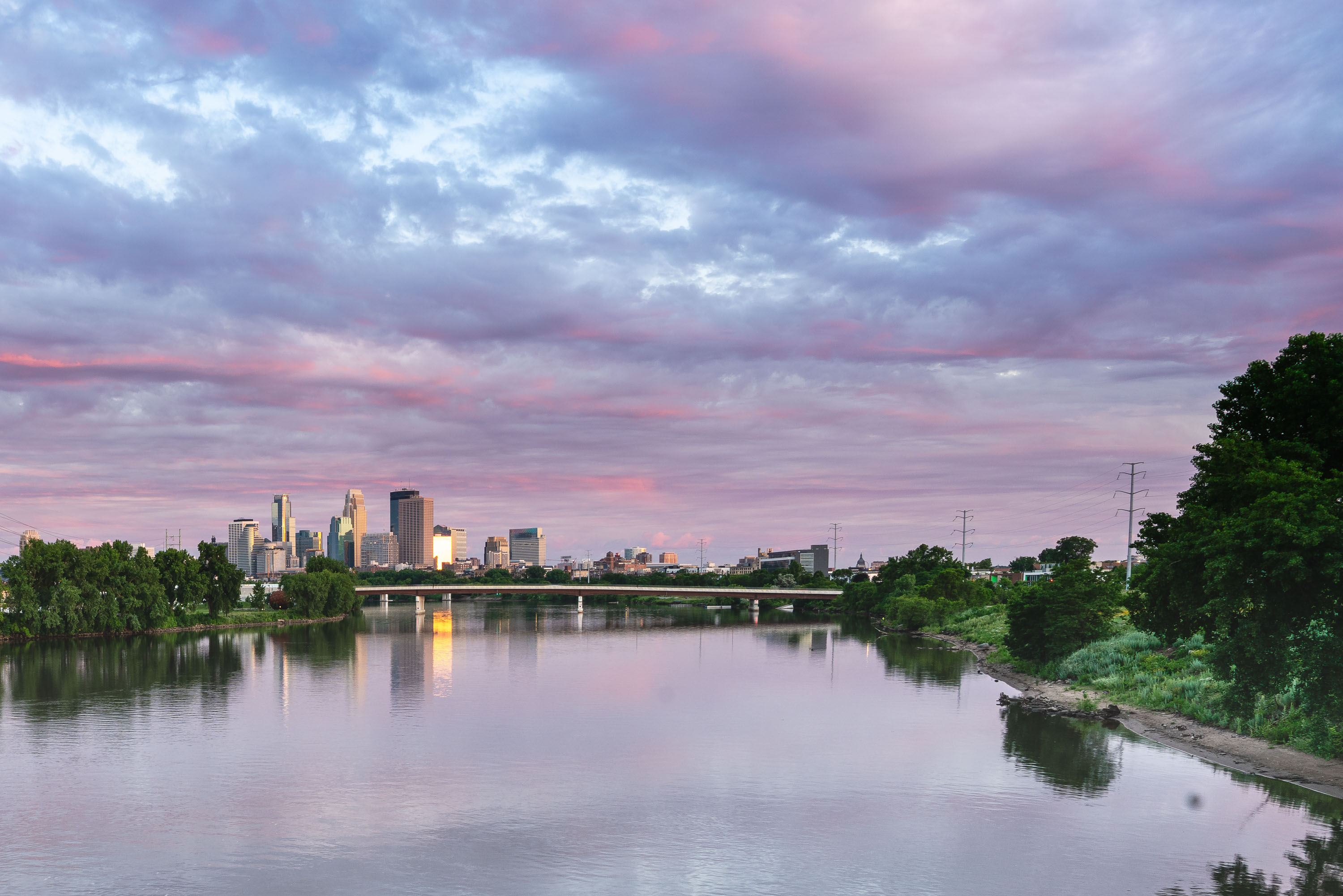
Minneapolis skyline beyond the Mississippi River under evening clouds.
The Minneapolis skyline rises beyond the Mississippi River in Minneapolis, Minnesota.

View of Minneapolis Skyline from the north side

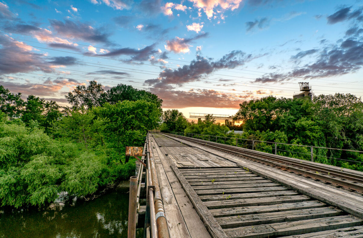
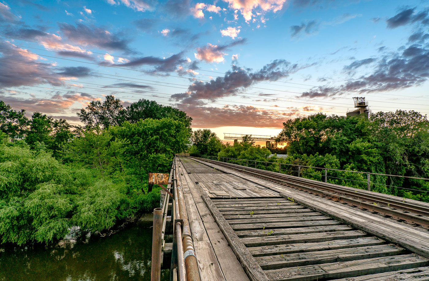
A wooden train bridge spans the Mississippi River in Minneapolis, Minnesota, at sunset, highlighting the historical importance of rail infrastructure.
A wooden train bridge spans the Mississippi River in Minneapolis, Minnesota. This structure, likely built to facilitate freight transport, highlights the historical importance of rail infrastructure in the region's development. The weathered timbers and visible tracks suggest a long operational history, while the surrounding greenery and sunset clouds offer a contrast between industrial utility and natural beauty. Such bridges were vital arteries for commerce and industry, connecting communities and enabling the movement of goods.

Wooden Train Bridge Over Mississippi River, Minneapolis

Minneapolis skyline and the Stone Arch Bridge over the Mississippi River.
Minneapolis skyline and the Stone Arch Bridge over the Mississippi River in Minneapolis, Minnesota. The former railroad bridge spans St. Anthony Falls and is part of the Mill Ruins Park area.

Minneapolis skyline from the Stone Arch Bridge

Downtown Minneapolis and the Mississippi River at dusk.
Downtown Minneapolis and the Mississippi River, Minneapolis, Minnesota. The view includes several downtown buildings, bridges crossing the river, and the riverfront area near the central business district.

Downtown Minneapolis and the Mississippi River

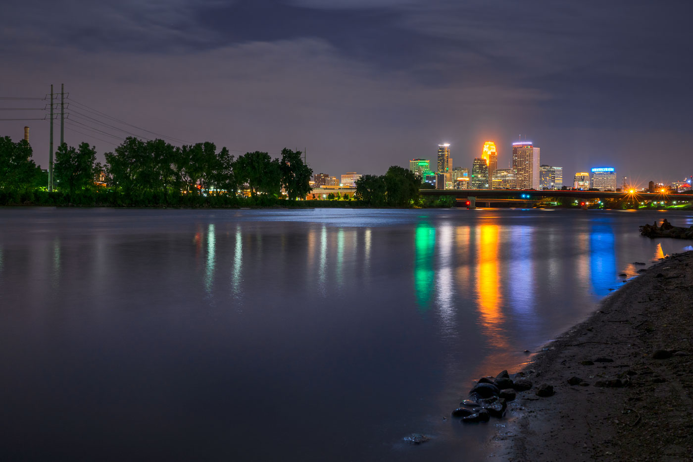
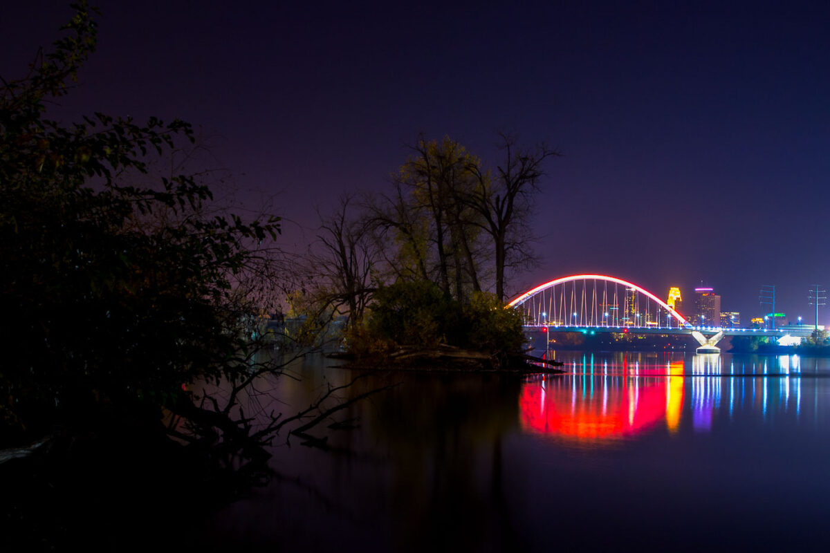
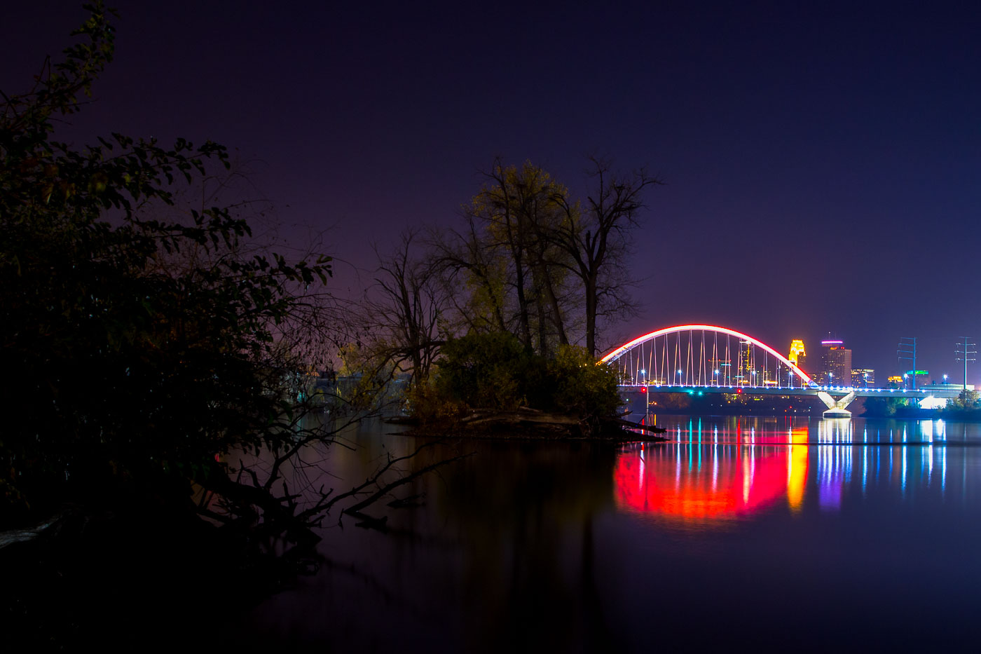
The Lowry Bridge and Minneapolis skyline are illuminated at night over the Mississippi River, with reflections of the city lights on the water.
The Lowry Bridge, a tied-arch bridge spanning the Mississippi River in Minneapolis. Opened in 1929, it was originally named the "Great Northern Railway Bridge" and served as a vital rail crossing. The bridge was reconstructed and renamed in 1987.

Lowry Bridge and Minneapolis Skyline at Night from Mississippi River
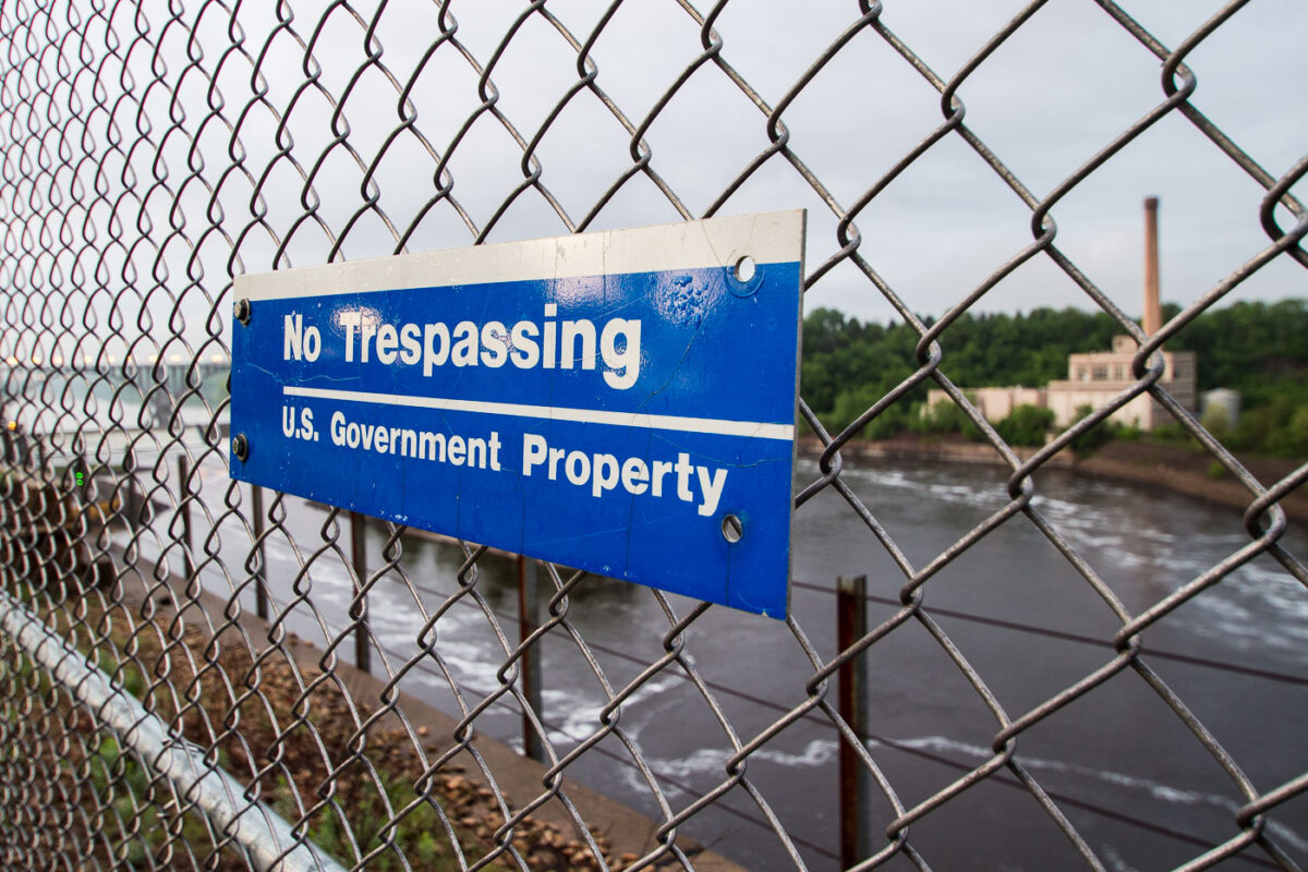
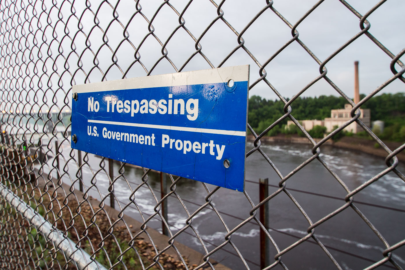
A "No Trespassing, U.S. Government Property" sign on a chain-link fence overlooking the Mississippi River in St. Paul, Minnesota.
A "No Trespassing, U.S. Government Property" sign is visible on a chain-link fence overlooking the Mississippi River in St. Paul, Minnesota.

No Trespassing Sign, Mississippi River, St. Paul

The Lowry Bridge and Riverside Generating Station are illuminated at night across the Mississippi River in Minneapolis.
The Lowry Bridge and the Riverside Generating Station are visible across the Mississippi River in Minneapolis. The Riverside Generating Station, a coal-fired power plant, has been a significant source of electricity for the city since its construction in the early 20th century. The Lowry Bridge, a steel arch bridge, was completed in 2012, replacing an earlier structure and improving traffic flow across the river. The photograph captures the industrial and infrastructural elements of the city at night, with the illuminated bridge and power plant contrasting against the dark sky.

Lowry Bridge and Riverside Generating Station, Minneapolis

The Wabasha Street Bridge in St. Paul, Minnesota, spans the Mississippi River at night, connecting downtown to the West Side.
The Wabasha Street Bridge in St. Paul, Minnesota, spans the Mississippi River, connecting downtown to the West Side. Originally constructed in 1904, the bridge has undergone several reconstructions and renovations, with the current structure reflecting modern engineering and urban planning. It serves as a vital transportation artery for vehicles and pedestrians, offering views of the city's riverfront and skyline.

Wabasha Street Bridge, St. Paul, Minnesota at Night

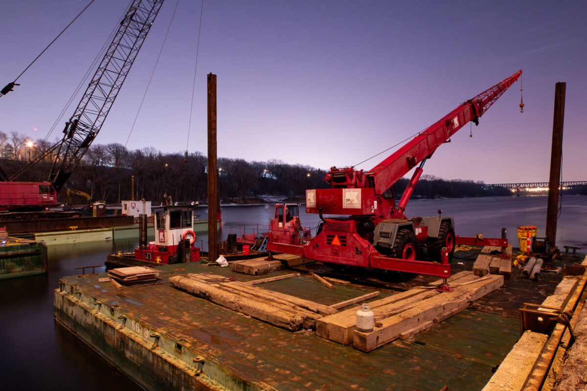
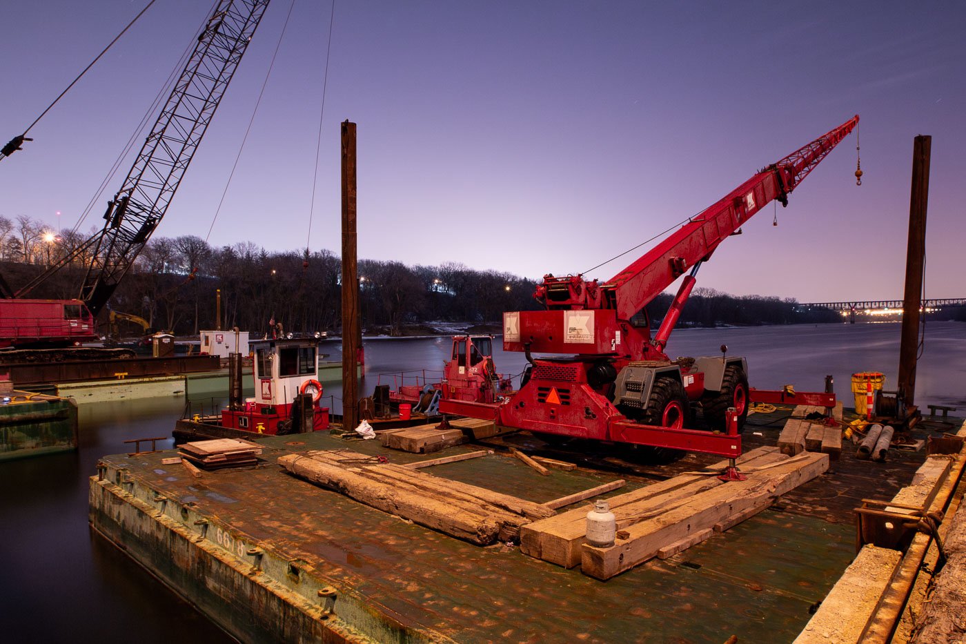
Cranes and barges on the Mississippi River in Minneapolis for repairs to the Franklin Avenue Bridge, a vital transportation link.
Construction barges and cranes are positioned on the Mississippi River for repairs to the Franklin Avenue Bridge in Minneapolis. The Franklin Avenue Bridge, originally constructed in 1923, is a vital artery connecting the city's south and north sides. Its ongoing maintenance and repair are essential for maintaining transportation flow and ensuring the structural integrity of this significant piece of Minneapolis infrastructure.

Franklin Ave Bridge Construction, Minneapolis

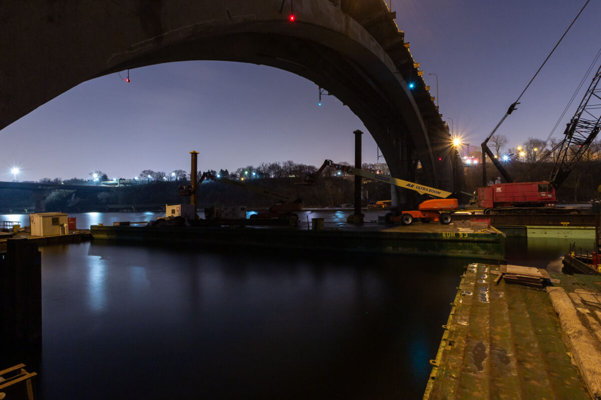
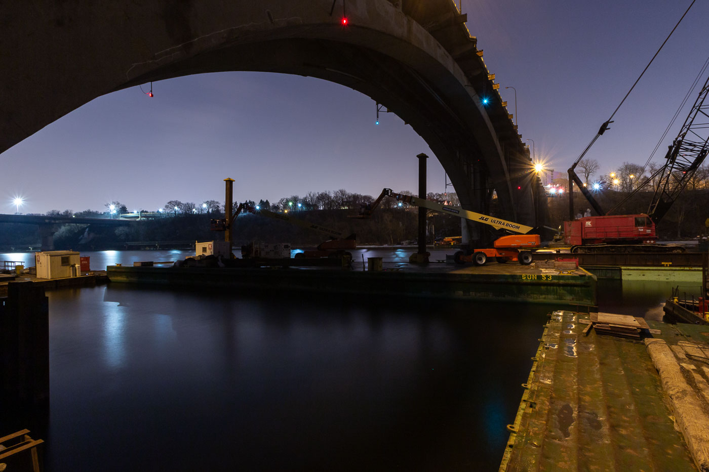
Nighttime construction work on the Franklin Avenue Bridge over the Mississippi River in Minneapolis, with cranes and equipment on barges.
Construction work is underway at night on the Franklin Avenue Bridge in Minneapolis, spanning the Mississippi River. The bridge, originally constructed in the 1920s, has undergone numerous repairs and upgrades throughout its history to maintain its structural integrity and capacity for traffic. This nighttime operation highlights the ongoing efforts to preserve this vital piece of Minneapolis infrastructure, ensuring its continued service to the city.

Franklin Avenue Bridge Construction Work at Night, Minneapolis

Wabasha Street Bridge spans the Mississippi River in downtown St. Paul, Minnesota.
Wabasha Street Bridge spans the Mississippi River in downtown St. Paul, Minnesota. Opened in 1999, it connects downtown with West Side neighborhoods and carries heavy traffic across the river. The bridge replaced older river crossings at this location.

Wabasha Street Bridge over the Mississippi River, St. Paul

The Xcel Energy District Energy Plant in St. Paul, Minnesota, provides steam for downtown buildings and is a vital part of the city's energy infrastructure.
The Xcel Energy District Energy Plant in downtown St. Paul, Minnesota, stands along Shepard Road near the Mississippi River. The facility is part of St. Paul’s district energy system, which distributes steam and chilled water to connected buildings in the central business district rather than relying on separate on-site heating and cooling plants.

Xcel Energy District Energy Plant, St. Paul, Minnesota

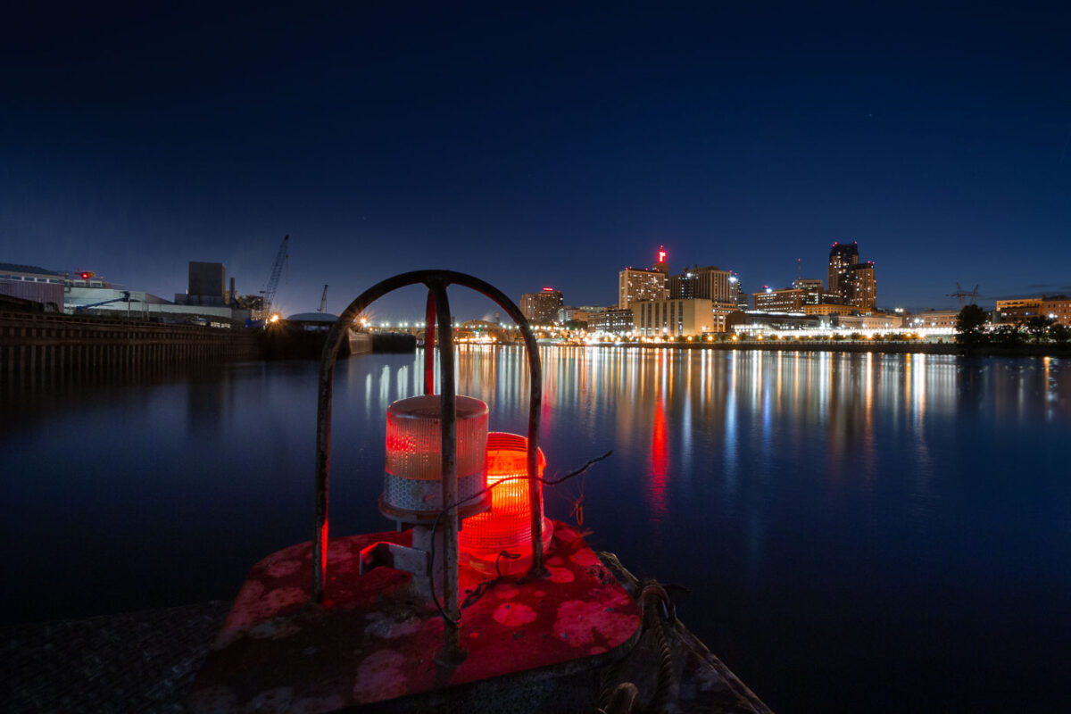
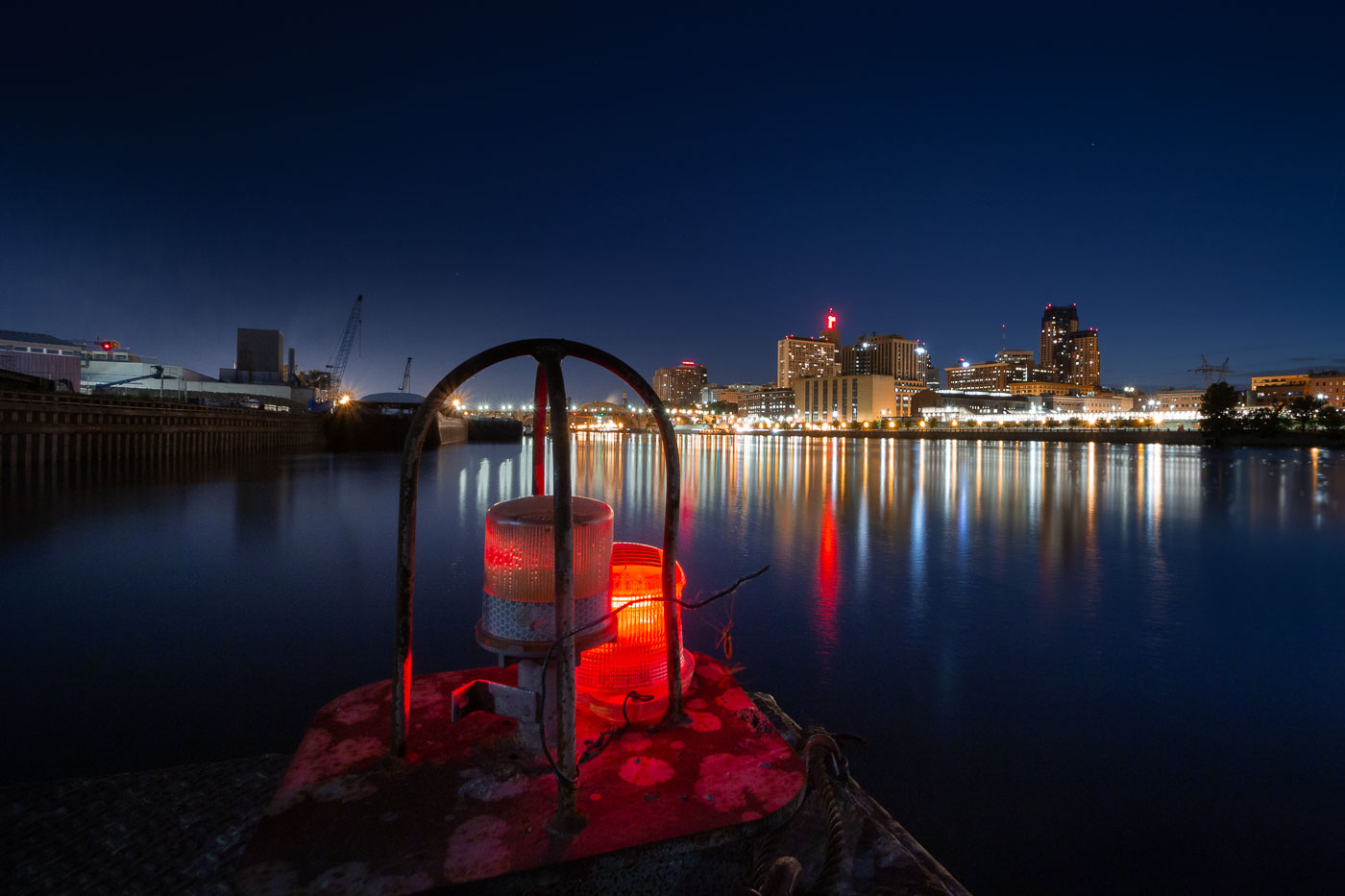
Downtown Saint Paul rises across the Mississippi River at night, with red river lights in the foreground.
Downtown Saint Paul, Minnesota, rises across the Mississippi River from the riverfront near the Lowertown district. The Mississippi River has shaped the city’s transportation, trade, and industrial development.

Downtown Saint Paul from the Mississippi River

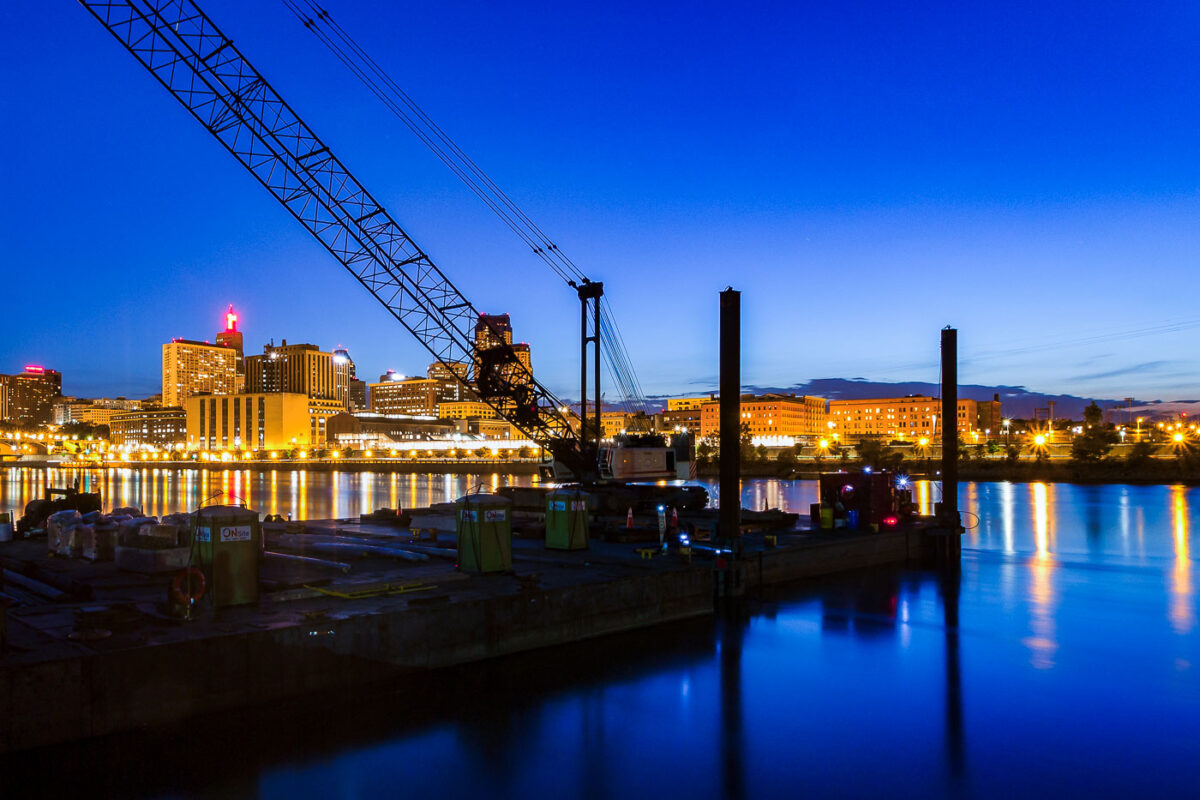
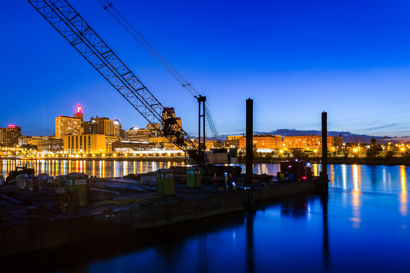
Downtown Saint Paul and the Mississippi River at dusk with a crane and barge platform.
Downtown Saint Paul, Minnesota, and the Mississippi River are visible at dusk. A construction crane and river barge platform sit along the waterfront in the foreground.

Downtown Saint Paul and the Mississippi River at dusk

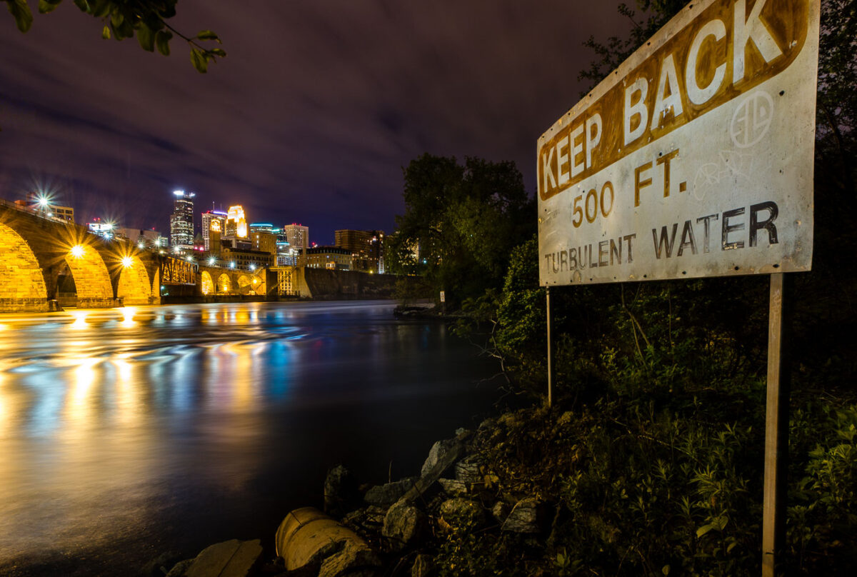
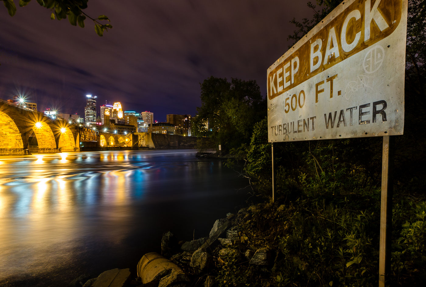
A "Keep Back 500 FT Turbulent Water" warning sign on the Mississippi River bank in Minneapolis, with the illuminated Stone Arch
This "Keep Back 500 Ft. Turbulent Water" sign warns boaters of the current below St. Anthony Falls, the only natural waterfall on the Mississippi River. The falls drop about 50 feet and once powered the flour and lumber mills that built Minneapolis into a milling capital in the late 1800s. The Stone Arch Bridge, visible upstream, was built in 1883 by railroad magnate James J. Hill to carry trains across the river just below the falls.

“Turbulent Water” Sign Near St. Anthony Falls on the Mississippi

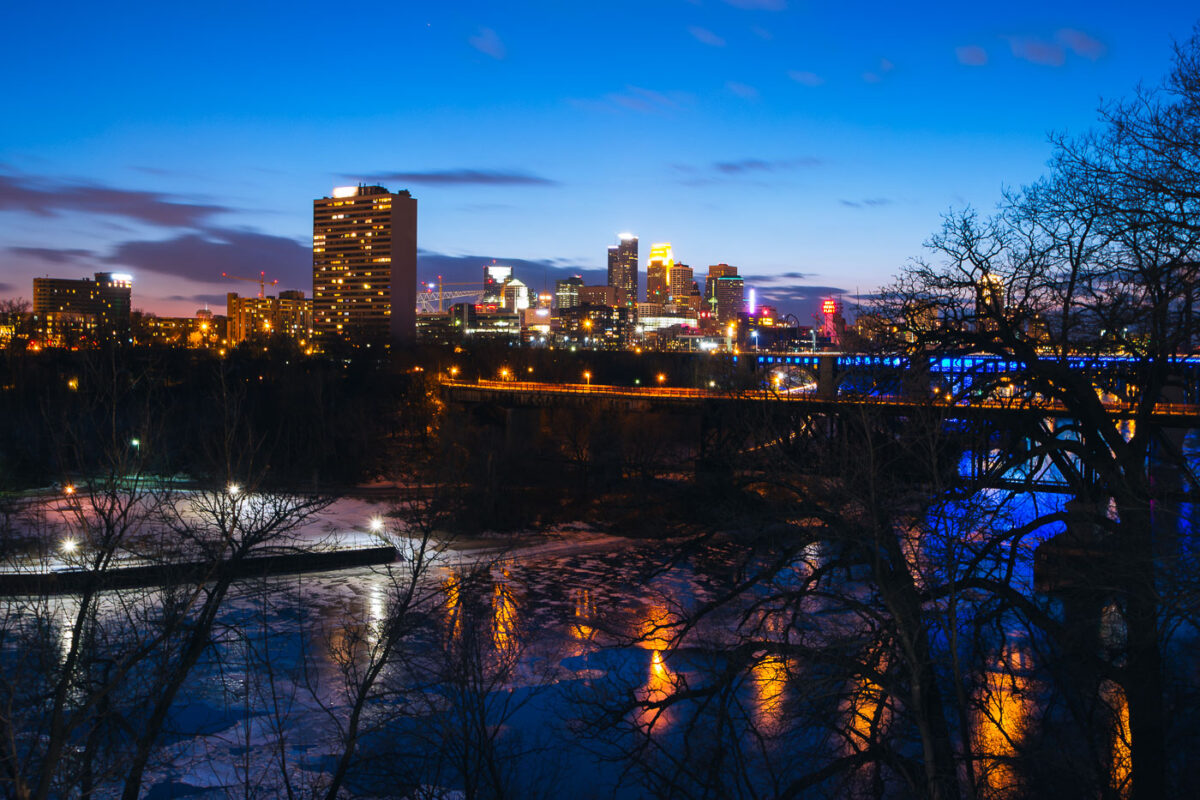
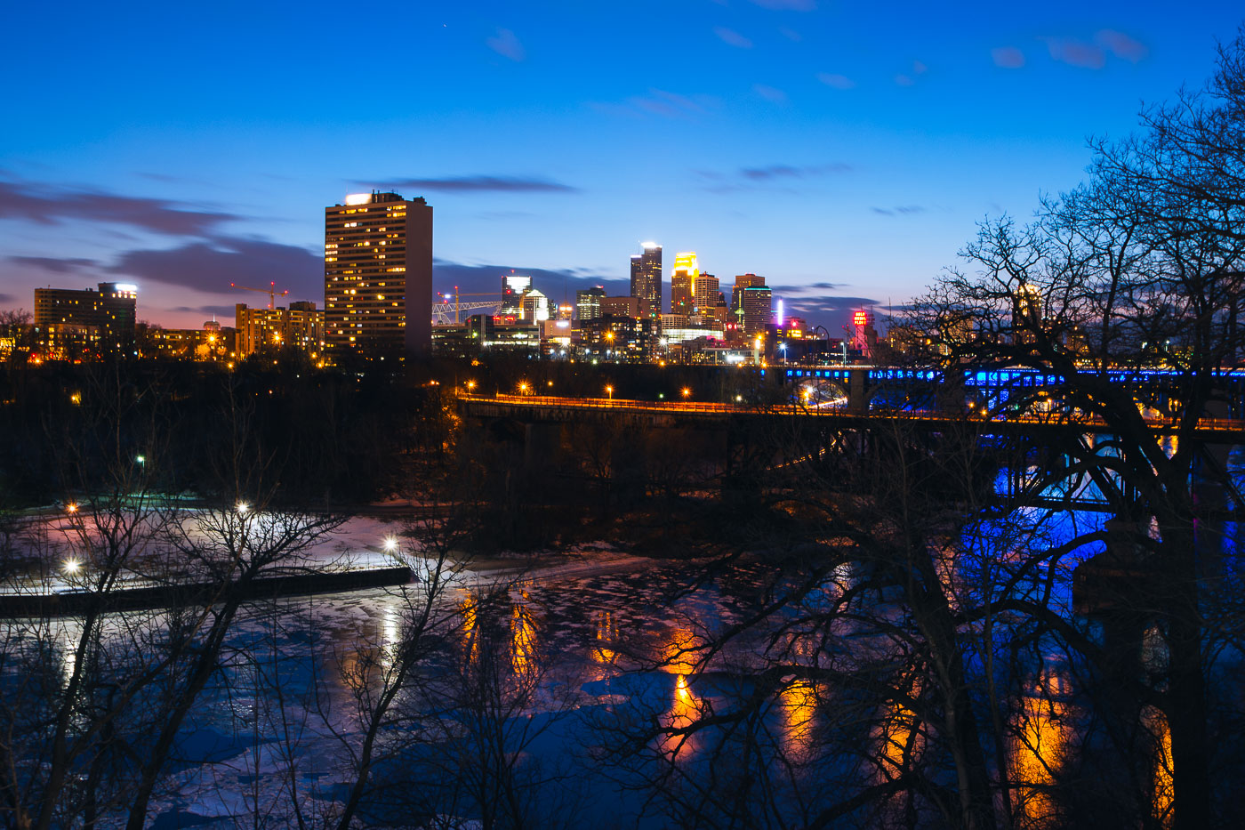
Minneapolis downtown skyline across the Mississippi River at blue hour, with a bridge and partial river ice.
Minneapolis downtown skyline rises across the Mississippi River at blue hour. The city center stands on the east bank of the river, with a bridge carrying traffic and lighting along the waterfront. Partial ice covers the river in the foreground during early March.

Minneapolis Downtown Skyline at Blue Hour Over Mississippi River

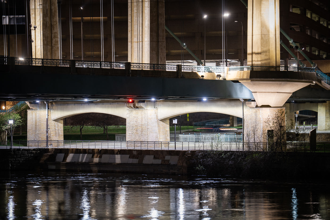
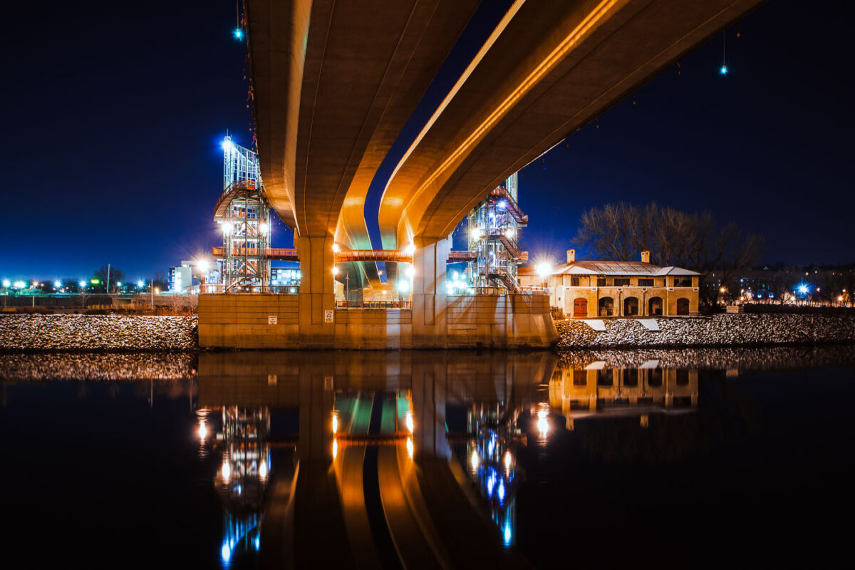
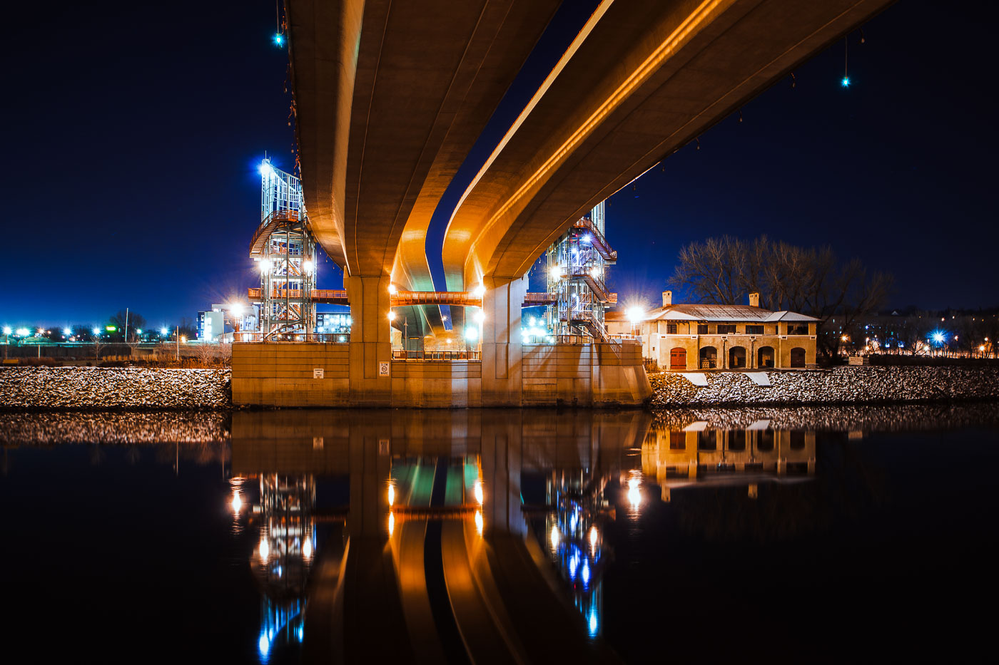
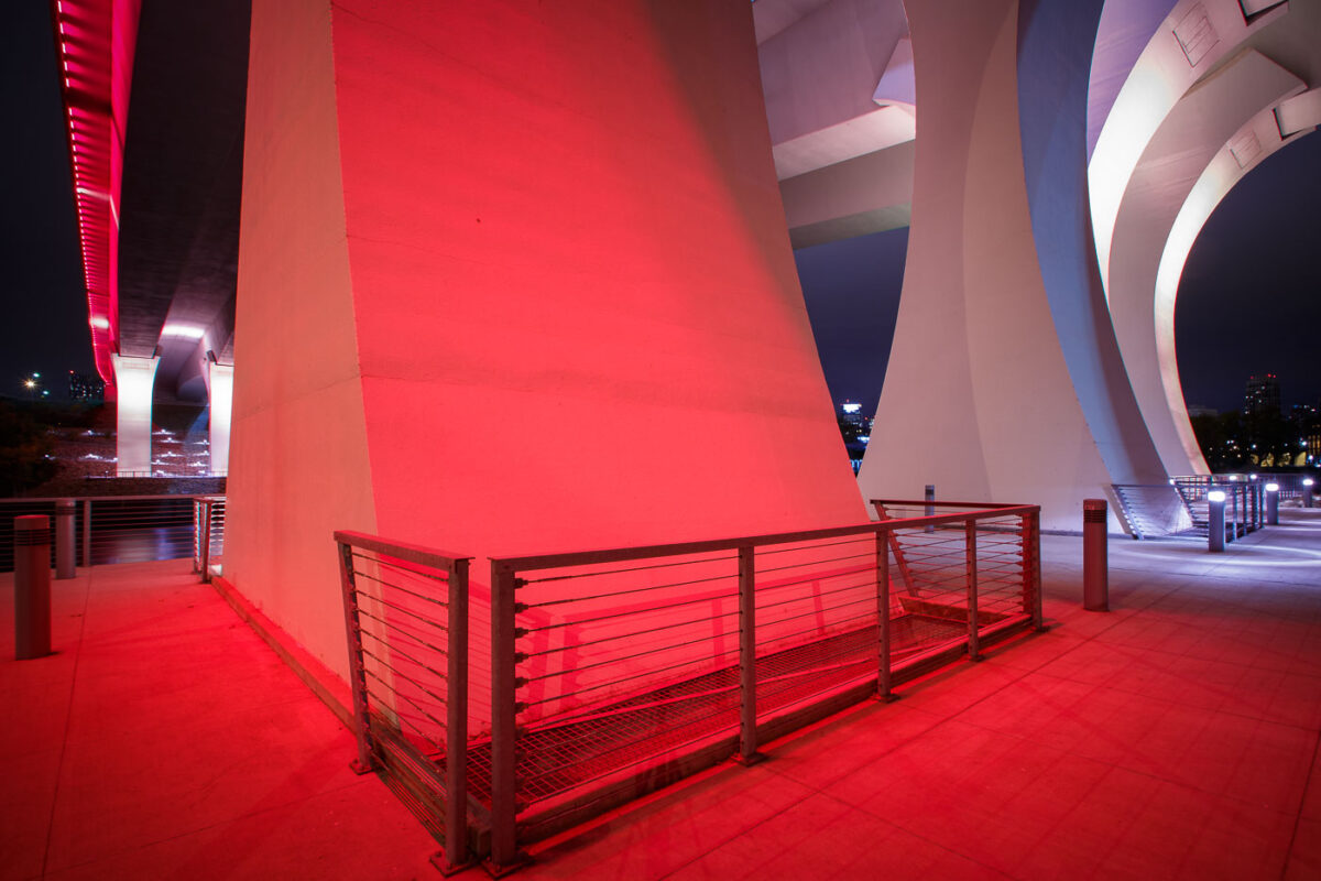
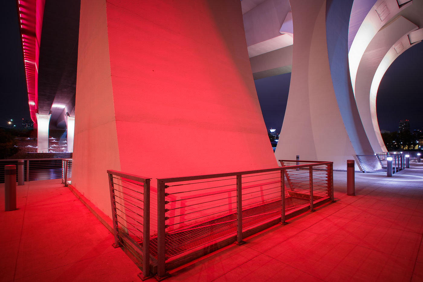
The I-35W Bridge in Minneapolis is illuminated in red at night, with metal railings visible on an illuminated walkway below.
The I-35W Mississippi River Bridge in Minneapolis is illuminated in red. This bridge was rebuilt following its catastrophic collapse in 2007.

Red Light Beneath the I-35W Bridge Pylons at Night

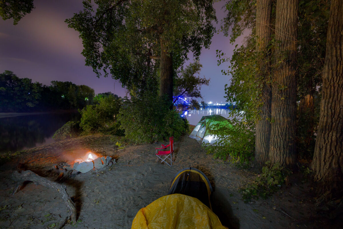
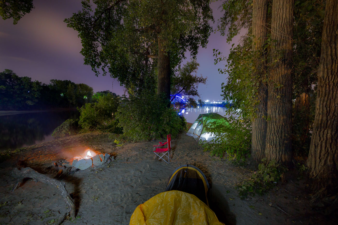
Mississippi River island campsite in Minneapolis with tents and a campfire at night.
Mississippi River island campsite, Minneapolis. An overnight camping area on a sandy island in the Mississippi River includes tents and a campfire near the north side of the city.

Mississippi River Island Campsite at Night, Minneapolis

Minneapolis Aquatennial fireworks over the Mississippi River, with crowds on the Stone Arch Bridge and riverbanks.
The Minneapolis Aquatennial fireworks illuminate the night sky over the Mississippi River, with crowds gathered along its banks and on the Stone Arch Bridge. The Aquatennial, a summer festival established in 1941, celebrates Minneapolis and its connection to the river. The Stone Arch Bridge, originally built in 1883 for the Great Northern Railway, now serves as a pedestrian walkway and offers prime viewing for the annual event.

Minneapolis Aquatennial Fireworks over Mississippi River

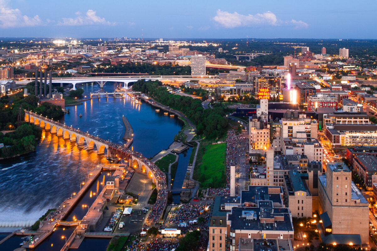
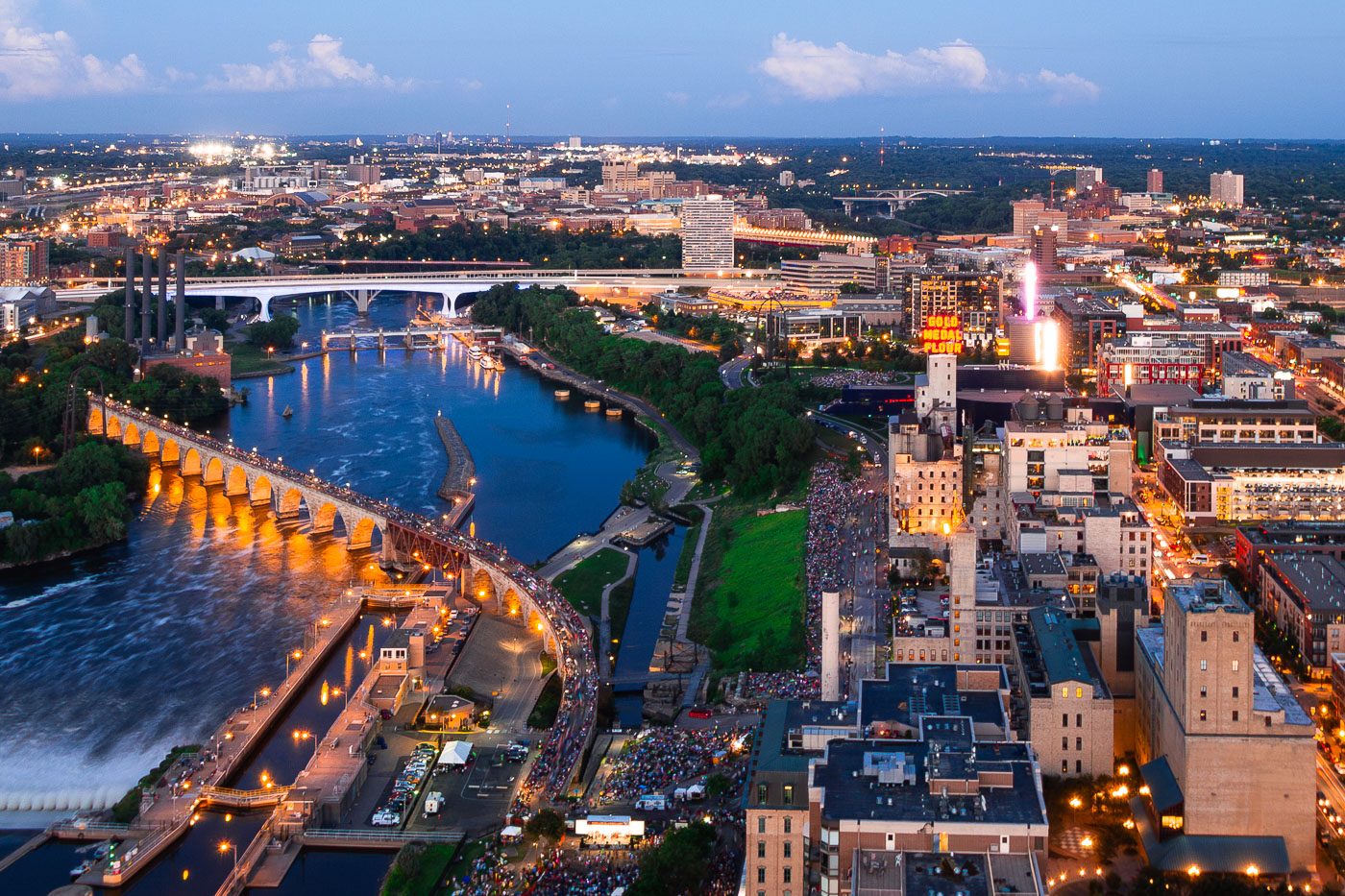
Pillsbury A Mill and downtown Minneapolis skyline at dusk overlooking the Mississippi River gorge.
Pillsbury A Mill in Minneapolis overlooks the Mississippi River gorge near downtown. The former flour mill complex, built in 1881, is part of a redevelopment project that retains the historic industrial site along the river corridor.

Mississippi River Gorge at Night Below Downtown Minneapolis
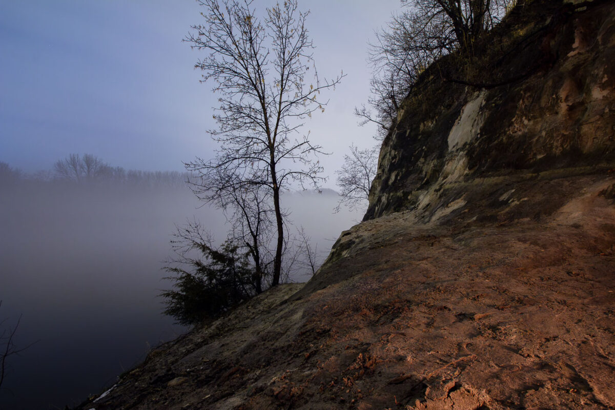
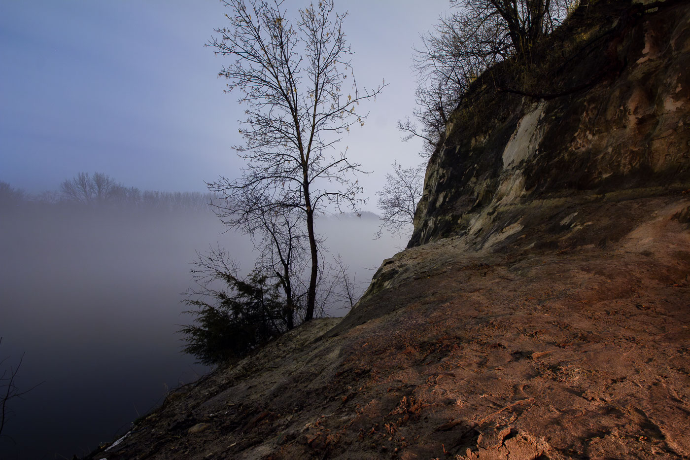
St. Paul sandstone bluffs rise above the foggy Mississippi River in Minnesota, a geological formation crucial to the city's early development.
The St. Peter Sandstone bluffs of St. Paul, Minnesota, rise above the Mississippi River shrouded in morning fog. These bluffs, formed over millions of years, were crucial to the early development of the city, providing a natural barrier and a source of building material. The St. Peter Sandstone is a geological formation that underlies much of the Upper Midwest. The river itself has been a vital transportation artery since indigenous times and was instrumental in St. Paul's growth as a major port city.

St. Paul Sandstone Bluff Overlooking Foggy Mississippi River

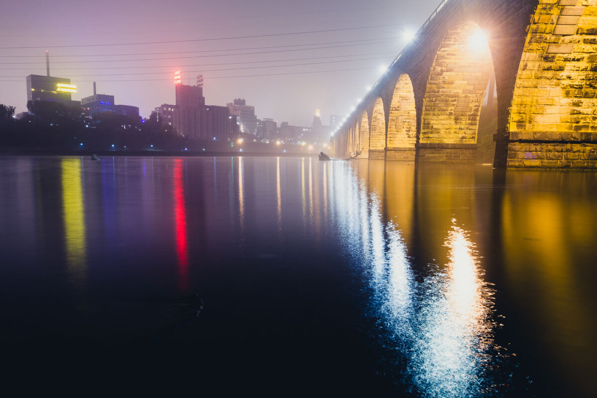
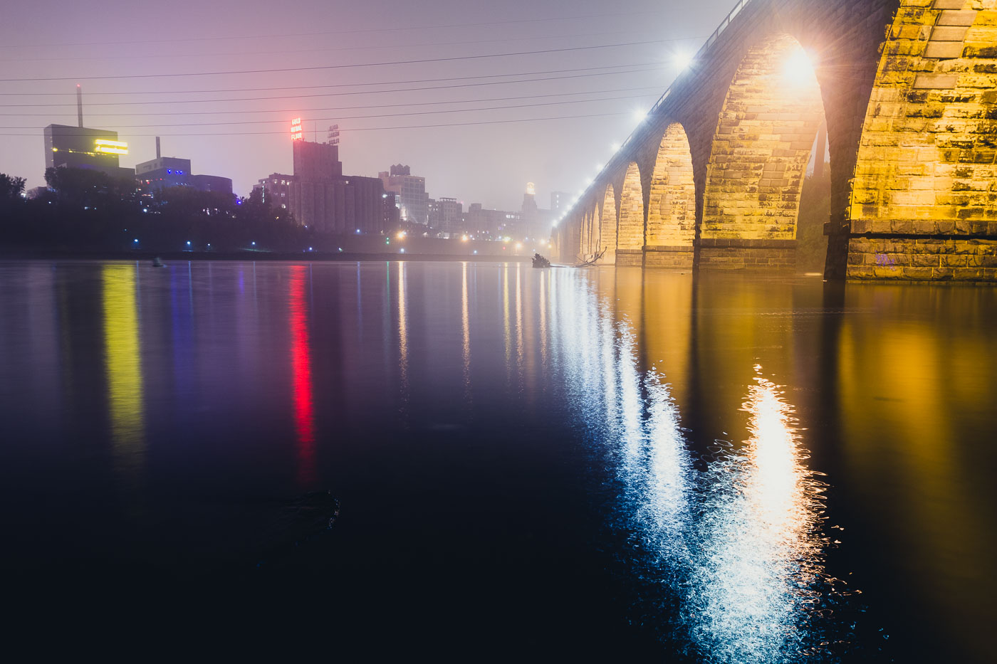
The Stone Arch Bridge spans the Mississippi River in Minneapolis, illuminated at dusk with the city skyline beyond.
The Stone Arch Bridge, a historic railroad bridge spanning the Mississippi River in Minneapolis. Constructed between 1881 and 1883, the bridge was built for the Great Northern Railway.

Foggy Night Reflections Along the Stone Arch Bridge
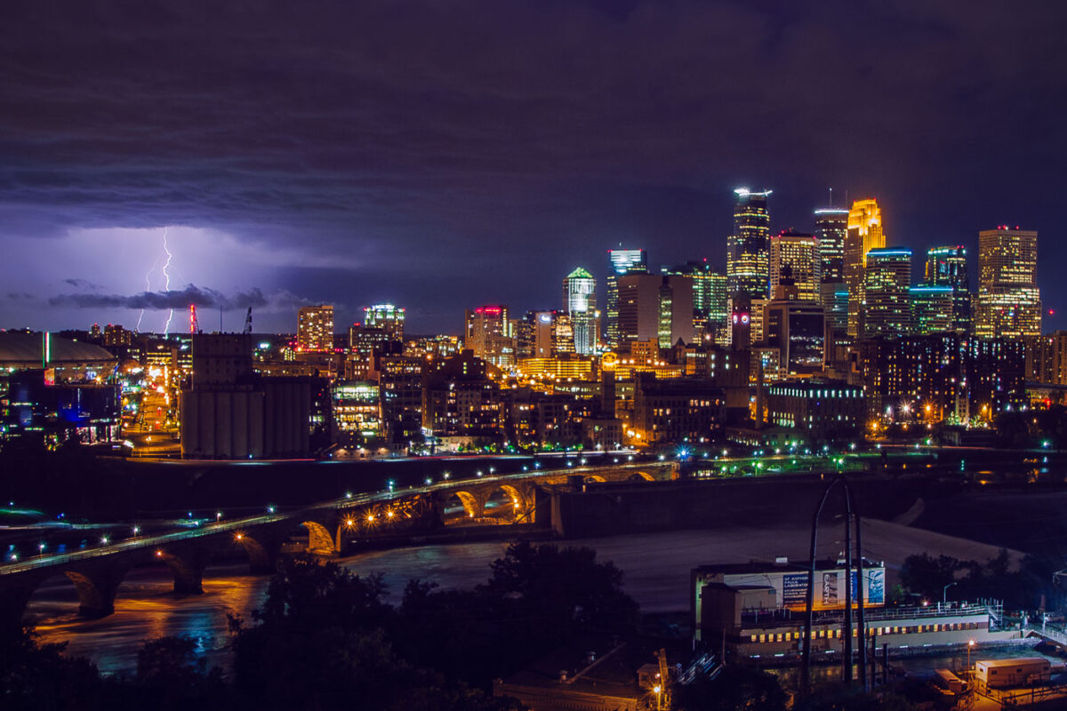
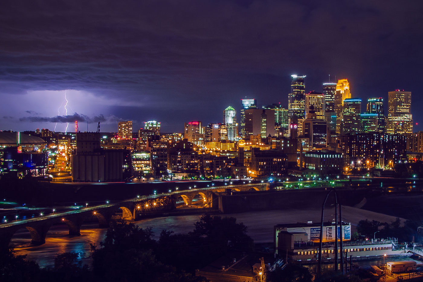
Lightning strikes over downtown Minneapolis skyline at night, with the Stone Arch Bridge spanning the Mississippi River.
The Stone Arch Bridge crosses the Mississippi River below Saint Anthony Falls in downtown Minneapolis. Railroad magnate James J. Hill built it in 1883 for the Great Northern Railway, and it now carries pedestrians and cyclists between the river's east and west banks. Lightning flashes over the downtown skyline beyond it.

Lightning Over Downtown Minneapolis and the Stone Arch Bridge

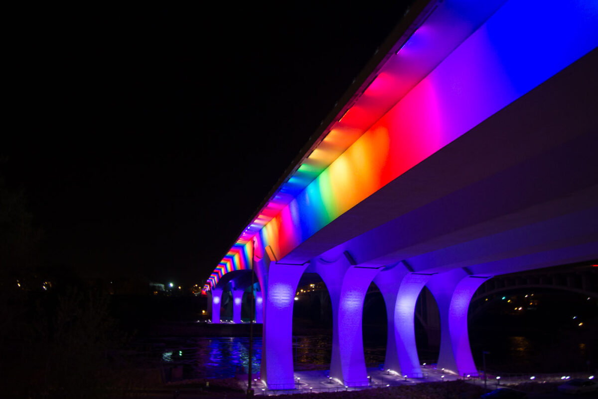
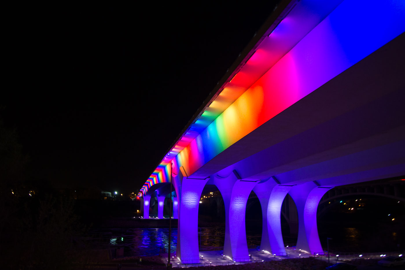
I-35W Bridge in Minneapolis illuminated at night with rainbow-colored lights along its deck and supports.
The I-35W Mississippi River Bridge in Minneapolis is illuminated with rainbow-colored lights. This bridge was rebuilt following its catastrophic collapse in 2007. The reconstruction prioritized modern engineering and safety standards.
Rainbow Lights on the I-35W Bridge Over the Mississippi
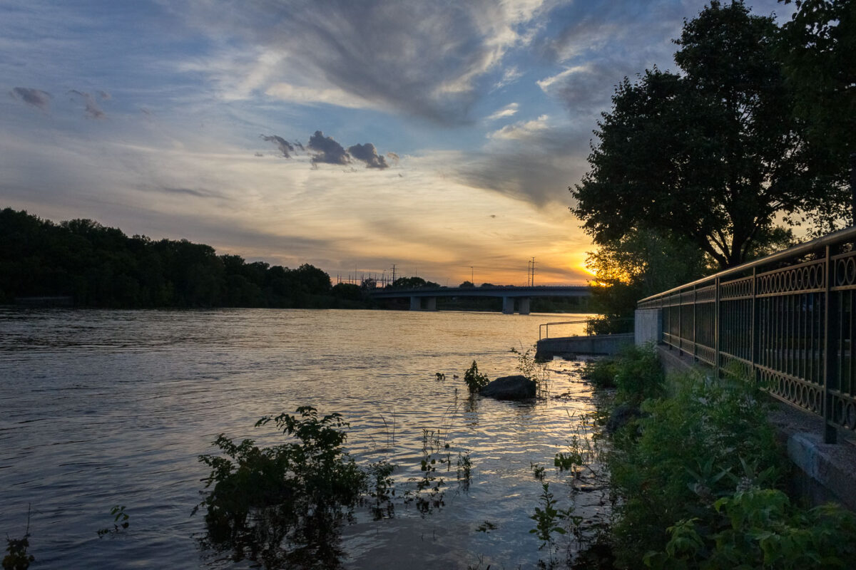
Mississippi River at Boom Island Park in Minneapolis at sunset.
The Mississippi River passes Boom Island Park in Minneapolis at sunset. Boom Island is a park on the river's west bank, north of downtown, with access to the riverfront and views of nearby bridges. The riverfront area was once used for logging and milling before becoming public parkland.

Mississippi River at Boom Island, Minneapolis

Built in Minneapolis

Minneapolis Photographer

Browse by location, move through long-running series, or start with recent work.