Volcano

36 photos · 2018–2020

36 photographs tagged Volcano, 2018–2020.
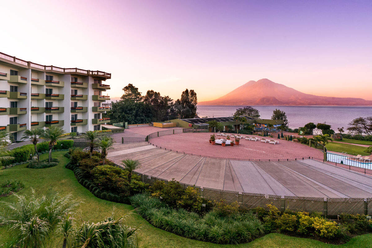
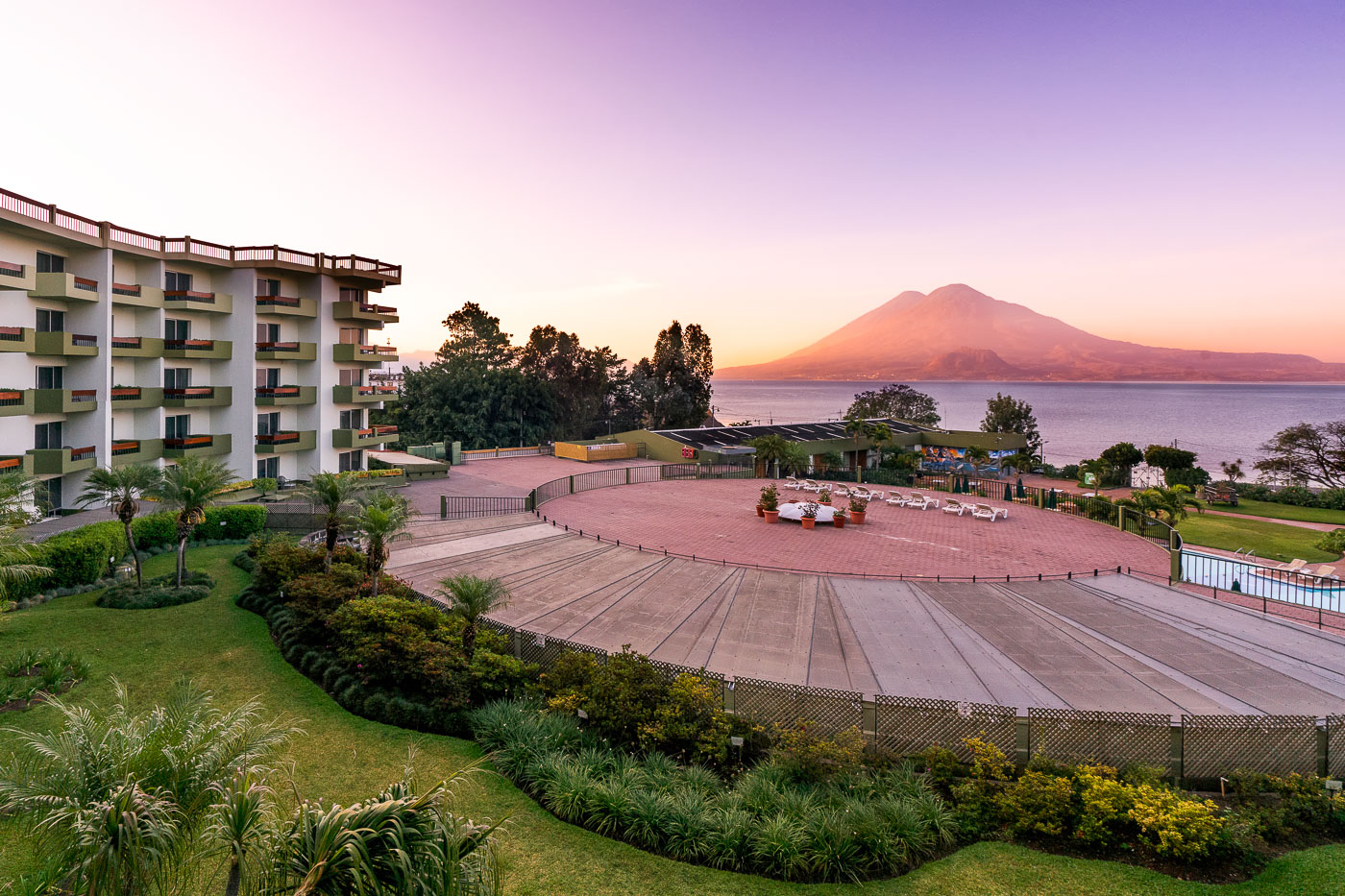
Porta Hotel del Lago waterfront resort overlooks Lake Atitlán with Volcán Atitlán rising across the water in Panajachel, Guatemala.
Porta Hotel del Lago sits on the Lake Atitlán shoreline in Panajachel, the main gateway town for travelers heading to the lake's Maya villages. Volcán Atitlán, a stratovolcano rising to 3,537 meters, anchors the lake's southern rim alongside Volcán Tolimán and Volcán San Pedro, all remnants of a caldera-forming eruption roughly 84,000 years ago. Lake Atitlán itself plunges more than 300 meters in places, making it one of the deepest lakes in Central America.

Sunrise Over Porta Hotel del Lago and Volcán Atitlán
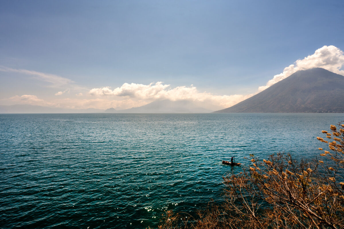
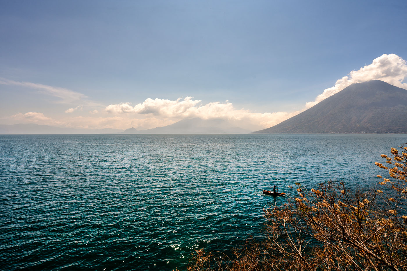
Volcán San Pedro rises above Lake Atitlán in Guatemala's western highlands with clouds gathering around its cone.
Volcán San Pedro rises 3,020 meters above Lake Atitlán on the lake's southwestern shore, near the town of San Pedro La Laguna. The volcano is dormant and draws hikers who climb a marked trail to its summit for views across the caldera. Lake Atitlán itself formed roughly 84,000 years ago after a massive volcanic eruption collapsed the magma chamber beneath it, leaving a basin that in places reaches depths of more than 300 meters. Small motorized boats remain the primary way to travel between the lake's dozen or so Maya villages, since few roads connect them directly.

Fisherman on Lake Atitlán Near Volcán San Pedro
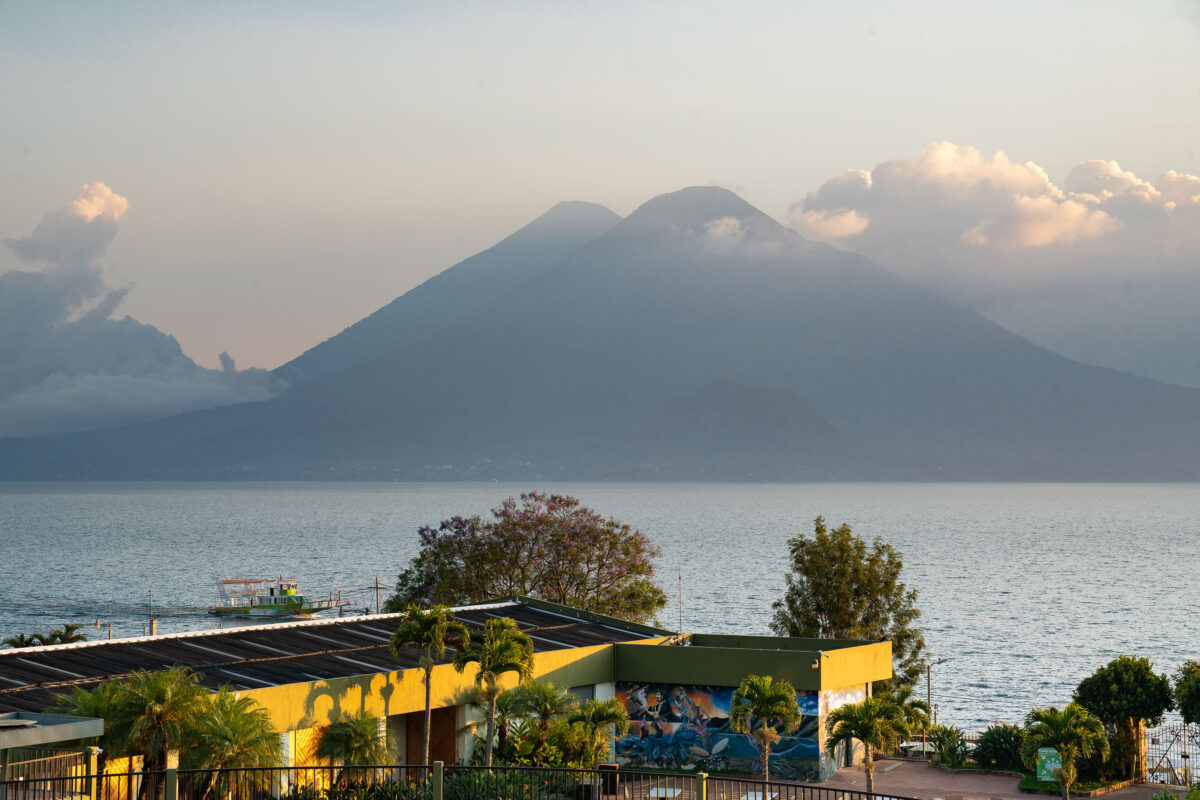
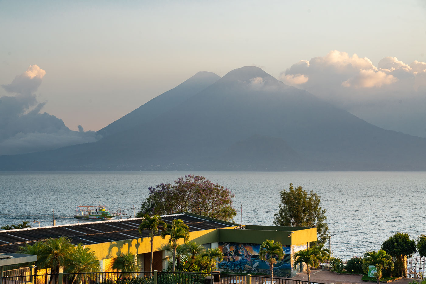
Volcán Atitlán rises above Lake Atitlán beyond the yellow-roofed Porta Hotel del Lago in Panajachel, Guatemala.
Volcán Atitlán and Volcán Tolimán rise along the southern shore of Lake Atitlán, within the boundaries of Atitlán National Park. Volcán Atitlán reaches roughly 3,535 meters, while Tolimán stands about 3,158 meters; both are considered potentially active, though eruptions are rare. The lake itself fills a caldera formed by a massive volcanic collapse tens of thousands of years ago and now reaches depths of more than 300 meters. Panajachel, on the lake's northern shore, functions as the main gateway for boat travel to lakeside towns such as Santiago Atitlán and San Pedro la Laguna.

Volcán Tolimán and Volcán Atitlán Above Lake Atitlán, Panajachel
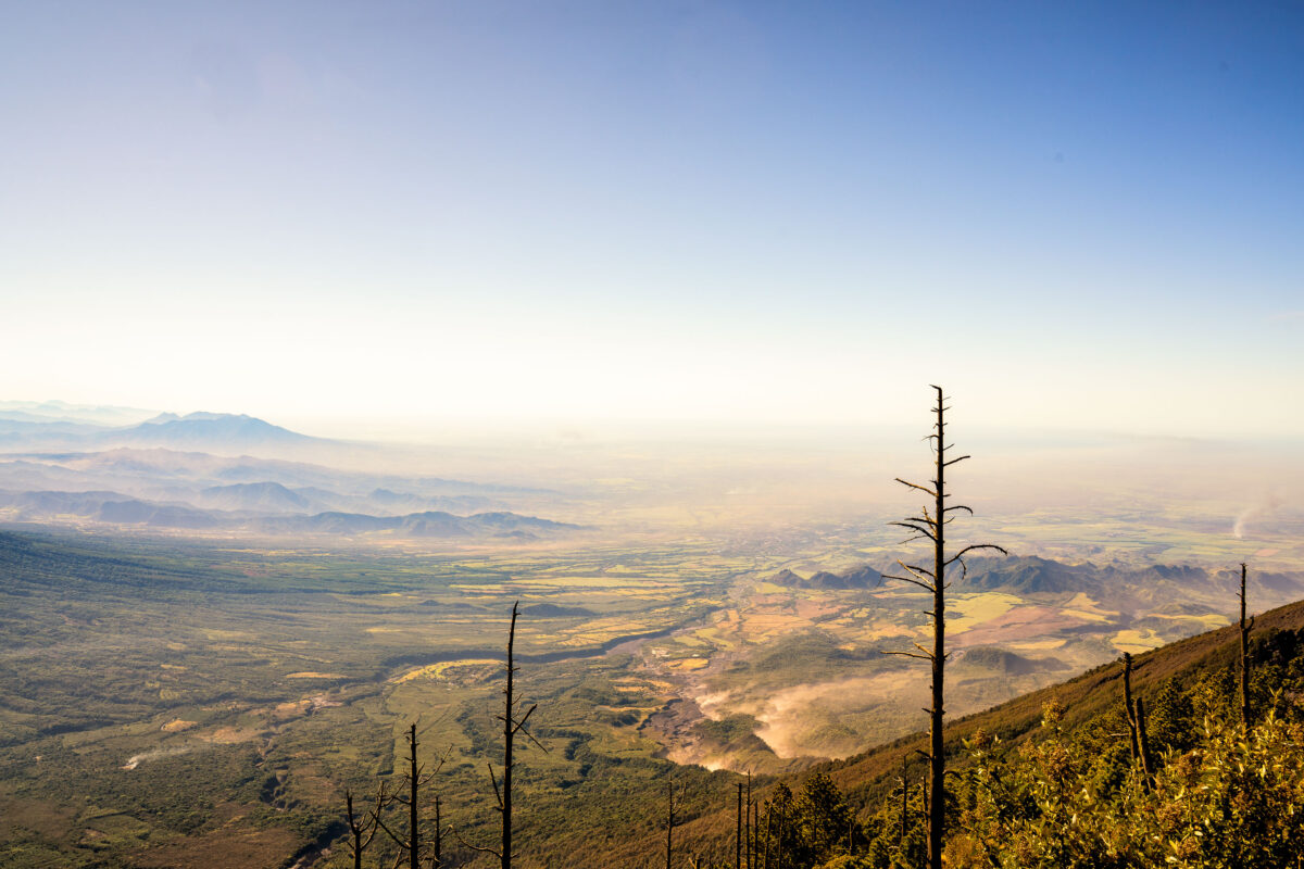
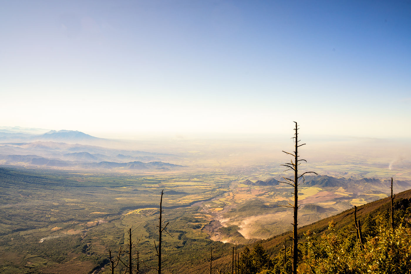
Acatenango volcanic valley overlooks forested highlands and distant peaks in Guatemala with burned trees in the foreground.
Acatenango rises to about 13,045 feet in Guatemala's Sierra Madre volcanic chain, making it the third-highest peak in Central America. The valley below spreads toward Antigua Guatemala, the colonial capital that Acatenango and its neighbor Fuego have long overlooked. Climbers typically summit Acatenango to camp within view of Fuego, one of the most consistently active volcanoes in the Americas, which erupts with small bursts of ash and lava on a near-daily basis.

View from Acatenango Volcano Toward the Guatemalan Highlands
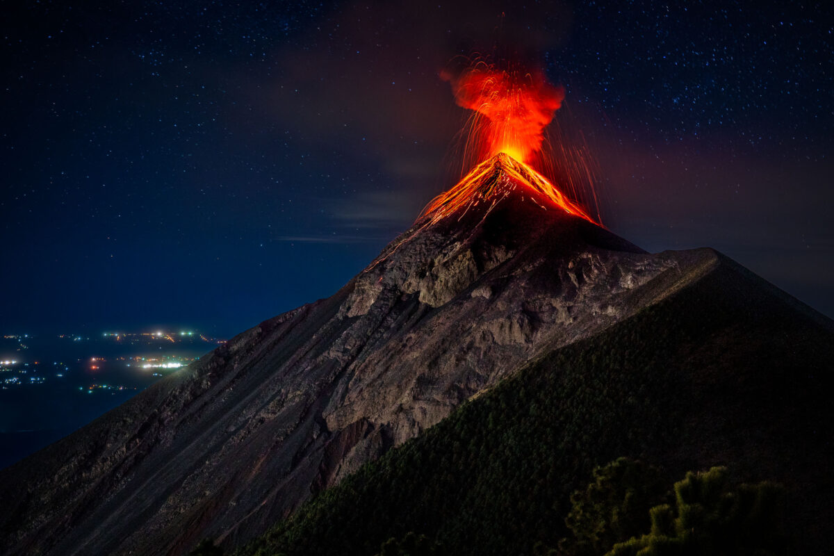
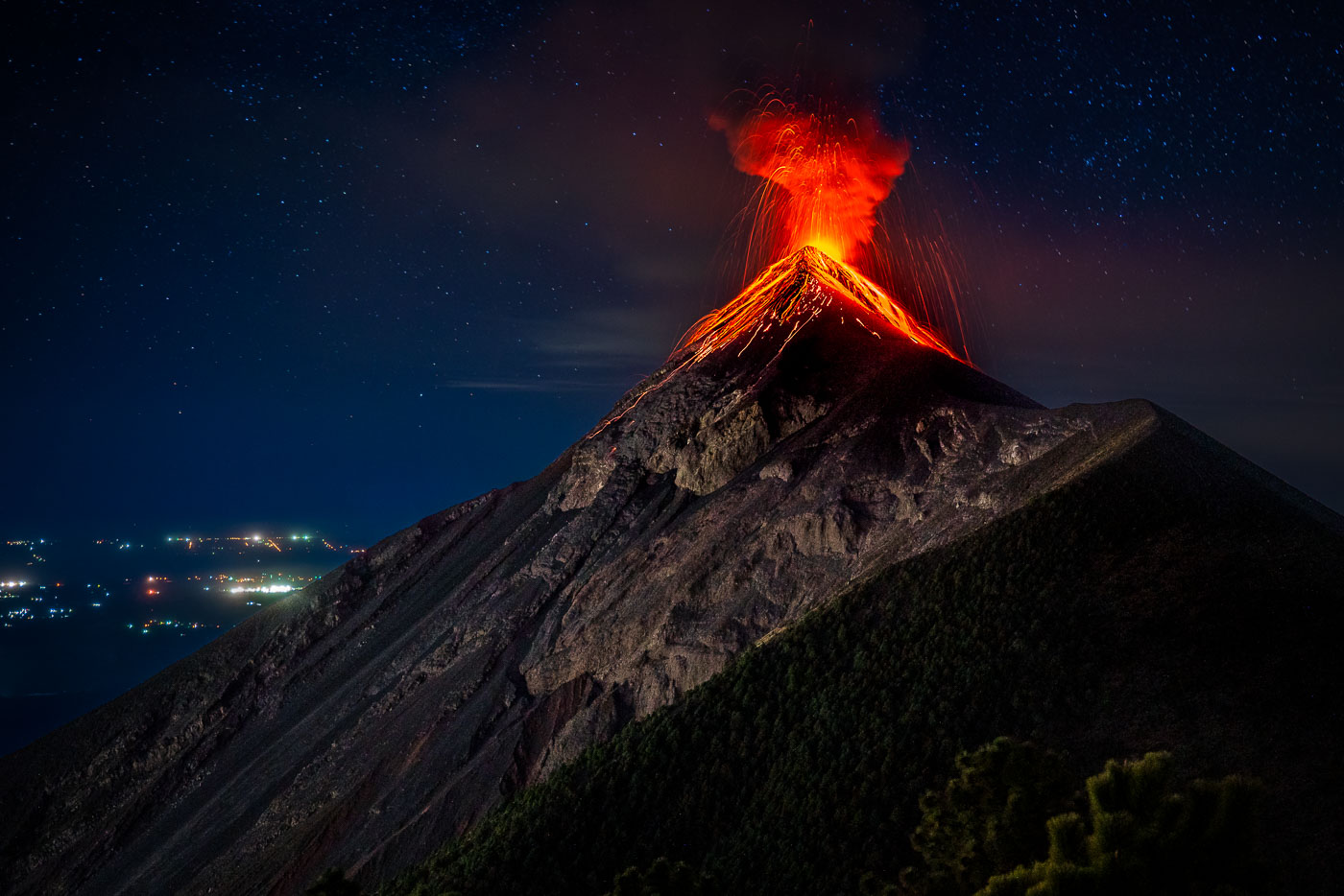
Volcán de Fuego erupts at night in Guatemala with incandescent lava and ash streaming from the illuminated crater.
Volcán de Fuego rises 3,763 meters near Antigua Guatemala, among the most consistently active volcanoes in Central America. It shares a connecting ridge with neighboring Acatenango, forming a joint volcanic complex often climbed together by hikers. Fuego has been in near-continuous eruption since 1932, punctuated by major explosive events in 1974 and again in 2018. Climbers and ers commonly observe its eruptions from Acatenango's slopes, several kilometers from the active crater.

Lava Spatters From Volcán de Fuego’s Summit Crater
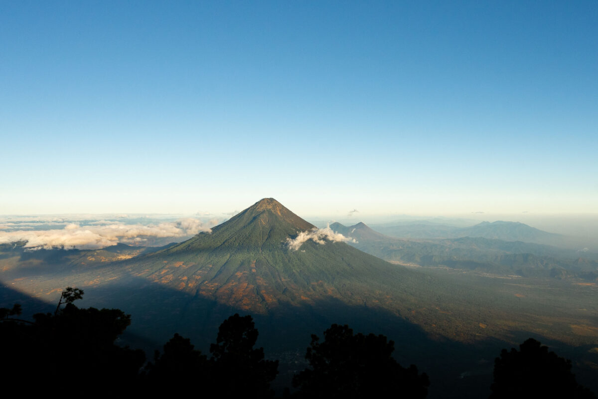
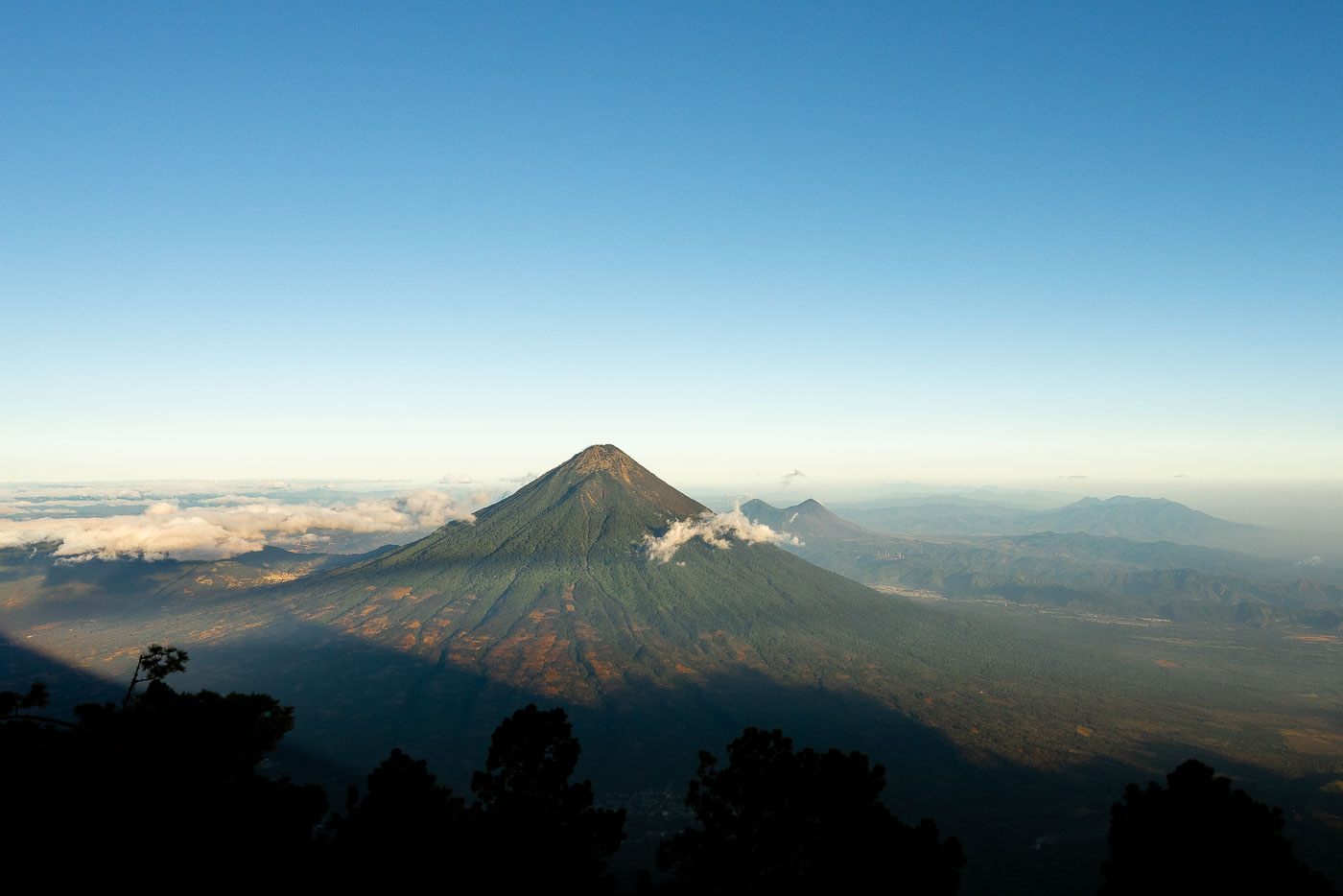
Acatenango volcano rises above clouds and forested foothills in Guatemala viewed from an elevated vantage point at dawn.
Fuego Volcano rises just southwest of Antigua Guatemala, its summit venting ash and gas almost continuously as one of the most active volcanoes in Central America. At 3,763 meters, it has produced major eruptions as recently as 2018 and continues smaller explosions on a near-daily basis. Acatenango, the taller neighbor at 3,976 meters, last erupted in 1972 and has since become one of Guatemala's most popular overnight treks, drawing hikers who camp near its summit to watch Fuego's activity after dark. Both peaks belong to the Central American Volcanic Arc, formed by the subduction of the Cocos Plate beneath the Caribbean Plate.

Fuego Volcano Smokes Beside Acatenango’s Summit
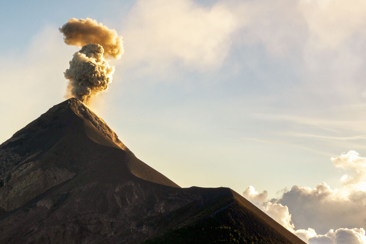
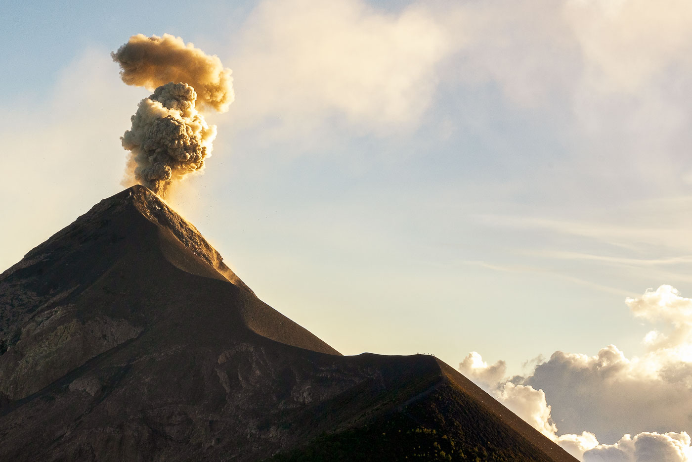
Fuego Volcano erupts with a towering ash plume rising against the sky near Antigua, Guatemala.
Volcán de Fuego rises 3,763 meters near Antigua, Guatemala, and ranks among the most active volcanoes in Central America. It has erupted almost continuously since 2002, with frequent ash columns and periodic lava flows that affect nearby villages. Guatemala's National Institute of Seismology, Volcanology, Meteorology and Hydrology (INSIVUMEH) monitors the volcano around the clock, issuing alerts when activity intensifies. Its name, Spanish for "Fire," a history of eruptions recorded since the 16th century, including a major explosive event in 1932.

Ash Eruption at Volcán de Fuego, Guatemala
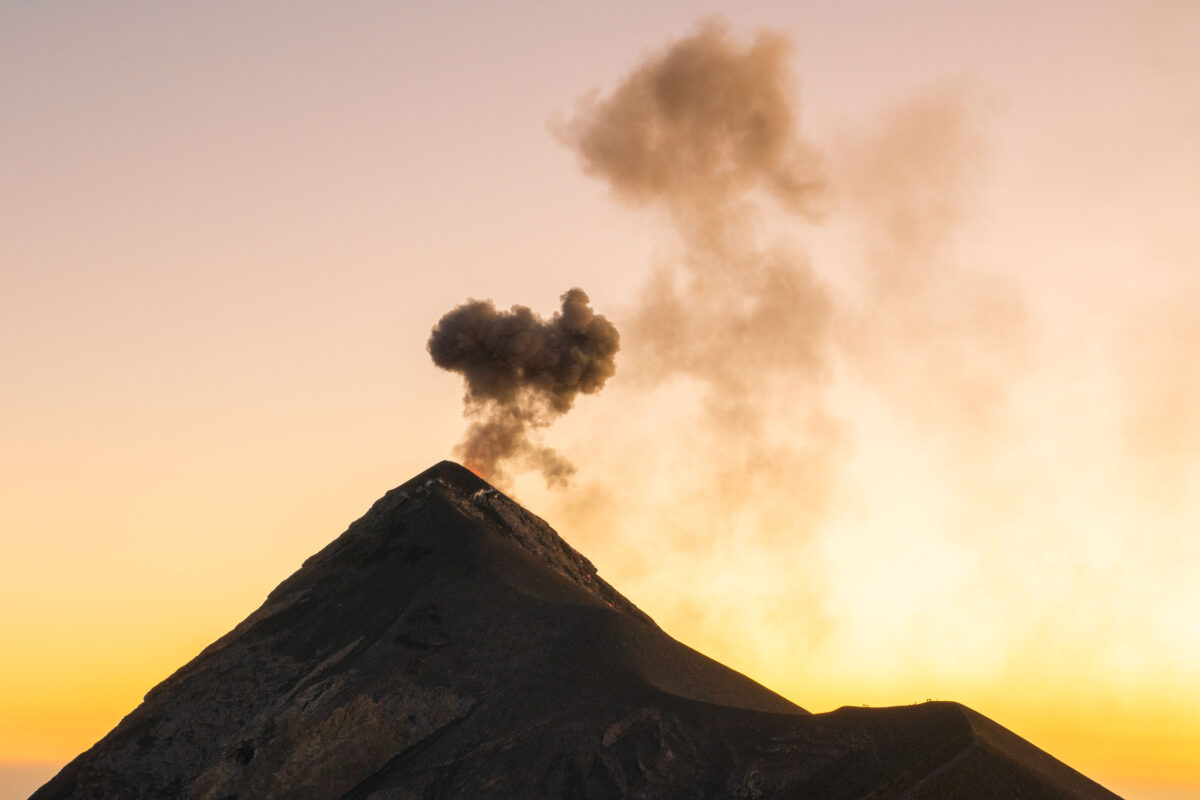
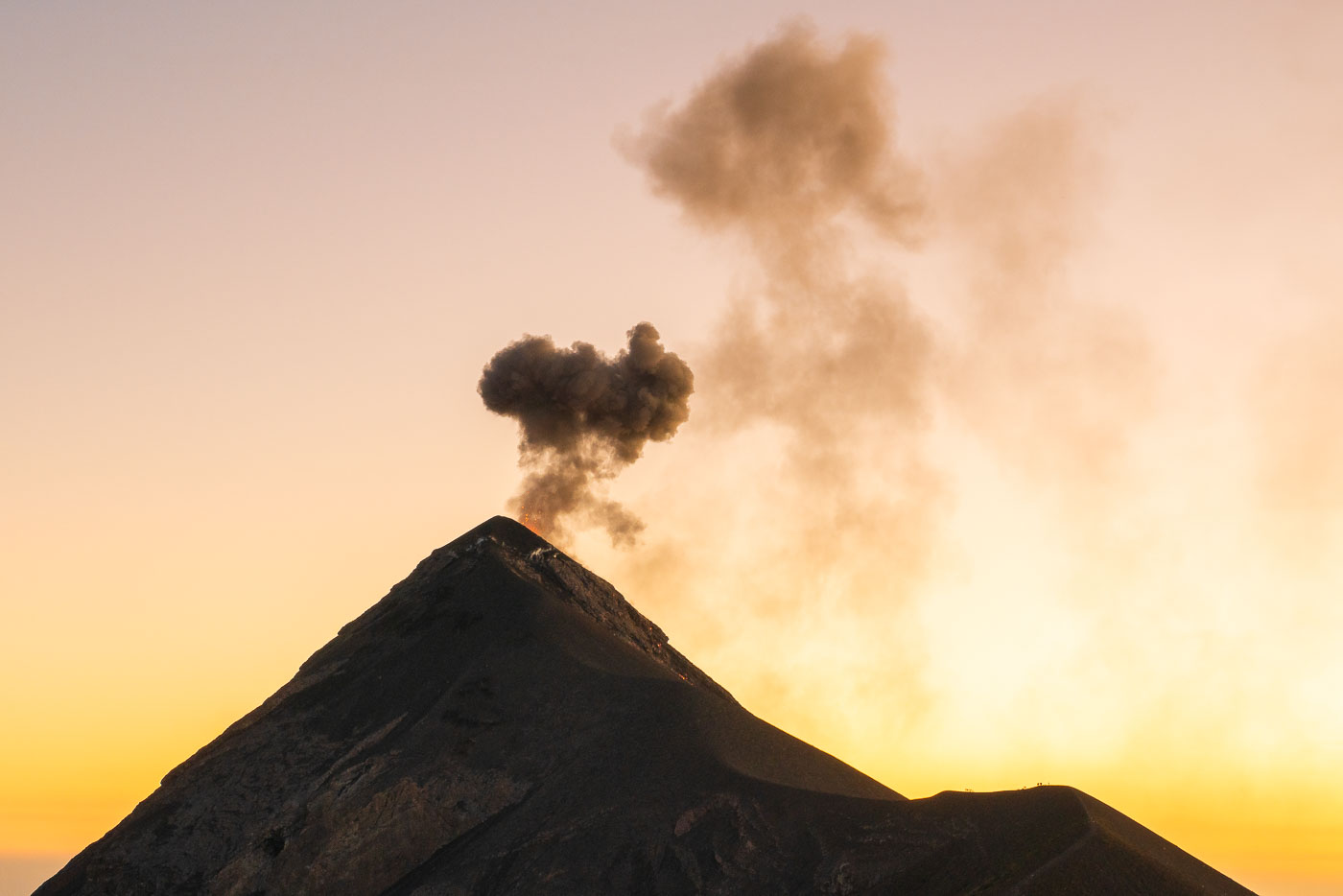
Fuego volcano erupts with a dark ash plume rising against a golden sunset sky in Guatemala.
Volcán de Fuego rises about 3,763 meters near Antigua, Guatemala, and ranks among the most active volcanoes in Central America. It has been in near-constant eruption since 2002, with explosions sending ash columns thousands of feet above its summit on a near-daily basis. The volcano sits within view of three colonial-era cities — Antigua, Ciudad Vieja, and Alotenango — and its 2018 eruption produced a pyroclastic flow that killed dozens of people in nearby villages. Guatemala's volcanology institute, INSIVUMEH, maintains continuous monitoring stations on its slopes.

Ash Plume Rises from Volcán de Fuego at Dusk
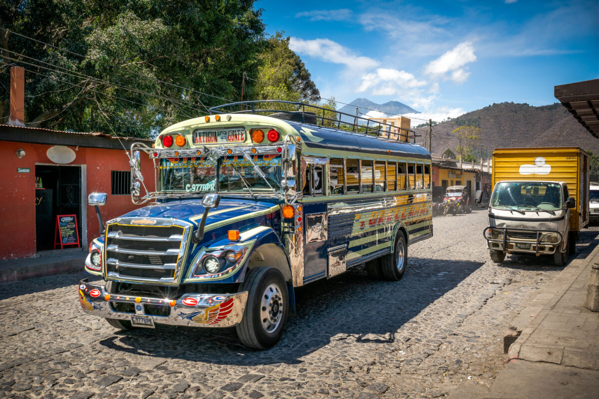
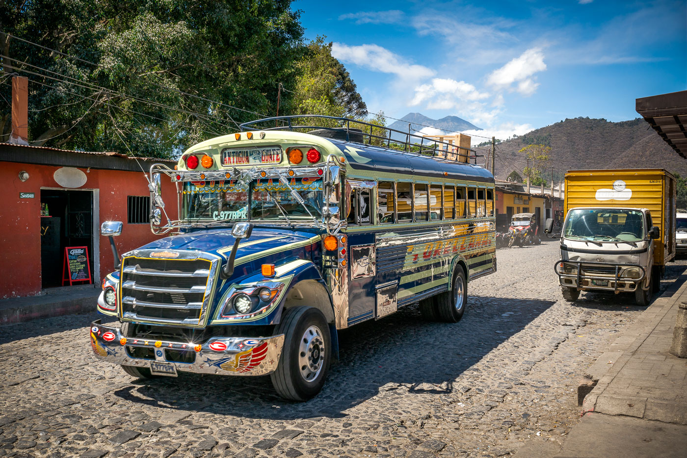
Chicken bus on a cobblestone street in Antigua Guatemala with Volcán de Agua behind it.
A decorated chicken bus travels along a cobblestone street in Antigua Guatemala. These repurposed buses are a common form of public transportation in Guatemala. Volcán de Agua rises in the background above the historic city.

Chicken Bus on Cobblestone Street, Antigua Guatemala
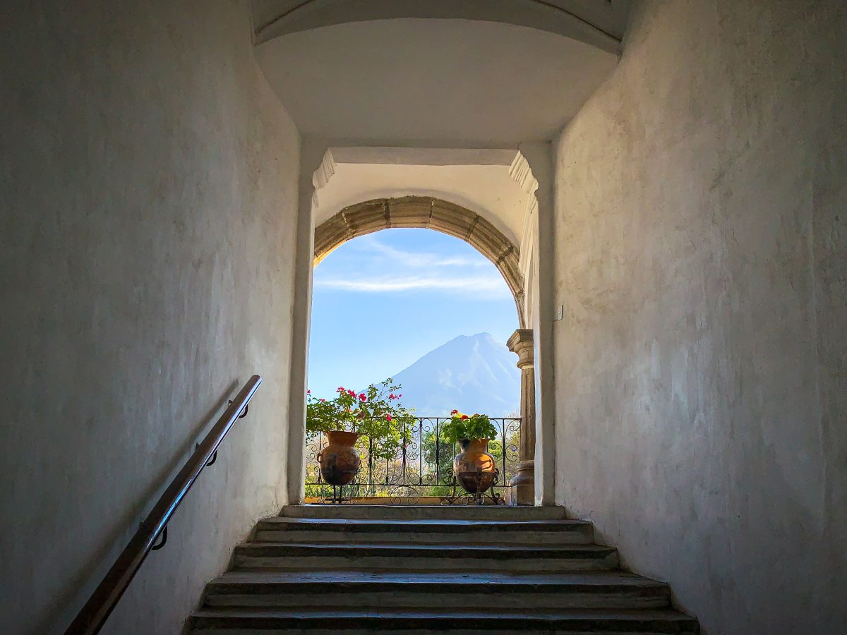
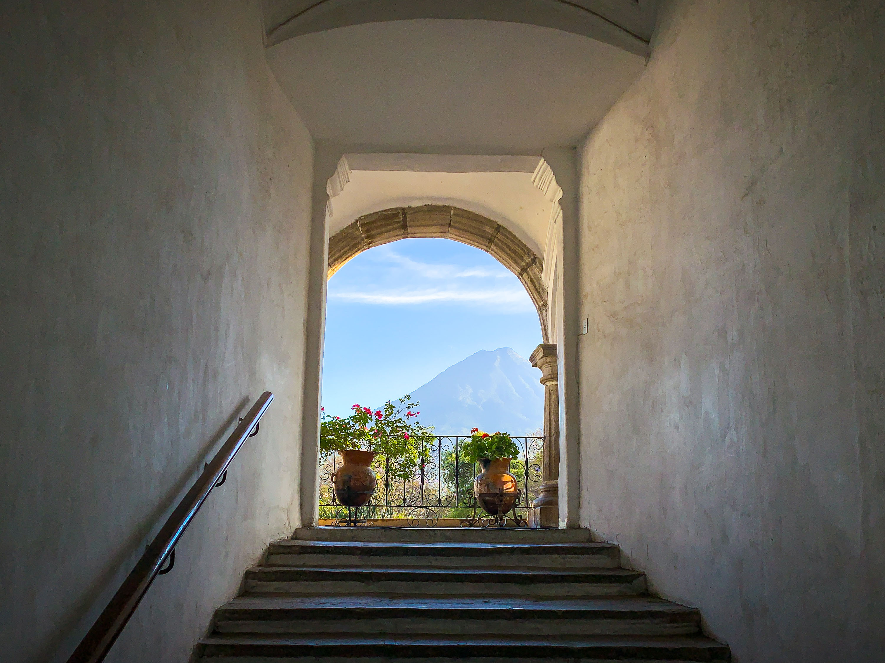
Stone archway and staircase in Antigua Guatemala frame Volcán de Agua rising in the distant landscape.
Volcán de Agua stands just south of Antigua Guatemala, its symmetrical cone rising to 3,766 meters above the valley where Spanish colonists founded the city in 1543 under the name Santiago de los Caballeros. Colonial builders frequently oriented stairways, courtyards, and doorways toward the volcano, a design habit still evident in surviving structures throughout the city. Earthquakes in 1717 and 1773 destroyed much of the original architecture, and the rebuilding that followed preserved the thick plastered walls and arched openings characteristic of 16th- and 17th-century Spanish colonial style. UNESCO designated Antigua Guatemala a World Heritage Site in 1979, citing its intact colonial layout set against the surrounding volcanic landscape.

Stairway Framing Volcán de Agua in Antigua Guatemala
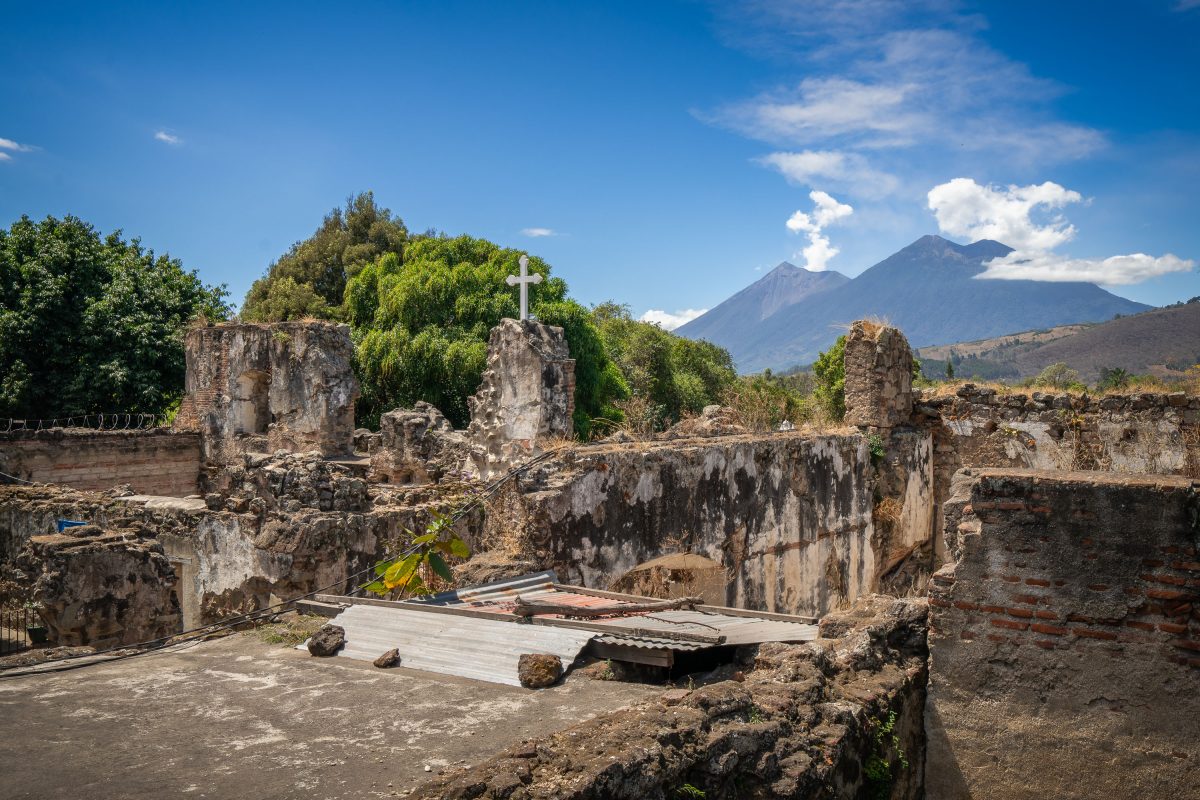
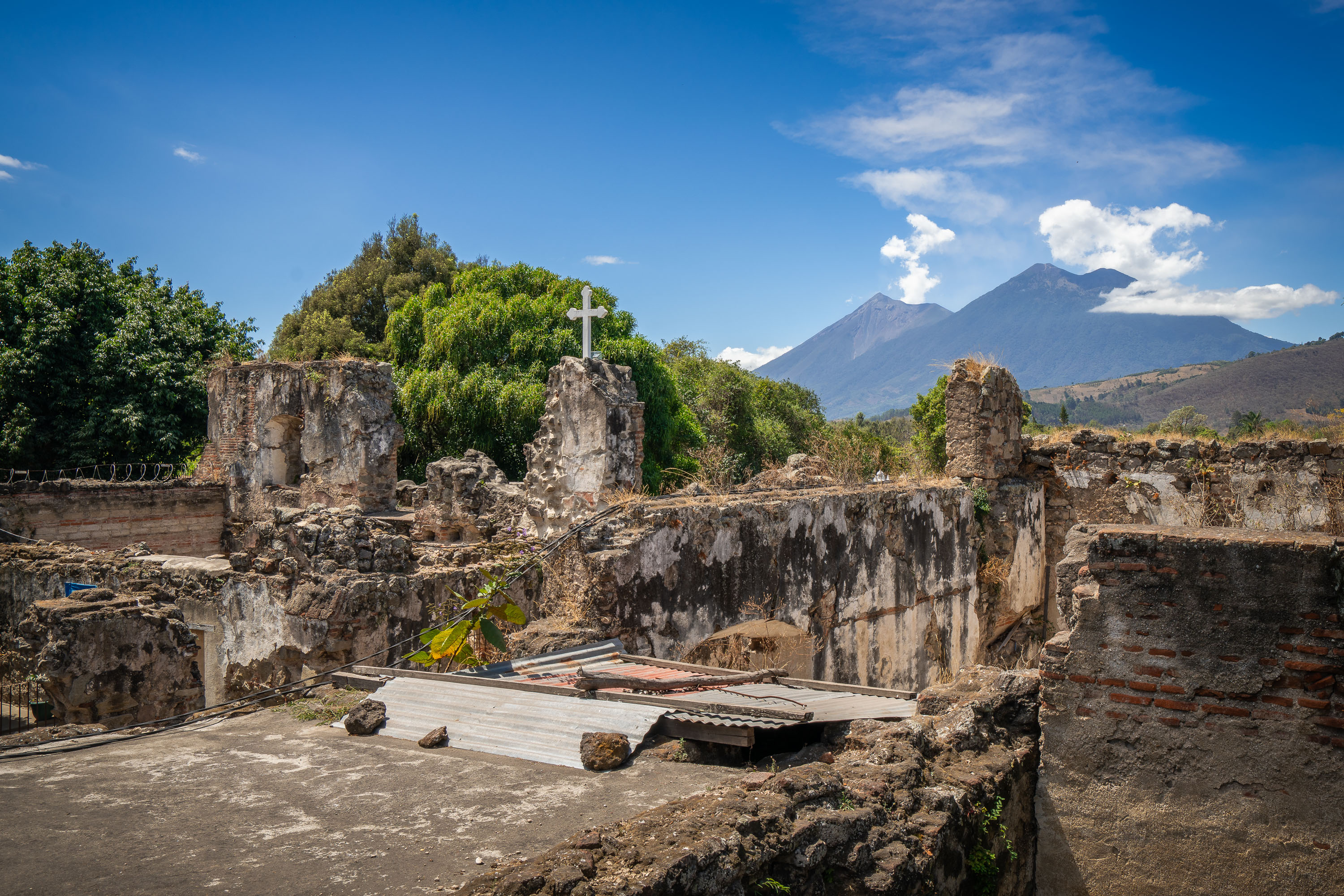
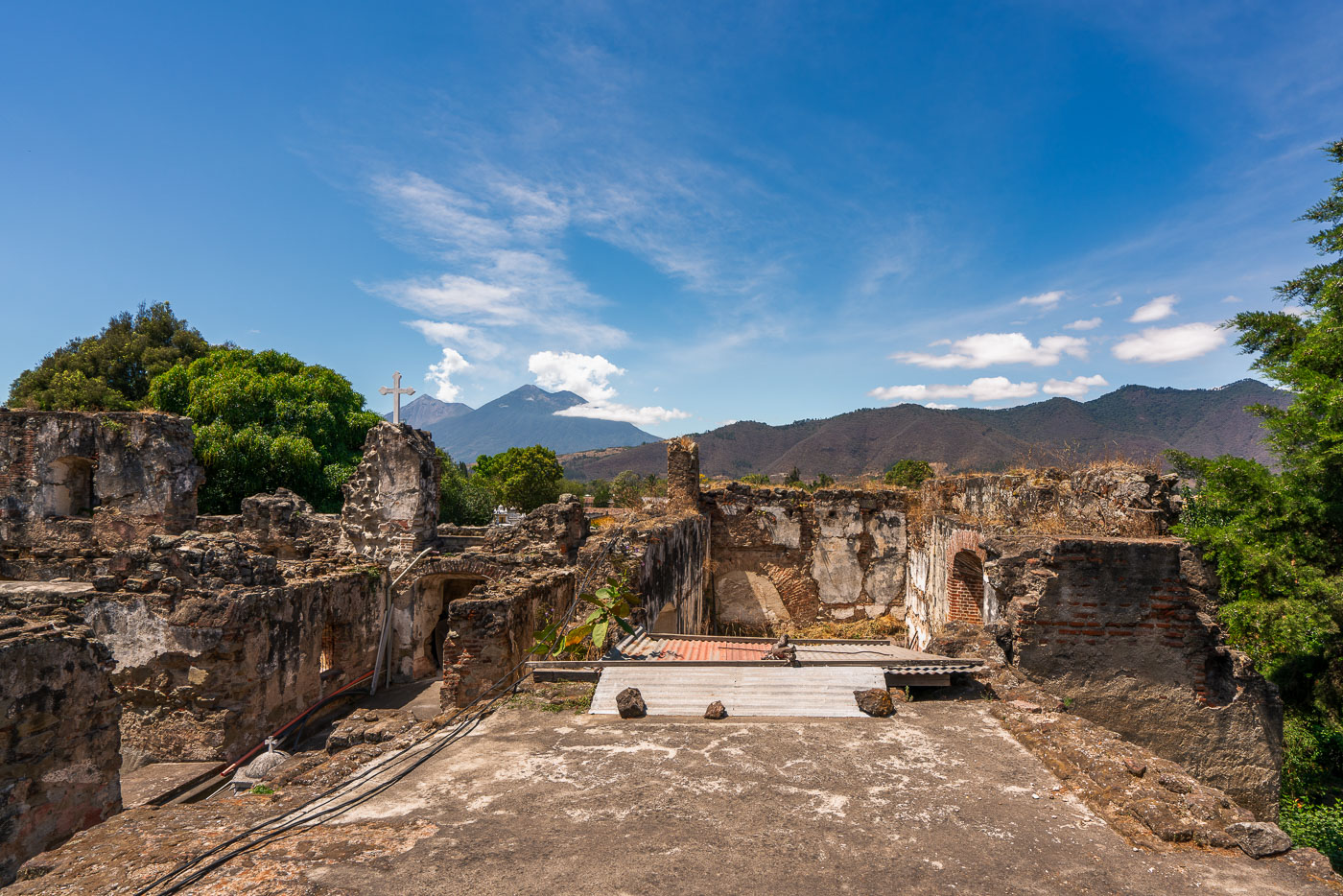
Roofless stone walls and cross at the San Francisco Convent ruins in Antigua Guatemala with volcanoes in the background.
The San Francisco Convent in Antigua Guatemala was founded by Franciscan friars in 1579 and grew into one of the largest religious complexes in colonial Central America, with a church, cloisters, a school, and an infirmary. Earthquakes repeatedly damaged the structure, most severely in 1773, when the destruction led Spanish authorities to relocate Guatemala's capital to what is now Guatemala City. Much of the convent was never rebuilt, leaving the roofless walls and archways that remain part of a protected site within Antigua's UNESCO World Heritage zone. The adjoining church, rebuilt in the 20th century, holds the tomb of Hermano Pedro de San José Betancourt, a Franciscan friar canonized in 2002 and venerated throughout Guatemala. Volcán de Fuego and Volcán Acatenango rise beyond the ruins, part of the volcanic chain that borders the Panchoy Valley where Antigua sits.

San Francisco Convent Ruins Below Volcán de Fuego and Acatenango
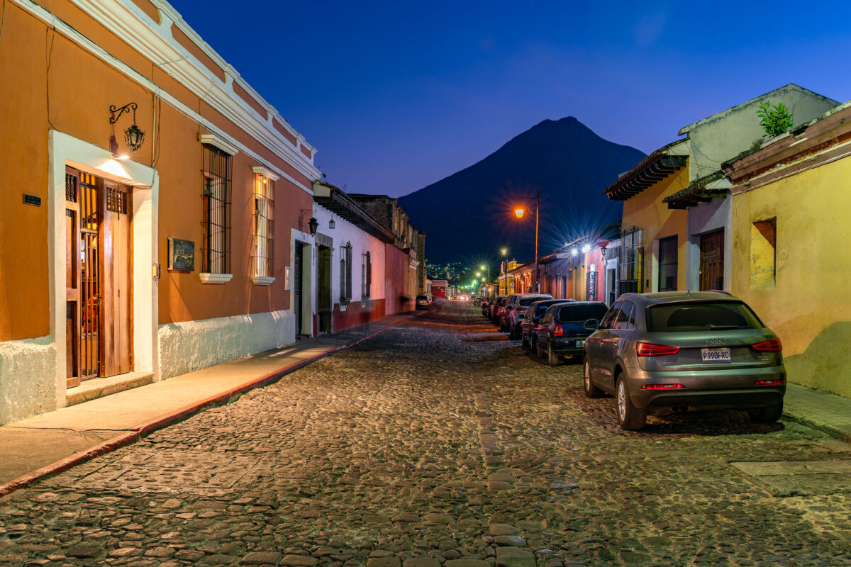
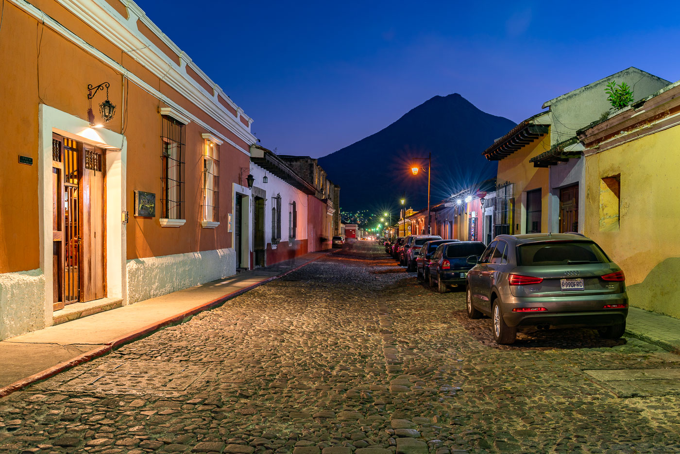
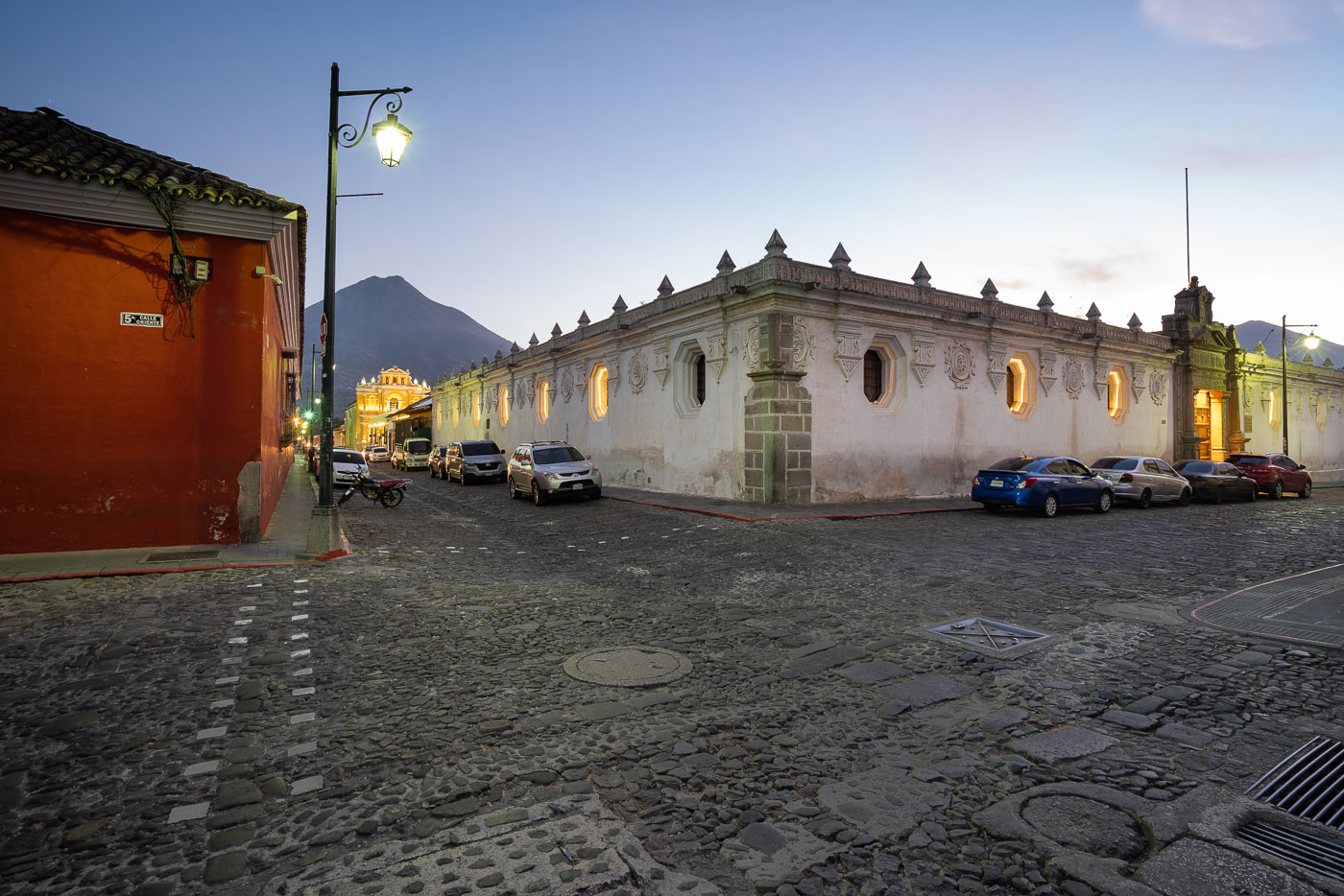
Parked vehicles line a cobblestone street in Antigua Guatemala at twilight with Volcán de Agua rising in the background.
Antigua Guatemala served as the capital of the Captaincy General of Guatemala from 1543 until a series of earthquakes forced the government to relocate to present-day Guatemala City in 1773. The city's colonial grid of cobblestone streets and low masonry buildings survives largely intact, earning it UNESCO World Heritage status in 1979. Volcán de Agua, rising to about 3,760 meters just south of the city, has long served as a landmark for orienting Antigua's streets, many of which align toward its summit.

Dusk Settles Over a Cobblestone Street Beneath Volcán de Agua
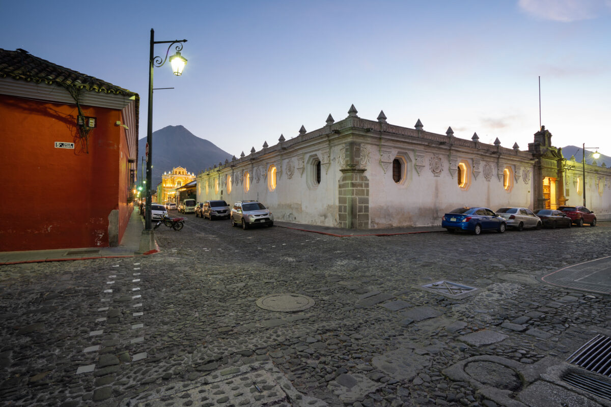
Colonial-era buildings with illuminated windows line a cobblestone street in Antigua Guatemala as Agua Volcano rises in the background at dusk.
5a Calle Oriente runs east-west through the historic center of Antigua Guatemala, part of the city's original 16th-century grid laid out after the Spanish crown relocated its colonial capital here in 1543. Agua Volcano, a dormant stratovolcano rising to roughly 3,760 meters, stands just south of the city and gave Antigua its name after a 1541 mudslide from its slopes destroyed the earlier Spanish capital at its base. Antigua Guatemala's colonial street grid and surrounding volcanoes were inscribed as a UNESCO World Heritage Site in 1979, recognizing the city's preserved Spanish Baroque architecture.

Twilight on 5a Calle Oriente Toward Agua Volcano, Antigua
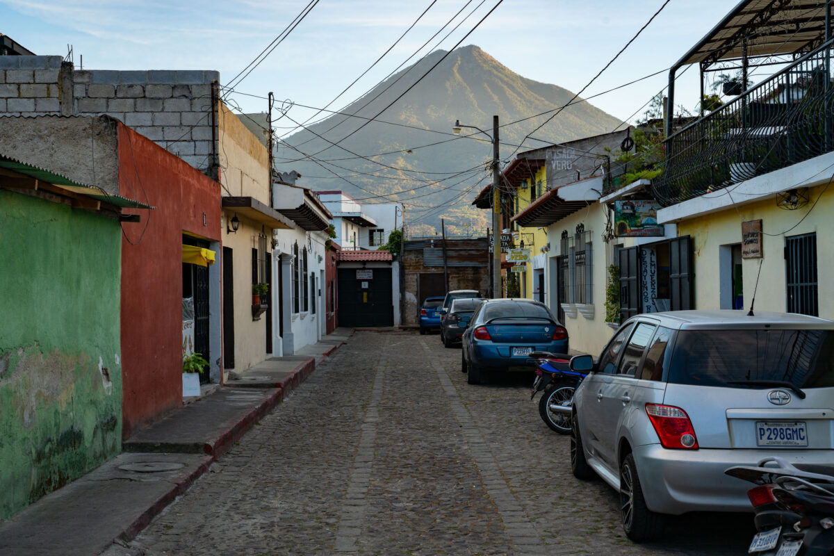
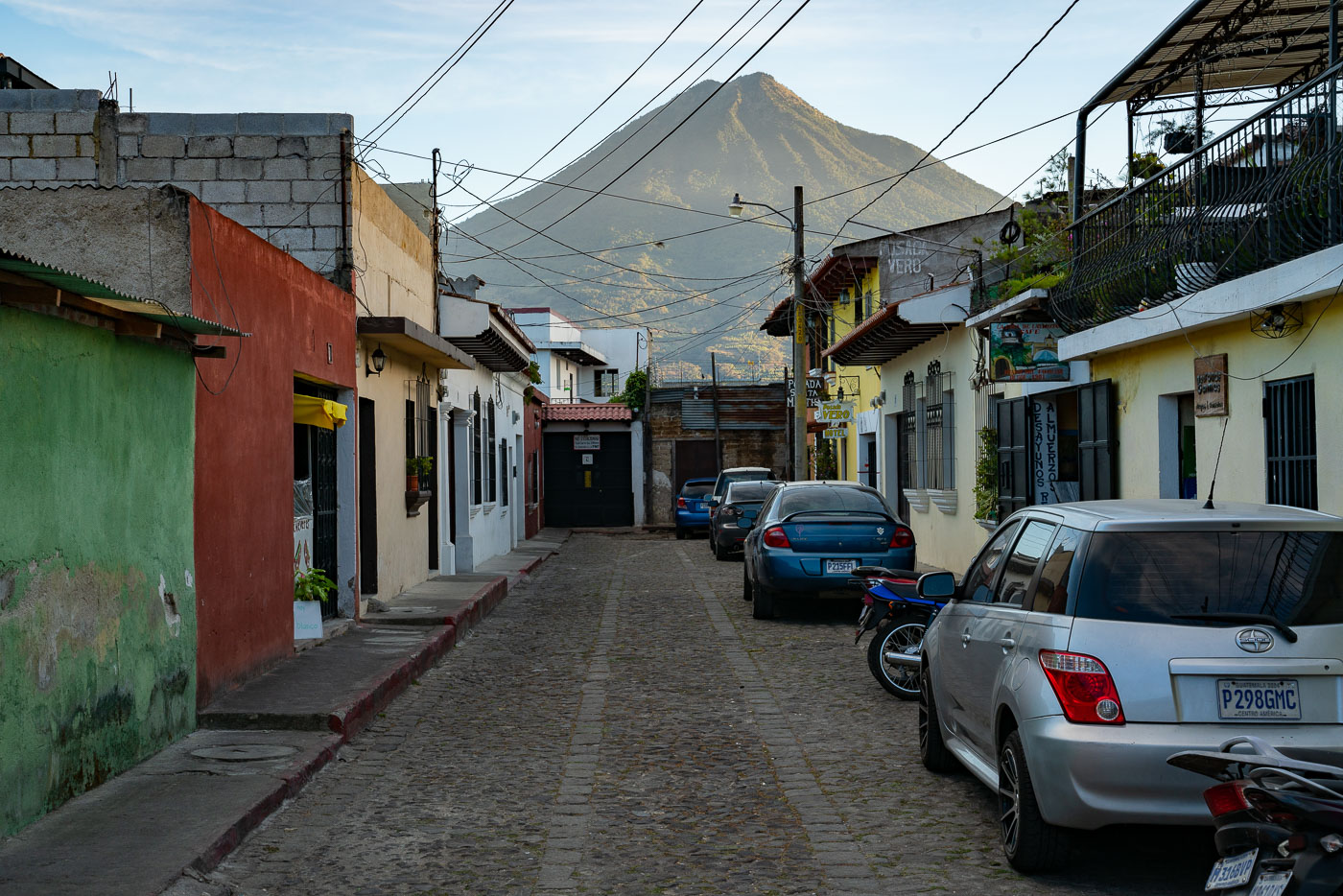
A narrow cobblestone street in colonial Antigua, Guatemala, with parked vehicles and colorful buildings framing Volcán de Agua in the distance.
Volcán de Agua rises about 3,760 meters above sea level just south of Antigua Guatemala, and its symmetrical cone is visible from streets throughout the city. Antigua's grid of cobblestone streets dates to the 16th century, when the city served as the capital of the Captaincy General of Guatemala. UNESCO designated the city's historic center a World Heritage Site in 1979, citing its well-preserved colonial layout and architecture. Many of the low buildings lining streets like this one combine original colonial walls with later additions, a pattern common throughout the city after repeated earthquake damage prompted rebuilding over the centuries.

Parked Cars Along a Cobblestone Lane Near Volcán de Agua, Antigua
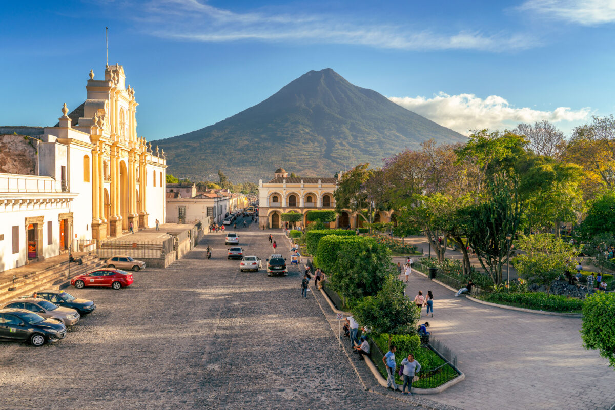
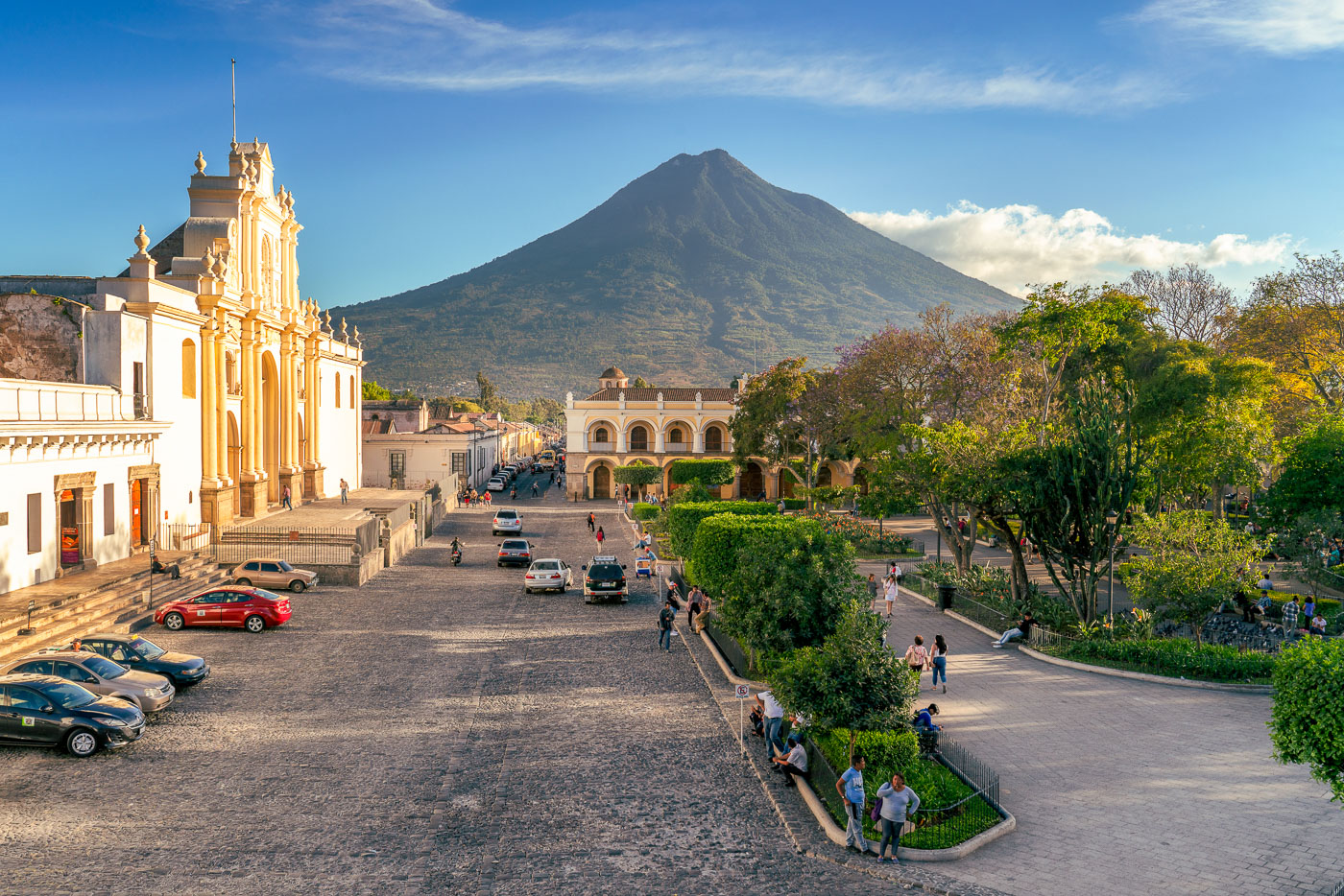
Catedral de Santiago and Volcán de Agua dominate Parque Central in Antigua Guatemala, a UNESCO World Heritage colonial city.
The Catedral de San José faces Parque Central in Antigua Guatemala, its current facade dating to a 1680 rebuilding after earlier quakes destroyed the original 1543 structure. Much of the cathedral's nave and rear chapels collapsed in the 1773 Santa Marta earthquake, which prompted colonial authorities to relocate the capital to present-day Guatemala City. Only the front portion was later restored for regular use, while ruins of the old naves remain behind it. Volcán de Agua, rising to about 3,760 meters, takes its name from a 1541 mudslide that destroyed the original Spanish capital at Ciudad Vieja. Antigua Guatemala's historic center was named a UNESCO World Heritage Site in 1979 for its preserved Spanish colonial layout and architecture.

San José Cathedral and Volcán de Agua Over Antigua Guatemala
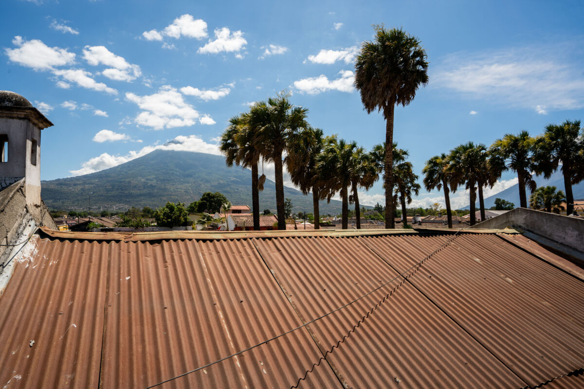
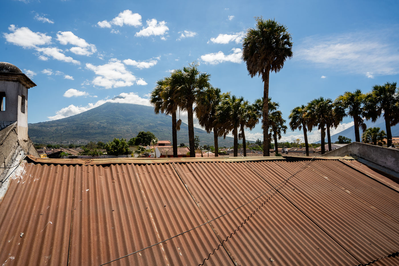
Agua Volcano rises above the roofline of Antigua, Guatemala, framed by palm trees under a blue sky.
Volcán de Agua rises to 3,760 meters south of Antigua Guatemala, its symmetrical cone a defining landmark of the Panchoy Valley. The volcano takes its name — "water" — from a 1541 mudslide and flood that destroyed the early Spanish capital of Ciudad Vieja, prompting colonial authorities to relocate the capital to the site of present-day Antigua. It last erupted in 1543 and is now dormant, in contrast to the active Fuego volcano nearby. Corrugated metal roofing, common throughout Antigua's historic district, covers many of the colonial-era buildings within the city's UNESCO World Heritage site, designated in 1979.

Rooftop View of Volcán de Agua, Antigua Guatemala
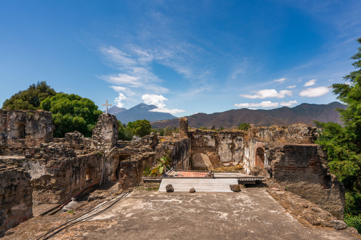
Stone ruins of the San Francisco el Grande colonial church and convent in Antigua, Guatemala, with Agua Volcano visible in the distance.
San Francisco el Grande began as a Franciscan church and convent built in Antigua in 1579. Earthquakes, most severely the 1773 Santa Marta tremors, left much of the original structure in ruins, and the complex stood largely abandoned until restoration efforts took hold in the 20th century. A newer sanctuary adjoining the ruins now holds the tomb of Hermano Pedro de San José Betancur, canonized in 2002 as Guatemala's first saint, drawing pilgrims from across Central America. Volcán de Agua, a 3,760-meter stratovolcano southeast of the city, has long served as a landmark for travelers approaching Antigua.

A Stone Cross Among the Ruins of San Francisco el Grande
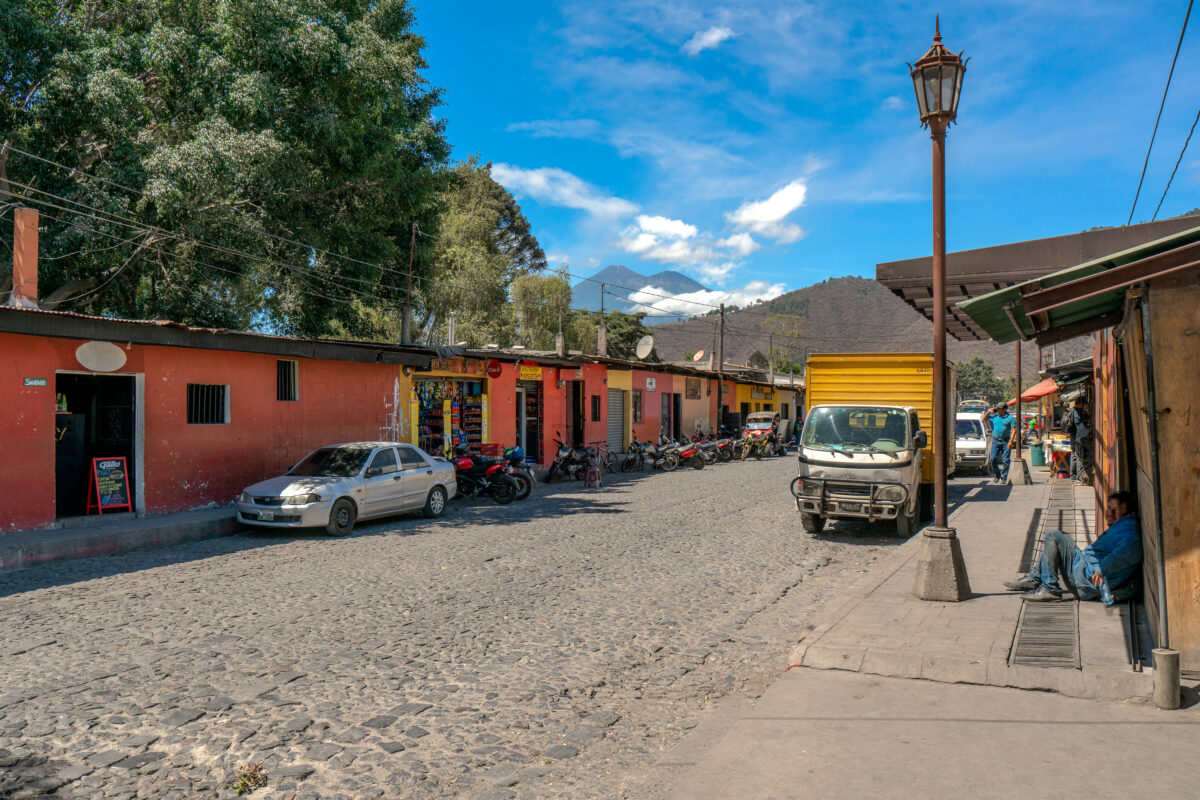
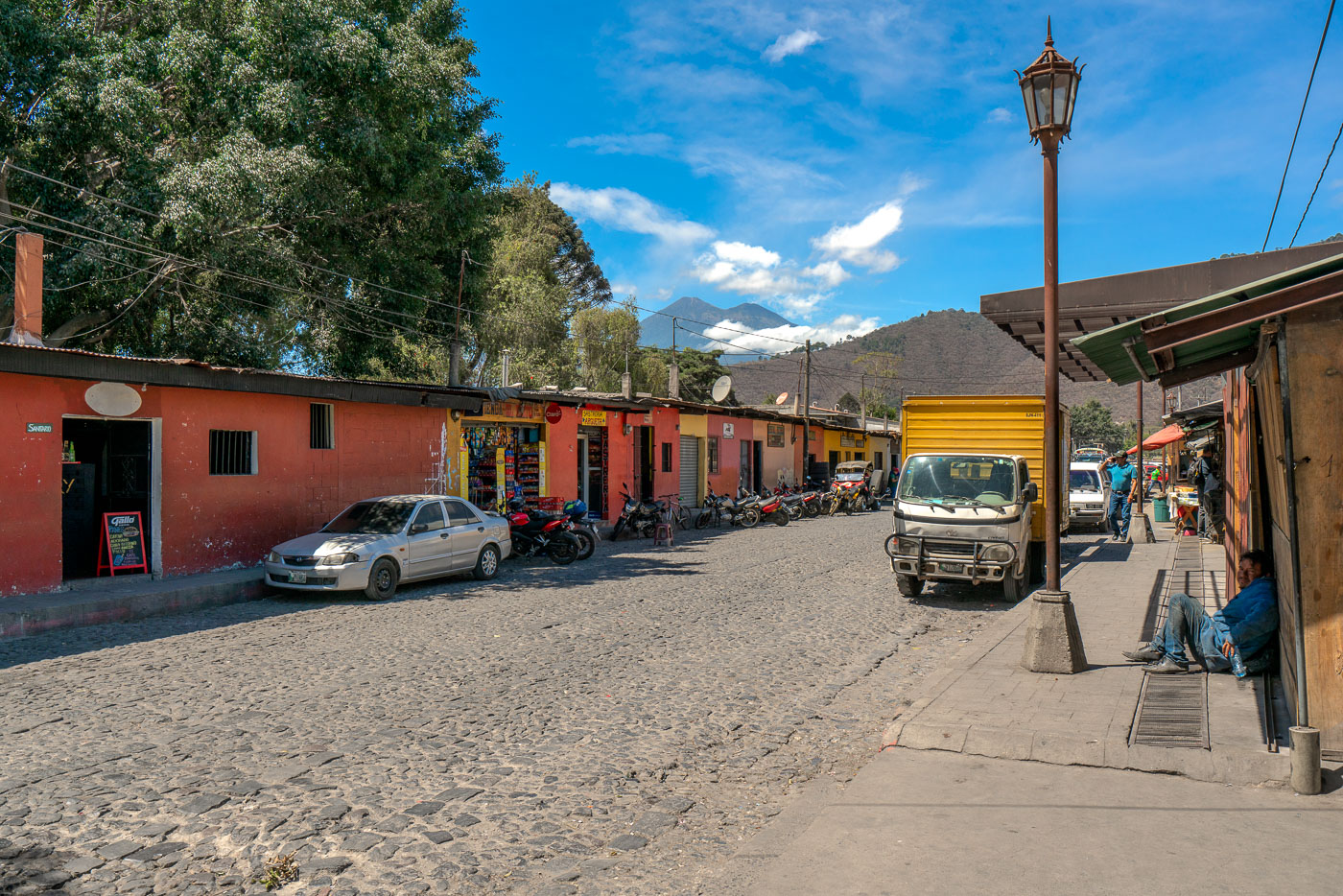
Cobblestone street in Antigua Guatemala with colonial buildings, parked vehicles, and Agua volcano visible in the distance.
Volcán de Agua rises just south of Antigua Guatemala, a dormant stratovolcano reaching about 3,760 meters above sea level. A mudslide from the volcano destroyed the nearby settlement of Ciudad Vieja in 1541, prompting Spanish colonists to relocate their capital to what became Antigua two years later. Antigua Guatemala served as the seat of the Captaincy General of Guatemala until a series of earthquakes forced its abandonment in 1773. Its cobblestone streets and low colonial buildings, many dating to the 16th through 18th centuries, helped earn the city UNESCO World Heritage status in 1979.

Market Street Below Volcán de Agua in Antigua
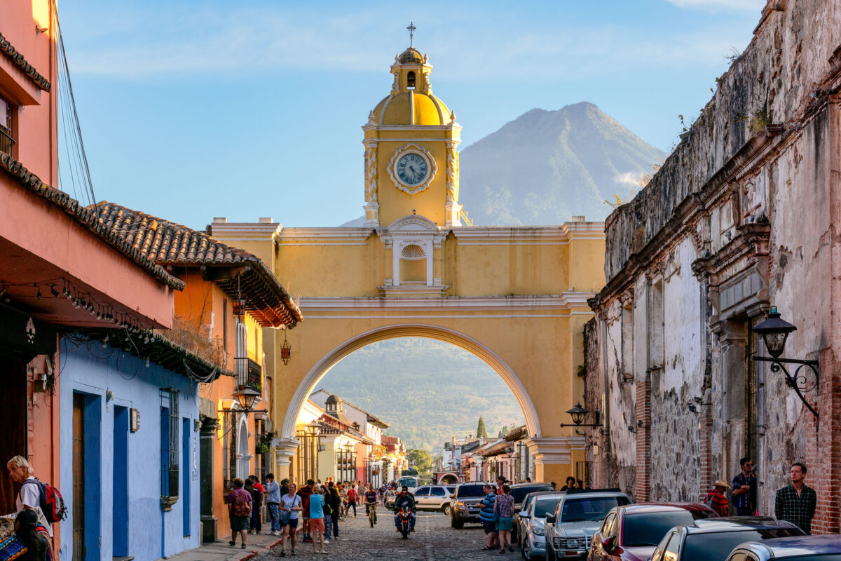
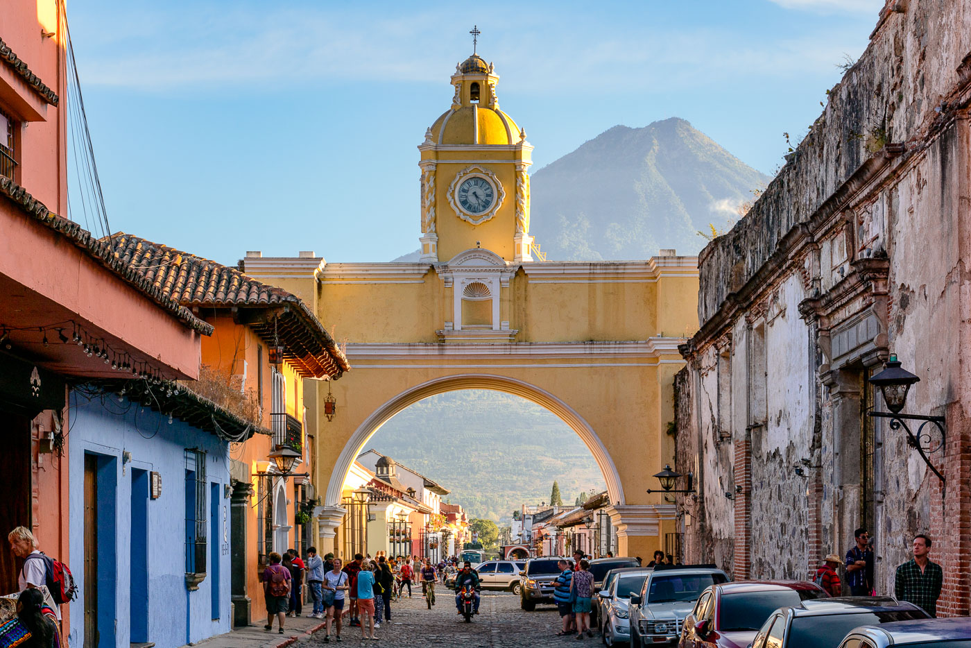
Santa Catalina Arch with its yellow clock tower frames a cobblestone street in colonial Antigua Guatemala, with Volcán de Agua rising in the background.
Santa Catalina Arch spans 5a Avenida Norte in Antigua Guatemala, one of the city's most recognized colonial structures. It was built in 1694 to let cloistered nuns of the Santa Catalina convent cross the street to an adjoining school without being seen in public, as their order's rules forbade. The convent itself was founded in 1609 and largely destroyed by the 1773 earthquake that led Spanish authorities to relocate the colonial capital to present-day Guatemala City. The arch's clock tower was added in the 19th century, after the city had already been abandoned as the seat of government. Volcán de Agua, a roughly 3,760-meter stratovolcano, rises directly south of the city and is visible through the arch on clear days.

Santa Catalina Arch and Volcán de Agua, Antigua Guatemala
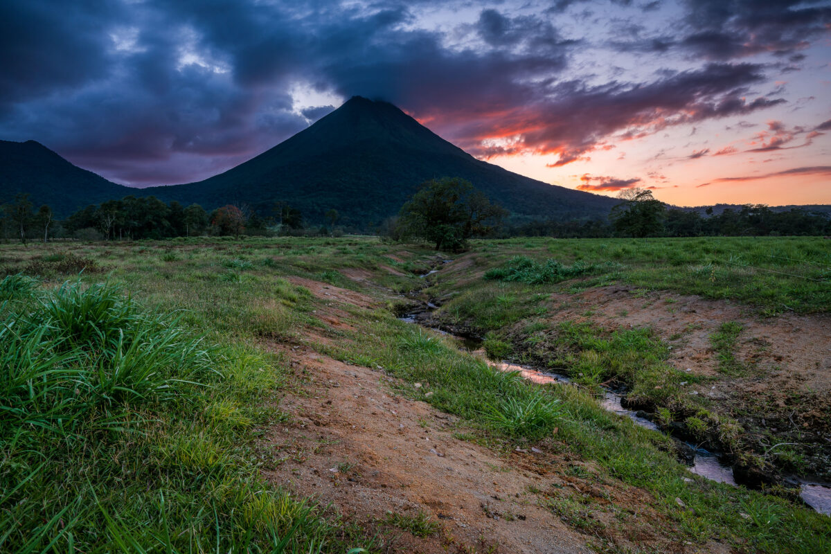
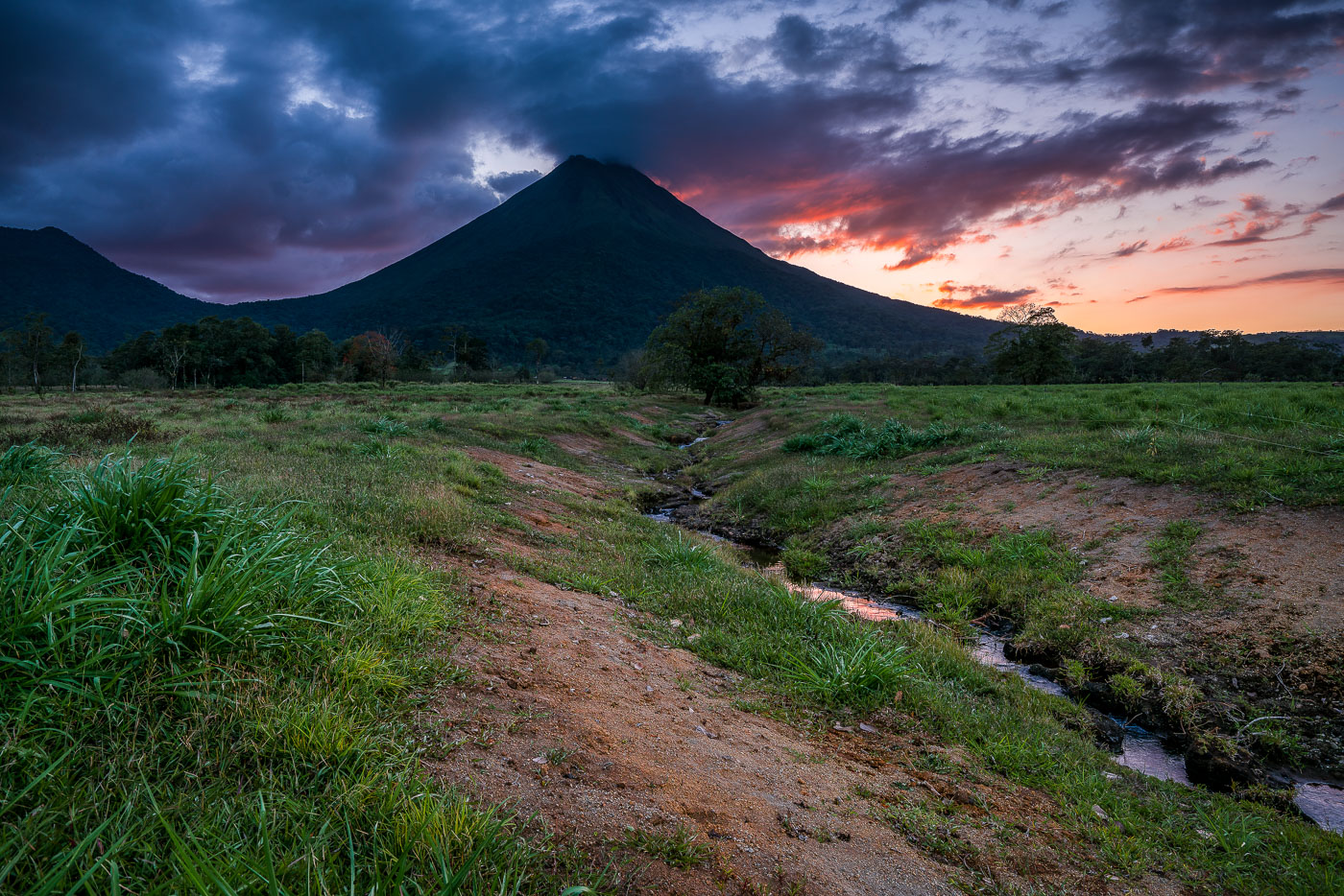
Arenal Volcano rises above grassy plains with a stream running through the foreground at sunset near La Fortuna, Costa Rica.
Arenal Volcano stands 1,633 meters tall near La Fortuna in Costa Rica's Alajuela province. Its symmetrical cone formed through repeated eruptions that began in 1968, when a sudden blast destroyed the nearby villages of Tabacón and Pueblo Nuevo and killed 87 people. The eruption marked the start of continuous activity that lasted until 2010, when the volcano entered its current dormant phase. The surrounding lowlands, drained by small streams like this one, are part of Arenal Volcano National Park, established in 1991 to protect the area's forests and wildlife.

Twilight Creek Below Arenal Volcano, Costa Rica
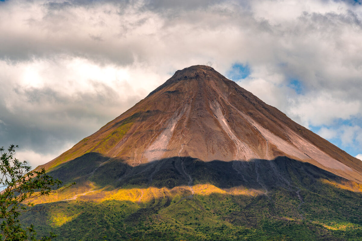
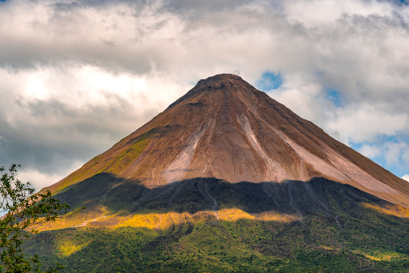
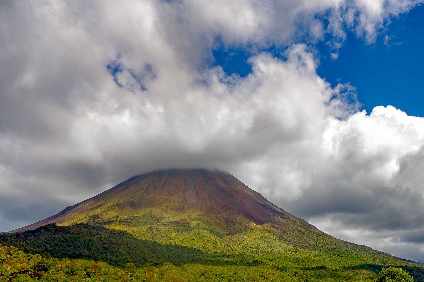
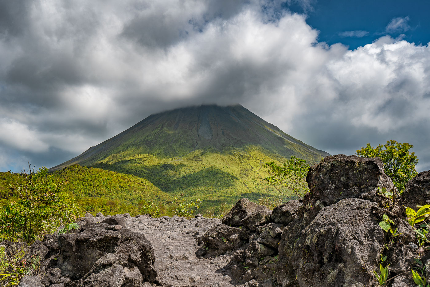
Arenal Volcano's symmetrical cone rises above forested foothills under partly cloudy skies in northwestern Costa Rica.
Arenal Volcano stands 1,633 meters high near La Fortuna in Costa Rica's Alajuela Province. The stratovolcano entered a major eruptive phase in 1968 after lying dormant for centuries, an event that destroyed the villages of Tabacón, Pueblo Nuevo, and San Luis. Eruptive activity continued almost without pause until 2010, placing Arenal among the most closely studied volcanoes in Central America during that period. Costa Rica established Arenal Volcano National Park in 1991 to protect the surrounding forest, which supports tapirs, pumas, and hundreds of recorded bird species. The volcano's symmetrical shape comes from repeated layers of ash and lava deposited during its decades of activity.

Arenal Volcano’s Cone Beneath a Shifting Sky
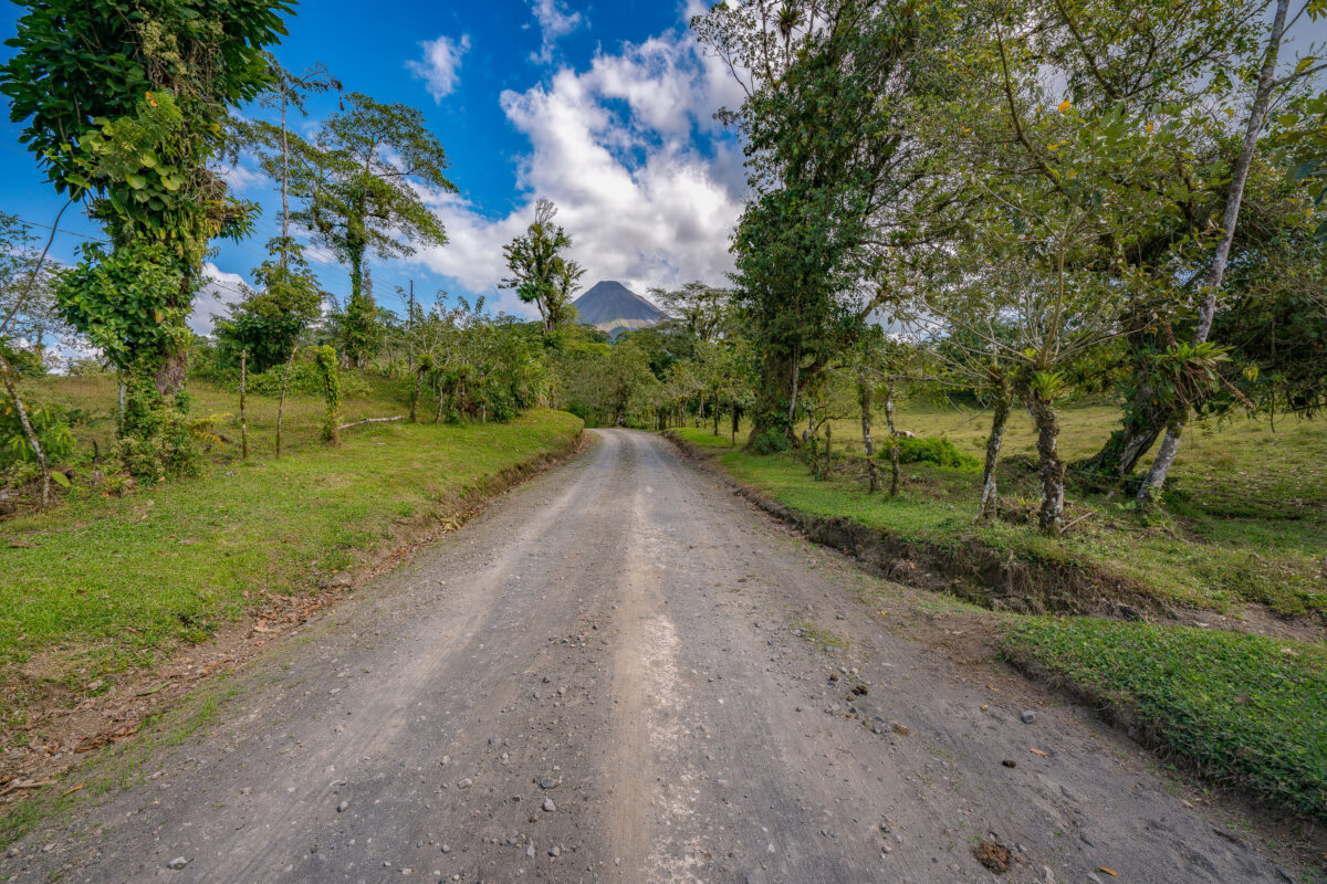
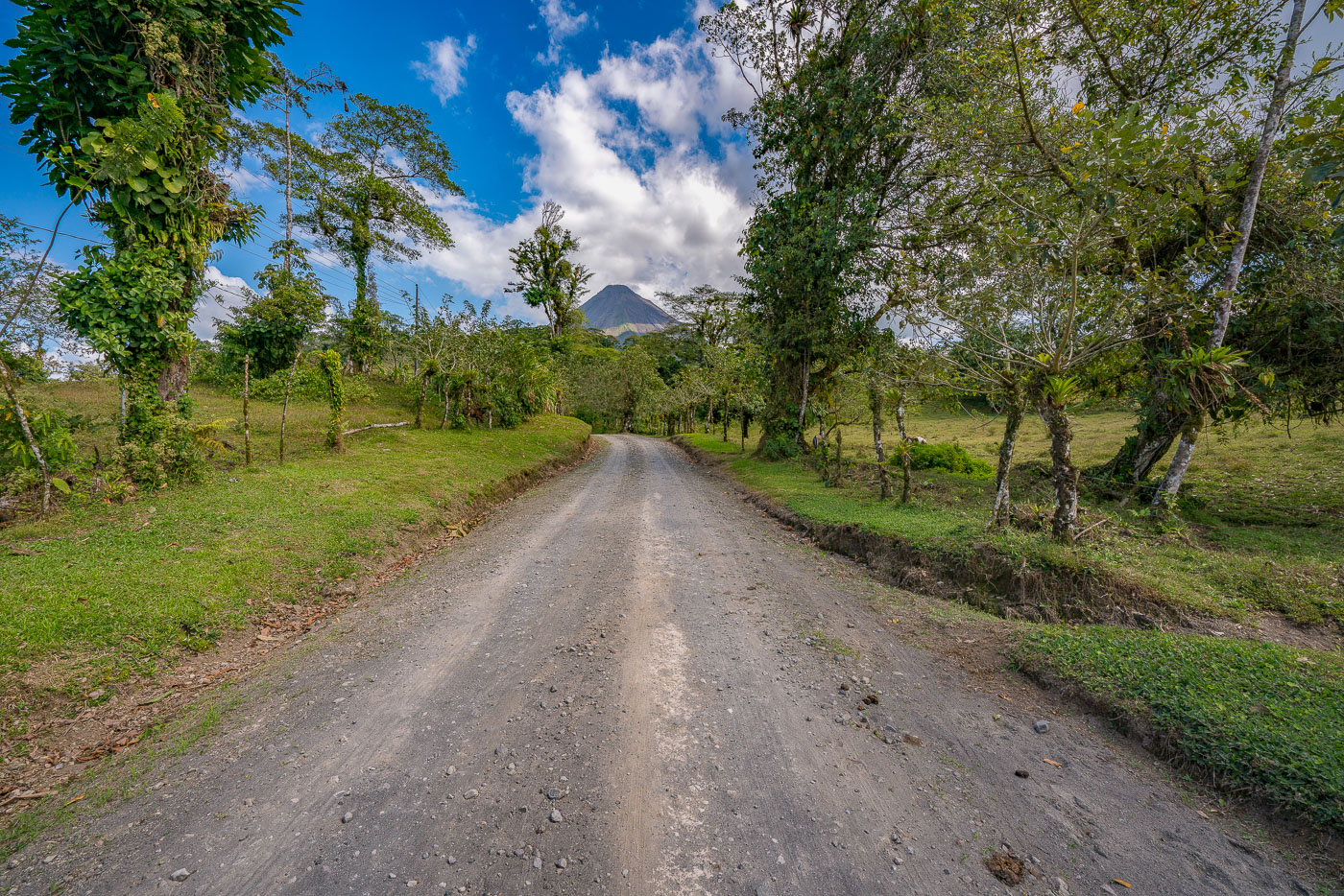
A gravel road lined with trees and pasture leads toward Arenal Volcano's cone in Costa Rica.
Arenal Volcano rises 1,633 meters above the plains of Alajuela Province in northern Costa Rica. The stratovolcano erupted almost continuously from 1968 until 2010, when activity ceased and the peak returned to a dormant state. It anchors Arenal Volcano National Park, established in 1991, and sits a few kilometers from the town of La Fortuna, the main gateway for visitors to the area. The surrounding countryside remains largely agricultural, with cattle pasture and small farms spread across the volcano's lower slopes.

Dirt Road to Arenal Volcano Near La Fortuna
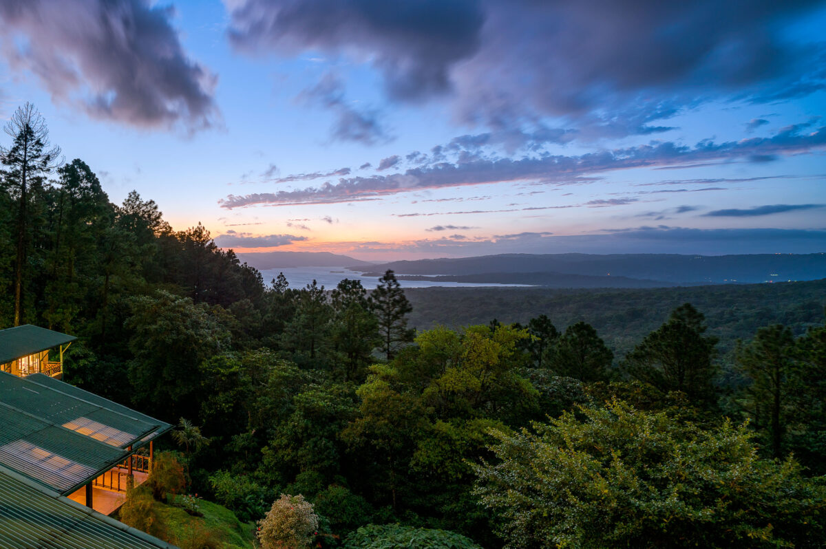
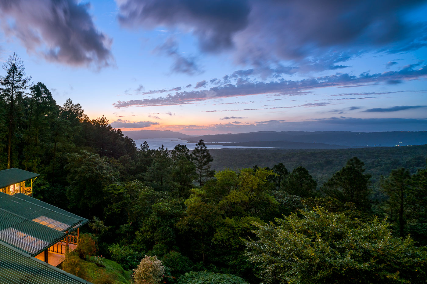
Arenal Observatory Lodge overlooks Lake Arenal and rainforest at twilight in Costa Rica's Alajuela Province.
Arenal Observatory Lodge sits on the southern flank of Arenal Volcano, overlooking Lake Arenal in Costa Rica's Alajuela province. The lodge began in 1987 as a research station built to house volcanologists monitoring Arenal's eruptions, which continued almost continuously from 1968 until 2010. Lake Arenal itself is artificial, formed in 1979 when a dam was built for hydroelectric power and now supplying a significant share of the country's electricity. The property later converted from a scientific outpost into a hotel, with trails leading through the surrounding rainforest toward the volcano's lower lava fields.

Dusk Over Lake Arenal from Arenal Observatory Lodge
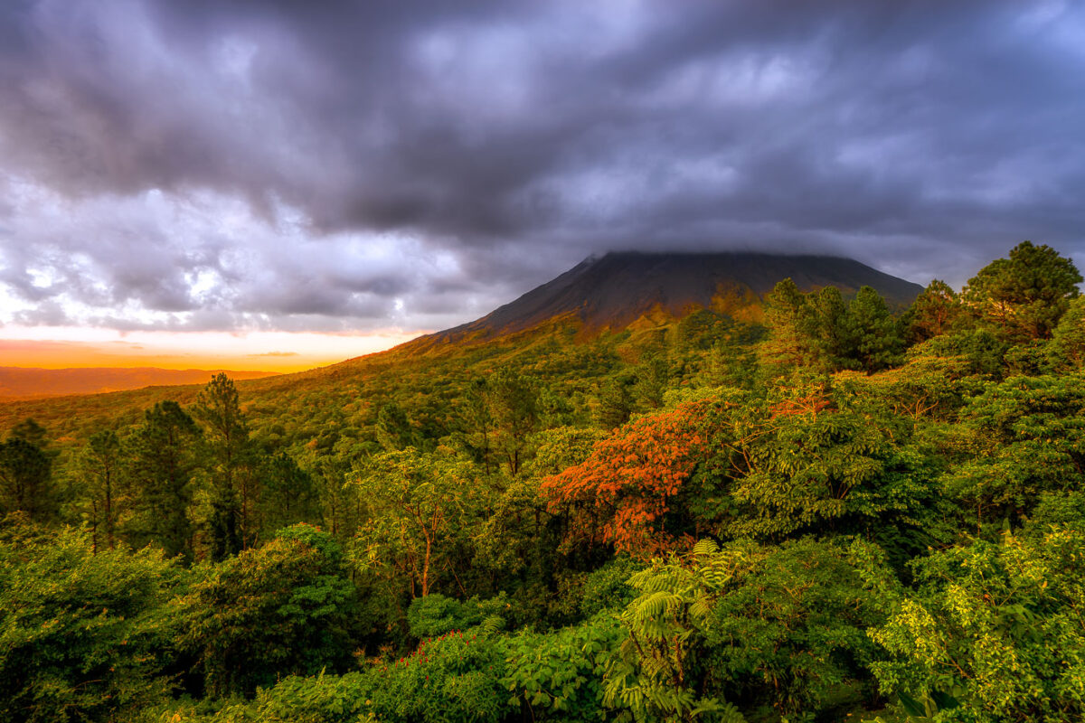
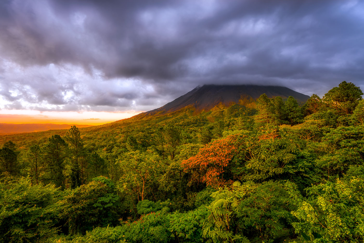
Arenal Volcano rises above dense rainforest canopy under stormy skies near La Fortuna, Costa Rica.
Arenal Volcano rises 1,657 meters above the plains of northern Costa Rica, near the town of La Fortuna in Alajuela Province. The stratovolcano stayed dormant for centuries before an eruption in 1968 destroyed the nearby village of Tabacón and reshaped its slopes with the lava flows still visible today. It erupted continuously from 1968 until activity ceased in 2010, making it one of the youngest active volcanoes in Central America during that period. The surrounding land was designated Arenal Volcano National Park in 1991, protecting the rainforest that now covers much of the mountain's lower flanks.

Sunset Light Breaks Over Arenal Volcano Near La Fortuna
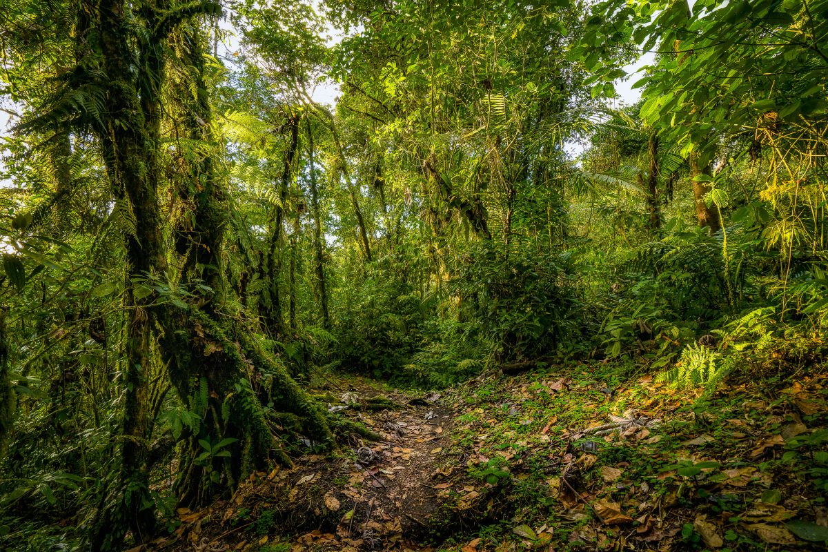
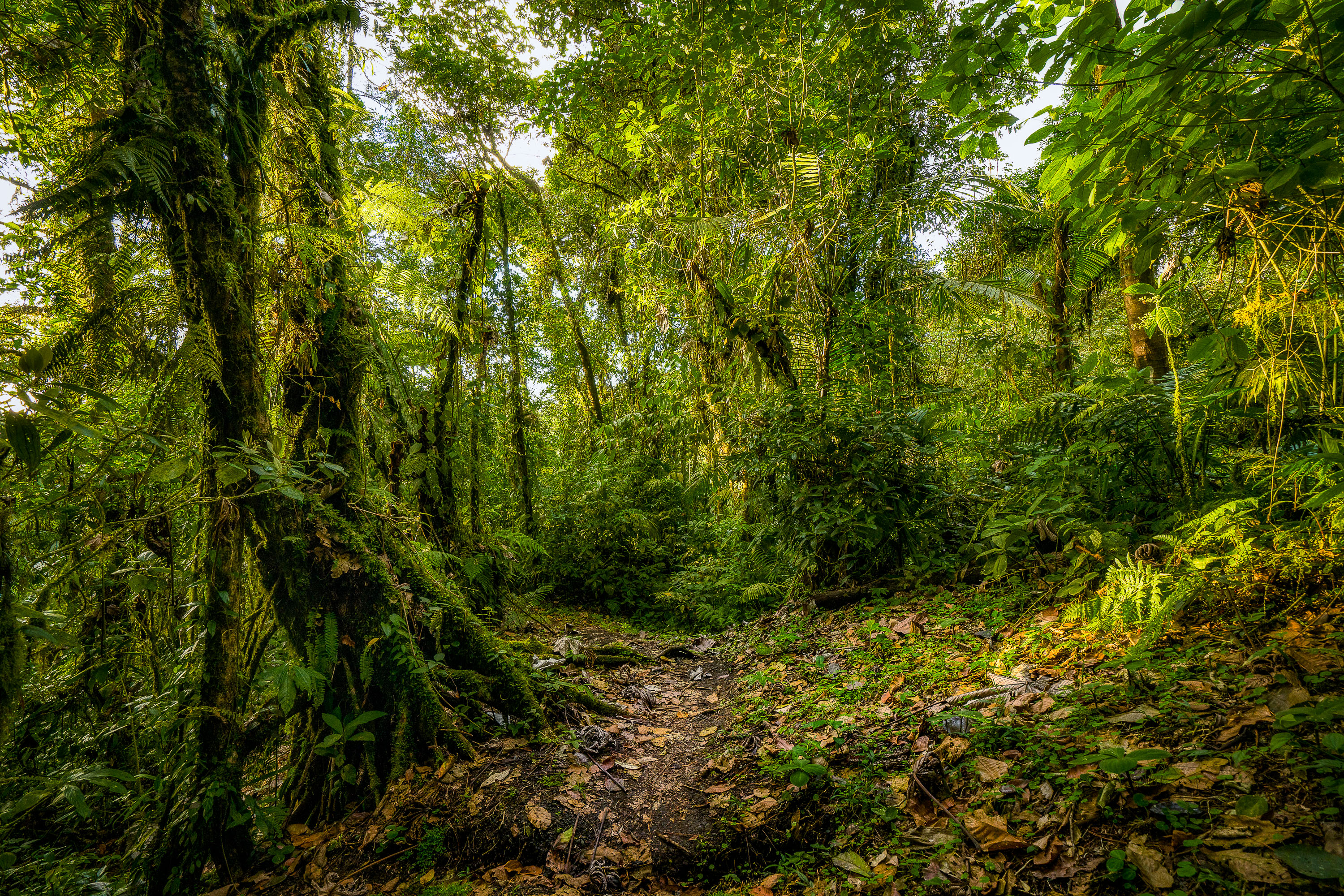
A trail winds through dense moss-covered vegetation and trees in Monteverde Cloud Forest Preserve, Costa Rica.
The Monteverde Cloud Forest Biological Preserve sits along the Continental Divide in Costa Rica's Tilarán Mountains, roughly 1,440 meters above sea level. Established in 1972 and now managed by the Tropical Science Center, it protects more than 10,500 hectares of habitat spanning several life zones. Over 400 bird species and 2,500 plant species have been recorded here, including hundreds of orchid varieties and abundant epiphytes that thrive in the near-constant moisture. A network of marked trails, originally developed for researchers, now gives visitors access to the forest while limiting impact on the surrounding ecosystem.

Hiking Trail in the Monteverde Cloud Forest Preserve
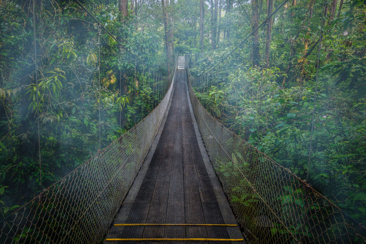
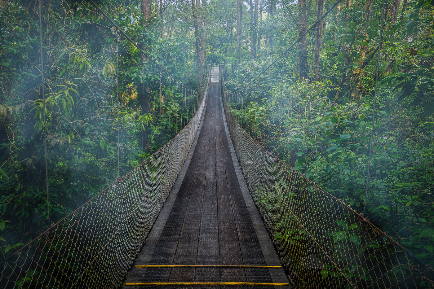
A suspension bridge crosses through dense rainforest canopy near Arenal Observatory Lodge in Costa Rica.
Arenal Observatory Lodge sits on the lower slopes of Arenal Volcano in Costa Rica's Alajuela province, and its trail network includes several hanging bridges that cross the surrounding rainforest. The lodge opened to the public in the 1980s after operating as a research station for volcanologists studying Arenal's activity, which continued from 1968 until it quieted in 2010. The trails connect patches of primary and secondary forest once used to monitor the volcano, and the property sits within view of Lake Arenal, Costa Rica's largest artificial reservoir.

Hanging Bridge Through the Canopy at Arenal Observatory Lodge
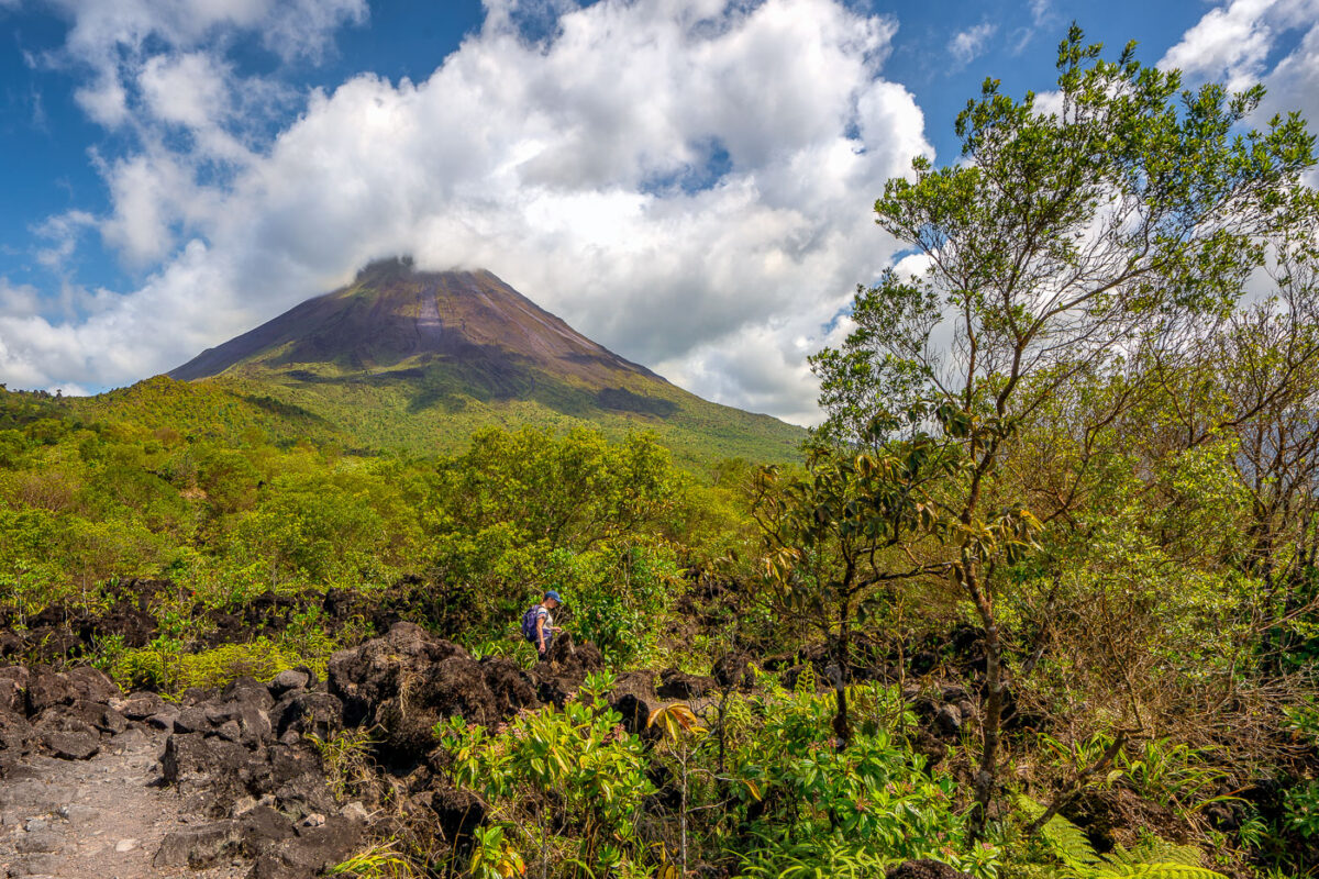
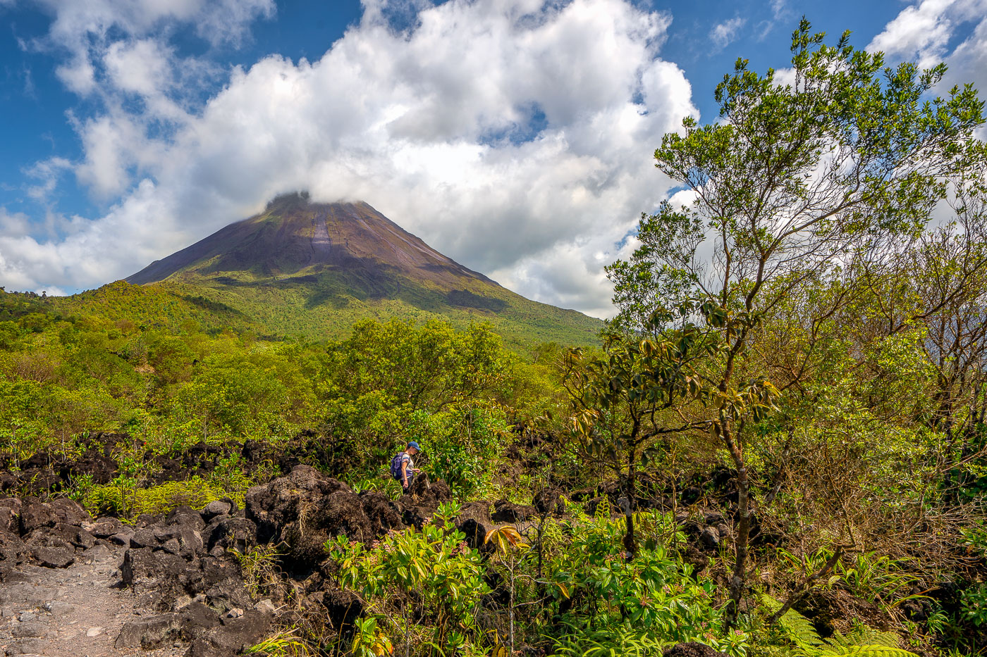
A hiker navigates through volcanic rock and regenerating vegetation below Arenal Volcano in Costa Rica.
Arenal Volcano rises 1,633 meters in Costa Rica's Alajuela Province, part of the Cordillera de Tilarán. The volcano lay dormant for centuries before erupting without warning in July 1968, burying nearby villages and killing dozens of residents. That eruption began an active period lasting until 2010, during which flows of andesitic lava built up the loose rock fields that now cover much of its base. Arenal Volcano National Park, established in 1991, protects the cone and surrounding forest, and trails through the old lava fields let hikers walk across terrain formed within the last half-century.

Climbing Through Lava Rock on Arenal’s 1968 Trail
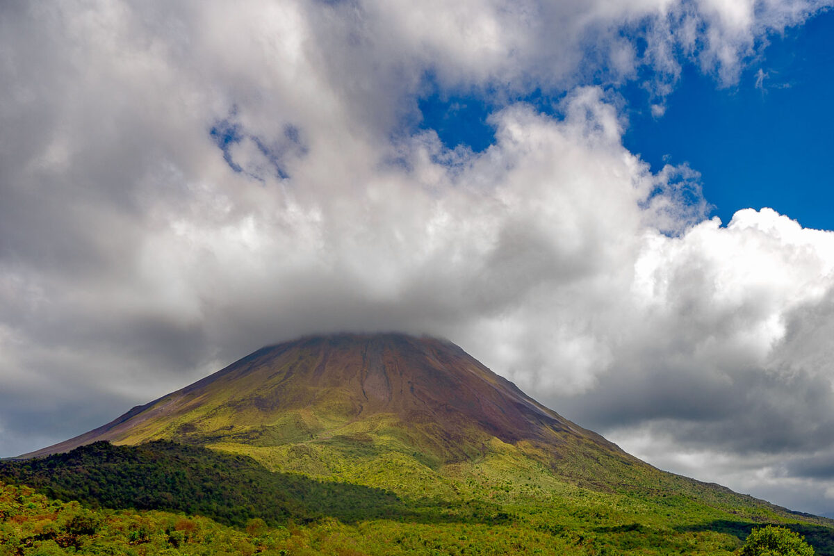
Arenal Volcano rises above forested foothills under partly cloudy skies in northwestern Costa Rica.
Arenal Volcano stands 1,657 meters tall in north-central Costa Rica, within Arenal Volcano National Park near the town of La Fortuna. A stratovolcano formed by the collision of the Cocos and Caribbean tectonic plates, it lay dormant for centuries before a sudden eruption in 1968 destroyed the nearby villages of Tabacón and Pueblo Nuevo. Arenal remained active for more than four decades, with lava flows and ash visible from La Fortuna, before entering its current quiet phase in 2010. The surrounding slopes, now covered in regrown forest, form part of the Arenal-Monteverde biological corridor connecting several protected reserves.

Arenal Volcano’s Cone Rising Above the Rainforest
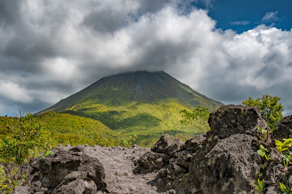
Arenal Volcano's symmetrical cone rises above lava fields and tropical vegetation in Costa Rica's Alajuela Province.
Arenal Volcano reaches 1,657 meters above the lowlands of Alajuela Province near La Fortuna, its conical shape long cited as one of the most symmetrical stratovolcano profiles in the Americas. The volcano had been dormant for centuries before an eruption on July 29, 1968, destroyed the villages of Tabacón and Pueblo Nuevo; it then remained active, with lava flows and rock ejections continuing until 2010. Arenal Volcano National Park, established in 1991, protects roughly 12,000 acres of rainforest and hardened lava fields at the mountain's base. Costa Rica's Volcanological and Seismological Observatory continues to monitor the peak, which last erupted more than a decade ago.

Arenal Volcano Rising Above a Lava Rock Path
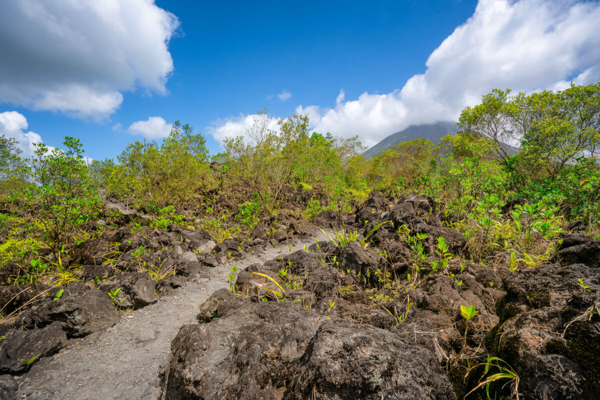
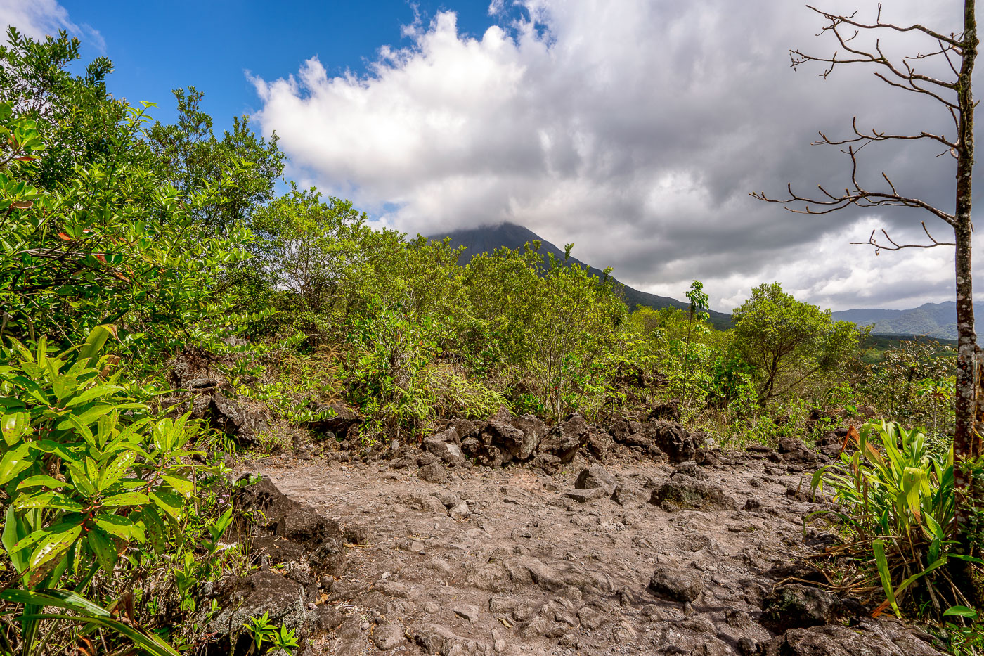
A hiking trail crosses dark volcanic rock and regenerating vegetation with Arenal Volcano rising in the background near La Fortuna, Costa Rica.
Arenal Volcano last erupted in 1968, sending a pyroclastic flow and lava across its western and southern flanks that buried several farms and killed dozens of people. The eruption ended a dormancy of roughly 400 years and triggered intermittent activity that continued until 2010. The rock fields near La Fortuna consist of andesitic lava deposited during that eruptive period, now colonized by secondary forest growth. At 1,657 meters, Arenal remains Costa Rica's most studied volcano and anchors Arenal Volcano National Park, established in 1991.

Path Across Arenal’s Lava Rock Toward the Volcano
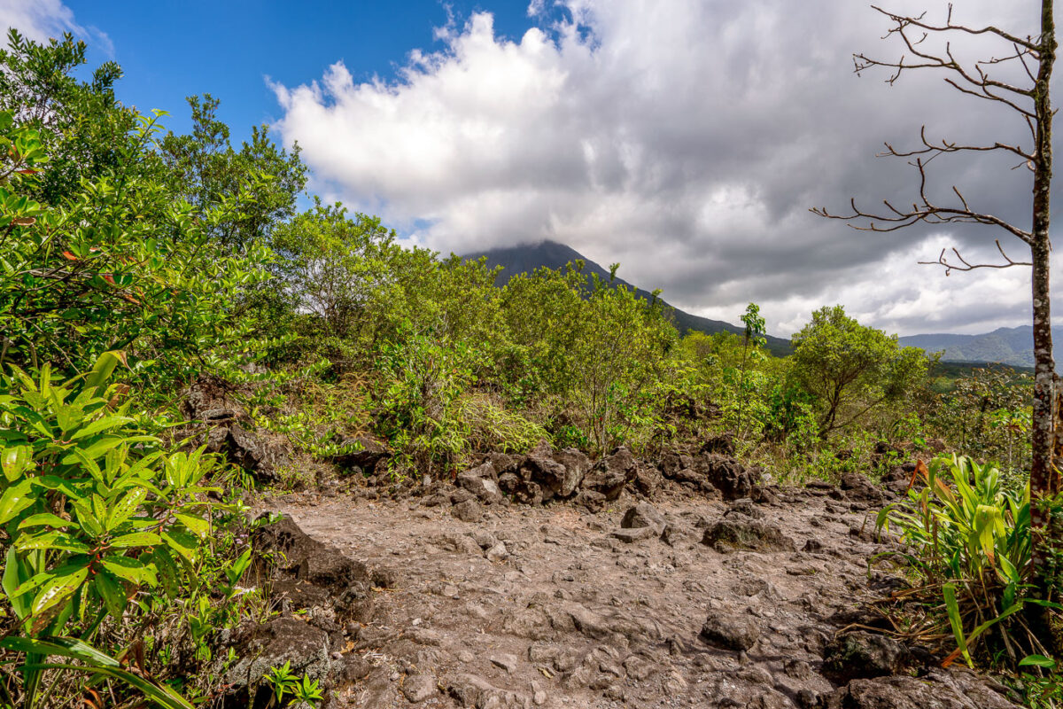
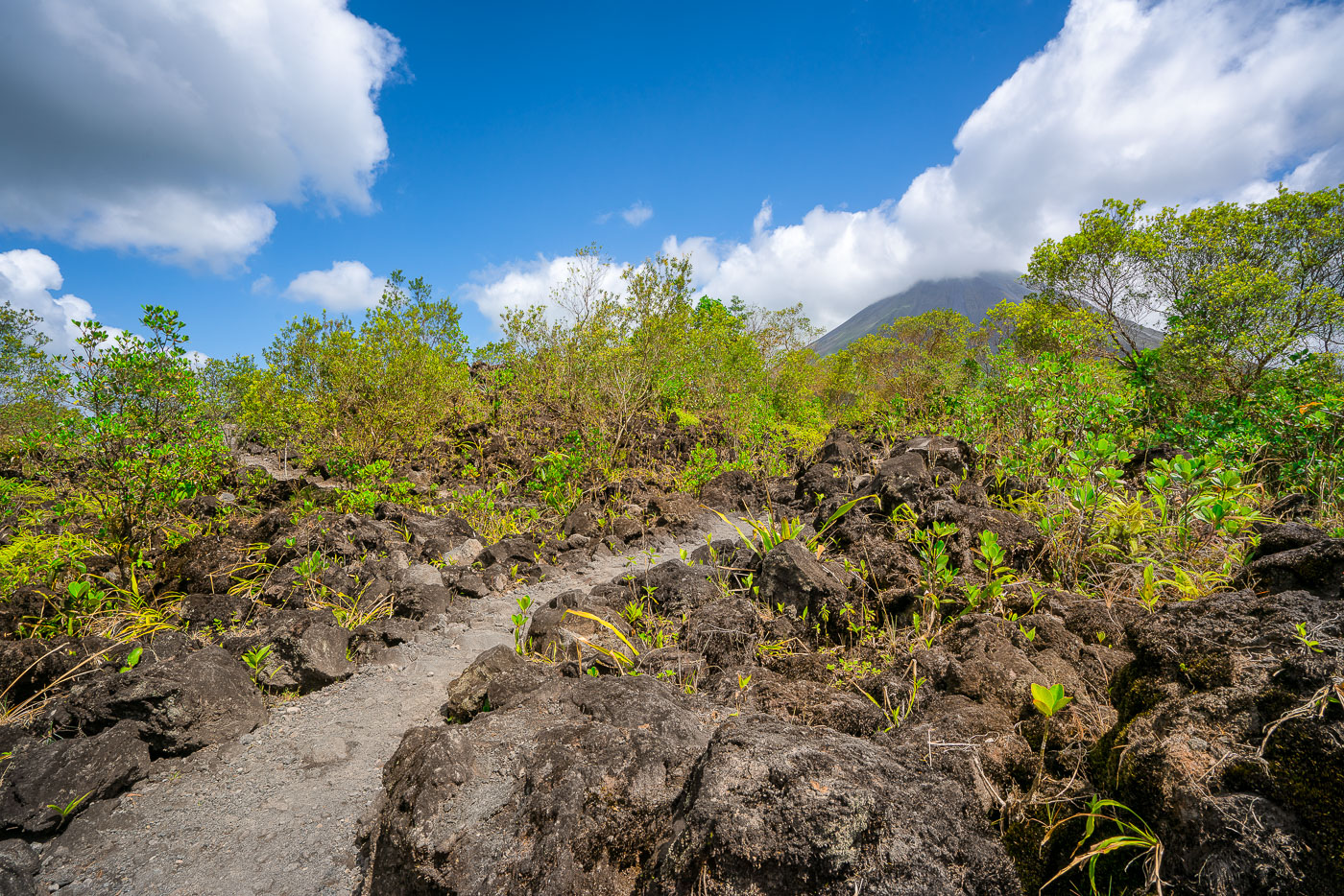
A hiking trail crosses the 1968 lava field near Arenal Volcano in Alajuela Province, Costa Rica, with vegetation reclaiming volcanic rock.
Arenal Volcano erupted continuously from 1968 to 2010, sending lava flows down its western and southern flanks that reshaped the landscape near La Fortuna. The 1968 eruption began on July 29 after centuries of dormancy, killing more than 80 people and burying the villages of Tabacón, Pueblo Nuevo, and San Luis. Arenal Volcano National Park, established in 1991, now protects the cooled lava fields, and trails here cross the hardened rock left by that eruption. The volcano's symmetrical cone rises to about 1,670 meters and remains one of the most studied volcanic sites in Central America.

Clouds Over Arenal Volcano Along the 1968 Lava Trail

A moss-covered fallen log lies on a dirt trail through the Monteverde Cloud Forest Reserve in Costa Rica.
The Monteverde Cloud Forest Reserve sits along the Cordillera de Tilarán in northwestern Costa Rica, straddling the Continental Divide between the Pacific and Caribbean watersheds. Established in 1972 by the Tropical Science Center, the reserve protects roughly 10,500 hectares of forest across six distinct ecological zones. Elevations within the reserve range from about 1,400 to 1,800 meters, keeping the canopy wrapped in moisture-laden clouds for much of the year. That constant humidity supports one of the densest concentrations of epiphytes in Central America, with orchids, bromeliads, and mosses covering tree trunks and exposed roots along the trail network.

Root-Covered Trail in the Monteverde Cloud Forest Reserve
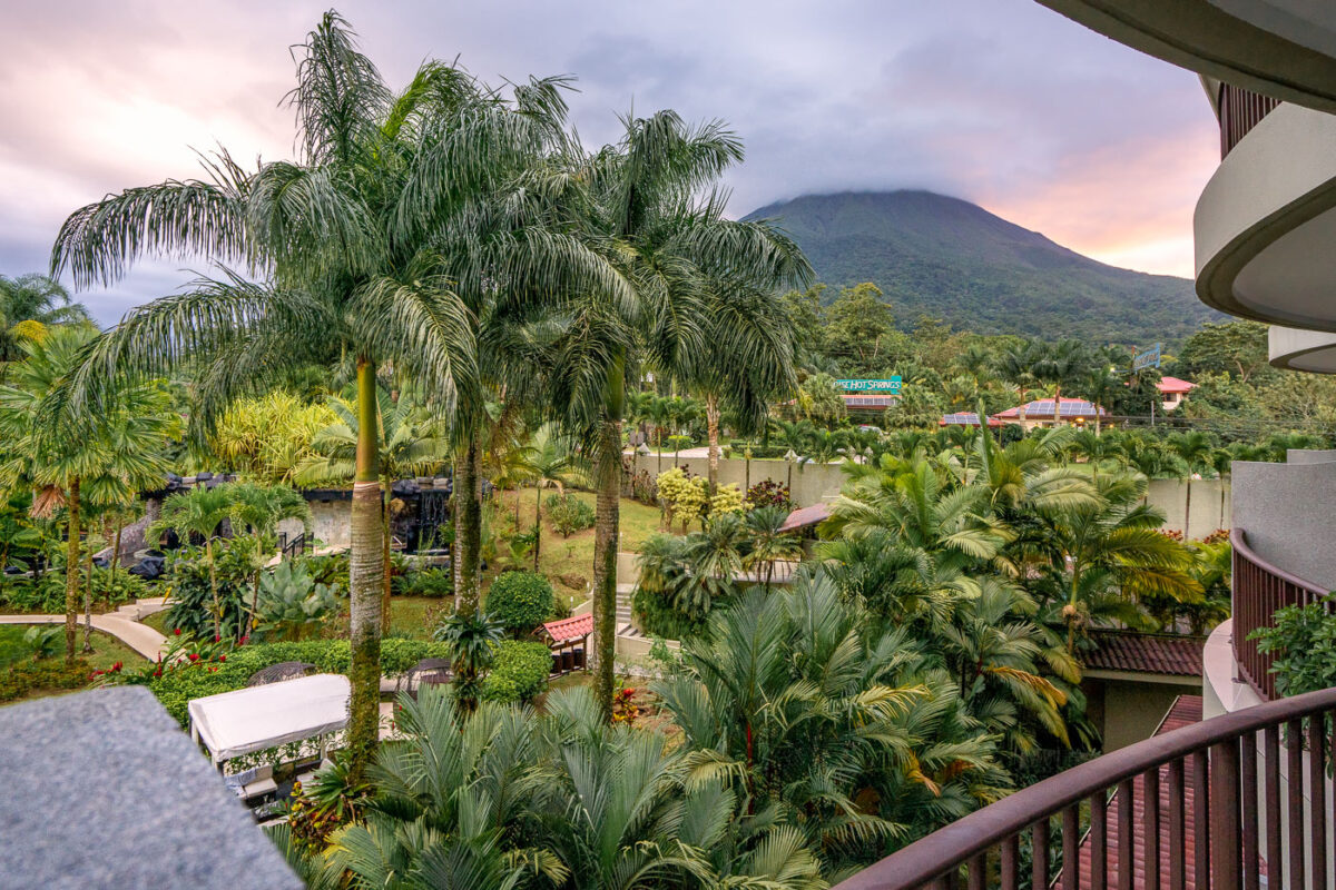
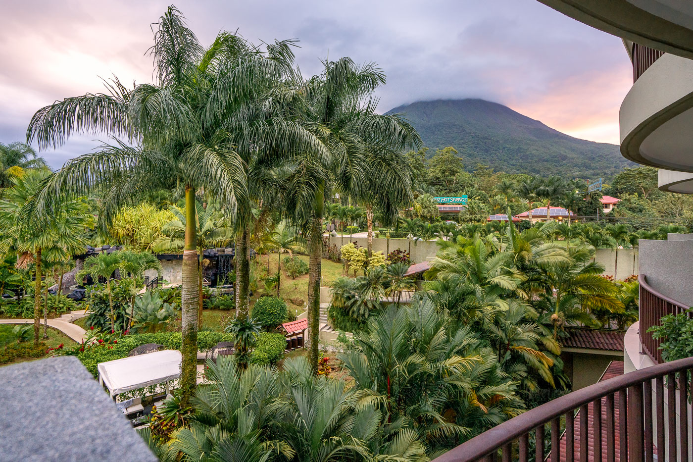
Arenal Volcano rises behind the Royal Corin Thermal Water and Spa Resort near La Fortuna in Costa Rica's Alajuela Province.
Arenal Volcano rises above the Royal Corin Thermal Water and Spa Resort near La Fortuna in Costa Rica's Alajuela Province. The stratovolcano, at 1,670 meters, was continuously active from 1968 until its eruptive activity ceased in 2010, making it one of Central America's most studied volcanoes during that period. Its near-symmetrical cone sits within Arenal Volcano National Park, established in 1991 to protect the surrounding forest and wildlife. La Fortuna, the town at the volcano's base, grew largely around tourism tied to the volcano's decades of visible activity.

Royal Corin Resort Gardens Beneath Arenal Volcano

Wind turbines on pastureland with Volcán Cacao volcano rising in the background in Costa Rica's Guanacaste Province.
Volcán Cacao rises within Costa Rica's Área de Conservación Guanacaste, a UNESCO World Heritage Site that protects one of the last large tracts of tropical dry forest in Central America. The dormant volcano reaches 1,659 meters and marks the northern end of the Guanacaste Volcanic Range. Wind turbines cluster along its lower slopes as part of the wind farms built across northwestern Guanacaste to capture the strong trade winds that funnel through the region each dry season, roughly December through April. Costa Rica developed some of Central America's first commercial wind projects in this corridor beginning in the 1990s, drawn by the same seasonal winds that once shaped the area's cattle ranching economy.

Wind Turbines Along the Base of Volcán Cacao
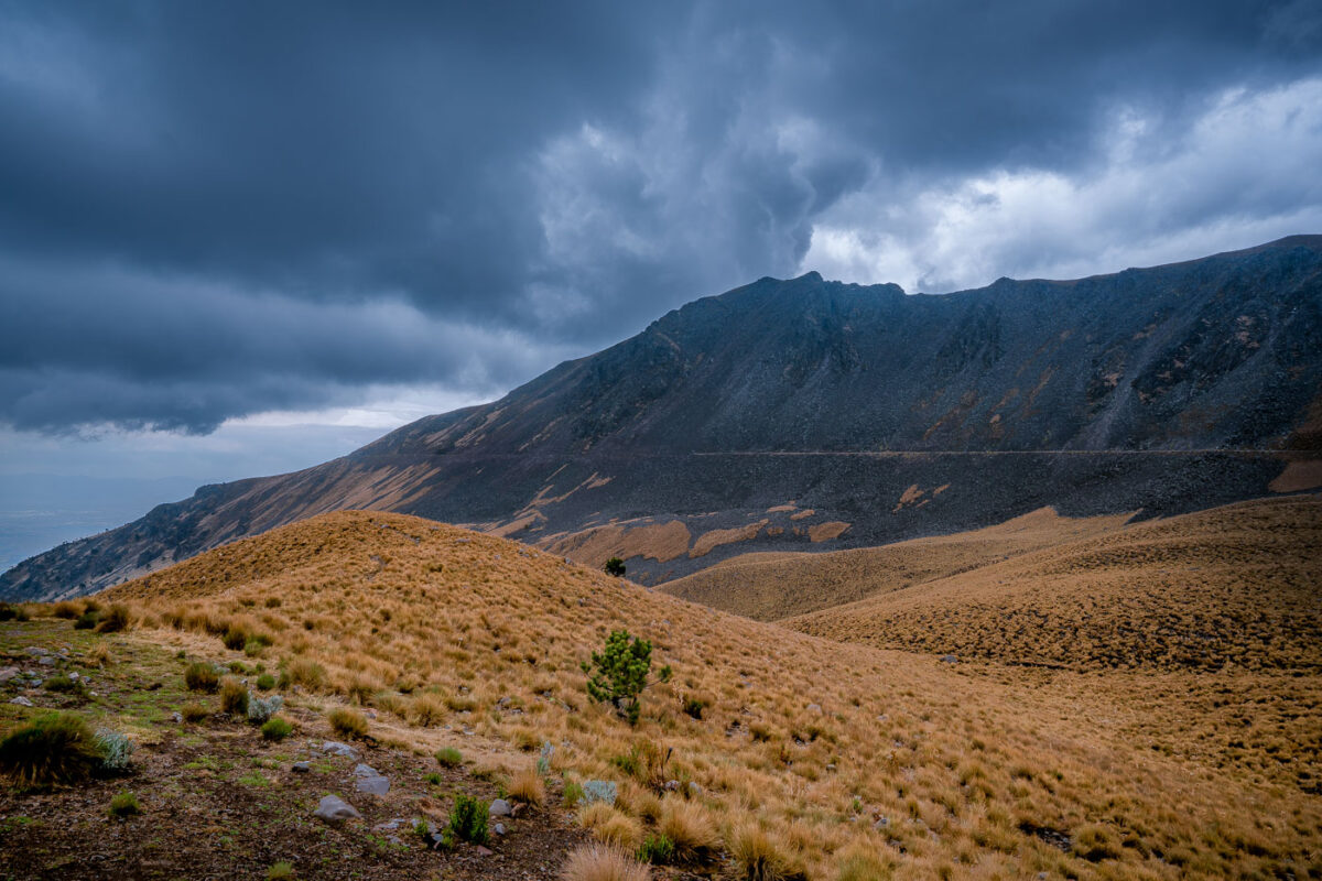
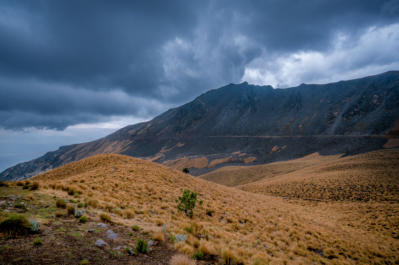
Nevado de Toluca volcano rises above high-altitude grassland with sparse vegetation under a cloudy sky in central Mexico.
Nevado de Toluca is a stratovolcano in central Mexico and part of the Trans-Mexican Volcanic Belt. Its caldera contains several crater lakes, including Laguna del Sol and Laguna de la Luna. The mountain is protected as Nevado de Toluca National Park.

Storm Clouds Over the Nevado de Toluca Caldera
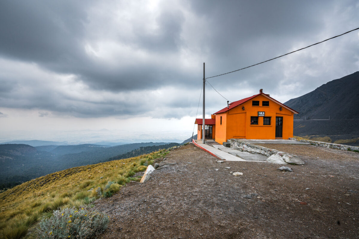
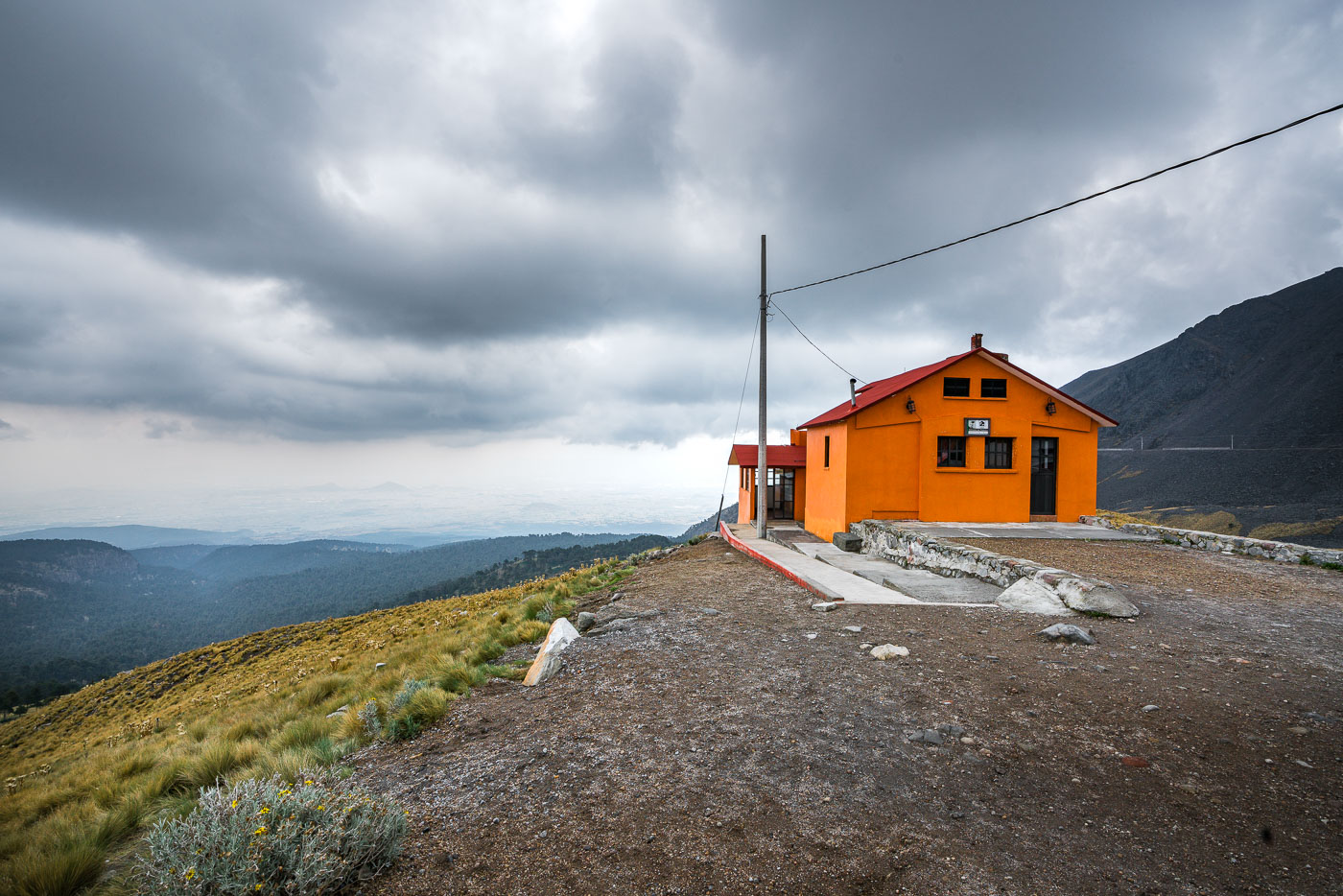
An orange mountain refuge building stands on the upper slopes of Nevado de Toluca volcano in central Mexico.
Nevado de Toluca in central Mexico is home to this mountain refuge, a shelter building on the volcano’s upper slopes. The refuge supports hikers and researchers visiting the high-altitude landscape about 80 kilometers west of Mexico City.

Orange Refuge on the Slopes of Nevado de Toluca