Antigua

48 photos · 2020

48 photographs tagged Antigua, 2020.

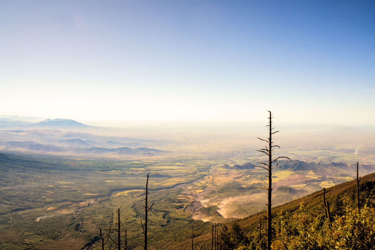
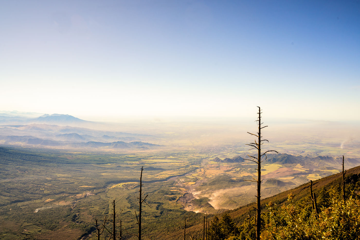
Acatenango volcanic valley overlooks forested highlands and distant peaks in Guatemala with burned trees in the foreground.
Acatenango rises to about 13,045 feet in Guatemala's Sierra Madre volcanic chain, making it the third-highest peak in Central America. The valley below spreads toward Antigua Guatemala, the colonial capital that Acatenango and its neighbor Fuego have long overlooked. Climbers typically summit Acatenango to camp within view of Fuego, one of the most consistently active volcanoes in the Americas, which erupts with small bursts of ash and lava on a near-daily basis.

View from Acatenango Volcano Toward the Guatemalan Highlands
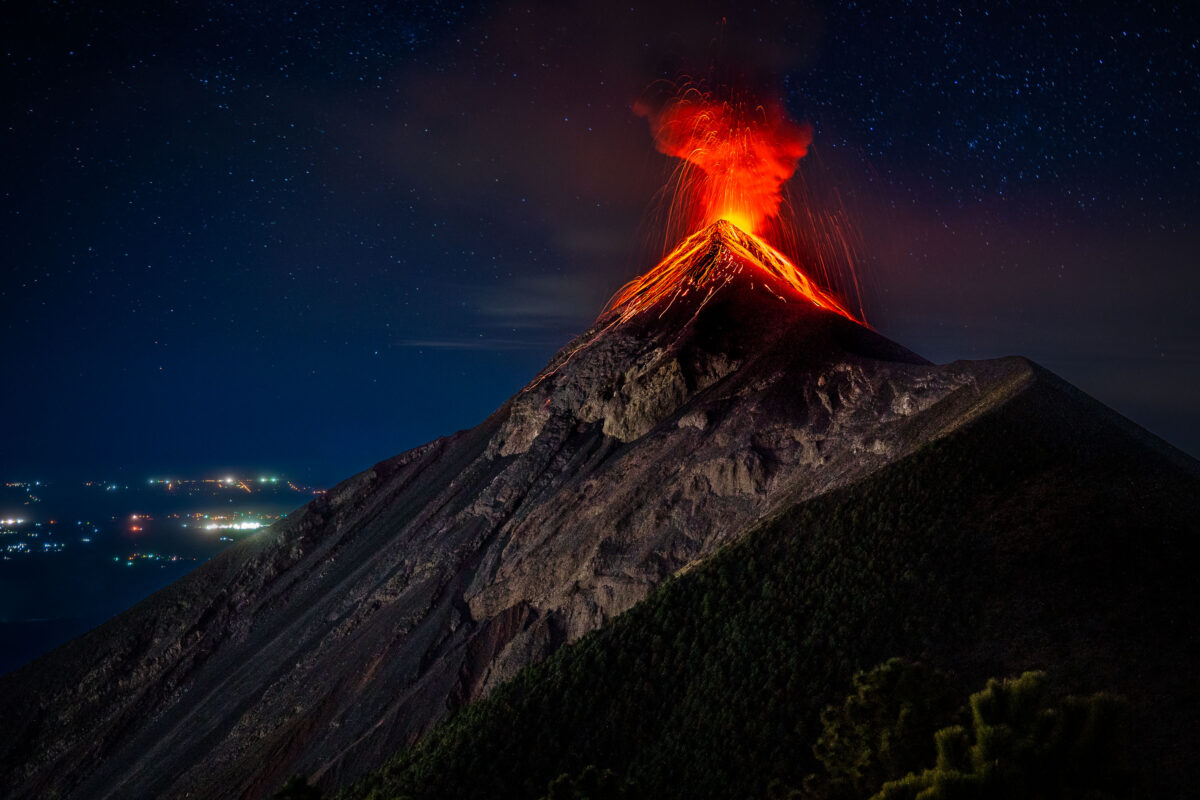
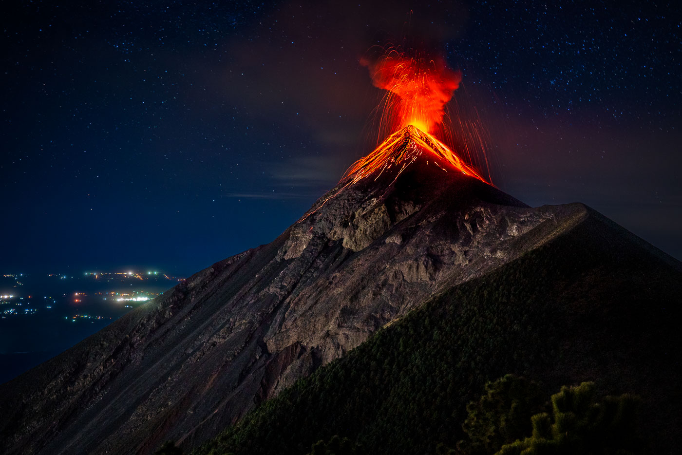
Volcán de Fuego erupts at night in Guatemala with incandescent lava and ash streaming from the illuminated crater.
Volcán de Fuego rises 3,763 meters near Antigua Guatemala, among the most consistently active volcanoes in Central America. It shares a connecting ridge with neighboring Acatenango, forming a joint volcanic complex often climbed together by hikers. Fuego has been in near-continuous eruption since 1932, punctuated by major explosive events in 1974 and again in 2018. Climbers and ers commonly observe its eruptions from Acatenango's slopes, several kilometers from the active crater.

Lava Spatters From Volcán de Fuego’s Summit Crater
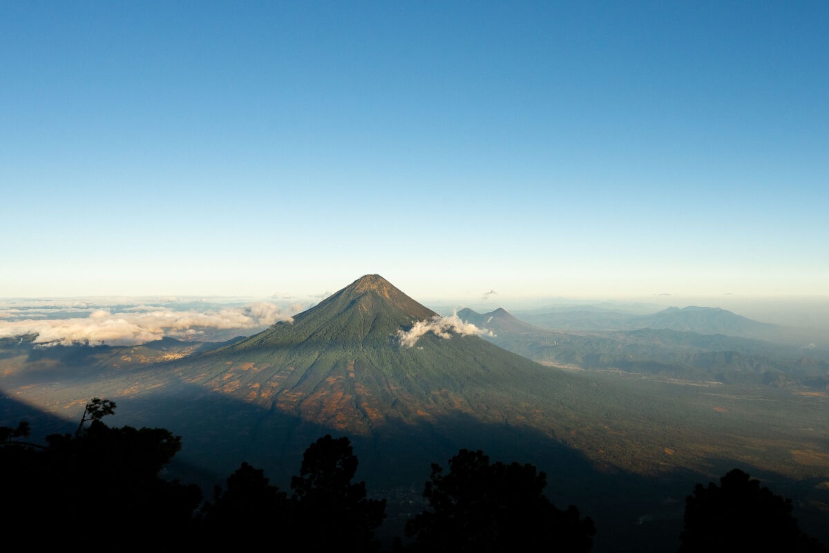
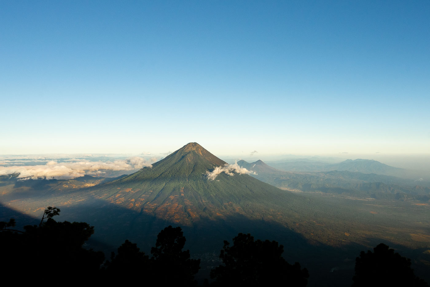
Acatenango volcano rises above clouds and forested foothills in Guatemala viewed from an elevated vantage point at dawn.
Fuego Volcano rises just southwest of Antigua Guatemala, its summit venting ash and gas almost continuously as one of the most active volcanoes in Central America. At 3,763 meters, it has produced major eruptions as recently as 2018 and continues smaller explosions on a near-daily basis. Acatenango, the taller neighbor at 3,976 meters, last erupted in 1972 and has since become one of Guatemala's most popular overnight treks, drawing hikers who camp near its summit to watch Fuego's activity after dark. Both peaks belong to the Central American Volcanic Arc, formed by the subduction of the Cocos Plate beneath the Caribbean Plate.

Fuego Volcano Smokes Beside Acatenango’s Summit
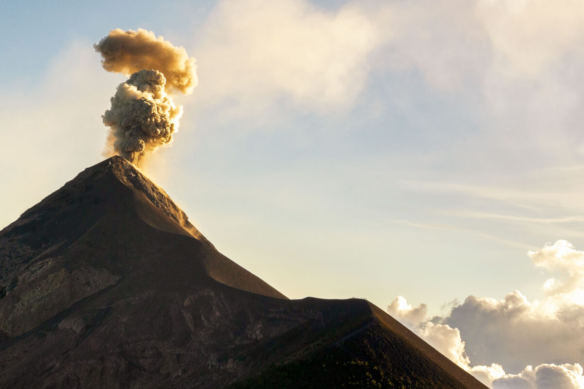
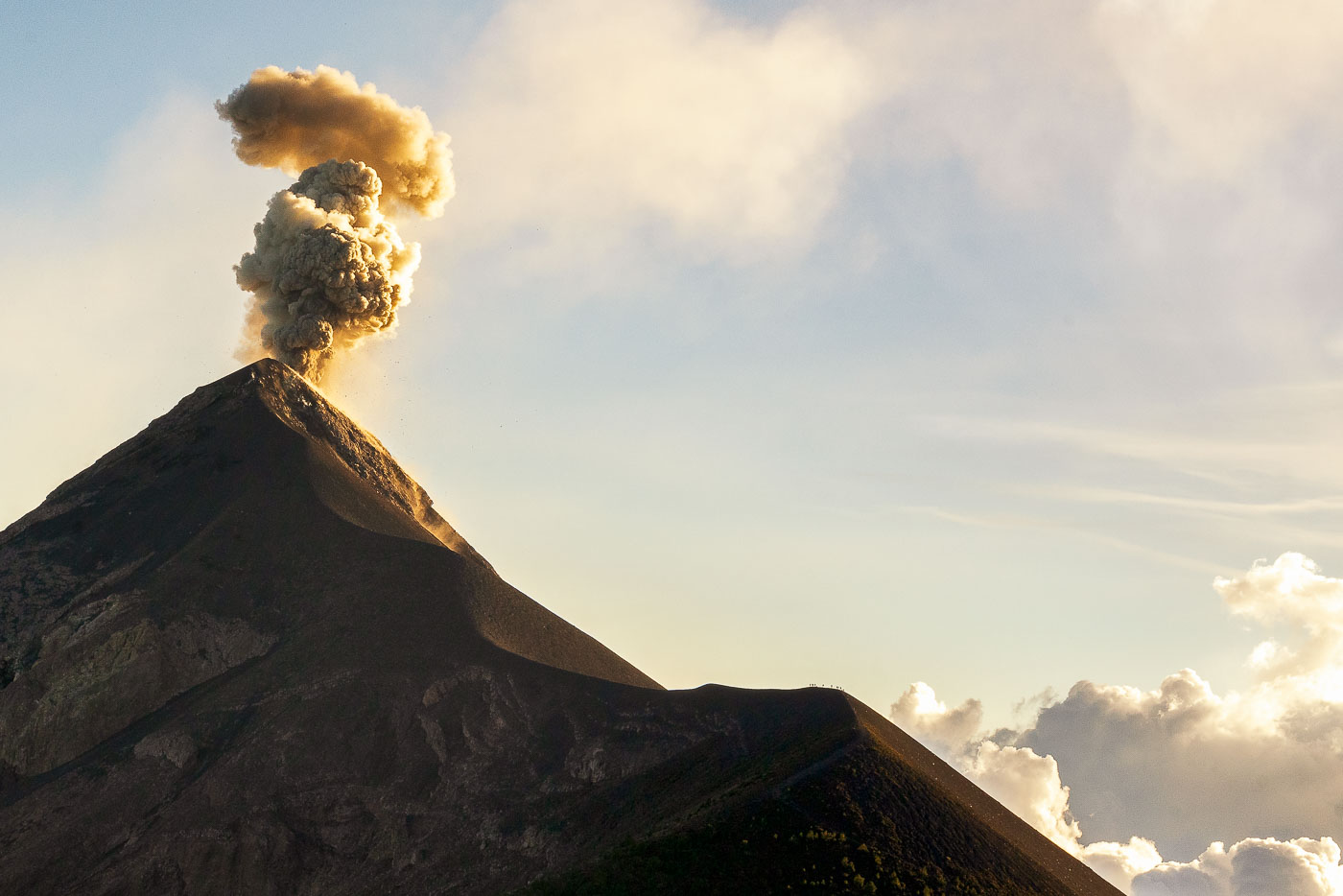
Fuego Volcano erupts with a towering ash plume rising against the sky near Antigua, Guatemala.
Volcán de Fuego rises 3,763 meters near Antigua, Guatemala, and ranks among the most active volcanoes in Central America. It has erupted almost continuously since 2002, with frequent ash columns and periodic lava flows that affect nearby villages. Guatemala's National Institute of Seismology, Volcanology, Meteorology and Hydrology (INSIVUMEH) monitors the volcano around the clock, issuing alerts when activity intensifies. Its name, Spanish for "Fire," a history of eruptions recorded since the 16th century, including a major explosive event in 1932.

Ash Eruption at Volcán de Fuego, Guatemala
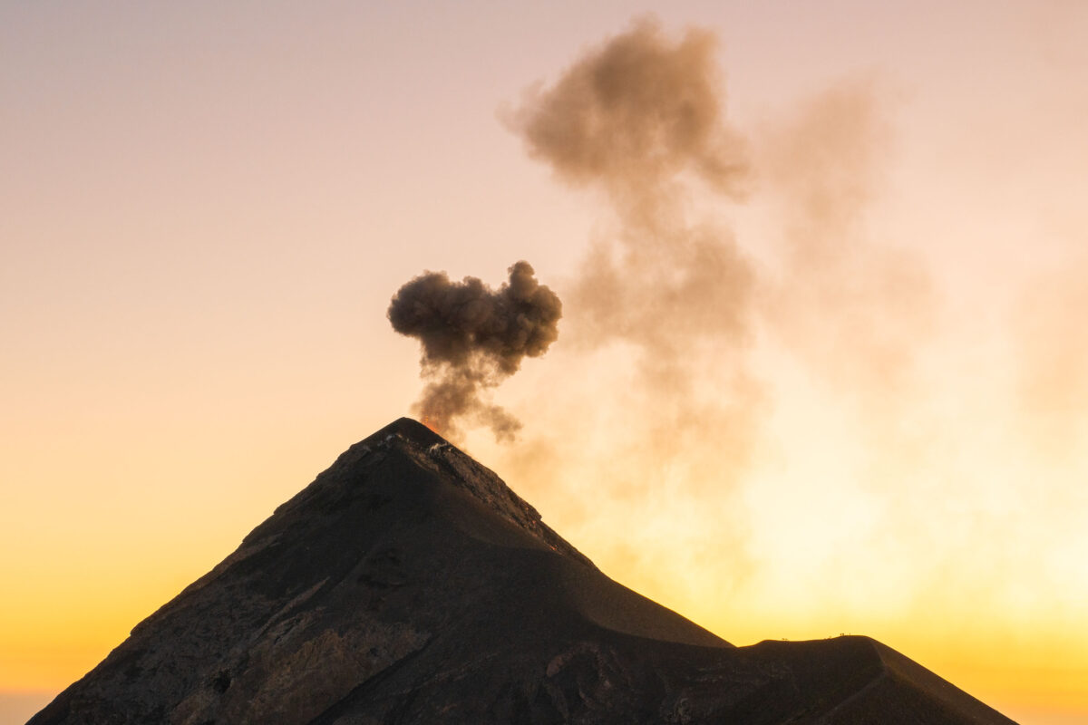
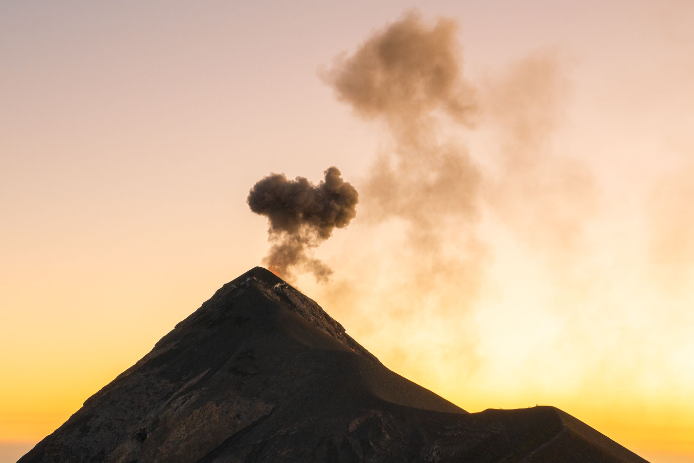
Fuego volcano erupts with a dark ash plume rising against a golden sunset sky in Guatemala.
Volcán de Fuego rises about 3,763 meters near Antigua, Guatemala, and ranks among the most active volcanoes in Central America. It has been in near-constant eruption since 2002, with explosions sending ash columns thousands of feet above its summit on a near-daily basis. The volcano sits within view of three colonial-era cities — Antigua, Ciudad Vieja, and Alotenango — and its 2018 eruption produced a pyroclastic flow that killed dozens of people in nearby villages. Guatemala's volcanology institute, INSIVUMEH, maintains continuous monitoring stations on its slopes.

Ash Plume Rises from Volcán de Fuego at Dusk
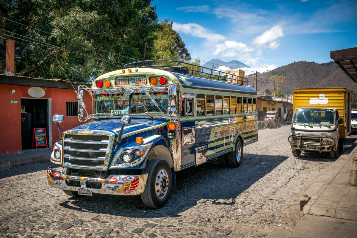
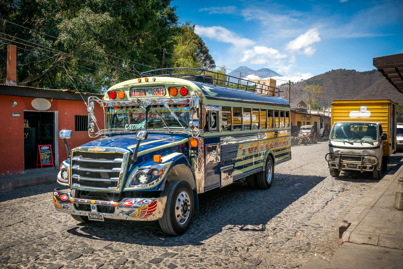
Chicken bus on a cobblestone street in Antigua Guatemala with Volcán de Agua behind it.
A decorated chicken bus travels along a cobblestone street in Antigua Guatemala. These repurposed buses are a common form of public transportation in Guatemala. Volcán de Agua rises in the background above the historic city.

Chicken Bus on Cobblestone Street, Antigua Guatemala
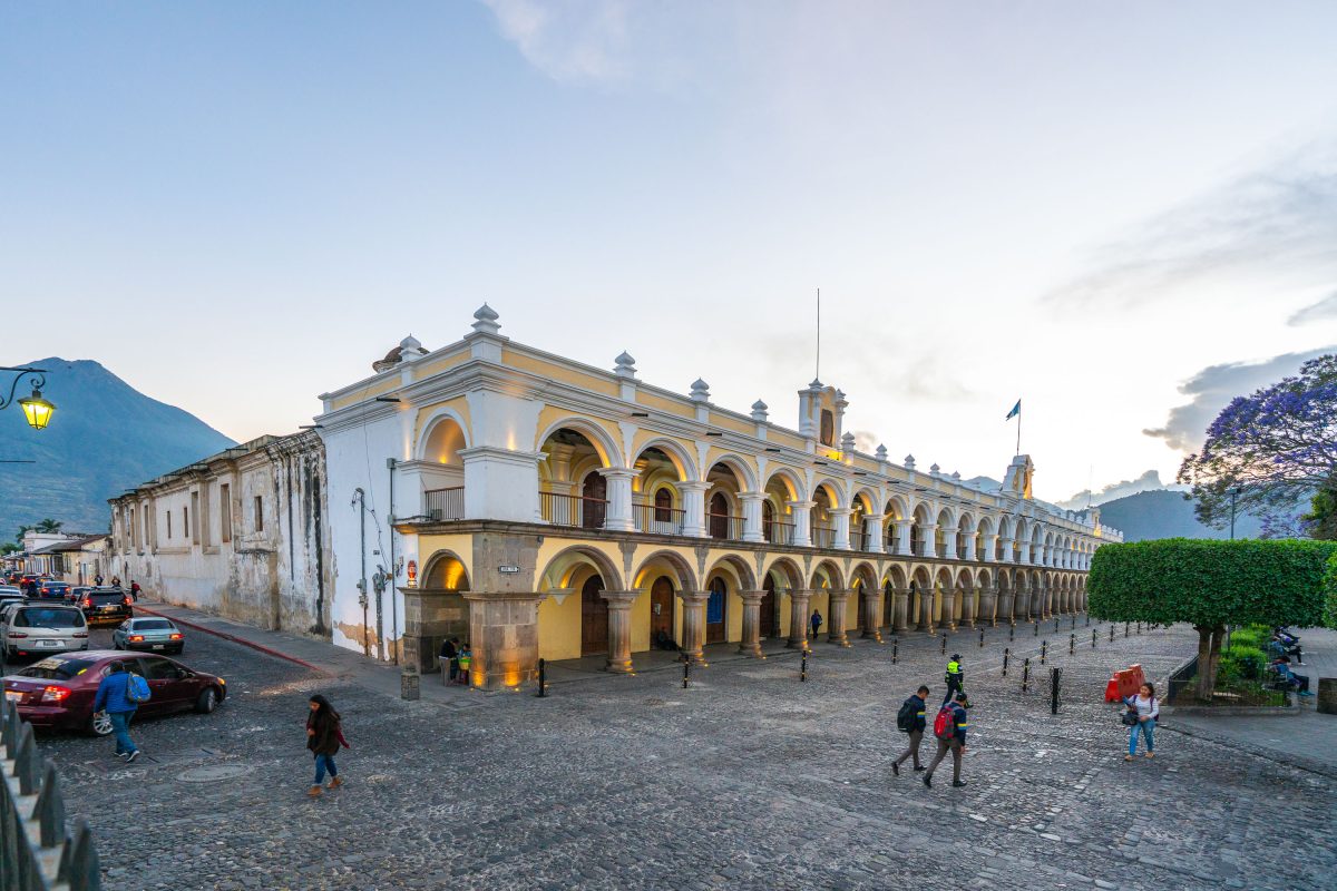
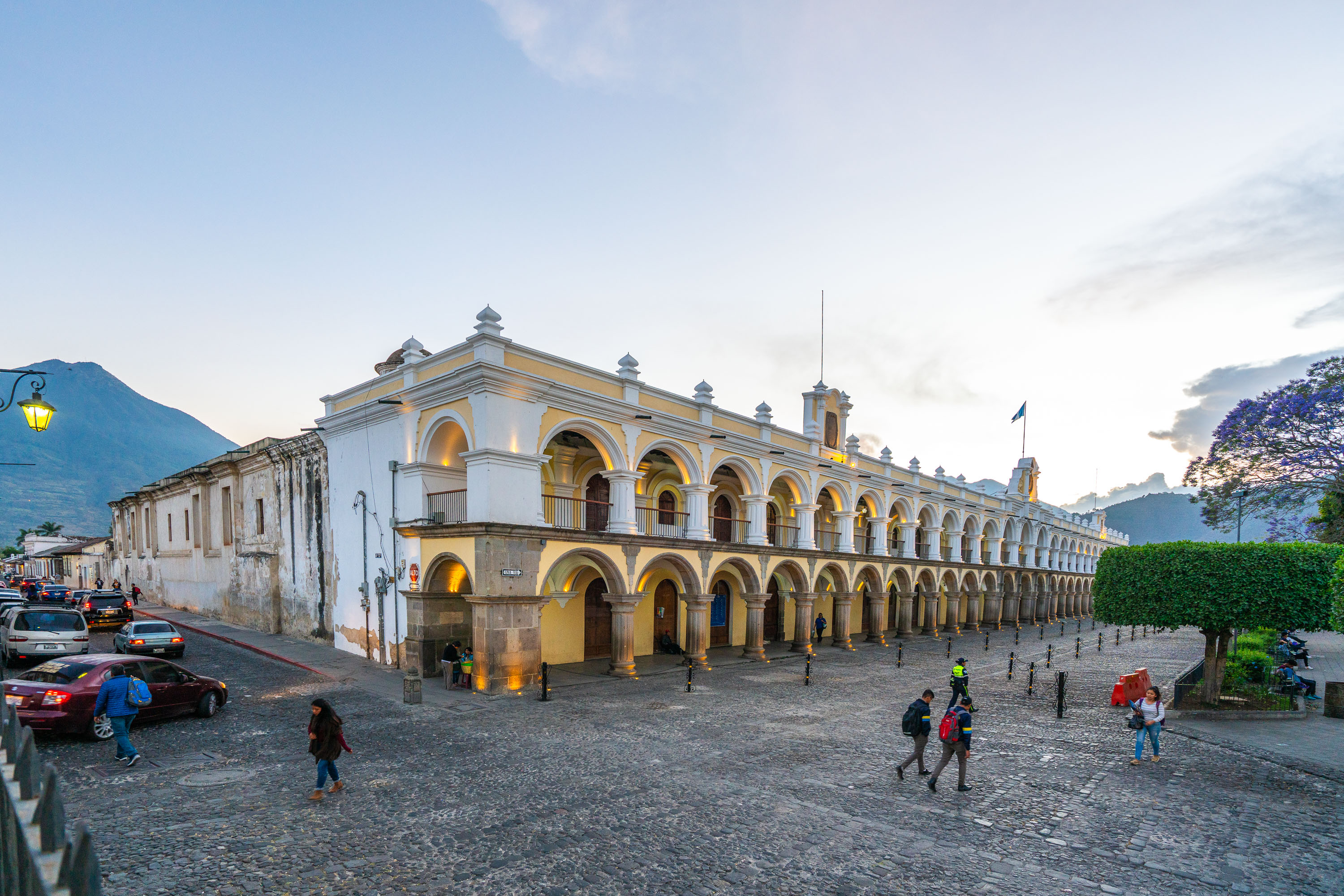
Palacio de los Capitanes Generales, an 18th-century colonial government building with double-tiered stone arcades, anchors Parque Central in Antigua Guatemala.
The Palacio de los Capitanes Generales anchors the south side of Antigua Guatemala's Parque Central. Built after the 1717 earthquake destroyed an earlier government building, it served as the seat of Spanish colonial rule for the Kingdom of Guatemala, a territory that once extended from Chiapas to Costa Rica. The current structure dates largely to a 1764 reconstruction under architect Luis Diez de Navarro, following the Captaincy General's decision to rebuild rather than relocate. Restoration continued after the 1976 earthquake caused additional damage to the arcades. Antigua's colonial center, including this building, was inscribed as a UNESCO World Heritage Site in 1979.

Palacio de los Capitanes Generales at Dusk in Antigua Guatemala
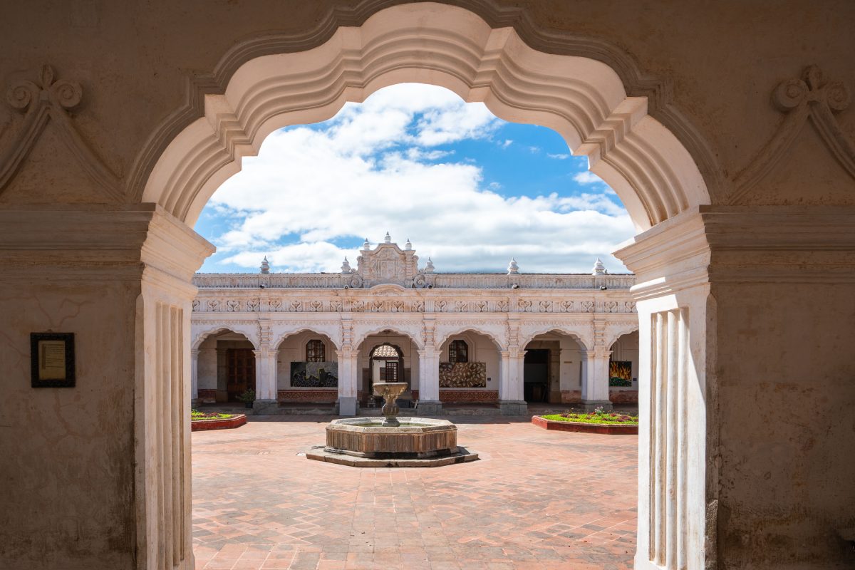
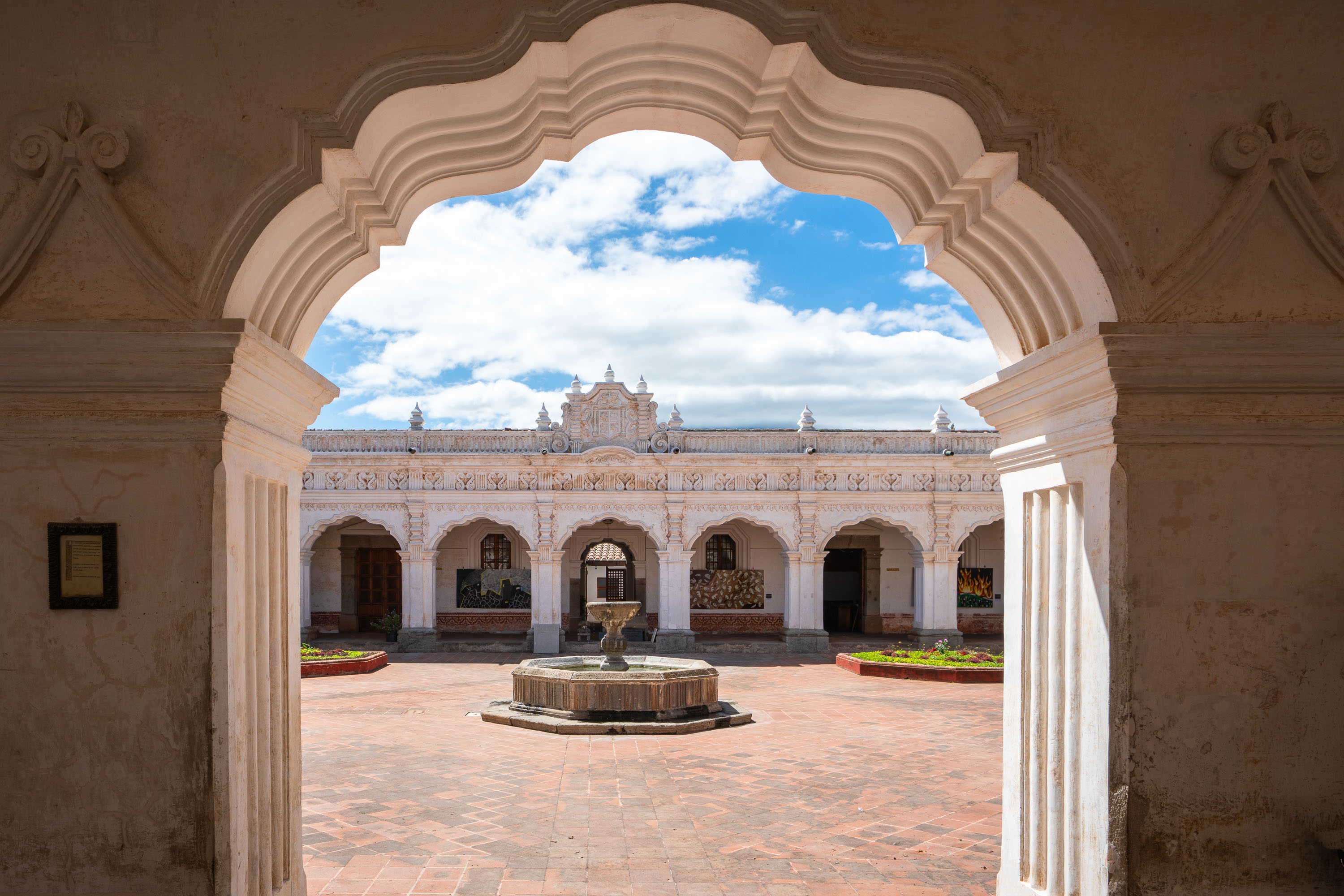
Palacio de los Capitanes Generales in Antigua Guatemala's Parque Central, viewed through a colonial archway with a central fountain in the courtyard.
The Palacio de los Capitanes Generales stands on the south side of Antigua Guatemala's Parque Central, the plaza that anchored the colonial capital. Spanish authorities built a residence for the captains general on this site starting in 1558, rebuilding it repeatedly after earthquake damage before completing the current structure in 1764. From this building, Spanish governors administered the Captaincy General of Guatemala, a jurisdiction that once extended from Chiapas to Costa Rica. Antigua Guatemala earned UNESCO World Heritage status in 1979, a designation tied in part to the survival of colonial landmarks such as this one. The building now houses Guatemala's Ministry of Culture and Sports along with a museum open to the public.

Archway View of the Palacio de los Capitanes Generales
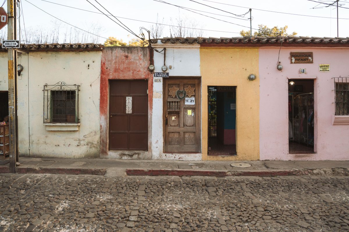
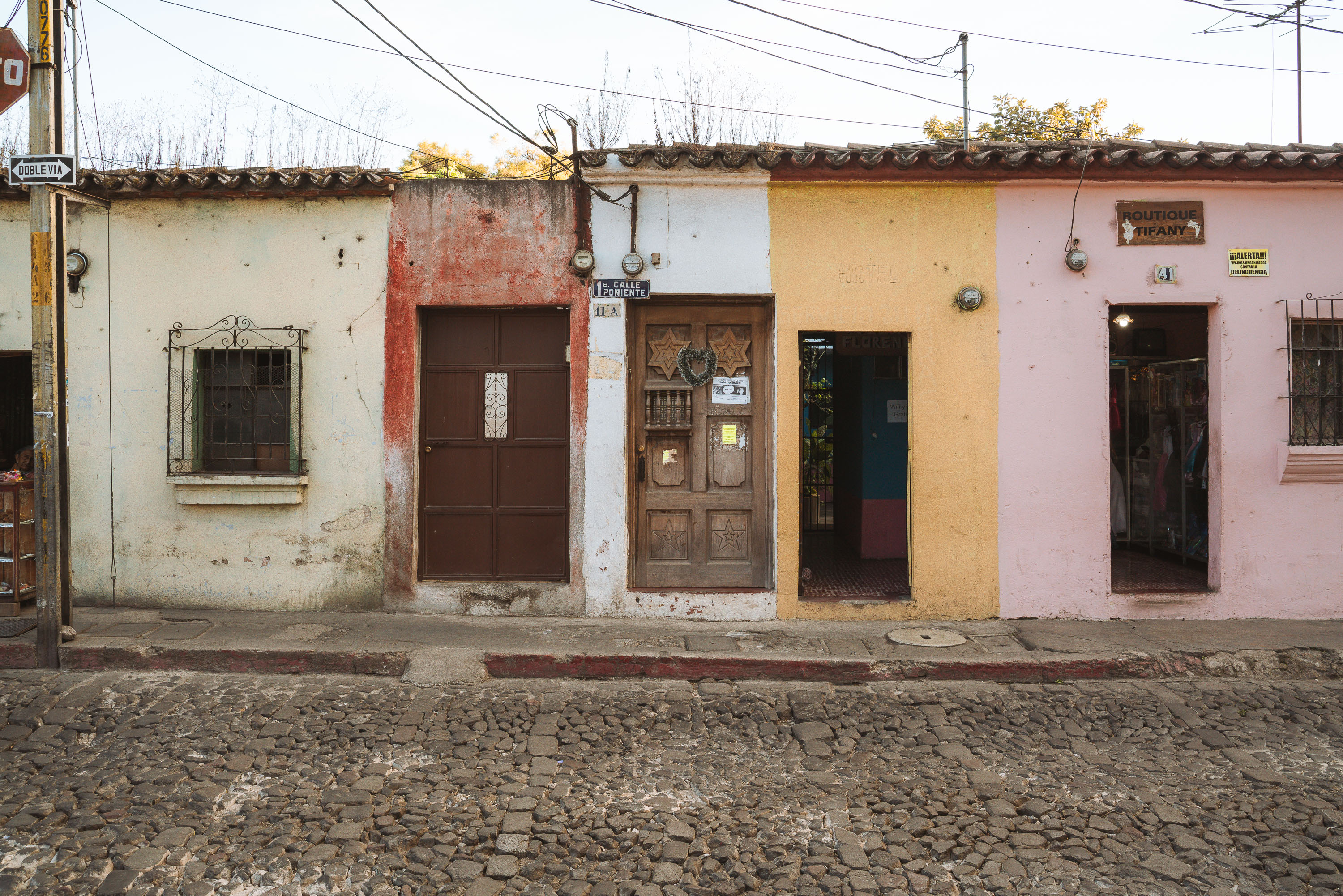
Row of colorful single-story colonial buildings with wooden doors lines a cobblestone street in Antigua Guatemala.
Antigua Guatemala's historic core, laid out by Spanish colonial planners after the 1773 earthquakes destroyed the former capital at Ciudad Vieja, still follows its original grid of narrow cobblestone streets. UNESCO listed the city as a World Heritage Site in 1979, citing its preserved Baroque-influenced colonial architecture and townscape. Municipal preservation rules restrict building heights, paint palettes, and signage along streets like this one to maintain the low, single-story facades typical of the 16th- and 17th-century layout. Many of these street-level units, once colonial residences, now hold small shops and boutiques serving the city's tourist trade.

Row of Storefronts on 1a Calle Poniente, Antigua
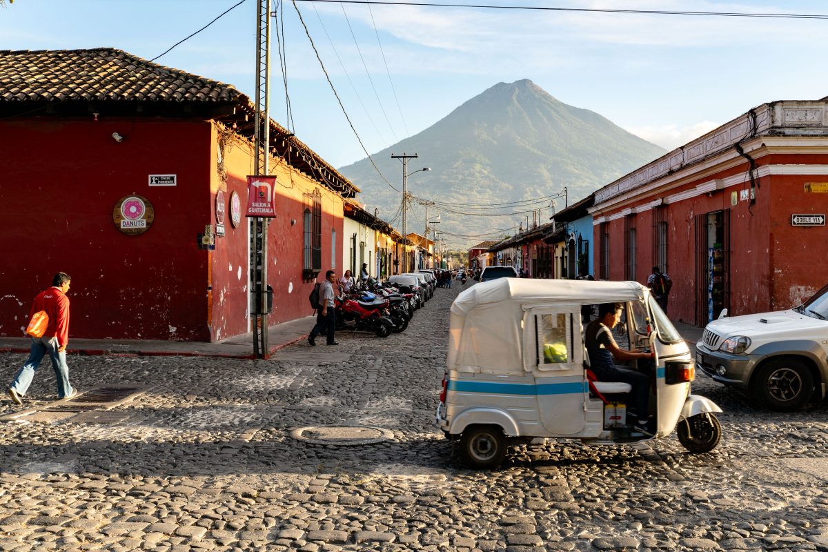
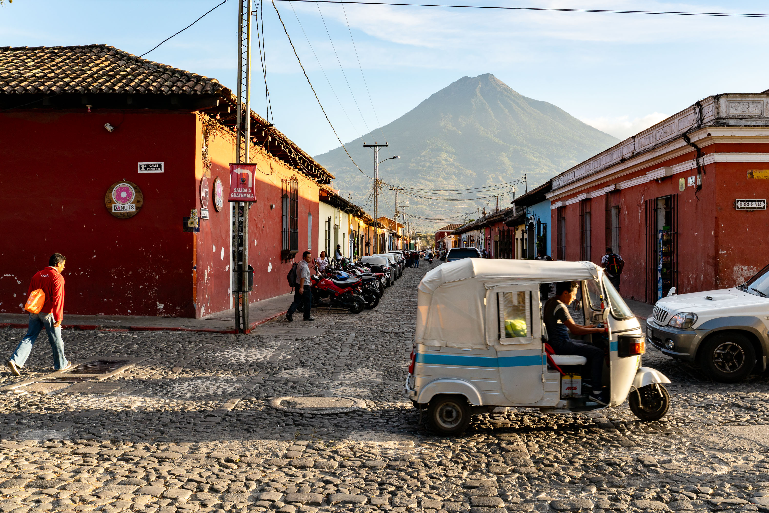
White and blue tuk-tuk on a cobblestone street in Antigua, Guatemala with Volcán de Agua rising in the background.
Volcán de Agua rises about 3,760 meters and sits just south of Antigua Guatemala, visible along many of the city's avenues. Antigua was founded by Spanish colonists in 1543 and served as the capital of the Kingdom of Guatemala until earthquakes forced authorities to relocate the seat of government to present-day Guatemala City in 1776. UNESCO named the city a World Heritage Site in 1979, citing its grid of cobblestone streets and Baroque colonial architecture. Tuk-tuks, three-wheeled vehicles adapted from auto rickshaws used across South and Southeast Asia, now run alongside cars and motorcycles on streets originally built for foot and horse traffic.

Tuk-Tuk Crossing a Street Below Volcán de Agua, Antigua
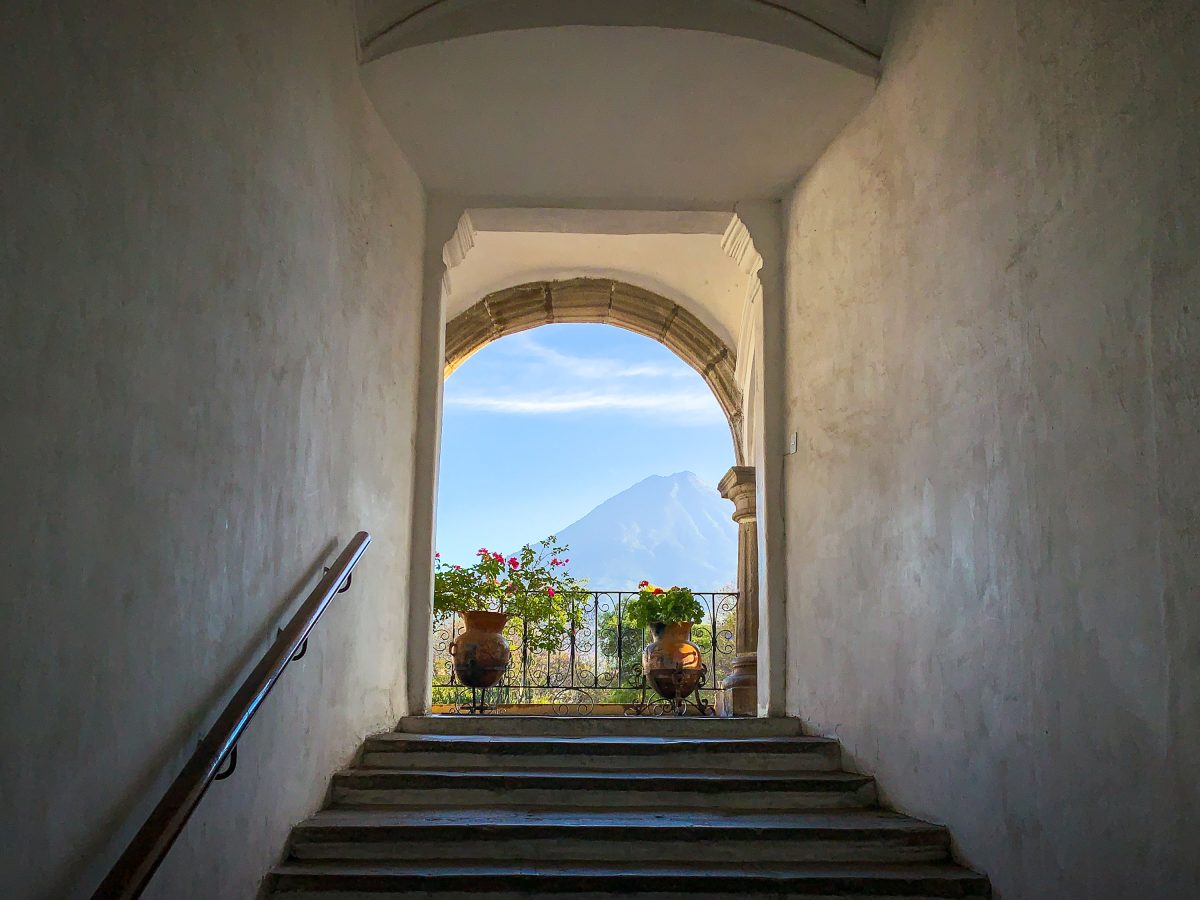
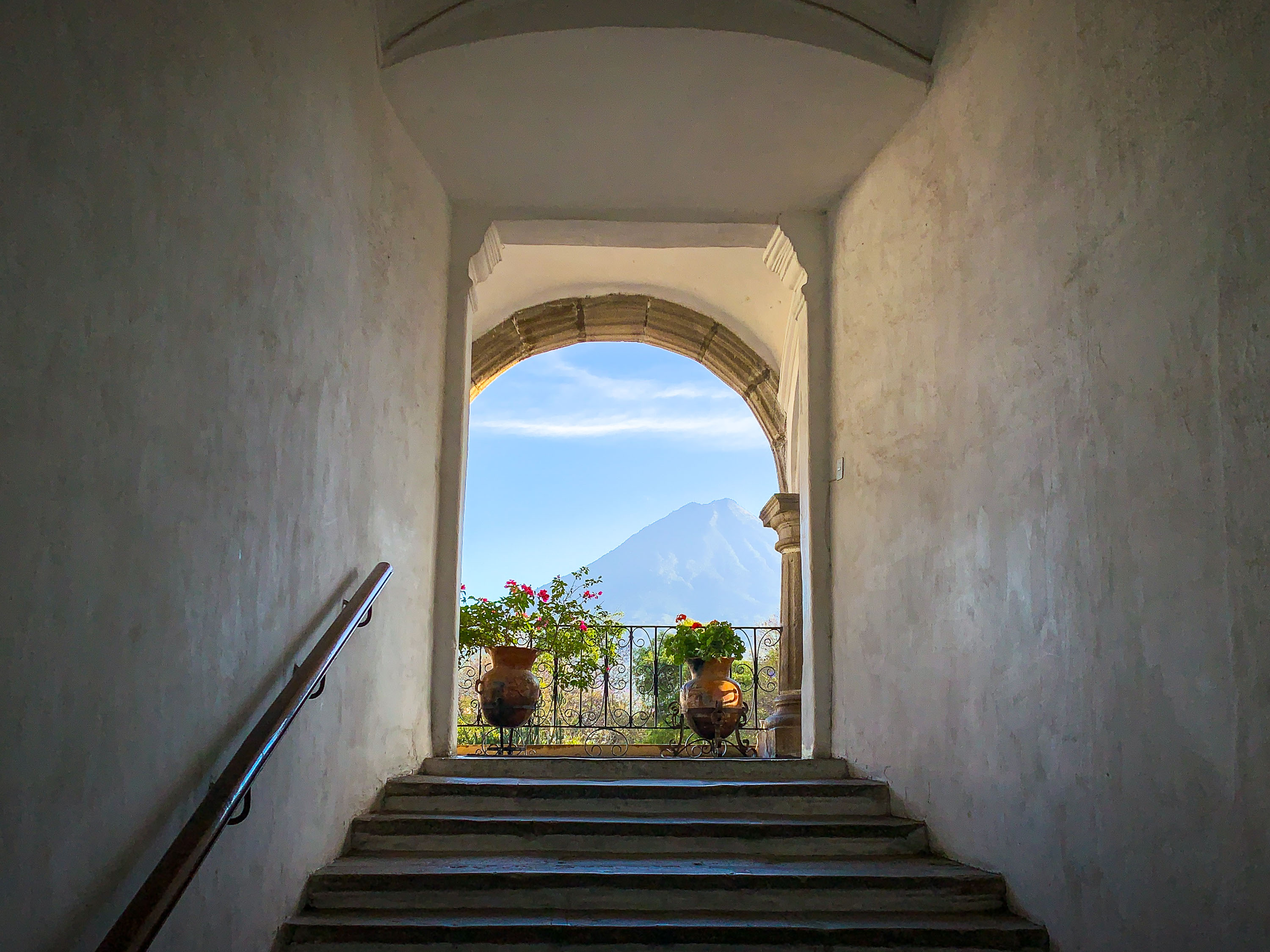
Stone archway and staircase in Antigua Guatemala frame Volcán de Agua rising in the distant landscape.
Volcán de Agua stands just south of Antigua Guatemala, its symmetrical cone rising to 3,766 meters above the valley where Spanish colonists founded the city in 1543 under the name Santiago de los Caballeros. Colonial builders frequently oriented stairways, courtyards, and doorways toward the volcano, a design habit still evident in surviving structures throughout the city. Earthquakes in 1717 and 1773 destroyed much of the original architecture, and the rebuilding that followed preserved the thick plastered walls and arched openings characteristic of 16th- and 17th-century Spanish colonial style. UNESCO designated Antigua Guatemala a World Heritage Site in 1979, citing its intact colonial layout set against the surrounding volcanic landscape.

Stairway Framing Volcán de Agua in Antigua Guatemala
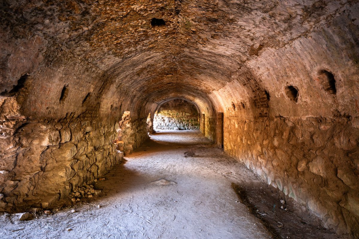
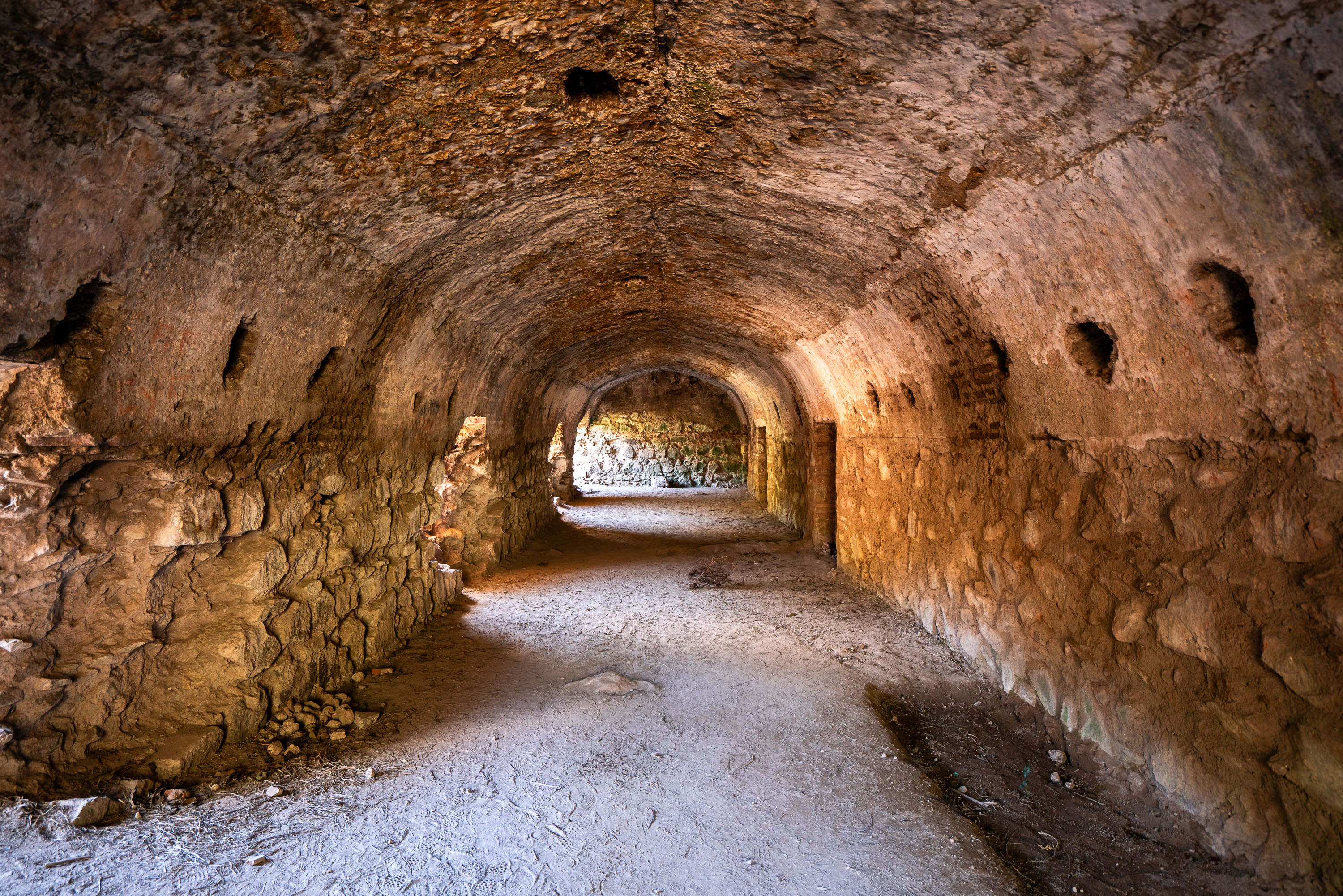
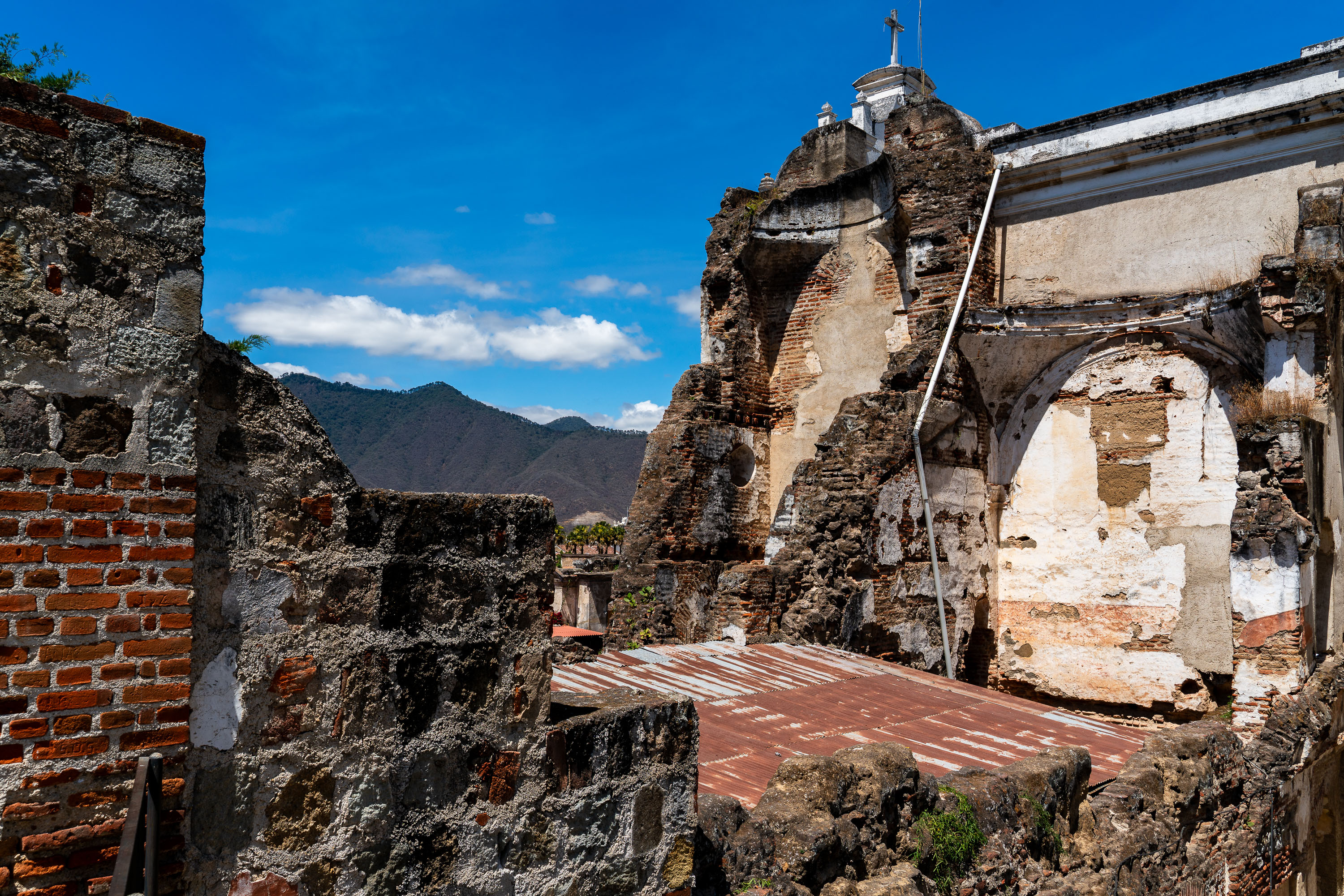
Vaulted stone corridor in the San Francisco el Grande convent ruins in Antigua Guatemala, a 16th-century Franciscan complex damaged by earthquakes.
San Francisco el Grande was founded by Franciscan friars in 1579 as one of colonial Antigua's largest church and convent complexes. The 1773 Santa Marta earthquake collapsed much of the convent, contributing to the Spanish crown's decision to relocate the capital to present-day Guatemala City. Hermano Pedro de Betancourt, later canonized as Guatemala's first saint, ran a hospital and hospice from this site before his death in 1667. The barrel-vaulted corridors that remain were once service passages and storage rooms connecting the convent's cloisters, left roofless and exposed after the colonial-era collapse.

Stone Corridor in the San Francisco el Grande Ruins, Antigua
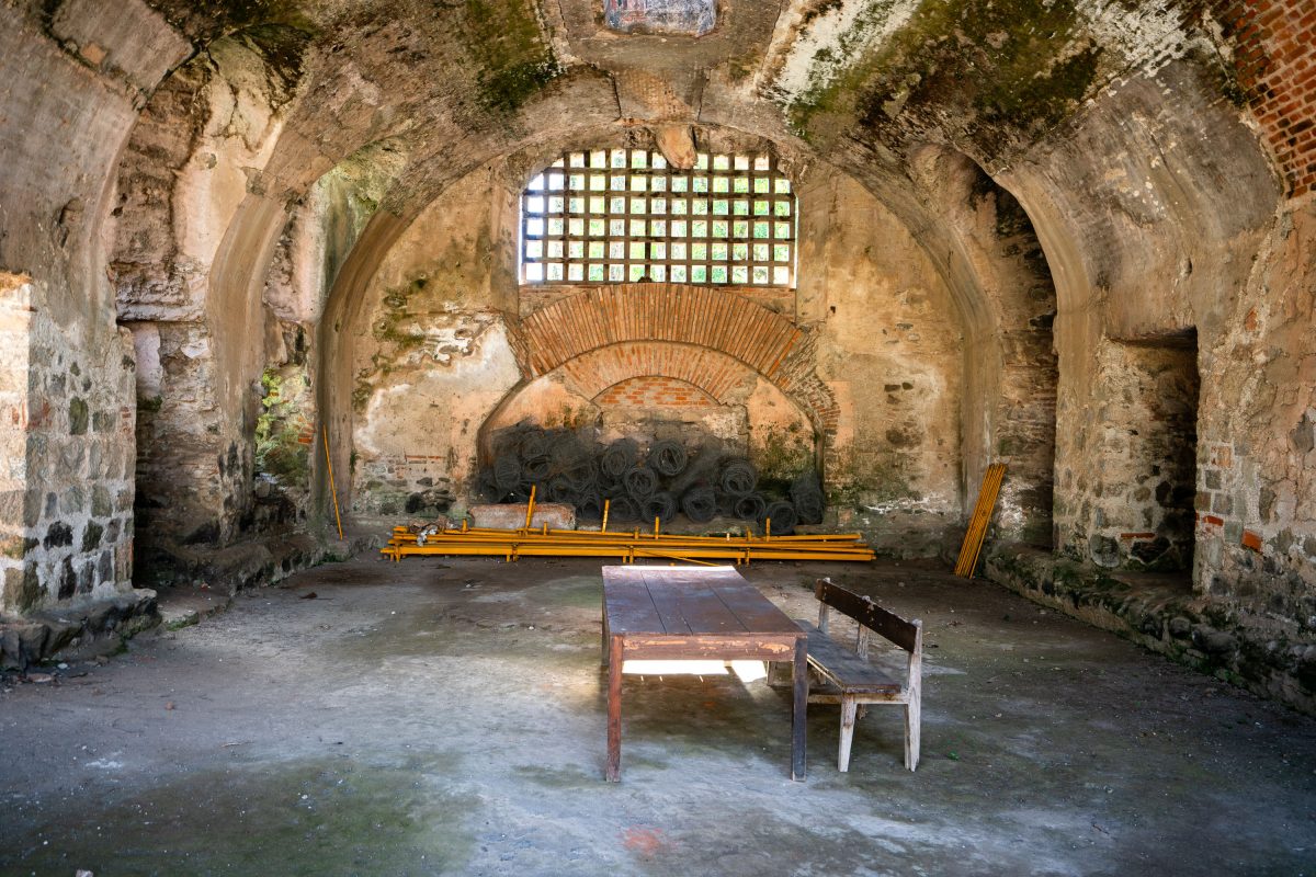
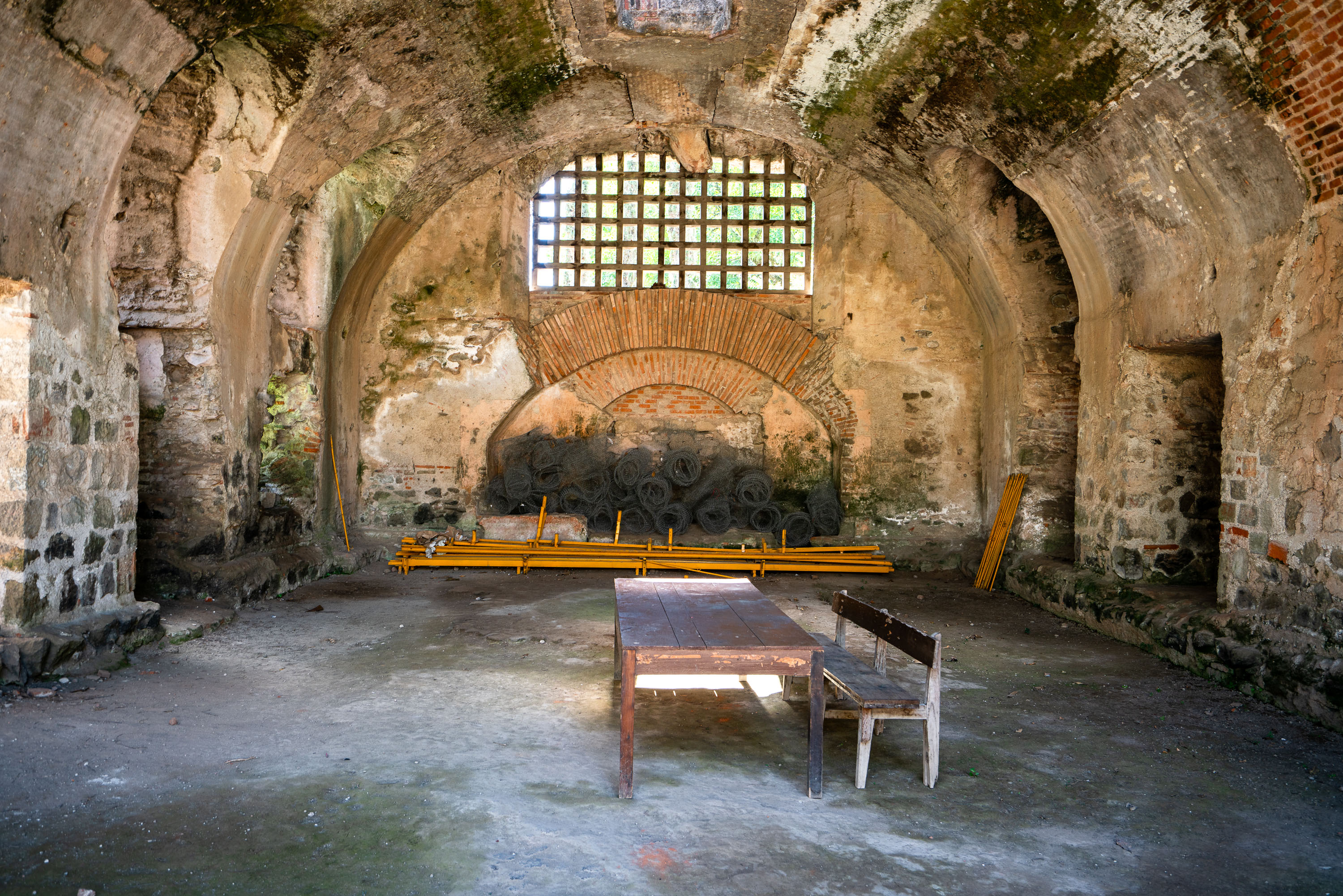
Vaulted stone and brick chambers with arched ceilings in the ruins of San Francisco el Grande Convent, Antigua Guatemala.
San Francisco el Grande was founded by Franciscan friars in the 16th century and grew into one of the largest religious complexes in colonial Antigua Guatemala. The 1773 Santa Marta earthquake badly damaged the convent along with much of the city, and the complex was never fully rebuilt. The surviving chambers, with their thick masonry arches, formed part of the friars' living and working quarters, constructed to support the weight of upper floors that no longer stand. The adjoining church was later restored and today holds the tomb of Hermano Pedro de San José Betancur, a Franciscan lay brother canonized in 2002 as Guatemala's first saint.

Friars’ Quarters at San Francisco el Grande, Antigua
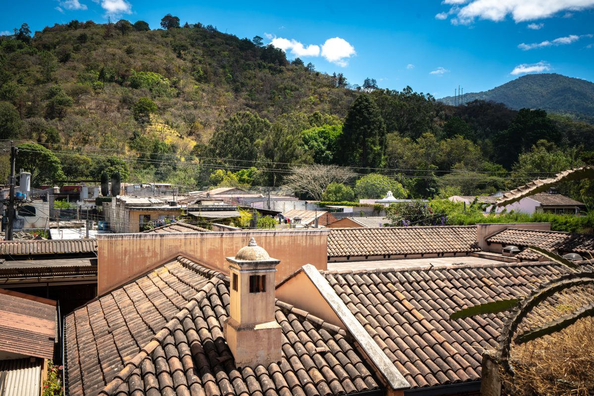
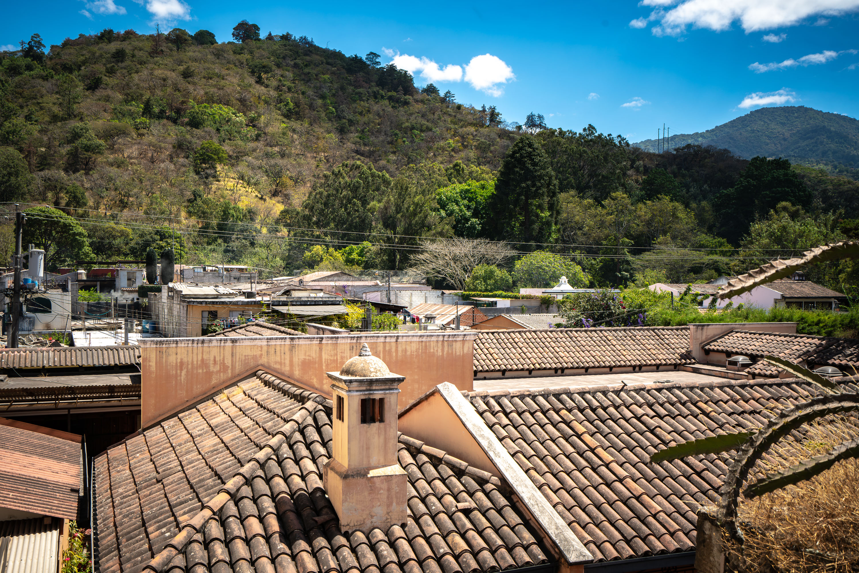
Terracotta clay tile roofs with a white cupola overlook the colonial city of Antigua Guatemala, with forested volcanic hills in the background.
Antigua Guatemala sits in the Panchoy Valley, ringed by the volcanoes Agua, Fuego and Acatenango, whose forested slopes form the backdrop to the city's historic center. Clay tile roofing has been required across Antigua since UNESCO designated it a World Heritage Site in 1979, a building code meant to preserve the colonial-era character the city held as capital of the Captaincy General of Guatemala. Nearby, the Iglesia de San Francisco el Grande, founded by Franciscan friars in 1579, has been rebuilt multiple times after earthquakes, including the 1773 Santa Marta quake that prompted colonial authorities to relocate the capital to present-day Guatemala City. Hermano Pedro de San José Betancourt, a Franciscan missionary canonized in 2002, is entombed inside the church, which continues to draw pilgrims today.

Clay Tile Rooftops Beneath the Hills of Antigua Guatemala
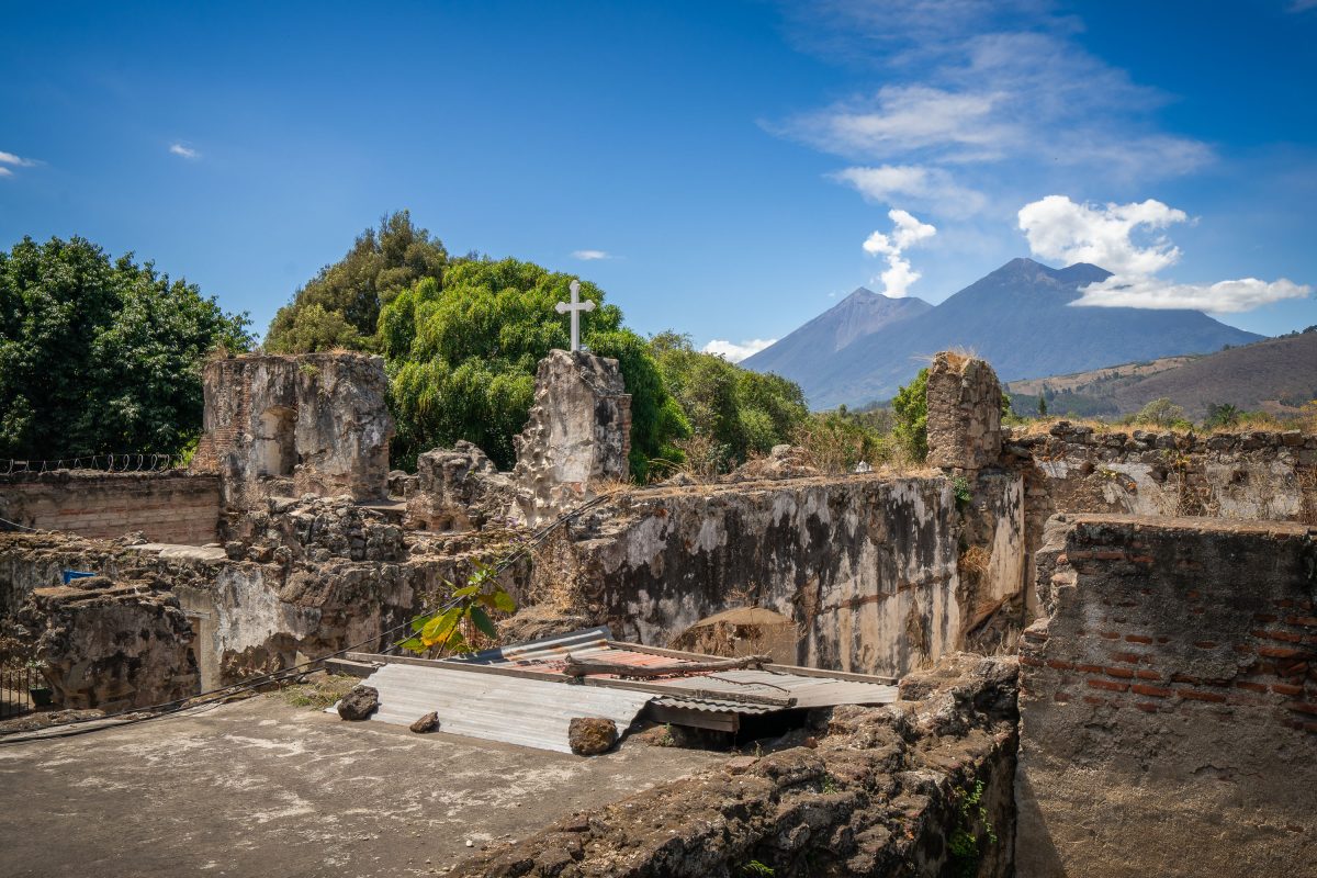
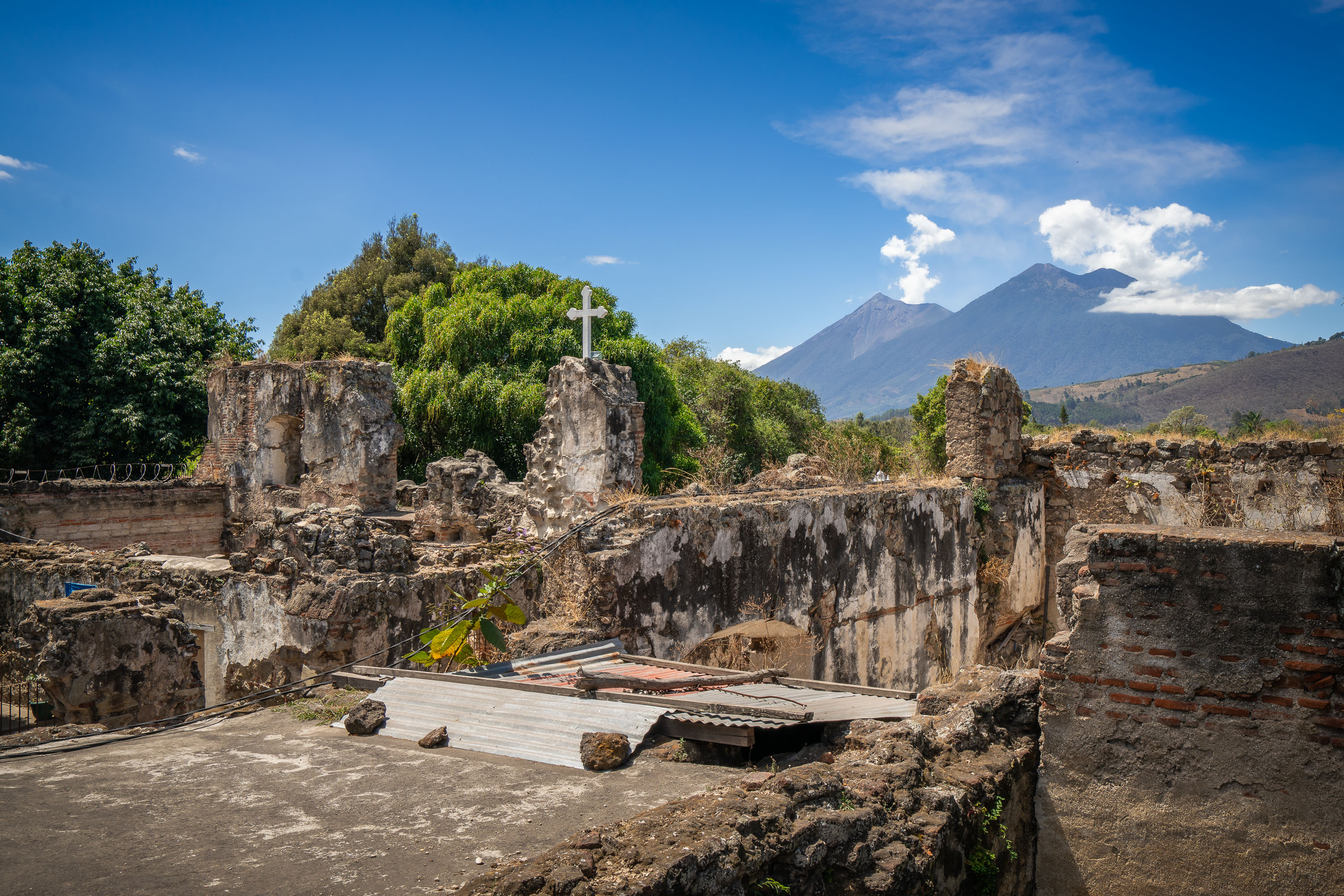
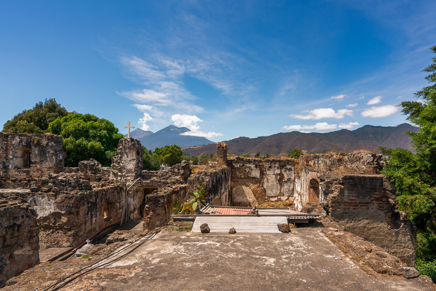
Roofless stone walls and cross at the San Francisco Convent ruins in Antigua Guatemala with volcanoes in the background.
The San Francisco Convent in Antigua Guatemala was founded by Franciscan friars in 1579 and grew into one of the largest religious complexes in colonial Central America, with a church, cloisters, a school, and an infirmary. Earthquakes repeatedly damaged the structure, most severely in 1773, when the destruction led Spanish authorities to relocate Guatemala's capital to what is now Guatemala City. Much of the convent was never rebuilt, leaving the roofless walls and archways that remain part of a protected site within Antigua's UNESCO World Heritage zone. The adjoining church, rebuilt in the 20th century, holds the tomb of Hermano Pedro de San José Betancourt, a Franciscan friar canonized in 2002 and venerated throughout Guatemala. Volcán de Fuego and Volcán Acatenango rise beyond the ruins, part of the volcanic chain that borders the Panchoy Valley where Antigua sits.

San Francisco Convent Ruins Below Volcán de Fuego and Acatenango
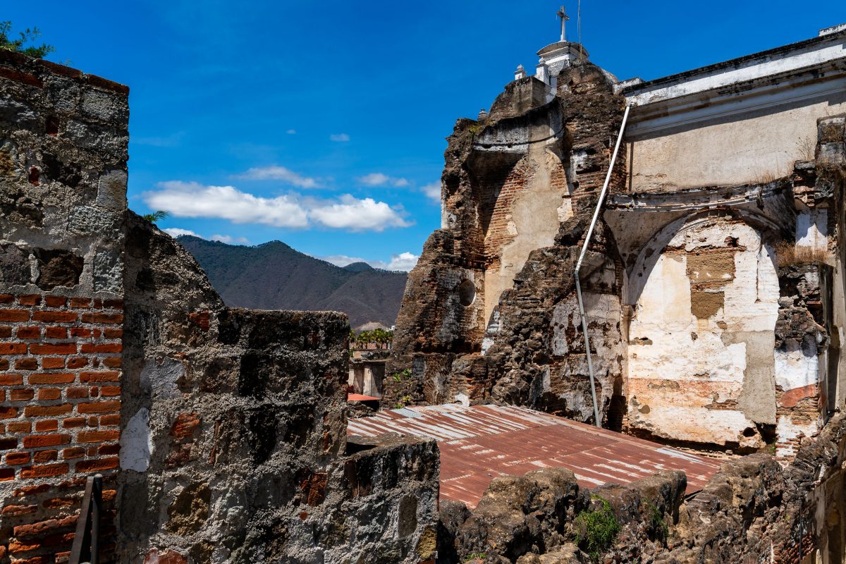
Ruined stone walls and arches of the San Francisco el Grande church and convent in Antigua Guatemala, with mountains visible beyond the colonial structure.
San Francisco el Grande's bell tower and adjoining walls still bear the damage from the 1773 Santa Marta earthquake, the disaster that drove Spanish colonial authorities to abandon Antigua as the capital of the Kingdom of Guatemala. Franciscan friars had built the original complex starting in 1579, eventually expanding it to include a school, printing press, and infirmary alongside the church. Rather than fully rebuild after the quake, the friars left much of the structure as rubble, and later repairs focused only on portions needed for active worship. A restored section of the church today holds the tomb of Hermano Pedro de San José Betancur, a Franciscan lay brother canonized in 2002. The surrounding ruins, along with the rest of Antigua's colonial center, were named a UNESCO World Heritage Site in 1979.

Crumbling Bell Tower of San Francisco el Grande, Antigua
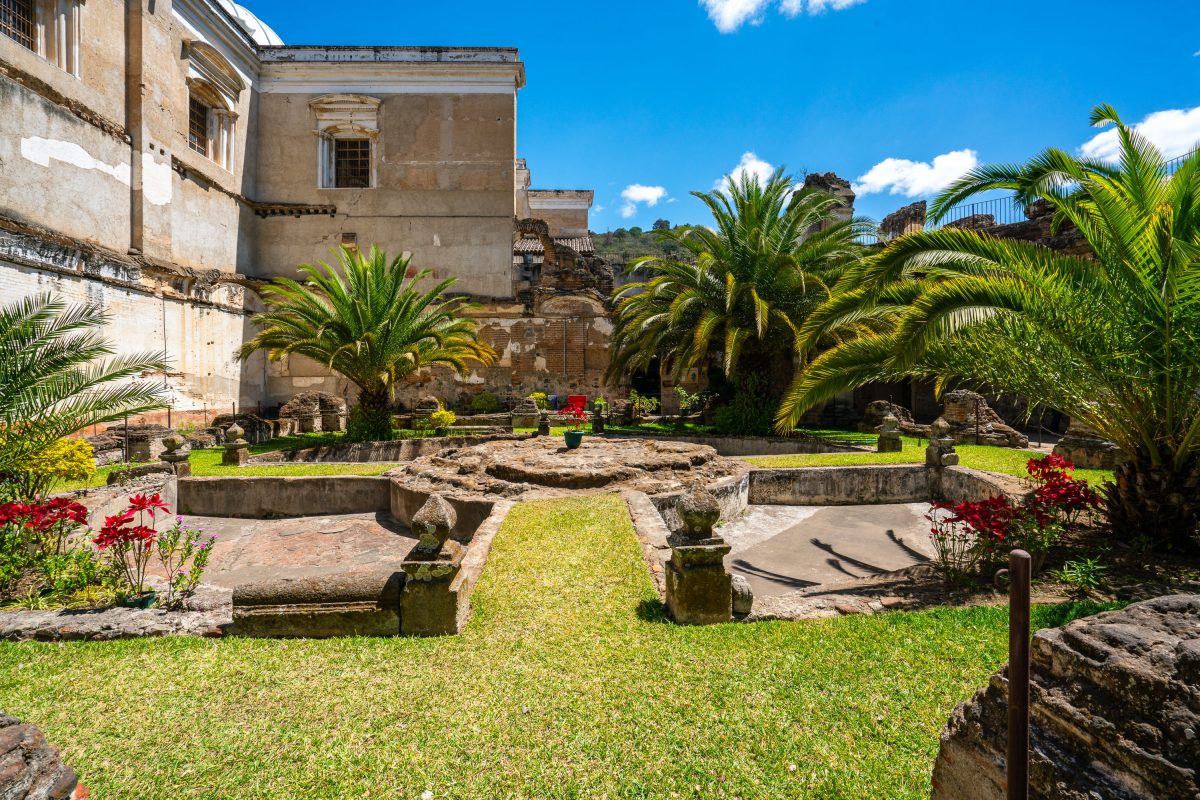
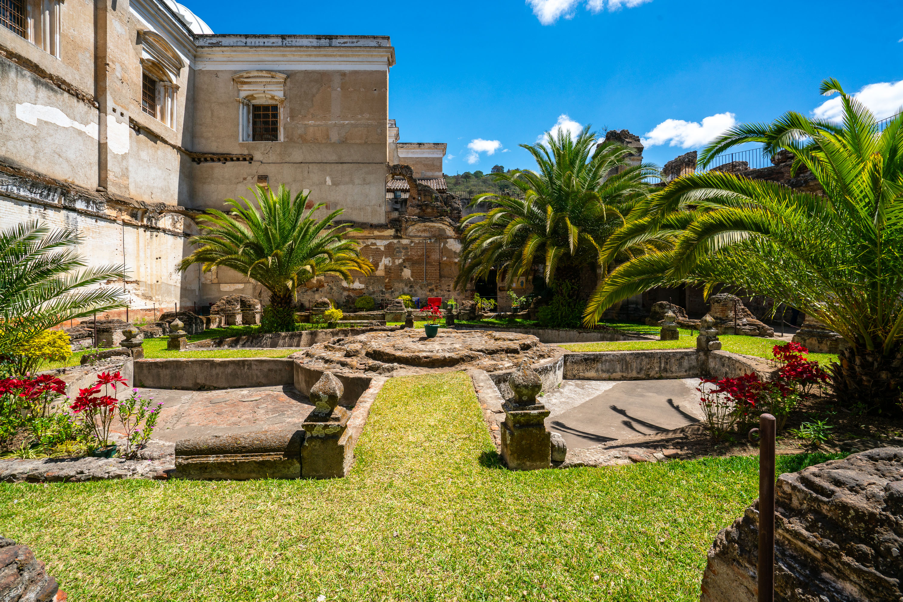
Restored courtyard garden at the San Francisco Convent ruins in Antigua Guatemala with colonial stone structures and tropical palms.
The Convento de San Francisco el Grande was established by Franciscan friars in 1579 and became one of the largest monastic complexes in colonial Central America, housing a church, cloisters, and schools around a series of courtyard gardens. The 1773 earthquake that leveled much of Antigua left the convent in ruins, and the site saw little restoration after the colonial capital relocated to present-day Guatemala City. Hermano Pedro de Betancourt, canonized in 2002 as Guatemala's first saint, served at the convent and is entombed in its adjoining church, drawing pilgrims to the grounds to this day. Conservation efforts in recent decades have stabilized portions of the stonework and reopened the gardens to visitors.

Garden Courtyard at San Francisco El Grande, Antigua Guatemala
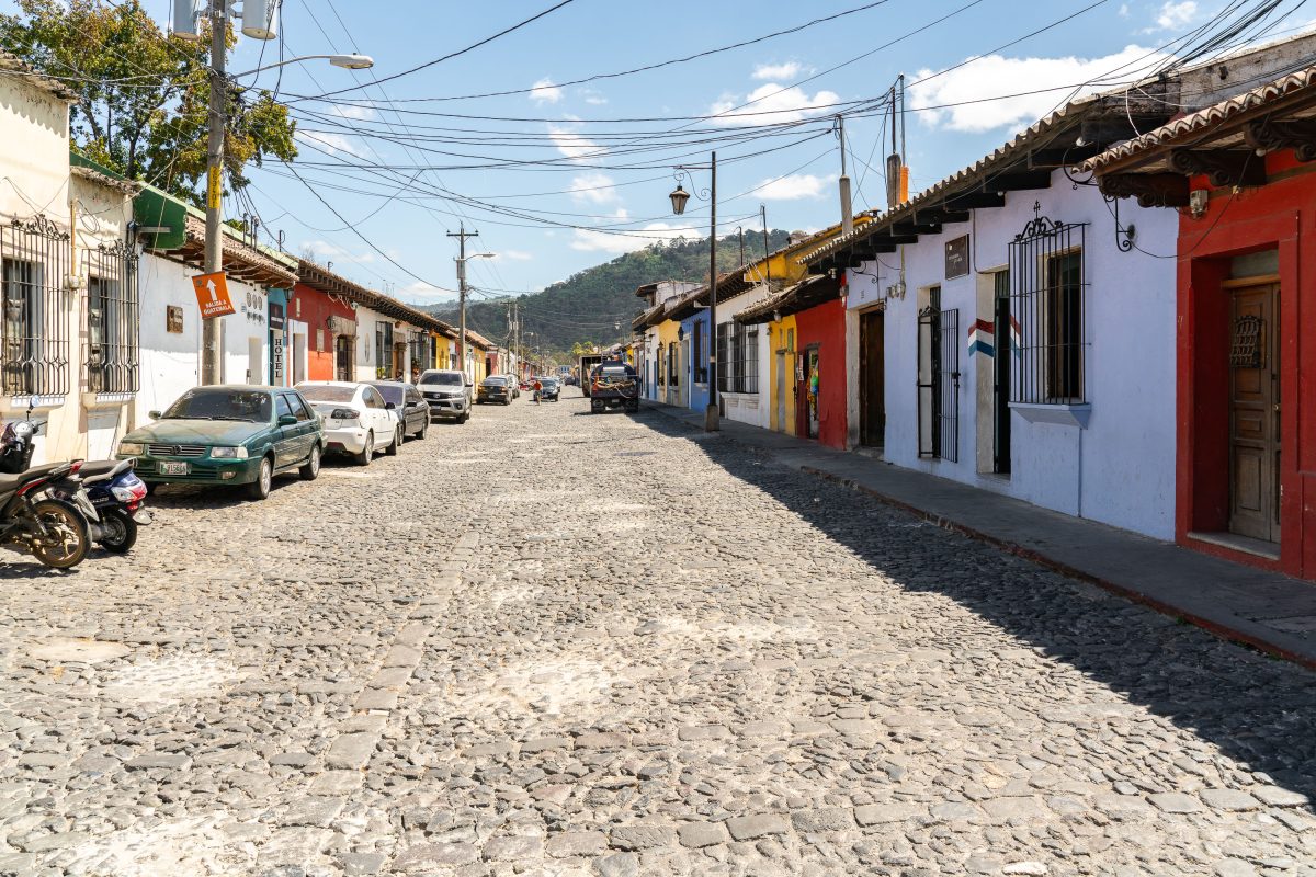
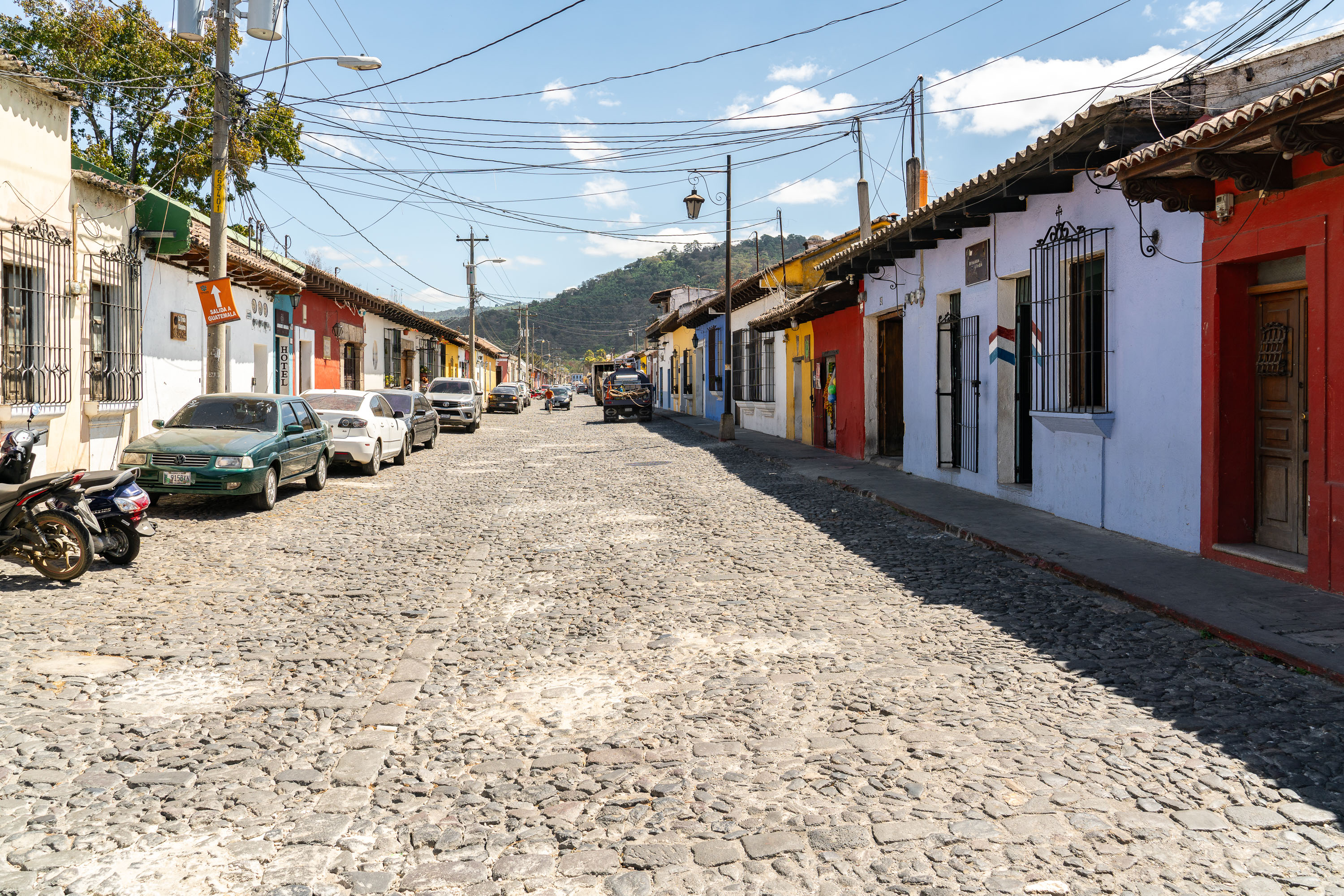
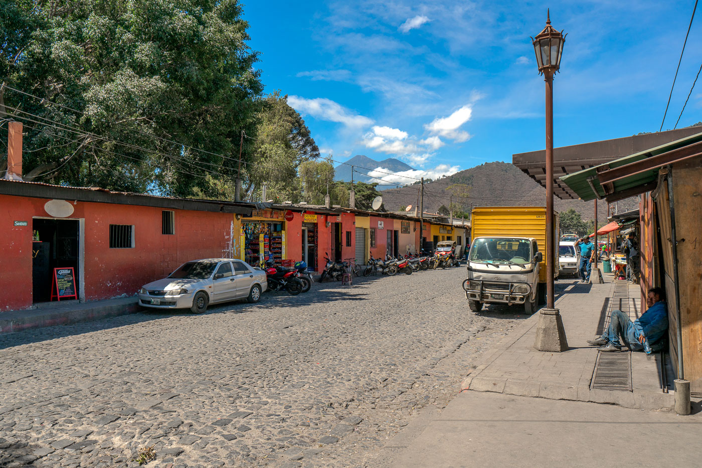
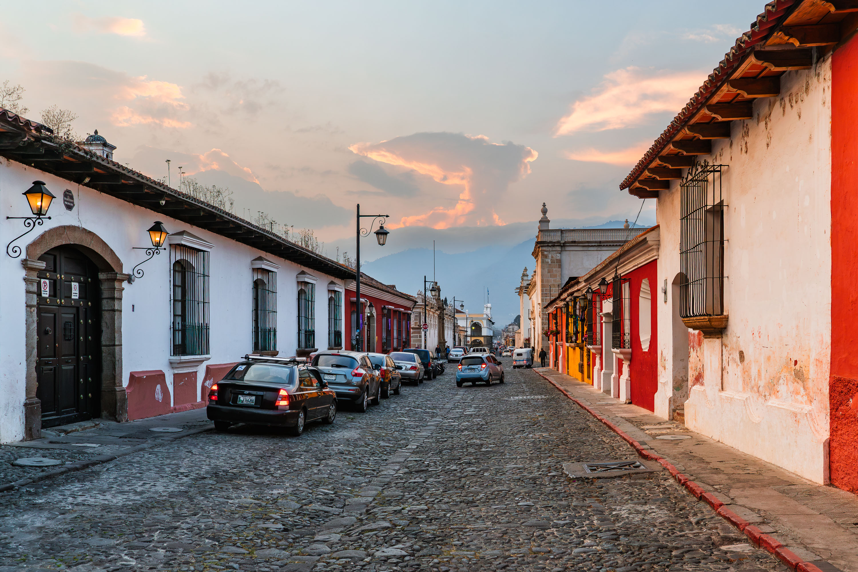
Colorful colonial buildings line a cobblestone street in Antigua Guatemala, with mountains visible in the distance.
Antigua Guatemala's cobblestone streets date to the Spanish colonial period, when the city served as the capital of the Captaincy General of Guatemala from 1543 until 1773. A major earthquake that year forced the colonial government to abandon the city for present-day Guatemala City, which left Antigua's low, single-story construction largely untouched by later development. UNESCO added the historic center to its World Heritage List in 1979, recognizing its grid of streets laid out under Renaissance urban planning principles and its collection of Spanish Baroque architecture. Building codes in the historic district still restrict height and require earth-toned or traditional color palettes on street-facing facades, a rule tied directly to the city's preservation status.

Parked Cars Along a Colonial Street in Antigua Guatemala
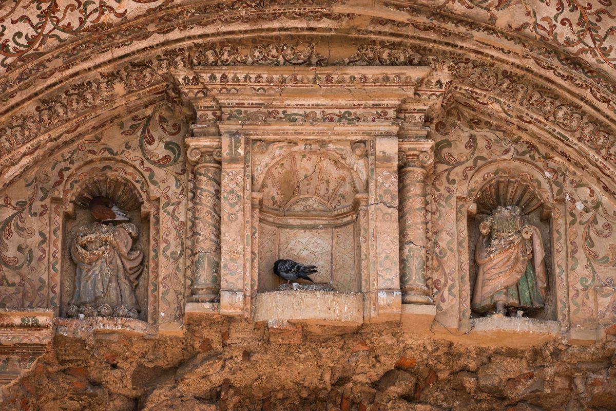
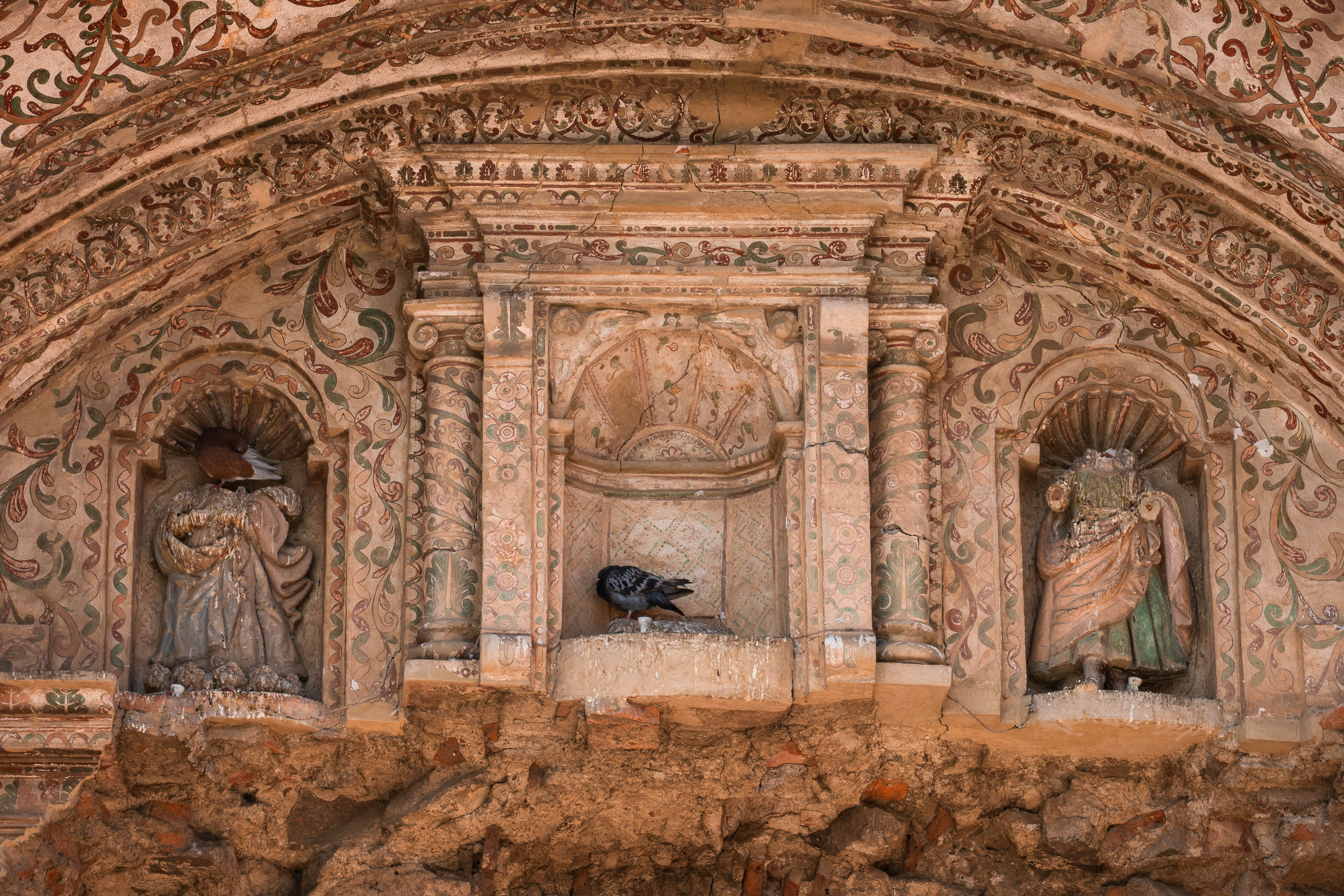
Stone saint statues in ornate carved niches on a weathered colonial church facade in Antigua, Guatemala.
This carved facade belongs to a colonial-era church in Antigua, Guatemala, once the seat of the Spanish Captaincy General of Guatemala. Founded in 1543, the city served as the colonial capital until earthquakes in 1773 badly damaged its buildings, prompting Spanish authorities to move the seat of government to present-day Guatemala City. Many of Antigua's Baroque church facades, built through the 17th and 18th centuries, combine sculpted saint niches with painted stucco ornament, a style brought from Spain and adapted by local craftsmen. Antigua's historic center was added to the UNESCO World Heritage List in 1979 in recognition of its surviving colonial architecture.

A Pigeon Nests Between Saint Statues on an Antigua Church Facade
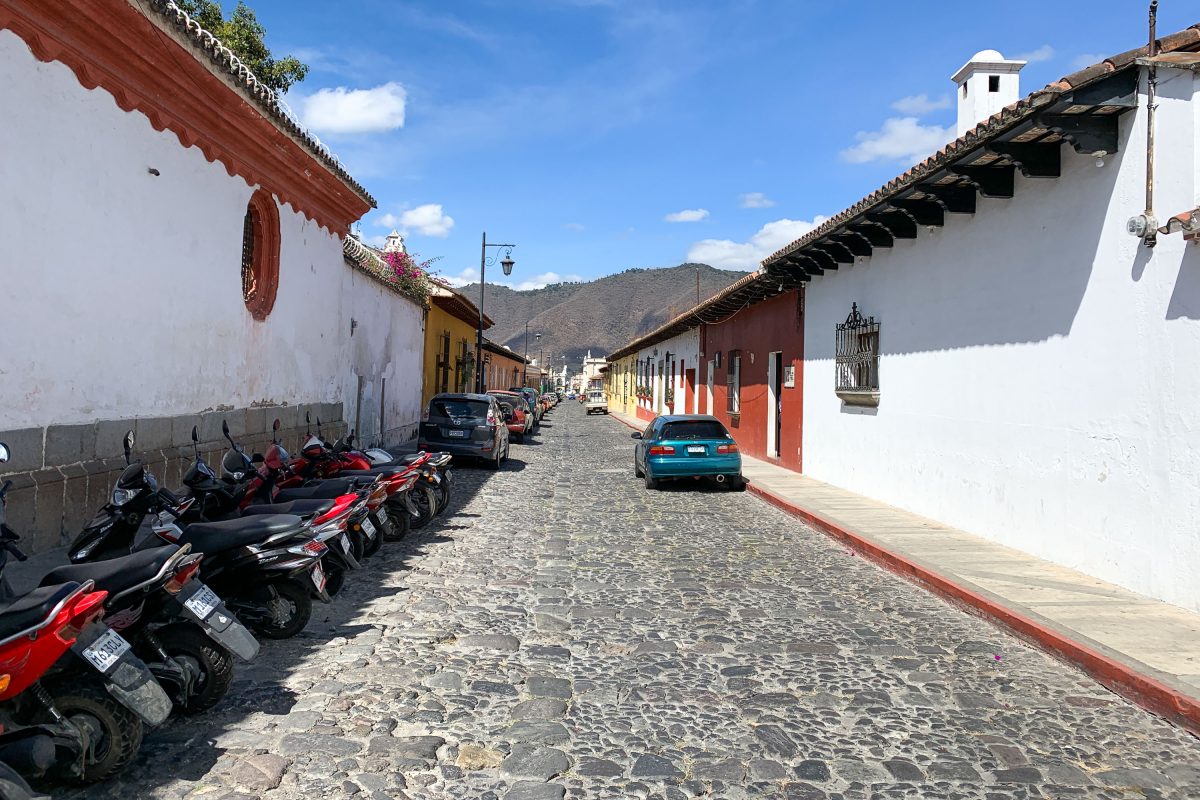
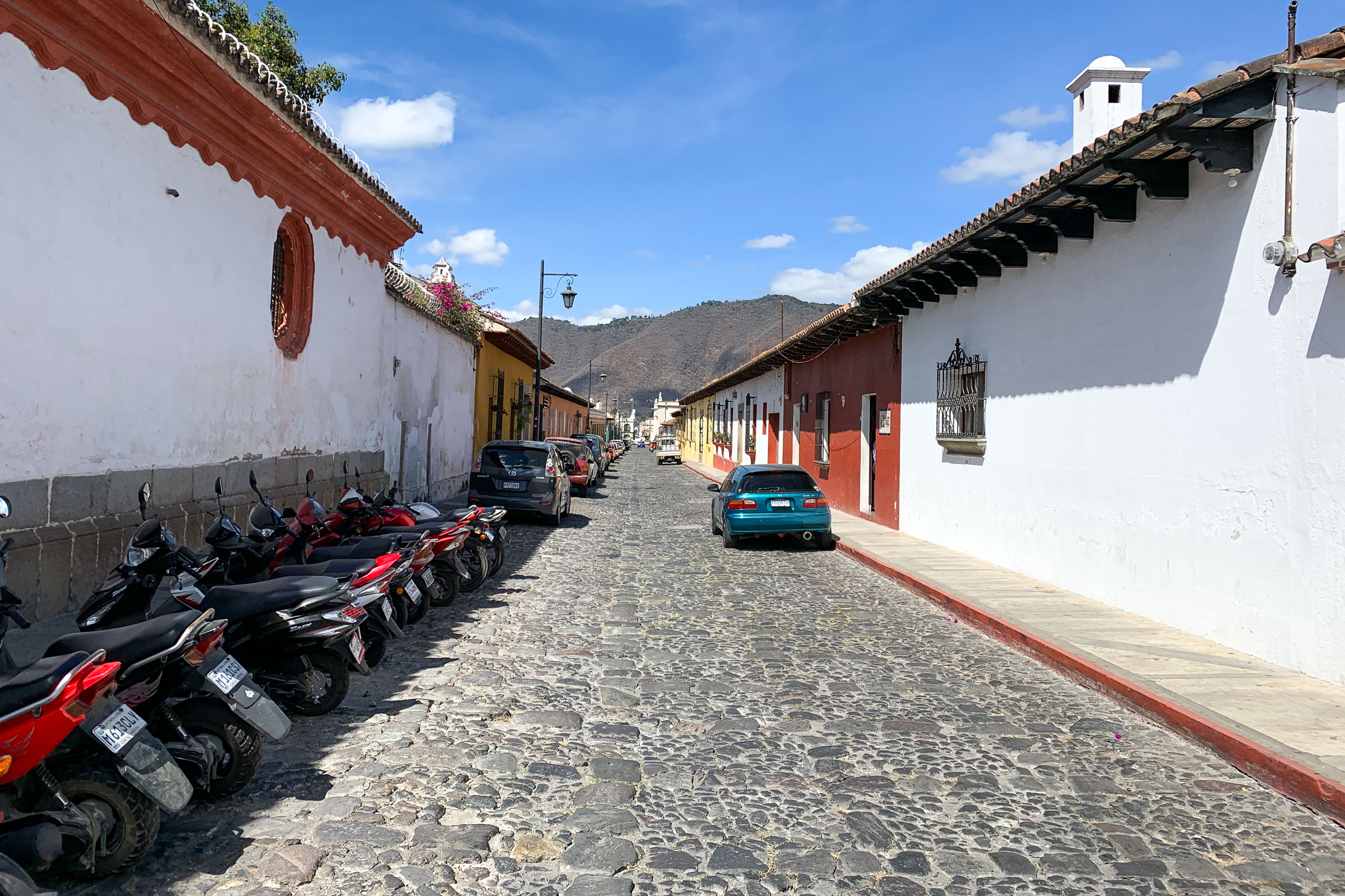
Motorcycles parked along a cobblestone street in Antigua Guatemala lined with colonial buildings and mountains.
Antigua's streets still follow the colonial grid laid out after the city became the capital of the Kingdom of Guatemala in 1543. The cobblestones covering them were cut from volcanic rock quarried in the surrounding highlands, a material choice tied directly to the region's volcanic geology. UNESCO added the historic center to its World Heritage list in 1979, citing its well-preserved layout of low, colonial-era buildings. Many structures here were rebuilt low to the ground after the 1773 earthquake that drove Spanish colonial authorities to relocate the capital to what is now Guatemala City. Volcán de Agua, visible at the end of many of the city's straight streets, has long served as a fixed point of reference in Antigua's urban design.

Parked Motorcycles Along a Cobblestone Lane in Antigua
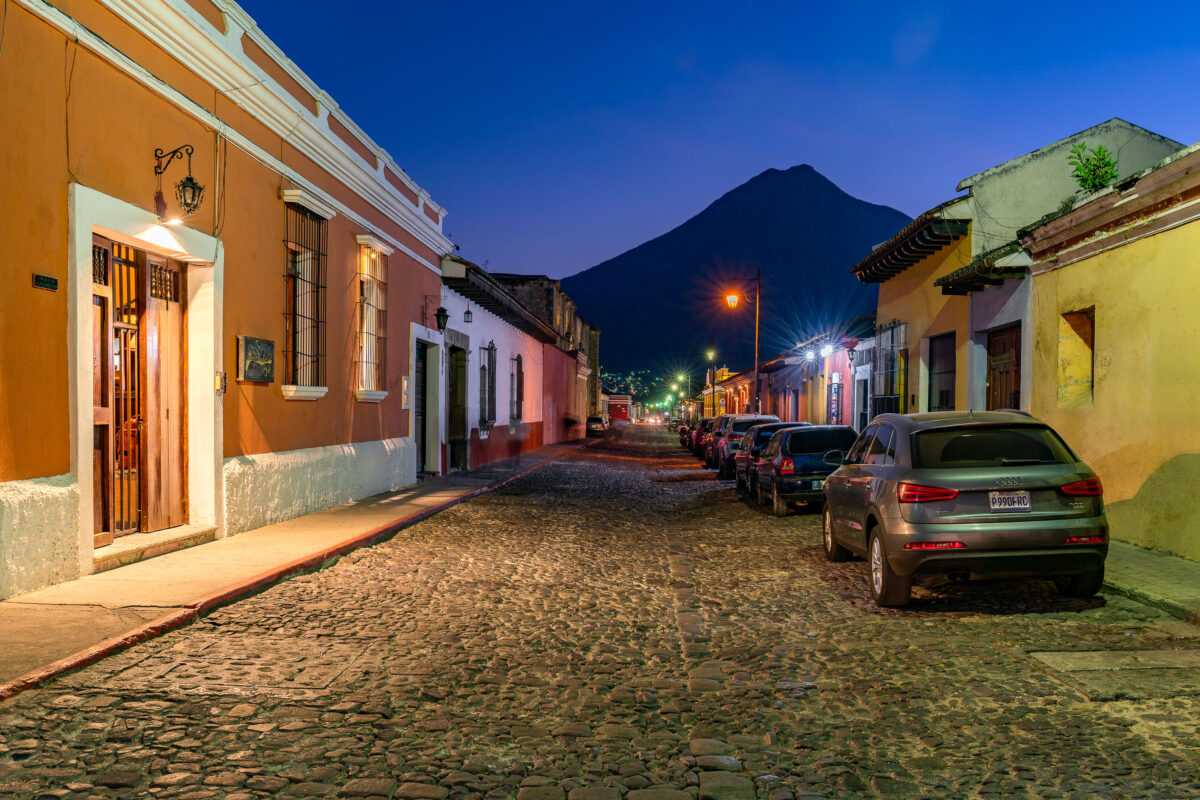
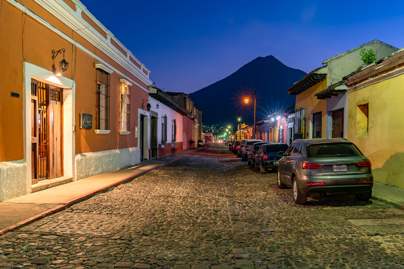
Parked vehicles line a cobblestone street in Antigua Guatemala at twilight with Volcán de Agua rising in the background.
Antigua Guatemala served as the capital of the Captaincy General of Guatemala from 1543 until a series of earthquakes forced the government to relocate to present-day Guatemala City in 1773. The city's colonial grid of cobblestone streets and low masonry buildings survives largely intact, earning it UNESCO World Heritage status in 1979. Volcán de Agua, rising to about 3,760 meters just south of the city, has long served as a landmark for orienting Antigua's streets, many of which align toward its summit.

Dusk Settles Over a Cobblestone Street Beneath Volcán de Agua
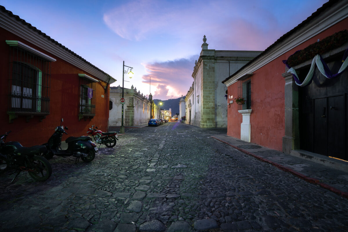
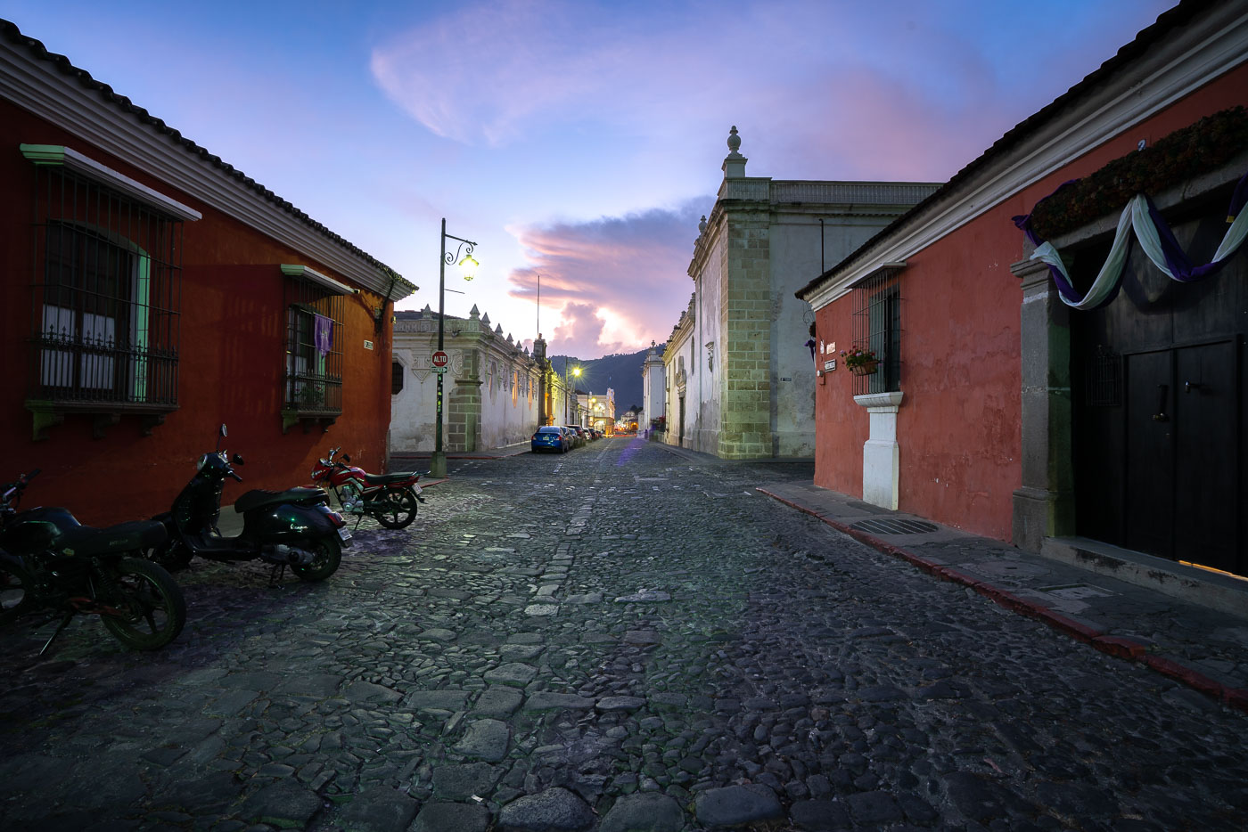
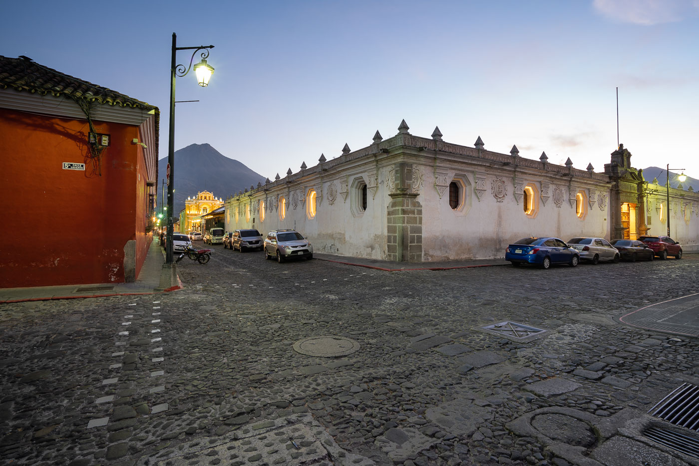
Cobblestone street in colonial Antigua Guatemala at dusk, lined with red and white buildings, motorcycles, and a church tower visible ahead.
Antigua Guatemala served as the capital of the Kingdom of Guatemala from 1543 until a series of earthquakes forced the government to relocate to present-day Guatemala City in 1776. UNESCO added the city to its World Heritage list in 1979, citing its Spanish Baroque architecture and well-preserved colonial street grid. The volcano Agua, rising to roughly 3,760 meters, stands just south of the city and has shaped its layout since Spanish colonists settled the valley in the 1540s. Many of Antigua's streets retain their original cobblestone paving, a feature protected under local preservation rules that restrict modern alterations within the historic center.

Twilight Falls Over a Cobblestone Street in Antigua Guatemala
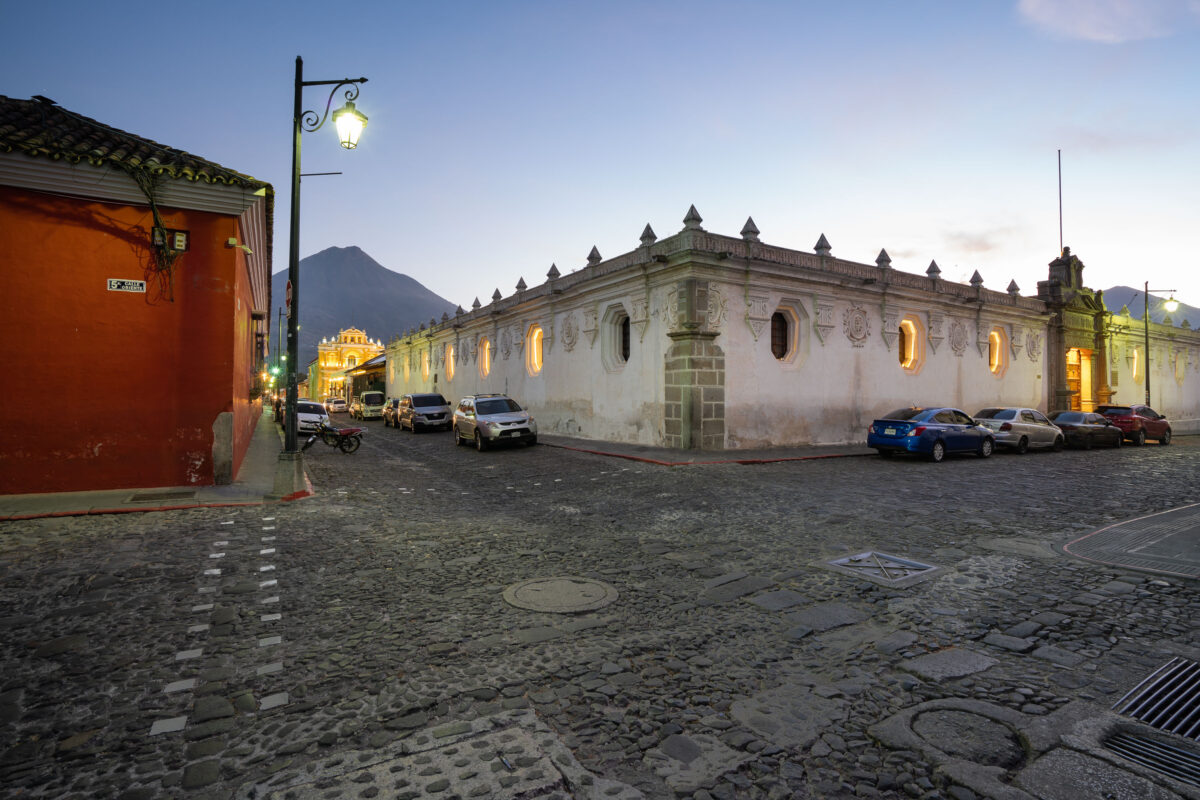
Colonial-era buildings with illuminated windows line a cobblestone street in Antigua Guatemala as Agua Volcano rises in the background at dusk.
5a Calle Oriente runs east-west through the historic center of Antigua Guatemala, part of the city's original 16th-century grid laid out after the Spanish crown relocated its colonial capital here in 1543. Agua Volcano, a dormant stratovolcano rising to roughly 3,760 meters, stands just south of the city and gave Antigua its name after a 1541 mudslide from its slopes destroyed the earlier Spanish capital at its base. Antigua Guatemala's colonial street grid and surrounding volcanoes were inscribed as a UNESCO World Heritage Site in 1979, recognizing the city's preserved Spanish Baroque architecture.

Twilight on 5a Calle Oriente Toward Agua Volcano, Antigua

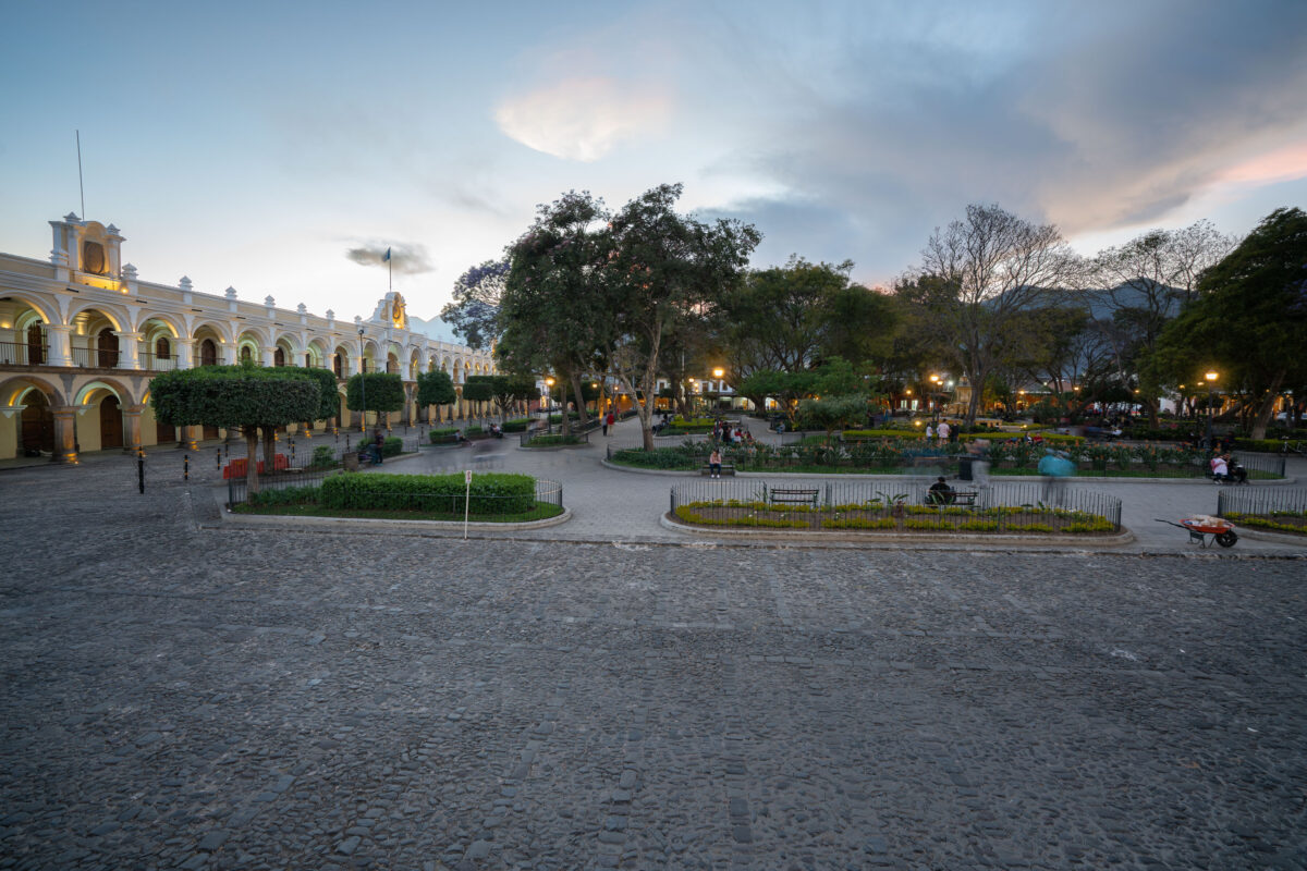
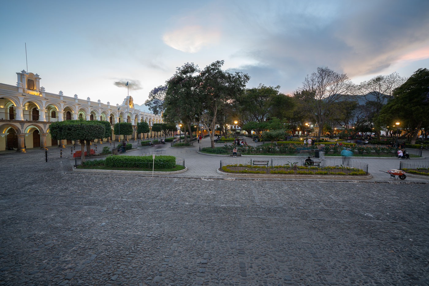
Parque Central in Antigua Guatemala features a yellow arcaded colonial building, manicured gardens, and mountains visible at dusk.
Parque Central sits at the heart of Antigua Guatemala, laid out when the city was founded as Santiago de los Caballeros in 1543. The square's centerpiece, the Fuente de las Sirenas, was cast in 1739 and remains one of the few colonial fountains in the Americas still in its original location. The Palacio de los Capitanes Generales, seat of Spanish colonial governors for Central America, lines its western edge, while the Antigua Cathedral and the Ayuntamiento building border the other sides. UNESCO listed Antigua Guatemala as a World Heritage Site in 1979, citing the preserved layout of its historic center, of which this plaza forms the core.

Twilight at Parque Central in Antigua Guatemala

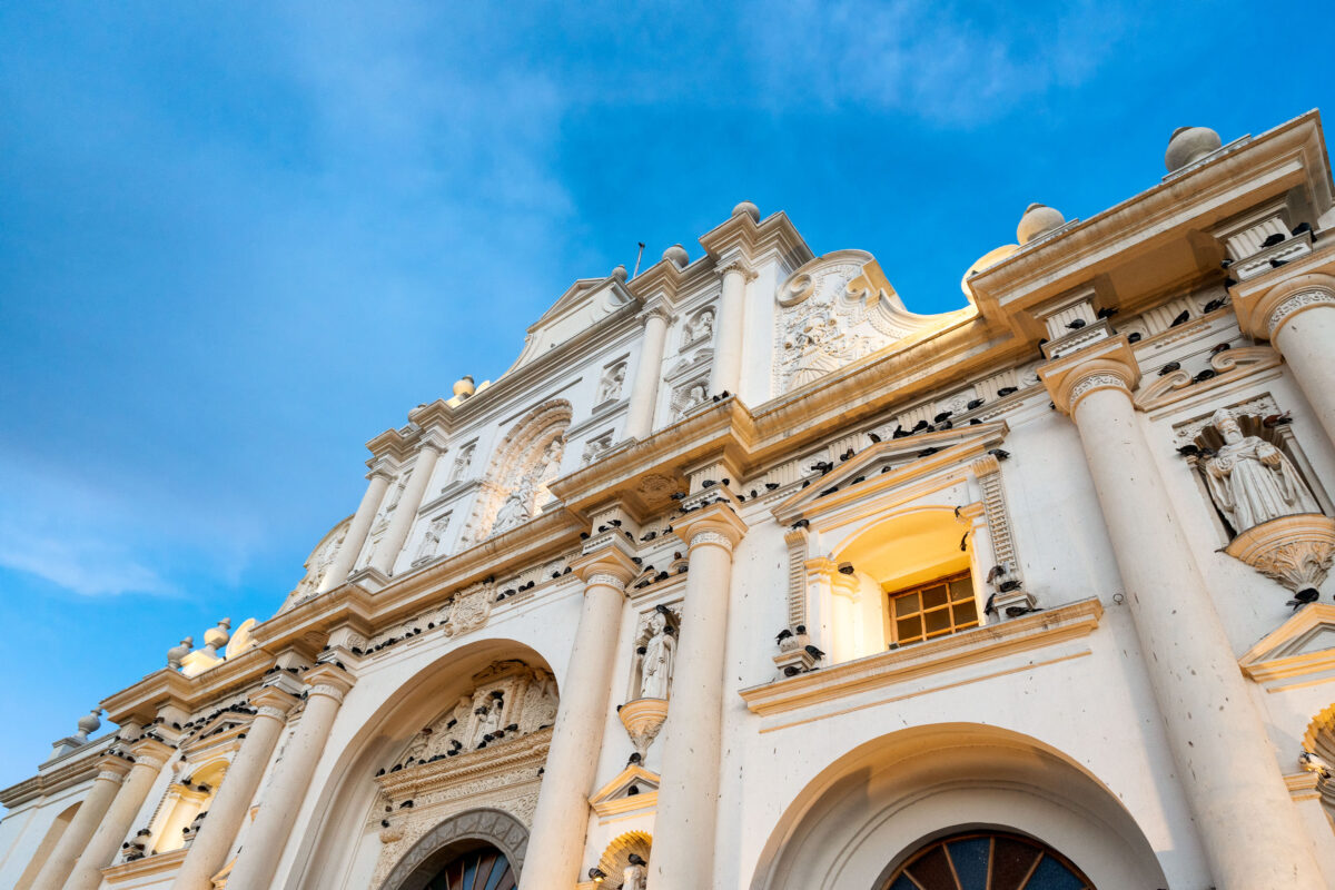
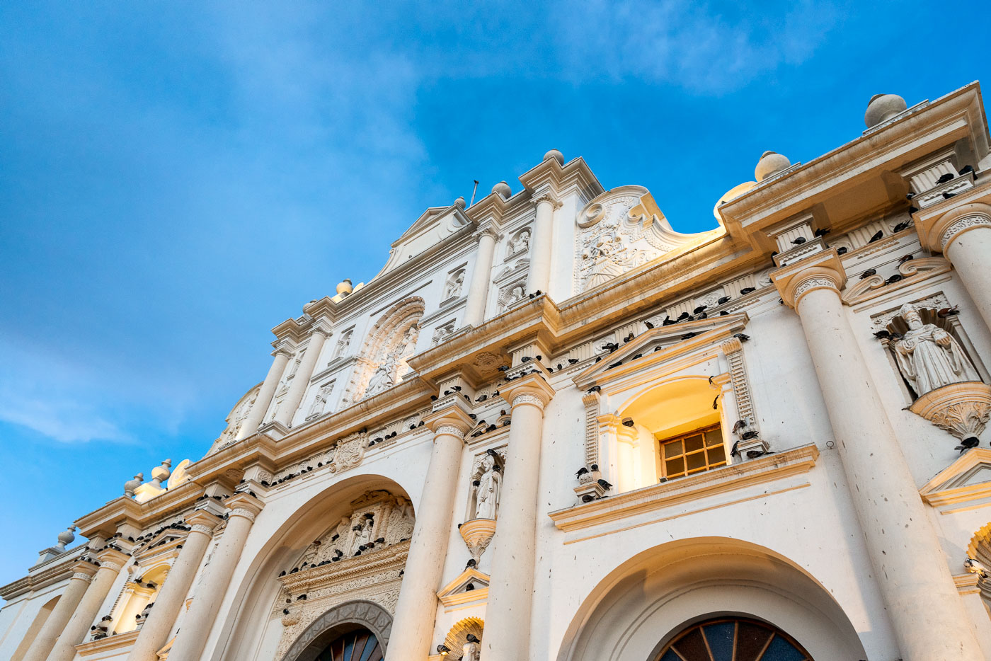
Ornate white and gold facade of the Cathedral of Saint James the Apostle in Parque Central, Antigua Guatemala, beneath clear blue sky.
The Cathedral of Saint James the Apostle anchors the east side of Parque Central in Antigua Guatemala, seat of the Archdiocese of Santiago de Guatemala. Spanish colonial authorities first consecrated a church on this site in 1545, with later rebuilding producing the baroque facade seen today after earlier structures were destroyed by earthquakes in 1717 and 1773. Only the front portion was restored for regular use following the 1773 damage, while the rest of the original cathedral remains in ruins behind it. Antigua's historic center, including the cathedral, was designated a UNESCO World Heritage Site in 1979.

Baroque Facade of the Cathedral of Saint James, Antigua

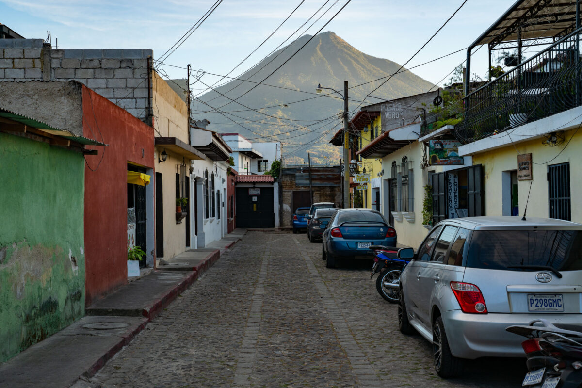
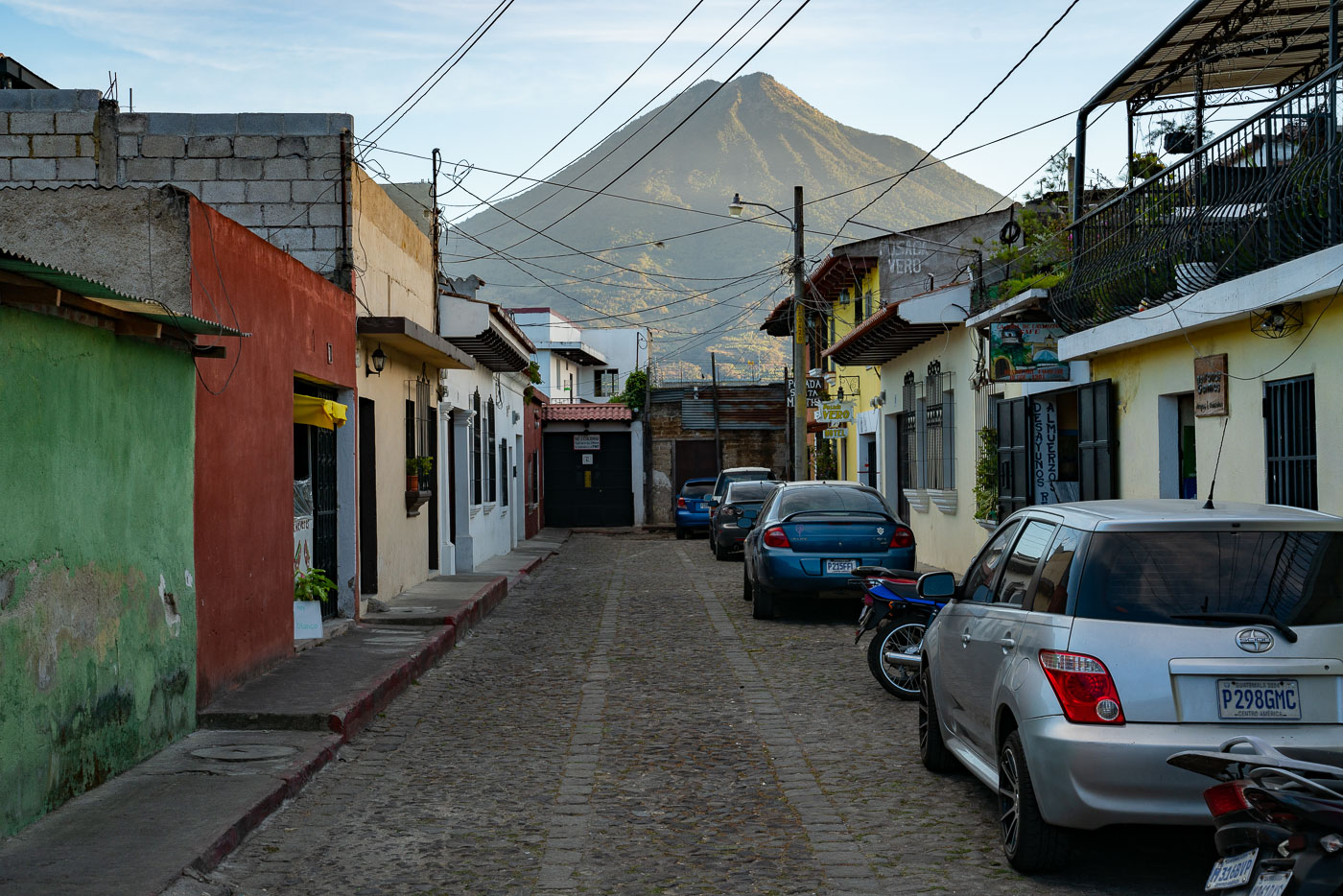
A narrow cobblestone street in colonial Antigua, Guatemala, with parked vehicles and colorful buildings framing Volcán de Agua in the distance.
Volcán de Agua rises about 3,760 meters above sea level just south of Antigua Guatemala, and its symmetrical cone is visible from streets throughout the city. Antigua's grid of cobblestone streets dates to the 16th century, when the city served as the capital of the Captaincy General of Guatemala. UNESCO designated the city's historic center a World Heritage Site in 1979, citing its well-preserved colonial layout and architecture. Many of the low buildings lining streets like this one combine original colonial walls with later additions, a pattern common throughout the city after repeated earthquake damage prompted rebuilding over the centuries.

Parked Cars Along a Cobblestone Lane Near Volcán de Agua, Antigua

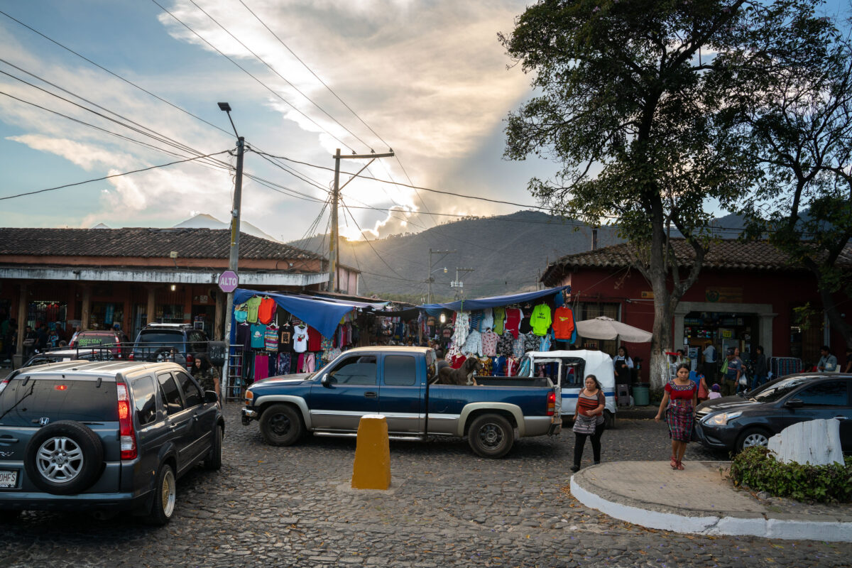
Street vendors display colorful clothing and goods along a cobblestone market street in colonial Antigua, Guatemala, with mountains visible in the background.
Antigua Guatemala served as the capital of the Kingdom of Guatemala from 1543 until a series of earthquakes forced the colonial government to relocate to present-day Guatemala City in 1773. The city's grid of cobblestone streets and low Spanish colonial buildings has remained largely intact since that period, earning it UNESCO World Heritage status in 1979. Open-air vendor stalls selling clothing and textiles are a regular feature along several of Antigua's market streets, supplying both residents and the tourists who visit the city. Volcán de Agua, rising to the south, has long shaped the layout and orientation of the city's streets.

Clothing Vendors Along a Market Street in Antigua, Guatemala

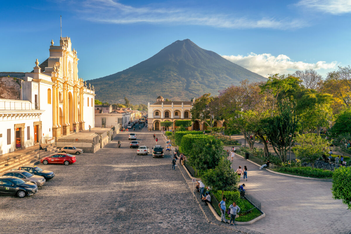
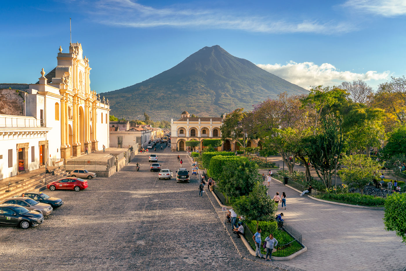
Catedral de Santiago and Volcán de Agua dominate Parque Central in Antigua Guatemala, a UNESCO World Heritage colonial city.
The Catedral de San José faces Parque Central in Antigua Guatemala, its current facade dating to a 1680 rebuilding after earlier quakes destroyed the original 1543 structure. Much of the cathedral's nave and rear chapels collapsed in the 1773 Santa Marta earthquake, which prompted colonial authorities to relocate the capital to present-day Guatemala City. Only the front portion was later restored for regular use, while ruins of the old naves remain behind it. Volcán de Agua, rising to about 3,760 meters, takes its name from a 1541 mudslide that destroyed the original Spanish capital at Ciudad Vieja. Antigua Guatemala's historic center was named a UNESCO World Heritage Site in 1979 for its preserved Spanish colonial layout and architecture.

San José Cathedral and Volcán de Agua Over Antigua Guatemala

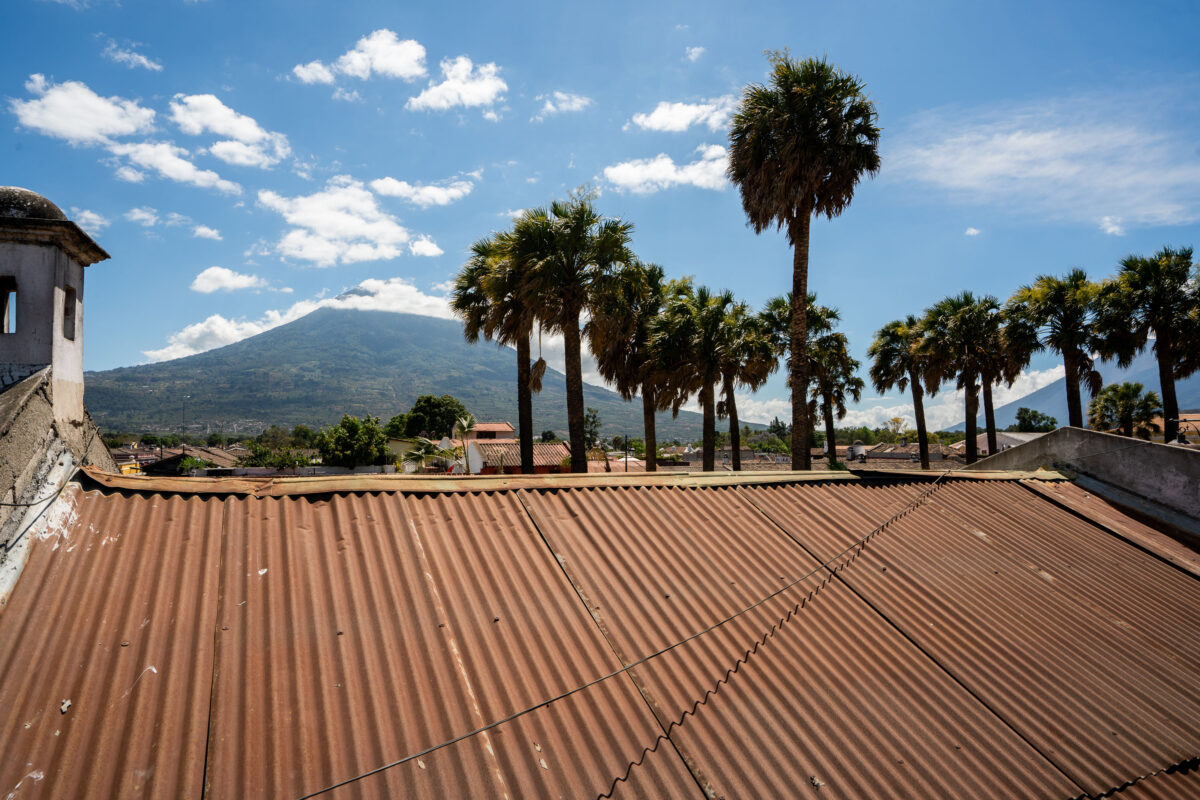
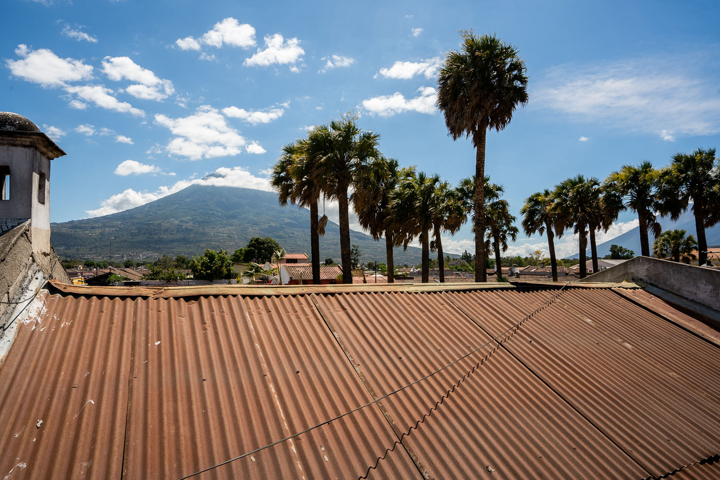
Agua Volcano rises above the roofline of Antigua, Guatemala, framed by palm trees under a blue sky.
Volcán de Agua rises to 3,760 meters south of Antigua Guatemala, its symmetrical cone a defining landmark of the Panchoy Valley. The volcano takes its name — "water" — from a 1541 mudslide and flood that destroyed the early Spanish capital of Ciudad Vieja, prompting colonial authorities to relocate the capital to the site of present-day Antigua. It last erupted in 1543 and is now dormant, in contrast to the active Fuego volcano nearby. Corrugated metal roofing, common throughout Antigua's historic district, covers many of the colonial-era buildings within the city's UNESCO World Heritage site, designated in 1979.

Rooftop View of Volcán de Agua, Antigua Guatemala

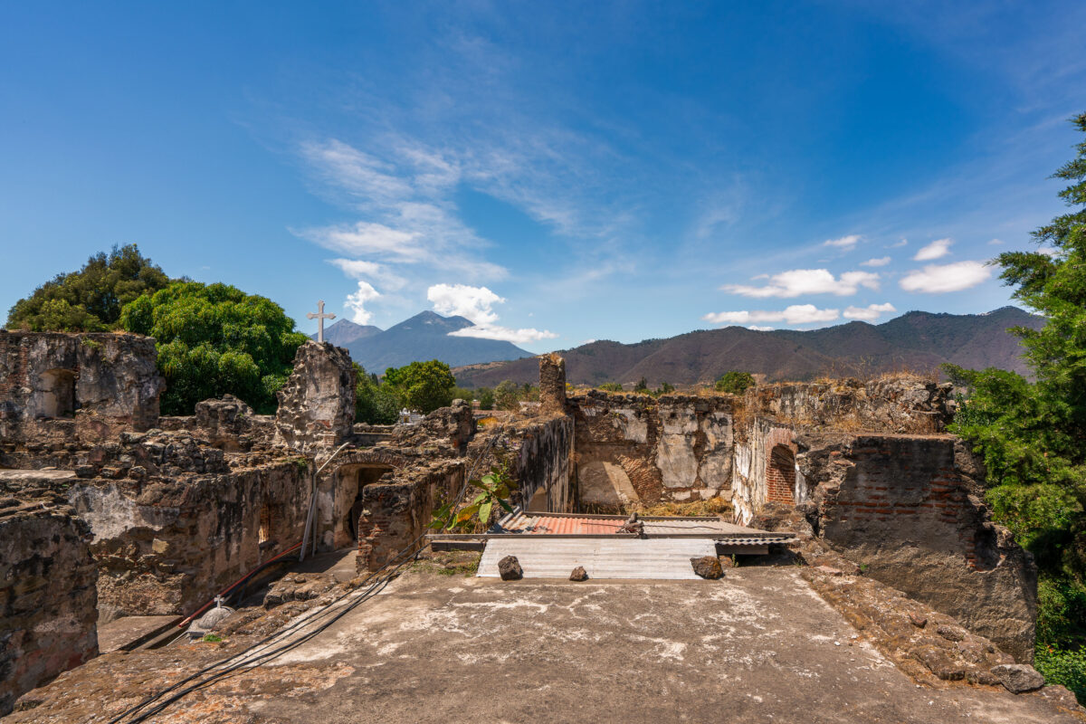
Stone ruins of the San Francisco el Grande colonial church and convent in Antigua, Guatemala, with Agua Volcano visible in the distance.
San Francisco el Grande began as a Franciscan church and convent built in Antigua in 1579. Earthquakes, most severely the 1773 Santa Marta tremors, left much of the original structure in ruins, and the complex stood largely abandoned until restoration efforts took hold in the 20th century. A newer sanctuary adjoining the ruins now holds the tomb of Hermano Pedro de San José Betancur, canonized in 2002 as Guatemala's first saint, drawing pilgrims from across Central America. Volcán de Agua, a 3,760-meter stratovolcano southeast of the city, has long served as a landmark for travelers approaching Antigua.

A Stone Cross Among the Ruins of San Francisco el Grande

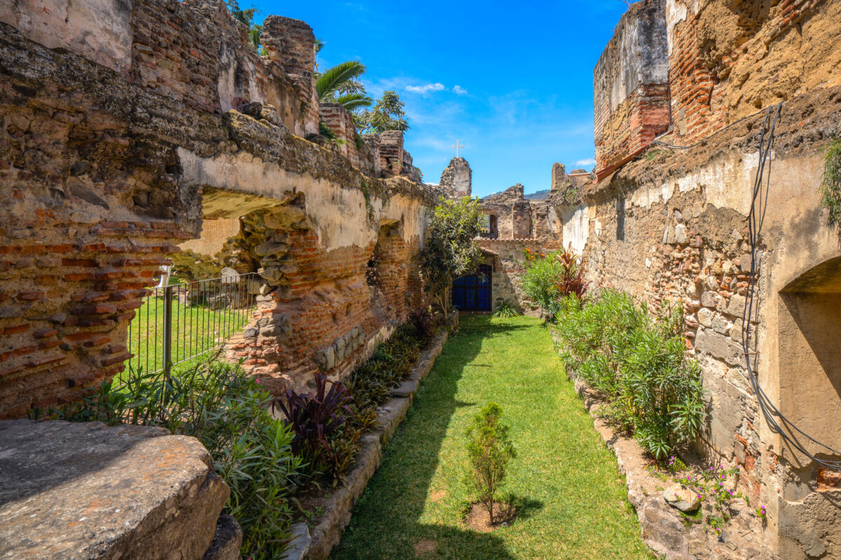
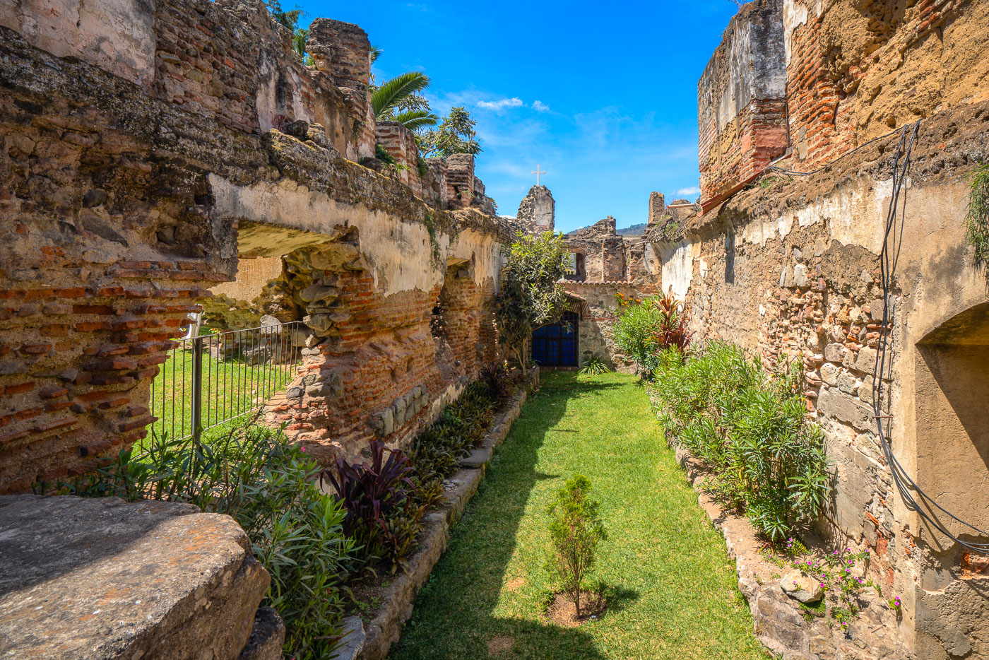
Ruins of Santuario San Francisco el Grande, a colonial-era church complex in Antigua, Guatemala, with stone walls and overgrown garden.
San Francisco el Grande, founded by Franciscan friars in the 16th century, once ranked among the largest religious complexes in colonial Antigua. Earthquakes in 1773 left much of the church and adjoining cloister in ruins, prompting the capital to relocate to present-day Guatemala City. The brick and masonry walls that remain standing today were never fully restored, leaving exposed arches and crumbling vaults alongside the original convent gardens. Franciscan friar Hermano Pedro de Betancourt, later canonized as Guatemala's first saint, lived and worked at this site, and his tomb draws pilgrims to the adjacent working church.

Garden Passage Through the Ruins of San Francisco el Grande

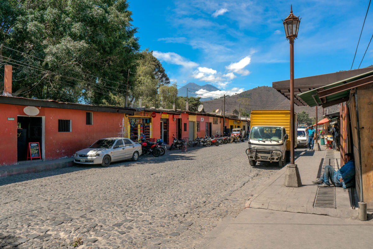
Cobblestone street in Antigua Guatemala with colonial buildings, parked vehicles, and Agua volcano visible in the distance.
Volcán de Agua rises just south of Antigua Guatemala, a dormant stratovolcano reaching about 3,760 meters above sea level. A mudslide from the volcano destroyed the nearby settlement of Ciudad Vieja in 1541, prompting Spanish colonists to relocate their capital to what became Antigua two years later. Antigua Guatemala served as the seat of the Captaincy General of Guatemala until a series of earthquakes forced its abandonment in 1773. Its cobblestone streets and low colonial buildings, many dating to the 16th through 18th centuries, helped earn the city UNESCO World Heritage status in 1979.

Market Street Below Volcán de Agua in Antigua

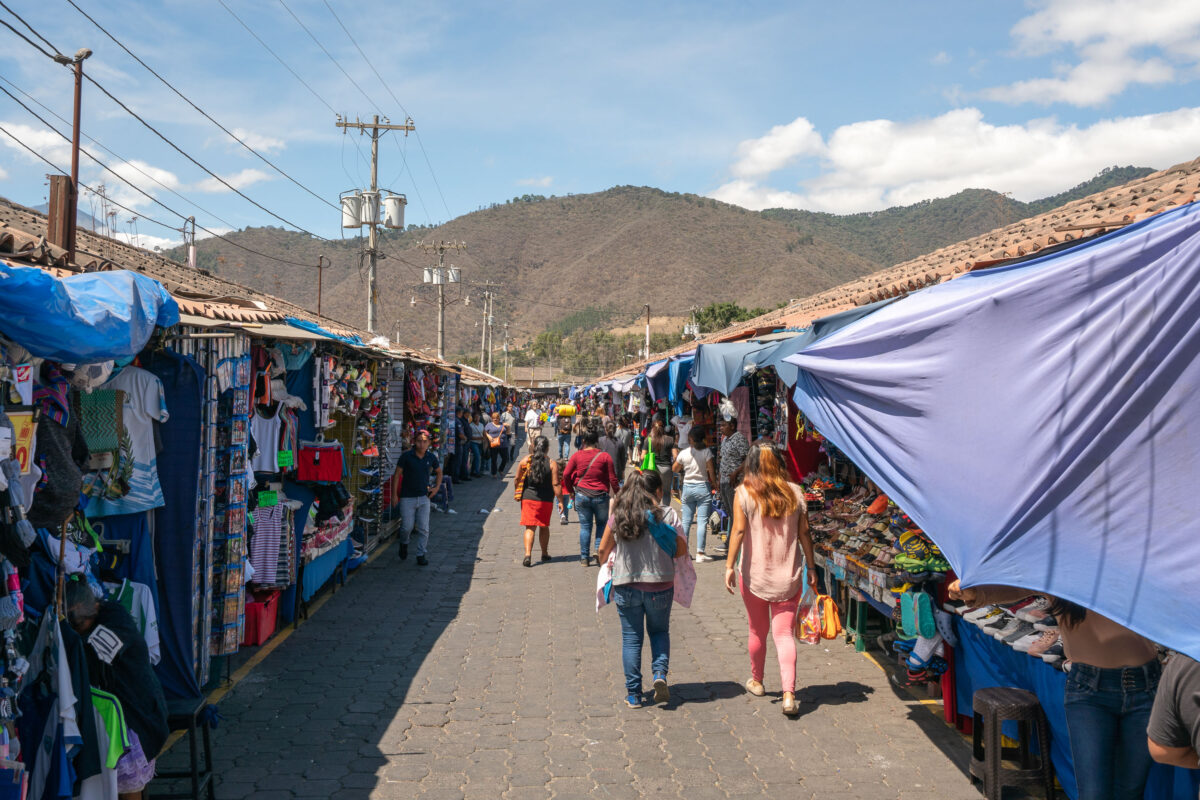
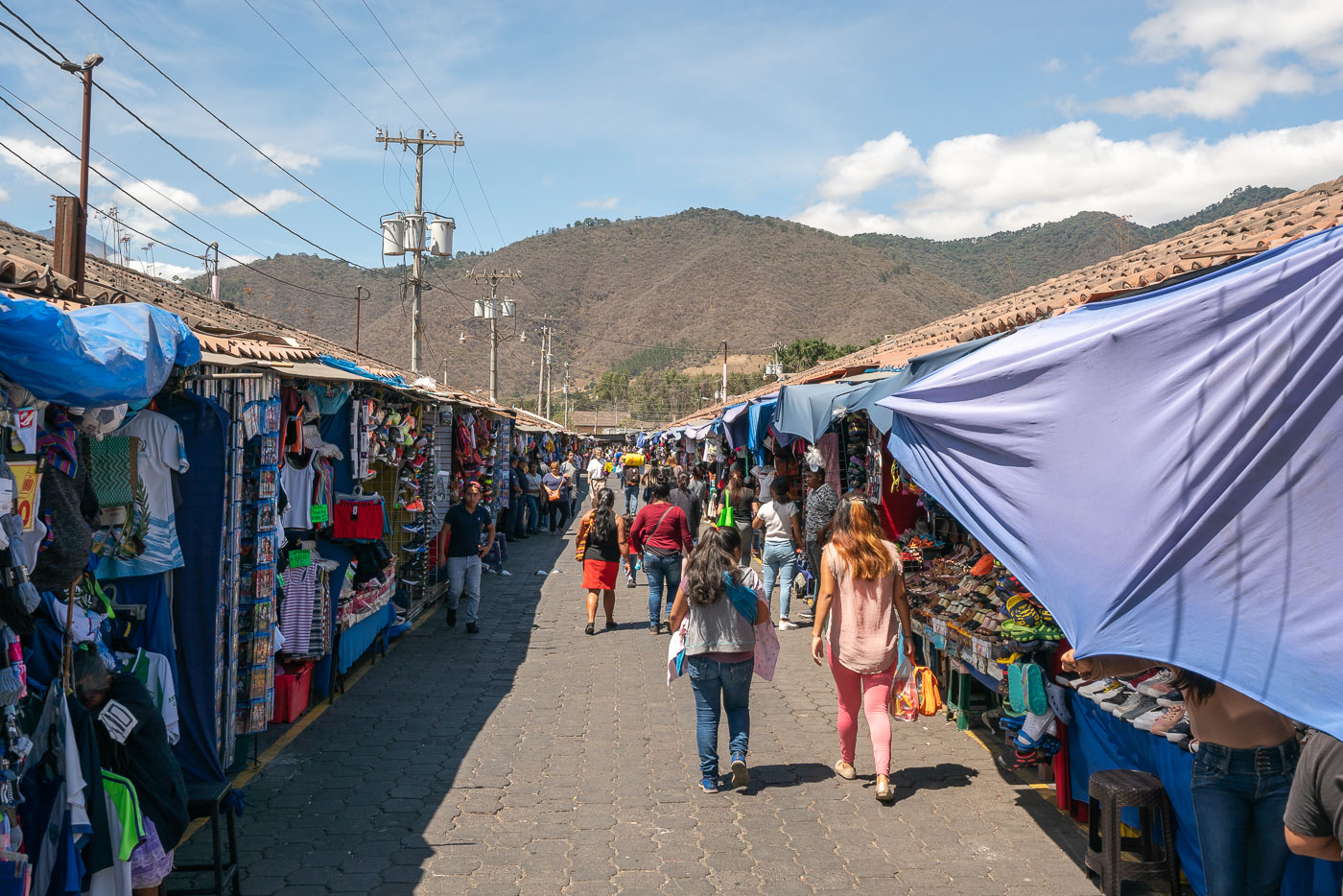
Shoppers browse clothing and goods at Antigua Central Market in Guatemala, lined with blue vendor stalls beneath mountain foothills.
Antigua's Mercado Central sits just northwest of Parque Central, a short walk from Calle del Arco. The market was rebuilt after the 1976 earthquake destroyed much of the city's commercial infrastructure, and it remains the primary source of clothing, shoes, textiles, and household goods for residents of La Antigua Guatemala. Covered stalls line narrow walkways that connect to the city's produce and food market, forming one continuous trading complex used daily by vendors from Antigua and surrounding villages.

Vendor Stalls at Antigua’s Central Market

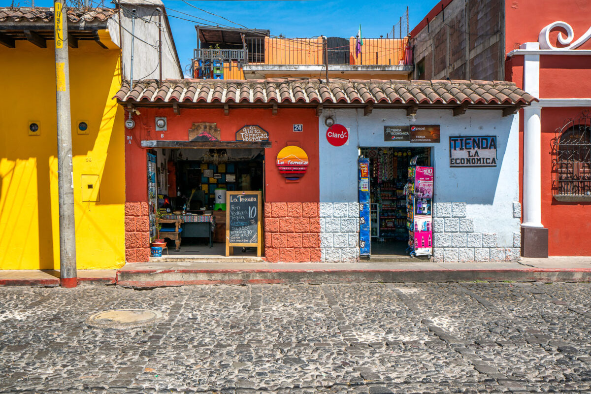
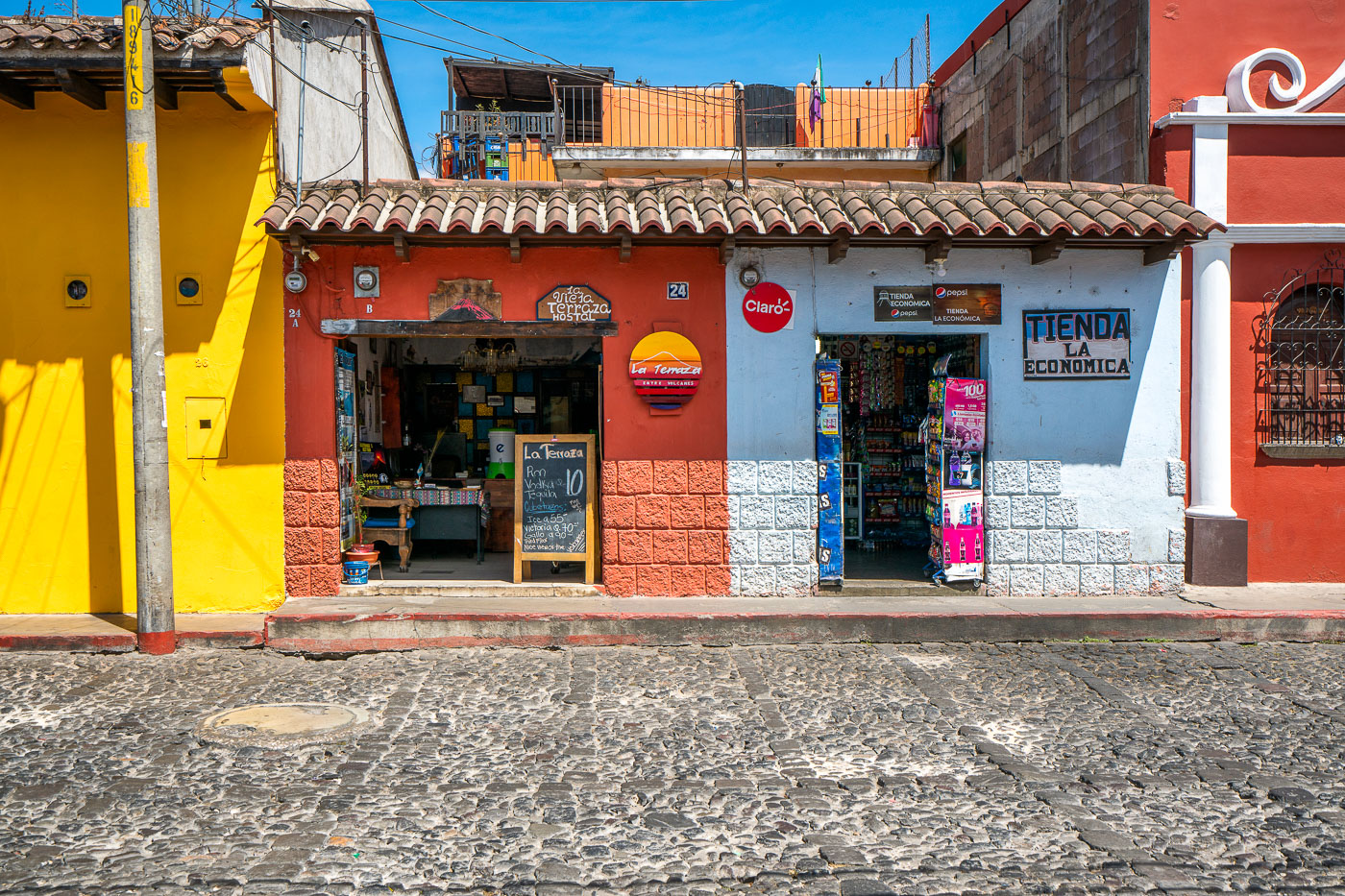
Tienda La Economica convenience store with red and white facade on a cobblestone street in Antigua Guatemala.
Tienda La Economica and La Terraza sit side by side on a cobblestone street in Antigua Guatemala, a UNESCO World Heritage city known for its grid of colonial-era streets laid out in the 1540s. Antigua's building code restricts structures to a low, tile-roofed colonial style, which keeps small shops like these at street level rather than in taller commercial buildings. Storefronts such as this one typically combine a convenience store with lodging or food service, a common arrangement in the city's historic center where residential and commercial space often share the same narrow lot.

Tienda La Economica and La Terraza Hostel, Antigua Guatemala

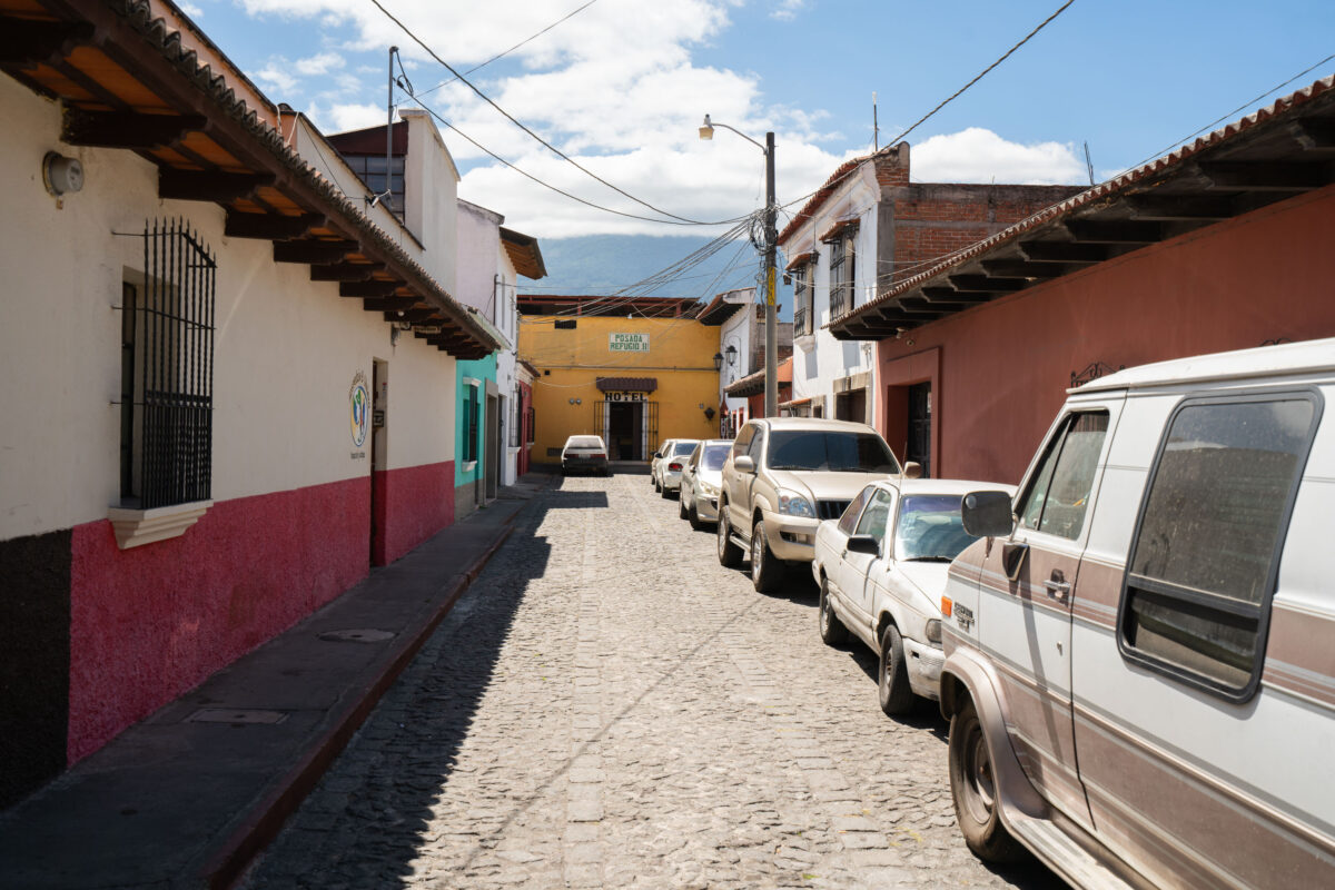
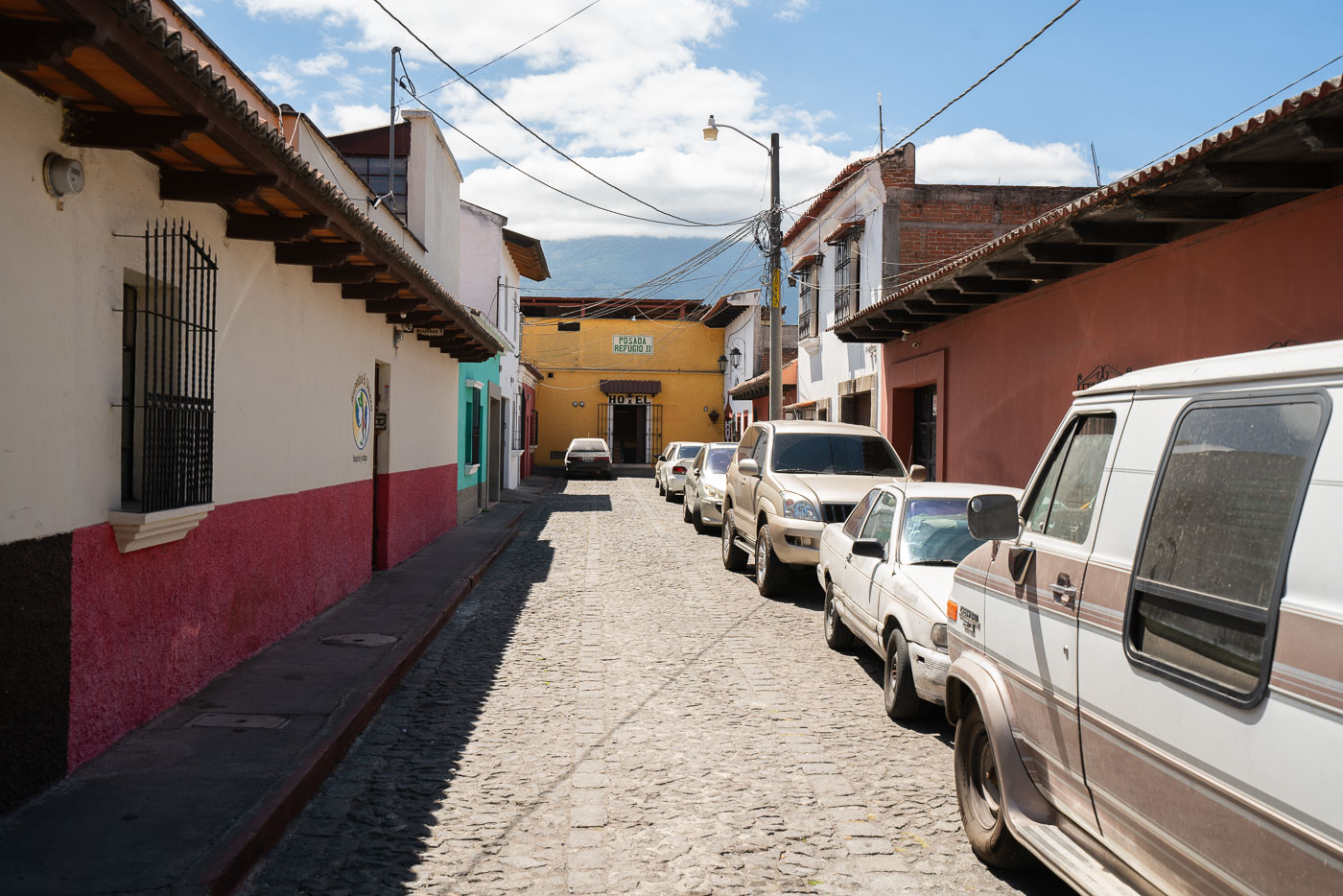
Cobblestone street in Antigua Guatemala lined with colonial buildings, parked vehicles, and a yellow building in the distance.
Hotel Posada El Refugio sits along a cobblestone street in Antigua Guatemala's historic center, a district designated a UNESCO World Heritage Site in 1979 for its well-preserved Spanish colonial layout. Antigua's streets follow a grid established in the 16th century, when the city served as the capital of the Captaincy General of Guatemala. Many buildings in the center retain low, thick-walled construction and red tile roofing, a style adapted after repeated earthquake damage prompted the colonial capital's eventual relocation to present-day Guatemala City in 1776.

Cobblestone Street Toward Hotel Posada El Refugio, Antigua Guatemala

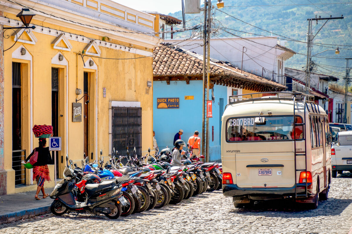
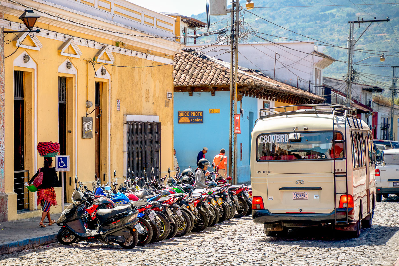
Bread seller carrying flowers walks past parked motorcycles and a Hyundai minibus on a cobblestone street in colonial Antigua, Guatemala.
Antigua Guatemala served as the capital of the Kingdom of Guatemala from 1543 until a series of earthquakes forced its abandonment in 1773. The city's grid of cobblestone streets and low colonial buildings has been preserved largely intact, earning it UNESCO World Heritage status in 1979. Many of these narrow streets, originally laid out for foot and cart traffic, now function as informal parking for the motorcycles and minibuses that serve the modern town. Guatemala's "chicken buses" and smaller passenger vans, often repurposed from imported Korean and Japanese models, remain a primary mode of transport between Antigua and surrounding villages.

Motorcycles Lined Up Along a Cobblestone Street in Antigua Guatemala
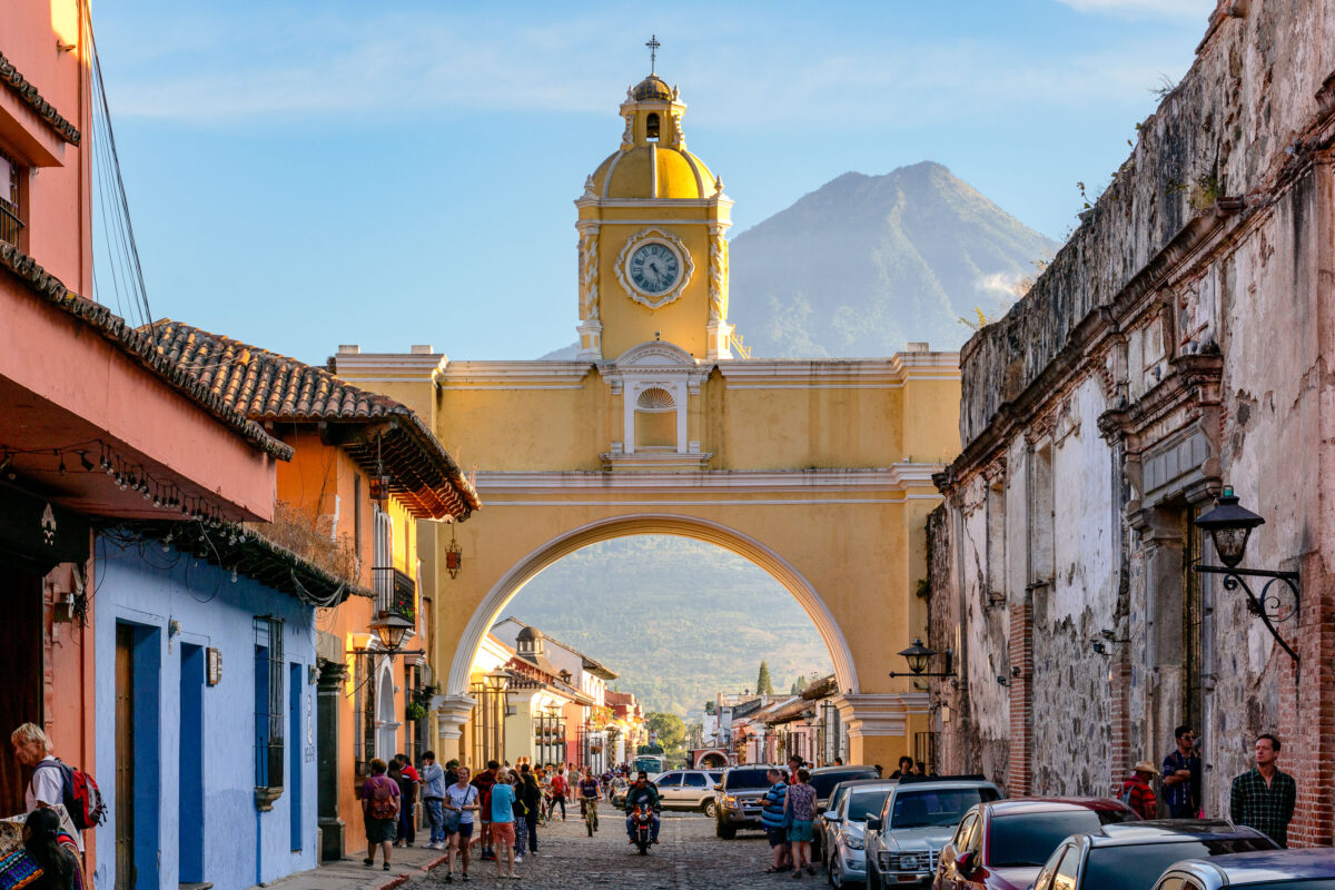
Santa Catalina Arch with its yellow clock tower frames a cobblestone street in colonial Antigua Guatemala, with Volcán de Agua rising in the background.
Santa Catalina Arch spans 5a Avenida Norte in Antigua Guatemala, one of the city's most recognized colonial structures. It was built in 1694 to let cloistered nuns of the Santa Catalina convent cross the street to an adjoining school without being seen in public, as their order's rules forbade. The convent itself was founded in 1609 and largely destroyed by the 1773 earthquake that led Spanish authorities to relocate the colonial capital to present-day Guatemala City. The arch's clock tower was added in the 19th century, after the city had already been abandoned as the seat of government. Volcán de Agua, a roughly 3,760-meter stratovolcano, rises directly south of the city and is visible through the arch on clear days.

Santa Catalina Arch and Volcán de Agua, Antigua Guatemala
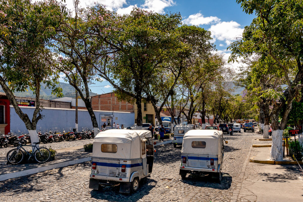
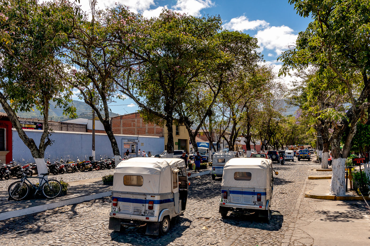
Two white and blue tuk-tuks parked on a cobblestone street in Antigua, Guatemala, with colonial buildings and shade trees in the background.
Antigua Guatemala's cobblestone streets date to the Spanish colonial grid laid out in the 16th century, after the city was founded as the capital of the Captaincy General of Guatemala in 1543. The city was declared a UNESCO World Heritage Site in 1979 for its well-preserved colonial architecture and urban plan. Mototaxis, known locally as tuk-tuks, operate as licensed taxi service in Antigua and surrounding towns, carrying passengers on short trips where larger vehicles are impractical on the narrow, stone-paved roads.

Tuk-Tuks Parked on a Tree-Lined Street in Antigua, Guatemala
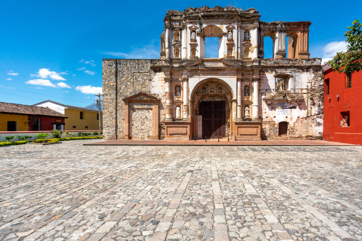
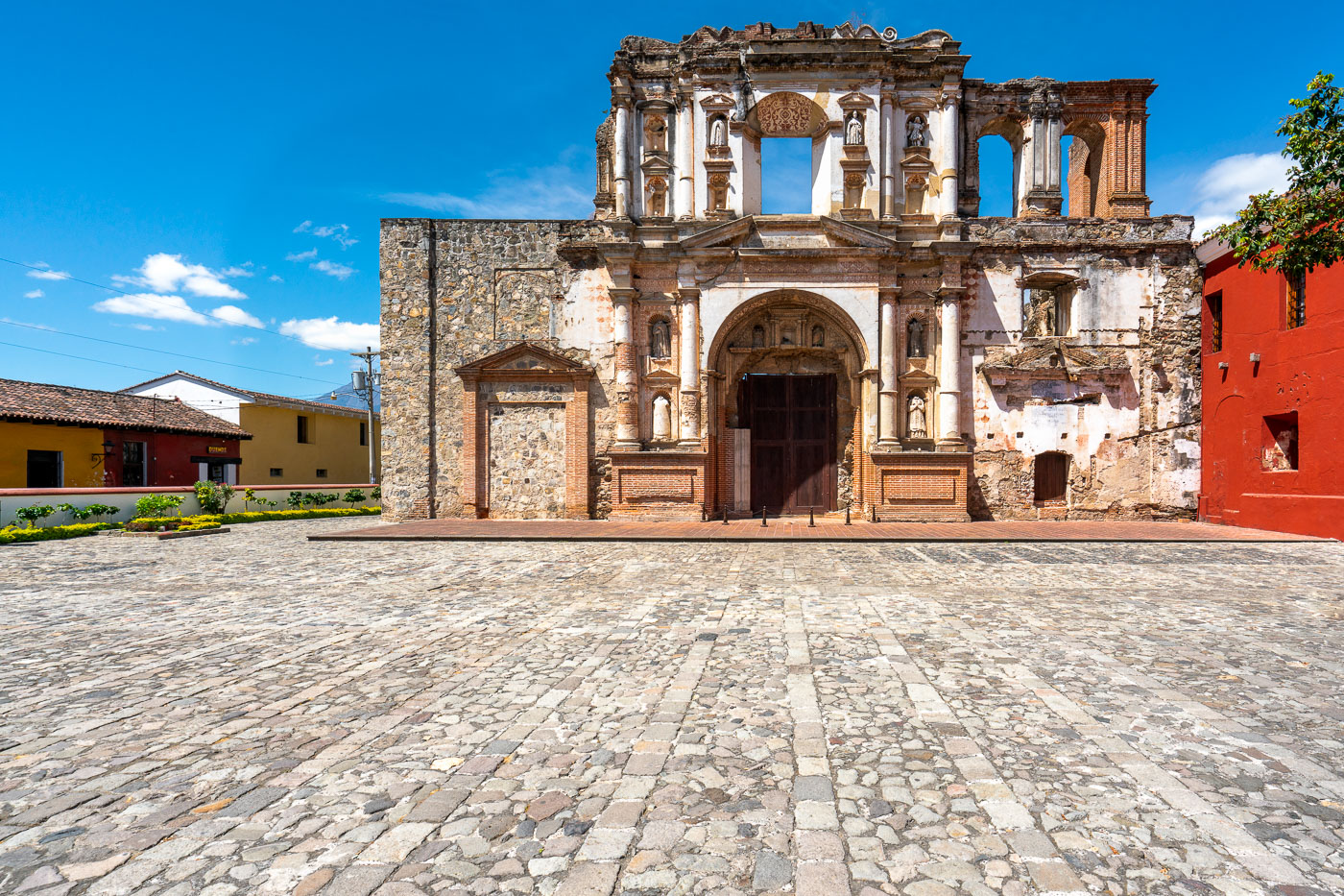
Ruins of the Iglesia y Convento de la Compañía de Jesús, a late-17th-century Jesuit church and convent in Antigua Guatemala.
The Compañía de Jesús complex in Antigua Guatemala was built by the Jesuit order, with construction on this church completed in 1699. Spain's 1767 expulsion of the Jesuits emptied the building before earthquakes later in that century left the facade and nave in ruins. The surviving entrance shows the churrigueresque style common to Antigua's late Baroque churches, with niches that once held statues of saints. Restoration work in recent decades has stabilized the ruins, and part of the former convent now houses a cultural center and hotel built around the old cloisters.

Facade of Iglesia y Convento de la Compañía de Jesús, Antigua
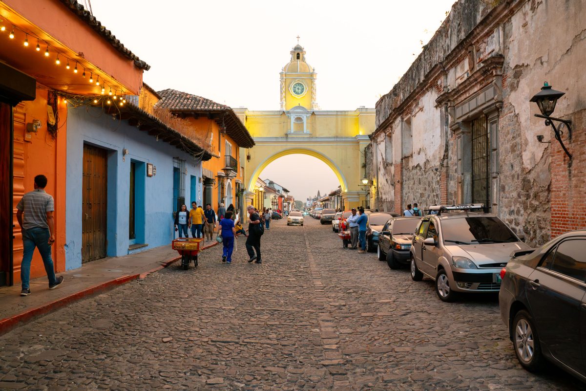
Santa Catalina Arch spans a cobblestone street in Antigua Guatemala, connecting a former convent to a school built by nuns in 1694.
The Santa Catalina Arch spans Calle del Arco in Antigua Guatemala, linking a former Santa Catalina convent to a school on the opposite side of the street. Cloistered nuns had the arch built in 1694 so they could pass between the two buildings without being seen in public, a practice tied to their order's vows of seclusion. A clock was added to the structure in the 19th century. Antigua served as the capital of the Kingdom of Guatemala until a series of earthquakes in 1773 destroyed much of the city, leading the Spanish crown to move the capital to present-day Guatemala City. UNESCO named Antigua a World Heritage Site in 1979 for its preserved Spanish Baroque architecture and colonial street grid.

Santa Catalina Arch Over Calle del Arco, Antigua Guatemala
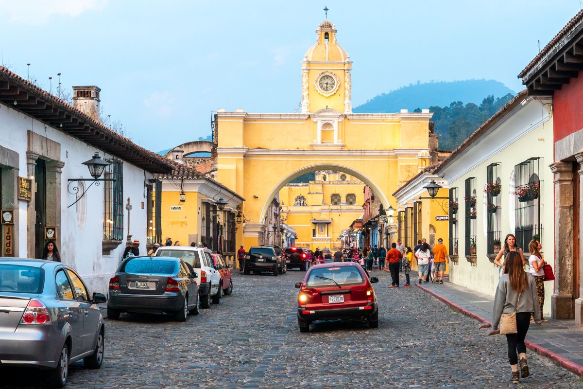
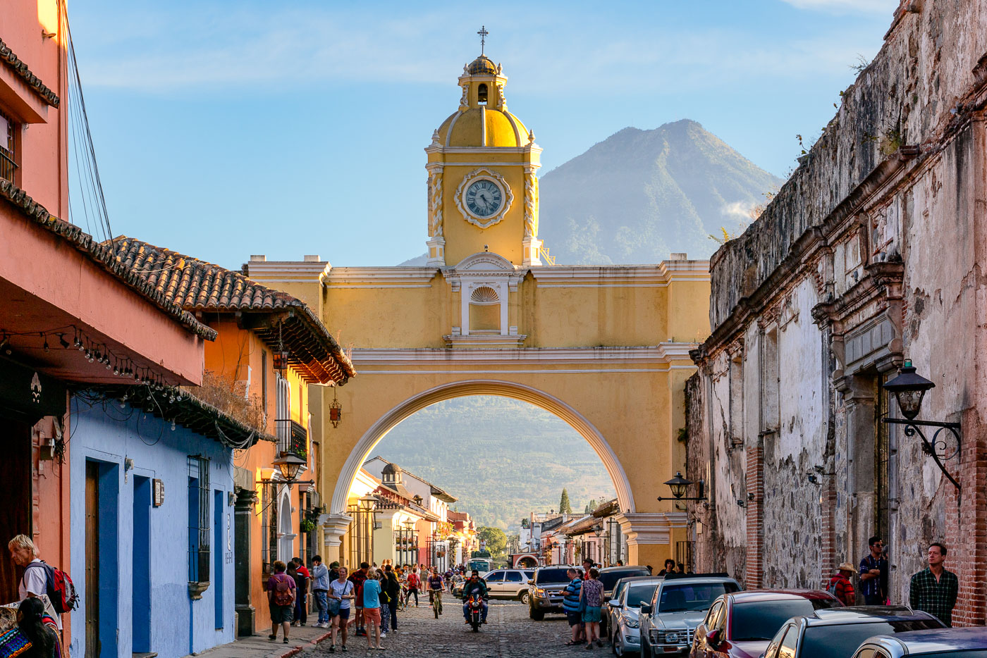
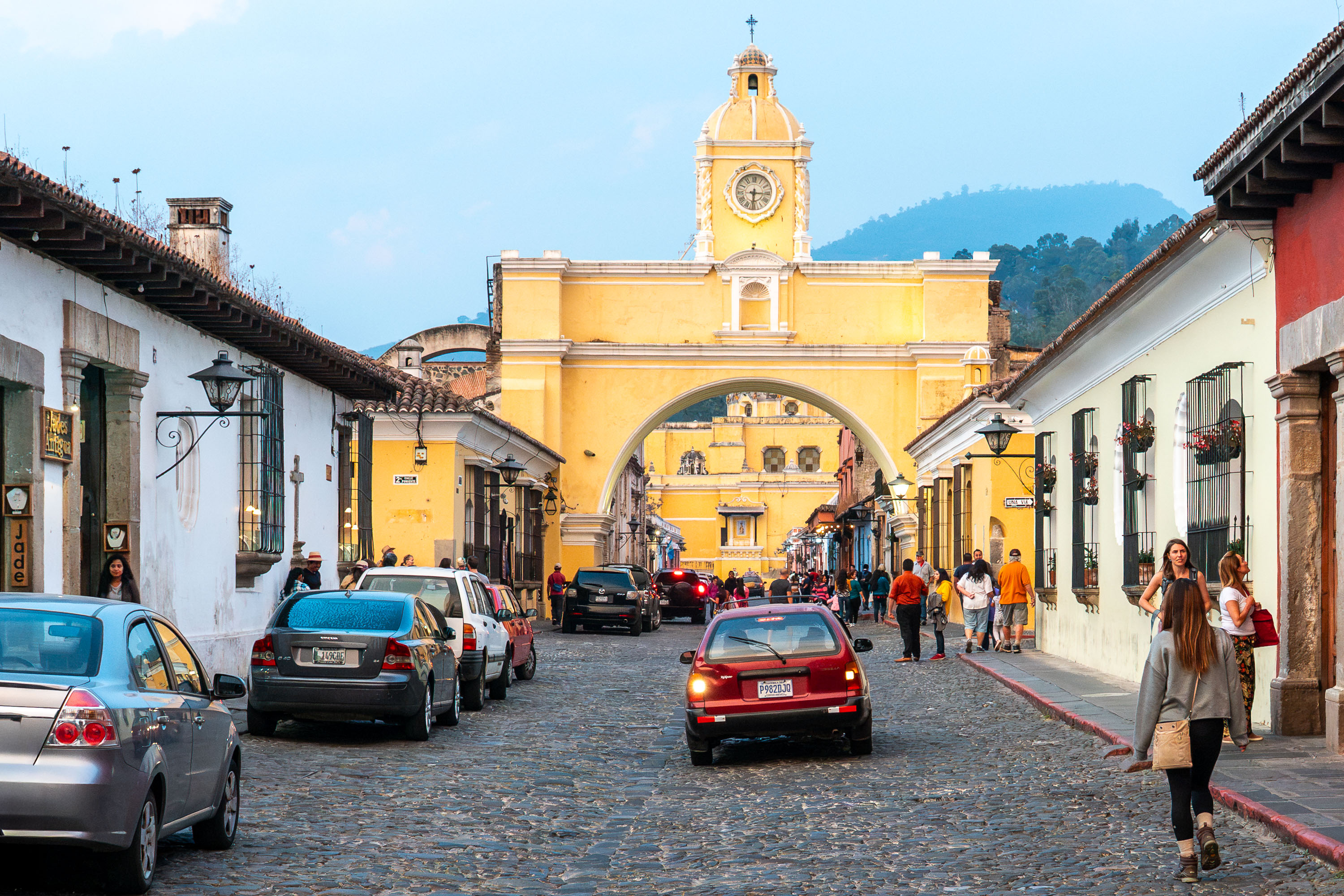
Yellow Santa Catalina Arch spanning a cobblestone street in colonial Antigua Guatemala, with a clock tower visible above the archway.
Santa Catalina Arch crosses 5a Avenida Norte in Antigua, Guatemala. Nuns from the adjoining Santa Catalina convent had the arch built in 1694 so they could pass between the convent and its school without stepping into public view, a practice tied to their cloistered vows. The clock mounted on the arch was added in the 19th century. Antigua's historic center, which includes the arch, was named a UNESCO World Heritage Site in 1979.

Traffic Beneath Santa Catalina Arch in Antigua Guatemala
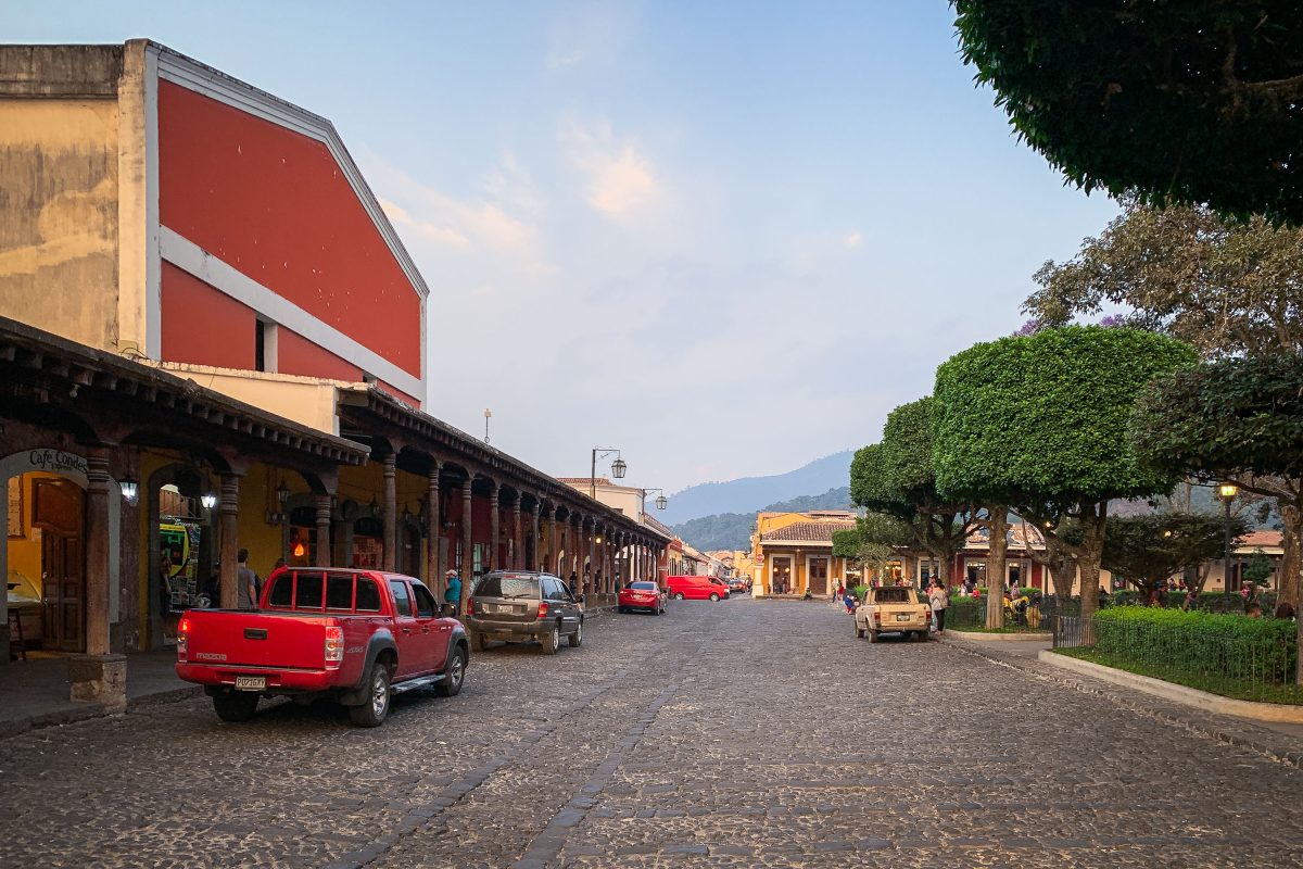
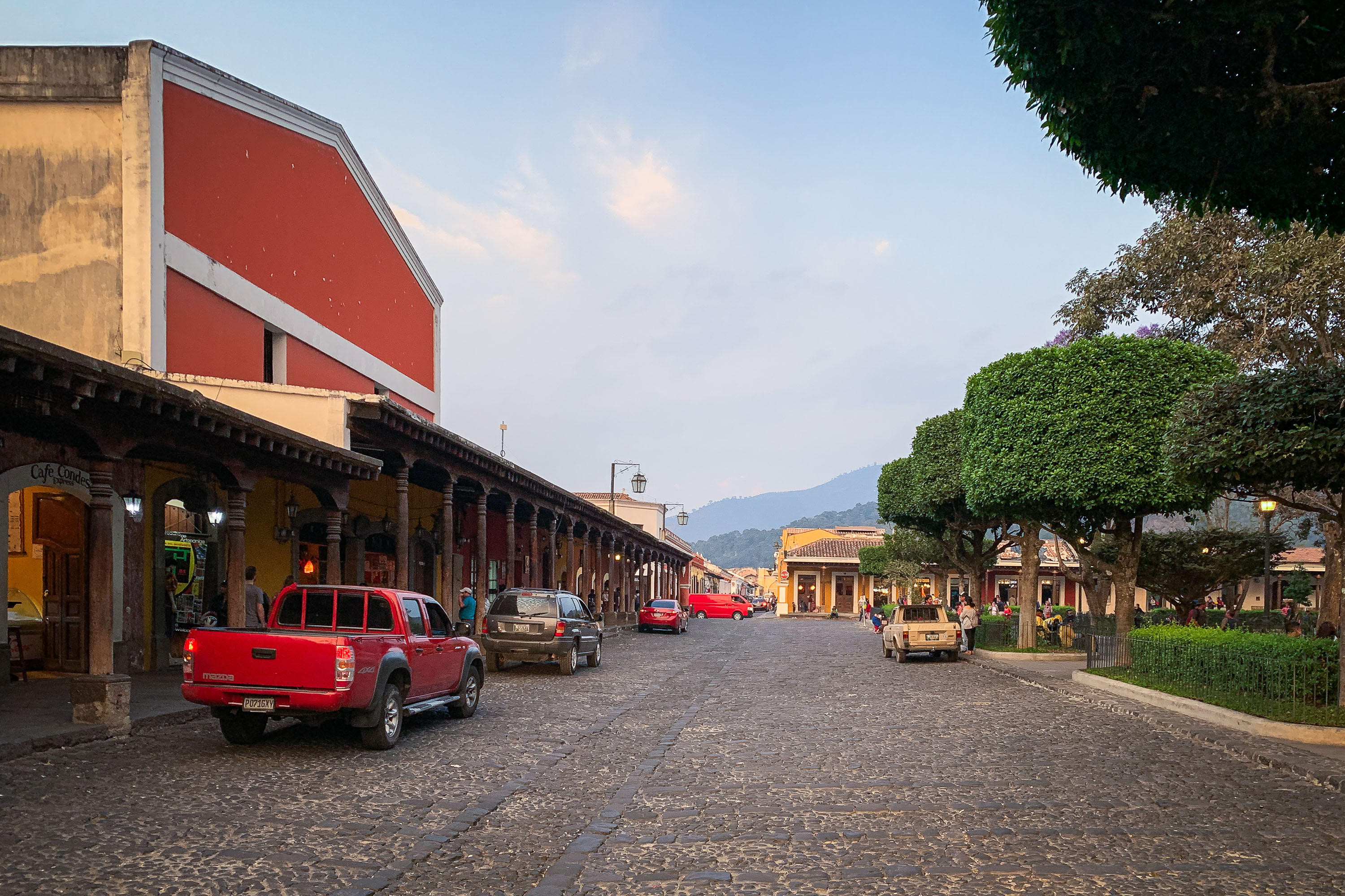
Cobblestone street in Antigua Guatemala lined with colonial-era arcaded buildings and parked vehicles.
Antigua Guatemala's colonial street grid, laid out in the 1540s, still runs on the original cobblestones of the Spanish colonial capital. The city served as the seat of Spanish colonial government in Central America until a 1773 earthquake prompted authorities to relocate the capital to present-day Guatemala City. Antigua's historic center was named a UNESCO World Heritage Site in 1979, prized for its dense collection of colonial-era buildings and grid plan based on Renaissance urban design. Arcaded buildings like the one along this street date to the era when covered walkways sheltered market stalls and shops from sun and rain.

Arcaded Street Near Antigua Guatemala’s Central Park at Dusk
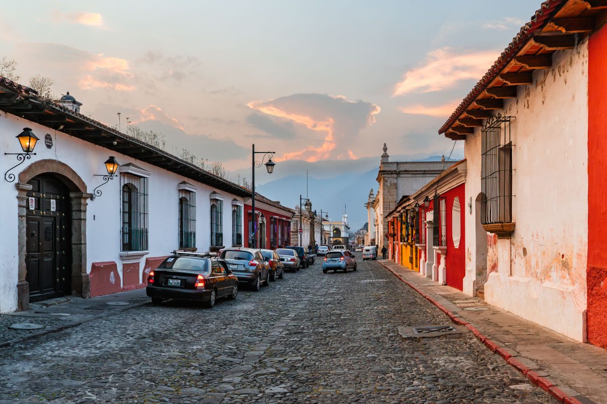
Cobblestone street in Antigua Guatemala lined with colonial-era buildings at sunset, with volcanoes visible in the distance.
Antigua Guatemala's streets follow the grid laid out by Spanish colonial planners after the city became the capital of the Kingdom of Guatemala in 1543. The cobblestone paving and low, thick-walled buildings with tiled roofs are typical of the city's colonial construction, much of it rebuilt after repeated earthquakes, including the 1773 quake that eventually led authorities to relocate the capital to present-day Guatemala City. UNESCO designated Antigua a World Heritage Site in 1979, citing its well-preserved Spanish Baroque-influenced architecture. The city lies in a valley bordered by the Agua, Fuego, and Acatenango volcanoes, all visible from various points along its streets.

Colonial Street Glow at Dusk in Antigua Guatemala
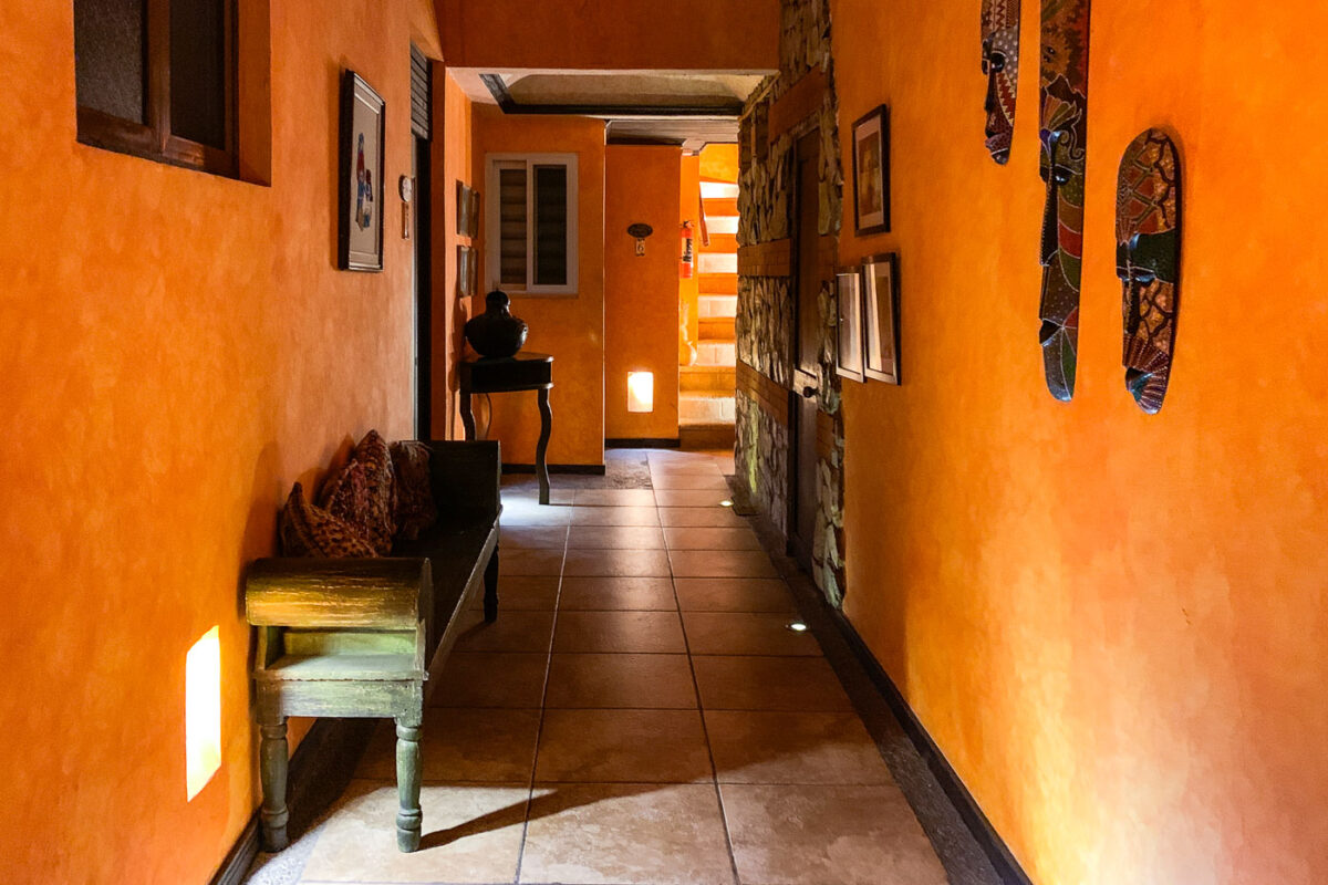
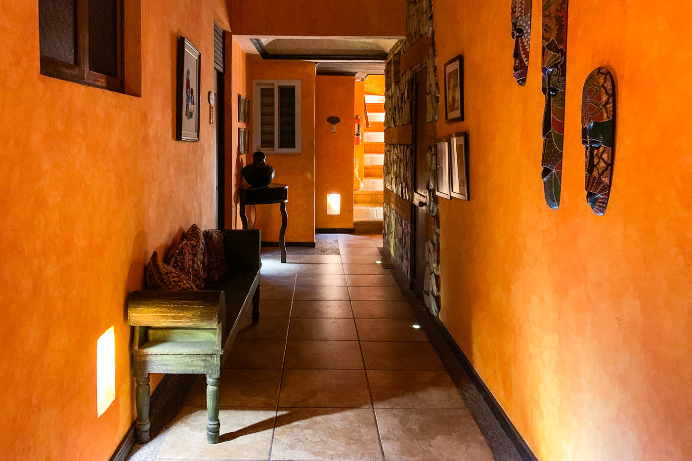
Interior corridor of Casa Bella Boutique Hotel in Antigua, Guatemala, with bright orange walls, indigenous textiles, and colonial architecture.
Casa Bella Boutique Hotel sits within a restored colonial-era building in Antigua Guatemala's historic center, a city designated a UNESCO World Heritage Site for its Spanish Baroque-influenced architecture. The hotel's interior corridors connect guest rooms to common areas, following the layout typical of colonial Guatemalan houses built around central passages and courtyards. Many of these converted properties display Guatemalan folk art and textiles from the country's Maya-influenced craft traditions, often sourced from nearby highland towns such as those around Lake Atitlán.

Hallway at Casa Bella Boutique Hotel in Antigua
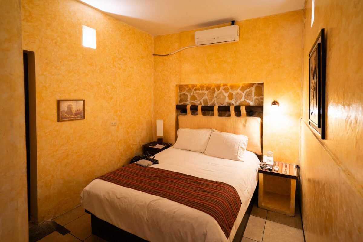
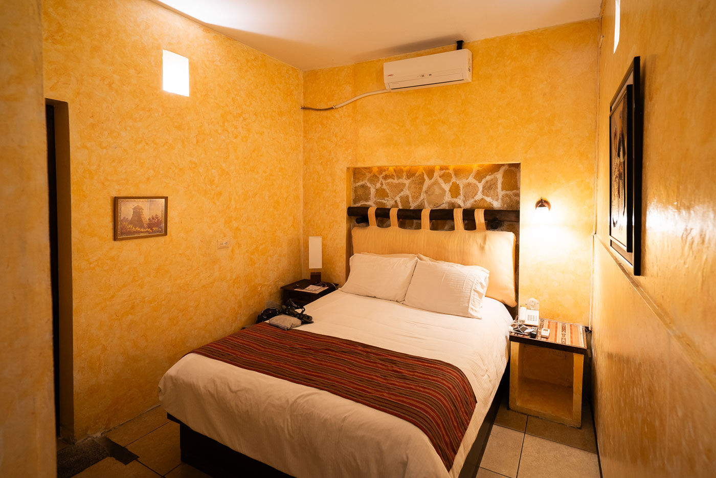
Compact hotel room at Casa Bella Boutique in Antigua, Guatemala, with golden-yellow textured walls and a bed with red striped runner.
Casa Bella Boutique sits within a restored colonial-era building in Antigua Guatemala, a city whose historic core was designated a UNESCO World Heritage Site in 1979. Guest rooms like this one keep the structure's original stone and stucco walls while adding handwoven Guatemalan textiles, a detail common to small hotels operating inside the city's protected colonial district.

A Guest Room at Casa Bella Boutique in Antigua
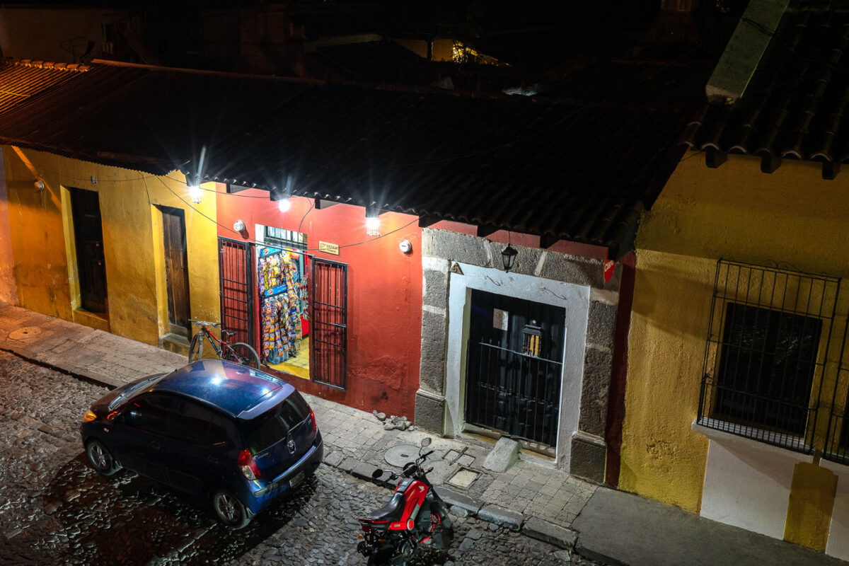
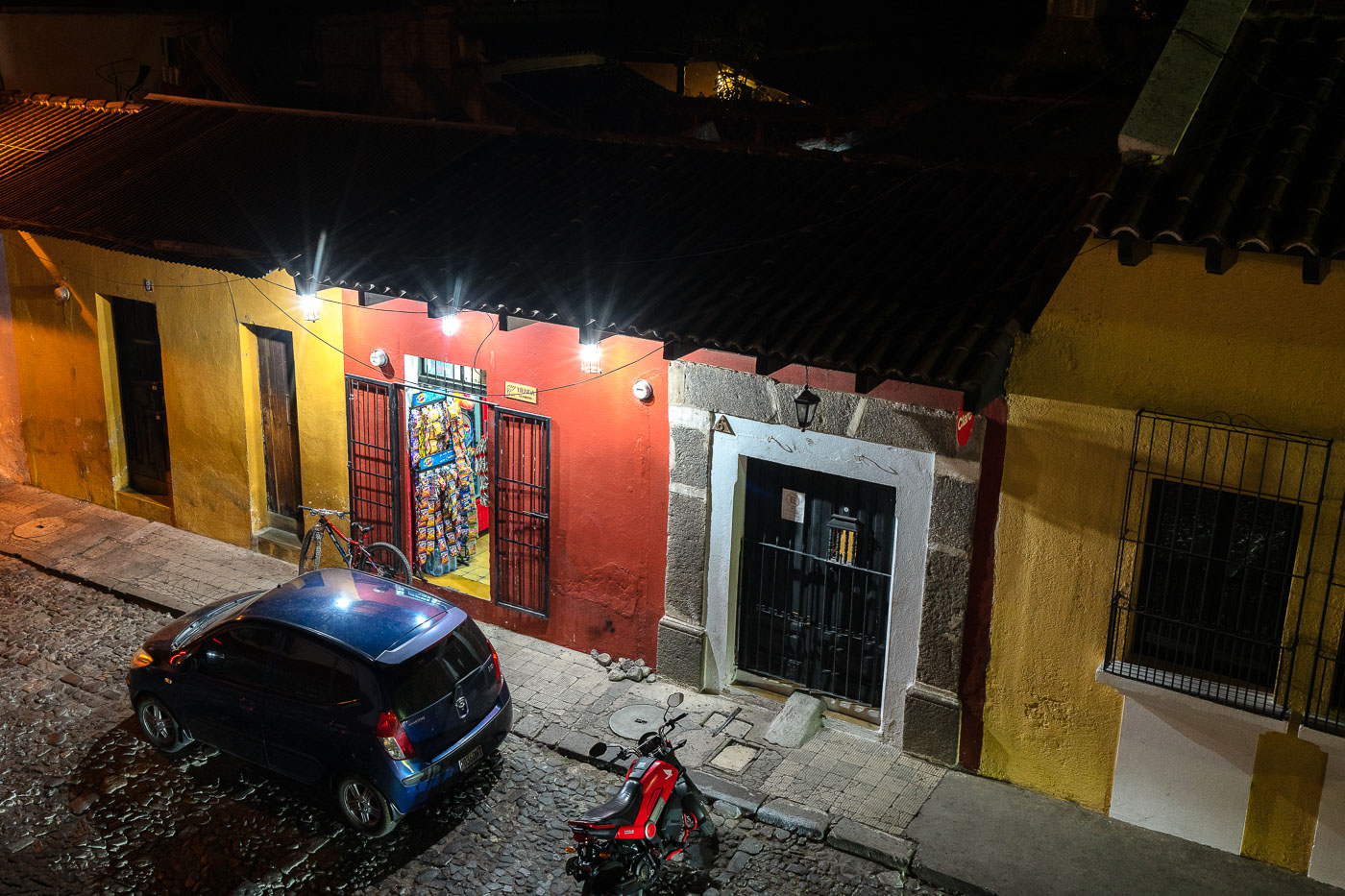
Tienda La Juventud convenience store on a nighttime cobblestone street in colonial Antigua Guatemala with a parked vehicle and motorcycle.
Tienda La Juventud sits on a cobblestone street in Antigua Guatemala's historic center, a district protected as a UNESCO World Heritage Site since 1979. The city was founded in 1543 as the capital of the Captaincy General of Guatemala and retains much of its original colonial street grid despite heavy earthquake damage in 1773. Small family-run shops like this one occupy the narrow streets, selling snacks, drinks, and household goods to residents and visitors alike.

Tienda La Juventud at Night in Antigua Guatemala
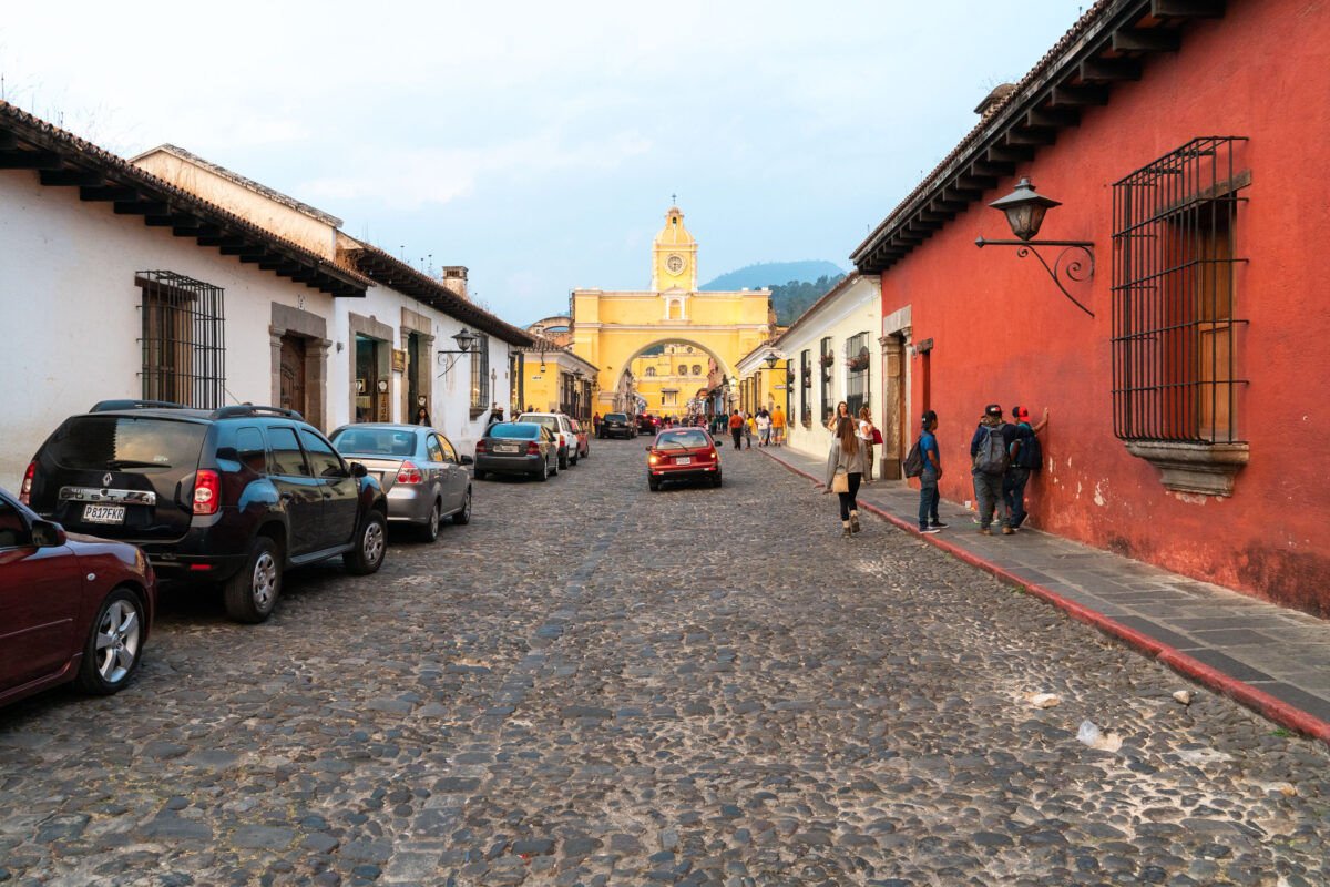
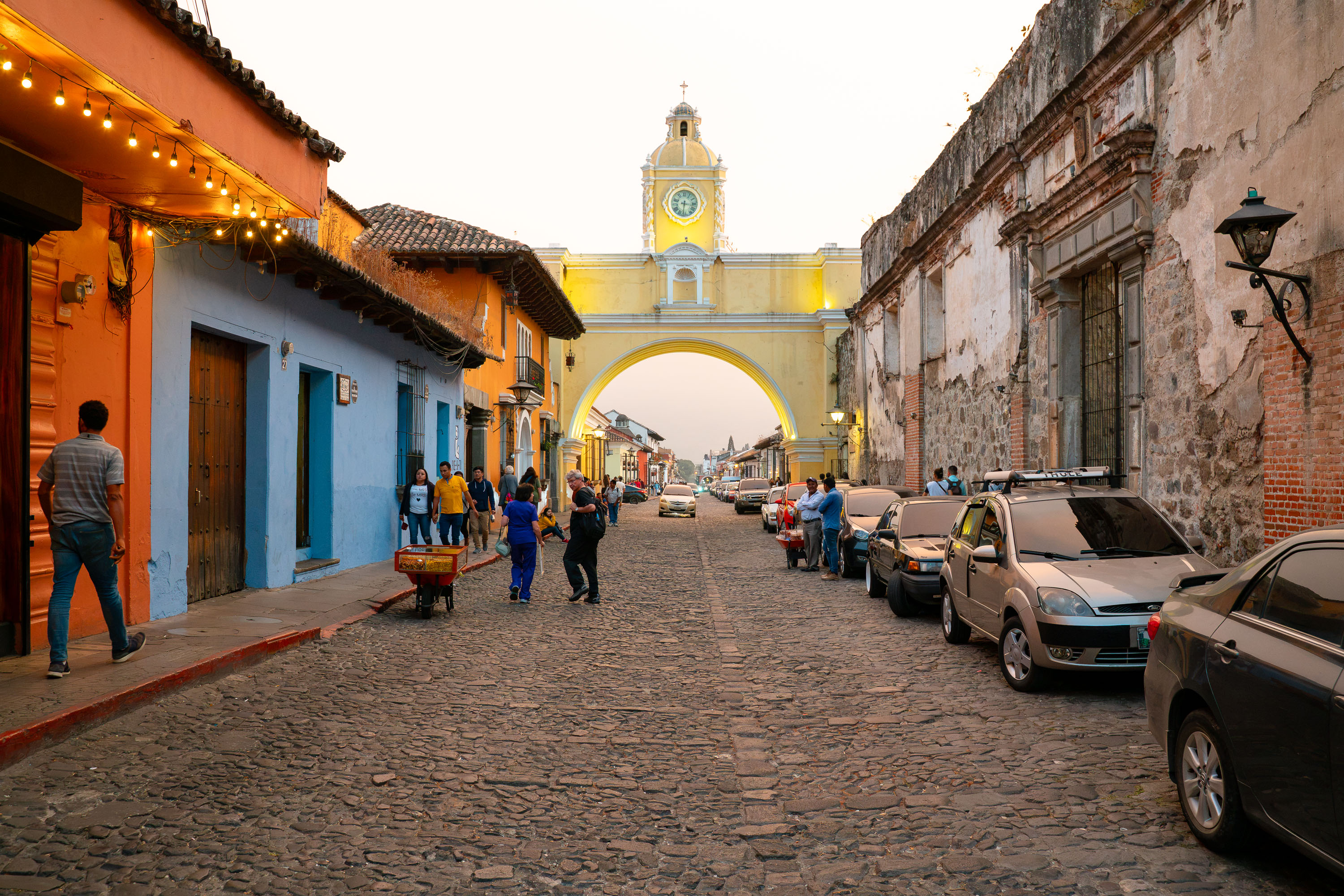
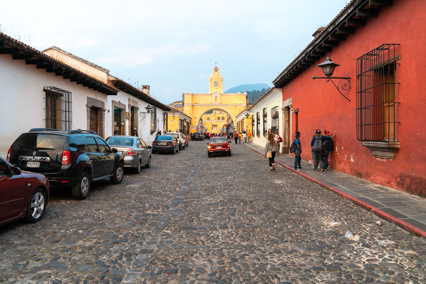
Yellow Santa Catalina Arch with clock tower stands at the end of a cobblestone street lined with colonial buildings in Antigua, Guatemala.
Santa Catalina Arch spans 5a Avenida Norte in Antigua Guatemala, built around 1690 as a covered passage for the Convento de Santa Catalina Virgen y Mártir so cloistered nuns could cross between the convent's two buildings without appearing in public. The convent closed after the 1773 Santa Marta earthquake, but the arch survived and received its clock in the 19th century. Volcán de Agua rises in line with the passage, a view that has made the corridor one of the most ed streets in the city.

5a Avenida Norte Leading to Santa Catalina Arch, Antigua
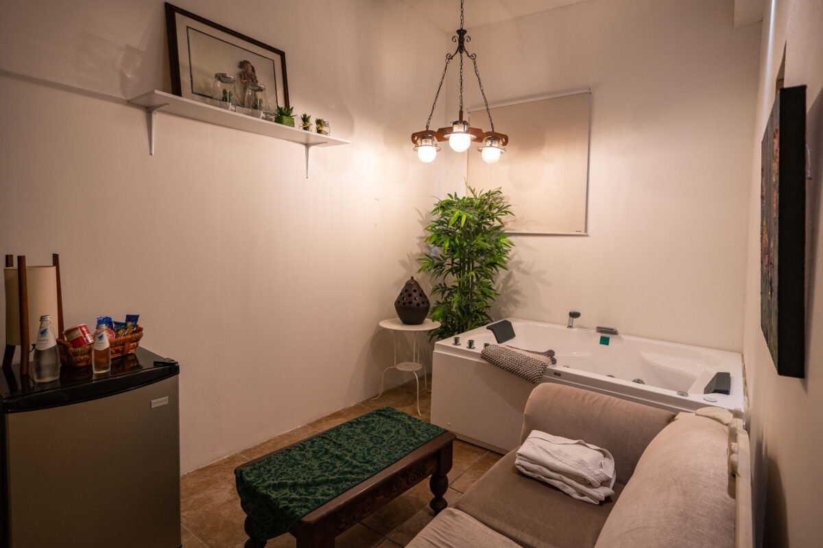
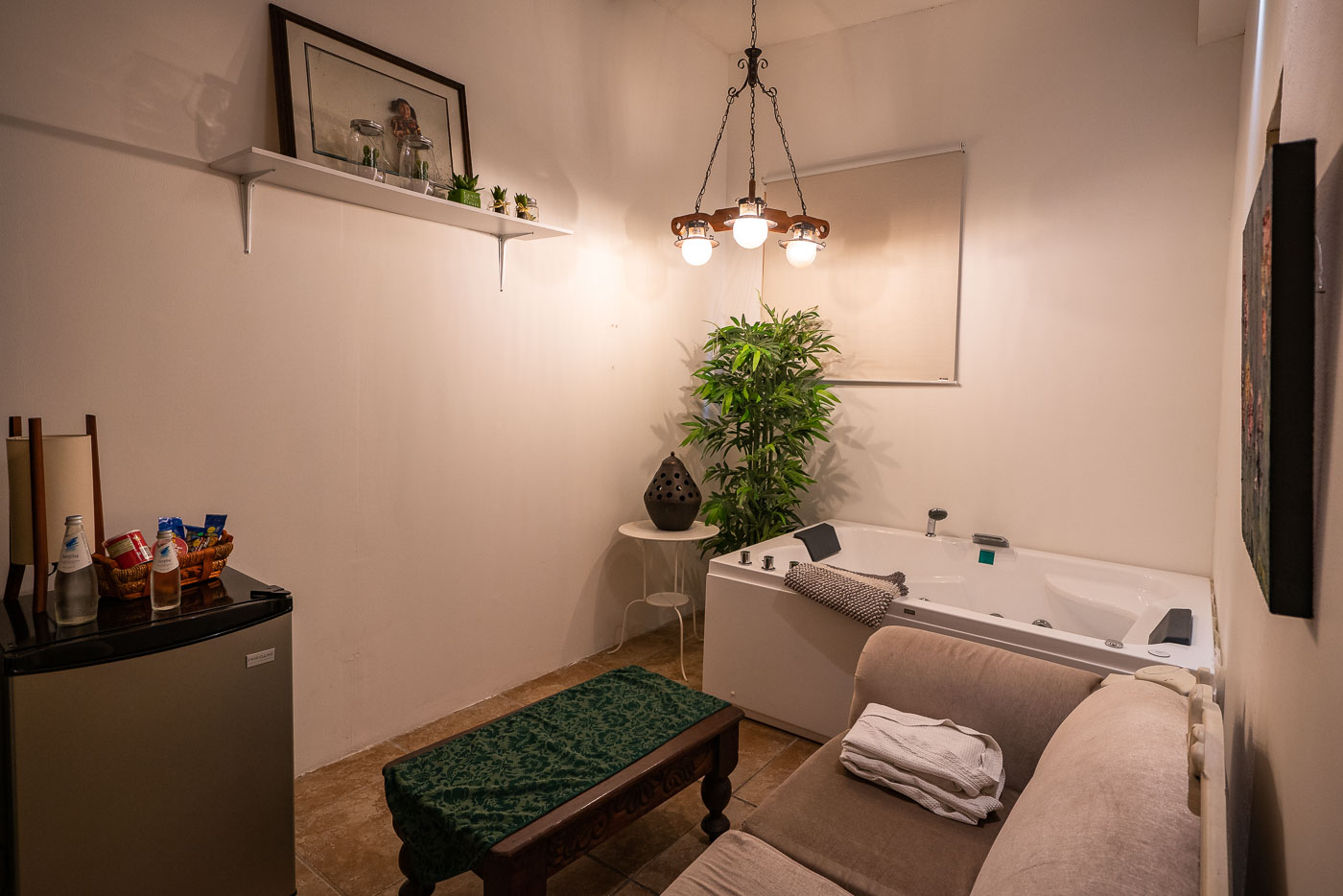
Casa Bella Boutique Hotel suite in Antigua, Guatemala, features a jacuzzi tub, seating area, and potted plant.
Casa Bella Boutique Hotel sits within Antigua Guatemala's historic center, a UNESCO World Heritage site recognized for its preserved Spanish colonial layout and architecture. This suite includes a jacuzzi tub alongside a small sitting area with a loveseat and coffee table. Antigua served as the capital of the Captaincy General of Guatemala until earthquakes prompted the colonial government to relocate to present-day Guatemala City in 1776.

Jacuzzi Suite at Casa Bella Boutique Hotel, Antigua

Built in Minneapolis

Minneapolis Photographer

Browse by location, move through long-running series, or start with recent work.