Map
More from Antigua
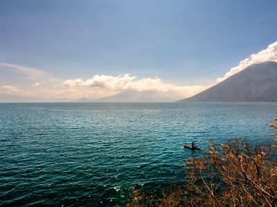
Fisherman on Lake Atitlán Near Volcán San Pedro
Volcán San Pedro rises 3,020 meters above Lake Atitlán on the lake's southwestern shore, near the town of San Pedro…

Volcán de Agua at Sunset from the Acatenango Highlands
Volcán de Agua rises to 3,766 meters south of Antigua Guatemala, its symmetrical cone a familiar sight across the Panchoy…

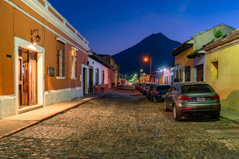
Colonial Street Glow at Dusk in Antigua Guatemala
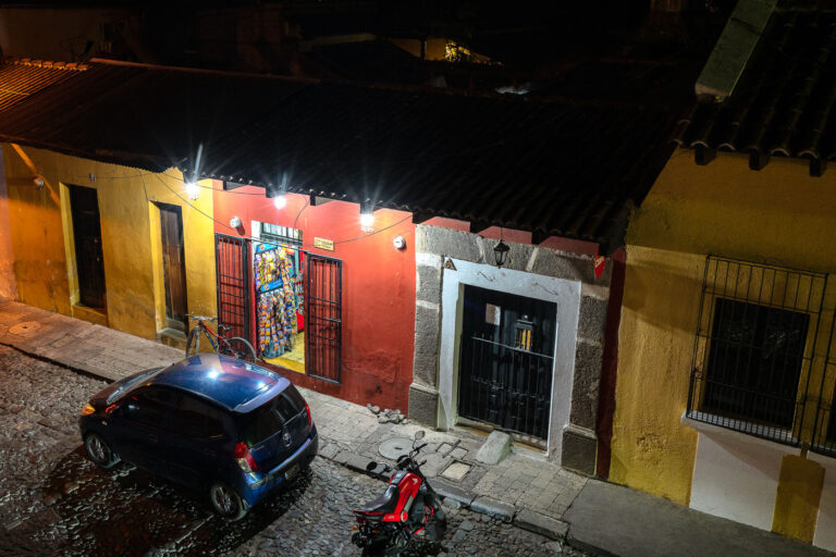
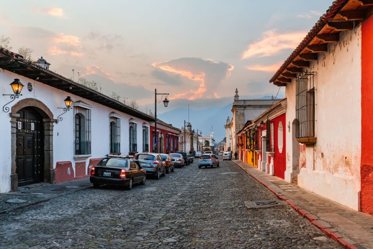
Antigua Guatemala's streets follow the grid laid out by Spanish colonial planners after the city became the capital of the…

Clay Tile Rooftops Beneath the Hills of Antigua Guatemala
Antigua Guatemala sits in the Panchoy Valley, ringed by the volcanoes Agua, Fuego and Acatenango, whose forested slopes form the…
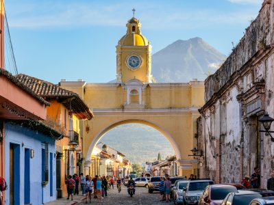
Santa Catalina Arch and Volcán de Agua, Antigua Guatemala
Santa Catalina Arch spans 5a Avenida Norte in Antigua Guatemala, one of the city's most recognized colonial structures. It was…

Volcán de Fuego Erupts at Sunset
Volcán de Fuego rises to 3,763 meters on the border of Chimaltenango, Escuintla, and Sacatepéquez departments, part of the Central…
Nearby Photos