Map
More from Antigua
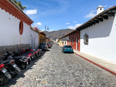
Parked Motorcycles Along a Cobblestone Lane in Antigua
Antigua's streets still follow the colonial grid laid out after the city became the capital of the Kingdom of Guatemala…

Ash Eruption at Volcán de Fuego, Guatemala
Volcán de Fuego rises 3,763 meters near Antigua, Guatemala, and ranks among the most active volcanoes in Central America. It…
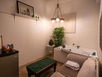
Jacuzzi Suite at Casa Bella Boutique Hotel, Antigua
Casa Bella Boutique Hotel sits within Antigua Guatemala's historic center, a UNESCO World Heritage site recognized for its preserved Spanish…
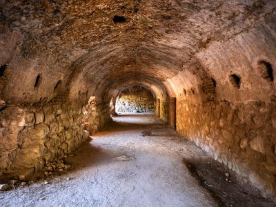
Stone Corridor in the San Francisco el Grande Ruins, Antigua
San Francisco el Grande was founded by Franciscan friars in 1579 as one of colonial Antigua's largest church and convent…

Traffic Beneath Santa Catalina Arch in Antigua Guatemala
Santa Catalina Arch crosses 5a Avenida Norte in Antigua, Guatemala. Nuns from the adjoining Santa Catalina convent had the arch…

Santa Catalina Arch Over Calle del Arco, Antigua Guatemala
The Santa Catalina Arch spans Calle del Arco in Antigua Guatemala, linking a former Santa Catalina convent to a school…
Nearby Photos


