Guanacaste

21 photos · 2019

21 photographs tagged Guanacaste, 2019.
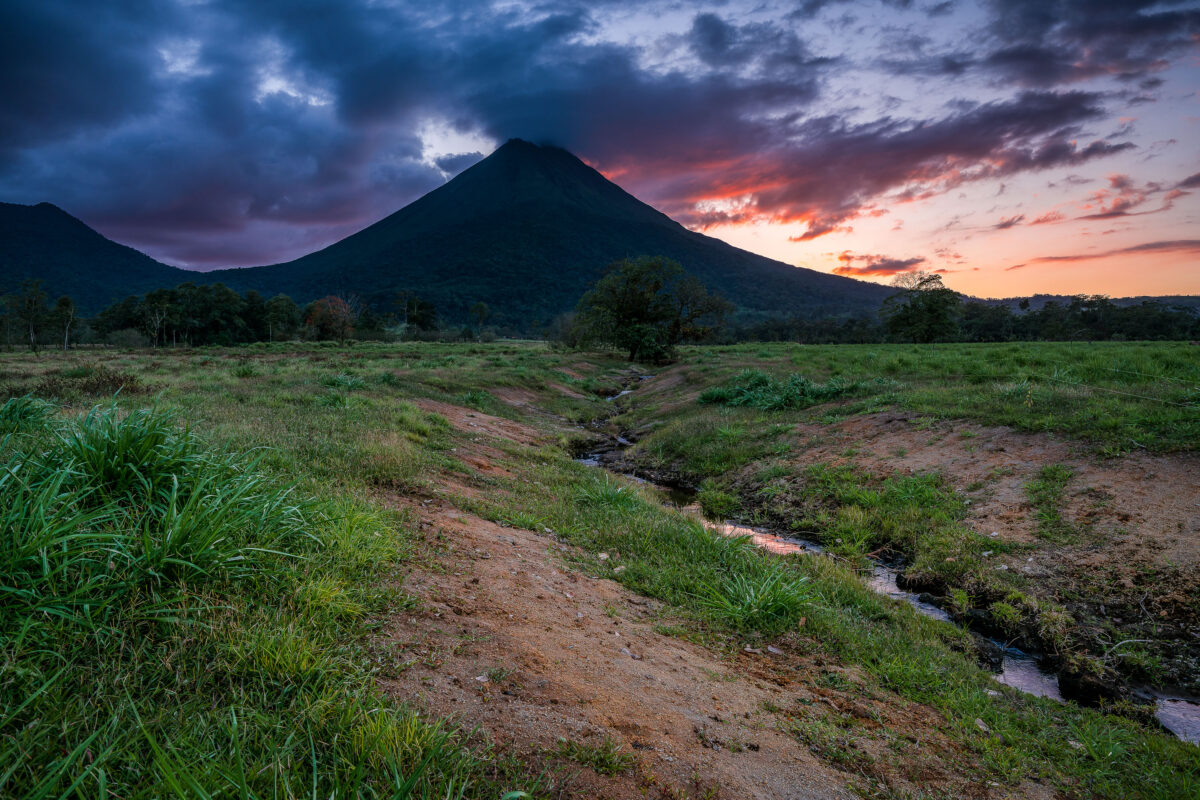
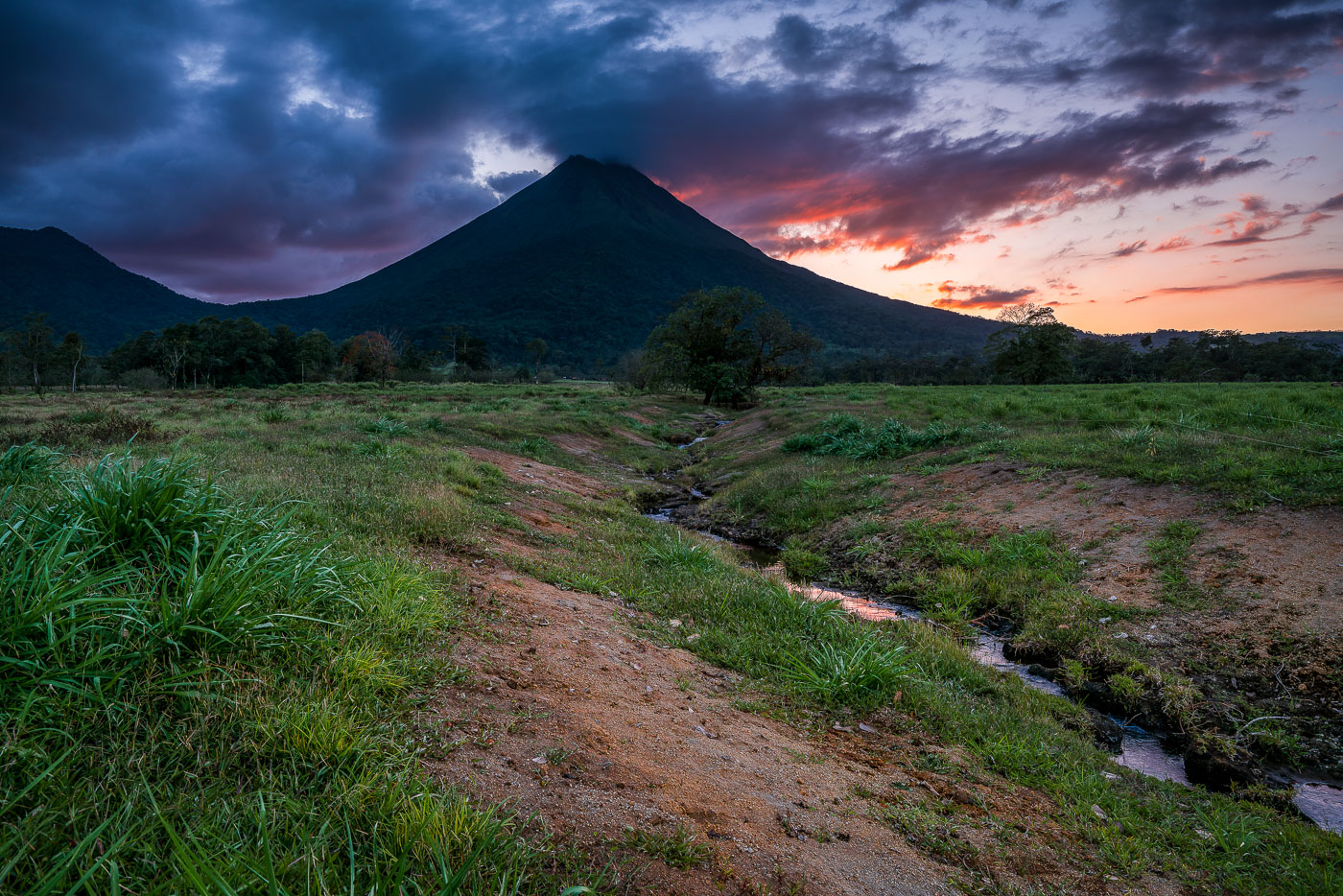
Arenal Volcano rises above grassy plains with a stream running through the foreground at sunset near La Fortuna, Costa Rica.
Arenal Volcano stands 1,633 meters tall near La Fortuna in Costa Rica's Alajuela province. Its symmetrical cone formed through repeated eruptions that began in 1968, when a sudden blast destroyed the nearby villages of Tabacón and Pueblo Nuevo and killed 87 people. The eruption marked the start of continuous activity that lasted until 2010, when the volcano entered its current dormant phase. The surrounding lowlands, drained by small streams like this one, are part of Arenal Volcano National Park, established in 1991 to protect the area's forests and wildlife.

Twilight Creek Below Arenal Volcano, Costa Rica
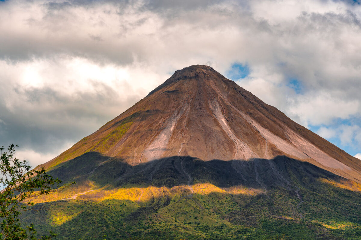
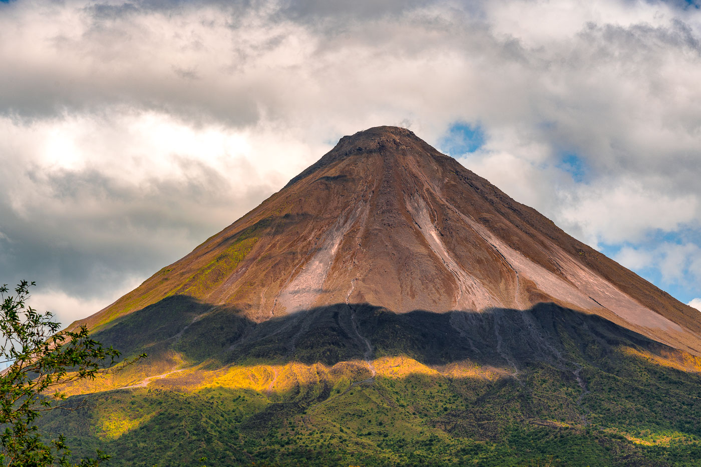
Arenal Volcano's symmetrical cone rises above forested foothills under partly cloudy skies in northwestern Costa Rica.
Arenal Volcano stands 1,633 meters high near La Fortuna in Costa Rica's Alajuela Province. The stratovolcano entered a major eruptive phase in 1968 after lying dormant for centuries, an event that destroyed the villages of Tabacón, Pueblo Nuevo, and San Luis. Eruptive activity continued almost without pause until 2010, placing Arenal among the most closely studied volcanoes in Central America during that period. Costa Rica established Arenal Volcano National Park in 1991 to protect the surrounding forest, which supports tapirs, pumas, and hundreds of recorded bird species. The volcano's symmetrical shape comes from repeated layers of ash and lava deposited during its decades of activity.

Arenal Volcano’s Cone Beneath a Shifting Sky
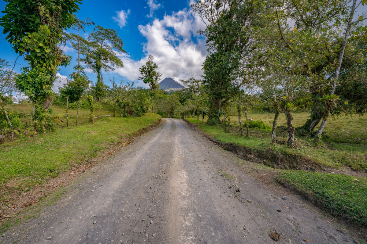
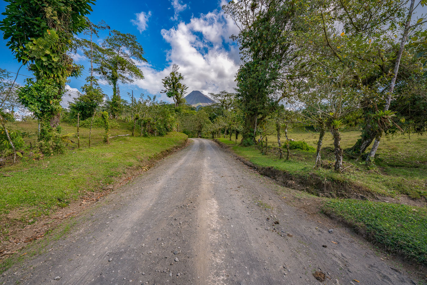
A gravel road lined with trees and pasture leads toward Arenal Volcano's cone in Costa Rica.
Arenal Volcano rises 1,633 meters above the plains of Alajuela Province in northern Costa Rica. The stratovolcano erupted almost continuously from 1968 until 2010, when activity ceased and the peak returned to a dormant state. It anchors Arenal Volcano National Park, established in 1991, and sits a few kilometers from the town of La Fortuna, the main gateway for visitors to the area. The surrounding countryside remains largely agricultural, with cattle pasture and small farms spread across the volcano's lower slopes.

Dirt Road to Arenal Volcano Near La Fortuna
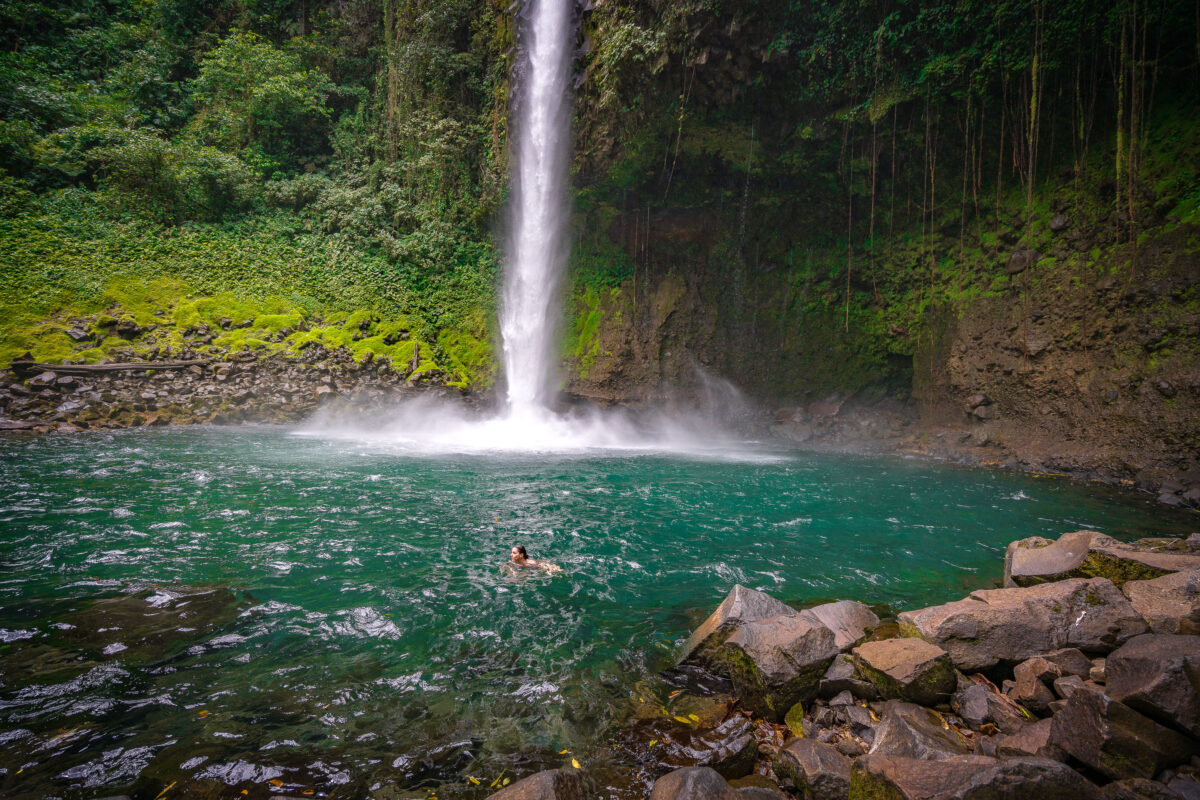
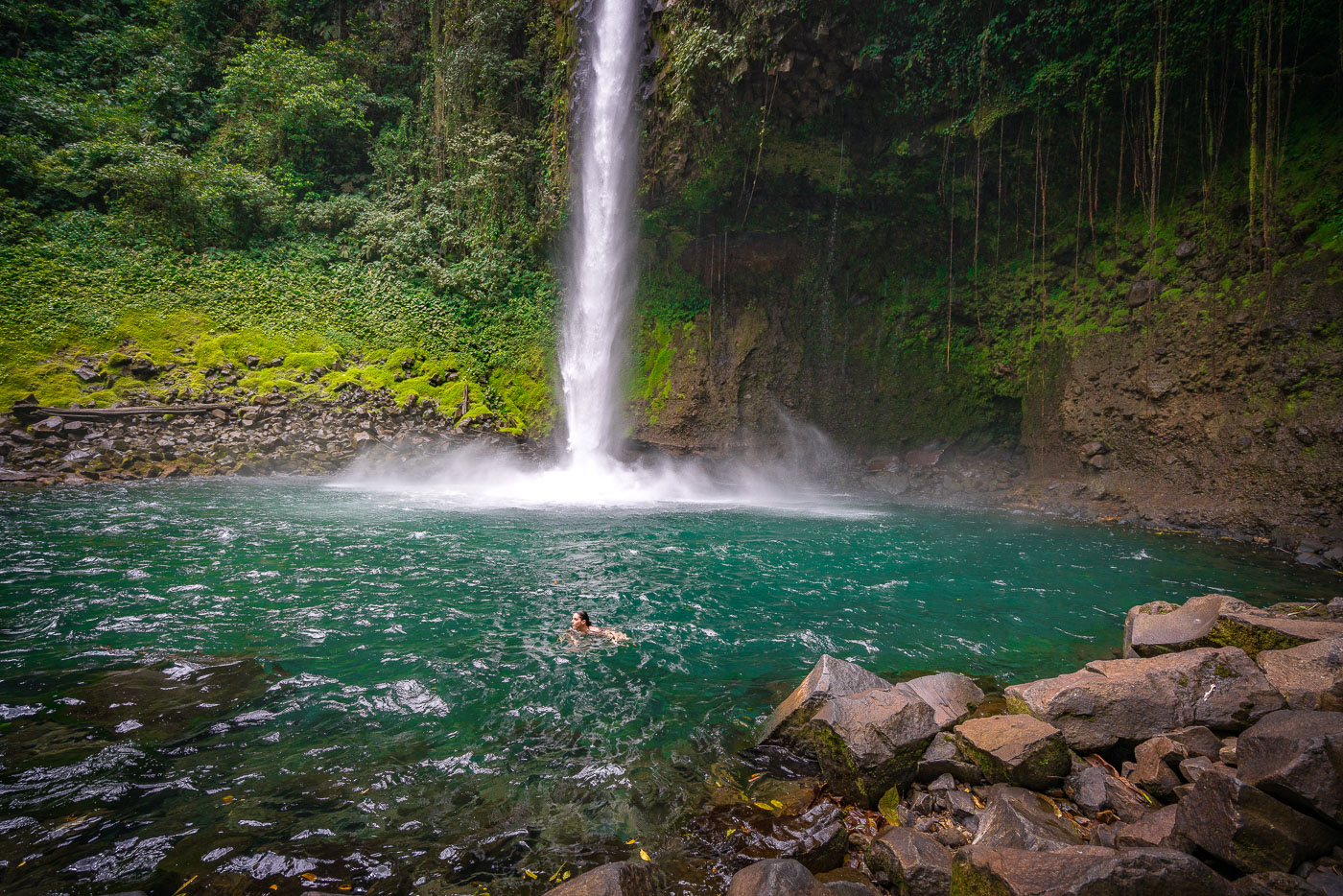
A swimmer floats in the turquoise pool beneath La Fortuna Waterfall in Costa Rica's tropical forest.
La Fortuna Waterfall drops roughly 70 meters into a pool fed by the Río Fortuna, near the base of Arenal Volcano in northern Costa Rica. The site sits within a privately protected reserve of tropical forest reached by a steep trail from the parking area. Swimming is permitted in the plunge pool, though park rules keep visitors a set distance back from the base of the falls due to falling rock and strong currents. The waterfall formed where the river cuts through a lava terrace tied to the Arenal volcanic system, which has shaped much of the surrounding landscape over the past several thousand years.

Swimming Below La Fortuna Waterfall, Costa Rica
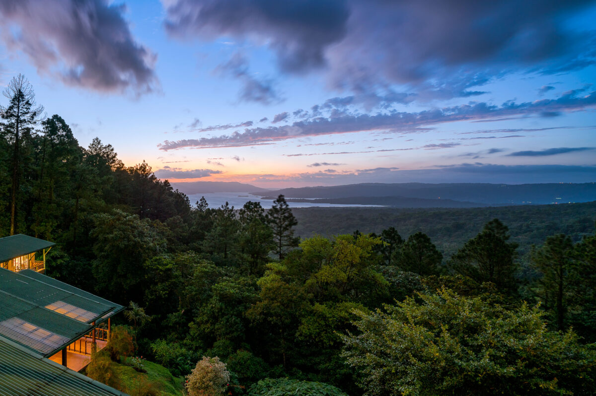
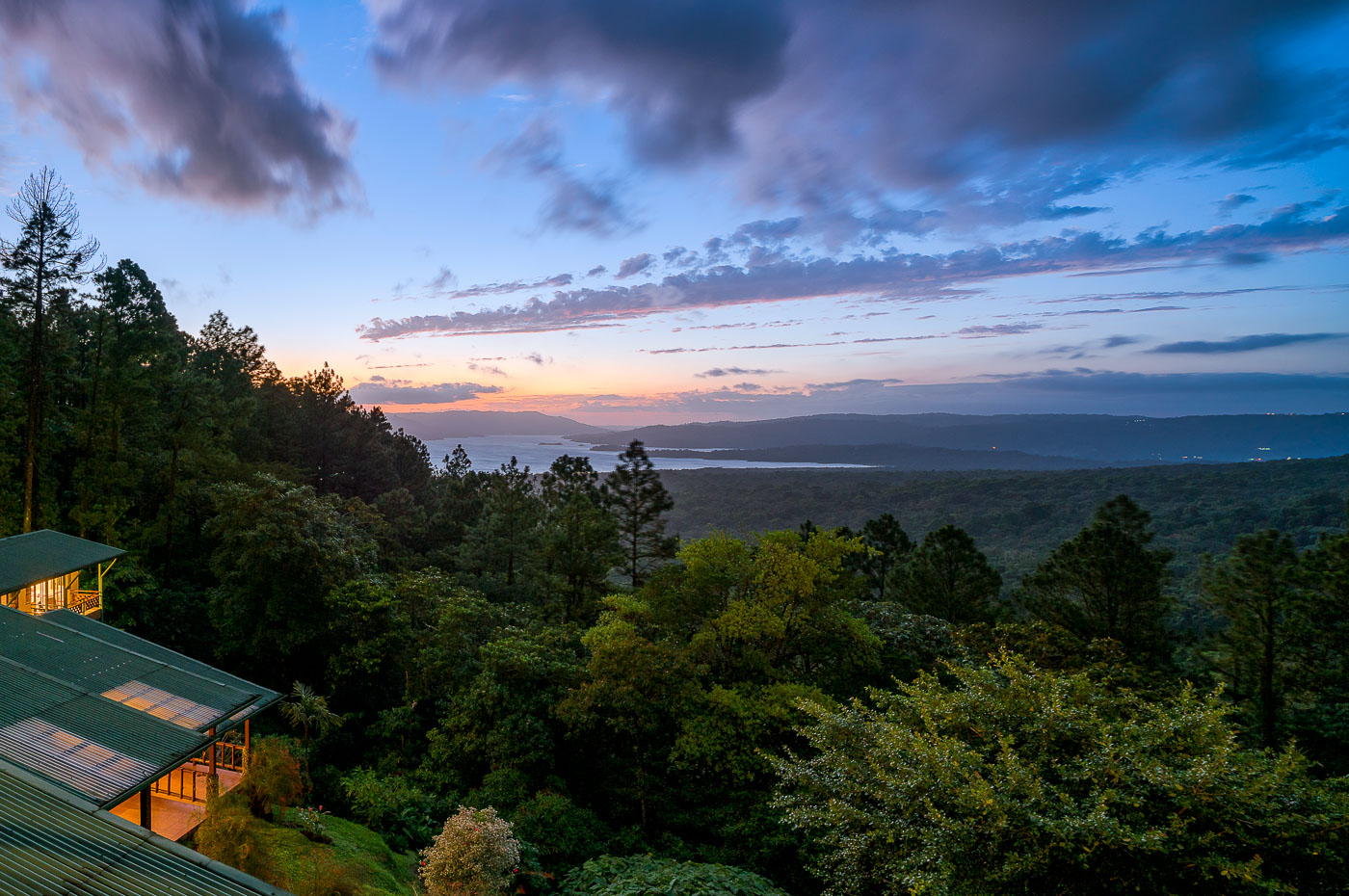
Arenal Observatory Lodge overlooks Lake Arenal and rainforest at twilight in Costa Rica's Alajuela Province.
Arenal Observatory Lodge sits on the southern flank of Arenal Volcano, overlooking Lake Arenal in Costa Rica's Alajuela province. The lodge began in 1987 as a research station built to house volcanologists monitoring Arenal's eruptions, which continued almost continuously from 1968 until 2010. Lake Arenal itself is artificial, formed in 1979 when a dam was built for hydroelectric power and now supplying a significant share of the country's electricity. The property later converted from a scientific outpost into a hotel, with trails leading through the surrounding rainforest toward the volcano's lower lava fields.

Dusk Over Lake Arenal from Arenal Observatory Lodge
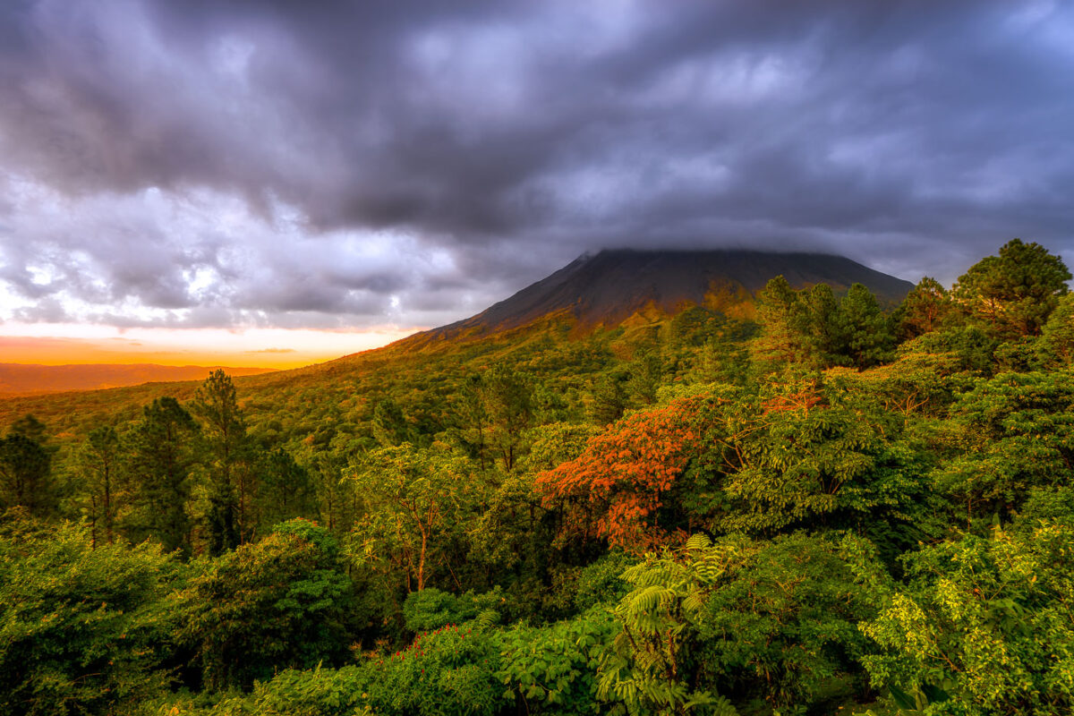
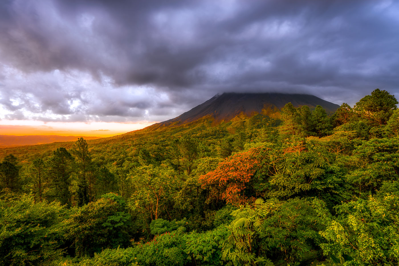
Arenal Volcano rises above dense rainforest canopy under stormy skies near La Fortuna, Costa Rica.
Arenal Volcano rises 1,657 meters above the plains of northern Costa Rica, near the town of La Fortuna in Alajuela Province. The stratovolcano stayed dormant for centuries before an eruption in 1968 destroyed the nearby village of Tabacón and reshaped its slopes with the lava flows still visible today. It erupted continuously from 1968 until activity ceased in 2010, making it one of the youngest active volcanoes in Central America during that period. The surrounding land was designated Arenal Volcano National Park in 1991, protecting the rainforest that now covers much of the mountain's lower flanks.

Sunset Light Breaks Over Arenal Volcano Near La Fortuna
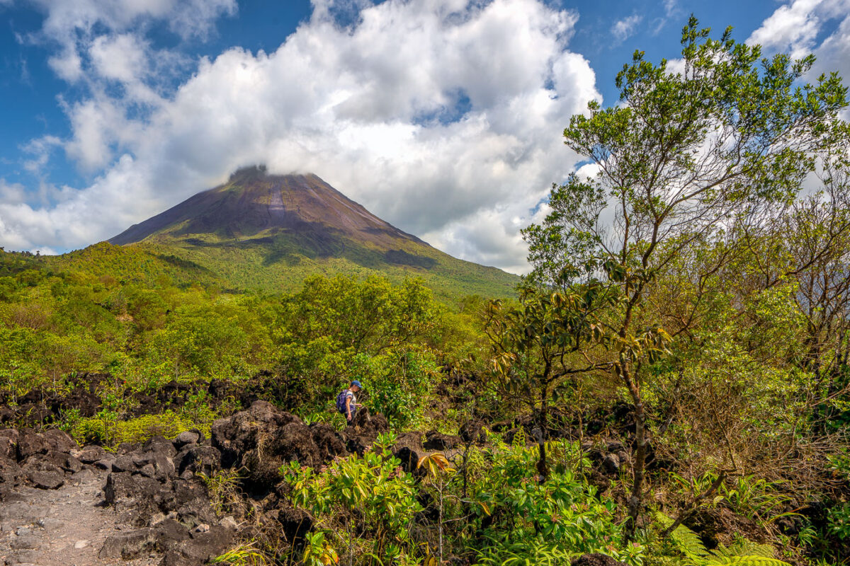
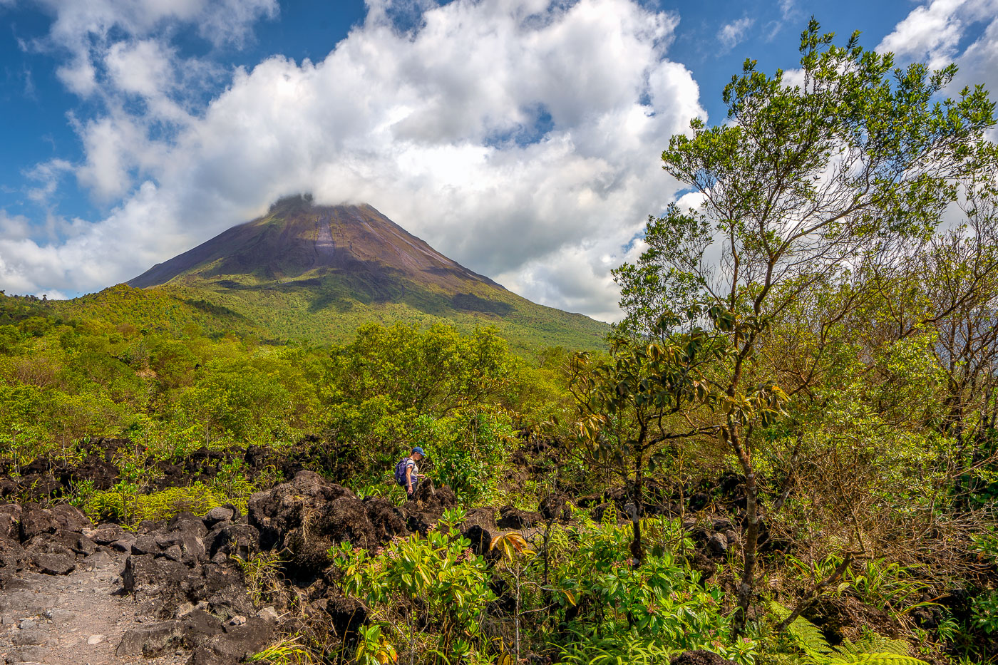
A hiker navigates through volcanic rock and regenerating vegetation below Arenal Volcano in Costa Rica.
Arenal Volcano rises 1,633 meters in Costa Rica's Alajuela Province, part of the Cordillera de Tilarán. The volcano lay dormant for centuries before erupting without warning in July 1968, burying nearby villages and killing dozens of residents. That eruption began an active period lasting until 2010, during which flows of andesitic lava built up the loose rock fields that now cover much of its base. Arenal Volcano National Park, established in 1991, protects the cone and surrounding forest, and trails through the old lava fields let hikers walk across terrain formed within the last half-century.

Climbing Through Lava Rock on Arenal’s 1968 Trail
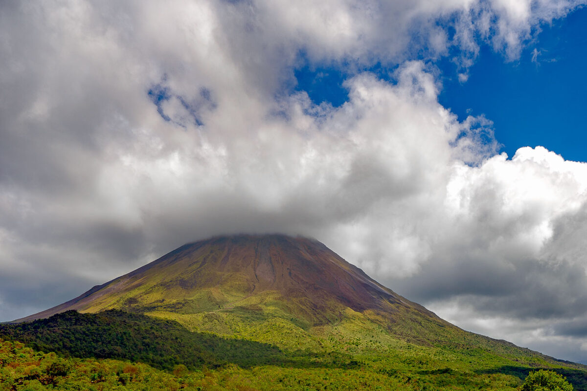
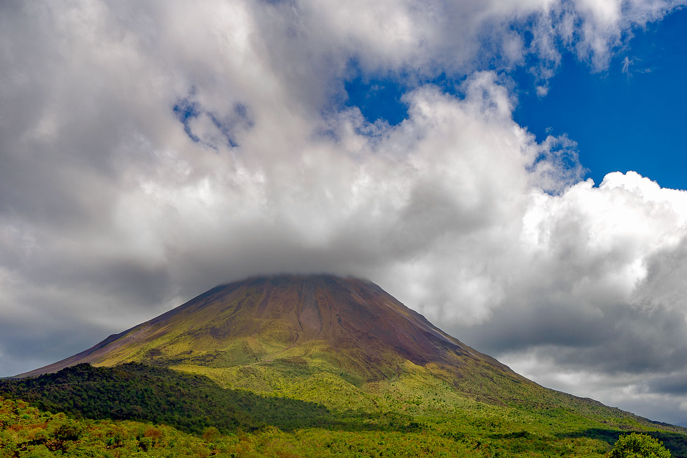
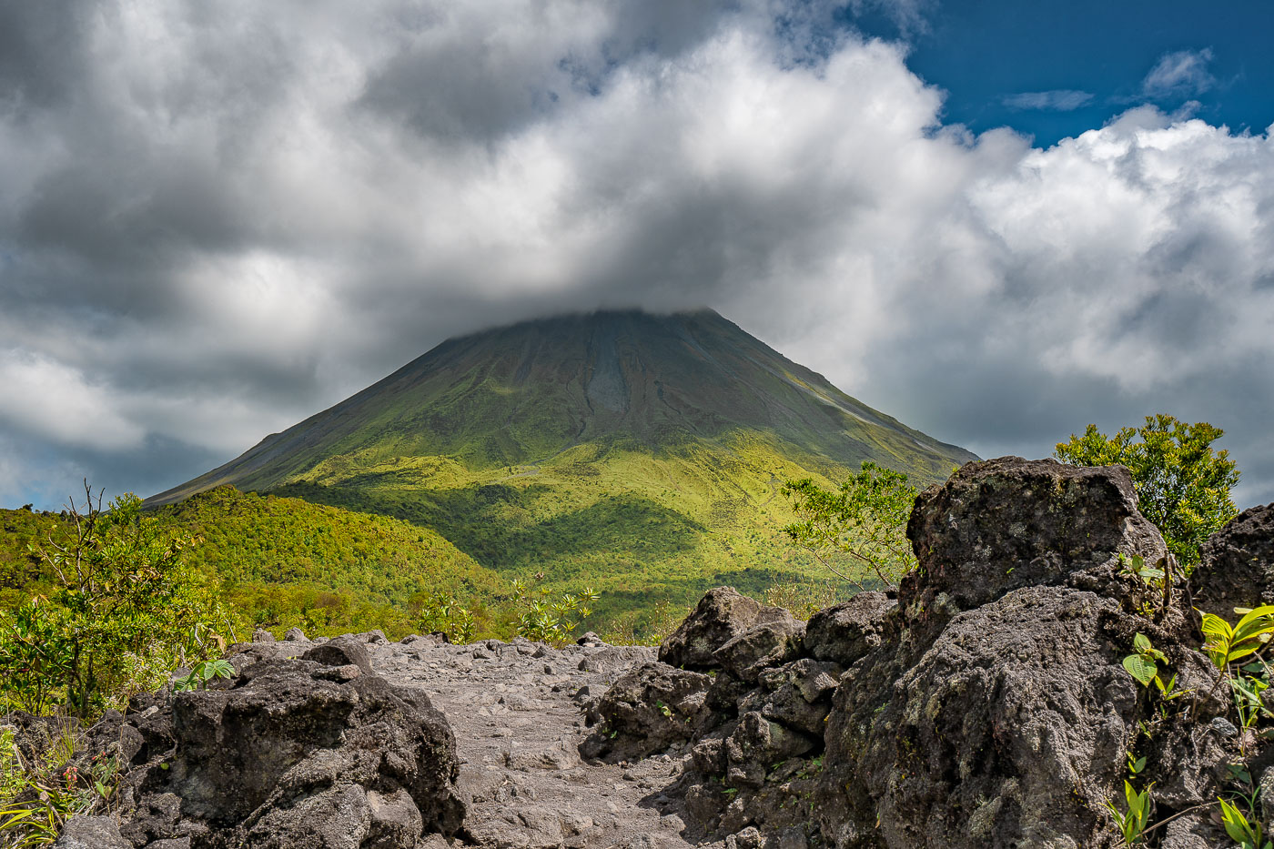
Arenal Volcano rises above forested foothills under partly cloudy skies in northwestern Costa Rica.
Arenal Volcano stands 1,657 meters tall in north-central Costa Rica, within Arenal Volcano National Park near the town of La Fortuna. A stratovolcano formed by the collision of the Cocos and Caribbean tectonic plates, it lay dormant for centuries before a sudden eruption in 1968 destroyed the nearby villages of Tabacón and Pueblo Nuevo. Arenal remained active for more than four decades, with lava flows and ash visible from La Fortuna, before entering its current quiet phase in 2010. The surrounding slopes, now covered in regrown forest, form part of the Arenal-Monteverde biological corridor connecting several protected reserves.

Arenal Volcano’s Cone Rising Above the Rainforest
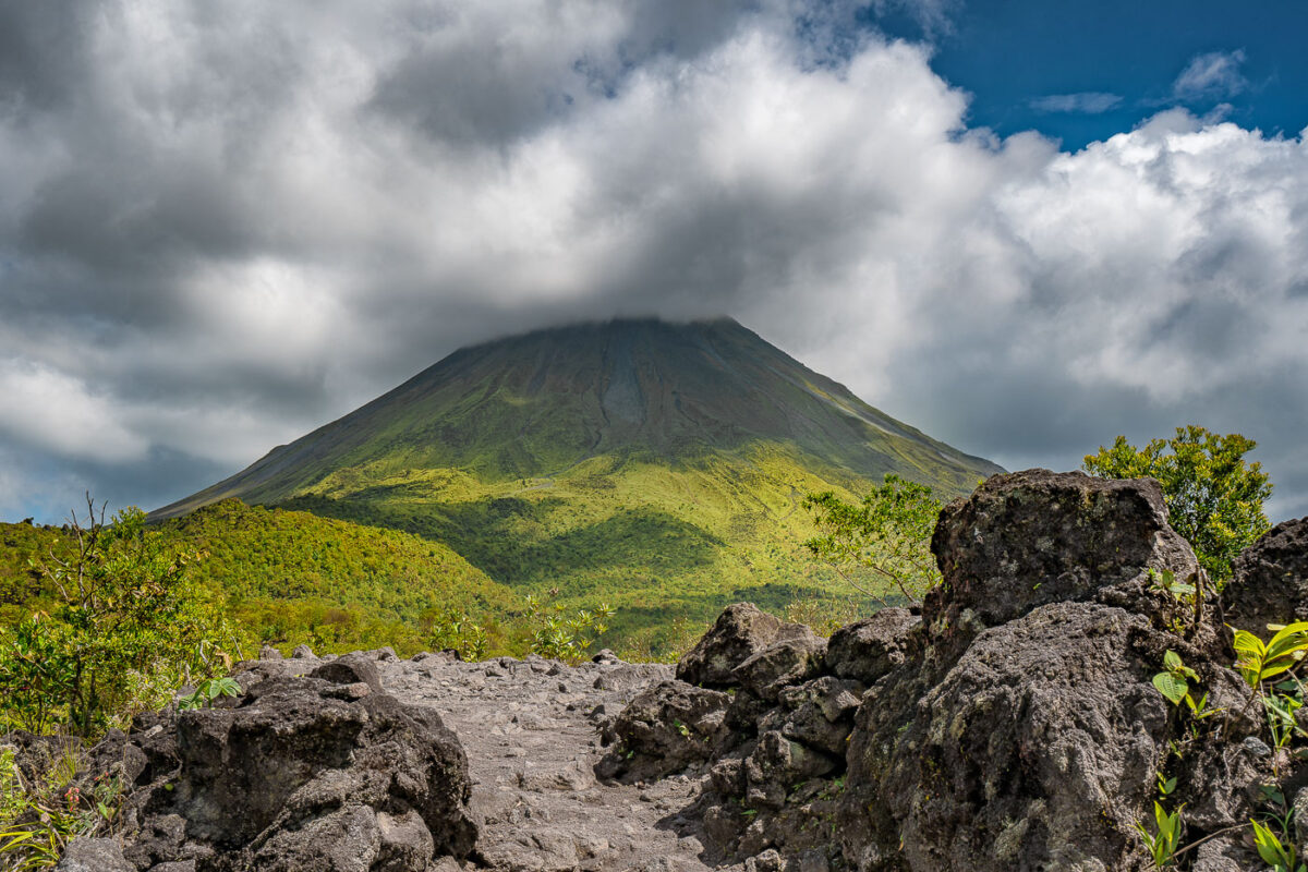
Arenal Volcano's symmetrical cone rises above lava fields and tropical vegetation in Costa Rica's Alajuela Province.
Arenal Volcano reaches 1,657 meters above the lowlands of Alajuela Province near La Fortuna, its conical shape long cited as one of the most symmetrical stratovolcano profiles in the Americas. The volcano had been dormant for centuries before an eruption on July 29, 1968, destroyed the villages of Tabacón and Pueblo Nuevo; it then remained active, with lava flows and rock ejections continuing until 2010. Arenal Volcano National Park, established in 1991, protects roughly 12,000 acres of rainforest and hardened lava fields at the mountain's base. Costa Rica's Volcanological and Seismological Observatory continues to monitor the peak, which last erupted more than a decade ago.

Arenal Volcano Rising Above a Lava Rock Path
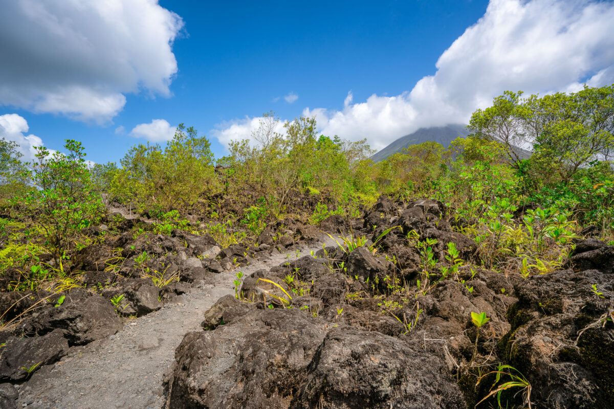
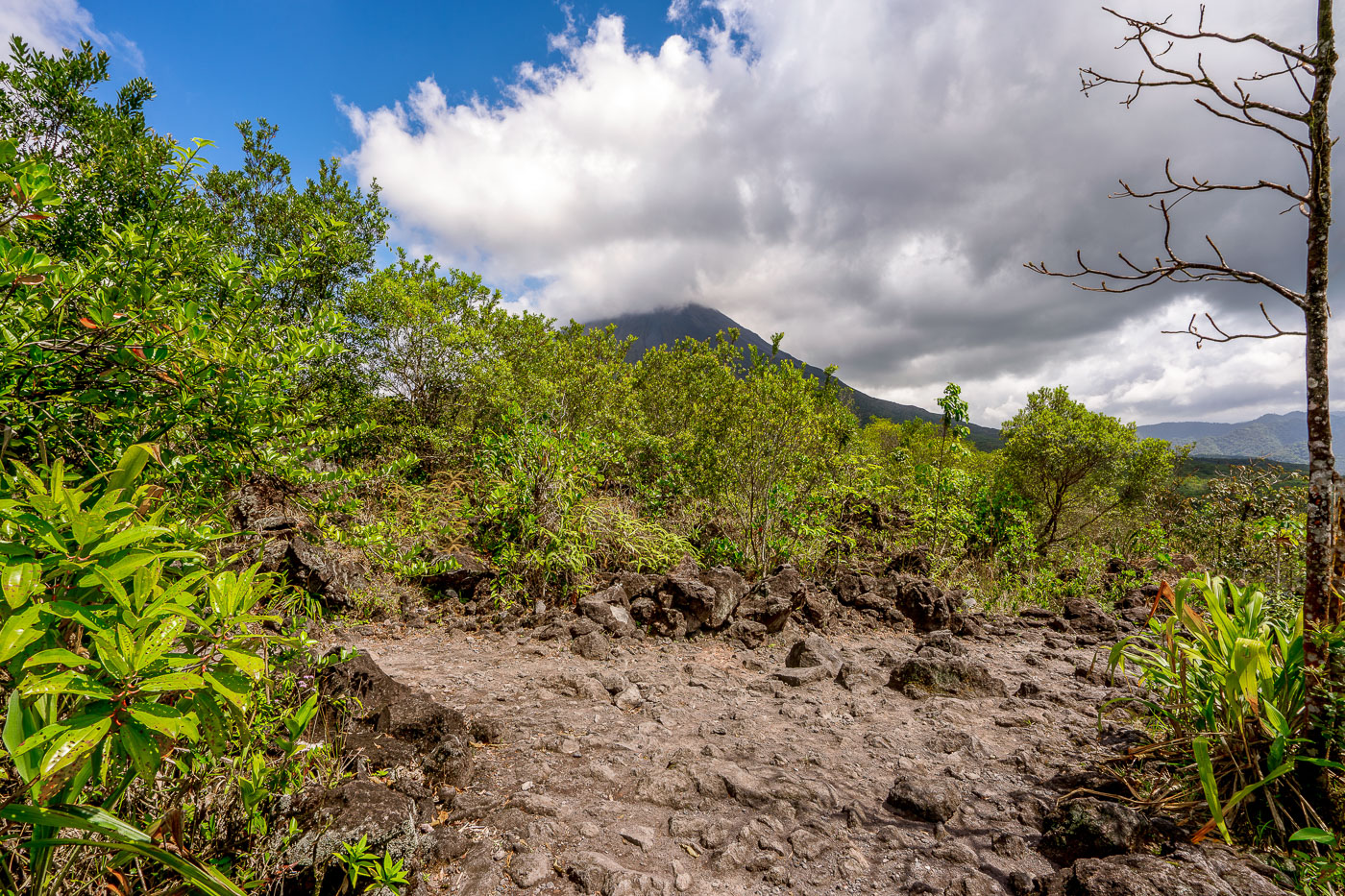
A hiking trail crosses dark volcanic rock and regenerating vegetation with Arenal Volcano rising in the background near La Fortuna, Costa Rica.
Arenal Volcano last erupted in 1968, sending a pyroclastic flow and lava across its western and southern flanks that buried several farms and killed dozens of people. The eruption ended a dormancy of roughly 400 years and triggered intermittent activity that continued until 2010. The rock fields near La Fortuna consist of andesitic lava deposited during that eruptive period, now colonized by secondary forest growth. At 1,657 meters, Arenal remains Costa Rica's most studied volcano and anchors Arenal Volcano National Park, established in 1991.

Path Across Arenal’s Lava Rock Toward the Volcano
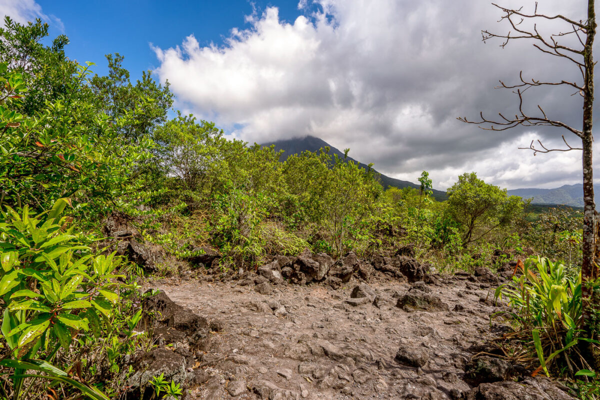
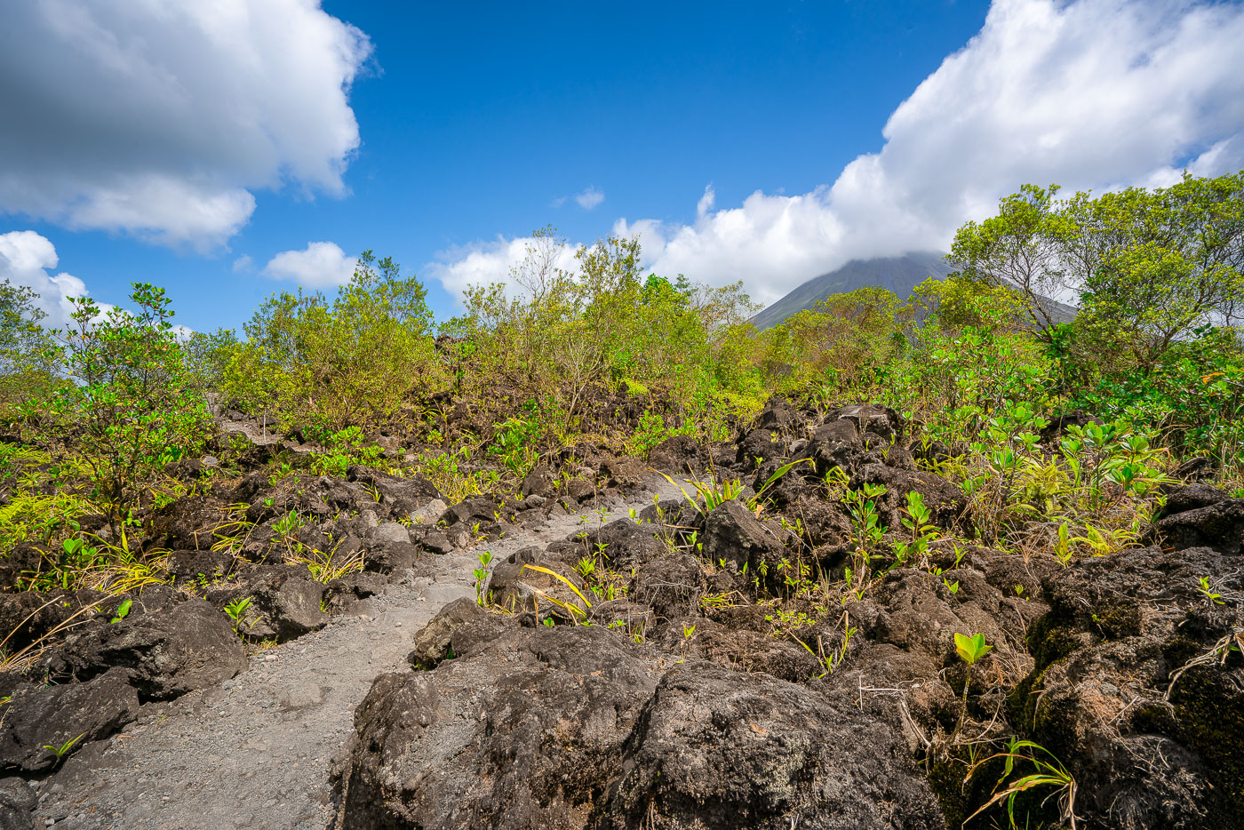
A hiking trail crosses the 1968 lava field near Arenal Volcano in Alajuela Province, Costa Rica, with vegetation reclaiming volcanic rock.
Arenal Volcano erupted continuously from 1968 to 2010, sending lava flows down its western and southern flanks that reshaped the landscape near La Fortuna. The 1968 eruption began on July 29 after centuries of dormancy, killing more than 80 people and burying the villages of Tabacón, Pueblo Nuevo, and San Luis. Arenal Volcano National Park, established in 1991, now protects the cooled lava fields, and trails here cross the hardened rock left by that eruption. The volcano's symmetrical cone rises to about 1,670 meters and remains one of the most studied volcanic sites in Central America.

Clouds Over Arenal Volcano Along the 1968 Lava Trail
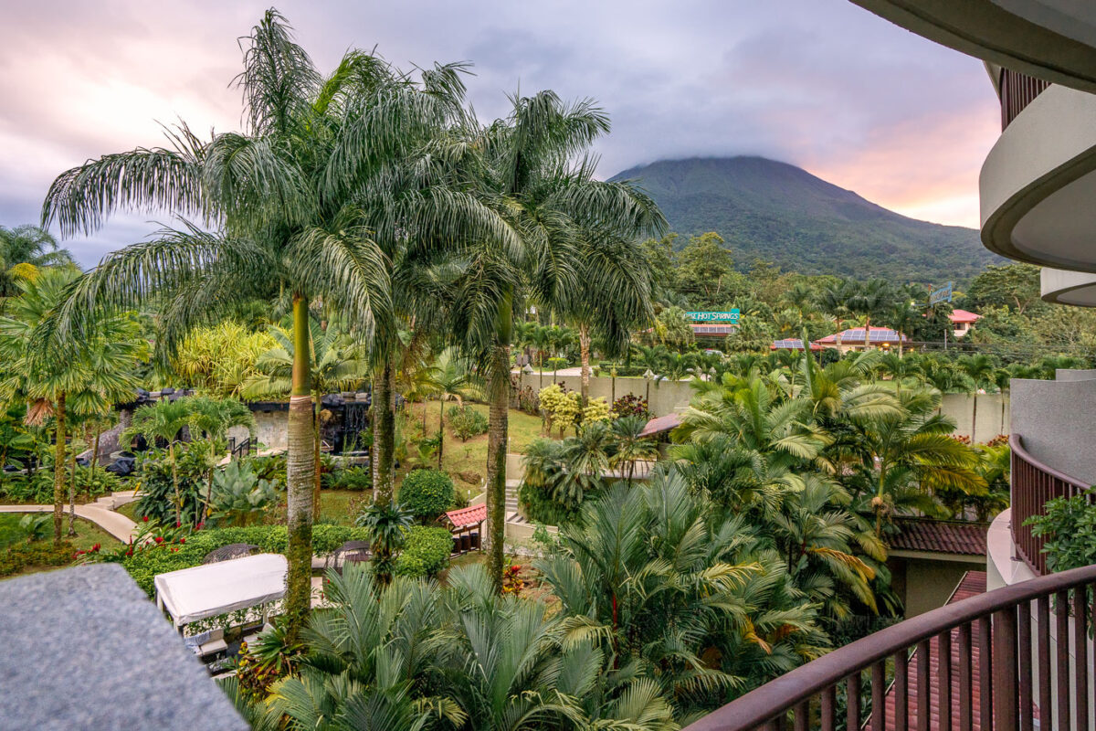
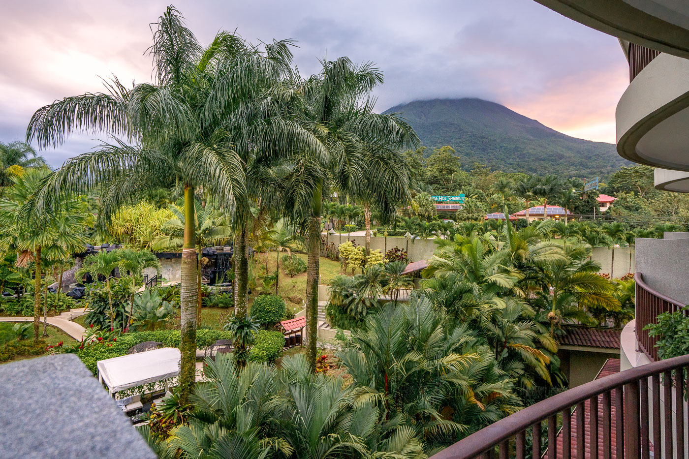
Arenal Volcano rises behind the Royal Corin Thermal Water and Spa Resort near La Fortuna in Costa Rica's Alajuela Province.
Arenal Volcano rises above the Royal Corin Thermal Water and Spa Resort near La Fortuna in Costa Rica's Alajuela Province. The stratovolcano, at 1,670 meters, was continuously active from 1968 until its eruptive activity ceased in 2010, making it one of Central America's most studied volcanoes during that period. Its near-symmetrical cone sits within Arenal Volcano National Park, established in 1991 to protect the surrounding forest and wildlife. La Fortuna, the town at the volcano's base, grew largely around tourism tied to the volcano's decades of visible activity.

Royal Corin Resort Gardens Beneath Arenal Volcano
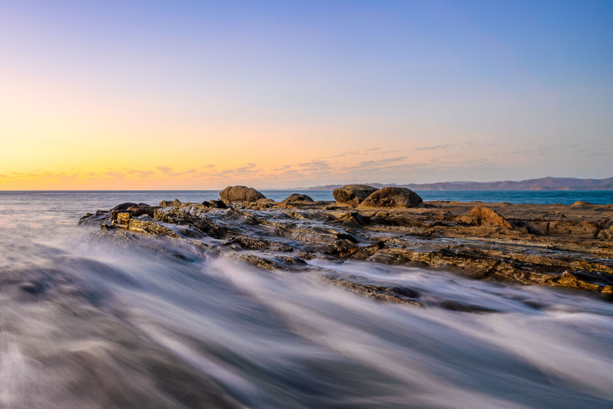
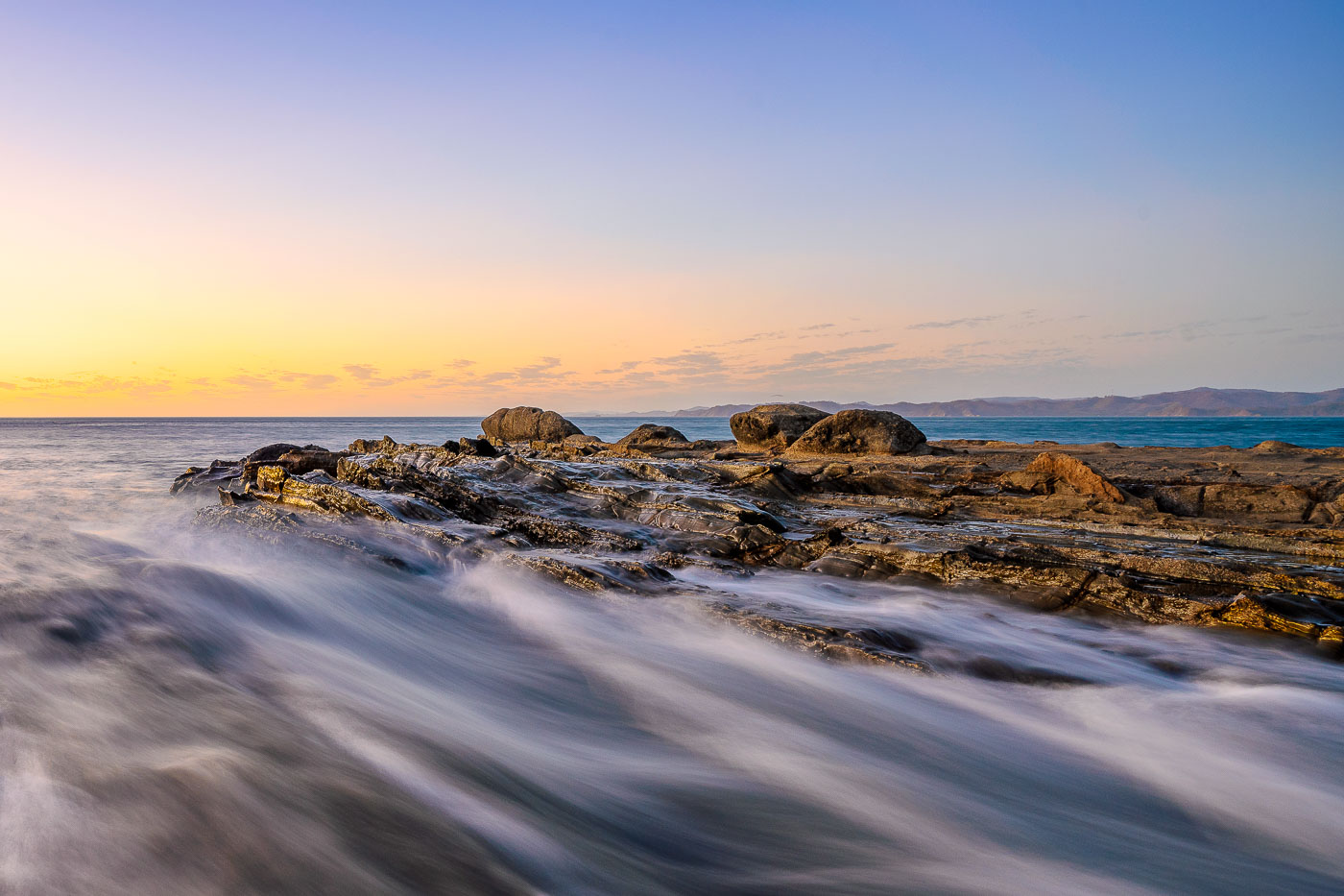
Waves wash over rocky outcrops along the Pacific coastline at Jobo Bay in Guanacaste, Costa Rica, at sunset.
Jobo Bay sits on Costa Rica's northern Pacific coast in Guanacaste province, near the village of El Jobo. The shoreline here is built on exposed sedimentary rock shelves, layered formations that erode unevenly and create the shallow channels where incoming surf collects and drains. Guanacaste's coast lies within Costa Rica's tropical dry forest zone, where lower rainfall than the rest of the country leaves rock formations like these less obscured by vegetation. The bay faces open ocean swell, with no major islands or reefs offshore to break the wave action before it reaches the rocks.

Sunset Surf Over the Rock Shelf at Jobo Bay
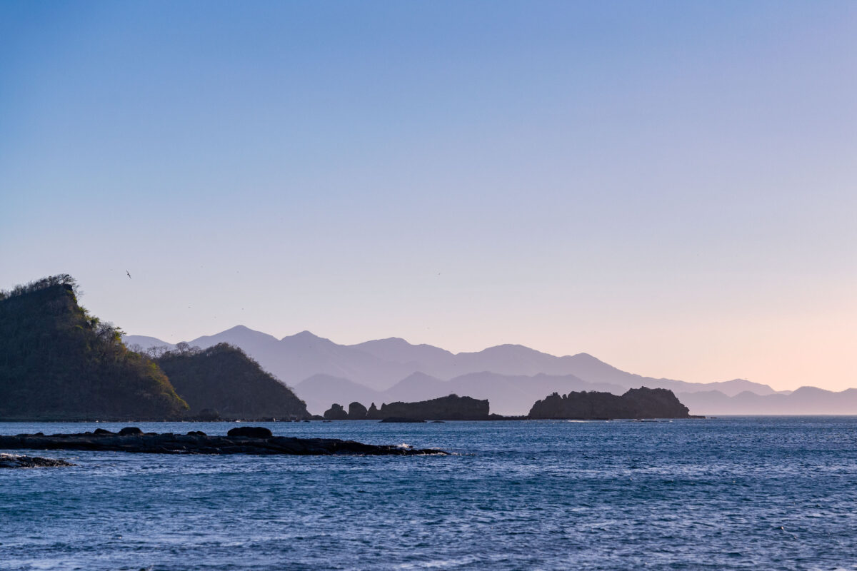
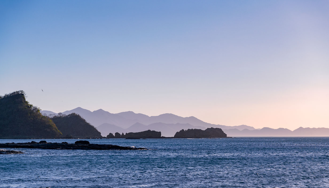
Rocky coastline with forested headlands overlooks Jobo Bay with hazy mountains across the Pacific Ocean in Guanacaste Province, Costa Rica.
Jobo Bay sits along the Pacific coast of Guanacaste Province in northwestern Costa Rica, near the small community of El Jobo. The bay forms part of the Santa Elena Peninsula's coastline, where volcanic hills meet the sea in a series of rocky points and small offshore islets. This stretch of coast lies within the Guanacaste Conservation Area, a UNESCO World Heritage Site that protects dry tropical forest and marine habitat along the shoreline. Guanacaste's Pacific coast experiences a pronounced dry season, when distant hills often take on a hazy, layered appearance as humidity and dust accumulate in the air.

Layered Coastal Ridges at Jobo Bay, Guanacaste
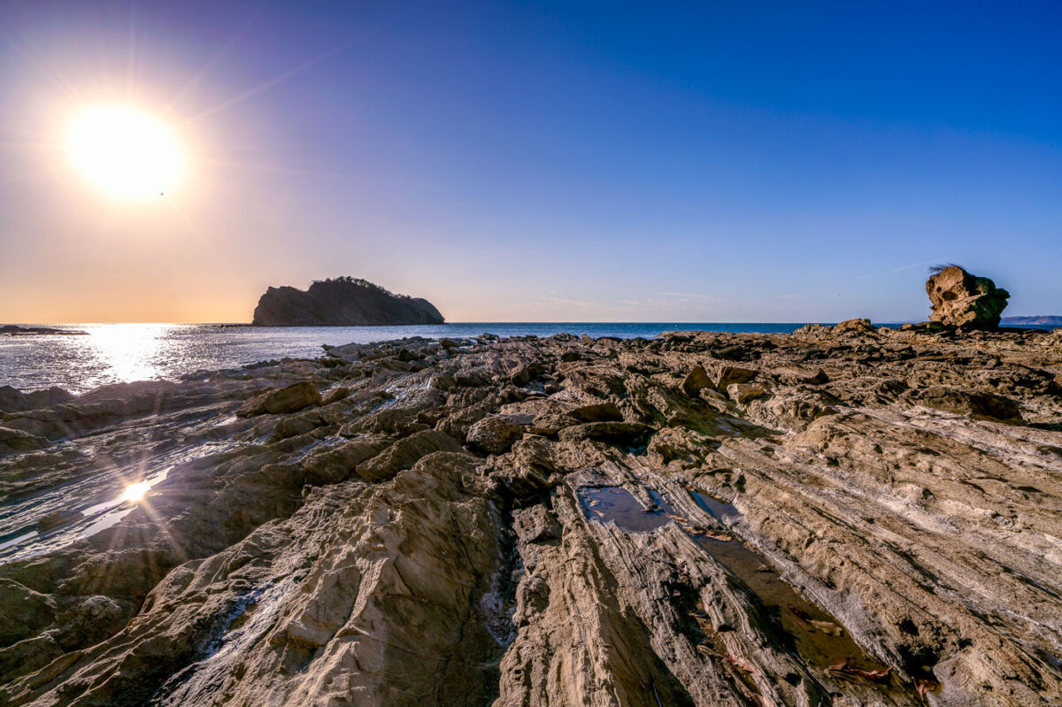
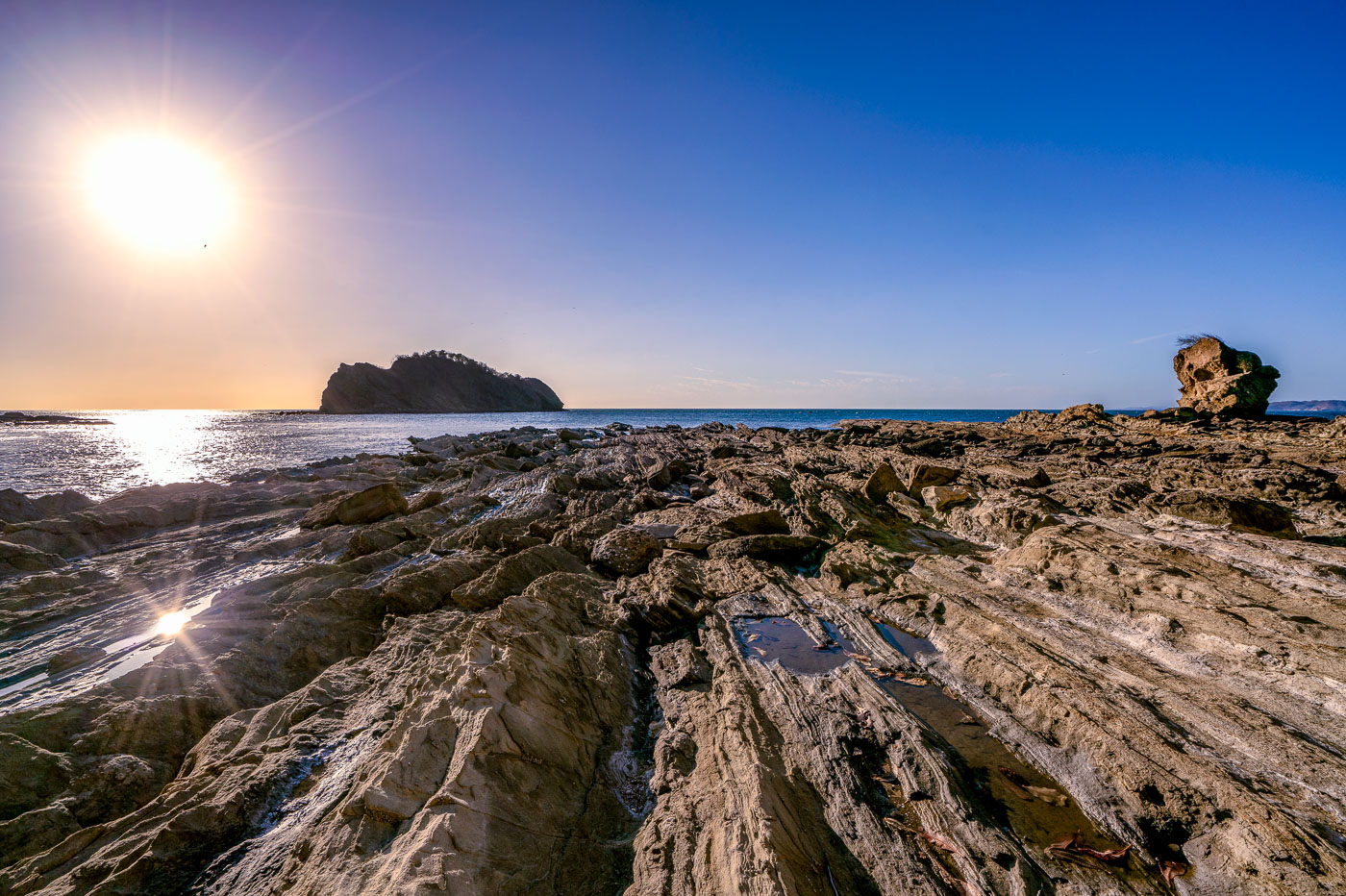
Rocky shoreline with layered stone formations and a sea stack at Jobo Bay in Guanacaste, Costa Rica.
Jobo Bay sits along the Santa Elena Peninsula in northern Guanacaste, near Costa Rica's border with Nicaragua. The shoreline's folded rock shelves formed from ancient volcanic flows that run along this stretch of the Pacific coast. Steady offshore winds common to the area have made the region a site for wind-energy development, with turbine farms built on the hills above the coastline. At low tide, the exposed rock platforms create shallow pools and channels along the bay's edge.

Sunset Over the Rocky Shoreline of Jobo Bay
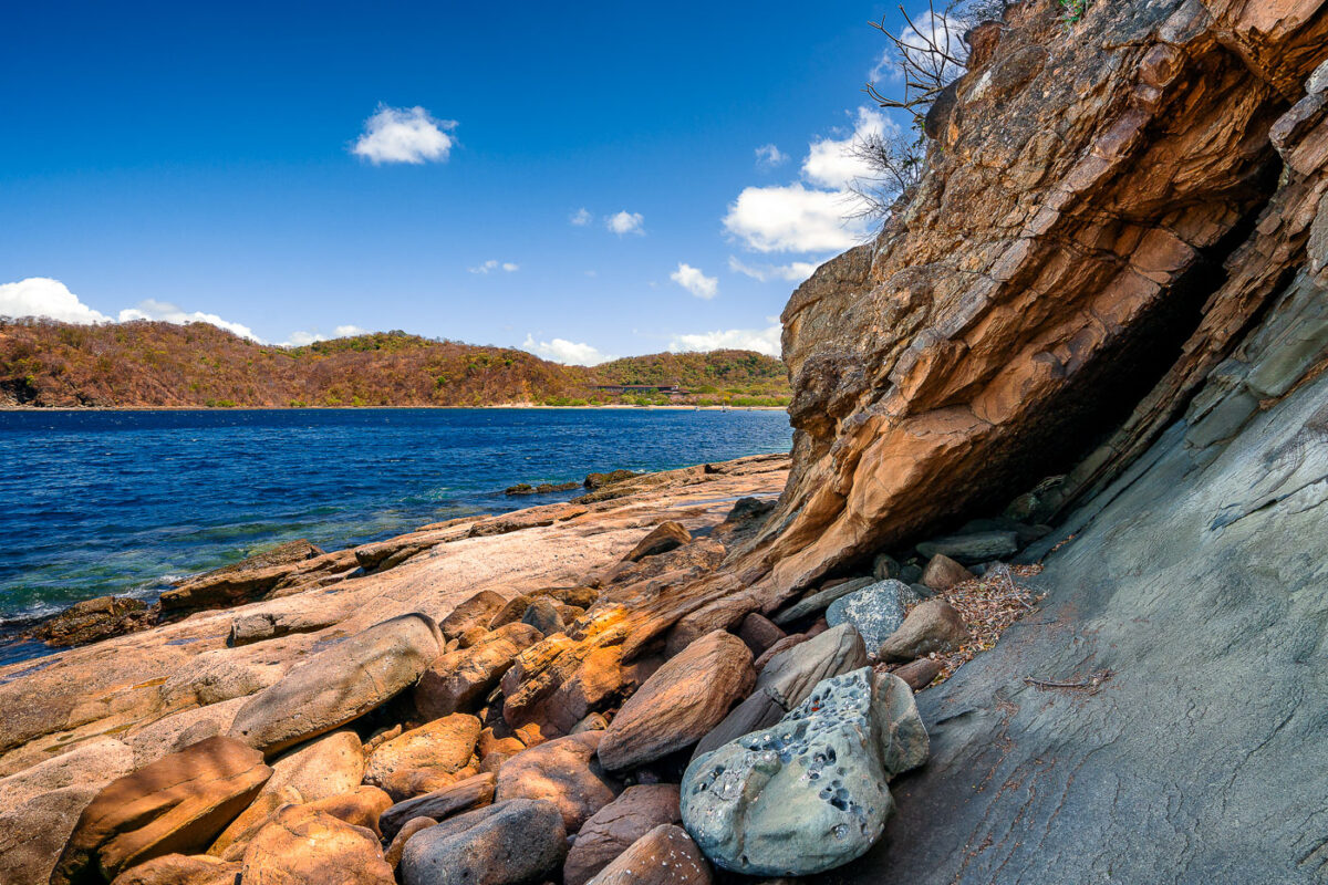
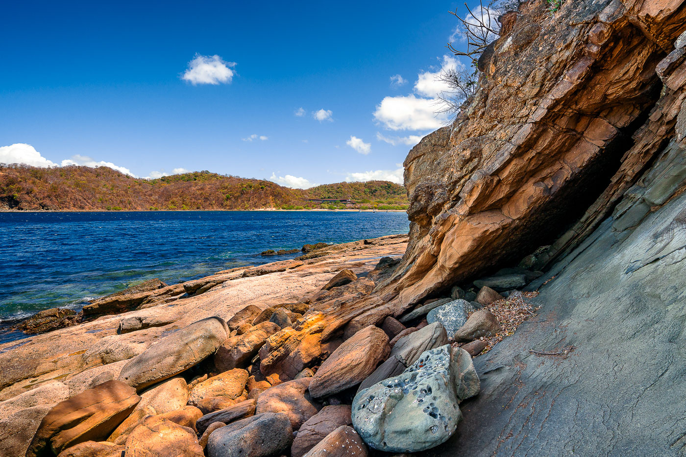
Sandstone rock overhang and boulders line the shoreline of Jobo Bay in Guanacaste, Costa Rica.
Jobo Bay sits along Costa Rica's northern Guanacaste coast, near the Nicaraguan border, in one of the country's driest tropical regions. The shoreline here is shaped by volcanic and sedimentary rock formations typical of the Santa Elena Peninsula, where tectonic uplift has exposed layered stone along the water's edge. Guanacaste's dry forest climate means much of the surrounding vegetation turns brown for several months each year, a contrast to the deep greens found elsewhere in Costa Rica. The bay lies within a sparsely developed stretch of coastline still used mainly by local fishing communities.

Boulders Beneath a Rock Overhang at Jobo Bay
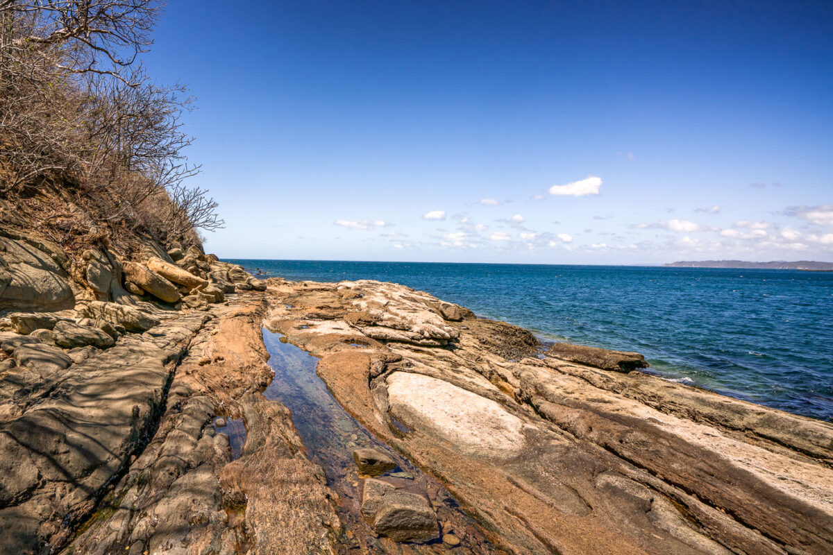
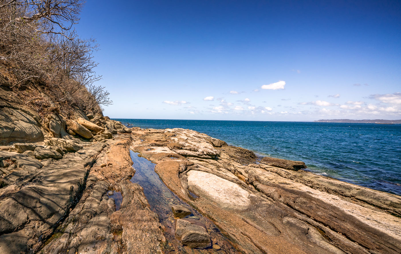
Rocky shoreline with tidal pools meets the Pacific Ocean at Jobo Bay in Guanacaste, Costa Rica.
Jobo Bay sits along the Pacific coast of Guanacaste Province, near the small town of El Jobo close to the Nicaraguan border. The shoreline here is defined by flat, stratified rock formations that form natural tidal pools as the water recedes. Guanacaste's dry forest climate, with its long dry season, leaves the coastal vegetation sparse and brush-like compared to the greener regions farther south in Costa Rica.

Rocky Coastline of Jobo Bay Near El Jobo, Guanacaste
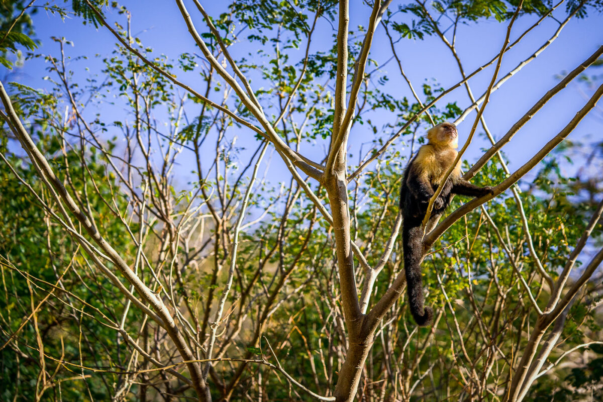
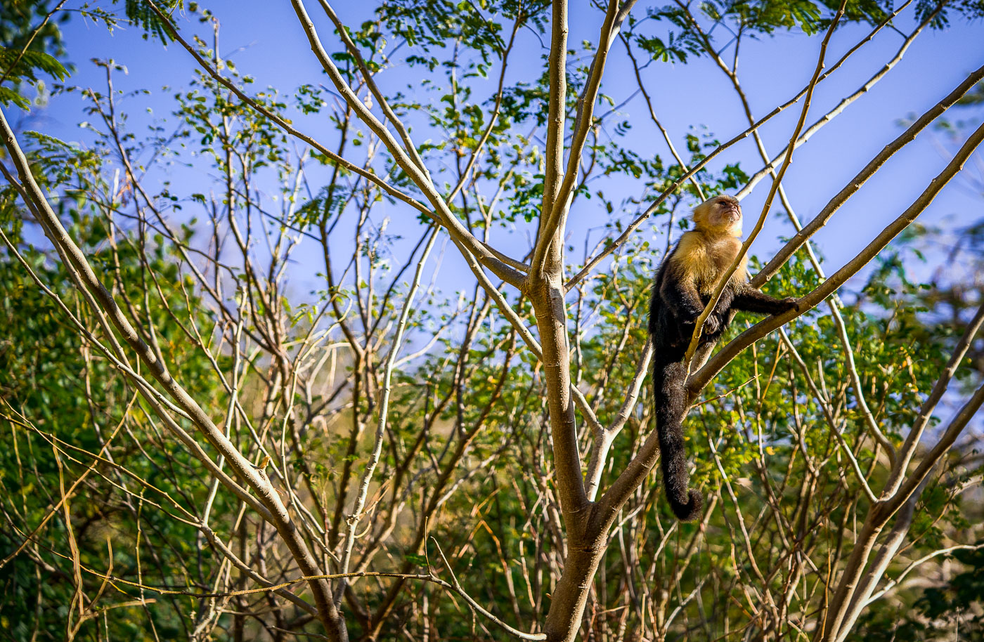
A white-faced capuchin monkey perches on a tree branch in Jobo Bay, Costa Rica.
The white-faced capuchin (Cebus imitator) ranges throughout the dry forests of Guanacaste, including the coastal scrub around Jobo Bay near the Nicaraguan border. Troops typically number between ten and twenty animals and spend most daylight hours foraging in the canopy for fruit, insects, and small vertebrates. The species is known for using tools, including rocks and sticks, to crack open nuts and shellfish — a trait documented in only a handful of primate species outside the great apes. Guanacaste's tropical dry forest, where this monkey was ed, is one of the most endangered forest types in the Americas, with less than two percent of its original range remaining intact.

White-Faced Capuchin Scanning the Treetops at Jobo Bay
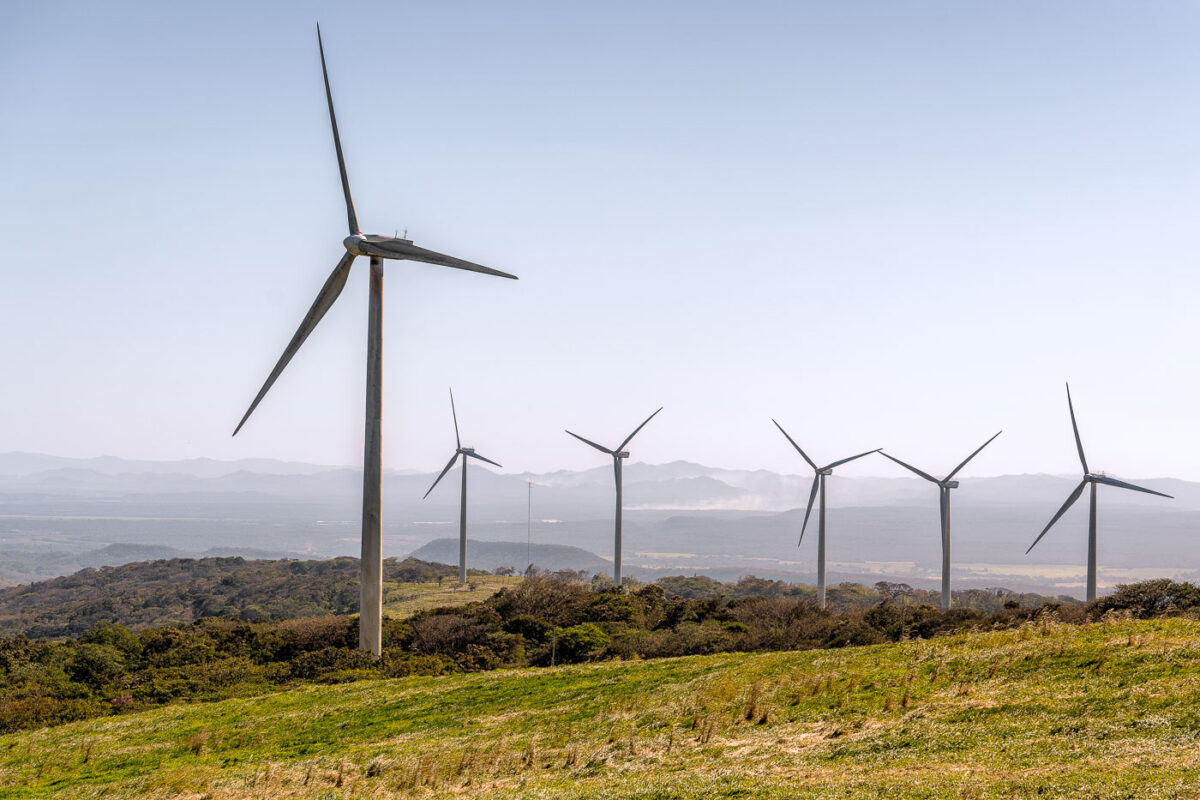
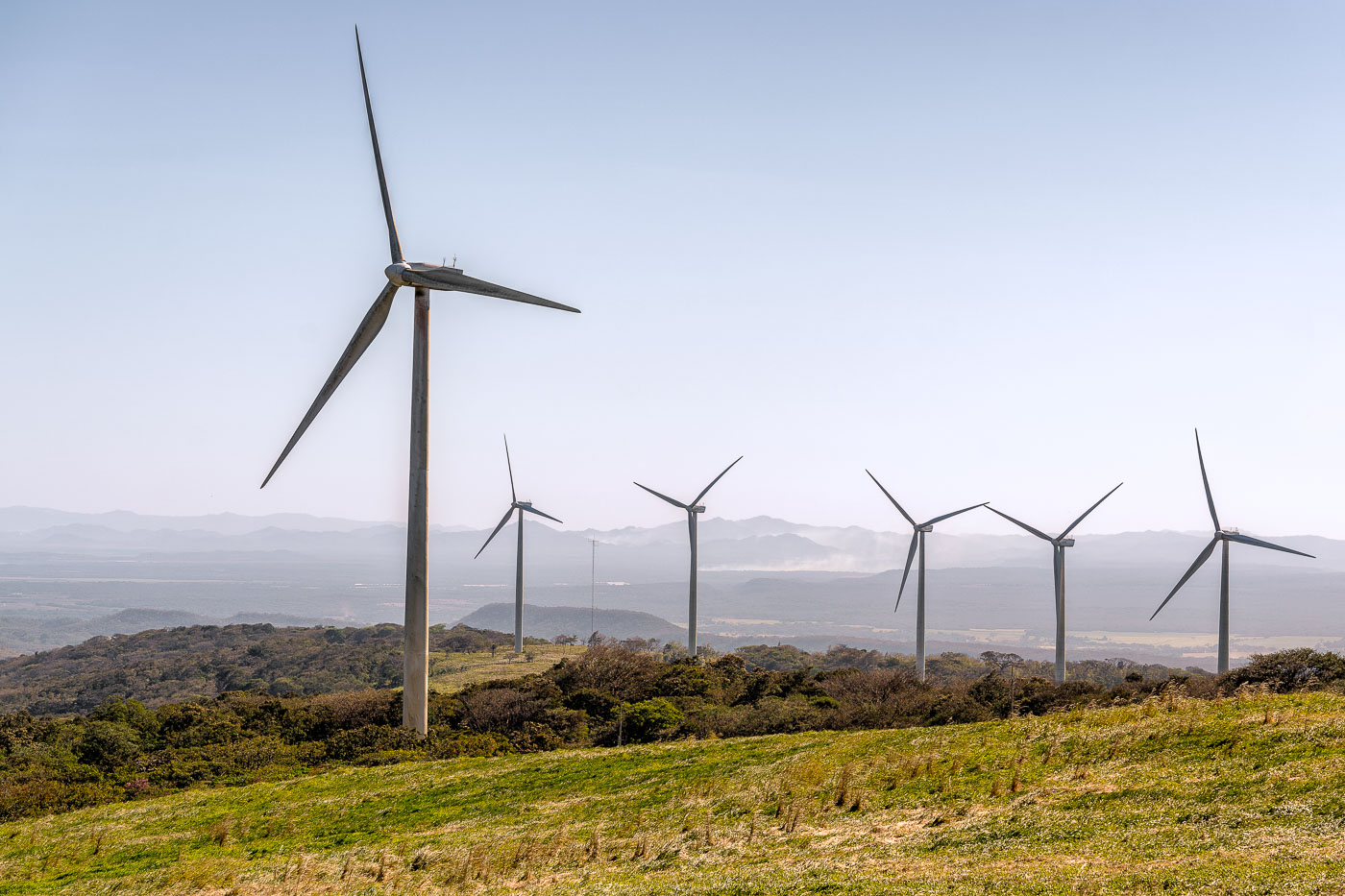
Wind turbines stand on rolling hills in Guanacaste Province, Costa Rica.
Guanacaste's wind farms sit along the mountain corridors near the Tempisque River basin, where steady northeast trade winds funnel through gaps in the Cordillera de Guanacaste. The region's wind-power development began in the early 1990s near Tilarán, among the first utility-scale wind installations in Latin America. Costa Rica's state utility, ICE, along with private operators, has since expanded turbine arrays across these hills to feed the national grid, which runs on renewable sources for most of the year. The consistent wind pattern that draws turbines to this landscape is the same seasonal airflow that makes nearby Lake Arenal a destination for windsurfing.

Wind Turbines Above the Tempisque Valley, Guanacaste
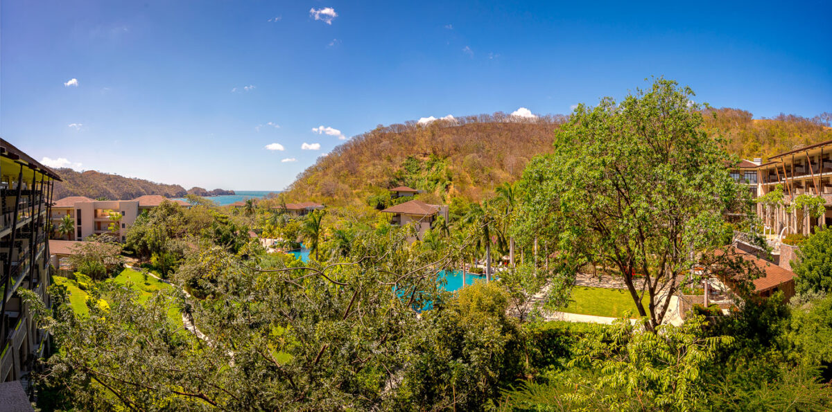
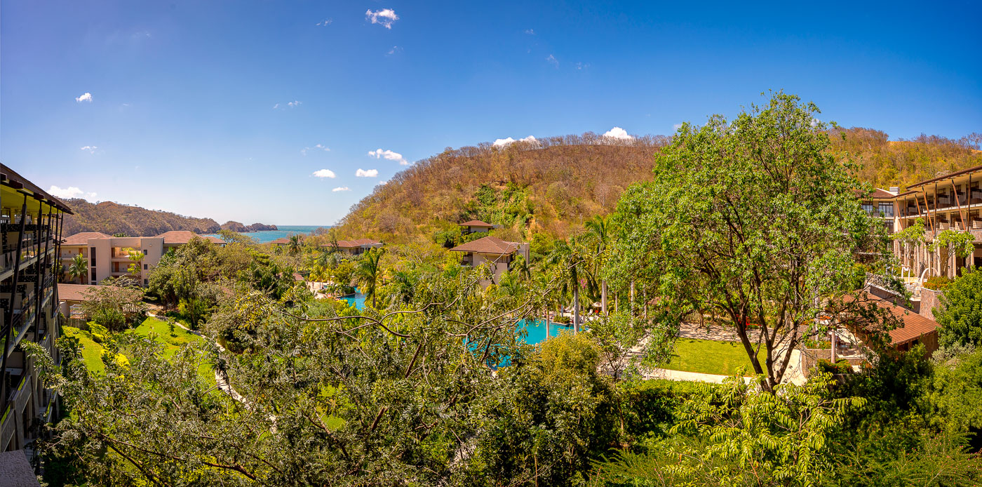
Dreams Las Mareas Resort overlooks Jobo Bay and the Pacific Ocean in Guanacaste, Costa Rica.
Dreams Las Mareas Resort sits along Jobo Bay on Costa Rica's Pacific coast, near the town of La Cruz close to the Nicaraguan border. The all-inclusive property opened in 2014, part of an effort to extend beach tourism north of more established Guanacaste destinations like Tamarindo and Papagayo. Its buildings and gardens step down a forested hillside toward the bay below.

Hillside Grounds of Dreams Las Mareas Resort, Guanacaste
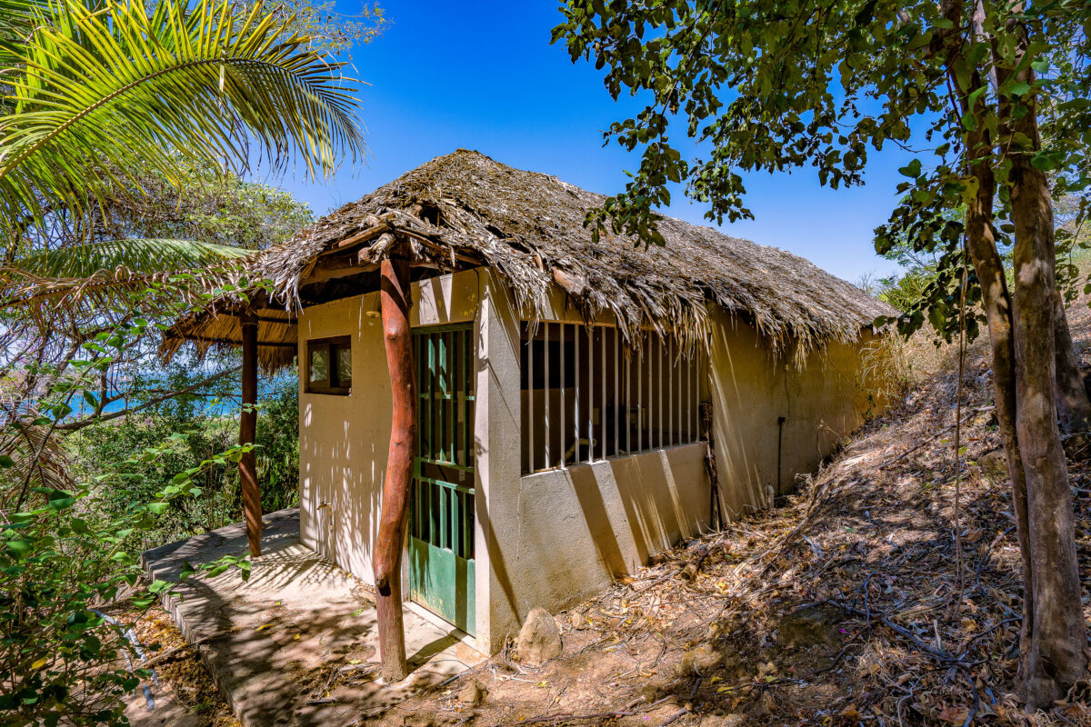
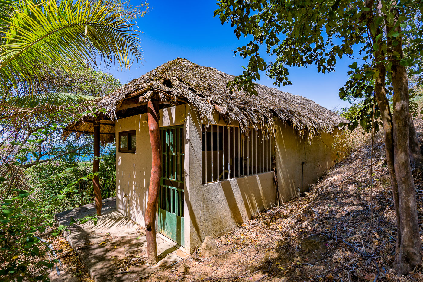
Abandoned thatched-roof hut at Santa Elena Resort on a wooded hillside in El Jobo, Guanacaste, Costa Rica.
Santa Elena Resort sits on a wooded hillside above the coast in El Jobo, a small community in Guanacaste province near the Nicaraguan border. The property has stood vacant for years, left to the surrounding palm and brush growth. This cabin's palapa-style roof, woven from dried palm thatch over a wooden frame, a building technique common to Guanacaste's coastal lodges. Guanacaste's dry tropical climate, with its long rainless season, allows palm-thatch roofing to last for several years before it needs replacing.

Palapa Cabin at Santa Elena Resort, El Jobo

Built in Minneapolis

Minneapolis Photographer

Browse by location, move through long-running series, or start with recent work.