Photo Set
Minneapolis Skyline Photography
Buildings, bridges, trails and public spaces across Minneapolis photographed from multiple vantage points over more than a decade
Downtown Minneapolis has grown vertically and laterally for more than a century, shaped by flour milling wealth, postwar commercial development, and successive waves of construction that have left the central business district with one of the more layered skylines in the Upper Midwest. The IDS Center, Minnesota's tallest building at 792 feet since 1972, and the Foshay Tower, the city's first skyscraper completed in 1929, mark opposite ends of that arc.
The city's relationship with its natural surroundings is unusually close for a major American downtown. The Chain of Lakes — including Bde Maka Ska, Lake of the Isles, and Cedar Lake — wraps around the city's southwest side, connected by parkways and trails designed in the late 19th and early 20th centuries. That system gives the downtown skyline a second set of vantage points, across open water and ice, that few city cores can match. The Gold Medal Flour sign on the Mississippi River bluff has anchored the eastern edge of that skyline since 1908, a remnant of the flour-milling industry that first funded the towers rising behind it.
The years covered by this portion of the Minneapolis Places series span a period of considerable change on the ground. Tower cranes appeared above the North Loop and downtown core as residential construction accelerated, older parcels were cleared and rebuilt, and infrastructure projects along I-35W reshaped the southern approach to the central business district. Wildfire smoke from Canadian fires reduced visibility across the city on multiple occasions, an environmental condition that increasingly interrupts what had long been a reliable seasonal rhythm of clear summer skies.
What this stretch of the series captures is a city mid-transformation, neither the postindustrial holding pattern of earlier decades nor the settled outcome of whatever comes next. The skyline's familiar anchors — Capella Tower, the IDS Center, Wells Fargo Center — remain, while the ground around them continues to shift.
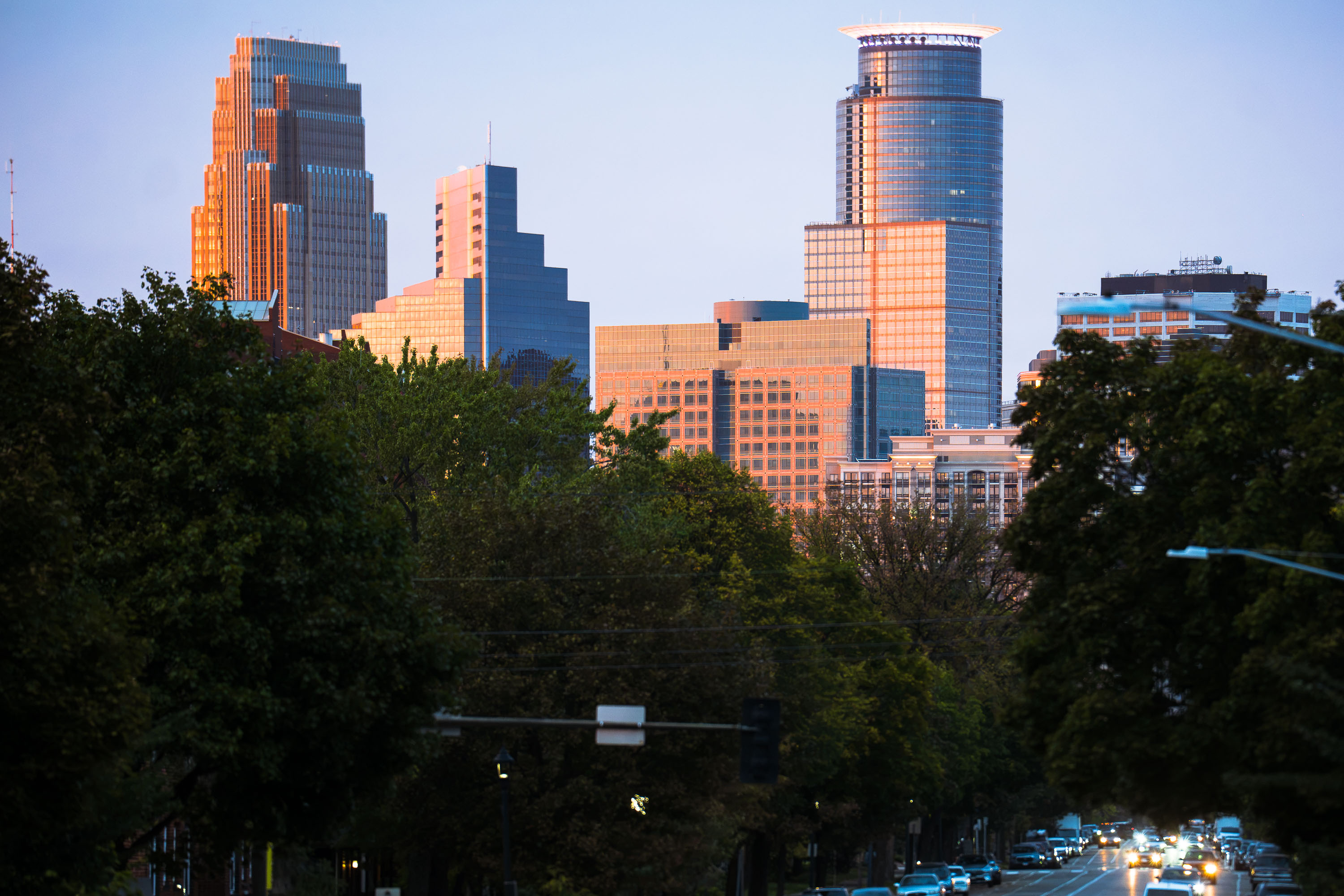 View full post: Downtown Minneapolis Skyline Seen from Portland Avenue
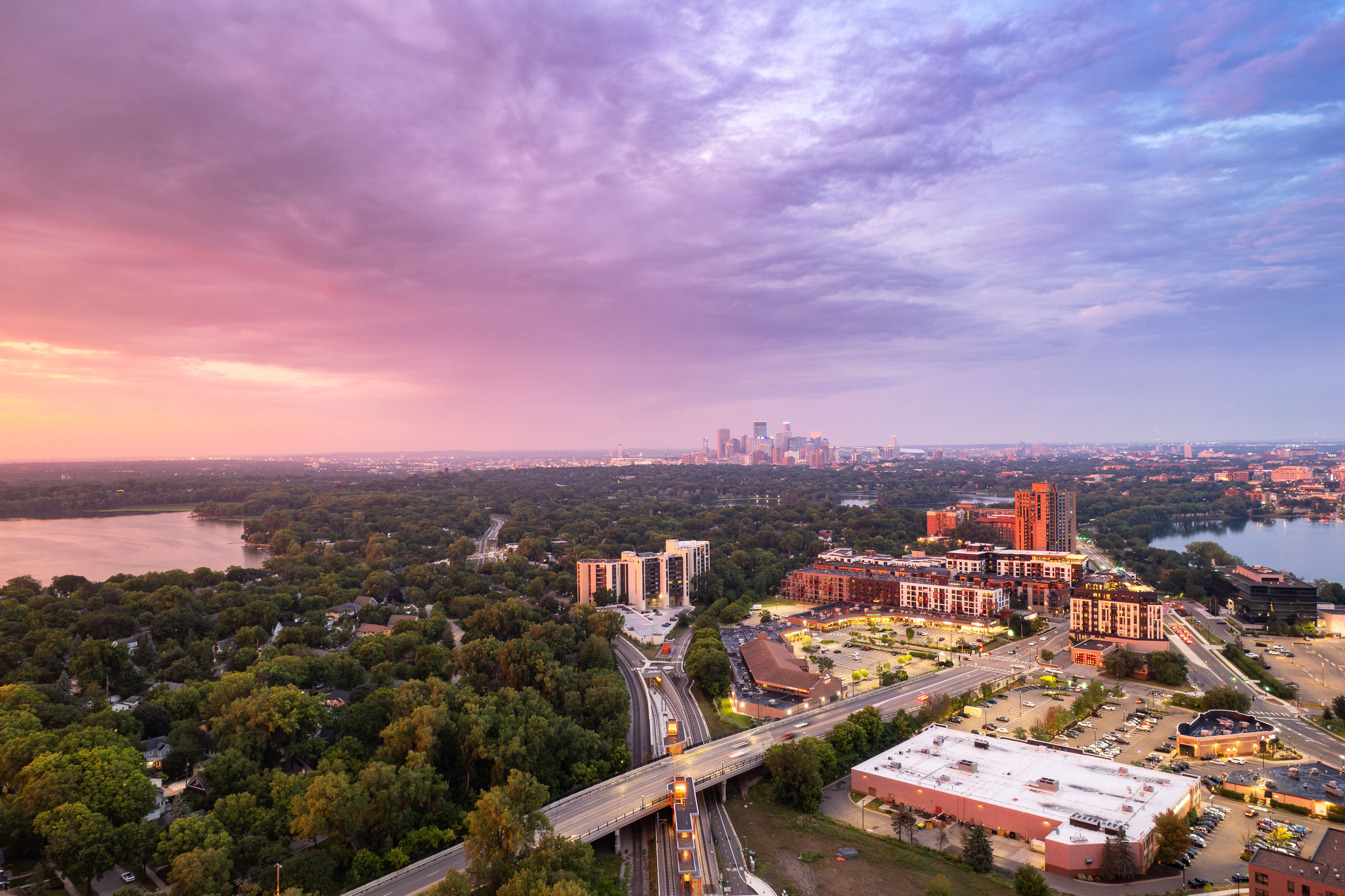 View full post: Downtown Minneapolis Skyline Beyond Cedar Lake and Bde Maka Ska
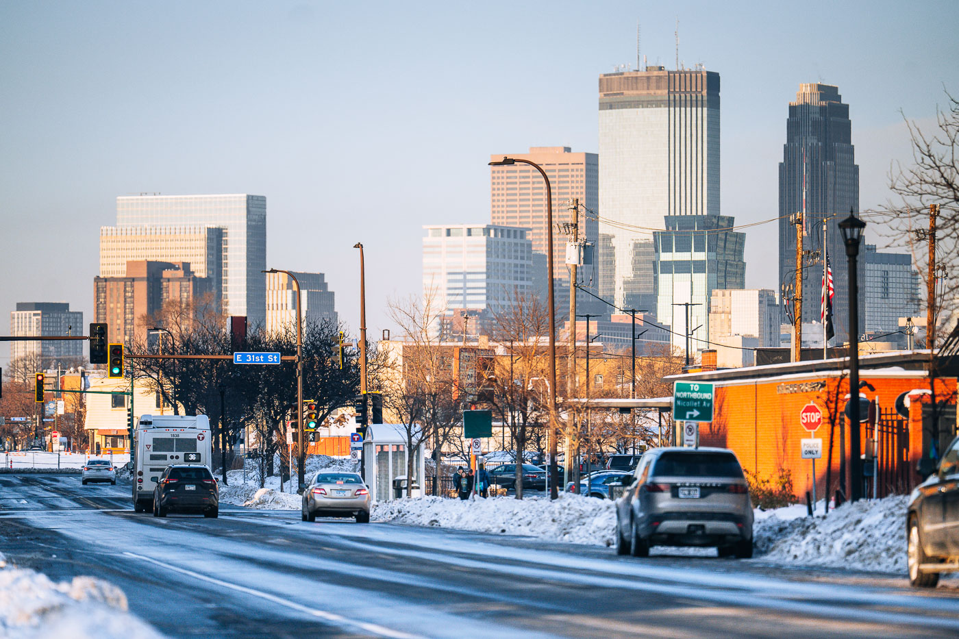 View full post: Snowy Nicollet Avenue at East 31st Street Toward Downtown Minneapolis
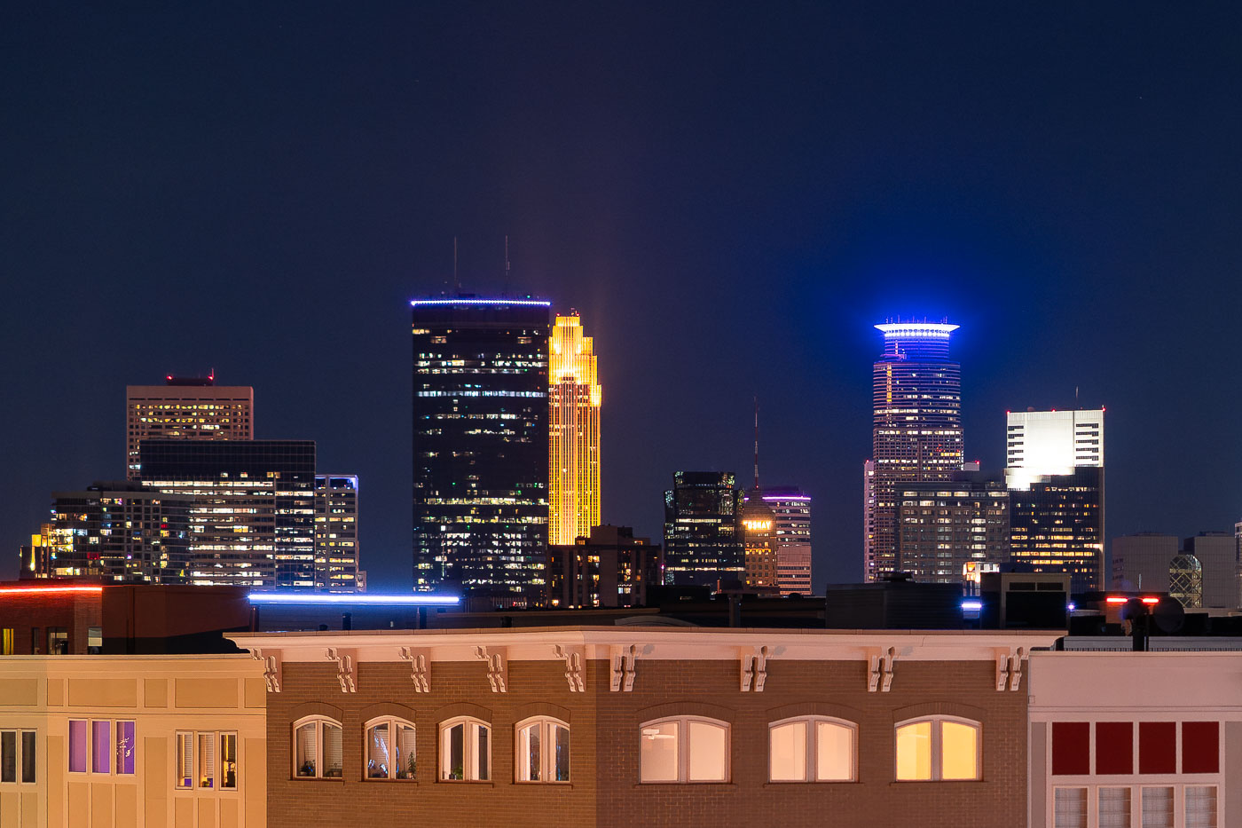 View full post: Downtown Minneapolis Skyline Beyond Lake Street in Uptown
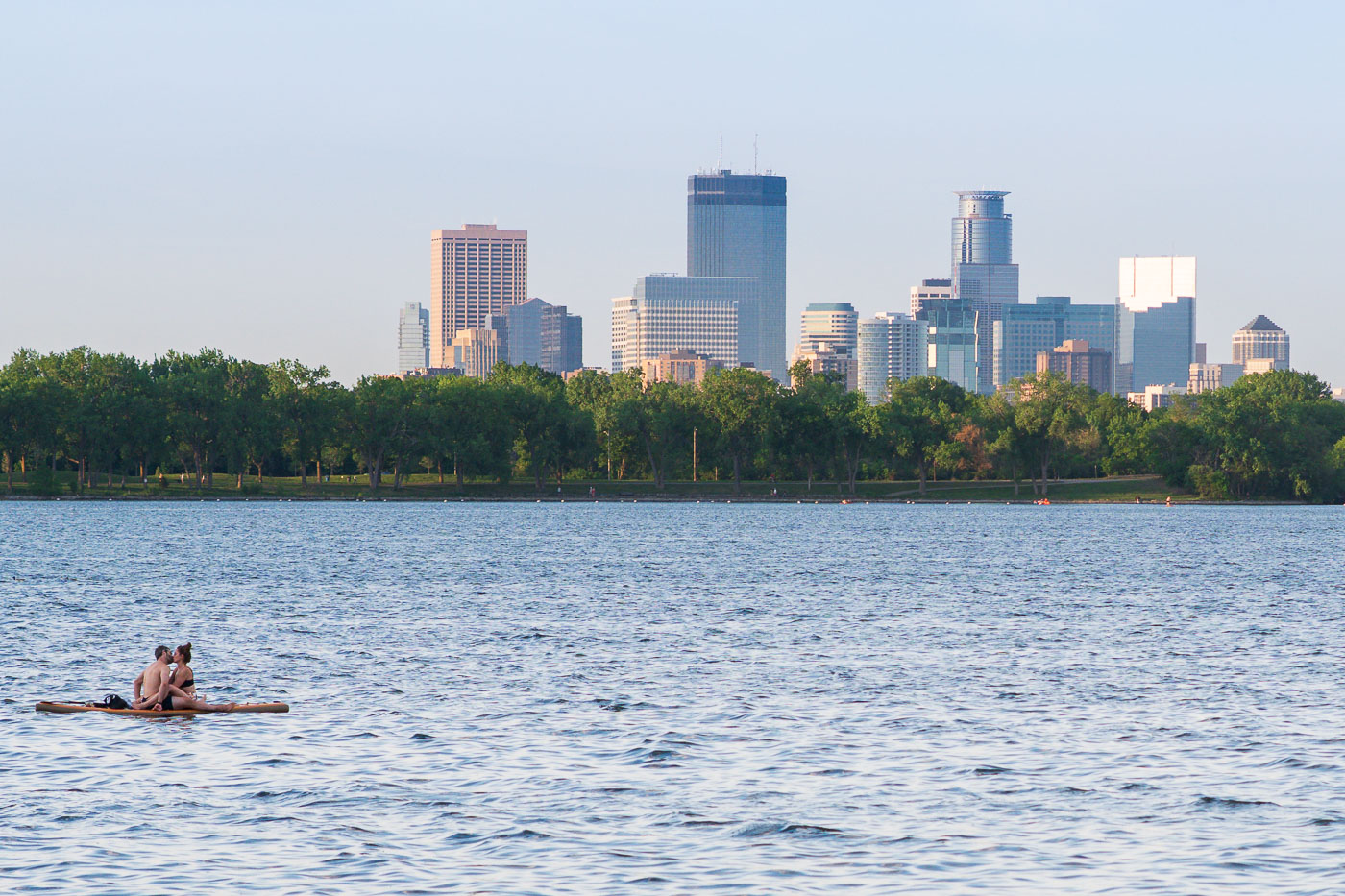 View full post: Couple Floating on Bde Maka Ska, Minneapolis Skyline
 View full post: Spoonbridge and Cherry in the Snow at Minneapolis Sculpture Garden
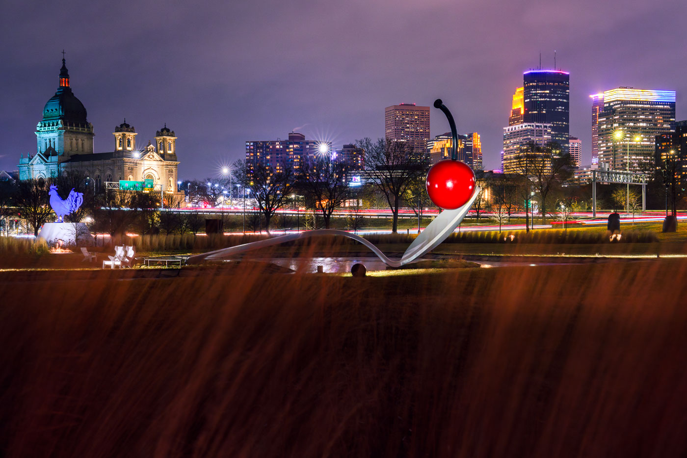 View full post: Spoonbridge and Cherry Sculpture, Minneapolis Sculpture Garden
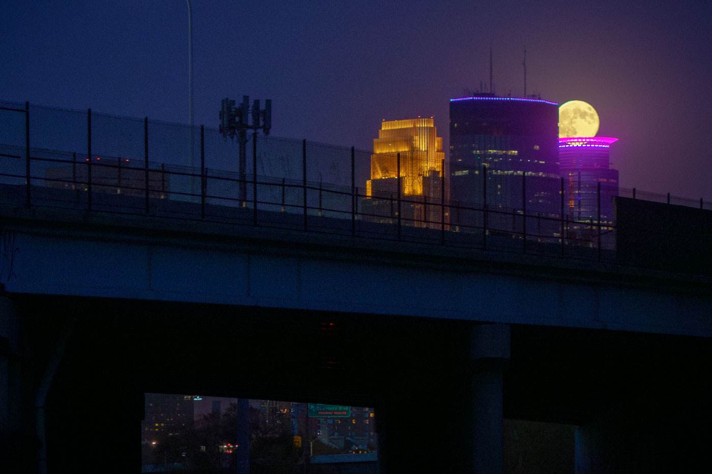 View full post: Supermoon Behind the IDS Center and RBC Plaza
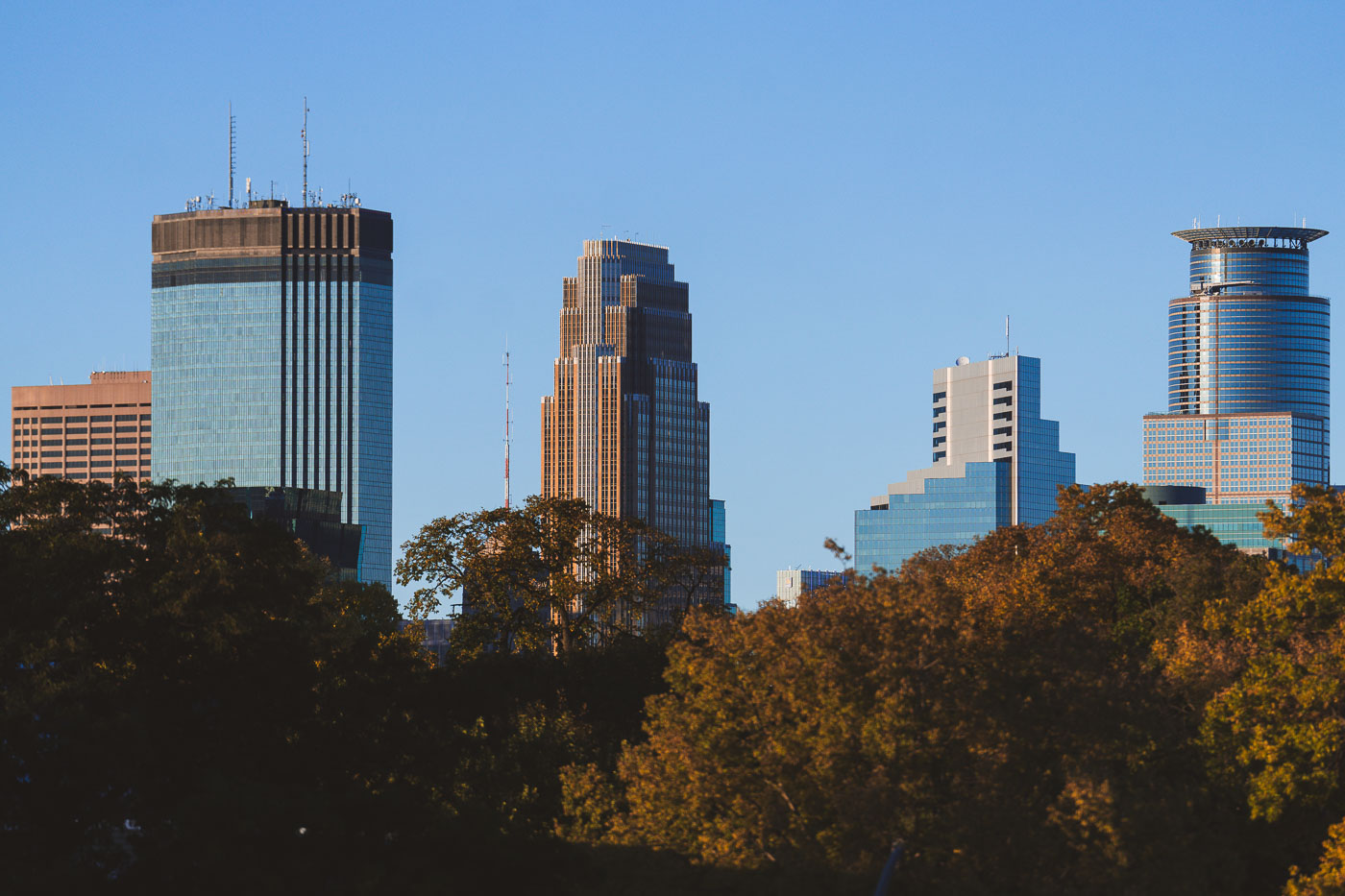 View full post: Downtown Minneapolis High-Rises Above Autumn Foliage
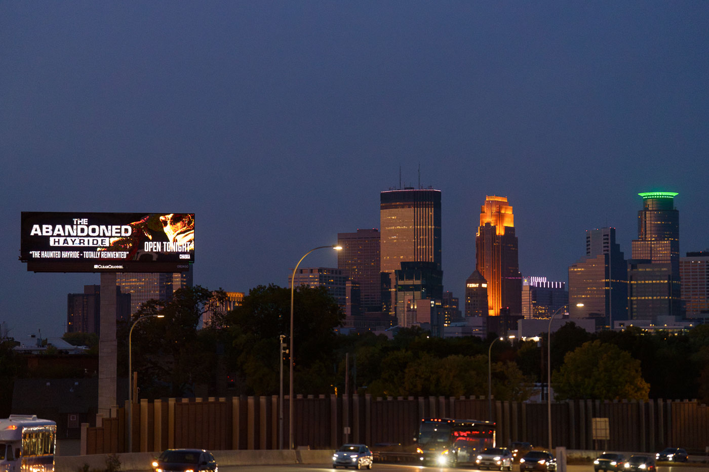 View full post: “The Abandoned Hayride” Billboard Near the Minneapolis Skyline
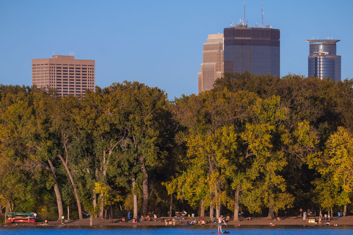 View full post: Downtown Minneapolis Towers Seen from Hidden Beach on Cedar Lake
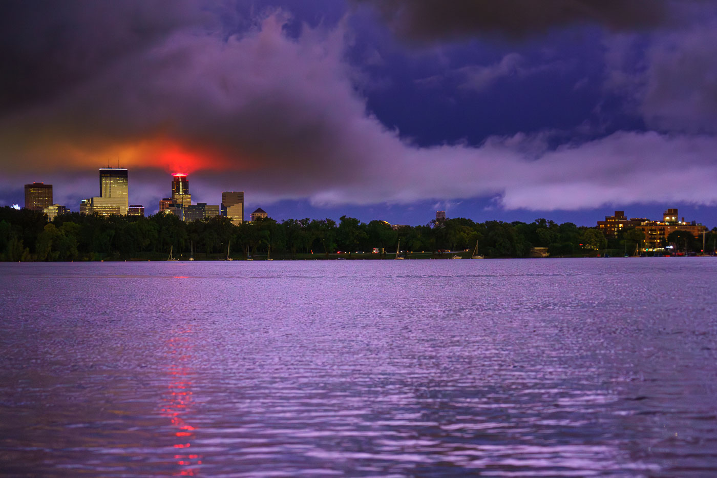 View full post: Storm Clouds Glow Red Over the Minneapolis Skyline From Bde Maka Ska
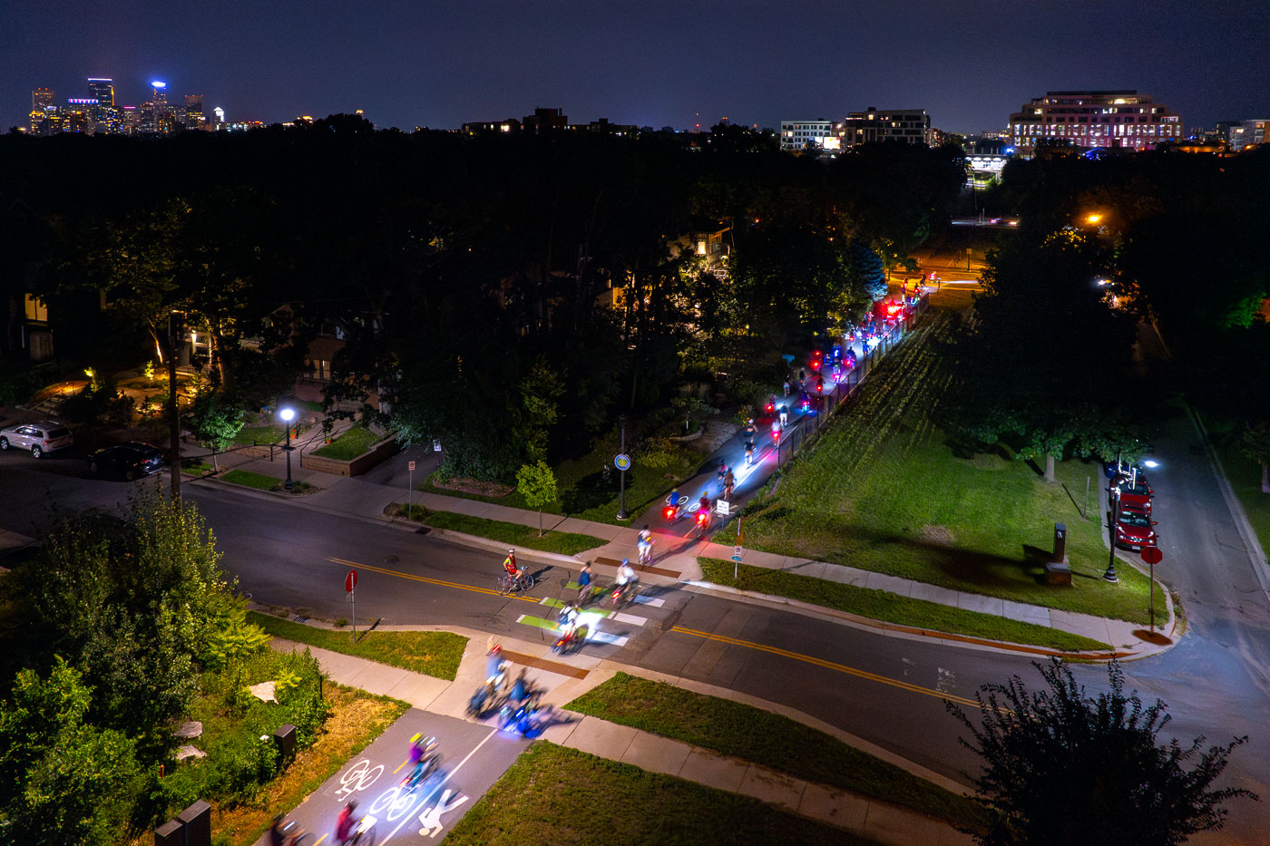 View full post: Joyful Riders Club Night Ride on Midtown Greenway, Minneapolis
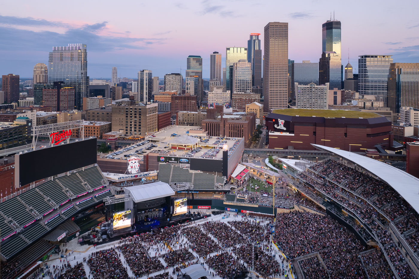 View full post: Green Day Concert at Target Field, Downtown Minneapolis
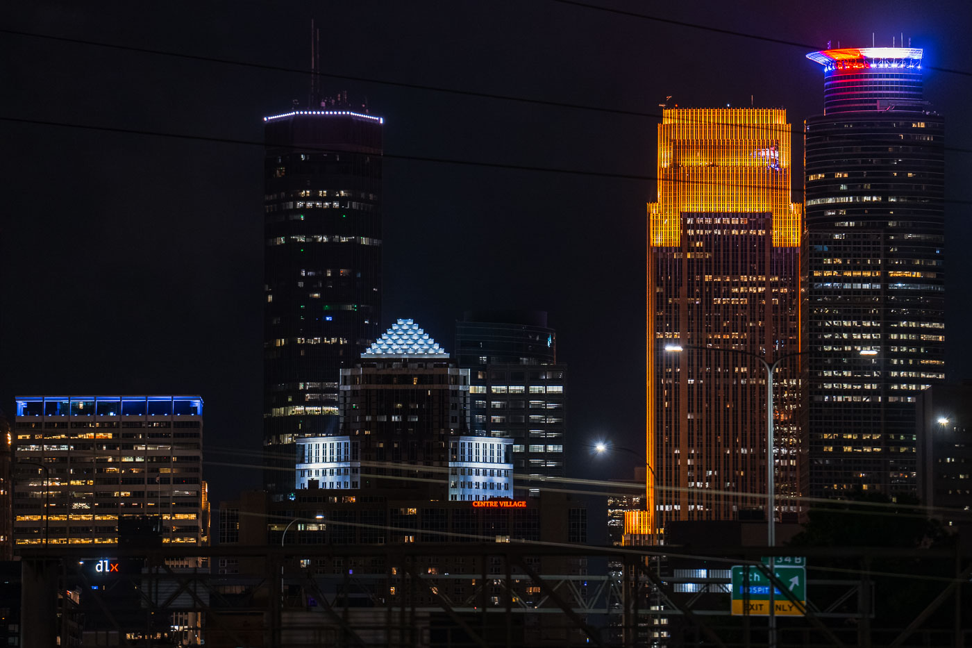 View full post: Capella Tower Lit Red, White, and Blue Amid Tim Walz VP Buzz
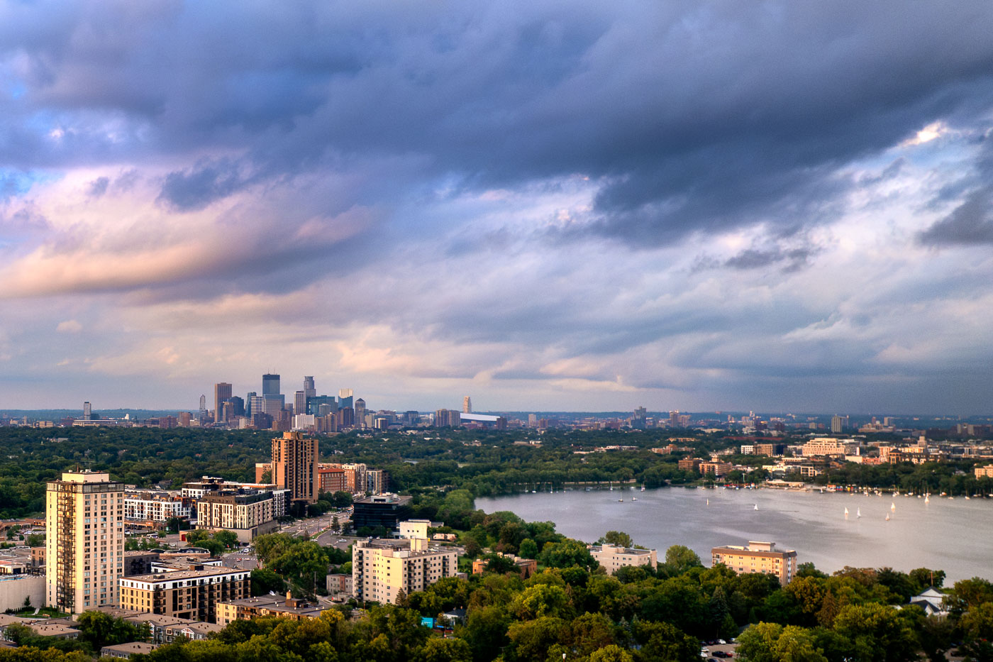 View full post: Storm Clouds Clear Over Bde Maka Ska and the Minneapolis Skyline
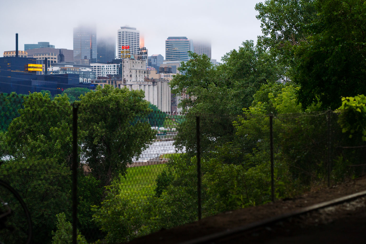 View full post: Downtown Minneapolis Skyline Behind the Gold Medal Flour Silos in Fog
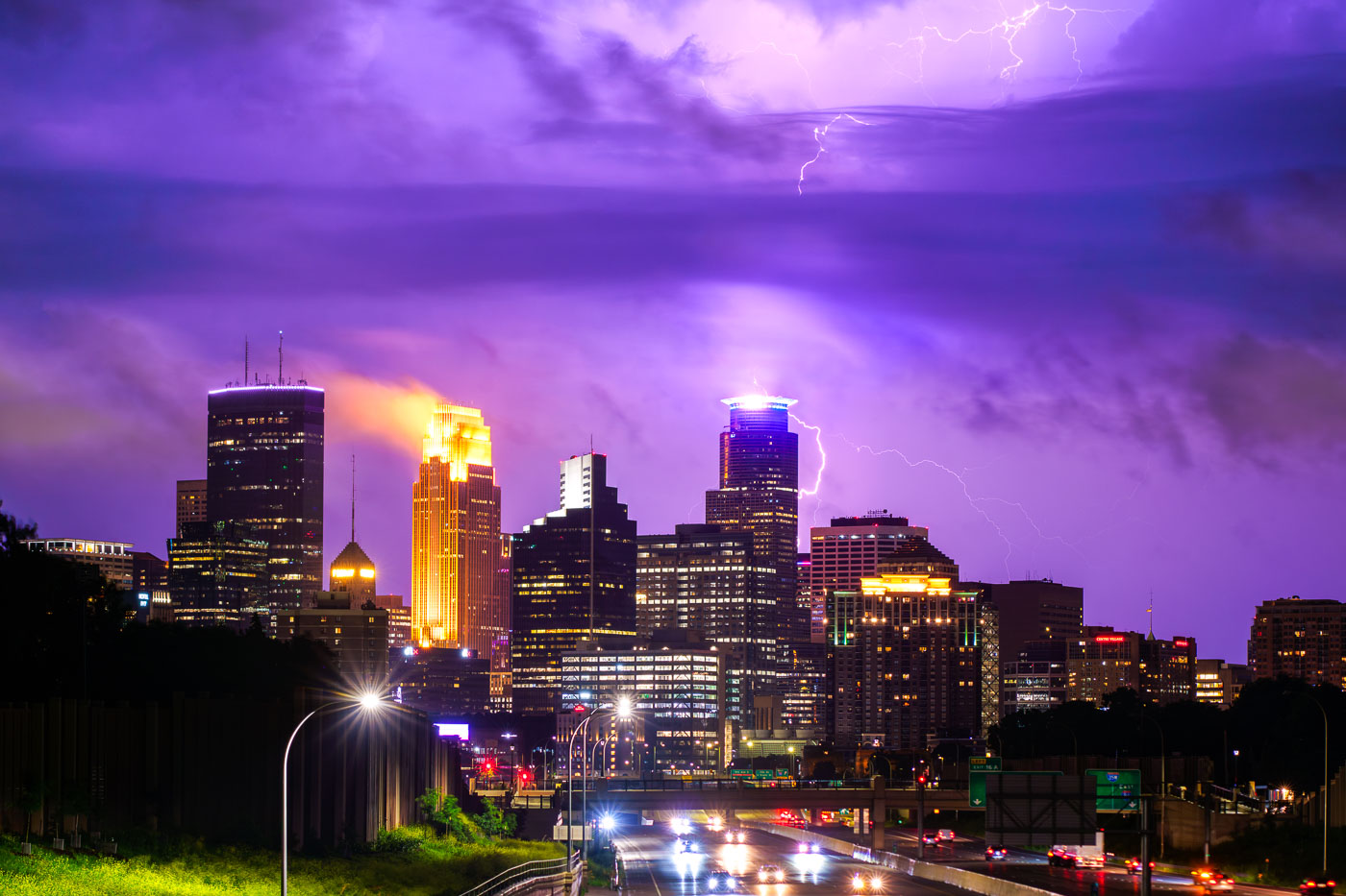 View full post: Lightning Strikes Downtown Minneapolis Skyline June 2024
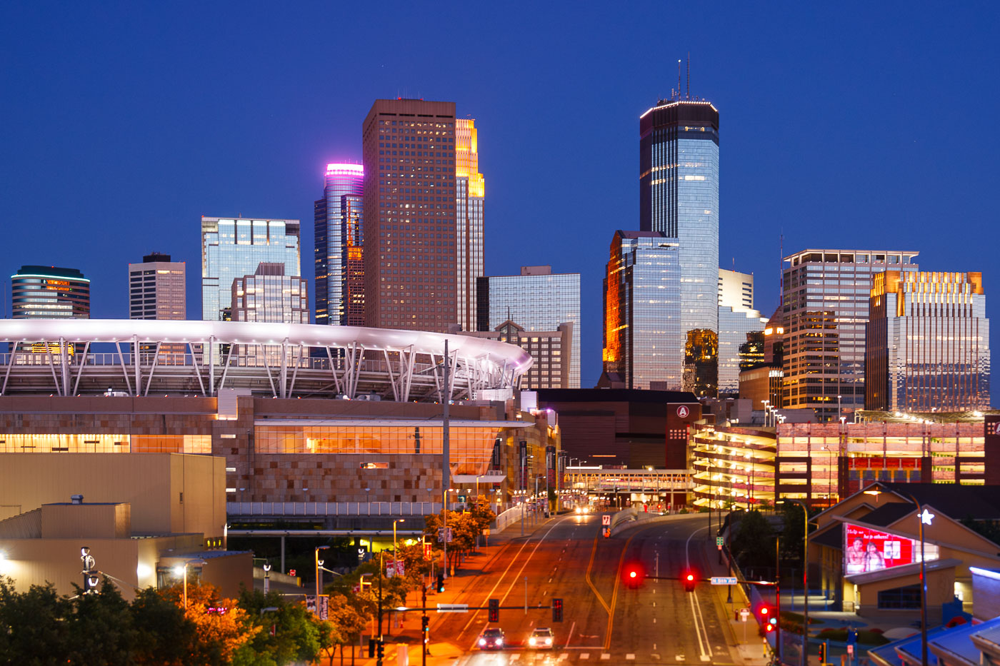 View full post: Downtown Minneapolis Skyline and Stadium at Dusk
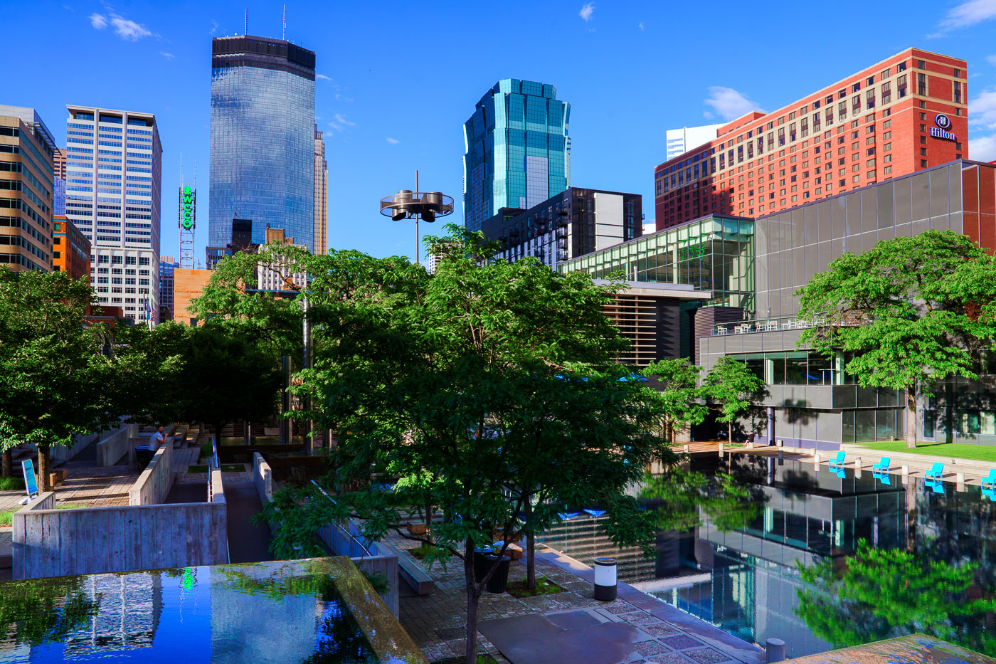 View full post: Downtown Skyline Reflected in Peavey Plaza’s Pools
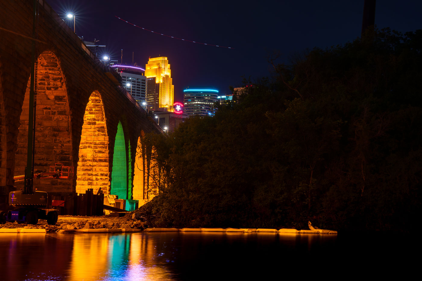 View full post: Colorful Arch Lighting During Stone Arch Bridge Construction
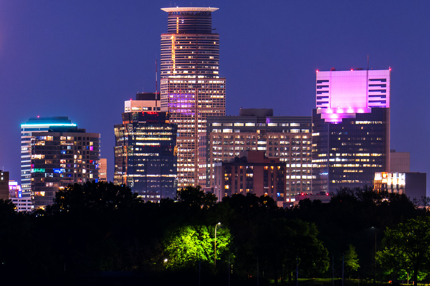 View full post: Capella Tower and the Minneapolis Skyline from Bde Maka Ska
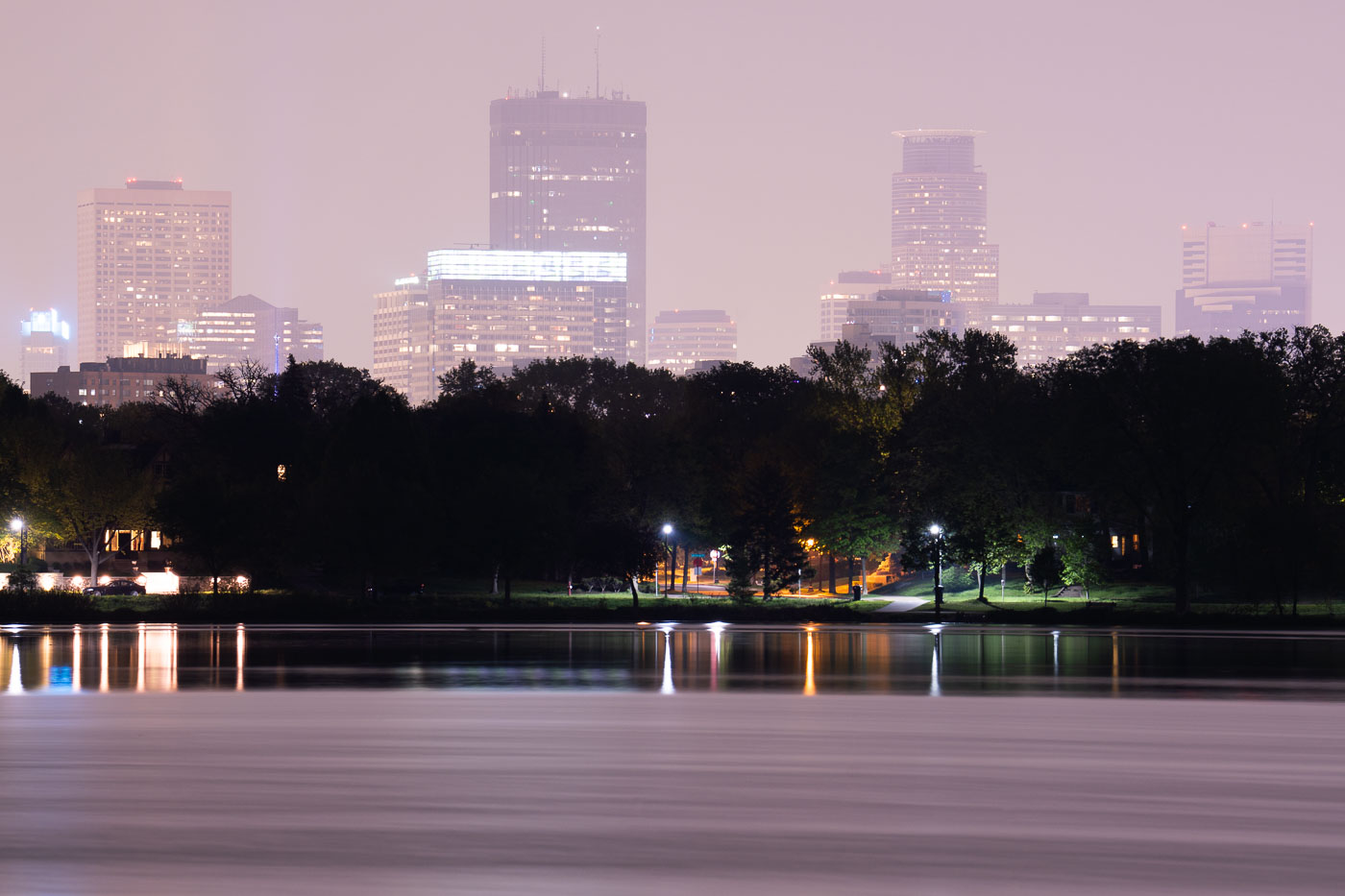 View full post: Canadian Wildfire Smoke Drifts Over Lake of the Isles
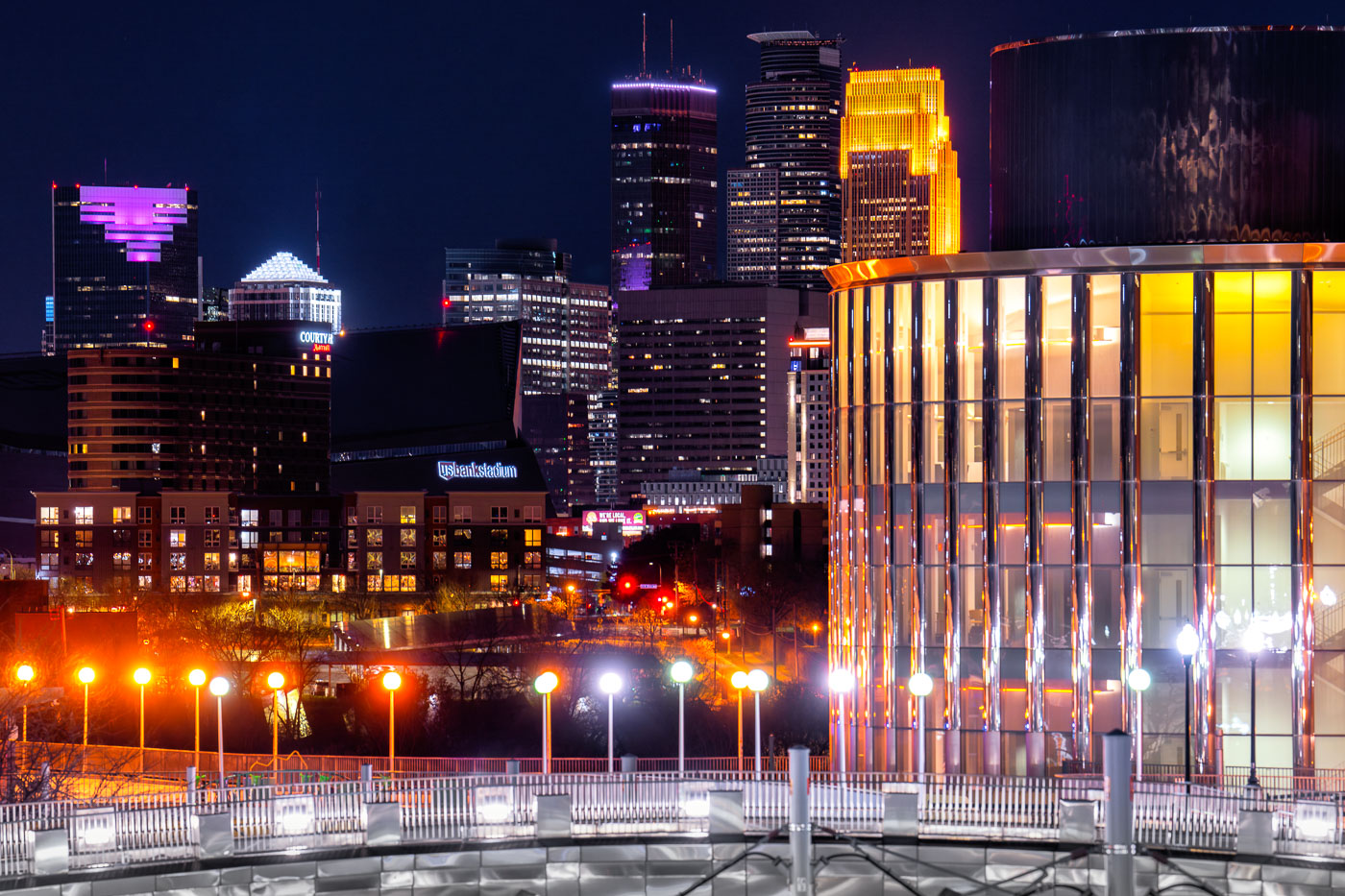 View full post: Bruininks Hall, Minneapolis Skyline at Night
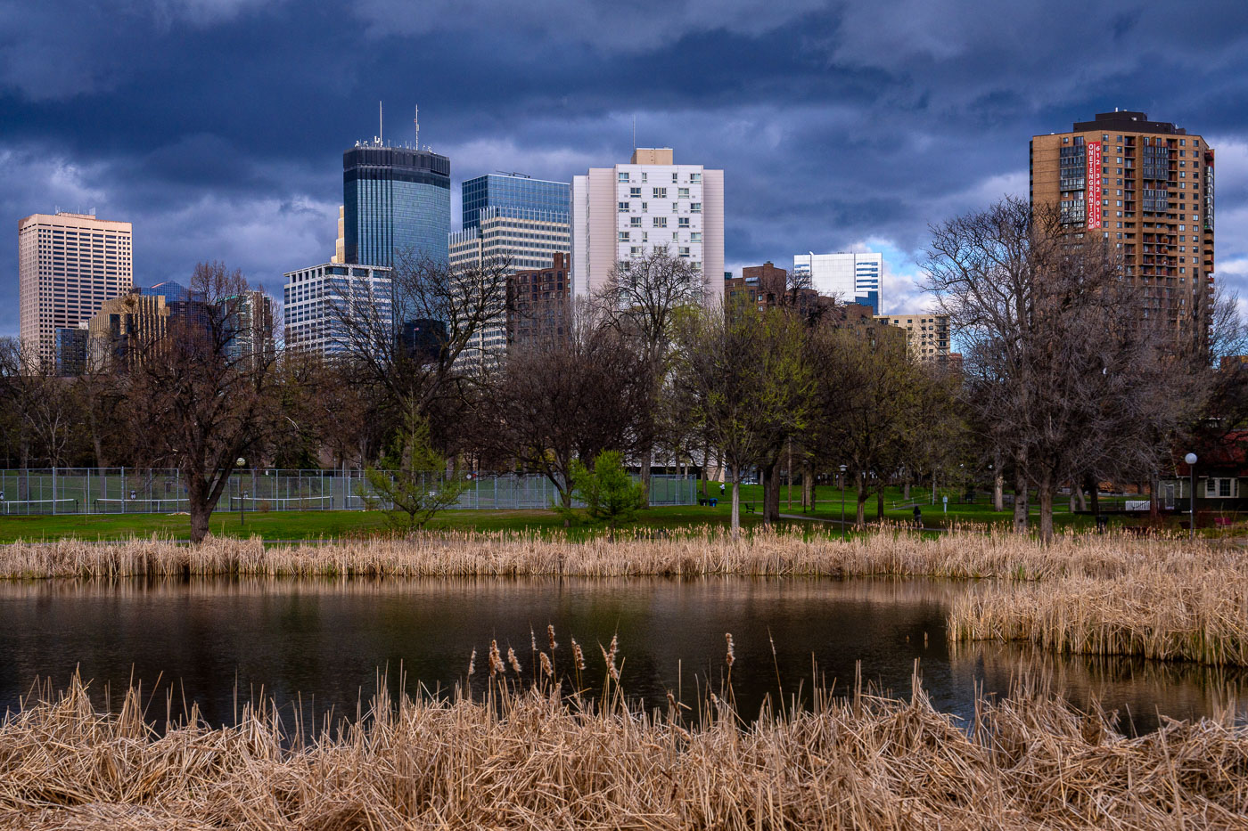 View full post: Minneapolis Skyline from Loring Park, Early Spring Storm Clouds
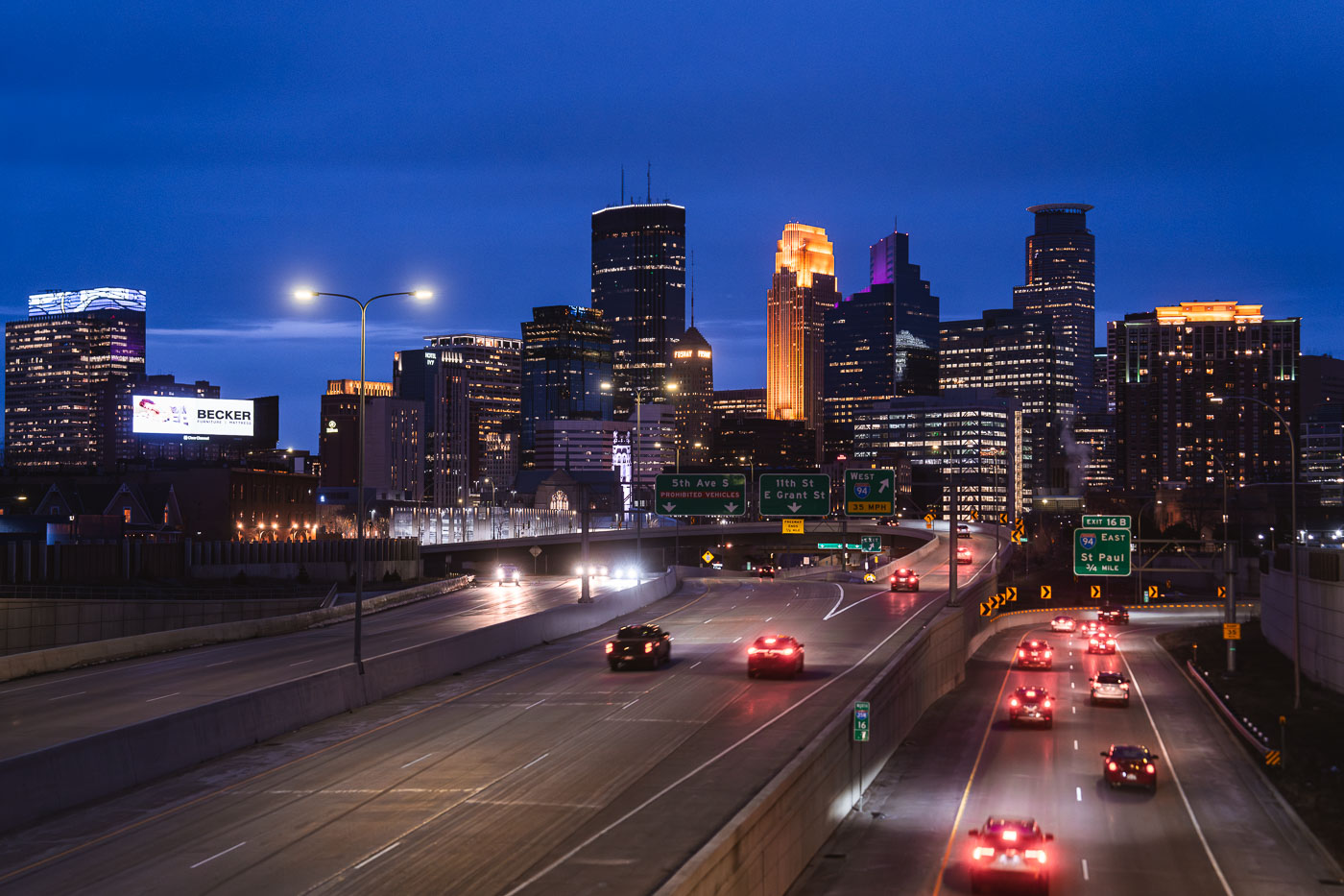 View full post: Minneapolis Downtown Skyline from I-35W at Dusk, April 2024
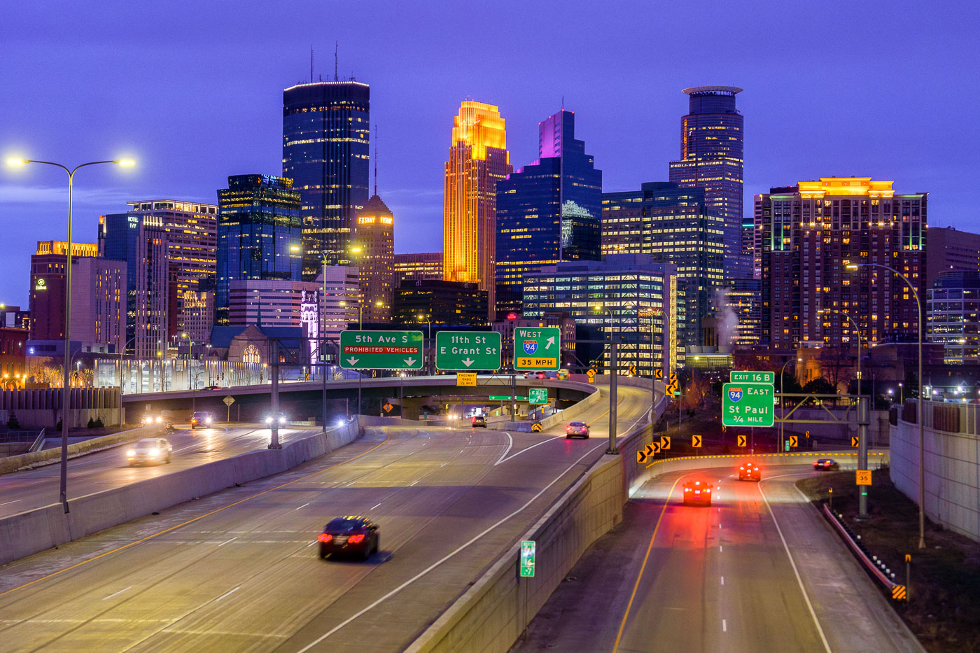 View full post: Downtown Minneapolis Skyline from I-35W Bridge, April 2024
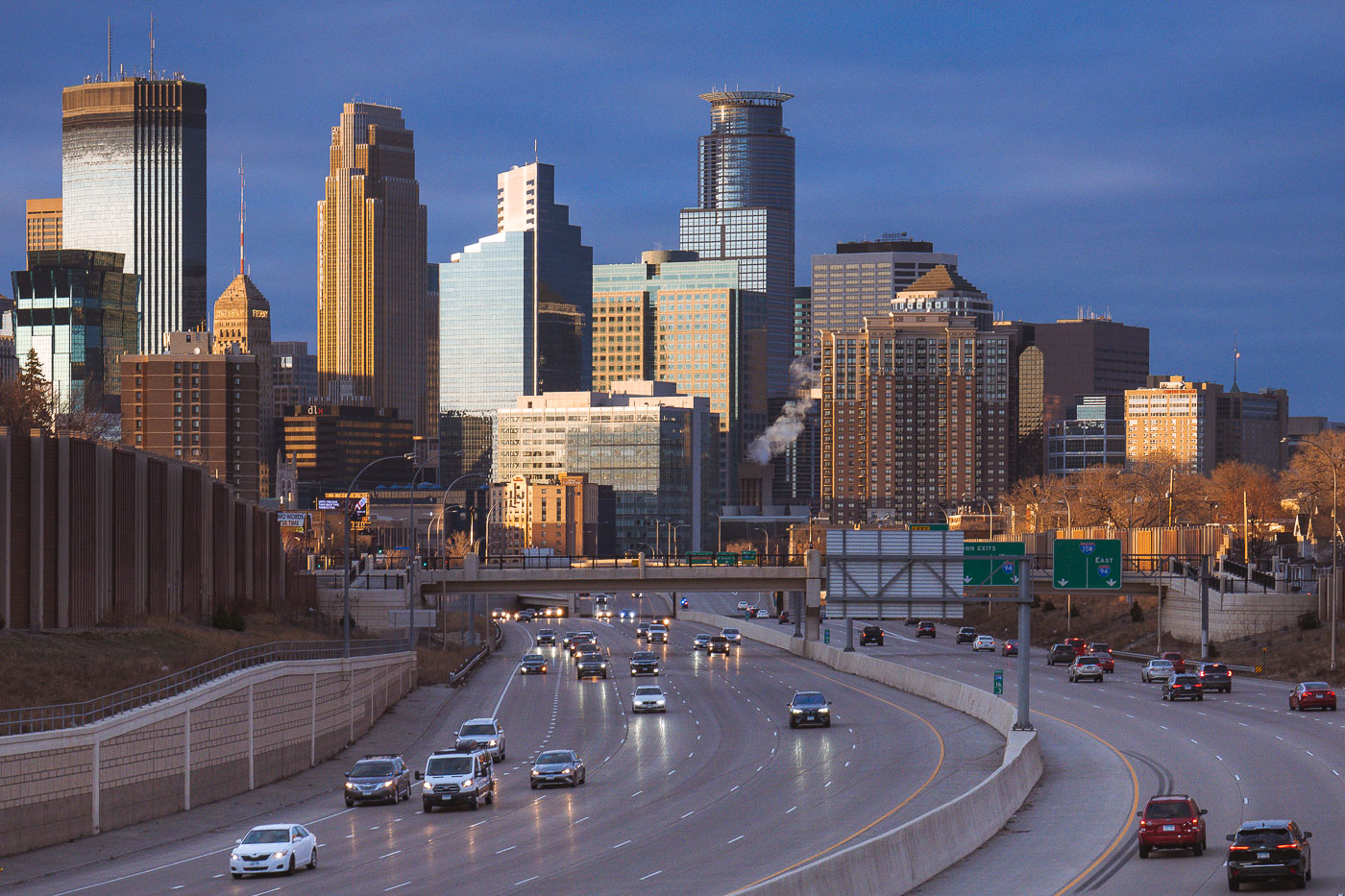 View full post: Downtown Minneapolis from I-35W, March 2024
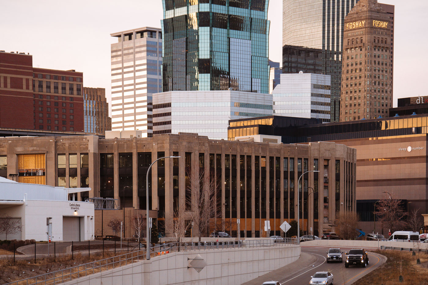 View full post: Century Plaza Renovation Beneath the Foshay Tower, Minneapolis
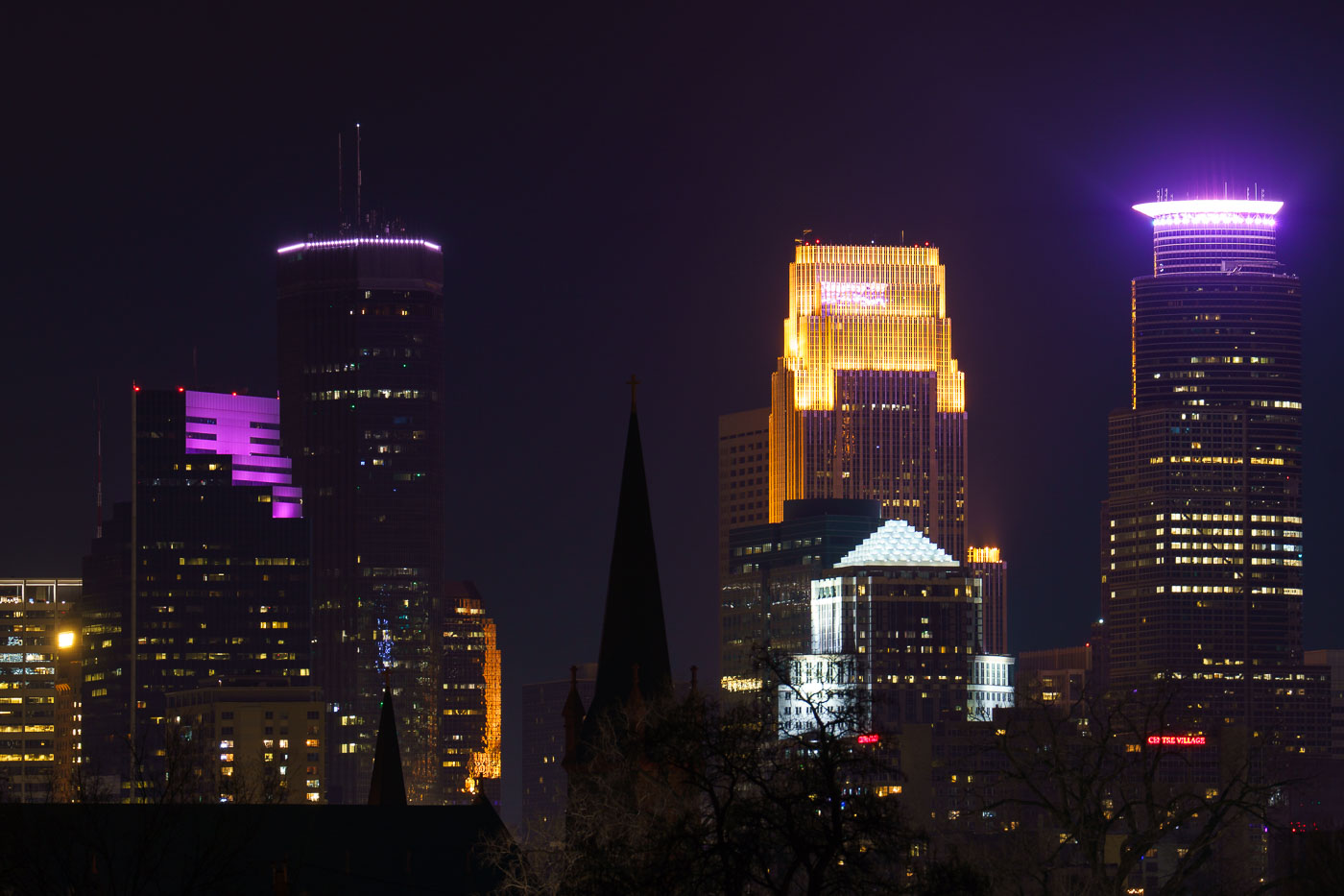 View full post: Minneapolis Skyline at Night from Martin Olav Sabo Bridge
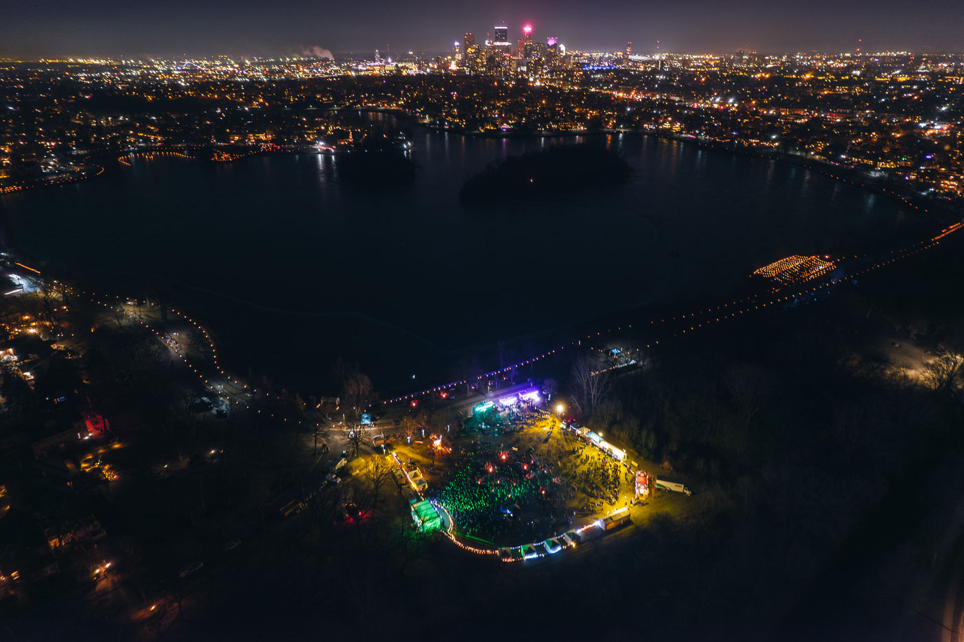 View full post: Aerial View of the Luminary Loppet Beside Lake of the Isles
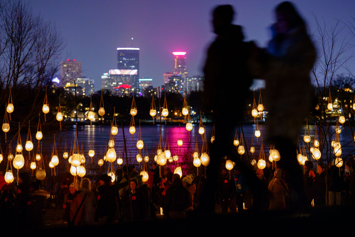 View full post: Luminary Loppet Luminaries, Lake of the Isles 2024
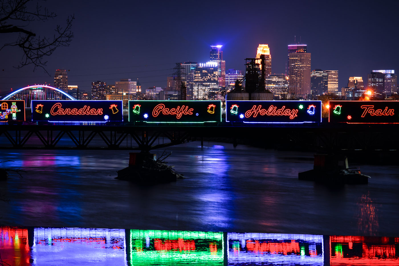 View full post: Holiday Train Crossing the Lowry Avenue Bridge in Minneapolis
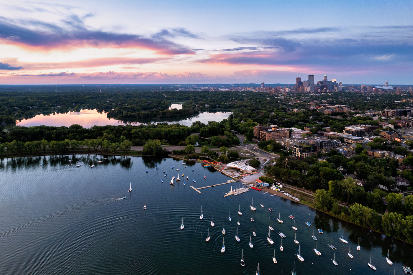 View full post: Sailboats and a colorful sunset
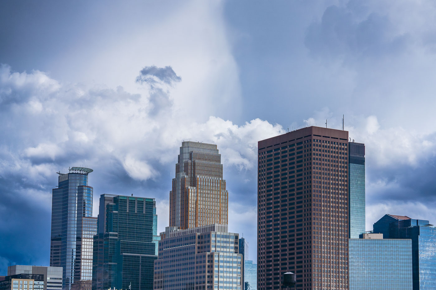 View full post: Capella Tower and Wells Fargo Center Under Storm Clouds
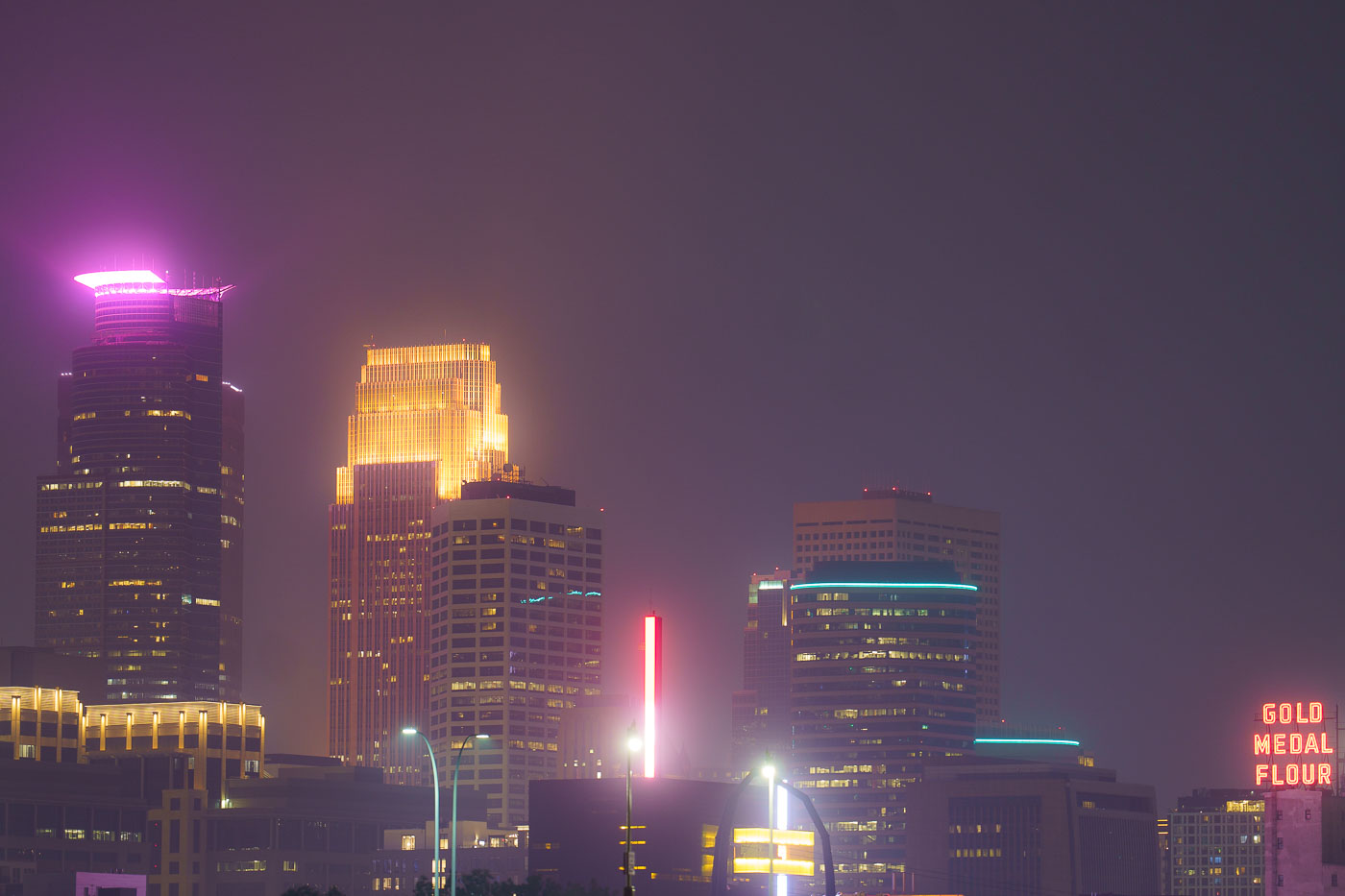 View full post: Minneapolis Skyline Under Wildfire Smoke Haze
 View full post: Minneapolis I-35W Bridge in Wildfire Smoke
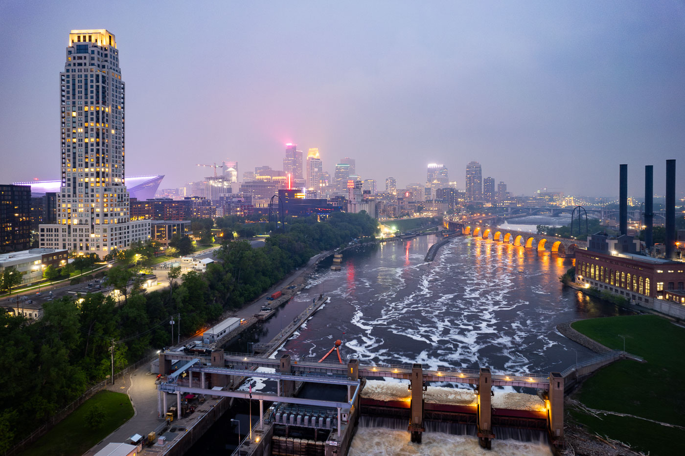 View full post: Minneapolis Skyline and Mississippi River in Wildfire Smoke
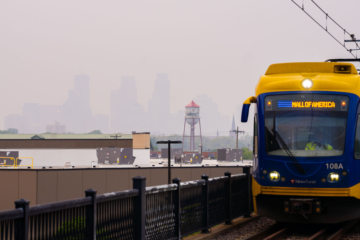 View full post: Metro Transit train near hazy Minneapolis skyline
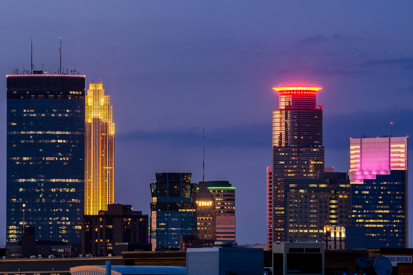 View full post: Minneapolis Skyline at Dusk, Uptown View
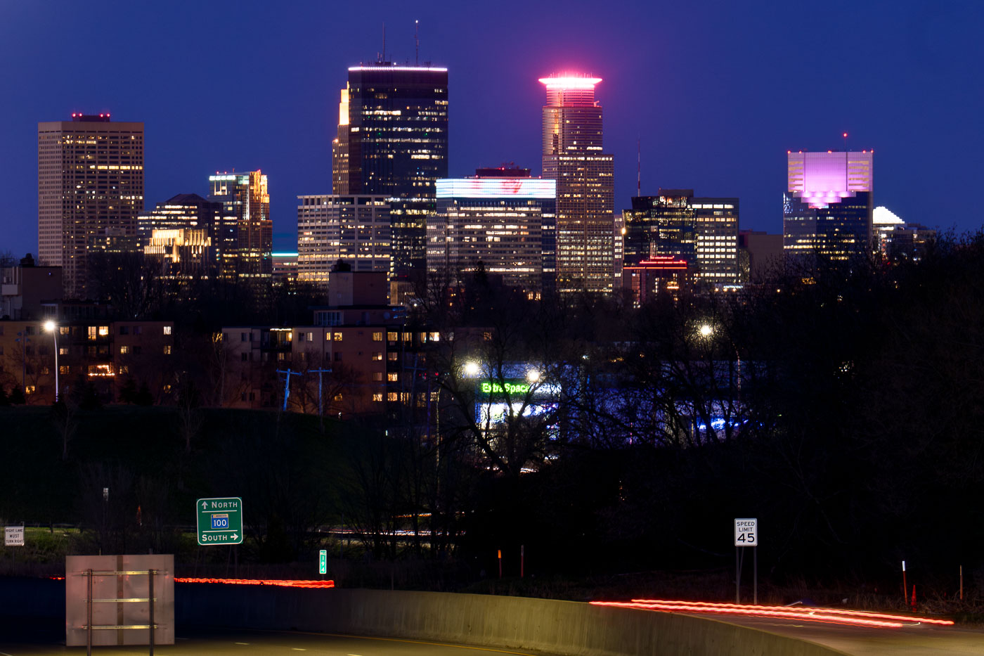 View full post: Minneapolis Skyline from St. Louis Park with Highway 100
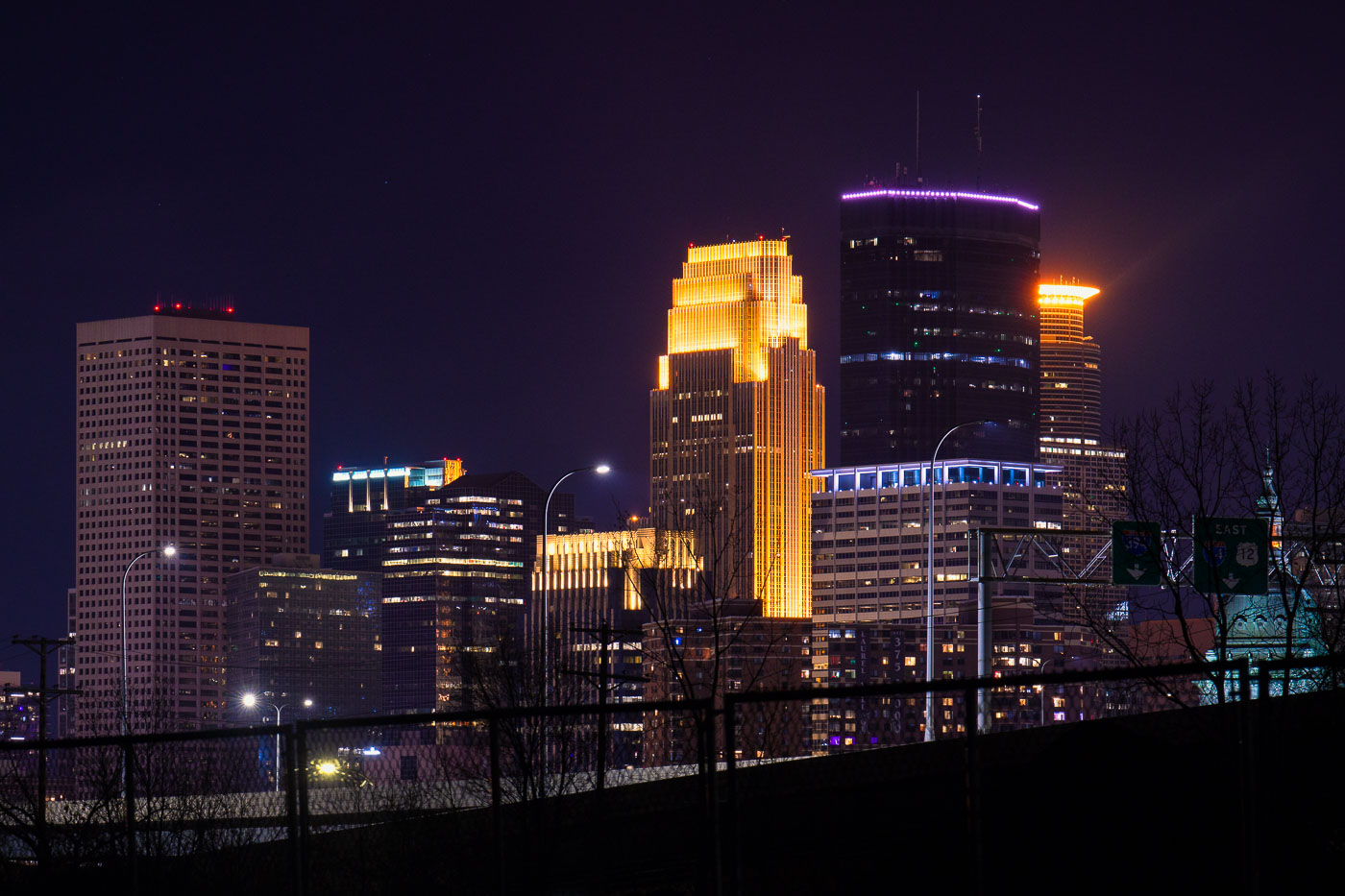 View full post: Capella Tower and Wells Fargo Center, Downtown Minneapolis
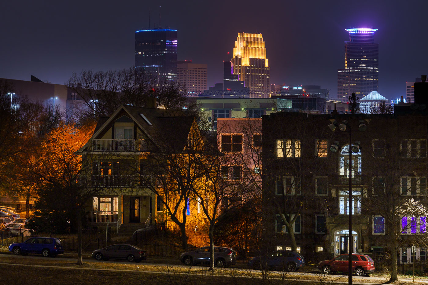 View full post: Minneapolis Skyline from Powderhorn Park at Night 2022
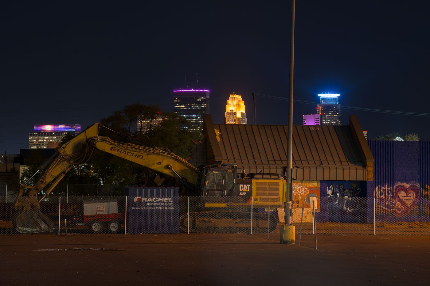 View full post: Minneapolis Supervalu Demolition at Night
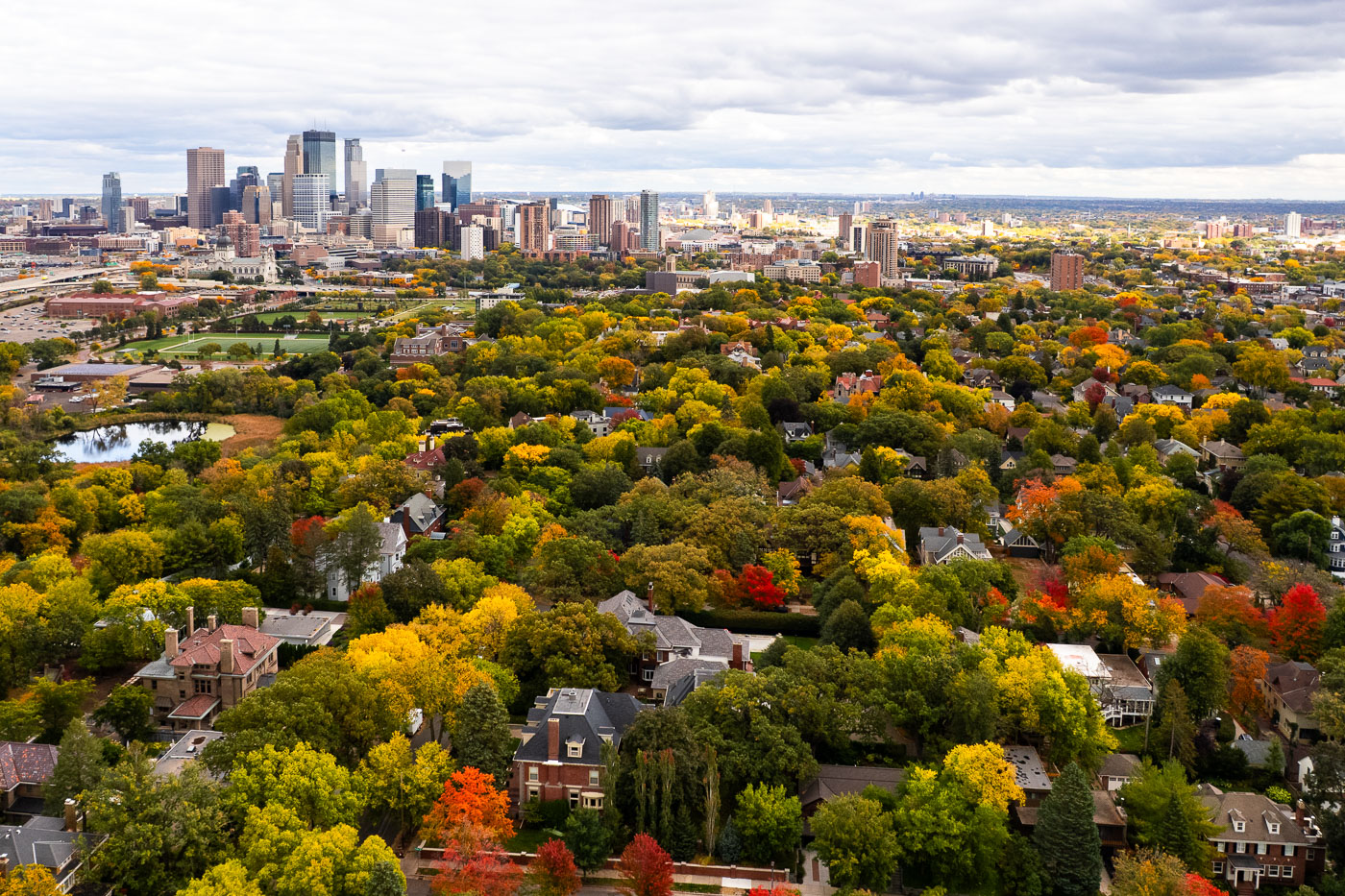 View full post: Minneapolis Skyline Over Kenwood in Peak Fall Color
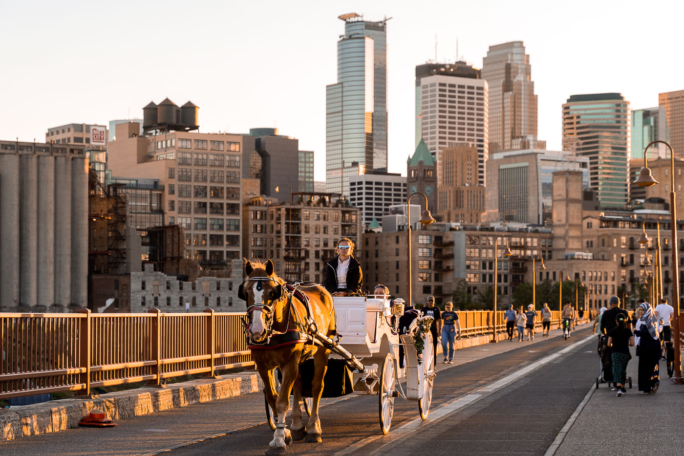 View full post: Carriage Ride at Sunset on Stone Arch Bridge
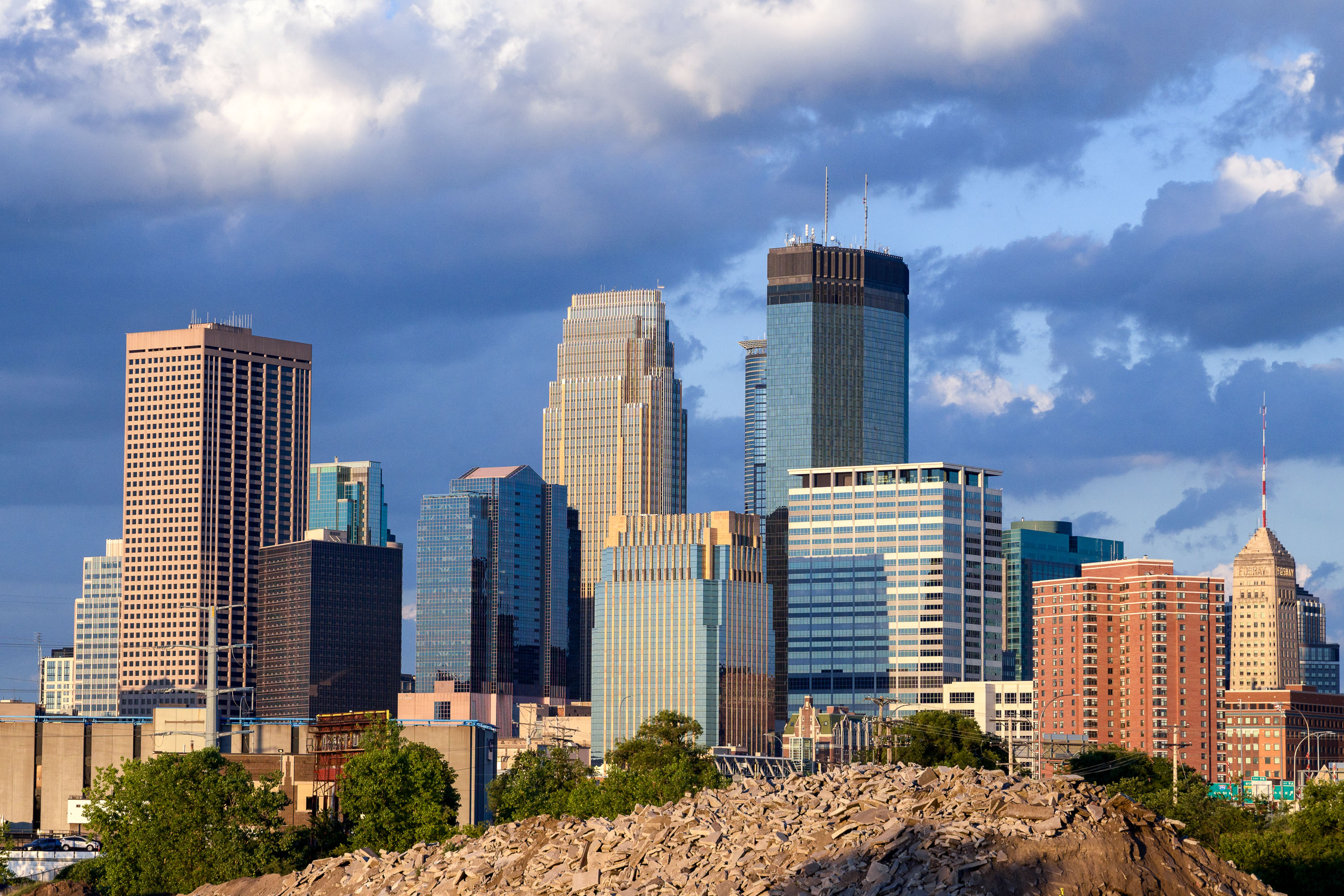 View full post: Minneapolis Skyline As Seen Near Cedar Lake Trail
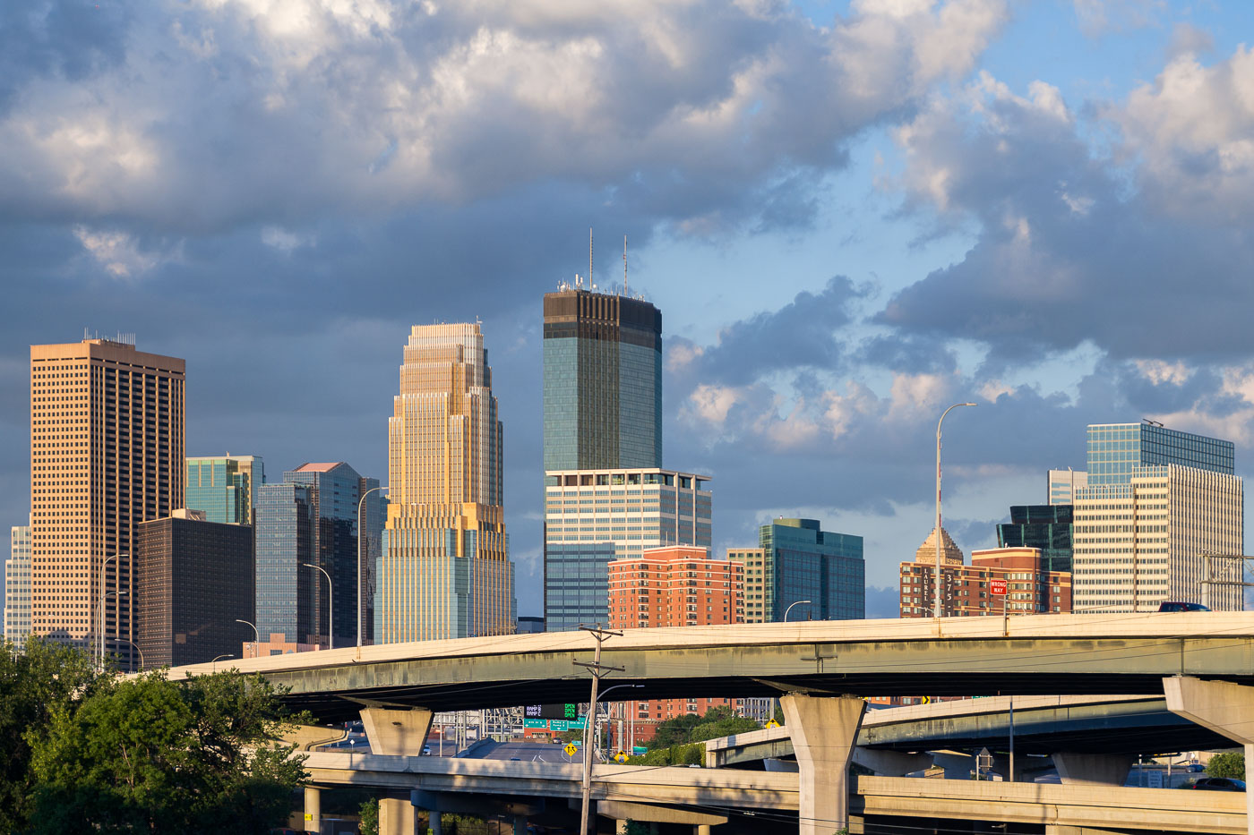 View full post: Minneapolis Skyline and I-35W Overpasses
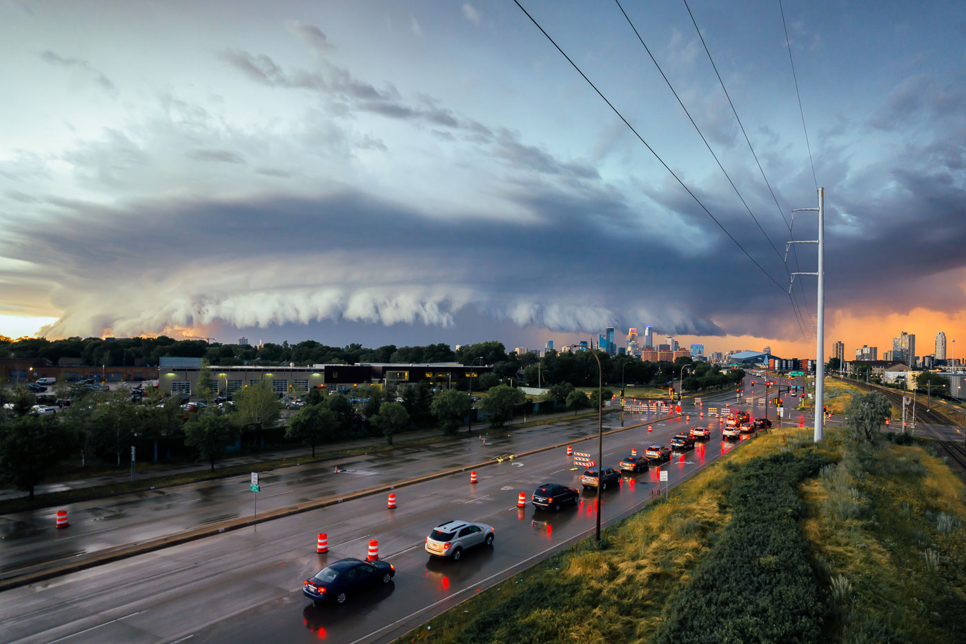 View full post: Minneapolis Storm Clouds Over Highway and Skyline
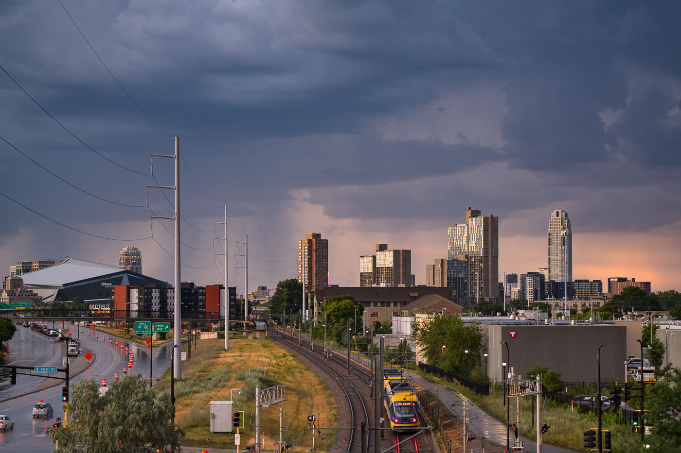 View full post: Minneapolis: Light Rail Under Storm Clouds Near US Bank Stadium
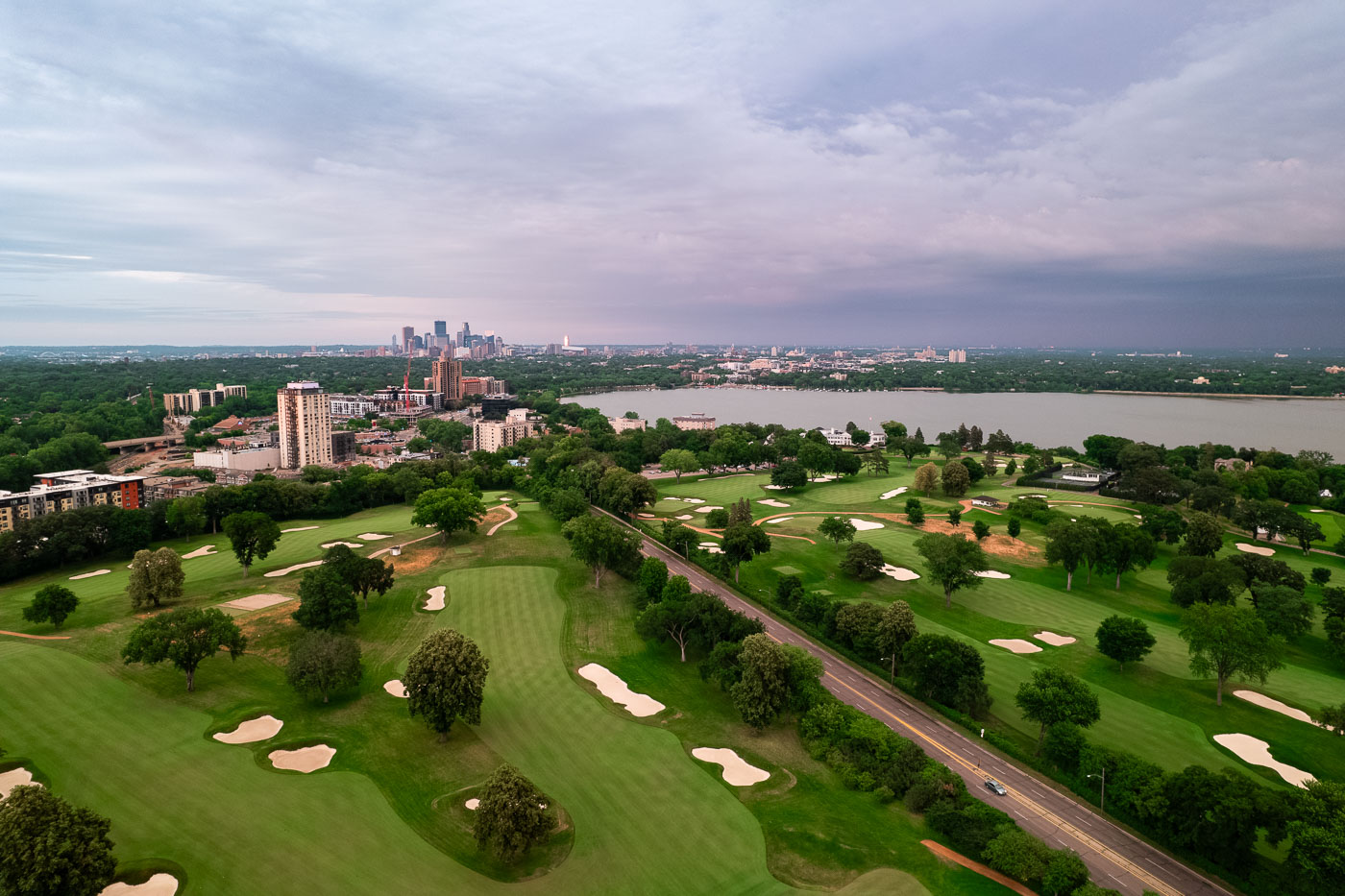 View full post: Minikahda Club and Bde Maka Ska with Minneapolis Skyline
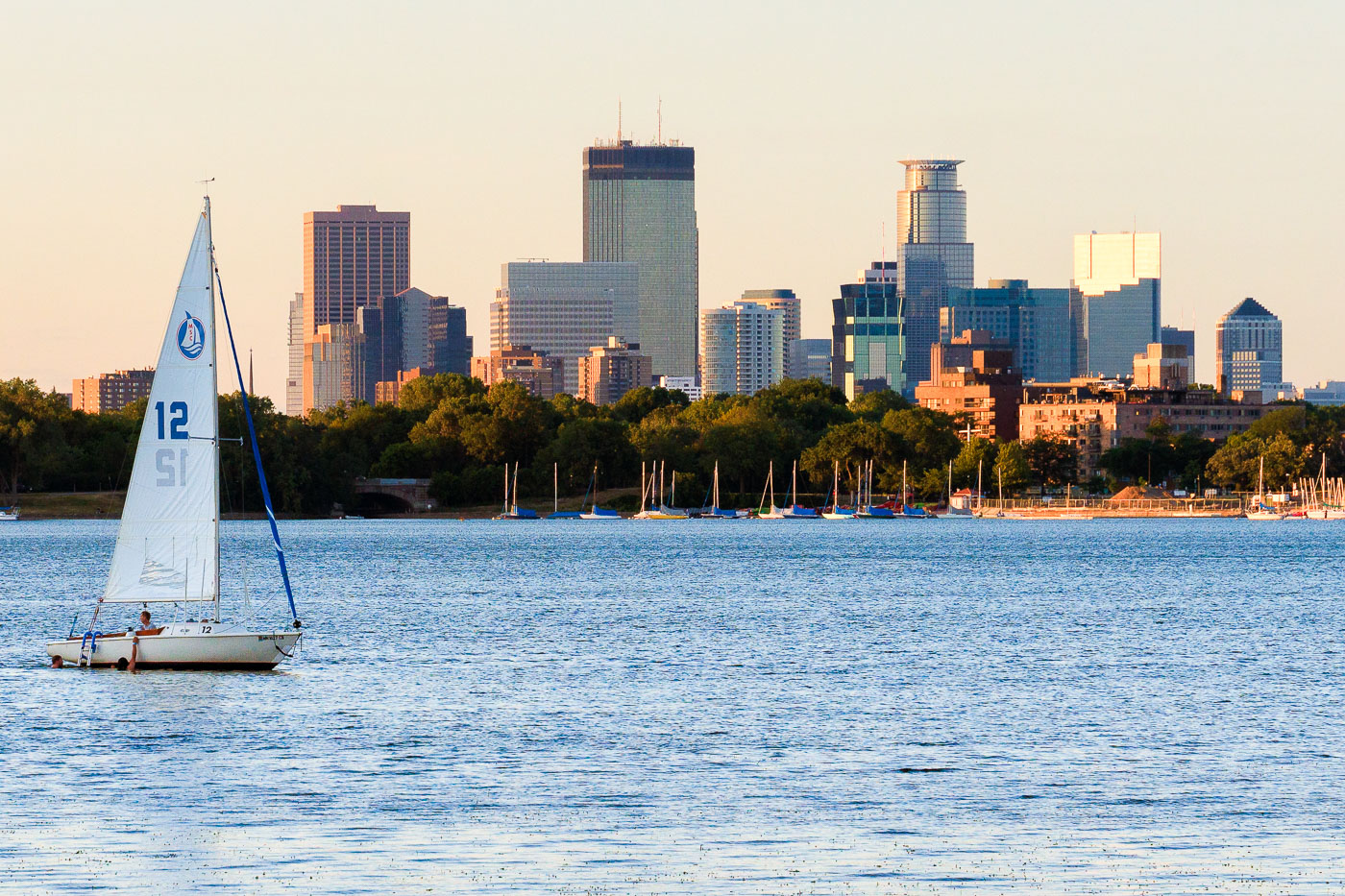 View full post: Sailboat on Bde Maka Ska Beneath the Minneapolis Skyline
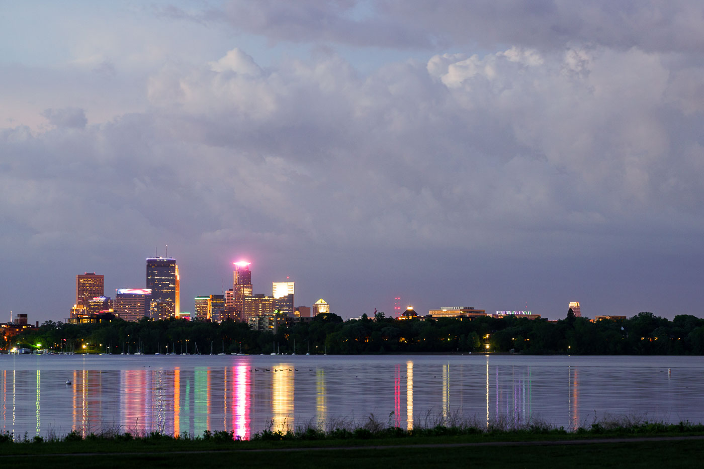 View full post: Storm Clouds Over the Minneapolis Skyline from Bde Maka Ska
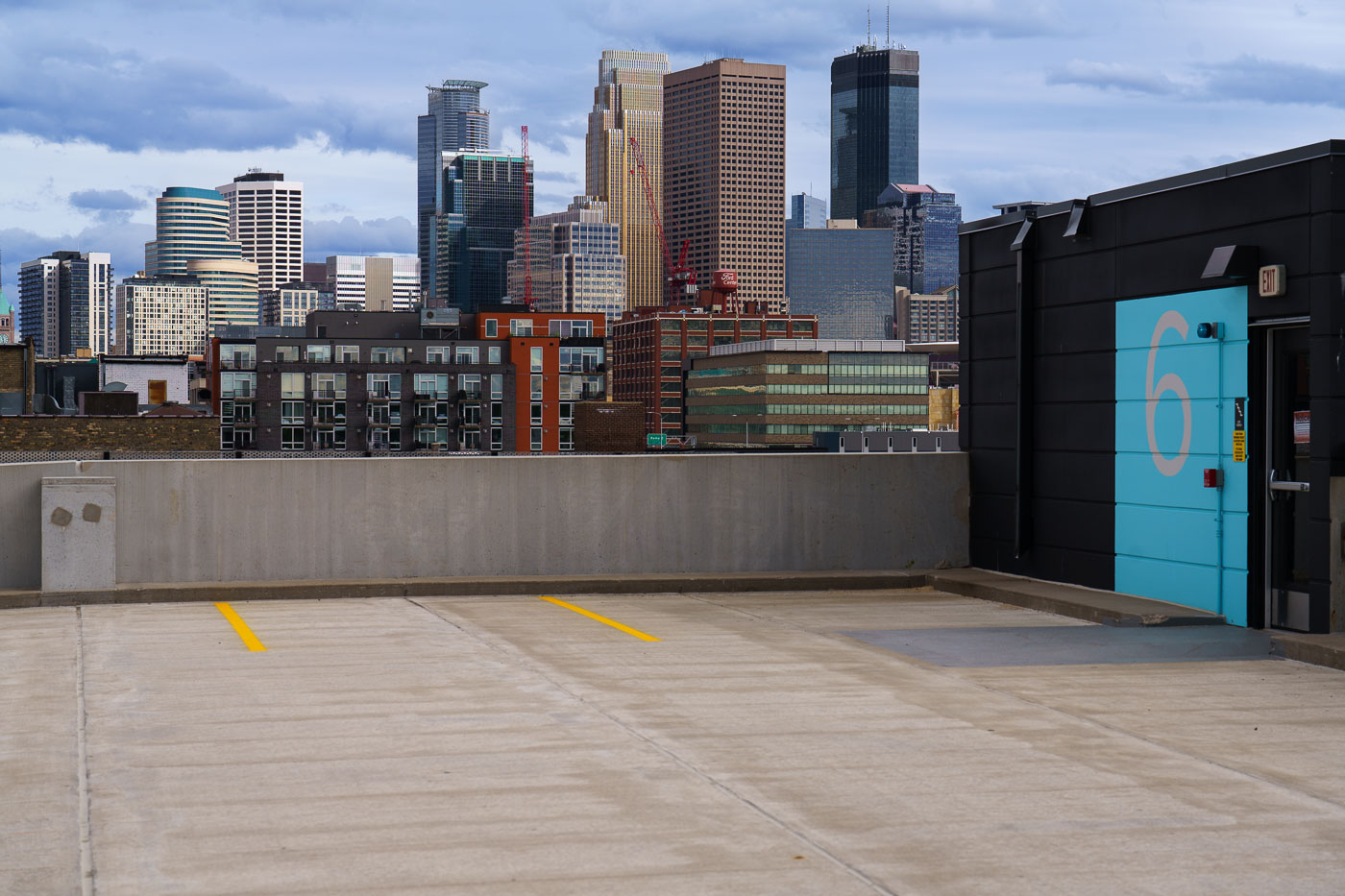 View full post: Downtown Minneapolis Skyline from a North Loop Rooftop Deck
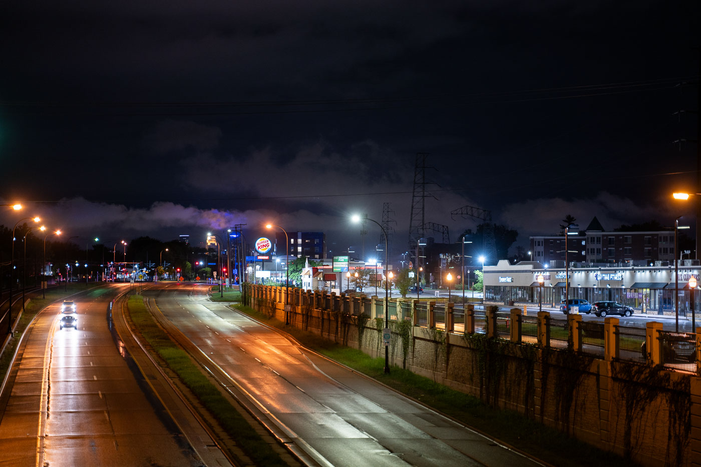 View full post: Hiawatha Avenue at Night, South Minneapolis
 View full post: Wells Fargo Center and IDS Center Rooftops, Minneapolis
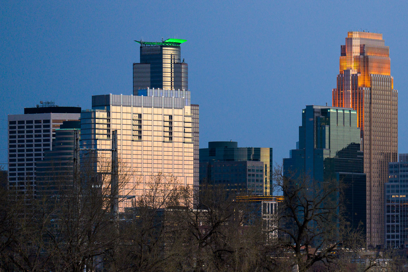 View full post: Minneapolis Downtown Skyscrapers at Dusk, May 2022
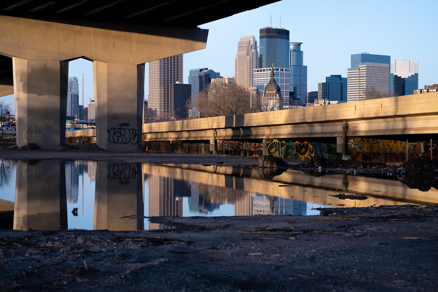 View full post: Minneapolis Skyline Reflected in Puddle Under I-394
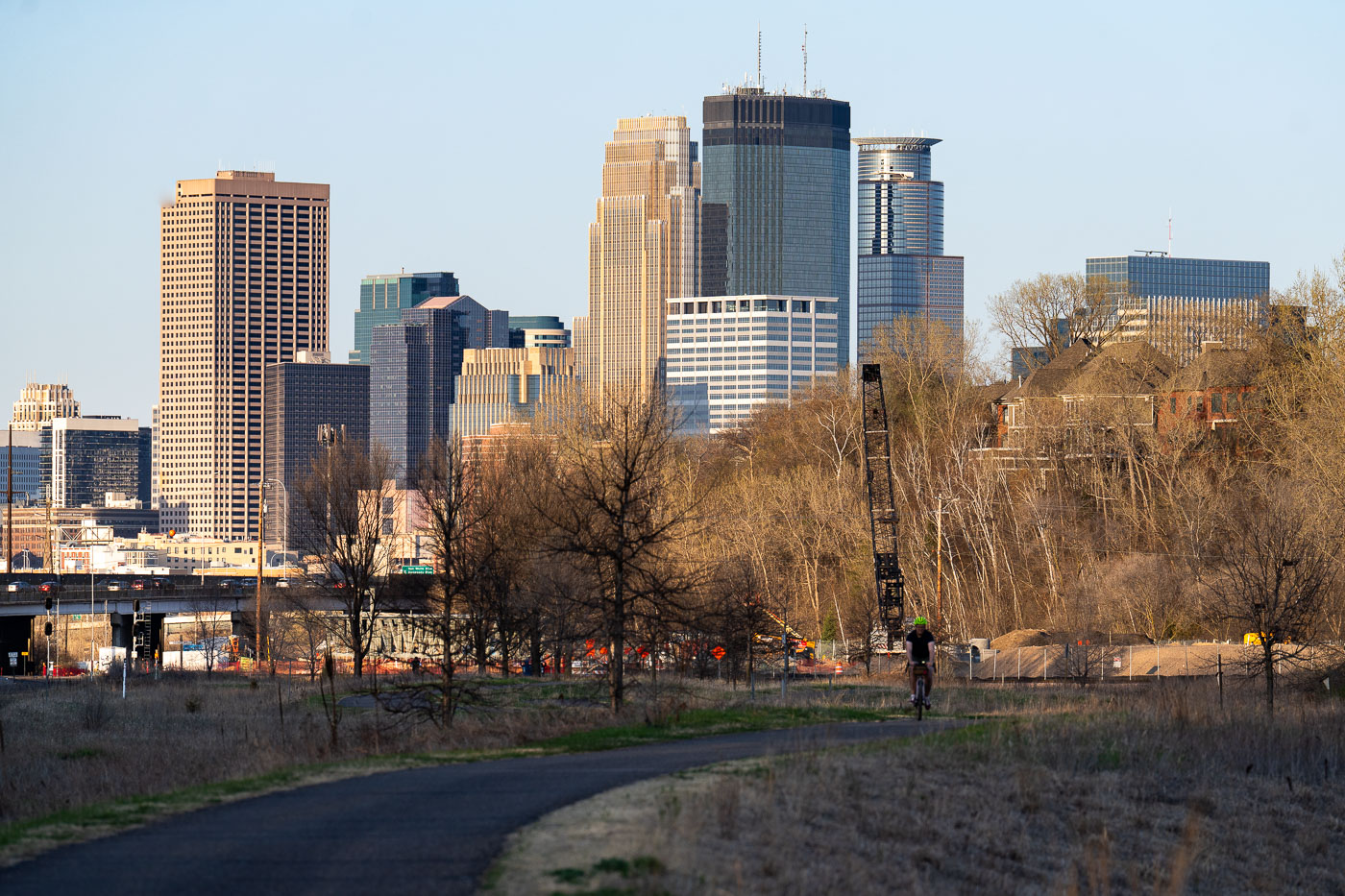 View full post: Evening Ride Along the Cedar Lake Trail Toward Downtown Minneapolis
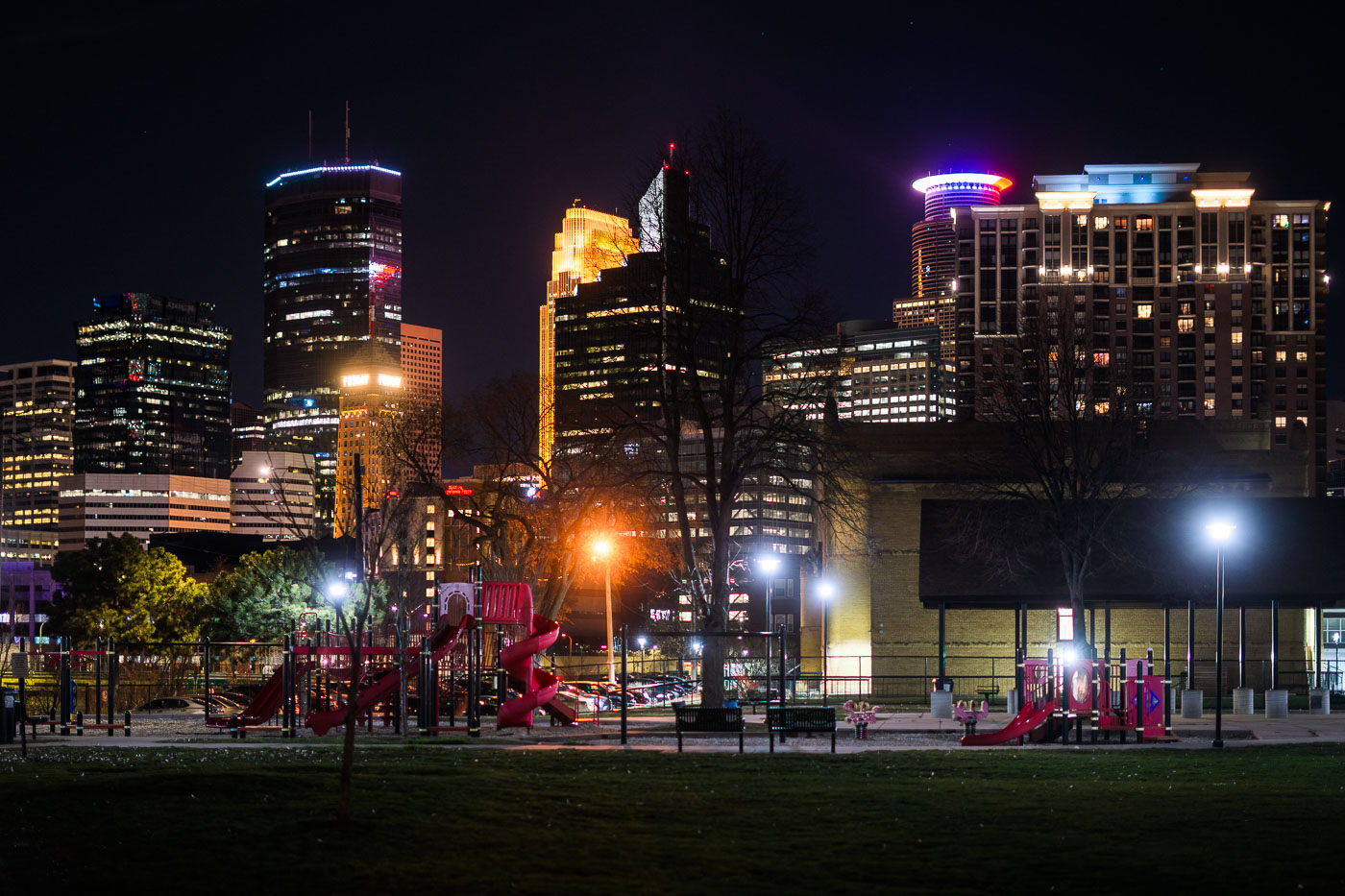 View full post: Franklin Steele Square park in Minneapolis
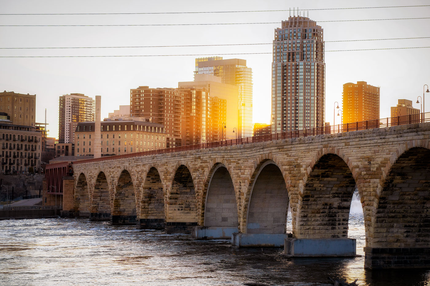 View full post: Golden Light Over Minneapolis Skyline From Stone Arch Bridge
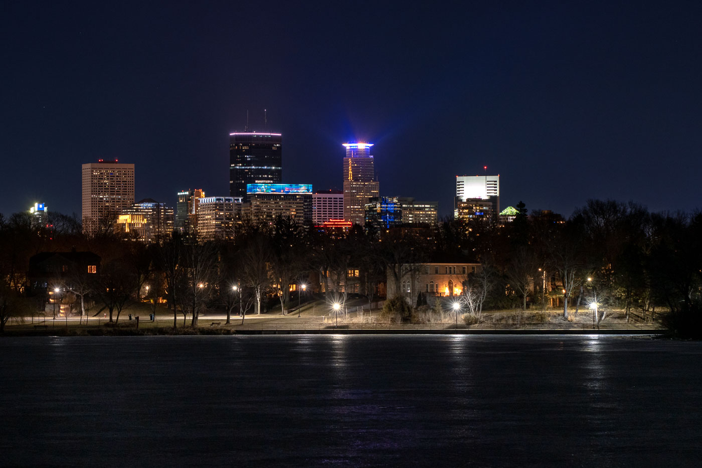 View full post: Minneapolis Skyline from Lake of the Isles at Night
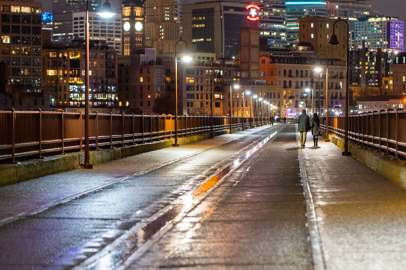 View full post: Couple on Stone Arch Bridge, Minneapolis, December 2021
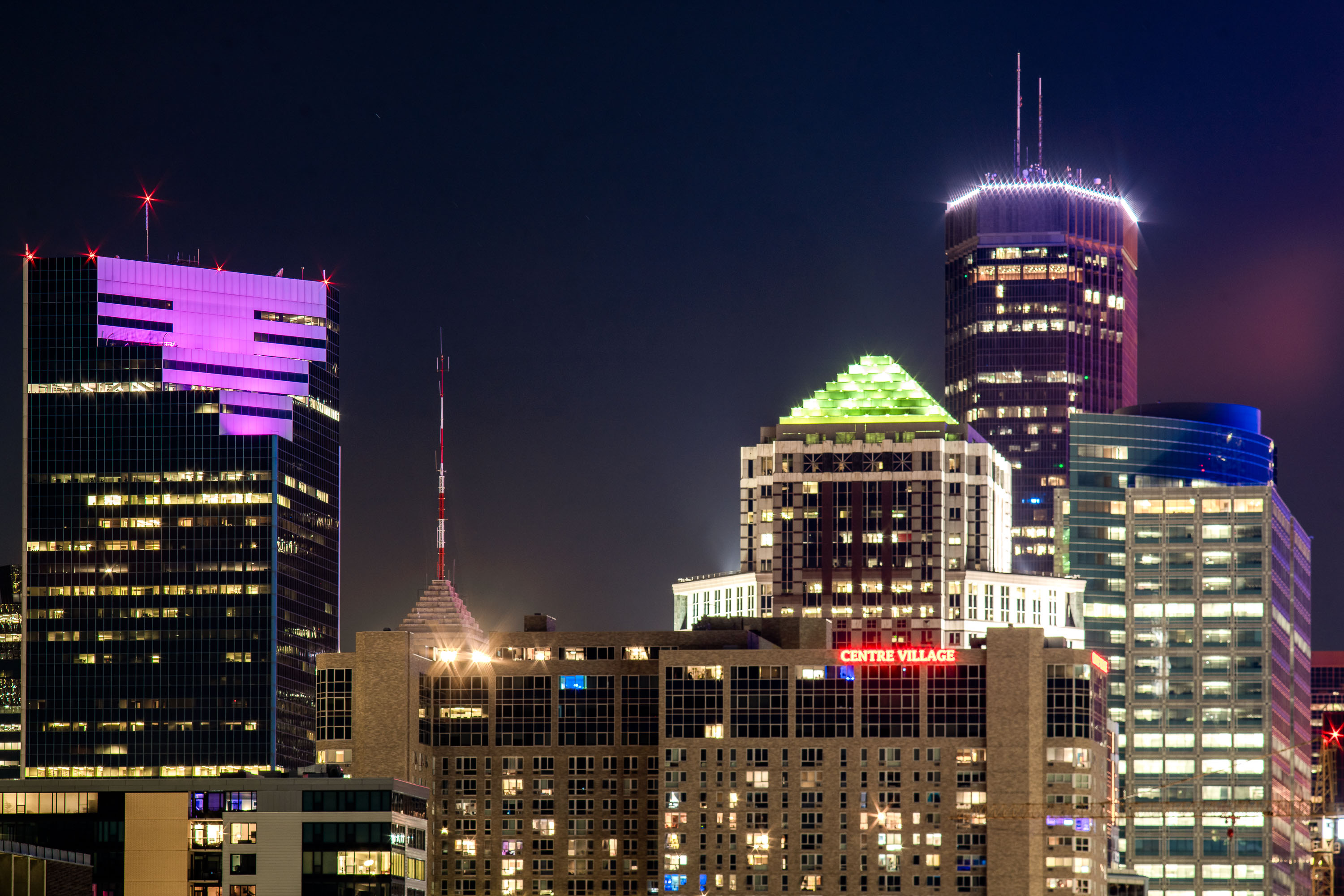 View full post: Two22 Building, Centre Villafge, IDS Center in Downtown Minneapolis
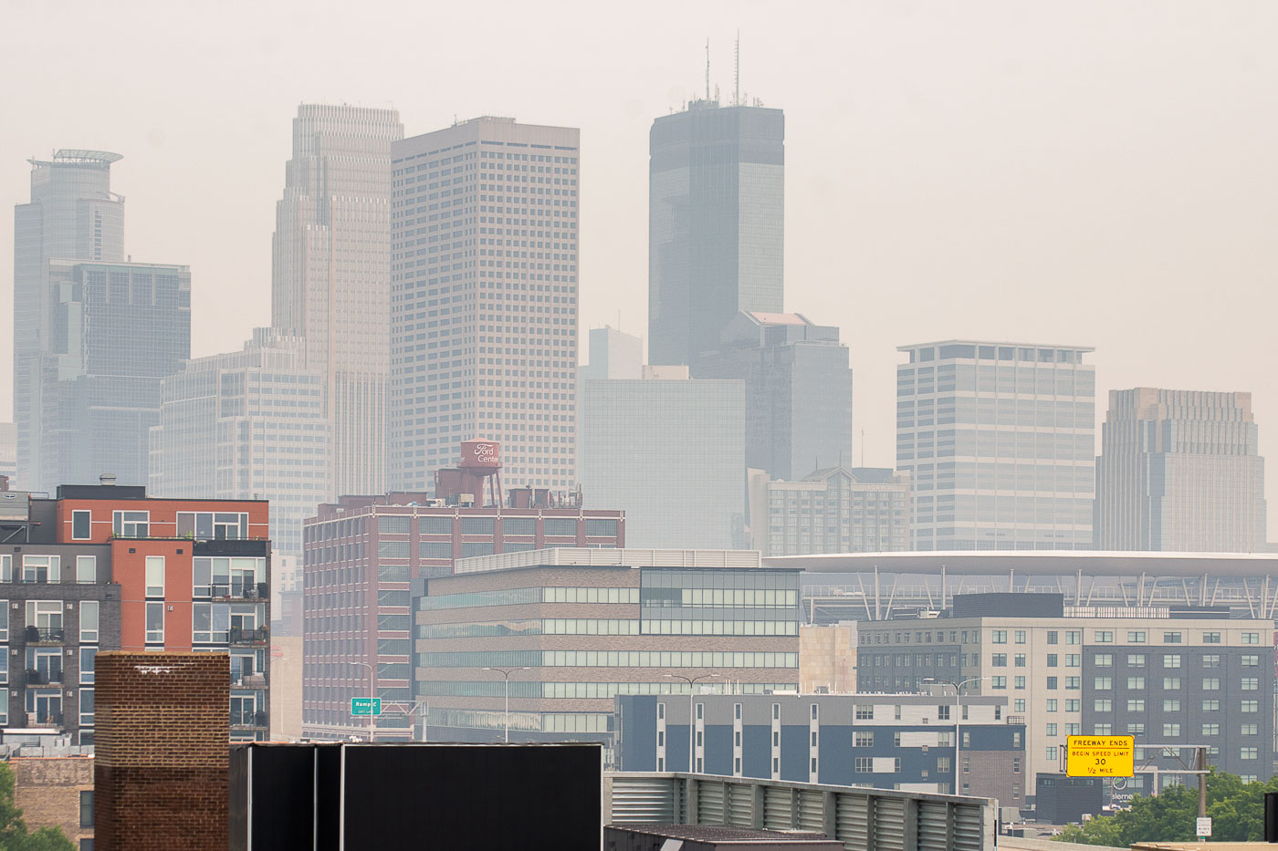 View full post: Downtown Minneapolis skyline in wildfire smoke
 View full post: Minneapolis Skyline at Sunset from the South Loop
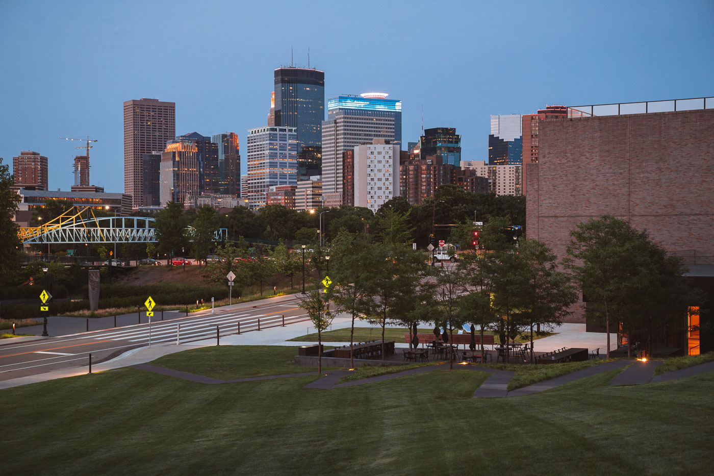 View full post: Downtown Minneapolis business district
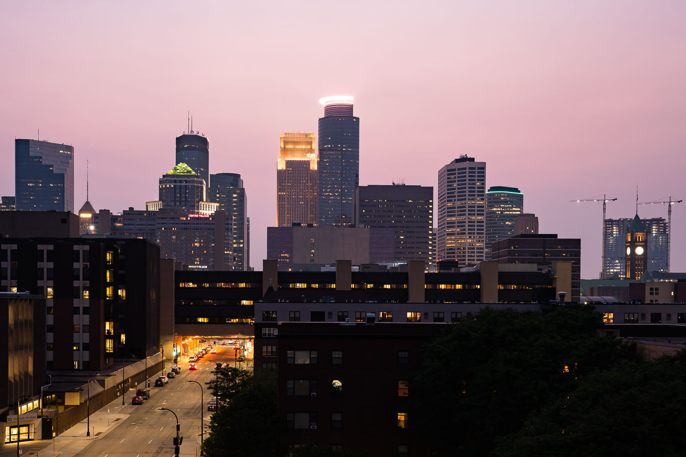 View full post: Downtown Minneapolis skyline from South 7th Street
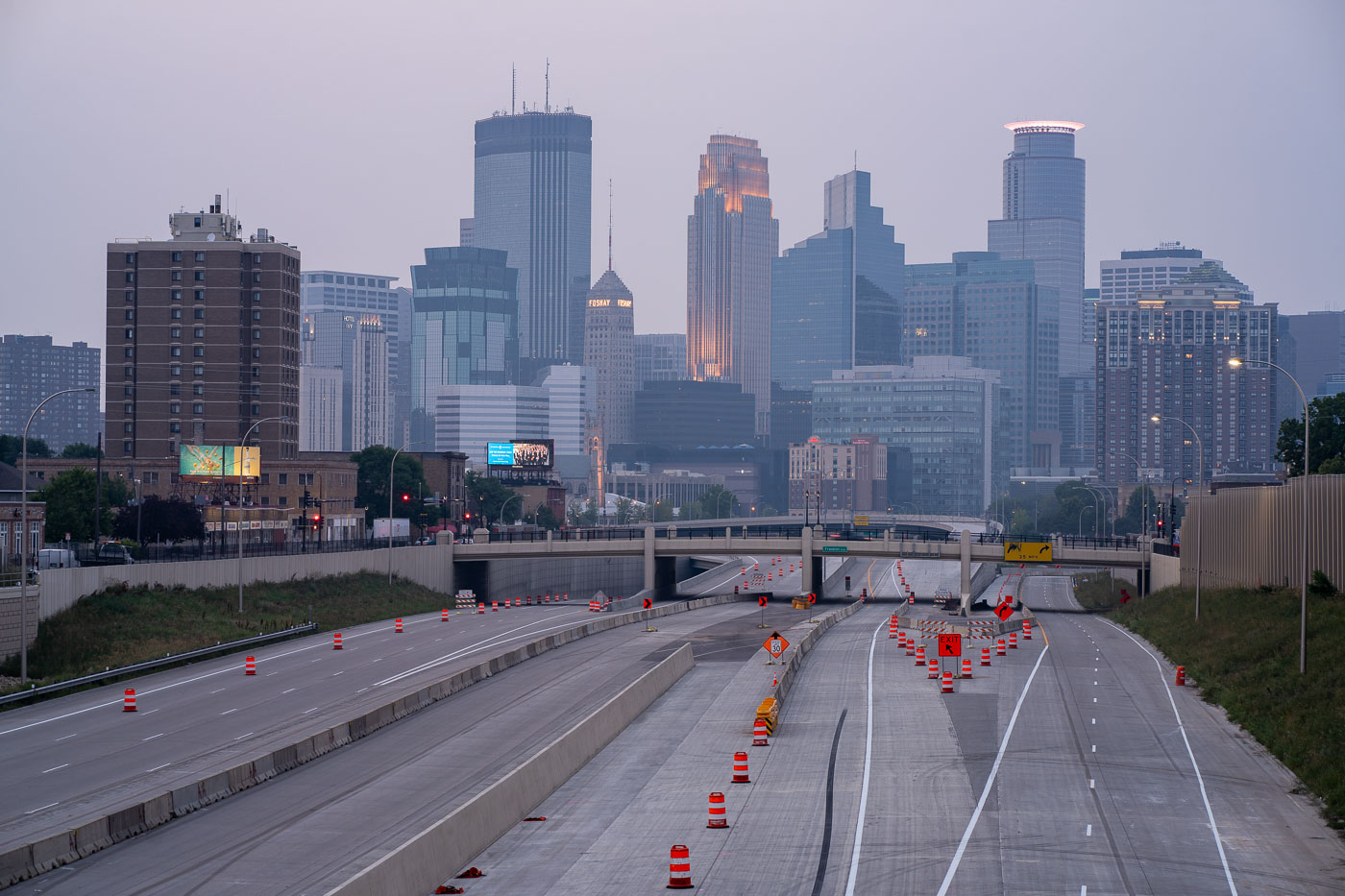 View full post: Downtown Minneapolis Skyline Through Wildfire Haze
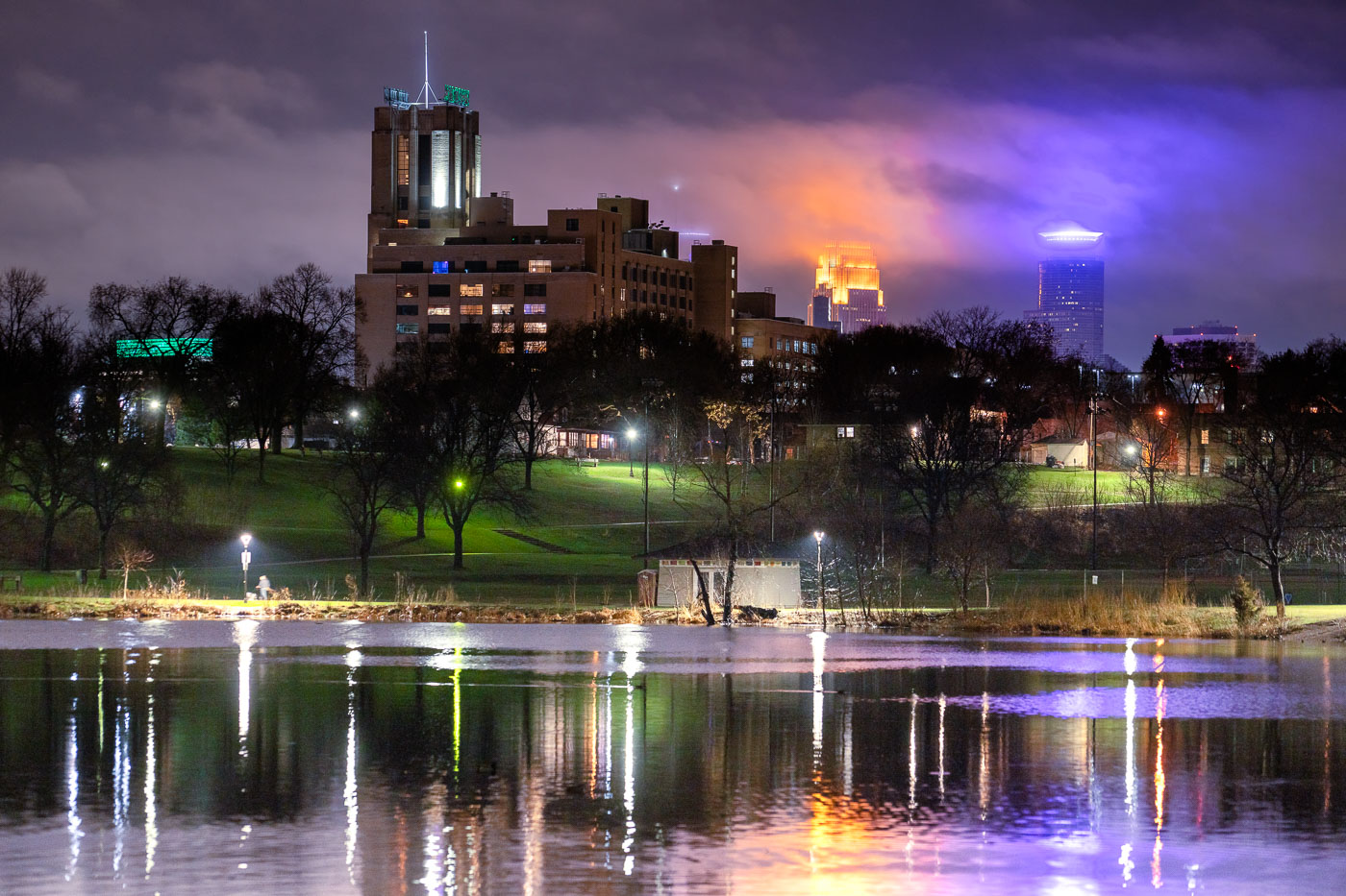 View full post: Minneapolis Skyline and Powderhorn Park at Night
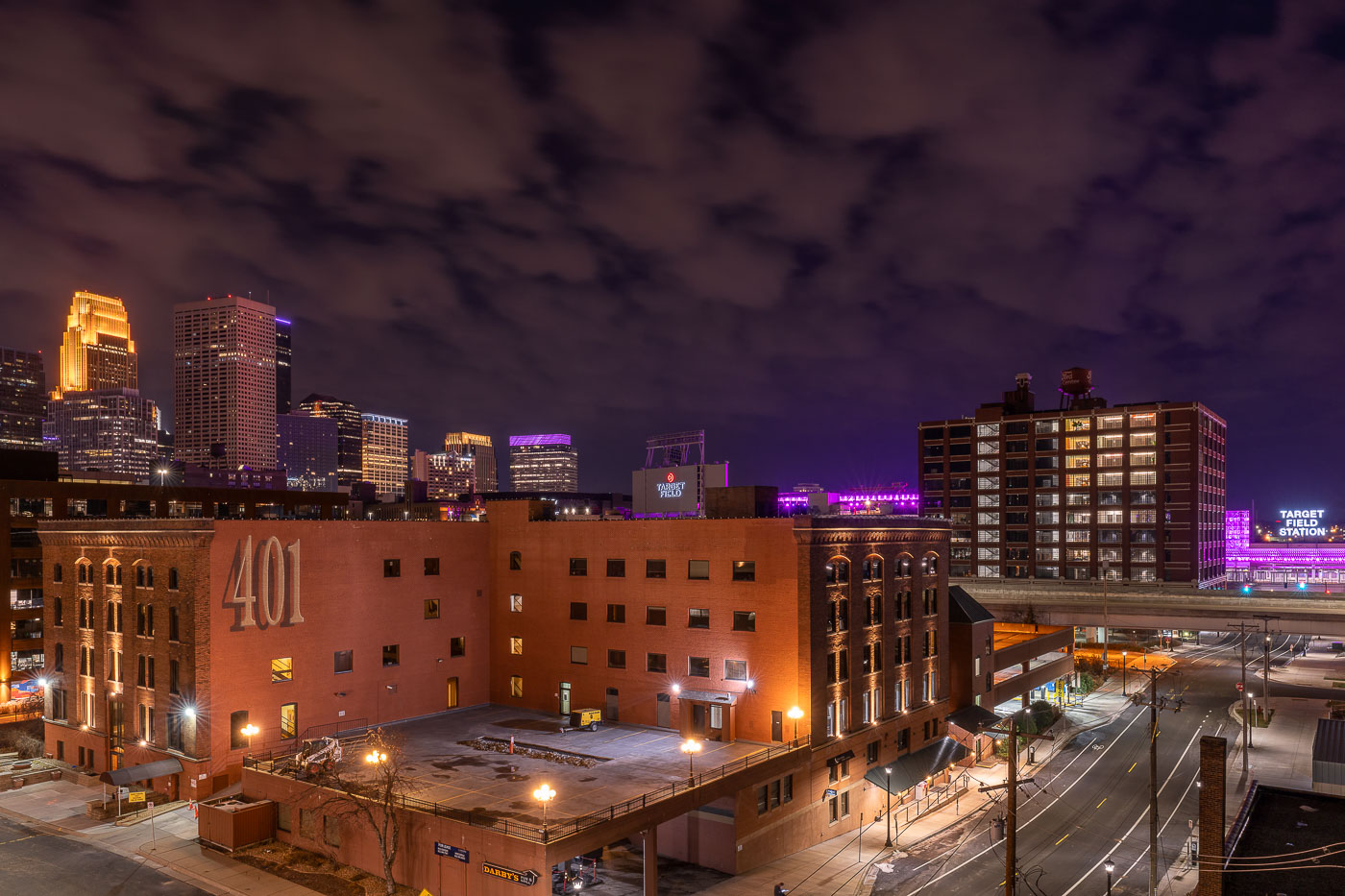 View full post: The 401 Building and Minneapolis Skyline From North Loop
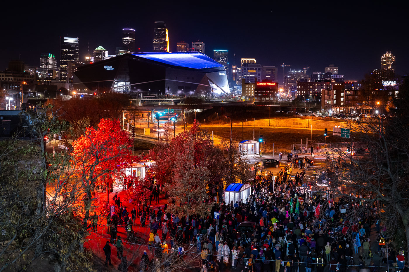 View full post: Post-Election Protest March Near U.S. Bank Stadium
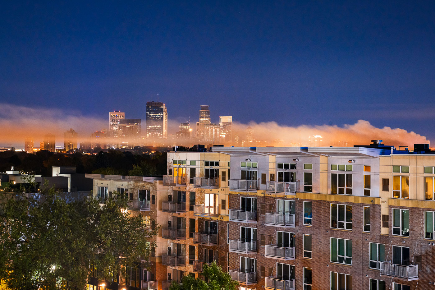 View full post: Smoke from South 4th Ave Fire over Minneapolis Skyline
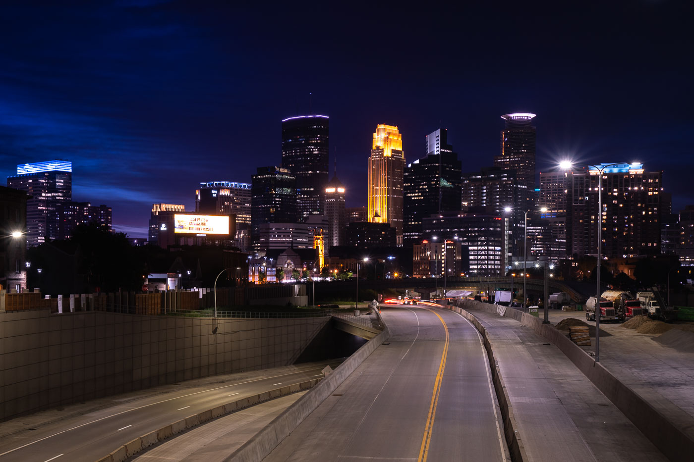 View full post: Interstate 35W construction approaching downtown Minneapolis
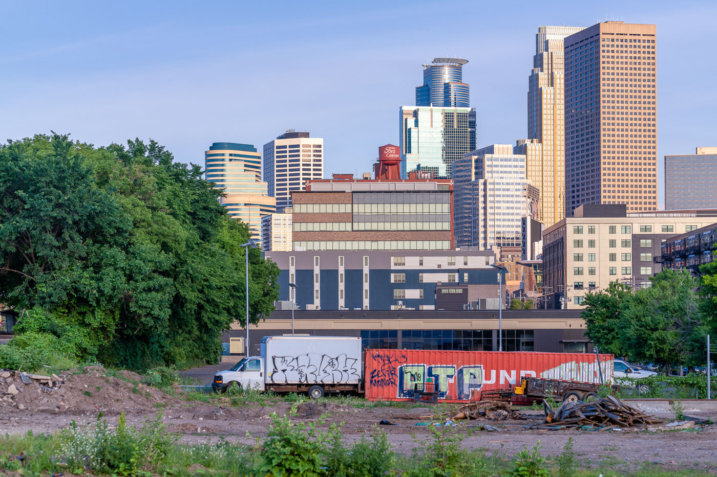 View full post: Minneapolis North Loop Skyline, Graffiti-Covered Van, 06/27/20
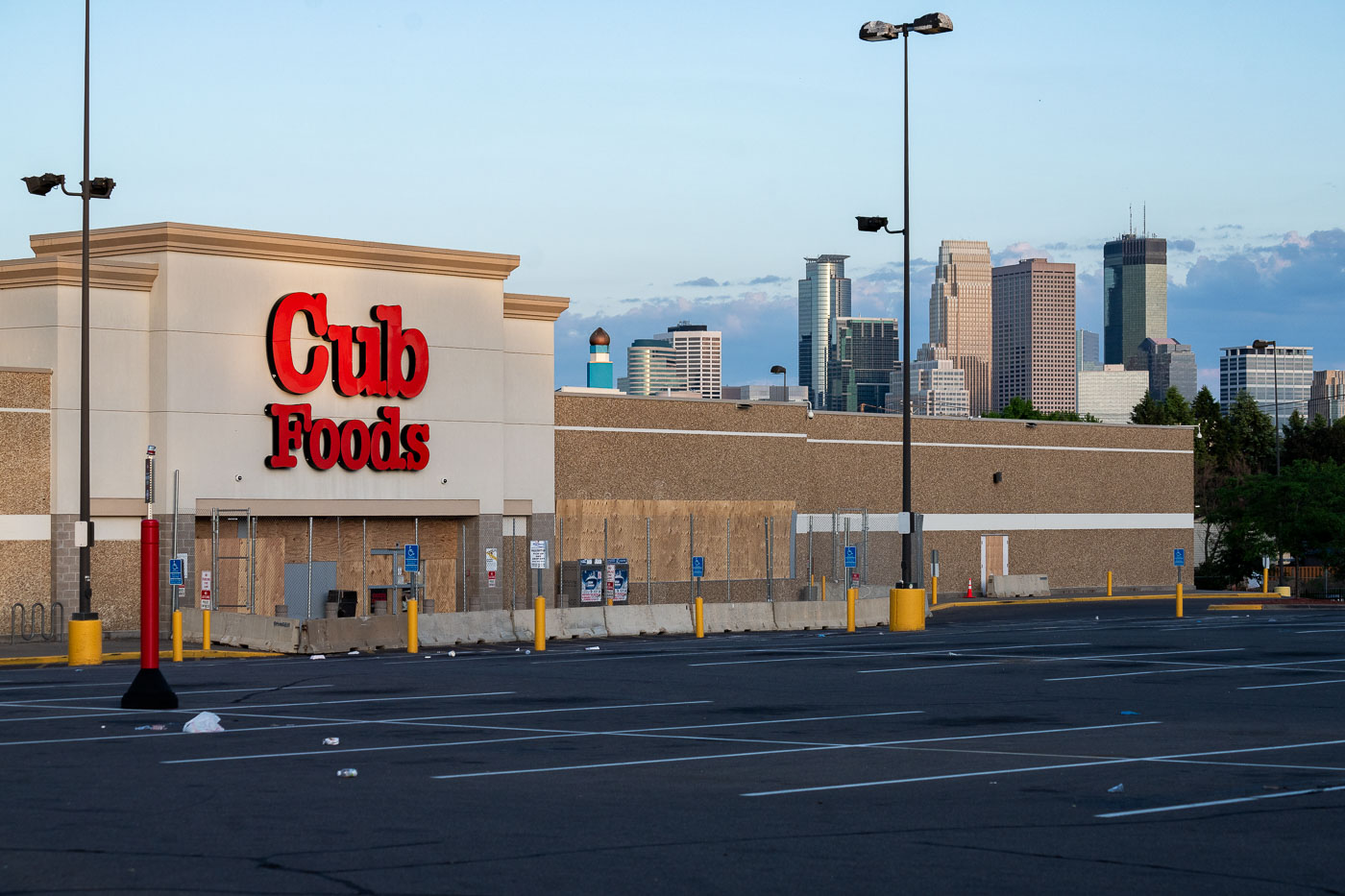 View full post: Cub Foods, Broadway Ave, North Minneapolis, Boarded Up, 2020
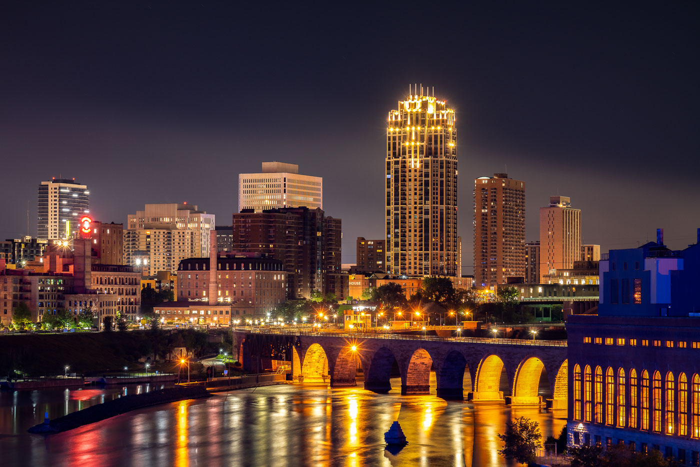 View full post: Downtown Minneapolis Skyline from the Mississippi Riverfront
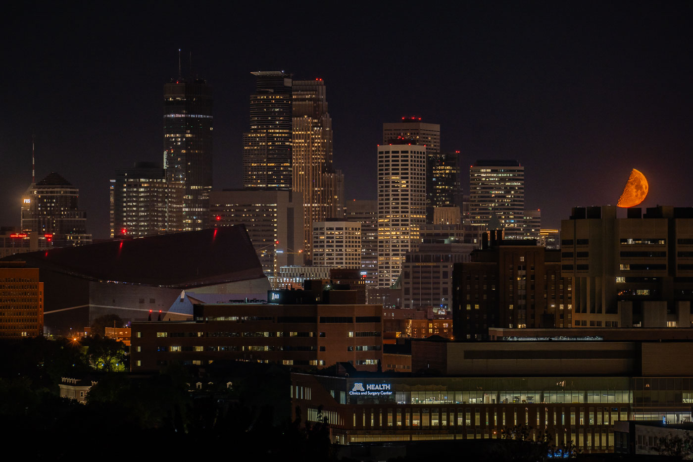 View full post: Orange Moon over Minneapolis Protests
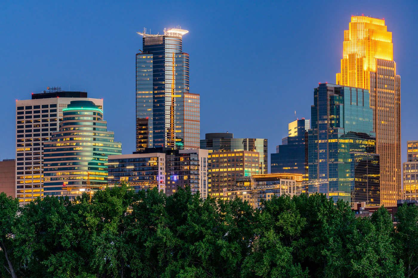 View full post: Downtown Minneapolis at dusk from Boom Island Park
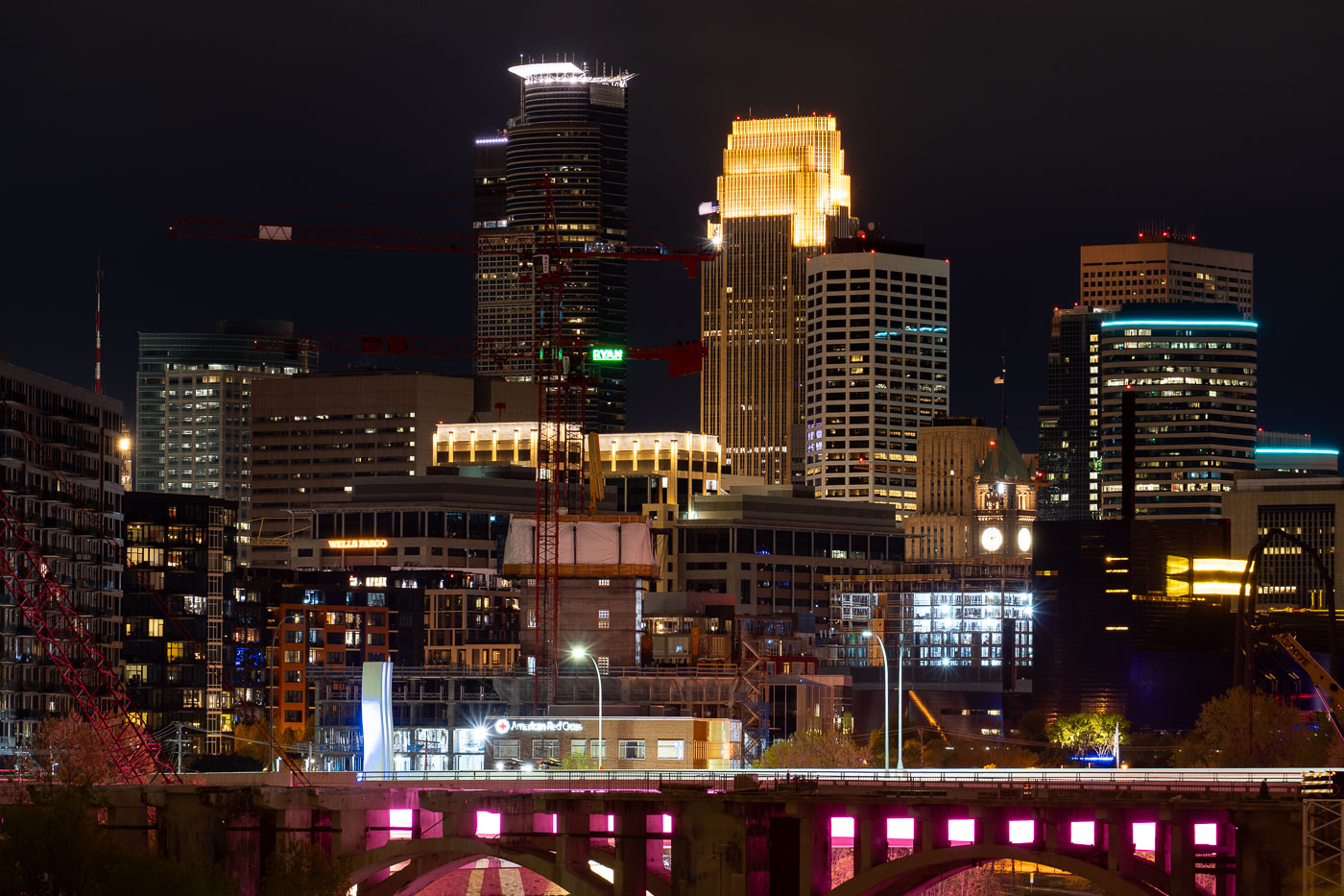 View full post: Minneapolis in Development
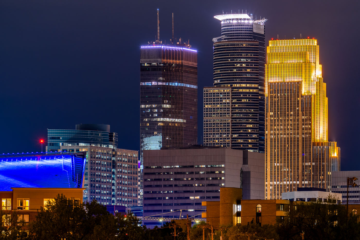 View full post: Capella, IDS and Wells Fargo Center in Minneapolis
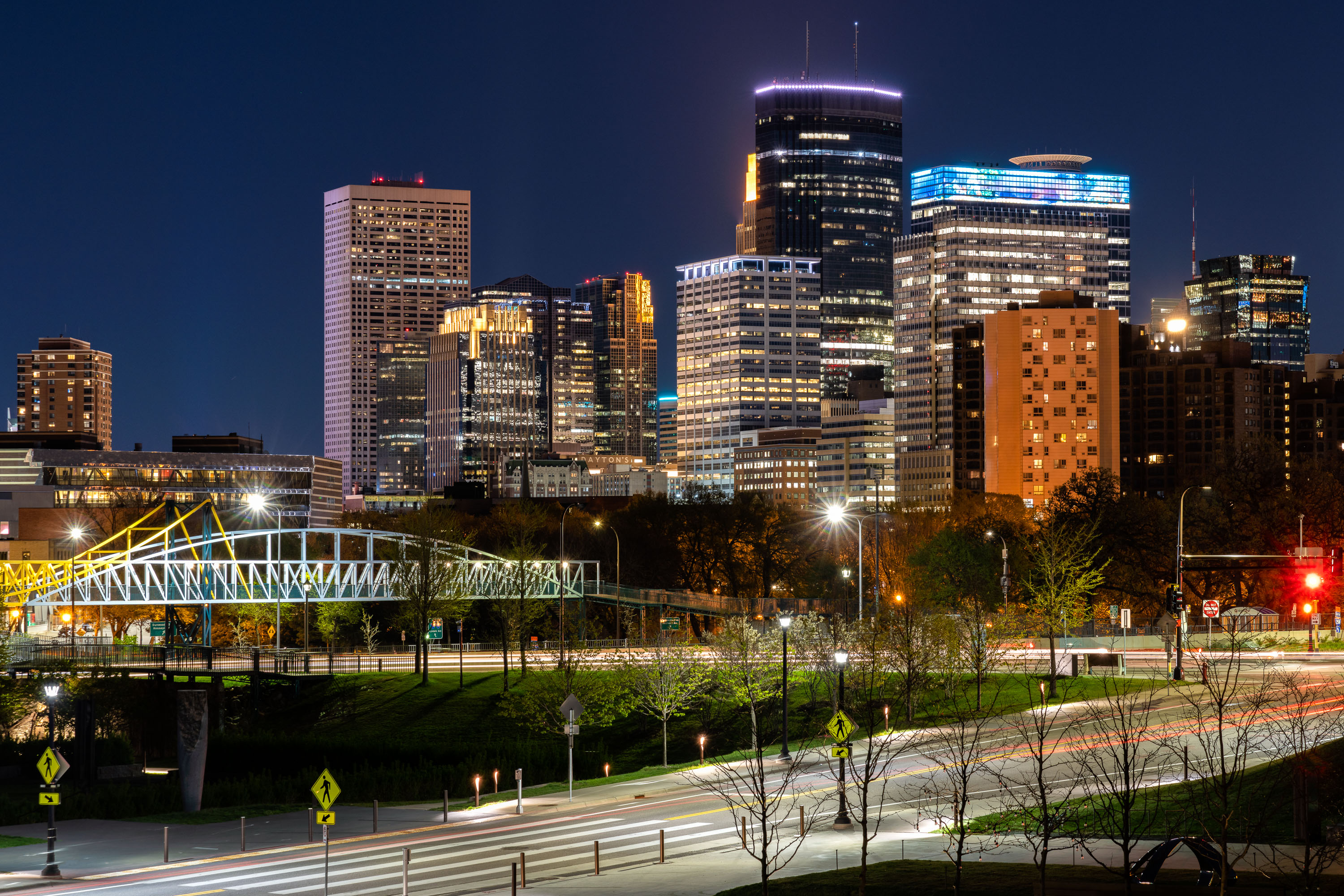 View full post: Irene Hixon Whitney Bridge and Minneapolis Skyline at Night
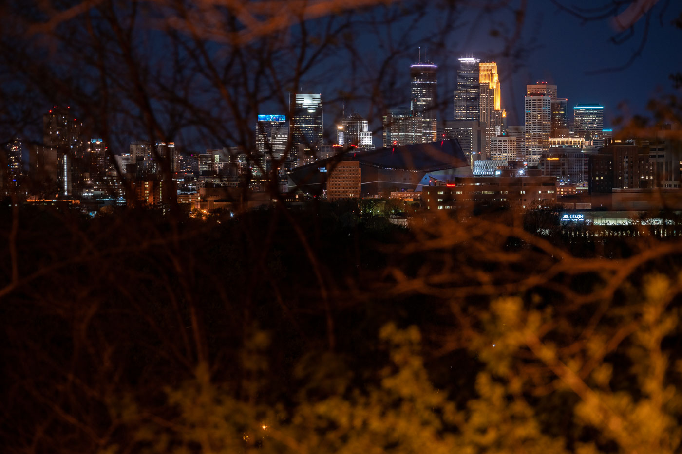 View full post: Minneapolis skyline from Witches Hat
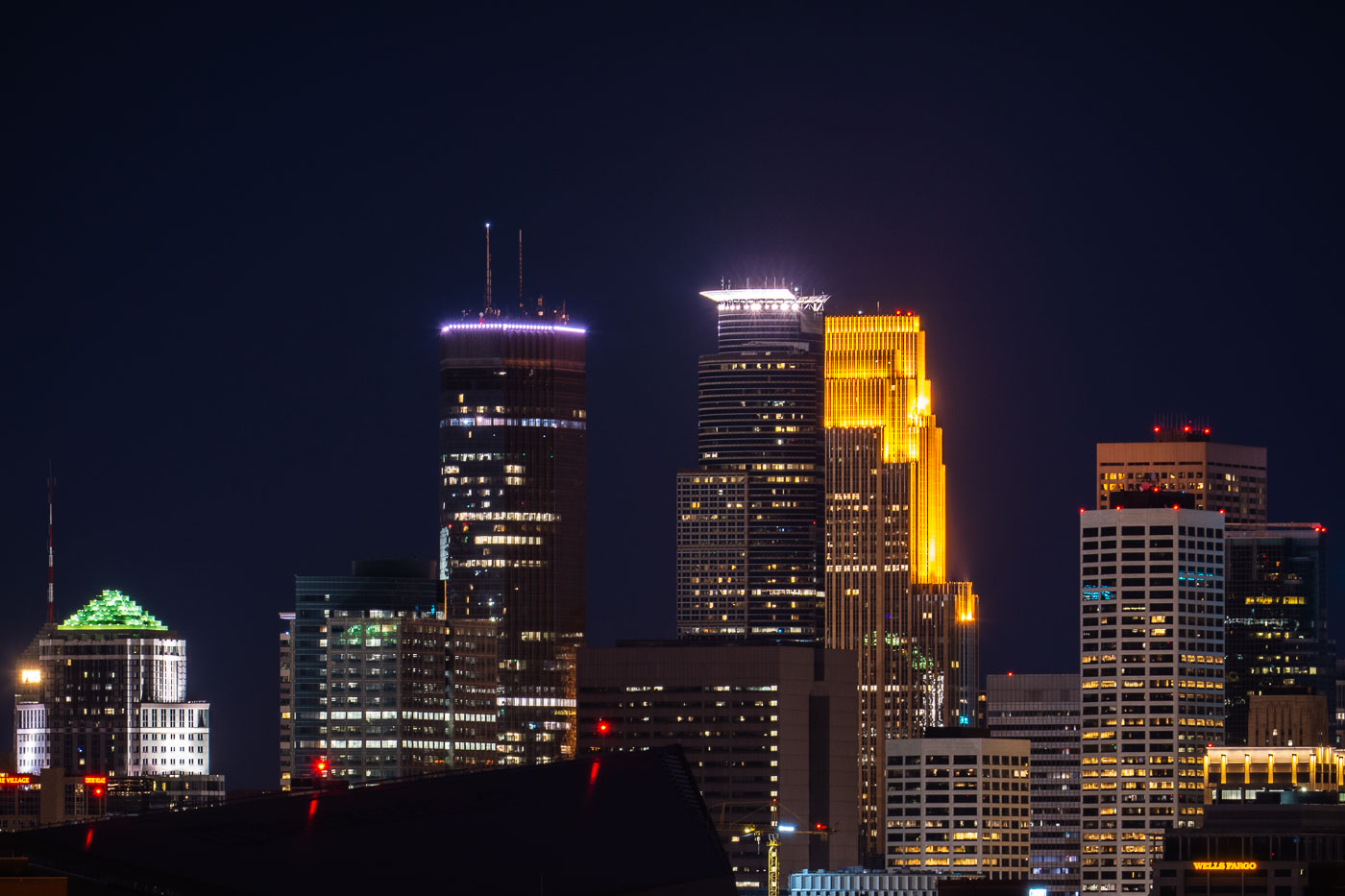 View full post: IDS Center and Wells Fargo Center, Minneapolis
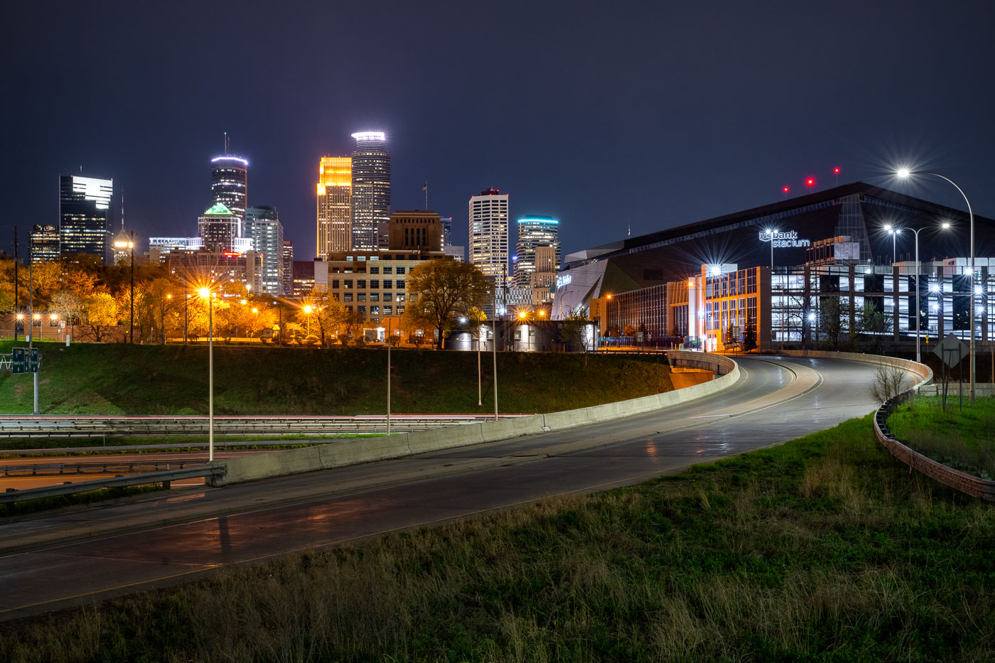 View full post: US Bank Stadium and Minneapolis Skyline at Night
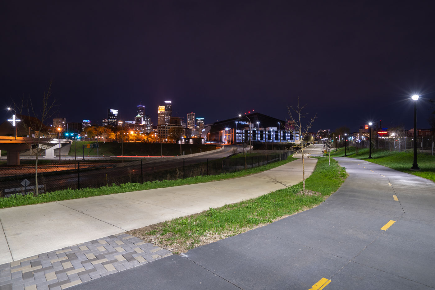 View full post: Samatar Crossing near Downtown Minneapolis
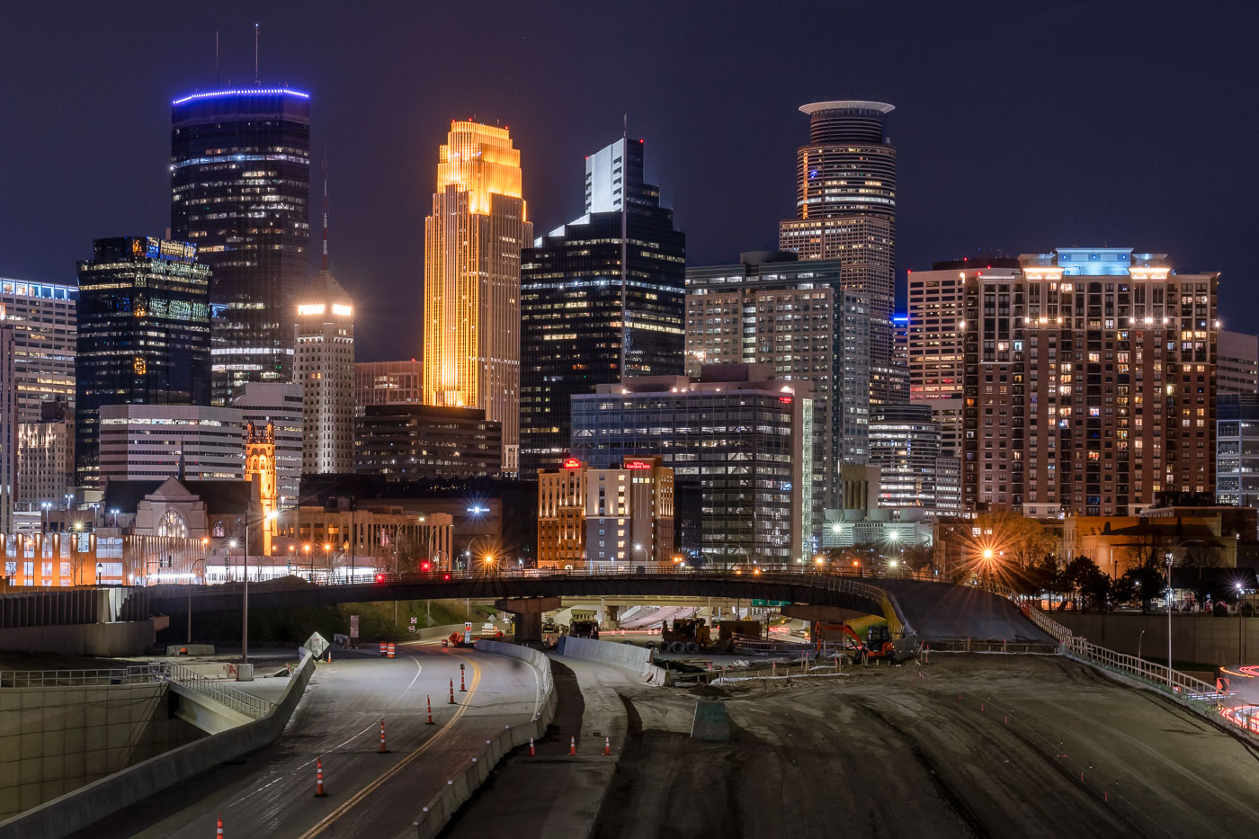 View full post: I-35W Overnight Construction Beneath the Minneapolis Skyline
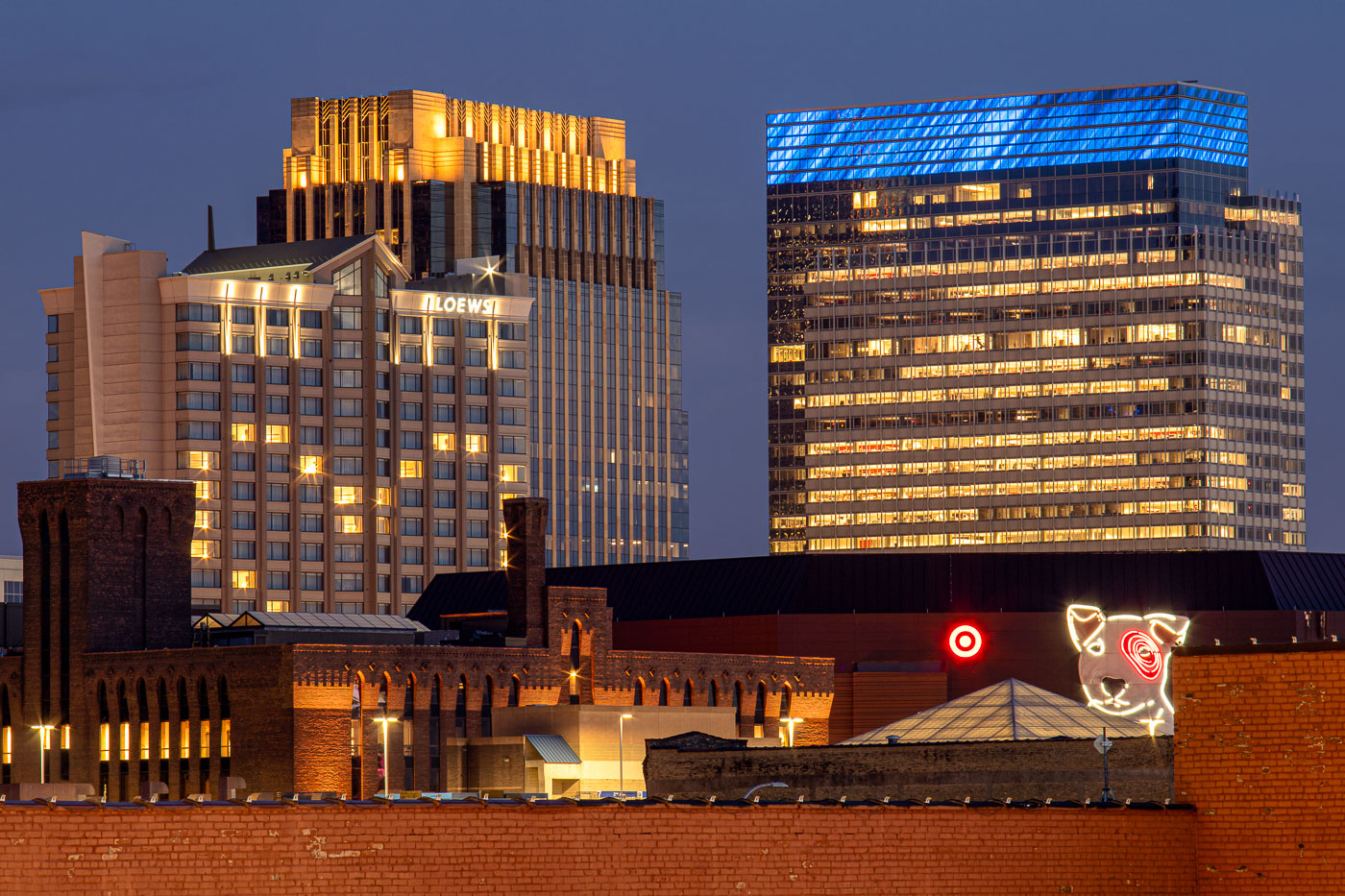 View full post: Target’s Bullseye Dog Sign Beneath Its Minneapolis Headquarters
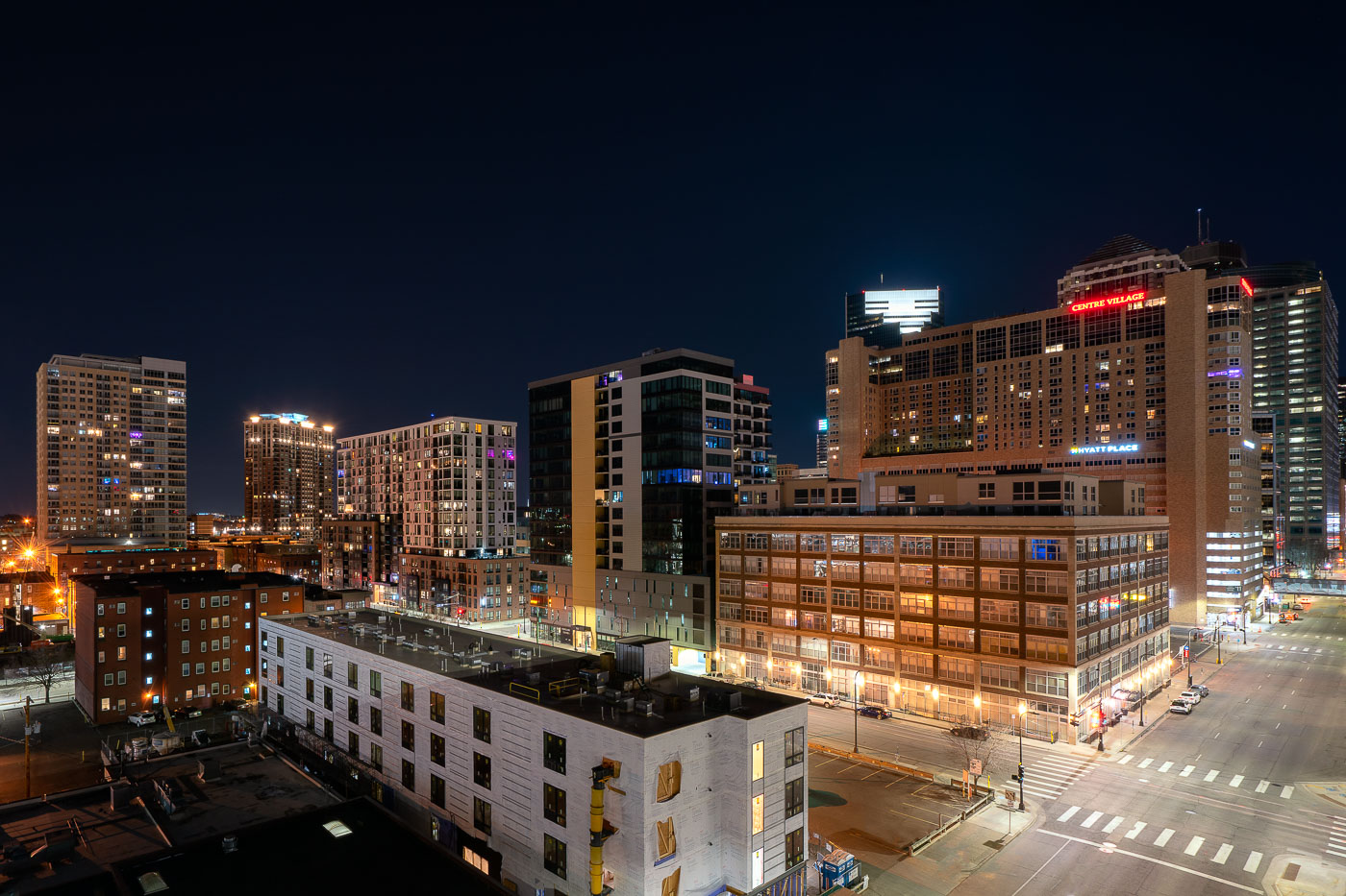 View full post: Centre Village and Hyatt Place Above Downtown Minneapolis at Night
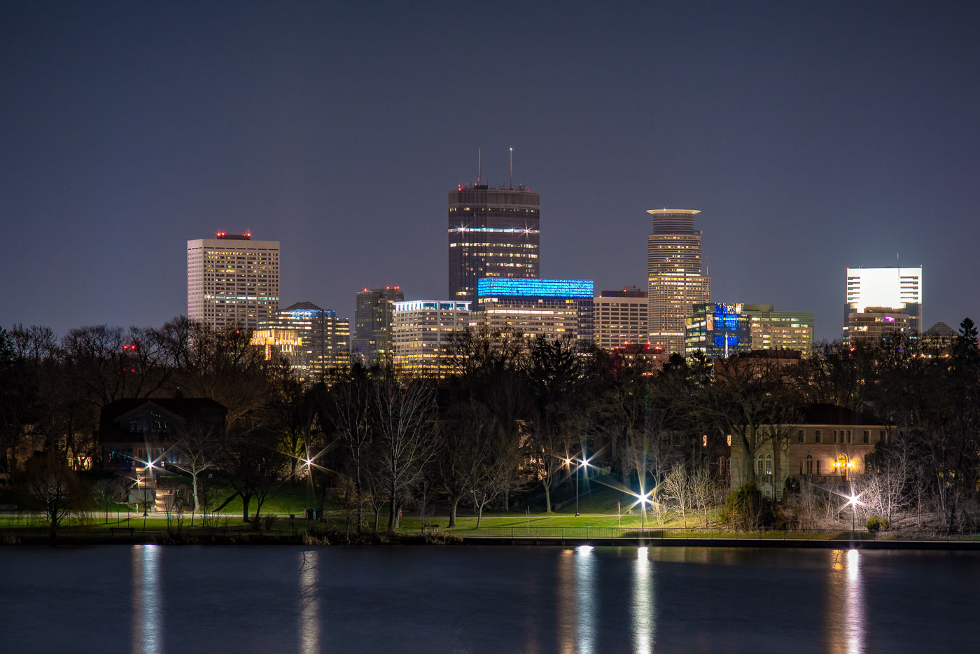 View full post: Minneapolis Skyline at Night from Lake of the Isles
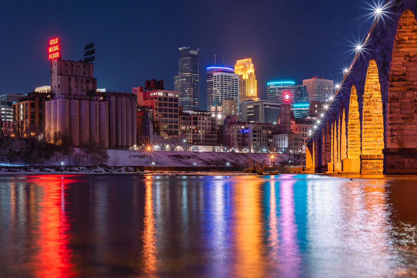 View full post: Gold Medal Flour Sign Above the Minneapolis Riverfront
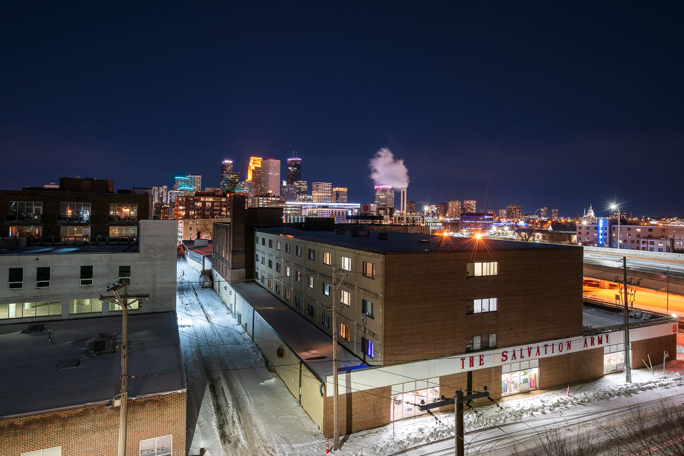 View full post: The Salvation Army, Minneapolis at Night
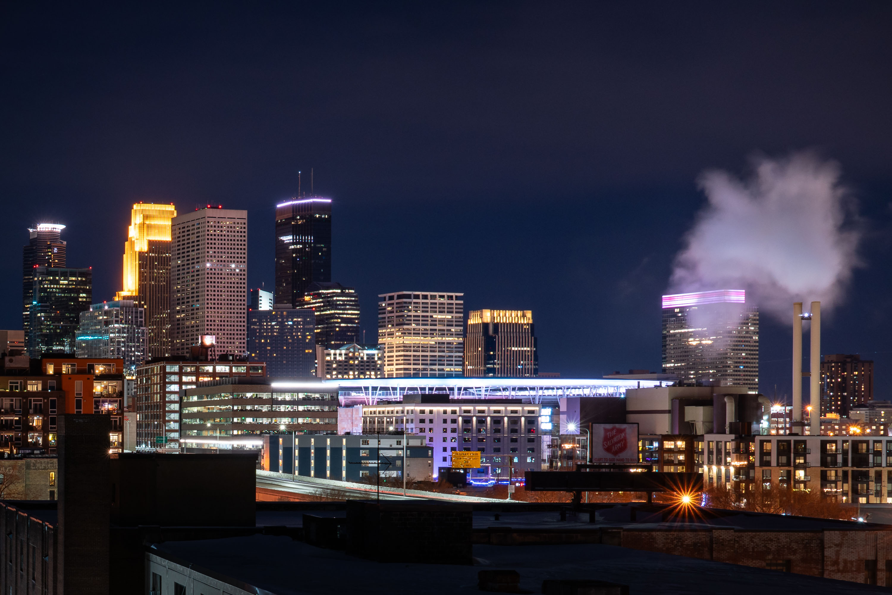 View full post: Target Field Skyline at Night, Minneapolis
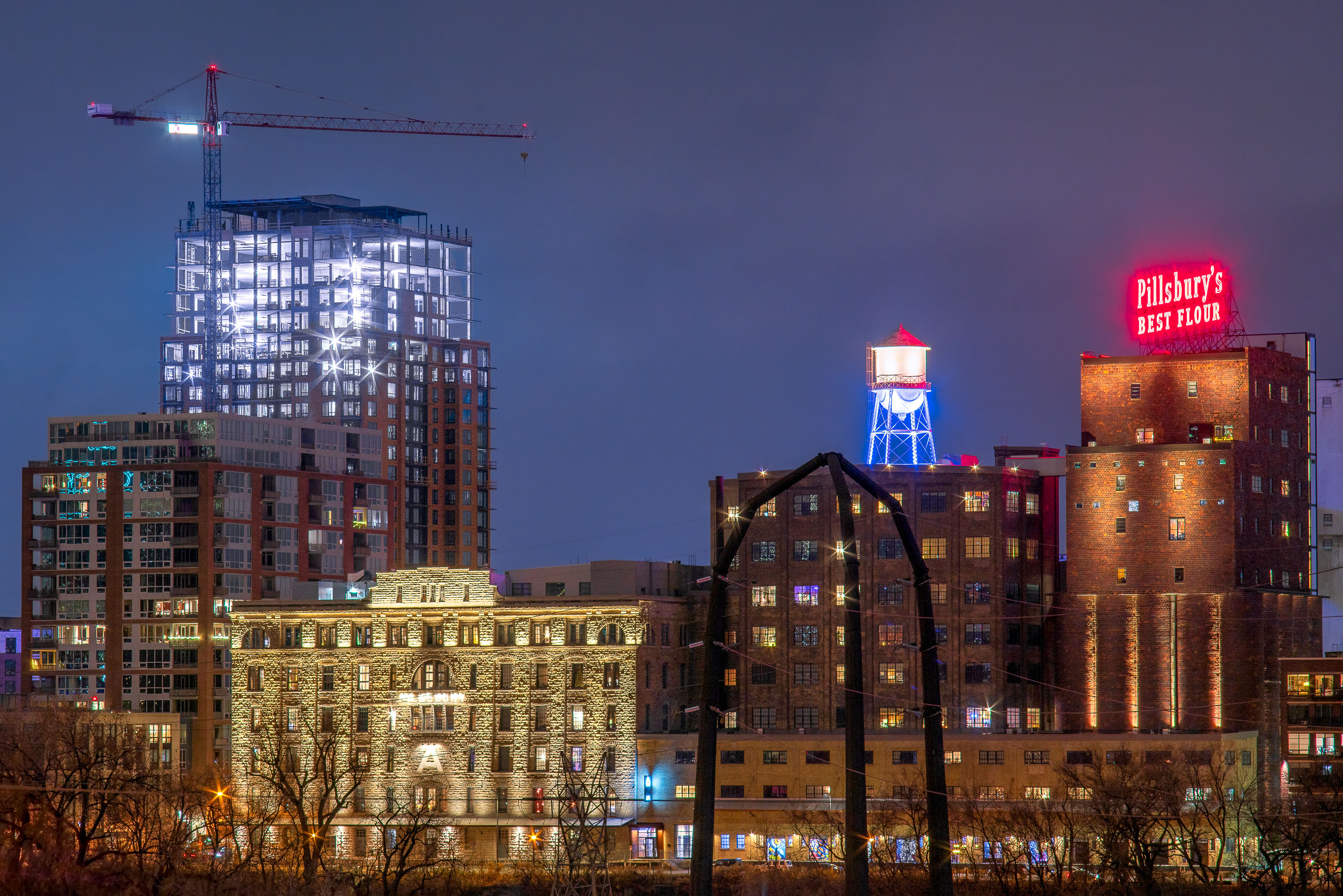 View full post: Pillsbury A Mill and The Expo Tower, Minneapolis, MN
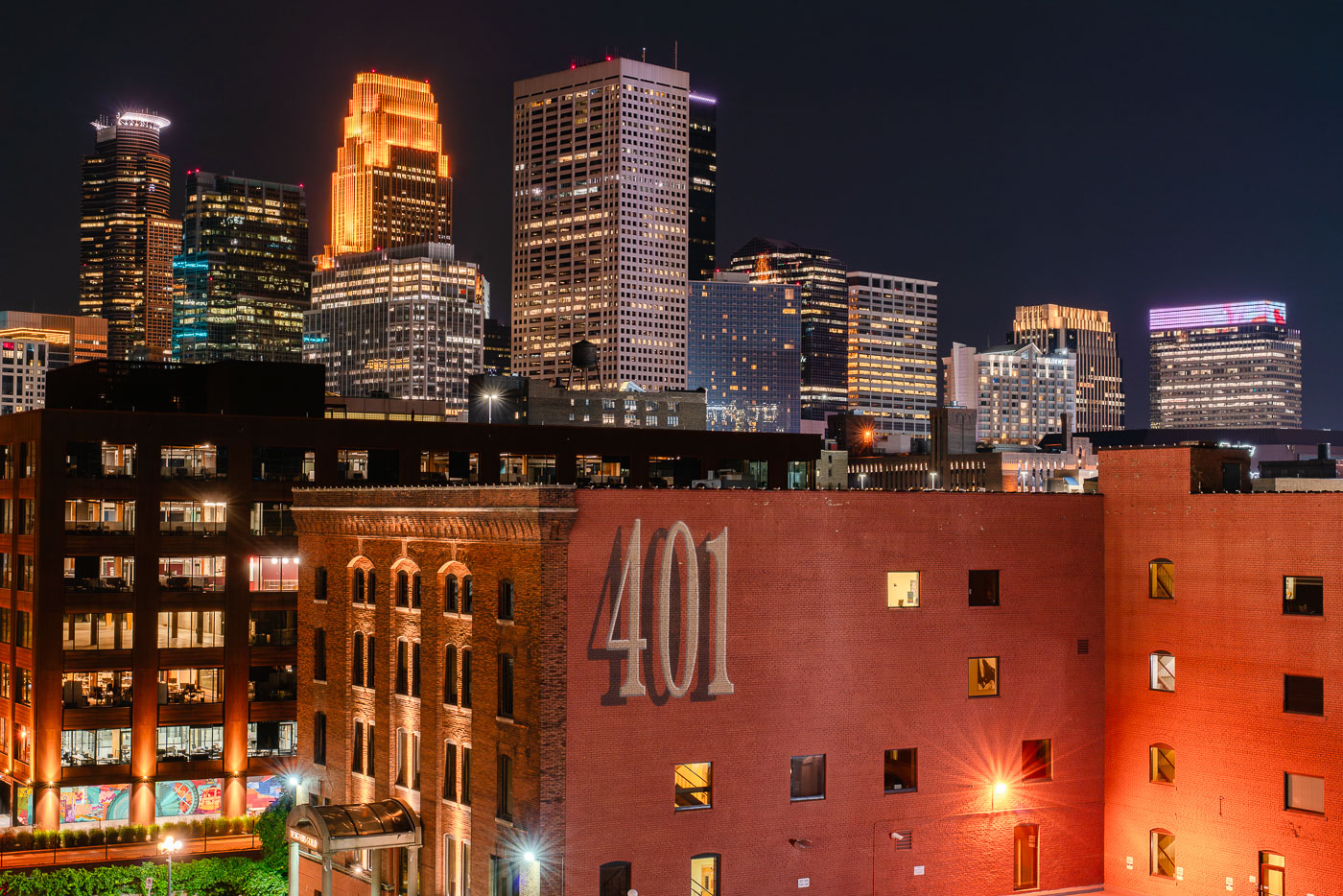 View full post: Minneapolis Skyline from the North Loop at night
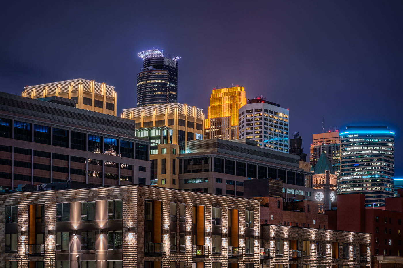 View full post: Minneapolis City Hall Clock Tower and Capella Tower at Night
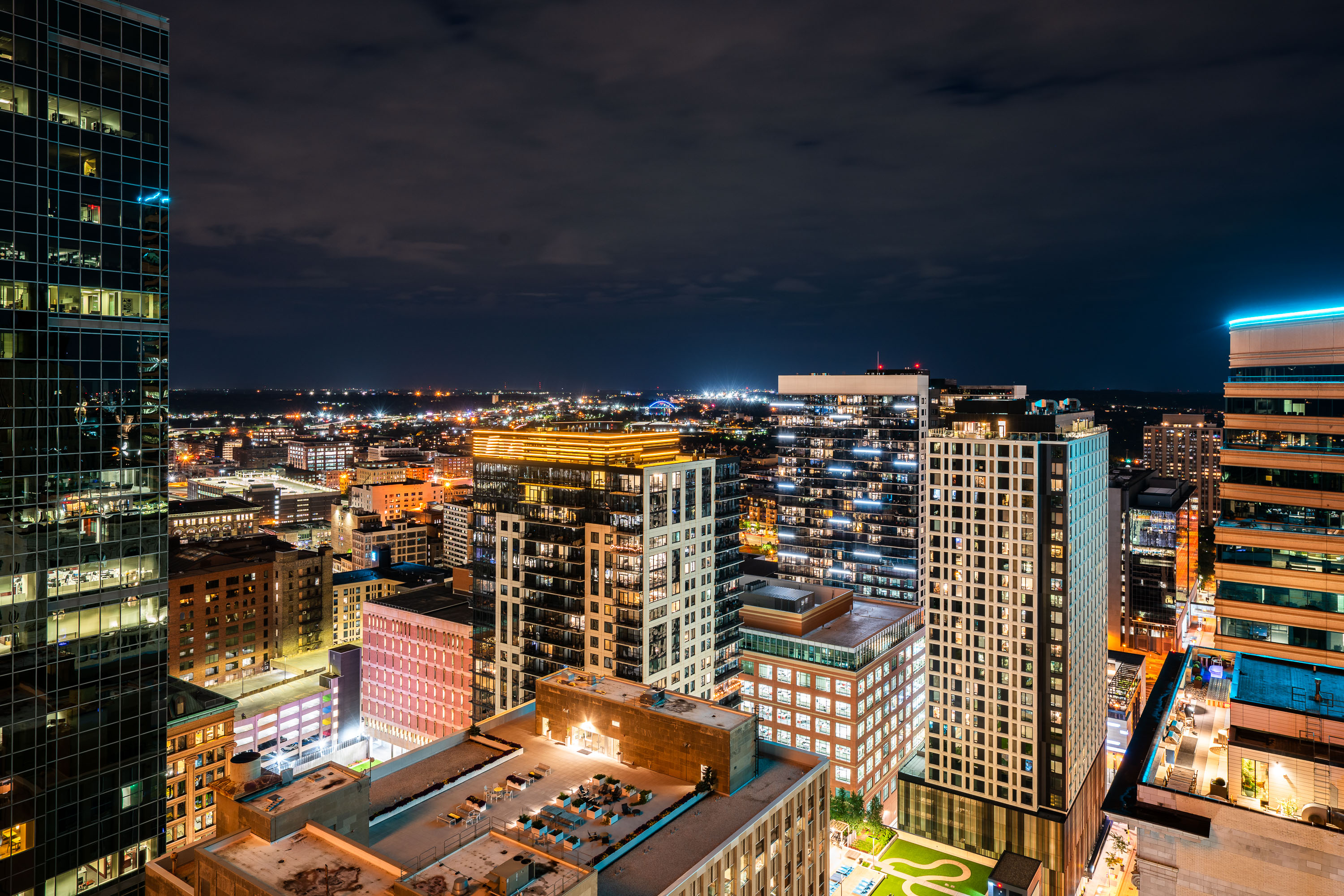 View full post: Nic on Fifth Rises Over the Downtown Minneapolis Skyline
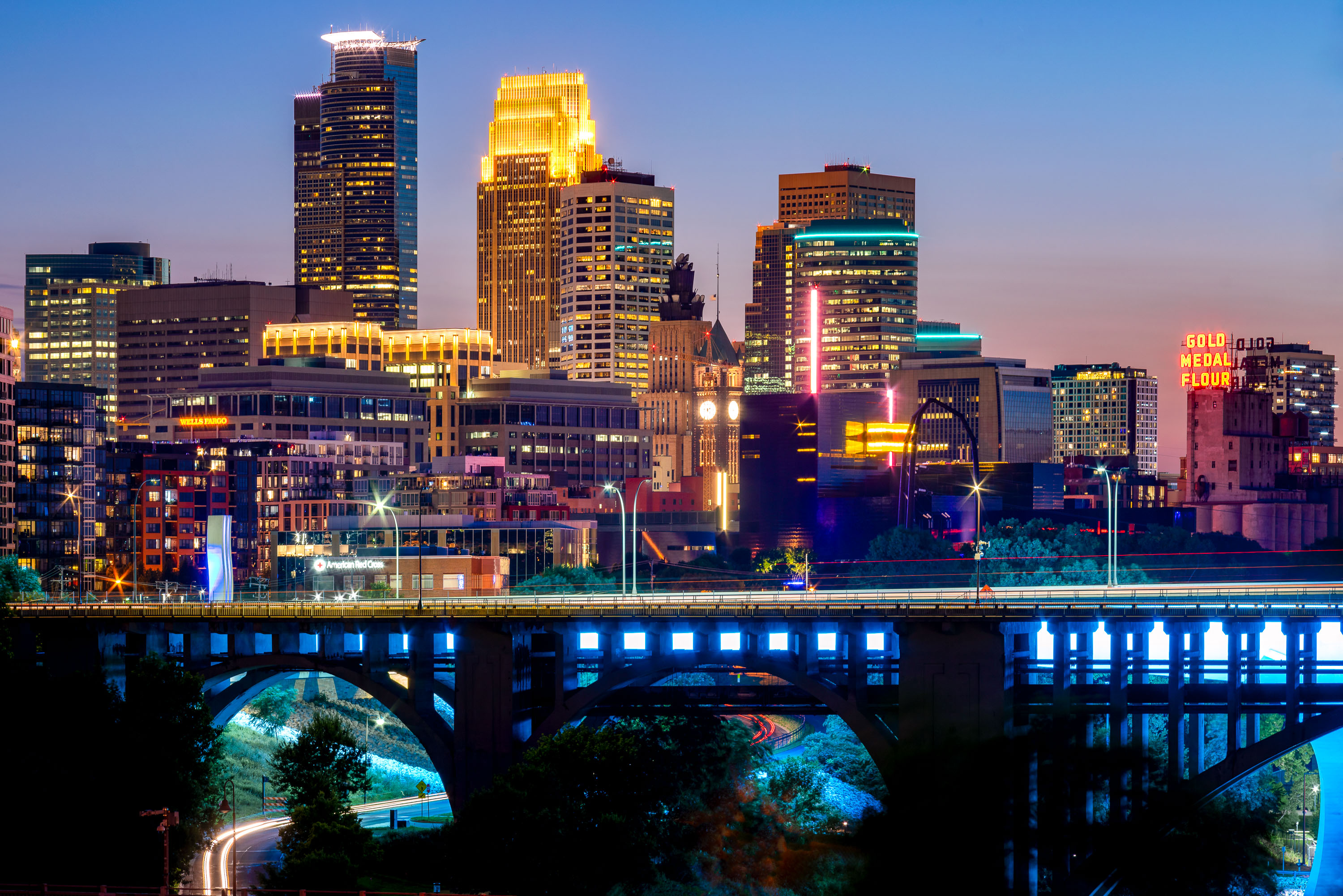 View full post: Minneapolis Skyline Above the 10th Avenue Bridge
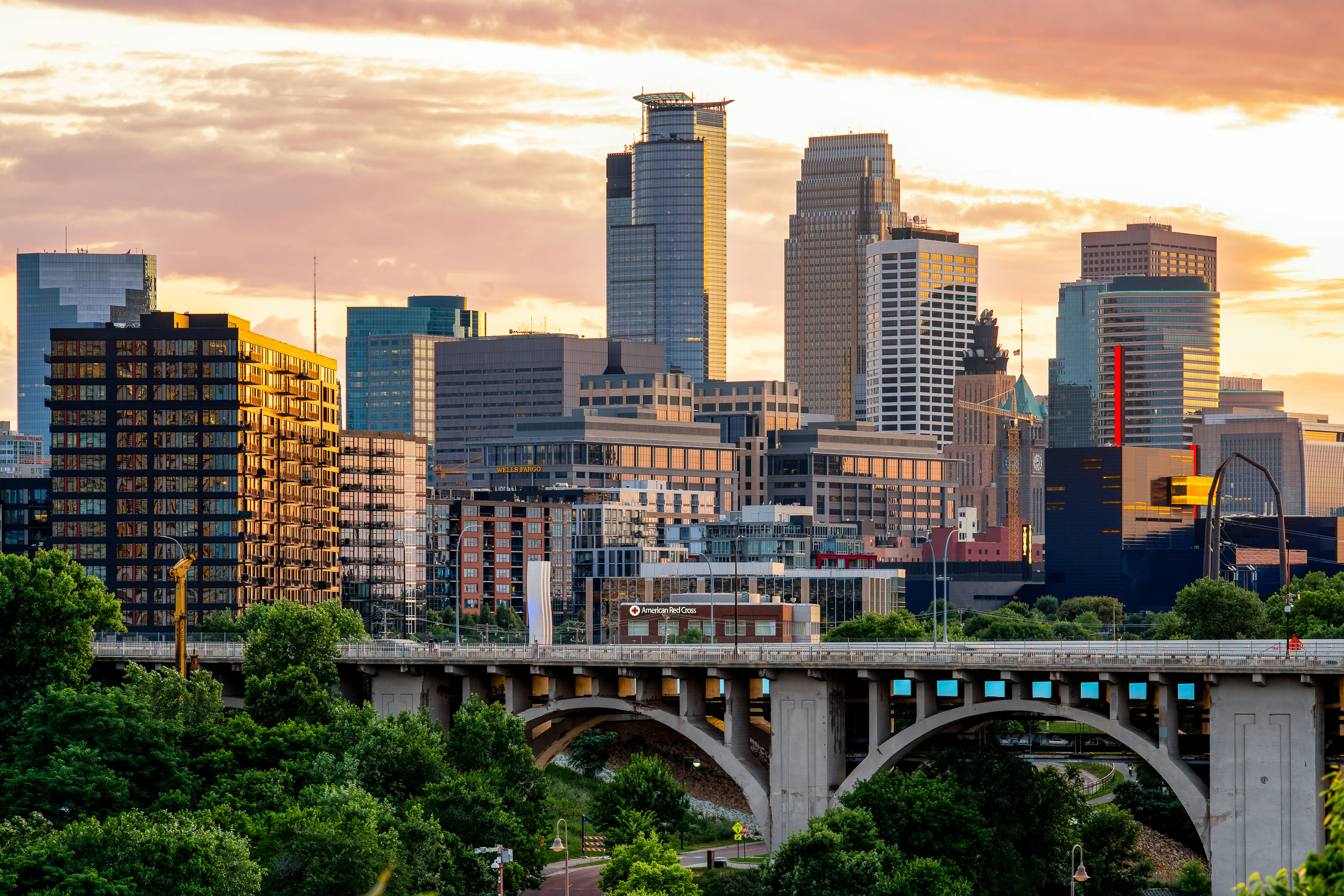 View full post: Downtown Minneapolis Skyline Above the 10th Avenue Bridge
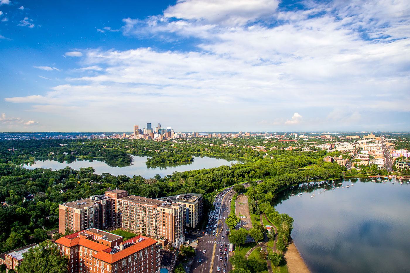 View full post: Downtown Minneapolis Skyline Beyond Bde Maka Ska and Lake of the Isles
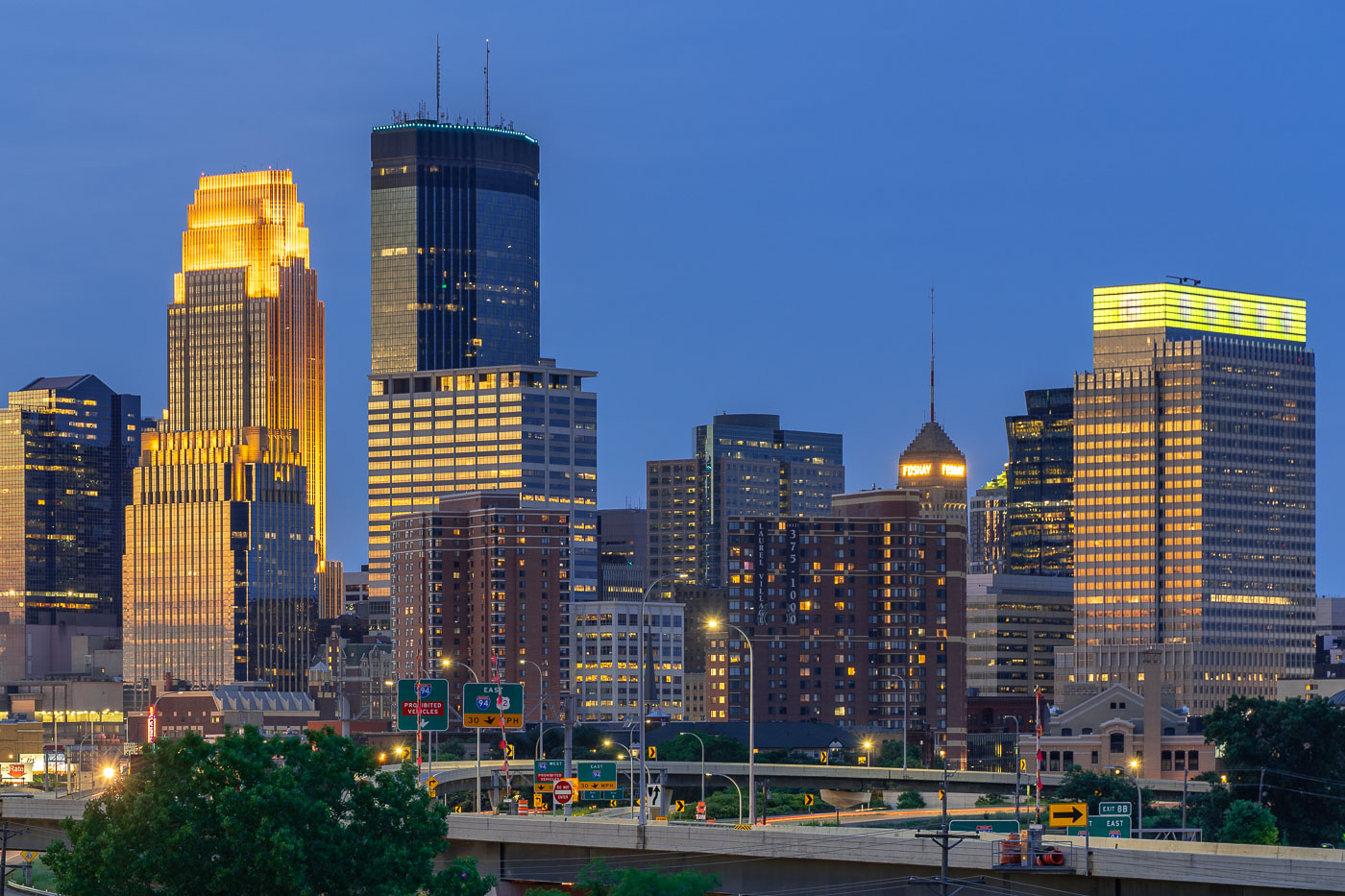 View full post: IDS Center and Foshay Tower Above Interstate 94 in Minneapolis
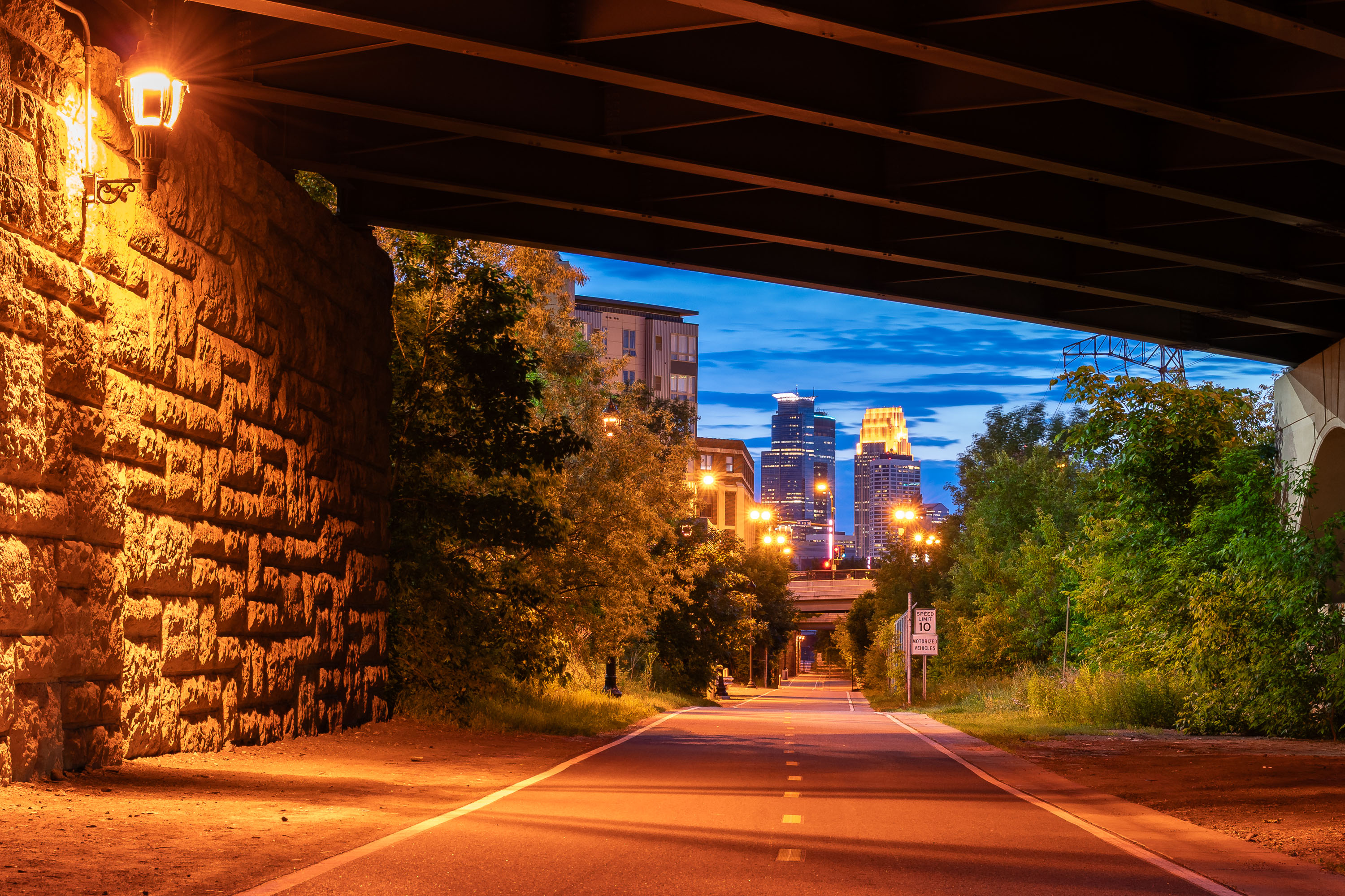 View full post: Downtown Minneapolis Skyline from the Dinkytown Greenway
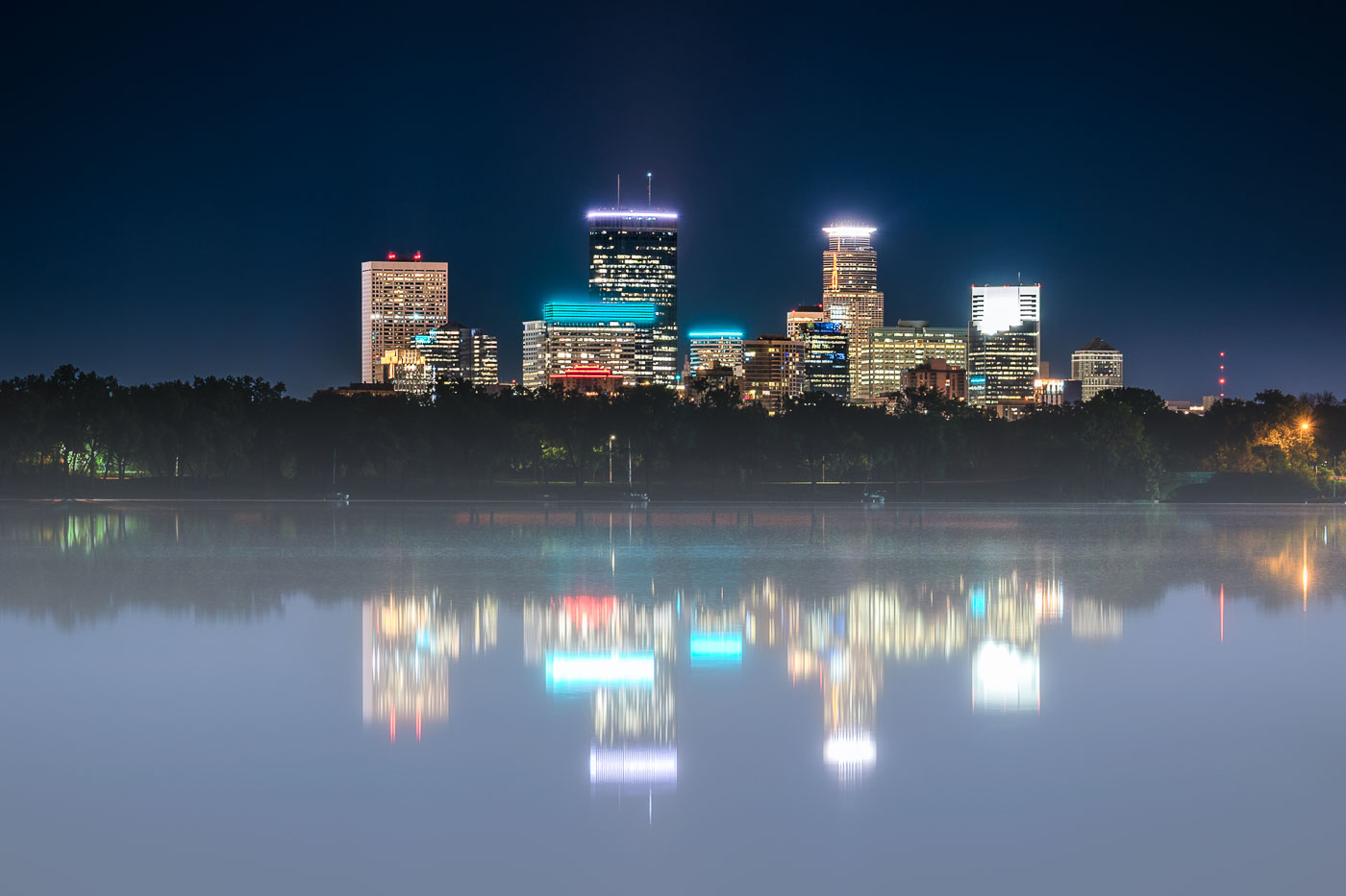 View full post: Foggy Night Reflection of the Minneapolis Skyline on Bde Maka Ska
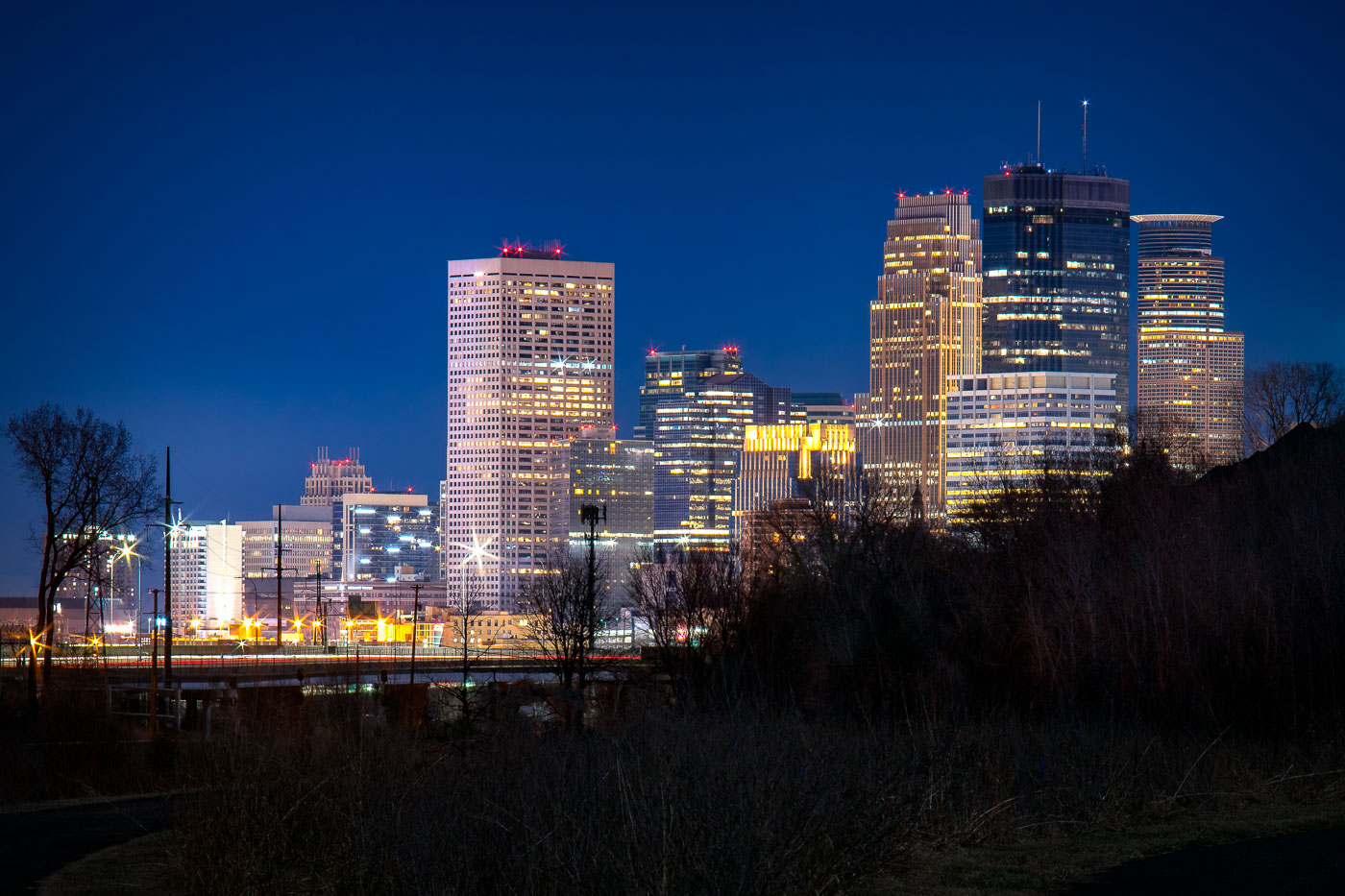 View full post: Downtown Minneapolis Skyline Seen from the Cedar Lake Trail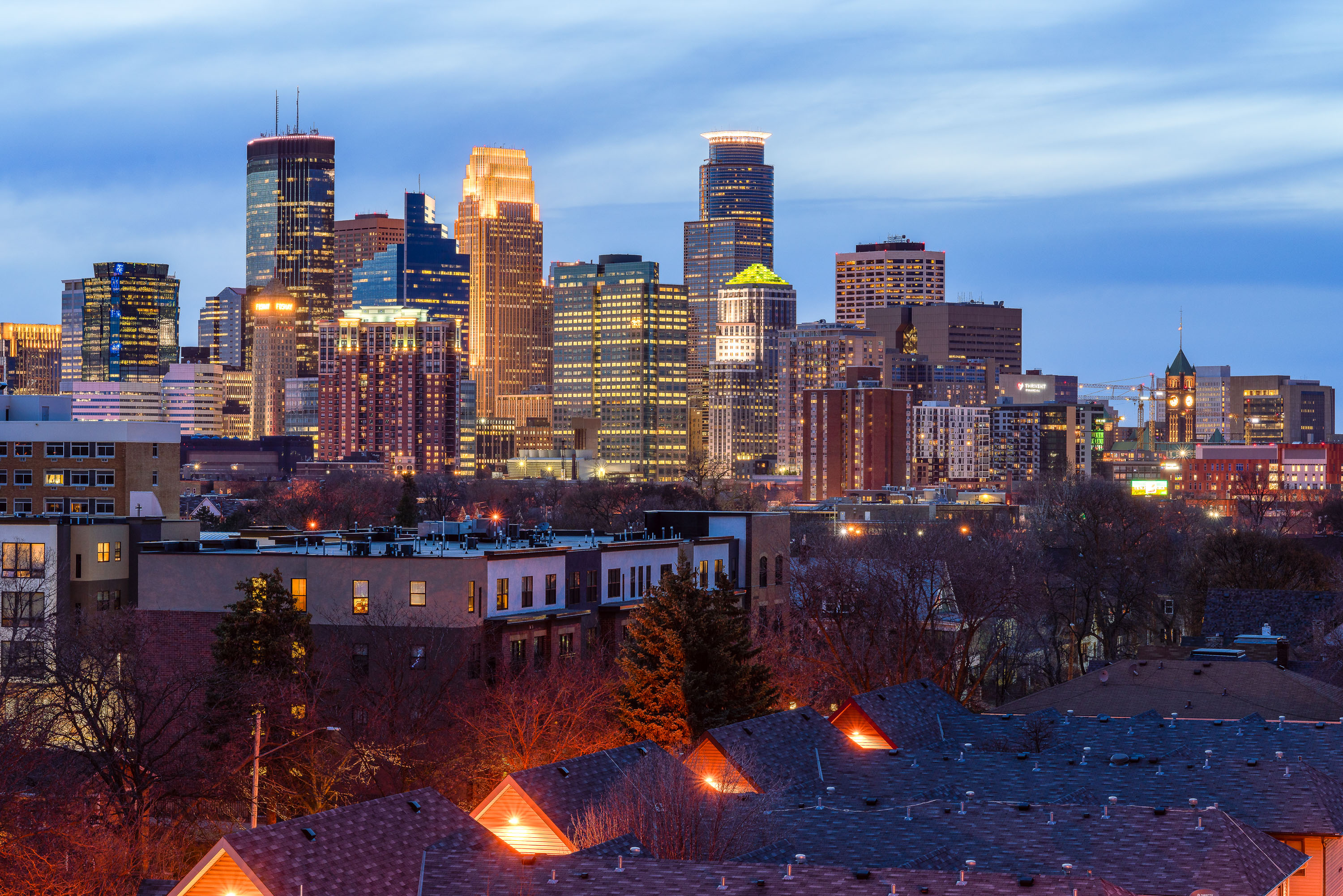
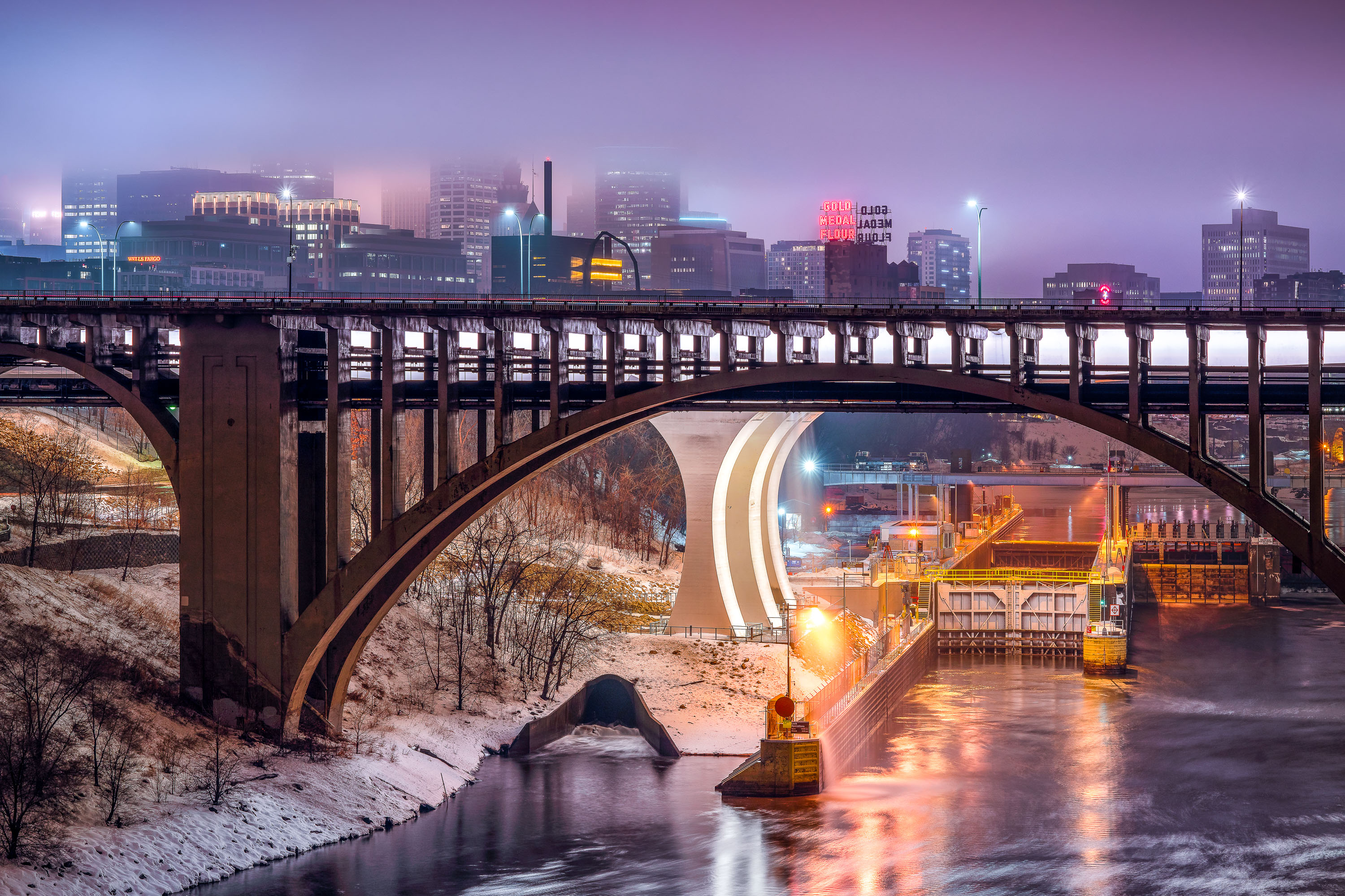 View full post: Foggy Dusk at Third Avenue Bridge and St. Anthony Falls
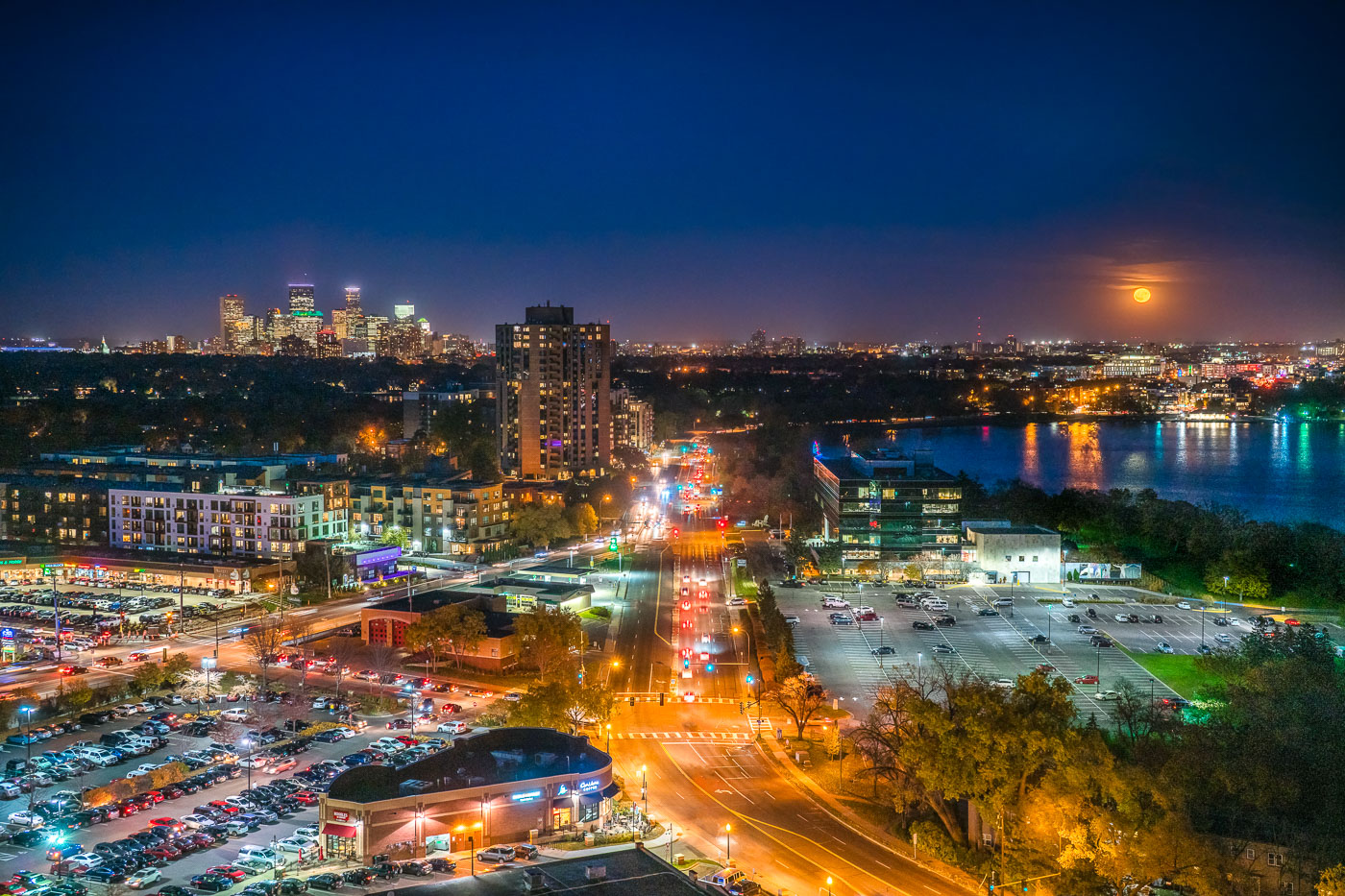 View full post: Minneapolis skyline and Bde Maka Ska under full moon
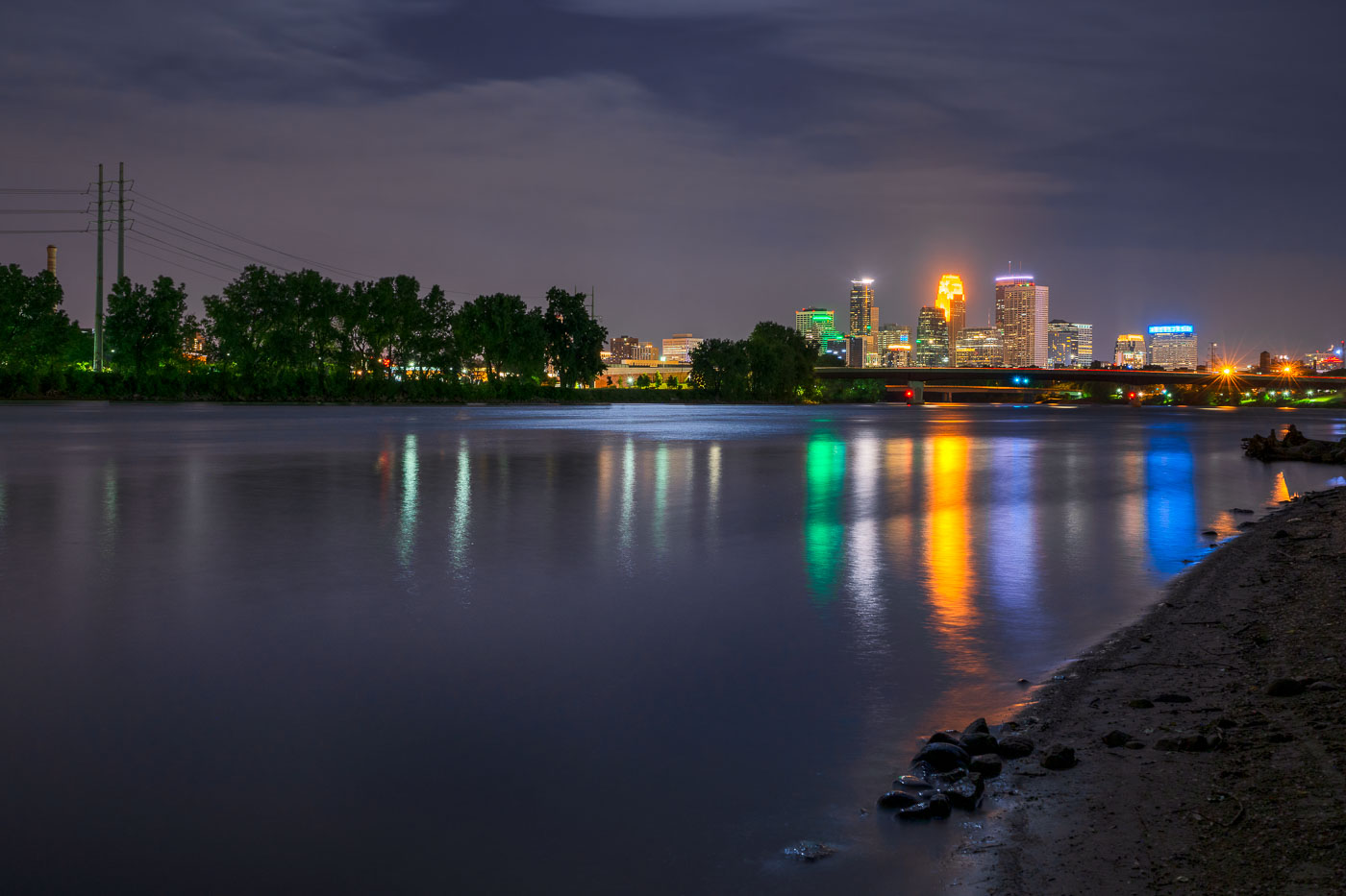 View full post: Downtown Minneapolis Skyline Across the Mississippi River at Night
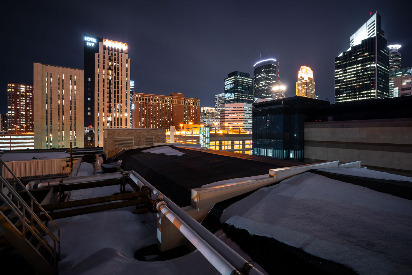 View full post: Hotel Ivy and IDS Center, Downtown Minneapolis
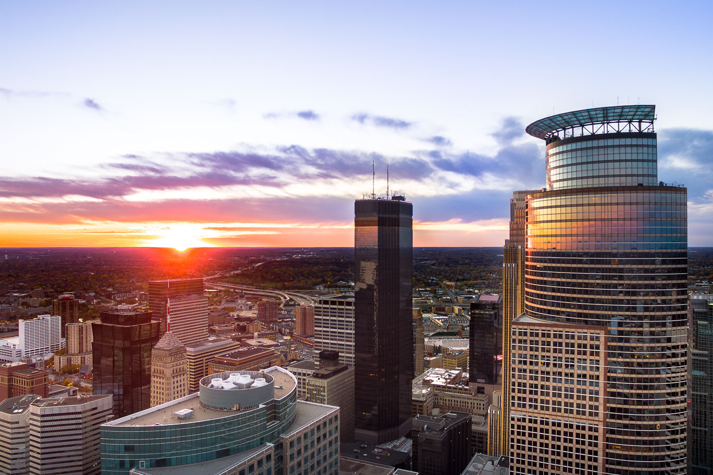 View full post: Minneapolis: Capella Tower, IDS Center, Foshay Tower at Sunset
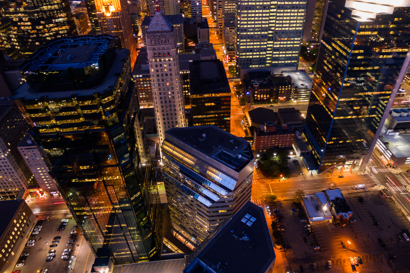 View full post: Downtown Minneapolis: Foshay and AT&T Towers at Night
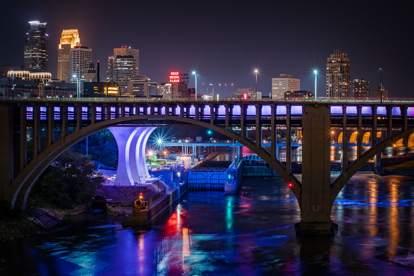 View full post: Minneapolis I-35W Bridge and Downtown Skyline at Night
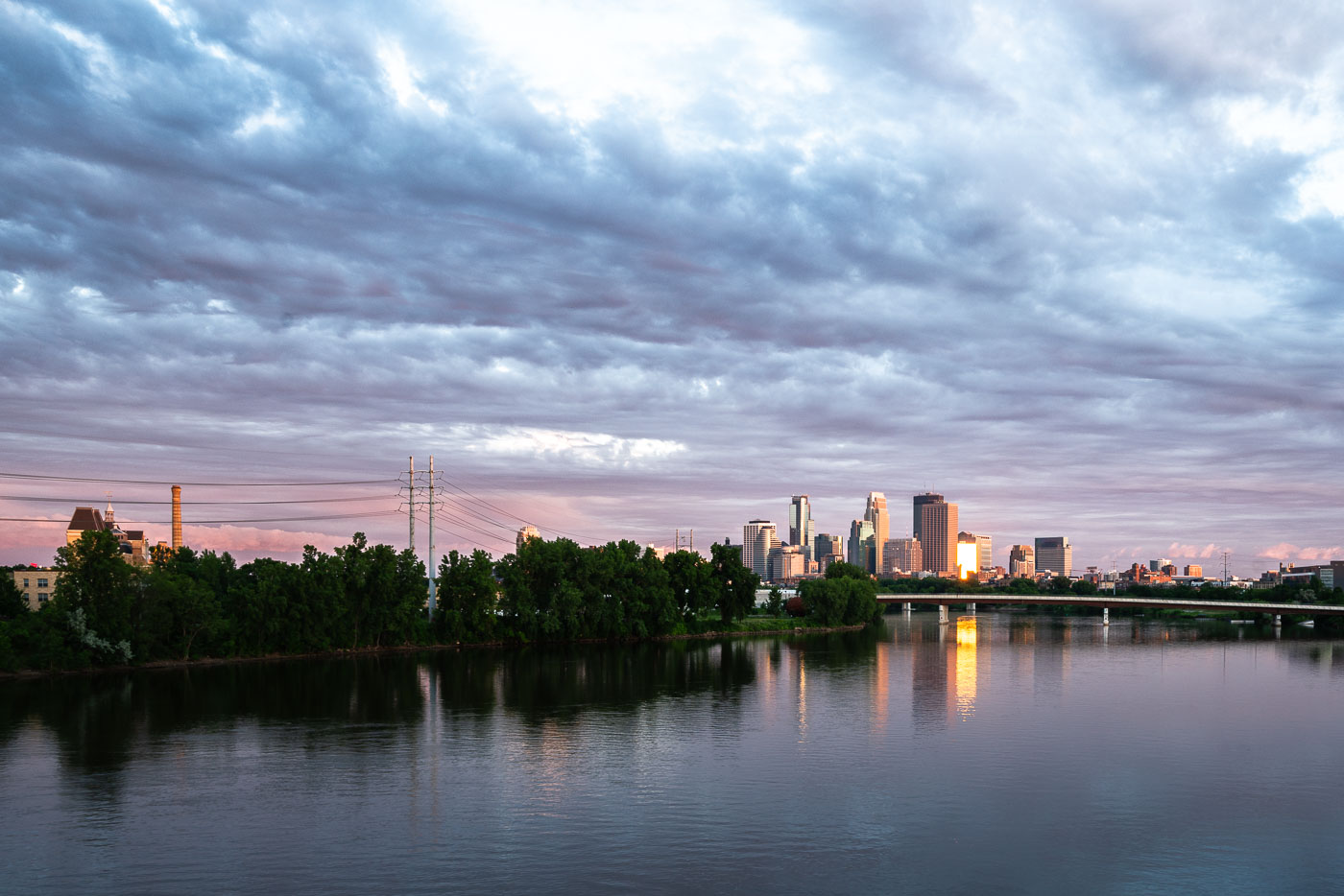 View full post: Downtown Minneapolis Skyline Along the Mississippi River
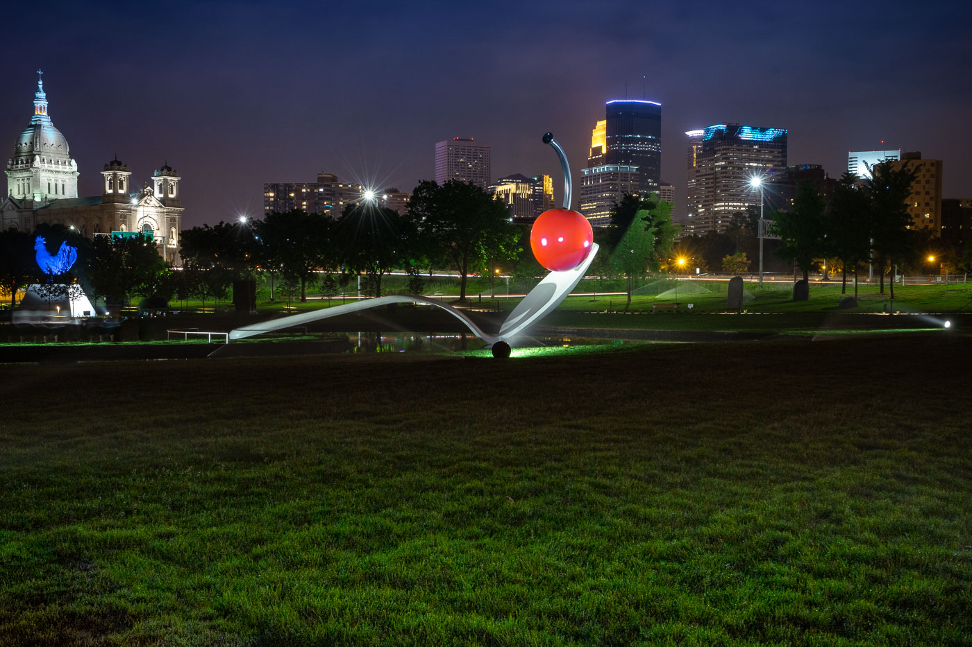 View full post: Spoonbridge and Cherry with Minneapolis Skyline
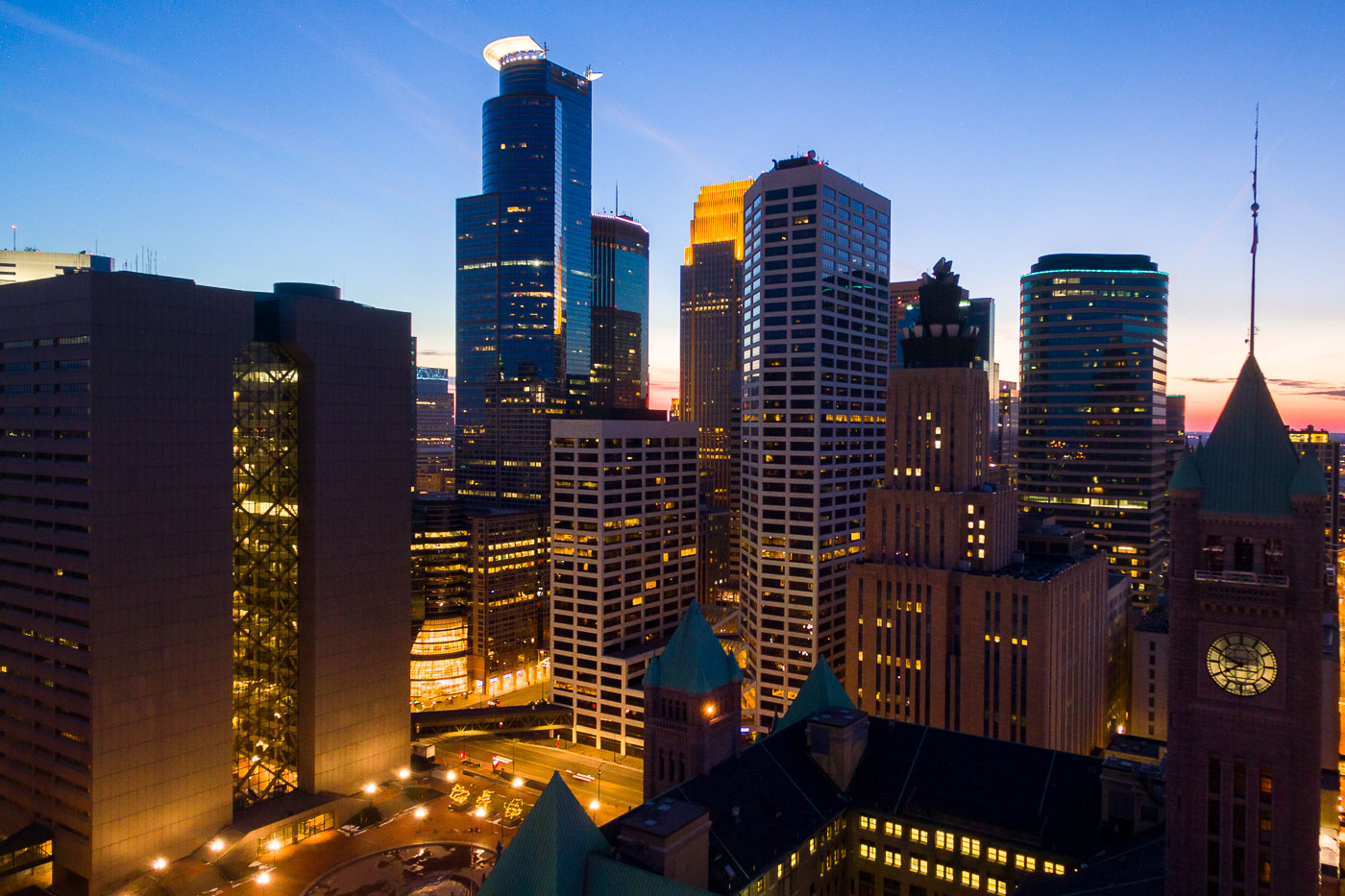 View full post: Minneapolis City Hall’s Clock Tower Beneath the Downtown Skyline
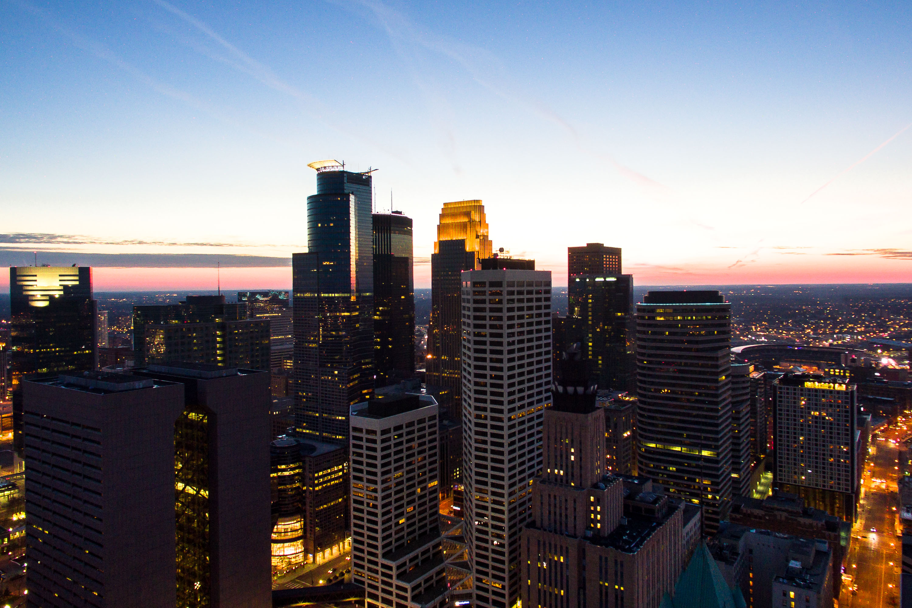 View full post: IDS Center and Capella Tower at Dusk Over Minneapolis
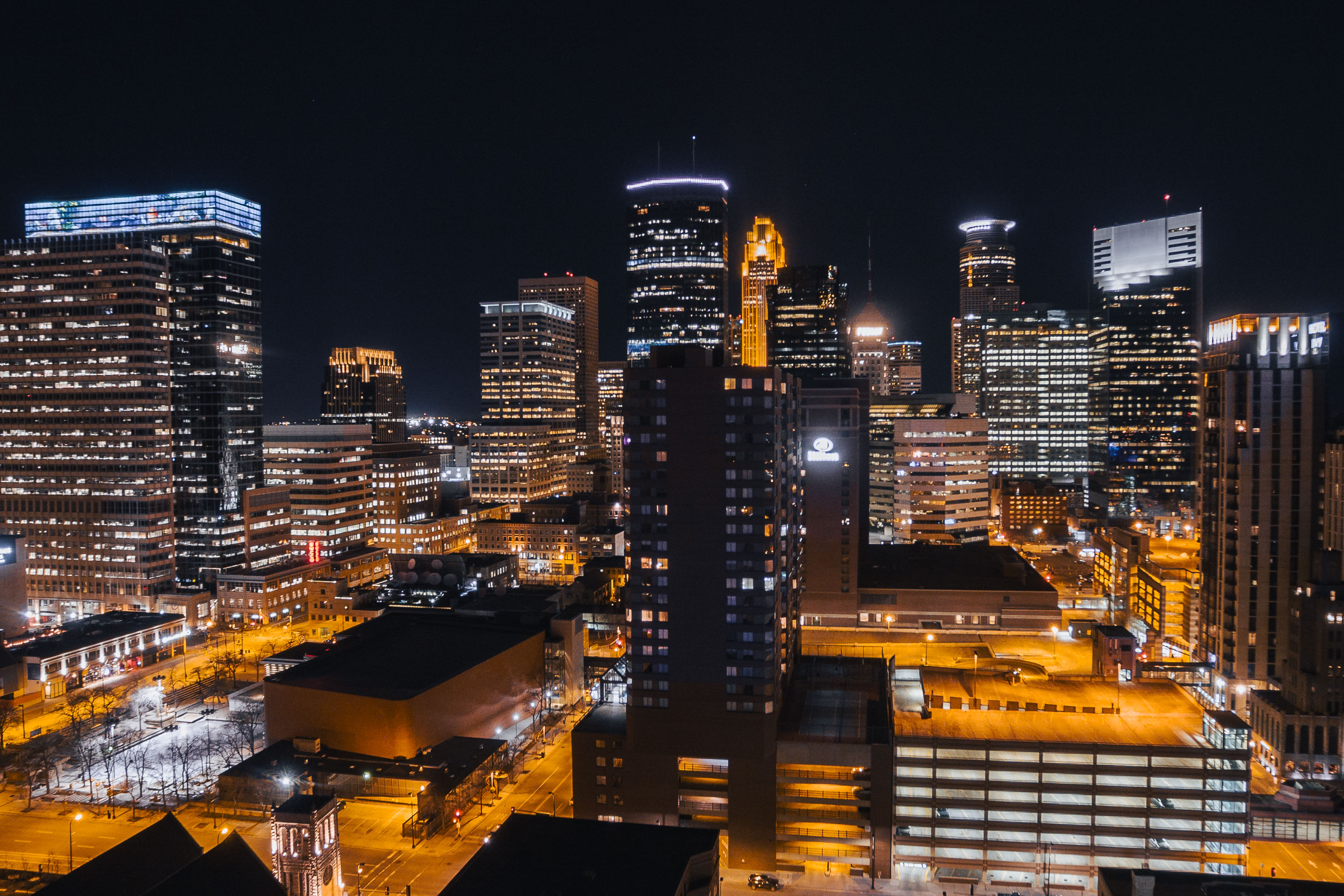 View full post: Downtown Minneapolis Towers After Dark in February 2017
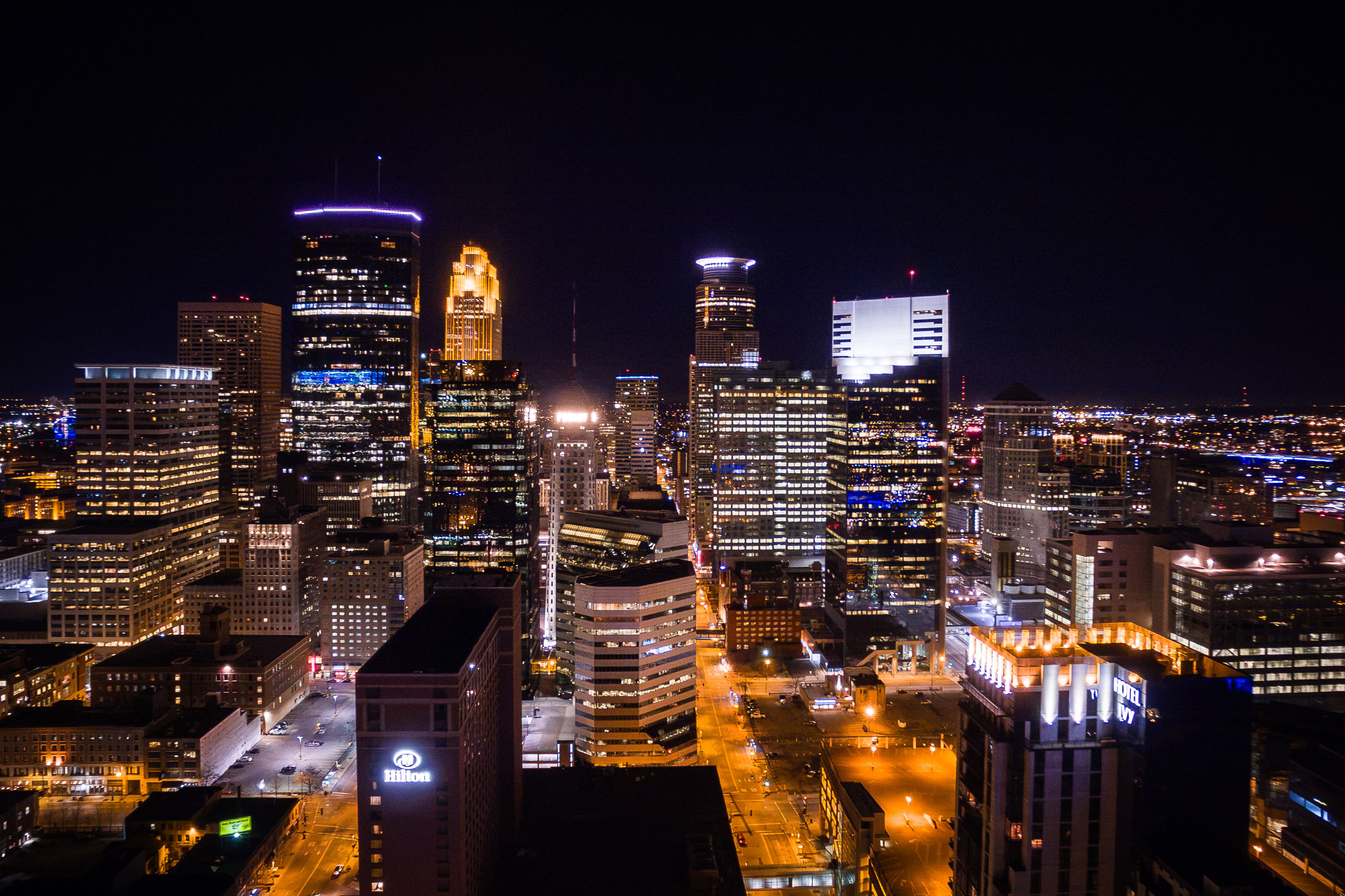 View full post: Downtown Minneapolis Skyline Above the Hilton and Hotel Ivy
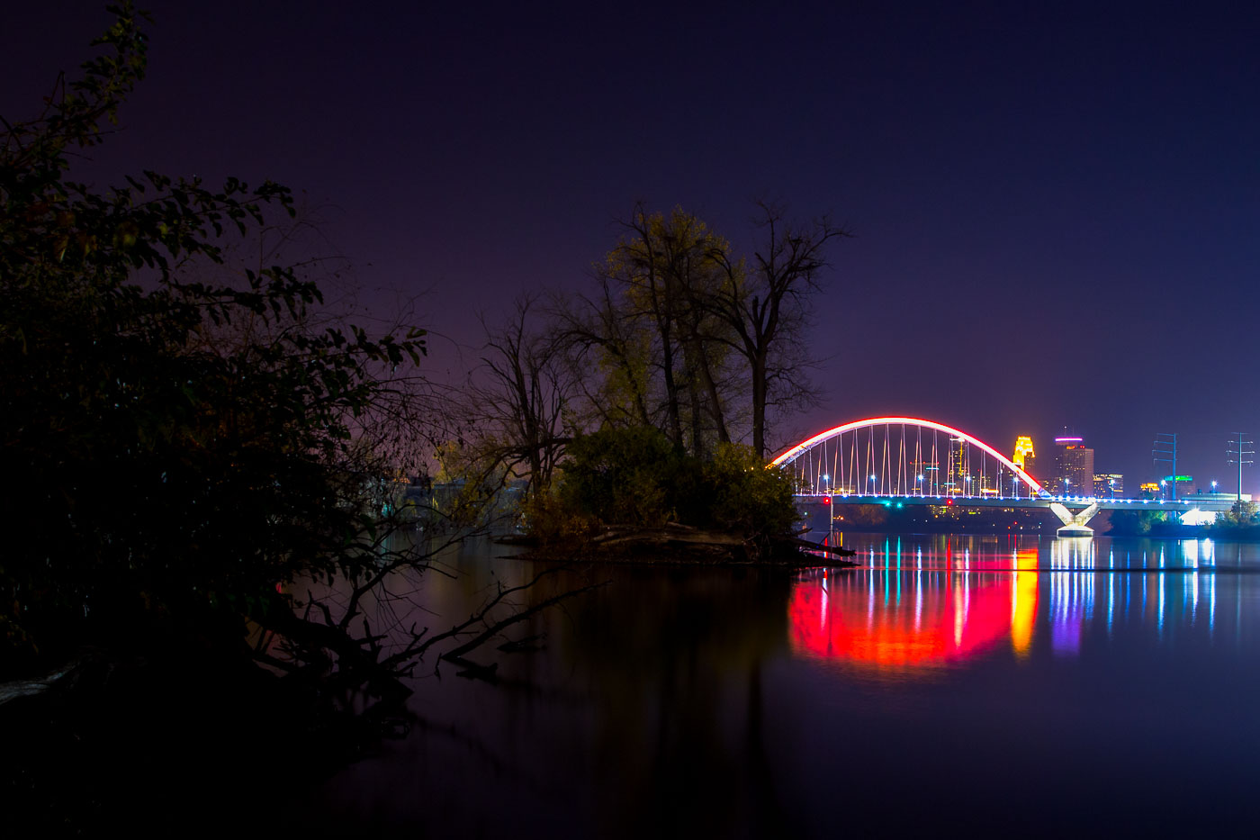 View full post: Lowry Bridge and Minneapolis Skyline at Night from Mississippi River
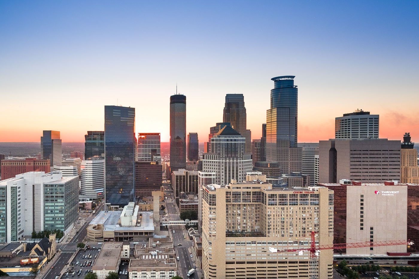 View full post: Capella Tower and the IDS Center Rise Above Downtown Minneapolis