Hiking

31 photos · 2019–2026

31 photographs tagged Hiking, 2019–2026.
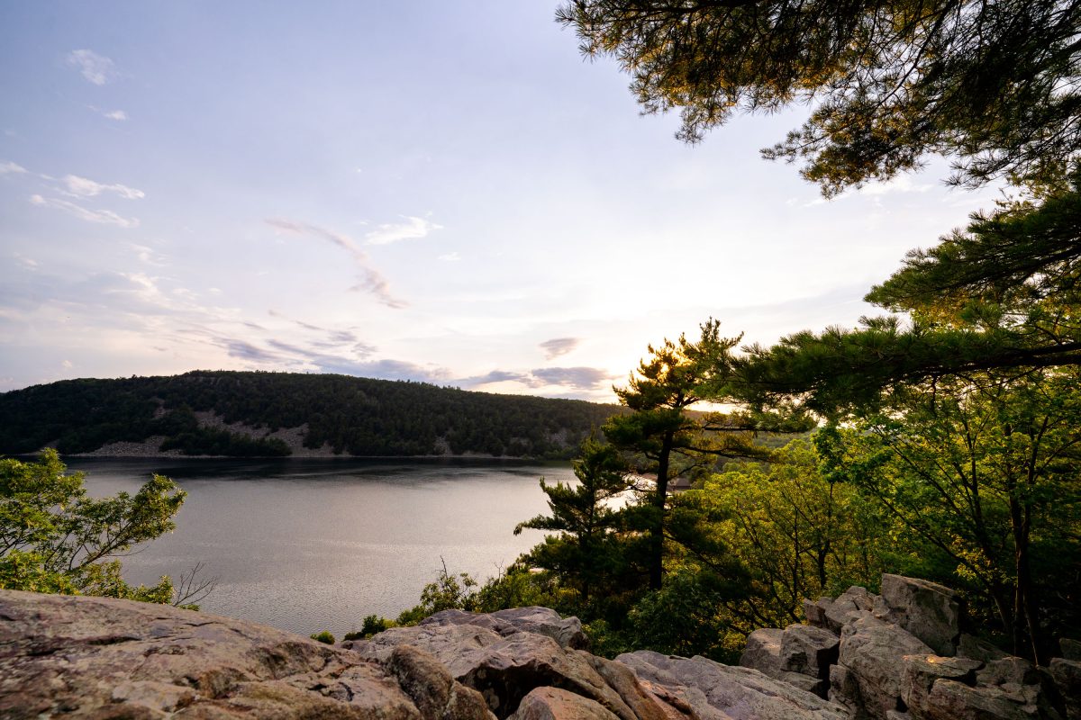
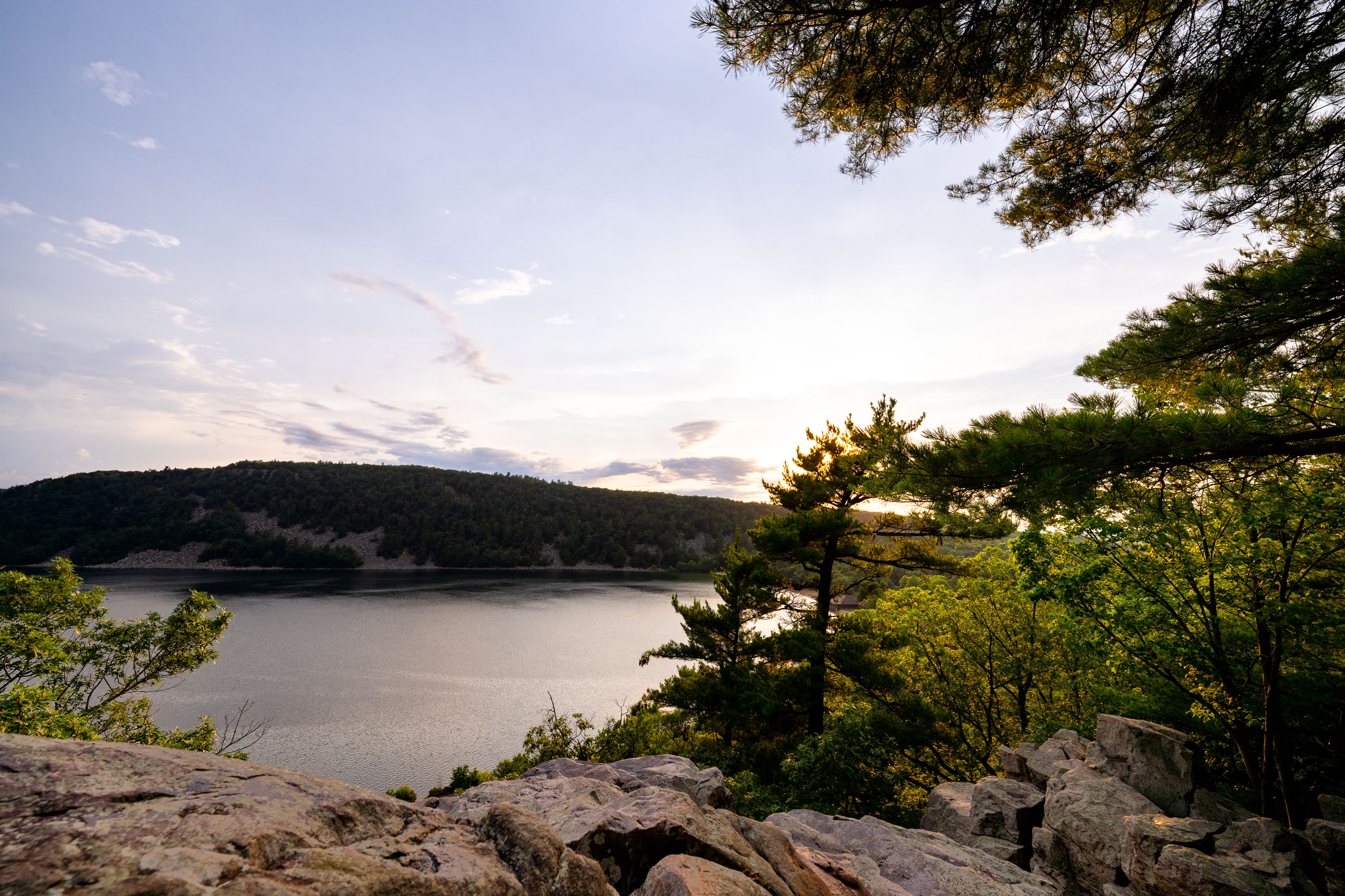
Forested shoreline and quartzite bluffs frame Devil's Lake at sunset in Wisconsin.
Devil's Lake State Park draws more visitors than any other state park in Wisconsin, with over three million arriving each year. The 360-acre lake at its center formed roughly 15,000 years ago when glacial debris blocked both ends of an ancient river gorge, leaving quartzite bluffs rising several hundred feet on either side. Those bluffs rank among the oldest exposed rock formations in North America, dating back nearly 1.6 billion years. The park sits within Wisconsin's Driftless Area, a region bypassed by glaciers during the last ice age, which left its river valleys and rock outcrops largely unaltered. Trails along the East Bluff and West Bluff give hikers elevated views of the lake below.

Sunset From the East Bluff Trail at Devil’s Lake State Park
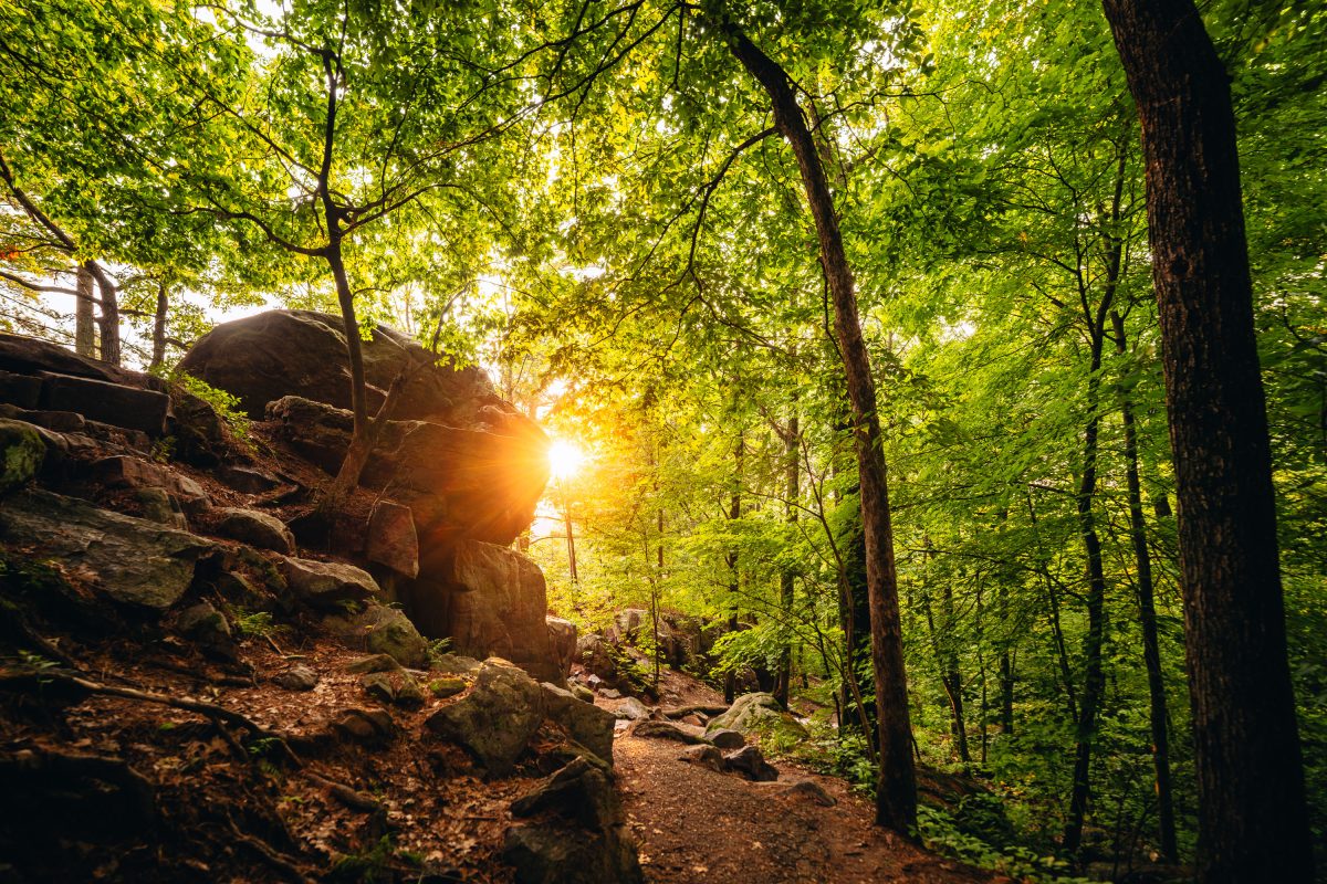
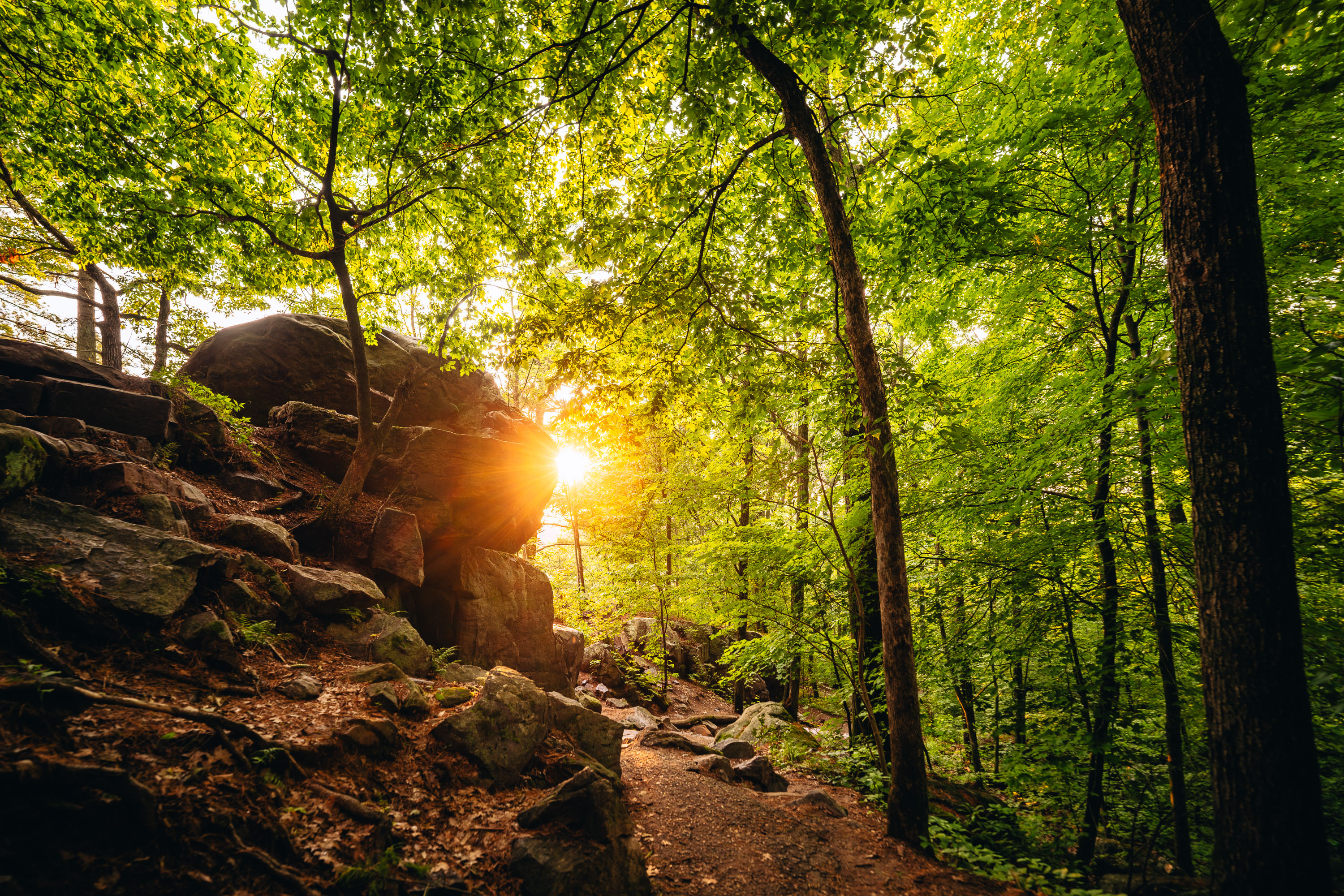
Sunlight filters through dense forest canopy above a rocky hiking trail at Devil's Lake State Park in Wisconsin.
Devil's Lake State Park sits within Wisconsin's Baraboo Range, among the oldest exposed rock formations in North America, with quartzite dating back some 1.6 billion years. The East Bluff Trail climbs along a talus slope of massive quartzite boulders left behind as ancient cliff faces broke apart over time. At more than 9,000 acres, Devil's Lake is the largest property in the Wisconsin State Park System and consistently draws more visitors than any other park in the state. The lake itself formed when glacial debris dammed an ancient river channel, sealing off the valley at both ends and creating the basin seen today.

Sunset Through the Trees on the East Bluff Trail at Devil’s Lake
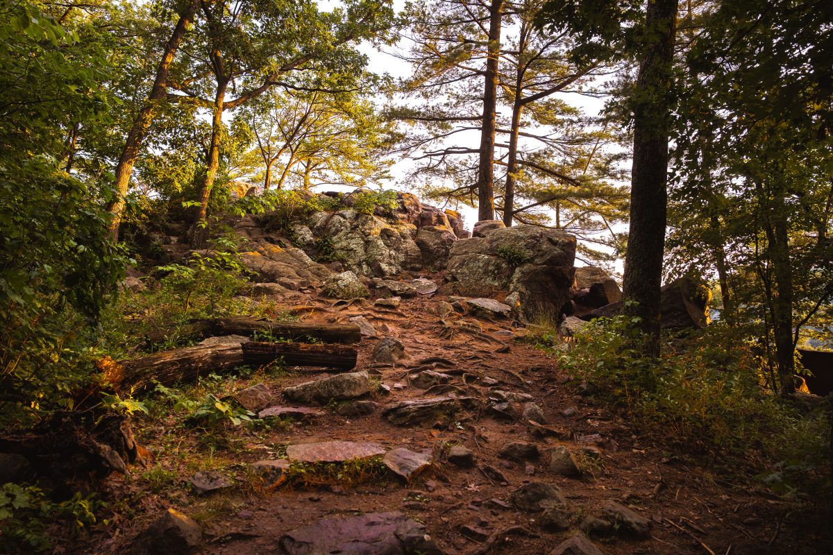
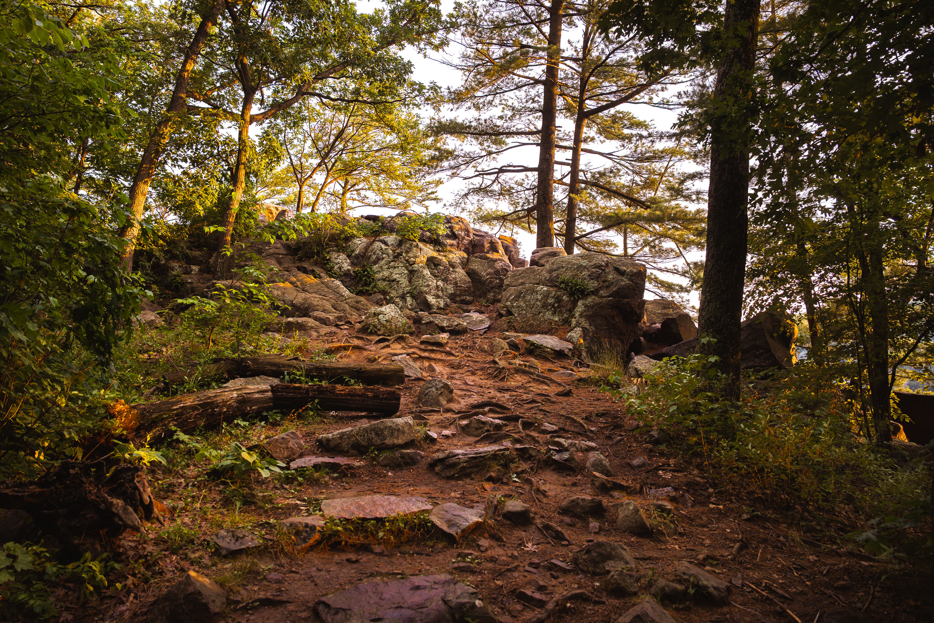
Rocky trail with boulders and trees on East Bluff at Devil's Lake State Park in Baraboo, Wisconsin.
Devil's Lake State Park sits in the Baraboo Range, a band of quartzite hills formed roughly 1.6 billion years ago among the oldest exposed rock in North America. The East Bluff trail climbs about 500 feet above the lake, crossing talus fields of quartzite boulders left behind as the surrounding cliffs eroded over millions of years. Glacial ice sheets stopped just short of this valley during the last ice age, damming the ancient Wisconsin River and creating the lake that gives the park its name. At roughly 9,200 acres, Devil's Lake draws more visitors annually than any other property in the Wisconsin state park system.

Rocky Trail to the East Bluff at Devil’s Lake State Park
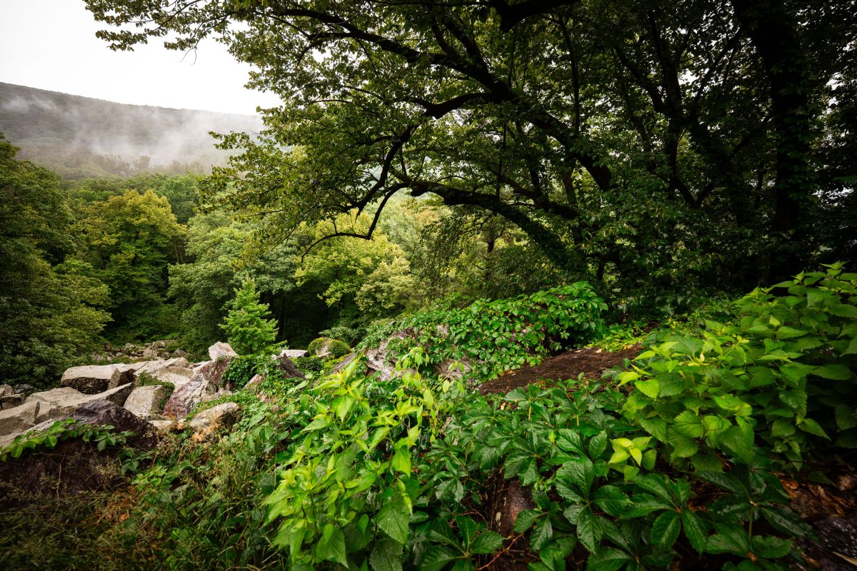
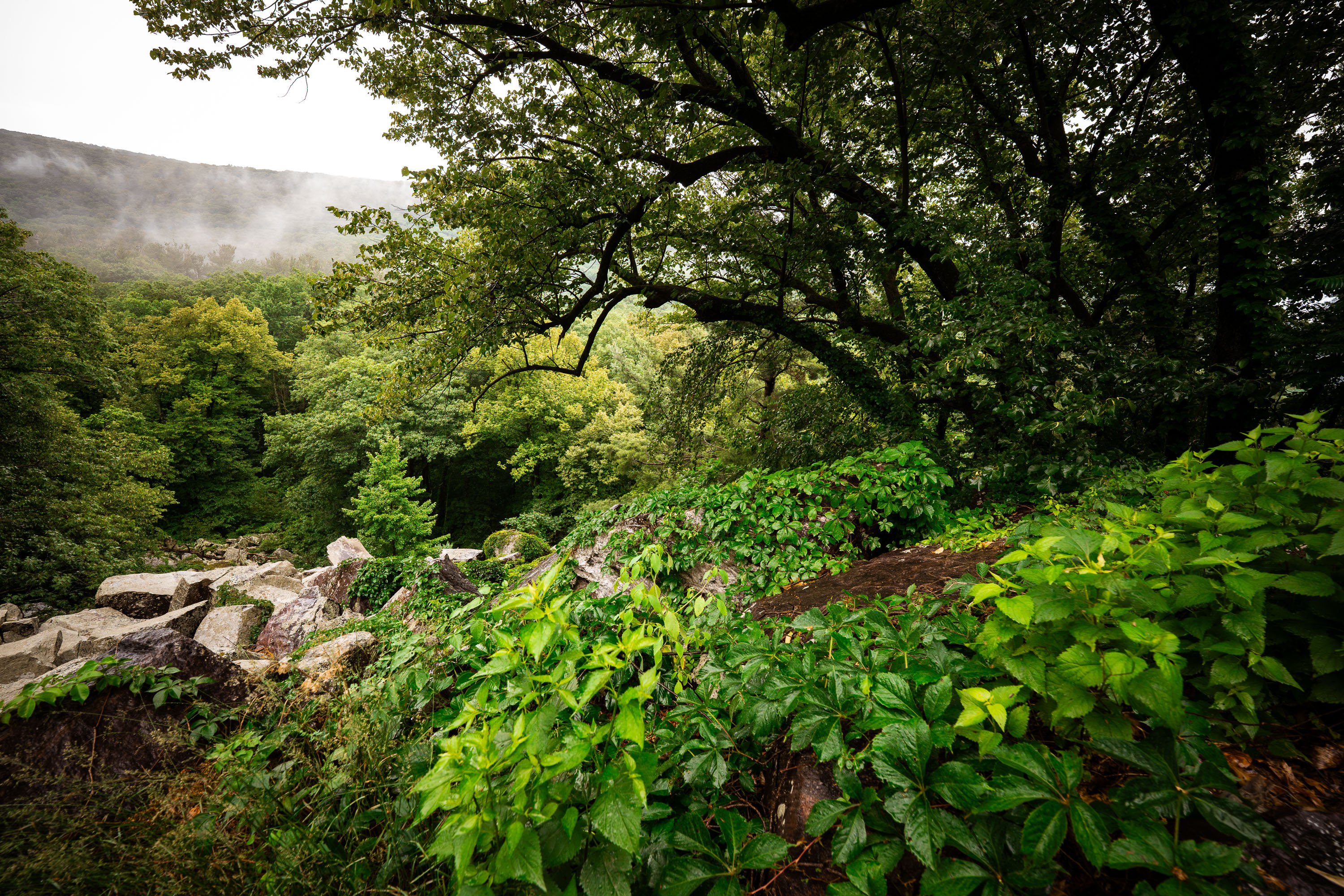
Rocky talus slope and dense forest along the East Bluff Trail at Devil's Lake State Park, Wisconsin.
Devil's Lake State Park covers roughly 9,200 acres in Baraboo, Wisconsin, and sits within the Baraboo Range, among the oldest exposed rock formations in North America. The East Bluff Trail climbs sections of quartzite talus, remnants of ancient bedrock broken apart by glacial and freeze-thaw activity over thousands of years. Dense stands of oak, maple, and basswood cover much of the bluff, part of the park's mixed hardwood forest. The park is Wisconsin's most visited state park, drawing more than three million visitors annually.

Misty Morning Over the Baraboo Range at Devil’s Lake State Park
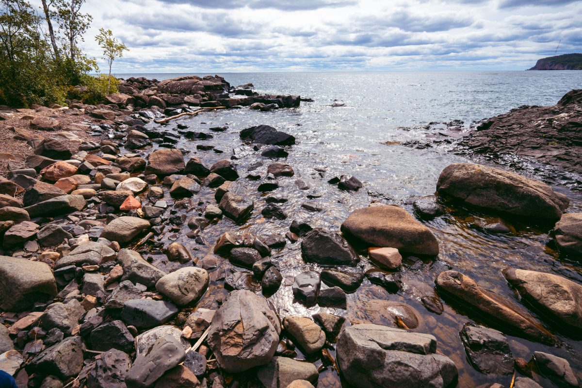
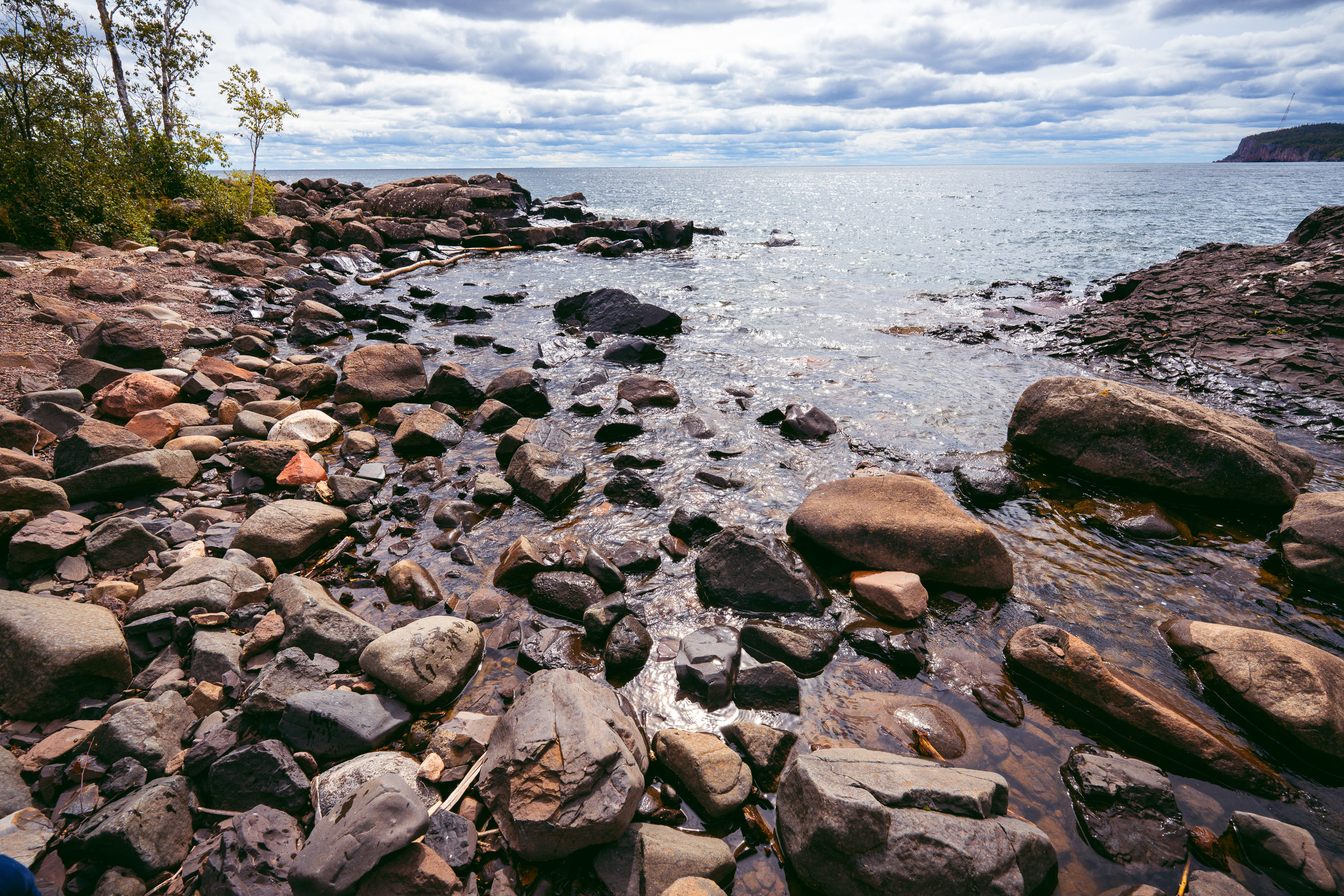
Rocky shoreline with ancient volcanic rocks at Tettegouche State Park on Lake Superior's North Shore.
Tettegouche State Park runs along nearly six miles of Lake Superior's North Shore in Minnesota, covering more than 9,000 acres of boreal forest, inland lakes, and volcanic rock cliffs. The rocky shoreline is made up of rhyolite and basalt formations dating back over a billion years to the Midcontinent Rift, when lava flows shaped much of the region's bedrock. Lake Superior holds roughly 3 quadrillion gallons of water, making it the largest freshwater lake in the world by surface area. The park was established in 1979 on land once used for logging operations and a private fishing retreat.

Boulders Along the Shoreline at Tettegouche State Park
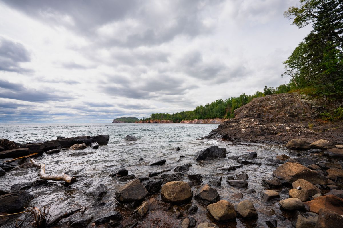
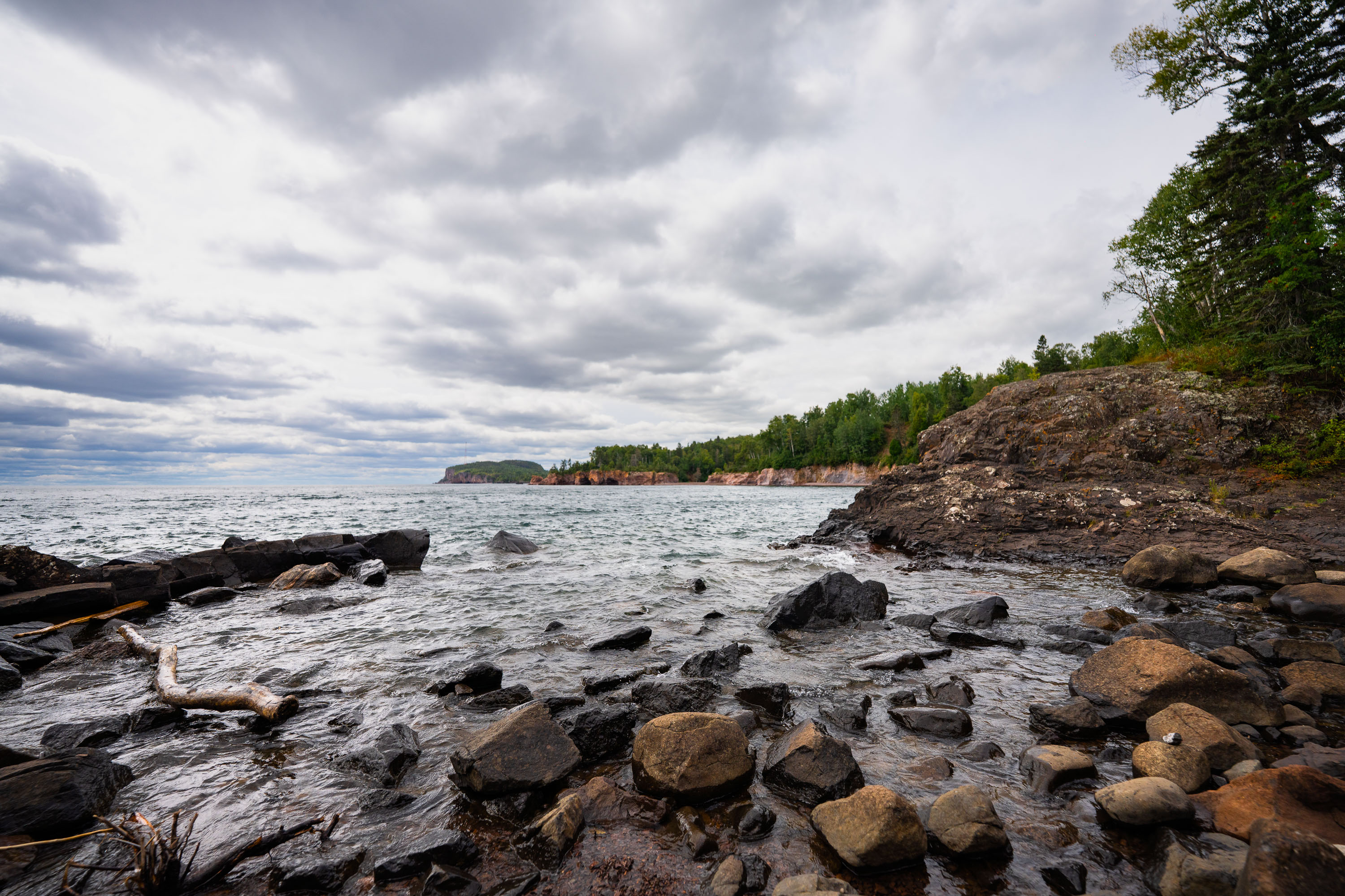
Rocky shoreline with ancient volcanic rocks at Tettegouche State Park on Lake Superior's North Shore, Minnesota.
Tettegouche State Park runs along nearly six miles of Lake Superior's North Shore in Minnesota. The dark rock along this stretch formed from volcanic activity roughly 1.1 billion years ago, part of the Midcontinent Rift that shaped much of the region's bedrock. Established in 1979, the park covers more than 9,000 acres and includes the Baptism River, which empties into Lake Superior nearby. It's also home to High Falls, the tallest waterfall located entirely within Minnesota's borders.

Volcanic Cliffs Along Tettegouche State Park’s Lake Superior Shore
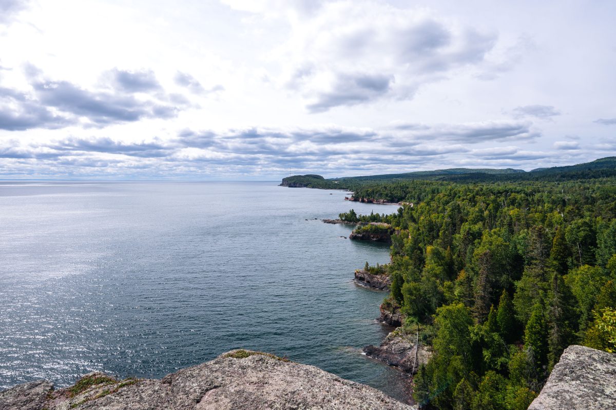
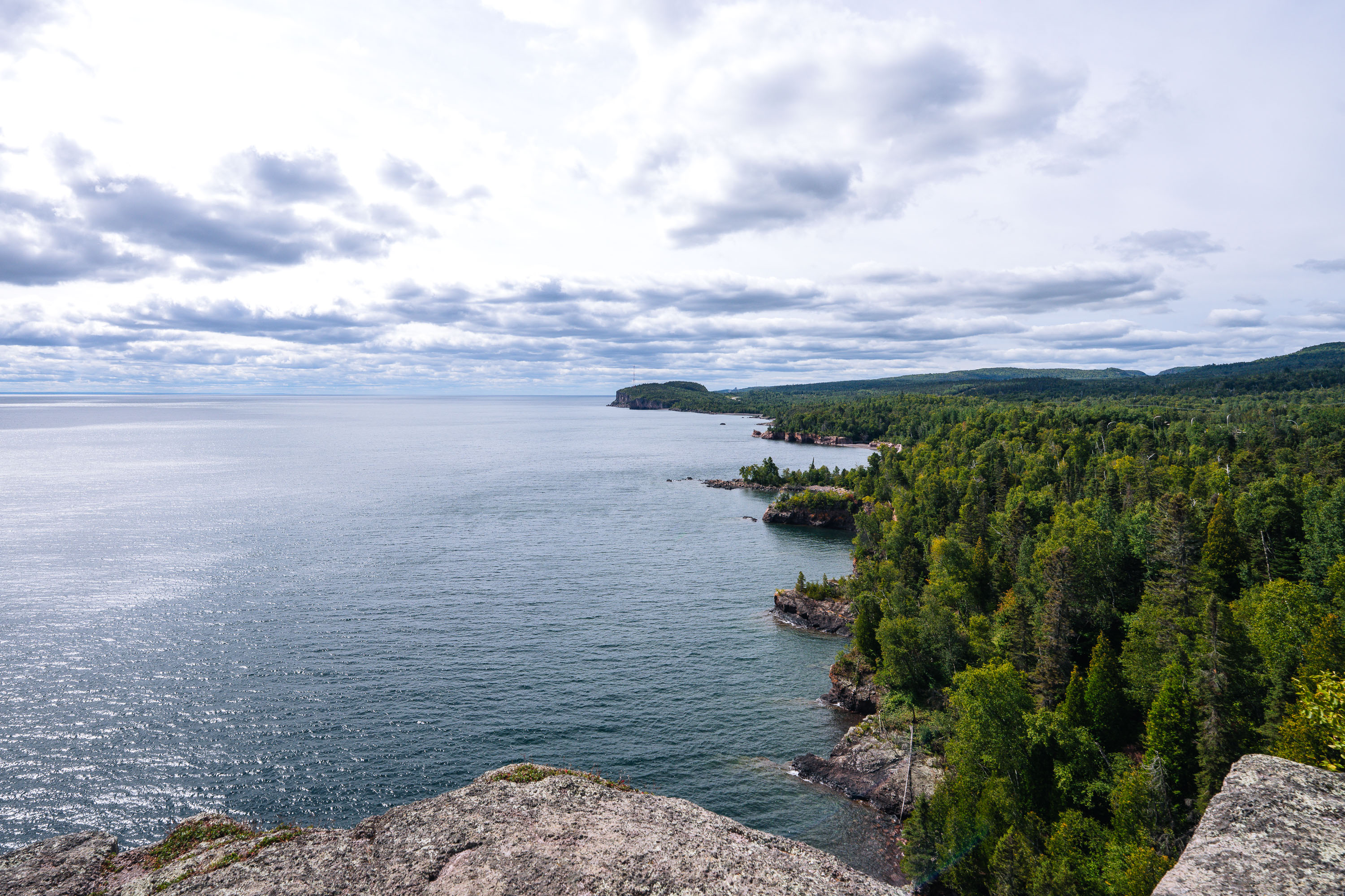
Rocky shoreline with boreal forest meets Lake Superior at Shovel Point in Tettegouche State Park, Minnesota.
Tettegouche State Park runs along more than six miles of Lake Superior shoreline near the mouth of the Baptism River in Minnesota's North Shore region. Its cliffs, formed from ancient volcanic rock, rank among the highest points on the state's Lake Superior coast. Established in 1979, the park covers roughly 9,600 acres of boreal forest, inland lakes, and shoreline. Shovel Point, a rhyolite headland reached by a mile-long trail, is one of the park's best-known overlooks, along with nearby Palisade Head.

Shovel Point Overlook at Tettegouche State Park
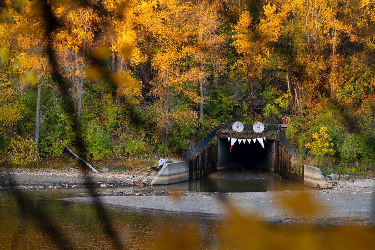
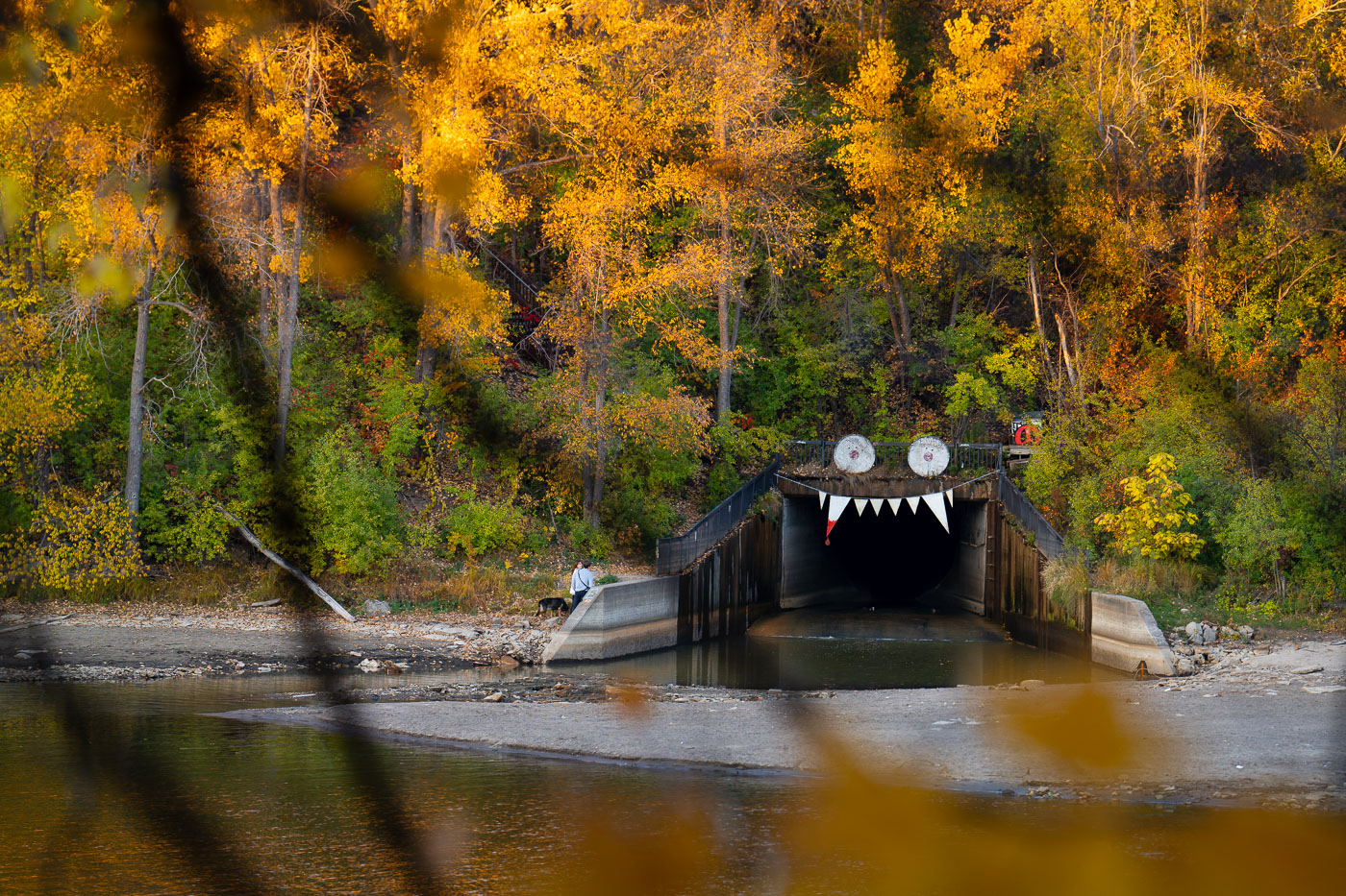
Storm drain outfall decorated with googly eyes and teeth along the Winchell Trail in Minneapolis during autumn.
Decortations on the outfall of a storm drain in South Minneapolis. Seen in October 2023.

Storm Drain Tunnel Art Along the Winchell Trail
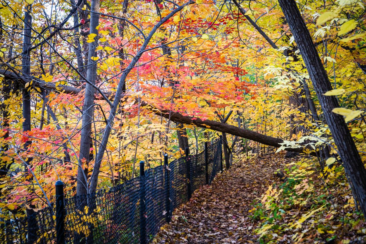
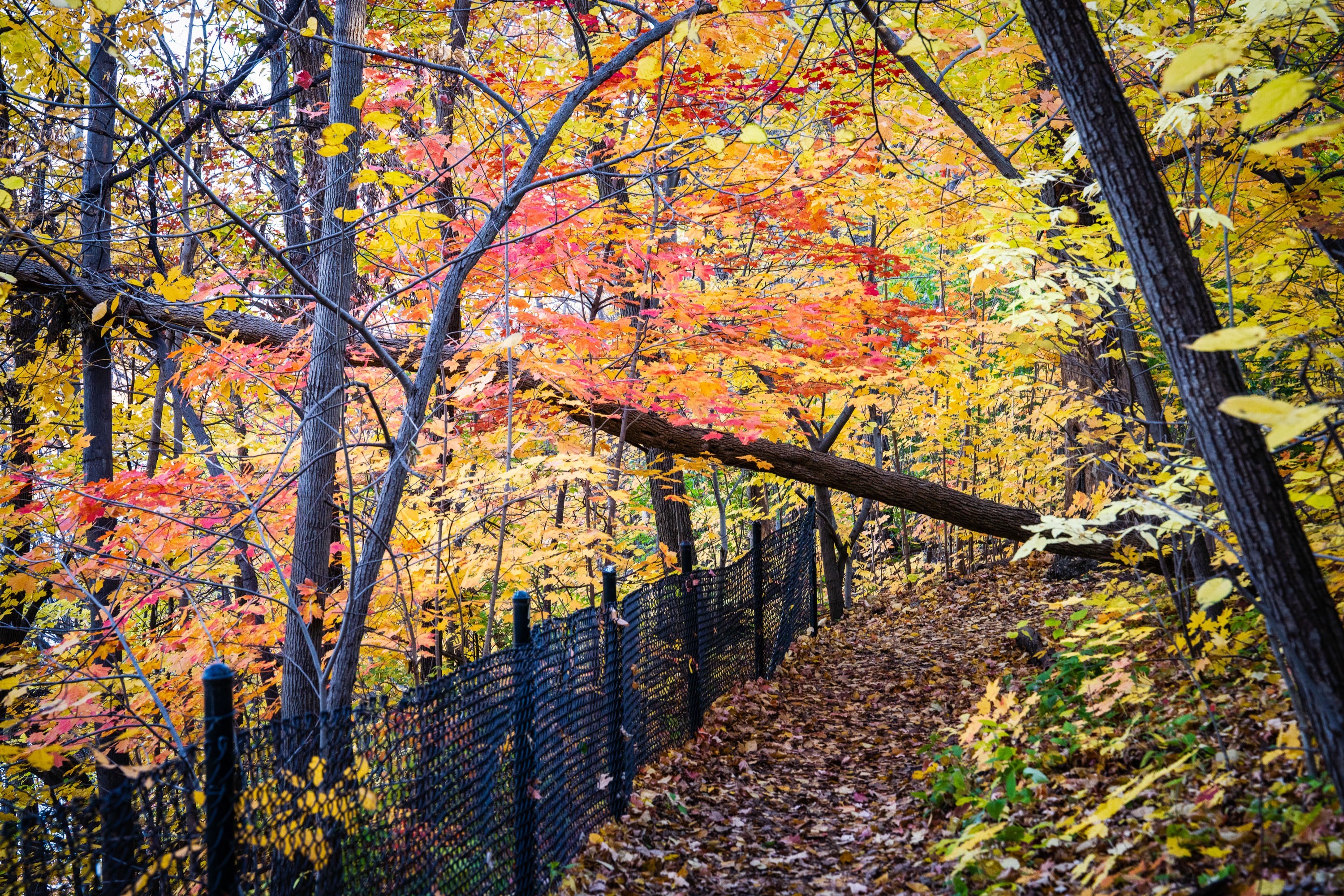
Autumn foliage in red and gold colors lines a fenced hiking trail through a wooded area.
Winchell Trail follows the bluffs above the Mississippi River Gorge in Minneapolis, connecting sections of the parkway system managed by the Minneapolis Park and Recreation Board. The trail is named for Newton Horace Winchell, Minnesota's first state geologist, who studied the gorge's rock formations in the late 19th century.

Fall Colors on Winchell Trail, Minneapolis
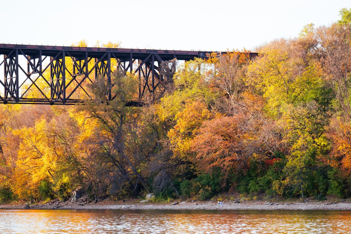
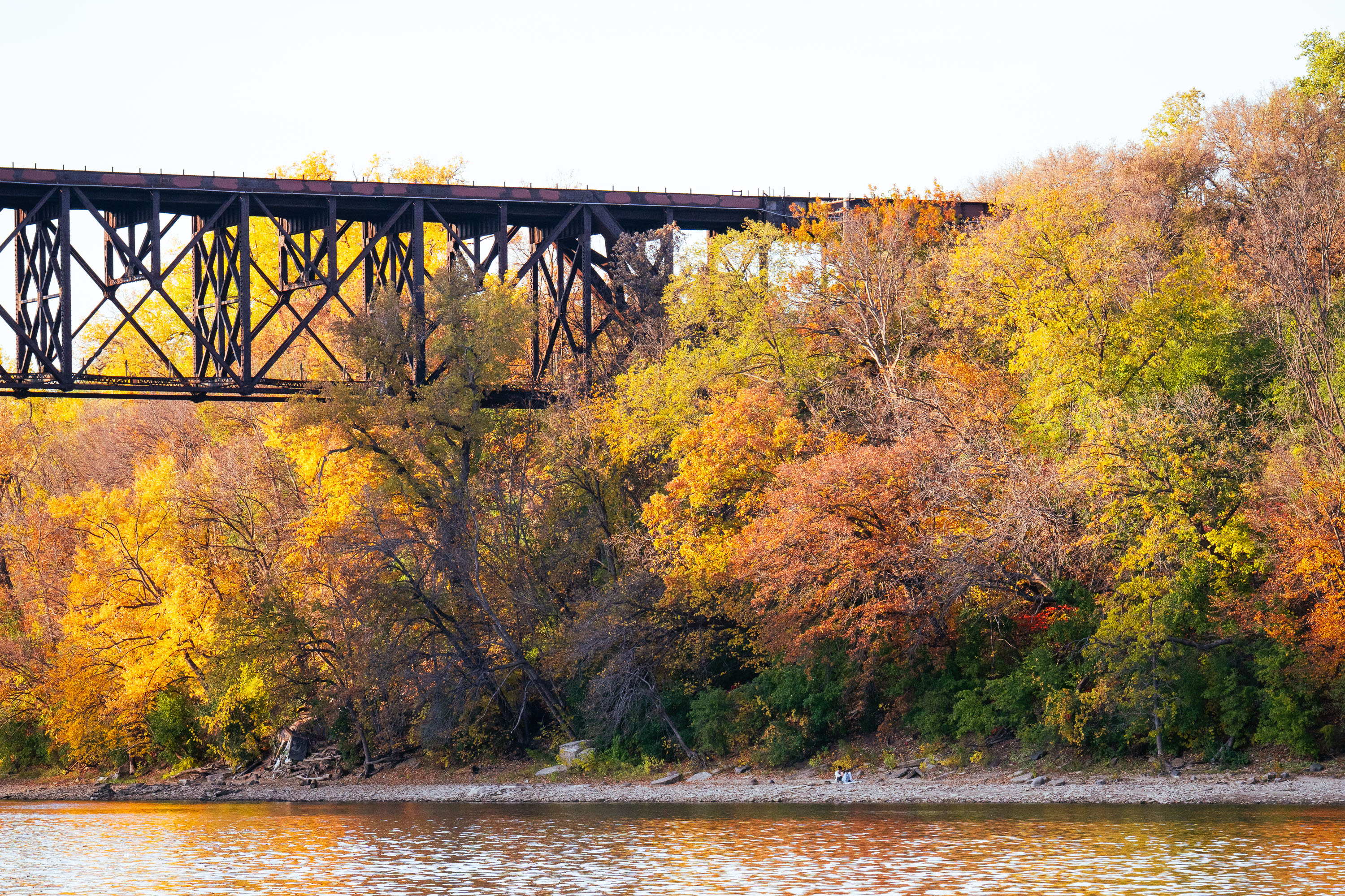
Railroad trestle spans above autumn foliage and the Mississippi River along Winchell Trail in Minneapolis.
The Winchell Trail follows the Mississippi River Gorge in Minneapolis, tracing the bluffs between Franklin Avenue and Minnehaha Park. It's named for Newton Horace Winchell, Minnesota's first state geologist, who studied the gorge's rock formations in the late 1800s. The Minneapolis Park and Recreation Board built the path in the early 1900s as part of the city's Grand Rounds park system, and it remains one of the few stretches of unpaved, natural trail within that network.

Railroad Trestle Bridge, Winchell Trail, Minneapolis
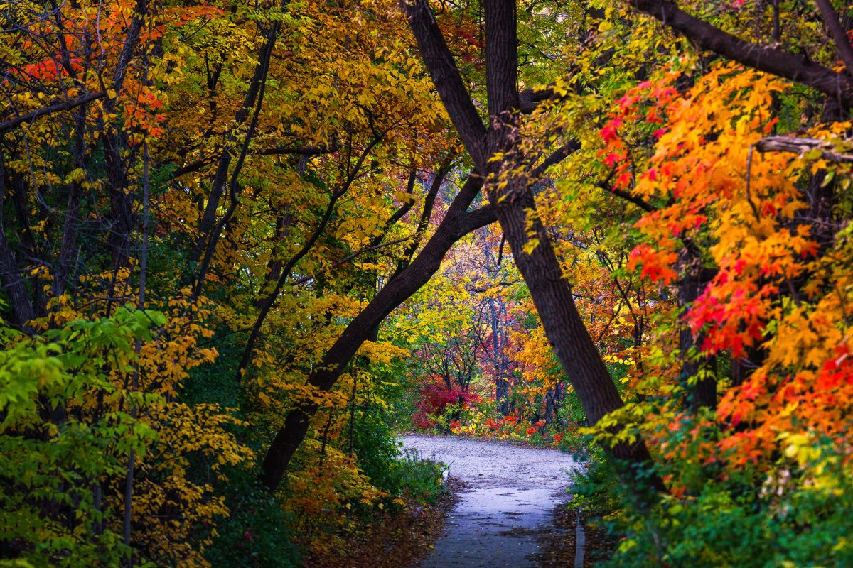
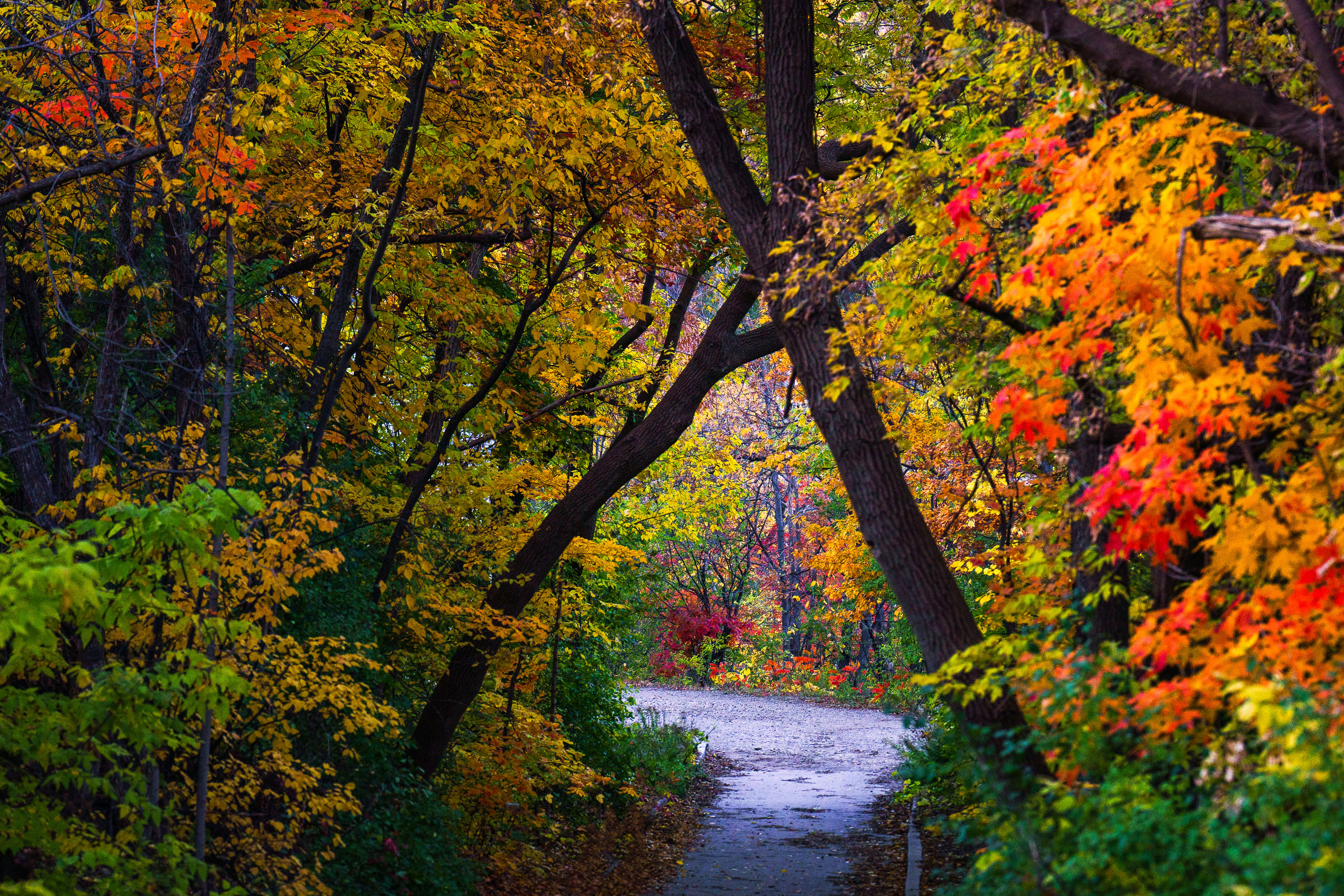
Autumn foliage frames a section of the Winchell Trail along the Mississippi River in Minneapolis.
Winchell Trail winds along the Mississippi River gorge in Minneapolis, tucked below West River Parkway between the Lake Street/Marshall Avenue Bridge and Franklin Avenue. The path is named for Newton Horace Winchell, the state geologist who studied the gorge's limestone bluffs in the late 1800s. Minneapolis Park and Recreation Board maintains the trail as part of Mississippi Gorge Regional Park, a segment of the Mississippi National River and Recreation Area established by Congress in 1988.

Autumn Foliage on Winchell Trail, Minneapolis
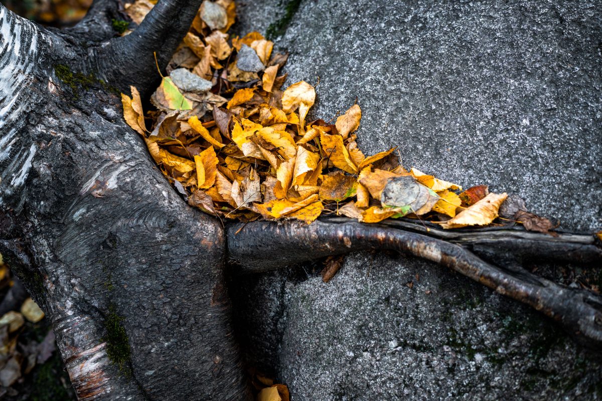
Leaves in the Superior National Forest, Northern Minnesota
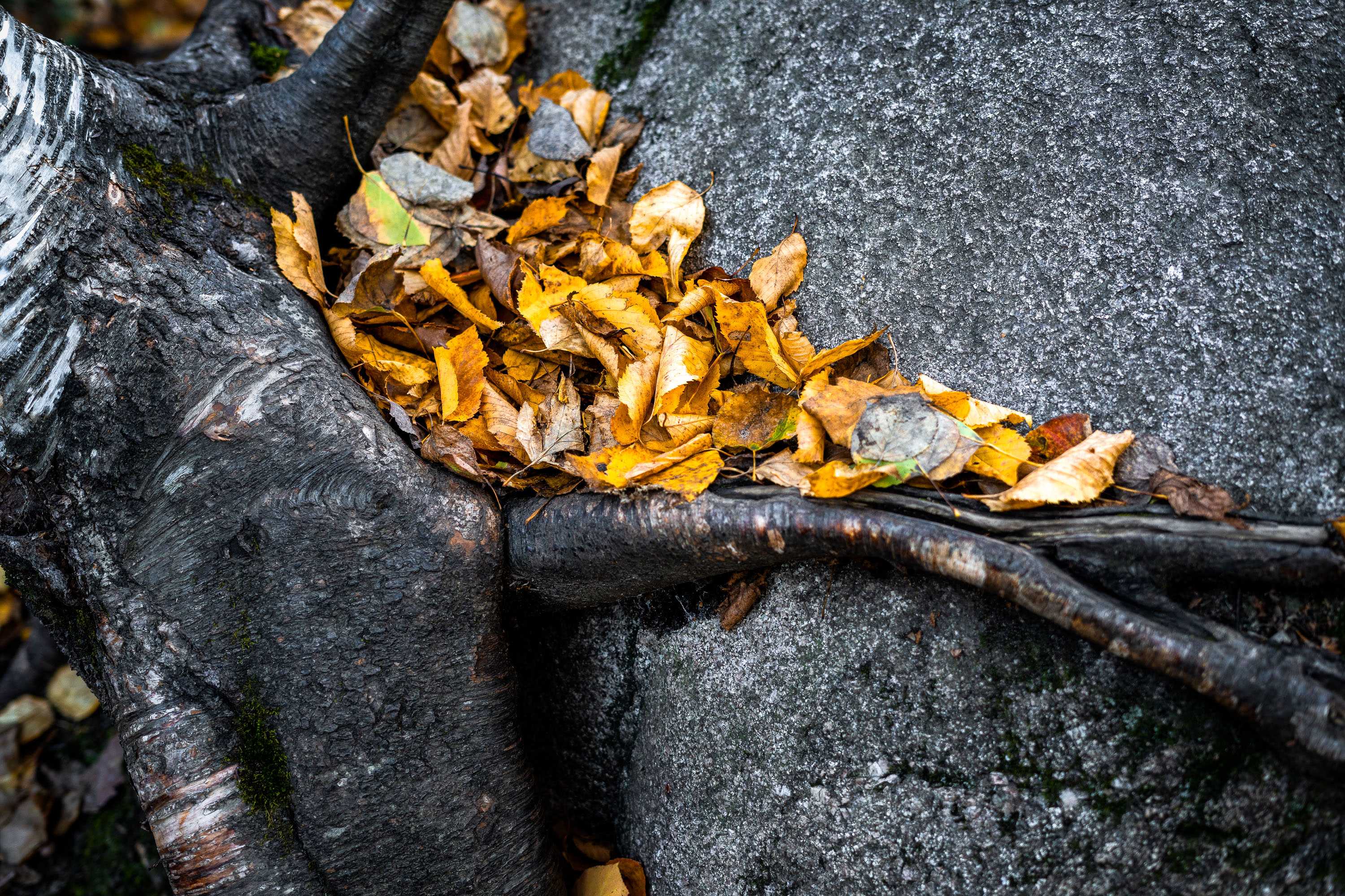
A rock with roots around it with fallen leaves near Ely, Minnesota.

Leaves in the Superior National Forest, Northern Minnesota
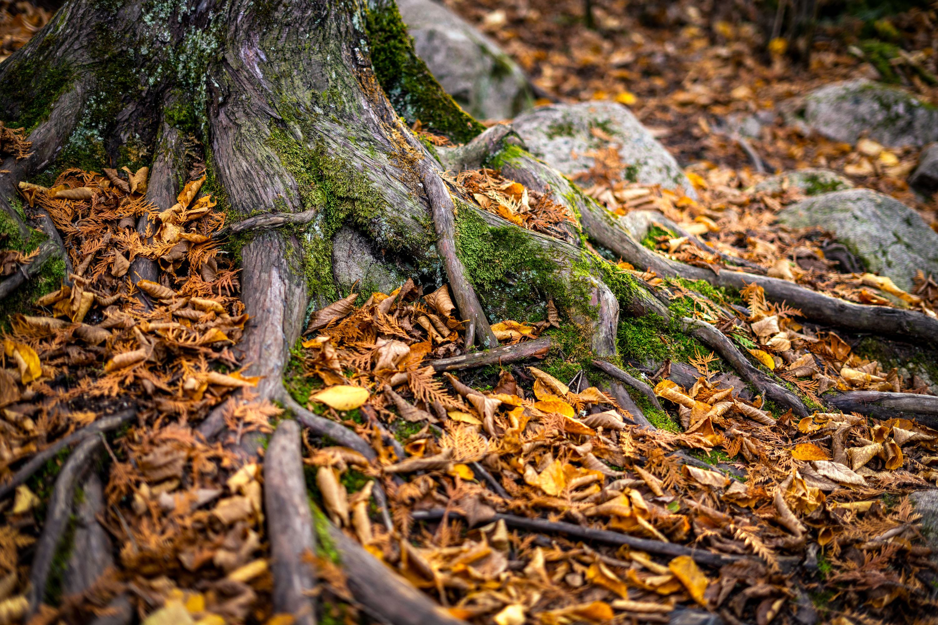
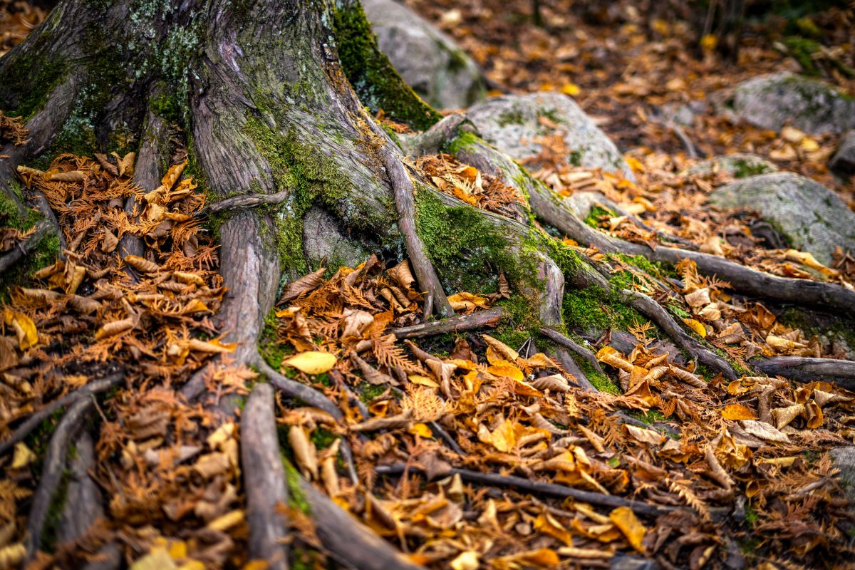
Moss-covered tree roots and rocks amid autumn leaves on a forest floor near Ely, Minnesota.
Ely sits at the edge of the Superior National Forest, a landscape shaped by thin glacial soils and granite bedrock close to the surface. Trees here often grow shallow, wide-spreading root systems rather than deep taproots, since roots can't penetrate far into the rocky ground. That shallow growth leaves roots exposed along many forest trails, especially where erosion or foot traffic has worn away the topsoil. The region's mixed hardwood and conifer forest sheds heavily each October, blanketing the ground in fallen leaves and needles.

Exposed Tree Roots and Autumn Leaves near Ely, Minnesota
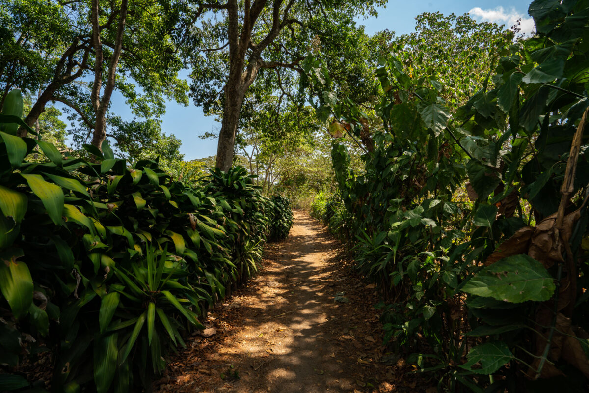
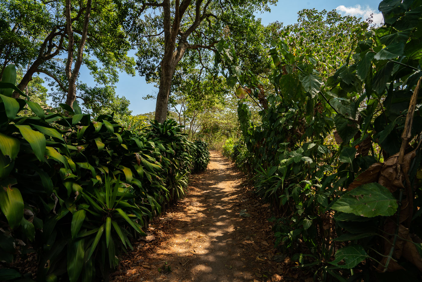
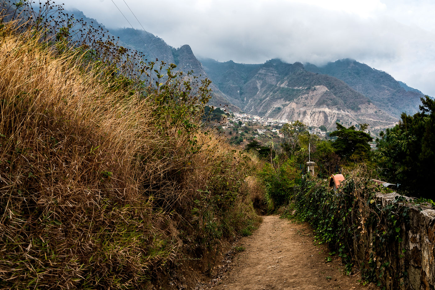
Shaded coffee plantation path winds through dense vegetation on hillside slopes above Lake Atitlán in San Juan La Laguna, Guatemala.
La Voz is a coffee-growing cooperative based in San Juan La Laguna, a Tz'utujil Maya town on the western shore of Lake Atitlán. The cooperative's members farm coffee on the volcanic slopes above the lake, and dirt paths like this one connect the growing plots to processing facilities in town. San Juan La Laguna sits at an elevation of roughly 1,600 meters, conditions well suited to shade-grown arabica coffee.

Trail Through La Voz Coffee Plots, San Juan La Laguna
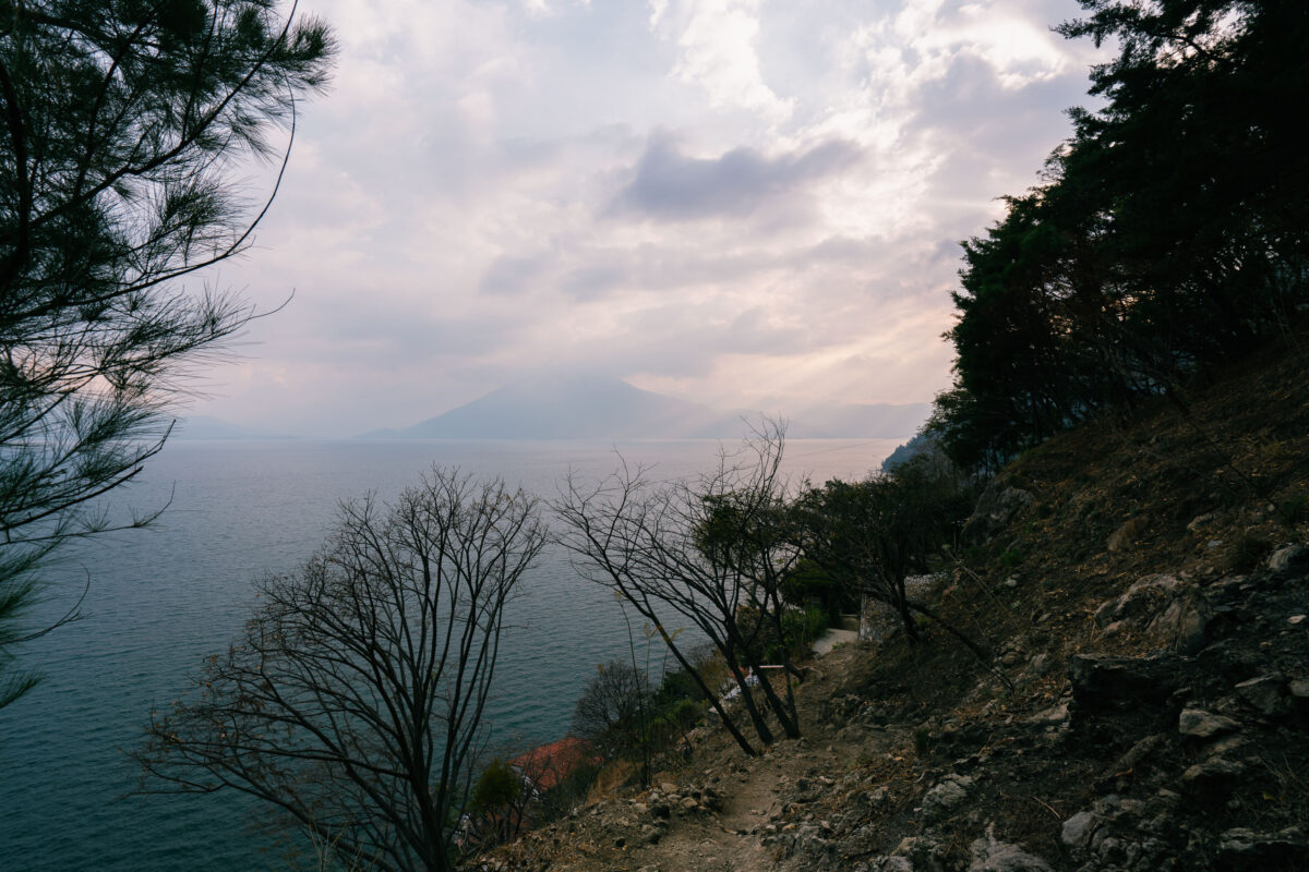
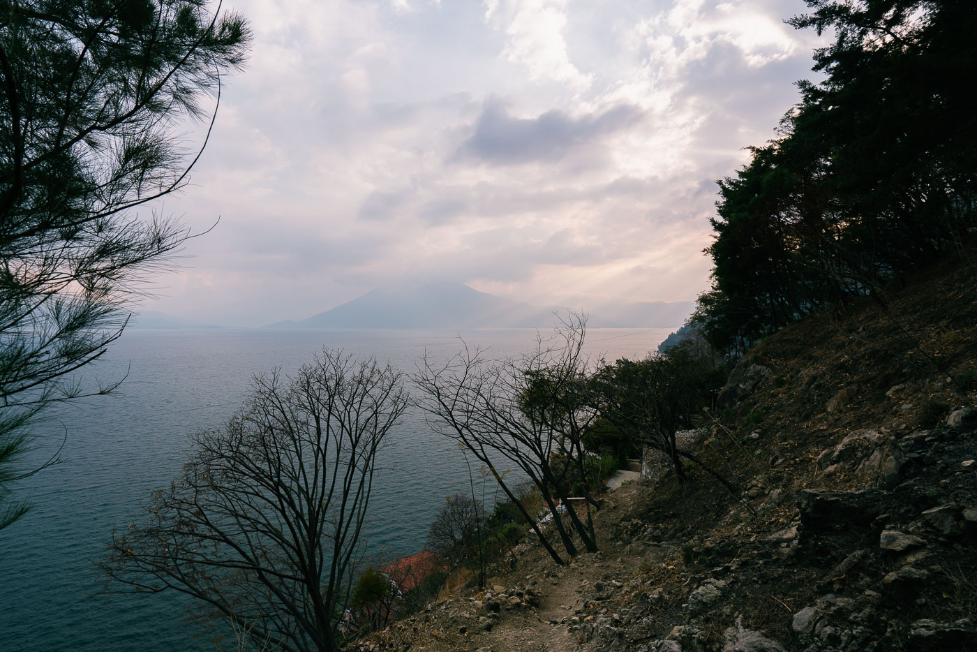
Lakeside trail winds along a forested shoreline above Lake Atitlán with Volcán Atitlán visible across the water in Guatemala.
Santa Cruz La Laguna sits on the northern shore of Lake Atitlán, a lake formed within a volcanic caldera that collapsed roughly 84,000 years ago. The village is accessible mainly by boat or footpath, since the steep terrain around this part of the shoreline has limited road construction. Volcán Atitlán, one of three volcanoes ringing the lake, rises to about 11,600 feet on the opposite shore. Lake Atitlán itself reaches depths of more than 1,000 feet, making it one of the deepest lakes in Central America.

Hillside Footpath Toward Lake Atitlán Near Santa Cruz La Laguna
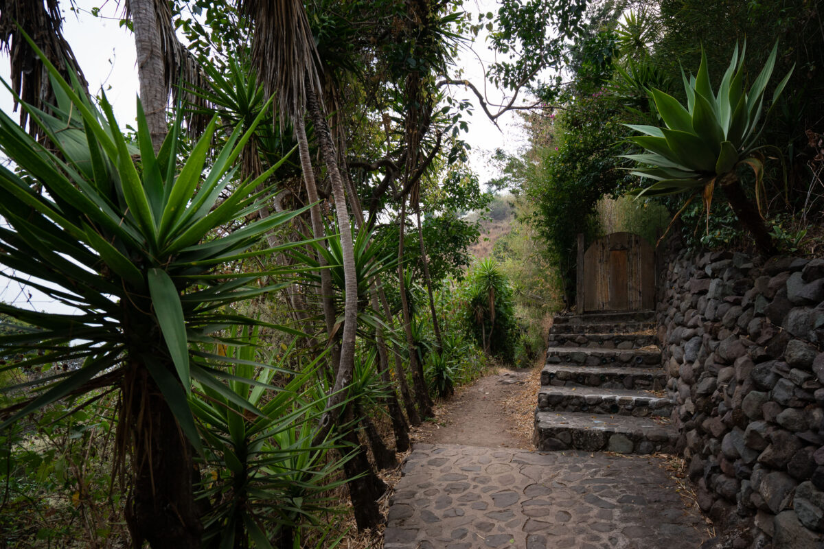
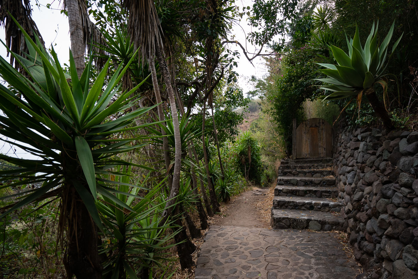
Stone pathway with lush vegetation winds through Santa Cruz La Laguna village on steep slopes above Lake Atitlán in Guatemala.
Santa Cruz La Laguna sits on a steep hillside above Lake Atitlán, reachable mainly by boat or footpath rather than road. Stone stairways and retaining walls like these connect the village's upper streets to the shoreline, cutting through terraced gardens planted with agave and other hardy species suited to the volcanic slope. Many of these walkways lead to small guesthouses and homes built into the hillside, since the terrain is too steep for vehicle traffic.

Agave-Lined Stone Steps in Santa Cruz La Laguna
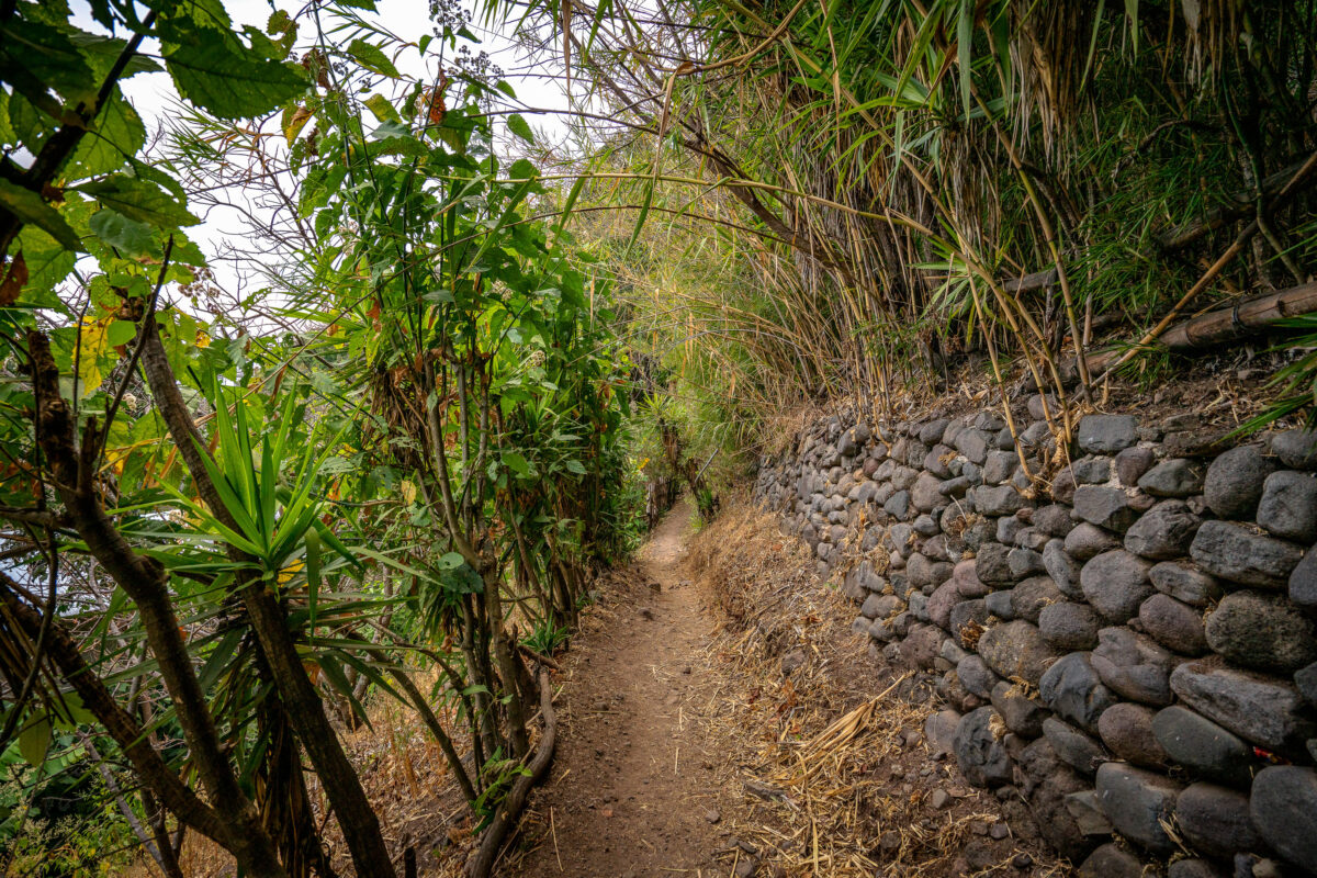
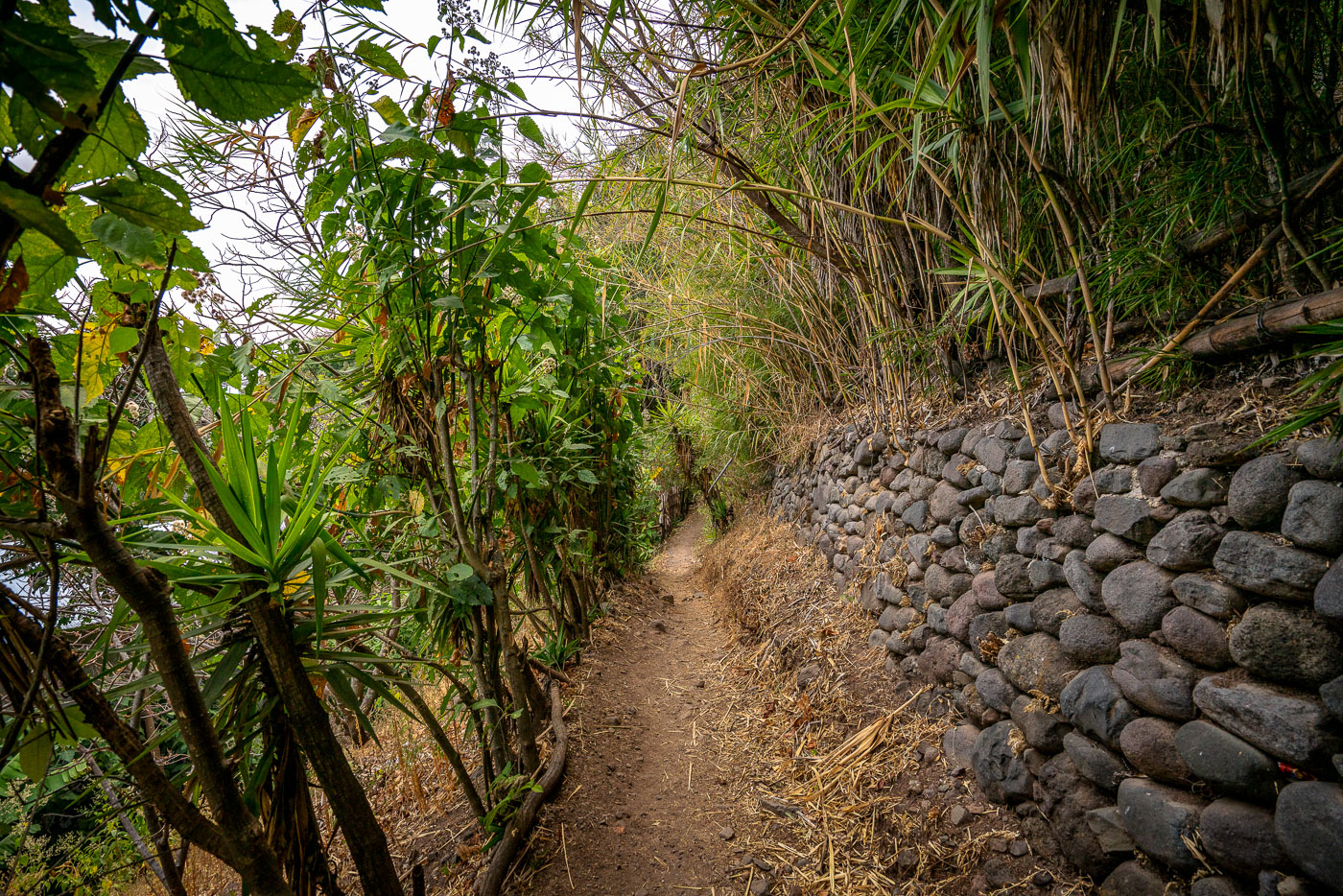
Narrow footpath along Lake Atitlán's shore between Jaibalito and Santa Cruz la Laguna, Guatemala, bordered by stone retaining wall and dense vegetation.
This footpath connects Jaibalito and Santa Cruz La Laguna, two villages on the northern shore of Lake Atitlán reachable only by boat or trail. The route is a stretch of the longer lakeside trail linking several communities along the water, popular with hikers moving between villages without a direct road. Stone retaining walls, built from volcanic rock common to the Atitlán basin, shore up the path where it cuts into the steep hillside above the lake.

Stone Retaining Wall Along the Jaibalito-Santa Cruz Trail
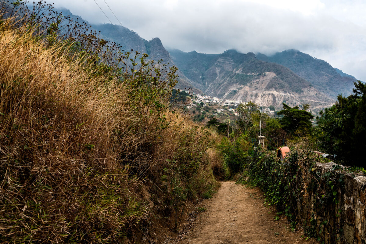
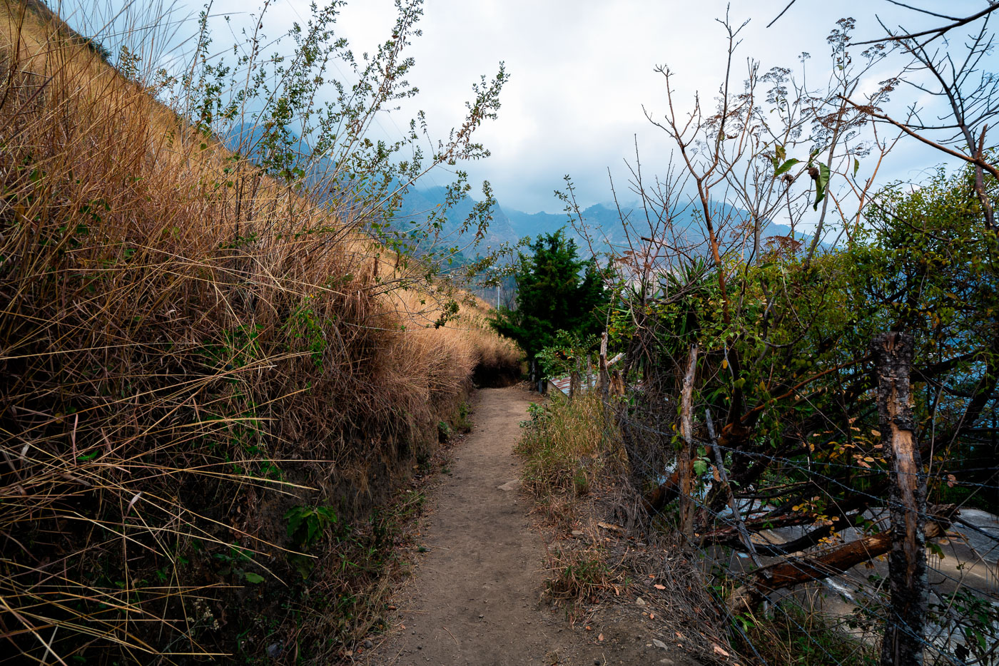
Hillside footpath winds through vegetation above Santa Cruz La Laguna village on Lake Atitlán's north shore in Guatemala.
Santa Cruz La Laguna sits on the northern shore of Lake Atitlán, a caldera lake formed roughly 84,000 years ago by a massive volcanic eruption. Steep terrain around the lake has long limited road construction, so many of the lakeside Kaqchikel Maya communities rely on footpaths and boat travel rather than vehicle access. Lake Atitlán itself has no natural surface outlet, with water levels regulated entirely by evaporation and underground seepage. Santa Cruz La Laguna remains one of the smaller lake towns, with a economy centered on small-scale agriculture, fishing, and guesthouses serving travelers who arrive by lancha from Panajachel.

Footpath Descending Toward Santa Cruz La Laguna
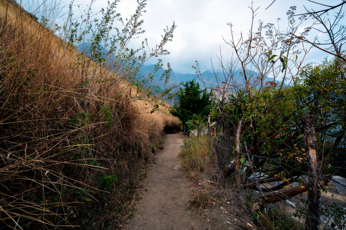
Unpaved hillside footpath winds through vegetation in Santa Cruz La Laguna village on Lake Atitlán's northern shore in Guatemala.
Santa Cruz La Laguna sits on the northern shore of Lake Atitlán, a volcanic lake formed roughly 84,000 years ago in a collapsed caldera. The village is reachable mainly by boat or footpath, since the surrounding slopes are too steep for a full road network. Trails like this one link the lakeside dock and lower homes to farm plots and settlements higher on the hillside. Lake Atitlán sits at an elevation of about 5,100 feet, and the highland terrain around Santa Cruz supports crops such as coffee, corn, and avocado grown on terraced or sloped ground.

Trail Above Santa Cruz La Laguna Toward the Highlands
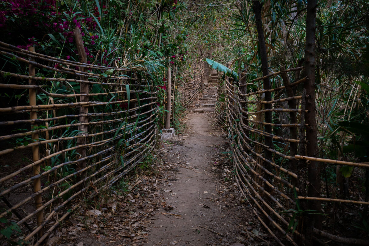
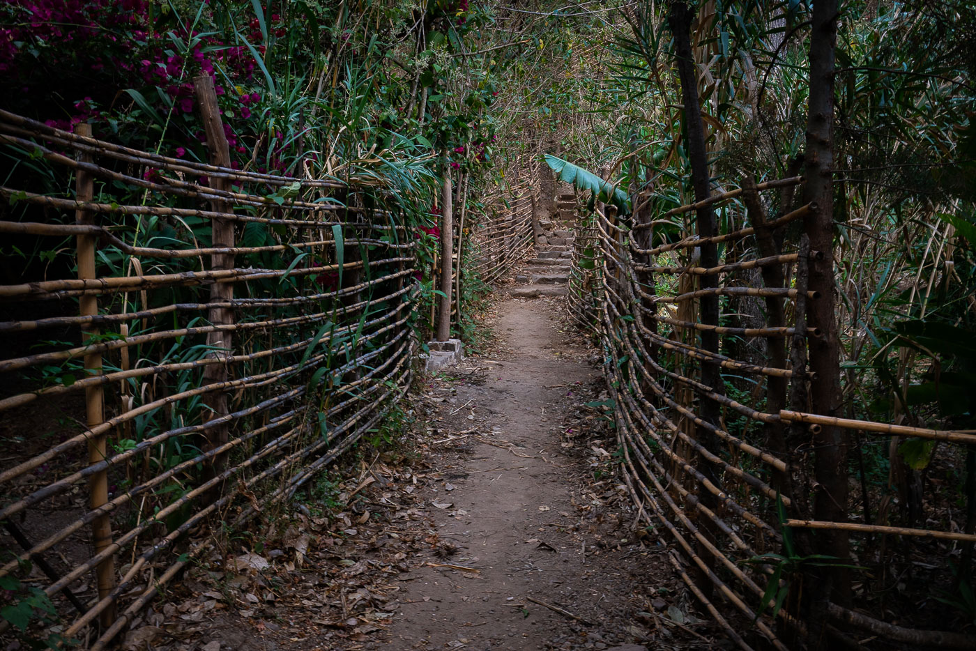
Narrow hillside footpath bordered by woven bamboo fencing winds through dense vegetation above Lake Atitlán in Santa Cruz La Laguna, Guatemala.
Santa Cruz La Laguna sits on the northern shore of Lake Atitlán, a crater lake formed roughly 84,000 years ago in the wake of a massive volcanic eruption. The village is reachable mainly by boat or footpath, since no road connects it directly to Panajachel, and hillside trails like this one remain the main link between homes, gardens, and the shoreline docks below. Woven cane and bamboo fencing of this type is a traditional, low-cost way to mark property lines and keep livestock off footpaths in the Kaqchikel Maya communities around the lake.

Woven Fence Path Through Santa Cruz La Laguna
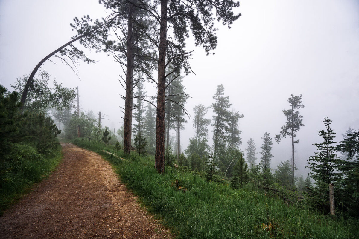
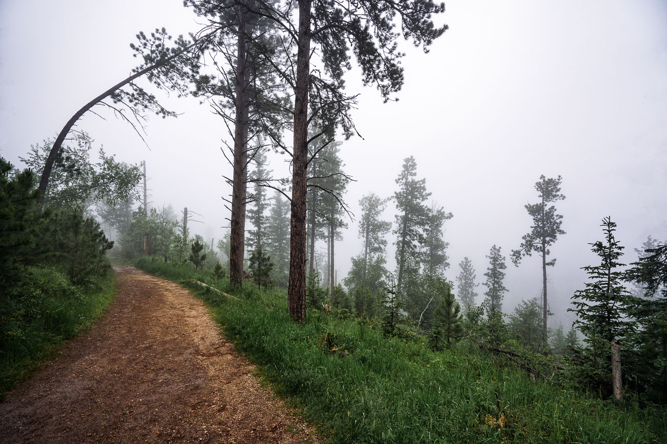
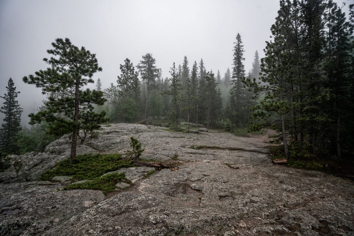
Hiking trail ascending through ponderosa pine forest in fog on Black Elk Peak, South Dakota.
Black Elk Peak, once named Harney Peak, rises to 7,244 feet in South Dakota's Black Hills, making it the highest point in the state and the highest natural point east of the Rockies. The Lakota consider the summit sacred ground, tied to Black Elk's vision as recounted in "Black Elk Speaks," and the peak was officially renamed in 2016 to reflect that history. A stone fire lookout tower, built by the Civilian Conservation Corps in 1938, still stands at the top. The trail up passes through stands of ponderosa pine, the dominant tree across the Black Hills, en route to a summit that offers views reaching into four states on clear days.

Ponderosa Pine Trail near Black Elk Peak, Black Hills, South Dakota
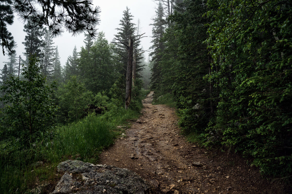
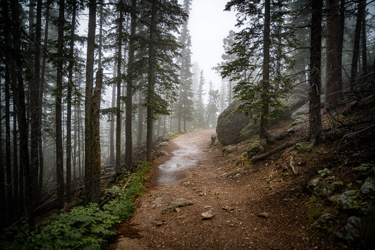
Dirt hiking trail ascending through misty coniferous forest in Black Hills, South Dakota.
Black Elk Peak, formerly named Harney Peak, rises to 7,244 feet in South Dakota's Black Hills, making it the highest natural point in the state and in the United States east of the Rockies. The summit trail climbs through stands of ponderosa pine, birch, and spruce before reaching a stone lookout tower built by the Civilian Conservation Corps in the 1930s. The peak carries deep spiritual meaning for the Lakota people, tied to Black Elk's recorded vision of the mountain as the center of the world. It sits within Custer State Park and the Black Elk Wilderness, drawing hikers year-round on a route that gains roughly 1,100 feet over its final approach.

Foggy Trail to Black Elk Peak, Black Hills, South Dakota
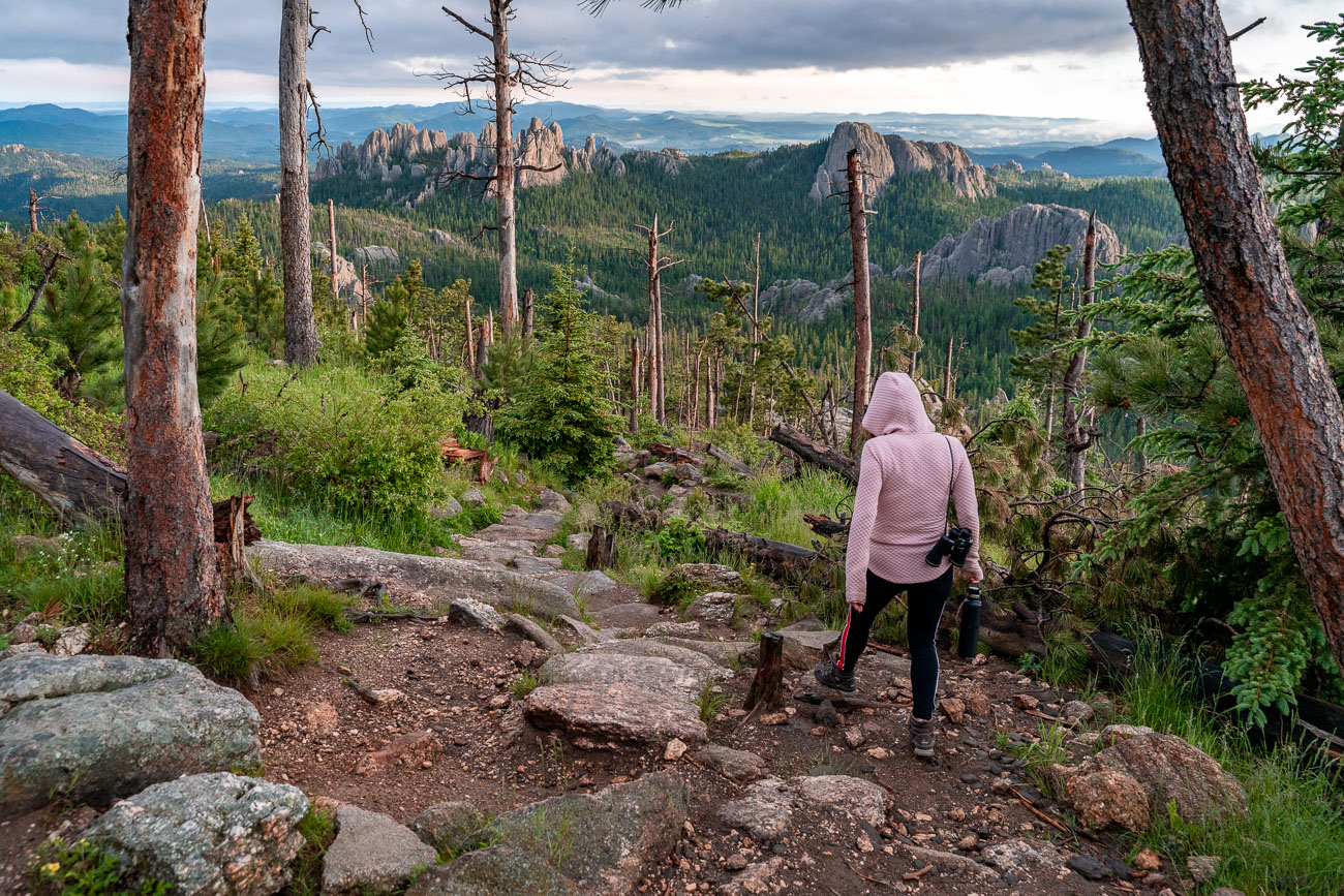
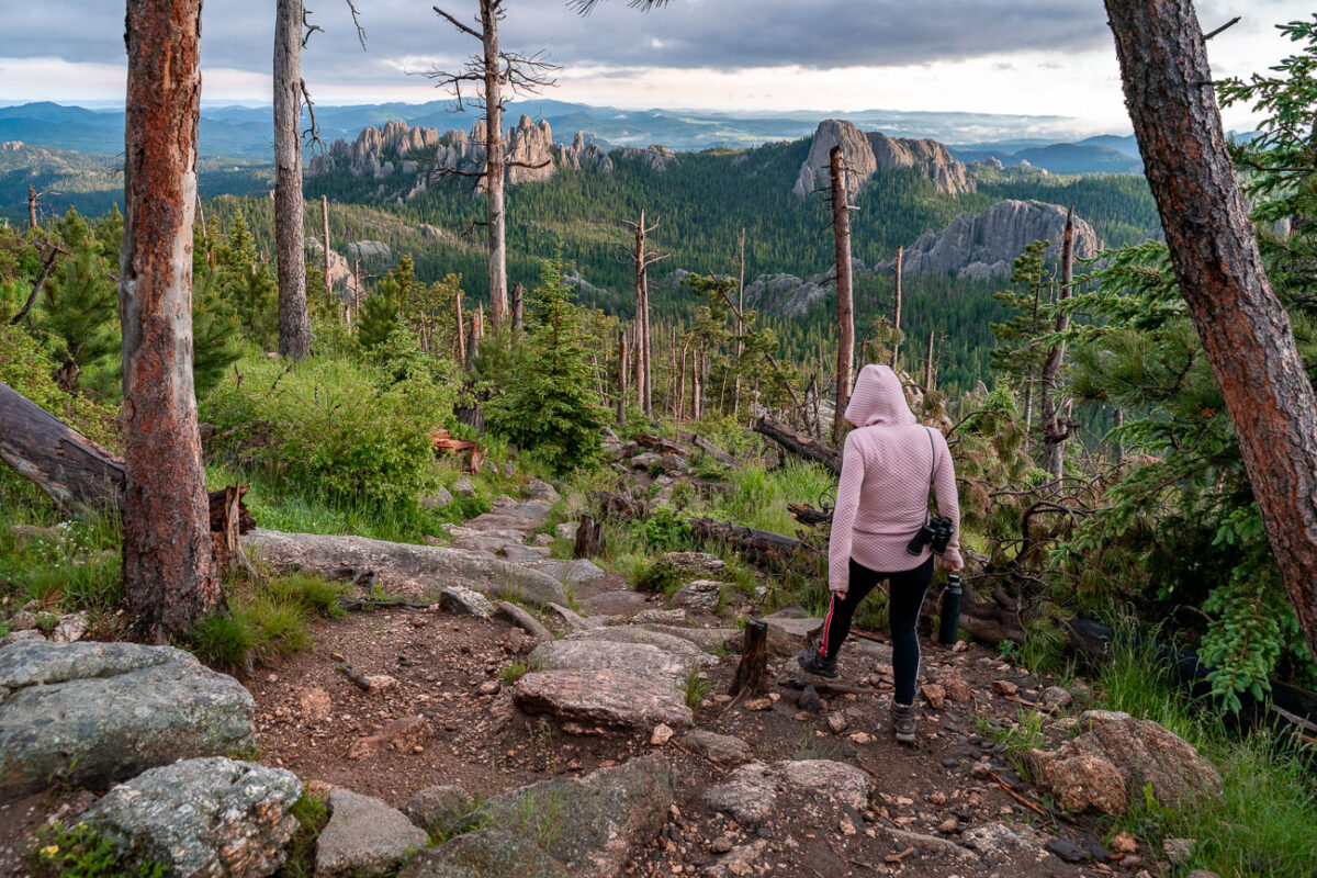
Girl hikes on top of mountain
A hiker descends the trail from Black Elk Peak, the highest point in South Dakota, within Custer State Park. The Black Hills, a region of significant cultural and spiritual importance to the Lakota people, are characterized by ancient geological formations and a landscape shaped by uplift and erosion. This area, part of the Norbeck Wildlife Preserve, supports diverse flora, including ponderosa pines that grow on rocky outcrops, and has experienced cycles of forest fires and renewal.

Black Elk Peak Trail Descent at Dusk, Black Hills, South Dakota

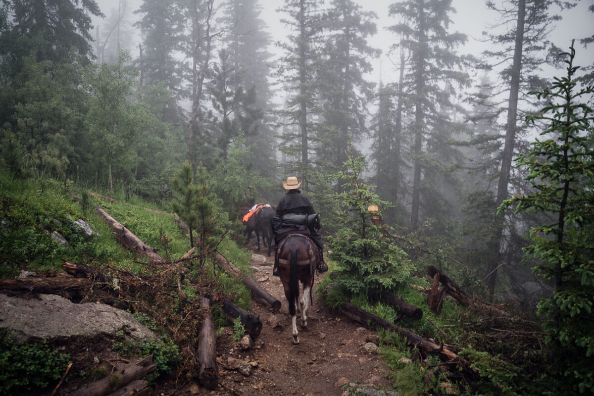
Horse on a mountain trail with fog
Horseback riders ascend a trail on Black Elk Peak in South Dakota's Black Hills, a landscape often shrouded in mist. The peak, renamed in 2016 to honor Lakota spiritual leader Black Elk, has been a significant site for Indigenous peoples and later a popular destination for hikers and equestrians. The trail winds through ponderosa pines and rugged terrain, offering views of the granite formations characteristic of the region.

Horseback riders on Black Elk Peak trail, South Dakota

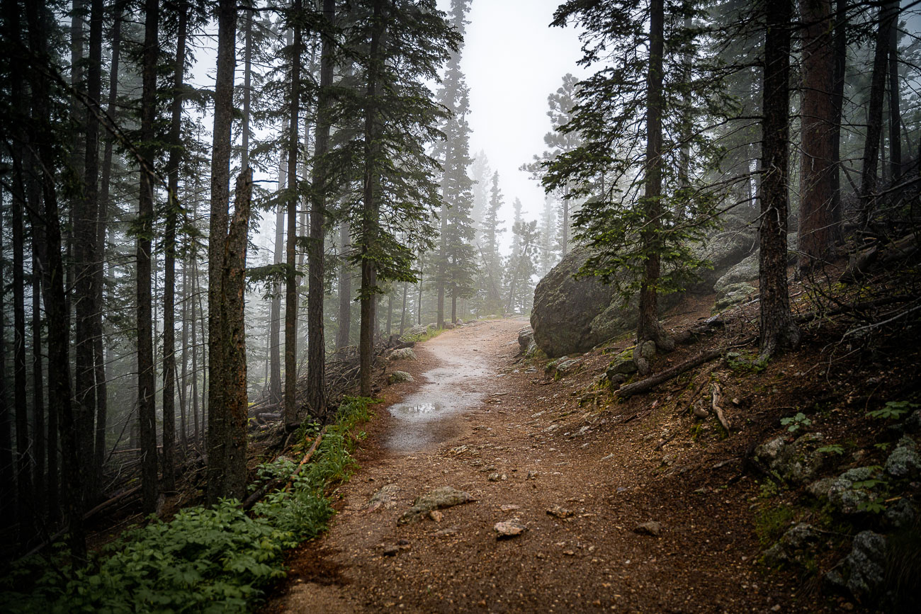
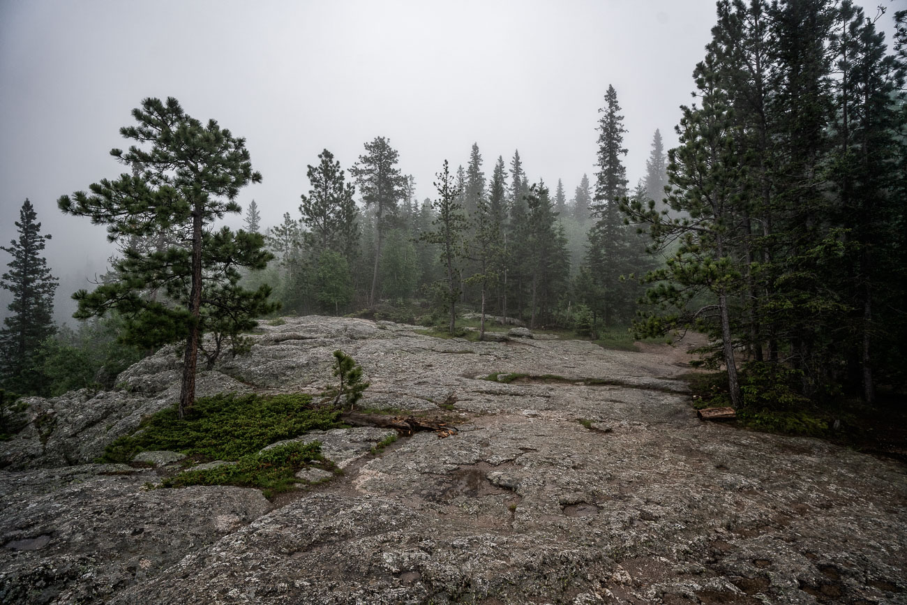
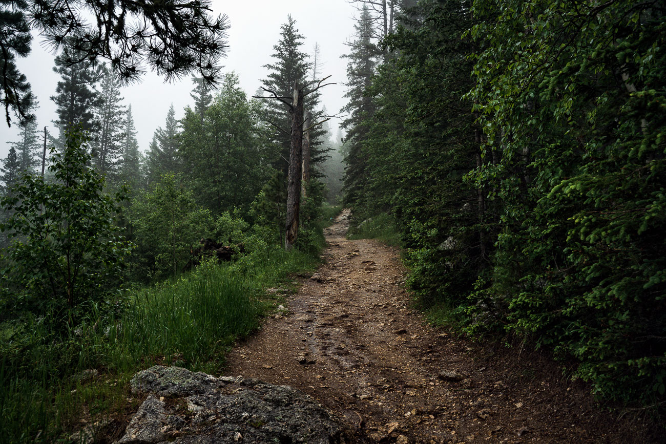
Foggy trail through ponderosa pine forest on Black Elk Peak in South Dakota's Black Hills.
Black Elk Peak, in the Black Hills of South Dakota, rises to 7,244 feet, making it the highest point in the state and the highest point in the United States east of the Rockies. The trail to its summit, part of the Black Elk Peak Trail system within Custer State Park and the Black Hills National Forest, climbs through stands of ponderosa pine and spruce over several miles of granite terrain. The peak, formerly known as Harney Peak, was renamed in 2016 to honor the Lakota holy man Black Elk. The Lakota and other Plains tribes regard the surrounding Black Hills, or He Sapa, as sacred ground central to their creation stories and spiritual practices. A stone fire lookout tower, built in 1938 by the Civilian Conservation Corps, still stands at the summit.

Foggy Trail to Black Elk Peak, Black Hills, South Dakota
Rocky summit of Black Elk Peak in South Dakota's Black Hills, shrouded in fog and surrounded by pine forest.
Black Elk Peak reaches 7,242 feet, making it the highest point in South Dakota and the highest peak in the United States east of the Rockies. It sits within Black Elk Wilderness, part of the Black Hills National Forest, and was known as Harney Peak until the U.S. Board on Geographic Names renamed it in 2016 to honor the Lakota holy man Black Elk. The summit's granite outcrops date to the Precambrian era, among the oldest exposed rock in North America. A fire lookout tower built in 1938 by the Civilian Conservation Corps still stands near the top, reachable by several trails from Custer State Park and Sylvan Lake.

Foggy Summit of Black Elk Peak, Black Hills National Forest
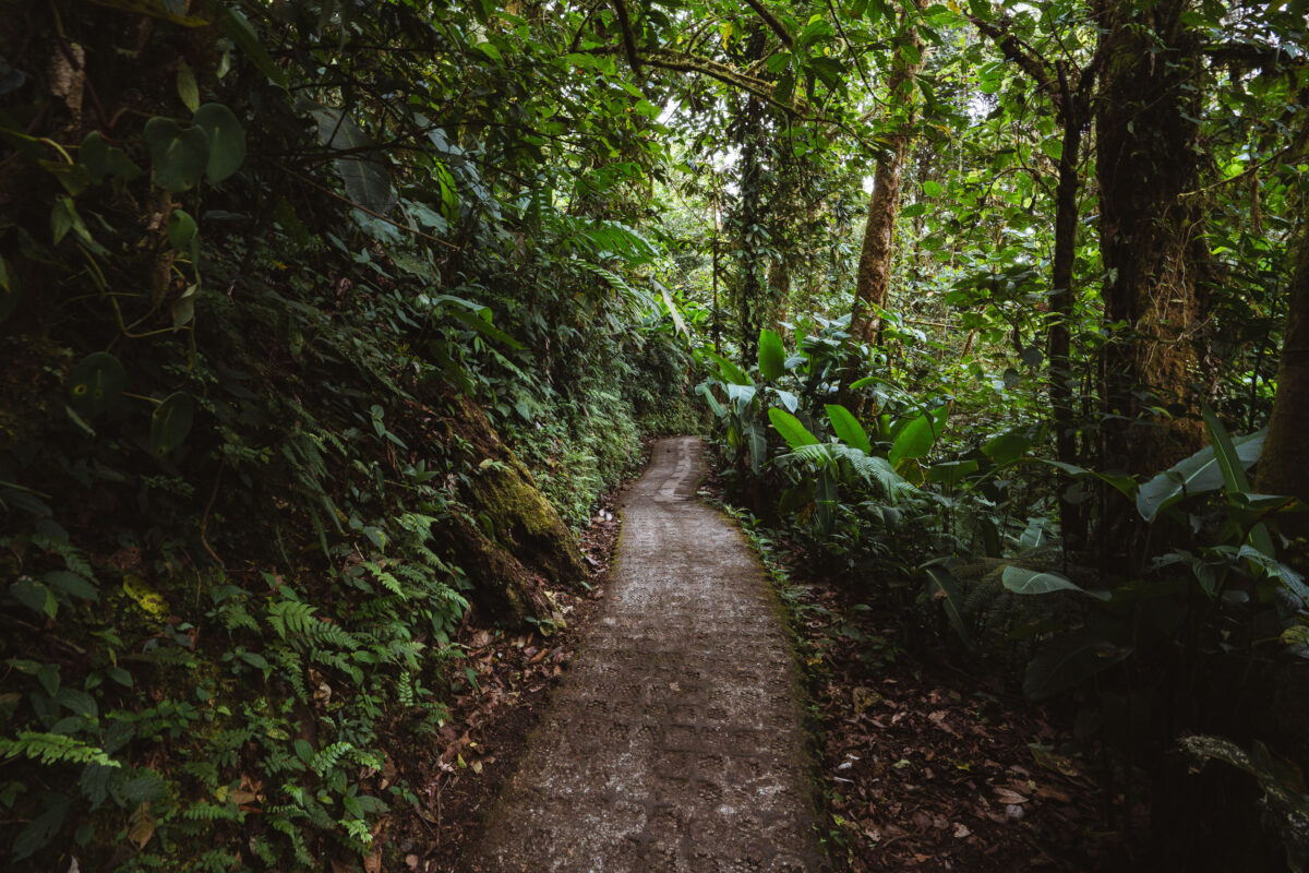
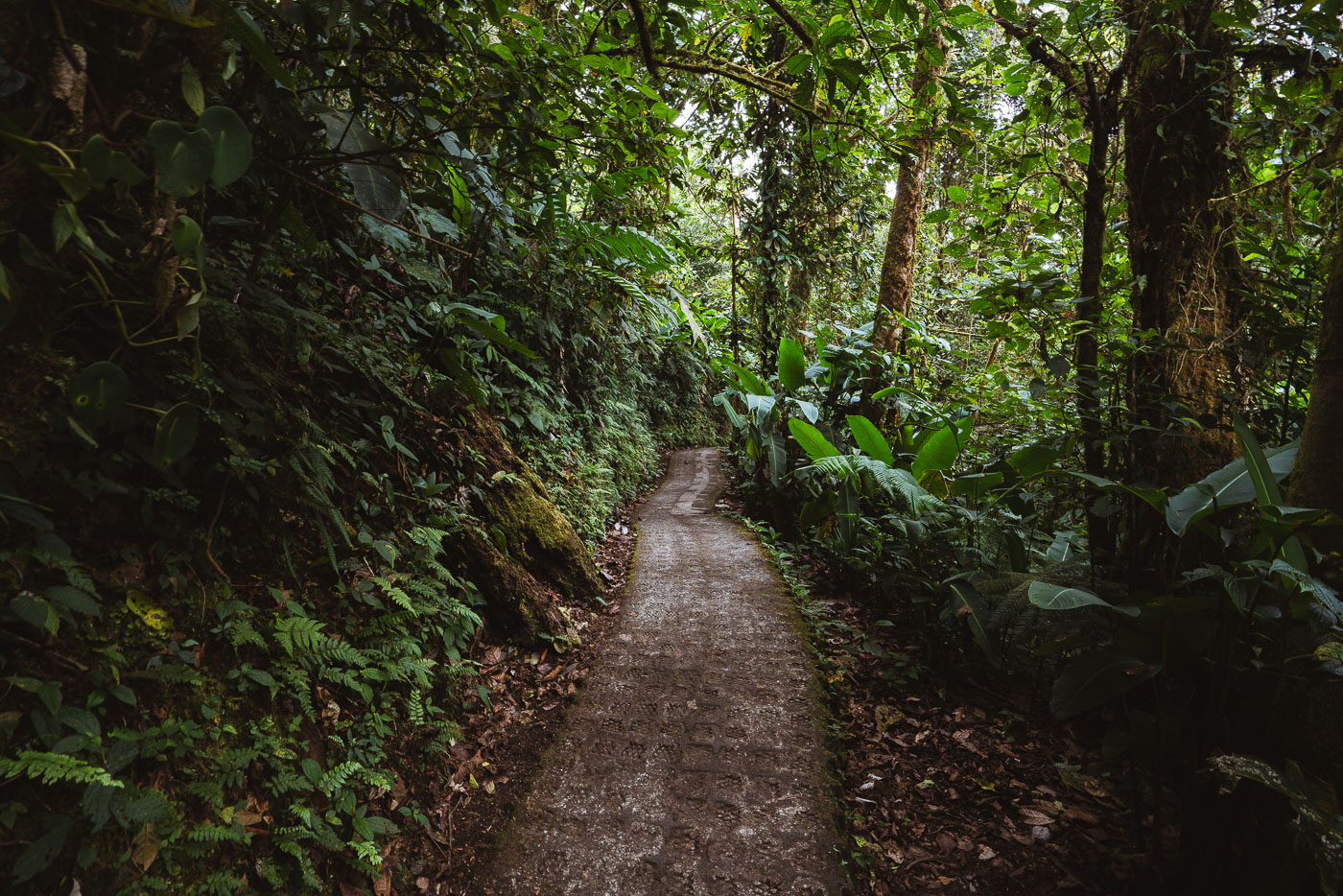
A dirt path winds through dense vegetation in Monteverde Cloud Forest Biological Preserve, Costa Rica.
The Monteverde Cloud Forest Biological Preserve covers roughly 10,500 hectares along the Continental Divide in Costa Rica's Tilarán Mountains. Established in 1972 by the Tropical Science Center, it protects one of the country's last large tracts of primary cloud forest. Elevations within the reserve range from about 1,440 to 1,860 meters, a range that produces the near-constant moisture and fog for which the ecosystem is known. Stone and gravel paths like this one give researchers and visitors access to the reserve's network of trails, which stretch over roughly 13 kilometers combined. The preserve is home to more than 2,500 plant species and over 400 species of birds, including the resplendent quetzal.

Stone Pathway Through the Monteverde Cloud Forest Reserve
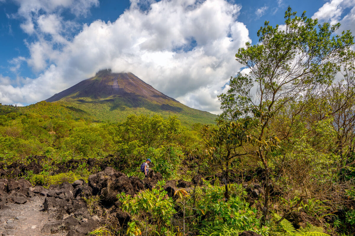
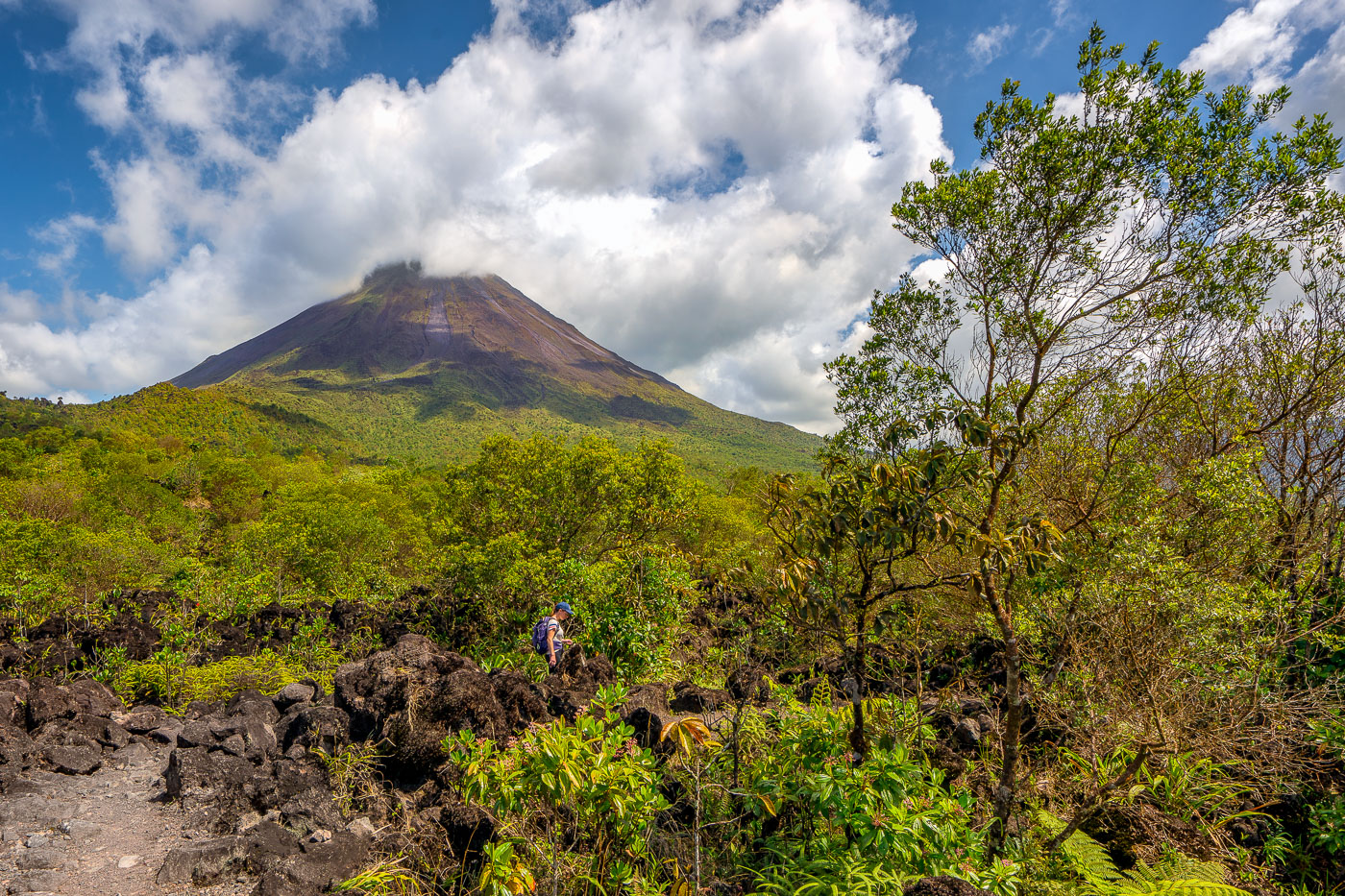
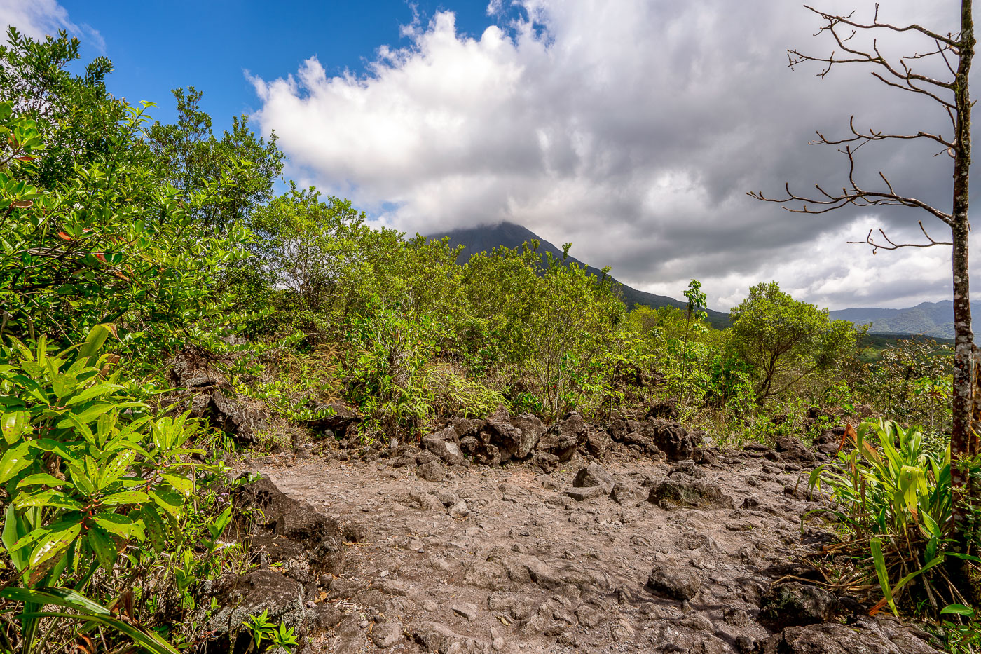
A hiker navigates through volcanic rock and regenerating vegetation below Arenal Volcano in Costa Rica.
Arenal Volcano rises 1,633 meters in Costa Rica's Alajuela Province, part of the Cordillera de Tilarán. The volcano lay dormant for centuries before erupting without warning in July 1968, burying nearby villages and killing dozens of residents. That eruption began an active period lasting until 2010, during which flows of andesitic lava built up the loose rock fields that now cover much of its base. Arenal Volcano National Park, established in 1991, protects the cone and surrounding forest, and trails through the old lava fields let hikers walk across terrain formed within the last half-century.

Climbing Through Lava Rock on Arenal’s 1968 Trail
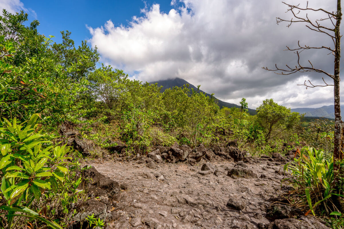
A hiking trail crosses the 1968 lava field near Arenal Volcano in Alajuela Province, Costa Rica, with vegetation reclaiming volcanic rock.
Arenal Volcano erupted continuously from 1968 to 2010, sending lava flows down its western and southern flanks that reshaped the landscape near La Fortuna. The 1968 eruption began on July 29 after centuries of dormancy, killing more than 80 people and burying the villages of Tabacón, Pueblo Nuevo, and San Luis. Arenal Volcano National Park, established in 1991, now protects the cooled lava fields, and trails here cross the hardened rock left by that eruption. The volcano's symmetrical cone rises to about 1,670 meters and remains one of the most studied volcanic sites in Central America.

Clouds Over Arenal Volcano Along the 1968 Lava Trail
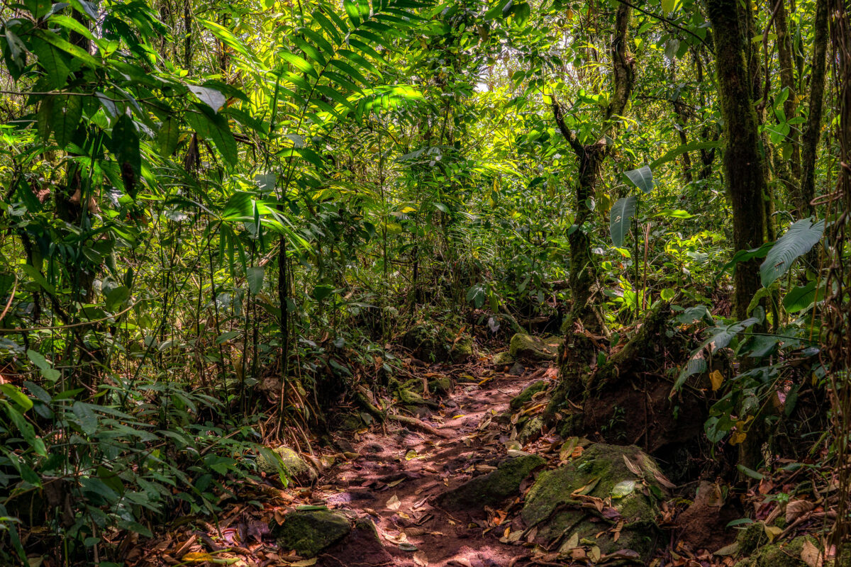
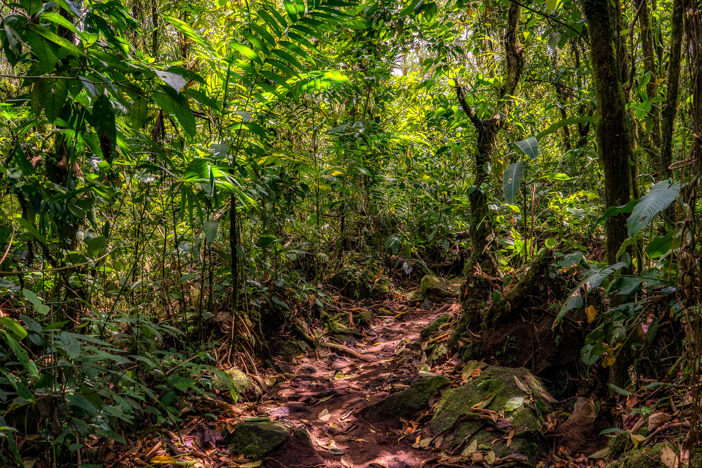
A hiking trail winds through dense cloud forest canopy over volcanic rock and roots near Arenal Volcano in Costa Rica.
This trail winds through forest that reclaimed the lava field left by Arenal Volcano's major 1968 eruption, which destroyed the nearby villages of Tabacón, Pueblo Nuevo, and San Luis and killed dozens of residents. Volcanic rock from that eruption still lies beneath the leaf litter and exposed roots along the route. Arenal erupted almost continuously from 1968 until 2010, when it entered its current dormant phase, allowing forest to regenerate across much of the flow.

Hiking Path Through Regrown Forest on Arenal’s 1968 Lava Flow
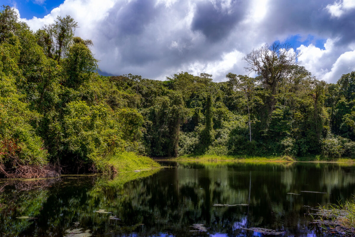
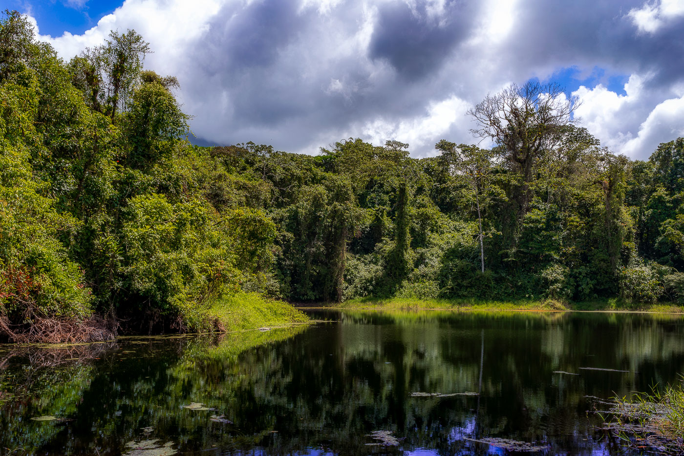
A still lagoon bordered by dense cloud forest vegetation at Arenal Volcano in Costa Rica.
This lagoon sits along the Arenal 1968 Trail, a network of paths at Arenal Volcano National Park that cross ground reshaped by the volcano's major eruption on July 29, 1968. That eruption destroyed the villages of Tabacón, Pueblo Nuevo, and San Luis and killed around 87 people, burying the surrounding terrain under ash and lava. The trail network, maintained by the national park, now loops through secondary forest that has grown back over the old flow. Arenal itself rises to 1,670 meters and was Costa Rica's most active volcano for decades before entering its current dormant phase in 2010.

Forest-Rimmed Lagoon on the Arenal 1968 Trail

Built in Minneapolis

Minneapolis Photographer

Browse by location, move through long-running series, or start with recent work.