Hiking Trail

7 photos · 2020

7 photographs tagged Hiking Trail, 2020.
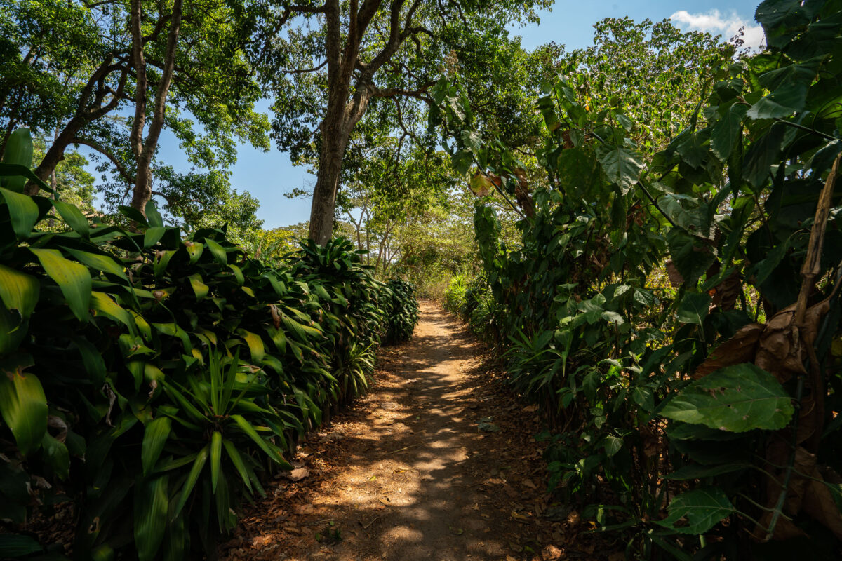
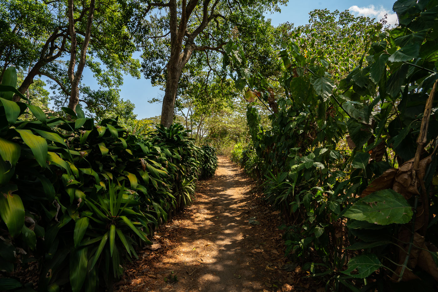
Shaded coffee plantation path winds through dense vegetation on hillside slopes above Lake Atitlán in San Juan La Laguna, Guatemala.
La Voz is a coffee-growing cooperative based in San Juan La Laguna, a Tz'utujil Maya town on the western shore of Lake Atitlán. The cooperative's members farm coffee on the volcanic slopes above the lake, and dirt paths like this one connect the growing plots to processing facilities in town. San Juan La Laguna sits at an elevation of roughly 1,600 meters, conditions well suited to shade-grown arabica coffee.

Trail Through La Voz Coffee Plots, San Juan La Laguna
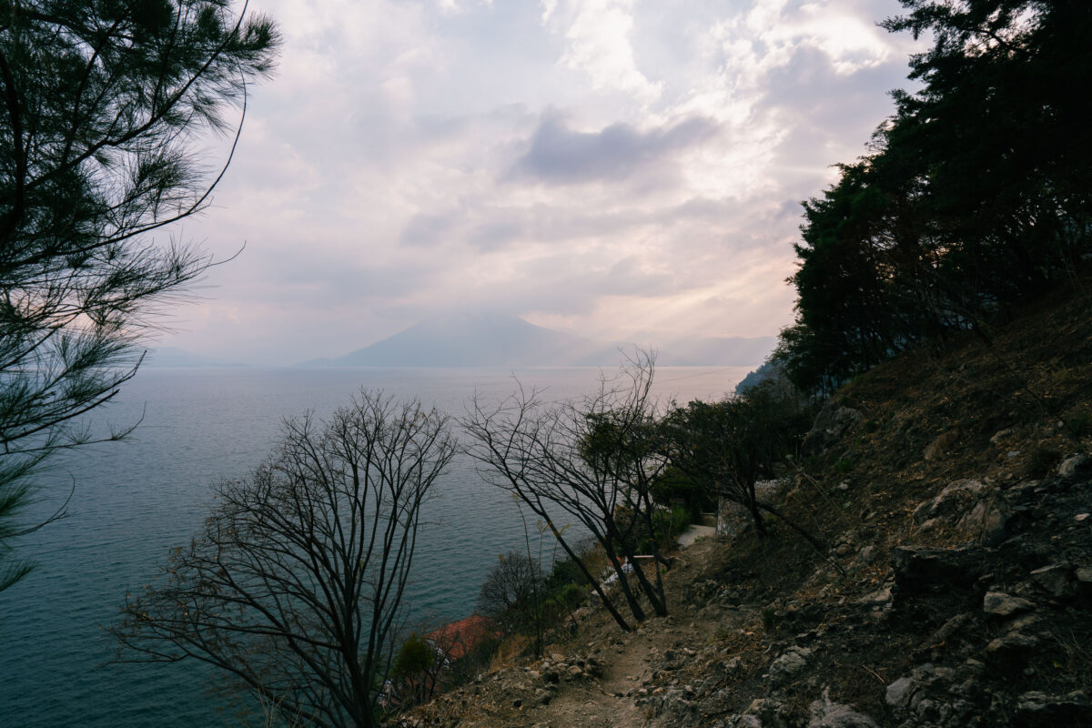
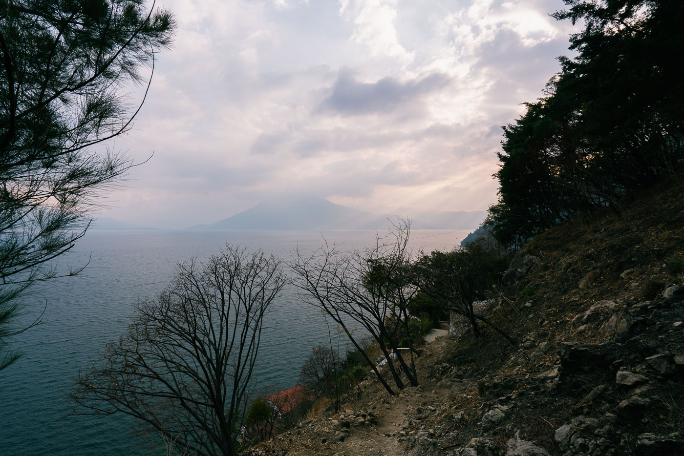
Lakeside trail winds along a forested shoreline above Lake Atitlán with Volcán Atitlán visible across the water in Guatemala.
Santa Cruz La Laguna sits on the northern shore of Lake Atitlán, a lake formed within a volcanic caldera that collapsed roughly 84,000 years ago. The village is accessible mainly by boat or footpath, since the steep terrain around this part of the shoreline has limited road construction. Volcán Atitlán, one of three volcanoes ringing the lake, rises to about 11,600 feet on the opposite shore. Lake Atitlán itself reaches depths of more than 1,000 feet, making it one of the deepest lakes in Central America.

Hillside Footpath Toward Lake Atitlán Near Santa Cruz La Laguna
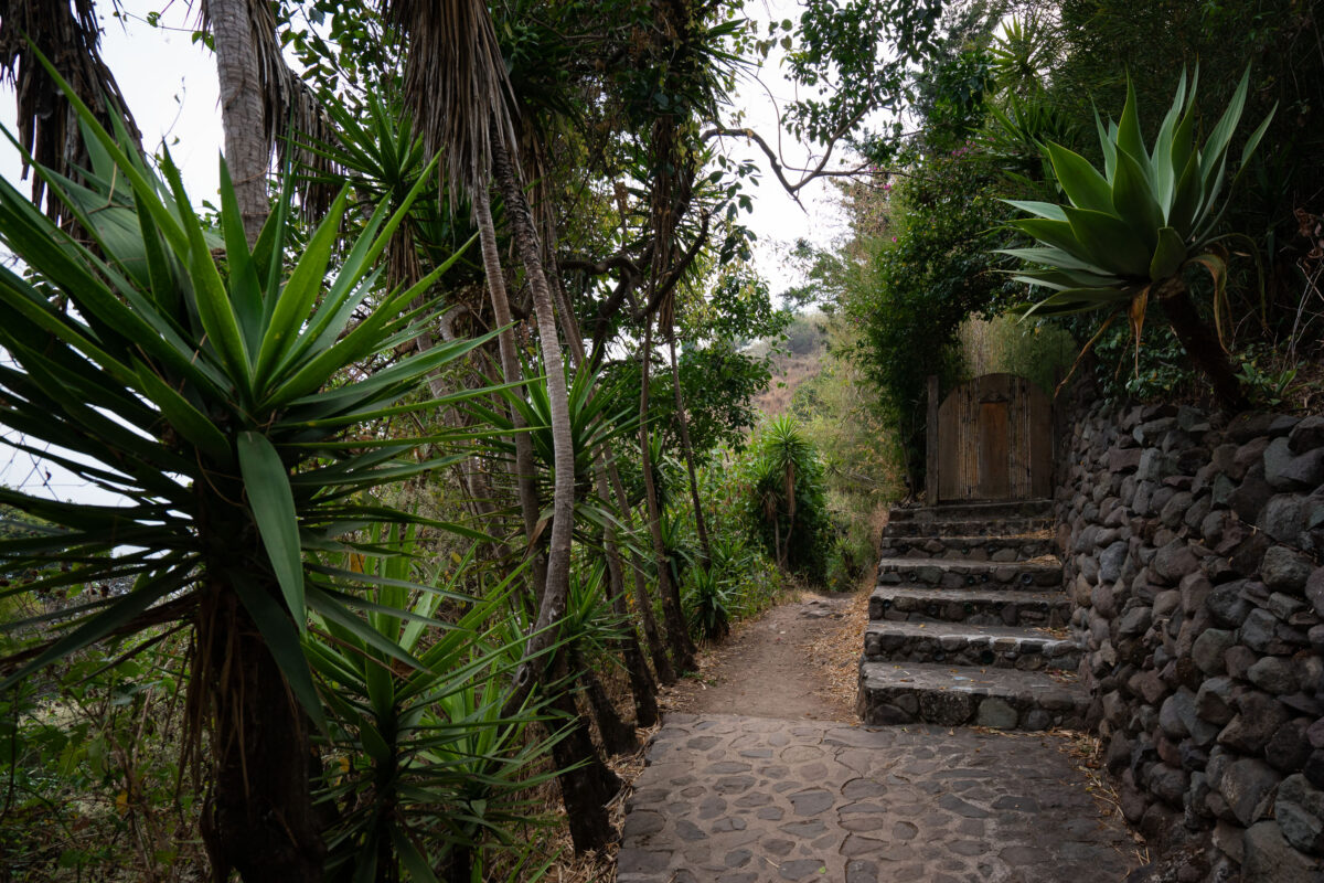
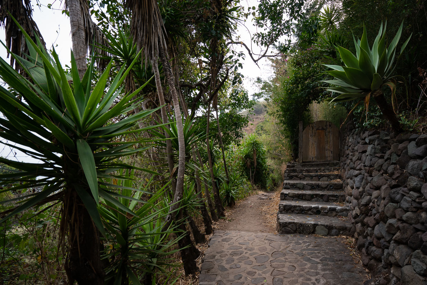
Stone pathway with lush vegetation winds through Santa Cruz La Laguna village on steep slopes above Lake Atitlán in Guatemala.
Santa Cruz La Laguna sits on a steep hillside above Lake Atitlán, reachable mainly by boat or footpath rather than road. Stone stairways and retaining walls like these connect the village's upper streets to the shoreline, cutting through terraced gardens planted with agave and other hardy species suited to the volcanic slope. Many of these walkways lead to small guesthouses and homes built into the hillside, since the terrain is too steep for vehicle traffic.

Agave-Lined Stone Steps in Santa Cruz La Laguna
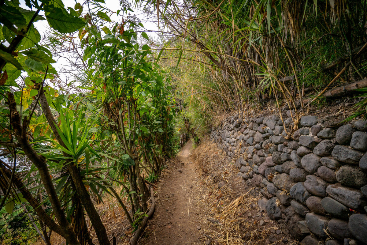
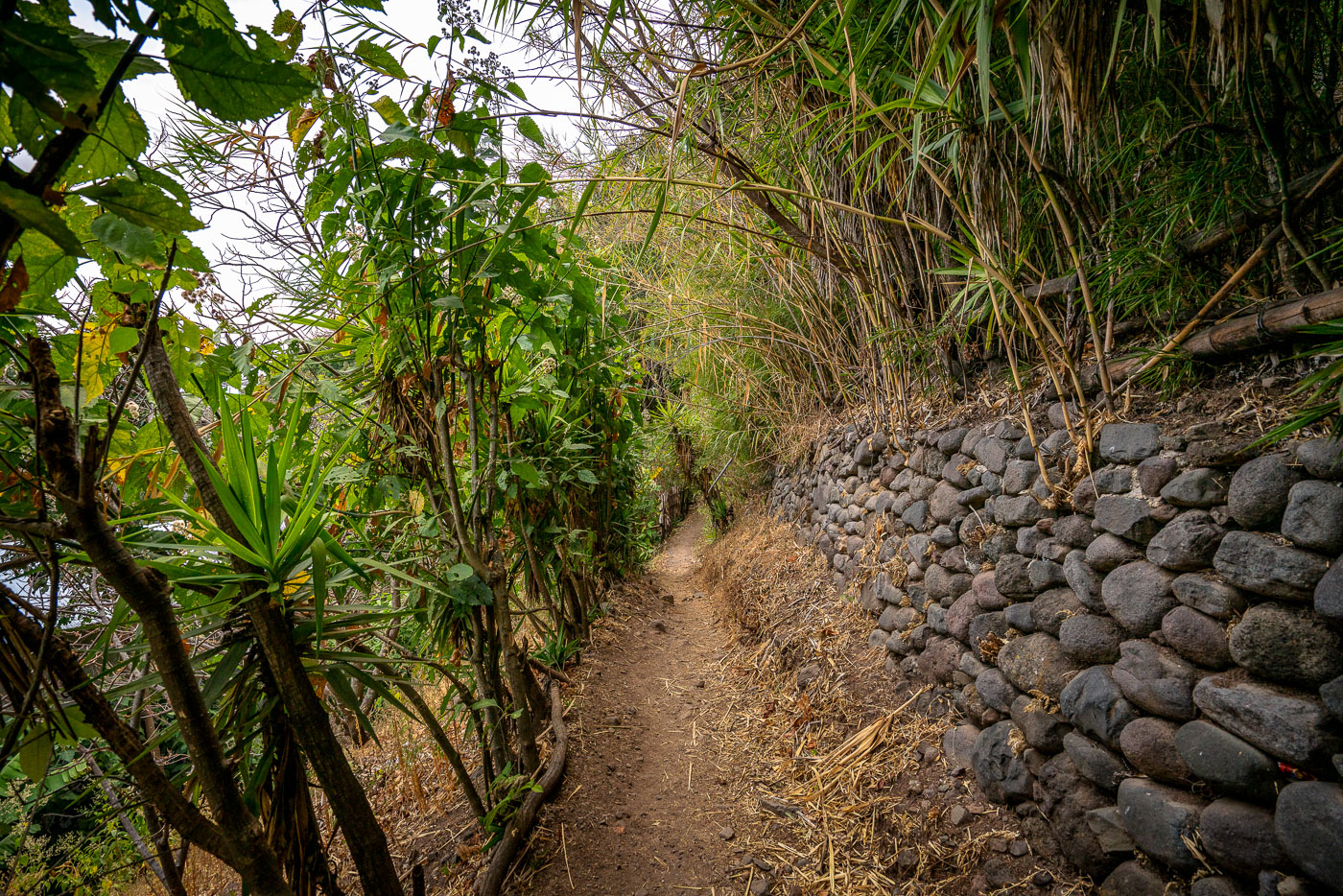
Narrow footpath along Lake Atitlán's shore between Jaibalito and Santa Cruz la Laguna, Guatemala, bordered by stone retaining wall and dense vegetation.
This footpath connects Jaibalito and Santa Cruz La Laguna, two villages on the northern shore of Lake Atitlán reachable only by boat or trail. The route is a stretch of the longer lakeside trail linking several communities along the water, popular with hikers moving between villages without a direct road. Stone retaining walls, built from volcanic rock common to the Atitlán basin, shore up the path where it cuts into the steep hillside above the lake.

Stone Retaining Wall Along the Jaibalito-Santa Cruz Trail
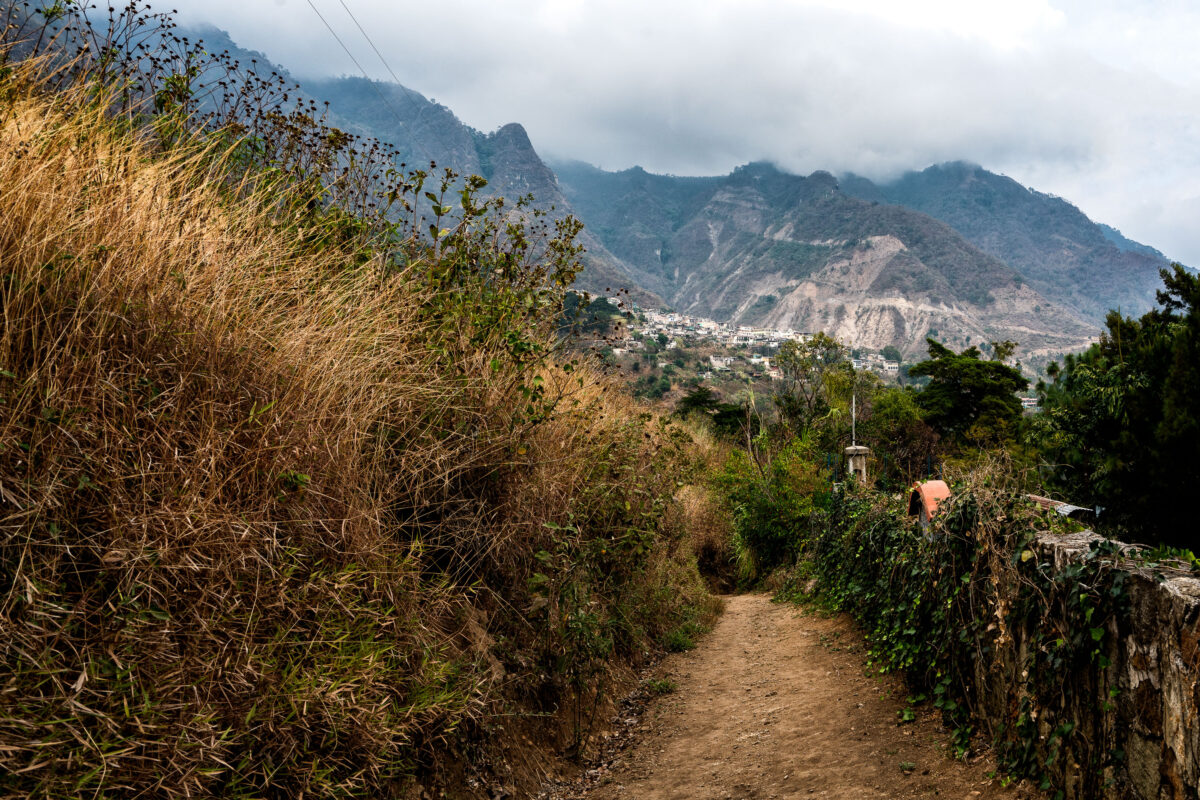
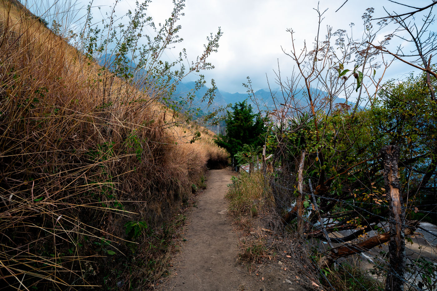
Hillside footpath winds through vegetation above Santa Cruz La Laguna village on Lake Atitlán's north shore in Guatemala.
Santa Cruz La Laguna sits on the northern shore of Lake Atitlán, a caldera lake formed roughly 84,000 years ago by a massive volcanic eruption. Steep terrain around the lake has long limited road construction, so many of the lakeside Kaqchikel Maya communities rely on footpaths and boat travel rather than vehicle access. Lake Atitlán itself has no natural surface outlet, with water levels regulated entirely by evaporation and underground seepage. Santa Cruz La Laguna remains one of the smaller lake towns, with a economy centered on small-scale agriculture, fishing, and guesthouses serving travelers who arrive by lancha from Panajachel.

Footpath Descending Toward Santa Cruz La Laguna
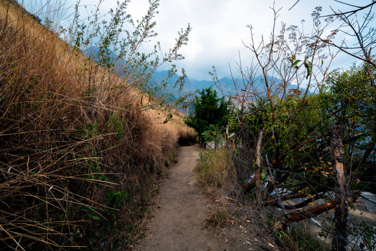
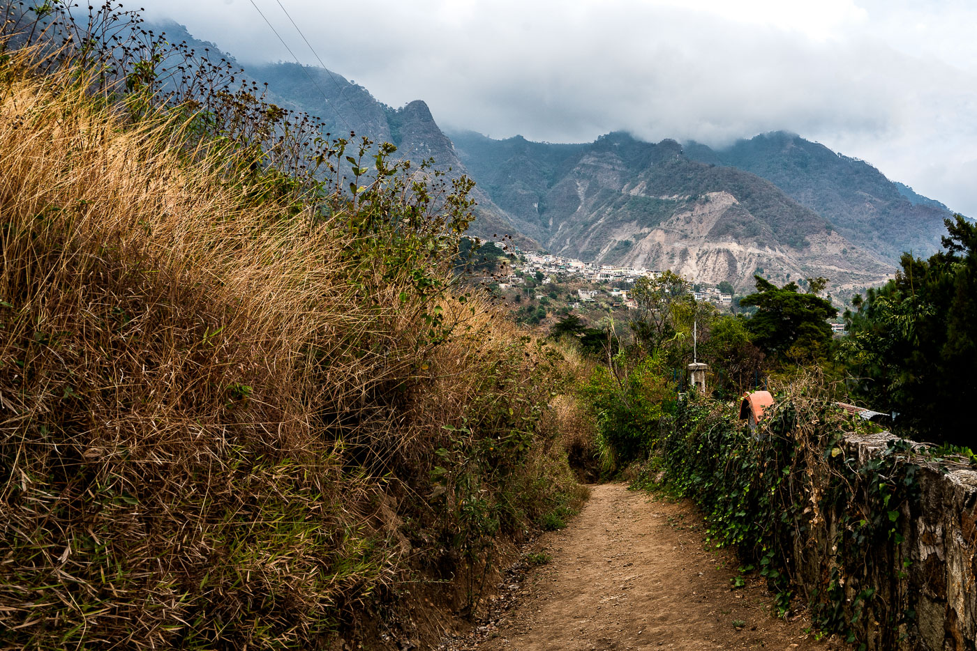
Unpaved hillside footpath winds through vegetation in Santa Cruz La Laguna village on Lake Atitlán's northern shore in Guatemala.
Santa Cruz La Laguna sits on the northern shore of Lake Atitlán, a volcanic lake formed roughly 84,000 years ago in a collapsed caldera. The village is reachable mainly by boat or footpath, since the surrounding slopes are too steep for a full road network. Trails like this one link the lakeside dock and lower homes to farm plots and settlements higher on the hillside. Lake Atitlán sits at an elevation of about 5,100 feet, and the highland terrain around Santa Cruz supports crops such as coffee, corn, and avocado grown on terraced or sloped ground.

Trail Above Santa Cruz La Laguna Toward the Highlands
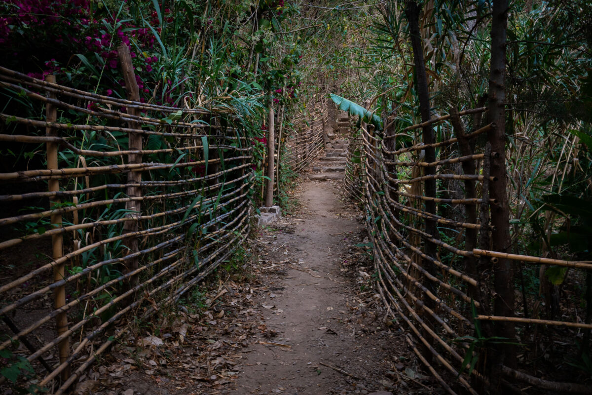
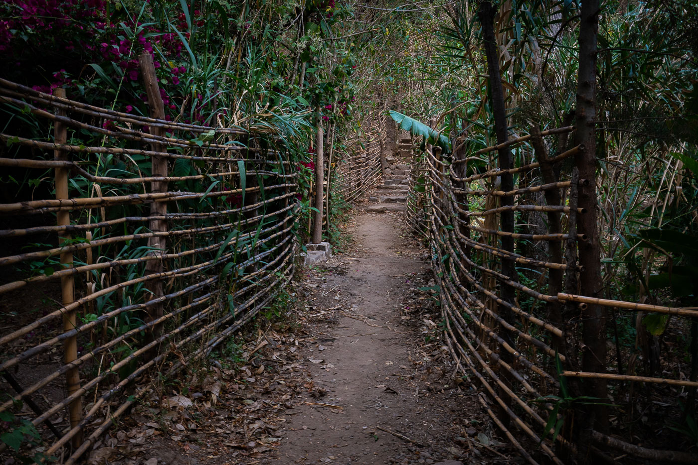
Narrow hillside footpath bordered by woven bamboo fencing winds through dense vegetation above Lake Atitlán in Santa Cruz La Laguna, Guatemala.
Santa Cruz La Laguna sits on the northern shore of Lake Atitlán, a crater lake formed roughly 84,000 years ago in the wake of a massive volcanic eruption. The village is reachable mainly by boat or footpath, since no road connects it directly to Panajachel, and hillside trails like this one remain the main link between homes, gardens, and the shoreline docks below. Woven cane and bamboo fencing of this type is a traditional, low-cost way to mark property lines and keep livestock off footpaths in the Kaqchikel Maya communities around the lake.

Woven Fence Path Through Santa Cruz La Laguna

Built in Minneapolis

Minneapolis Photographer

Browse by location, move through long-running series, or start with recent work.