Footpath Descending Toward Santa Cruz La Laguna
Taken March 2020
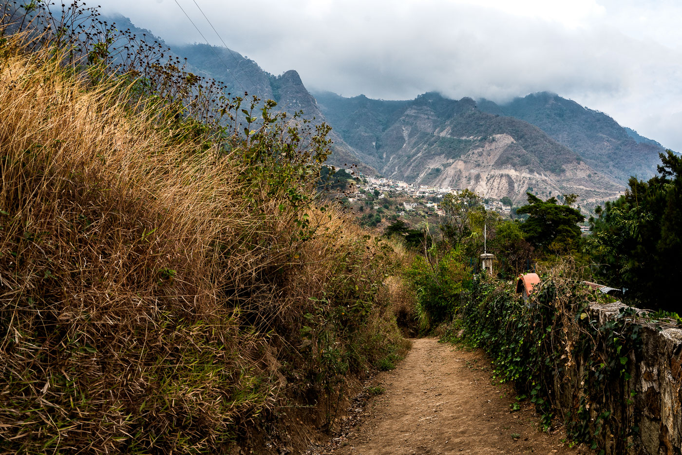
Santa Cruz La Laguna sits on the northern shore of Lake Atitlán, a caldera lake formed roughly 84,000 years ago by a massive volcanic eruption. Steep terrain around the lake has long limited road construction, so many of the lakeside Kaqchikel Maya communities rely on footpaths and boat travel rather than vehicle access. Lake Atitlán itself has no natural surface outlet, with water levels regulated entirely by evaporation and underground seepage. Santa Cruz La Laguna remains one of the smaller lake towns, with a economy centered on small-scale agriculture, fishing, and guesthouses serving travelers who arrive by lancha from Panajachel.
Taken March 2020
More from
Santa Cruz
 Hillside Footpath Toward Lake Atitlán Near Santa Cruz La Laguna
Santa Cruz La Laguna sits on the northern shore of Lake Atitlán, a lake formed within a volcanic caldera that…
 A Garden Lodge in Santa Cruz La Laguna
Santa Cruz La Laguna sits on the northern shore of Lake Atitlán in Guatemala's Sololá Department, reachable mainly by boat…
 Hillside Village Above Lake Atitlán Near Santa Cruz La Laguna
Santa Cruz La Laguna sits on the northern shore of Lake Atitlán, built into terrain so steep that many homes…
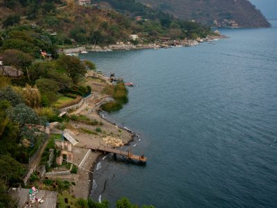 A Pier Along Lake Atitlán Near Santa Cruz La Laguna
Santa Cruz la Laguna sits on the northern shore of Lake Atitlán, a volcanic crater lake that drops to depths…
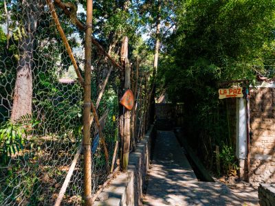 Path to La Paz in San Marcos La Laguna, Guatemala
San Marcos La Laguna sits on the northern shore of Lake Atitlán, a town that shifted from a farming and…
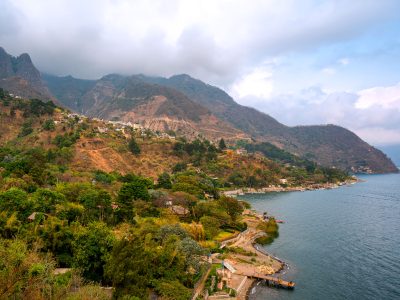 Hillside Village of Santa Cruz La Laguna Above Lake Atitlán
Santa Cruz La Laguna sits on a steep slope above the northern shore of Lake Atitlán, a volcanic crater lake…


