Place Archive

Santa Cruz

Santa Cruz La Laguna, a traditional Mayan village on Lake Atitlán’s steep northern shore, is accessible only by boat or footpath. Its stone and dirt trails connect homes, agricultural land, and docks amid volcanic landscapes, reflecting a blend of indigenous heritage and limited modern infrastructure.

14 photos

Photos from Santa Cruz
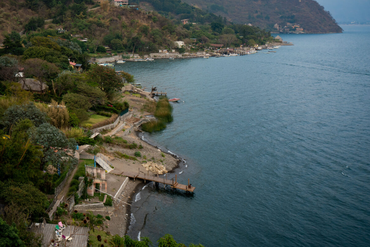
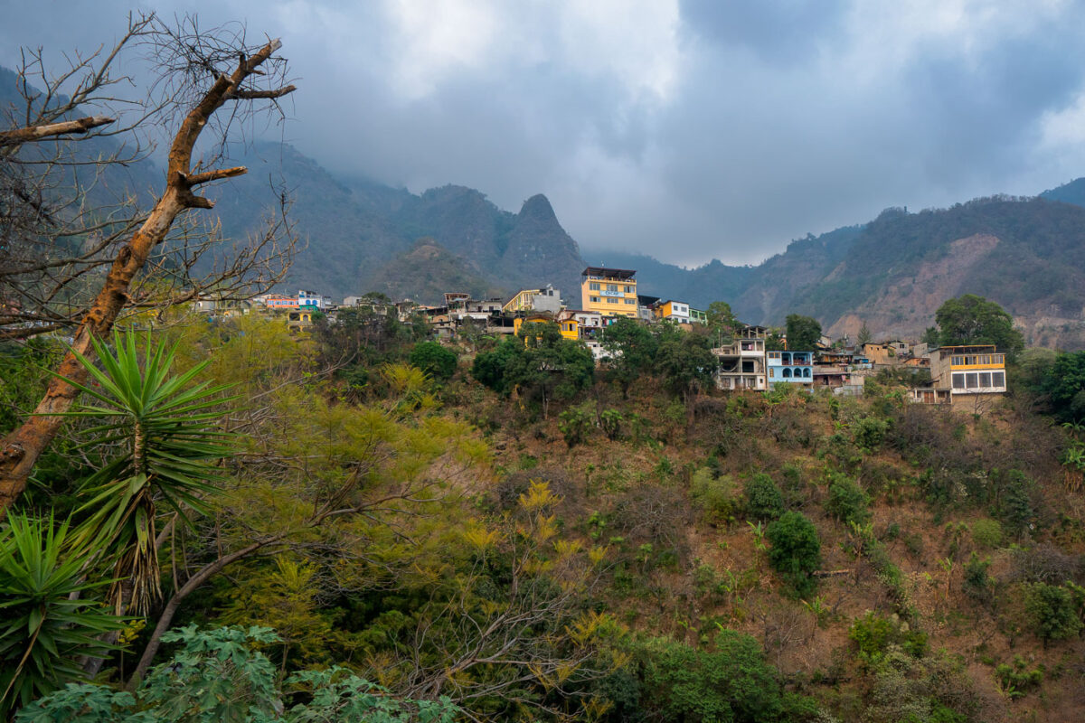
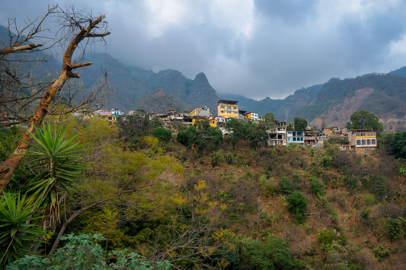
Santa Cruz La Laguna village on a mountainside overlooking Lake Atitlan, Guatemala.
Santa Cruz La Laguna, on the north shore of Lake Atitlán in Guatemala’s Sololá department, is built on a steep mountainside above the lakeshore. The village is reached primarily by boat and footpaths, with a winding route climbing from the dock and a rough road linking the community to Sololá for the transport of building materials, furniture, and limited vehicle traffic. The settlement includes the CECAP campus, a local training and community development center visible on the hillside.
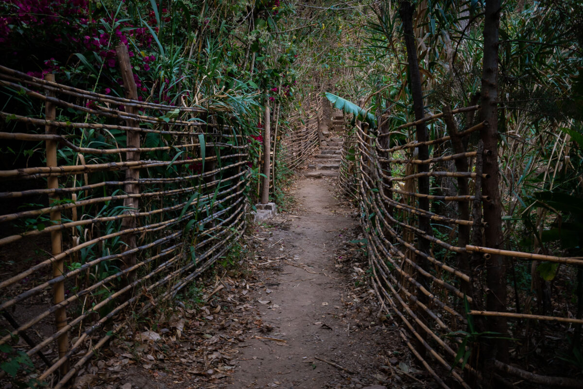
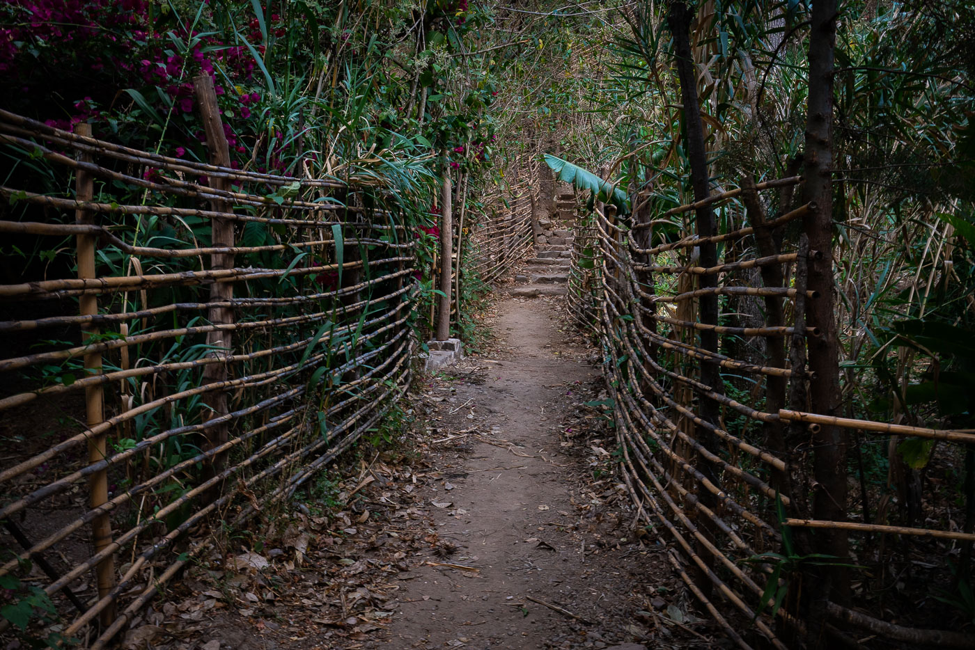
A dirt path lined with a rustic bamboo fence ascends into lush vegetation near Lake Atitlan in Santa Cruz, Guatemala.
A narrow footpath bordered by woven bamboo fencing climbs a hillside in Santa Cruz La Laguna on Lake Atitlán, Guatemala. In lakeside settlements around Atitlán, steep terrain and limited road access make pedestrian paths and stairways an important part of local circulation between homes, docks, and hillside destinations. The bamboo fencing and earthen walkway show the use of locally available materials in small-scale path construction and maintenance.
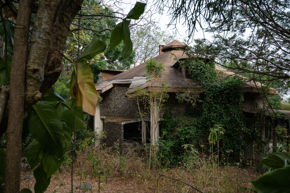
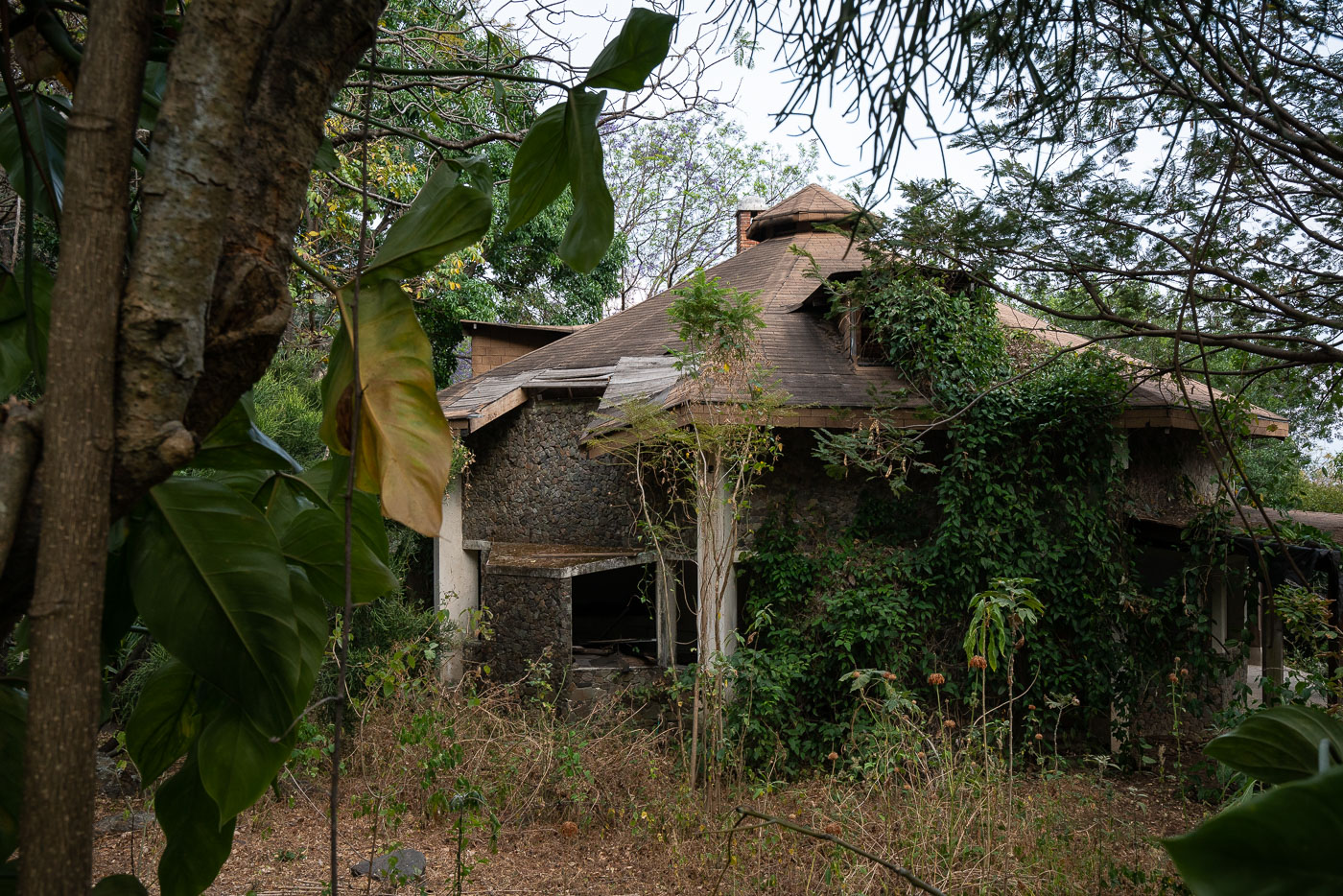
Abandoned stone house with octagonal roof in Santa Cruz, Guatemala, overgrown with vegetation.
An abandoned stone house in Santa Cruz La Laguna, Guatemala, stands overgrown by vegetation on the slopes above Lake Atitlán. The building has a distinctive multi-sided roof and walls faced with rounded volcanic stone, materials commonly found in construction around the lake basin. Broken openings, damaged roof sections, and heavy plant growth show that the structure has been unoccupied for an extended period. Santa Cruz La Laguna is one of several small highland communities on Lake Atitlán, where steep terrain and dense vegetation often surround residential and lodging properties.
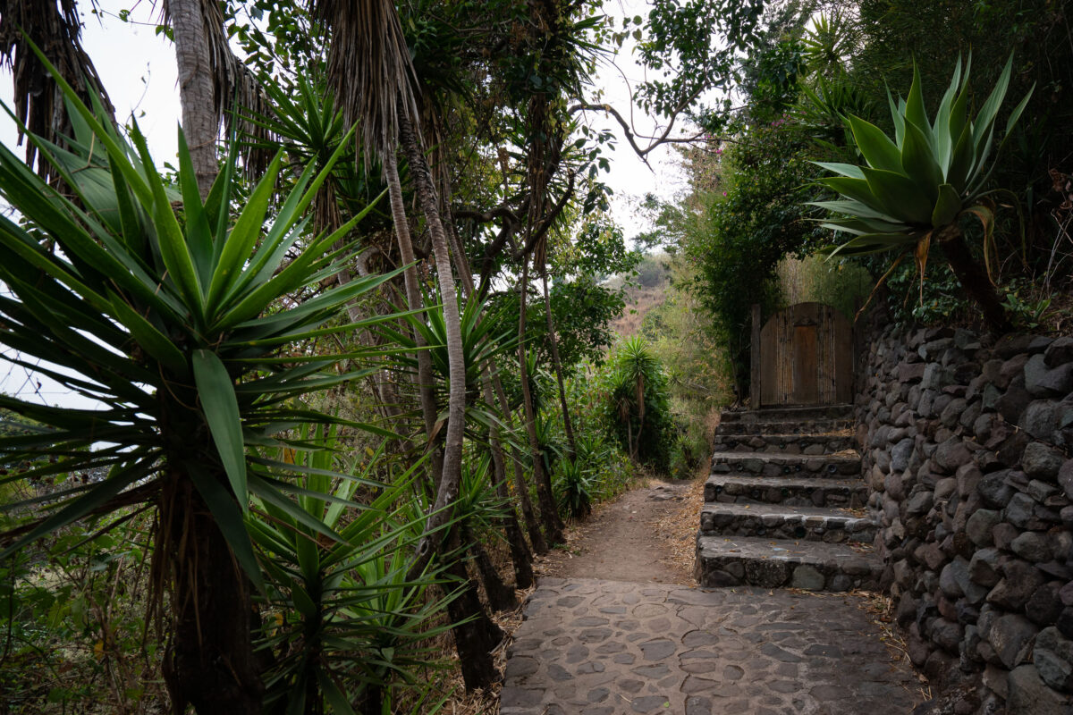
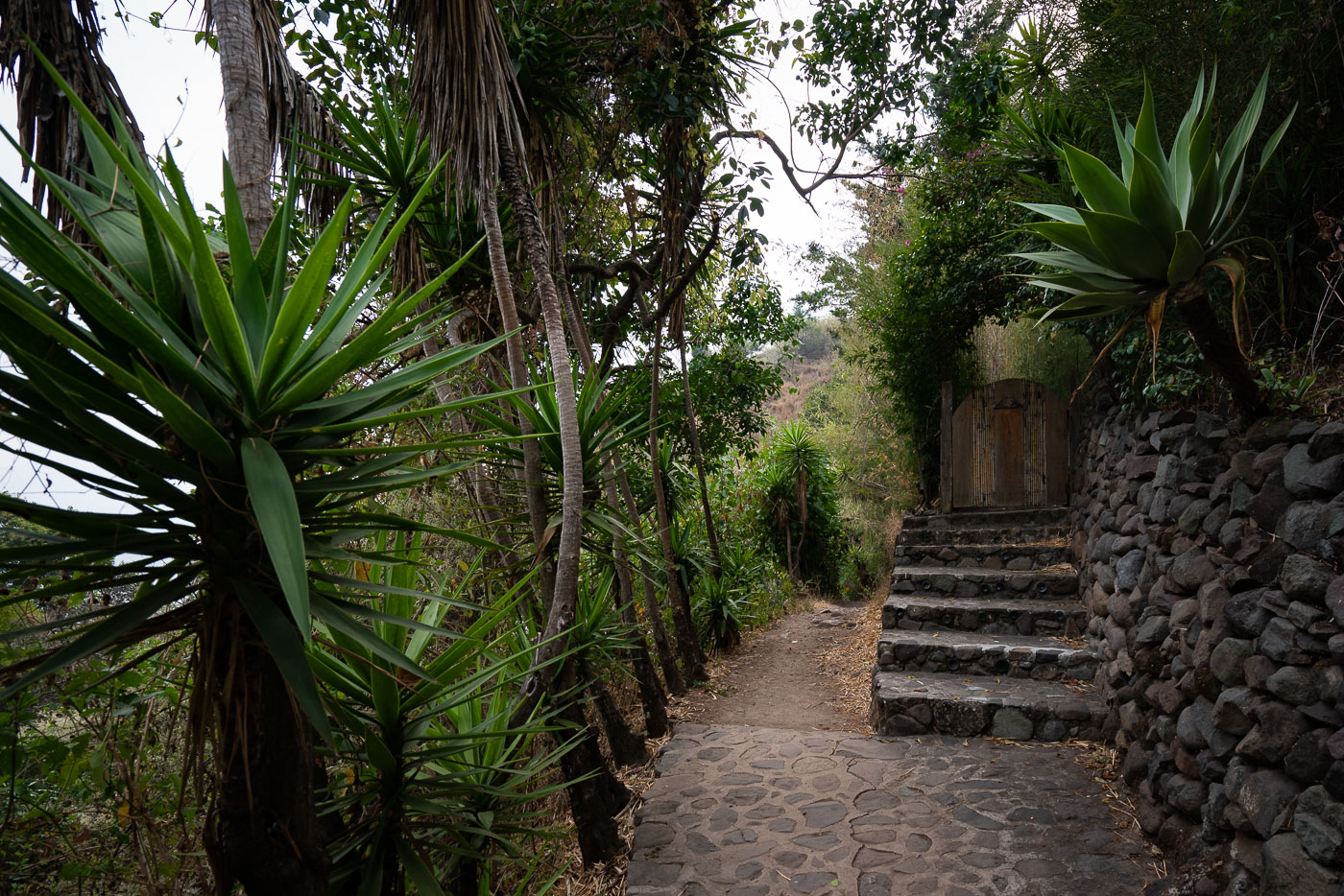
Stone path and stairs ascend a hillside in Santa Cruz, Guatemala, near Lake Atitlan.
A stone footpath and stairway in Santa Cruz La Laguna, on the shores of Lake Atitlán in Guatemala, climbs the steep hillside through dense vegetation and retaining walls built from local volcanic rock. Pedestrian routes like this are a basic part of circulation in the lakeside settlements around Atitlán, where narrow lanes and abrupt terrain often limit vehicle access. The masonry steps and path surfacing show the practical construction methods used to connect homes, lodgings, and lakeshore access points on the slopes above the lake.
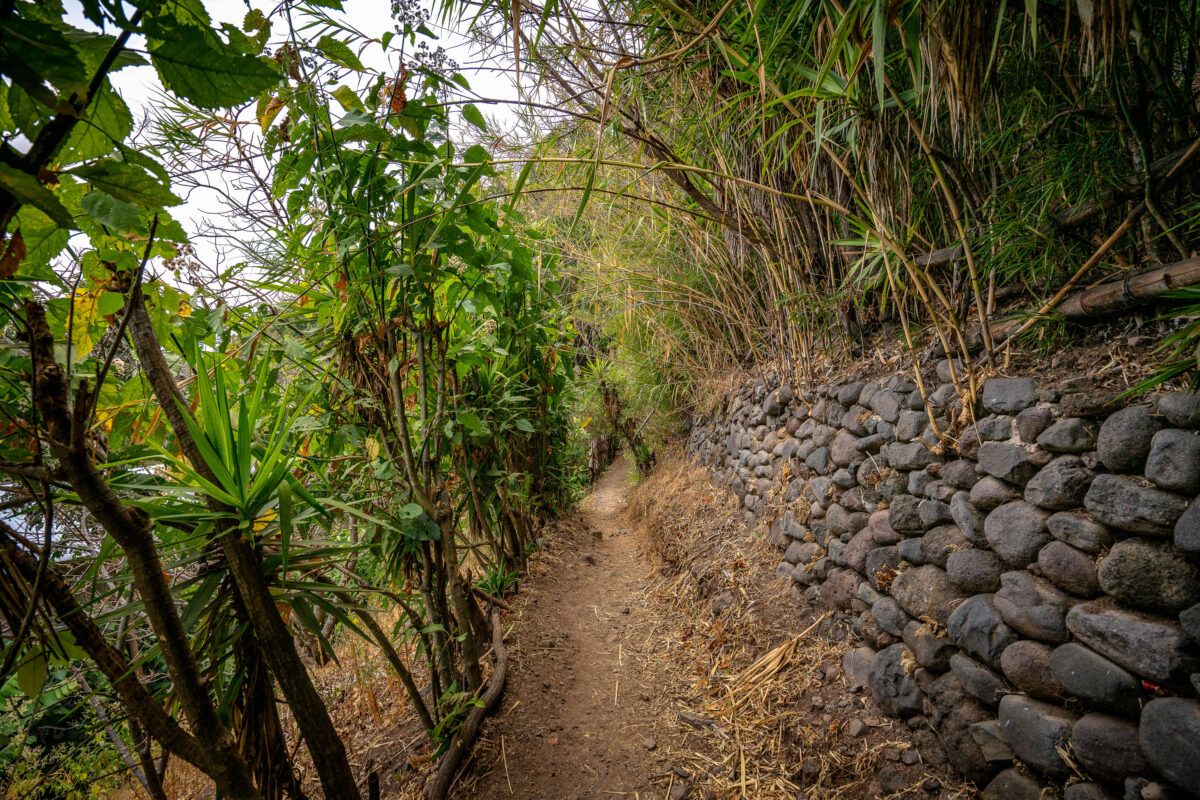
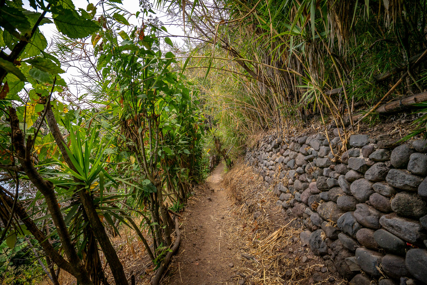
A dirt hiking trail runs alongside a stone retaining wall in Guatemala.
The footpath between Jaibalito and Santa Cruz la Laguna runs along the steep shoreline above Lake Atitlán in Sololá Department, Guatemala. This route links lakeside communities that are often reached by boat or on foot, making hillside trails an important part of daily transportation. The dry-stacked stone retaining wall supports the narrow path where it cuts into the slope, a practical construction method widely used on the lake’s rugged terrain.
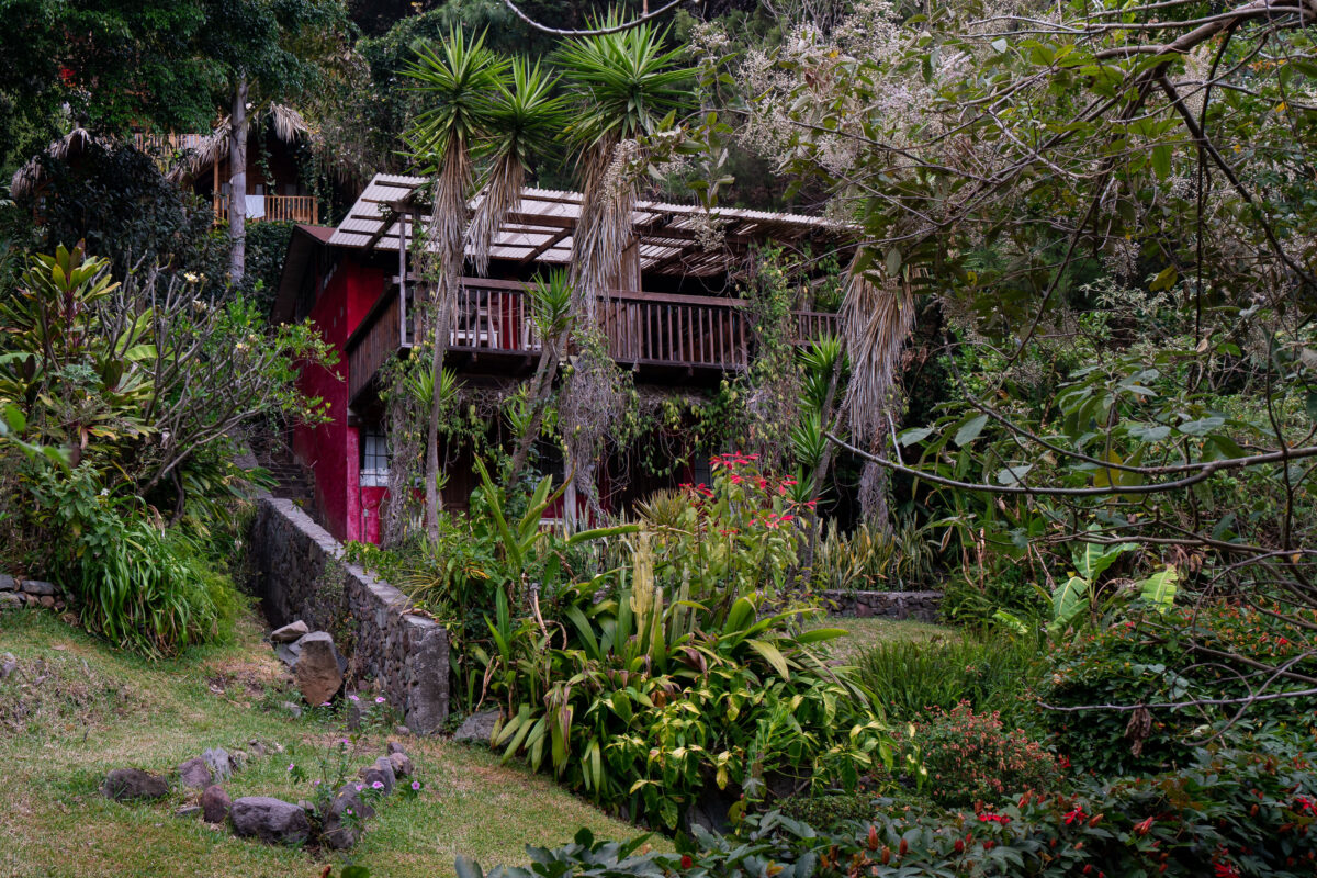
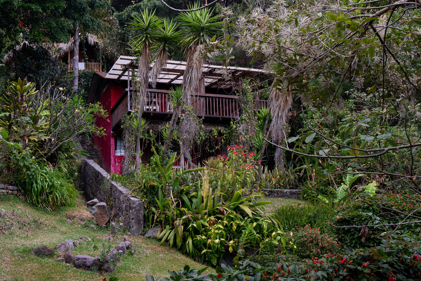
A red residence with a wooden balcony and corrugated roof is nestled in lush vegetation in Santa Cruz, Guatemala.
A residence in Santa Cruz La Laguna, Sololá Department, stands on a densely planted hillside above Lake Atitlán in Guatemala. The house combines timber balconies, open-air upper-level construction, and corrugated roofing, building methods commonly used in the lake region’s steep terrain and mild highland climate. Santa Cruz La Laguna is one of several Maya communities along the lake’s shoreline, where homes, lodges, and footpaths are often built into the volcanic slopes that descend toward the water.
Santa Cruz, Guatemala, a lakeside settlement on Lake Atitlán, with buildings cascading down hillsides towards the water.
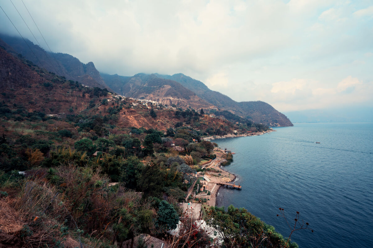
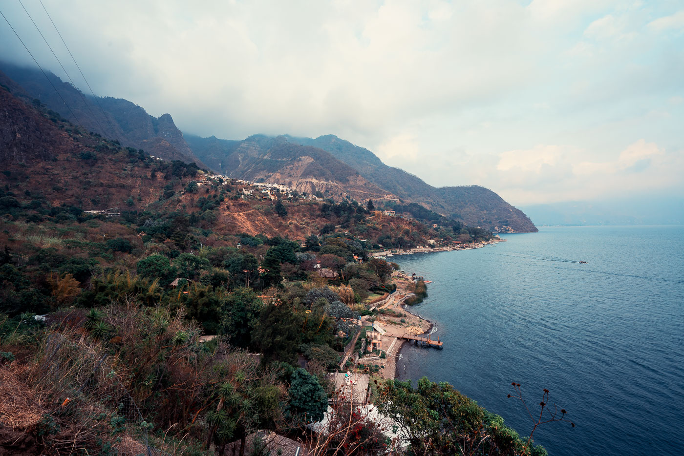
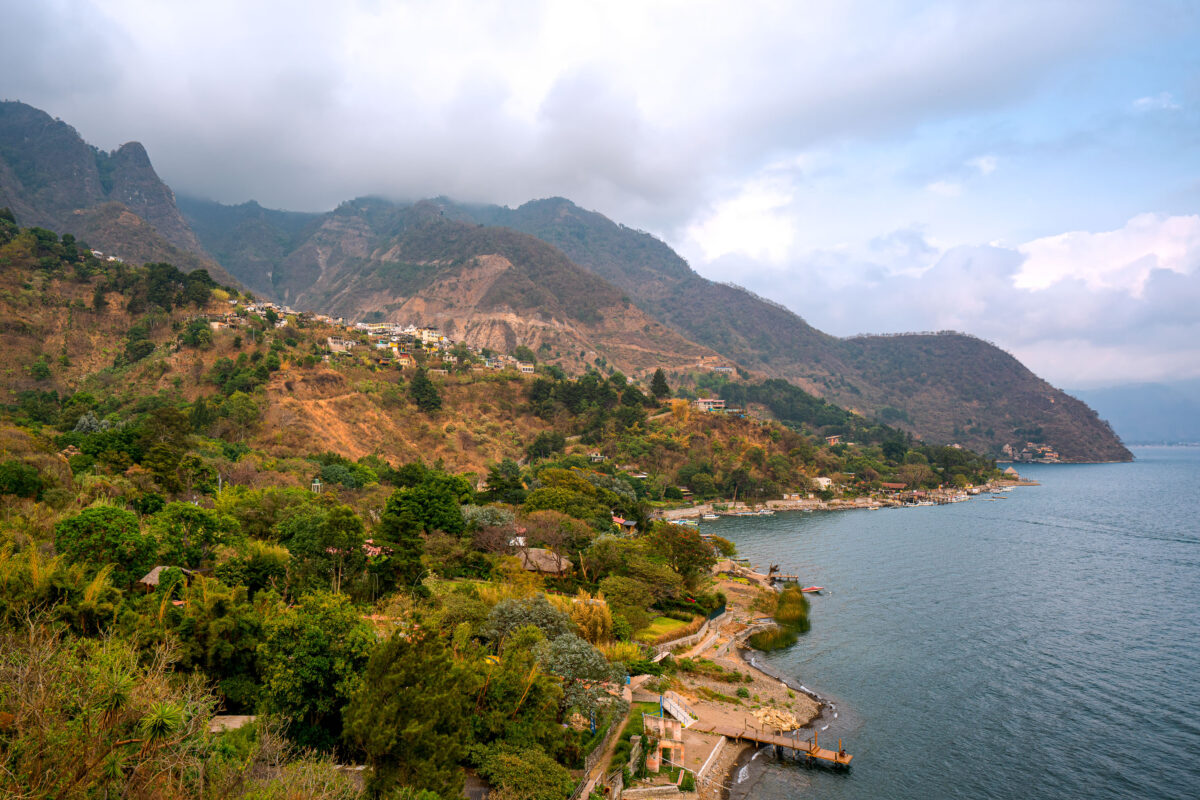
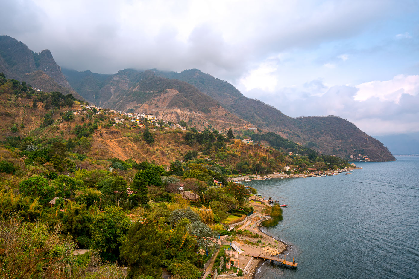
Santa Cruz La Laguna, Guatemala, extends along the north shore of Lake Atitlán beneath the steep slopes of the lake’s volcanic caldera. The settlement is built on narrow terraces and hillsides above the shoreline, a pattern shaped by the region’s rugged topography and limited flat land. Along this part of Lake Atitlán, boats and small docks are an important transportation link between communities because shoreline roads are limited and overland travel is slow.
Santa Cruz La Laguna village on the steep slopes overlooking Lake Atitlán, Guatemala.
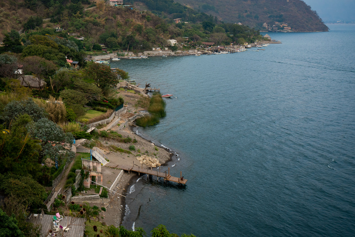
Santa Cruz La Laguna on Lake Atitlán, Guatemala, occupies a steep mountainside above the lakeshore, with homes clustered on the slope and a line of docks and small boats along the water. The settlement is one of several Tz’utujil and Kaqchikel Maya communities around the lake and is reached primarily by boat, with limited road access on the hillside. Atitlán remains the village’s main transportation corridor, linking shoreline landings with nearby towns across the lake.
Docks line the shoreline of Santa Cruz village on Lake Atitlan, Guatemala, with boats moored and volcanic hills in the background.
Santa Cruz La Laguna on the northern shore of Lake Atitlán, Guatemala, is lined with small docks, lakeside properties, and boats along the base of steep hillsides. Because the village has limited road access, transportation on Lake Atitlán remains central to daily travel and connections with other communities around the lake, including Panajachel and San Pedro La Laguna. Lake Atitlán occupies a volcanic caldera in the Guatemalan highlands, and its shoreline settlements have long developed around boat landings that link homes, businesses, and public access points.
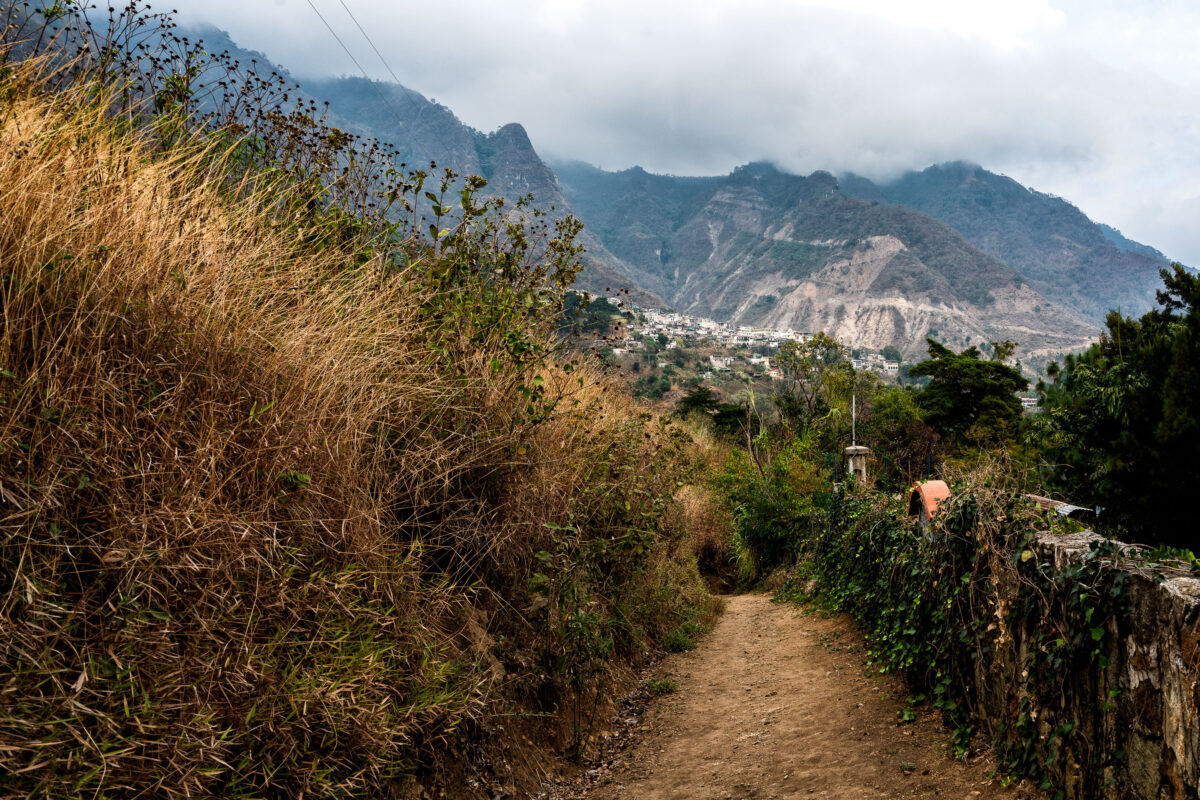
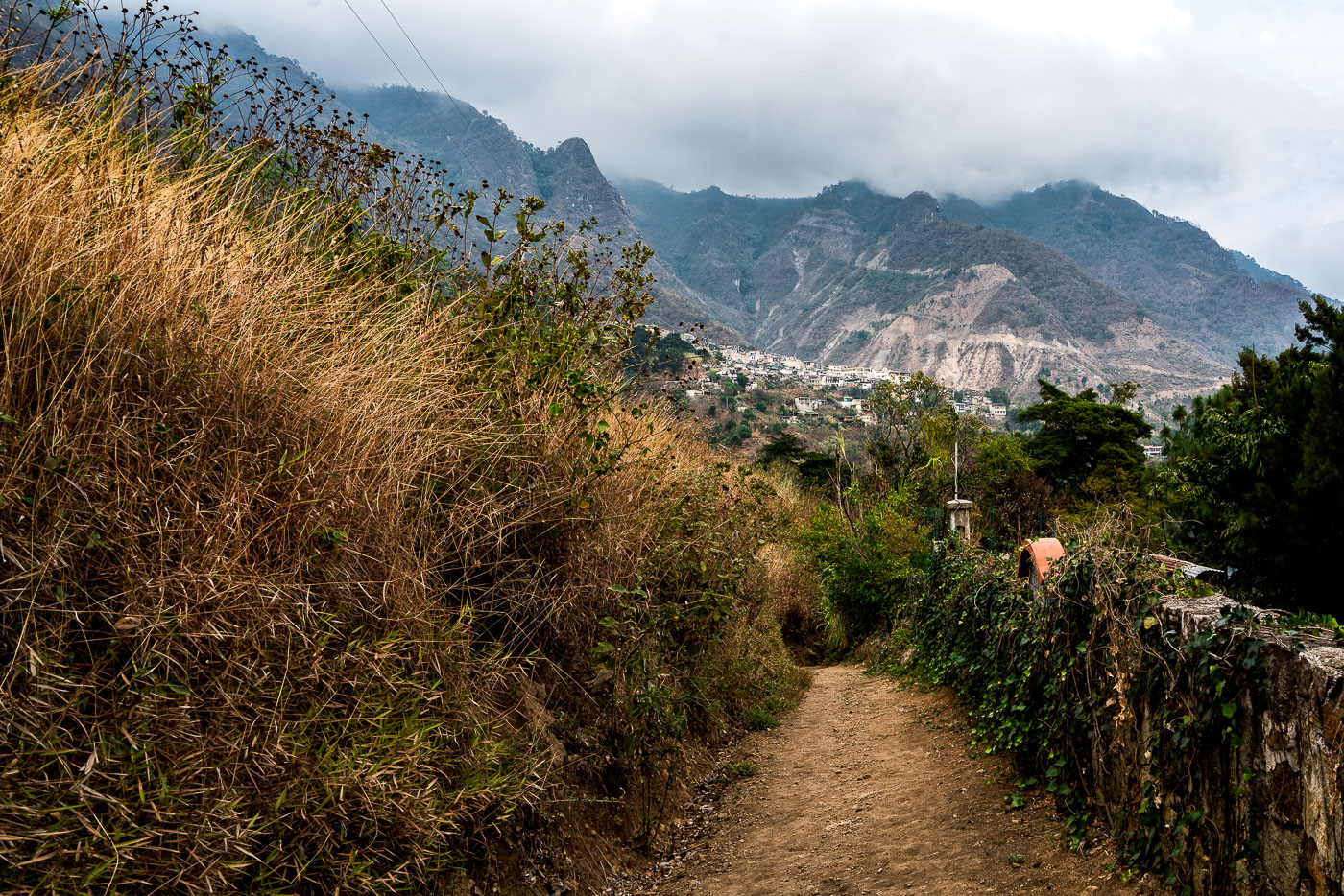
A dirt path winds through mountainous terrain near Santa Cruz, Guatemala, with a village visible in the distance.
A dirt footpath on the hillside above Santa Cruz La Laguna, Guatemala, leads toward the settlement beneath steep mountains on the north shore of Lake Atitlán. In this part of the Guatemalan highlands, paths like this connect homes, fields, and neighboring communities across terrain where roads are limited or indirect. The visible power lines and dense hillside construction show the mix of basic utility infrastructure and dispersed residential development in the lake basin.
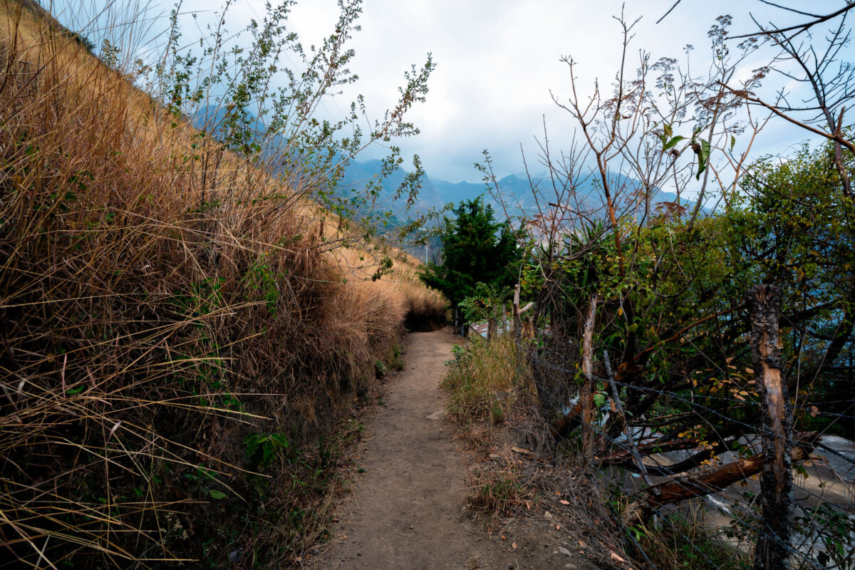
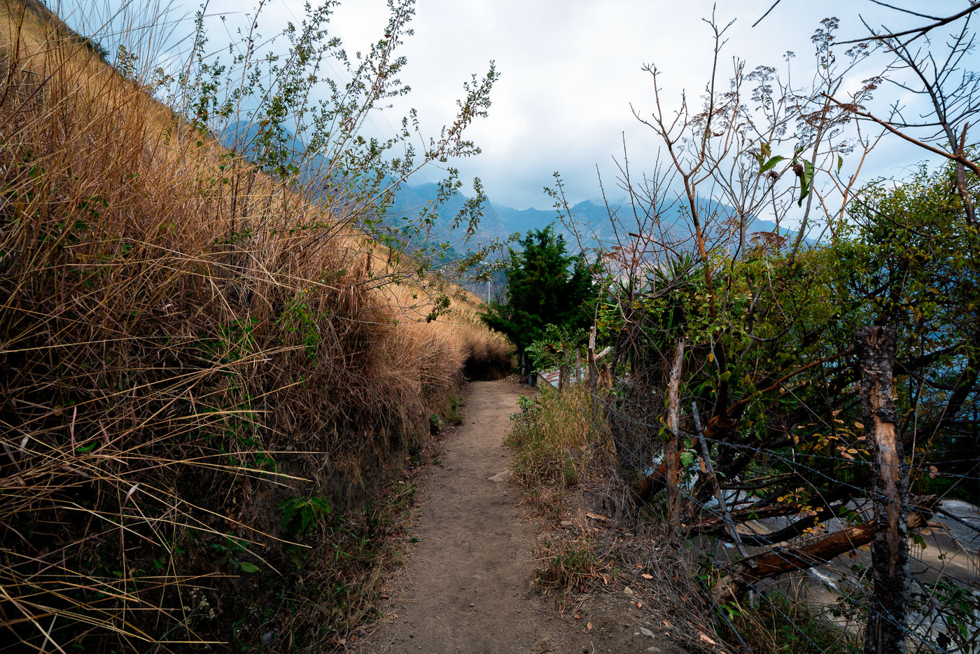
A dirt path winds through a mountainous landscape near Santa Cruz, Guatemala.
A narrow dirt footpath on a mountainside near Santa Cruz, Guatemala, runs between dry grass, brush, and a simple fence above a steep valley. In this highland terrain, unpaved trails connect homes, fields, and neighboring settlements where road access is limited by the steep slopes. The dry vegetation visible along the path is consistent with seasonal conditions common in the Guatemalan highlands.
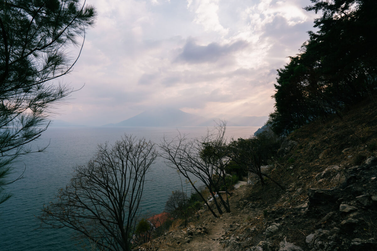
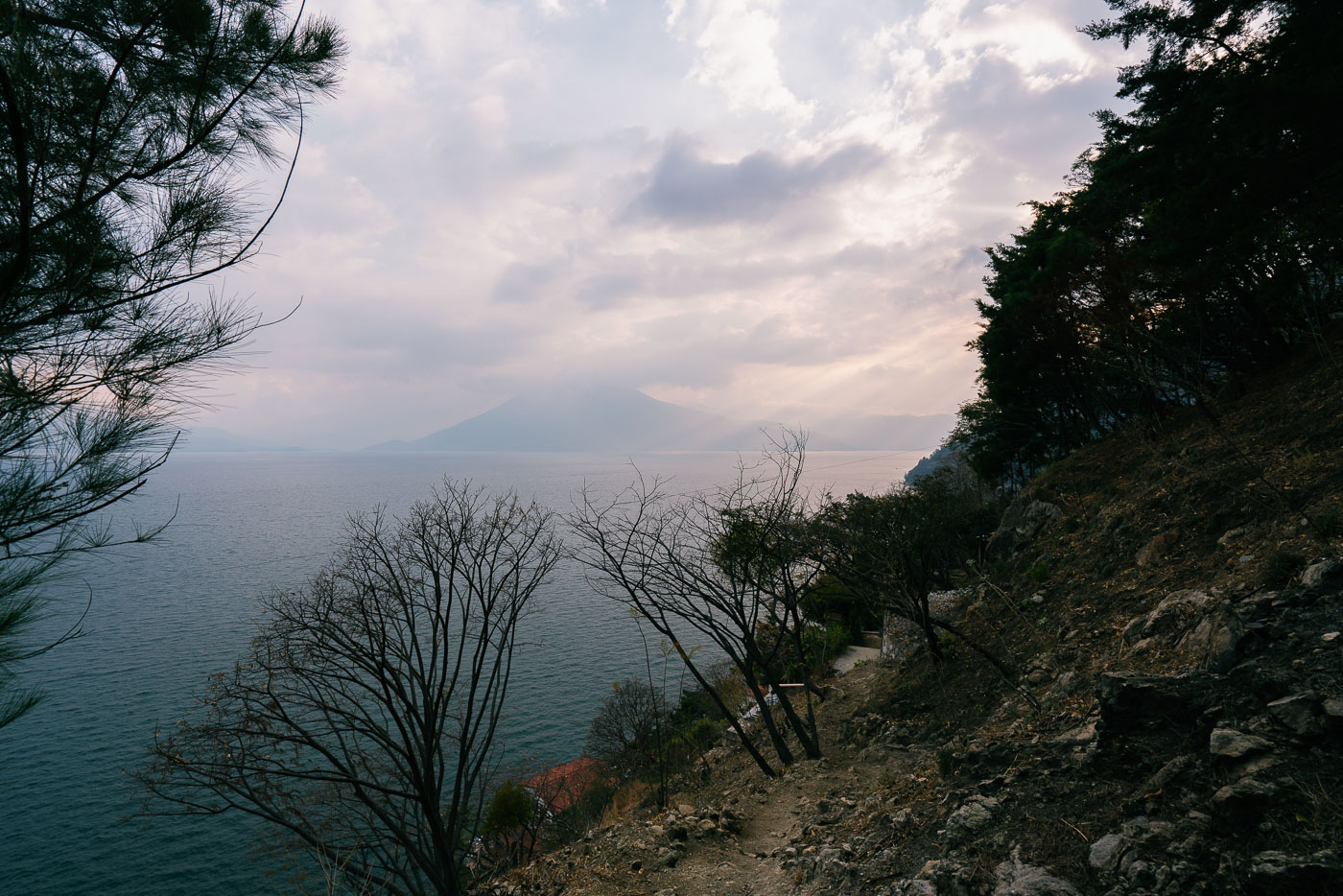
A hiking trail winds along the steep slopes overlooking Lake Atitlan near Santa Cruz, Guatemala, with a volcano visible in the distance.
A footpath on the hillside above Lake Atitlán near Santa Cruz La Laguna, Guatemala, follows the steep lakeshore terrain of the Guatemalan Highlands. Lake Atitlán occupies a volcanic caldera and is ringed by prominent volcanoes, including Volcán Atitlán in the distance across the water. Trails along this shore link lakeside settlements that are often connected more directly by boat than by road, making these paths part of the area’s local transportation network as well as routes used by hikers.
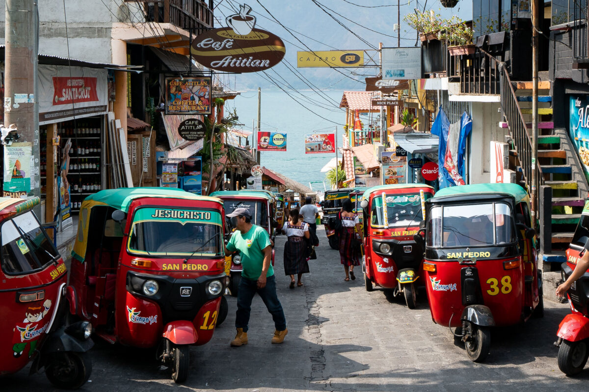
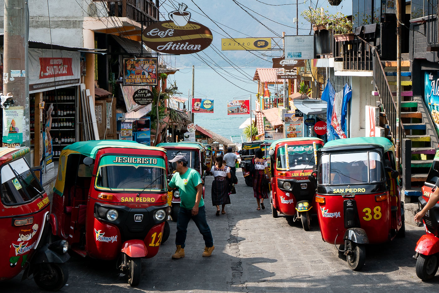
Tuk-tuks line a street in San Pedro La Laguna, Guatemala, a common form of local transportation.
Tuk-tuks line a steep street in San Pedro La Laguna, Guatemala, descending toward the shore of Lake Atitlán. These three-wheeled mototaxis are a primary mode of local transport in the town, where narrow streets and dense commercial blocks favor small vehicles over larger buses or taxis. San Pedro La Laguna is one of several lakefront communities around Atitlán where tuk-tuks connect residential areas, shops, docks, and visitor accommodations within the compact hillside settlement.
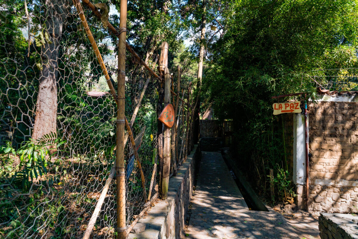
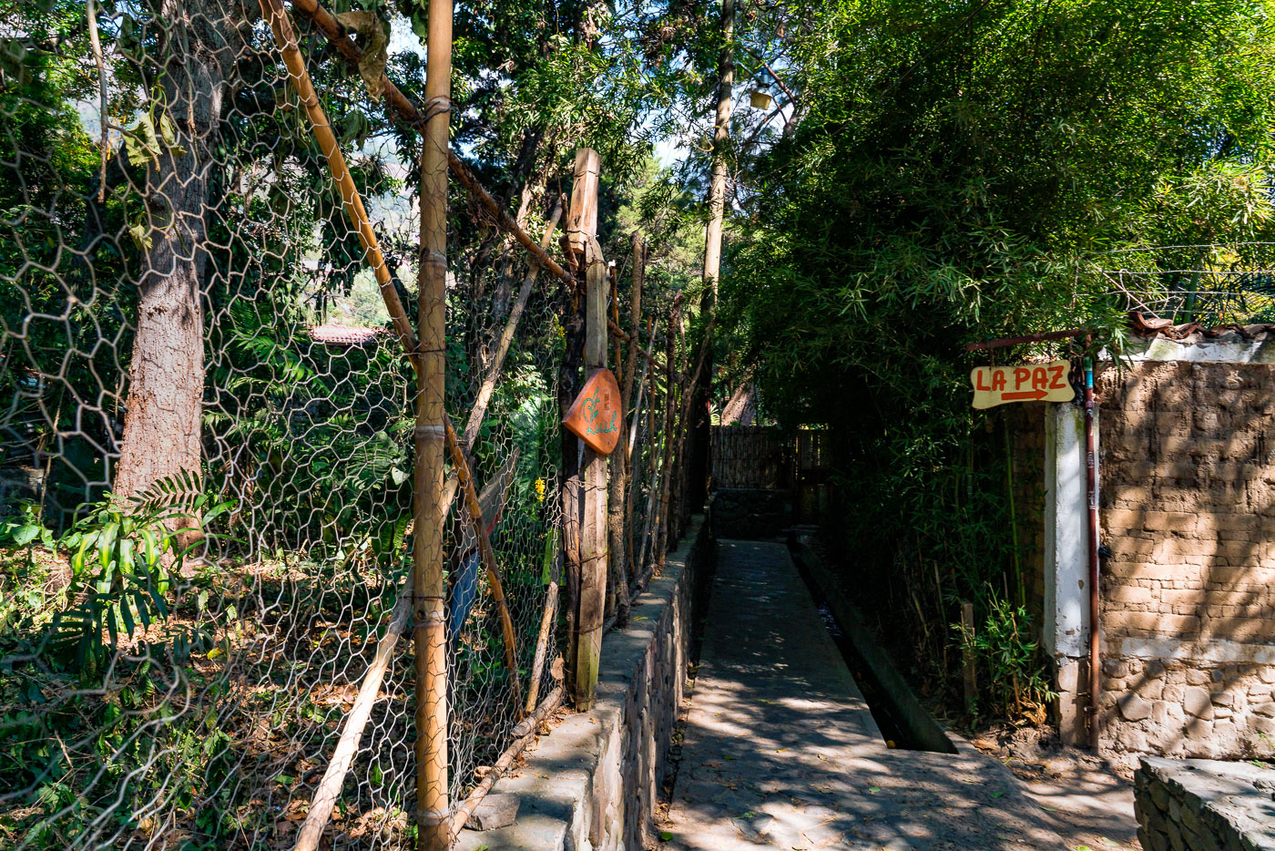
A walkway leads to the "La Paz" sign in San Marcos, Guatemala.
A narrow pedestrian path marked “La Paz” in San Marcos, Guatemala, runs between a rustic fence and dense vegetation beside a concrete drainage channel. The hand-painted sign identifies the route to a local destination named La Paz, while the enclosed walkway and masonry edging show the kind of small-scale footpath infrastructure used in residential and semi-rural parts of the region. The setting combines informal construction materials with a built drainage system adapted to the steep, heavily vegetated landscape common in the Guatemalan highlands.

Built in Minneapolis

Photographs showcasing change over time

Browse by location, move through long-running series, or start with recent work.