California

56 photos · 2011–2015

56 photographs tagged California, 2011–2015.
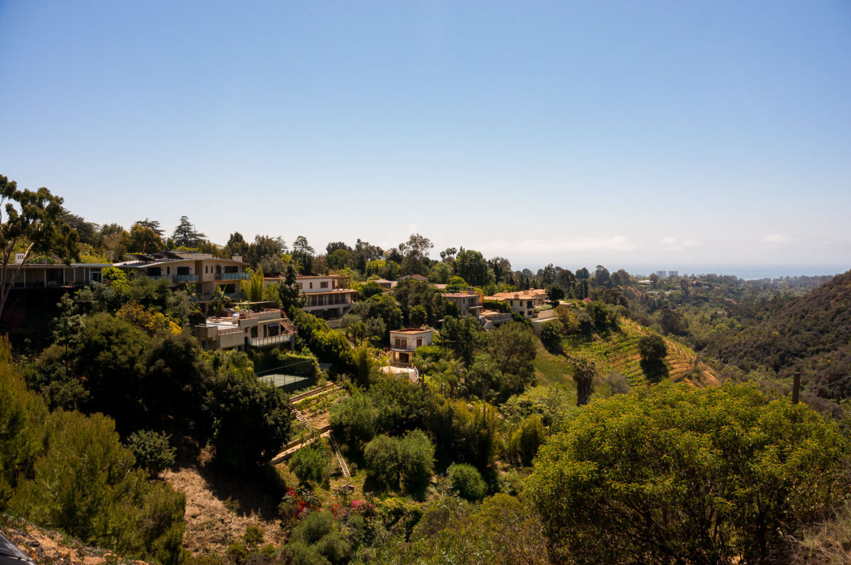
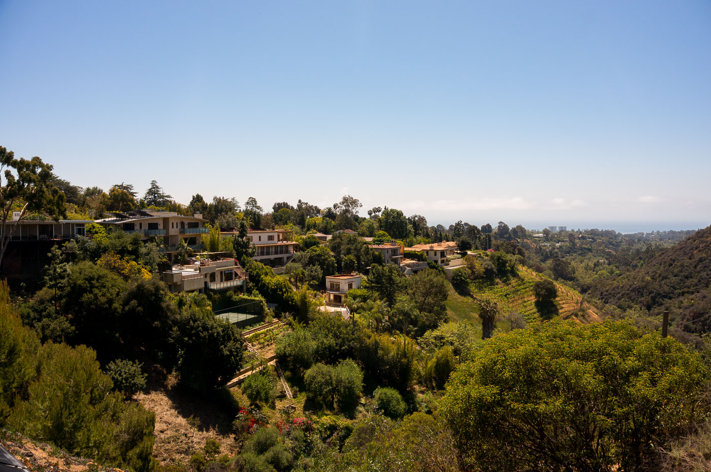
Hillside homes nestled among dense vegetation in Pacific Palisades, Los Angeles.
Pacific Palisades sits in the Santa Monica Mountains on Los Angeles's Westside, tucked between the coastline and Topanga State Park. Methodist settlers founded the community in the 1920s, and it later grew into one of the city's wealthiest enclaves, prized for large hillside lots and unobstructed ocean views. The same canyon terrain and dense chaparral that give the neighborhood its ry have also made it one of the more fire-prone areas in Los Angeles, a risk that culminated in the January 2025 Palisades Fire, which destroyed thousands of homes across the hills.

Hillside Estates Overlooking the Pacific in Pacific Palisades
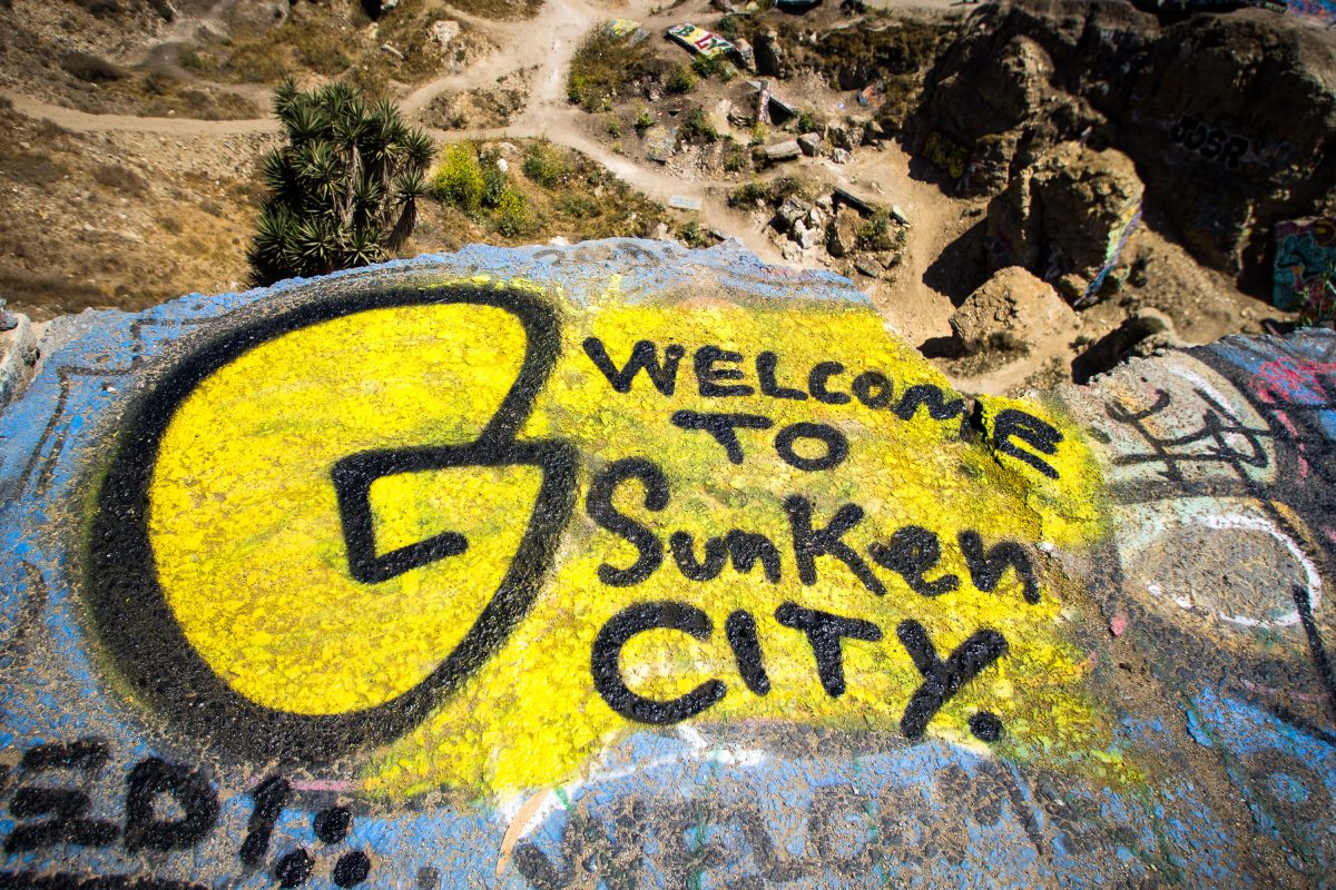
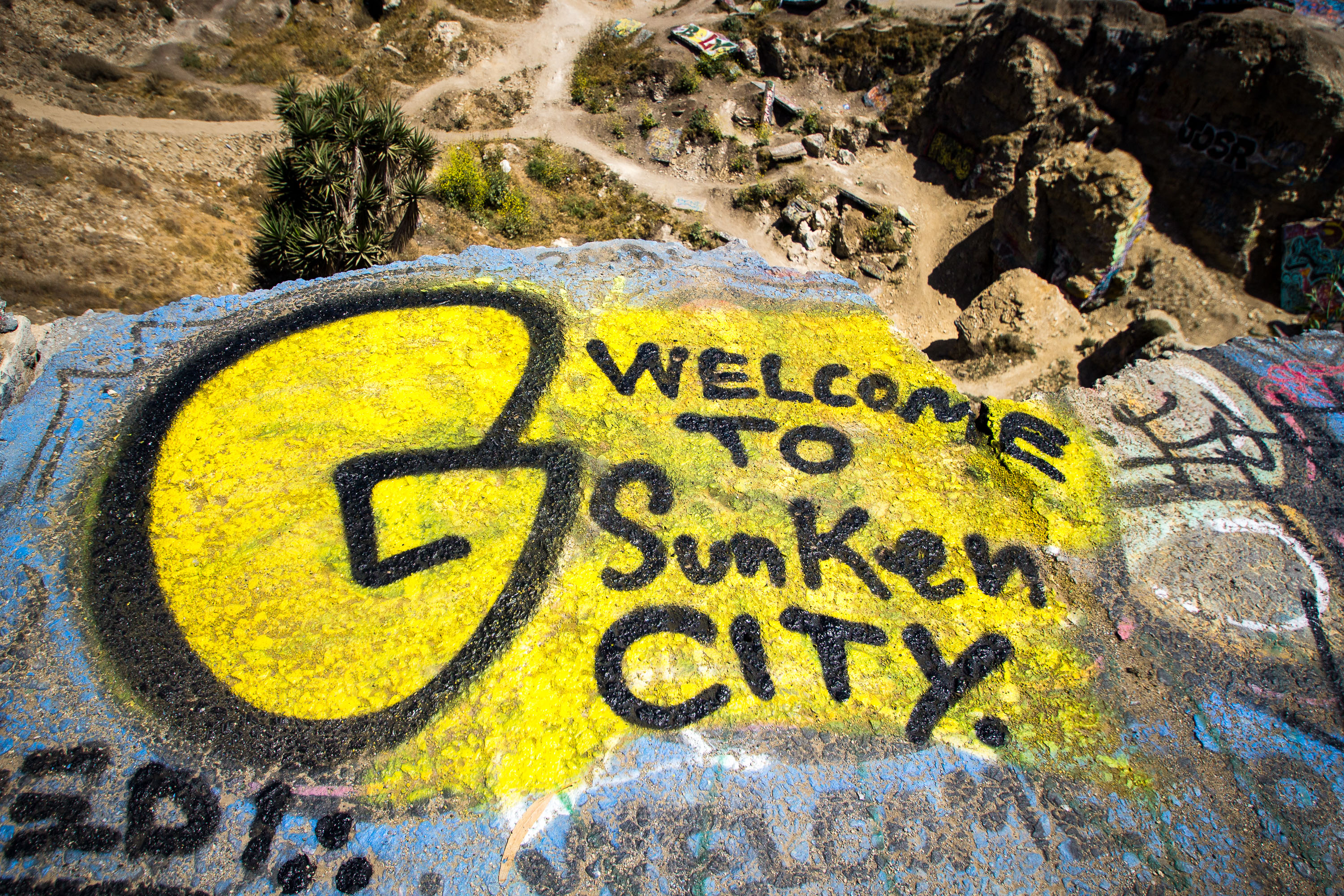
Yellow "Welcome to Sunken City" graffiti mural on a painted rock at the San Pedro coastal site.
Sunken City occupies a fenced stretch of Point Fermin in San Pedro, where a landslide beginning in 1929 pulled a residential subdivision's streets, sidewalks, and foundations toward the ocean. Unstable bluffs and an underlying fault line caused the ground to keep shifting for decades, making the area too dangerous to rebuild on. The city closed the site to development, but the broken slabs of pavement have since become a canvas for graffiti, including painted messages that greet visitors who slip past the fencing. Point Fermin Park sits alongside the site, overlooking the Pacific.

“Welcome to Sunken City” Painted on a Concrete Slab
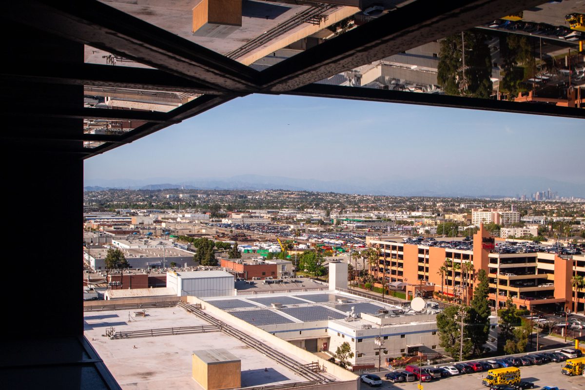
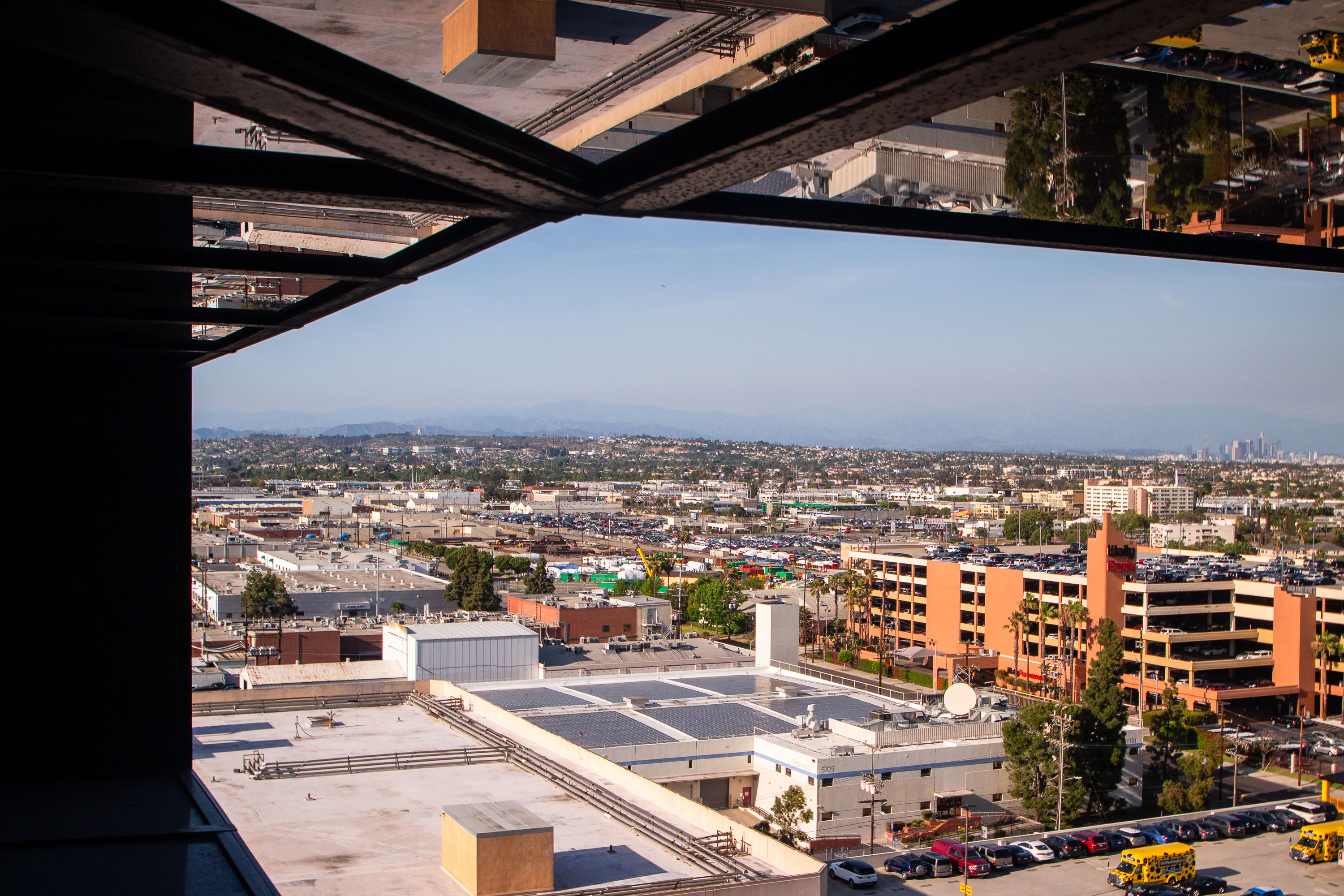
View from Hyatt Regency Los Angeles International Airport showing Westchester neighborhood toward downtown Los Angeles skyline.
The Hyatt Regency Los Angeles International Airport rises near LAX along Century Boulevard, a stretch that became the airport's hotel row after commercial jet travel took off at LAX in the 1960s. Downtown Los Angeles sits roughly 15 miles to the northeast, with the San Gabriel Mountains forming the edge of the Los Angeles Basin beyond it. The neighborhoods of Westchester and Inglewood fill the gap between the airport corridor and the city center.

Downtown LA Skyline from the Hyatt Regency on Century Boulevard
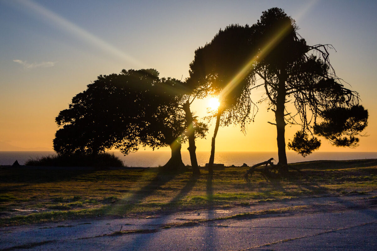
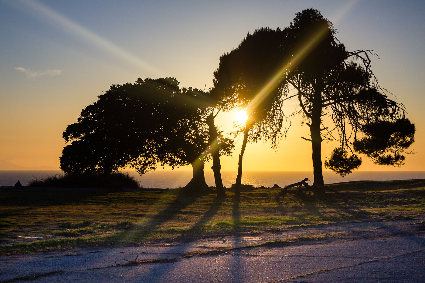
Wind-bent trees silhouetted against sunset on coastal bluffs at San Pedro, California.
San Pedro sits on the Palos Verdes Peninsula at the southern edge of Los Angeles, where bluff-top parkland drops sharply to the Pacific. The community was once its own city, incorporated in 1888, before merging with Los Angeles in 1909 to secure control of the harbor. That harbor is now the Port of Los Angeles, the busiest container port in the Western Hemisphere, though the cliffs above it remain largely undeveloped and open to the public. On clear days the bluffs offer sightlines west to Santa Catalina Island, some twenty-two miles offshore.

Sunset Over the Pacific from San Pedro’s Coastal Bluffs
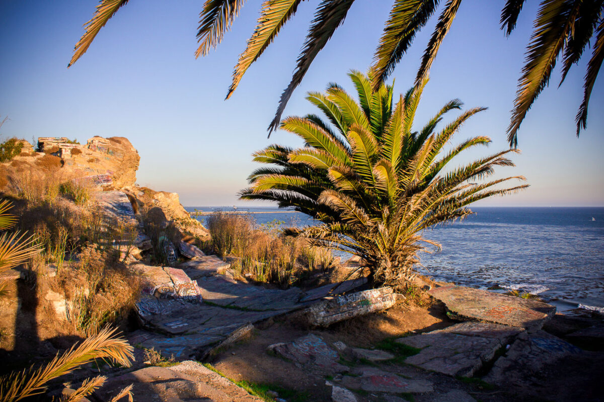
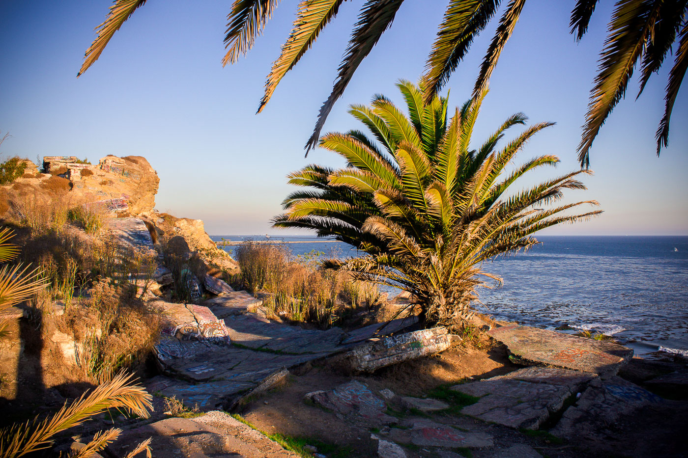
Palm fronds frame historic Sunken City ruins along the San Pedro coastline overlooking the Pacific Ocean.
Sunken City sits along the San Pedro coastline, where a 1929 landslide broke a section of the old Point Fermin neighborhood loose and dropped it toward the sea. Streets, sidewalks, and building foundations from that era still lie scattered across the cliffs, cracked apart by decades of continued ground movement. The Los Angeles Department of Recreation and Parks fenced the area off for years because of the unstable terrain, though it remained a well-known destination for urban explorers and graffiti artists. It borders Point Fermin Park at the southern tip of the Palos Verdes Peninsula, overlooking the Pacific.

Palm Tree Above the Sunken City Ruins in San Pedro
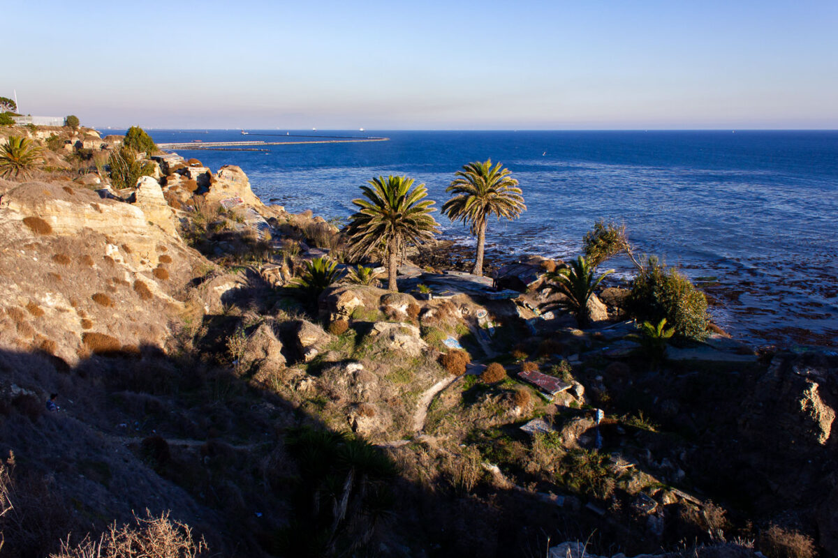
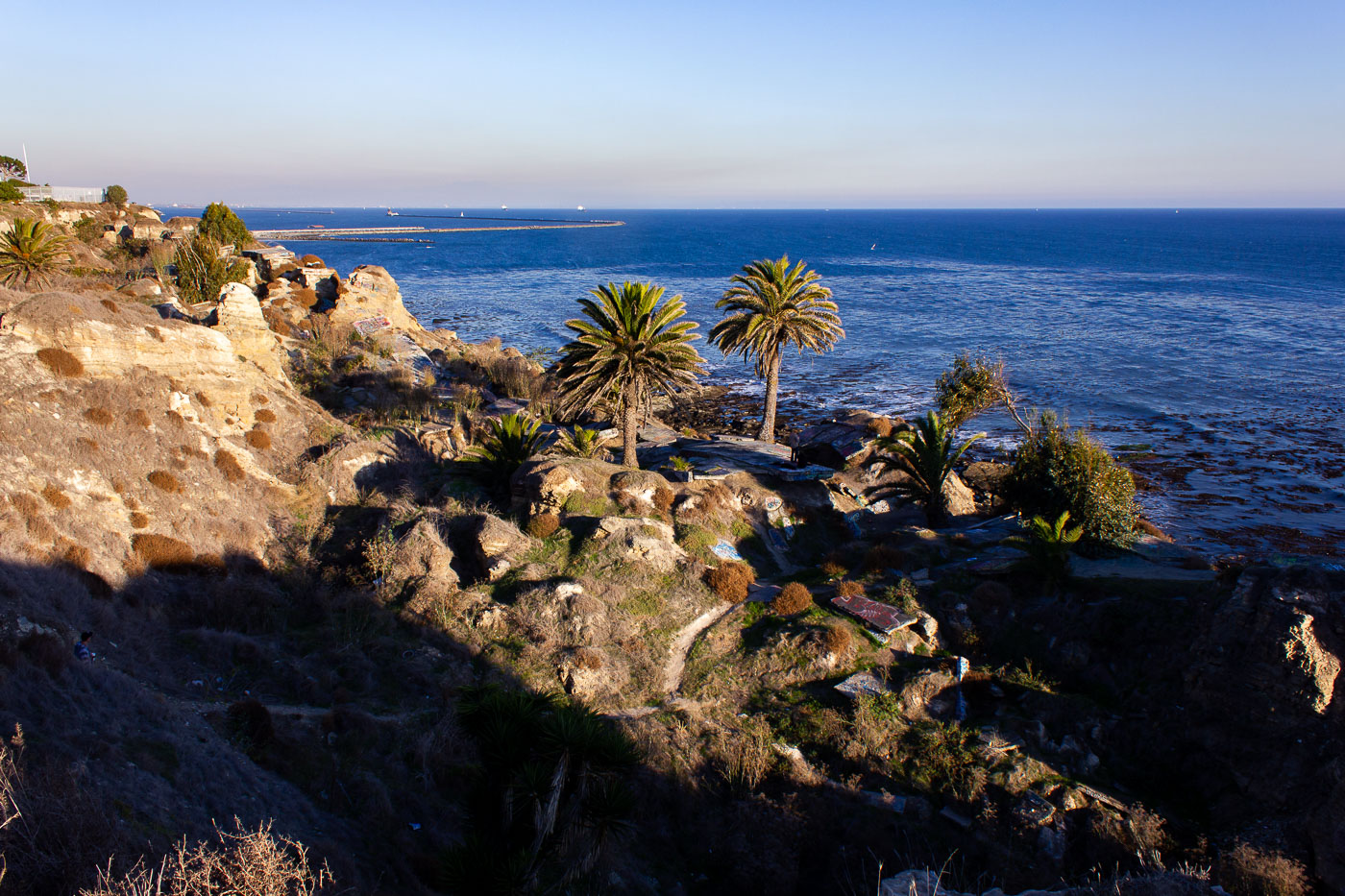
Palm trees grow on eroded cliffs at Sunken City in San Pedro, Los Angeles.
Sunken City occupies a stretch of collapsed bluff at Point Fermin in San Pedro, a Los Angeles neighborhood at the tip of the Palos Verdes Peninsula. A 1929 landslide fractured the streets and foundations of what had been a residential subdivision, dropping chunks of pavement and building slabs toward the shoreline and prompting the city to condemn the land. Geologists attribute the ongoing slippage to unstable shale and sandstone layers beneath the bluffs, a movement that continues today at a slow but measurable pace. Los Angeles kept the area fenced off for decades before opening it to the public in 2016 under a supervised-access program. The breakwater visible offshore shelters the Port of Los Angeles, one of the busiest container ports in the country.

Sunken City’s Cliffside Ruins Above the Pacific in San Pedro
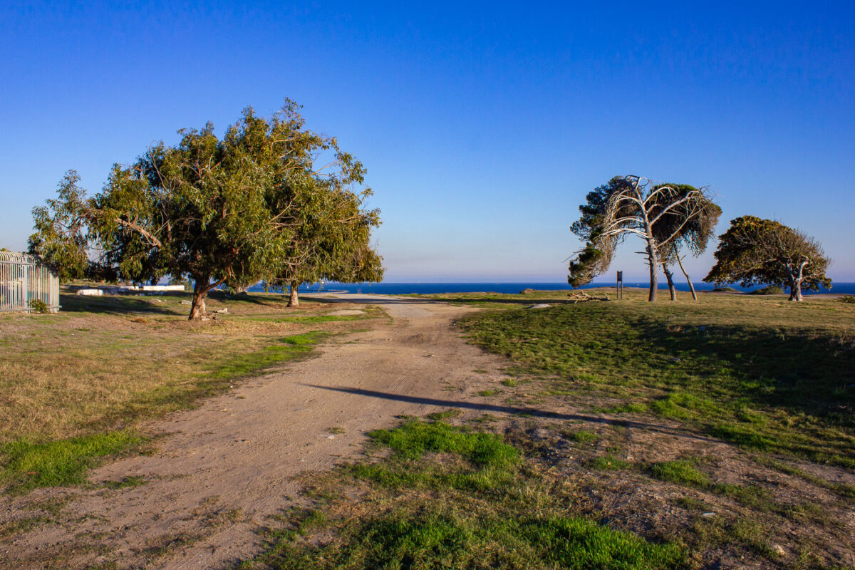
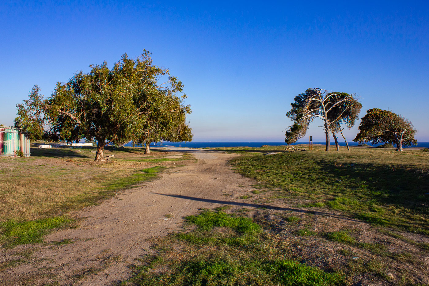
Wind-bent trees stand on grassy bluffs above the Pacific at Sunken City, San Pedro, California.
Point Fermin Park sits on the bluffs above San Pedro's coastline, next to the fenced-off landslide zone known as Sunken City. Ocean winds off the Pacific are constant here, and over decades they've trained the park's coastal trees to grow at a permanent lean, some bent nearly parallel to the ground. The park's open lawns and dirt paths run along the same bluff edge that has been sliding slowly toward the water since 1929, when unstable clay layers beneath Point Fermin gave way. The city maintains the park as public parkland even as the adjacent slide area remains restricted.

Trees Shaped by Wind at Point Fermin Park
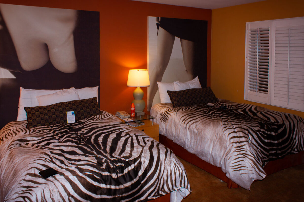
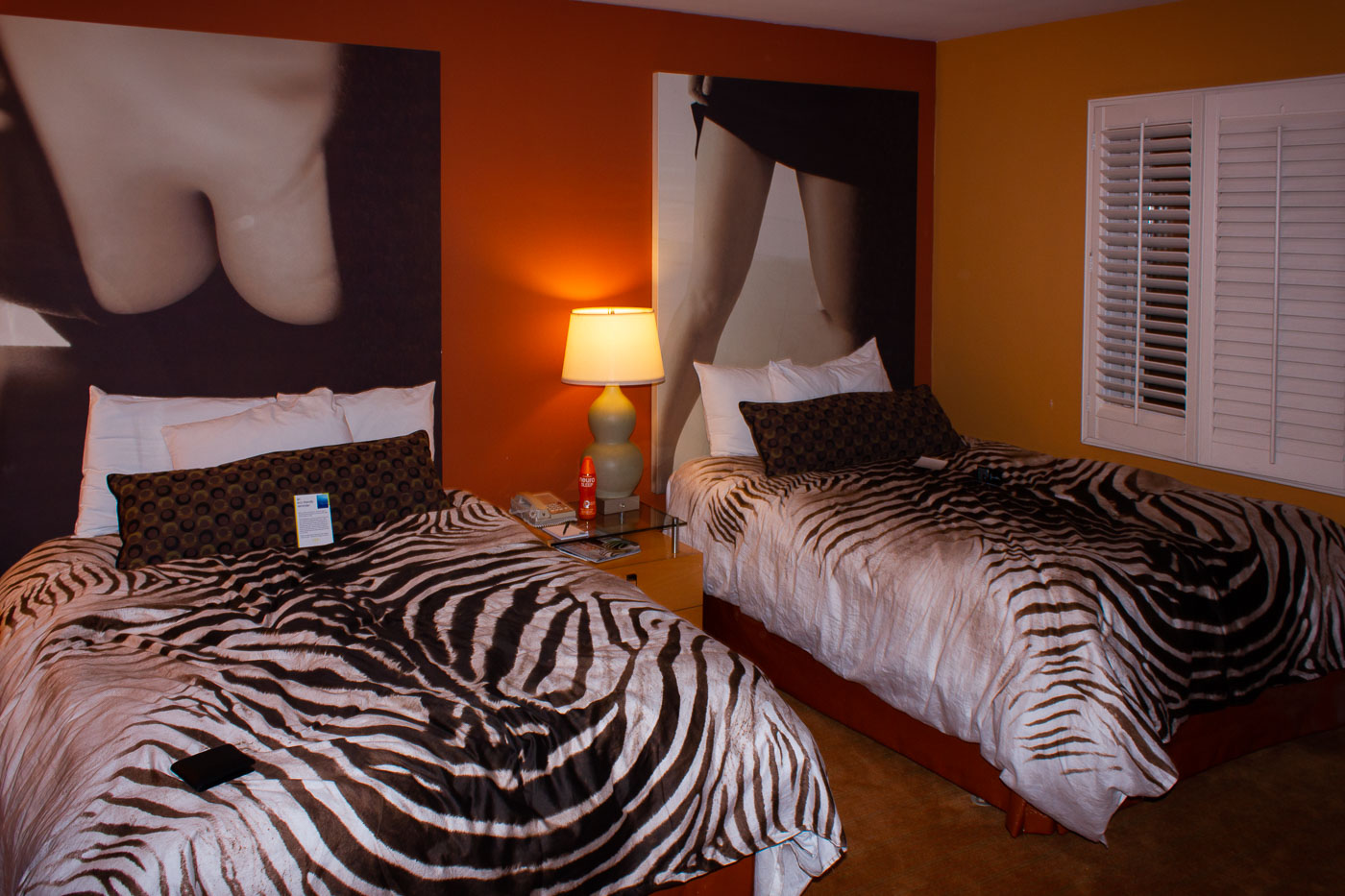
Grafton on Sunset hotel room in Hollywood with two twin beds and zebra-print bedding
A guest room at the Grafton on Sunset in Hollywood, California, has two twin beds with zebra-print bedding. Large photographic wall art fills the space above each bed, and a lamp sits on the shared nightstand between them.

A Zebra-Print Guest Room at the Grafton on Sunset
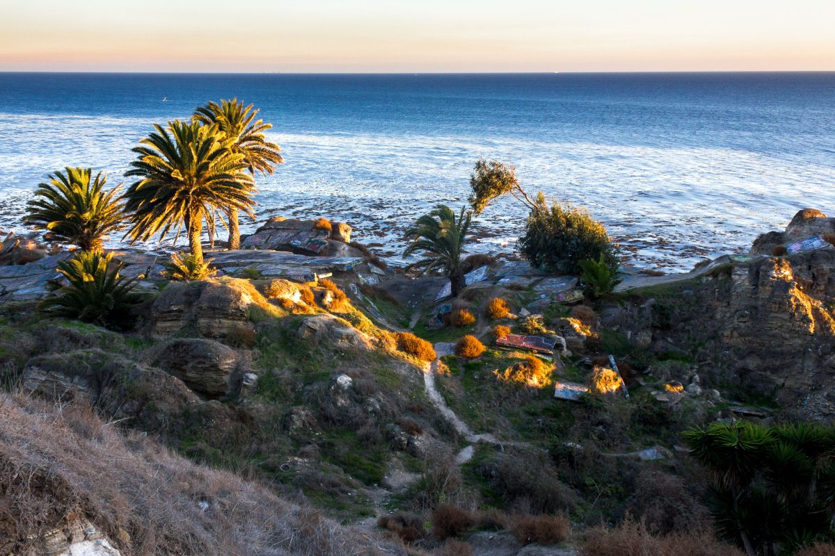
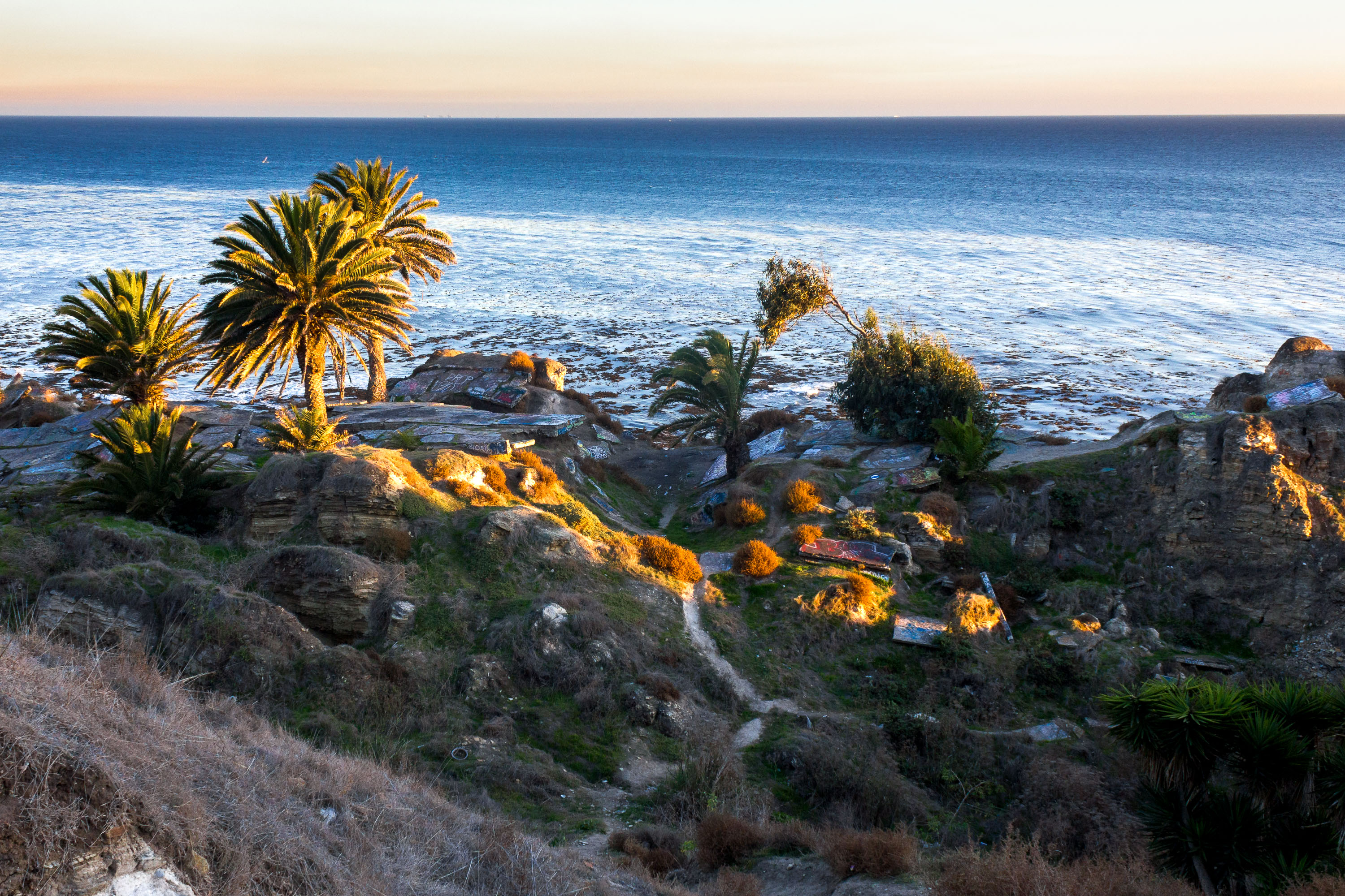
Palm trees and native vegetation grow on rocky coastal bluffs above the Pacific Ocean in San Pedro, California.
Sunken City sits at the edge of Point Fermin in San Pedro, where a chunk of coastal bluff gave way in 1929 as the ground beneath it slid toward the Pacific. Ongoing land movement, tied to unstable shale and erosion along the cliffs, has kept the site fenced off from official development ever since. Despite the barriers, the ruins have long drawn explorers and artists, and the broken concrete slabs are covered in layers of graffiti added over decades. Palm trees and scrub now grow among the wreckage, framing views out over the water toward the shipping lanes off the Los Angeles–Long Beach coast.

Palm Trees and Broken Terrain at Sunken City in San Pedro
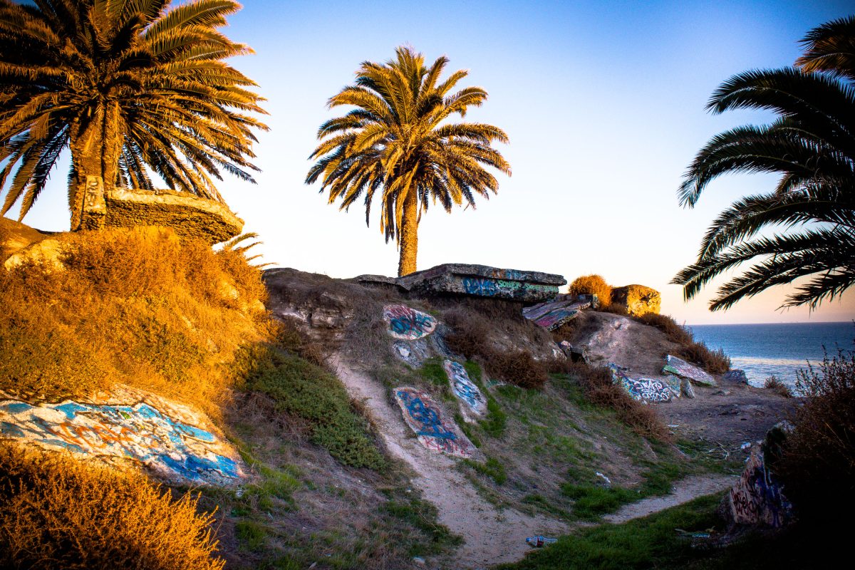
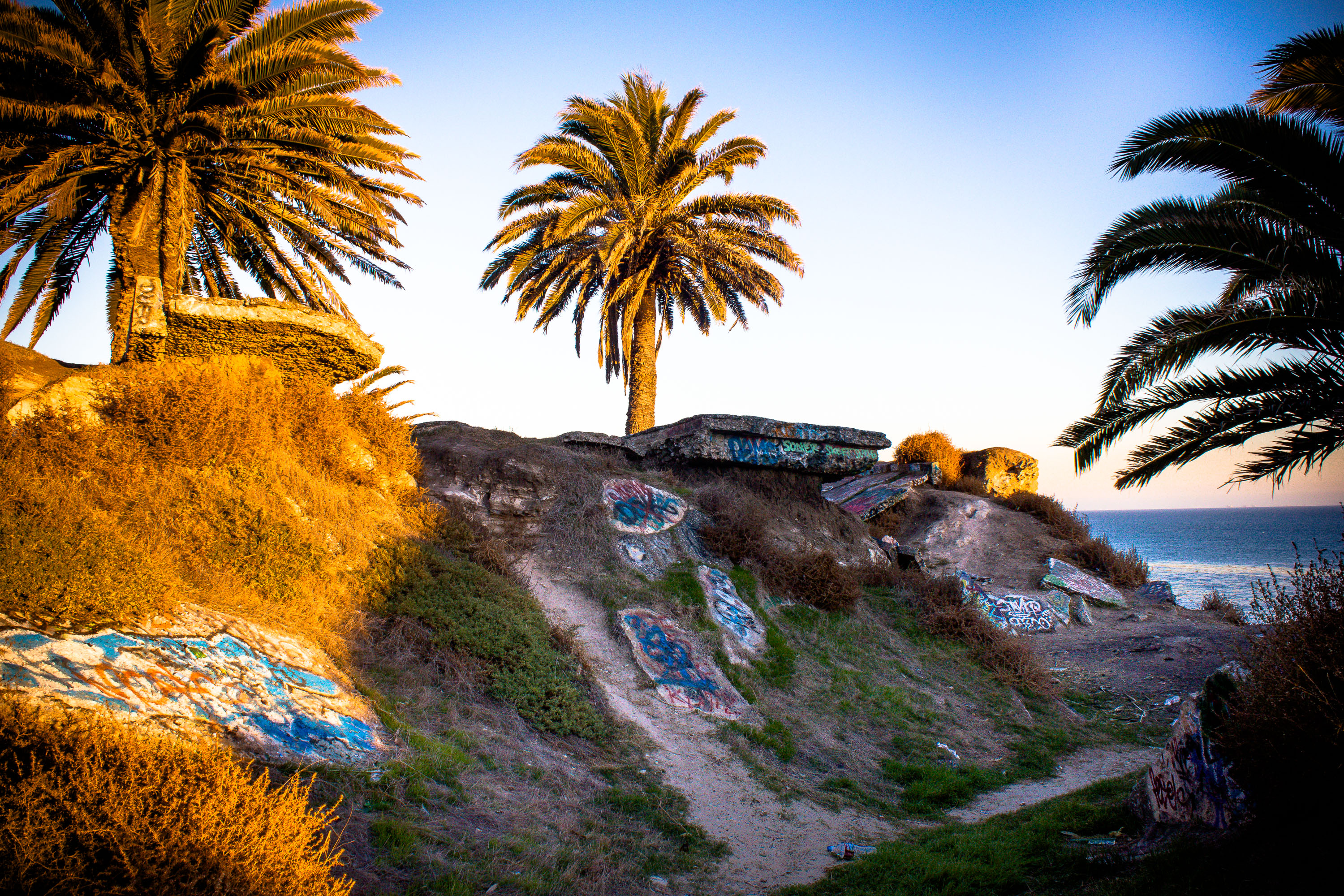
San Pedro Coastal Bluffs, California, feature graffiti-adorned concrete remnants and palm trees overlooking the ocean.
The San Pedro Coastal Bluffs in California are marked by weathered concrete structures and palm trees, with visible graffiti adorning the rocks and debris scattered on the ground. The ocean is visible in the background under a clear sky. These bluffs are part of the coastline near the historic Sunken City, an area of San Pedro that experienced a massive landslide in 1929, causing homes and streets to slide into the ocean. The remaining concrete structures are remnants of the area's past development, now a popular spot for urban exploration and often adorned with graffiti.

Palm Trees and Graffiti-Covered Ruins at San Pedro’s Sunken City
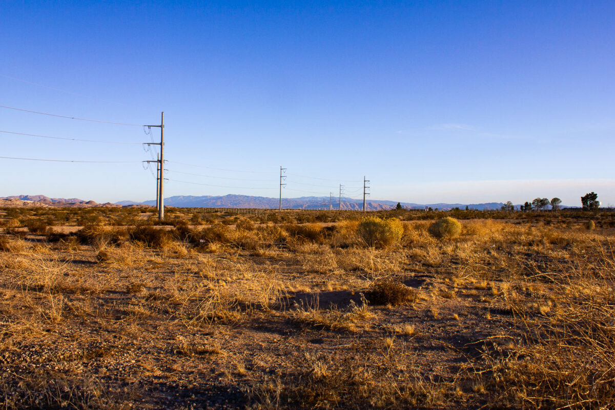
High-voltage power lines cross the desert near Victorville, California.
High-voltage transmission lines cross the desert near Victorville, California. The corridor is part of the regional electrical grid that carries power across Southern California. The open desert provides a direct route for long-distance transmission towers and lines.

Power lines in the Victorville desert, California
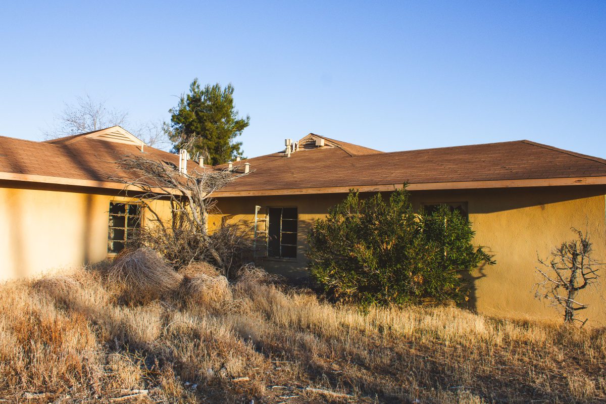
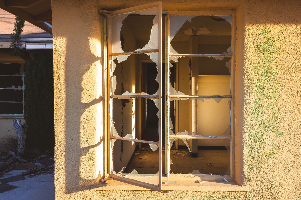
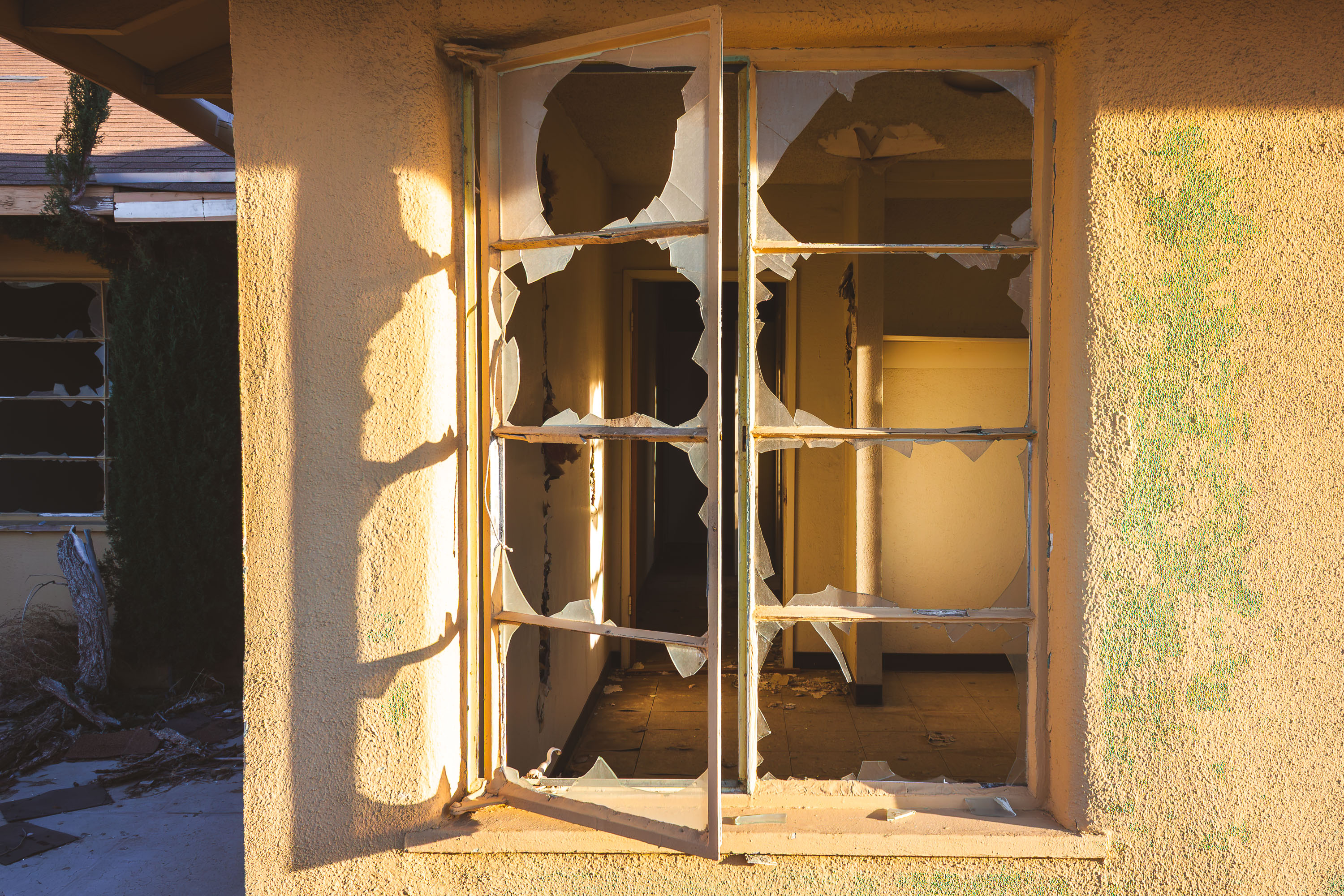
Abandoned stucco duplex at George Air Force Base in Victorville, California.
George Air Force Base operated near Victorville, California, from 1941 until it closed under the Base Realignment and Closure program in 1992. Family housing on the base supported thousands of assigned personnel, including those attached to fighter and training squadrons stationed there during the Cold War. After closure, much of the residential stock was left standing rather than demolished, and stucco homes like this one went unoccupied and unmaintained. The surrounding land was later redeveloped as Southern California Logistics Airport, though pockets of the old housing tracts remain, overtaken by desert grasses and brush.

Overgrown Yard at Abandoned Housing, George Air Force Base
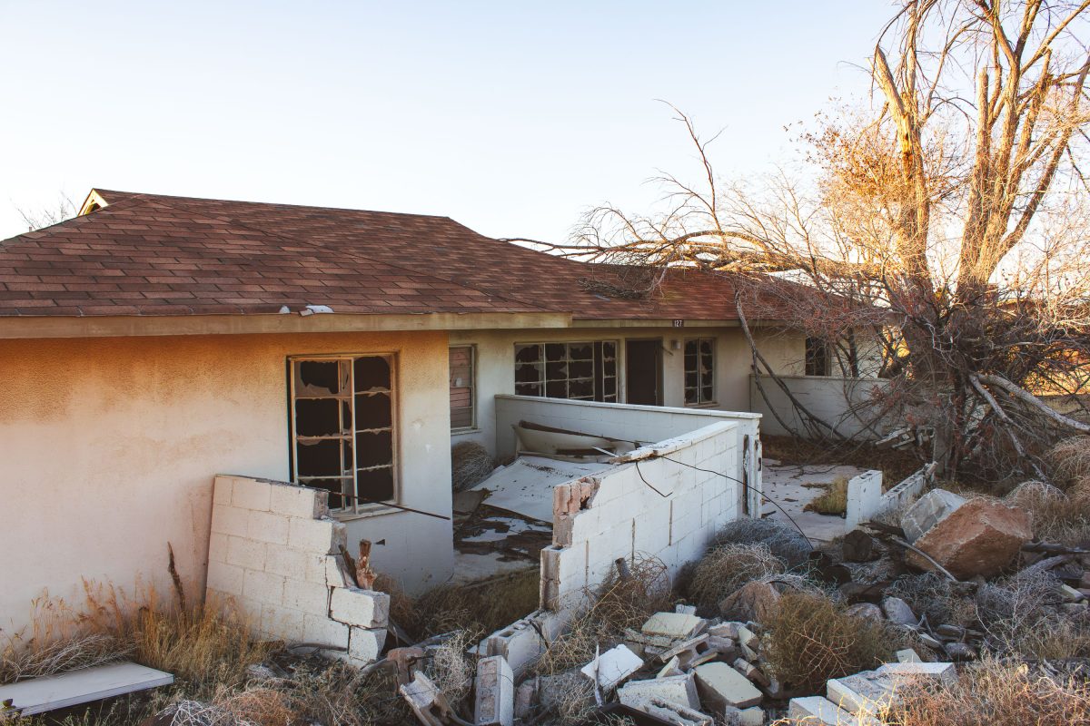
Abandoned residential building at George Air Force Base in Victorville, California, with deteriorated concrete foundation and
George Air Force Base operated near Victorville, California, from 1941 to 1992, training fighter pilots for World War II, Korea, and Vietnam before closing under a round of federal base realignment. Homes like this one housed airmen and their families during the base's decades of active service. After the Air Force transferred the property to local authorities, much of the residential stock was left standing rather than demolished, and decades of exposure have since collapsed roofs, walls, and cinderblock partitions throughout the neighborhood. Southern California Logistics Airport now operates on part of the former base, using its runways for aircraft storage and testing, while the old residential blocks remain largely untouched.

Crumbling Cinderblock Wall at Abandoned Housing, George Air Force Base
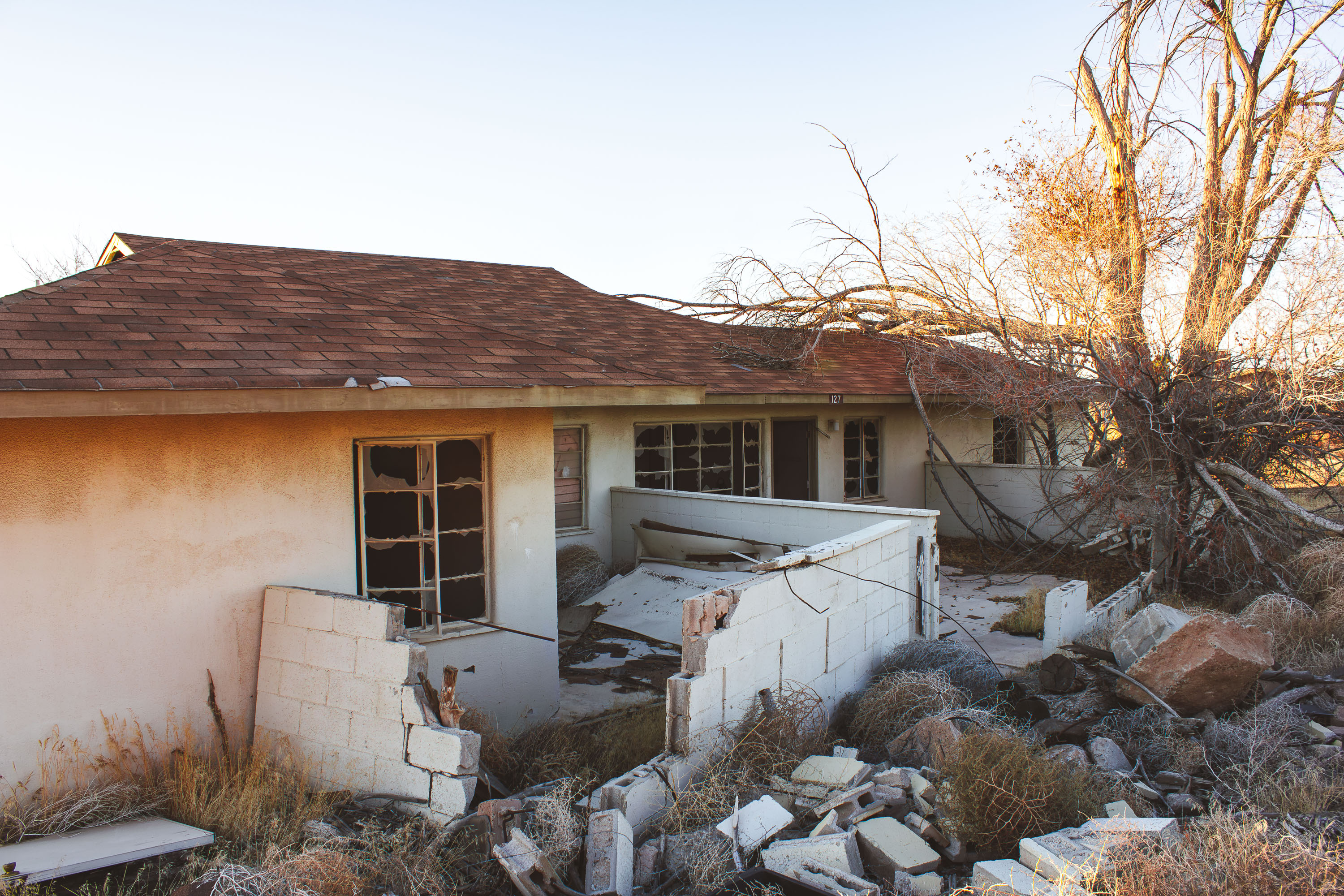
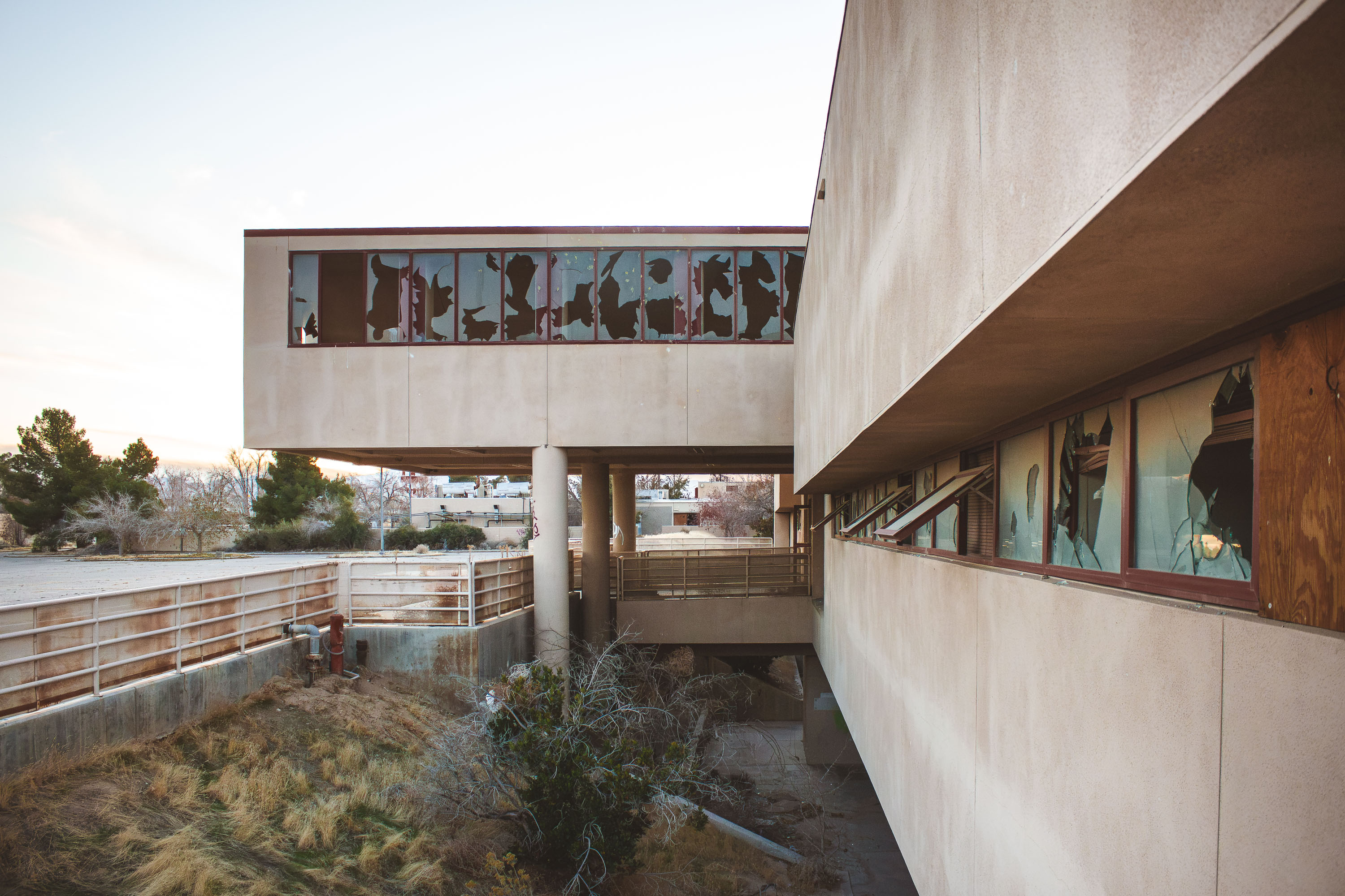
Elevated walkway with shattered windows at abandoned George Air Force Base in Victorville, California.
George Air Force Base operated near Victorville, California, from 1941 until its closure in 1992 during a round of nationwide base realignment. The elevated concrete walkway connected separate wings of the facility, letting personnel move between buildings without crossing the grounds below. After the closure, much of the property was redeveloped into the Southern California Logistics Airport, an aviation and industrial complex that reuses portions of the former runways and support buildings. Sections of the original base, including this passage, were left vacant, and decades without maintenance have left the windows broken out and the framing exposed.

Broken-Glass Skybridge at George Air Force Base

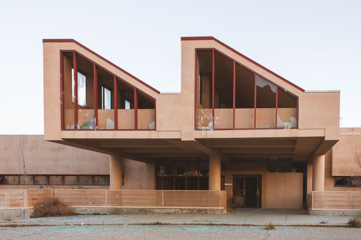
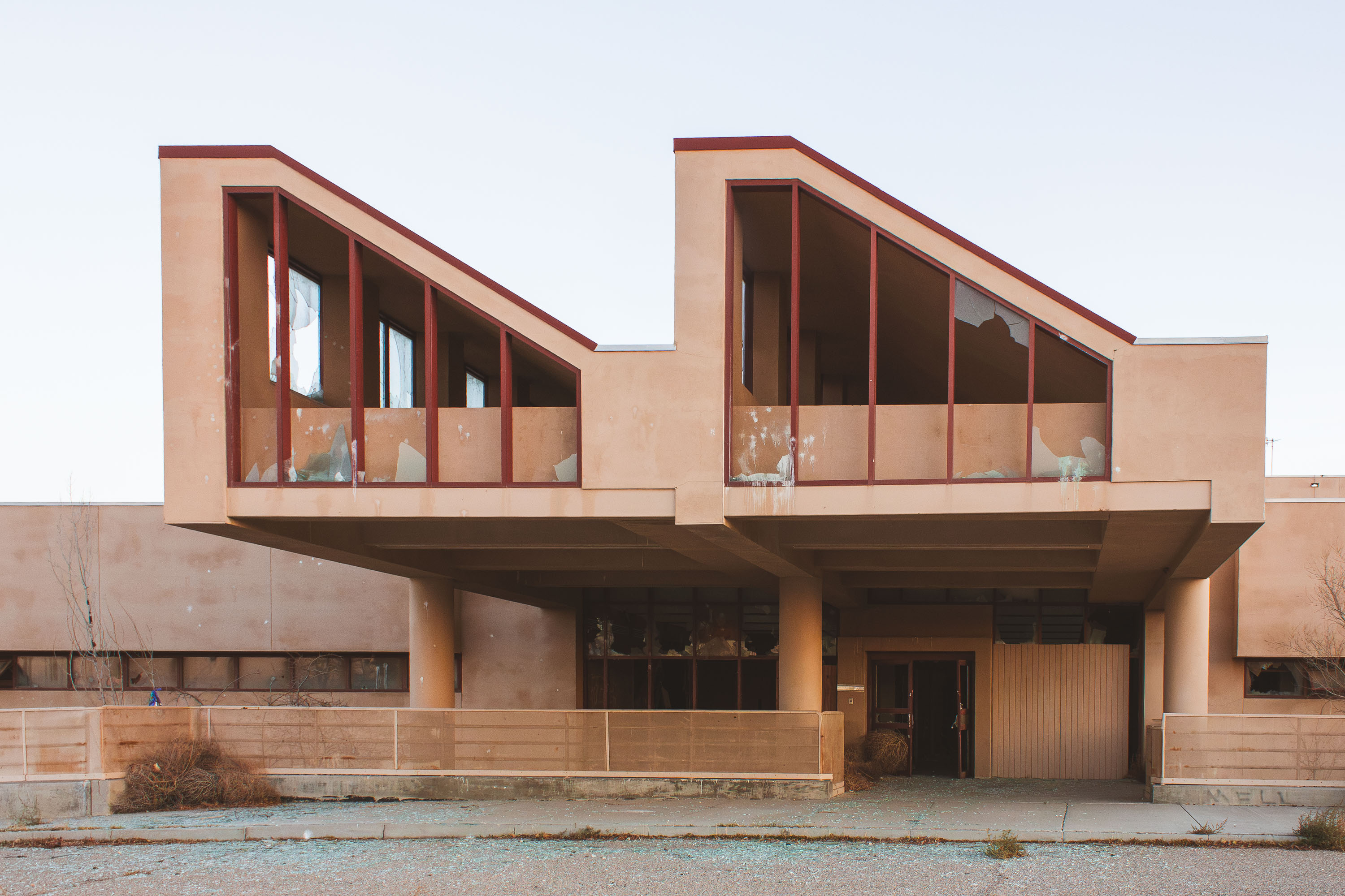
Abandoned community center at closed George Air Force Base in Victorville, California, with deteriorating stucco and broken
George Air Force Base trained fighter and bomber crews from 1941 until Congress ordered its closure under the 1988 Base Realignment and Closure Act, with final withdrawal in 1992. During the Cold War, the base hosted Tactical Air Command units alongside its training mission. Structures like this one served the base's recreational and community functions, built to support thousands of stationed personnel and their families. Much of the property now falls within the Southern California Logistics Airport, a joint civilian-military reuse of the former base, while other sections remain undeveloped and abandoned.

Angled Rooflines of the Community Center at George Air Force Base

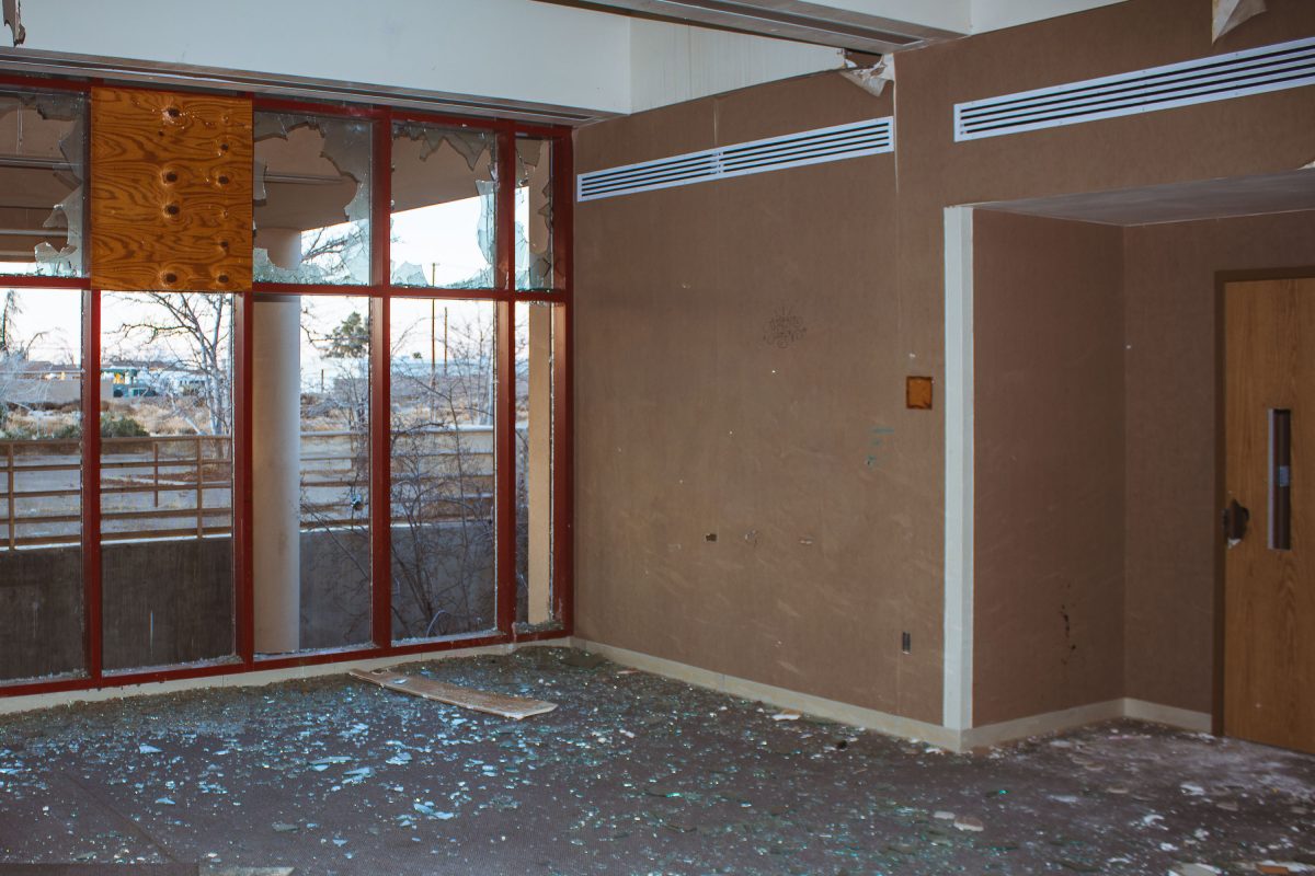
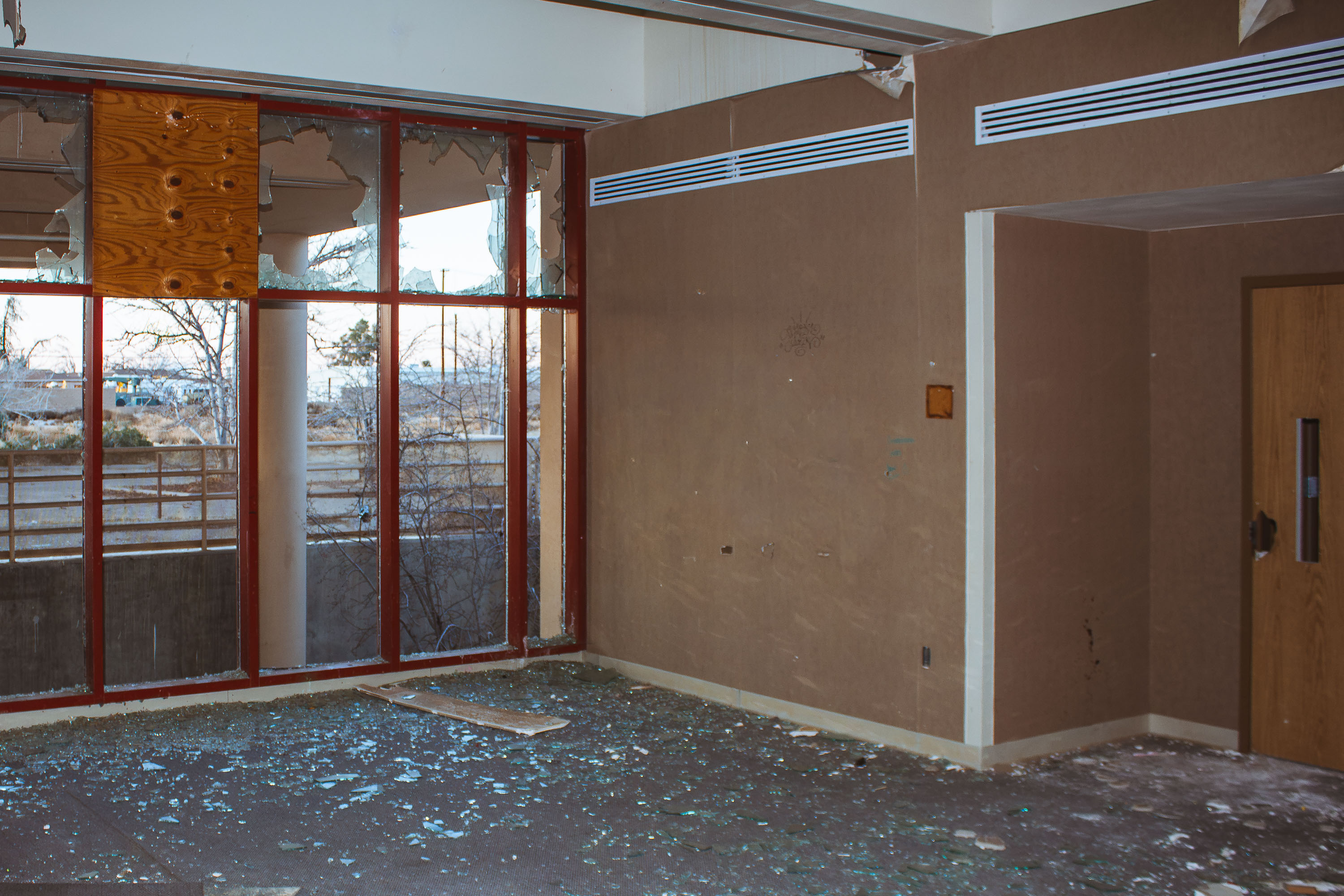
Abandoned officer housing interior with shattered glass doors at closed George Air Force Base, Victorville.
George Air Force Base opened in 1941 as Victorville Army Airfield and was renamed in 1950 to honor Brigadier General Harold H. George. It operated for decades as a fighter training installation, hosting squadrons that flew the F-4 Phantom and later the F-4G Wild Weasel. The Base Realignment and Closure Commission ordered the facility shut down in 1988, and the Air Force transferred the property in 1992. Part of the former base became Southern California Logistics Airport, while many administrative and support buildings from its operational years were left vacant and have since deteriorated.

Broken Glass Wall in an Administrative Building at George Air Force Base

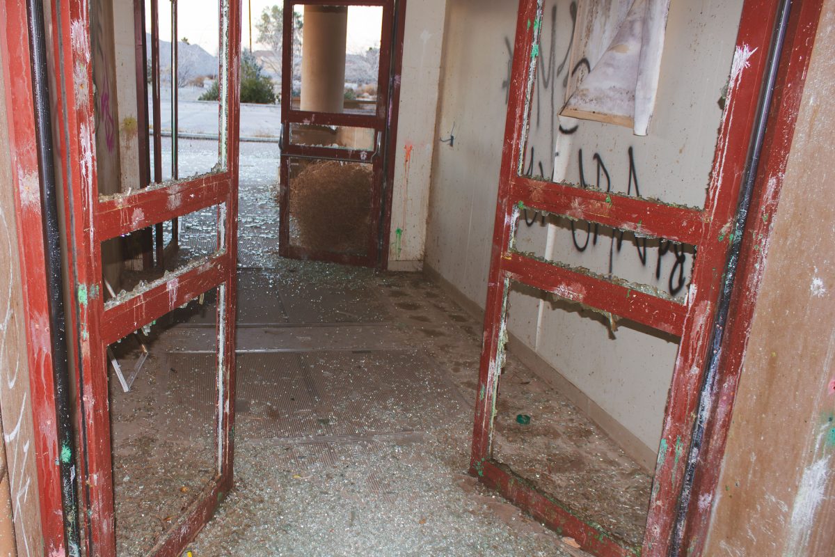
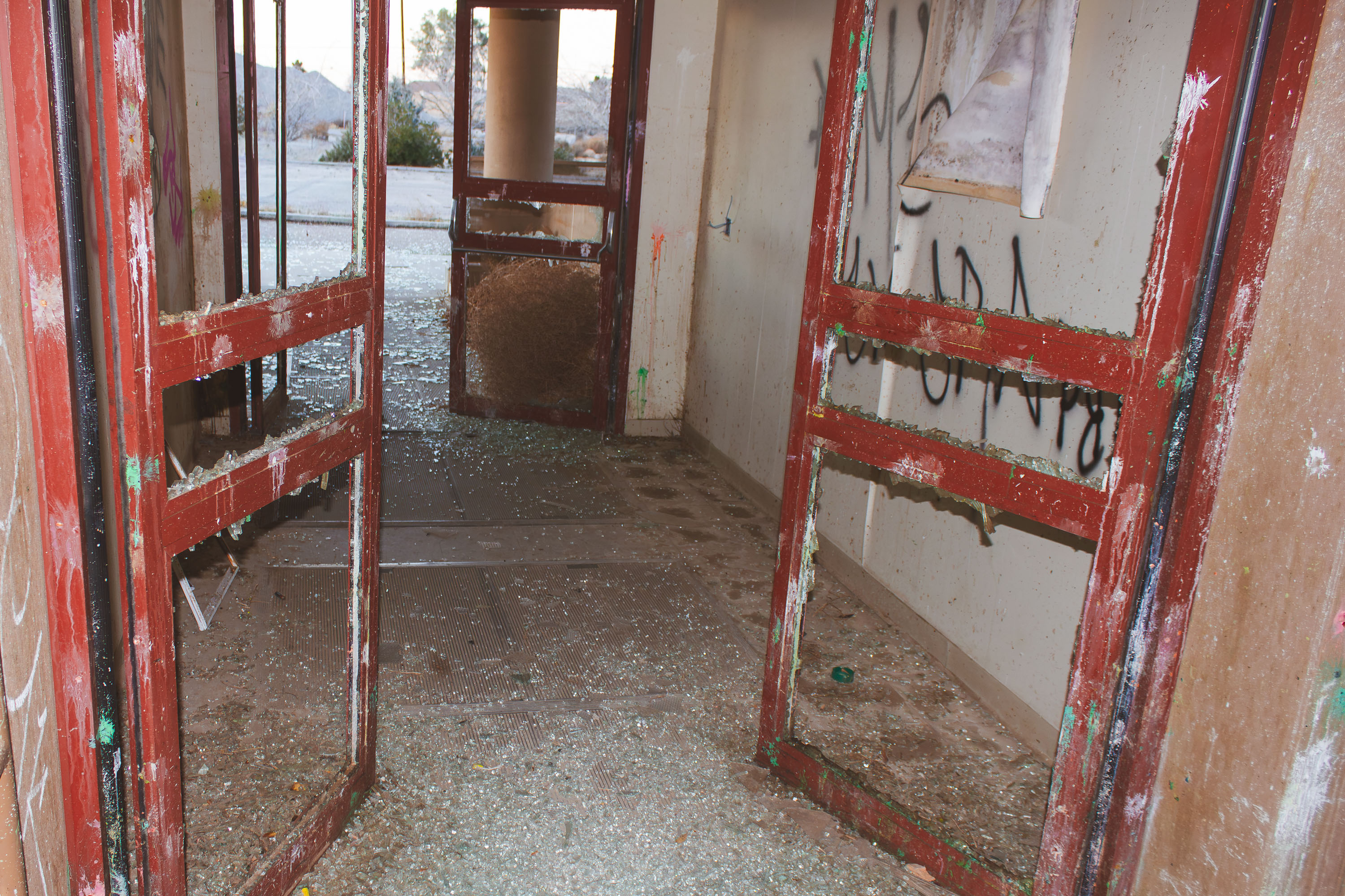
Deteriorated red doors with broken glass open onto an abandoned barracks interior at closed George Air Force Base in Victorville
George Air Force Base operated near Victorville, California, from 1941 until it closed in 1992 as part of a nationwide round of military base realignments. It served as a training installation for Tactical Air Command fighter pilots through much of the Cold War. Since closure, many of its former buildings have sat empty, with door frames, glass, and interior fixtures stripped or destroyed over decades of exposure and vandalism. Part of the base's runways and support facilities were later absorbed into Southern California Logistics Airport, though a large share of the original structures remain vacant.

Broken Doorframes and Glass Debris at George Air Force Base

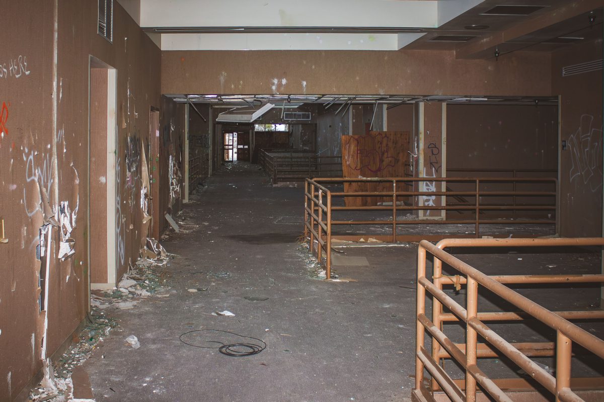
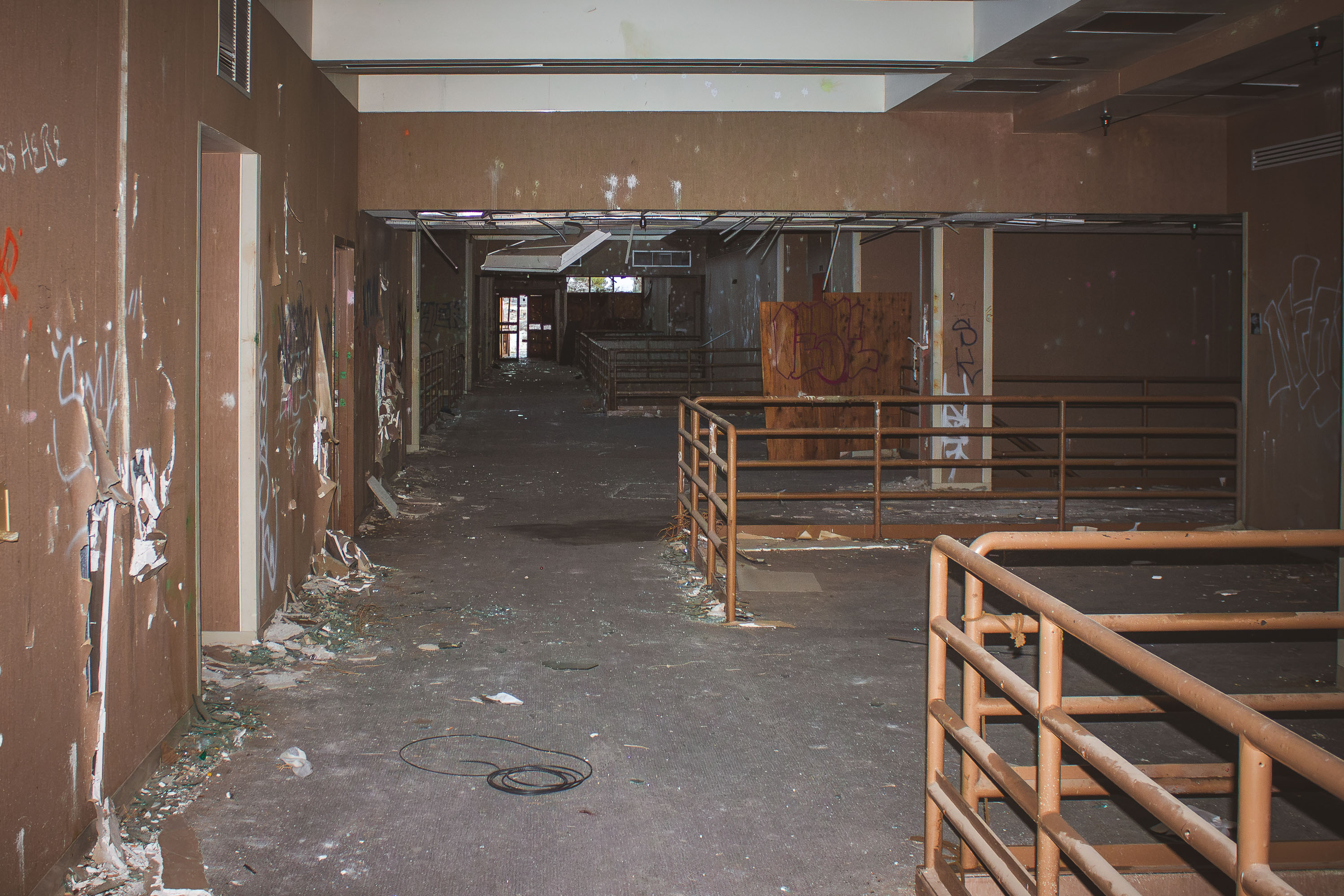
Gutted concourse of a base exchange at closed George Air Force Base in Victorville, California, with rusted railings and
George Air Force Base operated near Victorville, California, from 1941 until it closed under the 1991 Base Realignment and Closure process, with final shutdown in 1992. It served as a Tactical Air Command and later Air Combat Command installation, and its on-base community included a base exchange and commissary complex that functioned as the primary shopping center for resident personnel and their families. Since closure, portions of the former base have been redeveloped as Southern California Logistics Airport, while other structures, including former retail buildings, have been left vacant and stripped of fixtures.

Abandoned Base Exchange Concourse at George Air Force Base

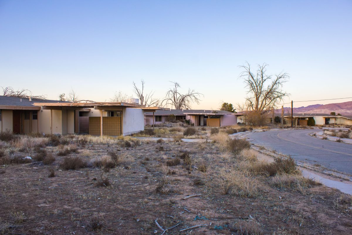
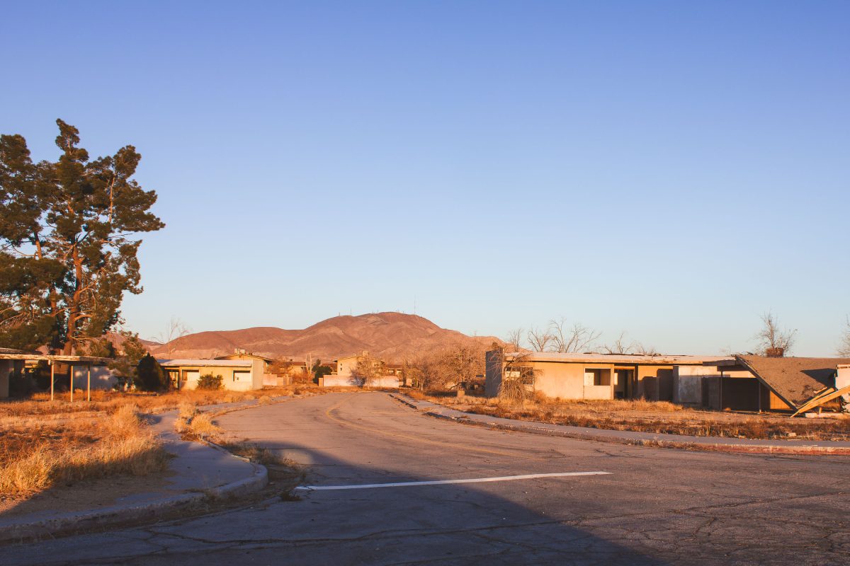
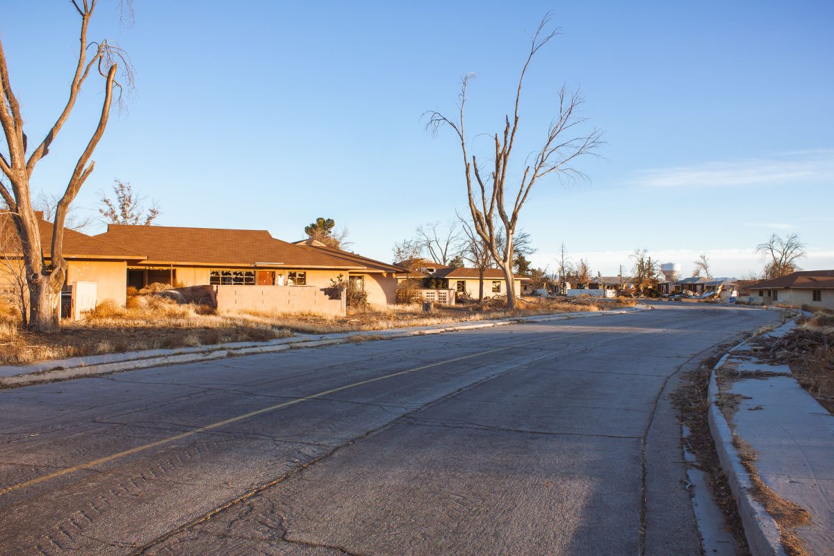
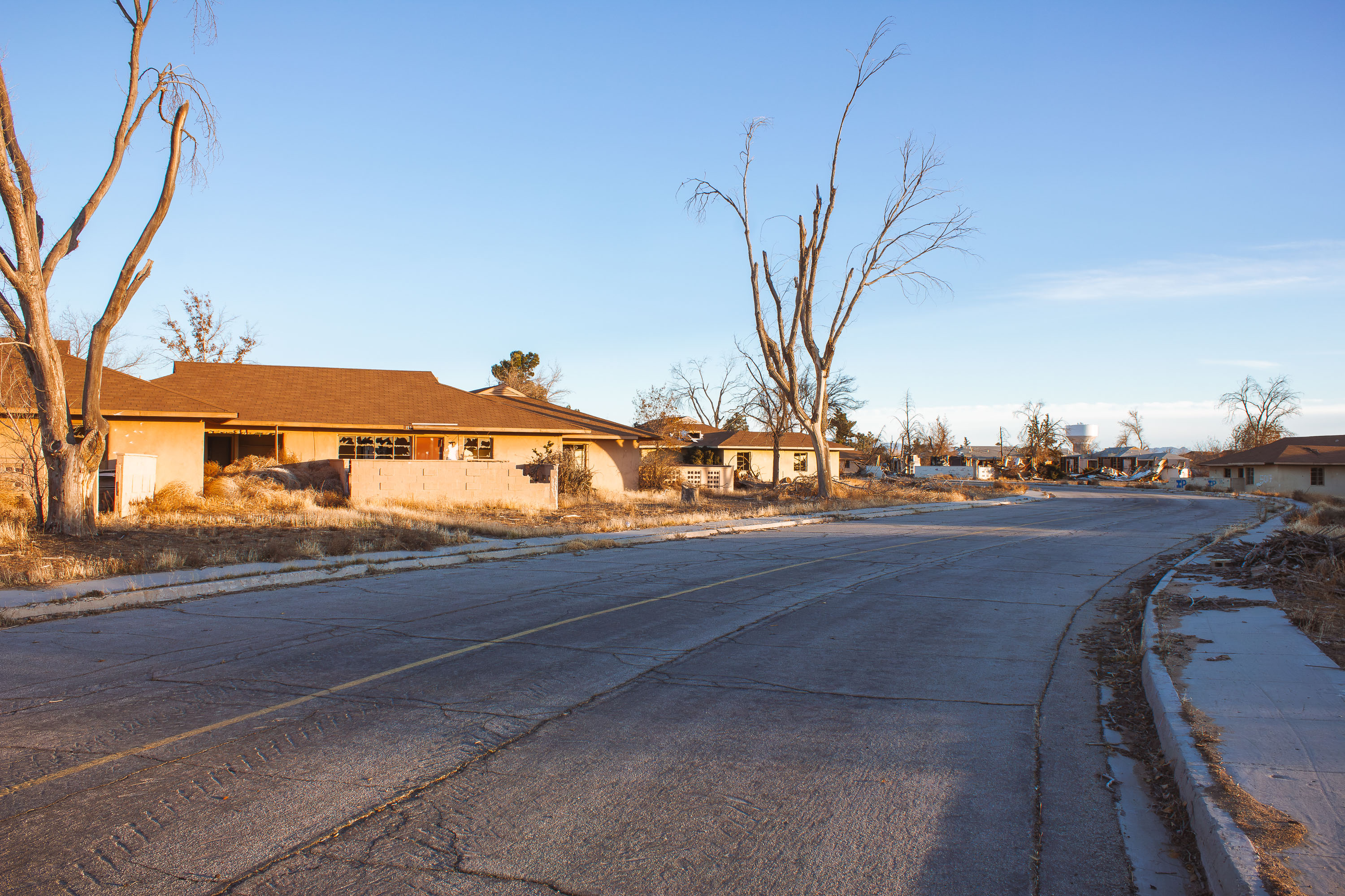
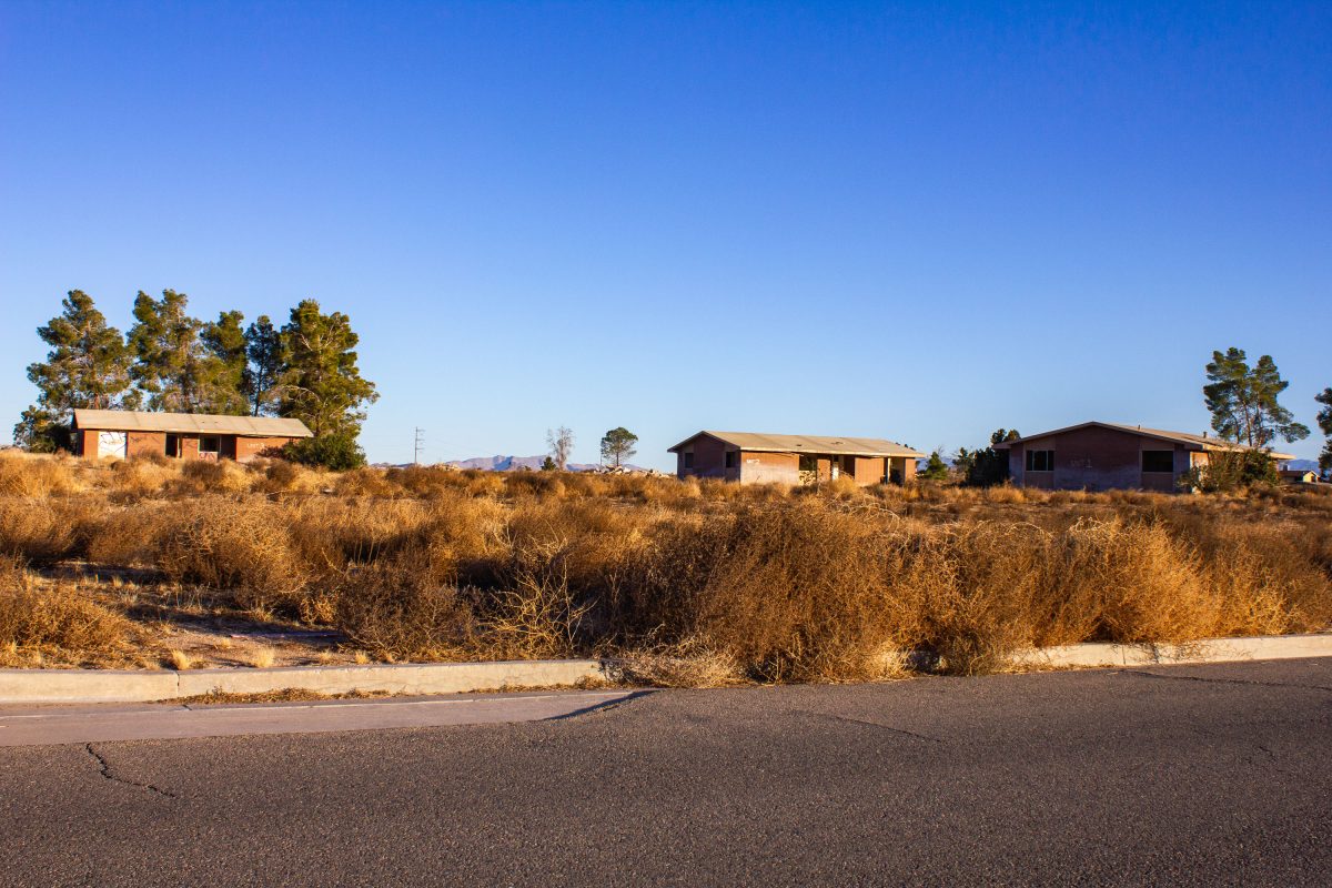
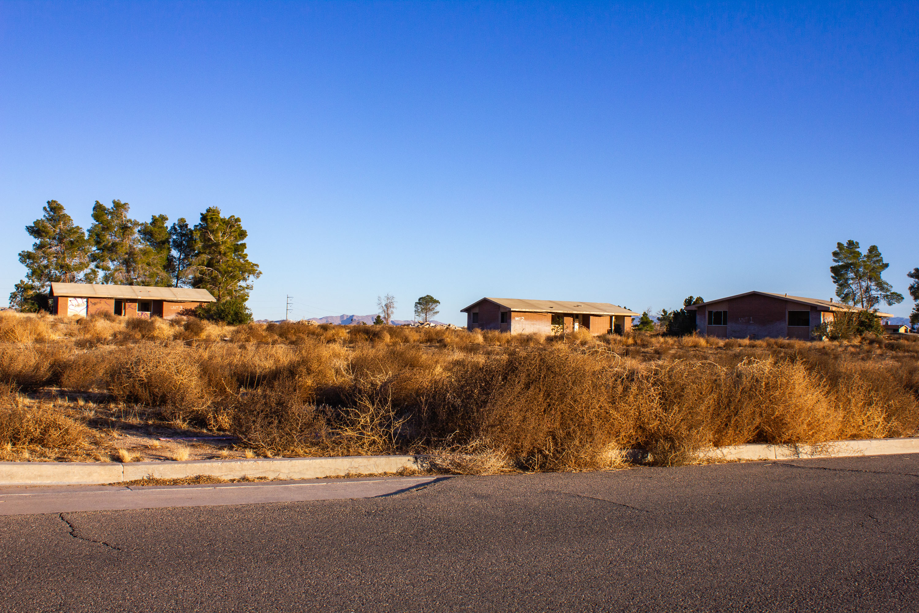
Abandoned ranch-style housing units along a curved road at George Air Force Base in Victorville, California.
George Air Force Base operated in Victorville, California, from 1941 until it closed in December 1992 under the 1991 Base Realignment and Closure process. Originally established as Victorville Army Air Field, it later served as a Strategic Air Command and Tactical Air Command installation, home to bomber and fighter squadrons for five decades. Its family housing tracts, built in the ranch-style common to Cold War-era military construction, once housed hundreds of families stationed at the base. After closure, the property was redeveloped as Southern California Logistics Airport, but many of the old residential streets and housing rows sat empty for years afterward.

Bare Trees and Empty Streets at George Air Force Base Housing

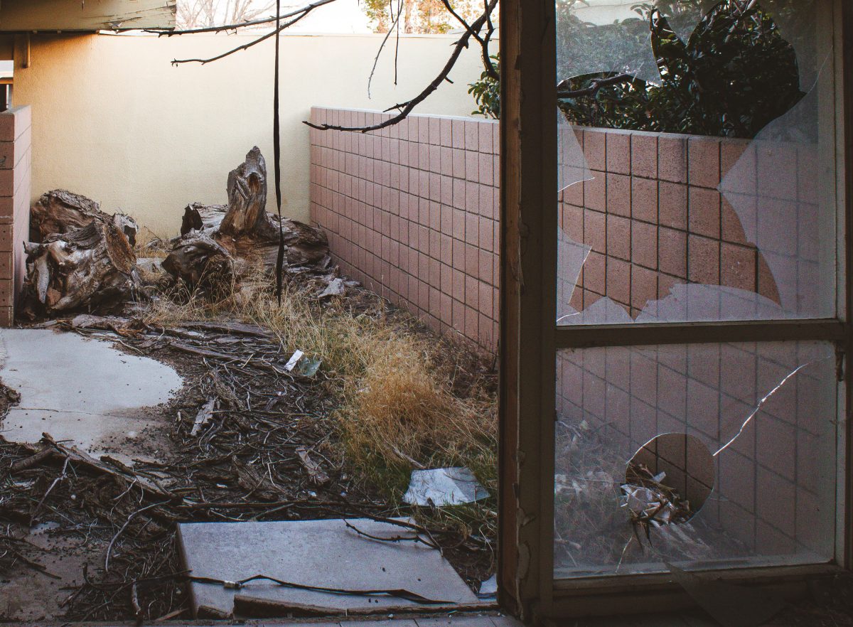
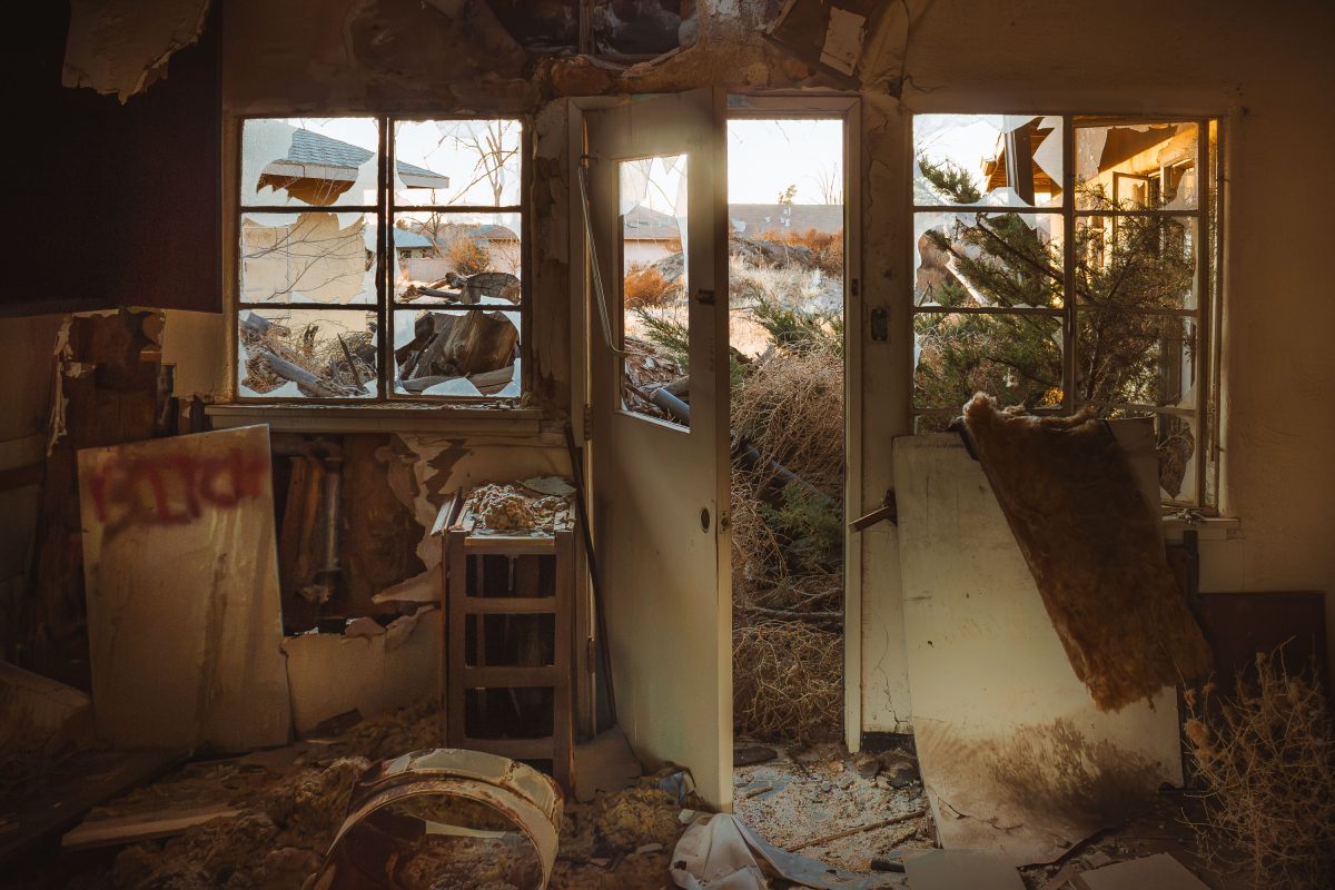
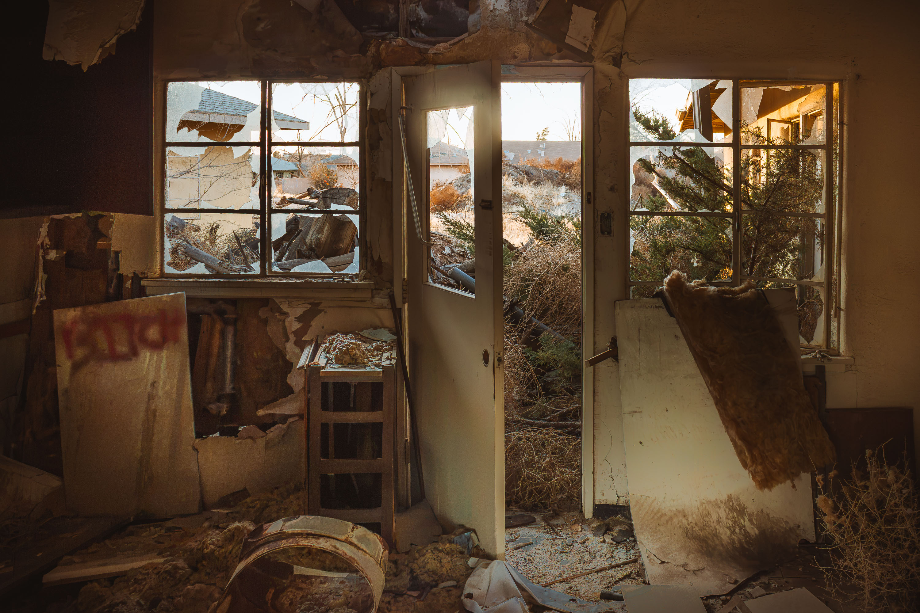
Shattered patio door and overgrown courtyard at abandoned officer housing, George Air Force Base, Victorville, California.
George Air Force Base closed in 1992 under the federal Base Realignment and Closure Act, ending more than five decades of Air Force operations near Victorville, California. Housing built for officers and enlisted families was left standing afterward, and much of it has never been reoccupied. Redevelopment agencies took control of the residential blocks in the years following closure, but reuse plans repeatedly stalled. Yards and patios in these former quarters have gone untended for decades, with broken glass and dead vegetation now common throughout the old housing tracts.

Broken Patio Glass and Debris at George Air Force Base Housing

Interior of abandoned officer housing at George Air Force Base showing collapsed ceiling and broken windows.
George Air Force Base closed in 1992 following the 1988 Base Realignment and Closure Commission decision, ending more than five decades of Air Force operations near Victorville, California. Its family housing units were left standing afterward, unmonitored for years as redevelopment plans for the site repeatedly stalled. Copper theft, vandalism, and weather exposure gradually gutted many of the structures, collapsing ceilings and shattering windows throughout. Some portions of the former base later became Southern California Logistics Airport, but the residential blocks were largely left to deteriorate on their own.

Hallway View Through a Gutted Unit at George Air Force Base

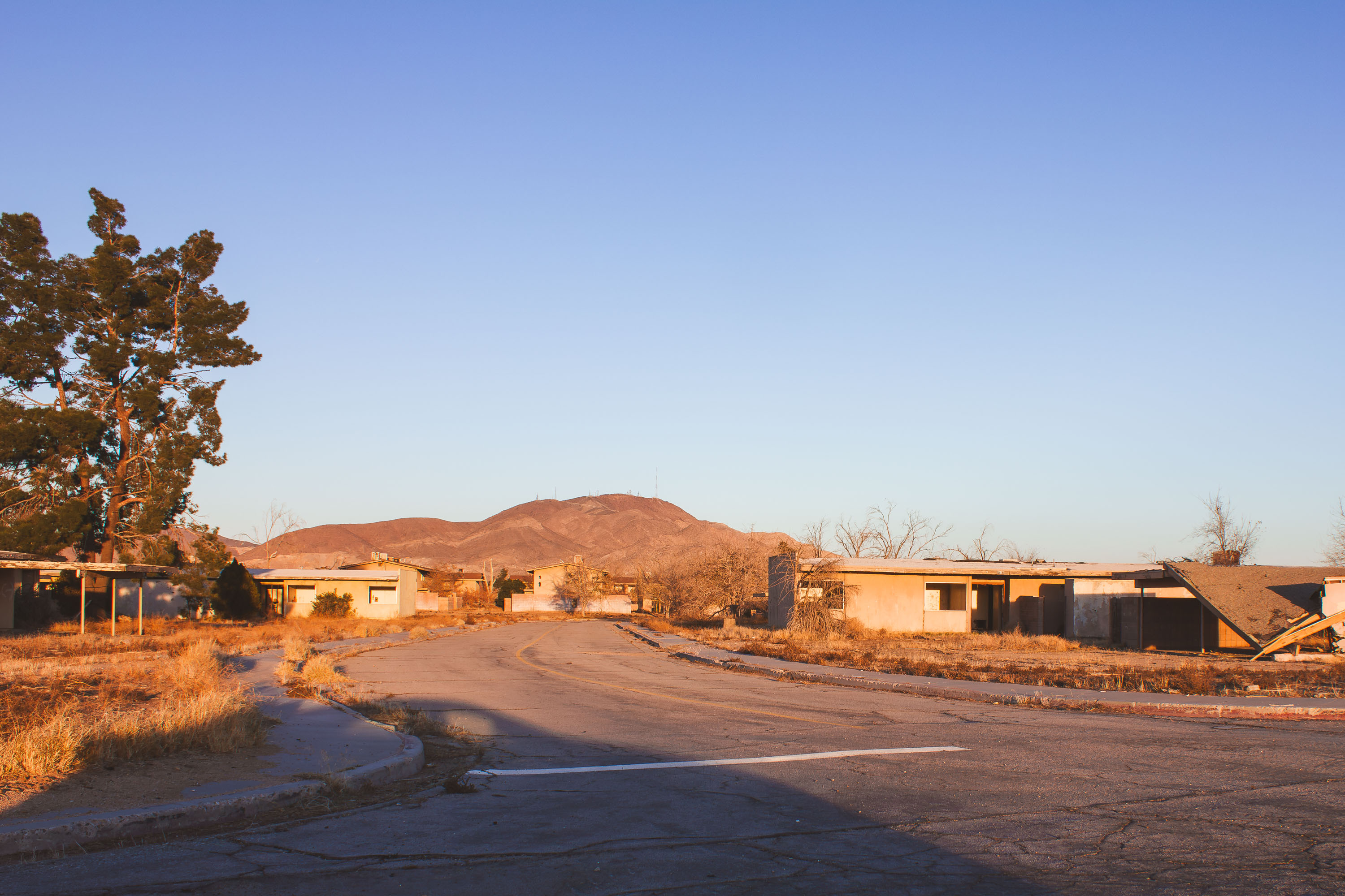
Abandoned residential street at closed George Air Force Base in Victorville, California with deteriorating buildings and cracked
George Air Force Base operated in Victorville, California, from 1941 until it closed under the 1991 Base Realignment and Closure round, with the last personnel departing in 1992. For much of the Cold War it trained fighter and attack pilots, hosting squadrons that flew the F-4 Phantom and later the F-16. Its family housing areas held rows of duplex and fourplex units arranged along interior streets, laid out like a small residential town rather than a typical military compound. When the base closed, the surrounding land became Southern California Logistics Airport, but large sections of the old housing were left standing rather than demolished. Decades later, the pavement markings and concrete curbs remain the clearest trace of streets that once ran through a neighborhood of thousands of military families.

Deserted Street Curving Past Family Housing at George Air Force Base

Cracked asphalt street lined with deteriorating stucco buildings at abandoned George Air Force Base in Victorville, California.
George Air Force Base operated from 1941 until it closed in 1992 under the federal Base Realignment and Closure program, one of many installations cut as Cold War-era defense spending declined. At its peak the base supported thousands of Air Force personnel and their families, with on-base housing built for airmen assigned to tactical fighter training squadrons. Streets, curbs, and driveways from the old neighborhood remain in place today, even as the houses that once lined them have been gutted and left to decay. A portion of the former base was redeveloped as Southern California Logistics Airport, while other sections, including much of the old housing area, were simply left standing empty.

Sunset Light on an Empty Road at George Air Force Base

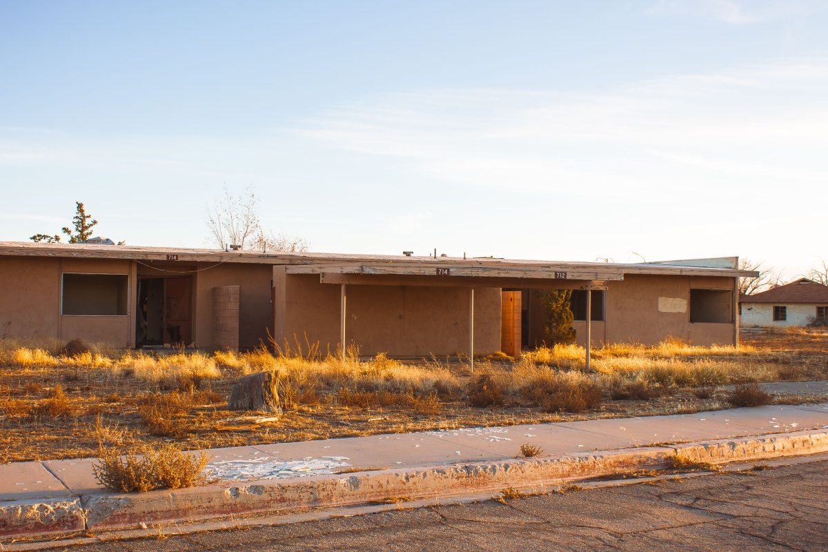
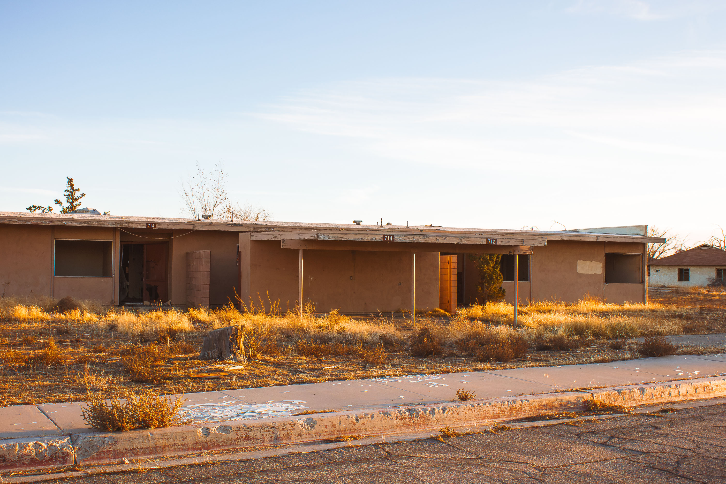
Abandoned duplex units 712 and 714 at closed George Air Force Base near Victorville, California.
George Air Force Base near Victorville, California operated as an Army Air Forces training installation starting in 1941 and later served as a Tactical Air Command fighter base before closing in 1992 under a federal realignment program. Its family housing included single-story duplexes built for enlisted personnel and their families. When the base closed, the land was repurposed as the Southern California Logistics Airport, but many residential streets, including this one, were left standing rather than redeveloped. Units 712 and 714 remain among the unaddressed duplexes still standing decades after the base's closure.

Duplex Units 712 and 714 at George Air Force Base

Abandoned residential street at closed George Air Force Base in Victorville, California with deteriorating buildings and bare
George Air Force Base closed in 1992 under the federal Base Realignment and Closure program after more than five decades of service, having opened in 1941 near Victorville, California. It hosted fighter and bomber squadrons through its history, including F-4 Phantom and F-111 units during the Cold War. The neighborhoods built for service members and their families were never demolished after decommissioning, leaving rows of vacant homes along the base's old residential streets. Part of the former base site is now Southern California Logistics Airport, but the housing areas remain largely untouched.

Winding Street Through Abandoned Housing at George Air Force Base

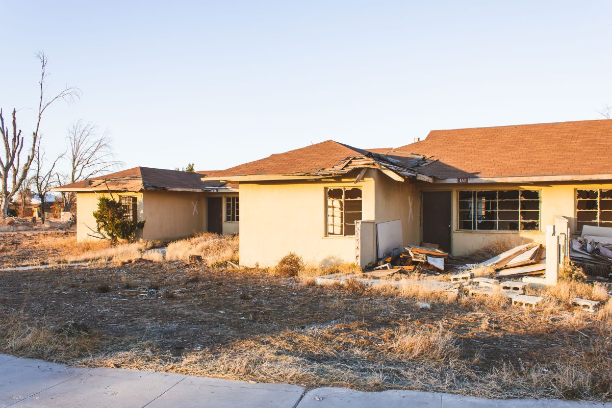
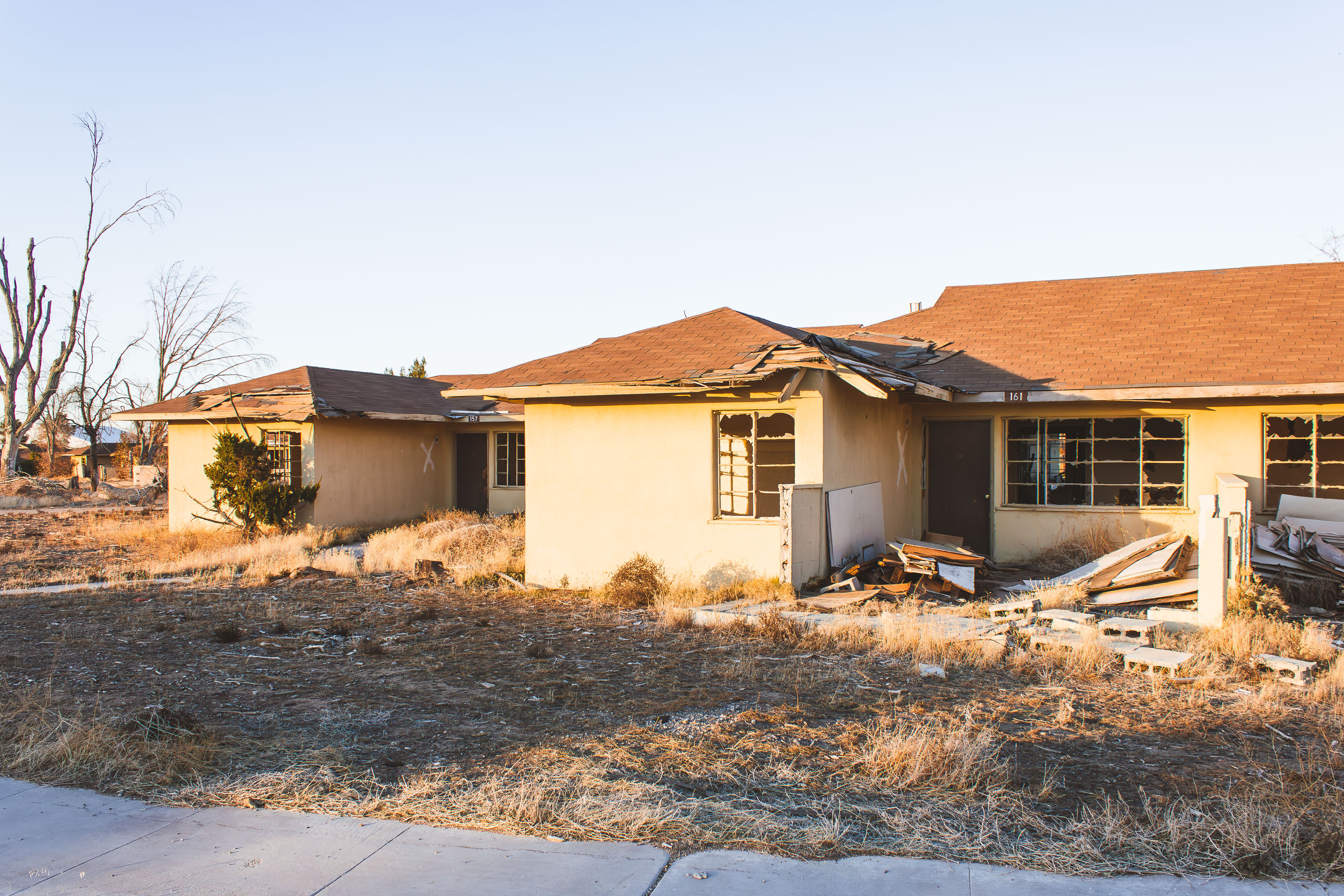
Abandoned residential unit at George Air Force Base in Victorville, California with marked windows and deteriorating roof.
George Air Force Base began in 1941 as Victorville Army Air Field, an Army Air Corps site for bombardier and gunnery training. It was renamed in 1950 for Brig. Gen. Harold Lee George, an early advocate of American strategic bombing doctrine, and spent its later decades as a Strategic Air Command installation during the Cold War. A 1992 Base Realignment and Closure order shut the base down, leaving its family housing units vacant. Portions of the former base now fall within the Southern California Logistics Airport, but rows of stucco duplexes remain standing, their doors and windows still marked with the spray-painted X's left by post-closure inspectors.

Spray-Painted X’s Mark Abandoned Duplexes at George Air Force Base

Gutted kitchen interior of abandoned officer housing at George Air Force Base, Victorville, California.
George Air Force Base operated northeast of Victorville from 1941 until it was shuttered under the 1992 Base Realignment and Closure Act. The residential blocks that once housed Air Force families were left standing after closure, and the Southern California desert has spent three decades working through the drywall, glass, and wood framing left behind. Broken window glass and stripped door hardware are typical of the housing stock here, most of which was never demolished or repurposed. A portion of the former base was redeveloped into Southern California Logistics Airport, but the family housing sections were largely bypassed and left to decay in place.

Broken Doorway and Windows in Abandoned Housing at George Air Force Base

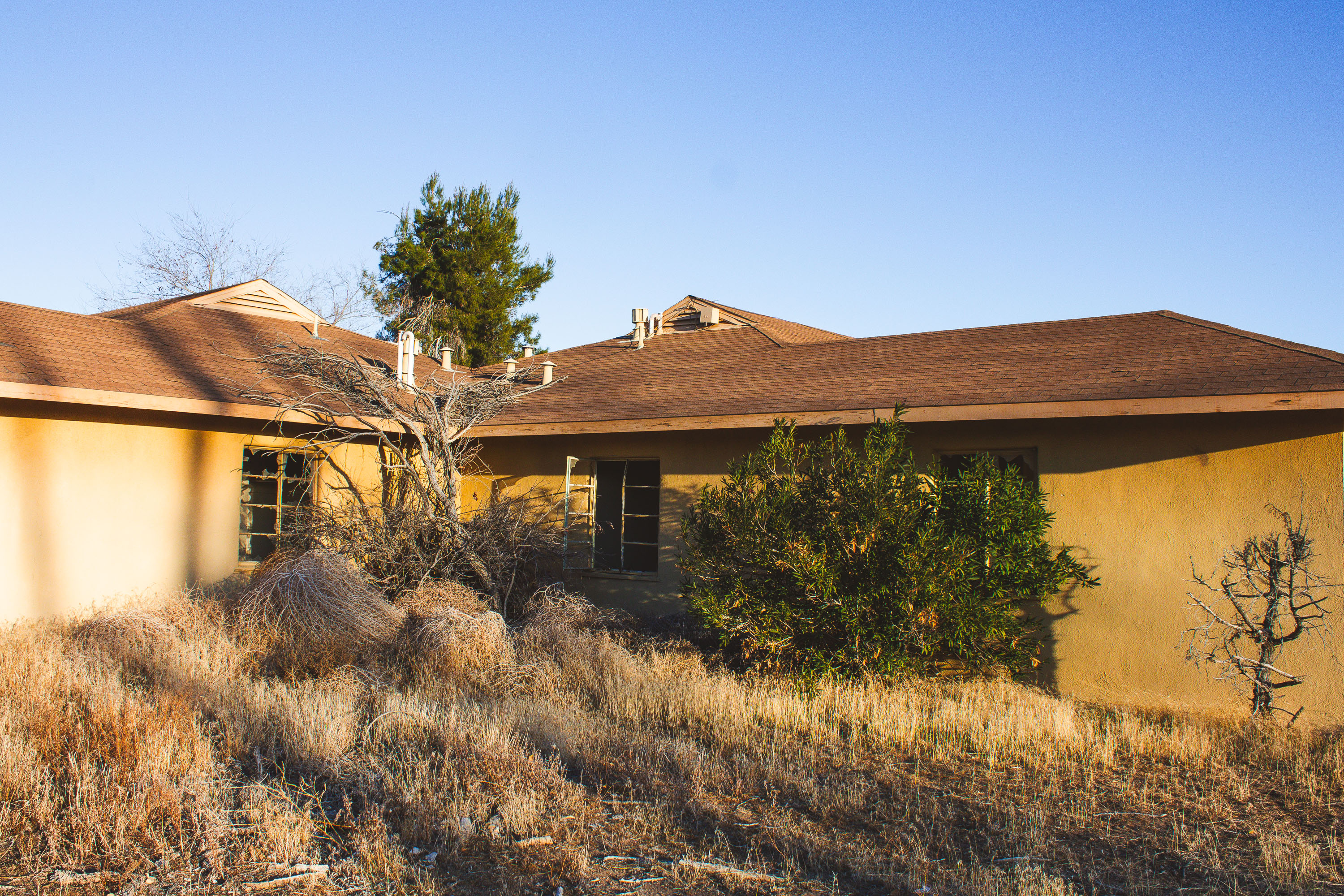
Abandoned ranch-style home at George Air Force Base in Victorville, California, with deteriorating stucco and desert vegetation.
George Air Force Base operated in Victorville, California, from 1941 until its 1992 closure under the federal Base Realignment and Closure program. Ranch-style homes like this one housed Air Force families assigned to the base's fighter and tactical training squadrons, with much of the housing stock dating to the 1950s Cold War-era expansion. After decommissioning, ownership of the residential area passed to the Southern California Logistics Airport authority, which left many structures standing rather than demolishing them. Decades of vacancy have made the former housing area a frequent destination for explorers of abandoned Mojave Desert sites.

Evening Light on an Abandoned Ranch Home at George Air Force Base

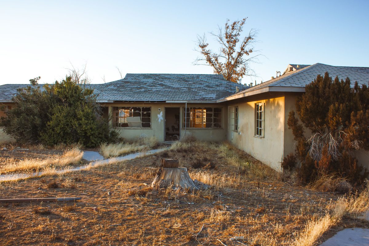
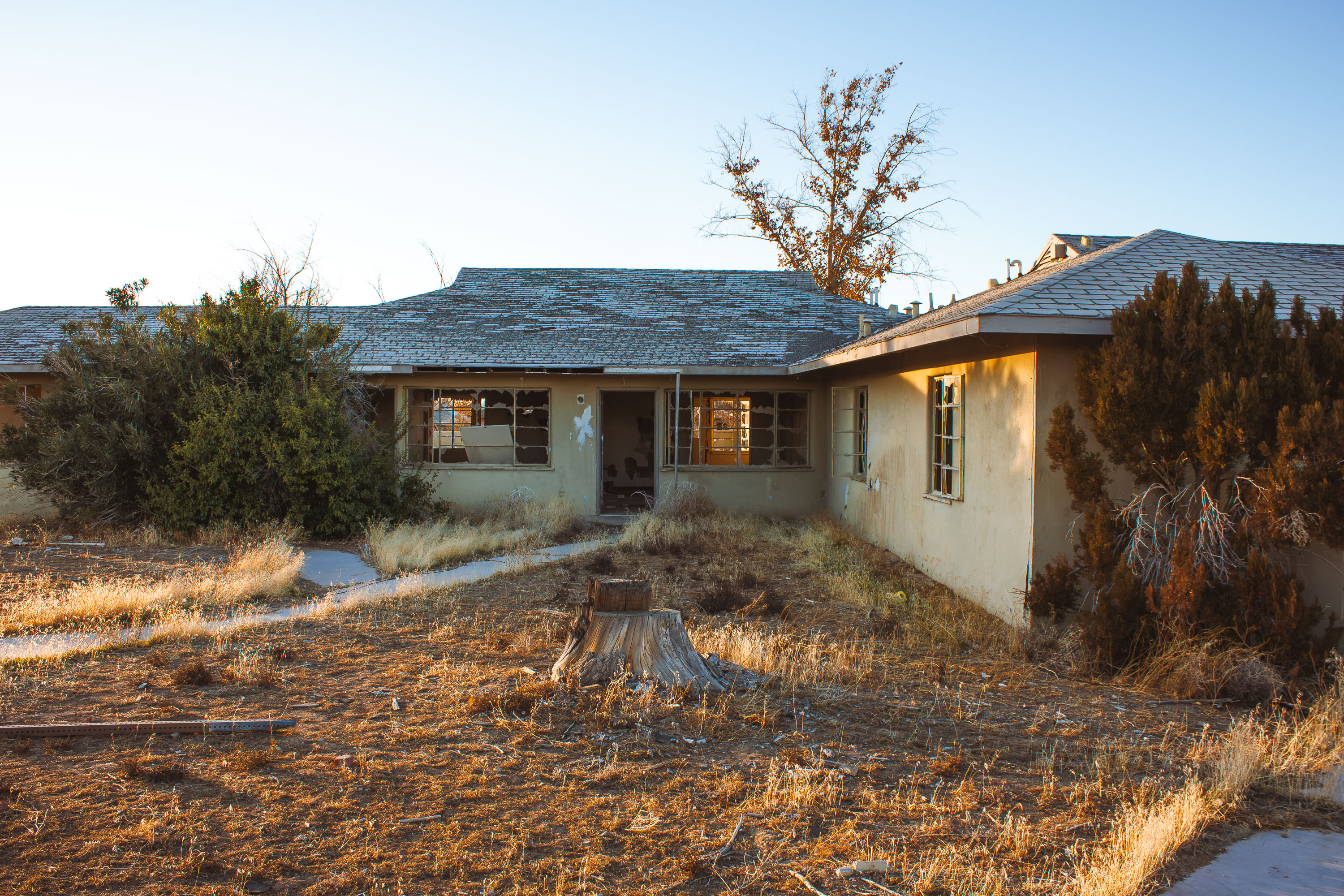
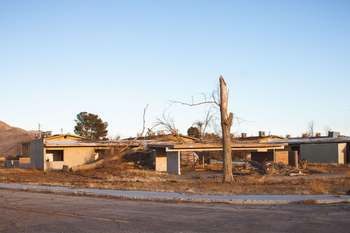
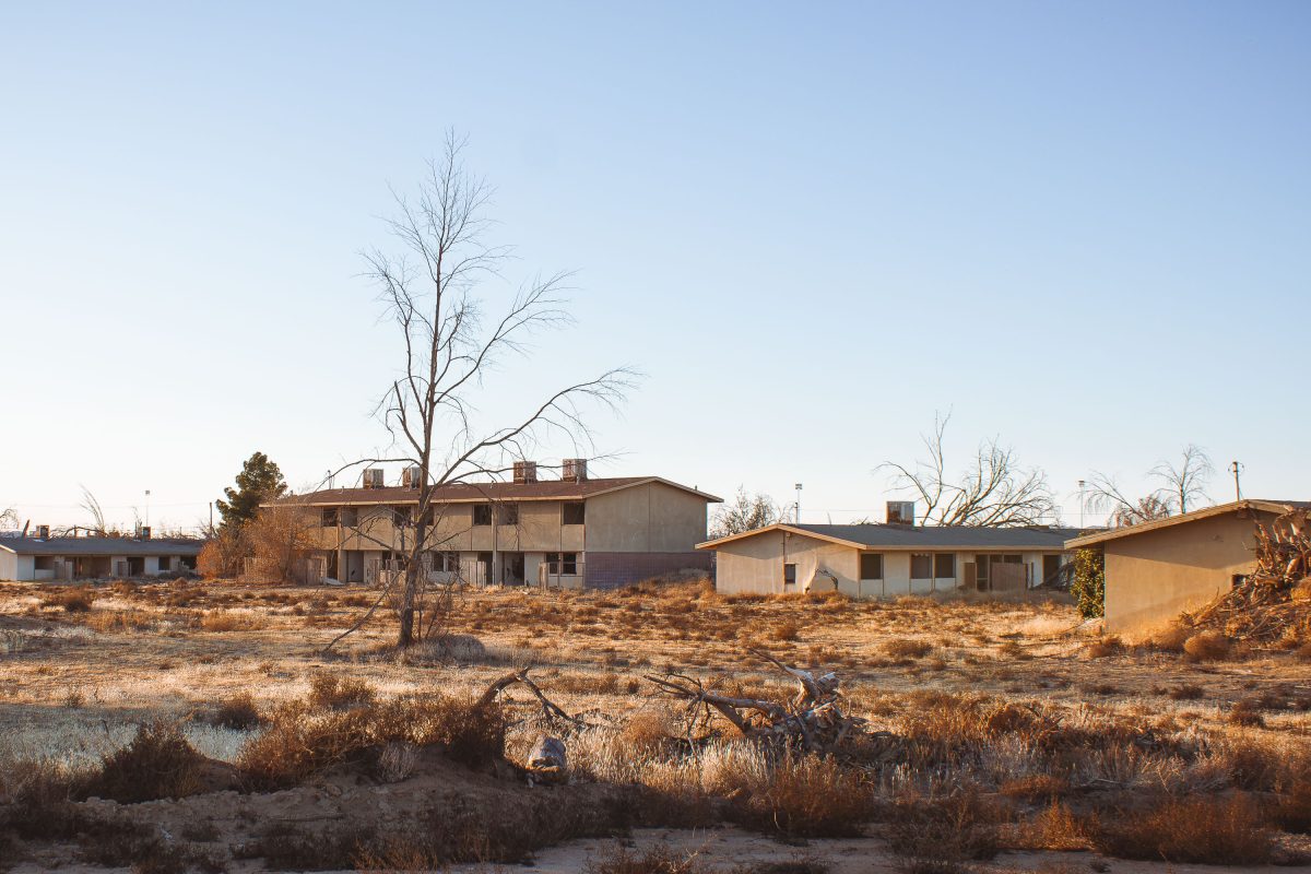
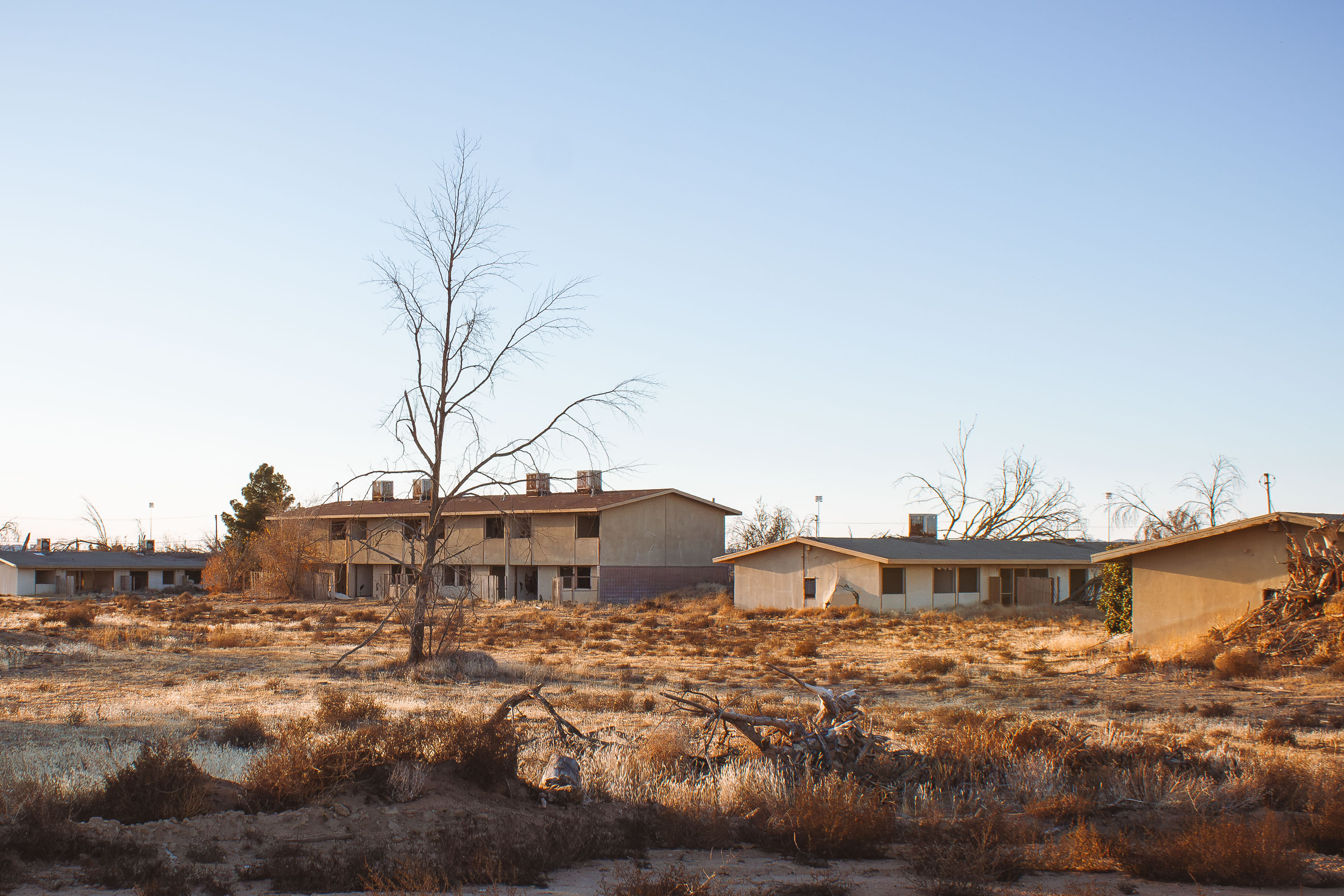
Abandoned stucco duplexes at closed George Air Force Base in Victorville, California, with a dead tree and desert scrub.
George Air Force Base operated near Victorville, California, from 1941 until it was shuttered under the 1991 Base Realignment and Closure round, with the last personnel departing in 1992. The base supported fighter and bomber squadrons through World War II, Korea, and the Cold War, and its residential blocks once housed thousands of Air Force families. After closure, much of the property was redeveloped as the Southern California Logistics Airport, but many of the original housing units were left standing rather than demolished. Decades on, the stucco duplexes sit stripped of doors and fixtures, with dead trees and wild grasses reclaiming the yards where military families once lived.

A Snapped Tree in the Yard of George Air Force Base Housing

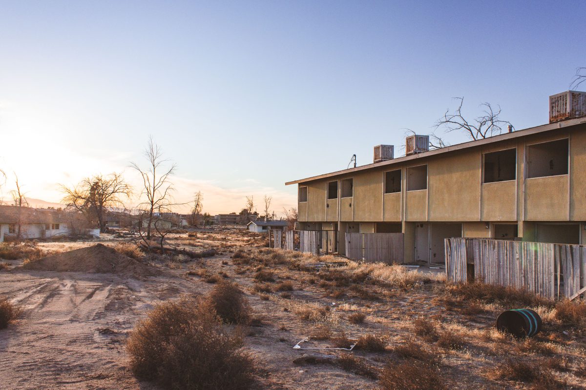
Abandoned two-story barracks at George Air Force Base in Victorville, California, deteriorating in the desert.
George Air Force Base operated near Victorville, California, from 1941 until it closed under the 1991 Base Realignment and Closure Act, with the last personnel leaving in 1992. It served fighter and bomber squadrons for five decades, including F-4 Phantom and F-111 units during the Cold War. After decommissioning, two-story barracks and housing blocks like this one were left standing, stripped of utilities and exposed to the Mojave Desert climate. Part of the former base site was later redeveloped into Southern California Logistics Airport, but much of the residential and support housing was simply abandoned in place.

Two-Story Housing Block at George Air Force Base, Victorville

Abandoned residential buildings at George Air Force Base in Victorville, California, with bare desert landscape.
George Air Force Base operated near Victorville, California, from 1941 until it closed under the 1991 Base Realignment and Closure Act, with the last personnel leaving in 1992. During its active decades the base trained fighter pilots, including F-4 Phantom and F-111 crews during the Vietnam War era. The housing blocks built for enlisted families and officers have sat vacant since closure, stripped of fixtures and left exposed to the Mojave Desert climate. Part of the former base was redeveloped into Southern California Logistics Airport, while sections of family housing were left standing and fenced off from public access.

Abandoned Housing Row at George Air Force Base

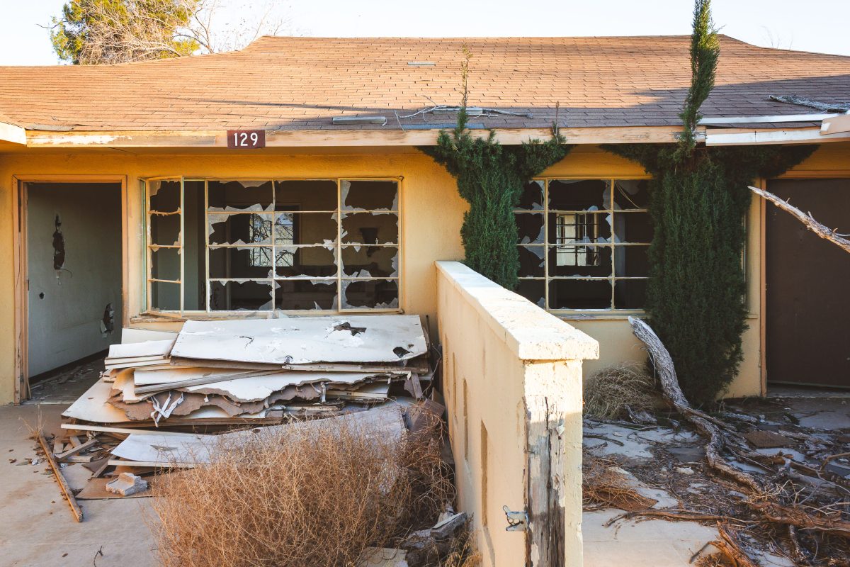
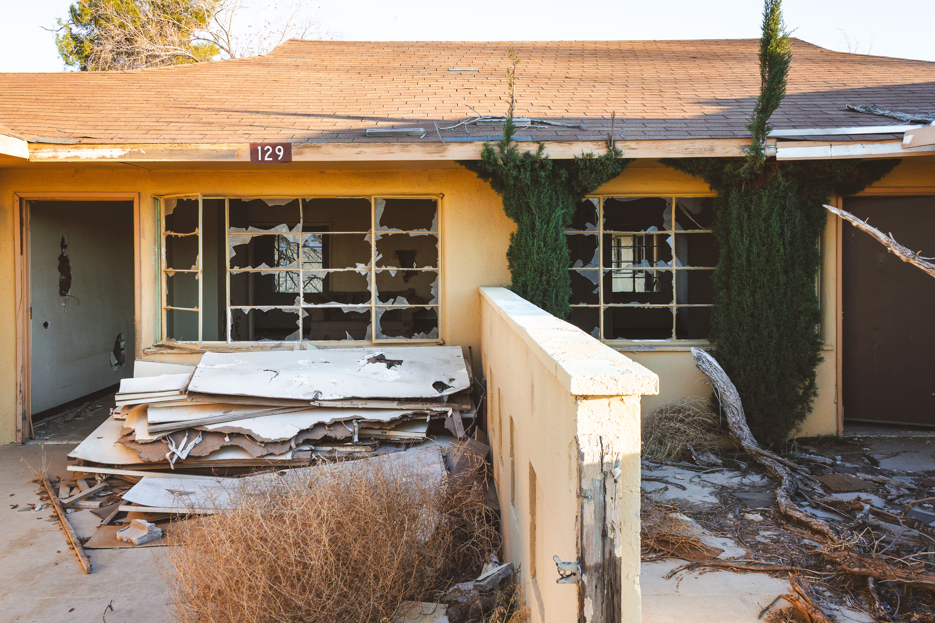
Abandoned residential unit 129 at closed George Air Force Base in Victorville, California, with broken windows and deteriorated
George Air Force Base operated near Victorville, California, from 1941 until it closed under the 1991 Base Realignment and Closure round, with final shutdown in 1992. Unit 129 was part of a residential section built for Air Force personnel and their families during the base's decades as a fighter training installation. The Southern California Logistics Airport and Victor Valley College now occupy portions of the former base, but much of the old family housing was left standing and unmaintained after closure. Decades of exposure to the Mojave Desert climate have left the vacant units with broken windows and stripped interiors.

Boarded-Up Unit 129 at George Air Force Base Housing, Victorville

Broken double-pane glass doors at vacant officer housing at closed George Air Force Base in Victorville, California.
George Air Force Base operated near Victorville, California, from 1941 until it closed under the 1991 Base Realignment and Closure round, with the Air Force ceasing operations there in 1992. Housing units like this one sheltered military families during the base's decades as a fighter training installation. After closure, ownership of the residential sections passed to local redevelopment authorities, and many structures were stripped of fixtures and left to deteriorate. Portions of the former base now form the Southern California Logistics Airport, while the old housing rows remain vacant.

Shattered Window Frame at Abandoned Housing, George Air Force Base
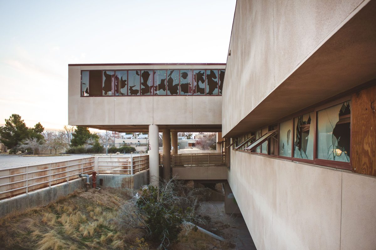
Vacant residential buildings on abandoned George Air Force Base in Victorville, California.
George Air Force Base sits just north of Victorville, California, on land the Army first used as a training field in the 1920s before the Air Force took it over in 1941 and named it for Brigadier General Harold H. George. At its Cold War peak, the base trained fighter pilots and hosted squadrons flying the F-4 Phantom and later the F-4G Wild Weasel. The 1991 Base Realignment and Closure Commission ordered its shutdown, and the Air Force officially closed George in 1992, transferring roughly 5,300 acres to civilian control. Much of the former base, including its residential housing tracts, has sat empty for decades, while other sections were redeveloped into the Southern California Logistics Airport and an adjoining business park.

Overgrown Lots Along Base Housing Row at George Air Force Base

Abandoned officer housing at George Air Force Base in Victorville, California, with cracked pavement and desert vegetation.
George Air Force Base operated in Victorville, California, from 1941 until it closed in 1992 under a federal base realignment order. During the Cold War it served as home to fighter squadrons flying F-4 Phantoms and later F-4G Wild Weasels, training crews for electronic warfare and air combat missions. Officer housing on base sheltered military families for decades before the closure left the neighborhood empty. Part of the former base has since been redeveloped as Southern California Logistics Airport, but sections of the old residential streets remain abandoned.

Cracked Roadway Through Officer Housing at George Air Force Base
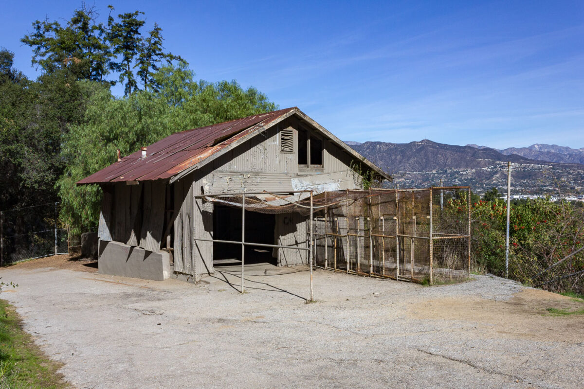
Overlook at Abandoned Old Los Angeles Zoo
Operating from 1912 to 1965, the Los Angeles Zoo once held bears, lions, monkeys, macaws, goats, elephants, reptiles and turtles. The animals were moved to a new zoo when this location was closed.

Abandoned Animal Cage at the Old Griffith Park Zoo
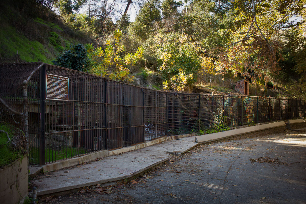
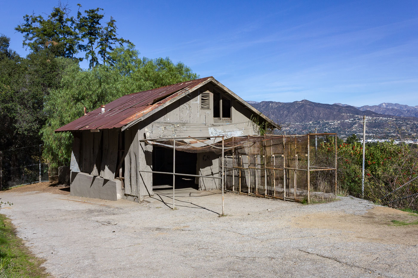
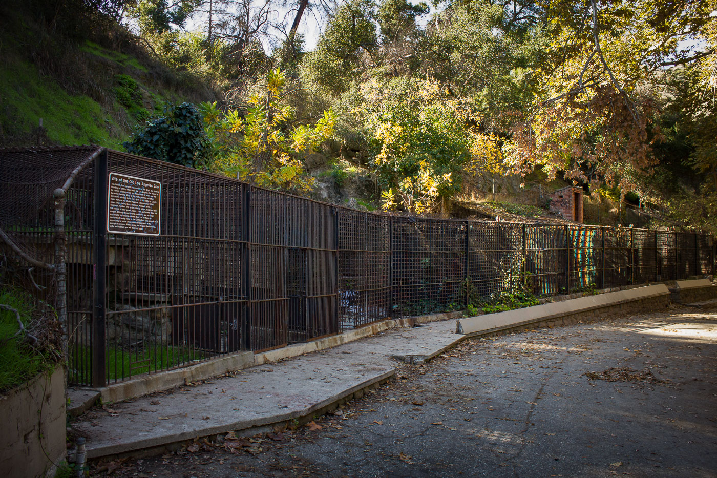
Abandoned animal enclosure with metal fencing and informational sign at the former Griffith Park Zoo, Los Angeles.
The old Griffith Park Zoo operated on this site from 1912 until 1966, when the animals moved to the newly built Los Angeles Zoo nearby. Many of the barred enclosures along this stretch date to the 1930s, when Works Progress Administration crews rebuilt much of the zoo's infrastructure. After closure, the grounds were absorbed into Griffith Park, and the old cages were left standing rather than demolished. Today the site is known informally as the Old Zoo, a picnic and hiking area where visitors can walk past the original enclosures.

Old Cages Along the Path at the Former Griffith Park Zoo
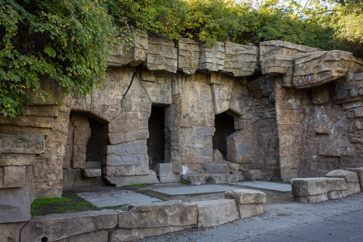
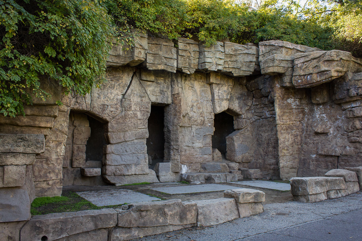
Abandoned stone bear enclosure with arched openings at the original Griffith Park Zoo, Los Angeles, 1912–1965.
These stone grottos are remnants of the original Griffith Park Zoo, which operated from 1912 until 1966. The zoo's bear dens were built into artificial rock formations meant to suggest a more natural enclosure than the barred cages common at the time. When the Los Angeles Zoo opened nearby in 1966, the old zoo grounds were left in place rather than demolished. The enclosures now sit along a paved walking path in Griffith Park, open to visitors as a historic ruin rather than a functioning exhibit.

Old Bear Grottos at the Original Griffith Park Zoo
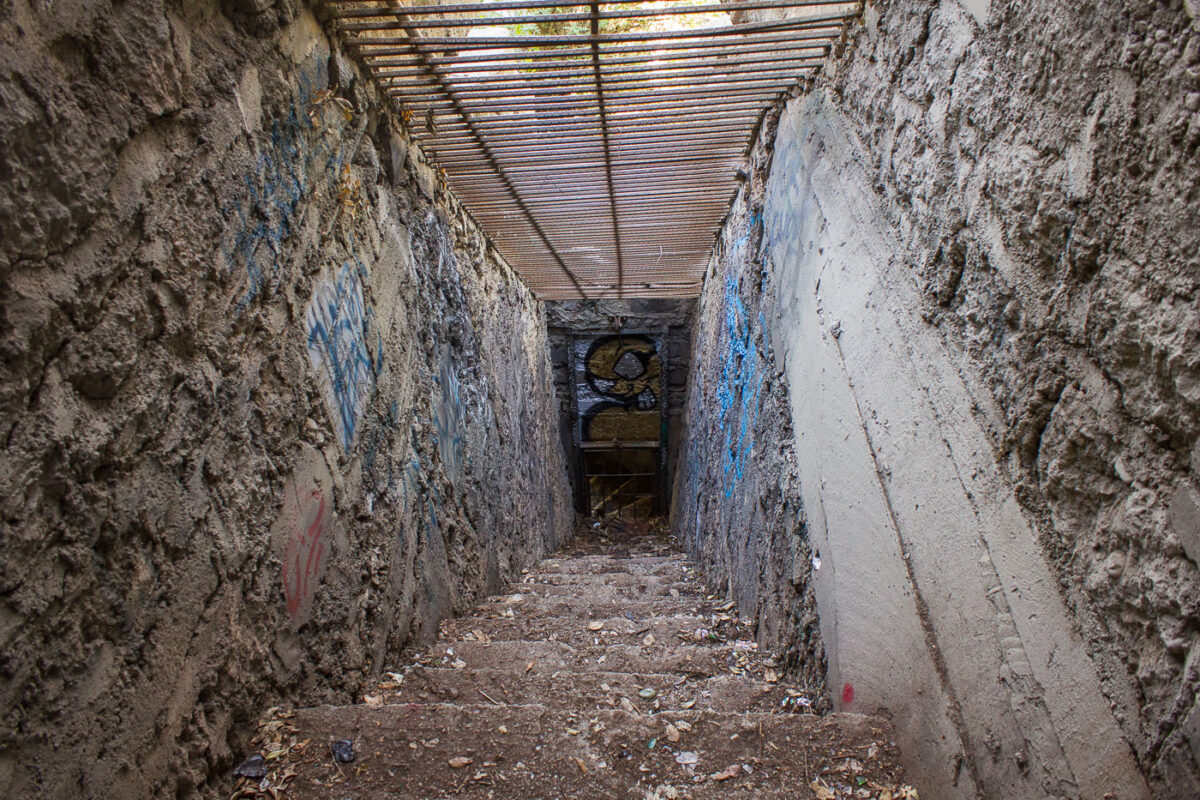
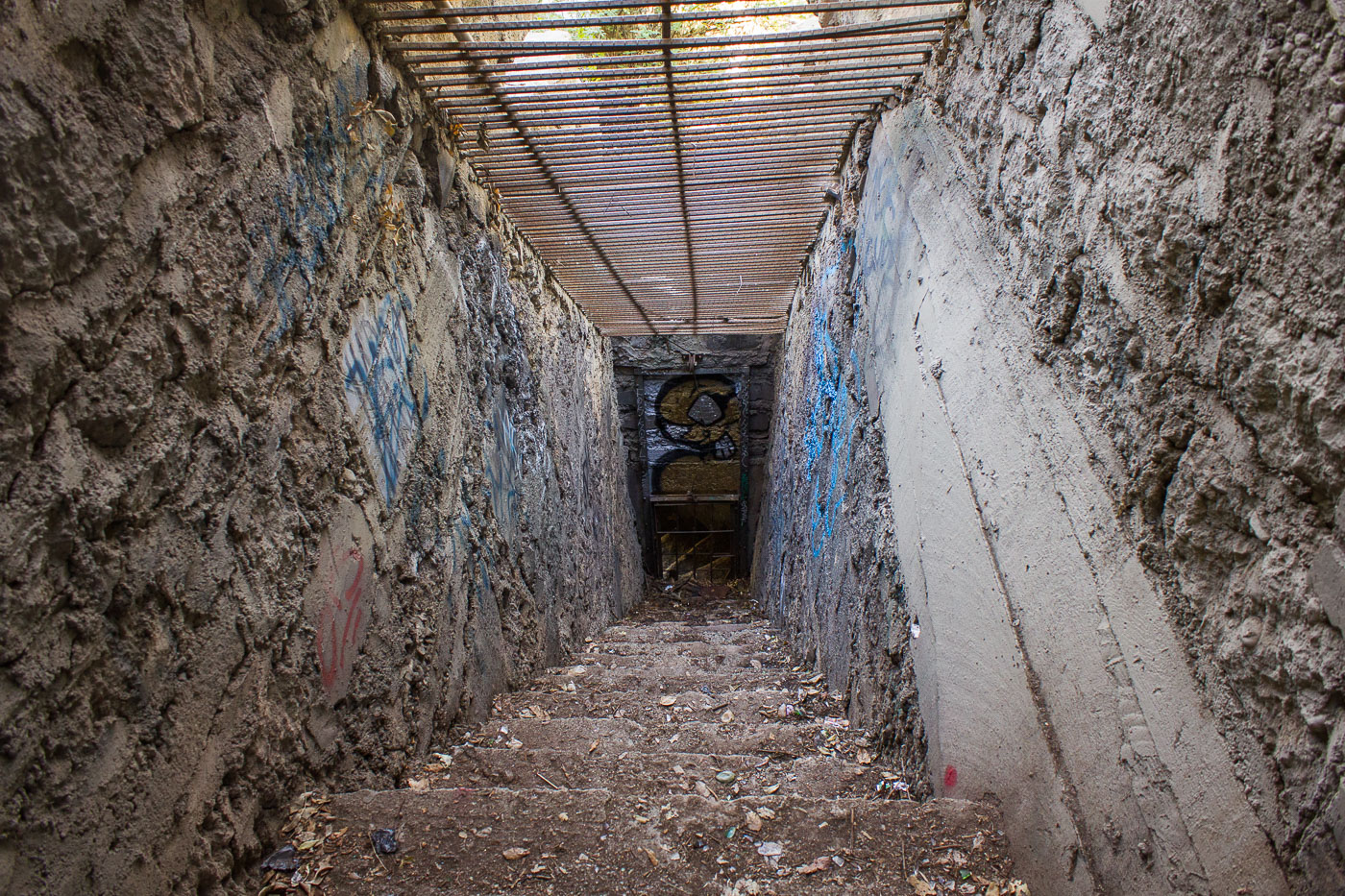
Deteriorated concrete animal enclosure with corrugated metal roof inside the abandoned Griffith Park Zoo, Los Angeles.
Griffith Park Zoo operated from 1912 until 1965, when the Los Angeles Zoo relocated to a new site elsewhere in the park. This stairway once led into one of the old animal enclosures, which held bears, lions, monkeys, and other species during the zoo's five decades of operation. The abandoned structures were left in place after closure and now sit within Griffith Park's Old Zoo Picnic Area, accessible to hikers and visitors. Layers of graffiti have accumulated on the concrete walls in the decades since the enclosures were emptied.

Stairway Into an Old Cage at Griffith Park Zoo
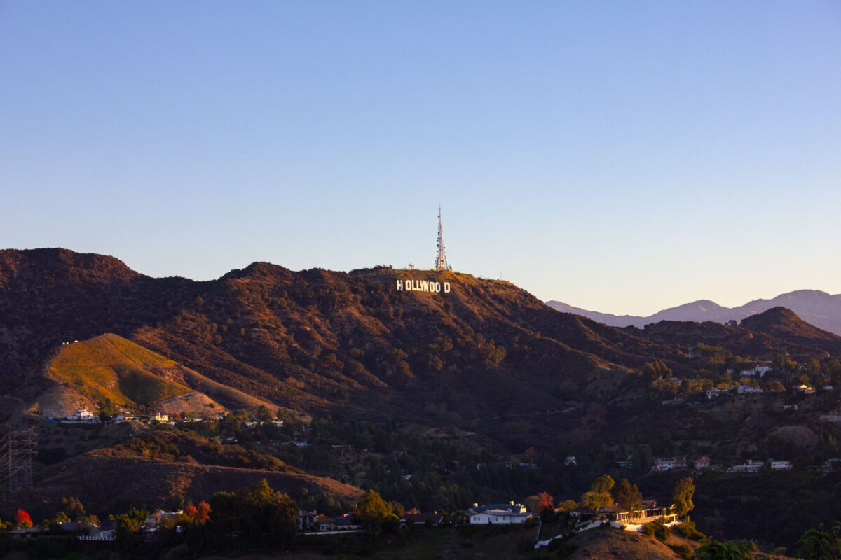
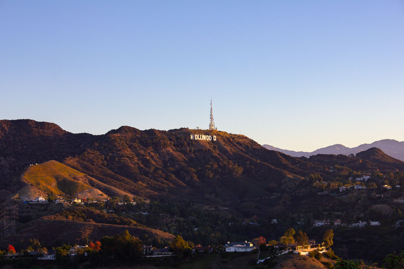
Hollywood Sign on hillside above residential area with Griffith Observatory tower in background, Los Angeles.
The Hollywood Sign sits on Mount Lee in Griffith Park, overlooking Los Angeles. It was built in 1923 as "HOLLYWOODLAND" to advertise a new real estate development in the hills above the city. The Hollywood Chamber of Commerce shortened it to "HOLLYWOOD" in 1949, and the current metal letters date to a 1978 reconstruction funded by donors including Hugh Hefner and Gene Autry. The sign runs 350 feet across the hillside, with each letter standing 45 feet tall. A broadcast tower beside the sign transmits signals for several Los Angeles television and radio stations.

The Hollywood Sign Above Mount Lee at Dusk
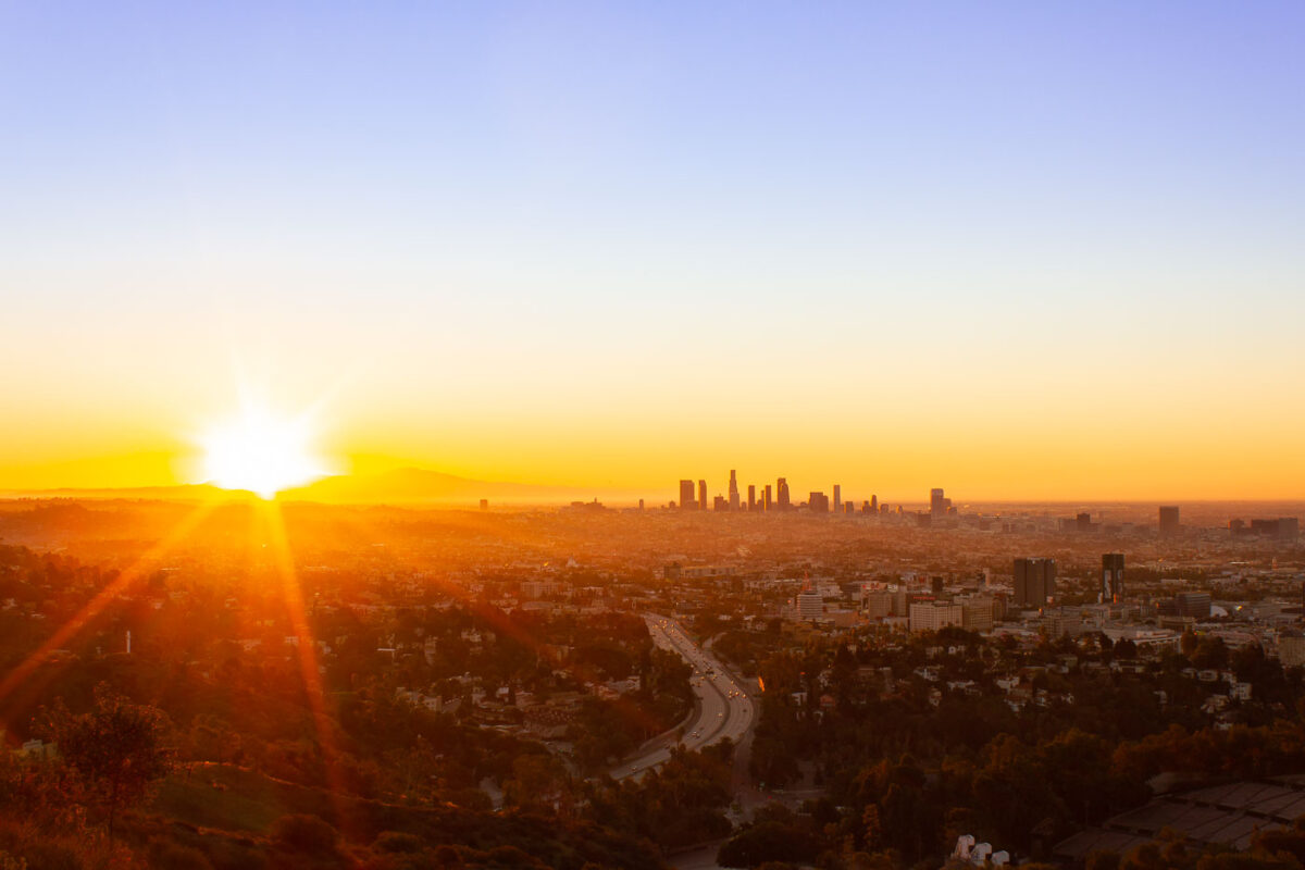
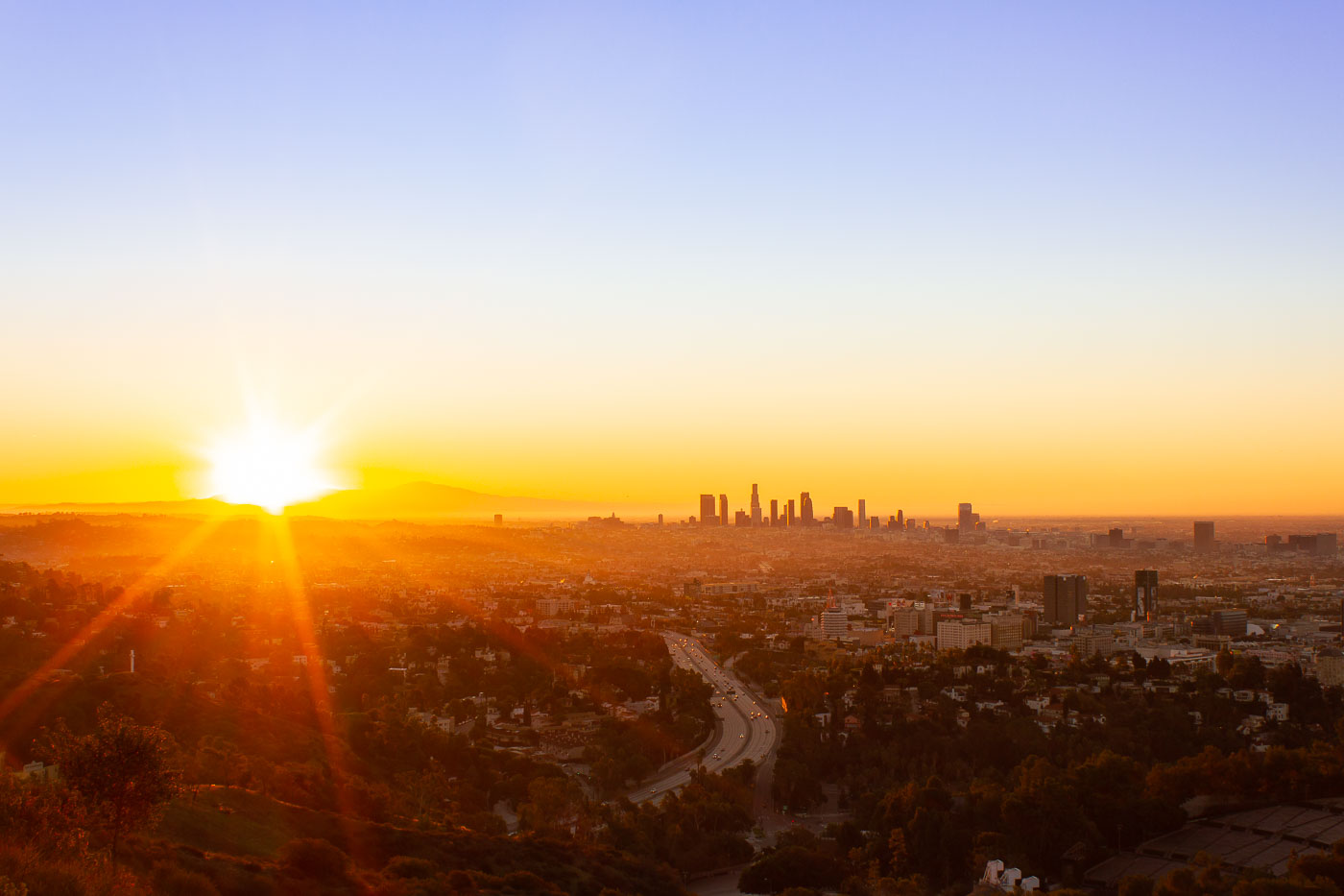
Los Angeles downtown skyline at sunrise from Mulholland Drive overlook, with winding freeway below.
Mulholland Drive runs roughly 21 miles along the ridgeline of the Santa Monica Mountains and Hollywood Hills, linking the Cahuenga Pass area to the Pacific Coast Highway. Named for civil engineer William Mulholland, the road opened in 1924 as part of efforts to connect the growing city with the San Fernando Valley. Its position along the ridge gives it a long sightline over the Los Angeles Basin, with the downtown skyline sitting roughly ten miles to the southeast. That skyline is anchored by the U.S. Bank Tower, completed in 1989 and, for years, the tallest building west of Chicago.

Downtown Los Angeles Skyline at Sunrise from Mulholland Drive
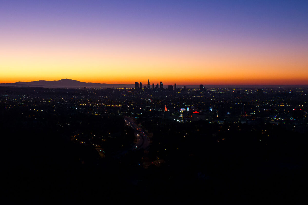
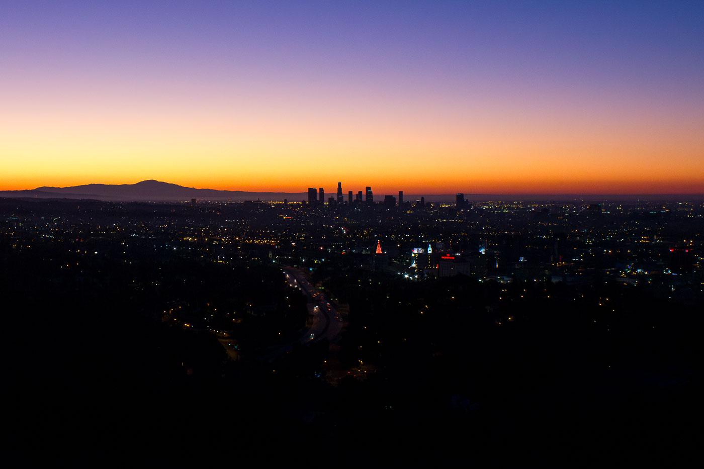
Sunrise over Downtown Los Angeles in November 2011, showing the city's central business district.
A sunrise over Downtown Los Angeles in November 2011. The city's central business district, a hub for finance, law, and entertainment, is visible in the distance. The development of this area began in the late 19th century, with significant growth in the mid-20th century. Today, it continues to be the economic and cultural heart of the region, characterized by its diverse architecture and extensive transportation networks.

First Light Over the Downtown Los Angeles Skyline
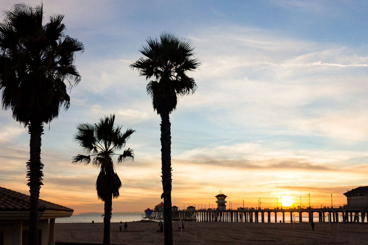
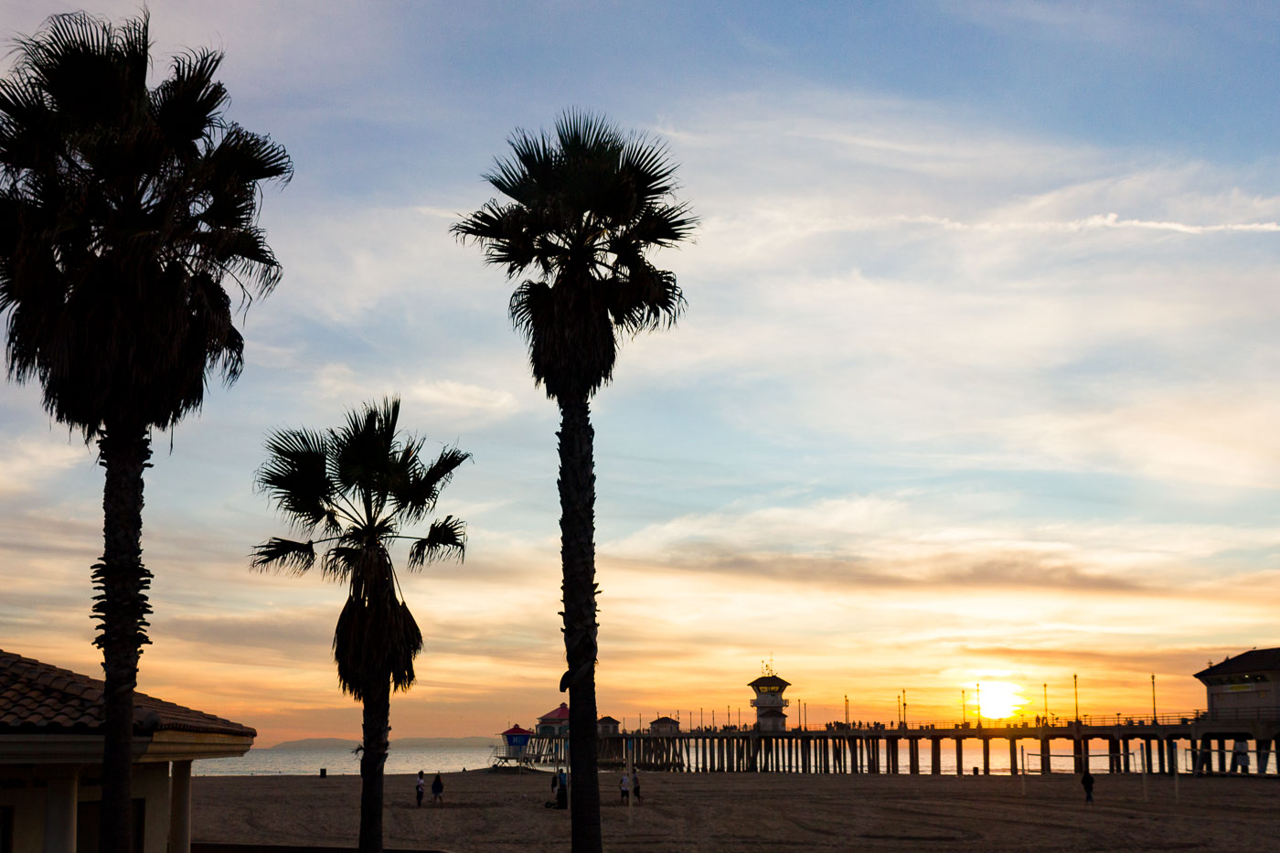
Huntington Beach Pier silhouetted against sunset with palm trees on sandy beach.
Huntington Beach Pier reaches 1,850 feet into the Pacific, among the longest piers on the West Coast. The current concrete pier dates to 1914, replacing a wooden structure lost to storms, and was rebuilt after damage from a 1988 storm. A lifeguard tower sits near its base, part of the city's beach patrol.

Huntington Beach Pier at Sunset Beyond the Palms
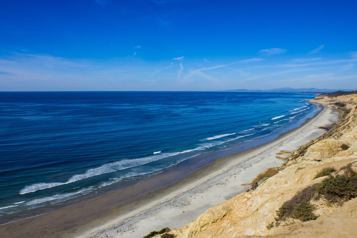
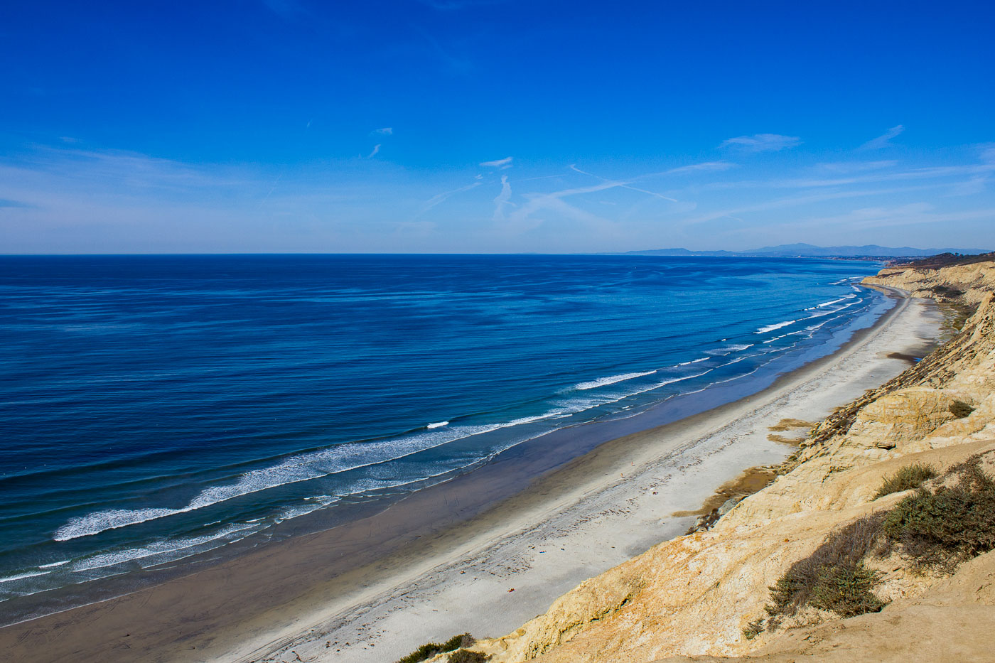
Sandstone cliffs and sandy beach curve along the Pacific Ocean at Black's Beach near San Diego, California.
Black's Beach runs about two miles beneath the sandstone bluffs of Torrey Pines State Natural Reserve, forming the undeveloped southern end of Torrey Pines State Beach. No road reaches the shore directly; access is limited to a steep trail near the Torrey Pines Gliderport or a path off La Jolla Farms Road. The offshore La Jolla submarine canyon channels stronger, more consistent swells here than at neighboring beaches, making it one of San Diego's most reliable surf spots.

Black’s Beach Shoreline Toward La Jolla
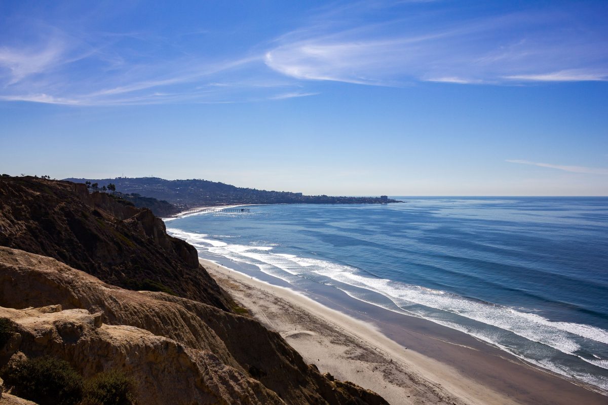
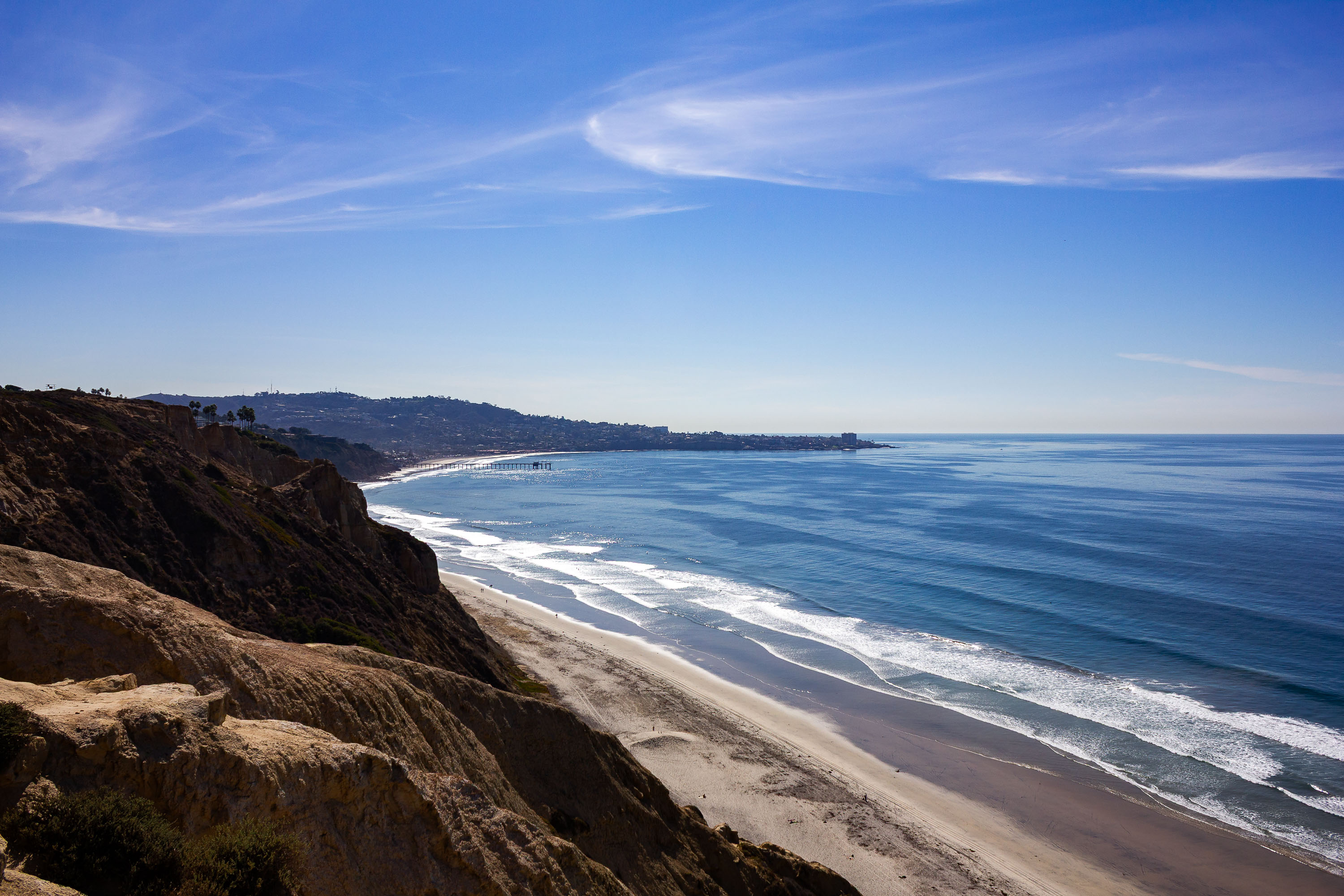
Torrey Pines coastal cliffs overlook Black's Beach and the Pacific Ocean in San Diego, California.
Black's Beach runs below sandstone bluffs in the Torrey Pines State Natural Reserve, which protects one of only two native stands of the Torrey pine, the rarest pine species in North America. The Torrey Pines Gliderport sits atop these bluffs and has operated since the 1930s, launching paragliders and hang gliders on the ocean updrafts that rise along the cliff face. Scripps Pier marks the shoreline to the south, near the University of California San Diego's Scripps Institution of Oceanography.

Sandstone Bluffs Above Black’s Beach, San Diego
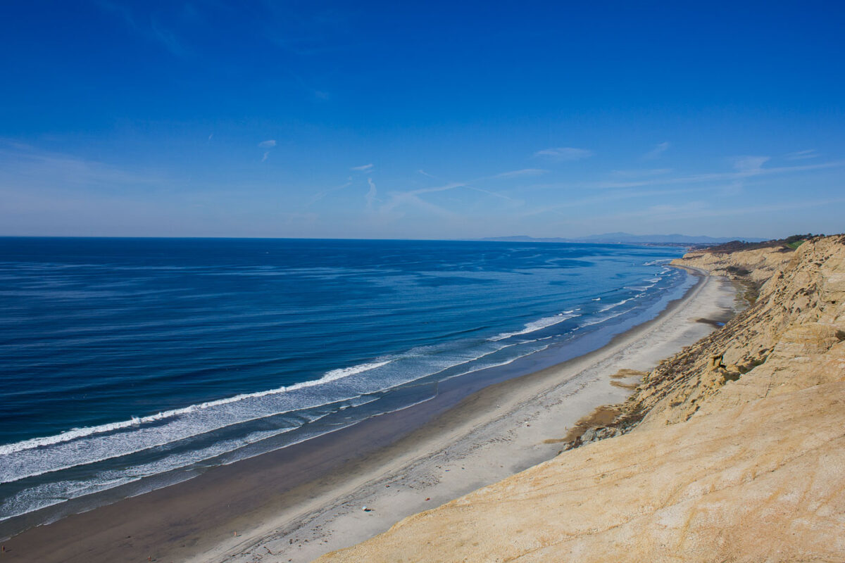
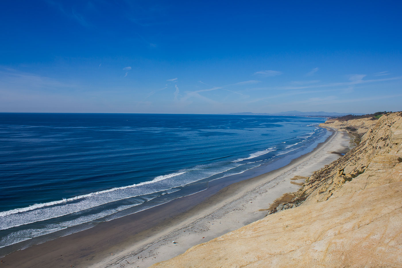
Sandstone cliffs and sandy beach curve along the Pacific Ocean at Torrey Pines State Natural Reserve near San Diego, California.
Torrey Pines State Beach runs beneath the bluffs of Torrey Pines State Natural Reserve on the San Diego coast between La Jolla and Del Mar. The sandstone cliffs rise about 300 feet above the sand and were cut by wind and water into their present shape. The reserve became a state park in 1959 after a campaign led in part by conservationist Guy Fleming to keep the land from being developed.

Torrey Pines State Beach Curves Toward Del Mar
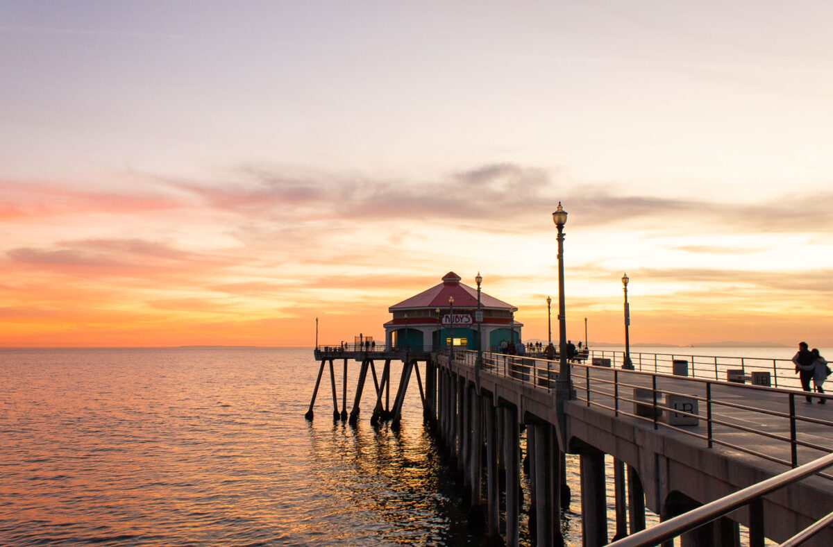
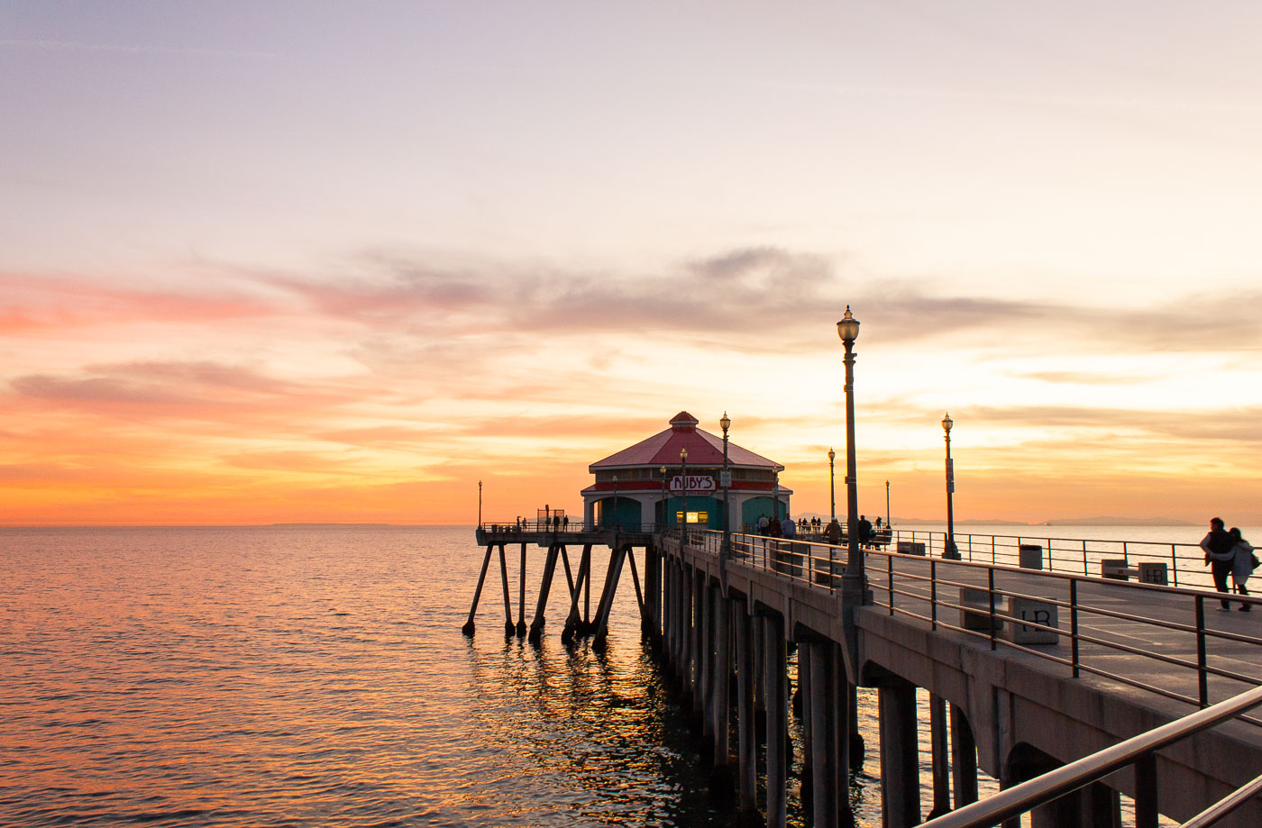
Ruby's Diner restaurant at the end of the Huntington Beach Pier, California, at sunset.
The Ruby's Diner restaurant sits at the end of the Huntington Beach Pier, a structure that has been a central feature of the city since its construction in 1904. The pier has undergone several reconstructions due to storm damage, with the current iteration dating from the 1980s. Ruby's Diner, a popular chain known for its retro theme, has occupied this prominent location since 1996, offering diners views of the Pacific Ocean. The pier serves as a vital public space for recreation and tourism in Huntington Beach, California.

Ruby’s Diner at the End of Huntington Beach Pier
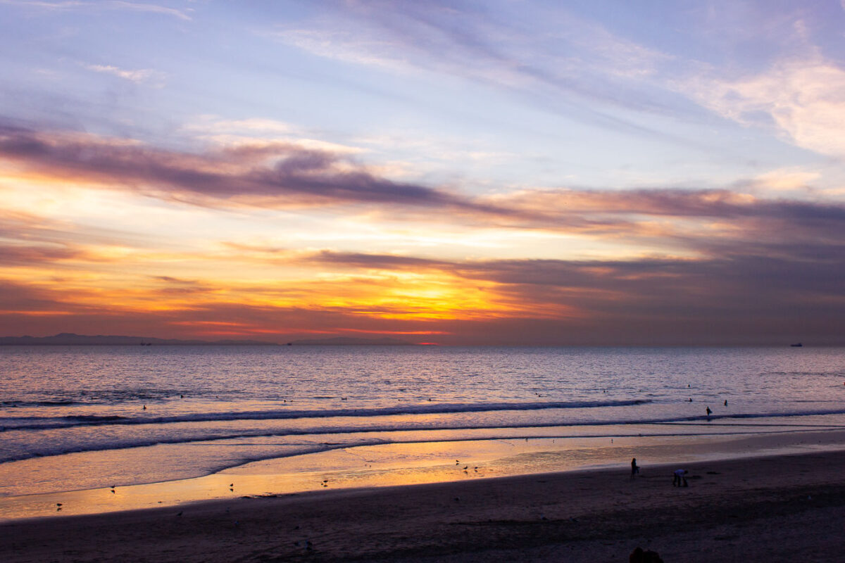
Sunset over Huntington Beach, California, with surfers and cargo ships visible on the Pacific Ocean.
Huntington Beach holds the trademarked nickname "Surf City USA," a title it won in a 2006 legal settlement with Santa Cruz over rights to the phrase. The city's pier, rebuilt in 1992 after storm damage destroyed its predecessor, extends 1,856 feet into the Pacific and remains a hub for the surfing community that gave the town its identity. Cargo ships often anchor offshore here while waiting for berths at the Port of Los Angeles or Port of Long Beach, together the busiest container port complex in the United States.

Evening Surfers Along Huntington Beach’s Shoreline
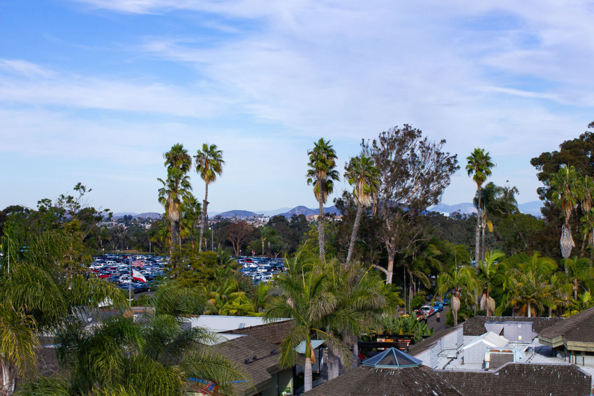
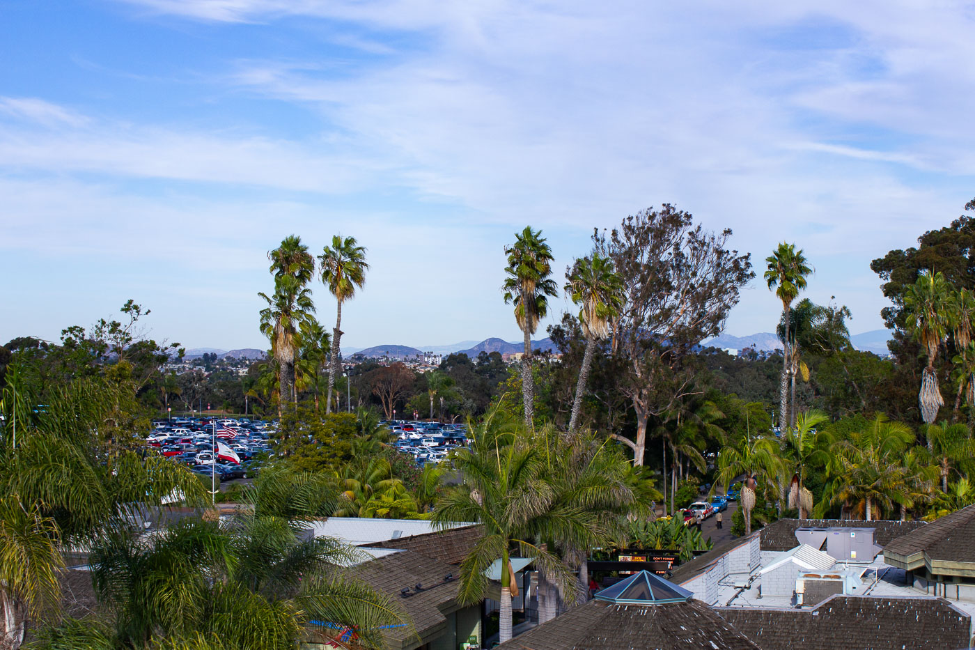
San Diego Zoo parking lot with palm trees and visitor vehicles under blue sky.
The San Diego Zoo sits in Balboa Park, with its parking areas bordered by palm trees near the park's northern edge. The zoo opened in 1916 with animals left over from the Panama-California Exposition. Hills mark San Diego's inland terrain beyond the park's rooflines and tree cover.

Rooftops and Palm Trees Above the San Diego Zoo Parking Lot

A giant panda rests in its habitat at the San Diego Zoo, California. The exhibit is designed to replicate the animal's natural environment with climbing structures and bamboo.
A giant panda rests within its habitat at the San Diego Zoo in California. The zoo, established in 1916, is a prominent zoological park known for its conservation efforts and diverse animal collections. Its panda exhibit aims to replicate the natural environment of these endangered animals, providing them with climbing structures and bamboo, essential elements of their native habitat in China. The San Diego Zoo has been a significant institution in animal welfare and research for over a century.

A Giant Panda Climbs Among Logs at the San Diego Zoo
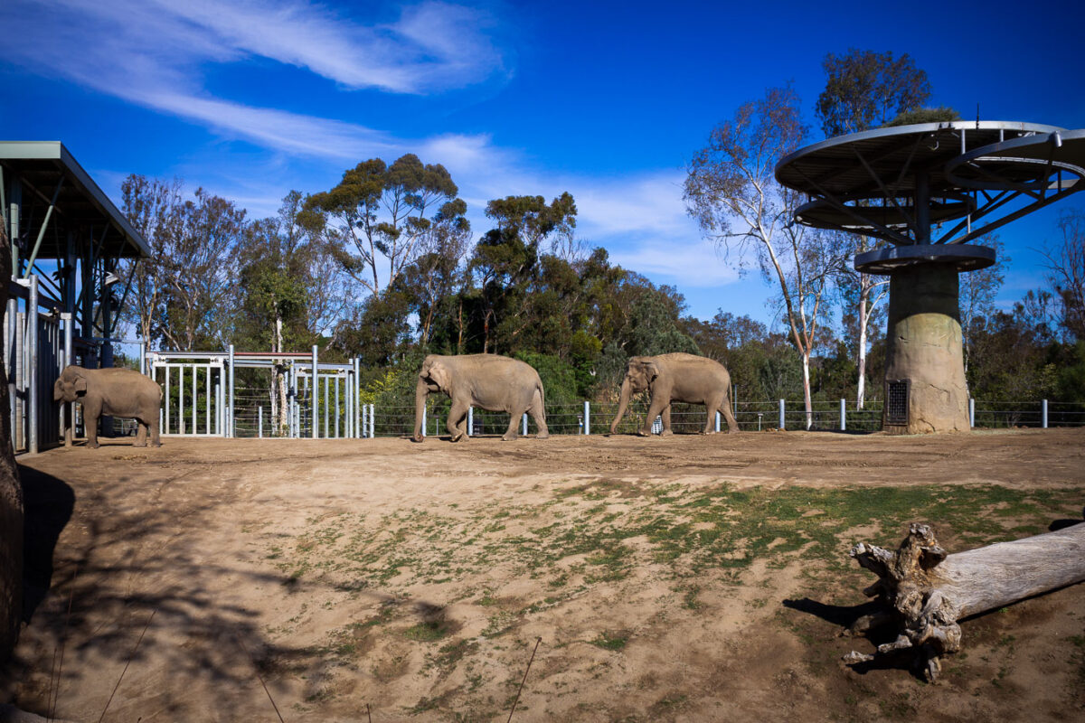
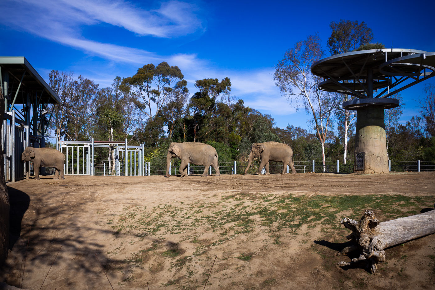
Four Asian elephants walk across a sandy enclosure at San Diego Zoo in California.
Elephant Odyssey is an eight acre exhibit at the San Diego Zoo in Balboa Park, built in 2009 to house the zoo's herd of Asian elephants. The habitat was designed with pools, mud wallows, and varied terrain to encourage the walking and foraging elephants do across large home ranges in the wild. Three elephants walk single file along the fence line while a younger one stays near the building behind them.

Elephant Odyssey Herd Walks Their Enclosure at the San Diego Zoo

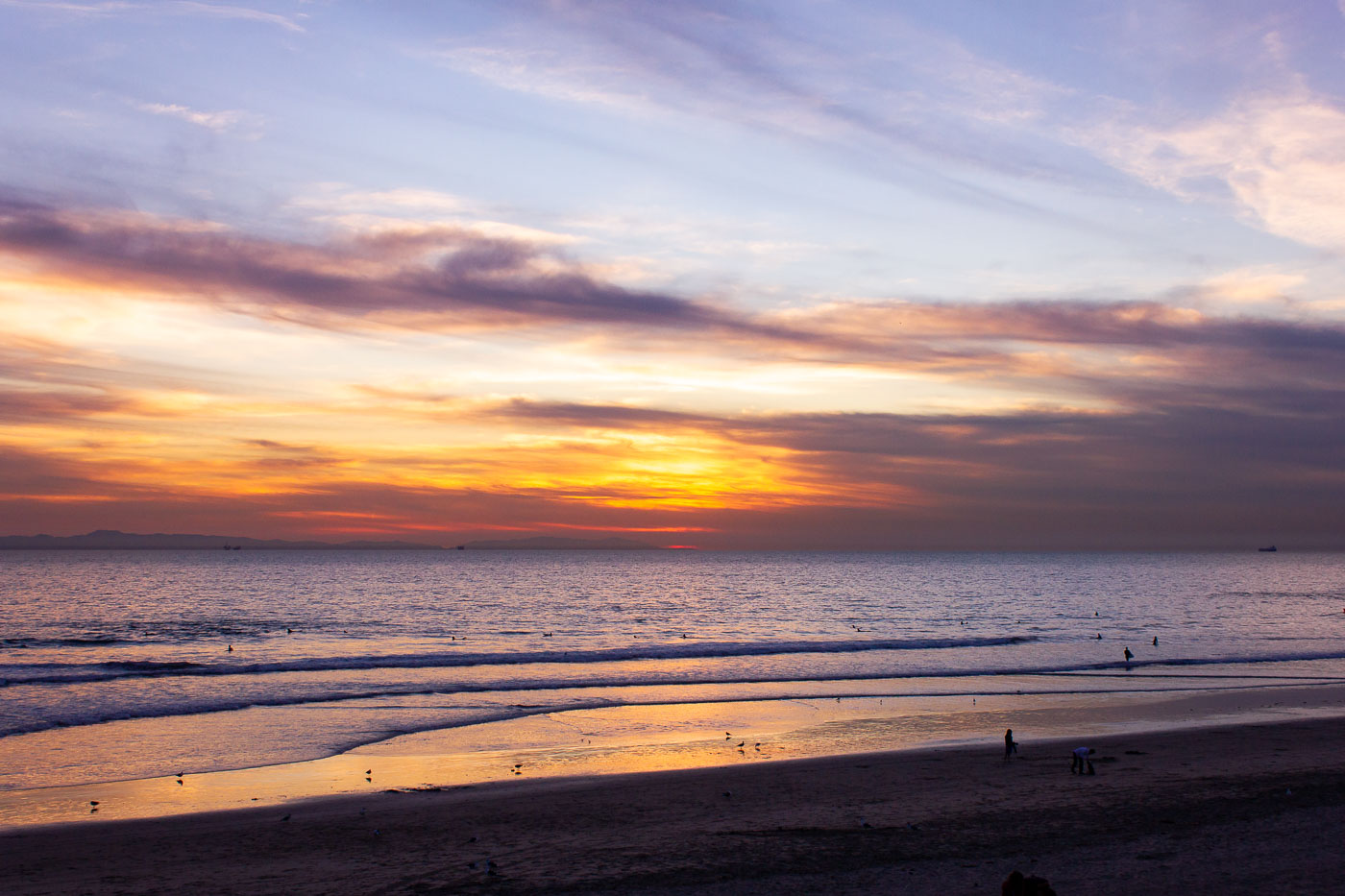
A lifeguard tower stands on a California beach at sunset, overlooking the Pacific Ocean. These towers are vital for ensuring beach safety.
A lifeguard tower stands on a beach along the Pacific Ocean in California as the sun sets. These towers are a common feature of California's coastline, serving as elevated posts for lifeguards to monitor swimmers and ensure beach safety. Their presence highlights the state's extensive public beach access and the ongoing efforts to manage and protect its popular coastal areas.

Fountain Grass Silhouetted at Sunset Over the Pacific
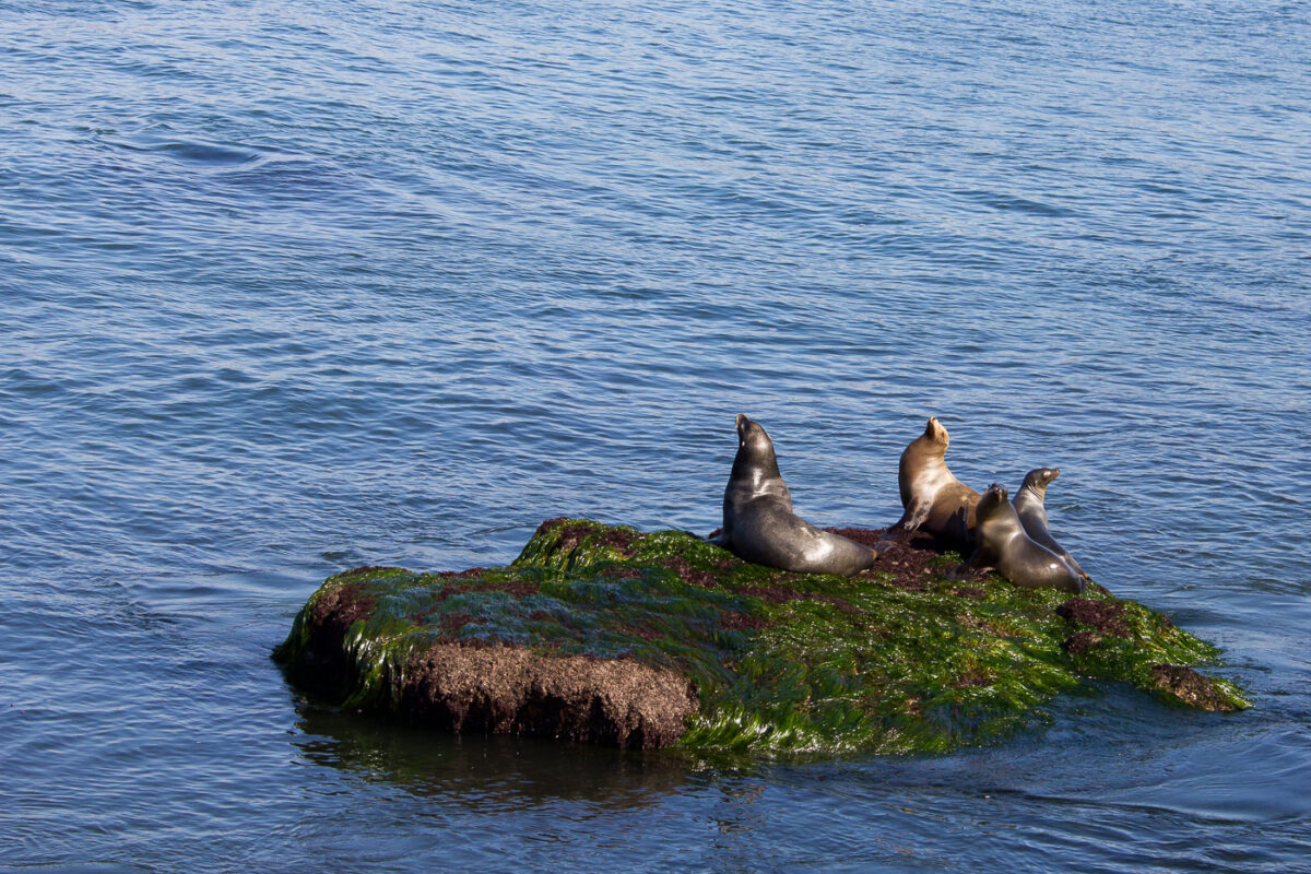
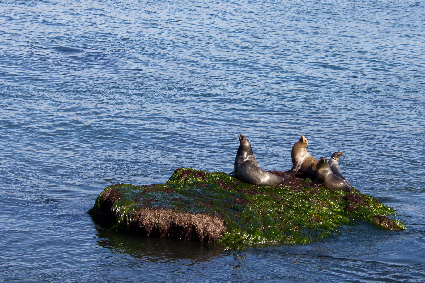
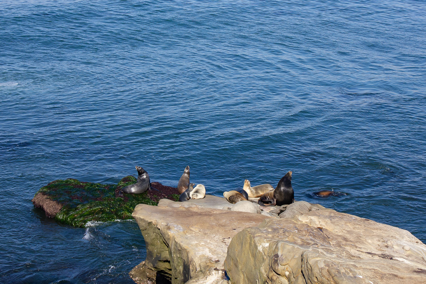
California sea lions rest on an algae-covered rock off La Jolla's coast.
California sea lions haul out on rocks like this one along the La Jolla coastline, within the San Diego–La Jolla Underwater Park and Ecological Reserve. Adult males can weigh up to 800 pounds and carry a thick neck and a raised bony crest on the forehead, larger than the females and juveniles they haul out alongside. Unlike harbor seals, they have external ear flaps and can rotate their hind flippers forward, which lets them move on rocks instead of just flopping along the ground.

Sea Lions Rest on a Seaweed-Draped Rock off La Jolla
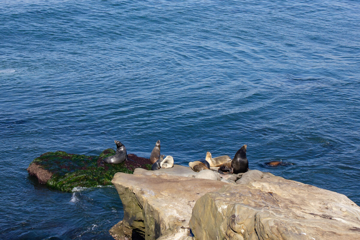
California sea lions rest on rocky outcrops along the La Jolla coastline.
California sea lions haul out on a rocky outcrop near Point La Jolla, just offshore from the city sidewalks above the water. The area is part of San Diego's marine mammal protected zone, established in 2014 to limit disturbance to the animals. Adult males can weigh up to 800 pounds and dive more than 900 feet in search of squid and fish.

Sea Lions Rest on a Seaweed-Covered Rock Near La Jolla
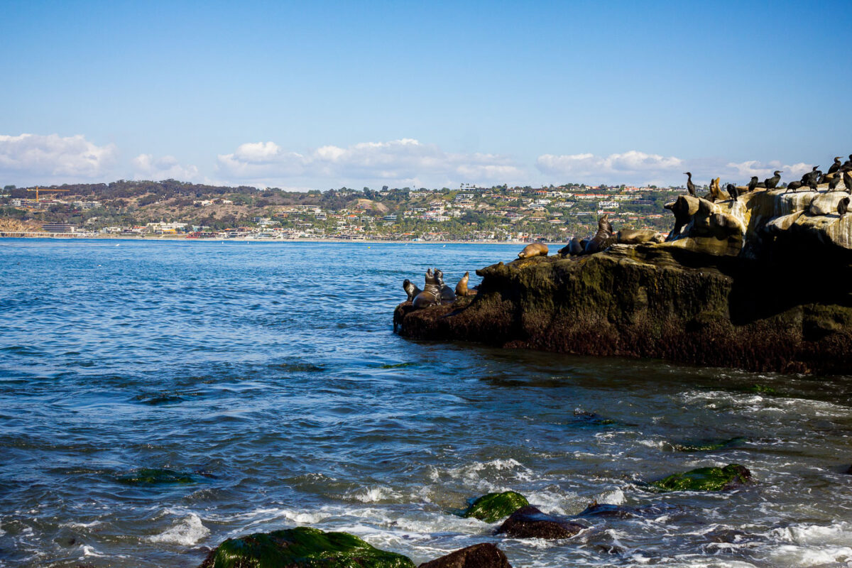
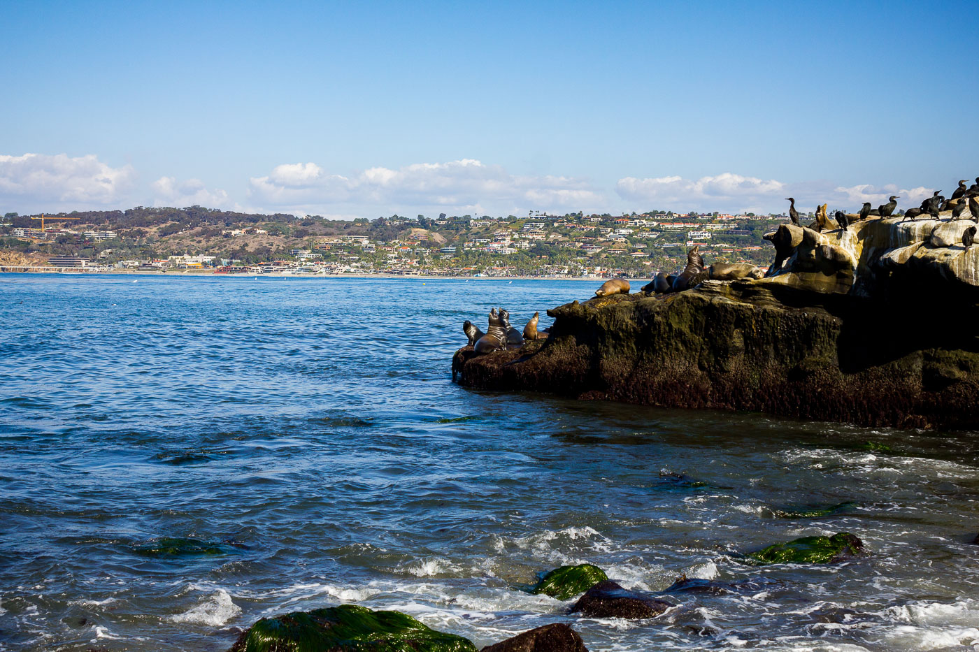
Sea lions and cormorants rest on rocks along the La Jolla coastline in San Diego, California, a vital habitat for marine wildlife.
Sea lions and cormorants rest on the rocky shores of La Jolla, California. This coastal area, part of the San Diego coastline, is known for its abundant marine wildlife, including California sea lions and various seabirds. The natural rock formations provide essential resting and breeding grounds for these animals, contributing to the ecological significance of the La Jolla coastline. The presence of these species highlights the area's importance as a habitat within the Pacific Ocean ecosystem.

Sea Lions and Cormorants Rest on a La Jolla Rock
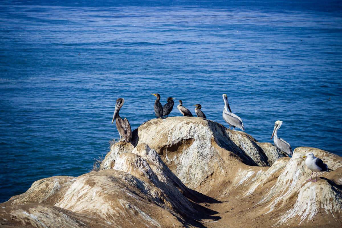
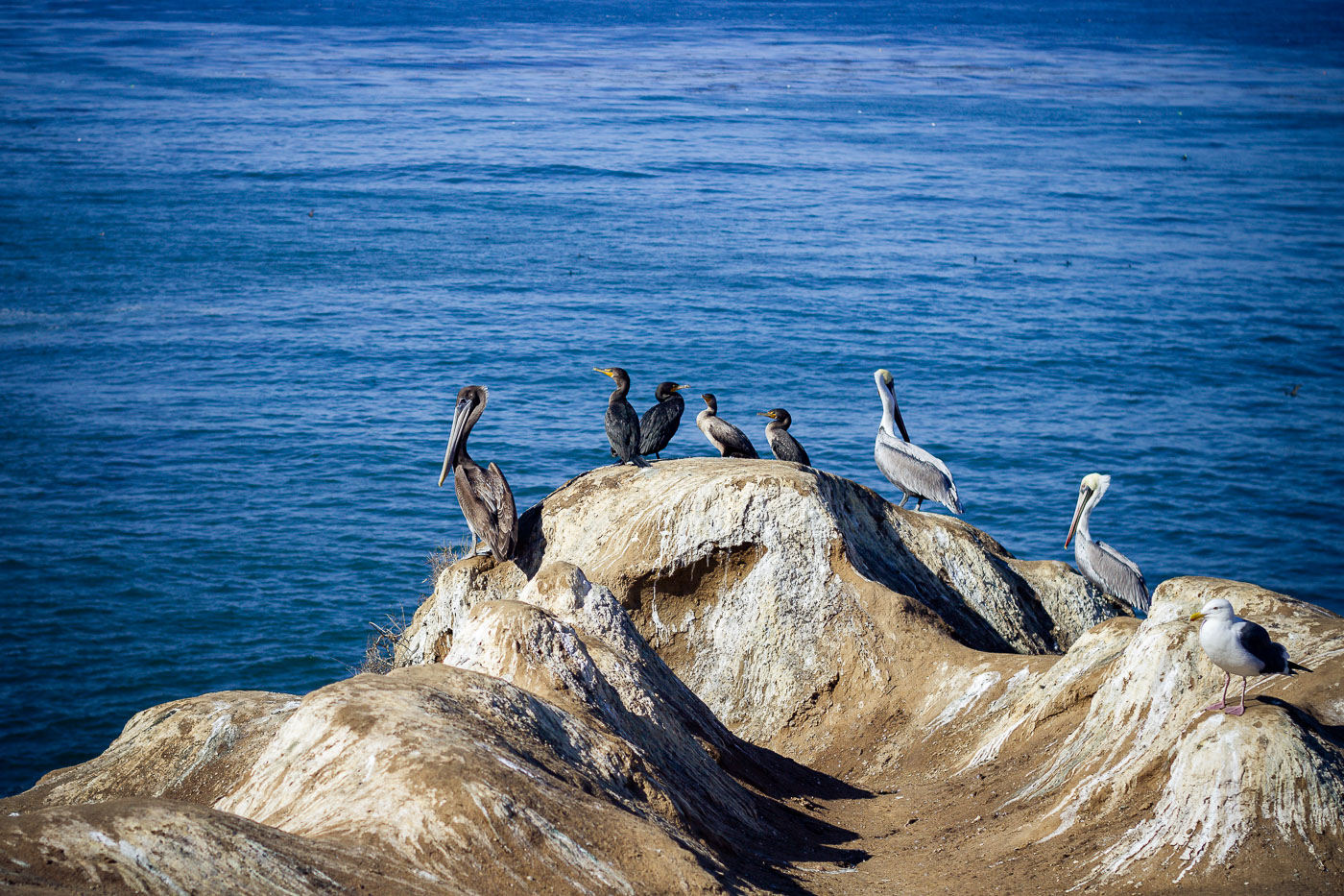
Brown pelicans and cormorants rest on rocky outcroppings off La Jolla, California.
Brown pelicans and double-crested cormorants rest on a sandstone outcrop off La Jolla, with a western gull at its edge. The rock sits within the San Diego-La Jolla Underwater Park and Ecological Reserve, established in 1970 to protect the shoreline from fishing and disturbance. Brown pelicans nearly vanished from the California coast in the 1970s due to DDT contamination before recovering enough to come off the endangered species list in 2009.

Brown Pelicans and Cormorants Roost on a La Jolla Rock

Built in Minneapolis

Minneapolis Photographer

Browse by location, move through long-running series, or start with recent work.