Downtown Los Angeles Skyline at Sunrise from Mulholland Drive
Taken November 2011
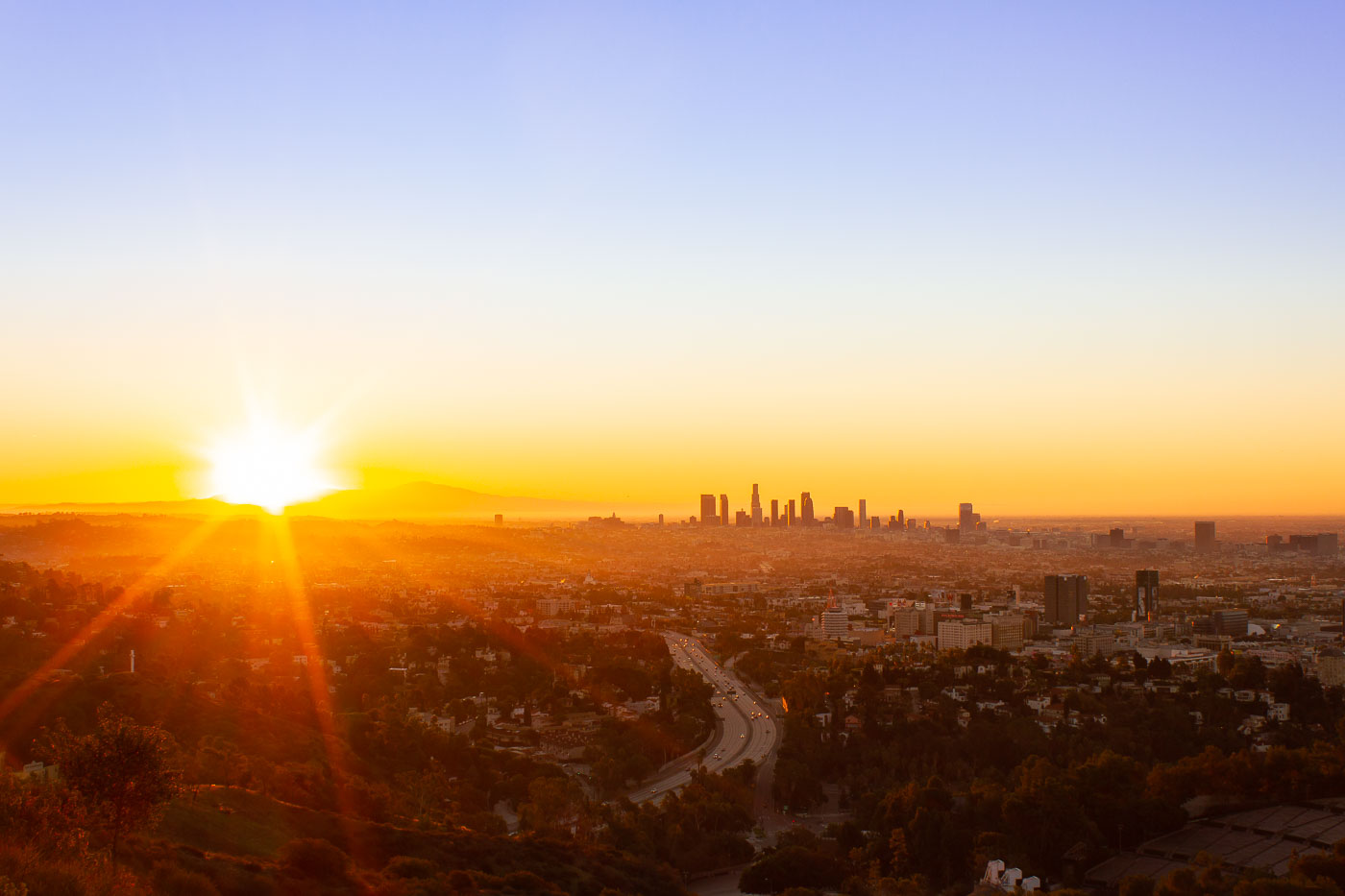
Mulholland Drive runs roughly 21 miles along the ridgeline of the Santa Monica Mountains and Hollywood Hills, linking the Cahuenga Pass area to the Pacific Coast Highway. Named for civil engineer William Mulholland, the road opened in 1924 as part of efforts to connect the growing city with the San Fernando Valley. Its position along the ridge gives it a long sightline over the Los Angeles Basin, with the downtown skyline sitting roughly ten miles to the southeast. That skyline is anchored by the U.S. Bank Tower, completed in 1989 and, for years, the tallest building west of Chicago.
Taken November 2011
More from
Los Angeles
 Old Bear Grottos at the Original Griffith Park Zoo
These stone grottos are remnants of the original Griffith Park Zoo, which operated from 1912 until 1966. The zoo's bear…
 A Zebra-Print Guest Room at the Grafton on Sunset
The Grafton on Sunset is a boutique hotel on the Sunset Strip in West Hollywood, within walking distance of the…
 Hillside Estates Overlooking the Pacific in Pacific Palisades
Pacific Palisades sits in the Santa Monica Mountains on Los Angeles's Westside, tucked between the coastline and Topanga State Park.…
 Downtown LA Skyline from the Hyatt Regency on Century Boulevard
The Hyatt Regency Los Angeles International Airport rises near LAX along Century Boulevard, a stretch that became the airport's hotel…
 Palm Tree Above the Sunken City Ruins in San Pedro
Sunken City sits along the San Pedro coastline, where a 1929 landslide broke a section of the old Point Fermin…
 Sunken City's Cliffside Ruins Above the Pacific in San Pedro
Sunken City occupies a stretch of collapsed bluff at Point Fermin in San Pedro, a Los Angeles neighborhood at the…

