Place Archive

Los Angeles

Los Angeles contains the abandoned Griffith Park Zoo enclosures, constructed in the 1930s with WPA labor, which housed bears, lions, and elephants until the zoo’s relocation in 1965. Along the San Pedro coastline, Sunken City displays fractured concrete remnants and graffiti, marking the site of a 1929 landslide that submerged a residential neighborhood into the Pacific Ocean.

41 photos

Location

Photo Sets

Photos from Los Angeles
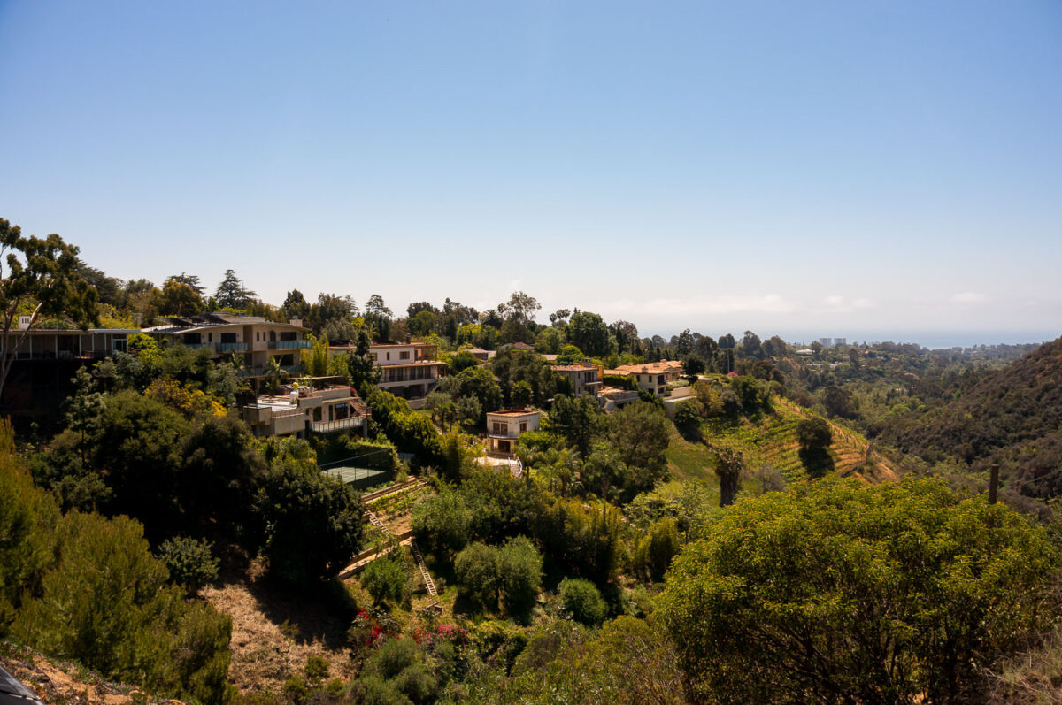
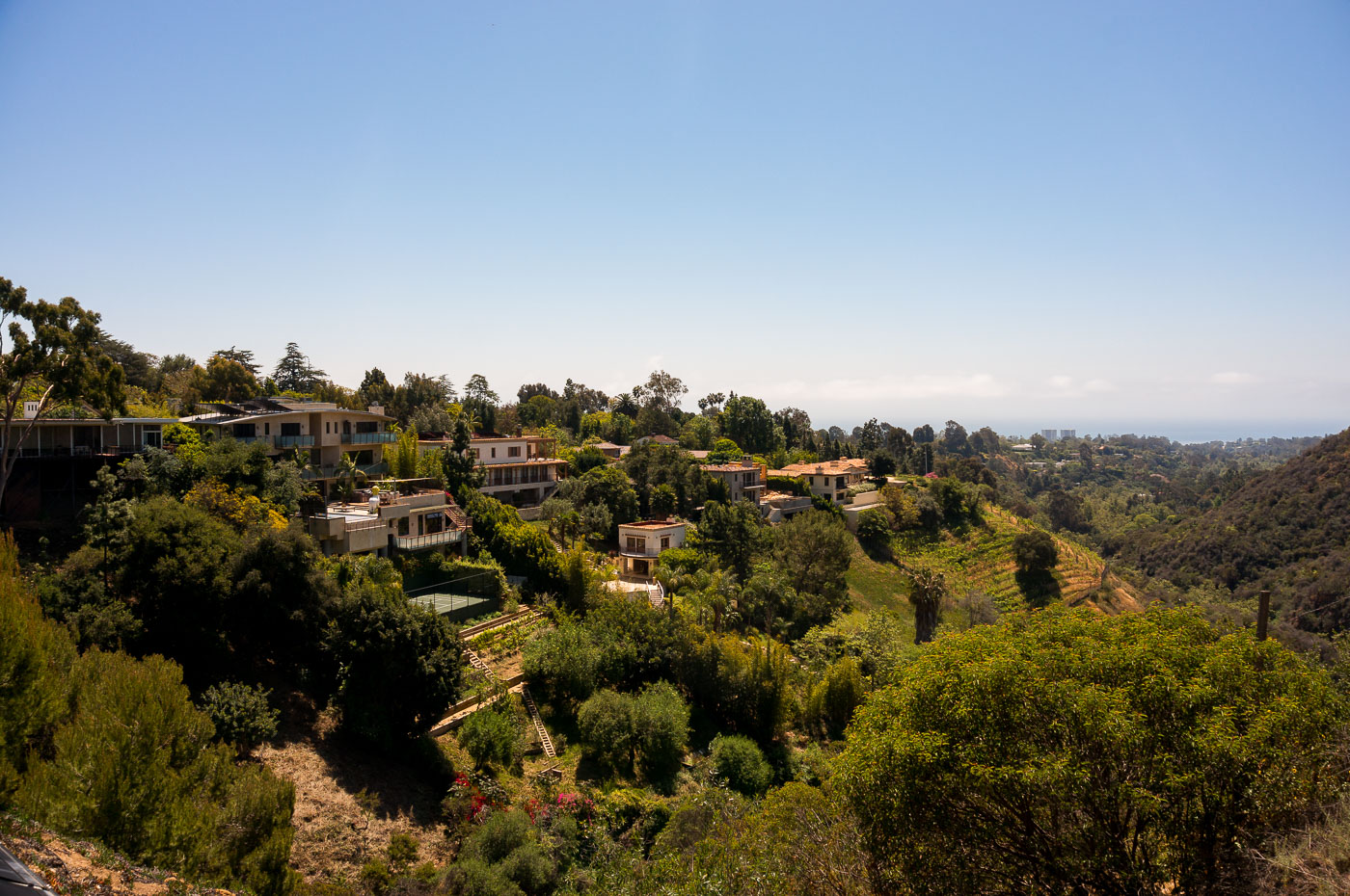
Hillside homes nestled among dense vegetation in Pacific Palisades, Los Angeles.
Pacific Palisades sits in the Santa Monica Mountains on Los Angeles's Westside, tucked between the coastline and Topanga State Park. Methodist settlers founded the community in the 1920s, and it later grew into one of the city's wealthiest enclaves, prized for large hillside lots and unobstructed ocean views. The same canyon terrain and dense chaparral that give the neighborhood its ry have also made it one of the more fire-prone areas in Los Angeles, a risk that culminated in the January 2025 Palisades Fire, which destroyed thousands of homes across the hills.
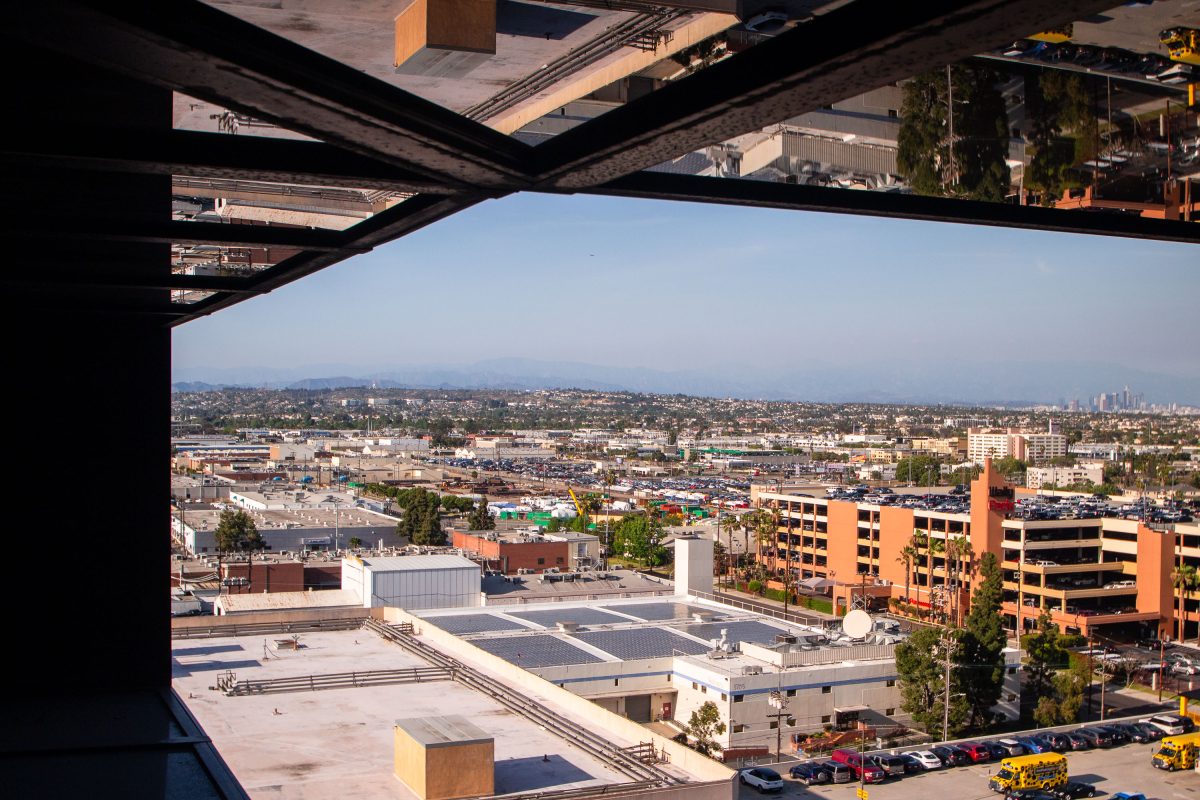
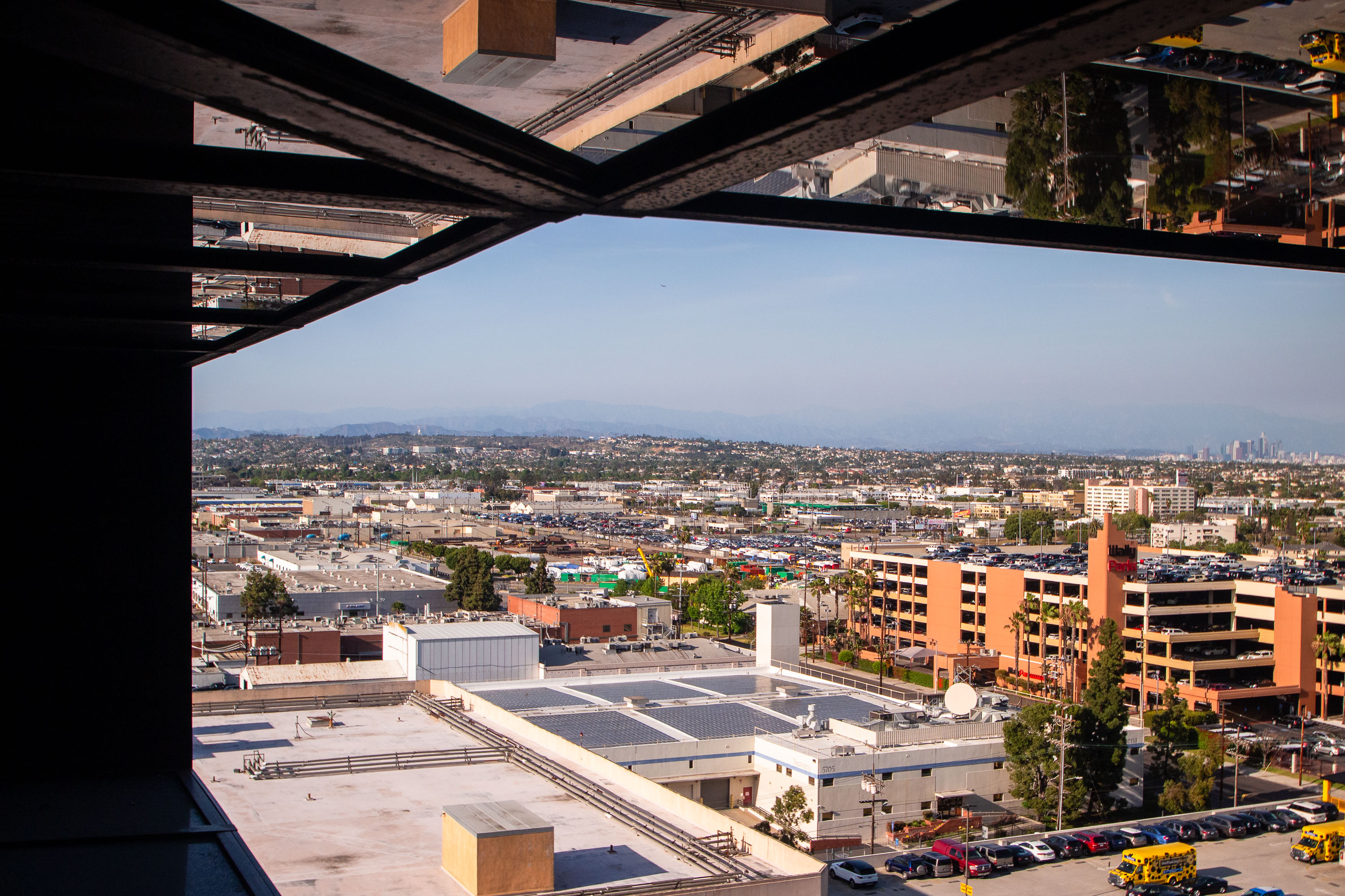
City skyline and rooftops viewed from a Hyatt hotel window on Century Boulevard near LAX in Los Angeles.
The Hyatt Regency Los Angeles International Airport rises near LAX along Century Boulevard, a stretch that became the airport's hotel row after commercial jet travel took off at LAX in the 1960s. Downtown Los Angeles sits roughly 15 miles to the northeast, with the San Gabriel Mountains forming the edge of the Los Angeles Basin beyond it. The neighborhoods of Westchester and Inglewood fill the gap between the airport corridor and the city center.
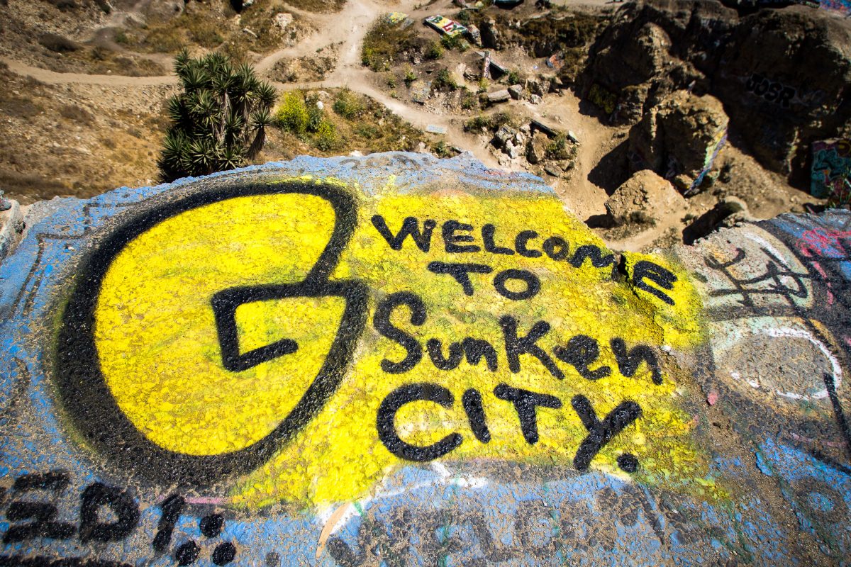
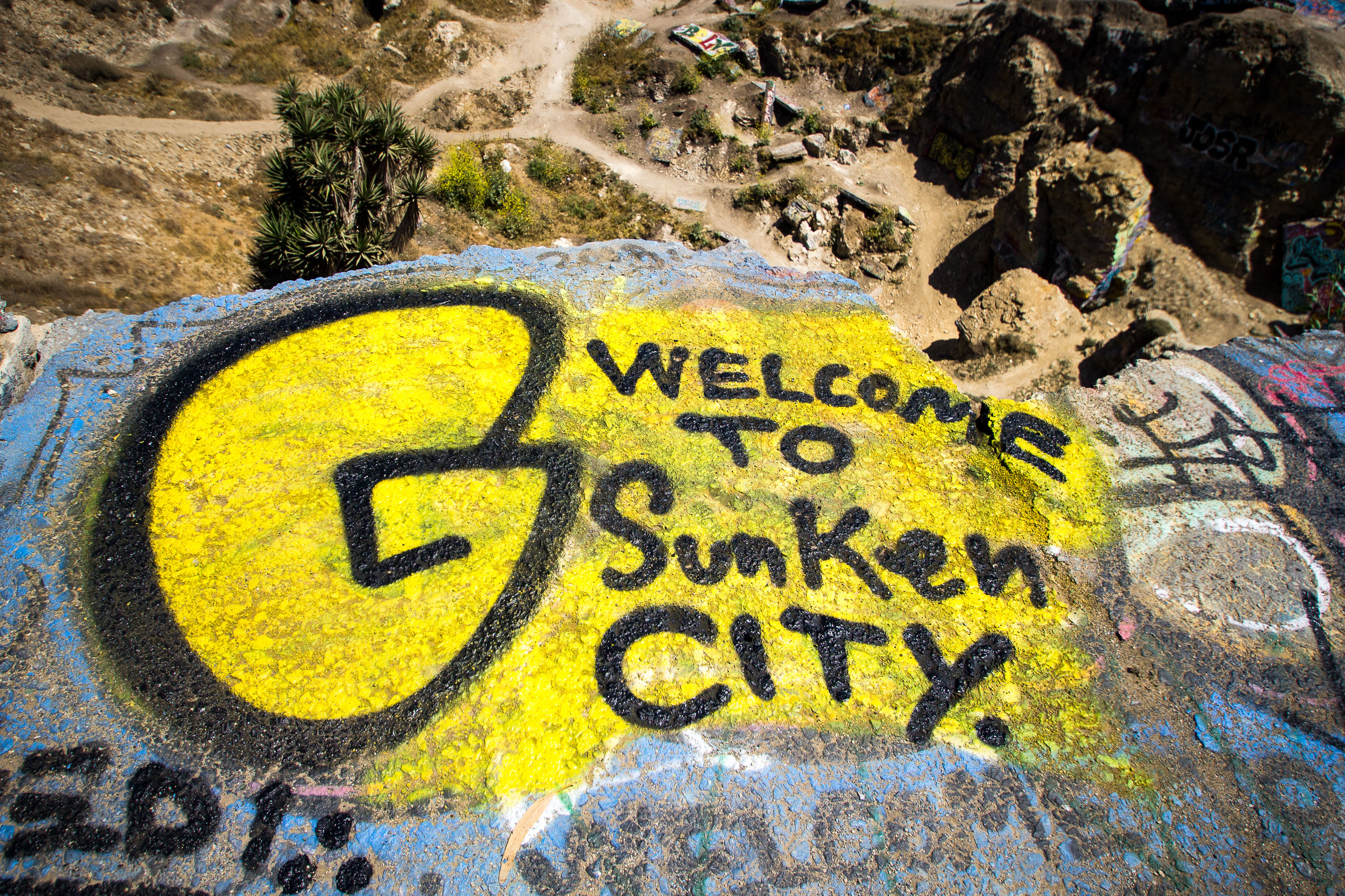
Yellow and black spray-painted graffiti reading "Welcome to Sunken City" on a concrete slab in San Pedro, California.
Sunken City occupies a fenced stretch of Point Fermin in San Pedro, where a landslide beginning in 1929 pulled a residential subdivision's streets, sidewalks, and foundations toward the ocean. Unstable bluffs and an underlying fault line caused the ground to keep shifting for decades, making the area too dangerous to rebuild on. The city closed the site to development, but the broken slabs of pavement have since become a canvas for graffiti, including painted messages that greet visitors who slip past the fencing. Point Fermin Park sits alongside the site, overlooking the Pacific.
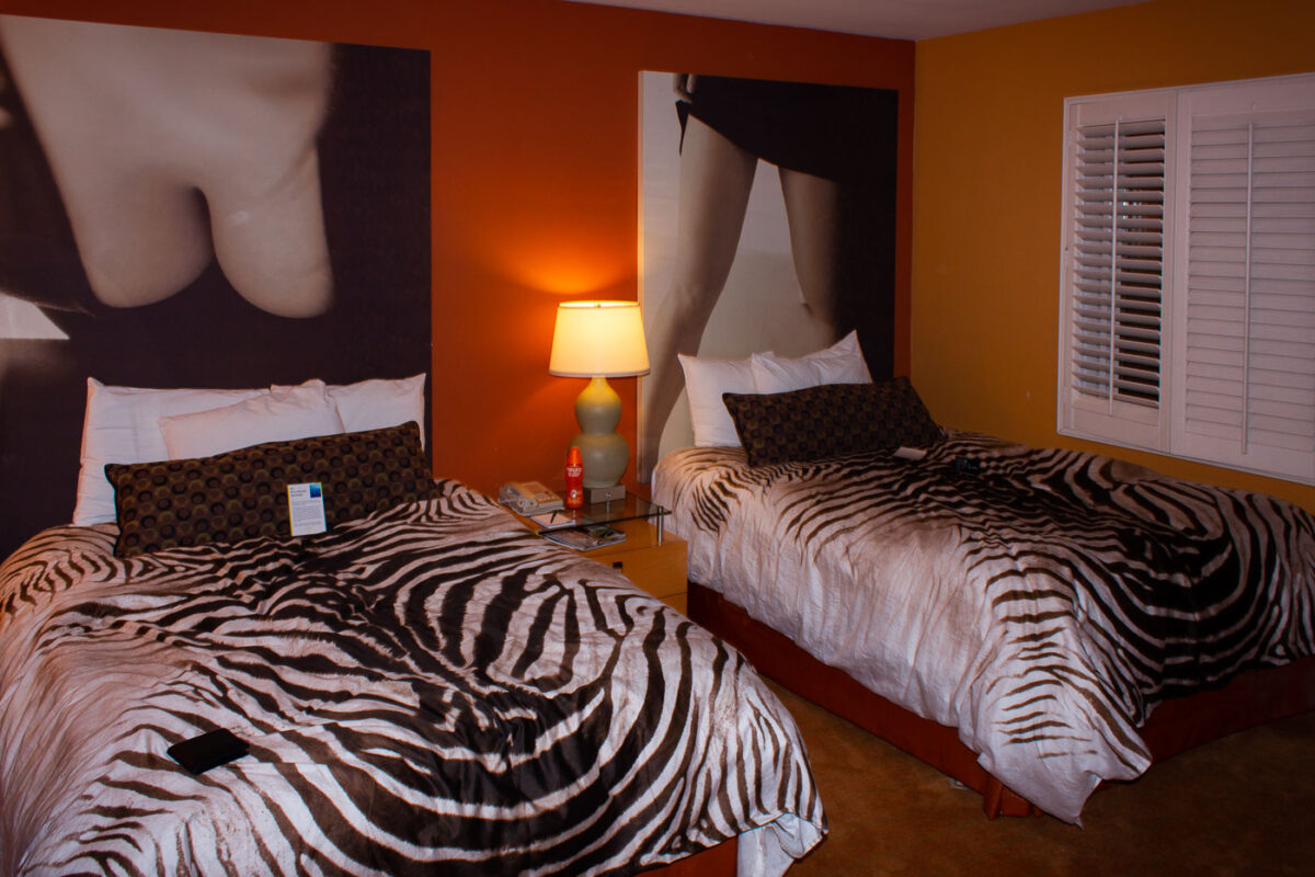
Two beds with zebra-print bedspreads in an orange-walled hotel room at the Grafton on Sunset.
The Grafton on Sunset is a boutique hotel on the Sunset Strip in West Hollywood, within walking distance of the Whisky a Go Go and the Roxy Theatre. Guest rooms carry a retro, pop-art theme, pairing patterned bedding with oversized black-and-white photo prints. Zebra-striped bedspreads are a recurring motif throughout the property's rooms.
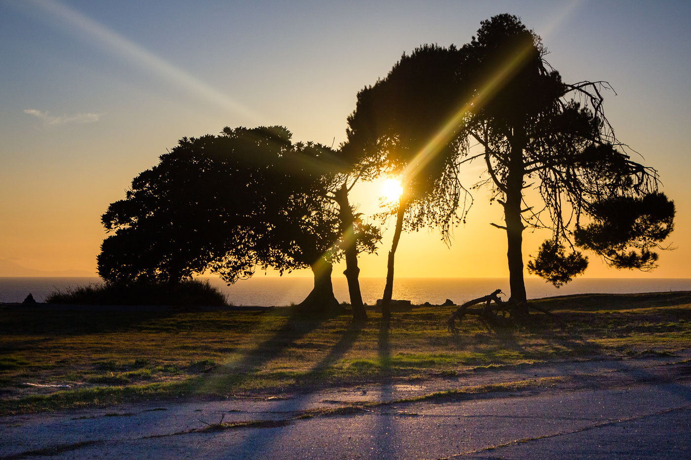
Wind-bent trees silhouetted against sunset on coastal bluffs at San Pedro, California.
San Pedro sits on the Palos Verdes Peninsula at the southern edge of Los Angeles, where bluff-top parkland drops sharply to the Pacific. The community was once its own city, incorporated in 1888, before merging with Los Angeles in 1909 to secure control of the harbor. That harbor is now the Port of Los Angeles, the busiest container port in the Western Hemisphere, though the cliffs above it remain largely undeveloped and open to the public. On clear days the bluffs offer sightlines west to Santa Catalina Island, some twenty-two miles offshore.
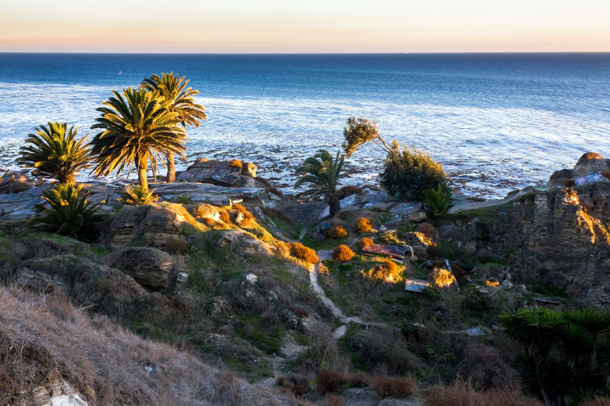
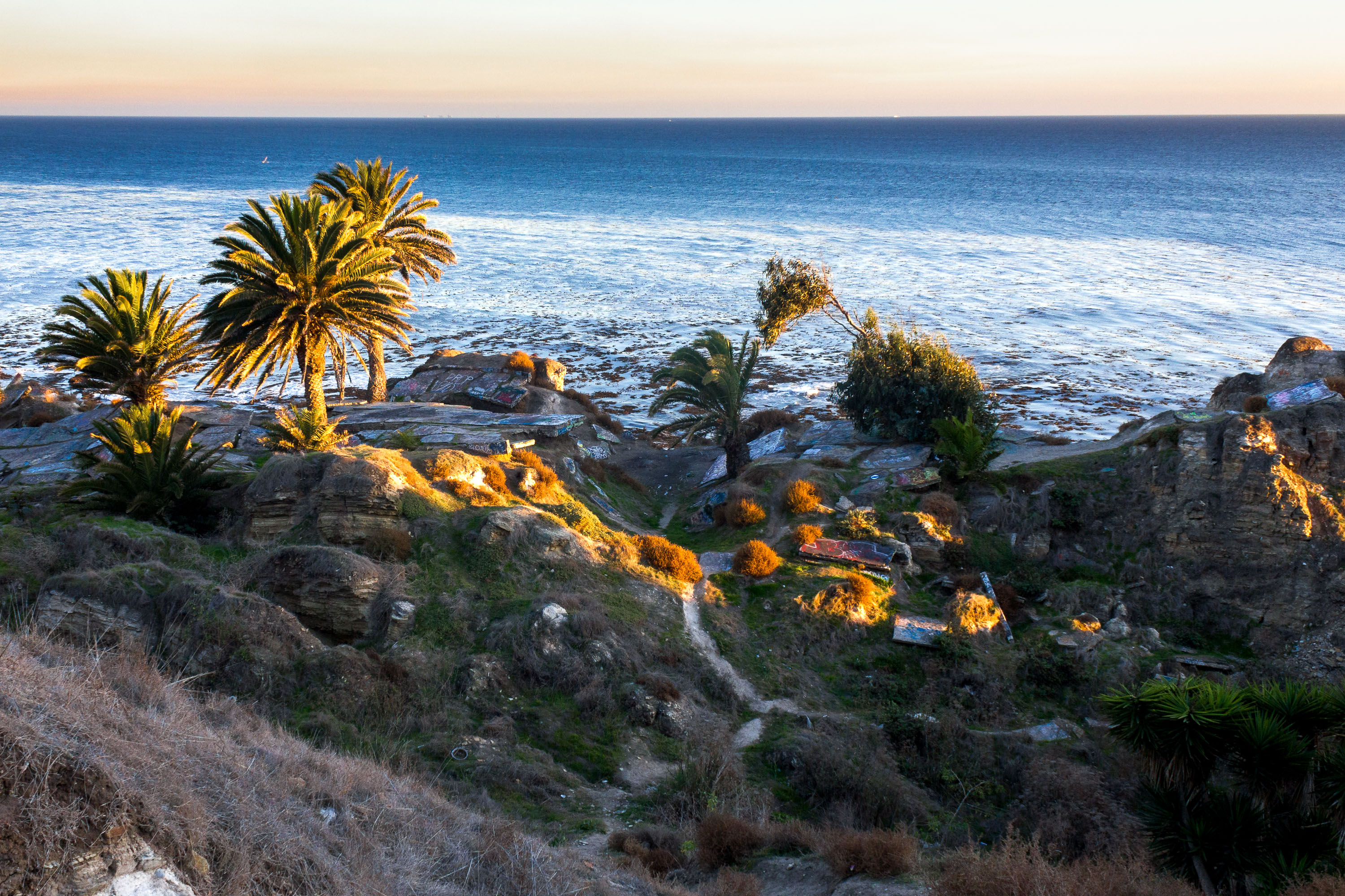
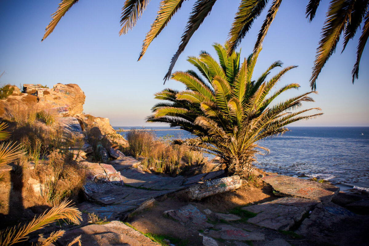
San Pedro Coastal Bluffs, California, featuring palm trees and graffiti-marked rocks overlooking the ocean at sunset. Evidence of informal use and debris is present on the geologically unstable terrain.
Sunken City sits at the edge of Point Fermin in San Pedro, where a chunk of coastal bluff gave way in 1929 as the ground beneath it slid toward the Pacific. Ongoing land movement, tied to unstable shale and erosion along the cliffs, has kept the site fenced off from official development ever since. Despite the barriers, the ruins have long drawn explorers and artists, and the broken concrete slabs are covered in layers of graffiti added over decades. Palm trees and scrub now grow among the wreckage, framing views out over the water toward the shipping lanes off the Los Angeles–Long Beach coast.
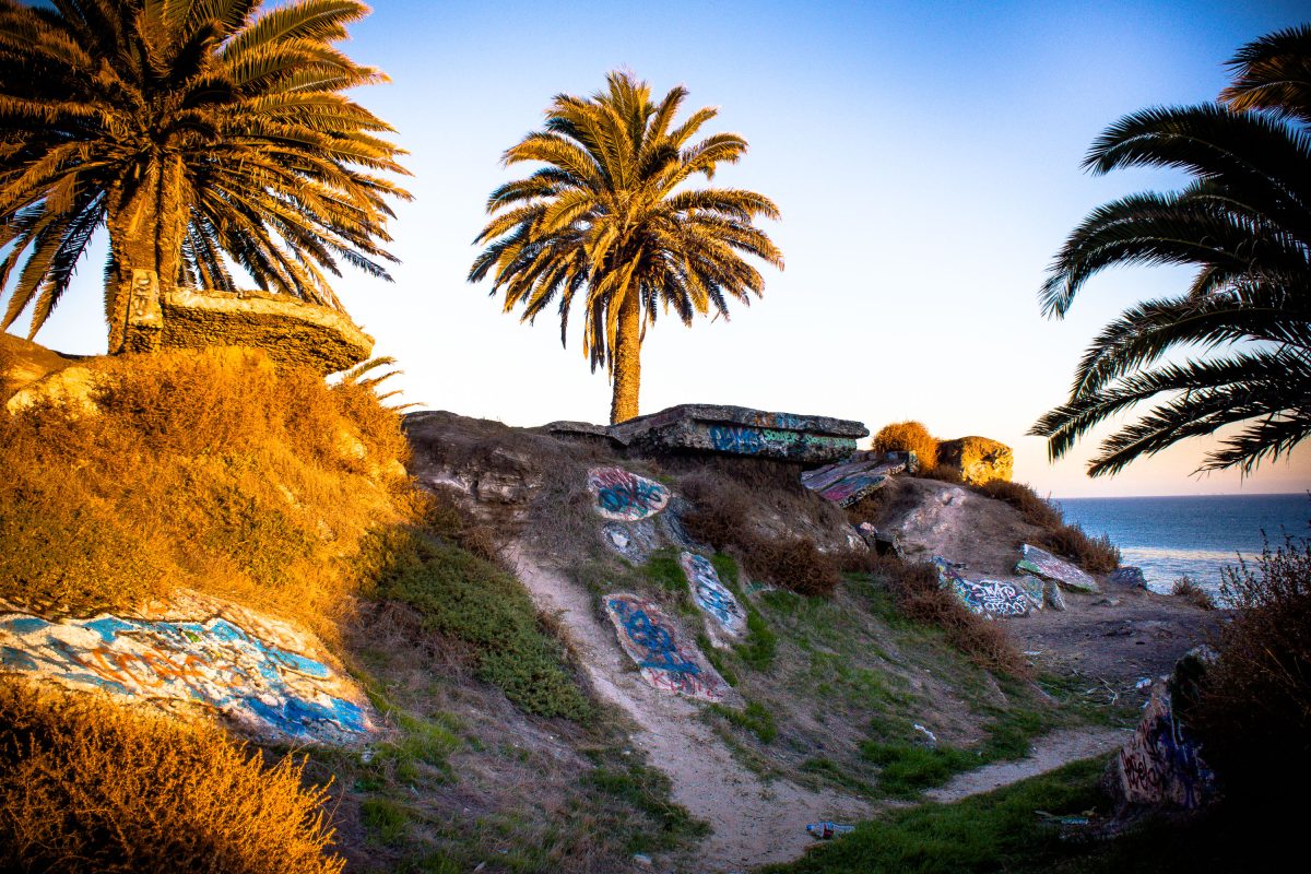
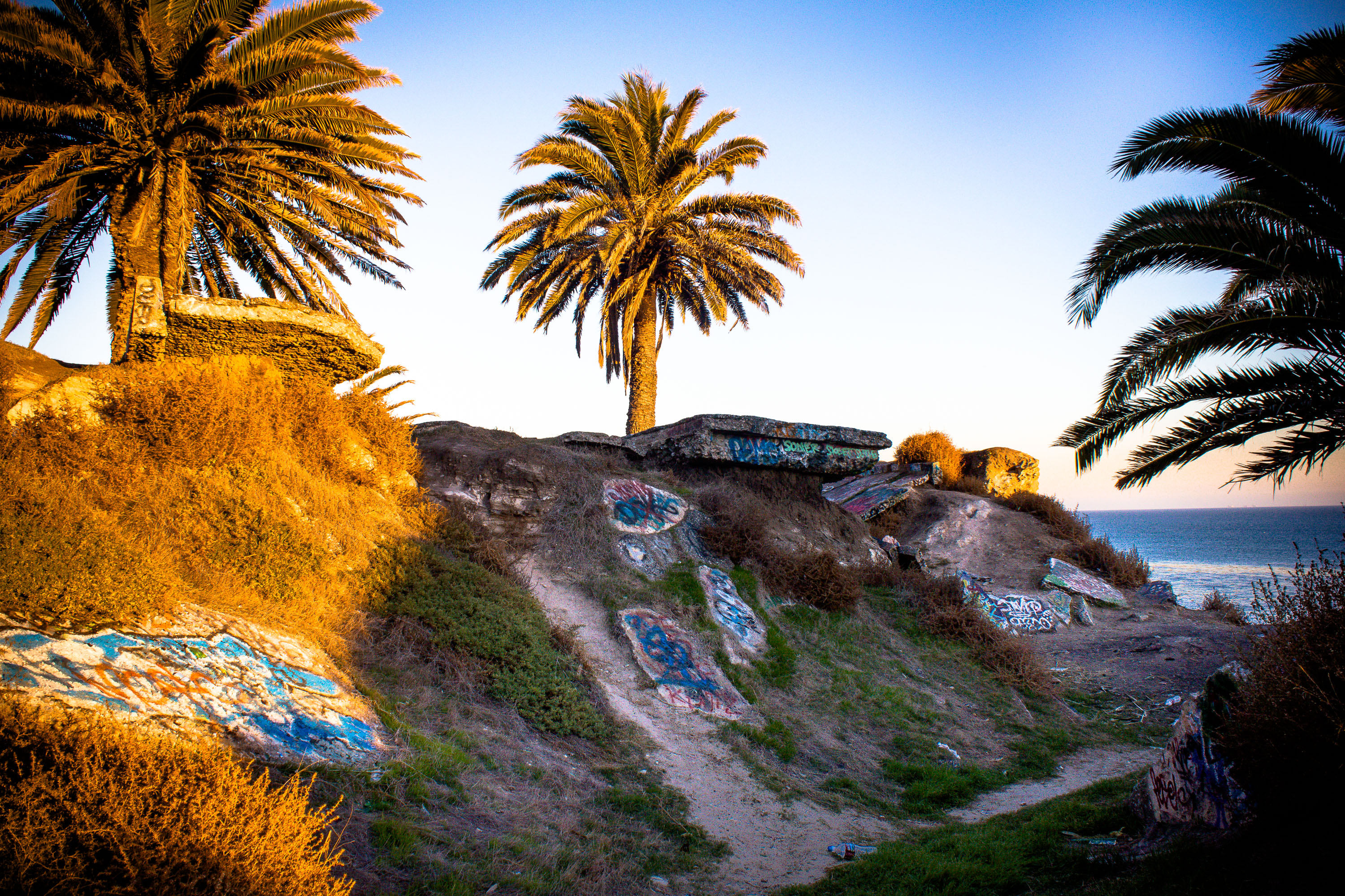
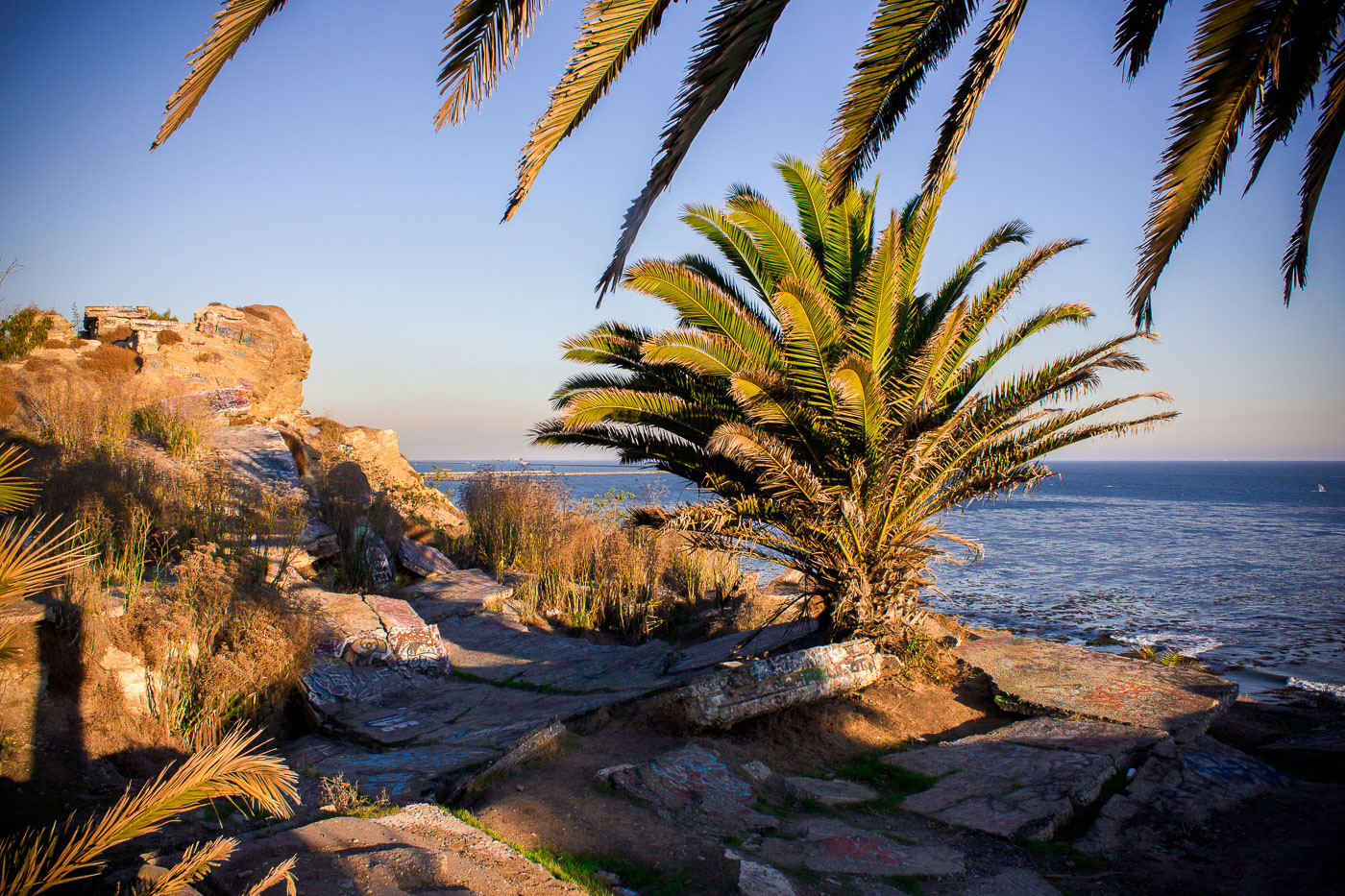
San Pedro Coastal Bluffs, California, feature graffiti-adorned concrete remnants and palm trees overlooking the ocean.
Sunken City is a stretch of the San Pedro coastline that gave way in a 1929 landslide, when shifting earth split streets and pulled several homes toward the ocean below. The neighborhood was condemned and abandoned soon after, leaving behind broken foundations, curbs, and slabs of concrete that still sit tilted across the bluff. Officially off-limits to the public, the site has long drawn urban explorers, and its concrete remnants are now layered with decades of spray-painted graffiti. The bluffs overlook the Pacific along the Palos Verdes Peninsula, just south of Point Fermin Park.
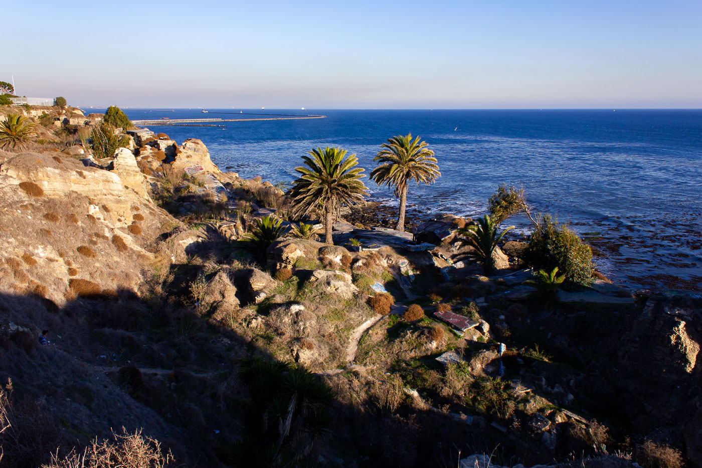
Palm fronds frame historic Sunken City ruins along the San Pedro coastline overlooking the Pacific Ocean.
Sunken City sits along the San Pedro coastline, where a 1929 landslide broke a section of the old Point Fermin neighborhood loose and dropped it toward the sea. Streets, sidewalks, and building foundations from that era still lie scattered across the cliffs, cracked apart by decades of continued ground movement. The Los Angeles Department of Recreation and Parks fenced the area off for years because of the unstable terrain, though it remained a well-known destination for urban explorers and graffiti artists. It borders Point Fermin Park at the southern tip of the Palos Verdes Peninsula, overlooking the Pacific.
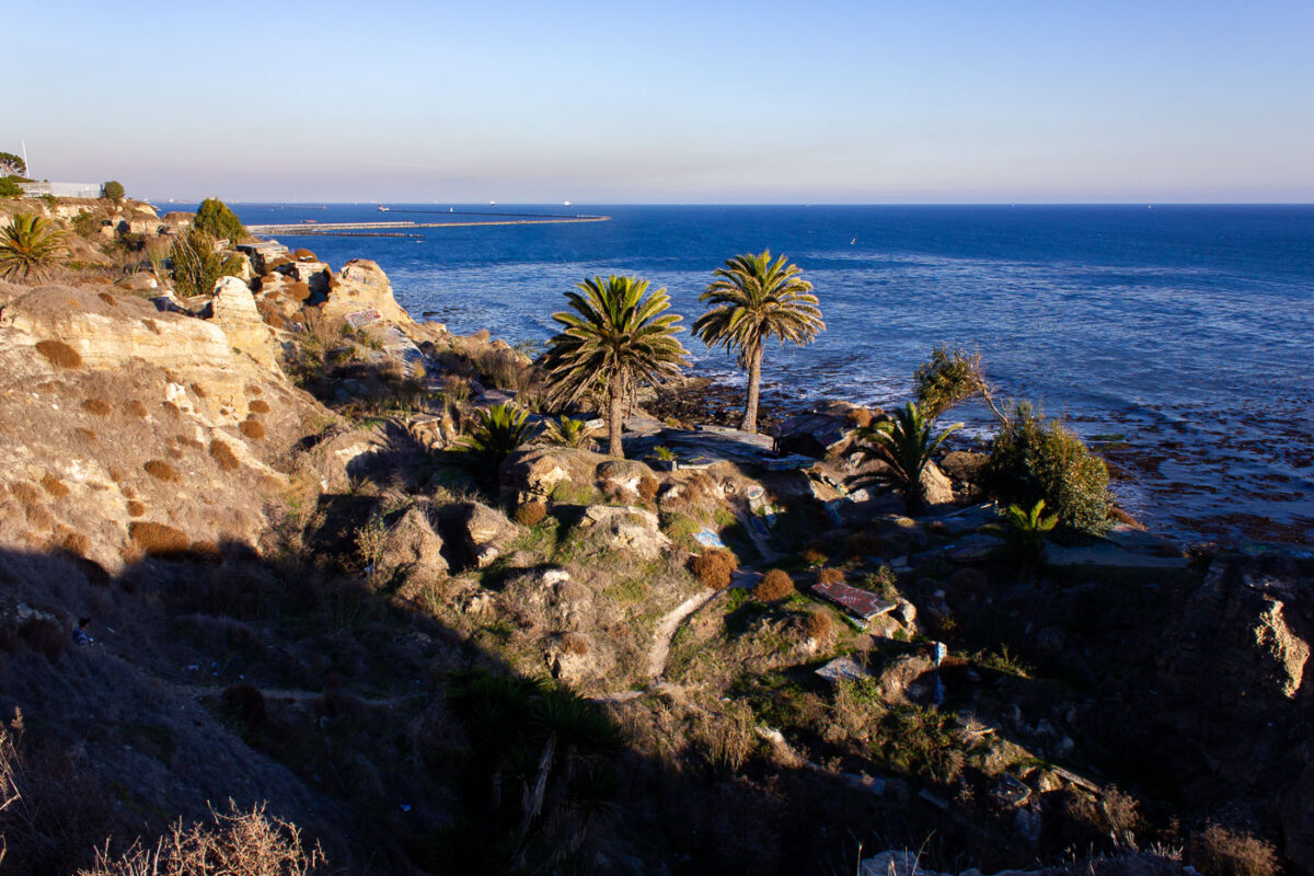
Palm trees grow on eroded cliffs at Sunken City in San Pedro, Los Angeles.
Sunken City occupies a stretch of collapsed bluff at Point Fermin in San Pedro, a Los Angeles neighborhood at the tip of the Palos Verdes Peninsula. A 1929 landslide fractured the streets and foundations of what had been a residential subdivision, dropping chunks of pavement and building slabs toward the shoreline and prompting the city to condemn the land. Geologists attribute the ongoing slippage to unstable shale and sandstone layers beneath the bluffs, a movement that continues today at a slow but measurable pace. Los Angeles kept the area fenced off for decades before opening it to the public in 2016 under a supervised-access program. The breakwater visible offshore shelters the Port of Los Angeles, one of the busiest container ports in the country.
Wind-bent trees stand on grassy bluffs above the Pacific at Sunken City, San Pedro, California.
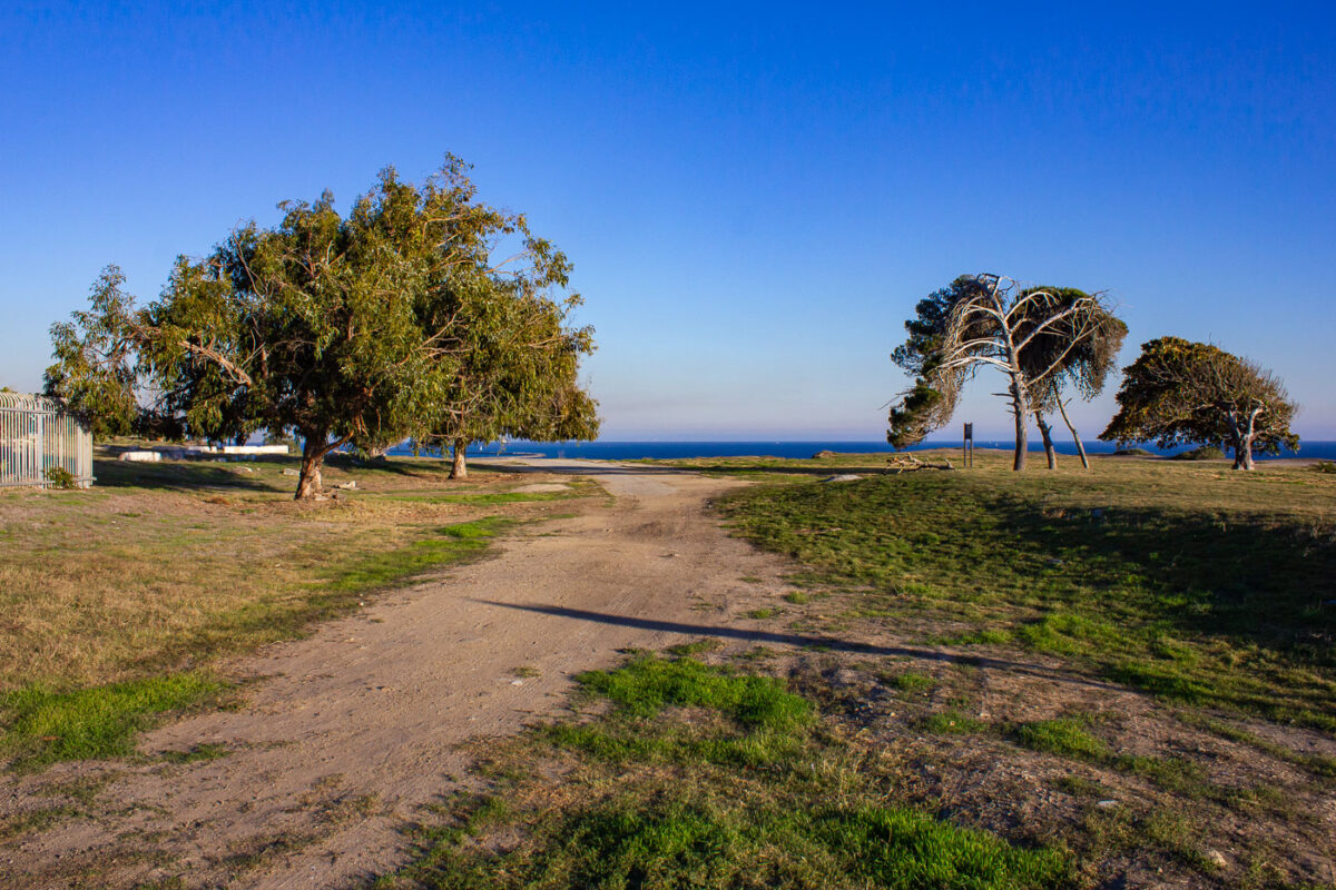
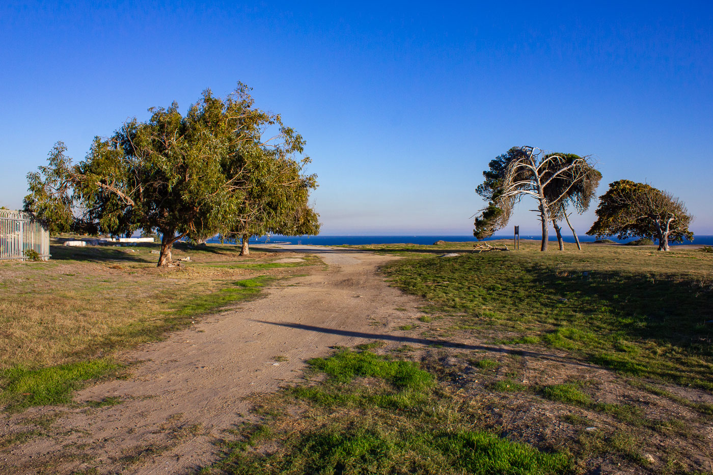
Point Fermin Park sits on the bluffs above San Pedro's coastline, next to the fenced-off landslide zone known as Sunken City. Ocean winds off the Pacific are constant here, and over decades they've trained the park's coastal trees to grow at a permanent lean, some bent nearly parallel to the ground. The park's open lawns and dirt paths run along the same bluff edge that has been sliding slowly toward the water since 1929, when unstable clay layers beneath Point Fermin gave way. The city maintains the park as public parkland even as the adjacent slide area remains restricted.
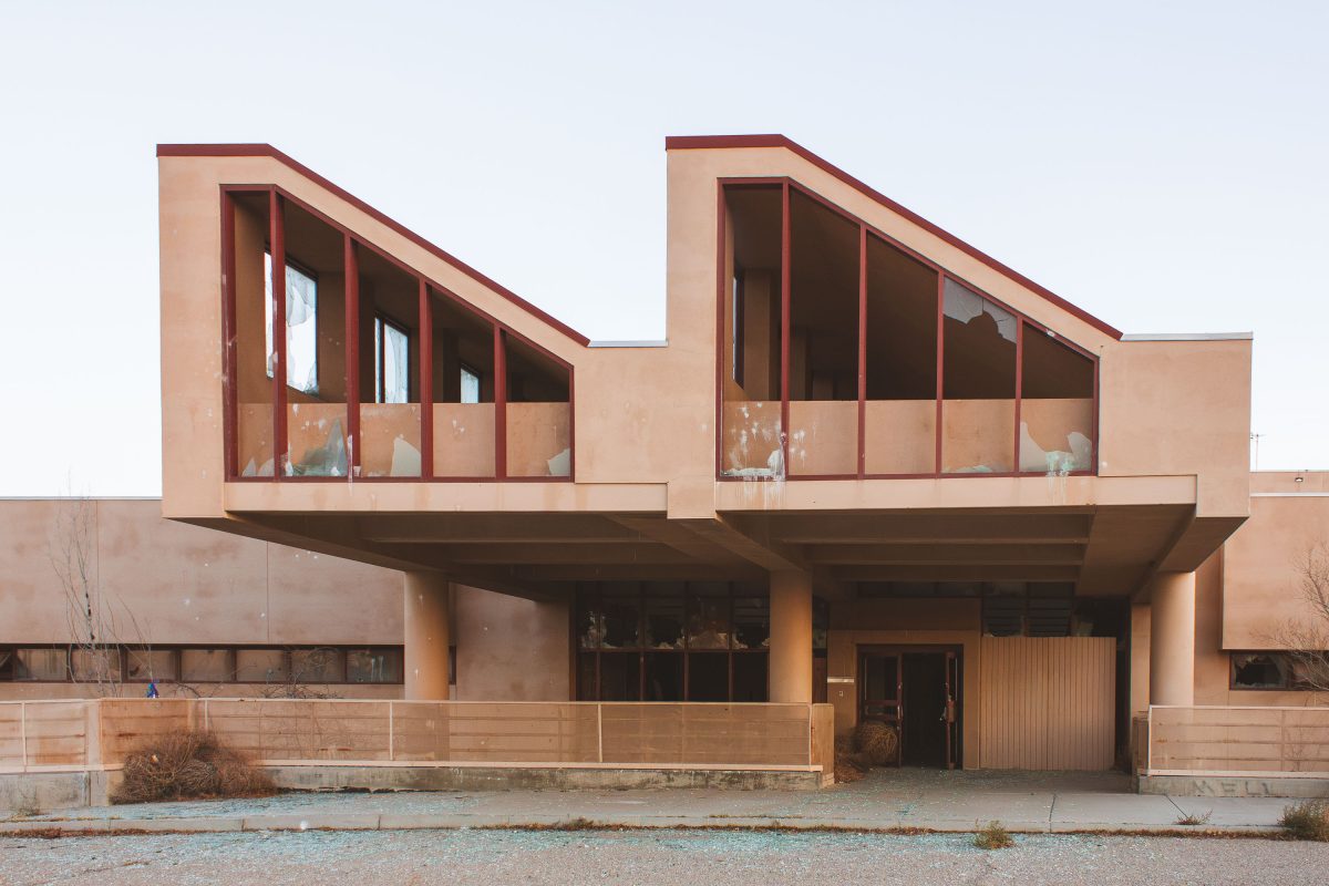
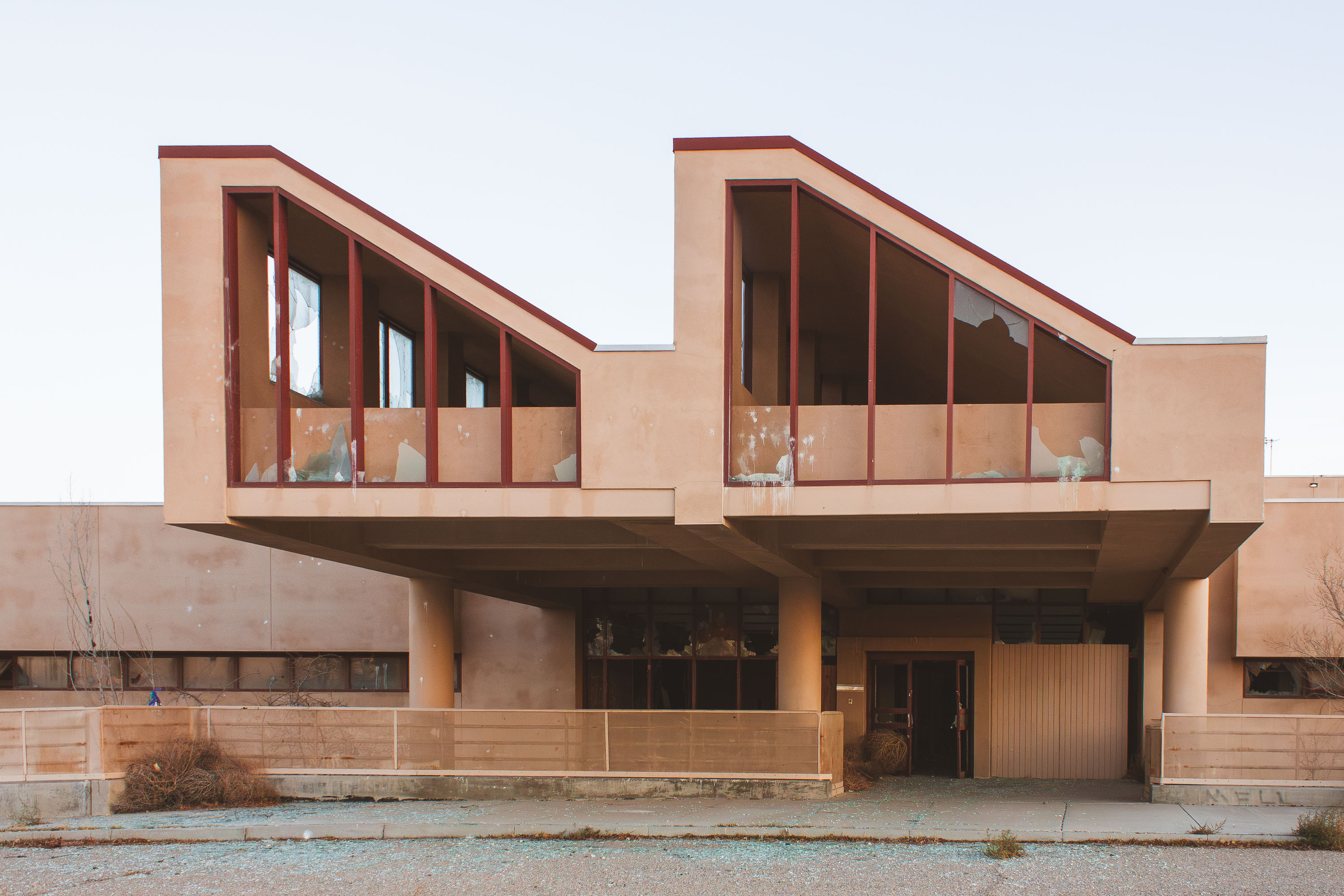
Modernist concrete building with silhouetted figures in upper window at abandoned George Air Force Base in Victorville.
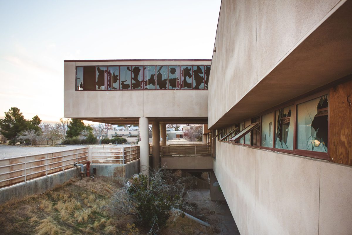
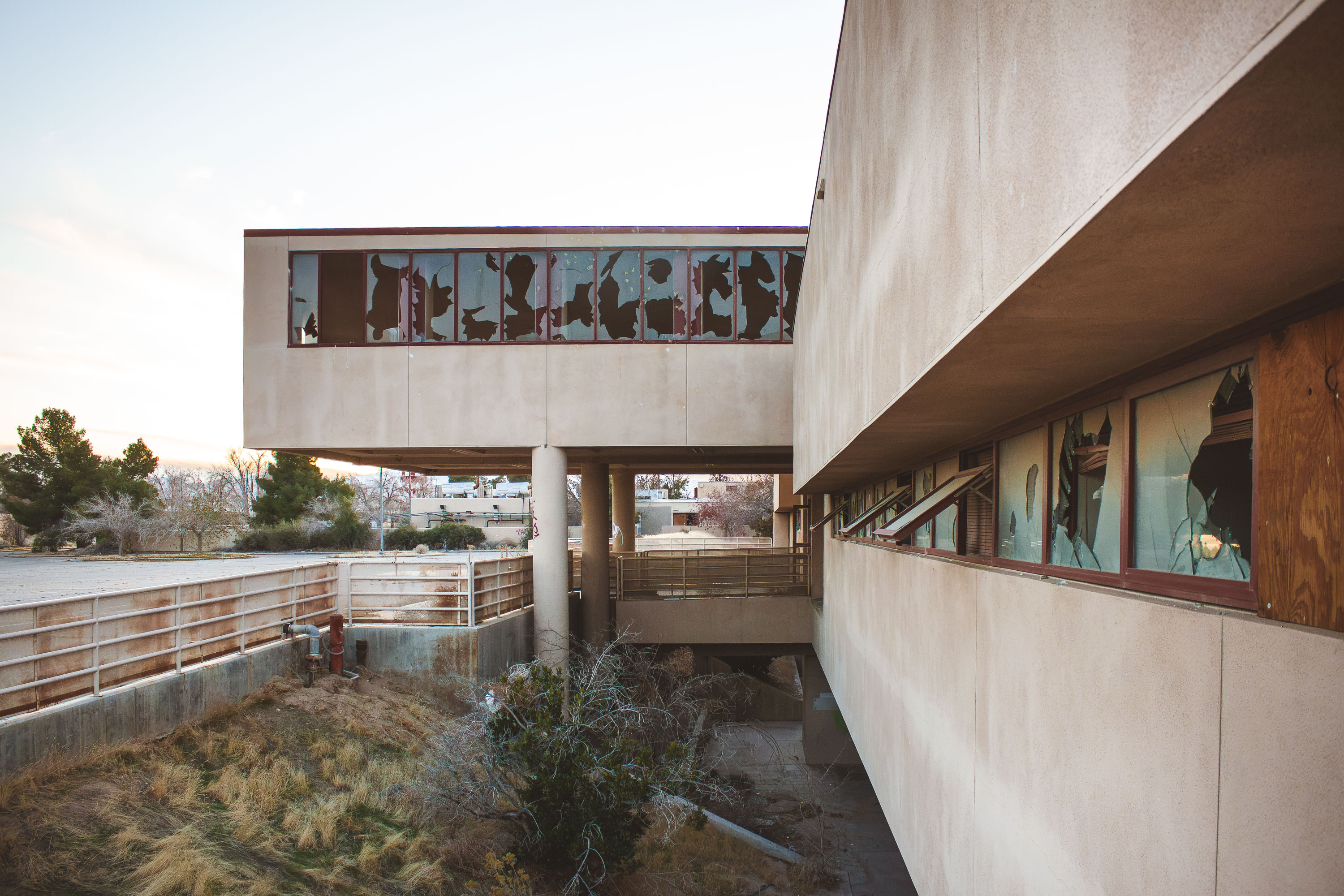
George Air Force Base operated near Victorville, California, from 1941 until its closure in 1992 during a round of nationwide base realignment. The elevated concrete walkway connected separate wings of the facility, letting personnel move between buildings without crossing the grounds below. After the closure, much of the property was redeveloped into the Southern California Logistics Airport, an aviation and industrial complex that reuses portions of the former runways and support buildings. Sections of the original base, including this passage, were left vacant, and decades without maintenance have left the windows broken out and the framing exposed.
Abandoned modernist residential building with large windows at George Air Force Base in Victorville, California.
George Air Force Base trained fighter and bomber crews from 1941 until Congress ordered its closure under the 1988 Base Realignment and Closure Act, with final withdrawal in 1992. During the Cold War, the base hosted Tactical Air Command units alongside its training mission. Structures like this one served the base's recreational and community functions, built to support thousands of stationed personnel and their families. Much of the property now falls within the Southern California Logistics Airport, a joint civilian-military reuse of the former base, while other sections remain undeveloped and abandoned.
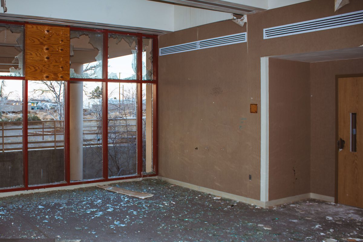
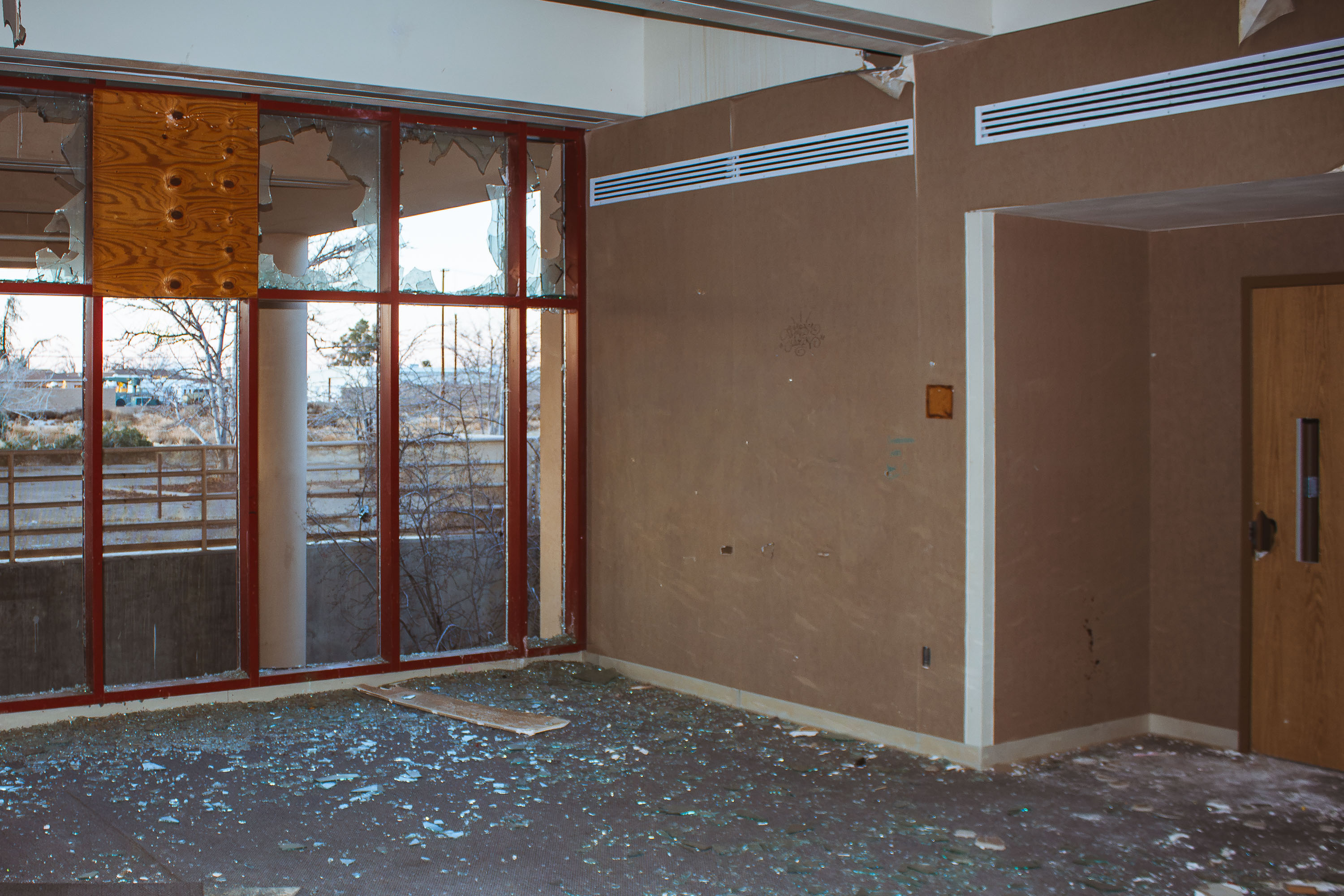
Abandoned residential building interior with broken windows and debris at George Air Force Base in Victorville, California.
George Air Force Base opened in 1941 as Victorville Army Airfield and was renamed in 1950 to honor Brigadier General Harold H. George. It operated for decades as a fighter training installation, hosting squadrons that flew the F-4 Phantom and later the F-4G Wild Weasel. The Base Realignment and Closure Commission ordered the facility shut down in 1988, and the Air Force transferred the property in 1992. Part of the former base became Southern California Logistics Airport, while many administrative and support buildings from its operational years were left vacant and have since deteriorated.
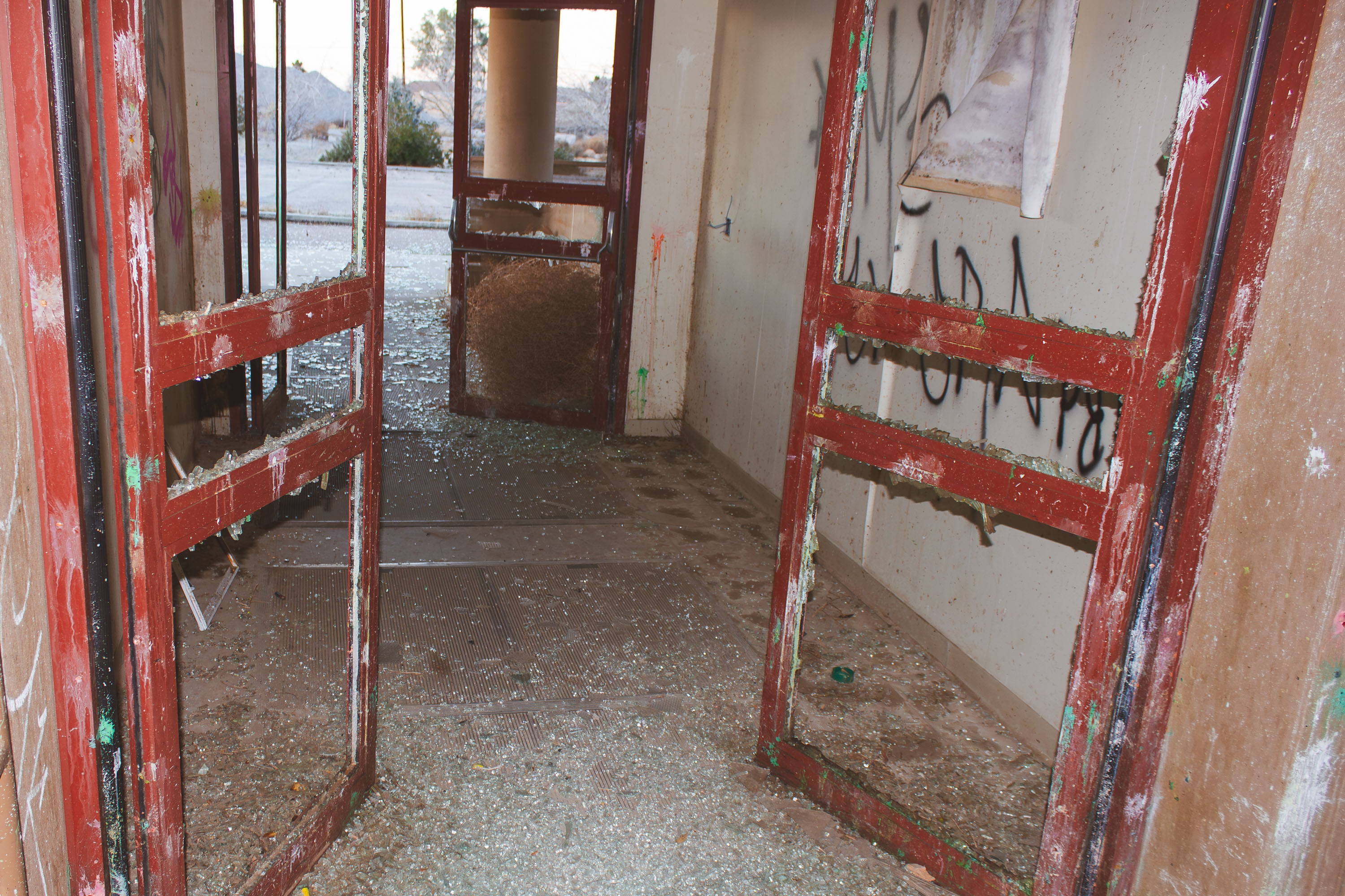
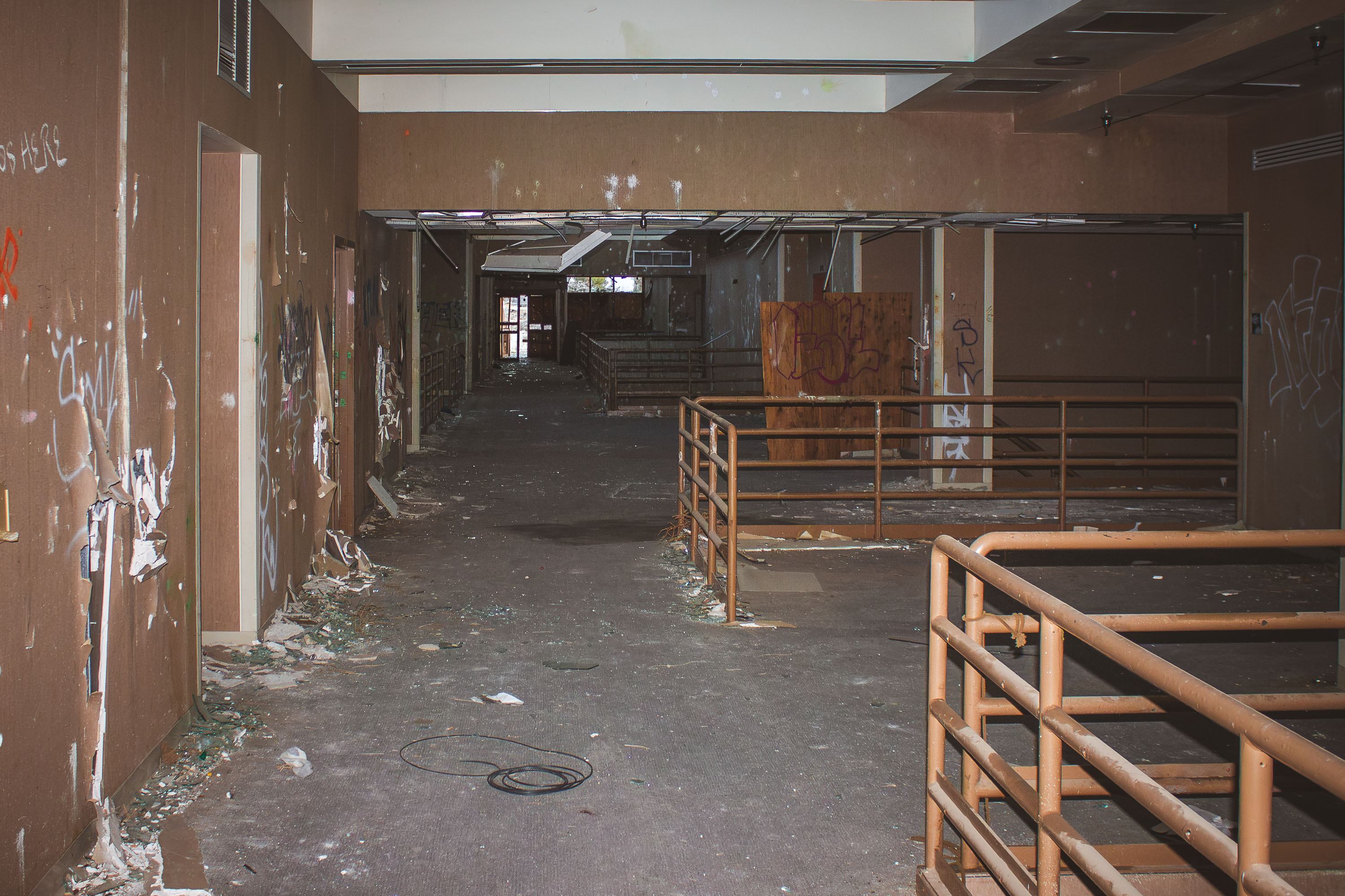
Deteriorated interior hallway with red doors and graffiti-covered walls at abandoned George Air Force Base.
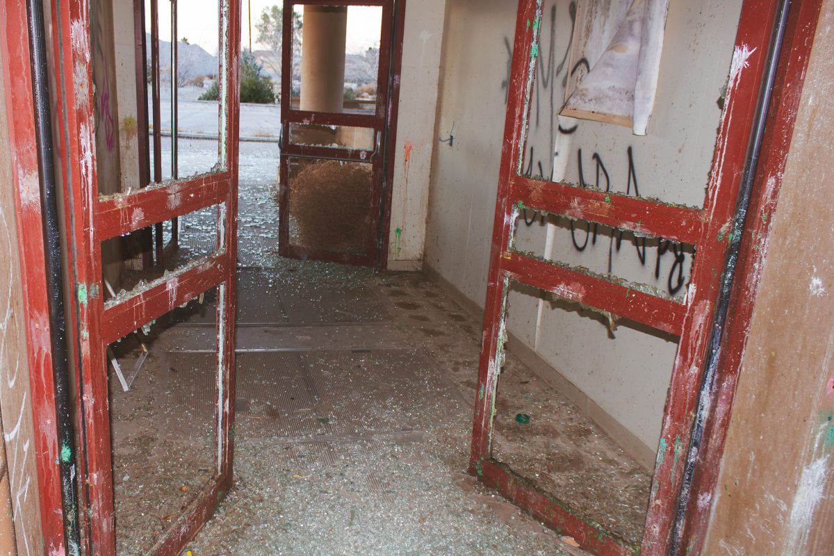
George Air Force Base operated near Victorville, California, from 1941 until it closed in 1992 as part of a nationwide round of military base realignments. It served as a training installation for Tactical Air Command fighter pilots through much of the Cold War. Since closure, many of its former buildings have sat empty, with door frames, glass, and interior fixtures stripped or destroyed over decades of exposure and vandalism. Part of the base's runways and support facilities were later absorbed into Southern California Logistics Airport, though a large share of the original structures remain vacant.
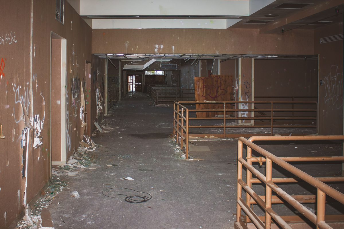
Abandoned interior corridor with rusted metal railings and graffiti-covered walls at George Air Force Base.
George Air Force Base operated near Victorville, California, from 1941 until it closed under the 1991 Base Realignment and Closure process, with final shutdown in 1992. It served as a Tactical Air Command and later Air Combat Command installation, and its on-base community included a base exchange and commissary complex that functioned as the primary shopping center for resident personnel and their families. Since closure, portions of the former base have been redeveloped as Southern California Logistics Airport, while other structures, including former retail buildings, have been left vacant and stripped of fixtures.
Abandoned residential buildings at George Air Force Base in Victorville, California at dusk.
George Air Force Base operated in Victorville, California, from 1941 until it closed in December 1992 under the 1991 Base Realignment and Closure process. Originally established as Victorville Army Air Field, it later served as a Strategic Air Command and Tactical Air Command installation, home to bomber and fighter squadrons for five decades. Its family housing tracts, built in the ranch-style common to Cold War-era military construction, once housed hundreds of families stationed at the base. After closure, the property was redeveloped as Southern California Logistics Airport, but many of the old residential streets and housing rows sat empty for years afterward.
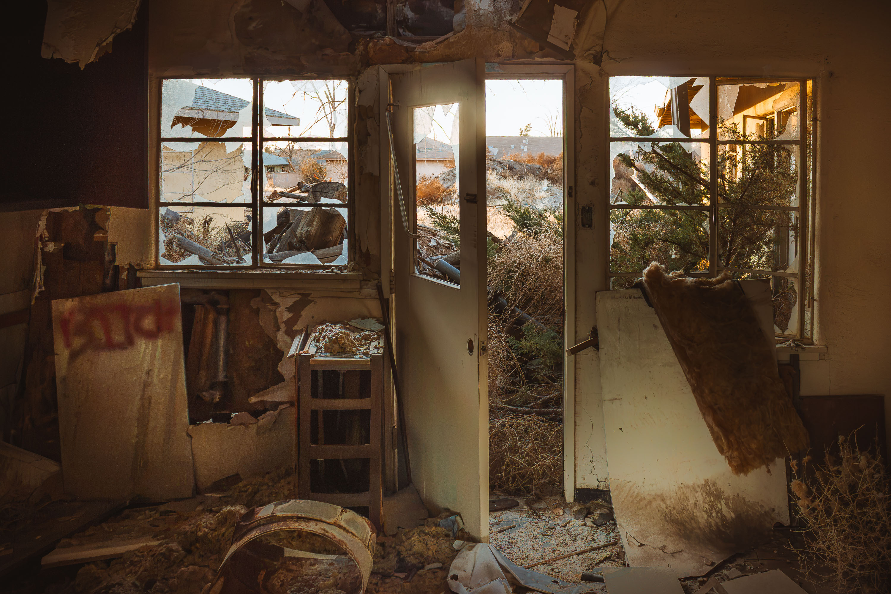
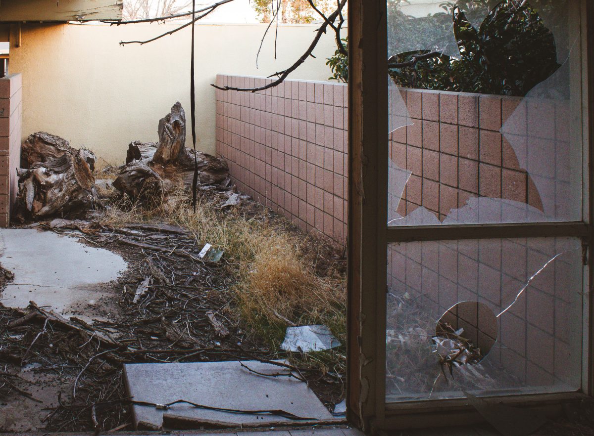
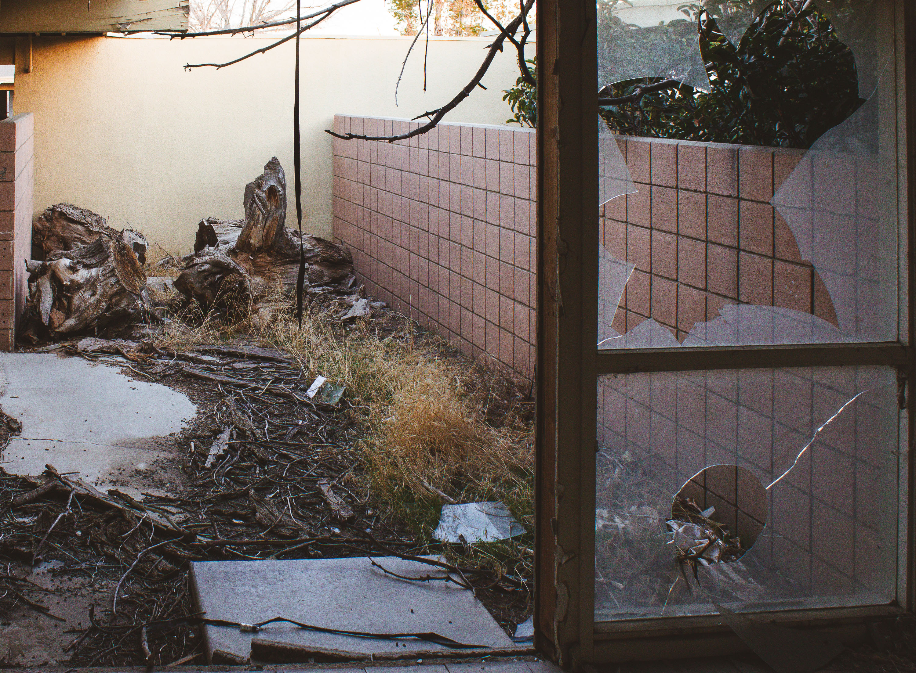
Deteriorated interior courtyard with debris and bare branches visible through broken glass doors at George Air Force Base.
George Air Force Base closed in 1992 under the federal Base Realignment and Closure Act, ending more than five decades of Air Force operations near Victorville, California. Housing built for officers and enlisted families was left standing afterward, and much of it has never been reoccupied. Redevelopment agencies took control of the residential blocks in the years following closure, but reuse plans repeatedly stalled. Yards and patios in these former quarters have gone untended for decades, with broken glass and dead vegetation now common throughout the old housing tracts.
Interior of abandoned residential building at George Air Force Base showing orange-lit room with bare tree visible through broken
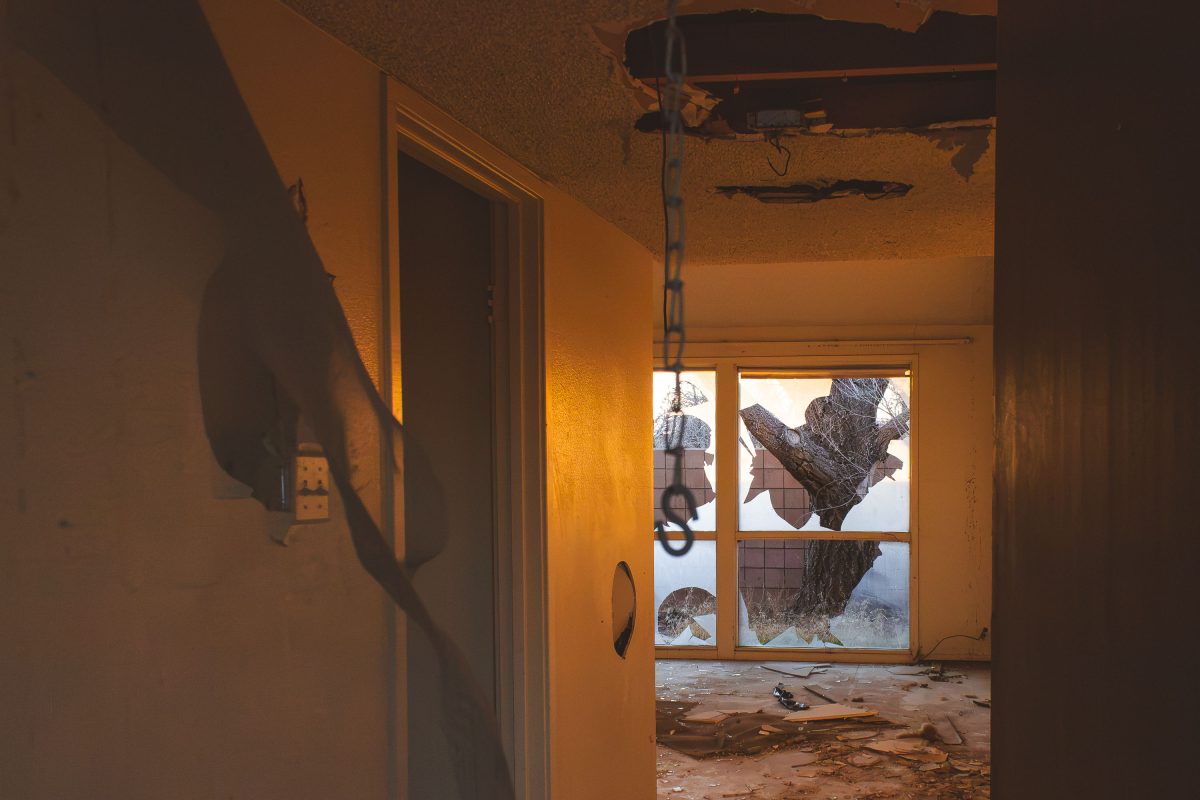
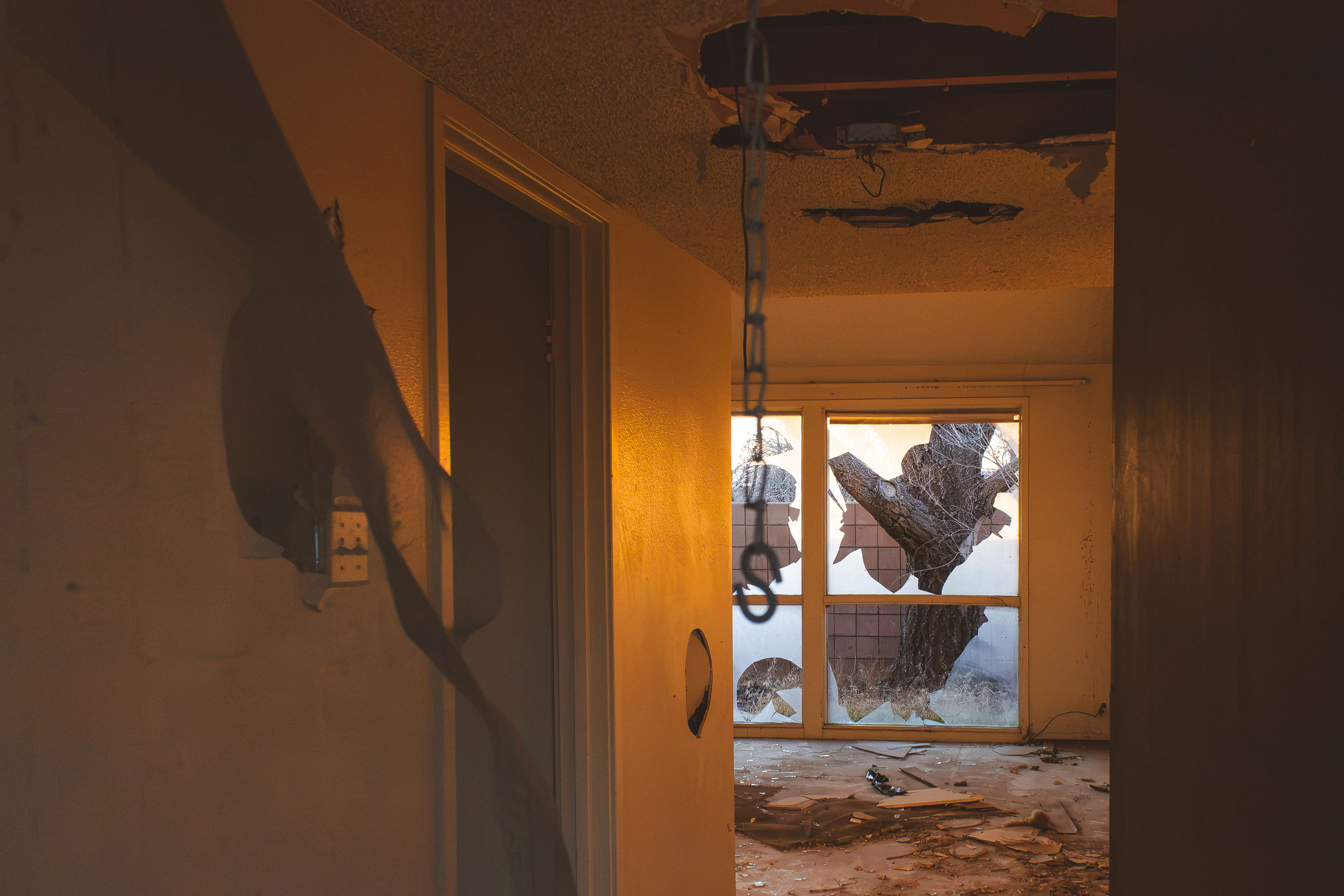
George Air Force Base closed in 1992 following the 1988 Base Realignment and Closure Commission decision, ending more than five decades of Air Force operations near Victorville, California. Its family housing units were left standing afterward, unmonitored for years as redevelopment plans for the site repeatedly stalled. Copper theft, vandalism, and weather exposure gradually gutted many of the structures, collapsing ceilings and shattering windows throughout. Some portions of the former base later became Southern California Logistics Airport, but the residential blocks were largely left to deteriorate on their own.
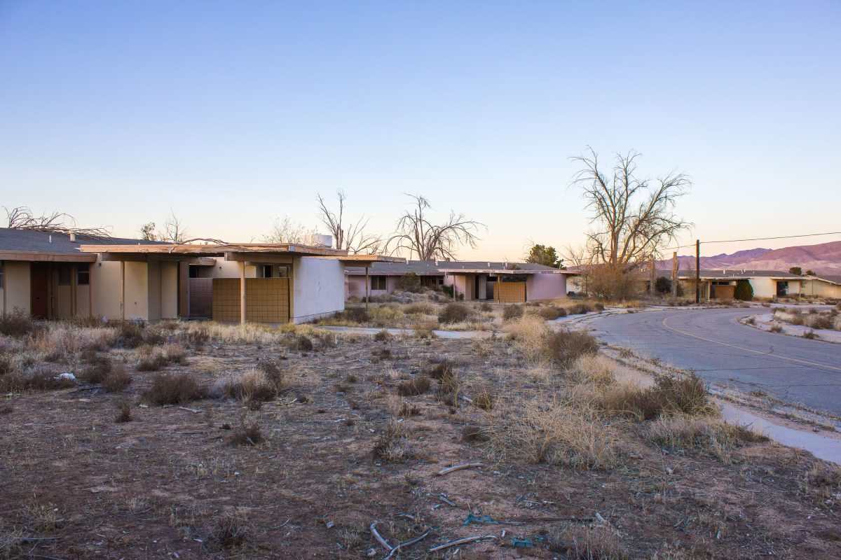
Abandoned residential buildings with bare trees along cracked pavement at George Air Force Base in Victorville, California.
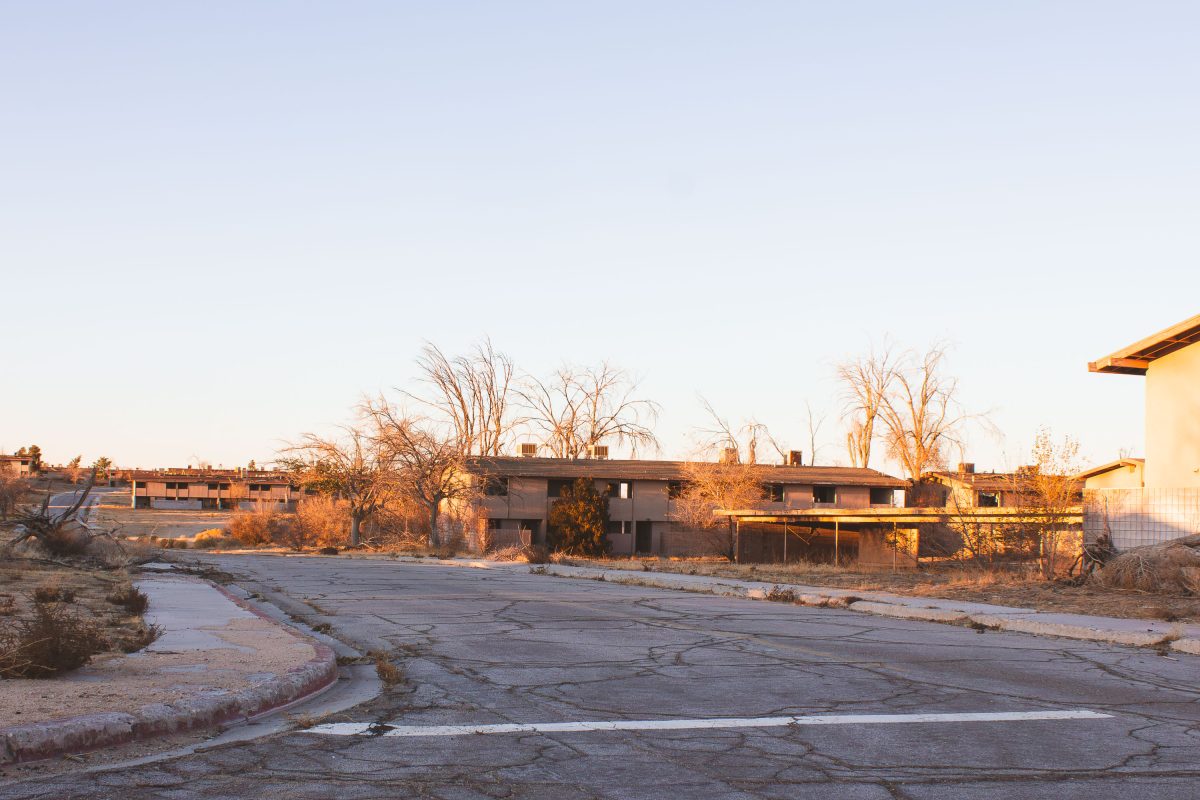
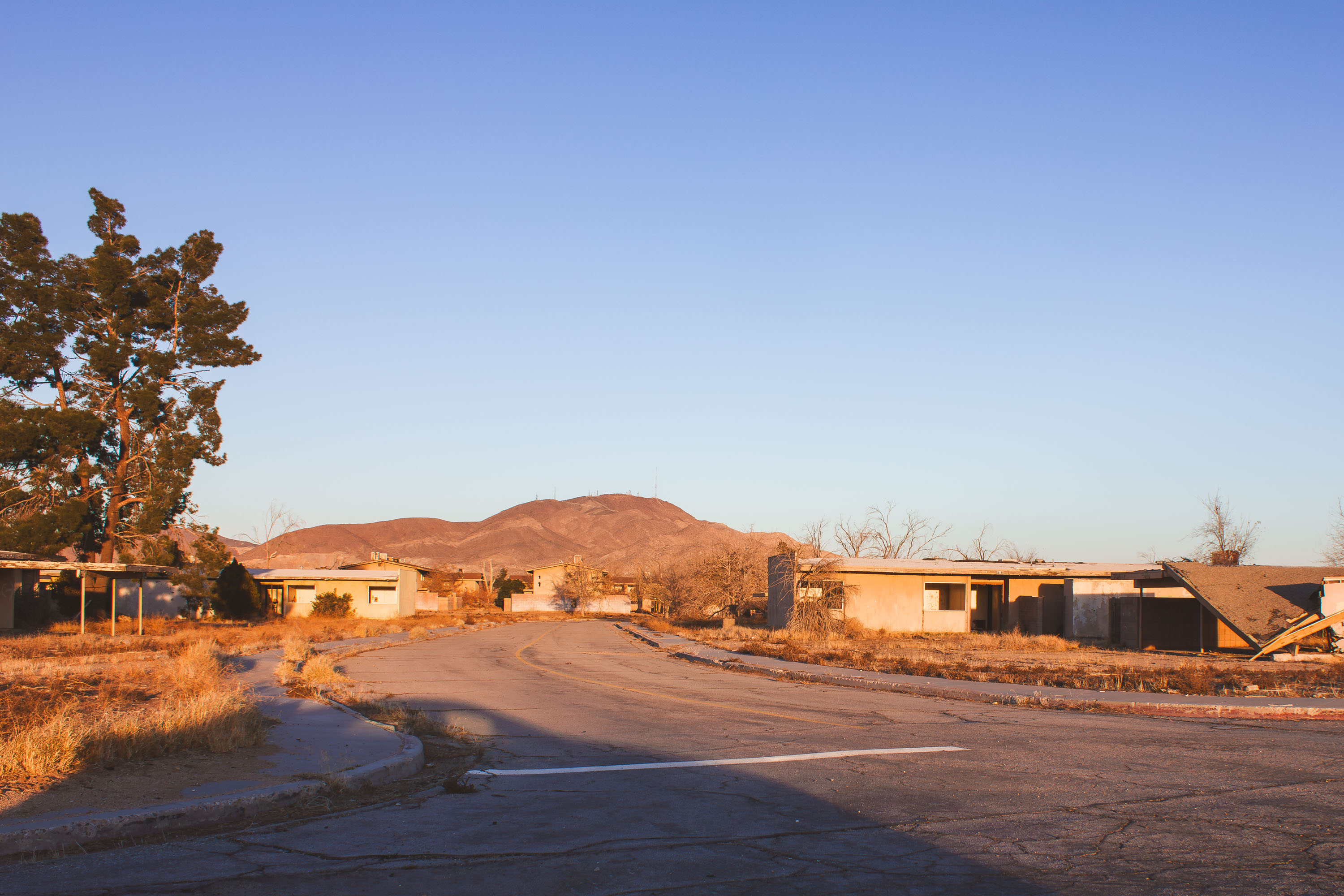
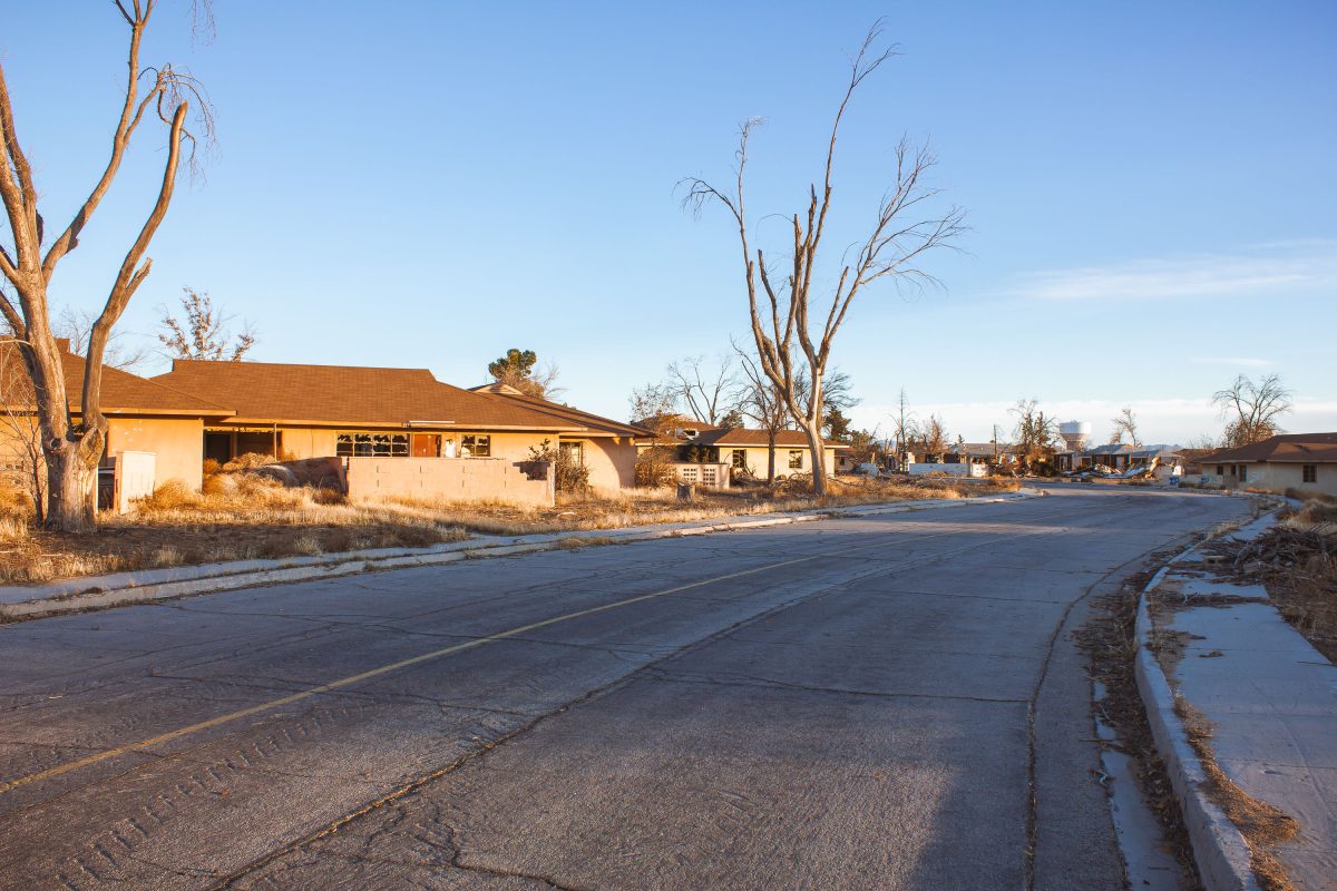
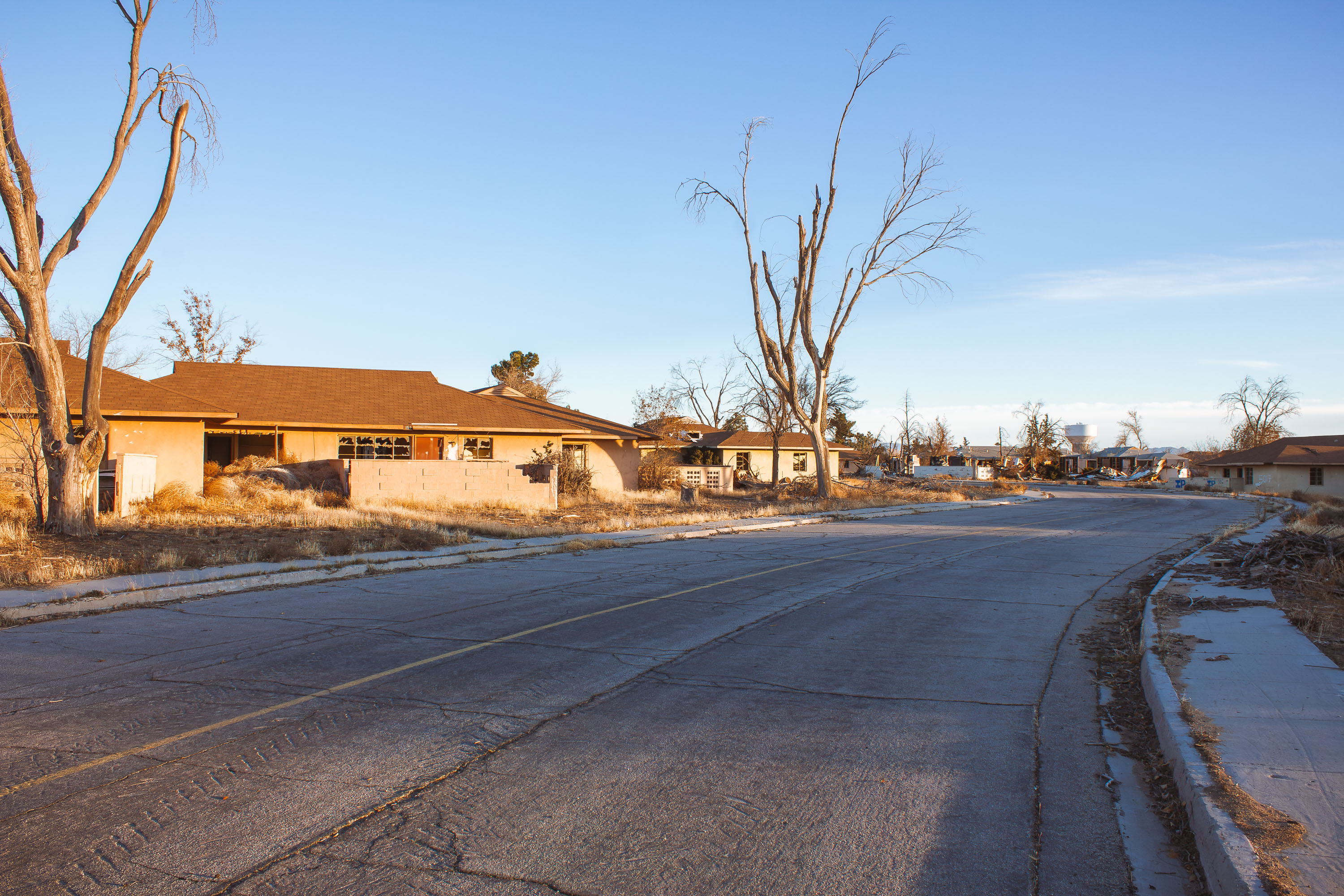
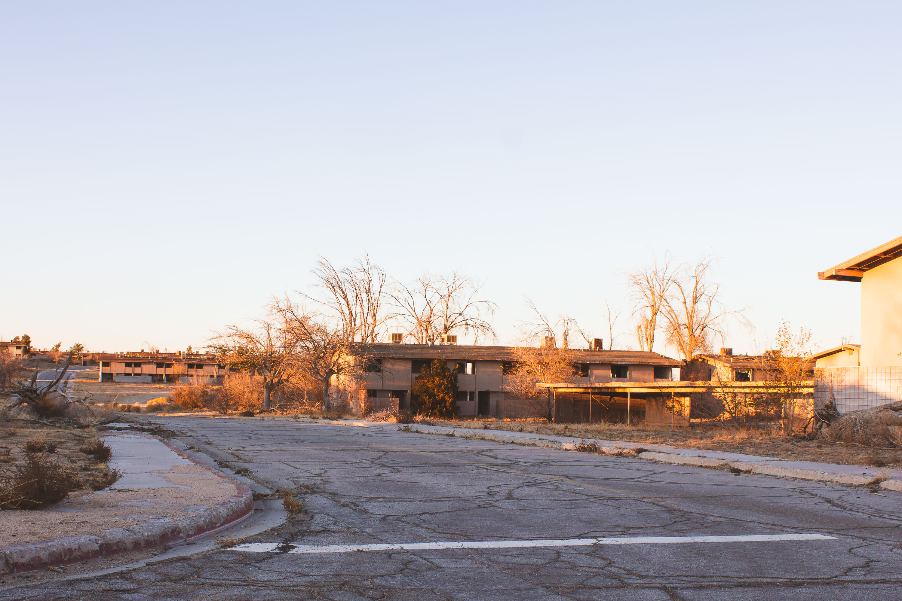
George Air Force Base operated in Victorville, California, from 1941 until it closed under the 1991 Base Realignment and Closure round, with the last personnel departing in 1992. For much of the Cold War it trained fighter and attack pilots, hosting squadrons that flew the F-4 Phantom and later the F-16. Its family housing areas held rows of duplex and fourplex units arranged along interior streets, laid out like a small residential town rather than a typical military compound. When the base closed, the surrounding land became Southern California Logistics Airport, but large sections of the old housing were left standing rather than demolished. Decades later, the pavement markings and concrete curbs remain the clearest trace of streets that once ran through a neighborhood of thousands of military families.
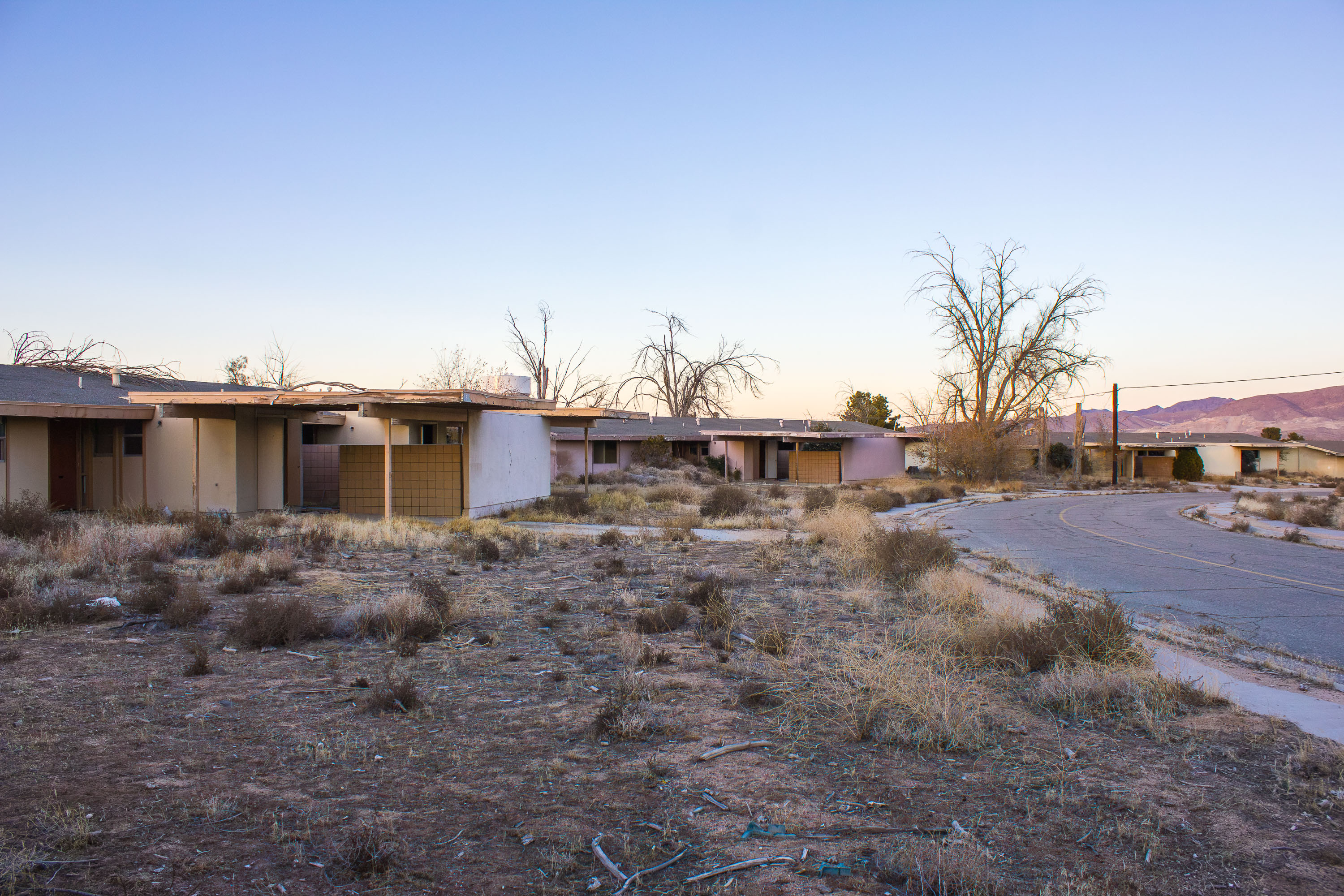
Abandoned residential buildings line a cracked road at George Air Force Base in Victorville, California.
George Air Force Base operated from 1941 until it closed in 1992 under the federal Base Realignment and Closure program, one of many installations cut as Cold War-era defense spending declined. At its peak the base supported thousands of Air Force personnel and their families, with on-base housing built for airmen assigned to tactical fighter training squadrons. Streets, curbs, and driveways from the old neighborhood remain in place today, even as the houses that once lined them have been gutted and left to decay. A portion of the former base was redeveloped as Southern California Logistics Airport, while other sections, including much of the old housing area, were simply left standing empty.
Abandoned residential building with broken windows and dry vegetation at George Air Force Base in Victorville, California.
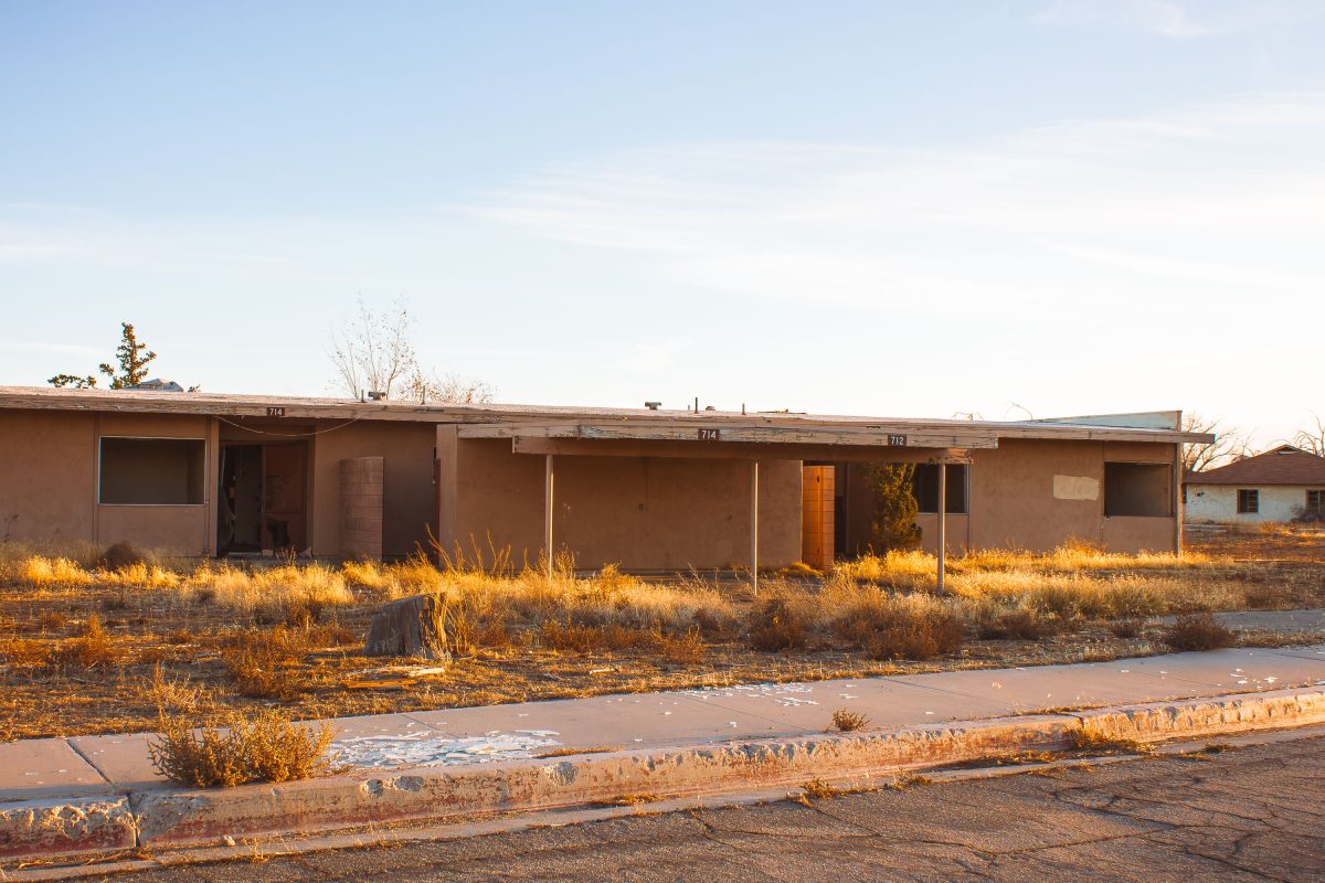
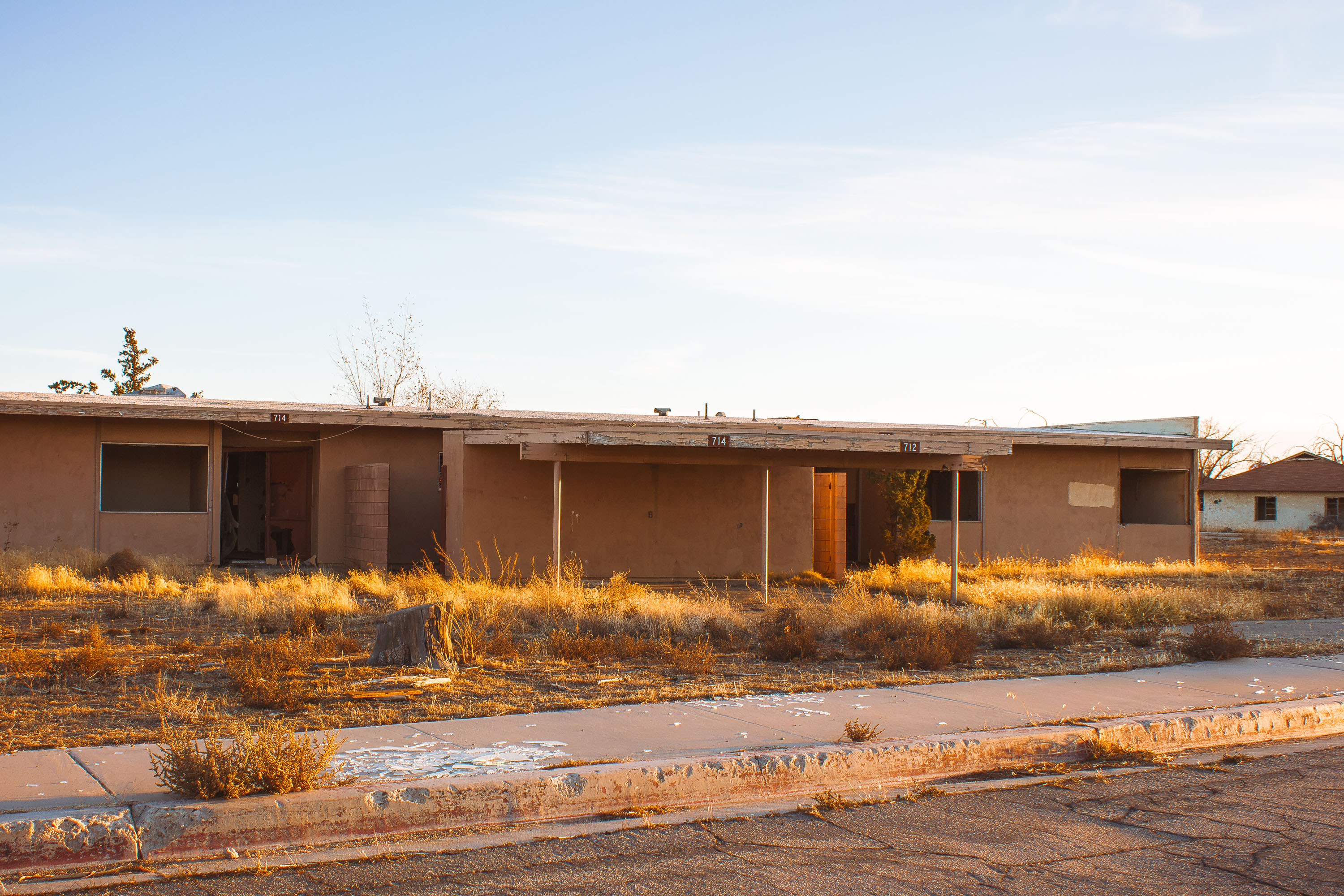
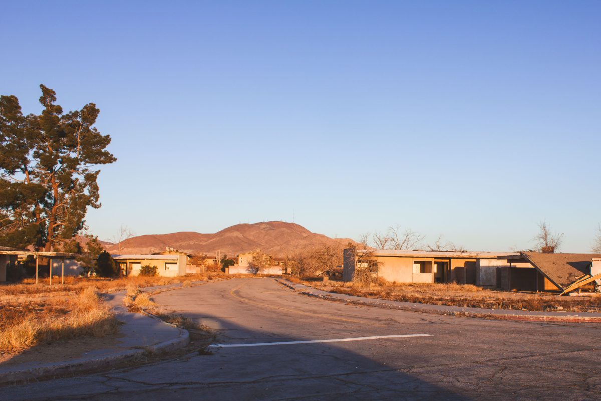
George Air Force Base near Victorville, California operated as an Army Air Forces training installation starting in 1941 and later served as a Tactical Air Command fighter base before closing in 1992 under a federal realignment program. Its family housing included single-story duplexes built for enlisted personnel and their families. When the base closed, the land was repurposed as the Southern California Logistics Airport, but many residential streets, including this one, were left standing rather than redeveloped. Units 712 and 714 remain among the unaddressed duplexes still standing decades after the base's closure.
Abandoned residential building with bare trees along cracked pavement at George Air Force Base in Victorville, California.
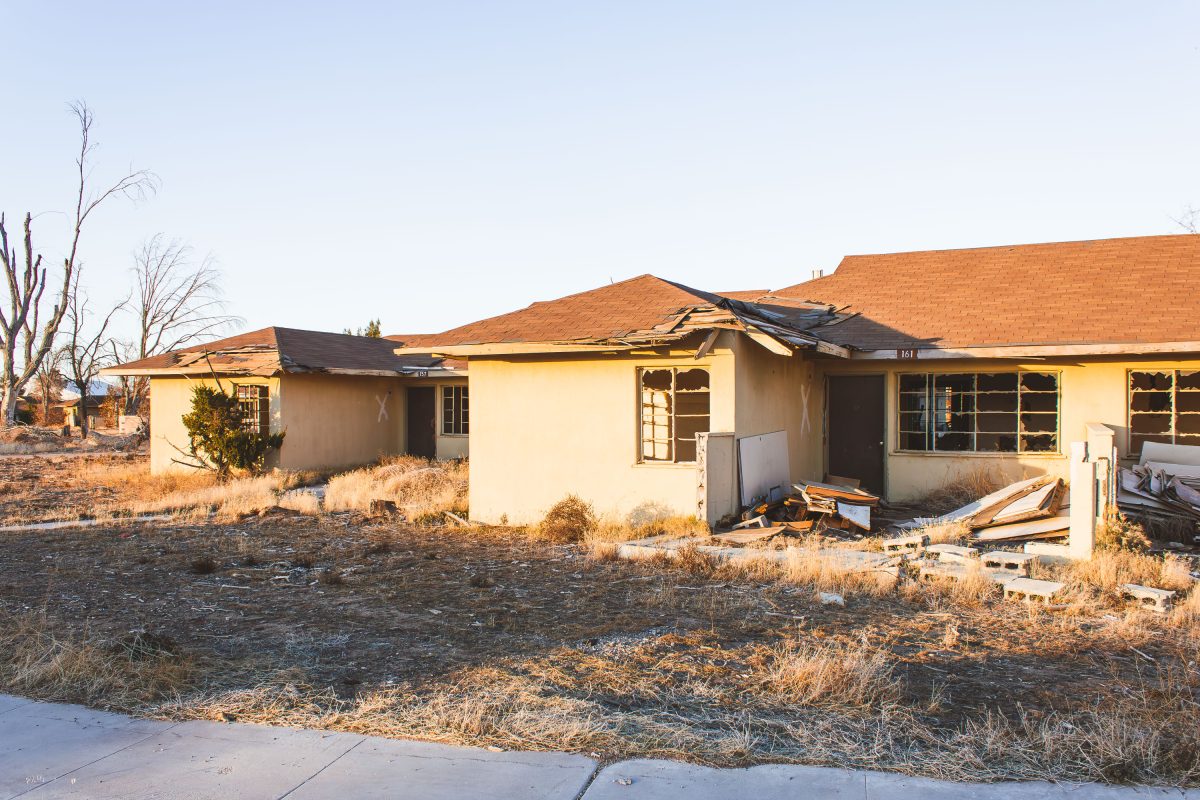
George Air Force Base closed in 1992 under the federal Base Realignment and Closure program after more than five decades of service, having opened in 1941 near Victorville, California. It hosted fighter and bomber squadrons through its history, including F-4 Phantom and F-111 units during the Cold War. The neighborhoods built for service members and their families were never demolished after decommissioning, leaving rows of vacant homes along the base's old residential streets. Part of the former base site is now Southern California Logistics Airport, but the housing areas remain largely untouched.
Abandoned residential building with damaged roof and broken windows at George Air Force Base in Victorville.
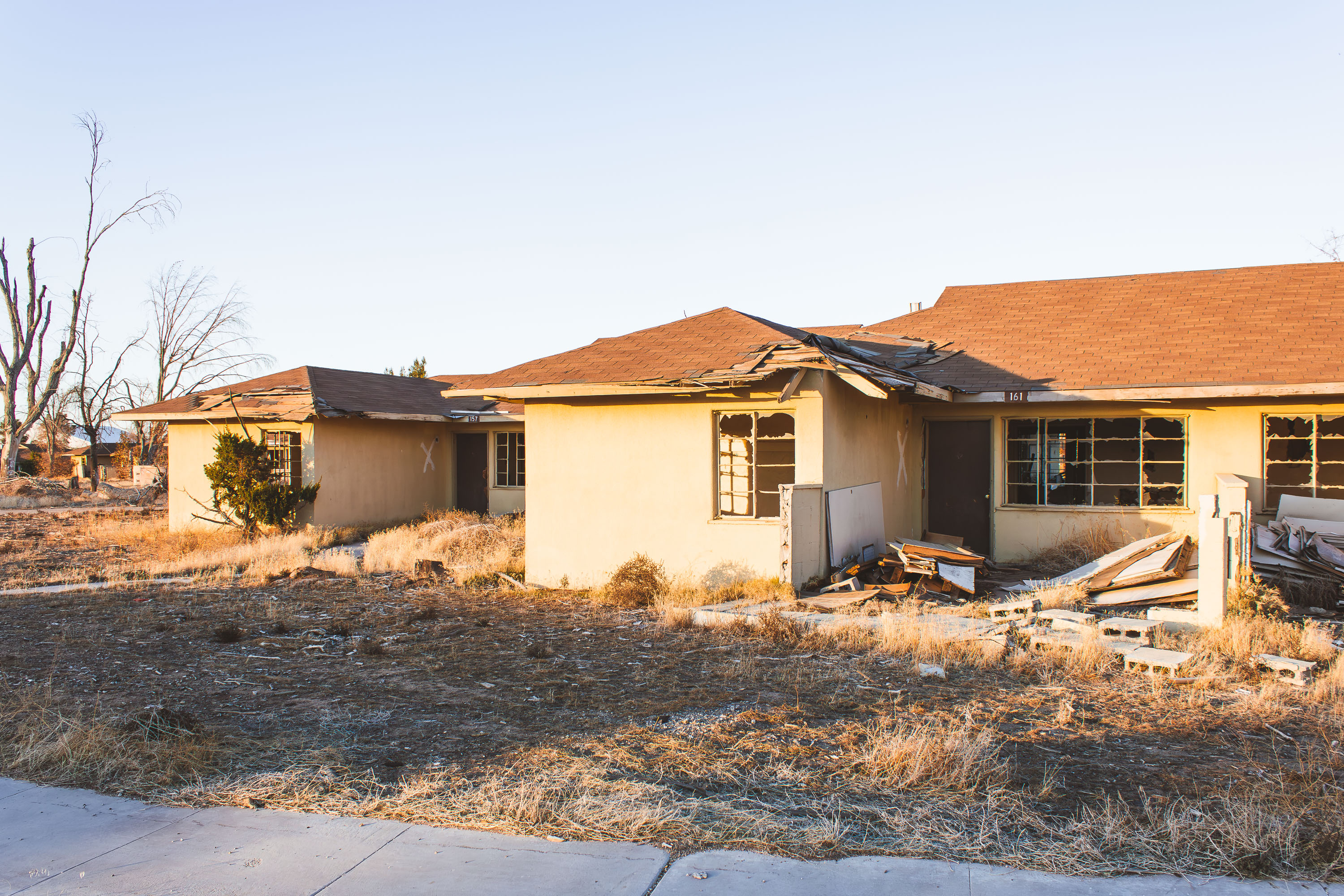
George Air Force Base began in 1941 as Victorville Army Air Field, an Army Air Corps site for bombardier and gunnery training. It was renamed in 1950 for Brig. Gen. Harold Lee George, an early advocate of American strategic bombing doctrine, and spent its later decades as a Strategic Air Command installation during the Cold War. A 1992 Base Realignment and Closure order shut the base down, leaving its family housing units vacant. Portions of the former base now fall within the Southern California Logistics Airport, but rows of stucco duplexes remain standing, their doors and windows still marked with the spray-painted X's left by post-closure inspectors.
Deteriorated interior of abandoned residential building at George Air Force Base in Victorville, California.
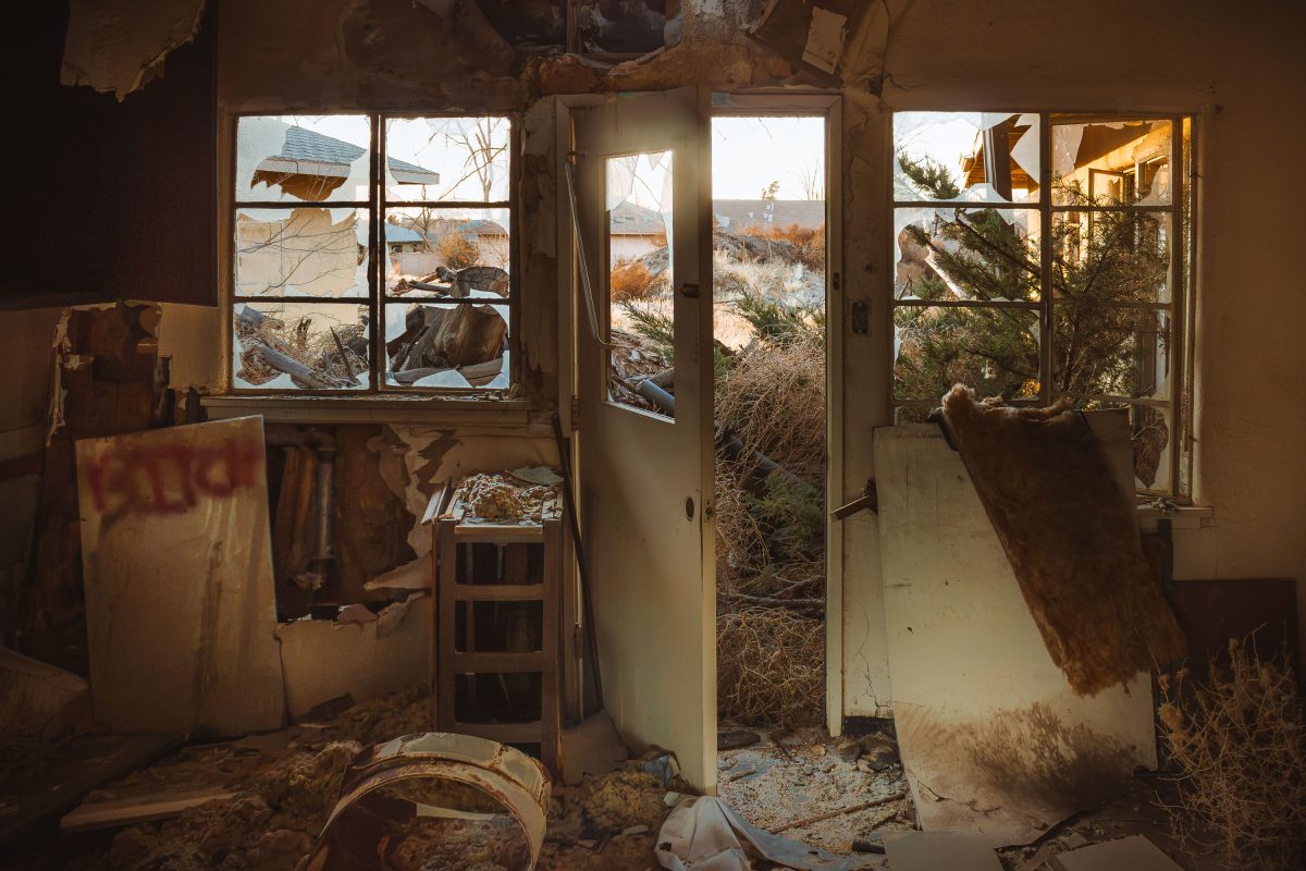
George Air Force Base operated northeast of Victorville from 1941 until it was shuttered under the 1992 Base Realignment and Closure Act. The residential blocks that once housed Air Force families were left standing after closure, and the Southern California desert has spent three decades working through the drywall, glass, and wood framing left behind. Broken window glass and stripped door hardware are typical of the housing stock here, most of which was never demolished or repurposed. A portion of the former base was redeveloped into Southern California Logistics Airport, but the family housing sections were largely bypassed and left to decay in place.

Built in Minneapolis

Minneapolis Photographer

Browse by location, move through long-running series, or start with recent work.