Place Archive

South Dakota

South Dakota’s landscape includes the eroded sedimentary formations of Badlands National Park, where roads like Sheep Mountain Road and Highway 44 provide access to geological features and fossil beds. Buffalo Gap National Grasslands preserve mixed-grass prairie and badlands terrain supporting bighorn sheep and other wildlife, while Custer State Park houses one of the largest bison herds restored through early 20th-century conservation efforts.

53 photos

Cities

Photos from South Dakota
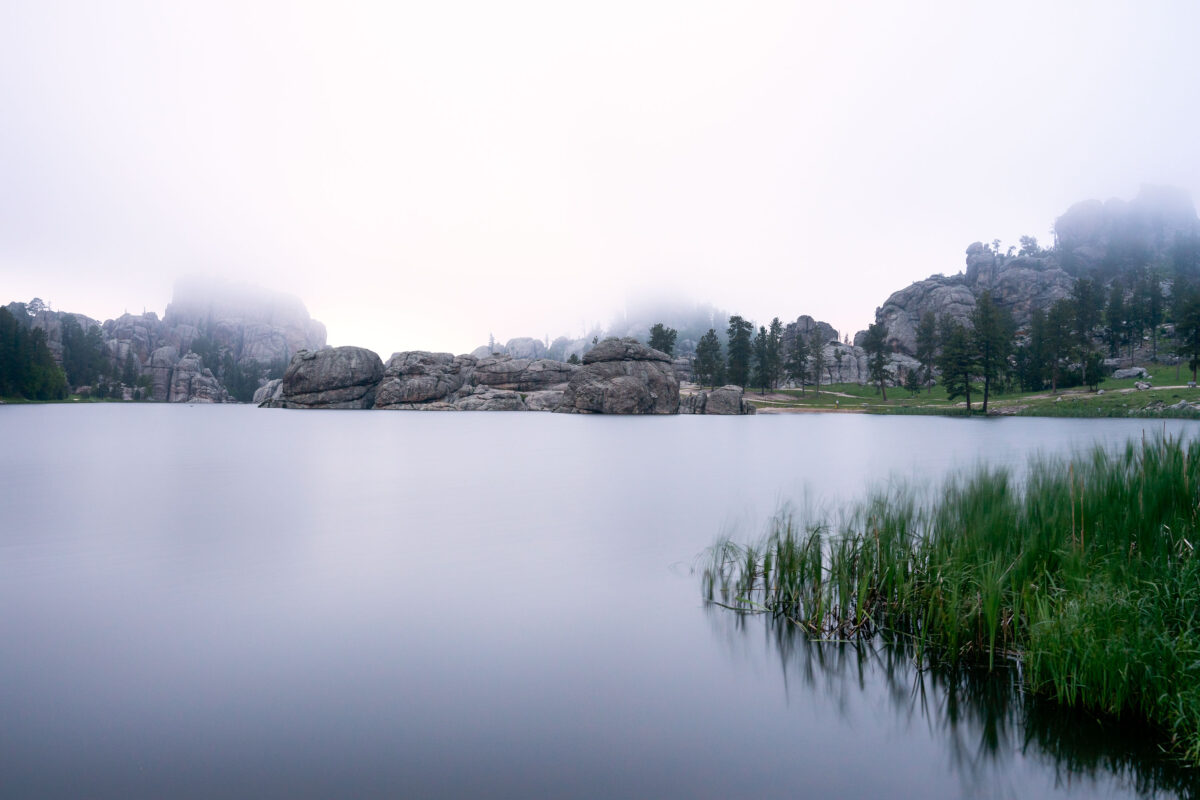
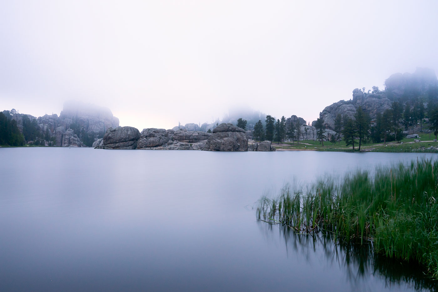
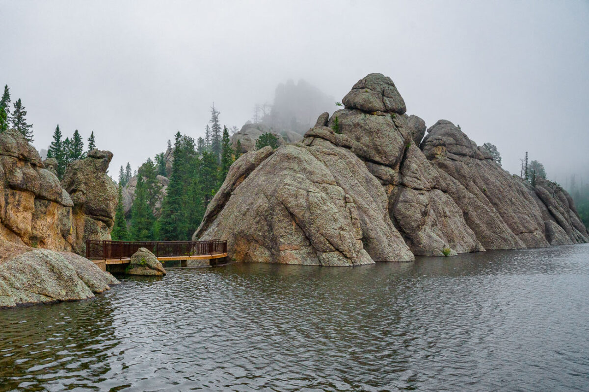
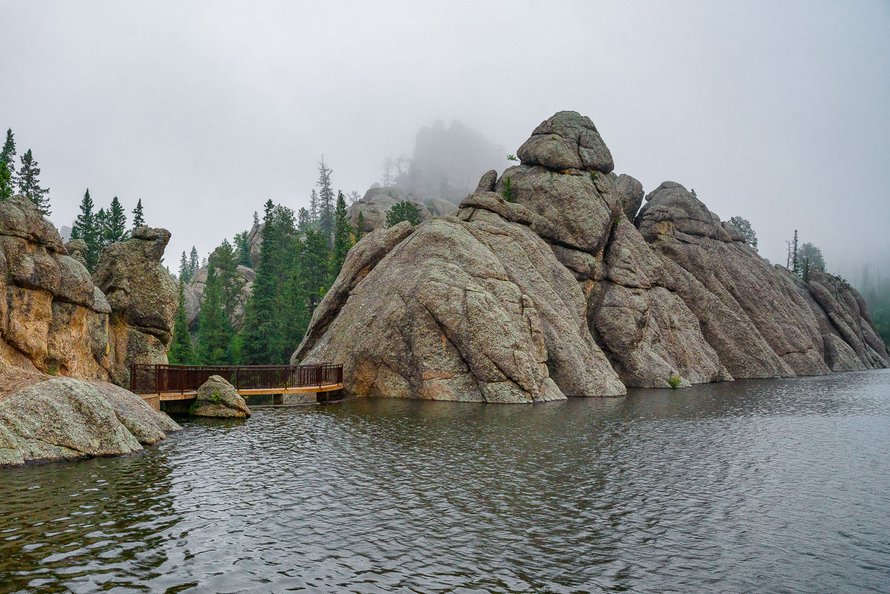
Sylvan Lake in Custer State Park
Early morning fog blankets Sylvan Lake in South Dakota's Black Hills, obscuring the surrounding granite formations. Created in 1891 by a dam built by Theodore Reder, the lake is situated at the start of the Needles Highway. The area is a popular destination for climbers and hikers, drawn to its unique geological features. On this particular morning, the mist limits visibility, transforming the landscape into a study of soft shapes and muted reflections on the water's surface.
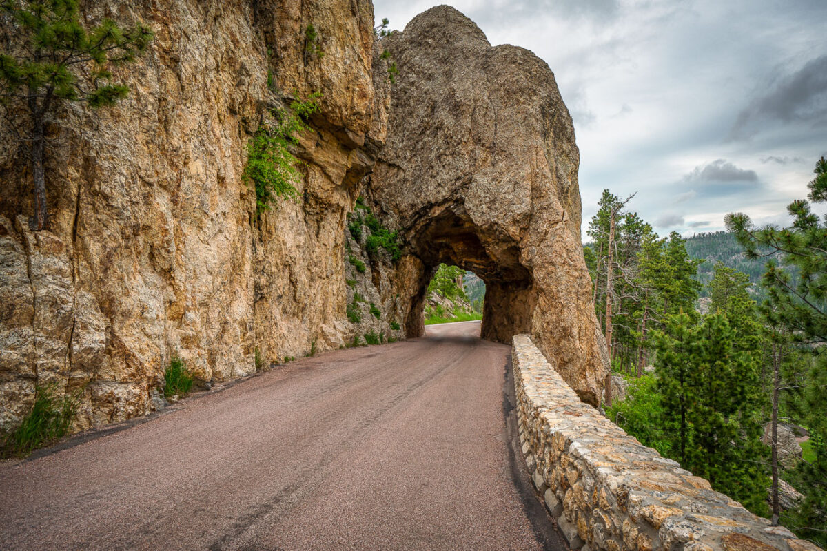
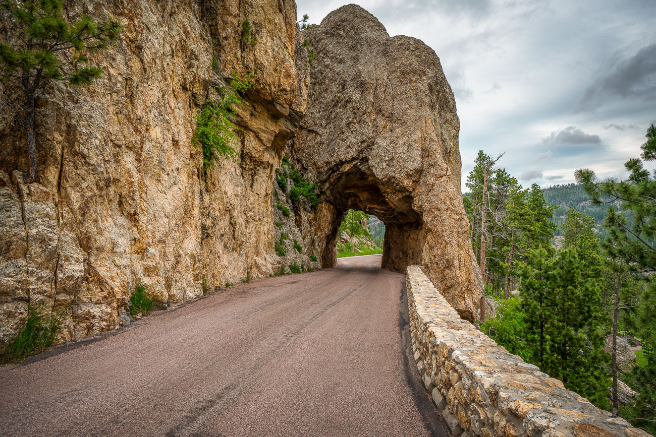
Needles Eye Tunnel and clouds
The Needles Eye Tunnel, completed in 1922, is a narrow, one-lane passage carved through a granite spire in Custer State Park, South Dakota. As part of the Needles Highway (SD 87), this engineering feat measures only 8 feet 4 inches wide and 11 feet 3 inches high, necessitating careful navigation for vehicles. The tunnel is named for an adjacent rock formation shaped by erosion, and it remains a key feature of one of the Midwest's most striking mountain drives. The highway connects the park's spire formations with routes leading to Sylvan Lake and Mount Rushmore.
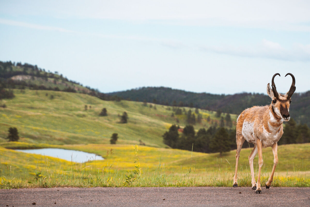
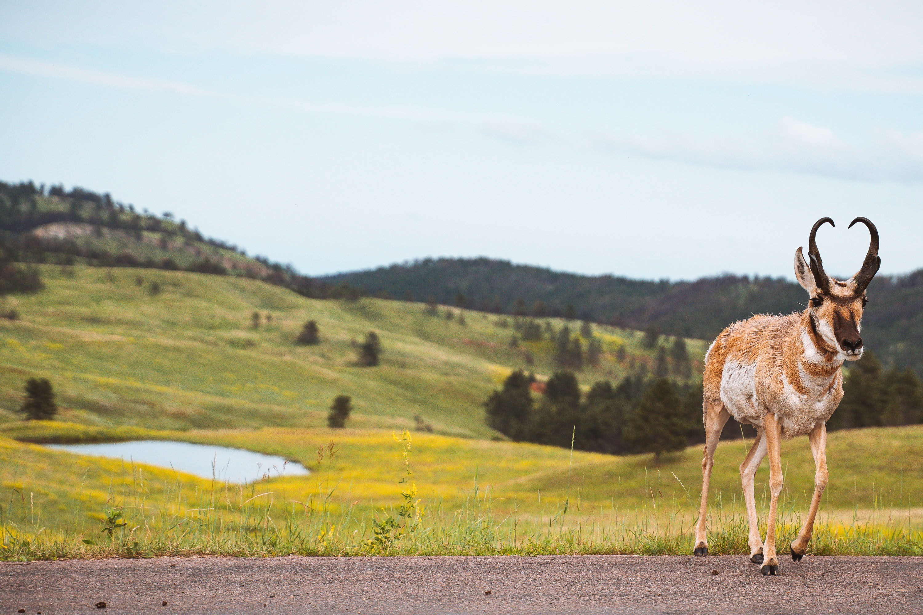
A pronghorn antelope walks along Wildlife Loop Road in Custer State Park, South Dakota.
The pronghorn is North America's fastest land mammal, capable of sustained speeds near 55 miles per hour, an adaptation from Pleistocene-era predators long since extinct. Custer State Park, established in 1919 in the Black Hills of South Dakota, maintains a resident pronghorn herd alongside its bison, elk, and mule deer populations. The park's 18-mile Wildlife Loop Road was built specifically to let visitors drive through open grassland habitat where these animals roam freely. Unlike true antelope, pronghorn are the sole surviving member of the family Antilocapridae, and both sexes can grow horns, though the male's are larger and hooked.
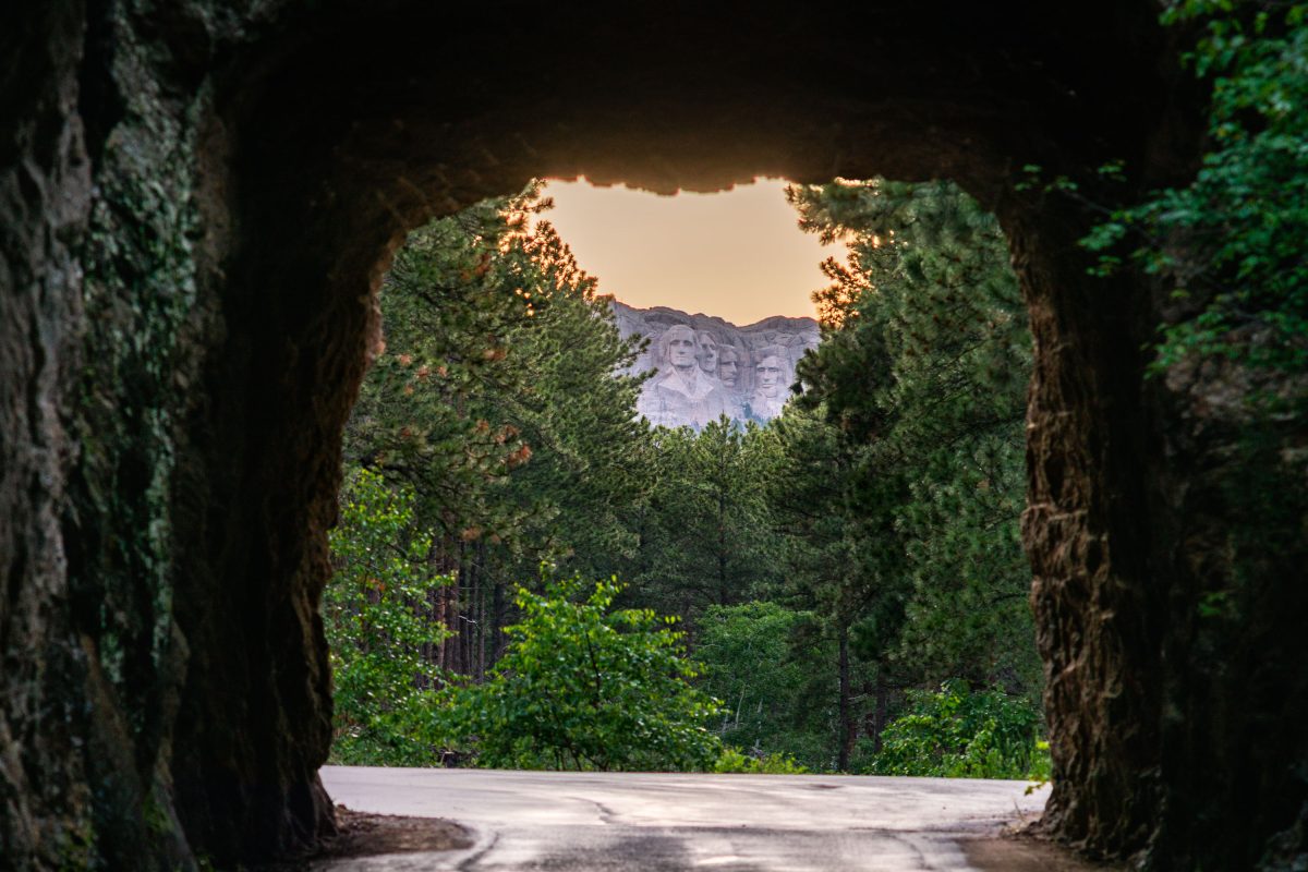
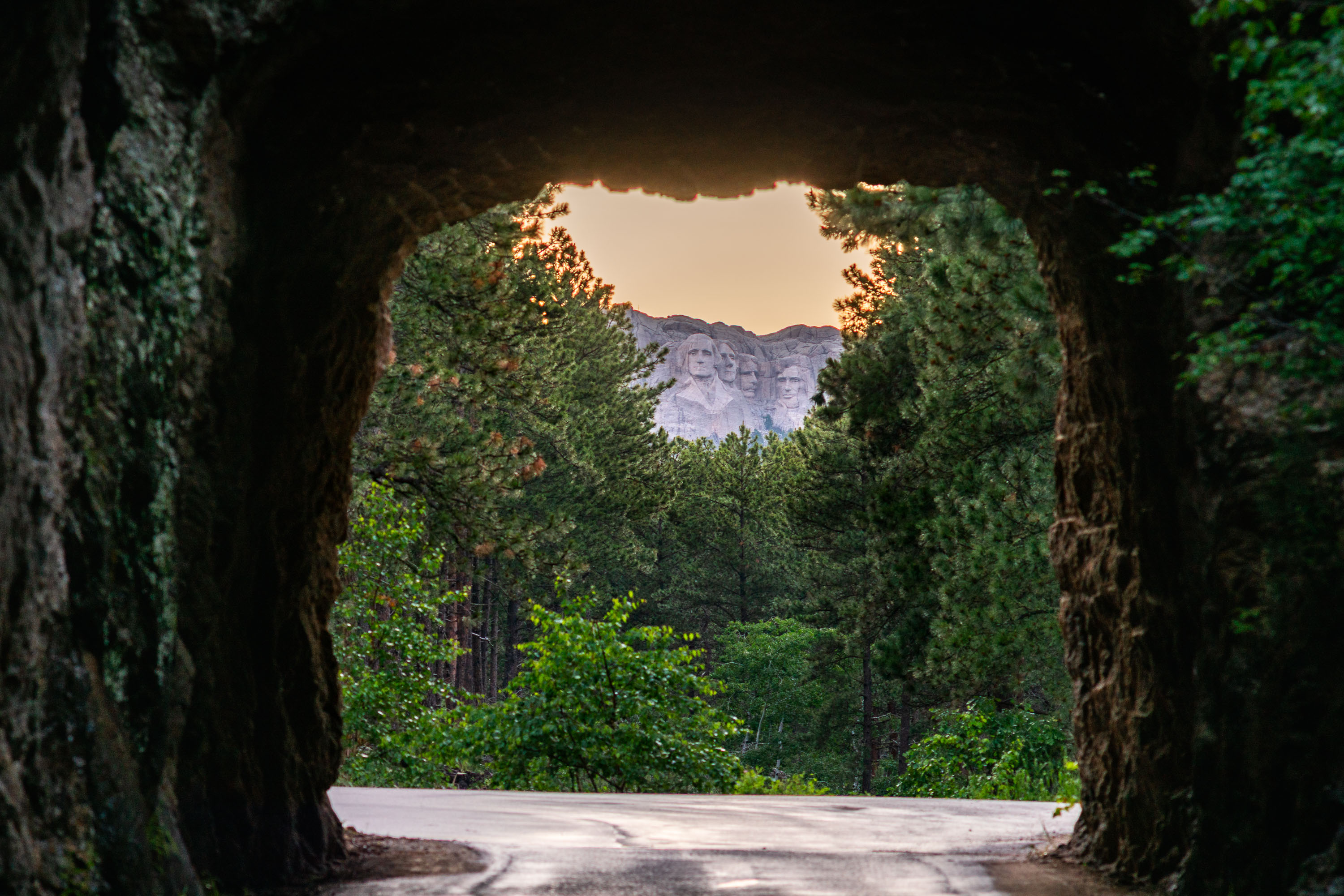
Stone tunnel framing Mount Rushmore monument through forested landscape.
Iron Mountain Road winds through the Black Hills of South Dakota, connecting Custer State Park to Mount Rushmore National Memorial. Built in the 1930s under Governor Peter Norbeck's direction, the route includes three granite tunnels deliberately aligned to frame the carved presidential faces in the distance. Mount Rushmore itself, completed in 1941 under sculptor Gutzon Borglum, depicts Washington, Jefferson, Roosevelt, and Lincoln at roughly 60 feet tall.
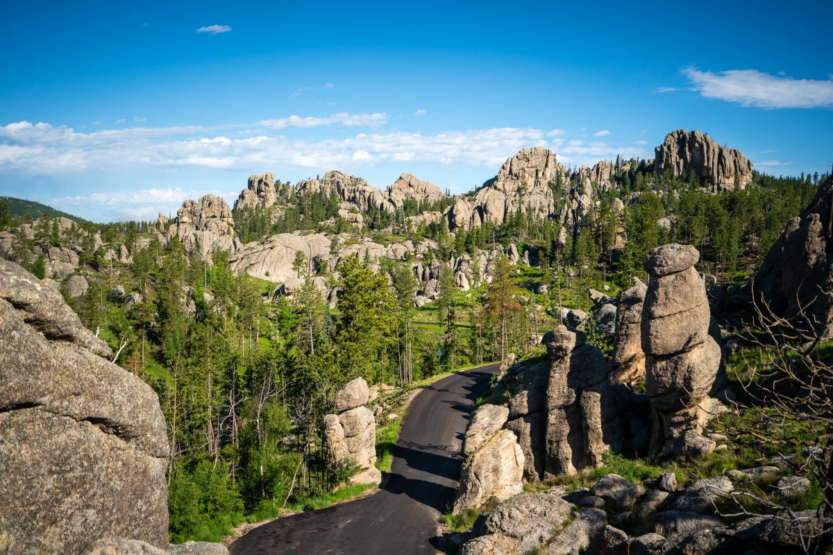
Road curves through granite spires and coniferous forest in the Black Hills near Needles Eye Tunnel.
Custer State Park's granite formations here are part of the Harney Peak granite, an igneous intrusion roughly 1.7 billion years old that has weathered into the tall, cracked spires and pinnacles known as the Needles. The Needles Highway, a 14-mile route completed in 1922 under the direction of South Dakota governor Peter Norbeck, winds through this section of the park to showcase the rock formations up close. Norbeck reportedly walked and mapped the road's course himself before construction, insisting the route bend around the granite rather than blast through it. The park itself, established in 1919, covers more than 71,000 acres and was named for Lieutenant Colonel George Armstrong Custer, who led an 1874 expedition into the Black Hills.
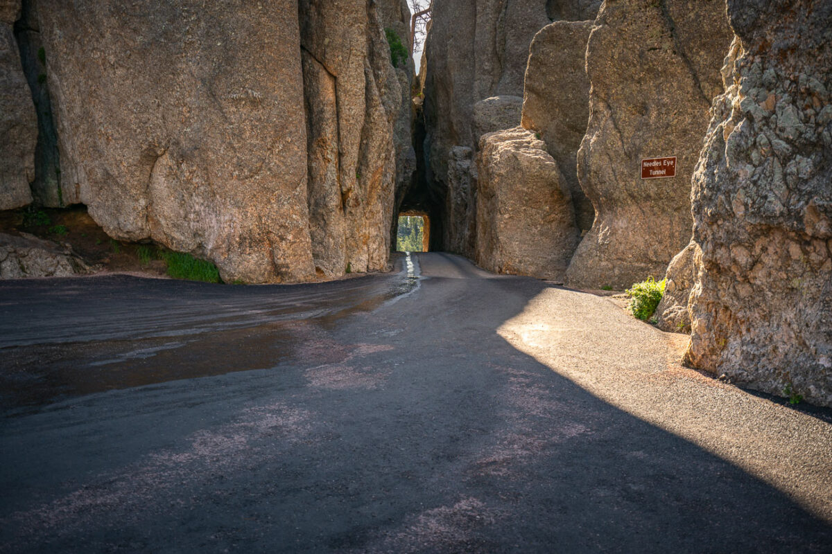
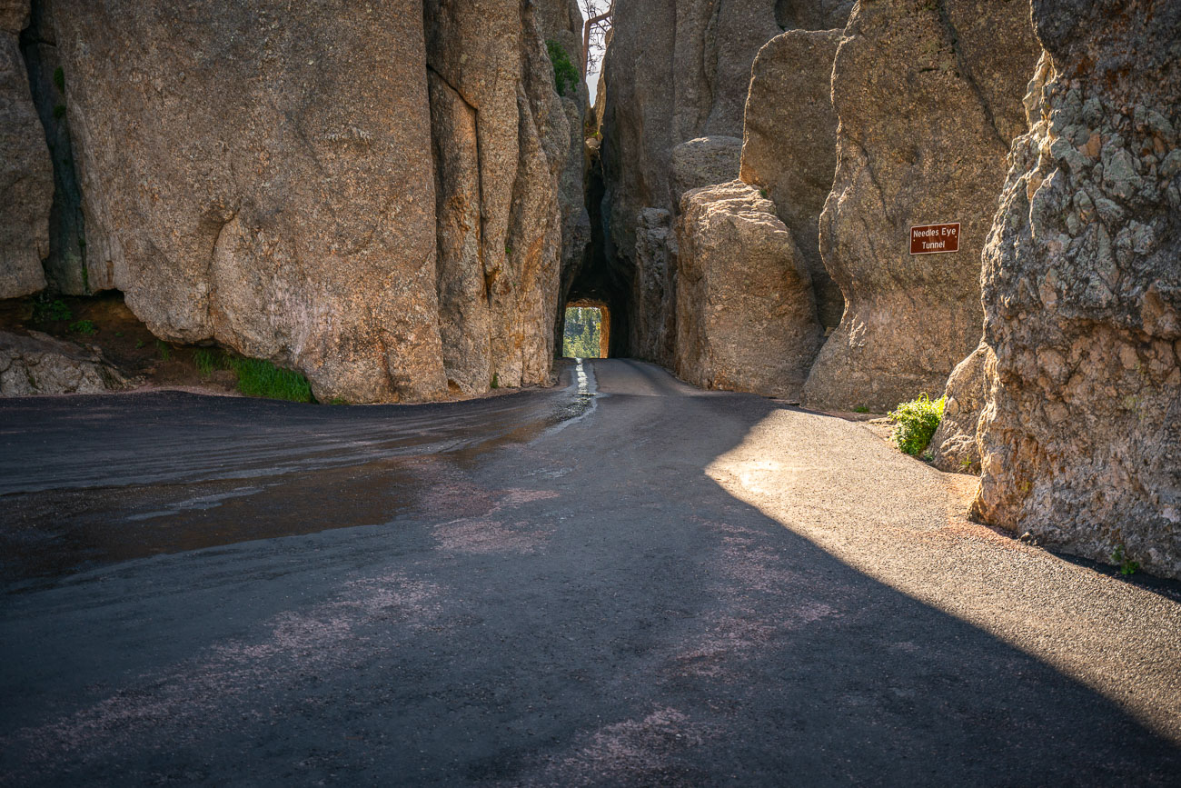
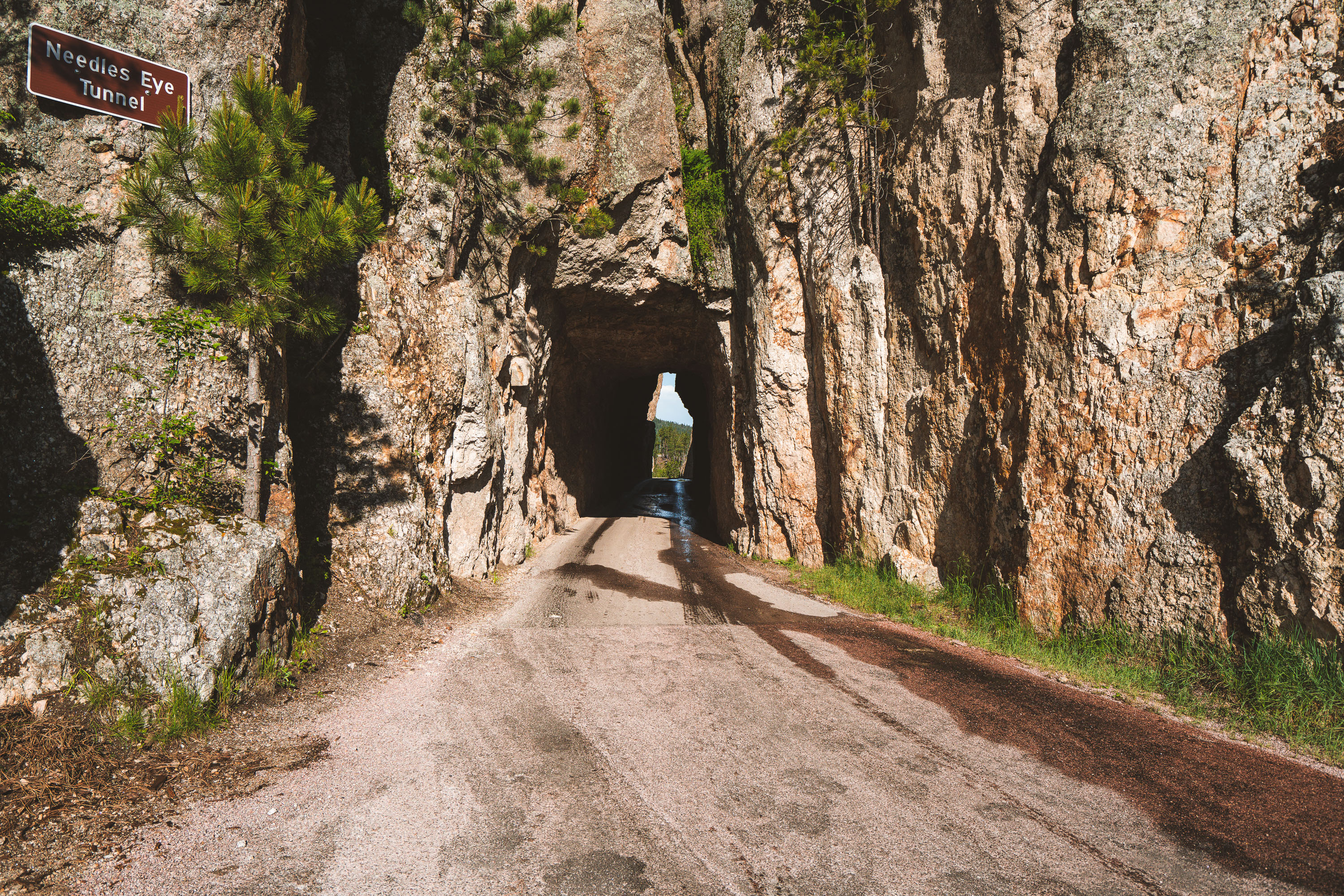
Needles Eye Tunnel, a narrow granite passage on Needles Highway in Custer State Park, South Dakota.
The Needles Eye Tunnel carries South Dakota Highway 87 through a granite spire along the Needles Highway in Custer State Park. Governor Peter Norbeck laid out the highway's route on foot in the early 1920s, insisting the road be cut directly through the rock rather than routed around it. Engineer Scovel Johnson completed the tunnel in 1922, cutting it just eight feet nine inches wide to match the width of a car of the era. The tunnel takes its name from a needle-like granite formation nearby. Custer State Park, established in 1919, encompasses more than 71,000 acres of the Black Hills.
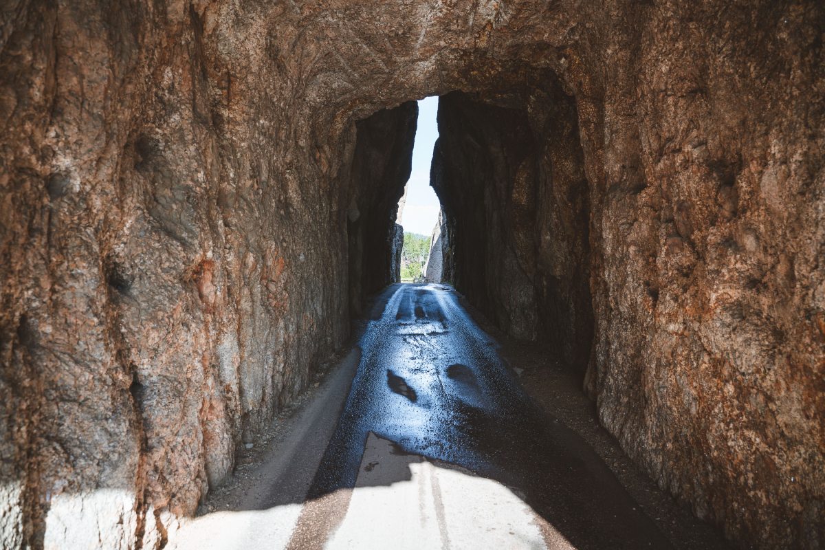
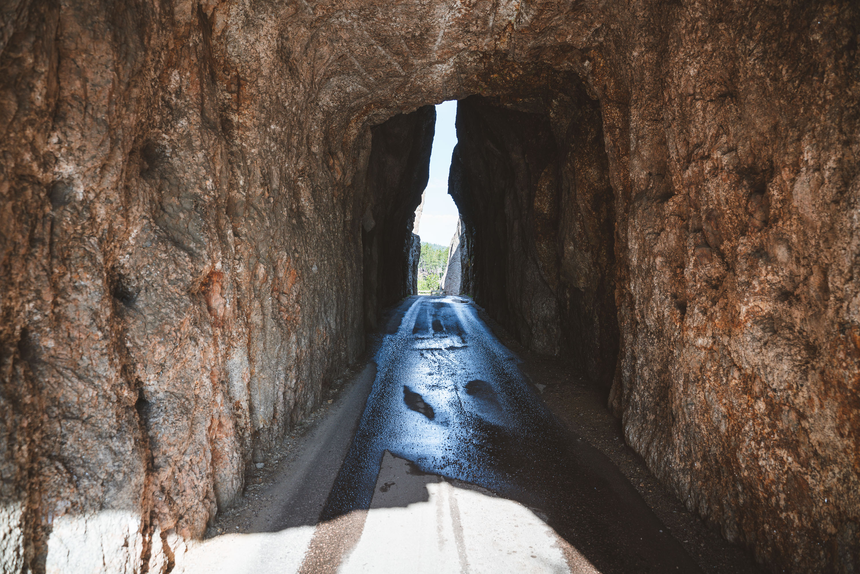
Needles Eye Tunnel, a narrow stone passage with blue water channel running through it.
The Needles Eye Tunnel carries the Needles Highway through a granite spire in Custer State Park, South Dakota. Carved in the 1920s under the direction of Governor Peter Norbeck, who helped design the route, the passage measures just over eight feet wide and roughly twelve feet tall, barely wide enough for a single vehicle. Norbeck laid out the highway's course on foot and by horseback before construction began in 1919, insisting the road bend around the granite formations rather than blast through them wherever possible. The tunnel takes its name from the thin, needle-like rock spire rising just beside it. Needles Highway itself runs about 14 miles and connects Sylvan Lake to the park's eastern entrance near Legion Lake.
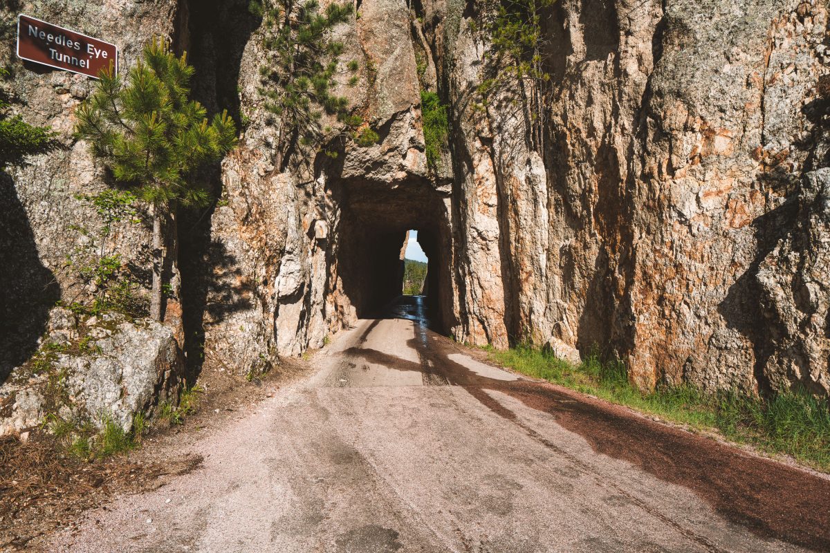
Needles Eye Tunnel, a narrow rock passage carved through granite cliffs along a dirt road.
Needles Eye Tunnel carries the Needles Highway through a narrow granite passage in Custer State Park, South Dakota. The tunnel is just over 8 feet wide and roughly 12 feet high, dimensions that force larger vehicles like RVs and buses to find alternate routes. It takes its name from the nearby Needles, a cluster of slender granite spires shaped by millions of years of erosion. The road itself, completed in 1922, was championed by South Dakota Governor Peter Norbeck, who laid out much of its winding path on horseback to preserve the surrounding rock formations. Needles Highway remains one of the routes leading toward Mount Rushmore, connecting Custer State Park to the Black Hills beyond.
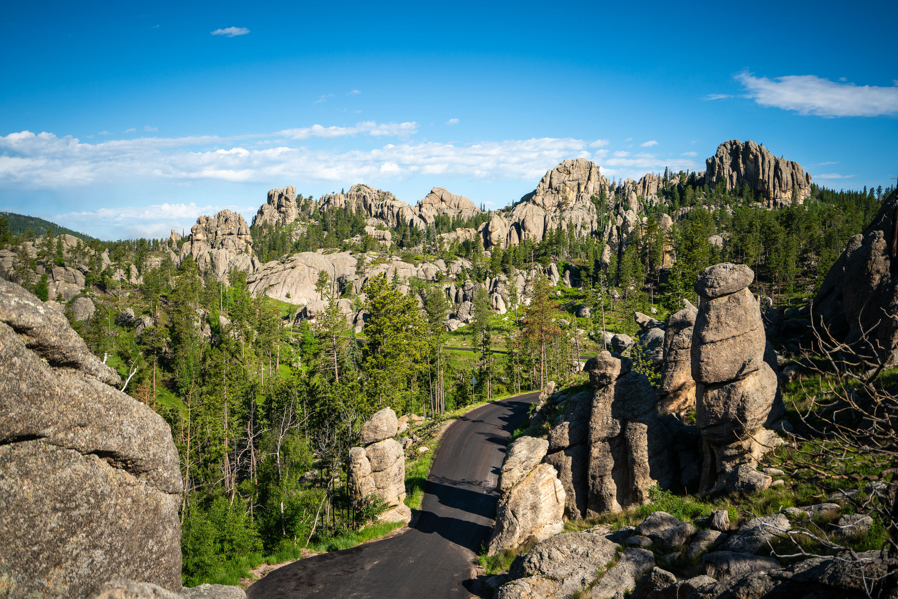
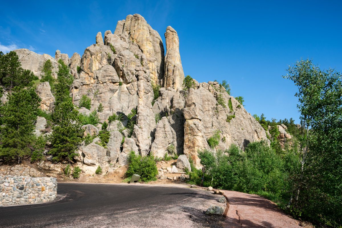
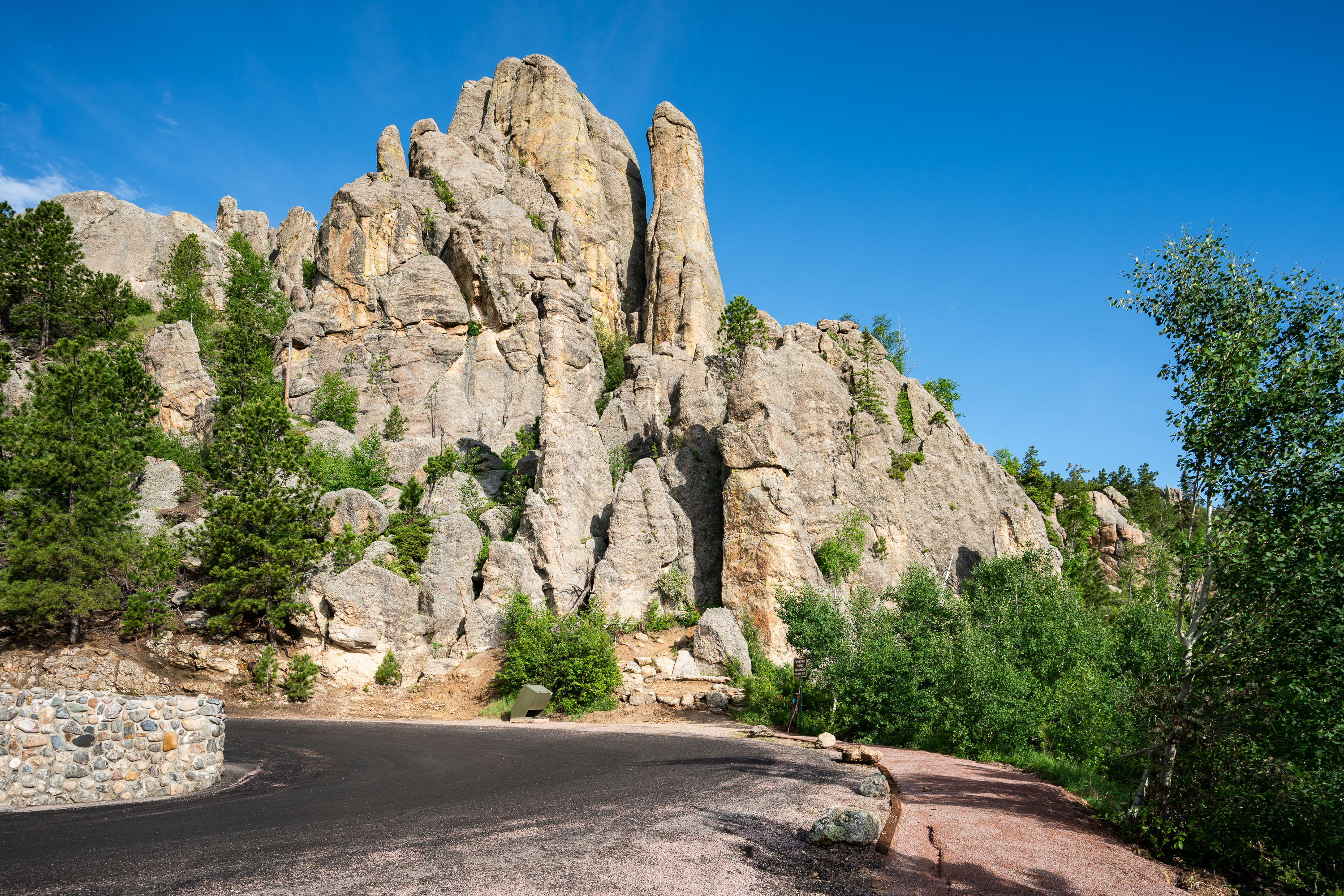
Granite rock formations and pine forest along a paved road in the Black Hills.
The Needles Highway winds through Custer State Park in South Dakota's Black Hills, threading past granite formations carved by frost and erosion over roughly a billion years. The road, designated South Dakota Highway 87, was completed in 1922 under the direction of Governor Peter Norbeck, who laid out the route on foot and horseback to highlight the spires rather than bypass them. Its narrow tunnels and tight turns were built specifically to frame these rock towers, some of which climb over 30 feet above the surrounding pine and aspen forest. The granite dates to the Precambrian era, among the oldest exposed rock in the region, and the needle-like spires form as softer material erodes away, leaving harder mineral veins standing exposed.
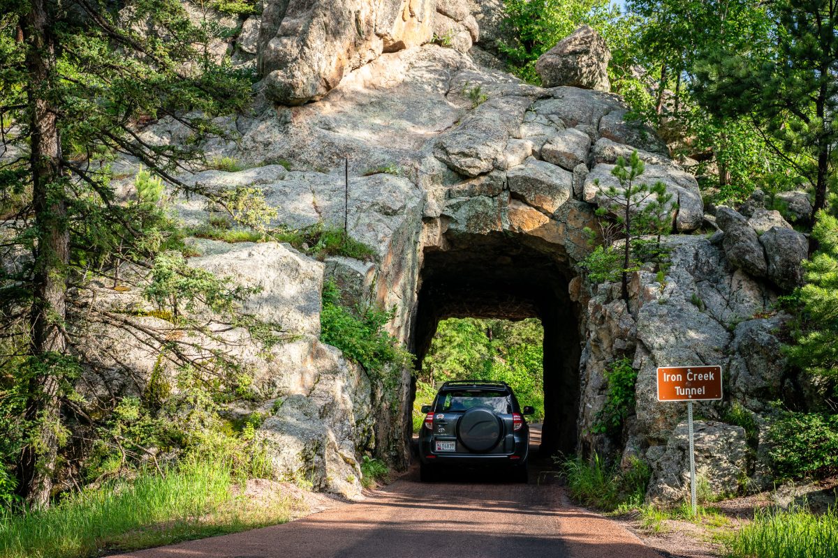
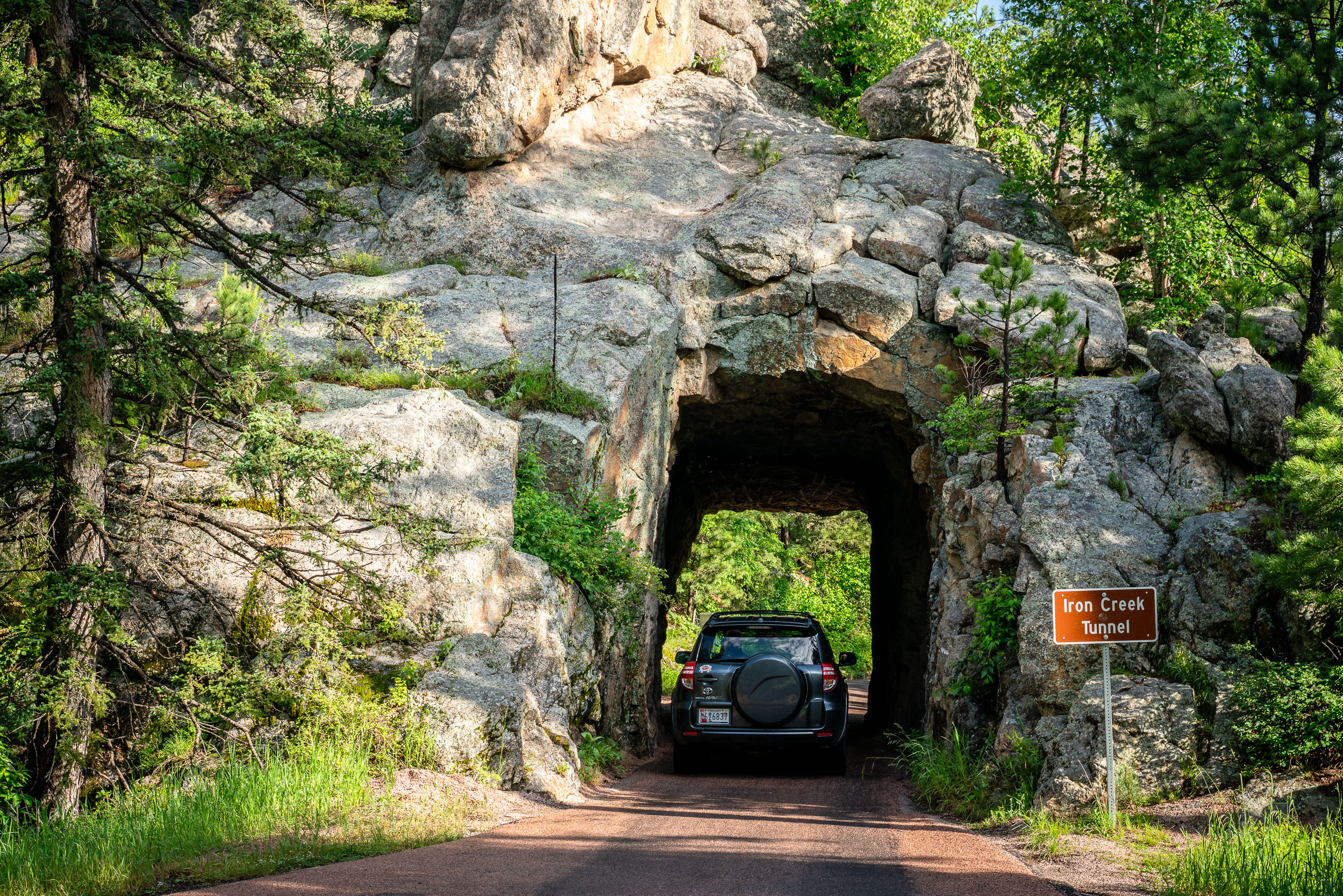
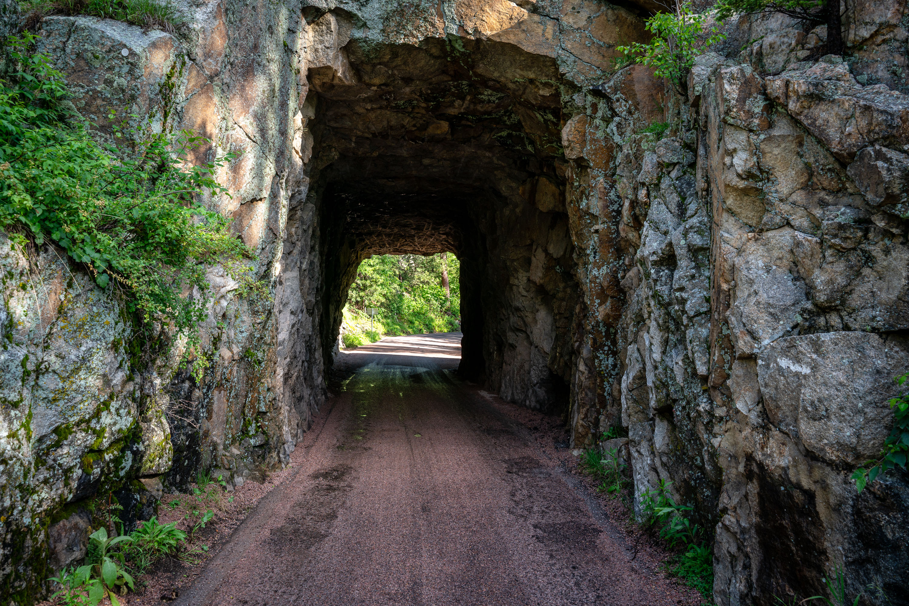
Vehicle passing through Iron Creek Tunnel, a rock passage in Custer State Park, South Dakota.
Iron Creek Tunnel carries the Needles Highway through a granite outcrop in Custer State Park, South Dakota. The highway was built in the 1920s under the direction of Governor Peter Norbeck, who helped design the route himself to showcase the park's granite spires. Its narrow, low clearance tunnels, blasted by hand rather than heavy machinery, were intentionally sized to slow traffic and frame views of the surrounding rock formations. Custer State Park, established in 1919, spans more than 71,000 acres and is one of the largest state parks in the country.
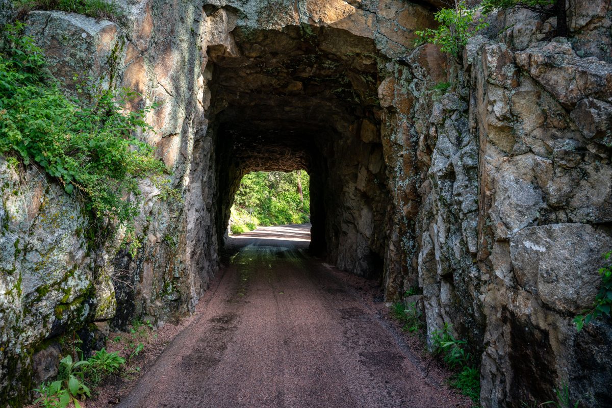
Stone tunnel with moss-covered walls along Iron Creek in Custer State Park, South Dakota.
Iron Creek Tunnel carries Needles Highway through a granite outcrop in Custer State Park. The road was built in the 1920s under the direction of South Dakota Governor Peter Norbeck, who laid out the route on foot and horseback to highlight the Black Hills' granite spires. Norbeck designed several tunnels along the highway to frame views of Mount Rushmore and the surrounding needle rock formations, and Iron Creek Tunnel remains one of the narrower passages on the route, cut directly through native granite rather than lined with concrete. The highway connects to the Peter Norbeck Scenic Byway, a National Scenic Byway that also links to Custer State Park's Wildlife Loop Road.
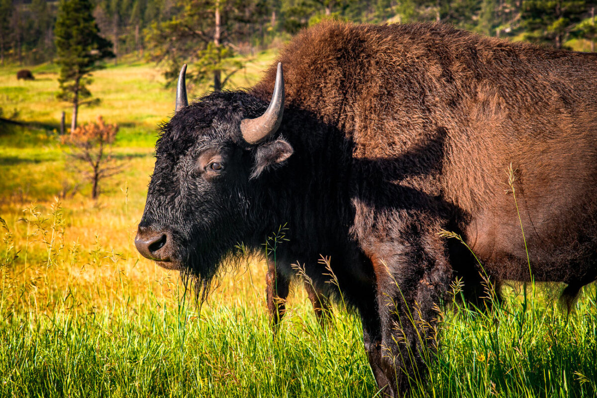
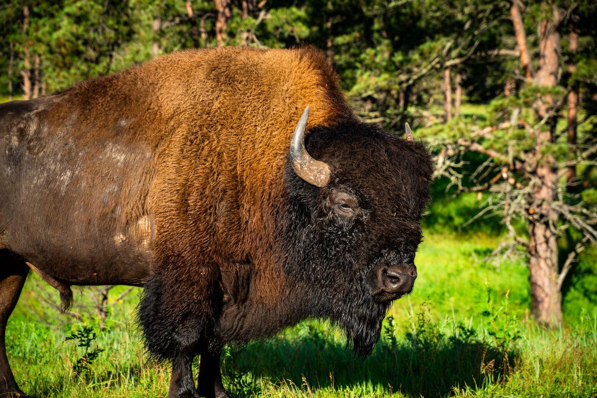
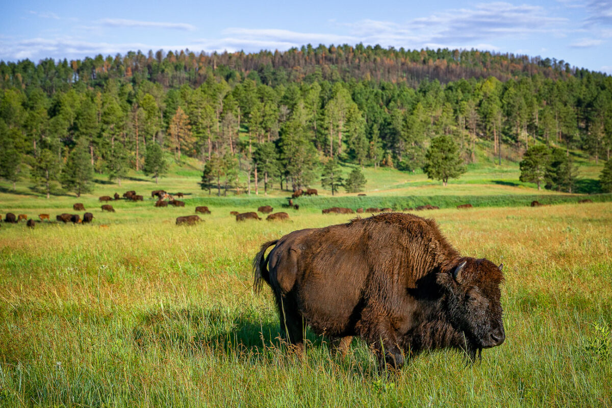
American bison with brown and black fur stands in grassland near coniferous forest.
The American bison grazing along Wildlife Loop Road belongs to one of the largest publicly held herds in the country, numbering around 1,300 animals within Custer State Park's 71,000 acres. Custer State Park holds an annual Buffalo Roundup each fall, drawing thousands of spectators to watch riders and volunteers herd the animals for vaccination and population management. Bulls in the herd can weigh up to 2,000 pounds, and both sexes carry curved horns that grow throughout their lives. The park's herd descends from bison reintroduced in the 1900s after the species was nearly wiped out across the Great Plains in the previous century.
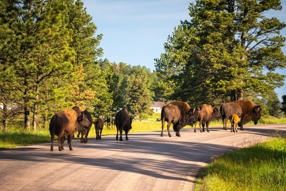
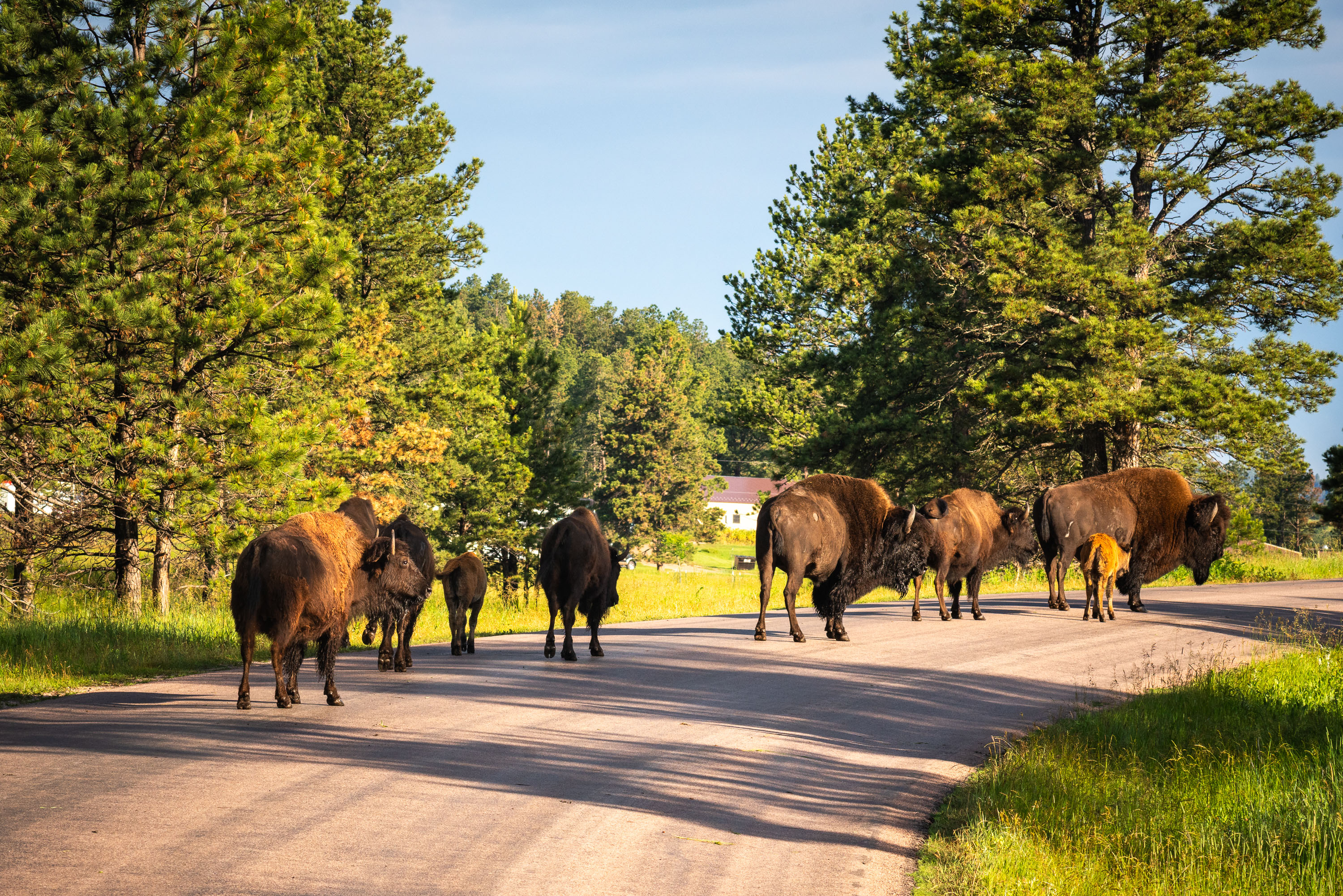
Herd of bison crossing Wildlife Loop Road through ponderosa pine forest and grassland.
Wildlife Loop Road is an 18-mile paved route through Custer State Park in the Black Hills of South Dakota, built in the 1930s to give visitors close access to the park's free-roaming animals. Custer State Park maintains one of the largest publicly held bison herds in the world, numbering around 1,300 animals, descended in part from stock reintroduced to the region in the early 20th century after the species was nearly wiped out. Park rangers conduct an annual roundup each fall to manage herd size and monitor health, a tradition that draws thousands of spectators. Bison here regularly move across the roadway between grazing areas, and park rules require drivers to stay in their vehicles and keep a safe distance during these crossings.
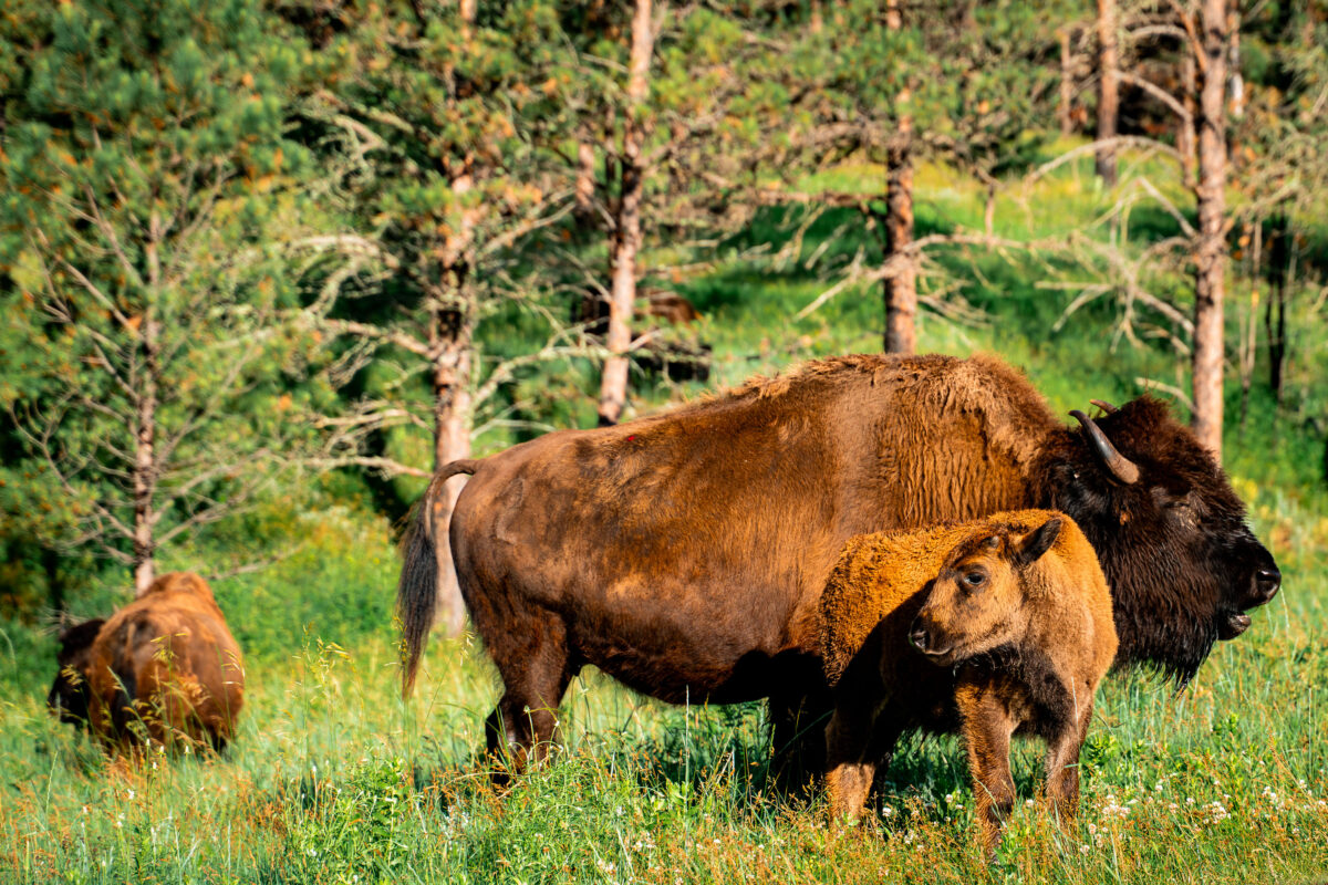
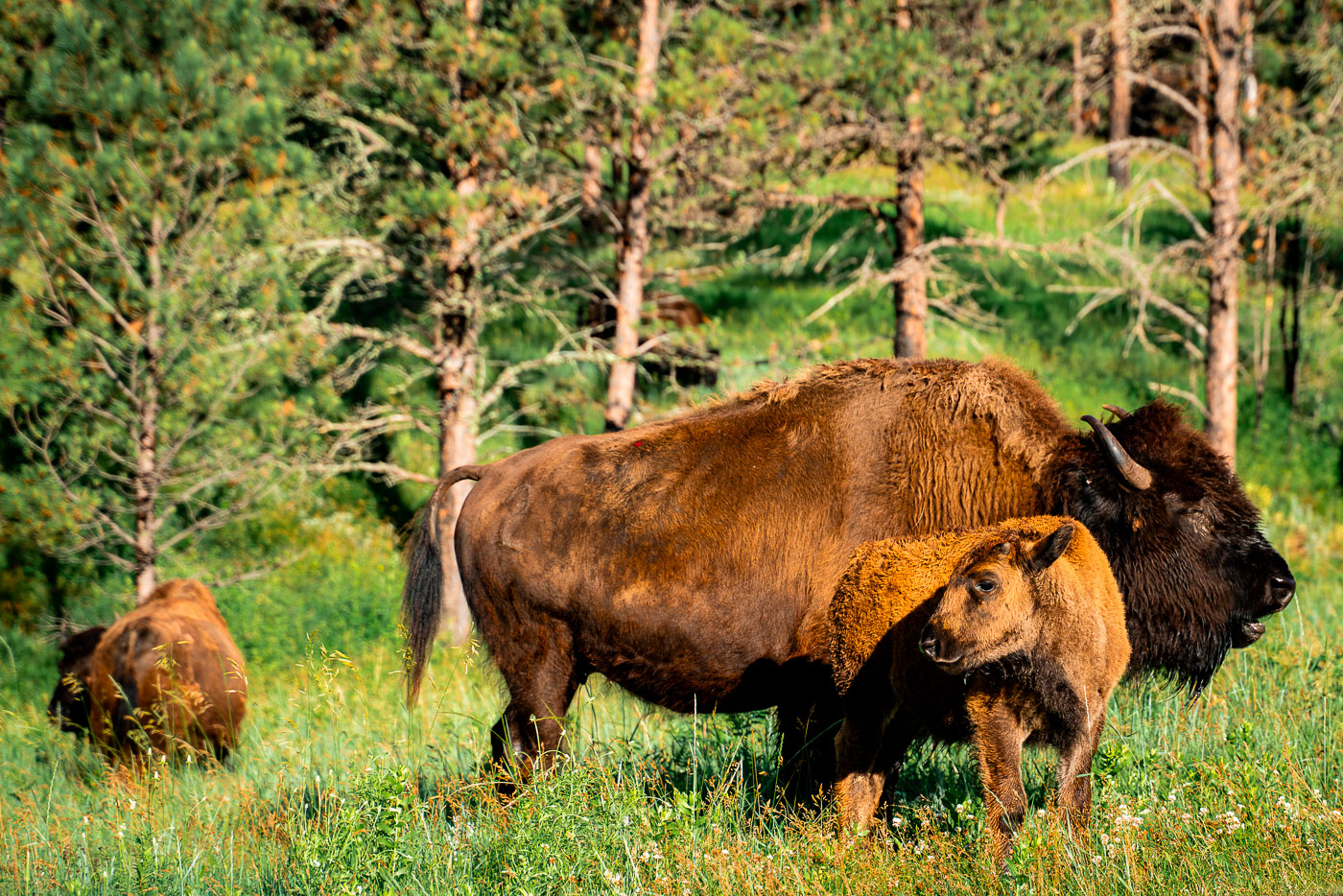
Bison cow and calf grazing in grassland at Custer State Park, South Dakota.
Custer State Park's bison herd numbers around 1,300 animals, one of the largest publicly held herds in the world. Wildlife Loop Road, an 18-mile stretch through the park's mixed-grass prairie and ponderosa pine forest, is where visitors most often encounter the herd grazing or crossing the pavement. Calves are born in the spring, typically April through June, and stay close to their mothers through the summer months. Each September the park rounds up the herd on horseback, a practice started in 1965 to manage the population and check the animals' health.
American bison stands on Wildlife Loop Road in Custer State Park, South Dakota.
American bison graze along Wildlife Loop Road, an 18-mile route through Custer State Park in the Black Hills of South Dakota. The park maintains a herd of roughly 1,300 bison, one of the largest publicly held herds in the world, descended from animals reintroduced in 1914 after the species neared extinction on the Great Plains. Each September, the park holds its annual Buffalo Roundup, drawing thousands of spectators to watch cowboys and volunteers drive the herd across the prairie for health checks and population management. Bison bulls can weigh up to 2,000 pounds, and their grazing patterns help sustain the mixed-grass prairie that defines much of the park's 71,000 acres.
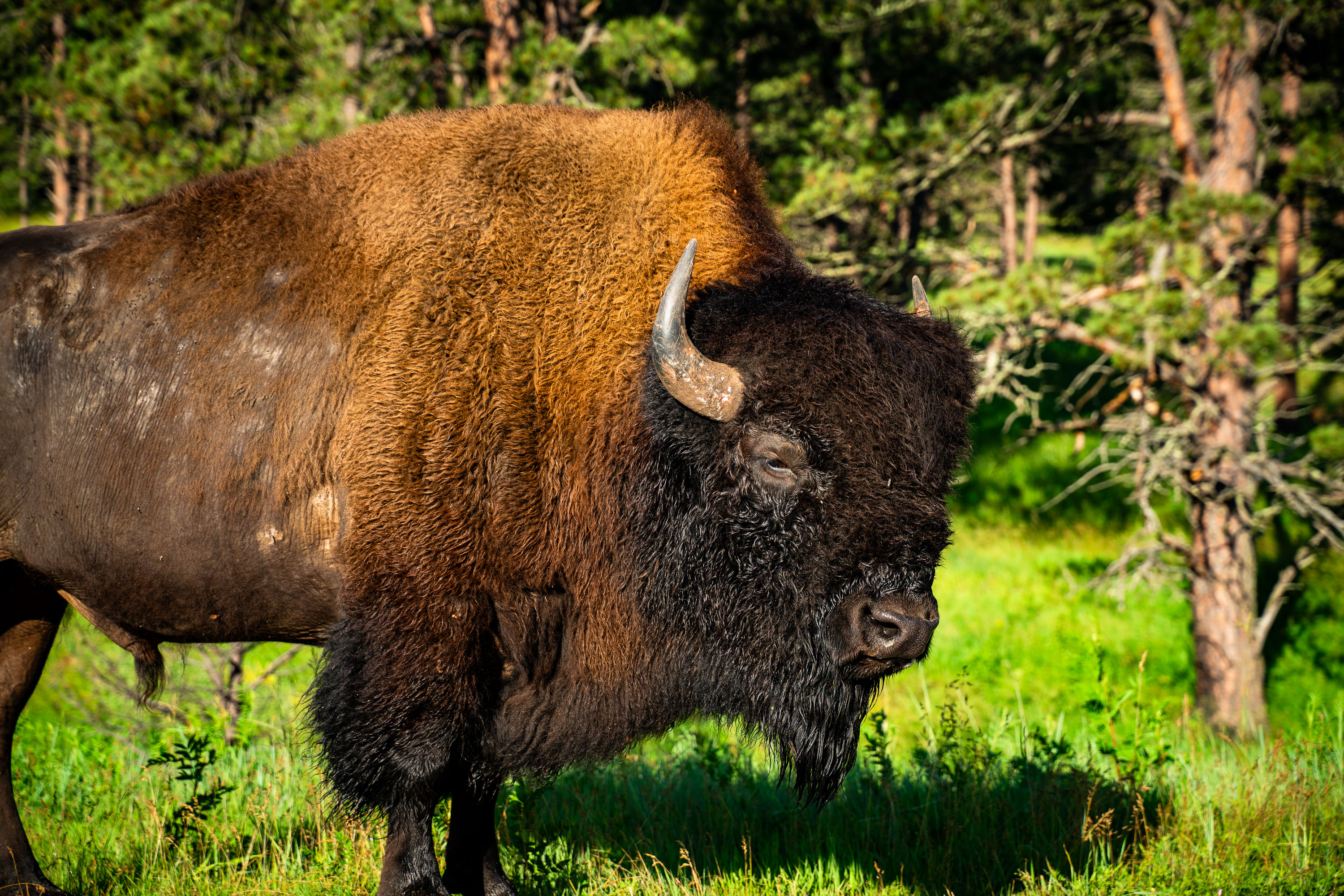
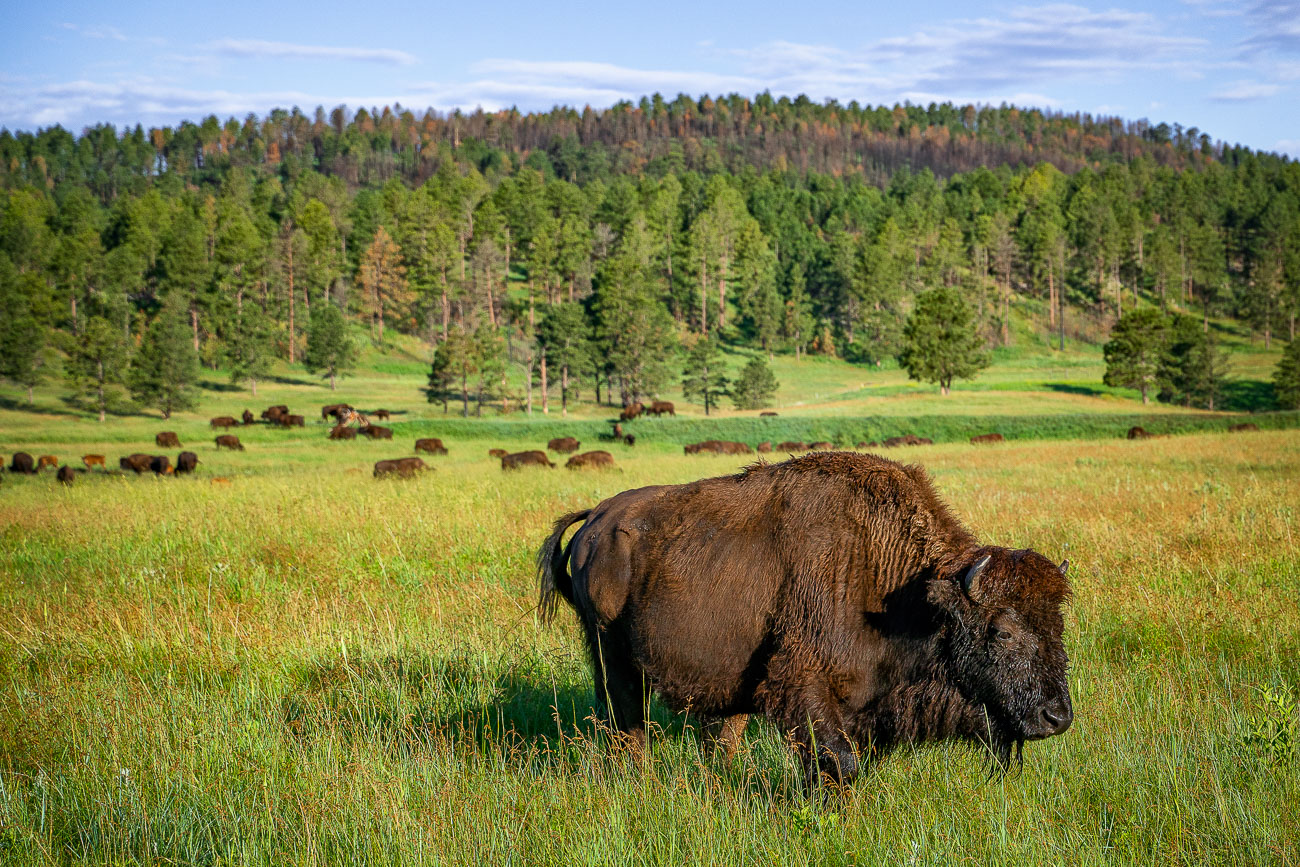
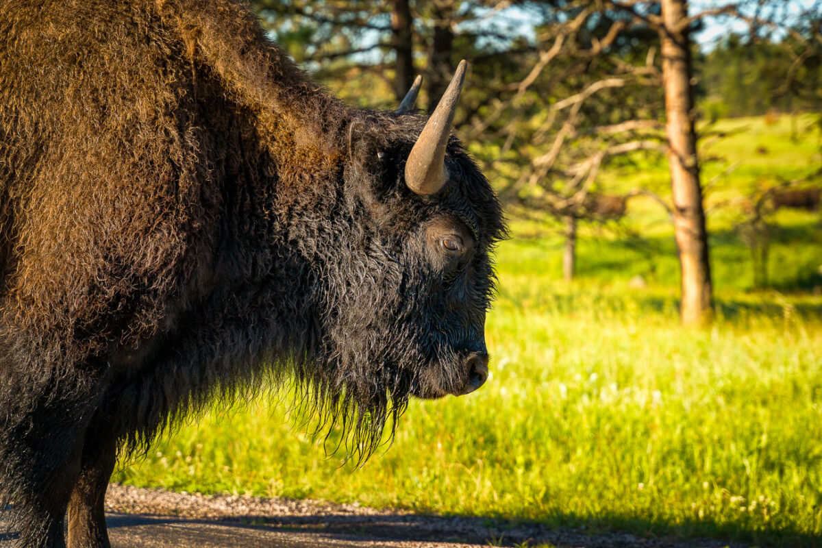
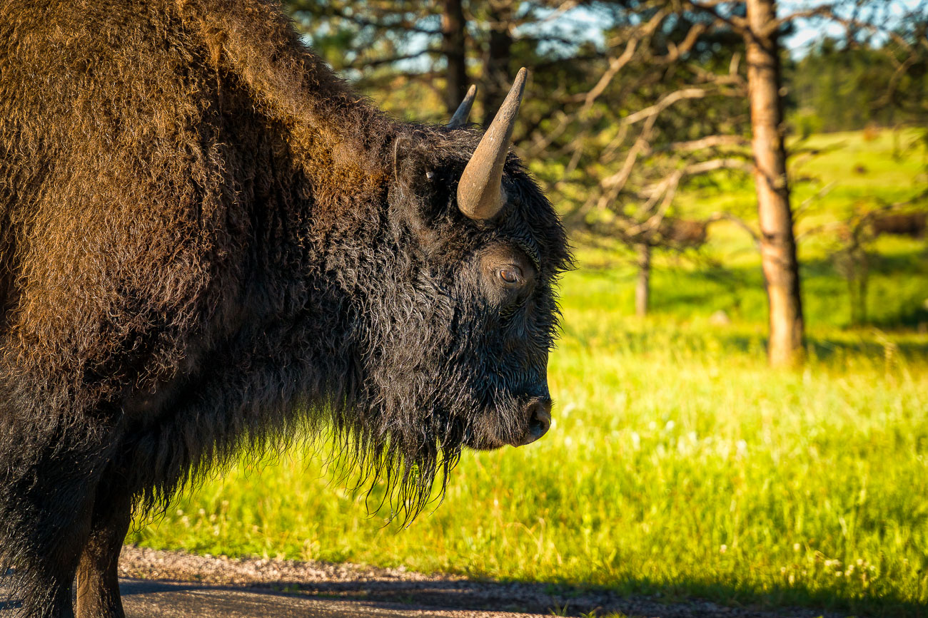
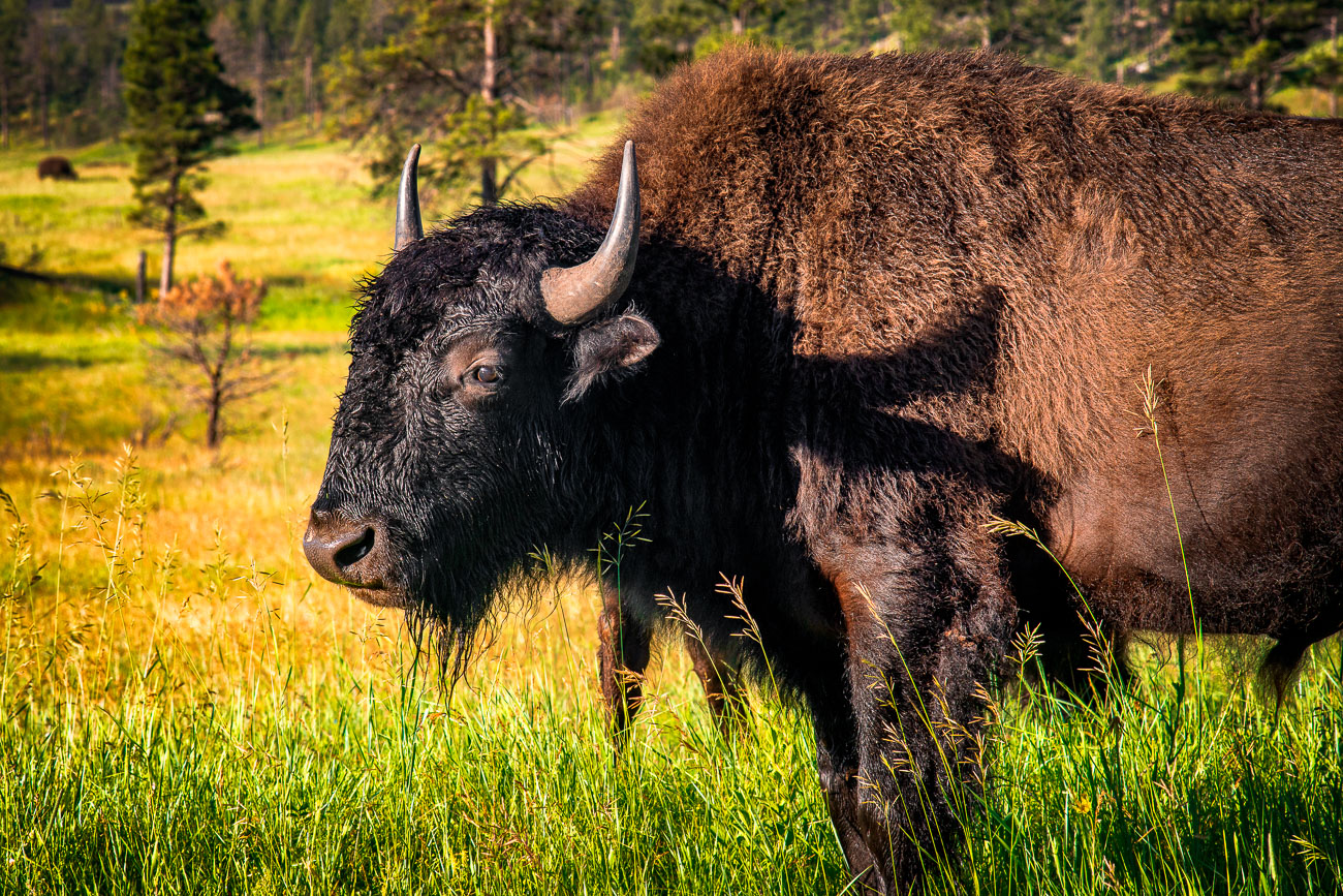
Mature American bison standing in grassland at Custer State Park, South Dakota.
Custer State Park's bison herd grazes across 71,000 acres of mixed-grass prairie and ponderosa pine forest in the Black Hills, much of it visible from the 18-mile Wildlife Loop Road. The park was established in 1913, and its bison population traces back to 1914, when 36 animals were introduced after the species had been hunted to near extinction across the continent. The herd now numbers around 1,300, making it one of the largest publicly owned bison herds in the world. Each fall, Custer State Park holds an annual roundup to manage herd size and monitor health, a practice that's been carried out since 1965.
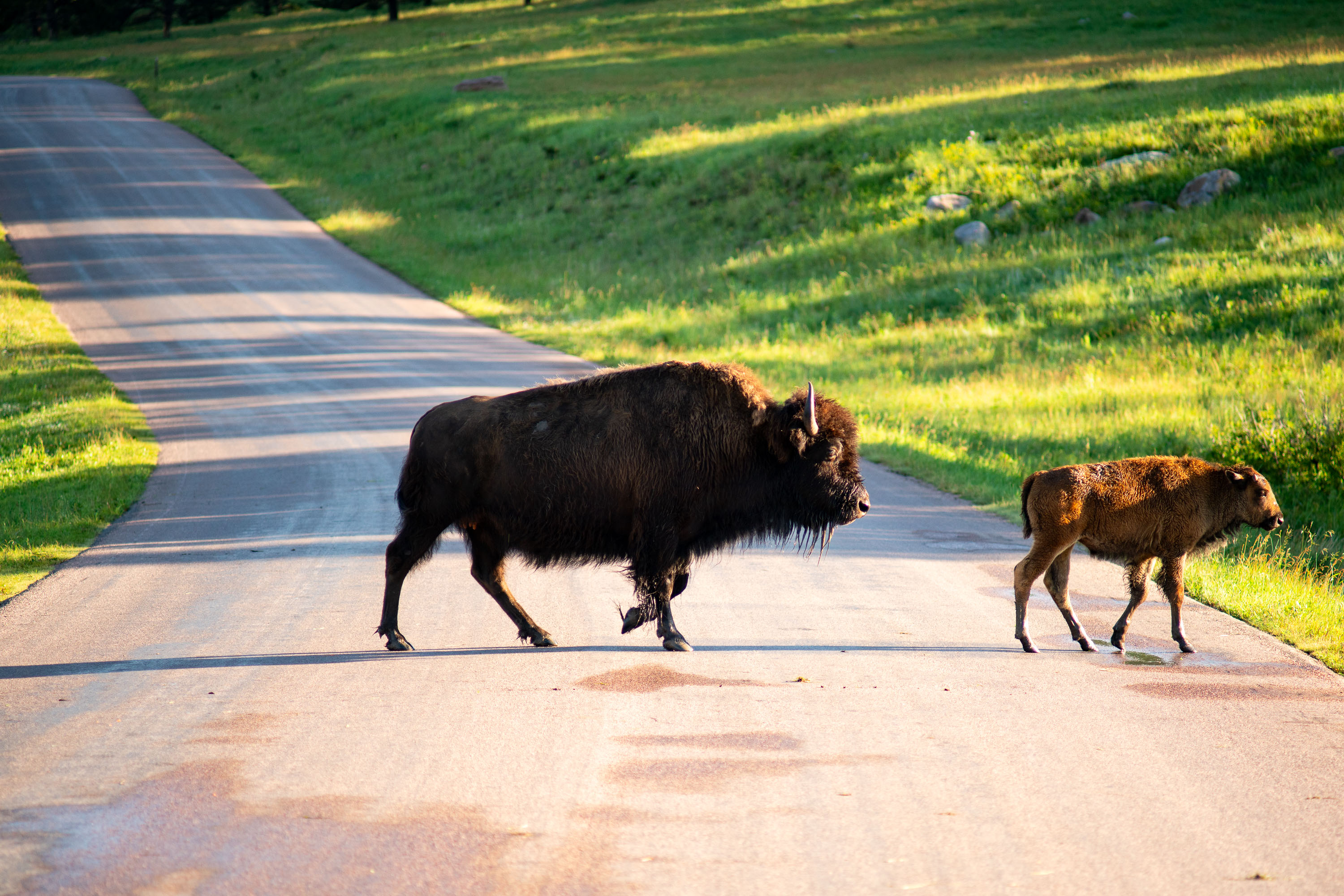
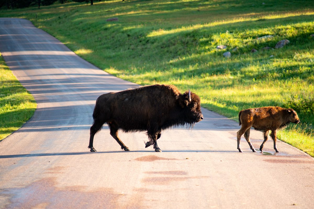
American bison cow and calf crossing a paved park road through grassland.
Custer State Park's Wildlife Loop Road runs 18 miles through the southern Black Hills of South Dakota, cutting straight through open range where the park's bison herd roams freely. That herd numbers around 1,300 animals, one of the largest publicly held bison herds in the world, and sightings along this stretch of pavement are common enough that rangers post warning signs for drivers. Calves are born in the spring, arriving a reddish-brown color that darkens to the adult's blackish-brown coat within a few months. Each fall the park holds its Buffalo Roundup, a decades-old tradition where riders drive the herd together for health checks and population management, drawing thousands of spectators to watch cowboys work cattle that can weigh up to 2,000 pounds.
Large bison grazing in the grass
A herd of bison grazes in Custer State Park, South Dakota. Established in 1913, the park is home to one of the largest bison herds in the world, a testament to conservation efforts. The park's landscape, characterized by rolling hills and ponderosa pine forests, provides essential habitat for these American icons. Bison were reintroduced to the park in the early 20th century, helping to restore a species that had been nearly eradicated.
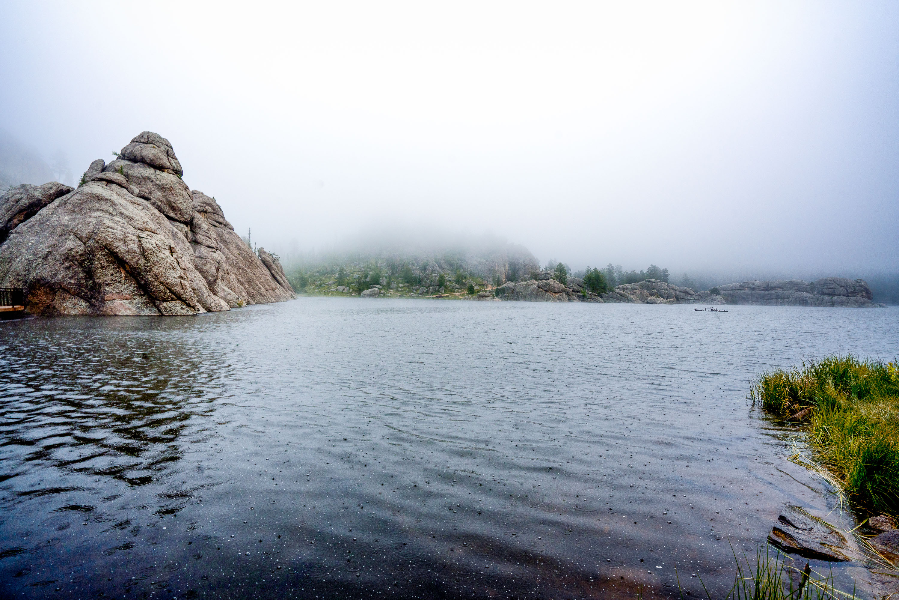
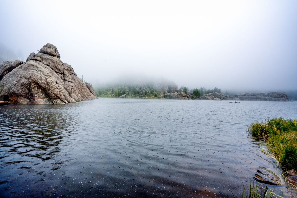
Foggy day at Sylvan Lake South Dakota
Sylvan Lake, located within Custer State Park in South Dakota's Black Hills, was formed in 1881 by Theodore Reder's construction of a dam on Sunday Gulch Creek. The lake and its surrounding granite formations are a popular destination for activities such as rock climbing, boating, swimming, and hiking. It also serves as a trailhead for excursions to notable natural landmarks like Black Elk Peak and The Needles.
Granite boulders frame Sylvan Lake in South Dakota's Custer State Park under overcast skies.
Sylvan Lake sits at about 6,145 feet in Custer State Park, near the start of the Needles Highway. It was created in 1881 when a dam was built across Sunday Gulch, and its granite outcroppings are part of the Harney Peak granite formation that also shaped Mount Rushmore and the nearby Needles. The lake covers roughly 17 acres and has long been a swimming and rock-climbing spot, with trails circling its shoreline and leading into Sunday Gulch. Custer State Park itself spans more than 71,000 acres, making it one of the largest state parks in the country.
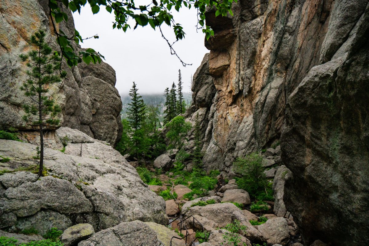
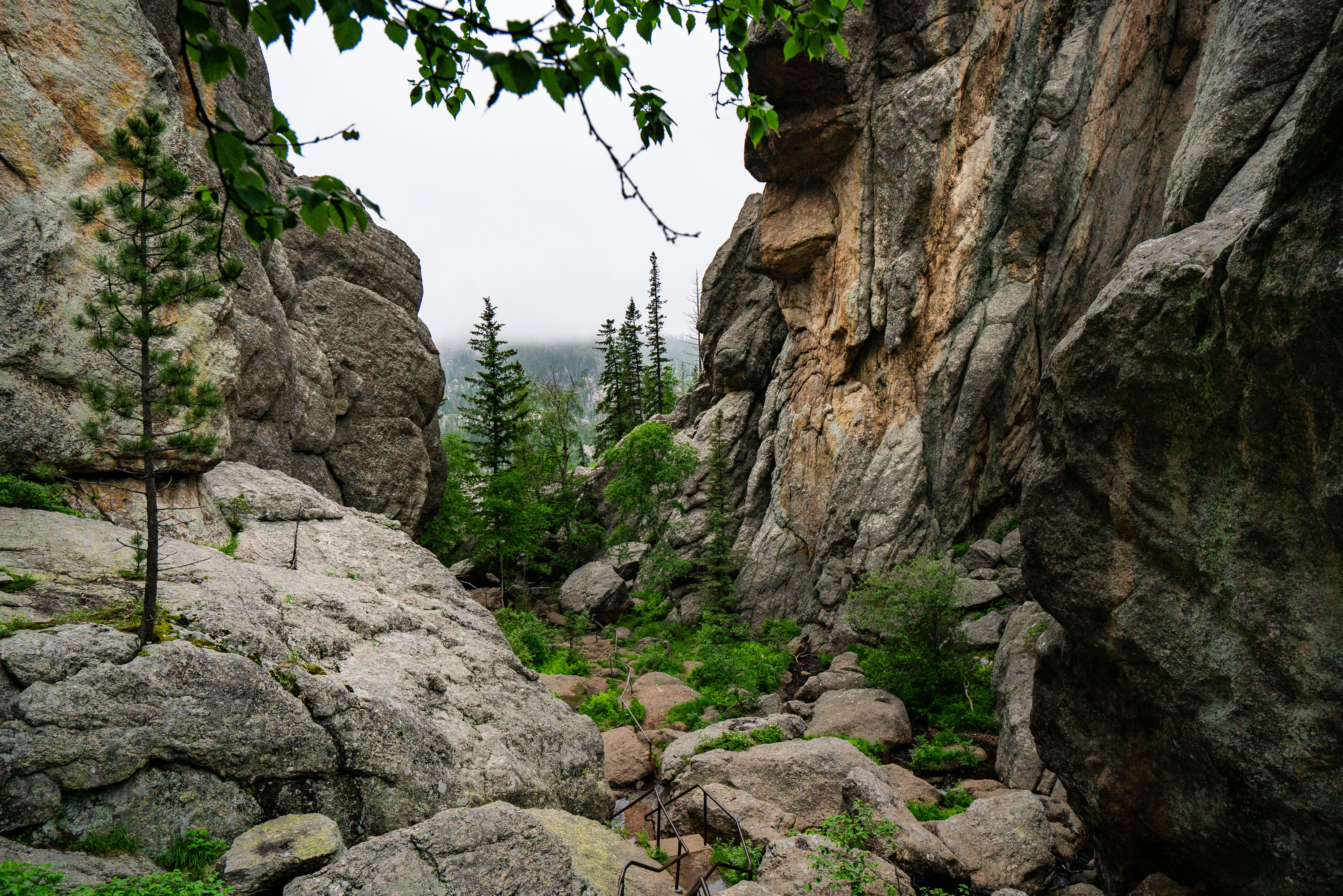
Rocky granite canyon with coniferous trees and boulders at Sylvan Lake, South Dakota.
Sylvan Lake sits in the Black Hills of Custer State Park, South Dakota, at an elevation of roughly 6,145 feet. The granite spires and boulders surrounding the lake are part of the Harney Peak granite formation, among the oldest exposed rock in the region at nearly 1.7 billion years old. A trail from the lake's shore climbs through these formations toward Black Elk Peak, the highest point in South Dakota at 7,244 feet and the highest peak east of the Rockies. The lake itself was created in 1881 when a dam was built across Sunday Gulch Creek, originally to power a nearby mill.
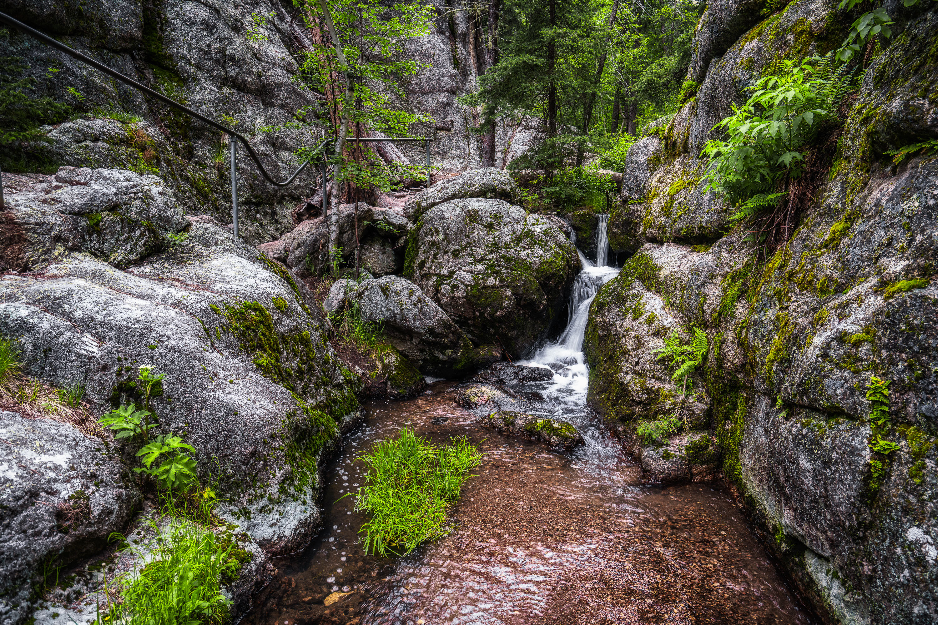
A small waterfall flows through moss-covered granite boulders in a forested canyon at Sylvan Lake, South Dakota.
This small cascade lies along the granite outcrops surrounding Sylvan Lake in Custer State Park, part of South Dakota's Black Hills. The lake itself was formed in 1881 when a dam was built across Sunday Gulch Creek, and the surrounding trails wind through the same 1.6-billion-year-old granite formations found throughout the park. Sunday Gulch Trail, one of the park's more rugged hiking routes, follows a similar creek bed through boulders and stairstep drops on its way down from the lake.
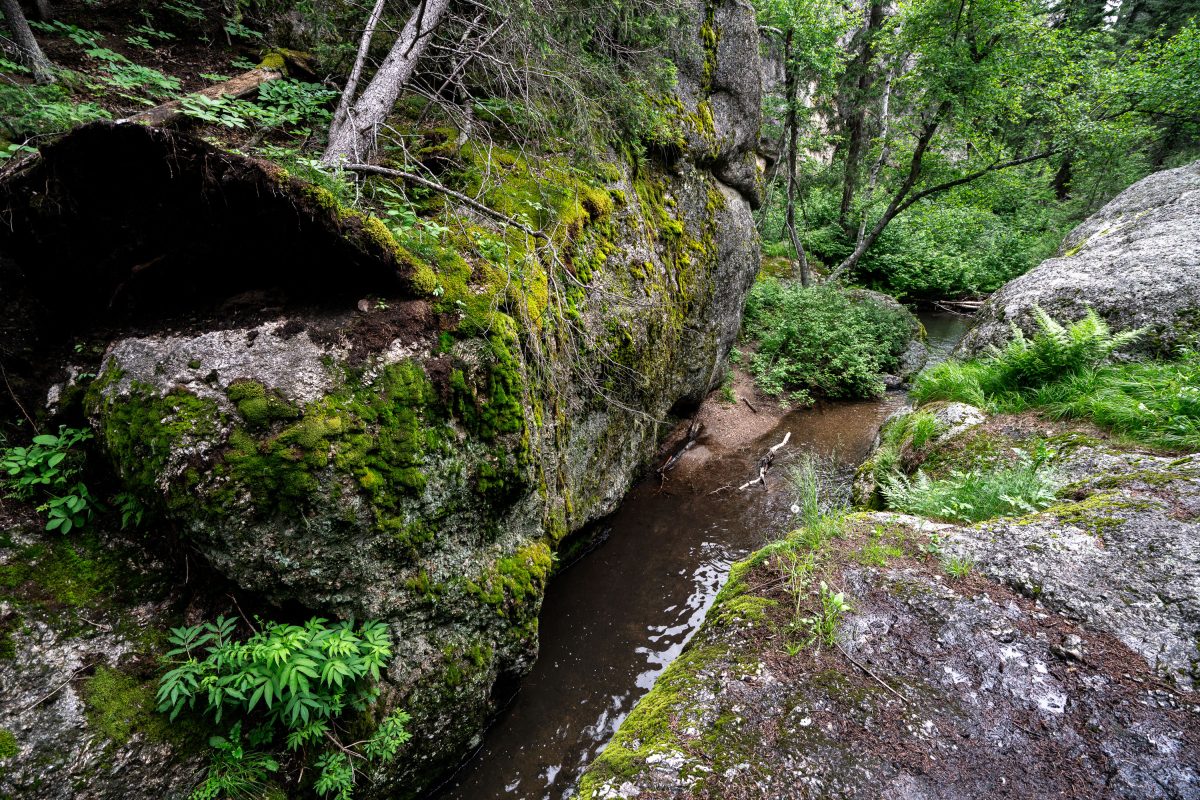
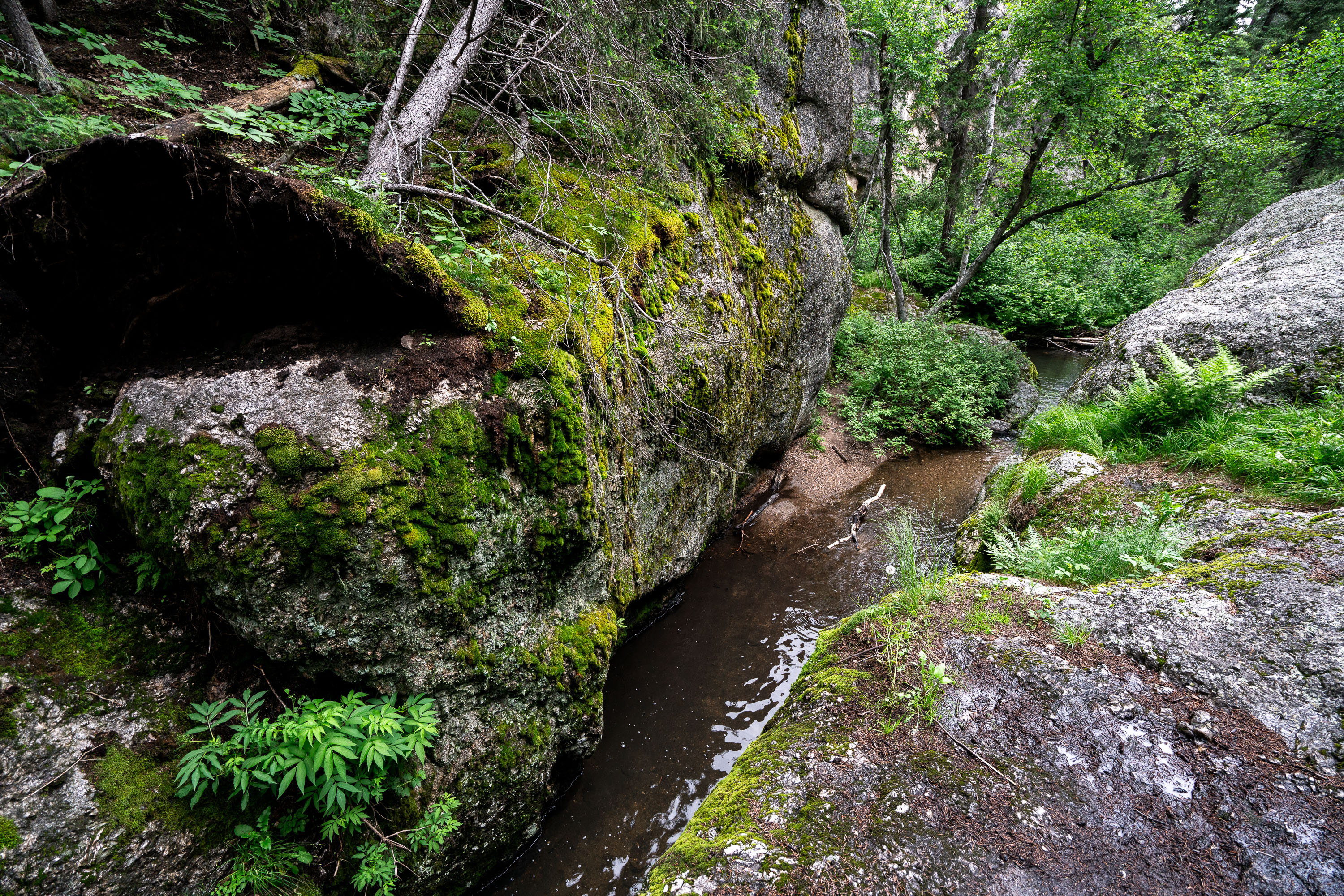
Stream flows through moss-covered rocks and forest in Sylvan Lake, South Dakota.
This granite outcrop sits along a small stream near Sylvan Lake, in the Black Hills of Custer State Park, South Dakota. The Black Hills' exposed granite dates to the Precambrian era, among the oldest rock formations in North America, and forms the rugged terrain surrounding Sylvan Lake's shoreline and hiking trails.
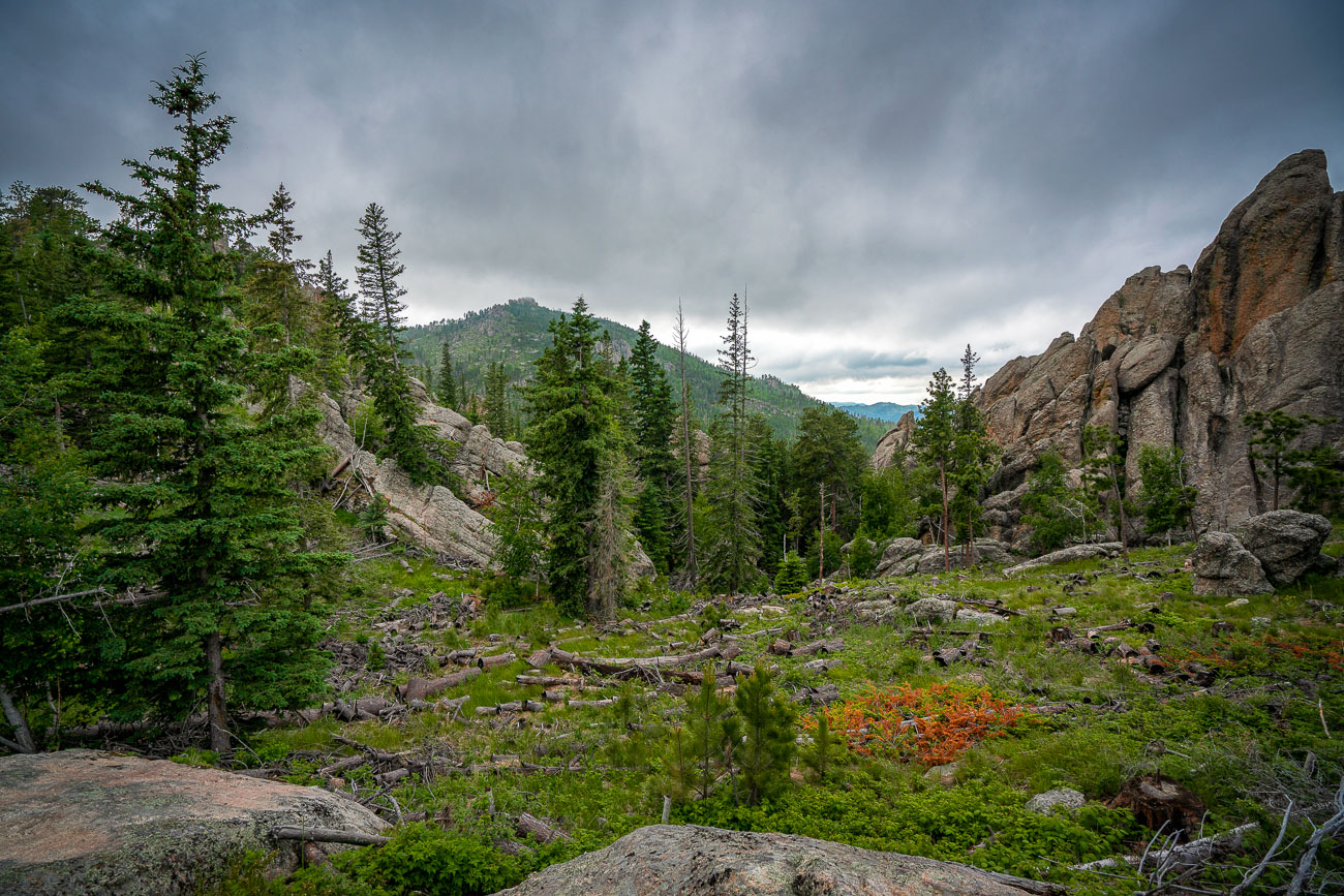
Granite outcrops and ponderosa pines in the Black Hills National Forest near Needles Highway, South Dakota.
Needles Highway cuts through granite spires in Custer State Park, part of South Dakota's Black Hills. The road was completed in 1922 under the direction of Governor Peter Norbeck, who laid out its route on foot and horseback to highlight the granite formations rather than avoid them. The rock towers here are remnants of an ancient batholith, exposed over millions of years as softer surrounding rock eroded away. Ponderosa pine forest covers much of the surrounding terrain, with stands thinned in places by wildfire and beetle kill common to the Black Hills. Custer State Park itself covers more than 71,000 acres and adjoins Wind Cave National Park and the Black Hills National Forest to the south.

Built in Minneapolis

Minneapolis Photographer

Browse by location, move through long-running series, or start with recent work.