Ghost Town

6 photos · 2015–2019

6 photographs tagged Ghost Town, 2015–2019.

Yellow center line marks Highway 44 stretching through Badlands National Park's eroded buttes and grasslands, South Dakota.
Highway 44 runs along the southern edge of Badlands National Park, linking the town of Interior to Rapid City and serving as an alternate route to the more heavily traveled Badlands Loop Road (Highway 240). The park itself was designated in 1978, though the area had been protected as a national monument since 1939. Badlands National Park spans roughly 244,000 acres of mixed-grass prairie and eroded buttes, pinnacles, and spires formed by deposits laid down between 69 and 75 million years ago. Erosion continues to reshape the formations at a rate of about an inch per year, among the fastest in the world.

A Lonely Stretch of Highway 44 in Badlands National Park

Green grasslands stretch beneath storm clouds near Badlands National Park, South Dakota.
Badlands National Park sits at the edge of a mixed-grass prairie ecosystem, one of the largest protected tracts of this habitat remaining in the United States. The park's 244,000 acres include roughly 64,000 acres of designated wilderness, where grasslands like these transition into the eroded buttes and spires the park is known for. These prairies support bison, bighorn sheep, and the black-footed ferret, reintroduced here in 1994 after near-extinction. The grasses and wetland pockets also help anchor the fragile, fast-eroding sedimentary rock that defines the surrounding badlands terrain.

Mixed-Grass Prairie Along Badlands National Park’s Northern Boundary
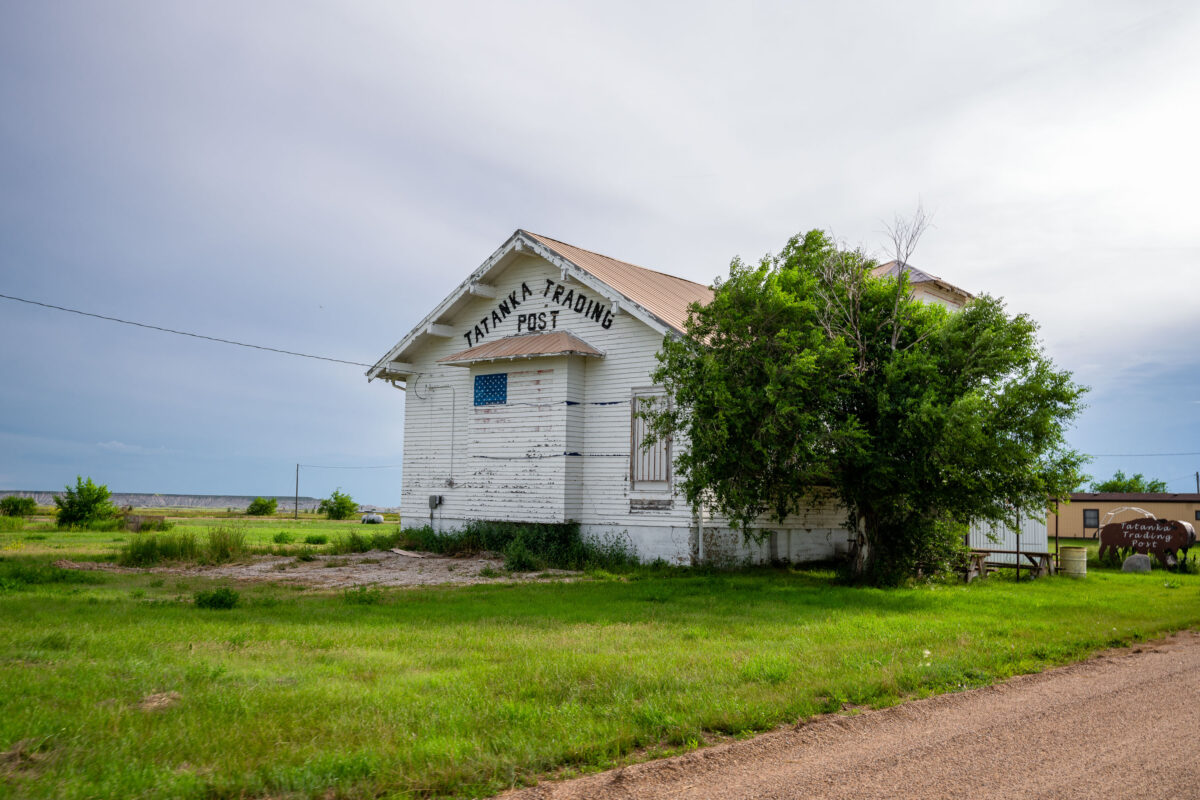
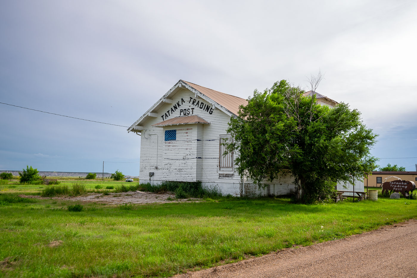
Tatanka Trading Post, a white wooden building with faded signage, stands abandoned in Scenic, South Dakota.
Scenic, South Dakota sits along the northern edge of the Pine Ridge Indian Reservation, about eight miles from an entrance to Badlands National Park. The town was platted in 1907 as a shipping point on the Chicago and North Western Railway line and later gained a measure of notoriety for a saloon that operated on reservation land, drawing visitors despite alcohol restrictions nearby. Tatanka Trading Post, its name drawn from the Lakota word for bison, operated as one of a small cluster of retail stops along Highway 44 selling goods and souvenirs to travelers passing through the area. Today the building is among the few structures still standing in Scenic, a town whose year-round population has fallen to only a handful of residents.

Faded Tatanka Trading Post Sign in Scenic, South Dakota
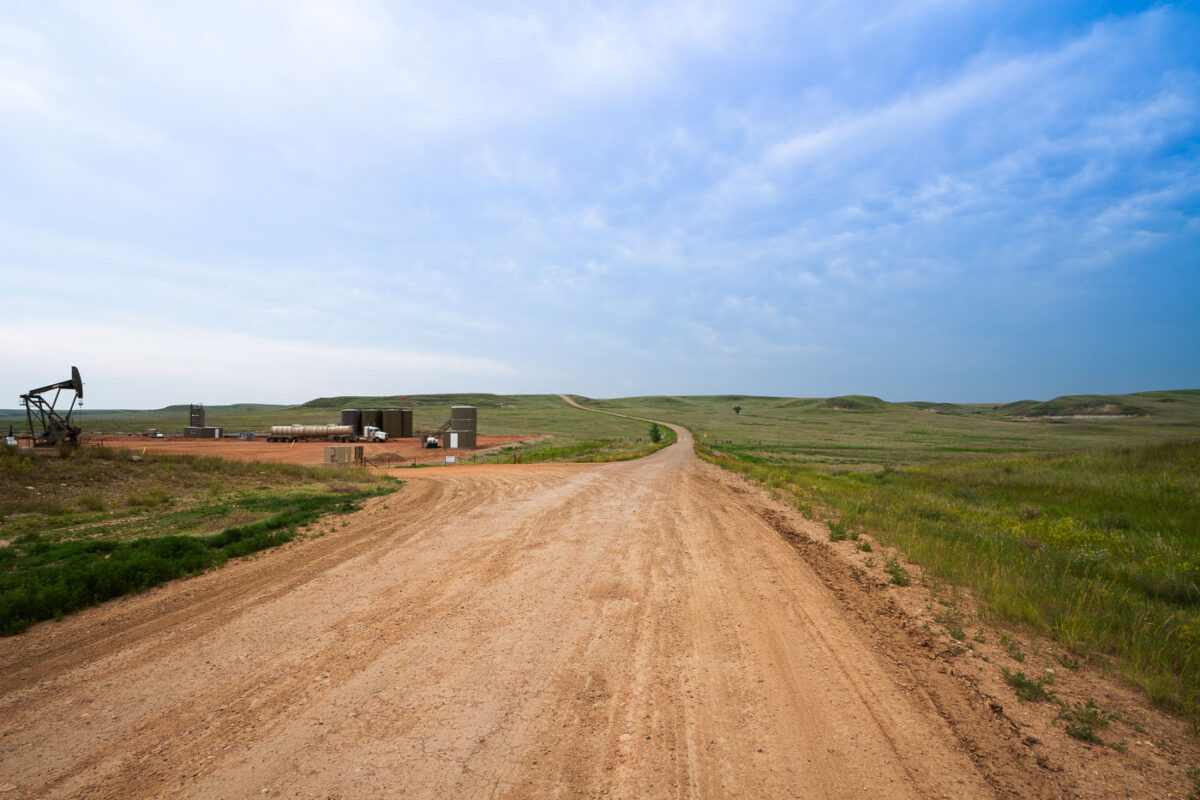
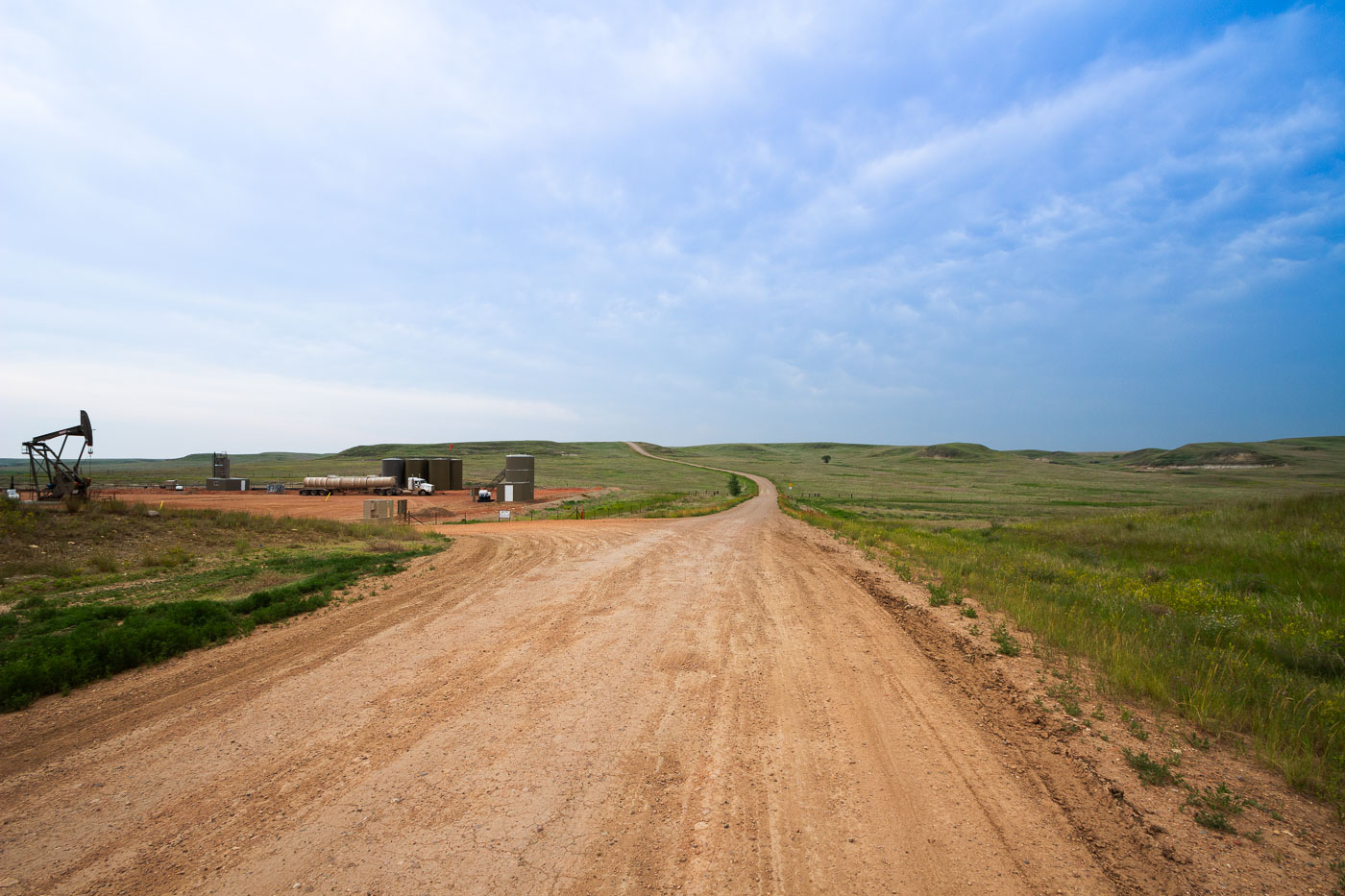
Oil pumpjack and storage facilities on a dirt road in North Dakota's Bakken Formation oil field.
Charbonneau sits in McKenzie County, North Dakota, within the Bakken Formation, the shale oil play that drove the state's drilling boom starting in the mid-2000s. The pumpjack and tank battery here are typical of Bakken wellsites, where crude oil is separated and held in steel storage tanks before being trucked to pipeline or rail terminals. McKenzie County has long ranked among North Dakota's top oil-producing counties. Many access roads to wellsites like this one remain unpaved, built and maintained by operators to reach wells scattered across the rural grasslands.

Dirt Road to a Pumpjack Site Near Charbonneau, North Dakota
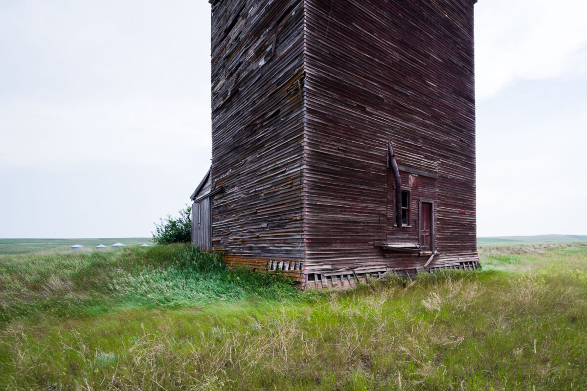
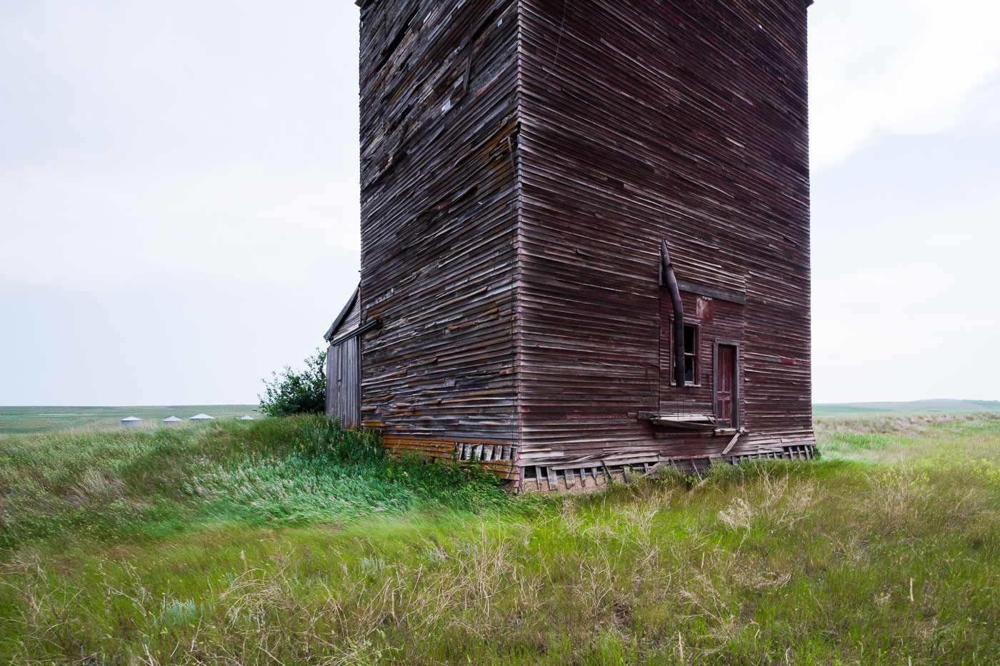
Abandoned wooden grain elevator stands in overgrown grassland near Charbonneau, North Dakota.
Wood-crib grain elevators like this one were built by farm cooperatives and independent grain companies across North Dakota from the early 1900s through the mid-20th century. Grain cribbing construction stacked dimensional lumber horizontally, plank by plank, to form the walls, a method chosen for its strength in holding the outward pressure of stored grain. Elevators of this type typically stood two to three stories tall with a peaked cupola or headhouse above for the conveying machinery, though many, including this one, have lost those upper features over time. Small-town elevators like this served as the local collection point where farmers hauled wheat and other grain to be weighed, stored, and loaded onto rail cars. Rail line closures and the consolidation of grain handling into larger regional facilities left many of these small-town elevators obsolete by the late 20th century.

Weathered Wood-Crib Grain Elevator Near Charbonneau
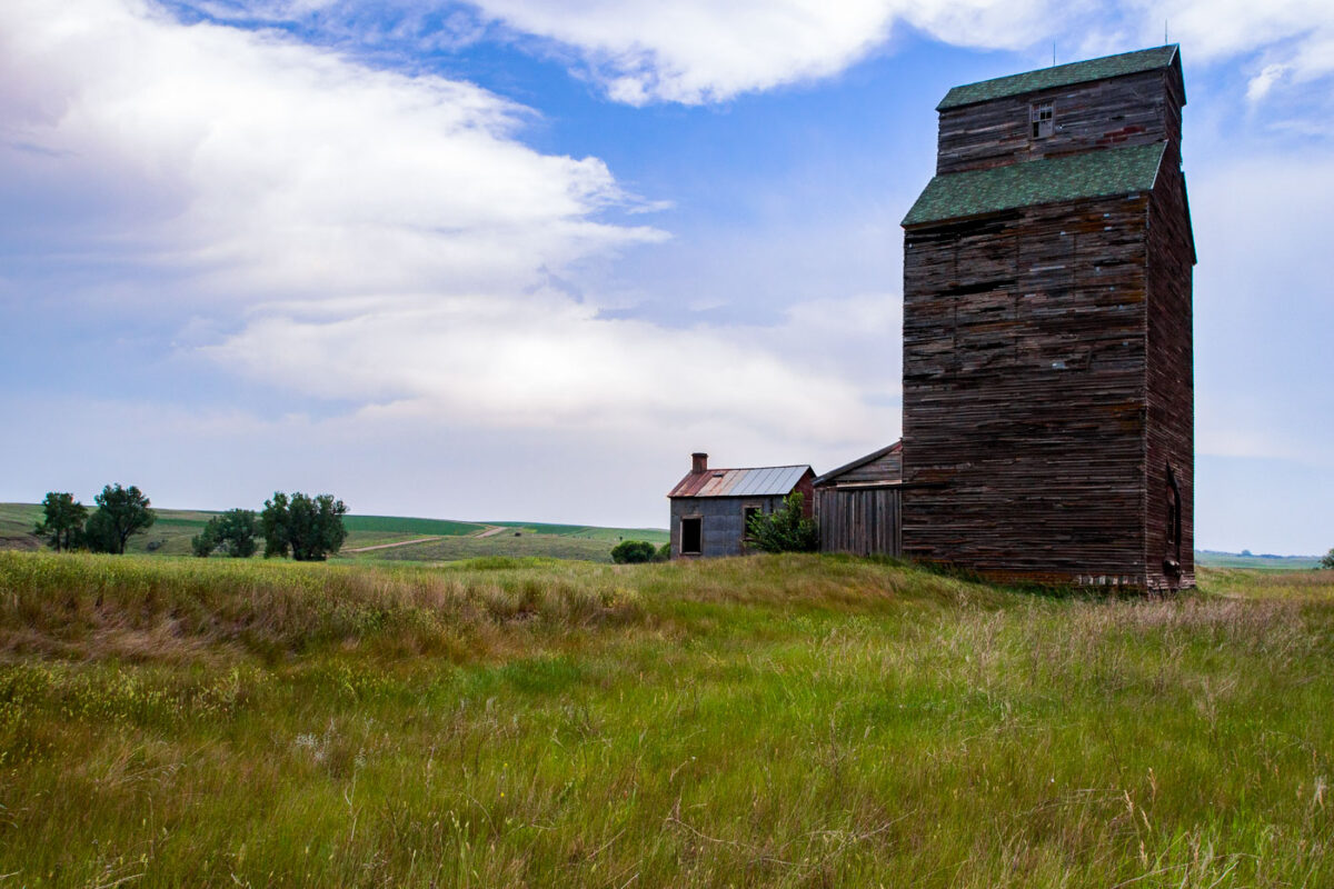
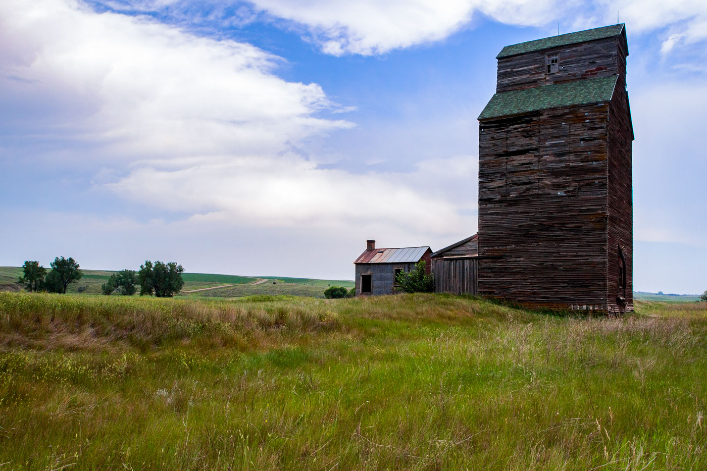
Wooden grain elevator and outbuilding stand in abandoned Charbonneau, North Dakota farmland.
Charbonneau is one of the many small farming communities scattered across western North Dakota that lost its population base as agriculture consolidated through the 20th century. The wooden grain elevator here follows a crib-style design common to the region before concrete slip-form elevators became standard, with vertical boards stacked to form bins that held wheat and other crops until rail cars arrived for loading. Elevators like this one were typically built alongside branch rail lines, and their closure often followed the abandonment of those lines as larger, centralized terminals took over grain handling. The adjacent outbuilding would have served as a scale house or office for weighing and recording incoming loads from local farms.

Abandoned Grain Elevator in Charbonneau, North Dakota