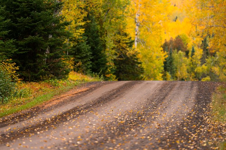
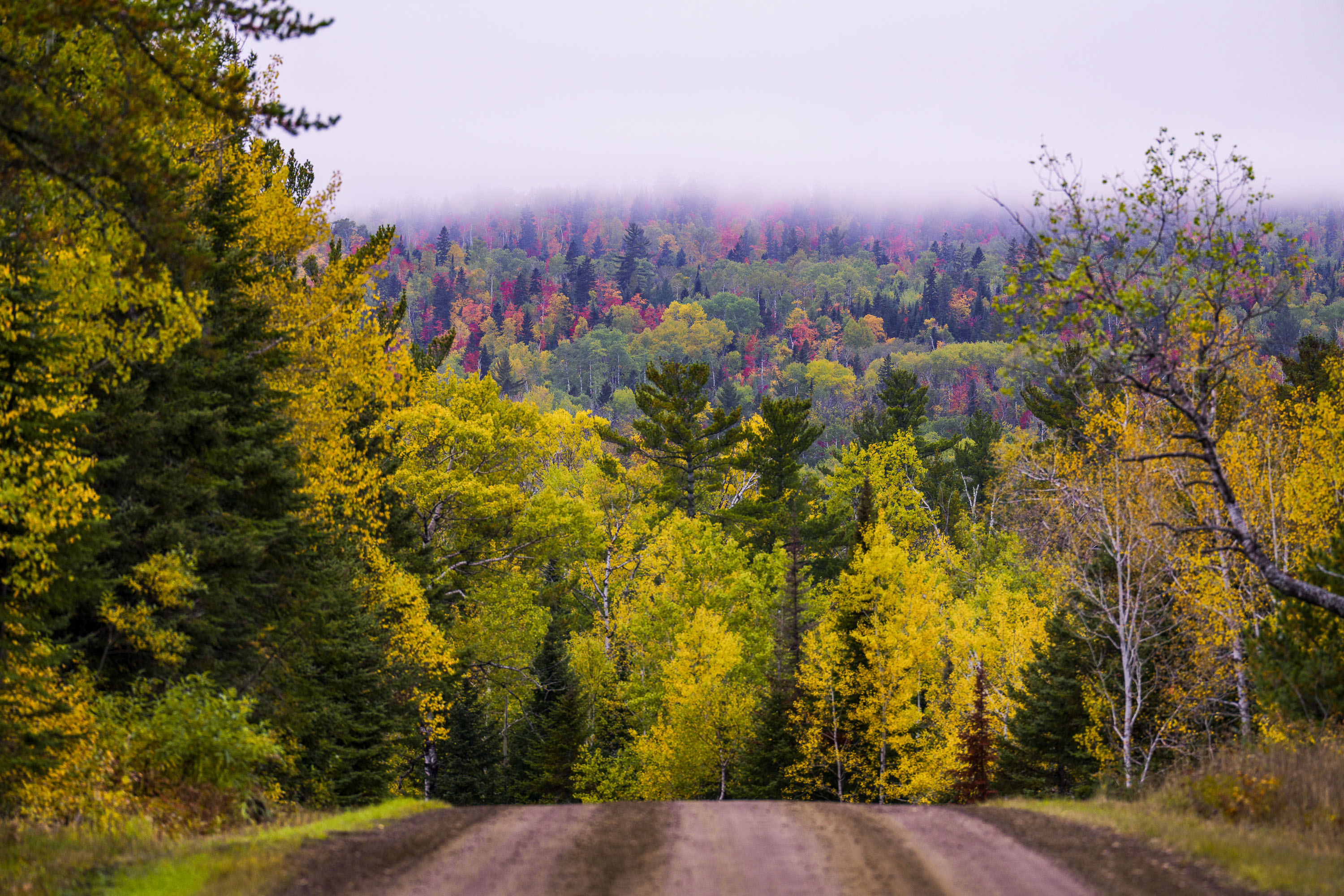
Gravel Road Through Fall Foliage, Arrowhead Trail, Minnesota
Taken
Taken
The Arrowhead Trail is a roughly 20-mile gravel road, designated Cook County Road 16, running north from Hovland on Lake Superior's North Shore to the Ontario border at the Pigeon River. The route cuts through the Superior National Forest, passing stands of aspen, birch, and white and red pine mixed with maple that turn color each September and October. It's maintained as a low-traffic forest road rather than a state highway, popular with anglers heading to backcountry lakes and with fall-color drivers making the trip up from Highway 61.
Taken
More from
Superior National Forest
 Decaying log laying in the Superior National Forest
A downed tree in the Superior National Forest in Northern Minnesota.
 Loft Lake from Shoe Lake Road in Minnesota
Foggy morning over Loft Lake as seen from Shoe Lake Road in Northern Minnesota.
 Rocky Stretch of the Temperance River, Superior National Forest
The Temperance River runs roughly 22 miles from its origin near the Laurentian Divide to Lake Superior, dropping through a…
 No Garbage Service Sign, Superior National Forest
A sign in the Superior National Forest that reads "No Garbage Service Please Pack It OUT!"
 Mixed Hardwood Forest in Autumn, Superior National Forest
Superior National Forest covers more than three million acres across northeastern Minnesota, including Cook County, and stands as Minnesota's largest…
 Fire restrictions sign in Minnesota
"Fire restrictions now in effect" sign seen in the Superior National Forest on Jukly 26, 2026.