North Shore

11 photos · 2011–2025

11 photographs tagged North Shore, 2011–2025.
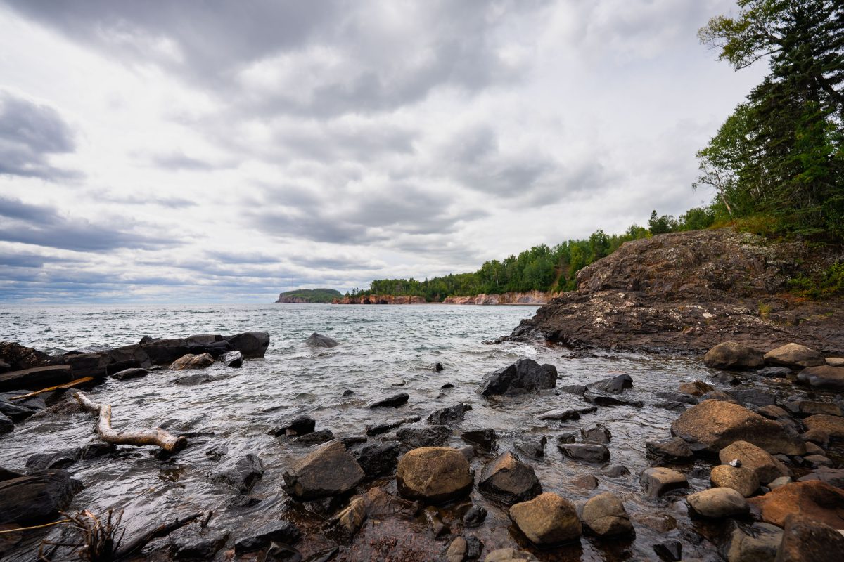
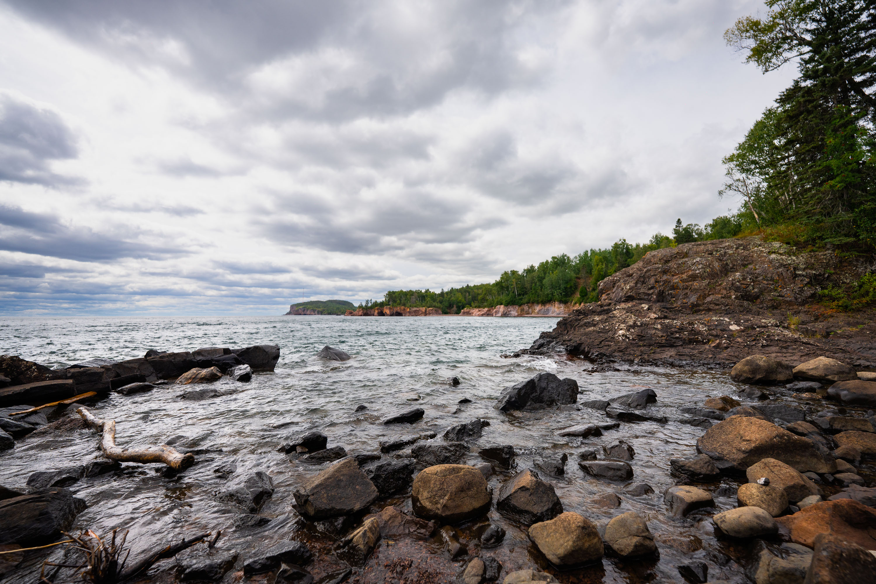
Rocky shoreline with ancient volcanic rocks at Tettegouche State Park on Lake Superior's North Shore, Minnesota.
Tettegouche State Park runs along nearly six miles of Lake Superior's North Shore in Minnesota. The dark rock along this stretch formed from volcanic activity roughly 1.1 billion years ago, part of the Midcontinent Rift that shaped much of the region's bedrock. Established in 1979, the park covers more than 9,000 acres and includes the Baptism River, which empties into Lake Superior nearby. It's also home to High Falls, the tallest waterfall located entirely within Minnesota's borders.

Volcanic Cliffs Along Tettegouche State Park’s Lake Superior Shore
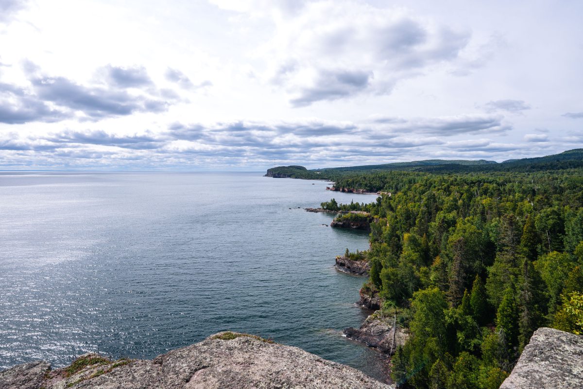
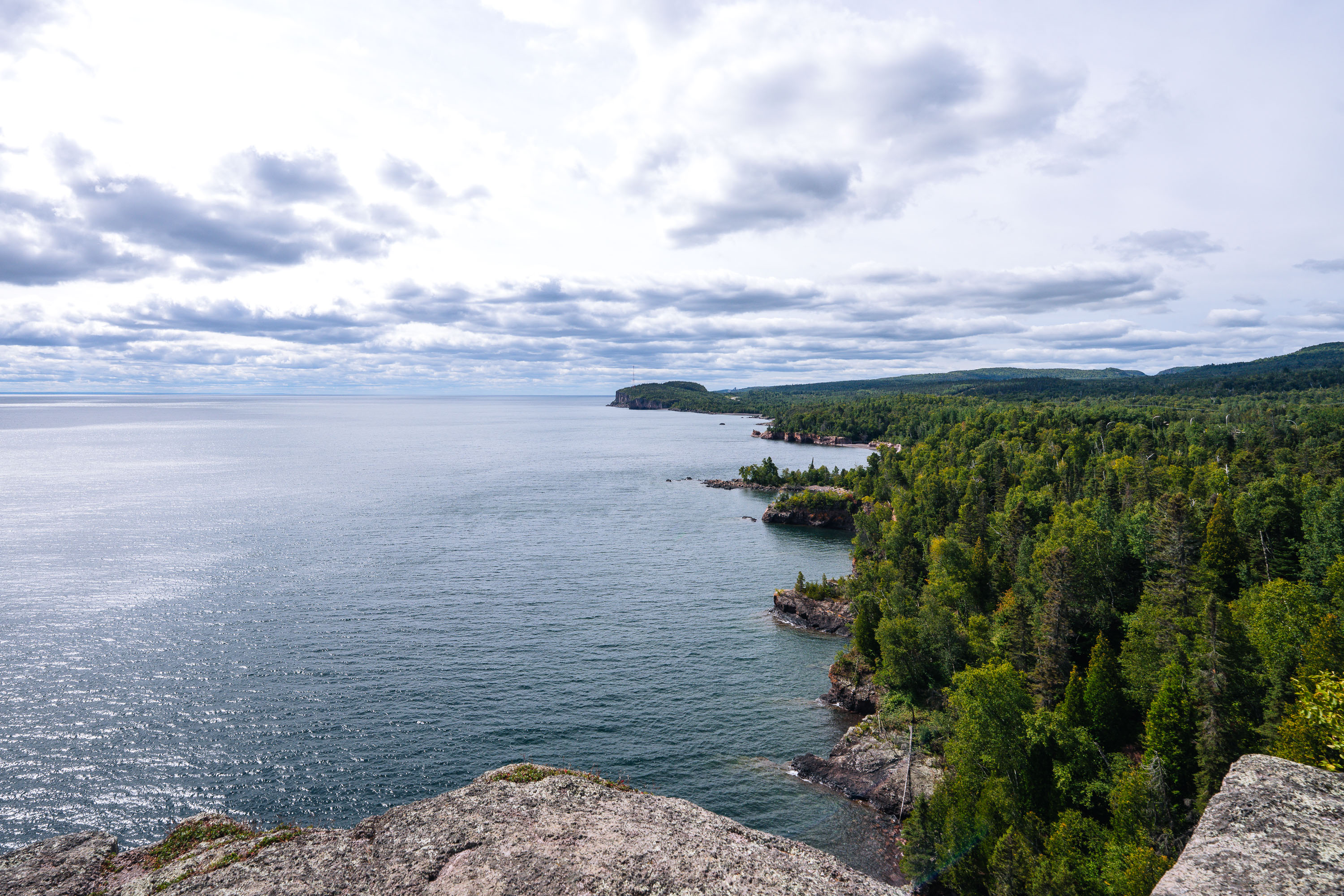
Rocky shoreline with boreal forest meets Lake Superior at Shovel Point in Tettegouche State Park, Minnesota.
Tettegouche State Park runs along more than six miles of Lake Superior shoreline near the mouth of the Baptism River in Minnesota's North Shore region. Its cliffs, formed from ancient volcanic rock, rank among the highest points on the state's Lake Superior coast. Established in 1979, the park covers roughly 9,600 acres of boreal forest, inland lakes, and shoreline. Shovel Point, a rhyolite headland reached by a mile-long trail, is one of the park's best-known overlooks, along with nearby Palisade Head.

Shovel Point Overlook at Tettegouche State Park
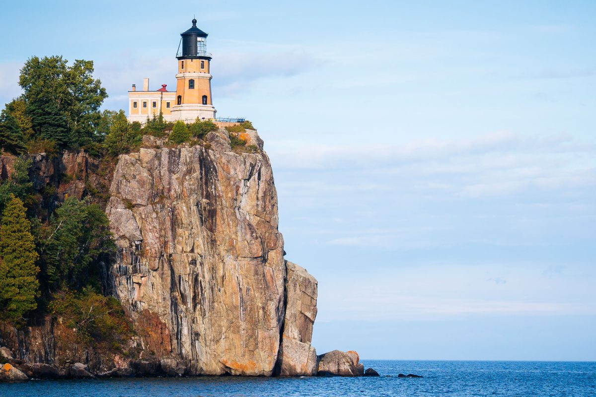
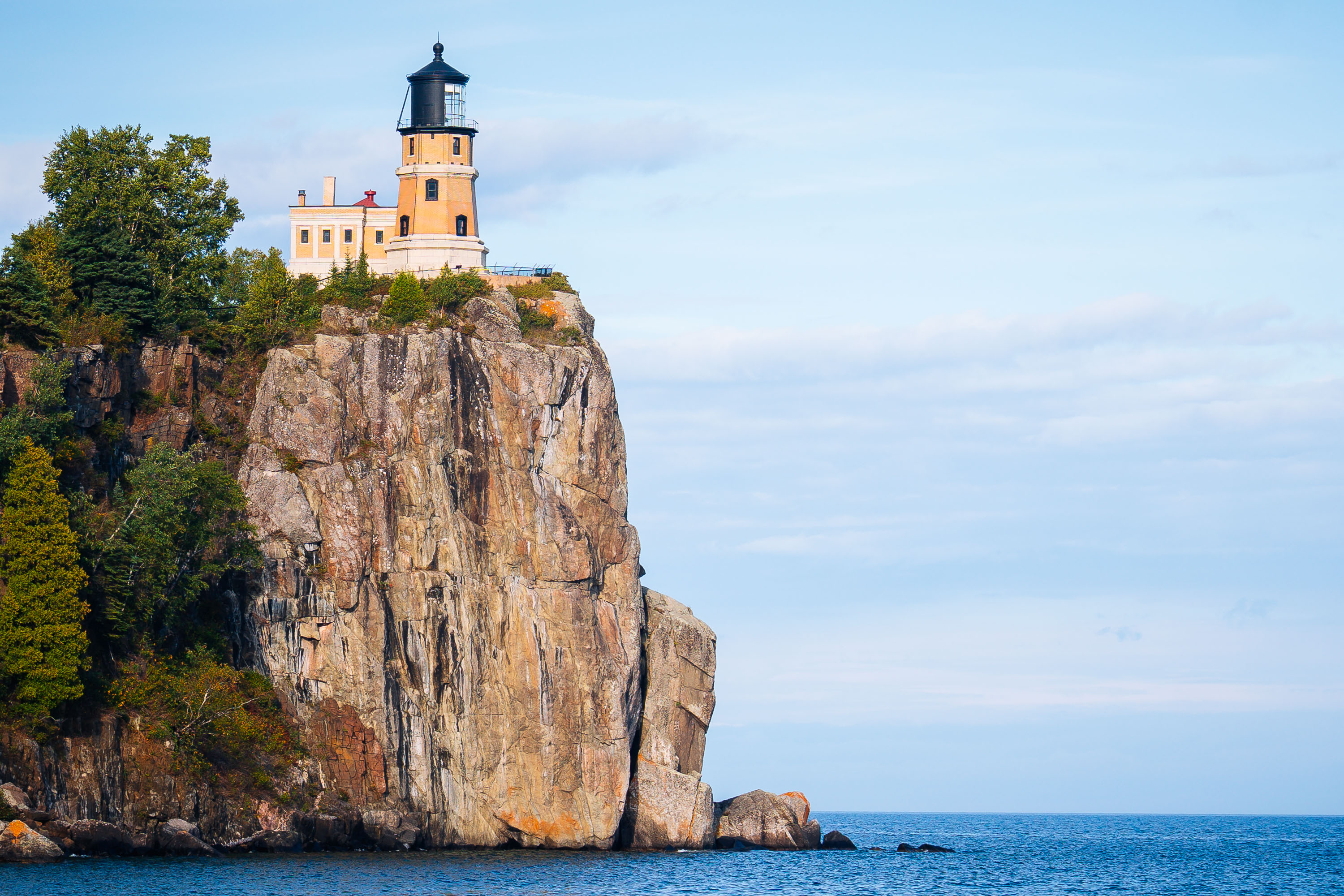
Split Rock Lighthouse perches atop a rocky cliff above Lake Superior near Two Harbors, Minnesota.
Split Rock Lighthouse sits atop a 130-foot cliff overlooking Lake Superior near Two Harbors, Minnesota. The Minnesota Historical Society, which operates the site as Split Rock Lighthouse State Park, built the station in 1910 after a severe 1905 storm wrecked dozens of ships along the North Shore. The Duluth, South Shore and Atlantic Railroad supplied the remote outpost by boat, since no roads reached it until the 1920s. The U.S. Coast Guard deactivated the light in 1969, and the tower is now preserved as a historic site rather than an active aid to navigation.

Split Rock Lighthouse Perched on Its Cliff Above Lake Superior
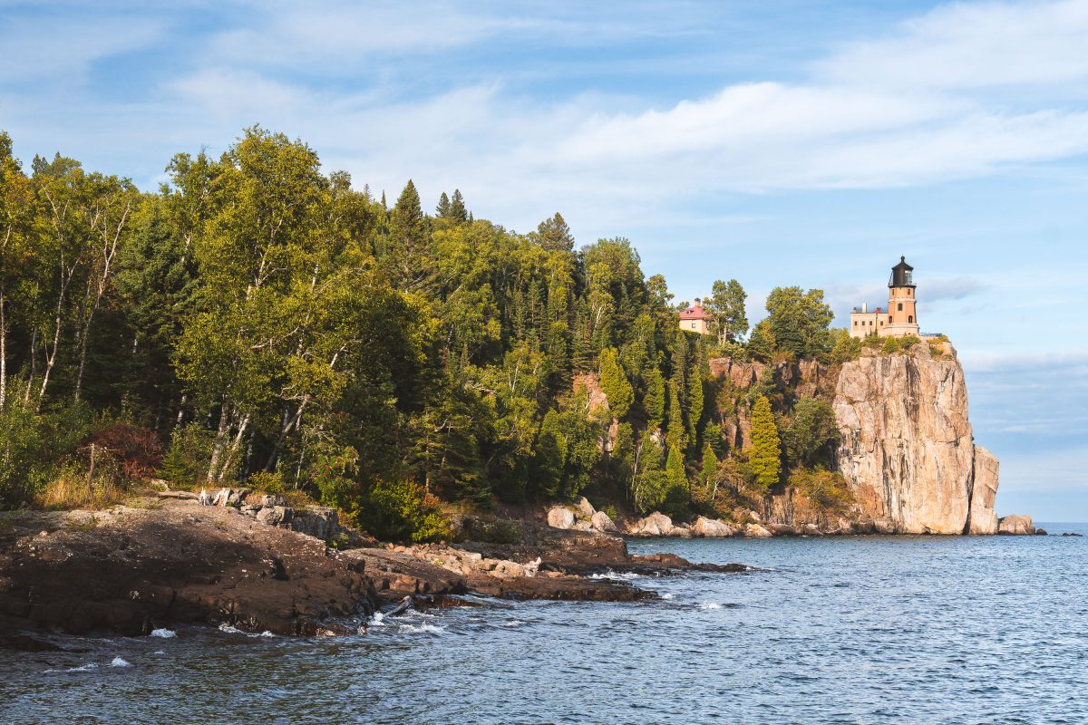
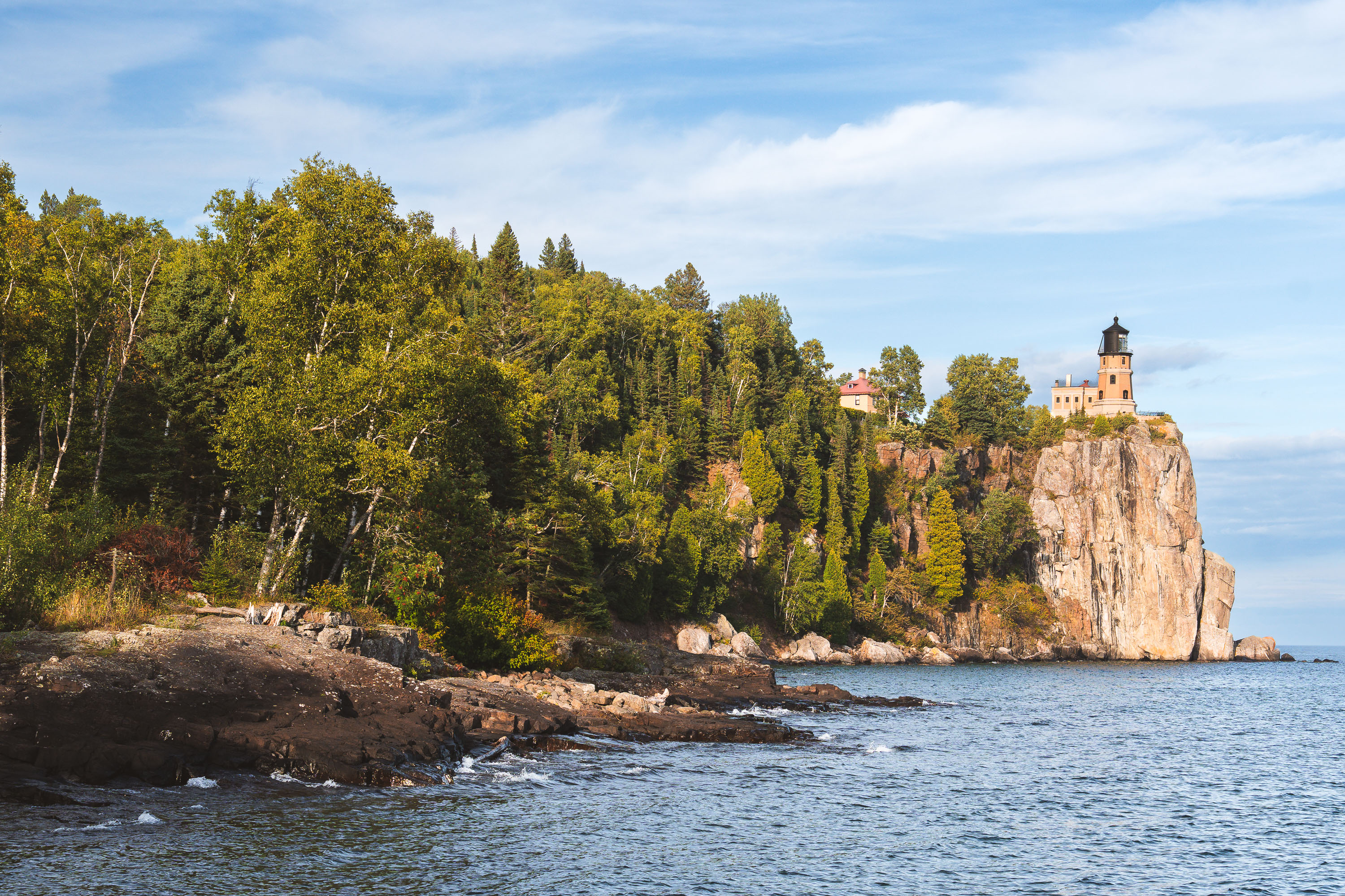
Split Rock Lighthouse stands on a cliff above Lake Superior near Two Harbors, Minnesota.
Split Rock Lighthouse stands atop a 130-foot cliff within Split Rock Lighthouse State Park near Two Harbors, Minnesota. The U.S. Lighthouse Service built it in 1910 after a series of shipwrecks, including the 1905 loss of the Mataafa, revealed the danger this stretch of the North Shore posed to Great Lakes shipping. Its beam once reached 22 miles across Lake Superior, guiding freighters carrying iron ore from the Mesabi Range. The Coast Guard decommissioned the light in 1969, the same year it was added to the National Register of Historic Places. The Minnesota Historical Society now manages the site as a museum and historic landmark.

Split Rock Lighthouse Above a Forested Shoreline on Lake Superior
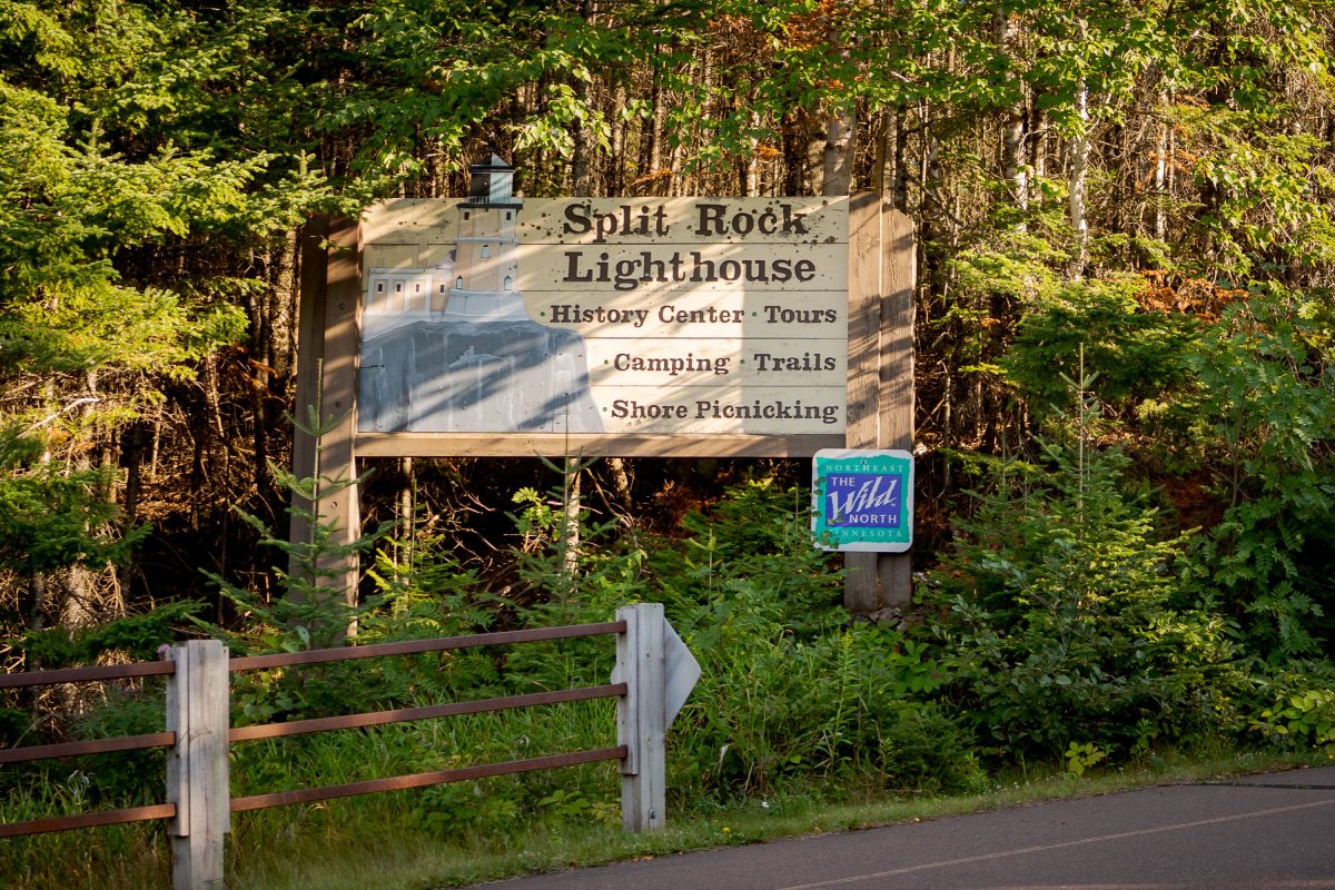
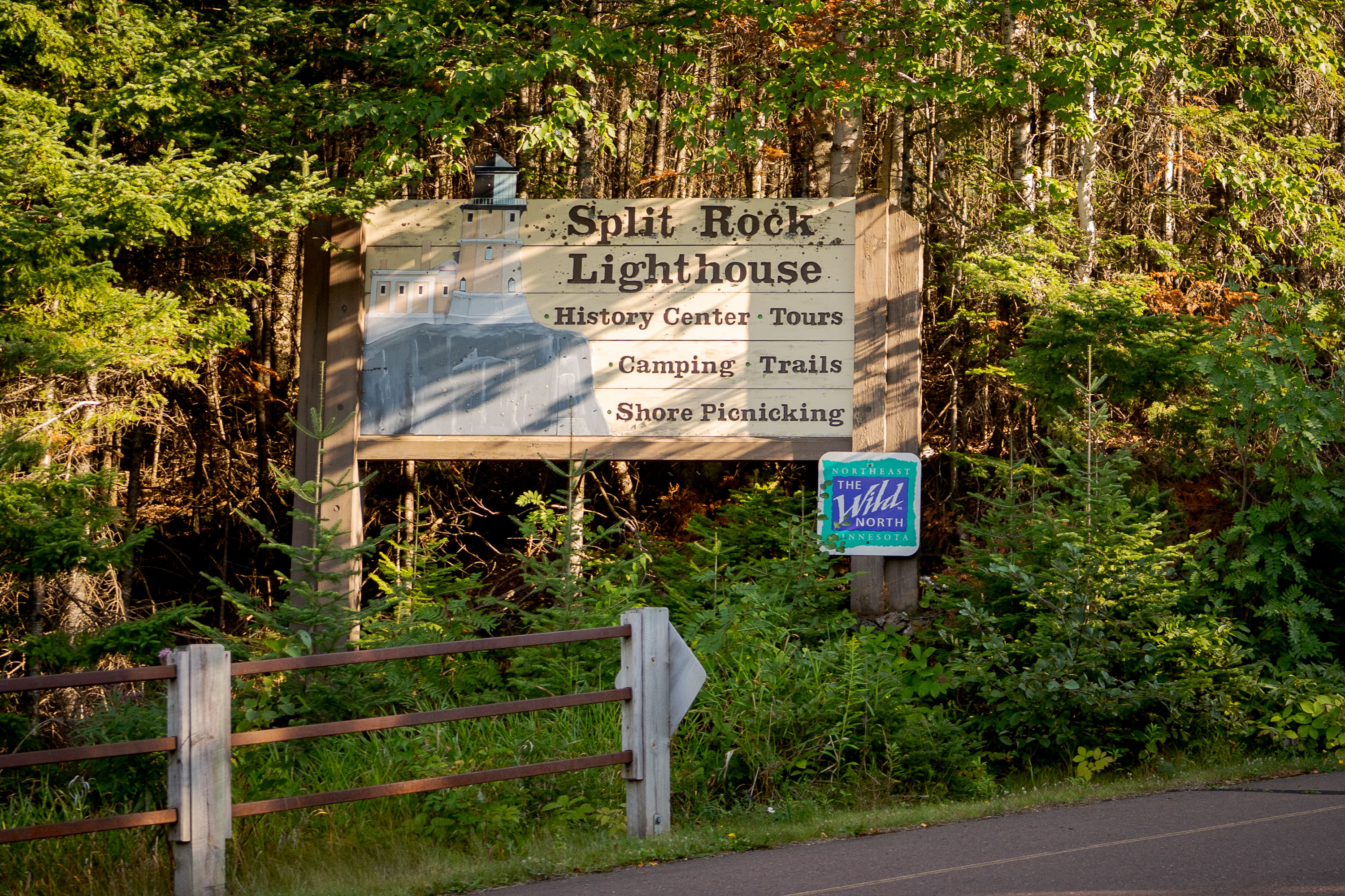
Split Rock Lighthouse Sign in Northern Minnesota
A sign for the Split Rock Lighthouse on the North Shore in Minnesota.

Split Rock Lighthouse Sign in Northern Minnesota
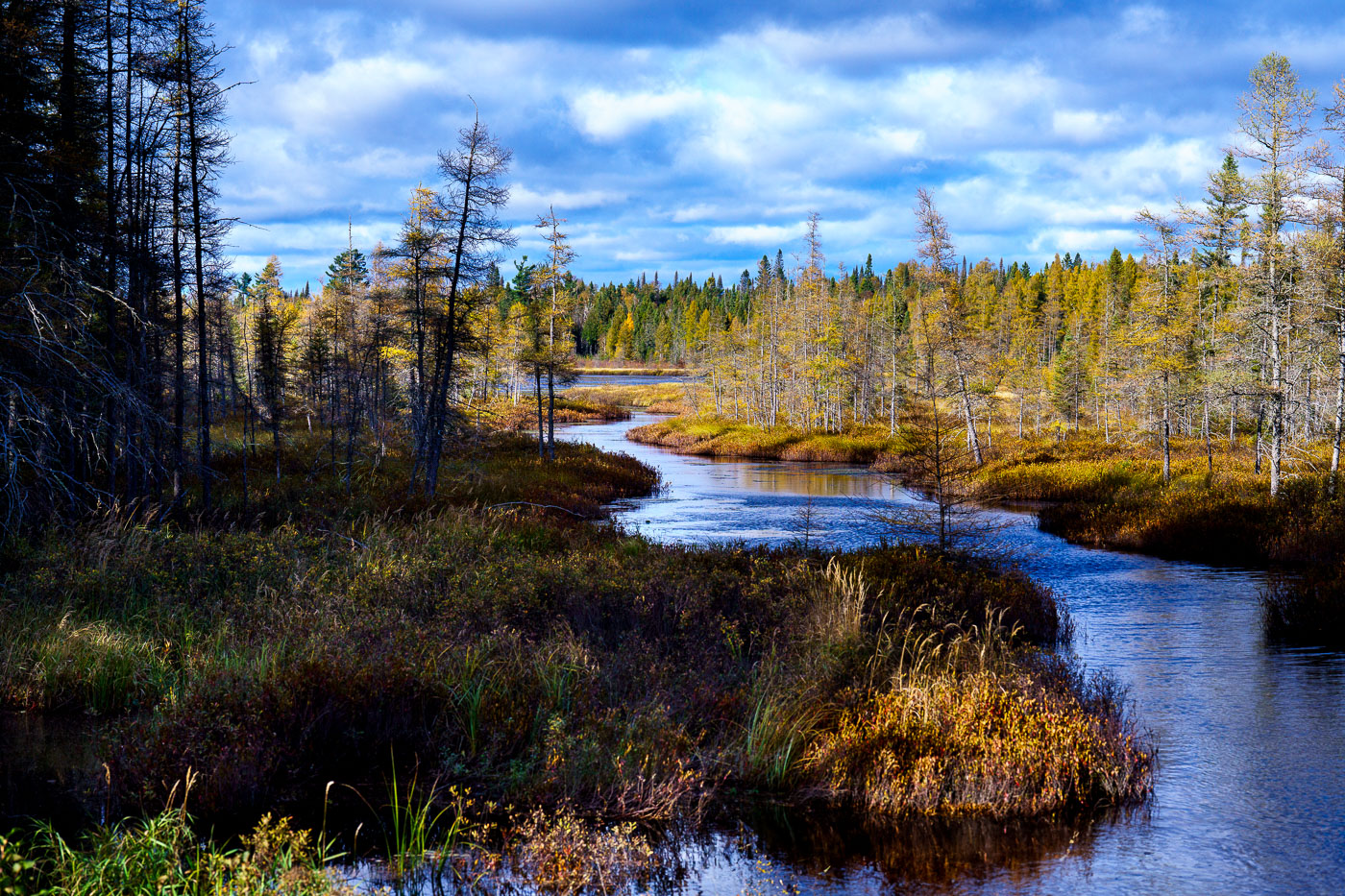
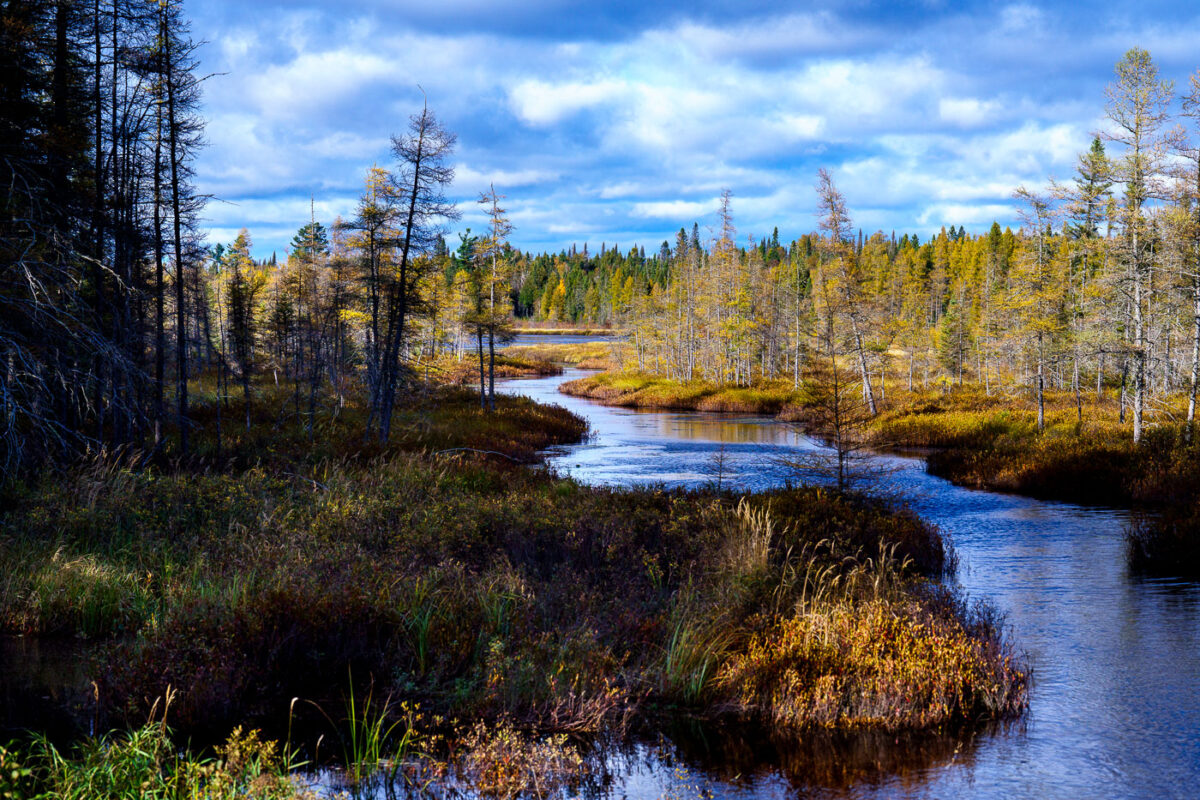
West Baptism River winds through coniferous forest in Superior National Forest, Minnesota.
The West Baptism River flows through the Superior National Forest near Isabella, Minnesota. This waterway is part of the Boundary Waters Canoe Area Wilderness, a protected region known for its pristine lakes and rivers. The forest itself is a significant ecological area, supporting diverse wildlife and showcasing the natural beauty of the North Shore region. The river's name is believed to originate from early European explorers or missionaries who may have performed baptisms in its waters.

West Baptism River, Superior National Forest, Minnesota
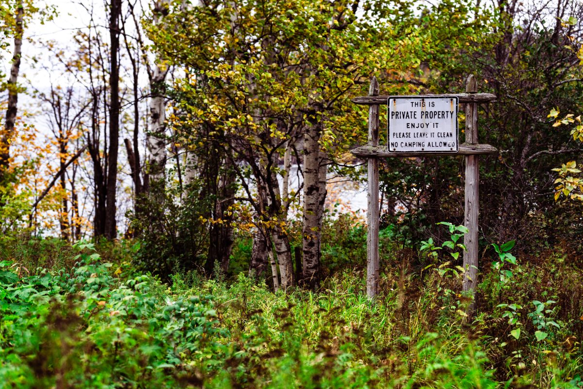
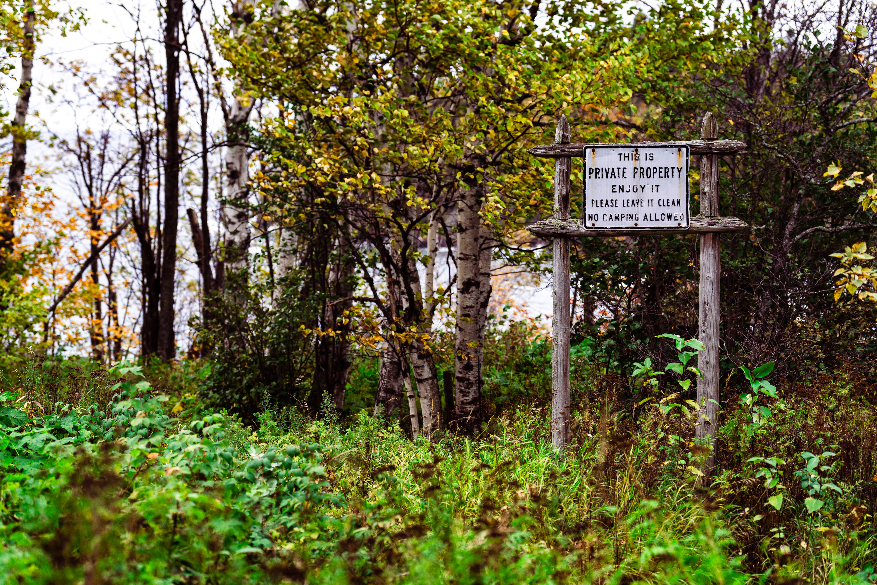
A weathered private property sign posted on wooden posts in a forested area near Beaver Bay, Minnesota.
Beaver Bay is a small township on Minnesota's North Shore, along Lake Superior between Silver Bay and Two Harbors. The area mixes state forest land, county parcels, and privately owned woodland, often without clear boundary markers between them. Hand-lettered signs like this one are common along the North Shore's backroads, where landowners ask visitors to respect private land while still allowing access for walking. The wording here — permitting use while barring camping — a common arrangement in the region between private owners and the hikers who pass through on informal trails.

“Private Property” Sign Near Beaver Bay, Minnesota
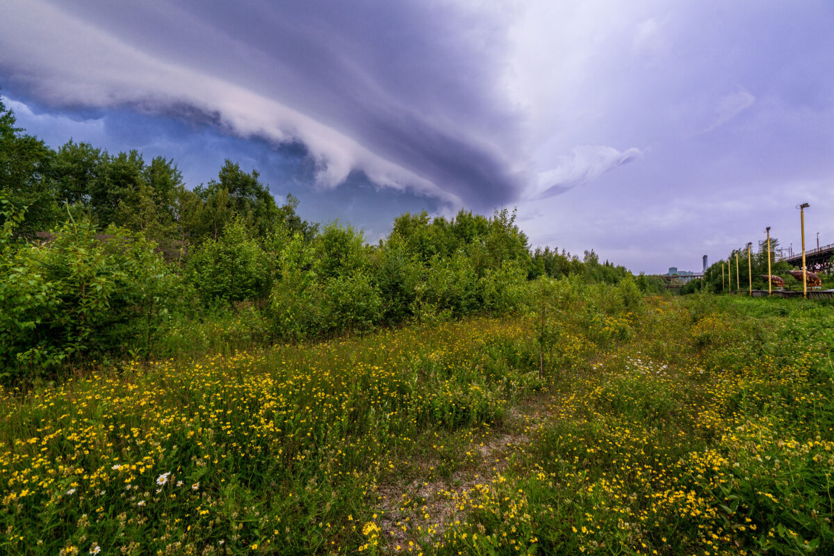
Storm clouds over Taconite Harbor, Minnesota, above Lake Superior shoreline vegetation
Storm clouds over Taconite Harbor, Minnesota, on the Lake Superior North Shore. The sky forms a broad shelf cloud above shoreline vegetation and the industrial waterfront.

Storm Clouds Over Taconite Harbor, Minnesota
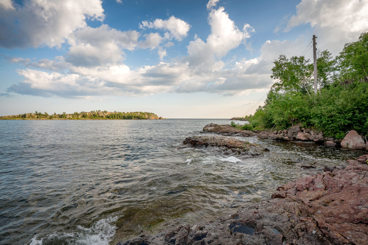
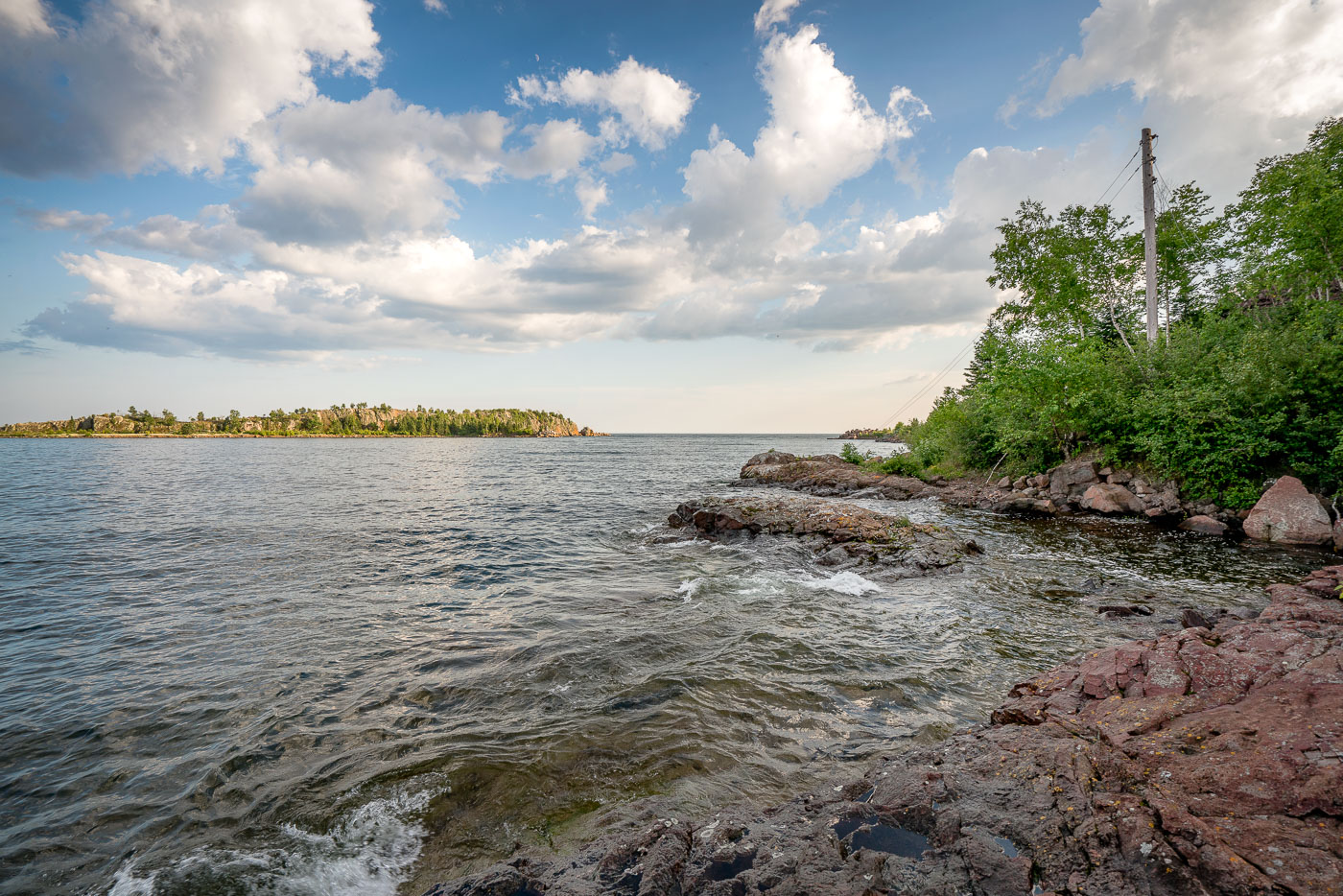
The rocky shoreline of Taconite Harbor, Lake Superior, Minnesota, a former industrial port constructed in the 1950s for taconite export.
The rocky shoreline of Taconite Harbor on Lake Superior, Minnesota, was constructed in the early 1950s by the Erie Mining Company to facilitate the export of taconite pellets from the Mesabi Iron Range. This industrial harbor, connected by a private rail line, served as a critical hub for Minnesota's iron mining industry throughout the latter half of the 20th century. Although operations ceased in the early 2000s due to global market shifts, the remaining infrastructure and the rugged natural landscape serve as a testament to the region's historical reliance on heavy industry.

Taconite Harbor Shoreline, Lake Superior, Minnesota
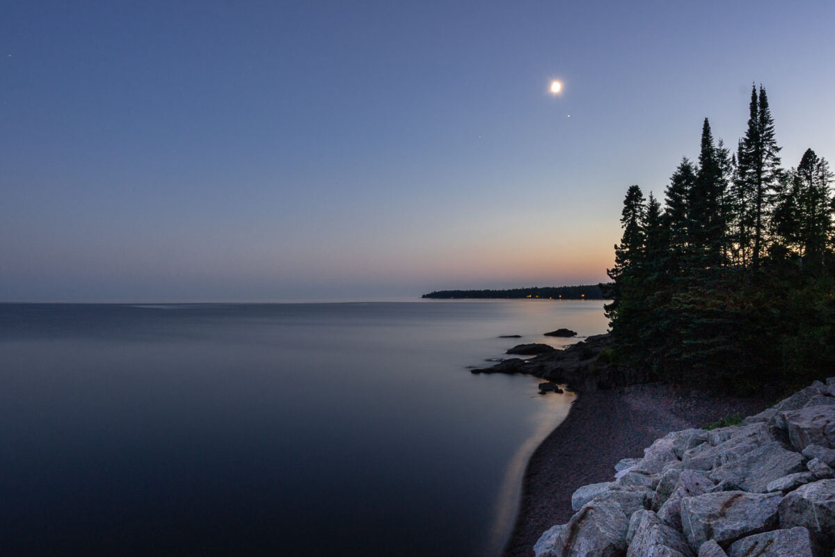
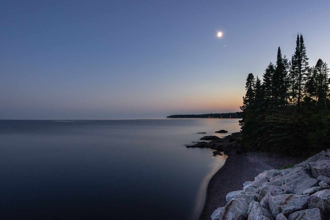
Moonrise over Lake Superior, Silver Creek Township, MN. The undeveloped North Shore features ancient basaltic rock formations and forests meeting the calm freshwater lake.
Moonrise over Lake Superior, Silver Creek Township, MN. The North Shore of Lake Superior, north of Two Harbors, is characterized by its ancient basaltic rock formations, remnants of lava flows from nearly a billion years ago. This undeveloped stretch of coastline in Silver Creek Township, Minnesota, is geologically significant and features forests of spruce and pine meeting the vast freshwater lake. The calm waters reflect the twilight sky as the moon ascends, marking the transition from day to night along this rugged shore.

Moonrise over Lake Superior, Silver Creek Township, MN
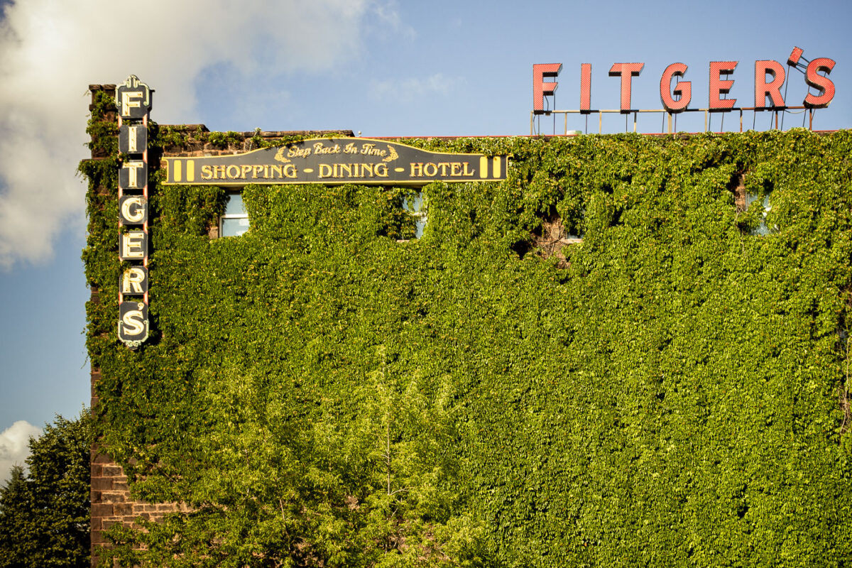
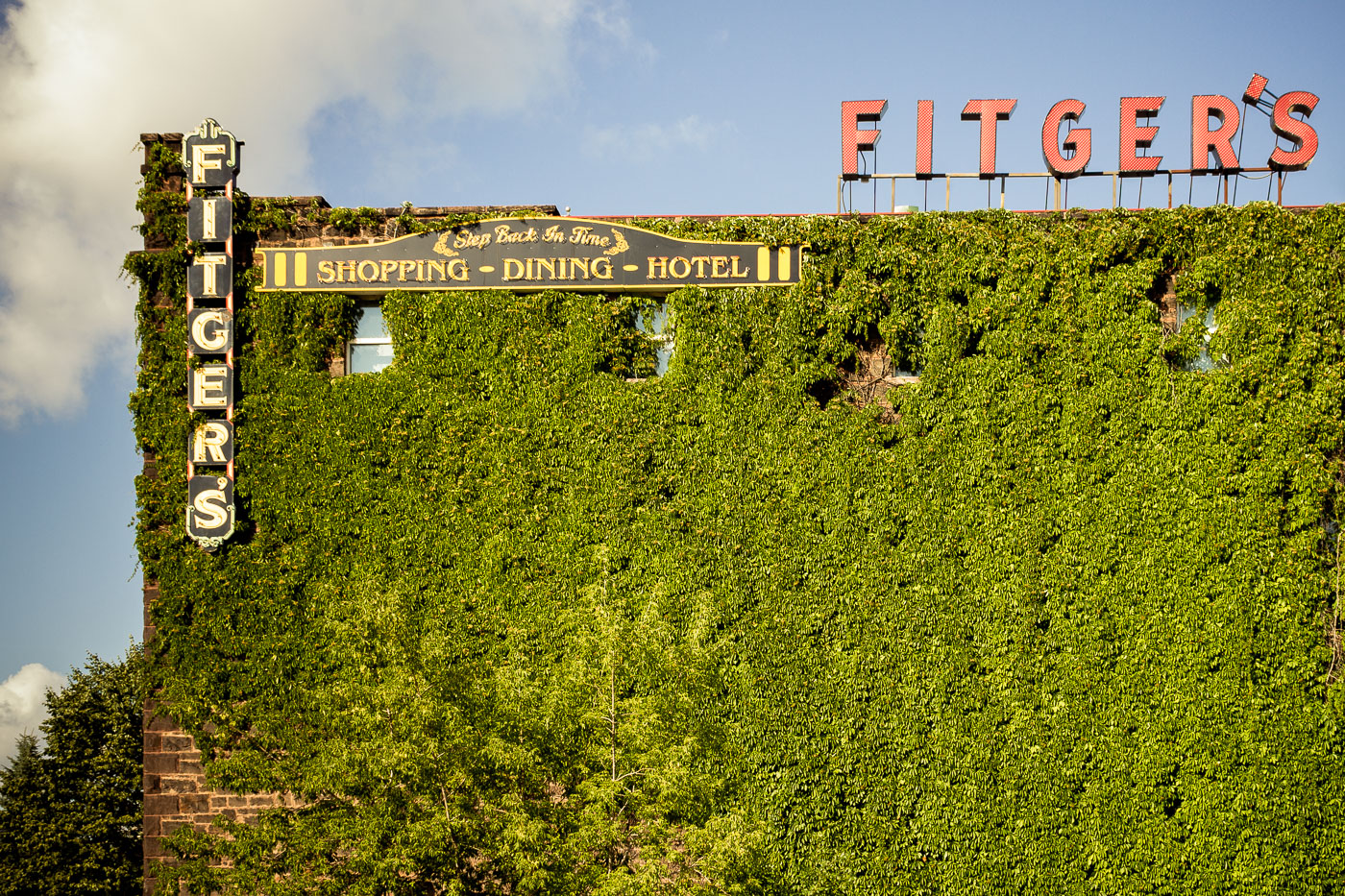
Fitger's historic brewery building in Duluth, Minnesota, with ivy-covered facade and rooftop signage.
Fitger's Historic Complex in Duluth, Minnesota, was originally built as a brewery and hotel. The former industrial building now houses a hotel, restaurant, and retail space on the city's waterfront.

Ivy Covers Fitger’s Brewery Building in Duluth