Lake Superior

12 photos · 2014–2025

12 photographs tagged Lake Superior, 2014–2025.
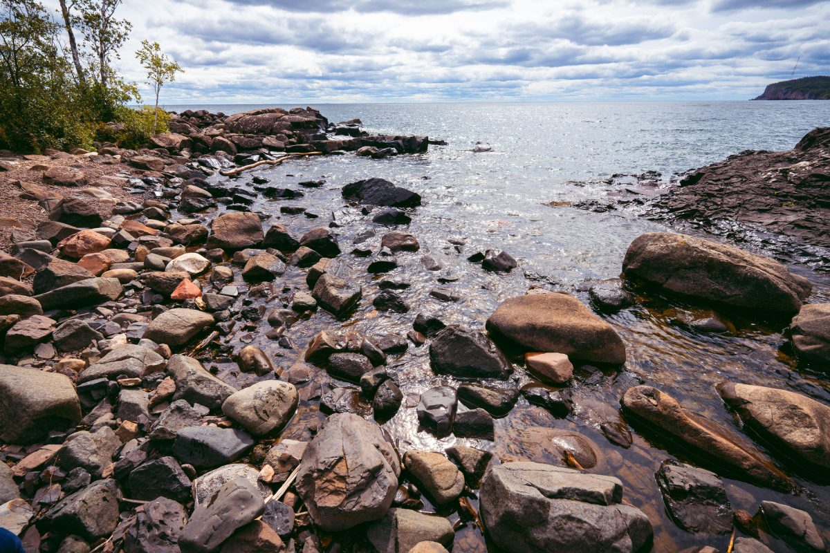
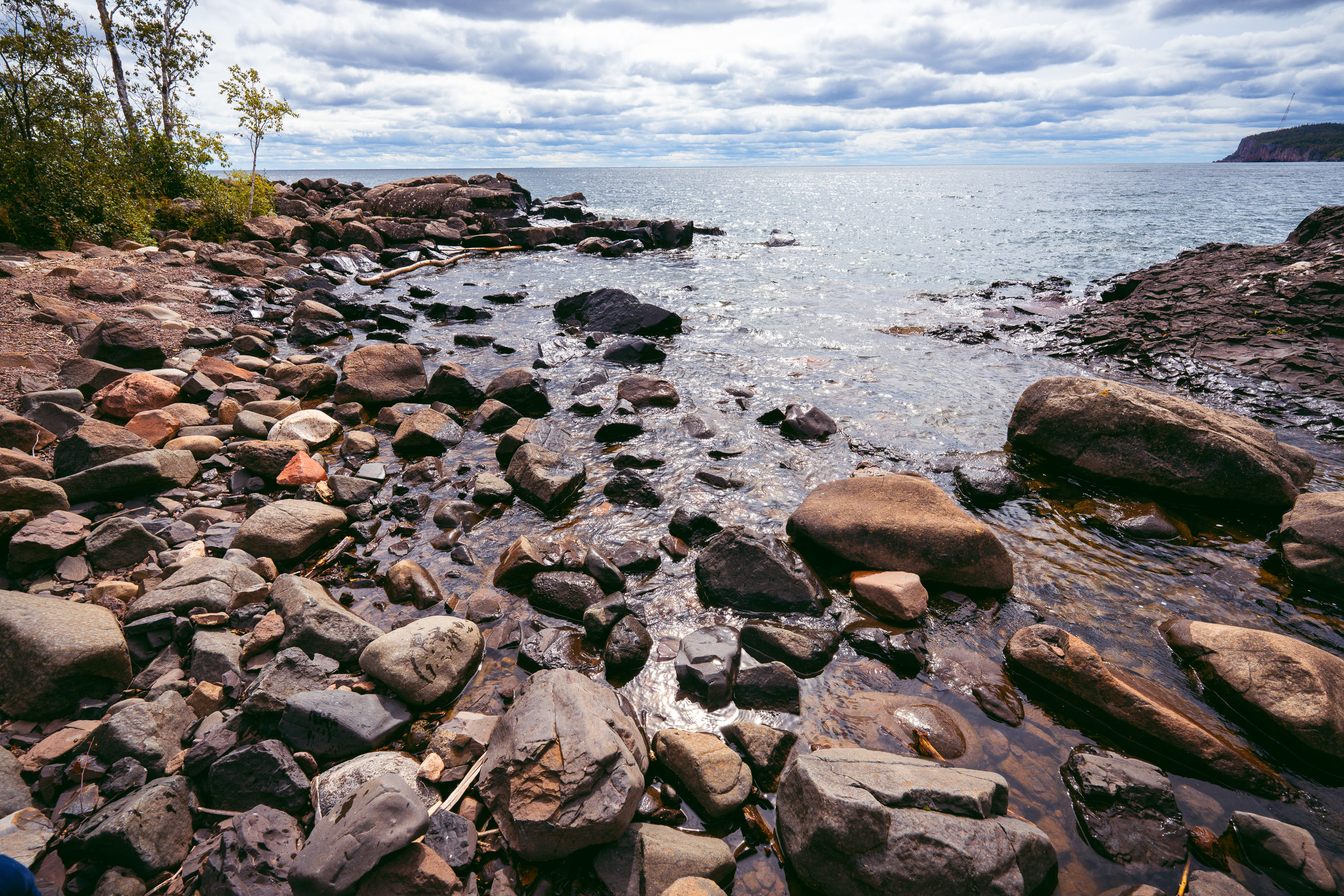
Rocky shoreline with ancient volcanic rocks at Tettegouche State Park on Lake Superior's North Shore.
Tettegouche State Park runs along nearly six miles of Lake Superior's North Shore in Minnesota, covering more than 9,000 acres of boreal forest, inland lakes, and volcanic rock cliffs. The rocky shoreline is made up of rhyolite and basalt formations dating back over a billion years to the Midcontinent Rift, when lava flows shaped much of the region's bedrock. Lake Superior holds roughly 3 quadrillion gallons of water, making it the largest freshwater lake in the world by surface area. The park was established in 1979 on land once used for logging operations and a private fishing retreat.

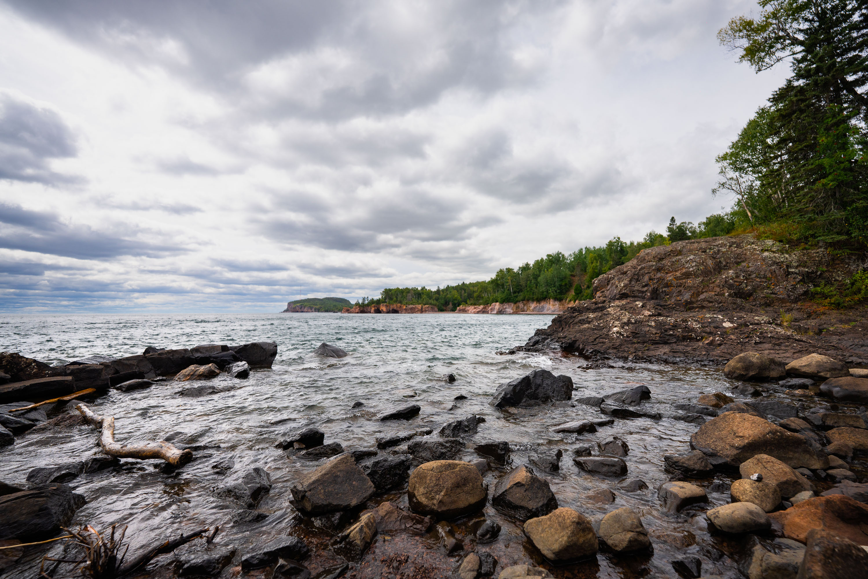
Boulders Along the Shoreline at Tettegouche State Park
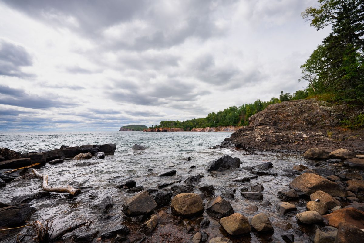
Rocky shoreline with ancient volcanic rocks at Tettegouche State Park on Lake Superior's North Shore, Minnesota.
Tettegouche State Park runs along nearly six miles of Lake Superior's North Shore in Minnesota. The dark rock along this stretch formed from volcanic activity roughly 1.1 billion years ago, part of the Midcontinent Rift that shaped much of the region's bedrock. Established in 1979, the park covers more than 9,000 acres and includes the Baptism River, which empties into Lake Superior nearby. It's also home to High Falls, the tallest waterfall located entirely within Minnesota's borders.

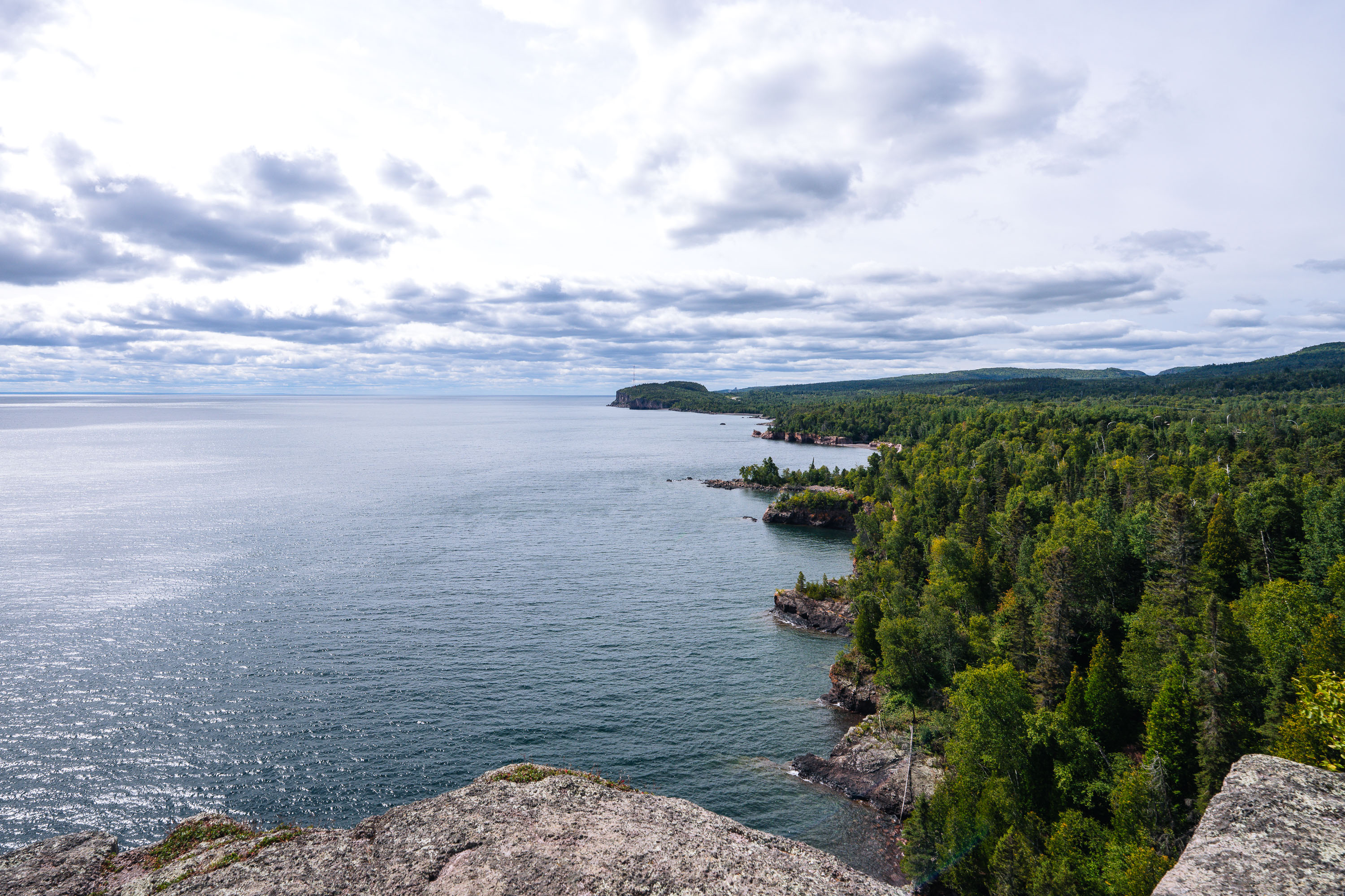
Volcanic Cliffs Along Tettegouche State Park’s Lake Superior Shore
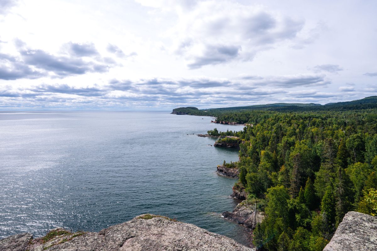
Rocky shoreline with boreal forest meets Lake Superior at Shovel Point in Tettegouche State Park, Minnesota.
Tettegouche State Park runs along more than six miles of Lake Superior shoreline near the mouth of the Baptism River in Minnesota's North Shore region. Its cliffs, formed from ancient volcanic rock, rank among the highest points on the state's Lake Superior coast. Established in 1979, the park covers roughly 9,600 acres of boreal forest, inland lakes, and shoreline. Shovel Point, a rhyolite headland reached by a mile-long trail, is one of the park's best-known overlooks, along with nearby Palisade Head.

Shovel Point Overlook at Tettegouche State Park
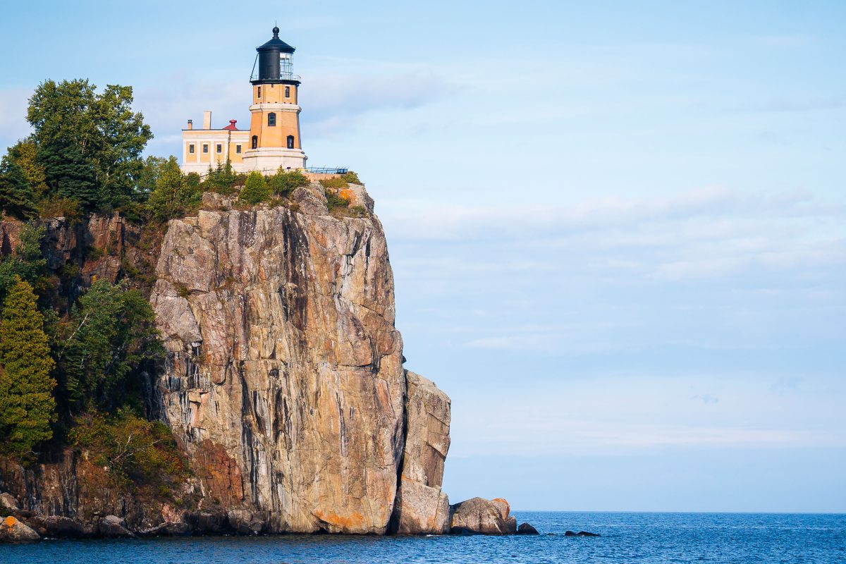
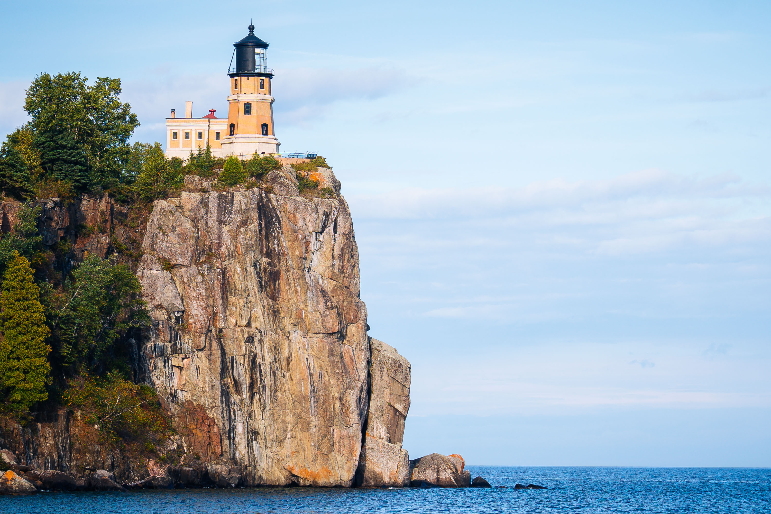
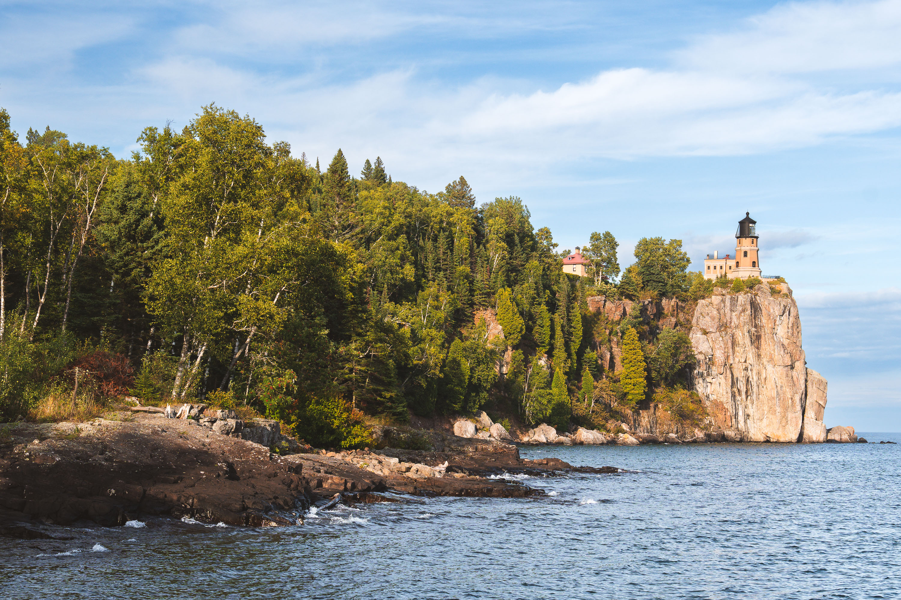
Split Rock Lighthouse perches atop a rocky cliff above Lake Superior near Two Harbors, Minnesota.
Split Rock Lighthouse sits atop a 130-foot cliff overlooking Lake Superior near Two Harbors, Minnesota. The Minnesota Historical Society, which operates the site as Split Rock Lighthouse State Park, built the station in 1910 after a severe 1905 storm wrecked dozens of ships along the North Shore. The Duluth, South Shore and Atlantic Railroad supplied the remote outpost by boat, since no roads reached it until the 1920s. The U.S. Coast Guard deactivated the light in 1969, and the tower is now preserved as a historic site rather than an active aid to navigation.

Split Rock Lighthouse Perched on Its Cliff Above Lake Superior
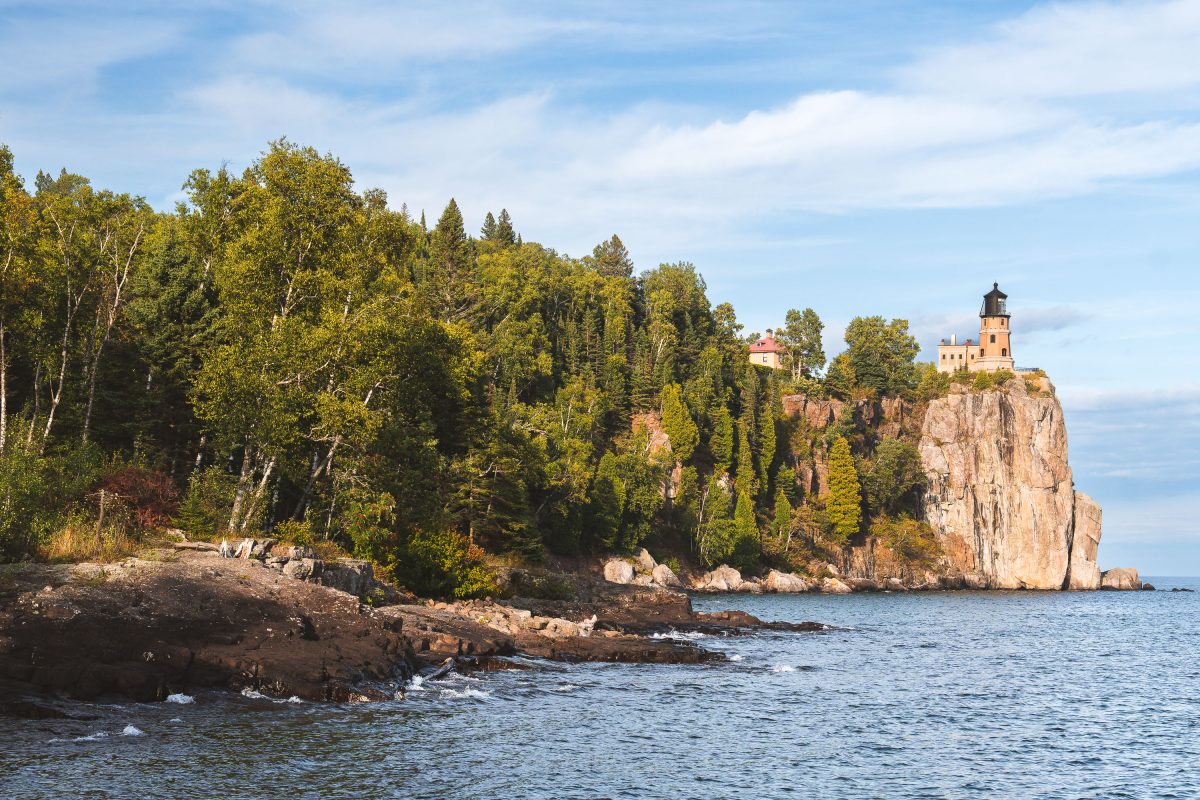
Split Rock Lighthouse stands on a cliff above Lake Superior near Two Harbors, Minnesota.
Split Rock Lighthouse stands atop a 130-foot cliff within Split Rock Lighthouse State Park near Two Harbors, Minnesota. The U.S. Lighthouse Service built it in 1910 after a series of shipwrecks, including the 1905 loss of the Mataafa, revealed the danger this stretch of the North Shore posed to Great Lakes shipping. Its beam once reached 22 miles across Lake Superior, guiding freighters carrying iron ore from the Mesabi Range. The Coast Guard decommissioned the light in 1969, the same year it was added to the National Register of Historic Places. The Minnesota Historical Society now manages the site as a museum and historic landmark.

Split Rock Lighthouse Above a Forested Shoreline on Lake Superior
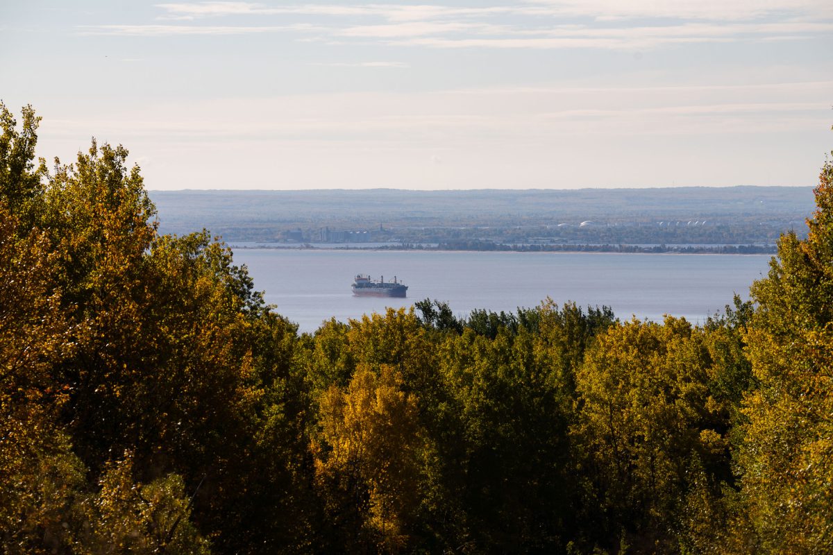
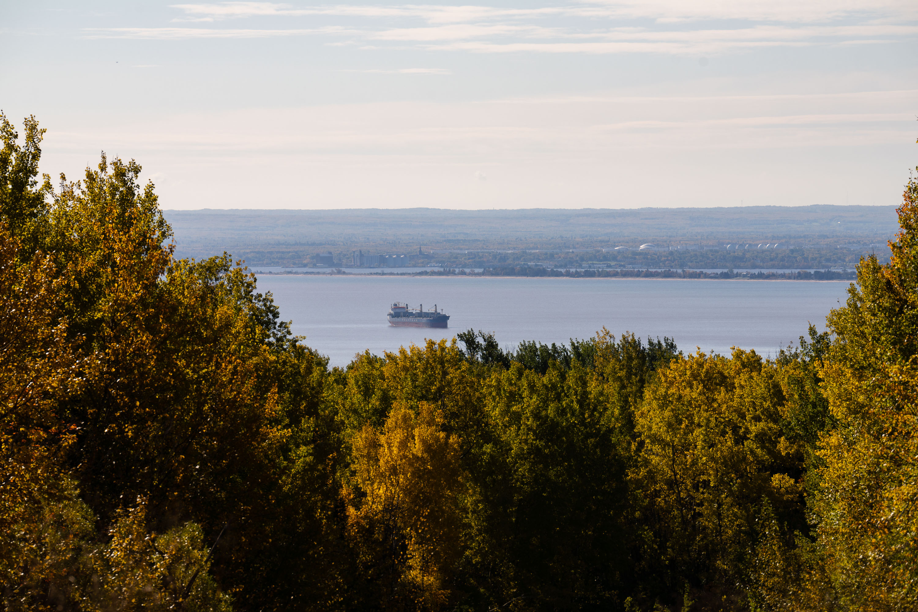
Cargo ship on Lake Superior near Duluth, Minnesota, viewed through autumn birch and aspen trees.
Lake Superior is the largest of the Great Lakes by surface area and the world's largest freshwater lake by that measure, covering roughly 31,700 square miles. Duluth sits at its westernmost point, where the Duluth-Superior Harbor forms one of the busiest inland ports in the country, handling iron ore, coal, and grain shipped out through the St. Lawrence Seaway. Lake freighters working this harbor can run over 1,000 feet long, built specifically for the shallow drafts and long hauls of Great Lakes shipping. The port has operated since the 1870s, when Duluth's rise as a shipping hub was tied to the iron ranges of northern Minnesota.

Freighter on Lake Superior Near Duluth
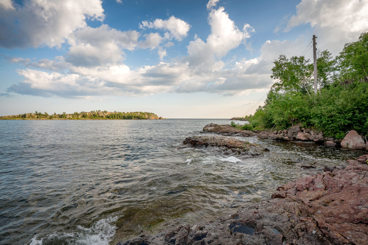
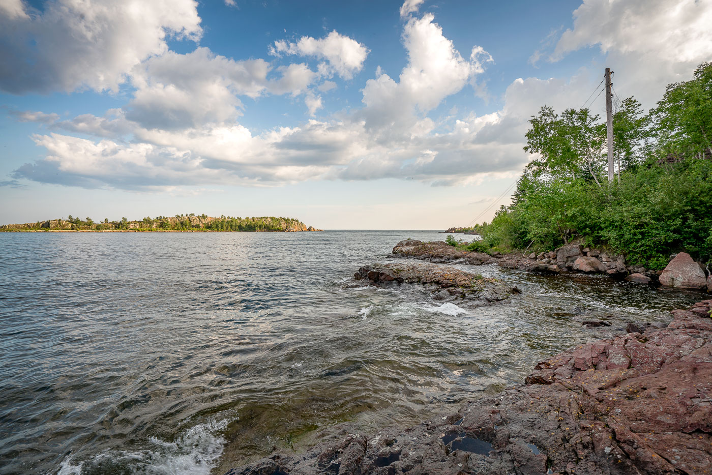
The rocky shoreline of Taconite Harbor, Lake Superior, Minnesota, a former industrial port constructed in the 1950s for taconite export.
The rocky shoreline of Taconite Harbor on Lake Superior, Minnesota, was constructed in the early 1950s by the Erie Mining Company to facilitate the export of taconite pellets from the Mesabi Iron Range. This industrial harbor, connected by a private rail line, served as a critical hub for Minnesota's iron mining industry throughout the latter half of the 20th century. Although operations ceased in the early 2000s due to global market shifts, the remaining infrastructure and the rugged natural landscape serve as a testament to the region's historical reliance on heavy industry.

Taconite Harbor Shoreline, Lake Superior, Minnesota
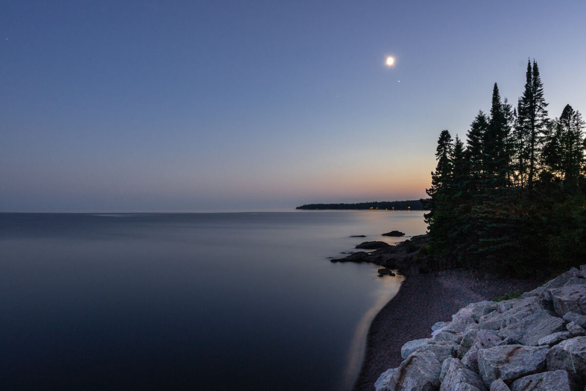
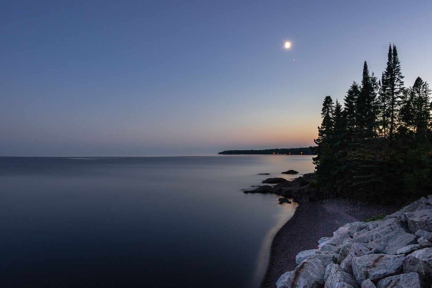
Moonrise over Lake Superior, Silver Creek Township, MN. The undeveloped North Shore features ancient basaltic rock formations and forests meeting the calm freshwater lake.
Moonrise over Lake Superior, Silver Creek Township, MN. The North Shore of Lake Superior, north of Two Harbors, is characterized by its ancient basaltic rock formations, remnants of lava flows from nearly a billion years ago. This undeveloped stretch of coastline in Silver Creek Township, Minnesota, is geologically significant and features forests of spruce and pine meeting the vast freshwater lake. The calm waters reflect the twilight sky as the moon ascends, marking the transition from day to night along this rugged shore.

Moonrise over Lake Superior, Silver Creek Township, MN
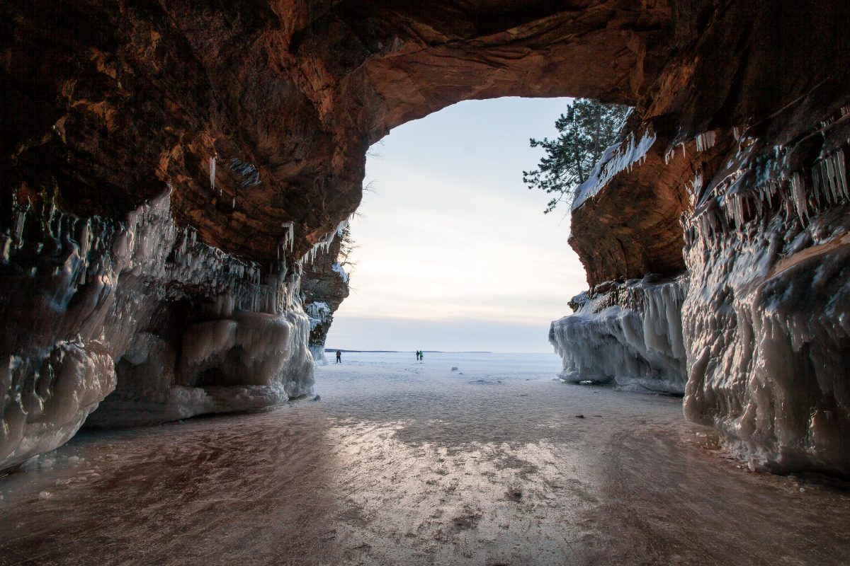
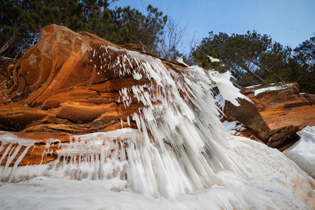
Icicles line sandstone walls of the mainland sea caves at Apostle Islands National Lakeshore, Lake Superior.
The mainland sea caves are sandstone formations along Lake Superior within Apostle Islands National Lakeshore in Wisconsin. In winter, when the lake ice is stable, visitors can walk onto the ice to view the caves' frozen icicle formations from the shoreline. The National Park Service manages access to the caves and issues advisories based on ice conditions each season.

Mainland Sea Caves, Apostle Islands National Lakeshore
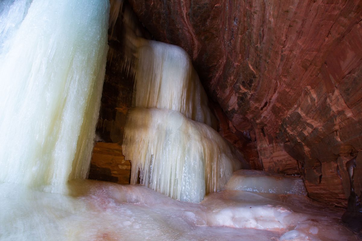
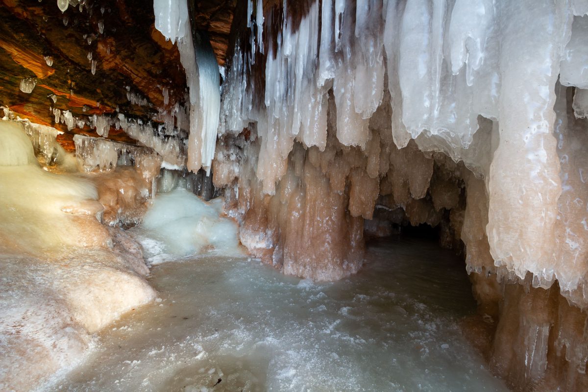
Frozen ice formations coat sandstone walls inside the Apostle Islands Mainland Sea Caves on Lake Superior.
Frozen seepage forms ice curtains inside the Apostle Islands National Lakeshore Mainland Sea Caves along Lake Superior in Wisconsin. The sandstone caves are accessible on foot only when winter ice on the lake is thick enough to support visitors.

Frozen Ice Formations, Apostle Islands Mainland Sea Caves

Ice-covered sandstone cliffs at the Apostle Islands National Lakeshore mainland sea caves on Lake Superior.
Ice formations coat sandstone cliffs at the mainland sea caves of Apostle Islands National Lakeshore on Lake Superior. The caves, located along the shoreline near Bayfield, Wisconsin, are accessible on foot when lake ice is thick enough to support visitors.

Frozen Sea Caves, Apostle Islands National Lakeshore

Icicles and ice formations coat sandstone walls inside a frozen sea cave at Apostle Islands National Lakeshore.
The mainland sea caves are located along the Lake Superior shoreline within Apostle Islands National Lakeshore near Cornucopia, Wisconsin. The caves form in sandstone eroded by wave action, and in winter, meltwater freezes into icicles and ice formations along the cave walls and ceilings.

Icicle Formations, Mainland Sea Caves, Apostle Islands