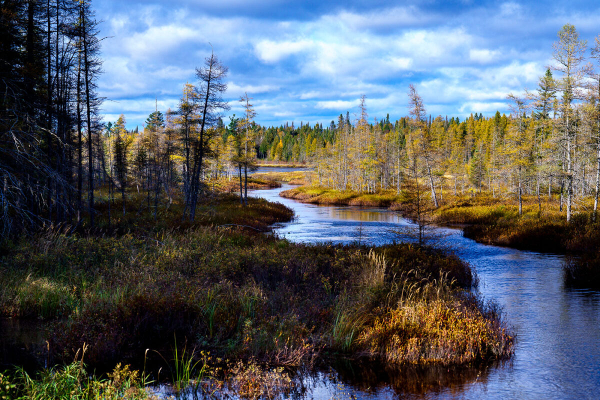
West Baptism River, Superior National Forest, Minnesota
October 2024 — The West Baptism River near the town of Isabella in Northern Minnesota, Superior National Forest.
Explore photos tagged National Park.
October 2024 — The West Baptism River near the town of Isabella in Northern Minnesota, Superior National Forest.
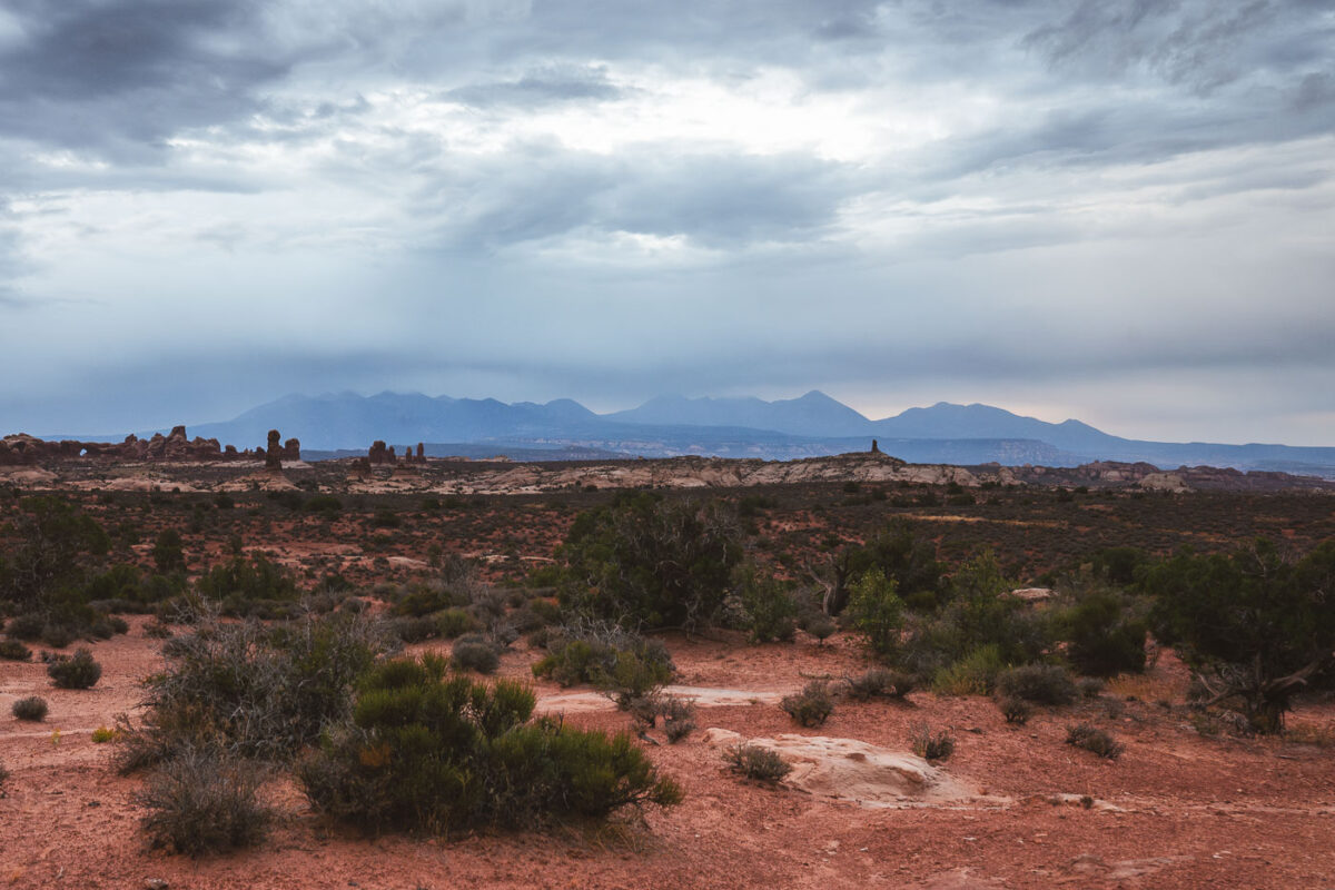
September 2023 — Sunrise at Arches National Park in Utah.
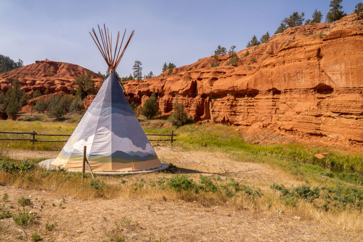
September 2020 — A teepee tent at the KOA in Devil's Tower, Wyoming.
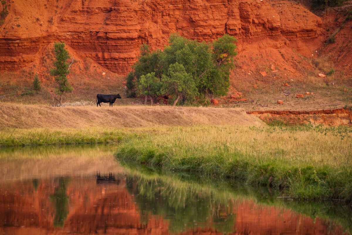
September 2020 — A cow grazing in the grass near the Belle Fourche River in Devil's Tower, Wyoming.
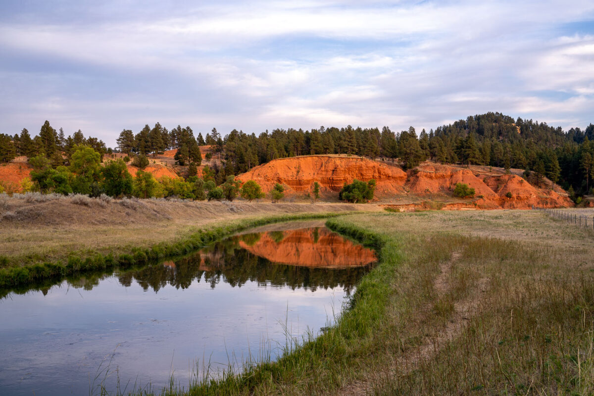
September 2020 — Belle Fourche River located just outside of Devil's Tower National Monument in Wyoming.
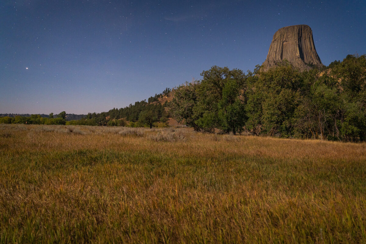
September 2020 — Devil's Tower National Monument in Wyoming. Shot from the Devil's Tower KOA right outside the park.
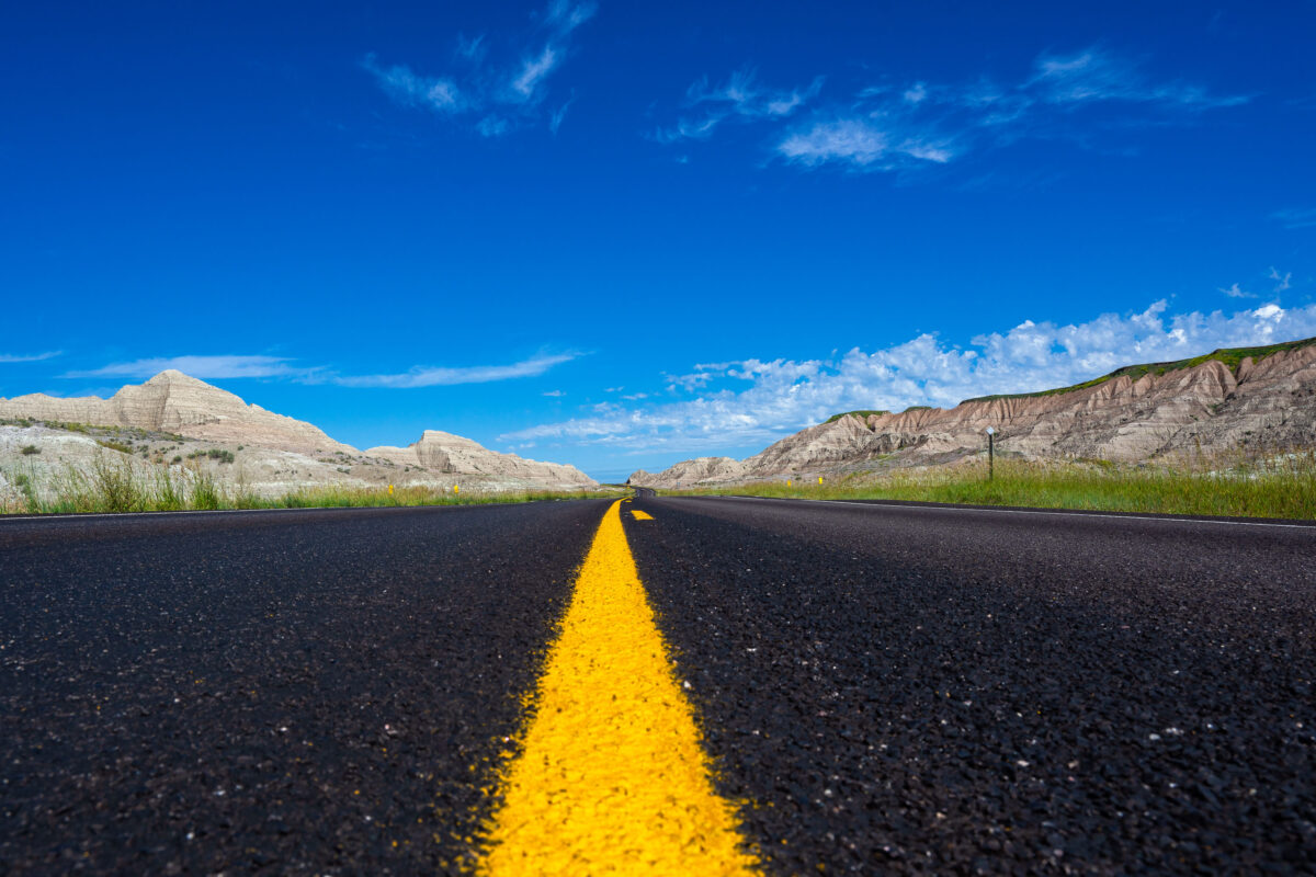
July 2019 — A newly paved stretch of Highway 44 cuts through the rugged formations near Scenic, South Dakota, beneath a vivid summer sky. This east–west route skirts the southern boundary of Badlands National Park, where blacktop meets eroded buttes carved by millennia of wind and water. The low-angle view emphasizes the contrast between the engineered precision of the highway and the raw geologic textures of the surrounding landscape—an enduring symbol of travel through one of the Great Plains’ most striking natural corridors.
July 2019 — Amazing storm clouds rolling into Interior, South Dakota at our camp site near the Badlands National Park. It seems every year we get at least one really great thunderstorm when camping.
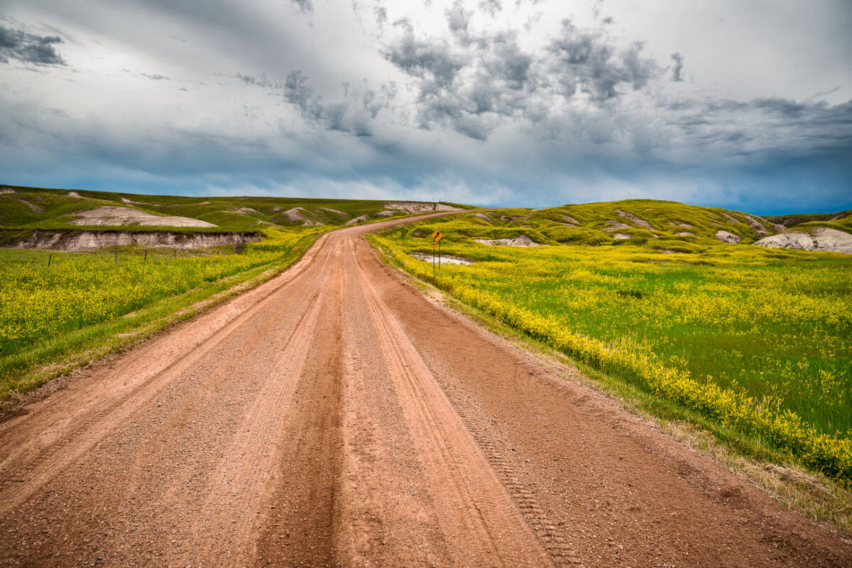
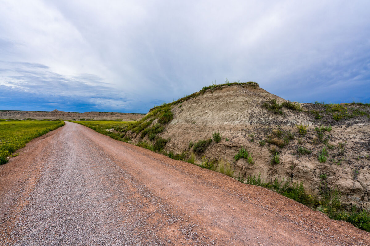
July 2019 — A dirt road cuts through the rolling prairie of Indian Creek Drive in the western reaches of Badlands National Park, near the small town of Scenic, South Dakota. Storm clouds build over the mixed-grass plains, casting dramatic light on the green hills and wildflower fields typical of the park’s early summer landscape. This remote section of the Badlands, less traveled than the main loop road, reveals the quieter beauty of the park—where erosion-carved ridges and open grasslands merge under a vast and changeable sky.
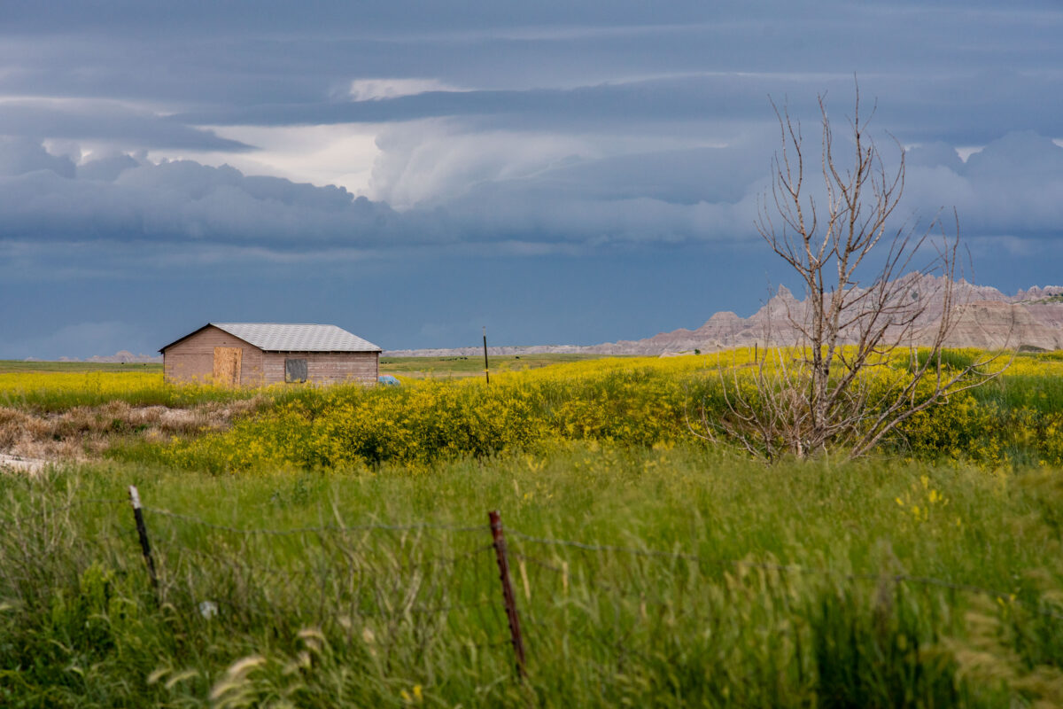
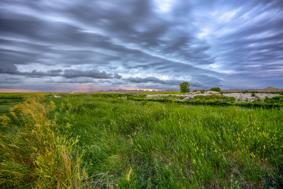
July 2019 — A lone wooden shed stands among fields of wild grasses and yellow blooms as storm clouds gather near Interior, South Dakota, on the outskirts of Badlands National Park. The layered sky hints at an incoming summer storm sweeping across the plains, with the rugged formations of the Badlands visible on the horizon. The muted colors and boarded windows evoke both isolation and endurance, capturing the tension between human settlement and the vast, unpredictable prairie environment.
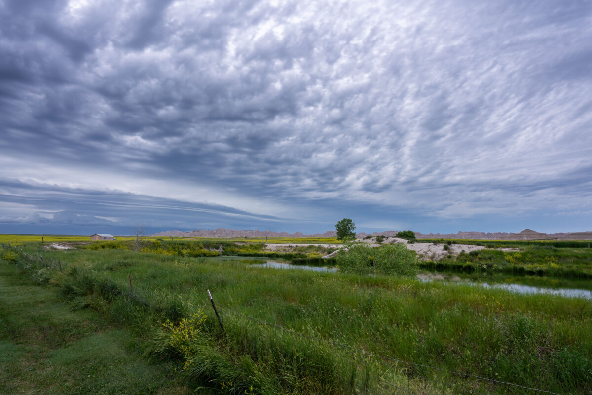
July 2019 — An approaching storm looms over the rolling grasslands near Interior, South Dakota, at the edge of Badlands National Park. The layered clouds form dramatic bands above the wetland and open prairie, where a small structure and fence line mark the human presence in this otherwise vast and untamed landscape. From this vantage point near the White River, the eroded formations of the Badlands rise faintly in the distance, emphasizing the contrast between the lush foreground and the arid, sculpted terrain beyond.
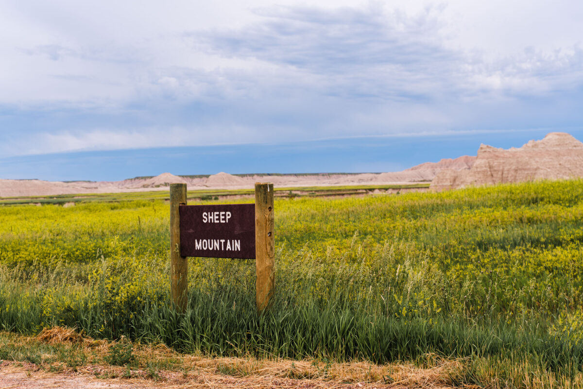
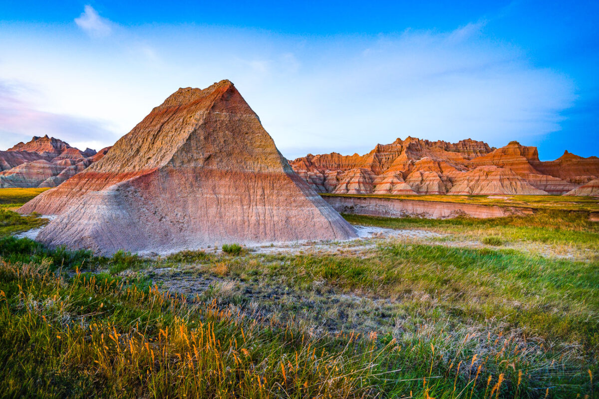
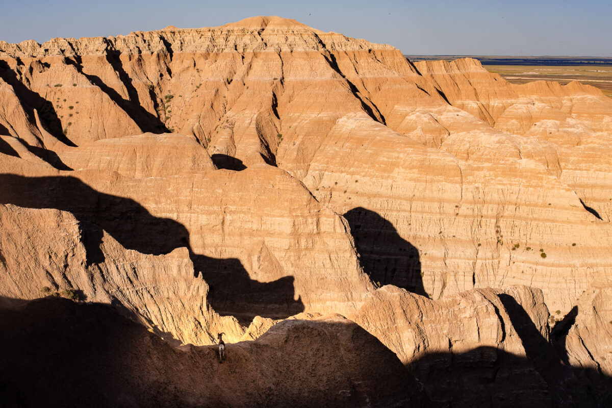
July 2019 — Sheep Mountain in South Dakota near the Badlands National Park.
July 2019 — A weathered wooden sign marks the rugged entrance to Sheep Mountain in the southern reaches of Badlands National Park, South Dakota. This remote area, surrounded by the sweeping prairies of Buffalo Gap National Grassland, offers one of the park’s most dramatic and less-visited overlooks. The region sits within Oglala Lakota lands, where erosion has sculpted colorful buttes and steep ridges over millions of years. Accessible by an unpaved road, Sheep Mountain remains a quiet, untamed corner of the Badlands, revealing the deep geologic and cultural layers of the Northern Plains.
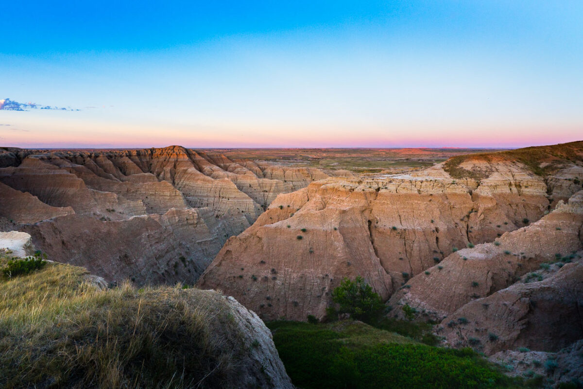
July 2017 — CS36B off of Highway 240 near the Saddle Pass Trailhead. The trail is a short hike up the Badlands Wall giving views of the White River Valley.

July 2017 —
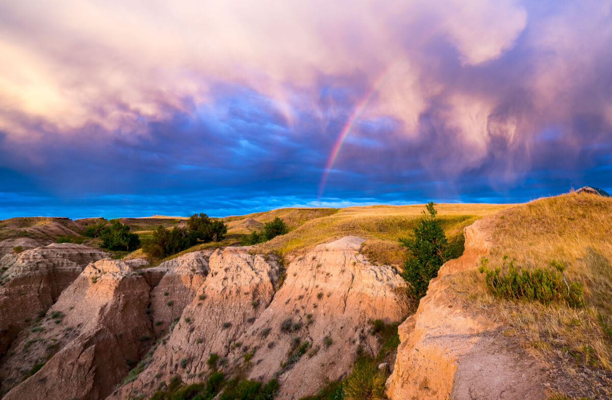
July 2017 — A beautiful rainbow at the Buffalo Gap National Grasslands. We camped here and woke up to this during the sunrise.
July 2017 — Sunset at the Buffalo Gap National Grasslands.
July 2017 — Bighorn Sheep at Buffalo Gap National Grassland in South Dakota.
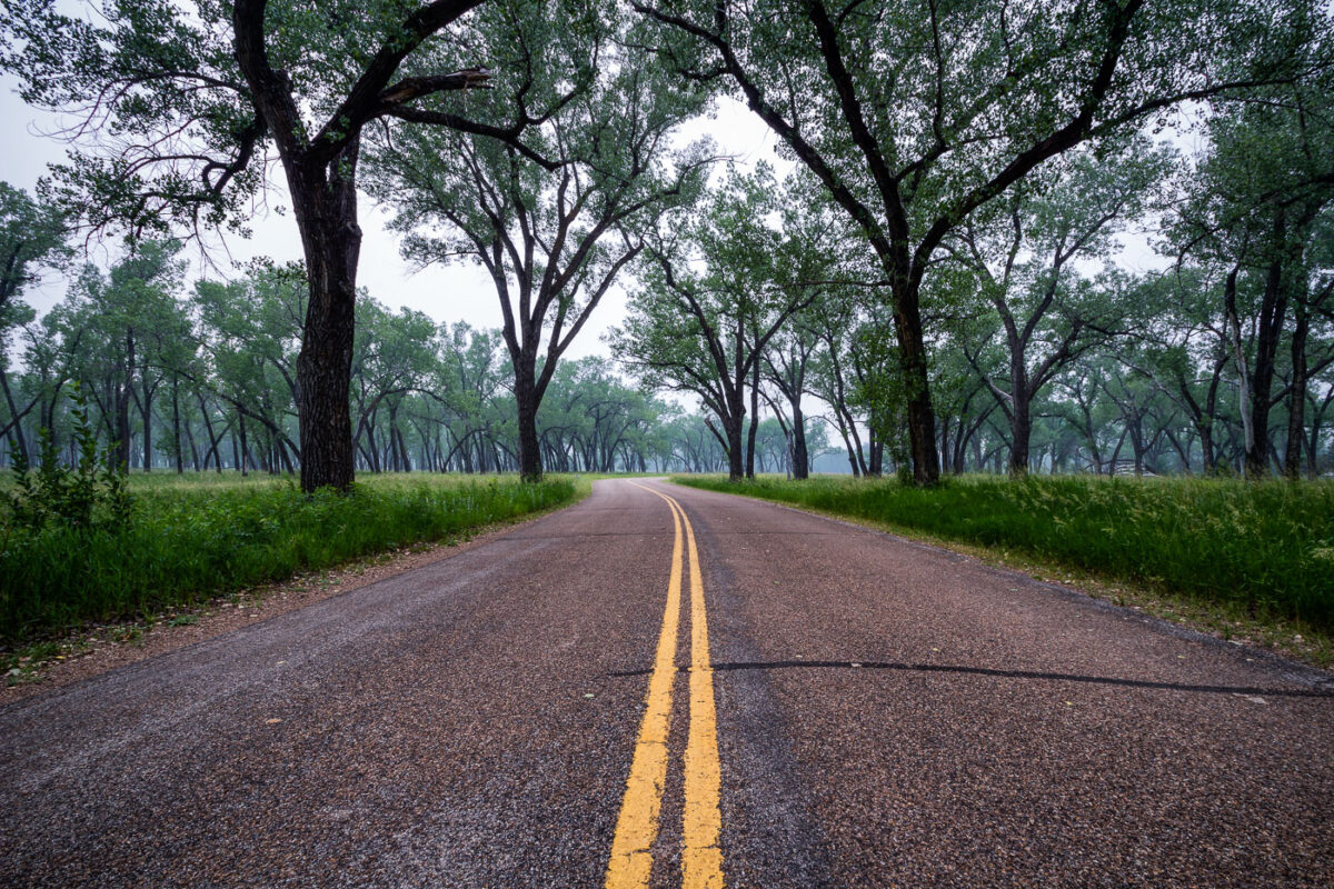
July 2015 — Juniper Campground at Theodore Roosevelt National Park in North Dakota.
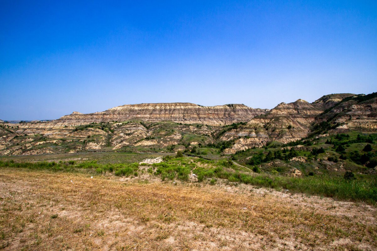
July 2015 — The North Dakota badlands as seen from the Theodore Roosevelt Expressway.