Place Archive

Guatemala

Antigua Guatemala preserves its colonial heritage through landmarks like the 17th-century Santa Catalina Arch and the ruins of San Francisco el Grande church, set against the backdrop of Agua Volcano. Along Lake Atitlán’s shores, towns such as San Pedro and Panajachel maintain daily life centered on lakeside transportation, local markets, and artisan crafts within volcanic landscapes.

91 photos

Location

Guatemala Locations

Photos from Guatemala

Colorful colonial buildings line a cobblestone street in Santiago Atitlán, Guatemala, with volcanic highlands visible in the distance.
Santiago Atitlán sits on the southern shore of Lake Atitlán, between the volcanoes Tolimán and San Pedro, and is the largest Tz'utujil Maya town in the region. The parish church of Santiago Apóstol, built in the 16th century, anchors the town's grid of narrow streets radiating out from its central plaza. In December 1990, the Guatemalan army's killing of thirteen residents here led to the withdrawal of the local military garrison, a turning point during the country's civil war. The town is also known for its veneration of Maximón, a folk saint whose shrine moves to a different household each year.
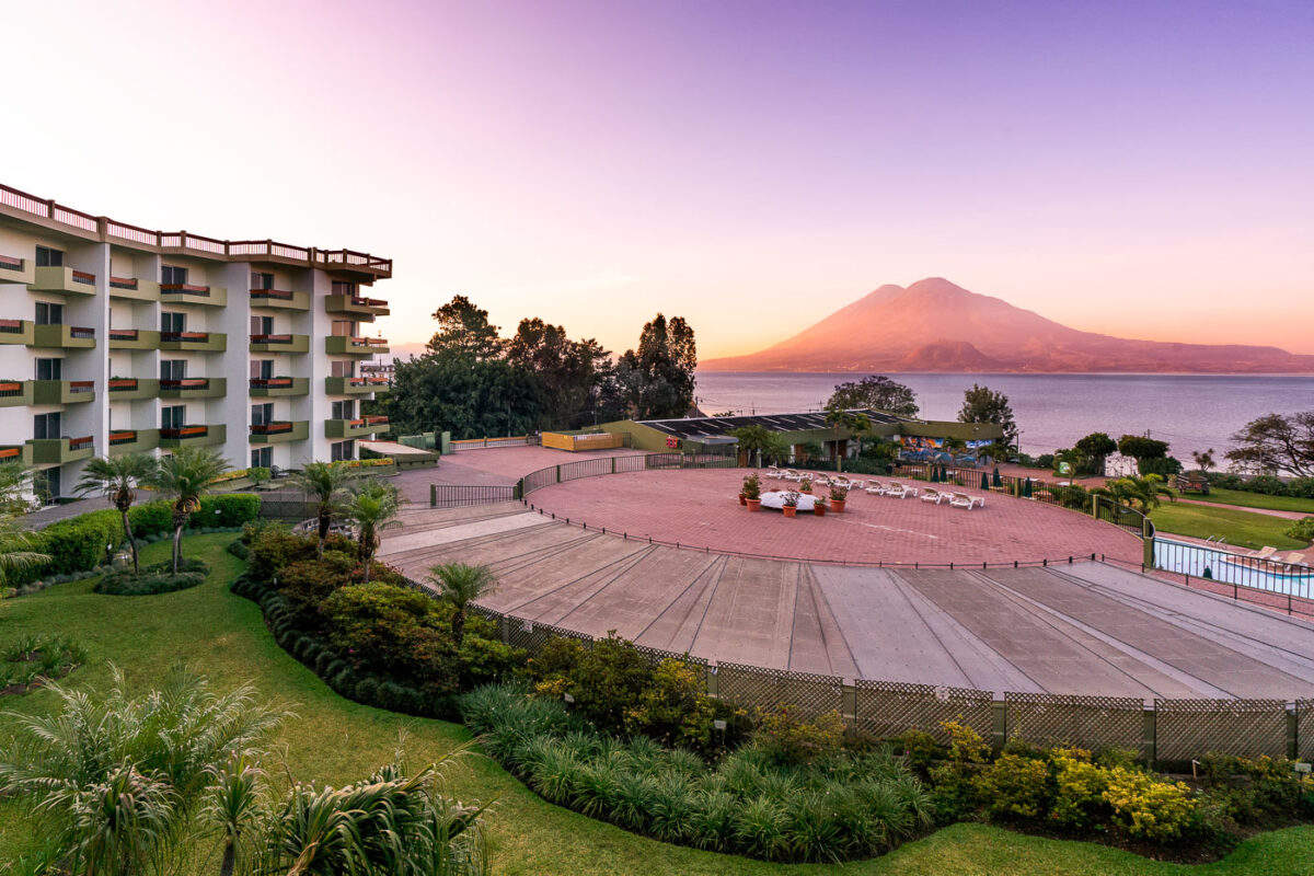
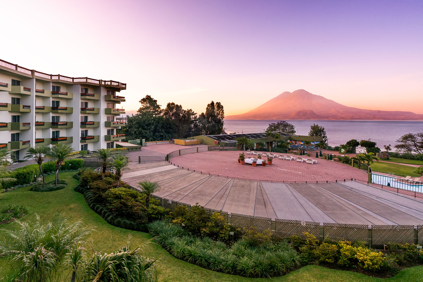
Porta Hotel del Lago waterfront resort overlooks Lake Atitlán with Volcán Atitlán rising across the water in Panajachel, Guatemala.
Porta Hotel del Lago sits on the Lake Atitlán shoreline in Panajachel, the main gateway town for travelers heading to the lake's Maya villages. Volcán Atitlán, a stratovolcano rising to 3,537 meters, anchors the lake's southern rim alongside Volcán Tolimán and Volcán San Pedro, all remnants of a caldera-forming eruption roughly 84,000 years ago. Lake Atitlán itself plunges more than 300 meters in places, making it one of the deepest lakes in Central America.
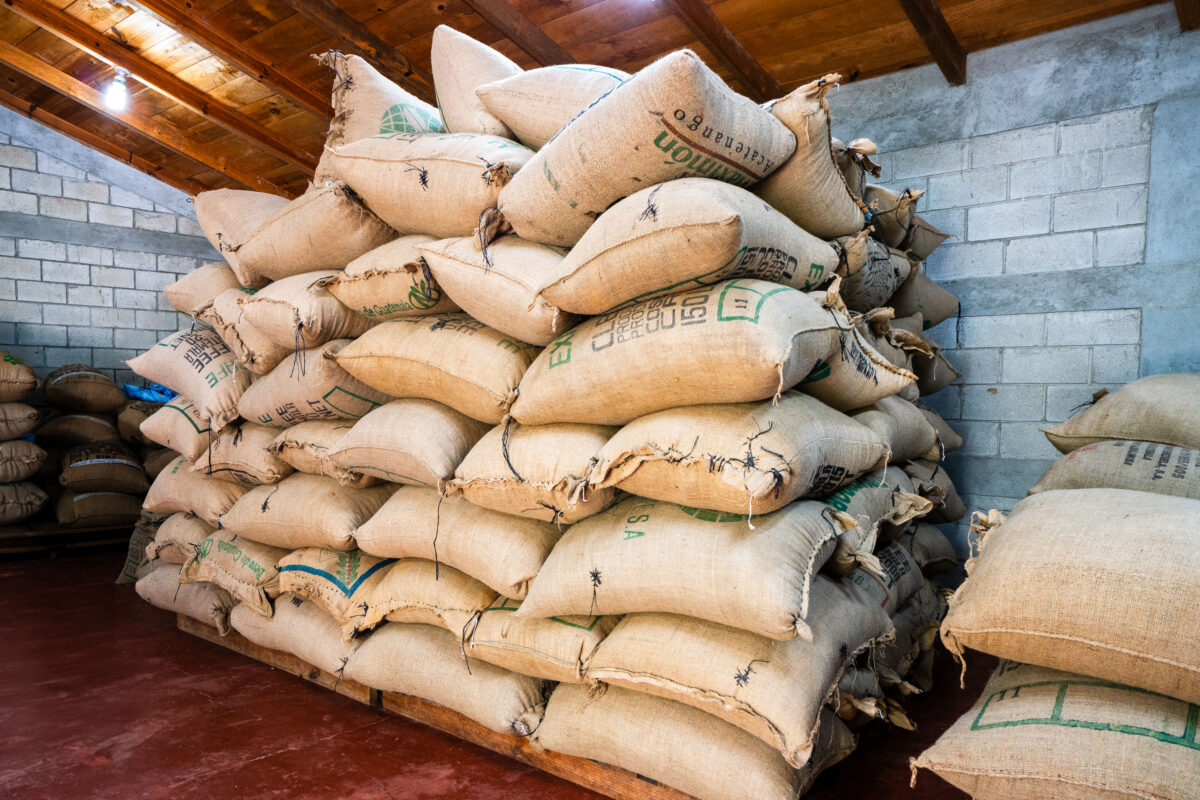
Burlap coffee sacks stacked in a warehouse at La Voz cooperative in San Juan La Laguna, Guatemala.
La Voz Que Clama en el Desierto is a coffee cooperative based in San Juan La Laguna, a Tz'utujil Maya town on the southern shore of Lake Atitlán. Farmers affiliated with the cooperative grow and process organic coffee for export, bagging the dried beans in burlap sacks for storage before shipment. The cooperative's name, Spanish for "the voice that cries in the desert," its founding mission to support local growers through fair-trade coffee production.
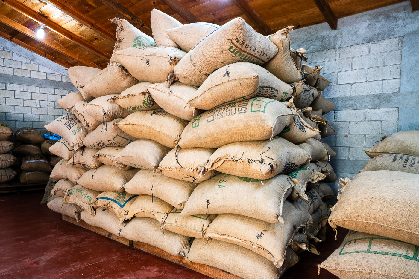
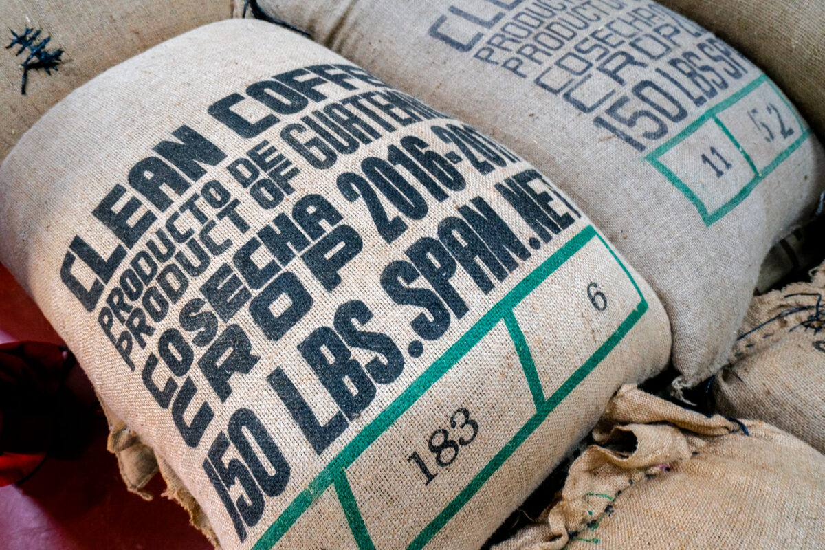
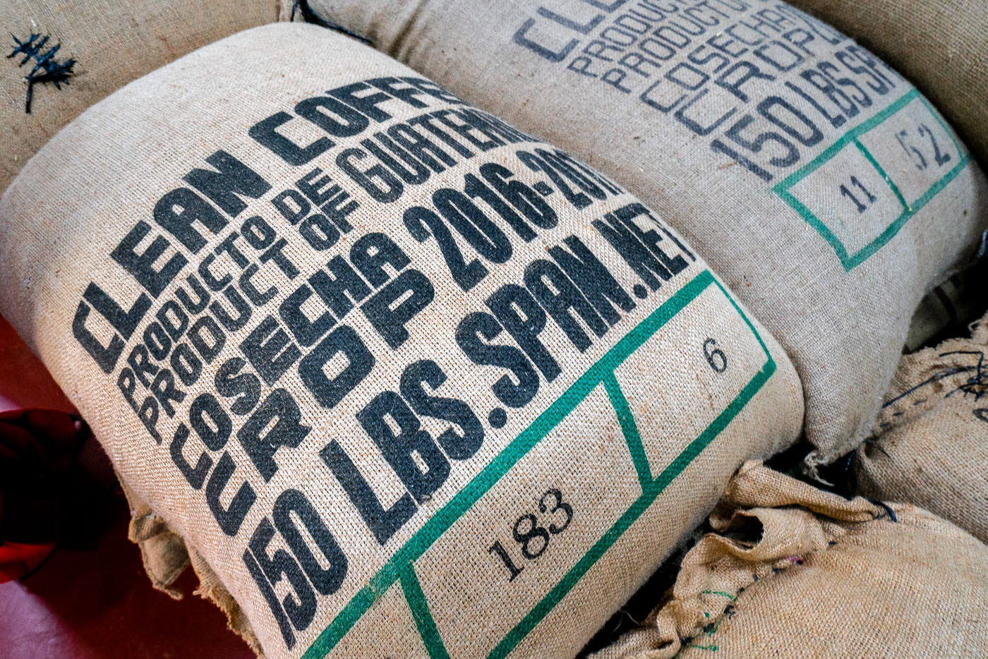
Burlap coffee sacks printed with production details and weight information stacked at La Voz cooperative in San Juan La Laguna, Guatemala.
These burlap sacks hold coffee from La Voz Que Clama en el Desierto, a cooperative based in San Juan La Laguna on the shores of Lake Atitlán. The stenciled markings note "Producto de Guatemala" along with the crop year, 2016–2017, and a standard export weight of 150 pounds per bag. Cooperatives like this one process and bag parchment coffee for shipment abroad, with lot numbers stamped on each sack to track origin and harvest.
Coffee beans dry on raised beds in San Juan la Laguna Guatemala with volcanic mountains visible in the background.
San Juan La Laguna, a Tz'utujil Maya town on the shores of Lake Atitlán, is home to several small coffee cooperatives that grow and process beans on the volcanic slopes above the water. After picking and washing, coffee cherries are spread out to dry in the sun for one to two weeks before the parchment layer is removed. Rooftop and patio drying remains common practice among smallholder growers in the area, who often sell directly to cooperatives rather than large exporters.
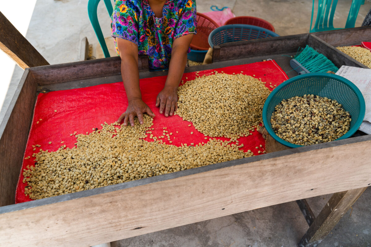
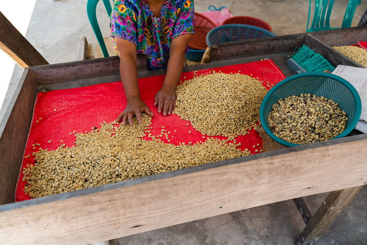
Woman worker at La Voz Coffee Cooperative in San Juan La Laguna, Guatemala, sorts green coffee beans on a red cloth surface.
La Voz is a coffee cooperative based in San Juan La Laguna, a town on the southern shore of Lake Atitlán known for its cooperative-run coffee and textile businesses. Member growers cultivate arabica beans on the volcanic slopes above the lake, at elevations that typically exceed 1,500 meters. After drying, workers hand-sort the parchment coffee to remove broken, discolored, or insect-damaged beans before the lot is milled and prepared for export. This manual grading step is standard practice among small-scale specialty cooperatives aiming to meet buyer quality grades.
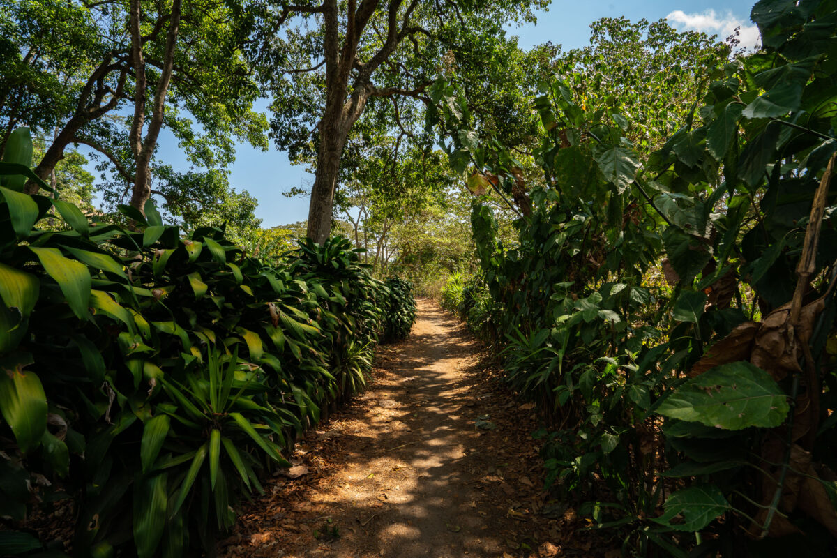
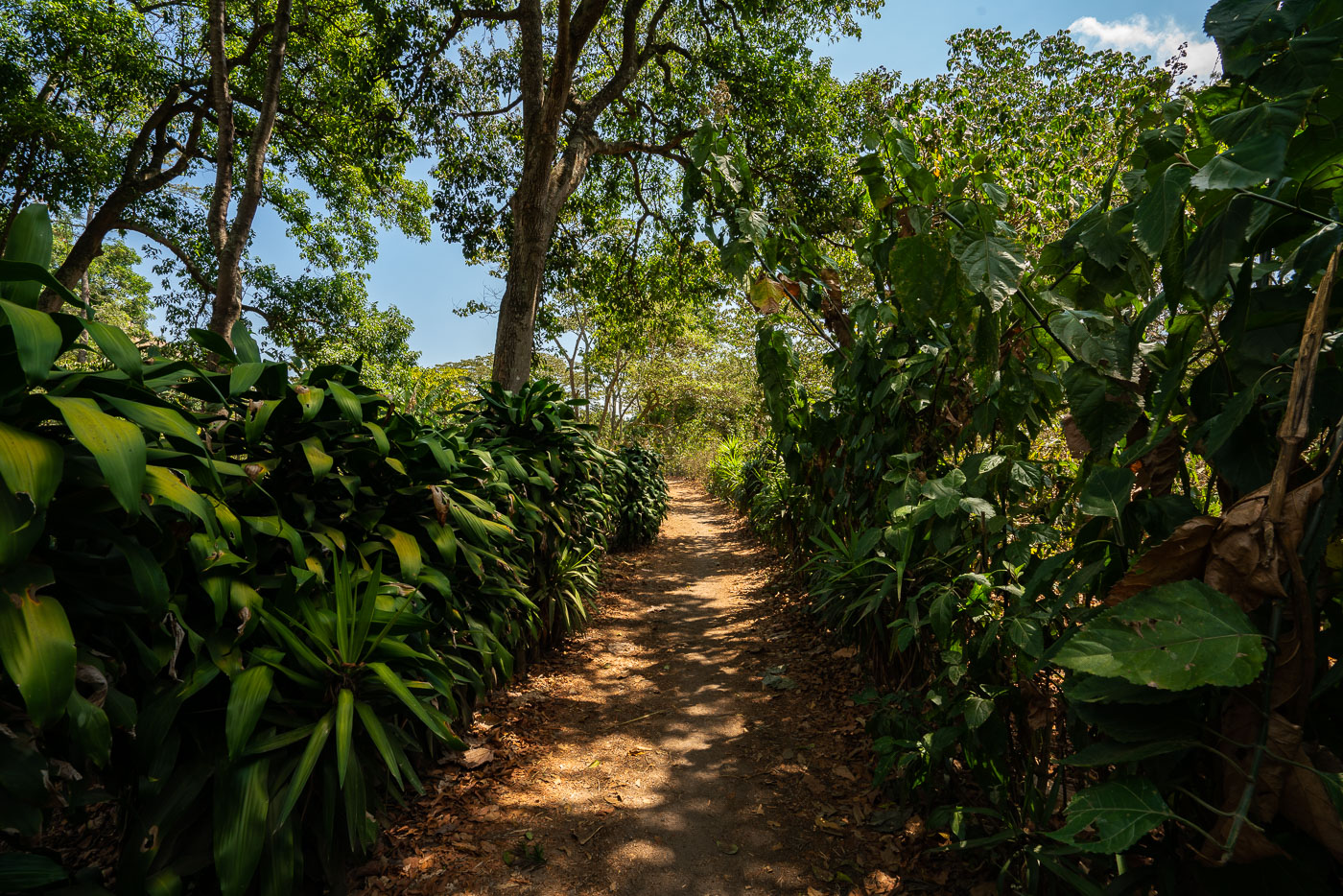
Shaded coffee plantation path winds through dense vegetation on hillside slopes above Lake Atitlán in San Juan La Laguna, Guatemala.
La Voz is a coffee-growing cooperative based in San Juan La Laguna, a Tz'utujil Maya town on the western shore of Lake Atitlán. The cooperative's members farm coffee on the volcanic slopes above the lake, and dirt paths like this one connect the growing plots to processing facilities in town. San Juan La Laguna sits at an elevation of roughly 1,600 meters, conditions well suited to shade-grown arabica coffee.
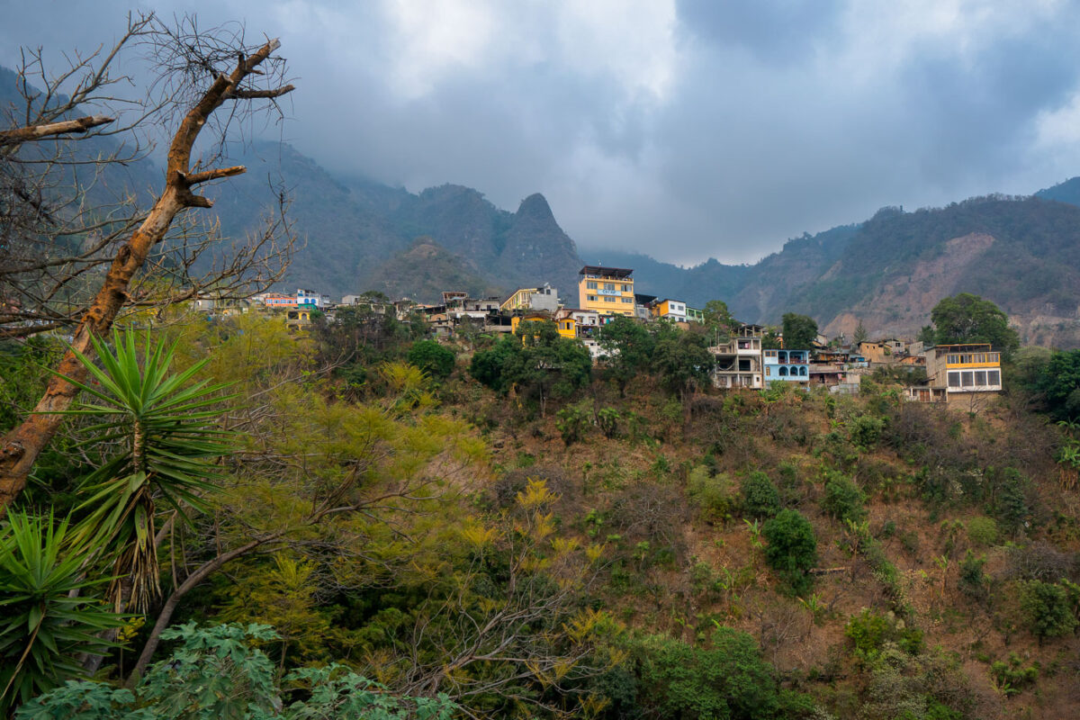
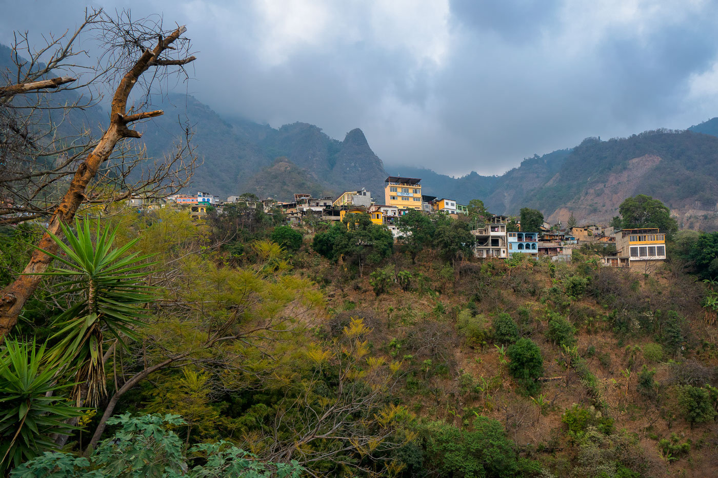
Hillside homes with colorful facades scattered across steep forested slopes above Lake Atitlán in Santa Cruz La Laguna, Guatemala.
Santa Cruz La Laguna sits on a steep slope along the northern shore of Lake Atitlán, in Guatemala's Sololá department. No road connects the village to the rest of the lake region; access is by boat across the water or by footpath along the surrounding ridgelines. Lake Atitlán itself formed roughly 84,000 years ago inside a volcanic caldera and reaches depths of more than 300 meters, ringed by the volcanoes Atitlán, Tolimán, and San Pedro. The village's population is predominantly Kaqchikel Maya, and the nearby CECAP center offers vocational training in hospitality and trades for local youth.
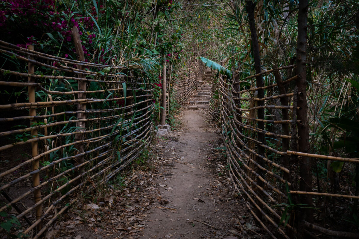
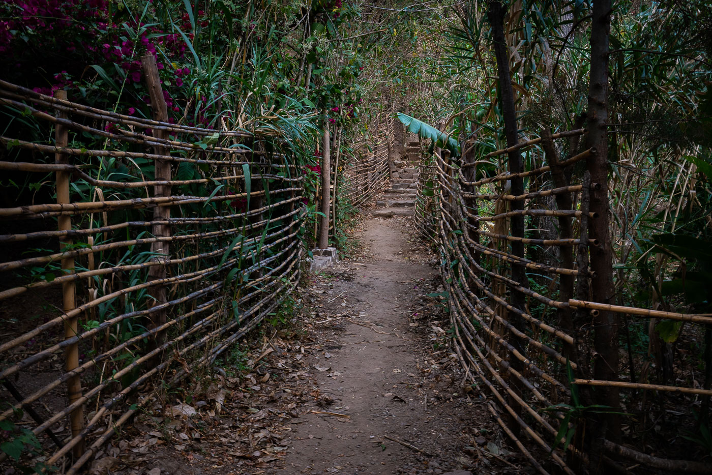
Narrow hillside footpath bordered by woven bamboo fencing winds through dense vegetation above Lake Atitlán in Santa Cruz La Laguna, Guatemala.
Santa Cruz La Laguna sits on the northern shore of Lake Atitlán, a crater lake formed roughly 84,000 years ago in the wake of a massive volcanic eruption. The village is reachable mainly by boat or footpath, since no road connects it directly to Panajachel, and hillside trails like this one remain the main link between homes, gardens, and the shoreline docks below. Woven cane and bamboo fencing of this type is a traditional, low-cost way to mark property lines and keep livestock off footpaths in the Kaqchikel Maya communities around the lake.
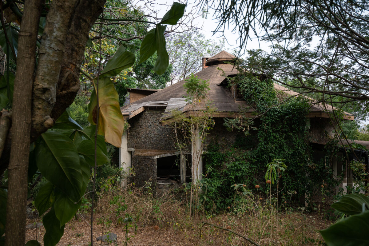
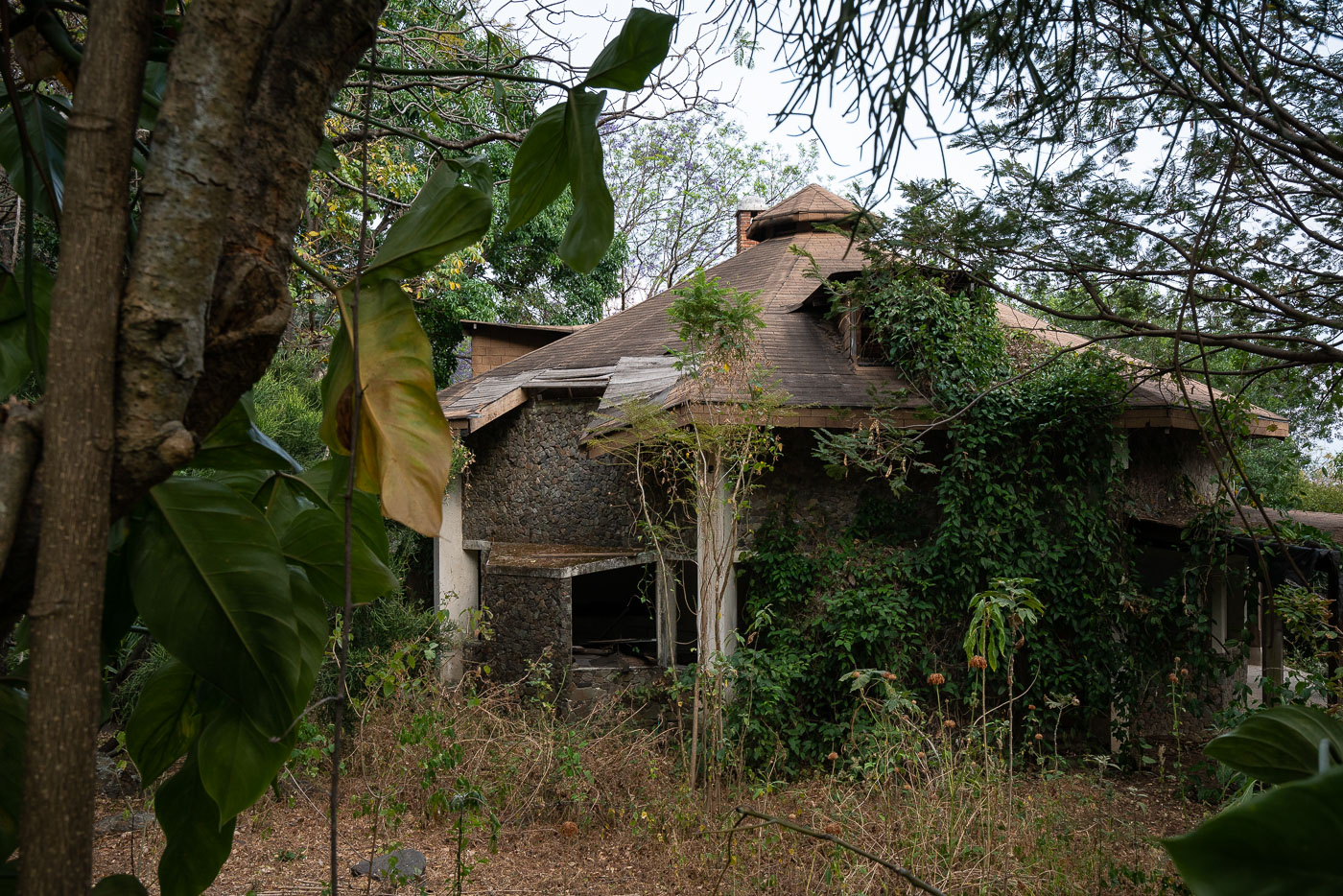
Abandoned stone house with cupola overgrown by vegetation on a hillside above Lake Atitlán in Santa Cruz La Laguna, Guatemala.
Santa Cruz La Laguna is a Kaqchikel Maya village on the northern shore of Lake Atitlán, reachable mainly by boat since no road links it to the lake's other shoreline towns. Over the decades the area has drawn farmers, missionaries, and small tourism ventures, and as newer guesthouses rose closer to the water, older hillside structures like this one were left to stand empty.
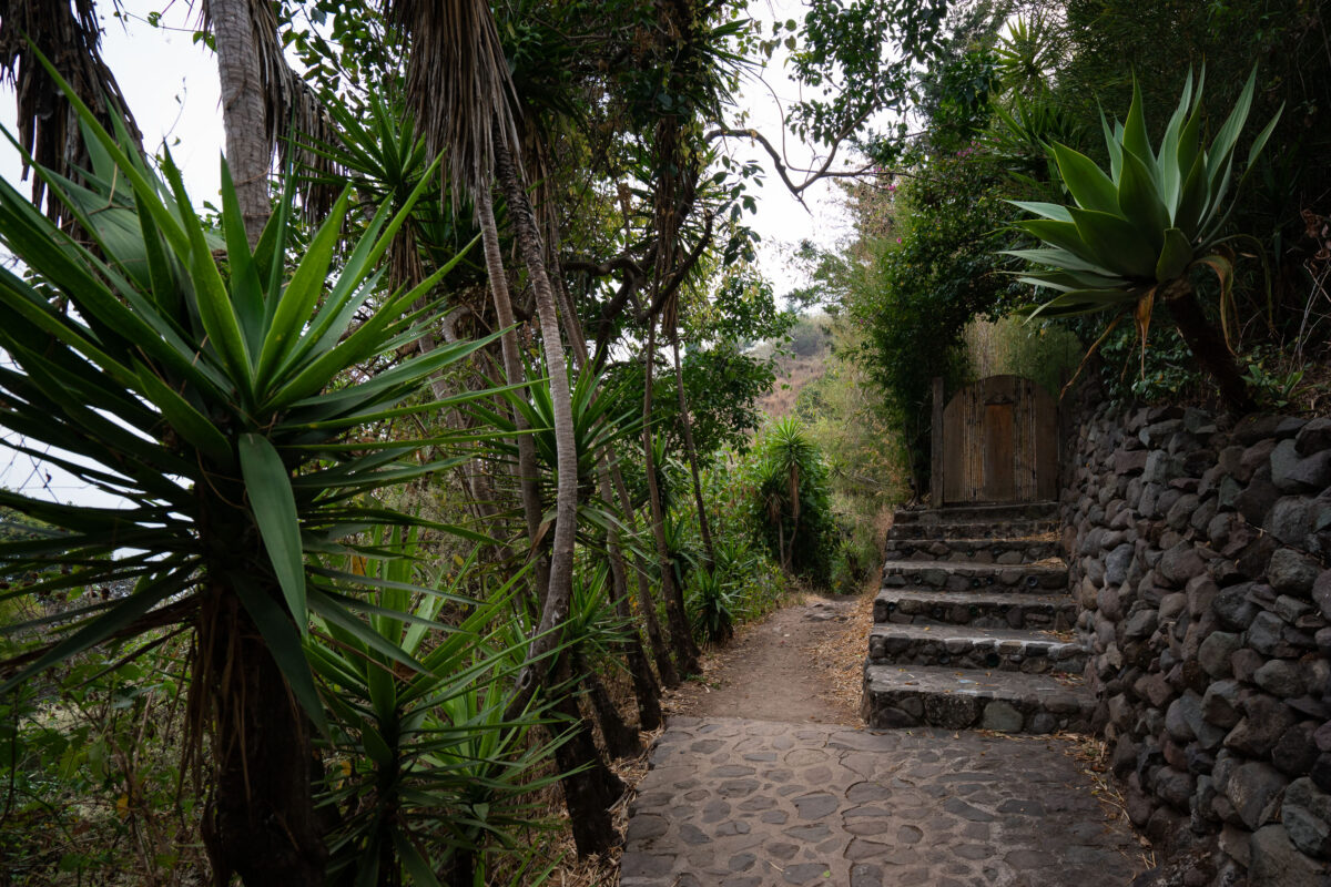
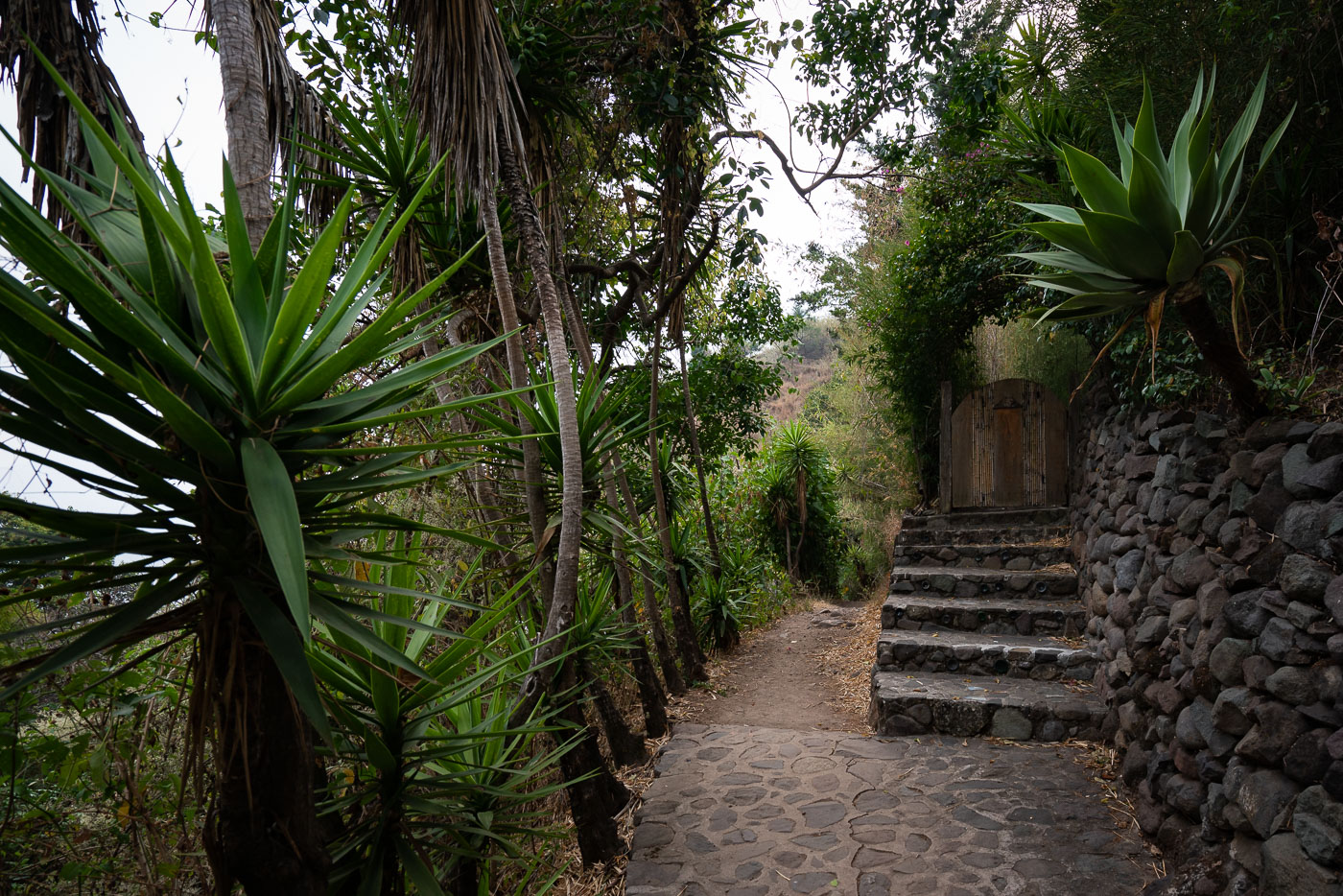
Stone pathway with lush vegetation winds through Santa Cruz La Laguna village on steep slopes above Lake Atitlán in Guatemala.
Santa Cruz La Laguna sits on a steep hillside above Lake Atitlán, reachable mainly by boat or footpath rather than road. Stone stairways and retaining walls like these connect the village's upper streets to the shoreline, cutting through terraced gardens planted with agave and other hardy species suited to the volcanic slope. Many of these walkways lead to small guesthouses and homes built into the hillside, since the terrain is too steep for vehicle traffic.
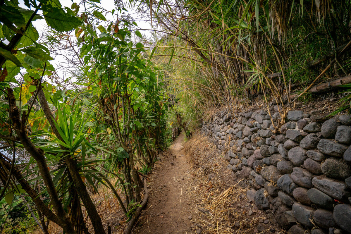
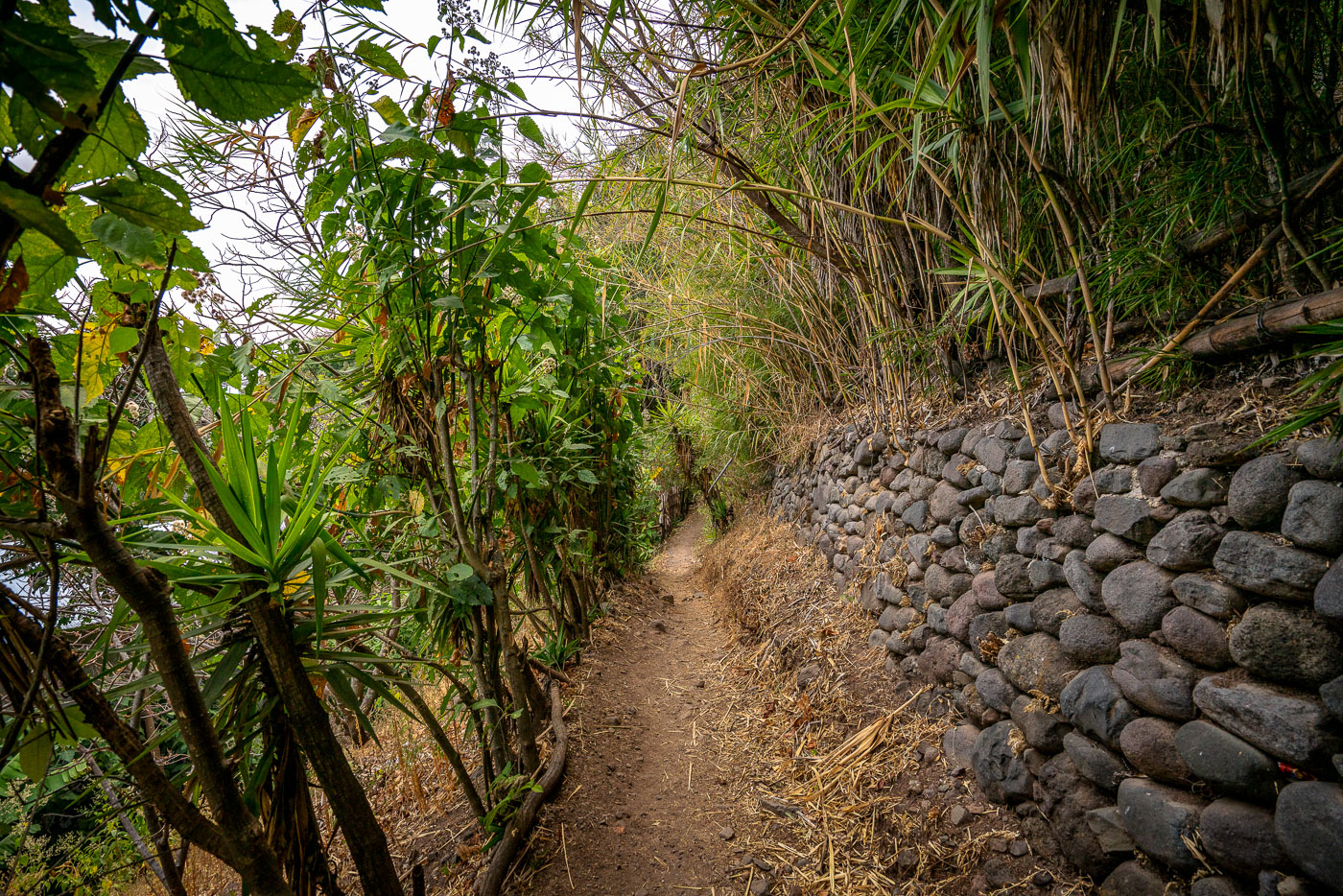
Narrow footpath along Lake Atitlán's shore between Jaibalito and Santa Cruz la Laguna, Guatemala, bordered by stone retaining wall and dense vegetation.
This footpath connects Jaibalito and Santa Cruz La Laguna, two villages on the northern shore of Lake Atitlán reachable only by boat or trail. The route is a stretch of the longer lakeside trail linking several communities along the water, popular with hikers moving between villages without a direct road. Stone retaining walls, built from volcanic rock common to the Atitlán basin, shore up the path where it cuts into the steep hillside above the lake.
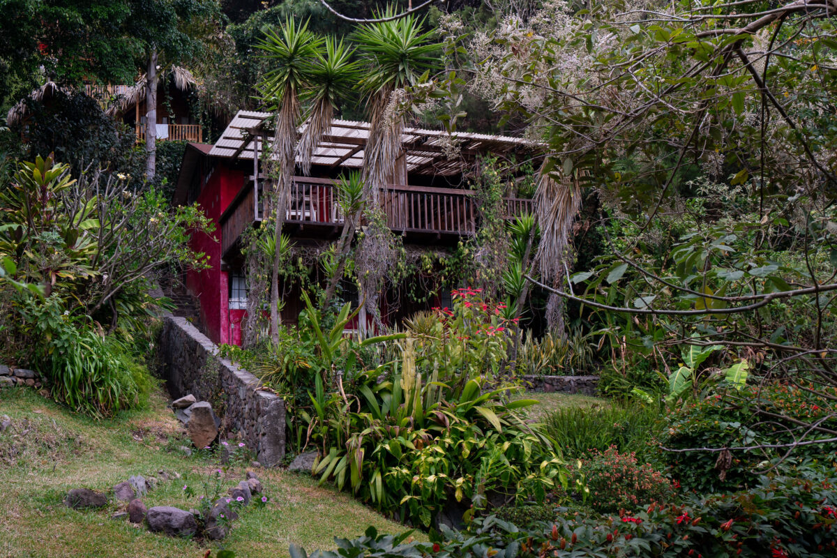
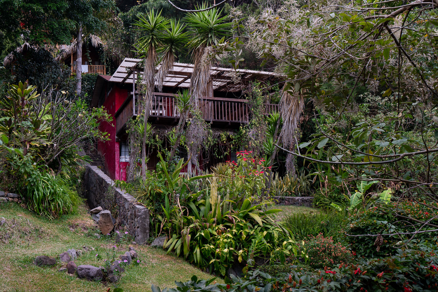
A hillside house with red walls and raised balcony nestles within dense vegetation above Lake Atitlán in Santa Cruz La Laguna, Guatemala.
Santa Cruz La Laguna sits on the northern shore of Lake Atitlán in Guatemala's Sololá Department, reachable mainly by boat rather than road. The village's steep volcanic terrain has pushed small lodges and guesthouses up the hillsides, tucked among dense tropical growth above the water. Many of these properties were built by outside developers starting in the 1990s and 2000s, drawn by the setting's isolation and the lake views from higher elevations. The surrounding Kaqchikel Maya community remains largely agricultural, with tourism concentrated in a handful of lakeside and hillside accommodations like this one.
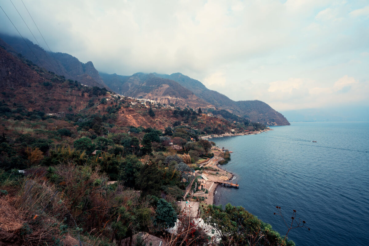
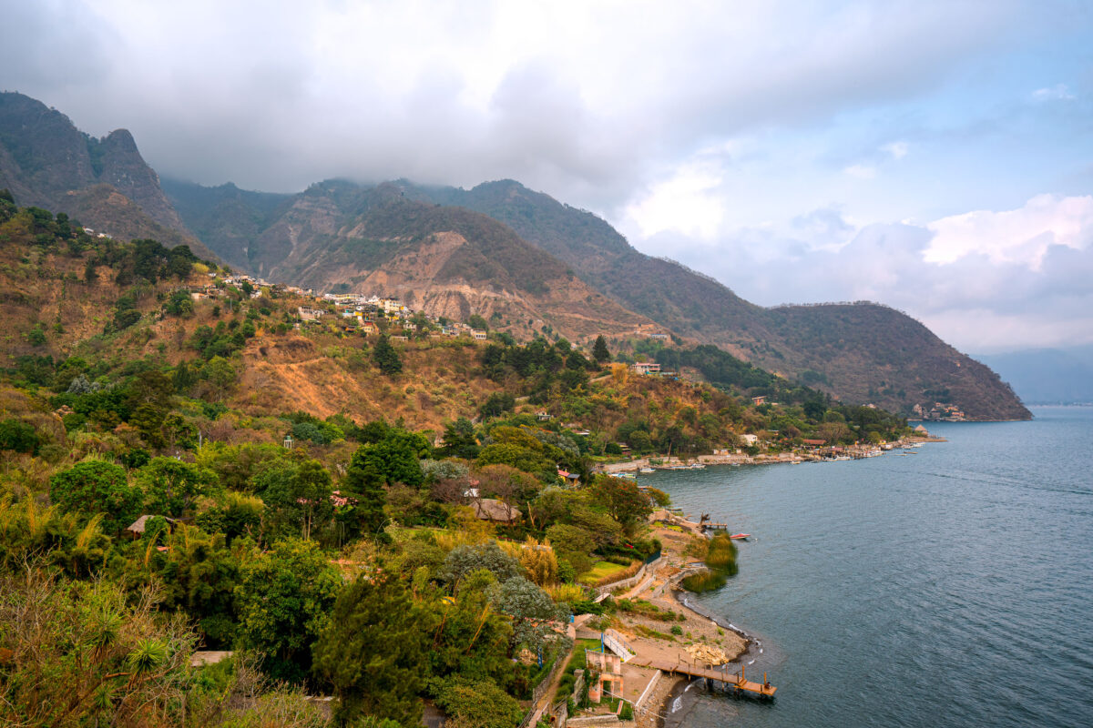
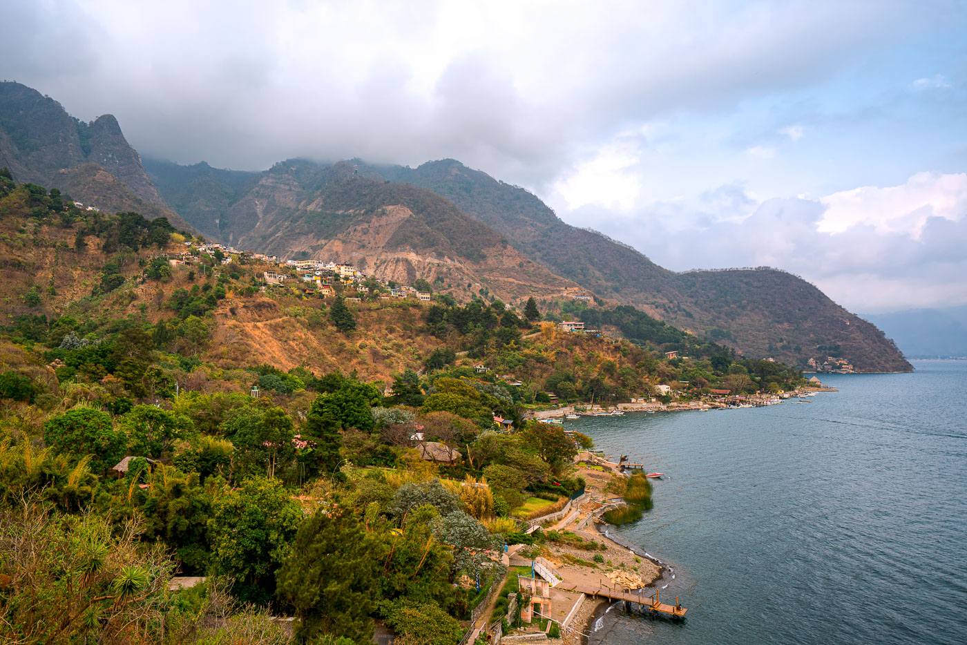
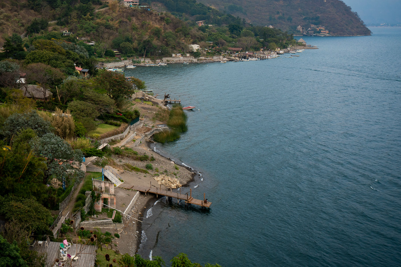
Santa Cruz La Laguna village clings to steep forested volcanic slopes above Lake Atitlán's shoreline in Guatemala with scattered homes and docks visible along the water.
Santa Cruz La Laguna sits on the northern shore of Lake Atitlán, built into terrain so steep that many homes are reachable only by footpath or boat. The lake itself fills a volcanic caldera formed roughly 84,000 years ago and reaches depths of more than 1,000 feet in places, making it one of the deepest lakes in Central America. Small docks along this stretch of coast link the village to Panajachel and other lakeshore communities, since a paved road connecting Santa Cruz to the rest of the region wasn't completed until the 2010s. The surrounding slopes are planted with coffee and corn, crops that remain central to the local Kaqchikel Maya economy.
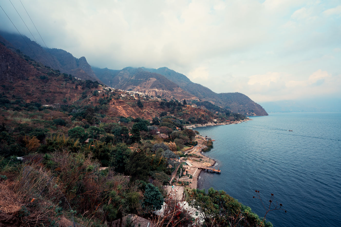
Santa Cruz La Laguna village clings to a steep forested mountainside above Lake Atitlán in Guatemala with homes scattered across the slope and docks lining the narrow shoreline.
Santa Cruz La Laguna sits on a steep slope above the northern shore of Lake Atitlán, a volcanic crater lake in Guatemala's western highlands. The lake formed roughly 84,000 years ago after a massive eruption collapsed the caldera, leaving a basin reaching depths of more than 340 meters in places. Santa Cruz's population is largely Kaqchikel Maya, and the village has no direct road access from much of the surrounding shoreline, relying instead on boats that connect it to Panajachel and other lakeside towns. Volcán Tolimán and Volcán San Pedro rise along the lake's southern edge, part of the chain of volcanoes that ring Atitlán.
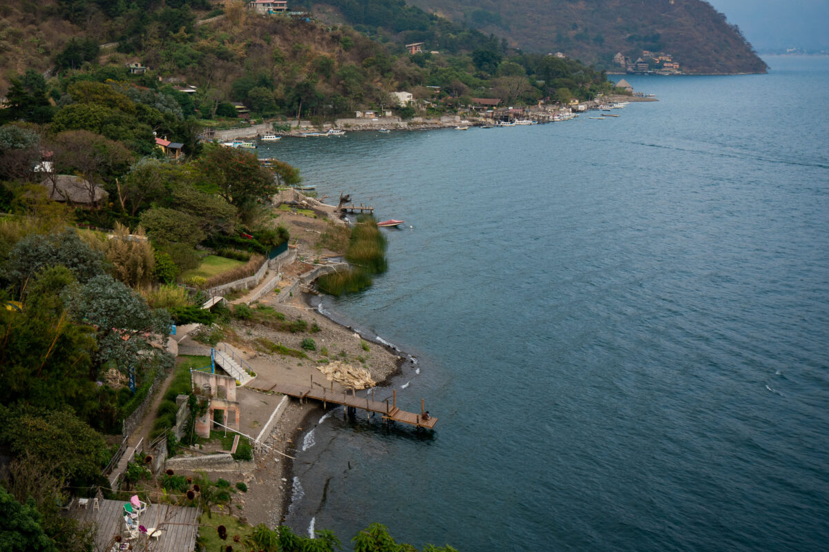
Wooden docks and lakeside properties line the steep forested shore of Lake Atitlán at Santa Cruz La Laguna, Guatemala.
Santa Cruz la Laguna sits on the northern shore of Lake Atitlán, a volcanic crater lake that drops to depths of more than 1,000 feet, making it one of the deepest lakes in Central America. Steep terrain and the absence of a paved road connecting the town to other lakeside communities have long made boats the primary means of transport here; small private docks like these the main access points for homes and guesthouses along the shore. Lanchas, the shared motorboats common across the lake, still carry most residents and visitors between Santa Cruz and towns such as Panajachel and San Pedro la Laguna.
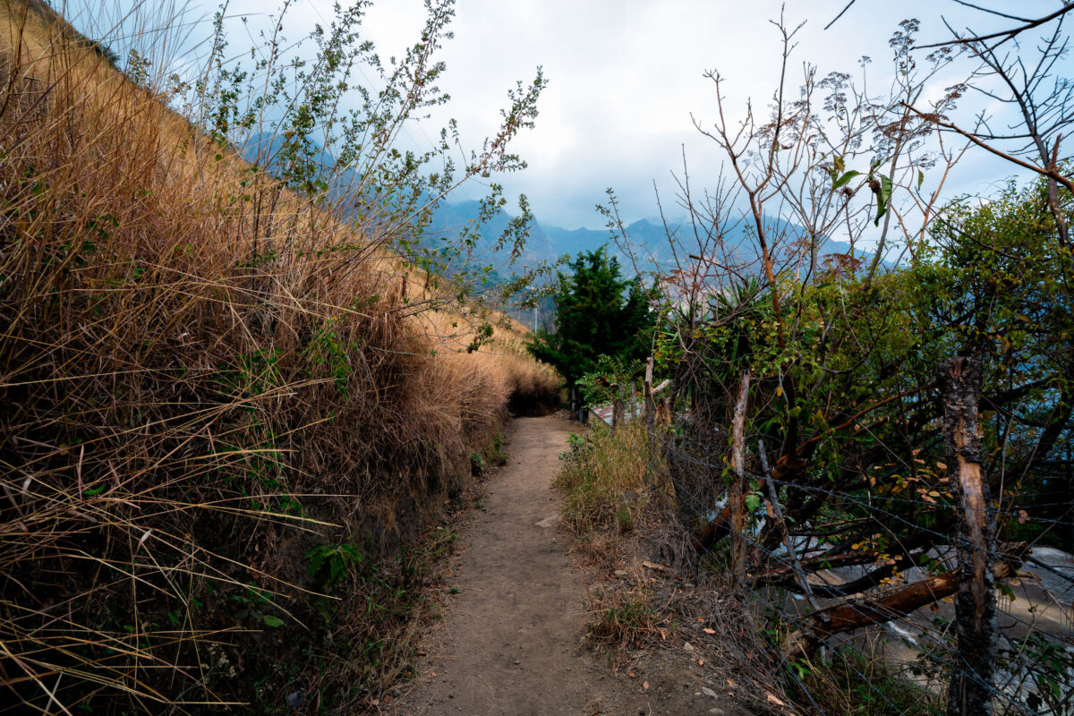
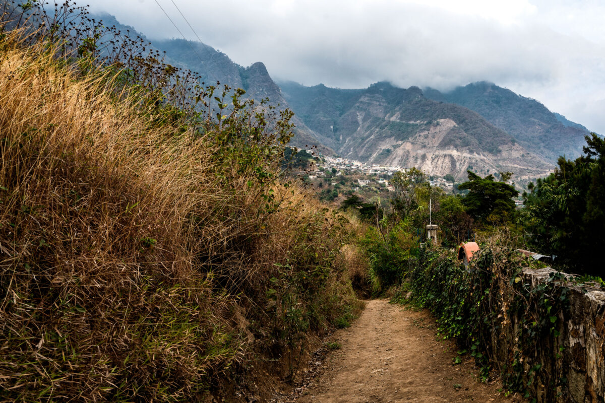
Hillside footpath winds through vegetation above Santa Cruz La Laguna village on Lake Atitlán's north shore in Guatemala.
Santa Cruz La Laguna sits on the northern shore of Lake Atitlán, a caldera lake formed roughly 84,000 years ago by a massive volcanic eruption. Steep terrain around the lake has long limited road construction, so many of the lakeside Kaqchikel Maya communities rely on footpaths and boat travel rather than vehicle access. Lake Atitlán itself has no natural surface outlet, with water levels regulated entirely by evaporation and underground seepage. Santa Cruz La Laguna remains one of the smaller lake towns, with a economy centered on small-scale agriculture, fishing, and guesthouses serving travelers who arrive by lancha from Panajachel.
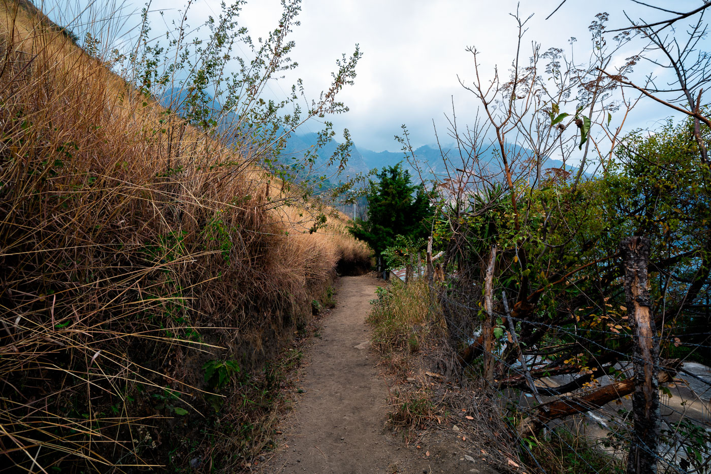
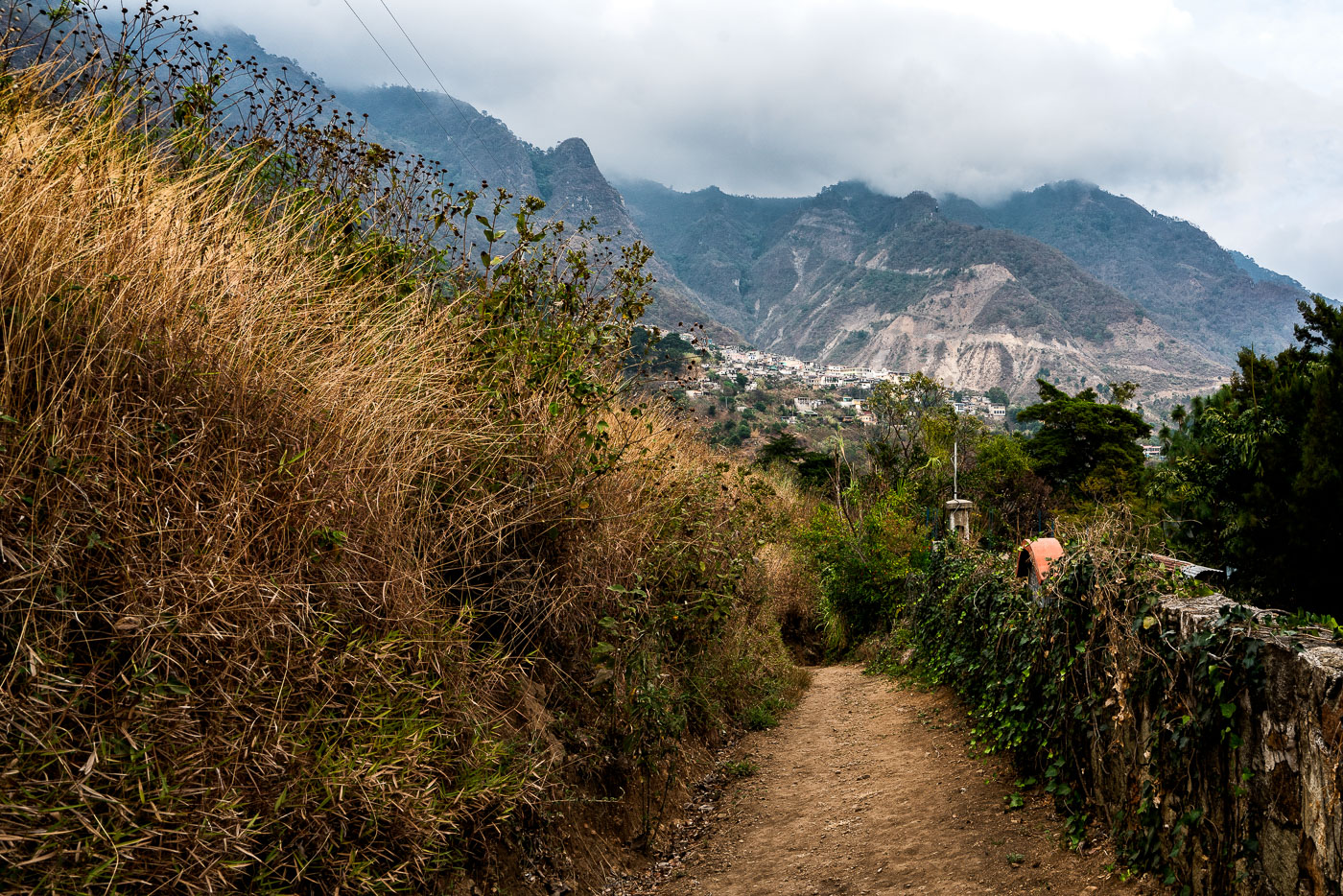
Unpaved hillside footpath winds through vegetation in Santa Cruz La Laguna village on Lake Atitlán's northern shore in Guatemala.
Santa Cruz La Laguna sits on the northern shore of Lake Atitlán, a volcanic lake formed roughly 84,000 years ago in a collapsed caldera. The village is reachable mainly by boat or footpath, since the surrounding slopes are too steep for a full road network. Trails like this one link the lakeside dock and lower homes to farm plots and settlements higher on the hillside. Lake Atitlán sits at an elevation of about 5,100 feet, and the highland terrain around Santa Cruz supports crops such as coffee, corn, and avocado grown on terraced or sloped ground.
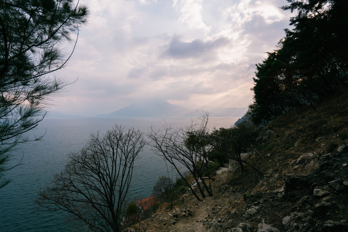
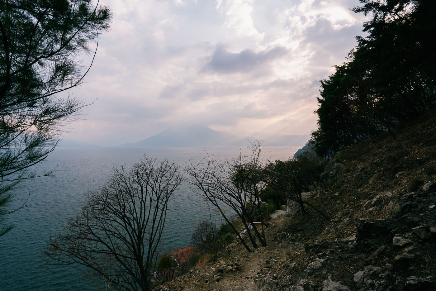
Lakeside trail winds along a forested shoreline above Lake Atitlán with Volcán Atitlán visible across the water in Guatemala.
Santa Cruz La Laguna sits on the northern shore of Lake Atitlán, a lake formed within a volcanic caldera that collapsed roughly 84,000 years ago. The village is accessible mainly by boat or footpath, since the steep terrain around this part of the shoreline has limited road construction. Volcán Atitlán, one of three volcanoes ringing the lake, rises to about 11,600 feet on the opposite shore. Lake Atitlán itself reaches depths of more than 1,000 feet, making it one of the deepest lakes in Central America.
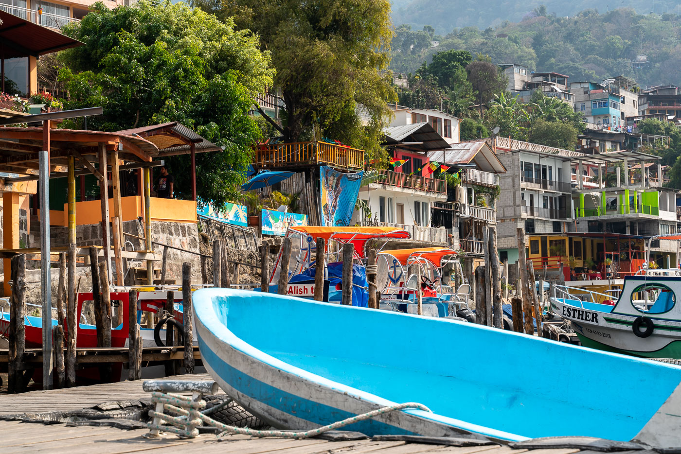
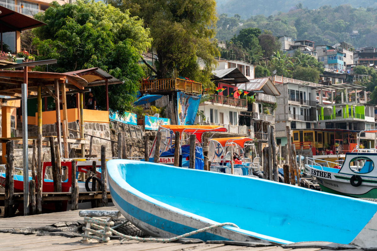
Blue and red fishing boats dock at a wooden pier on Lake Atitlán in San Pedro La Laguna, Guatemala.
San Pedro La Laguna sits on the southwestern shore of Lake Atitlán, a crater lake formed roughly 84,000 years ago by a massive volcanic eruption. Lanchas — open motorized launches like these — remain the primary way residents and visitors move between San Pedro and the lake's other towns, since no road circles the entire shoreline. Public lancha routes typically connect San Pedro to Panajachel, Santiago Atitlán, and San Marcos La Laguna, with docks doubling as informal gathering points for vendors and waiting passengers. The town itself is one of the larger Tz'utujil Maya communities on the lake, known for Spanish-language schools and coffee cultivation on the surrounding volcanic slopes.
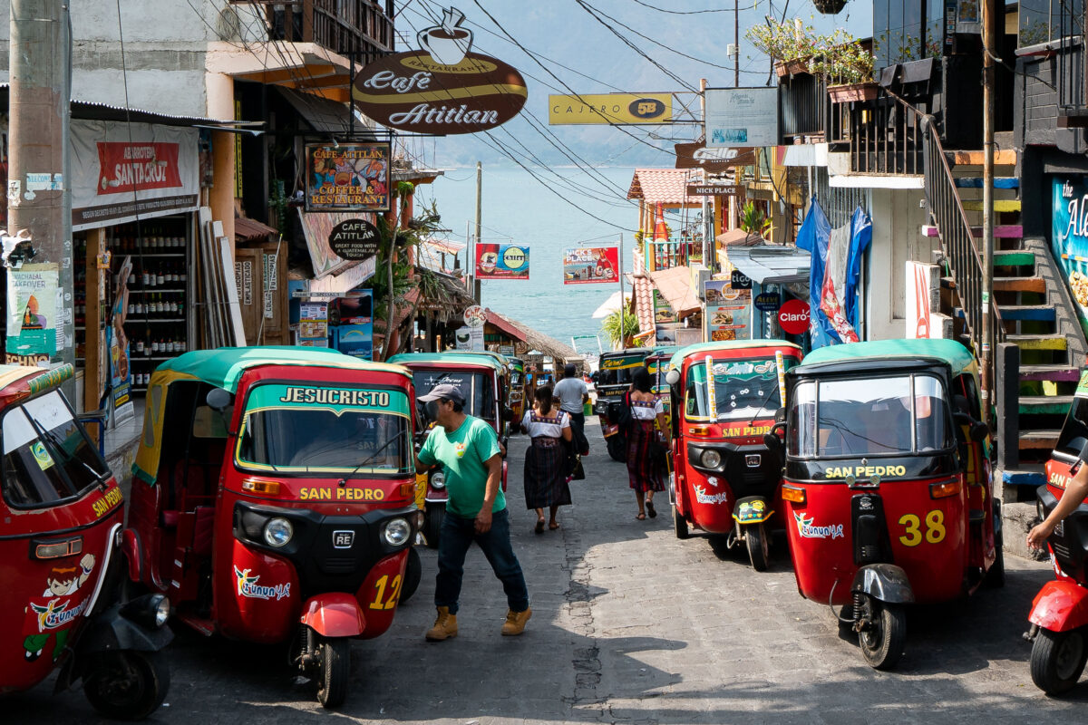
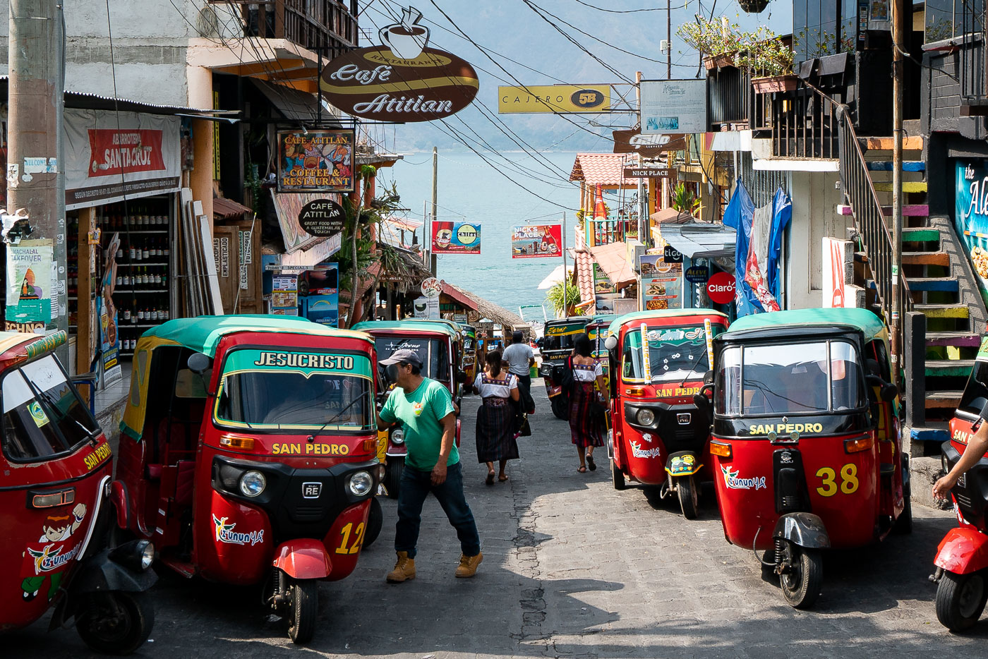
Mototaxis parked on a colorful commercial street in San Pedro La Laguna, Guatemala with shops and pedestrians visible.
San Pedro La Laguna sits on the southwestern shore of Lake Atitlán, below the slopes of Volcán San Pedro. Tuk-tuks, known locally as mototaxis, the main form of transport through the town's steep, narrow streets, which were laid out long before motorized vehicles and leave little room for cars. Drivers typically charge a flat fare for short trips between the lakeshore, the market, and surrounding neighborhoods. The town's economy is tied closely to Lake Atitlán tourism and to coffee grown on the surrounding hillsides, both of which keep a steady flow of passengers moving through its commercial streets.
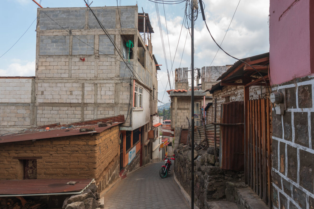
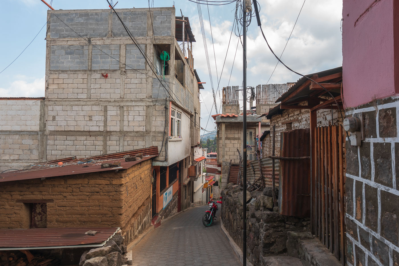
Red motorcycle parked on a steep residential lane in San Pedro La Laguna, Guatemala, lined with concrete block and stone buildings.
San Pedro La Laguna sits on the southwestern shore of Lake Atitlán in Guatemala's Sololá Department, at the base of its namesake volcano. The town is home to a largely Tz'utujil Maya population and has grown into one of the lake's busiest centers for Spanish-language schools and backpacker tourism. Its older residential streets climb steeply away from the waterfront, built with concrete block, stone, and corrugated metal, and are often too narrow or steep for anything larger than motorcycles and pedestrians. Overhead utility lines strung along these lanes supply power to homes built incrementally over generations.
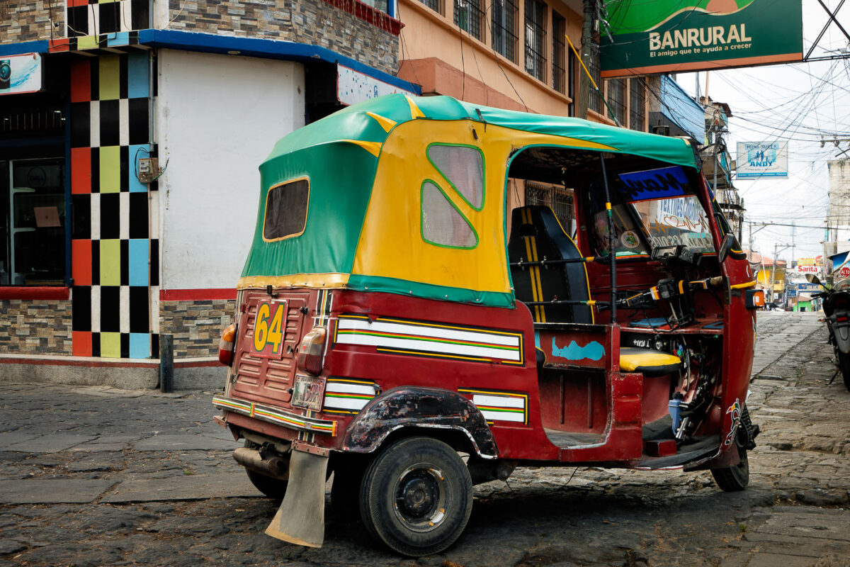
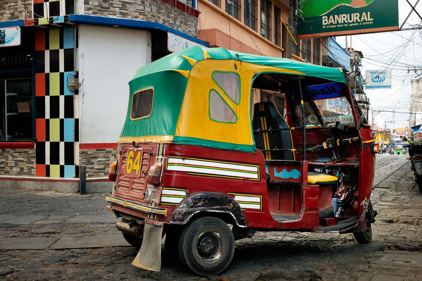
Brightly painted red, green, and yellow tuk-tuk taxi parked on a street in San Pedro La Laguna, Guatemala.
Tuk-tuks like this one are the main form of short-distance transport in San Pedro La Laguna, a town on the southwestern shore of Lake Atitlán. The three-wheeled vehicles, adapted from motorcycle frames, are suited to the steep, narrow streets that wind up from the lakeshore into the hillside neighborhoods. Most operate independently, with owners painting and numbering their vehicles for identification within the local taxi fleet. A Banrural branch, part of Guatemala's state-affiliated rural development bank, stands in the background along the town's commercial strip.
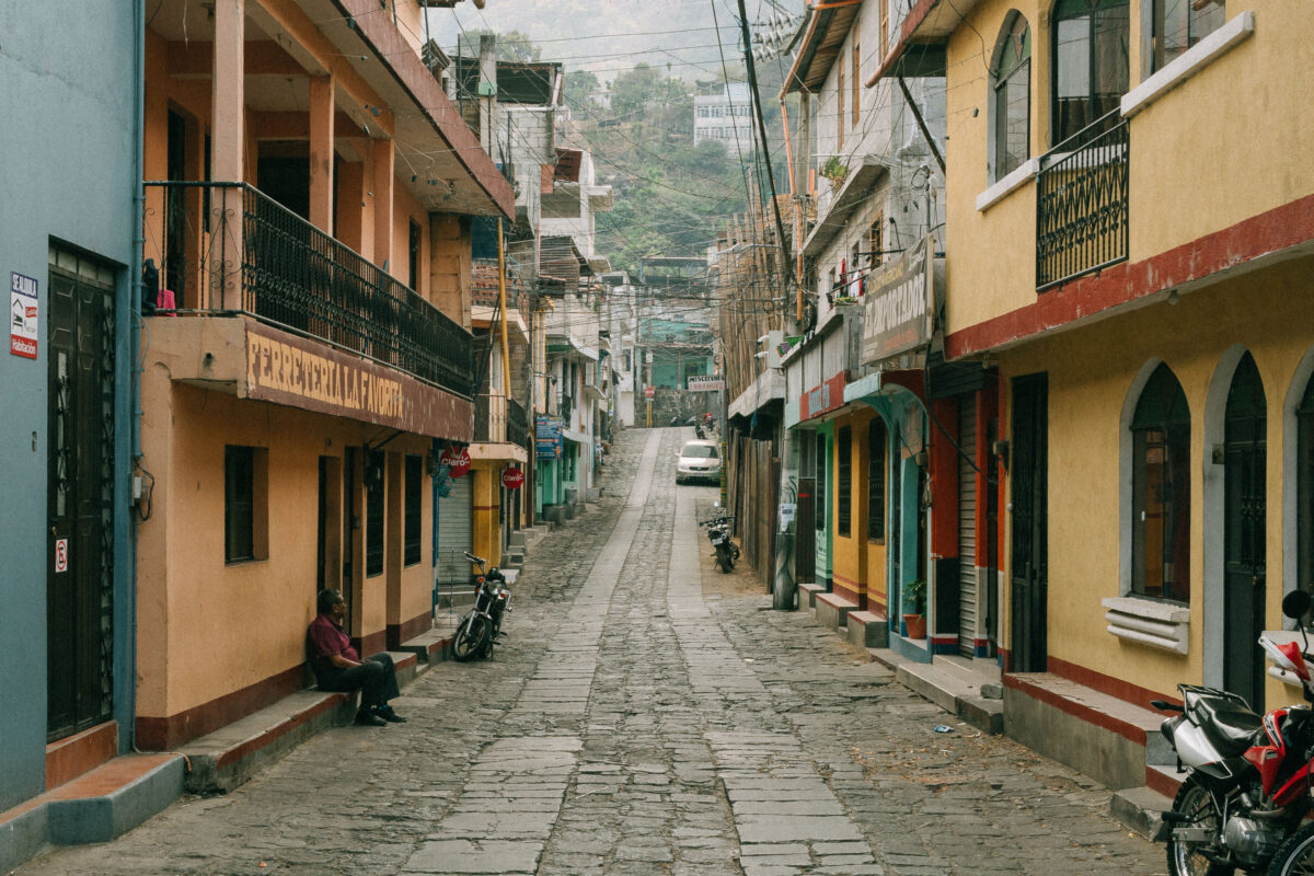
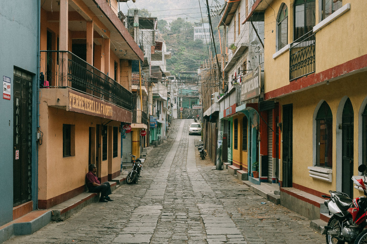
Cobblestone street in San Pedro La Laguna, Guatemala lined with colorful colonial buildings and parked motorcycles.
San Pedro La Laguna sits on the southwestern shore of Lake Atitlán, below the volcano that shares its name. The town's narrow cobblestone streets climb steeply from the dock area into the hillside, linking the lakefront to residential blocks above. Small guesthouses, tiendas, and family residences line these routes, many painted in the bright colors common throughout the lake's Tz'utujil Maya communities. Motorcycles and tuk-tuks remain the primary transport here, since the steep grades and narrow width of most streets limit car access.
Built in Minneapolis

Minneapolis Photographer

Browse by location, move through long-running series, or start with recent work.