Place Archive

San Marcos

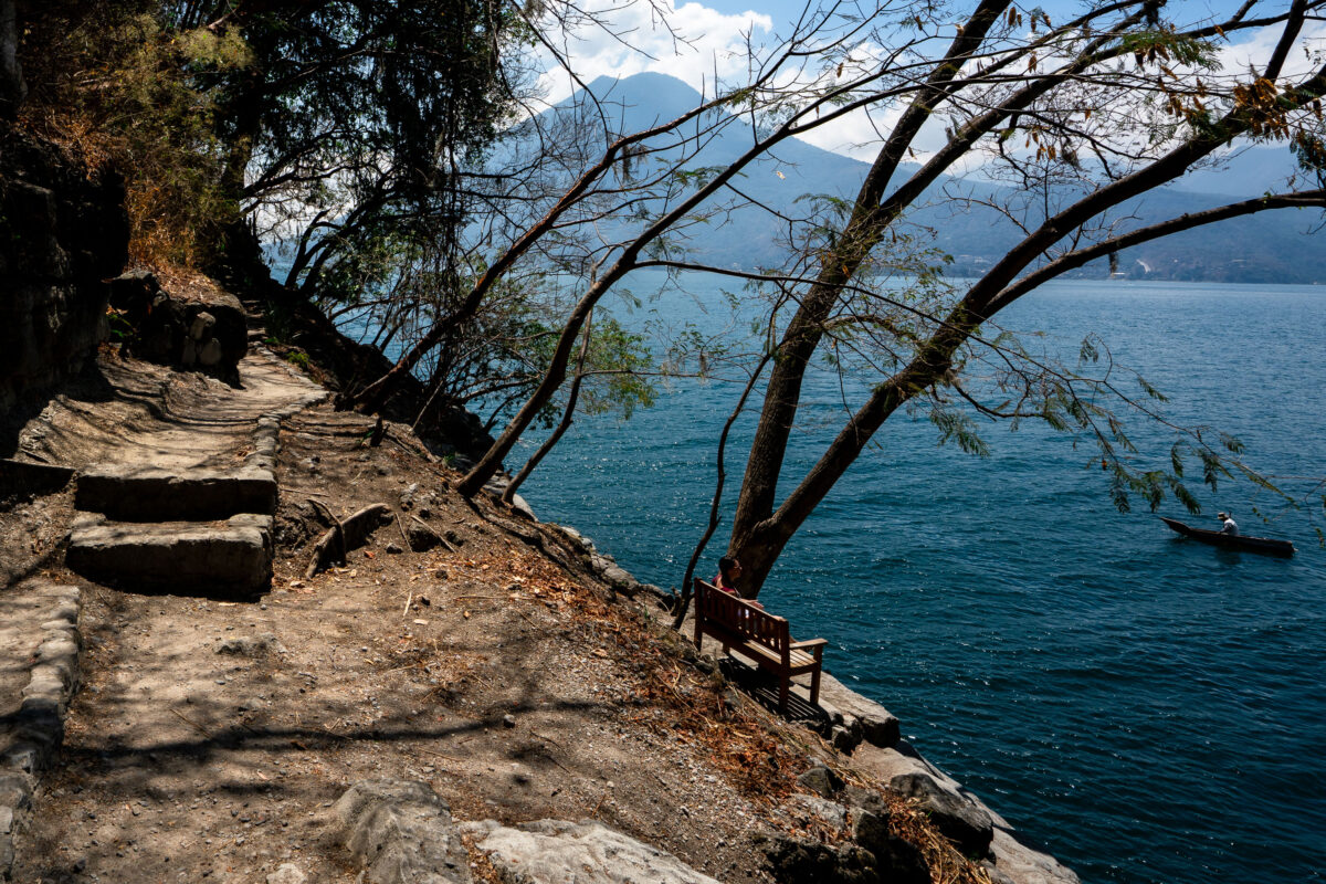
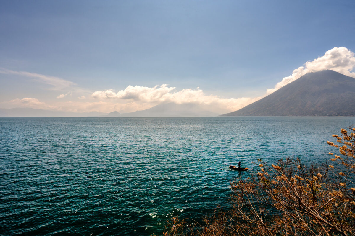
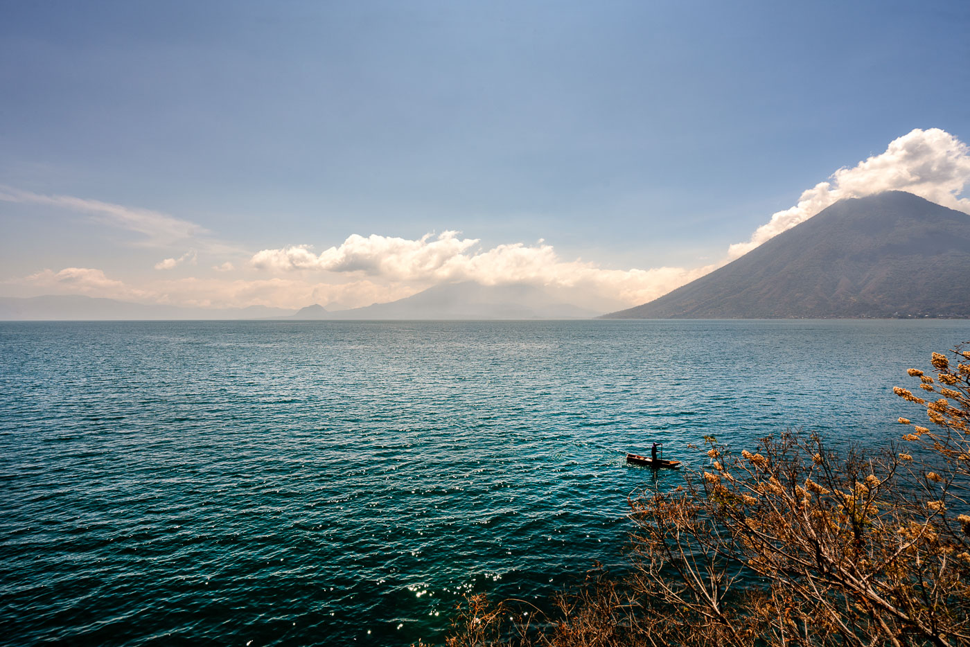
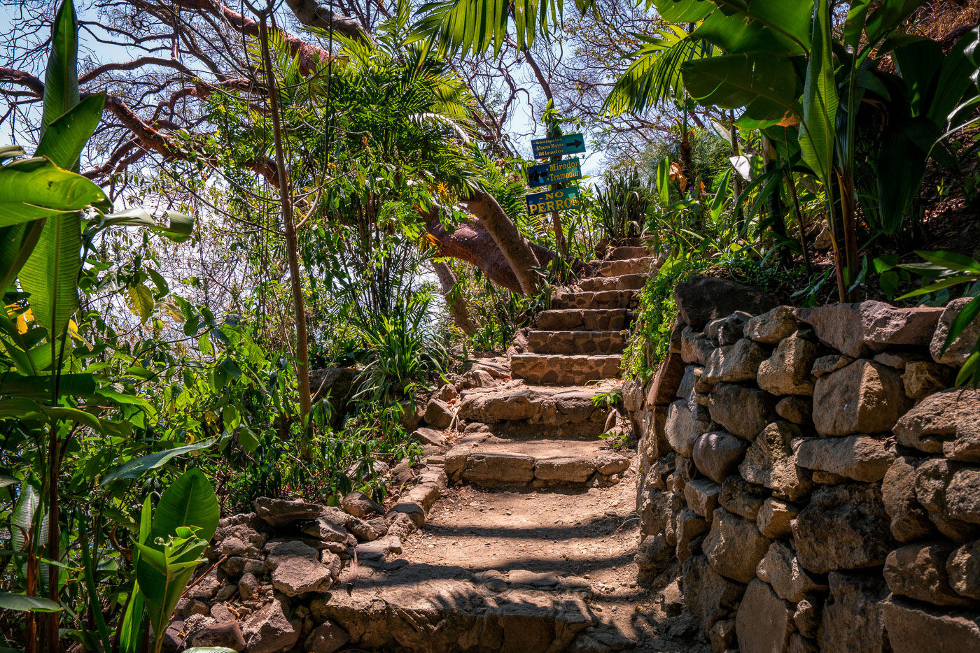
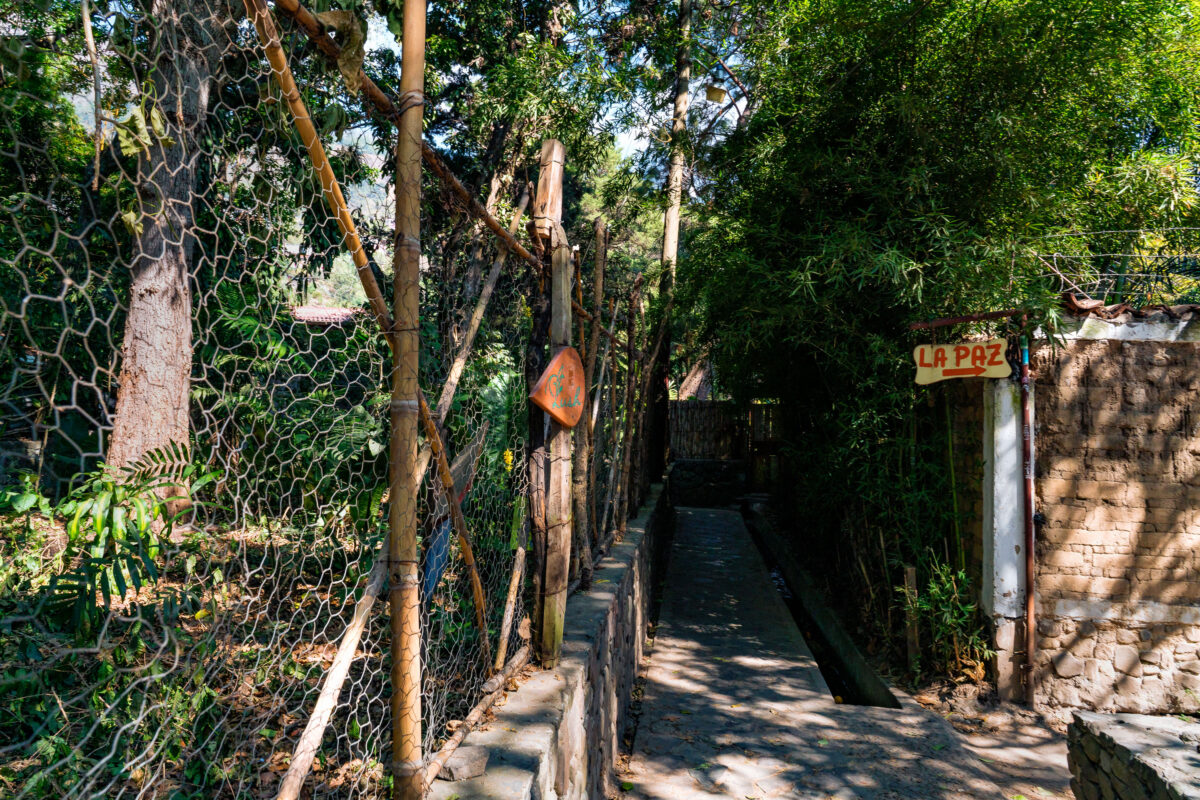
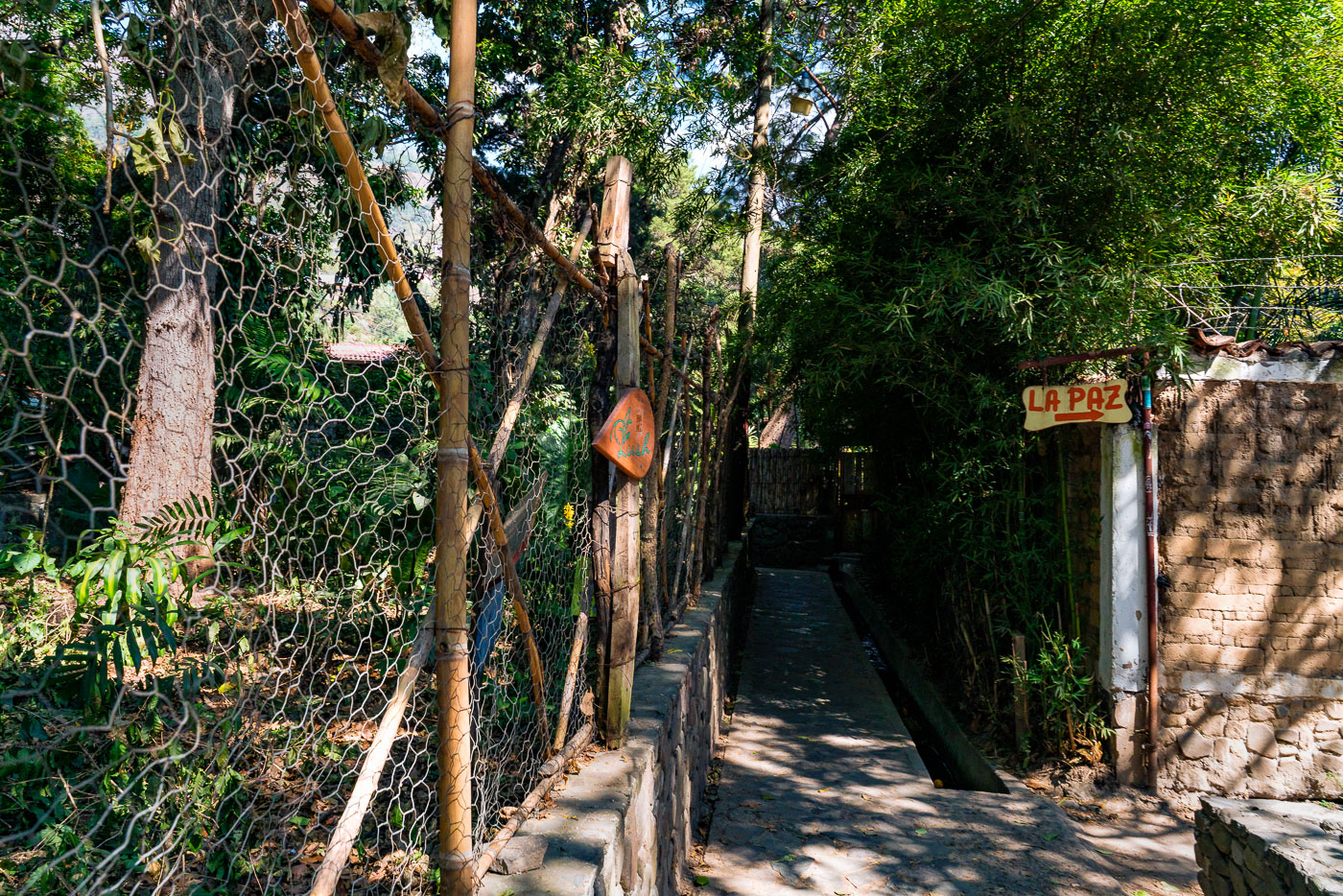
Paths near San Marcos lead to community points like La Paz and traverse the Cerro Tzankujil Nature Reserve, marked by signs such as “No Perros” to protect local ecology. Lake Atitlán’s shore is accessed via stone steps, where dugout canoes and kayaks navigate waters framed by Volcano San Pedro and other volcanic peaks.

4 photos

Photos from San Marcos

A dirt path with stone steps leads along the shore of Lake Atitlan near San Marcos, Guatemala, with a dugout canoe on the water and volcanoes in the distance.
A dirt path with stone steps winds along the rocky shore of Lake Atitlan, near San Marcos, Guatemala. A lone figure paddles a dugout canoe across the deep blue water, with the hazy outline of volcanoes visible in the distance under a partly cloudy sky. A wooden bench offers a resting spot overlooking the lake. Lake Atitlan is a large freshwater lake in the Guatemalan Highlands, formed by a massive volcanic eruption. The surrounding area is known for its indigenous Mayan communities and the dramatic volcanic landscape, making it a popular destination for tourism and local travel. The path likely serves as a route for accessing the lake or connecting different points along its shore.
Sunny morning at Lake Atitlan Guatemala
A lone kayaker navigates the waters of Lake Atitlán in Guatemala, with the prominent Volcano San Pedro forming a dramatic backdrop. Lake Atitlán, formed by a massive volcanic eruption approximately 84,000 years ago, is renowned for its stunning natural beauty and the surrounding Maya villages. The lake and its volcanoes are a significant geographical and cultural landmark in Guatemala, attracting visitors and serving as a vital resource for local communities who rely on its waters for fishing and transportation.
Cerro Tzankujil San Marcos Guatemala
A stone pathway winds through the lush vegetation of Cerro Tzankujil Nature Reserve in San Marcos, Guatemala. This reserve, situated on the shores of Lake Atitlán, is a protected area known for its diverse flora and fauna. The path leads to various points of interest within the reserve, including viewpoints and Mayan altars, indicated by directional signage. The "No Perros" sign highlights a rule to maintain the natural environment and tranquility of the reserve.
A walkway leads to the "La Paz" sign in San Marcos, Guatemala.
A pathway leads towards the "La Paz" sign in San Marcos, Guatemala. This walkway, bordered by a rustic fence and lush vegetation, likely serves as a local route within the community. The sign, hand-painted and directional, indicates a place named "La Paz," which translates to "Peace" in Spanish, suggesting a potential community center, a tranquil area, or a specific destination within Santa Cruz.

Built in Minneapolis

Photographs showcasing change over time

Browse by location, move through long-running series, or start with recent work.