Place Archive

Santa Cruz

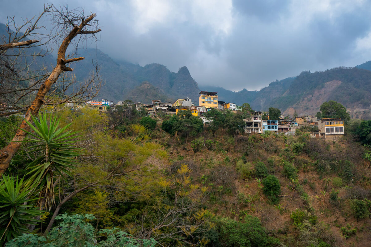
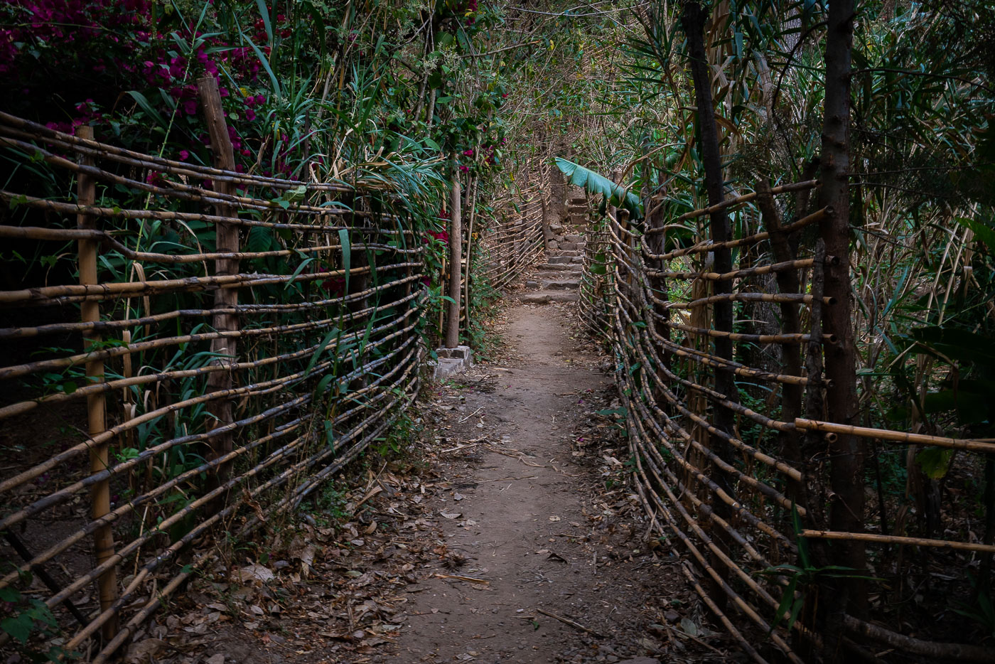
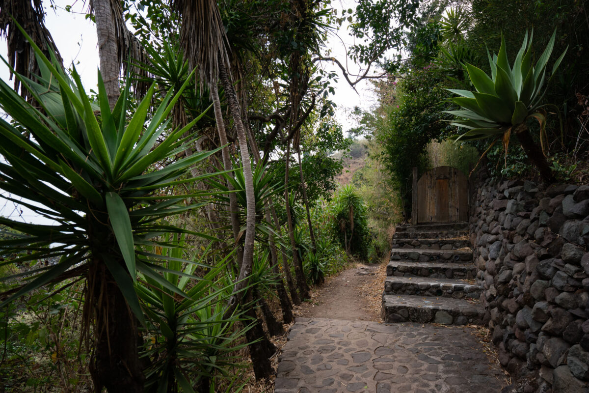
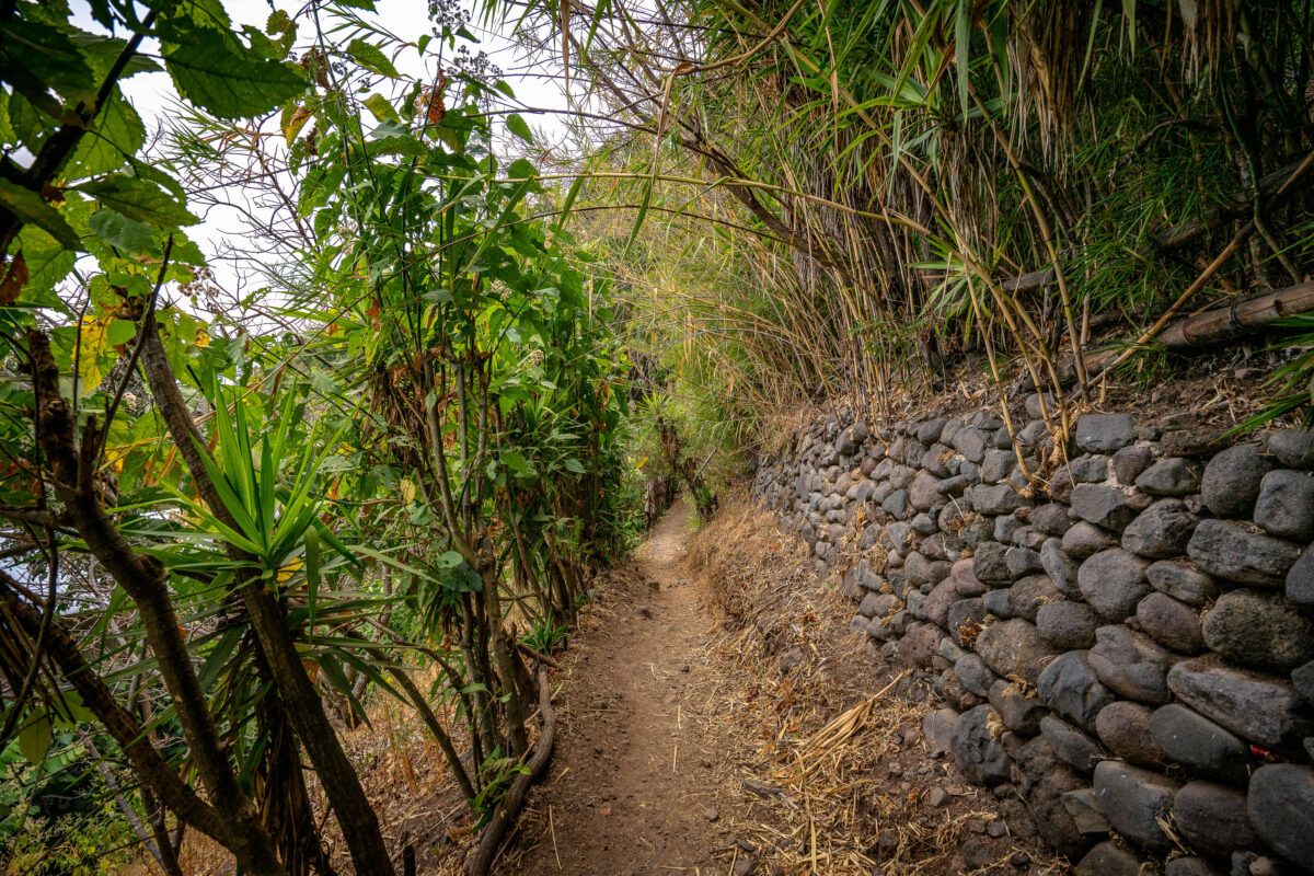
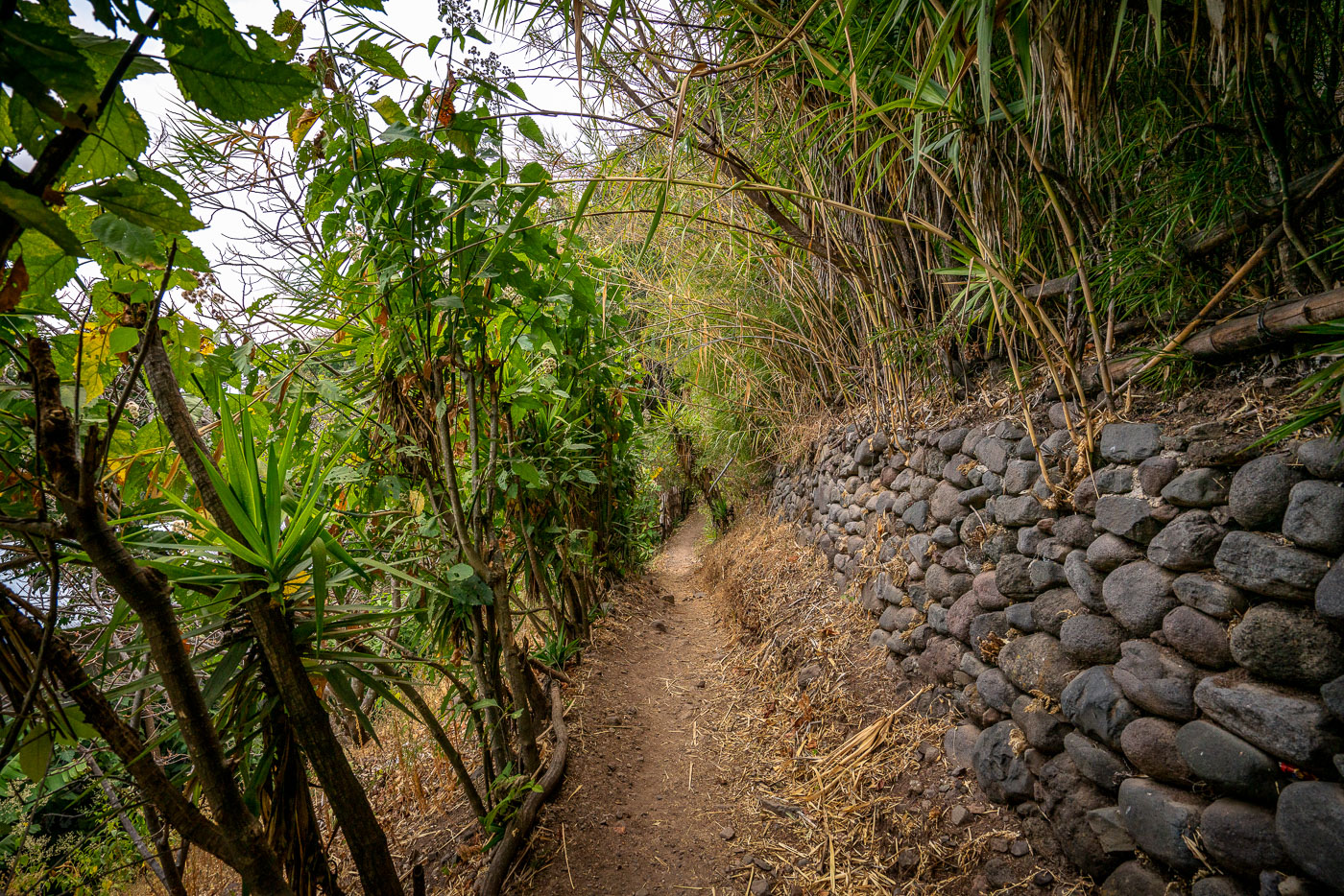
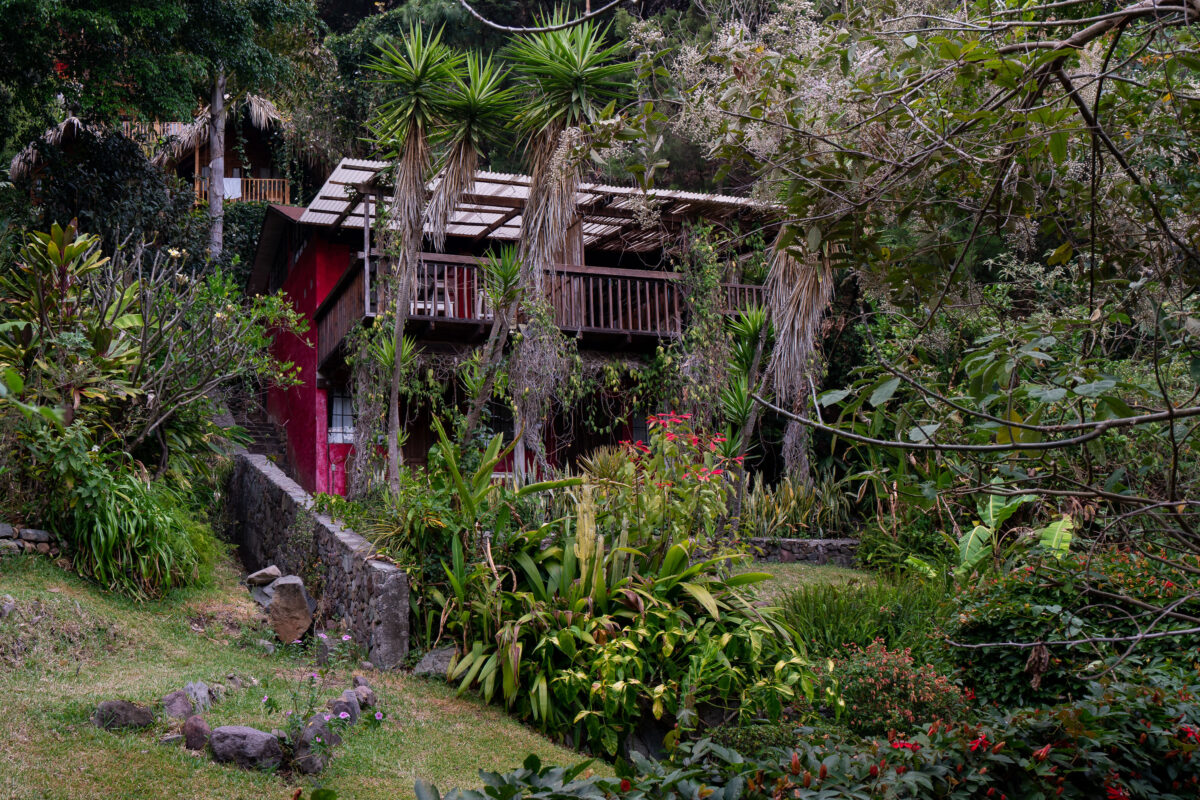
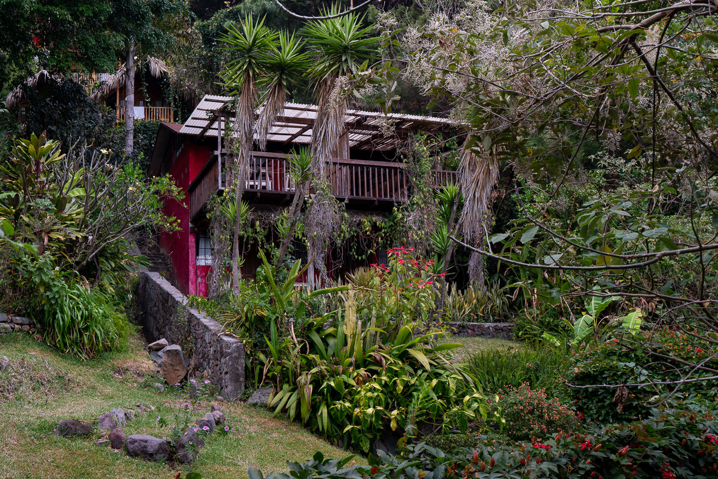
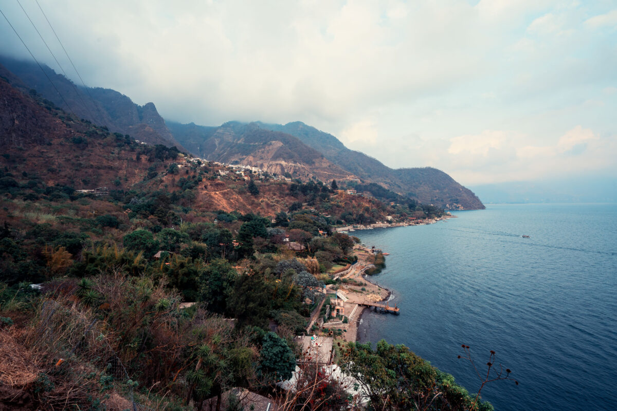
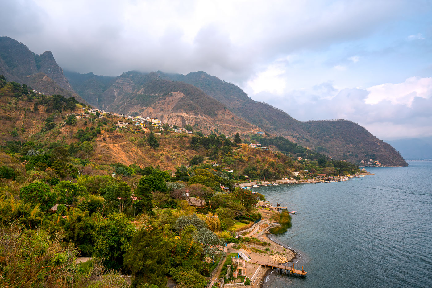
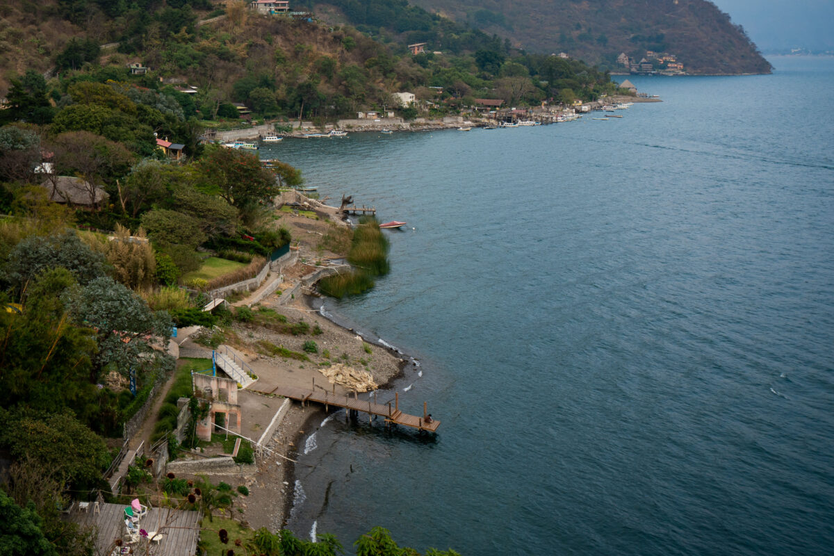
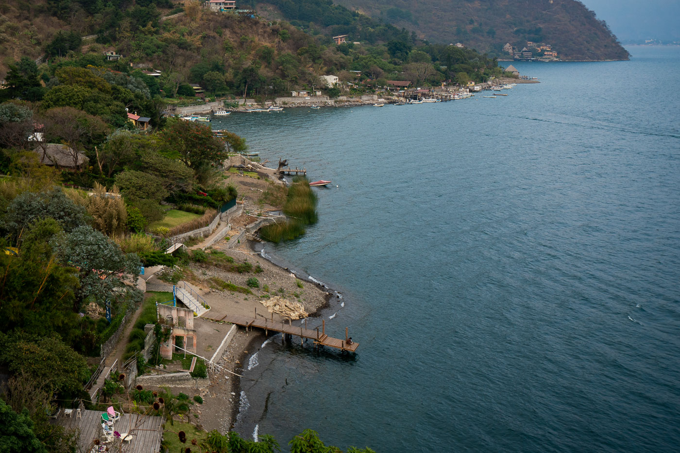
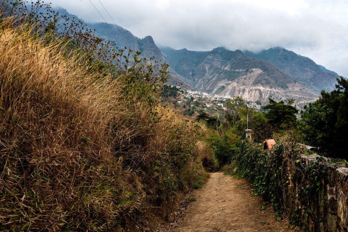
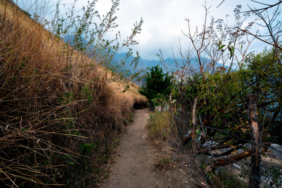
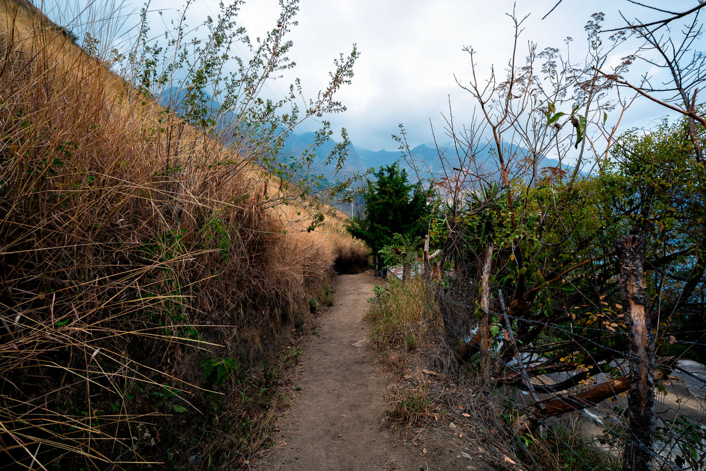
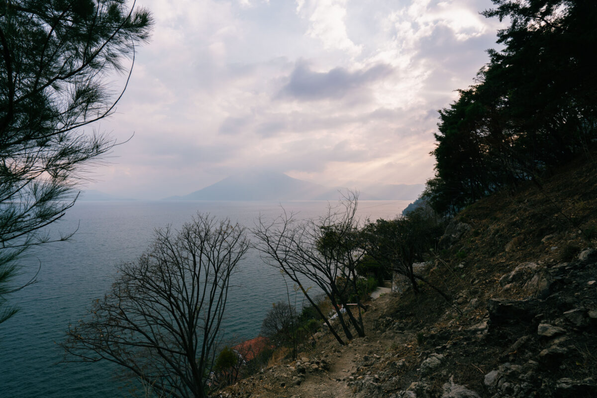
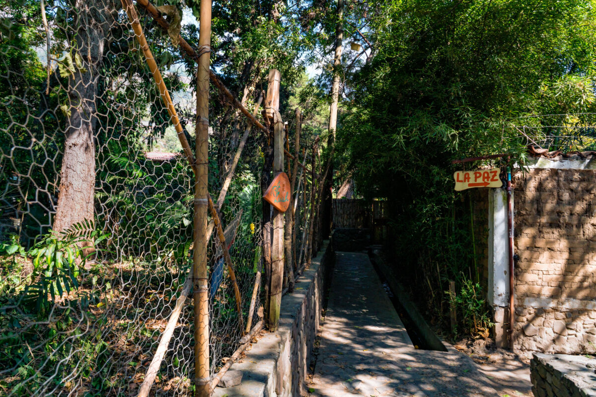
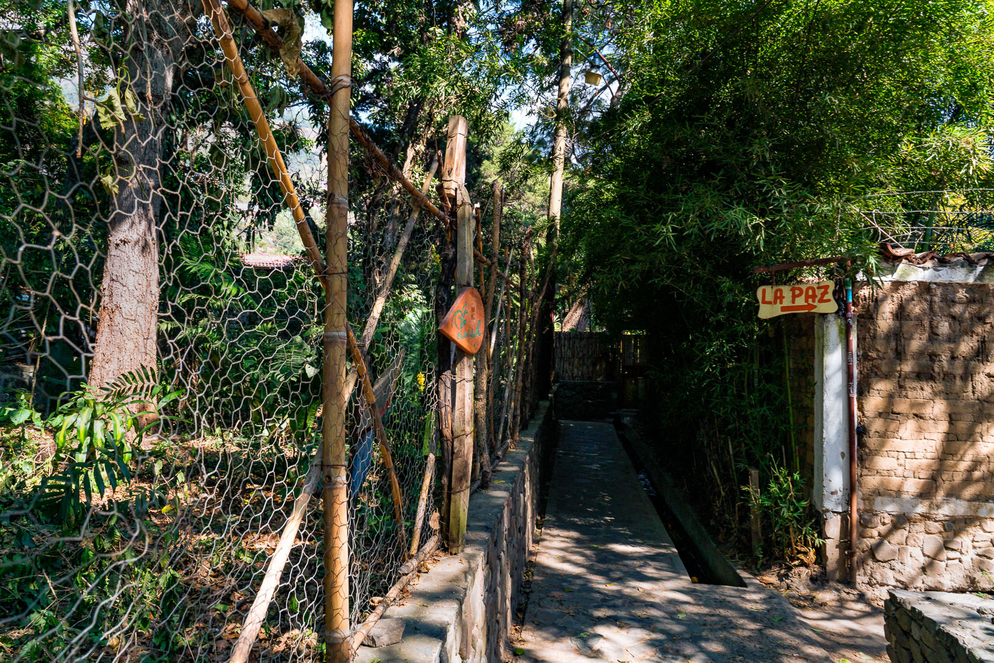
Santa Cruz La Laguna, a traditional Mayan village on Lake Atitlán’s steep northern shore, is accessible only by boat or footpath. Its stone and dirt trails connect homes, agricultural land, and docks amid volcanic landscapes, reflecting a blend of indigenous heritage and limited modern infrastructure.

14 photos

Photos from Santa Cruz

Santa Cruz La Laguna village on a mountainside overlooking Lake Atitlan, Guatemala.
Santa Cruz La Laguna is a traditional Mayan village located on the steep mountainside of the lake, roughly 325 vertical feet above the lake's surface (population: approximately 3,100). The village has the unique characteristic of being accessible only by boat or footpath. A single, winding road connects the dock to the village. There is a very rough road connecting Santa Cruz to Sololá which is used to transport heavy goods, concrete blocks, furniture, and a few vehicles. The village has no roads, telephone system, or commercial center, although a common gathering place in the village is the sports court, used for basketball and soccer by the children of the village. Electricity is intermittent and expensive, and is therefore not installed in many households.
A dirt path lined with a rustic bamboo fence ascends into lush vegetation near Lake Atitlan in Santa Cruz, Guatemala.
A pathway lined with a rustic bamboo fence leads uphill towards Lake Atitlan in Santa Cruz, Guatemala. This path serves as a vital connection for the local community and visitors, facilitating access to the lake and surrounding areas. The use of locally sourced bamboo for the fencing highlights traditional building methods and the integration of natural materials into the landscape. Such pathways are essential for navigating the often steep terrain around the lake, supporting both daily life and tourism in the region.
Abandoned stone house with octagonal roof in Santa Cruz, Guatemala, overgrown with vegetation.
This abandoned stone house is located in Santa Cruz, a municipality on the shores of Lake Atitlán in Guatemala. The structure, characterized by its rustic stone facade and octagonal roof, appears to have been left to decay, with vegetation encroaching on its exterior. Its original purpose and period of construction are not immediately evident, but its state of disrepair suggests a significant period of abandonment. The surrounding lush greenery indicates a tropical or subtropical climate, typical of the region around Lake Atitlán.
Stone path and stairs ascend a hillside in Santa Cruz, Guatemala, near Lake Atitlan.
A stone pathway and staircase lead upwards in Santa Cruz, a municipality on the shores of Lake Atitlán, Guatemala. This path, constructed with local stone and possibly incorporating recycled materials like glass bottles in the stair risers, reflects traditional building methods adapted to the steep terrain surrounding the lake. Such pathways are essential for local residents and visitors, providing access to homes, businesses, and natural areas around the lake, and are vital for connectivity in the region.
A dirt hiking trail runs alongside a stone retaining wall in Guatemala.
The hiking trail connecting Jaibalito and Santa Cruz la Laguna is a vital pathway for local communities in Guatemala's Sololá Department. This route, carved into the landscape, facilitates movement between villages situated along the shores of Lake Atitlán. The stone retaining wall visible along the path demonstrates traditional construction methods used to manage the terrain. Such trails are essential for daily life, enabling access to resources, markets, and social connections in this geographically diverse region.
A red residence with a wooden balcony and corrugated roof is nestled in lush vegetation in Santa Cruz, Guatemala.
This residence is situated in Santa Cruz, a municipality on the shores of Lake Atitlán in Guatemala's Sololá Department. The architecture features a wooden balcony and a corrugated metal roof, common elements in tropical vernacular construction. The surrounding dense vegetation highlights the region's lush subtropical highland climate, which supports a diverse array of plant life. Lake Atitlán itself is a caldera lake formed by a massive volcanic eruption, and the area is known for its significant geological history and cultural importance to the Maya people.
Santa Cruz, Guatemala, a lakeside settlement on Lake Atitlán, with buildings cascading down hillsides towards the water.
Santa Cruz, Guatemala, is a settlement nestled on the shores of Lake Atitlán, a caldera lake surrounded by volcanic mountains. The town's location on the lake makes it a hub for transportation and tourism, with boats serving as a primary mode of travel between lakeside communities. The steep terrain dictates the settlement's architecture, with buildings cascading down the hillsides towards the water. The area is known for its natural beauty and cultural significance, attracting visitors interested in the region's indigenous heritage and volcanic landscapes.
Santa Cruz La Laguna village on the steep slopes overlooking Lake Atitlán, Guatemala.
Santa Cruz La Laguna is a traditional Mayan village situated on the steep slopes overlooking Lake Atitlán in Guatemala. Accessible primarily by boat or footpath, the village's isolation has preserved its cultural heritage. The community, with a population of approximately 3,100, relies on the lake for transportation and commerce, with a single road connecting the dock to the village center. While electricity is intermittent, the village's sports court serves as a central gathering place for its residents.
Docks line the shoreline of Santa Cruz village on Lake Atitlan, Guatemala, with boats moored and volcanic hills in the background.
The shoreline of Santa Cruz, a village on the northern shore of Lake Atitlan in Guatemala, is characterized by its docks and the surrounding volcanic landscape. Lake Atitlan, formed by a massive volcanic eruption, is one of the deepest lakes in Central America and a vital transportation route for the region's communities. The docks serve as essential points for local boat traffic, connecting Santa Cruz to other lakeside villages and facilitating trade and daily life. The steep hillsides, covered in lush vegetation, frame the lake, highlighting its dramatic geological origins and the human settlements that have adapted to its shores.
A dirt path winds through mountainous terrain near Santa Cruz, Guatemala, with a village visible in the distance.
A dirt path winds through the mountainous terrain surrounding Santa Cruz, Guatemala. The village, visible in the distance, is nestled on the slopes of the surrounding highlands. Such paths are vital for local transportation and access in this region, connecting communities and facilitating daily life. The rugged landscape and the presence of power lines suggest a blend of traditional living and modern infrastructure in this highland community.
A dirt path winds through a mountainous landscape near Santa Cruz, Guatemala.
A dirt path winds through a mountainous landscape near Santa Cruz, Guatemala. This trail likely serves as a vital connection for local communities, facilitating movement between villages and access to agricultural lands in the highlands. Such paths are integral to the daily lives of residents, enabling transportation of goods and people in a region where vehicular access can be challenging. The surrounding dry grasses and sparse vegetation suggest a climate that experiences distinct wet and dry seasons, influencing the accessibility and appearance of the trail throughout the year.
A hiking trail winds along the steep slopes overlooking Lake Atitlan near Santa Cruz, Guatemala, with a volcano visible in the distance.
A hiking trail winds along the steep slopes overlooking Lake Atitlán near Santa Cruz, Guatemala. The lake, formed by a volcanic caldera, is a significant geographical feature in the Guatemalan Highlands. The surrounding area is known for its Maya villages and the volcanoes that encircle the lake, including Volcán Atitlán visible in the distance. This path serves as a vital connection for local communities and a route for visitors exploring the region's natural beauty and cultural heritage.
Tuk-tuks line a street in San Pedro La Laguna, Guatemala, a common form of local transportation.
Tuk-tuks, also known as mototaxis, are a common form of public transportation in many parts of Guatemala, including San Pedro La Laguna. These three-wheeled vehicles provide essential mobility for residents and tourists alike, navigating the narrow streets of towns situated around Lake Atitlán. The vehicles are often brightly decorated and serve as a vital link for accessing local businesses, the lakefront, and surrounding communities. Their presence highlights the practical and accessible transportation solutions that support daily life and tourism in this scenic region.
A walkway leads to the "La Paz" sign in San Marcos, Guatemala.
A pathway leads towards the "La Paz" sign in San Marcos, Guatemala. This walkway, bordered by a rustic fence and lush vegetation, likely serves as a local route within the community. The sign, hand-painted and directional, indicates a place named "La Paz," which translates to "Peace" in Spanish, suggesting a potential community center, a tranquil area, or a specific destination within Santa Cruz.

Built in Minneapolis

Photographs showcasing change over time

Browse by location, move through long-running series, or start with recent work.