River

26 photos · 2012–2024

26 photographs tagged River, 2012–2024.
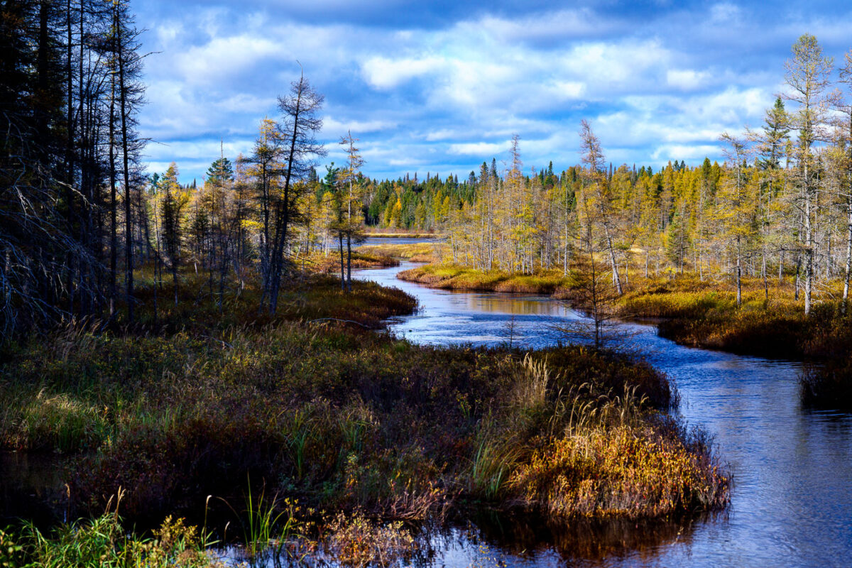
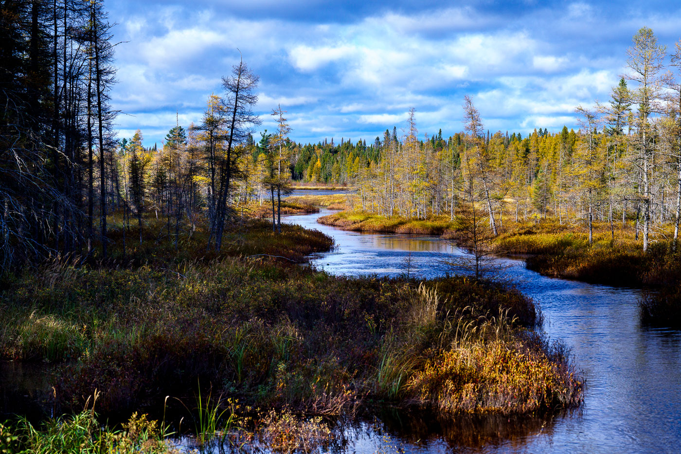
West Baptism River winds through coniferous forest in Superior National Forest, Minnesota.
The West Baptism River flows through the Superior National Forest near Isabella, Minnesota. This waterway is part of the Boundary Waters Canoe Area Wilderness, a protected region known for its pristine lakes and rivers. The forest itself is a significant ecological area, supporting diverse wildlife and showcasing the natural beauty of the North Shore region. The river's name is believed to originate from early European explorers or missionaries who may have performed baptisms in its waters.

West Baptism River, Superior National Forest, Minnesota
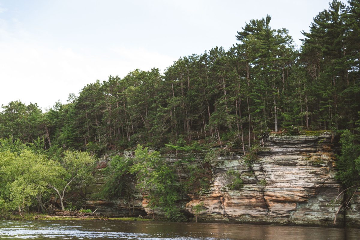
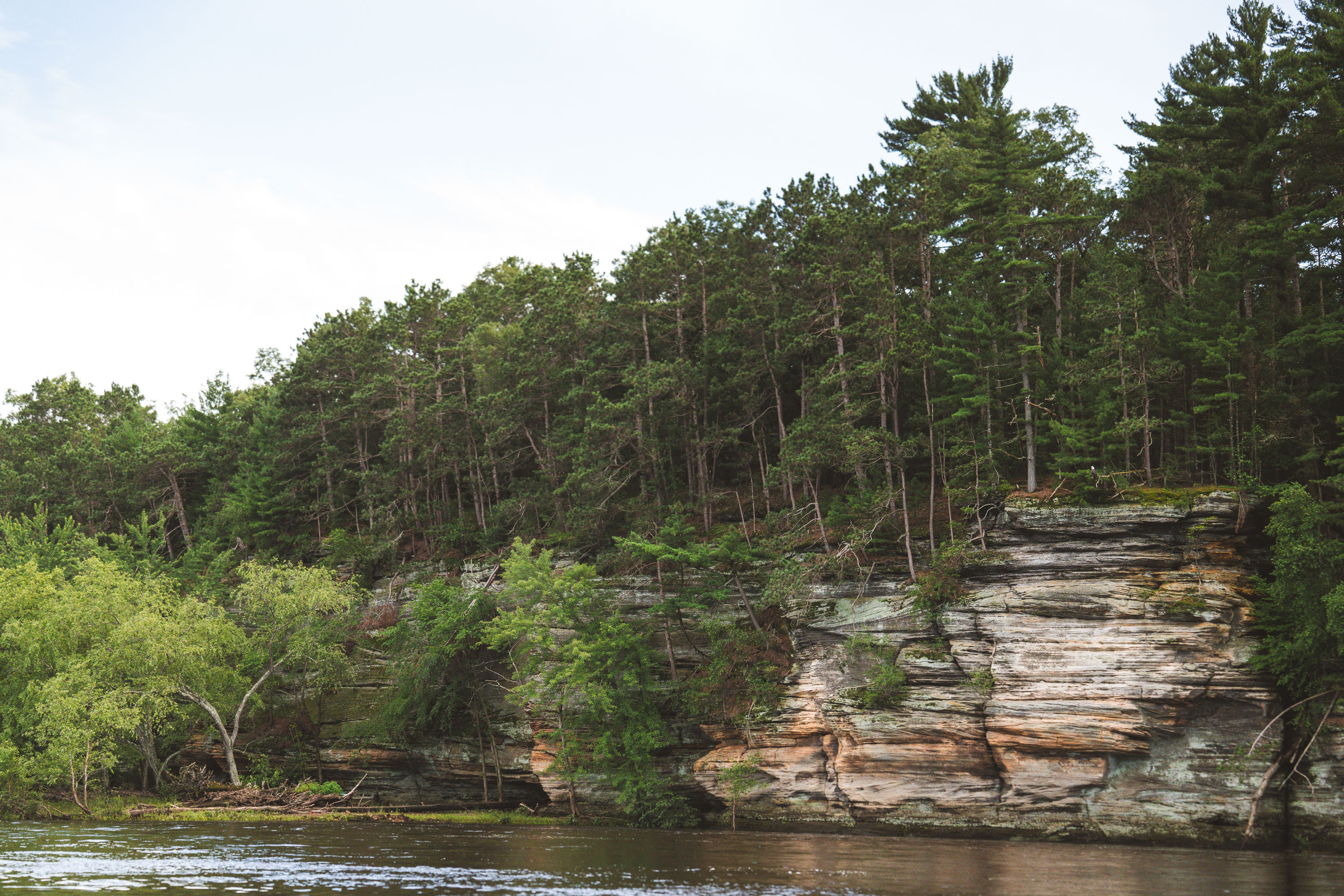
Sandstone bluffs with layered rock formations line the Wisconsin River near Wisconsin Dells.
The Wisconsin River cut these sandstone bluffs over thousands of years, exposing layers of Cambrian-era rock laid down roughly 500 million years ago. The bluffs sit along the Wisconsin Dells, a stretch of river between Wisconsin Dells and Lake Delton known for its exposed sandstone canyons and rock formations. Meltwater from the last ice age widened the river channel here, stripping away softer rock and leaving the banded layers now visible along the shoreline. Pine and hardwood forest covers the bluffs above the waterline, part of the mixed woodland typical of this section of the river.

Sandstone Bluffs of the Wisconsin Dells

Operator at the helm of an amphibious DUKW tour vehicle on the Wisconsin River near Wisconsin Dells.
The Original Wisconsin Ducks runs amphibious DUKW vehicles on the Wisconsin River near Wisconsin Dells. The DUKW was designed in 1942 by General Motors for the U.S. Army, built to ferry troops and supplies between ship and shore during World War II. Wisconsin Dells businessman Mel Flath began operating surplus military DUKWs on local waterways in 1946, starting what became one of the country's longest-running duck tour operations. Drivers steer the vehicles from an open rear cockpit, guiding each boat between river channels and wooded trail routes cut into the area's sandstone bluffs.

Driver at the Helm of a Wisconsin Ducks DUKW on the Wisconsin River
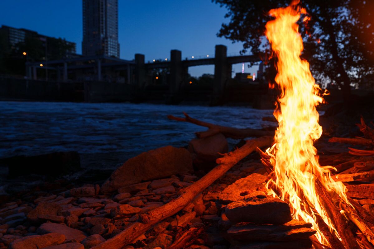
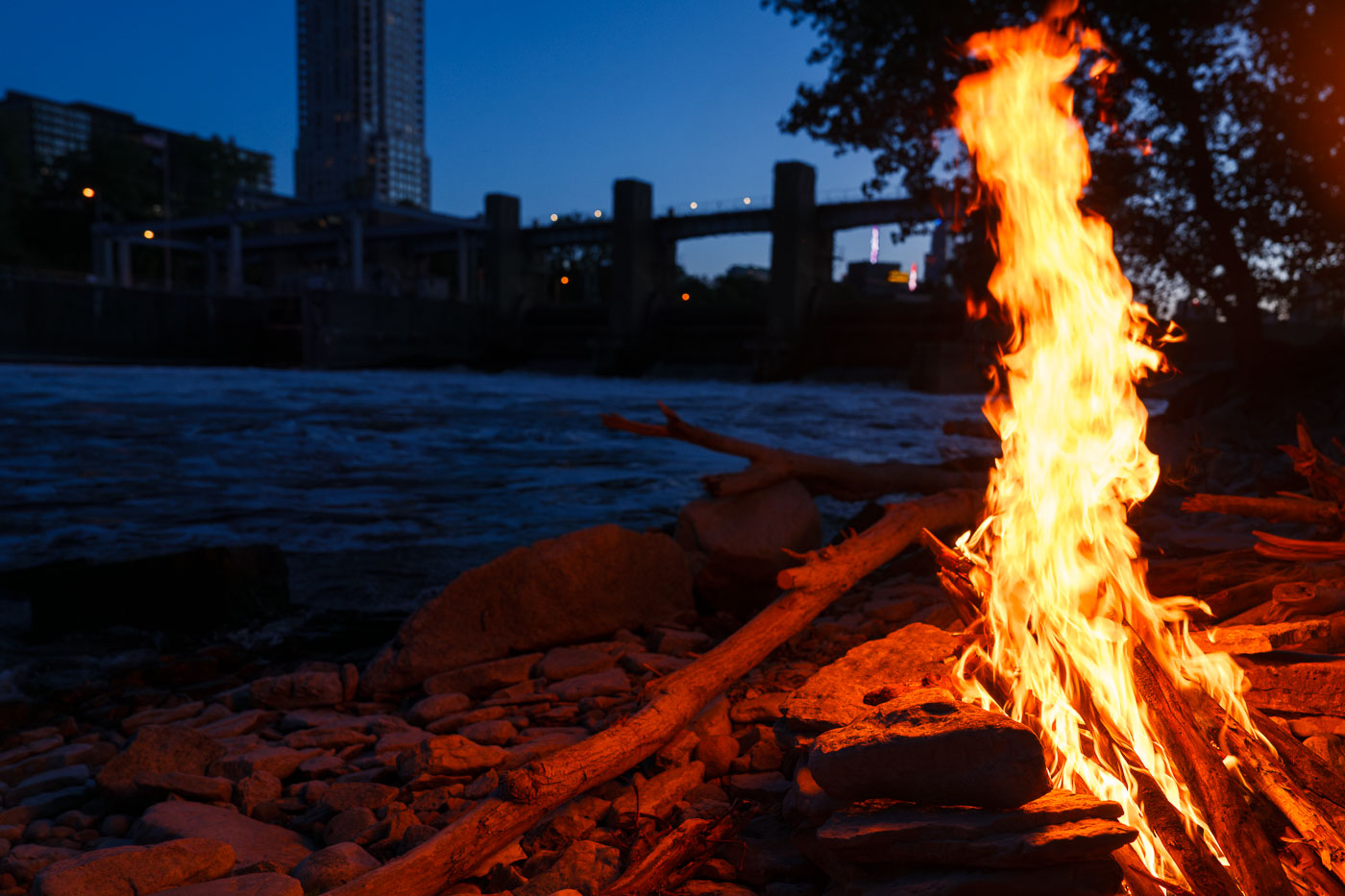
Bonfire burns on the Mississippi River bank in Minneapolis at dusk.
A bonfire burns along the Mississippi River in Minneapolis. The fire is set on the rocky riverbank near the downtown riverfront.

Bonfire on the Mississippi River, Minneapolis
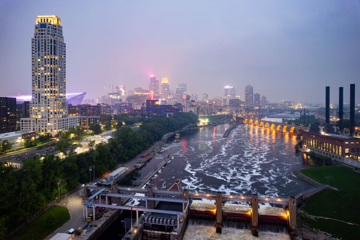
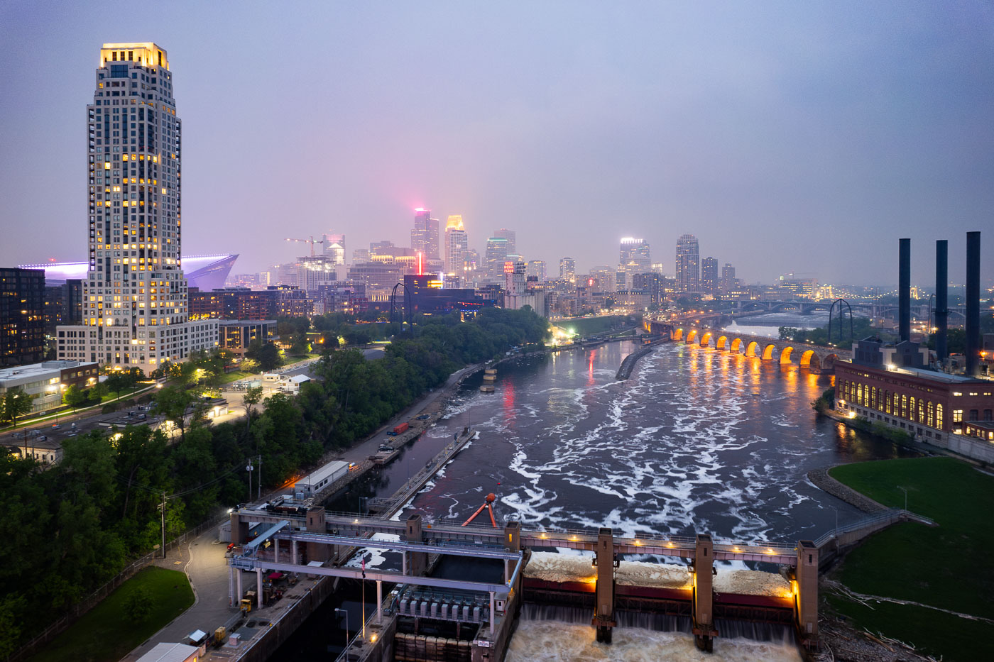
Night photo of river and city skyline with a haze in Minneapolis
The Minneapolis skyline is veiled by smoke from Canadian wildfires, impacting regional air quality. The Mississippi River flows past the historic Stone Arch Bridge, a former railway bridge completed in 1883, now a pedestrian walkway. Adjacent to the bridge is the Upper St. Anthony Falls Lock and Dam, a 20th-century engineering project that regulates the river's flow and supports navigation, a function critical to Minneapolis since its establishment.

Minneapolis Skyline and Mississippi River in Wildfire Smoke

Mississippi River in front of Downtown Minneapolis Skyline
The Minneapolis Lock and Dam on the Mississippi River is obscured by haze from Canadian wildfire smoke, impacting air quality in the downtown area. Constructed in the early 20th century, the lock and dam system was designed to improve navigation on the river, facilitating the transport of goods and materials. Today, it continues to play a role in managing water levels and supporting barge traffic, though its visual presence is altered by atmospheric conditions. The Stone Arch Bridge, a historic landmark, is visible in the background, further contextualizing the industrial and infrastructural history of Minneapolis.

Minneapolis Lock and Dam Under Canadian Wildfire Smoke
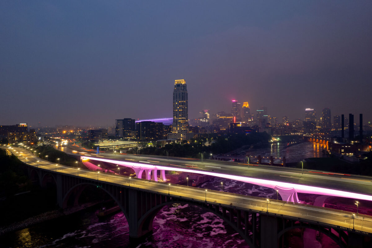
2 bridges over the Mississippi River and city skyline
The I-35W Bridge and the 10th Avenue Bridge cross the Mississippi River in Minneapolis, Minnesota, under a sky obscured by smoke from Canadian wildfires. This atmospheric condition, which led to air quality advisories, significantly reduced visibility across the city. The I-35W Bridge serves as a major north-south transportation route, while the 10th Avenue Bridge, with its distinctive arches, is a notable element of the city's infrastructure.

Minneapolis I-35W Bridge in Wildfire Smoke
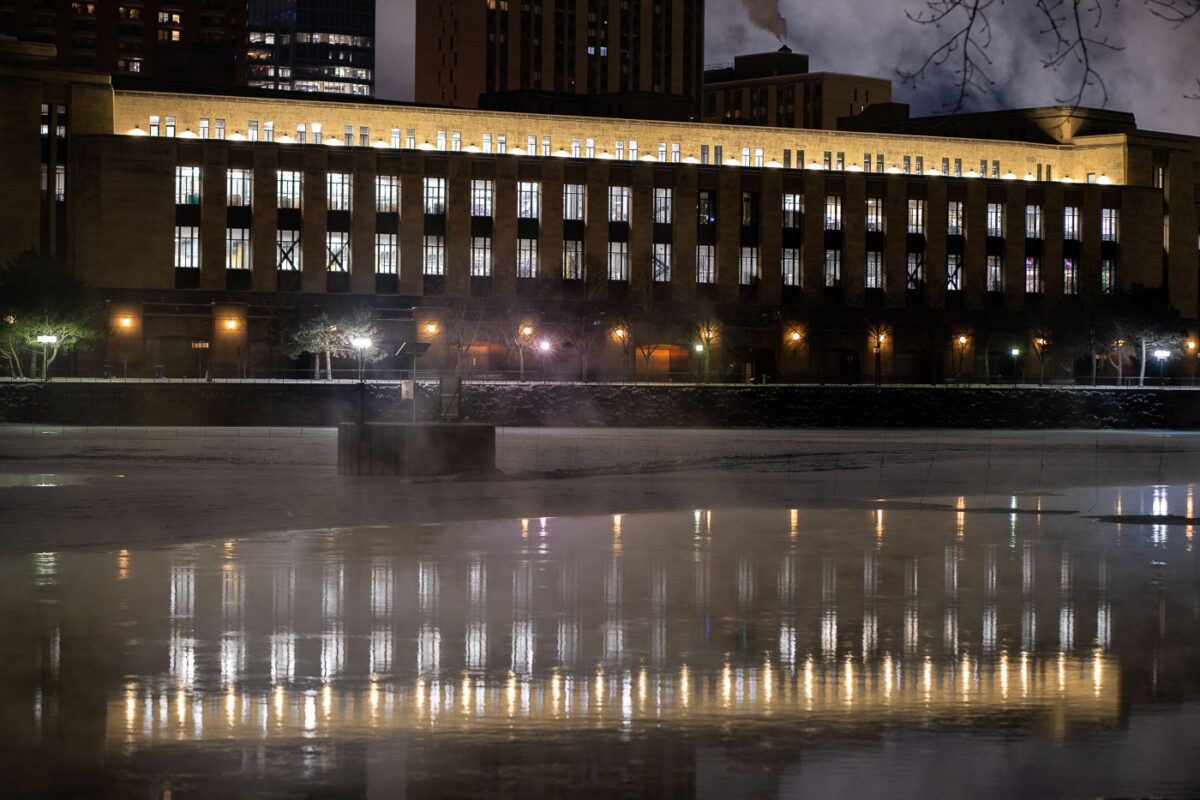
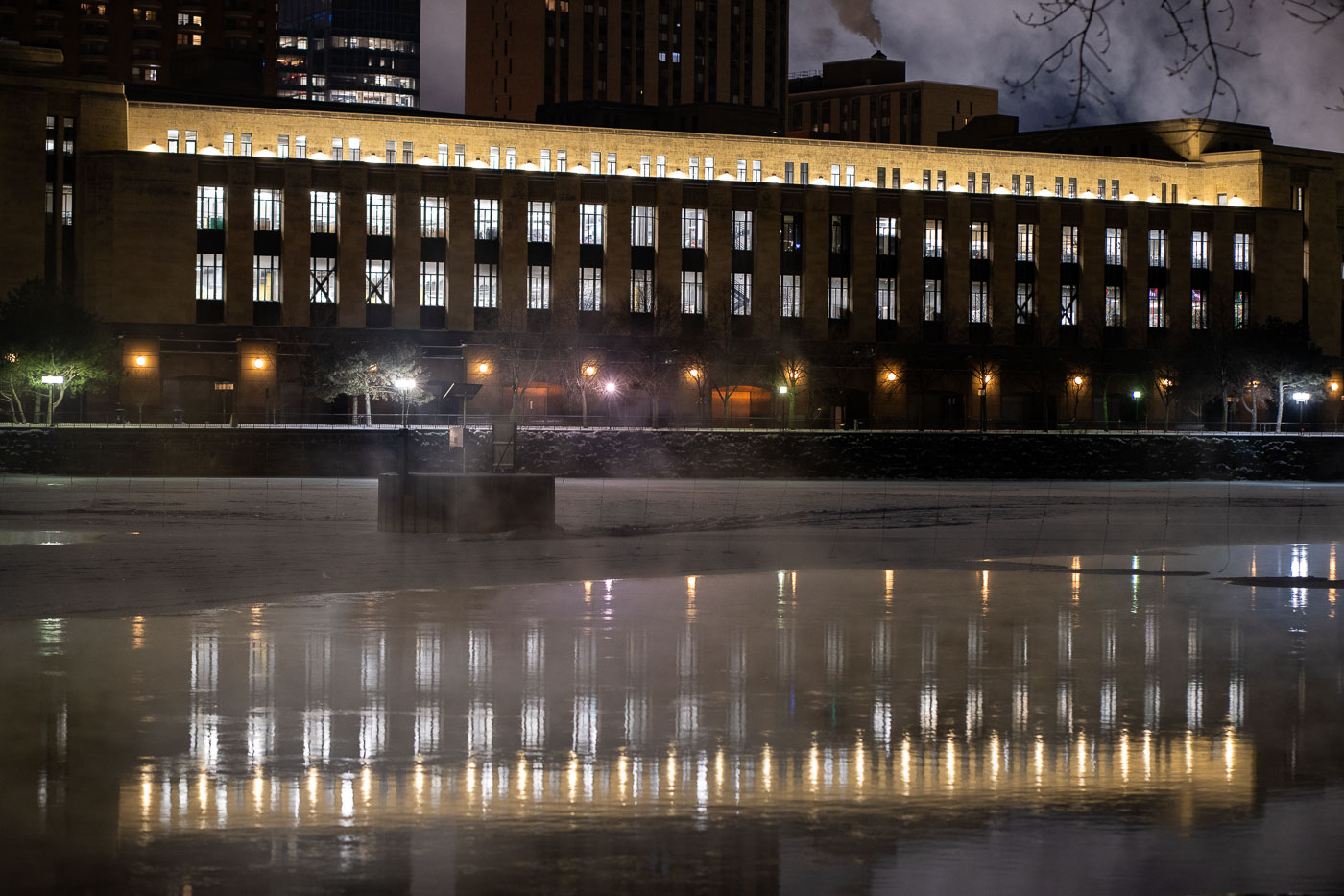
Minneapolis Main Post Office lit at night beside the Mississippi River.
The Minneapolis Main Post Office stands along the Mississippi River at 100 South First Street in downtown Minneapolis. Built in 1933 and 1934, it is one of the longest buildings in the country without interior support columns, stretching nearly a quarter mile along the riverbank.

Minneapolis Main Post Office Along the Mississippi River at Night
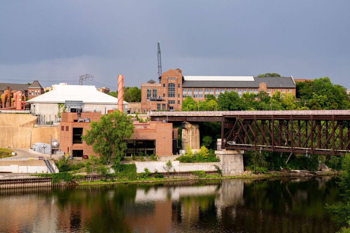
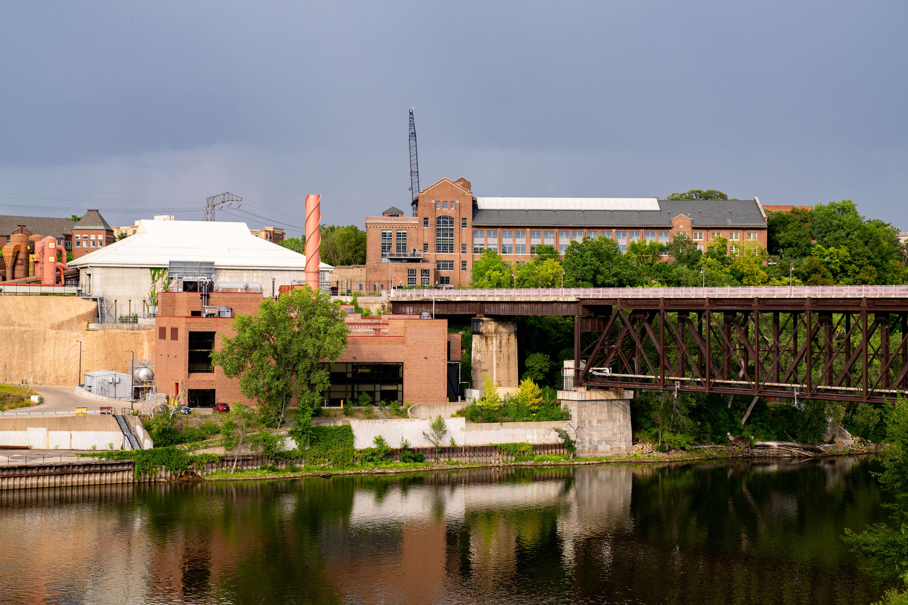
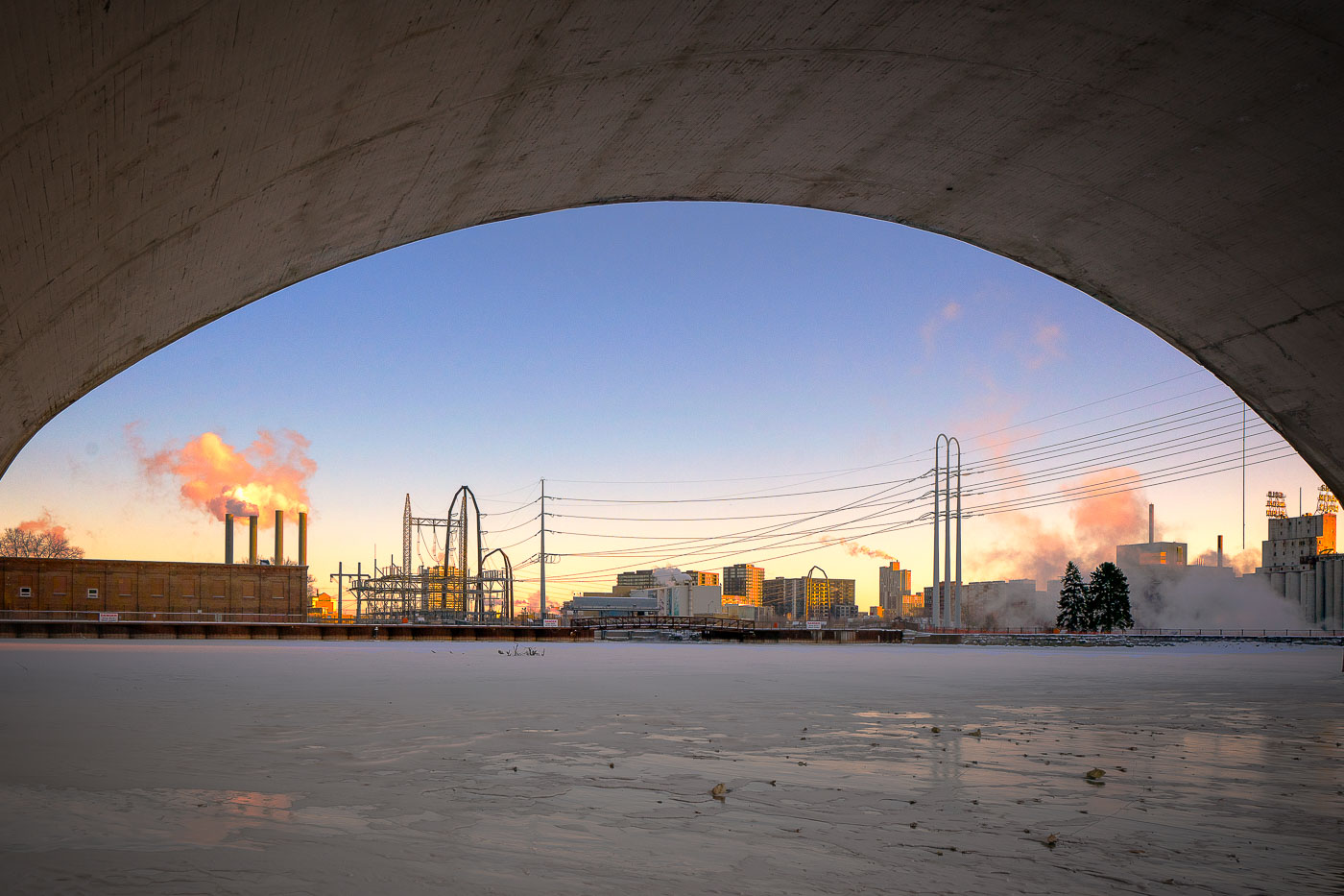
University of Minnesota's Main Energy Plant with railroad bridge spanning the Mississippi River on the Minneapolis campus.
The University of Minnesota's Main Energy Plant stands on the Mississippi River's West Bank, supplying steam and electricity to campus buildings through a district energy system. A railroad bridge crosses the river just beside it, carrying freight traffic through the university area toward downtown Minneapolis.

Rail Bridge Over the Mississippi Near the Main Energy Plant
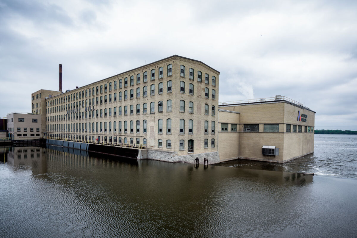
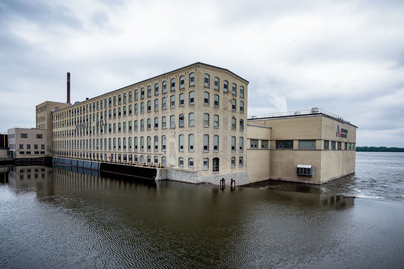
Nicolet Mill, a brick paper manufacturing facility, sits on the Fox River in De Pere, Wisconsin.
The Nicolet Mill traces its roots to 1904, when the Nicolet Paper Company began producing specialty papers along the Fox River in De Pere. The site became part of Ahlstrom-Munksjö after a 2017 merger between Finland's Munksjö and France's Ahlstrom Corporation, and it continues to manufacture specialty papers, including release liners and other technical grades. De Pere sits within the Fox River Valley, a stretch of Wisconsin once known as "Paper Valley" for having one of the highest concentrations of paper mills per mile anywhere in the world, powered by the river's series of locks and dams. The mill remains one of the valley's longest continuously operating paper-production sites.

Ahlstrom-Munksjö’s Nicolet Mill on the Fox River in De Pere
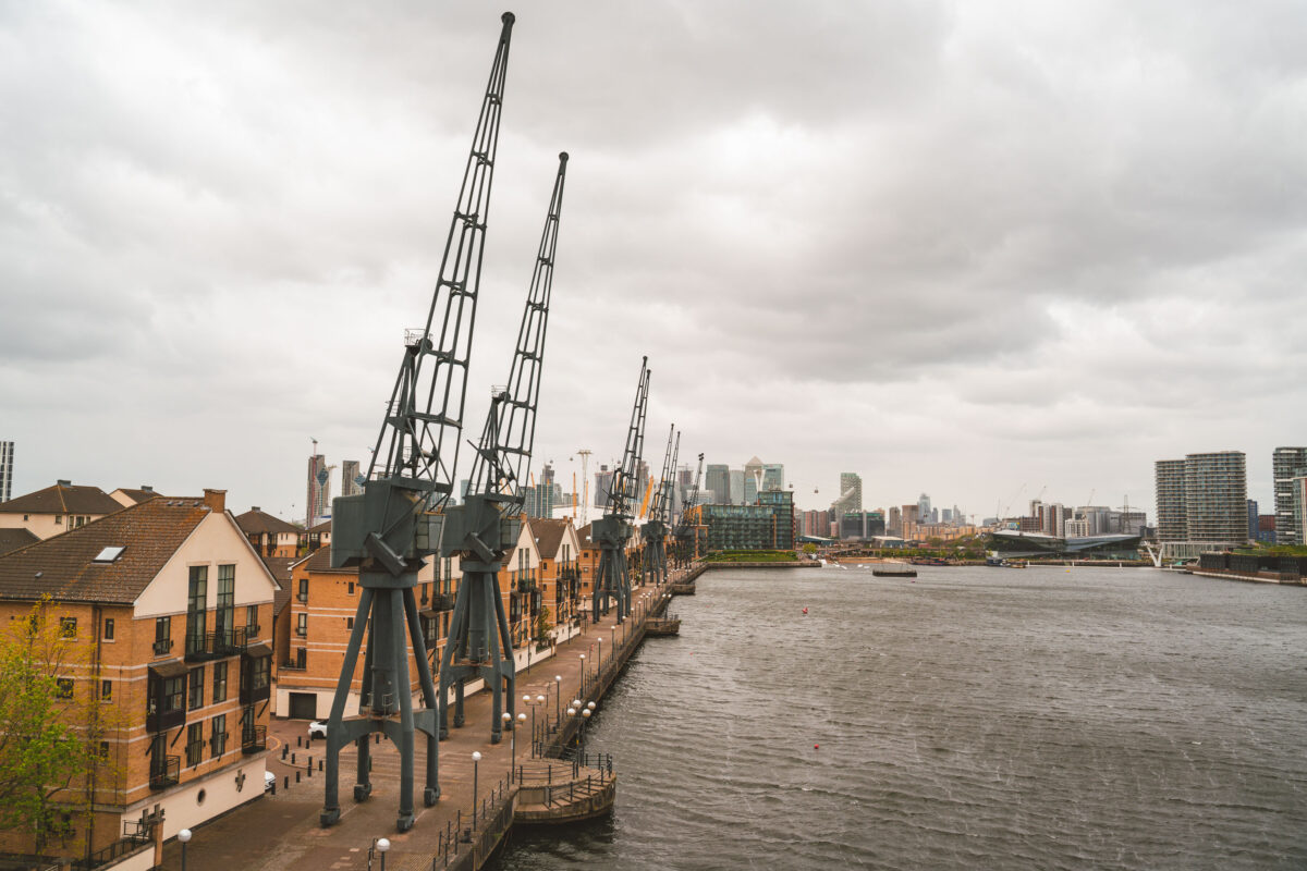
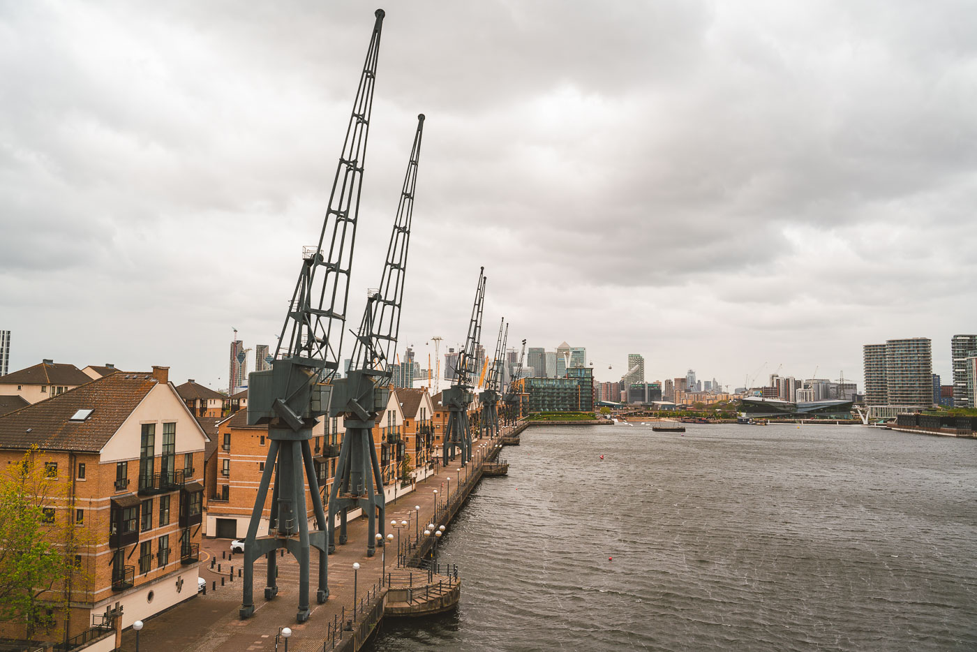
Royal Victoria Dock cranes with Canary Wharf across the water in London.
Preserved dockside cranes line Royal Victoria Dock in London’s Royal Docks. Canary Wharf rises across the water, with apartment blocks and ExCeL London visible along the dock edge.

Royal Victoria Dock Cranes and Canary Wharf, London
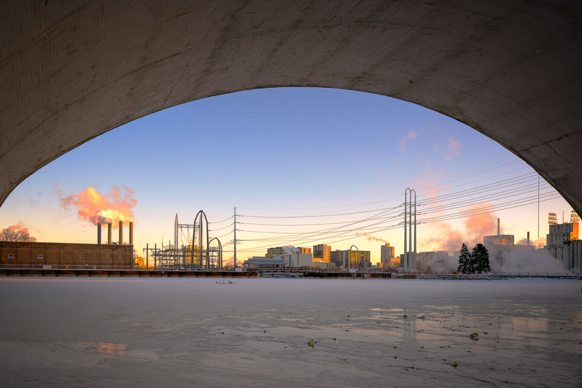
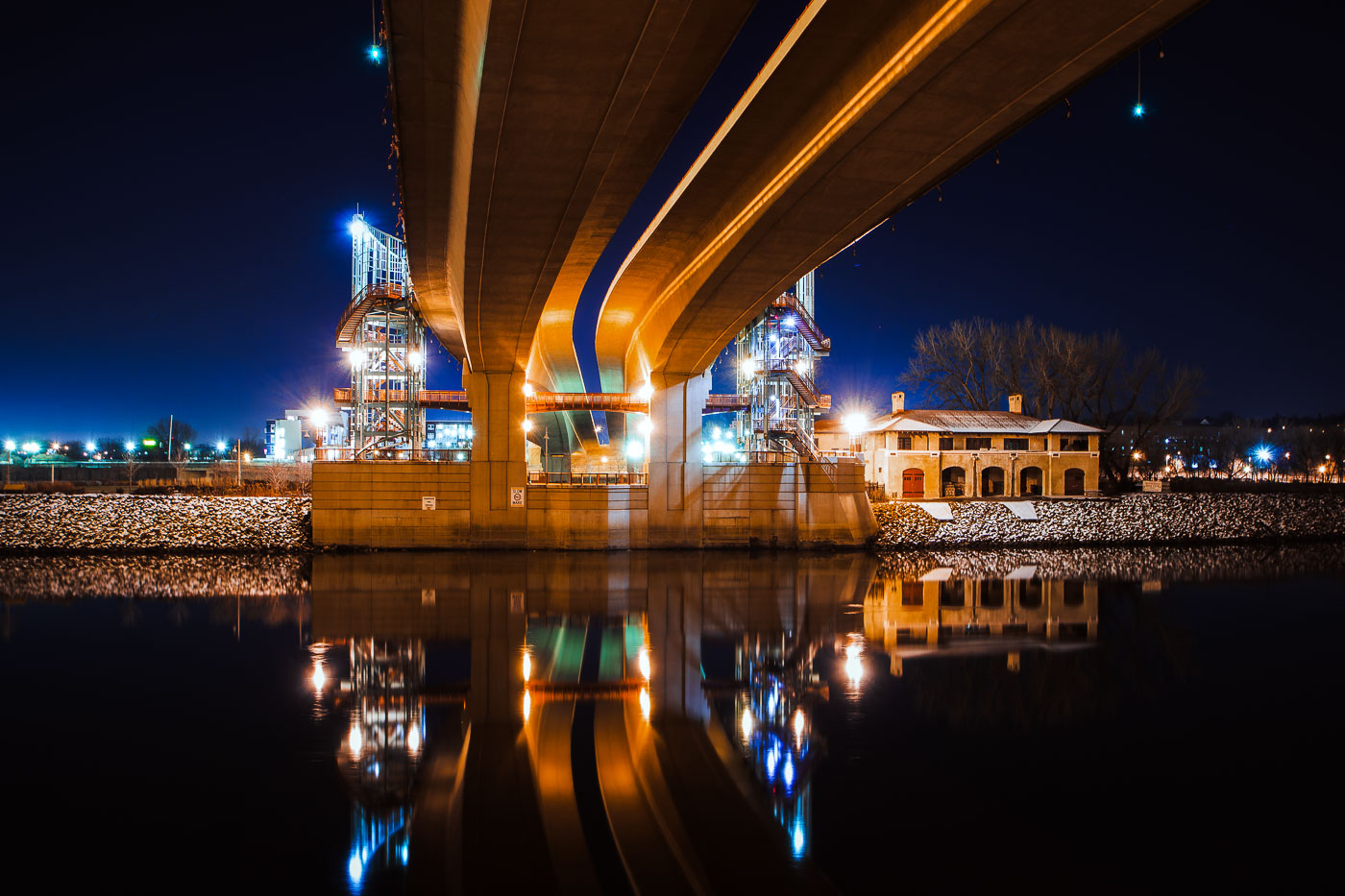
Third Avenue Bridge in Minneapolis spans the frozen Mississippi River near downtown.
Third Avenue Bridge in Minneapolis spans the Mississippi River near downtown. The bridge connects the city’s riverfront with the downtown area over the river. In winter, the river below is often covered with ice during periods of extreme cold.

Third Avenue Bridge Overlook, Minneapolis
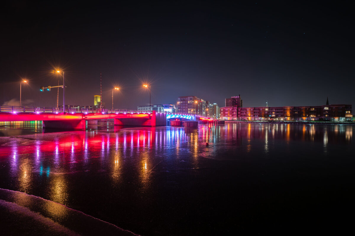
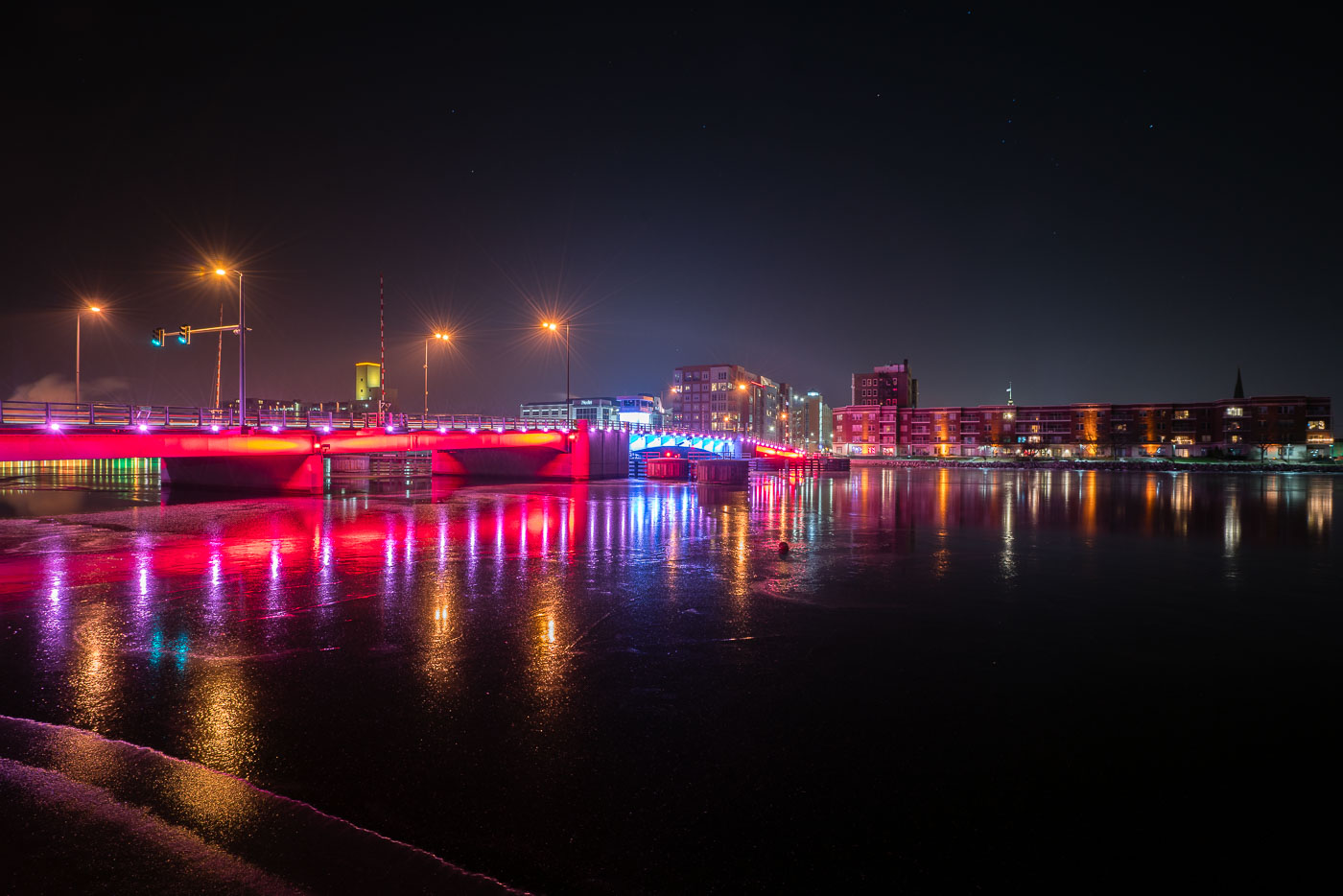
Mason Street Bridge with colorful LED lighting spans the Fox River in downtown Green Bay, Wisconsin.
The Mason Street Bridge carries traffic across the Fox River in downtown Green Bay, Wisconsin, linking the city's east and west sides near the CityDeck riverfront park. Wisconsin's Department of Transportation maintains the crossing, which replaced an earlier span on the same site. The bridge is a double-leaf bascule design, built to open for river traffic passing between Lake Michigan's Green Bay and the upstream Fox River channel. Its color-changing LED system, added as part of a broader downtown riverfront lighting effort, is used to mark holidays, sports events, and civic occasions throughout the year.

Mason Street Bridge over the Fox River, Green Bay
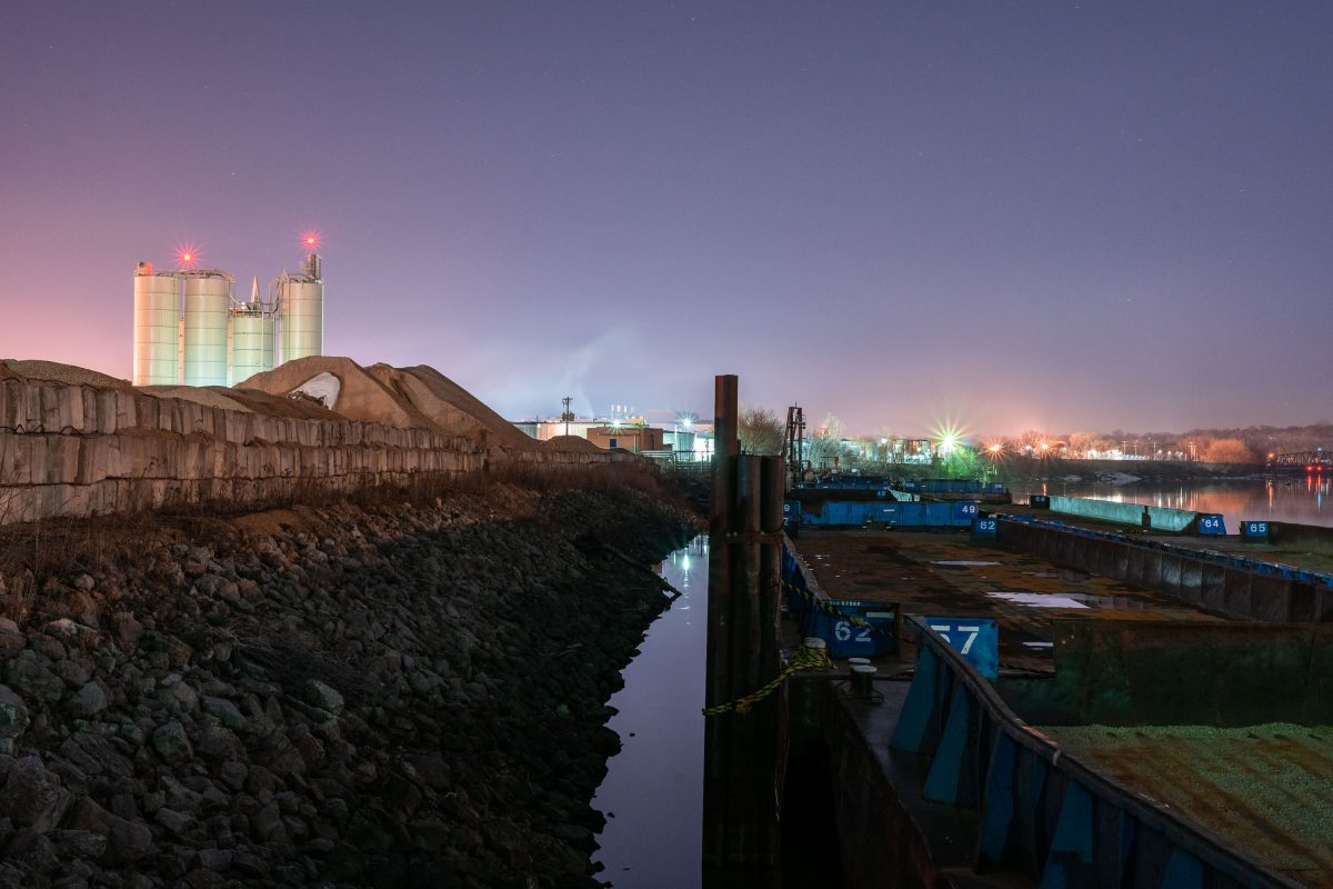
Barge on the Mississippi River in St. Paul
Barge on the Mississippi River in St. Paul Minnesota at night.

Barge on the Mississippi River in St. Paul

Barge moored on the Minnesota River near Savage, Minnesota, with grain elevator in distance.
A barge is moored along the Minnesota River near Savage, Minnesota, with a grain elevator visible in the distance. The river serves as a transportation corridor for barge traffic carrying agricultural and industrial goods throughout the region.

Barge and Grain Elevator, Minnesota River at Savage

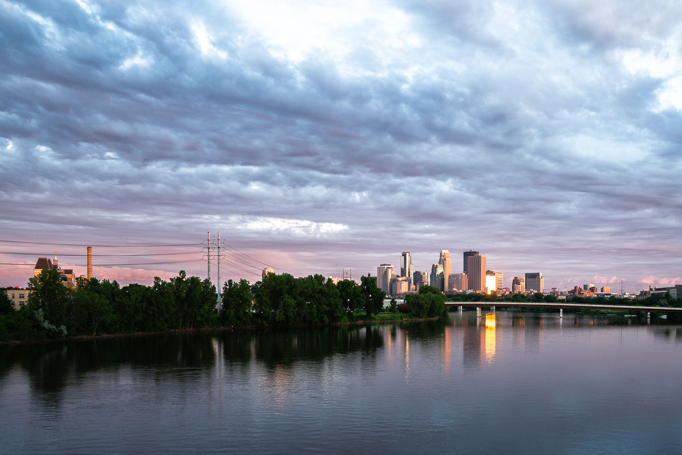
Minneapolis downtown skyline and Mississippi River at dusk with suspension bridge visible across the water.
Downtown Minneapolis along the Mississippi River, with the Third Avenue Bridge crossing toward downtown. The river marks the site of St. Anthony Falls, the only major waterfall on the Mississippi, which drew the flour mills that built the city's early economy.

Downtown Minneapolis Skyline Along the Mississippi River
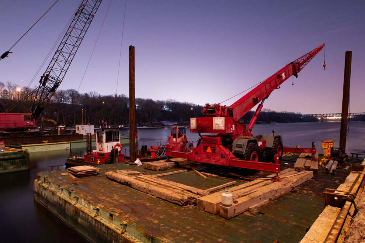
Cranes and barges on the Mississippi River in Minneapolis for repairs to the Franklin Avenue Bridge, a vital transportation link.
Construction barges and cranes are positioned on the Mississippi River for repairs to the Franklin Avenue Bridge in Minneapolis. The Franklin Avenue Bridge, originally constructed in 1923, is a vital artery connecting the city's south and north sides. Its ongoing maintenance and repair are essential for maintaining transportation flow and ensuring the structural integrity of this significant piece of Minneapolis infrastructure.

Franklin Ave Bridge Construction, Minneapolis
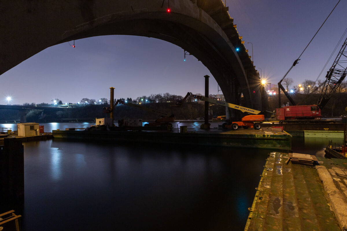
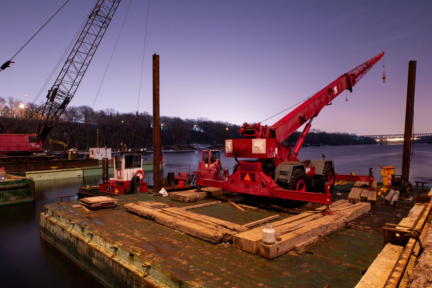
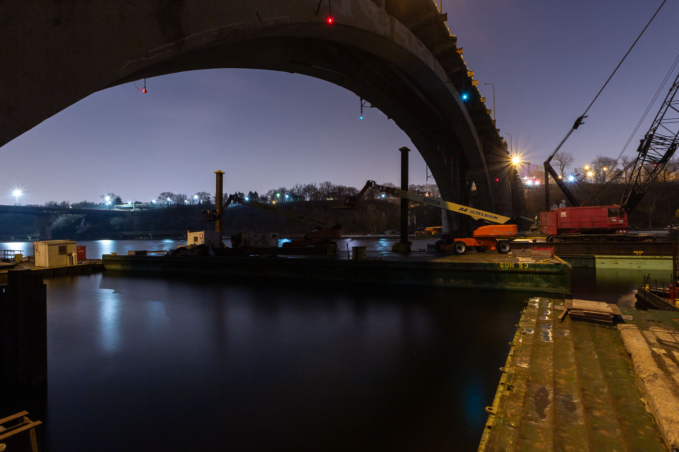
Nighttime construction work on the Franklin Avenue Bridge over the Mississippi River in Minneapolis, with cranes and equipment on barges.
Construction work is underway at night on the Franklin Avenue Bridge in Minneapolis, spanning the Mississippi River. The bridge, originally constructed in the 1920s, has undergone numerous repairs and upgrades throughout its history to maintain its structural integrity and capacity for traffic. This nighttime operation highlights the ongoing efforts to preserve this vital piece of Minneapolis infrastructure, ensuring its continued service to the city.

Franklin Avenue Bridge Construction Work at Night, Minneapolis
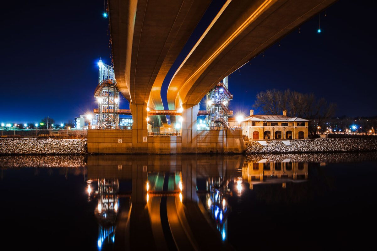
Wabasha Street Bridge spans the Mississippi River in downtown St. Paul, Minnesota.
Wabasha Street Bridge spans the Mississippi River in downtown St. Paul, Minnesota. Opened in 1999, it connects downtown with West Side neighborhoods and carries heavy traffic across the river. The bridge replaced older river crossings at this location.

Wabasha Street Bridge over the Mississippi River, St. Paul
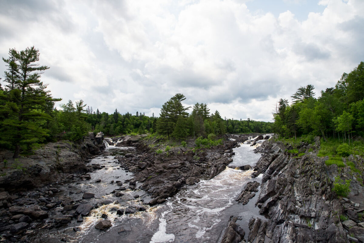
St. Louis River gorge and rapids at Jay Cooke State Park in Minnesota.
The St. Louis River flows through the rocky gorge at Jay Cooke State Park in northeastern Minnesota. This stretch of the river is known for rapids and exposed bedrock shaped by the river’s passage through a narrow channel. Established in 1915, Jay Cooke State Park preserves part of the lower St. Louis River corridor near Duluth.

St. Louis River Gorge, Jay Cooke State Park
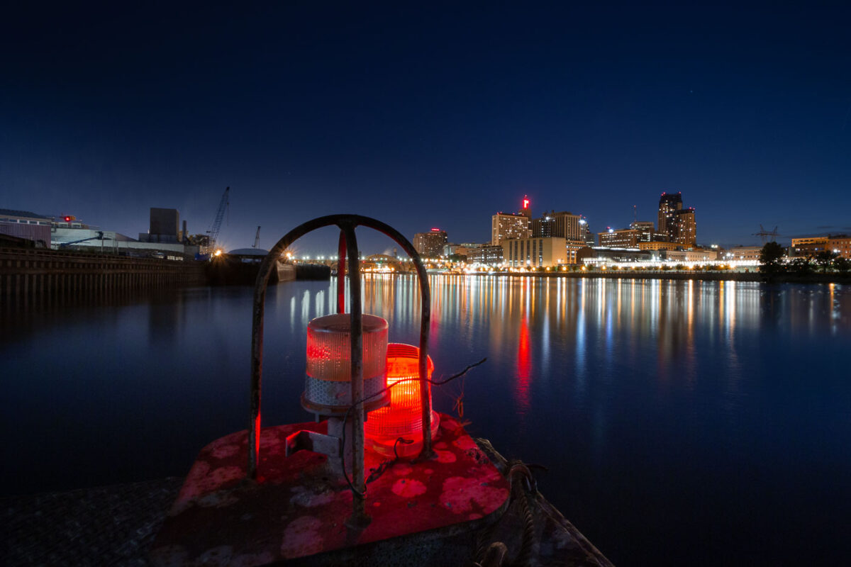
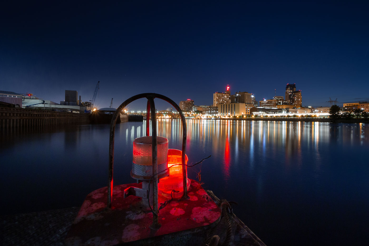
Downtown Saint Paul rises across the Mississippi River at night, with red river lights in the foreground.
Downtown Saint Paul, Minnesota, rises across the Mississippi River from the riverfront near the Lowertown district. The Mississippi River has shaped the city’s transportation, trade, and industrial development.

Downtown Saint Paul from the Mississippi River
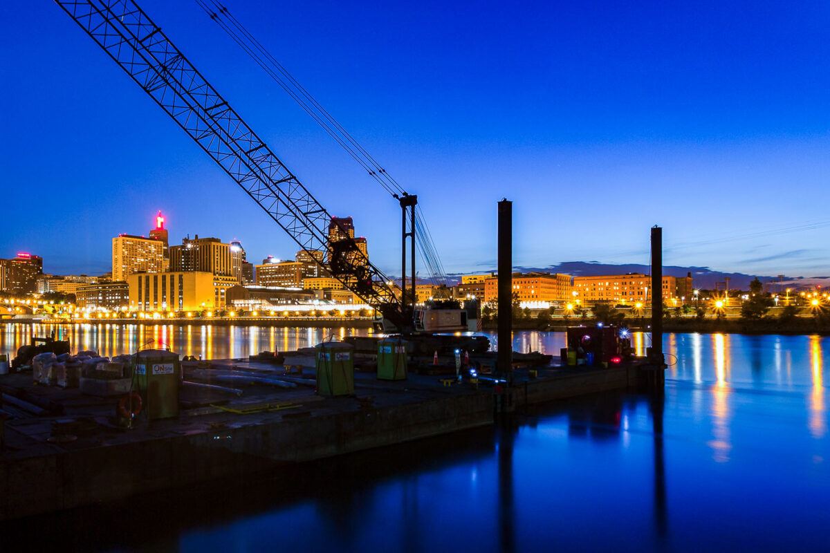
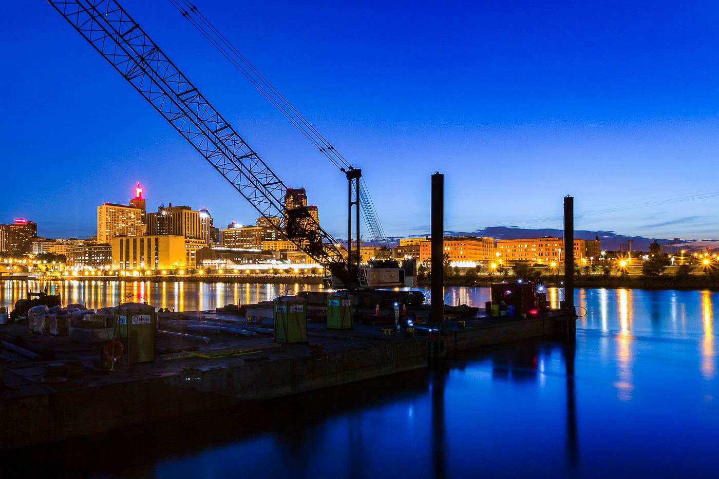
Downtown Saint Paul and the Mississippi River at dusk with a crane and barge platform.
Downtown Saint Paul, Minnesota, and the Mississippi River are visible at dusk. A construction crane and river barge platform sit along the waterfront in the foreground.

Downtown Saint Paul and the Mississippi River at dusk
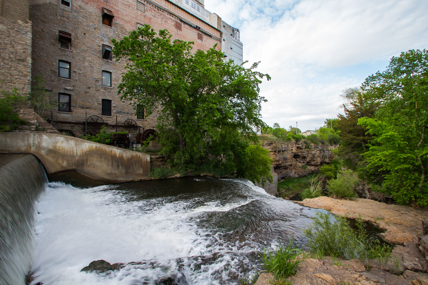
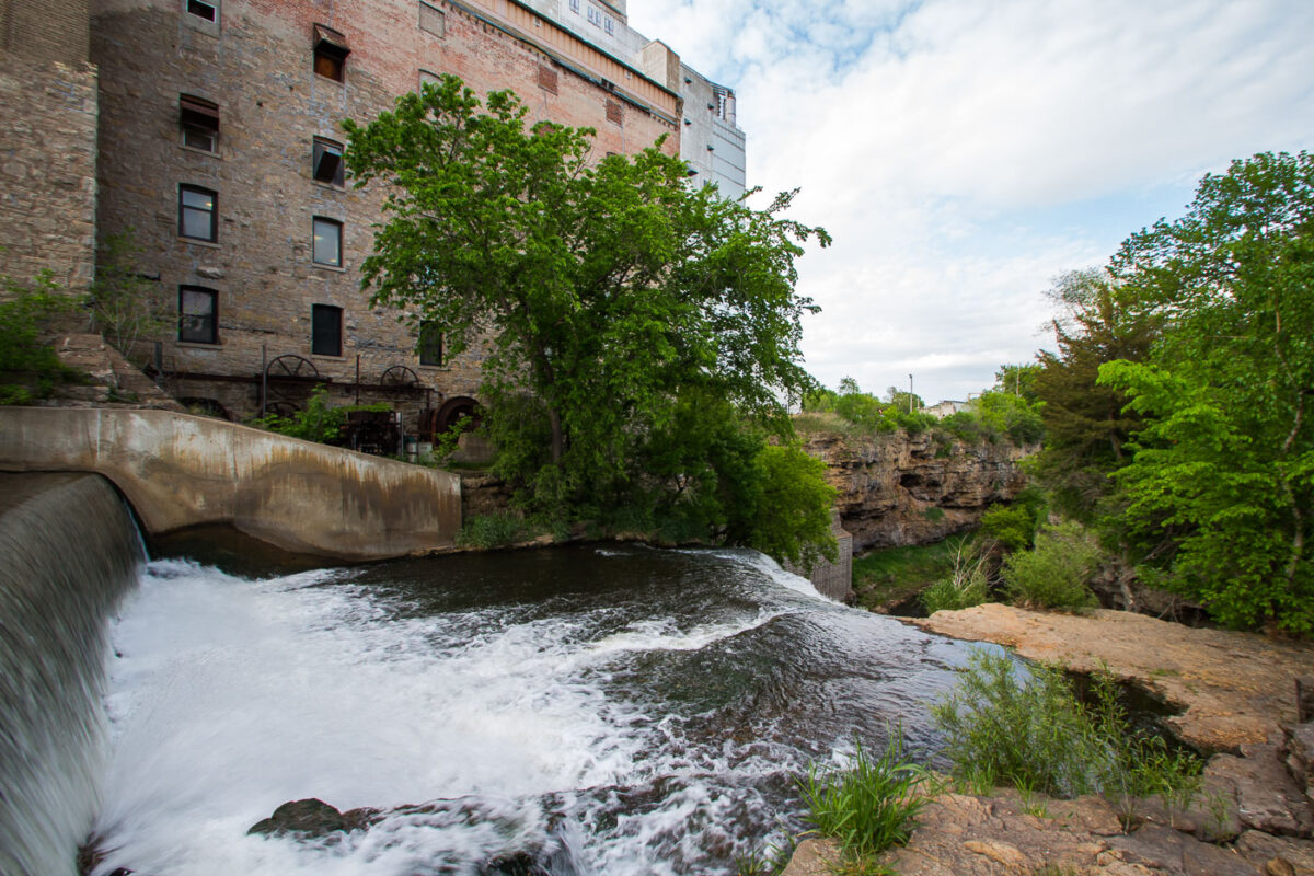
Vermillion Falls flows beneath a concrete spillway next to the historic Ardent Mills building in Hastings, Minnesota.
Vermillion Falls and Ardent Mills in Hastings, Minnesota, occupy a site on the Vermillion River long used for milling. The flour mill remains linked to the falls, which provided water power for earlier industrial operations along the river.

Vermillion Falls Below the Ardent Mills Building in Hastings
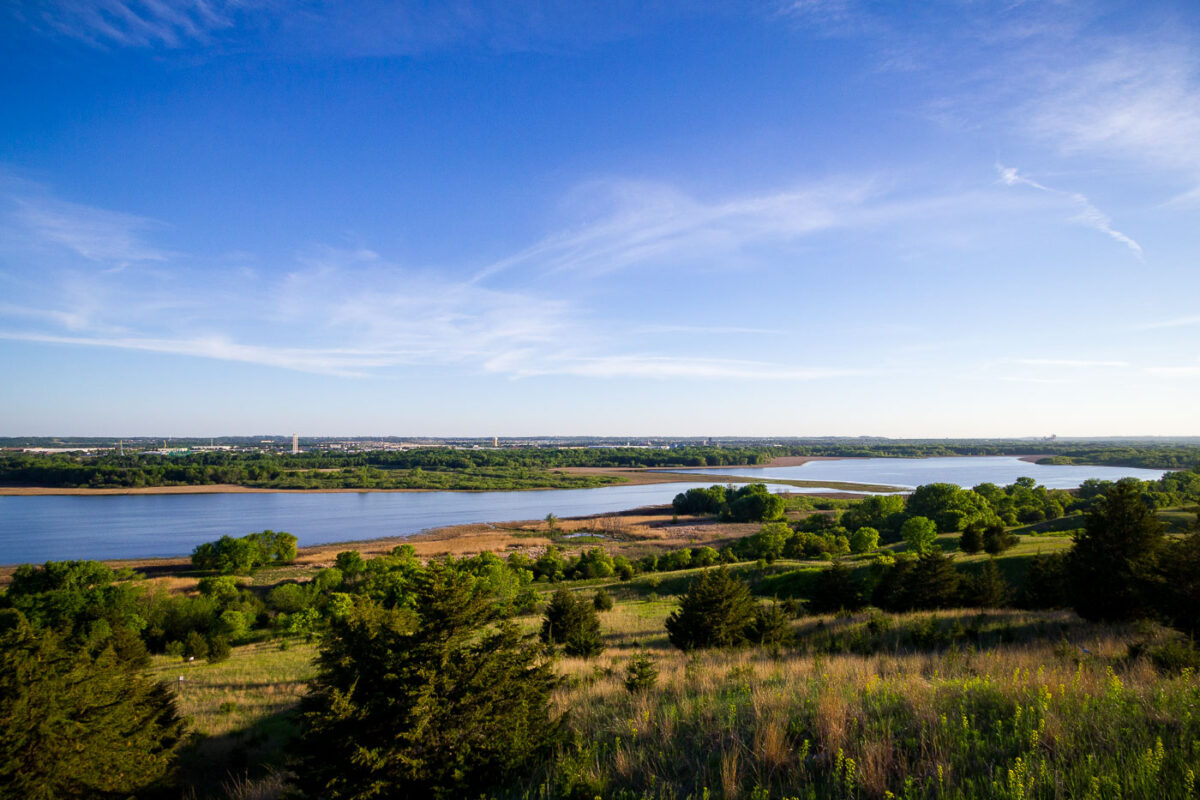
Minnesota River Valley overlook in Eden Prairie with river bends, wetlands, and wooded bluffs.
Minnesota River Valley overlook in Eden Prairie, Minnesota, overlooks the river corridor and adjoining floodplain. The area includes wetlands, wooded bluffs, and open river bends along the Minnesota River. The overlook provides a high vantage point over the southwest metropolitan river valley.

Minnesota River Valley Overlook, Eden Prairie
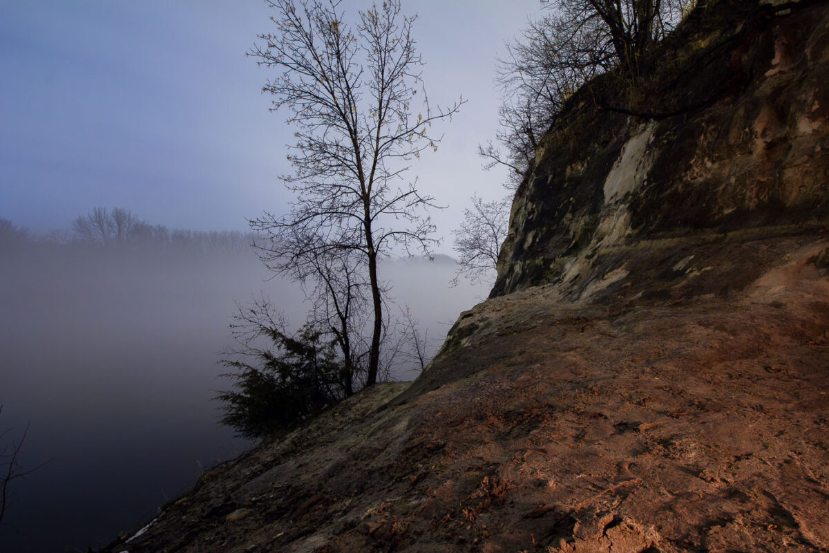
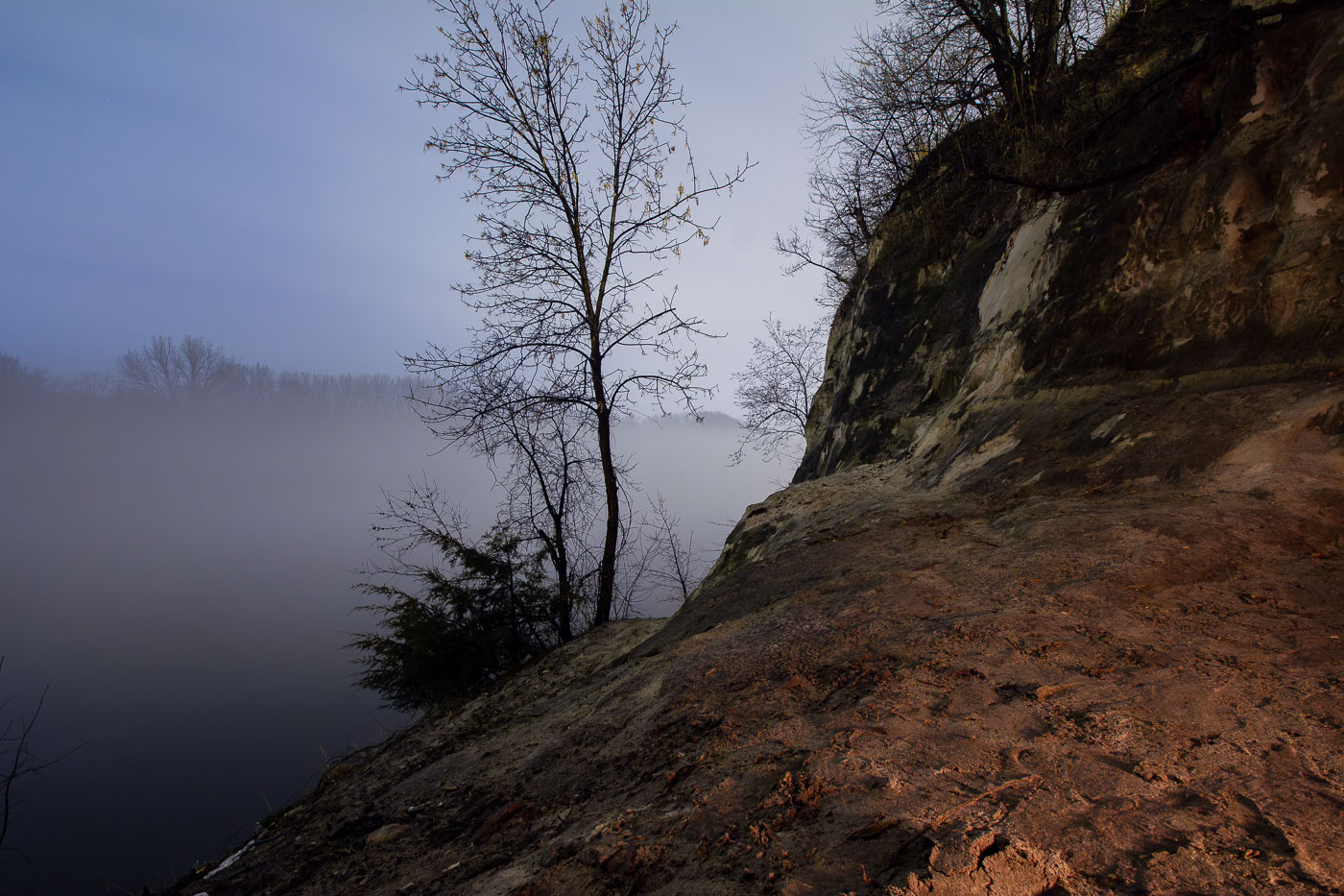
St. Paul sandstone bluffs rise above the foggy Mississippi River in Minnesota, a geological formation crucial to the city's early development.
The St. Peter Sandstone bluffs of St. Paul, Minnesota, rise above the Mississippi River shrouded in morning fog. These bluffs, formed over millions of years, were crucial to the early development of the city, providing a natural barrier and a source of building material. The St. Peter Sandstone is a geological formation that underlies much of the Upper Midwest. The river itself has been a vital transportation artery since indigenous times and was instrumental in St. Paul's growth as a major port city.

St. Paul Sandstone Bluff Overlooking Foggy Mississippi River
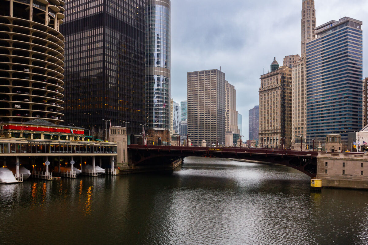
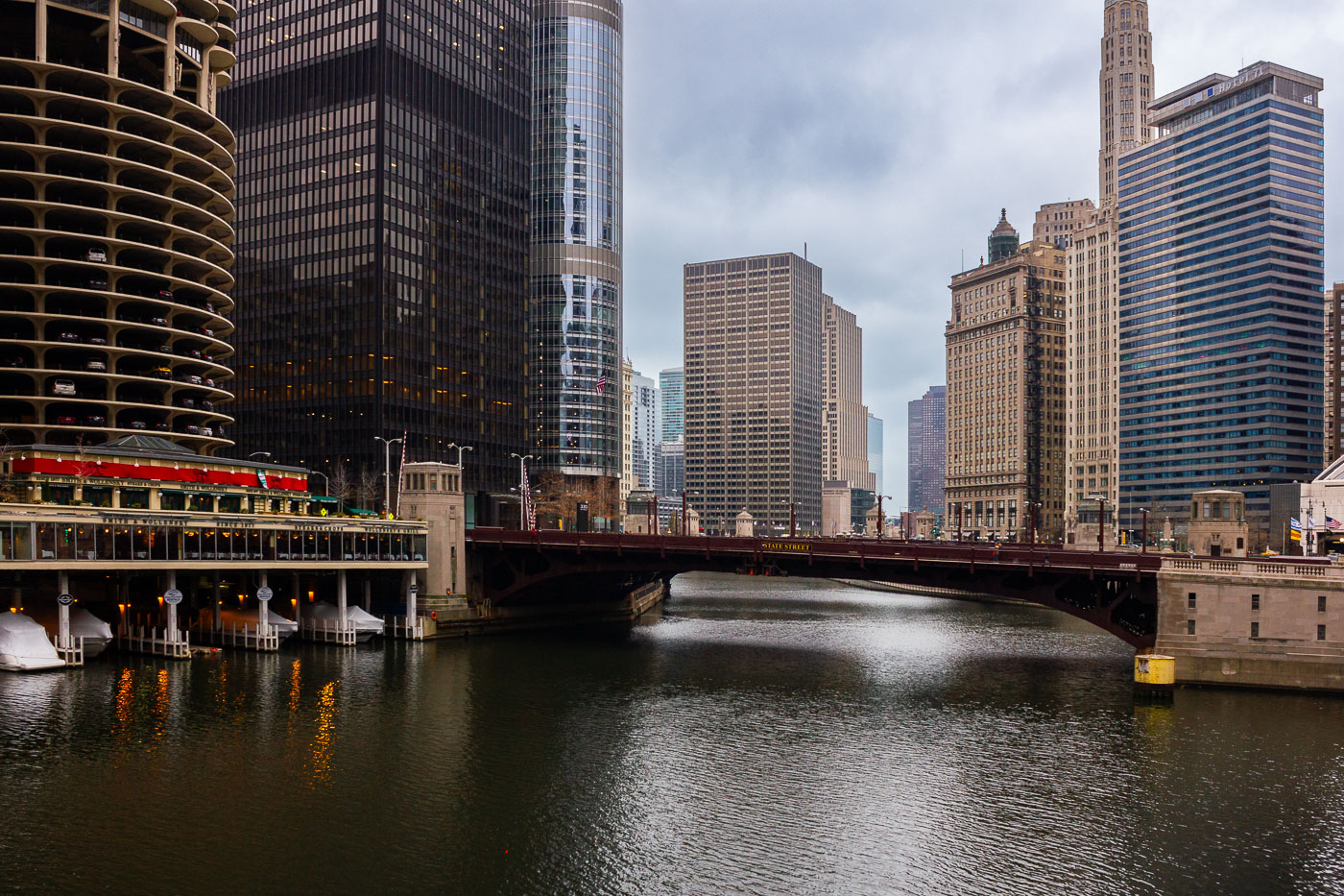
The State Street Bridge crosses the Chicago River, with the Marina City towers visible to the west in downtown Chicago.
The State Street Bridge spans the Chicago River in downtown Chicago, connecting the Loop to the Near North Side. Completed in 1949, this bascule bridge replaced an earlier structure and is a vital artery for vehicular and pedestrian traffic. To the west, the distinctive Marina City towers, designed by Bertrand Goldberg and completed in 1964, rise above the riverfront. These mixed-use buildings, with their unique cylindrical design, were a pioneering development in urban living and remain a prominent feature of the Chicago skyline.

State Street Bridge and Marina Towers, Chicago