Park

21 photos · 2015–2024

21 photographs tagged Park, 2015–2024.

Visitors stand at the base of Minnehaha Falls, a 53-foot waterfall in Minneapolis's Minnehaha Regional Park.
Visitors gather at the base of Minnehaha Falls in Minneapolis, Minnesota, in June 2024. The waterfall, a prominent feature of Minnehaha Regional Park, cascades approximately 53 feet into a creek that flows into the Mississippi River. Established in 1889, Minnehaha Regional Park is one of the oldest and most visited parks in the Minneapolis Park System.

Hikers Pause Near the Base of Minnehaha Falls

A person in a blue shirt stands at the base of Minnehaha Falls in Minneapolis, with turbulent whitewater cascading down moss-covered rock walls.
A lone fisherman casts a line into the churning waters at the base of Minnehaha Falls in Minneapolis. The falls, a prominent feature of Minnehaha Regional Park, have been a popular natural attraction since the park's establishment in the late 19th century. The park and its waterfall were immortalized in Henry Wadsworth Longfellow's 1855 poem, 'The Song of Hiawatha,' further cementing its cultural significance.

Fishing Below the Roar of Minnehaha Falls

Minnehaha Falls cascades 53 feet into a pool surrounded by moss-covered rock walls in Minneapolis.
Minnehaha Falls, located in Minnehaha Regional Park, Minneapolis, is a significant natural landmark within the city's park system. The waterfall, which cascades 53 feet, has been a point of interest since the area was established as a park in the late 19th century. The falls are fed by Minnehaha Creek, and their flow is often enhanced after periods of heavy rainfall, as seen here on June 23, 2024.

Heavy Flow at Minnehaha Falls

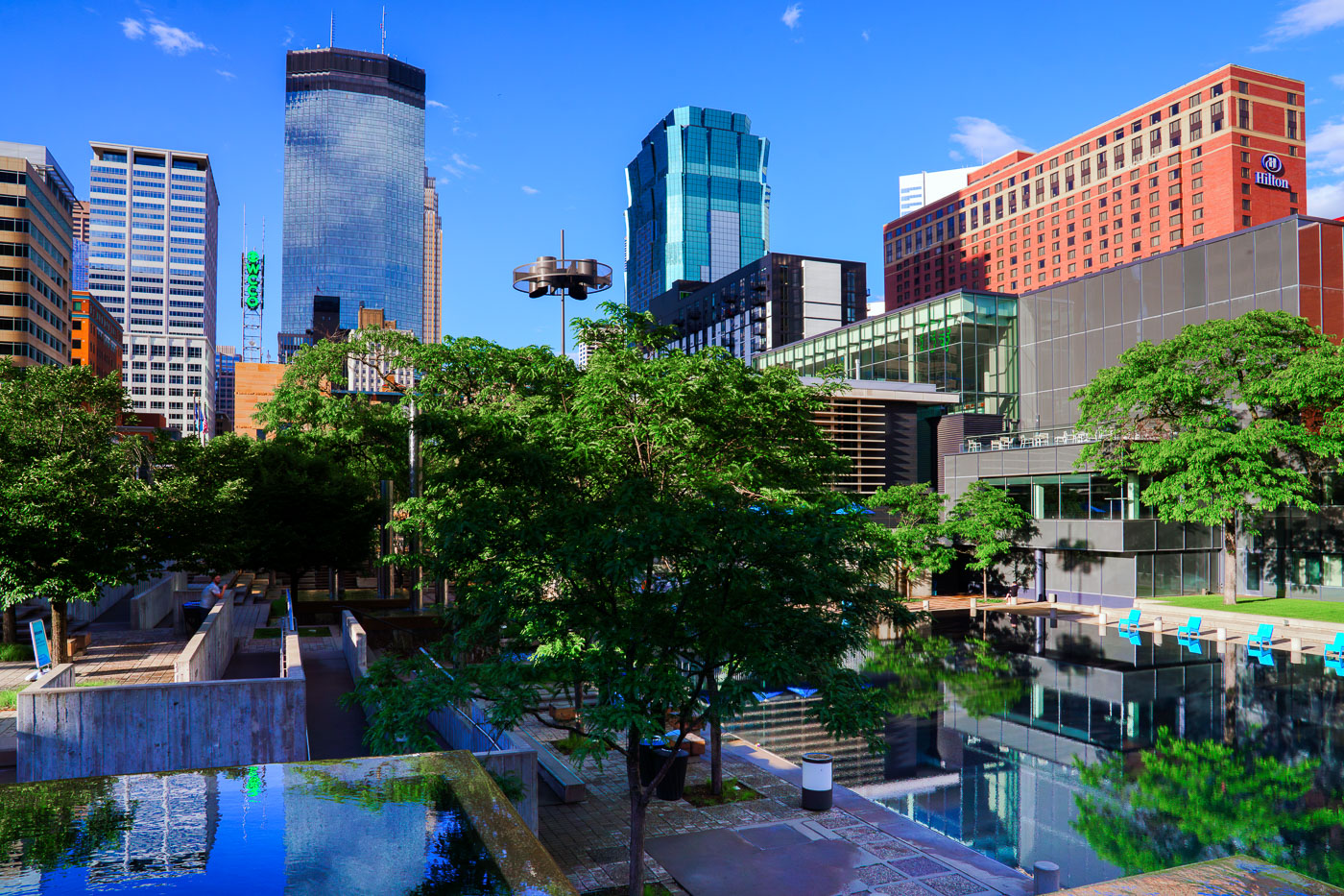
Blue chairs line a wooden deck at Peavey Plaza overlooking a still pool surrounded by mature trees and modern downtown Minneapolis architecture.
Peavey Plaza is a public plaza in downtown Minneapolis, next to Orchestra Hall on Nicollet Mall. It opened in 1975 and was rebuilt in 2019, keeping its signature reflecting pool as a central feature.

Peavey Plaza’s Reflecting Pool in Downtown Minneapolis

Peavey Plaza in downtown Minneapolis features a water feature with blue Adirondack chairs, mature trees, and modern skyscrapers in the background.
Peavey Plaza, located in downtown Minneapolis, is a public space designed by M. Paul Friedberg and opened in 1975.

Downtown Skyline Reflected in Peavey Plaza’s Pools
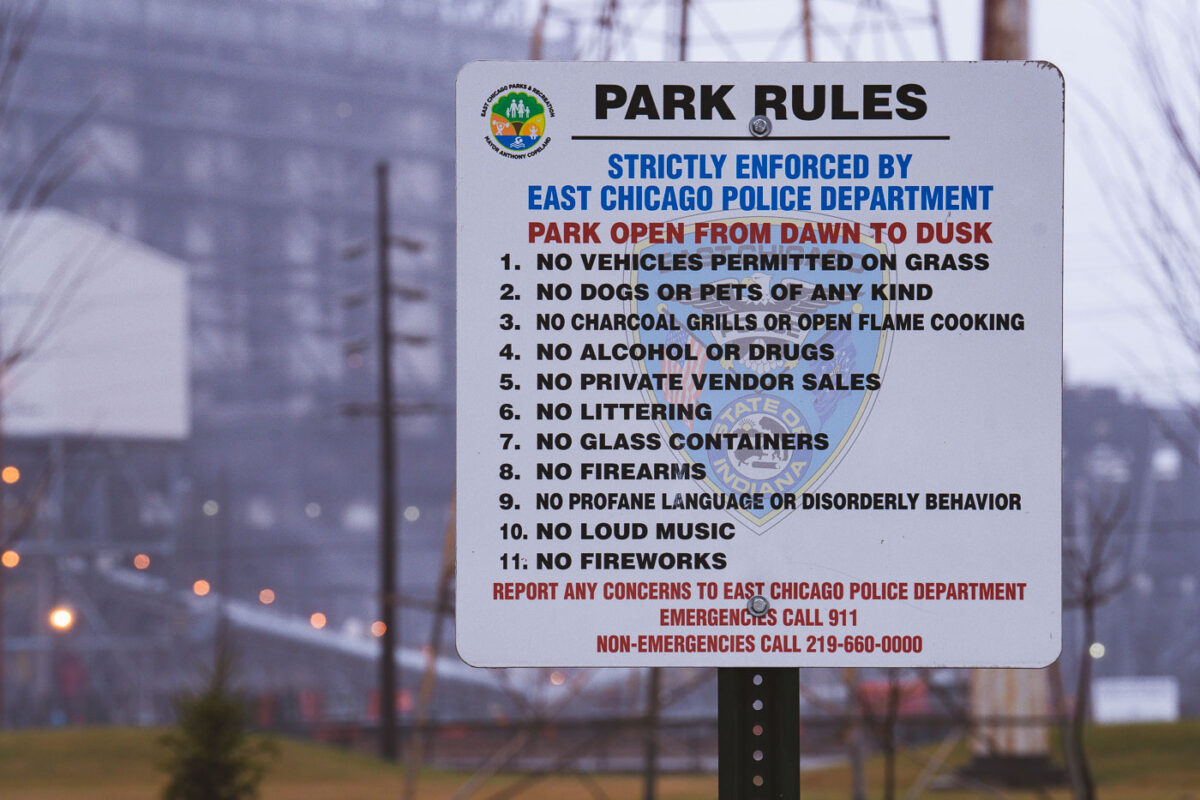
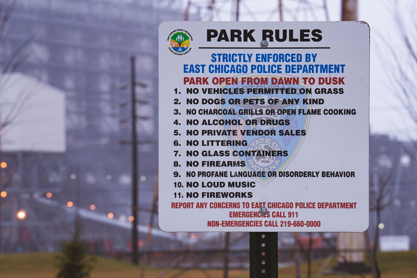
Park rules sign in Marktown, East Chicago, Indiana, listing regulations enforced by the East Chicago Police Department.
A park rules sign in Marktown, East Chicago, Indiana, sets regulations for a neighborhood public space within the city’s historic planned worker community. The sign states that the park is open from dawn to dusk and lists prohibited activities including vehicles on grass, pets, open-flame cooking, alcohol or drugs, littering, glass containers, firearms, profane language, loud music, and fireworks. It bears the East Chicago Parks & Recreation seal and states that the rules are strictly enforced by the East Chicago Police Department, with emergency and non-emergency contact numbers posted.

Park Rules Posted by East Chicago Police Near Marktown
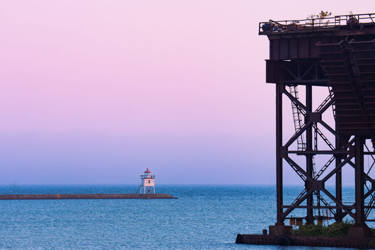
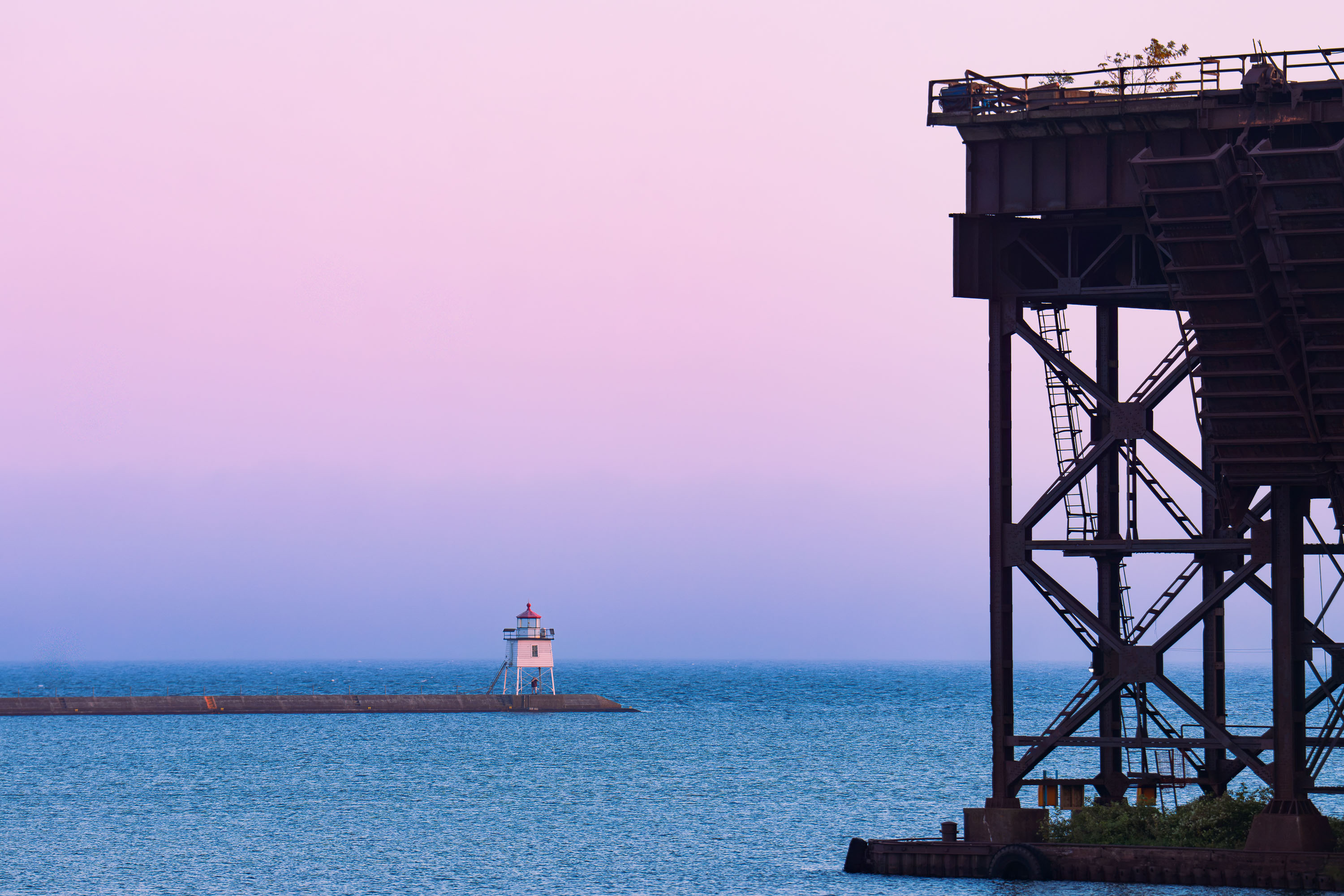
Steel ore dock structure silhouetted against twilight sky with lighthouse on Lake Superior horizon, Two Harbors, Minnesota.
The Two Harbors East Breakwater Light marks the entrance to Agate Bay on Lake Superior. Built in 1937 to replace an earlier wooden tower, it stands about 18 feet tall and remains an active, automated aid to navigation maintained by the U.S. Coast Guard. The steel structure beyond it is part of the Duluth, Missabe and Iron Range Railway's ore dock, used since the late 19th century to load taconite pellets onto lake freighters. Two Harbors was home to the first ore dock built on Lake Superior, in 1884, establishing the town as a key shipping point for Minnesota's Iron Range.

Two Harbors East Breakwater Light, Minnesota
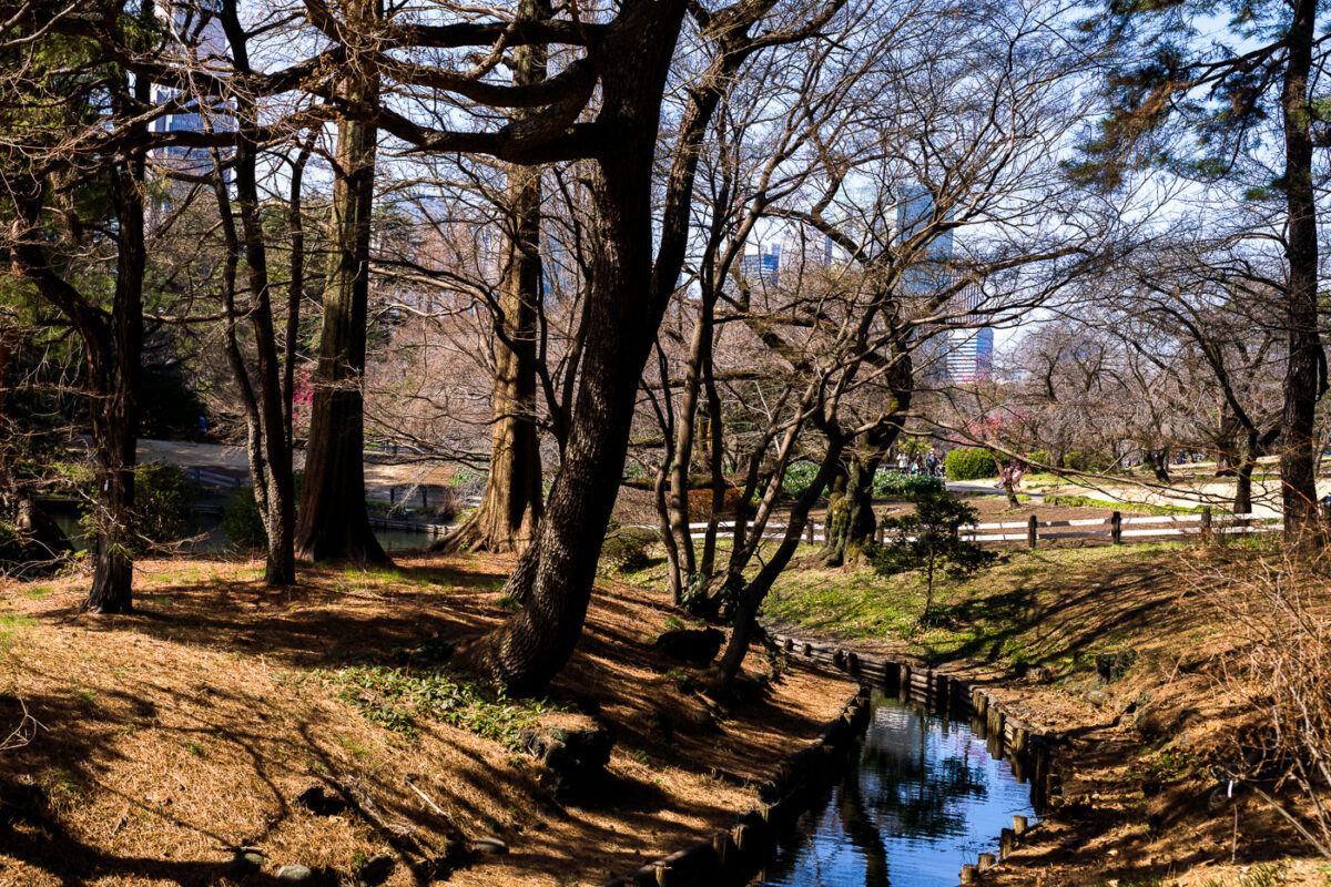
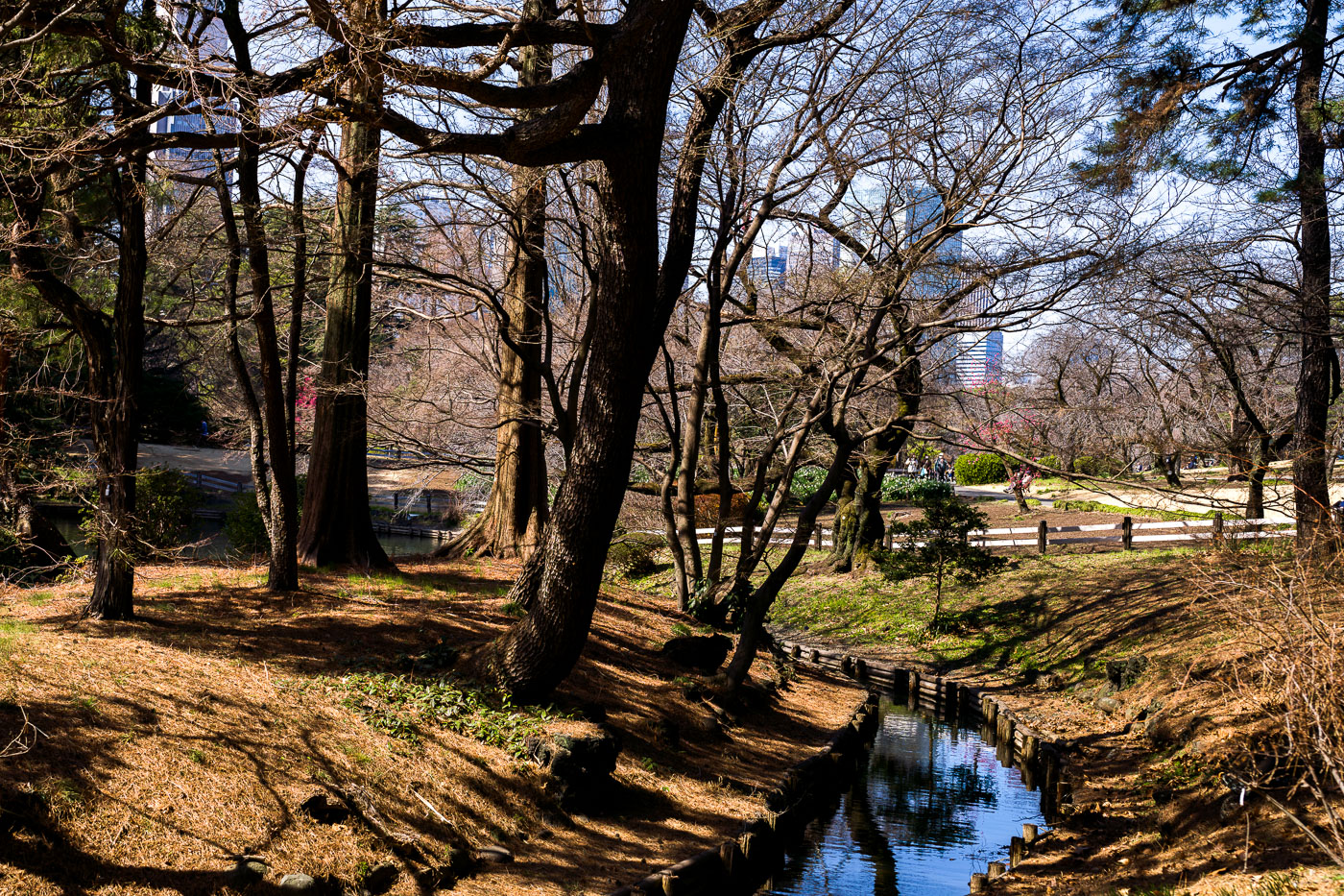
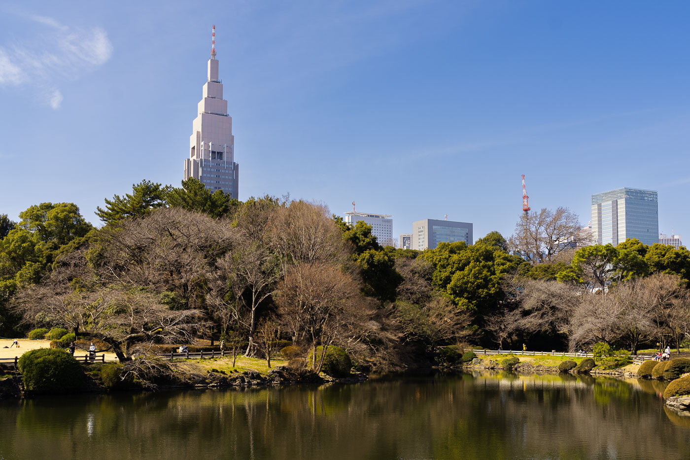
Shinjuku Gyoen National Garden in Tokyo features bare trees along a stream in early spring with buildings visible in the distance.
Shinjuku Gyoen National Garden covers about 58.3 hectares on land that once belonged to the Naito family, feudal lords under the Edo shogunate. The Meiji government converted the site into an imperial garden, which opened in 1906 under the design of French landscape architect Henri Martinet, who blended French formal, English landscape, and traditional Japanese styles within a single grounds. Damaged during World War II, the garden reopened to the public in 1949 as a national garden managed by Japan's Ministry of the Environment. Its Japanese garden section includes ponds, bridges, and a teahouse built around a spring-fed stream system that still threads through the property. The garden draws roughly two million visitors annually, many arriving each spring for its cherry blossom season.

Stream and Skyline View, Shinjuku Gyoen National Garden, Tokyo
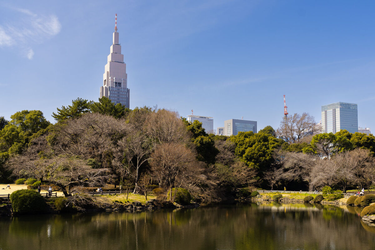
Shinjuku Gyoen National Garden pond with landscaped grounds and Tokyo skyline including NTT Docomo Building beyond.
Shinjuku Gyoen National Garden occupies land once held by the Naitō family, feudal lords under the Edo shogunate, before it became an imperial garden in 1906 and opened to the public in 1949. The park spans about 58.3 hectares and blends Japanese, French formal, and English landscape garden styles. Beyond its central pond, the NTT Docomo Yoyogi Building rises 240 meters, making it one of the tallest structures in Shinjuku Ward since its completion in 2000. The tower's clock faces are among the largest in Japan, each measuring roughly 12.6 meters across.

NTT Docomo Yoyogi Building Above Shinjuku Gyoen, Tokyo

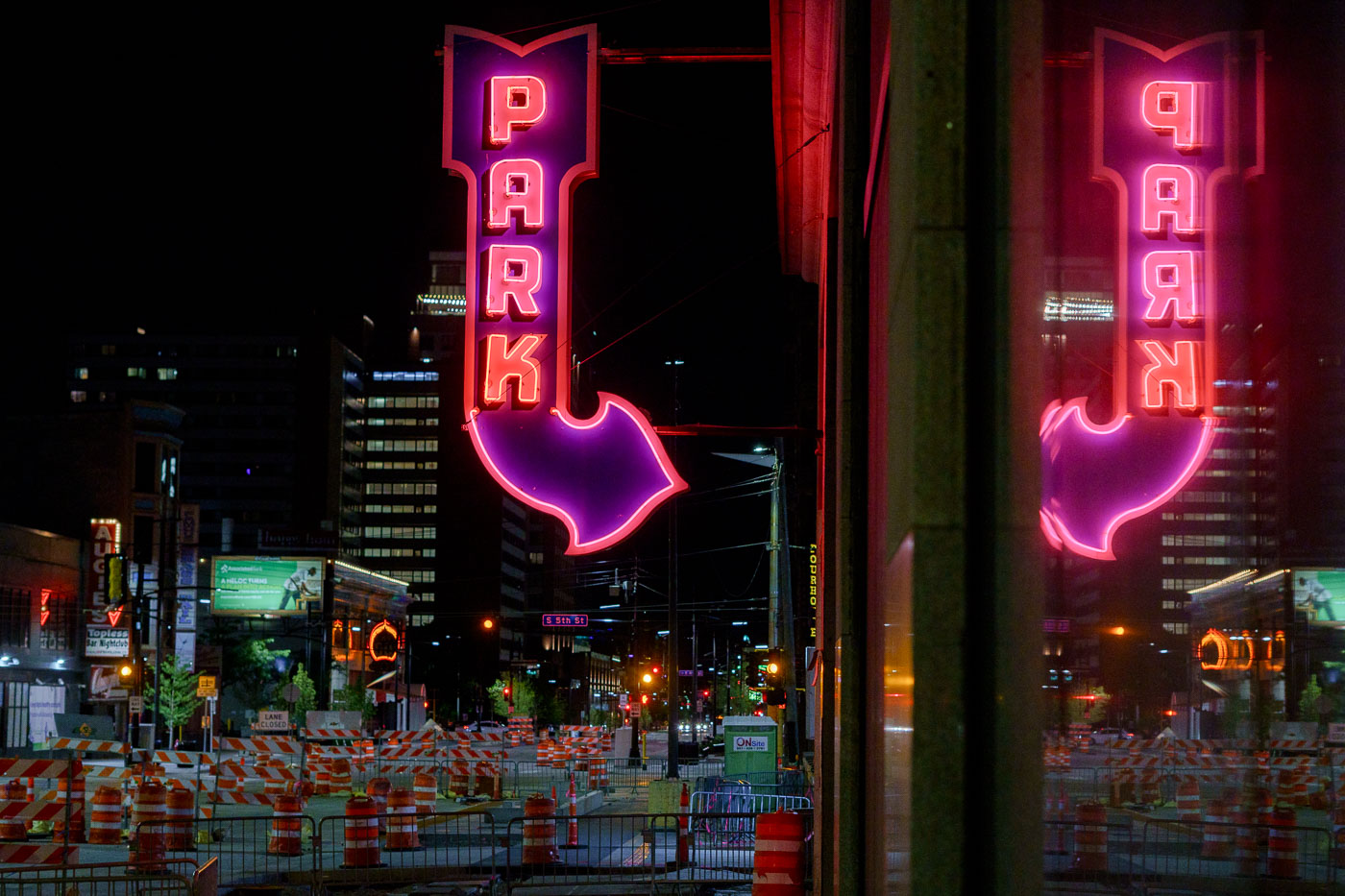
Reflected Neon “PARK” Sign on 5th Street, Minneapolis
A bright magenta-and-red “PARK” marquee glows above 5th Street in downtown Minneapolis, its arrow pointing toward one of the city’s long-running parking ramps. The large mirrored surface on the right captures a full duplicate of the sign, emphasizing the heavy neon presence that once defined the downtown entertainment and retail district. Signs like this were installed in the mid-20th century as automobile traffic surged and developers converted older commercial buildings into multi-level garages to serve Nicollet Mall, the Gateway renewal area, and the growing high-rise core. At street level, the rows of construction barrels and lane closures reflect Minneapolis’s ongoing cycle of roadway and transit upgrades — a pattern familiar in this part of the city as utility work, sidewalk rebuilds, and streetcar-era infrastructure get modern replacements. Even with the constant change, the surviving neon parking signs remain some of the most recognizable visual anchors of the nighttime downtown streetscape.

Reflected Neon “PARK” Sign on 5th Street, Minneapolis

South Minneapolis park with a pool, playground, and tennis courts.
A neighborhood park in South Minneapolis includes a swimming pool, playground, and tennis courts. The park sits along a tree-lined residential street and provides recreational space for the surrounding area.

South Minneapolis Park with Pool and Playground

Powderhorn Park in Minneapolis on a snowy morning after the first snowfall of the season. The park, established in 1889, is a vital green space with a lake and walking paths.
Powderhorn Park in South Minneapolis is seen on the morning after the first snowfall of the season. Established in 1889, it is one of the city's oldest parks and a significant green space for the surrounding neighborhoods. The park features a lake, walking paths, and sports facilities, serving as a vital community hub throughout the year. This early winter scene highlights the park's natural beauty and its role in the daily lives of Minneapolis residents.

Powderhorn Park, Minneapolis: First Snowfall Morning
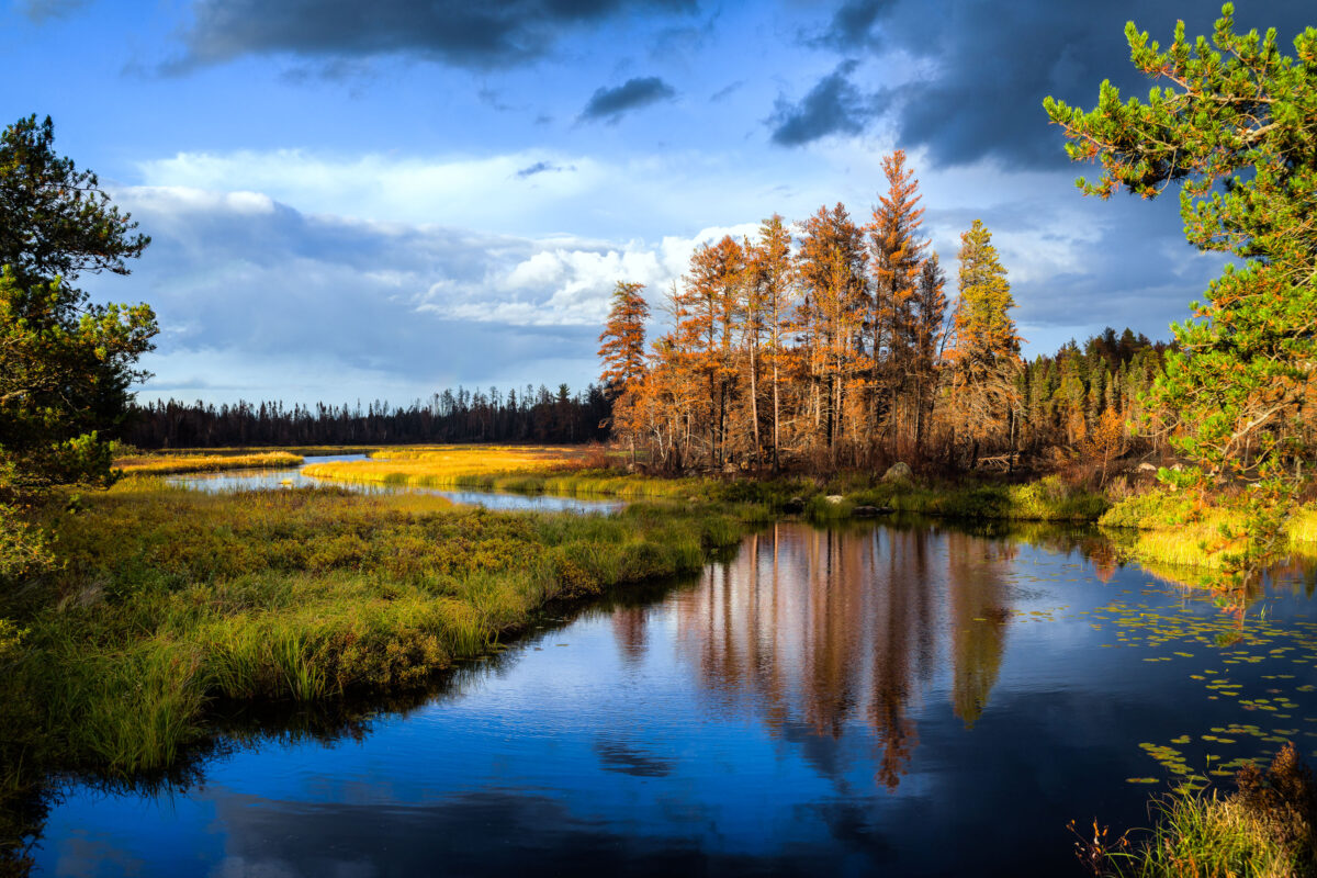
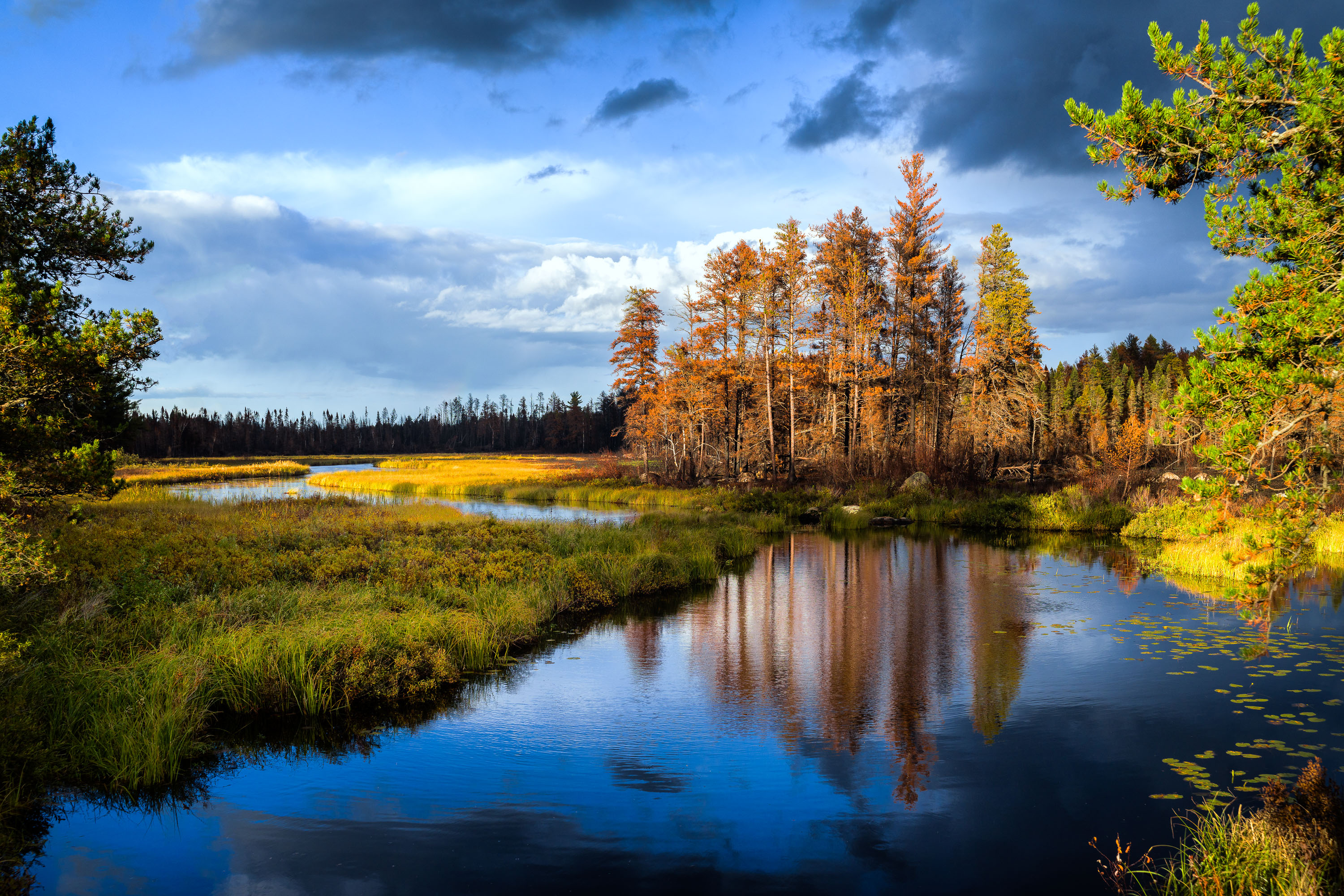
Sand River in Superior National Forest near Isabella, Minnesota, with autumn trees and reflections in calm water
Sand River in Superior National Forest near Isabella, Minnesota. Autumn light illuminates the river bends, wetland grasses, and mixed conifer and hardwood forest under a partly cloudy sky.

Sand River in Superior National Forest, Minnesota
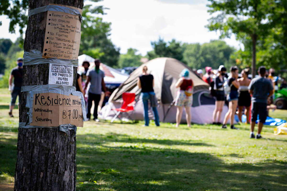
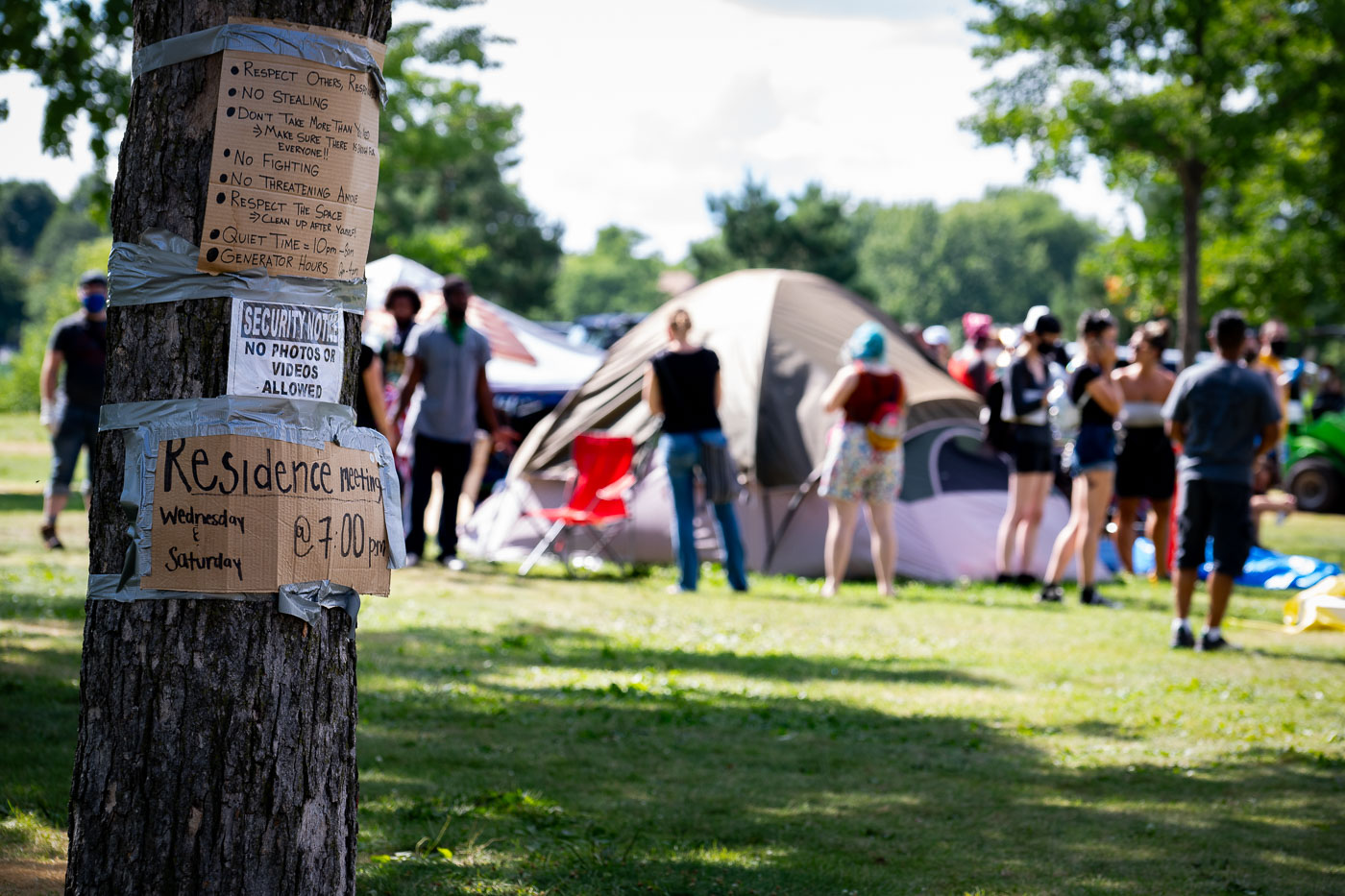
Encampment rules at Powderhorn park
Handwritten signs detailing community rules and meeting schedules are affixed to a tree at the Powderhorn East homeless encampment in South Minneapolis. This temporary settlement emerged as a response to housing insecurity, providing shelter for individuals during a period of significant social unrest in the city. The encampment, located within Powderhorn Park, was subsequently cleared by Minneapolis Police on July 21, 2020. Such sites underscore the challenges of homelessness and the community-led efforts to address immediate needs in urban areas.

Powderhorn Park Encampment Signs

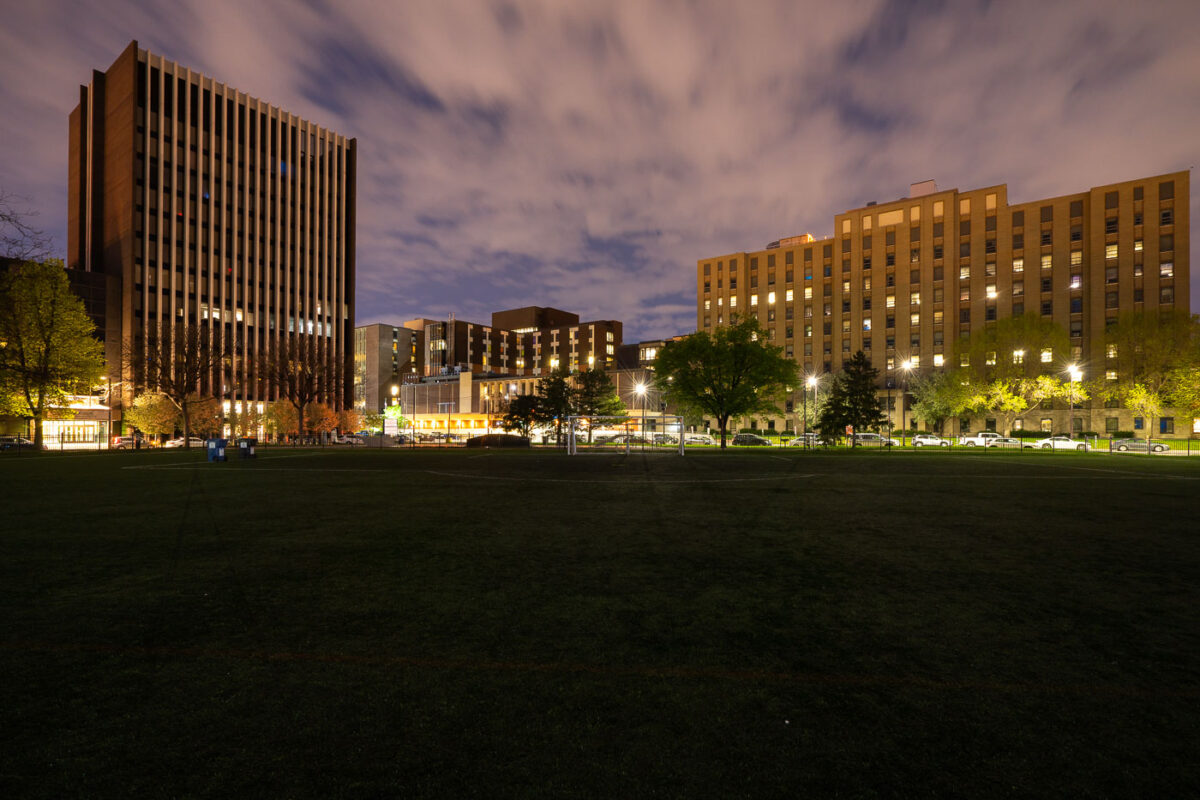
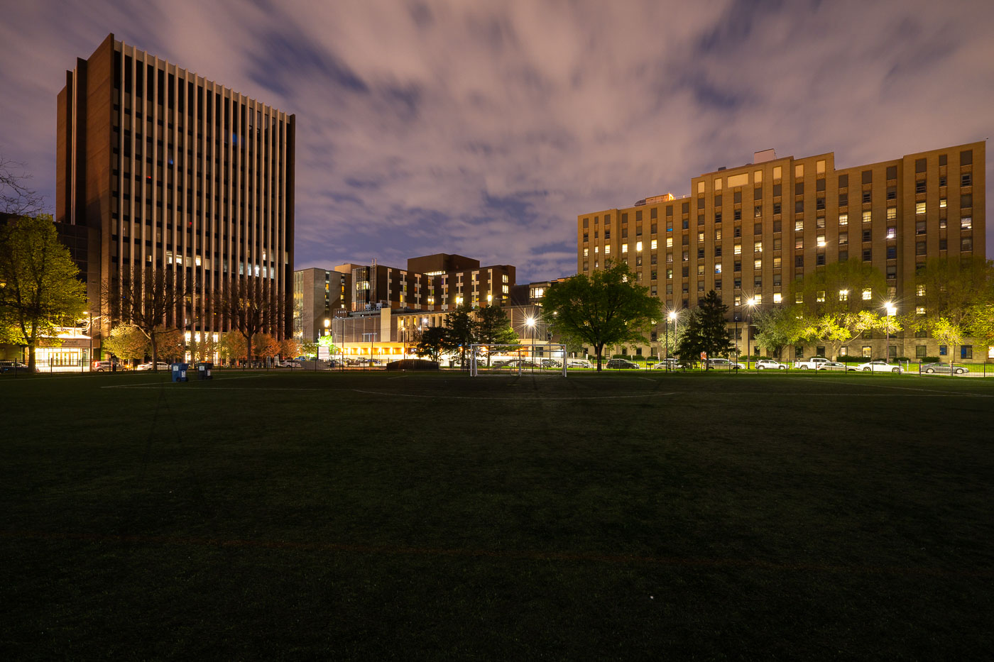
Elliot Park at night in downtown Minneapolis
Elliott Park in Downtown Minneapolis. One of my favorite parks downtown because of the skyline that's visible from the soccer fields.

Elliott Park in downtown Minneapolis at night
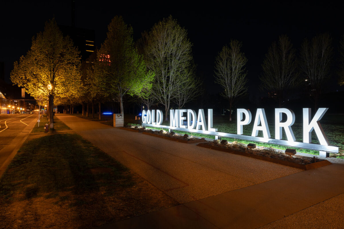
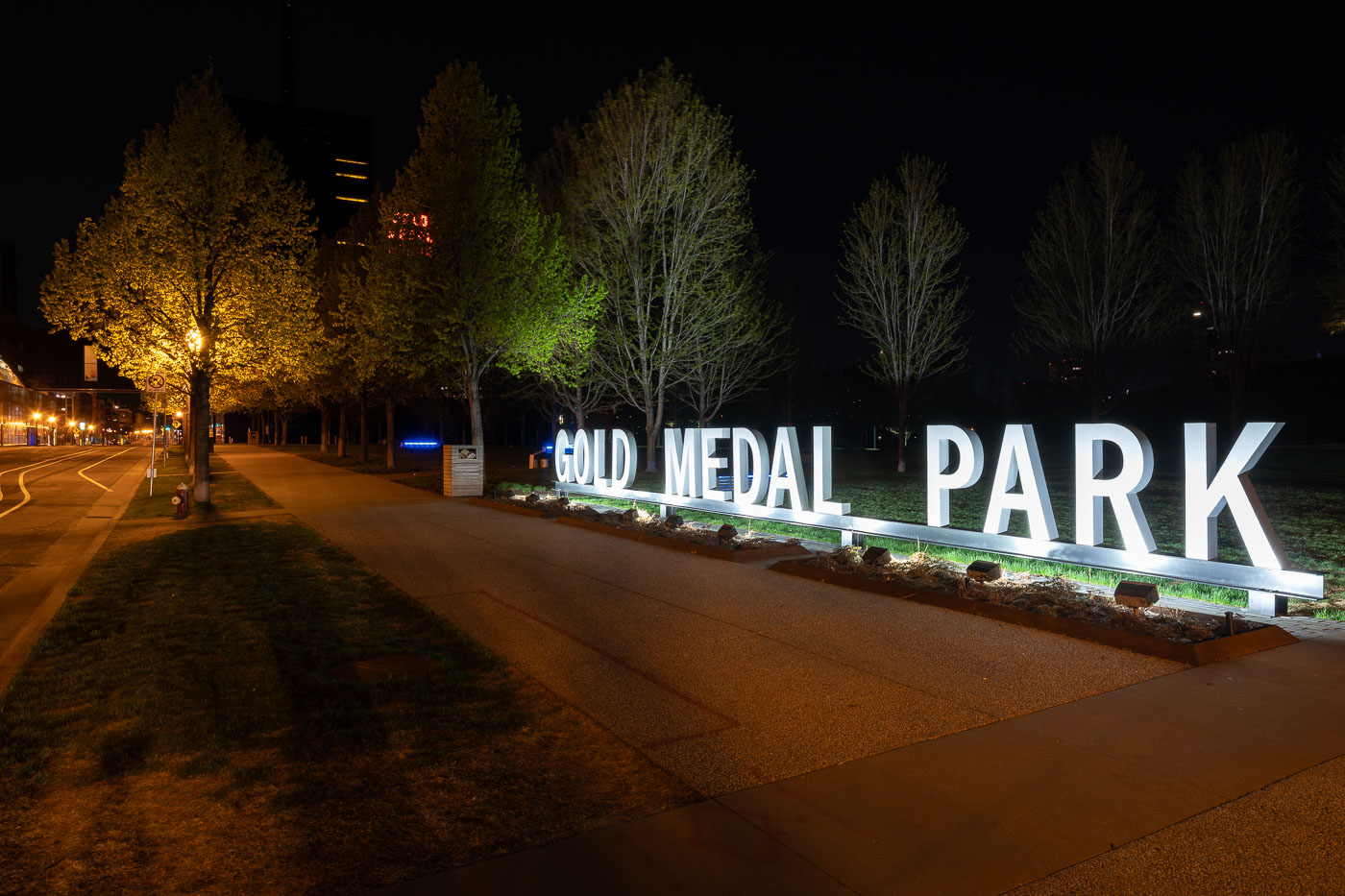
Gold Medal Park sign in Downtown Minneapolis park
Gold Medal Park sits along the Mississippi River near the Mill District in downtown Minneapolis, named in honor of the city’s flour-milling heritage and the iconic Gold Medal Flour brand. Designed by landscape architect Tom Oslund, the park opened in 2007 as part of the Guthrie Theater redevelopment and features a distinctive spiral mound at its center offering views of the river and city skyline. The illuminated park sign and tree-lined paths create a serene nighttime atmosphere against the industrial and cultural backdrop of the historic mill area.

Gold Medal Park at Night, Minneapolis Riverfront
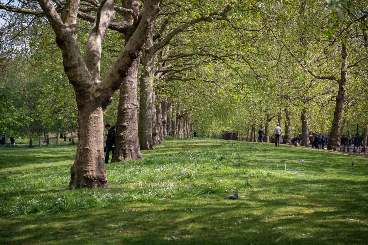
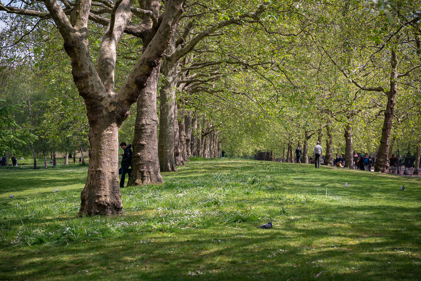
London plane trees line The Mall in St. James’s Park, London.
London plane trees line The Mall in St. James’s Park, London. The avenue runs beside open lawns in one of the Royal Parks near Buckingham Palace.

London Plane Trees on The Mall, St James’s Park, London
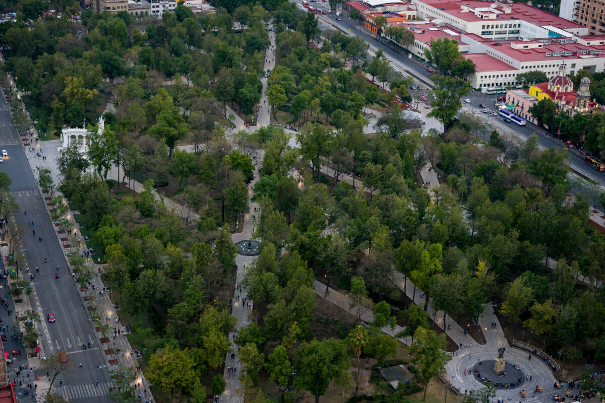
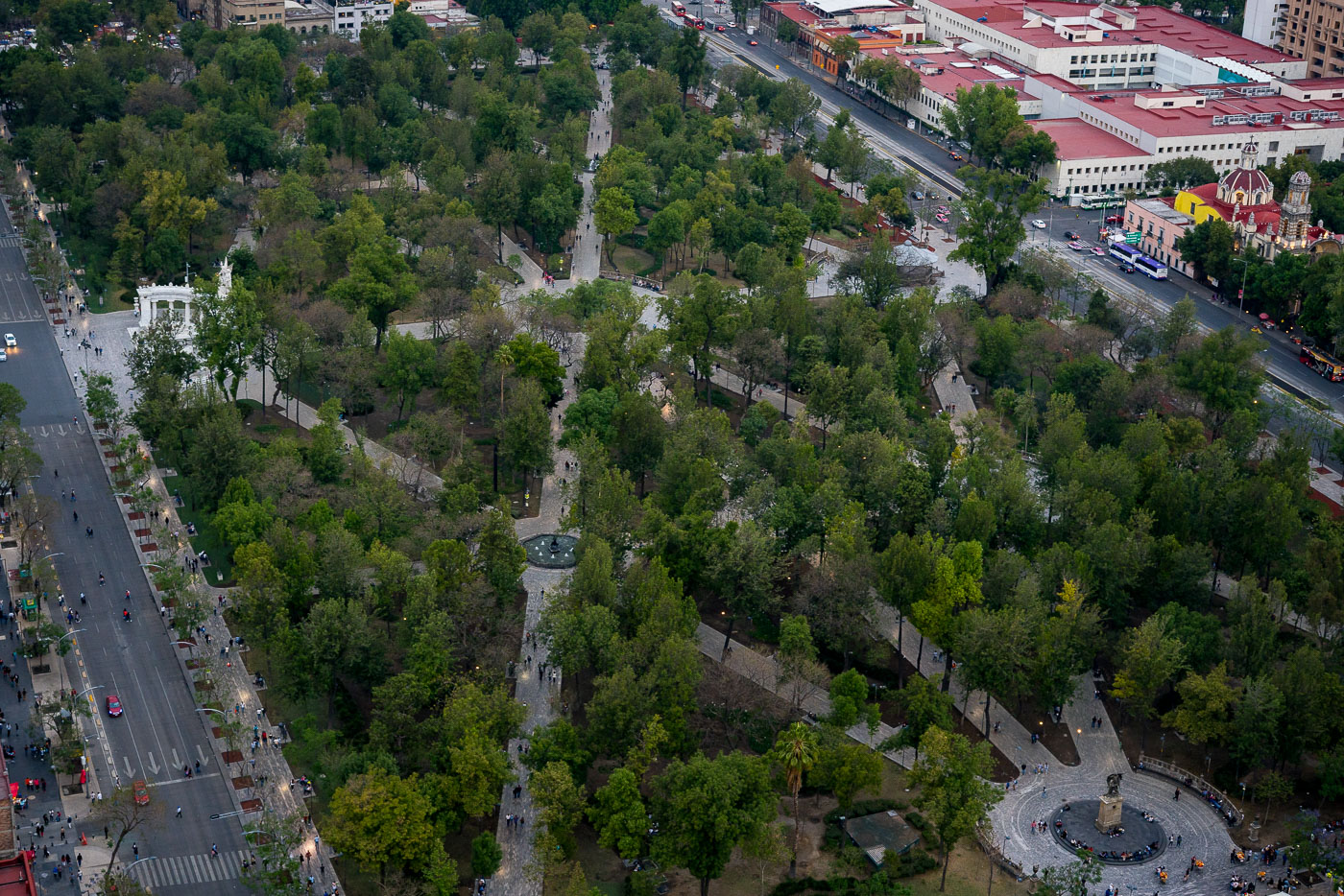
Aerial view of Alameda Central, Mexico City's oldest public park established in 1592, with surrounding historic buildings and streets.
Alameda Central in Mexico City’s Centro Histórico is the city’s oldest public park, established in 1592 and redesigned in the 19th century. The Hemiciclo a Juárez, a marble monument erected in 1910, stands at the park’s western edge. The park is bordered by major streets and civic buildings in the historic center.

Aerial View of Alameda Central Park, Mexico City
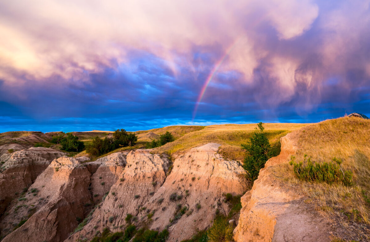
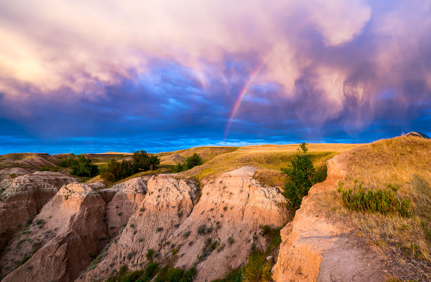
Rainbow arcs over eroded badlands formations and grasslands in Buffalo Gap National Grasslands, South Dakota.
A rainbow arcs across a dramatic sky over the Buffalo Gap National Grasslands in South Dakota. This area, managed by the U.S. Forest Service, preserves a vast expanse of mixed-grass prairie and badlands topography. Established in 1960, the grasslands are a remnant of the Great Plains' natural landscape, supporting diverse wildlife and offering opportunities for dispersed recreation. The unique geological formations visible are the result of millions of years of erosion, creating a rugged and visually striking environment.

Rainbow Over Badlands National Park at Sunrise
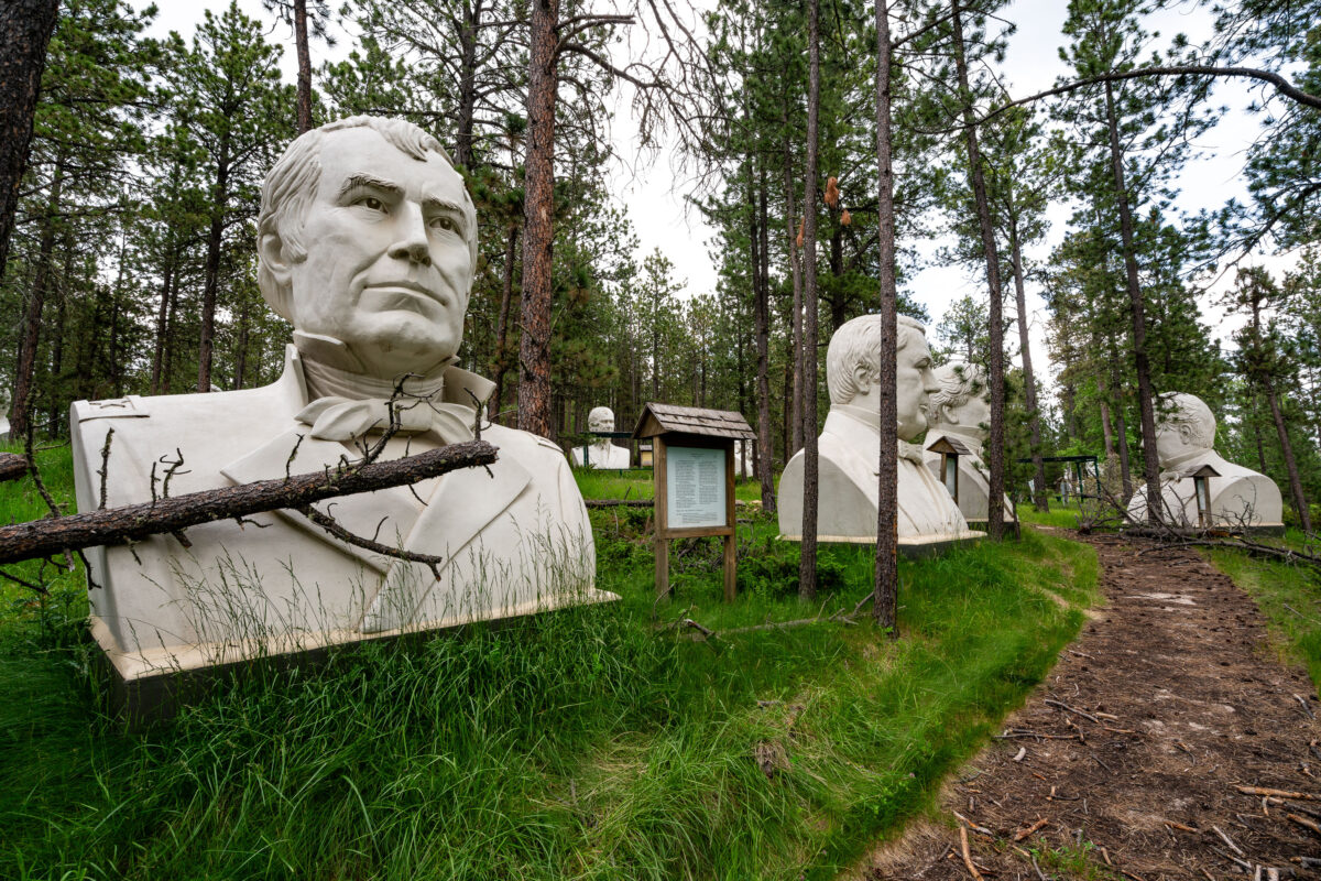
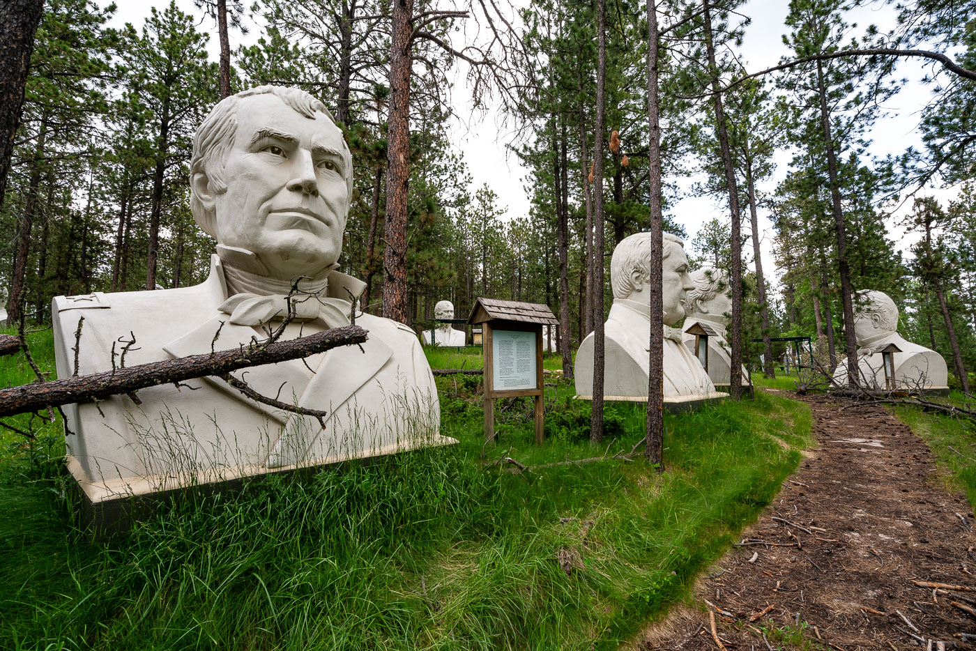
Abandoned presidential busts from Presidents Park are seen in the Black Hills Forest, South Dakota. The park featured 20-foot-tall concrete sculptures of U.S. presidents.
Abandoned presidential busts from the former Presidents Park attraction are seen in the Black Hills Forest near Lead, South Dakota. Opened in 2003 by artist David Adickes, the park featured forty-three 20-foot-tall concrete sculptures of U.S. presidents. The attraction closed by 2010 due to low visitor numbers, leaving the statues to be reclaimed by nature. These weathered relics now stand as a testament to ambitious, yet ultimately unsuccessful, private ventures in roadside Americana.

Abandoned Presidents Park Statues in Black Hills Forest, South Dakota
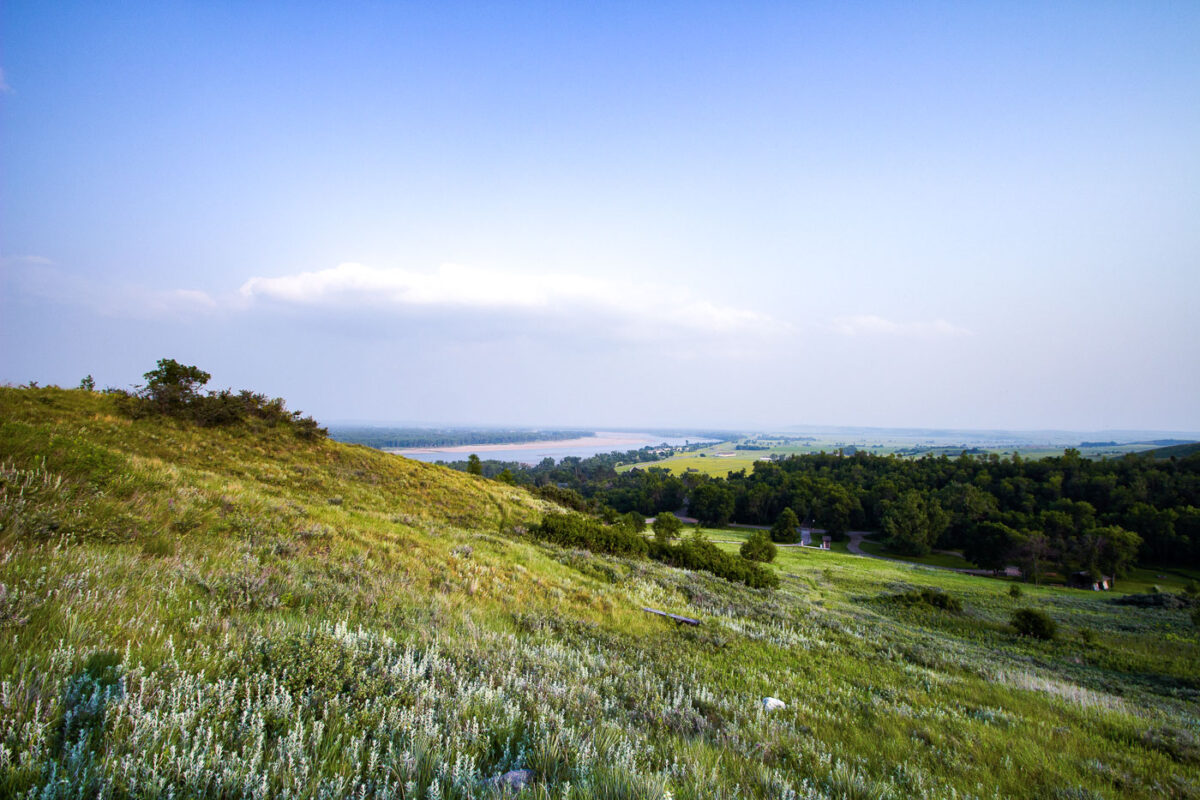
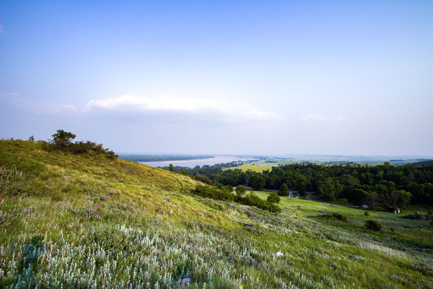
Hillside with wildflowers overlooks Missouri River valley near Fort Abraham Lincoln State Park, North Dakota.
Fort Abraham Lincoln State Park sits along the Missouri River just south of Mandan, North Dakota, on bluffs overlooking the river's confluence with the Heart River. The park occupies the site of a military post established in 1872, built to protect railroad survey crews and later home to Lieutenant Colonel George Custer and the 7th Cavalry before their departure for the Little Bighorn campaign in 1876. The grounds also preserve the remains of On-A-Slant Village, a Mandan earthlodge settlement occupied from roughly 1575 to 1781. North Dakota's state park system has maintained the site since the 1930s, when the Civilian Conservation Corps reconstructed several of the fort's original buildings.

Missouri River Valley from the Bluffs at Fort Abraham Lincoln State Park

Built in Minneapolis

Minneapolis Photographer

Browse by location, move through long-running series, or start with recent work.