Long Exposure

29 photos · 2012–2023

29 photographs tagged Long Exposure, 2012–2023.
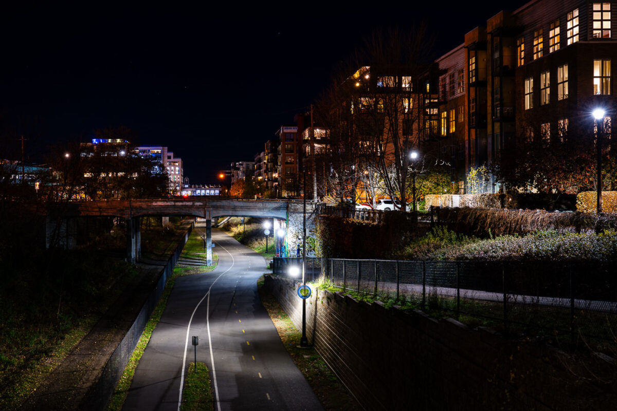
Midtown Greenway in Minneapolis at night, with a lit trail under an overpass beside apartments.
The Midtown Greenway in South Minneapolis is a multi-use trail built on a former railroad corridor. Opened in phases starting in 2001, it connects the Mississippi River to the Chain of Lakes. The trail serves as a vital transportation and recreation artery, allowing cyclists and pedestrians to travel through the city separated from vehicular traffic.

Midtown Greenway, Minneapolis at Night
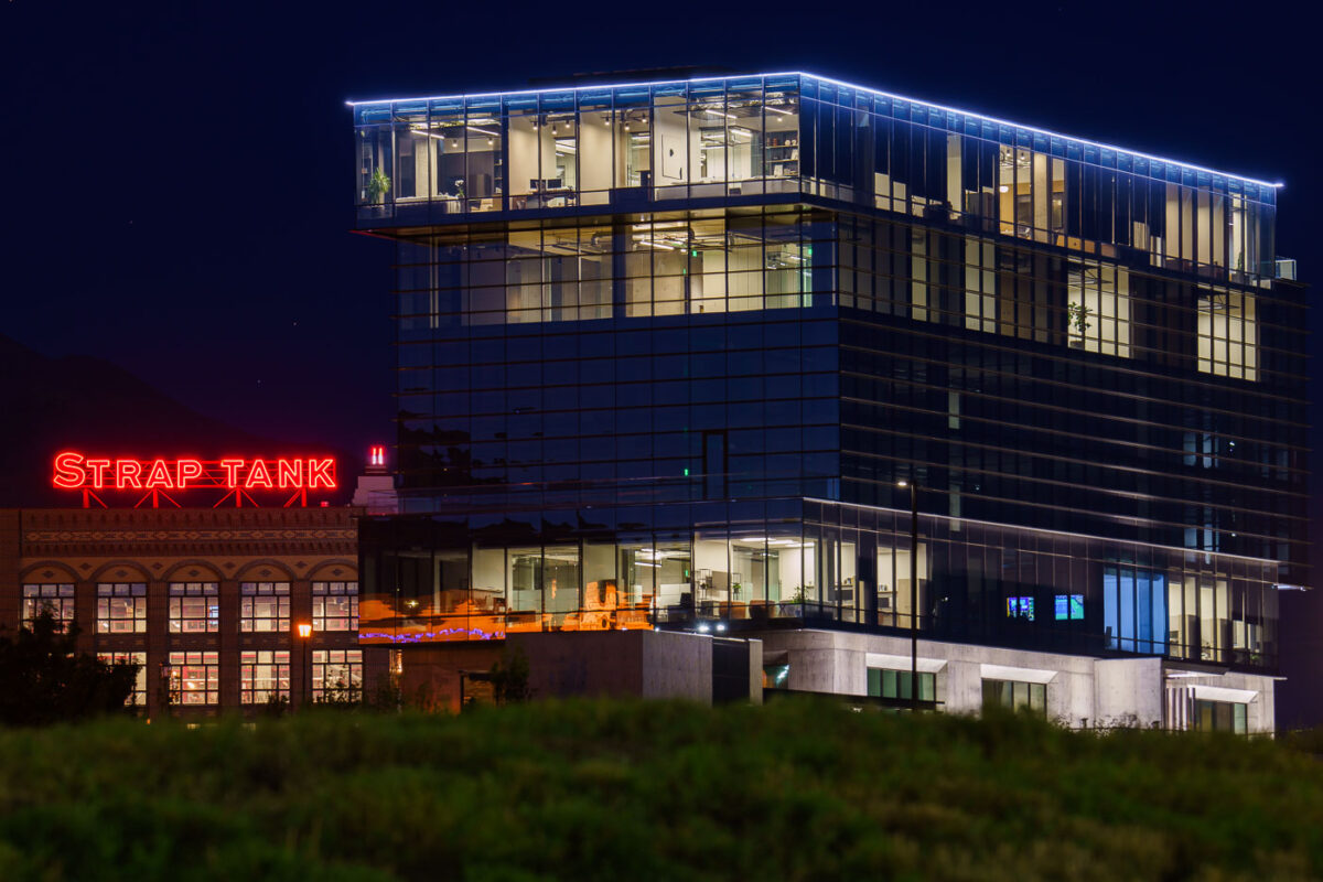
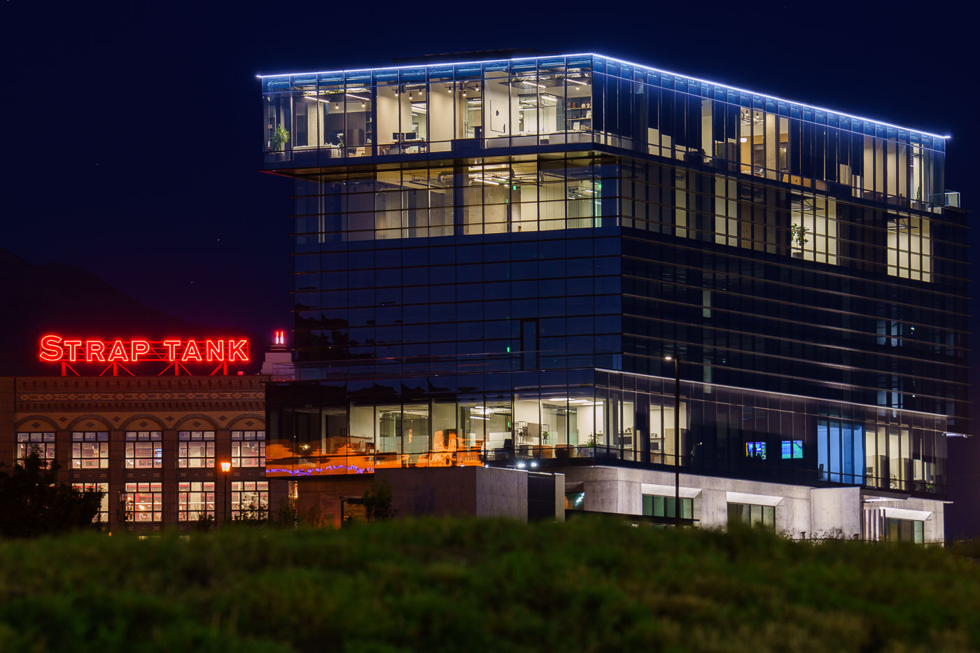
Strap Tank Brewery's neon sign glows beneath a modern glass office tower in Lehi, Utah at night.
Strap Tank Brewery operates in Lehi, Utah, a city in Utah County roughly 30 miles south of Salt Lake City. The brewery occupies a building that pairs its original low-rise structure with newer office floors built above it. Lehi sits at the center of the tech corridor known as Silicon Slopes, home to companies including Adobe, Ancestry, and Qualtrics. Much of the city's glass-and-steel office construction dates to the years after 2000, added alongside older commercial buildings tied to Lehi's agricultural history.

Strap Tank Brewery’s Neon Sign Beneath a Lehi Office Tower at Night
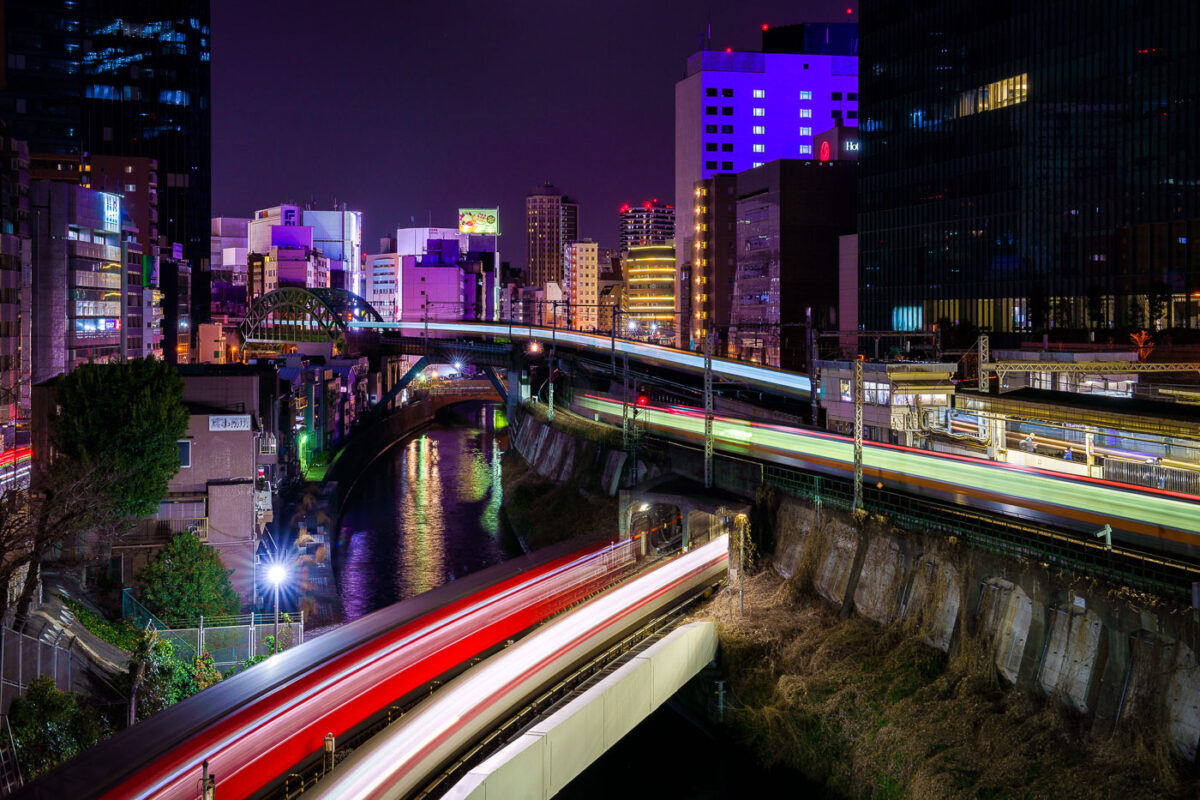
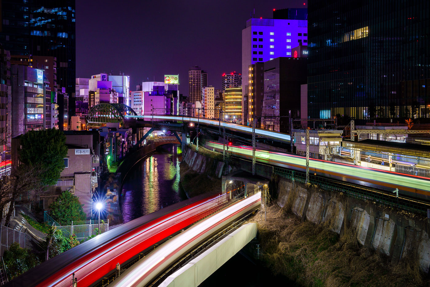
JR East trains with light trails cross the Kanda River on an elevated viaduct near Ochanomizu Station in Tokyo at night.
Elevated JR East rail lines cross the Kanda River near Ochanomizu Station in Tokyo's Chiyoda and Bunkyo wards. The Chuo and Sobu lines run along this stretch of viaduct, passing above the river and near the historic Ochanomizu Bridge, a steel arch structure built in the early 20th century. The area is a long-established rail corridor connecting central Tokyo to western suburbs, with dense commercial and office development lining both banks.

Train Light Trails Above the Kanda River at Ochanomizu
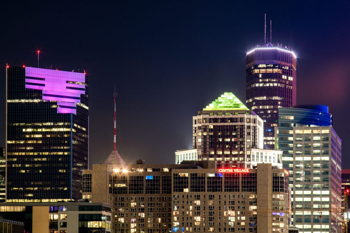
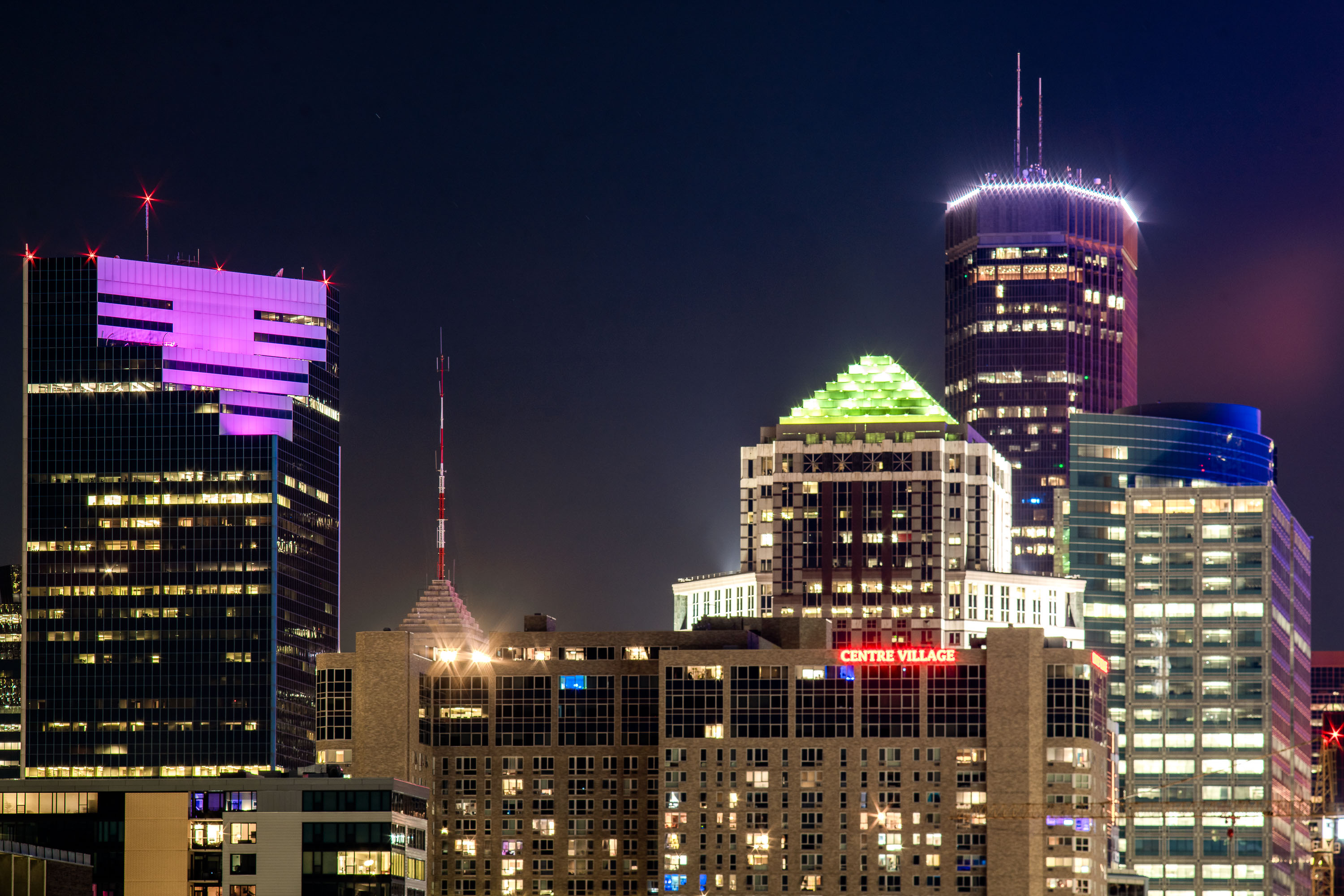
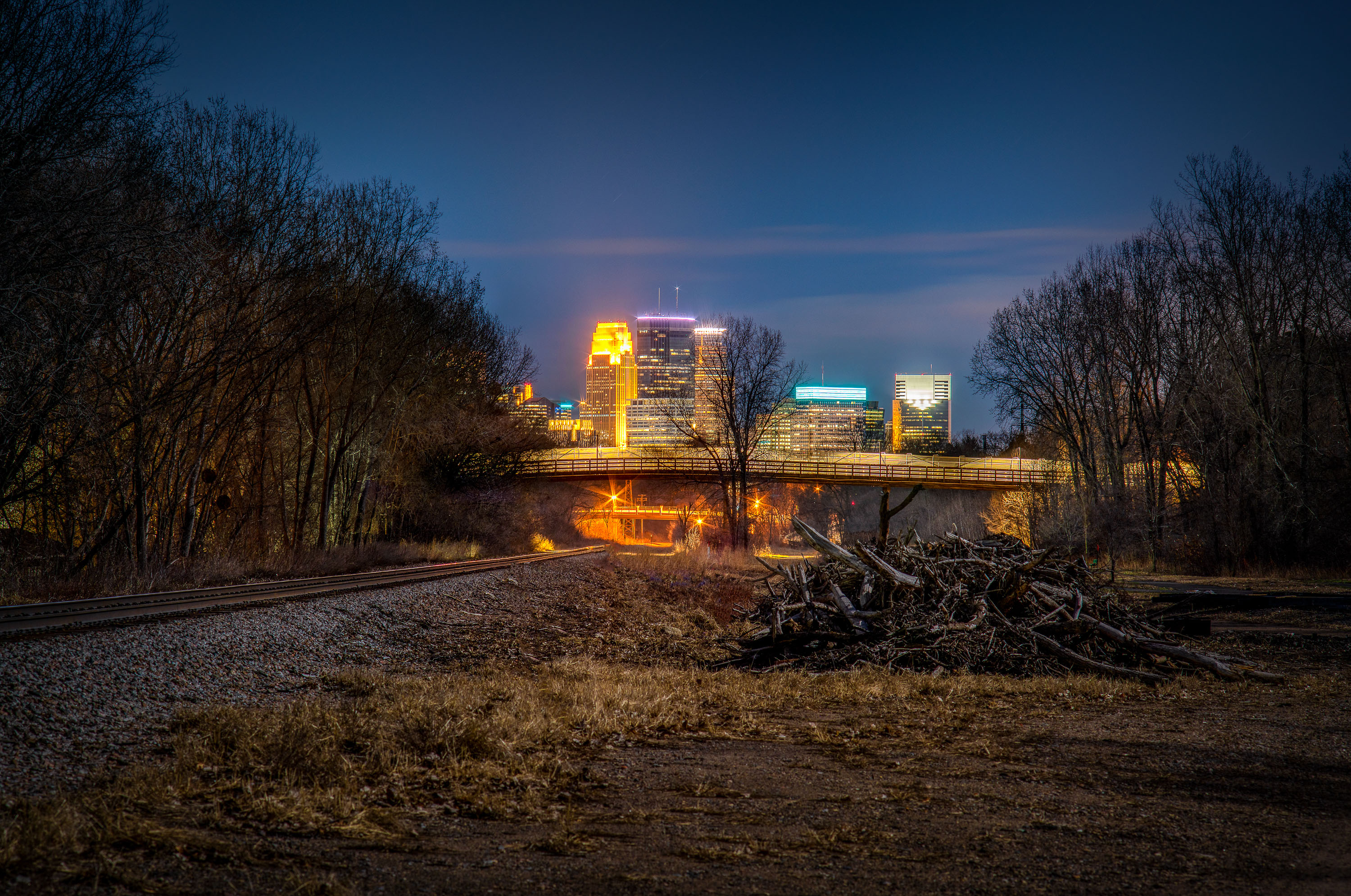
Two22, IDS Center and Centre Village buildings in Downtown Minneapolis.
The Two22 building (formerly Campbell Mithun Tower) is the latest building in Minneapolis to get a lightng change. In the last week it's changed from its long time white lightning to a purple.

Two22 Building, Centre Villafge, IDS Center in Downtown Minneapolis
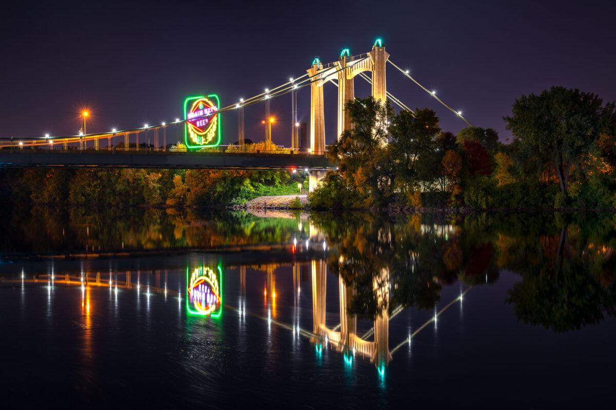
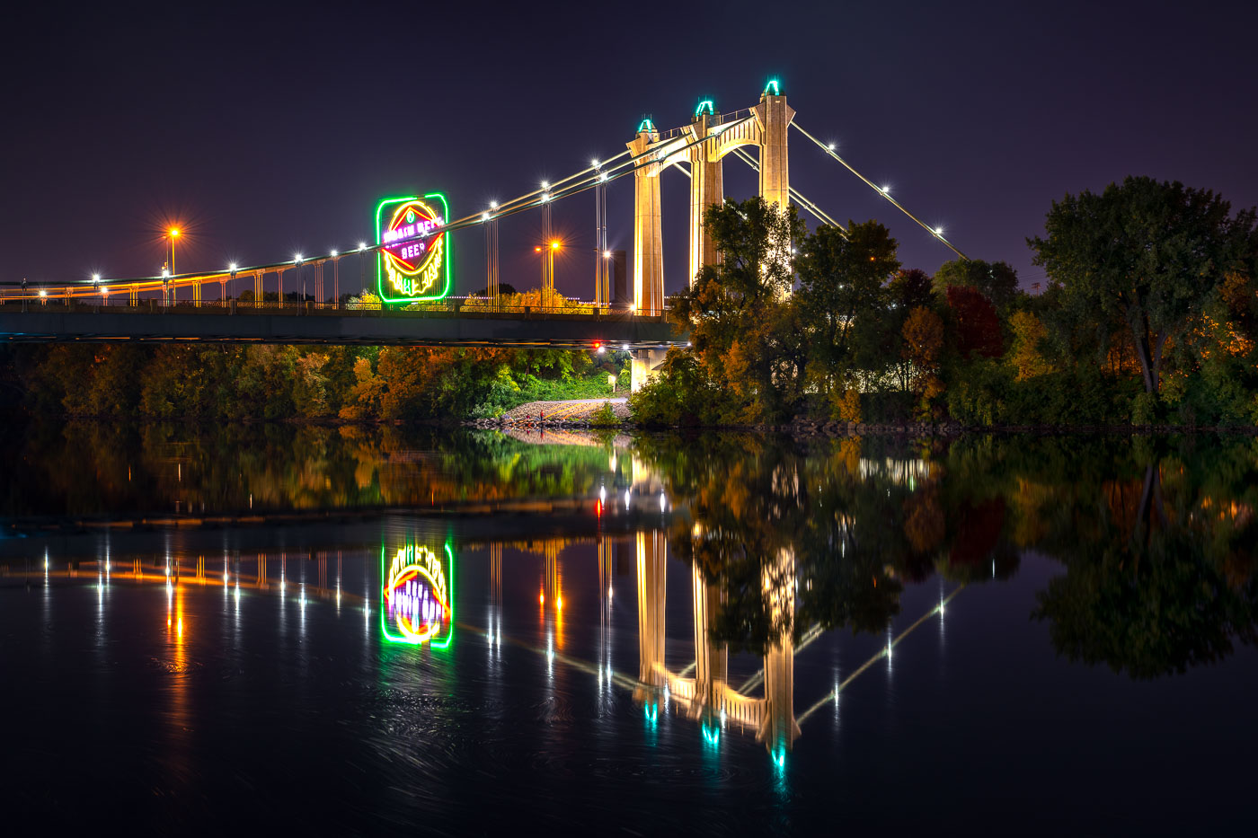
Hennepin Avenue Bridge spans the Mississippi River at night with illuminated suspension cables and a glowing Grain Belt beer sign
The Hennepin Avenue Bridge crosses the Mississippi River in Minneapolis, connecting downtown with Northeast Minneapolis. The suspension bridge, completed in 1990, is the fifth structure at this crossing, where the city’s first bridge over the Mississippi once stood.

Grain Belt Beer Sign Reflected Beneath the Hennepin Avenue Bridge
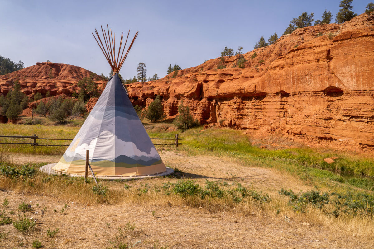
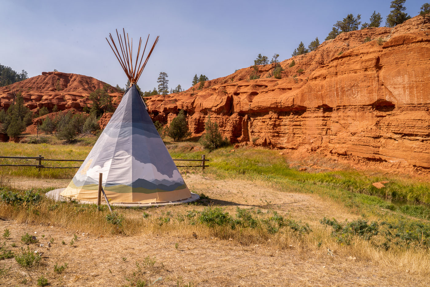
White teepee tent at KOA campground with red rock formations of Devil's Tower National Monument in background, Wyoming.
A teepee tent is situated at the KOA campground near Devil's Tower National Monument in Wyoming. The teepee, a traditional dwelling of many Indigenous Plains tribes, is a modern accommodation offered at the campground. Devil's Tower, a prominent geological formation, was designated the United States' first national monument in 1906. The surrounding landscape features striking red rock formations and sparse vegetation, characteristic of the semi-arid climate of the region.

Painted Teepee Beneath Red Cliffs at Devils Tower KOA
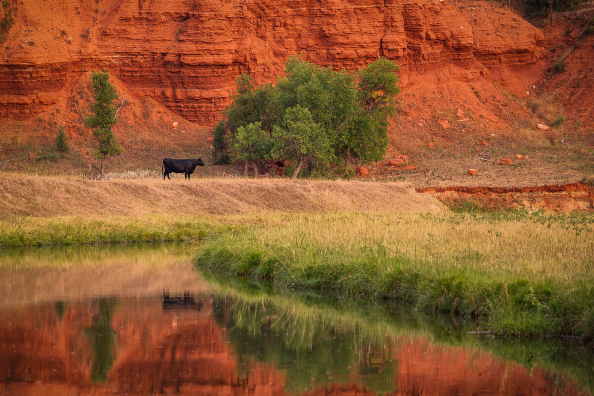
Black cow grazing beside Belle Fourche River with red rock formations of Devil's Tower National Monument behind.
A lone cow grazes near the Belle Fourche River, with the distinctive red rock formations of Devil's Tower National Monument in the background. The Belle Fourche River, the longest river in South Dakota, flows through Wyoming and is a vital water source for the region's agriculture and wildlife. Devil's Tower, a laccolithic butte composed of igneous rock, was designated the first national monument in the United States in 1906. Cattle ranching has been a significant part of the economic and cultural landscape of this area for over a century, with the river providing essential grazing land.

Grazing Cow Beside Red Rock Bluffs Near Devil’s Tower
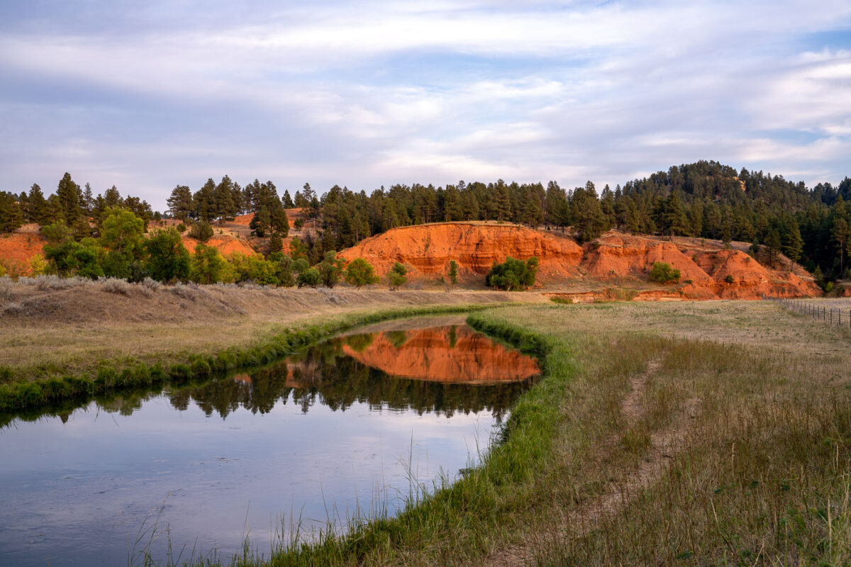
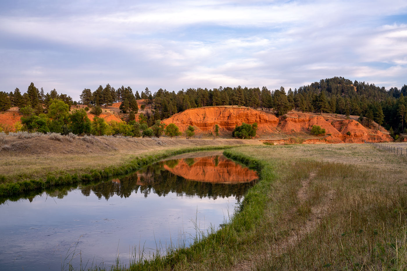
Belle Fourche River winds through grassland with red rock formations and pine forest near Devil's Tower, Wyoming.
The Belle Fourche River flows through a landscape of red rock formations and pine forests in eastern Wyoming, near Devil's Tower National Monument. This river is the longest "all-water" river in the United States, meaning it is a river that flows entirely within the U.S. and is not a tributary to any other river. The Belle Fourche River has historically been important for agriculture and ranching in the region, with irrigation projects utilizing its waters since the early 20th century. Today, the area surrounding the river, including the nearby national monument, is a popular destination for camping and outdoor activities.

Red Bluffs Reflected in the Belle Fourche River at Dusk
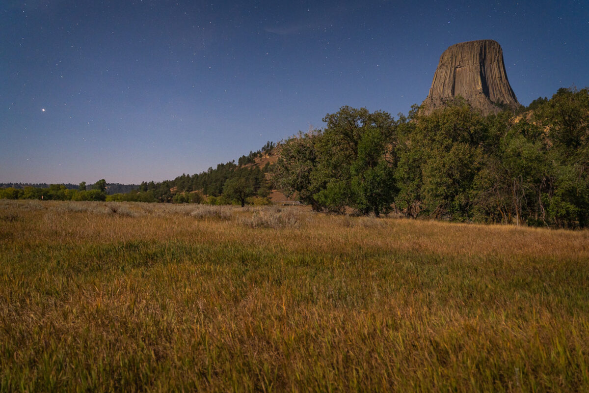
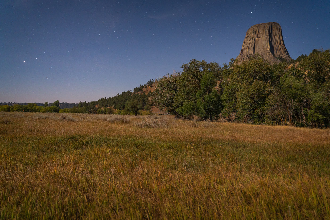
Devil's Tower rises above grasslands and ponderosa pine forest under a starry sky in northeastern Wyoming.
Devil's Tower rises 867 feet above the surrounding grasslands of northeastern Wyoming, formed from an igneous intrusion that eroded into its columnar shape over millions of years. President Theodore Roosevelt designated it the first national monument in the United States in 1906. The Lakota, Cheyenne, and Kiowa hold the formation sacred and know it by names such as Bear Lodge, tied to origin stories about its fluted sides. Ponderosa pine forests and mixed-grass prairie surround the tower's base, habitat that supports deer, prairie dogs, and a range of raptors. Climbers have summited the rock since 1893, and it remains a popular technical climbing destination today.

Moonlit Prairie Grass Below Devils Tower
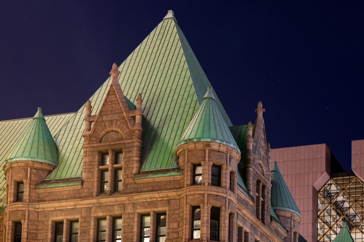
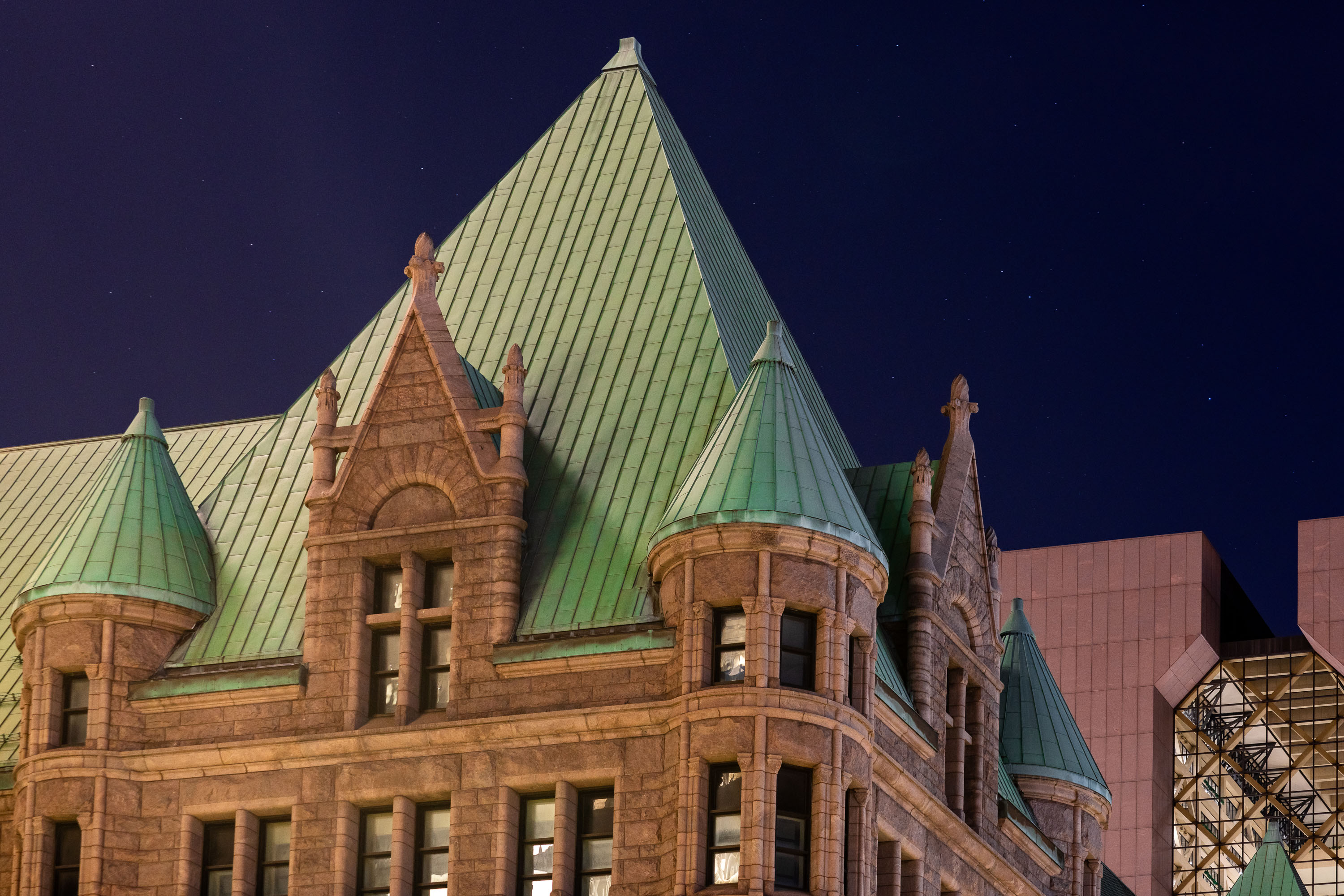
Minneapolis City Hall and Hennepin County Government Center at night
Minneapolis City Hall and the Hennepin County Government Center in downtown Minneapolis on a clear night.

Downtown Minneapolis City Hall At Night
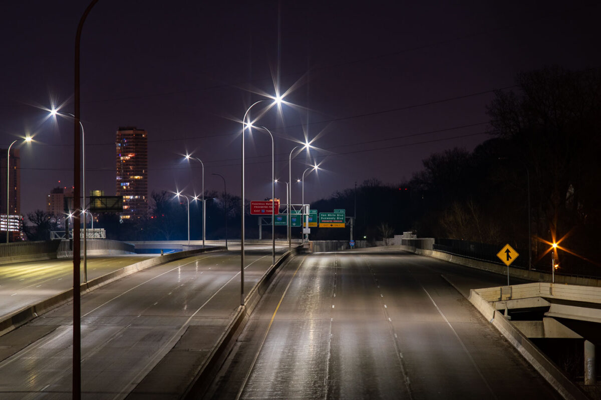
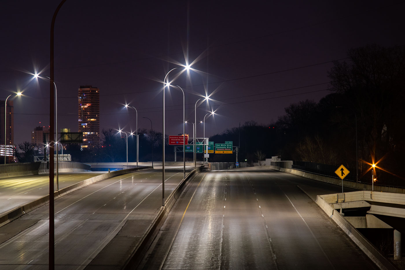
Interstate 394 in Minneapolis nearly empty at night during COVID-19 lockdown in April 2020.
Interstate 394 connects downtown Minneapolis to the western suburbs, running past the Cedar-Riverside neighborhood and merging with Interstate 94 near the Lowry Hill Tunnel. The freeway opened in stages during the late 1980s and early 1990s, replacing what had long been planned as an inner-city extension of Highway 12. Minnesota's stay-at-home order, in effect from late March through mid-May 2020, cut traffic across the Twin Cities metro to a fraction of normal volumes. Overnight counts on routes like I-394 dropped by more than half compared to pre-pandemic averages during that period.

Interstate 394 Empty During Minneapolis COVID-19 Shutdown
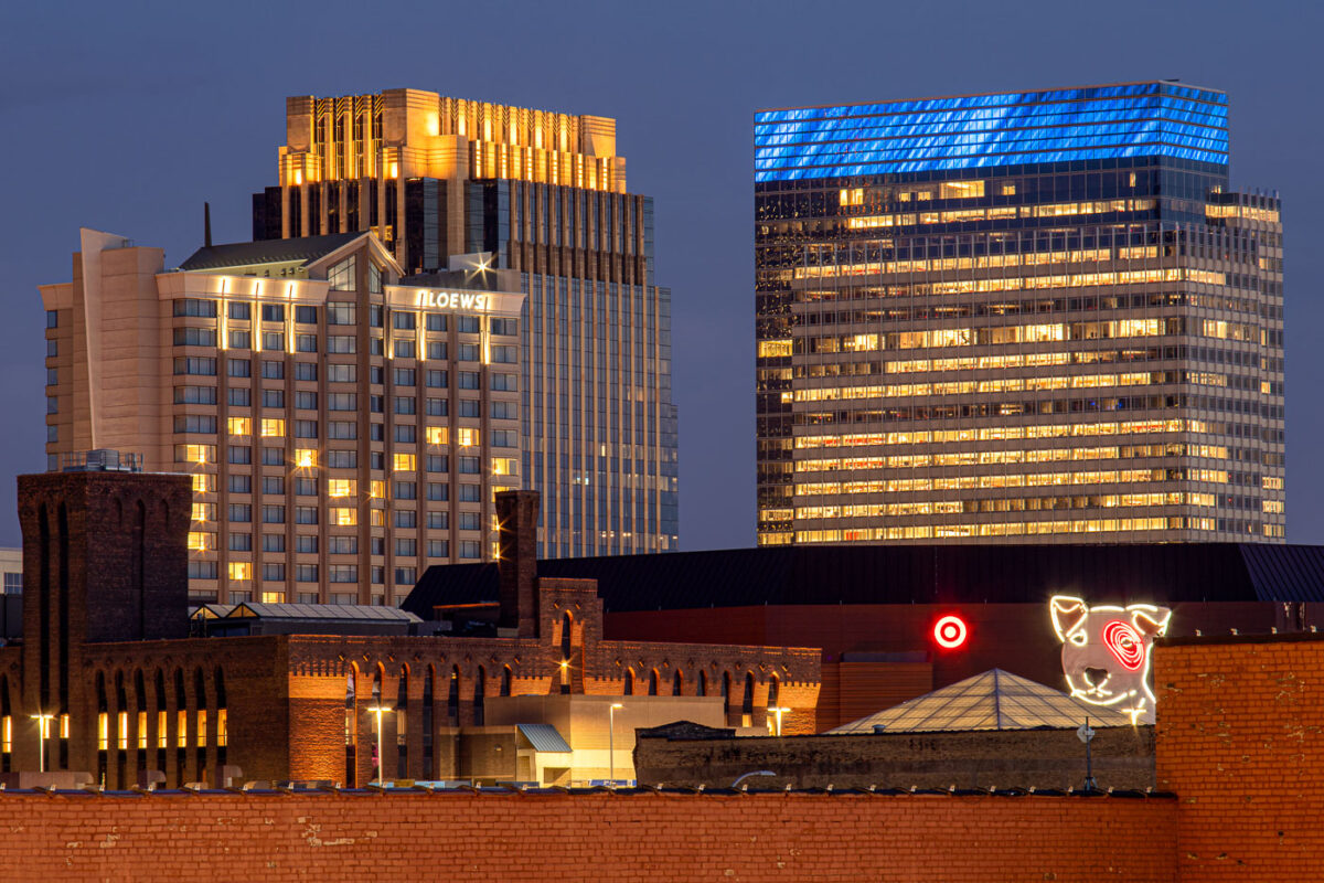
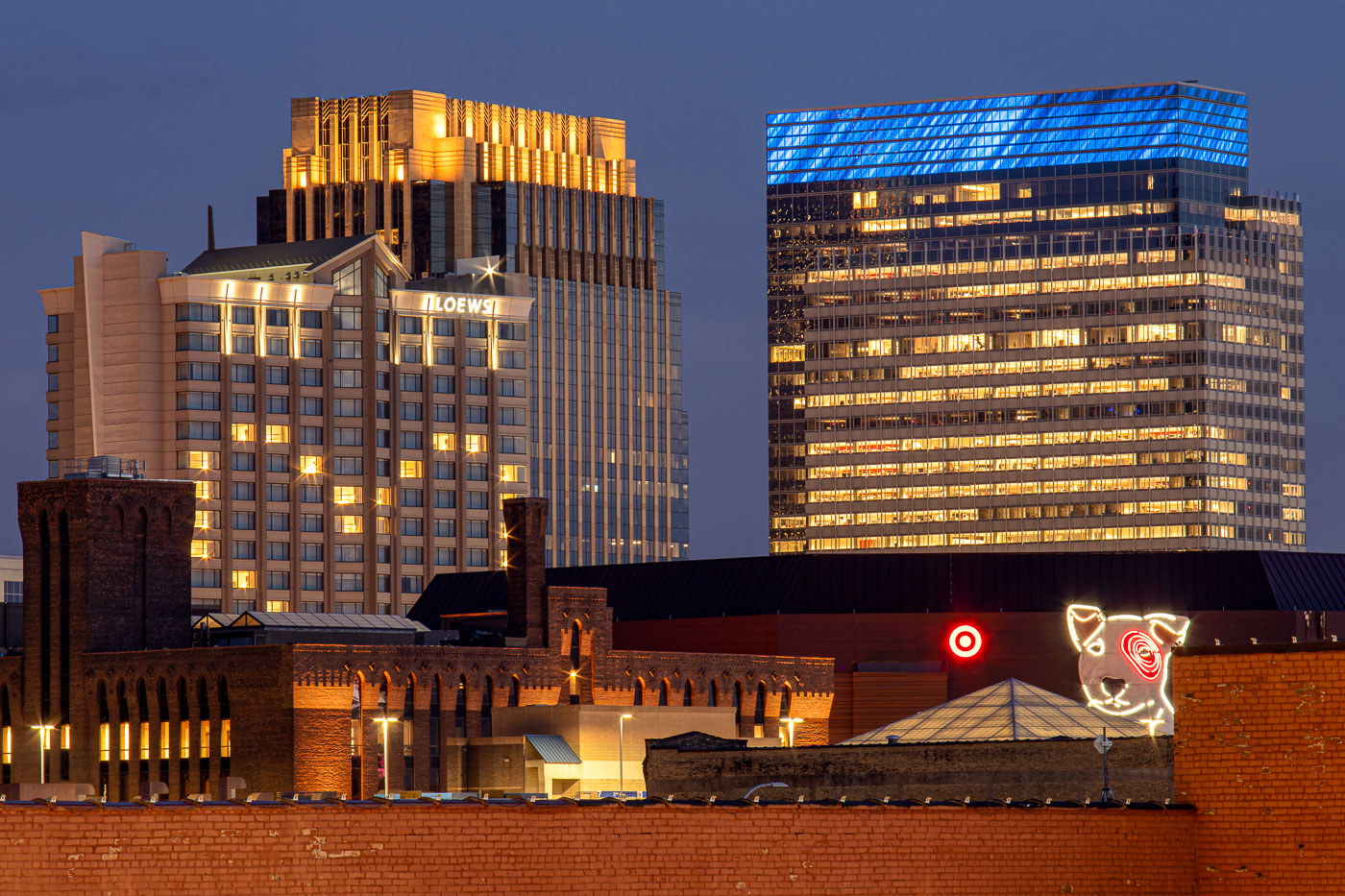
Loews Hotel and Target headquarters illuminated at night in downtown Minneapolis with Target Dog neon sign in foreground.
Target's corporate headquarters tower rises at 1000 Nicollet Mall, its glass exterior wrapped in a blue-lit crown near the top floors. The company has been based in downtown Minneapolis since its founding as a Dayton's discount offshoot in 1962, and its headquarters campus remains one of the largest employers in the city's core. The neon Bullseye dog sign near the building's base is a longstanding piece of Target's branding, drawn from the company's mascot, Bullseye. To the left, the Loews Minneapolis Hotel occupies part of the LaSalle Plaza complex, a mixed-use development completed in 1991 that also includes office space and street-level retail along Nicollet Mall.

Target’s Bullseye Dog Sign Beneath Its Minneapolis Headquarters
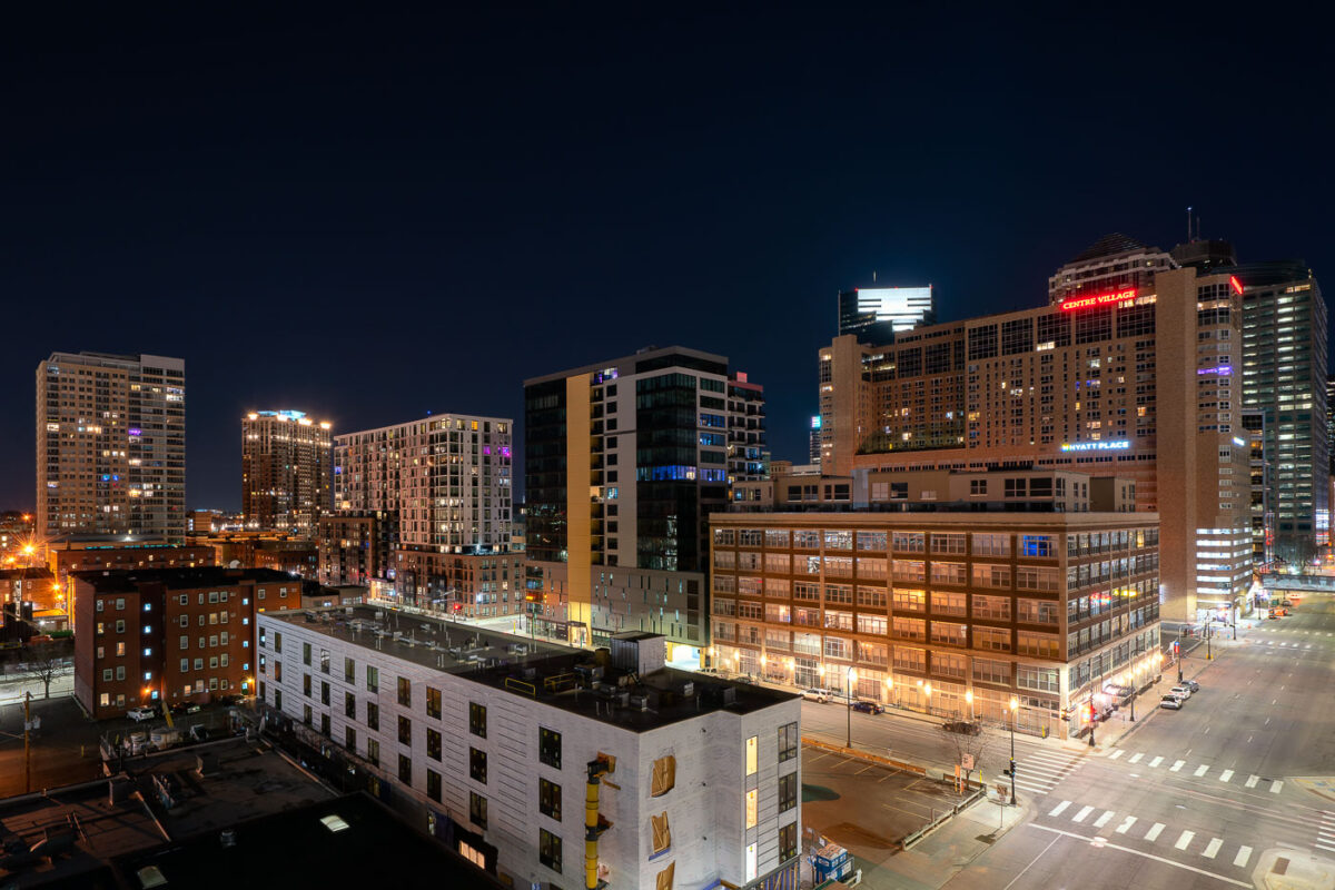
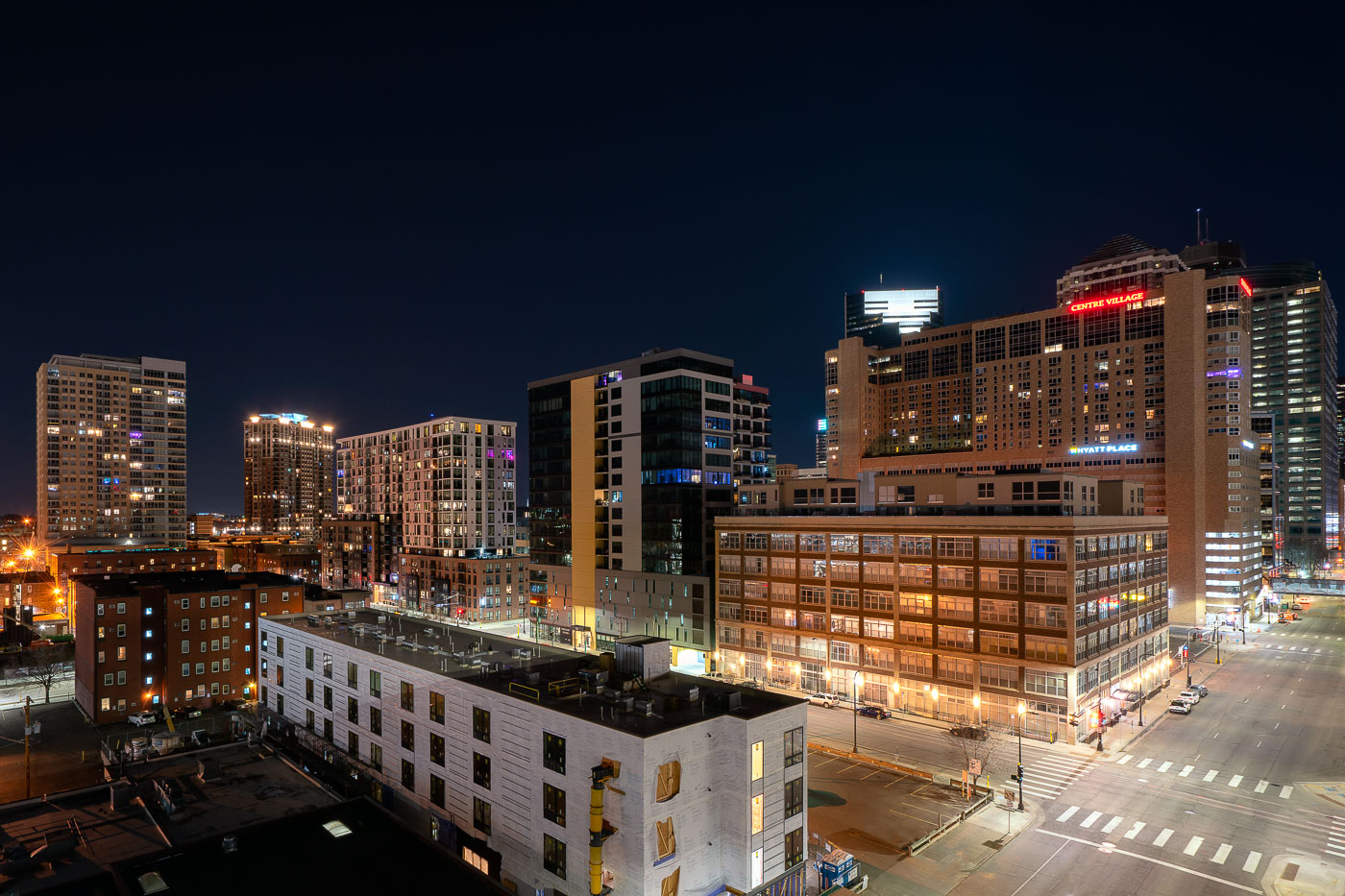
Downtown Minneapolis skyline at night showing Centre Village and Hyatt Place hotel buildings, April 2020.
Centre Village rises over downtown Minneapolis at Second Avenue South, a mixed-use high-rise completed in 1984 that combines residential units with commercial space. The Hyatt Place hotel occupies part of the same complex, serving business travelers and visitors to the city center. Both buildings sit within blocks of the Mississippi riverfront and the Central Business District, an area built up largely in the 1980s as downtown Minneapolis added residential towers alongside its office core.

Centre Village and Hyatt Place Above Downtown Minneapolis at Night
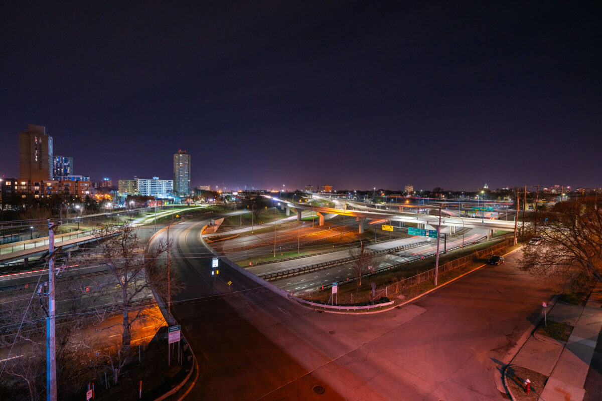
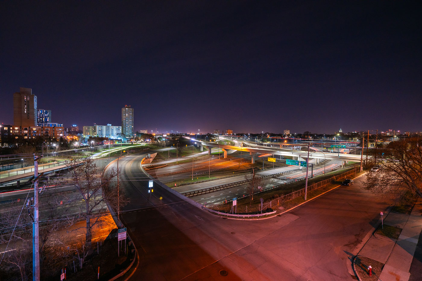
Interstate 35W and connecting ramps at night in Minneapolis with Cedar-Riverside neighborhood visible in background.
Interstate 35W cuts through the Cedar-Riverside neighborhood just south of downtown Minneapolis, carrying traffic between the city center and southern suburbs along the Twin Cities' busiest north-south corridor. The high-rise towers of Riverside Plaza, built in 1973 as public housing and now home to a large East African immigrant community, stand along the freeway's western edge. The interchange visible here connects 35W with Washington Avenue and the University of Minnesota's West Bank campus, one of several ramps rebuilt after the 2007 collapse of the 35W bridge over the Mississippi River prompted a broader reconstruction of the corridor.

Interstate 35W Interchange Near Cedar-Riverside at Night

Lucky Dragon Restaurant and Hard Times Cafe storefronts illuminated at night in Minneapolis.
Lucky Dragon Restaurant serves Vietnamese and Chinese cuisine from a storefront on Minneapolis's West Bank, in the Cedar-Riverside neighborhood near the University of Minnesota. Next door, Hard Times Cafe has operated as a 24-hour coffeehouse since the early 1990s, drawing a mix of students, night-shift workers, and the neighborhood's longtime punk and counterculture crowd. Cedar-Riverside took shape as a dense immigrant enclave in the late 19th century and later became a center of Minneapolis's Somali and East African community, giving the area its wide range of restaurants and small businesses.

Lucky Dragon Restaurant and Hard Times Cafe on the West Bank
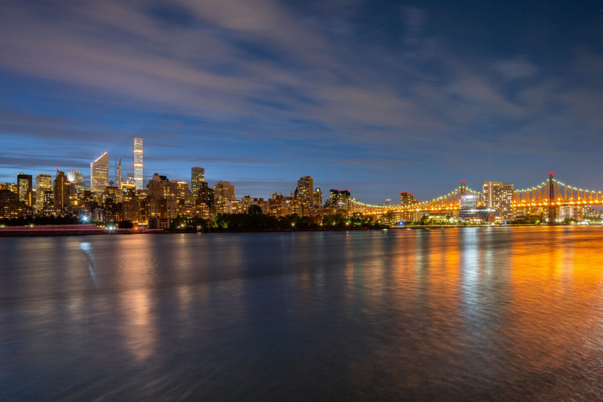
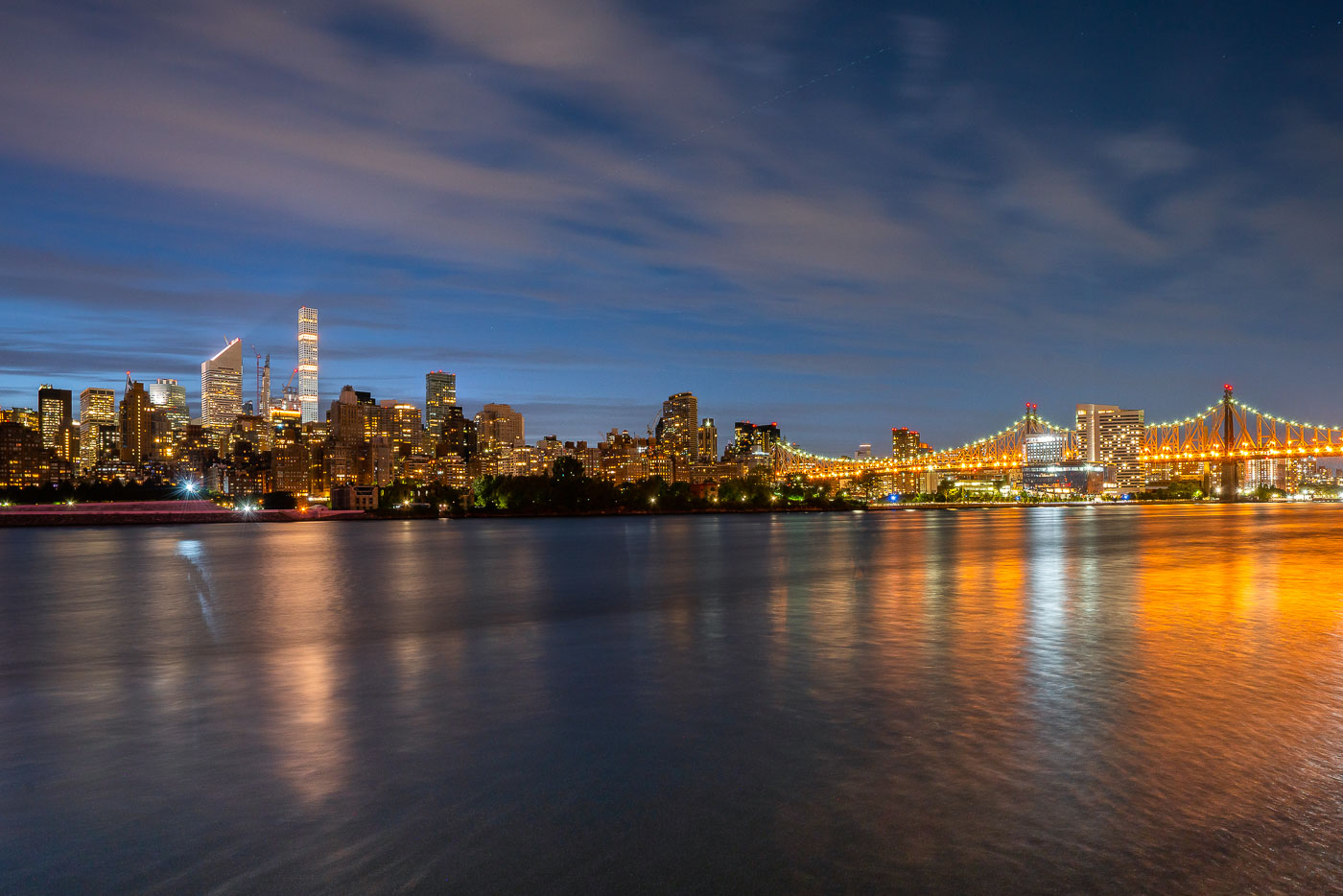
Manhattan skyline and illuminated Queensboro Bridge viewed from Long Island City across the East River.
Manhattan and the Queensboro Bridge in New York City are viewed from Long Island City, Queens. The East River separates the two boroughs along the Midtown waterfront. Night lighting from the bridge and skyline is reflected on the water.

Queensboro Bridge and Midtown Skyline at Twilight
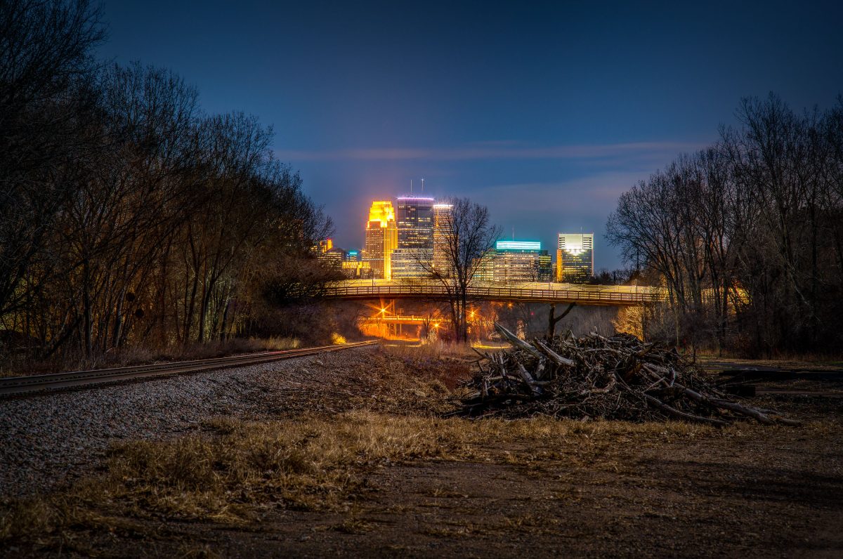
North Cedar Lake Trail, St. Louis Park, MN.
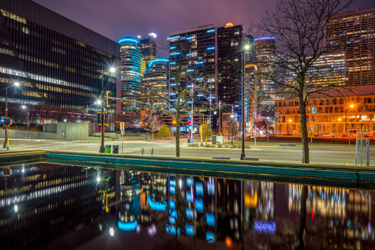
North Cedar Lake trail in St. Louis Park, Minnesota.

North Cedar Lake Trail, St. Louis Park, MN.
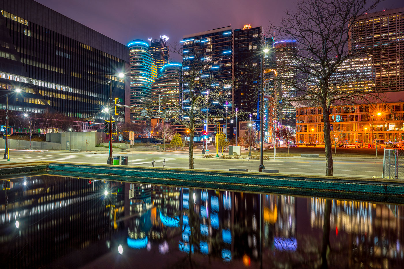
Illuminated downtown Minneapolis office and residential towers rise above a still water feature near Nicollet Mall at night.
Downtown Minneapolis's towers rise near Nicollet Mall, including Capella Tower and the Fifth Street Towers, among office buildings and residential high-rises built up in the 2000s and 2010s.

Minneapolis Skyline Reflected in a Water Feature Near Nicollet Mall
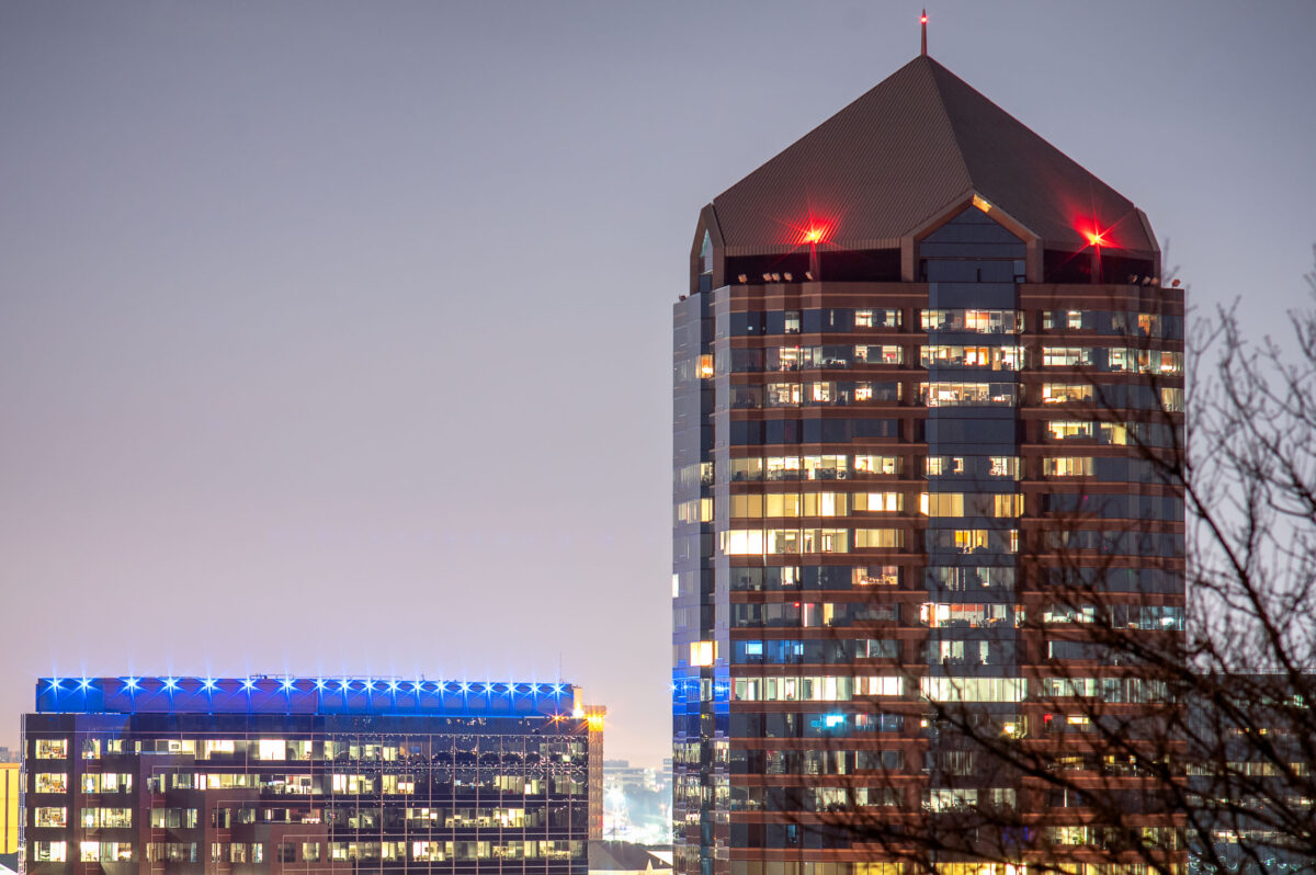
8500 Tower in Bloomington, Minnesota, rises above the Normandale Lake area at night.
8500 Tower in Bloomington, Minnesota, stands at 8500 Normandale Lake and is the city’s tallest building. The office tower is a prominent high-rise in the Normandale Lake area.

8500 Tower, Bloomington, Minnesota

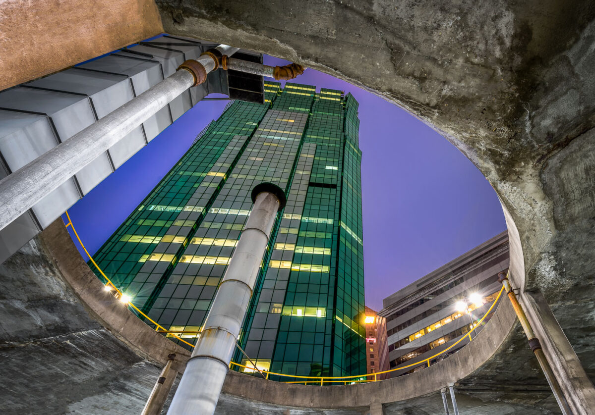
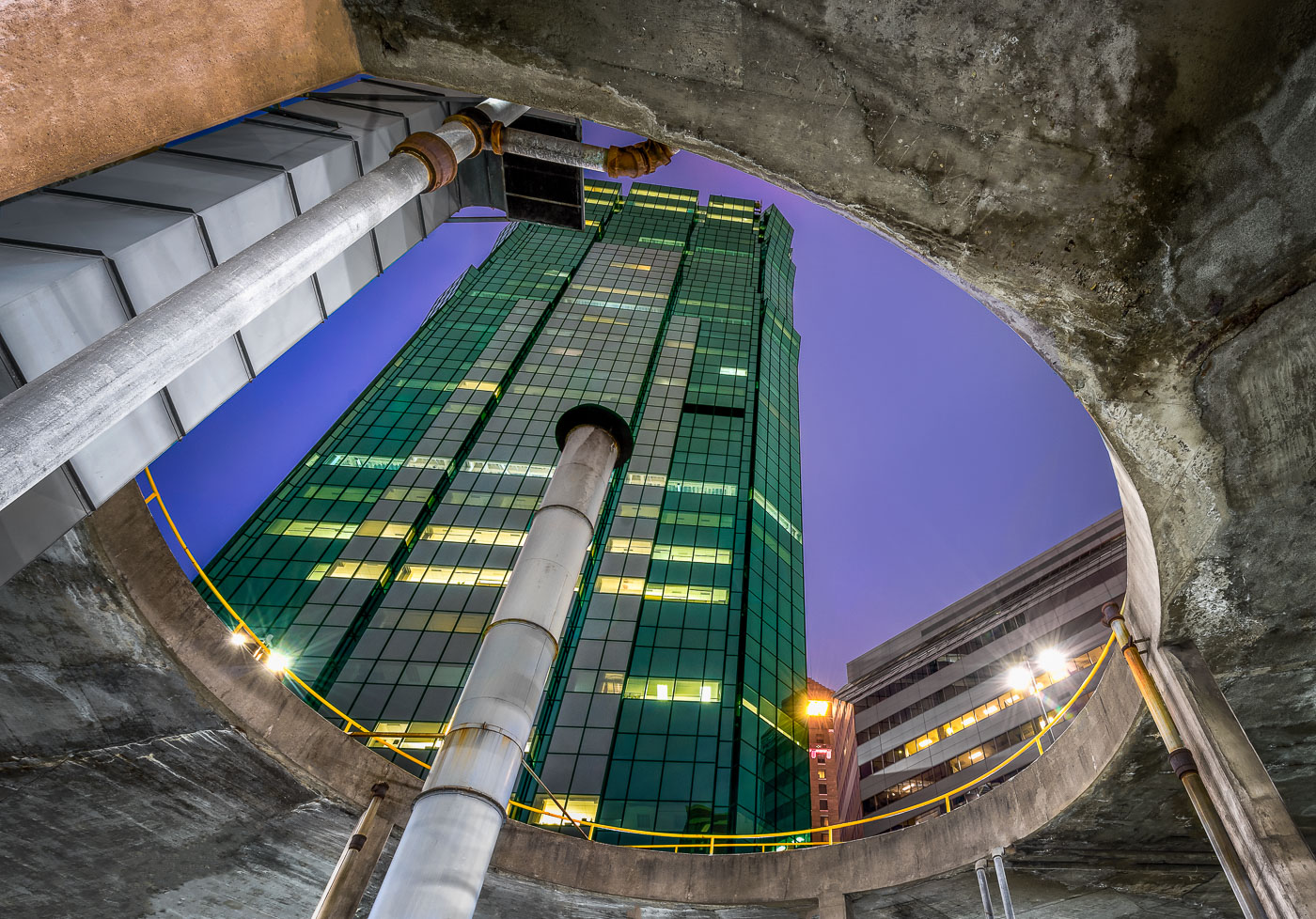
AT&T Tower in downtown Minneapolis rises above a parking ramp.
AT&T Tower, Minneapolis, rises above a downtown parking ramp. The building is a prominent office tower in the city’s central business district.

AT&T Tower, Minneapolis

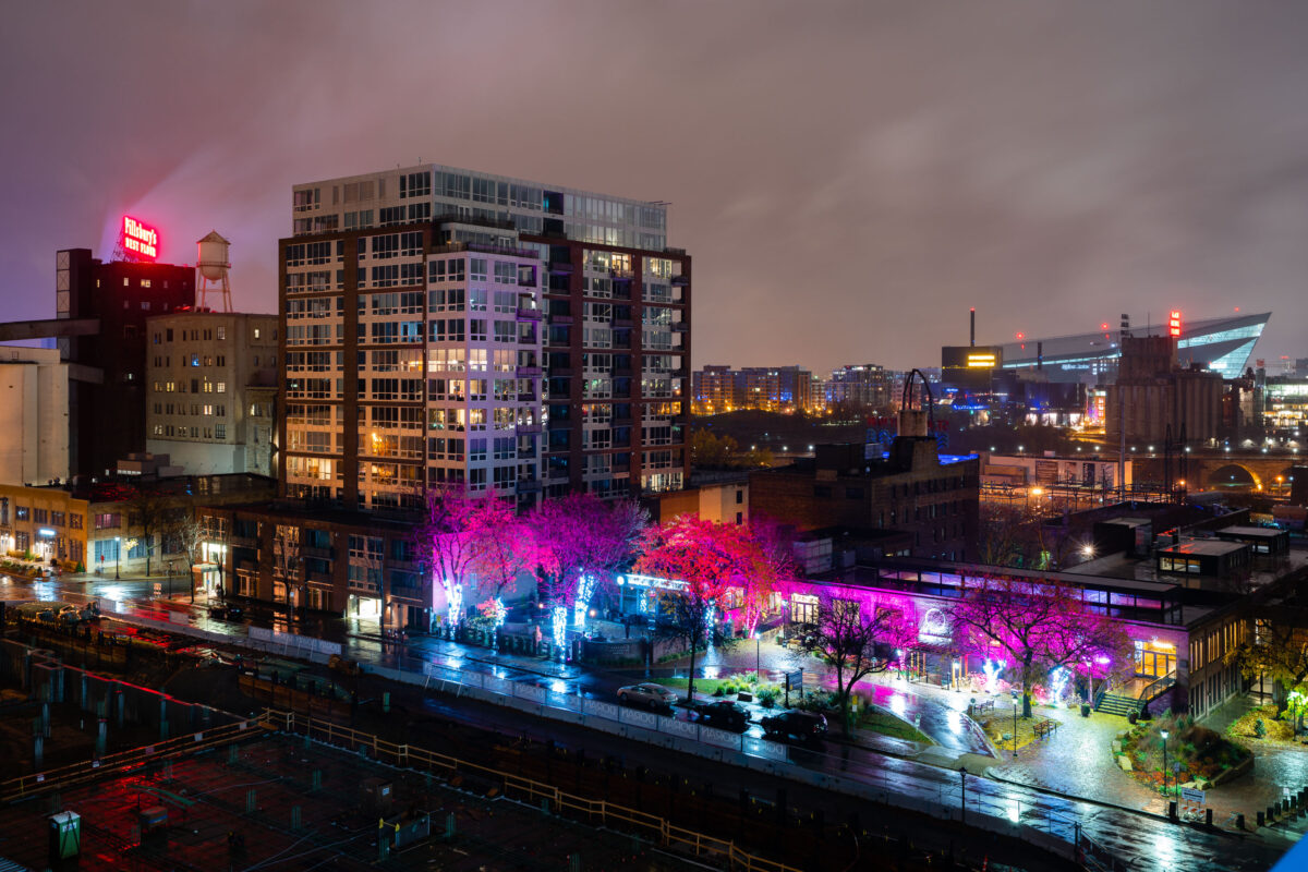
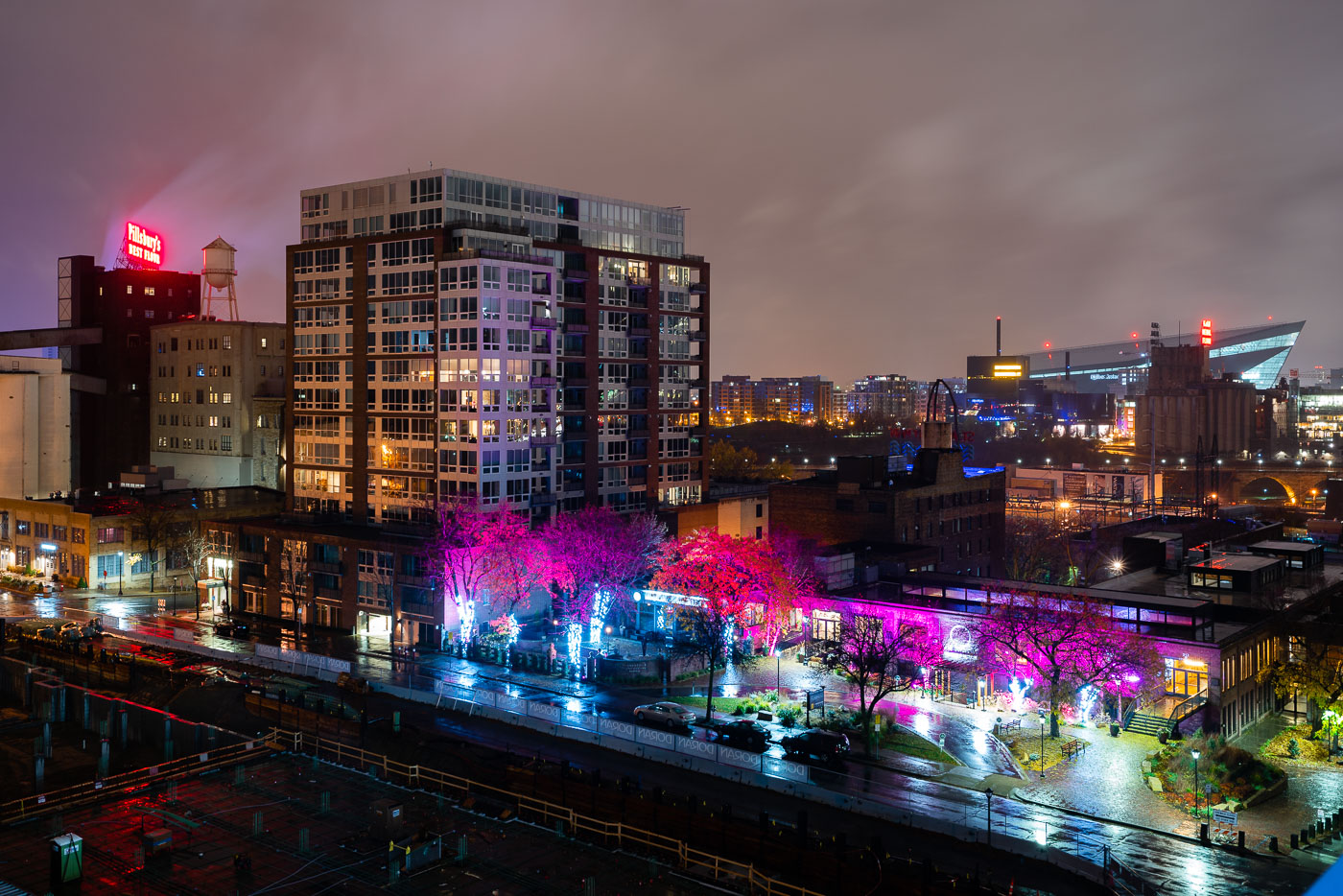
Northeast Minneapolis riverfront at night with illuminated Pillsbury A Mill and US Bank Stadium visible across the Mississippi River.
US Bank Stadium, a multi-purpose venue completed in 2016, is visible across the Mississippi River from Northeast Minneapolis. In the foreground, the historic Pillsbury A Mill, once the largest flour mill in the world, stands as a reminder of the area's industrial past.

Pink-Lit Trees on St. Anthony Main Near US Bank Stadium
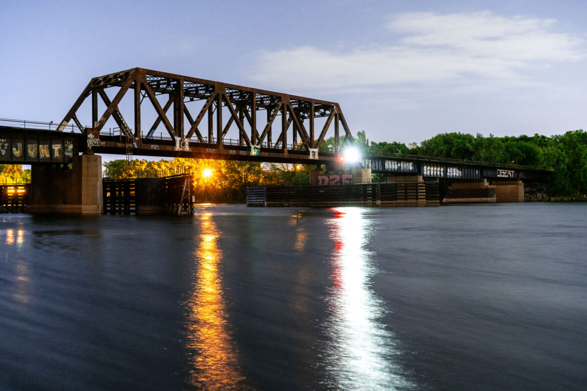
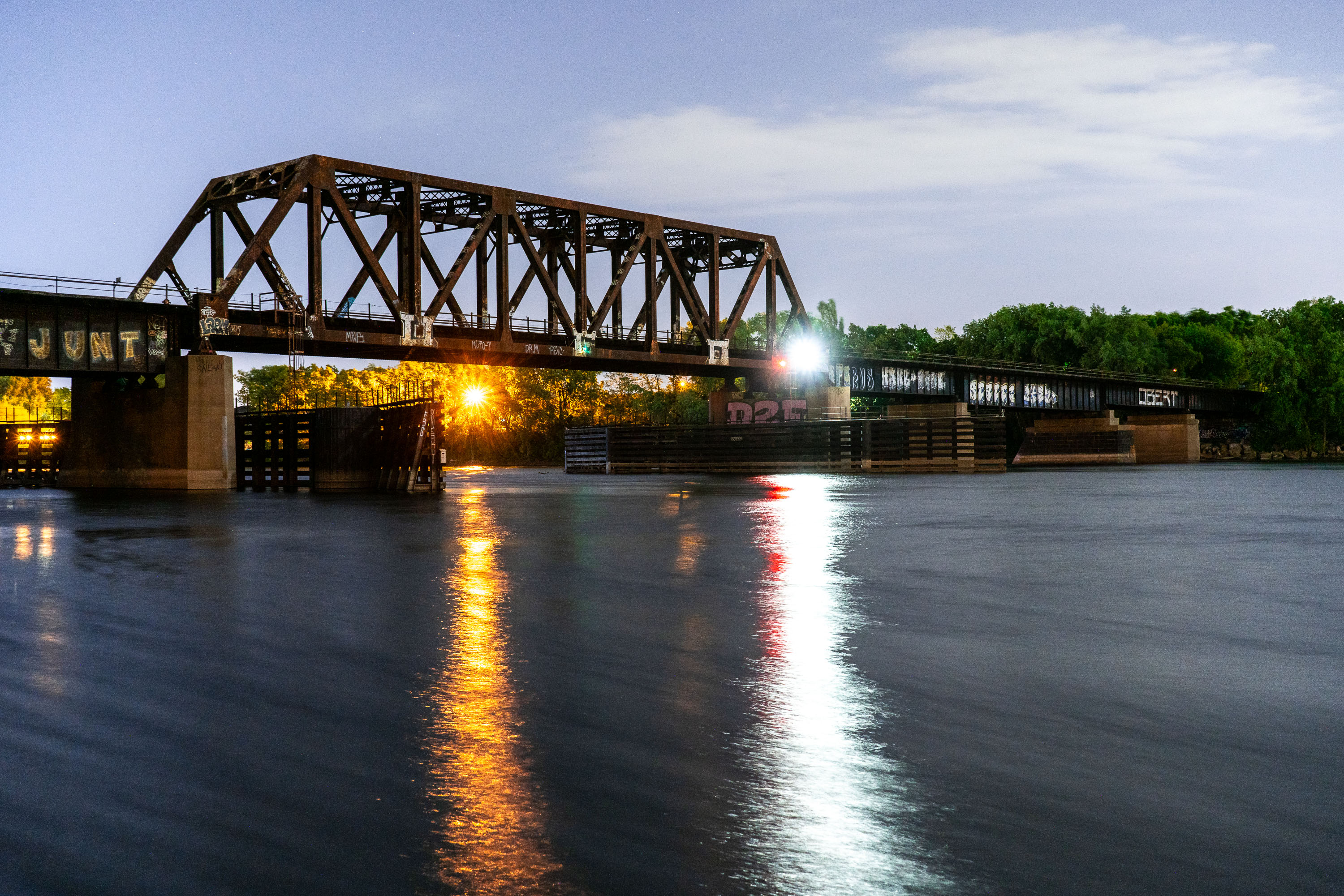
Northern Pacific BNSF Rail Bridge crosses the Mississippi River in Minneapolis.
Northern Pacific BNSF Rail Bridge spans the Mississippi River in Minneapolis between downtown and Northeast Minneapolis. Originally built in 1884 for the Northern Pacific Railway, it provided rail access to yards north of downtown. The bridge has been altered and repaired over time and remains part of BNSF Railway operations in the city.

Northern Pacific BNSF Rail Bridge, Minneapolis
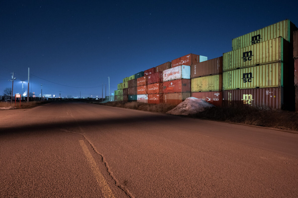
Stacked shipping containers at an intermodal yard in Minneapolis at night.
An intermodal container storage yard in Minneapolis displays stacked shipping containers from major carriers including MSC and Yang Ming. The facility operates as a transshipment and storage point for containerized cargo moving through the region's transportation network. Industrial lighting illuminates the colorful containers during nighttime operations.

Intermodal Container Yard, Minneapolis
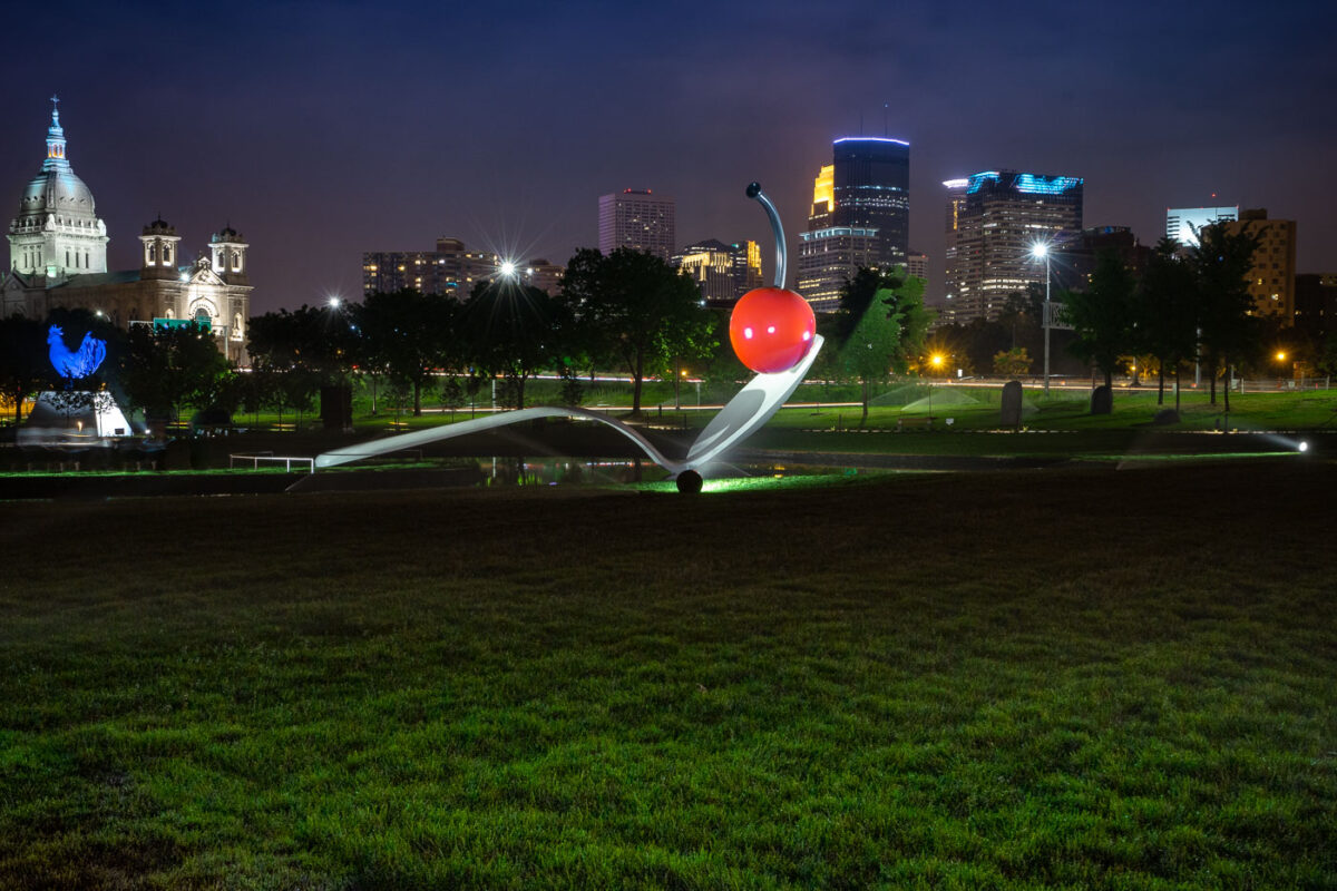
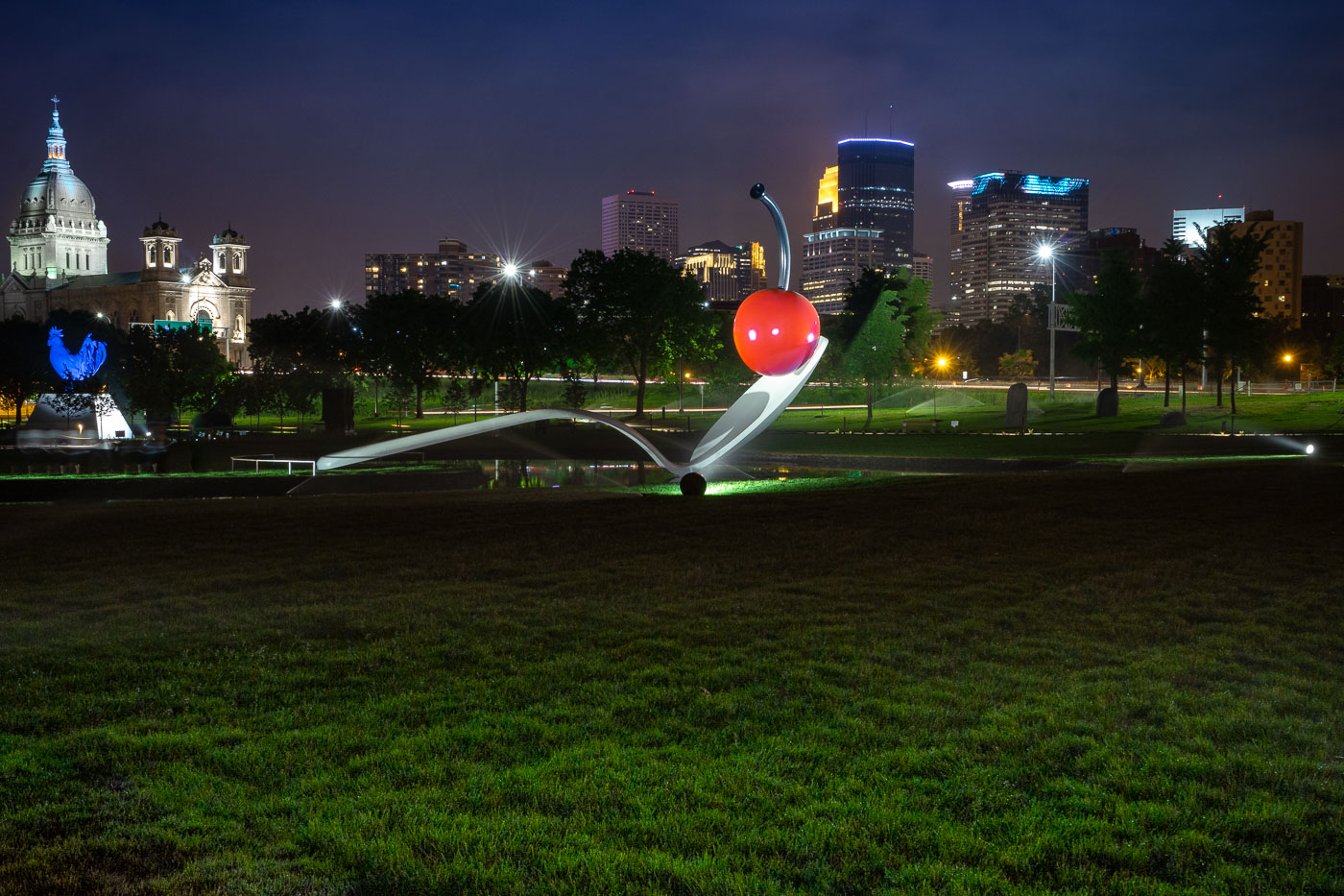
Spoonbridge and Cherry in the Minneapolis Sculpture Garden with the downtown skyline behind it.
Spoonbridge and Cherry is located in the Minneapolis Sculpture Garden near the Walker Art Center in Minneapolis. Designed by Claes Oldenburg and Coosje van Bruggen, the sculpture was installed in 1988 as part of the garden’s opening.

Spoonbridge and Cherry with Minneapolis Skyline
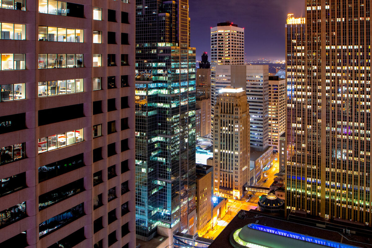
Downtown Minneapolis skyscrapers lit at night.
The core of Downtown Minneapolis is illuminated at night, showcasing a collection of office buildings and architectural styles. These structures represent the city's commercial and financial hub, with many dating back to the mid-20th century and later. The lights indicate ongoing activity within these business centers, reflecting their continued use for commerce and employment. This view highlights the density and verticality of the urban environment, characteristic of major American cities.

Downtown Minneapolis Buildings at Night
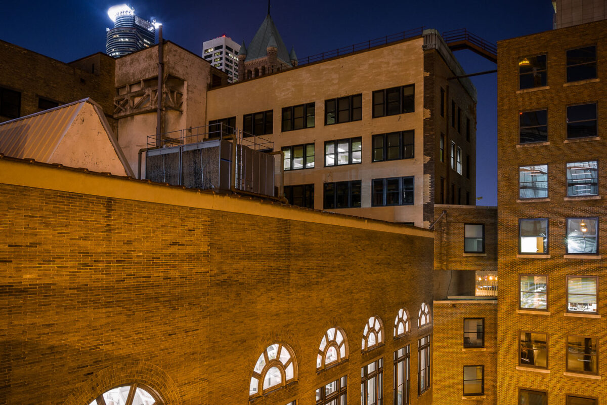
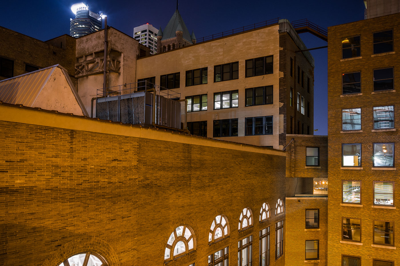
Minneapolis Grain Exchange skyway connects downtown Minneapolis buildings above street level.
Minneapolis Grain Exchange skyway in downtown Minneapolis links office and commercial buildings above street level. The enclosed pedestrian network is part of the city’s downtown skyway system, which connects buildings across several blocks. The historic Grain Exchange building anchors the area around the former agricultural trading center.

Minneapolis Grain Exchange Skyway at Night
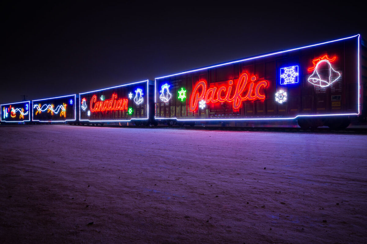
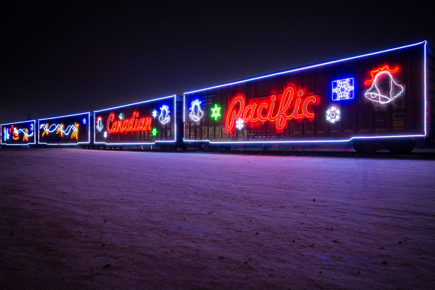
Canadian Pacific Holiday Train decorated with neon lights at night in Minneapolis, Minnesota.
The Canadian Pacific Holiday Train, a festive annual event, passes through Minneapolis, Minnesota in 2014. This train travels across Canada and the northern United States, spreading holiday cheer and collecting food donations for local food banks. Each train is decorated with thousands of lights and features a rolling stage for live musical performances. The initiative began in 2001 and has since become a significant community outreach program for Canadian Pacific Railway.

Canadian Pacific Holiday Train Lit Up at Night
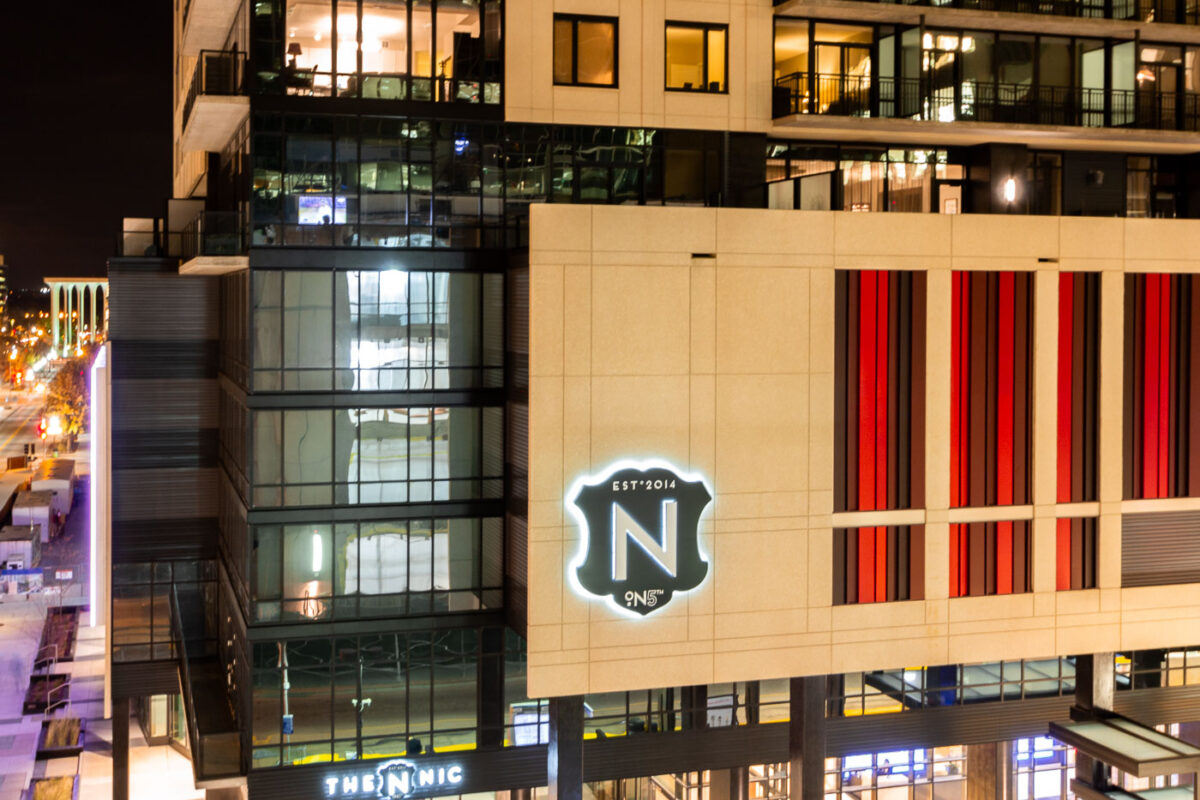
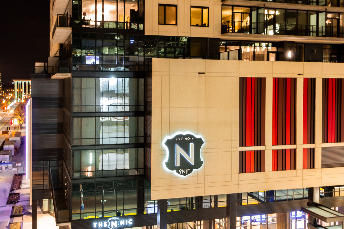
The Nic on Fifth, a mixed-use high-rise completed in 2014, is located in downtown Minneapolis, Minnesota.
The Nic on Fifth is a mixed-use high-rise located in downtown Minneapolis, Minnesota. Completed in 2014, the building features residential apartments and commercial spaces. Its modern architectural design incorporates glass, steel, and stone elements, contributing to the city's contemporary urban fabric. The building is situated on Fifth Street, a prominent thoroughfare in the city's central business district.

Nic On Fifth Apartment Building, Downtown Minneapolis

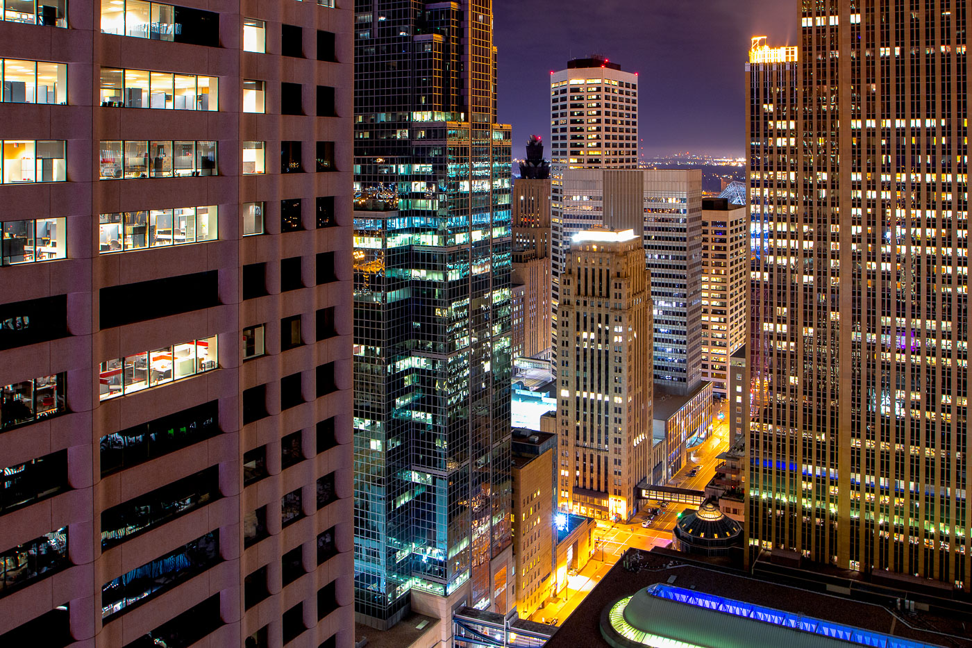
Downtown Minneapolis skyline at night featuring the IDS Center and Capella Tower among surrounding office buildings.
The Minneapolis skyline includes the IDS Center, Capella Tower, and Foshay Tower, three of downtown's best known towers. The IDS Center, completed in 1972, rises 792 feet and remains the tallest building in Minnesota. The Foshay Tower, finished in 1929 as the city's first skyscraper, modeled its stepped shape after the Washington Monument.

Minneapolis Skyline: IDS Center, Capella Tower at Night