Massachusetts

62 photos · 2019–2025

62 photographs tagged Massachusetts, 2019–2025.
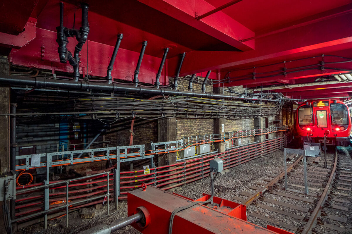
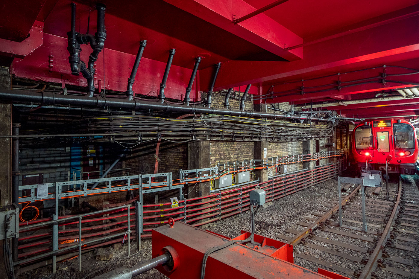
Baker Street station platform on the Metropolitan line features exposed brick walls, red ceiling infrastructure, and railway equipment alongside electrified tracks.
Baker Street Station in London’s Metropolitan line tunnels shows exposed brickwork, pipes, cabling and modern service equipment alongside the running rails. The station is part of the world’s oldest underground railway network, with origins in the 1860s.

Cabling and Pipework Along the Tunnel at Baker Street Station
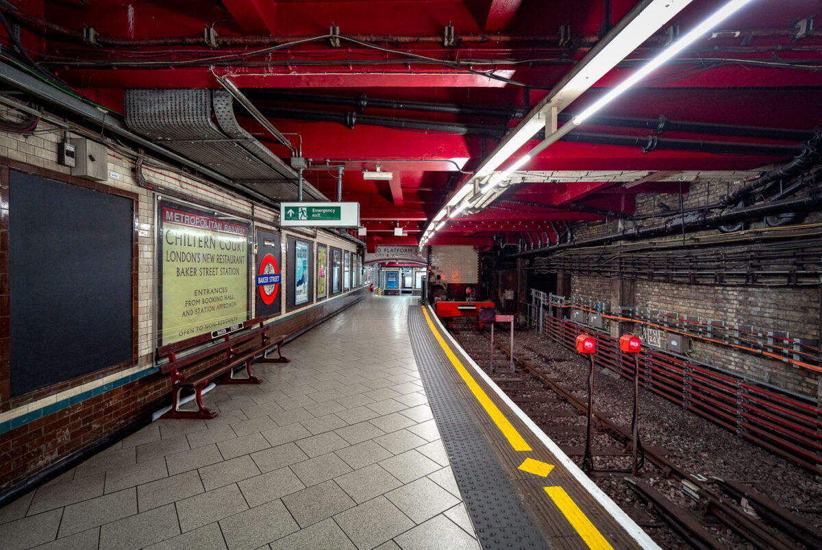
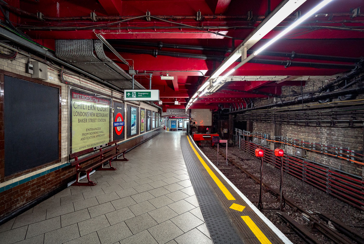
Baker Street Station's Metropolitan Line platform in London features Victorian brick walls, red ceiling, yellow safety lines, and modern fluorescent lighting along the empty track.
Baker Street Station’s Metropolitan Line platform in London is one of the oldest surviving sections of the Underground. The platform retains Victorian-era brickwork and tunnel fabric alongside modern lighting, safety markings, and service signage.

Chiltern Court Sign on the Platform at Baker Street Station
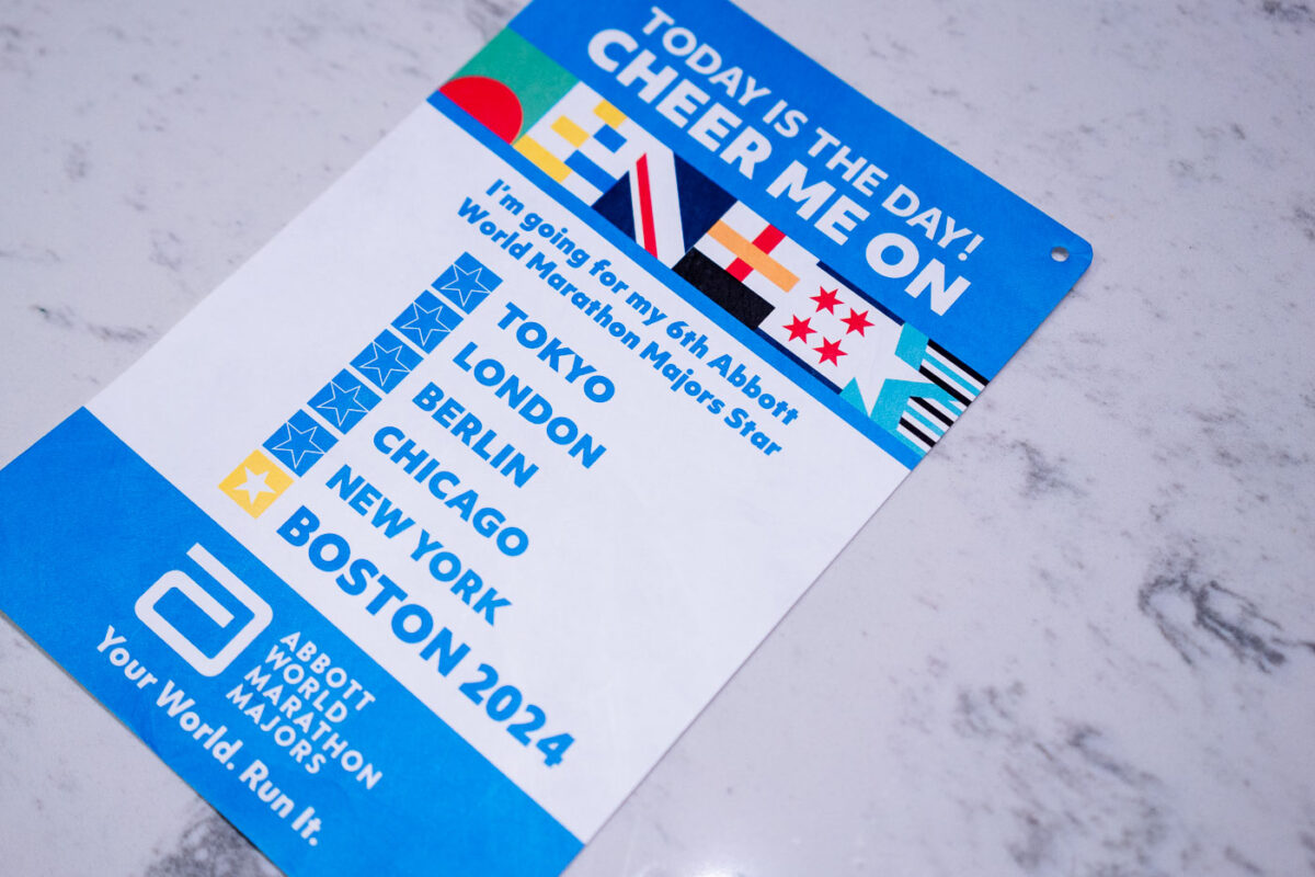
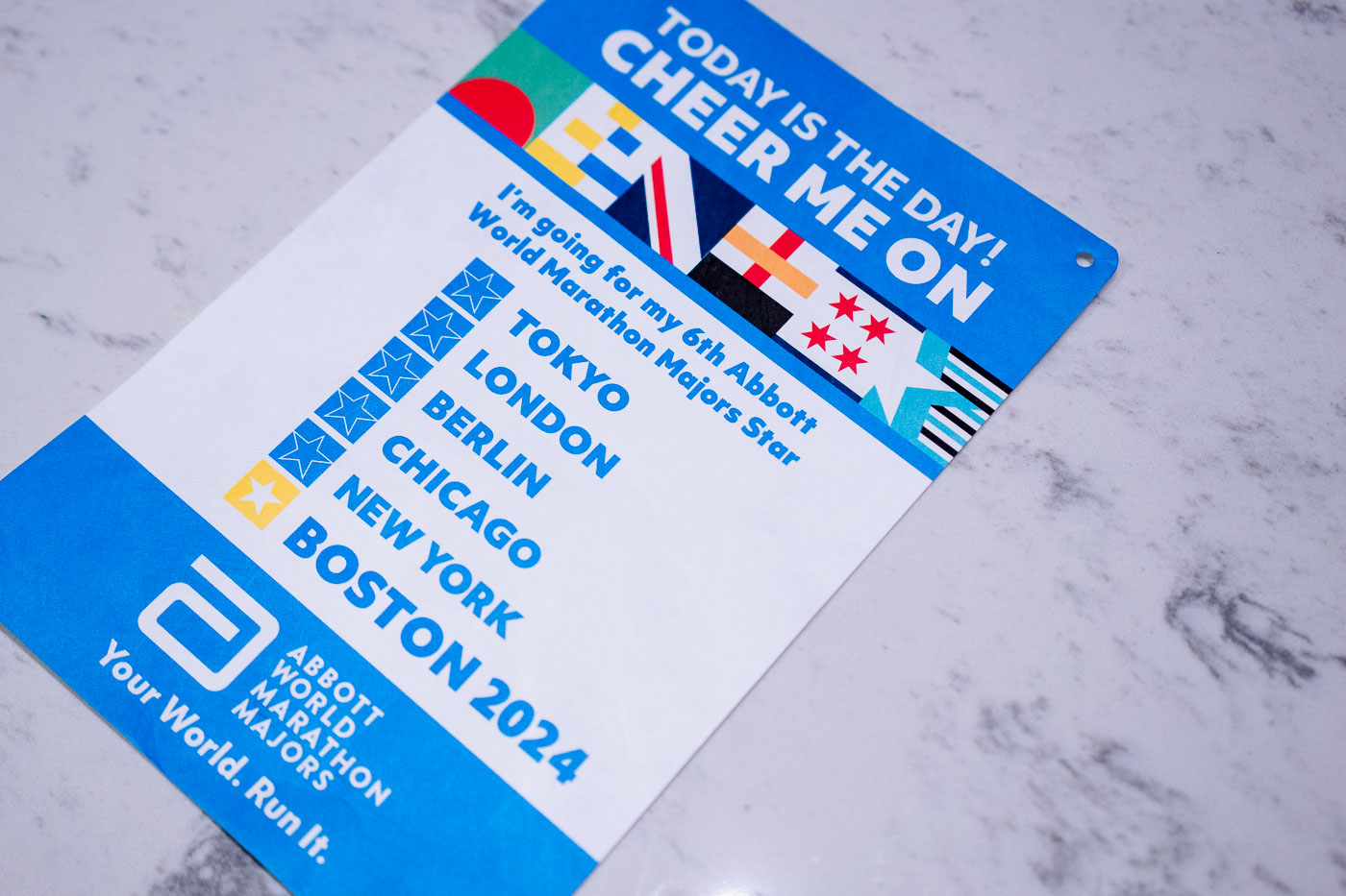
Boston Marathon 2024 Abbott World Marathon Majors bib listing six marathon races: Tokyo, London, Berlin, Chicago, New York, and
The Abbott World Marathon Majors series links six of the world's oldest and largest marathons: Tokyo, Boston, London, Berlin, Chicago, and New York City. Boston, first run in 1897, is the oldest annual marathon in the world and the final "star" some runners chase to complete the series. Runners who finish all six races within their lifetime qualify for the Six Star Medal, a distinction Abbott began tracking formally when it took over series sponsorship in 2015. This cheer card, handed out at the marathon's official expo, is designed for runners' families and friends to display along the course route.

“Six Star” Abbott World Majors Bib for the 2024 Boston Marathon
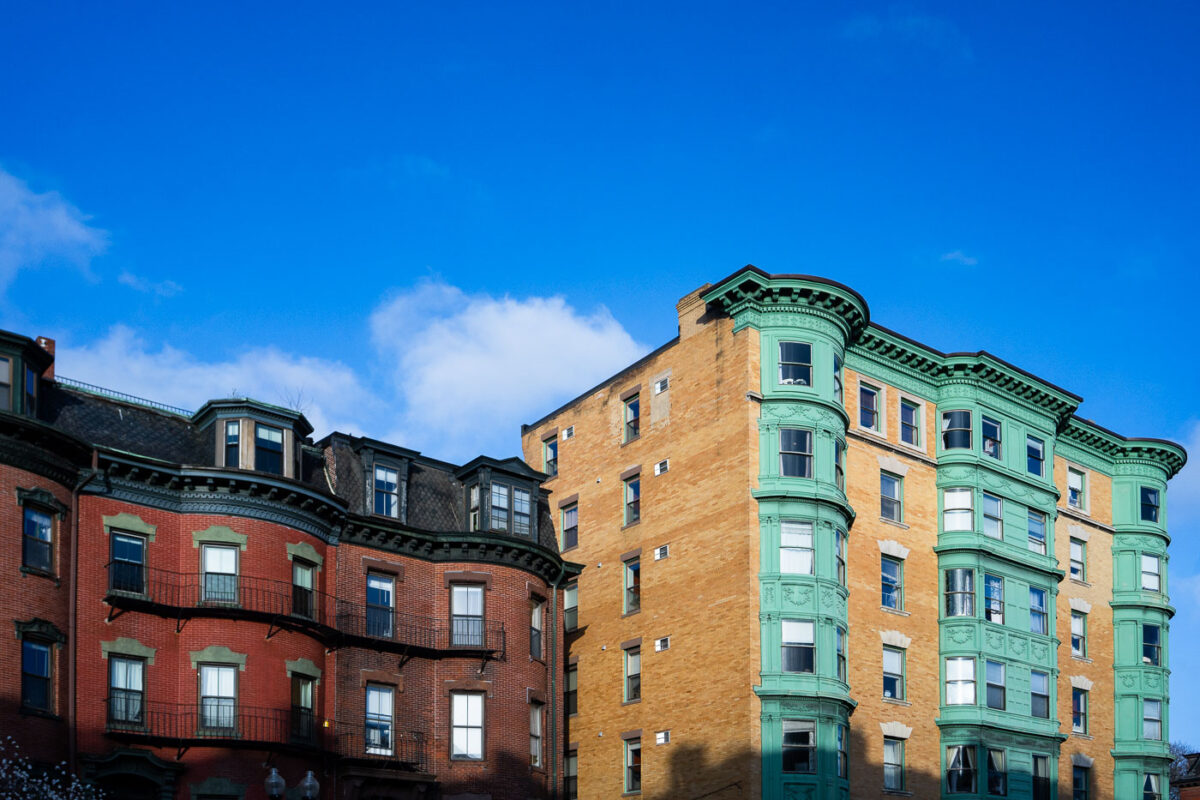
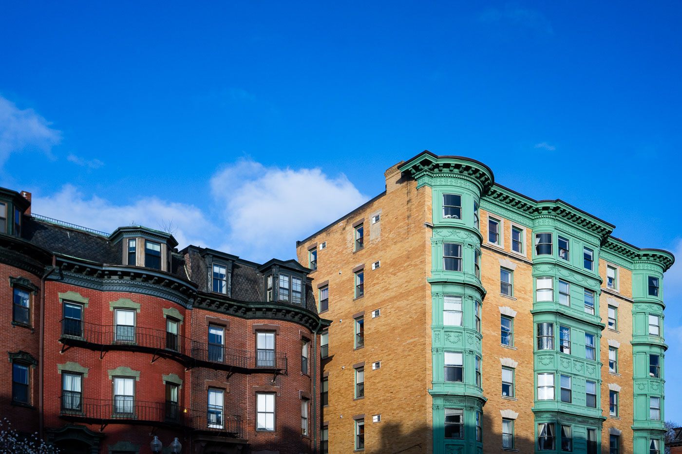
Historic rowhouses with red brick, tan brick, and green-trimmed facades line Massachusetts Avenue in Boston's South End.
Massachusetts Avenue runs through Boston's South End, a neighborhood developed mostly between the 1850s and 1900 on landfill extending the city's original shoreline. The South End holds the designation of the largest Victorian rowhouse district in the United States and was added to the National Register of Historic Places in 1973. Its bow-fronted buildings, a design popularized in Boston during this period, were built to bring more light and air into narrow rowhouse lots than flat facades allowed. Many of the neighborhood's original single-family rowhouses were later subdivided into apartments as the area's population and use shifted through the 20th century.

Bow-Front Apartment Buildings on Massachusetts Avenue, Boston
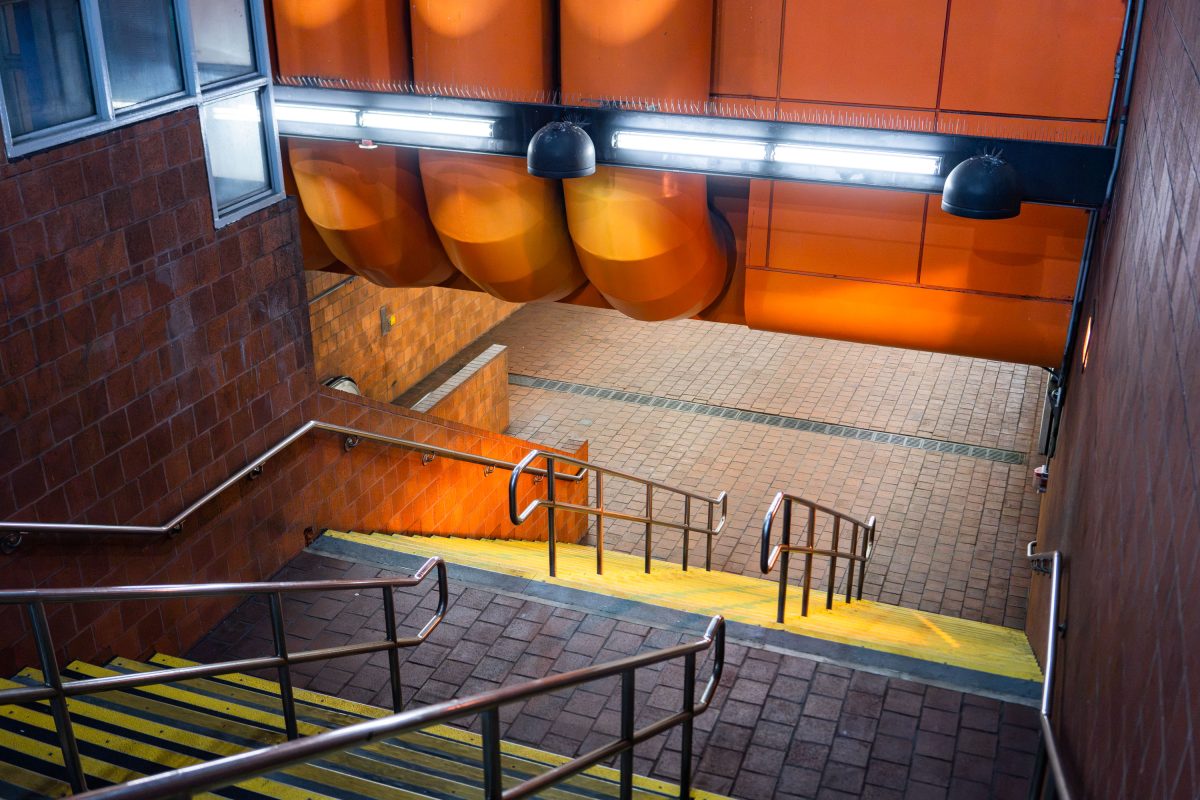
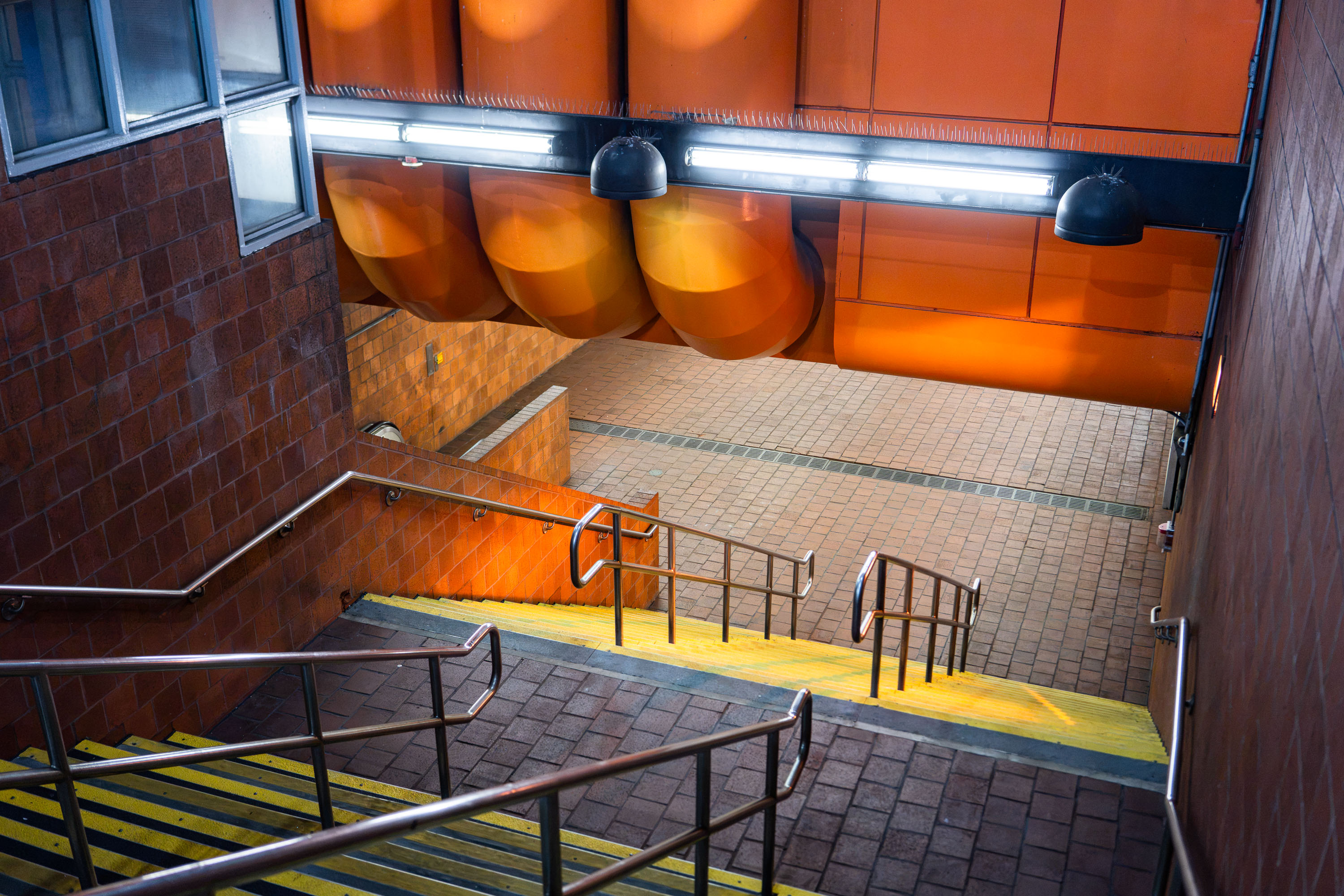
Tufts Medical Center MBTA Orange Line station entrance stairway in Boston with orange panels and yellow safety stripe.
Tufts Medical Center station serves the MBTA Orange Line at the edge of Chinatown, with an entrance on Washington Street near the hospital campus it's named for. The station opened in 1987 as part of the Orange Line's relocation from the old Washington Street Elevated to the current Southwest Corridor alignment. It sits between Chinatown and Back Bay stations, giving riders a direct connection to the medical center and the surrounding downtown blocks.

Stairway at Tufts Medical Center Station, Boston
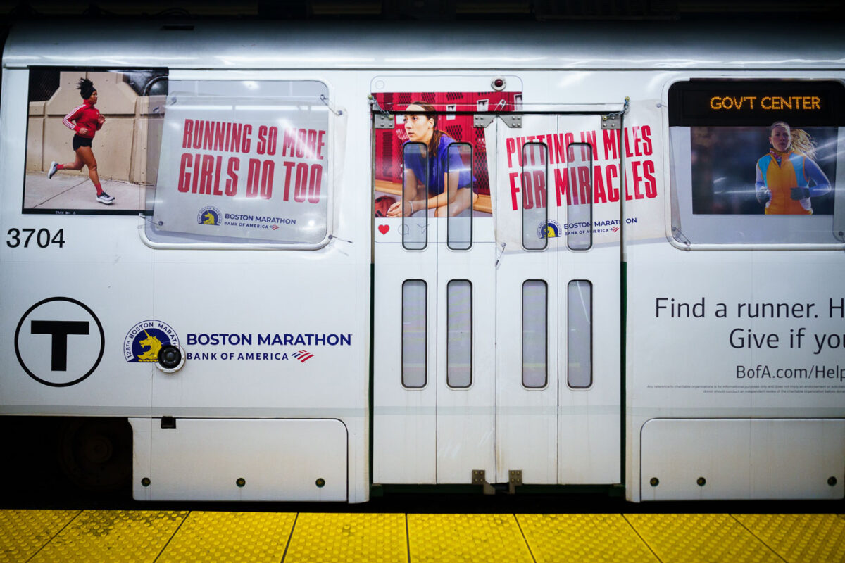
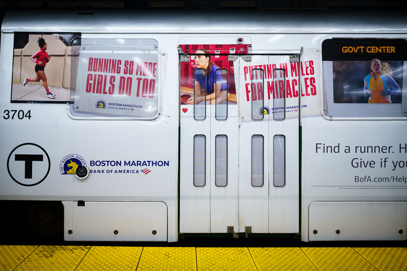
MBTA train 3704 displays Boston Marathon advertising wrap with runner imagery and charitable messaging at a subway platform.
The Boston Marathon, first run in 1897, is the world's oldest annual marathon and finishes each year on Boylston Street after a course that begins in Hopkinton. Bank of America has served as the race's presenting sponsor since 2007, backing both the elite competition and its charitable fundraising arm. "Miles for Miracles" is the official marathon program of Boston Children's Hospital, allowing runners to earn bib entries in exchange for raising money for the hospital's patient programs. MBTA transit ads promoting the race and its associated causes typically run each spring in the weeks leading up to Marathon Monday.

Boston Marathon Ad Wrap on an MBTA Train Near Government Center
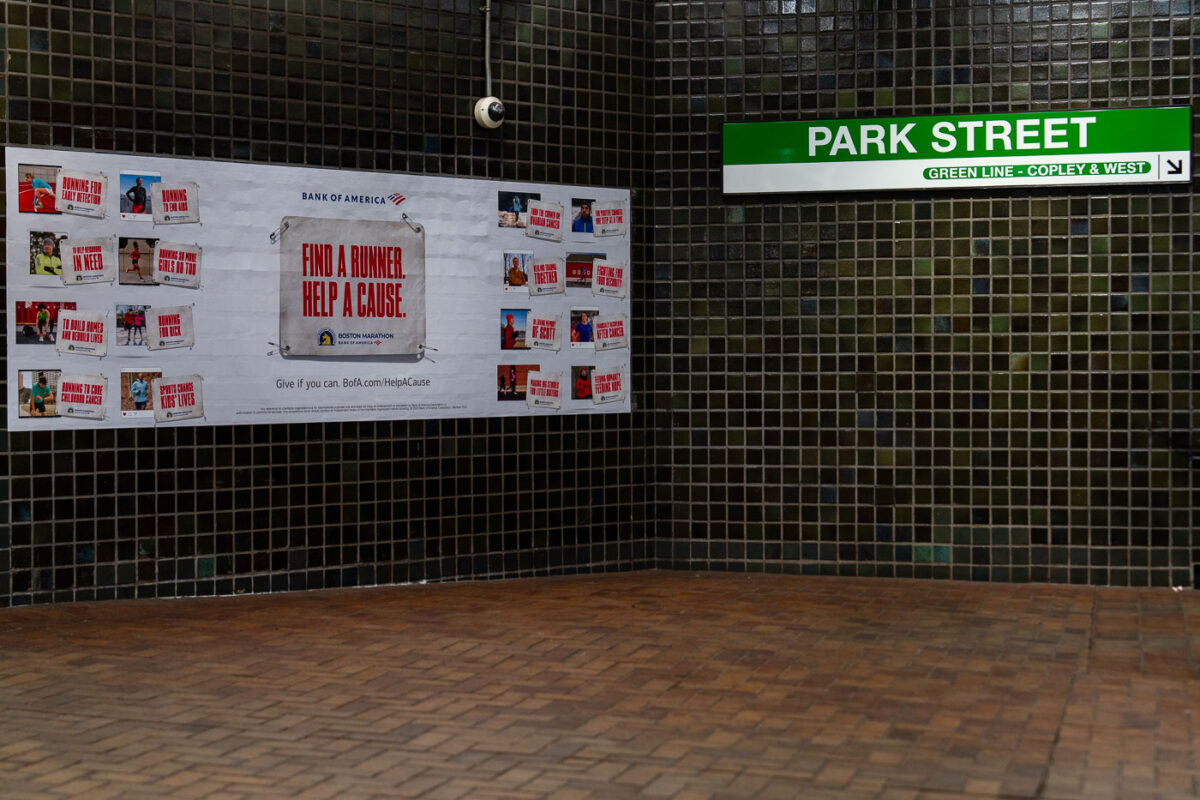
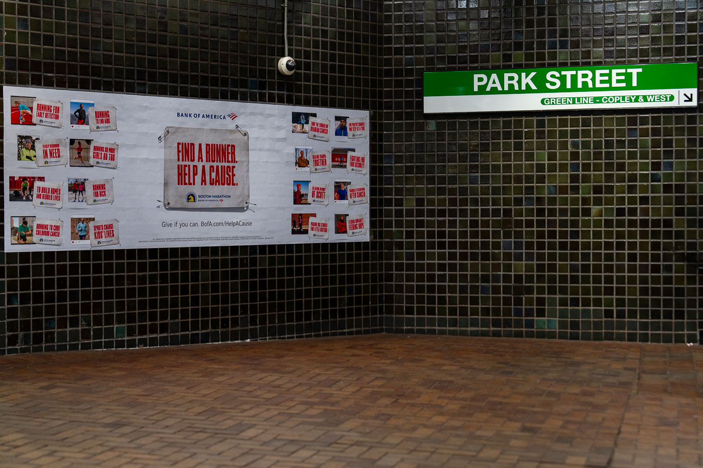
Bank of America Boston Marathon charity advertisement at Park Street Station on the MBTA Green Line in Boston.
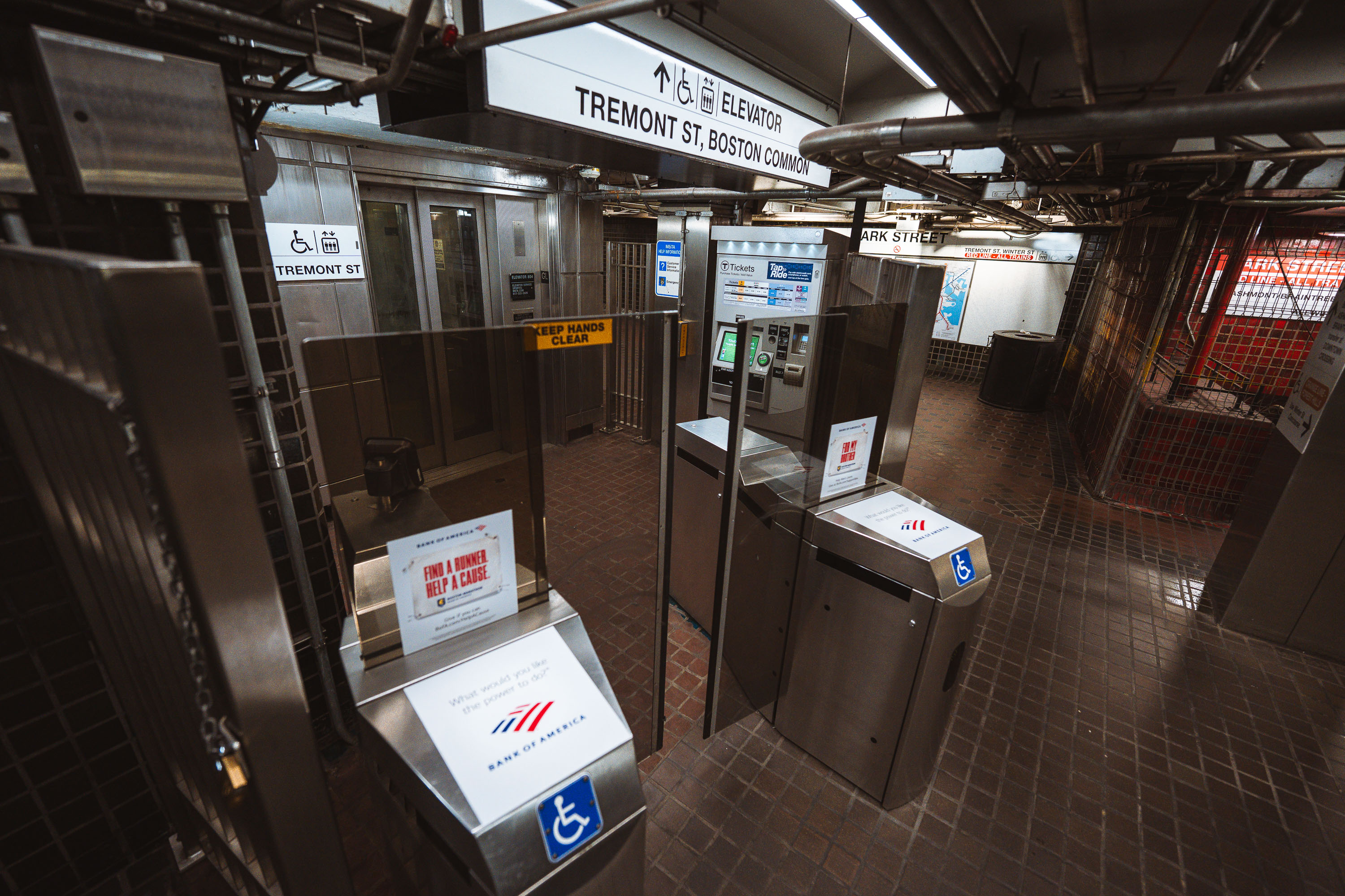
Park Street Station opened in 1897 as the first subway station built in the United States, constructed beneath Boston Common to ease surface traffic on Tremont Street. It remains a transfer point between the Red and Green Lines, with signage here marking Green Line service toward Copley Square and points west. The Bank of America advertisement promotes "Find a Runner, Help a Cause," a Boston Marathon charity-bib program run through the Boston Athletic Association that pairs race entries with fundraising for participating nonprofits.

“Find a Runner, Help a Cause” Ad at Park Street Station
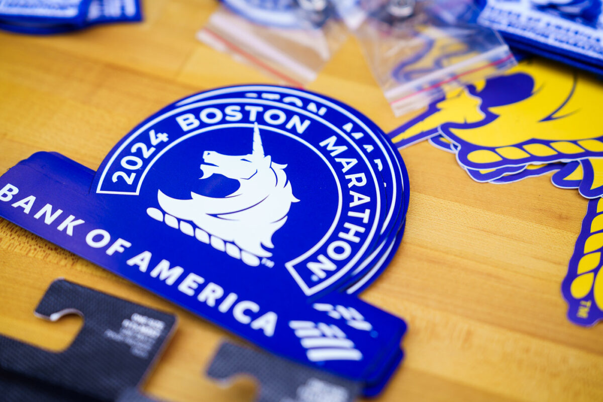
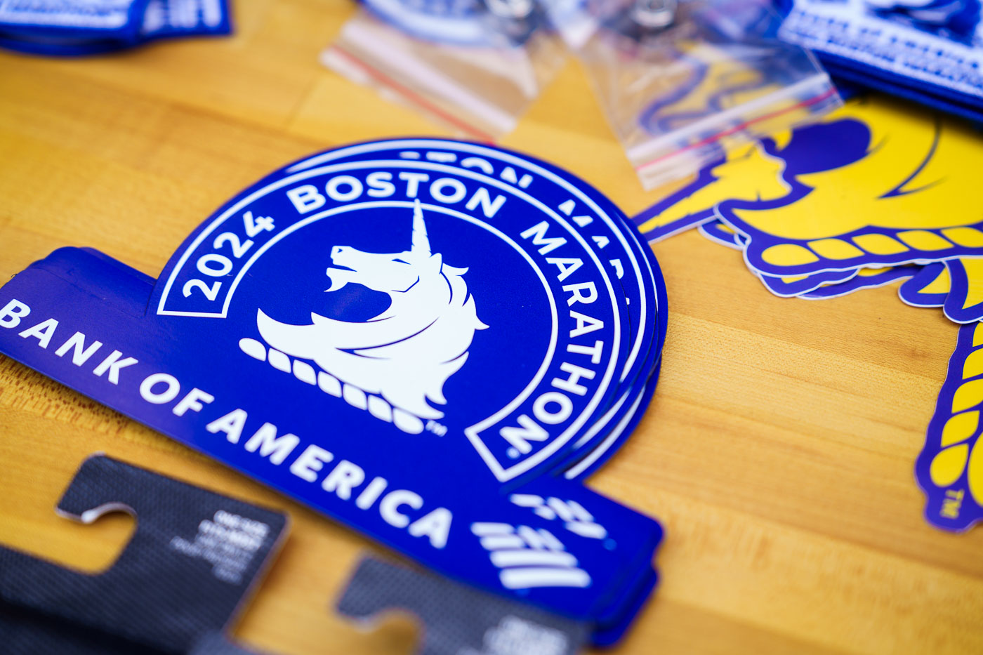
2024 Boston Marathon stickers featuring Bank of America branding and sailing ship logo on yellow surface.
The unicorn has been the Boston Marathon's official symbol since 1995, representing the mythical stamina needed to complete the 26.2-mile course from Hopkinton to Boylston Street. Bank of America has served as title sponsor of the race since 2015, and its logo appears alongside the unicorn on official event merchandise. The Boston Marathon Expo, held at the Hynes Convention Center in the days before the race, is where registered runners pick up their bibs and can browse licensed gear from the Boston Athletic Association and its partners.

2024 Boston Marathon Unicorn Stickers at the Marathon Expo
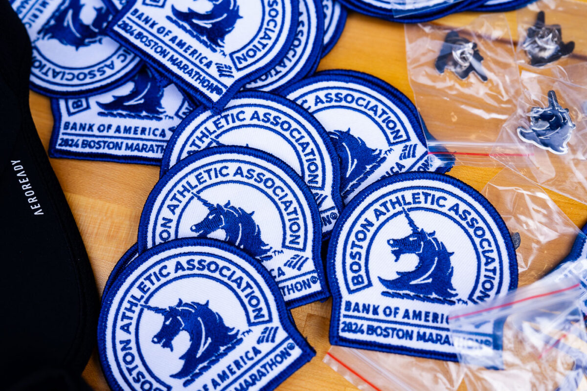
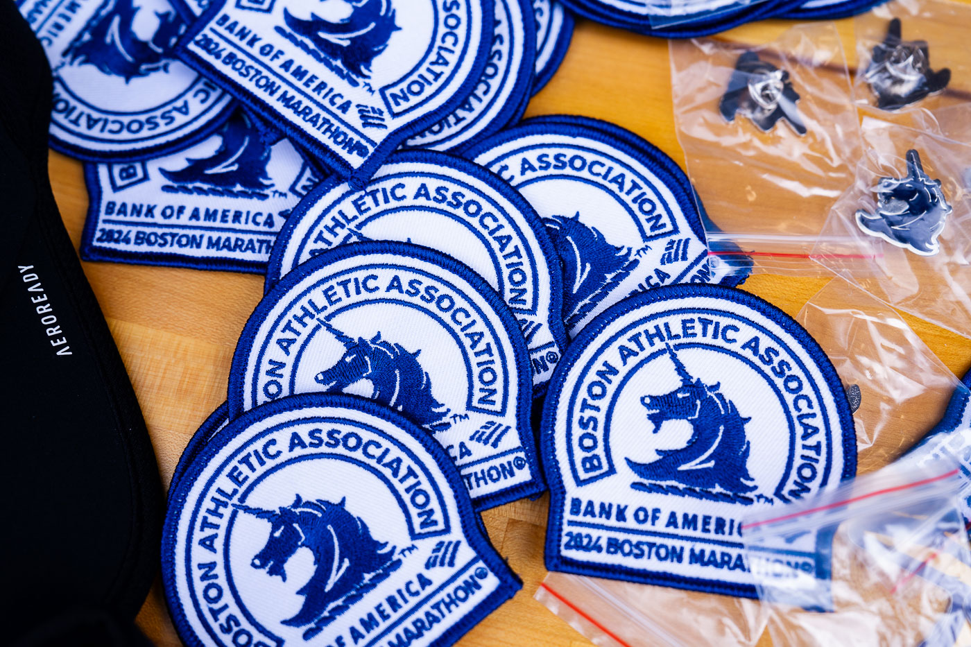
Boston Athletic Association embroidered patches with sailing ship logo and Bank of America branding at 2024 Boston Marathon Expo.
The Boston Athletic Association's unicorn emblem, dating to the 1980s, appears on these embroidered patches alongside Bank of America's logo, the marathon's title sponsor since 2015. The Boston Marathon, first run in 1897, is the world's oldest annual marathon and one of the six Abbott World Marathon Majors. Runners collect credentials and merchandise like these patches at the marathon's expo in the days before the race, typically held at the Hynes Convention Center in Boston's Back Bay.

2024 Boston Marathon Embroidered Patches at the Expo

U.S. Coast Guard patrol boat 29455 operates in Boston Harbor with crew members aboard.
Boat 29455 is a Coast Guard Defender-class response boat, a 25-foot craft built for port security, search and rescue, and law enforcement patrols in harbors and coastal waters. These boats are standard for Coast Guard Stations along the East Coast and typically carry a crew of three to four. Logan International Airport's runways sit across the water, a reminder of how closely Boston's harbor traffic and air traffic share the same waterfront.

Coast Guard Boat 29455 Patrols Boston Harbor Near Logan Airport
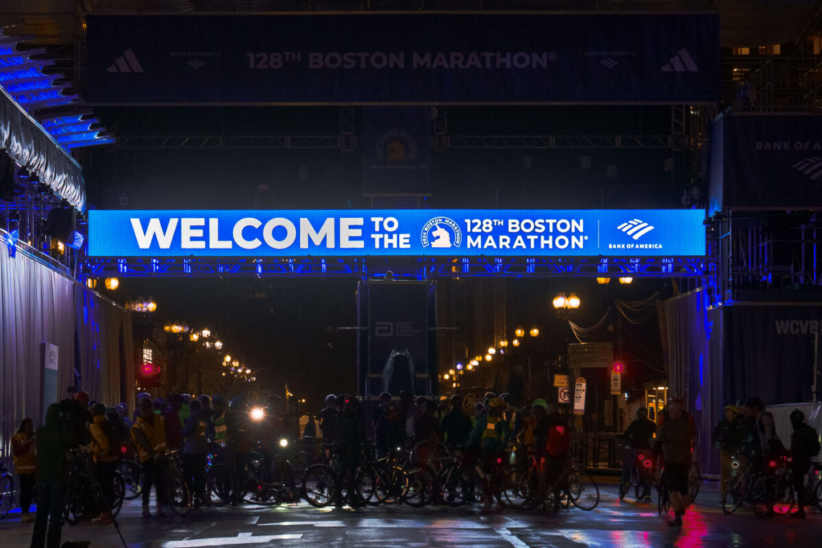
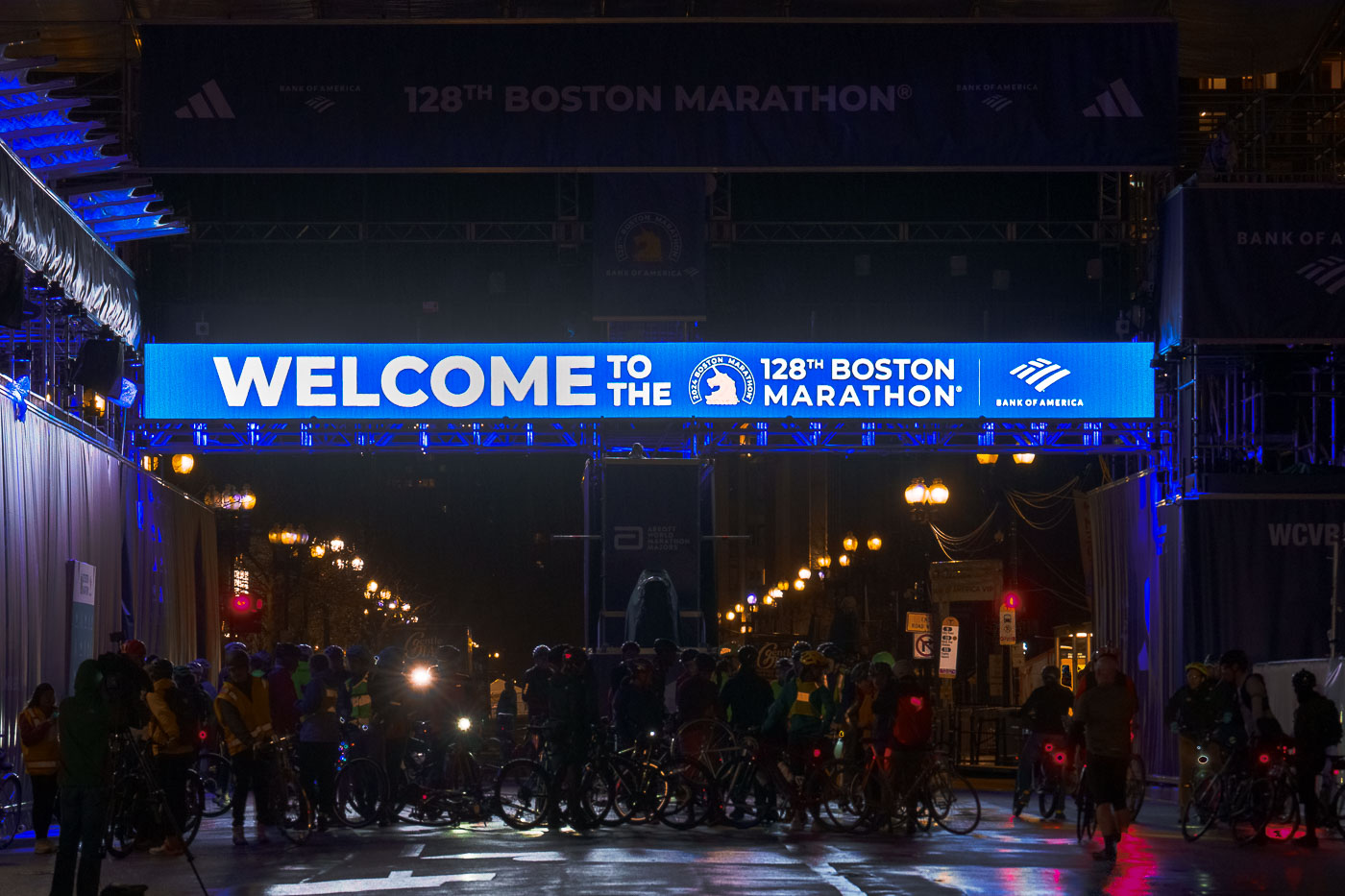
Cyclists gather under the 128th Boston Marathon welcome banner on Boylston Street during a midnight bike ride.
The Boston Marathon finish line sits on Boylston Street in the Back Bay, where the race has ended since 1899. Bank of America has served as the marathon's title sponsor since 2005, and its branding marks the overhead gantry each April. The Midnight Marathon Ride is an unofficial tradition dating to the 1980s, in which cyclists pedal the 26.2-mile course from Hopkinton to Boston the night before race day, retracing the route runners will take hours later. Riders typically gather at the Boylston Street finish before setting out, timing their ride to reach Hopkinton and return by sunrise.

Midnight Marathon Ride Gathers at the Boston Marathon Finish Line
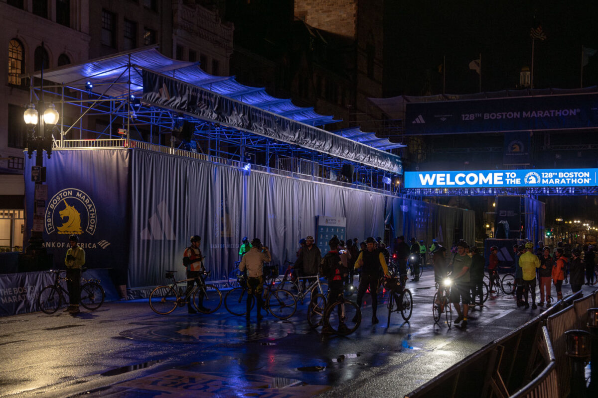
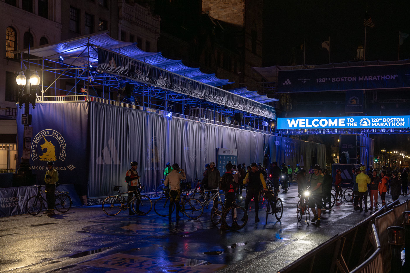
Cyclists gather at the Boston Marathon finish line on Boylston Street during a midnight bike ride.
The Boston Marathon finish line sits on Boylston Street, just past the Boston Public Library and the John Hancock Tower. The course covers 26.2 miles from Hopkinton to Boston, making it the oldest annually run marathon in the world, dating to 1897. Bank of America and Adidas are the race's title sponsors for the 128th running of the event. Cyclists riding the Midnight Marathon route often finish their own unofficial ride at the same line in the days before the official race, retracing the course from Hopkinton overnight.

Cyclists Gather at the Boston Marathon Finish Line Before Race Day
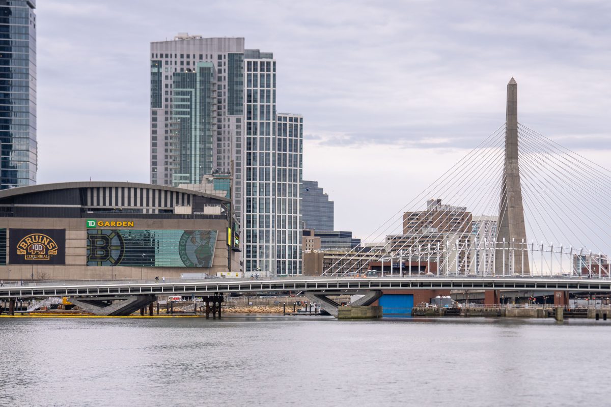
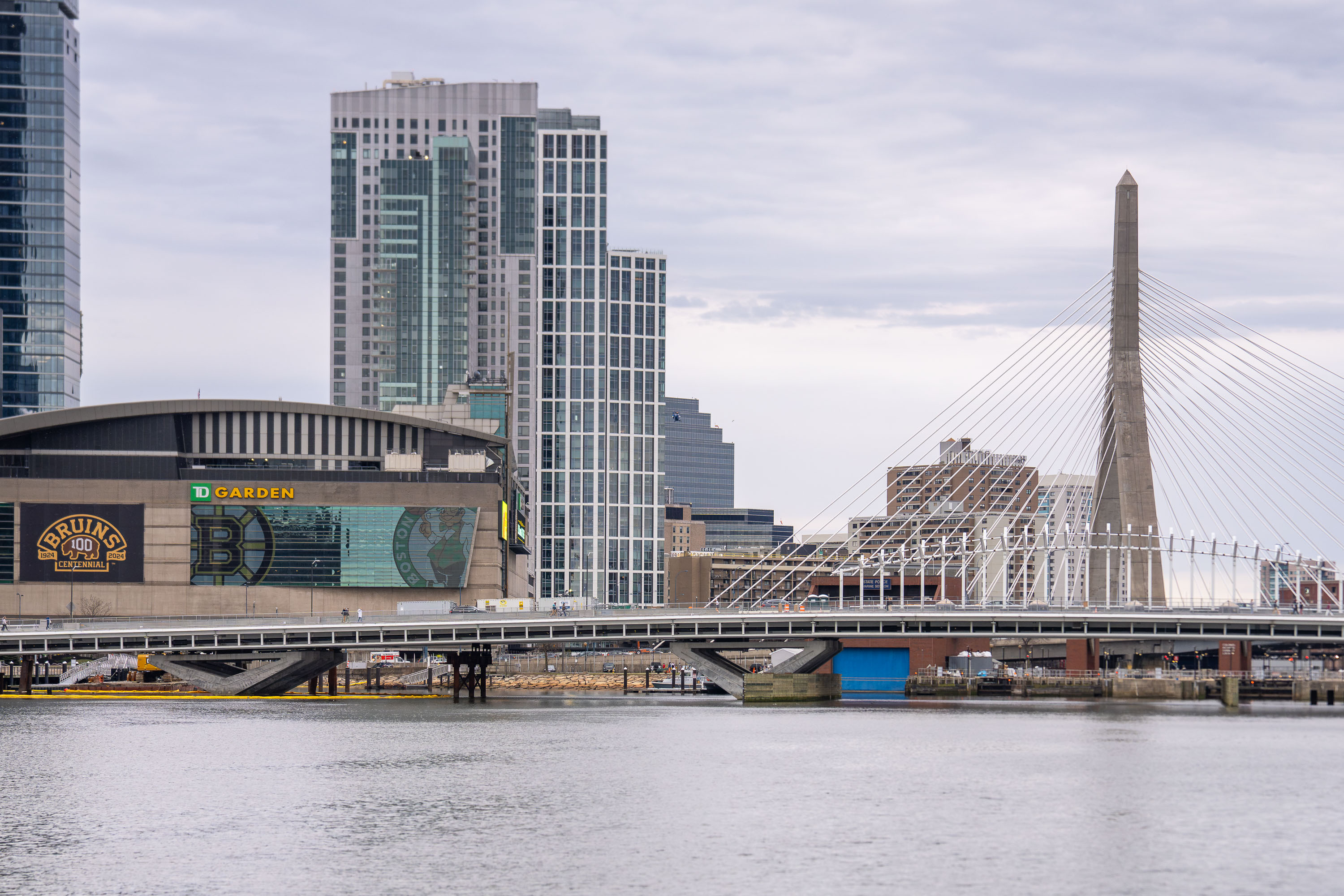
TD Garden arena and Zakim Bridge spanning the Charles River in Boston.
TD Garden opened in 1995 as the FleetCenter, replacing the old Boston Garden next door, and serves today as home to the Boston Bruins and Boston Celtics. The arena seats roughly 19,600 for hockey and up to 19,156 for basketball, among the larger capacities in the NHL and NBA. The Leonard P. Zakim Bunker Hill Memorial Bridge, completed in 2002 as part of the Big Dig, carries Interstate 93 across the Charles River between the North End and Charlestown. At 1,432 feet long with ten traffic lanes, it ranks among the widest cable-stayed bridges in the world, and its twin towers were designed to echo the nearby Bunker Hill Monument.

TD Garden Below the Zakim Bridge Over the Charles River
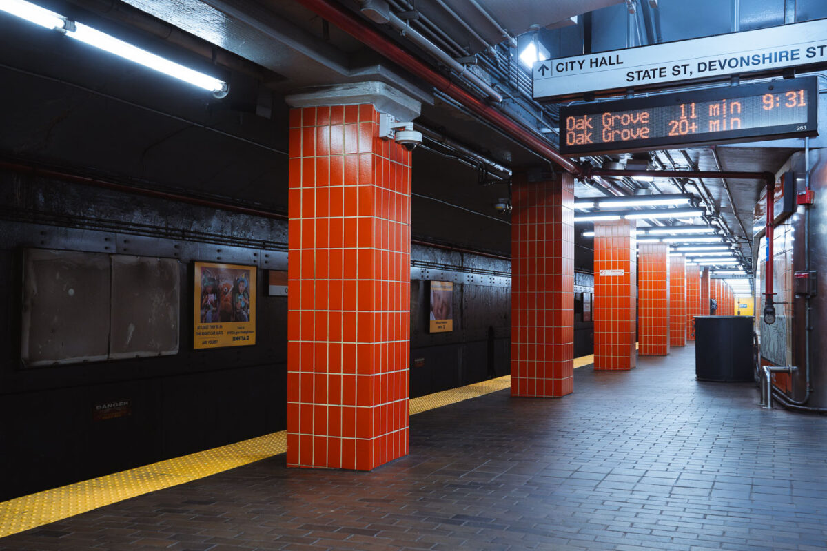
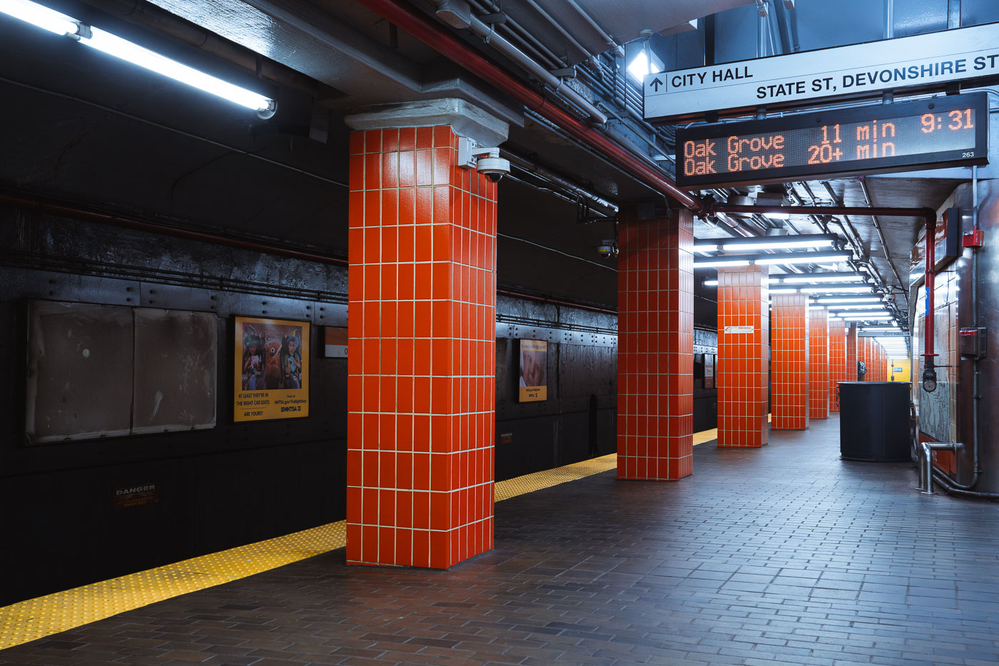
State Station on Boston’s MBTA Orange Line with orange-tiled columns and platform signage.
State Station on the MBTA Orange Line in downtown Boston serves as a subway stop near State and Devonshire streets. The station is part of the Washington Street Tunnel, which opened in 1915 and later became part of the MBTA rapid transit system.

Orange Line Platform at State Station, Boston
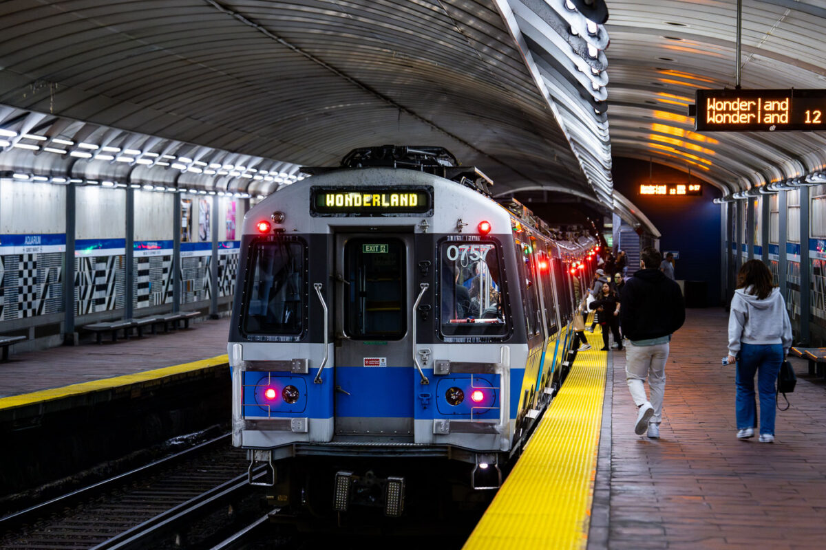
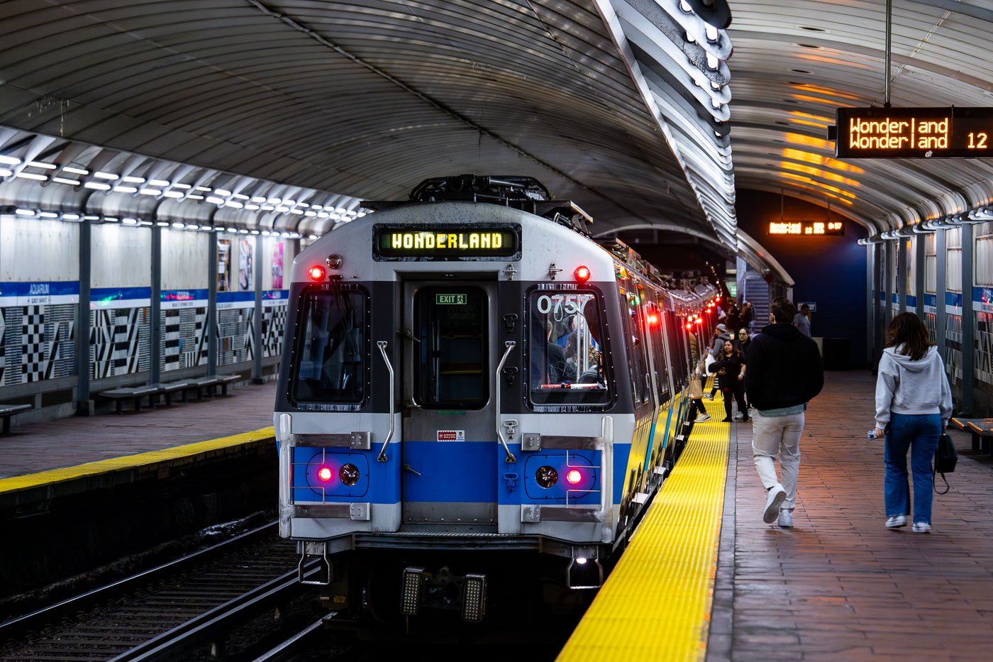
MBTA Blue Line train 0757 stopped at Aquarium Station in Boston with passengers on the platform.
Aquarium Station sits beneath State Street in downtown Boston, named for the New England Aquarium just above its entrance. It's one of four downtown stops on the MBTA Blue Line, which runs between Bowdoin and Wonderland. The station dates to 1904, when it opened as part of the original East Boston Tunnel — the first underwater transit tunnel built in the United States. Wonderland, the line's northern terminus in Revere, opened in 1954 and takes its name from a long-closed amusement park and greyhound track that once stood nearby.

Blue Line Train Bound for Wonderland at Aquarium Station
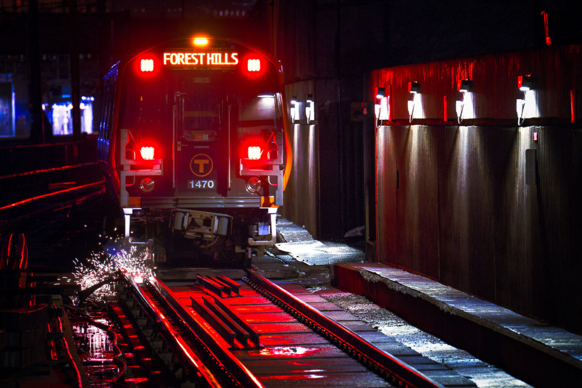
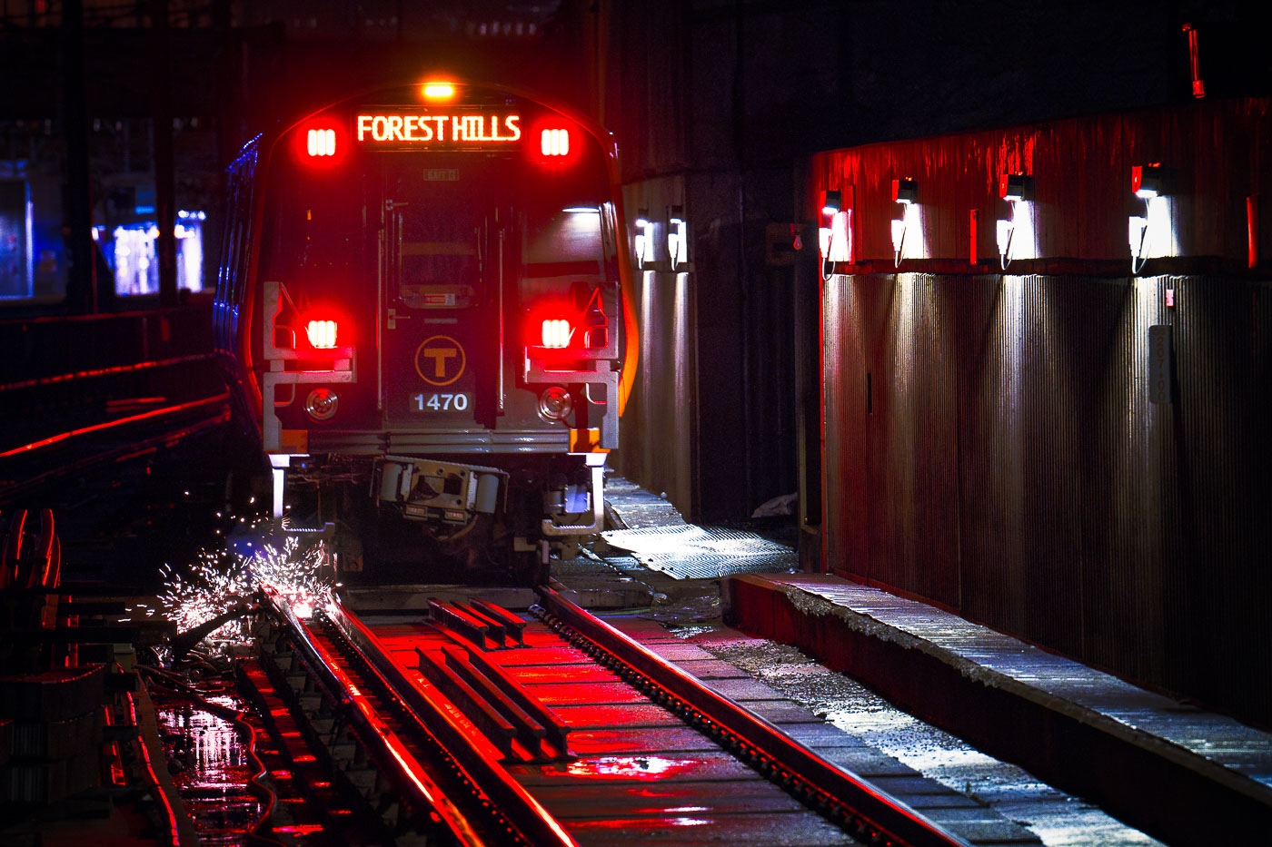
MBTA Orange Line train 1470 at Forest Hills Station in Boston, with sparks on the tracks.
Forest Hills Station in Boston is the southern terminus of the MBTA Orange Line. Train 1470 is operating at the station, with track sparks visible near the rail bed.

Orange Line Train 1470 at Forest Hills Station
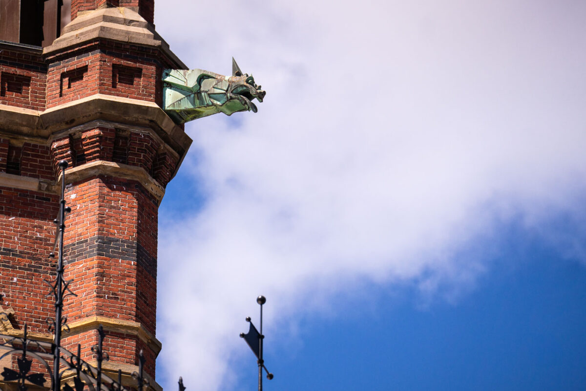
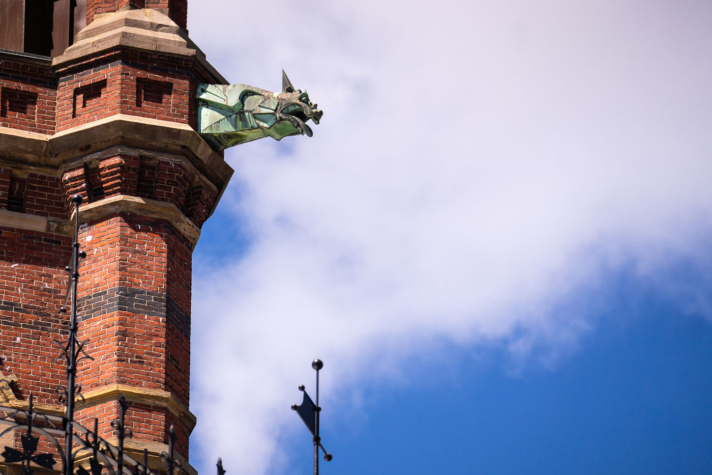
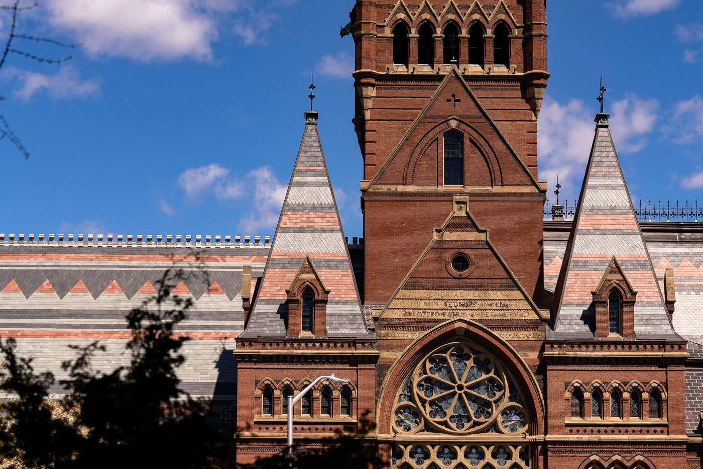
Copper gargoyle water spout on the Gothic Revival facade of Harvard Memorial Hall in Cambridge, Massachusetts.
Harvard Memorial Hall, dedicated in 1878, honors Harvard alumni who died fighting for the Union during the Civil War. Architects Henry Van Brunt and William Ware designed the High Victorian Gothic building, which also houses Sanders Theatre and the Annenberg Hall dining commons. A 1956 fire destroyed the original spire atop the tower, and the structure went without one until a donor-funded restoration completed it in 1999. Copper gargoyles at the tower's corners rainspouts, carrying water away from the brick and stone below.

A Copper Gargoyle on Memorial Hall’s Tower
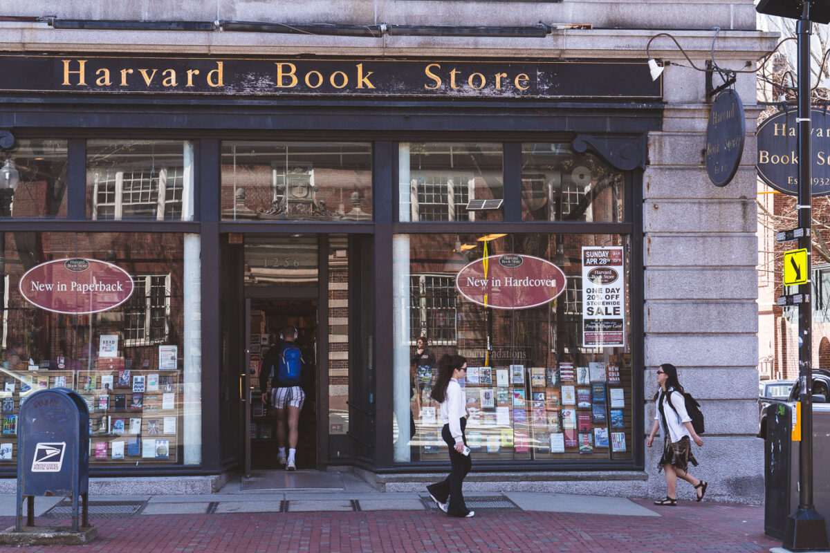
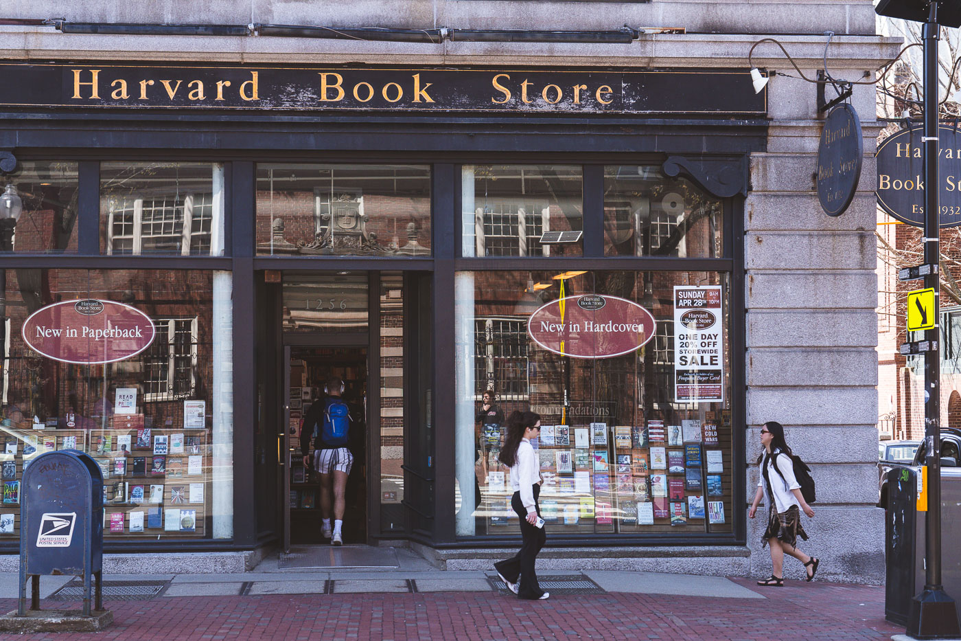
Harvard Book Store storefront in Harvard Square, Cambridge, Massachusetts, with pedestrians passing by.
Harvard Book Store opened in 1932 at 1256 Massachusetts Avenue, where it still operates today. The store has remained independently owned throughout its history, currently run by the Mainen family, who bought it from founder Mark Kramer's family in the 1960s. It stocks new, used, and remaindered titles and operates its own print-on-demand Espresso Book Machine, one of the few in the country available to the public. The shop regularly hosts author talks and readings, drawing on its long-standing ties to the academic community in Harvard Square.

Harvard Book Store on Massachusetts Avenue in Harvard Square
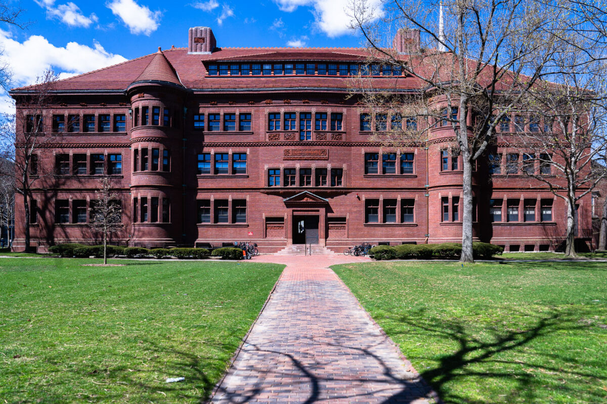
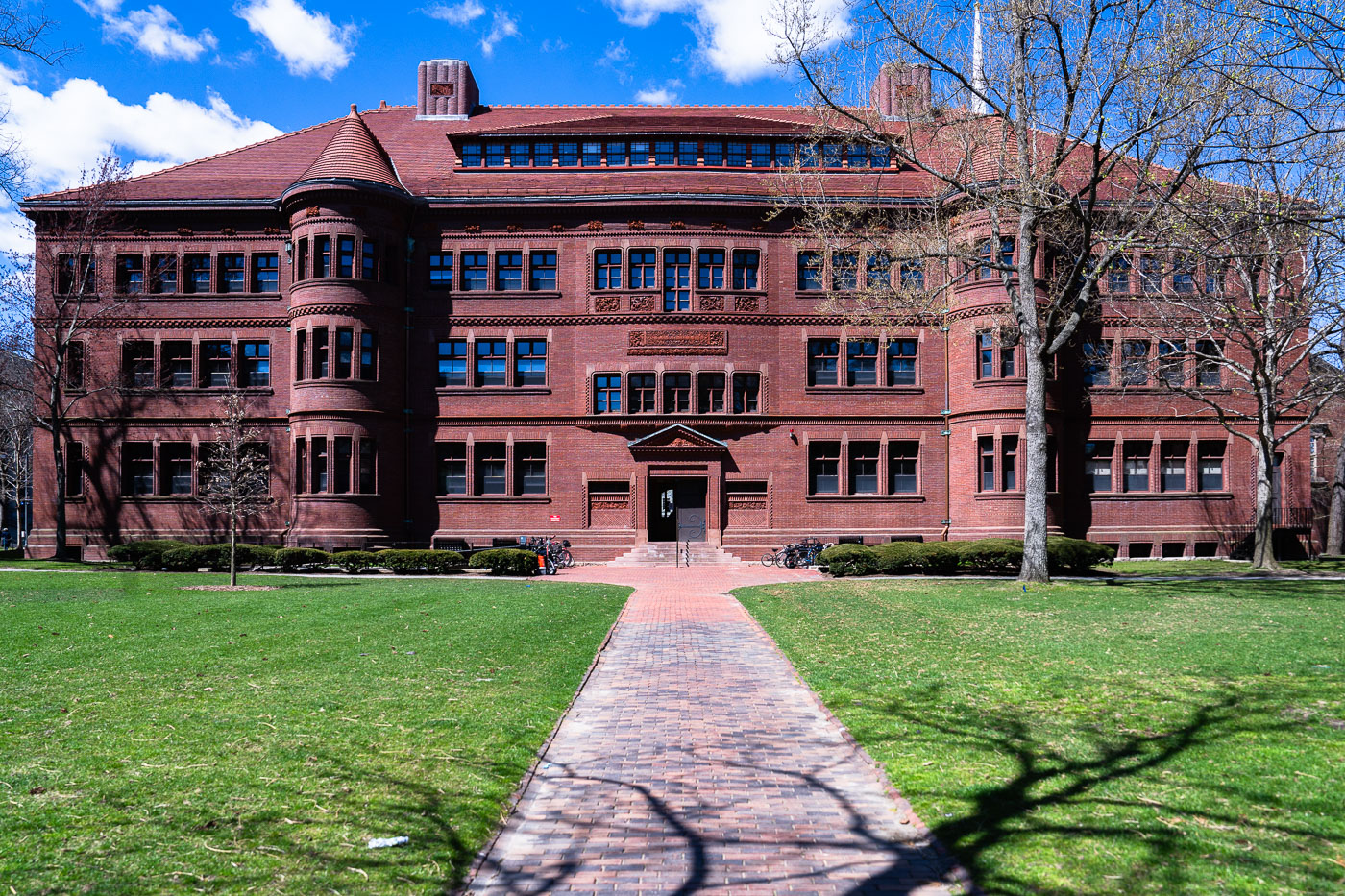
Sever Hall, a red brick Richardsonian Romanesque building at Harvard University in Cambridge, Massachusetts.
Sever Hall sits in Harvard Yard in Cambridge, Massachusetts, completed in 1880 to a design by architect Henry Hobson Richardson. It's built almost entirely of brick, including its ornamental detailing, a choice Richardson made partly to keep costs down while still achieving the sculptural texture associated with his Romanesque style. The building was a gift of Anne Sever in memory of her husband, Civil War general James Warren Sever. It has served as a classroom and lecture hall building for Harvard College since it opened, and the entrance archway is known for an unusual whispering-gallery acoustic effect.

Sever Hall in Harvard Yard

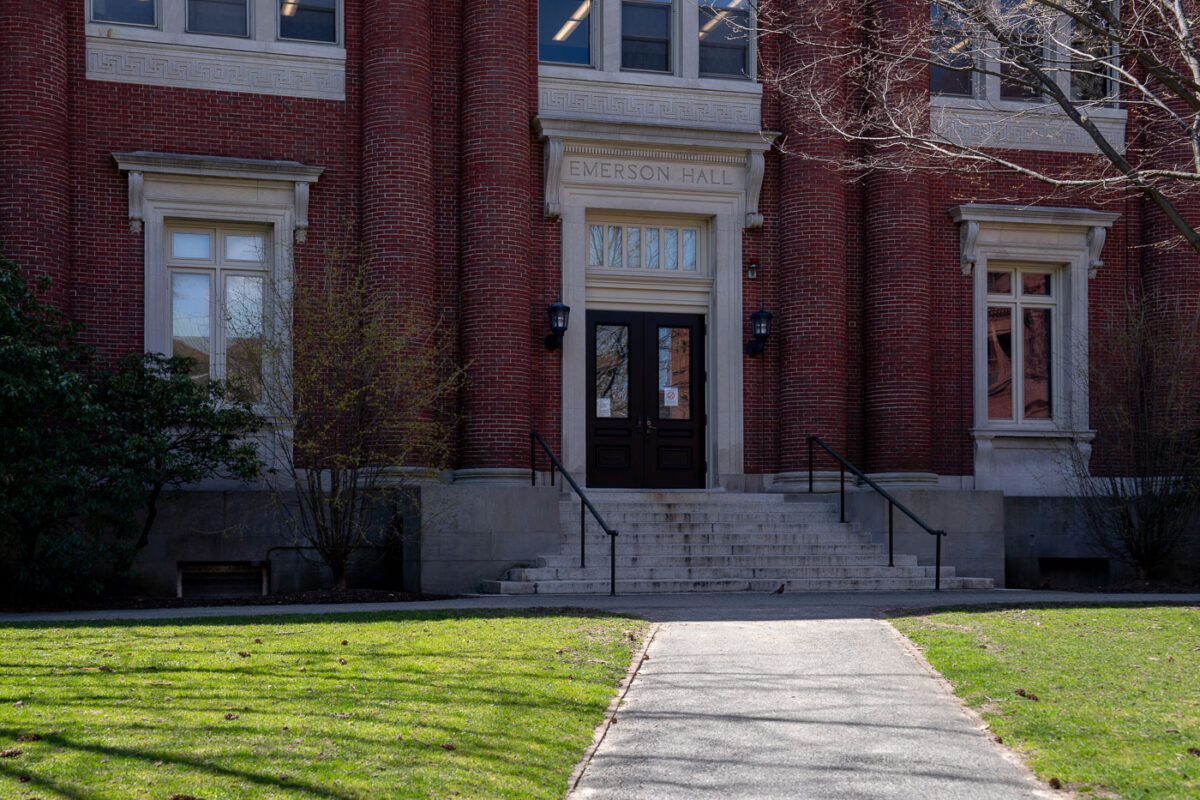
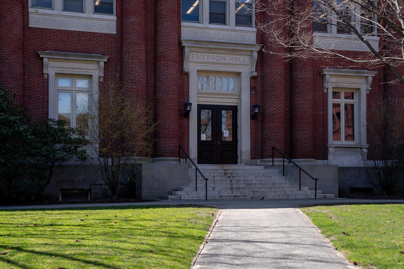
Emerson Hall entrance with red brick facade and stone steps at Harvard Yard, Cambridge.
Emerson Hall houses Harvard University's Department of Philosophy and Department of Psychology. Completed in 1900 and designed by Guy Lowell, the building is named for Ralph Waldo Emerson, the transcendentalist writer and Harvard alumnus. A Greek inscription above its entrance reads "Man is the measure of all things," a line drawn from the philosopher Protagoras. William James, one of the founders of American psychology, taught in the building during the early twentieth century.

Emerson Hall’s Front Steps in Harvard Yard
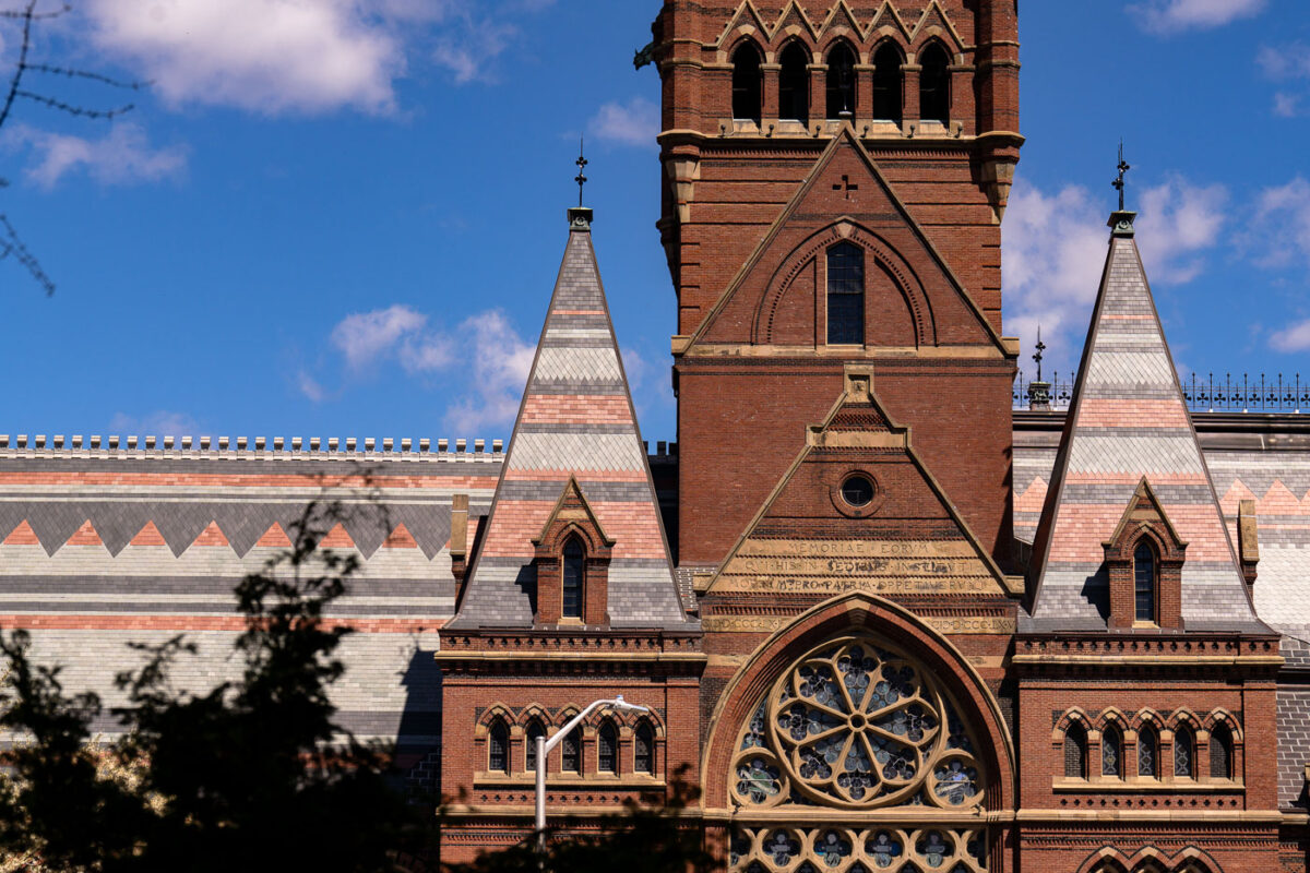
Memorial Hall at Harvard University in Cambridge, Massachusetts, with its Gothic facade and spires.
Memorial Hall at Harvard University in Cambridge, Massachusetts, is a High Victorian Gothic building completed in 1878. It was built to honor Harvard alumni who served in the Union forces during the Civil War and now houses Sanders Theatre and Annenberg Hall.

Memorial Hall’s Tower and Transept, Harvard Yard
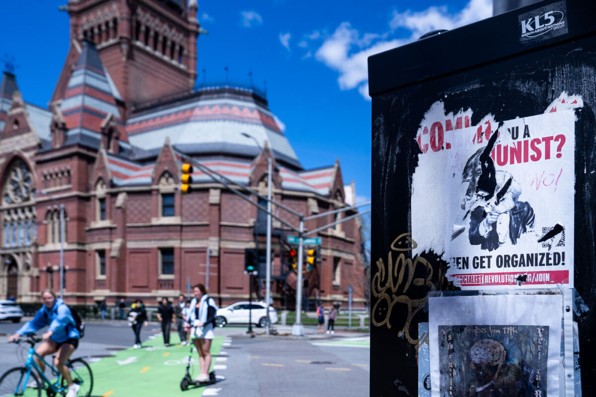
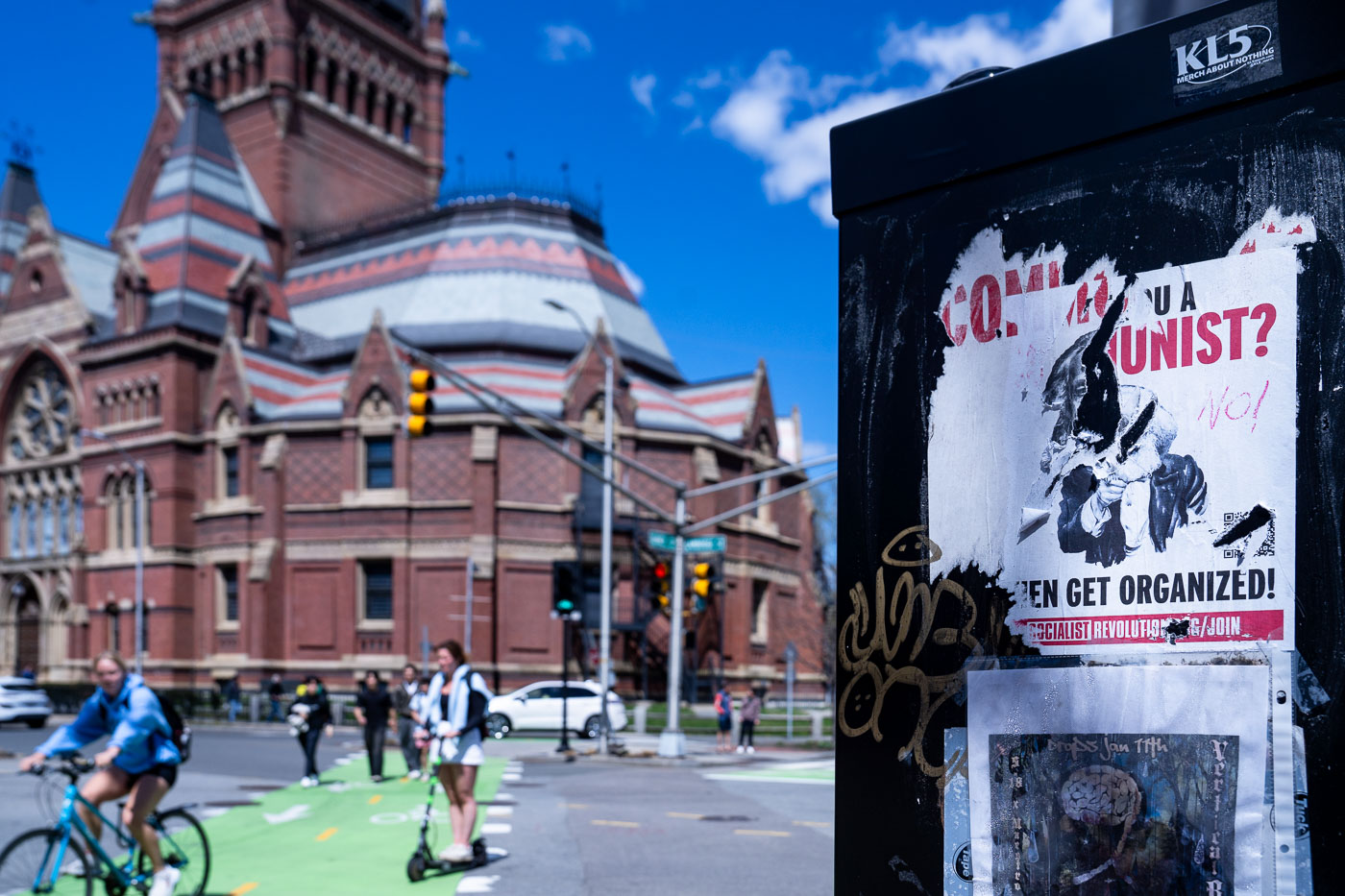
Communist organizing flyer on utility box near Harvard Yard in Cambridge, Massachusetts.
Memorial Hall's brick tower and polychrome roof rise near the corner of Cambridge and Quincy streets, across from Harvard Yard. The Ruskinian Gothic building was completed in 1878 to honor Harvard men who died fighting for the Union in the Civil War; it now houses Sanders Theatre and Annenberg Hall. A recruitment flyer reading "Are you a communist? Then get organized!" is posted on a nearby utility box, pointing toward the Socialist R group's local organizing efforts.

“Are You a Communist?” Flyer Near Harvard Yard
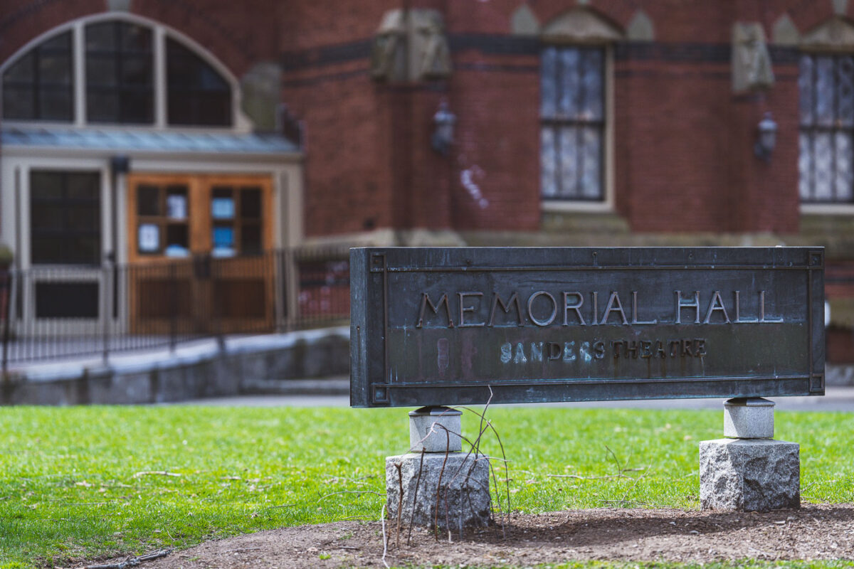
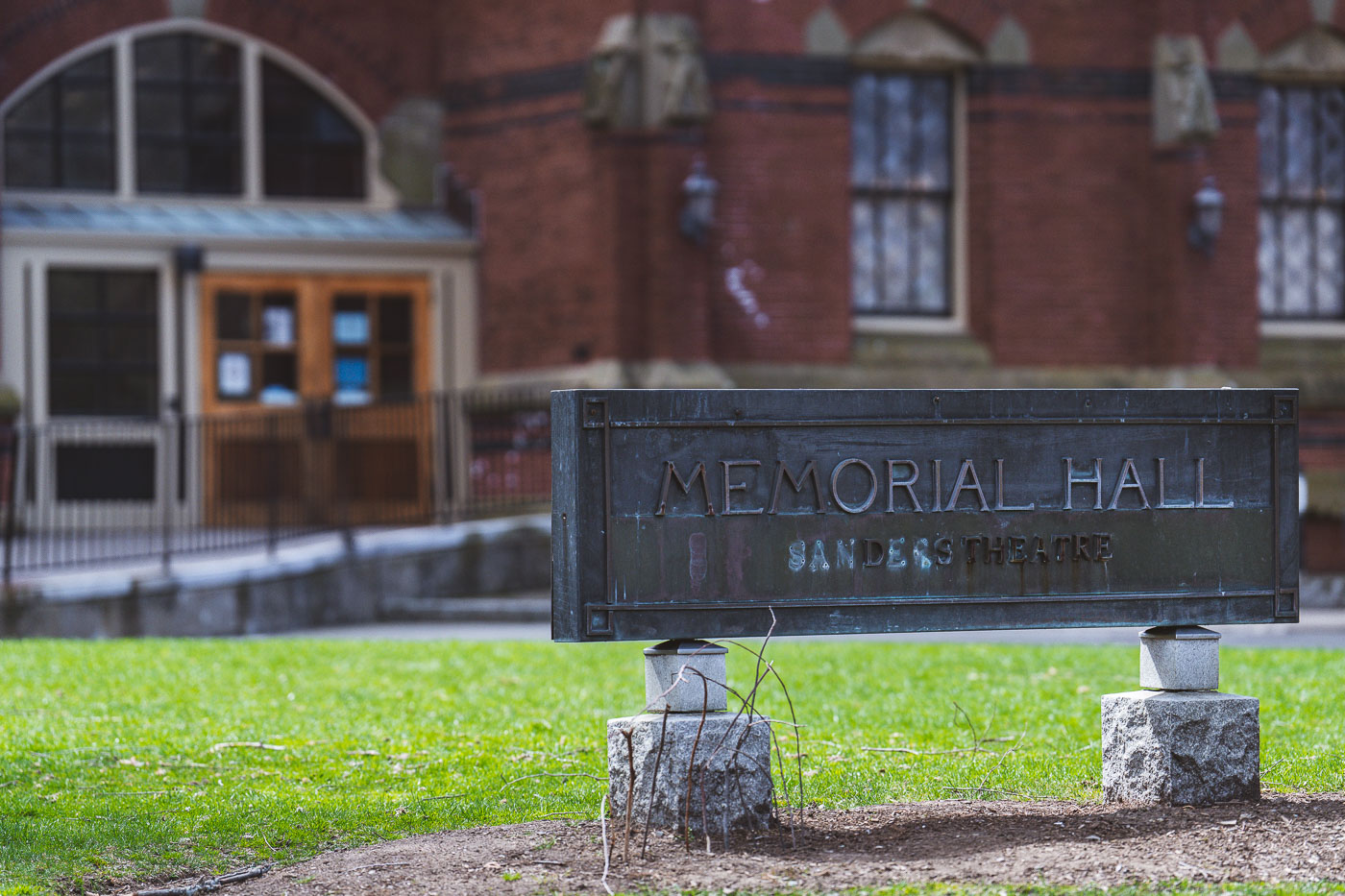
Memorial Hall sign at Harvard University in Cambridge, Massachusetts with red brick building in background.
Memorial Hall at Harvard University was built between 1870 and 1878 to honor the Harvard men who died fighting for the Union in the Civil War. The Ruskinian Gothic building was designed by the firm Ware and Van Brunt, with its interior transept serving as a memorial hall lined with marble tablets bearing the names of the fallen. Sanders Theatre, housed within the building's south wing, seats over 1,000 people and has hosted Harvard's commencement-related events, lectures, and performances since it opened. The theater takes its name from Charles Sanders, a Harvard treasurer whose bequest helped fund its construction.

Memorial Hall’s Sign Outside Sanders Theatre at Harvard
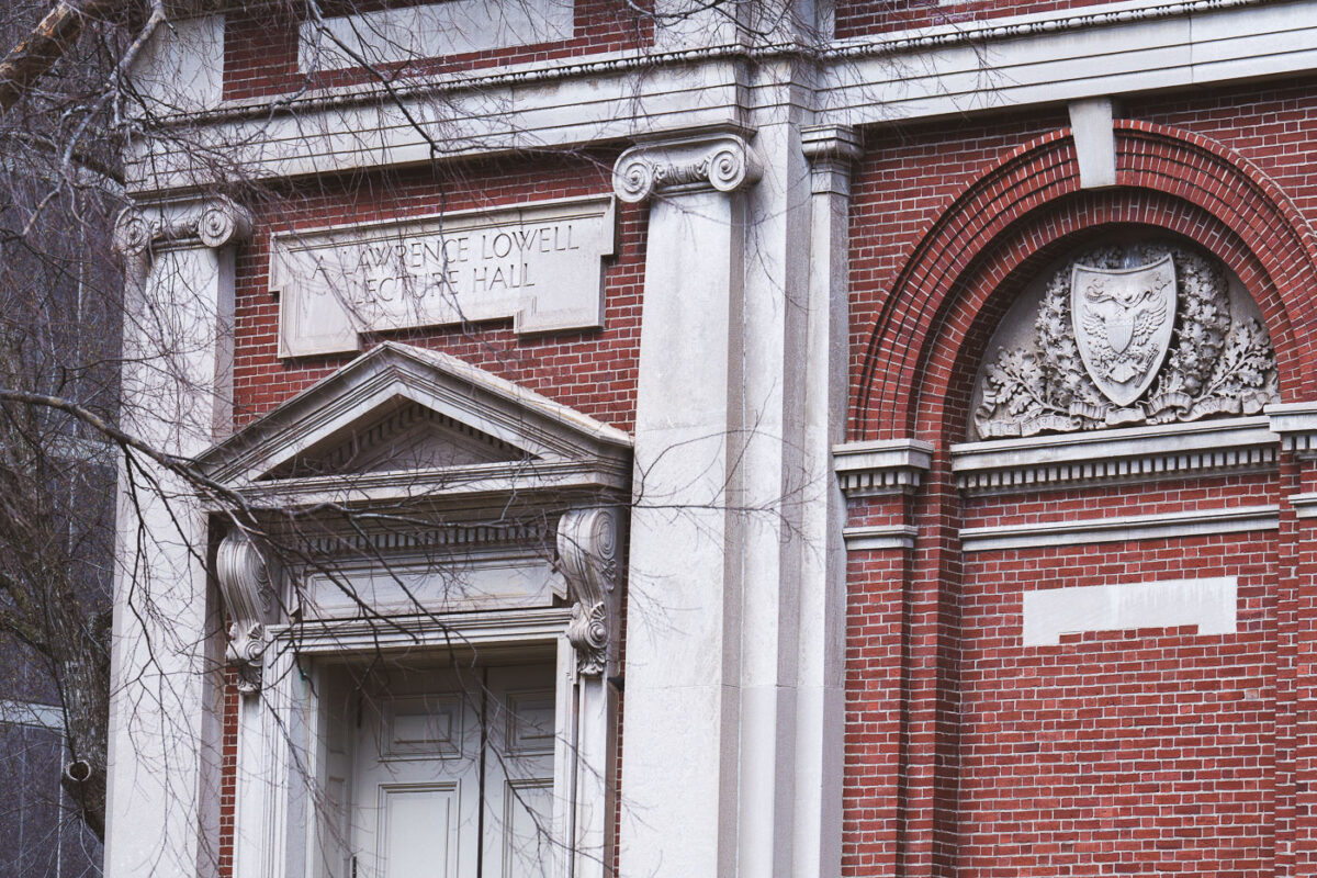
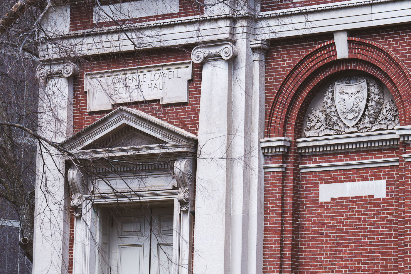
Lawrence Lowell Lecture Hall facade at Harvard University features red brick, ornamental stone columns, and decorative
Lawrence Lowell Lecture Hall stands on Harvard University's campus in Cambridge, Massachusetts. The building was completed in 1902 and later named for A. Lawrence Lowell, who served as Harvard's president from 1909 to 1933. It remains part of the university's early twentieth-century academic architecture, built during a period of significant campus expansion at Harvard.

Lawrence Lowell Lecture Hall at Harvard University
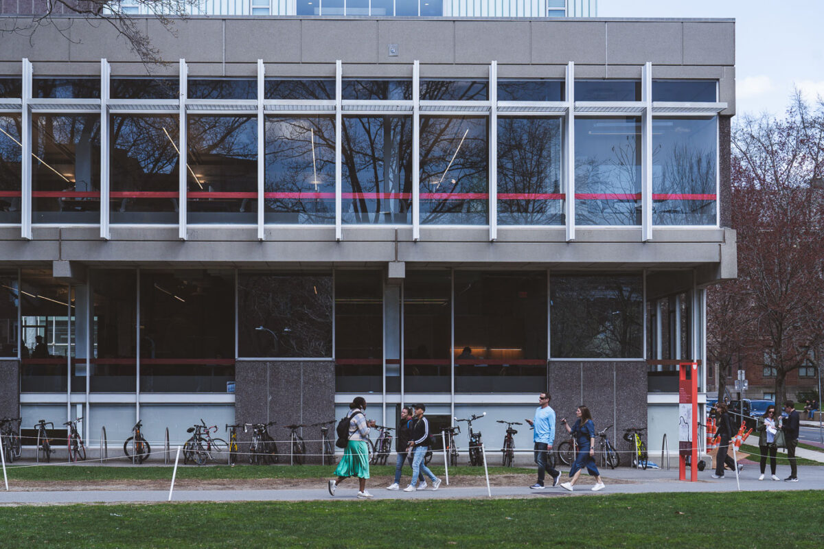
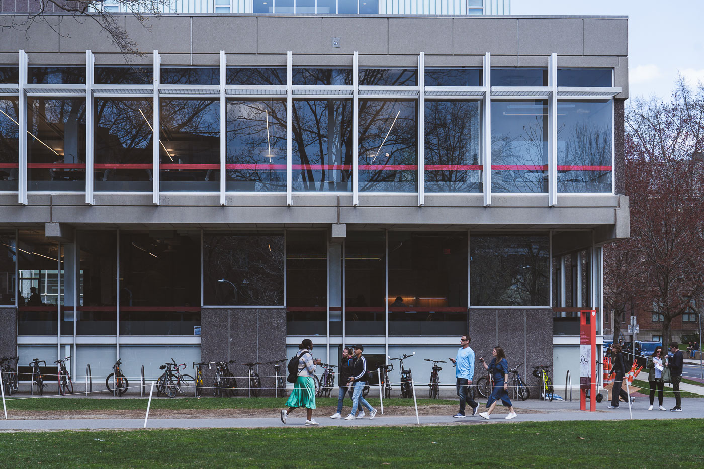
People and bicycles gather outside Harvard Science Center, a modernist building with white-framed windows and red horizontal
The Harvard Science Center sits at the north edge of Harvard Yard in Cambridge, Massachusetts. Designed by Josep Lluís Sert and completed in 1973, the building was funded partly by a gift from Edwin Land, founder of Polaroid. It houses Harvard's Cabot Science Library along with classrooms, lecture halls, and laboratories for the university's science departments. The design grew out of Sert's earlier work as dean of Harvard's Graduate School of Design, where he championed Brutalist concrete architecture on campus.

Students Along the Harvard Science Center Facade
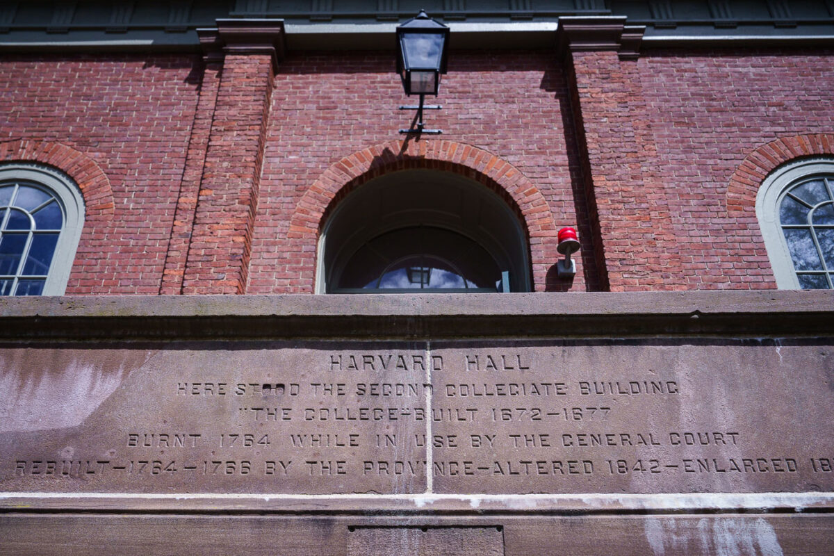
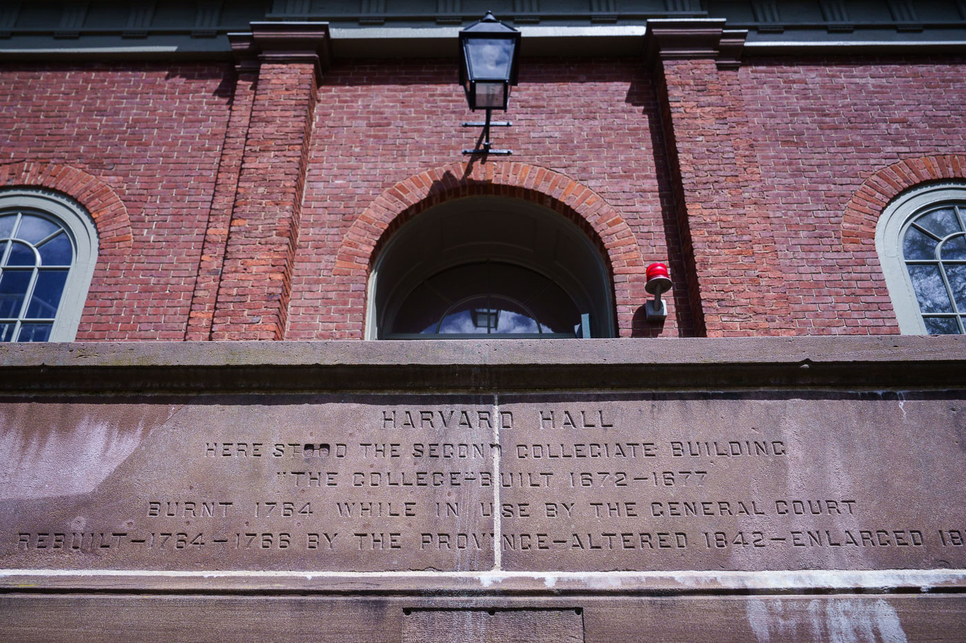
Harvard Hall plaque documenting the original 1672–1677 College building, its 1764 fire destruction, and subsequent
Harvard Hall marks the site of the college's second collegiate building, known as "The College," constructed between 1672 and 1677. That structure burned in 1764 while it was in use by the Massachusetts General Court. The province rebuilt Harvard Hall between 1764 and 1766, and the building was later altered in 1842 and enlarged again in the 19th century. A carved stone marker on the building records this history of construction, fire, and rebuilding.

Plaque on Harvard Hall Recounting Its 1764 Fire
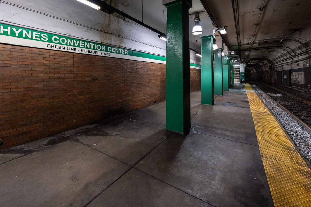
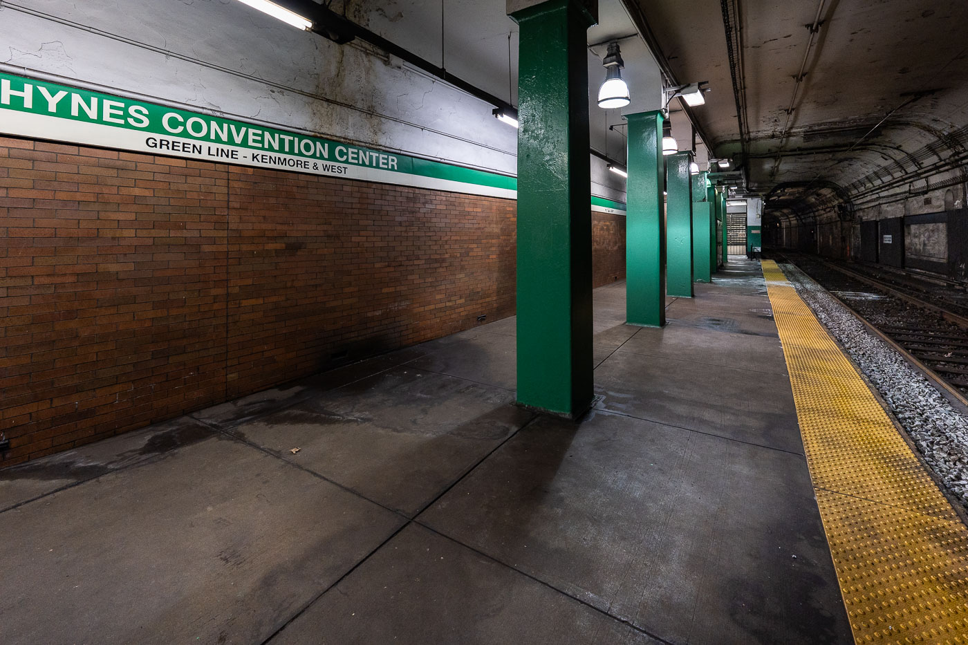
Hynes Convention Center station platform on the MBTA Green Line in Boston, showing green support columns and yellow safety stripe.
Hynes Convention Center station sits on the MBTA Green Line in Boston's Back Bay, named for the adjacent convention center at 900 Boylston Street. The platform serves westbound trolleys toward Kenmore Square and the B, C, and D branches beyond. It's one of the system's older stops, dating to the original Boylston Street subway extension of the early 20th century, and remains at street level below Newbury and Boylston streets rather than deep underground like many downtown stations.

Green Line Platform at Hynes Convention Center Station
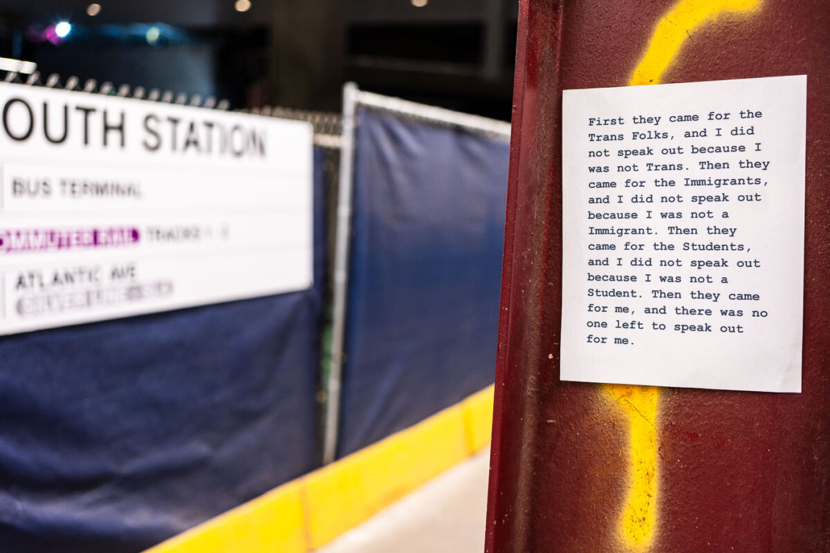
Posted protest message at South Station in Boston quoting anti-oppression text about marginalized communities.
South Station is Boston's primary intercity transportation hub, serving Amtrak, MBTA commuter rail, the Red Line, and Silver Line bus connections. A paper flyer posted near the terminal paraphrases Martin Niemöller's post-World War II confession about political complacency under Nazi rule, updating its list of targeted groups to trans people, immigrants, and students. The original quote is widely used in political and activist messaging to warn against staying silent as different groups are singled out one after another.

“First They Came for the Trans Folks” Flyer at South Station
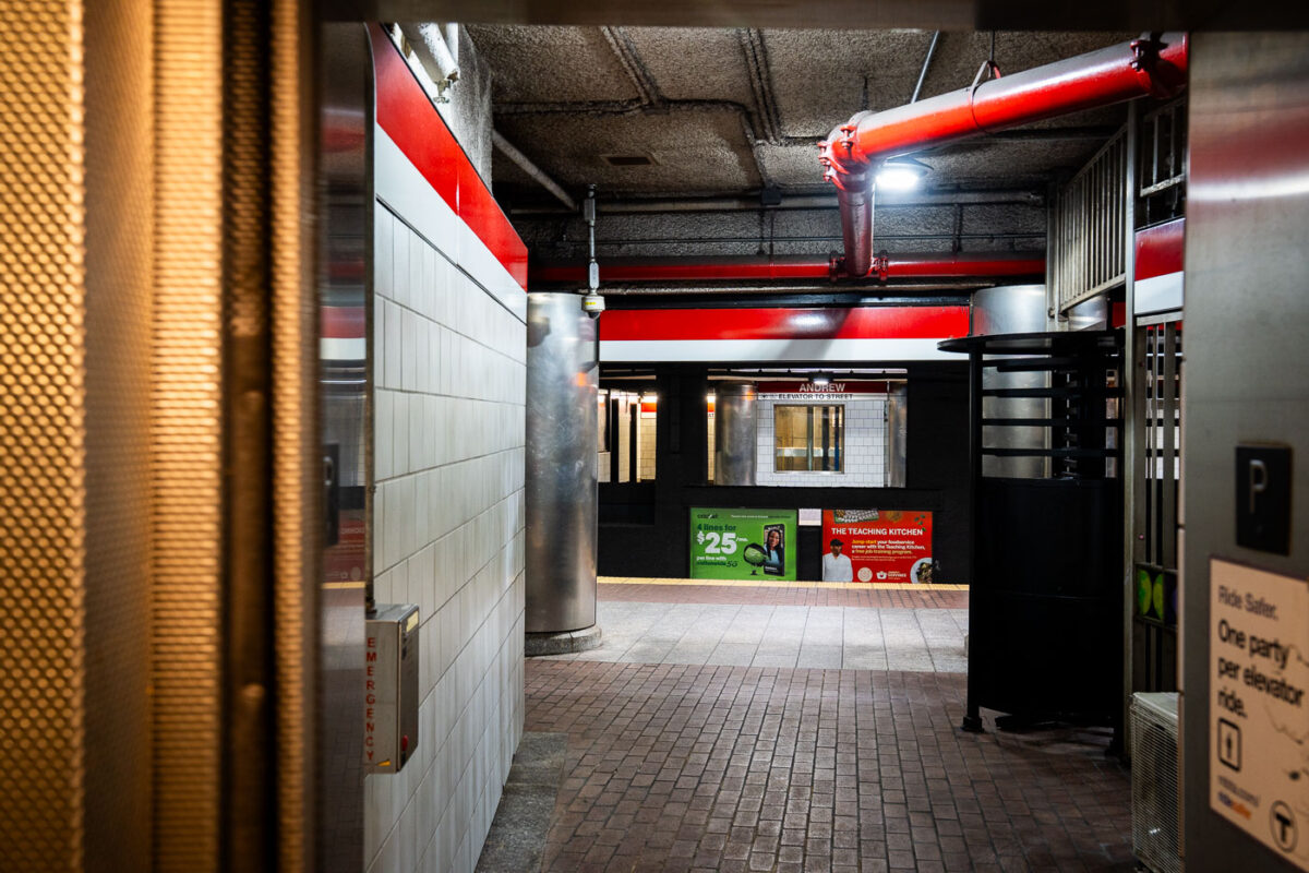
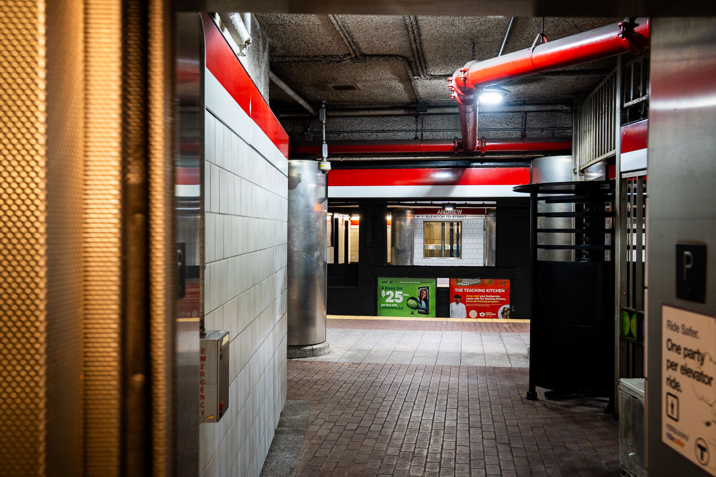
Andrew Station MBTA Red Line platform corridor with red structural beams and white tile walls, Boston.
Andrew Station serves the MBTA Red Line in the Dorchester section of South Boston, opened in 1873 as a stop on the Old Colony Railroad before later becoming part of the Red Line's Ashmont branch. The station sits below street level, with elevators and turnstiles connecting the mezzanine to the platforms. It functions as a transfer point for local bus routes serving Dorchester and South Boston.

Andrew Station elevator access, MBTA Red Line, Boston
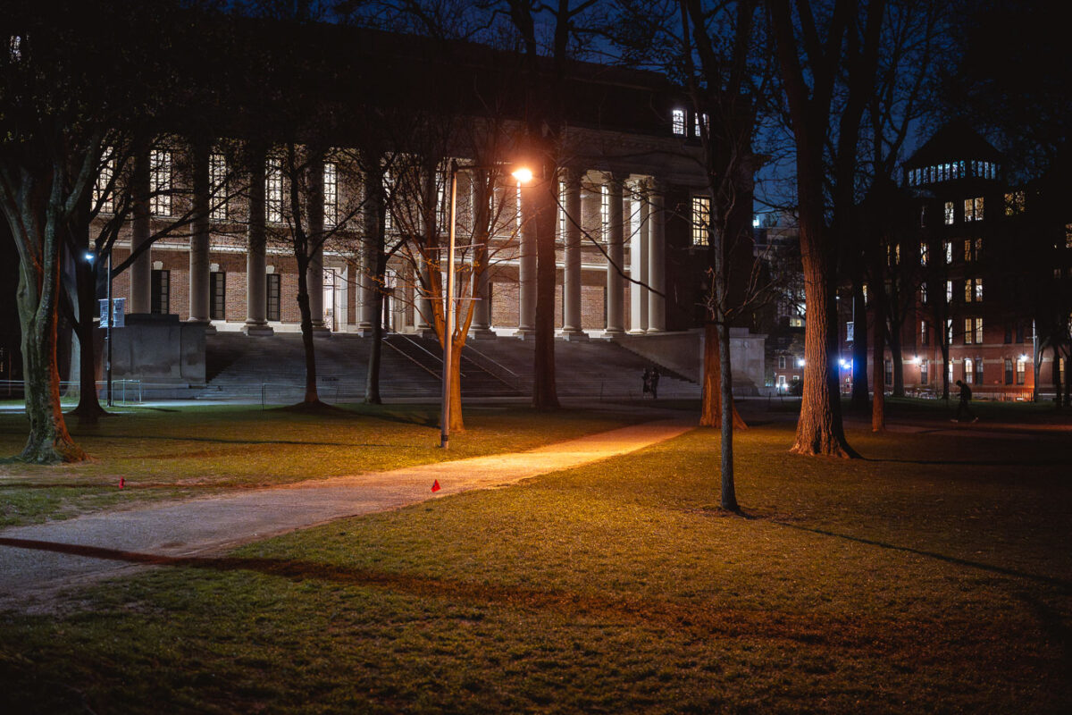
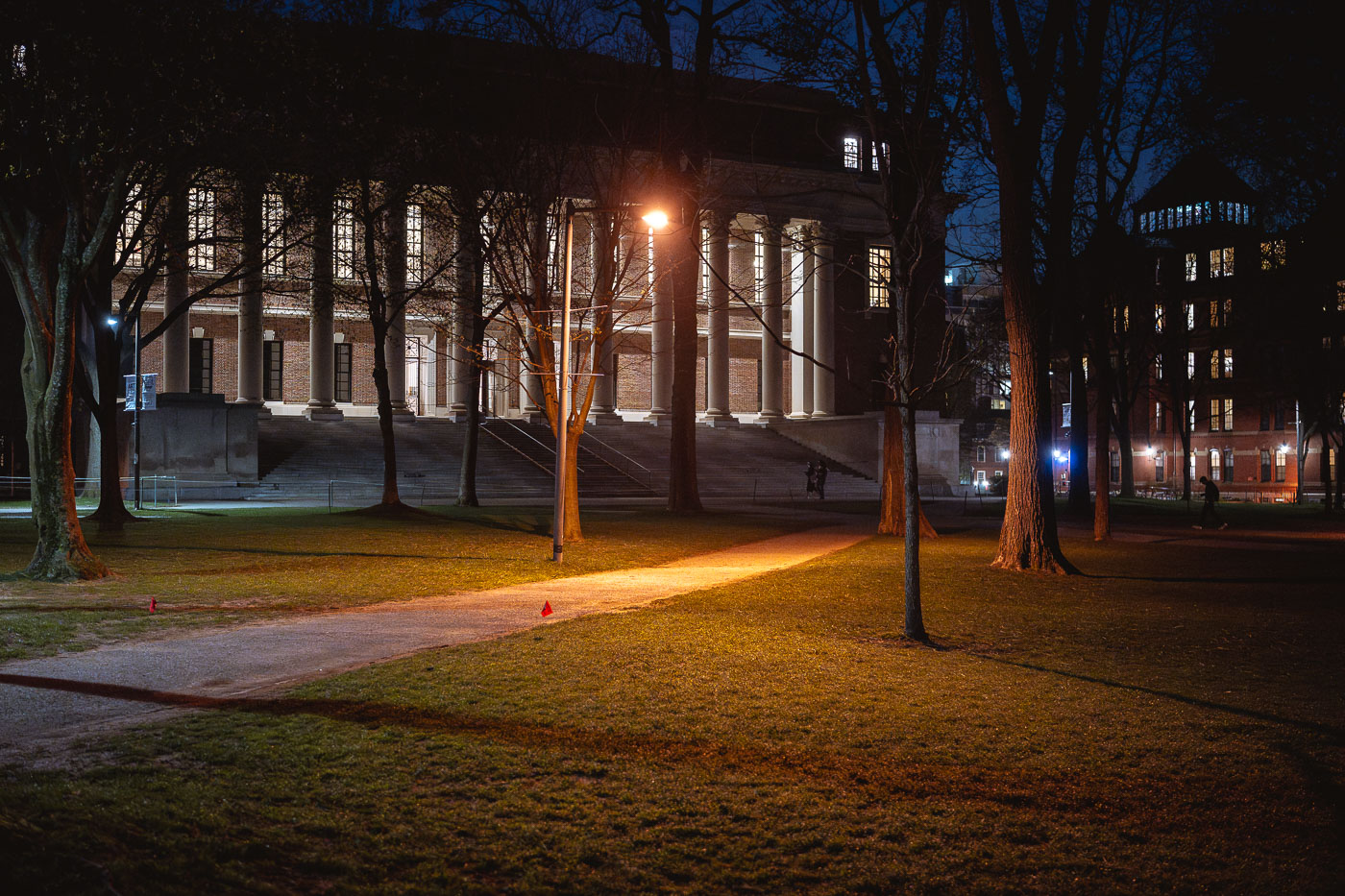
Widener Library illuminated at night in Harvard Yard, Cambridge, Massachusetts.
Widener Library anchors the southeastern edge of Harvard Yard at Harvard University. Formally the Harry Elkins Widener Memorial Library, it opened in 1915, funded by Eleanor Elkins Widener in memory of her son, a 1907 Harvard graduate who died aboard the Titanic. The building was designed by Horace Trumbauer and holds roughly three million volumes, making it one of the largest library buildings in the world by shelf capacity. It remains the largest library within the Harvard College Library system and serves as the main research library for undergraduates.

Widener Library Illuminated After Dark in Harvard Yard
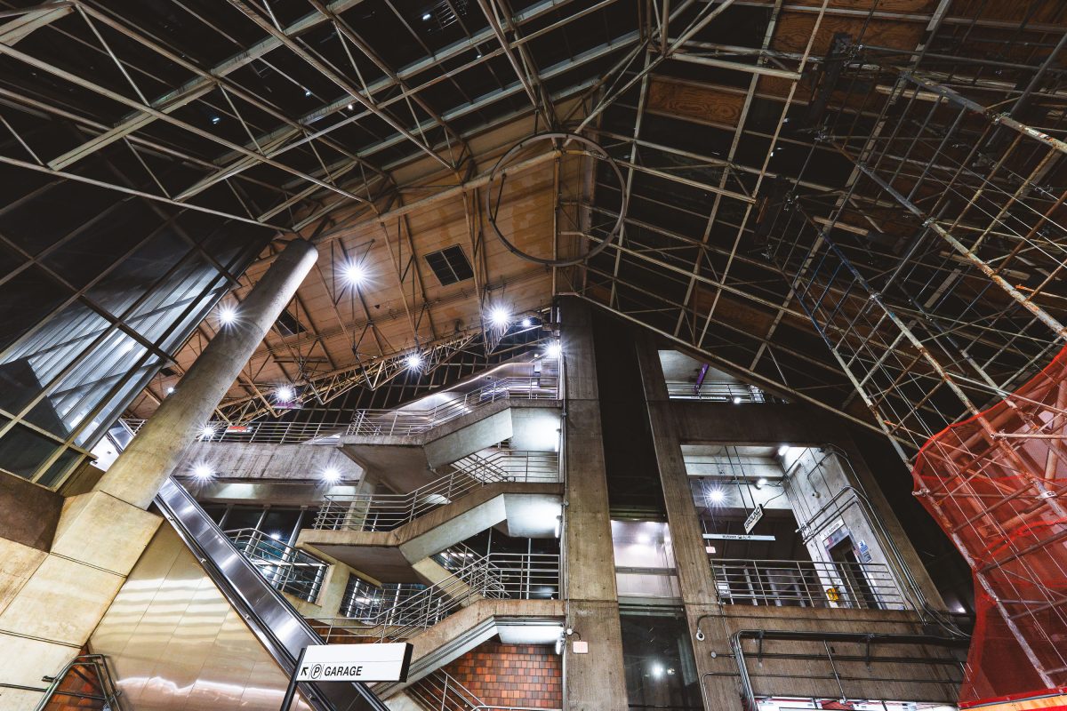
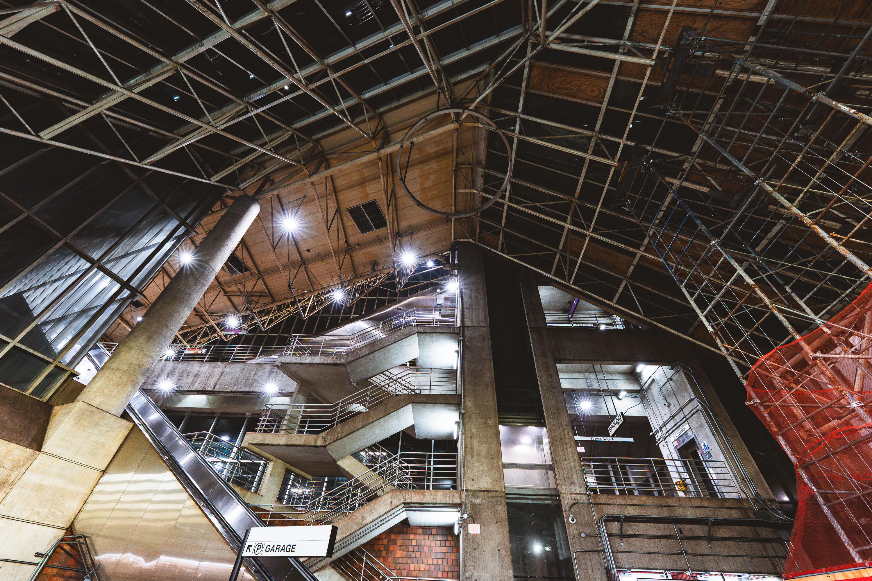
Interior view of Alewife Station's multilevel parking garage with exposed concrete structure and metal framework.
Alewife Station, the northern terminus of the MBTA Red Line, opened in 1985 and was designed by architect Ted Ashton with structural work by Paul Rudolph, whose signature exposed-truss roof and raw concrete forms define the terminal. The station sits atop a large multilevel parking garage, one of the largest transit parking facilities in the MBTA system, built to serve commuters from Cambridge and the northwestern suburbs. Its Brutalist design, unusual for a transit hub, has made it a subject of architectural debate since it opened. The garage and station remain in daily operation, connecting Red Line trains with bus routes and the Minuteman Bikeway.

Exposed Trusses and Parking Garage at Alewife Station
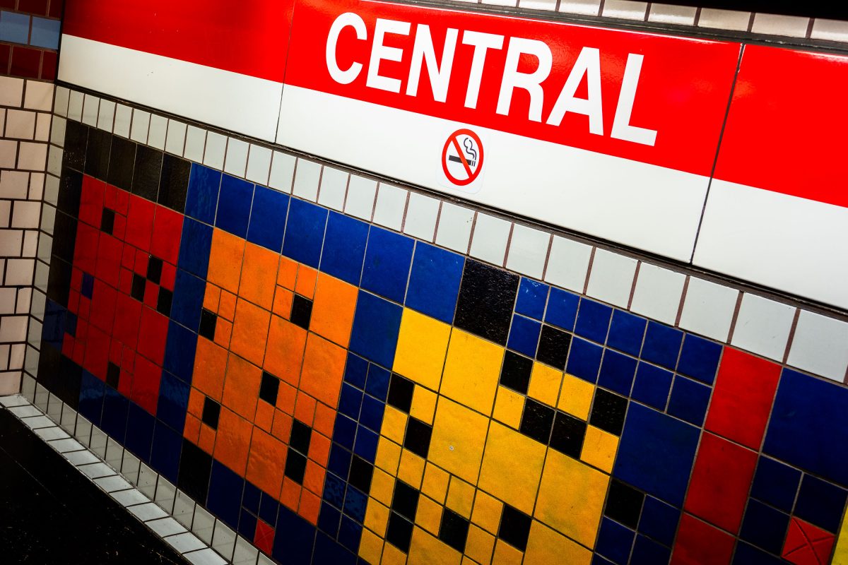
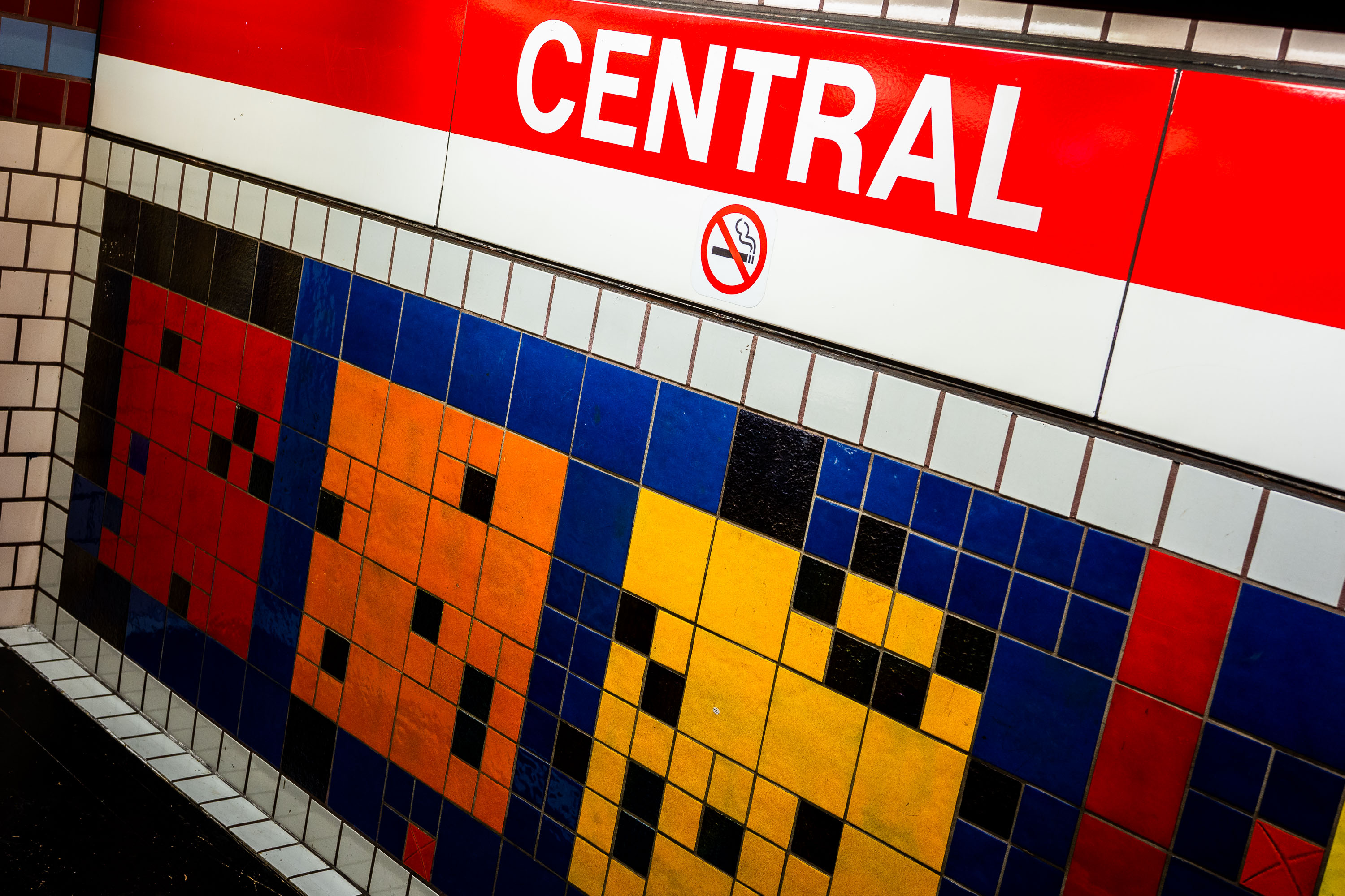
Colorful checkerboard tile mosaic at Central Station, MBTA Red Line in Boston.
Central Station serves the MBTA Red Line in Cambridge, Massachusetts, near Central Square. The station opened in 1912 as part of the original Cambridge tunnel extension, making it one of the oldest subway stops in the country still in operation. Its platforms feature checkerboard-patterned tile work in bands of red, orange, blue, and yellow, a design element used throughout the Red Line's older stations to help riders identify stops by color and pattern. The station sits underground beneath Massachusetts Avenue and is operated by the Massachusetts Bay Transportation Authority.

Checkerboard Mosaic Tiles at Central Station in Cambridge

Trump fascist poster on a Harvard University pole featuring the Kool-Aid Man.
A protest poster on a pole at Harvard University criticizes Donald Trump and MAGA politics. The design uses the Kool-Aid Man character and the phrase “You’re in a Cult” with a web address at the bottom.

Trump fascist poster at Harvard University
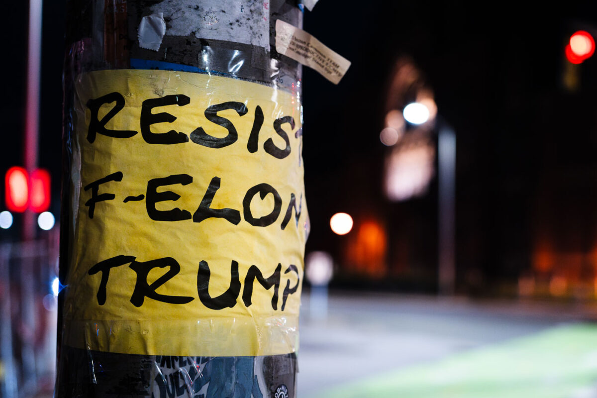
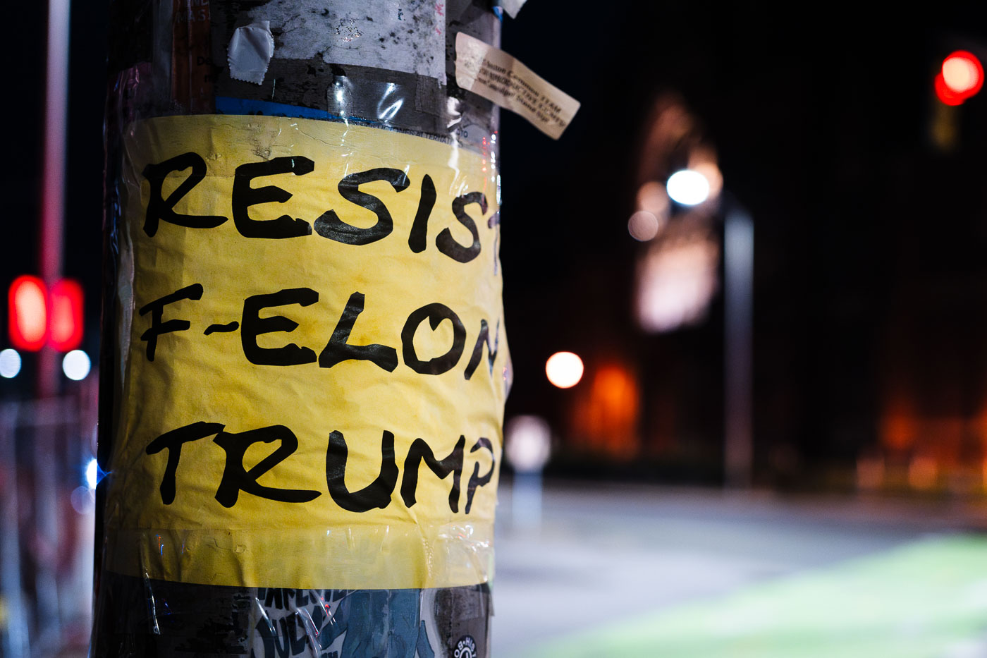
Harvard University pole poster reading “Resist F-Elon Trump” at night.
Harvard University in Cambridge, Massachusetts, has a pole-mounted poster calling to resist Elon Musk and Donald Trump. The handmade sign is taped to a utility pole near a street corner at night.

Resist F-Elon Trump poster at Harvard University
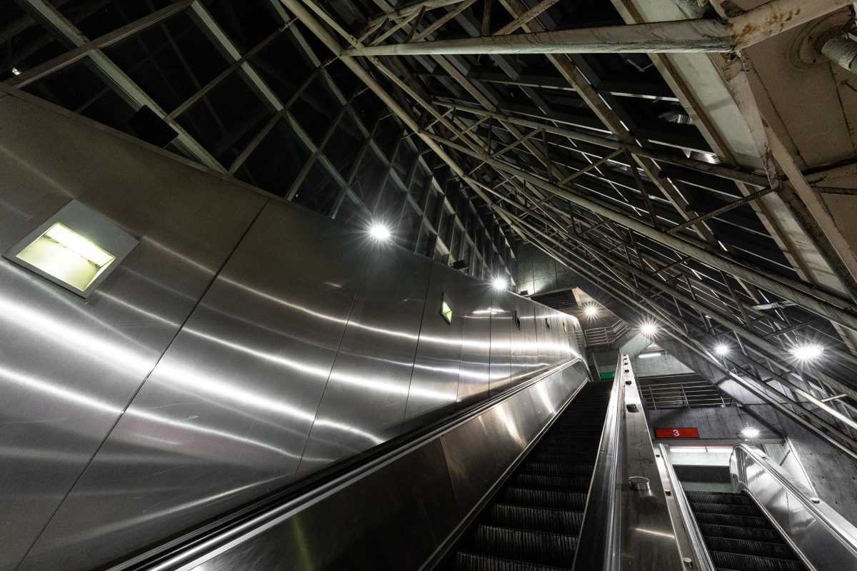
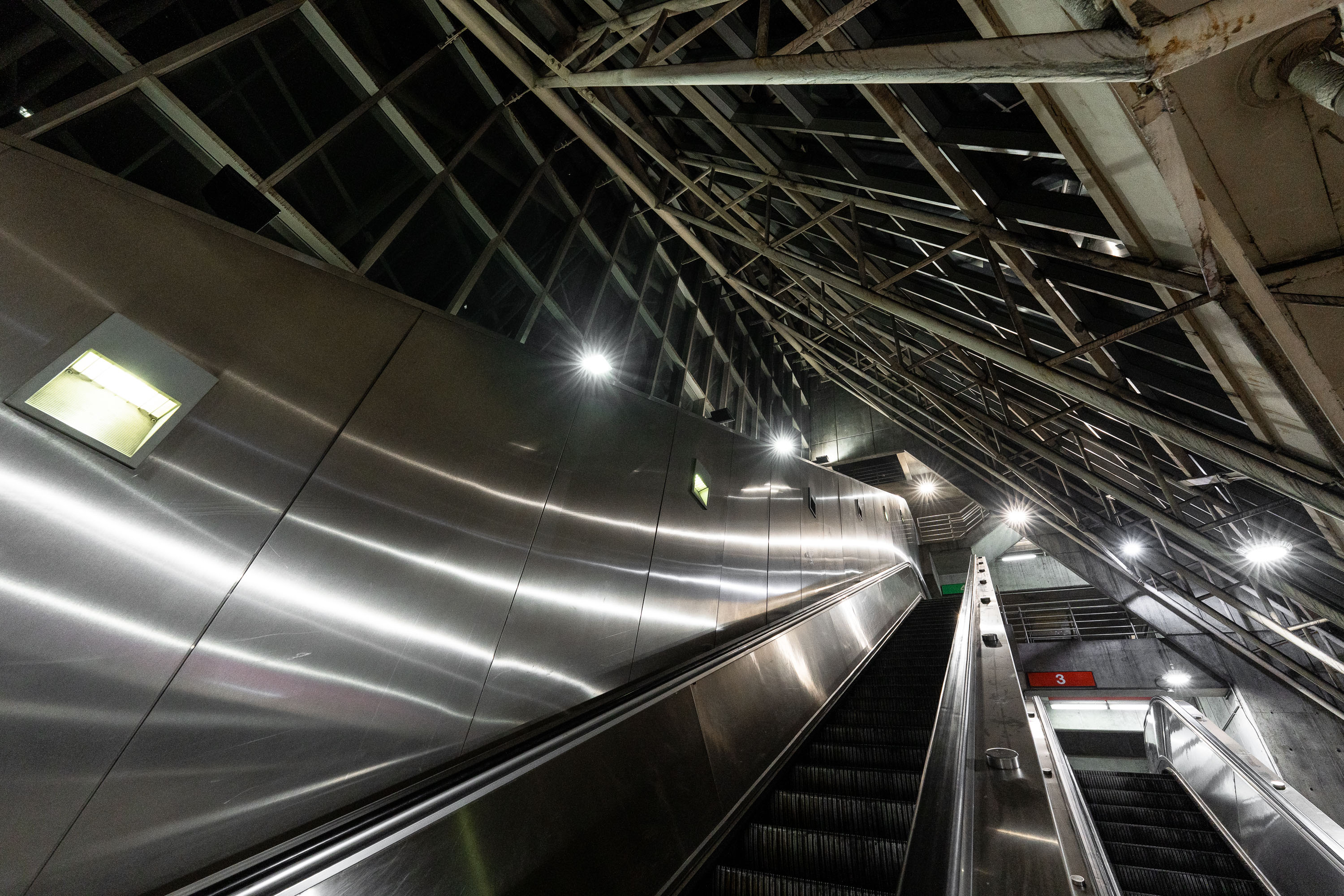
Escalators at MBTA Alewife Station in Cambridge with metal ceiling panels and industrial lighting.
Alewife Station anchors the northern end of the MBTA Red Line, opened in 1985 as the system's newest terminus after a decade of construction through Cambridge's Alewife Brook corridor. The station was designed by the architecture firm Ellenzweig Associates, with a steel-and-glass roof structure meant to bring daylight down to the below-grade platform level. Its attached garage holds roughly 2,700 vehicles, making it one of the largest park-and-ride facilities in the MBTA network. Bus routes serving Arlington, Belmont, and Lexington also converge here, making Alewife a primary transfer point for commuters heading into Boston.

Escalators to the Platform, Alewife Station, Cambridge
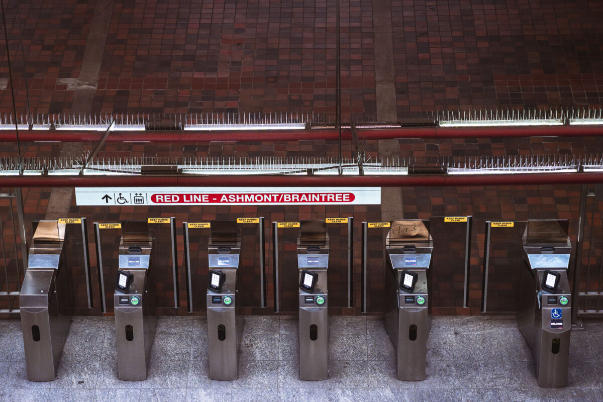
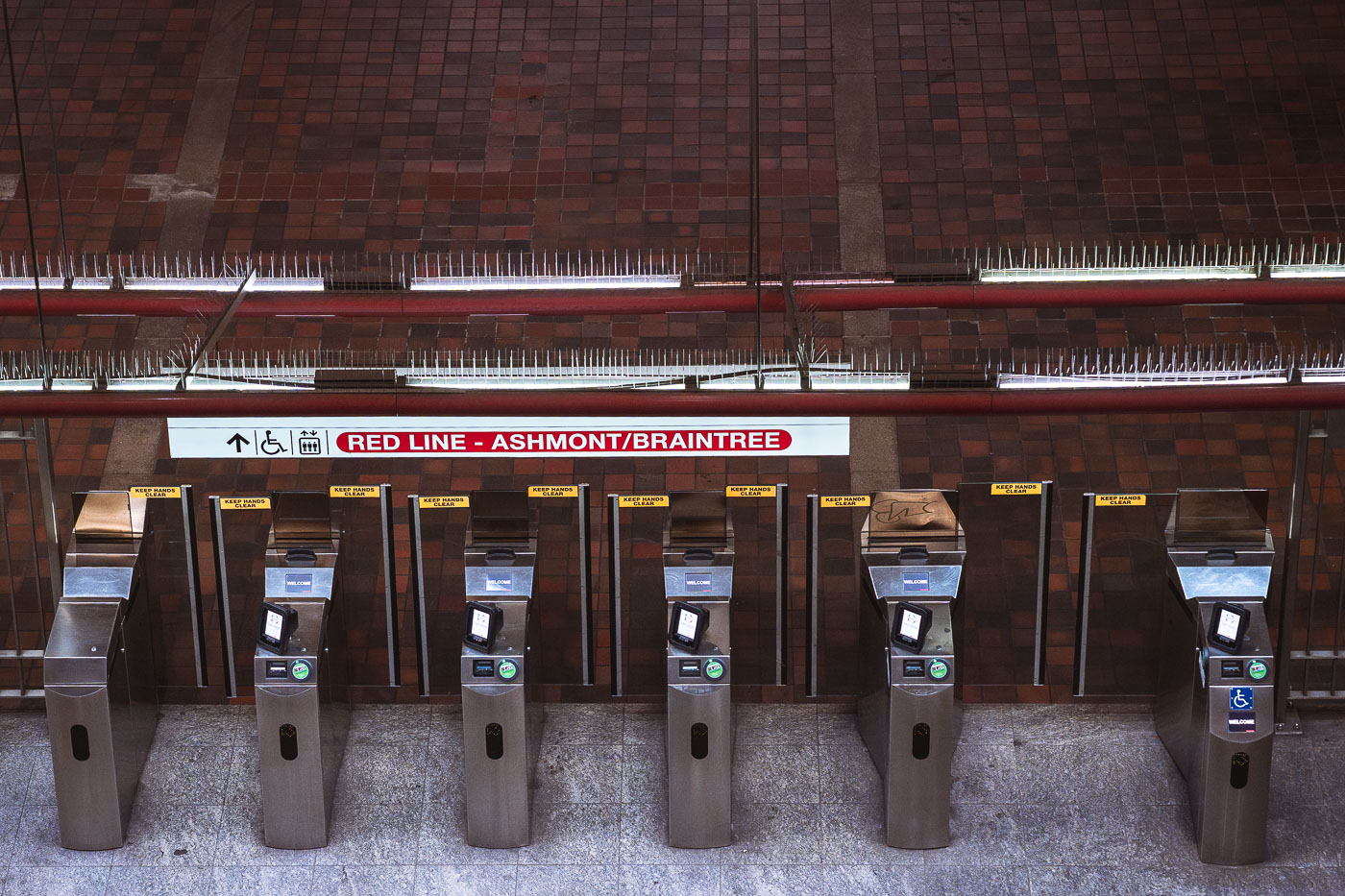
Fare gates at Alewife Station, the northern terminus of Boston's MBTA Red Line.
Alewife Station, at the Red Line's northern terminus in Cambridge, uses fare gates like these to control access to Ashmont- and Braintree-bound service. The station opened in 1985 as the final extension of the Red Line north from Harvard, replacing a temporary terminus at Harvard Square. Alewife serves as a major park-and-ride hub for commuters from northwest of Boston, with an attached garage that is among the largest in the MBTA system. Riders tap CharlieCards or contactless payment at gates like these before continuing to platforms serving both branches of the line.

Fare Gates for the Red Line’s Ashmont/Braintree Branch
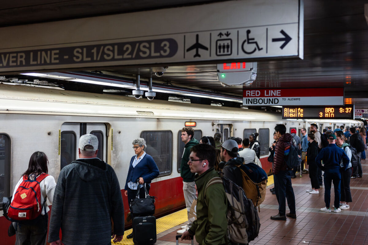
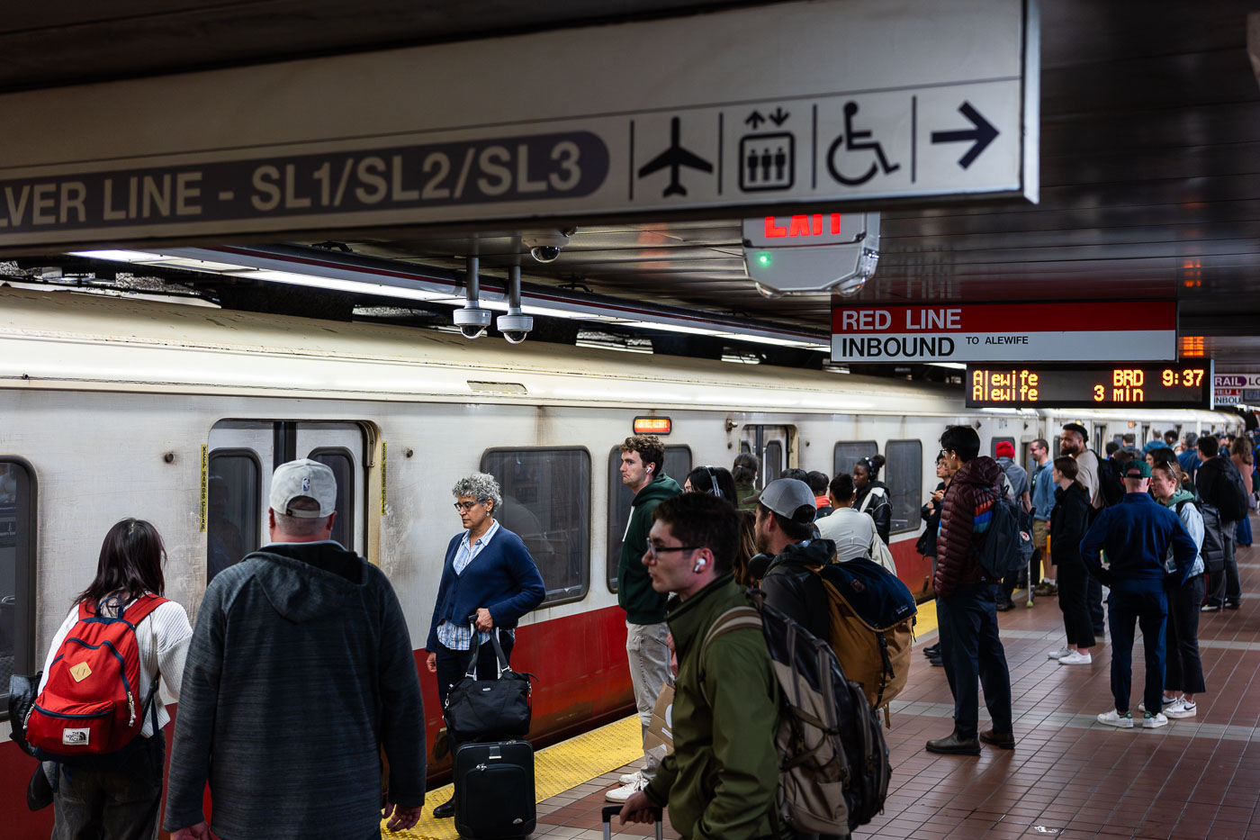
Passengers wait on an MBTA Red Line inbound platform at South Station in Boston.
South Station's Red Line platform sits below the MBTA's largest transit hub, where subway, commuter rail, and intercity Amtrak service converge at Dewey Square. The Red Line here runs inbound toward Alewife in Cambridge, one end of a line that also branches south to Ashmont and Braintree. Overhead signage marks the adjacent Silver Line routes SL1, SL2, and SL3, bus rapid transit services that connect South Station to Logan International Airport and the Seaport District. South Station opened in its current form in 1899 and was rebuilt as a modern multimodal terminal in the 1980s after decades of decline.

MBTA Red Line Platform, South Station, Boston
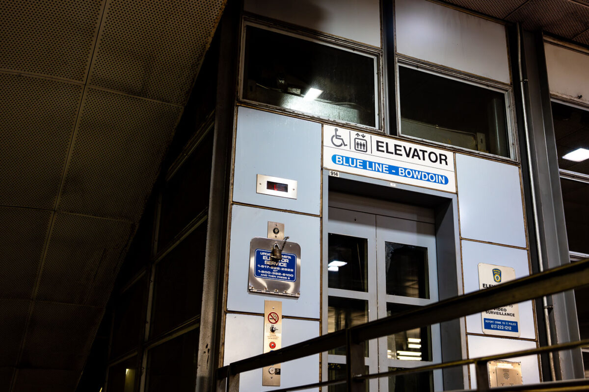
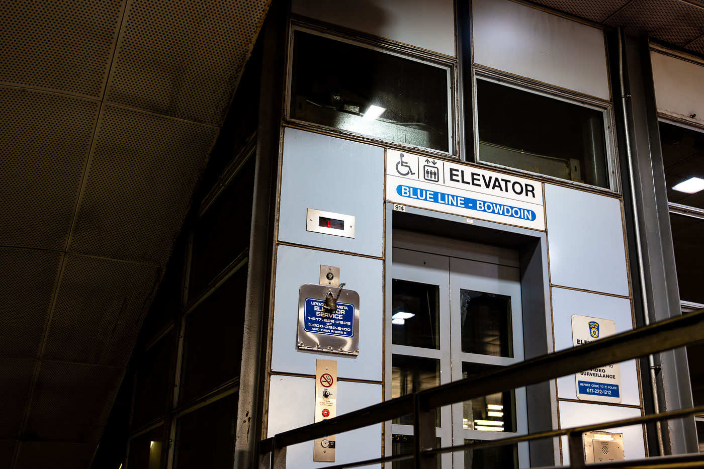
Elevator entrance at Bowdoin Station, the downtown terminal of Boston's MBTA Blue Line.
Bowdoin Station is the western terminus of the MBTA Blue Line, sitting beneath Cambridge Street near the Massachusetts State House. It opened in 1916 as part of the East Boston Tunnel, making it one of the oldest subway stations still in use in the country. Bowdoin operates on limited hours and reduced service compared to other stops, and many Blue Line trains bypass it entirely outside peak periods. The station has only one entrance, at the corner of Bowdoin and Cambridge streets, with no direct connection to other MBTA lines.

Bowdoin Station Elevator Entrance, MBTA Blue Line
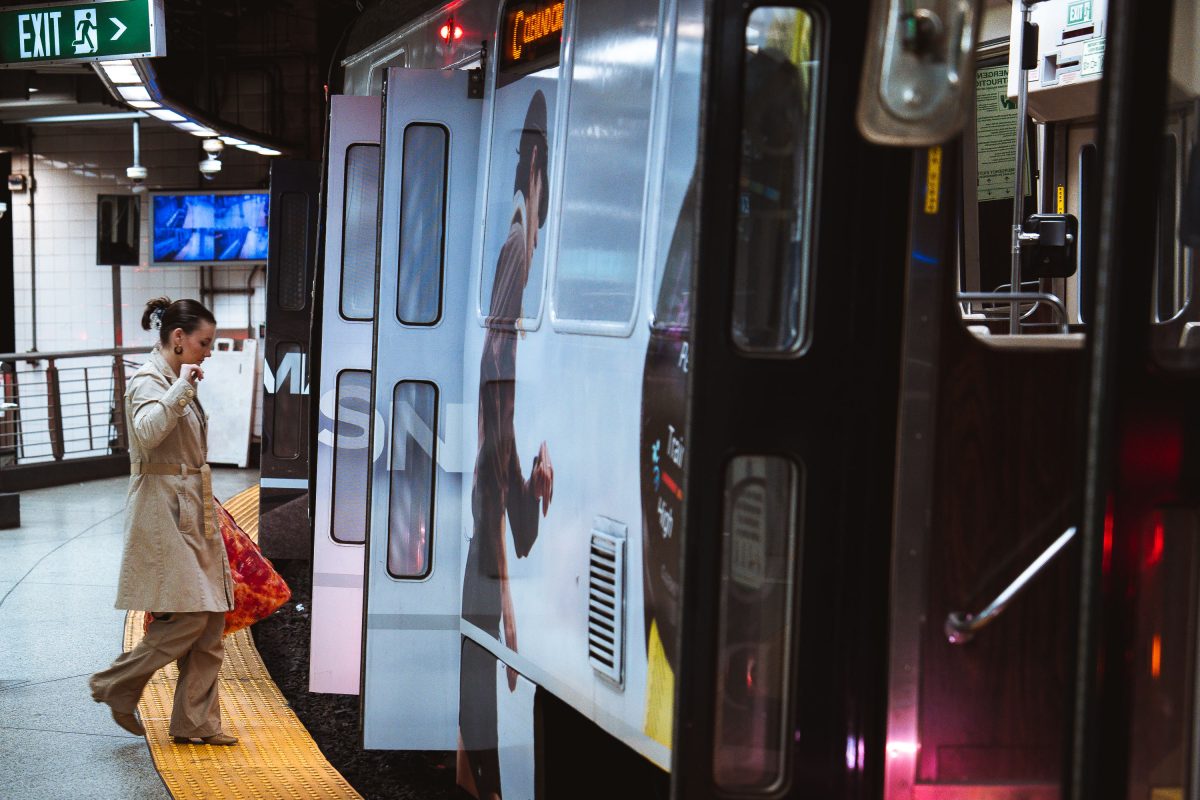
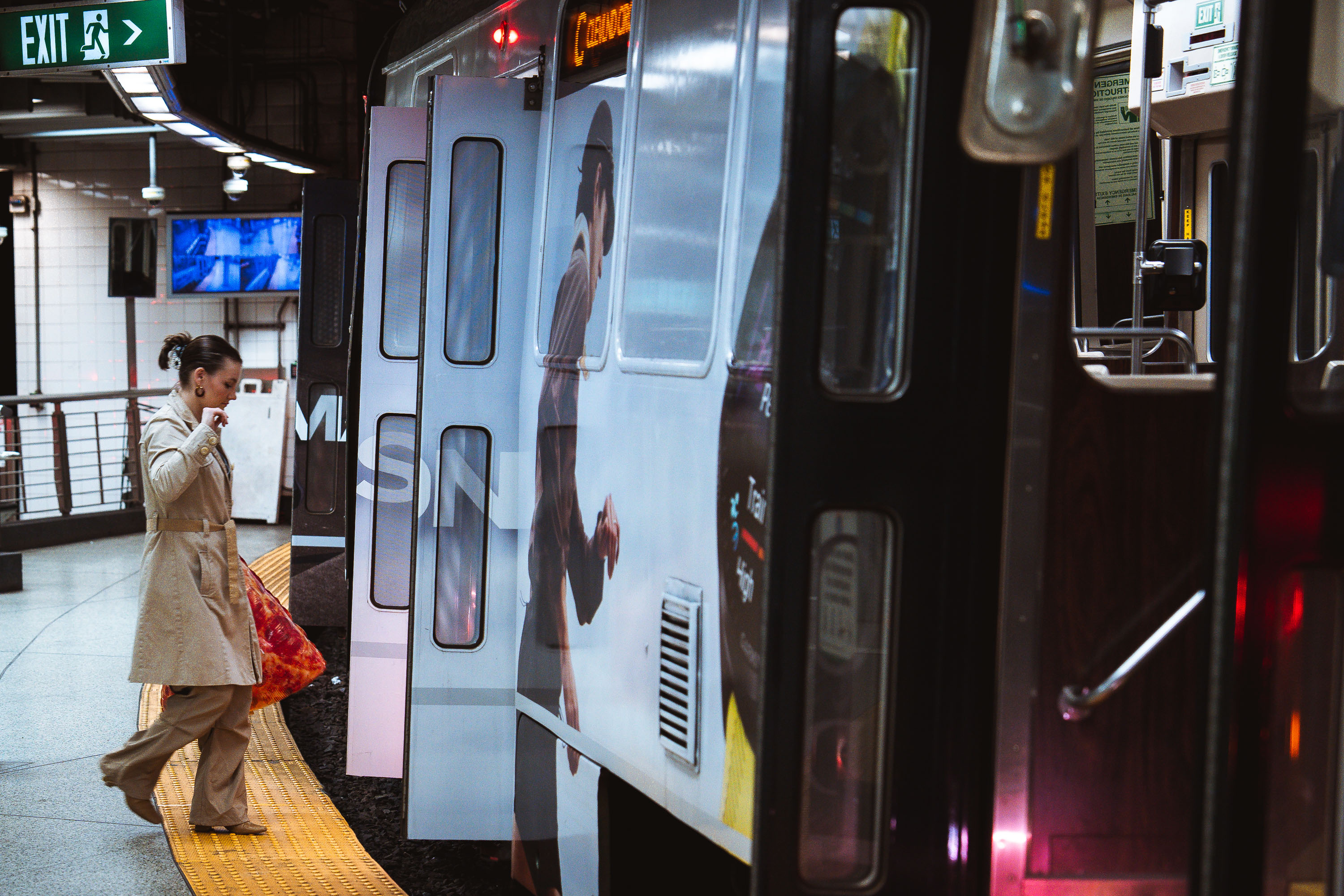
Pizza boarding MBTA Train
A passenger steps onto an MBTA subway train at an underground station in Boston. The Massachusetts Bay Transportation Authority, formed in 1964, operates one of the oldest rapid transit systems in the United States, with roots tracing back to the Boston Elevated Railway and the opening of the Tremont Street Subway in 1897. The high-platform station design, yellow tactile warning strip, and sliding train doors reflect standards adopted to improve accessibility and passenger safety across the system as it expanded and modernized through the late 20th century.

Pizza boarding MBTA Train

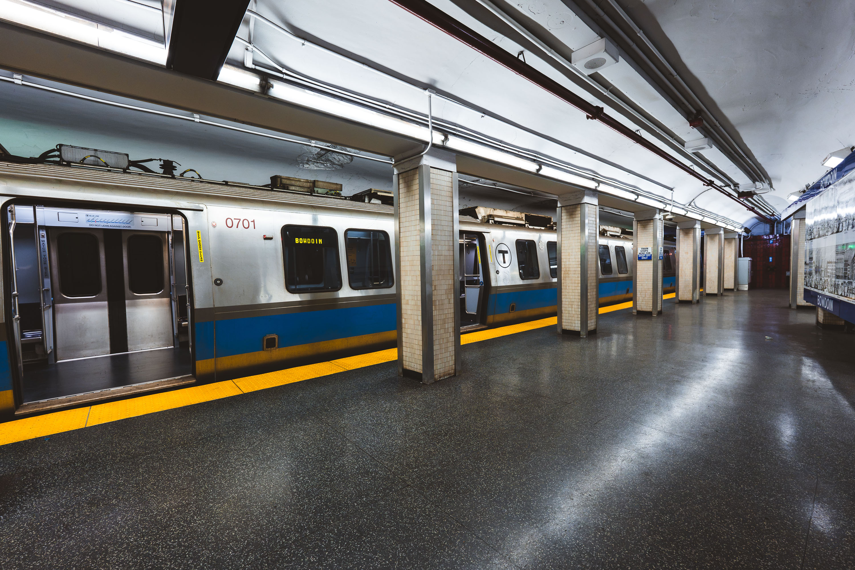
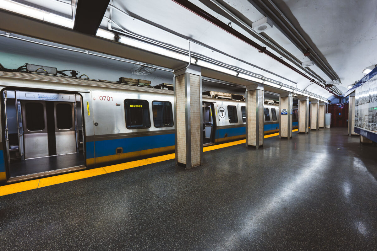
MBTA Blue Line train at Bowdoin Station in Boston, Massachusetts.
Bowdoin station marks the western terminus of the MBTA Blue Line, tucked beneath Cambridge Street near Beacon Hill. It opened in 1916 as part of the original East Boston Tunnel extension and remains one of the system's least-used stations, largely because of its limited hours and short platform, which accommodates only the front three cars of a train. Its proximity to the Massachusetts State House makes it a practical, if lightly used, stop for state employees and visitors to Beacon Hill.

Blue Line Train to Bowdoin, Boston’s Western Terminus
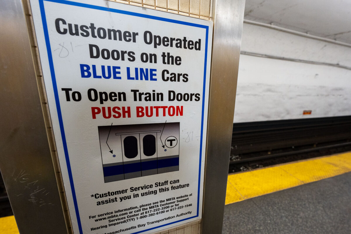
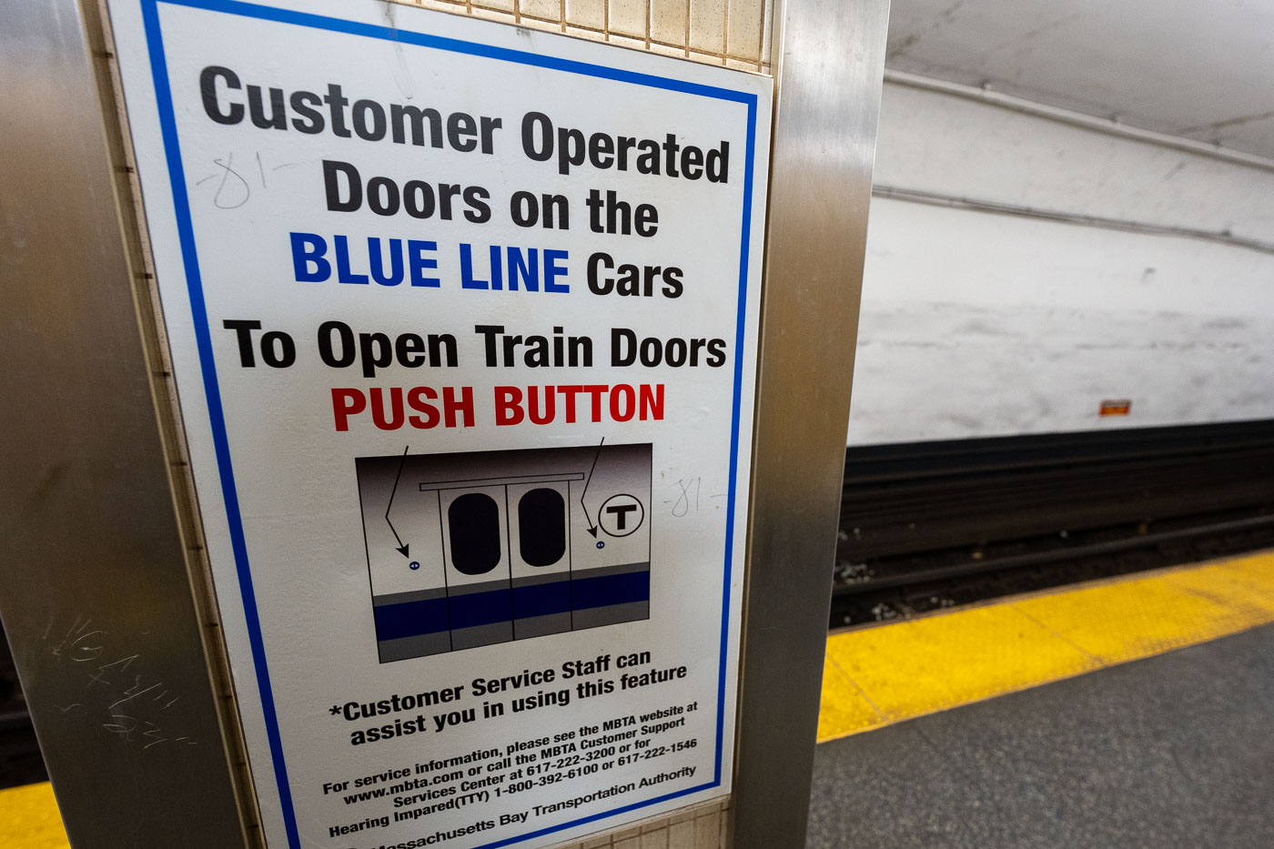
MBTA Blue Line platform sign instructing passengers to push buttons to open customer-operated train doors in Boston.
The MBTA's Blue Line connects downtown Boston at Bowdoin to Wonderland in Revel, running partly underground and partly on elevated track along the Beachmont and Suffolk Downs stretch. Some of its cars require riders to push a button to open the doors rather than opening automatically, a holdover from older rolling stock still in service on the line. The Blue Line is the only MBTA subway line that connects directly to Logan International Airport, via the Airport station. Customer service signage like this is standard across MBTA stations to help riders unfamiliar with manual door releases.

Door-Opening Instructions for Blue Line Cars on the MBTA
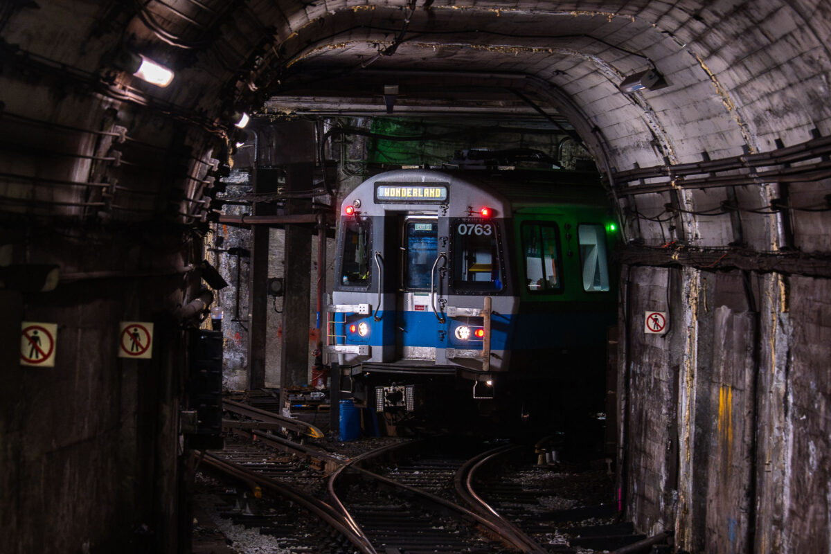
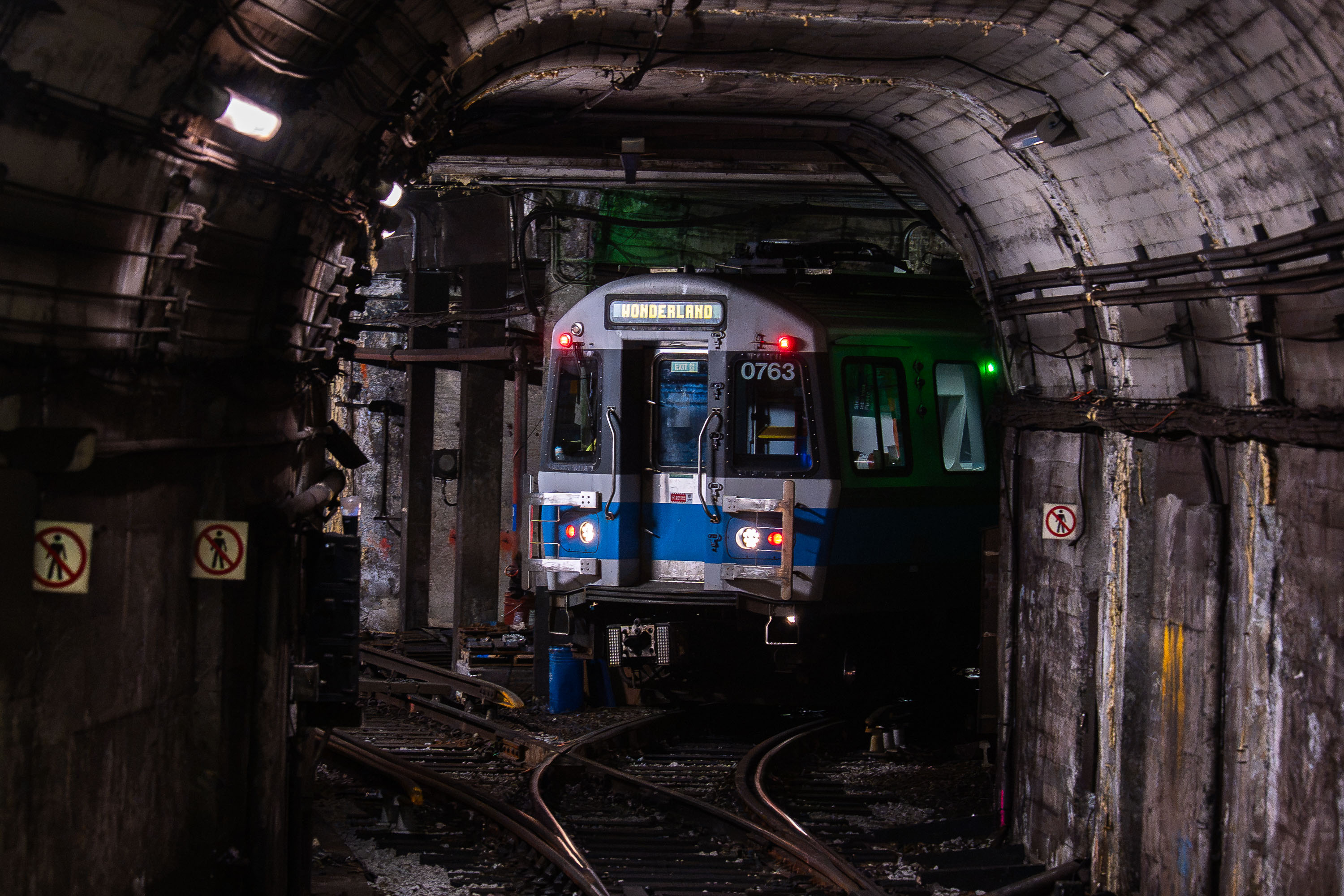
MBTA light rail train 0763 bound for Wonderland stopped in a subway tunnel at Bowdoin Station in Boston.
Bowdoin Station is the western terminus of the MBTA's Blue Line, opened in 1916 as an extension of the original East Boston Tunnel. Its short, curved platform beneath Cambridge Street can only accommodate the front three cars of a train, so only those doors open for passengers. The tunnel it sits in dates to 1904, when it became the first underwater rapid transit tunnel built in the United States. From Bowdoin, the Blue Line runs through downtown Boston, East Boston, and Logan Airport before ending at Wonderland Station in Revere.

Blue Line Train to Wonderland in the Tunnel Near Bowdoin Station
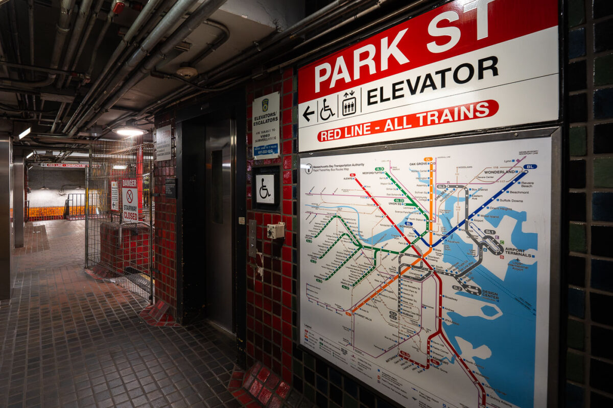
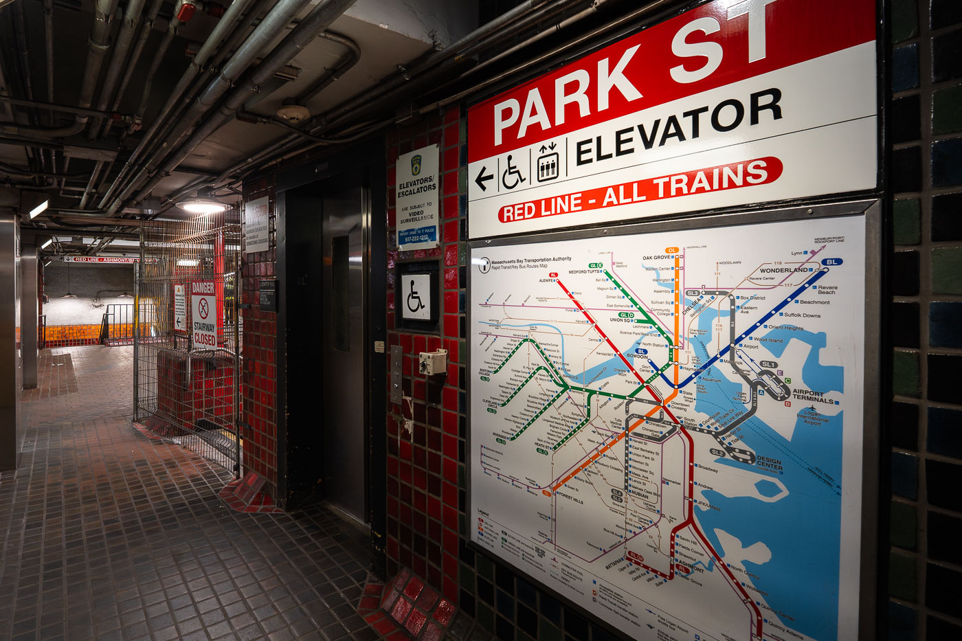
Park Street Station Red Line elevator entrance with transit map showing Boston MBTA train lines.
Park Street Station opened in 1897 as part of the Tremont Street Subway, the first subway system built in the United States. Today it serves as a transfer point between the Red Line and the Green Line, with connections to buses throughout downtown Boston. The station sits beneath Boston Common and Park Street, at the edge of the city's historic Freedom Trail. An elevator connects street level to the Red Line platforms, part of accessibility upgrades made to the station over the past several decades.

Elevator and Transit Map at Park Street Station, Boston
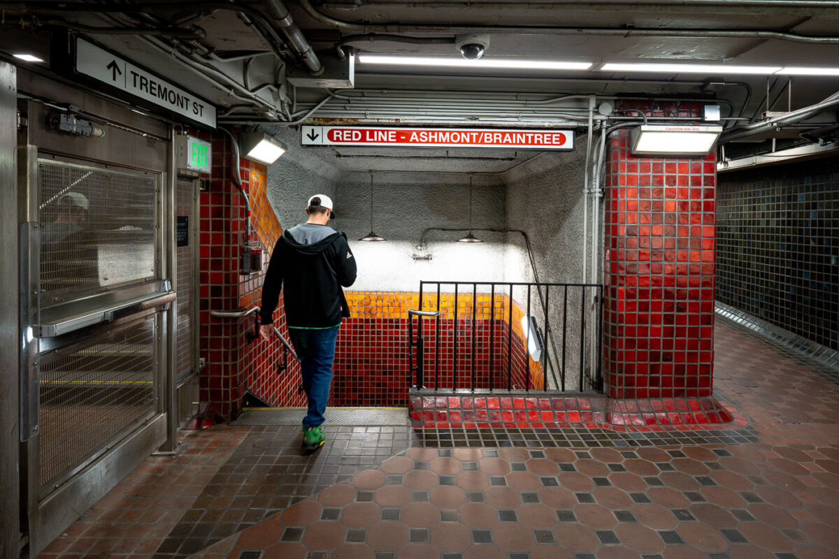
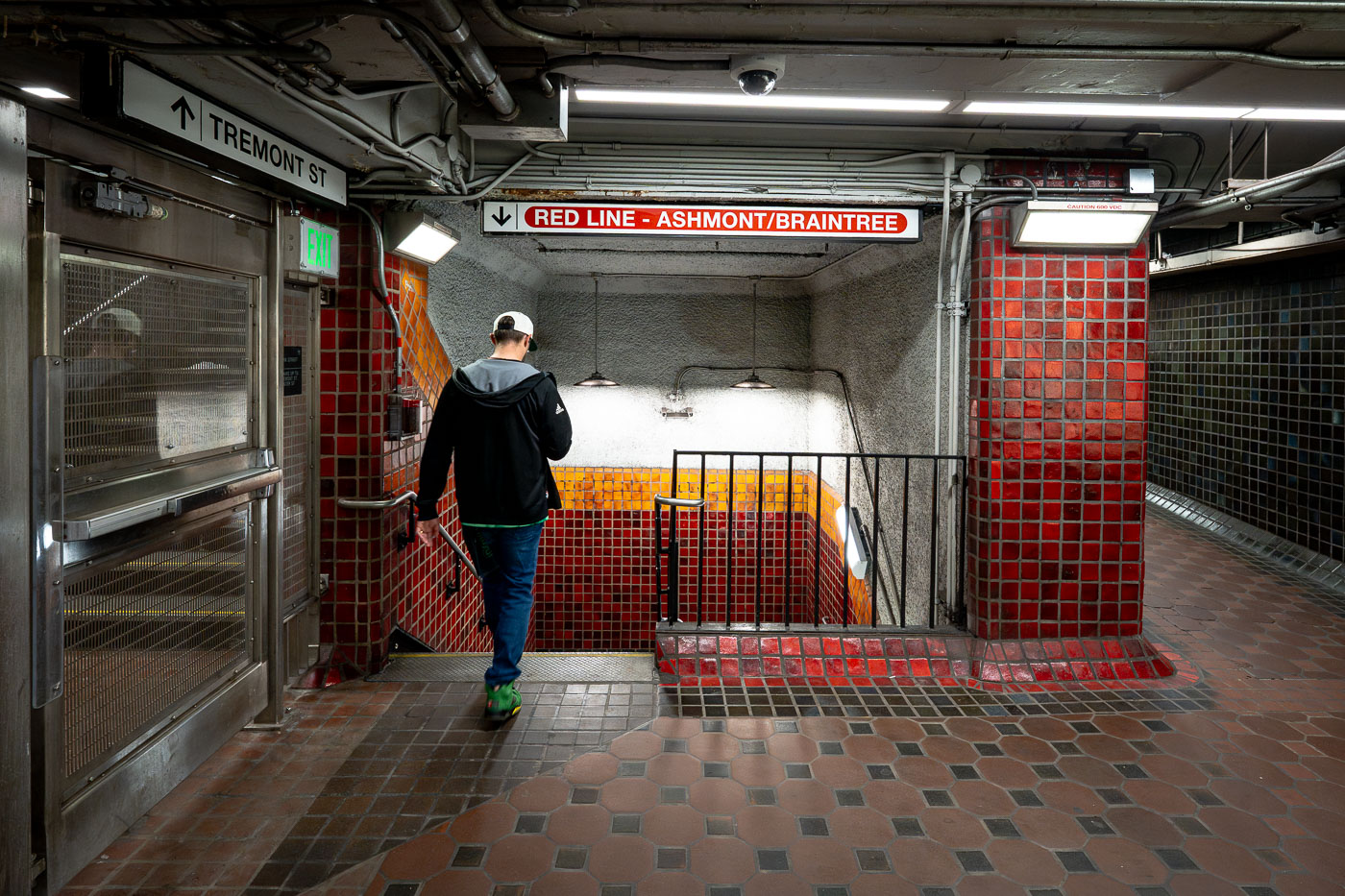
Runner descends stairs at Park Street Station on Boston's MBTA Red Line.
Park Street Station sits beneath Boston Common at the junction of Tremont and Winter streets, where riders can transfer between the Red Line and Green Line. It opened in September 1897 as part of the Tremont Street Subway, the first subway system built in the United States. The station's red and gold tile work marks the Red Line side, a color scheme the MBTA has used system-wide to help riders navigate since the lines were named in the 1960s. Park Street remains one of the busiest stations in the network and is listed on the National Register of Historic Places.

Descending to the Red Line at Park Street Station
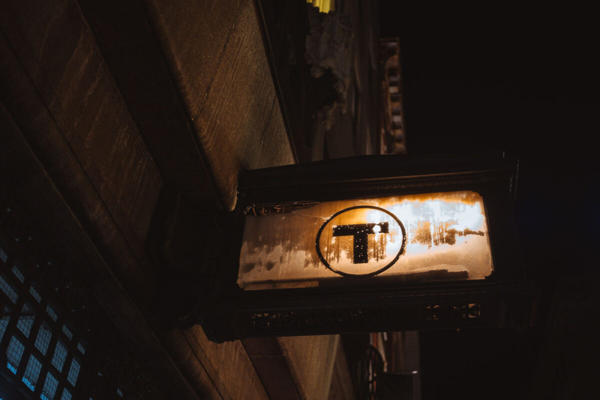
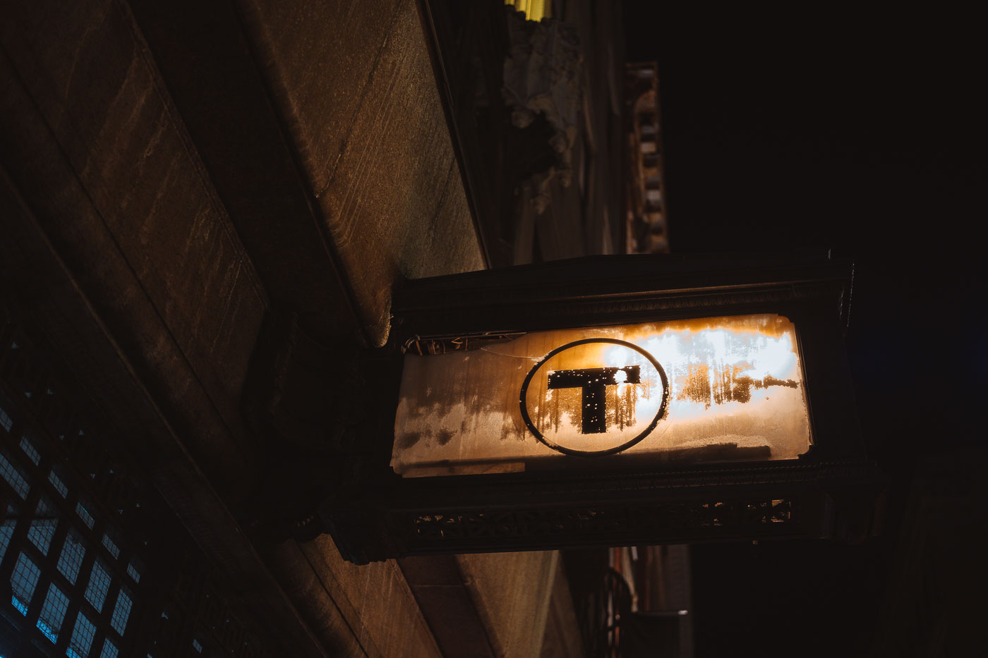
Illuminated MBTA transit sign with black "T" logo hanging beneath a Boston building overhang at night.
The black "T" inside a circle is the standard symbol of the Massachusetts Bay Transportation Authority, marking entrances to Boston's subway system. The MBTA introduced the roundel in the 1960s, and it has since become a shorthand for the subway itself, with Bostonians commonly referring to the system simply as "the T." The agency operates four subway lines — Red, Orange, Blue, and Green — along with bus, commuter rail, and ferry service across the greater Boston area.

An MBTA “T” Sign Marks a Boston Subway Entrance
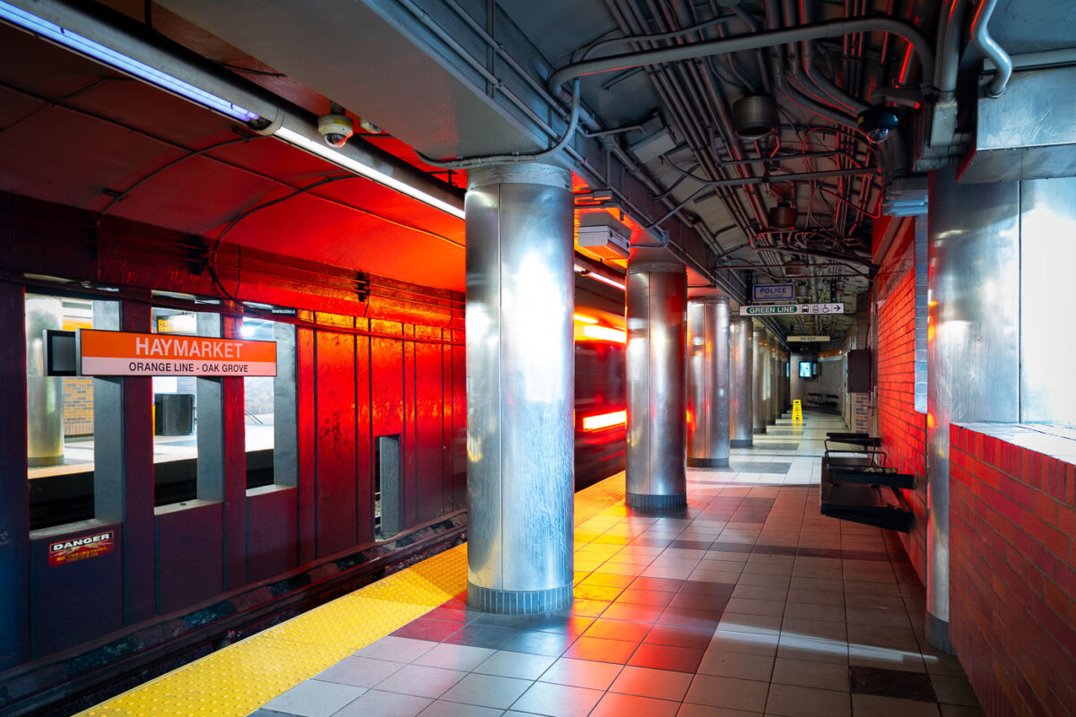
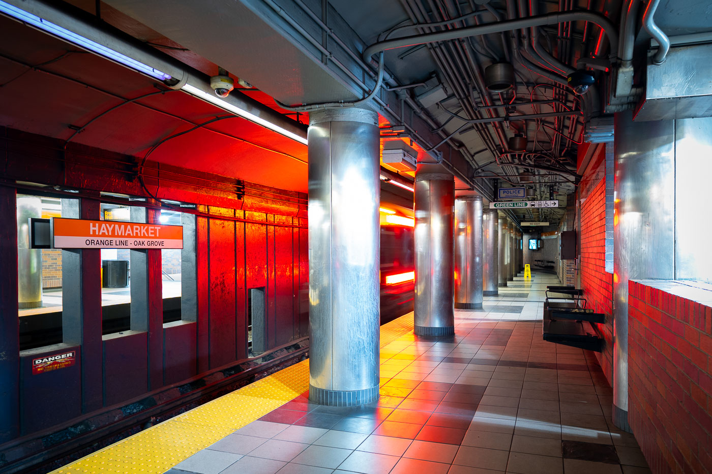
Haymarket Station Orange Line platform in Boston with overhead transit signage.
Haymarket Station on the MBTA Orange Line in downtown Boston. The underground station serves the Haymarket district and provides connections to the Green Line and nearby North End and Government Center transit access. Opened in 1971, it replaced earlier elevated Orange Line service through the area.

Orange Line Train Arrives at Haymarket Station
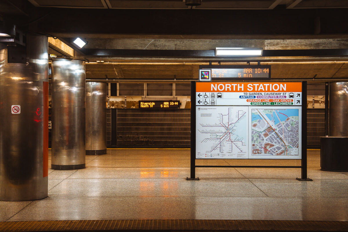
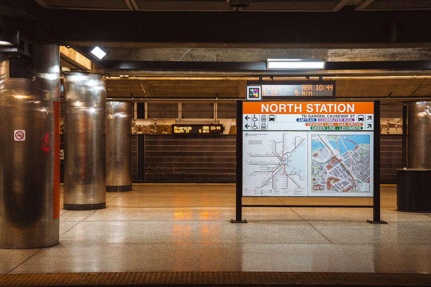
North Station MBTA transit hub in Boston displays an orange directional sign with transit map and service information.
North Station sits beneath TD Garden in Boston's West End, serving as a terminus for the MBTA Orange Line and Green Line as well as Amtrak and MBTA Commuter Rail service. The Green Line ends here at Lechmere, while the Orange Line continues north to Oak Grove. Commuter rail lines from North Station run to Newburyport, Rockport, Haverhill, Lowell, Fitchburg, and other points north and west of the city. The station was rebuilt in the 1990s as part of the Central Artery project, which relocated it next to the new TD Garden after the original Boston Garden was demolished.

Wayfinding Sign on the Platform at North Station
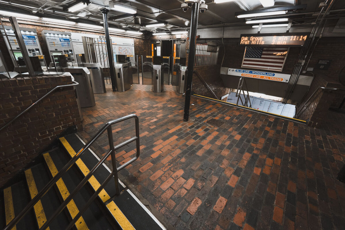
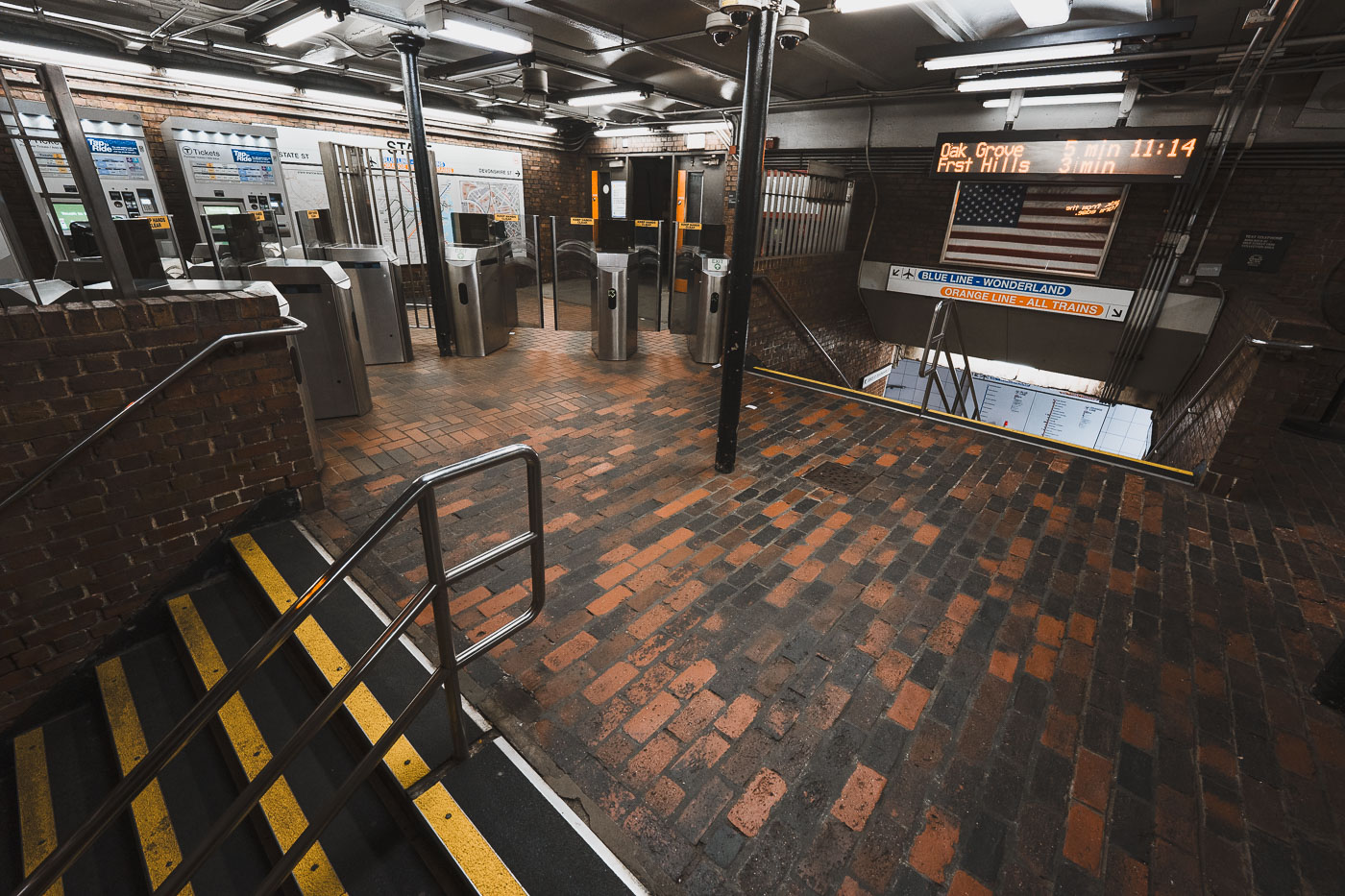
State Street Station fare gates on the MBTA Orange Line in downtown Boston, Massachusetts.
State Street Station sits beneath Boston's Financial District, where the MBTA's Orange and Blue Lines cross paths. Riders can transfer between the two lines here without paying an additional fare, one of only a handful of free interchange points in the subway system. The station's Orange Line platforms opened in 1904 as part of the original Main Line Elevated, while the Blue Line connection followed in 1916. It remains one of downtown Boston's busiest transfer points, linking commuters to nearby Faneuil Hall and the Custom House district above.

Fare Gates at State Street Station, Boston
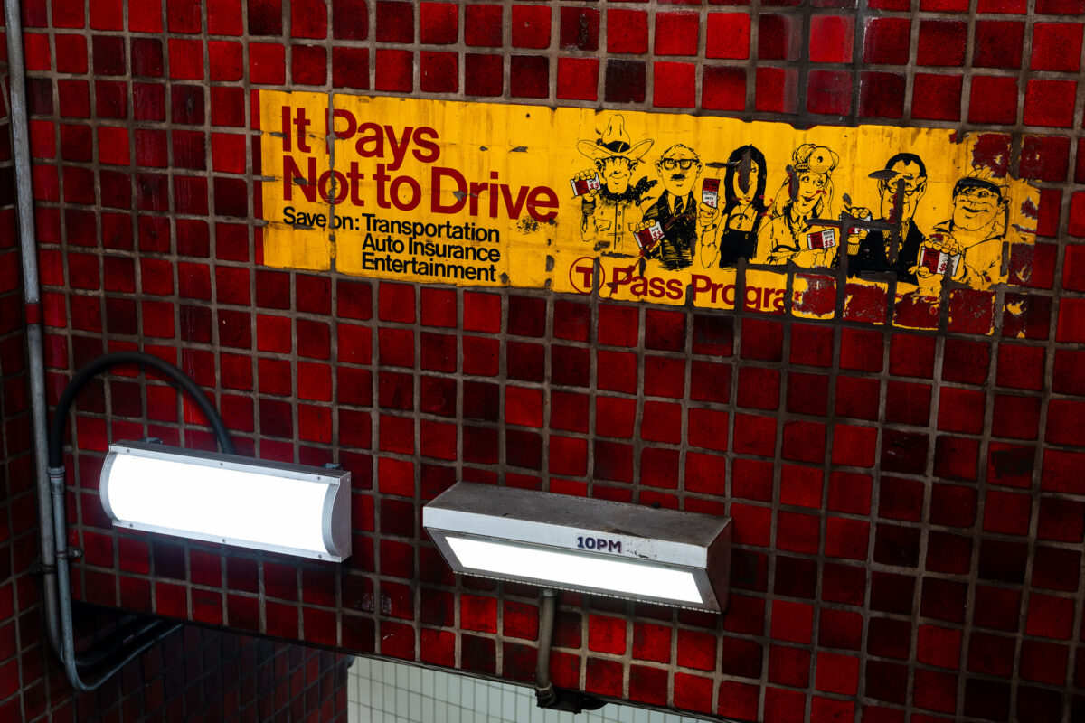
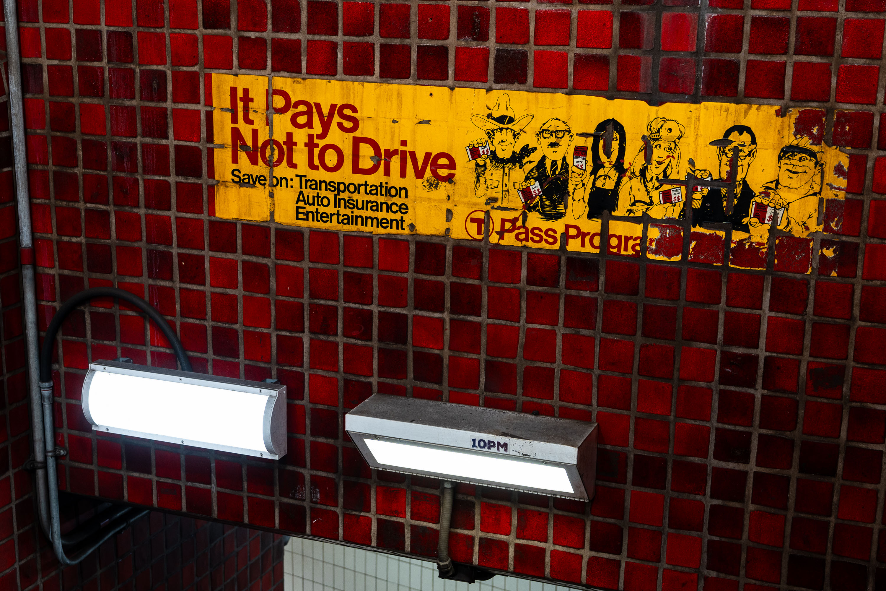
Vintage "It Pays Not to Drive" T Pass Program advertisement on red tile wall in Boston MBTA subway station.
The "It Pays Not to Drive" ad is a vintage T Pass Program advertisement preserved on the tile wall at Park Street Station. It promoted the MBTA's discounted pass program by pitching savings on transportation, auto insurance, and entertainment for riders who left their cars at home. Park Street Station opened in 1897 as part of the country's first subway system, and its red-tile walls still carry advertising relics like this one from past decades of MBTA marketing.

“It Pays Not to Drive” Ad at Park Street Station
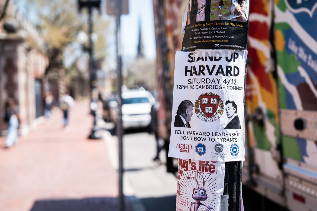
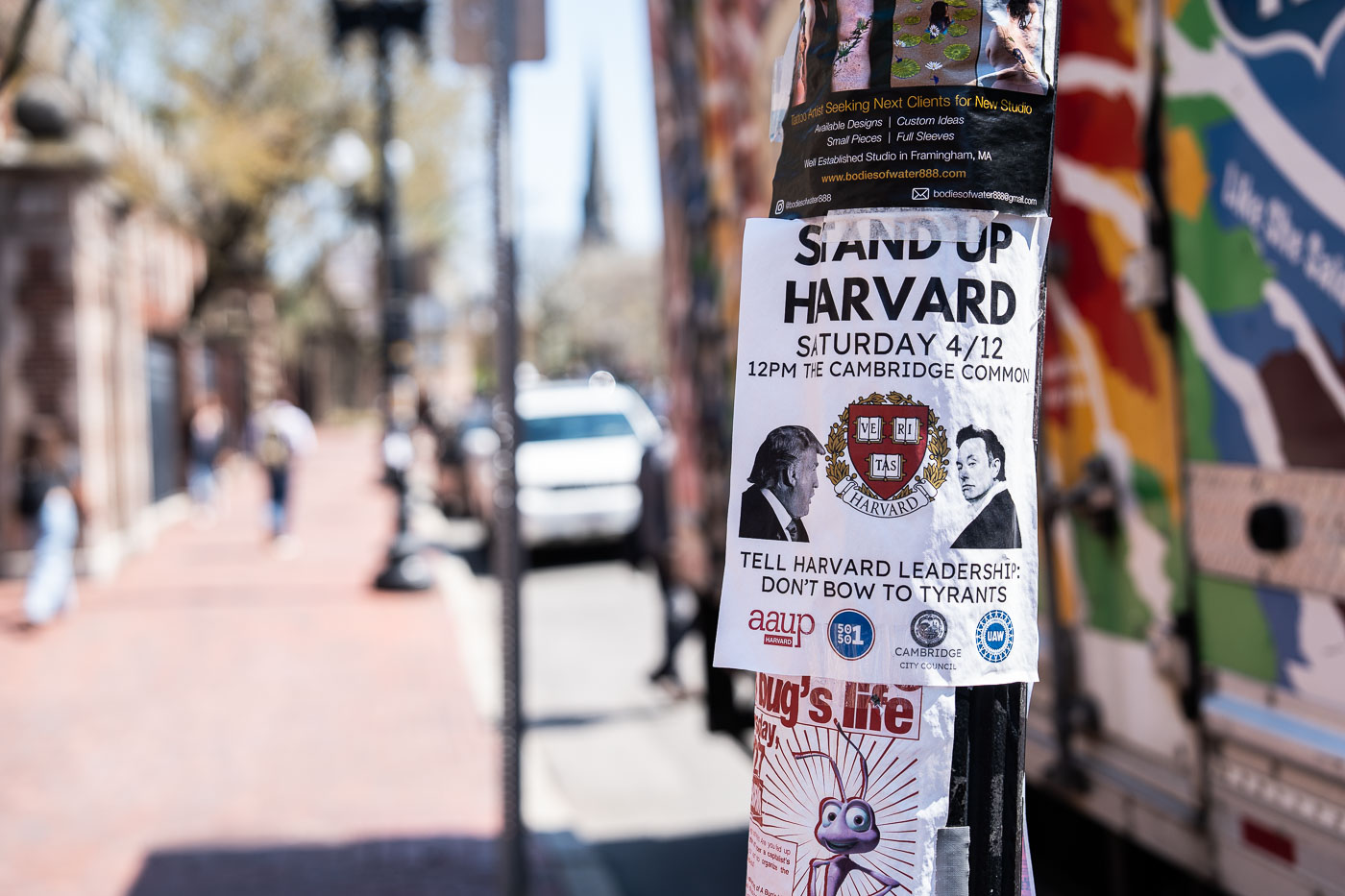
Protest flyer on a pole near Harvard Square calling for a rally against tyrants at Cambridge Common on April 12.
A flyer taped to a utility pole on Massachusetts Avenue announces a "Stand Up Harvard" rally set for Saturday, April 12, at noon on the Cambridge Common. The text urges Harvard University leadership to "not bow to tyrants" and carries the university's Veritas shield alongside caricatures of Donald Trump and Elon Musk. Logos for the American Association of University Professors, UNITE HERE Local 26, and the Cambridge City Council appear at the bottom, joint sponsorship of the event.

“Stand Up Harvard” Rally Flyer Near Harvard Square
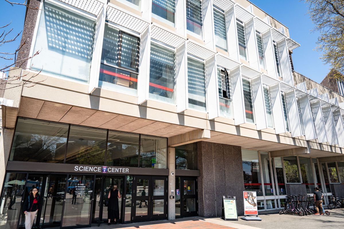
Harvard Science Center entrance in Cambridge, Massachusetts, featuring modernist architecture with white-framed windows.
The Harvard Science Center opened in 1973 at 1 Oxford Street in Cambridge, Massachusetts, designed by architect Josep Lluís Sert, former dean of the Harvard Graduate School of Design. Funding came partly from a gift by Edwin Land, founder of Polaroid, and the building's stepped massing is often described as referencing a camera. The center houses the Cabot Science Library, lecture halls, and departments including mathematics and the history of science, along with the Collection of Historical Scientific Instruments. It remains one of the largest buildings on Harvard's campus and serves as a hub for undergraduate science education.

Entrance to the Harvard Science Center on Oxford Street
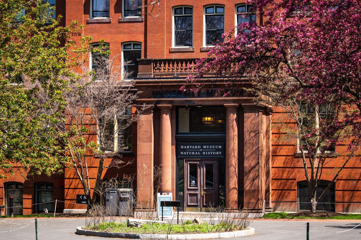
Harvard Museum of Natural History entrance with red brick facade and spring flowering vines in Cambridge.
The Harvard Museum of Natural History occupies the north wing of a brick building erected in 1859 for Harvard's Museum of Comparative Zoology on Oxford Street in Cambridge, Massachusetts. It opened to the public under its current name in 1998, bringing together collections from the university's zoology, botany, and mineralogy museums under one roof. The museum is best known for the Blaschka Glass Flowers, more than 4,000 glass models of plants crafted between 1887 and 1936 by the German father-and-son artisans Leopold and Rudolf Blaschka. Its collections also include the zoological specimens and mineral holdings inherited from Harvard's 19th-century natural history museums.

Harvard Museum of Natural History’s Entrance on Oxford Street
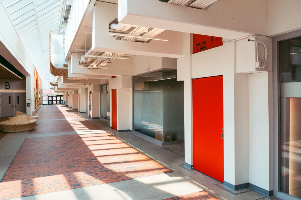
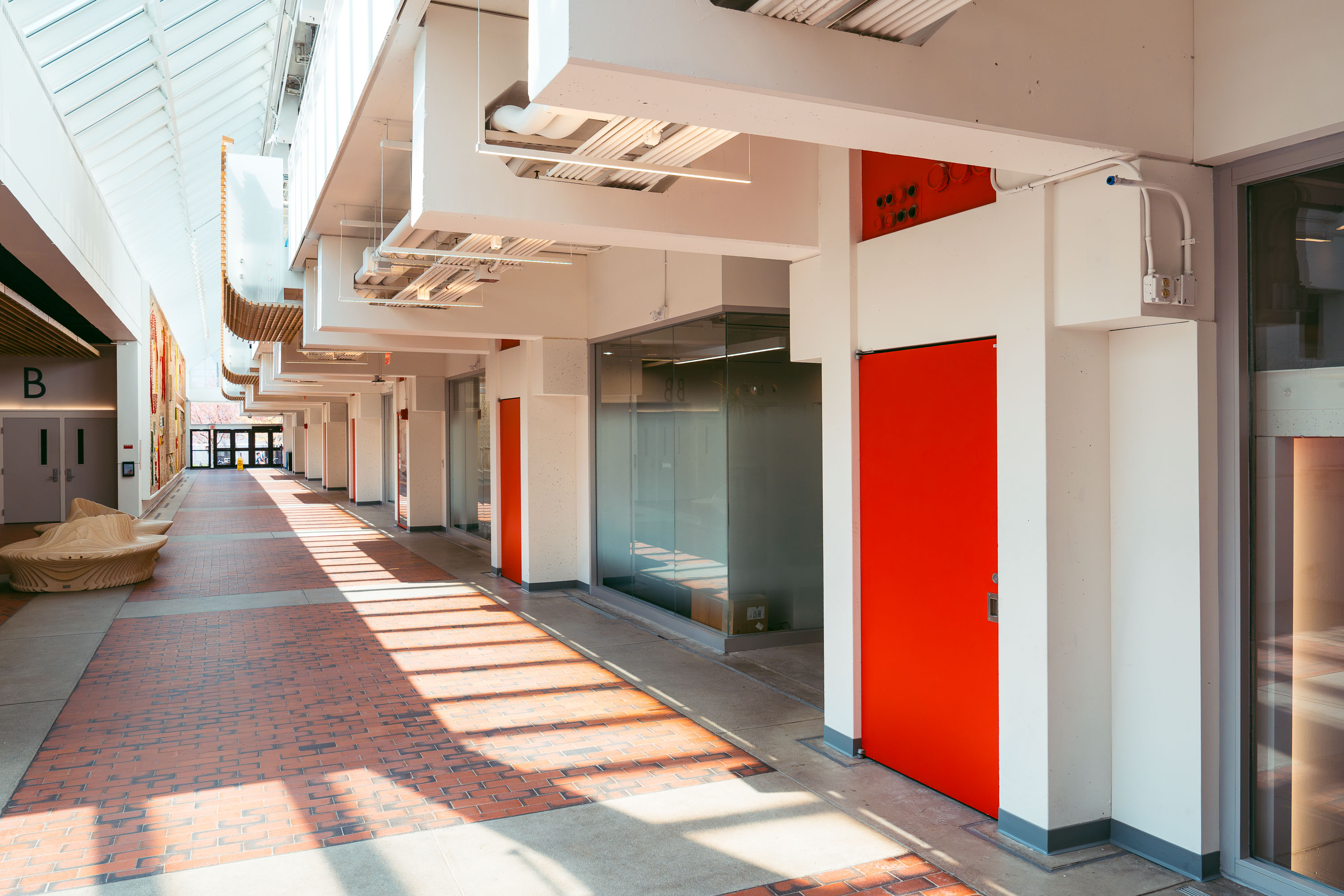
Interior hallway of Harvard Science Center in Cambridge with red doors and skylights.
The Harvard Science Center opened in 1972 on Oxford Street, designed by Catalan architect Josep Lluís Sert, who also served as dean of the Harvard Graduate School of Design. Funding came in part from Polaroid founder Edwin Land, and the building's tiered massing is often said to echo a camera resting on a tripod. It houses Harvard's Mathematics and Statistics departments along with the Collection of Historical Scientific Instruments and a public cafe. At roughly 300,000 square feet, it remains one of the largest classroom and laboratory buildings on Harvard's Cambridge campus.

A Corridor Inside the Harvard Science Center
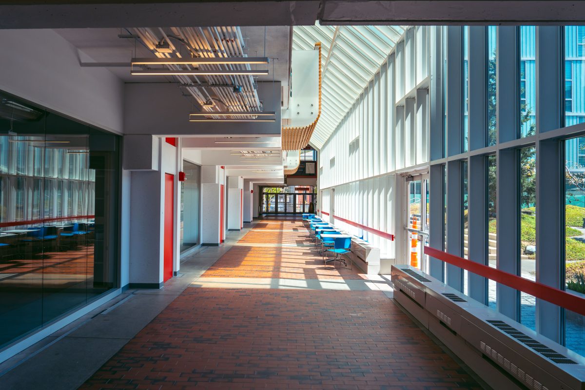
Harvard Science Center corridor in Cambridge with red doors, skylights, and modernist white-framed windows.
The Harvard Science Center, completed in 1973, was designed by architect José Luis Sert and funded largely through a gift from Polaroid founder Edwin Land. At more than 300,000 square feet, it ranks among the largest buildings on Harvard's Cambridge campus. The complex houses lecture halls, the Cabot Science Library, and the Putnam Gallery, which displays historical scientific instruments from Harvard's collections. Sert designed the building's tiered massing to evoke a stack of cameras, part of his broader effort to reshape Harvard's campus during the postwar era.

Ground-Floor Corridor at the Harvard Science Center

Harvard University protest poster on a pole in Cambridge, Massachusetts.
Harvard University, Cambridge, Massachusetts. A poster wheat-pasted to a utility pole features a man in tactical gear with the message, “Be strong, take action. Don’t let these bastards win.” The poster references opposition to Immigration and Customs Enforcement.

Harvard University ICE Protest Poster
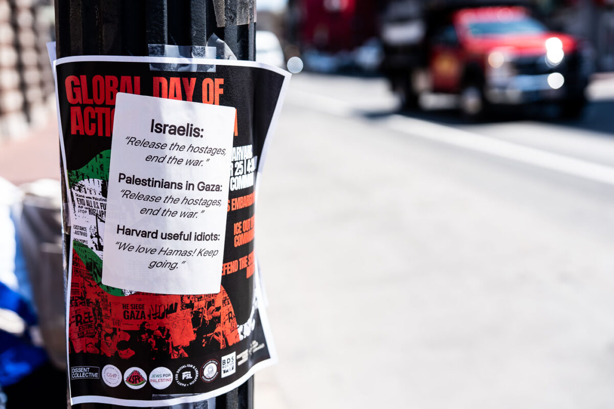
Harvard Square protest flyers on a street pole in Cambridge, Massachusetts.
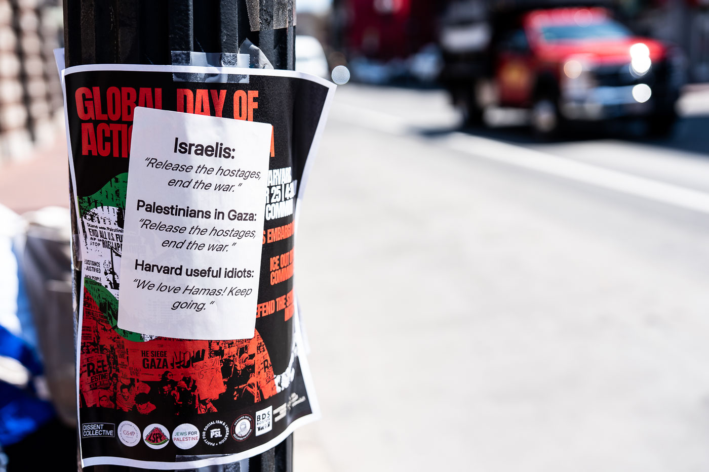
Harvard Square, Cambridge, Massachusetts. Flyers on a street pole advertise a “Global Day of Action” related to Gaza and include a pasted response sheet. The layered notices address the Israel-Hamas war and the conflict’s visibility around Harvard University.

Harvard Square protest flyers on a street pole
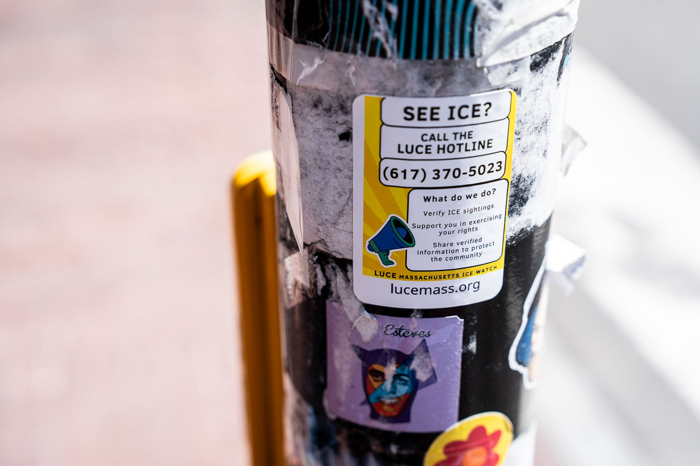
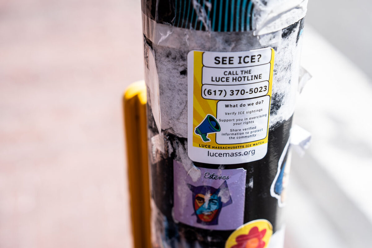
LUCE Massachusetts ICE Watch sticker on a pole at Harvard with hotline number 617-370-5023.
LUCE Massachusetts ICE Watch sticker on a utility pole at Harvard. The sticker directs people to call the LUCE hotline at 617-370-5023 to report and verify ICE sightings.

LUCE Massachusetts ICE Watch Sticker, Harvard
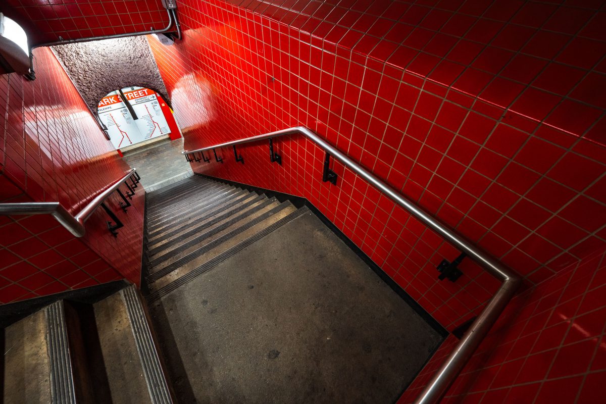
Park Street Station stairwell in Boston's MBTA system features distinctive red tile walls and metal handrails.
Park Street Station opened on September 1, 1897, as part of the Tremont Street Subway, making it the oldest operating subway station in the United States. Built beneath Boston Common, it now functions as the MBTA's main transfer point between the Red and Green Lines. The red tile work seen throughout the station dates to a 1970s renovation, which replaced the original cream-colored finishes installed by the Boston Transit Commission. It remains one of the system's busiest stations, handling tens of thousands of riders daily.

Red-Tiled Stairwell at Park Street Station
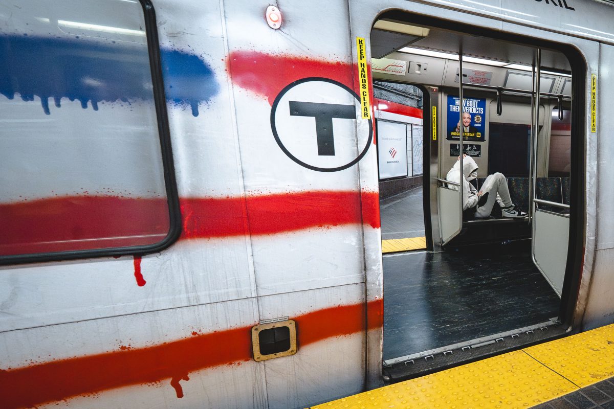
Vandalized MBTA Red Line train at Park Street Station in Boston with graffiti covering the exterior.
Park Street Station opened in 1897 as one of four original stops on the country's first subway tunnel and now serves as the transfer point between the Red and Green Lines. The Red Line itself runs about 22.5 miles from Alewife in Cambridge to the twin terminals at Ashmont and Braintree, making it the longest line in the MBTA system. Its cars, built by Bombardier and later replaced by CRRC, carry roughly 240,000 riders a day in normal years, more than any other MBTA line.

Paint-Streaked Red Line Train at Park Street Station
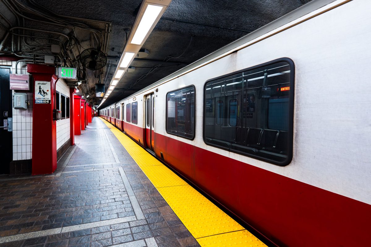
MBTA Red Line train stopped at Park Street Station platform in Boston.
Park Street Station opened in 1897 as part of the Tremont Street Subway, the first subway system built in the United States. It sits beneath Boston Common and serves as the transfer point between the MBTA's Red and Green Lines. The station's twin platforms handle tens of thousands of riders daily, linking downtown Boston to Cambridge, Dorchester, and points south. The Tremont Street Subway, including Park Street Station, is listed on the National Register of Historic Places and designated a National Historic Civil .

A Red Line Train Waits at Park Street Station
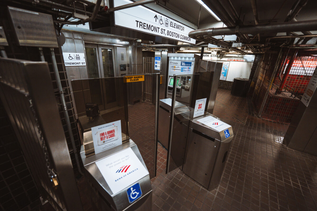
Fare gates and ticket machines at Park Street Station on Boston's MBTA Red and Green Lines.
Park Street opened in September 1897 as part of the Tremont Street Subway, the first subway tunnel built in the United States. The station sits beneath Boston Common and serves as a transfer point between the Green Line and Red Line, making it one of the busiest stops in the MBTA system. Its Tremont Street entrance leads directly to the Common and connects to nearby Park Street Church and the Massachusetts State House. The station is listed on the National Register of Historic Places as part of the Tremont Street Subway's original tunnel system.

Fare Gates at Park Street Station Near Boston Common
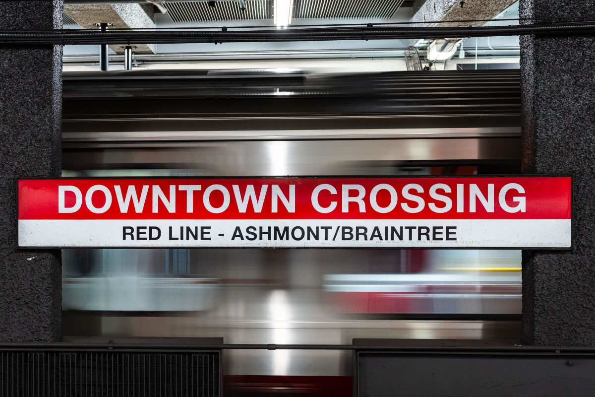
Downtown Crossing Red Line platform sign for Ashmont/Braintree branch at Boston's MBTA station.
Downtown Crossing is a key transfer point on the MBTA's Red Line, linking Ashmont and Braintree branch trains to destinations south of the city. The station opened in 1908 as Winter Street on the old Tremont Street subway, then took its current name in 1975 to reflect the shopping district above, once anchored by Filene's and Jordan Marsh. It also connects to the Orange Line, making it one of the busiest interchange points in the MBTA system.

Downtown Crossing’s Red Line Sign for Ashmont and Braintree

Built in Minneapolis

Minneapolis Photographer

Browse by location, move through long-running series, or start with recent work.