Place Archive

Boston

Boston is a seaport city and the capital of Massachusetts, with a working harbor that has anchored its economy since the colonial period. The South End developed as a dense residential district in the late nineteenth century, its long blocks of attached masonry rowhouses built to house a growing population as the city expanded beyond its original peninsula. The Boston Marathon, organized by the Boston Athletic Association and sponsored by Bank of America as part of the Abbott World Marathon Majors series, draws runners from around the world and integrates itself into the city’s transit system and public spaces in the weeks surrounding race day. U.S. Coast Guard vessels continue to operate out of Boston Harbor, maintaining maritime security across one of the Northeast’s major commercial ports.

2 photo sets 52 photos

Photo Sets

Markers

Boston Photo Locations

45 geotagged photos

Photos
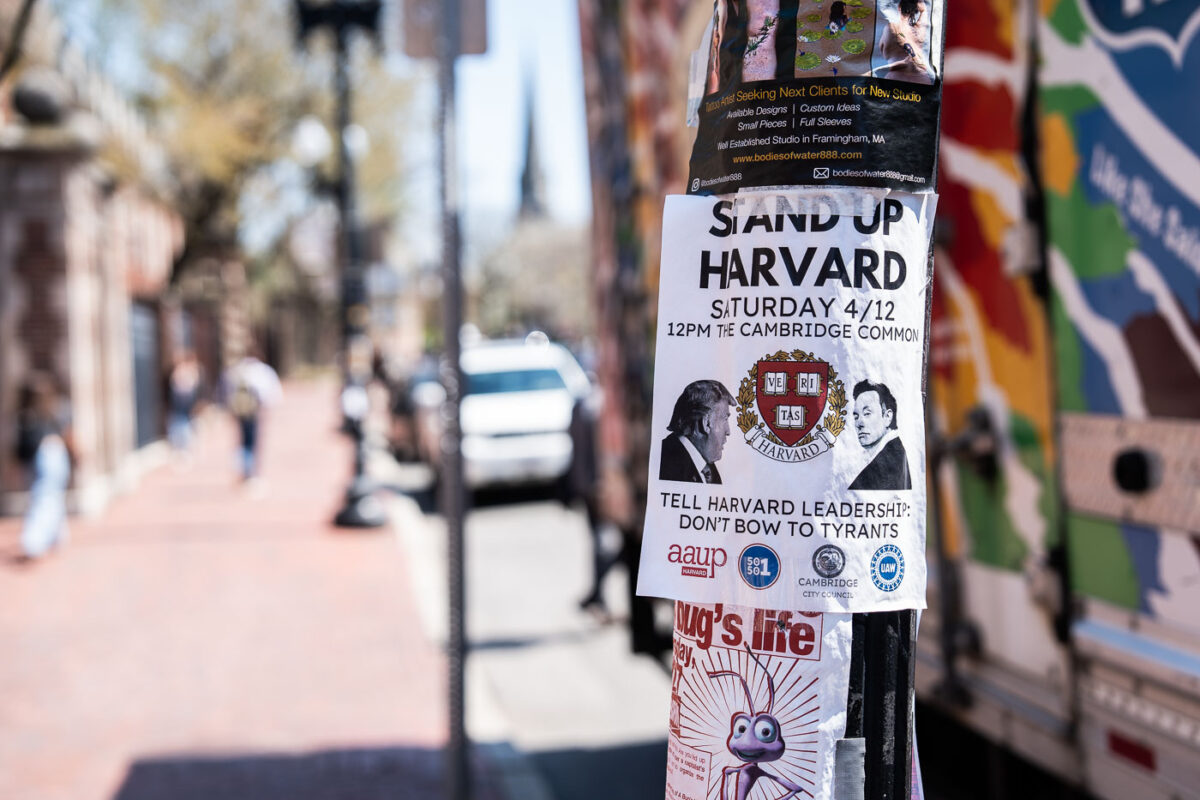
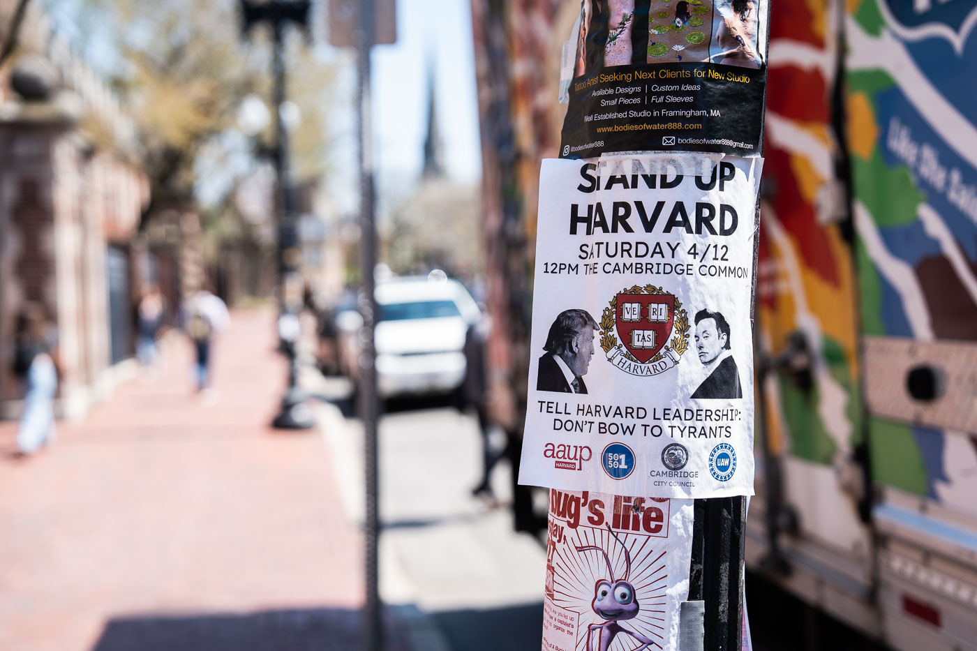
Stand Up Harvard flyer on a pole along Massachusetts Avenue in Cambridge.
A flyer taped to a utility pole on Massachusetts Avenue announces a "Stand Up Harvard" rally set for Saturday, April 12, at noon on the Cambridge Common. The text urges Harvard University leadership to "not bow to tyrants" and carries the university's Veritas shield alongside caricatures of Donald Trump and Elon Musk. Logos for the American Association of University Professors, UNITE HERE Local 26, and the Cambridge City Council appear at the bottom, joint sponsorship of the event.
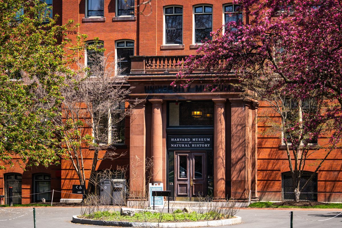
Harvard Museum of Natural History entrance with red brick facade and blooming spring trees.
The Harvard Museum of Natural History occupies the north wing of a brick building erected in 1859 for Harvard's Museum of Comparative Zoology on Oxford Street in Cambridge, Massachusetts. It opened to the public under its current name in 1998, bringing together collections from the university's zoology, botany, and mineralogy museums under one roof. The museum is best known for the Blaschka Glass Flowers, more than 4,000 glass models of plants crafted between 1887 and 1936 by the German father-and-son artisans Leopold and Rudolf Blaschka. Its collections also include the zoological specimens and mineral holdings inherited from Harvard's 19th-century natural history museums.
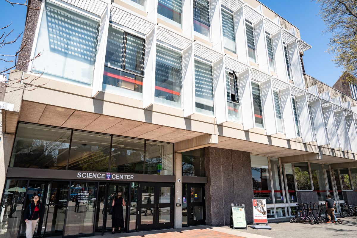
Harvard Science Center building entrance with modernist white facade and ground-level storefront.
The Harvard Science Center opened in 1973 at 1 Oxford Street in Cambridge, Massachusetts, designed by architect Josep Lluís Sert, former dean of the Harvard Graduate School of Design. Funding came partly from a gift by Edwin Land, founder of Polaroid, and the building's stepped massing is often described as referencing a camera. The center houses the Cabot Science Library, lecture halls, and departments including mathematics and the history of science, along with the Collection of Historical Scientific Instruments. It remains one of the largest buildings on Harvard's campus and serves as a hub for undergraduate science education.
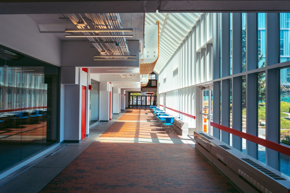
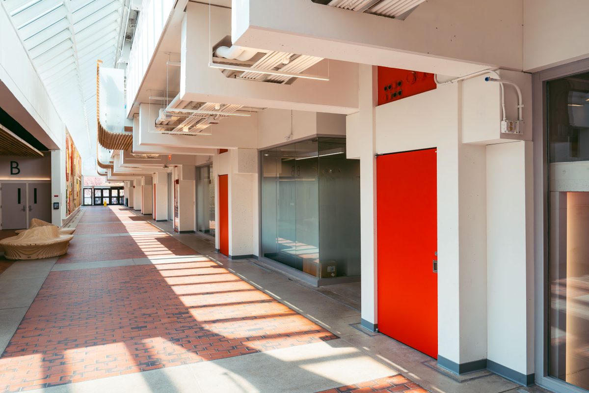
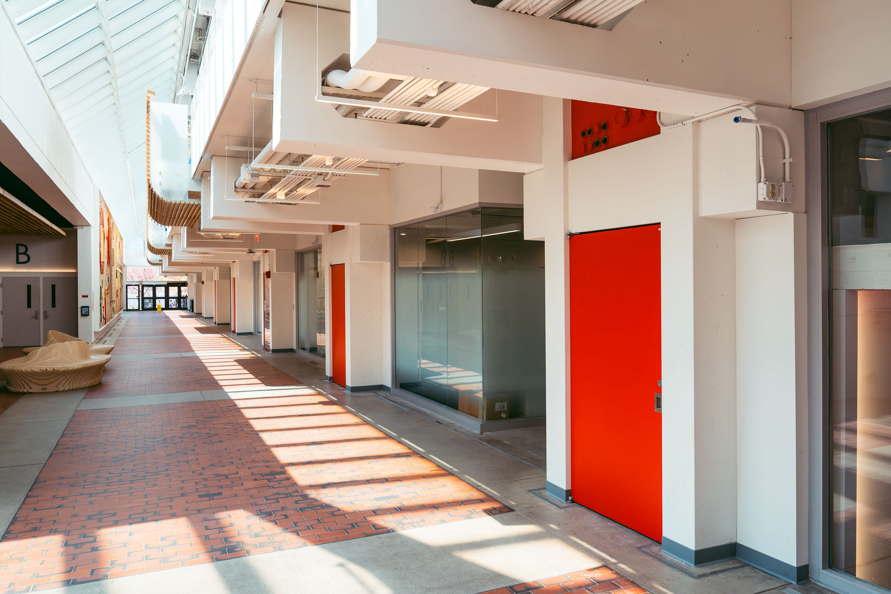
Harvard Science Center corridor in Cambridge with red doors, skylights, and modernist white-framed windows.
The Harvard Science Center, completed in 1973, was designed by architect José Luis Sert and funded largely through a gift from Polaroid founder Edwin Land. At more than 300,000 square feet, it ranks among the largest buildings on Harvard's Cambridge campus. The complex houses lecture halls, the Cabot Science Library, and the Putnam Gallery, which displays historical scientific instruments from Harvard's collections. Sert designed the building's tiered massing to evoke a stack of cameras, part of his broader effort to reshape Harvard's campus during the postwar era.
Interior hallway of Harvard Science Center in Cambridge with red doors and skylights.
The Harvard Science Center opened in 1972 on Oxford Street, designed by Catalan architect Josep Lluís Sert, who also served as dean of the Harvard Graduate School of Design. Funding came in part from Polaroid founder Edwin Land, and the building's tiered massing is often said to echo a camera resting on a tripod. It houses Harvard's Mathematics and Statistics departments along with the Collection of Historical Scientific Instruments and a public cafe. At roughly 300,000 square feet, it remains one of the largest classroom and laboratory buildings on Harvard's Cambridge campus.
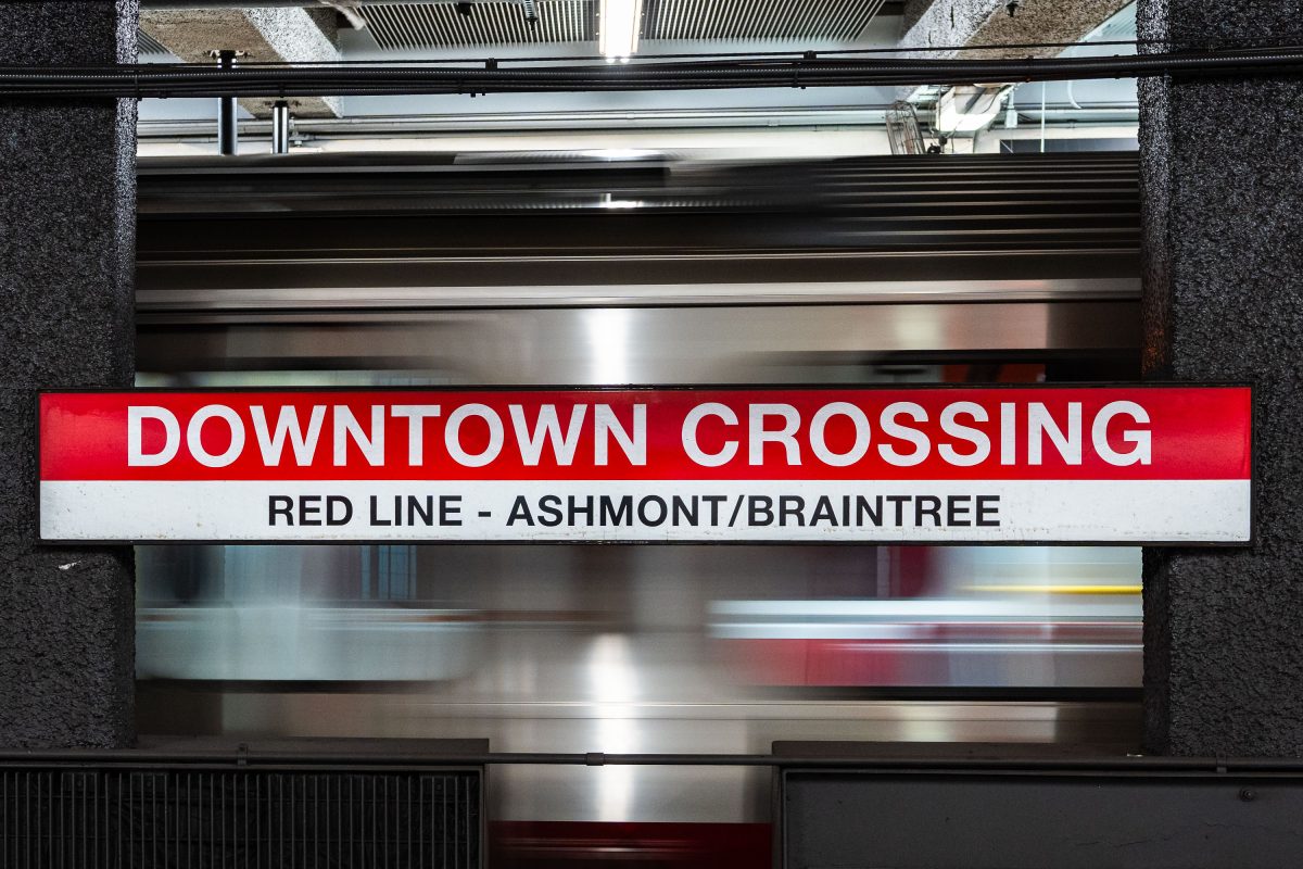
Downtown Crossing Red Line platform sign for Ashmont/Braintree branch at Boston's MBTA station.
Downtown Crossing is a key transfer point on the MBTA's Red Line, linking Ashmont and Braintree branch trains to destinations south of the city. The station opened in 1908 as Winter Street on the old Tremont Street subway, then took its current name in 1975 to reflect the shopping district above, once anchored by Filene's and Jordan Marsh. It also connects to the Orange Line, making it one of the busiest interchange points in the MBTA system.
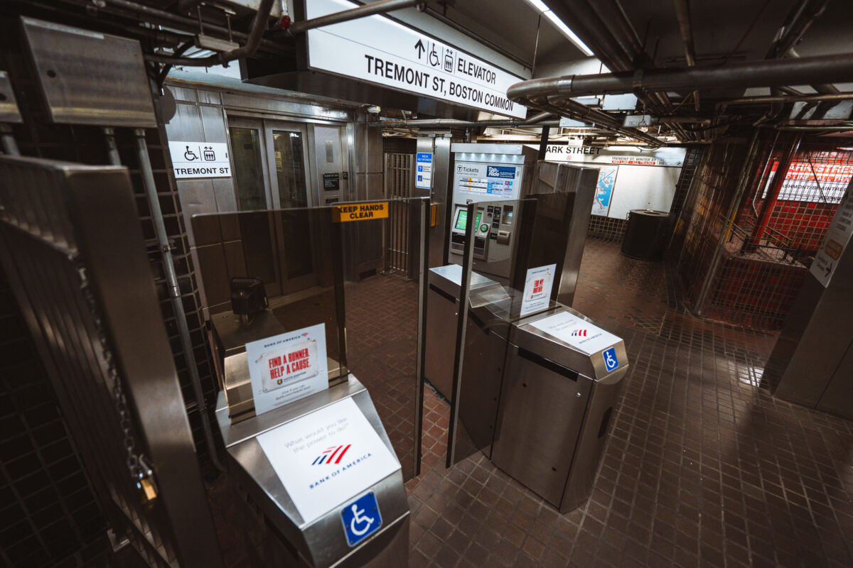
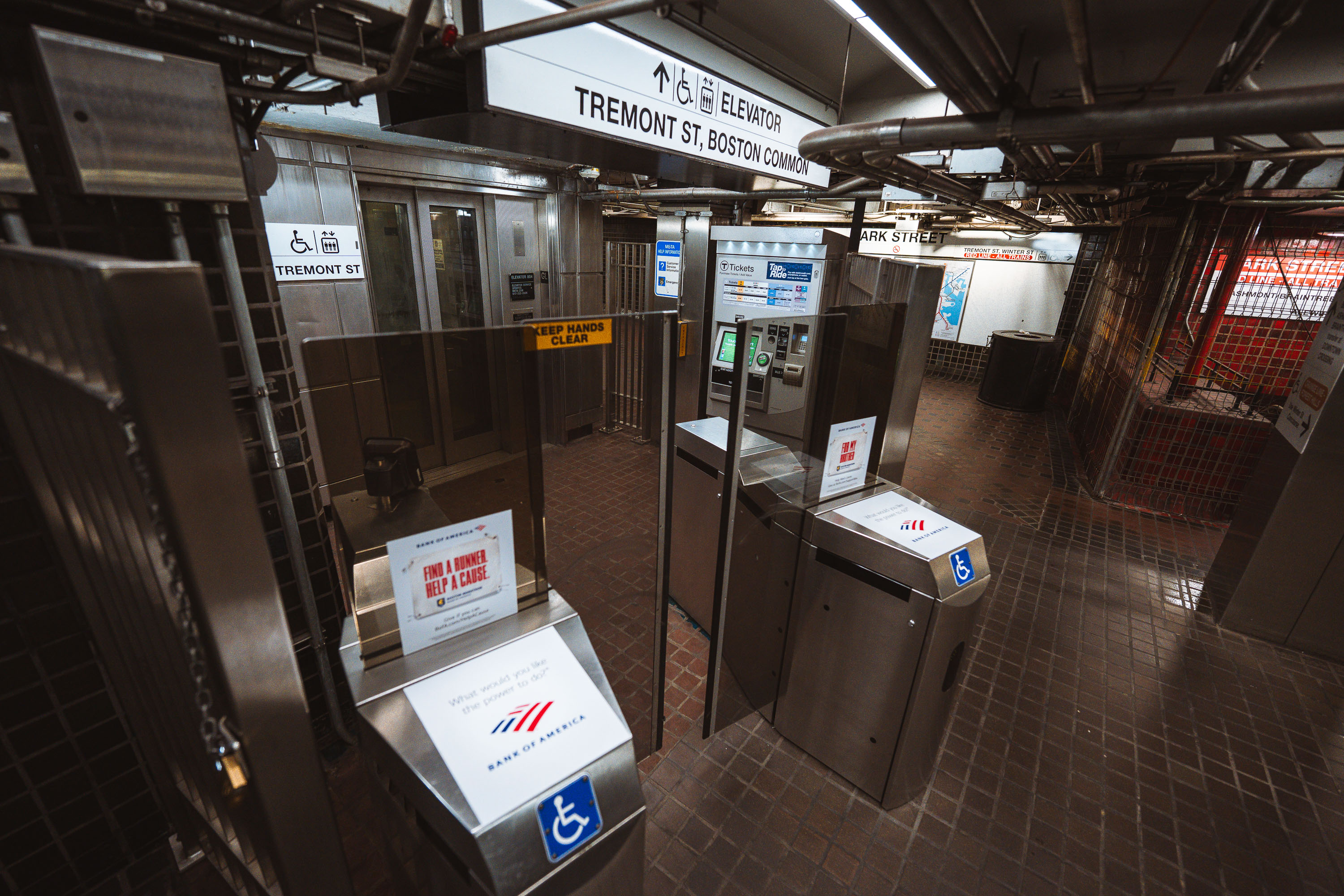
Fare gates and ticket machines at Park Street Station on Boston's MBTA Red and Green Lines.
Park Street opened in September 1897 as part of the Tremont Street Subway, the first subway tunnel built in the United States. The station sits beneath Boston Common and serves as a transfer point between the Green Line and Red Line, making it one of the busiest stops in the MBTA system. Its Tremont Street entrance leads directly to the Common and connects to nearby Park Street Church and the Massachusetts State House. The station is listed on the National Register of Historic Places as part of the Tremont Street Subway's original tunnel system.
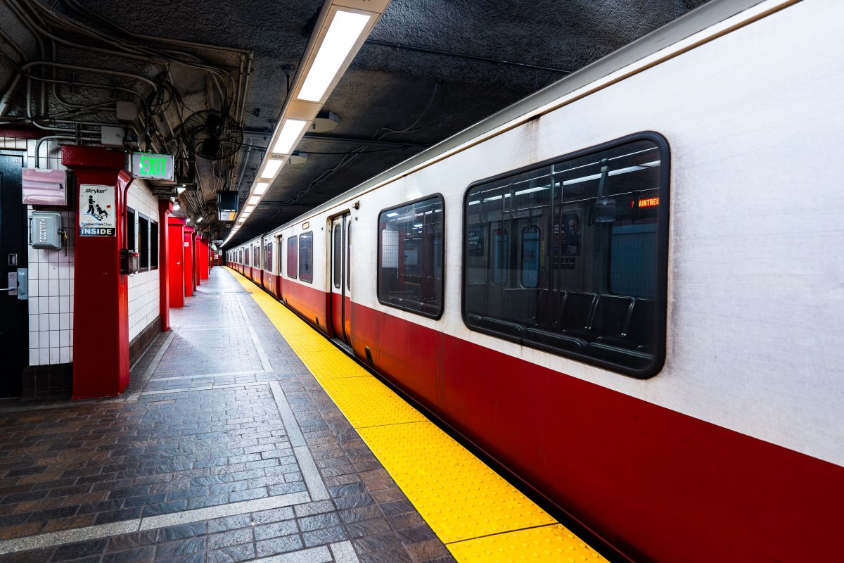
MBTA Red Line train stopped at Park Street Station platform in Boston.
Park Street Station opened in 1897 as part of the Tremont Street Subway, the first subway system built in the United States. It sits beneath Boston Common and serves as the transfer point between the MBTA's Red and Green Lines. The station's twin platforms handle tens of thousands of riders daily, linking downtown Boston to Cambridge, Dorchester, and points south. The Tremont Street Subway, including Park Street Station, is listed on the National Register of Historic Places and designated a National Historic Civil .
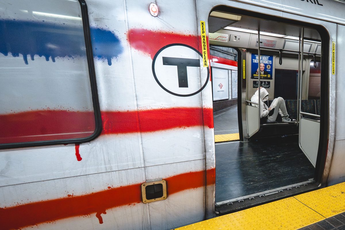
Vandalized MBTA Red Line train at Park Street Station in Boston with graffiti covering the exterior.
Park Street Station opened in 1897 as one of four original stops on the country's first subway tunnel and now serves as the transfer point between the Red and Green Lines. The Red Line itself runs about 22.5 miles from Alewife in Cambridge to the twin terminals at Ashmont and Braintree, making it the longest line in the MBTA system. Its cars, built by Bombardier and later replaced by CRRC, carry roughly 240,000 riders a day in normal years, more than any other MBTA line.
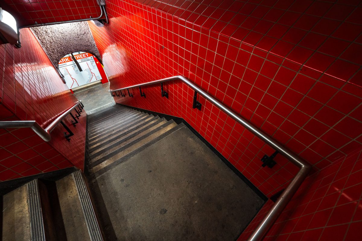
Park Street Station stairwell in Boston's MBTA system features distinctive red tile walls and metal handrails.
Park Street Station opened on September 1, 1897, as part of the Tremont Street Subway, making it the oldest operating subway station in the United States. Built beneath Boston Common, it now functions as the MBTA's main transfer point between the Red and Green Lines. The red tile work seen throughout the station dates to a 1970s renovation, which replaced the original cream-colored finishes installed by the Boston Transit Commission. It remains one of the system's busiest stations, handling tens of thousands of riders daily.
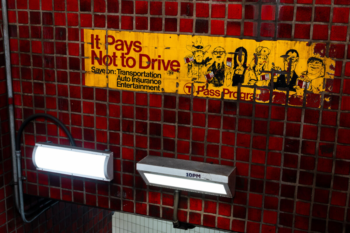
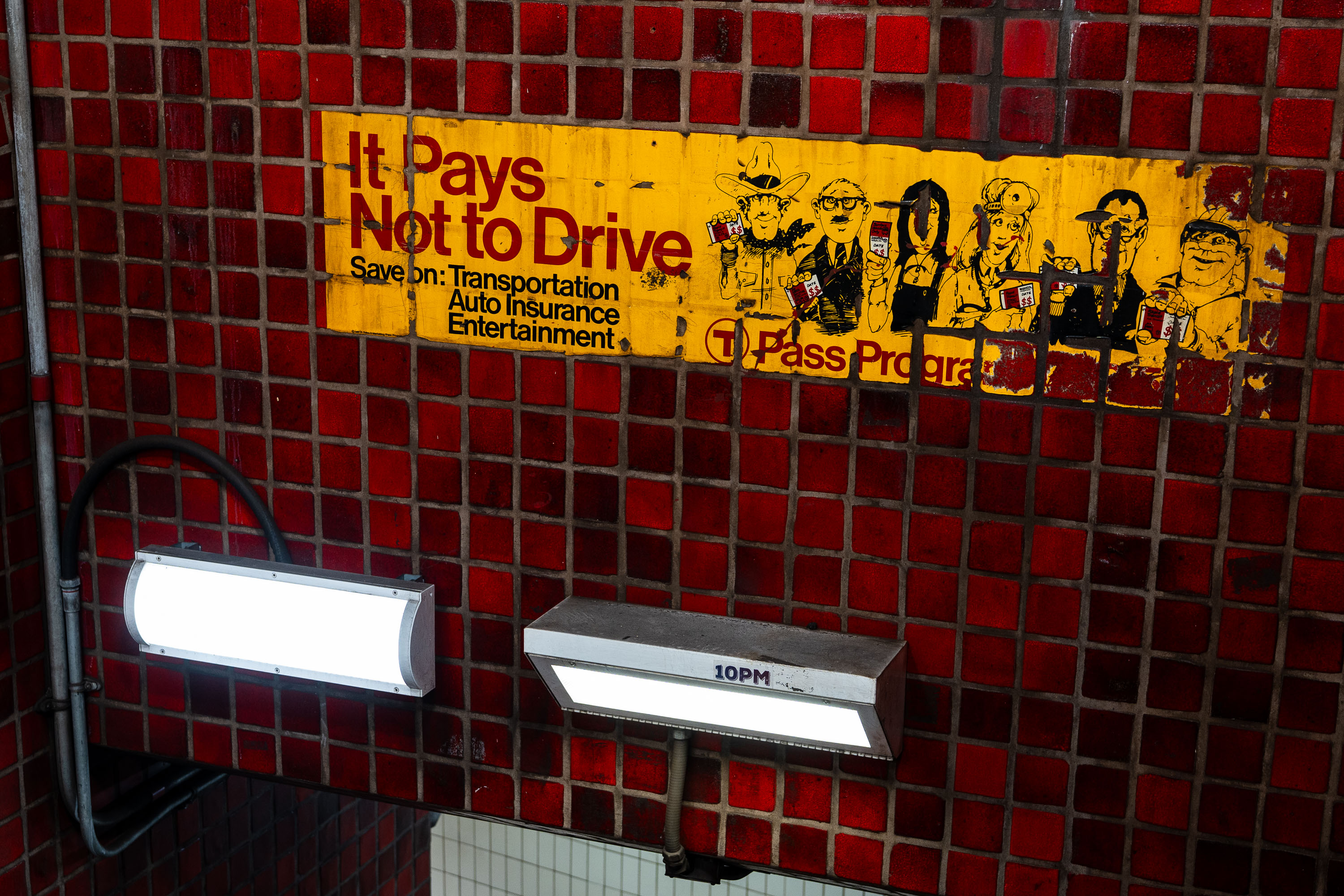
Vintage "It Pays Not to Drive" T Pass Program advertisement on red tile wall in Boston MBTA subway station.
The "It Pays Not to Drive" ad is a vintage T Pass Program advertisement preserved on the tile wall at Park Street Station. It promoted the MBTA's discounted pass program by pitching savings on transportation, auto insurance, and entertainment for riders who left their cars at home. Park Street Station opened in 1897 as part of the country's first subway system, and its red-tile walls still carry advertising relics like this one from past decades of MBTA marketing.
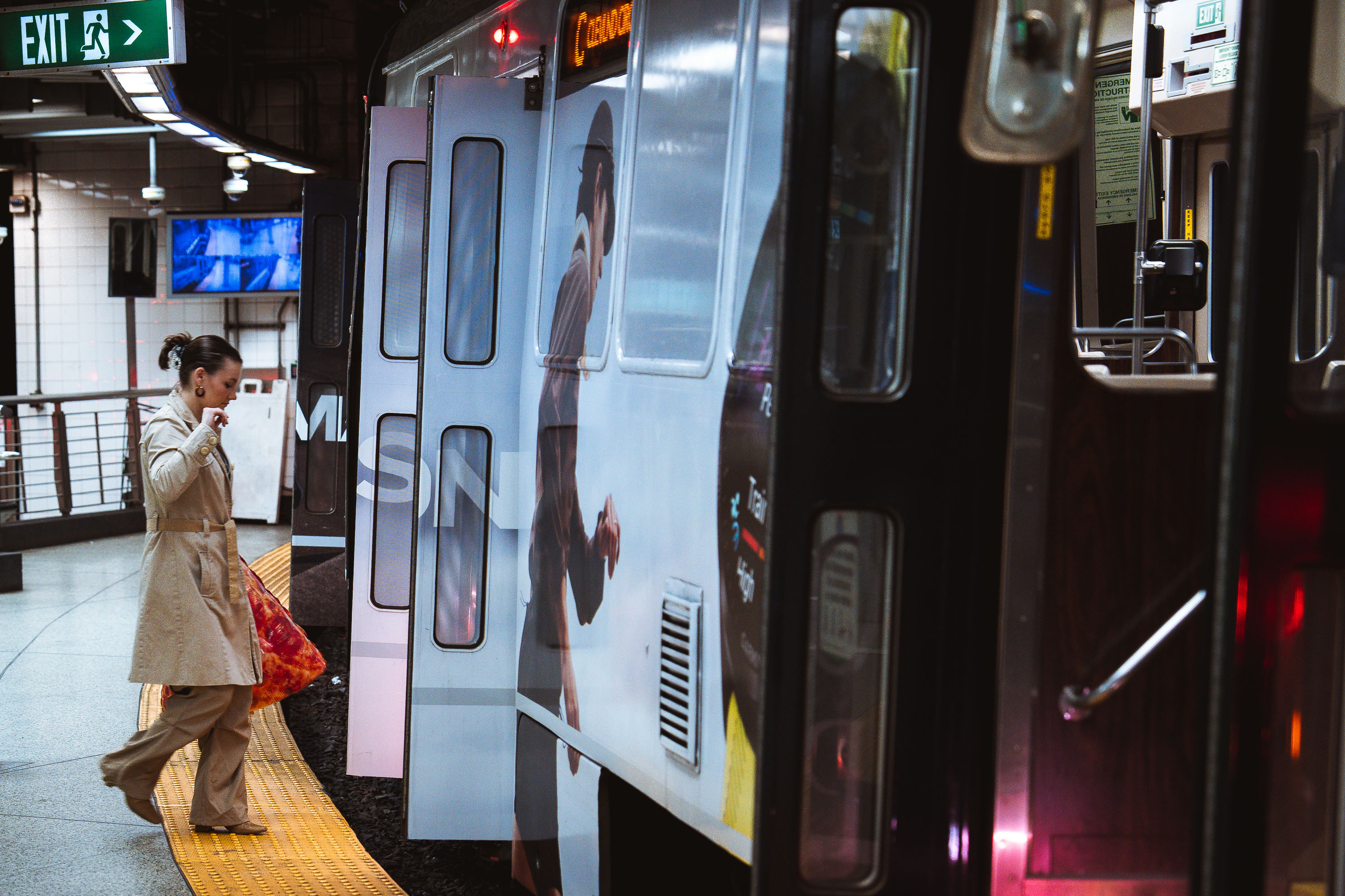
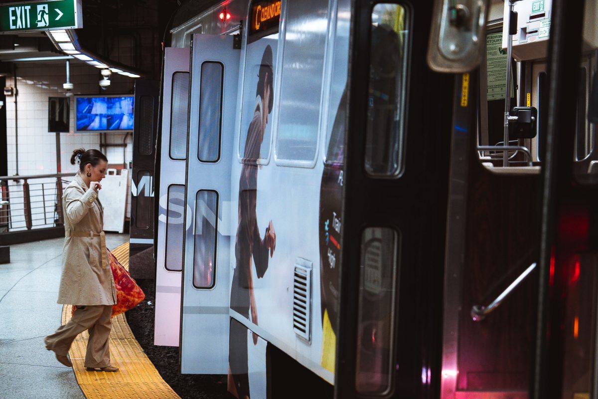
Pizza boarding MBTA Train
A passenger steps onto an MBTA subway train at an underground station in Boston. The Massachusetts Bay Transportation Authority, formed in 1964, operates one of the oldest rapid transit systems in the United States, with roots tracing back to the Boston Elevated Railway and the opening of the Tremont Street Subway in 1897. The high-platform station design, yellow tactile warning strip, and sliding train doors reflect standards adopted to improve accessibility and passenger safety across the system as it expanded and modernized through the late 20th century.
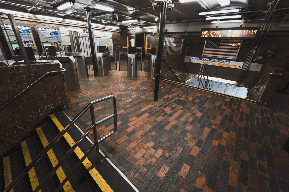
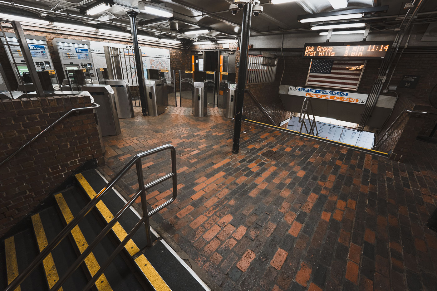
State Street Station fare gates on the MBTA Orange Line in downtown Boston, Massachusetts.
State Street Station sits beneath Boston's Financial District, where the MBTA's Orange and Blue Lines cross paths. Riders can transfer between the two lines here without paying an additional fare, one of only a handful of free interchange points in the subway system. The station's Orange Line platforms opened in 1904 as part of the original Main Line Elevated, while the Blue Line connection followed in 1916. It remains one of downtown Boston's busiest transfer points, linking commuters to nearby Faneuil Hall and the Custom House district above.
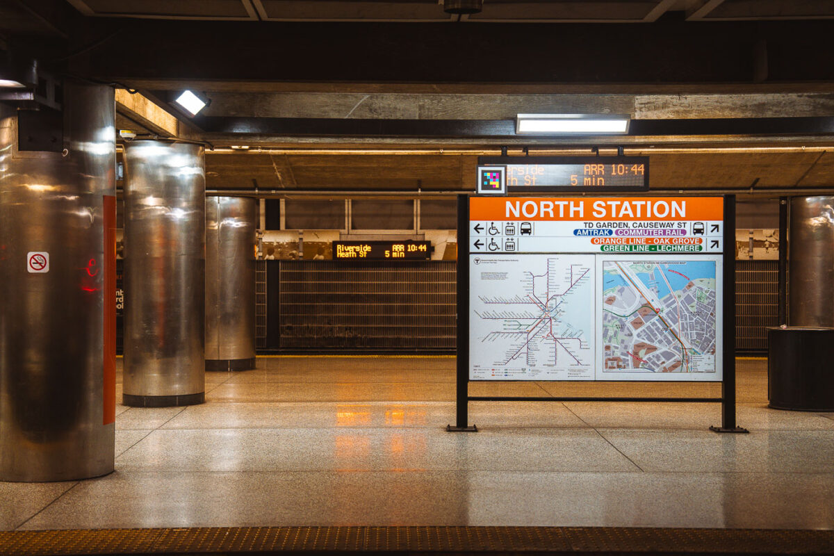
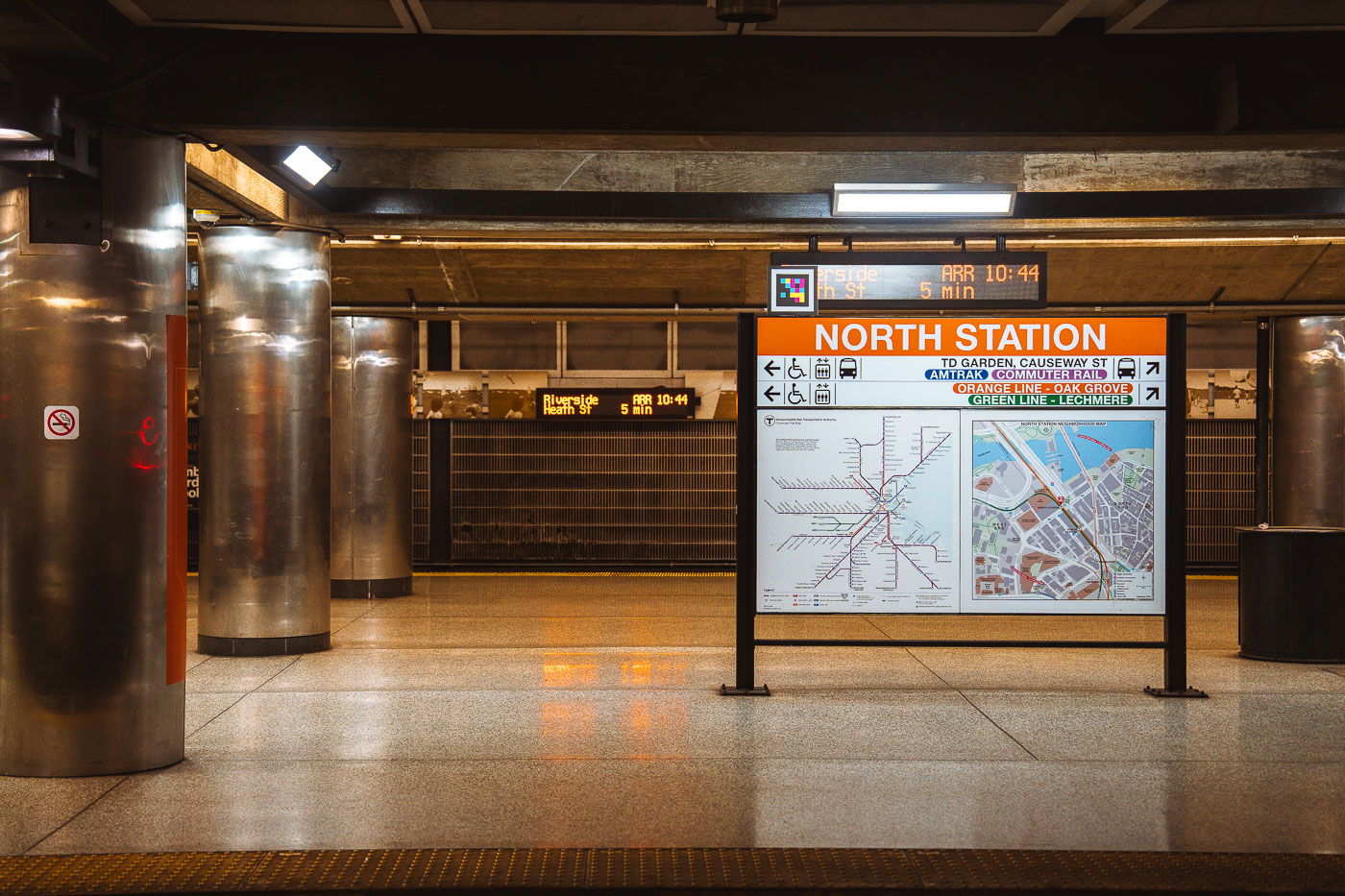
North Station MBTA transit hub in Boston displays an orange directional sign with transit map and service information.
North Station sits beneath TD Garden in Boston's West End, serving as a terminus for the MBTA Orange Line and Green Line as well as Amtrak and MBTA Commuter Rail service. The Green Line ends here at Lechmere, while the Orange Line continues north to Oak Grove. Commuter rail lines from North Station run to Newburyport, Rockport, Haverhill, Lowell, Fitchburg, and other points north and west of the city. The station was rebuilt in the 1990s as part of the Central Artery project, which relocated it next to the new TD Garden after the original Boston Garden was demolished.
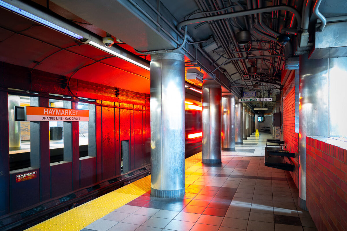
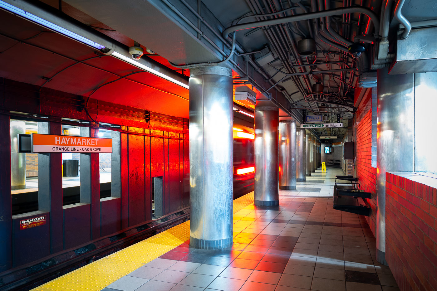
Haymarket Station platform on the MBTA Orange Line in Boston, with red brick walls and metal support columns.
Haymarket Station sits beneath Boston's Haymarket Square, serving the MBTA's Orange Line since the line's relocation underground in 1975 as part of the Southwest Corridor project. The station also connects to the Green Line, linking riders to the North End, Government Center, and the historic open-air Haymarket pushcart market above. Its platforms replaced the elevated Orange Line structure that once ran along Atlantic Avenue before that route was demolished.
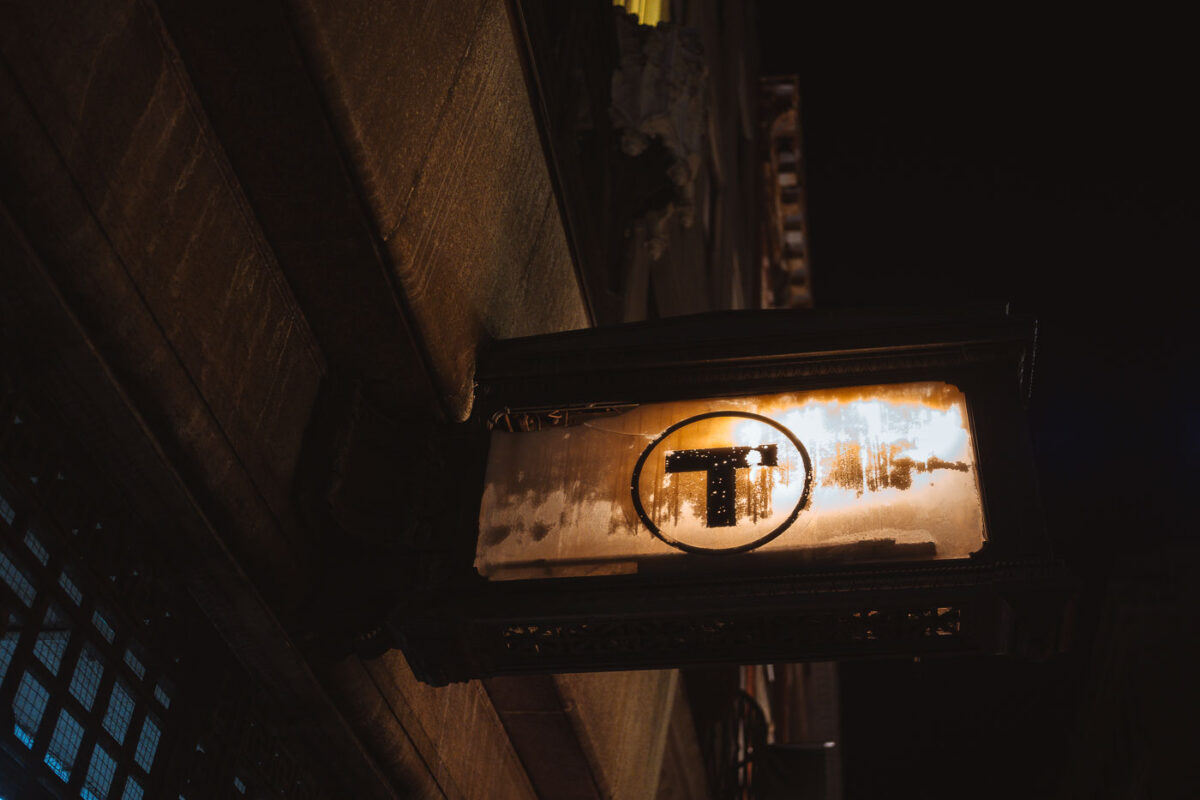
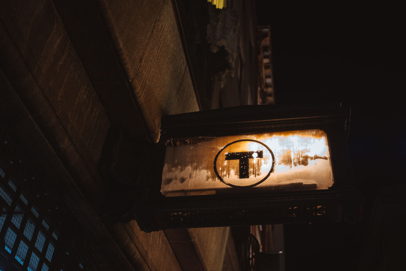
Illuminated MBTA transit sign with black "T" logo hanging beneath a Boston building overhang at night.
The black "T" inside a circle is the standard symbol of the Massachusetts Bay Transportation Authority, marking entrances to Boston's subway system. The MBTA introduced the roundel in the 1960s, and it has since become a shorthand for the subway itself, with Bostonians commonly referring to the system simply as "the T." The agency operates four subway lines — Red, Orange, Blue, and Green — along with bus, commuter rail, and ferry service across the greater Boston area.
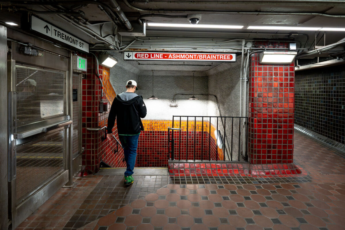
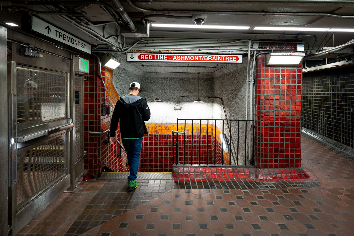
Runner descends stairs at Park Street Station on Boston's MBTA Red Line.
Park Street Station sits beneath Boston Common at the junction of Tremont and Winter streets, where riders can transfer between the Red Line and Green Line. It opened in September 1897 as part of the Tremont Street Subway, the first subway system built in the United States. The station's red and gold tile work marks the Red Line side, a color scheme the MBTA has used system-wide to help riders navigate since the lines were named in the 1960s. Park Street remains one of the busiest stations in the network and is listed on the National Register of Historic Places.
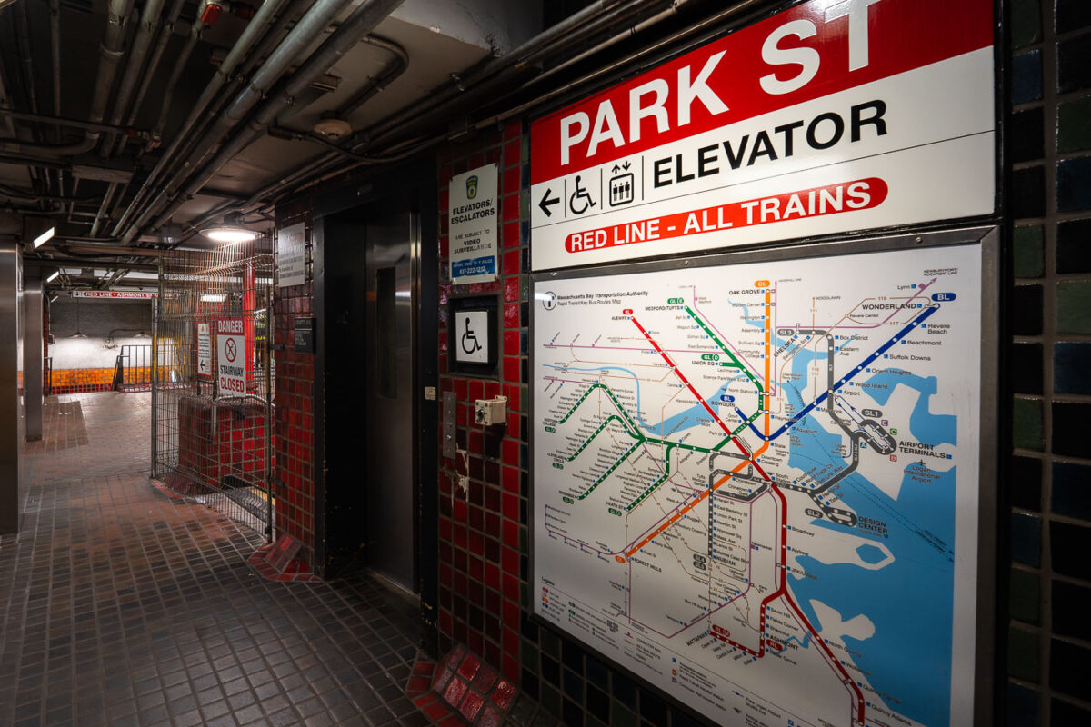
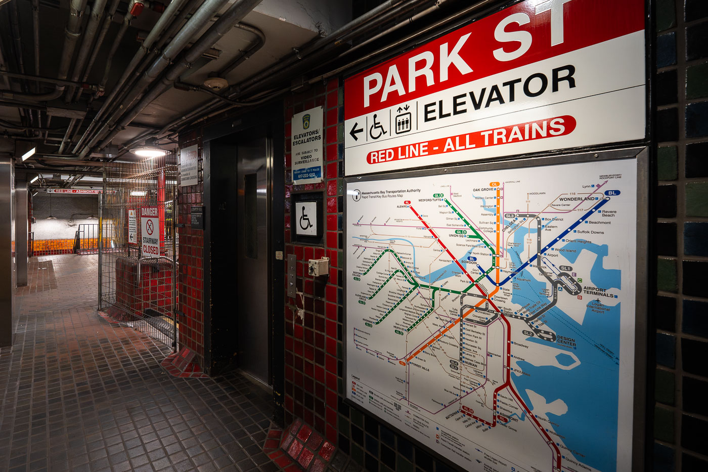
Park Street Station Red Line elevator entrance with transit map showing Boston MBTA train lines.
Park Street Station opened in 1897 as part of the Tremont Street Subway, the first subway system built in the United States. Today it serves as a transfer point between the Red Line and the Green Line, with connections to buses throughout downtown Boston. The station sits beneath Boston Common and Park Street, at the edge of the city's historic Freedom Trail. An elevator connects street level to the Red Line platforms, part of accessibility upgrades made to the station over the past several decades.
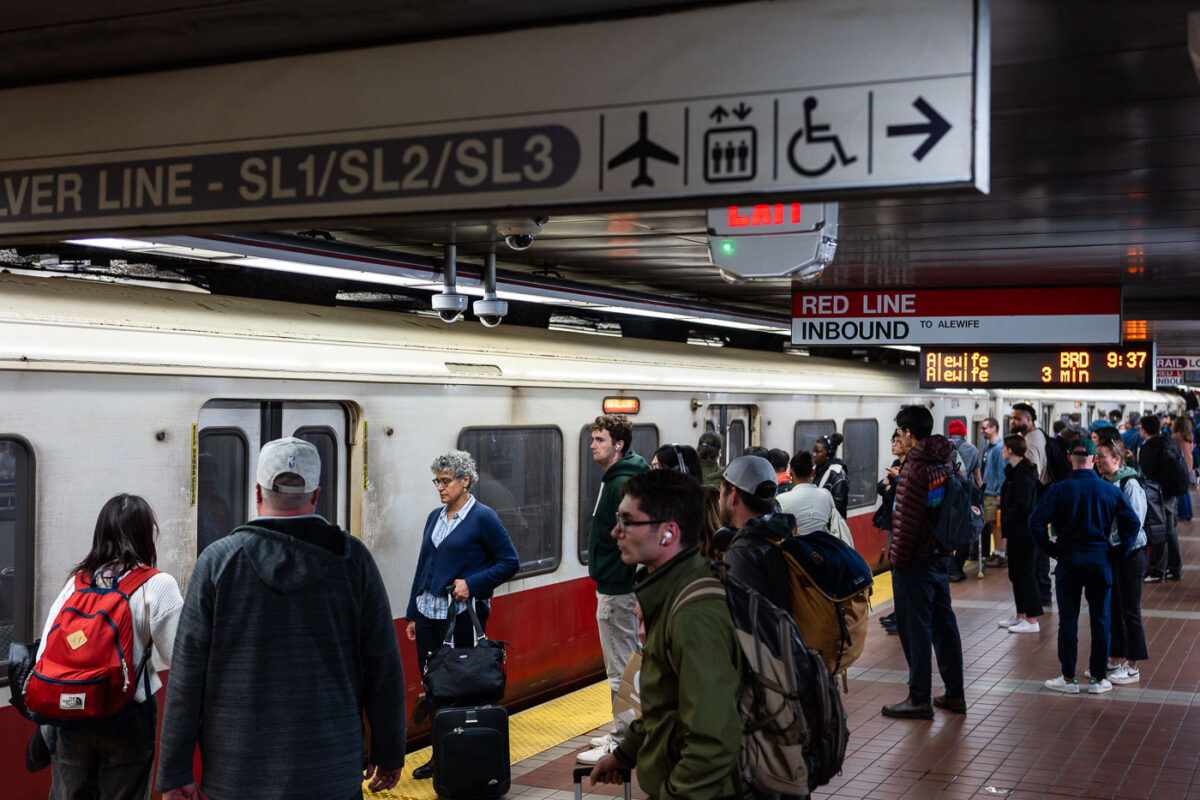
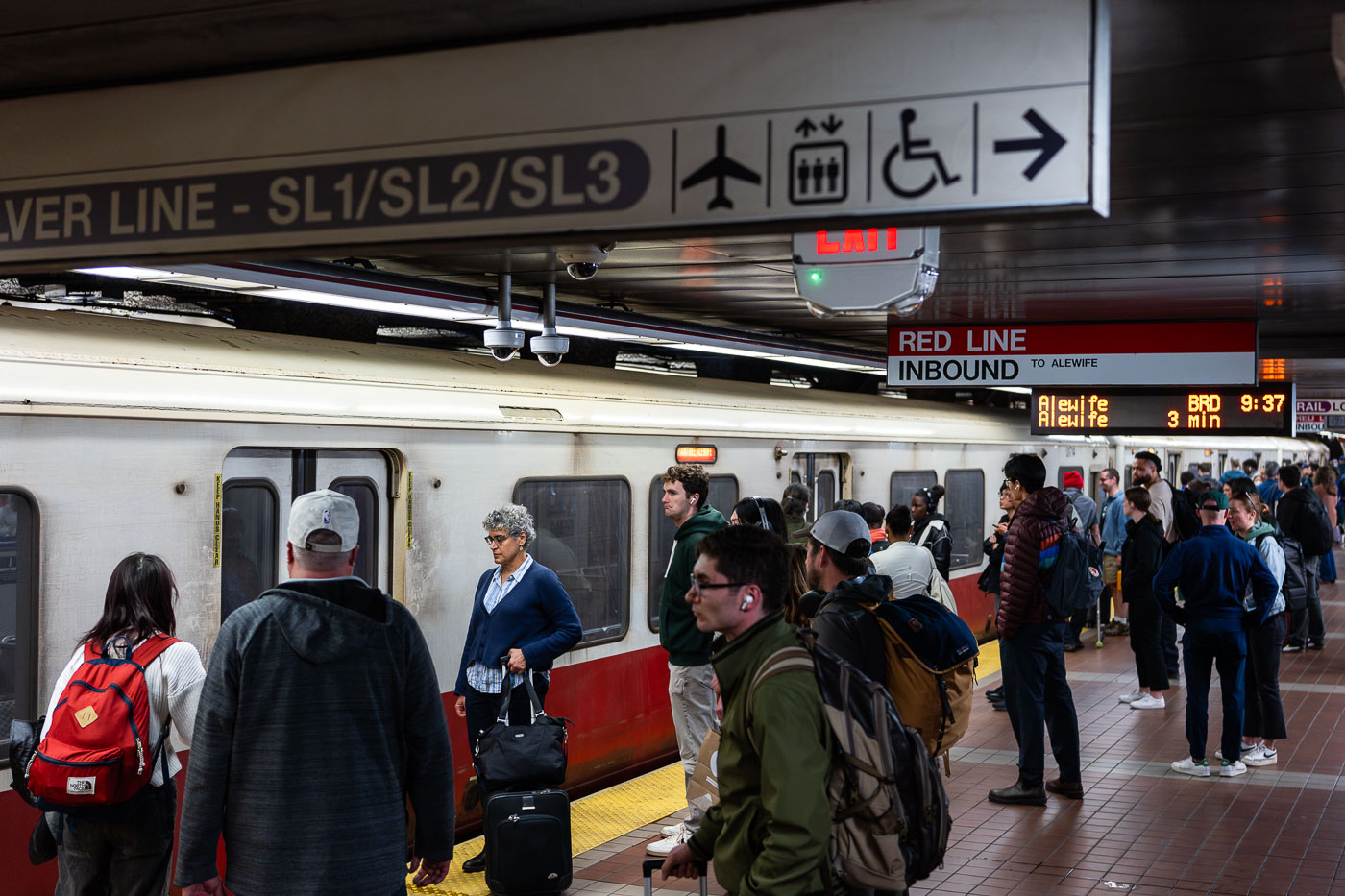
Passengers wait on an MBTA Red Line inbound platform at South Station in Boston.
South Station's Red Line platform sits below the MBTA's largest transit hub, where subway, commuter rail, and intercity Amtrak service converge at Dewey Square. The Red Line here runs inbound toward Alewife in Cambridge, one end of a line that also branches south to Ashmont and Braintree. Overhead signage marks the adjacent Silver Line routes SL1, SL2, and SL3, bus rapid transit services that connect South Station to Logan International Airport and the Seaport District. South Station opened in its current form in 1899 and was rebuilt as a modern multimodal terminal in the 1980s after decades of decline.
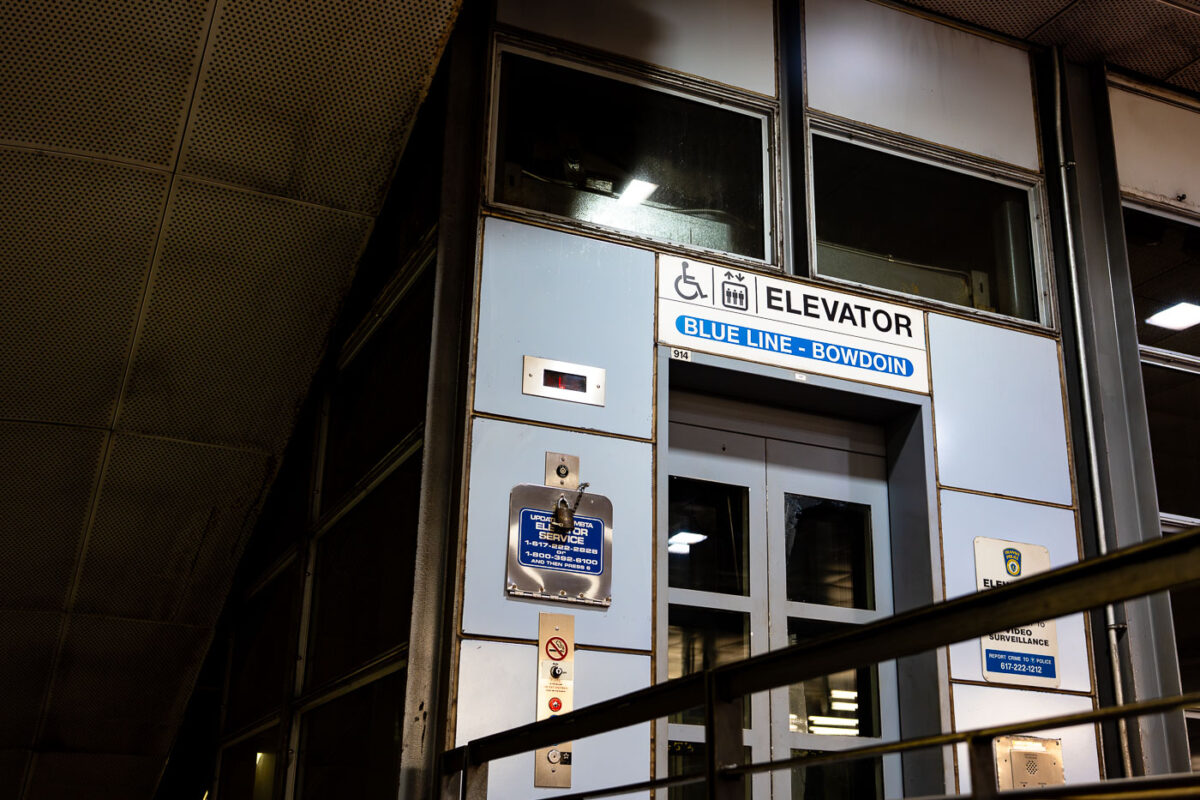
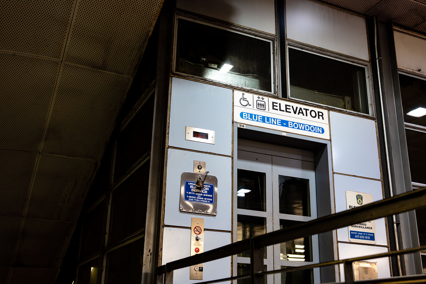
Elevator entrance at Bowdoin Station, the downtown terminal of Boston's MBTA Blue Line.
Bowdoin Station is the western terminus of the MBTA Blue Line, sitting beneath Cambridge Street near the Massachusetts State House. It opened in 1916 as part of the East Boston Tunnel, making it one of the oldest subway stations still in use in the country. Bowdoin operates on limited hours and reduced service compared to other stops, and many Blue Line trains bypass it entirely outside peak periods. The station has only one entrance, at the corner of Bowdoin and Cambridge streets, with no direct connection to other MBTA lines.
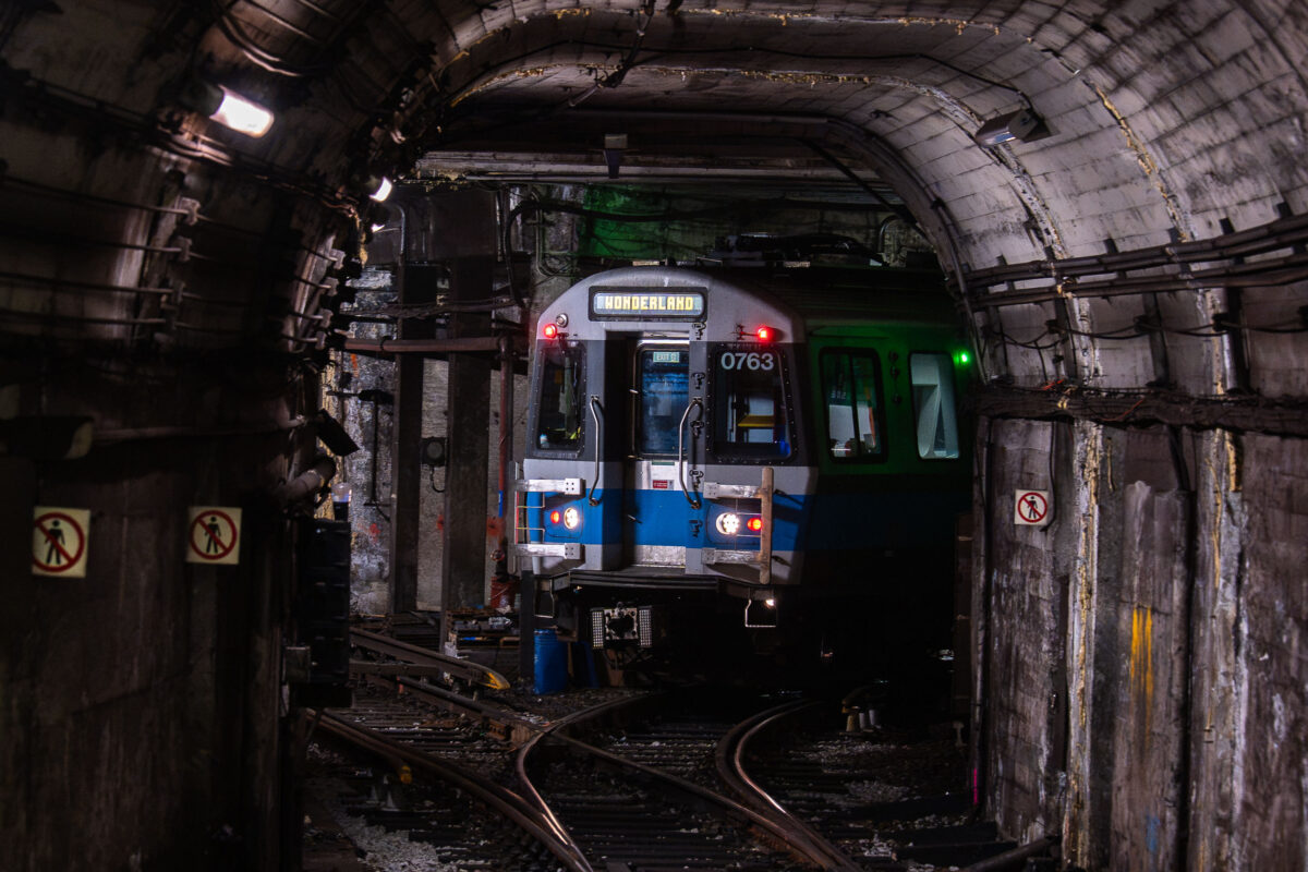
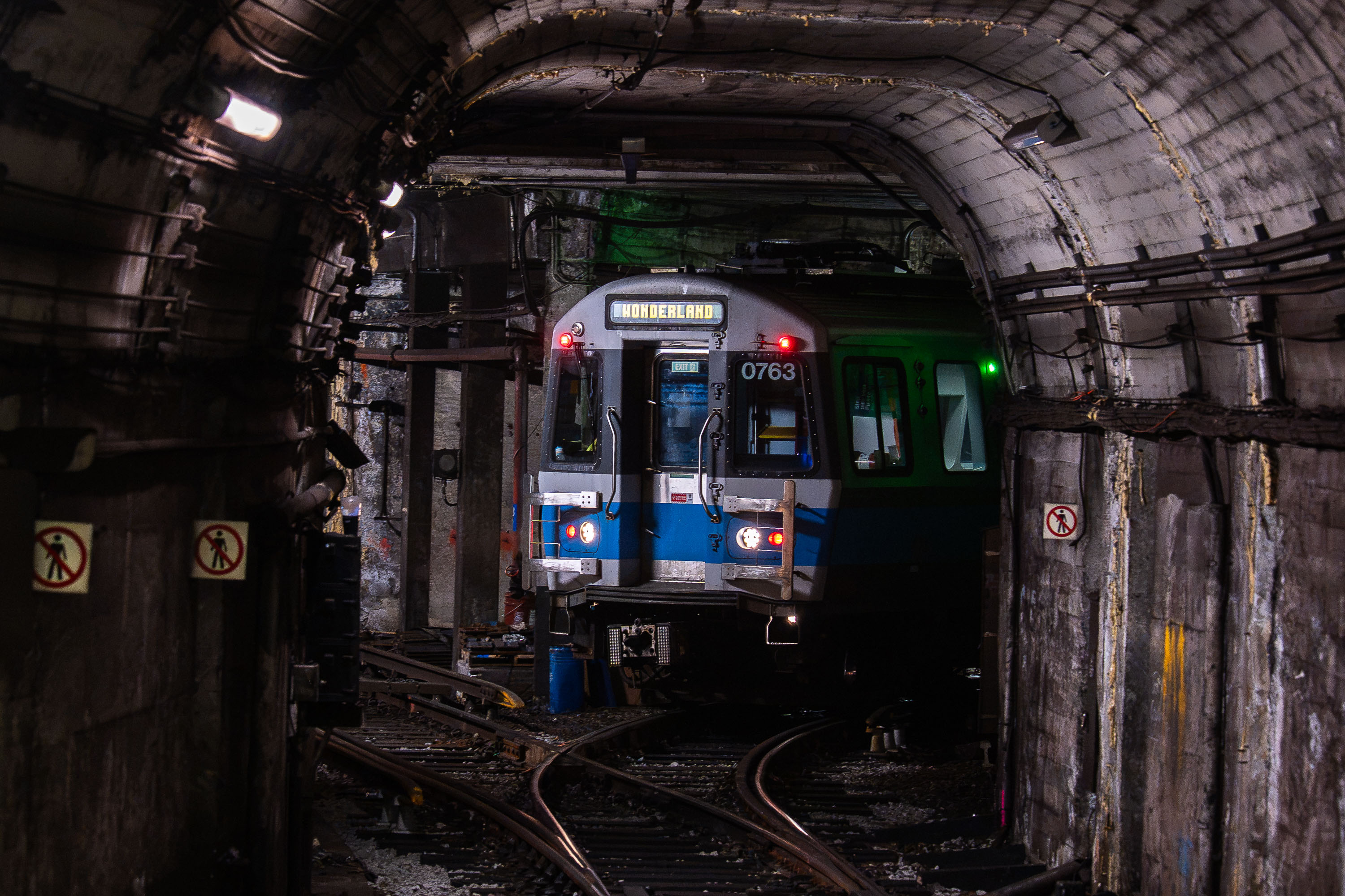
MBTA light rail train 0763 bound for Wonderland stopped in a subway tunnel at Bowdoin Station in Boston.
Bowdoin Station is the western terminus of the MBTA's Blue Line, opened in 1916 as an extension of the original East Boston Tunnel. Its short, curved platform beneath Cambridge Street can only accommodate the front three cars of a train, so only those doors open for passengers. The tunnel it sits in dates to 1904, when it became the first underwater rapid transit tunnel built in the United States. From Bowdoin, the Blue Line runs through downtown Boston, East Boston, and Logan Airport before ending at Wonderland Station in Revere.
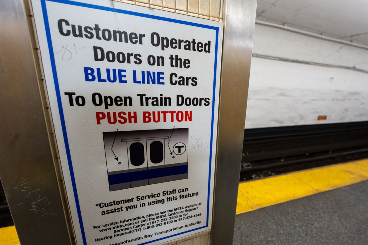
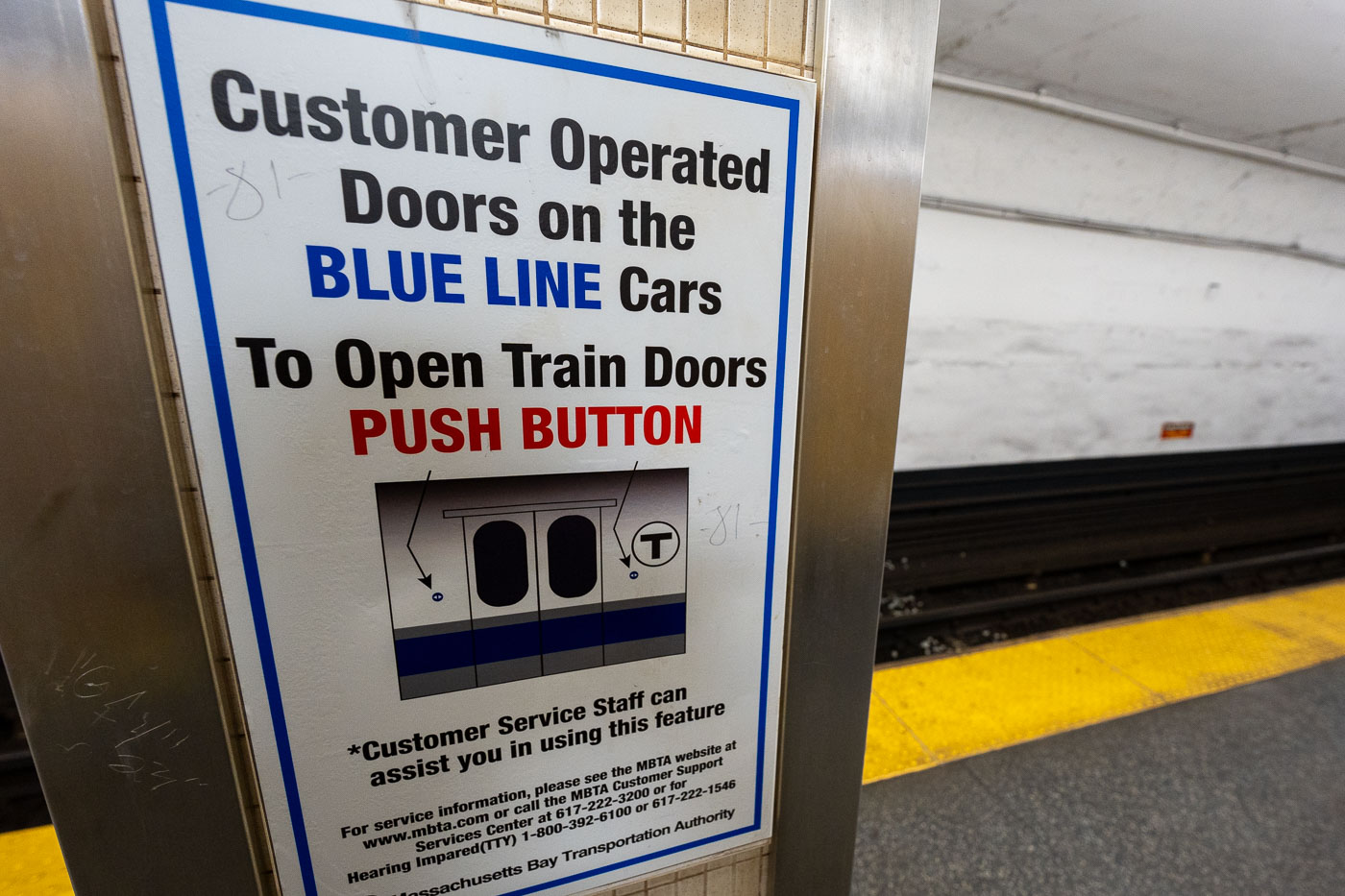
MBTA Blue Line platform sign instructing passengers to push buttons to open customer-operated train doors in Boston.
The MBTA's Blue Line connects downtown Boston at Bowdoin to Wonderland in Revel, running partly underground and partly on elevated track along the Beachmont and Suffolk Downs stretch. Some of its cars require riders to push a button to open the doors rather than opening automatically, a holdover from older rolling stock still in service on the line. The Blue Line is the only MBTA subway line that connects directly to Logan International Airport, via the Airport station. Customer service signage like this is standard across MBTA stations to help riders unfamiliar with manual door releases.
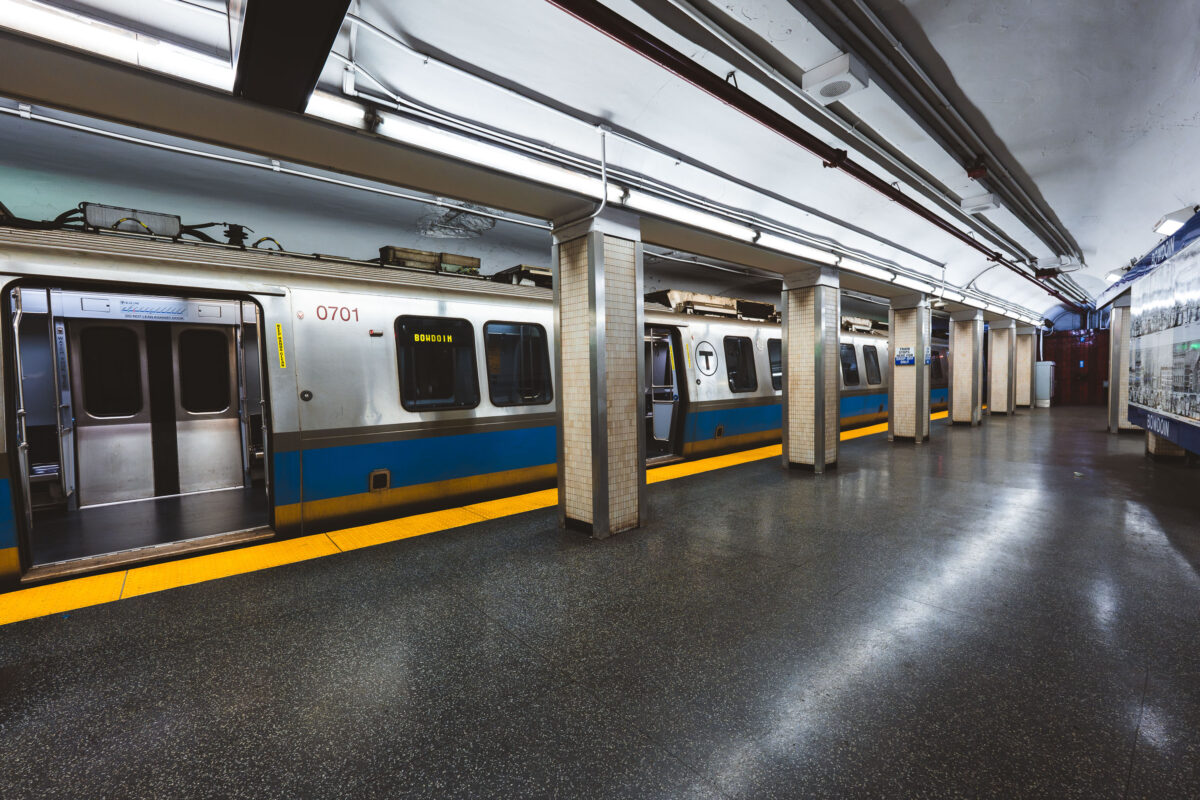
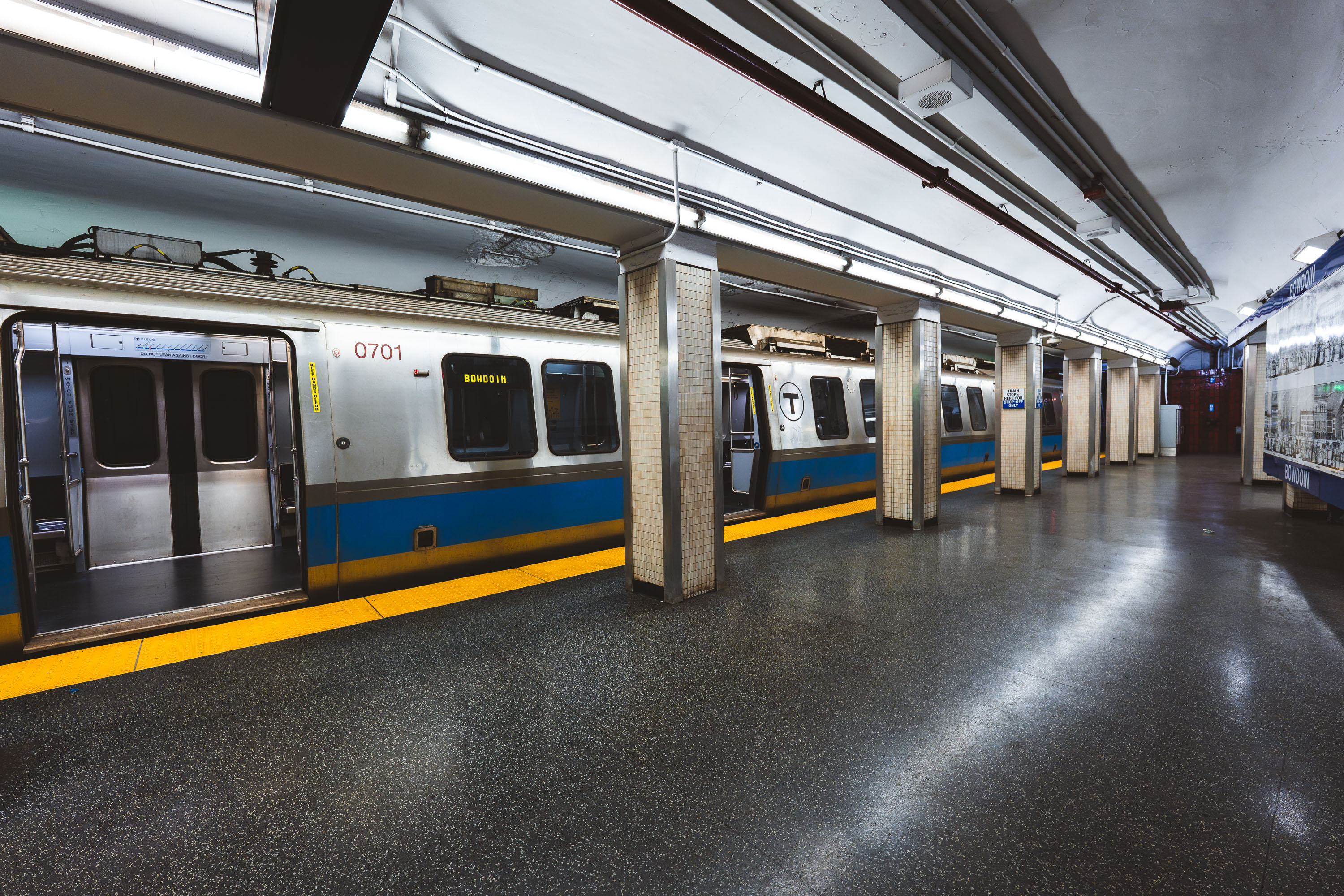
MBTA Blue Line train at Bowdoin Station in Boston, Massachusetts.
Bowdoin station marks the western terminus of the MBTA Blue Line, tucked beneath Cambridge Street near Beacon Hill. It opened in 1916 as part of the original East Boston Tunnel extension and remains one of the system's least-used stations, largely because of its limited hours and short platform, which accommodates only the front three cars of a train. Its proximity to the Massachusetts State House makes it a practical, if lightly used, stop for state employees and visitors to Beacon Hill.
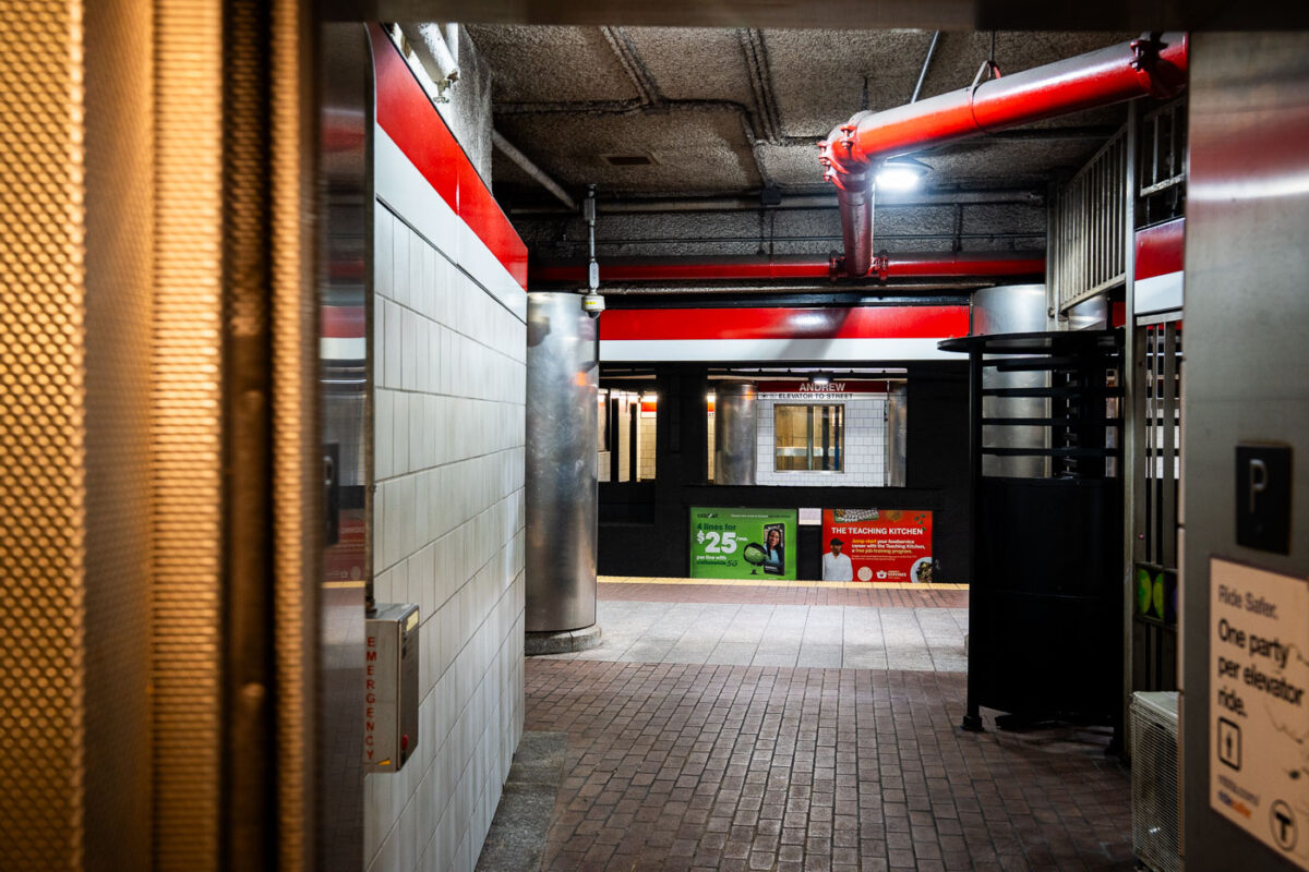
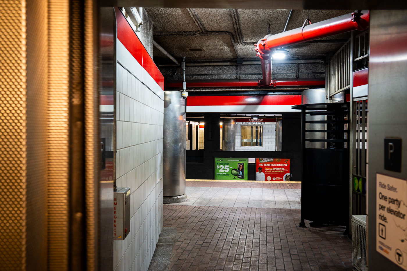
Andrew Station MBTA Red Line platform corridor with red structural beams and white tile walls, Boston.
Andrew Station serves the MBTA Red Line in the Dorchester section of South Boston, opened in 1873 as a stop on the Old Colony Railroad before later becoming part of the Red Line's Ashmont branch. The station sits below street level, with elevators and turnstiles connecting the mezzanine to the platforms. It functions as a transfer point for local bus routes serving Dorchester and South Boston.

Built in Minneapolis

Minneapolis Photographer

Browse by location, move through long-running series, or start with recent work.