
Map
More from Superior National Forest

Exposed Birch Roots in the Superior National Forest, Ely, Minnesota
Ely sits at the edge of the Superior National Forest and serves as a gateway to the Boundary Waters Canoe…

Trail Junction Sign in Superior National Forest
A weathered brown U.S. Forest Service directional sign marks the turnoff for Bog Lake, the Island River, and Isabella Lake…
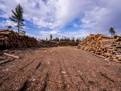
Log Piles in Superior National Forest
Log piles in Superior National Forest in Stony River Township near Isabella, Minnesota. Cut timber is stacked in a clearing,…

Lakeside Home Along the Gunflint Trail, Minnesota
Gunflint Lake forms part of the international border between Minnesota and Ontario, Canada, within the Boundary Waters Canoe Area Wilderness…

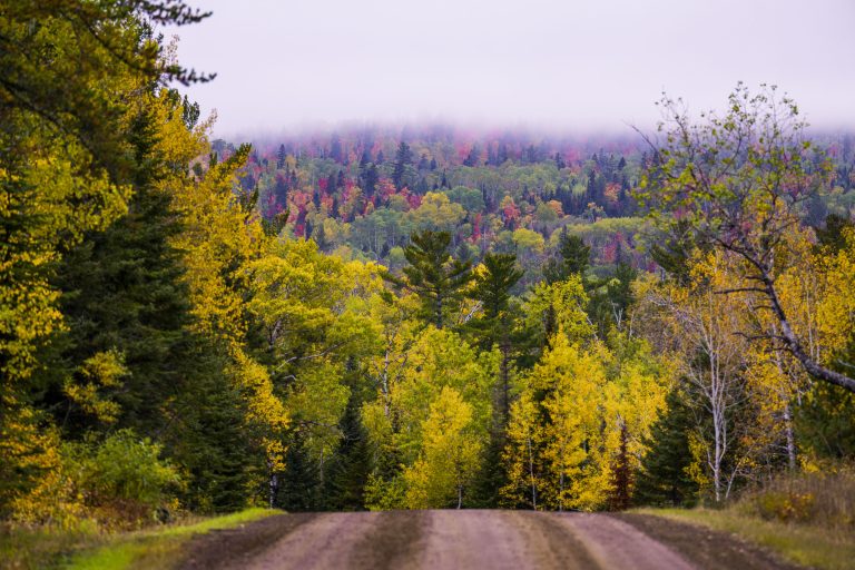
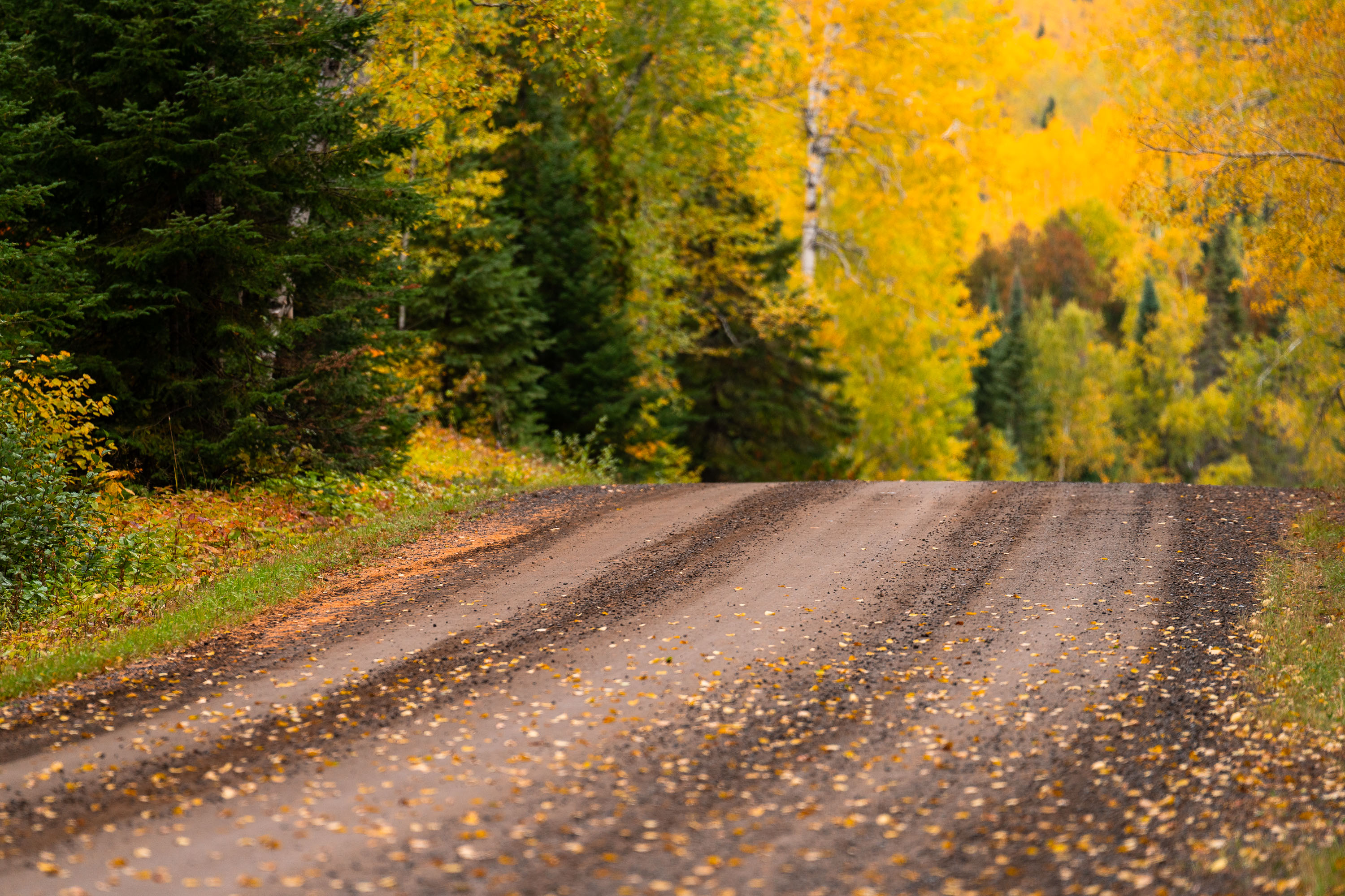
Gravel Forest Road in Autumn, Superior National Forest
Superior National Forest covers more than 3 million acres of northeastern Minnesota, making it the largest national forest east of…
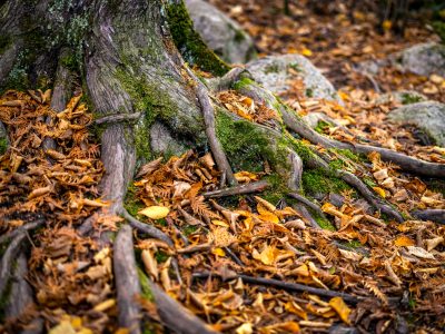
Exposed Tree Roots and Autumn Leaves near Ely, Minnesota
Ely sits at the edge of the Superior National Forest, a landscape shaped by thin glacial soils and granite bedrock…
Nearby Photos