Twilight Creek Below Arenal Volcano, Costa Rica
Taken February 2019
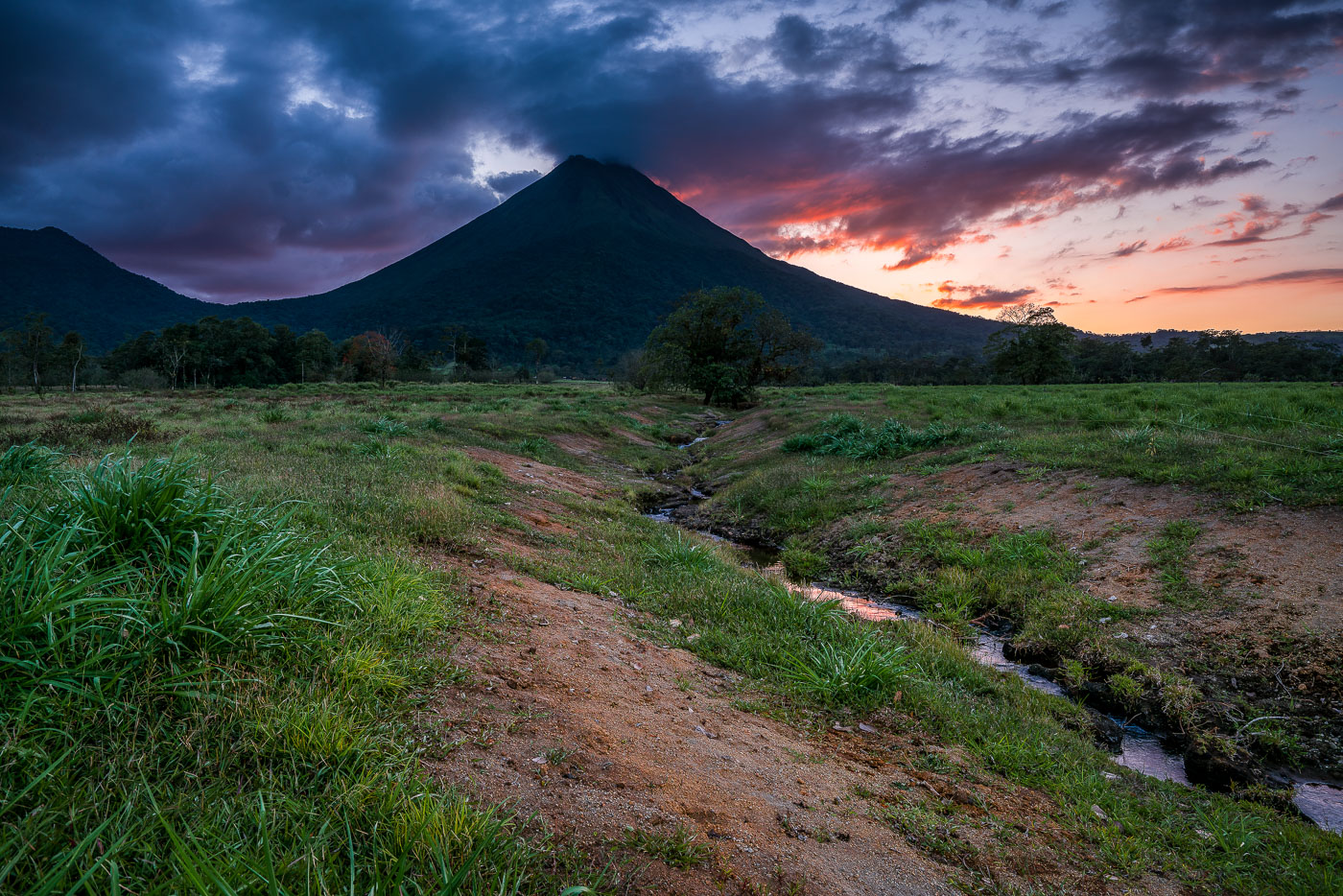
Arenal Volcano stands 1,633 meters tall near La Fortuna in Costa Rica's Alajuela province. Its symmetrical cone formed through repeated eruptions that began in 1968, when a sudden blast destroyed the nearby villages of Tabacón and Pueblo Nuevo and killed 87 people. The eruption marked the start of continuous activity that lasted until 2010, when the volcano entered its current dormant phase. The surrounding lowlands, drained by small streams like this one, are part of Arenal Volcano National Park, established in 1991 to protect the area's forests and wildlife.
Taken February 2019
More from
La Fortuna
 Forest-Rimmed Lagoon on the Arenal 1968 Trail
This lagoon sits along the Arenal 1968 Trail, a network of paths at Arenal Volcano National Park that cross ground…
 Clouds Over Arenal Volcano Along the 1968 Lava Trail
Arenal Volcano erupted continuously from 1968 to 2010, sending lava flows down its western and southern flanks that reshaped the…
 Hanging Bridge Through the Canopy at Arenal Observatory Lodge
Arenal Observatory Lodge sits on the lower slopes of Arenal Volcano in Costa Rica's Alajuela province, and its trail network…
 Dirt Road to Arenal Volcano Near La Fortuna
Arenal Volcano rises 1,633 meters above the plains of Alajuela Province in northern Costa Rica. The stratovolcano erupted almost continuously…
 Dusk Over Lake Arenal from Arenal Observatory Lodge
Arenal Observatory Lodge sits on the southern flank of Arenal Volcano, overlooking Lake Arenal in Costa Rica's Alajuela province. The…
 Climbing Through Lava Rock on Arenal's 1968 Trail
Arenal Volcano rises 1,633 meters in Costa Rica's Alajuela Province, part of the Cordillera de Tilarán. The volcano lay dormant…


