Shoreline

4 photos · 2017–2020

4 photographs tagged Shoreline, 2017–2020.
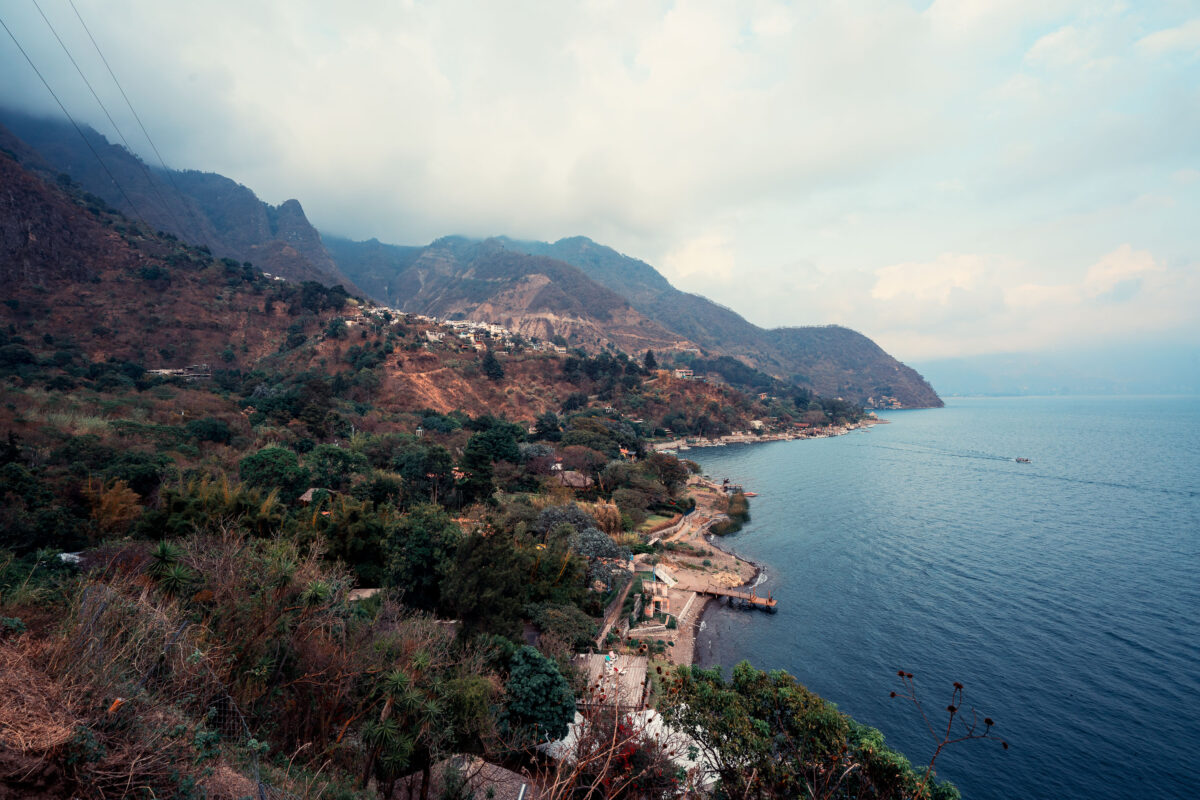
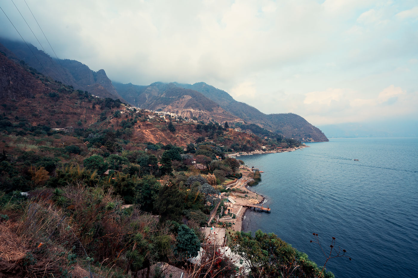
Santa Cruz La Laguna village clings to steep forested volcanic slopes above Lake Atitlán's shoreline in Guatemala with scattered homes and docks visible along the water.
Santa Cruz La Laguna sits on the northern shore of Lake Atitlán, built into terrain so steep that many homes are reachable only by footpath or boat. The lake itself fills a volcanic caldera formed roughly 84,000 years ago and reaches depths of more than 1,000 feet in places, making it one of the deepest lakes in Central America. Small docks along this stretch of coast link the village to Panajachel and other lakeshore communities, since a paved road connecting Santa Cruz to the rest of the region wasn't completed until the 2010s. The surrounding slopes are planted with coffee and corn, crops that remain central to the local Kaqchikel Maya economy.

Hillside Village Above Lake Atitlán Near Santa Cruz La Laguna
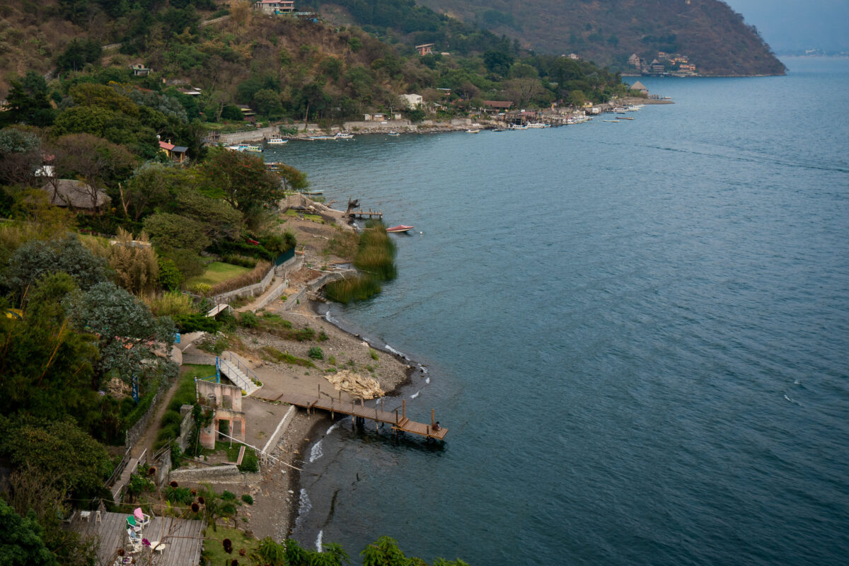
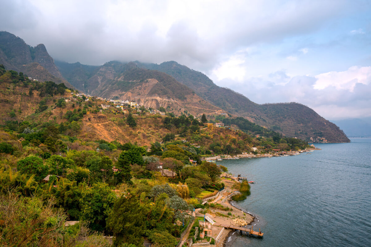
Wooden docks and lakeside properties line the steep forested shore of Lake Atitlán at Santa Cruz La Laguna, Guatemala.
Santa Cruz la Laguna sits on the northern shore of Lake Atitlán, a volcanic crater lake that drops to depths of more than 1,000 feet, making it one of the deepest lakes in Central America. Steep terrain and the absence of a paved road connecting the town to other lakeside communities have long made boats the primary means of transport here; small private docks like these the main access points for homes and guesthouses along the shore. Lanchas, the shared motorboats common across the lake, still carry most residents and visitors between Santa Cruz and towns such as Panajachel and San Pedro la Laguna.

A Pier Along Lake Atitlán Near Santa Cruz La Laguna
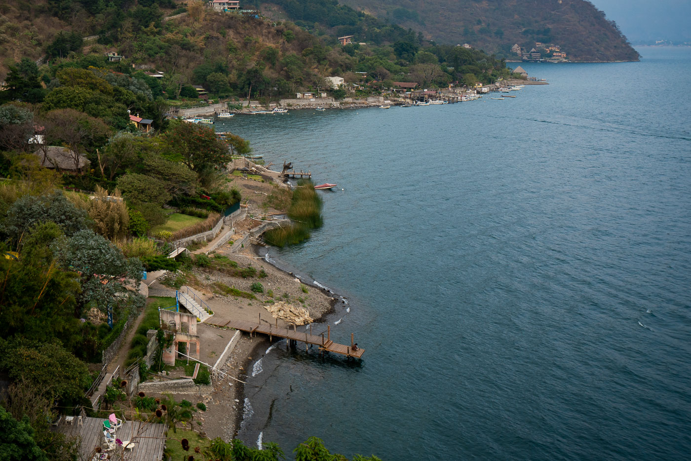
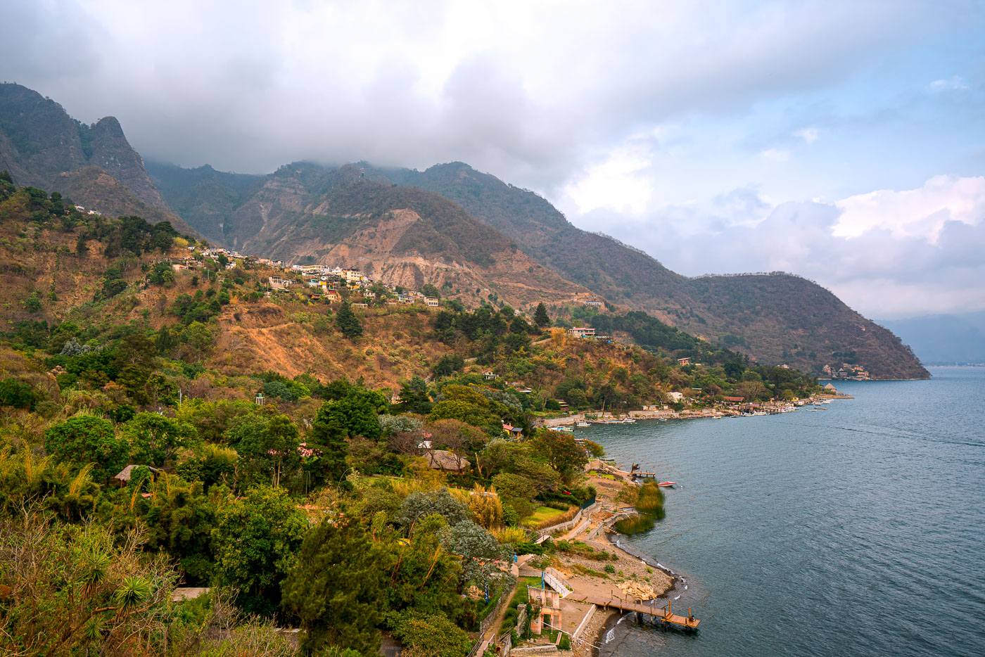
Santa Cruz La Laguna village clings to a steep forested mountainside above Lake Atitlán in Guatemala with homes scattered across the slope and docks lining the narrow shoreline.
Santa Cruz La Laguna sits on a steep slope above the northern shore of Lake Atitlán, a volcanic crater lake in Guatemala's western highlands. The lake formed roughly 84,000 years ago after a massive eruption collapsed the caldera, leaving a basin reaching depths of more than 340 meters in places. Santa Cruz's population is largely Kaqchikel Maya, and the village has no direct road access from much of the surrounding shoreline, relying instead on boats that connect it to Panajachel and other lakeside towns. Volcán Tolimán and Volcán San Pedro rise along the lake's southern edge, part of the chain of volcanoes that ring Atitlán.

Hillside Village of Santa Cruz La Laguna Above Lake Atitlán
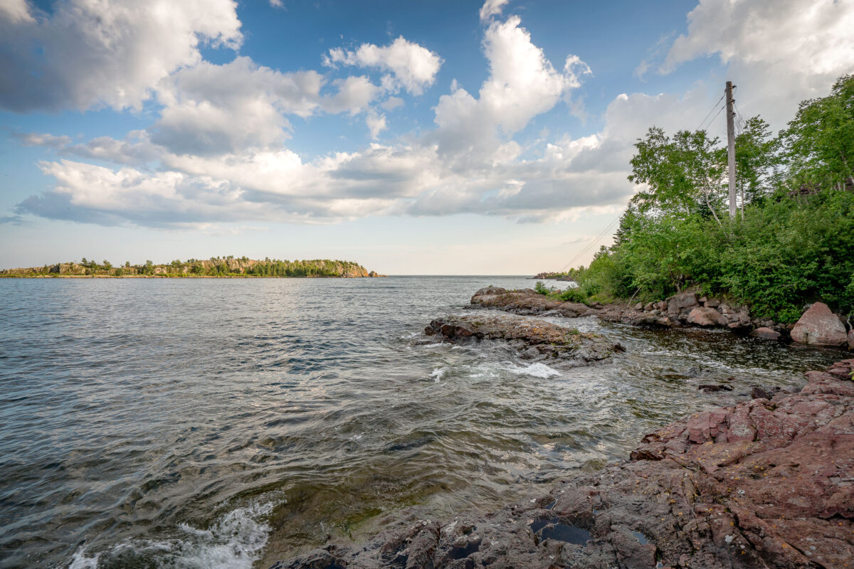
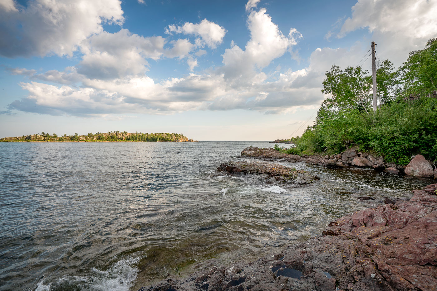
The rocky shoreline of Taconite Harbor, Lake Superior, Minnesota, a former industrial port constructed in the 1950s for taconite export.
The rocky shoreline of Taconite Harbor on Lake Superior, Minnesota, was constructed in the early 1950s by the Erie Mining Company to facilitate the export of taconite pellets from the Mesabi Iron Range. This industrial harbor, connected by a private rail line, served as a critical hub for Minnesota's iron mining industry throughout the latter half of the 20th century. Although operations ceased in the early 2000s due to global market shifts, the remaining infrastructure and the rugged natural landscape serve as a testament to the region's historical reliance on heavy industry.

Taconite Harbor Shoreline, Lake Superior, Minnesota