Bridge

171 photos · 2008–2026

171 photographs tagged Bridge, 2008–2026.
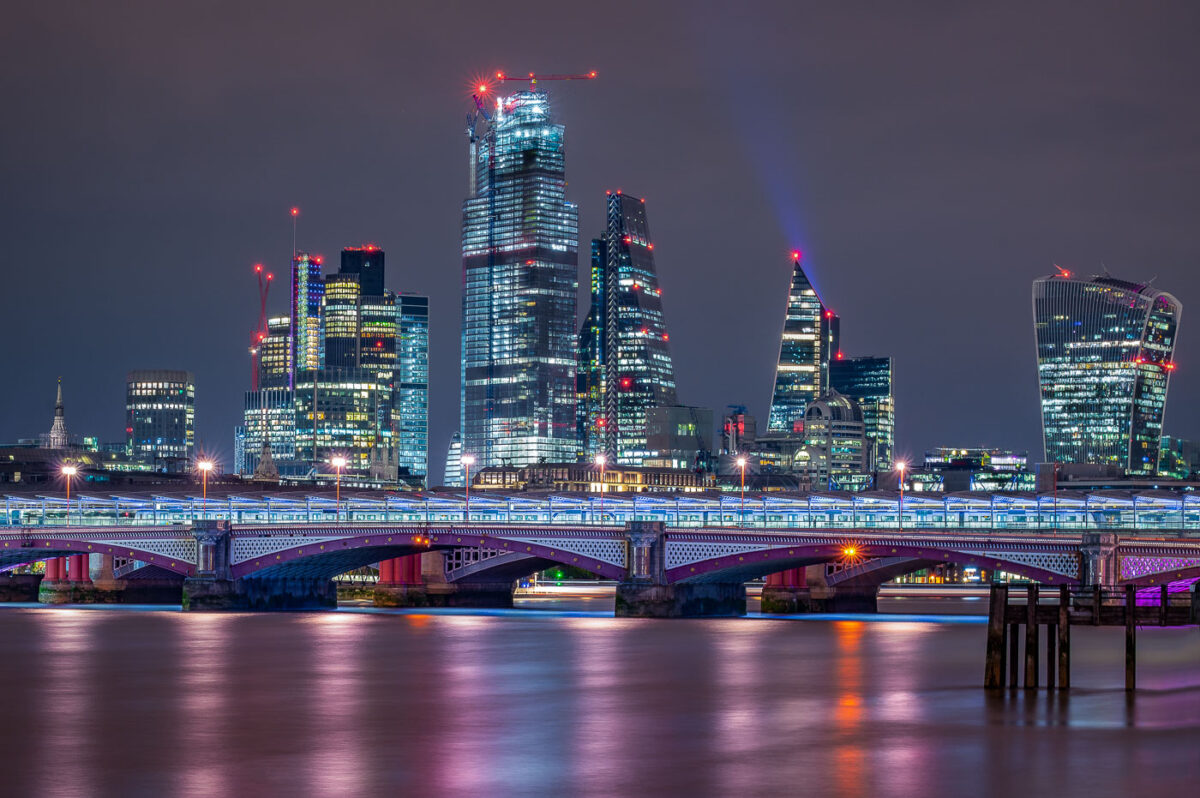
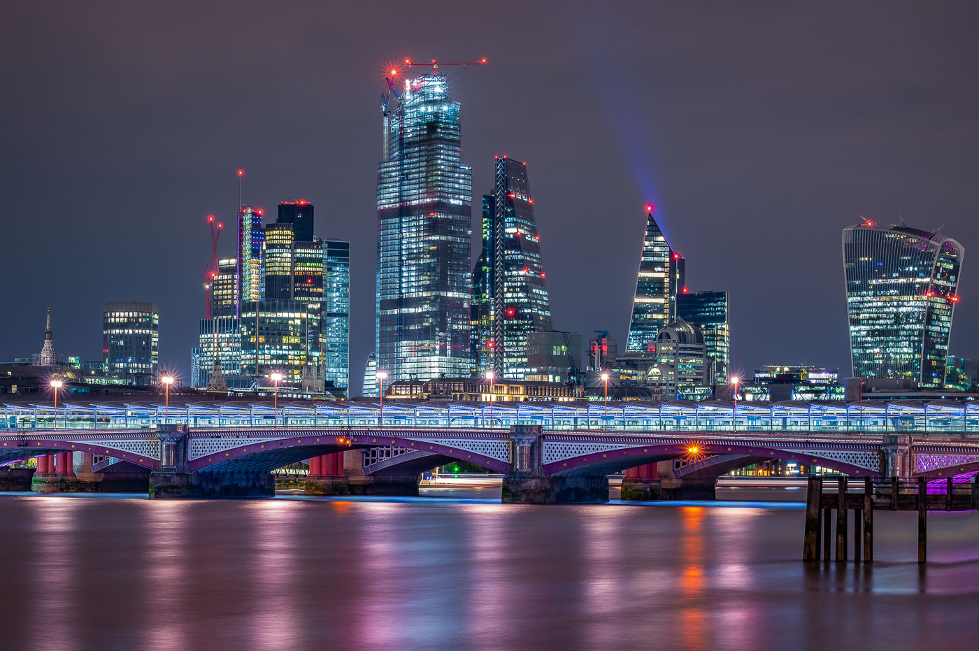
Blackfriars Bridge spans the River Thames with the City of London skyline behind it.
Blackfriars Bridge spans the River Thames in central London, with the City of London skyline behind it. The bridge carries road traffic across the river between Blackfriars and the South Bank, and the Shard and other City towers rise in the background.

Blackfriars Bridge and City of London skyline, London
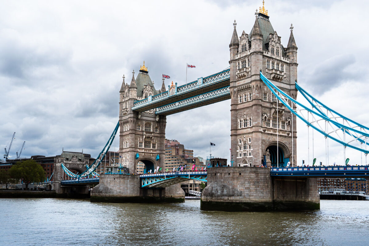
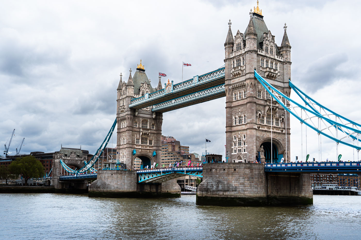
Tower Bridge in London spans the Thames during the 2019 London Marathon.
Tower Bridge in London spans the River Thames during the 2019 London Marathon. Completed in 1894, the combined bascule and suspension bridge was built to maintain road access while allowing ships to pass through the Pool of London.

Tower Bridge, London Marathon 2019

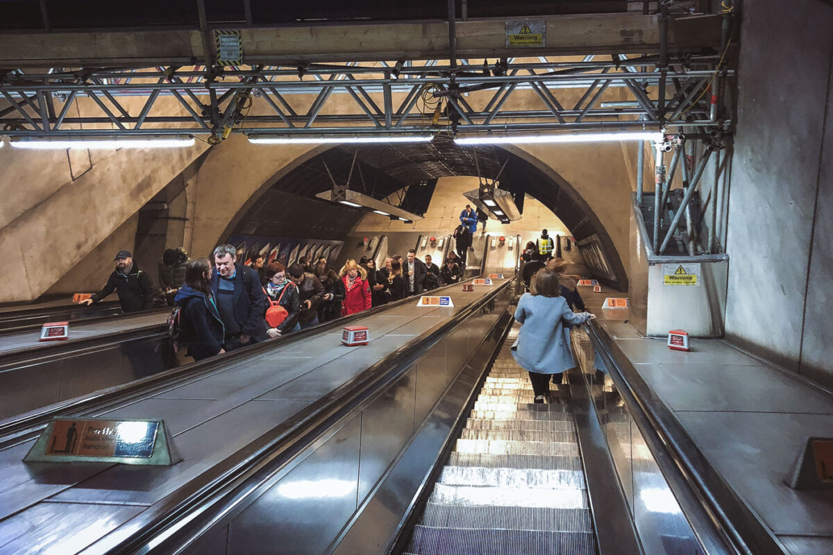
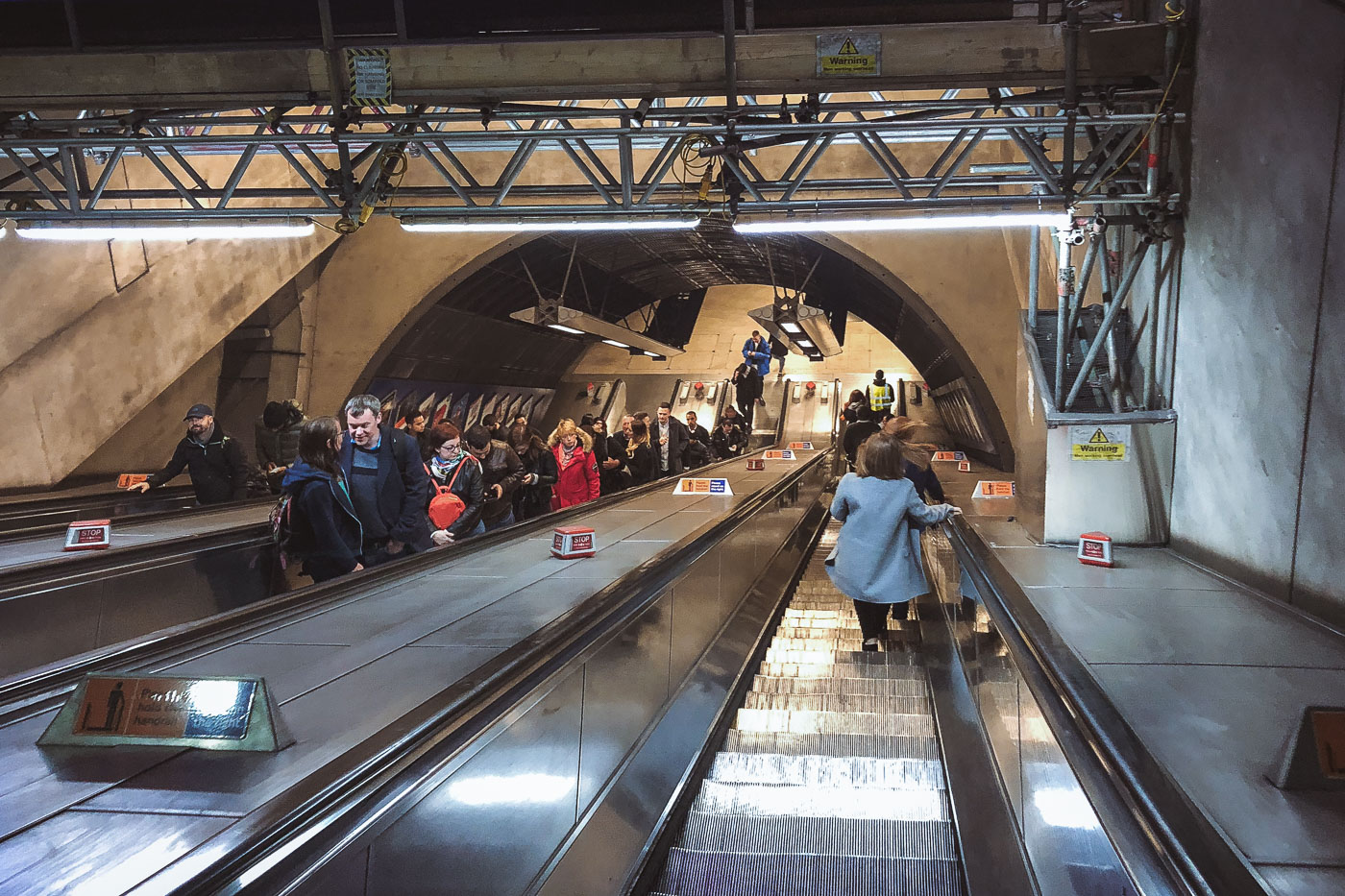
Passengers ride escalators in London Bridge Station's underground concourse, part of the Jubilee Line Extension infrastructure.
London Bridge Station in London has a deep escalator bank connecting the station concourse to the Underground platforms. The escalators form part of the station’s reconstruction and capacity upgrades associated with the 1990s Jubilee Line Extension project.

Deep Escalators at London Bridge Underground Station
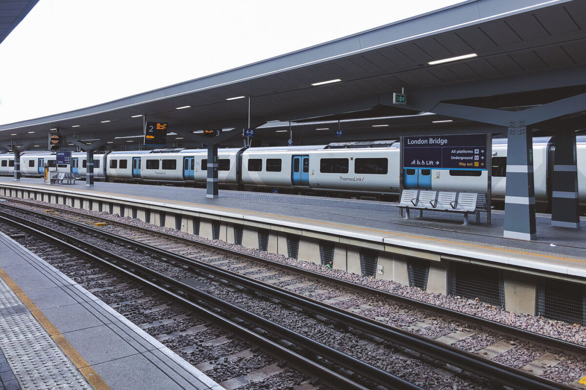
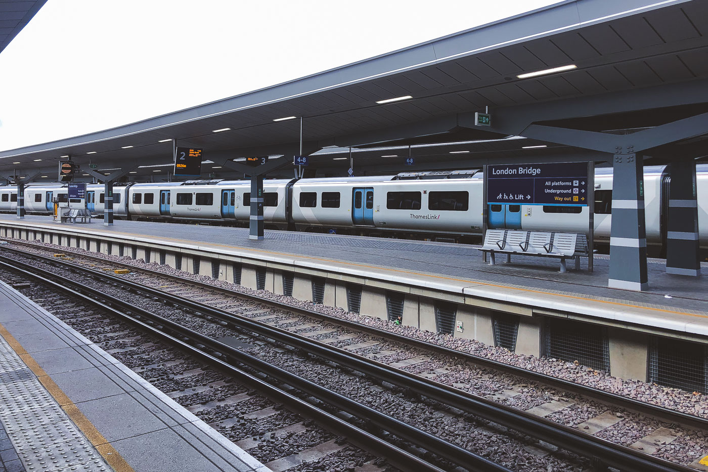
A Siemens Desiro City Class 700 train stops at London Bridge Station's rebuilt Thameslink platform.
London Bridge Station in London has rebuilt Thameslink platforms and canopies, completed as part of the station redevelopment opened in 2018. A Siemens Desiro City Class 700 train stands at the platform.

Thameslink Train at London Bridge Station
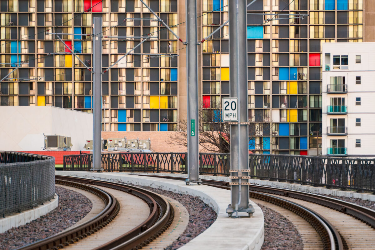
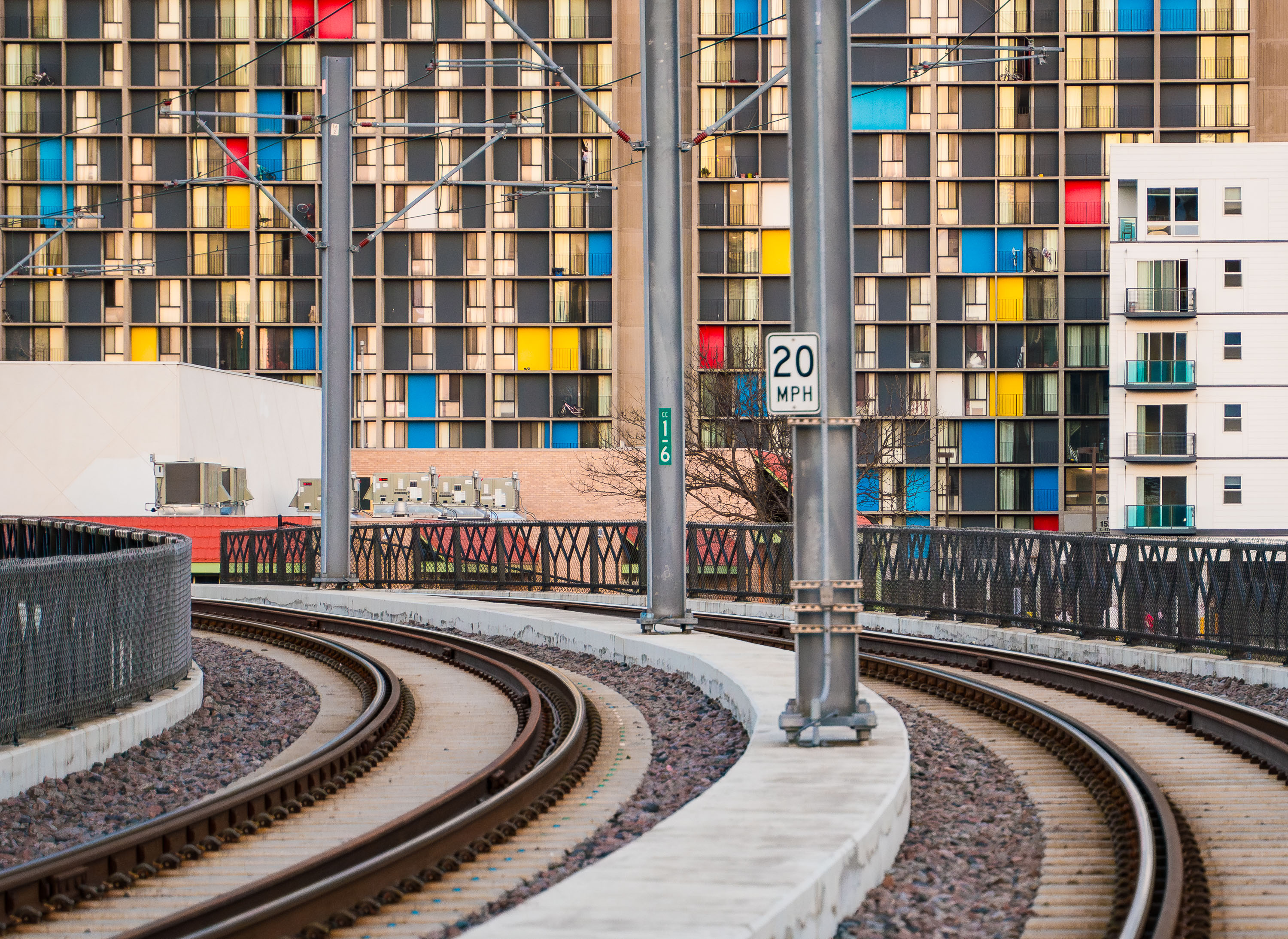
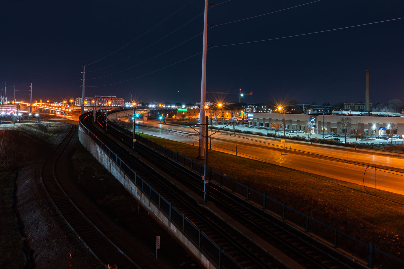
Metro Transit light rail tracks curve past Riverside Plaza in Minneapolis’s Cedar-Riverside neighborhood.
Metro Transit light rail tracks by Riverside Plaza in Minneapolis’s Cedar-Riverside neighborhood. Riverside Plaza is a large housing complex along the light rail corridor near Interstate 35W. The tracks curve through the area south of downtown Minneapolis.

Metro Transit light rail tracks by Riverside Plaza, Minneapolis
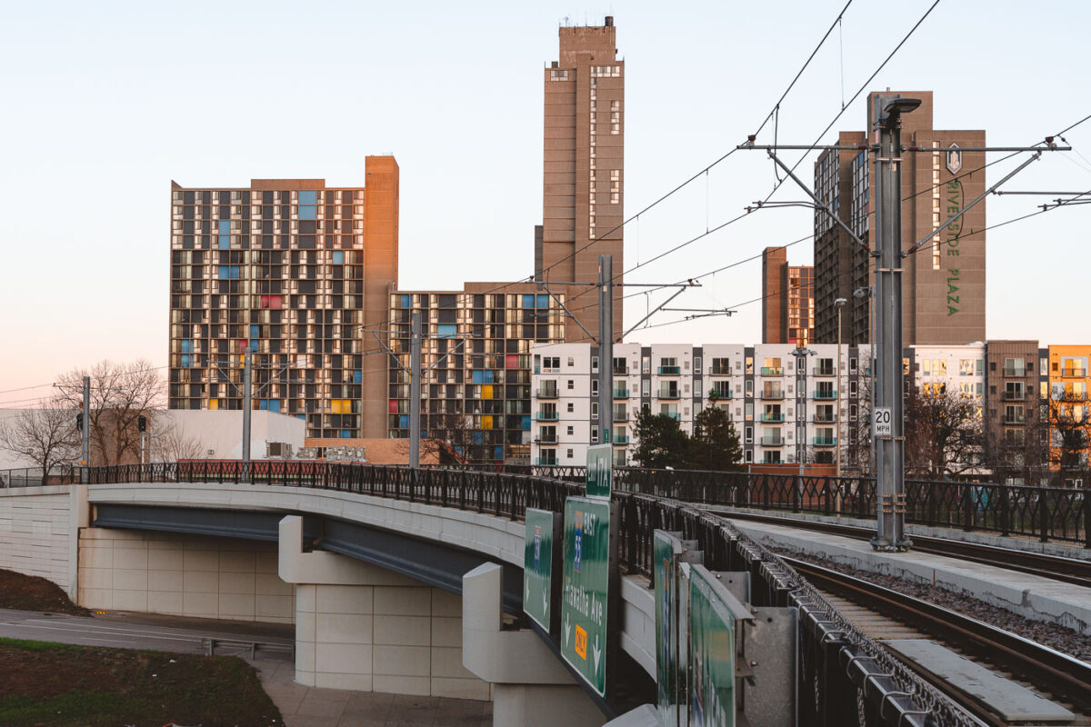
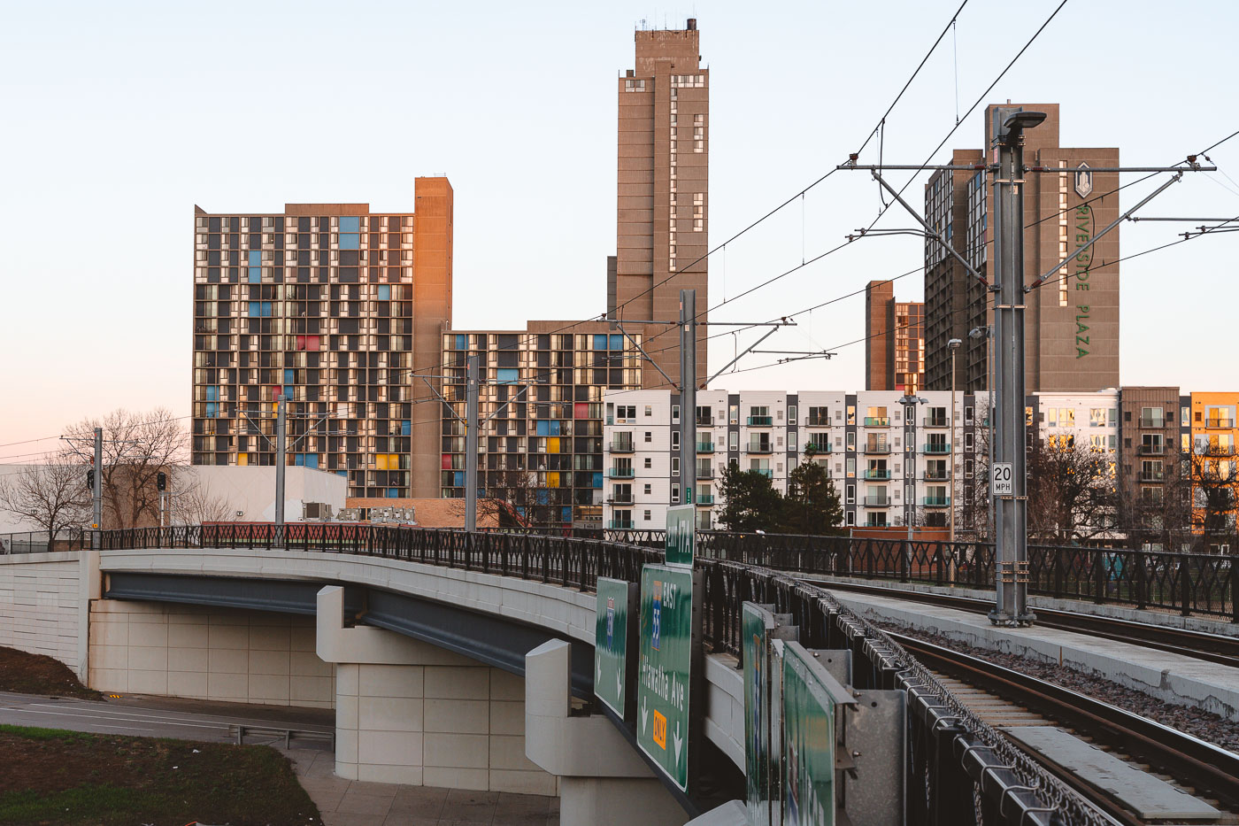
Riverside Plaza and the Light Rail Tracks
Riverside Plaza stands tall beyond the METRO Blue Line overpass in the Cedar–Riverside district of Minneapolis. The colorful panels of the 1970s residential towers contrast with the new mid-rise apartments and light rail infrastructure built decades later.

Riverside Plaza from the Light Rail Overpass, Minneapolis
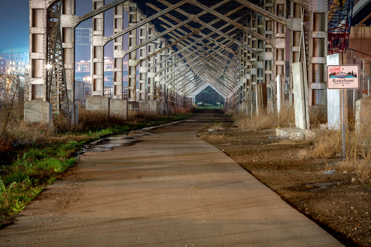
Paved trail runs beneath steel rail trestle along Kansas City's Riverfront Heritage Trail.
The Riverfront Heritage Trail runs beneath a steel rail trestle along the Missouri River in Kansas City. The trail network links downtown Kansas City, Missouri, with the West Bottoms, the River Market, and Kansas City, Kansas, connecting more than twenty miles of paved paths through the metro's riverfront districts.

Riverfront Heritage Trail Beneath a Steel Rail Trestle in Kansas City
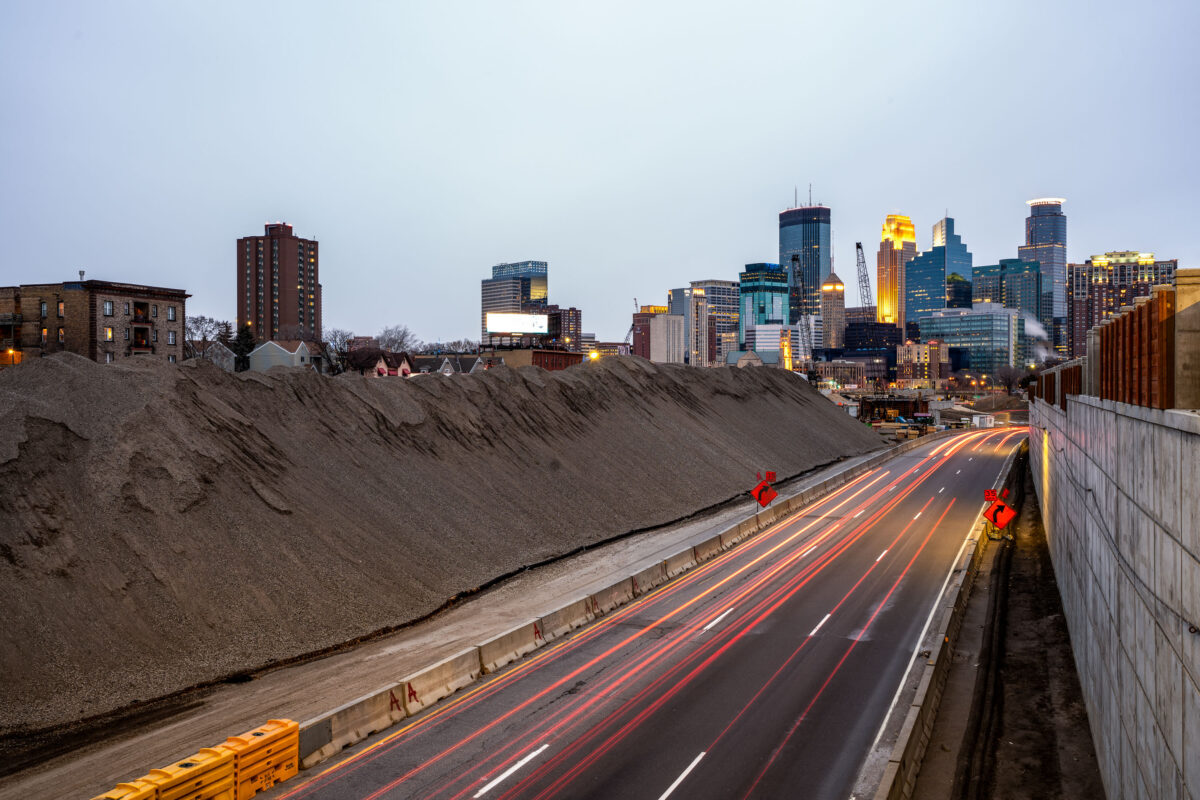
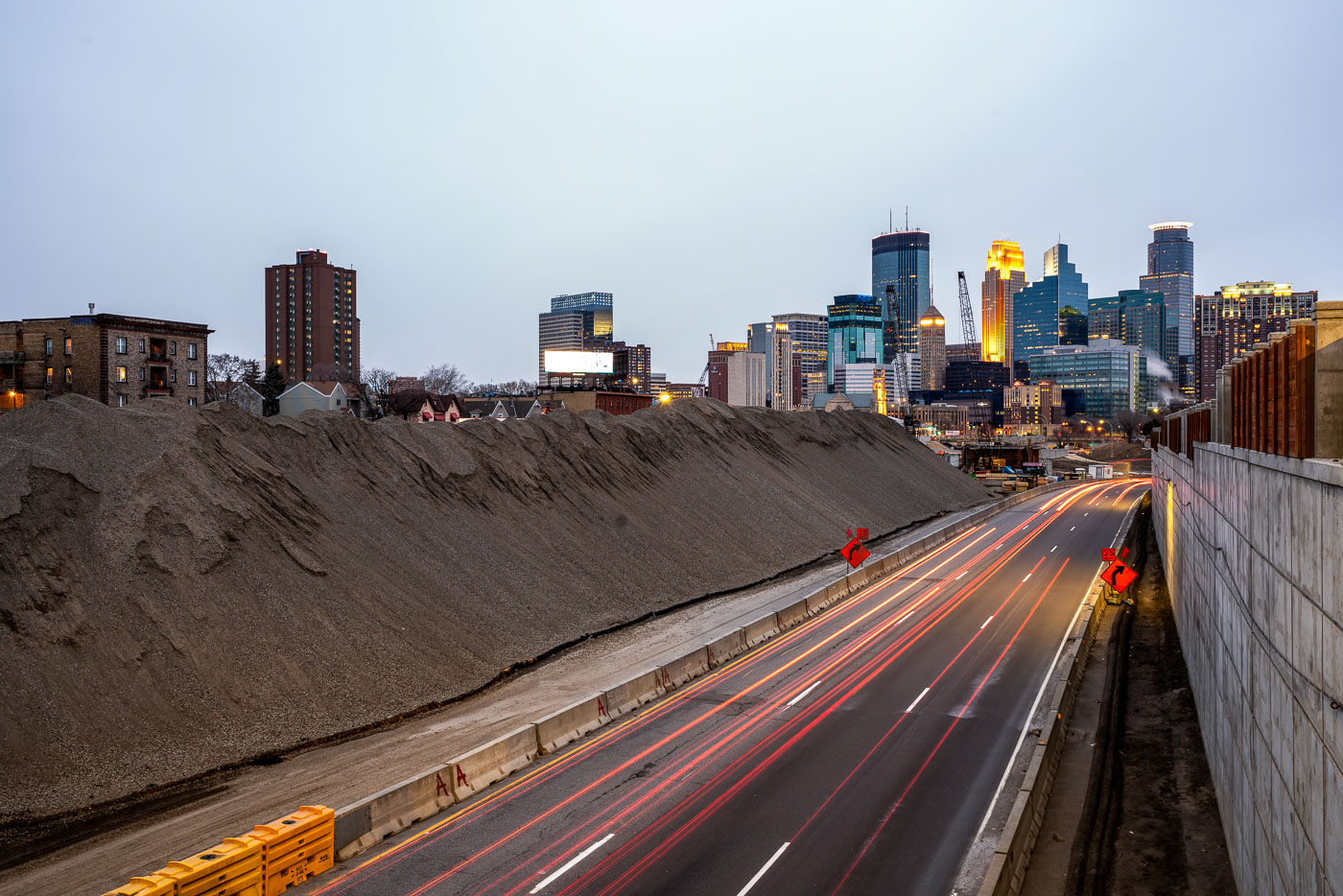
Excavated earth and traffic on Interstate 35W construction site near downtown Minneapolis skyline.
Interstate 35W underwent major reconstruction near downtown Minneapolis during this period. The project involved extensive earthwork and roadway modifications, with excavated material staged alongside the highway corridor. The construction activity was visible from multiple vantage points throughout the downtown area, marking a significant infrastructure undertaking in the city's transportation network.

Interstate 35W Construction Site, Minneapolis
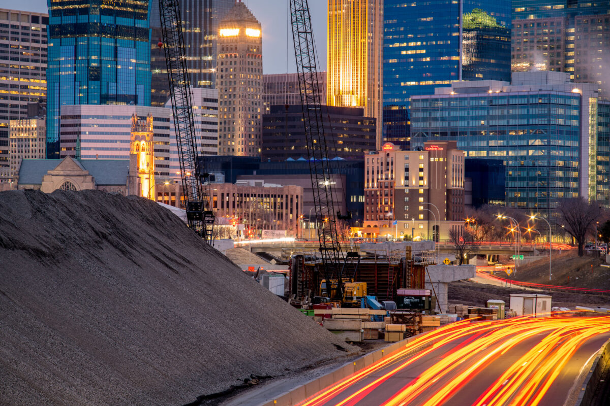
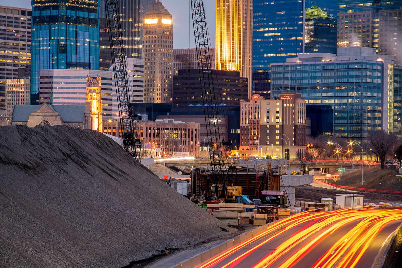
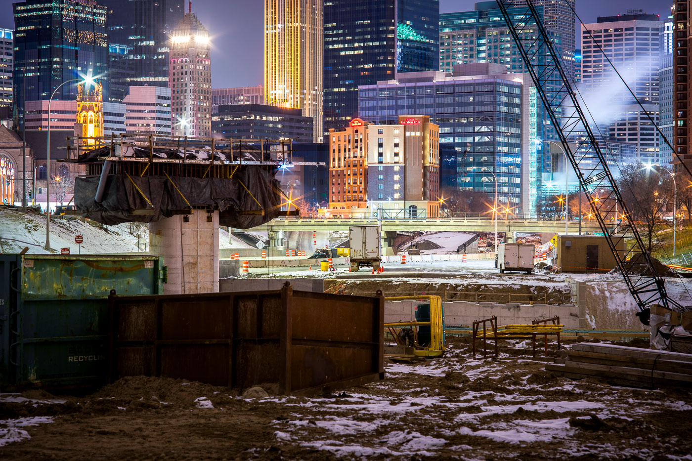
Interstate 35W construction site in downtown Minneapolis at dusk, with the Foshay Tower and illuminated skyline in the background.
Interstate 35W construction on the south edge of downtown Minneapolis is framed by the central business district, including the Foshay Tower and the Hilton Garden Inn.

I-35W Construction Below the Foshay Tower at Dusk
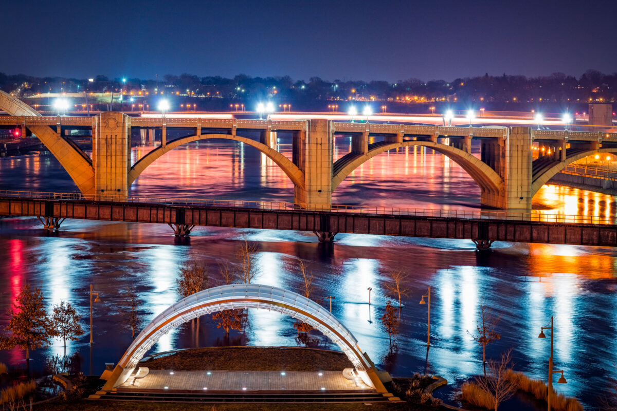
Raspberry Island Bandshell and Wabasha Street Bridge at Night
The Schubert Club Bandshell on Raspberry Island, illuminated along the Mississippi River in Saint Paul, Minnesota. Completed in 2002, the modern arched performance structure serves as an outdoor music venue with views toward the historic Wabasha Street Bridge, visible in the background. The bridge, originally built in 1859 and reconstructed in 1998, is known as the only true vertical align arch bridge over the Mississippi. Its decorative architectural lighting reflects across the water alongside the flooded riverbank, highlighting how the river’s seasonal water levels shape the island landscape. Raspberry Island has long served as a gathering space and riverfront access point, evolving from a railroad landing to a cultural park and performance venue.

Raspberry Island Bandshell and Wabasha Street Bridge at Night

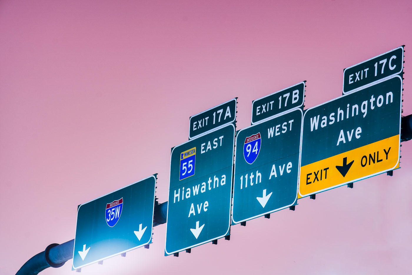
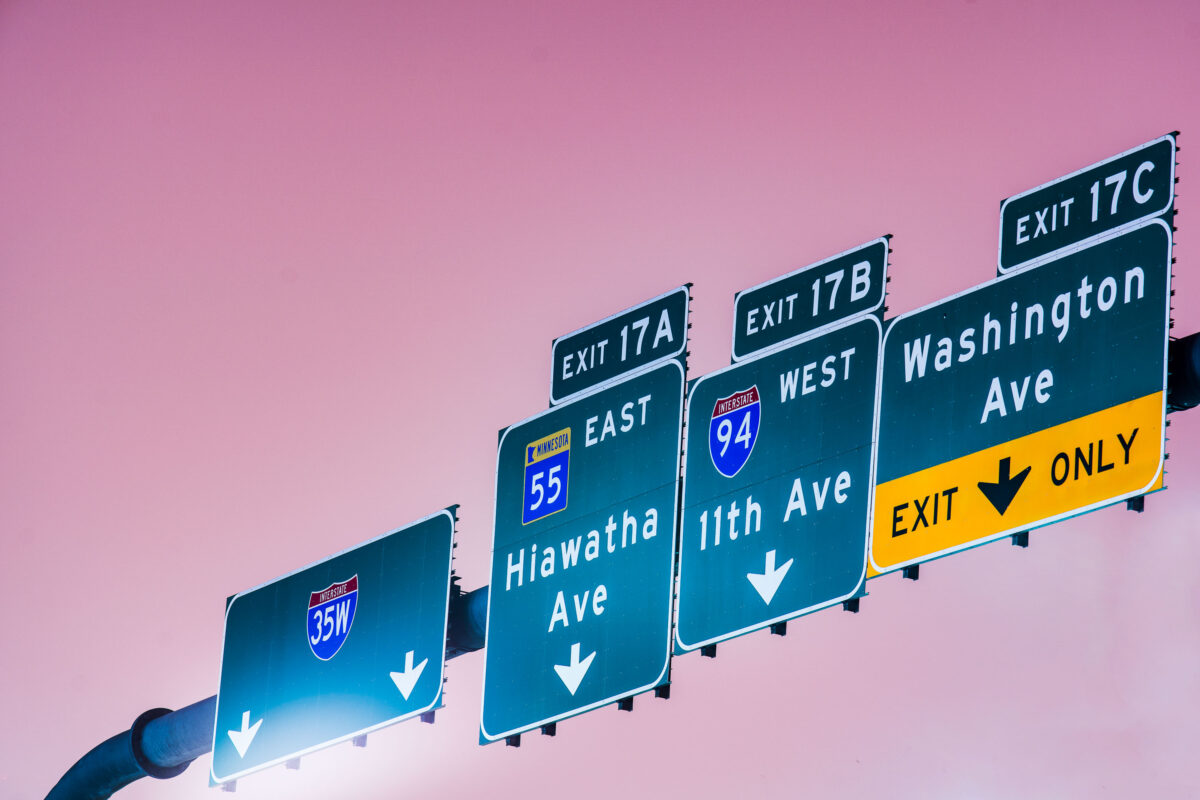
Interstate 35W exit signs for Hiawatha Ave, 11th Ave, and Washington Ave in Minneapolis.
Interstate 35W exit signs in Minneapolis direct traffic to Hiawatha Avenue, 11th Avenue, and Washington Avenue. The guide signs also reference Interstate 94 and Minnesota State Highway 55 at Exit 17.

Interstate 35W exit signs at Hiawatha Ave, Minneapolis
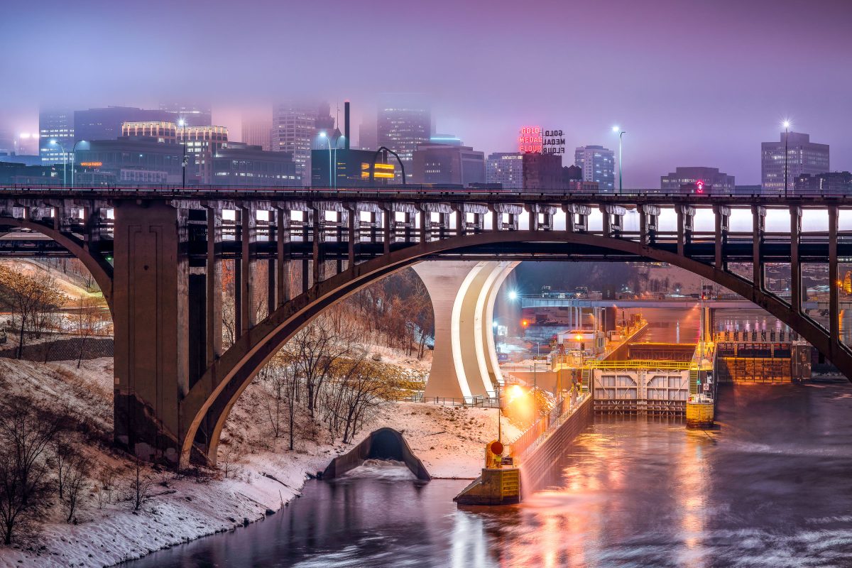
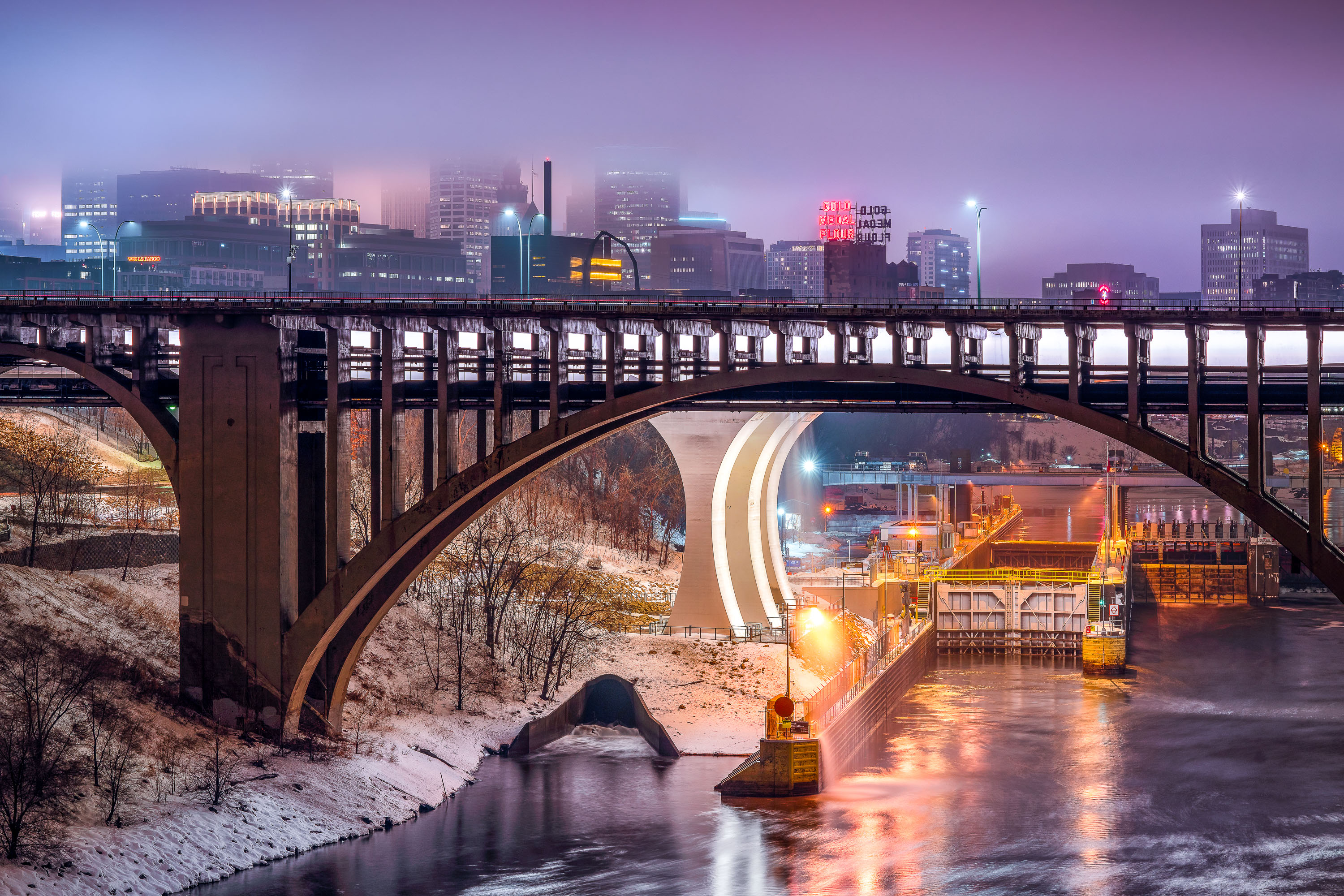
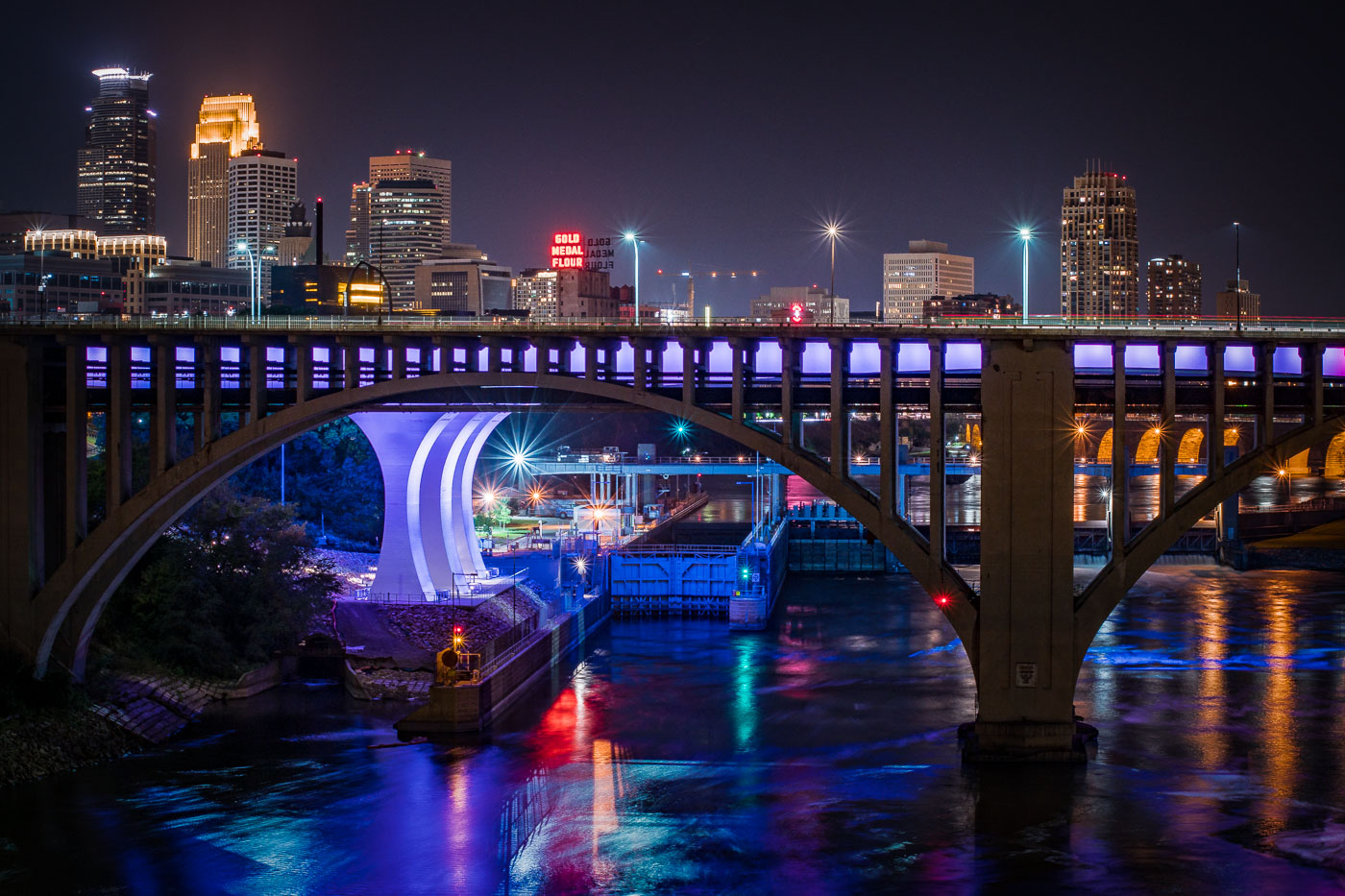
Third Avenue Bridge crosses the Mississippi River with the Gold Medal Flour sign and downtown Minneapolis skyline illuminated at dusk.
The Third Avenue Bridge crosses the Mississippi River just downstream from Saint Anthony Falls, linking downtown Minneapolis to the university area to the east. Completed in 1918, it's a concrete arch span designed by engineer Kristoffer Olsen Oustad with a slight curve to fit the site's geology. Below it, the Lower St. Anthony Falls Lock and Dam helps vessels pass the falls, while the Gold Medal Flour sign, raised above the old Washburn-Crosby mill site in 1908, still marks the skyline behind it.

Foggy Dusk at Third Avenue Bridge and St. Anthony Falls
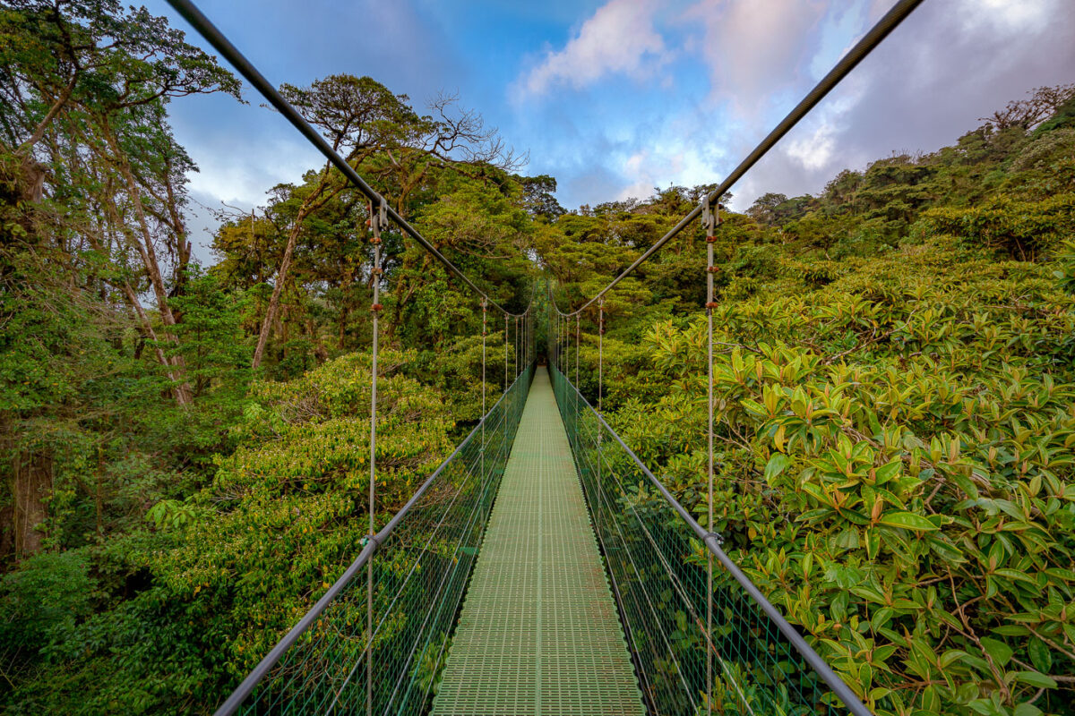
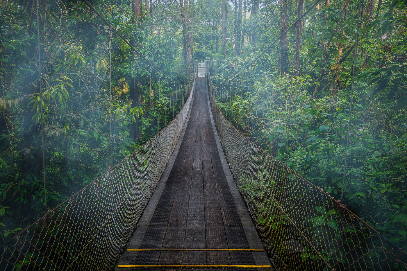
A suspension bridge with green mesh decking stretches through the canopy of Monteverde Cloud Forest Biological Preserve in Costa Rica.
Monteverde's cloud forest reserve sits along the Tilarán mountain range's continental divide, where trade winds off the Caribbean push moisture into the forest, keeping the canopy perpetually damp. The reserve protects roughly 10,500 hectares of forest and is home to an estimated 2,500 plant species, including hundreds of orchids and epiphytes that grow on the trees themselves rather than in soil. Suspension bridges like this one were built to let visitors move through the upper canopy, where much of the forest's biodiversity — birds, insects, and mammals — actually lives, without cutting new trails through the understory below.

Hanging Bridge Through the Monteverde Cloud Forest Canopy
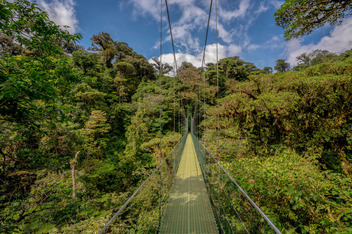
A suspension bridge with a yellow walkway stretches through the canopy of Monteverde Cloud Forest Biological Preserve in Costa Rica.
Monteverde's cloud forest sits along the Tilarán mountain range, where trade winds hold moisture against the slopes and keep the canopy in near-constant mist. Suspension bridges like this one let visitors cross at canopy height, moving through a layer of the forest usually reached only by climbing researchers or resident wildlife. The Monteverde Cloud Forest Biological Preserve protects roughly 10,500 hectares of this habitat, home to more than 400 bird species and an estimated 2,500 plant species, many of them epiphytes growing directly on tree limbs. The reserve was established in 1972, largely through the efforts of Quaker settlers and conservationists who recognized the forest's role in the region's water supply.

Suspension Bridge Over the Monteverde Canopy
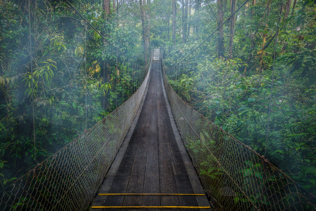
A suspension bridge crosses through dense rainforest canopy near Arenal Observatory Lodge in Costa Rica.
Arenal Observatory Lodge sits on the lower slopes of Arenal Volcano in Costa Rica's Alajuela province, and its trail network includes several hanging bridges that cross the surrounding rainforest. The lodge opened to the public in the 1980s after operating as a research station for volcanologists studying Arenal's activity, which continued from 1968 until it quieted in 2010. The trails connect patches of primary and secondary forest once used to monitor the volcano, and the property sits within view of Lake Arenal, Costa Rica's largest artificial reservoir.

Hanging Bridge Through the Canopy at Arenal Observatory Lodge
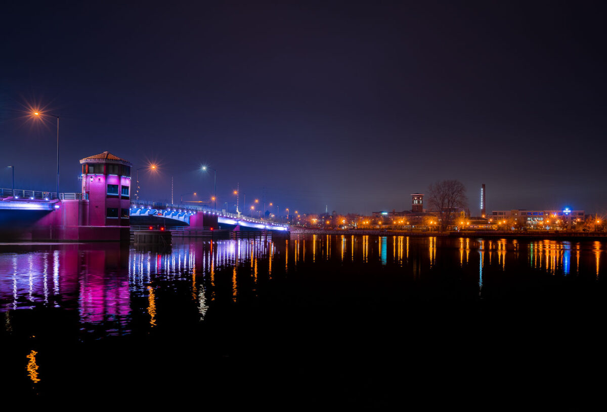
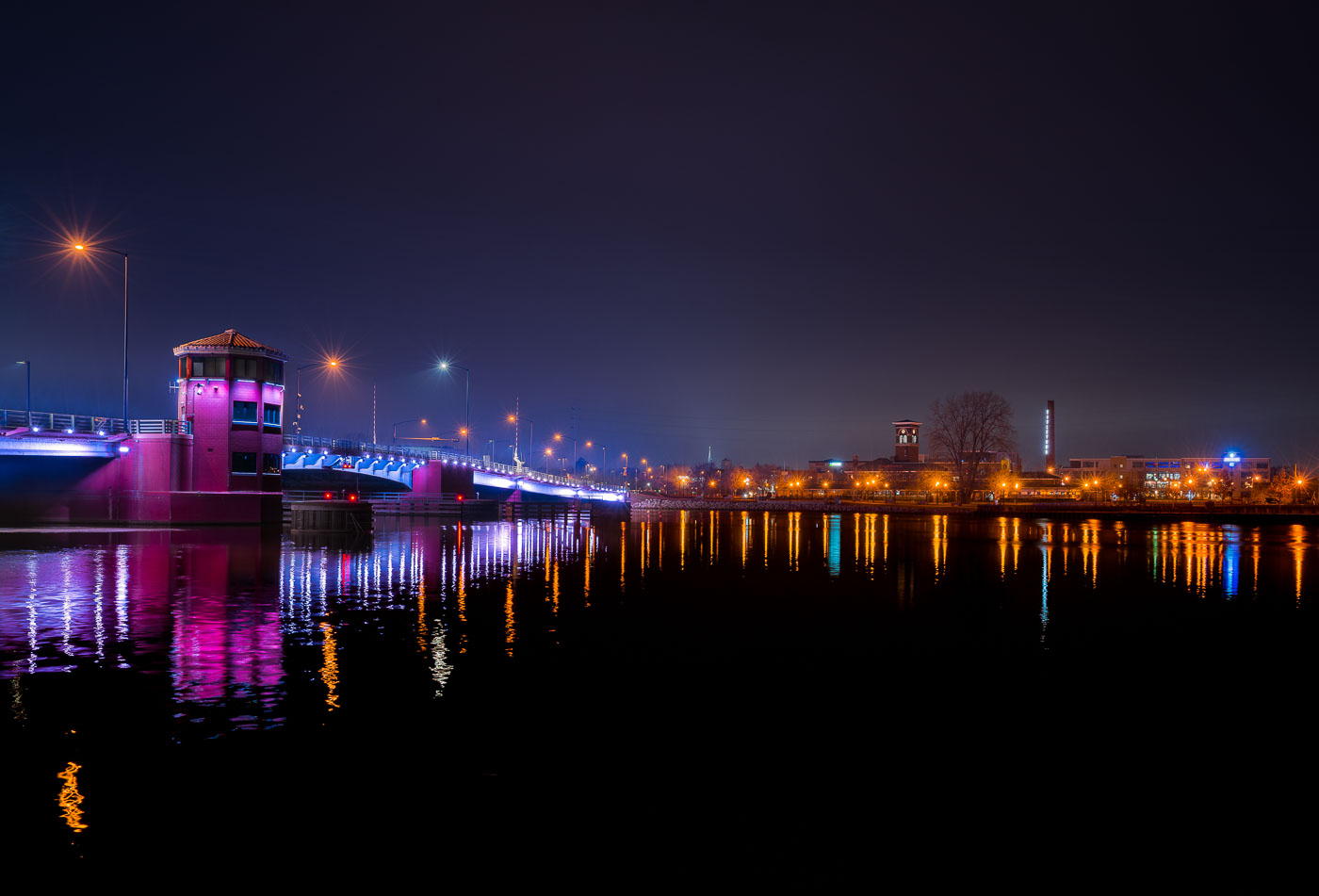
Walnut Street Bridge lit at night over the Fox River in downtown Green Bay, Wisconsin.
The Walnut Street Bridge carries traffic across the Fox River in downtown Green Bay, Wisconsin. It's a double-leaf bascule drawbridge, built to open and let vessels pass between the Fox River and the bay of Green Bay, part of the connected Great Lakes waterway. The bridge links Walnut Street on the city's east and west sides near the river's mouth. It remains one of several movable spans crossing the Fox River through downtown Green Bay.

Walnut Street Bascule Bridge, Green Bay

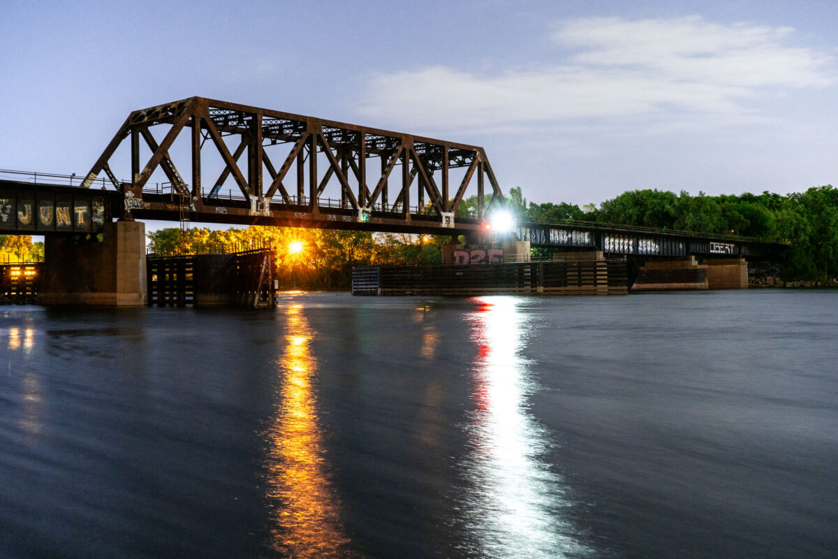
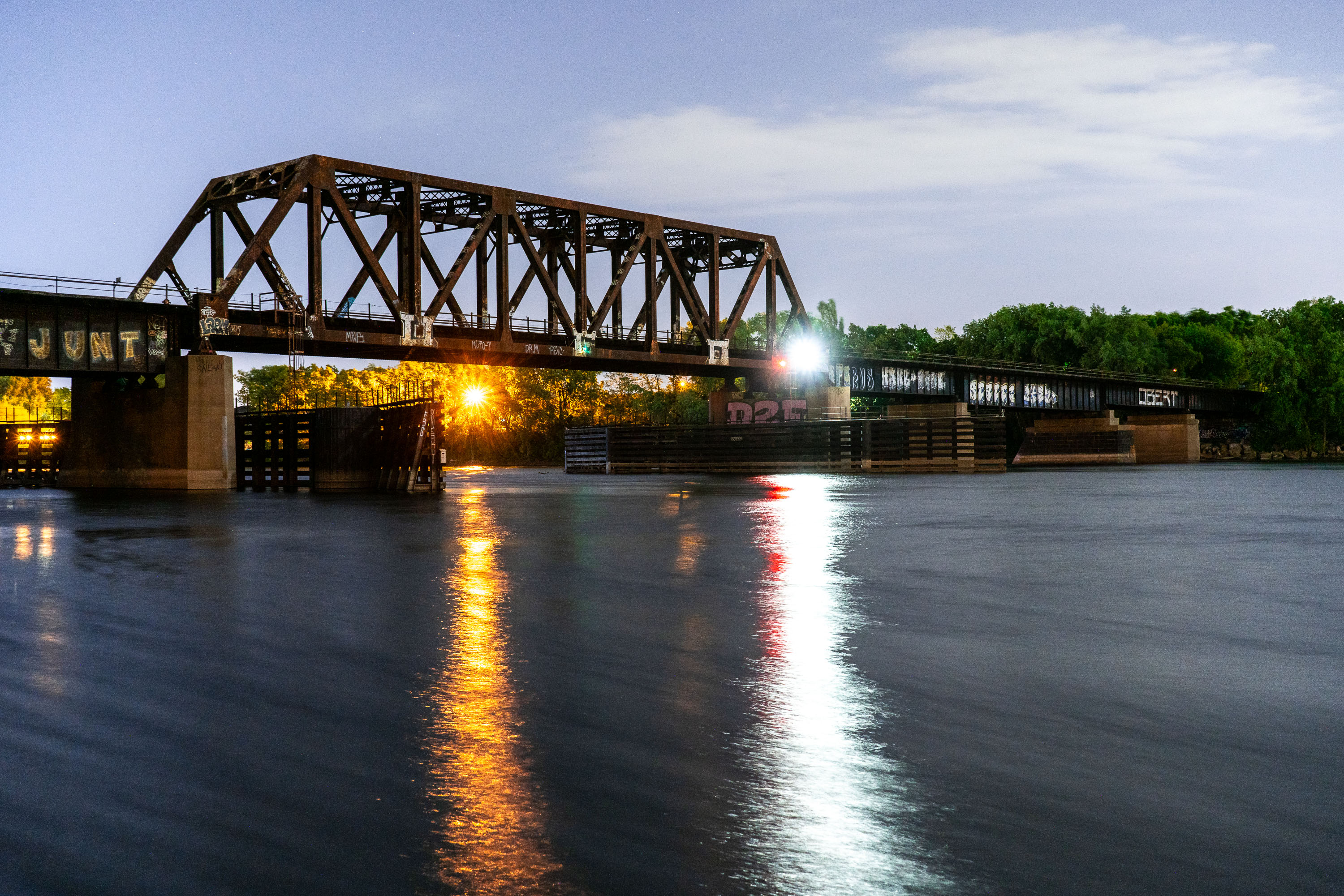
Rail bridge over the Fox River near Green Bay, Wisconsin
A rail bridge over the Fox River in Allouez, Wisconsin.

Allouez Wisconsin Rail Bridge
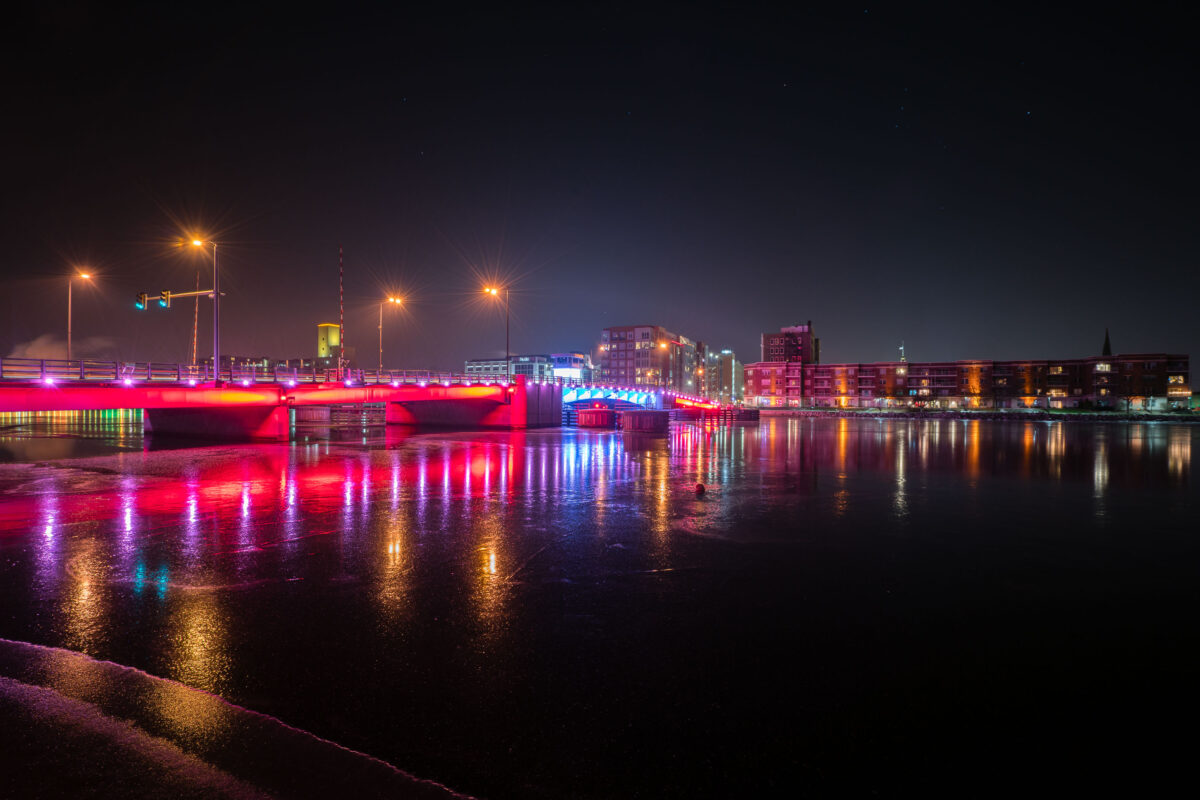
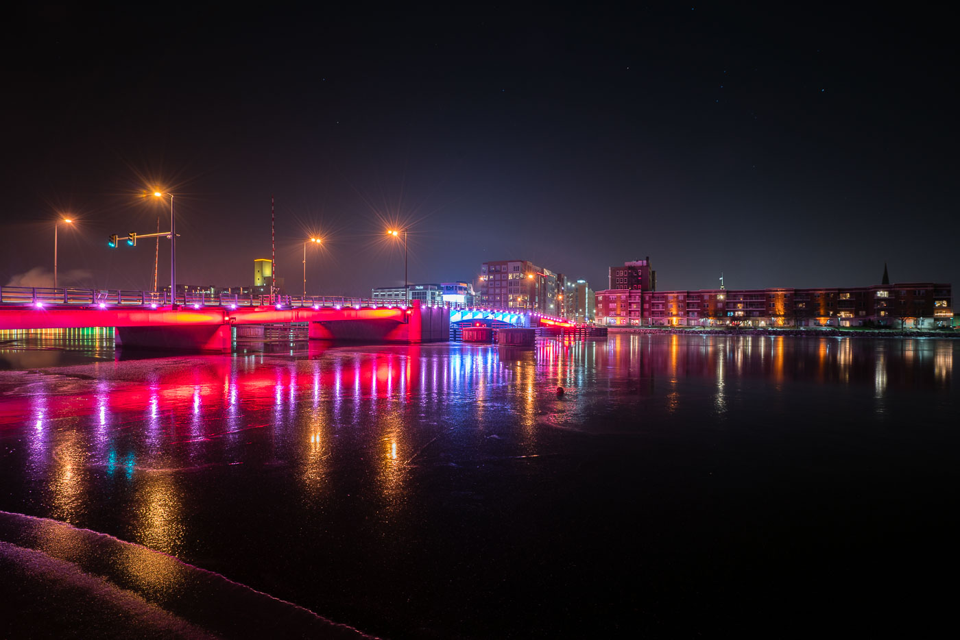
Mason Street Bridge with colorful LED lighting spans the Fox River in downtown Green Bay, Wisconsin.
The Mason Street Bridge carries traffic across the Fox River in downtown Green Bay, Wisconsin, linking the city's east and west sides near the CityDeck riverfront park. Wisconsin's Department of Transportation maintains the crossing, which replaced an earlier span on the same site. The bridge is a double-leaf bascule design, built to open for river traffic passing between Lake Michigan's Green Bay and the upstream Fox River channel. Its color-changing LED system, added as part of a broader downtown riverfront lighting effort, is used to mark holidays, sports events, and civic occasions throughout the year.

Mason Street Bridge over the Fox River, Green Bay
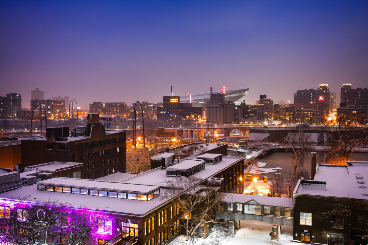
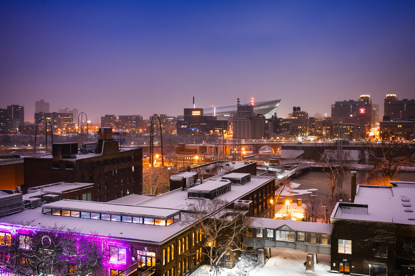
Downtown Minneapolis from St. Anthony Main
The Minneapolis skyline is visible in the distance, with US Bank Stadium prominently featured. In the foreground, the historic Stone Arch Bridge spans the Mississippi River, connecting the St. Anthony Main district to the city's core. Originally built in 1883 for the Great Northern Railway, the bridge is now a pedestrian and bicycle path, offering views of the river and the former industrial buildings that once defined this area.

Minneapolis Skyline and Stone Arch Bridge in Winter
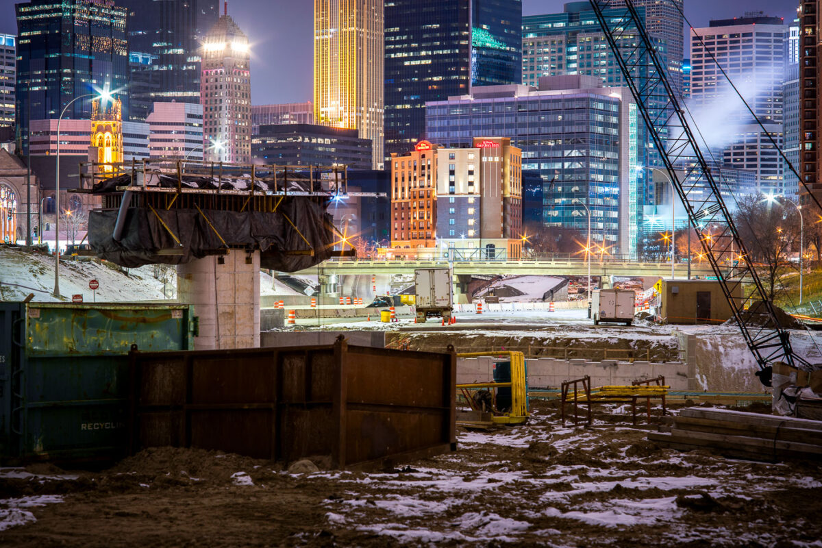
I-35W highway construction site in downtown Minneapolis with illuminated office towers and buildings visible beyond the freeway trench.
I-35W construction in downtown Minneapolis continues in the freeway trench south of the central business district.

Night Construction Along I-35W Beneath the Minneapolis Skyline

Stone Arch Bridge in Minneapolis beyond trees at Gold Medal Park.
The Stone Arch Bridge spans the Mississippi River in Minneapolis. Built in 1883 for the Great Northern Railway, it now carries pedestrians and cyclists across the river.

Stone Arch Bridge, Minneapolis

Northern Pacific BNSF Rail Bridge crosses the Mississippi River in Minneapolis.
Northern Pacific BNSF Rail Bridge spans the Mississippi River in Minneapolis between downtown and Northeast Minneapolis. Originally built in 1884 for the Northern Pacific Railway, it provided rail access to yards north of downtown. The bridge has been altered and repaired over time and remains part of BNSF Railway operations in the city.

Northern Pacific BNSF Rail Bridge, Minneapolis
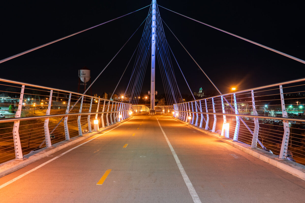
The Martin Olav Sabo Bridge, a pedestrian and bicycle bridge in Minneapolis, illuminated at night
The Martin Olav Sabo Bridge, a pedestrian and bicycle bridge in Minneapolis. Opened in 2000, the bridge connects the Longfellow and Seward neighborhoods, over Haiwatha Ave. The bridge is named in honor of Martin Olav Sabo, a U.S. Representative from Minnesota.

Martin Olav Sabo Bridge at Night, Minneapolis
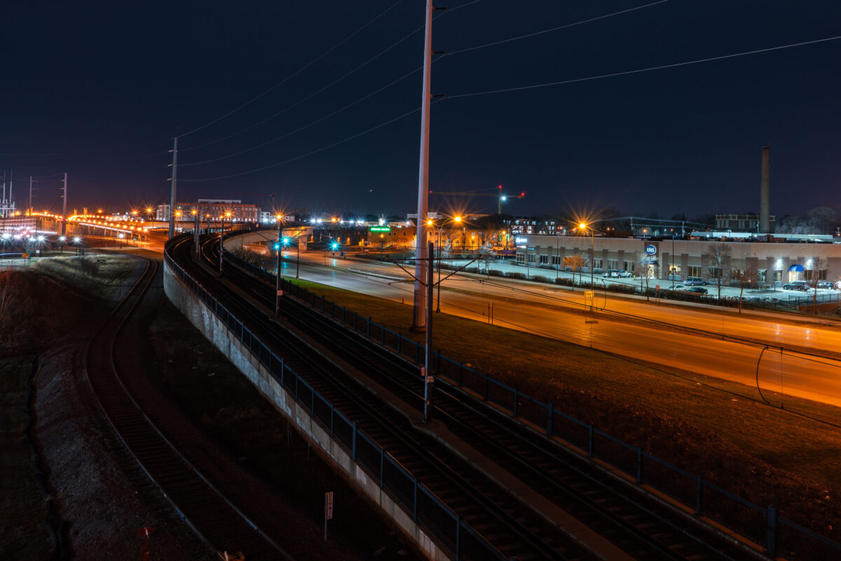
Metro Transit light rail bridge spanning Hiawatha Avenue in South Minneapolis at night.
The Metro Transit light rail bridge spans Hiawatha Avenue in South Minneapolis. Completed in 2018, this structure is part of the Blue Line's expansion.

Light Rail Tracks Curving Above Hiawatha Avenue at Night
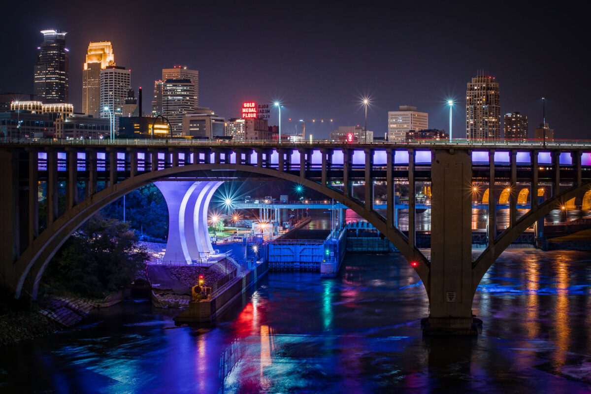
The I-35W Mississippi River Bridge at night, with the Minneapolis skyline in the background.
The I-35W Mississippi River Bridge over the Mississippi River in downtown Minneapolis. The bridge collapsed in 2007 and was replaced in 2008.

Minneapolis I-35W Bridge and Downtown Skyline at Night
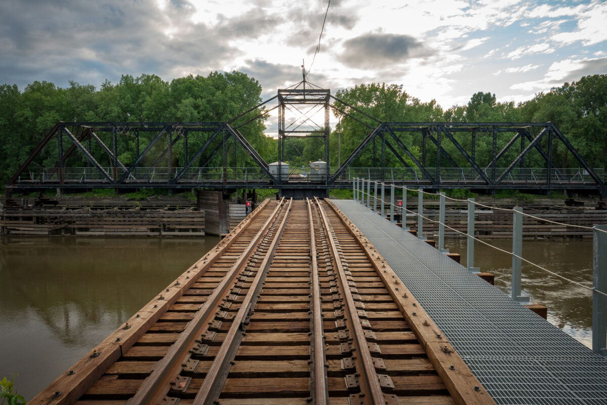
Dan Patch Line Bridge over the Minnesota River between Bloomington and Savage.
Dan Patch Line Bridge, Bloomington and Savage, is a railroad swing bridge spanning the Minnesota River. Built for the Dan Patch Line, it carries the rail corridor between the two cities and remains a notable crossing in the Twin Cities south metro.

Dan Patch Line Bridge, Bloomington and Savage

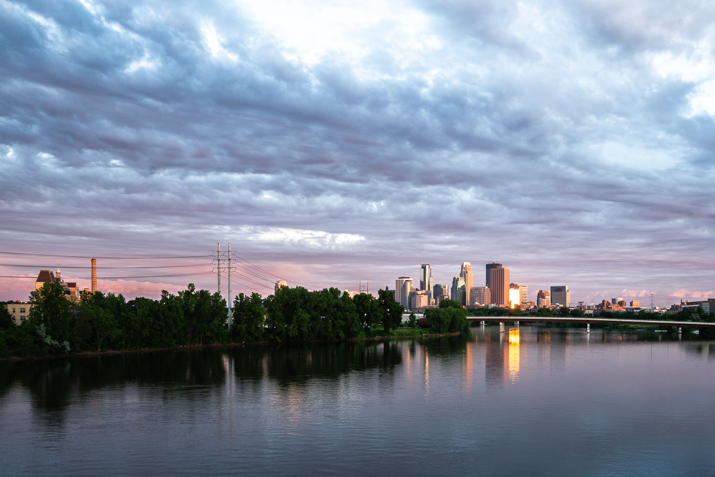
Minneapolis downtown skyline and Mississippi River at dusk with suspension bridge visible across the water.
Downtown Minneapolis along the Mississippi River, with the Third Avenue Bridge crossing toward downtown. The river marks the site of St. Anthony Falls, the only major waterfall on the Mississippi, which drew the flour mills that built the city's early economy.

Downtown Minneapolis Skyline Along the Mississippi River
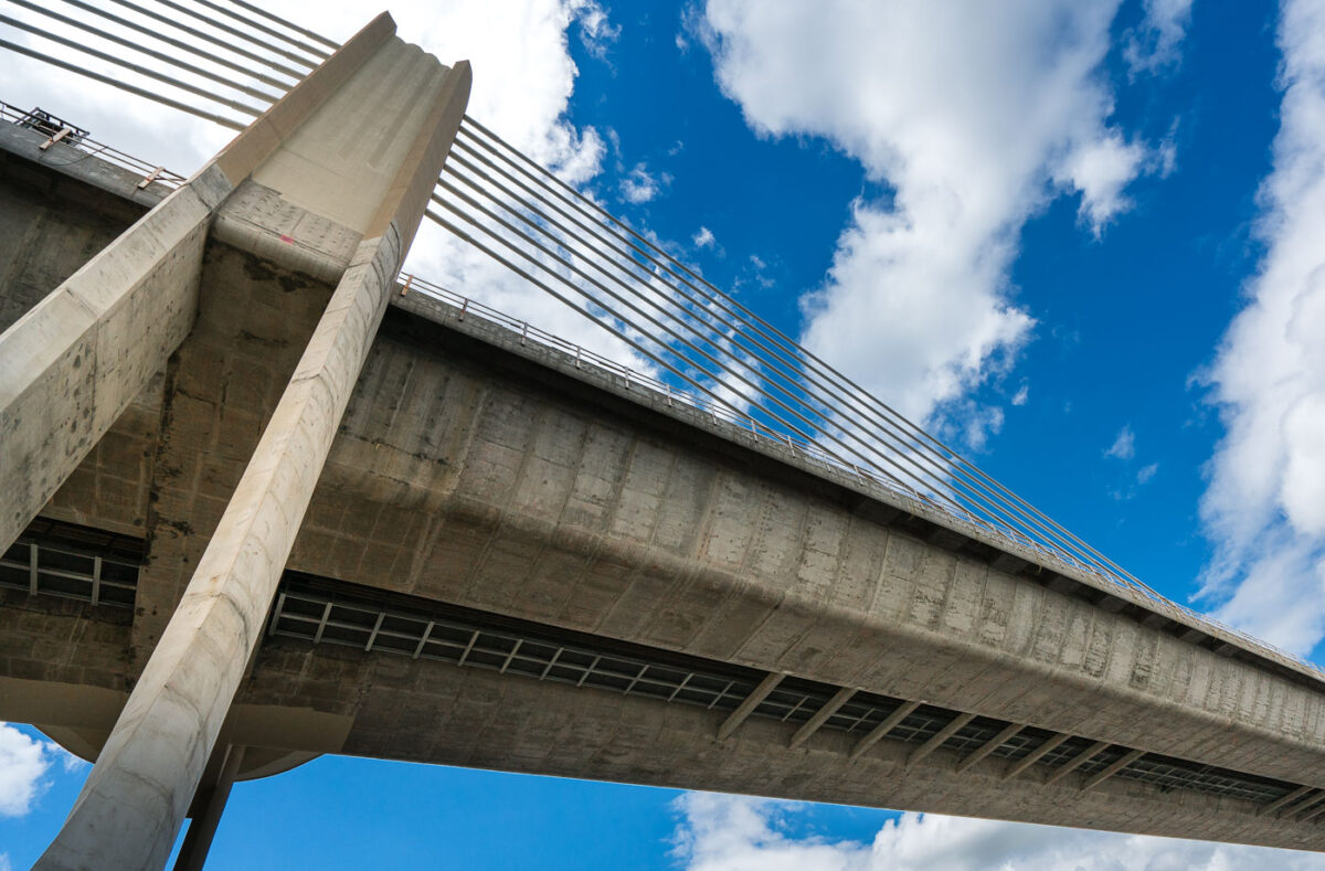
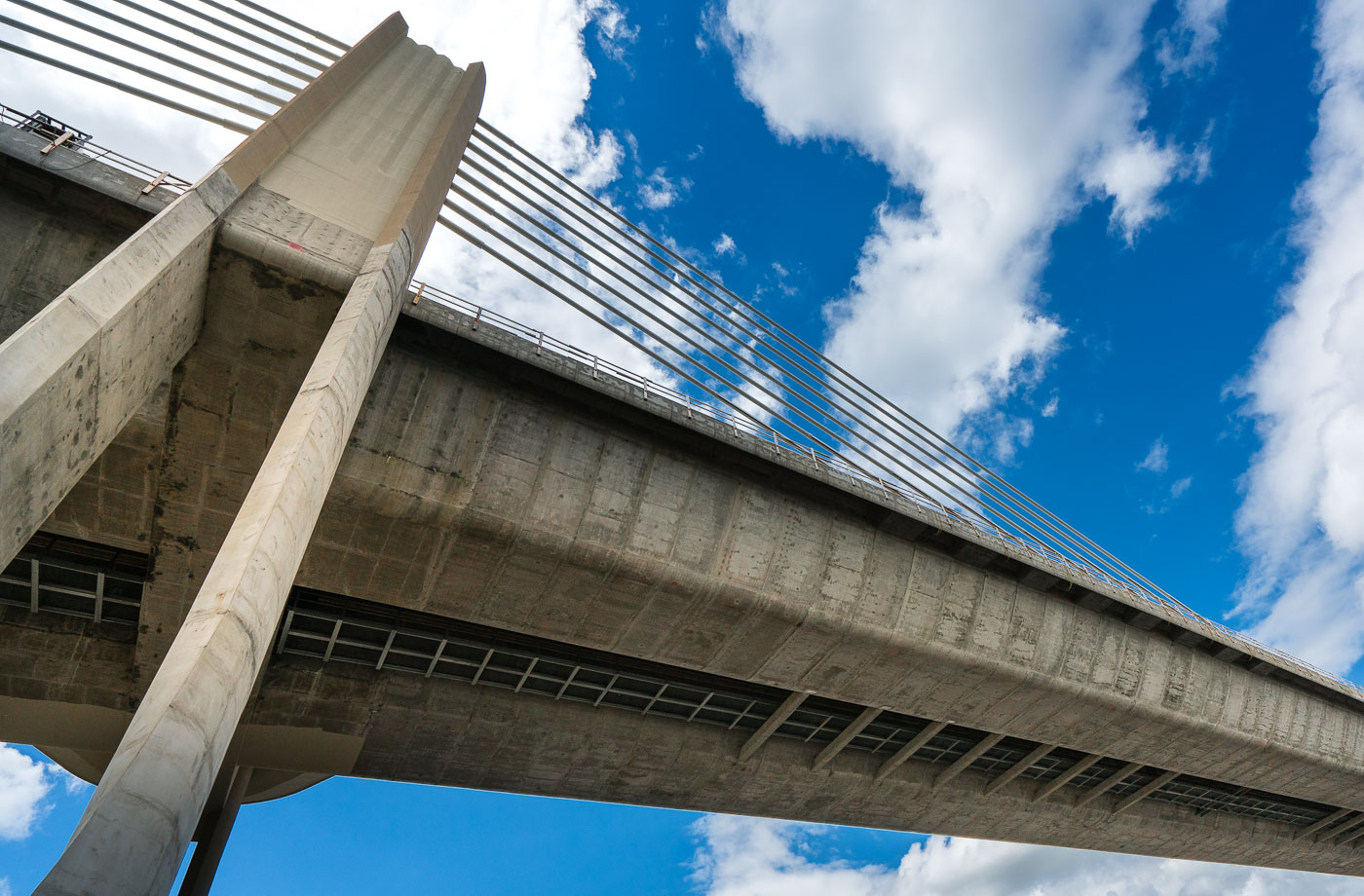
St. Croix Crossing Bridge over the St. Croix River between Oak Park Heights, Minnesota, and St. Joseph, Wisconsin
The St. Croix Crossing, an extradosed bridge, connects Oak Park Heights, Minnesota, and St. Joseph, Wisconsin, across the St. Croix River. Completed in 2017, it replaced an aging bridge and significantly improved traffic flow by carrying Minnesota State Highway 36 and Wisconsin State Highway 64. The structure features four lanes of traffic and a dedicated bike and pedestrian path on its north side, enhancing connectivity and accessibility between the two states.

St. Croix Crossing Bridge: Minnesota-Wisconsin Connection
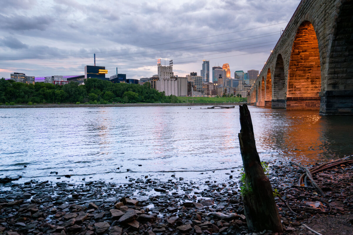
Minneapolis skyline and the Stone Arch Bridge over the Mississippi River.
Minneapolis skyline and the Stone Arch Bridge over the Mississippi River in Minneapolis, Minnesota. The former railroad bridge spans St. Anthony Falls and is part of the Mill Ruins Park area.

Minneapolis skyline from the Stone Arch Bridge

Concrete pillars supporting the St. Paul Bridge in downtown Saint Paul, Minnesota, during a rainstorm. The bridge is a vital transportation artery for the city.
Concrete pillars support the St. Paul Bridge in downtown Saint Paul, Minnesota, during a rainstorm. These massive columns are part of the bridge's substructure, designed to bear the weight of traffic and ensure the stability of the crossing. The bridge, a vital artery for the city, facilitates transportation and connects different parts of the downtown area. The rain-slicked ground and reflections of red light highlight the utilitarian nature of this urban infrastructure.

Concrete Pillars Under St. Paul Bridge During Rainstorm
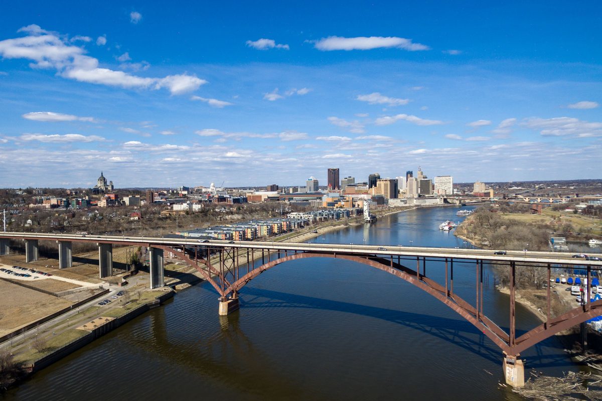
Smith Avenue High Bridge and Downtown St. Paul
The Smith Avenue High Bridge spans the Mississippi River south of downtown St. Paul, Minnesota. The bridge connects the West Side neighborhood with the Cathedral Hill area and frames a skyline that includes the Cathedral of Saint Paul and the State Capitol area.

Smith Avenue High Bridge and Downtown St. Paul
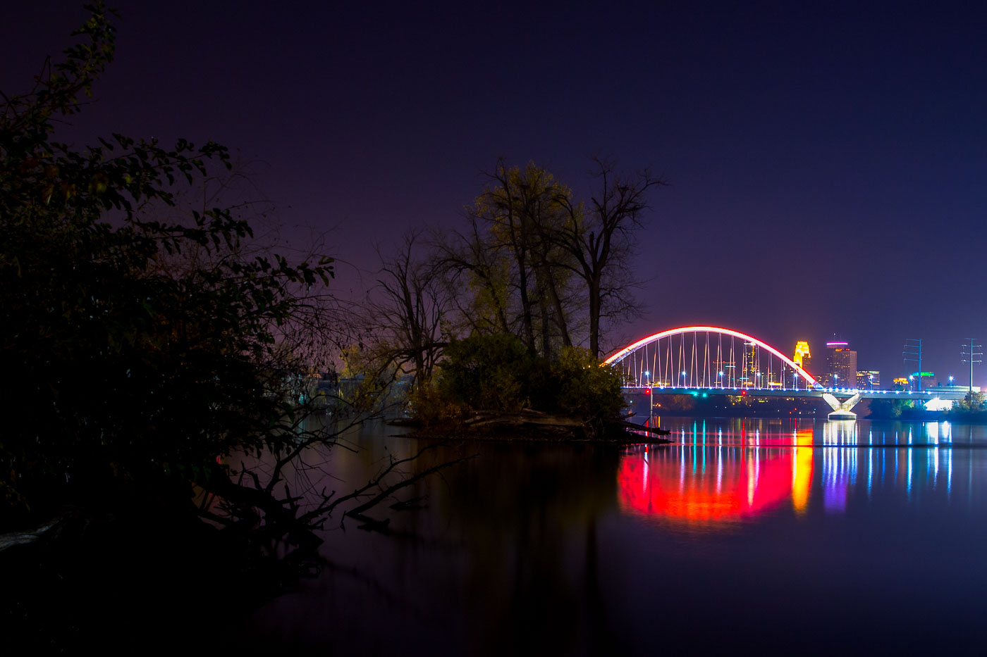
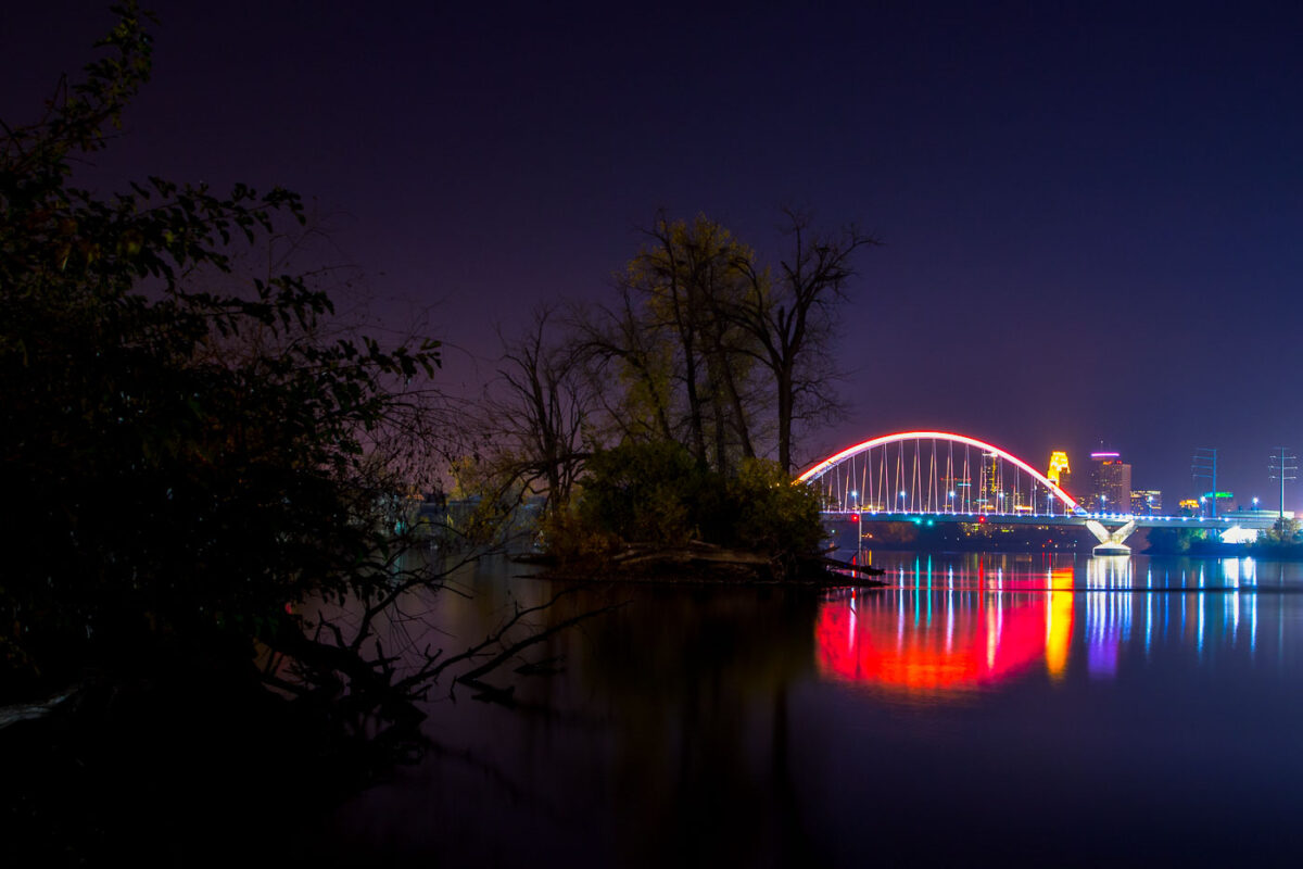
The Lowry Bridge and Minneapolis skyline are illuminated at night over the Mississippi River, with reflections of the city lights on the water.
The Lowry Bridge, a tied-arch bridge spanning the Mississippi River in Minneapolis. Opened in 1929, it was originally named the "Great Northern Railway Bridge" and served as a vital rail crossing. The bridge was reconstructed and renamed in 1987.

Lowry Bridge and Minneapolis Skyline at Night from Mississippi River
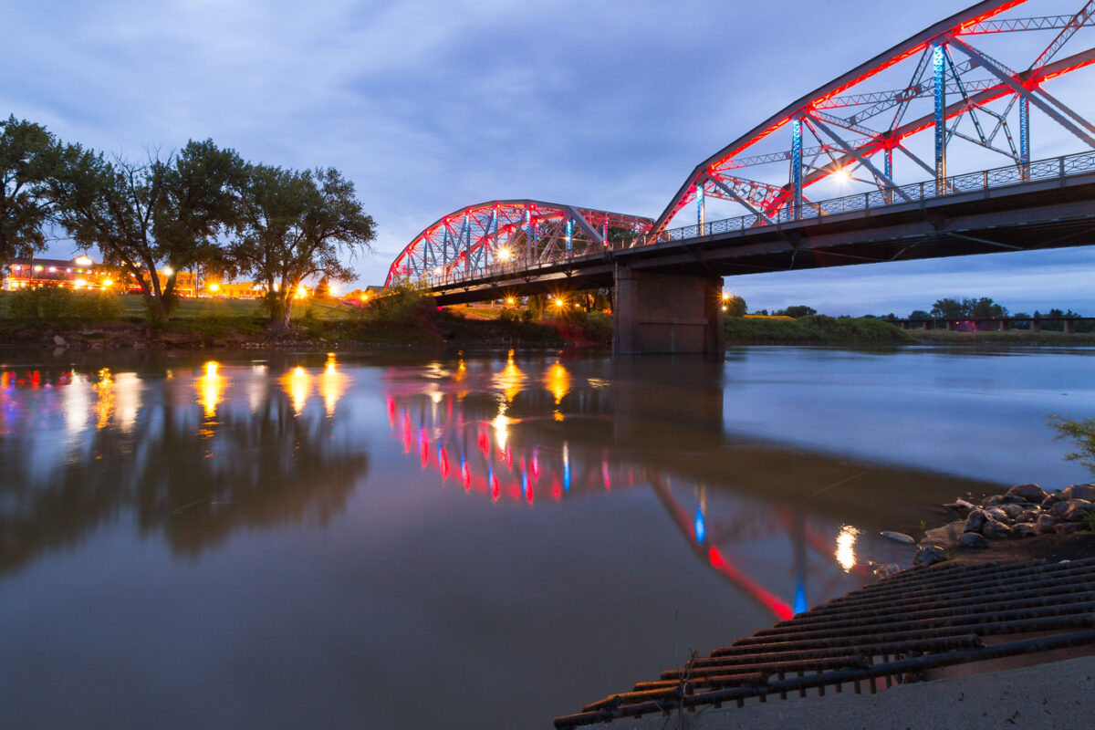
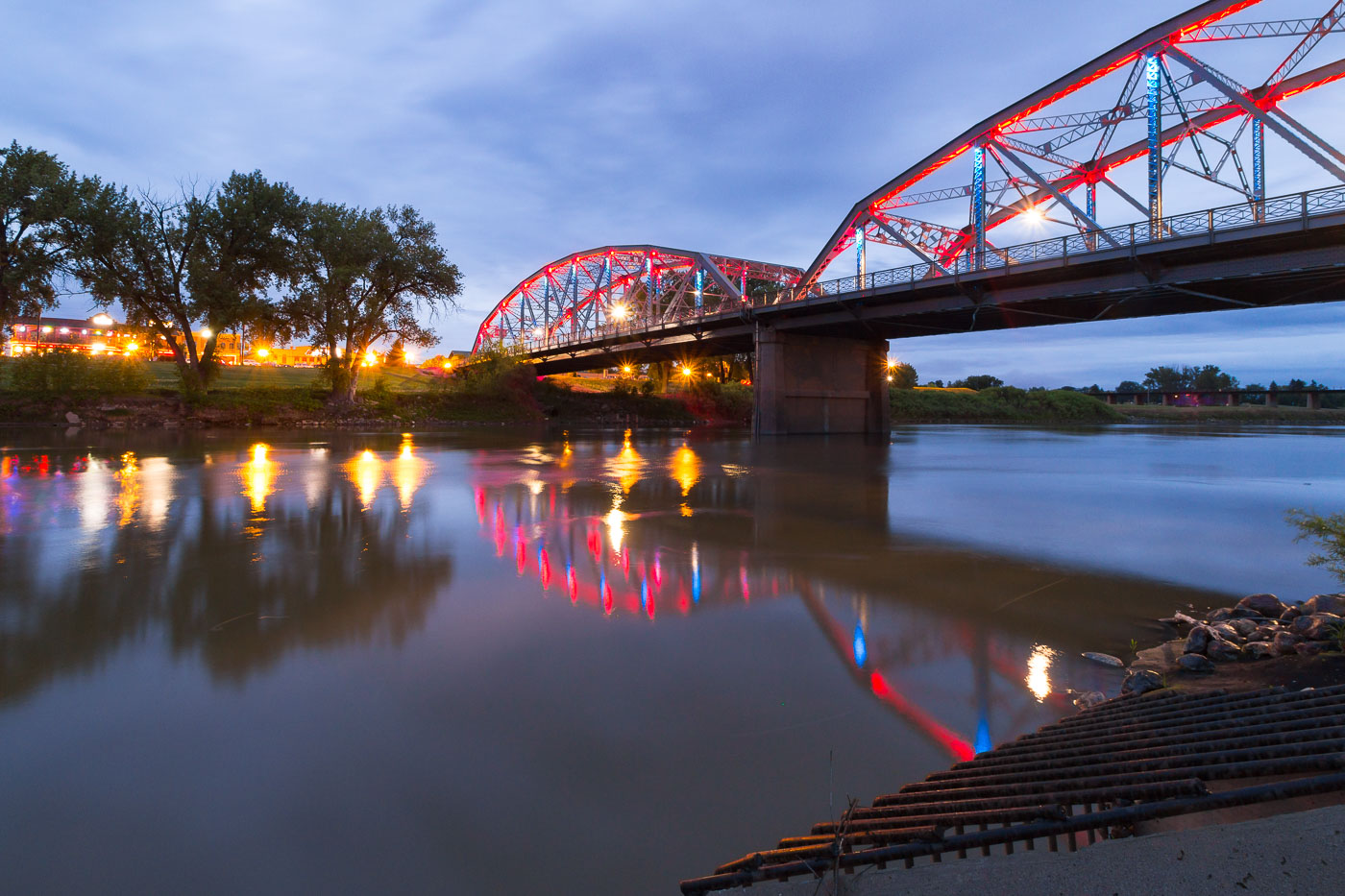
Sorlie Memorial Bridge spans the Red River at dusk in Grand Forks, North Dakota, illuminated in red and blue.
The Sorlie Memorial Bridge carries traffic across the Red River of the North, linking Grand Forks, North Dakota, with East Grand Forks, Minnesota. Built in 1929, the steel tied-arch span replaced an earlier bridge from 1891 that had connected the two cities. It's named for Martin Sorlie, who served as North Dakota's governor from 1925 until his death in office in 1928. The bridge was added to the National Register of Historic Places in 2003 in recognition of its engineering design and role in the region's transportation history.

The Sorlie Bridge Over the Red River in Grand Forks
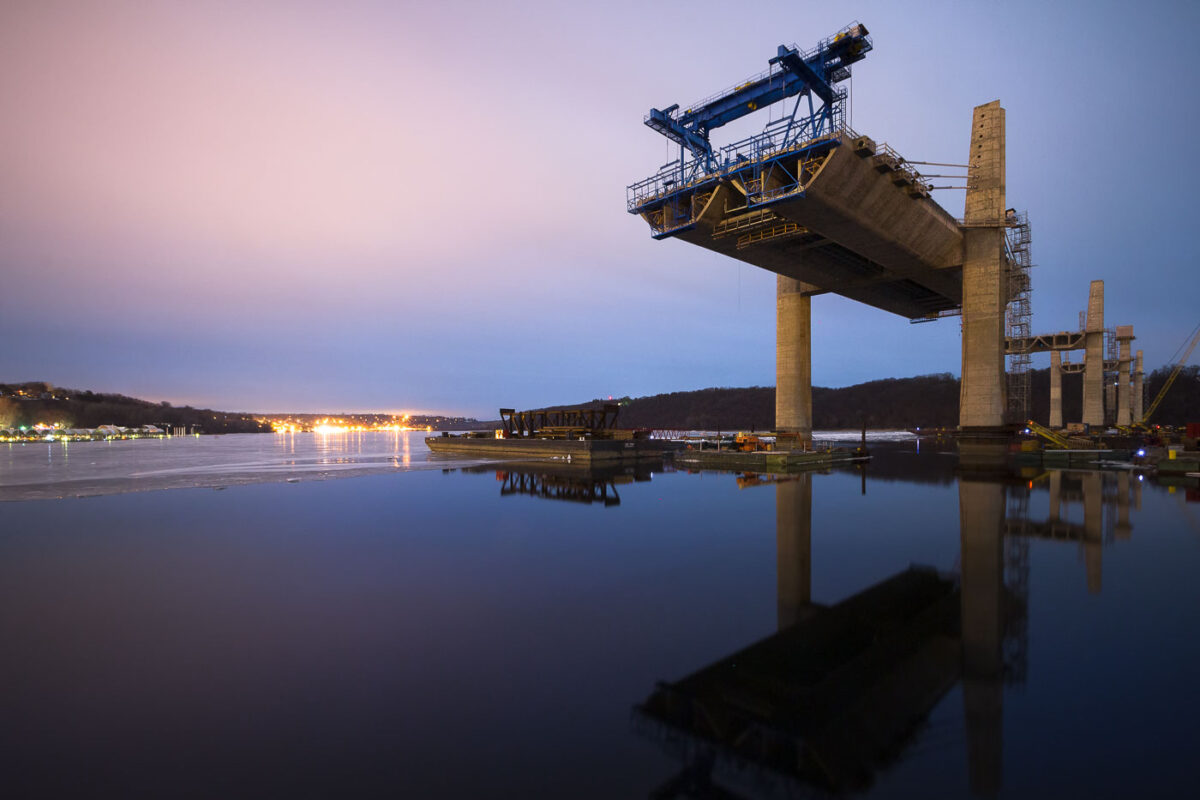
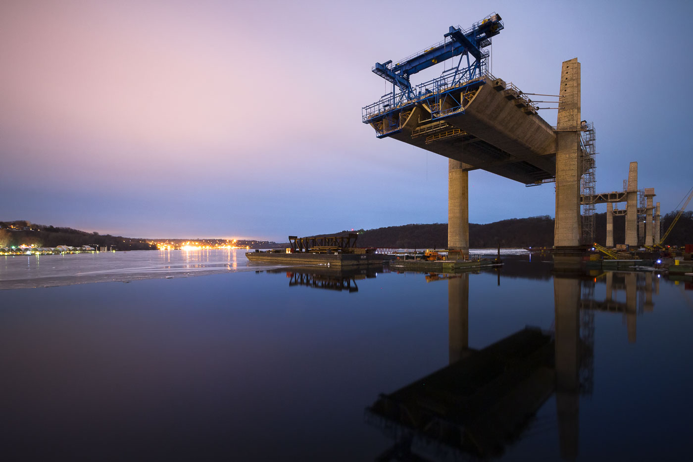
St. Croix Crossing bridge under construction over the St. Croix River in Stillwater, Minnesota.
St. Croix Crossing bridge construction in Stillwater, Minnesota, continues over the St. Croix River. The new span is being built to replace the older Stillwater Lift Bridge as a cross-river transportation link between Minnesota and Wisconsin.

St. Croix Crossing Bridge Under Construction, Stillwater
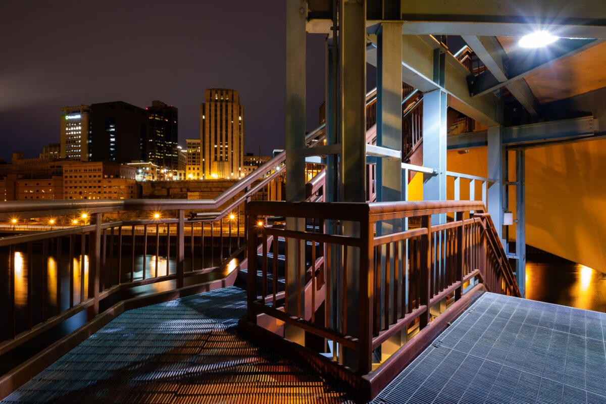
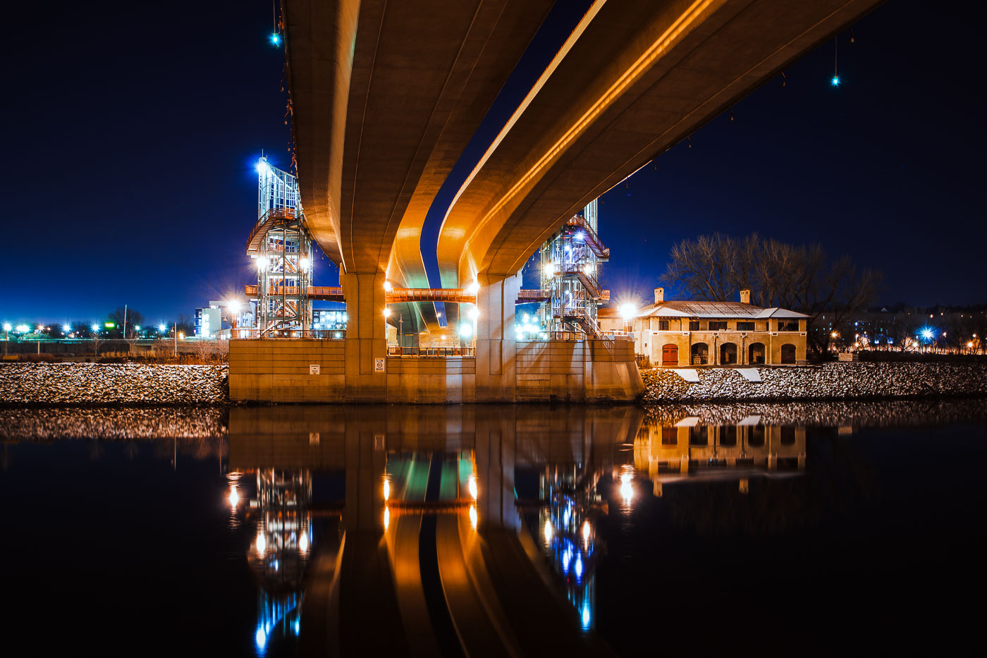
The Wabasha Street Bridge in St. Paul, Minnesota, spans the Mississippi River at night, connecting downtown to the West Side.
The Wabasha Street Bridge in St. Paul, Minnesota, spans the Mississippi River, connecting downtown to the West Side. Originally constructed in 1904, the bridge has undergone several reconstructions and renovations, with the current structure reflecting modern engineering and urban planning. It serves as a vital transportation artery for vehicles and pedestrians, offering views of the city's riverfront and skyline.

Wabasha Street Bridge, St. Paul, Minnesota at Night
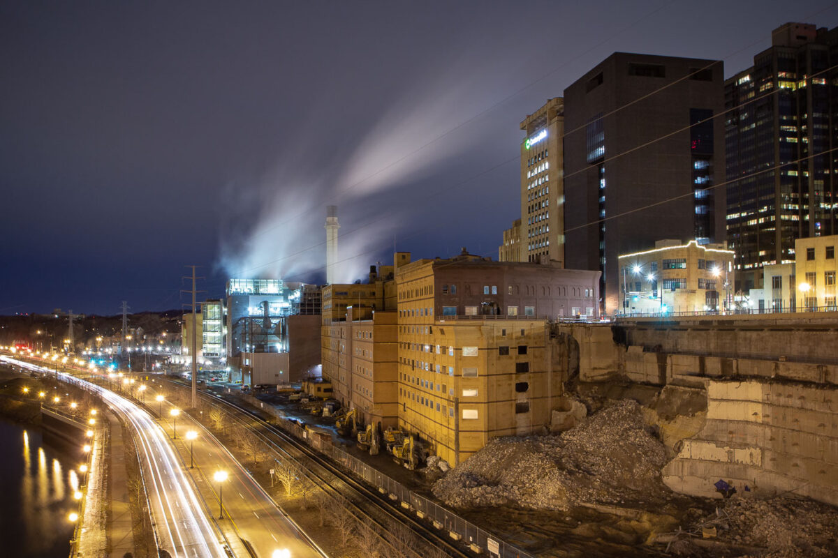
Demolition of Ramsey County Jail at night in St. Paul, Minnesota, with Wabasha Bridge and roadways visible.
The demolition of the Ramsey County Jail in St. Paul, Minnesota, is shown at night. The jail, a prominent structure in the city's downtown, was a key part of the county's justice system for decades. Its demolition marks a significant change in the urban fabric of St. Paul, making way for future development. The surrounding infrastructure, including the Wabasha Bridge and nearby roadways, remains operational during the demolition process.

Ramsey County Jail Demolition, St. Paul
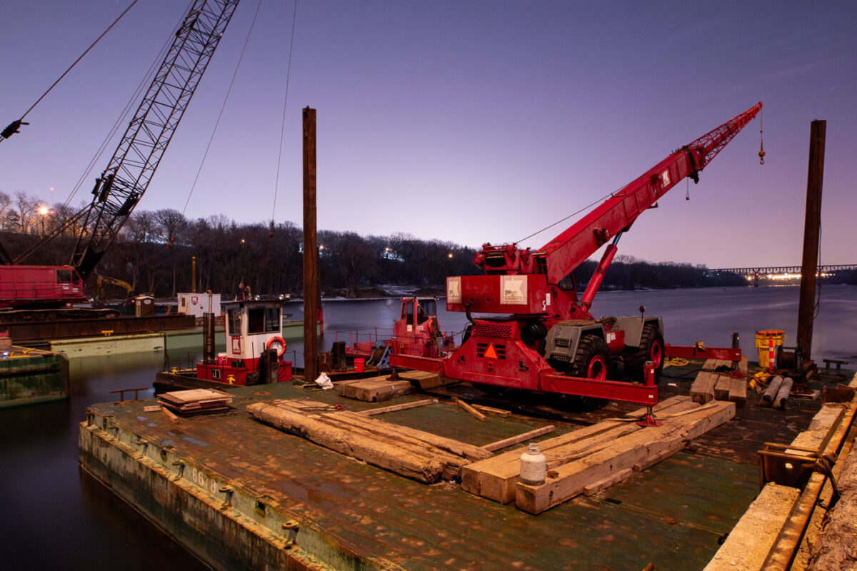
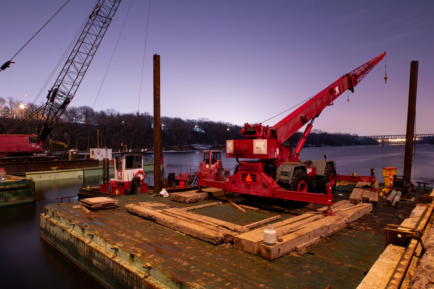
Cranes and barges on the Mississippi River in Minneapolis for repairs to the Franklin Avenue Bridge, a vital transportation link.
Construction barges and cranes are positioned on the Mississippi River for repairs to the Franklin Avenue Bridge in Minneapolis. The Franklin Avenue Bridge, originally constructed in 1923, is a vital artery connecting the city's south and north sides. Its ongoing maintenance and repair are essential for maintaining transportation flow and ensuring the structural integrity of this significant piece of Minneapolis infrastructure.

Franklin Ave Bridge Construction, Minneapolis
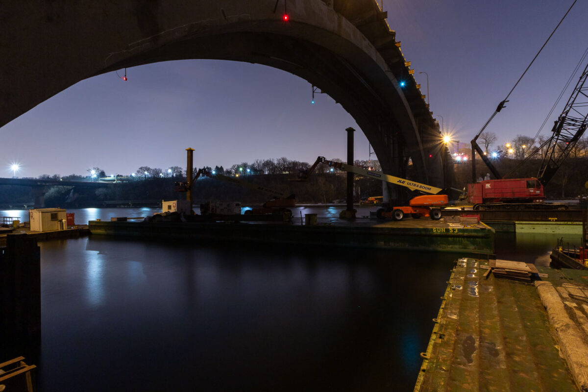
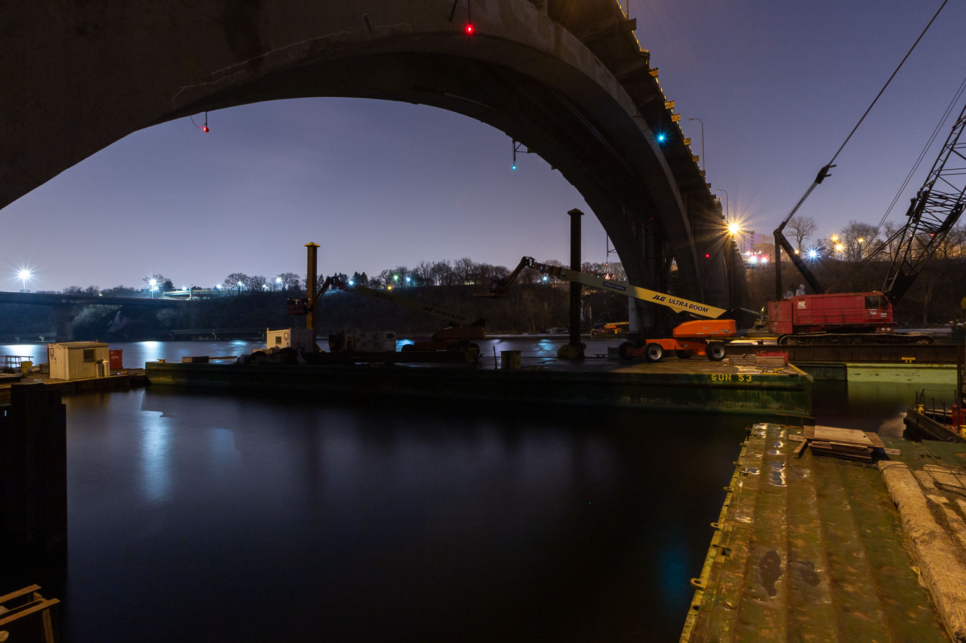
Nighttime construction work on the Franklin Avenue Bridge over the Mississippi River in Minneapolis, with cranes and equipment on barges.
Construction work is underway at night on the Franklin Avenue Bridge in Minneapolis, spanning the Mississippi River. The bridge, originally constructed in the 1920s, has undergone numerous repairs and upgrades throughout its history to maintain its structural integrity and capacity for traffic. This nighttime operation highlights the ongoing efforts to preserve this vital piece of Minneapolis infrastructure, ensuring its continued service to the city.

Franklin Avenue Bridge Construction Work at Night, Minneapolis
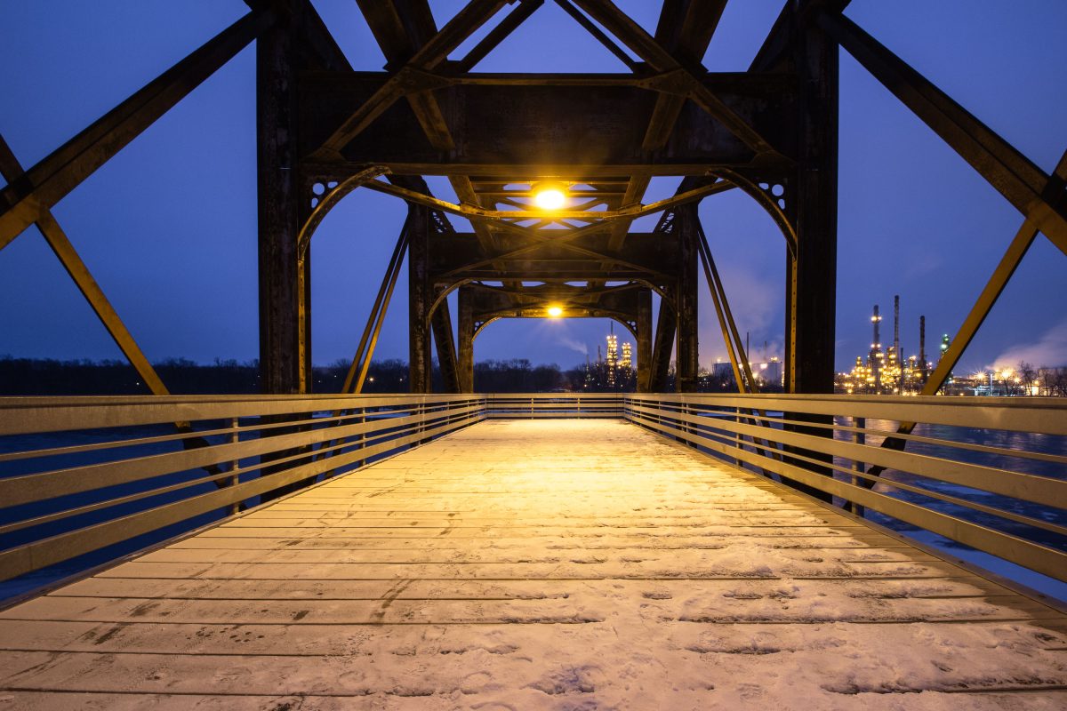
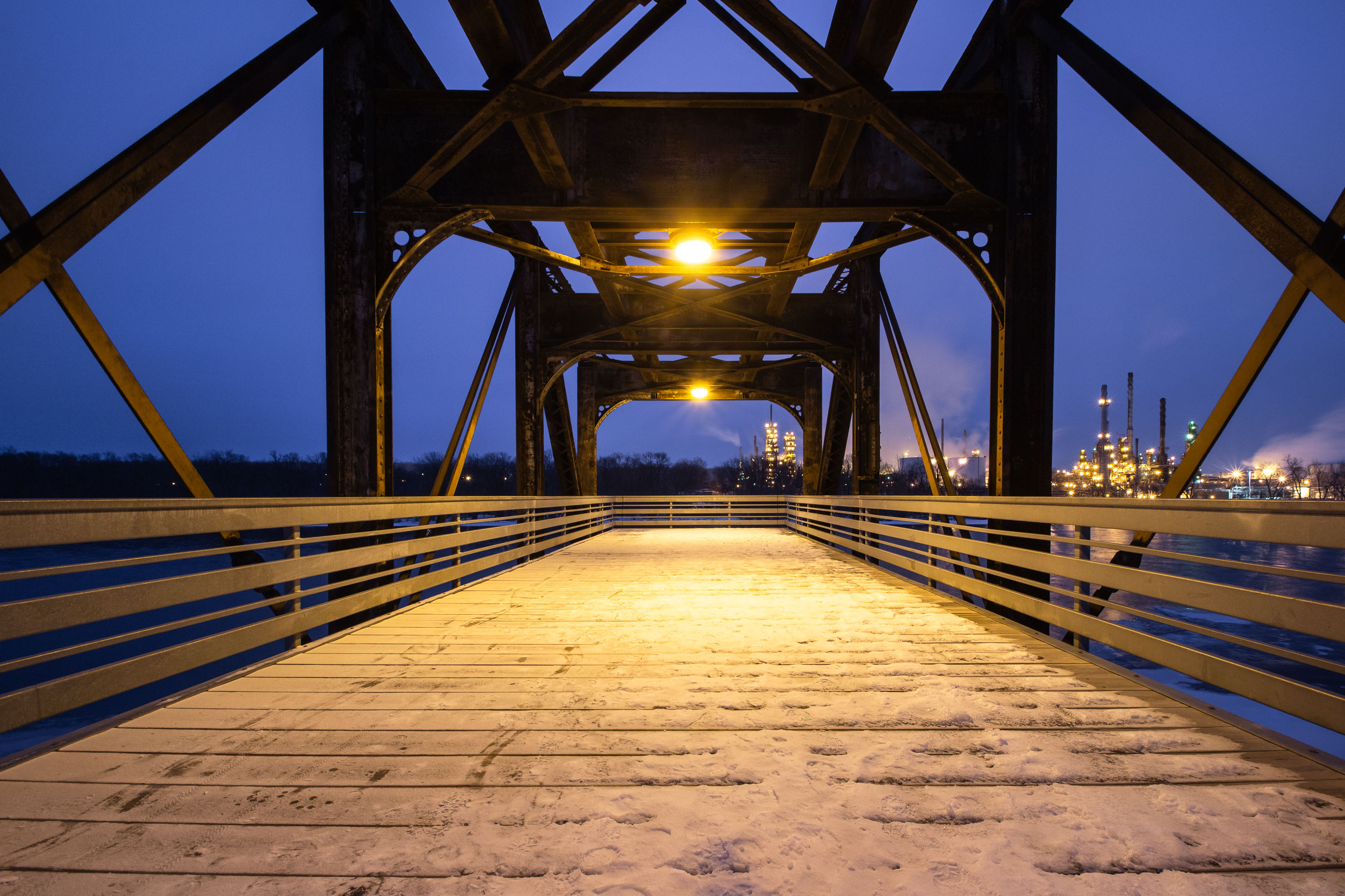
Rock Island Swing Bridge in Inver Grove Heights with Marathon Petroleum refinery lit at dusk.
The Rock Island Swing Bridge crosses the Mississippi River between Inver Grove Heights and St. Paul Park, Minnesota. Built in 1895 for the Chicago, Rock Island and Pacific Railroad, it originally carried freight trains and included a rotating swing span to let river traffic pass. Rail traffic ended in the 1980s, and the span was later converted into a pedestrian and bicycle crossing linking regional trail systems on both sides of the river. Across the water in St. Paul Park stands the Marathon Petroleum refinery, one of Minnesota's major oil processing facilities, which has operated on the site since 1939.

Rock Island Swing Bridge Walkway, Inver Grove Heights
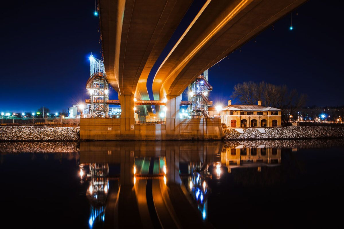
Wabasha Street Bridge spans the Mississippi River in downtown St. Paul, Minnesota.
Wabasha Street Bridge spans the Mississippi River in downtown St. Paul, Minnesota. Opened in 1999, it connects downtown with West Side neighborhoods and carries heavy traffic across the river. The bridge replaced older river crossings at this location.

Wabasha Street Bridge over the Mississippi River, St. Paul
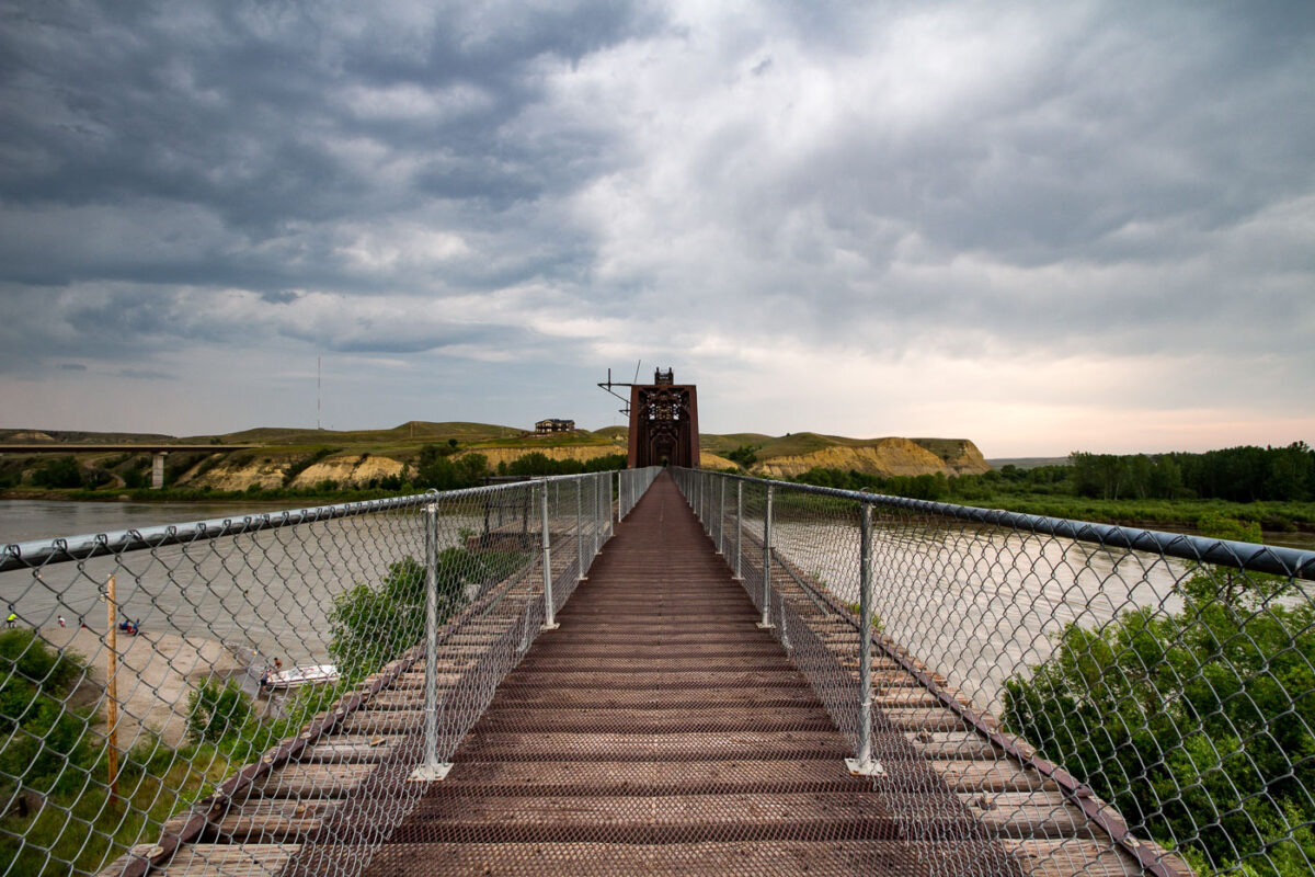
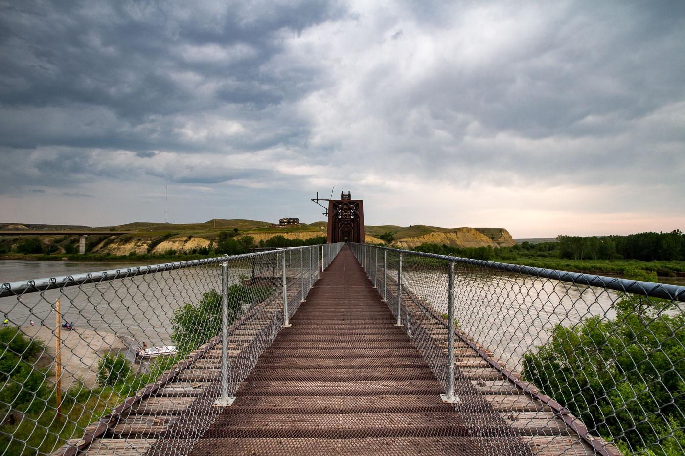
Fairview Lift Bridge spans the Yellowstone River in North Dakota with its distinctive red lift tower visible.
The Fairview Lift Bridge spans the Yellowstone River near the Montana–North Dakota border, close to the town of Fairview, Montana. Built in 1913 for the Great Northern Railway, it originally carried rail traffic and featured a vertical lift span that could be raised to let river traffic pass underneath. The lift mechanism was permanently retired in 1986, and the span has since been fixed in place. Listed on the National Register of Historic Places in 1997, the bridge was later converted to a pedestrian and bicycle crossing, allowing visitors to walk its original steel deck across the river.

Crossing the Fairview Lift Bridge on the Yellowstone River
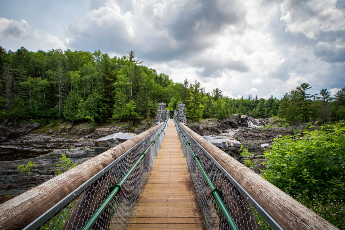
Jay Cooke State Park suspension bridge crosses the St. Louis River in northeastern Minnesota.
The suspension bridge at Jay Cooke State Park crosses the St. Louis River in northeastern Minnesota. It spans the park’s rocky gorge and connects trail routes on either side of the river. The bridge is part of the park’s river access area near Carlton.

Jay Cooke State Park Suspension Bridge, St. Louis River
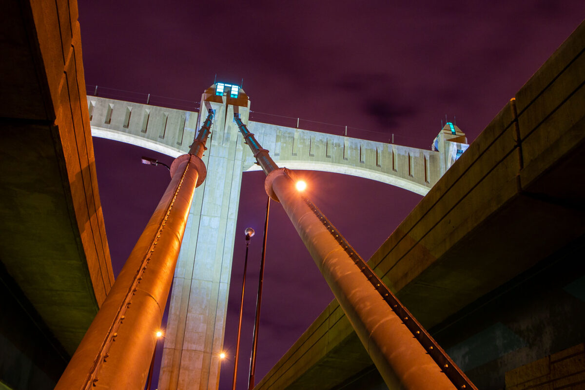
The Hennepin Avenue Bridge, a 1929 Art Deco structure in Minneapolis, spans the Mississippi River
The Hennepin Avenue Bridge in downtown Minneapolis, spans the Mississippi River. Completed in 1929. The bridge is an example of early 20th-century engineering, featuring a distinctive Art Deco style with its prominent towers and decorative elements.

Hennepin Avenue Bridge at Night, Minneapolis
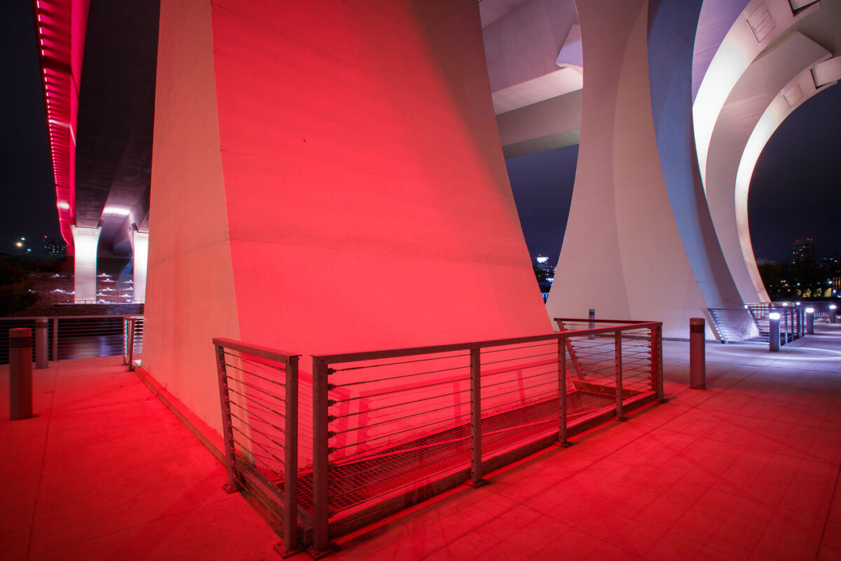
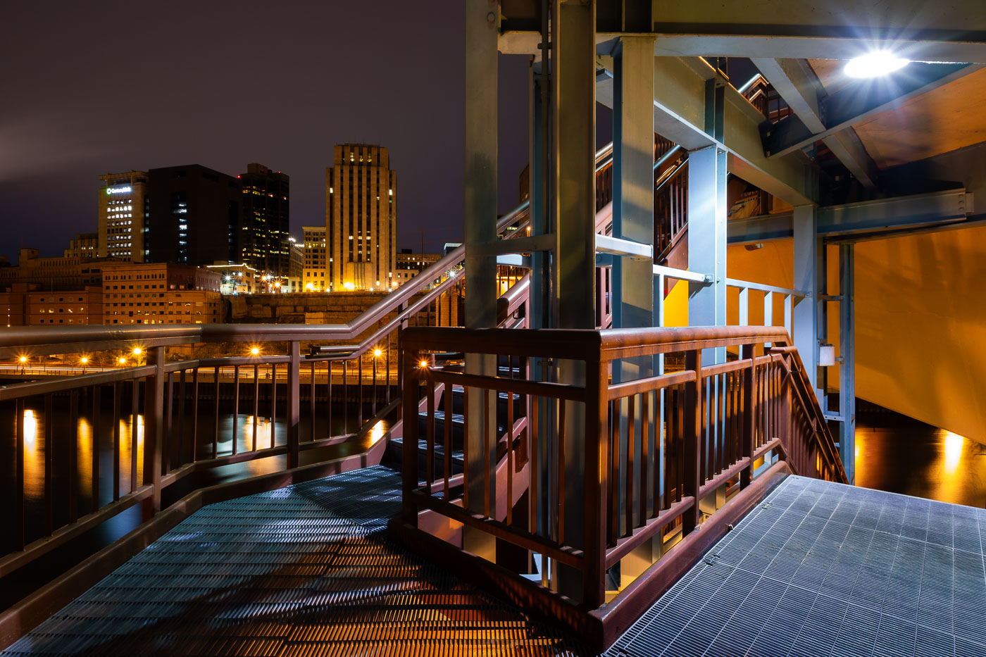
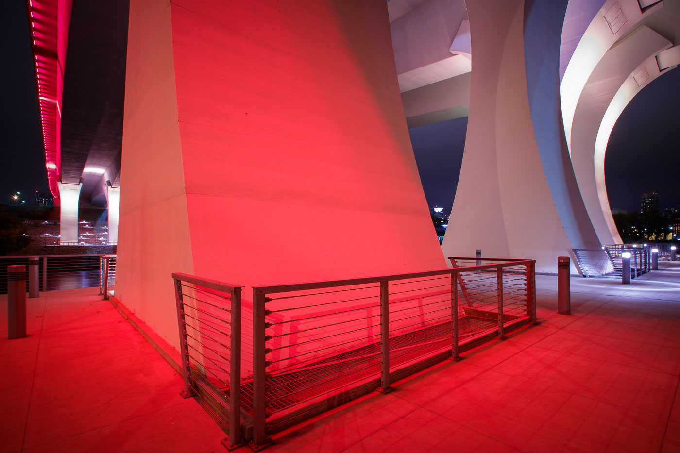
The I-35W Bridge in Minneapolis is illuminated in red at night, with metal railings visible on an illuminated walkway below.
The I-35W Mississippi River Bridge in Minneapolis is illuminated in red. This bridge was rebuilt following its catastrophic collapse in 2007.

Red Light Beneath the I-35W Bridge Pylons at Night
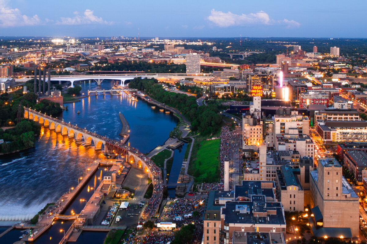
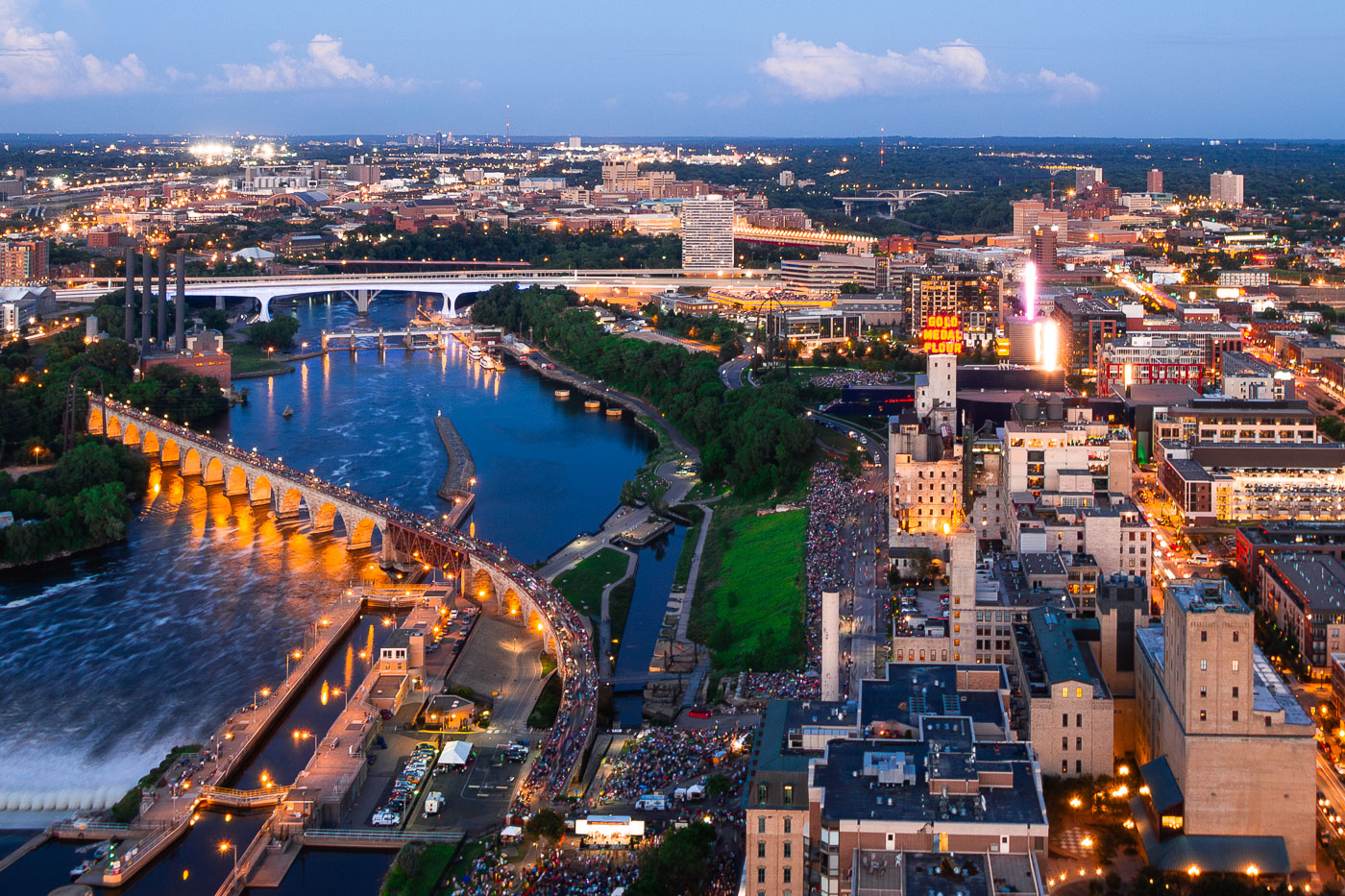
Minneapolis Aquatennial fireworks over the Mississippi River, with crowds on the Stone Arch Bridge and riverbanks.
The Minneapolis Aquatennial fireworks illuminate the night sky over the Mississippi River, with crowds gathered along its banks and on the Stone Arch Bridge. The Aquatennial, a summer festival established in 1941, celebrates Minneapolis and its connection to the river. The Stone Arch Bridge, originally built in 1883 for the Great Northern Railway, now serves as a pedestrian walkway and offers prime viewing for the annual event.

Minneapolis Aquatennial Fireworks over Mississippi River
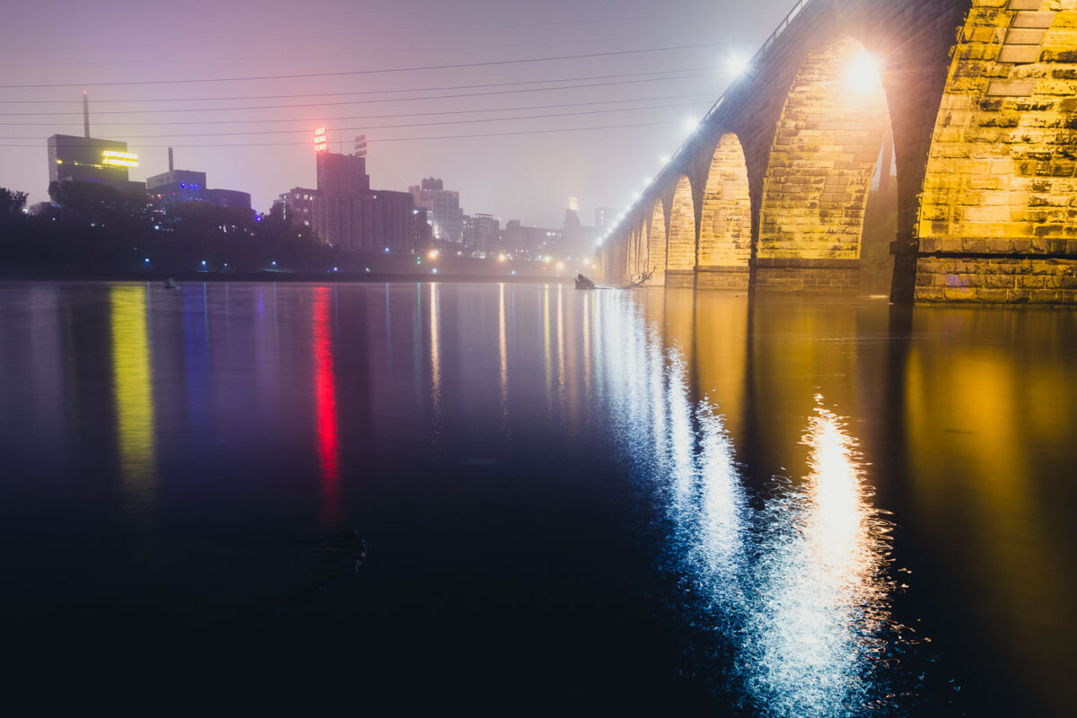
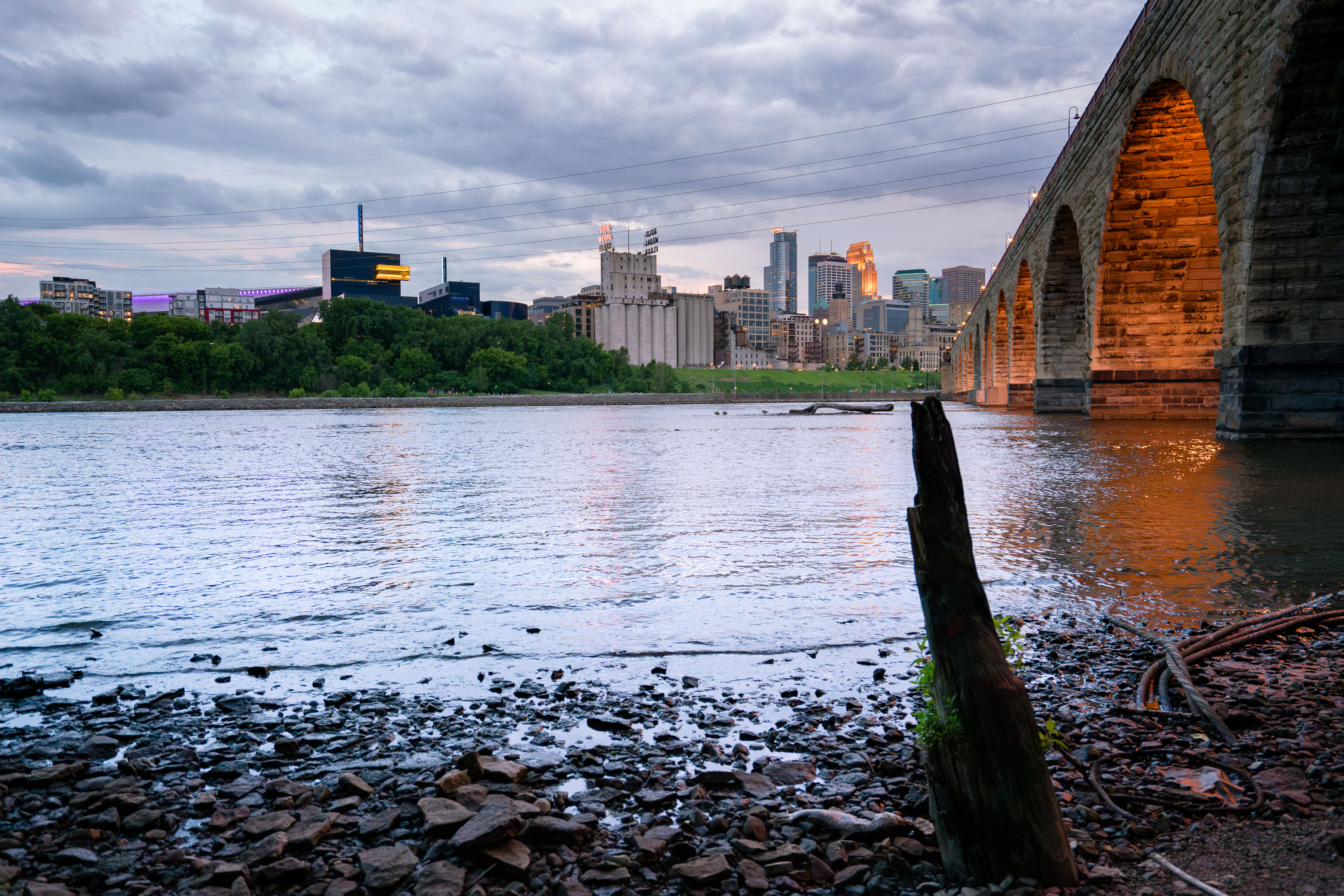
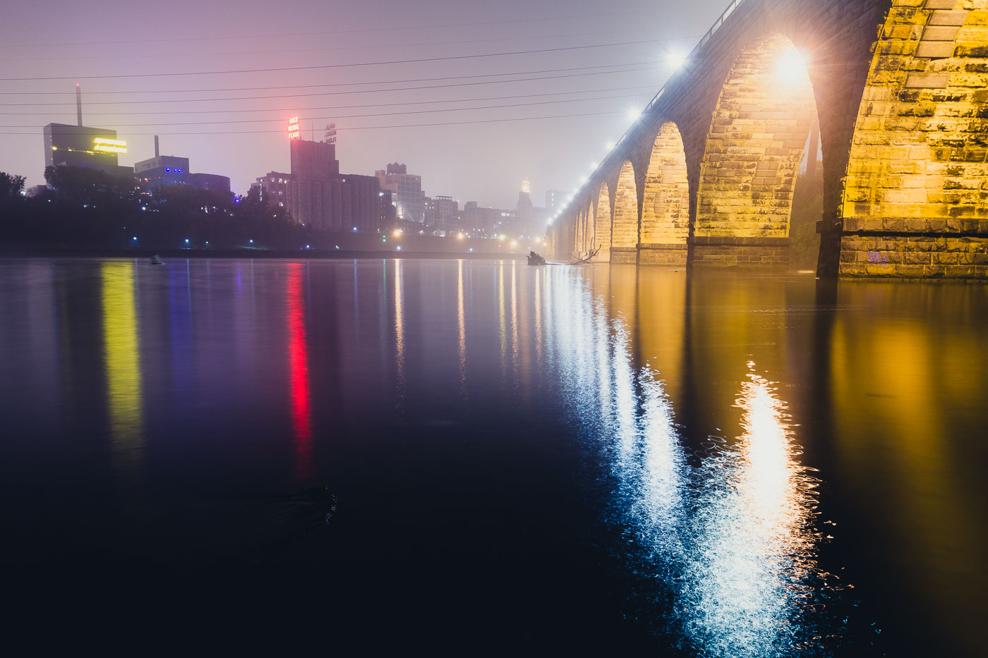
The Stone Arch Bridge spans the Mississippi River in Minneapolis, illuminated at dusk with the city skyline beyond.
The Stone Arch Bridge, a historic railroad bridge spanning the Mississippi River in Minneapolis. Constructed between 1881 and 1883, the bridge was built for the Great Northern Railway.

Foggy Night Reflections Along the Stone Arch Bridge
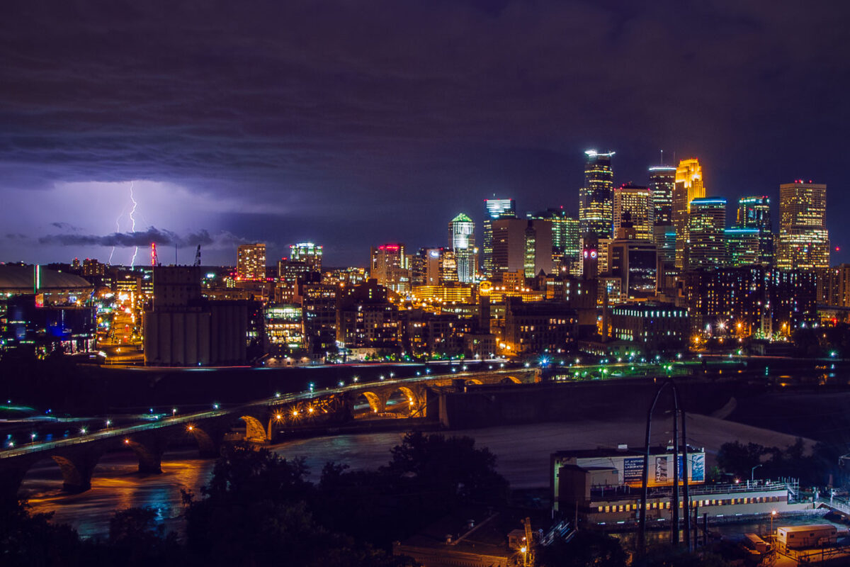
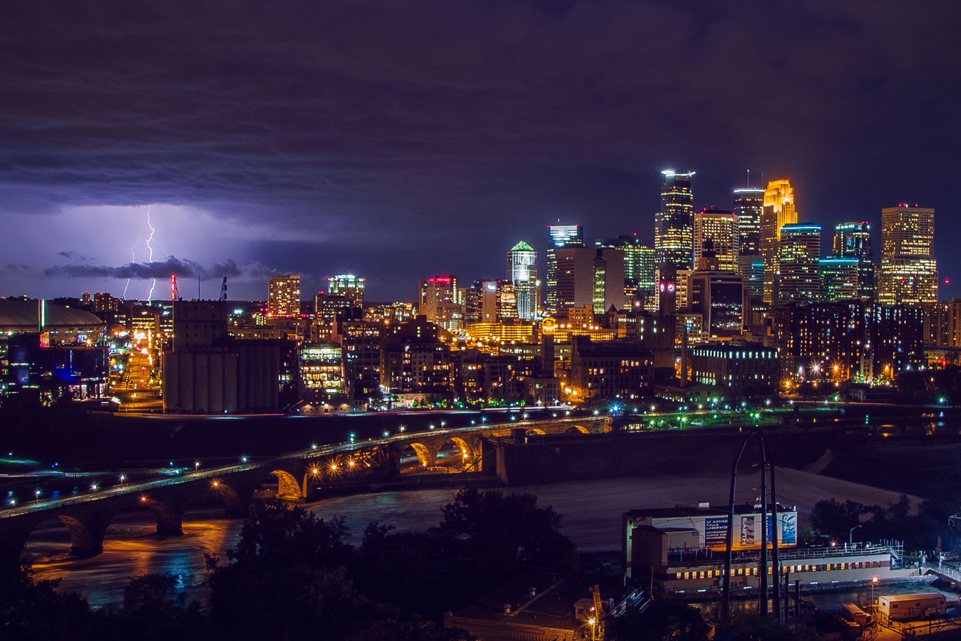
Lightning strikes over downtown Minneapolis skyline at night, with the Stone Arch Bridge spanning the Mississippi River.
The Stone Arch Bridge crosses the Mississippi River below Saint Anthony Falls in downtown Minneapolis. Railroad magnate James J. Hill built it in 1883 for the Great Northern Railway, and it now carries pedestrians and cyclists between the river's east and west banks. Lightning flashes over the downtown skyline beyond it.

Lightning Over Downtown Minneapolis and the Stone Arch Bridge
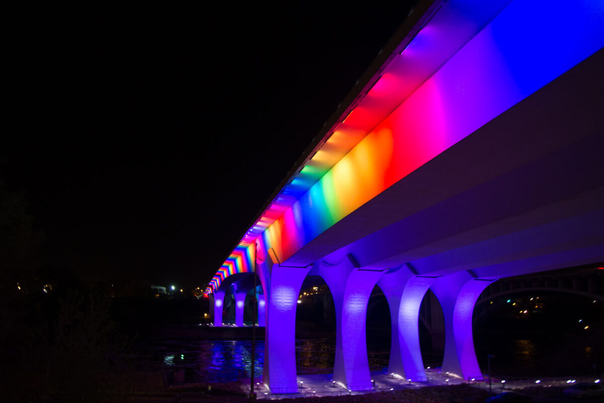
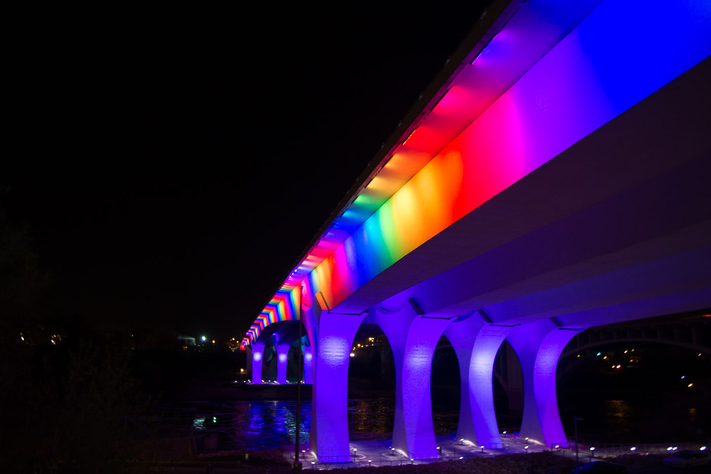
I-35W Bridge in Minneapolis illuminated at night with rainbow-colored lights along its deck and supports.
The I-35W Mississippi River Bridge in Minneapolis is illuminated with rainbow-colored lights. This bridge was rebuilt following its catastrophic collapse in 2007. The reconstruction prioritized modern engineering and safety standards.

Rainbow Lights on the I-35W Bridge Over the Mississippi
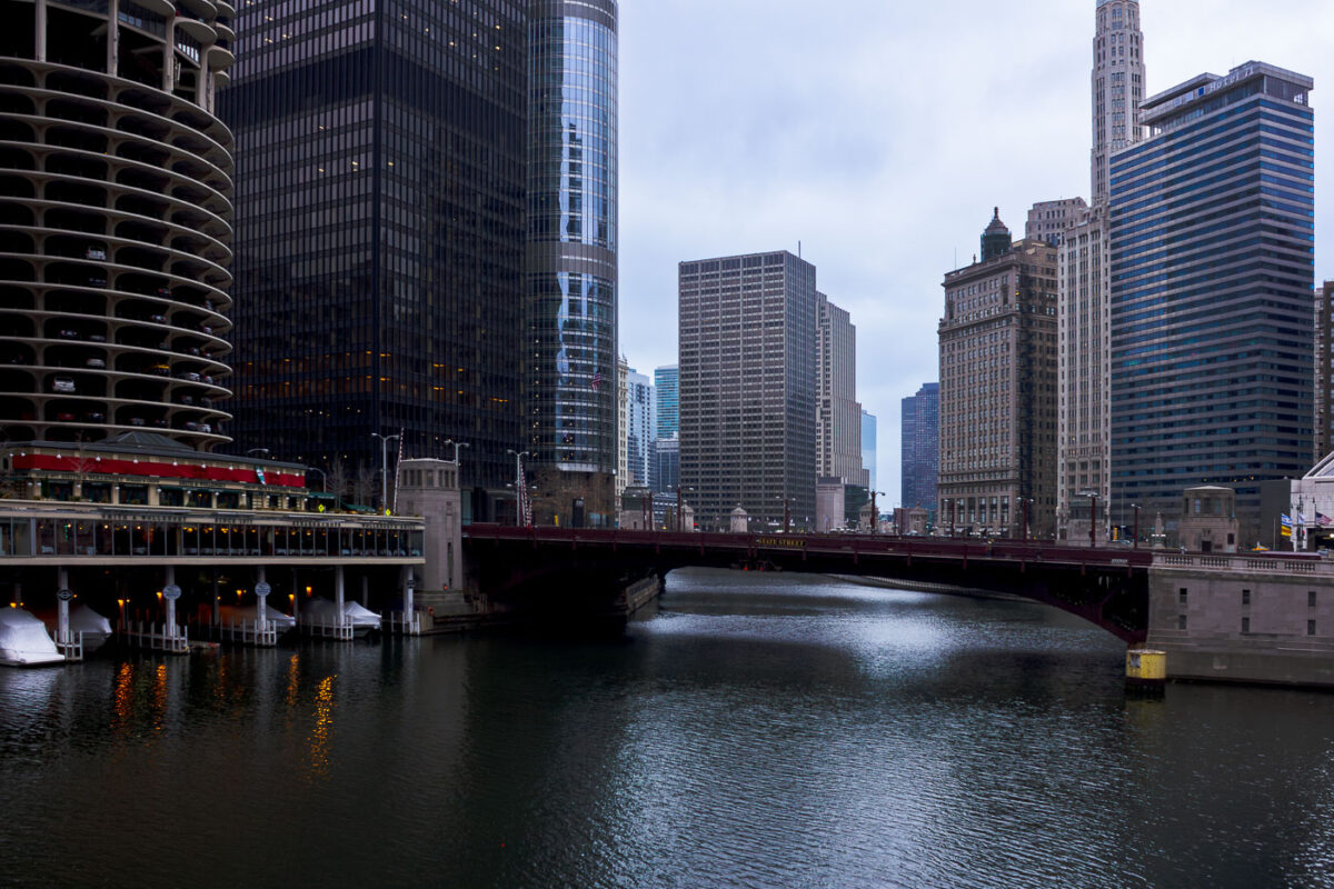
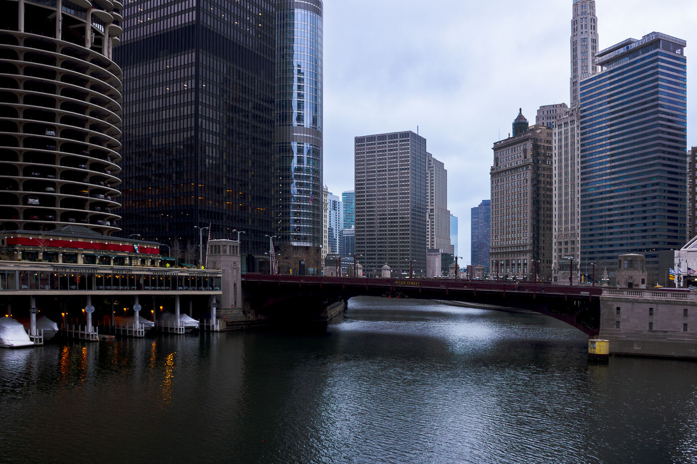
The State Street Bridge, completed in 1919, spans the Chicago River, connecting the city's north and south sides. The bascule bridge is a vital part of Chicago's transportation network.
The State Street Bridge, completed in 1919, spans the Chicago River, connecting the city's north and south sides. This bascule bridge is a vital piece of Chicago's transportation network, facilitating vehicular and pedestrian traffic over the busy waterway. The surrounding architecture reflects the city's growth, with the distinctive Marina City towers visible to the west and other prominent skyscrapers lining the riverfront. The bridge's design and its role in urban connectivity highlight Chicago's history as a major transportation hub.

State Street Bridge over Chicago River with Smith & Wollensky

Interior view of the Lowry Avenue Bridge steel truss structure, Minneapolis, 1905–2009.
The Lowry Avenue Bridge connected north and south Minneapolis across the Mississippi River. Built in 1905 as a steel truss structure, the bridge served the city for over a century. Structural deterioration led to its closure in April 2008, and it was demolished by controlled explosions in June 2009 to make way for a replacement.

Lowry Avenue Bridge, Minneapolis, 1905-2009
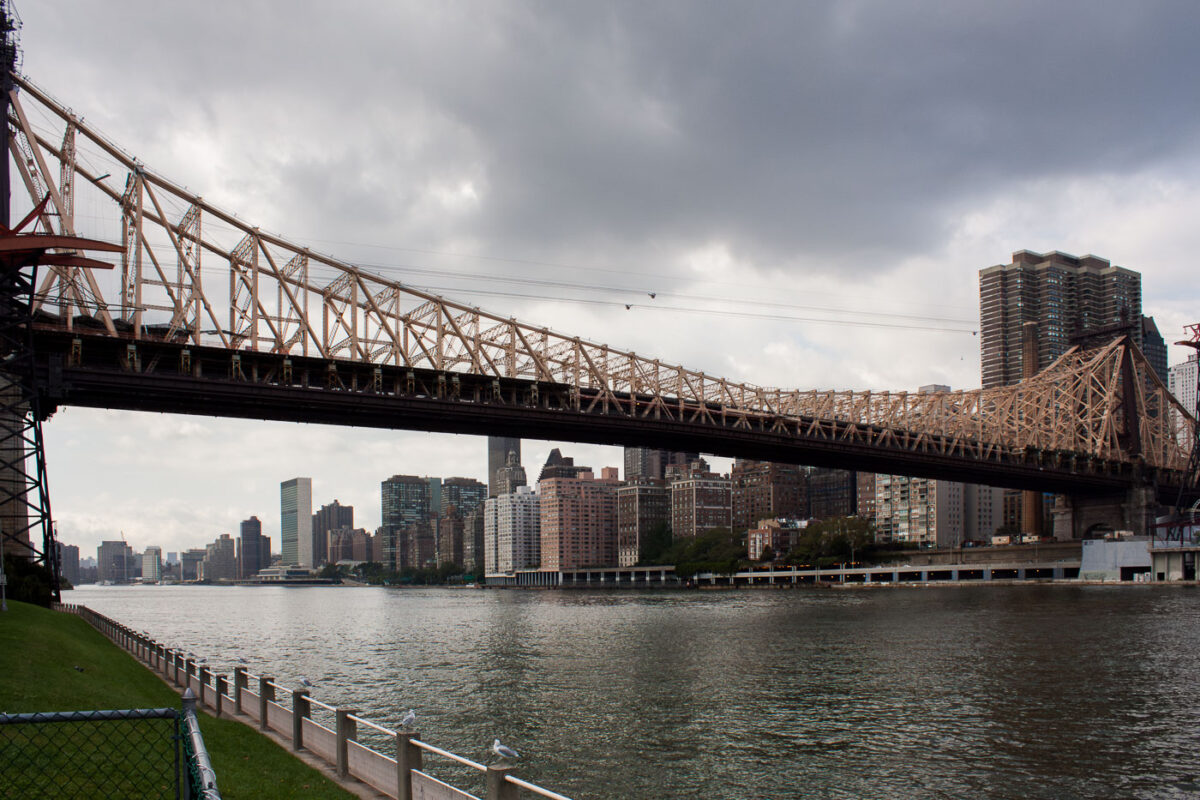
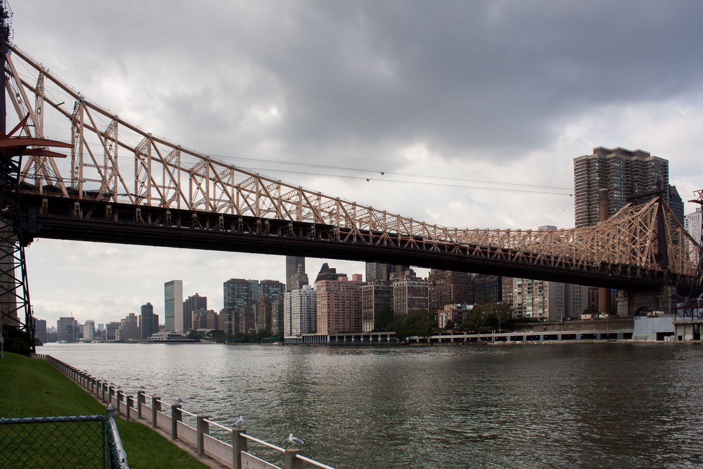
Queensboro Bridge spans the East River between Manhattan and Queens in New York City.
Queensboro Bridge crosses the East River between Manhattan and Queens in New York City. Opened in 1909, the double-deck cantilever bridge carries vehicle traffic on its upper and lower roadways, with a pedestrian path on the north side. The bridge also supports the Roosevelt Island Tramway, which passes just above the upper deck.

Queensboro Bridge Over the East River on an Overcast Day