Bridge

171 photos · 2008–2026

171 photographs tagged Bridge, 2008–2026.
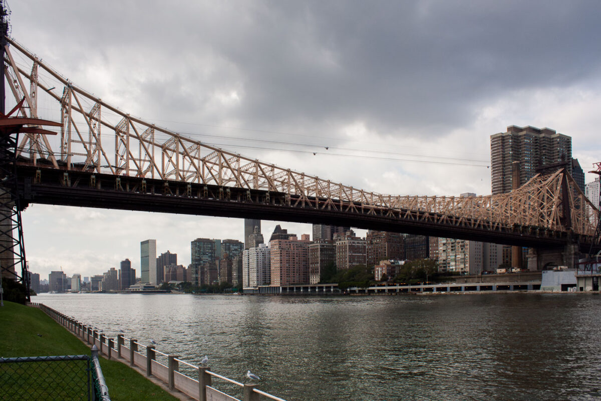
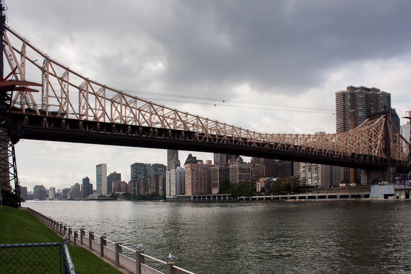
Queensboro Bridge spans the East River between Manhattan and Queens in New York City.
Queensboro Bridge crosses the East River between Manhattan and Queens in New York City. Opened in 1909, the double-deck cantilever bridge carries vehicle traffic on its upper and lower roadways, with a pedestrian path on the north side. The bridge also supports the Roosevelt Island Tramway, which passes just above the upper deck.

Queensboro Bridge Over the East River on an Overcast Day

Interior view of the Lowry Avenue Bridge steel truss structure, Minneapolis, 1905–2009.
The Lowry Avenue Bridge connected north and south Minneapolis across the Mississippi River. Built in 1905 as a steel truss structure, the bridge served the city for over a century. Structural deterioration led to its closure in April 2008, and it was demolished by controlled explosions in June 2009 to make way for a replacement.

Lowry Avenue Bridge, Minneapolis, 1905-2009
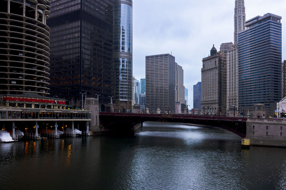
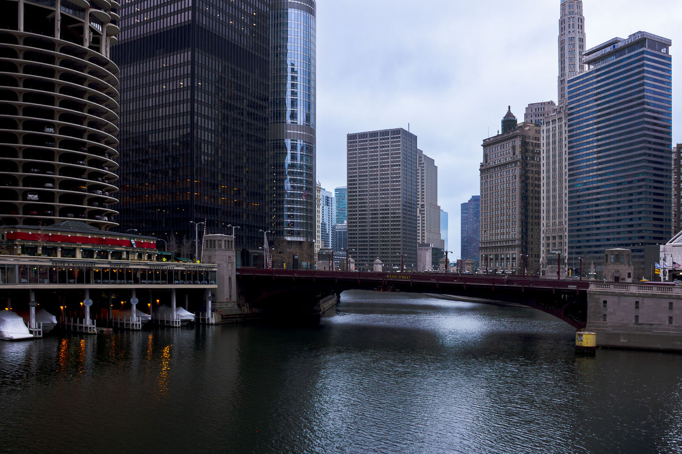
The State Street Bridge, completed in 1919, spans the Chicago River, connecting the city's north and south sides. The bascule bridge is a vital part of Chicago's transportation network.
The State Street Bridge, completed in 1919, spans the Chicago River, connecting the city's north and south sides. This bascule bridge is a vital piece of Chicago's transportation network, facilitating vehicular and pedestrian traffic over the busy waterway. The surrounding architecture reflects the city's growth, with the distinctive Marina City towers visible to the west and other prominent skyscrapers lining the riverfront. The bridge's design and its role in urban connectivity highlight Chicago's history as a major transportation hub.

State Street Bridge over Chicago River with Smith & Wollensky
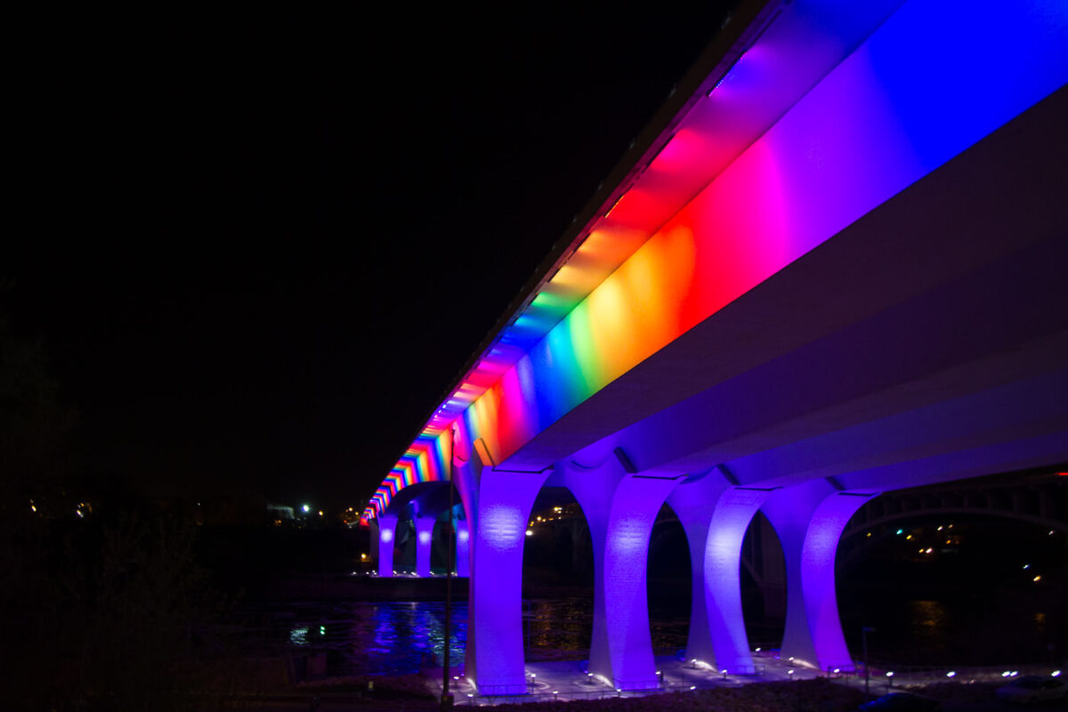
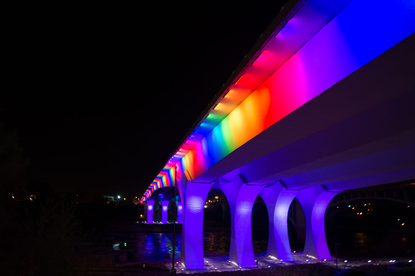
I-35W Bridge in Minneapolis illuminated at night with rainbow-colored lights along its deck and supports.
The I-35W Mississippi River Bridge in Minneapolis is illuminated with rainbow-colored lights. This bridge was rebuilt following its catastrophic collapse in 2007. The reconstruction prioritized modern engineering and safety standards.

Rainbow Lights on the I-35W Bridge Over the Mississippi
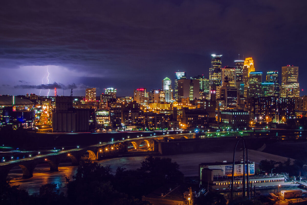
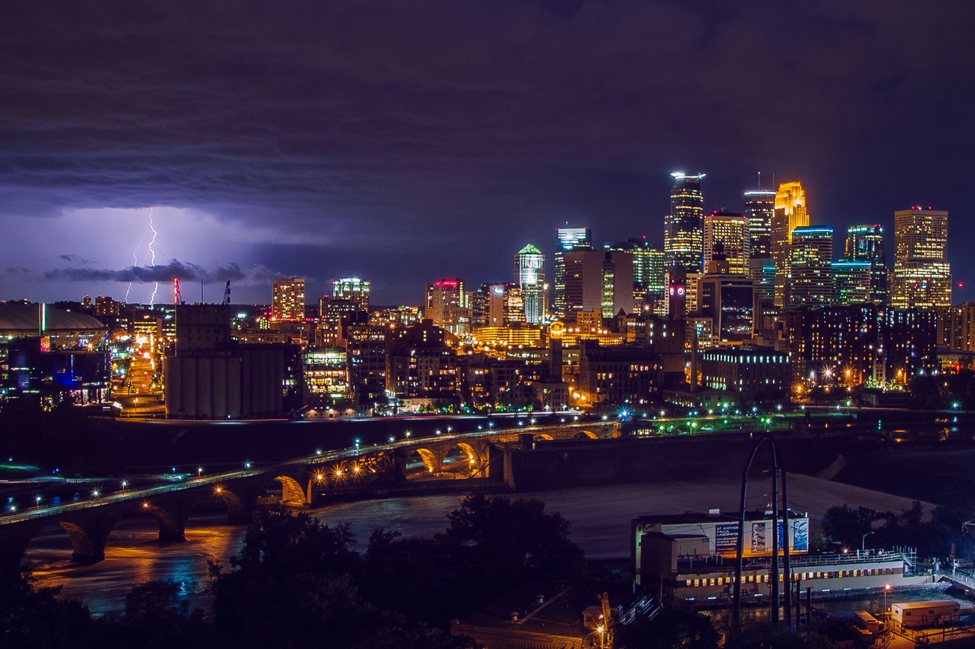
Lightning strikes over downtown Minneapolis skyline at night, with the Stone Arch Bridge spanning the Mississippi River.
The Stone Arch Bridge crosses the Mississippi River below Saint Anthony Falls in downtown Minneapolis. Railroad magnate James J. Hill built it in 1883 for the Great Northern Railway, and it now carries pedestrians and cyclists between the river's east and west banks. Lightning flashes over the downtown skyline beyond it.

Lightning Over Downtown Minneapolis and the Stone Arch Bridge
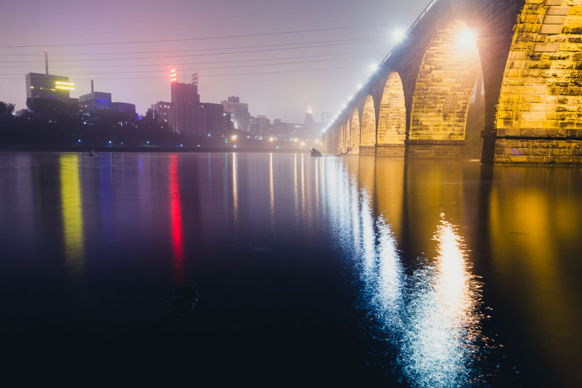
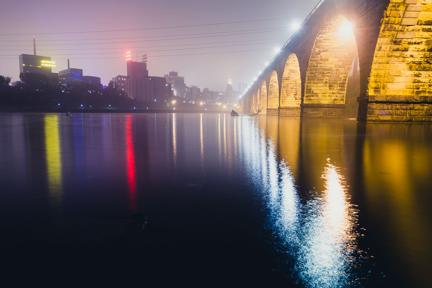
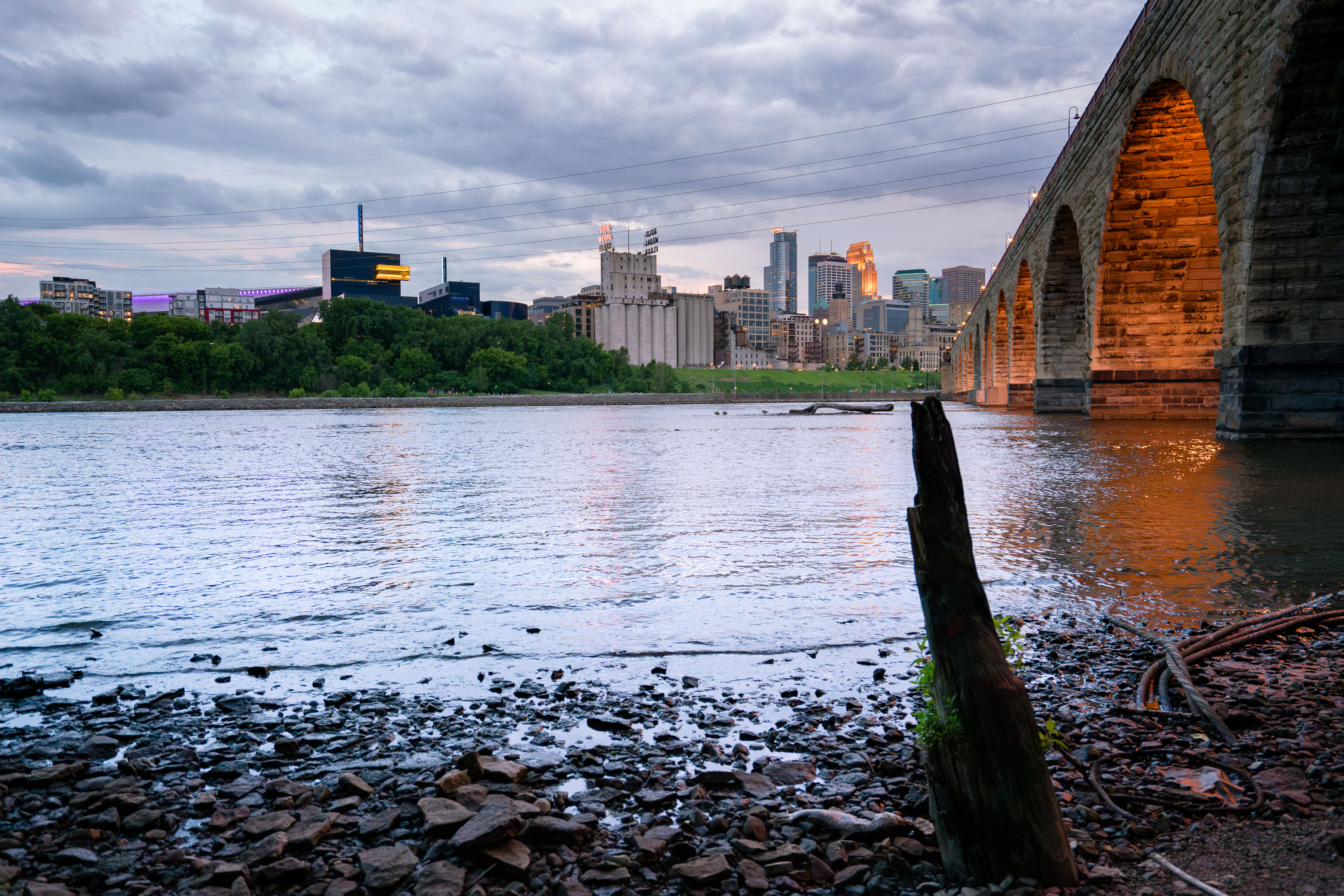
The Stone Arch Bridge spans the Mississippi River in Minneapolis, illuminated at dusk with the city skyline beyond.
The Stone Arch Bridge, a historic railroad bridge spanning the Mississippi River in Minneapolis. Constructed between 1881 and 1883, the bridge was built for the Great Northern Railway.

Foggy Night Reflections Along the Stone Arch Bridge
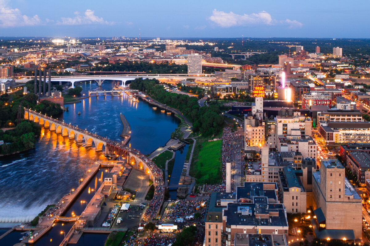
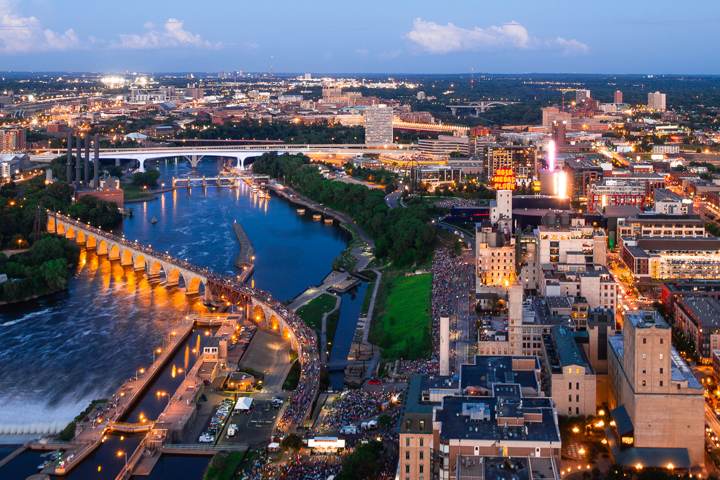
Minneapolis Aquatennial fireworks over the Mississippi River, with crowds on the Stone Arch Bridge and riverbanks.
The Minneapolis Aquatennial fireworks illuminate the night sky over the Mississippi River, with crowds gathered along its banks and on the Stone Arch Bridge. The Aquatennial, a summer festival established in 1941, celebrates Minneapolis and its connection to the river. The Stone Arch Bridge, originally built in 1883 for the Great Northern Railway, now serves as a pedestrian walkway and offers prime viewing for the annual event.

Minneapolis Aquatennial Fireworks over Mississippi River
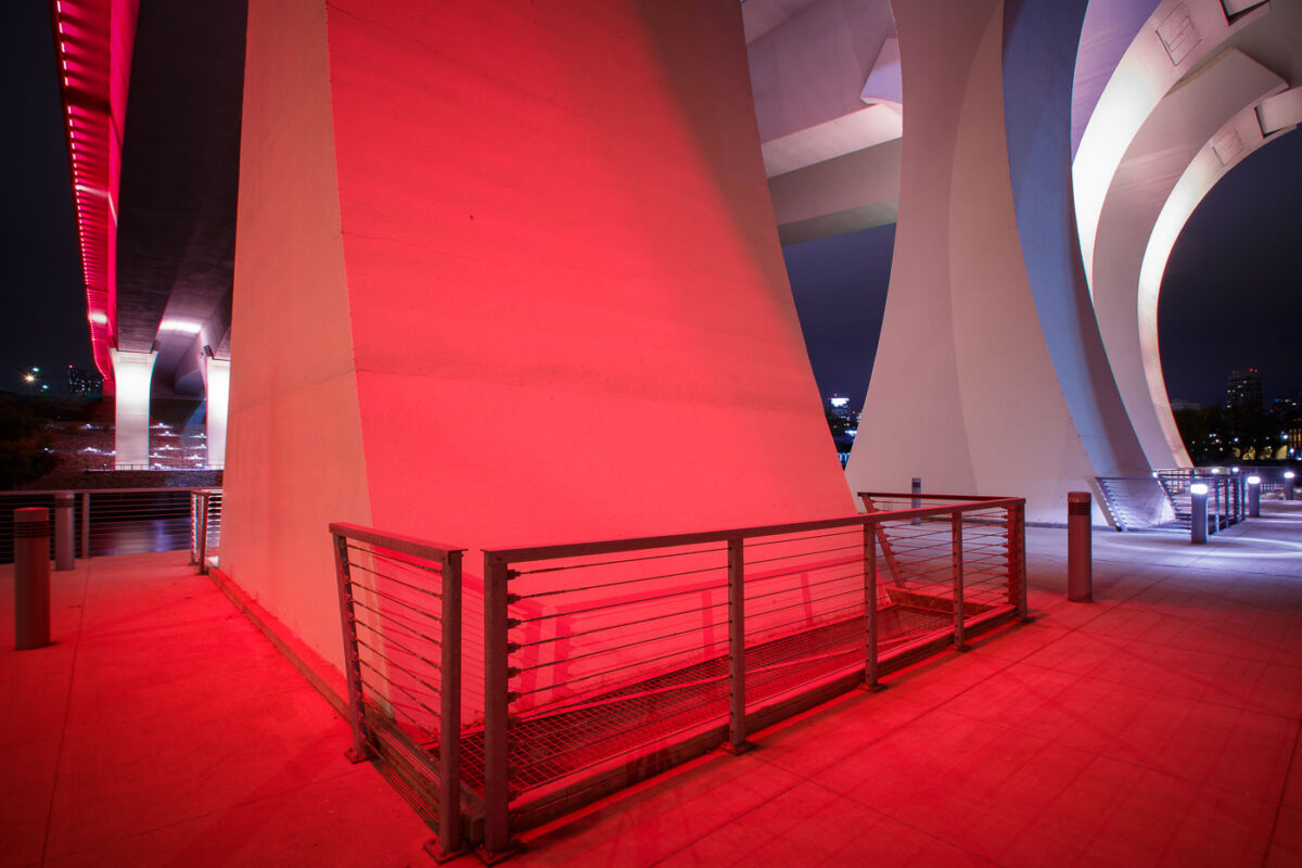
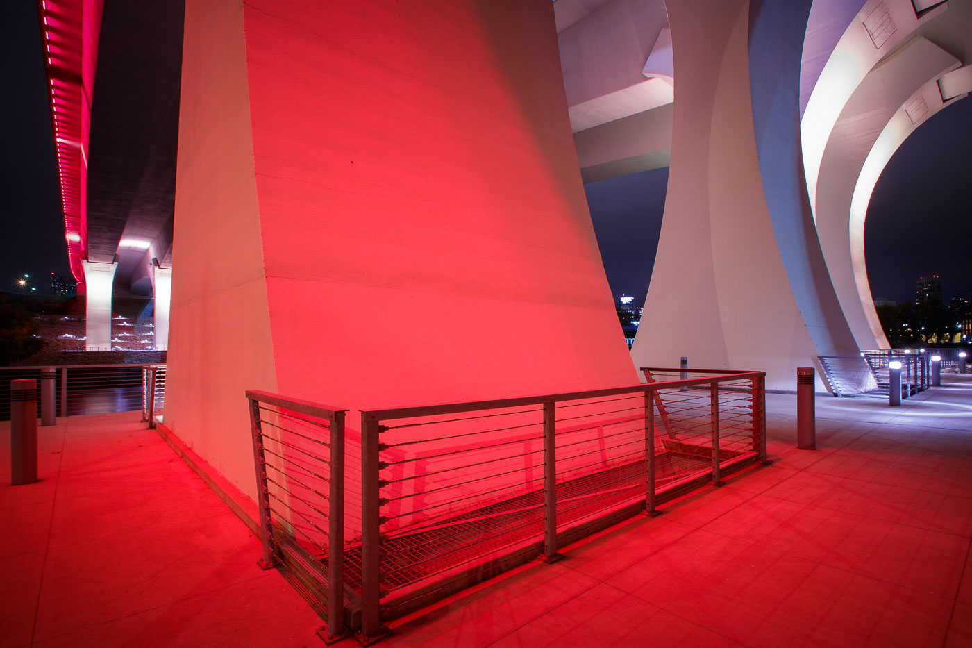
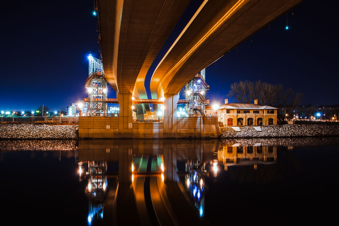
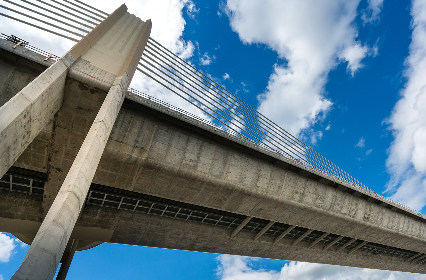
The I-35W Bridge in Minneapolis is illuminated in red at night, with metal railings visible on an illuminated walkway below.
The I-35W Mississippi River Bridge in Minneapolis is illuminated in red. This bridge was rebuilt following its catastrophic collapse in 2007.

Red Light Beneath the I-35W Bridge Pylons at Night
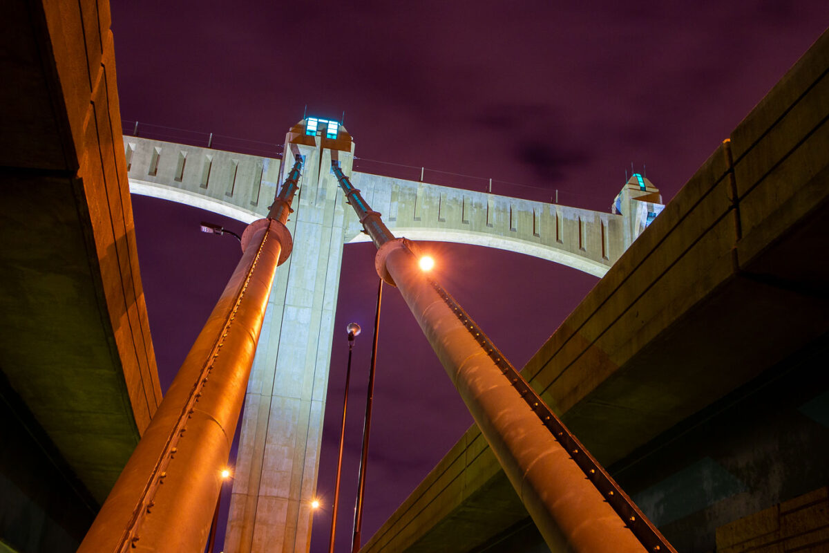
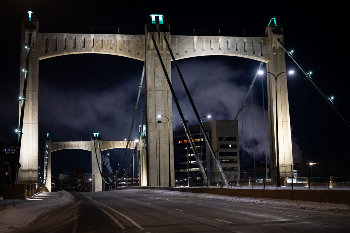
The Hennepin Avenue Bridge, a 1929 Art Deco structure in Minneapolis, spans the Mississippi River
The Hennepin Avenue Bridge in downtown Minneapolis, spans the Mississippi River. Completed in 1929. The bridge is an example of early 20th-century engineering, featuring a distinctive Art Deco style with its prominent towers and decorative elements.

Hennepin Avenue Bridge at Night, Minneapolis
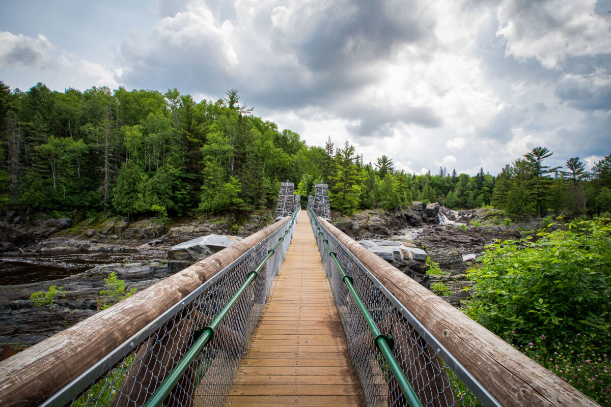
Jay Cooke State Park suspension bridge crosses the St. Louis River in northeastern Minnesota.
The suspension bridge at Jay Cooke State Park crosses the St. Louis River in northeastern Minnesota. It spans the park’s rocky gorge and connects trail routes on either side of the river. The bridge is part of the park’s river access area near Carlton.

Jay Cooke State Park Suspension Bridge, St. Louis River
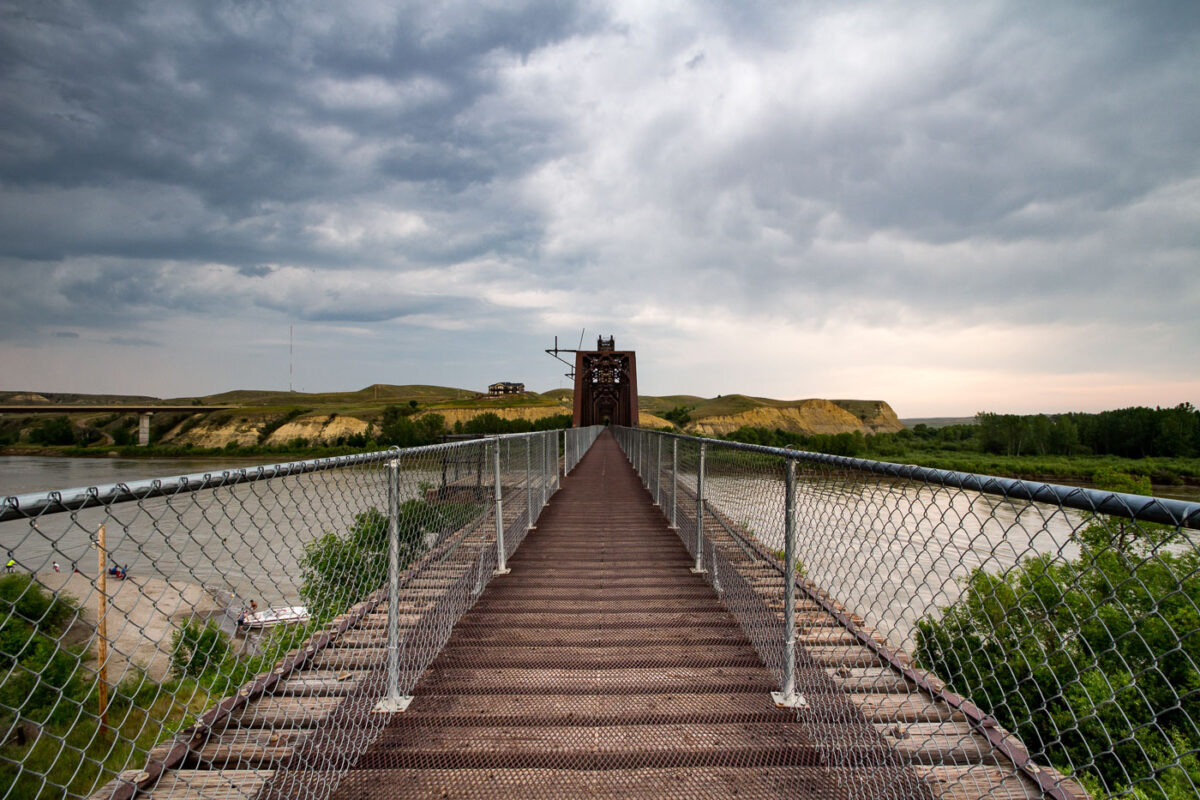
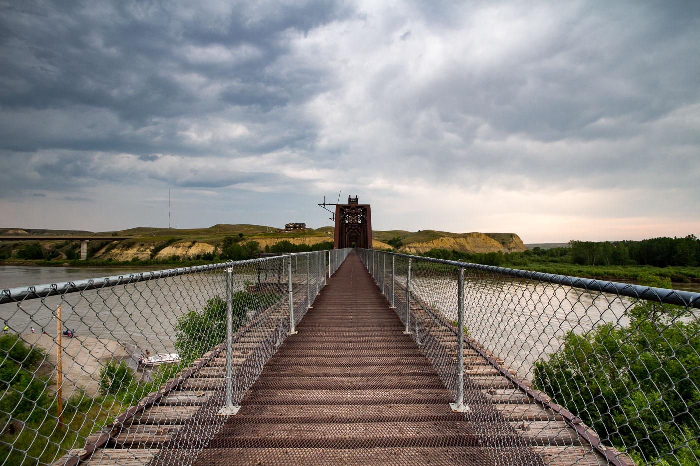
Fairview Lift Bridge spans the Yellowstone River in North Dakota with its distinctive red lift tower visible.
The Fairview Lift Bridge spans the Yellowstone River near the Montana–North Dakota border, close to the town of Fairview, Montana. Built in 1913 for the Great Northern Railway, it originally carried rail traffic and featured a vertical lift span that could be raised to let river traffic pass underneath. The lift mechanism was permanently retired in 1986, and the span has since been fixed in place. Listed on the National Register of Historic Places in 1997, the bridge was later converted to a pedestrian and bicycle crossing, allowing visitors to walk its original steel deck across the river.

Crossing the Fairview Lift Bridge on the Yellowstone River
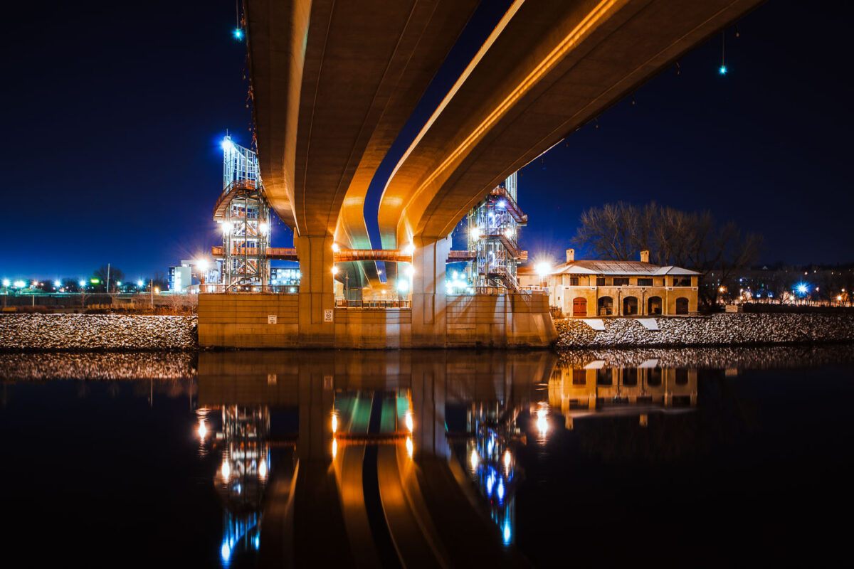
Wabasha Street Bridge spans the Mississippi River in downtown St. Paul, Minnesota.
Wabasha Street Bridge spans the Mississippi River in downtown St. Paul, Minnesota. Opened in 1999, it connects downtown with West Side neighborhoods and carries heavy traffic across the river. The bridge replaced older river crossings at this location.

Wabasha Street Bridge over the Mississippi River, St. Paul
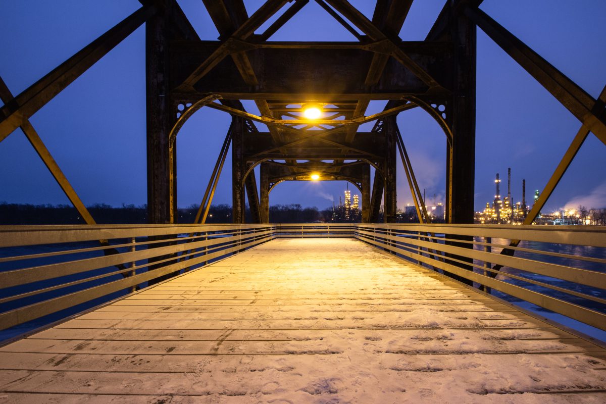
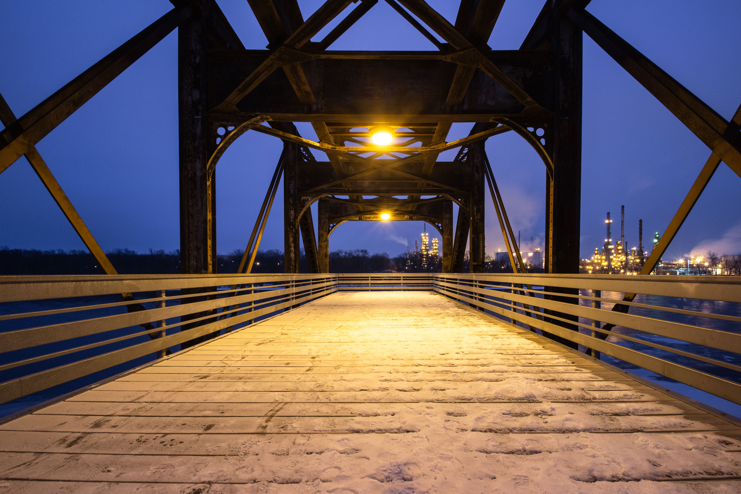
Rock Island Swing Bridge in Inver Grove Heights with Marathon Petroleum refinery lit at dusk.
The Rock Island Swing Bridge crosses the Mississippi River between Inver Grove Heights and St. Paul Park, Minnesota. Built in 1895 for the Chicago, Rock Island and Pacific Railroad, it originally carried freight trains and included a rotating swing span to let river traffic pass. Rail traffic ended in the 1980s, and the span was later converted into a pedestrian and bicycle crossing linking regional trail systems on both sides of the river. Across the water in St. Paul Park stands the Marathon Petroleum refinery, one of Minnesota's major oil processing facilities, which has operated on the site since 1939.

Rock Island Swing Bridge Walkway, Inver Grove Heights
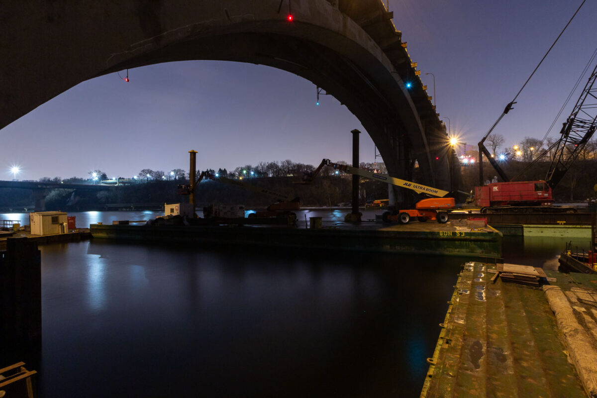
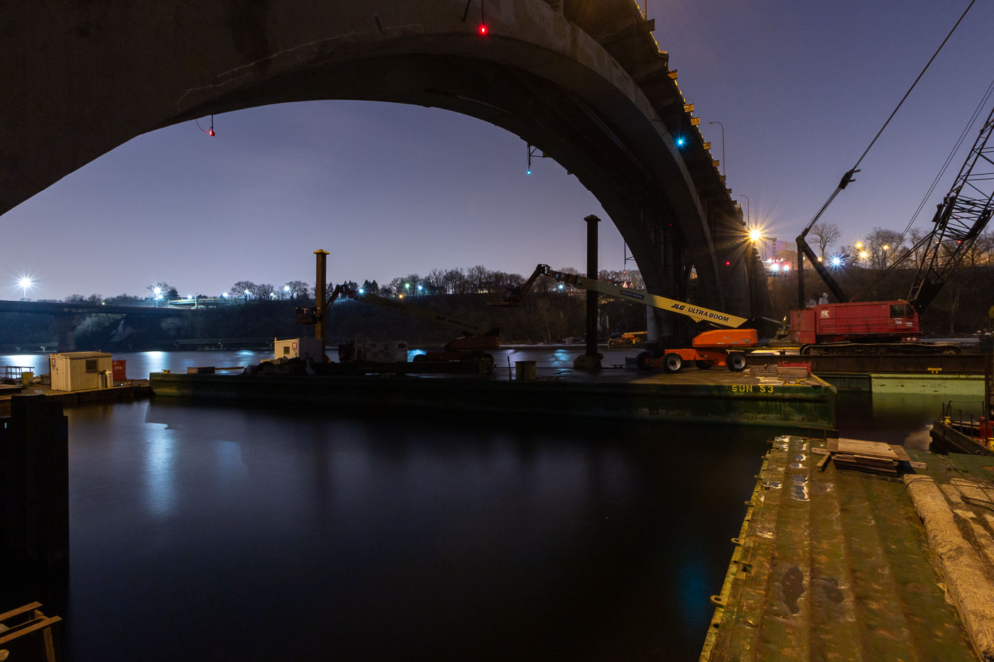
Nighttime construction work on the Franklin Avenue Bridge over the Mississippi River in Minneapolis, with cranes and equipment on barges.
Construction work is underway at night on the Franklin Avenue Bridge in Minneapolis, spanning the Mississippi River. The bridge, originally constructed in the 1920s, has undergone numerous repairs and upgrades throughout its history to maintain its structural integrity and capacity for traffic. This nighttime operation highlights the ongoing efforts to preserve this vital piece of Minneapolis infrastructure, ensuring its continued service to the city.

Franklin Avenue Bridge Construction Work at Night, Minneapolis
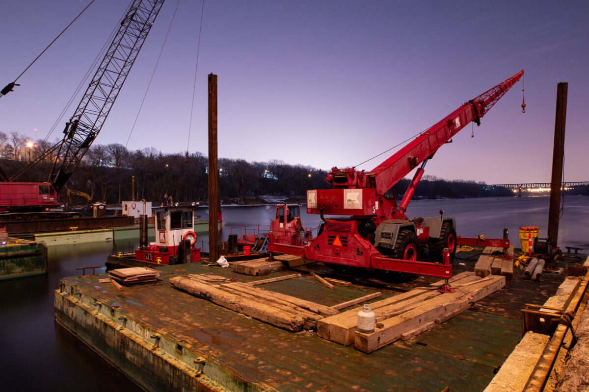
Cranes and barges on the Mississippi River in Minneapolis for repairs to the Franklin Avenue Bridge, a vital transportation link.
Construction barges and cranes are positioned on the Mississippi River for repairs to the Franklin Avenue Bridge in Minneapolis. The Franklin Avenue Bridge, originally constructed in 1923, is a vital artery connecting the city's south and north sides. Its ongoing maintenance and repair are essential for maintaining transportation flow and ensuring the structural integrity of this significant piece of Minneapolis infrastructure.

Franklin Ave Bridge Construction, Minneapolis
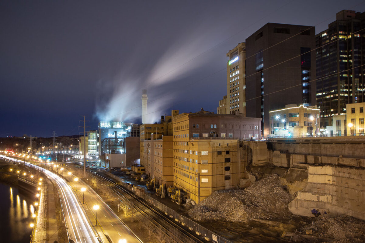
Demolition of Ramsey County Jail at night in St. Paul, Minnesota, with Wabasha Bridge and roadways visible.
The demolition of the Ramsey County Jail in St. Paul, Minnesota, is shown at night. The jail, a prominent structure in the city's downtown, was a key part of the county's justice system for decades. Its demolition marks a significant change in the urban fabric of St. Paul, making way for future development. The surrounding infrastructure, including the Wabasha Bridge and nearby roadways, remains operational during the demolition process.

Ramsey County Jail Demolition, St. Paul
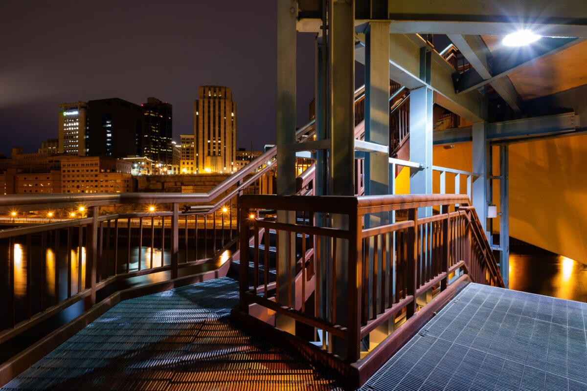
The Wabasha Street Bridge in St. Paul, Minnesota, spans the Mississippi River at night, connecting downtown to the West Side.
The Wabasha Street Bridge in St. Paul, Minnesota, spans the Mississippi River, connecting downtown to the West Side. Originally constructed in 1904, the bridge has undergone several reconstructions and renovations, with the current structure reflecting modern engineering and urban planning. It serves as a vital transportation artery for vehicles and pedestrians, offering views of the city's riverfront and skyline.

Wabasha Street Bridge, St. Paul, Minnesota at Night
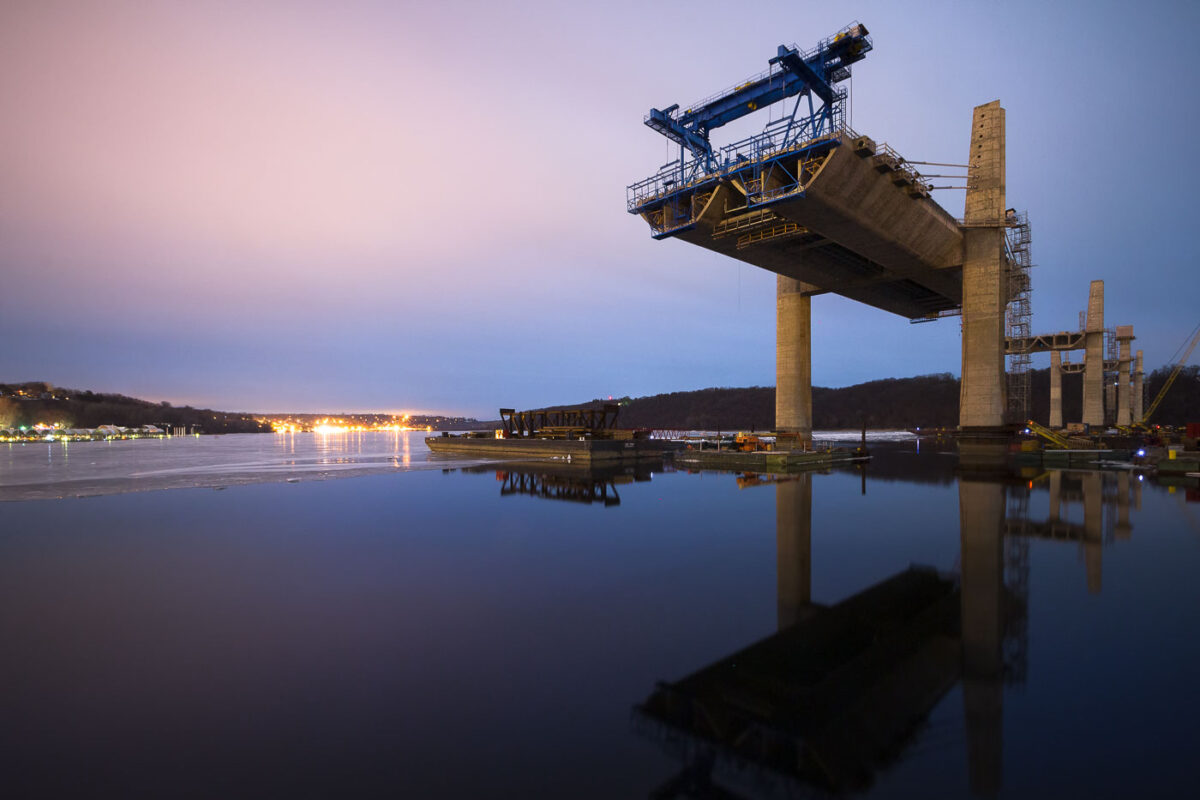
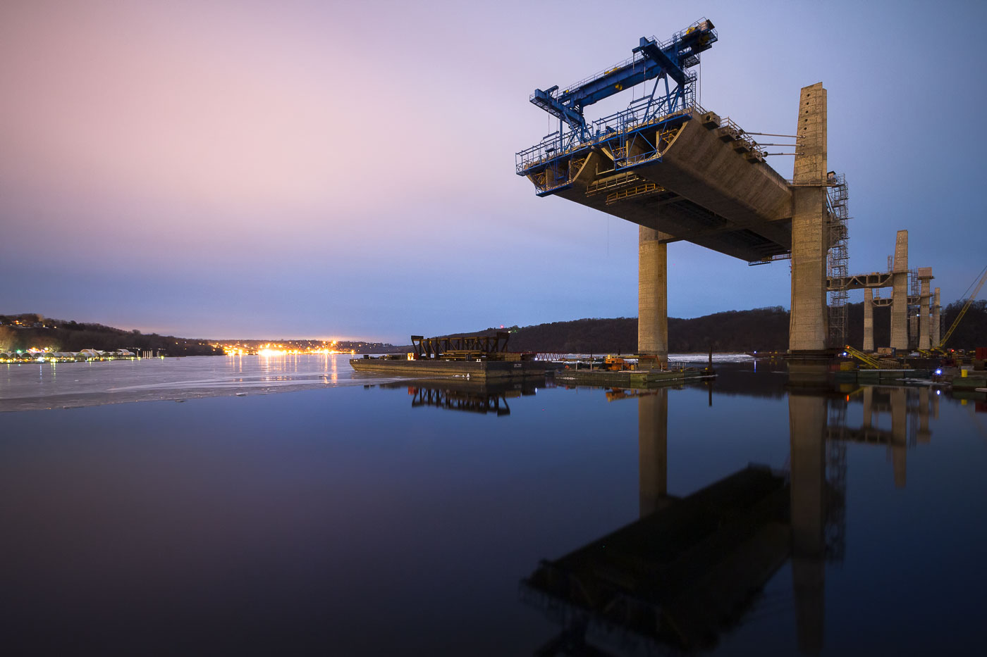
St. Croix Crossing bridge under construction over the St. Croix River in Stillwater, Minnesota.
St. Croix Crossing bridge construction in Stillwater, Minnesota, continues over the St. Croix River. The new span is being built to replace the older Stillwater Lift Bridge as a cross-river transportation link between Minnesota and Wisconsin.

St. Croix Crossing Bridge Under Construction, Stillwater
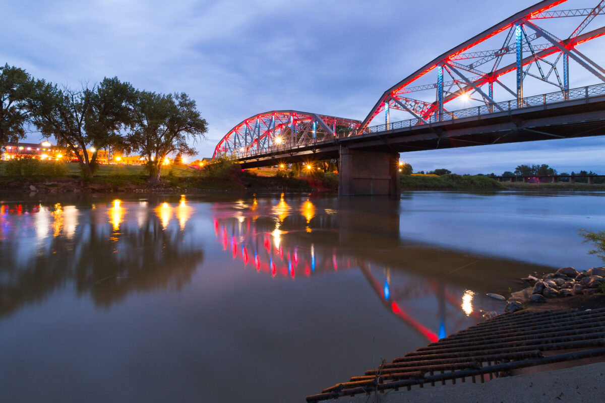
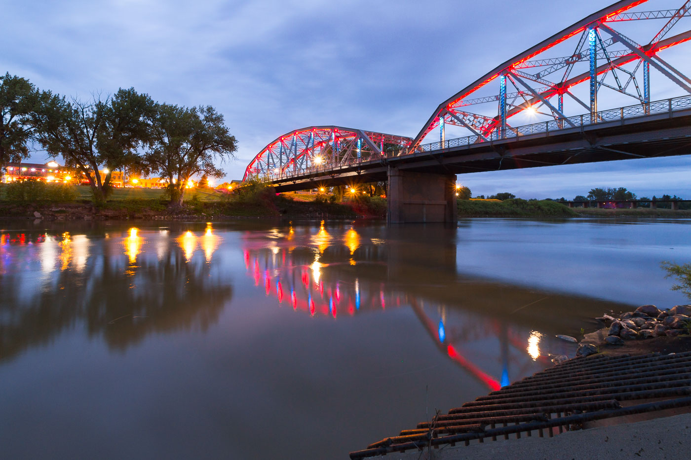
Sorlie Memorial Bridge spans the Red River at dusk in Grand Forks, North Dakota, illuminated in red and blue.
The Sorlie Memorial Bridge carries traffic across the Red River of the North, linking Grand Forks, North Dakota, with East Grand Forks, Minnesota. Built in 1929, the steel tied-arch span replaced an earlier bridge from 1891 that had connected the two cities. It's named for Martin Sorlie, who served as North Dakota's governor from 1925 until his death in office in 1928. The bridge was added to the National Register of Historic Places in 2003 in recognition of its engineering design and role in the region's transportation history.

The Sorlie Bridge Over the Red River in Grand Forks
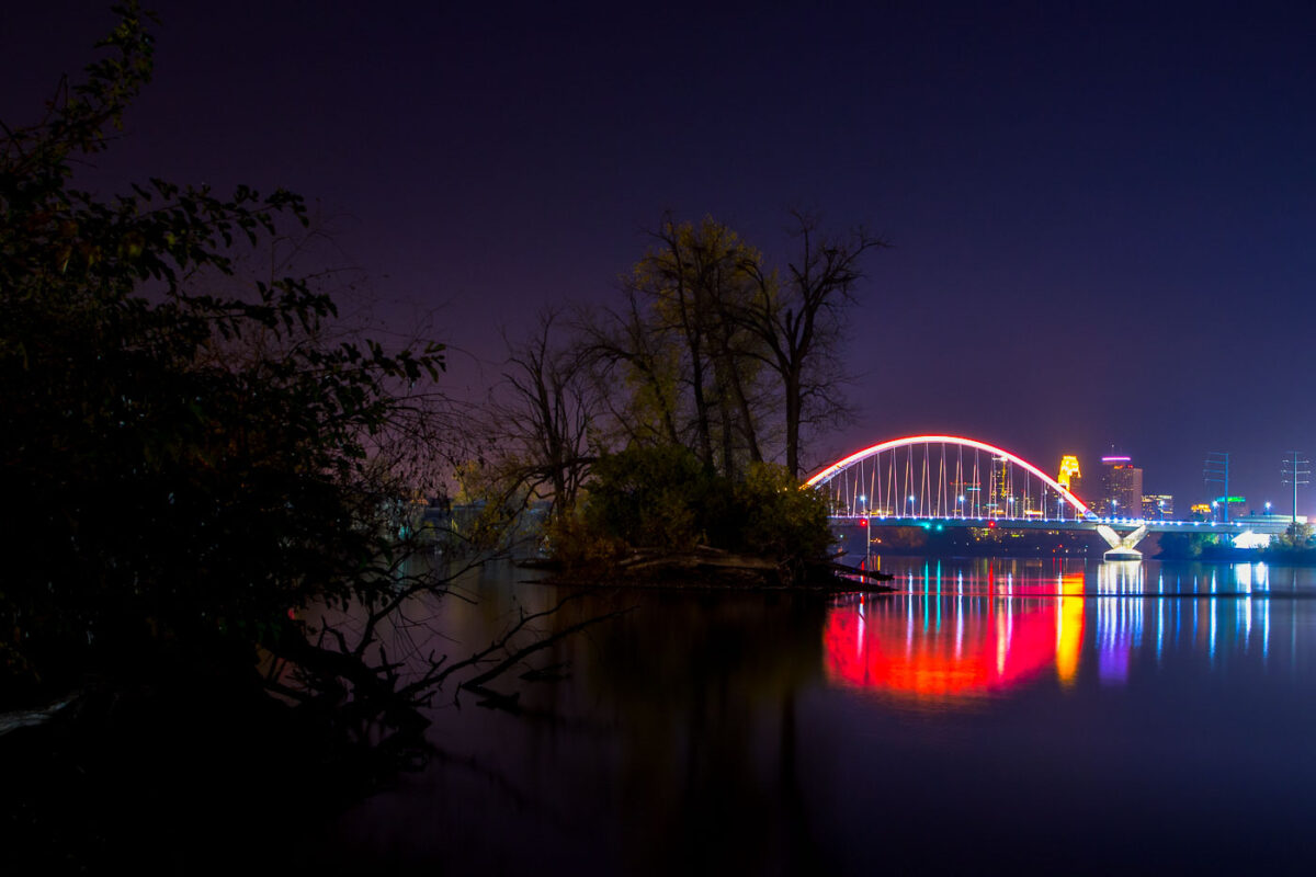
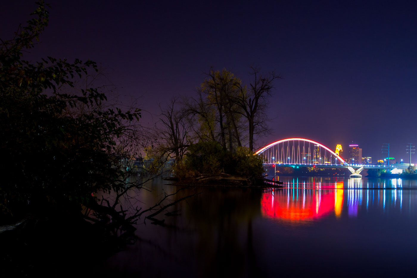
The Lowry Bridge and Minneapolis skyline are illuminated at night over the Mississippi River, with reflections of the city lights on the water.
The Lowry Bridge, a tied-arch bridge spanning the Mississippi River in Minneapolis. Opened in 1929, it was originally named the "Great Northern Railway Bridge" and served as a vital rail crossing. The bridge was reconstructed and renamed in 1987.

Lowry Bridge and Minneapolis Skyline at Night from Mississippi River
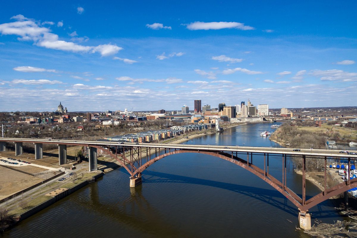
Smith Avenue High Bridge and Downtown St. Paul
The Smith Avenue High Bridge spans the Mississippi River south of downtown St. Paul, Minnesota. The bridge connects the West Side neighborhood with the Cathedral Hill area and frames a skyline that includes the Cathedral of Saint Paul and the State Capitol area.

Smith Avenue High Bridge and Downtown St. Paul

Concrete pillars supporting the St. Paul Bridge in downtown Saint Paul, Minnesota, during a rainstorm. The bridge is a vital transportation artery for the city.
Concrete pillars support the St. Paul Bridge in downtown Saint Paul, Minnesota, during a rainstorm. These massive columns are part of the bridge's substructure, designed to bear the weight of traffic and ensure the stability of the crossing. The bridge, a vital artery for the city, facilitates transportation and connects different parts of the downtown area. The rain-slicked ground and reflections of red light highlight the utilitarian nature of this urban infrastructure.

Concrete Pillars Under St. Paul Bridge During Rainstorm
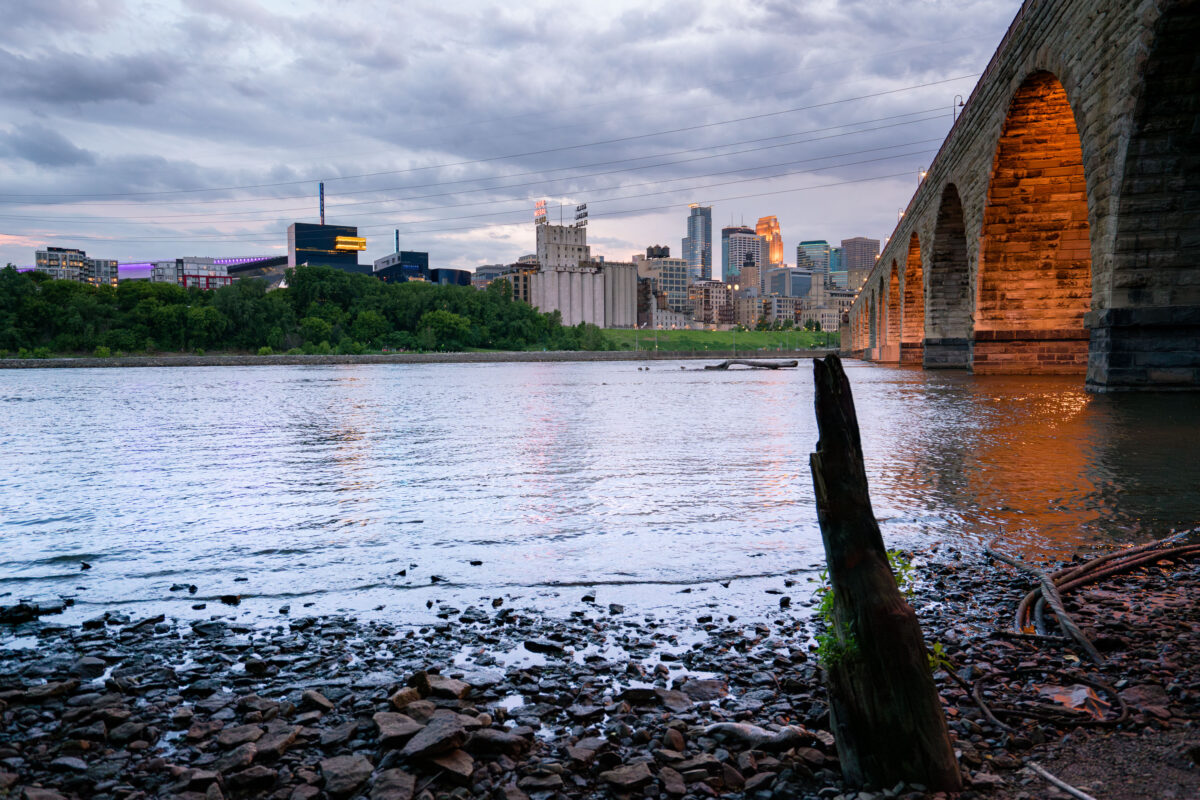
Minneapolis skyline and the Stone Arch Bridge over the Mississippi River.
Minneapolis skyline and the Stone Arch Bridge over the Mississippi River in Minneapolis, Minnesota. The former railroad bridge spans St. Anthony Falls and is part of the Mill Ruins Park area.

Minneapolis skyline from the Stone Arch Bridge
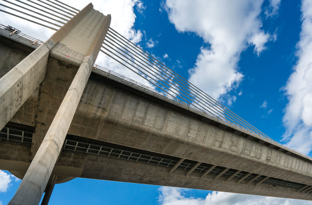
St. Croix Crossing Bridge over the St. Croix River between Oak Park Heights, Minnesota, and St. Joseph, Wisconsin
The St. Croix Crossing, an extradosed bridge, connects Oak Park Heights, Minnesota, and St. Joseph, Wisconsin, across the St. Croix River. Completed in 2017, it replaced an aging bridge and significantly improved traffic flow by carrying Minnesota State Highway 36 and Wisconsin State Highway 64. The structure features four lanes of traffic and a dedicated bike and pedestrian path on its north side, enhancing connectivity and accessibility between the two states.

St. Croix Crossing Bridge: Minnesota-Wisconsin Connection

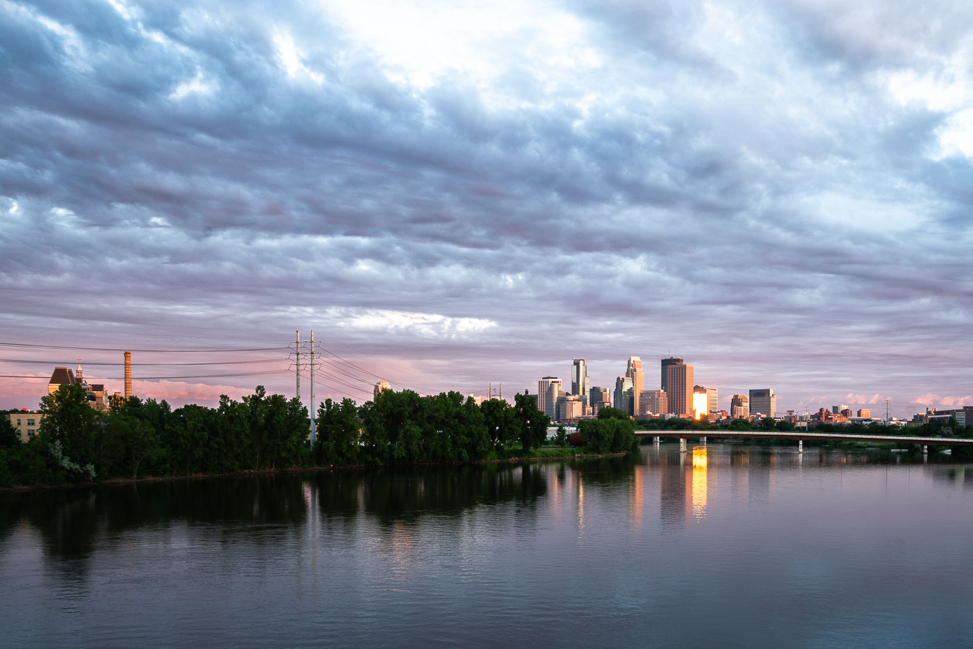
Minneapolis downtown skyline and Mississippi River at dusk with suspension bridge visible across the water.
Downtown Minneapolis along the Mississippi River, with the Third Avenue Bridge crossing toward downtown. The river marks the site of St. Anthony Falls, the only major waterfall on the Mississippi, which drew the flour mills that built the city's early economy.

Downtown Minneapolis Skyline Along the Mississippi River
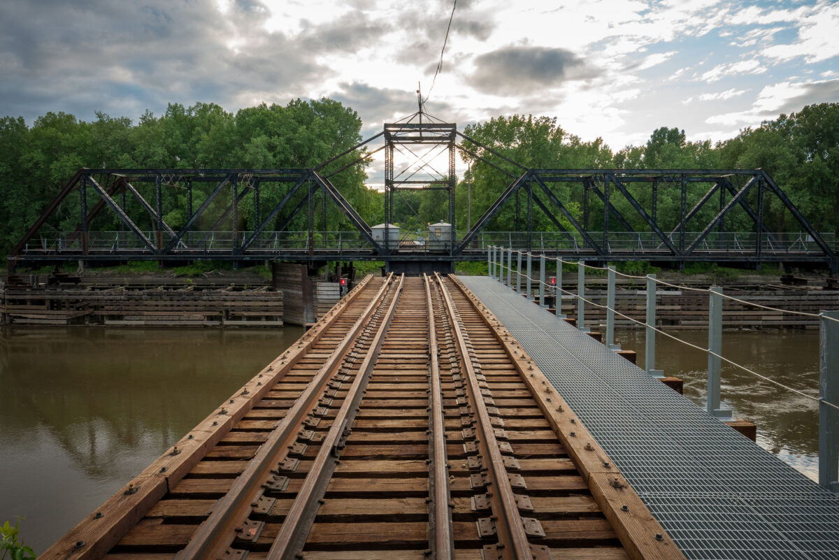
Dan Patch Line Bridge over the Minnesota River between Bloomington and Savage.
Dan Patch Line Bridge, Bloomington and Savage, is a railroad swing bridge spanning the Minnesota River. Built for the Dan Patch Line, it carries the rail corridor between the two cities and remains a notable crossing in the Twin Cities south metro.

Dan Patch Line Bridge, Bloomington and Savage
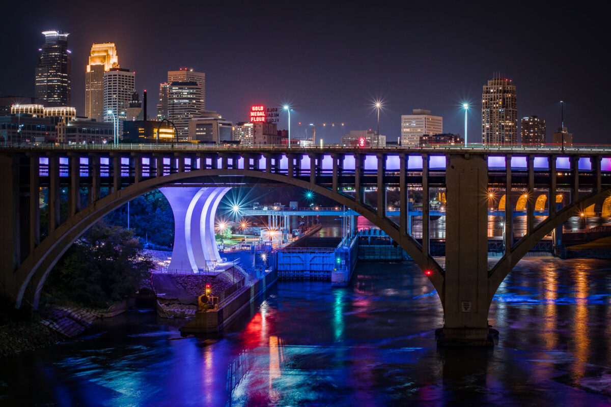
The I-35W Mississippi River Bridge at night, with the Minneapolis skyline in the background.
The I-35W Mississippi River Bridge over the Mississippi River in downtown Minneapolis. The bridge collapsed in 2007 and was replaced in 2008.

Minneapolis I-35W Bridge and Downtown Skyline at Night
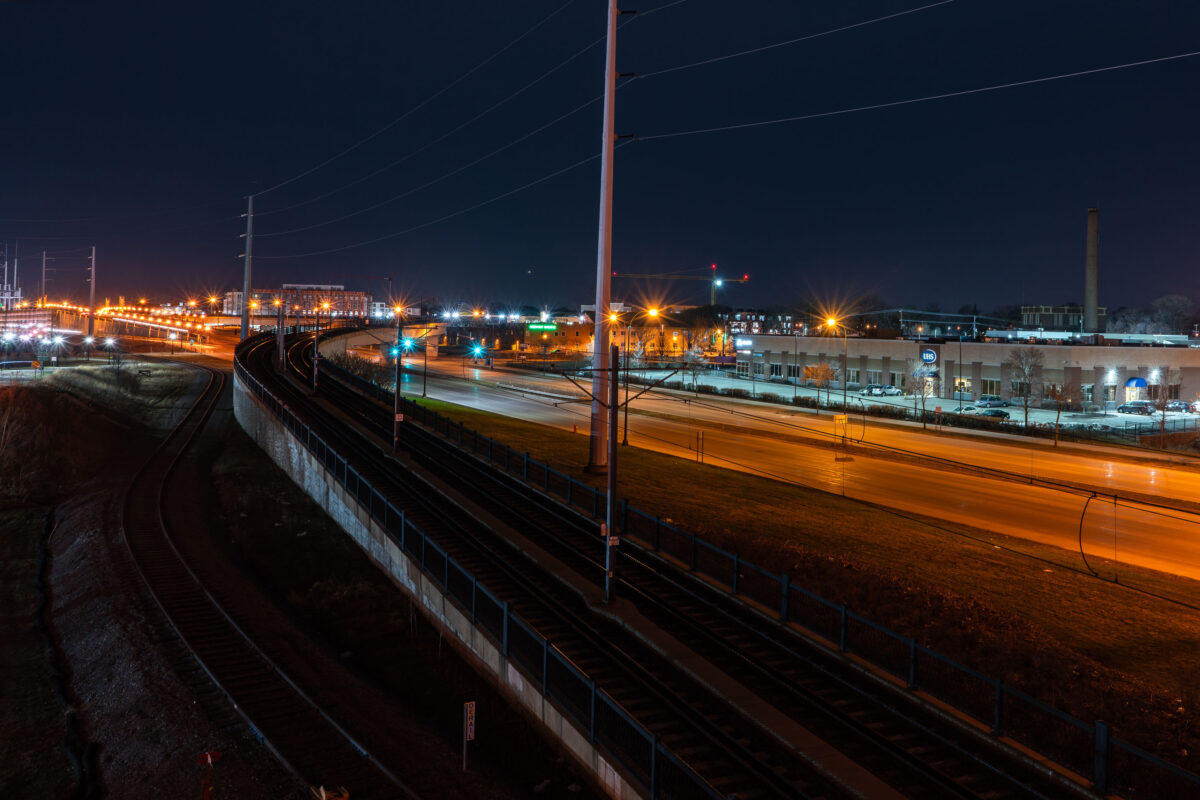
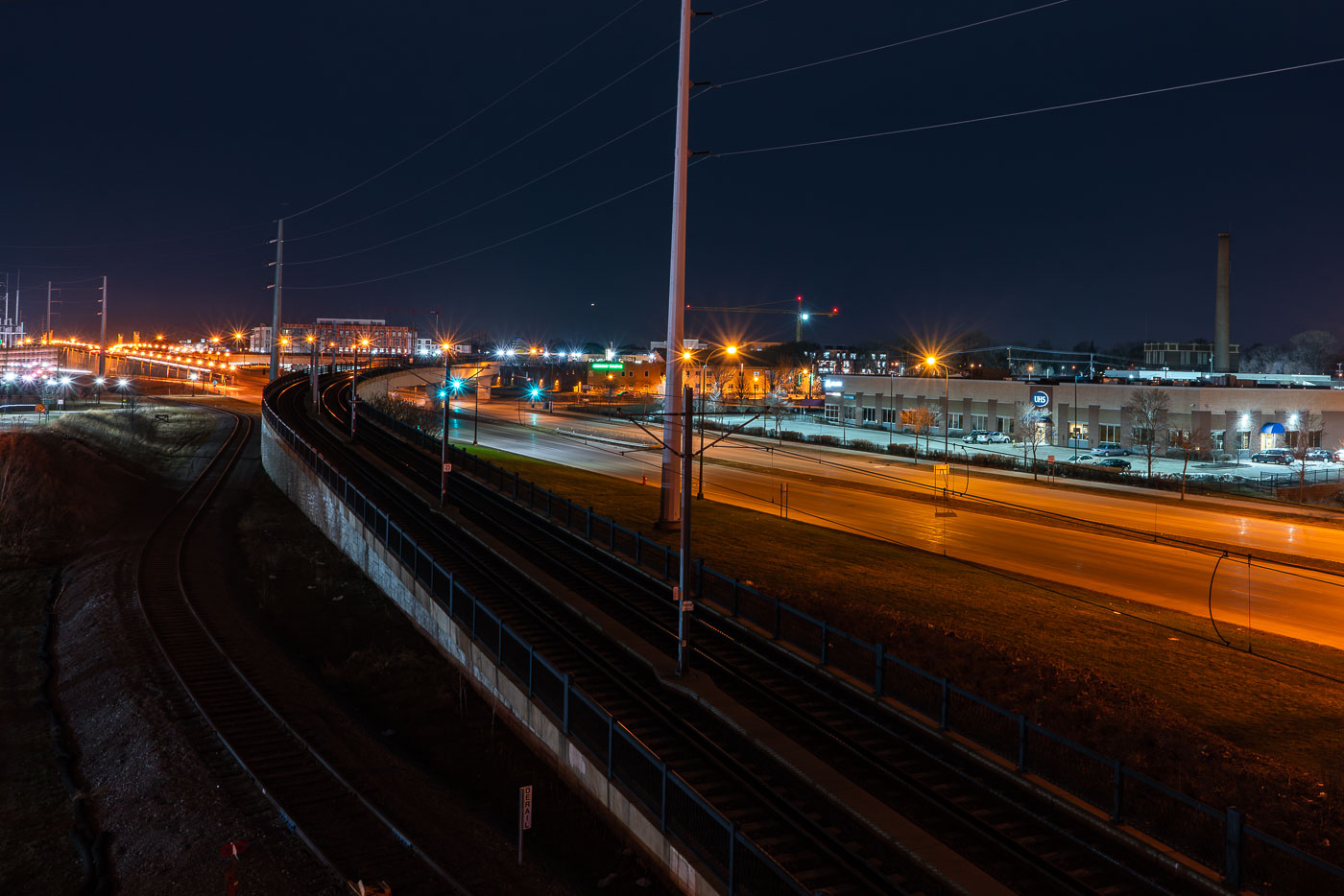
Metro Transit light rail bridge spanning Hiawatha Avenue in South Minneapolis at night.
The Metro Transit light rail bridge spans Hiawatha Avenue in South Minneapolis. Completed in 2018, this structure is part of the Blue Line's expansion.

Light Rail Tracks Curving Above Hiawatha Avenue at Night
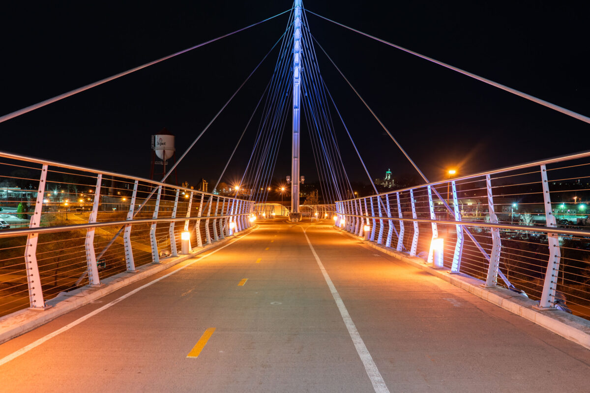
The Martin Olav Sabo Bridge, a pedestrian and bicycle bridge in Minneapolis, illuminated at night
The Martin Olav Sabo Bridge, a pedestrian and bicycle bridge in Minneapolis. Opened in 2000, the bridge connects the Longfellow and Seward neighborhoods, over Haiwatha Ave. The bridge is named in honor of Martin Olav Sabo, a U.S. Representative from Minnesota.

Martin Olav Sabo Bridge at Night, Minneapolis
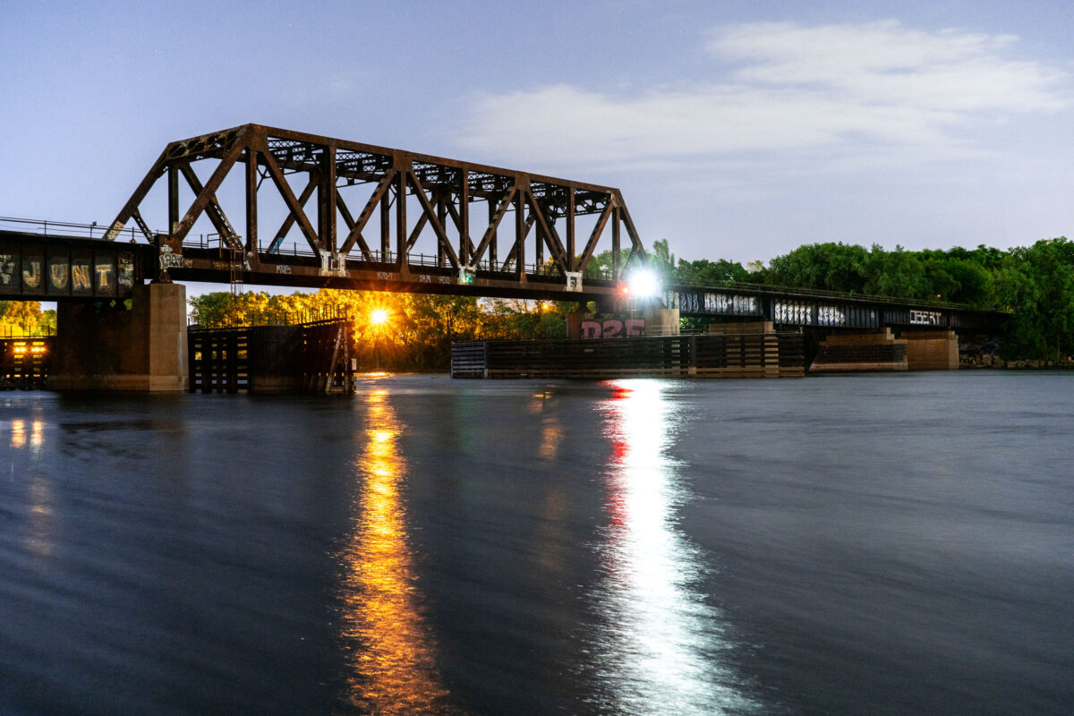
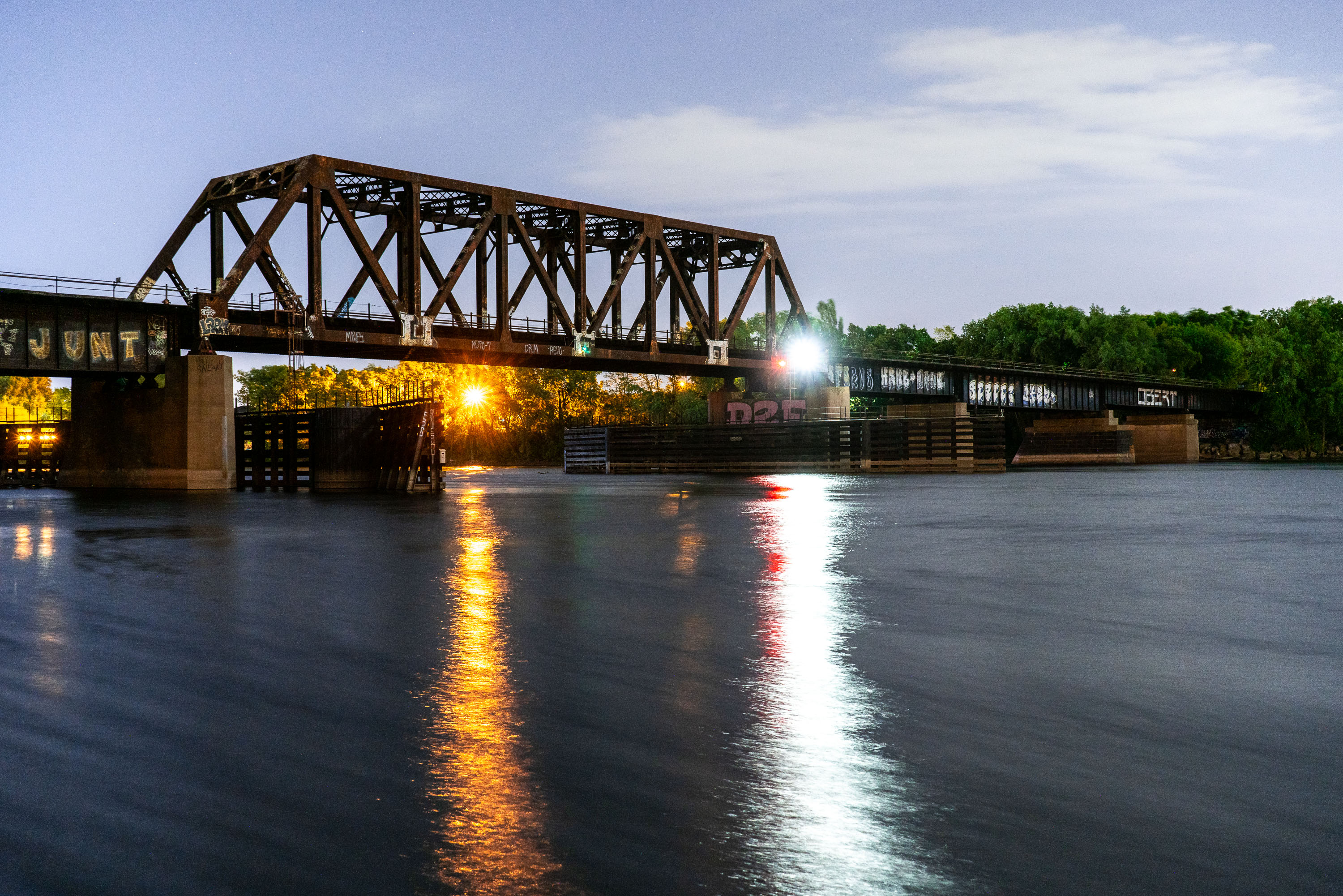
Northern Pacific BNSF Rail Bridge crosses the Mississippi River in Minneapolis.
Northern Pacific BNSF Rail Bridge spans the Mississippi River in Minneapolis between downtown and Northeast Minneapolis. Originally built in 1884 for the Northern Pacific Railway, it provided rail access to yards north of downtown. The bridge has been altered and repaired over time and remains part of BNSF Railway operations in the city.

Northern Pacific BNSF Rail Bridge, Minneapolis

Stone Arch Bridge in Minneapolis beyond trees at Gold Medal Park.
The Stone Arch Bridge spans the Mississippi River in Minneapolis. Built in 1883 for the Great Northern Railway, it now carries pedestrians and cyclists across the river.

Stone Arch Bridge, Minneapolis

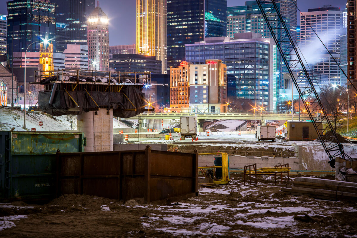
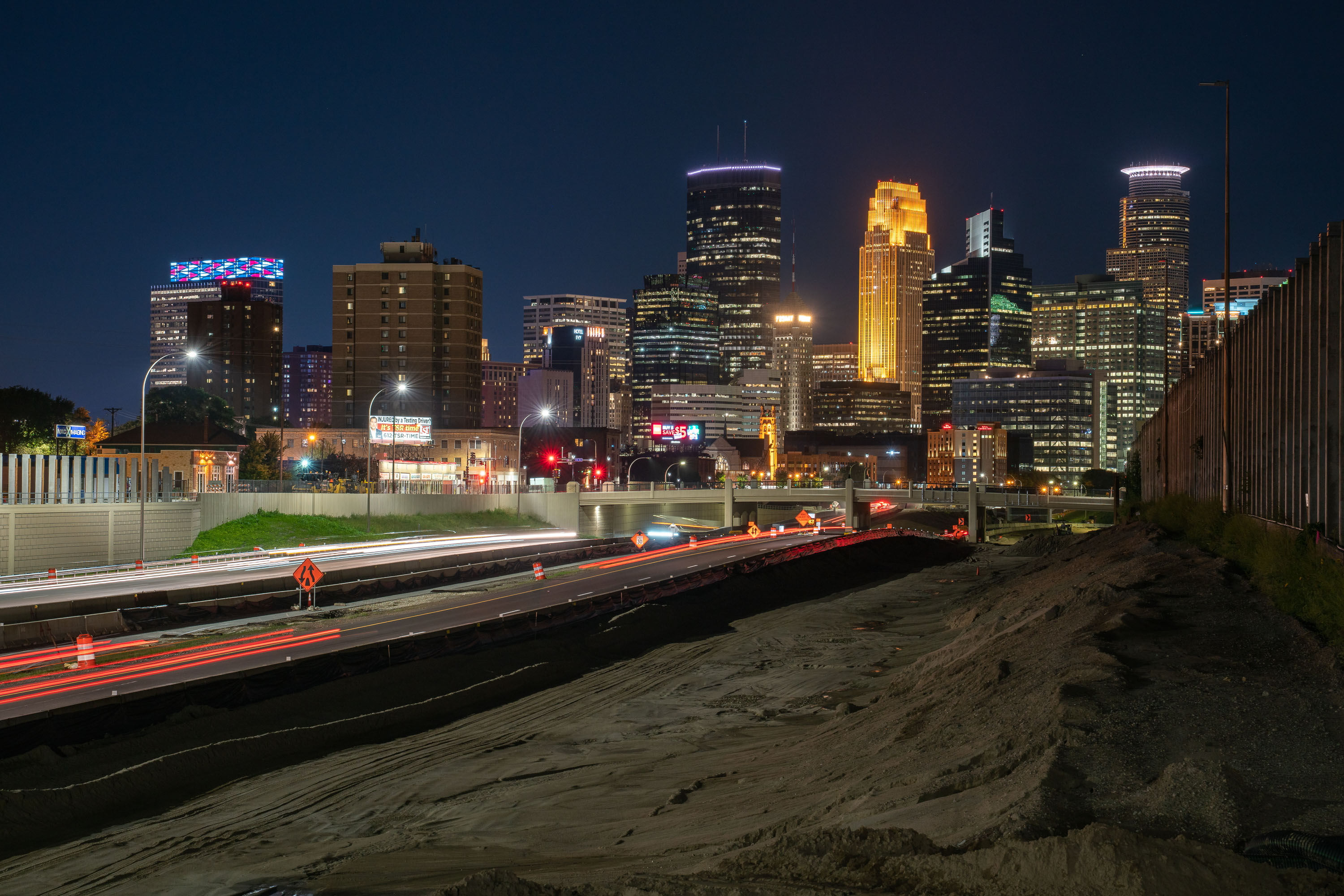
I-35W highway construction site in downtown Minneapolis with illuminated office towers and buildings visible beyond the freeway trench.
I-35W construction in downtown Minneapolis continues in the freeway trench south of the central business district.

Night Construction Along I-35W Beneath the Minneapolis Skyline
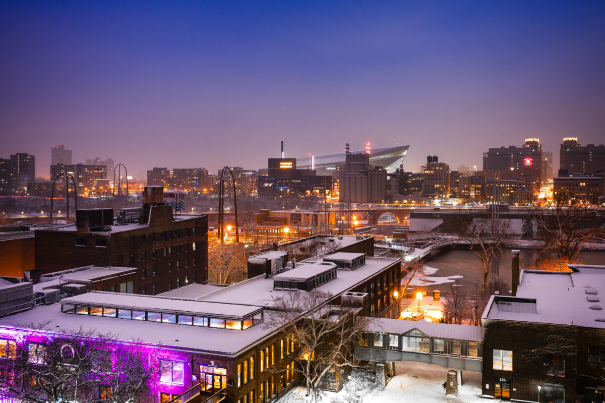
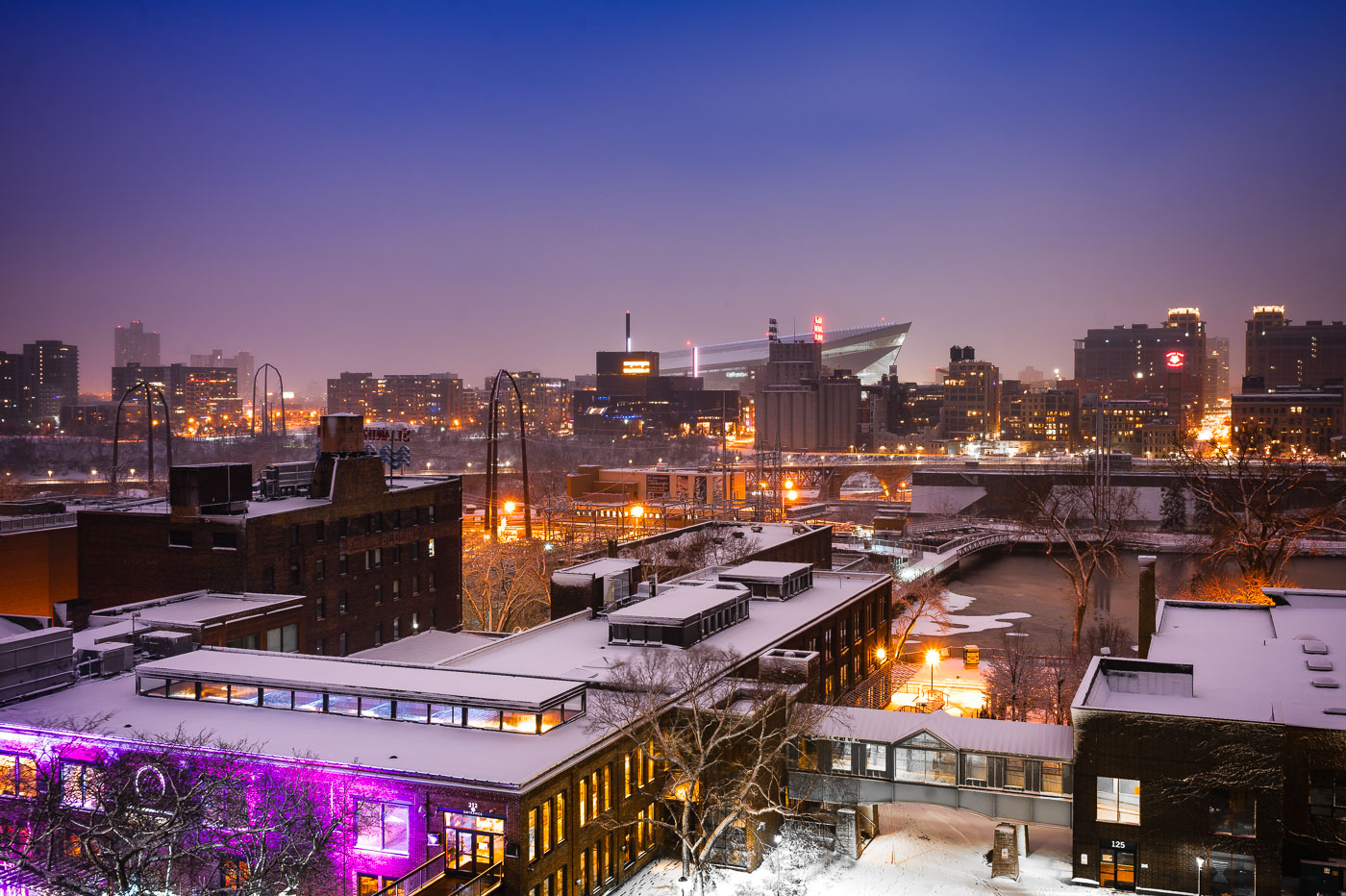
Downtown Minneapolis from St. Anthony Main
The Minneapolis skyline is visible in the distance, with US Bank Stadium prominently featured. In the foreground, the historic Stone Arch Bridge spans the Mississippi River, connecting the St. Anthony Main district to the city's core. Originally built in 1883 for the Great Northern Railway, the bridge is now a pedestrian and bicycle path, offering views of the river and the former industrial buildings that once defined this area.

Minneapolis Skyline and Stone Arch Bridge in Winter
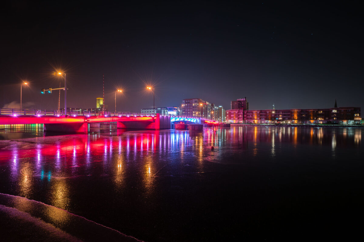
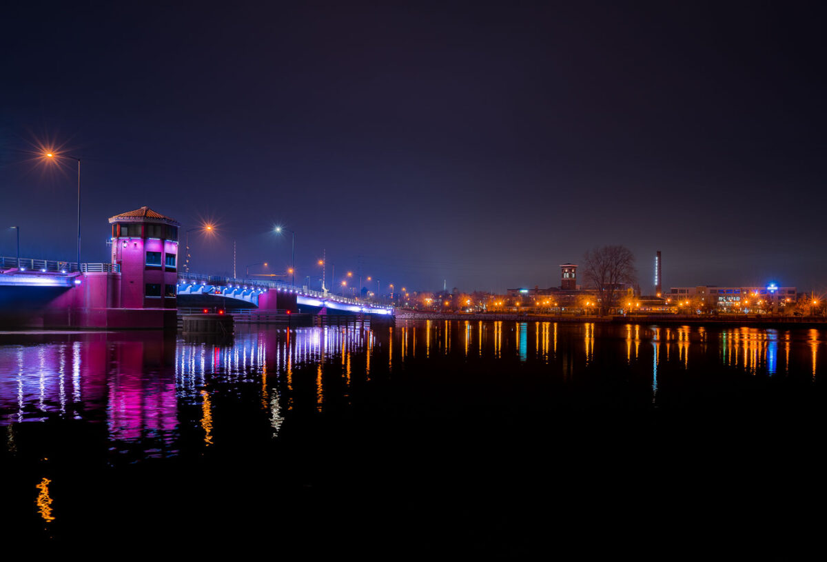
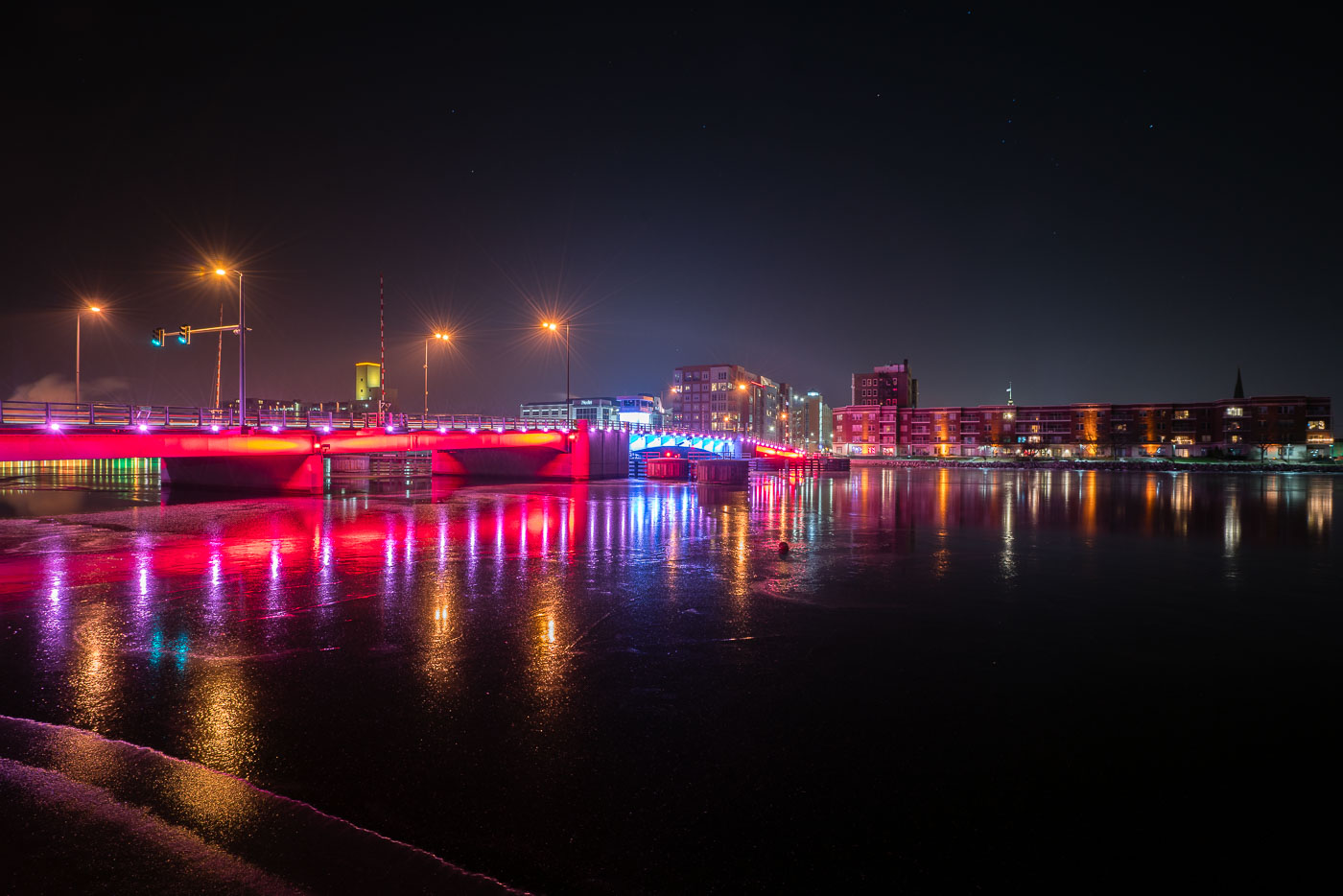
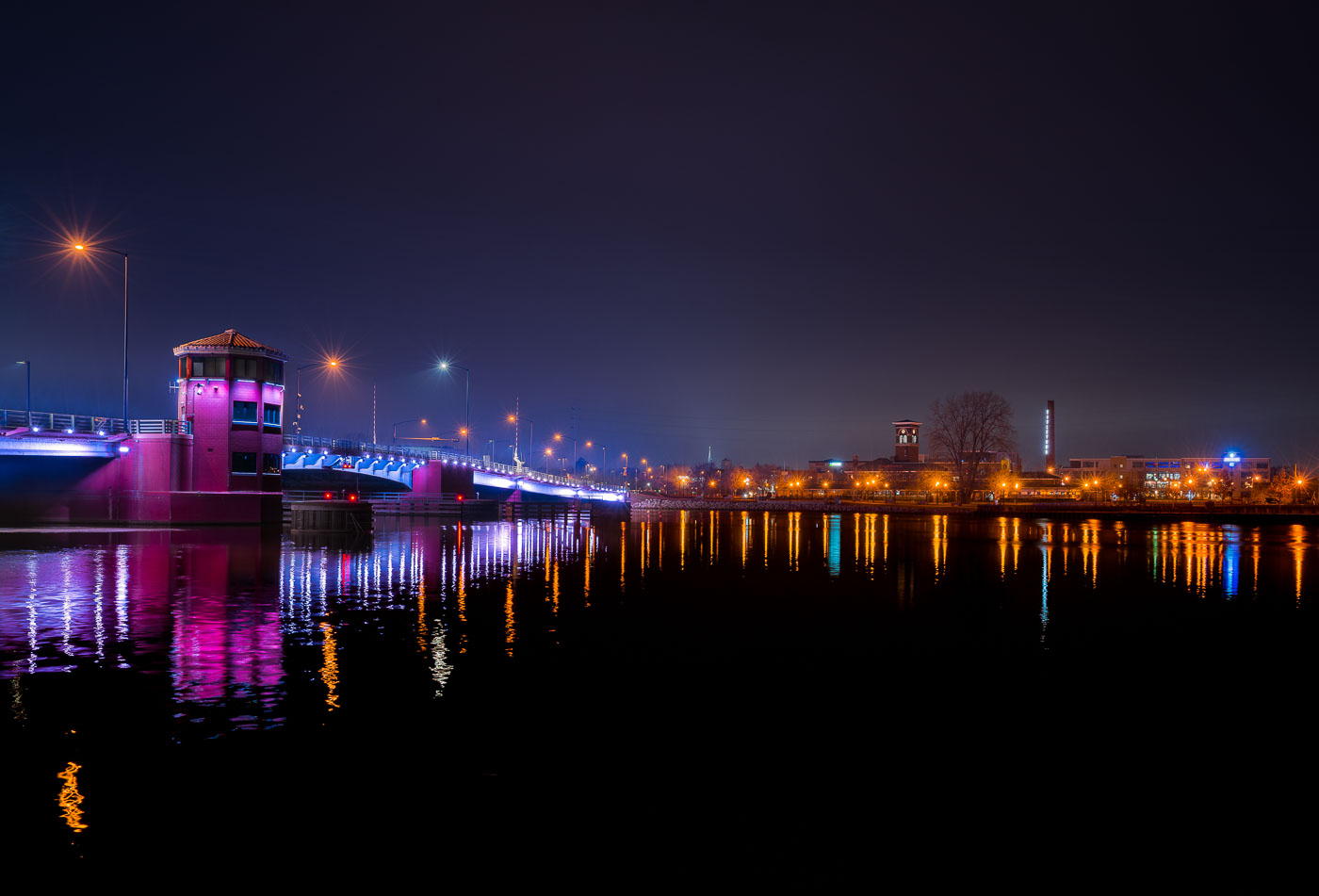
Mason Street Bridge with colorful LED lighting spans the Fox River in downtown Green Bay, Wisconsin.
The Mason Street Bridge carries traffic across the Fox River in downtown Green Bay, Wisconsin, linking the city's east and west sides near the CityDeck riverfront park. Wisconsin's Department of Transportation maintains the crossing, which replaced an earlier span on the same site. The bridge is a double-leaf bascule design, built to open for river traffic passing between Lake Michigan's Green Bay and the upstream Fox River channel. Its color-changing LED system, added as part of a broader downtown riverfront lighting effort, is used to mark holidays, sports events, and civic occasions throughout the year.

Mason Street Bridge over the Fox River, Green Bay

Rail bridge over the Fox River near Green Bay, Wisconsin
A rail bridge over the Fox River in Allouez, Wisconsin.

Allouez Wisconsin Rail Bridge

Walnut Street Bridge lit at night over the Fox River in downtown Green Bay, Wisconsin.
The Walnut Street Bridge carries traffic across the Fox River in downtown Green Bay, Wisconsin. It's a double-leaf bascule drawbridge, built to open and let vessels pass between the Fox River and the bay of Green Bay, part of the connected Great Lakes waterway. The bridge links Walnut Street on the city's east and west sides near the river's mouth. It remains one of several movable spans crossing the Fox River through downtown Green Bay.

Walnut Street Bascule Bridge, Green Bay
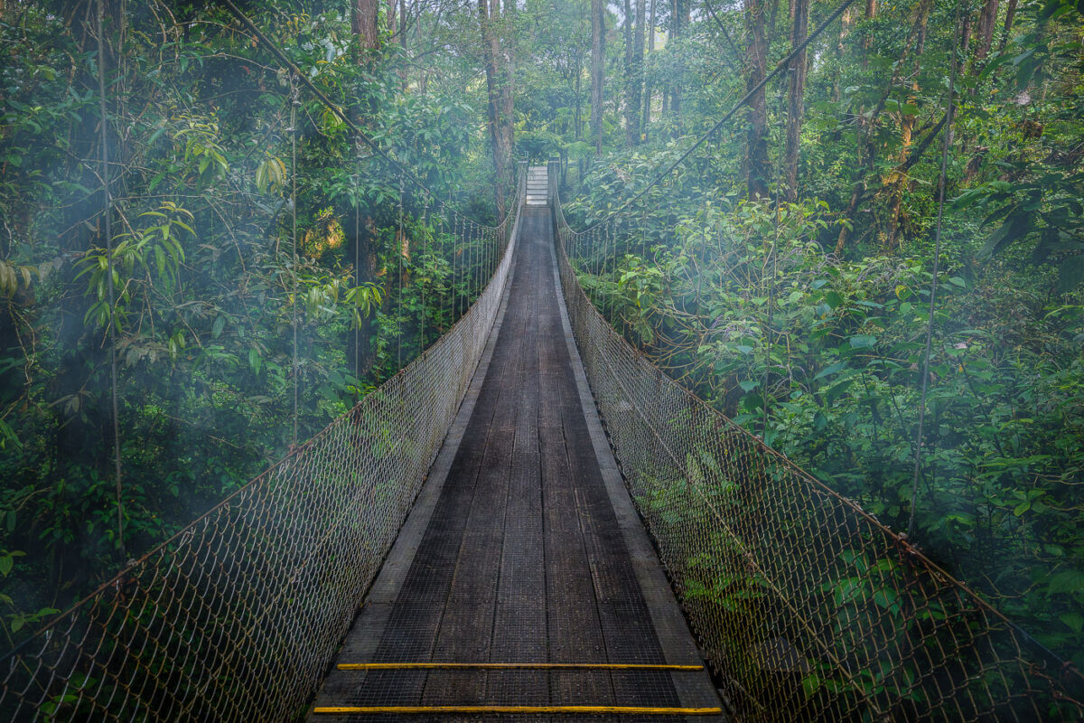
A suspension bridge crosses through dense rainforest canopy near Arenal Observatory Lodge in Costa Rica.
Arenal Observatory Lodge sits on the lower slopes of Arenal Volcano in Costa Rica's Alajuela province, and its trail network includes several hanging bridges that cross the surrounding rainforest. The lodge opened to the public in the 1980s after operating as a research station for volcanologists studying Arenal's activity, which continued from 1968 until it quieted in 2010. The trails connect patches of primary and secondary forest once used to monitor the volcano, and the property sits within view of Lake Arenal, Costa Rica's largest artificial reservoir.

Hanging Bridge Through the Canopy at Arenal Observatory Lodge
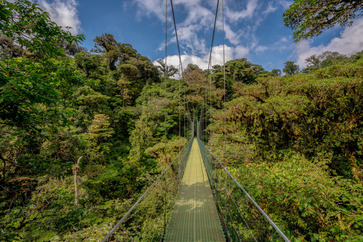
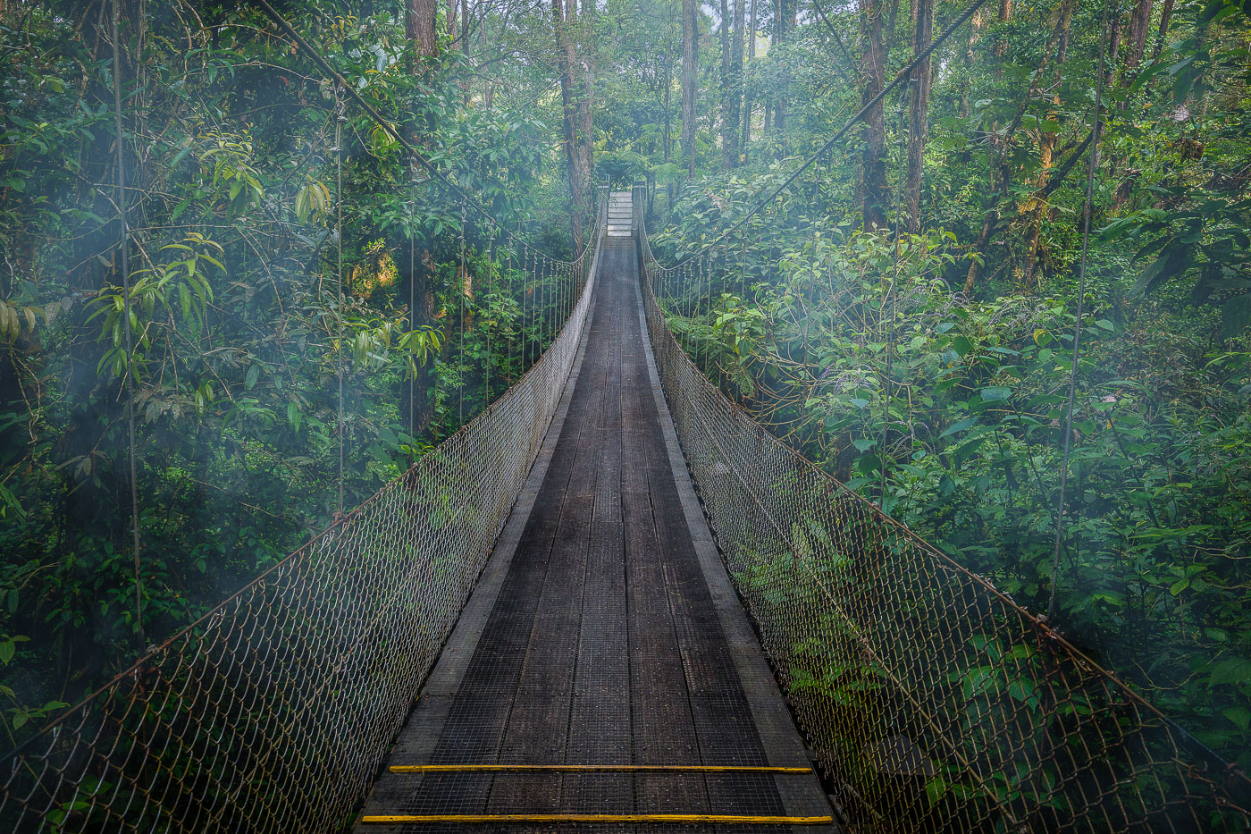
A suspension bridge with a yellow walkway stretches through the canopy of Monteverde Cloud Forest Biological Preserve in Costa Rica.
Monteverde's cloud forest sits along the Tilarán mountain range, where trade winds hold moisture against the slopes and keep the canopy in near-constant mist. Suspension bridges like this one let visitors cross at canopy height, moving through a layer of the forest usually reached only by climbing researchers or resident wildlife. The Monteverde Cloud Forest Biological Preserve protects roughly 10,500 hectares of this habitat, home to more than 400 bird species and an estimated 2,500 plant species, many of them epiphytes growing directly on tree limbs. The reserve was established in 1972, largely through the efforts of Quaker settlers and conservationists who recognized the forest's role in the region's water supply.

Suspension Bridge Over the Monteverde Canopy
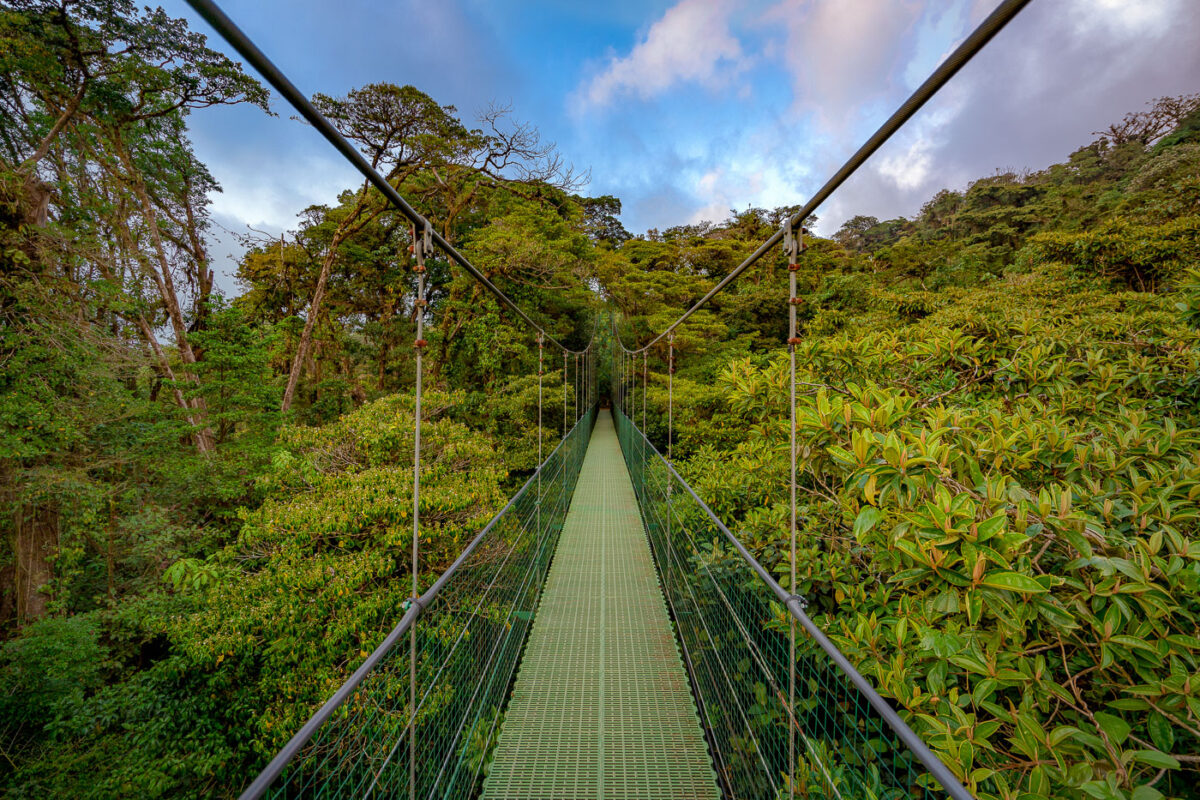
A suspension bridge with green mesh decking stretches through the canopy of Monteverde Cloud Forest Biological Preserve in Costa Rica.
Monteverde's cloud forest reserve sits along the Tilarán mountain range's continental divide, where trade winds off the Caribbean push moisture into the forest, keeping the canopy perpetually damp. The reserve protects roughly 10,500 hectares of forest and is home to an estimated 2,500 plant species, including hundreds of orchids and epiphytes that grow on the trees themselves rather than in soil. Suspension bridges like this one were built to let visitors move through the upper canopy, where much of the forest's biodiversity — birds, insects, and mammals — actually lives, without cutting new trails through the understory below.

Hanging Bridge Through the Monteverde Cloud Forest Canopy
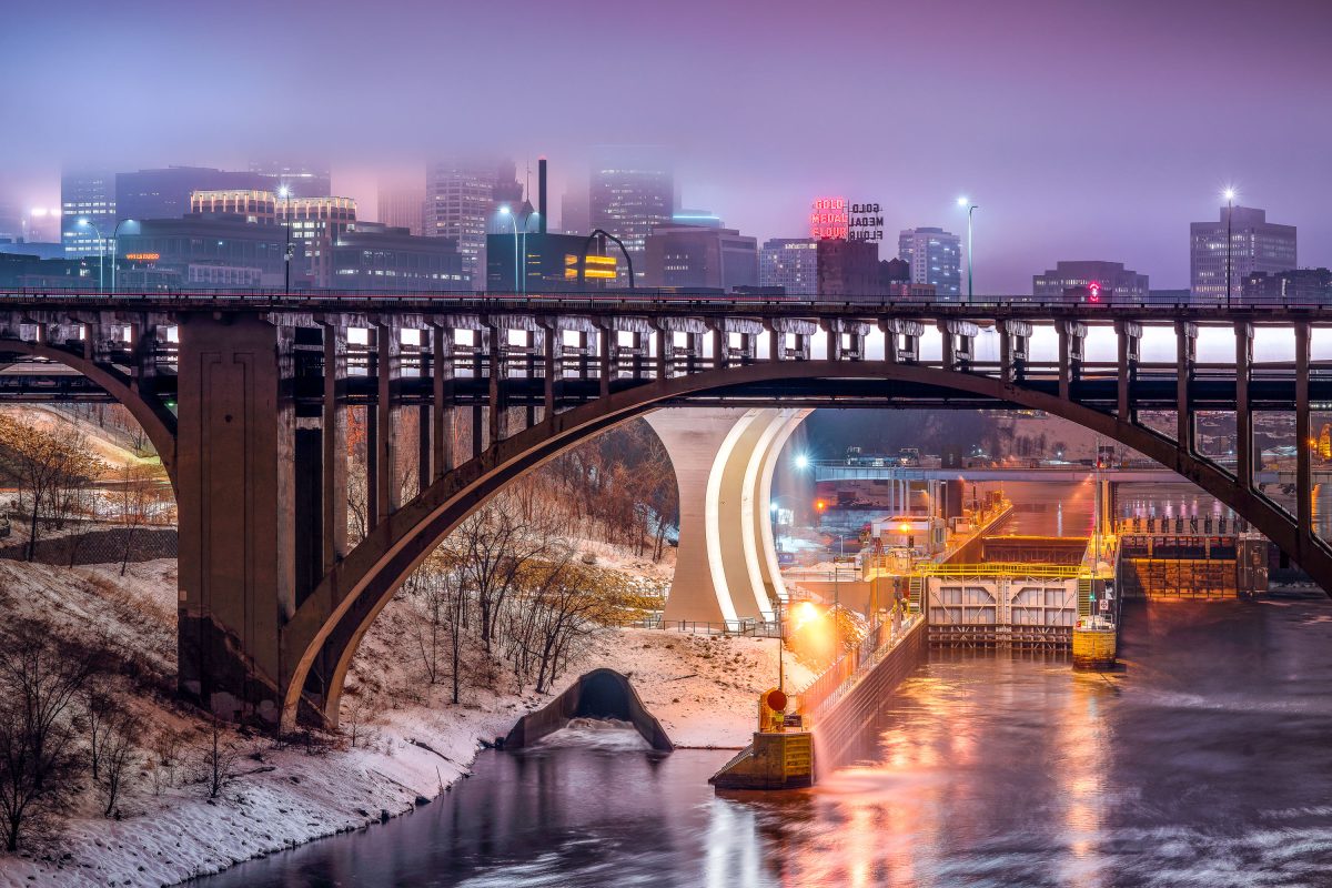
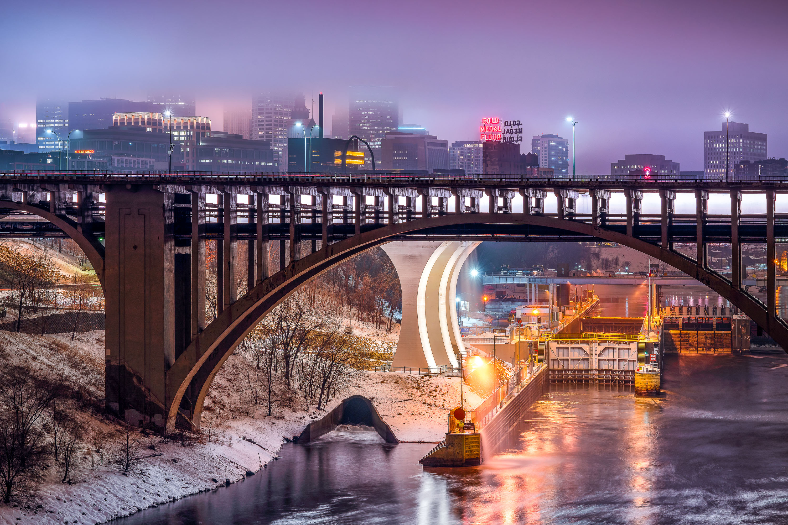
Third Avenue Bridge crosses the Mississippi River with the Gold Medal Flour sign and downtown Minneapolis skyline illuminated at dusk.
The Third Avenue Bridge crosses the Mississippi River just downstream from Saint Anthony Falls, linking downtown Minneapolis to the university area to the east. Completed in 1918, it's a concrete arch span designed by engineer Kristoffer Olsen Oustad with a slight curve to fit the site's geology. Below it, the Lower St. Anthony Falls Lock and Dam helps vessels pass the falls, while the Gold Medal Flour sign, raised above the old Washburn-Crosby mill site in 1908, still marks the skyline behind it.

Foggy Dusk at Third Avenue Bridge and St. Anthony Falls
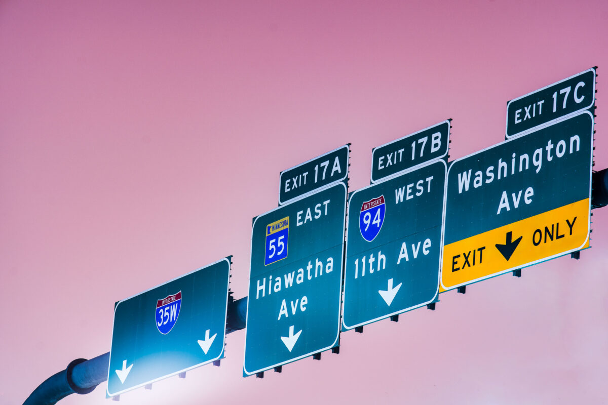
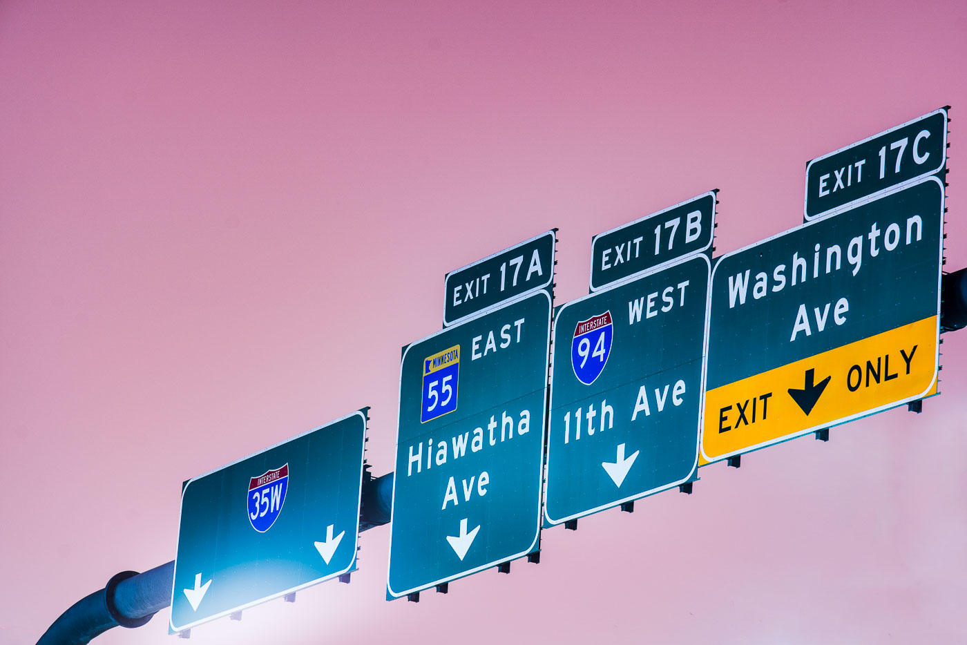
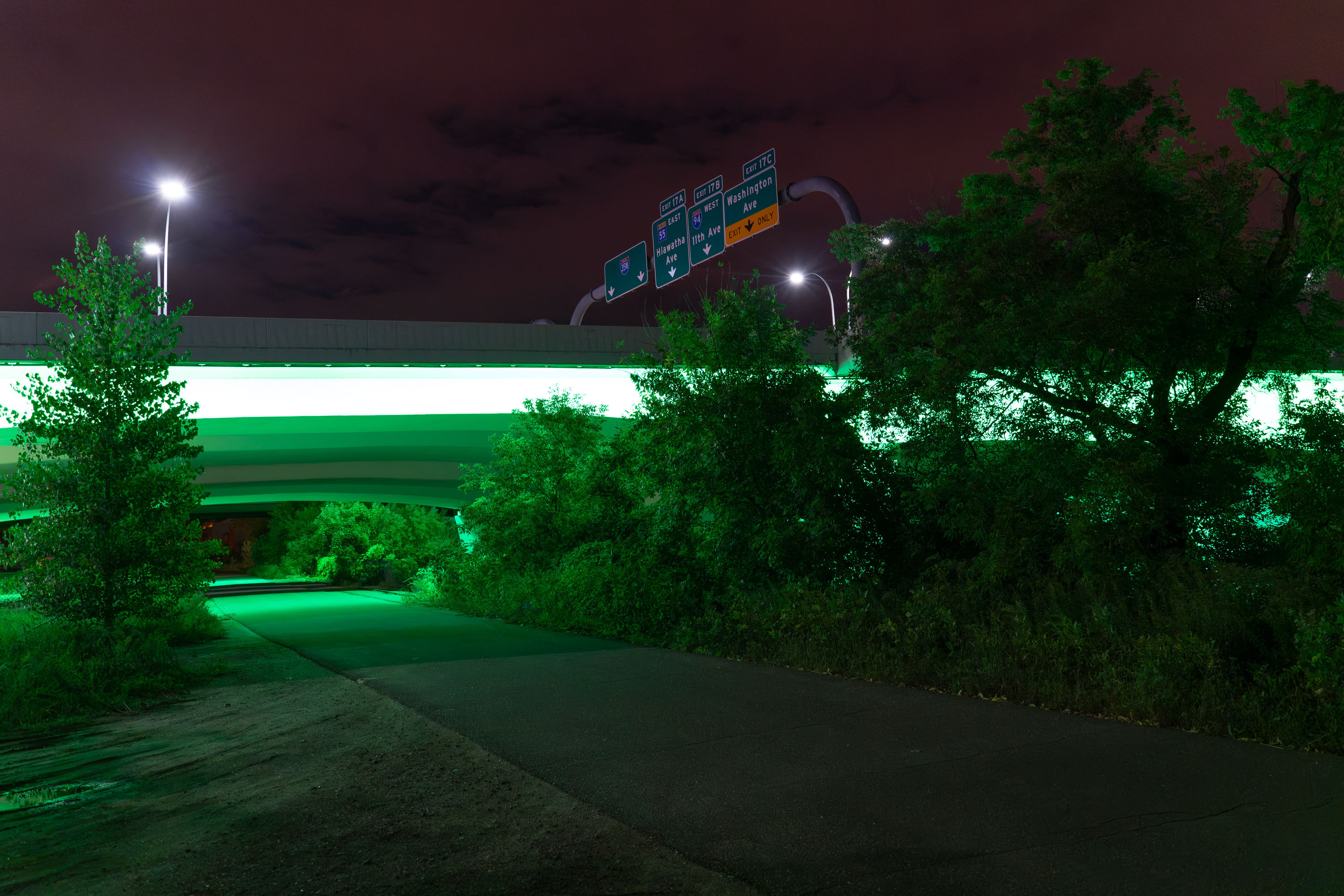
Interstate 35W exit signs for Hiawatha Ave, 11th Ave, and Washington Ave in Minneapolis.
Interstate 35W exit signs in Minneapolis direct traffic to Hiawatha Avenue, 11th Avenue, and Washington Avenue. The guide signs also reference Interstate 94 and Minnesota State Highway 55 at Exit 17.

Interstate 35W exit signs at Hiawatha Ave, Minneapolis
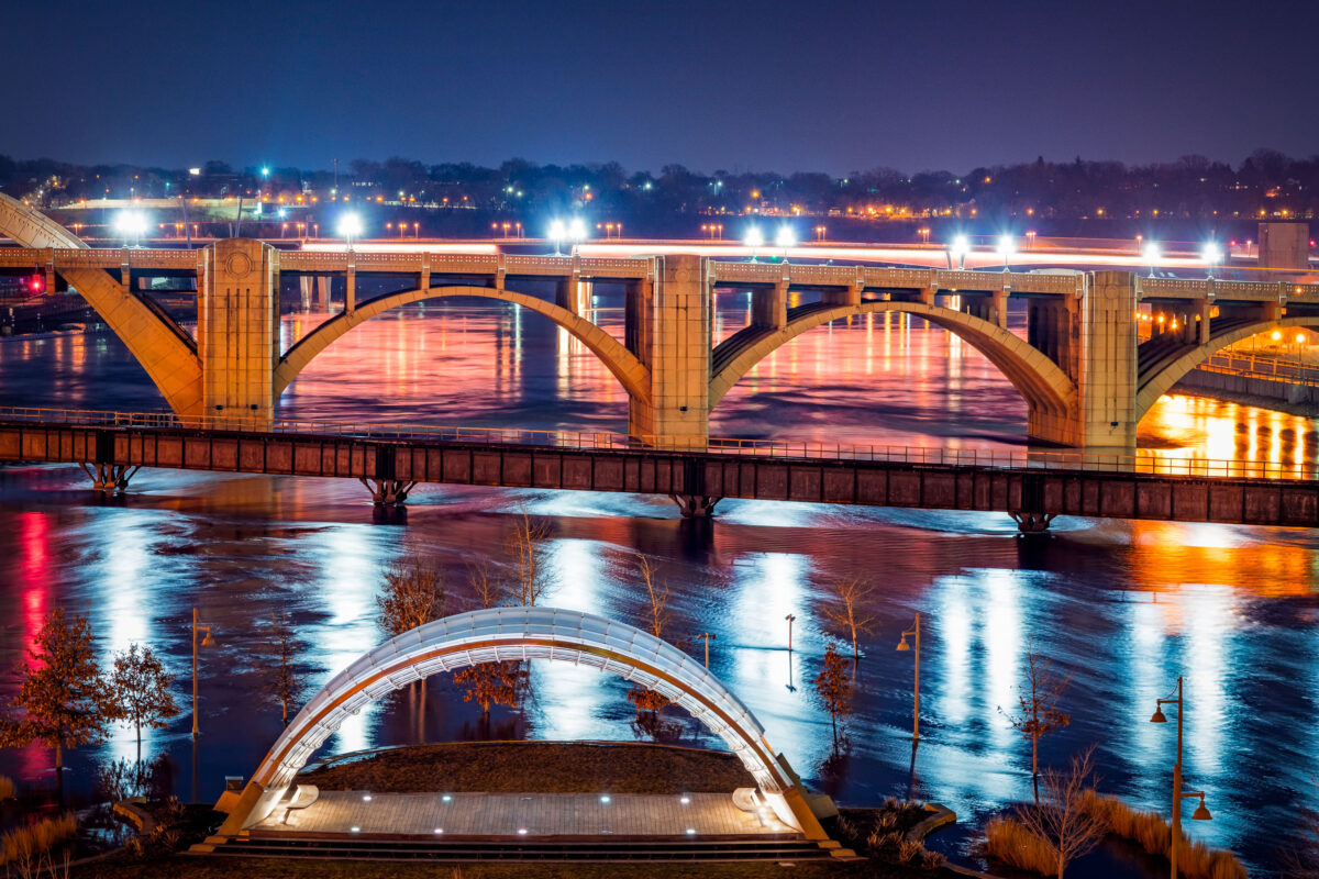
Raspberry Island Bandshell and Wabasha Street Bridge at Night
The Schubert Club Bandshell on Raspberry Island, illuminated along the Mississippi River in Saint Paul, Minnesota. Completed in 2002, the modern arched performance structure serves as an outdoor music venue with views toward the historic Wabasha Street Bridge, visible in the background. The bridge, originally built in 1859 and reconstructed in 1998, is known as the only true vertical align arch bridge over the Mississippi. Its decorative architectural lighting reflects across the water alongside the flooded riverbank, highlighting how the river’s seasonal water levels shape the island landscape. Raspberry Island has long served as a gathering space and riverfront access point, evolving from a railroad landing to a cultural park and performance venue.

Raspberry Island Bandshell and Wabasha Street Bridge at Night

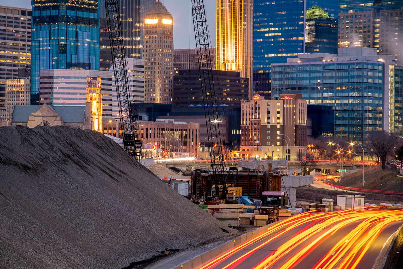
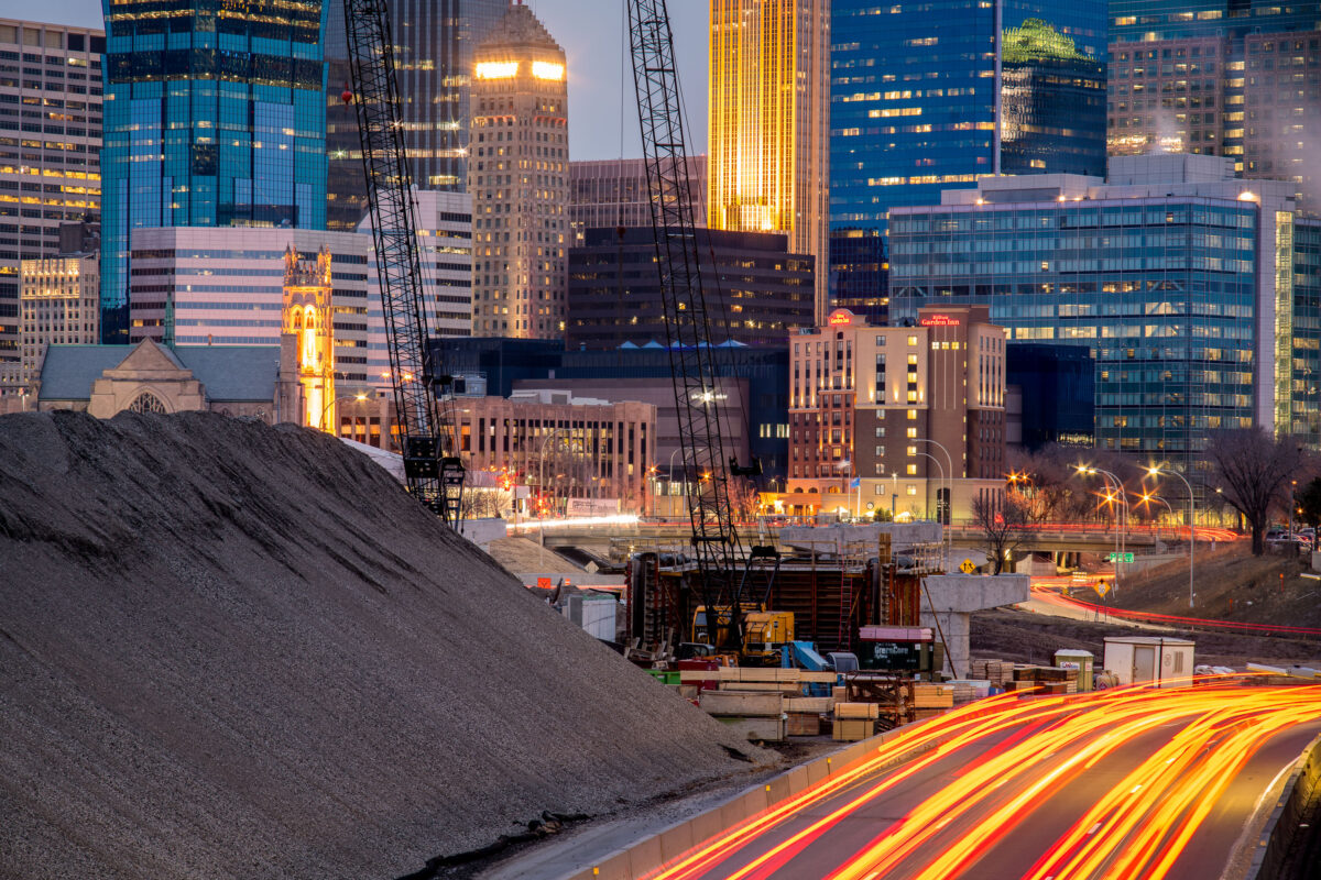
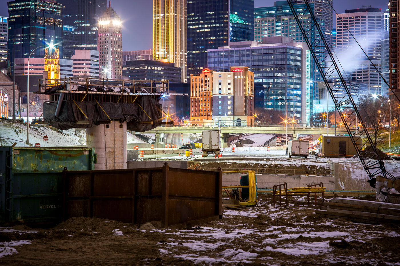
Interstate 35W construction site in downtown Minneapolis at dusk, with the Foshay Tower and illuminated skyline in the background.
Interstate 35W construction on the south edge of downtown Minneapolis is framed by the central business district, including the Foshay Tower and the Hilton Garden Inn.

I-35W Construction Below the Foshay Tower at Dusk
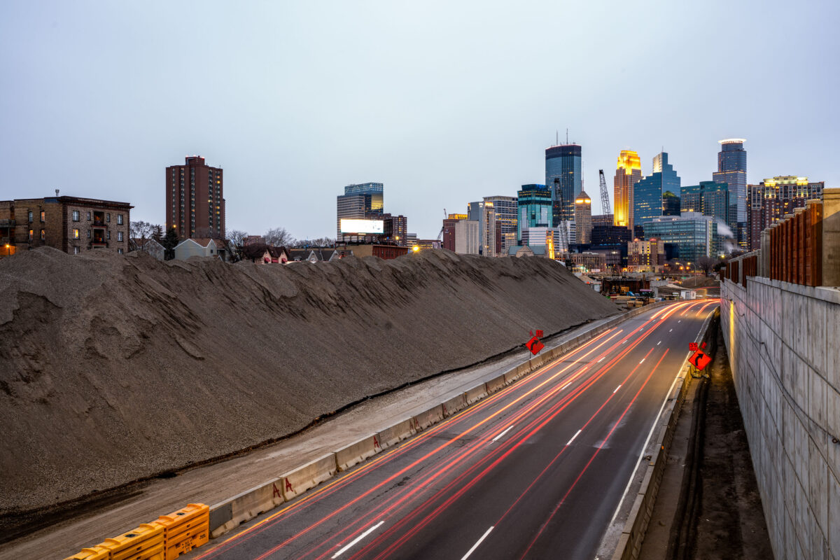
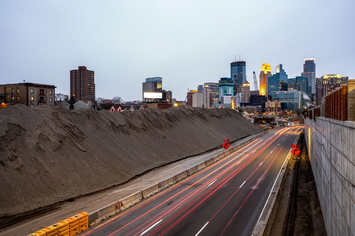
Excavated earth and traffic on Interstate 35W construction site near downtown Minneapolis skyline.
Interstate 35W underwent major reconstruction near downtown Minneapolis during this period. The project involved extensive earthwork and roadway modifications, with excavated material staged alongside the highway corridor. The construction activity was visible from multiple vantage points throughout the downtown area, marking a significant infrastructure undertaking in the city's transportation network.

Interstate 35W Construction Site, Minneapolis
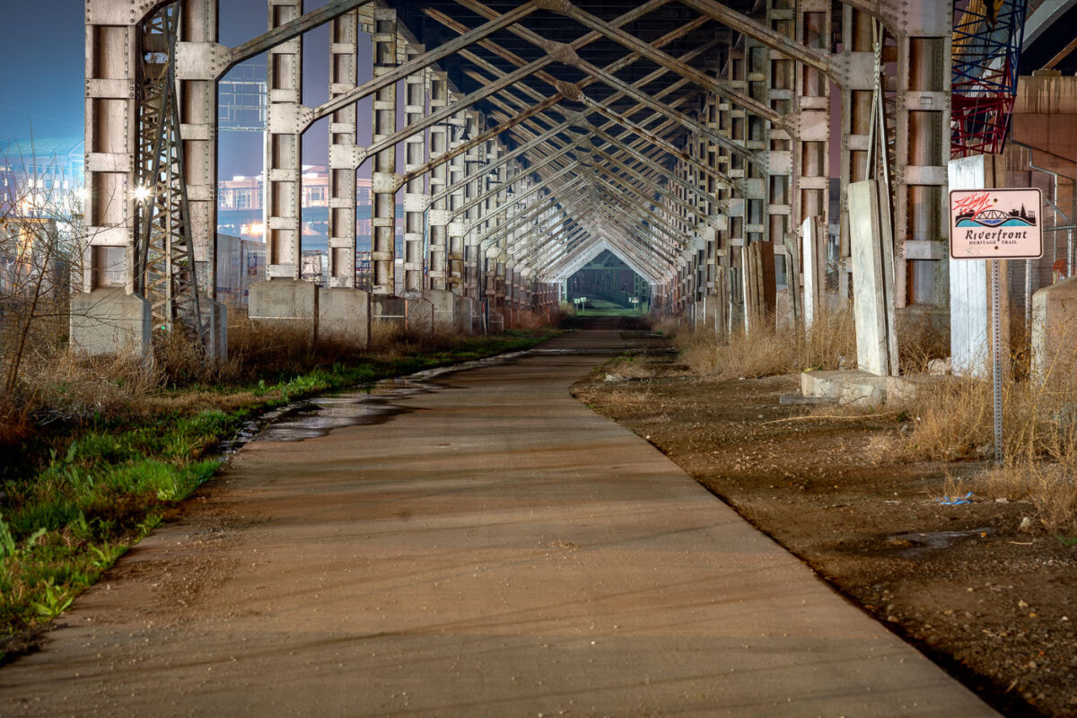
Paved trail runs beneath steel rail trestle along Kansas City's Riverfront Heritage Trail.
The Riverfront Heritage Trail runs beneath a steel rail trestle along the Missouri River in Kansas City. The trail network links downtown Kansas City, Missouri, with the West Bottoms, the River Market, and Kansas City, Kansas, connecting more than twenty miles of paved paths through the metro's riverfront districts.

Riverfront Heritage Trail Beneath a Steel Rail Trestle in Kansas City
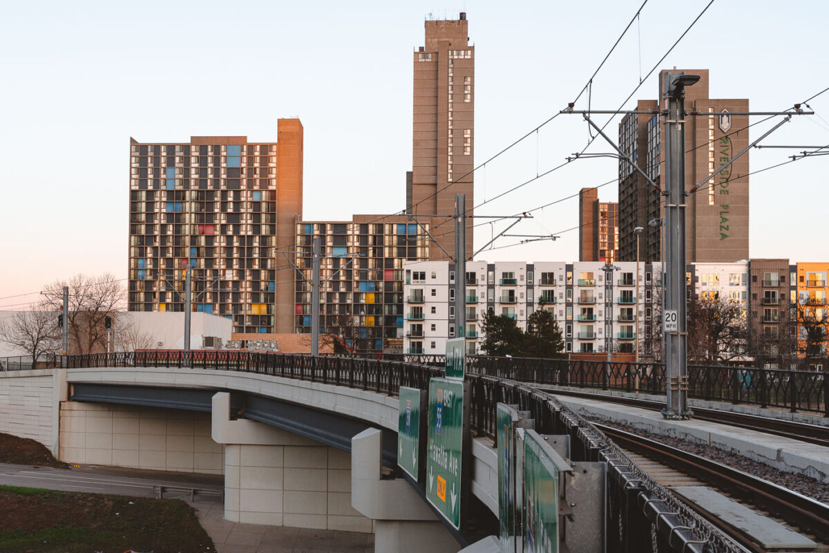
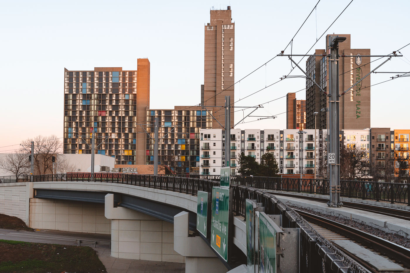
Riverside Plaza and the Light Rail Tracks
Riverside Plaza stands tall beyond the METRO Blue Line overpass in the Cedar–Riverside district of Minneapolis. The colorful panels of the 1970s residential towers contrast with the new mid-rise apartments and light rail infrastructure built decades later.

Riverside Plaza from the Light Rail Overpass, Minneapolis
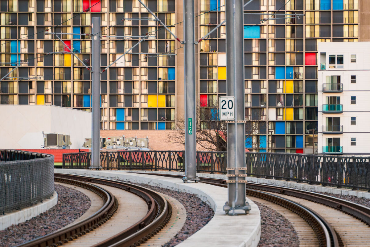
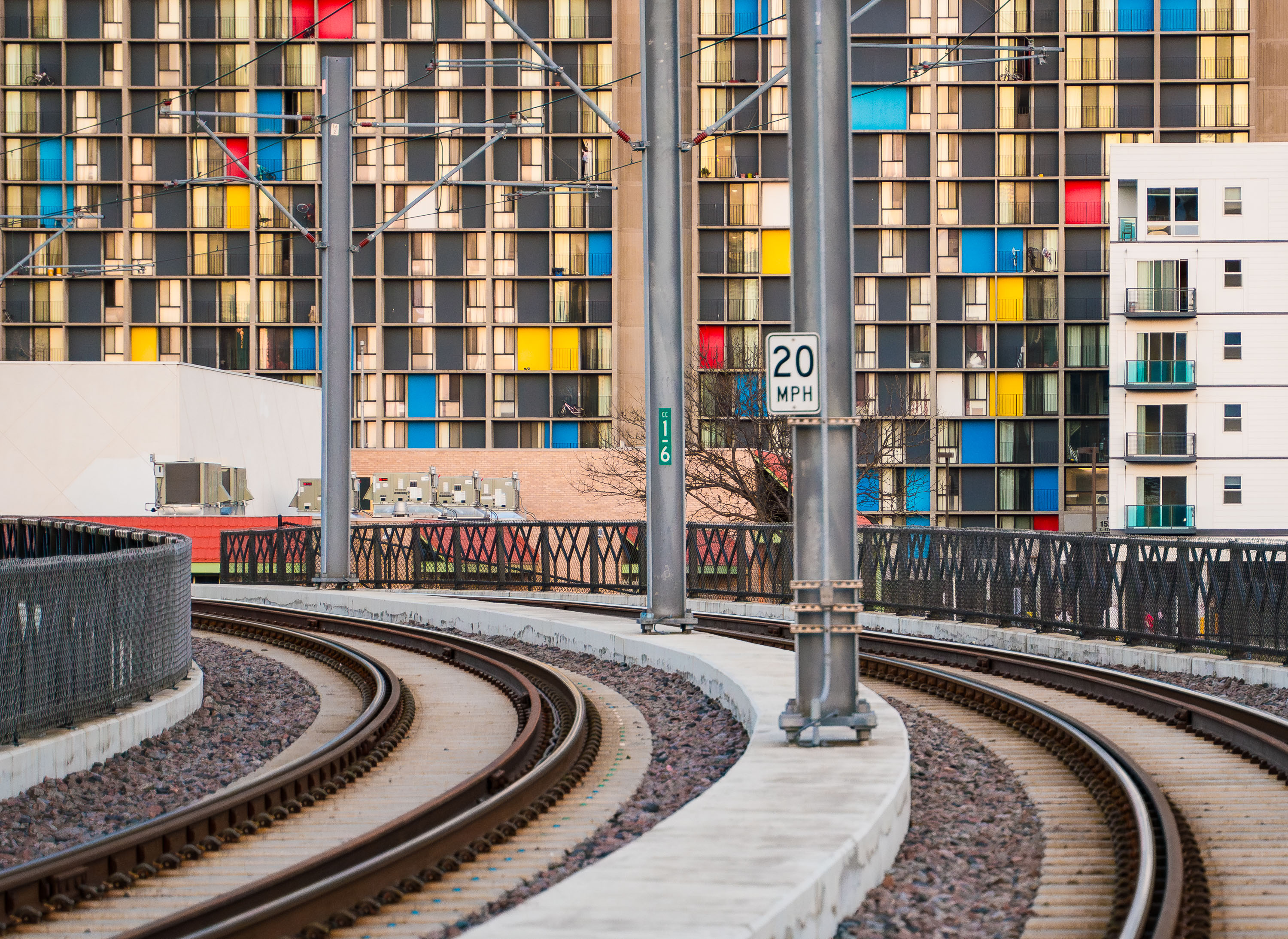
Metro Transit light rail tracks curve past Riverside Plaza in Minneapolis’s Cedar-Riverside neighborhood.
Metro Transit light rail tracks by Riverside Plaza in Minneapolis’s Cedar-Riverside neighborhood. Riverside Plaza is a large housing complex along the light rail corridor near Interstate 35W. The tracks curve through the area south of downtown Minneapolis.

Metro Transit light rail tracks by Riverside Plaza, Minneapolis
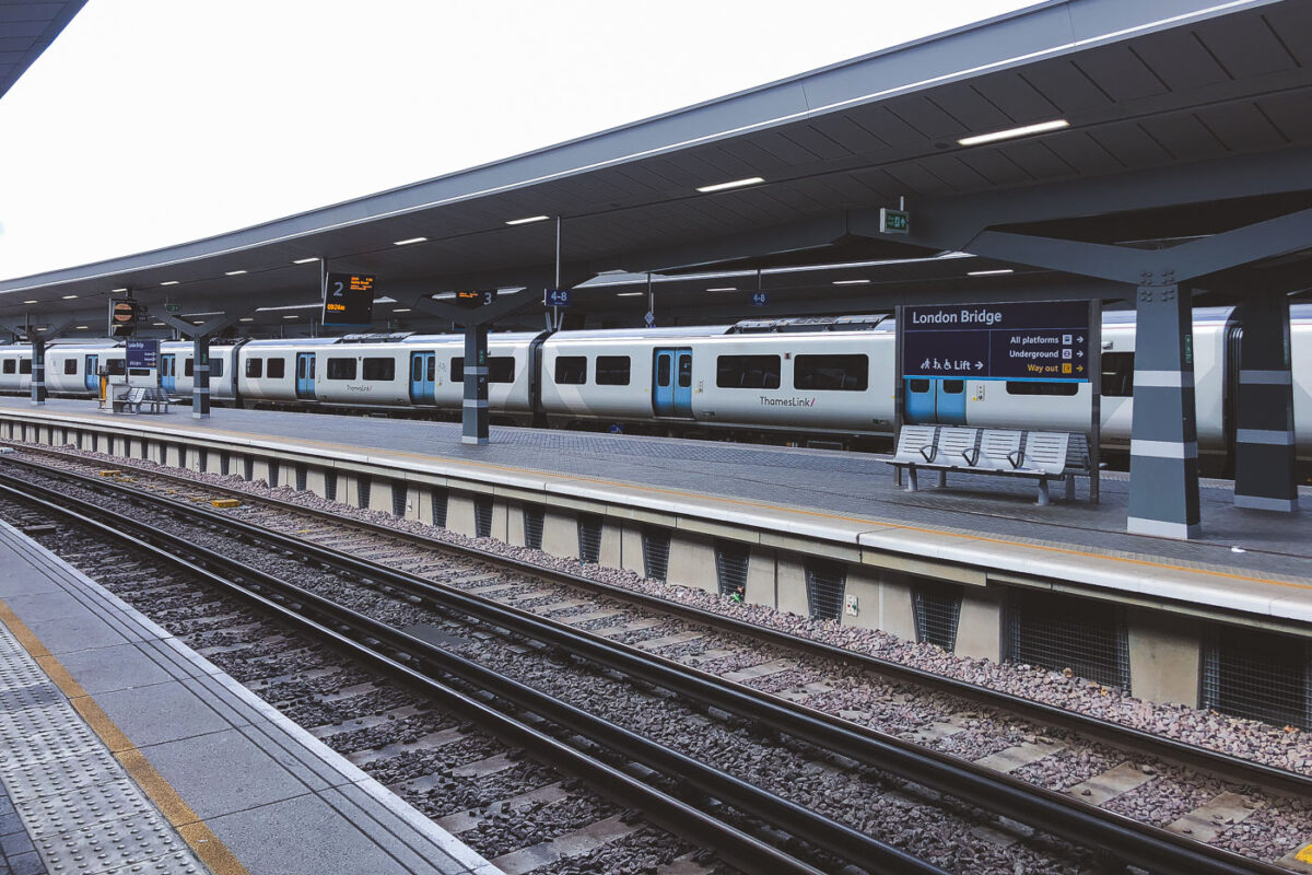
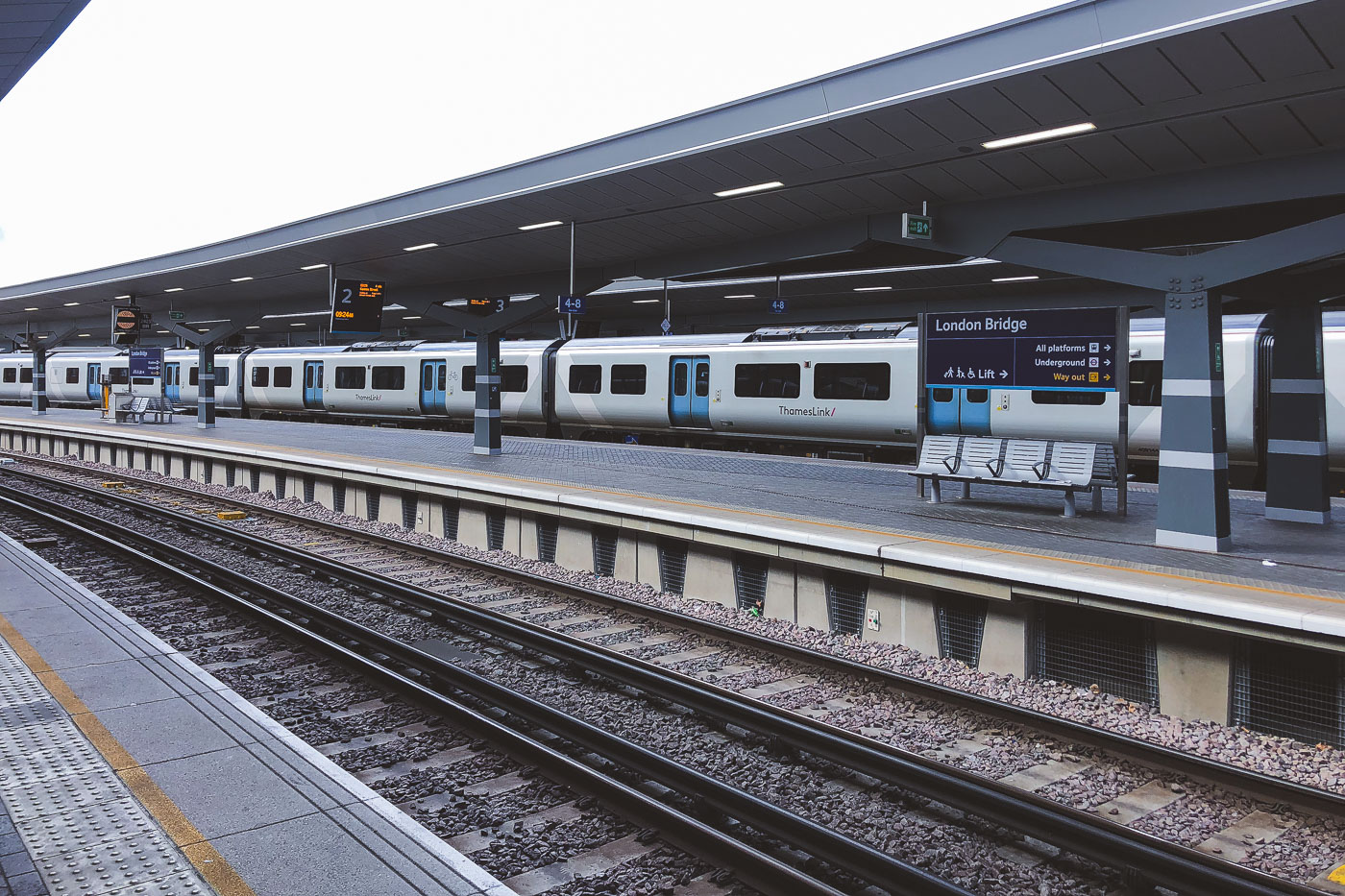
A Siemens Desiro City Class 700 train stops at London Bridge Station's rebuilt Thameslink platform.
London Bridge Station in London has rebuilt Thameslink platforms and canopies, completed as part of the station redevelopment opened in 2018. A Siemens Desiro City Class 700 train stands at the platform.

Thameslink Train at London Bridge Station
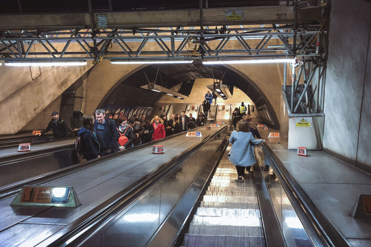
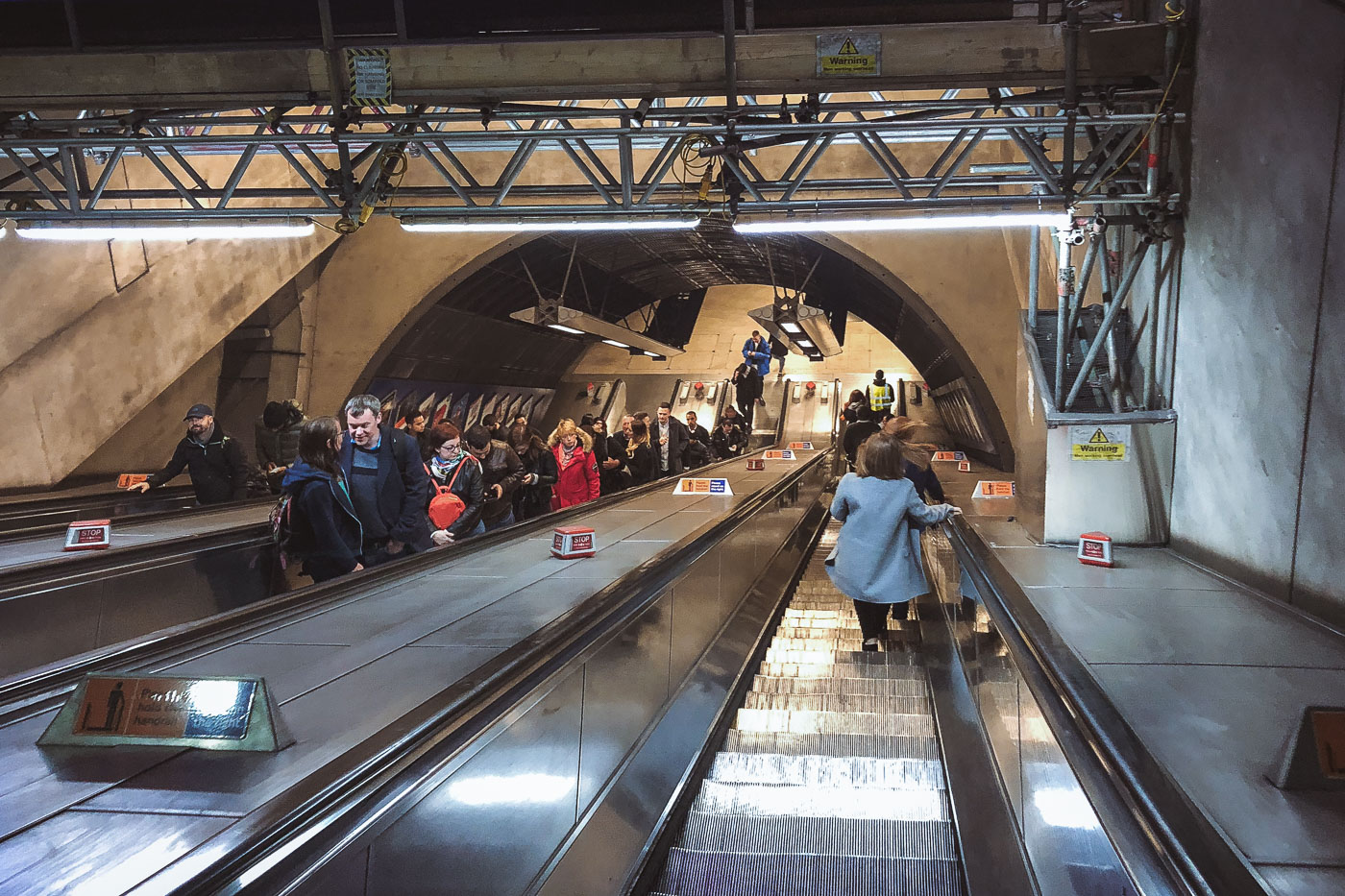
Passengers ride escalators in London Bridge Station's underground concourse, part of the Jubilee Line Extension infrastructure.
London Bridge Station in London has a deep escalator bank connecting the station concourse to the Underground platforms. The escalators form part of the station’s reconstruction and capacity upgrades associated with the 1990s Jubilee Line Extension project.

Deep Escalators at London Bridge Underground Station
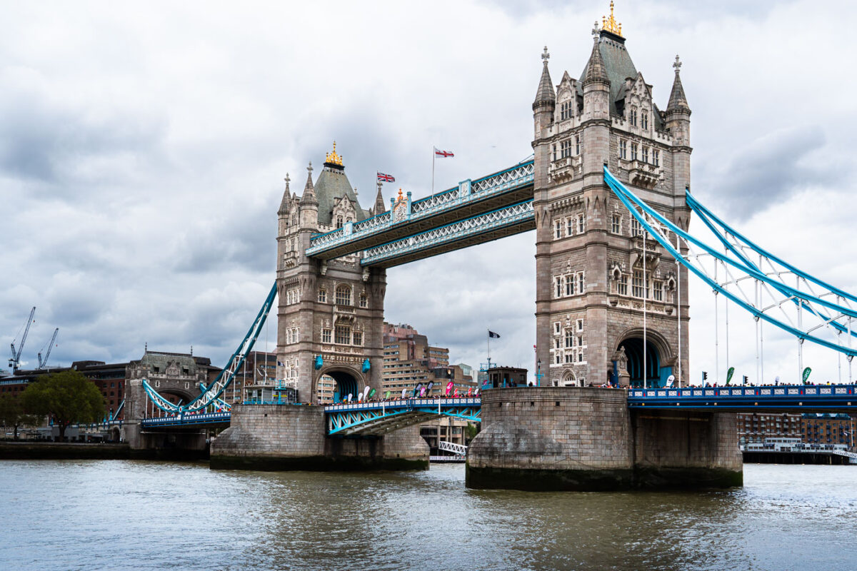
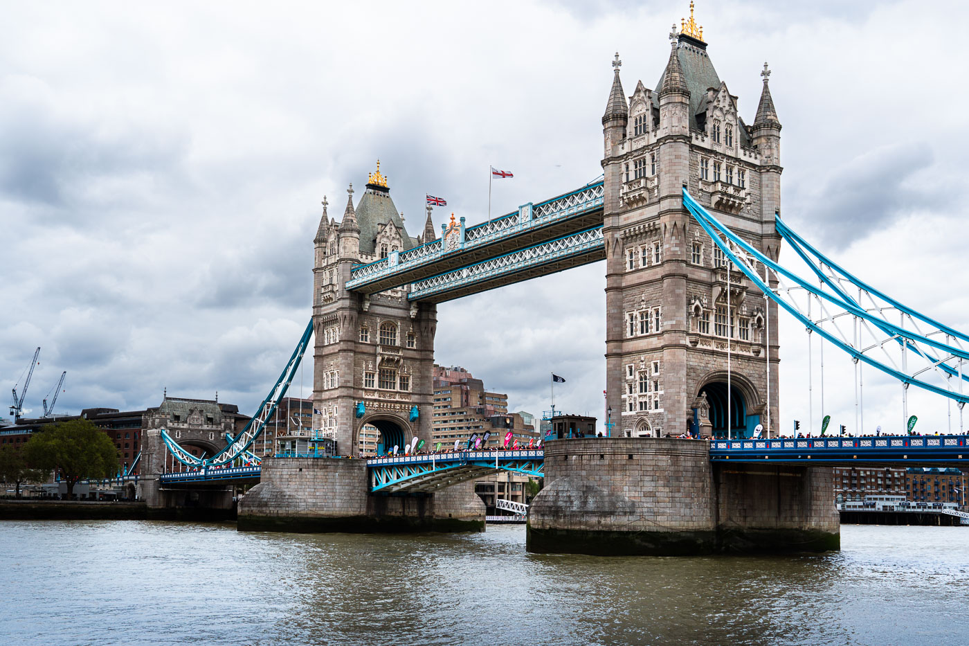
Tower Bridge in London spans the Thames during the 2019 London Marathon.
Tower Bridge in London spans the River Thames during the 2019 London Marathon. Completed in 1894, the combined bascule and suspension bridge was built to maintain road access while allowing ships to pass through the Pool of London.

Tower Bridge, London Marathon 2019

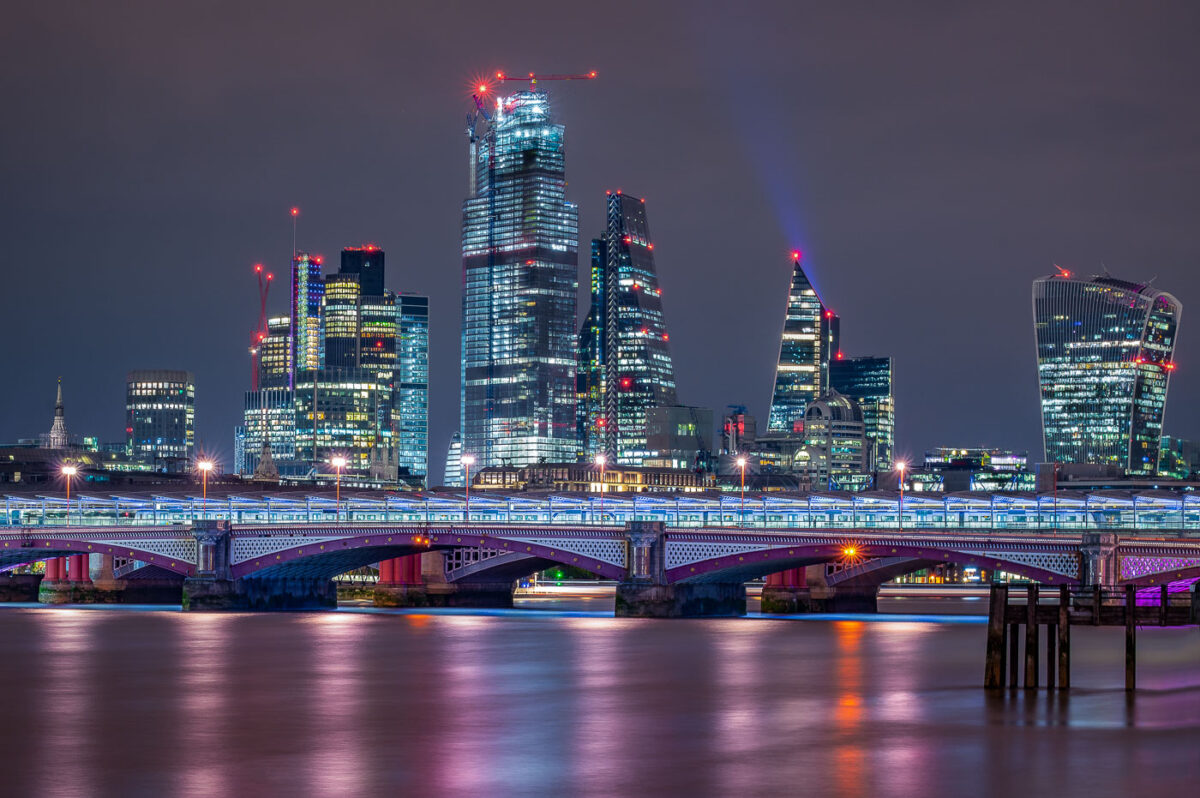
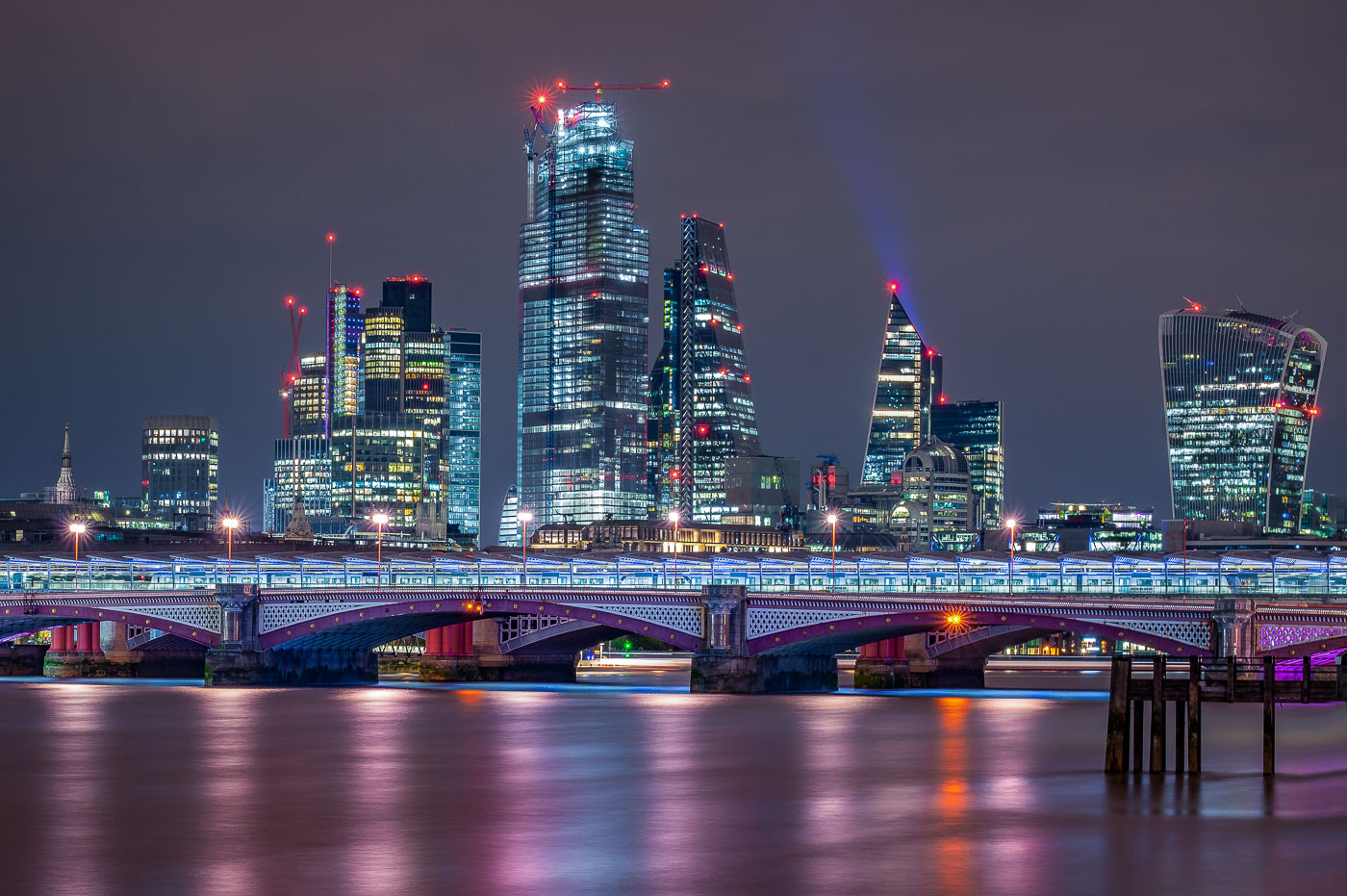
Blackfriars Bridge spans the River Thames with the City of London skyline behind it.
Blackfriars Bridge spans the River Thames in central London, with the City of London skyline behind it. The bridge carries road traffic across the river between Blackfriars and the South Bank, and the Shard and other City towers rise in the background.

Blackfriars Bridge and City of London skyline, London
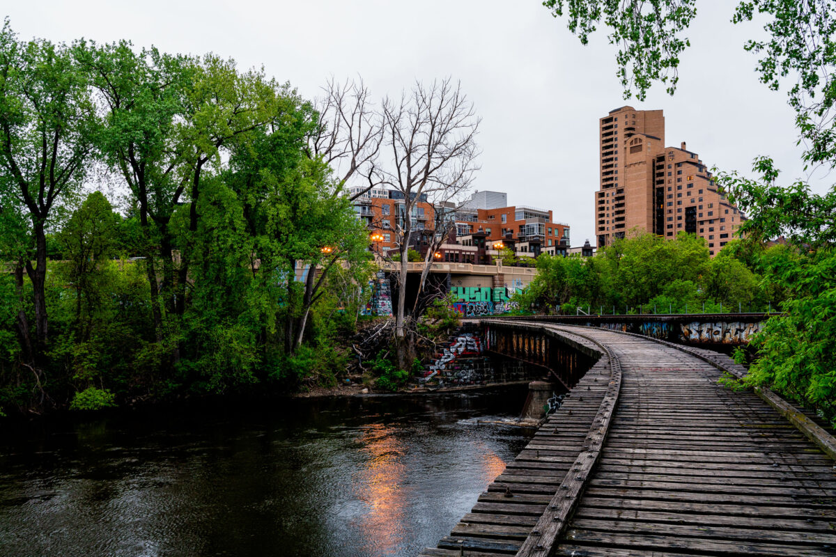
Abandoned railroad bridge on Nicollet Island crosses the Mississippi River in Minneapolis.
The abandoned railroad bridge on Nicollet Island in Minneapolis crosses the Mississippi River on a former freight spur. Built to connect industrial facilities near the river, it now stands as a remnant of the city’s rail and milling era.

Abandoned Railroad Bridge on Nicollet Island, Minneapolis
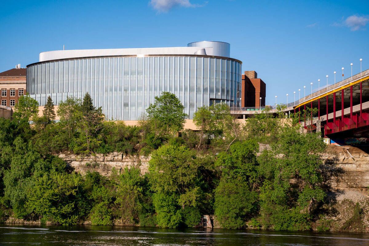
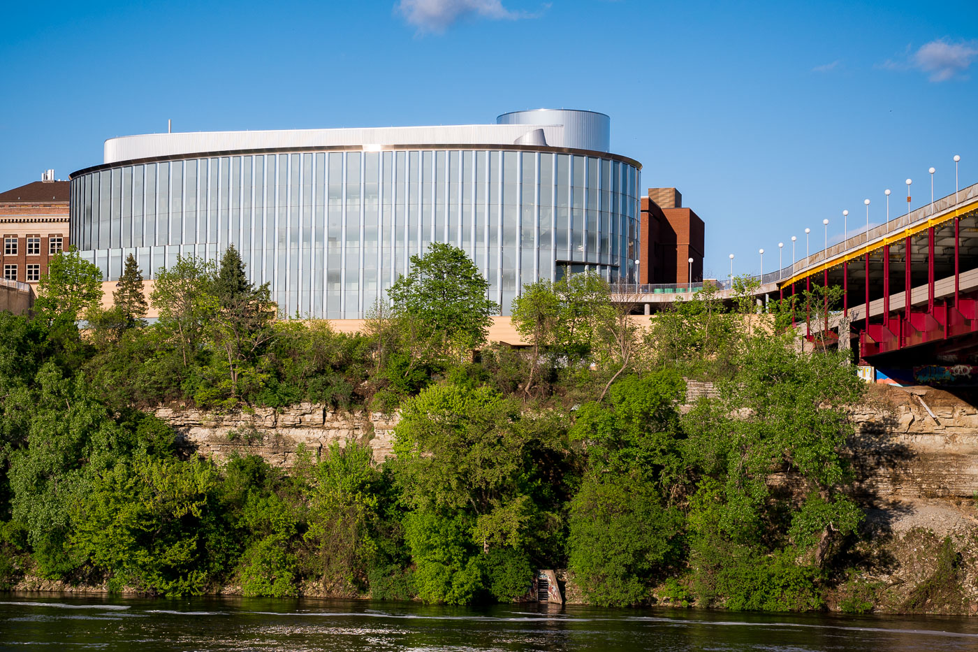
Bruininks Hall, a modern glass building with cylindrical tower, overlooks the Mississippi River gorge on the University of Minnesota campus near the Washington Avenue Bridge.
Bruininks Hall sits on the University of Minnesota's East Bank campus, perched at the edge of the Mississippi River gorge near the Washington Avenue Bridge. The building opened in 2000 as the University Gateway Center and was renamed in 2017 to honor Robert Bruininks, who served as university president from 2002 to 2011. It houses several student-facing offices, including admissions, financial aid, and academic advising, consolidating services once scattered across campus.

Bruininks Hall Above the River Gorge Near Washington Avenue Bridge
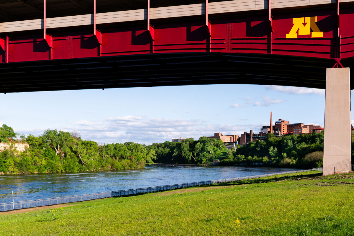
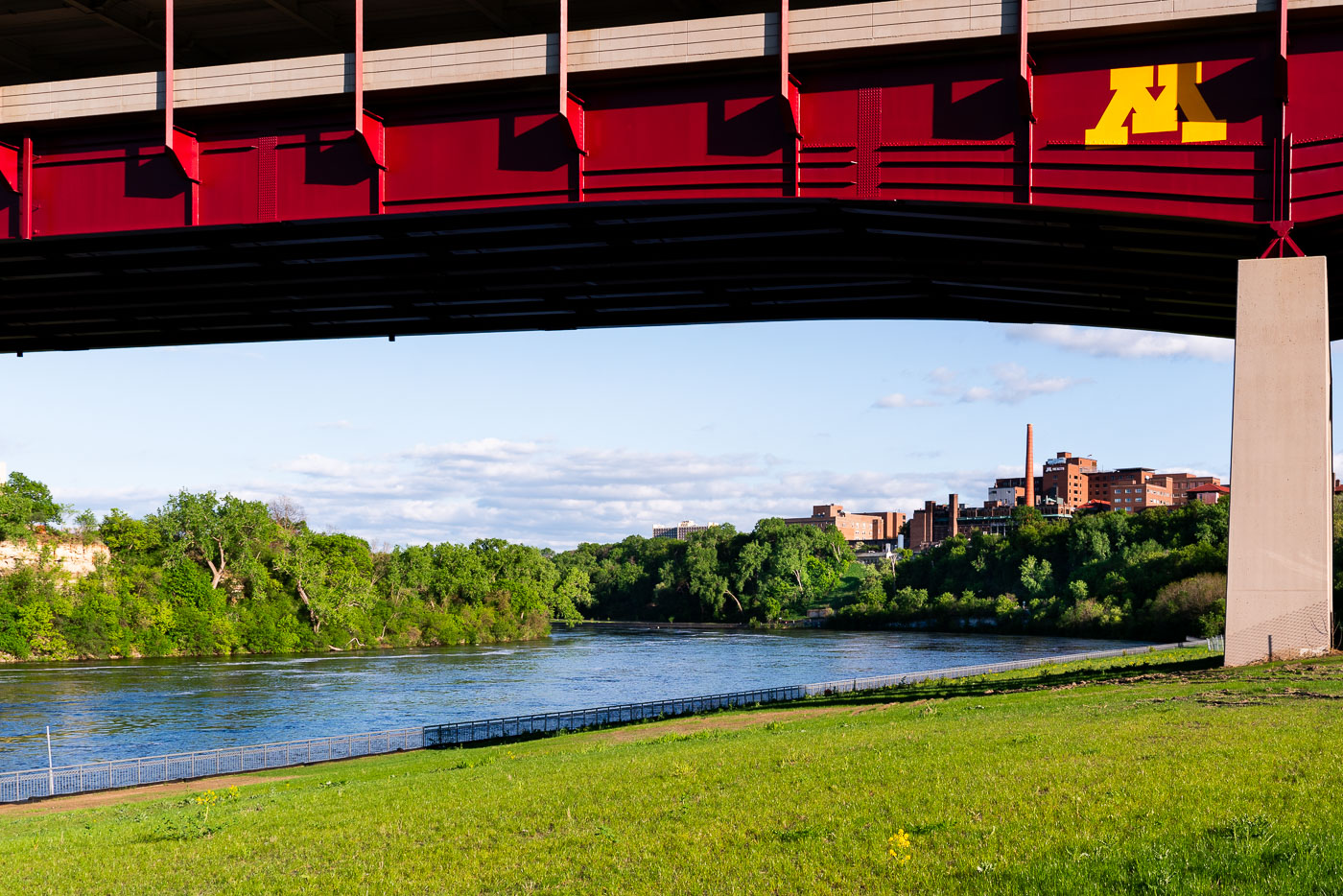
Washington Avenue Bridge spans the Mississippi River with the University of Minnesota campus visible beyond.
The Washington Avenue Bridge spans the Mississippi River, linking the University of Minnesota's East and West Bank campuses. Completed in 1965, it carries vehicles, pedestrians, and light rail on two levels, with the enclosed upper deck reserved for foot traffic between classes.

Mississippi River Gorge Beneath the Washington Avenue Bridge
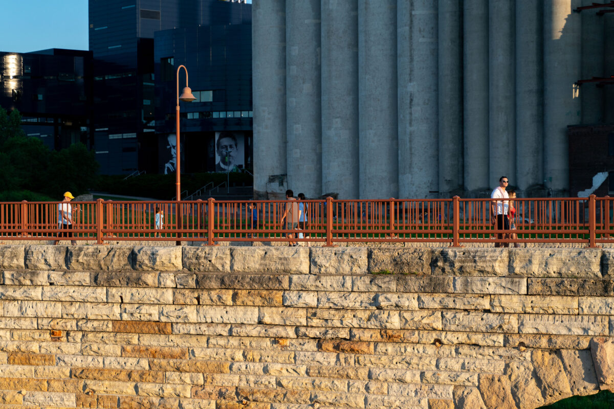
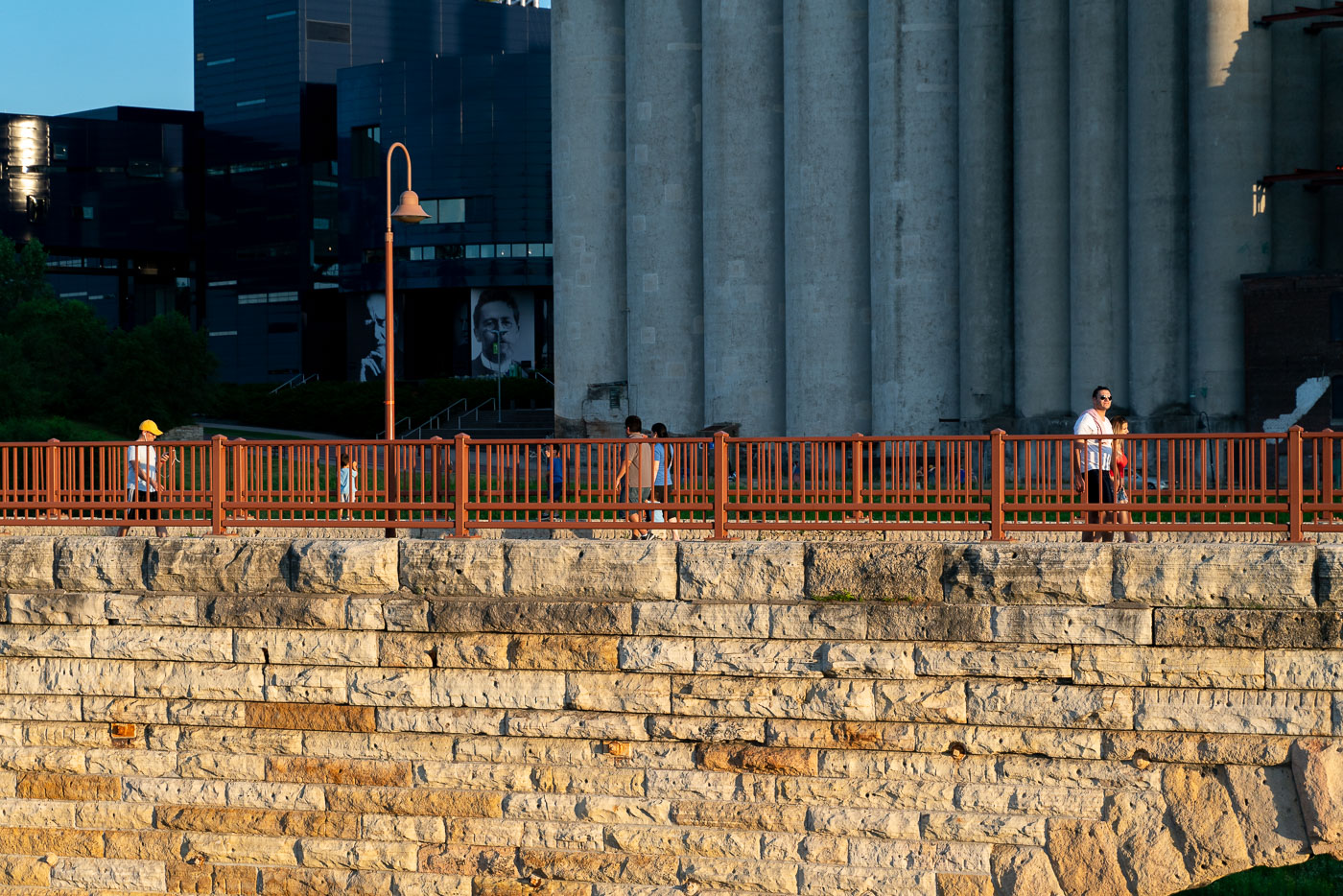
Pedestrians walk on the Stone Arch Bridge with an orange railing, overlooking stone foundation and Minneapolis grain silos.
The Stone Arch Bridge in Minneapolis, Minnesota, spans the Mississippi River. Originally constructed in 1883 by the St. Paul & Minneapolis Railroad. Today it's a pedestrian walkway and bicycle path.

Evening Walkers on Stone Arch Bridge Near the Grain Silos
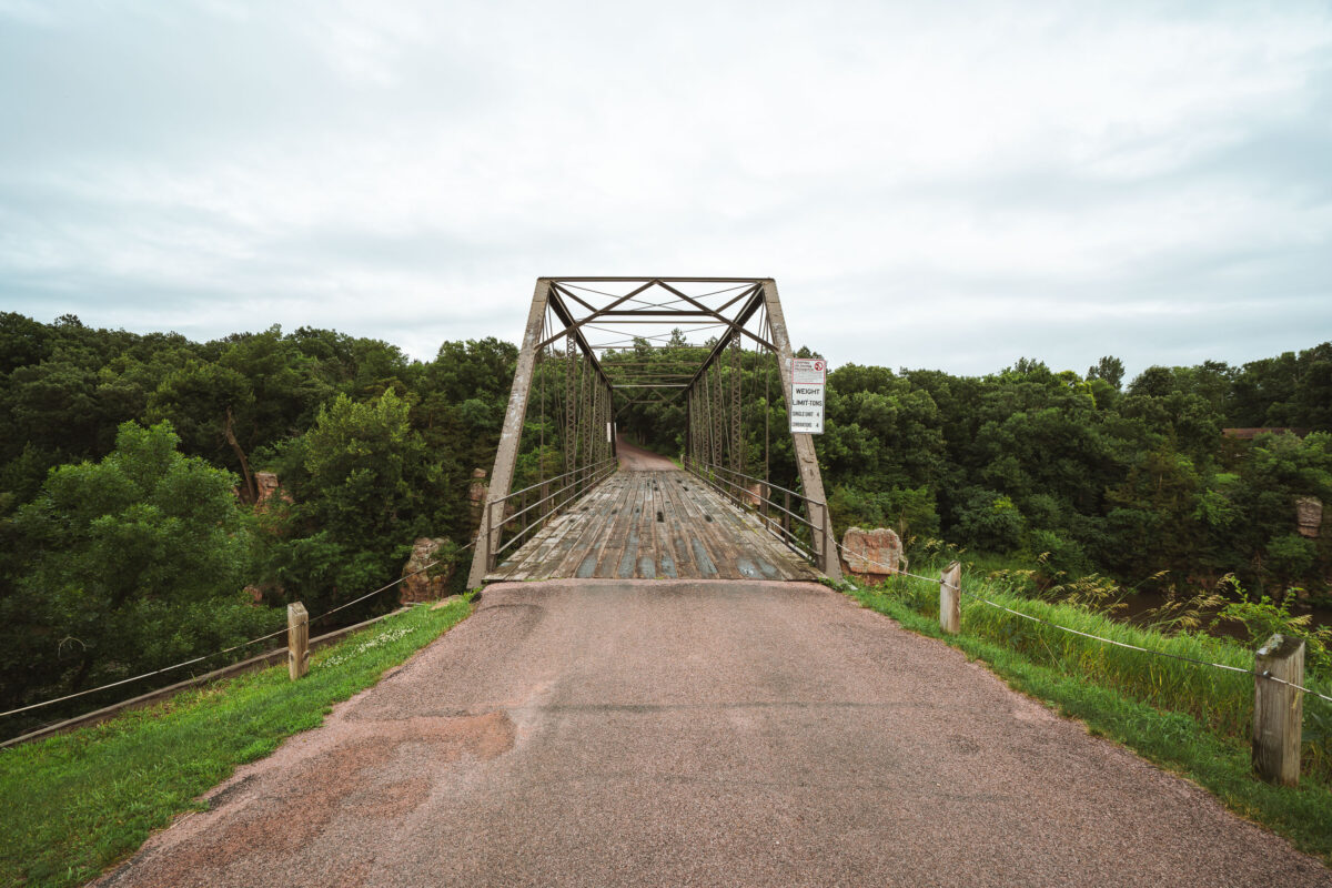
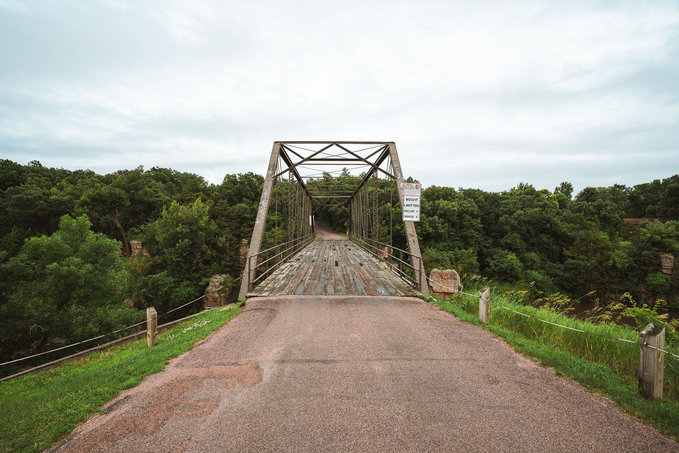
Garretson Truss Bridge spans Split Rock Creek in Palisades State Park, South Dakota.
The Garretson Truss Bridge spans Split Rock Creek in Palisades State Park, South Dakota. The Pratt through truss bridge was built in the early 20th century and retains its riveted steel frame and wooden deck. It is part of a preserved crossing associated with the park's historic creek corridor.

Garretson Truss Bridge over Split Rock Creek
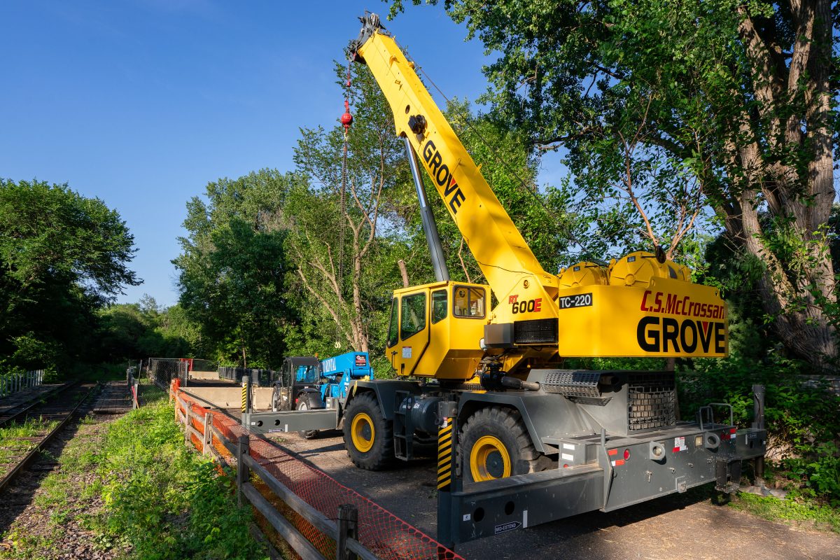
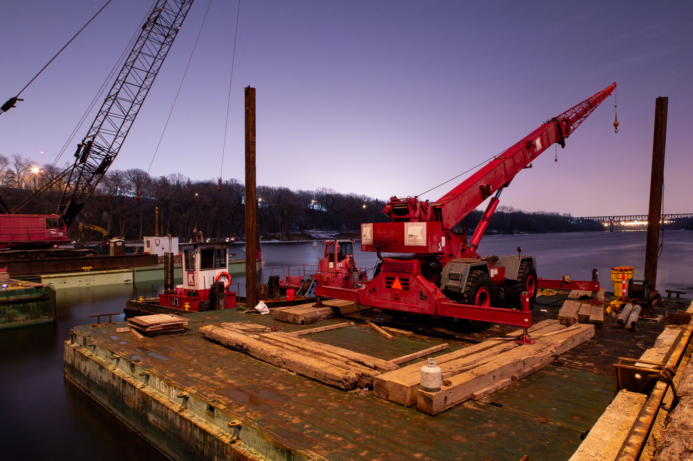
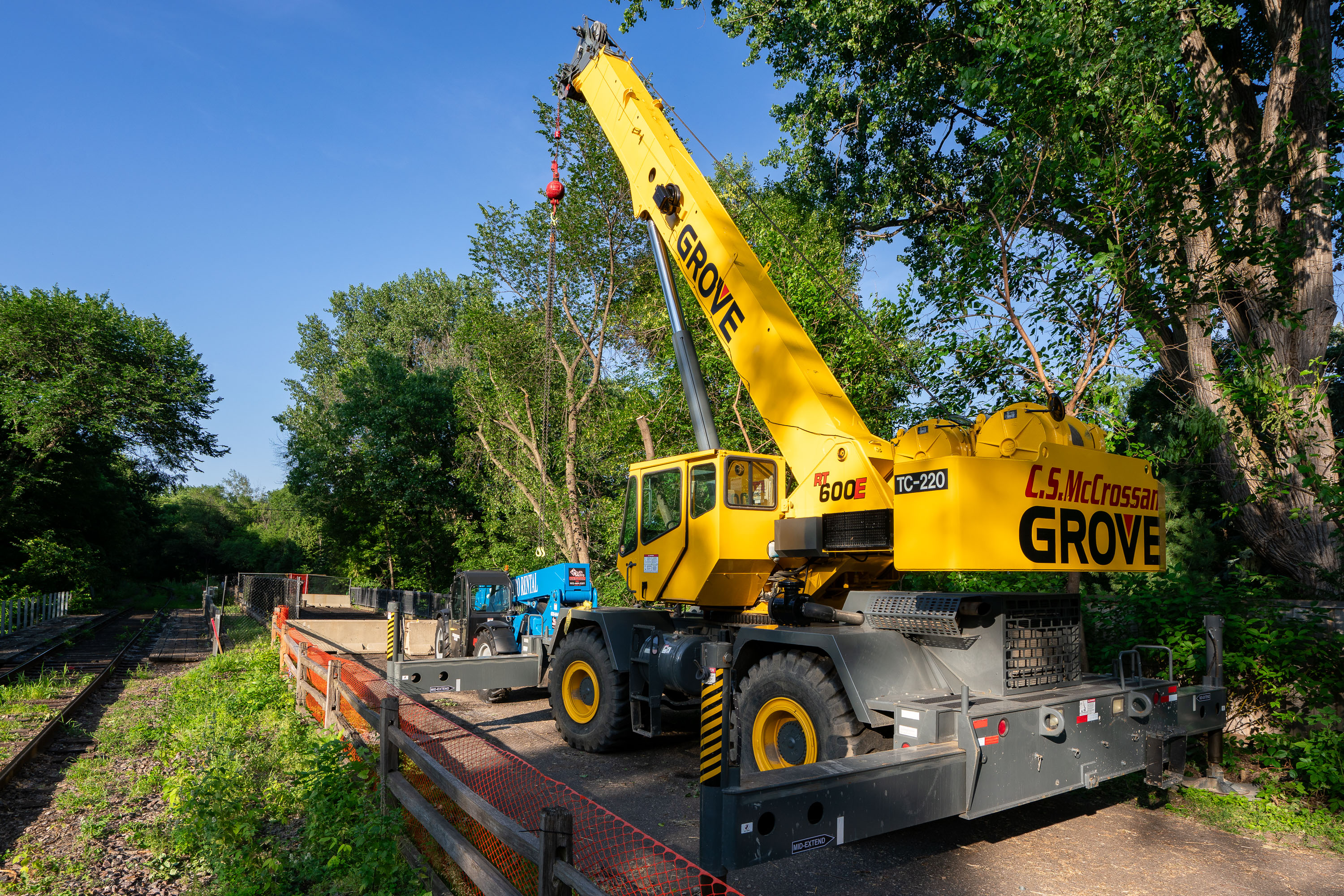
Yellow Grove mobile crane on Kenilworth Trail in Minneapolis during Southwest LRT construction.
This Grove RT600E rough-terrain crane, operated by C.S. McCrossan, was staged along the Kenilworth Trail during construction of Metro Transit's Southwest LRT Green Line Extension. The crane can lift up to 60 tons and extend a boom beyond 100 feet, making it suited for setting bridge and tunnel components along the corridor. The Kenilworth corridor carries freight rail and a recreational trail between the Chain of Lakes and downtown Minneapolis, and became a major staging area for the light-rail line's tunnel and bridge work. C.S. McCrossan, a Minnesota-based heavy civil contractor, has worked on multiple segments of the Southwest LRT project.

Grove Crane Staged on the Kenilworth Trail for Southwest LRT Work
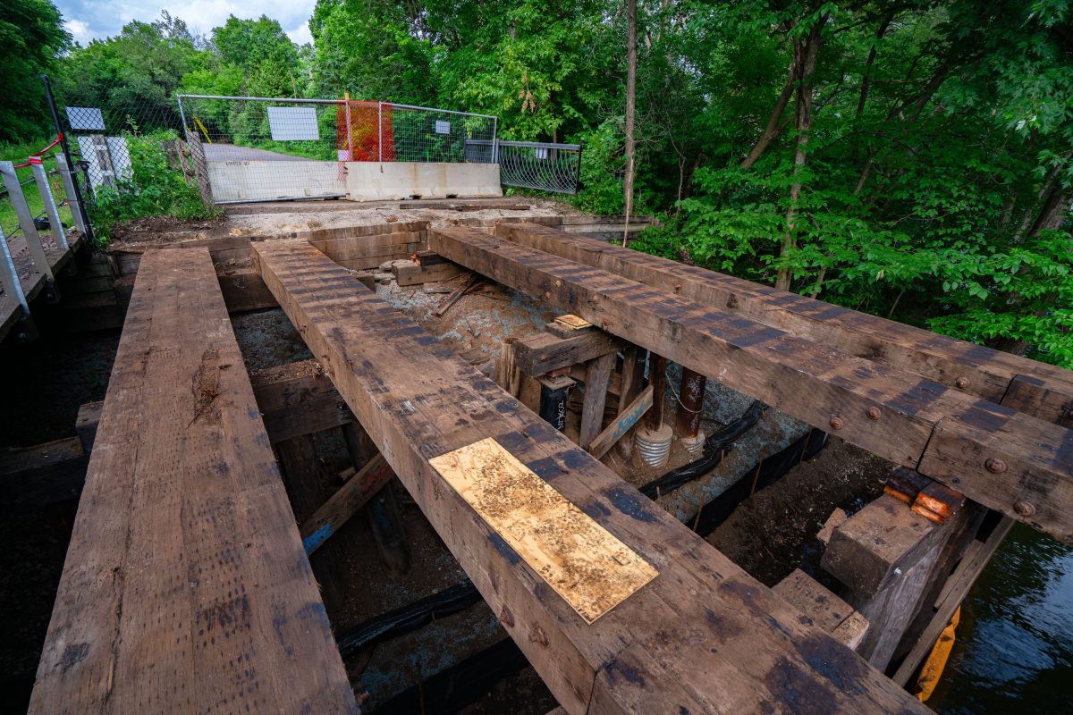
Kenilworth Trail Bridge Deconstruction
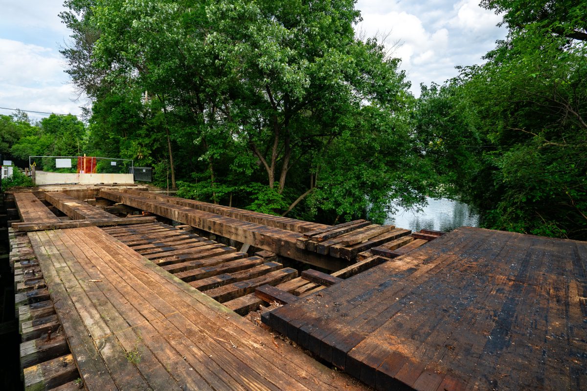
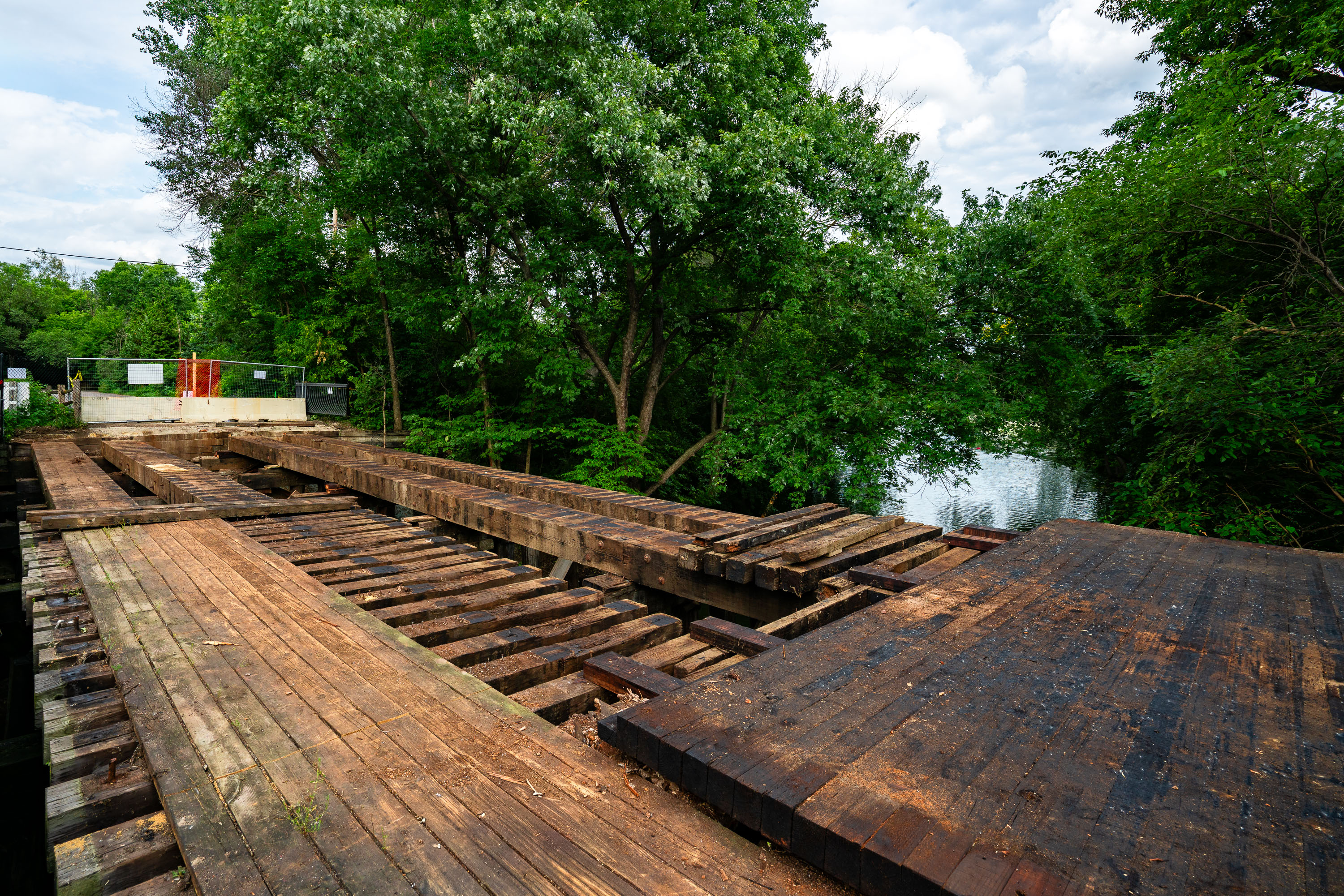
Kenilworth trail bridge over the Cedar Lake to Lake of the Isles channel being dismantled during Metro Green Line Extension construction.

Kenilworth Trail Bridge Deconstruction

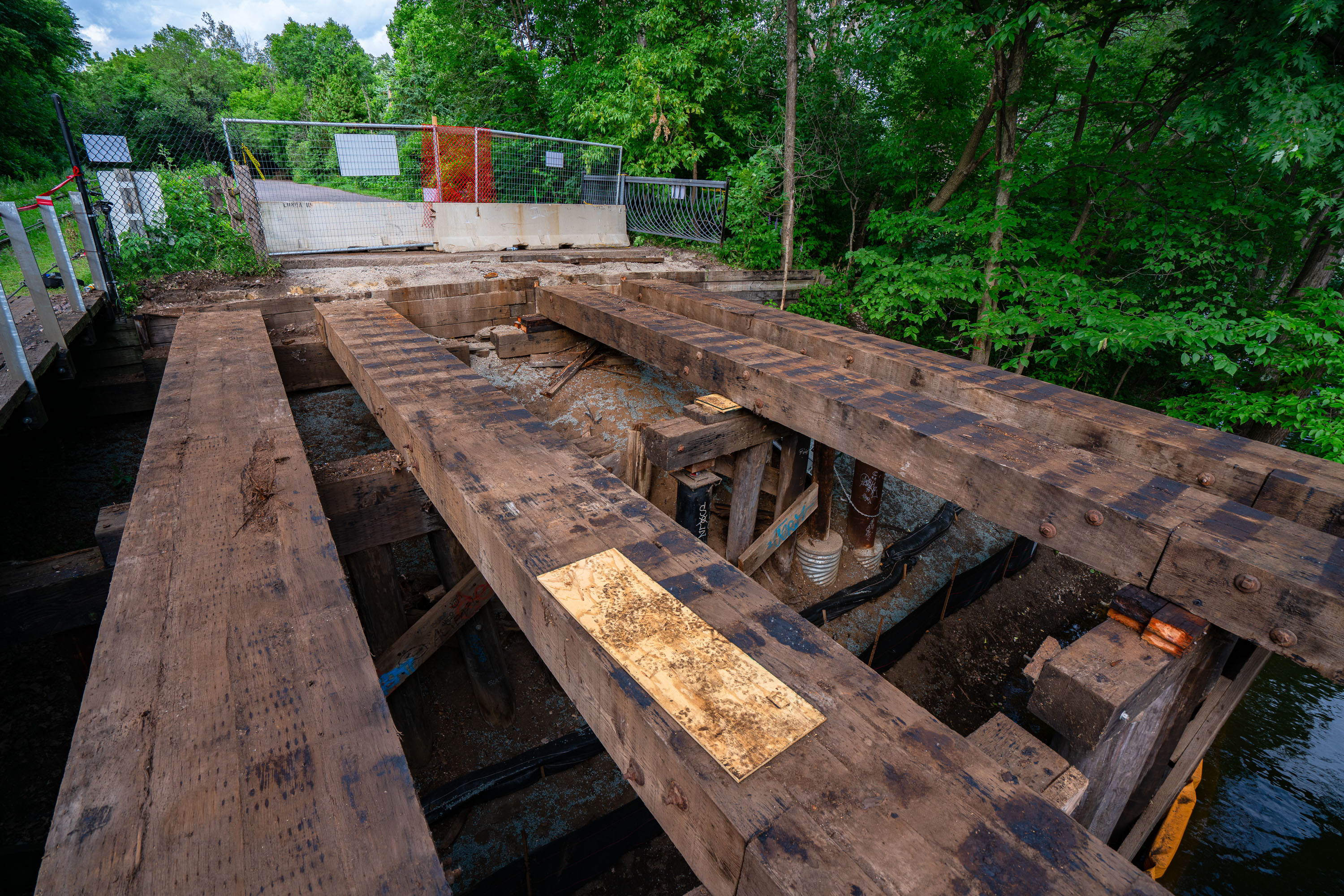
Deteriorated wooden bridge spanning Cedar Lake channel alongside Burnham Trail in Minneapolis during Green Line Extension
The bridge over the Cedar Lake/Lake of the Isles channel in Minneapolis. The bridge was removed and replaced during construction of the Metro Transit Green Line Extension.

Decking Removed from the Cedar Lake Channel Bridge on the Burnham Trail
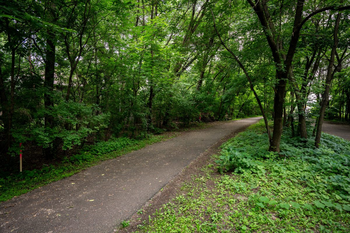
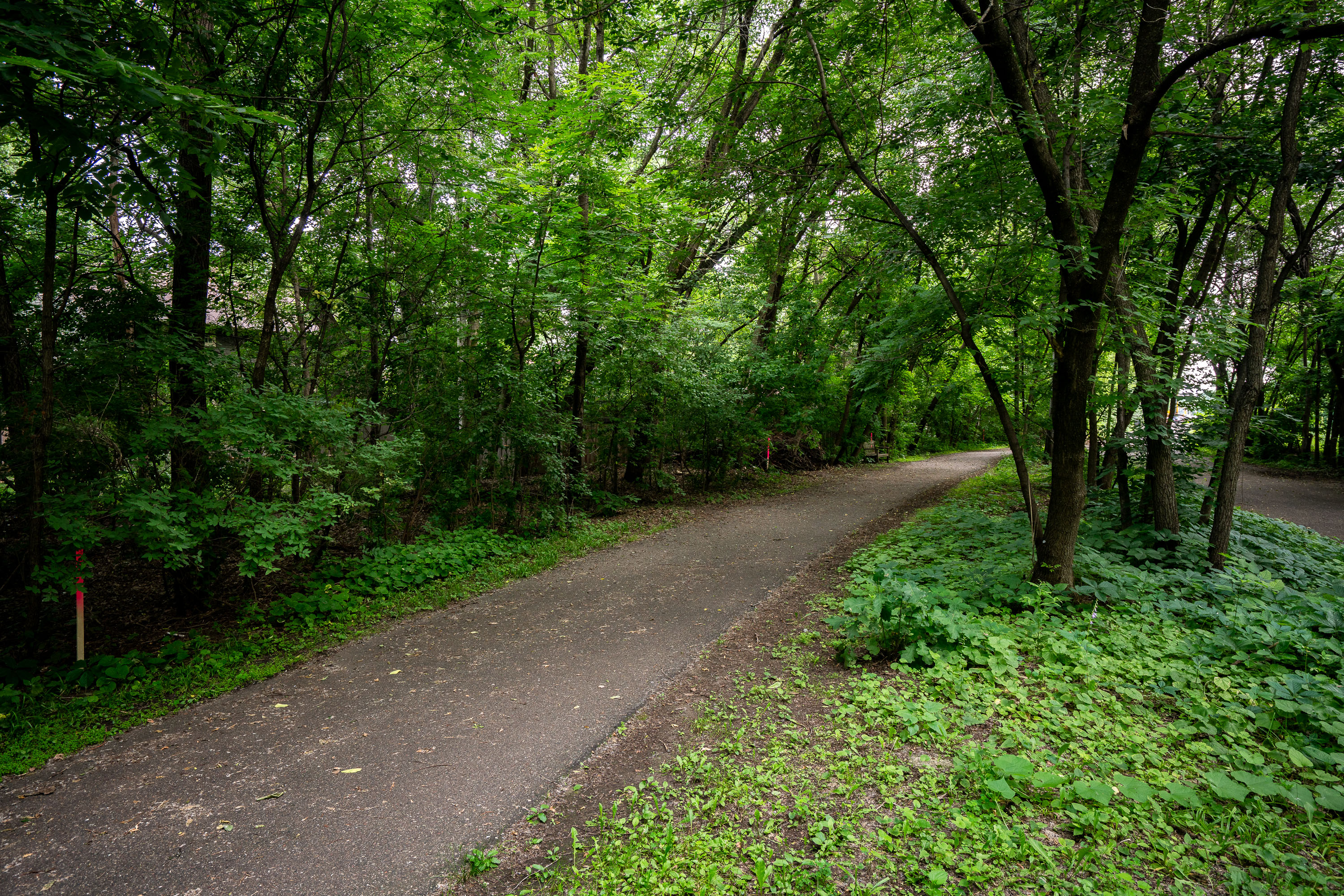
Paved trail winds through dense deciduous forest with mature trees lining both sides.
The Kenilworth Trail runs through the Kenilworth corridor connecting the Chain of Lakes area with downtown Minneapolis, following a former rail right-of-way once used by freight lines. The paved path is shared by pedestrians and cyclists and links to the regional Grand Rounds trail network. The corridor has long been the subject of planning debate as the proposed route for the Southwest Light Rail Transit extension of the Metro Green Line, with construction requiring the trail to be rerouted and rebuilt in sections alongside the new rail line.

A Wooded Stretch of the Kenilworth Trail
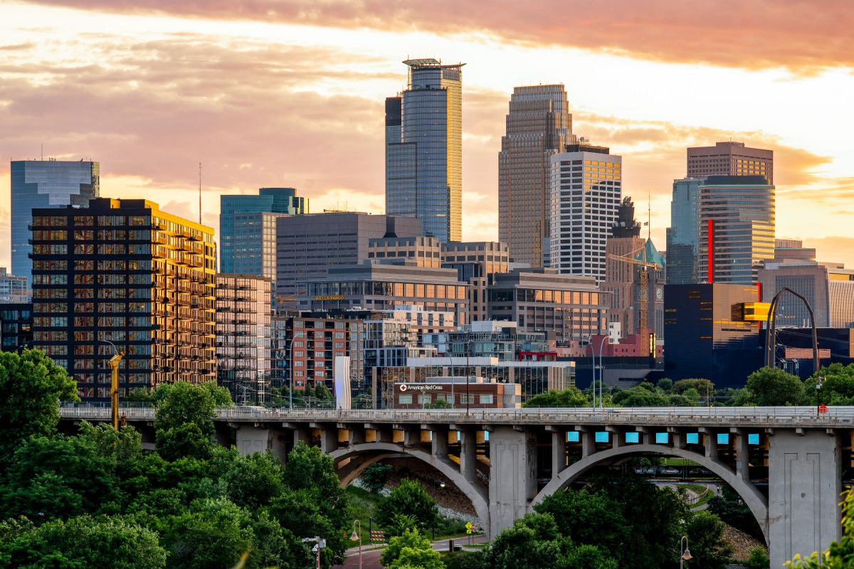
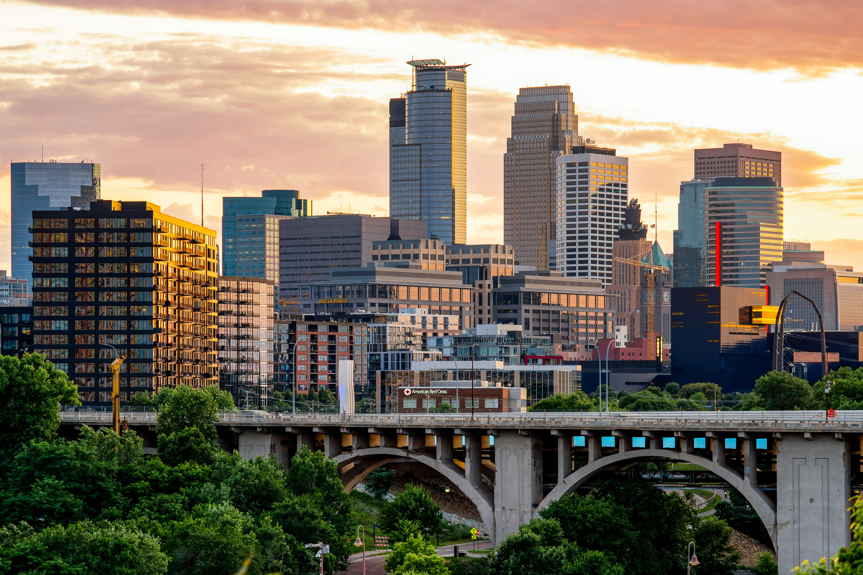
The 10th Avenue Bridge spans the Mississippi River with downtown Minneapolis skyline and Capella Tower at sunset.
The 10th Avenue Bridge crosses the Mississippi River between the West Bank and the University of Minnesota's East Bank campus. Built in 1929, it's a concrete arch bridge carrying Tenth Avenue Southeast into downtown Minneapolis.

Downtown Minneapolis Skyline Above the 10th Avenue Bridge
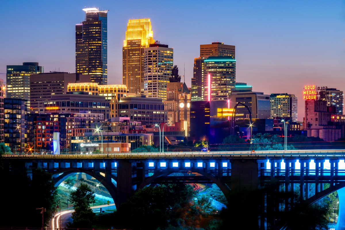
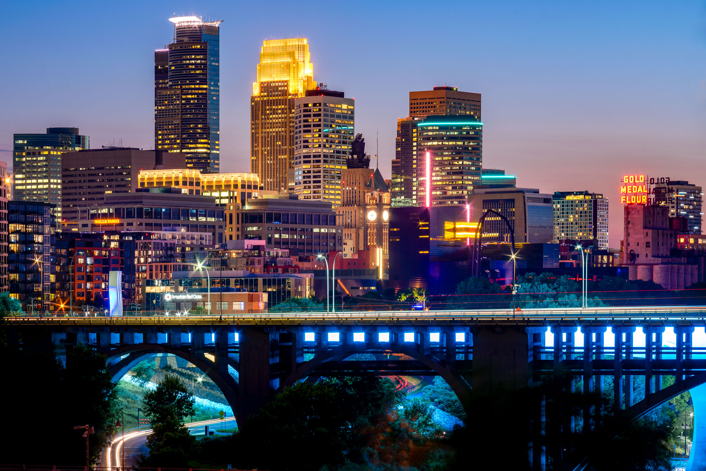
Downtown Minneapolis skyline at dusk with the 10th Avenue Bridge spanning the Mississippi River below.
Built in 1929, the concrete arch bridge spans the river just downstream from Saint Anthony Falls. The Gold Medal Flour sign marks the old Washburn-Crosby mill complex, now home to the Mill City Museum.

Minneapolis Skyline Above the 10th Avenue Bridge
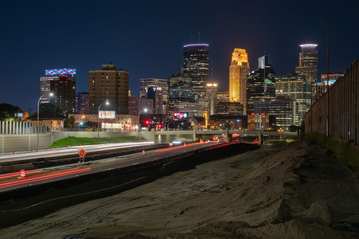
35W leading to downtown Minneapolis during construction
Highway 35W heading into downtown Minneapolis. The Minneapolis skyline in the background. Photo taken during 2019 highway construction.

35W leading to downtown Minneapolis during construction

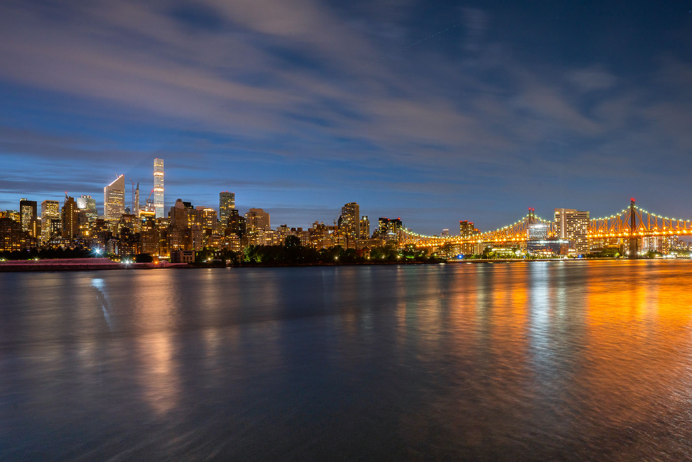
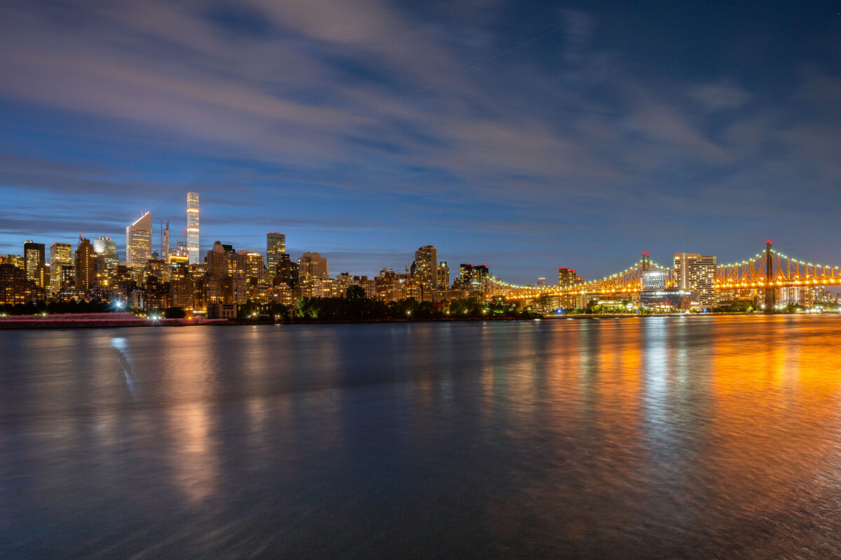
Manhattan skyline and illuminated Queensboro Bridge viewed from Long Island City across the East River.
Manhattan and the Queensboro Bridge in New York City are viewed from Long Island City, Queens. The East River separates the two boroughs along the Midtown waterfront. Night lighting from the bridge and skyline is reflected on the water.

Queensboro Bridge and Midtown Skyline at Twilight
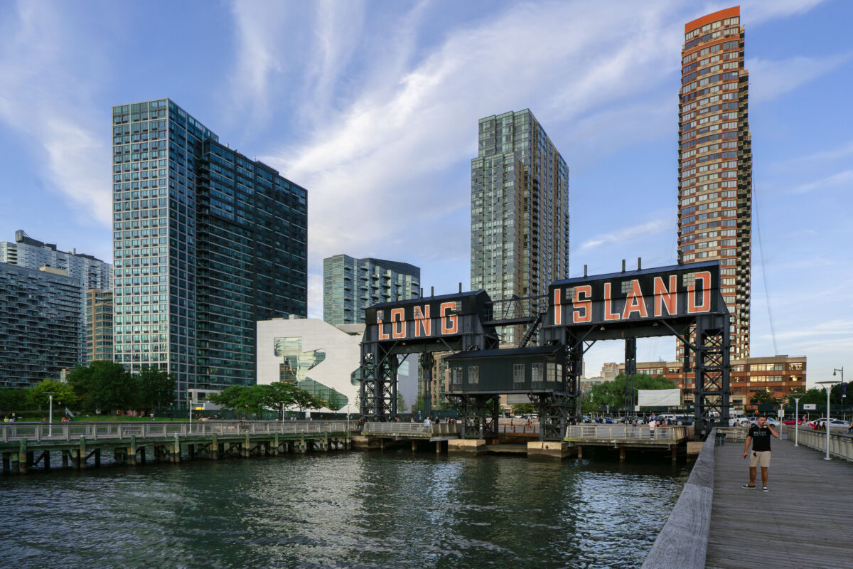
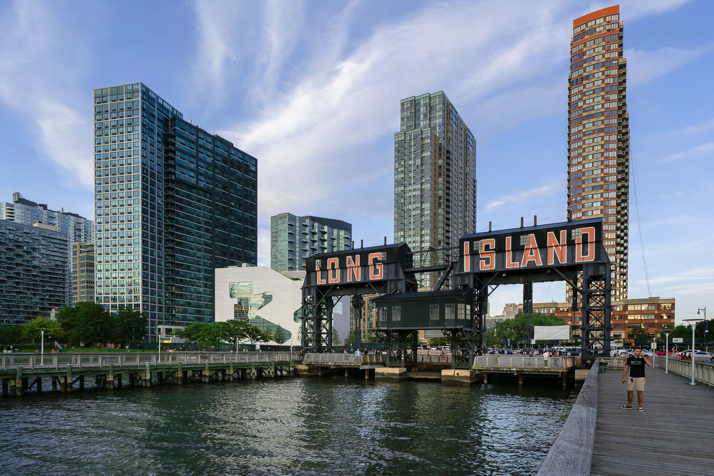
Long Island sign on the East River waterfront with high-rise buildings in Queens, New York.
The iconic Long Island sign towers over the East River waterfront in Queens as evening light reflects off the glassy high-rises of Long Island City. Once a gritty industrial dock, the area has transformed into one of New York City’s fastest-growing neighborhoods.

Gantry Plaza’s Long Island Sign at Dusk
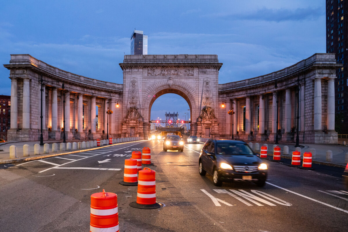
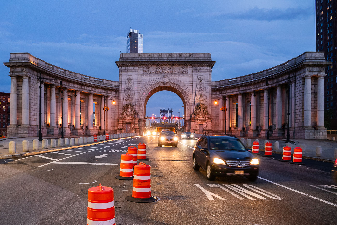
Cars drive through the Manhattan Bridge arch and colonnade at dusk with orange traffic barrels lining the roadway.
Cars pass through the Manhattan Bridge arch and colonnade at dusk in Lower Manhattan. Orange traffic barrels line the roadway as construction continues near the historic Beaux-Arts structure.

Traffic Through the Manhattan Bridge Arch During Roadwork
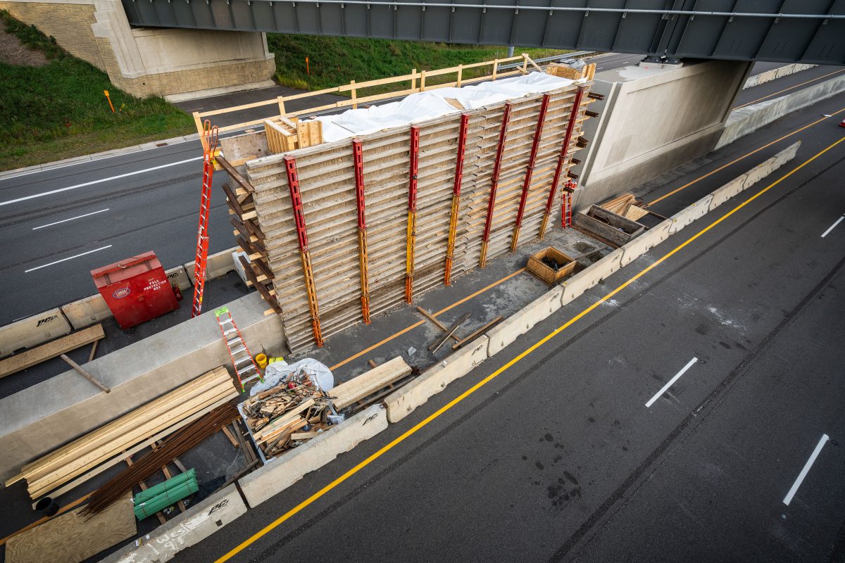
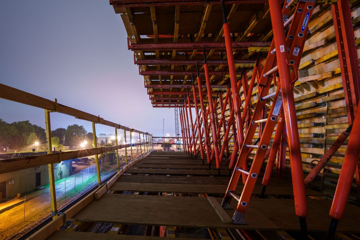
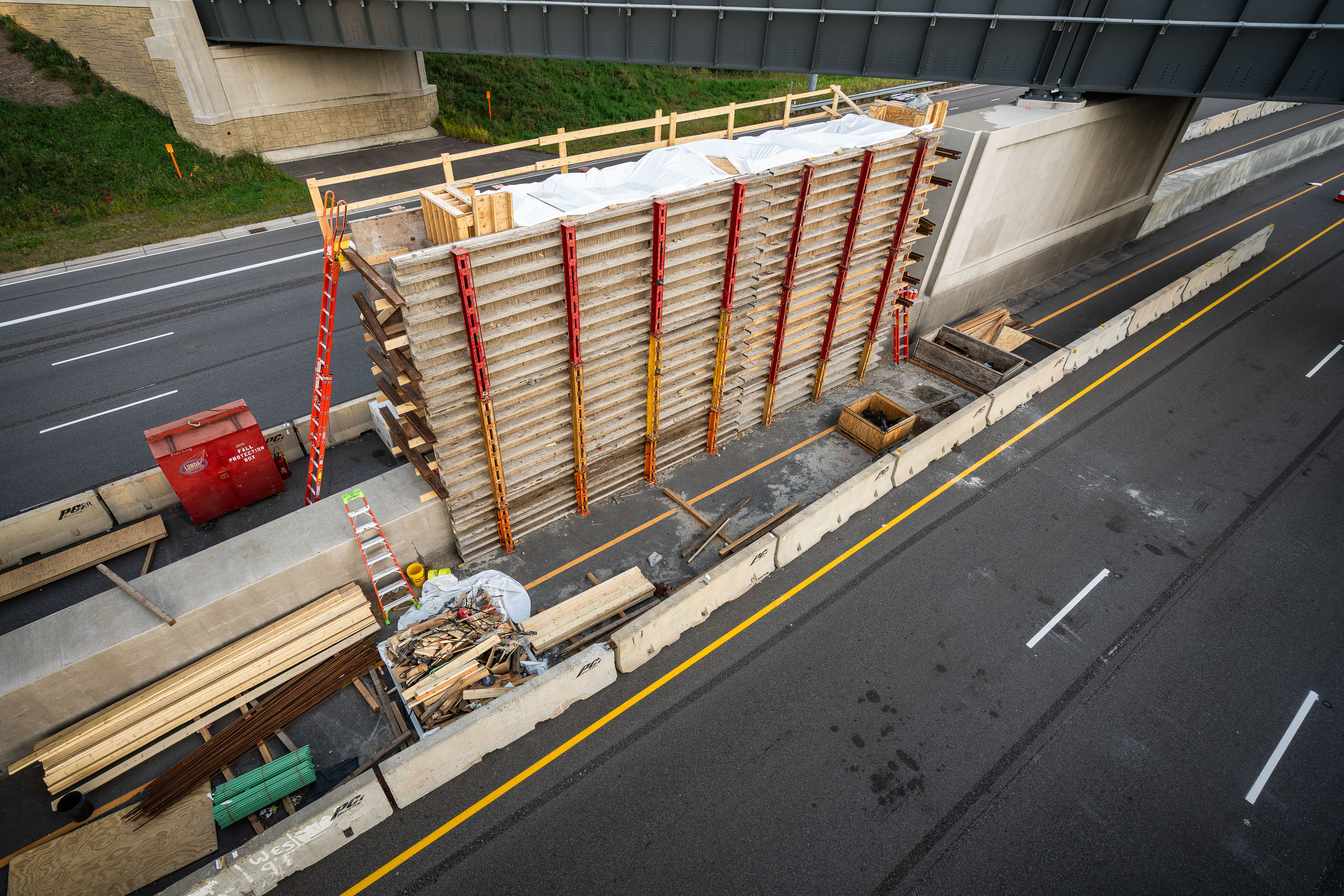
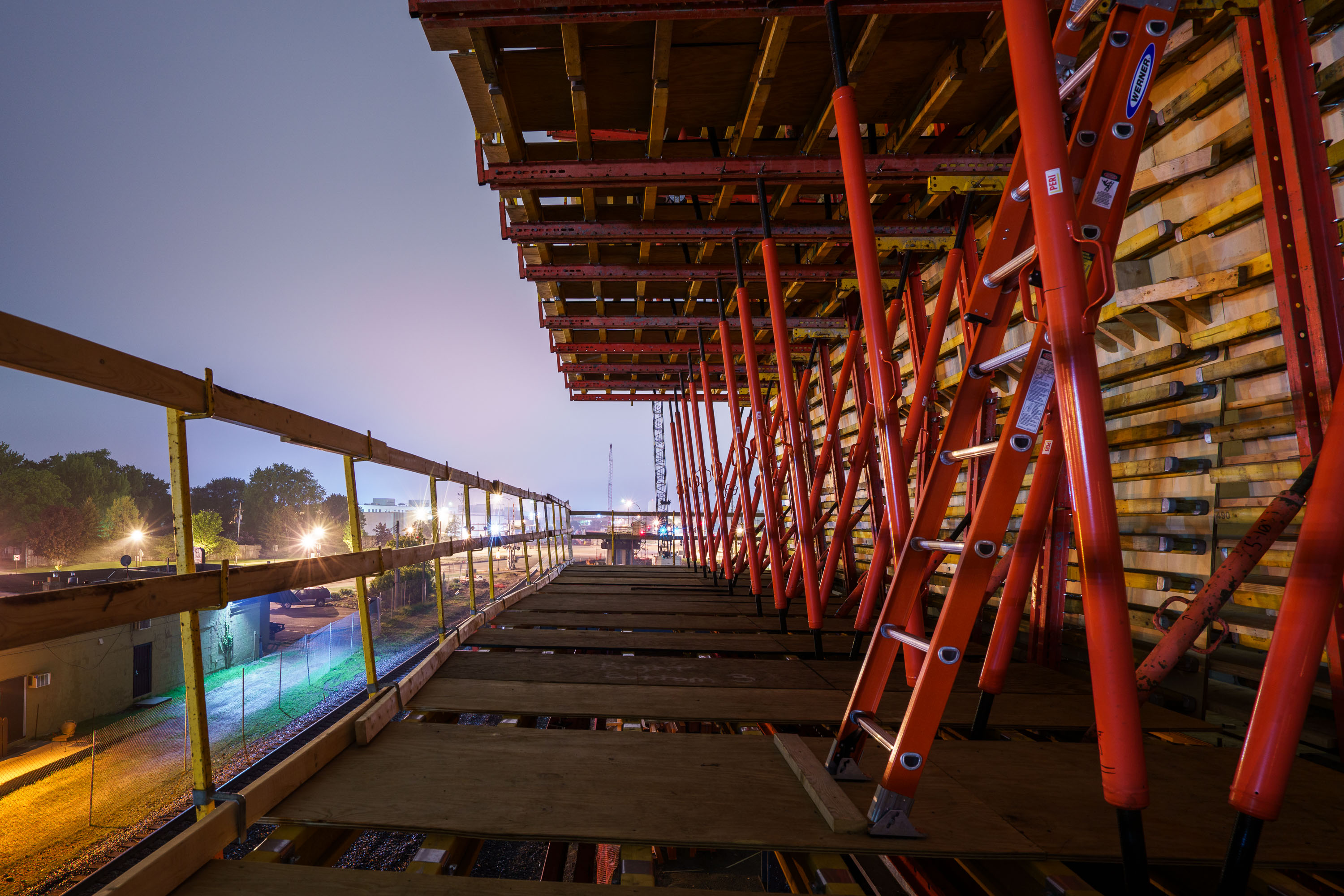
Wooden formwork and steel shoring towers support bridge deck construction over Highway 100 during Green Line Extension light rail
The Green Line Extension is a light rail project adding 14.5 miles of track between Minneapolis and Eatan Prairie, with a bridge crossing over Highway 100 in St. Louis Park as one of its structures. Metro Transit and the Metropolitan Council oversee the project, which extends the existing Green Line that currently runs between Minneapolis and Saint Paul. Formwork and shoring towers built from wood and steel supports are standard methods for pouring concrete bridge decks and piers during highway-spanning construction like this.

Formwork Tower for the Green Line Extension Bridge over Highway 100
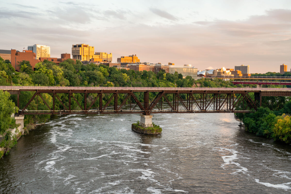
The University Avenue Bridge, a 1960 truss bridge, spans the Mississippi River in Minneapolis, connecting the University of Minnesota's East and West Bank campuses.
The University Avenue Bridge spans the Mississippi River, connecting the East and West Bank campuses of the University of Minnesota in Minneapolis. Constructed in 1960, this truss bridge facilitates pedestrian and vehicular traffic, essential for the university's operations. The surrounding area includes notable campus buildings such as the Weisman Art Museum and the Phillips-Wangensteen Building, visible in the background during evening light.

University Avenue Bridge, University of Minnesota, Minneapolis
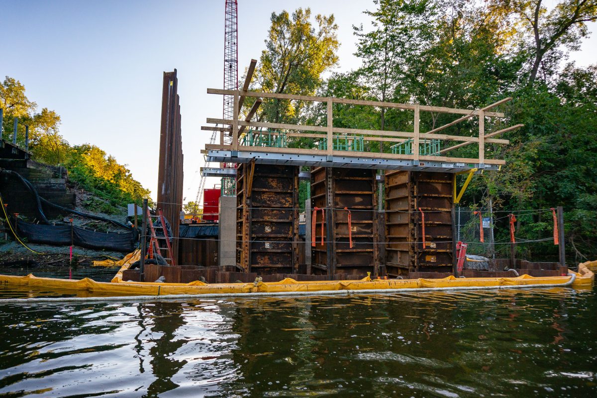
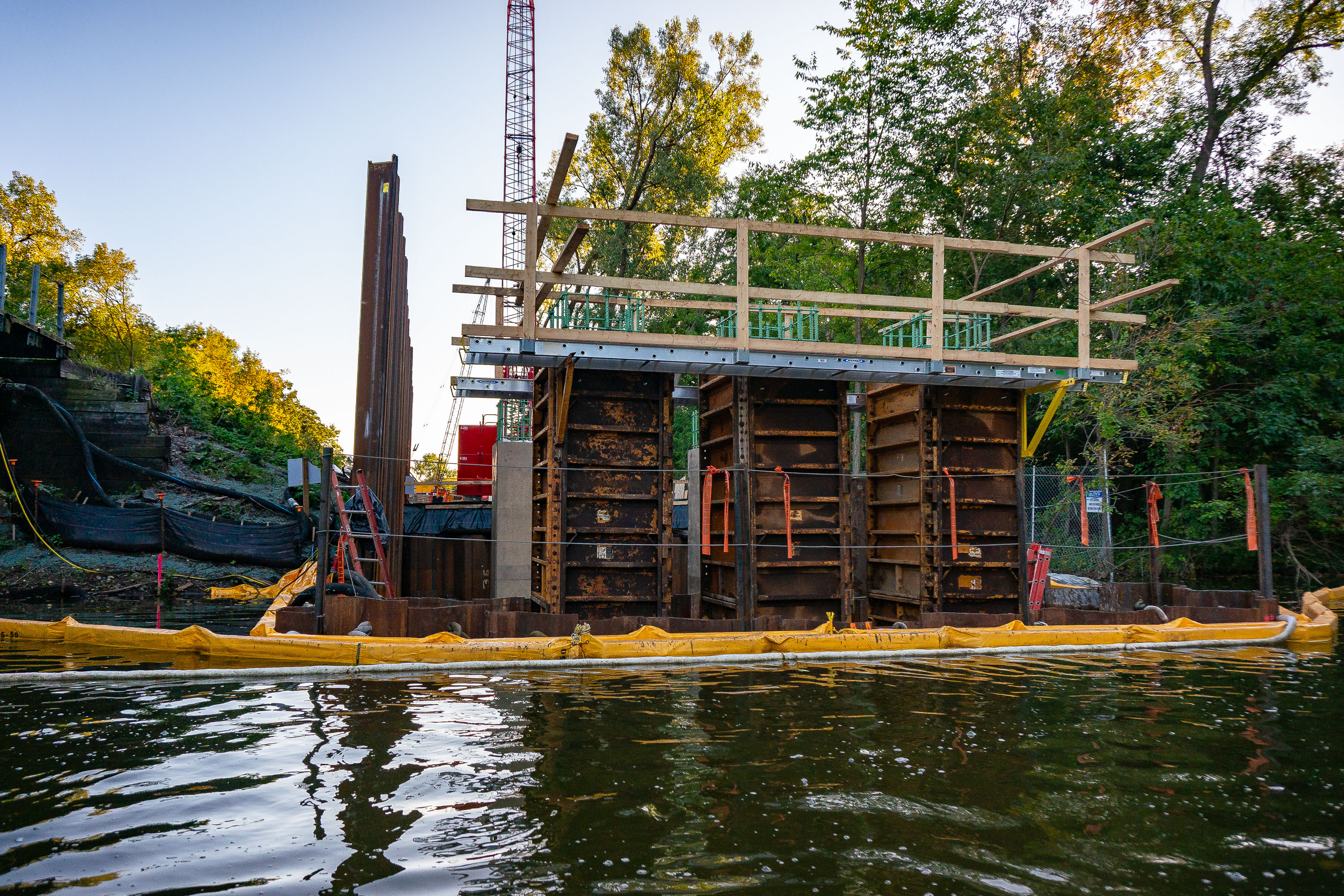
Construction equipment and containment barriers along Cedar Lake during Metro Green Line Extension work in Minneapolis.
The Kenilworth Channel connects Cedar Lake and Lake of the Isles in Minneapolis, carrying both water traffic and the Kenilworth Trail along its banks. Construction here is tied to the Metro Green Line Extension, a light-rail project that runs through the Kenilworth corridor en route to Eden Prairie.

Bridge Construction Along the Kenilworth Channel

Arcola High Bridge spanning forested valley with graffiti-covered steel structure and railing.
The Arcola High Bridge carries rail traffic across the St. Croix River near Marine on St. Croix, Minnesota. Built in 1911 by the Wisconsin Central Railway, the steel trestle rises about 185 feet above the river and runs roughly 2,682 feet across the valley. It was added to the National Register of Historic Places in 1980 for its engineering significance. The line later passed to the Soo Line Railroad and remains part of the Canadian National Railway network today.

Arcola High Bridge Trestle, St. Croix River, Minnesota

Arcola High Bridge near Stillwater
Located near Stillwater, the Soo Line High Bridge was built in 1910 and is on the National Register of Historic Places.

Arcola High Bridge – Stillwater, MN

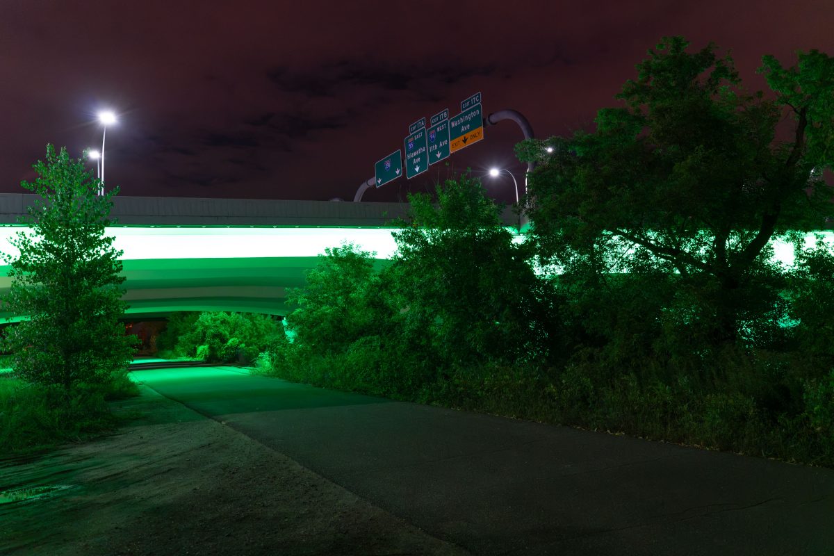
Green lights on 35W, Minneapolis, MN
The lights of Interstate 35W lit green for National Cerebral Palsy Awareness.

Green lights on 35W, Minneapolis, MN

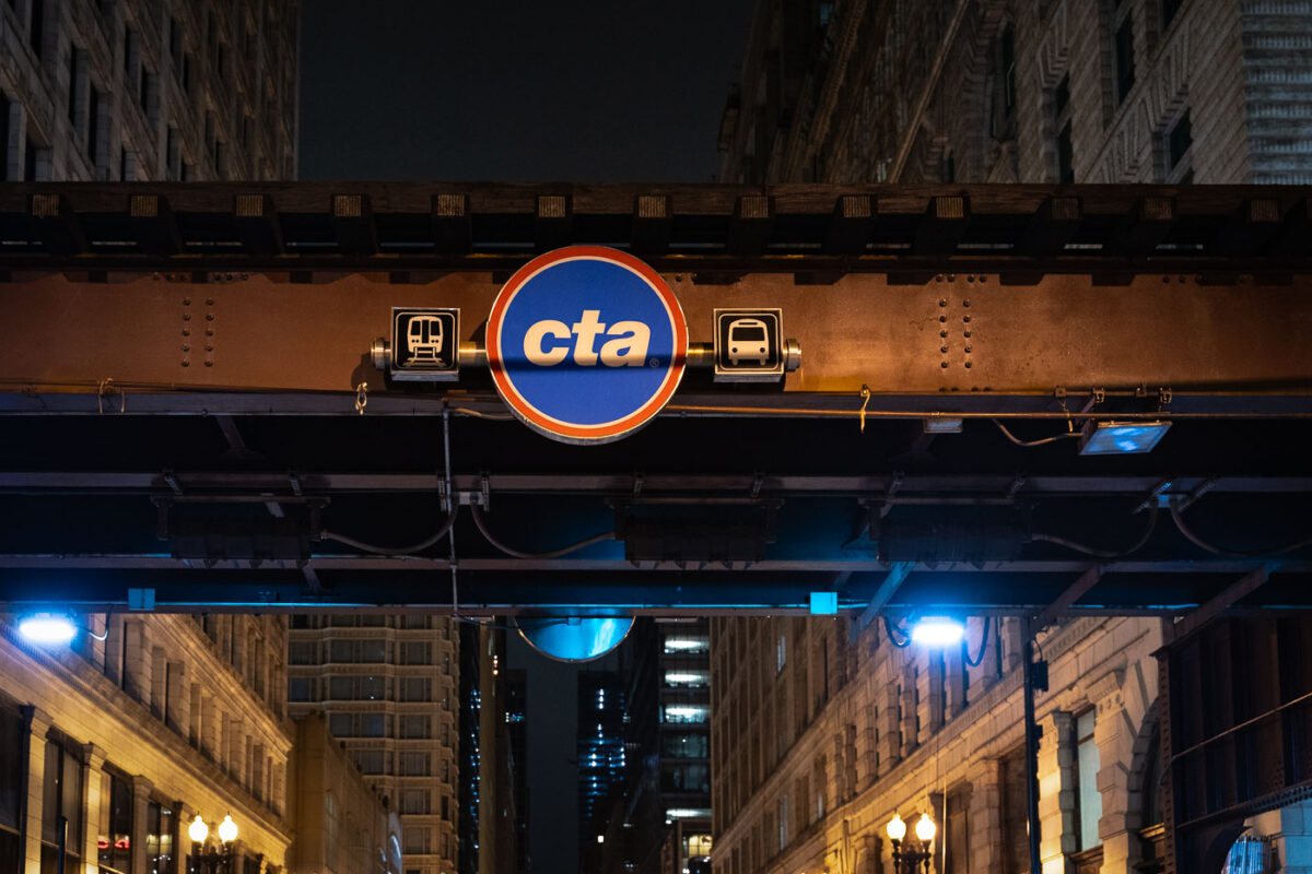
CTA transit sign illuminated on elevated steel structure above Chicago Loop street at night.
A CTA sign beneath elevated "L" tracks marks transit service in the Chicago Loop. The elevated rail structure carries multiple Chicago Transit Authority lines through the central business district. Sections of Chicago's elevated rapid transit network date to the 1890s, with ongoing maintenance and upgrades supporting daily service.

CTA Sign on the Loop’s Elevated Tracks at Night
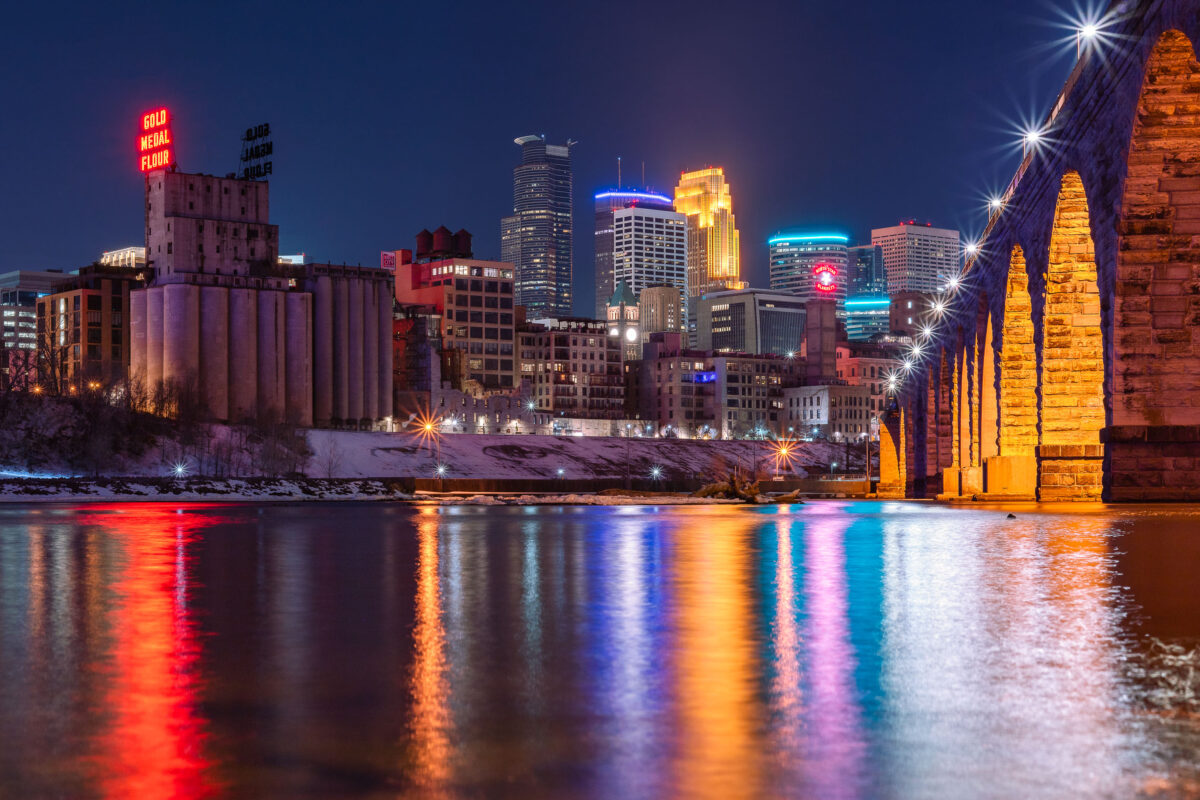
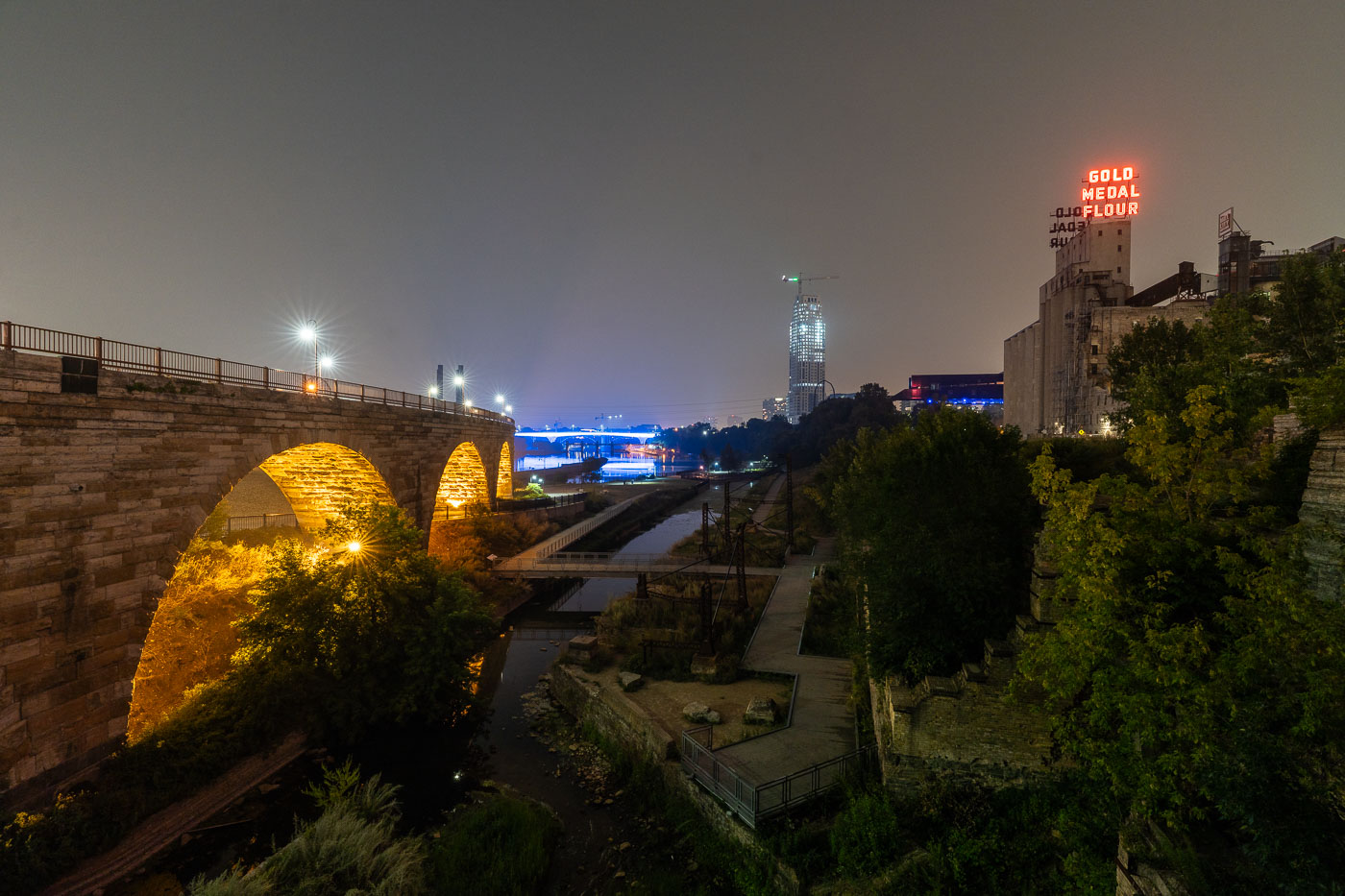
Stone Arch Bridge and Minneapolis skyline at night along the Mississippi River, with Gold Medal Flour mill sign visible.
The Gold Medal Flour sign sits atop the old Washburn-Crosby mill complex, a reminder of Minneapolis's decades as the flour-milling capital of the world. Washburn-Crosby, which later became General Mills, first put up the sign in 1910, and it has been relit and maintained as a fixture of the skyline ever since. The Stone Arch Bridge crosses the Mississippi just downstream, built in 1883 for the St. Paul, Minneapolis and Manitoba Railway to carry trains into the city's rail yards. Its limestone and granite piers were designed to withstand river ice, and the bridge now carries only pedestrians and cyclists between the riverfront and St. Anthony Main.

Gold Medal Flour Sign Above the Minneapolis Riverfront
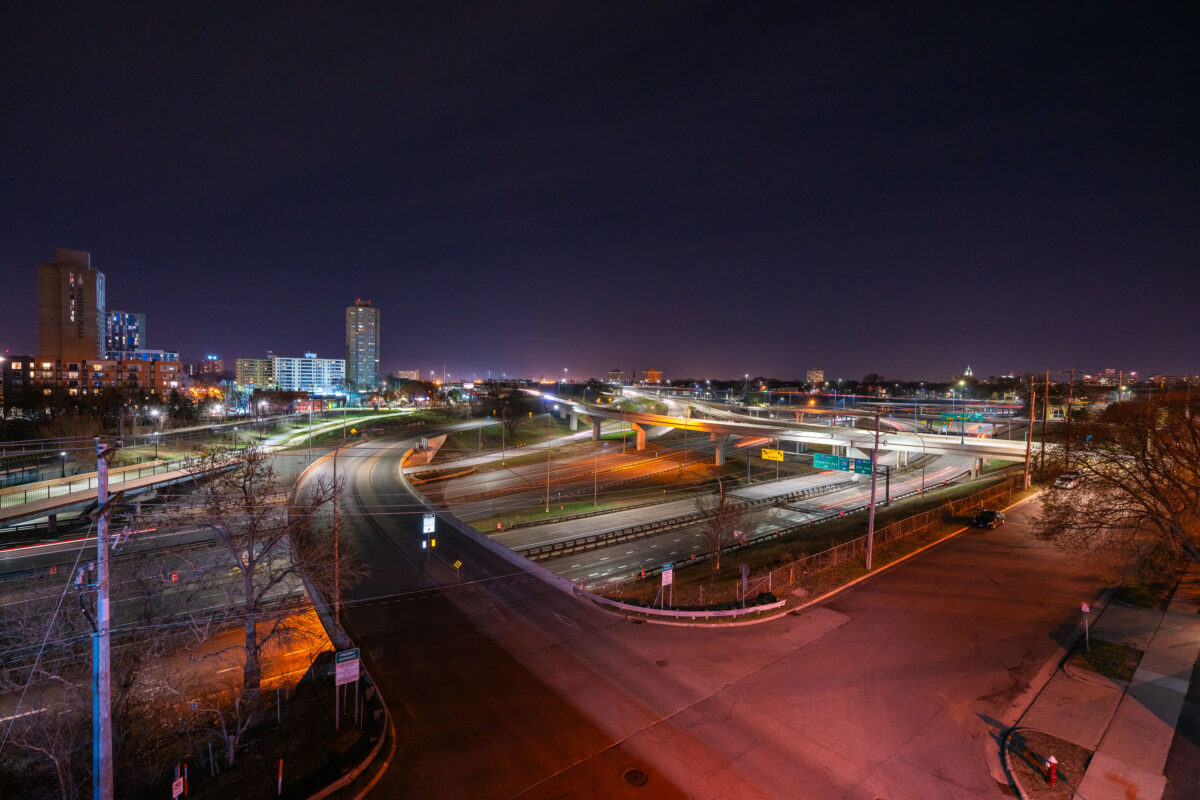
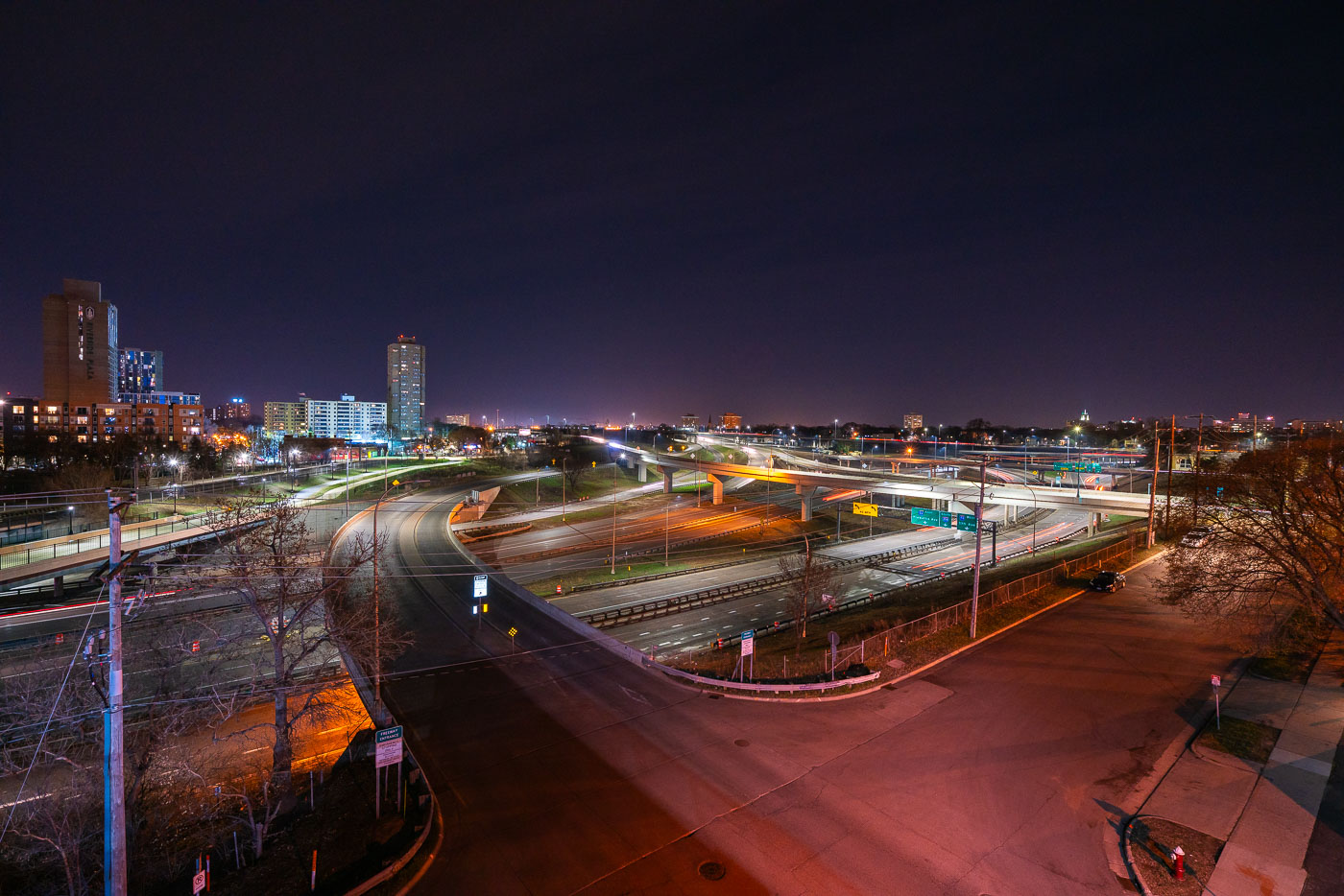
Interstate 35W and connecting ramps at night in Minneapolis with Cedar-Riverside neighborhood visible in background.
Interstate 35W cuts through the Cedar-Riverside neighborhood just south of downtown Minneapolis, carrying traffic between the city center and southern suburbs along the Twin Cities' busiest north-south corridor. The high-rise towers of Riverside Plaza, built in 1973 as public housing and now home to a large East African immigrant community, stand along the freeway's western edge. The interchange visible here connects 35W with Washington Avenue and the University of Minnesota's West Bank campus, one of several ramps rebuilt after the 2007 collapse of the 35W bridge over the Mississippi River prompted a broader reconstruction of the corridor.

Interstate 35W Interchange Near Cedar-Riverside at Night
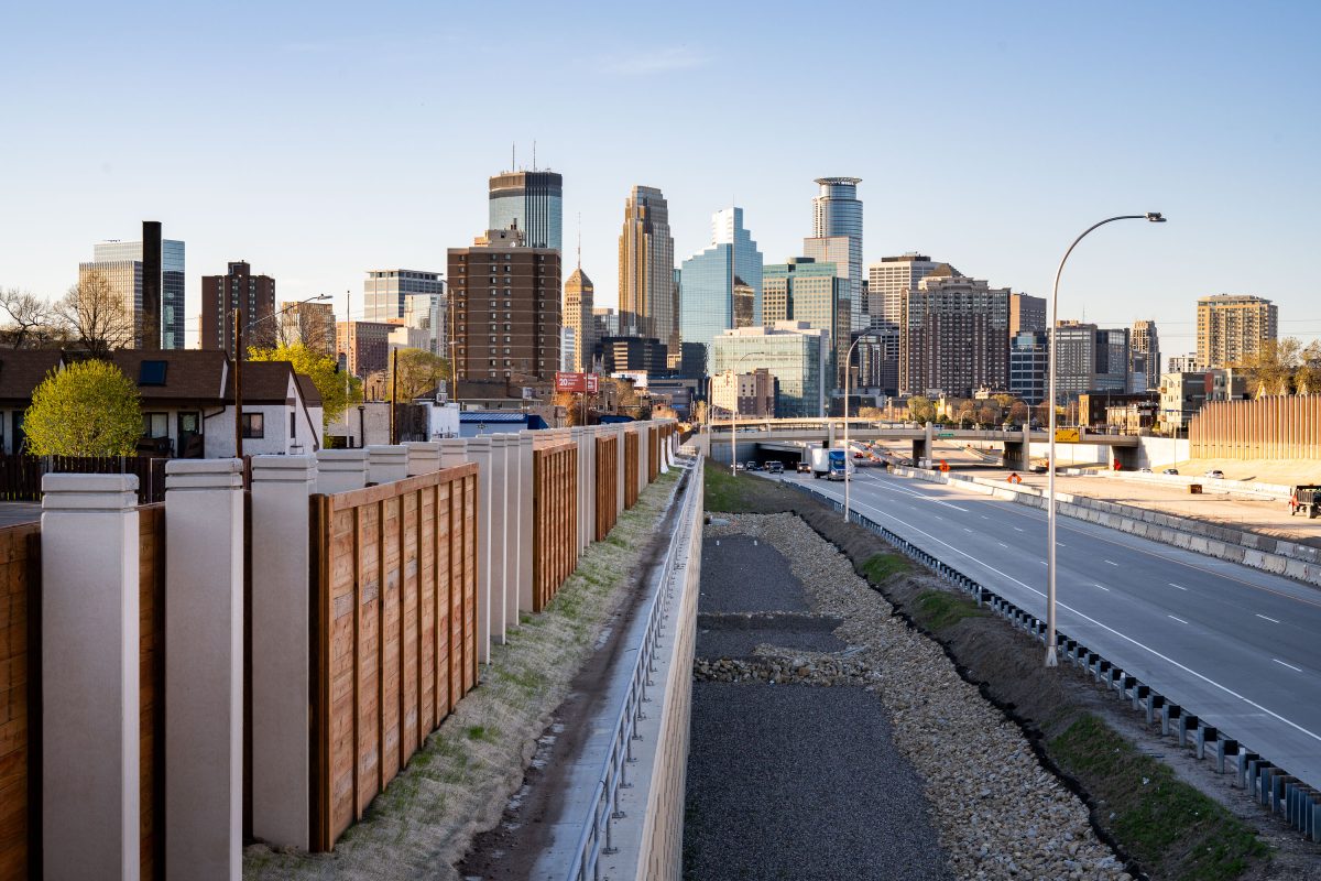
Minneapolis skyline seen from a bridge over 35W.
Downtown Minneapolis as seen from a bridge crossing I-35W.

Minneapolis Skyline Seen From a Bridge over I-35W
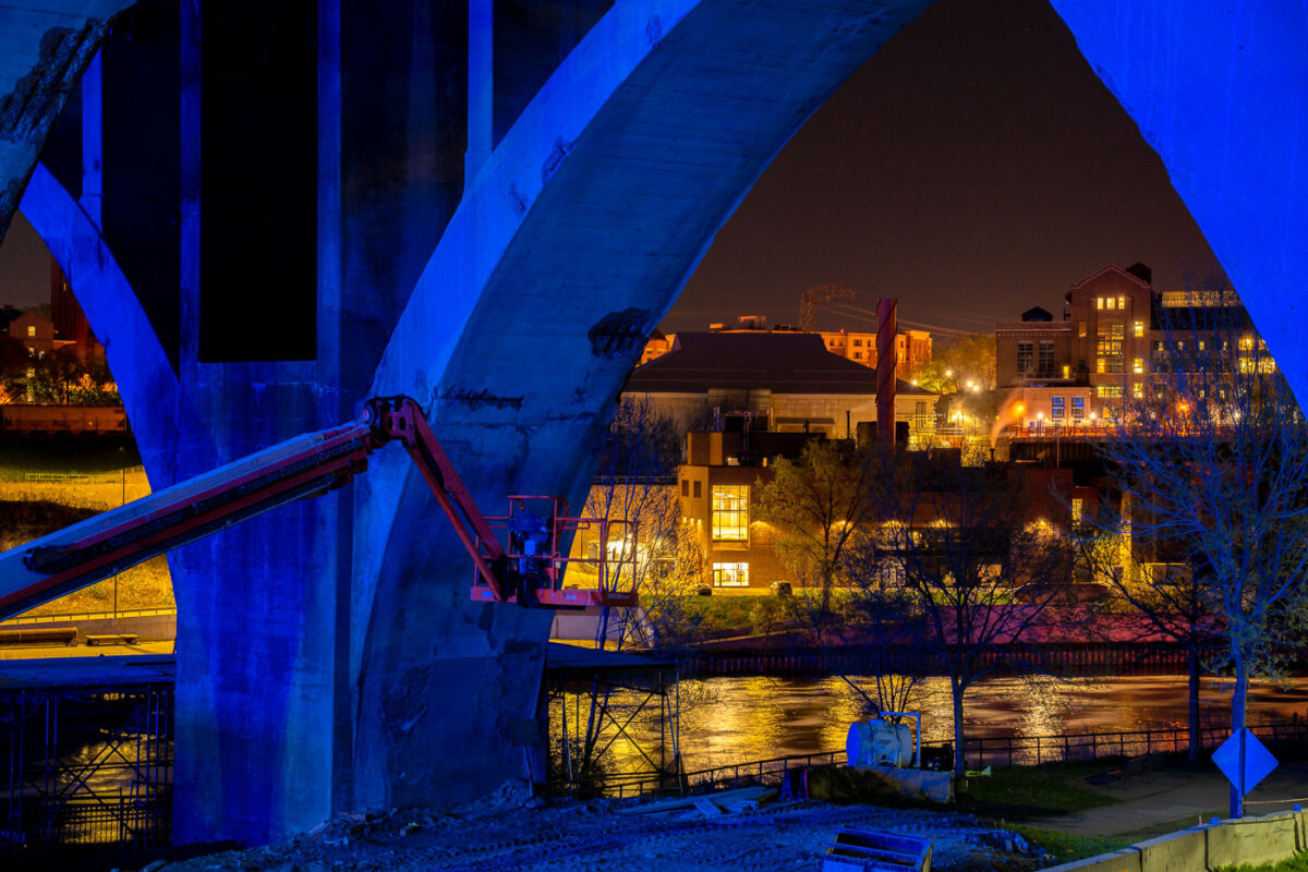
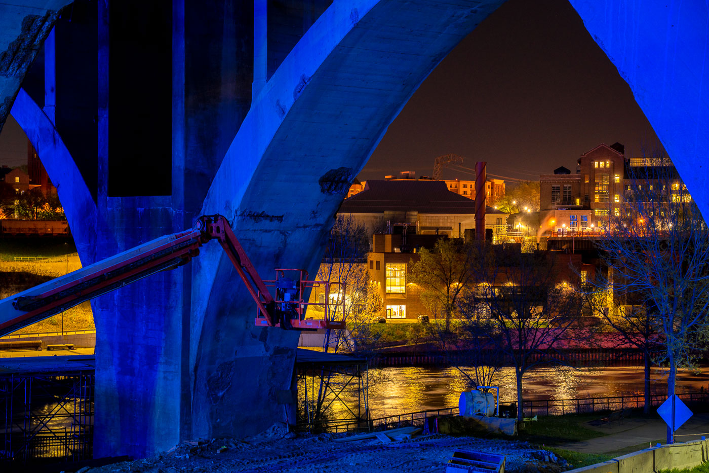
Blue steel framework of the 10th Avenue Bridge under reconstruction over the Mississippi River in Minneapolis.
Blue-lit steel arches and concrete piers of the 10th Avenue Bridge frame a nighttime view of the Mississippi River and the Northeast Minneapolis riverbank during the 2020 reconstruction project. A boom lift positioned against one of the bridge's massive piers suggests active structural work underway, while city lights reflect off the river below.

10th Avenue Bridge reconstruction, Minneapolis 2020
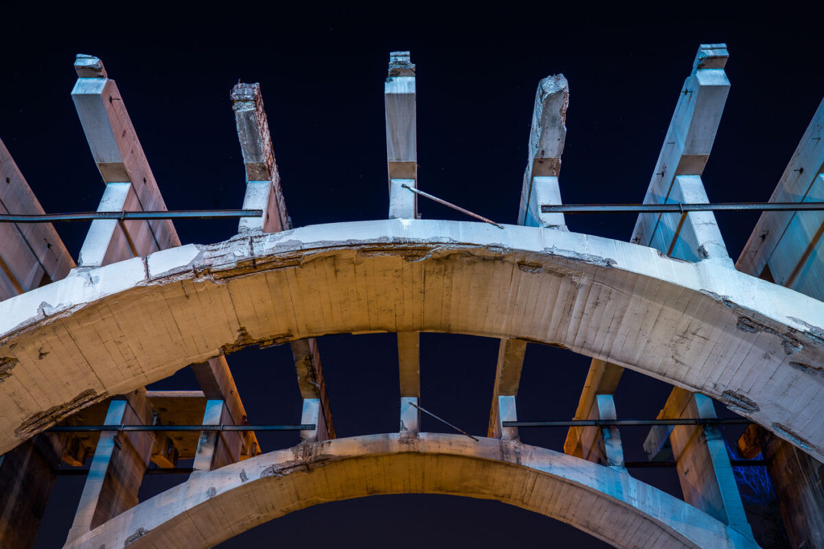
Concrete arches and steel lift spans of the 10th Avenue Bridge in Minneapolis during renovation.
The 10th Avenue Bridge in Minneapolis features vertical lift spans that raise to allow barge traffic on the Minnesota River below. The bridge's concrete arches and steel support structures were undergoing renovation in 2020. Lift bridges like this one are essential infrastructure for connecting the city while accommodating river commerce and navigation.

10th Avenue Bridge lift spans, Minneapolis
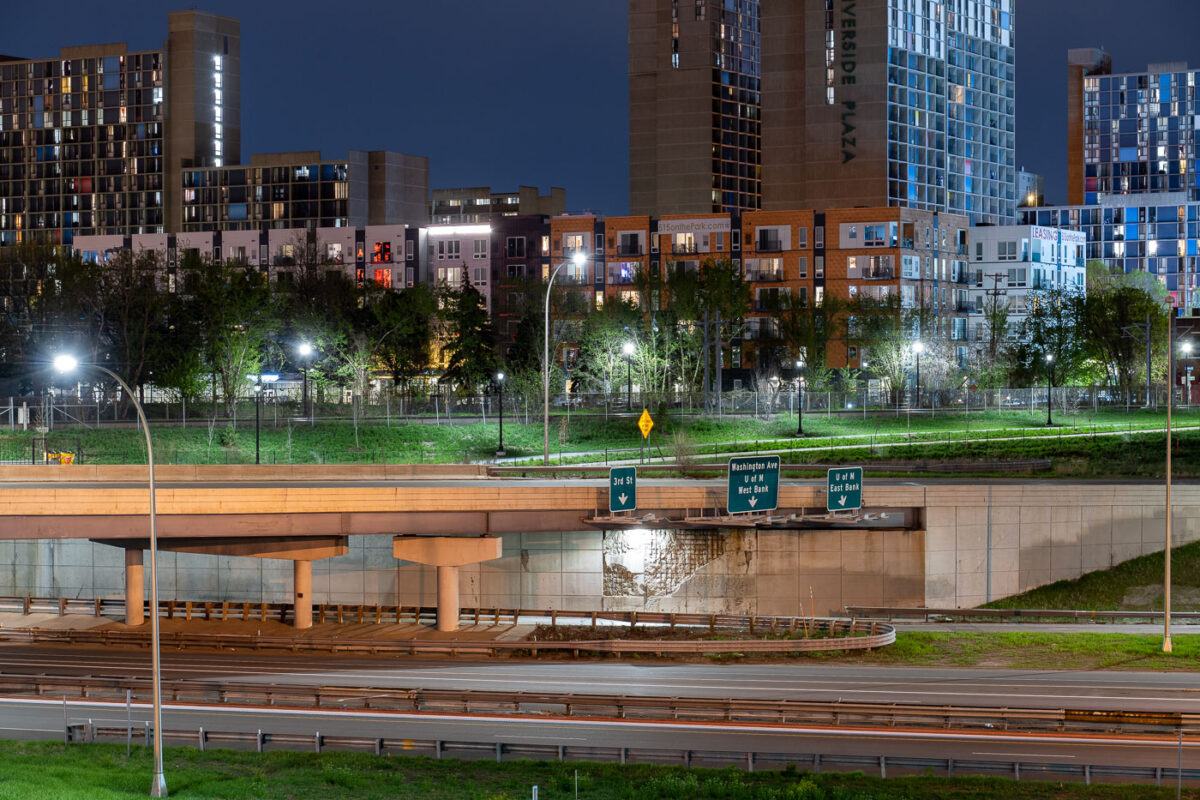
Interstate 35W underpass with Riverside Plaza towers in Cedar-Riverside, Minneapolis.
Interstate 35W passes beneath an overpass at the Cedar-Riverside neighborhood in Minneapolis. Riverside Plaza residential towers rise beyond the freeway corridor, which connects the Twin Cities metropolitan area north and south through downtown Minneapolis.

Interstate 35W at Cedar-Riverside, Minneapolis
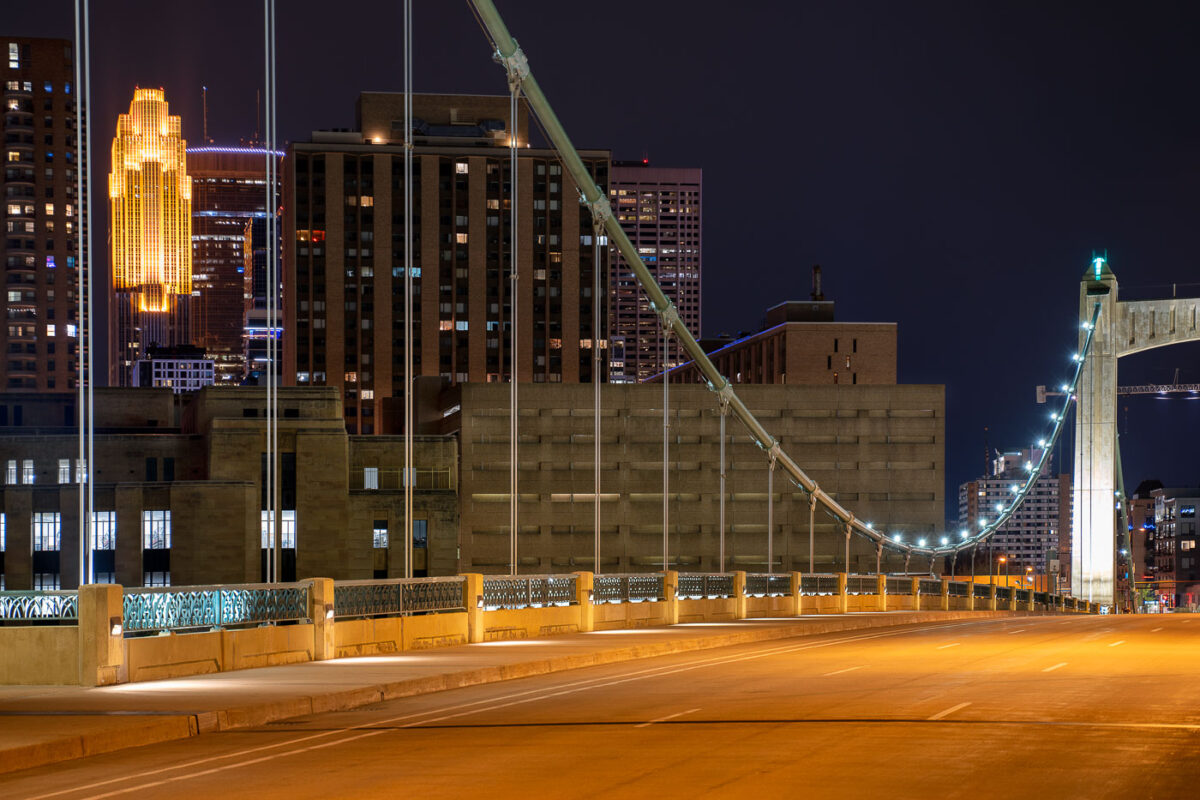
Hennepin Ave bridge at night during covid19
The Hennepin Avenue Bridge in Minneapolis, MN, is seen here during the COVID-19 pandemic.

Hennepin Avenue Bridge, Minneapolis, During COVID-19 Pandemic

Woman looks over the Stone Arch Bridge in Minneapolis
Woman looks over the railing on the Stone Arch Bridge in downtown Minneapolis.

Downtown Minneapolis Skyline and Stoen Arch Bridge
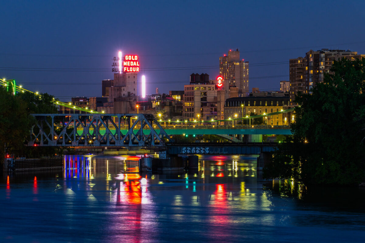
Gold Medal Flour seen from Boom Island in May 2020
Downtown Minneapolis as seen from Boom Island in May 2020. Gold Medal Flour and Northstar Blankets neon signs visible across the Mississippi River.

Neon signs of Downtown Minneapolis

Red steel bridge structure under construction over Excelsior Boulevard in St. Louis Park at dusk.
This bridge carries the Southwest Light Rail Transit extension, also known as the Green Line Extension, over Excelsior Boulevard in St. Louis Park. The project adds roughly 14.5 miles of track connecting downtown Minneapolis to Eden Prairie, with stops planned throughout St. Louis Park, Hopkins, Minnetonka, and Eden Prairie. The Metropolitan Council oversees construction, which involves building new bridges and retaining walls along the corridor to carry trains over existing roads and rail lines.

Formwork Shoring on the Southwest LRT Bridge Over Excelsior Blvd
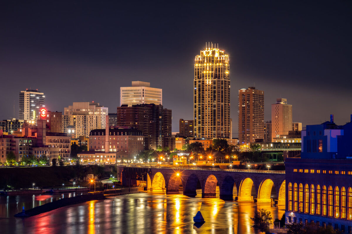
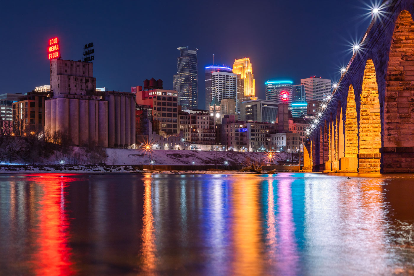
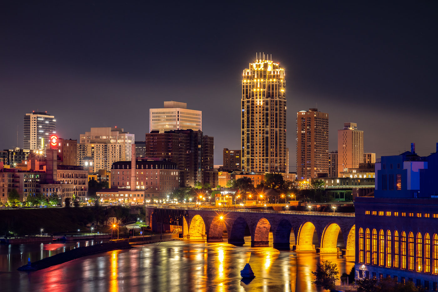
Stone Arch Bridge spanning the Mississippi River with illuminated downtown Minneapolis skyline at night.
The Stone Arch Bridge spans the Mississippi River in Minneapolis. Built in 1883 as a railroad bridge, the structure is a prominent historic landmark along the riverfront near St. Anthony Falls.

Downtown Minneapolis Skyline from the Mississippi Riverfront
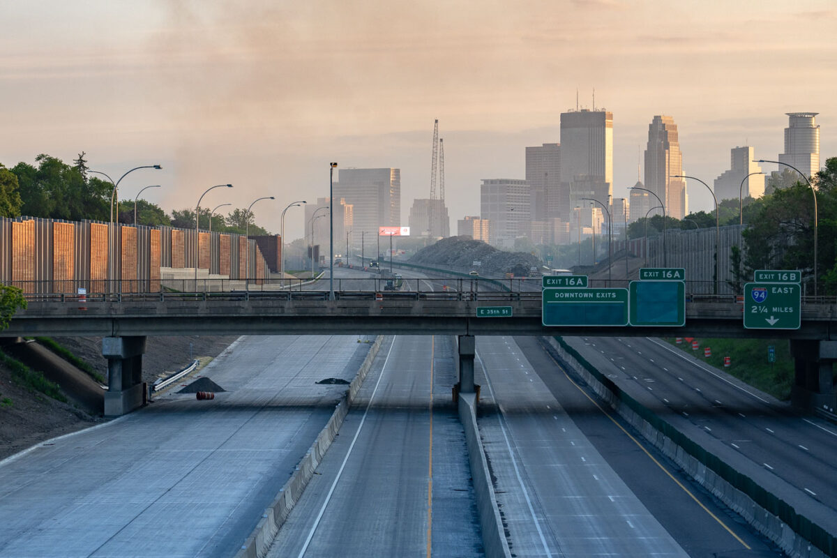
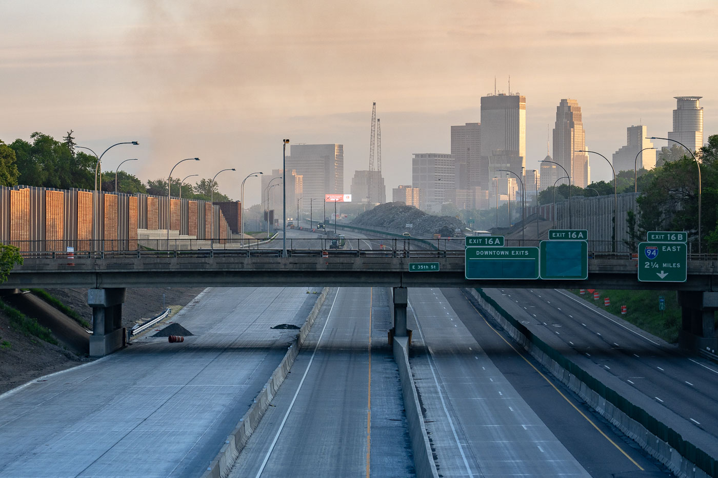
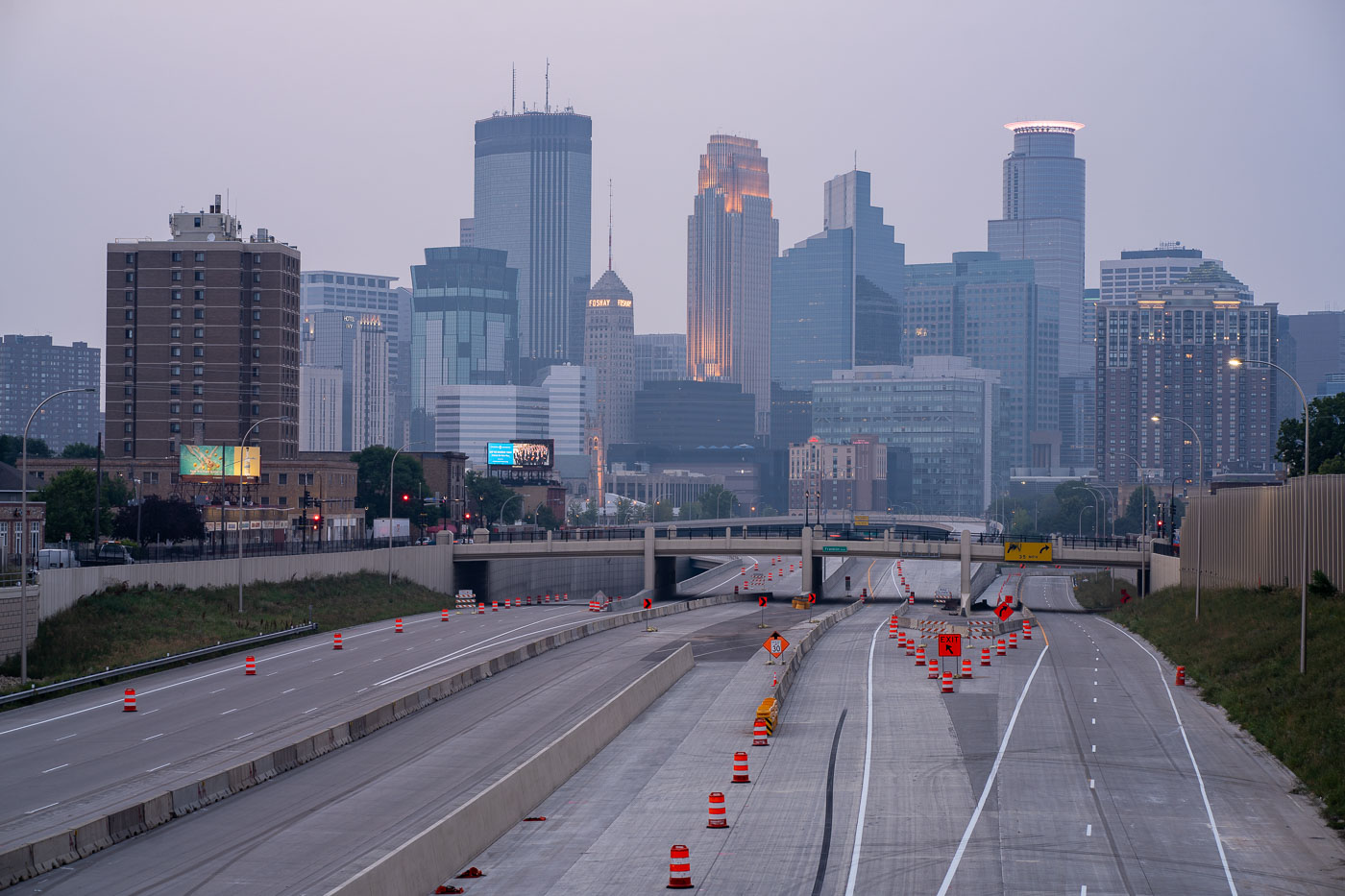
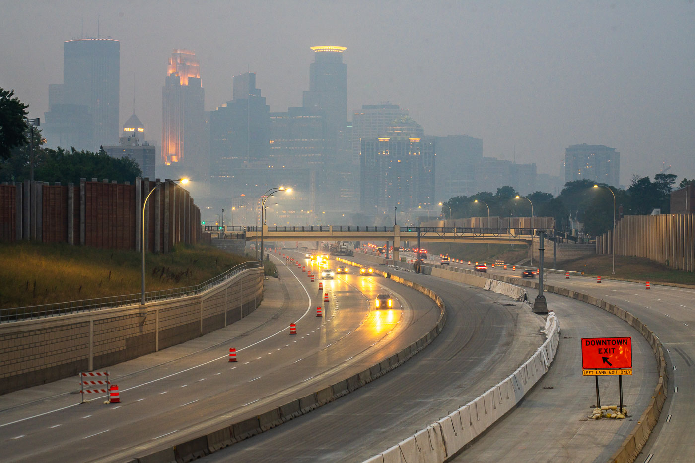
Interstate 35W approaching downtown Minneapolis under smoke haze at daybreak.
Interstate 35W approaching downtown Minneapolis, Minnesota, is seen under a layer of smoke at daybreak on May 30, 2020. Overhead signs for downtown exits, East 35th Street, and Interstate 94 place the view along the main north-south freeway corridor leading into the city center. The haze followed overnight fires during protests after the death of George Floyd, and the light traffic contrasts with the volume normally carried on this route.

I-35W Minneapolis Smoke Haze May 30 2020
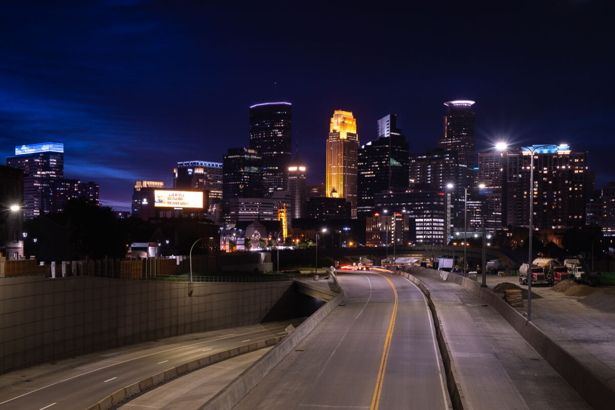
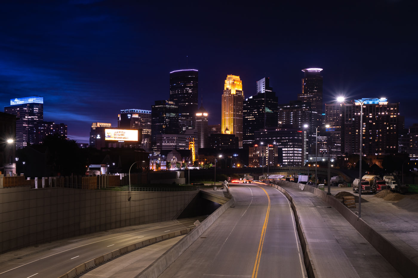
Interstate 35W construction approaching downtown Minneapolis at night with the skyline beyond.
Interstate 35W approaches downtown Minneapolis during overnight construction in July 2020. The freeway corridor curves toward the central business district, with lane shifts, barriers, and active work areas visible along the roadway. The Minneapolis skyline rises beyond the construction zone.

Interstate 35W construction approaching downtown Minneapolis

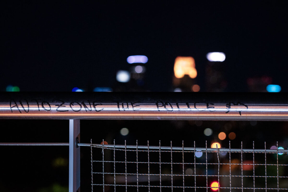
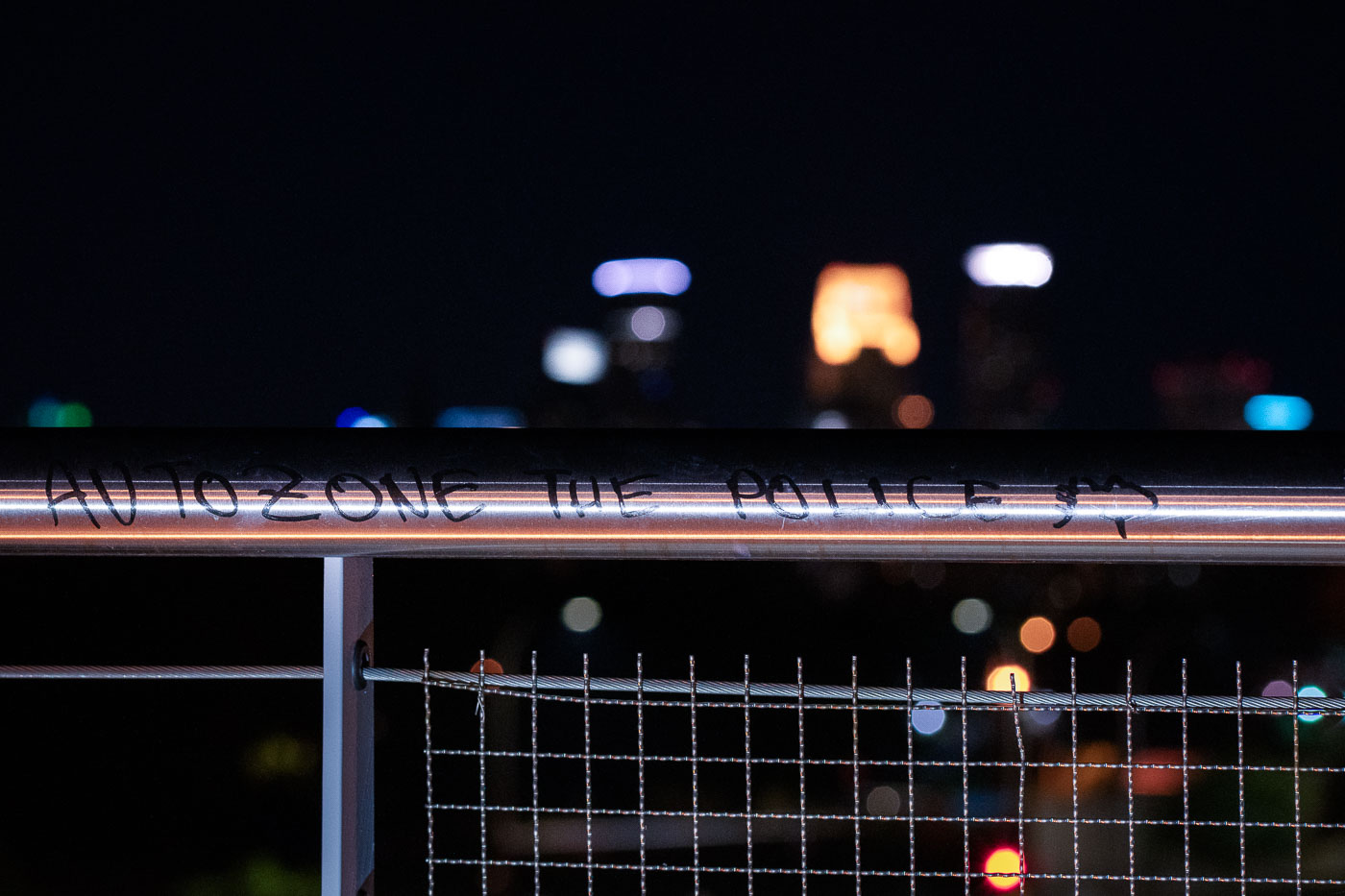
Graffiti reading "Autozone the police" on the Martin Olav Sabo Bridge railing in Minneapolis.
The Martin Olav Sabo Bridge carries the Midtown Greenway bike and pedestrian trail over Hiawatha Avenue and the METRO Blue Line tracks in Minneapolis. Built in 2007 and named for the longtime Minnesota congressman, the bridge links the Greenway to Minnehaha Avenue near the Midtown Farmers Market. The phrase "Autozone the police," written on its railing, refers to the AutoZone store on Lake Street that became the first building burned during the unrest following George Floyd's murder.

‘Autozone the Police’ Graffiti on the Martin Olav Sabo Bridge
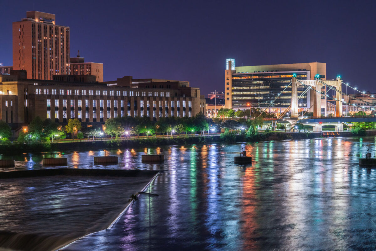
Mississippi River and Hennepin bridge August 2020
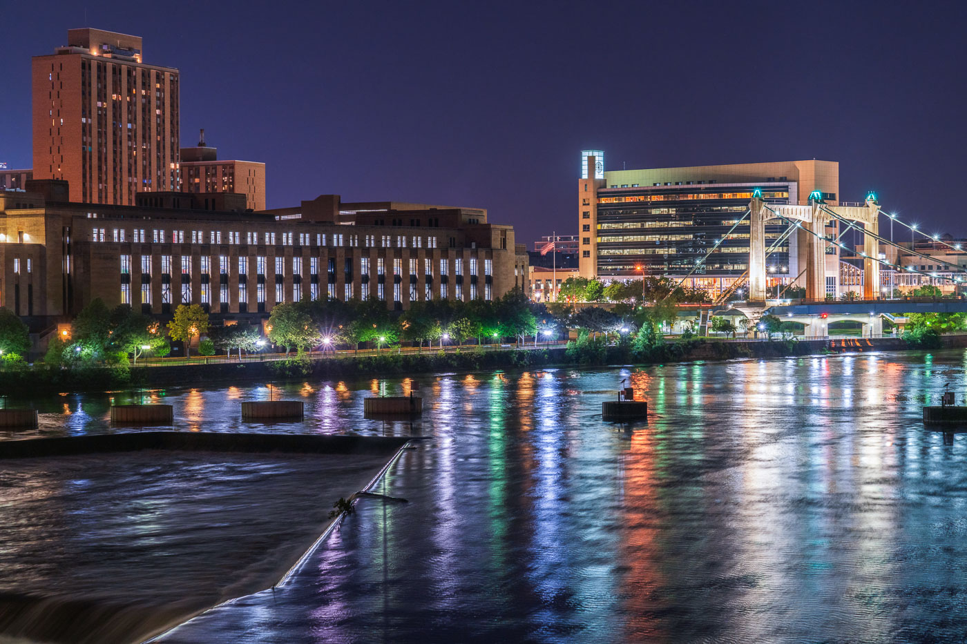
The Mississippi River flows through downtown Minneapolis at night, featuring the illuminated Hennepin Avenue Bridge. This historic suspension bridge, originally built in 1855 and rebuilt multiple times, connects the east and west banks of the city, serving as a vital transportation artery. Along the riverfront, the United States Post Office and the Federal Reserve Bank of Minneapolis stand as prominent structures, contributing to the city's commercial and governmental functions.

Minneapolis: Mississippi River, Hennepin Bridge, US Post Office 2020

Pain is purification graffiti on North Minneaopolis bridge
The phrase "Pain is Purification" is inscribed on a train bridge in North Minneapolis.

“Pain is Purification” Graffiti on North Minneapolis Train Bridge
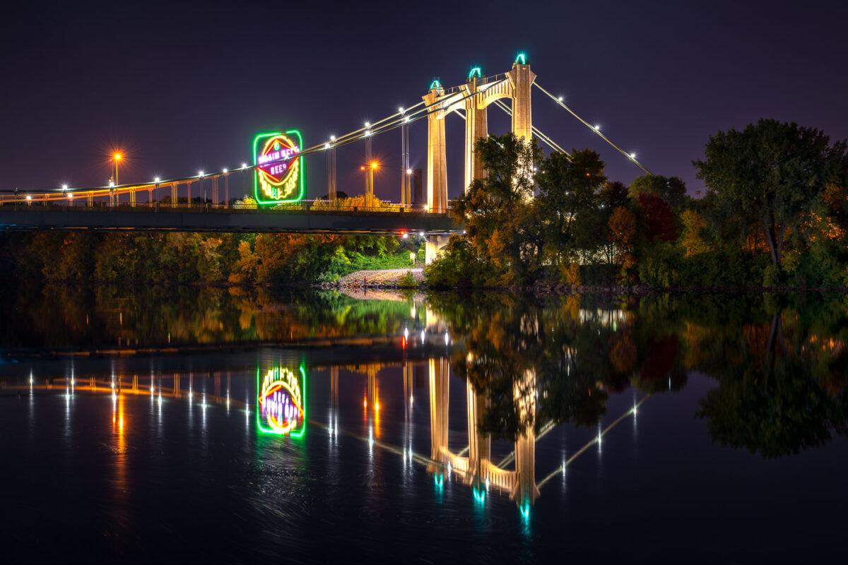
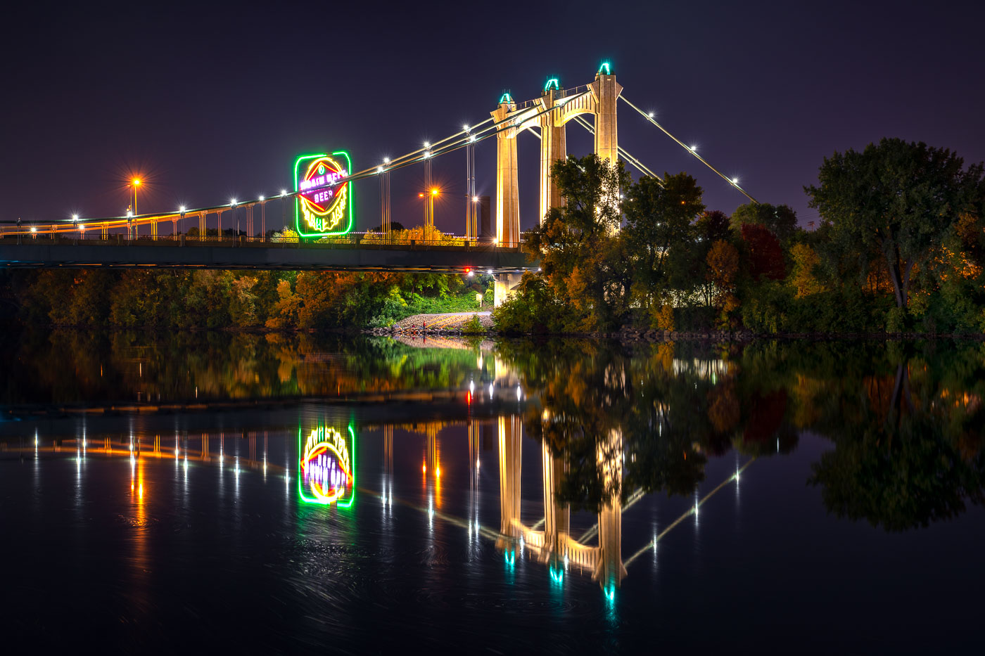
Hennepin Avenue Bridge spans the Mississippi River at night with illuminated suspension cables and a glowing Grain Belt beer sign
The Hennepin Avenue Bridge crosses the Mississippi River in Minneapolis, connecting downtown with Northeast Minneapolis. The suspension bridge, completed in 1990, is the fifth structure at this crossing, where the city’s first bridge over the Mississippi once stood.

Grain Belt Beer Sign Reflected Beneath the Hennepin Avenue Bridge

No KKKops No Pipelines banner
A protest banner displaying the message "NO KKKOPS NO PIPELINES" is affixed to the Martin Olav Sabo Bridge in Minneapolis. This cable-stayed bridge, completed in 2007, is a dedicated pedestrian and bicycle crossing over Hiawatha Avenue, named for former U.S. Representative Martin Olav Sabo.

Protest Banner: No KKKops No Pipelines on Martin Olav Sabo Bridge
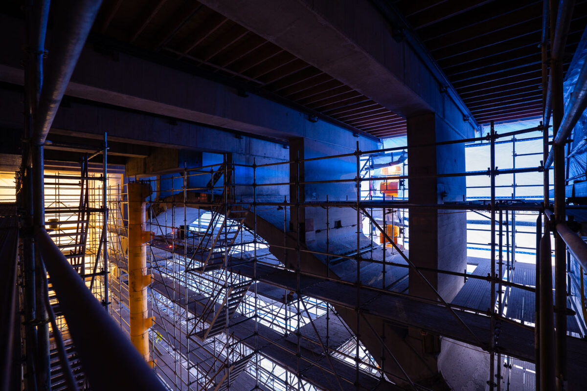
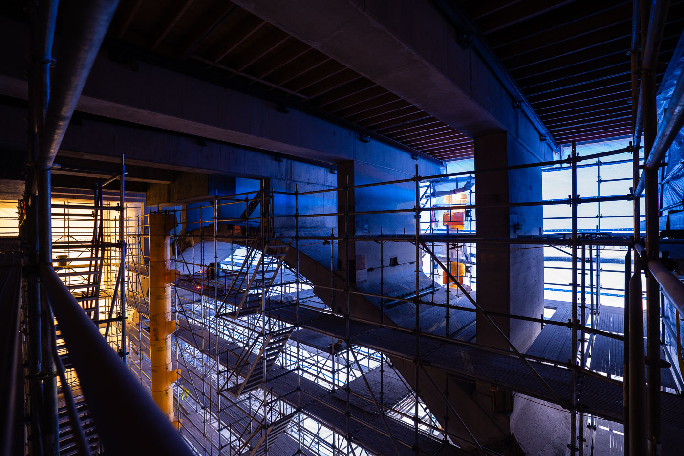
10th Avenue Bridge rehabilitation scaffolding beneath the bridge in downtown Minneapolis.
10th Avenue Bridge rehabilitation scaffolding in downtown Minneapolis. The temporary platform system surrounds the underside of the Mississippi River crossing during a major bridge rehab project. The structure provided worker access to bridge components during construction and maintenance work.

10th Avenue Bridge Rehabilitation Scaffolding, Minneapolis
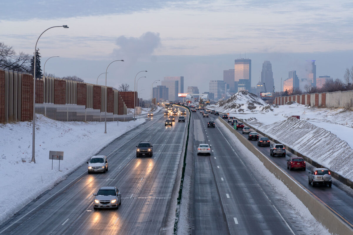
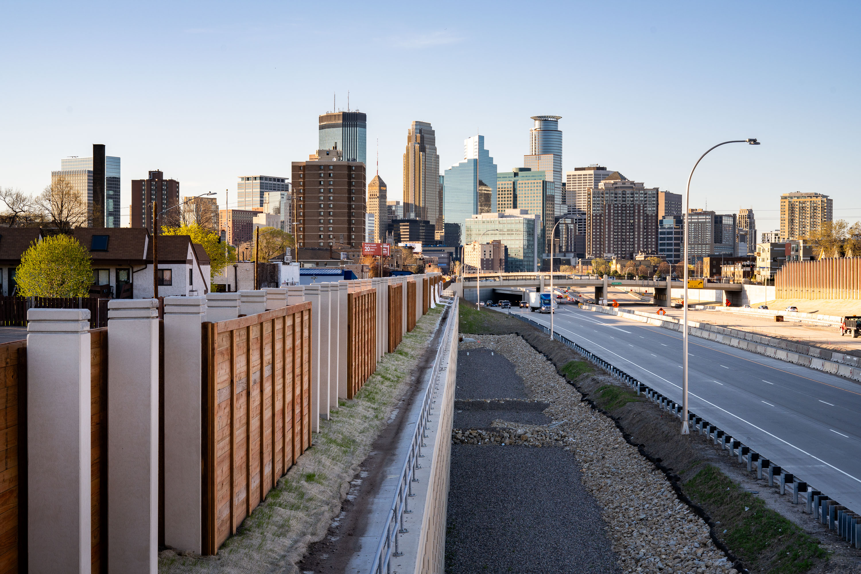
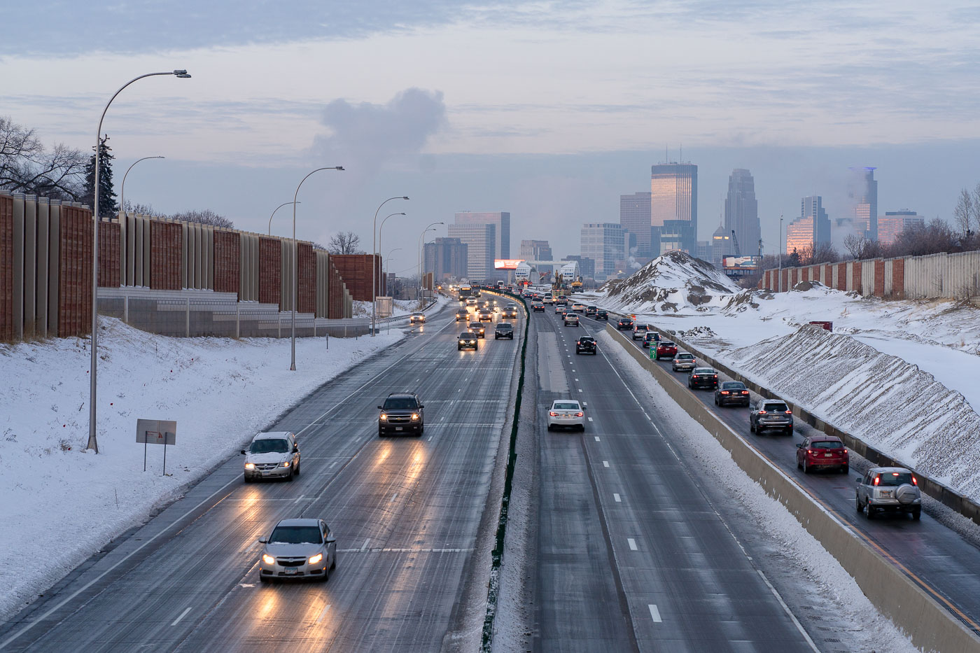
Interstate 35W in South Minneapolis with winter traffic and downtown Minneapolis beyond.
Interstate 35W runs through South Minneapolis with downtown Minneapolis in the distance. Snowbanks, sound walls, and winter traffic line this stretch of the freeway corridor. The route is one of the Twin Cities' main north-south highways, linking South Minneapolis with downtown and the wider regional interstate system.

Interstate 35W in South Minneapolis

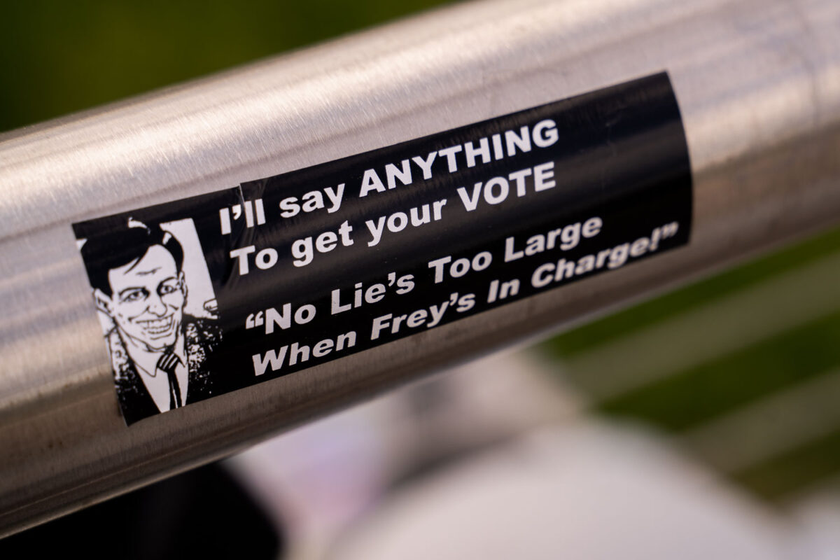
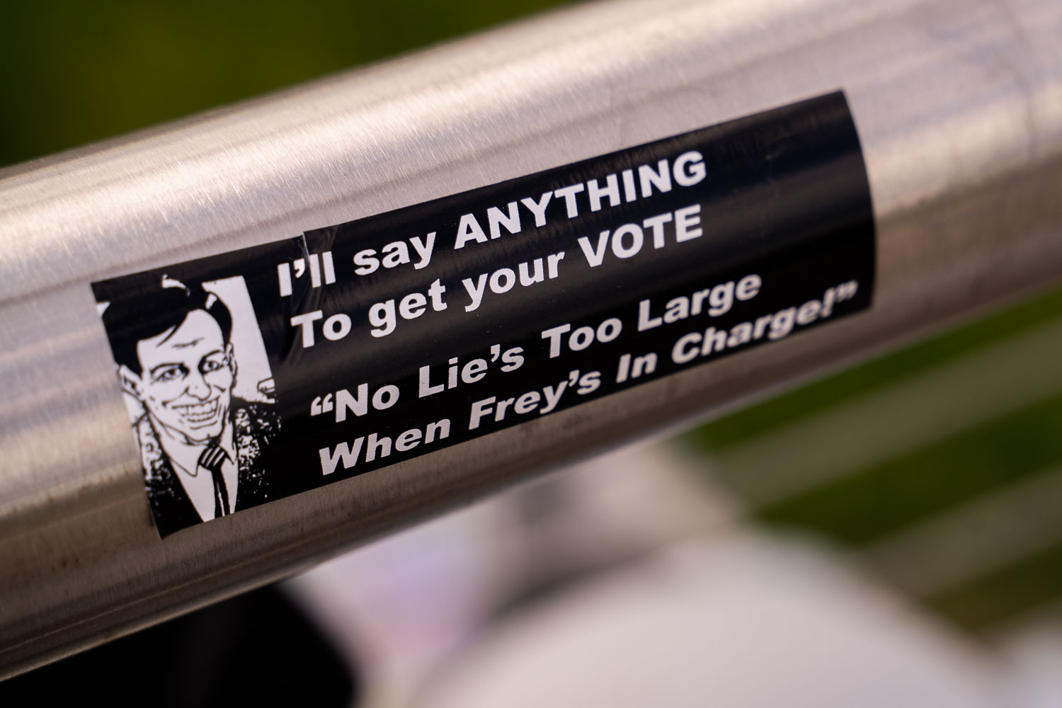
Political sticker affixed to Martin Olav Sabo Bridge criticizing Minneapolis Mayor Jacob Frey's handling of a Frey's restaurant incident.
A sticker mentioning Minneapolis Mayor Jacob Frey seen on the Martin Olav Sabo Bridge in Minneapolis.

“No Lie’s Too Large” Jacob Frey Sticker on a Minneapolis Railing
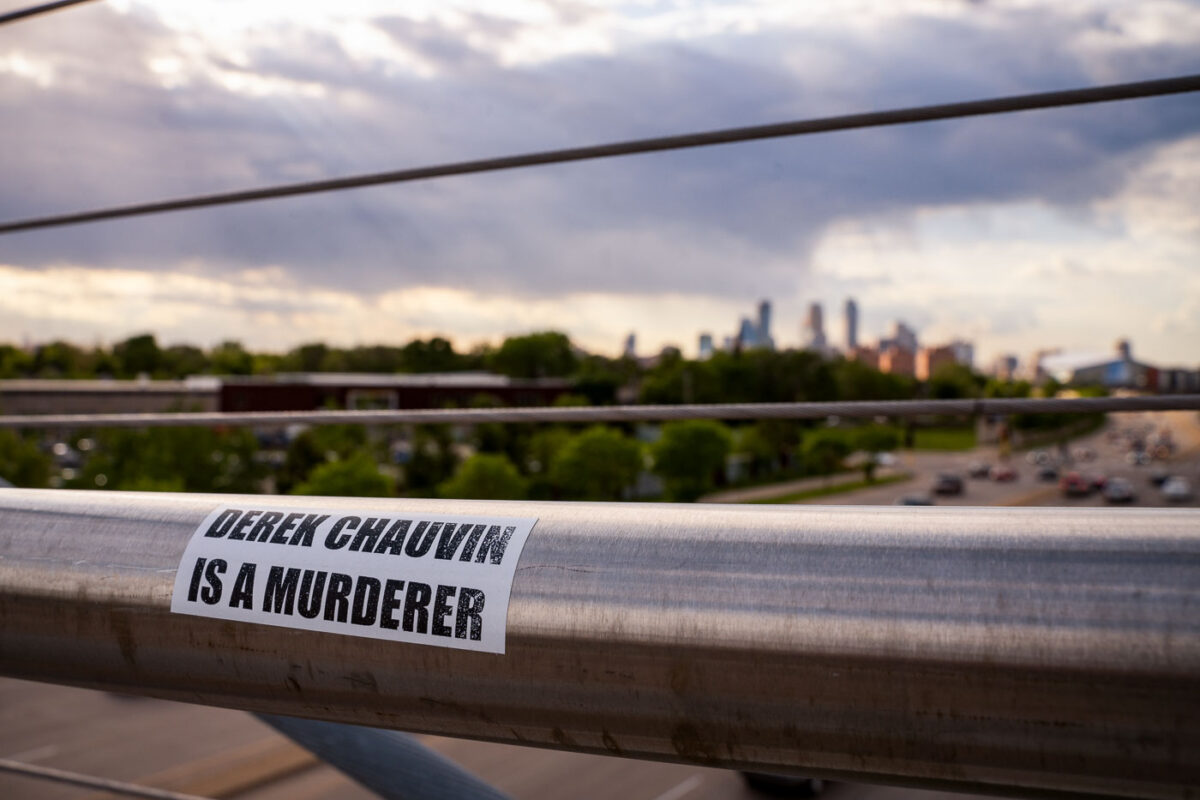
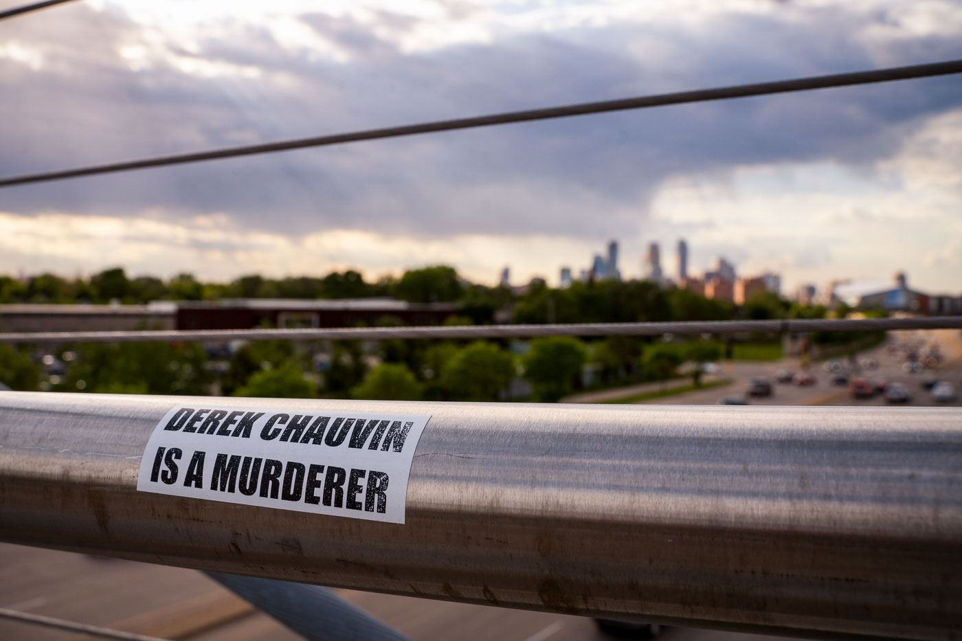
Sticker reading “Derek Chauvin Is a Murderer” on a bridge railing in Minneapolis with skyline in background
A sticker reading "Derek Chauvin Is A Murderer" is affixed to a railing on the Martin Olav Sabo Bridge in Minneapolis. The bridge, which spans Hiawatha Avenue, is a vital transportation link in the city. This message appeared in the context of widespread protests and public outcry following the murder of George Floyd in May 2020, for which former Minneapolis police officer Derek Chauvin was convicted.

Derek Chauvin Sticker on Martin Olav Sabo Bridge, Minneapolis
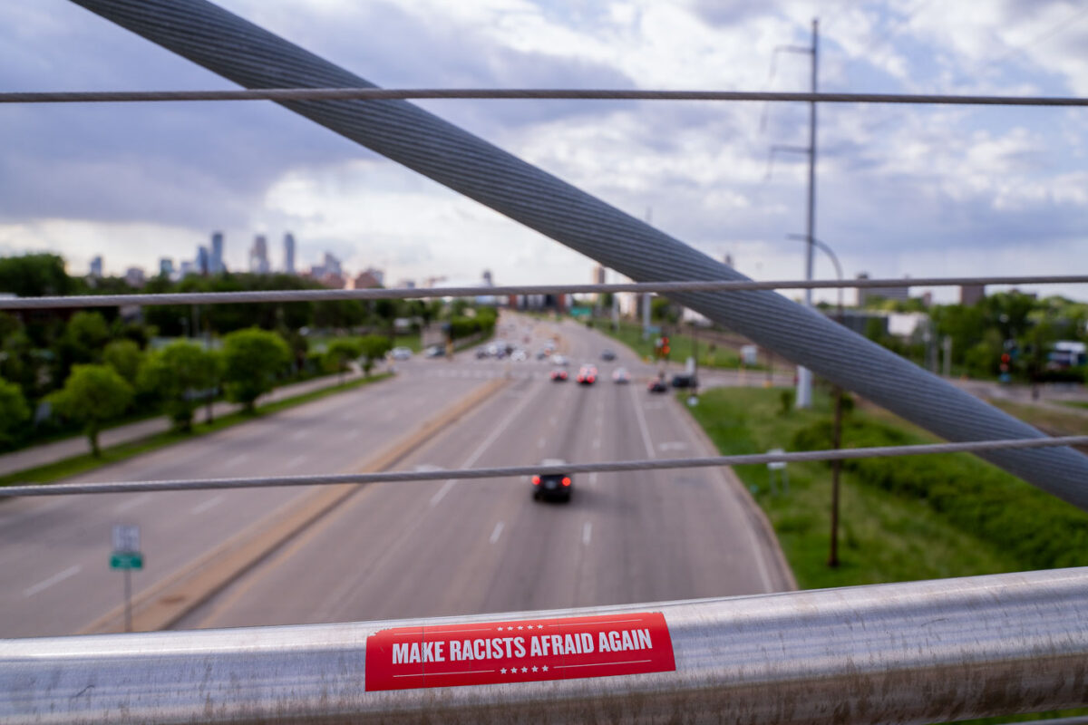
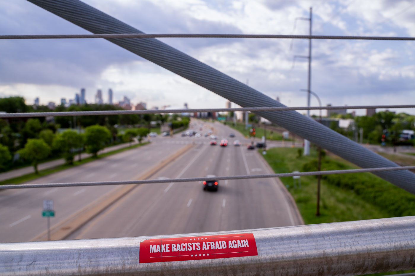
Sticker reading “Make Racists Afraid Again” on the Martin Olav Sabo Bridge over Hiawatha Avenue in Minneapolis.
A sticker on the Martin Olav Sabo bridge in Minneapolis that reads "Make Racists Afraid Again".

Minneapolis: ‘Make Racists Afraid Again’ sticker on Sabo Bridge
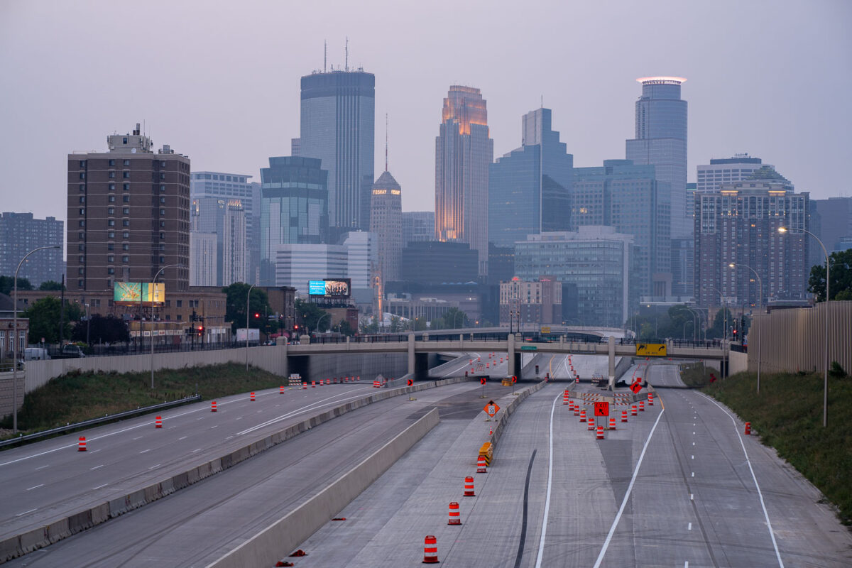
Air quality alerts and Downtown Minneapolis
The Minneapolis skyline is obscured by wildfire smoke, a recurring environmental issue impacting the region. Interstate 35W, a major north-south freeway, is visible in the foreground, marked by construction cones and barriers, indicating ongoing infrastructure work.

Downtown Minneapolis Skyline Through Wildfire Haze
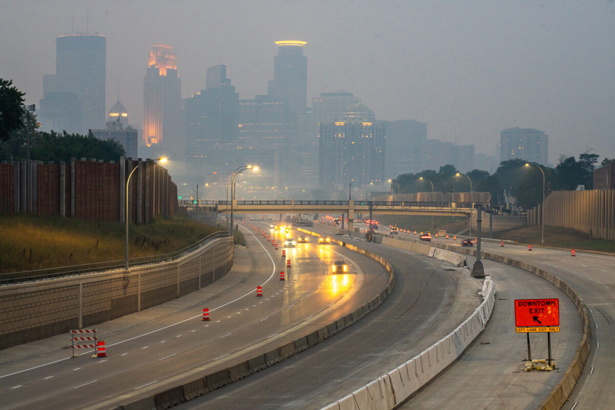
Interstate 35W in Minneapolis under smoke from Canadian wildfires, with downtown in the background.
Interstate 35W in Minneapolis carries traffic past downtown during smoke from Canadian wildfires. The freeway runs through the central city and connects north–south traffic through Minneapolis.

Interstate 35W in Minneapolis with wildfire smoke
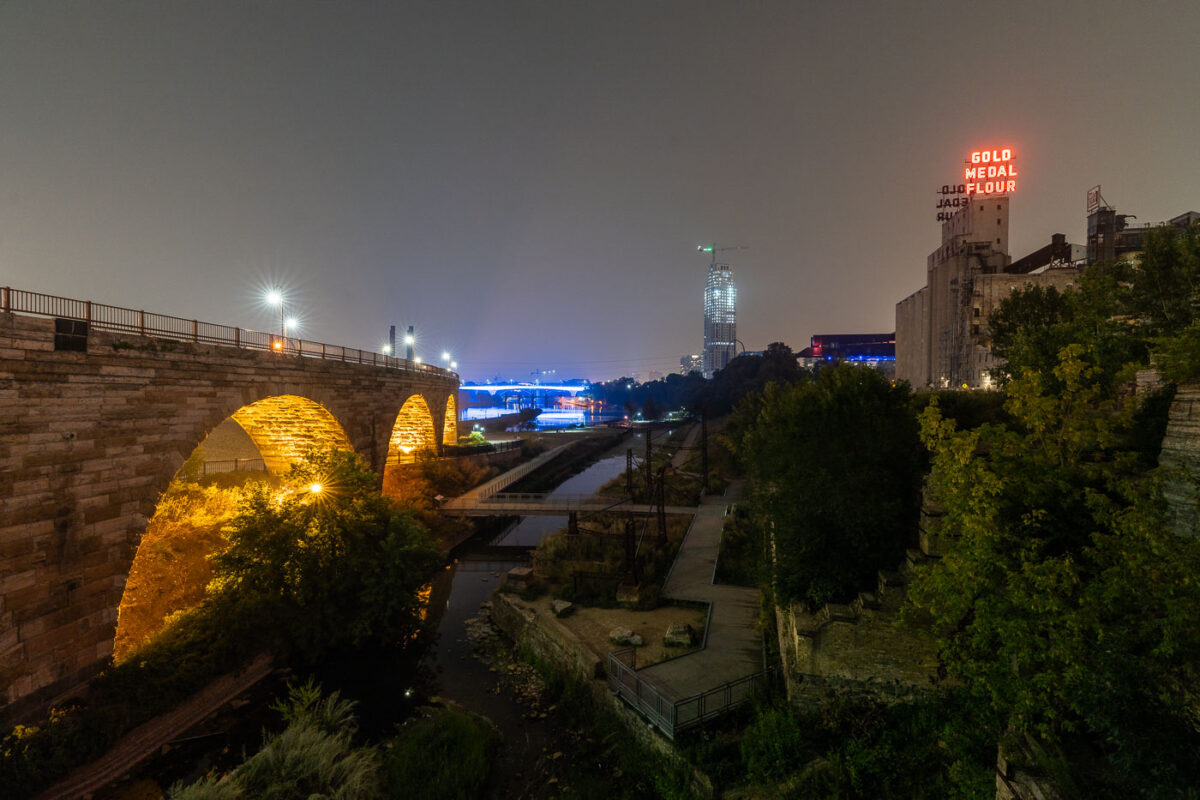
Stone Arch Bridge and Gold Medal Flour sign in Mill Ruins Park, Minneapolis.
Mill Ruins Park in Minneapolis preserves the remains of the Washburn “A” and Pillsbury “A” flour mills along the Mississippi River. The Stone Arch Bridge, completed in 1883 as a railroad crossing, now carries pedestrians and cyclists. The Gold Medal Flour sign marks the former milling district on the riverfront.

Stone Arch Bridge and Gold Medal Flour Sign, Minneapolis
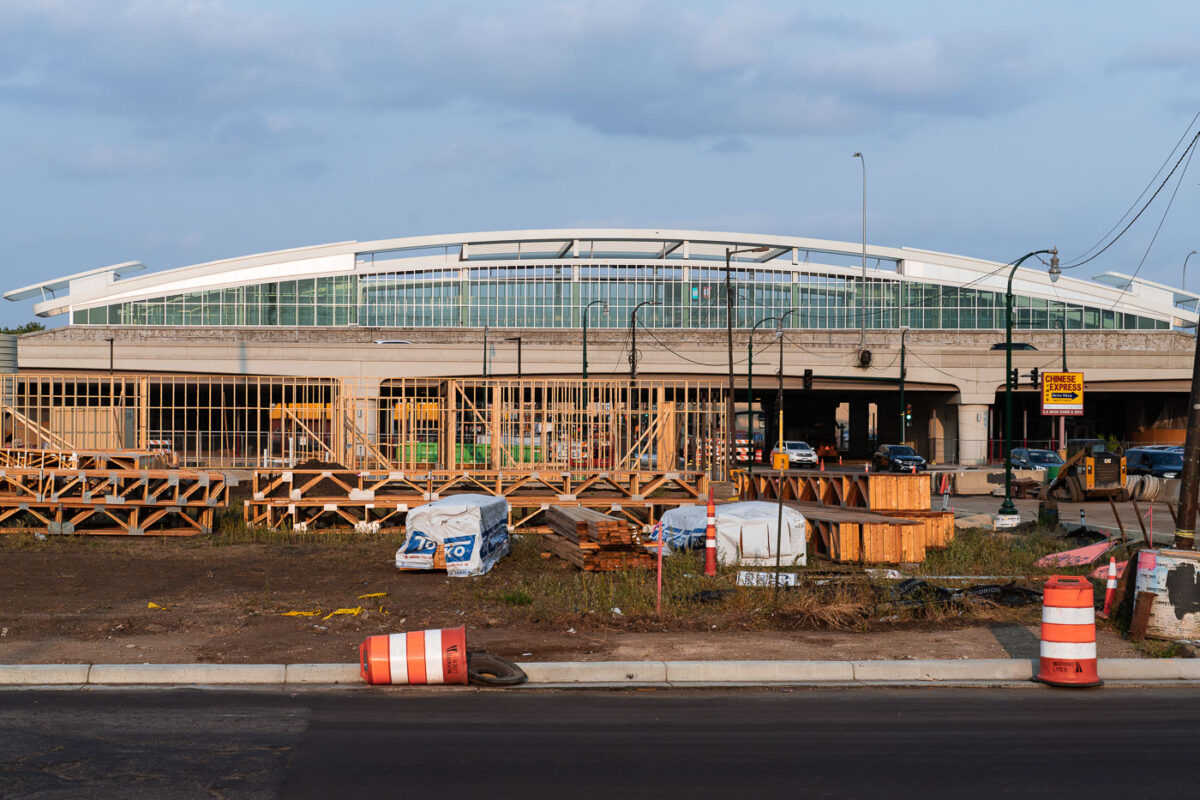
Atlus Staffing Site Rebuild Minneapolis 35W
Construction is underway at the site of the future Lake Street Station in Minneapolis, a transit hub designed to serve the I-35W corridor. The previous Atlas Staffing building on this location was destroyed during protests in the summer of 2020 following the murder of George Floyd.

Lake Street Station Construction Site, Minneapolis
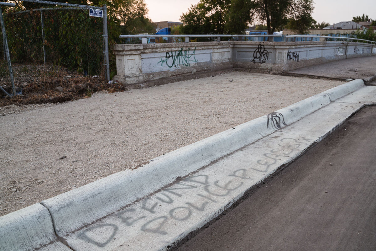
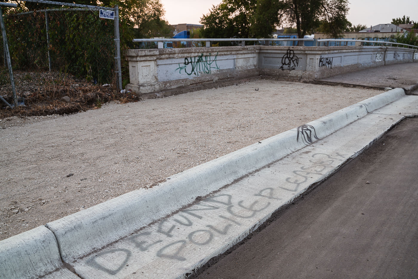
Defund police please
Graffiti reading "Defund Police Please?" is spray-painted on a concrete curb in South Minneapolis.

Defund Police Graffiti on South Minneapolis Curb
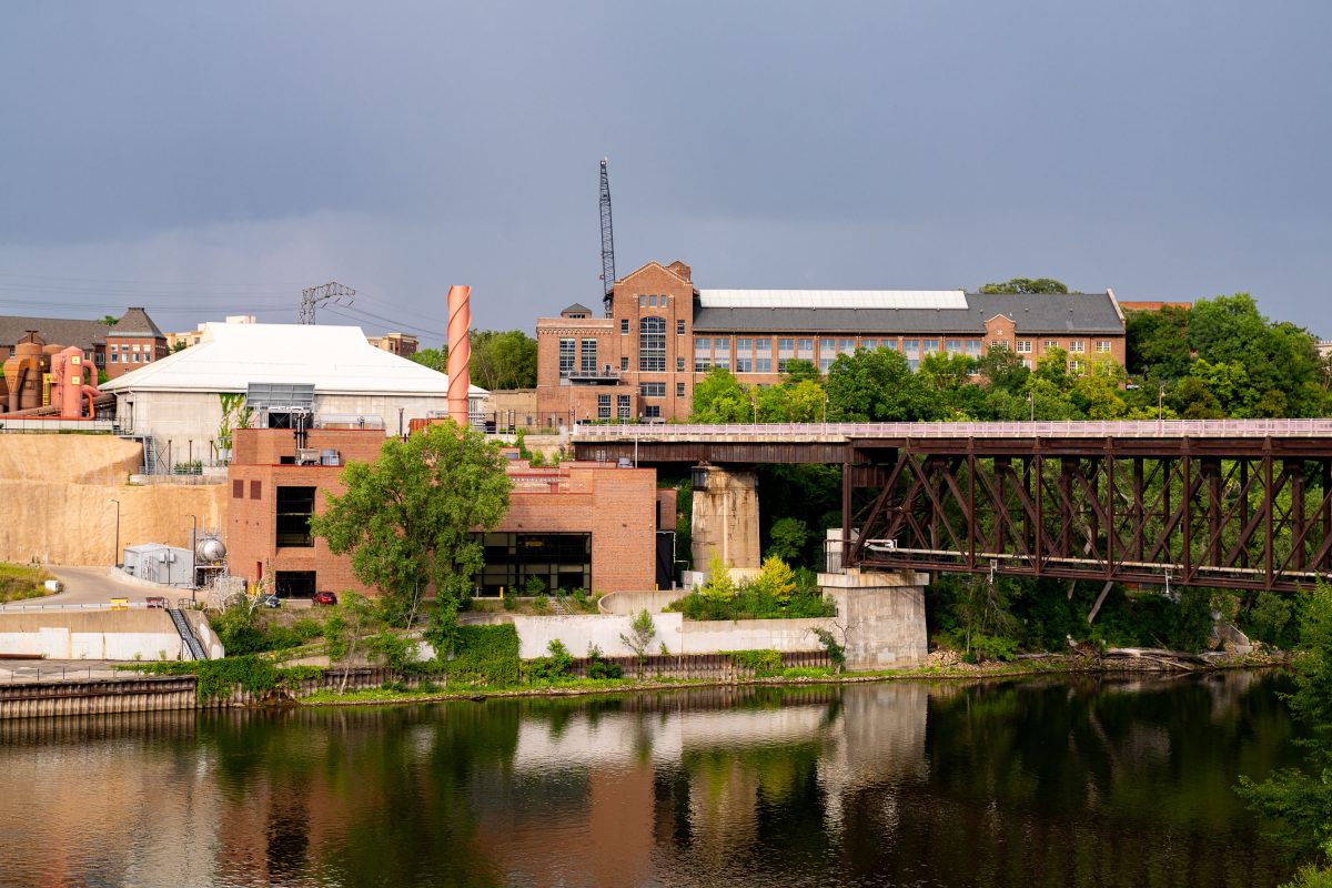
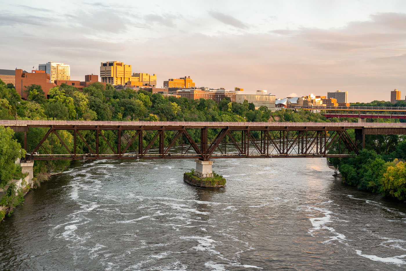
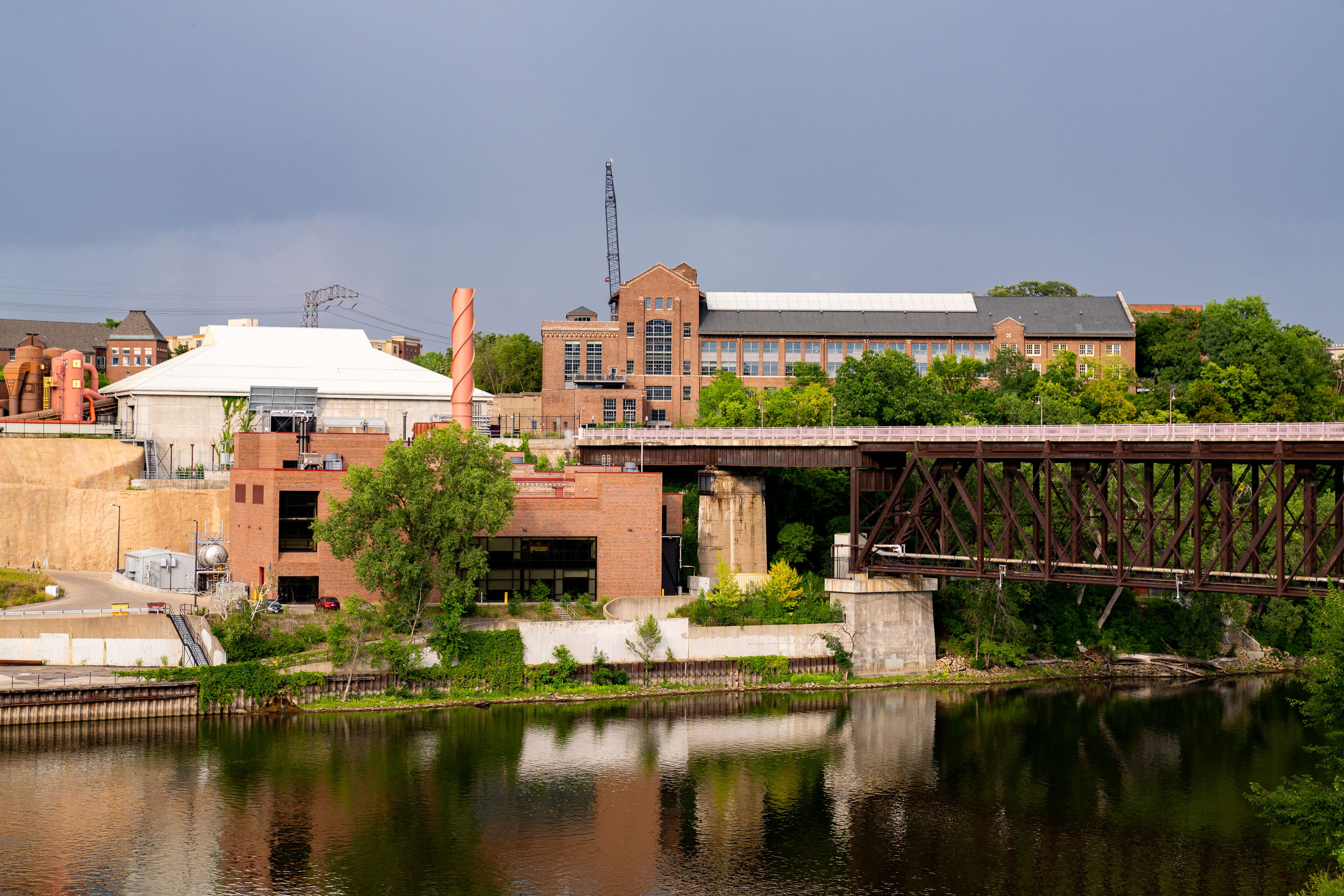
University of Minnesota's Main Energy Plant with railroad bridge spanning the Mississippi River on the Minneapolis campus.
The University of Minnesota's Main Energy Plant stands on the Mississippi River's West Bank, supplying steam and electricity to campus buildings through a district energy system. A railroad bridge crosses the river just beside it, carrying freight traffic through the university area toward downtown Minneapolis.

Rail Bridge Over the Mississippi Near the Main Energy Plant
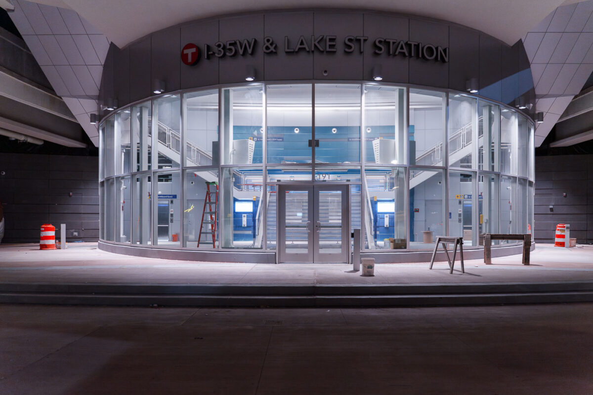
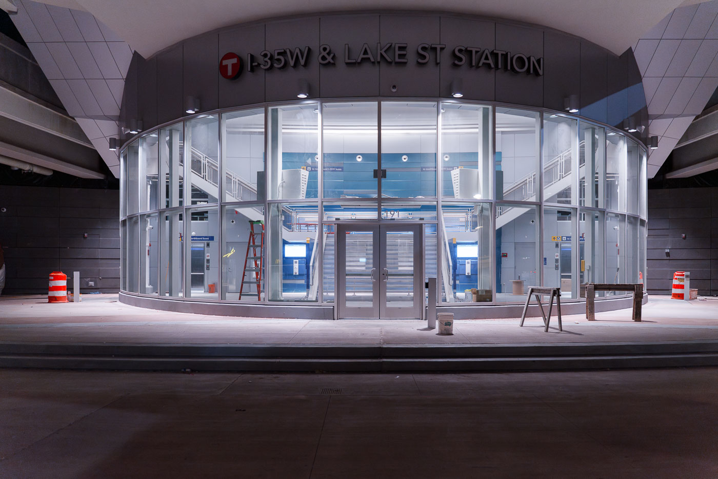
I35W and Lake Street Station development
The I-35W & Lake Street Station in Minneapolis is a multimodal transit hub serving bus routes and connecting to Interstate 35W. Construction was ongoing at the time this photograph was taken.

I-35W & Lake Street Station, Minneapolis
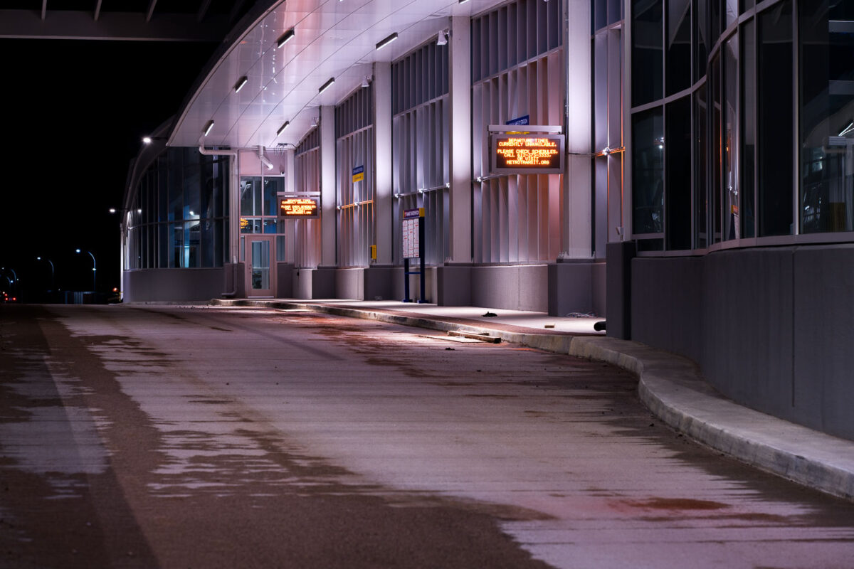
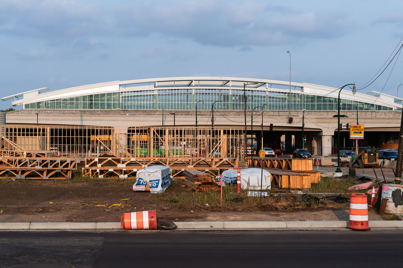
35W Transit Center Under Construction
Construction continues on the 35W Transit Center in South Minneapolis, a key component of the Interstate 35W corridor improvements. This facility is designed to serve as a major hub for Metro Transit bus routes, connecting commuters across the Twin Cities metropolitan area.

35W Transit Center Construction Night
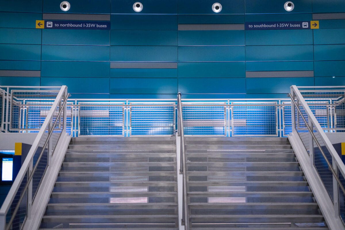
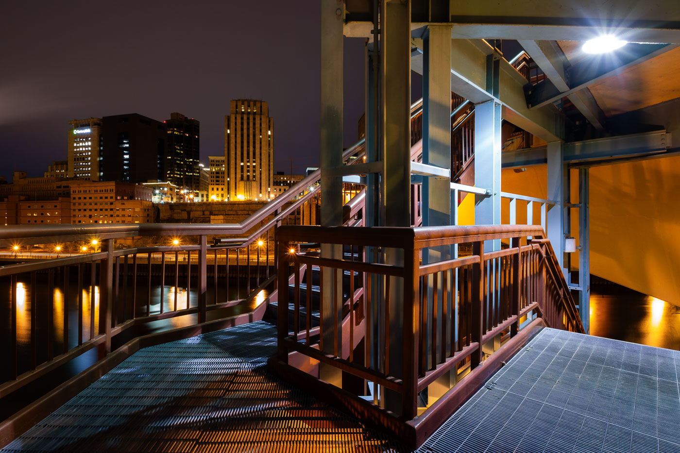
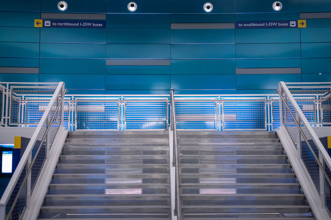
I-35W & Lake Street Transit Center stairs in Minneapolis.
I-35W & Lake Street Transit Center in Minneapolis. The station serves Metro Transit buses on the I-35W corridor and opened as part of the area’s bus rapid transit network.

I-35W & Lake Street Transit Center, Minneapolis
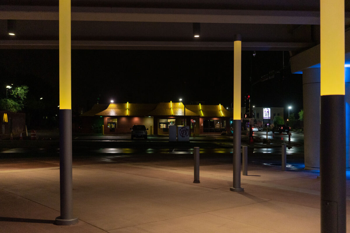
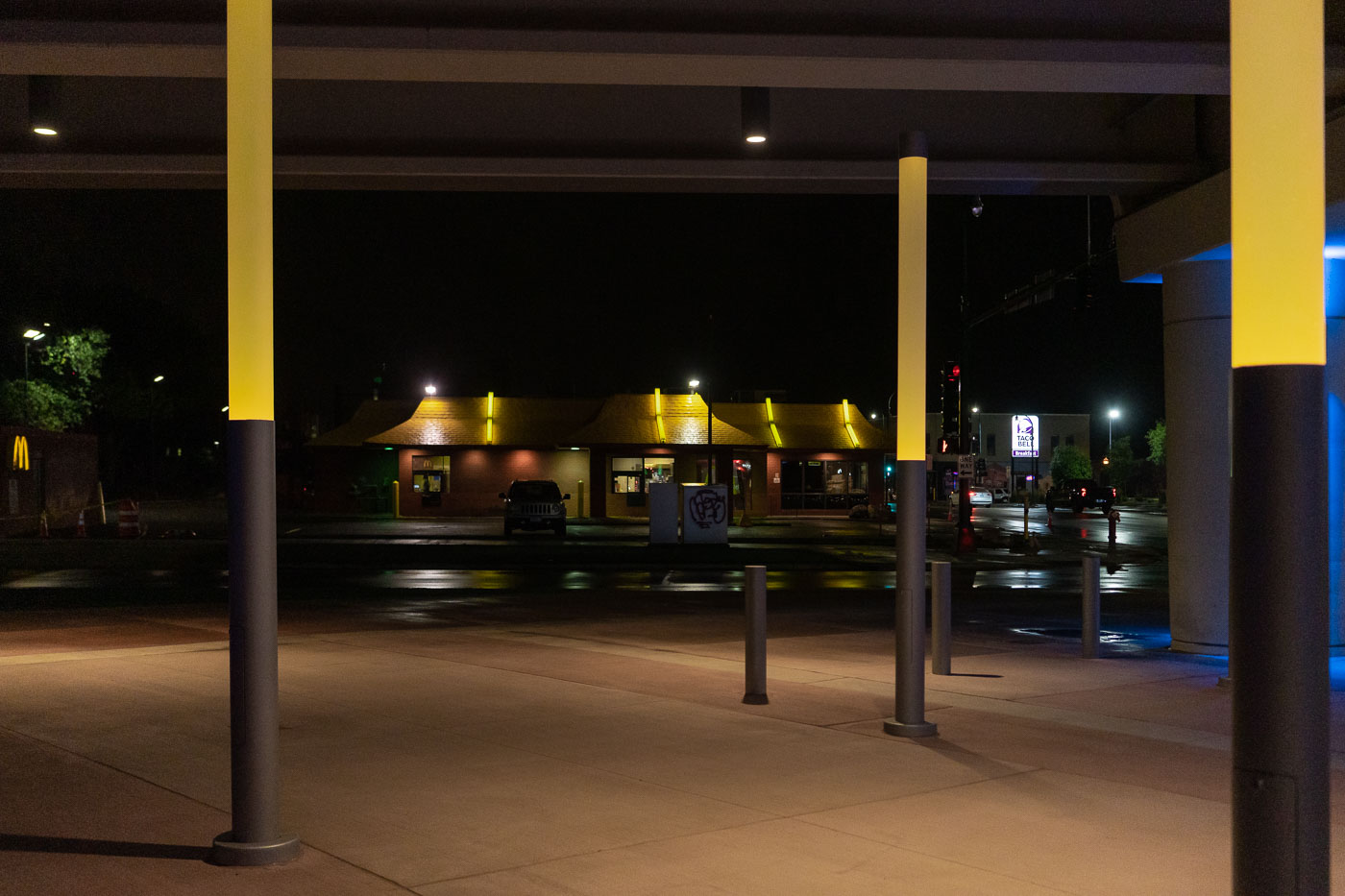
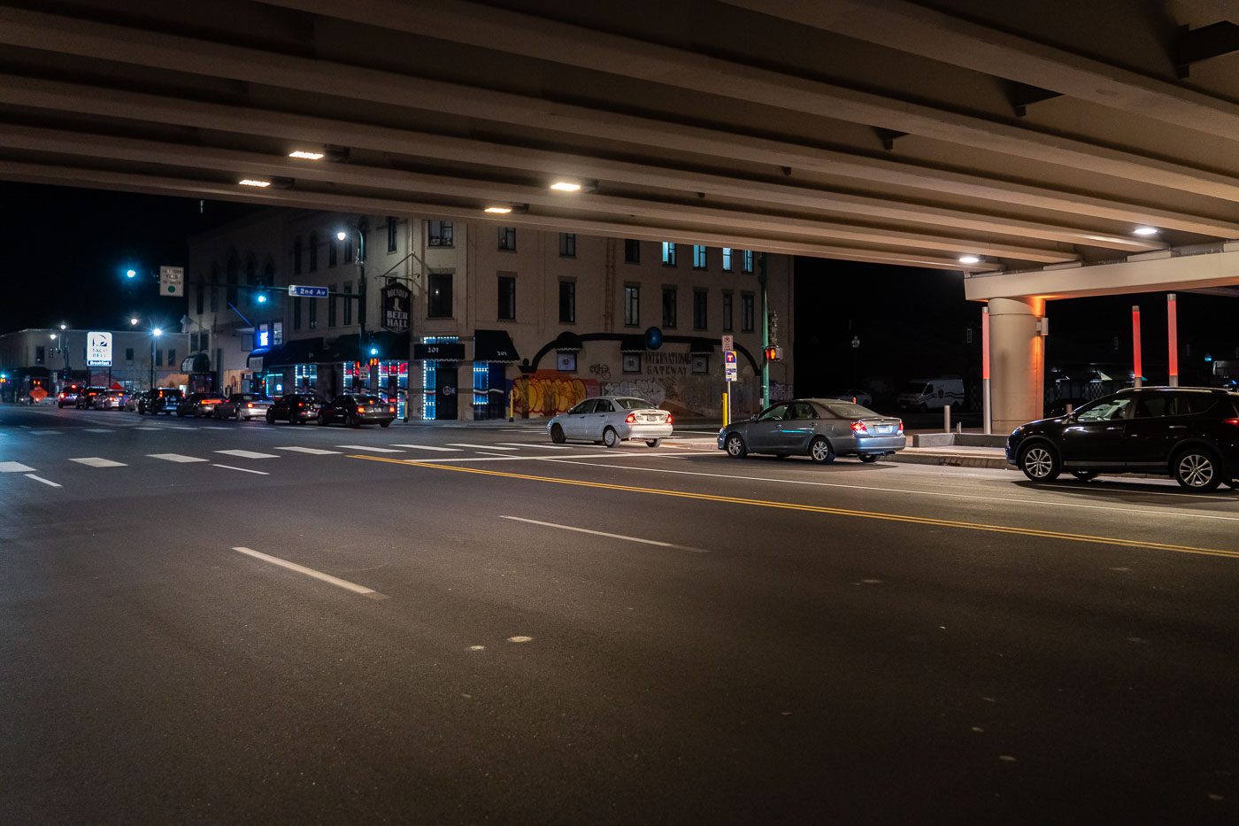
The I-35W Lake Street Station in Minneapolis is illuminated at night, with nearby McDonald's and Taco Bell establishments visible.
The I-35W Lake Street Station in Minneapolis is a transit hub serving South Minneapolis. The station is part of the Metro Transit system and is located near Interstate 35W. The surrounding area includes commercial establishments such as a McDonald's and a Taco Bell, indicating the station's integration into the local urban environment. Its nighttime illumination highlights the functional aspects of the infrastructure, serving commuters and travelers throughout the evening.

I-35W Lake Street Station at Night, Minneapolis
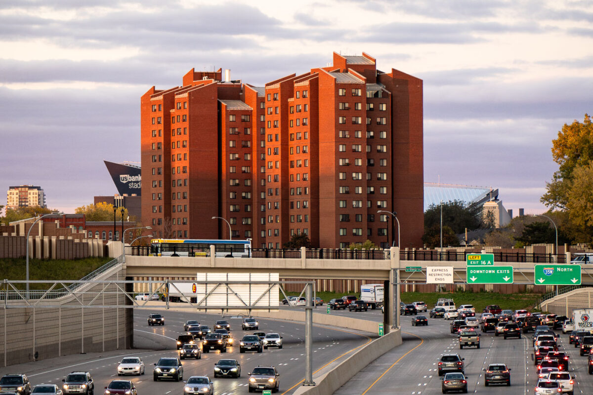
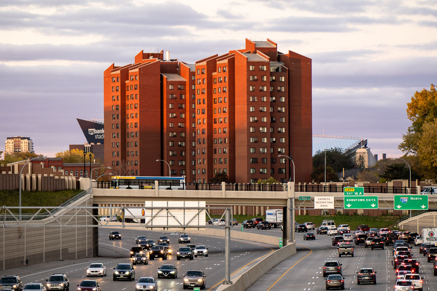
Fifth Avenue High-Rise public housing tower stands near Interstate 35W in Minneapolis, with U.S. Bank Stadium nearby.
The Fifth Avenue High-Rise is a Minneapolis Public Housing Authority property completed in the early 1970s, built to provide affordable apartments for seniors and residents with disabilities. It stands near Interstate 35W, just east of downtown Minneapolis, within a cluster of similar residential towers built during the same period of public housing construction. U.S. Bank Stadium, home of the Minnesota Vikings since 2016, sits nearby along the eastern edge of downtown.

Fifth Avenue High-Rise Public Housing Tower, Minneapolis
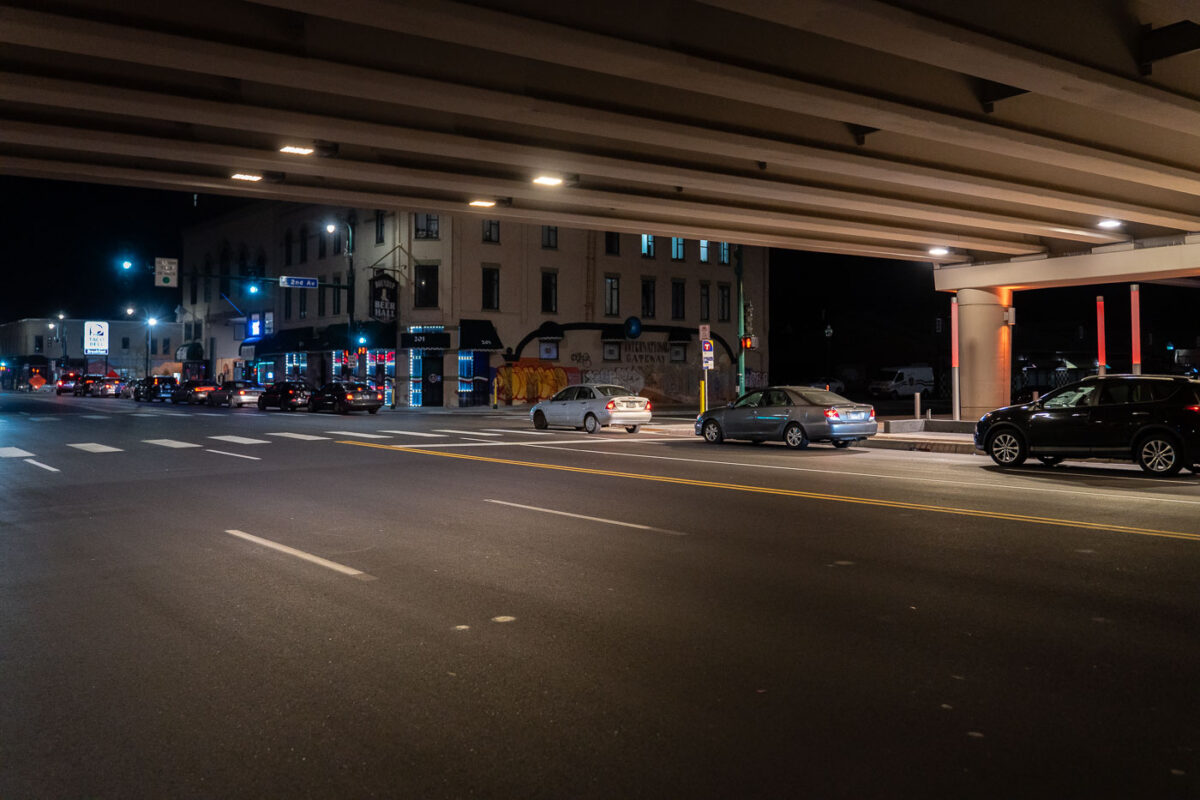
Taco Bell Line on Lake Street in Minneapolis
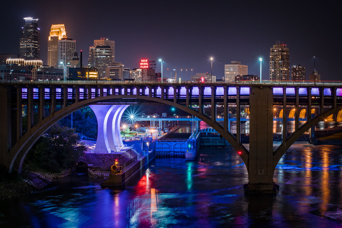
Cars in line for Taco Bell on Lake Street in the early morning hours of November 2021.

Taco Bell Line on Lake Street in Minneapolis
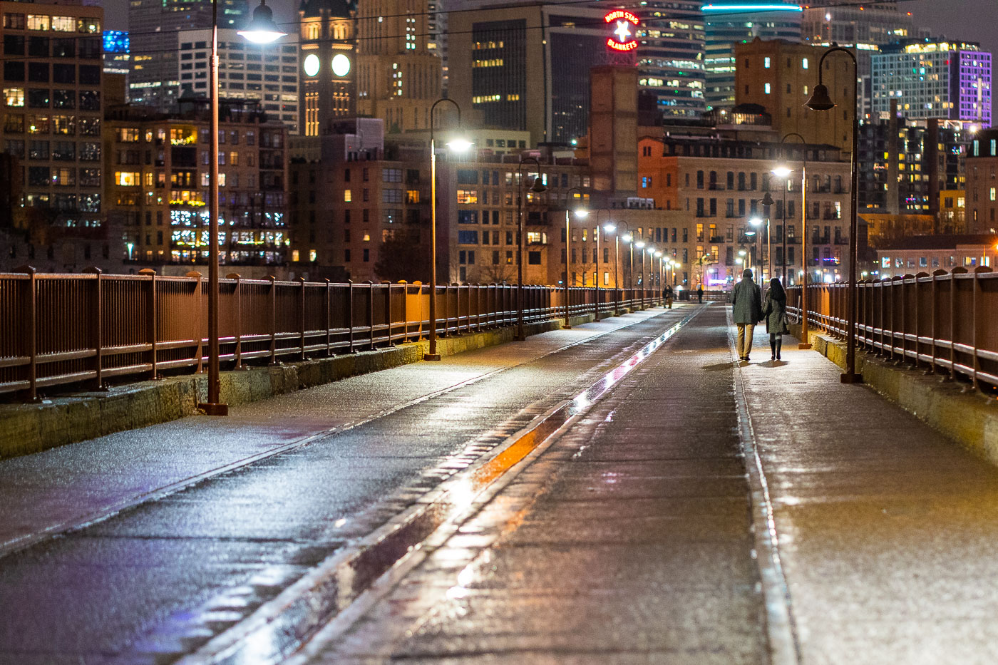
Couple walk the Stone Arch Bridge in December 2021
A couple walks across the Stone Arch Bridge in Minneapolis in December 2021. Constructed in 1883 for the Great Northern Railway, the bridge spans the Mississippi River and is one of the city's oldest railroad bridges. After ceasing rail operations, it was repurposed in 1999 as a pedestrian and bicycle bridge. The structure offers views of St. Anthony Falls and the downtown Minneapolis skyline, serving as a significant link to the city's industrial past and a popular public space today.
Couple on Stone Arch Bridge, Minneapolis, December 2021

Hennepin Avenue bridge on a night with negative temps
Minneapolis gets hidden behind steam when it gets to -15F. Some photos from the early morning hours of January 2, 2022.

Hennepin Avenue Bridge, Minneapolis, at -15F

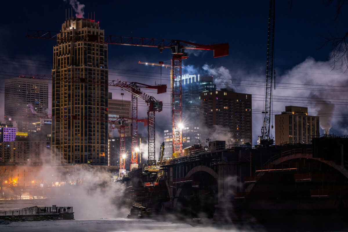
Steam and tower cranes on a frigid night
Construction continues on the Third Avenue Bridge in downtown Minneapolis during frigid winter conditions, with temperatures reaching -15°F. The image shows multiple tower cranes actively working on the bridge's structure, illuminated against the night sky.
Downtown Minneapolis Construction in Frigid Temperatures
Protesters with an anti-police banner in downtown Minneapolis after the killing of Amir Locke.
Protesters marched through Downtown Minneapolis following the police killing of Amir Locke on February 2, 2022. The banner, held by participants, reads "defund? meh abolish? sure BURN4MORE? FUCK YEAH! ACAB MEANS ALL COPS." This march occurred in the aftermath of Locke's death during a no-knock warrant execution by Minneapolis Police.
Minneapolis Protest: “Burn 4 More” and “ACAB” Banner
Banner for Amir Locke on Irene Hixon Whitney Bridge above I-94 in Minneapolis.
A banner reading "MPLS PDX AVENUE LOVE SOLIDARITY AMIR PATRICK" hangs from the Irene Hixon Whitney Bridge in Minneapolis. The bridge, which spans over Interstate 94 near the Lowry Hill Tunnel, is a pedestrian walkway connecting the Lowry Hill neighborhood to the Minneapolis Sculpture Garden. The banner was displayed in solidarity with protests in Portland, Oregon, following the death of Amir Locke, who was fatally shot by Minneapolis police officers in February 2022.
Minneapolis: Banner on Irene Hixon Whitney Bridge Demands Justice for Amir Locke

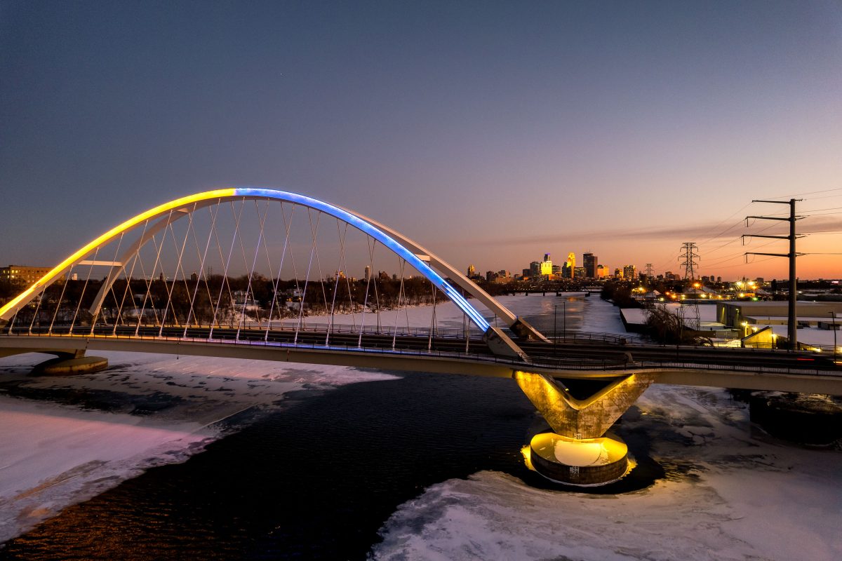
Lowry Avenue Bridge in Minneapolis illuminated in yellow and blue at sunset in support of Ukraine.
The Lowry Avenue Bridge crosses the Mississippi River, linking Minneapolis's Camden and Northeast neighborhoods. The current span opened in 2012, replacing an earlier bridge that closed in 2008 after a barge struck and damaged one of its piers. The bridge lit up blue and yellow in solidarity with Ukraine in 2022.

Lowry Avenue Bridge Lit in Ukrainian Colors

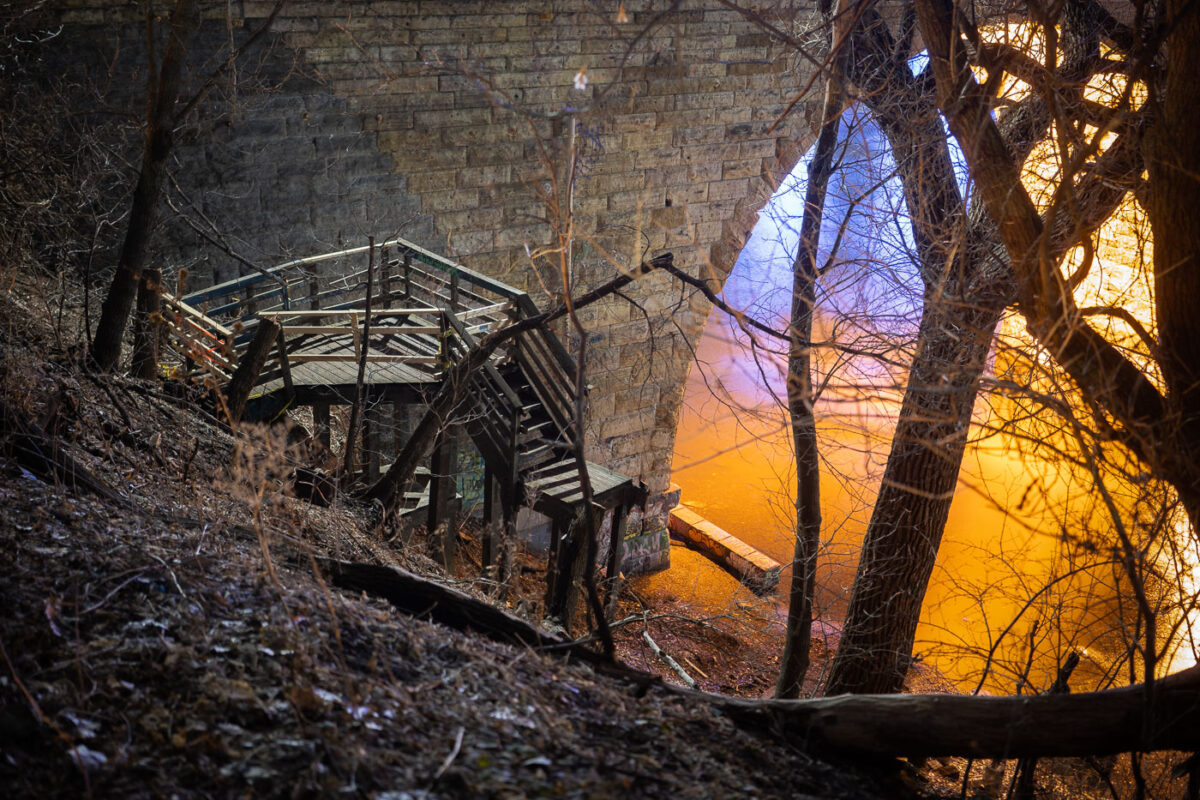
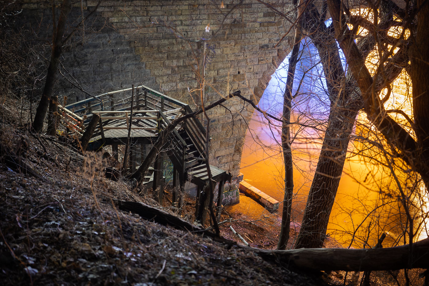
Wooden staircase under dismantling near the Stone Arch Bridge alongside the Mississippi River in Minneapolis.
Wooden stairs being dismantled near the Stone Arch Bridge in Minneapolis, adjacent to the Mississippi River. Originally constructed in 1883, the Stone Arch Bridge served as a vital railway crossing for the Great Northern Railway. It was later repurposed and opened to the public in 1992 as a pedestrian and bicycle bridge.

Dismantled Stairway Beneath the Stone Arch Bridge

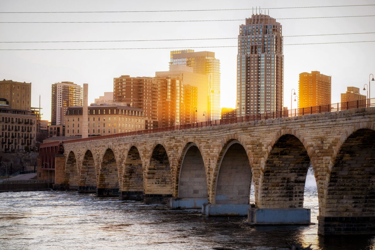
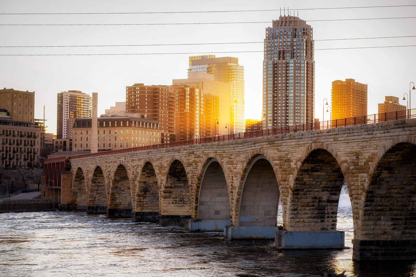
The Stone Arch Bridge spans the Mississippi River in Minneapolis at sunset with the city skyline beyond.
The Stone Arch Bridge, a historic 2,300-foot-long stone arch bridge spanning the Mississippi River in Minneapolis. Constructed in 1883, it was once the longest stone arch bridge in the world and served as a vital railway bridge for the Great Northern Railway.

Golden Light Over Minneapolis Skyline From Stone Arch Bridge

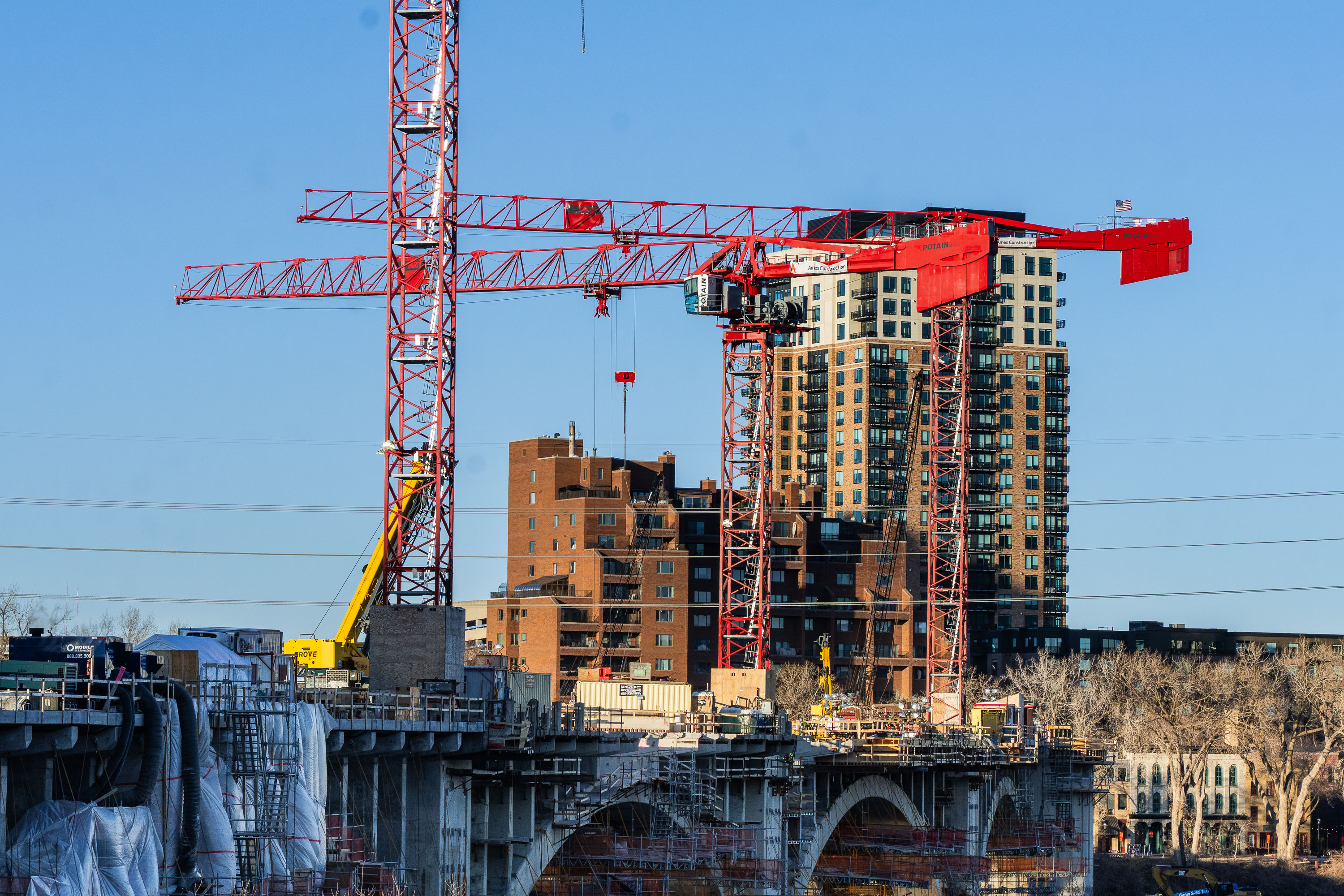
Third Avenue bridge construction in Minneapolis
Cranes on the Third Avenue bridge in Minneapolis. The bridge across the Mississippi River near downtown has been closed for years.

Third Avenue bridge construction in Minneapolis
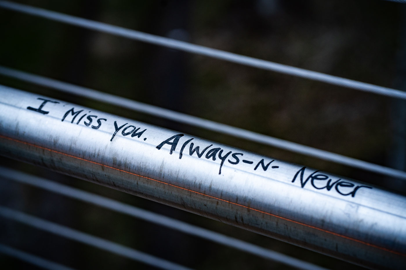
Handwritten graffiti reading "I miss you. Always -N- Never" on the Martin Olav Sabo Bridge in Minneapolis.
Graffiti on the Martin Olav Sabo Bridge in Minneapolis reads, "I miss you. Always -N- Never." The bridge, completed in 1997, spans the Hiawatha Avenue corridor and connects the Seward and Longfellow neighborhoods.
“I Miss You, Always-N-Never” on the Sabo Bridge Railing

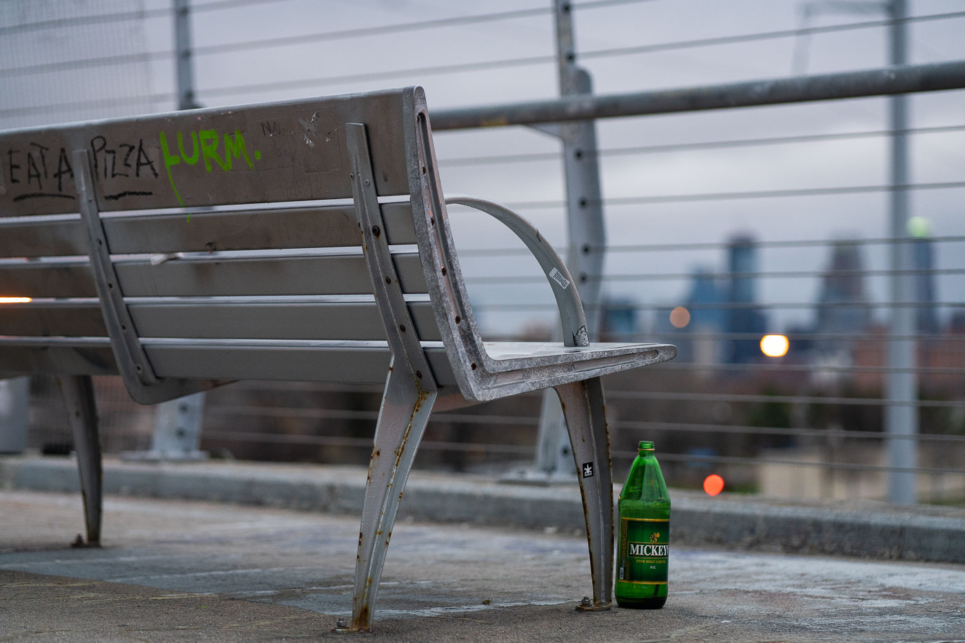
Bench Overlooking Downtown Minneapolis Mickey's Beer
A weathered metal bench sits along one of Minneapolis’s elevated pedestrian and bicycle bridges, its frame showing rust from years of exposure to winter salt and freeze–thaw cycles. The skyline appears in the distance—soft, cool, and out of focus—giving the bench a quiet vantage point over the city. Graffiti tags on the slats and a discarded green Mickey’s bottle beneath the seat add small traces of everyday use, hinting at how these bridges serve not just as transportation corridors but as informal social spaces. Many of the city’s long-span pedestrian bridges, especially those built over rail corridors and highways, were added during the late 20th century to connect neighborhoods divided by infrastructure. Despite their utilitarian design, they often become familiar landmarks for runners, cyclists, and residents crossing between neighborhoods at dusk, when the muted lights of downtown begin to glow against the evening sky.

Bench Overlooking Downtown Minneapolis Mickey’s Beer
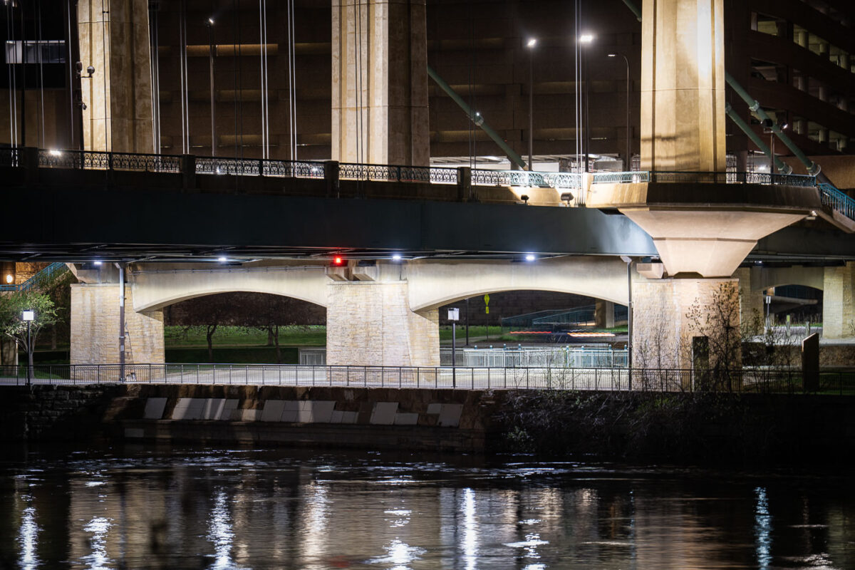
Hennepin Avenue Bridge spans the Mississippi River at night in downtown Minneapolis.
The Hennepin Avenue Bridge crosses the Mississippi River at the site of the first bridge ever built across the river, a suspension span opened in 1855. The current structure, a concrete arch bridge completed in 1990, replaced an 1889 steel suspension bridge that had carried traffic across the same crossing for a century.

Hennepin Avenue Bridge Arches Over the Mississippi at Night