Bridge

171 photos · 2008–2026

171 photographs tagged Bridge, 2008–2026.
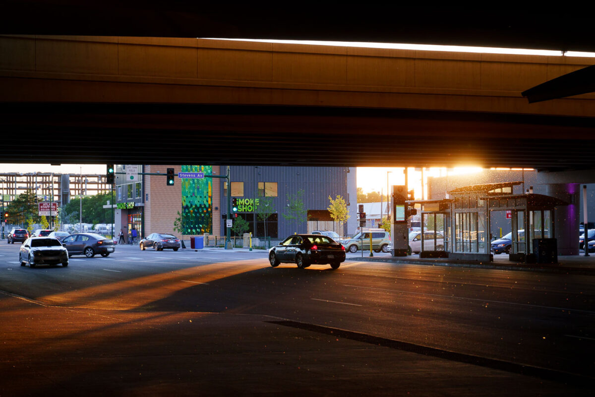
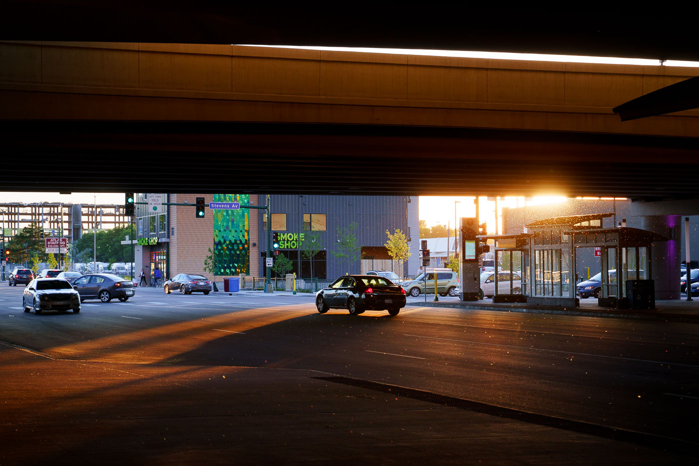
Sun goes down under I35W in Minneapolis
Sunset casts long shadows under the Interstate 35W bridge at the Lake Street Station in Minneapolis.

Sunset under I-35W at Lake Street, Minneapolis

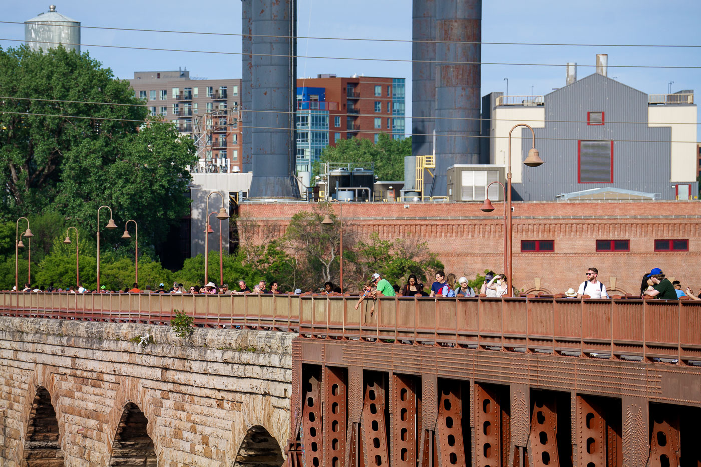
People walk and gather on the Stone Arch Bridge spanning the Mississippi River in Minneapolis, with historic brick industrial buildings and mill smokestacks visible in the background.
The Stone Arch Bridge spans the Mississippi River in downtown Minneapolis, linking the city's east and west banks near St. Anthony Falls. Built in 1883 by railroad magnate James J. Hill for his Great Northern Railway, it was the only span of its kind on the upper Mississippi, built with 23 stone and granite arches to carry trains rather than road traffic. The bridge now serves as a pedestrian and bicycle crossing within the Mississippi Mile trail system.

Pedestrians Crossing the Stone Arch Bridge in Minneapolis

Booths setup at the Stone Arch Festival in Downtown Minneapolis
Booths are set up for the Stone Arch Festival in downtown Minneapolis, an annual event that celebrates art and culture along the Mississippi River. The festival takes place in the historic St. Anthony Falls district, adjacent to the Stone Arch Bridge, a landmark originally built for railroad use in 1883. This area has transformed from an industrial hub to a vibrant public space, hosting numerous community events throughout the year. The festival showcases local artists, craftspeople, and food vendors, drawing large crowds to the riverfront.

Stone Arch Festival Booths Downtown Minneapolis
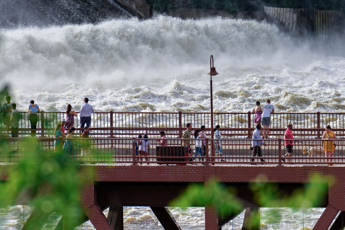
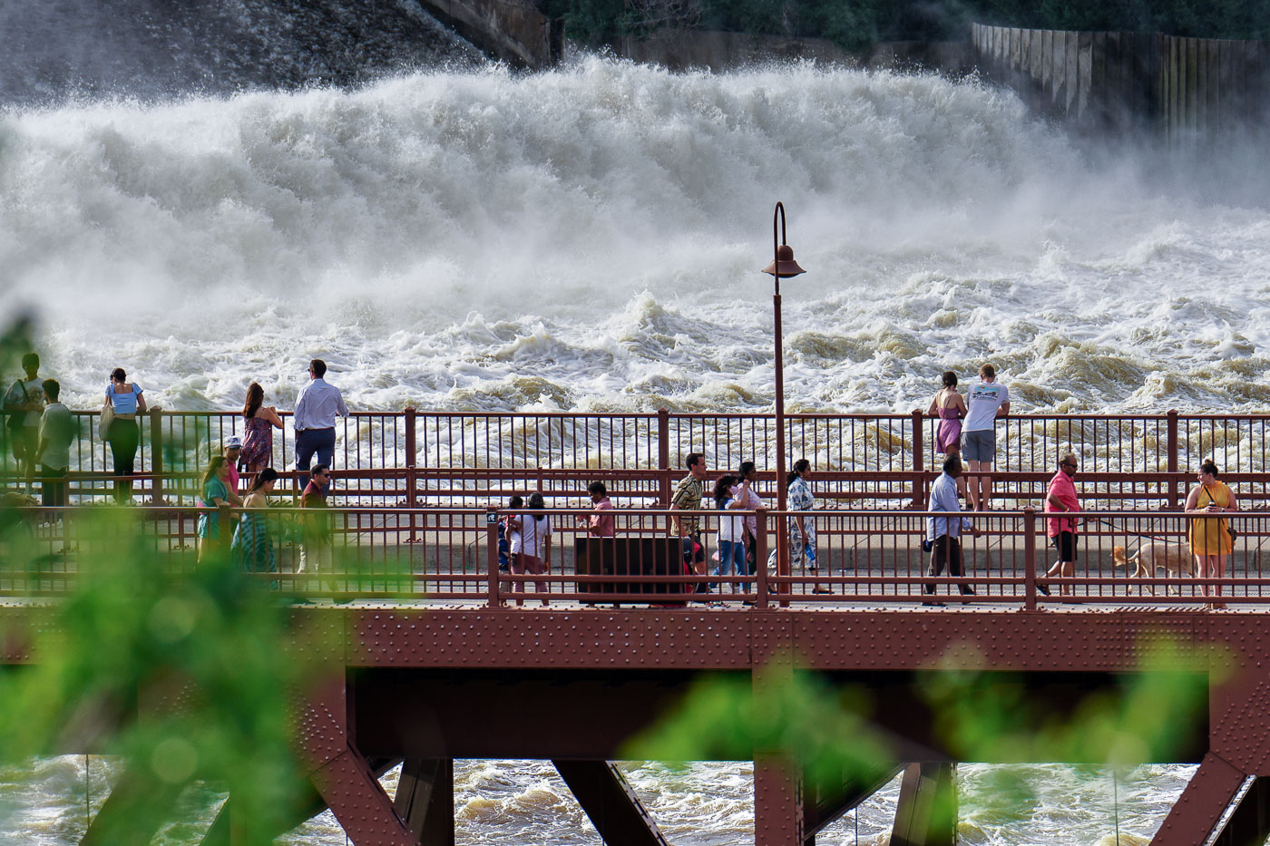
St Anthony Falls in downtown Minneapolis on a summer day
People gather on the Stone Arch Bridge in Minneapolis to observe the powerful flow of St. Anthony Falls on the Mississippi River. Originally constructed in 1883 for the Great Northern Railway, the Stone Arch Bridge is the only arched bridge made of stone-faced concrete in the United States. It was later converted into a pedestrian and bicycle bridge, offering unique views of the river and the historic flour milling district. The falls themselves were once the site of extensive milling operations, powered by the river's force, and remain a significant natural and historical landmark within the city.

People on Stone Arch Bridge watching St. Anthony Falls, Minneapolis

Graffiti, Art, Martin Olav Sabo Bridge, Minneapolis
Graffiti on the Martin Olav Sabo Bridge in Minneapolis reads, "Theres more to life than being really, really ridiculously good at graffiti. Not really..."

Martin Olav Sabo Bridge Graffiti, Minneapolis

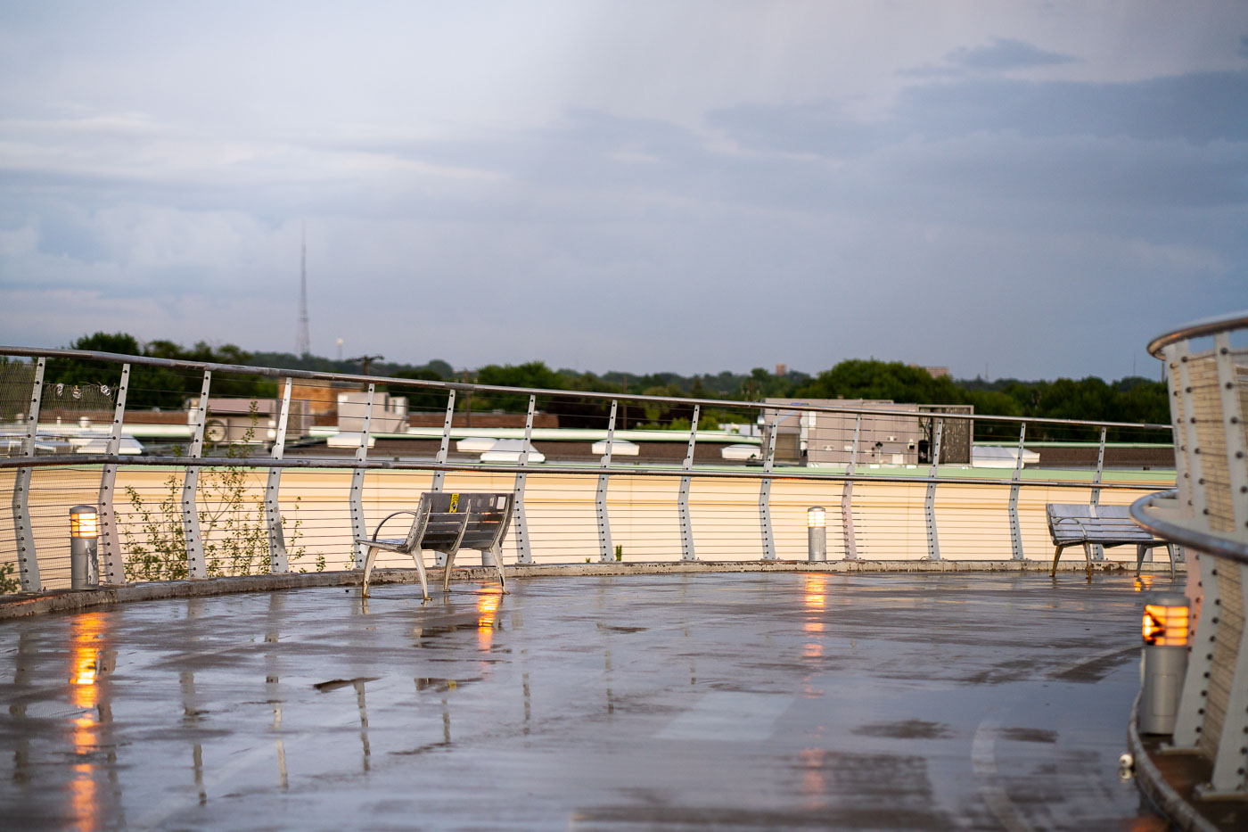
Wet deck on the Martin Olav Sabo Bridge in Minneapolis after rain.
The Martin Olav Sabo Bridge in Minneapolis, also known as the "Hiawatha Line Bridge," is a pedestrian and bicycle bridge that opened in 2002. It spans the Hiawatha Avenue Light Rail corridor, connecting the Longfellow and Cooper neighborhoods and serving as a crucial link for non-motorized transit. The bridge's design includes aesthetic features like integrated lighting and seating areas, intended to enhance the user experience. The "wet deck" in the title refers to the bridge's surface, glistening with reflections after recent rain.

Martin Olav Sabo Bridge, Minneapolis: Wet Deck After Rain
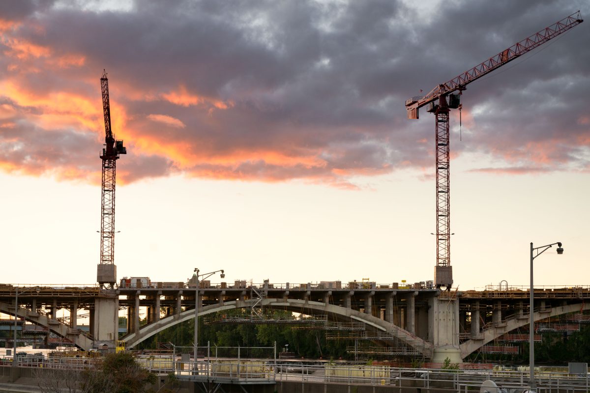
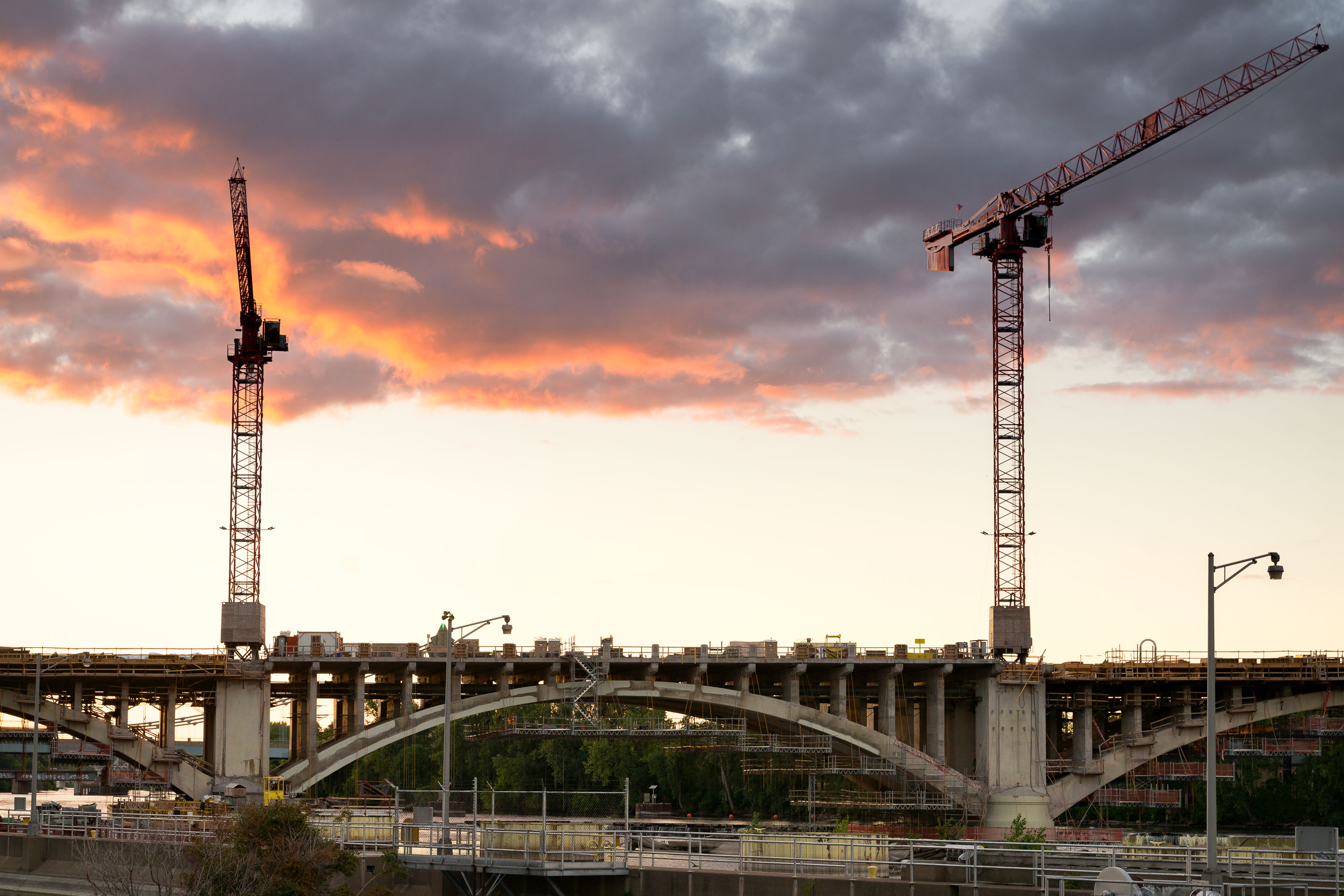
Third Avenue Bridge under construction in Minneapolis at sunset with two cranes.
Construction cranes are visible over the Third Avenue Bridge in Minneapolis during a sunset. This bridge is a critical link between downtown Minneapolis and the Northeast community, spanning the Mississippi River. The ongoing reconstruction project aims to modernize the structure, which was originally built in the early 20th century and has served as a key piece of the city's transportation network.

Third Avenue Bridge Construction, Minneapolis Sunset
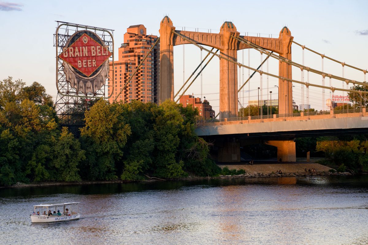
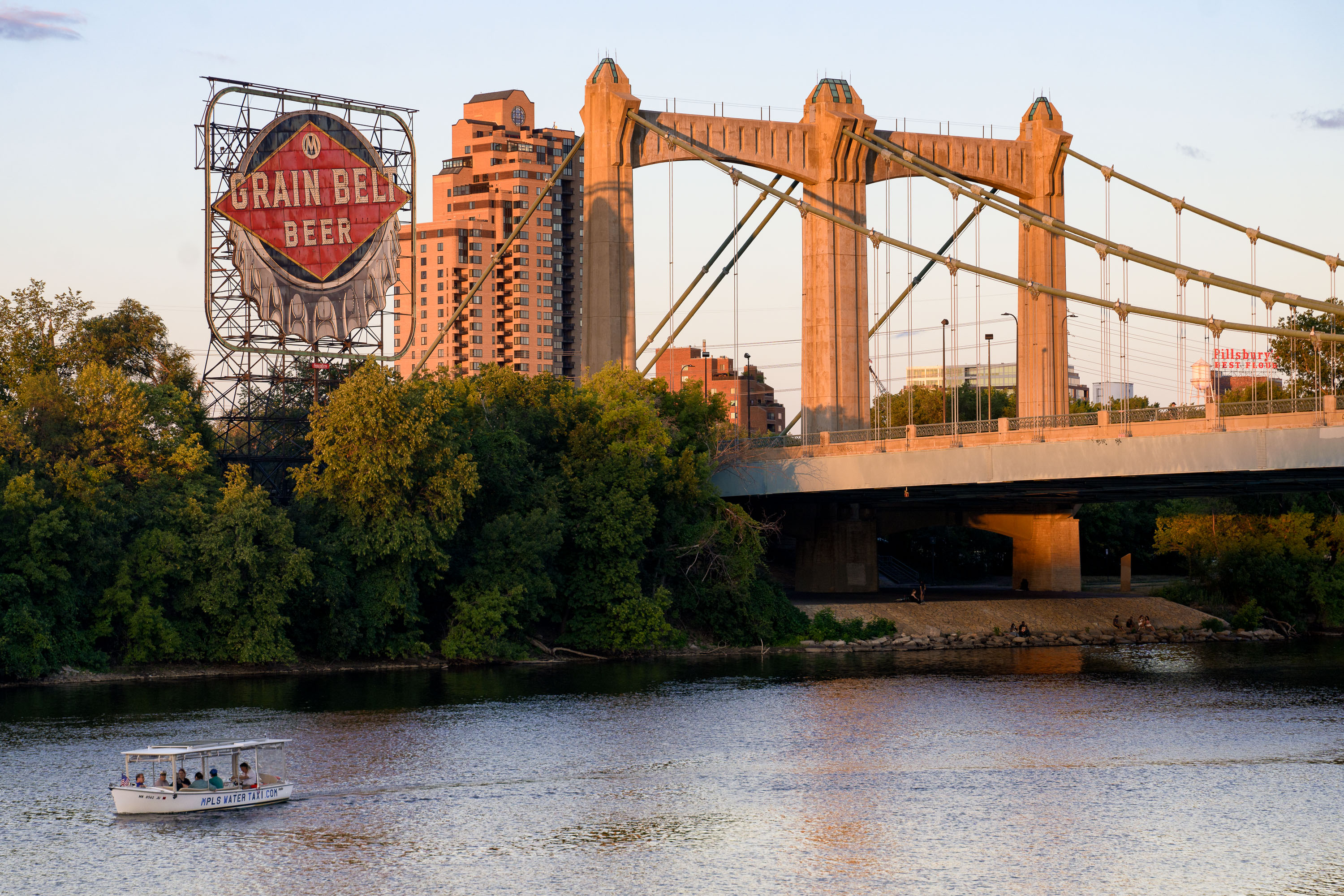
Water taxi on the Mississippi River below Hennepin Avenue Bridge and the Grain Belt sign in Minneapolis.
A water taxi travels on the Mississippi River in Minneapolis, passing under the Hennepin Avenue Bridge. Completed in 1929, the bridge is a significant example of early 20th-century infrastructure. The historic Grain Belt Beer sign, a remnant of the area's industrial past, is visible in the background, alongside modern residential buildings. The Mississippi River remains a vital transportation corridor, with services like the water taxi continuing its historical role.

Minneapolis Water Taxi, Hennepin Ave Bridge, Grain Belt Sign
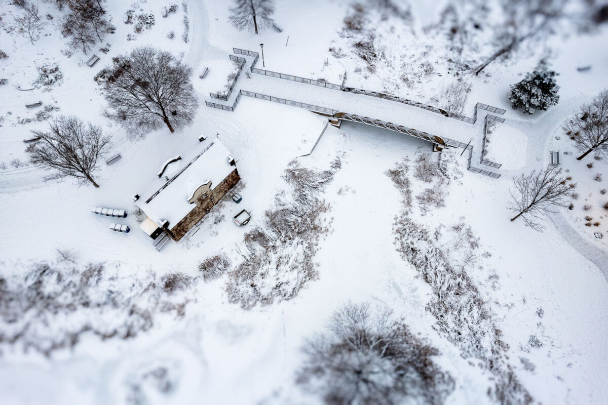
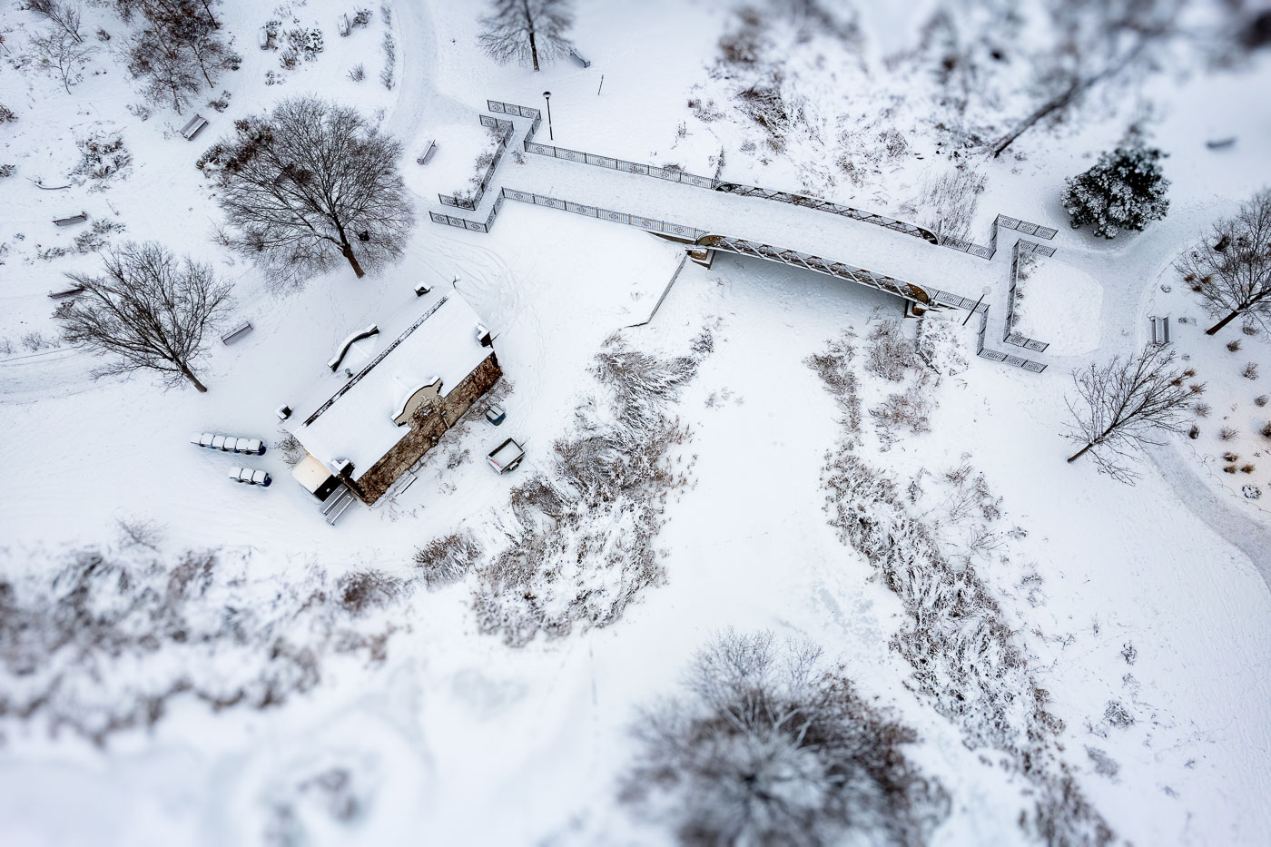
Fresh snowfall at Loring Park in Minneapolis
A fresh snowfall settles over Loring Park near downtown Minneapolis, softening the landscape around the park’s pedestrian bridge and historic shelter building. From above, the snow highlights the geometric layout of paths, railings, and terraces surrounding the bridge, which crosses a narrow channel connecting sections of the park’s pond system. Loring Park—a key part of the city’s late-19th-century park plan—remains one of Minneapolis’s most recognizable urban green spaces, bordered by the Loring Greenway and the southern edge of downtown. The new snow creates a uniform winter texture across the lawns, benches, and shoreline vegetation, with only light footprints and plowed walkways hinting at early morning activity in the park.

Loring Park Footbridge After Fresh Snowfall
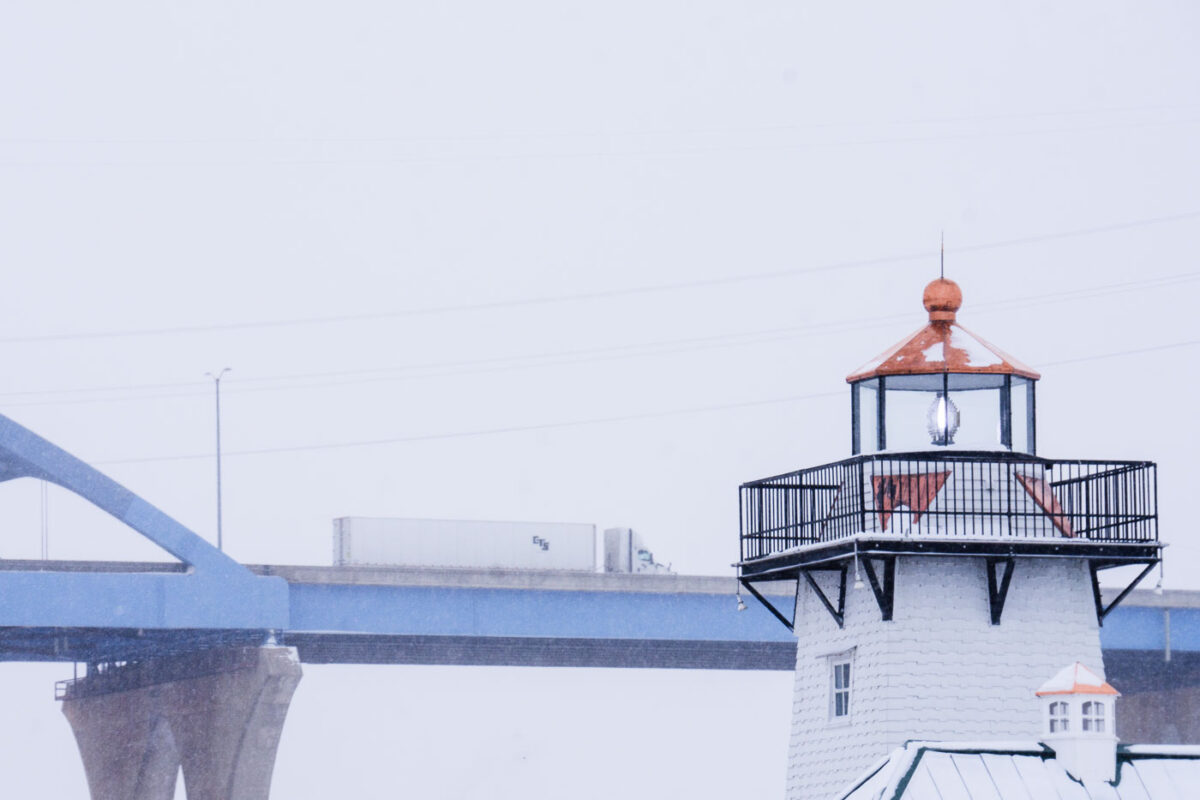
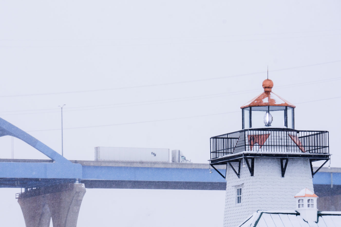
A tractor-trailer crosses the Leo Frigo Memorial Bridge in Green Bay, Wisconsin, during a snowstorm, with a lighthouse in the foreground.
A CTS tractor-trailer crosses the Leo Frigo Memorial Bridge—locally known as the Tower Drive Bridge—during a winter snowstorm in Green Bay, Wisconsin. In the foreground, the familiar shingled lighthouse structure along the riverfront stands out against the white sky, its lantern room partially frosted as lake-effect snow drifts through the scene. The contrast between the elevated highway and the shoreline landmark highlights the mix of transportation corridors that define Green Bay’s industrial waterfront.

Winter Traffic on the Leo Frigo Bridge
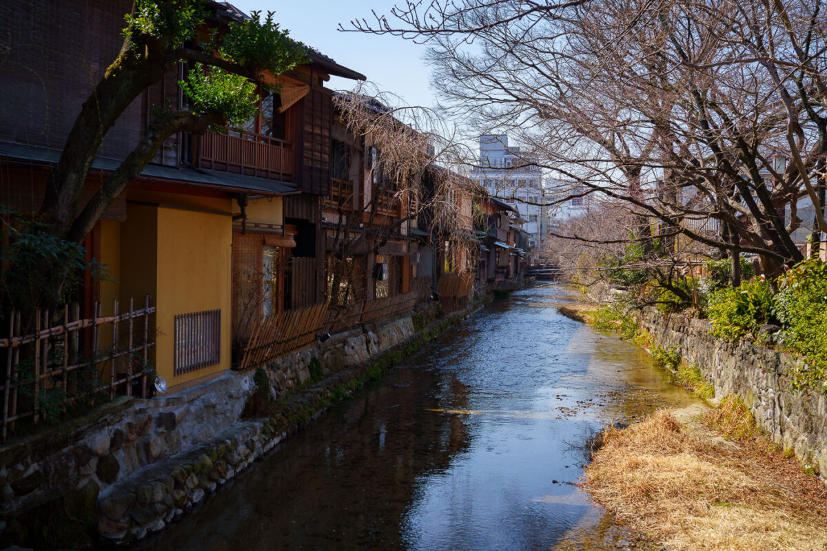
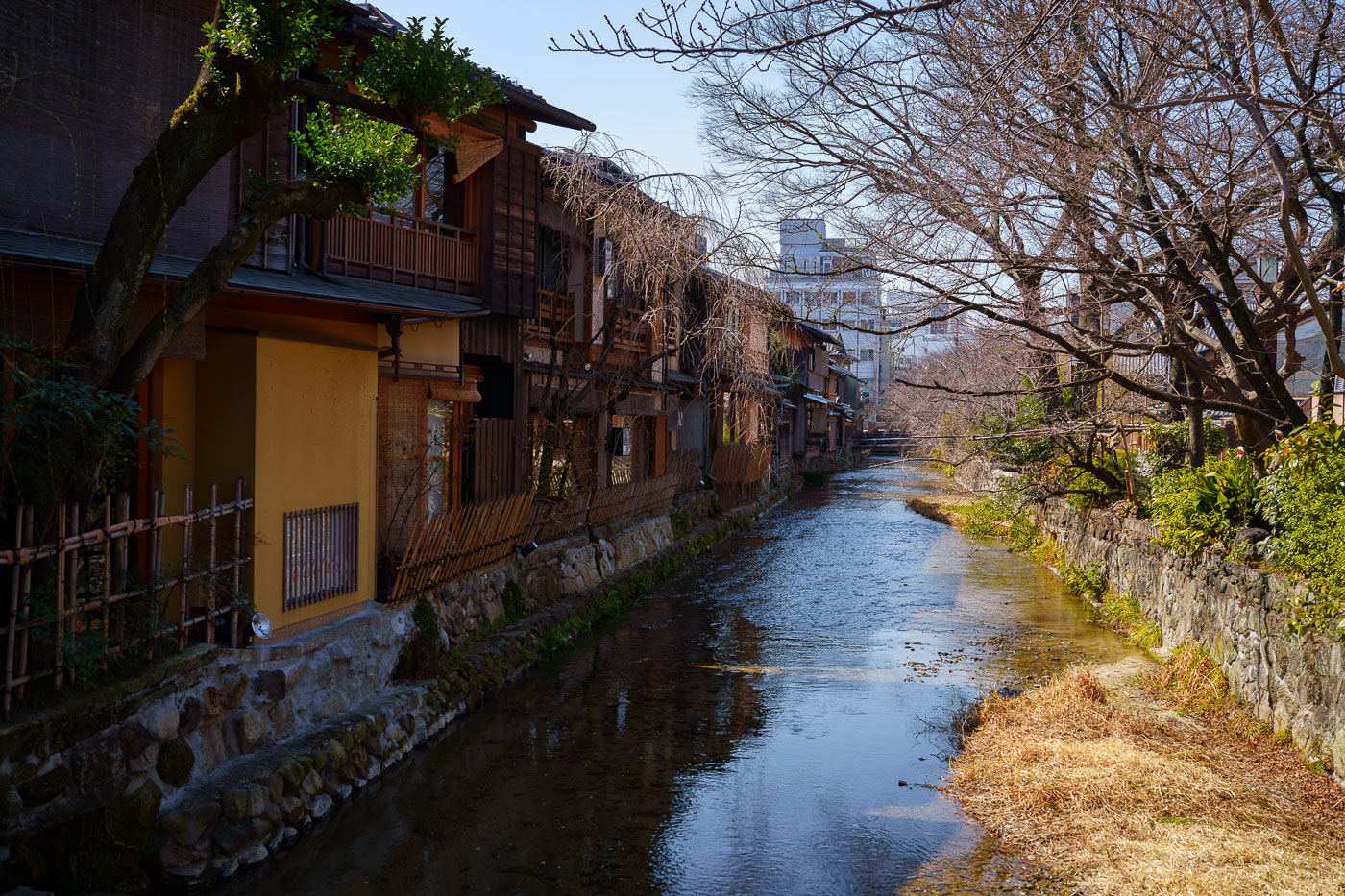
Tatsumibashi spans Shirakawa Stream beside machiya townhouses in Gion, Kyoto.
Tatsumibashi spans the Shirakawa Stream in Kyoto’s Gion district. The waterway runs past traditional machiya townhouses and stone embankments in one of Kyoto’s historic preserved areas. The bridge and stream are part of a streetscape long associated with the city’s teahouse quarter.

Tatsumibashi on Shirakawa Stream, Gion, Kyoto
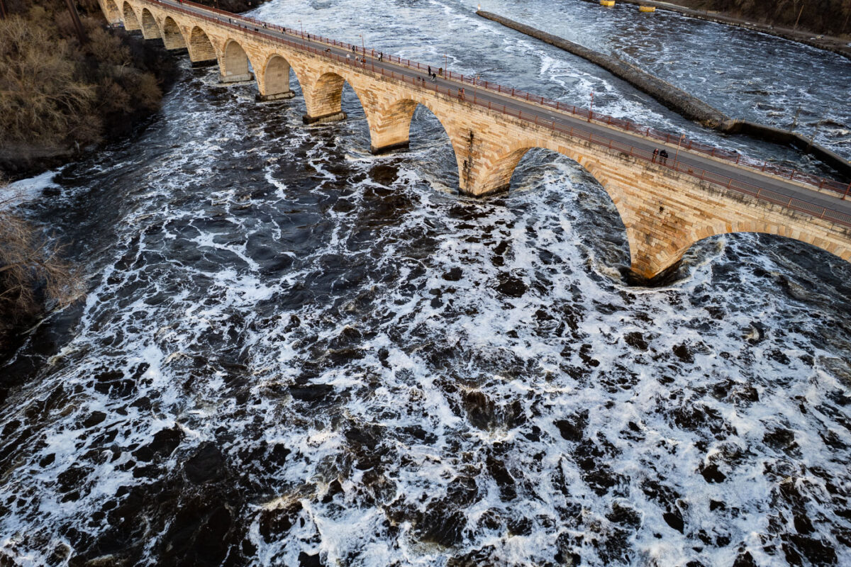
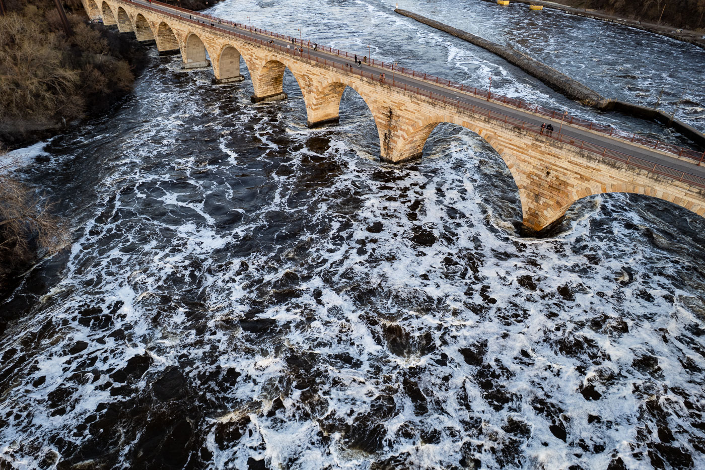
Stone Arch Bridge's arches span turbulent Mississippi River waters in Minneapolis.
The Stone Arch Bridge, completed in 1883, spans the Mississippi River in Minneapolis. Originally built by railroad magnate James J. Hill, it served as a vital transportation link for the Great Northern Railway.

Rushing Spring Floodwaters Under Stone Arch Bridge
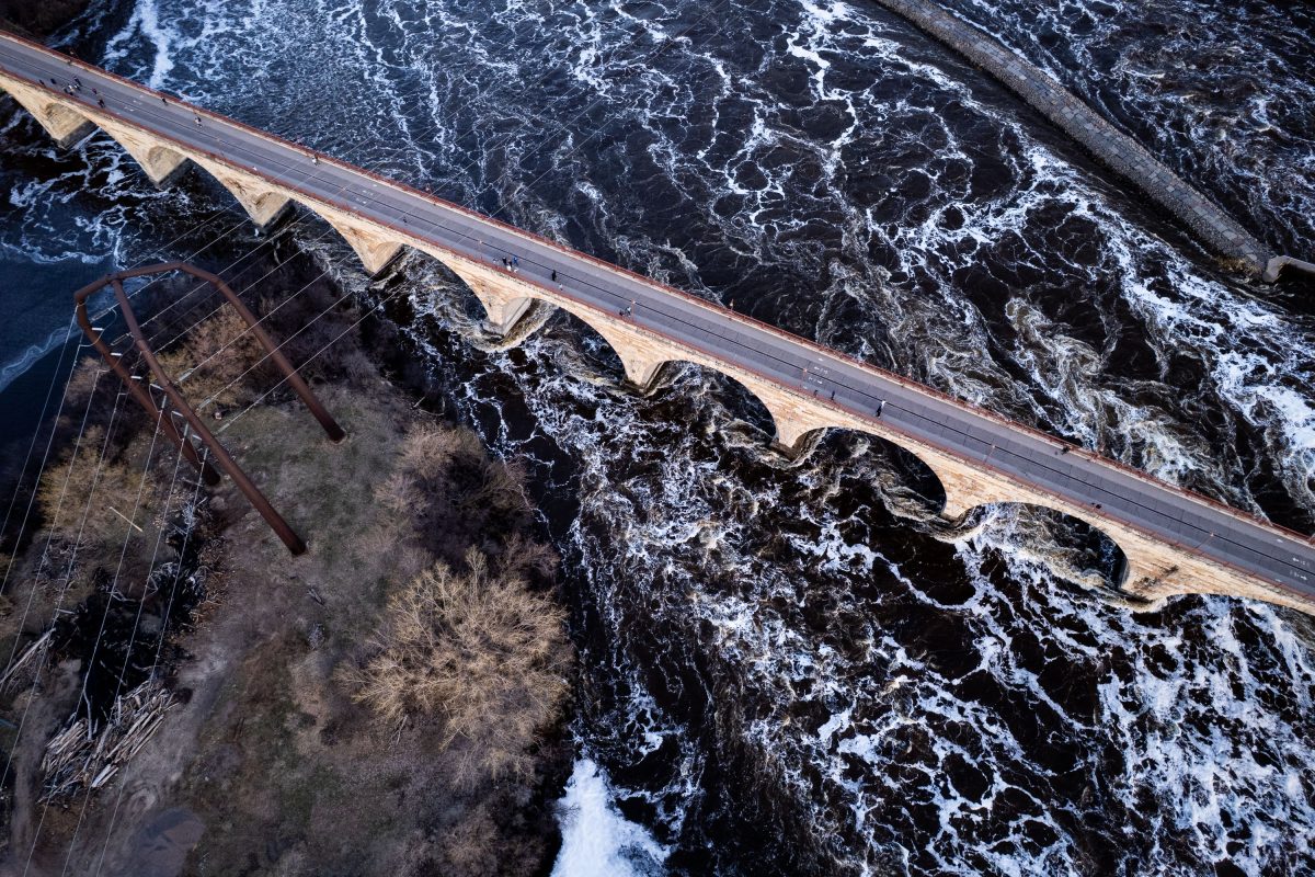
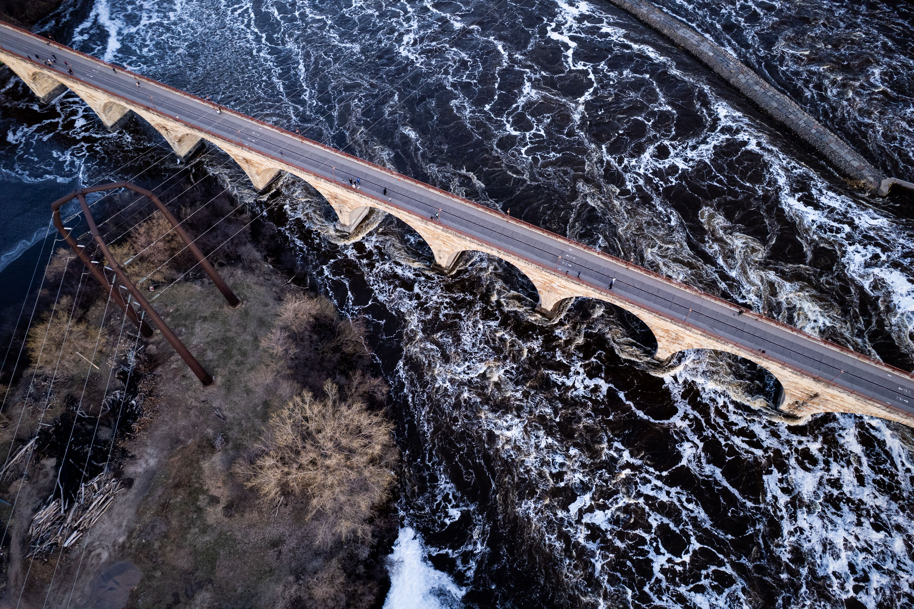
Stone Arch Bridge crosses the Mississippi River at St. Anthony Falls in Minneapolis with white-water rapids visible below.
The Stone Arch Bridge crosses the Mississippi River just below St. Anthony Falls, connecting downtown Minneapolis to the Marcy-Holmes and St. Anthony West neighborhoods. James J. Hill built it in 1883 for his Great Northern Railway, using granite and limestone arches to carry trains across the river to his depot. The bridge stretches roughly 2,100 feet and rests on 23 arches, several set at a curve to align with the railway's approach.

Aerial View of Stone Arch Bridge Over Turbulent Mississippi Rapids
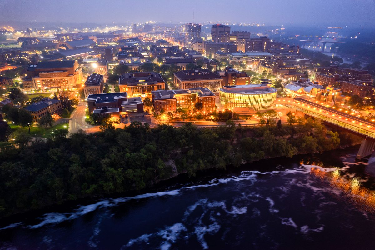
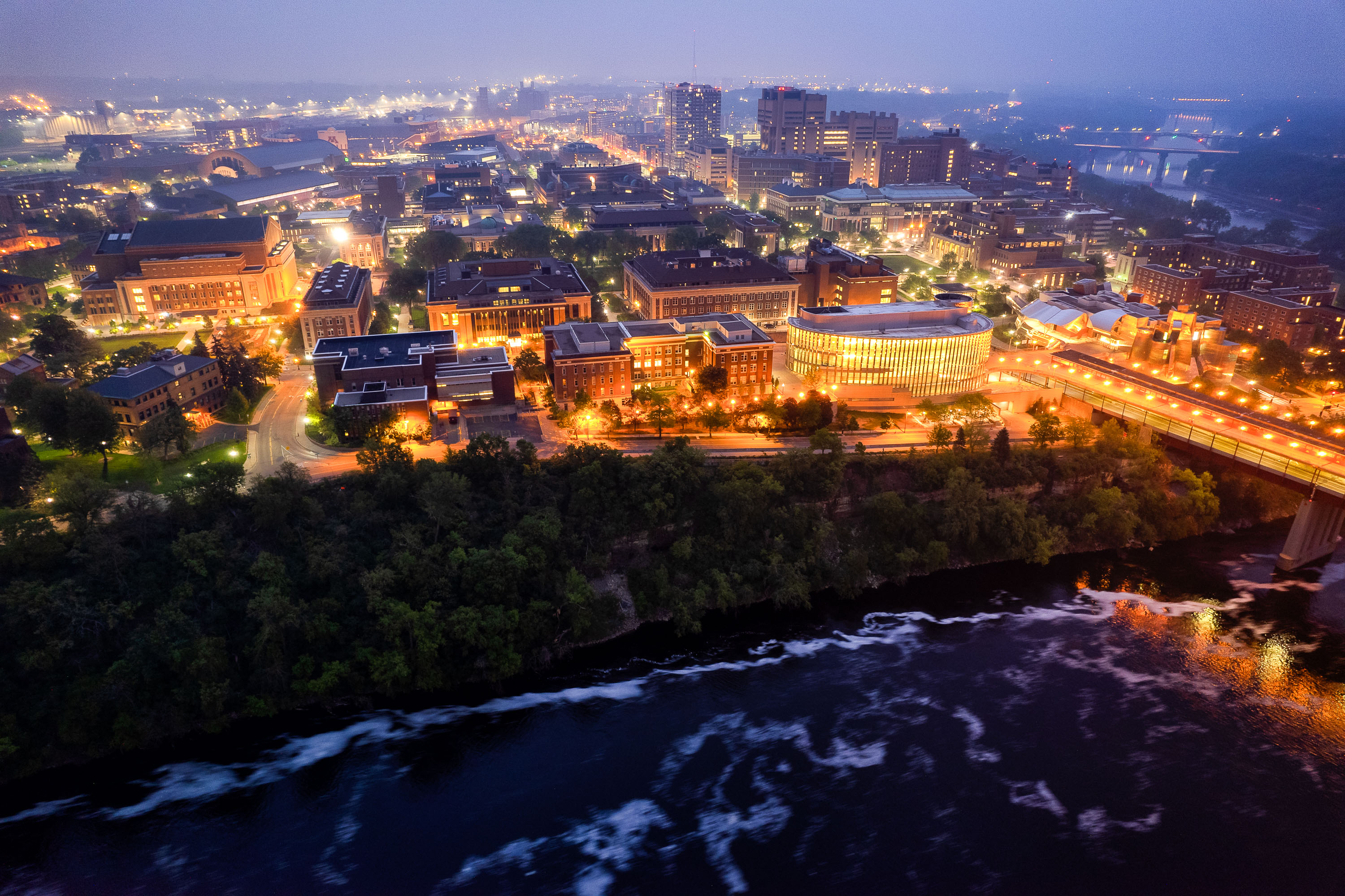
University of Minnesota campus at dusk overlooking the Mississippi River with illuminated buildings and the Washington Avenue Bridge spanning the water.
The University of Minnesota's Twin Cities campus lines both banks of the Mississippi River in Minneapolis, divided between the East Bank and West Bank districts. Founded in 1851, it's the flagship campus of the university system and one of the largest in the country, enrolling more than 50,000 students. The Washington Avenue Bridge links the two campuses, carrying vehicle and pedestrian traffic along with a light-rail line across the river.

Aerial Twilight View of the University of Minnesota’s East Bank
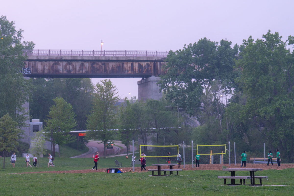
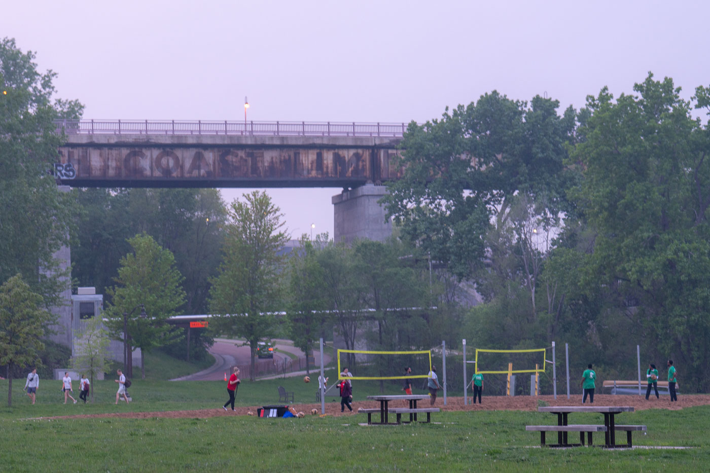
Volleyball during bad air quality.
Despite air quality warnings issued due to wildfire smoke, residents engaged in outdoor activities, including volleyball, near the Mississippi River in Minneapolis. The elevated structure in the background is a railway bridge, a vital piece of transportation infrastructure that has served the city for decades. The presence of people enjoying the park highlights the resilience of community life even amidst environmental concerns.

Volleyball near Mississippi River Bridge, Minneapolis
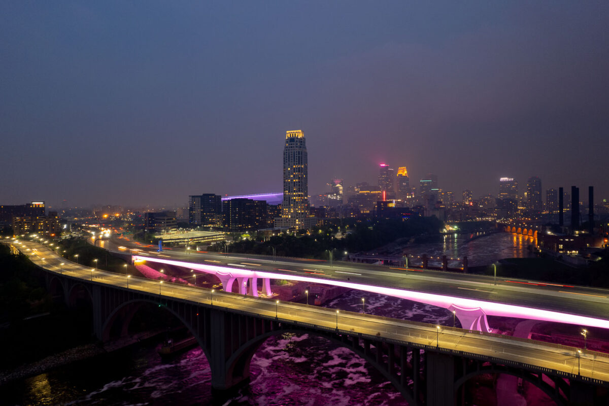
2 bridges over the Mississippi River and city skyline
The I-35W Bridge and the 10th Avenue Bridge cross the Mississippi River in Minneapolis, Minnesota, under a sky obscured by smoke from Canadian wildfires. This atmospheric condition, which led to air quality advisories, significantly reduced visibility across the city. The I-35W Bridge serves as a major north-south transportation route, while the 10th Avenue Bridge, with its distinctive arches, is a notable element of the city's infrastructure.

Minneapolis I-35W Bridge in Wildfire Smoke

Mississippi River in front of Downtown Minneapolis Skyline
The Minneapolis Lock and Dam on the Mississippi River is obscured by haze from Canadian wildfire smoke, impacting air quality in the downtown area. Constructed in the early 20th century, the lock and dam system was designed to improve navigation on the river, facilitating the transport of goods and materials. Today, it continues to play a role in managing water levels and supporting barge traffic, though its visual presence is altered by atmospheric conditions. The Stone Arch Bridge, a historic landmark, is visible in the background, further contextualizing the industrial and infrastructural history of Minneapolis.

Minneapolis Lock and Dam Under Canadian Wildfire Smoke
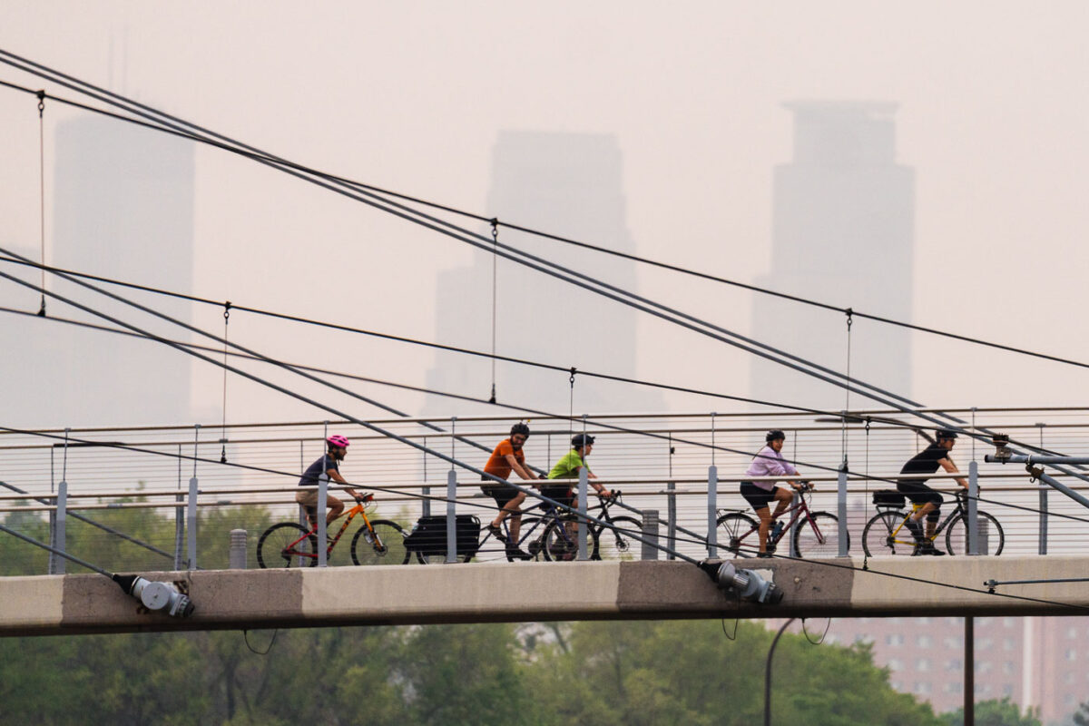
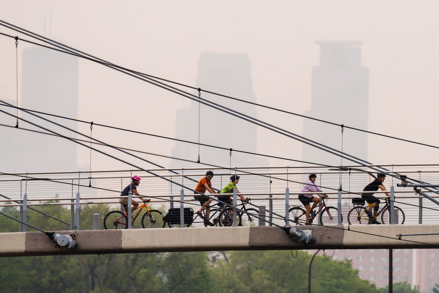
Bikers crossing bridge during air quality alerts in Minneapolis
Cyclists ride across the Martin Olav Sabo Bridge in Minneapolis, Minnesota, under a sky obscured by smoke from Canadian wildfires.

Bikers on Sabo Bridge amid Canadian wildfire smoke, Minneapolis
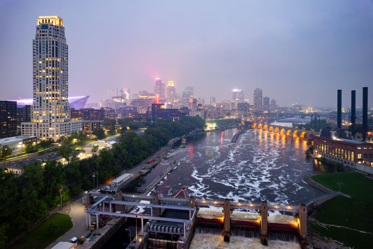
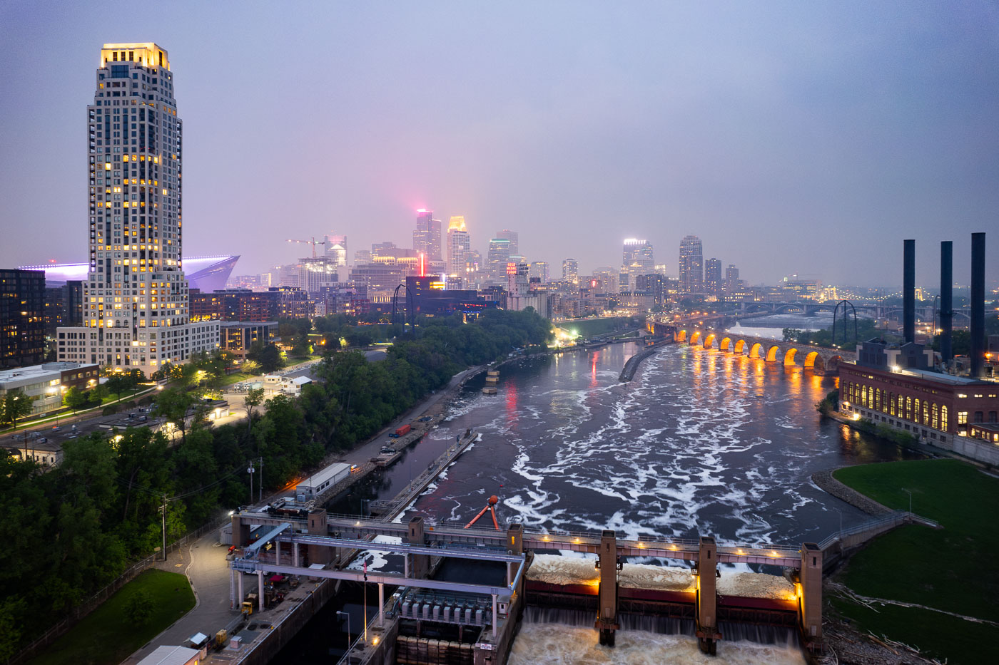
Night photo of river and city skyline with a haze in Minneapolis
The Minneapolis skyline is veiled by smoke from Canadian wildfires, impacting regional air quality. The Mississippi River flows past the historic Stone Arch Bridge, a former railway bridge completed in 1883, now a pedestrian walkway. Adjacent to the bridge is the Upper St. Anthony Falls Lock and Dam, a 20th-century engineering project that regulates the river's flow and supports navigation, a function critical to Minneapolis since its establishment.

Minneapolis Skyline and Mississippi River in Wildfire Smoke

Orange construction signage announces overnight closure of the Stone Arch Bridge in Minneapolis from June 30 to July 5, 10 PM to 6 AM.
Temporary signage indicates overnight closures of the Stone Arch Bridge in Downtown Minneapolis from June 30 to July 5, between 10 PM and 6 AM.

Barricades at Stone Arch Bridge’s Overnight Closure, Minneapolis Skyline Beyond

Third Avenue Bridge Dedication Sign Minneapolis
A plaque on the newly renovated Third Avenue Bridge in downtown Minneapolis.

Third Avenue Bridge Dedication Sign Minneapolis

Two figures stand silhouetted at a chain-link gate blocking the closed Stone Arch Bridge in Minneapolis at night.
The Stone Arch Bridge in Minneapolis is temporarily closed to the public, as indicated by a sign on a chain-link fence.

Silhouettes at the Closed Gate of Stone Arch Bridge

Pedestrians stand at a locked gate blocking the Stone Arch Bridge in Minneapolis during an overnight closure.
The Stone Arch Bridge in Downtown Minneapolis is closed overnight from June 30 to July 5, 10 PM to 6 AM.

Night Crowd at the Stone Arch Bridge Overnight Closure

Padlocked chain secures a closed gate at the Stone Arch Bridge in Minneapolis, with blurred city lights visible behind the mesh fence at night.
The Stone Arch Bridge in Minneapolis is secured with a chain and lock, preventing public access. This closure followed reports of late-night crime concerns.

Chained Gate Blocks Access to the Stone Arch Bridge

Biker under the bridge in Minneapolis
A cyclist rides beneath the Nicollet Avenue Bridge in Minneapolis. This structure, completed in 1961, carries Nicollet Avenue over the BNSF Railway tracks and the adjacent Minnehaha Creek. The bridge's design features a series of concrete arches, a common engineering solution for spanning such routes while allowing for pedestrian and natural passage below. It serves as a vital transportation link in the city, facilitating daily commutes and connecting neighborhoods.

Biker under Nicollet Ave Bridge, Minneapolis
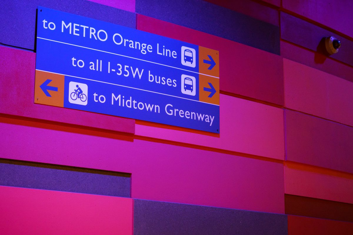
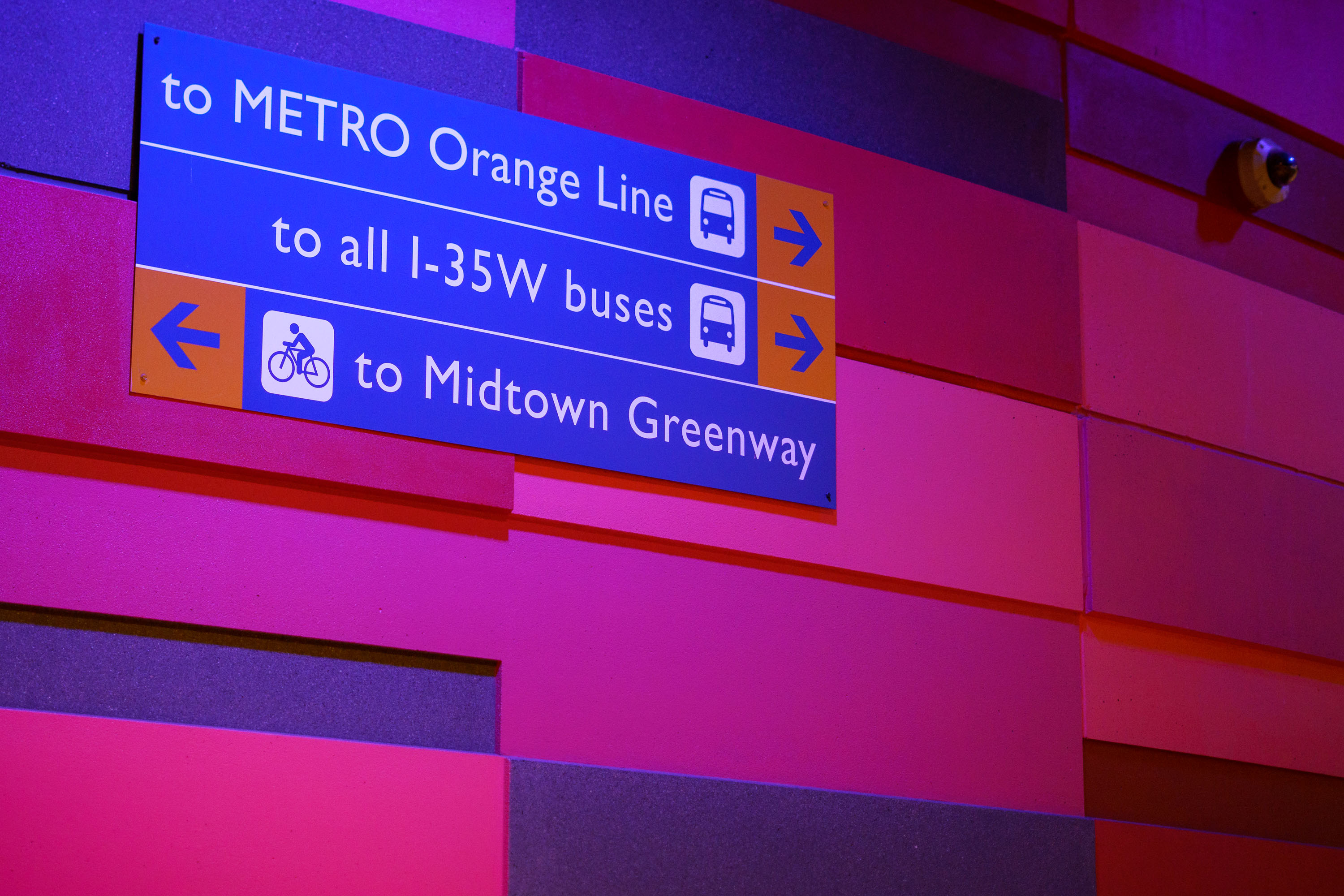
Directional signage at I-35W & Lake Street Station in Minneapolis indicating transit routes to Metro Orange Line, I-35W buses
The I-35W & Lake Street Station serves the METRO Orange Line, a bus rapid transit route that opened in December 2021 connecting downtown Minneapolis to Burnsville along the I-35W corridor. The station also functions as a transfer point for local buses serving the I-35W corridor and sits near the Midtown Greenway, a former rail corridor converted into a bicycle and pedestrian trail that runs roughly five miles across south Minneapolis. Metro Transit, the regional transit agency for the Twin Cities, operates both the bus routes and the station's wayfinding signage.

Wayfinding Sign, I-35W & Lake Street Station
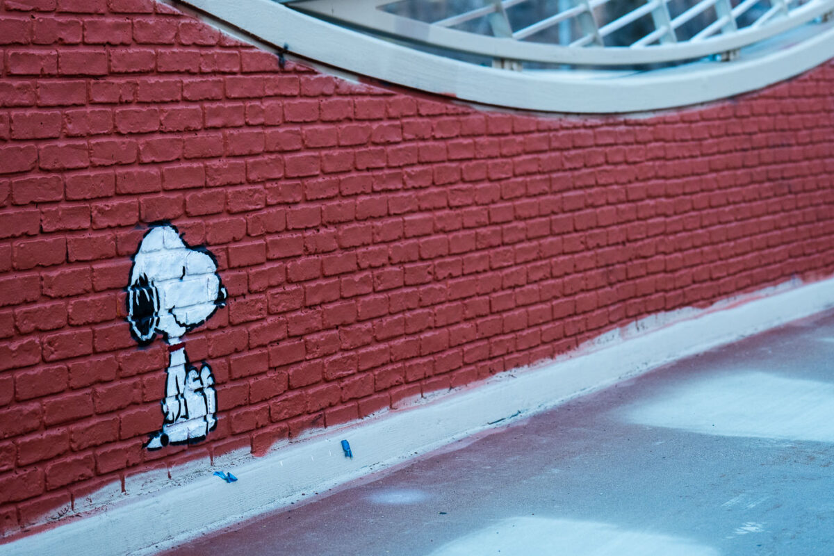
Stenciled white Snoopy character on red brick wall beneath the Loring Bike Bridge in Minneapolis.
A stencil of Snoopy, the beloved cartoon beagle, appears on the red brick wall of the Loring Bike Bridge in Minneapolis.

Snoopy Peers Out From a Brick Wall on the Loring Bike Bridge
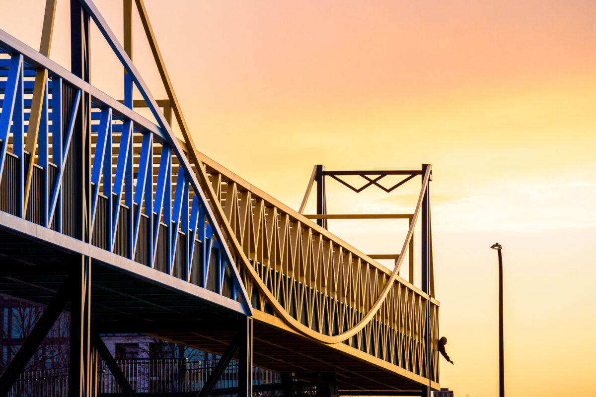
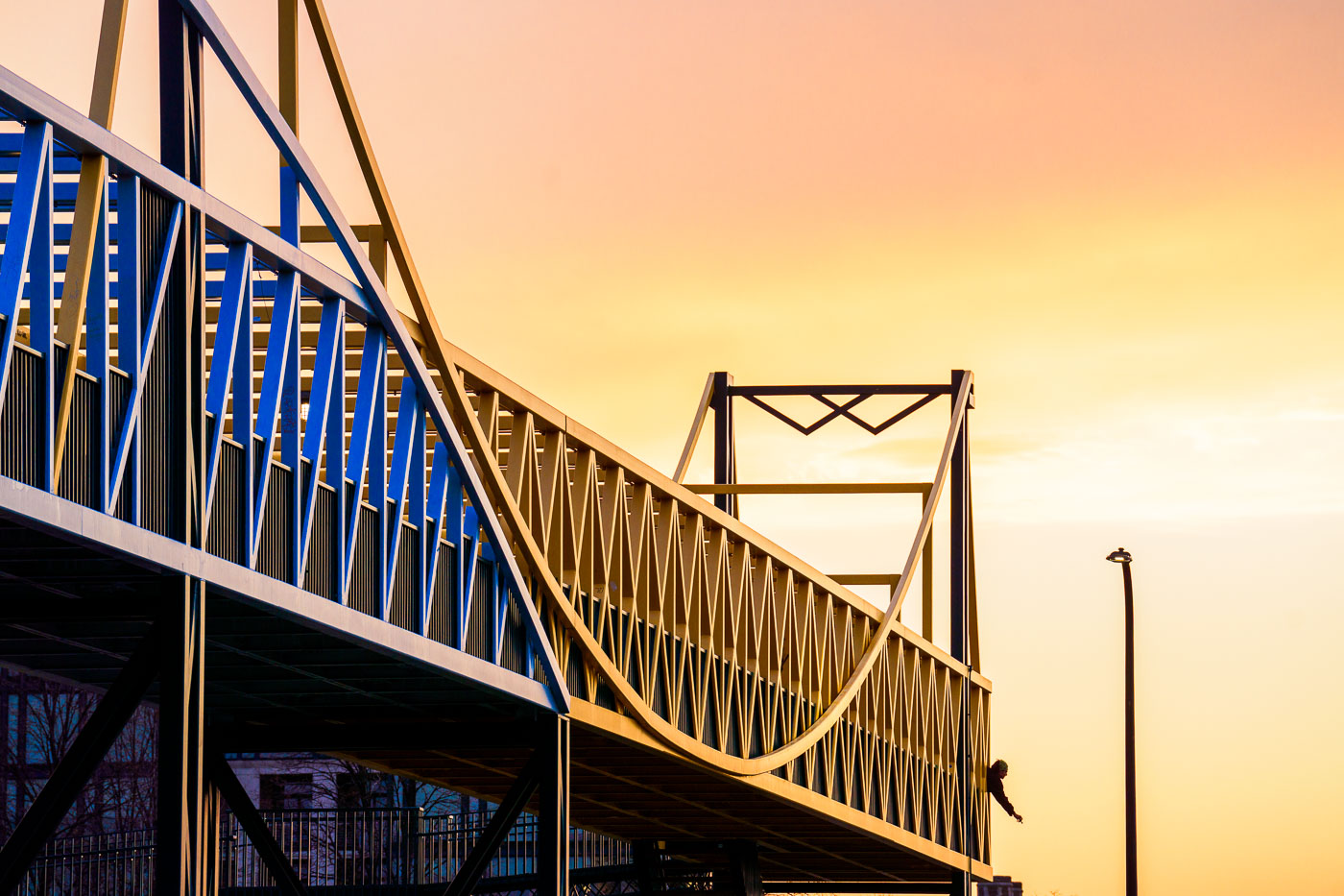
Irene Hixon Whitney Bridge November 2023
The Irene Hixon Whitney Bridge, a pedestrian walkway connecting the Walker Art Center and the Minneapolis Sculpture Garden, is illuminated by the warm hues of a November sunset. Designed by architect Maya Lin, the bridge opened in 1991 and spans Vineland Place.

Irene Hixon Whitney Bridge at Sunset, Minneapolis
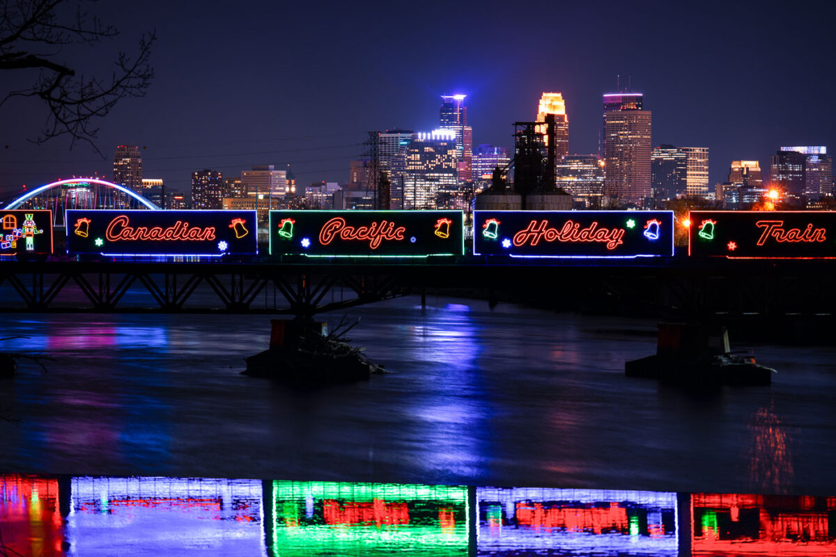
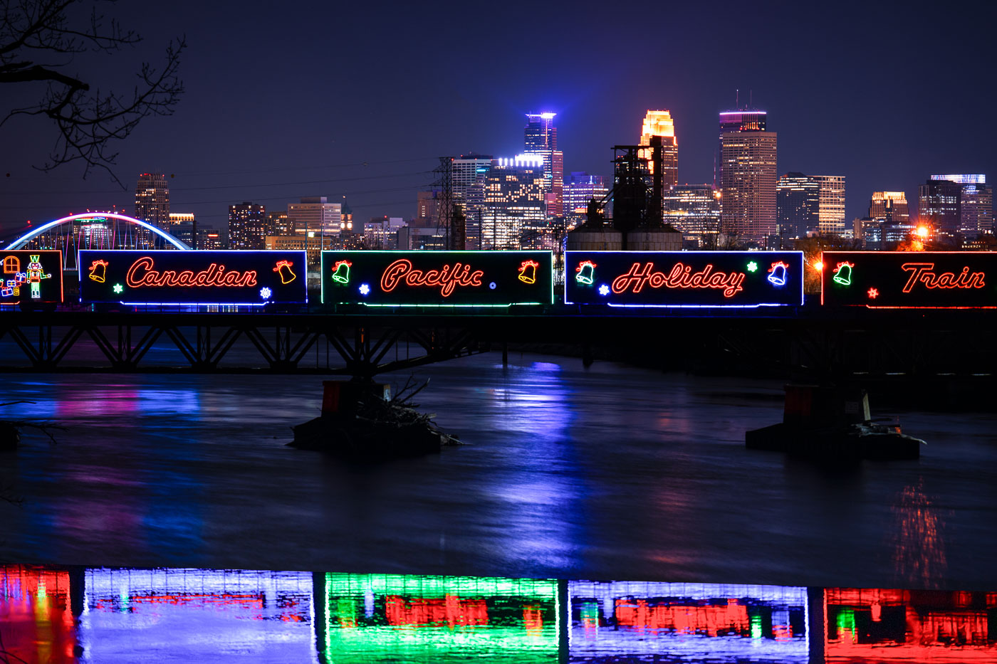
Canadian Pacific Holiday Train with neon signage crosses Lowry Avenue Bridge over Mississippi River in Minneapolis.
The Canadian Pacific Kansas City Holiday Train crosses the Mississippi River on the Lowry Avenue Bridge in Minneapolis on December 11, 2023. The annual train raises money and collects food donations for local food banks as it travels across North America during the holiday season. The decorated cars are part of a long-running program that has generated millions of dollars and millions of pounds of food donations since it began in 1999.

Holiday Train Crossing the Lowry Avenue Bridge in Minneapolis

Bridge with holiday lights at night
The Hennepin Avenue Bridge, illuminated at night, connects downtown Minneapolis with Nicollet Island. In the foreground, the Merriam Street Bridge, dating to 1887, incorporates a decorative truss span that was relocated from the former Broadway Avenue Bridge in 1987.

Hennepin Avenue Bridge Clock Tower Lit at Night Near Nicollet Island
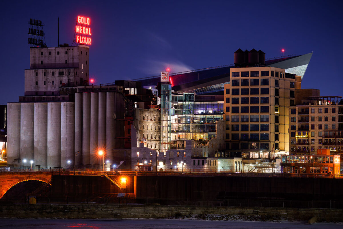
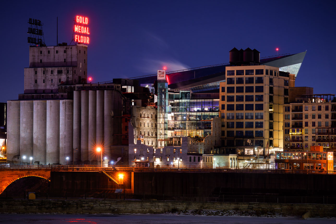
US Bank Stadium and Mill City Museum neon signs
The Washburn A Mill, once the world's largest flour mill, stands illuminated along the Mississippi River in Minneapolis. This historic structure now houses the Mill City Museum, which interprets the city's industrial past as a global flour milling center. In the background, the contemporary architecture of US Bank Stadium signifies Minneapolis's modern urban landscape.

Mill City Museum and Gold Medal Flour Sign Along the Mississippi River
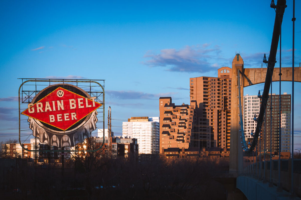
The vintage Grain Belt Beer sign illuminates at dusk on Nicollet Island with Minneapolis skyline and Hennepin Avenue Bridge behind.
The Grain Belt Beer sign, a historic Minneapolis landmark, stands on Nicollet Island overlooking the Mississippi River. Originally installed in 1941, this illuminated sign once advertised the nearby Grain Belt Brewery, which operated in Northeast Minneapolis. In the background, the Hennepin Avenue Bridge, the first bridge to cross the Mississippi River at Minneapolis, connects downtown with the city's northeast side.

Grain Belt Beer Sign at Dusk Over the Minneapolis Skyline
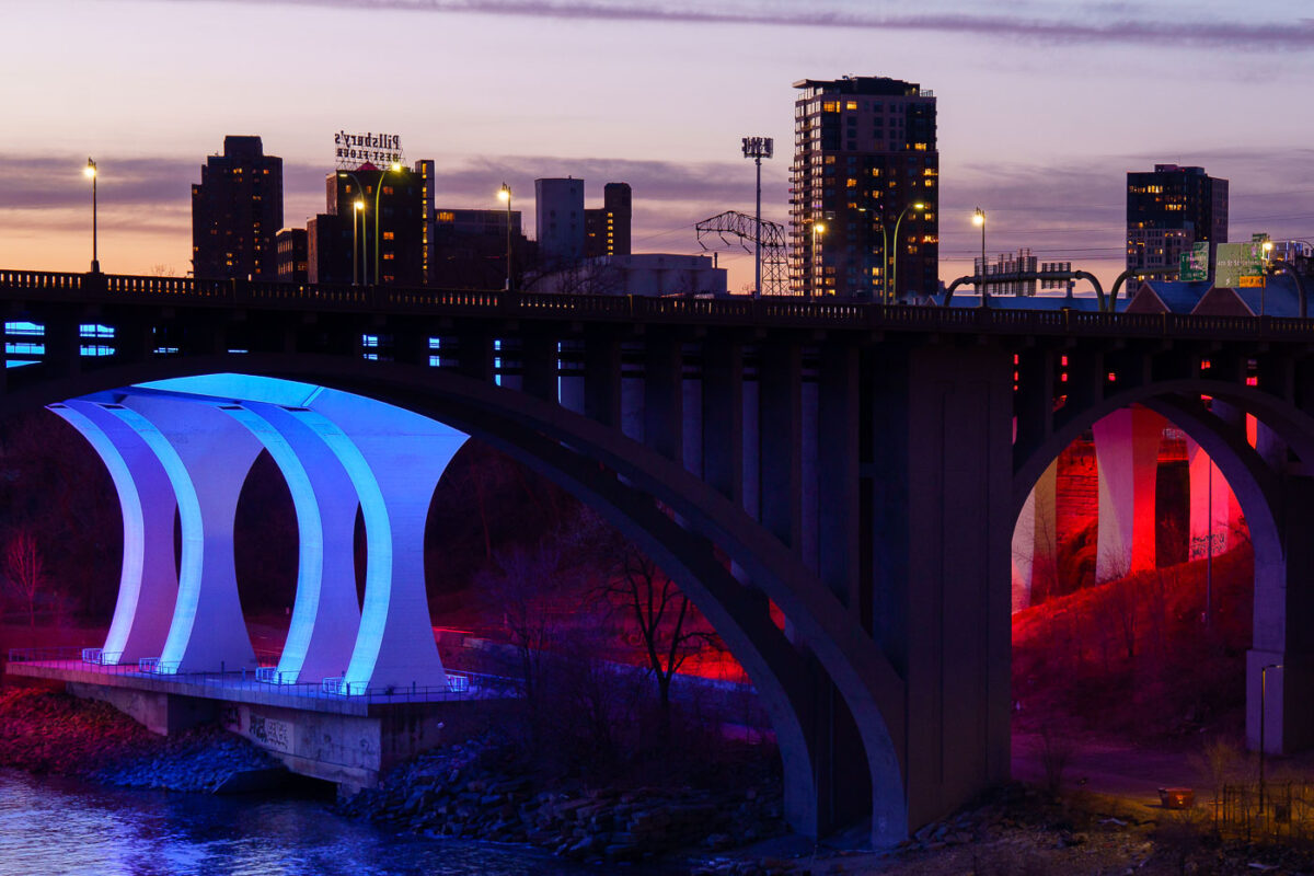
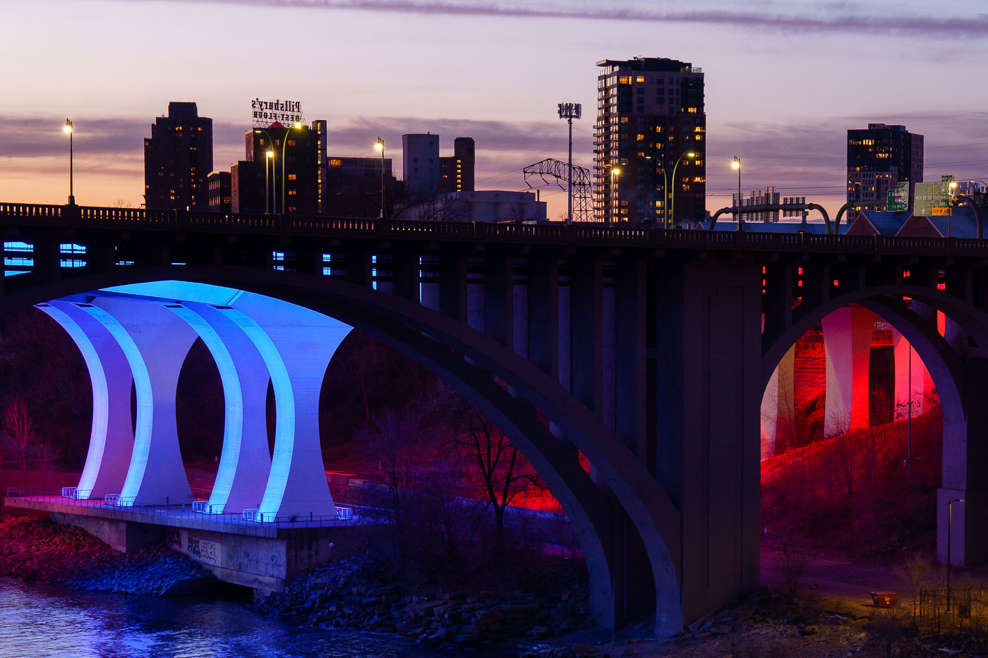
The 10th Avenue Bridge illuminated in blue and the I-35W Bridge lit in red span the Mississippi River at dusk in Minneapolis.
The 10th Avenue Bridge and the I-35W Bridge span the Mississippi River near downtown Minneapolis at sunset in March 2024.

10th Avenue Bridge Lit Blue and Red Over the Mississippi River
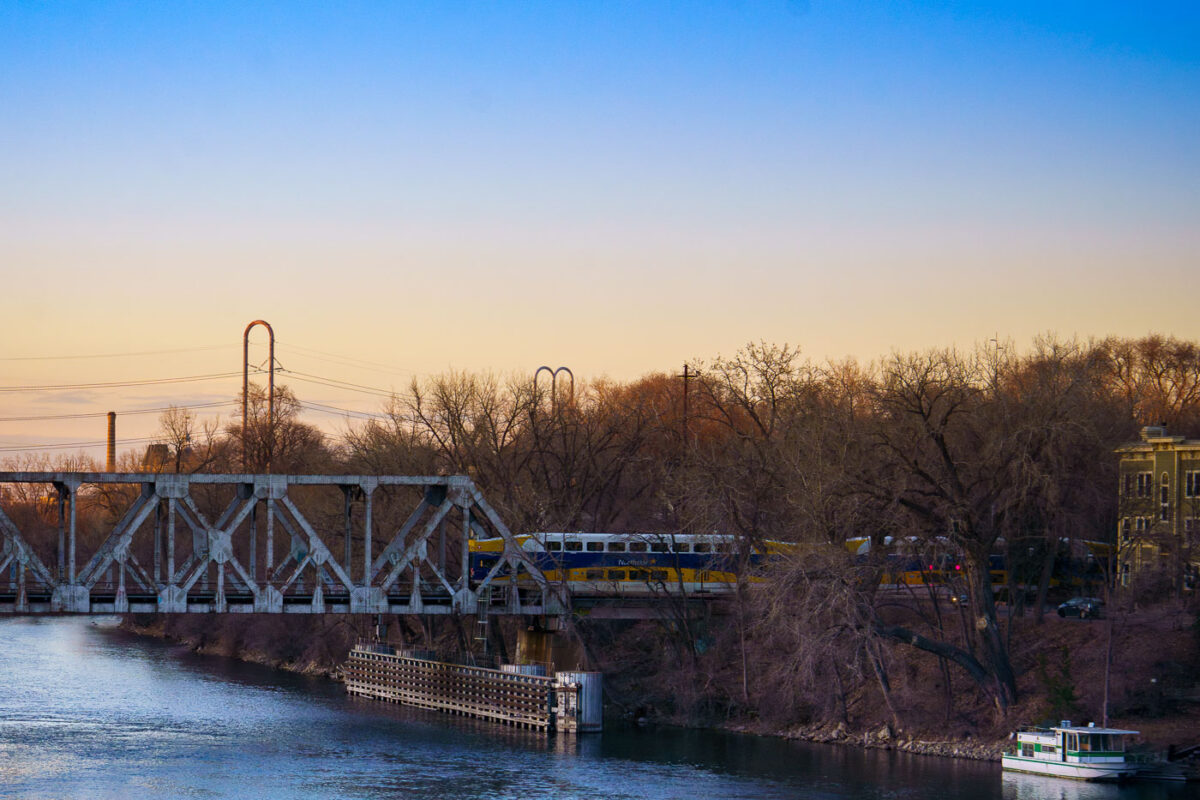
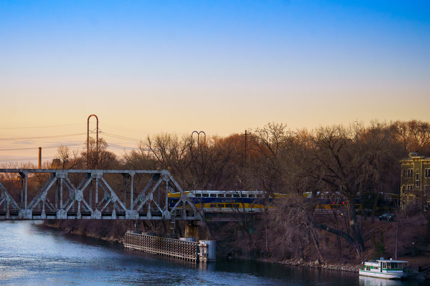
Northstar Line commuter train crosses a railway bridge spanning the Mississippi River in Minneapolis during early evening light.
The Northstar Line commuter train crosses a railway bridge over the Mississippi River in Minneapolis, as observed in March 2024. The Northstar Line began service in 2009, utilizing existing freight rail corridors and new infrastructure.

Northstar Train Crossing the Mississippi River at Dusk
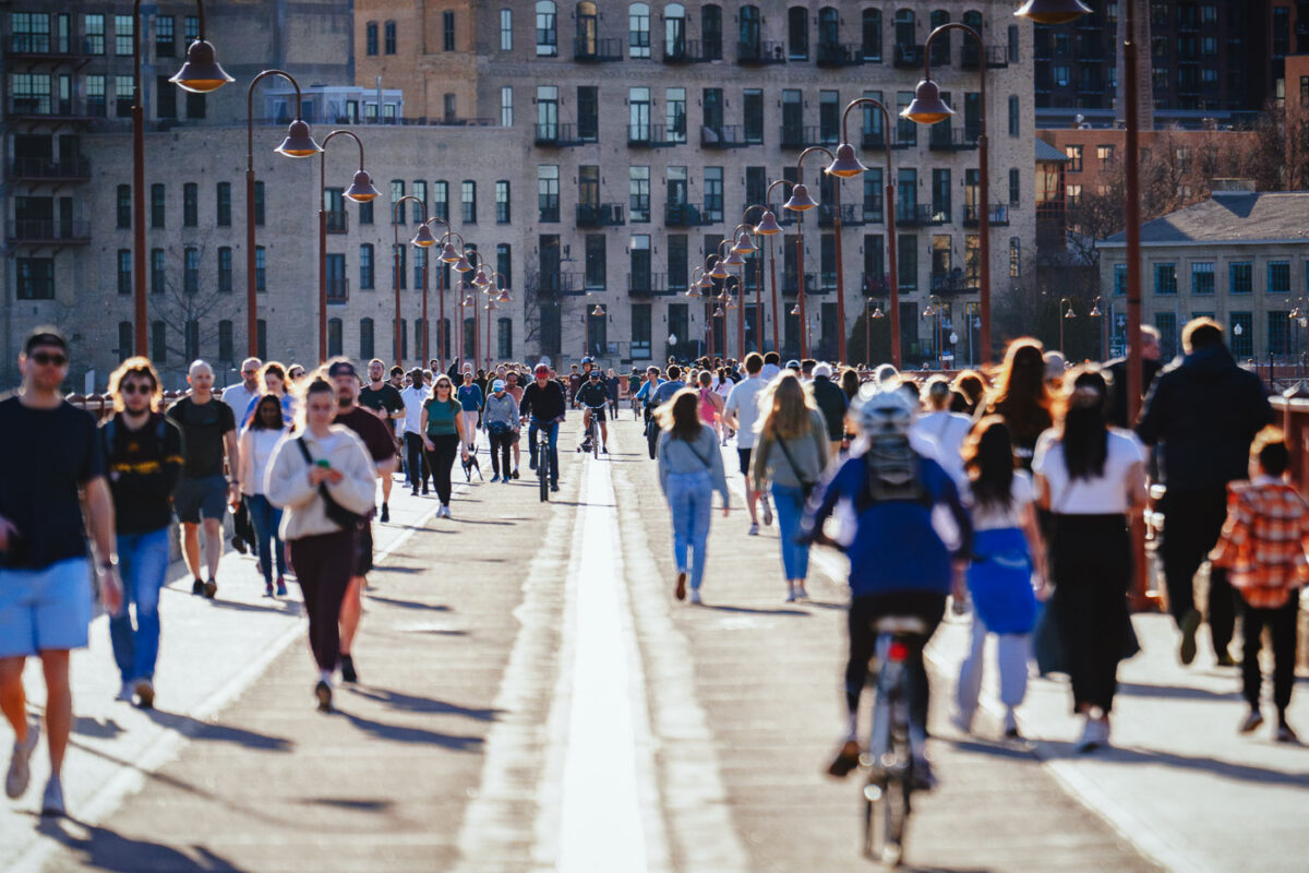
Pedestrians and cyclists walk and ride across the Stone Arch Bridge in downtown Minneapolis with historic brick buildings behind.
Pedestrians and cyclists traverse the Stone Arch Bridge in downtown Minneapolis during March 2024. Constructed in 1883 by railroad magnate James J. Hill, this historic structure was originally built for the Great Northern Railway and remains the only stone arch bridge spanning the Mississippi River.

Sunny Afternoon Crowds on Stone Arch Bridge
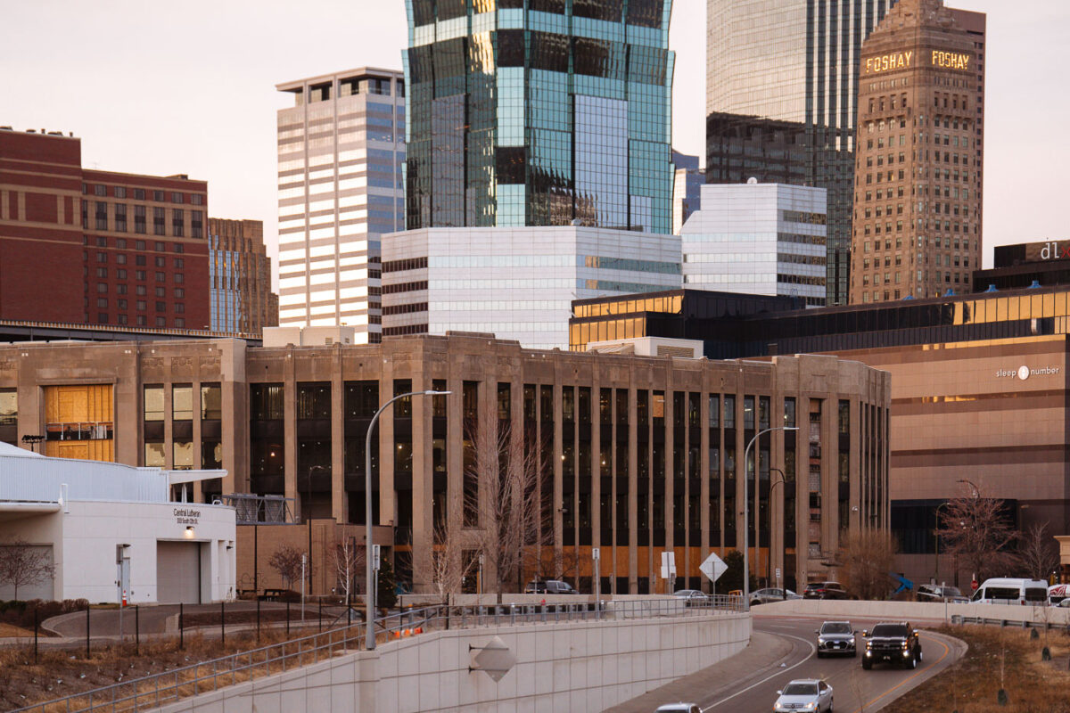
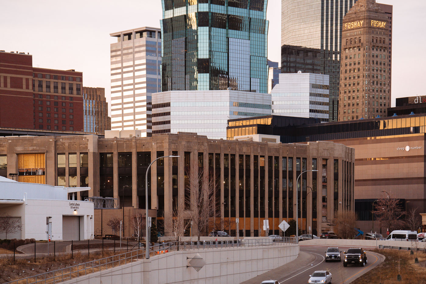
Century Plaza building under renovation for Minneapolis Police 1st Precinct station in downtown Minneapolis skyline.
Century Plaza in Downtown Minneapolis is undergoing renovation to become the new Minneapolis Police 1st Precinct station.

Century Plaza Renovation Beneath the Foshay Tower, Minneapolis
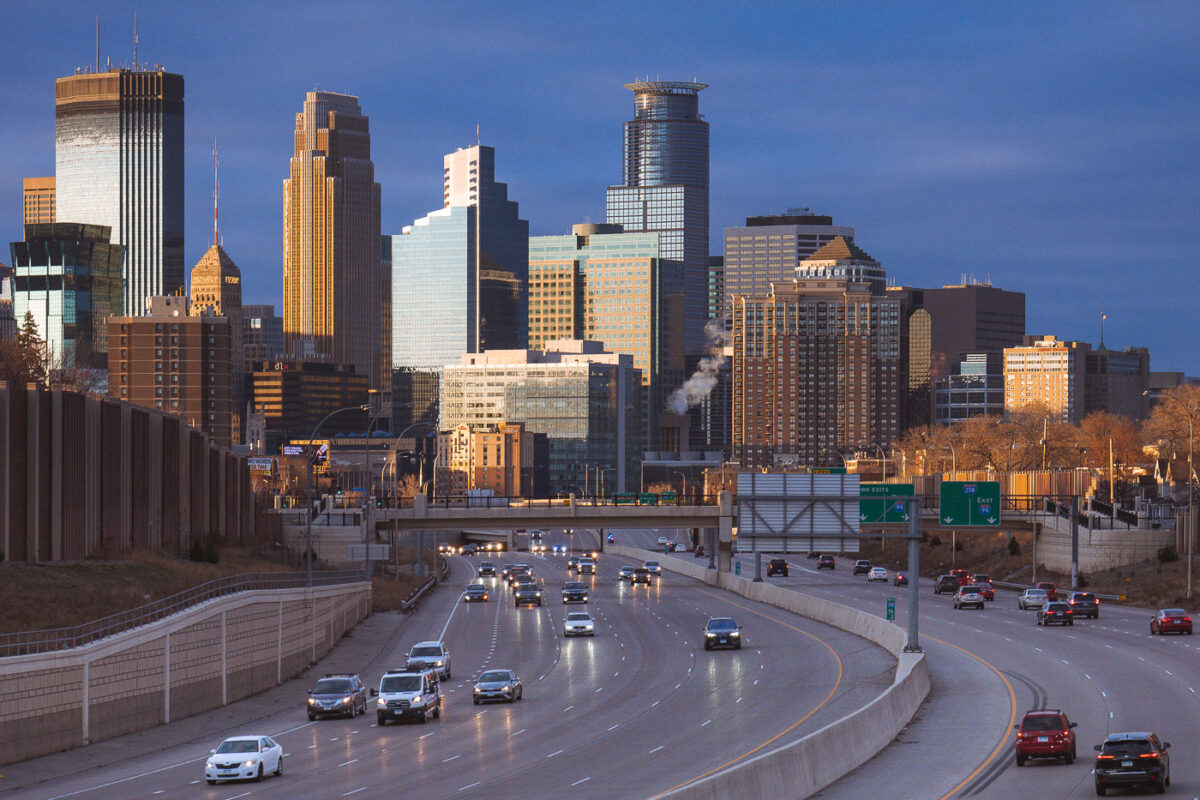
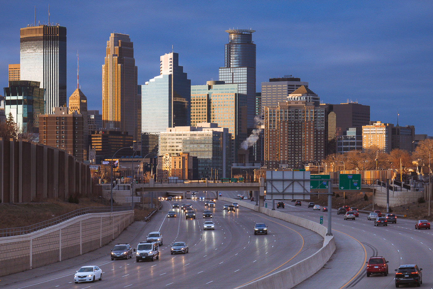
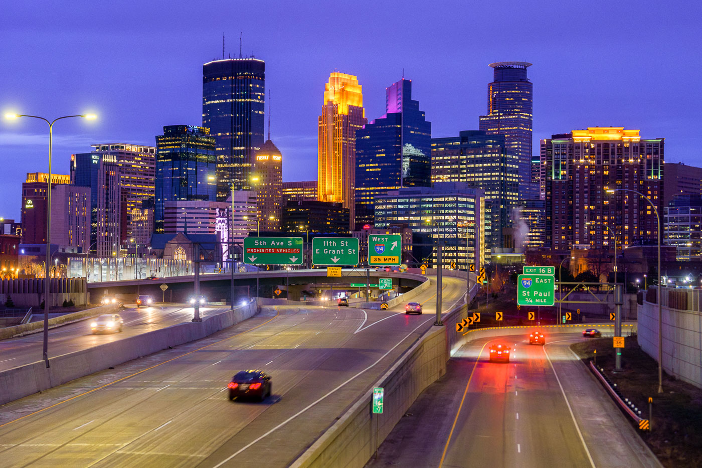
Cars on the interstate and downtown Minneapoplis skyline
Downtown Minneapolis, viewed from Interstate 35W in South Minneapolis in March 2024.

Downtown Minneapolis from I-35W, March 2024
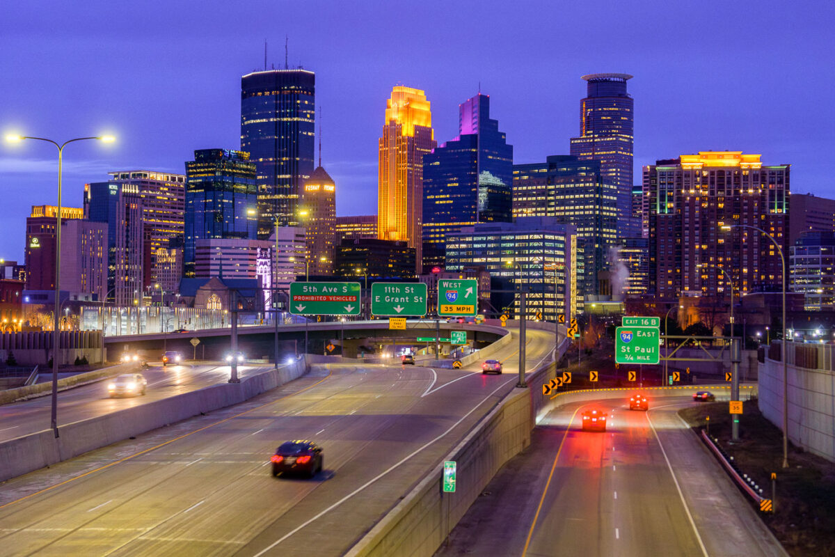
Minneapolis skyline from I35W in April 2024
The Downtown Minneapolis skyline rises above Interstate 35W, a vital north-south freeway corridor, as seen in April 2024.

Downtown Minneapolis Skyline from I-35W Bridge, April 2024
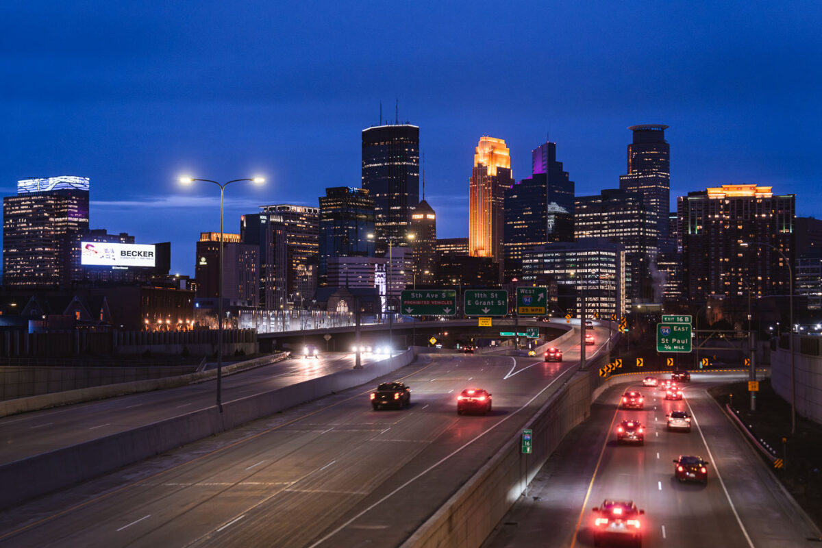
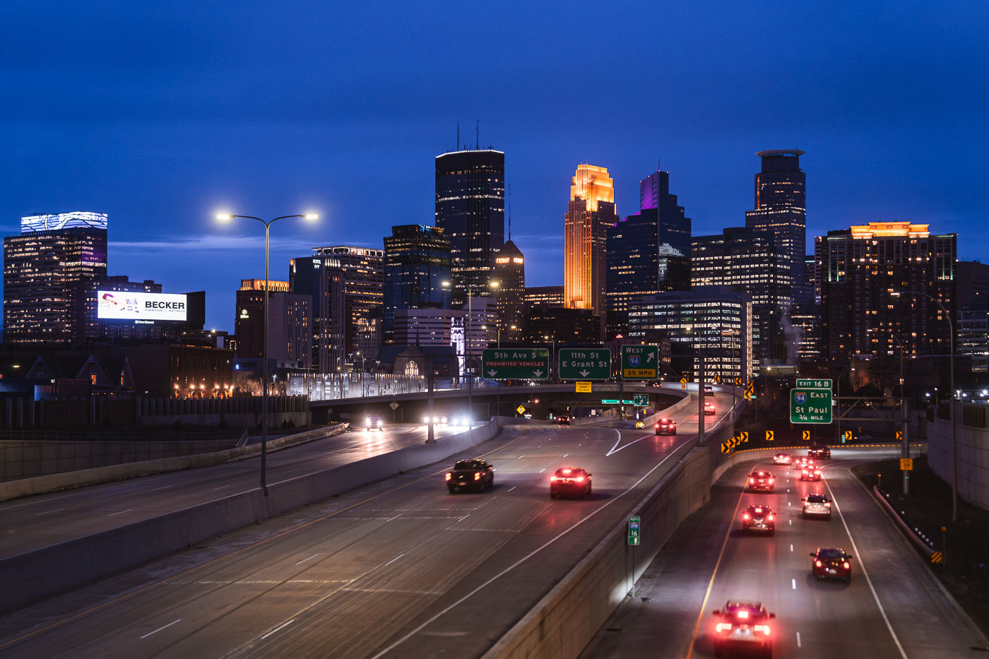
Minneapolis Downtown Skyline from 35W in April 2024
The Minneapolis downtown skyline is seen from Interstate 35W at dusk in April 2024. Interstate 35W functions as a critical north-south transportation artery, connecting the city's core with its surrounding metropolitan area and facilitating regional travel.

Minneapolis Downtown Skyline from I-35W at Dusk, April 2024
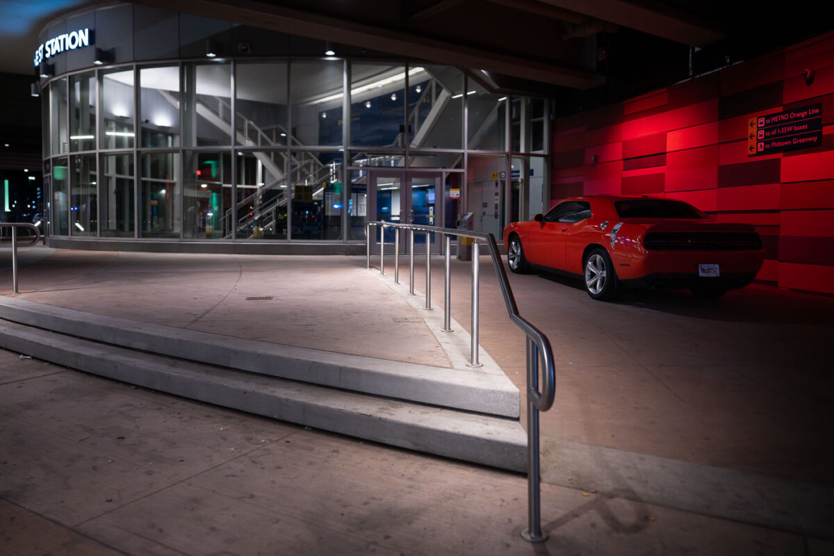
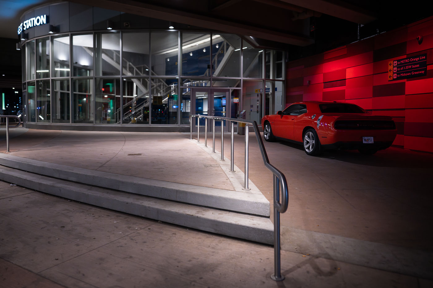
Orange Dodge Challenger parked outside the I-35W/Lake Street Transit Station in Minneapolis at night.
The I-35W/Lake Street Transit Station in Minneapolis is depicted at night, with a security vehicle parked prominently outside.

Orange Dodge Challenger at I-35W/Lake Street Station at Night
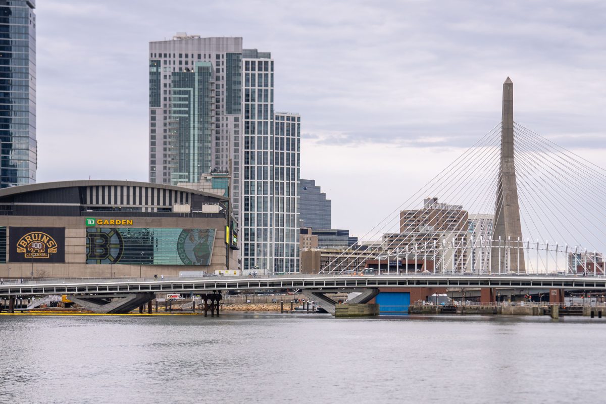
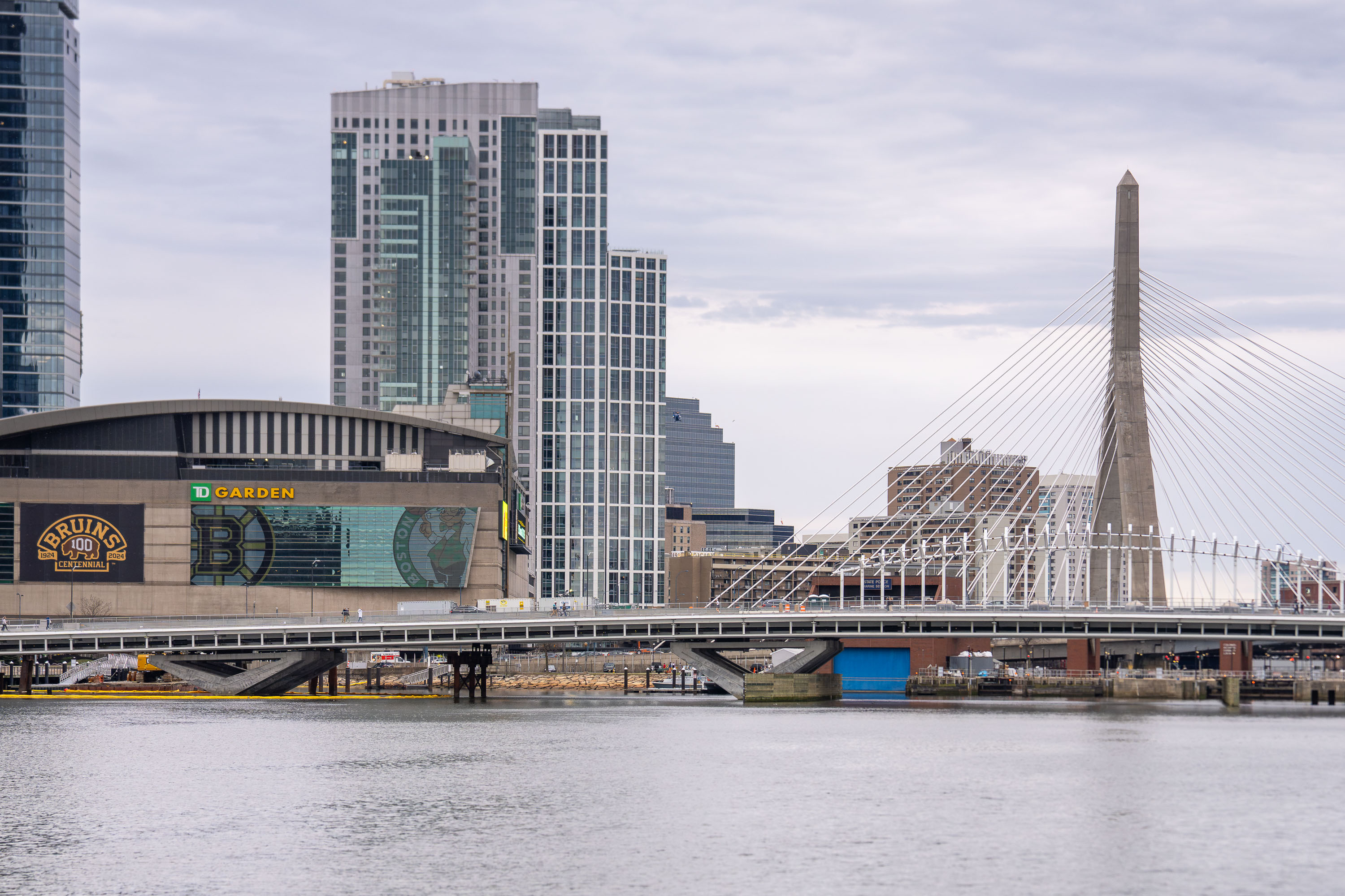
TD Garden arena and Zakim Bridge spanning the Charles River in Boston.
TD Garden opened in 1995 as the FleetCenter, replacing the old Boston Garden next door, and serves today as home to the Boston Bruins and Boston Celtics. The arena seats roughly 19,600 for hockey and up to 19,156 for basketball, among the larger capacities in the NHL and NBA. The Leonard P. Zakim Bunker Hill Memorial Bridge, completed in 2002 as part of the Big Dig, carries Interstate 93 across the Charles River between the North End and Charlestown. At 1,432 feet long with ten traffic lanes, it ranks among the widest cable-stayed bridges in the world, and its twin towers were designed to echo the nearby Bunker Hill Monument.

TD Garden Below the Zakim Bridge Over the Charles River
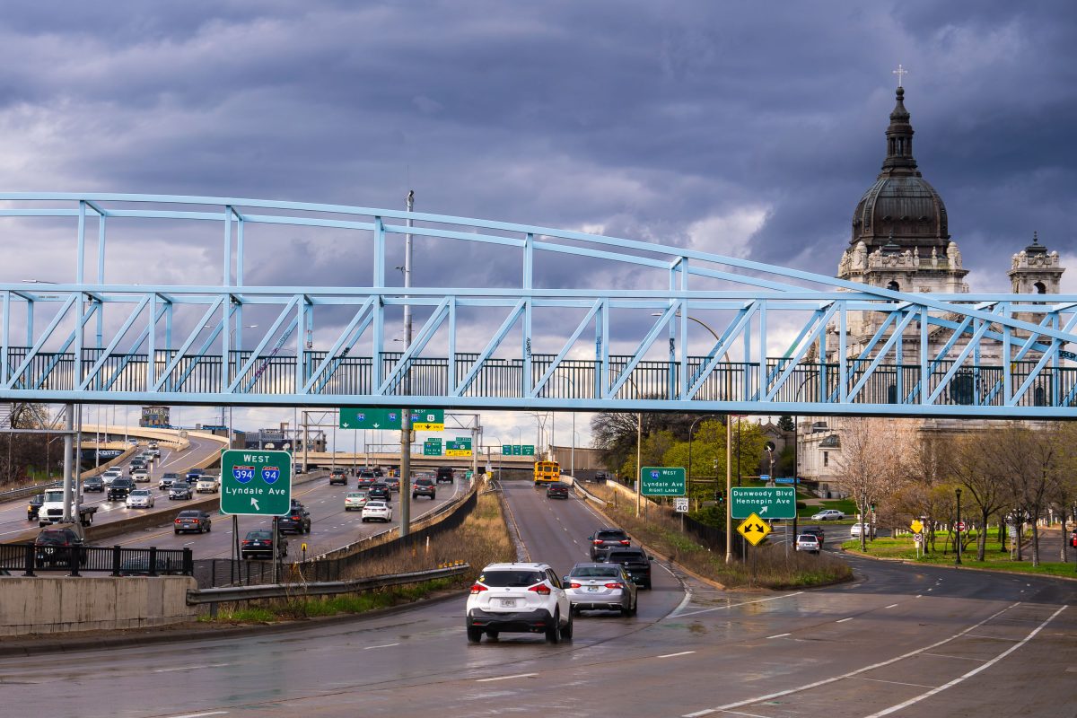
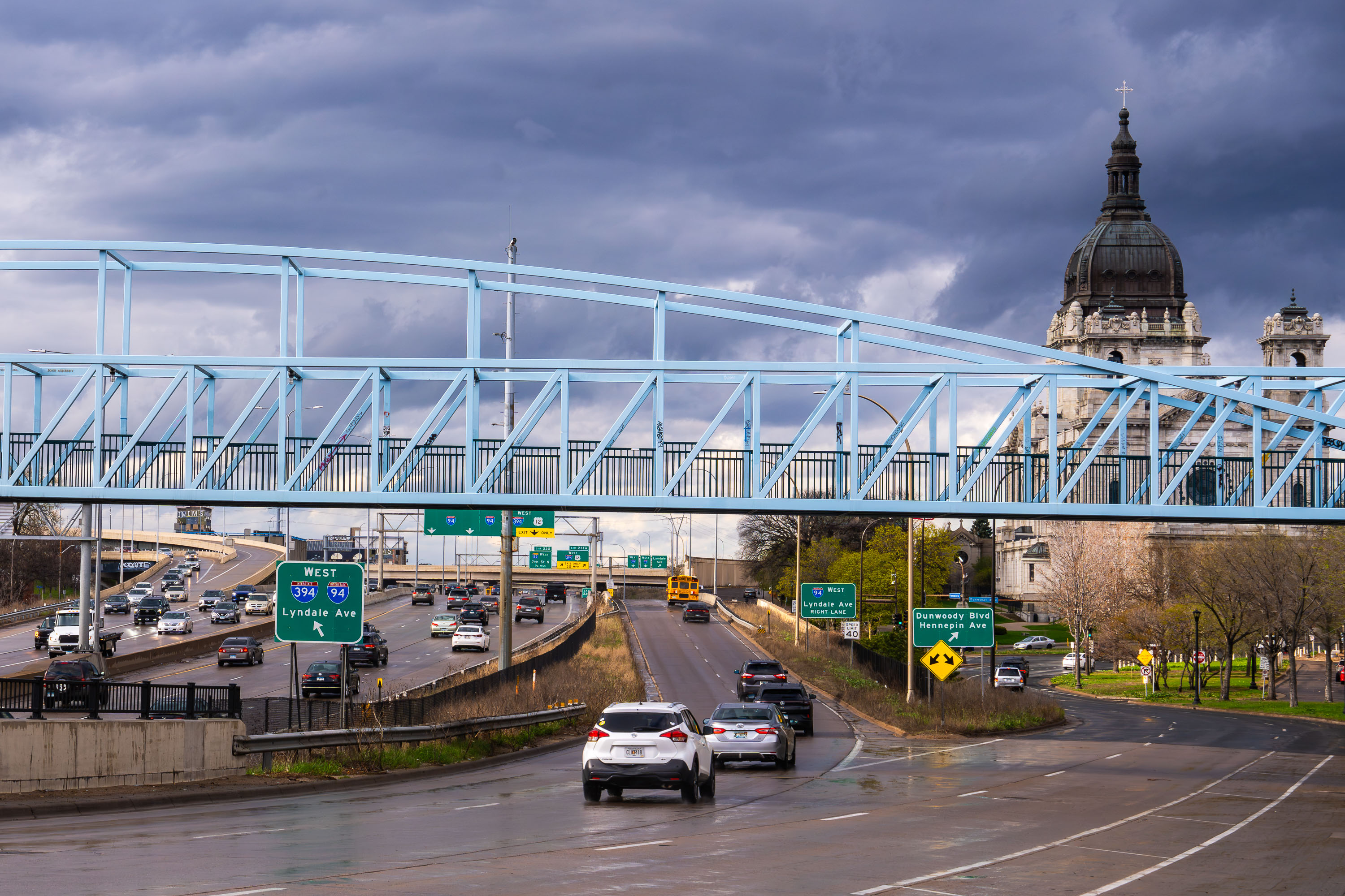
Irene Hixon Whitney Bridge in Loring Park, Minneapolis
The Irene Hixon Whitney Bridge links Loring Park to the Minneapolis Sculpture Garden and Walker Art Center, carrying pedestrians and cyclists over the sunken lanes of Interstate 94/394. Artist Siah Armajani designed the span, which opened in 1988 and is named for a longtime Minneapolis park board commissioner and philanthropist. In the distance, the copper dome of the Basilica of Saint Mary rises above the skyline; completed in 1926 and designed by Emmanuel Masqueray, it was the first basilica established in the United States and remains co-cathedral of the Archdiocese of Saint Paul and Minneapolis.

Irene Hixon Whitney Bridge in Loring Park, Minneapolis

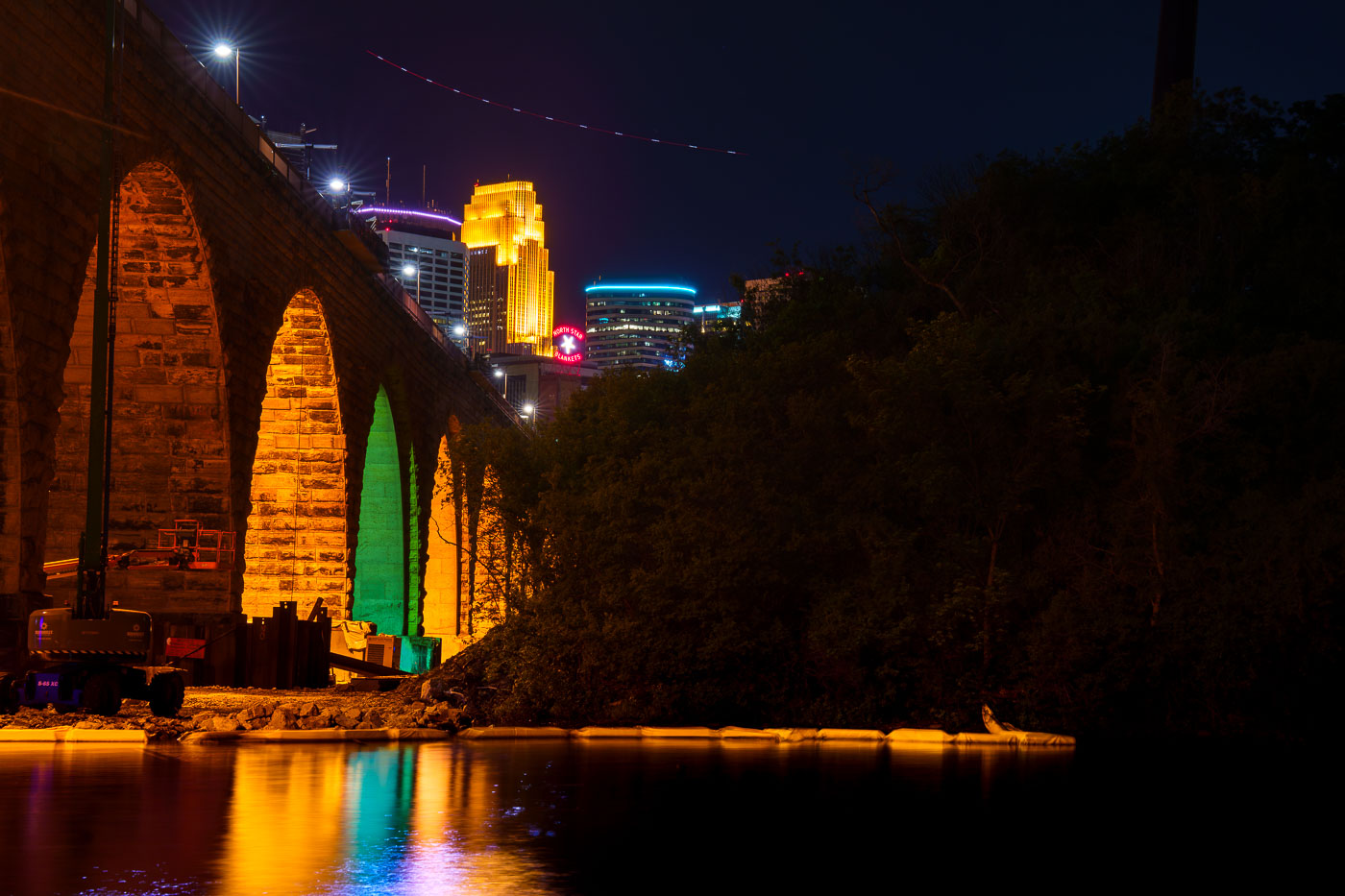
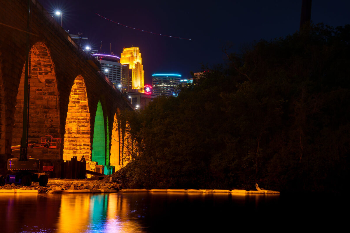
Stone Arch Bridge's illuminated stone arches span the Mississippi River at night with Minneapolis skyline beyond.
The Stone Arch Bridge, a former railroad bridge constructed in 1883, is undergoing repairs. The bridge, which spans the Mississippi River in Minneapolis, is closed to the public for several summers to facilitate this work.

Colorful Arch Lighting During Stone Arch Bridge Construction
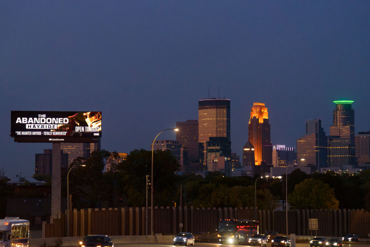
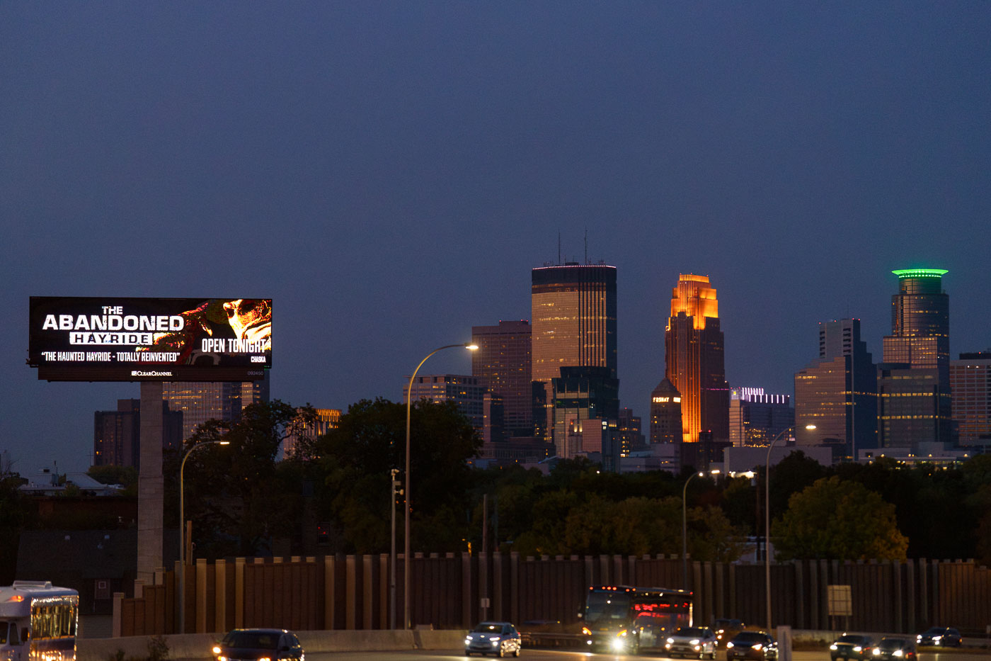
A billboard advertising The Abandoned Hayride haunted attraction stands along Interstate 35W with Minneapolis downtown skyline illuminated at dusk.
A digital billboard along Interstate 35W advertises "The Abandoned Hayride," billed as "The Haunted Hayride, Totally Reinvented" and open that night. The attraction is a seasonal Halloween event held each fall in Chaska, Minnesota, about 20 miles southwest of Minneapolis.

“The Abandoned Hayride” Billboard Near the Minneapolis Skyline
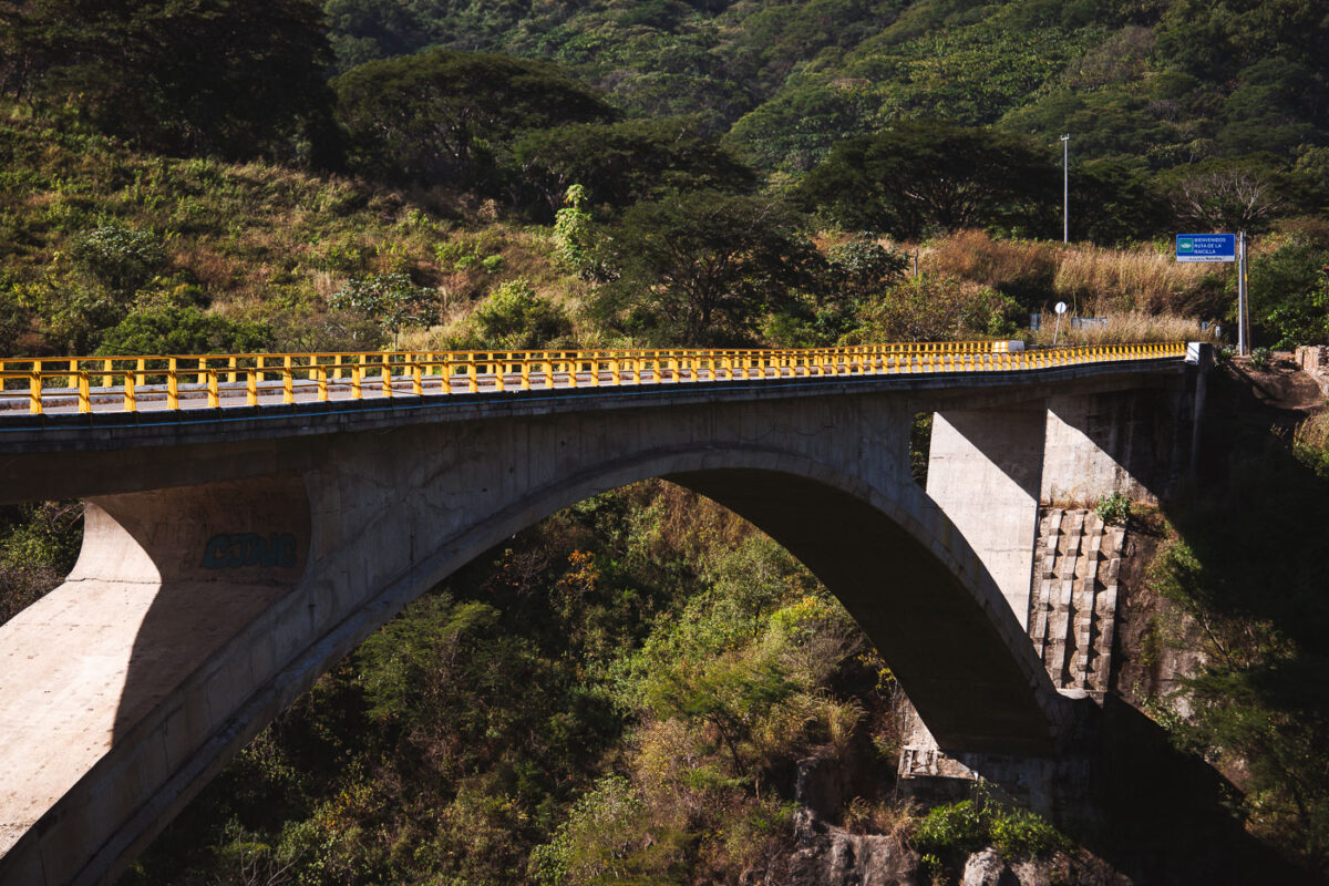
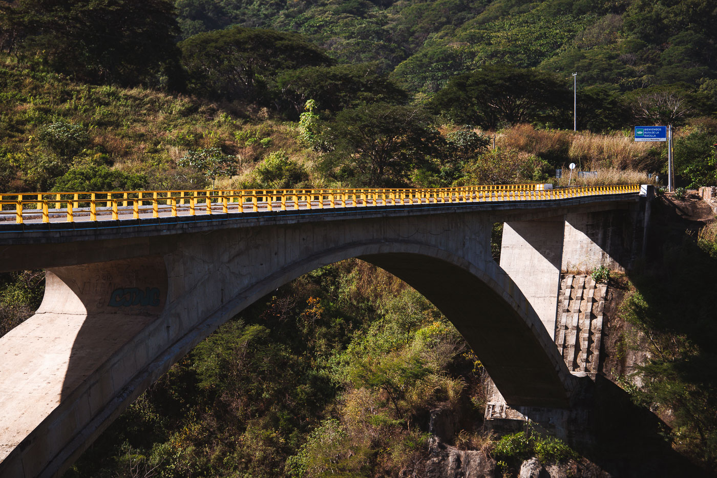
Progreso Bridge, a concrete arch spanning a forested ravine on Mexico's Jalisco-Nayarit border, features yellow safety railings and a blue roadside sign.
Progreso Bridge spans a deep ravine on the Jalisco-Nayarit border in Mexico. The concrete arch carries traffic between the Puerto Vallarta area and Riviera Nayarit, and a roadside sign marks the Ruta de la Raicilla.

Progreso Bridge’s Concrete Arch Spanning a Jalisco Ravine

Biker on Martin Olav Sabo Bridge over Haiwatha
A cyclist travels across the Martin Olav Sabo Bridge, a dedicated pedestrian and bicycle suspension bridge spanning Hiawatha Avenue in Minneapolis. Opened in 2007, the bridge was designed to provide a safe, grade-separated connection for trail users along the Midtown Greenway, avoiding the busy highway and light-rail tracks below.

Cyclist on the Martin Olav Sabo Bridge Over Hiawatha Avenue
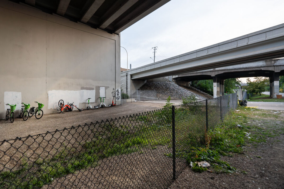
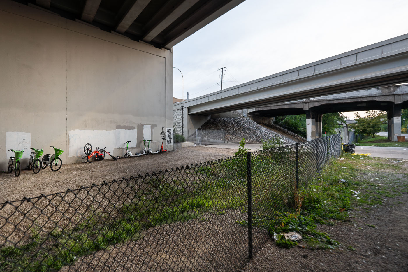
Spin and Lime Bikes need saving
Shared mobility bikes and scooters from Lime and Spin are seen behind a newly installed fence along the Midtown Greenway path in Minneapolis, beneath the Interstate 35W overpass. This section of the multi-use path, a vital east-west bicycle and pedestrian corridor, was closed while addressing ongoing concerns regarding open drug use that had been prevalent along this segment of the Greenway throughout the summer

Shared Bikes and Scooters Behind Fencing on the Midtown Greenway Under I-35W

Martin Olav Sabo Bridge in Minneapolis silhouetted against a pink and purple sunset sky.
The Martin Olav Sabo Bridge in South Minneapolis spans Hiawatha Avenue beneath a pink and purple sunset sky. The cable-stayed pedestrian and bicycle bridge carries trail traffic over the highway and light-rail corridor on the city’s east side. In this view, the bridge’s curved deck and protective fencing are silhouetted against the evening clouds, with a person visible on the span.

Pink Sunset Over the Martin Olav Sabo Bridge
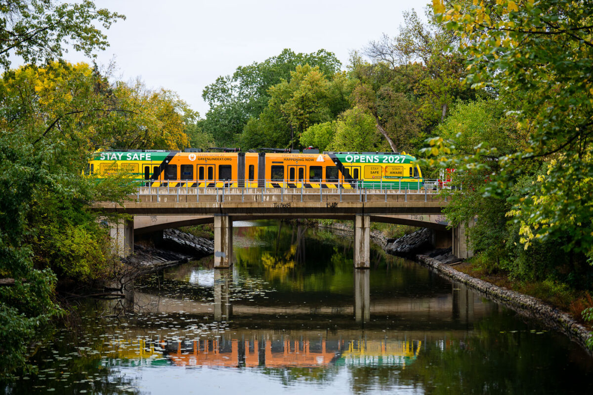
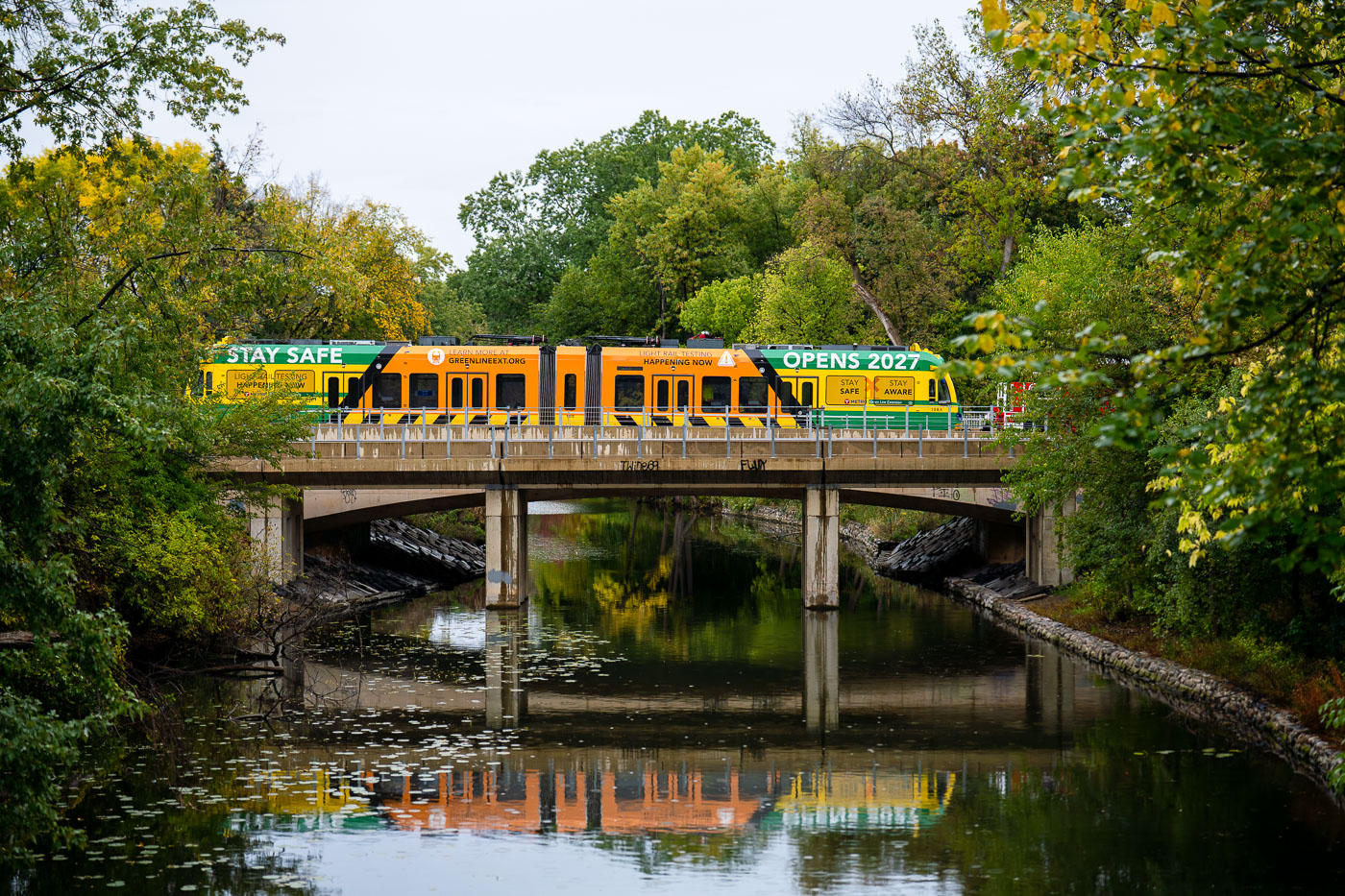
Metro Transit light rail vehicle crosses Kenilworth Channel bridge during Southwest LRT extension testing in Minneapolis.
A Metro Transit light rail vehicle crosses the Kenilworth Channel bridge in Minneapolis during testing for the Southwest LRT extension. The train is wrapped with safety and construction messaging, including “Opens 2027,” identifying it as part of the Green Line Extension project. The bridge carries the new line over the channel through the Kenilworth corridor, where test runs are used to check vehicle operation and route readiness before passenger service begins.

“Opens 2027” Test Train Crosses the Kenilworth Channel Bridge
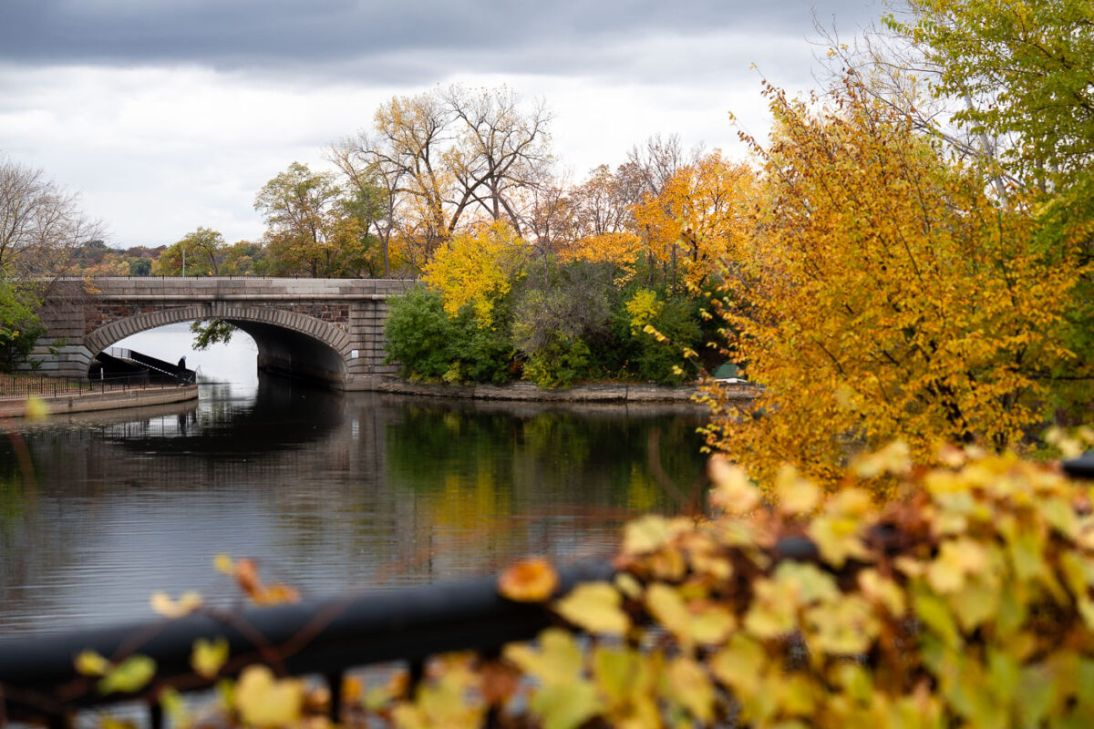
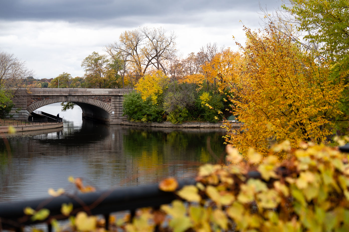
Lake Street over Bde Maka Ska Channel 2025
Lake Street bridge over the channel between Lake of the Isles and Bde Maka Ska on a fall day.
Fall Colors Along the Channel Between Lake of the Isles and Bde Maka Ska

Protesters holding signs above Hennepin and Lyndale in Minneapolis
Non stop honks under protesters on the Irene Hixon Whitney bridge over Lyndale/Hennepin today outside the Sculpture Garden Art Fair.
“Honk to Impeach” Banner on the Irene Hixon Whitney Bridge