Beach

30 photos · 2011–2024

30 photographs tagged Beach, 2011–2024.
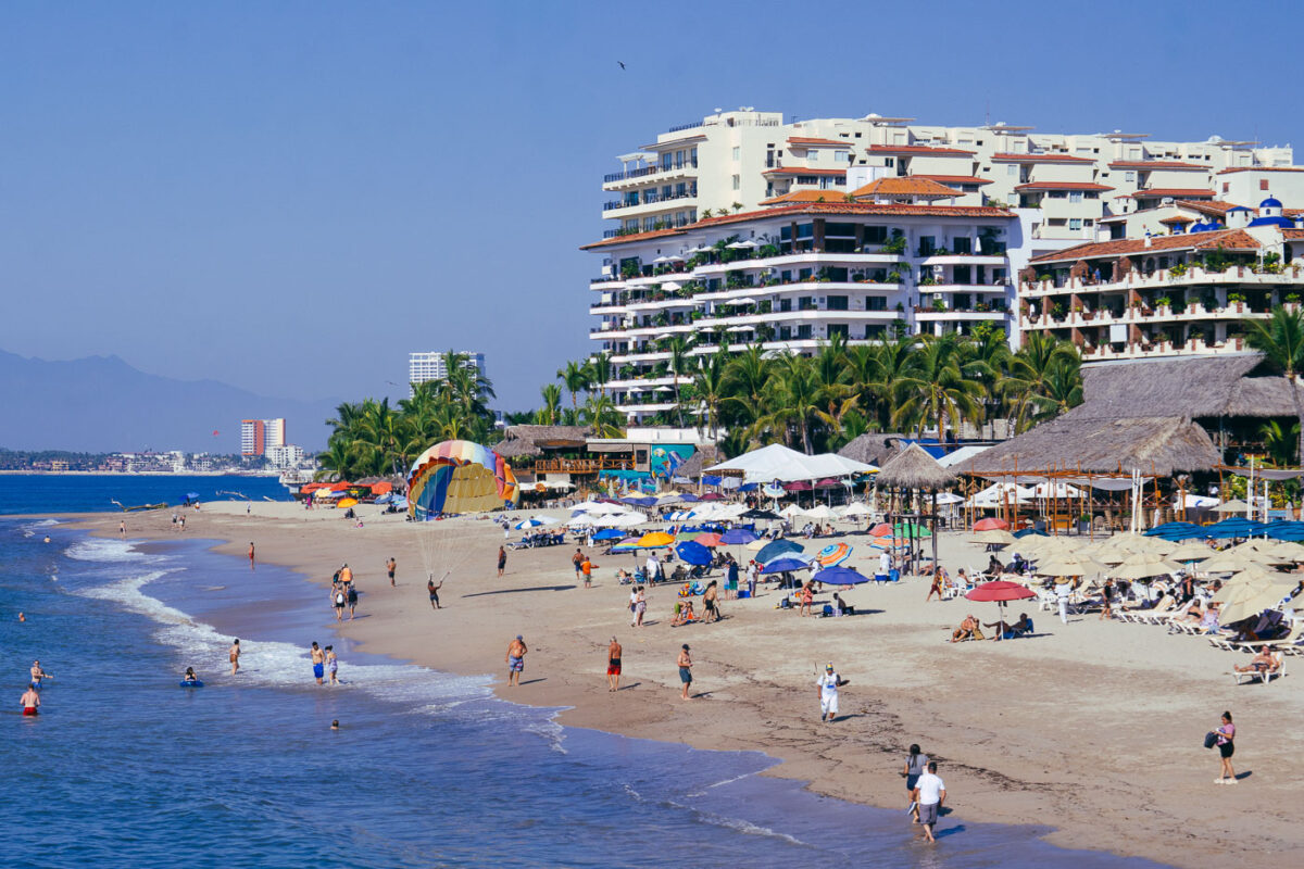
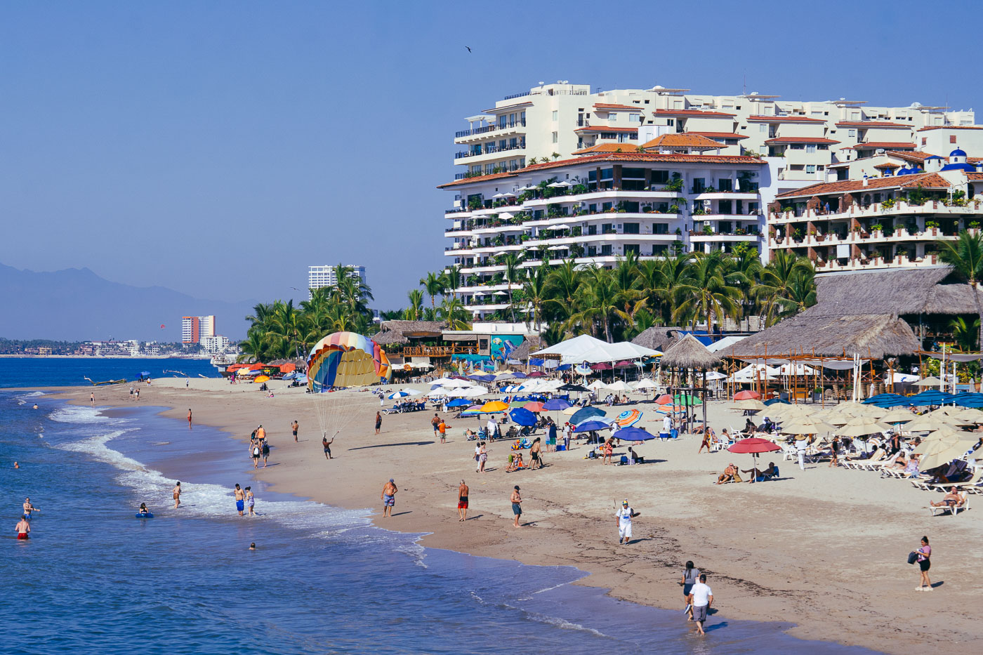
Beachgoers swim and relax on Playa de los Muertos beach in Puerto Vallarta with high-rise resort hotels rising behind palm trees.
Playa de los Muertos in Puerto Vallarta is lined with resort hotels, beach clubs, and restaurants along Bahía de Banderas. It sits beside the Zona Romántica and is one of the city’s busiest public beaches.

Beachgoers and Palapa Umbrellas at Playa de los Muertos
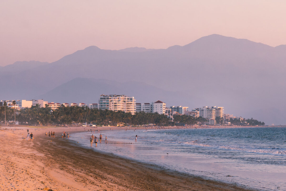
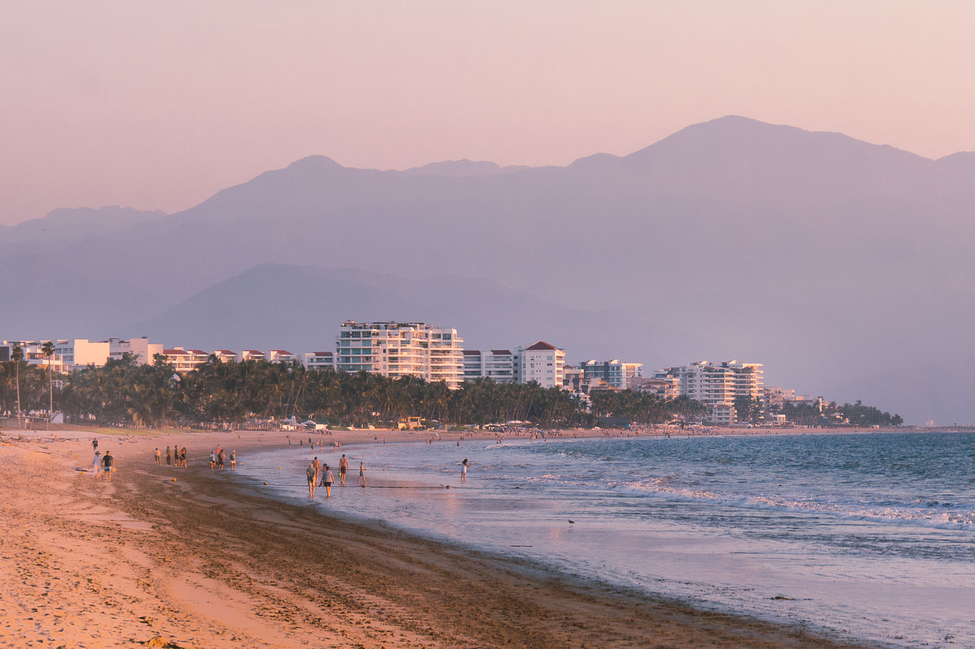
Beachfront hotels line Nuevo Vallarta beach with the Sierra Madre Occidental mountains rising in the background at sunset.
Beachfront hotels in Nuevo Vallarta, Nayarit, line the coast near the Pacific shoreline. The Sierra Madre Occidental rises behind the resort strip, and the area is part of the Riviera Nayarit tourism corridor north of Puerto Vallarta.

Sunset Walk Along the Beach in Nuevo Vallarta
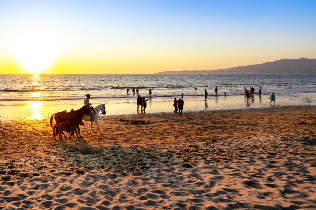
A horseman rides a horse along a beach in Puerto Vallarta, Mexico at sunset, with swimmers and beachgoers in the water and Sierra Madre mountains visible across Banderas Bay.
A beach in Puerto Vallarta, Jalisco, Mexico, has horseback rides along the shoreline at sunset. Beachgoers wade in the Pacific surf, with the Sierra Madre mountains across Banderas Bay.

Sunset Horseback Ride Along the Shore in Puerto Vallarta
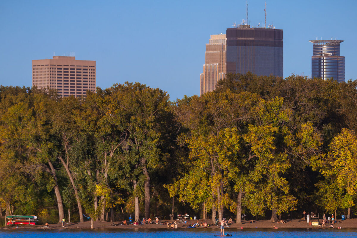
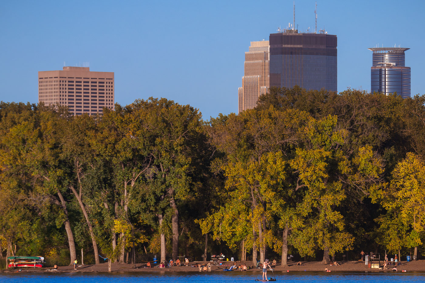
Beachgoers and a paddleboarder at Hidden Beach on Cedar Lake with Minneapolis downtown skyline rising beyond autumn trees.
Hidden Beach is a beach on the east side of Cedar Lake in Minneapolis, with no lifeguards or city upkeep. Cedar Lake covers about 170 acres and is one of the Minneapolis Chain of Lakes, joined to Lake of the Isles by the Kenilworth Channel.

Downtown Minneapolis Towers Seen from Hidden Beach on Cedar Lake
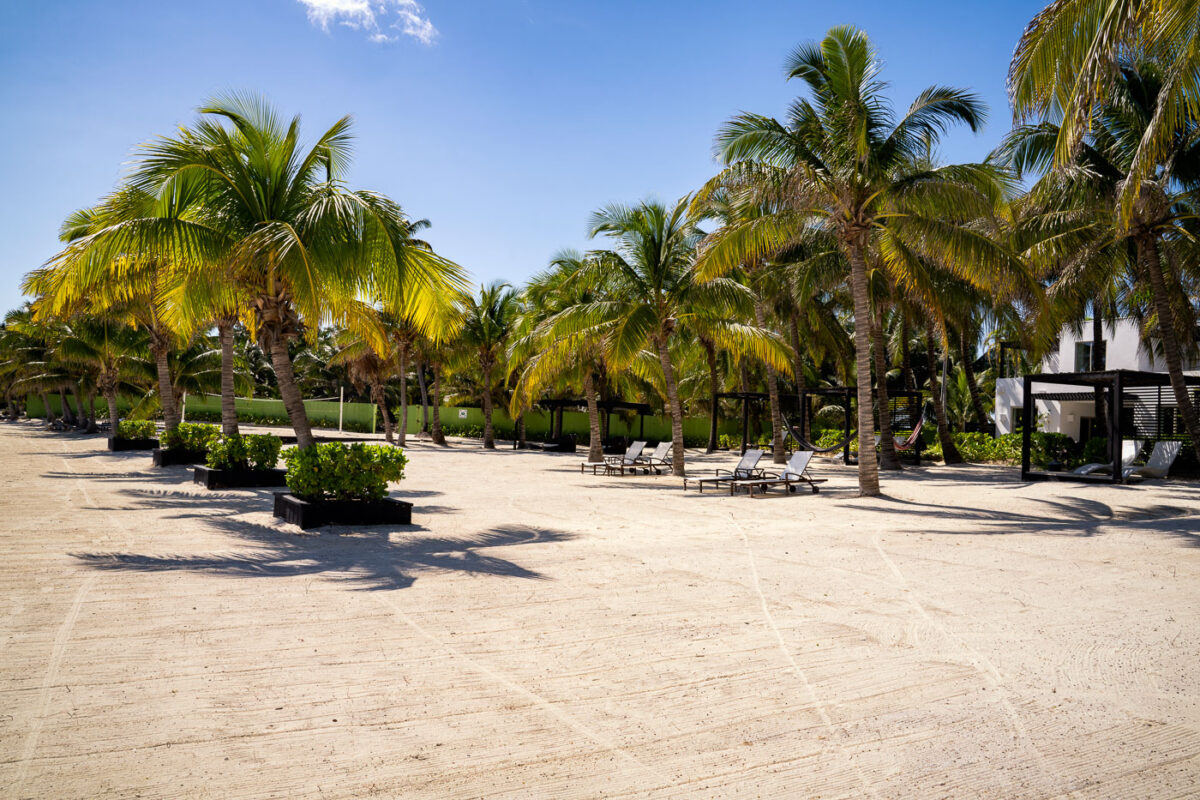
Palm trees and lounge chairs on the sandy beach at Las Terrazas Resort in San Pedro, Belize.
The beach area at Las Terrazas Resort in San Pedro, Belize, features rows of palm trees, lounge chairs, and shaded cabanas on the sand. The resort is on Ambergris Caye, a Caribbean island known for its tourism and beachfront accommodations.

Las Terrazas Resort Beach, San Pedro, Belize
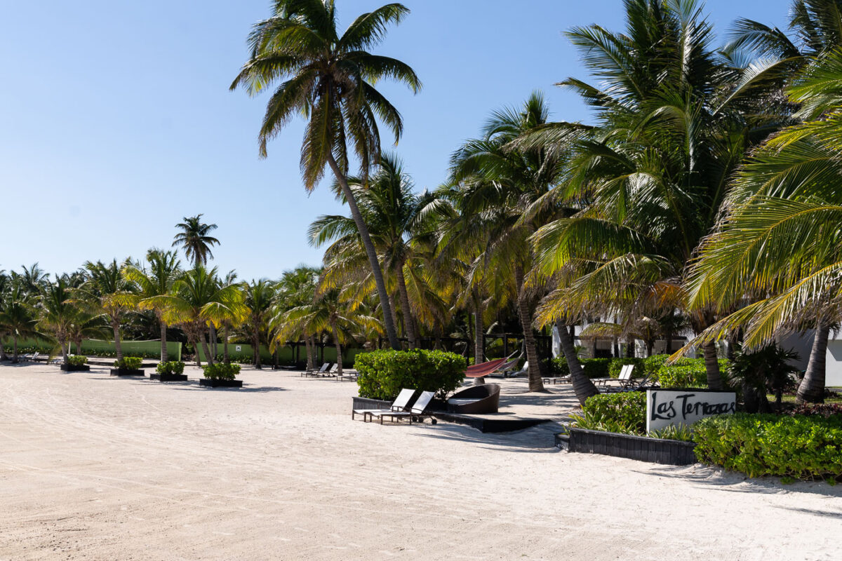
Las Terrazas Resort on Ambergris Caye, Belize, features beachfront accommodations with palm trees and lounge chairs.
Las Terrazas Resort on Ambergris Caye near San Pedro, Belize, includes beachfront guest areas bordered by palm trees and sand. The resort is a tourism property on the island off Belize’s Caribbean coast.

Las Terrazas Resort, San Pedro, Belize
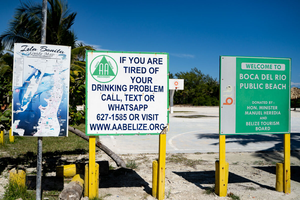
Signs at Boca Del Rio Public Beach, Ambergris Caye, Belize, include a map and AA information.
Signs at the entrance to Boca Del Rio Public Beach on Ambergris Caye, Belize, include a welcome sign donated by the Belize Tourism Board, a local guide map for Isla Bonita, and an AA Belize notice offering contact information for alcohol recovery support. The signs stand beside a paved beachside area near San Pedro, identifying the public beach access point and nearby visitor information.

Welcome Signs at Boca del Rio Public Beach in San Pedro
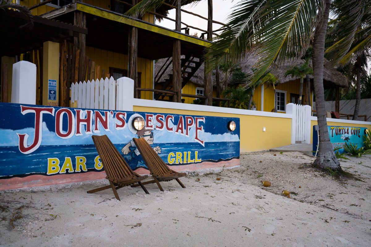
John's Escape Bar & Grill beachfront establishment on Ambergris Caye, Belize, with painted signage and wooden deck chairs on sand.
John’s Escape Bar & Grill on Ambergris Caye, Belize, is a beachfront restaurant with a painted exterior wall and sand-side seating. The property includes a raised wooden structure with thatched-roof elements and palm trees along the shore.

Wooden Deck Chairs Outside John’s Escape Bar & Grill, Ambergris Caye
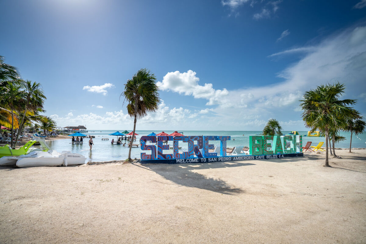
Colorful "Secret Beach" welcome sign on sandy shore in San Pedro, Ambergris Caye, Belize.
Secret Beach sits on the northwest coast of Ambergris Caye, roughly a 20-minute golf cart ride from San Pedro Town across the island's interior. The area takes its name from its early years as a little-known swimming spot, before social media and travel blogs turned it into one of Belize's most-visited beach destinations after 2015. Its shallow, waist-deep lagoon is protected from open-sea currents by the barrier reef offshore, making it popular for wading and swimming rather than surfing. A cluster of beach bars and restaurants, including long-running operations like the Blue Bar, line the shoreline and draw both day-trippers from San Pedro and visitors staying on the island's west side. Ambergris Caye itself is Belize's largest island and sits adjacent to the Mesoamerican Barrier Reef System, the second-longest coral reef in the world.

“Welcome to San Pedro” Sign at Secret Beach, Ambergris Caye

Cedar Lake East Beach, Minneapolis, with a shoreline, trees, and calm water.
Cedar Lake East Beach, commonly known as Hidden Beach, is on the east side of Cedar Lake in Minneapolis. It is a small public beach and shoreline access area in the city’s lake district.

September at Hidden Beach Minneapolis, MN

Cedar Lake East Beach, Minneapolis, a small sand shoreline with picnic tables by the lake under autumn trees.
Cedar Lake East Beach is a public shoreline on the east side of Cedar Lake in Minneapolis. Locally known as “Hidden Beach,” it functions as a small beach and picnic area within Minneapolis parklands. The swimming and recreation area is equipped for seasonal lake use, including a lifeguard stand.

Hidden Beach, Cedar Lake East Beach, Minneapolis
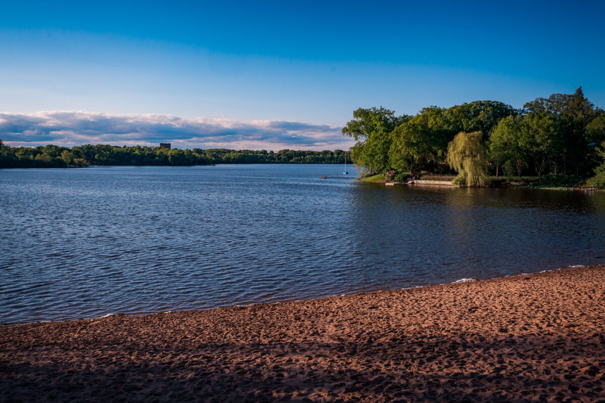
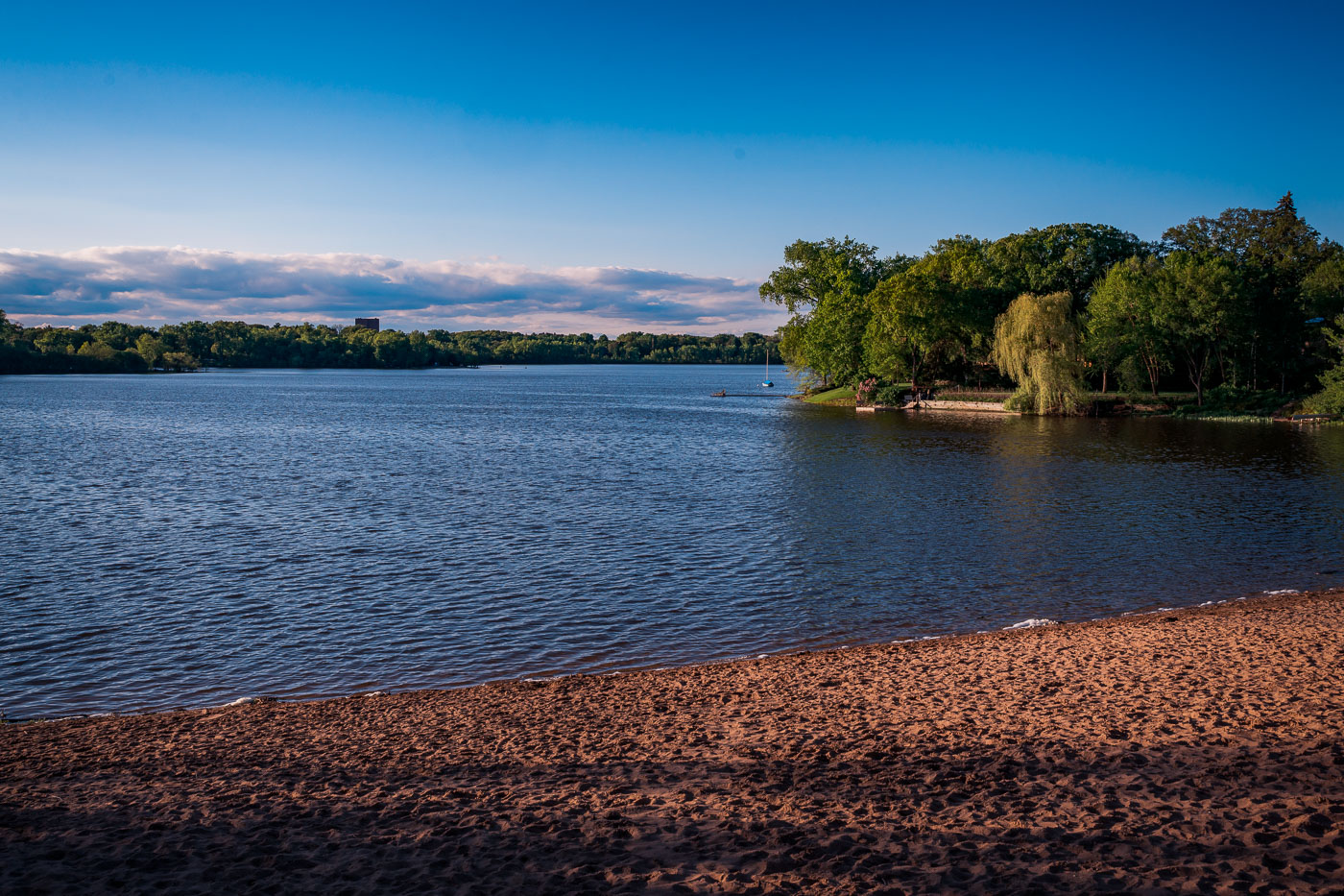
Cedar Lake South Beach in Minneapolis offers a sandy shoreline with trees and calm water under evening light.
Cedar Lake South Beach sits on the south shore of Cedar Lake in Minneapolis, one of the city's Chain of Lakes. The lake covers about 170 acres and reaches 51 feet at its deepest point, with a sandy swimming beach on this side and a mostly wooded shoreline elsewhere around it.

Sandy Shoreline at Cedar Lake South Beach
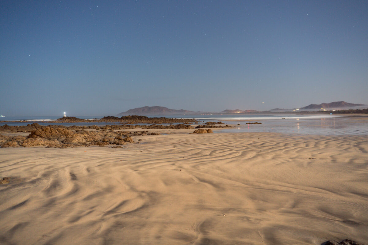
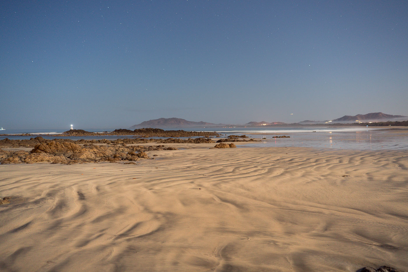
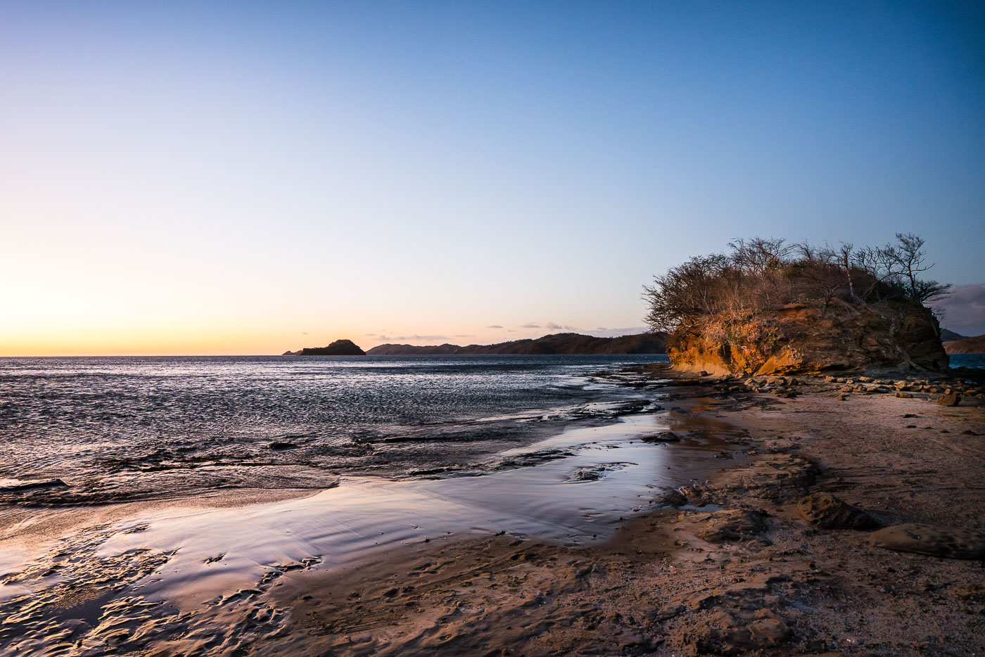
Rippled sand and rocky outcrops line the beach at Punta San Francisco near Tamarindo, Costa Rica at low tide.
Punta San Francisco Beach sits just north of Tamarindo on Costa Rica's Pacific coast, a stretch of Guanacaste known for its rocky points separating long sandy beaches. A small navigational light marks the rocky point offshore, helping boats traveling along this coastline identify the shore after dark. The surrounding waters are part of a marine zone that includes Las Baulas National Park, established to protect nesting leatherback sea turtles that come ashore along nearby beaches.

Starlit Shoreline at Punta San Francisco Beach
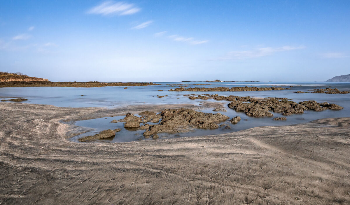
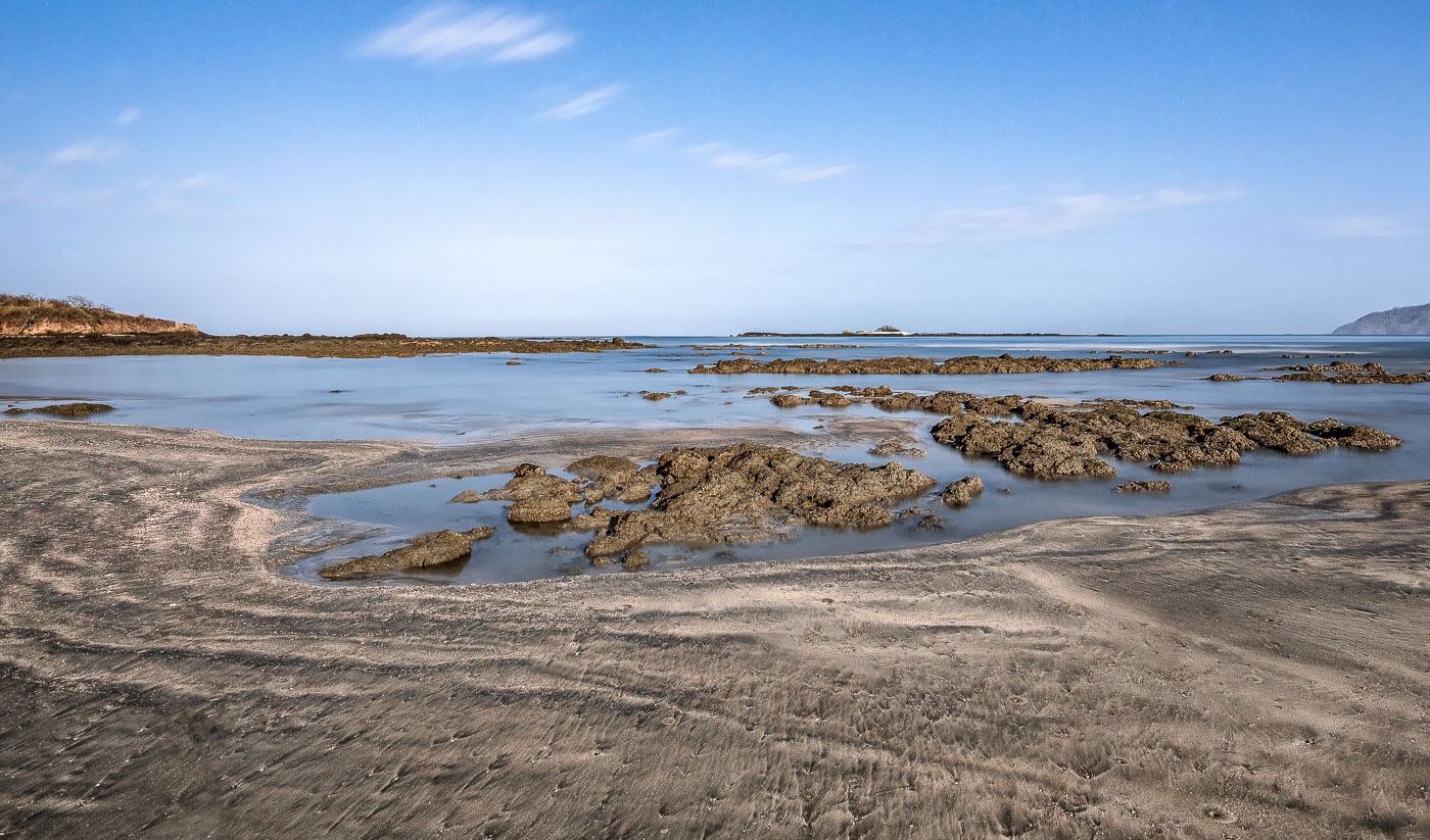
Rocky tidal pools and exposed stone formations at Punta San Francisco Beach near Tamarindo, Costa Rica, during low tide.
Punta San Francisco Beach sits along Costa Rica's Guanacaste coast near Tamarindo, a stretch known for its volcanic rock reef that emerges fully at low tide. The exposed reef creates shallow tidal pools that trap seawater as the tide recedes, a daily cycle tied to the Pacific's tidal range along this shoreline. These intertidal zones support small marine organisms adapted to alternating wet and dry conditions. The beach lies within the broader Tamarindo area, part of the dry tropical forest ecosystem that defines much of Guanacaste Province.

Exposed Reef Rocks at Punta San Francisco Beach
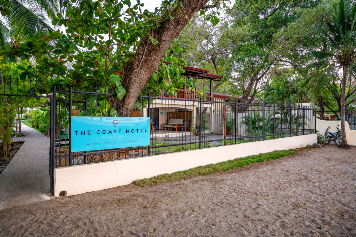
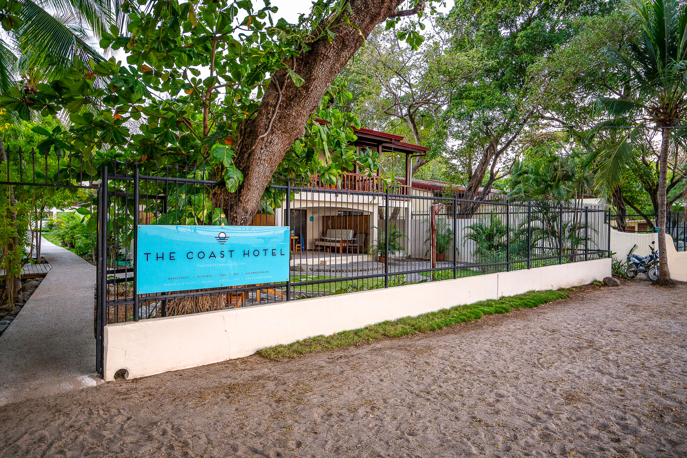
The Coast Hotel's turquoise sign hangs on a black metal fence along a sandy path in Tamarindo, Costa Rica.
The Coast Hotel sits near Punta San Francisco Beach in Tamarindo, a town on Costa Rica's Pacific coast in Guanacaste province. Tamarindo grew from a small fishing village into one of the country's most visited beach destinations, drawing surfers and travelers for its consistent breaks and proximity to Las Baulas National Marine Park, known for nesting leatherback turtles.

Fenced Entrance to The Coast Hotel, Tamarindo
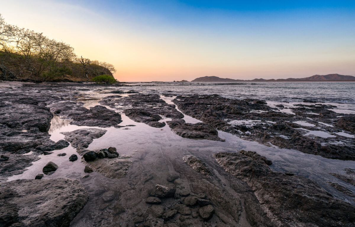
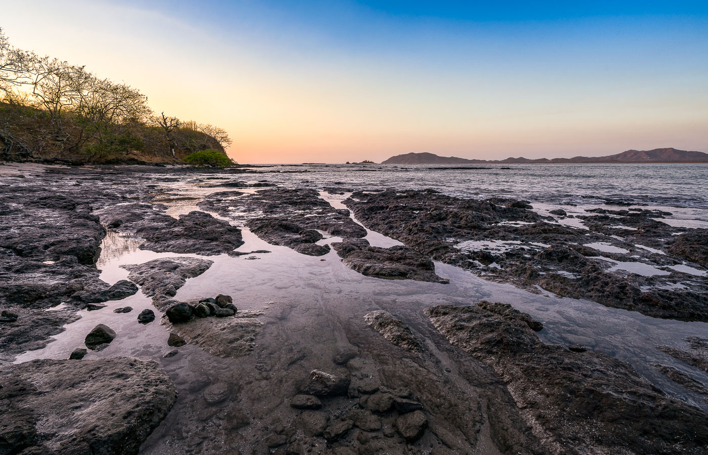
Tide pools and dark volcanic rock formations line the Pacific shoreline at Tamarindo Beach in Costa Rica at sunset.
Tamarindo Beach sits on the Pacific coast of Guanacaste Province, just south of Las Baulas National Marine Park, a protected nesting ground for leatherback sea turtles. The volcanic rock shelf exposed here at low tide runs along the shoreline toward Punta San Francisco, a rocky point separating Tamarindo from the smaller cove at Playa Langosta. Guanacaste's dry forest, visible along the point, sheds its leaves in the dry season between December and April, thinning the tree cover near the coast.

Exposed Reef at Low Tide Near Tamarindo, Costa Rica
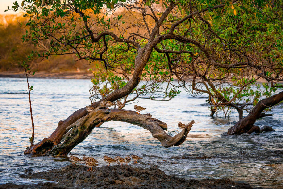
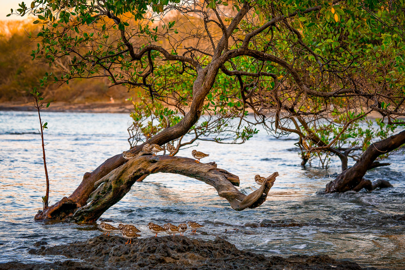
Shorebirds rest on a curved driftwood branch in shallow water among mangrove trees at Tamarindo, Costa Rica.
Tamarindo's estuary, fed by the Tamarindo River, holds one of Guanacaste's last intact mangrove systems, protected since 1995 under Las Baulas National Marine Park. The tangled red and black mangrove roots here trap sediment and shelter juvenile fish, crabs, and mollusks that draw wintering shorebirds such as sandpipers and plovers south from North America each year. These birds rely on the tidal flats for foraging at low tide and use exposed branches and roots as resting perches between feeding cycles. The estuary sits adjacent to Punta San Francisco Beach, within a few kilometers of the surf town of Tamarindo itself.

Sandpipers Roosting in a Tamarindo Mangrove Estuary
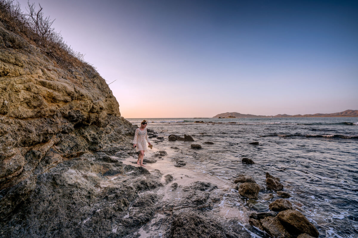
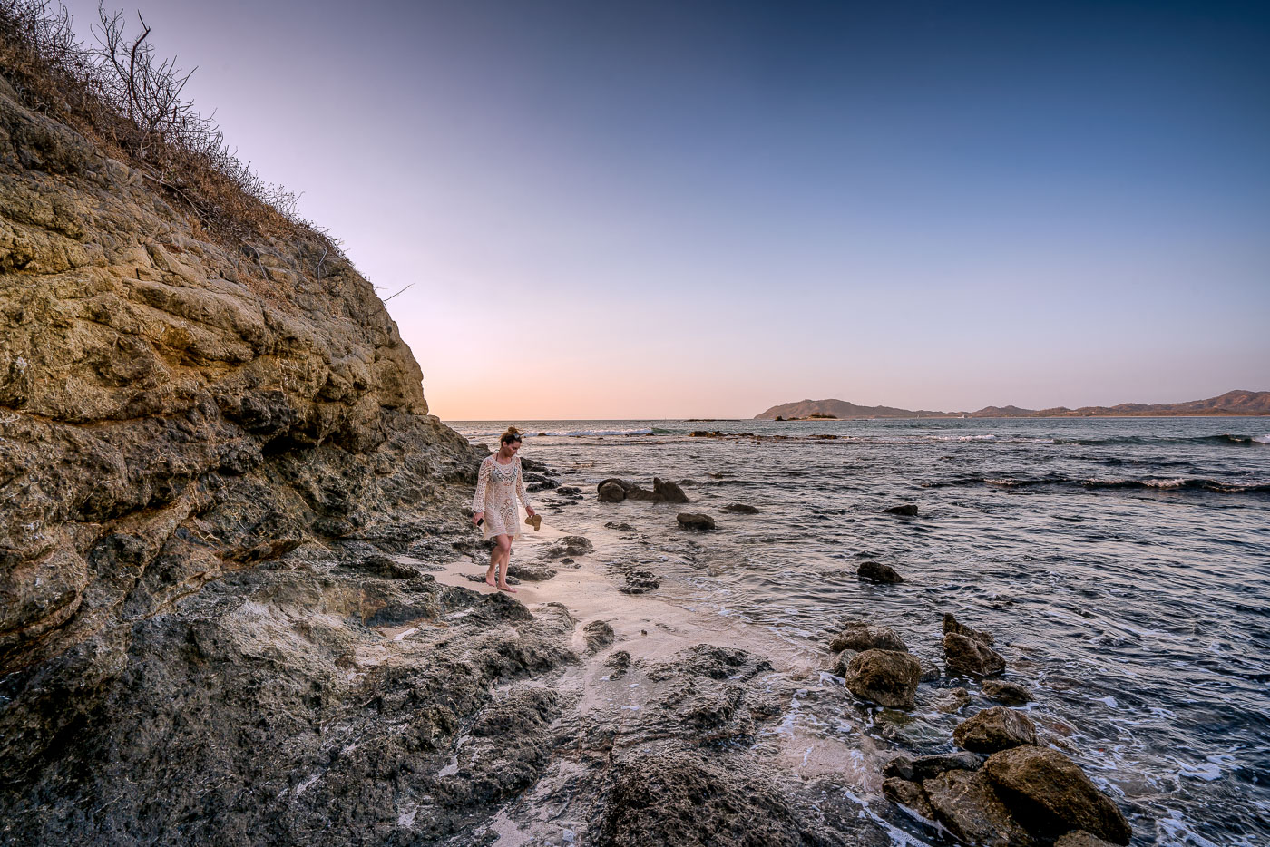
A woman walks along the rocky shoreline at Punta San Francisco Beach in Costa Rica at sunset.
Punta San Francisco Beach sits along Costa Rica's Guanacaste coast near Tamarindo, a stretch of Pacific shoreline known for its rocky outcrops and tide-exposed reef. The beach's name, meaning "San Francisco Point," marks its position along a headland separating it from neighboring stretches of sand farther south. Low tide here regularly exposes volcanic rock shelves and scattered boulders that remain submerged at higher water levels. The surrounding Guanacaste coastline formed from volcanic activity tied to the Central American Volcanic Arc, giving many of its beaches this dark, rock-strewn character rather than uniform white sand.

Sunset Walk Along Punta San Francisco Beach
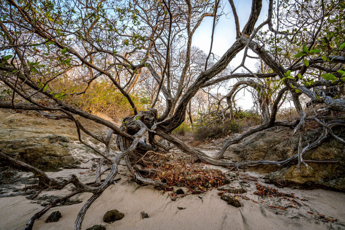
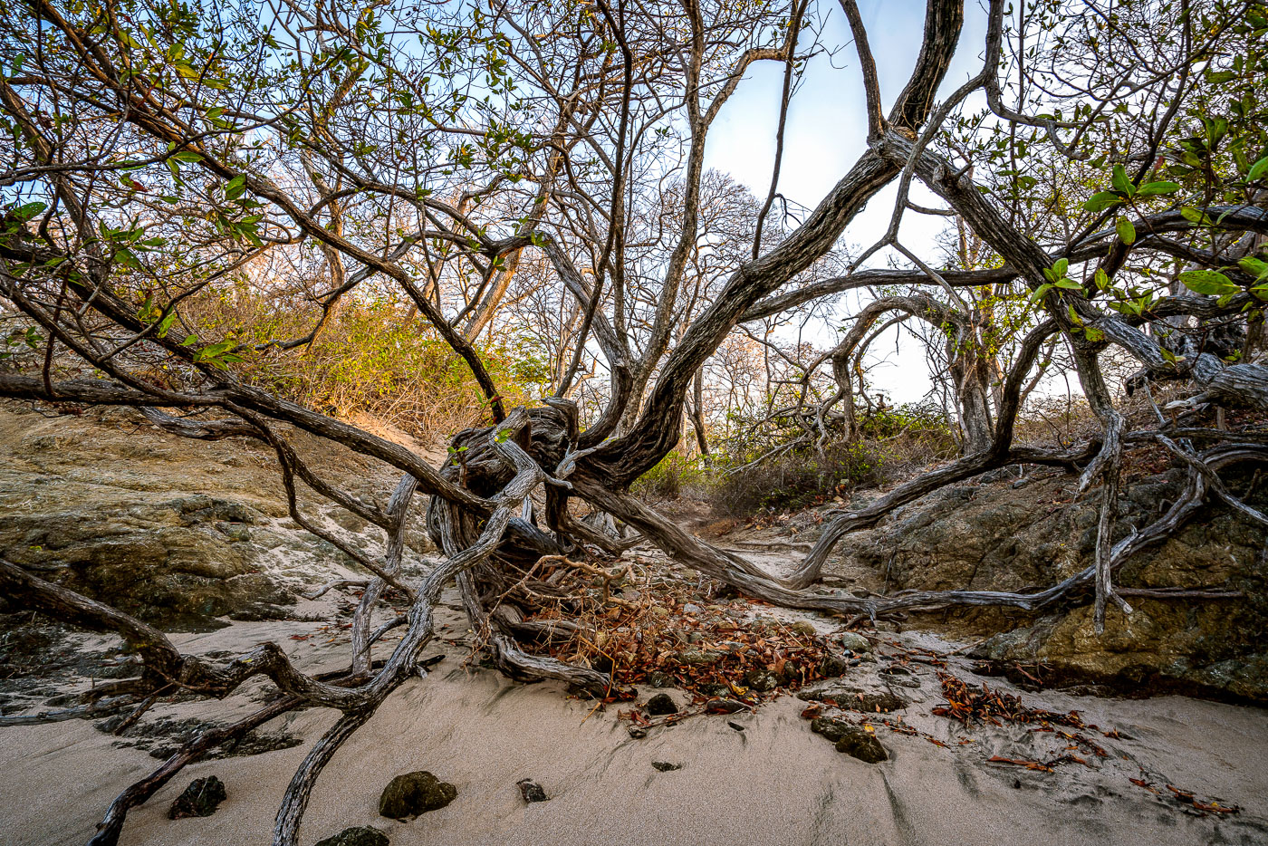
Wind-shaped coastal trees with exposed roots sprawl across sand and rock at Punta San Francisco Beach in Costa Rica.
Punta San Francisco Beach sits along Costa Rica's Pacific coast near Tamarindo, in Guanacaste province. The shoreline here is shaped by strong onshore winds and salt spray, conditions that keep coastal trees low and bent rather than upright. Trees growing this close to the tideline often develop exposed root systems as windblown sand shifts and settles around their bases. Guanacaste's dry forest ecosystem, which borders many of the region's beaches, is known for this kind of low, wind-sculpted growth where forest meets sand.

Gnarled Coastal Trees at Punta San Francisco Beach
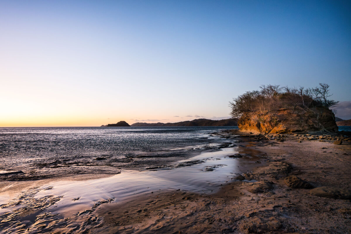
Rocky shoreline with tide pools and a sandstone outcrop at Playa Escondida, Guanacaste, Costa Rica at sunset.
Playa Escondida sits along the Guanacaste coast of Costa Rica, a stretch of the Pacific shoreline known for its rocky headlands and tide-exposed sandbars. The beach's name translates to "hidden beach," a nod to its secluded position away from the region's more developed tourist strips like Tamarindo and Playas del Coco. Low tide here exposes flat sand channels and rock outcrops that connect to the forested bluffs along the shore, conditions shaped by the area's pronounced tidal swings common to Guanacaste's Pacific-facing beaches.

Sunrise Over the Rocky Shore of Playa Escondida
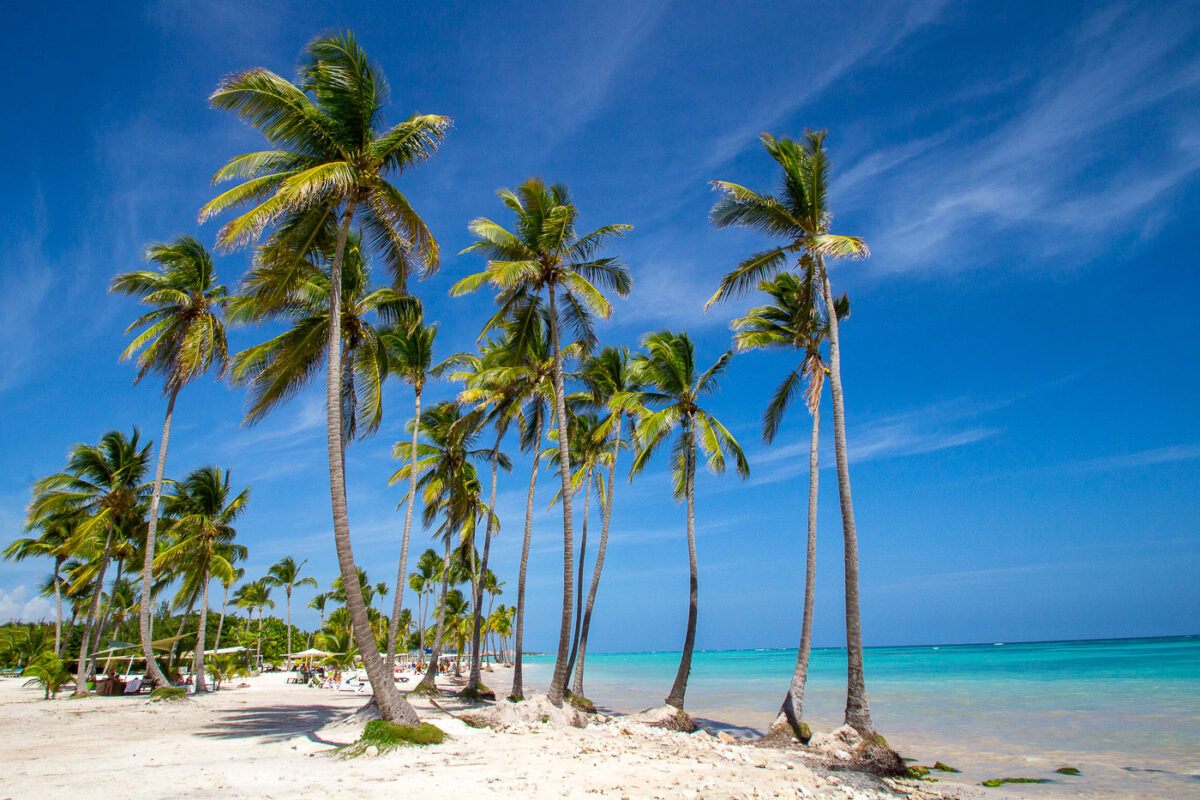
Playa Juanillo Palm Trees
Playa Juanillo, located in the Cap Cana development of Punta Cana, Dominican Republic, is a coastal area that transitioned from a fishing shoreline to a resort community in the early 2000s. The beach is characterized by its tall coconut palms and calm, turquoise waters, protected by offshore reefs. Today, Playa Juanillo serves as a public beach and a venue for events, blending natural Caribbean scenery with resort amenities.

Playa Juanillo, Punta Cana: Coconut Palms and Turquoise Water
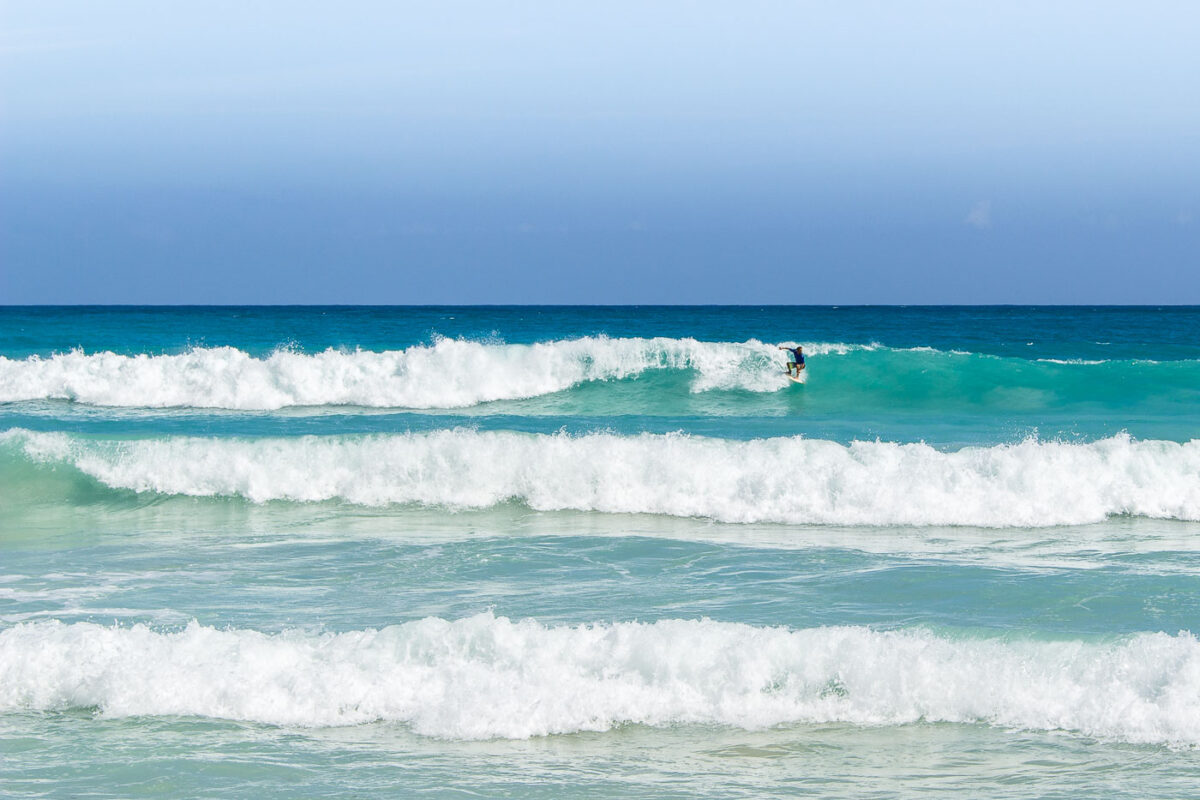
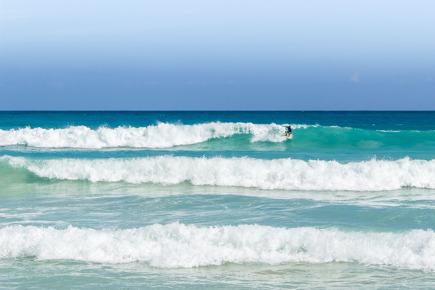
A surfer rides a wave at Playa Macao, a public beach on the Atlantic coast near Punta Cana, Dominican Republic.
A surfer rides a breaking wave at Playa Macao on the Atlantic coast of the Dominican Republic, near Punta Cana. Playa Macao is a public beach known for surfable conditions that distinguish it from the more sheltered resort-area beaches nearby.

Catching a Wave at Playa Macao, Dominican Republic
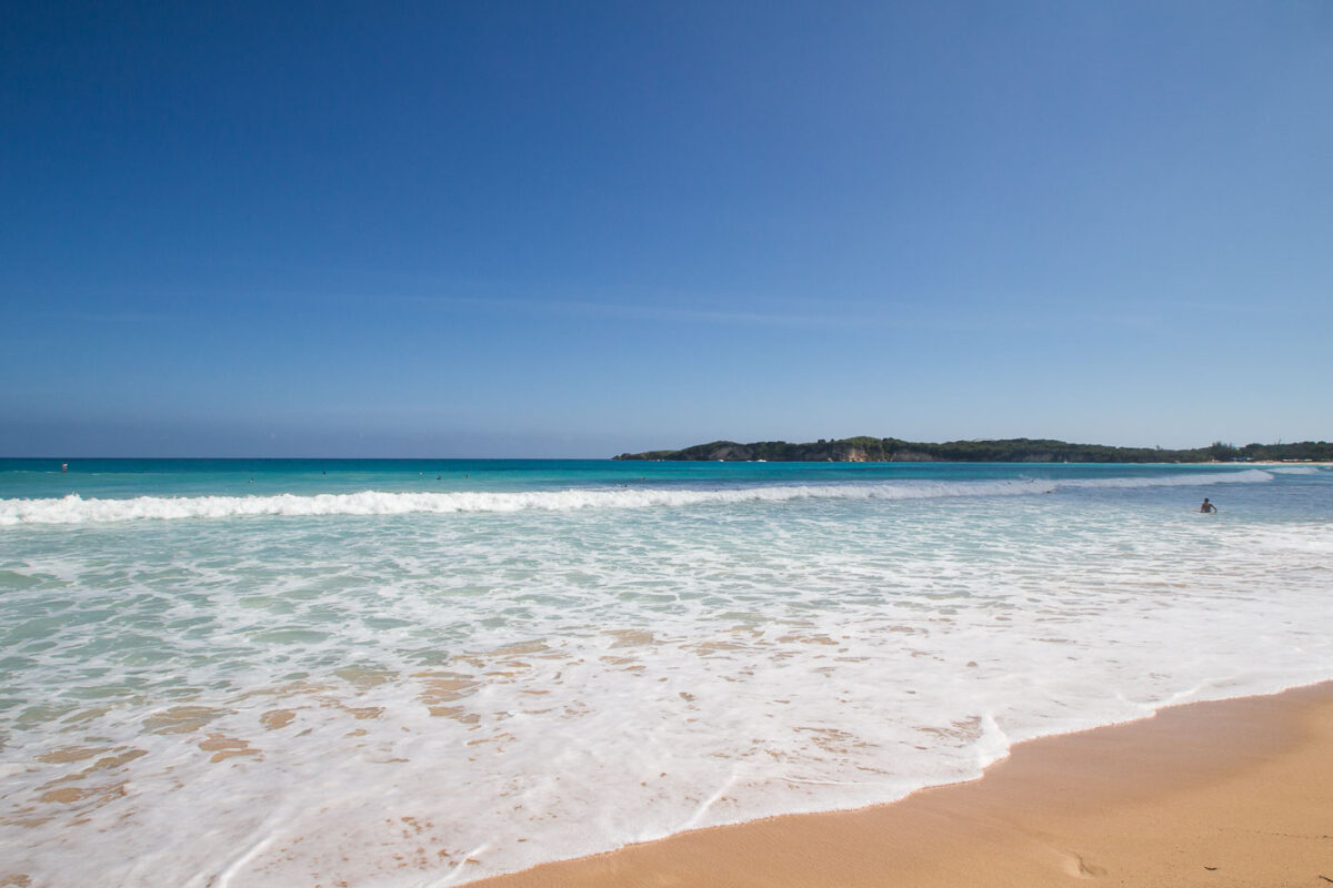
Macao Beach in La Altagracia Province, Dominican Republic, features white sand and turquoise waters with waves breaking along the public shoreline.
Macao Beach in La Altagracia Province, Dominican Republic, stretches along the Punta Cana coast with surf breaking onto a broad sandy shoreline. Located on the region’s northeastern coast, Macao is one of the few publicly accessible beaches in an area dominated by private resort frontage. Its open Atlantic exposure produces regular waves that have made the beach a known local surfing spot.

Waves Rolling Onto Playa Macao

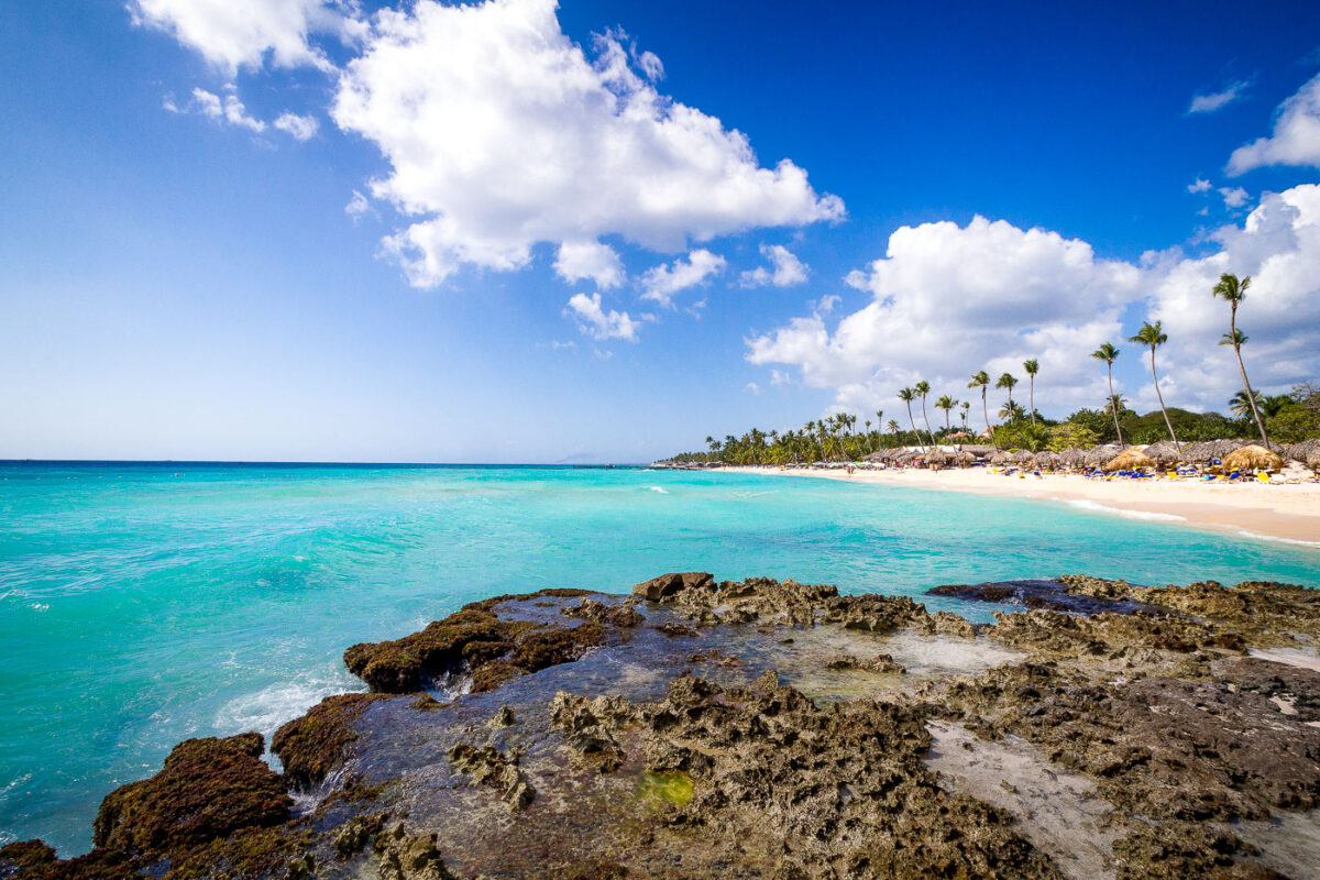
Rocky limestone shore and turquoise water at Playa del Hotel Iberostar beach resort in Punta Cana, Dominican Republic.
Playa del Hotel Iberostar in Punta Cana, Dominican Republic, is a resort beach on the Caribbean coast lined with palm trees, thatched shade structures, and hotel loungers. A rocky limestone shoreline occupies the foreground, while the sheltered turquoise water and sandy beach extend along the Iberostar property in La Altagracia Province. The beach forms part of the amenities associated with the Iberostar Selection Hacienda Dominicus resort complex.

Rocky Shoreline Overlooking Playa del Hotel Iberostar, Punta Cana
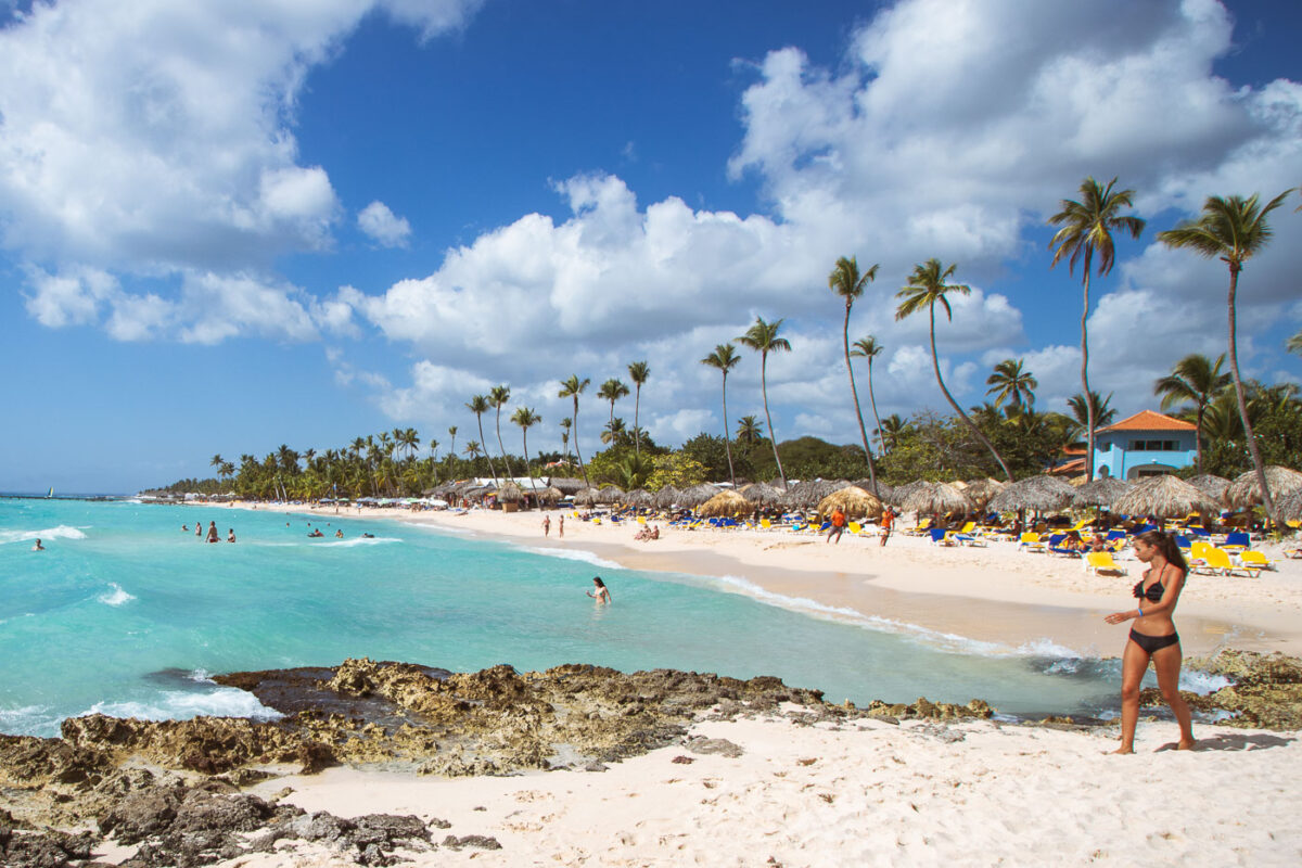
Beachgoers enjoy turquoise waters and white sand at Iberostar Selection Hacienda Dominicus resort in Bayahibe, Dominican Republic.
The Iberostar Selection Hacienda Dominicus resort is situated on the shores of Bayahibe, Dominican Republic. This coastal area is known for its pristine beaches and clear turquoise waters, making it a popular destination for tourism.

Thatched Umbrellas Along Hacienda Dominicus Beach in Bayahibe
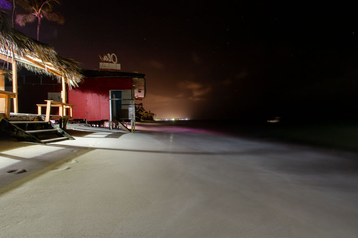
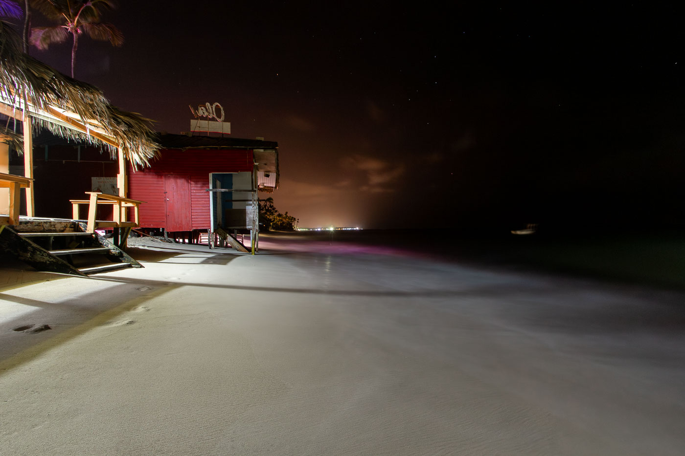
Bavaro Beach Bar illuminated at night on the sand in Punta Cana, Dominican Republic.
A small beachfront bar stands directly on Bávaro Beach in Punta Cana, Dominican Republic. The structure has a palm-thatch roof and is built at the edge of the sand beside the Caribbean Sea, with lights from the Punta Cana shoreline visible in the distance at night.

Thatched-Roof Beach Bar on Bávaro Beach at Night
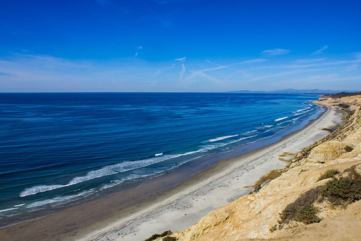
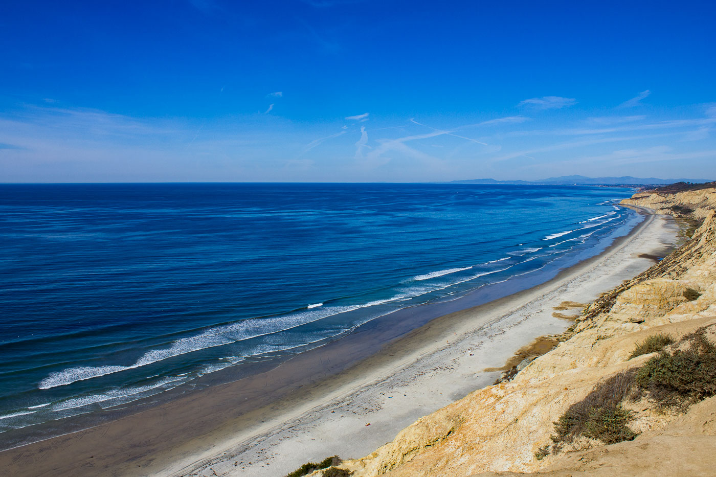
Sandstone cliffs and sandy beach curve along the Pacific Ocean at Black's Beach near San Diego, California.
Black's Beach runs about two miles beneath the sandstone bluffs of Torrey Pines State Natural Reserve, forming the undeveloped southern end of Torrey Pines State Beach. No road reaches the shore directly; access is limited to a steep trail near the Torrey Pines Gliderport or a path off La Jolla Farms Road. The offshore La Jolla submarine canyon channels stronger, more consistent swells here than at neighboring beaches, making it one of San Diego's most reliable surf spots.

Black’s Beach Shoreline Toward La Jolla

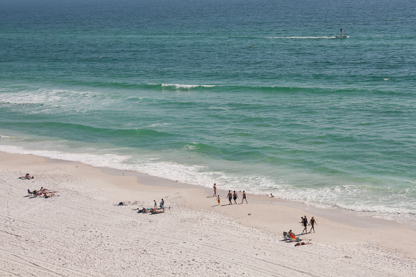
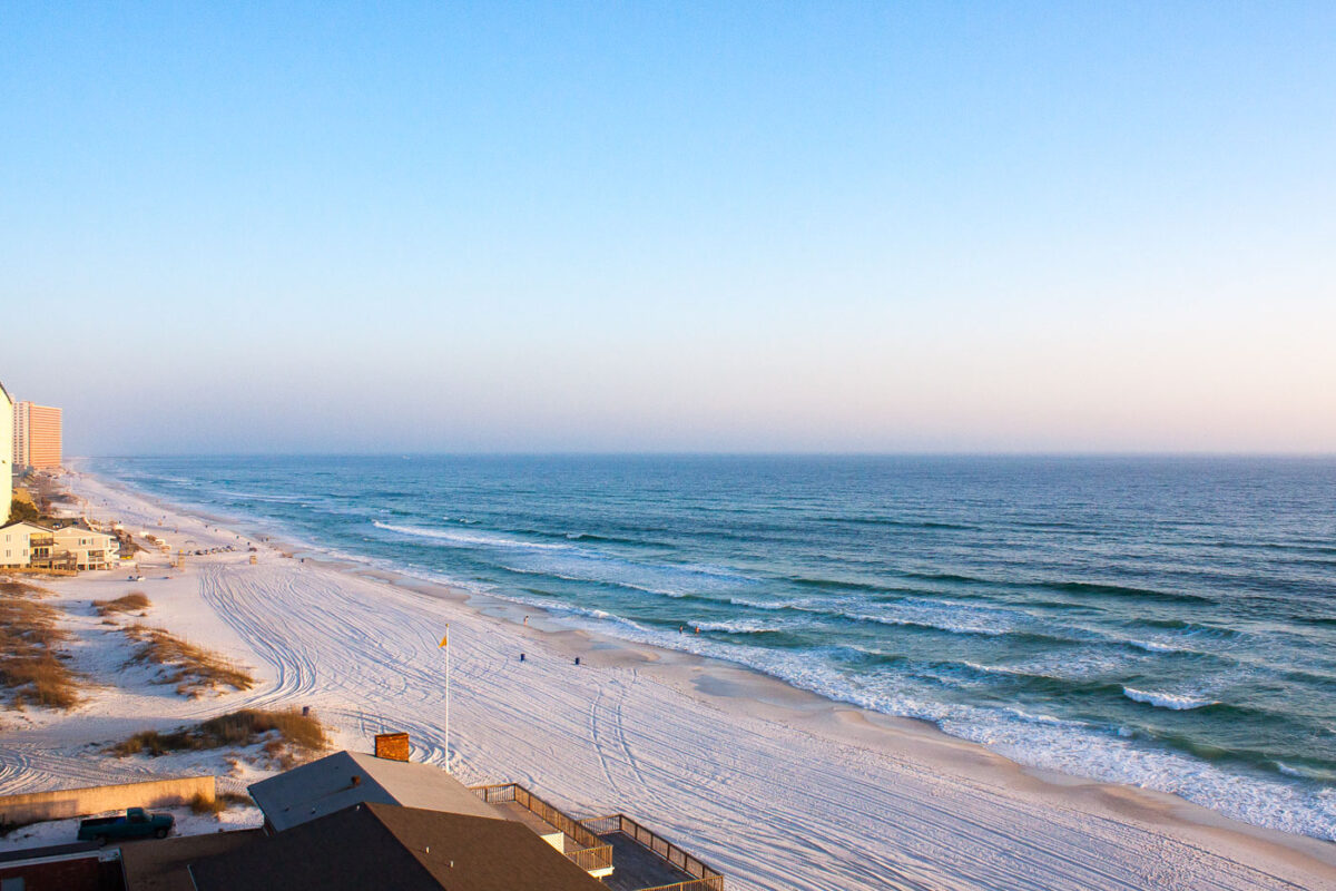
Beachgoers swim and relax on the white-sand shore of Panama City Beach, Florida.
Panama City Beach sits along Florida's Gulf Coast in Bay County, facing the Gulf of Mexico. Its sand is made almost entirely of quartz washed down from the Appalachian Mountains, giving the shoreline the fine white texture that distinguishes it from darker beaches elsewhere in the state. The beach stretches roughly 27 miles, making it one of the longer continuous stretches of public shoreline on the Florida Panhandle. Development along this coast accelerated after the construction of the Hathaway Bridge in 1929, which connected the beach to Panama City and opened it to wider tourism.

Waves Along the Shoreline at Panama City Beach
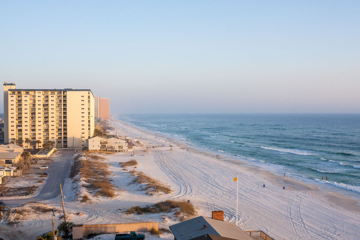
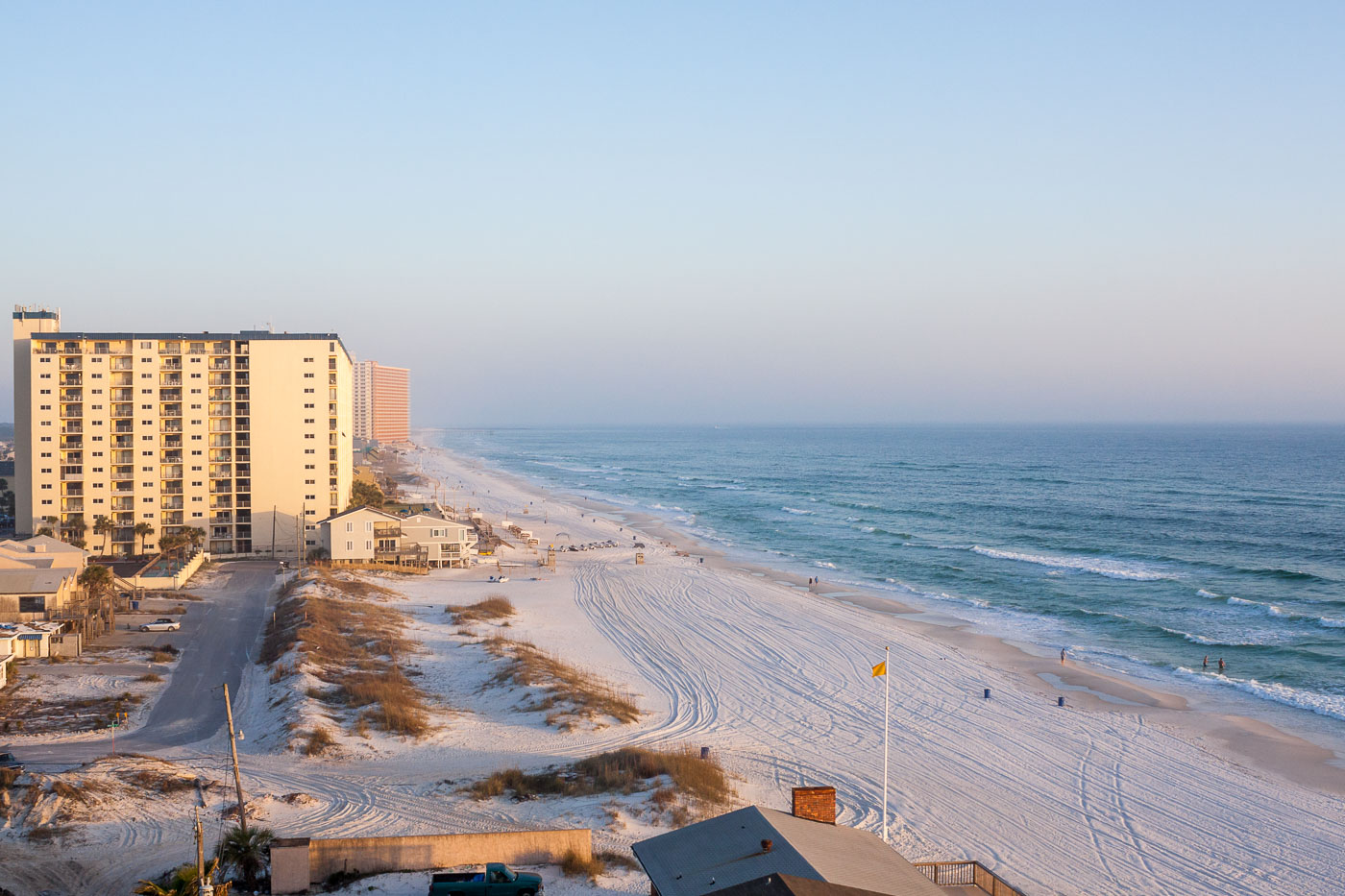
High-rise beachfront condominiums overlook Panama City Beach and the Gulf of Mexico shoreline in Florida.
Panama City Beach sits on a barrier peninsula in the Florida Panhandle, facing the Gulf of Mexico along roughly 27 miles of white quartz sand. The sand's brightness and fine texture come from quartz crystals washed down from the Appalachian Mountains over thousands of years. High-rise condominium towers built from the 1970s through the 2000s line much of the beachfront, replacing the small motels and cottages that once defined the area. Dune systems anchored by sea oats remain protected under Florida law, since they help stabilize the shoreline against storms and erosion.

High-Rise Condos Along Panama City Beach’s Shoreline
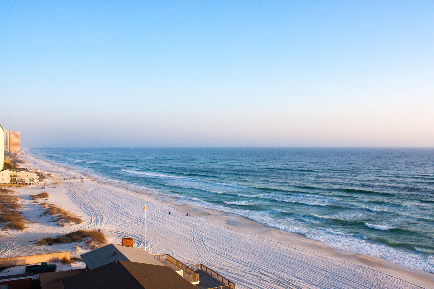
Beachfront high-rise resort tower overlooks white-sand beach and Gulf of Mexico waves in Panama City Beach, Florida.
Panama City Beach sits on a barrier peninsula along Florida's Gulf Coast in Bay County, roughly 100 miles southwest of Tallahassee. Its sand is composed largely of quartz washed down from the Appalachians over thousands of years, giving the beach its notably fine, white texture and cooler surface temperature compared to darker sands elsewhere in the state. The city incorporated in 1936 and grew through the postwar decades into one of the Florida Panhandle's primary tourist destinations, with high-rise condominiums replacing many of the smaller motels and cottages that once lined the shore. The Gulf here is part of a wider marine system that supports sea turtle nesting, including loggerheads, which return to these dunes each summer to lay eggs.

Morning Light Along Panama City Beach’s Gulf Shoreline