Panama City Beach Gulf Coast, Florida
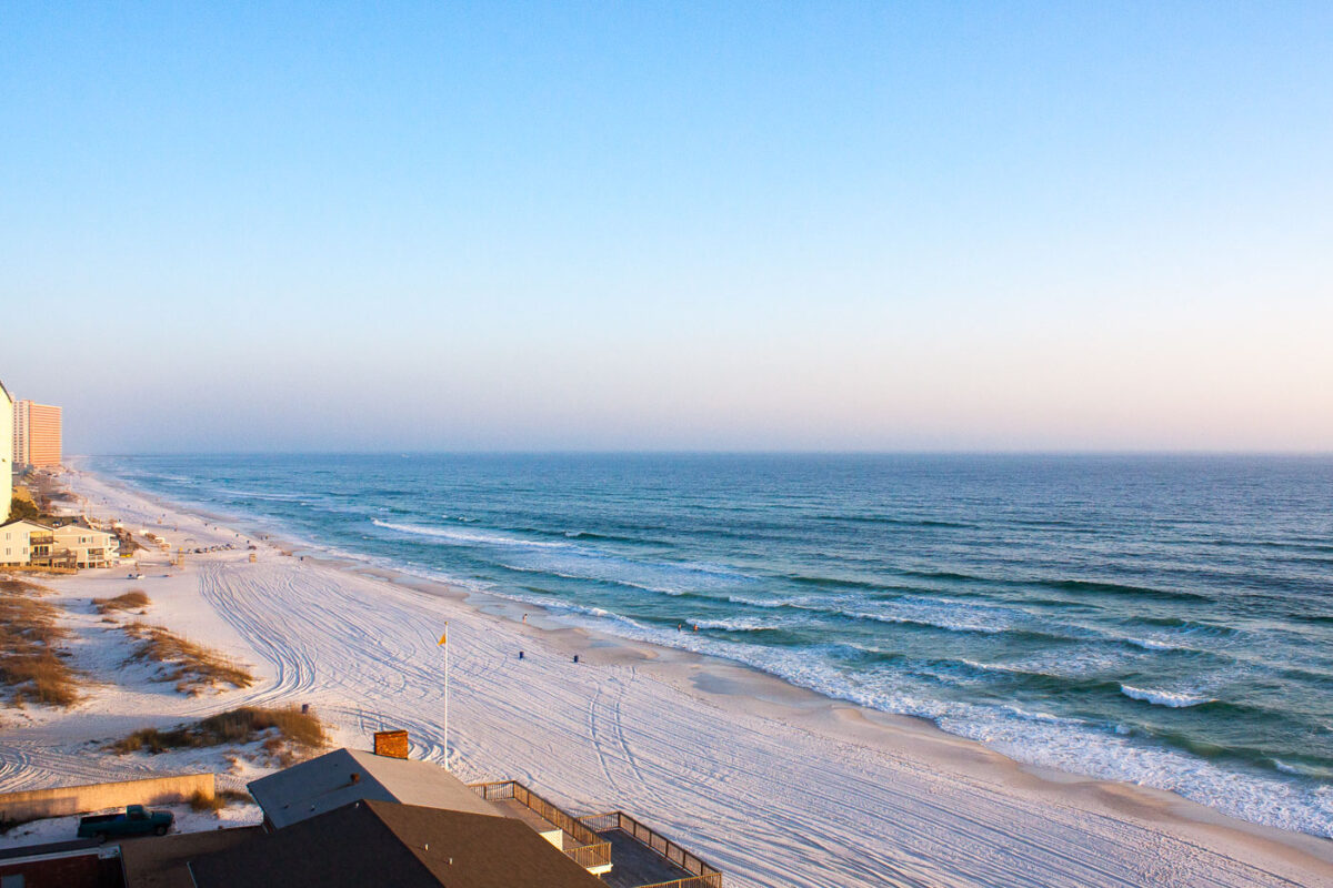
February 2011 — The Gulf of Mexico in Panama City Beach, Florida.
Explore photos tagged Beach.
February 2011 — The Gulf of Mexico in Panama City Beach, Florida.
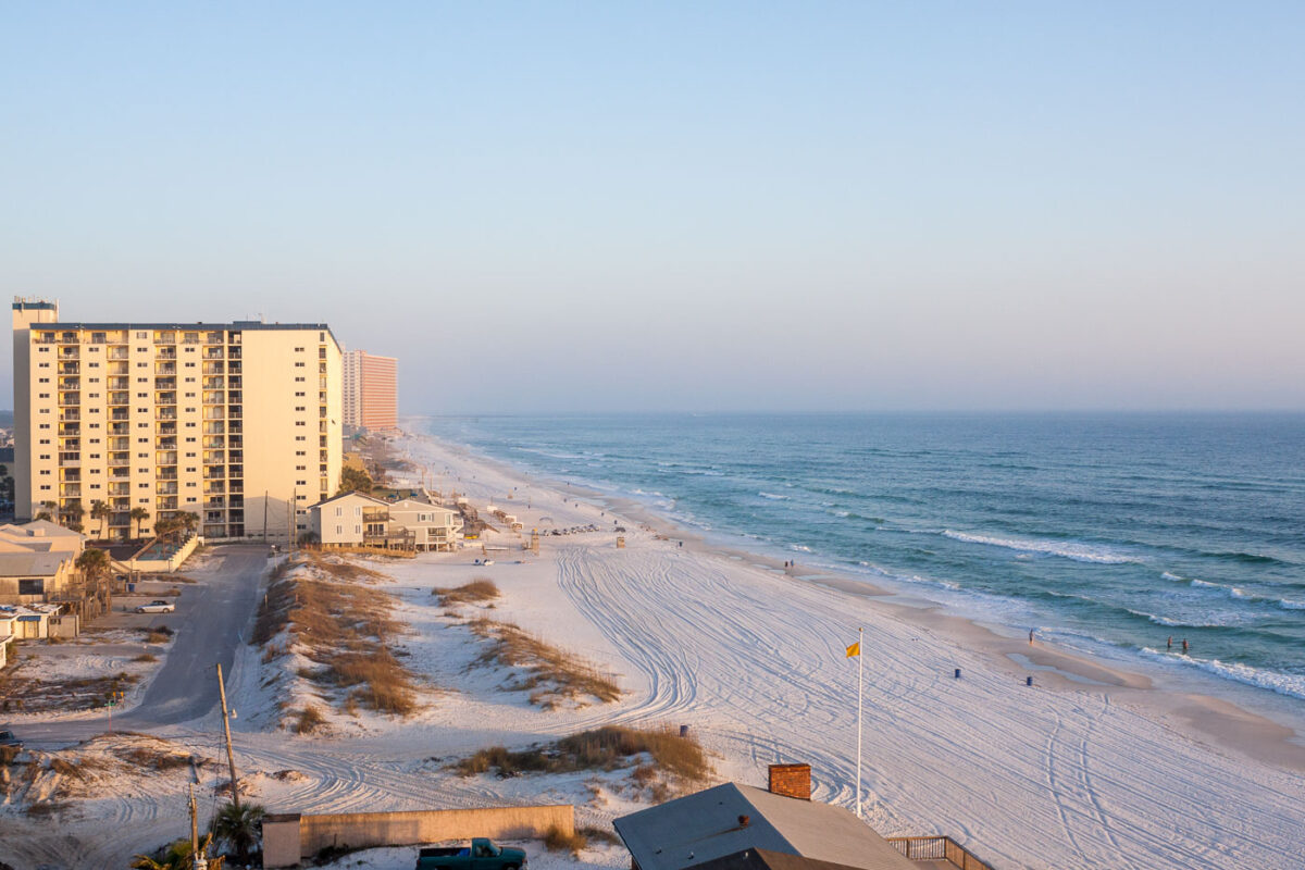
February 2011 — Panama City Beach Florida

February 2011 — People lay and walk on the beach in Panama City Beach, Florida.
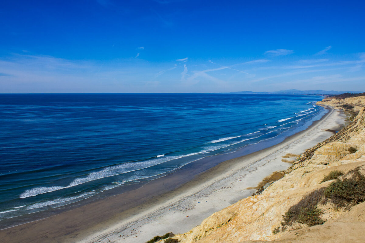
November 2011 — Black's Beach, San Diego, California
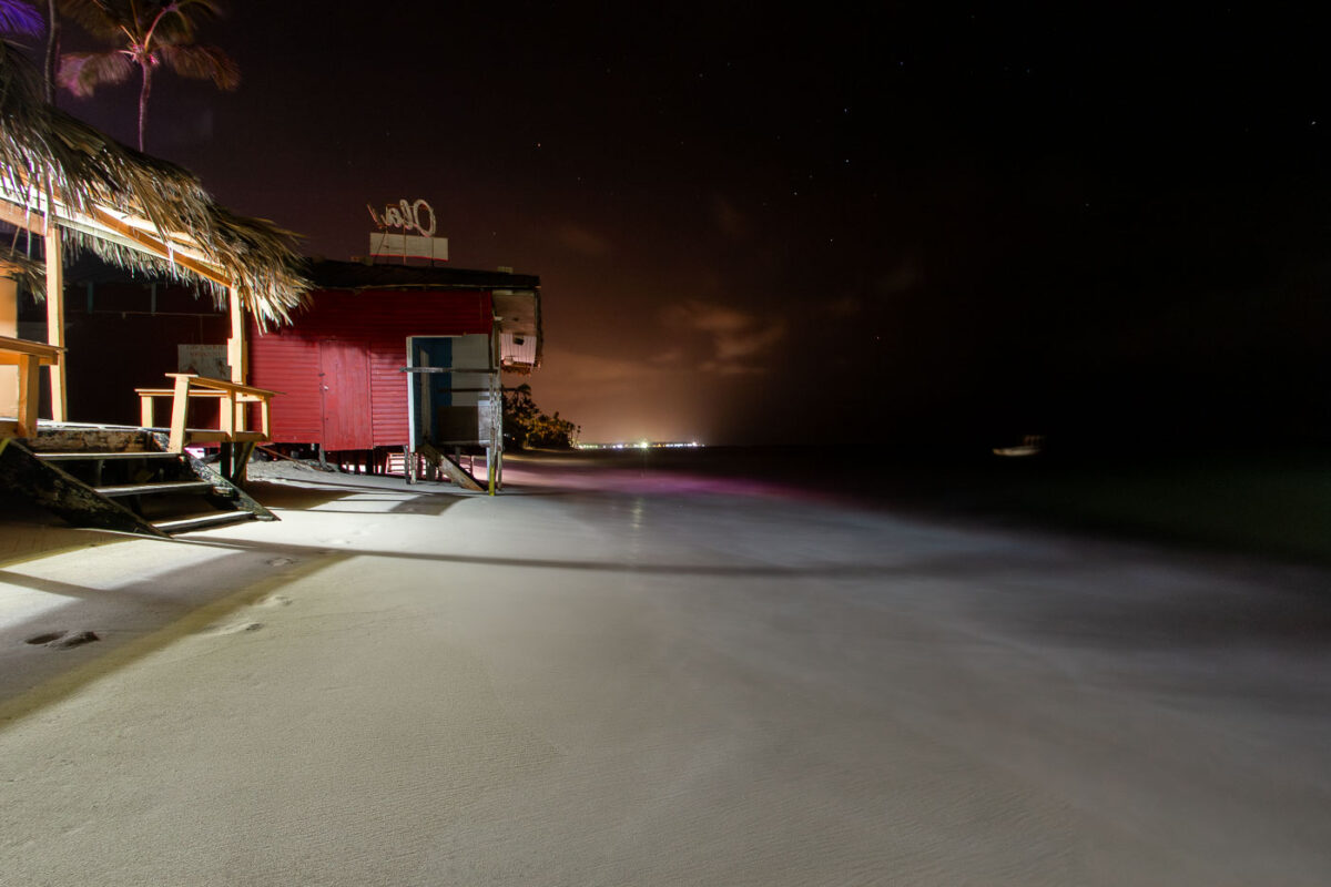
February 2016 — structure, with a palm-thatch roof and simple seating, reflects the informal beachfront culture of the region, where many bars operate just steps from the water. Captured at night with a long exposure, the Caribbean Sea appears smooth and misty as waves gently wash beneath the structure. In the distance, faint shoreline lights show the resort-lined coast of Punta Cana. The photo highlights the fragility of beachfront structures, many of which face increasing erosion and tidal encroachment due to coastal development and rising sea levels.
February 2016 — The beach at Iberostar Selection Hacienda Dominicus. Located in Bayahibe, Dominican Republic.
February 2016 — Playa del Hotel Iberostar, Punta Cana, Dominican Republic
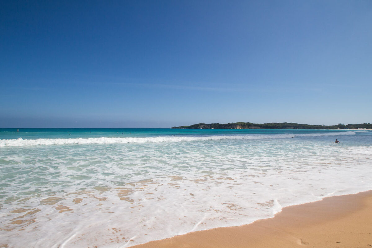
February 2016 — Along the northeastern coast of the Dominican Republic, Macao Beach is one of the rare stretches of undeveloped shoreline in the Punta Cana region. Unlike most resort-dominated beaches of the eastern coast, Macao has remained publicly accessible, attracting both local residents and visitors for its surfing conditions, expansive sands, and panoramic views of the Atlantic. The gently rolling waves seen here are typical of the beach’s surfable breaks, shaped by offshore currents and an open coastline without coral barriers. In the distance, the low, wooded hills form the edge of the Punta Cana–Miches coastal corridor, an area where farmland, mangroves, and small fishing communities meet tourism expansion. Known historically as a landing spot for local fishermen, Macao has also been a training and gathering place for Dominican surfing youth. Today it marks a contrast between traditional coastal use and the rapid rise of resort development across the eastern Dominican shoreline.
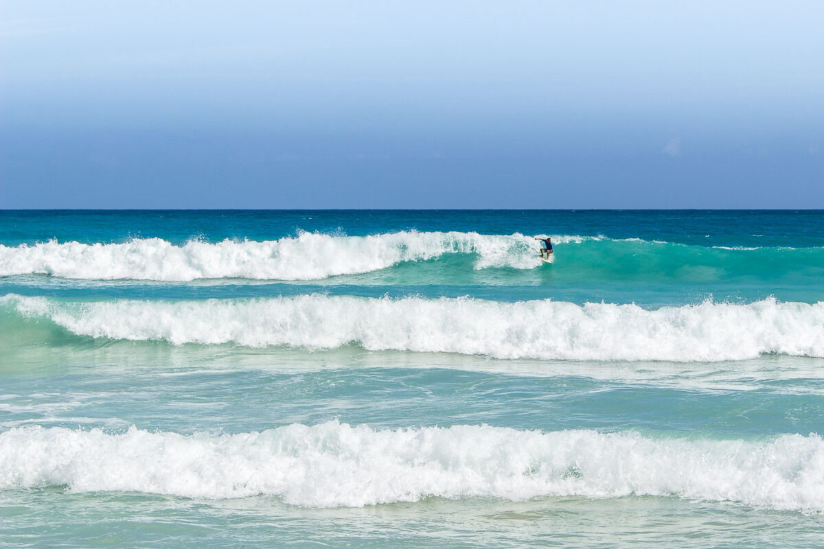
February 2016 — A surfer at Playa Macao in Dominican Republic near Punta Cana.
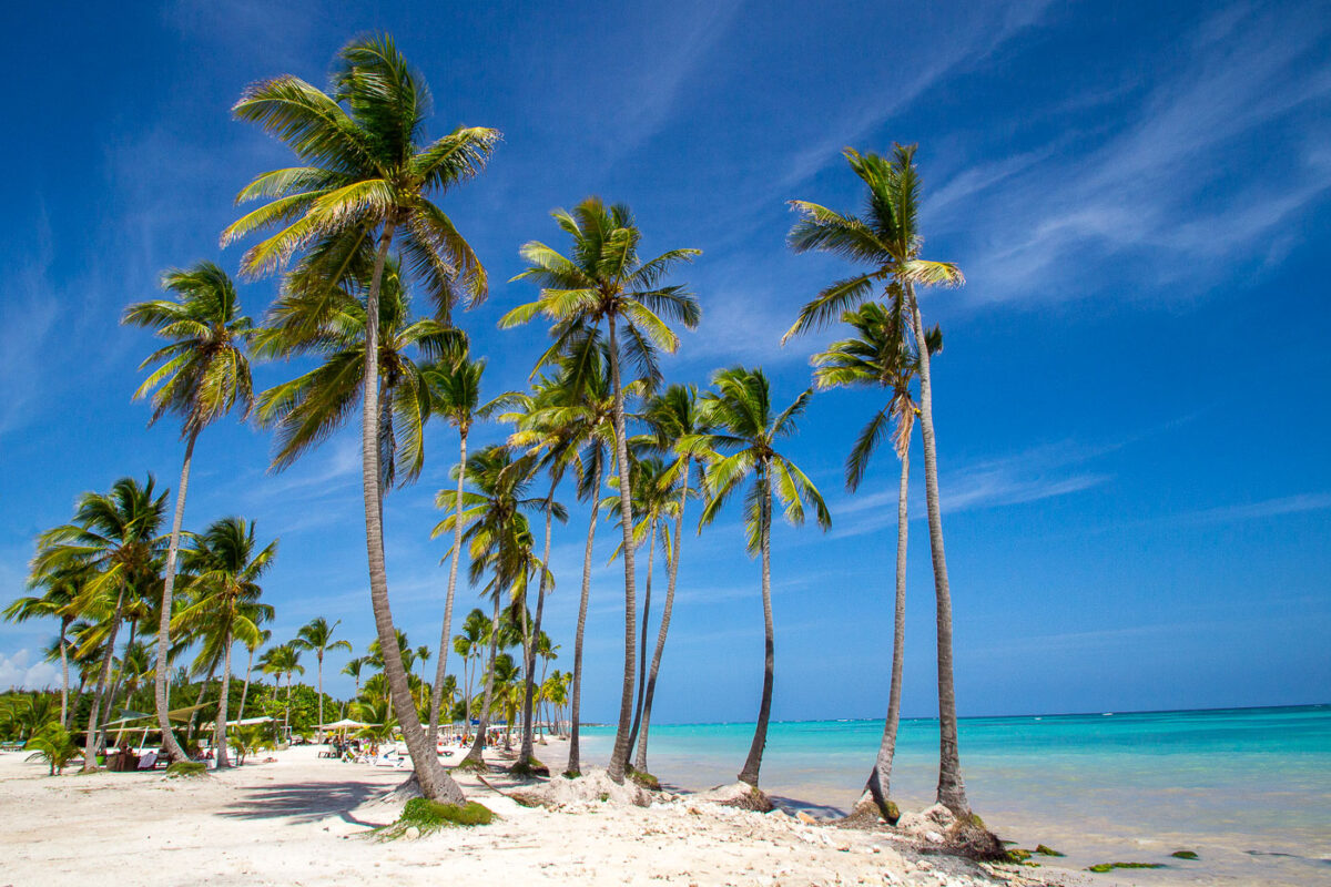
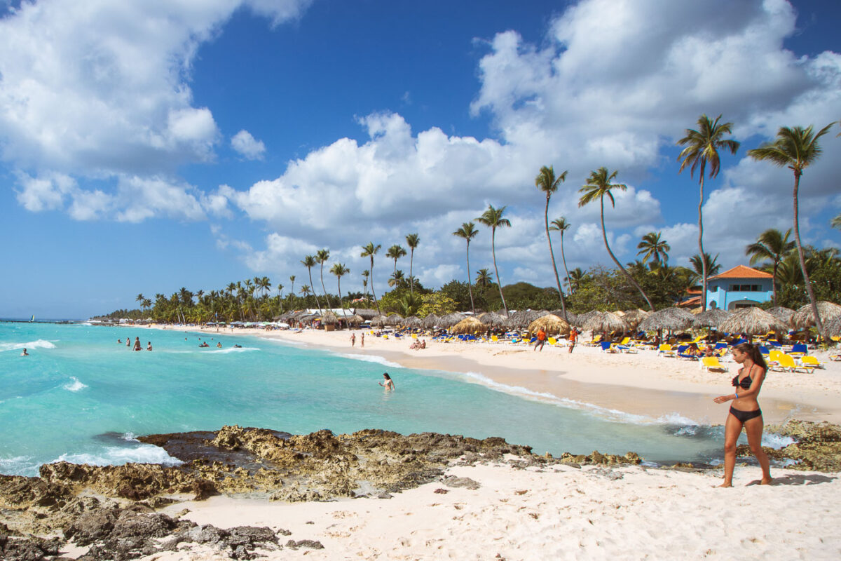
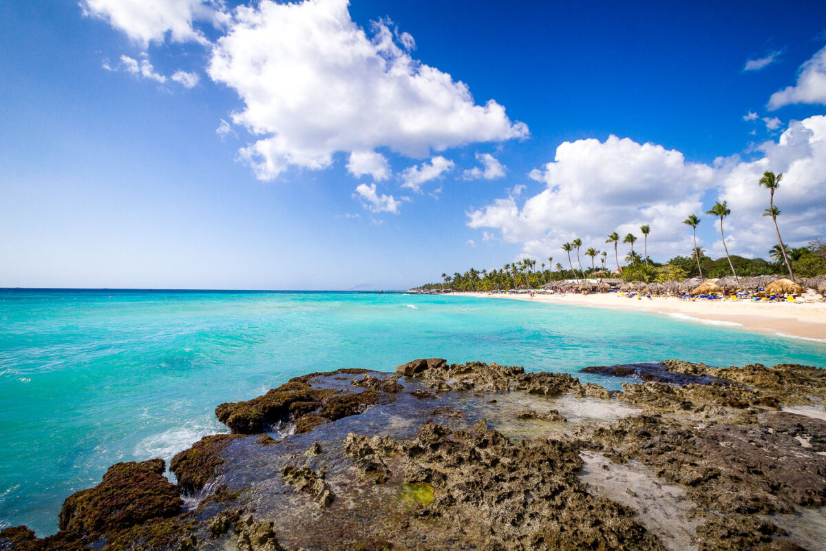
February 2016 — Playa Juanillo is known as one of Punta Cana’s most picturesque stretches of coastline, located within the gated Cap Cana development on the eastern edge of the Dominican Republic. Originally a quiet fishing shoreline, the area was transformed in the early 2000s into a planned resort community, balancing luxury development with preserved natural beachfront. The sweeping line of tall coconut palms in the photograph reflects the coastal vegetation typical of this part of Hispaniola, where sandy soils and salty ocean air support hardy palm species. The shallow turquoise water flows gently onto the white coral sand, demonstrating the calm conditions created by offshore reefs that protect much of the Dominican coastline. Today, Playa Juanillo remains both a public-access beach area and a popular gathering space for local events, weddings, and kiteboarding, offering a rare blend of untouched Caribbean scenery and curated resort amenities.
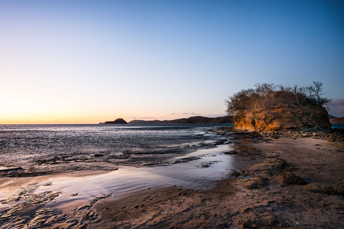
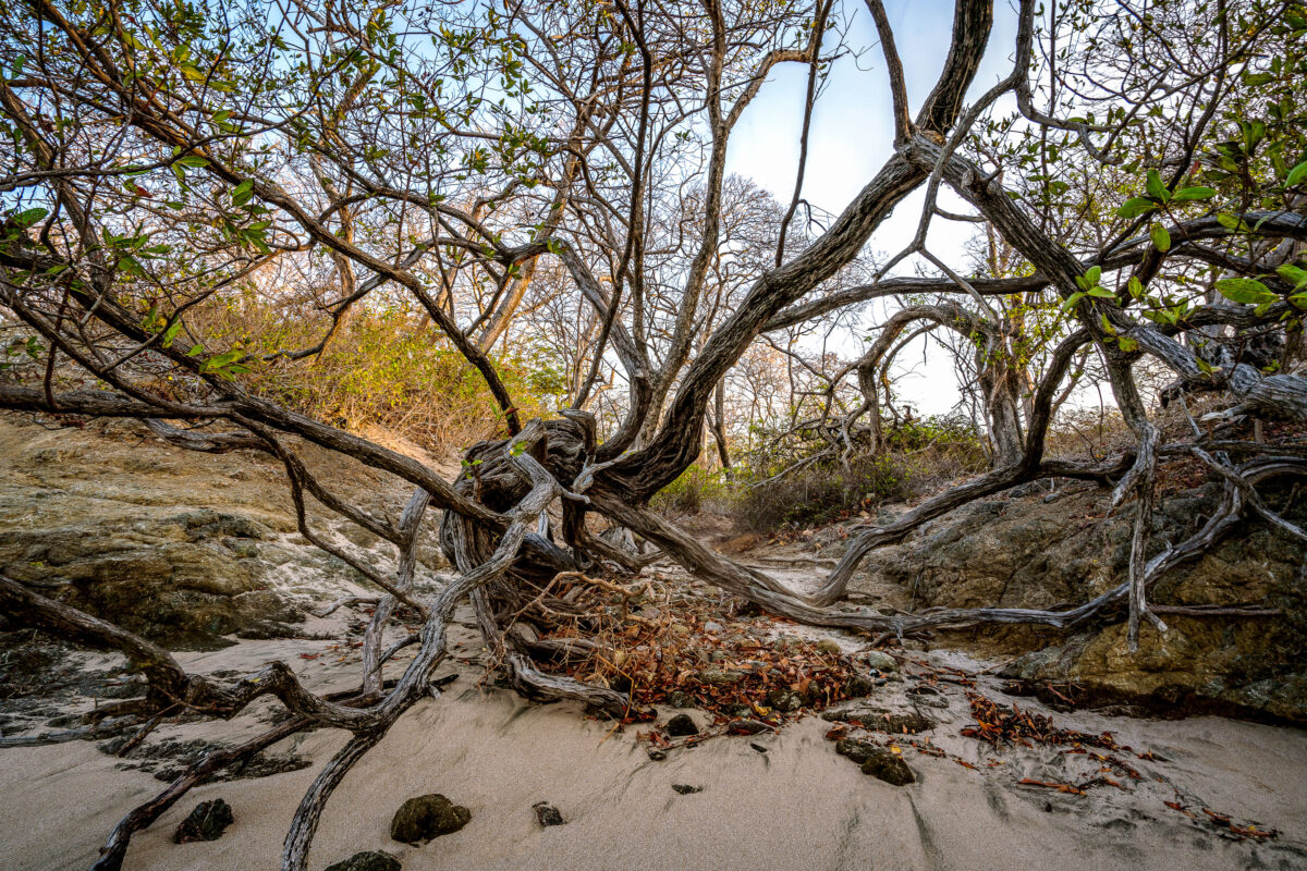
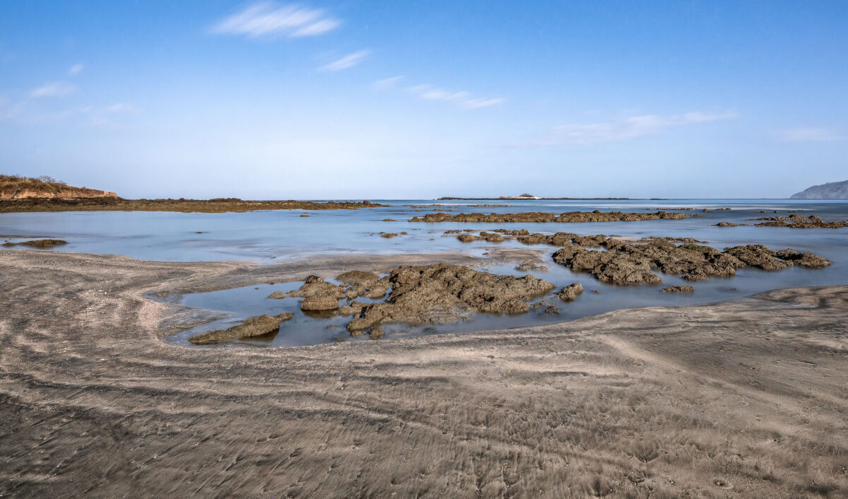
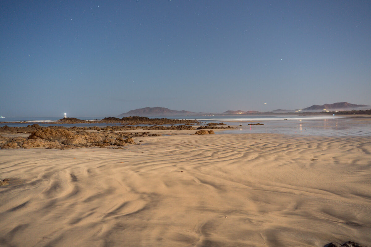
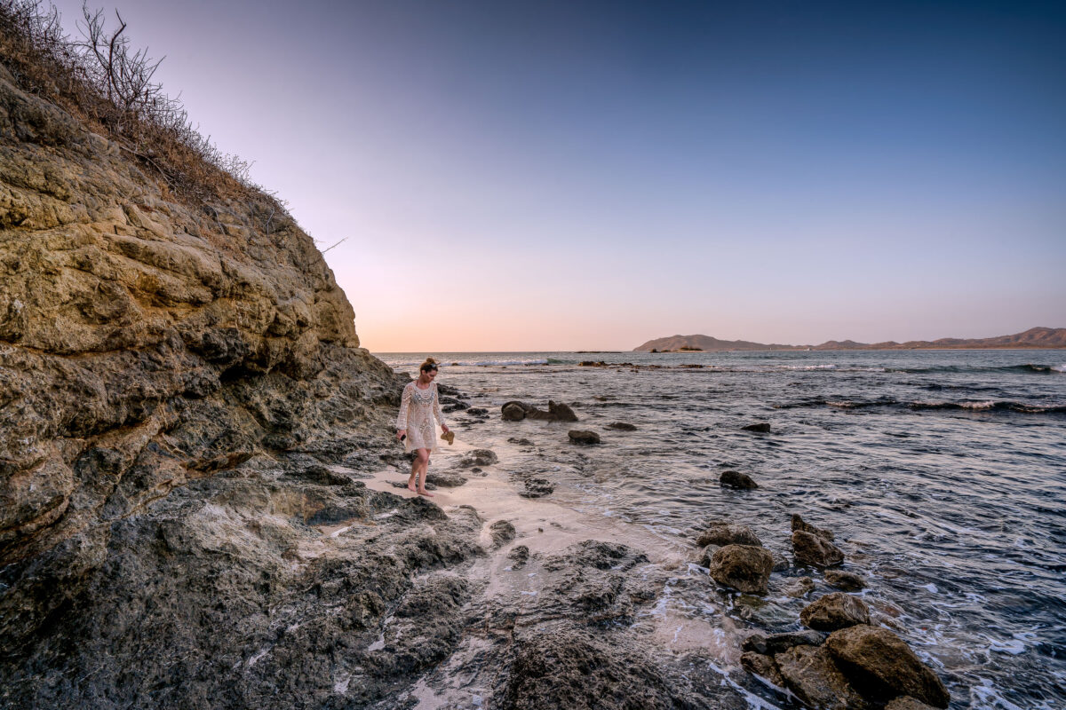
February 2019 — Playa Escondida in Costa Rica
February 2019 —
February 2019 —
February 2019 —
February 2019 —
February 2019 —
February 2019 —
February 2019 —
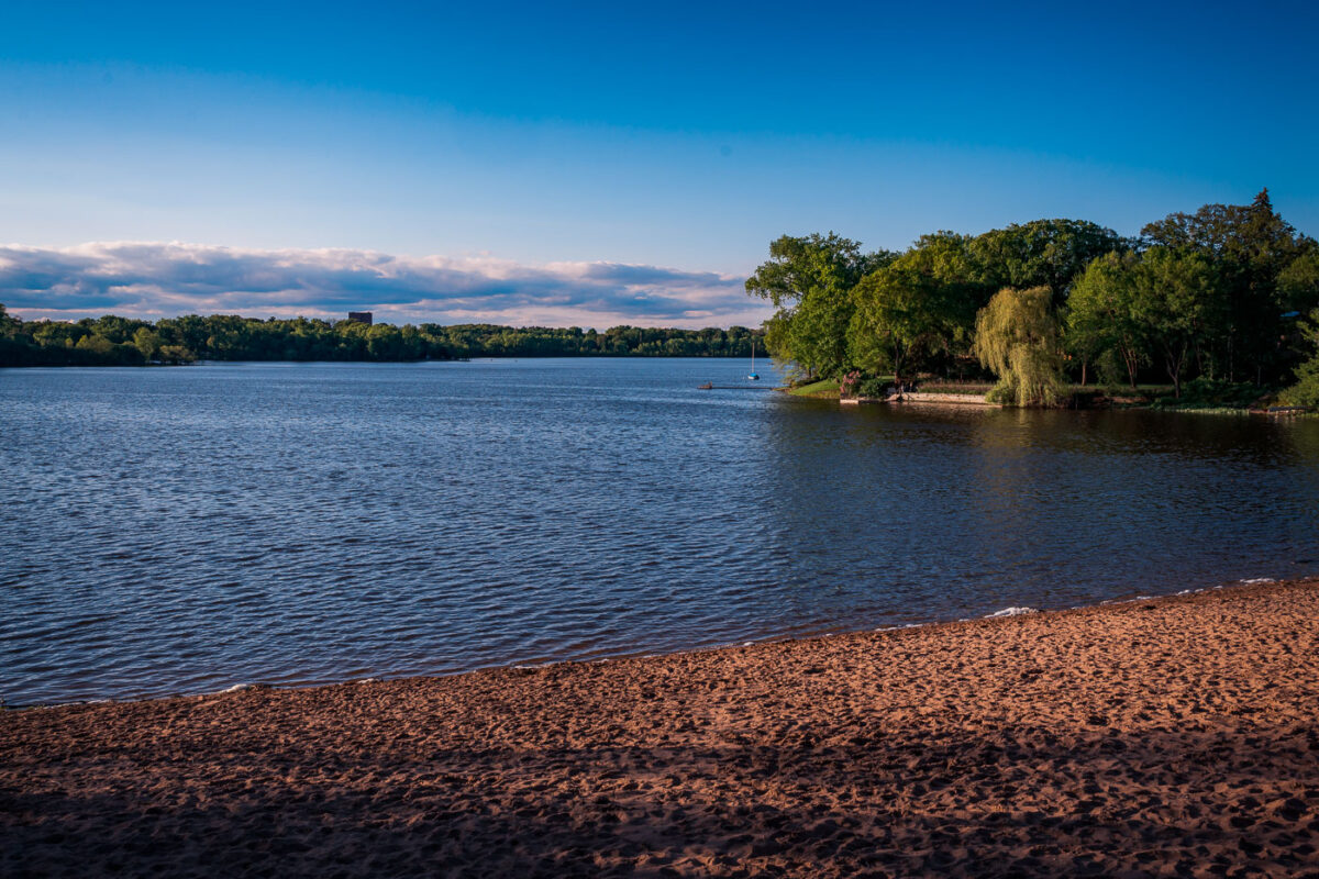
May 2019 — Cedar Lake South Beach in Minneapolis, photographed in the evening light, captures one of the city’s quieter public beaches along the Chain of Lakes. Located west of Bde Maka Ska, Cedar Lake is known for its natural shoreline and tree-lined surroundings, offering a more secluded experience compared to the busier neighboring lakes. The sandy beach, calm water, and sailboats anchored offshore highlight Minneapolis’s integration of recreation, nature, and urban life within a few miles of downtown.
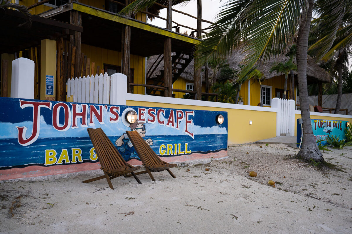
January 2022 — John's Escape Bar & Grill in Belize
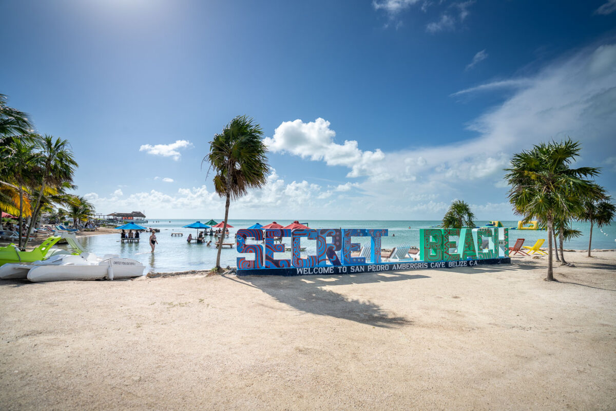
January 2022 — Secret Beach on Ambergris Caye, Belize.
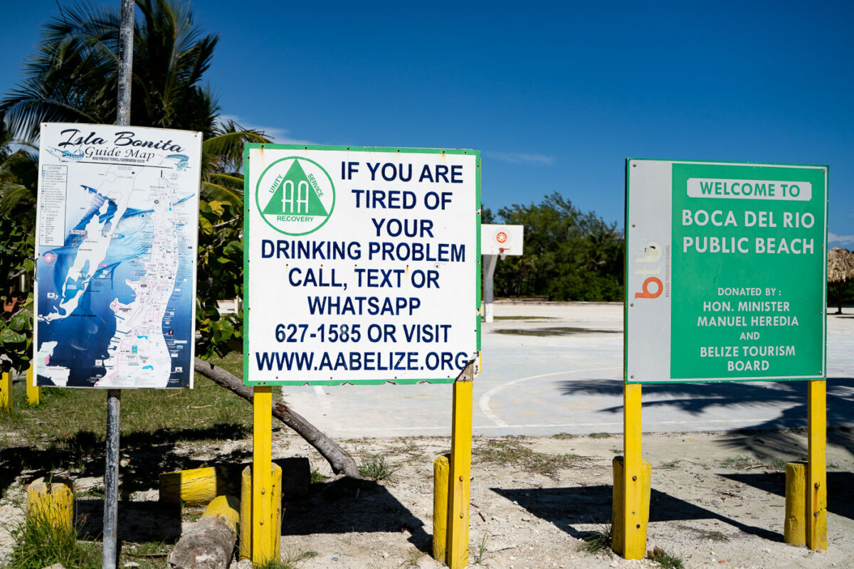
January 2022 — A sign for AA Belize at Boca Del Rio Public Beach
January 2022 —
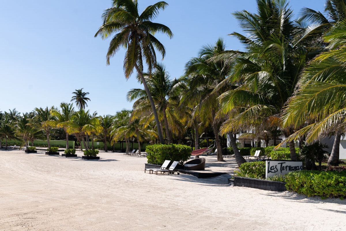
January 2022 — Las Terrazas Resort in San Pedro Belize.
September 2024 — Hidden Beach on Cedar Lake during above average high temperatures in late September. The beach is on the shore of Cedar Lake.
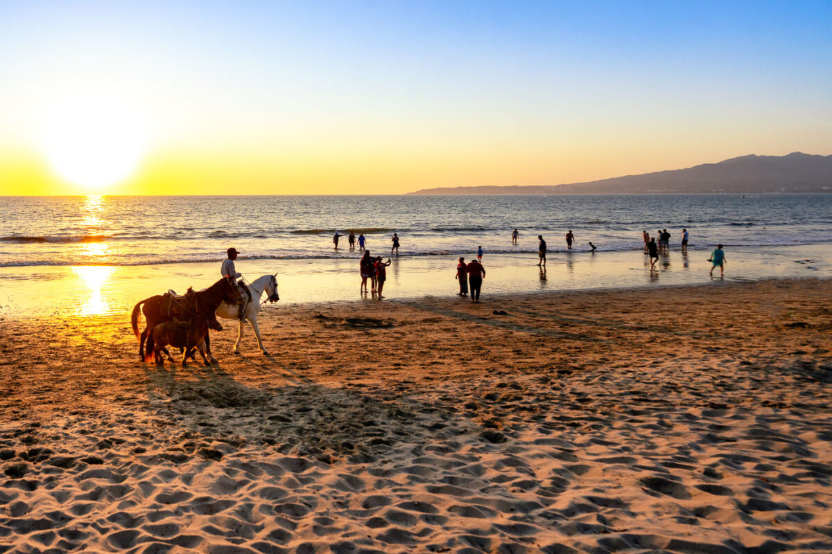
December 2024 — Along the shoreline of Puerto Vallarta, Jalisco, people gather where the city meets the Pacific Ocean. Families cool off in the surf as the day winds down, while a local horse handler offers rides along the sand — a long-standing tradition of the bayfront. The beach, backed by the green ridges of the Sierra Madre, remains one of the central gathering spaces for Vallarta residents and visitors alike, blending tourism, community, and everyday coastal life.
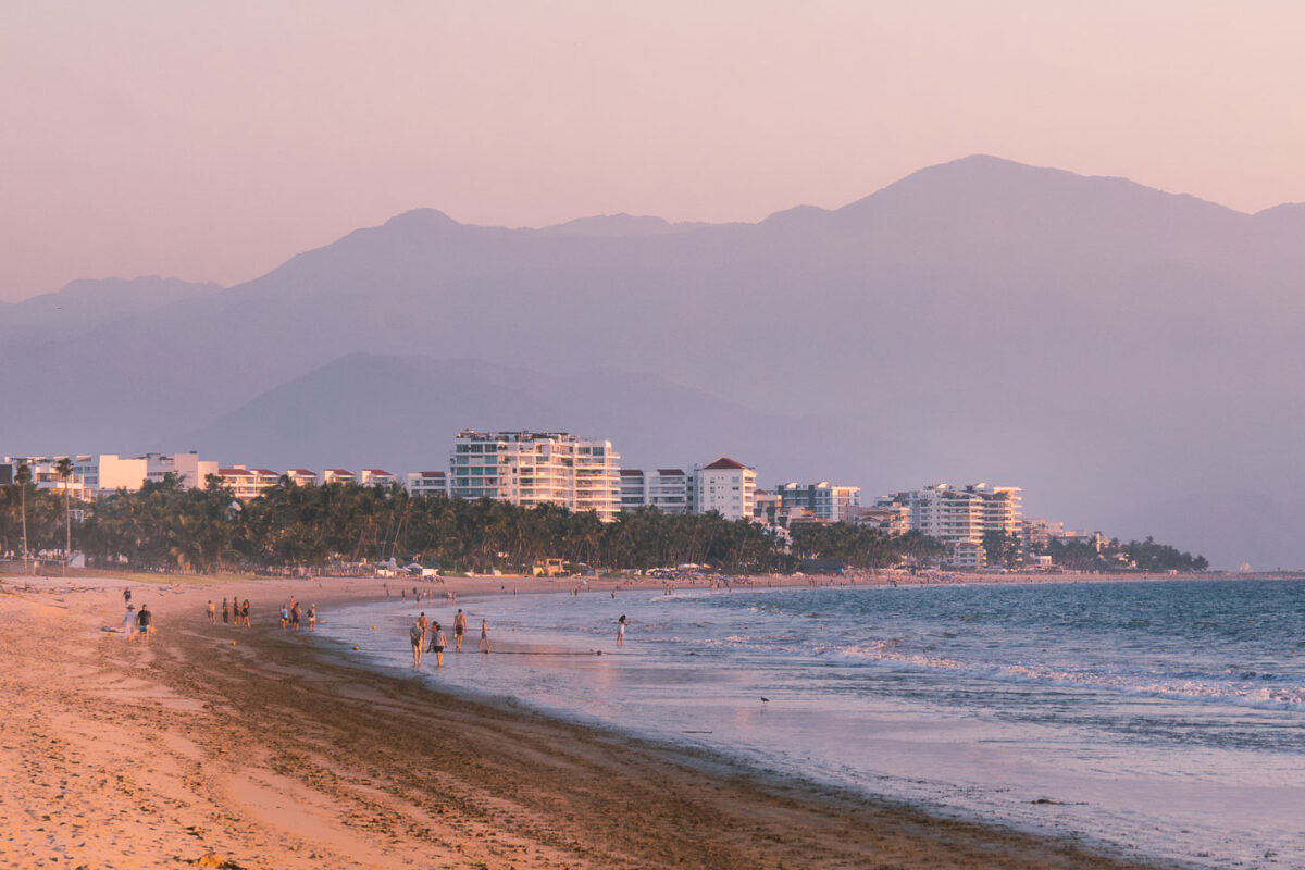
December 2024 — Along the long shoreline of Nuevo Vallarta, visitors stroll the water’s edge where the resort towers of Riviera Nayarit meet the Pacific. The line of hotels and condominiums stretches toward Puerto Vallarta in the distance, marking one of Mexico’s most developed coastal corridors. Behind the beachfront skyline rise the forested slopes of the Sierra Madre Occidental, framing the region’s distinctive geography—where mountains descend sharply into the sea and urban leisure merges with natural backdrop.
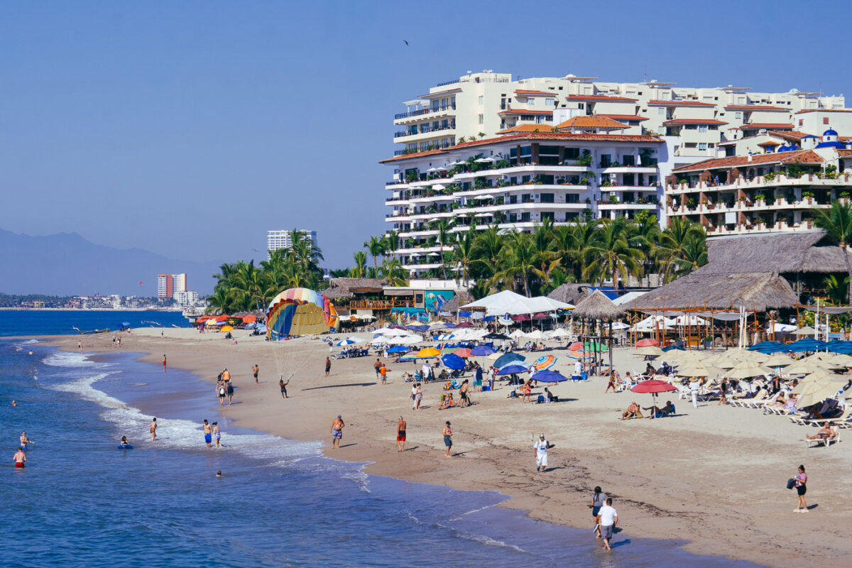
December 2024 — The densely layered hillsides of Puerto Vallarta rise above Playa de los Muertos, one of the city’s most iconic and active beachfronts. The shoreline is packed with rows of umbrellas and sunbathers, backed by mid-century and modern resort towers stacked against the green slopes of the Sierra Madre Occidental. Fishermen, swimmers, and jet-ski riders share the bay, while pelicans glide overhead. The neighborhood of Zona Romántica just inland mixes narrow cobblestone streets with lively bars and cafes, making this stretch of the Bahía de Banderas one of Mexico’s most photographed coastal skylines and a focal point of everyday life for both locals and visitors.