Trail Above Santa Cruz La Laguna Toward the Highlands
Taken March 2020
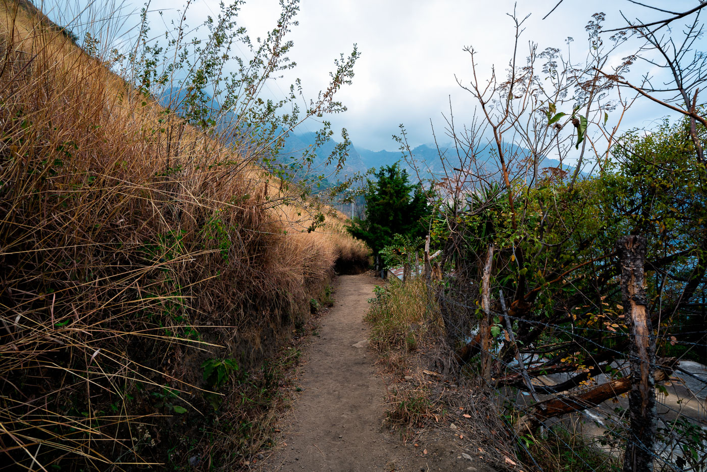
Santa Cruz La Laguna sits on the northern shore of Lake Atitlán, a volcanic lake formed roughly 84,000 years ago in a collapsed caldera. The village is reachable mainly by boat or footpath, since the surrounding slopes are too steep for a full road network. Trails like this one link the lakeside dock and lower homes to farm plots and settlements higher on the hillside. Lake Atitlán sits at an elevation of about 5,100 feet, and the highland terrain around Santa Cruz supports crops such as coffee, corn, and avocado grown on terraced or sloped ground.
Taken March 2020
More from
Santa Cruz
 Woven Fence Path Through Santa Cruz La Laguna
Santa Cruz La Laguna sits on the northern shore of Lake Atitlán, a crater lake formed roughly 84,000 years ago…
 Hillside Village Above Lake Atitlán Near Santa Cruz La Laguna
Santa Cruz La Laguna sits on the northern shore of Lake Atitlán, built into terrain so steep that many homes…
 Agave-Lined Stone Steps in Santa Cruz La Laguna
Santa Cruz La Laguna sits on a steep hillside above Lake Atitlán, reachable mainly by boat or footpath rather than…
 A Vine-Covered Stone House Above Santa Cruz La Laguna
Santa Cruz La Laguna is a Kaqchikel Maya village on the northern shore of Lake Atitlán, reachable mainly by boat…
 Hillside Footpath Toward Lake Atitlán Near Santa Cruz La Laguna
Santa Cruz La Laguna sits on the northern shore of Lake Atitlán, a lake formed within a volcanic caldera that…
 Stone Retaining Wall Along the Jaibalito-Santa Cruz Trail
This footpath connects Jaibalito and Santa Cruz La Laguna, two villages on the northern shore of Lake Atitlán reachable only…


