Water

15 photos · 2016–2024

15 photographs tagged Water, 2016–2024.
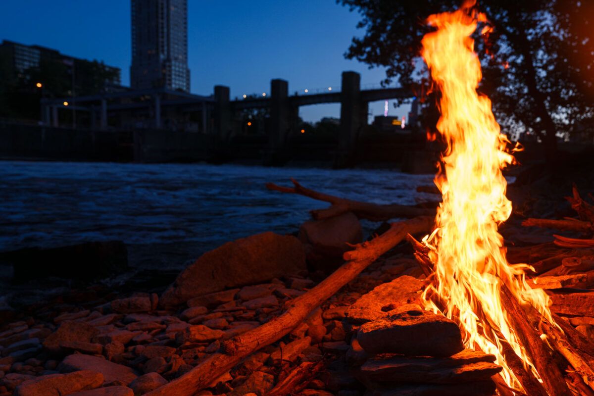
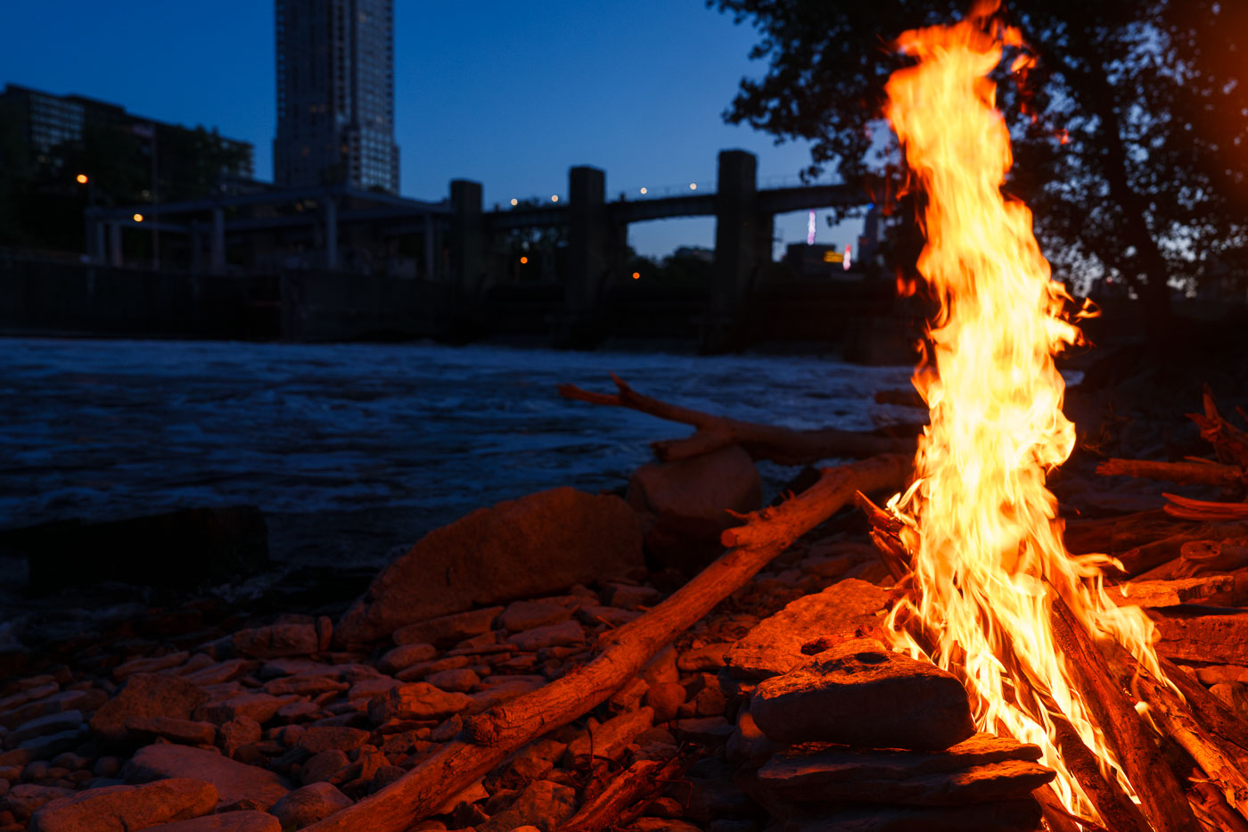
Bonfire burns on the Mississippi River bank in Minneapolis at dusk.
A bonfire burns along the Mississippi River in Minneapolis. The fire is set on the rocky riverbank near the downtown riverfront.

Bonfire on the Mississippi River, Minneapolis
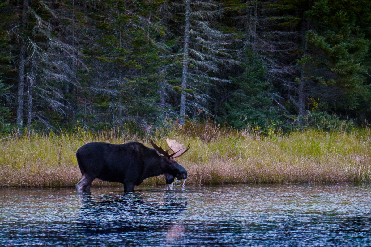
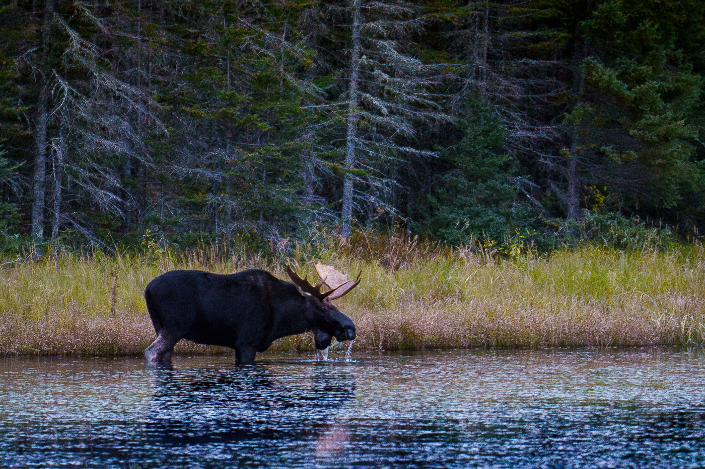
A bull moose drinks water in the Superior National Forest, Minnesota, surrounded by boreal forest and lake in October 2023.
A bull moose stands in the shallow water of a lake in the Superior National Forest, Minnesota, drinking in October 2023. The dense boreal forest forms the backdrop to the tranquil waters where the animal is foraging. This image documents a common sight within the protected wilderness area, which is known for its extensive lake systems and abundant wildlife. The Superior National Forest is a vital habitat for moose populations in the region, supporting ecological balance and offering opportunities for wildlife observation.

Moose Drinks Water in Superior National Forest, Minnesota
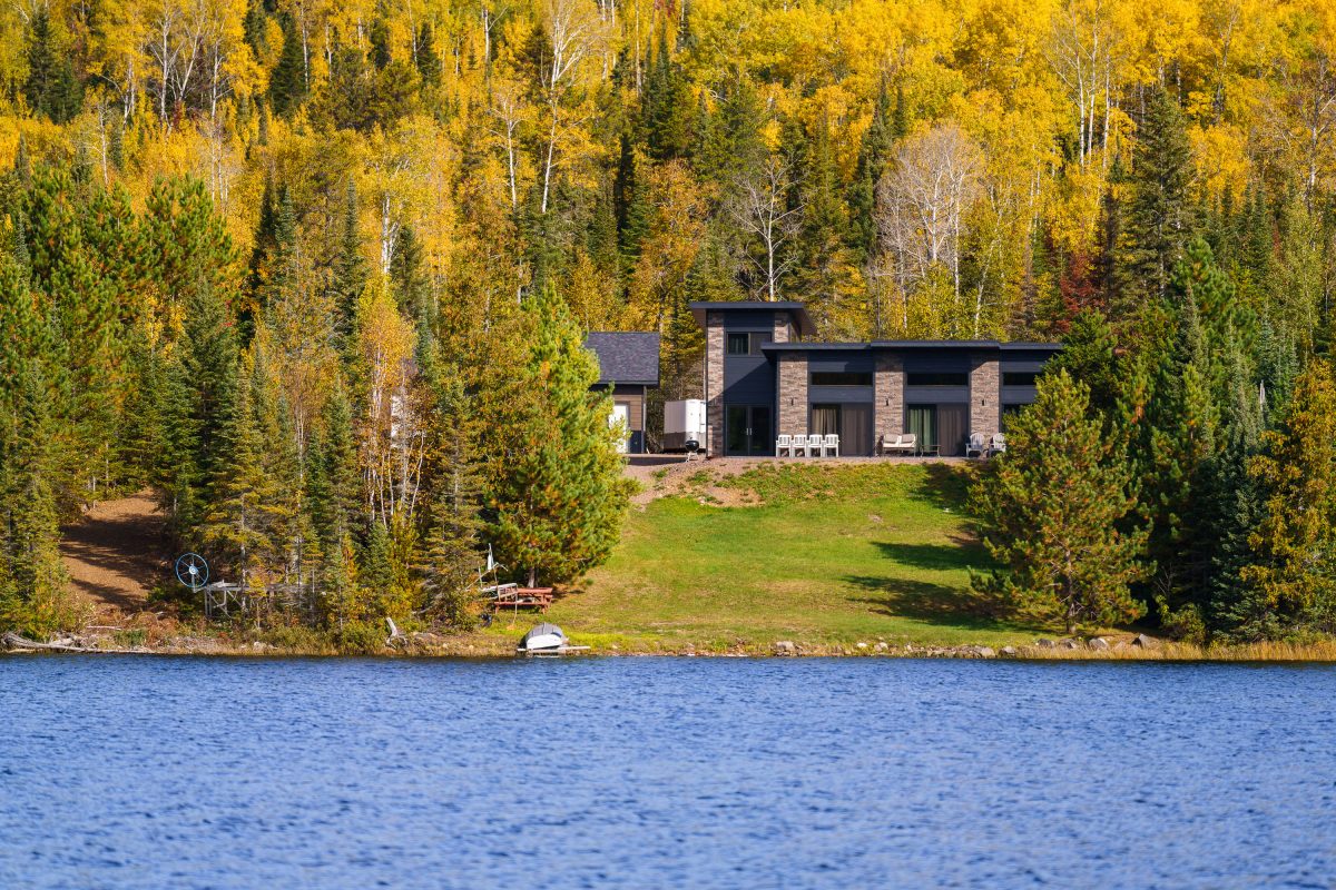
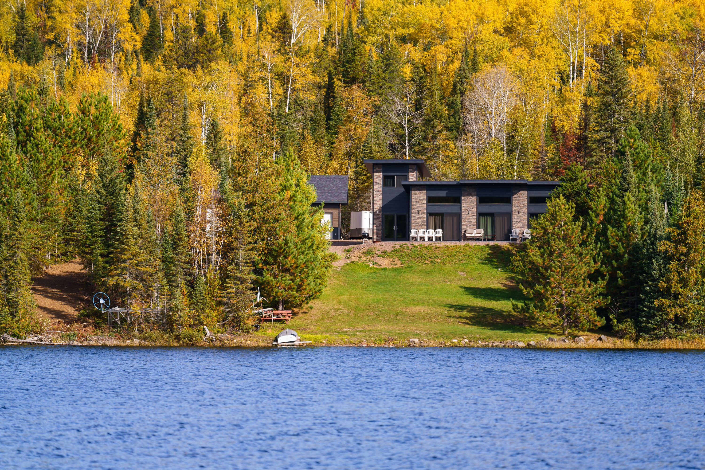
Modern home with stone facade on forested shoreline of Gunflint Lake, Minnesota, during autumn.
Gunflint Lake forms part of the international border between Minnesota and Ontario, Canada, within the Boundary Waters Canoe Area Wilderness and its Canadian counterpart, Quetico Provincial Park. The lake runs roughly six miles long and sits at the far end of the Gunflint Trail, about 45 miles northwest of Grand Marais. It's a popular put-in point for canoe and fishing trips into the connected chain of border lakes, and cabins along its shoreline are among the few private inholdings permitted within the wilderness boundary.

Lakeside Home Along the Gunflint Trail, Minnesota
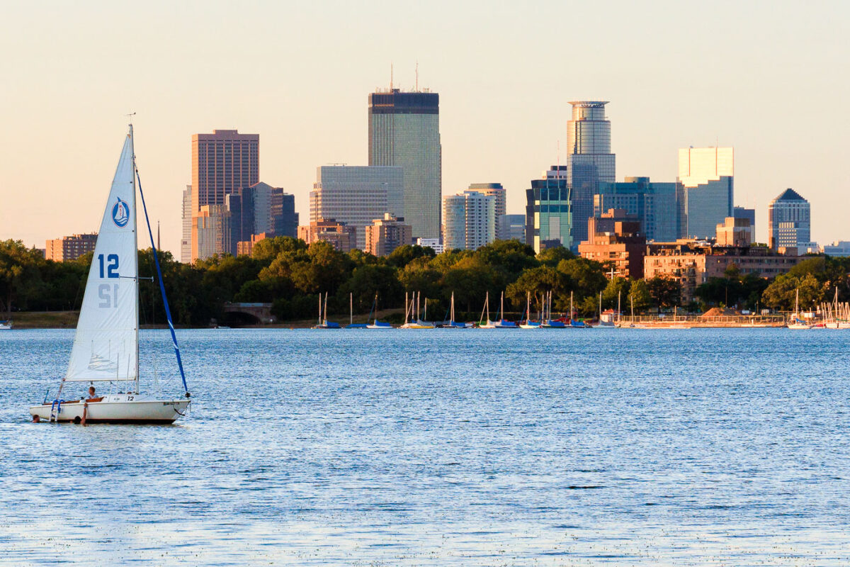
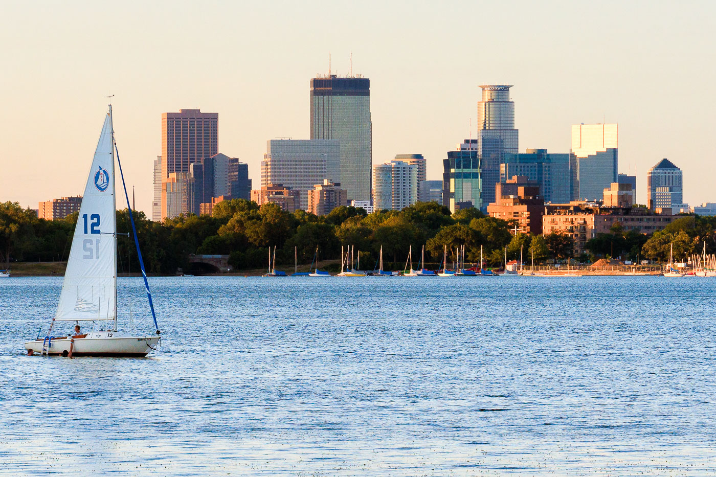
Sailboat with white sail numbered 12 on Bde Maka Ska lake with Minneapolis skyline beyond.
A sailboat is on Bde Maka Ska in Minneapolis with the downtown skyline in the background.

Sailboat on Bde Maka Ska Beneath the Minneapolis Skyline

Construction on Ambergris Caye, Belize, adjacent to mangrove coastline.
Construction structures line the edge of a lagoon behind Secret Beach on Ambergris Caye, Belize. The site borders a mangrove shoreline, with cleared ground, a small building, and scattered materials visible along the water’s edge.

Mangrove Shoreline Near Secret Beach, Ambergris Caye

Ice danger sign at Bde Maka Ska in Minneapolis
A "DANGER: KEEP OFF ICE NOT SAFE" sign is posted near Bde Maka Ska lake in Minneapolis during a winter snowstorm. The sign, attached to a red post marked "EMERGENCY ONLY," warns of hazardous conditions on the partially frozen lake. Bde Maka Ska is a prominent lake within Minneapolis's Chain of Lakes park system, historically a popular destination for year-round activities. During winter, the lake freezes over, but ice thickness can be unpredictable and unsafe for public access without proper safety assessments.

Bde Maka Ska Danger Sign During Minneapolis Snowstorm
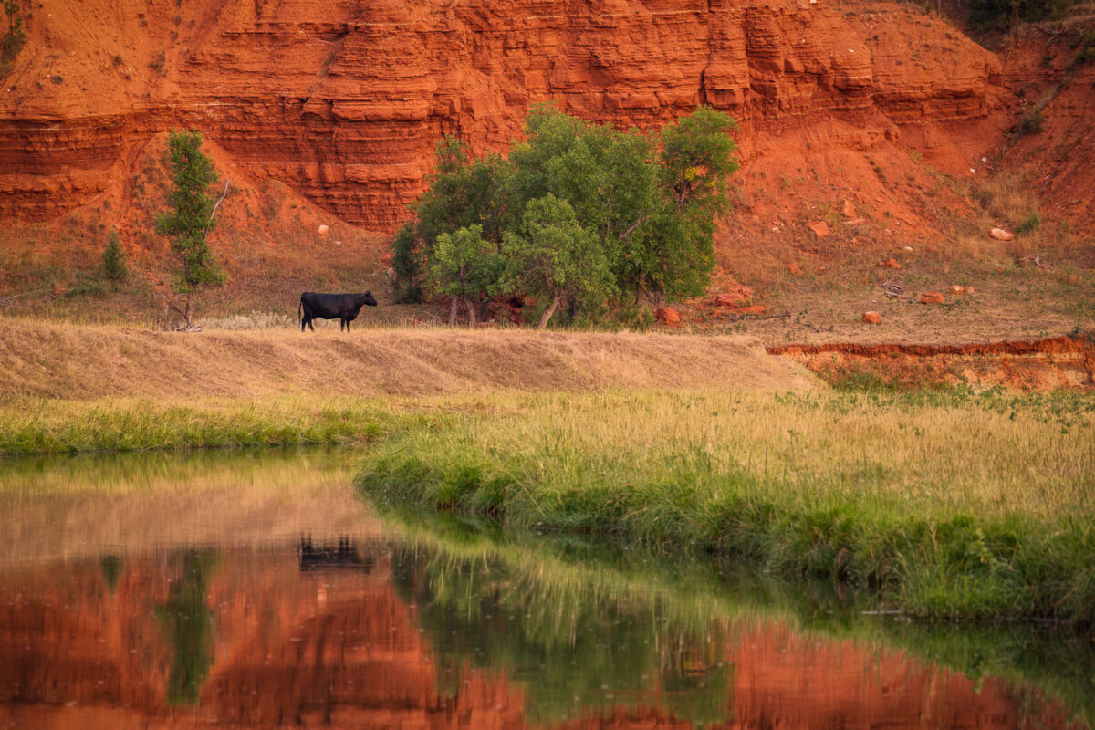
Black cow grazing beside Belle Fourche River with red rock formations of Devil's Tower National Monument behind.
A lone cow grazes near the Belle Fourche River, with the distinctive red rock formations of Devil's Tower National Monument in the background. The Belle Fourche River, the longest river in South Dakota, flows through Wyoming and is a vital water source for the region's agriculture and wildlife. Devil's Tower, a laccolithic butte composed of igneous rock, was designated the first national monument in the United States in 1906. Cattle ranching has been a significant part of the economic and cultural landscape of this area for over a century, with the river providing essential grazing land.

Grazing Cow Beside Red Rock Bluffs Near Devil’s Tower

Sunlight filters through trees along a stream at Pike Island in St. Paul, Minnesota.
Pike Island, located in St. Paul along the Mississippi River, is a natural area featuring mature bottomland forest and waterways. The island's wooded landscape and channels provide habitat and recreational access within the .

Wooded Stream at Pike Island, St. Paul
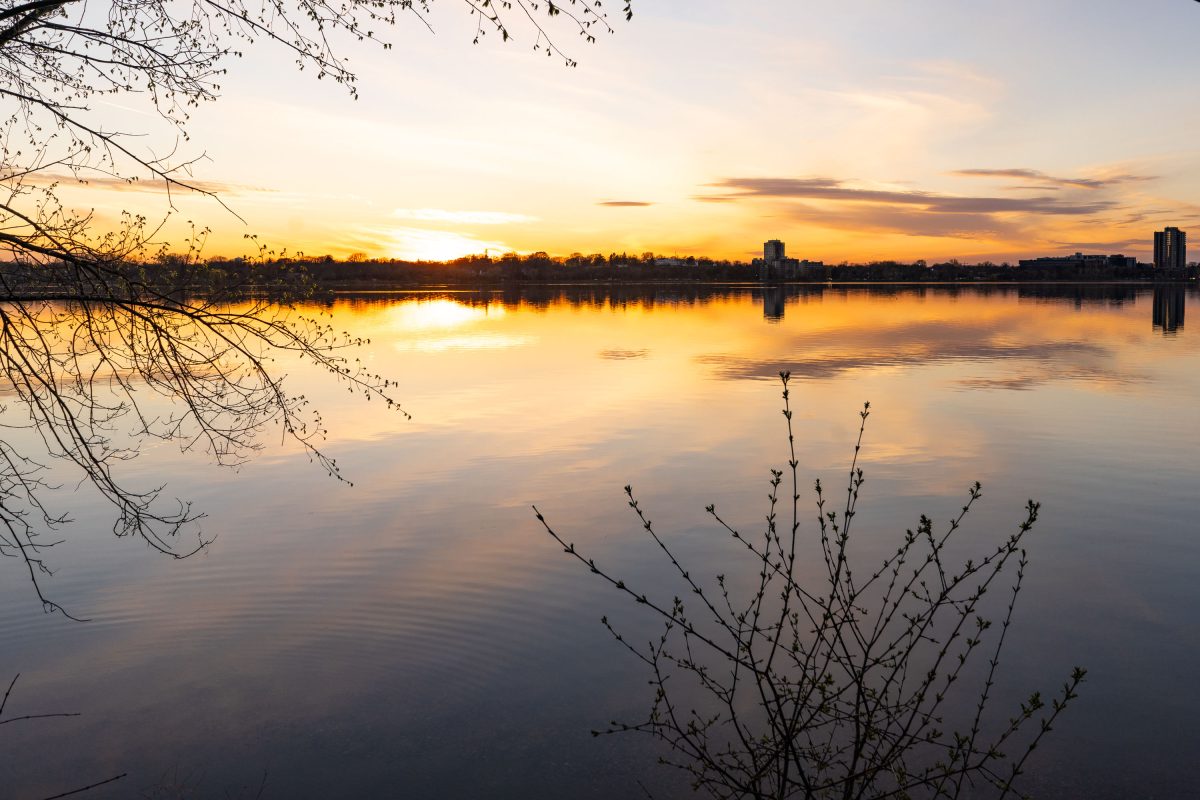
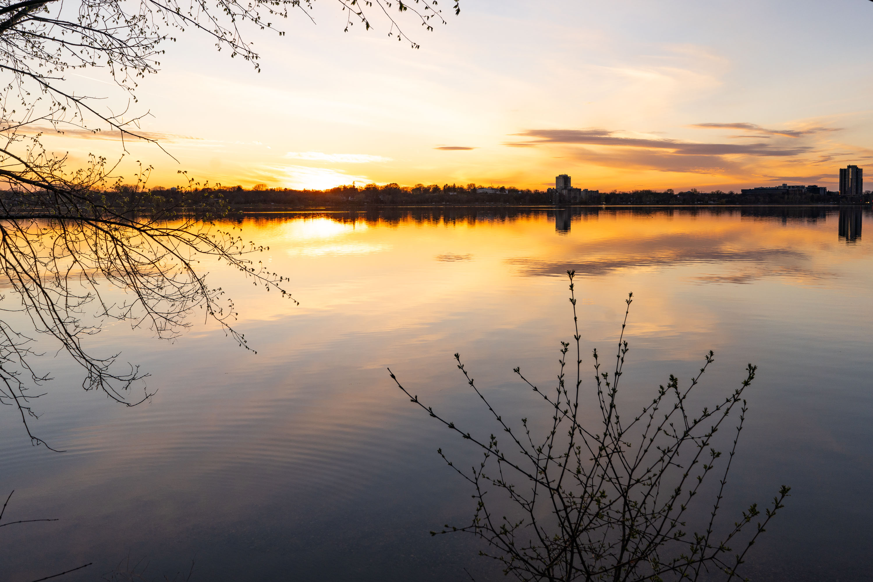
Sunset over Bde Maka Ska in Minneapolis with bare tree branches and downtown buildings silhouetted across the water.
Bde Maka Ska is the largest lake in Minneapolis, covering about 401 acres in the Chain of Lakes. It was renamed from Lake Calhoun in 2018, restoring its Dakota name, which means "White Earth Lake." A paved path over three miles long circles the shoreline for walkers and cyclists.

Sunset Over Bde Maka Ska

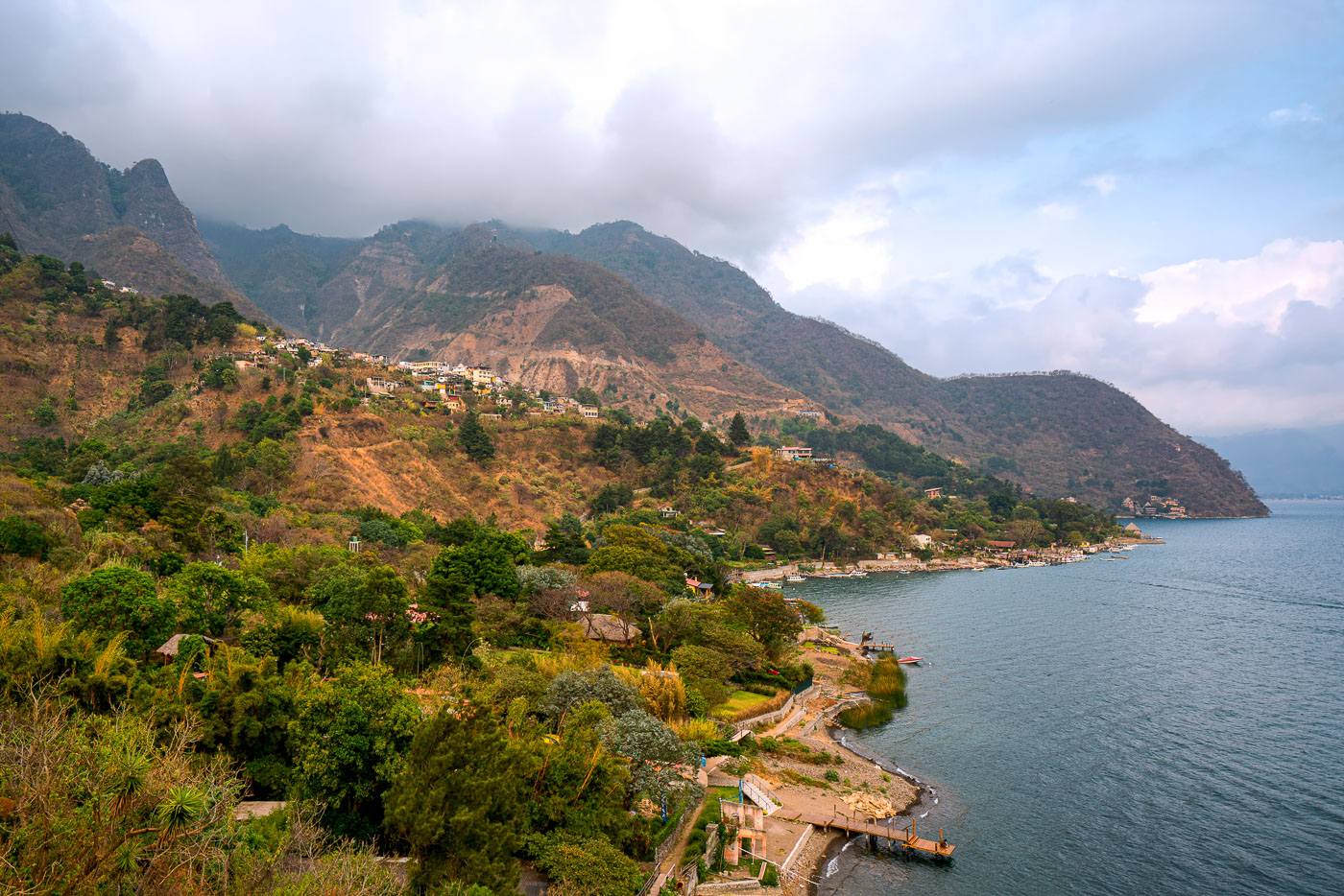
Santa Cruz La Laguna village clings to a steep forested mountainside above Lake Atitlán in Guatemala with homes scattered across the slope and docks lining the narrow shoreline.
Santa Cruz La Laguna sits on a steep slope above the northern shore of Lake Atitlán, a volcanic crater lake in Guatemala's western highlands. The lake formed roughly 84,000 years ago after a massive eruption collapsed the caldera, leaving a basin reaching depths of more than 340 meters in places. Santa Cruz's population is largely Kaqchikel Maya, and the village has no direct road access from much of the surrounding shoreline, relying instead on boats that connect it to Panajachel and other lakeside towns. Volcán Tolimán and Volcán San Pedro rise along the lake's southern edge, part of the chain of volcanoes that ring Atitlán.

Hillside Village of Santa Cruz La Laguna Above Lake Atitlán
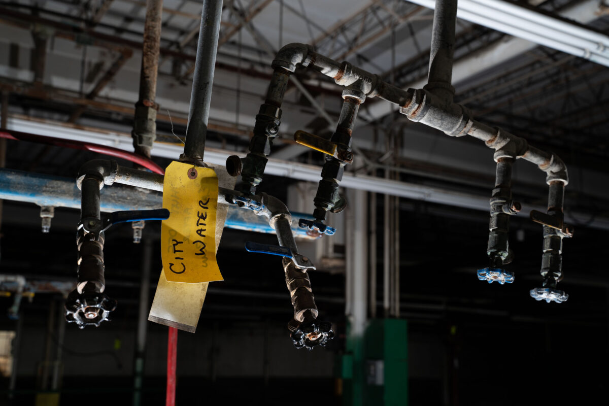
Corroded city water valves and pipes hang overhead inside a former industrial building in Minneapolis, illustrating dormant municipal supply systems.
Corroded water valves and pipes, marked with a yellow tag reading "City Water," hang overhead inside a former industrial building in Minneapolis. These fixtures represent the dormant mechanical systems of a once-operational factory, illustrating the skeletal logic of urban infrastructure. The aging insulation and patched tape on the pipes highlight the municipal supply lines that connected the facility to the city's water network. The image documents the quiet decay of industrial utility systems, a testament to the city's manufacturing past.

Minneapolis Industrial Water Valves and Pipes
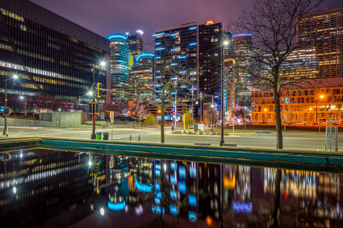
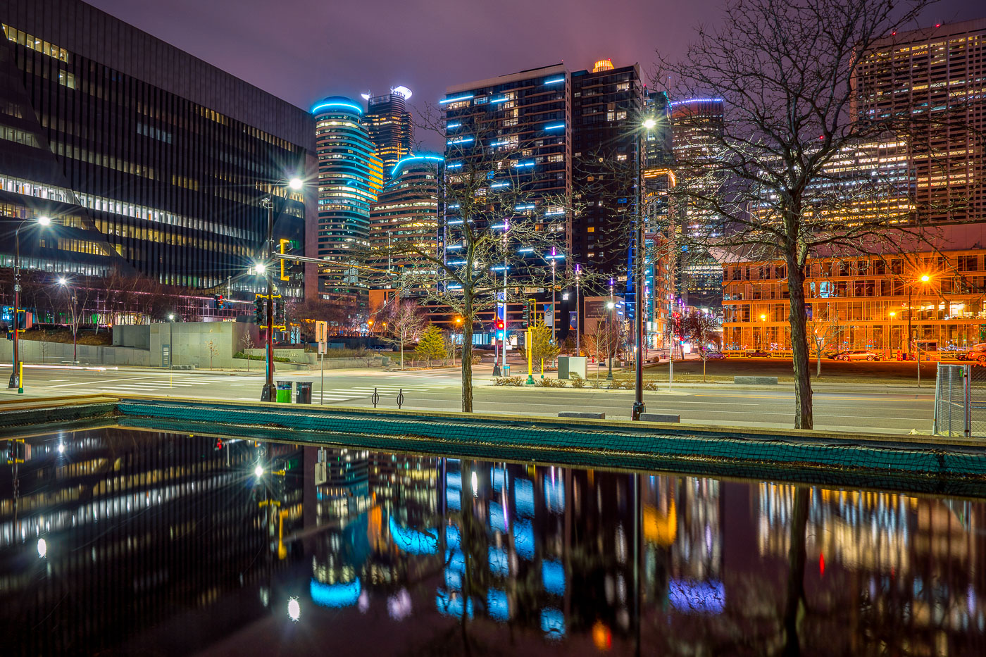
Illuminated downtown Minneapolis office and residential towers rise above a still water feature near Nicollet Mall at night.
Downtown Minneapolis's towers rise near Nicollet Mall, including Capella Tower and the Fifth Street Towers, among office buildings and residential high-rises built up in the 2000s and 2010s.

Minneapolis Skyline Reflected in a Water Feature Near Nicollet Mall
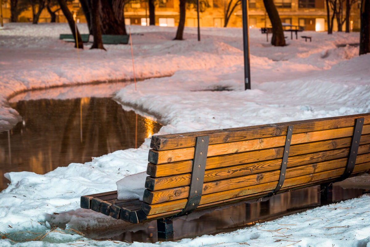
Bench in Father Hennepin Bluff Park beside snow and open water in Northeast Minneapolis.
Father Hennepin Bluff Park in Northeast Minneapolis, with a bench beside a snow-covered area near open water. The park sits along the Mississippi River and offers views toward downtown Minneapolis.

Bench in Father Hennepin Bluff Park, Northeast Minneapolis
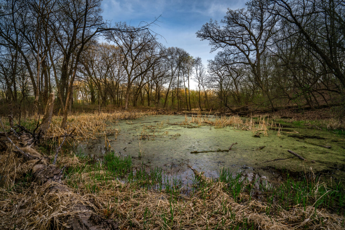
Minnesota marsh with algae bloom and deadwood, showing a typical wetland ecosystem with fallen trees and aquatic vegetation.
This marsh in Minnesota exhibits a significant algae bloom, a common occurrence in late spring and summer that can indicate nutrient enrichment. The presence of deadwood, such as the fallen tree in the foreground, is typical of wetland environments and contributes to the ecosystem's decomposition cycle. Marshes like this are vital habitats for diverse plant and animal life and play a crucial role in water filtration and flood control within the regional landscape.

Minnesota Marsh with Algae Bloom and Deadwood
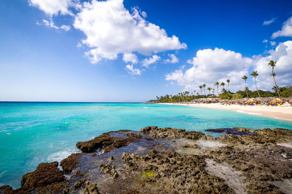
Rocky limestone shore and turquoise water at Playa del Hotel Iberostar beach resort in Punta Cana, Dominican Republic.
Playa del Hotel Iberostar in Punta Cana, Dominican Republic, is a resort beach on the Caribbean coast lined with palm trees, thatched shade structures, and hotel loungers. A rocky limestone shoreline occupies the foreground, while the sheltered turquoise water and sandy beach extend along the Iberostar property in La Altagracia Province. The beach forms part of the amenities associated with the Iberostar Selection Hacienda Dominicus resort complex.

Rocky Shoreline Overlooking Playa del Hotel Iberostar, Punta Cana