Tunnel

20 photos · 2018–2026

20 photographs tagged Tunnel, 2018–2026.
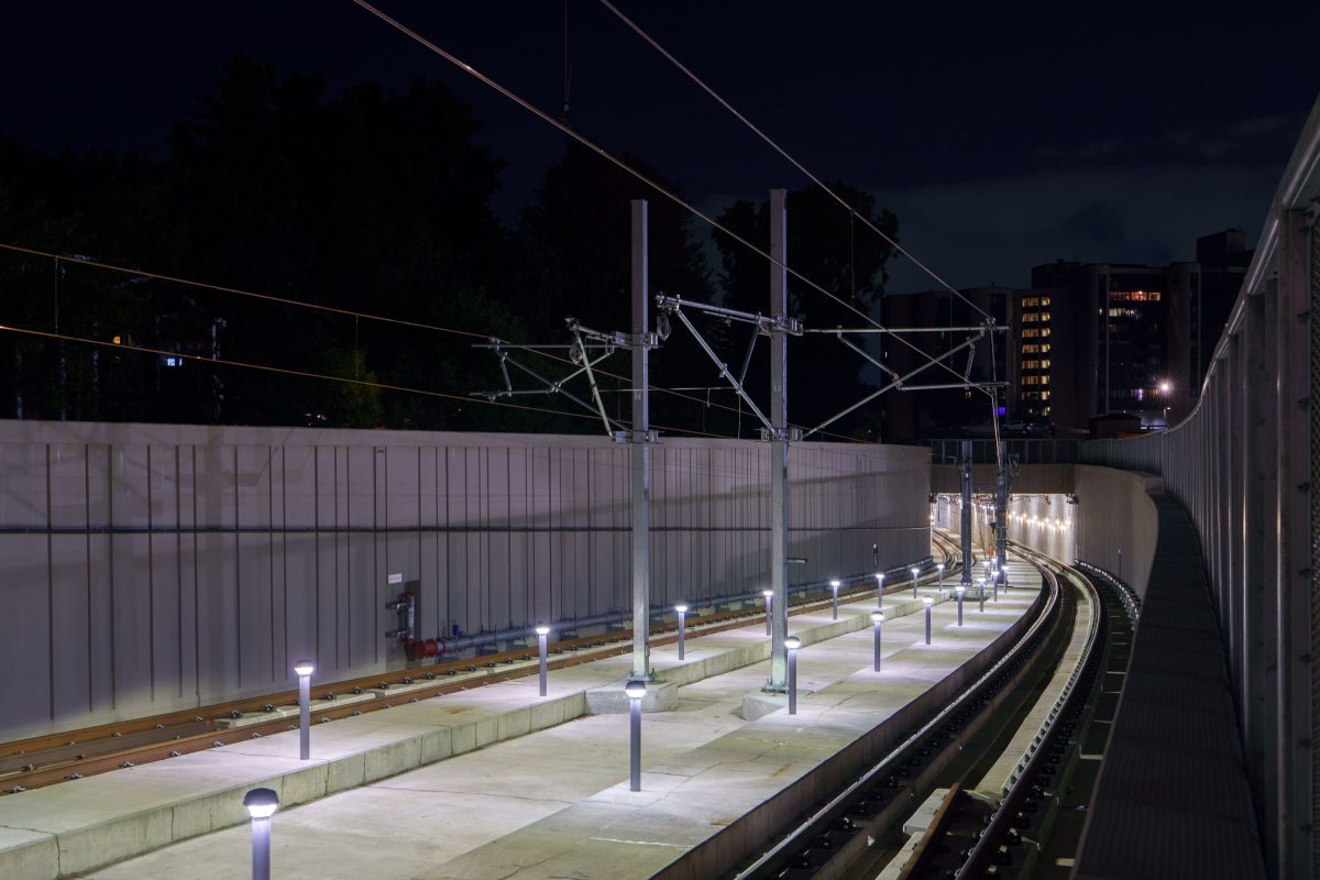
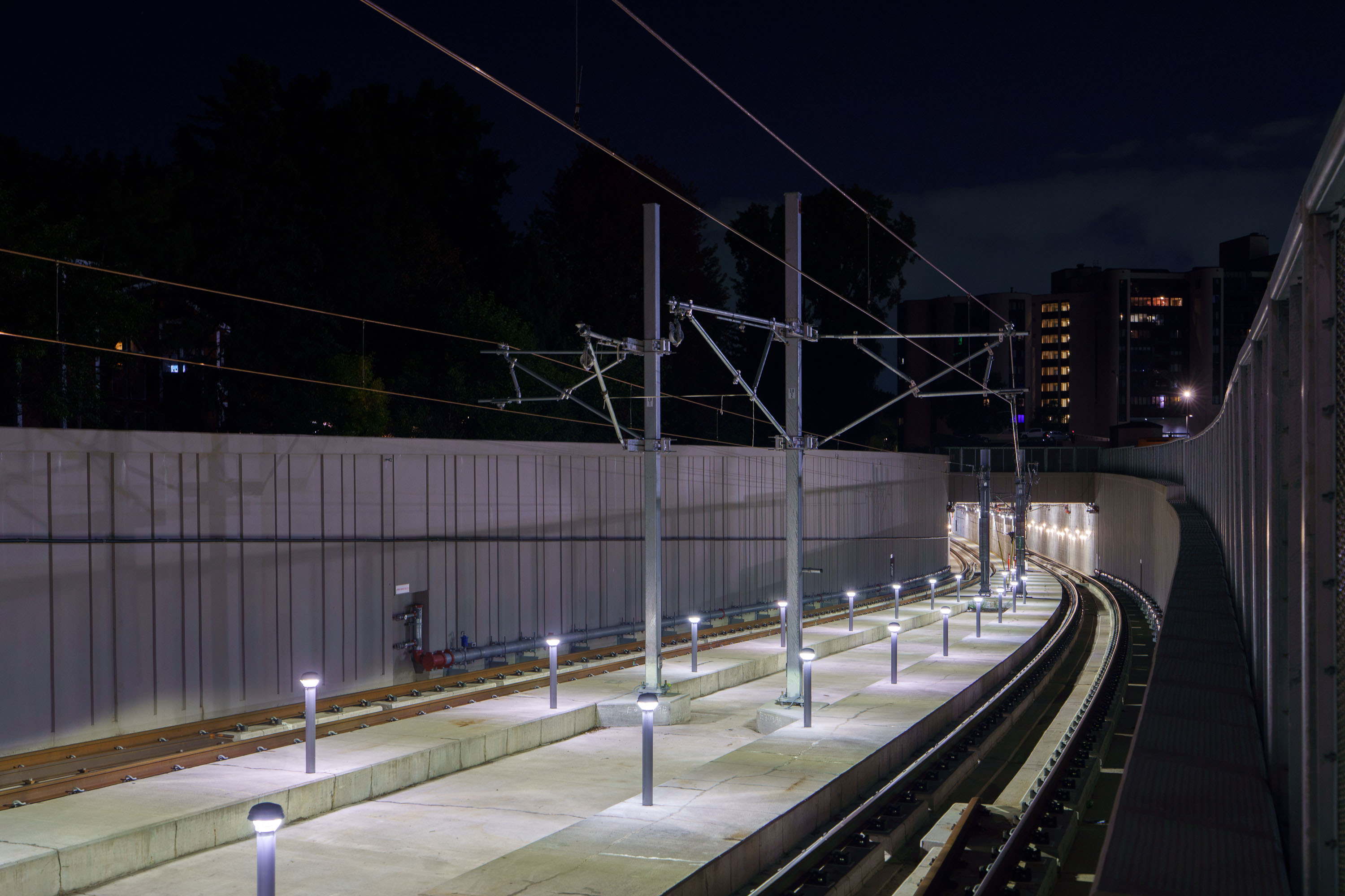
Metro Transit Green Line Extension tracks and overhead catenary wires illuminated at night in Minneapolis's Kenilworth Corridor.
The Kenilworth Corridor carries freight and light-rail traffic through a narrow right-of-way linking Minneapolis's Chain of Lakes area to downtown. Metro Transit's Green Line Extension, also known as the Southwest Light Rail Transit project, runs through this corridor on its way between Minneapolis and Eden Prairie. The overhead catenary wires seen along the tracks supply 750 volts of direct current to power the line's electric trains. Retaining walls were built along sections of the corridor to separate the rail line from adjacent bike and pedestrian trails that share the same narrow strip of land.

Catenary Lines Curve Through the Kenilworth Corridor at Night

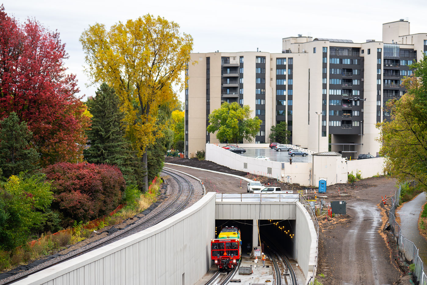
Light rail vehicle enters Kenilworth Tunnel during Southwest LRT Green Line extension testing in Minneapolis.
A light rail vehicle enters the Kenilworth Tunnel on the Southwest LRT Green Line extension in Minneapolis. The image shows the new below-grade tunnel portal and adjacent tracks as testing proceeds on a section of the line built to carry trains through the Kenilworth corridor. Construction on this segment began in 2018, and the extension is projected to open for passenger service in 2027.

Southwest LRT Train Emerges from the Kenilworth Tunnel in Fall

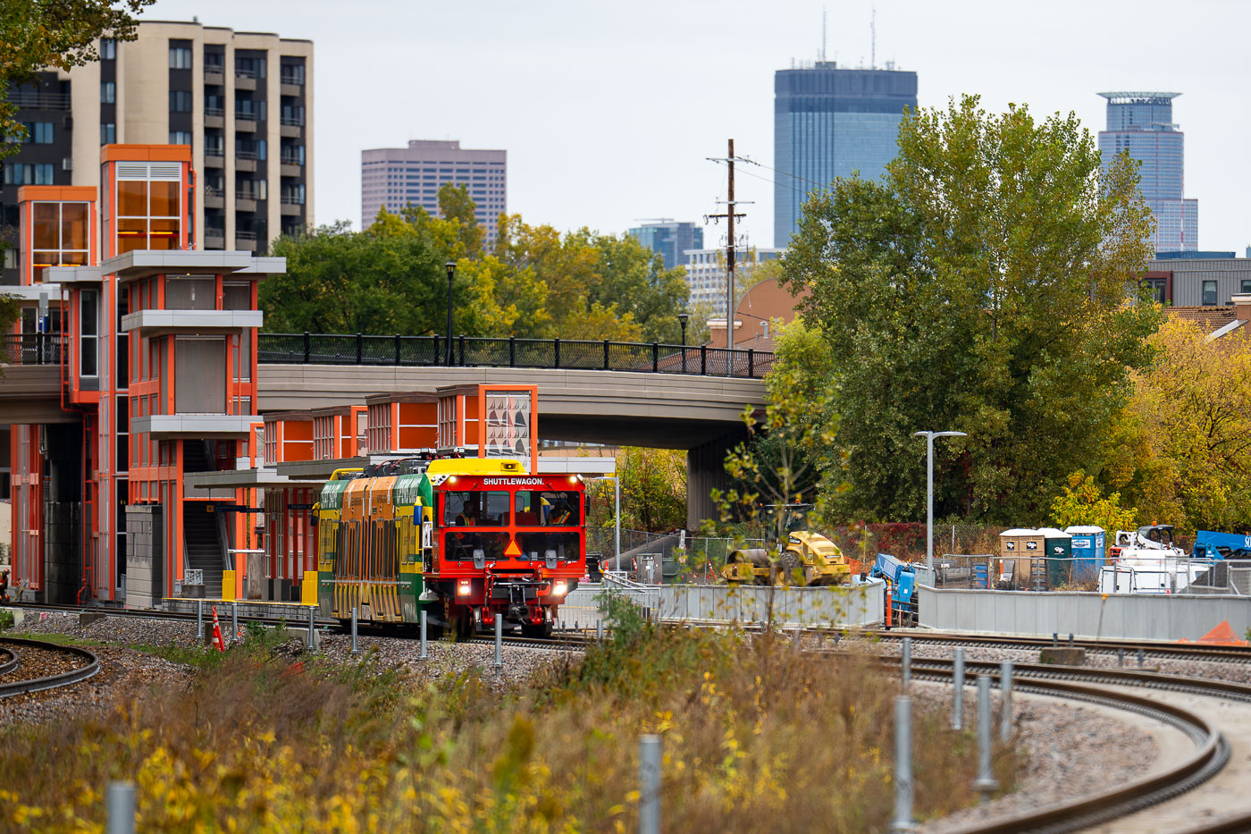
Light rail vehicle leaves W Lake St Station for first time
A Southwest LRT test train passes through the West Lake Street Station in Minneapolis. The station serves the Green Line extension, under construction since 2018 and expected to open to passengers in 2027.

Southwest LRT train tests at West Lake Street Station, Minneapolis
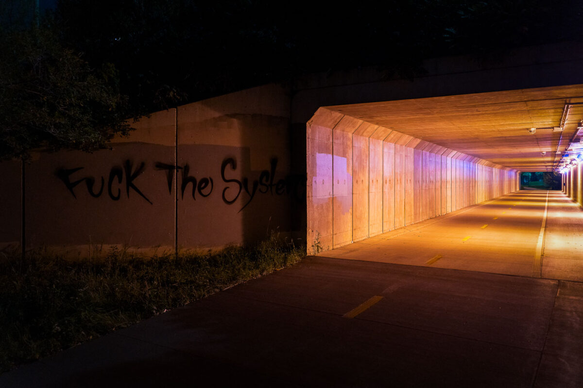
Graffiti reading "Fuck The System" on a concrete wall beside an illuminated bicycle tunnel in Minneapolis.
Graffiti reading “Fuck The System” is painted on a concrete wall beside a bike trail tunnel in Minneapolis. The illuminated underpass has marked lanes for cyclists and pedestrians and forms part of the city’s off-street trail network.

“Fuck The System” Graffiti at a Minneapolis Bike Tunnel
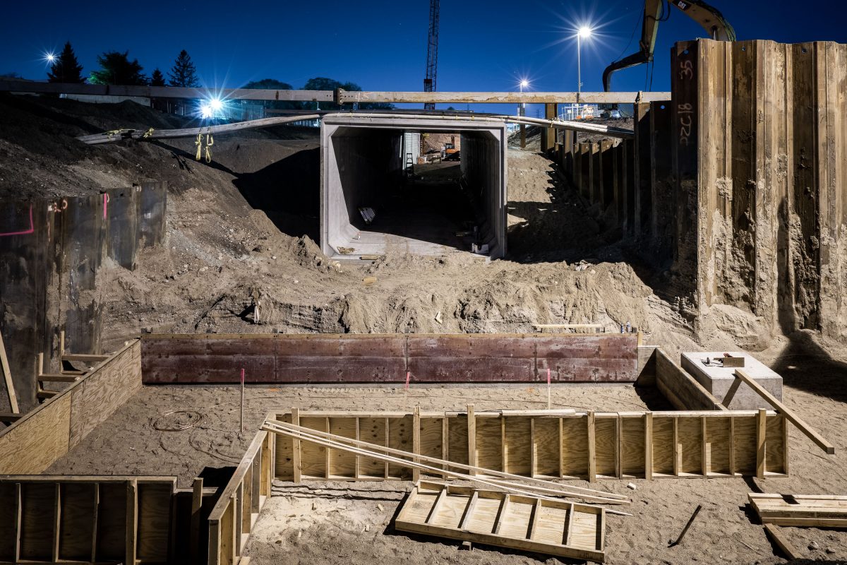
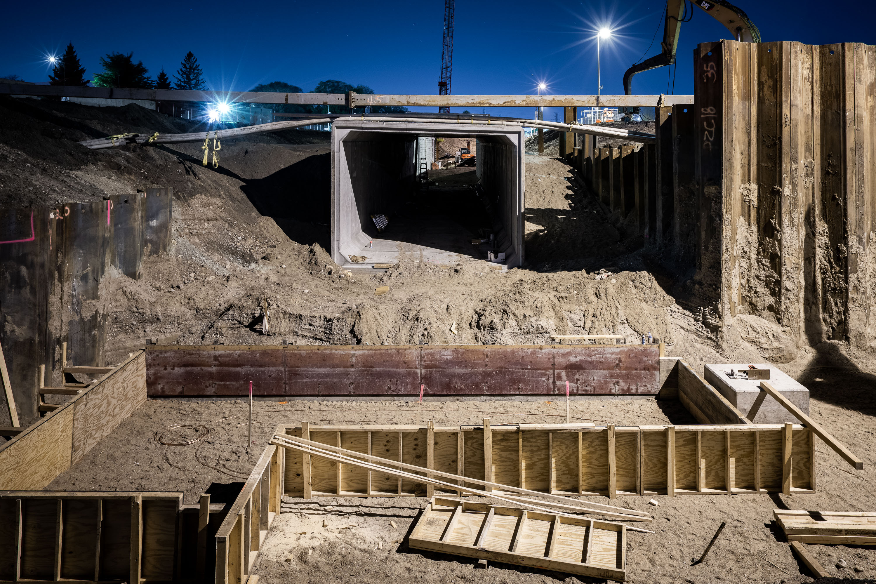
Construction of the Cedar Lake Trail tunnel under Wooddale Avenue in St. Louis Park at night.
The Cedar Lake Trail tunnel carries the regional bike and pedestrian path beneath Wooddale Avenue in St. Louis Park. The trail connects Minneapolis's Kenilworth corridor to the western suburbs, following a former railroad right-of-way. This segment was rebuilt as part of the Southwest Light Rail Transit project, which required reconstructing Wooddale Avenue and its crossing structures to accommodate the new Green Line extension.

Night Construction of the Cedar Lake Trail Tunnel at Wooddale Avenue
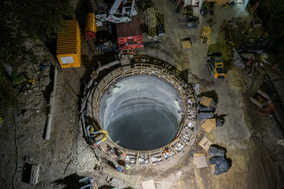
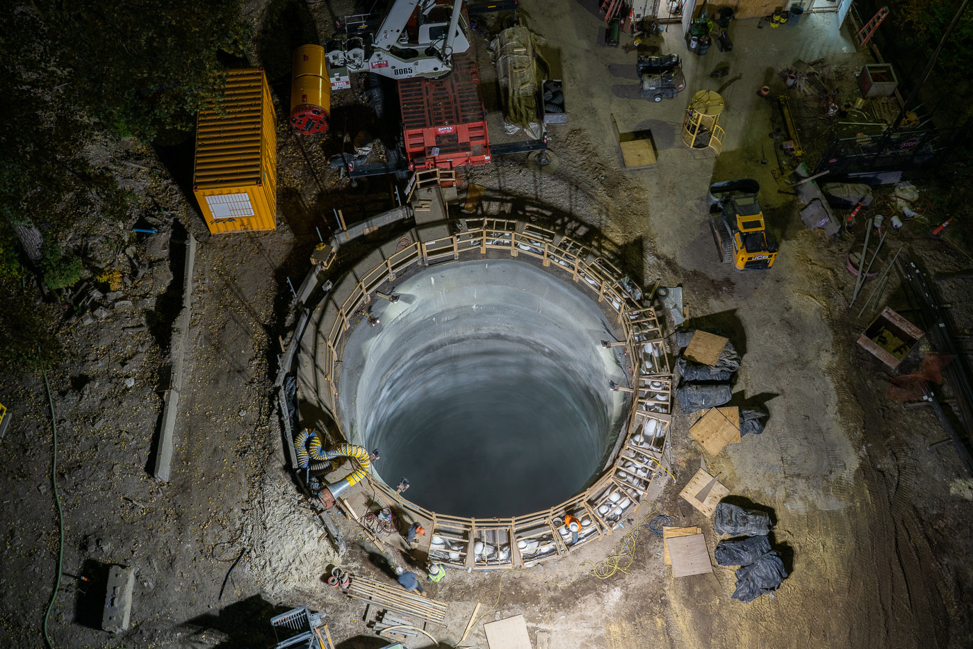
Mississippi River tunnel shaft construction in Minneapolis with a reinforced concrete excavation shaft.
Mississippi River tunnel shaft construction in Minneapolis. The reinforced concrete excavation shaft serves as the launch point for a tunnel boring machine that will build a water main tunnel beneath the river. The project is part of a major upgrade to the city’s water system.

Mississippi River tunnel shaft construction, Minneapolis
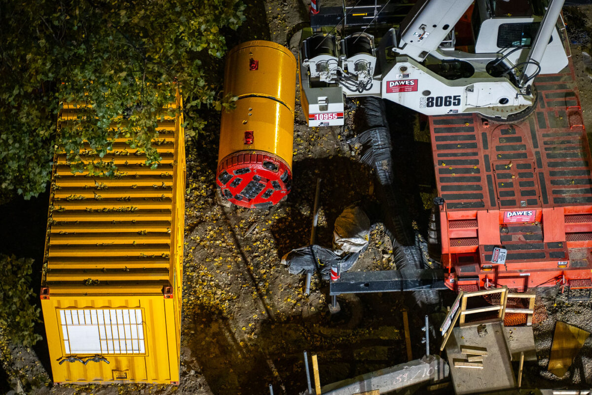
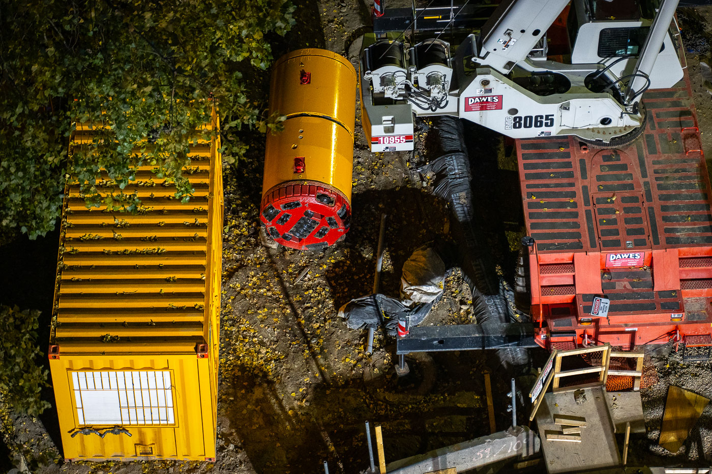
Mississippi River tunnel boring machine staged for a Minneapolis water main tunnel project.
Mississippi River tunnel boring machine, Minneapolis. The machine is staged for a subsurface water main tunnel project as part of work to expand and modernize the city’s underground water distribution system.

Mississippi River Tunnel Boring Machine, Minneapolis
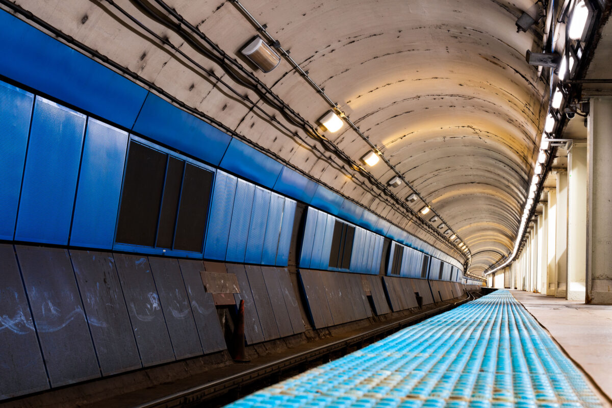
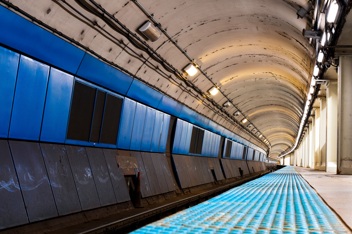
Empty CTA Blue Line subway platform with blue wall panels and curved concrete tunnel ceiling lit by overhead lights.
CTA Blue Line subway platform in Chicago is part of the Milwaukee-Dearborn Subway, the downtown tunnel used by Blue Line trains through the Loop. The subway opened in 1951 and carries trains between O'Hare International Airport, downtown Chicago, and the Forest Park branch. Its arched tunnel and side platform are typical of Chicago's mid-20th-century rapid transit construction.

Milwaukee-Dearborn Subway Tunnel on the CTA Blue Line
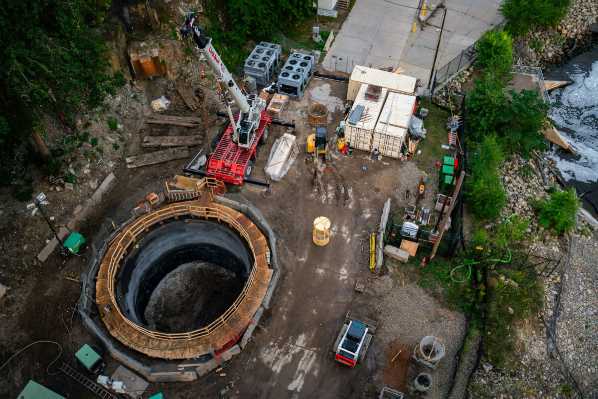
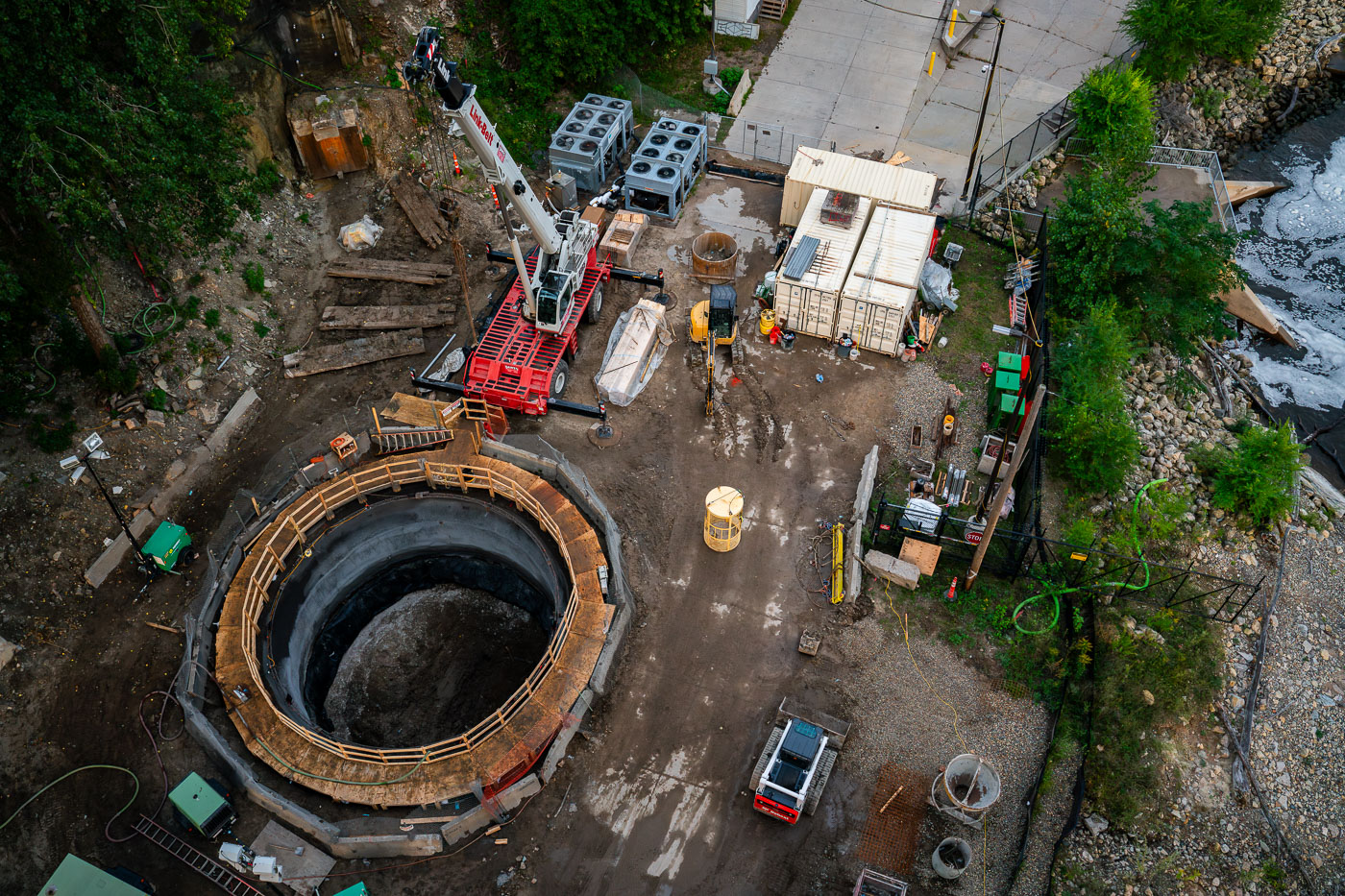
Aerial view of a large circular tunnel shaft with wooden bracing surrounded by construction equipment and materials at a riverside work site.
Mississippi River water main tunnel shaft, Minnesota. The shaft will provide access for a tunnel boring machine excavating a new water main beneath the river.

Aerial View of a Water Main Tunnel Shaft Near the Mississippi River
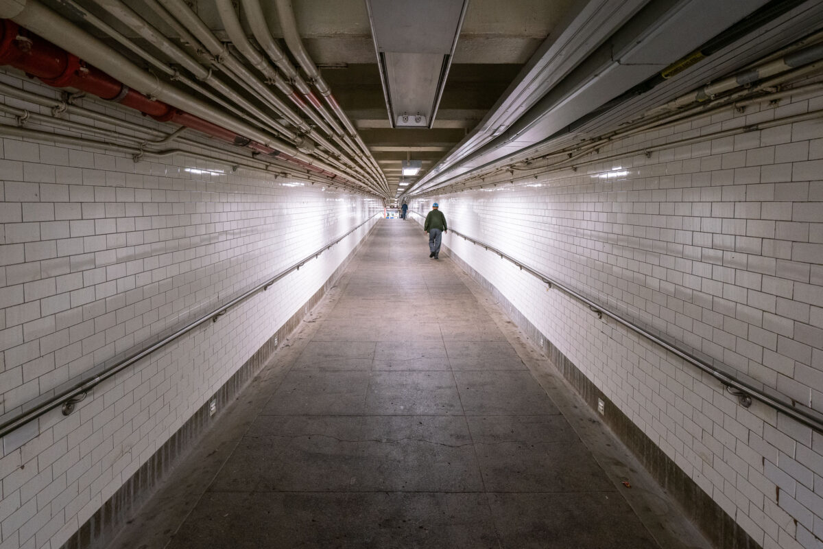
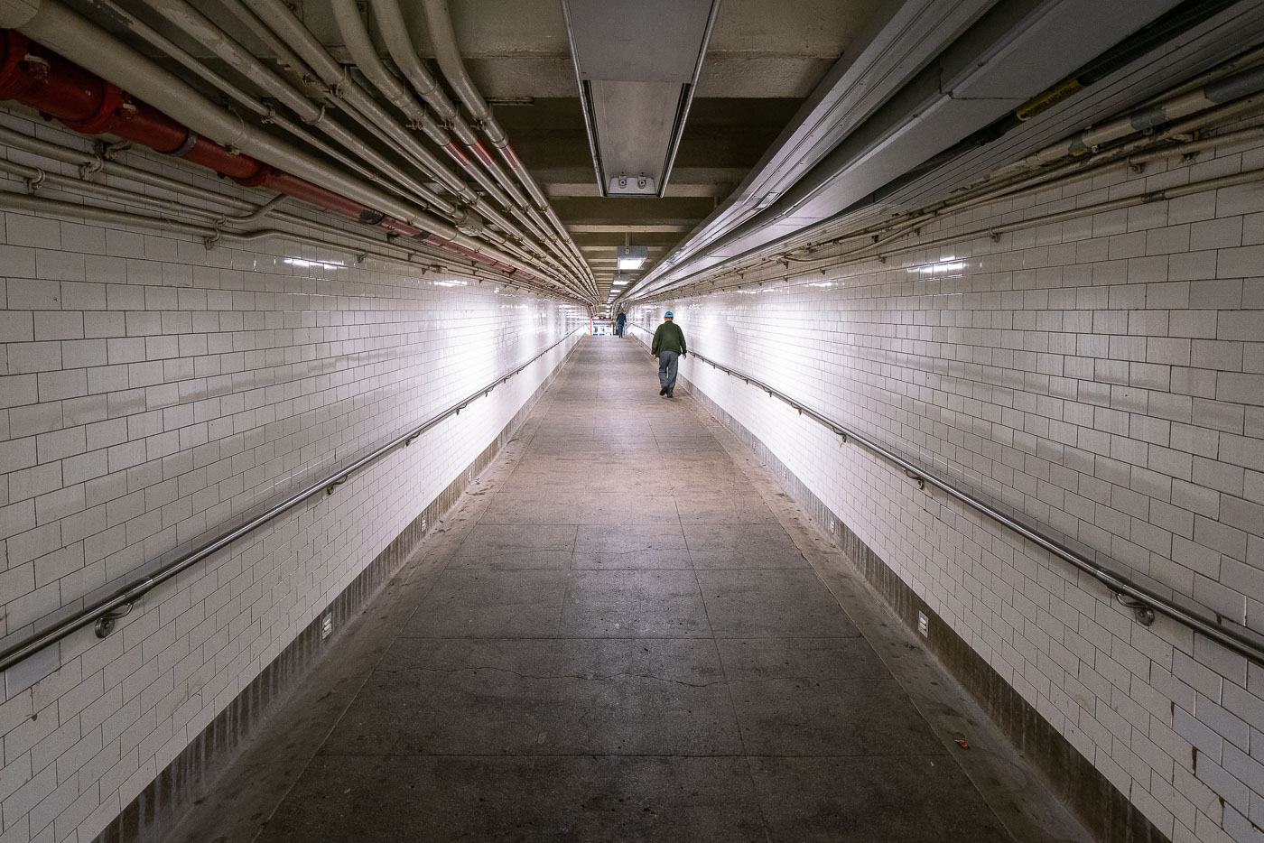
A solitary pedestrian walks through a white-tiled New York City subway tunnel with overhead pipes and conduits.
A lone figure walks through a long, tiled tunnel in the New York City Subway system, with numerous pipes and conduits visible overhead.

Lone Commuter in a Tiled Subway Passageway
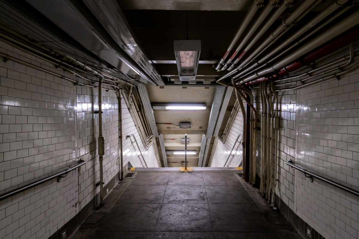
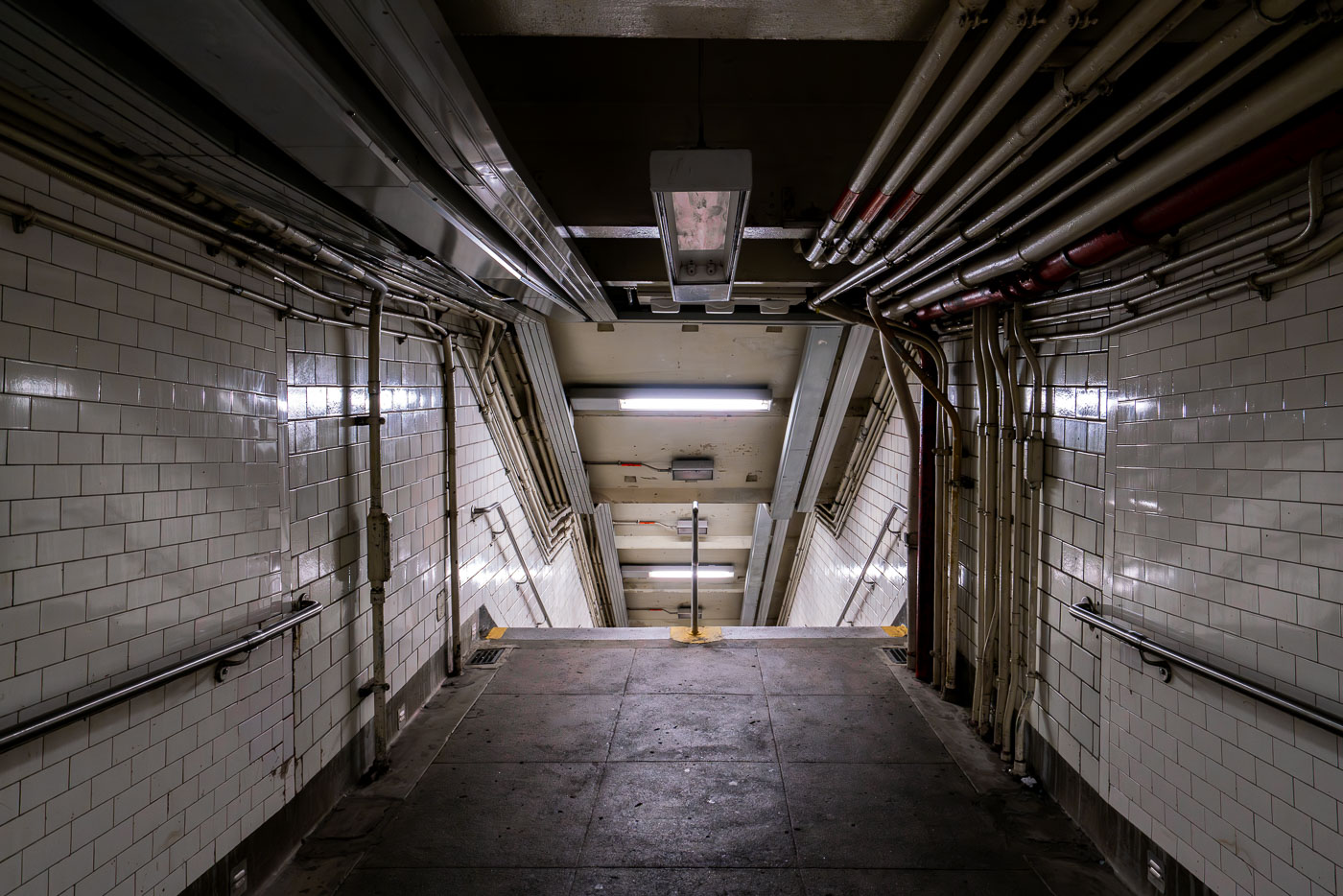
Descending stairway in a New York City subway station with white tile walls and exposed overhead piping.
A dimly lit stairway descends into a New York City subway station, revealing extensive exposed piping and tiled walls characteristic of aging transit infrastructure.

Tiled Stairwell and Overhead Pipes in an NYC Subway Passage
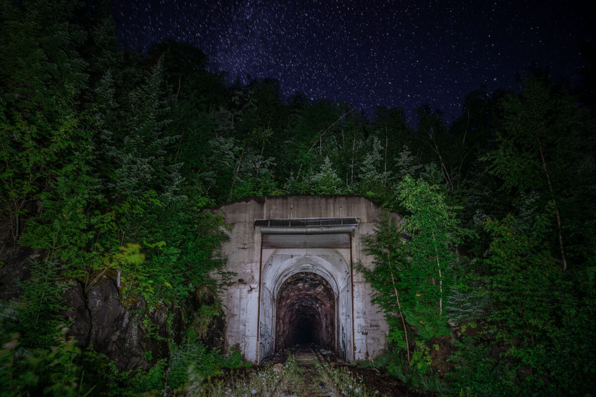
Cramer Tunnel entrance in Cramer, Minnesota, beneath a starry night sky.
Cramer Tunnel in Cramer, Minnesota, was an industrial railroad tunnel that operated from 1957 to 2001. It connected the LTV Steel taconite plant in Hoyt Lakes with the ore dock at Taconite Harbor.

Cramer Tunnel Entrance, Cramer Minnesota
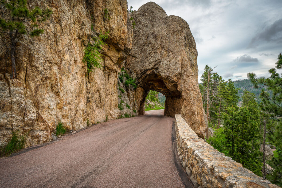
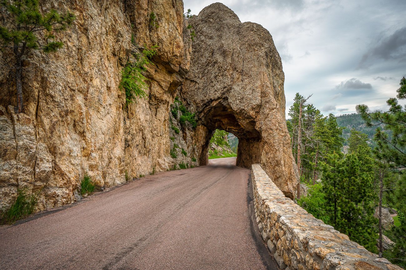
Needles Eye Tunnel and clouds
The Needles Eye Tunnel, completed in 1922, is a narrow, one-lane passage carved through a granite spire in Custer State Park, South Dakota. As part of the Needles Highway (SD 87), this engineering feat measures only 8 feet 4 inches wide and 11 feet 3 inches high, necessitating careful navigation for vehicles. The tunnel is named for an adjacent rock formation shaped by erosion, and it remains a key feature of one of the Midwest's most striking mountain drives. The highway connects the park's spire formations with routes leading to Sylvan Lake and Mount Rushmore.

Needles Eye Tunnel, Custer State Park, South Dakota
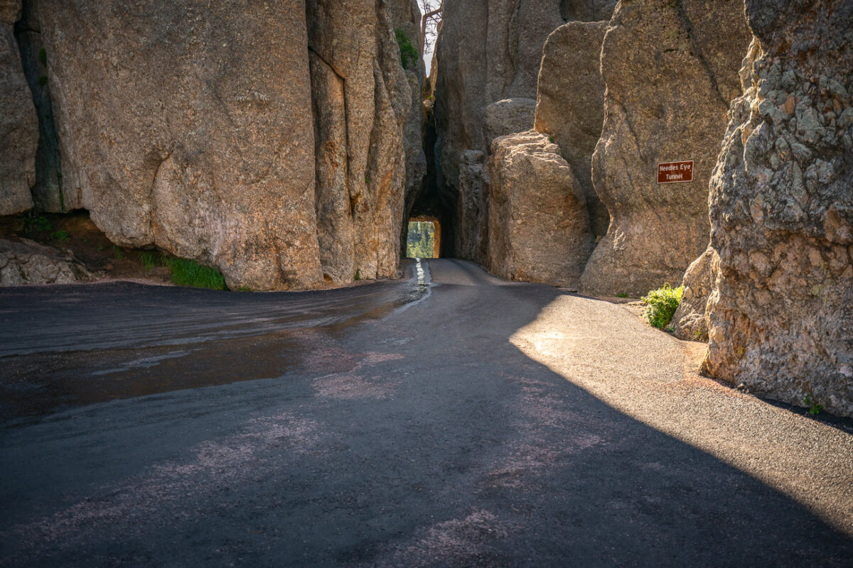
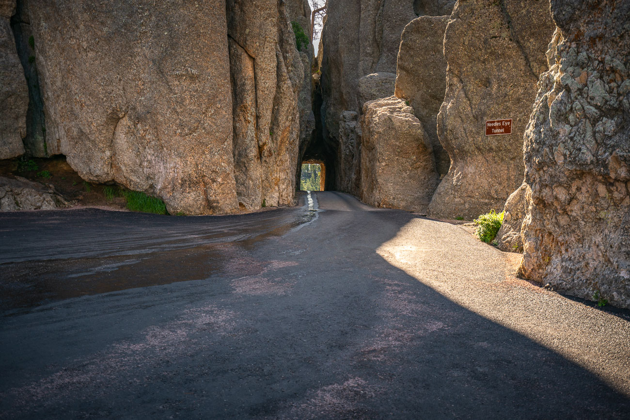
Needles Eye Tunnel, a narrow granite passage on Needles Highway in Custer State Park, South Dakota.
The Needles Eye Tunnel carries South Dakota Highway 87 through a granite spire along the Needles Highway in Custer State Park. Governor Peter Norbeck laid out the highway's route on foot in the early 1920s, insisting the road be cut directly through the rock rather than routed around it. Engineer Scovel Johnson completed the tunnel in 1922, cutting it just eight feet nine inches wide to match the width of a car of the era. The tunnel takes its name from a needle-like granite formation nearby. Custer State Park, established in 1919, encompasses more than 71,000 acres of the Black Hills.

Needles Eye Tunnel Along Needles Highway, Custer State Park
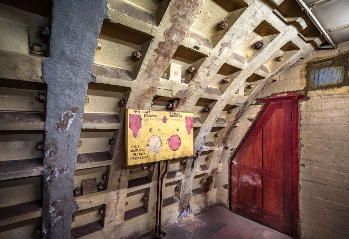
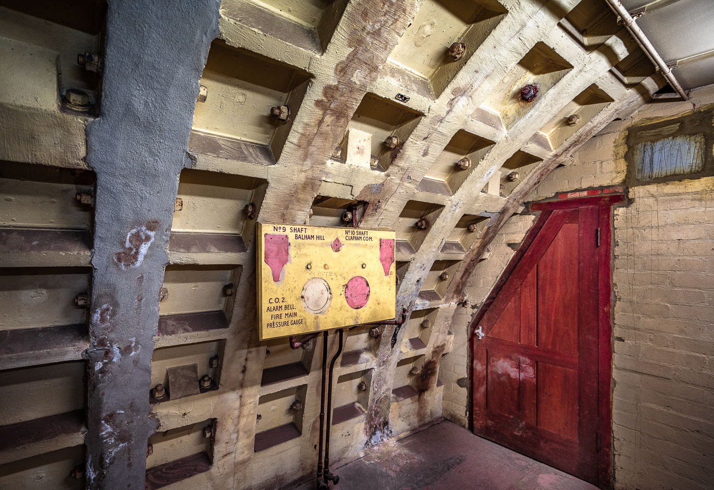
Clapham South Deep Shelter pressure panel with red door, London
Clapham South Deep Shelter in London contains this WWII pressure and alarm panel, marked for Shaft 9 at Balham Hill and Shaft 10 at Clapham Common. The panel monitored carbon dioxide, fire main pressure, and alarm systems in the deep-level shelter opened in 1942.

Clapham South Deep Shelter Pressure Panel, London
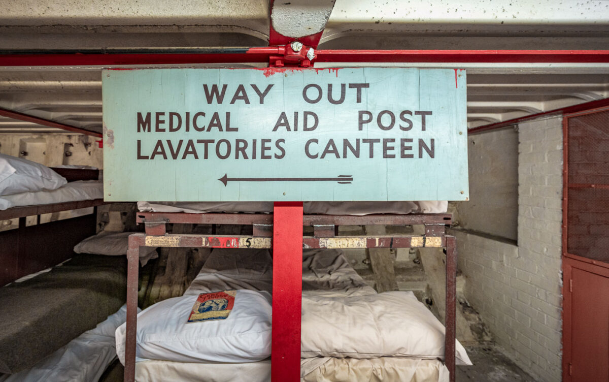
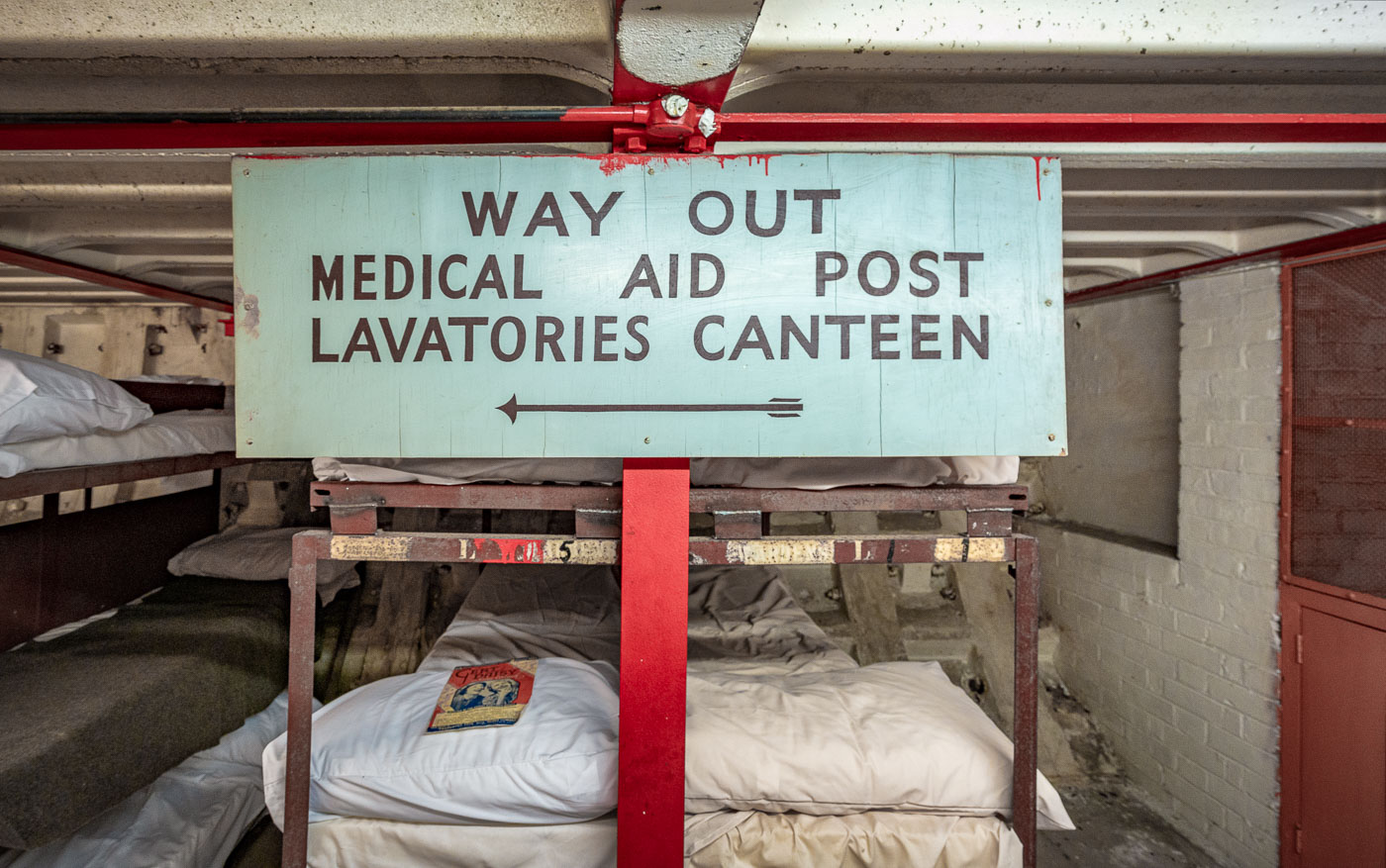
Clapham North Deep Shelter sign above bunk beds in London.
Clapham North Deep Shelter in London includes a painted direction sign for the medical aid post, lavatories and canteen. The deep-level shelter was built beneath the Underground during World War II to protect civilians during air raids.

Clapham North Deep Shelter Sign, London
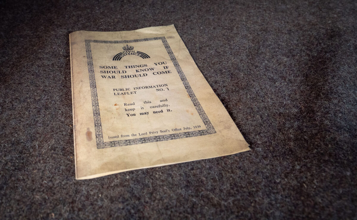
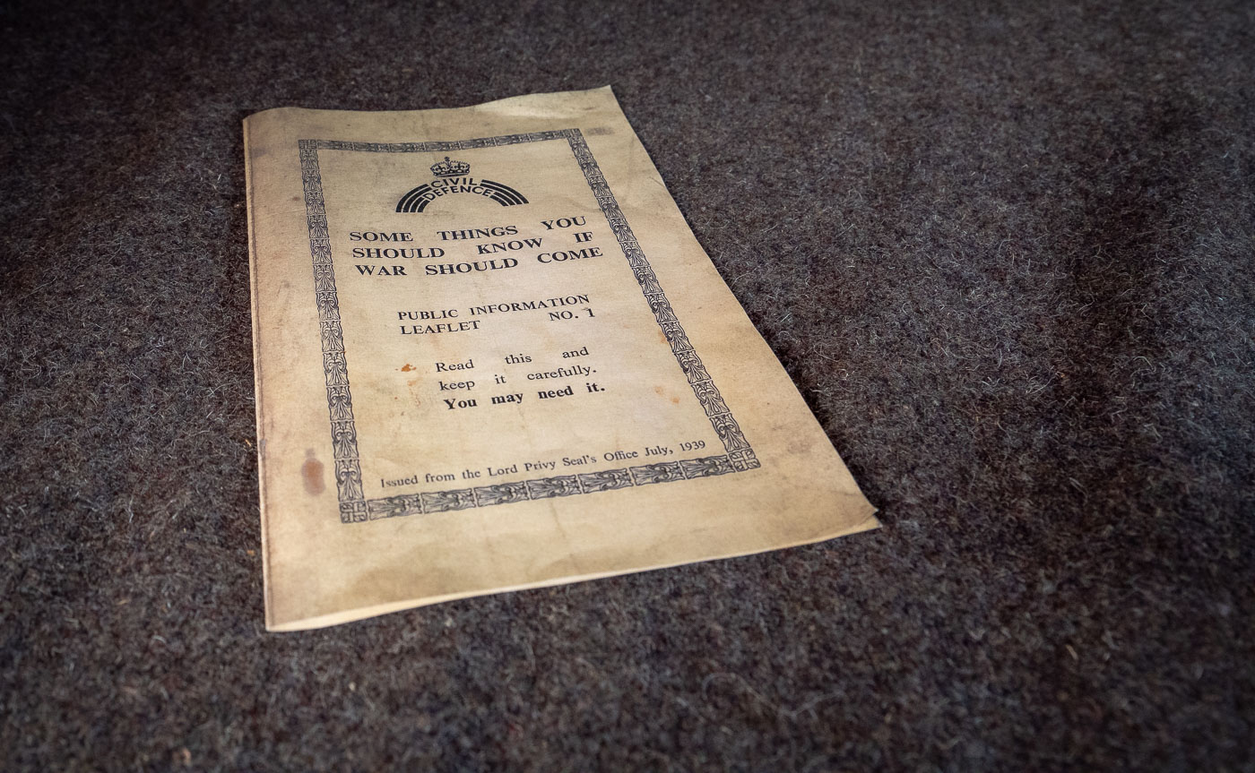
1939 Civil Defence leaflet titled Some Things You Should Know if War Should Come
The 1939 Civil Defence public information leaflet No. 1, titled Some Things You Should Know if War Should Come, was issued by the Lord Privy Seal’s Office in July 1939. It was the first in a series of pamphlets intended to prepare British civilians for blackout rules, air raids, and gas attacks before the outbreak of World War II.

1939 Civil Defence Leaflet No. 1

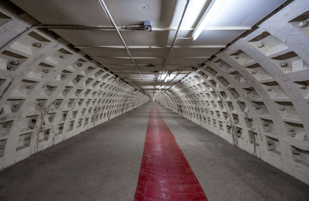
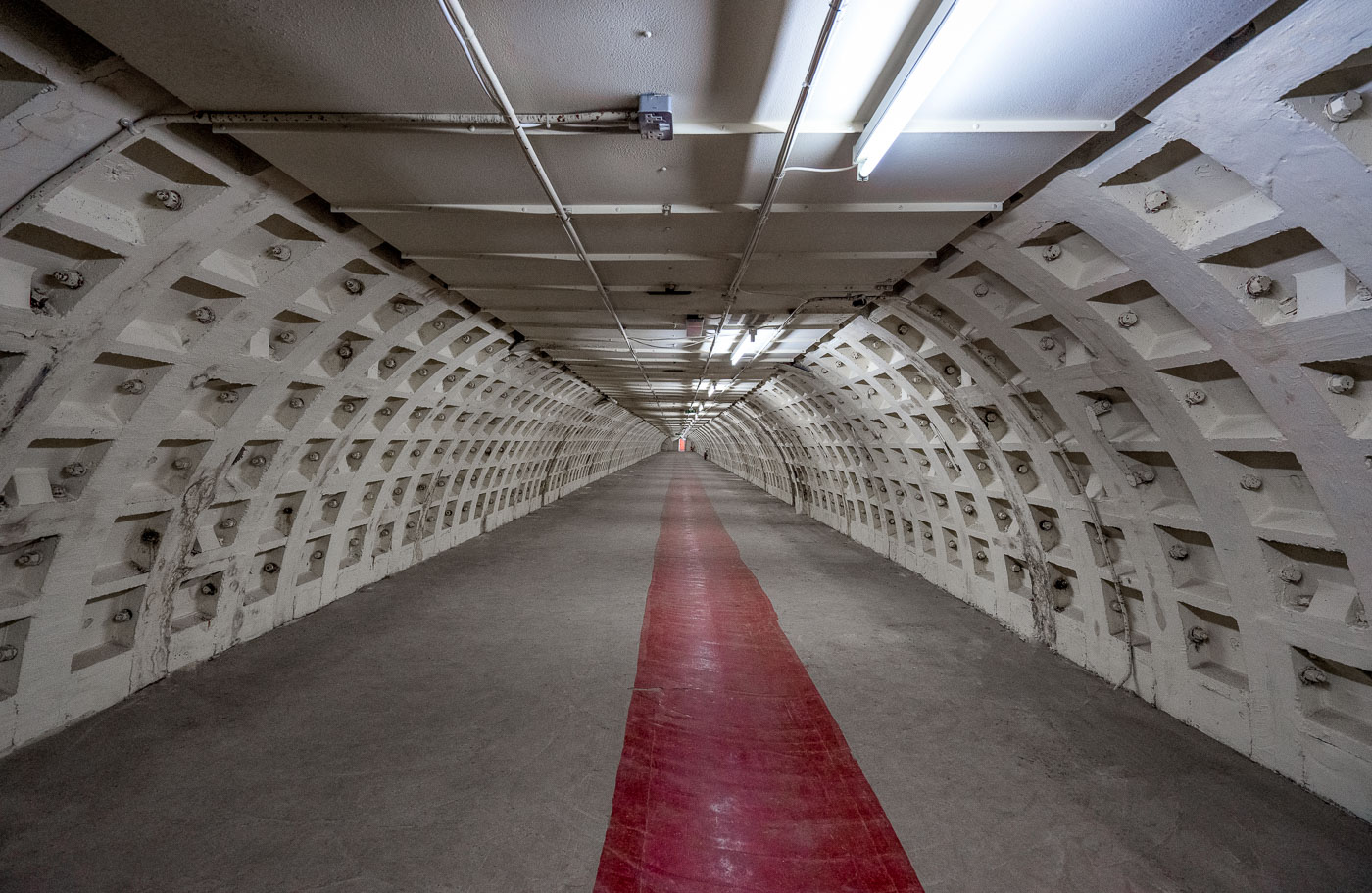
Clapham North Deep Shelter Tunnel in London with cast-iron lining and fluorescent lights
Clapham North Deep Shelter Tunnel in London is one of eight deep-level shelters built by London Underground during World War II. Completed between 1940 and 1942, it was designed to house civilians during air raids and retains its cast-iron lining and later lighting.

Clapham North Deep Shelter Tunnel, London
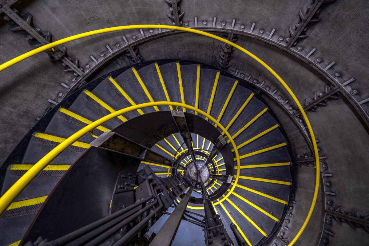
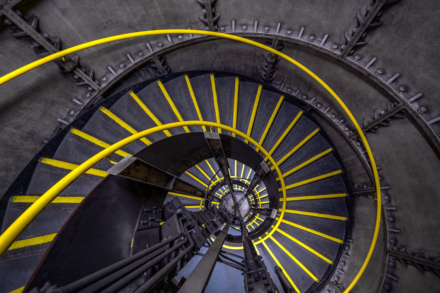
Clapham North Underground Station spiral staircase in London, with yellow-edged steps winding around a central shaft.
Clapham North Underground Station in London has a spiral emergency staircase descending to the Northern Line platforms. The cast-iron stairwell wraps around a central shaft and is fitted with yellow anti-slip strips and handrails for access and evacuation.

Clapham North Underground Station Spiral Staircase, London
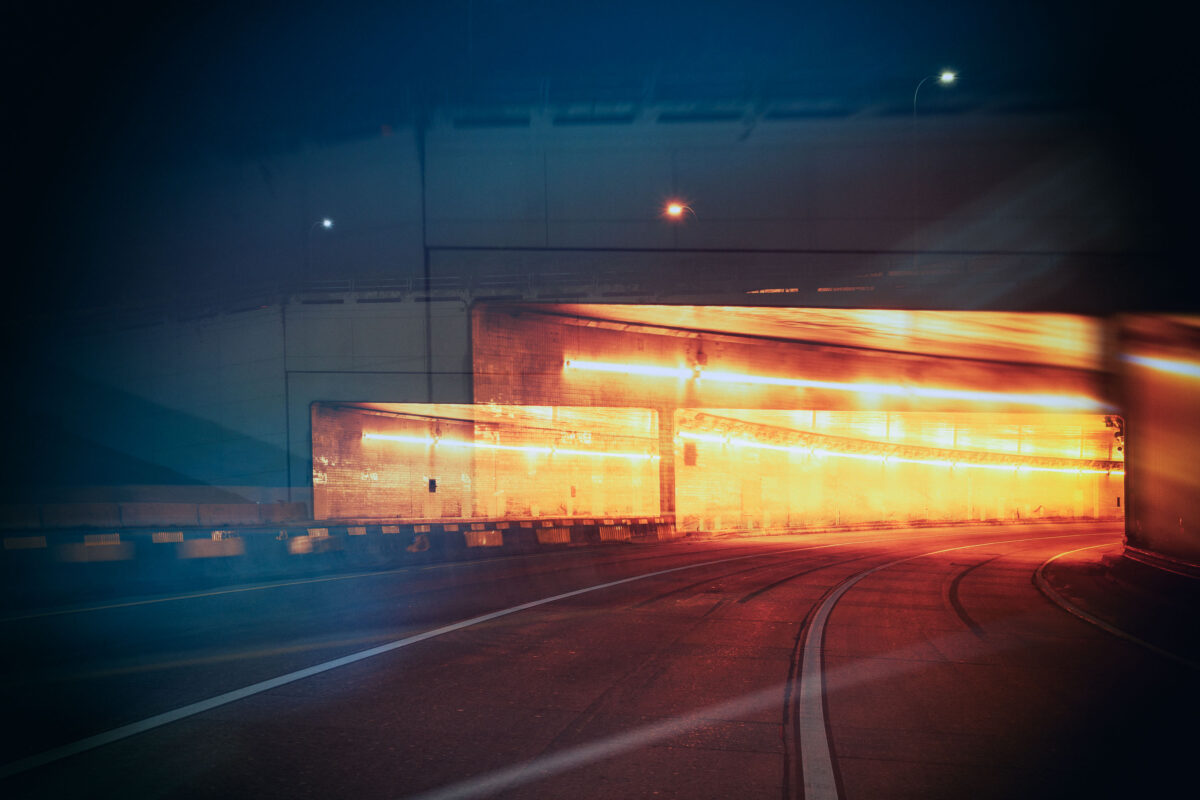
Interior view of the Lowry Hill Tunnel in Minneapolis at night, showing illuminated walls and a curving roadway.
The Lowry Hill Tunnel, located in Minneapolis, is a vital piece of the city's transportation network. Completed in 1971, this tunnel was constructed to alleviate traffic congestion and improve connectivity between neighborhoods. Its design accommodates vehicular traffic, allowing for the smooth flow of cars and trucks beneath the Lowry Hill neighborhood. The tunnel continues to serve as a critical artery for commuters and freight, facilitating daily movement within the Minneapolis North Loop and beyond.

Lowry Hill Tunnel, Minneapolis: Interior View at Night