Illinois

43 photos · 2012–2024

43 photographs tagged Illinois, 2012–2024.
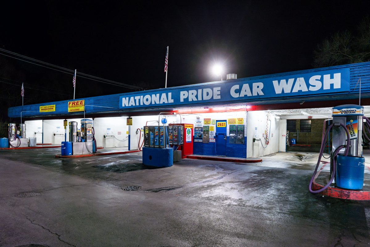
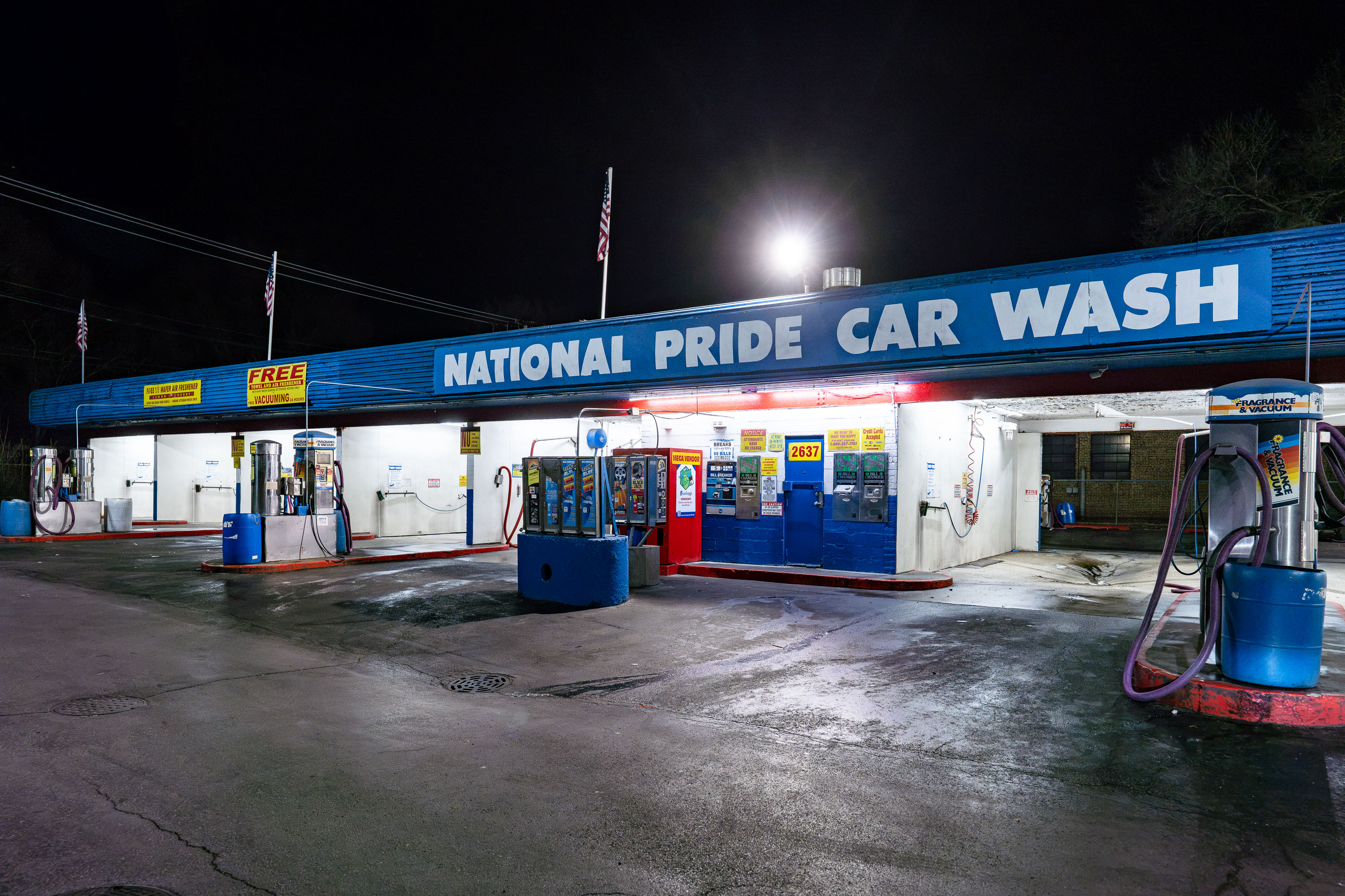
National Pride Car Wash facility illuminated at night on South Torrence Avenue in Chicago.
National Pride Car Wash operates a self-serve facility at 2637 S. Torrence Avenue on Chicago's Southeast Side, in the East Side neighborhood near the Indiana border. The address numbering places it along a stretch of Torrence Avenue that has long served the area's industrial and residential mix, historically tied to the nearby steel mills that once anchored the local economy.

National Pride Car Wash, South Torrence Avenue, Chicago
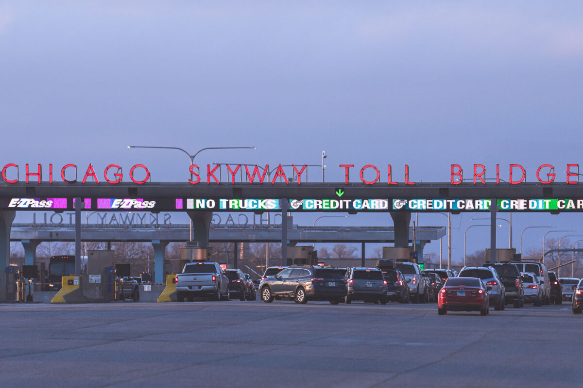
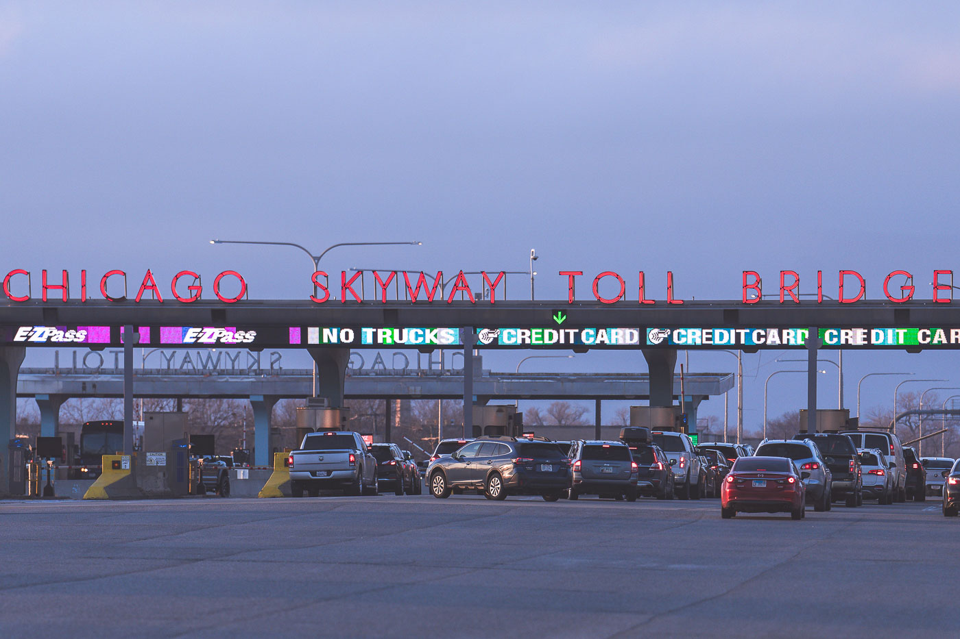
Chicago Skyway Toll Bridge toll plaza in Chicago, Illinois, with lanes and electronic toll signs.
The Chicago Skyway Toll Bridge toll plaza on Interstate 90 in Chicago, Illinois. The facility collects tolls for traffic using the Chicago Skyway, a toll road connecting the city with northwest Indiana.

Chicago Skyway Toll Bridge Toll Plaza
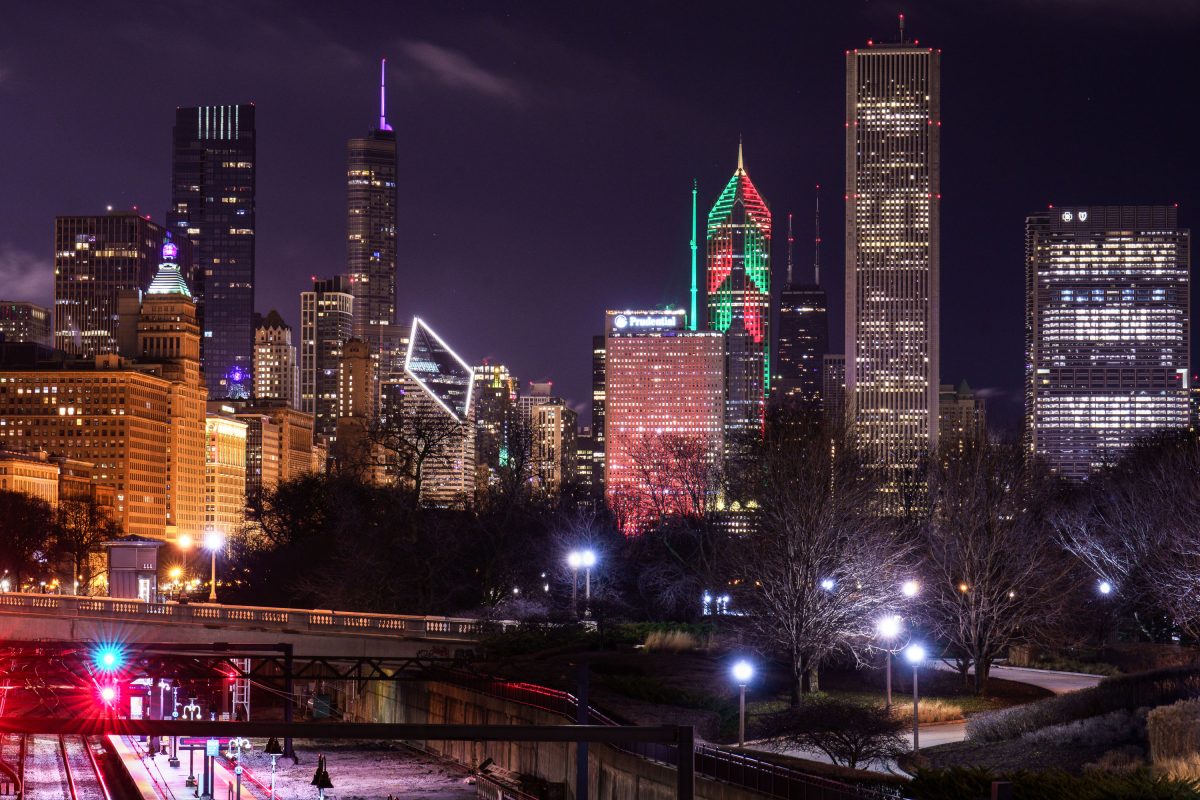
Chicago skyline at night with Blue Cross Blue Shield Tower displaying a holiday message.
The Blue Cross Blue Shield Tower rises 57 stories along Randolph Street in Chicago's Loop, completed in 1997 with an addition finished in 2010 that brought it to 1.13 million square feet. Its crown display can be programmed for holidays and civic occasions, including New Year's messages. The building serves as headquarters for Health Care Service Corporation, the parent of Blue Cross and Blue Shield of Illinois. Nearby, Aon Center and the Smurfit-Stone Building's diamond-shaped top form part of the same stretch of skyline along Michigan Avenue and Randolph Street.

Blue Cross Blue Shield Tower Skyline, Chicago
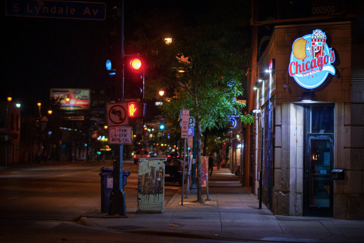
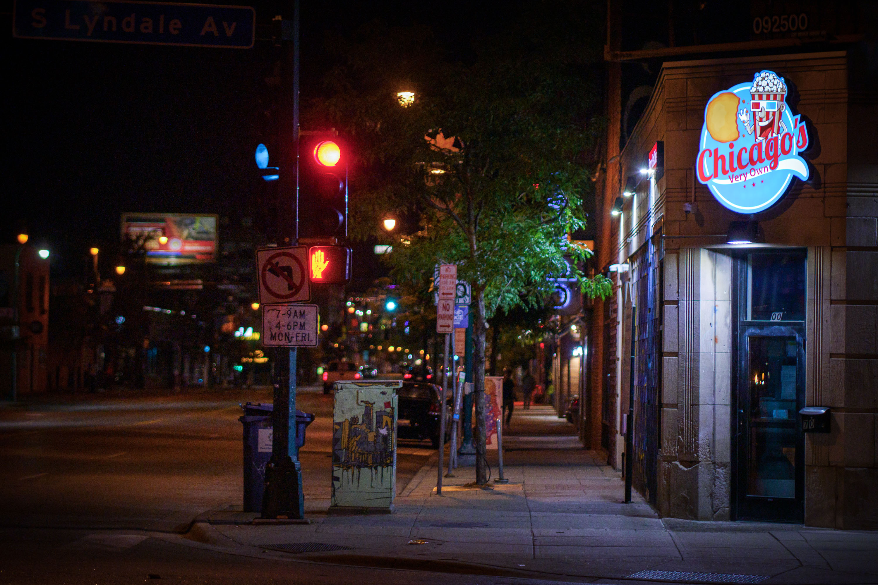
Chicagos Very Own on corner of Lyndale and Lake
Chicago's Very Own, a restaurant specializing in Chicago-style hot dogs and Italian beef sandwiches, is pictured at night on the corner of Lake Street and Lyndale Avenue in Minneapolis.

Chicago’s Very Own Signage at S Lyndale Ave and Lake St, Minneapolis
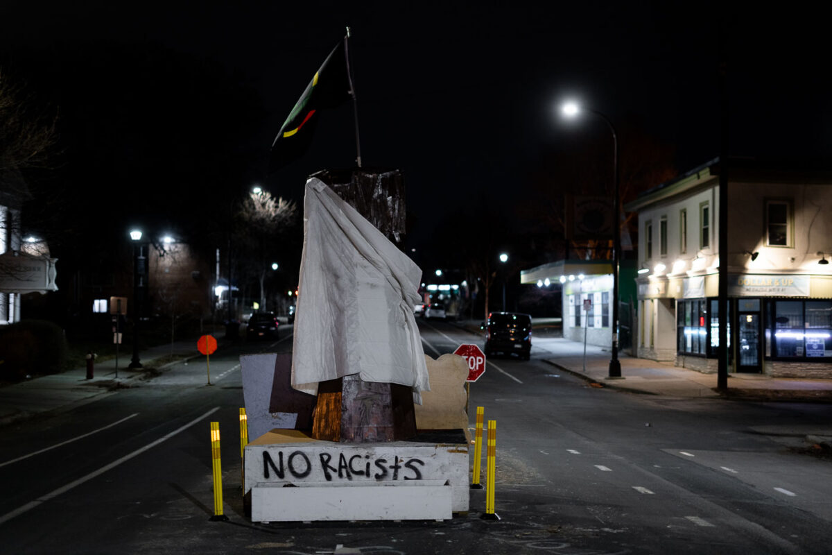
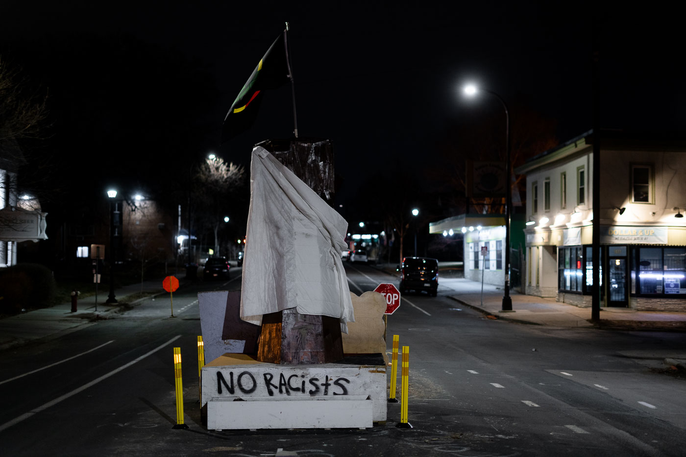
George Floyd Square memorial at 38th Street and Chicago Avenue in Minneapolis at night.
The George Floyd Square Memorial, located at the intersection of 38th Street and Chicago Avenue in Minneapolis, serves as a site of remembrance and protest following the murder of George Floyd in 2020. The memorial features a "raised fist" sculpture, which is draped with a blanket in honor of Amir Locke, who was killed by Minneapolis Police in February 2022. This space has become a significant community gathering point for discussions on racial justice and police accountability.

George Floyd Square Memorial at Night, Minneapolis
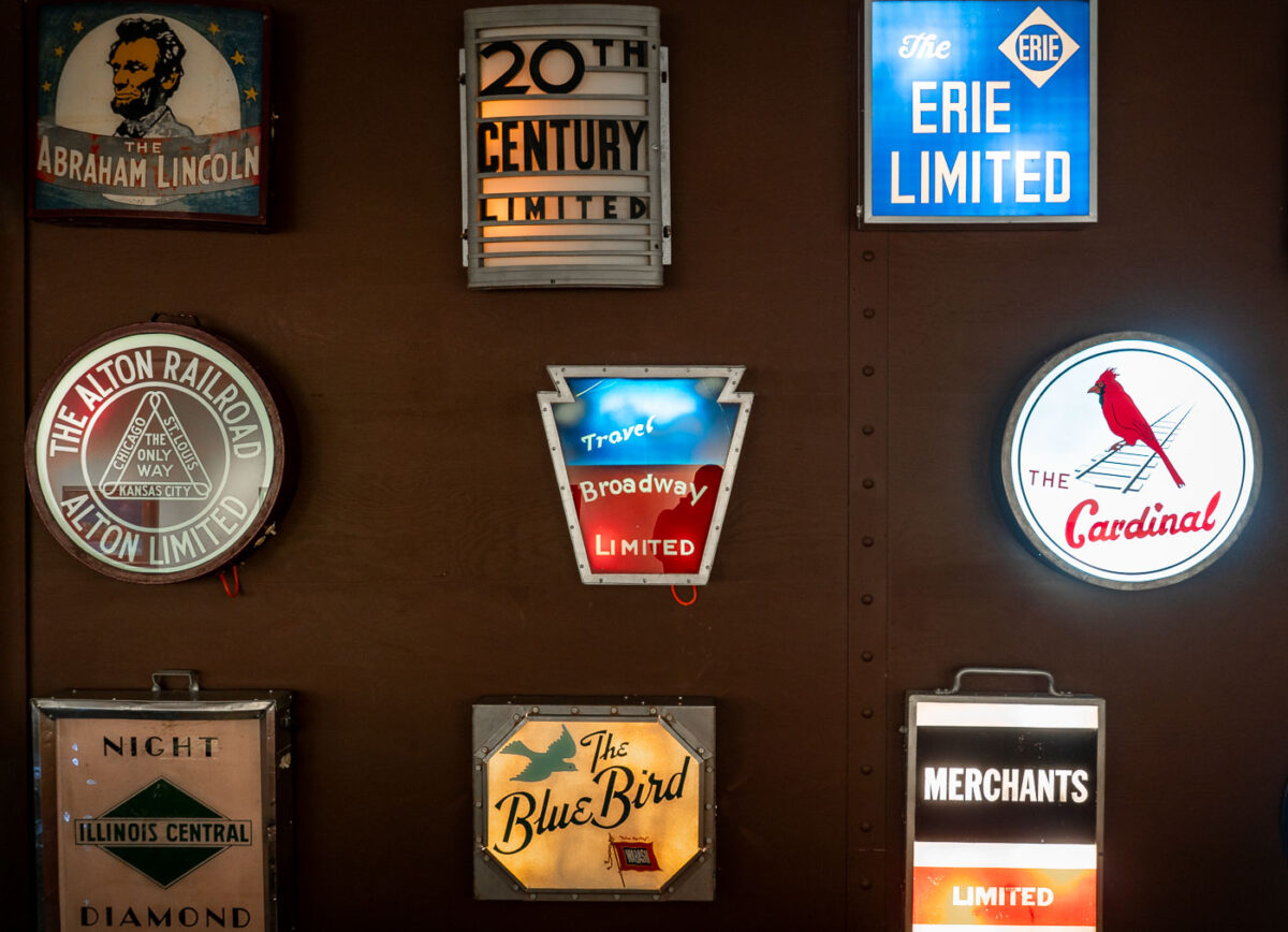
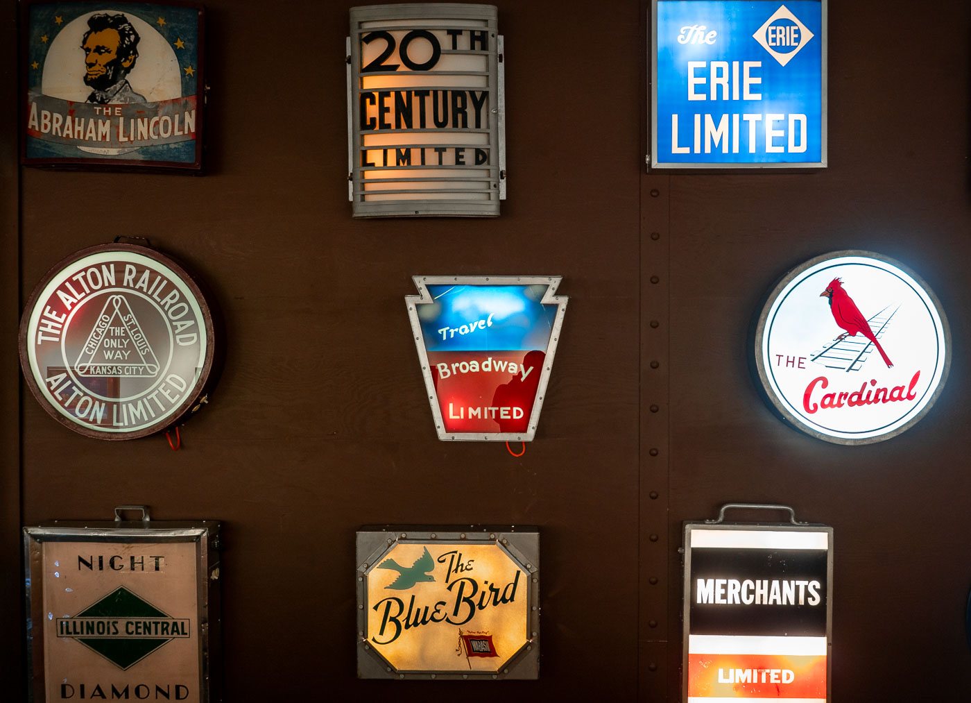
Illuminated drumhead signs for historic trains like the Abraham Lincoln and 20th Century Limited at the National Railroad Museum in Green Bay, Wisconsin.
A collection of illuminated drumhead signs from various historic American passenger trains is displayed at the National Railroad Museum in Green Bay, Wisconsin. These signs, once mounted on the observation cars of luxury and express trains, served as both branding and navigational aids. Featured are signs for notable routes such as the New York Central's "20th Century Limited," the Pennsylvania Railroad's "Broadway Limited," and the Alton Railroad's "Abraham Lincoln" and "Blue Bird," which connected Chicago and St. Louis.

Green Bay Railroad Museum: Historic Train Drumhead Signs
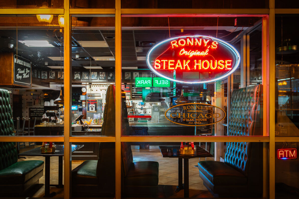
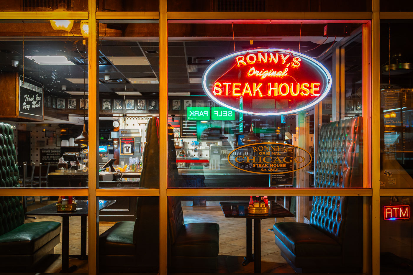
Ronny’s Original Steak House neon sign and booths inside the Chicago Loop restaurant.
Ronny’s Original Steak House in Chicago’s Loop is a cafeteria-style steakhouse established in 1963. The restaurant operated as an affordable, quick-service dining spot for downtown workers, theatergoers, and travelers. Its neon window sign and booth seating are part of the restaurant’s mid-century Loop dining character.

Ronny’s Original Steak House Neon Sign, Chicago
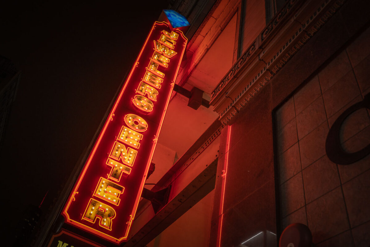
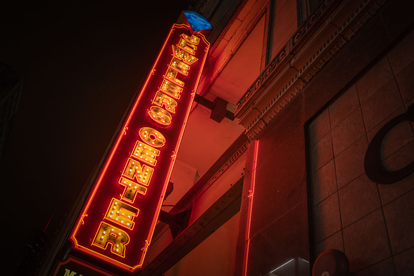
Jewelers Center neon sign at 5 South Wabash Avenue in Chicago’s Loop.
The Jewelers Center sign on South Wabash Avenue identifies the Mallers Building at 5 South Wabash in Chicago’s Loop. The building is a central address in Jewelers Row, a downtown district known for jewelry wholesalers, retailers, repair shops, and gem dealers. The center houses independent jewelry businesses offering sales, custom design, and repair services.

Jewelers Center Sign at 5 South Wabash, Chicago
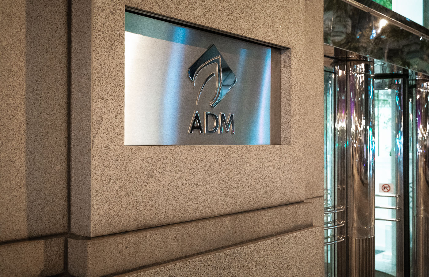
ADM headquarters entrance in downtown Chicago with the Archer Daniels Midland logo on a wall sign.
The ADM headquarters entrance in downtown Chicago marks the offices of Archer Daniels Midland Company. ADM moved its global headquarters from Decatur, Illinois, to Chicago in 2014 after more than a century in central Illinois. The company is a major agricultural processor and commodities firm involved in grain trading, oilseed processing, nutrition, and biofuels.

ADM Headquarters Entrance, Chicago

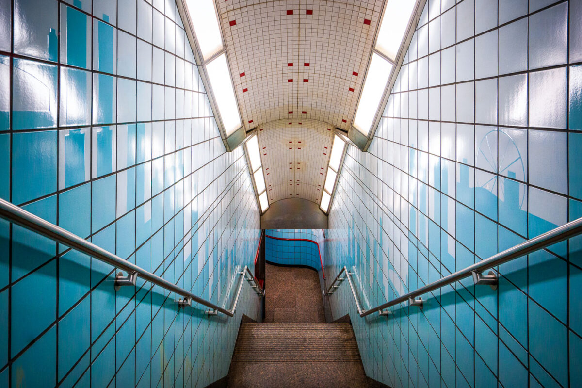
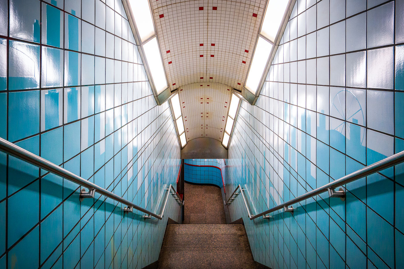
Symmetrical stairway at Chicago's Grand Station Red Line with blue tiles and metal railings descending underground.
The Grand Station Red Line stairway in Chicago, a key access point for the city's rapid transit system, showcases a design characteristic of late 20th-century CTA renovations. The corridor features blue ceramic tiles and stainless-steel railings, reflecting a focus on durability and functionality. Subtle skyline motifs integrated into the tilework serve as a nod to Chicago's architectural identity. This subterranean passage facilitates commuter flow between the North Side, Loop, and South Side neighborhoods, connecting them via the Red Line.

Skyline Tilework Stairway at CTA’s Grand Red Line Station
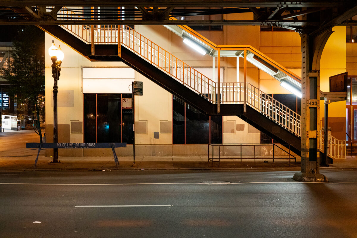
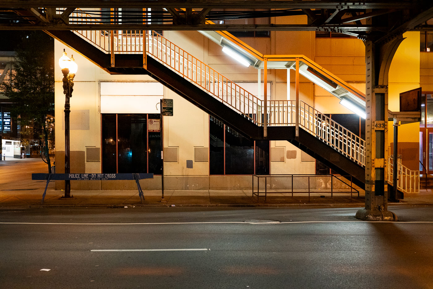
Illuminated stairway and yellow structure beneath Chicago's elevated train tracks at night with police barricade below.
An illuminated stairway leads up to one of Chicago’s iconic “L” (elevated) train platforms in the Loop at night. The steel structure, marked with the system’s signature riveted beams, is part of the century-old elevated rail network that defines the city’s core transit identity. Below, a “Police Line – Do Not Cross” barricade and the quiet, empty street evoke a rare moment of stillness in an area usually dominated by the hum of trains and late-night traffic.

Police Barricade Beneath the Loop’s Elevated Stairway
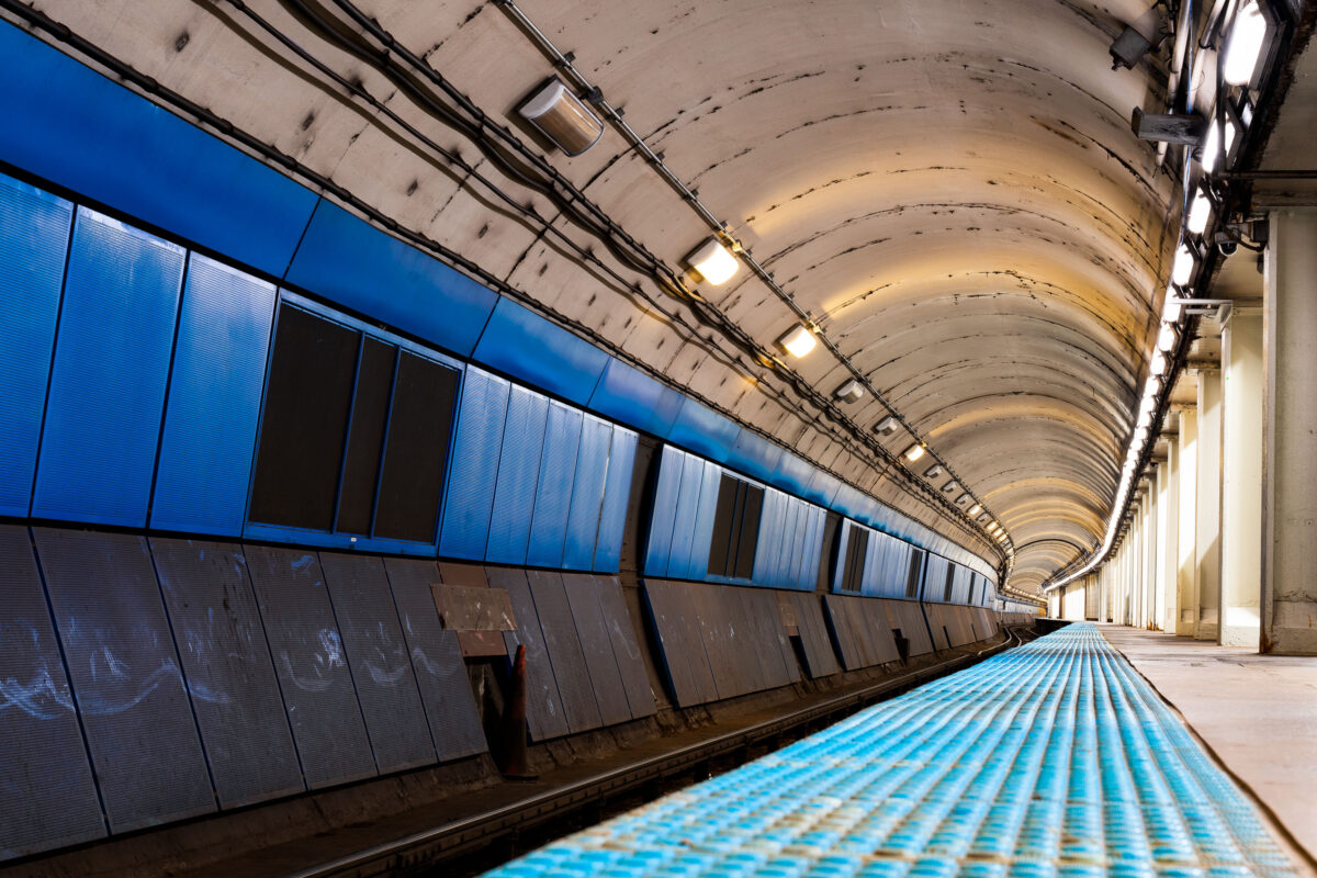
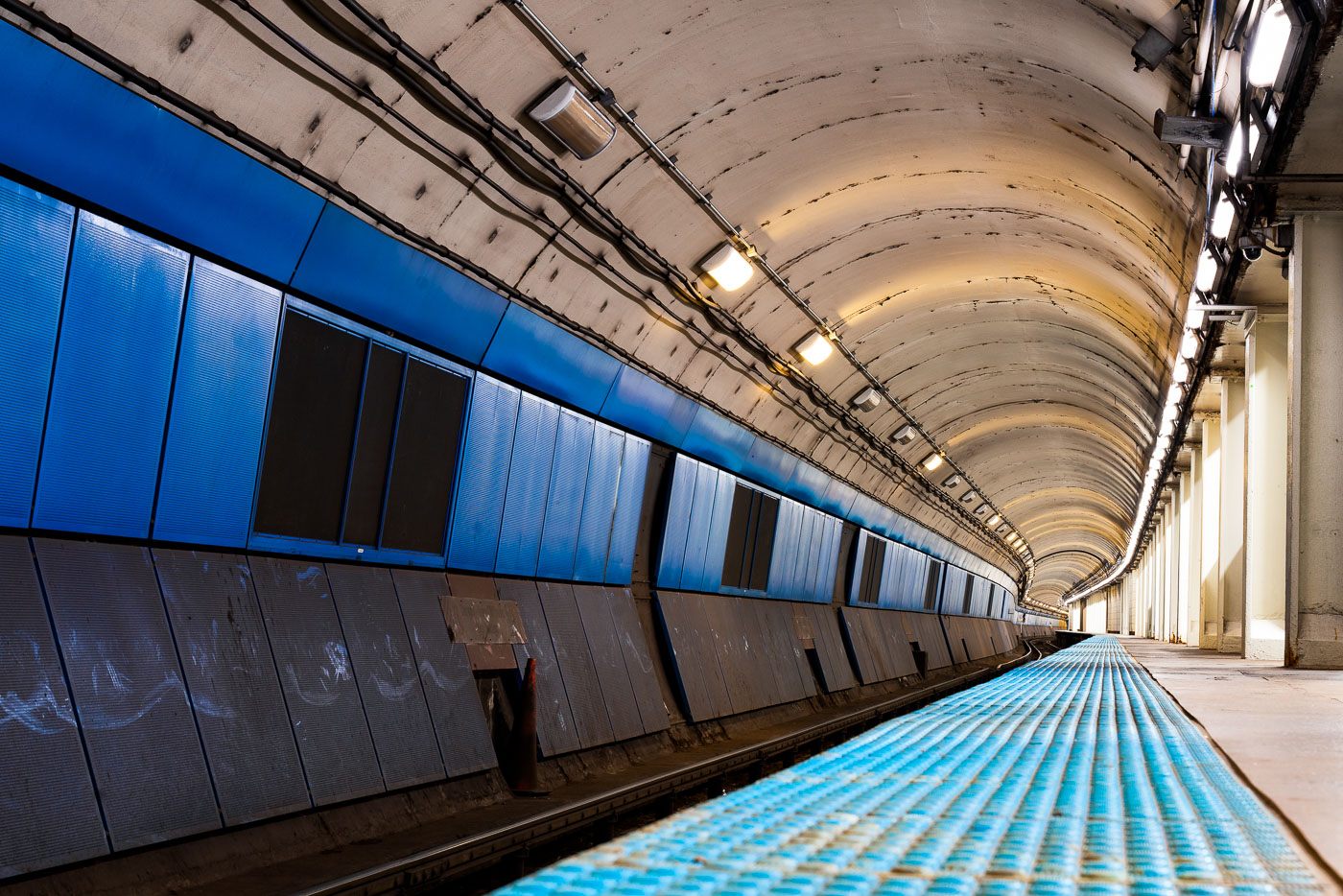
Empty CTA Blue Line subway platform with blue wall panels and curved concrete tunnel ceiling lit by overhead lights.
CTA Blue Line subway platform in Chicago is part of the Milwaukee-Dearborn Subway, the downtown tunnel used by Blue Line trains through the Loop. The subway opened in 1951 and carries trains between O'Hare International Airport, downtown Chicago, and the Forest Park branch. Its arched tunnel and side platform are typical of Chicago's mid-20th-century rapid transit construction.

Milwaukee-Dearborn Subway Tunnel on the CTA Blue Line
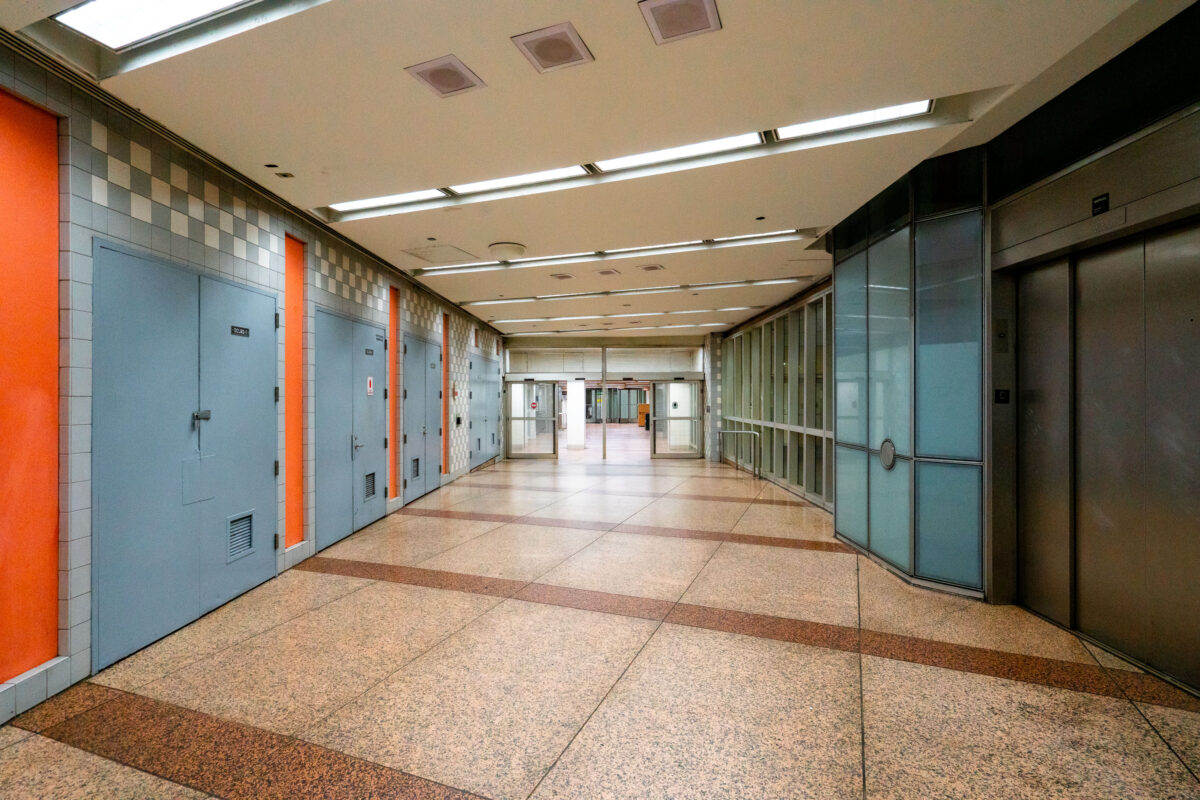
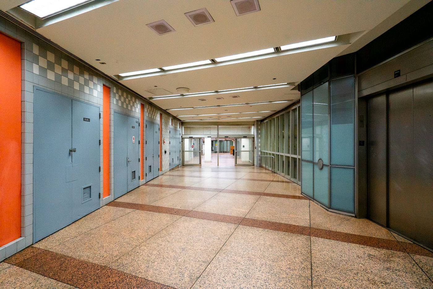
Empty Chicago Pedway corridor with blue doors, orange trim, and terrazzo flooring beneath the Loop.
An empty corridor of the Chicago Pedway connects the Randolph/Washington subway station to surrounding office buildings and shopping centers beneath the Loop. The Pedway system, developed beginning in the 1950s, extends for more than 40 city blocks, linking major transit lines with civic and commercial spaces. Its mid-century design—terrazzo floors, tiled walls, and fluorescent lighting—reflects the city’s practical approach to all-weather pedestrian infrastructure, a defining feature of downtown Chicago’s urban core.

Terrazzo Corridor in the Chicago Pedway
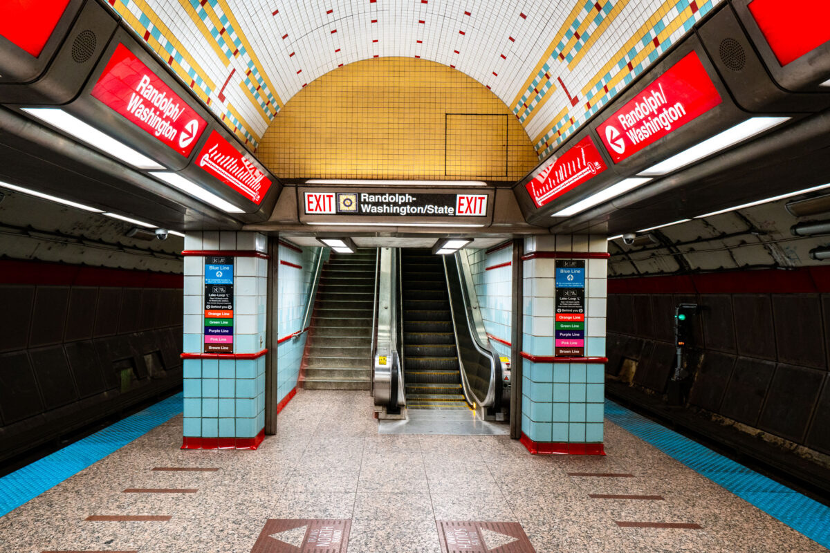
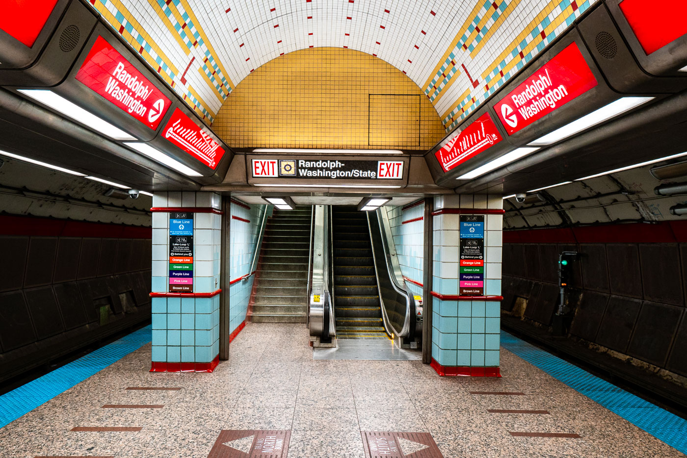
Randolph-Washington/State station platform in Chicago's CTA subway with yellow dome ceiling and red signage.
Randolph-Washington/State exit area in the CTA State Street subway in Chicago’s Loop. The subway opened in 1943 and carries Red Line trains beneath State Street through downtown. Station wayfinding directs riders to Randolph and Washington streets and to transfers within the downtown CTA network.

Exit Stairway to Randolph-Washington/State in Chicago’s Subway
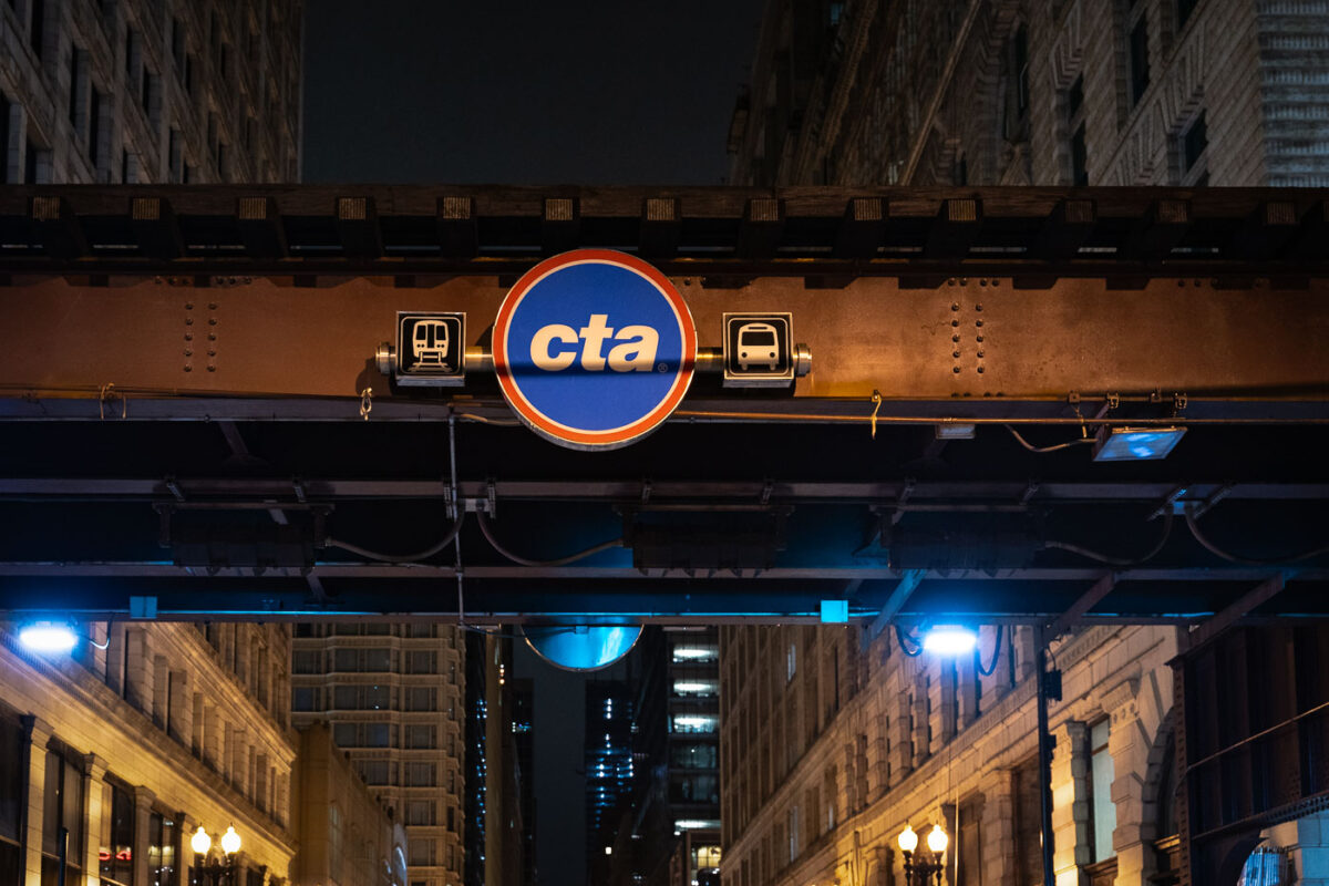
CTA transit sign illuminated on elevated steel structure above Chicago Loop street at night.
A CTA sign beneath elevated "L" tracks marks transit service in the Chicago Loop. The elevated rail structure carries multiple Chicago Transit Authority lines through the central business district. Sections of Chicago's elevated rapid transit network date to the 1890s, with ongoing maintenance and upgrades supporting daily service.

CTA Sign on the Loop’s Elevated Tracks at Night
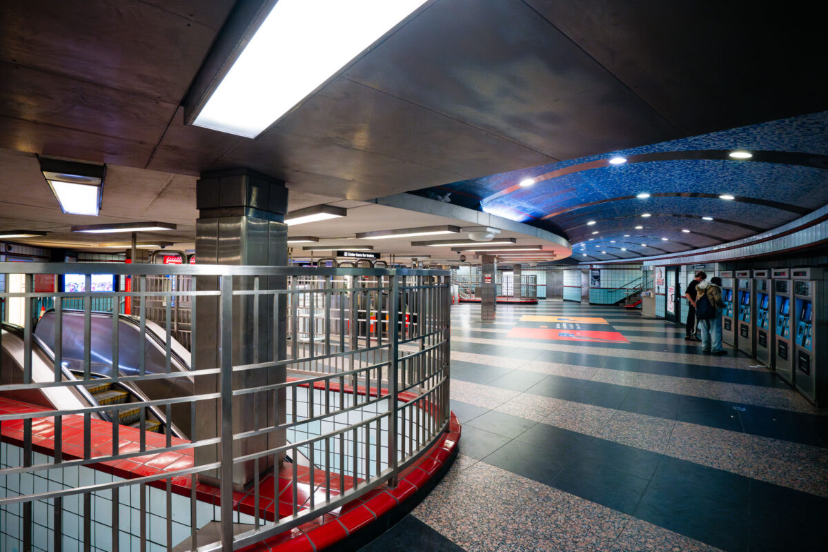
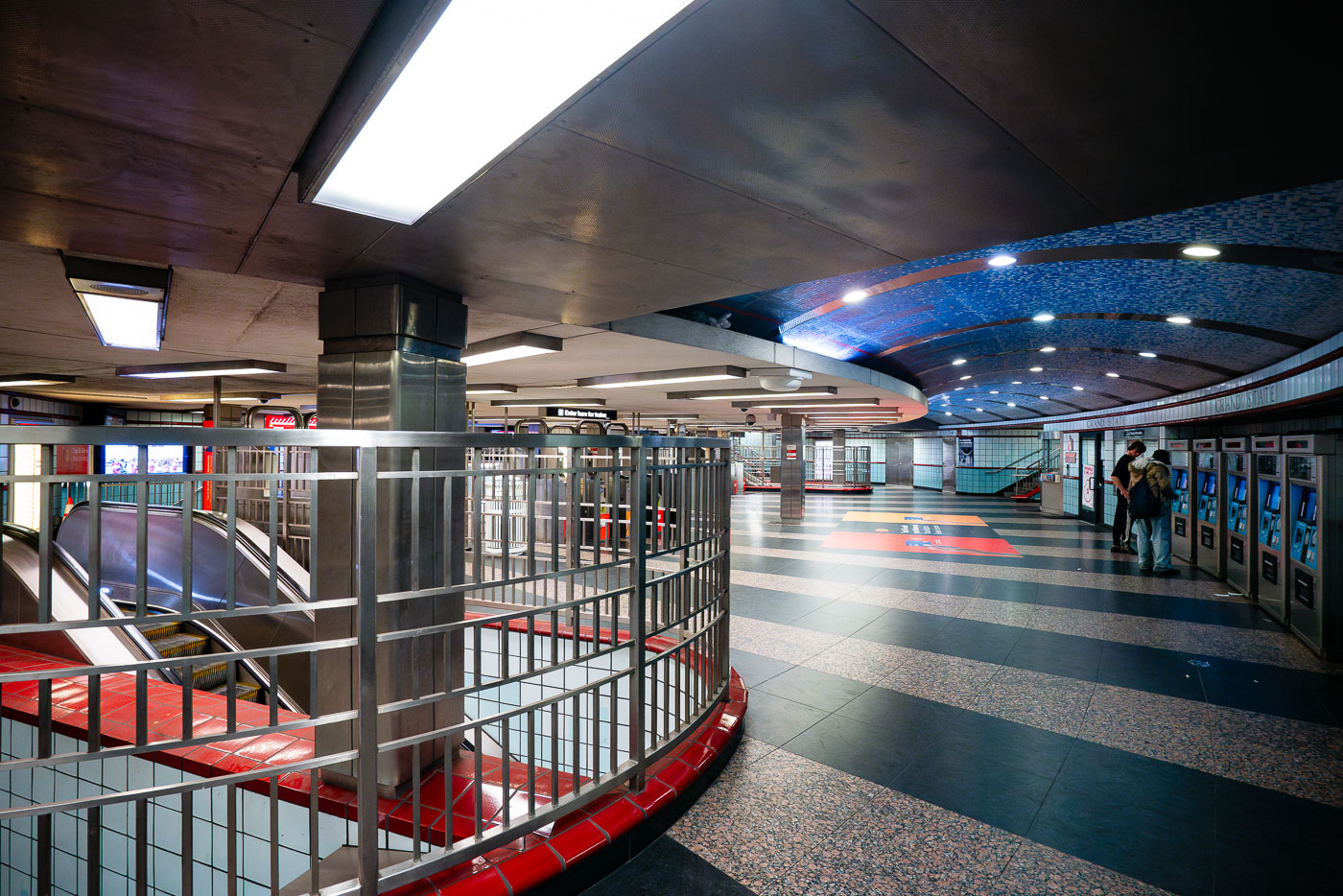
Grand/State CTA Station platform in Chicago with blue mosaic ceiling and red railings.
The interior of the Grand/State CTA Station in Chicago, a key transfer point on the city's rapid transit system. Opened in 1951, the station serves both the Red and Purple Lines, facilitating transit for thousands of commuters daily. The station's design features a distinctive vaulted ceiling adorned with blue mosaic tiles, a common aesthetic in mid-20th century public works projects. Passengers are seen here utilizing ticket vending machines, a modern convenience within this enduring piece of Chicago's transportation history.

Fare Machines and Escalators at Grand/State Station, Chicago
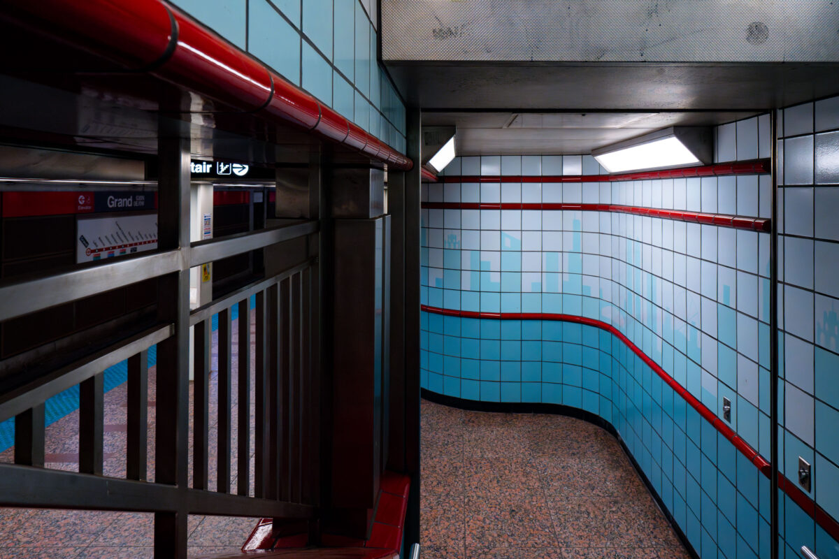
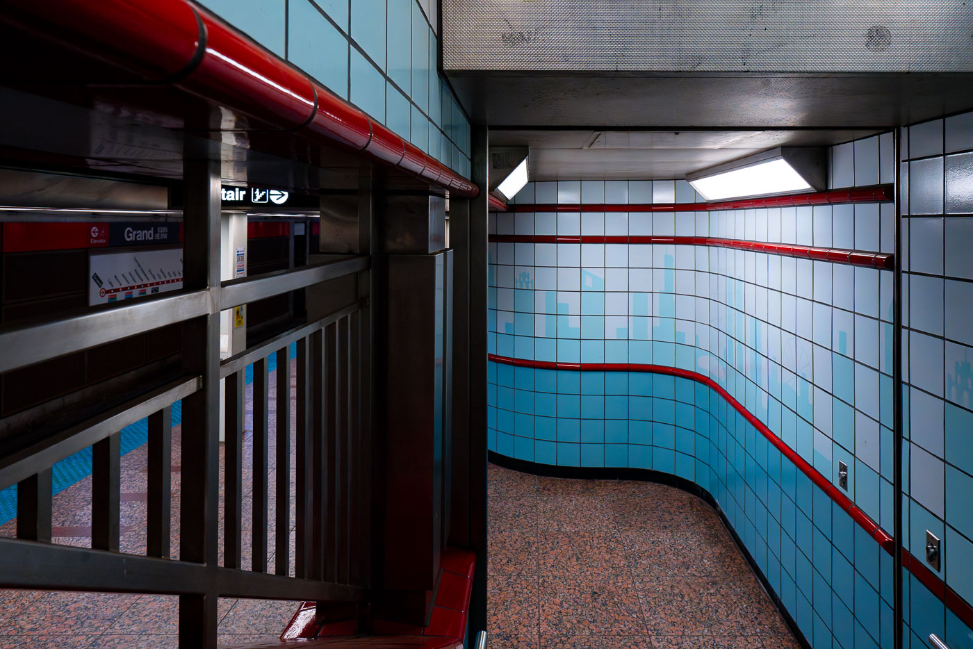
Empty CTA Grand station platform corridor with blue tile walls and red metal railings in Chicago.
The Grand station, part of the Chicago Transit Authority's Red Line, serves as a key transit hub in the city's downtown area. Opened in 1943 as part of the State Street Subway, it was designed to alleviate congestion and connect the north and south sides of Chicago. The station's interior features a distinctive mid-20th-century aesthetic, characterized by its tiled walls with blue and red accents and polished granite flooring.

Curved Tile Passageway at Grand Station, Chicago
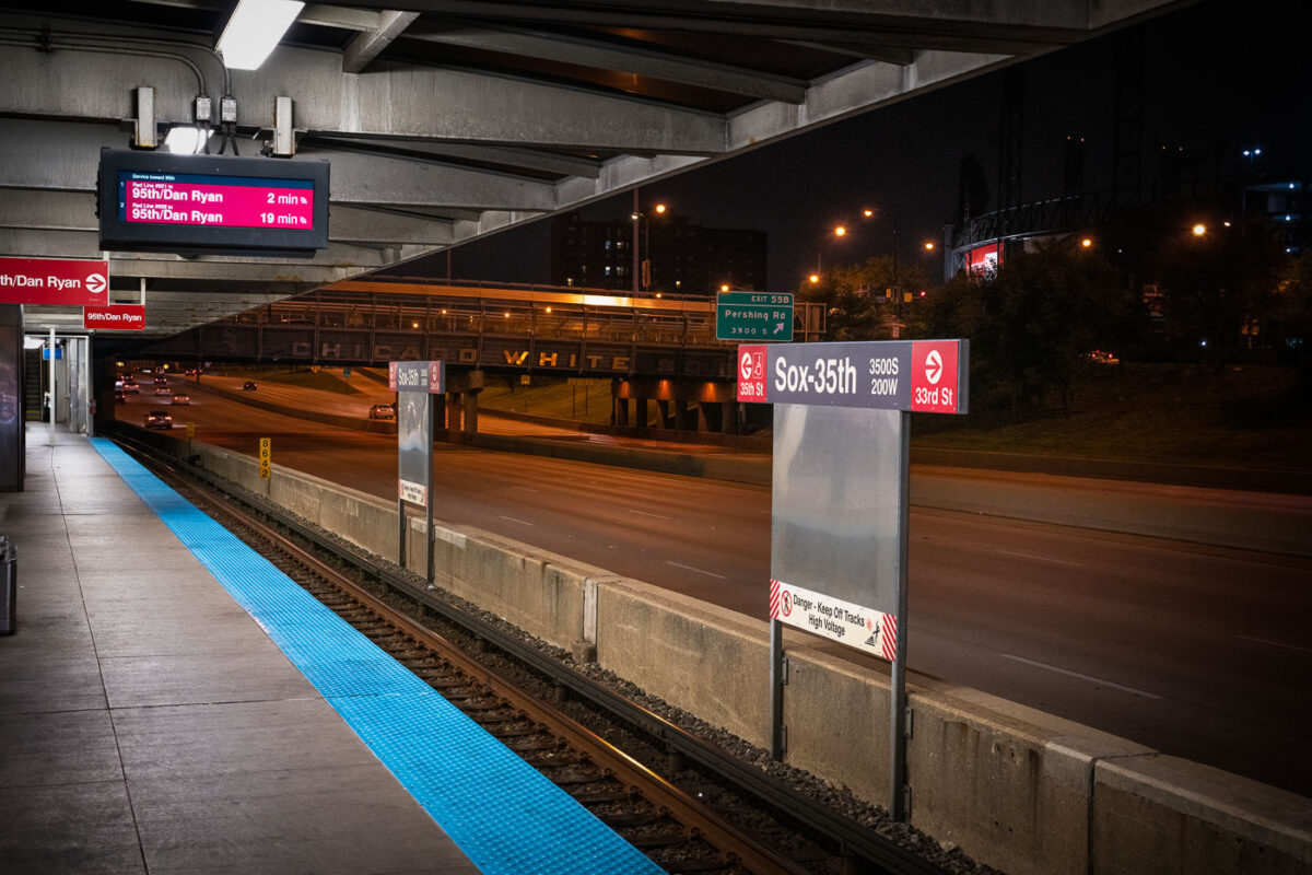
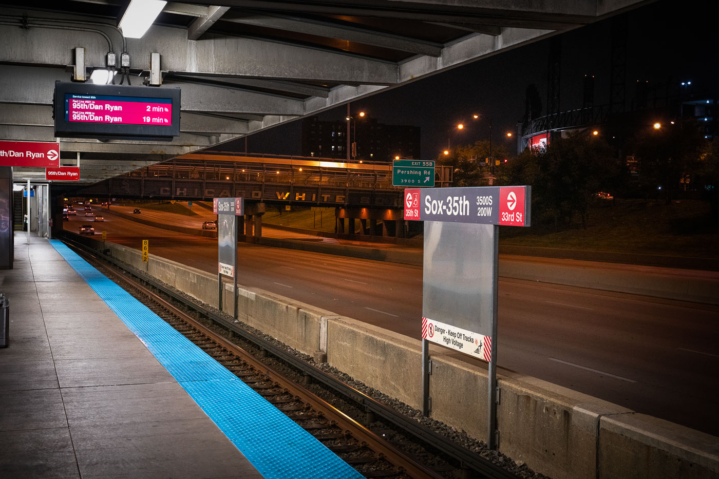
CTA Red Line train departing Sox-35th station above the Dan Ryan Expressway on Chicago's South Side.
The Chicago Transit Authority’s Sox–35th station serves the Red Line on the city’s South Side, positioned above the Dan Ryan Expressway near Pershing Road. The station provides direct access to Guaranteed Rate Field, home of the Chicago White Sox, whose name can be seen across the pedestrian bridge in the background. Opened in 1969 as part of the Dan Ryan branch of the Red Line, the elevated structure was designed for efficiency amid highway traffic, symbolizing mid-century Chicago’s integration of mass transit and freeway infrastructure.

Night View from Sox–35th Station Over the Dan Ryan Expressway
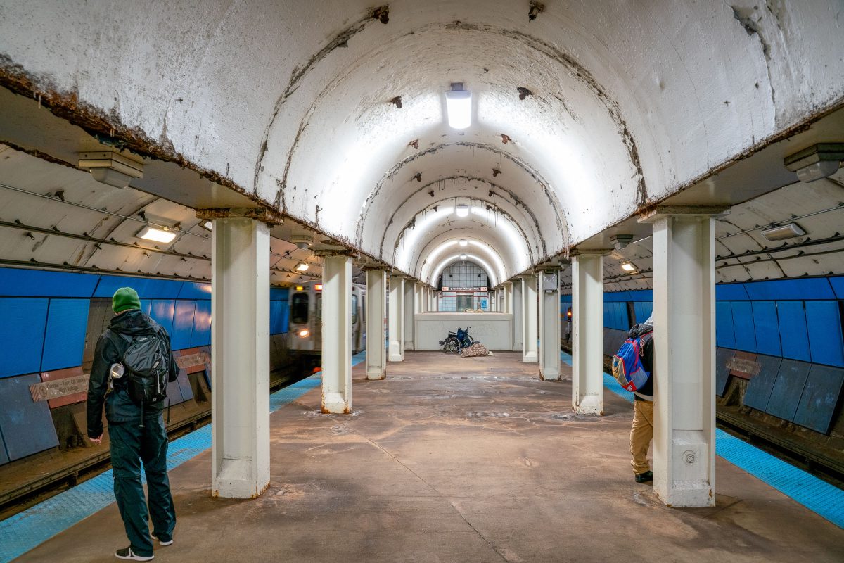
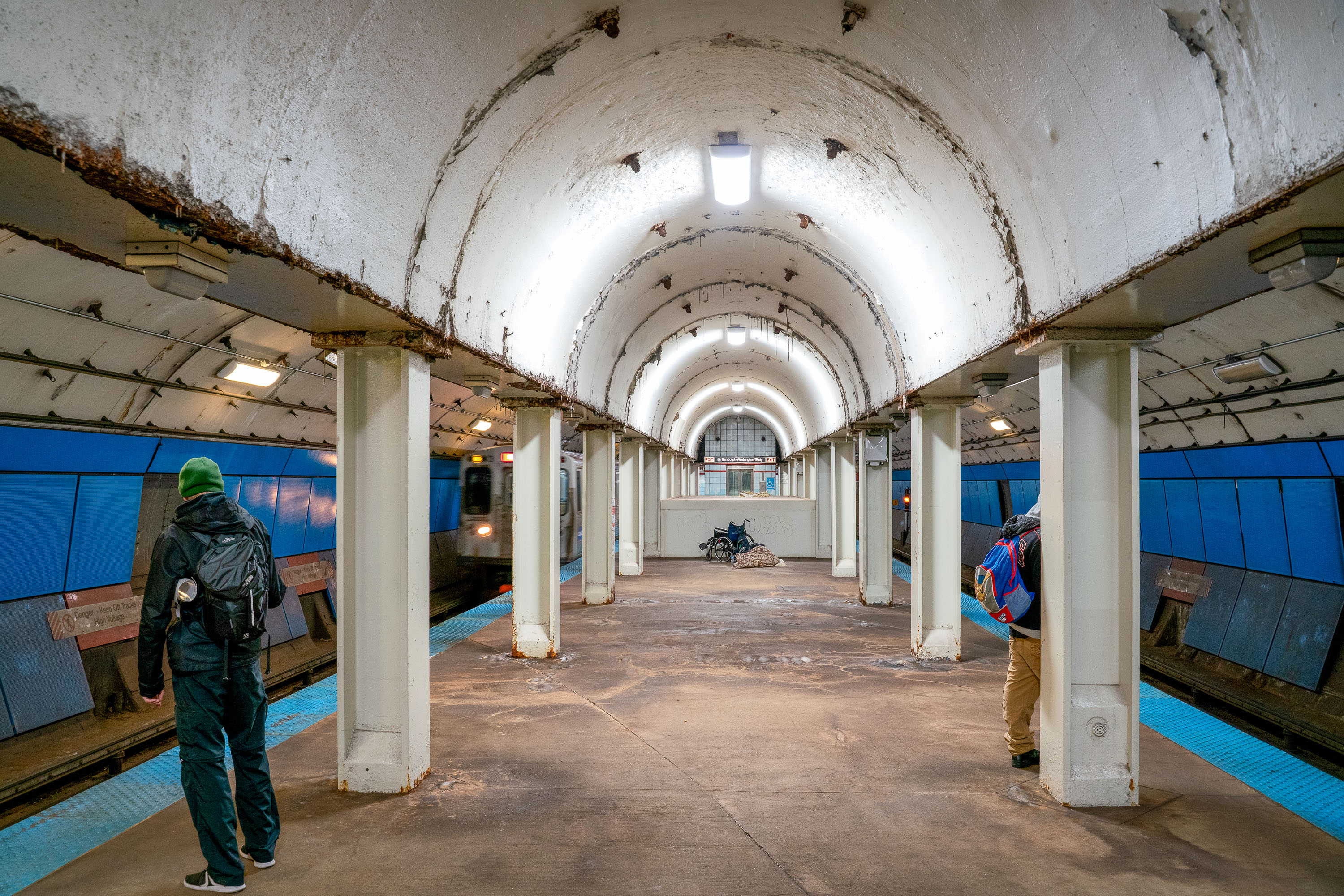
Commuters walk the vaulted platform at State/Lake CTA station in downtown Chicago.
This vaulted platform serves State/Lake station, a CTA Loop stop connecting the Green, Orange, Brown, and Pink lines in downtown Chicago. The station's barrel-arched ceiling and rows of concrete columns date to an earlier era of Chicago's elevated and subway transit construction, distinguishing it from more modern CTA stops. Located near Randolph and State Streets, the station provides access to the Loop's theater and retail district.

Waiting for a Train at State/Lake Station, Chicago
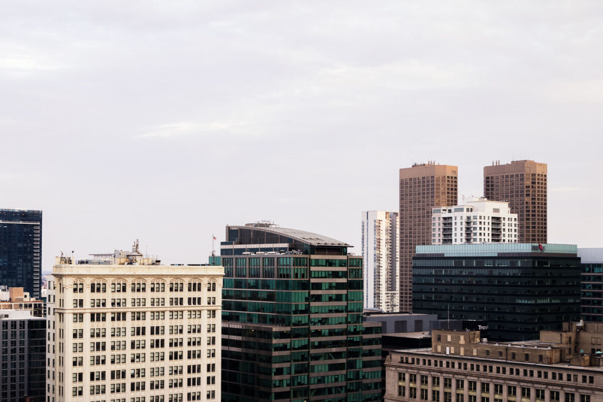
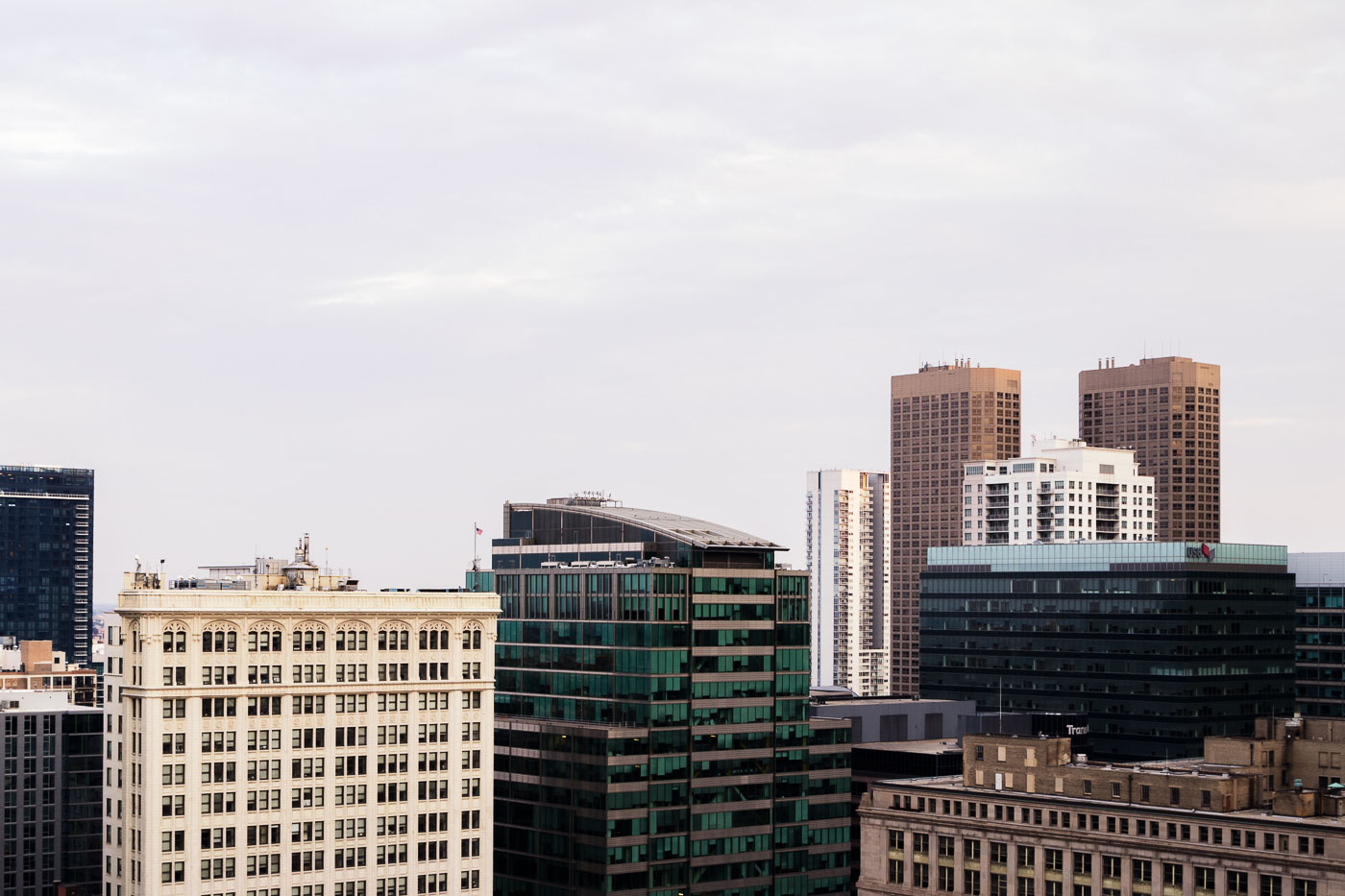
Downtown Chicago high-rises and historic commercial buildings in the Loop.
Downtown Chicago high-rises in and near the Loop, Chicago, include historic masonry commercial buildings and later office and residential towers. The Loop is Chicago’s central business district and contains a dense concentration of workplaces, hotels, residences, and retail space. This August 2015 cityscape records the varied building types that define the downtown core.

Downtown Chicago High-Rises, August 2015
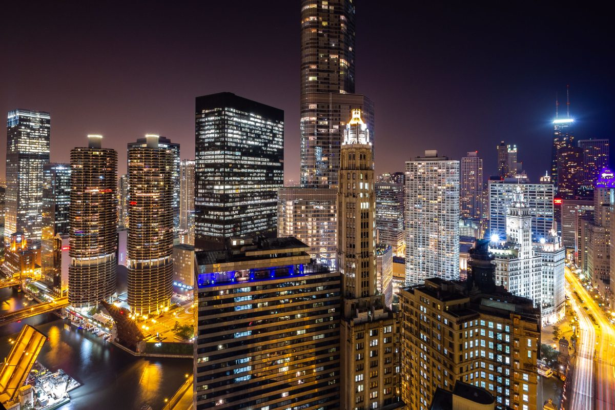
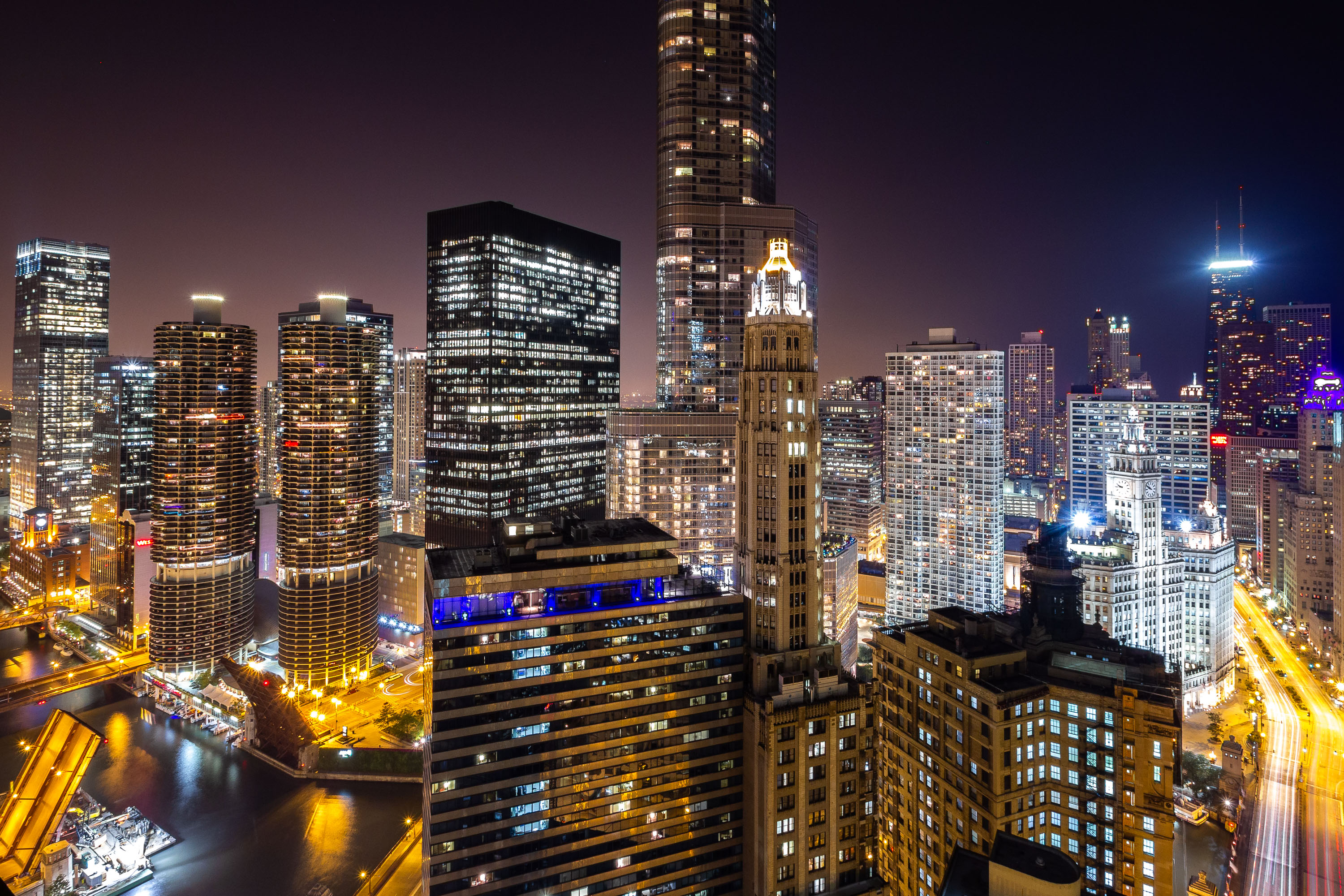
Chicago River and illuminated downtown skyline at night featuring Marina City towers and historic buildings.
Marina City rises along the Chicago River at 300 North State Street, completed in 1964 to a design by architect Bertrand Goldberg. Its twin cylindrical towers reach 587 feet across 61 floors, combining apartments with a marina, theater, and parking within the same complex. The Wrigley Building stands nearby at 400-410 North Michigan Avenue, built in two phases between 1920 and 1924 for the William Wrigley Jr. Company and clad in glazed terra cotta. Trump International Hotel & Tower, completed in 2009 from designs by architect Adrian Smith, reaches 1,388 feet across 98 floors, ranking among the tallest buildings along the river.

Marina City and Wrigley Building Along the Chicago River
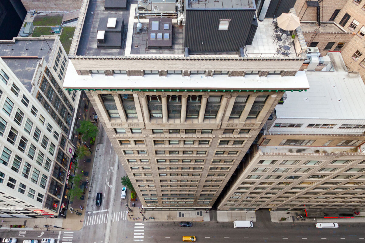
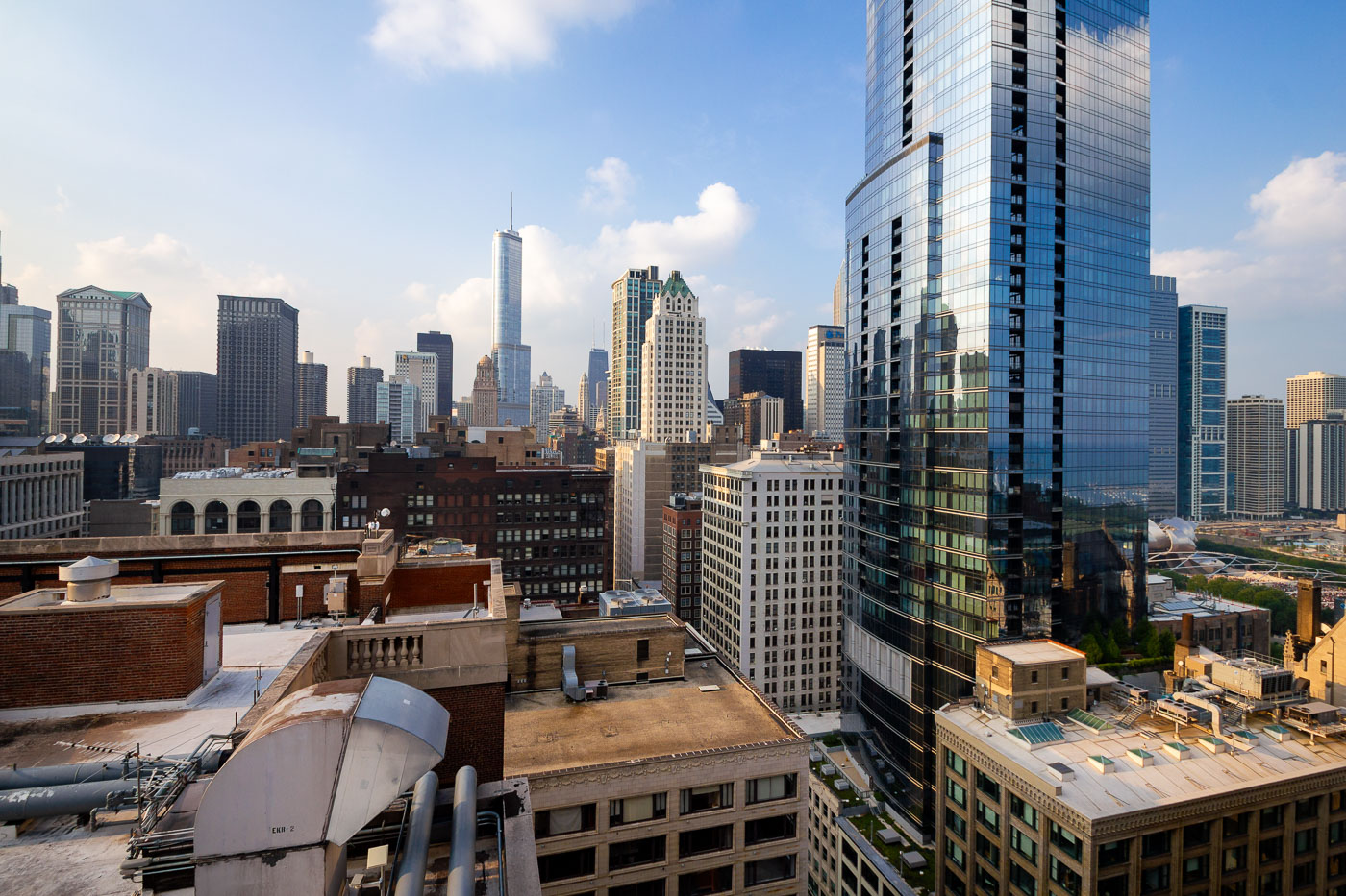
Chicago Loop rooftops and streets near the Palmer House hotel.
Rooftops and streets near the Palmer House are in Chicago’s Loop. The Palmer House Hilton occupies a historic hotel site on East Monroe Street first opened by Potter Palmer in 1871 and rebuilt after the Great Chicago Fire. The surrounding blocks contain early twentieth-century commercial buildings used for offices, hotels, retail, and building services in the downtown core.

Chicago Loop Rooftops Near Palmer House
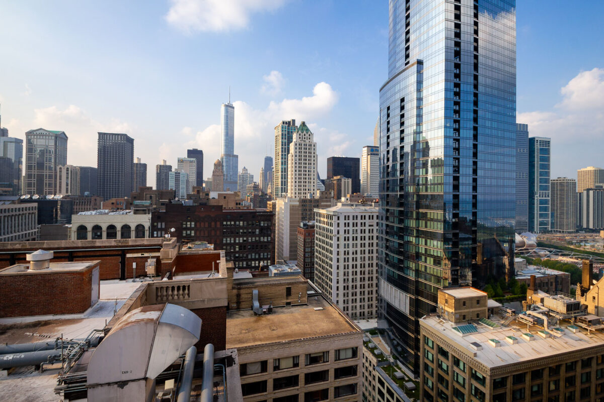
Trump International Hotel & Tower and The Legacy rise above downtown Chicago rooftops.
Trump International Hotel & Tower and The Legacy at Millennium Park rise above downtown Chicago. The skyline includes high-rise office, hotel, and residential buildings around the Loop and Near North Side. The area contains landmarks from multiple periods of Chicago skyscraper construction, including early twentieth-century towers and later glass high-rises.

Trump Tower and The Legacy in Downtown Chicago
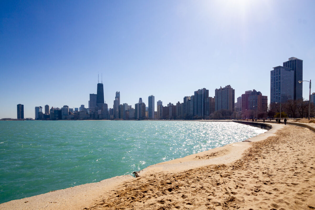
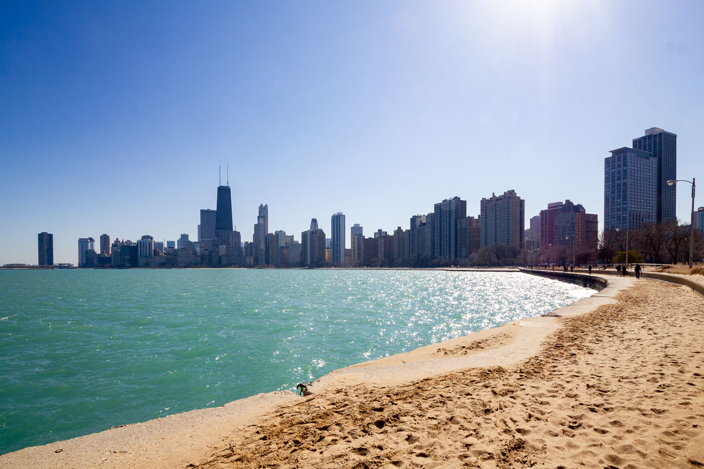
Chicago skyline and Lake Michigan shoreline from North Avenue Beach.
The Chicago skyline extends along Lake Michigan from North Avenue Beach on the city’s North Side. The John Hancock Center, now 875 North Michigan Avenue, stands among the high-rises of the Gold Coast and Streeterville. Chicago’s lakefront park and beach system maintains public access along much of the city’s eastern edge.

Chicago Skyline from North Avenue Beach
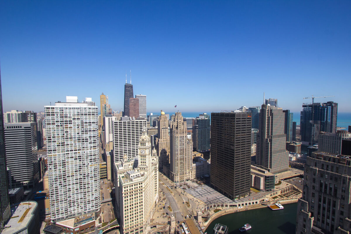
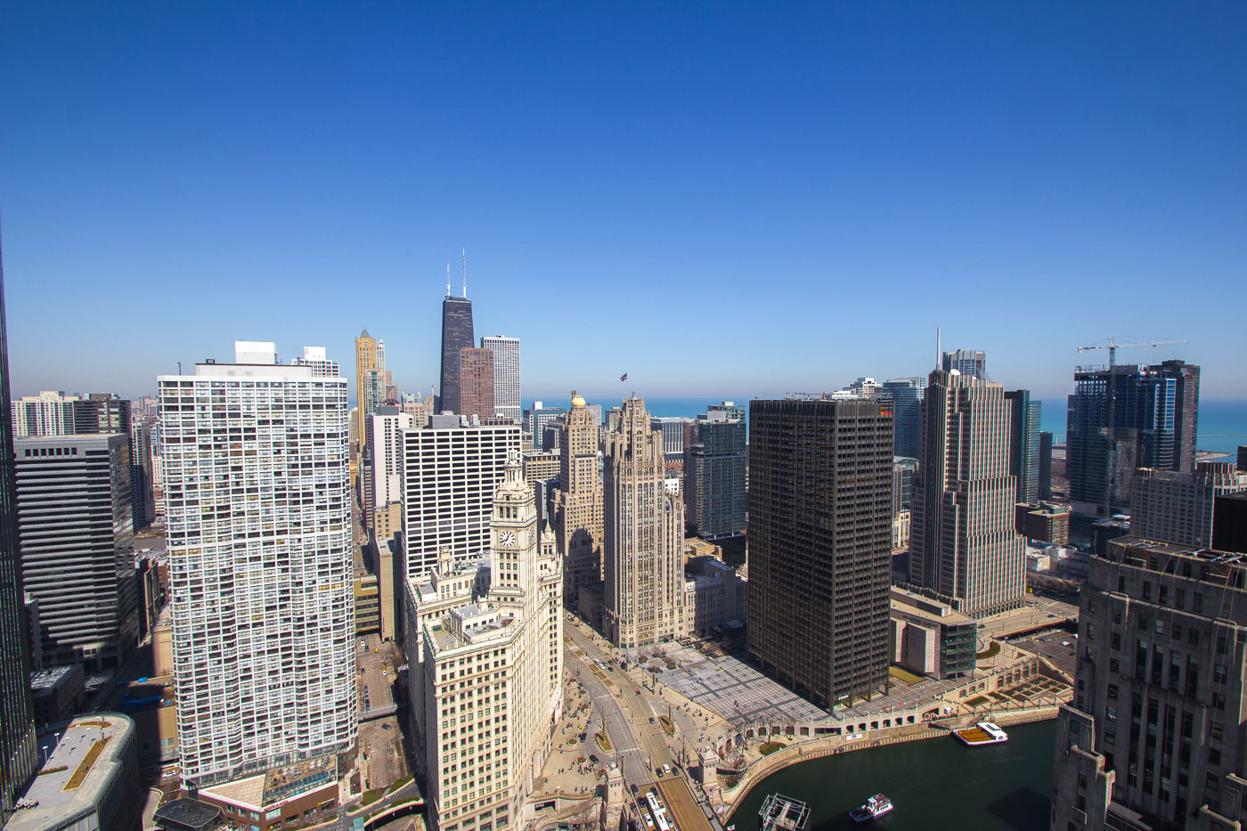
Wrigley Building and Tribune Tower stand beside the Chicago River in downtown Chicago.
The Wrigley Building and Tribune Tower line Michigan Avenue at the Chicago River in downtown Chicago. The early-20th-century landmarks sit beside later office and residential towers in the Near North Side and Loop river corridor. The Chicago River links these downtown districts and carries bridge, boat, and pedestrian traffic through the center of the city.

Wrigley Building and Tribune Tower, Chicago River
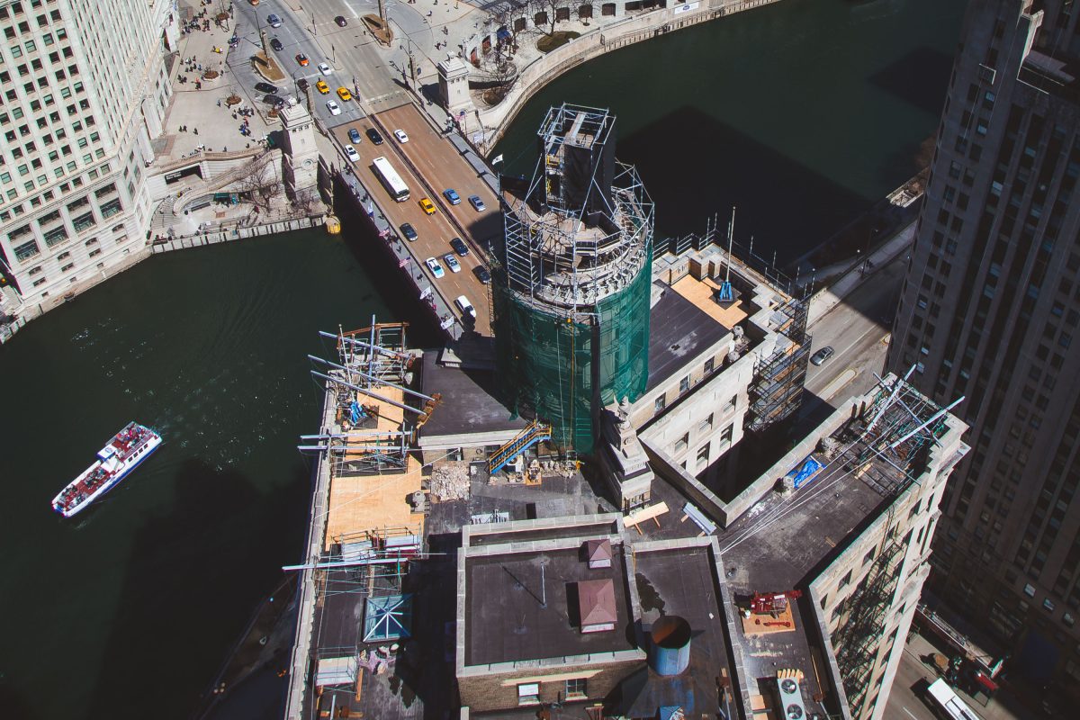
Renovation off the London Guarantee Building, Chicago
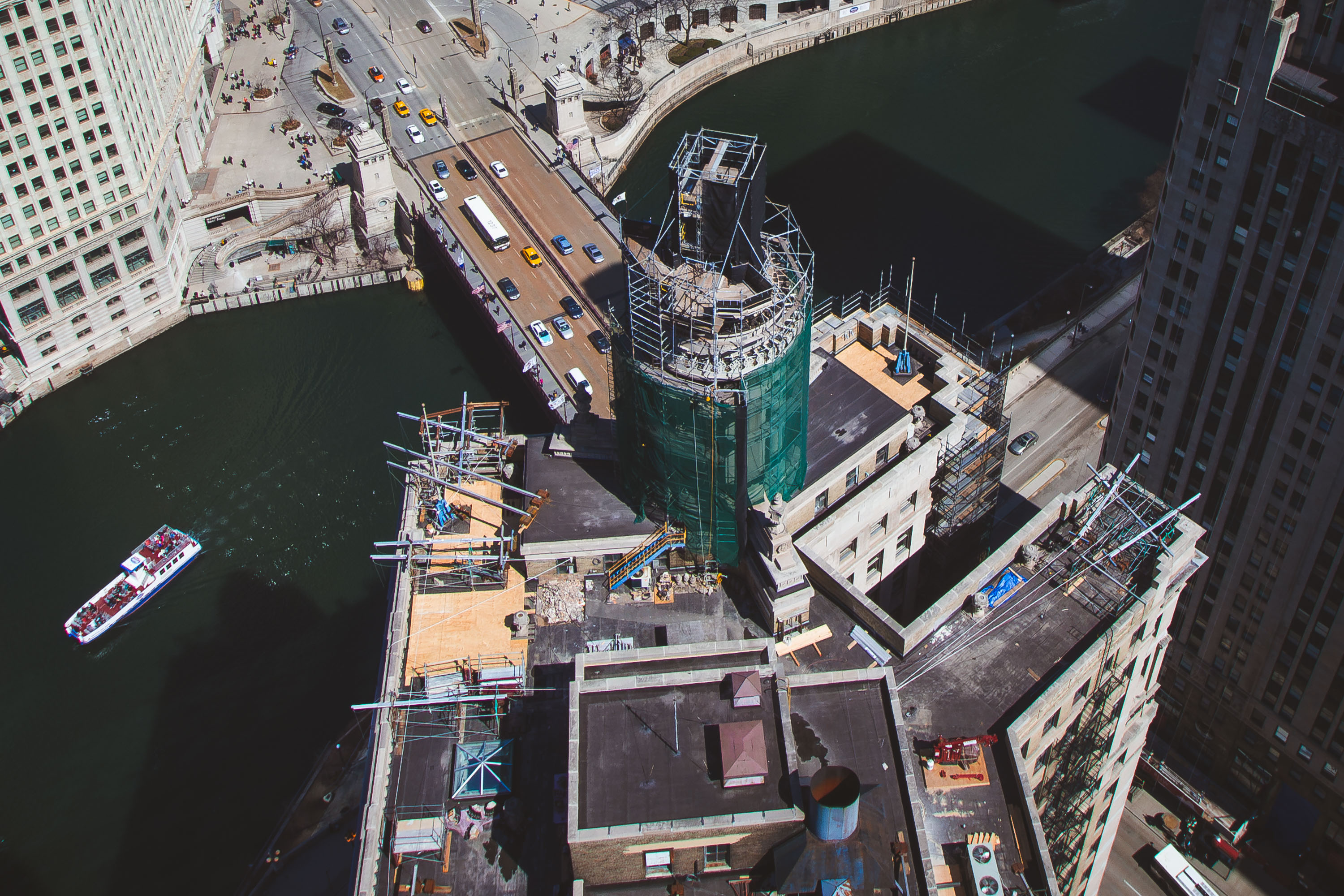
Renovation of the London Guarantee Building in Chicago with the Chicago River in the background. The building recently celebrated 100 years since it was finished in 1923.

Renovation of the London Guarantee Building, Chicago
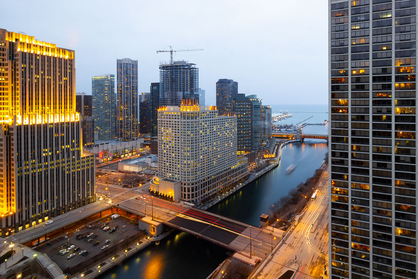
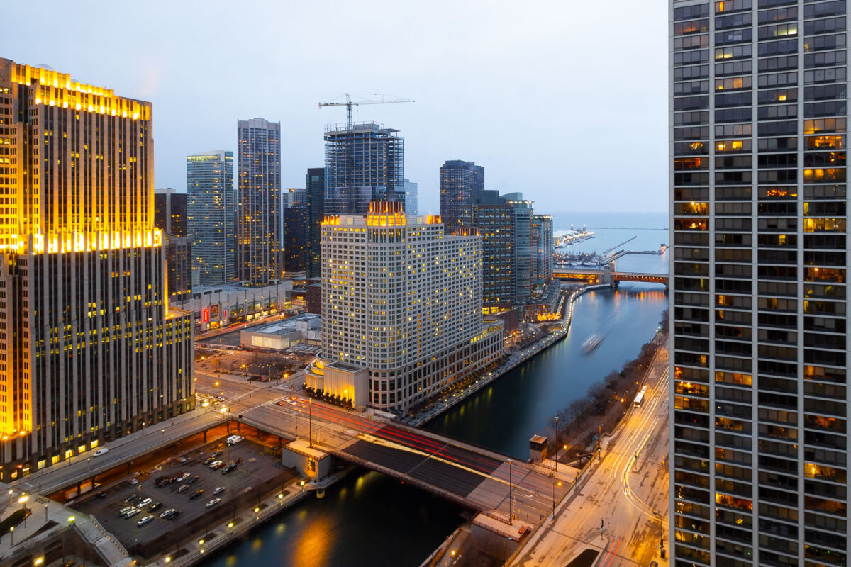
Loews Chicago Hotel construction rises near the Chicago River and Wacker Drive in downtown Chicago.
Loews Chicago Hotel construction rises near the Chicago River in the Streeterville area of downtown Chicago. The hotel site is near North Park Drive and East North Water Street, close to the river’s route toward Lake Michigan. Wacker Drive follows the south bank of the river as a two-level downtown roadway designed to separate local access from through traffic.

Loews Chicago Hotel Construction, Chicago River
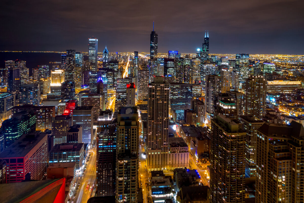
Downtown Chicago skyline at night with Willis Tower and the John Hancock Center among illuminated high-rises.
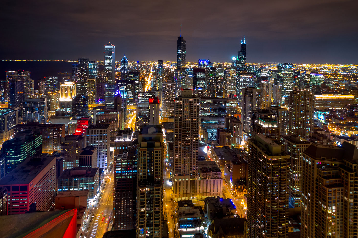
Downtown Chicago skyline at night includes Willis Tower and the John Hancock Center among the high-rises of the Loop and Near North Side. The towers are major reference points in Chicago’s central business district and lakefront skyline. The view dates to March 2014, before the John Hancock Center was renamed 875 North Michigan Avenue.

Willis Tower and John Hancock Center, Chicago Skyline
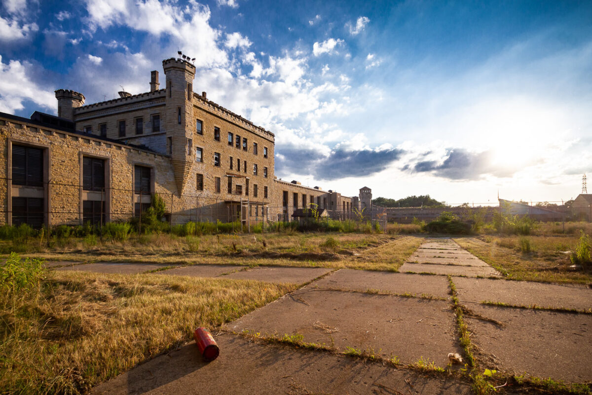
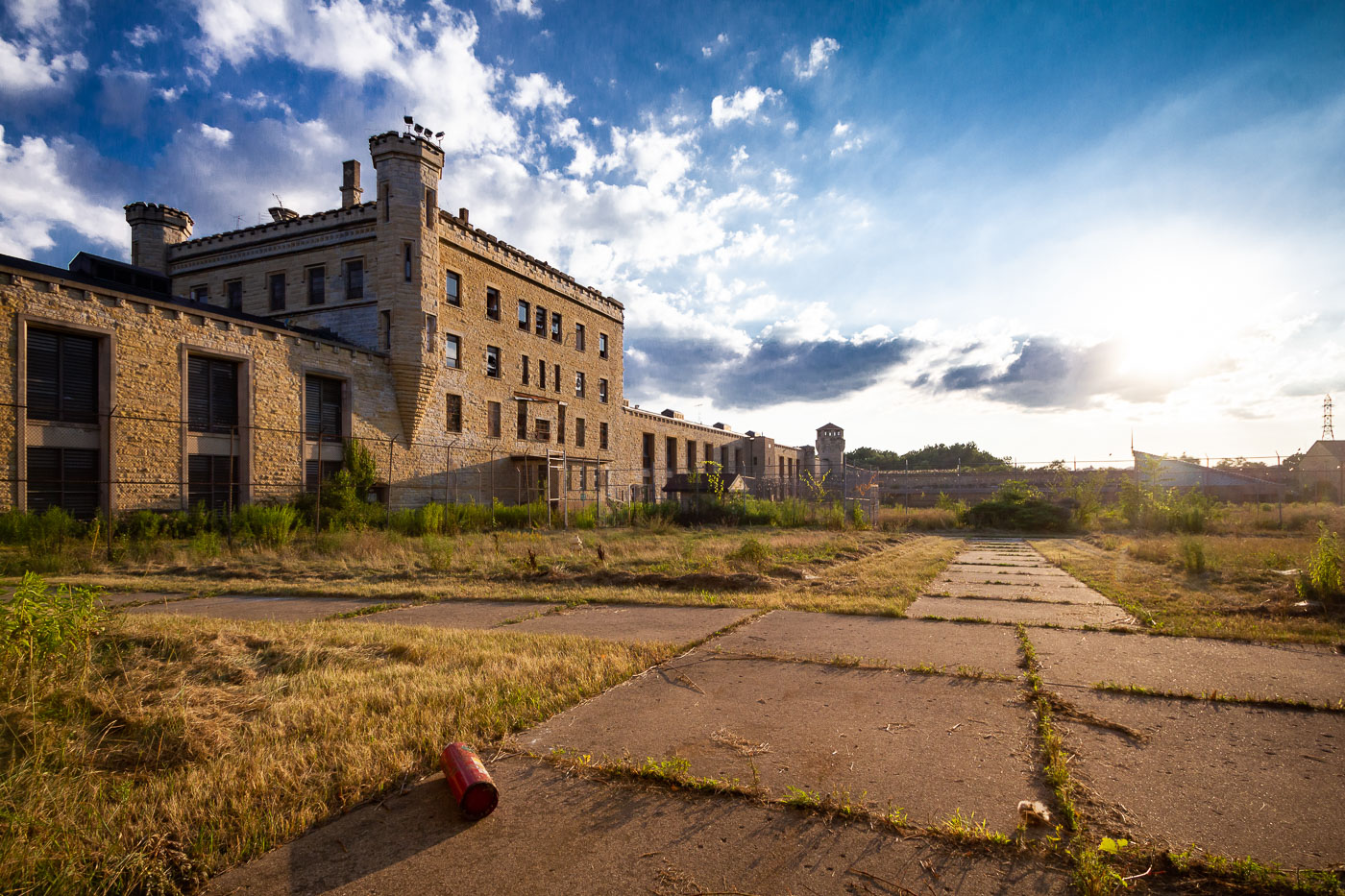
The Old Joliet Prison, a Gothic Revival structure in Joliet, Illinois, built 1858-1860, stands abandoned after its closure in 1977.
The Old Joliet Prison, located in Joliet, Illinois, was constructed between 1858 and 1860. Designed by architect William W. Boyington, it was built in a Gothic Revival style, intended to be a model prison. The facility operated for over a century before closing in 1977 due to overcrowding and deteriorating conditions. The abandoned structure has since been used as a filming location for various movies and television shows.

Old Joliet Prison, Illinois: Exterior View
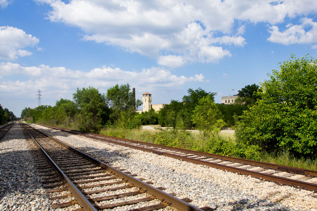
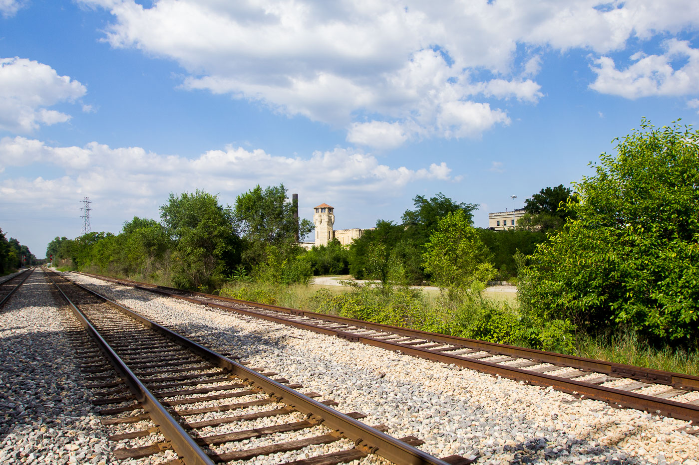
Railroad tracks run beside the abandoned Old Joliet Prison in Joliet, Illinois, a Gothic-style correctional facility that operated from 1858 to 1999.
Railroad tracks run alongside the grounds of the Old Joliet Prison in Joliet, Illinois. The prison, originally constructed in 1858, was a significant correctional facility for over a century. Its distinctive Gothic-style architecture made it a notable landmark. The adjacent railroad line was crucial for transporting supplies and personnel to the institution. The prison ceased operations in 1999 and has since been largely abandoned, though its structures remain a prominent feature of the local landscape.

Railroad Tracks Near Old Joliet Prison, Illinois
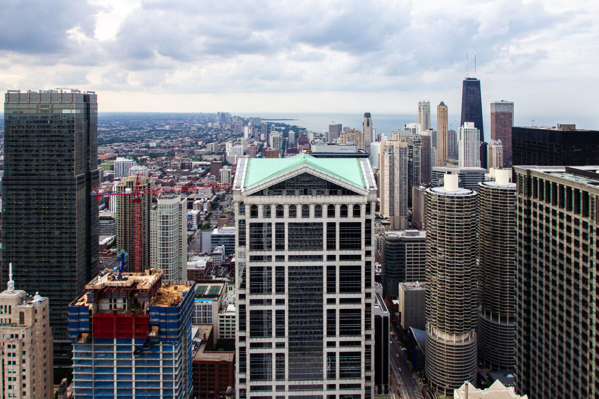
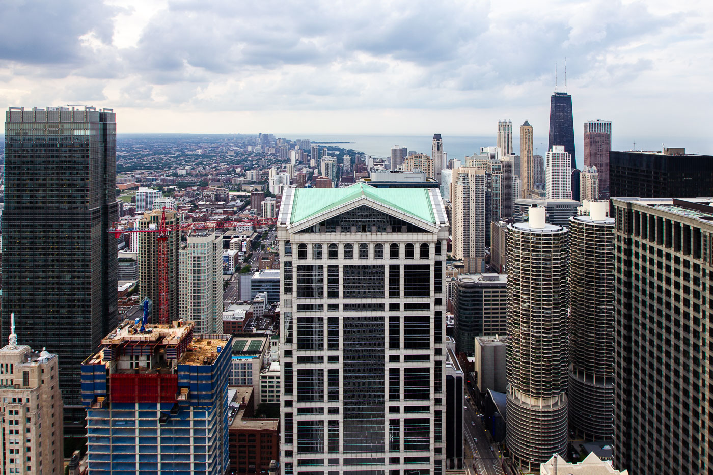
190 South LaSalle, Marina City, and 875 North Michigan Avenue in downtown Chicago.
190 South LaSalle Street in Chicago's Loop stands among downtown high-rises, with Marina City to the right and 875 North Michigan Avenue near the lakefront. The postmodern office tower at 190 South LaSalle was designed by Johnson/Burgee Architects and completed in 1987. Marina City, designed by Bertrand Goldberg and completed in the 1960s, combined apartments, parking, offices, retail, and entertainment in a major mixed-use complex on the Chicago River.

190 South LaSalle and Marina City, Chicago
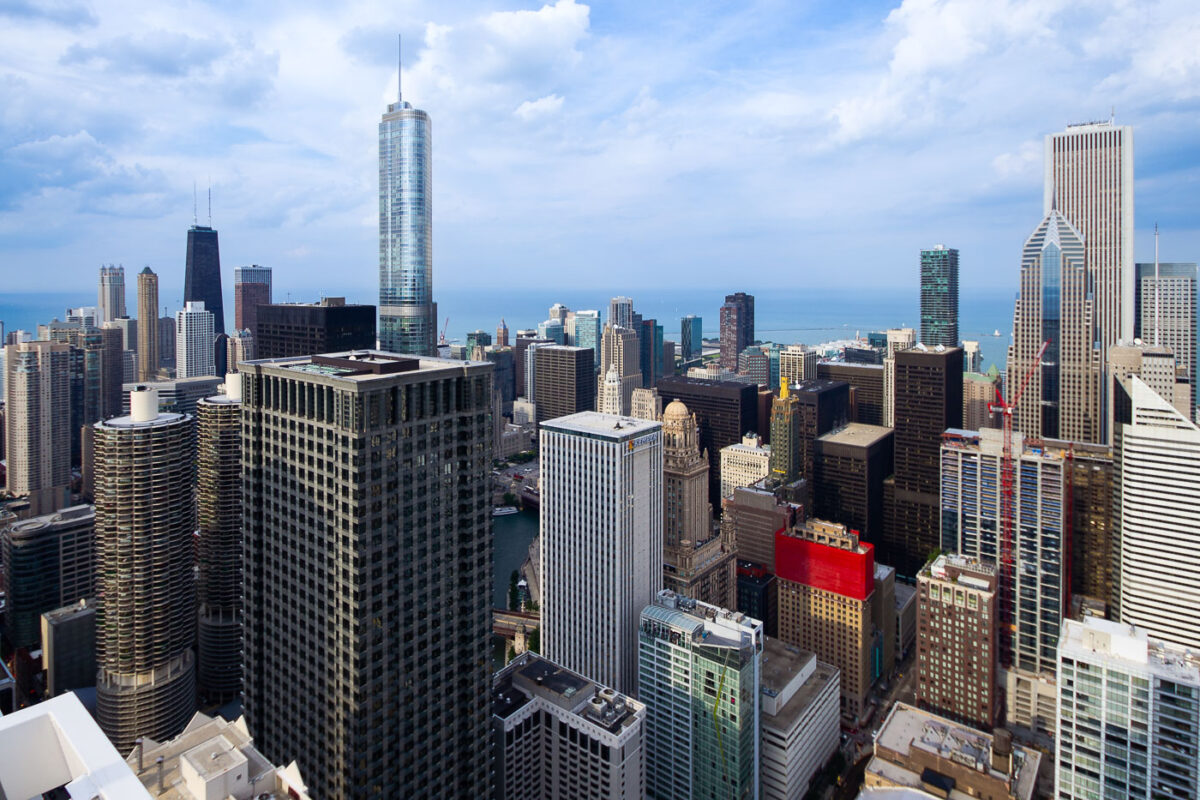
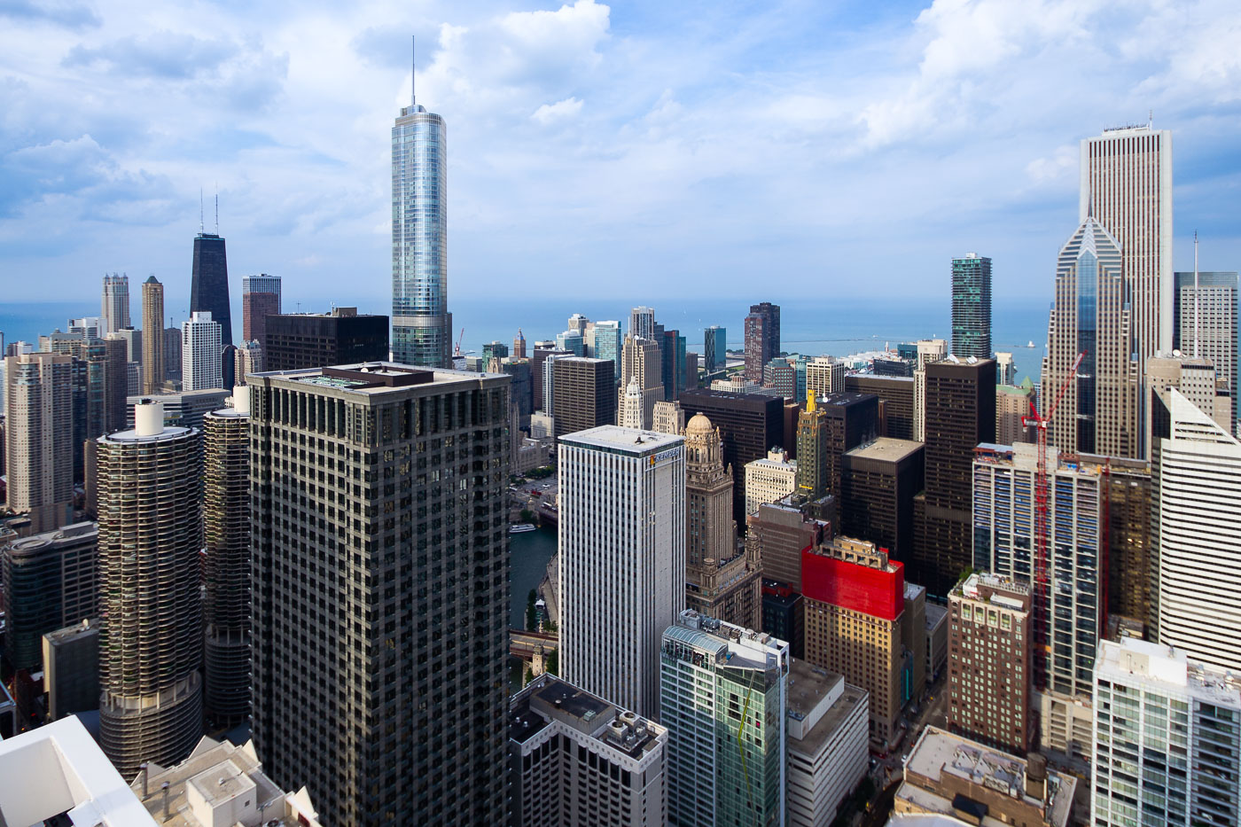
Trump Tower and Marina City stand among downtown Chicago high-rises near the Chicago River.
Trump International Hotel and Tower and Marina City stand within the downtown Chicago skyline near the Chicago River. The mixed-use Trump tower was completed in 2009 and designed by Skidmore, Owings & Merrill. Marina City, completed in the 1960s, is a pair of residential towers designed by Bertrand Goldberg. Lake Michigan and the John Hancock Center are visible beyond the central business district.

Trump Tower and Marina City in Downtown Chicago
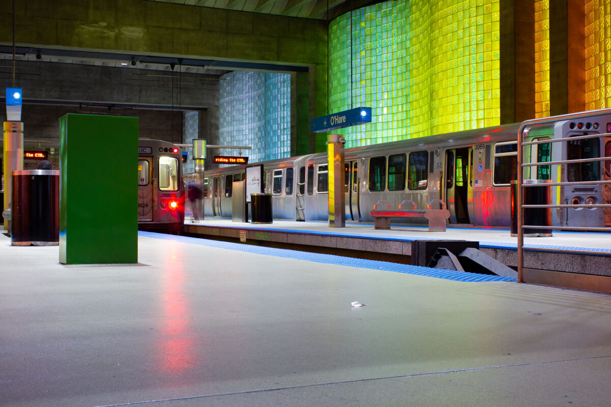
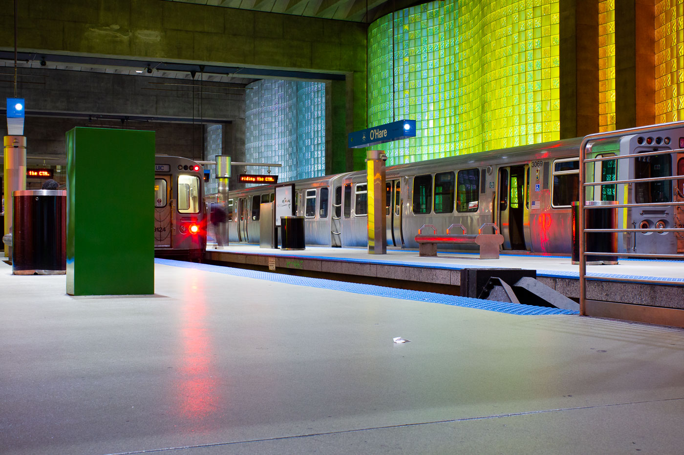
CTA Blue Line trains at O'Hare station platform in Chicago with illuminated yellow-green wall.
CTA Blue Line trains at O'Hare station in Chicago are at the rapid-transit terminal for O'Hare International Airport. Opened in 1984, the station is the western end of the CTA Blue Line. It provides a direct rail connection between the airport terminals and downtown Chicago.

Blue Line Train Arriving at O’Hare’s Rapid-Transit Terminal
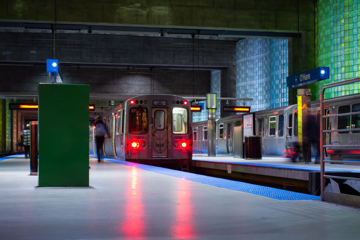
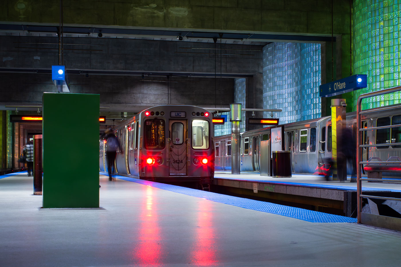
CTA Blue Line train at O'Hare station platform in Chicago.
CTA Blue Line train at O'Hare station in Chicago, the airport terminal station for rapid transit service to downtown and the West Side. The underground station opened in 1984 as part of the extension of the Blue Line to O'Hare International Airport. Its platforms connect with the airport terminals and include glass-block walls and broad island platforms designed for airport passenger circulation.

Blue Line Train Arriving at O’Hare’s Underground Platform
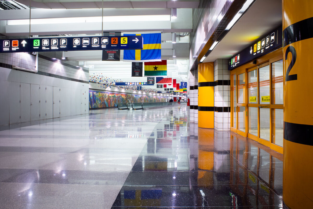
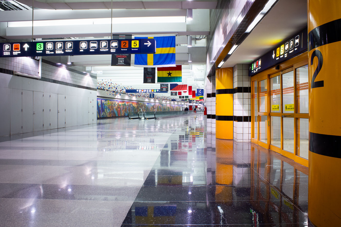
O'Hare Terminal 2 pedestrian corridor in Chicago with signs for terminals, parking, and ground transportation.
O'Hare Terminal 2 pedestrian corridor in Chicago connects passenger areas with terminal entrances, parking, ground transportation, and transfers to other terminals. Directional signs identify routes to Terminals 2, 3, and 5 within Chicago O'Hare International Airport. O'Hare, identified by the airport code ORD, is Chicago's main international airport and a major hub for domestic and international air travel.

O’Hare Terminal 2 Pedestrian Corridor, Chicago
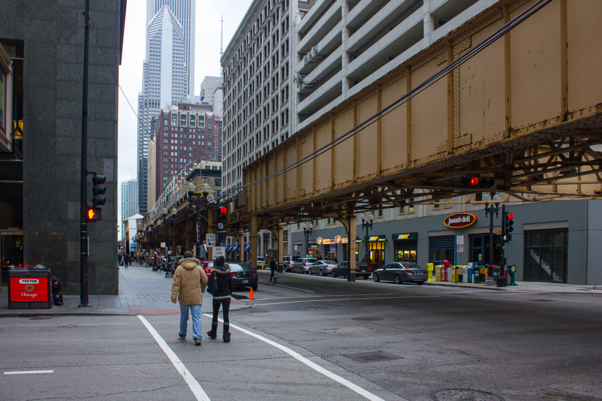
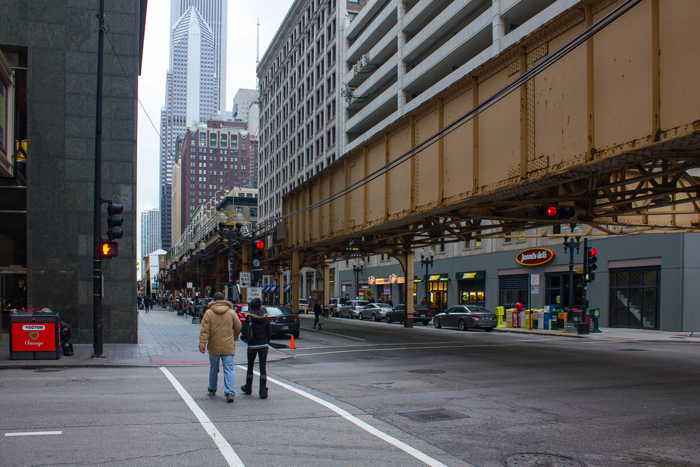
Lake Street elevated 'L' tracks cross Dearborn Street in Chicago's Loop.
Lake Street elevated 'L' tracks run above Lake Street at Dearborn Street in Chicago's Loop. The structure is part of the CTA's Loop Elevated, the rail circuit that carries rapid transit through the central business district. Built in stages in the late 19th century, Chicago's elevated system remains a core connection between downtown and surrounding neighborhoods.

Lake Street ‘L’ Tracks at Dearborn Street, Chicago
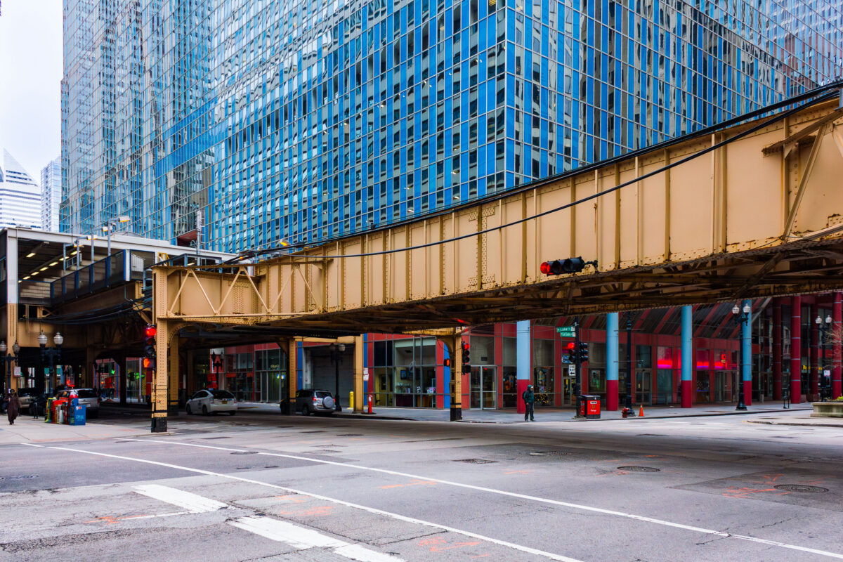
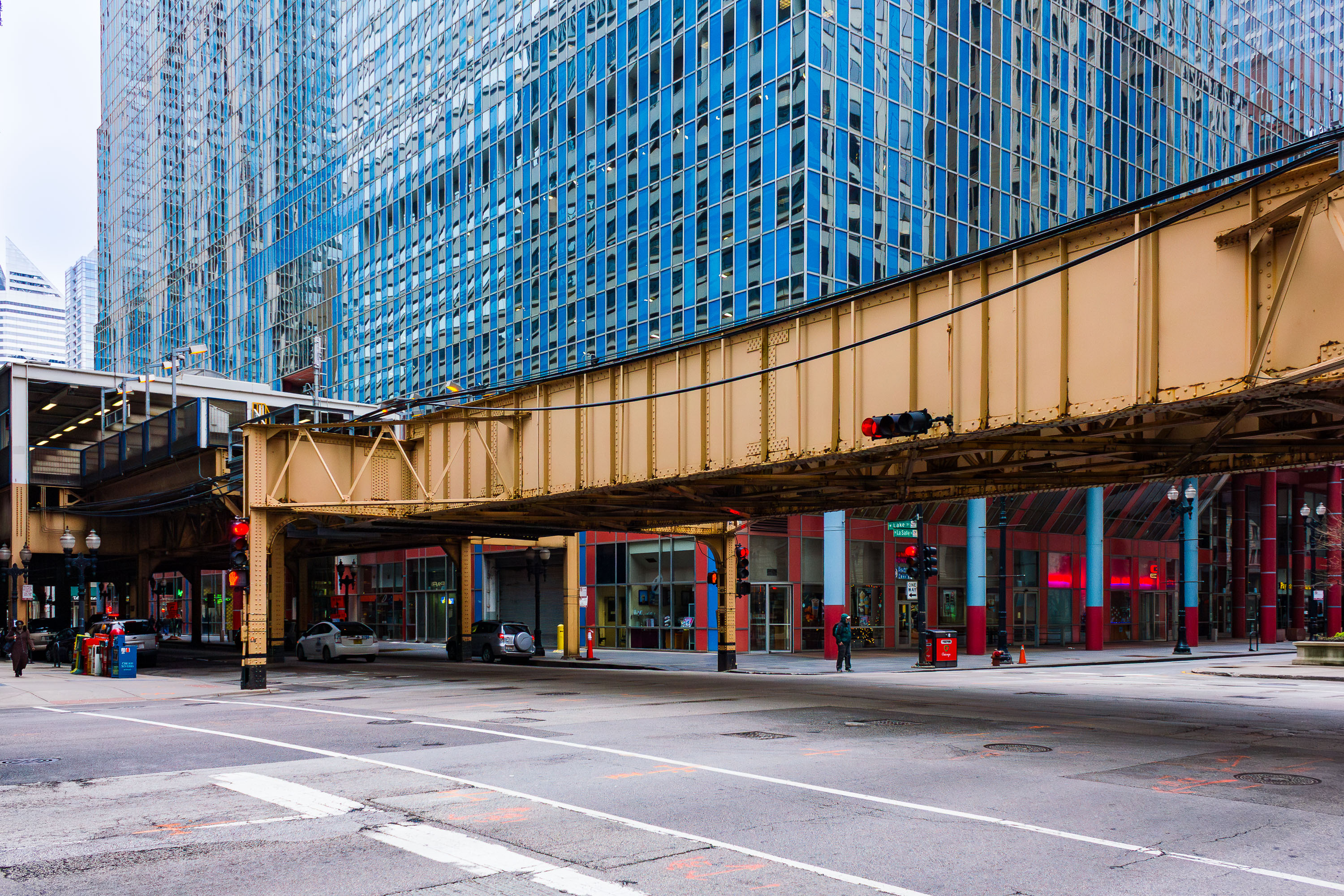
Chicago elevated train tracks at the intersection of Lake Street and La Salle Street
The Chicago 'L' train tracks run above the intersection of Lake Street and La Salle Street in the city's North Loop. This elevated railway system, established in the late 19th century, is a defining feature of Chicago's urban environment and a vital component of its public transportation network.

Chicago Elevated Train at Lake and La Salle
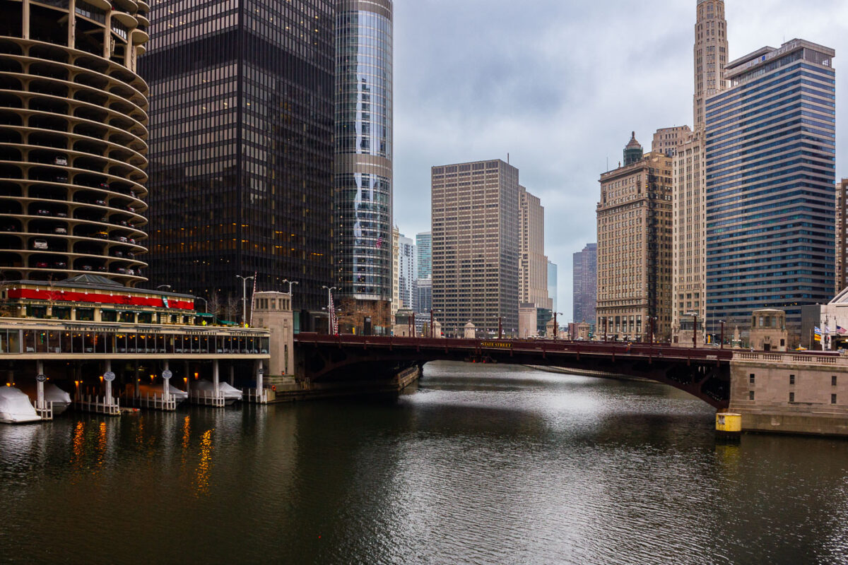
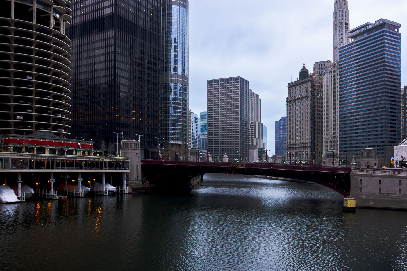
The State Street Bridge crosses the Chicago River, with the Marina City towers visible to the west in downtown Chicago.
The State Street Bridge spans the Chicago River in downtown Chicago, connecting the Loop to the Near North Side. Completed in 1949, this bascule bridge replaced an earlier structure and is a vital artery for vehicular and pedestrian traffic. To the west, the distinctive Marina City towers, designed by Bertrand Goldberg and completed in 1964, rise above the riverfront. These mixed-use buildings, with their unique cylindrical design, were a pioneering development in urban living and remain a prominent feature of the Chicago skyline.

State Street Bridge and Marina Towers, Chicago
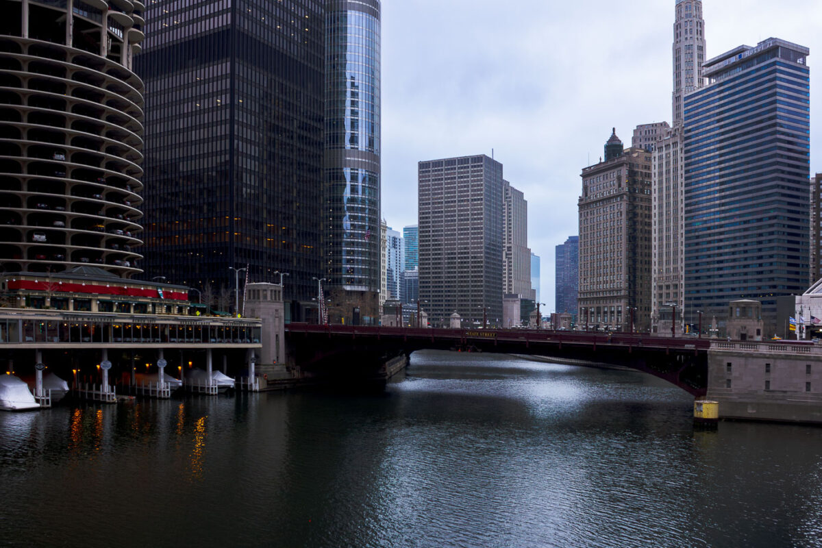
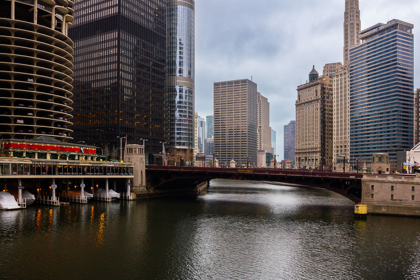
The State Street Bridge, completed in 1919, spans the Chicago River, connecting the city's north and south sides. The bascule bridge is a vital part of Chicago's transportation network.
The State Street Bridge, completed in 1919, spans the Chicago River, connecting the city's north and south sides. This bascule bridge is a vital piece of Chicago's transportation network, facilitating vehicular and pedestrian traffic over the busy waterway. The surrounding architecture reflects the city's growth, with the distinctive Marina City towers visible to the west and other prominent skyscrapers lining the riverfront. The bridge's design and its role in urban connectivity highlight Chicago's history as a major transportation hub.

State Street Bridge over Chicago River with Smith & Wollensky
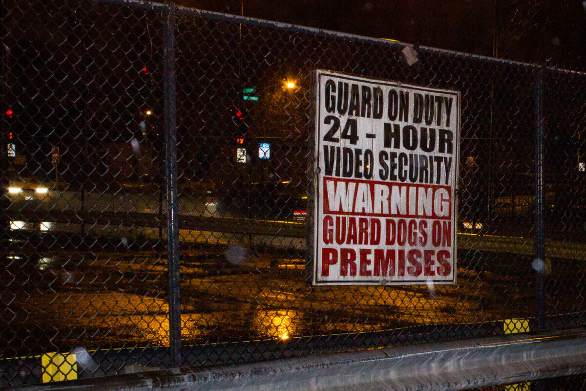
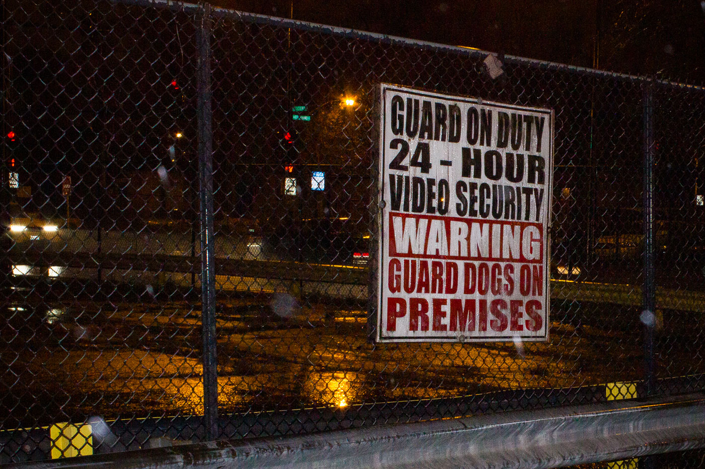
Brach's factory site in Chicago with a guard dogs warning sign on a chain-link fence.
A security warning sign is mounted on a chain-link fence at the former Brach's Candy Factory site in Chicago. The sign states that the property is under 24-hour video security and protected by guard dogs. Brach's closed the factory in 2003, and the site was later demolished.

Brach’s Factory Site Security Sign, Chicago
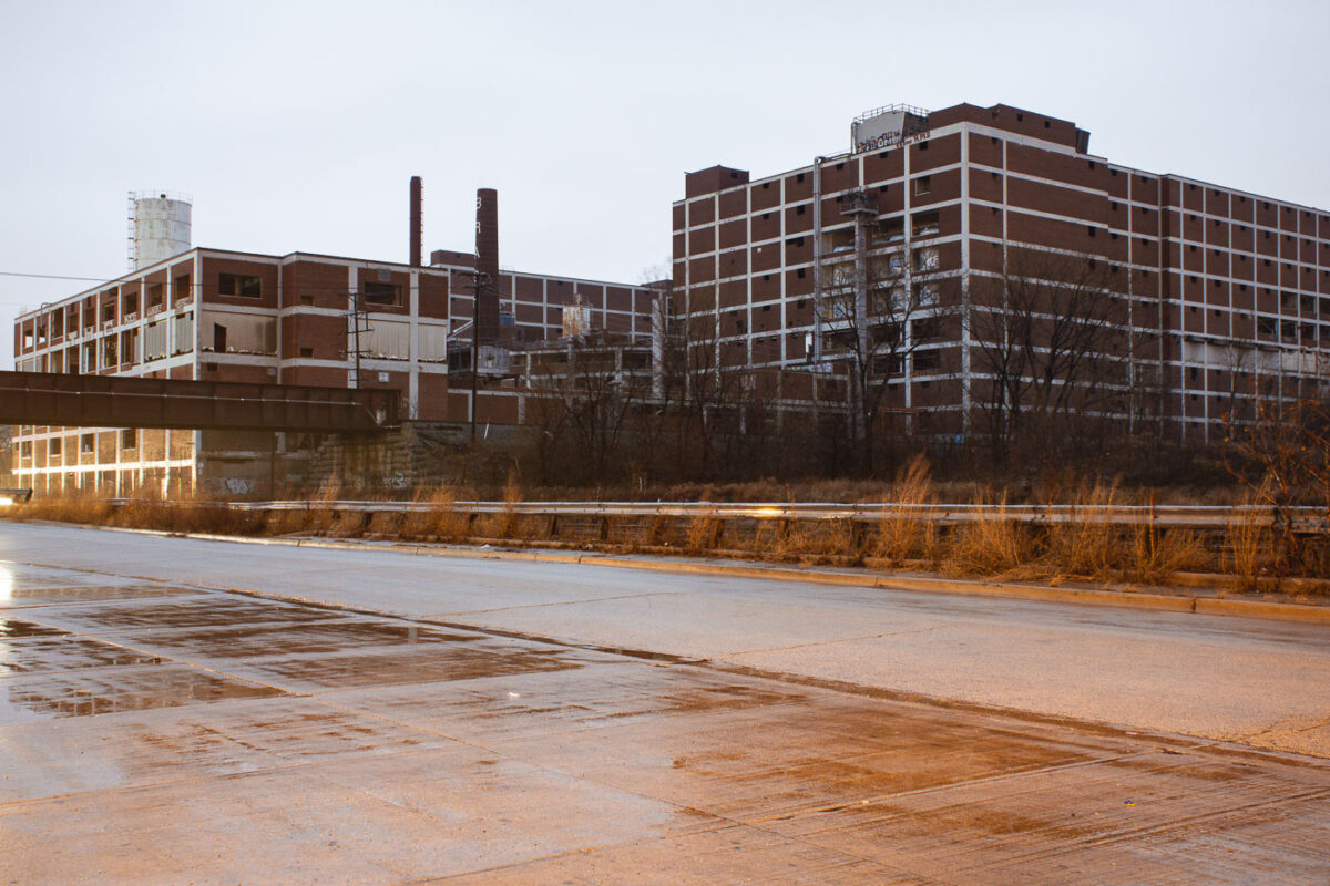
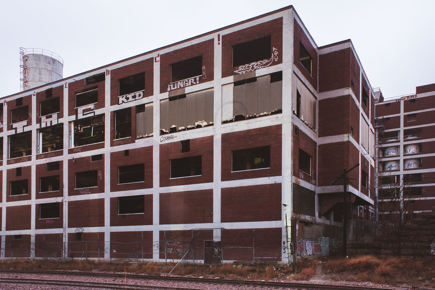
Brach's Candy Factory in Cicero, Illinois, stands abandoned before demolition.
Brach's Candy Factory in Cicero, Illinois, is shown in a state of abandonment before demolition. The former confectionery complex occupied a large industrial site on the Chicago area's near-west side and later became one of the region's best-known vacant factories.

Brach’s Candy Factory, Cicero, Illinois
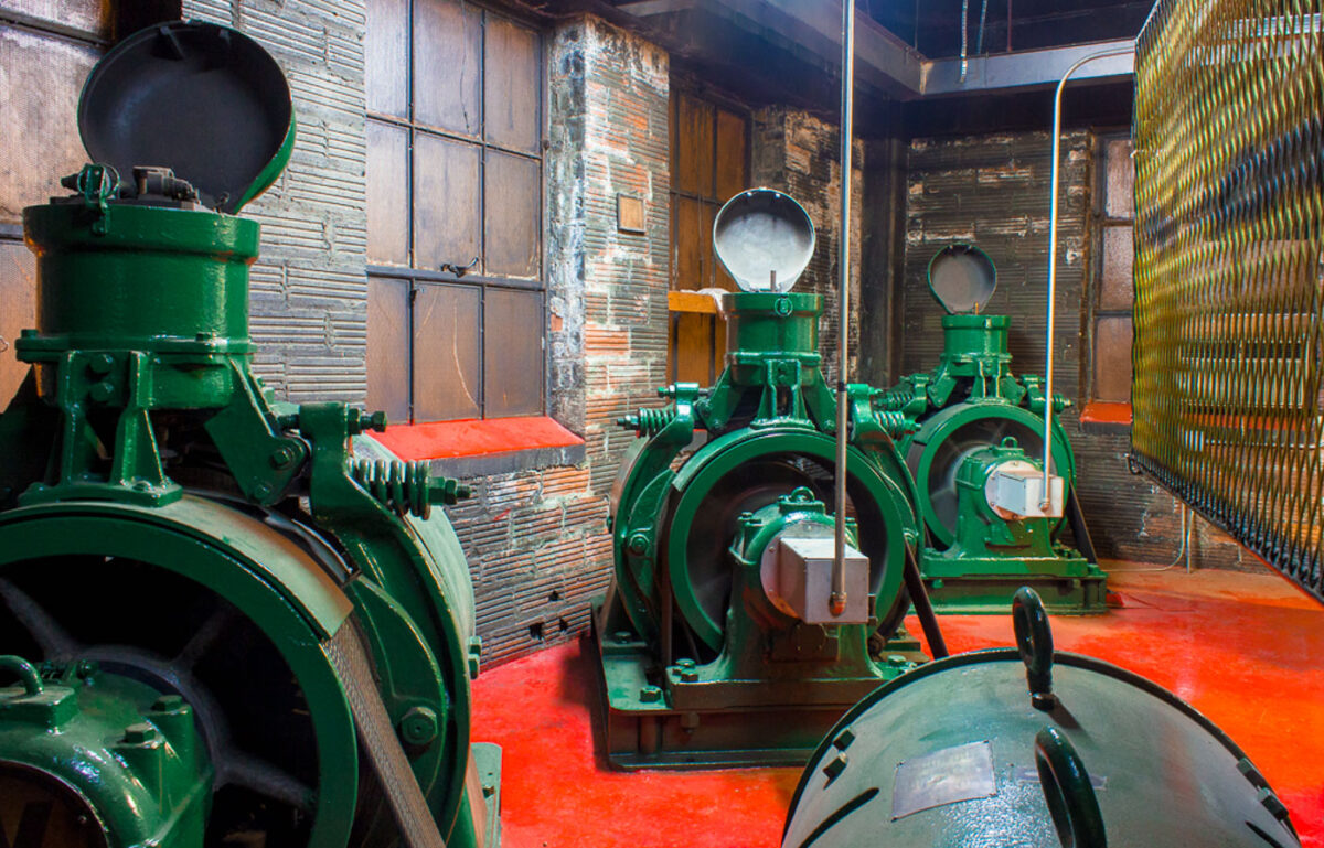
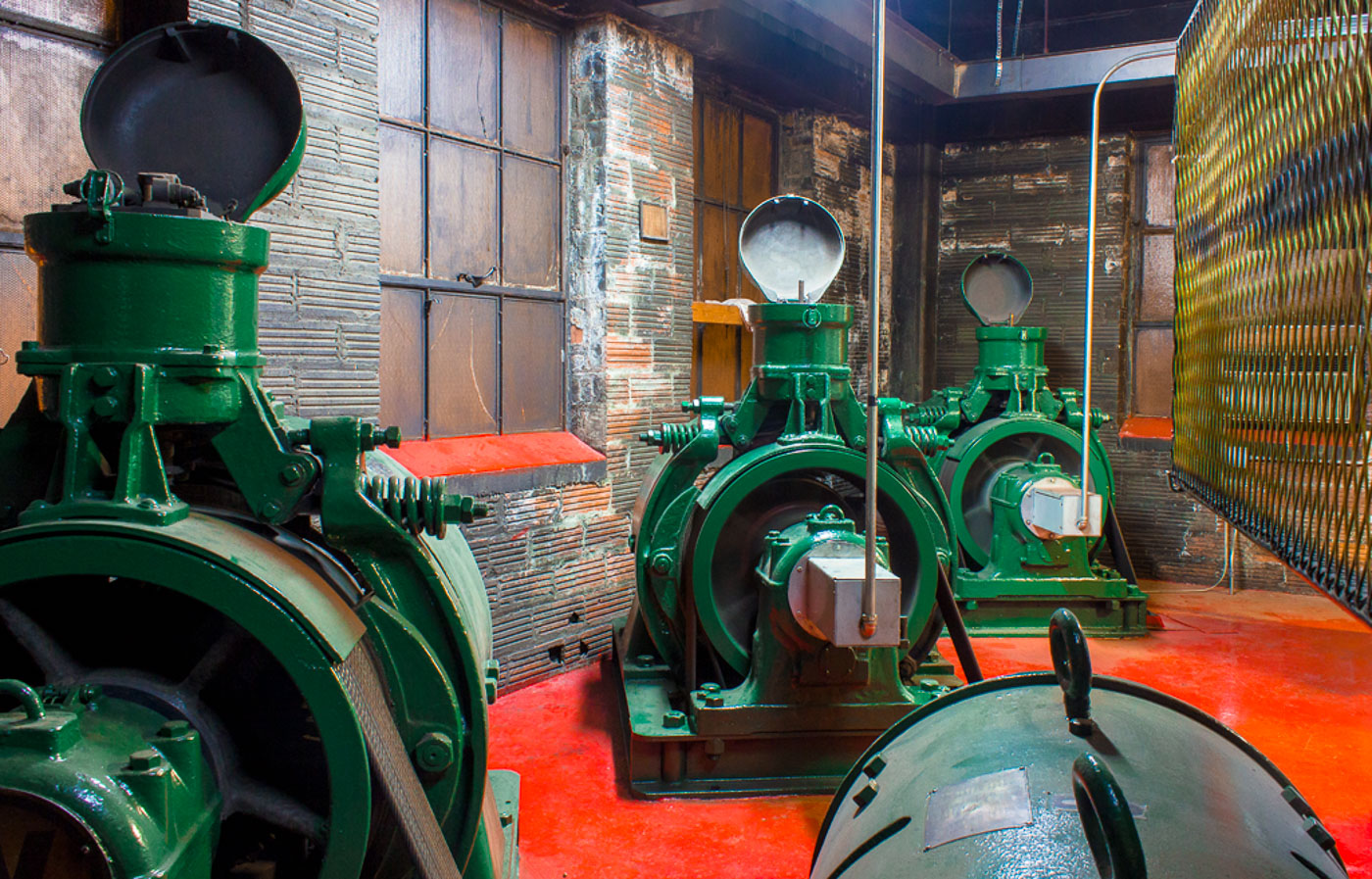
Historic green generators inside the Chicago Water Tower, a landmark structure built in 1869 that supplied water to the city and survived the Great Chicago Fire.
These are historic generators housed within the Chicago Water Tower, a landmark structure that survived the Great Chicago Fire of 1871. Originally built in 1869, the tower served as a pumping station to supply water to the city. The generators, painted in a distinctive green, represent a crucial piece of the city's early infrastructure development. They are now preserved as part of the Chicago Water Tower and Pumping Station, offering a glimpse into the engineering capabilities of the late 19th century.

Chicago: Historic Generators at the Water Tower
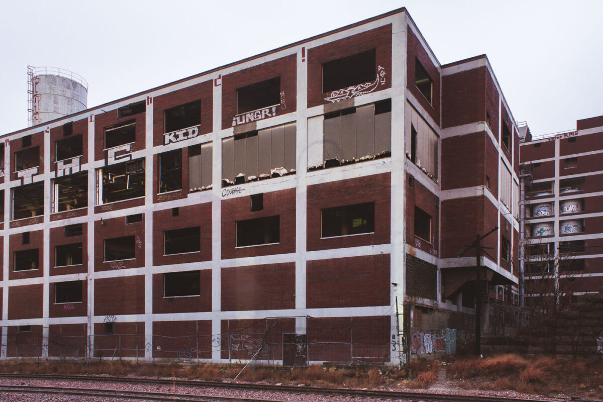
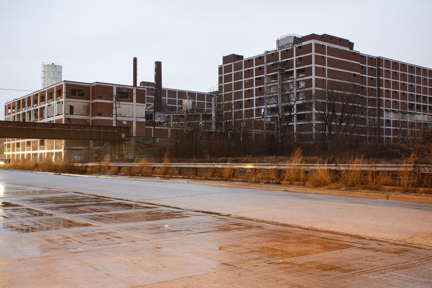
The abandoned Brach's Candy Factory in Cicero, Illinois, a large brick industrial structure with graffiti, stands as a relic of its confectionery production past.
The Brach's Candy Factory in Cicero, Illinois, was a significant industrial site that once produced a wide variety of confections. The factory complex, known for its large-scale production, operated for decades before its closure. This image shows the abandoned brick structure, a testament to the site's industrial past. Following its demolition, the land was repurposed as a semi-truck parking lot.

Brach’s Candy Factory Before Demolition, Cicero IL

Built in Minneapolis

Minneapolis Photographer

Browse by location, move through long-running series, or start with recent work.