Iron Range

6 photos · 2021–2022

6 photographs tagged Iron Range, 2021–2022.
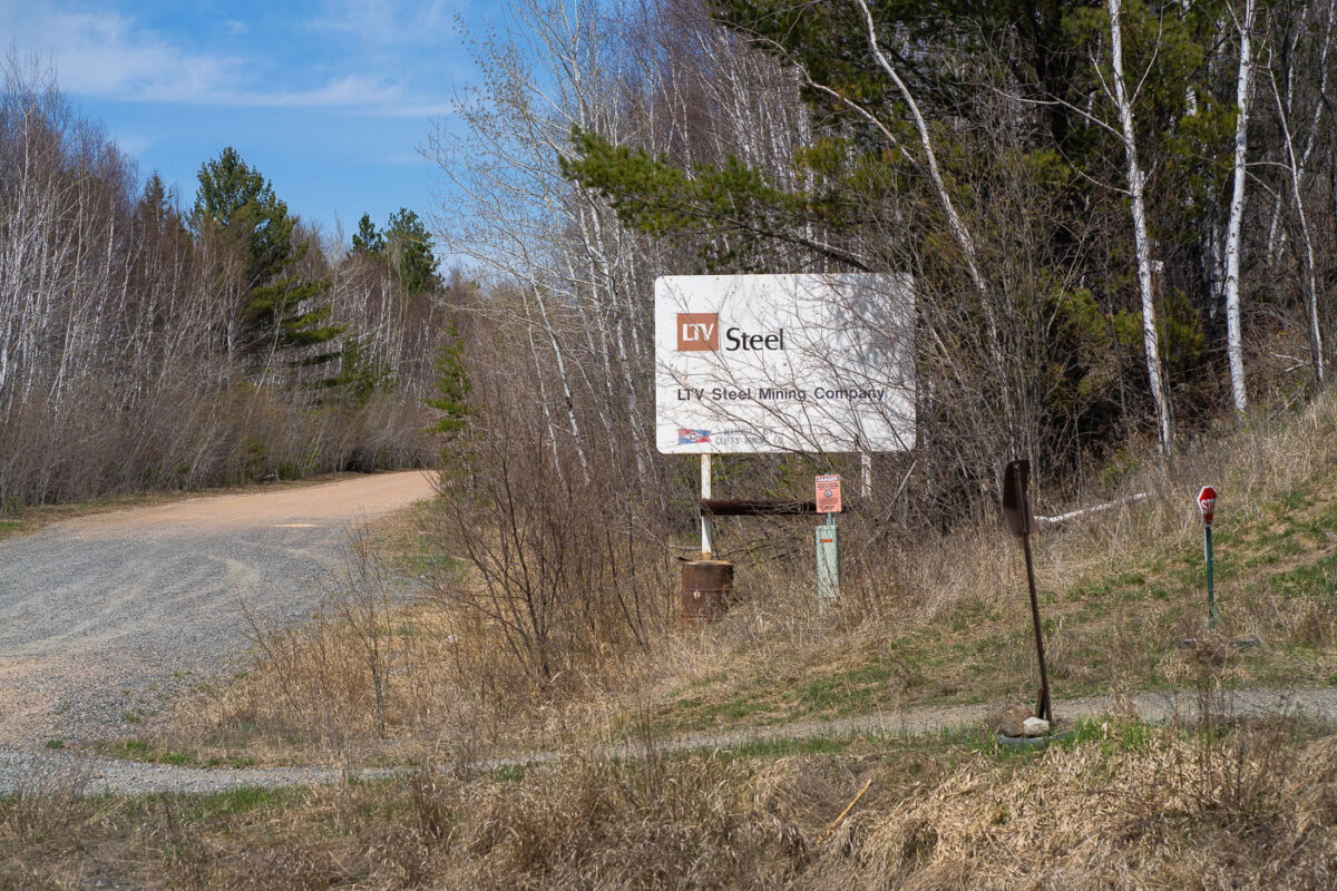
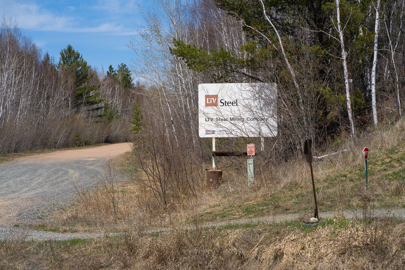
LTV Steel Mining Company sign along a gravel road in Babbitt, Minnesota.
The LTV Steel Mining Company sign stands along a gravel road in Babbitt, Minnesota. The sign marks the entrance to the former mining complex on the Iron Range.

LTV Steel Mining Company Entrance Near Babbitt
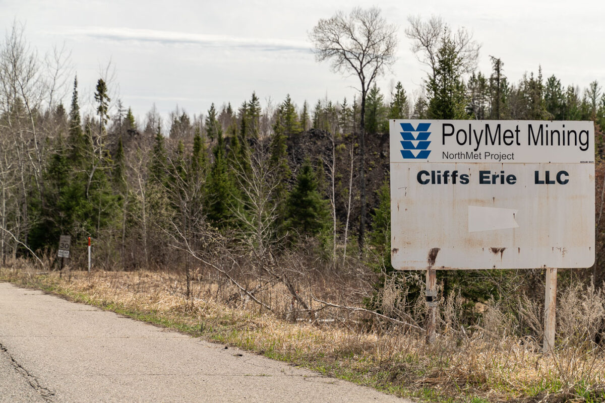
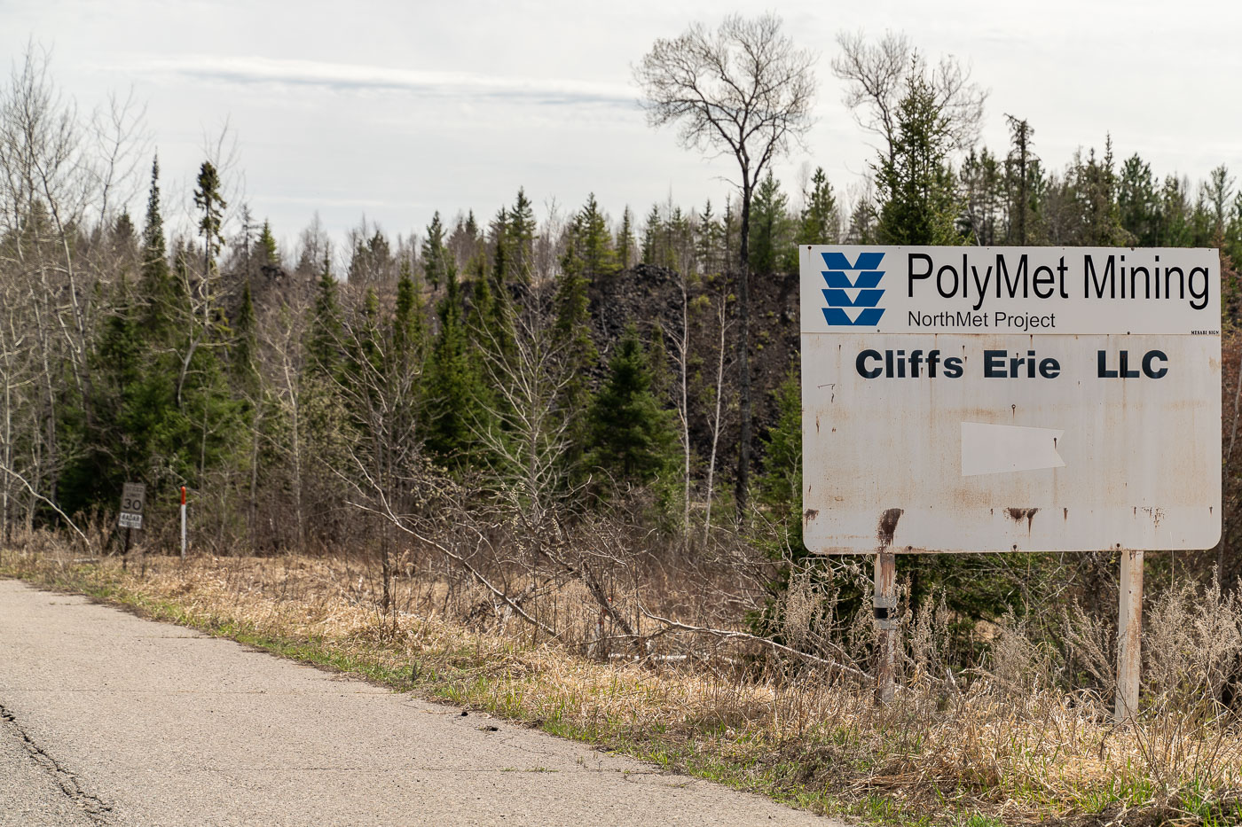
PolyMet Mining NorthMet Project sign along a road in Minnesota's Iron Range.
A roadside sign for the PolyMet Mining NorthMet Project stands along a paved road in the Iron Range of northern Minnesota. The weathered sign also names Cliffs Erie LLC, and a small speed limit sign is posted farther down the road.

PolyMet Mining and Cliffs Erie Sign on the NorthMet Project Road
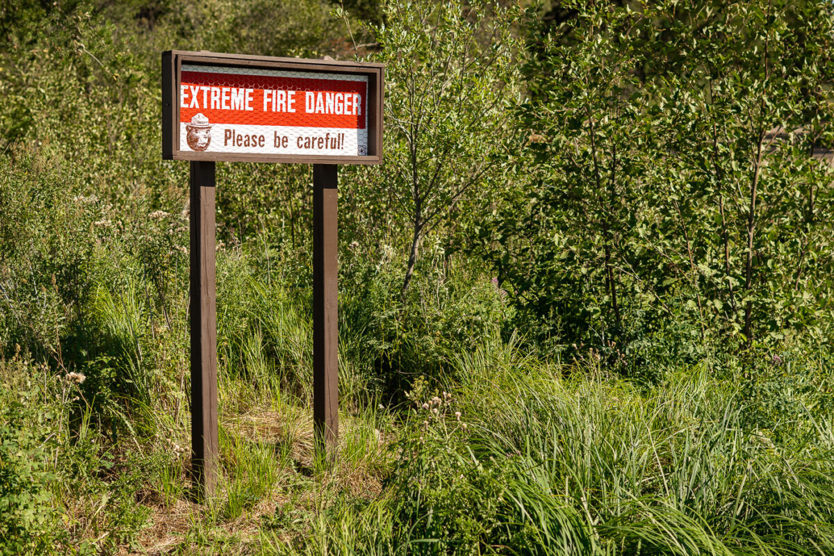
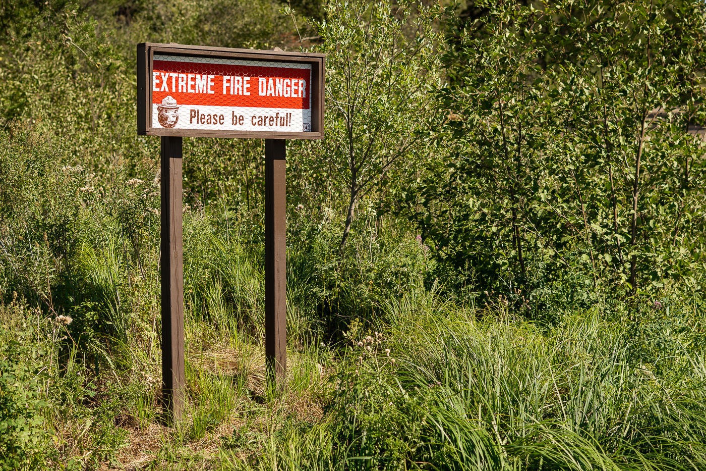
Smokey Bear fire danger warning sign displaying "Extreme Fire Danger" along a forested roadside in Minnesota's Iron Range.
Smokey Bear has appeared on fire danger warning signs since the U.S. Forest Service launched the prevention campaign in 1944, later adopting the "Only you can prevent forest fires." Signs like this one use an adjustable gauge to alert travelers to current wildfire risk levels, ranging from low to extreme. Minnesota's Iron Range, a region of dense forest and dry underbrush north of Babbitt, sees these postings along roadsides during periods of low rainfall.

“Extreme Fire Danger” Sign Near Babbitt on the Iron Range
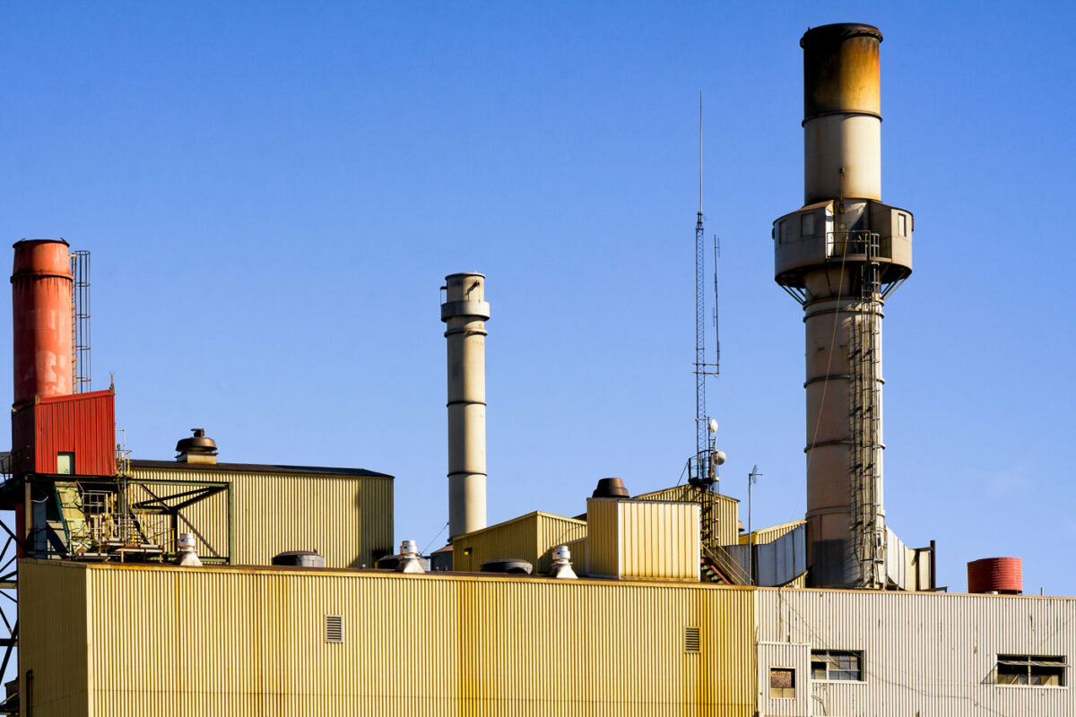
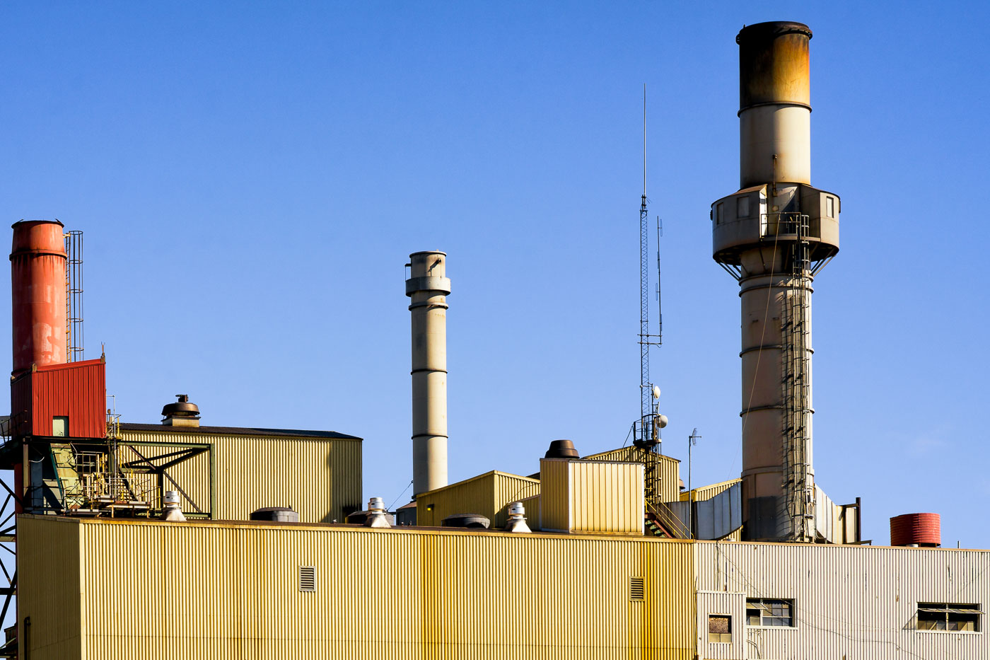
Hibbing power plant in Minnesota displays multiple industrial smokestacks and yellow corrugated metal buildings under clear blue sky.
The Hibbing power plant sits on the Iron Range in Hibbing, Minnesota, a region built around iron ore mining since the late nineteenth century. Facilities like this one historically supplied electricity to support local mining operations and the surrounding community. The plant's corrugated metal buildings and multiple exhaust stacks are typical of mid-century industrial power generation design in the region.

Exhaust Stacks at the Hibbing Power Plant
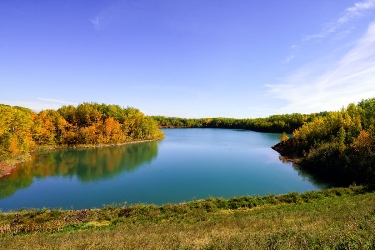
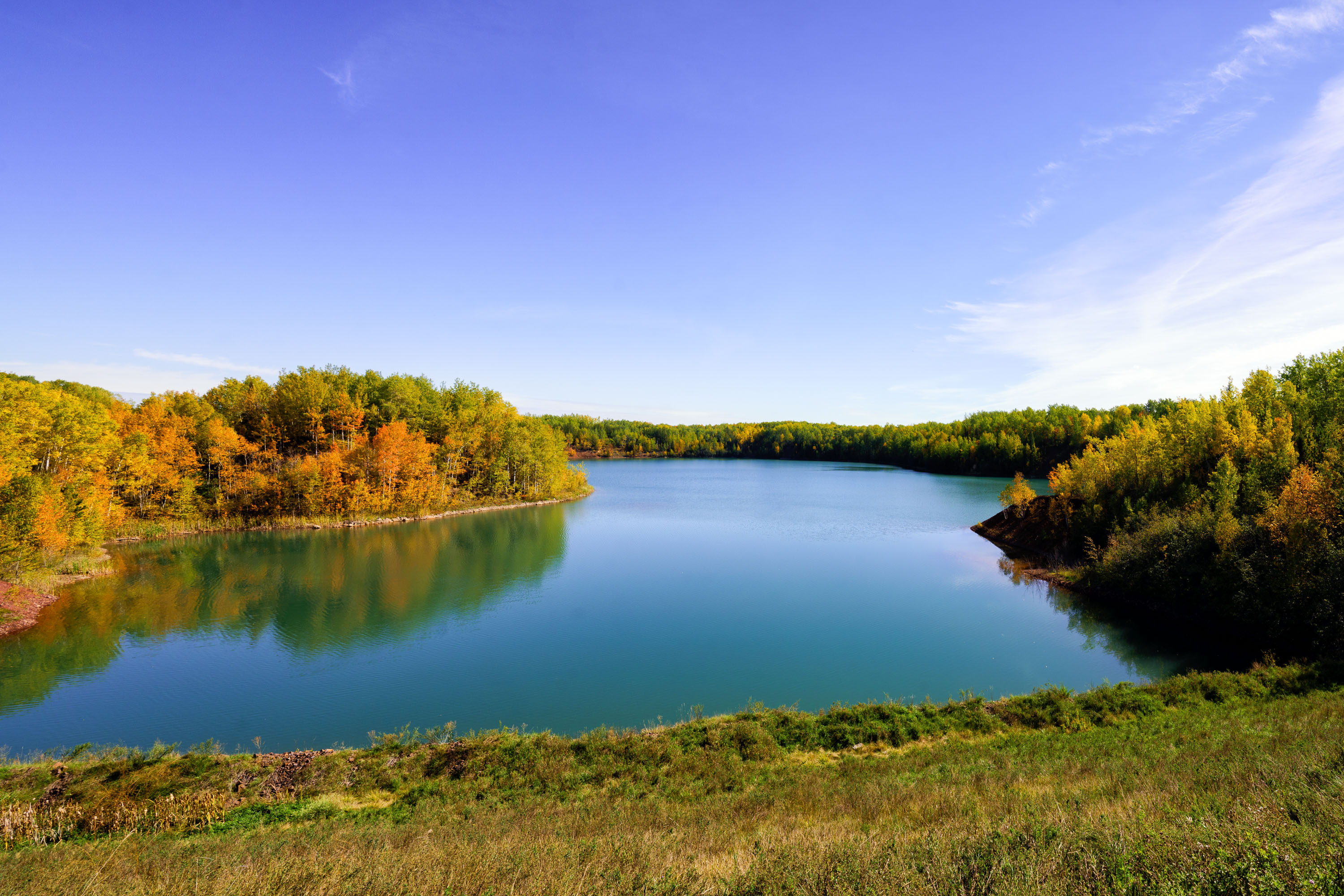
Flooded Wacootah Mine pit in Mountain Iron, Minnesota, filled with blue water and surrounded by autumn forest.
The Wacootah Mine was an iron ore pit on Minnesota's Mesabi Range, near Mountain Iron in St. Louis County. Mining operations in the area date to the late 1800s, part of the broader Mesabi Range district that once supplied a large share of the nation's iron ore. Like many exhausted pits on the Range, the former excavation has filled with groundwater, forming a lake within the surrounding second-growth forest. The site sits within the same mining district as the nearby Minntac operation, one of Minnesota's largest active taconite processing plants.

Autumn Colors Around the Flooded Wacootah Mine Pit
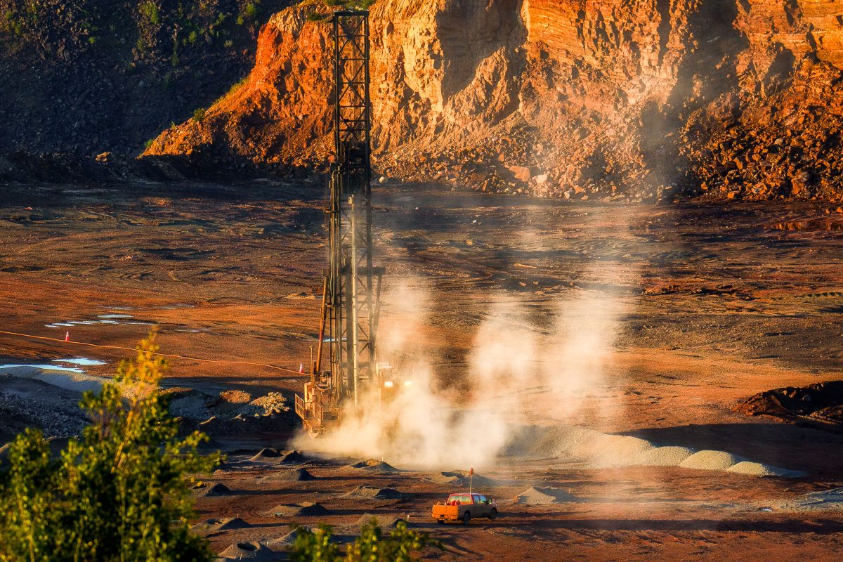
Drilling rig operates in the Hull-Rust-Mahoning Open Pit Iron Mine in Hibbing, Minnesota.
The Hull–Rust–Mahoning Mine near Hibbing, Minnesota, is often called the Grand Canyon of the North for its scale. Mining began here in 1895, and over more than a century of operation the pit grew to roughly three miles long, two miles wide, and 535 feet deep. It has yielded more than 800 million tons of iron ore, much of it feeding steel production during both World Wars. Hibbing Taconite continues processing operations in the district today, and the site is listed on the National Register of Historic Places.

Drill Rig at Hull–Rust–Mahoning Open Pit Iron Mine, Hibbing