Forest

31 photos · 2019–2024

31 photographs tagged Forest, 2019–2024.
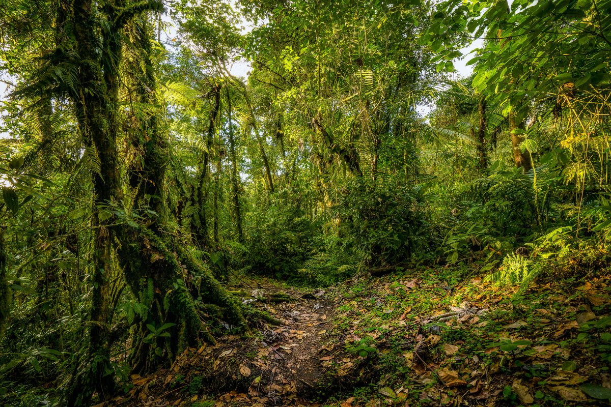
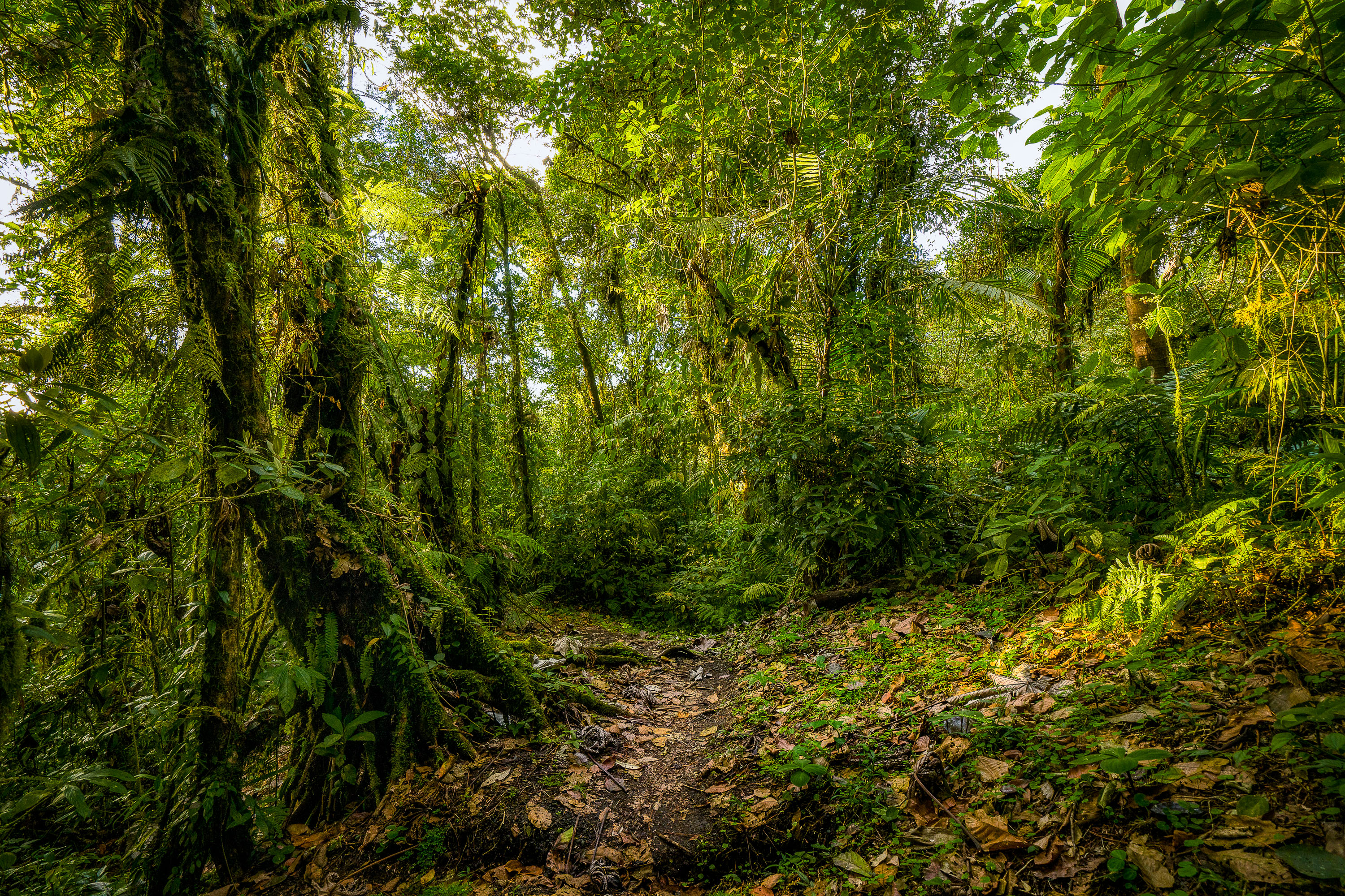
A trail winds through dense moss-covered vegetation and trees in Monteverde Cloud Forest Preserve, Costa Rica.
The Monteverde Cloud Forest Biological Preserve sits along the Continental Divide in Costa Rica's Tilarán Mountains, roughly 1,440 meters above sea level. Established in 1972 and now managed by the Tropical Science Center, it protects more than 10,500 hectares of habitat spanning several life zones. Over 400 bird species and 2,500 plant species have been recorded here, including hundreds of orchid varieties and abundant epiphytes that thrive in the near-constant moisture. A network of marked trails, originally developed for researchers, now gives visitors access to the forest while limiting impact on the surrounding ecosystem.

Hiking Trail in the Monteverde Cloud Forest Preserve
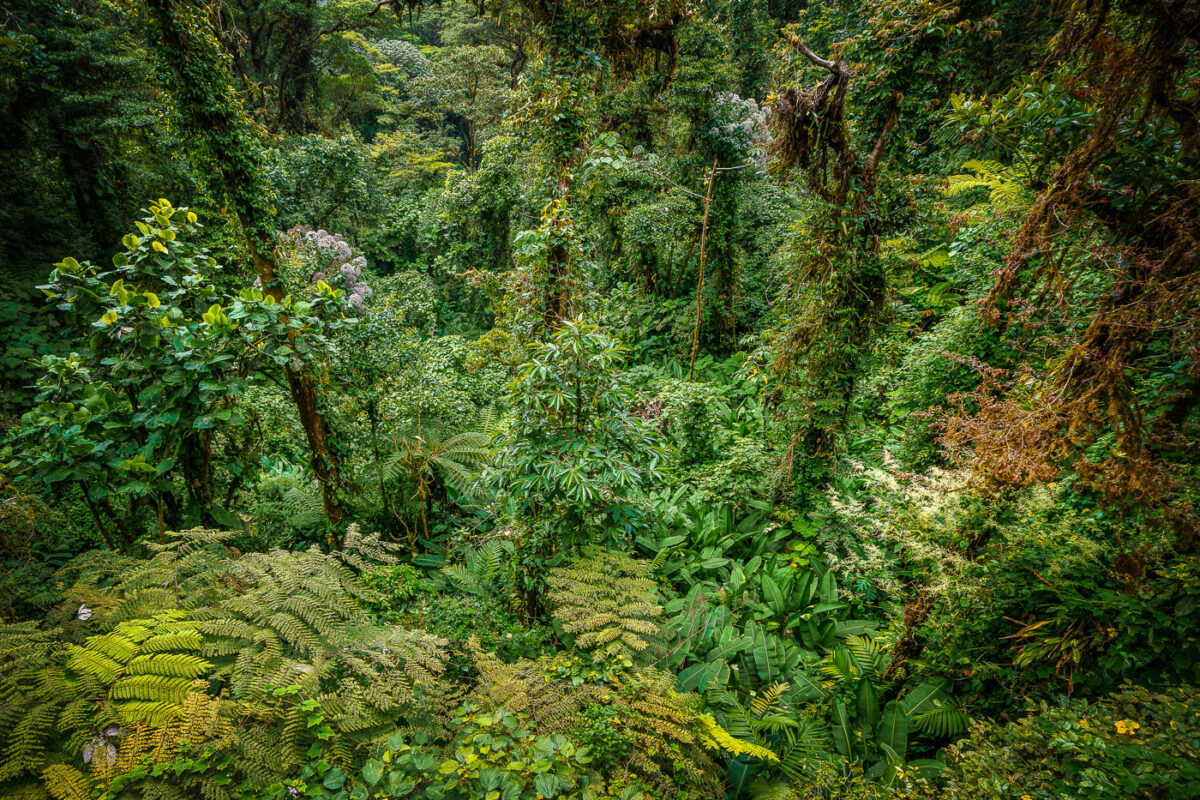
Dense canopy of tree ferns, epiphytes, and moss-covered trees in Monteverde Cloud Forest Biological Reserve, Costa Rica.
Monteverde's cloud forest sits along the Cordillera de Tilarán at elevations between roughly 1,400 and 1,800 meters, where moisture-laden trade winds condense into near-constant mist. The Monteverde Cloud Forest Biological Reserve, established in 1972 by the Tropical Science Center, protects about 10,500 hectares of this habitat. Scientists have cataloged more than 2,500 plant species here, including over 400 types of orchids and some 200 fern species, many of them epiphytes that grow on host trees rather than in soil. The reserve's elevation and humidity support six distinct ecological zones, making it one of the most biologically dense forest systems in Central America.

Tree Ferns and Epiphytes Fill the Monteverde Forest Floor
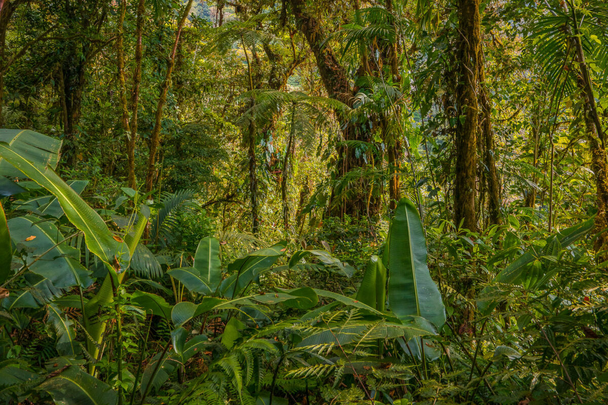
Dense tropical vegetation with banana plants and tall trees in Monteverde Cloud Forest, Costa Rica.
Monteverde's cloud forest sits along the Tilarán Mountains, where trade winds pushing moisture off the Caribbean condense into near-constant mist across the ridge. The reserve protects roughly 10,500 hectares and spans six distinct ecological zones, a range that produces the dense, layered plant growth found at different elevations. Wild banana relatives, tree ferns, and epiphytes common in the understory thrive here due to the reserve's high humidity, which stays above 90 percent for much of the year. Scientists have catalogued more than 2,500 plant species within the reserve, including over 400 types of orchids.

Dense Understory Growth in the Monteverde Cloud Forest

Sunlight filters through trees along a stream at Pike Island in St. Paul, Minnesota.
Pike Island, located in St. Paul along the Mississippi River, is a natural area featuring mature bottomland forest and waterways. The island's wooded landscape and channels provide habitat and recreational access within the .

Wooded Stream at Pike Island, St. Paul
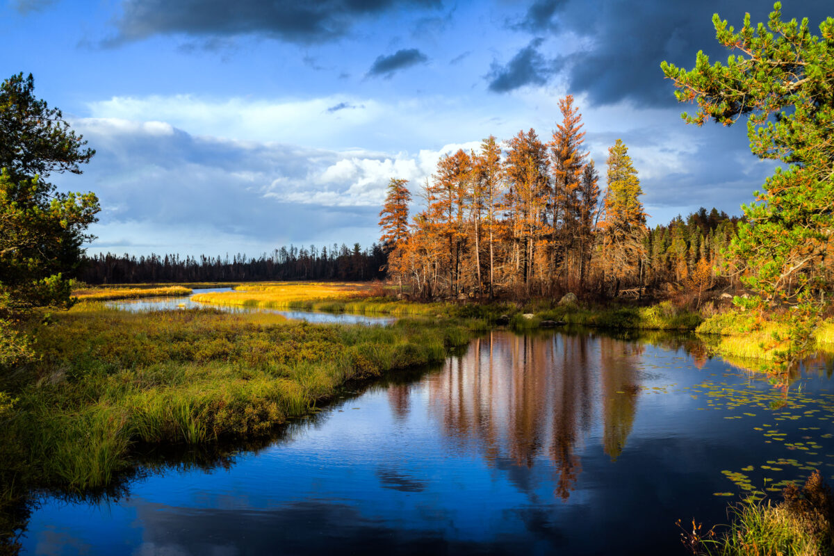
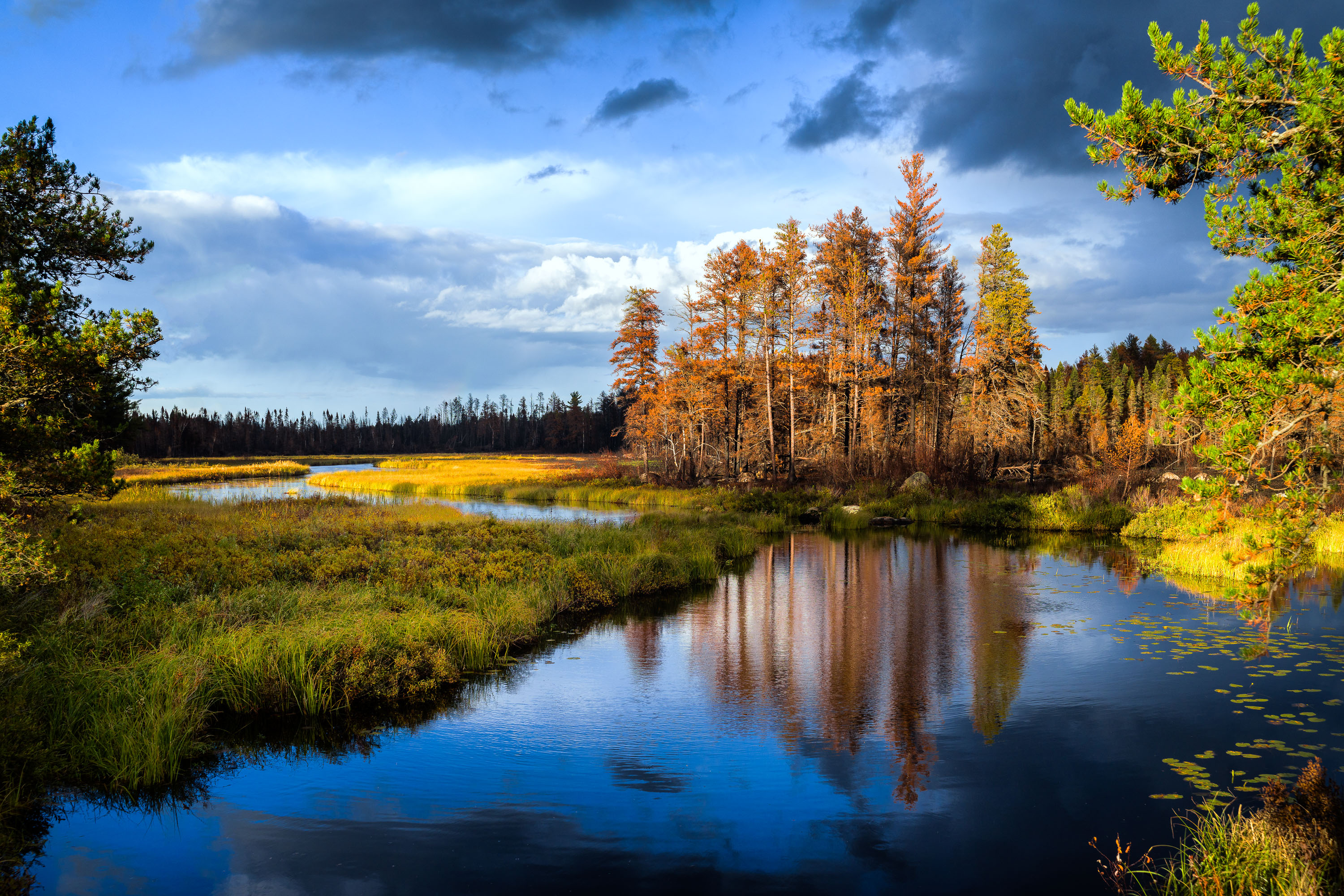
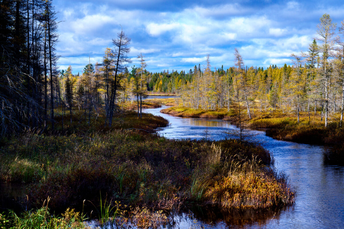
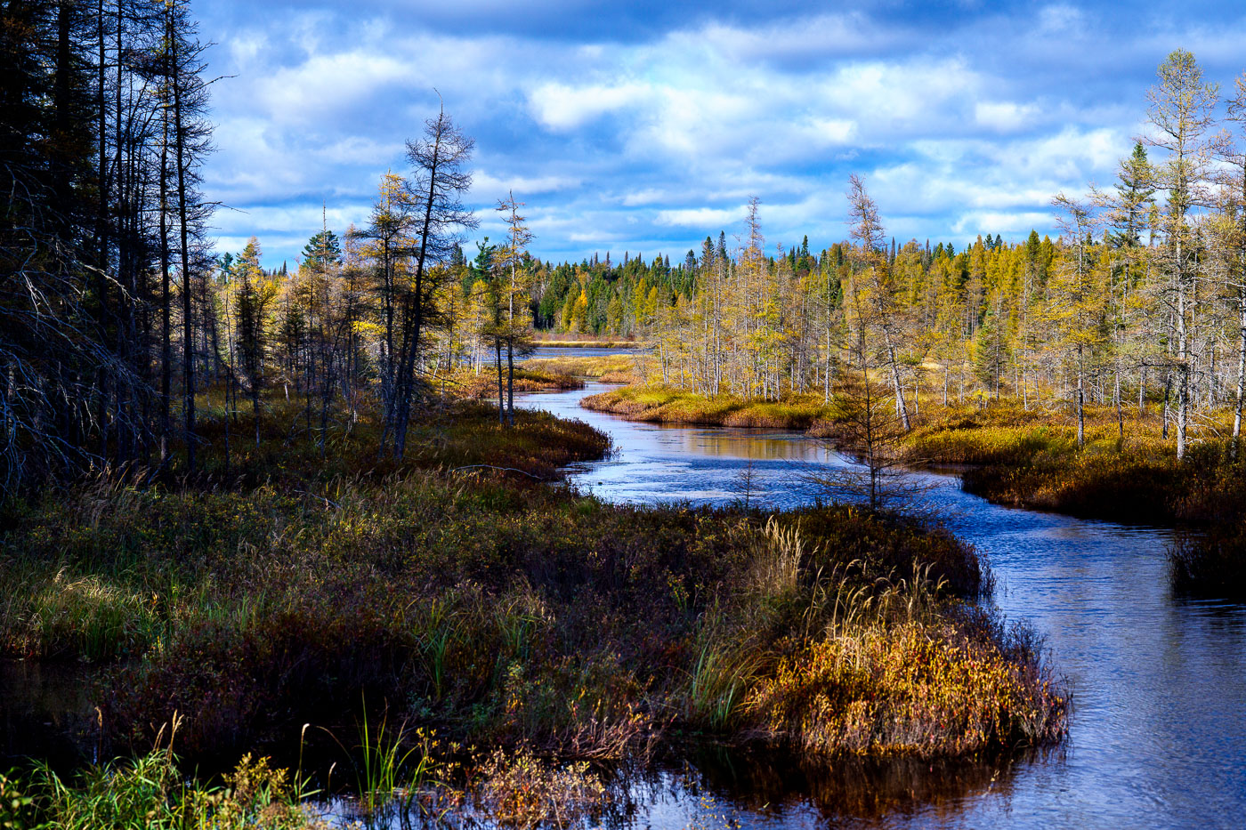
Sand River in Superior National Forest near Isabella, Minnesota, with autumn trees and reflections in calm water
Sand River in Superior National Forest near Isabella, Minnesota. Autumn light illuminates the river bends, wetland grasses, and mixed conifer and hardwood forest under a partly cloudy sky.

Sand River in Superior National Forest, Minnesota
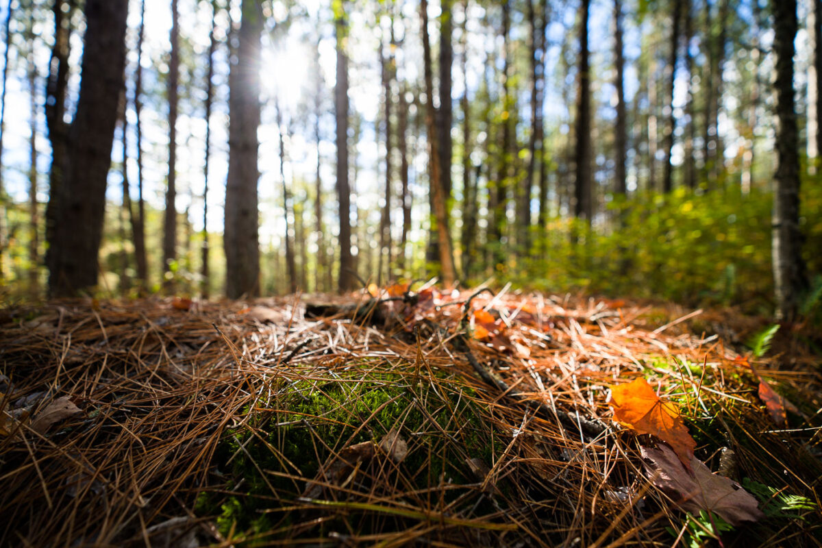
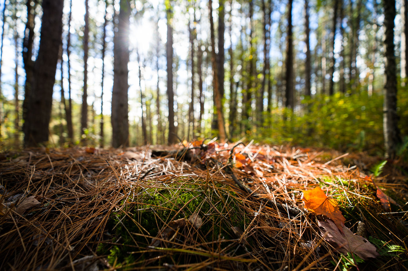
Forest floor detail in Superior National Forest, Minnesota, showing pine needles, moss, and fallen leaves under sunlight filtering through trees.
The Superior National Forest in Minnesota is a vast protected area known for its extensive boreal forests and numerous lakes. Established in 1909, it spans over three million acres and is managed by the U.S. Forest Service. The forest floor, covered in pine needles and moss, illustrates the rich biodiversity and natural processes that sustain this ecosystem. It serves as a critical habitat for wildlife and a significant area for conservation and outdoor activities.

Superior National Forest, Minnesota: Forest Floor Detail
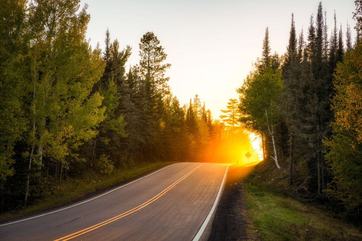
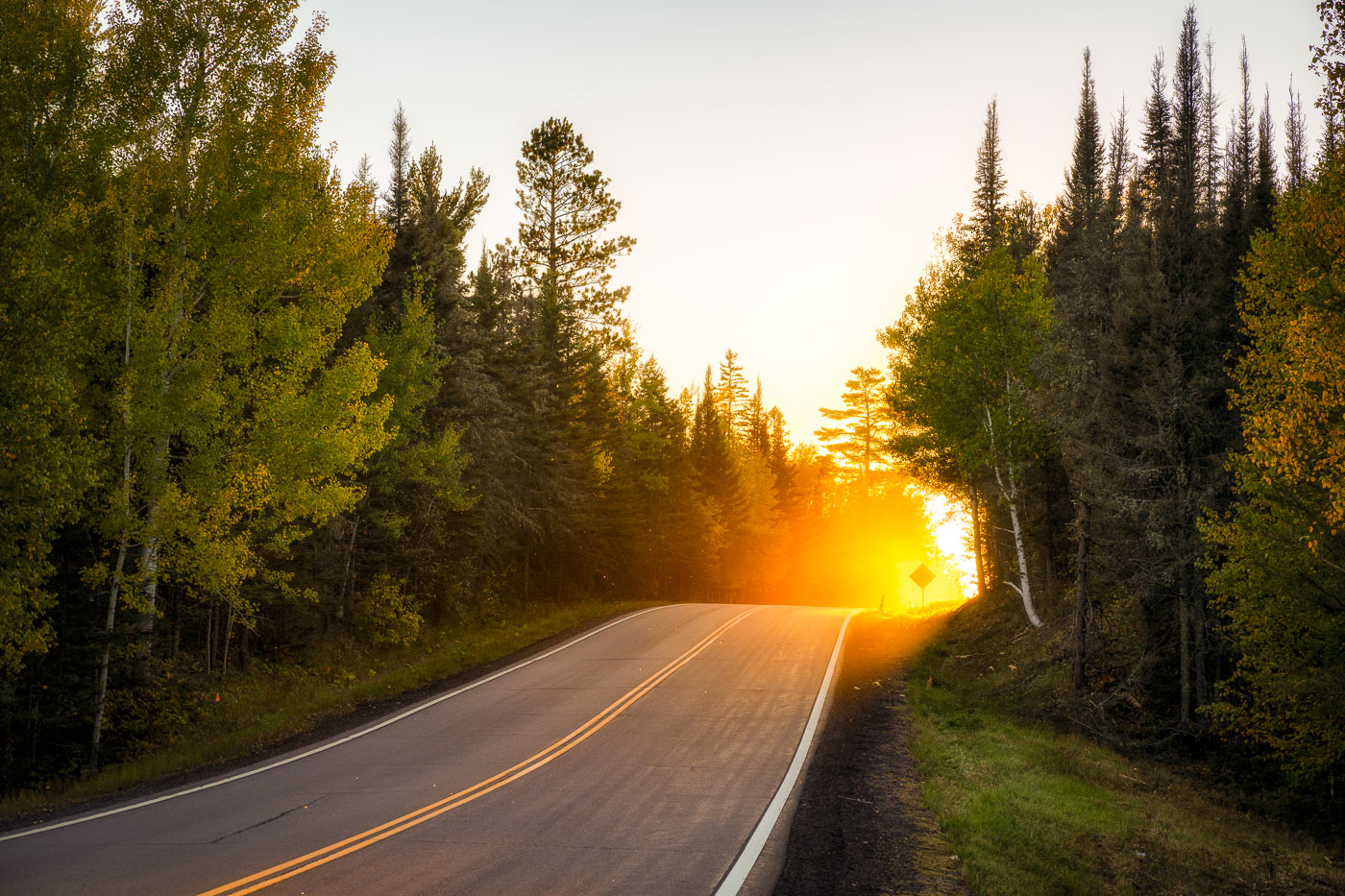
Sunset Along a Forest Road in Superior National Forest
A stretch of forest road in Superior National Forest glows with intense backlight as the sun drops behind the pines, illuminating early-autumn leaves and sending a warm haze across the pavement. This part of the forest lies within the vast Northwoods region of northeastern Minnesota, where mixed stands of birch, aspen, and conifers line quiet two-lane roads leading toward trailheads, lakes, and remote campgrounds. The soft golden light, drifting insects, and dense treeline capture the transition from late summer to fall in one of Minnesota’s most expansive public landscapes—an area managed for recreation, wildlife habitat, and long-term conservation.

Sunset Along a Forest Road in Superior National Forest

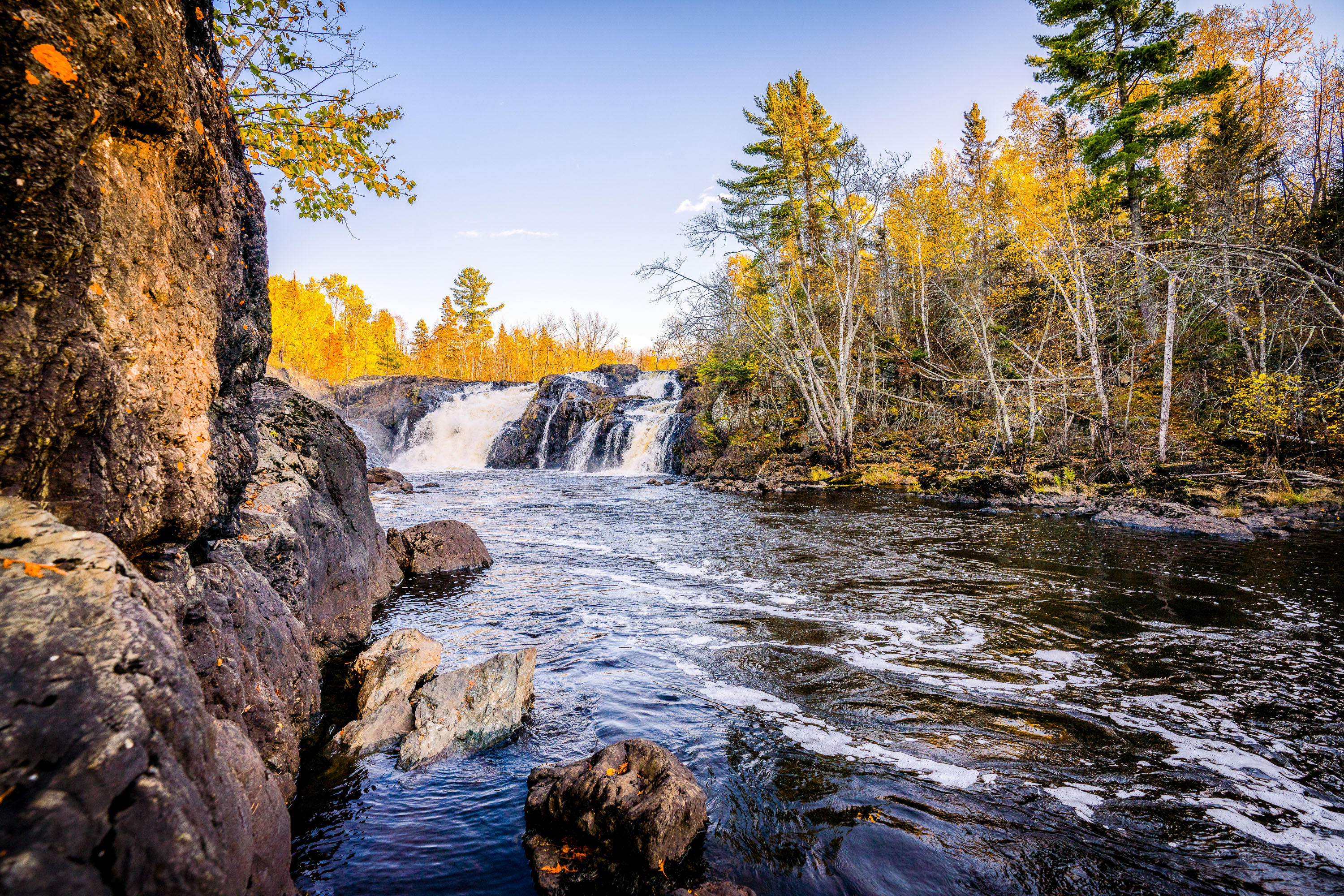
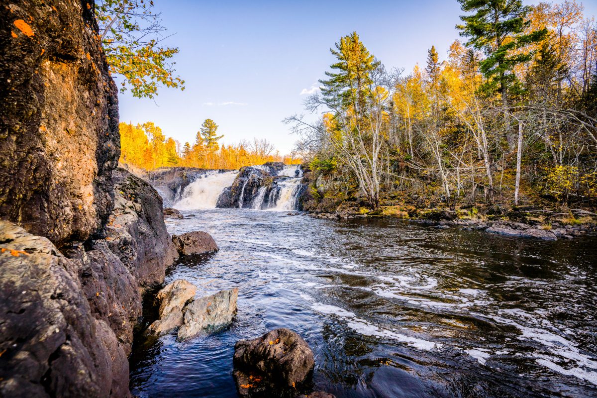
Kawishiwi Falls cascades over rocky outcrops surrounded by autumn forest in Superior National Forest, Minnesota.
Kawishiwi Falls sits along the Kawishiwi River near Ely, Minnesota, within the Superior National Forest. The river is part of the Boundary Waters Canoe Area Wilderness watershed, feeding eventually into Birch Lake and the broader Rainy Lake drainage system. The falls drop over a series of rock ledges typical of the exposed Canadian Shield bedrock that underlies much of the Ely area. Ely itself grew as a mining and logging town before becoming a gateway community for wilderness canoeing and outdoor recreation in the Superior National Forest.

Kawishiwi Falls, Superior National Forest, Minnesota
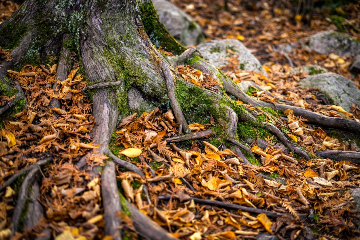
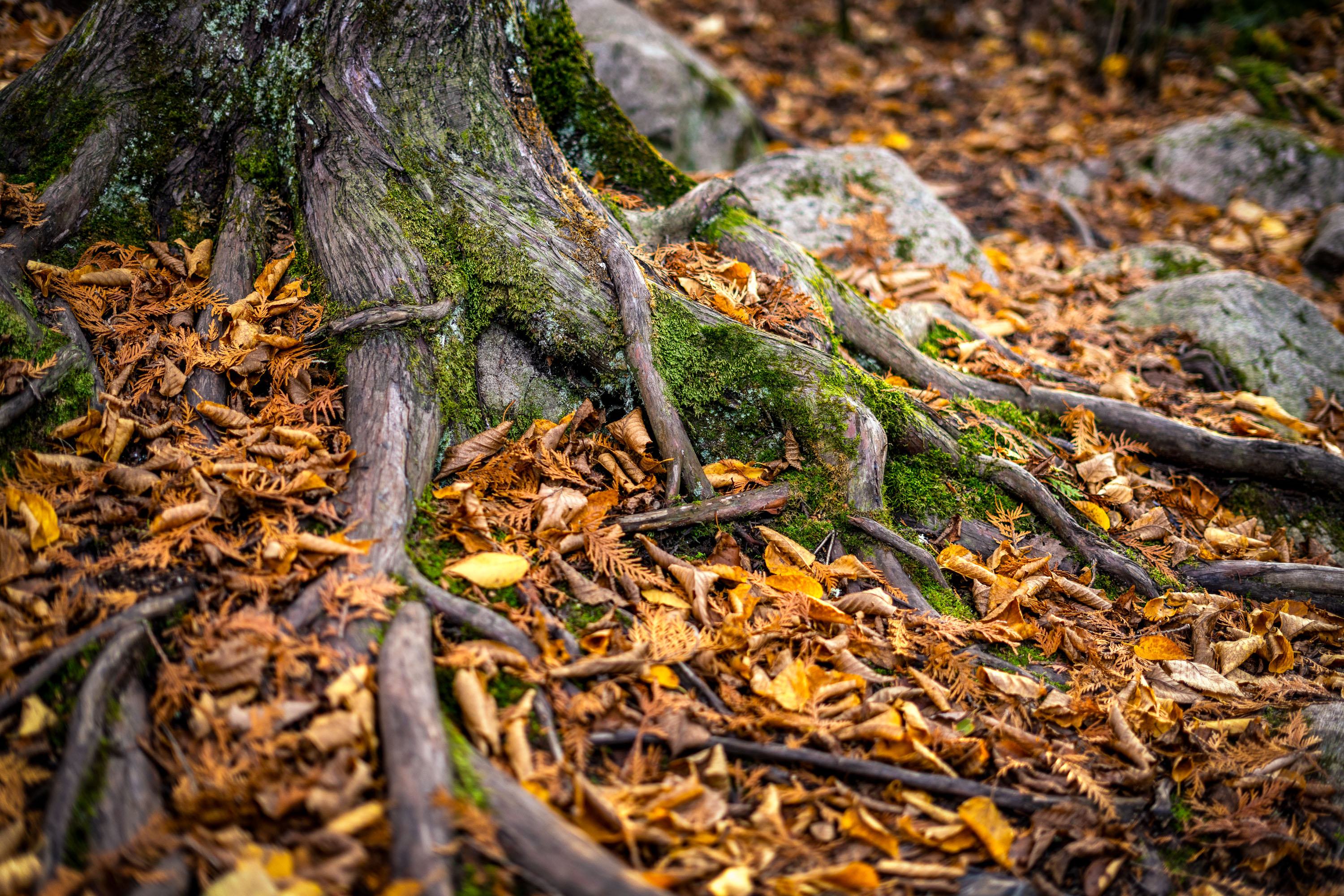
Moss-covered tree roots and rocks amid autumn leaves on a forest floor near Ely, Minnesota.
Ely sits at the edge of the Superior National Forest, a landscape shaped by thin glacial soils and granite bedrock close to the surface. Trees here often grow shallow, wide-spreading root systems rather than deep taproots, since roots can't penetrate far into the rocky ground. That shallow growth leaves roots exposed along many forest trails, especially where erosion or foot traffic has worn away the topsoil. The region's mixed hardwood and conifer forest sheds heavily each October, blanketing the ground in fallen leaves and needles.

Exposed Tree Roots and Autumn Leaves near Ely, Minnesota
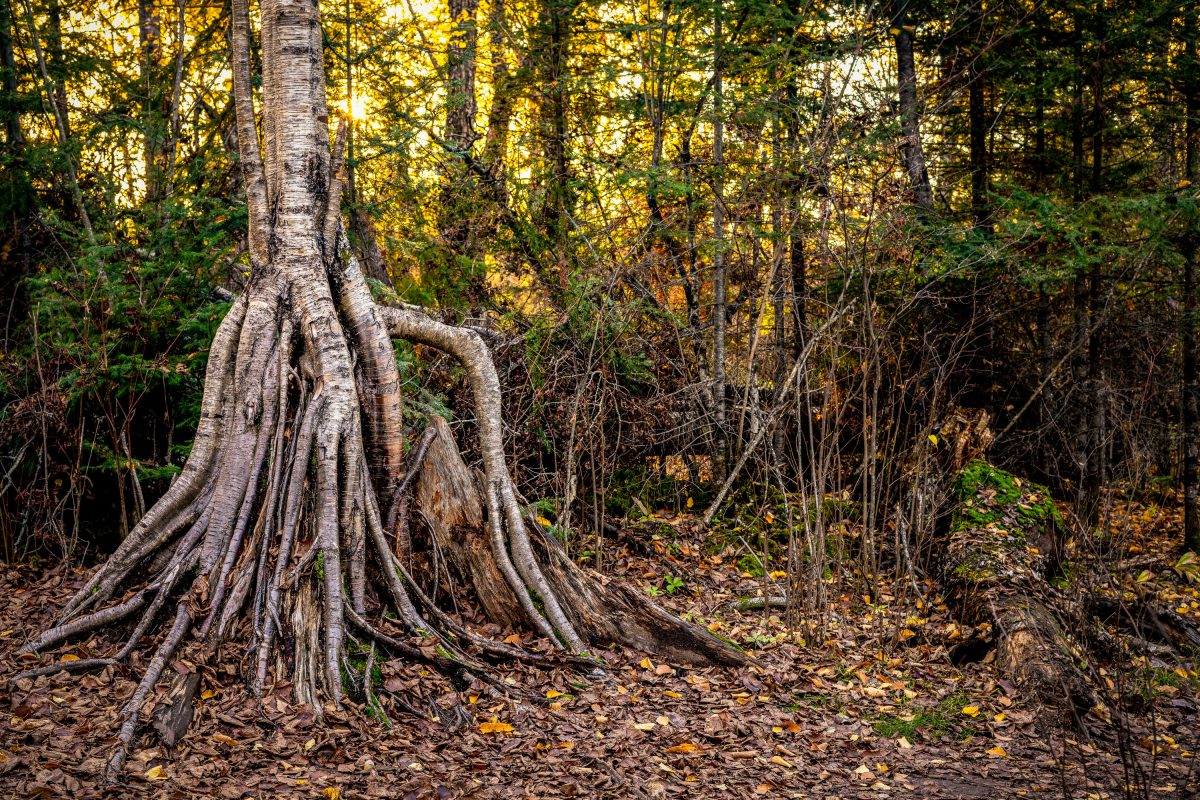
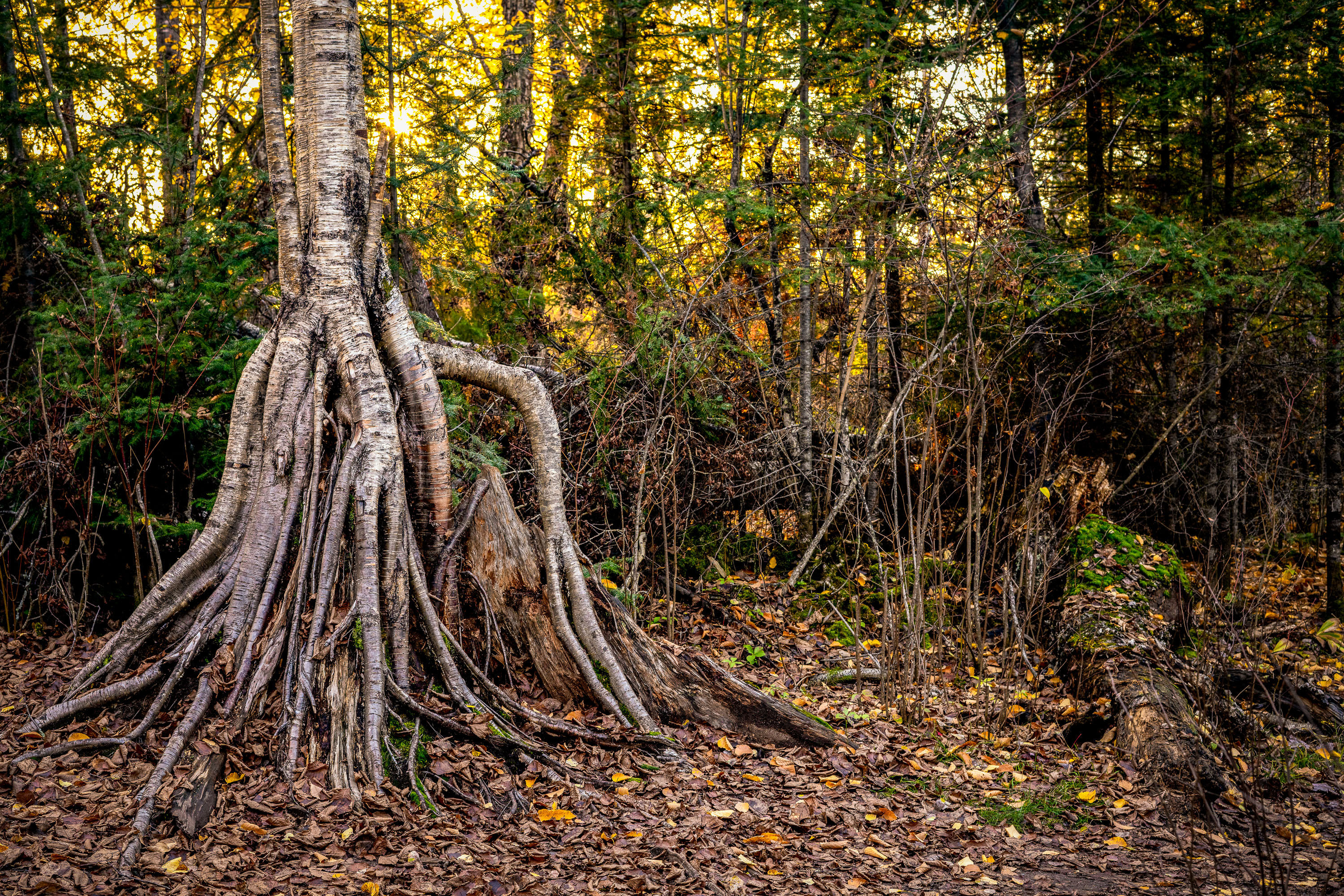
Tree with exposed root system spreads across forest floor in woods near Ely, Minnesota.
Ely sits at the edge of the Superior National Forest and serves as a gateway to the Boundary Waters Canoe Area Wilderness, more than a million acres of lakes, rivers, and forest along the Minnesota-Ontario border. The thin, rocky soil common to this part of the state often forces paper birch trees to send roots wide across the surface rather than deep underground, leaving root systems like this one exposed as surrounding earth erodes away over time.

Exposed Birch Roots in the Superior National Forest, Ely, Minnesota
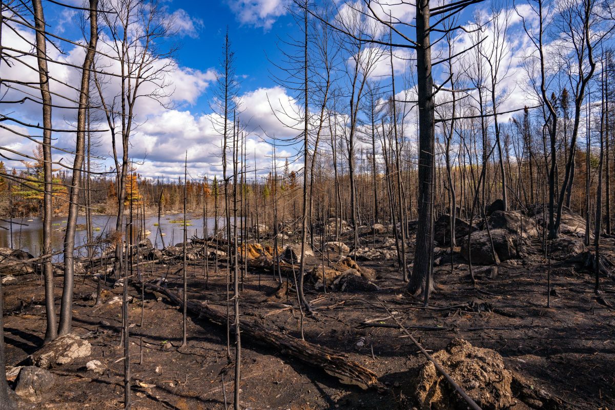
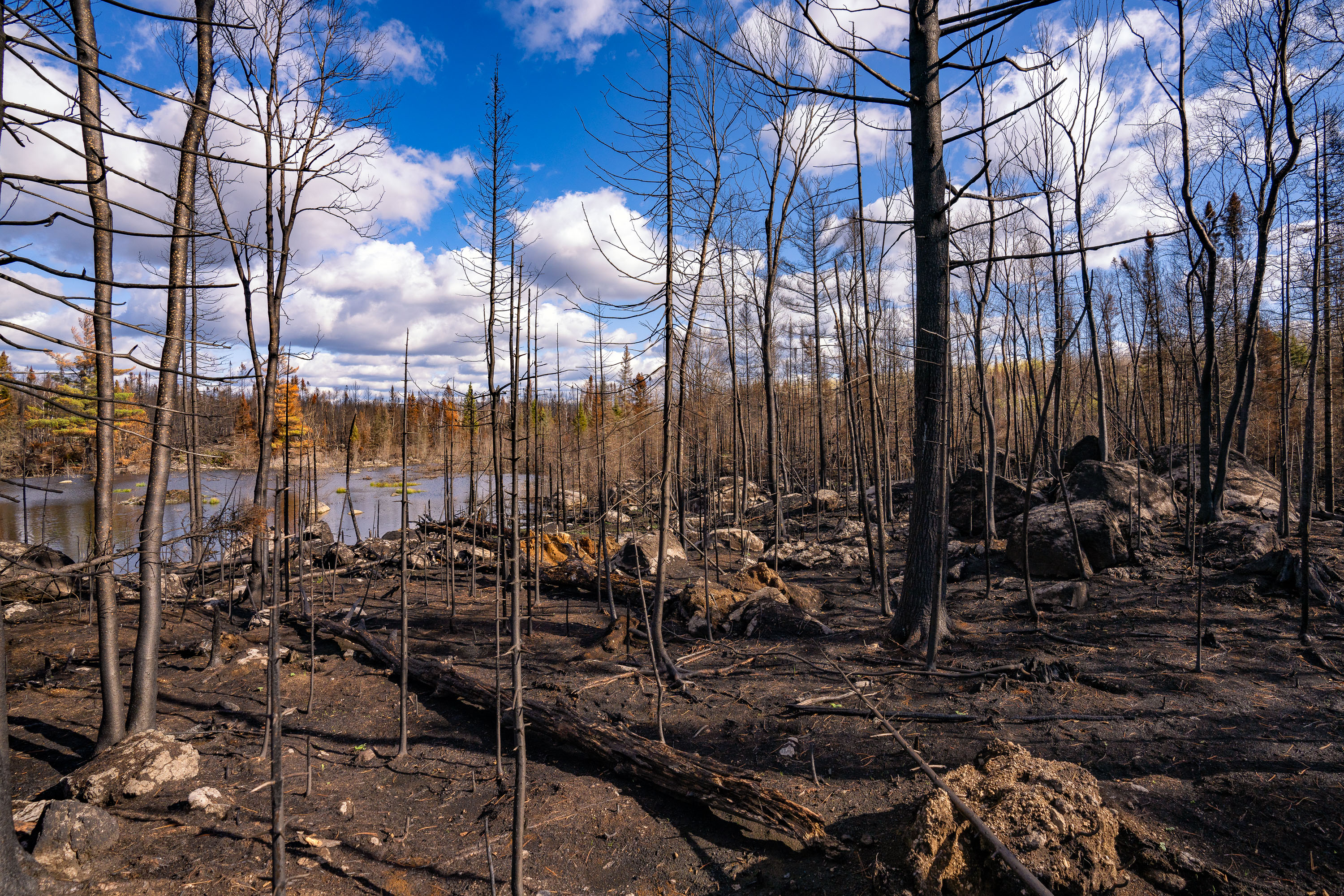
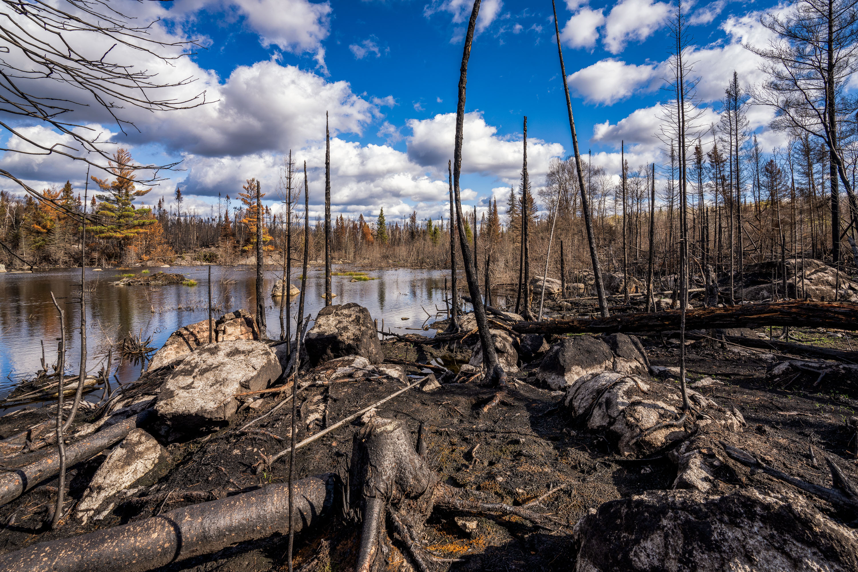
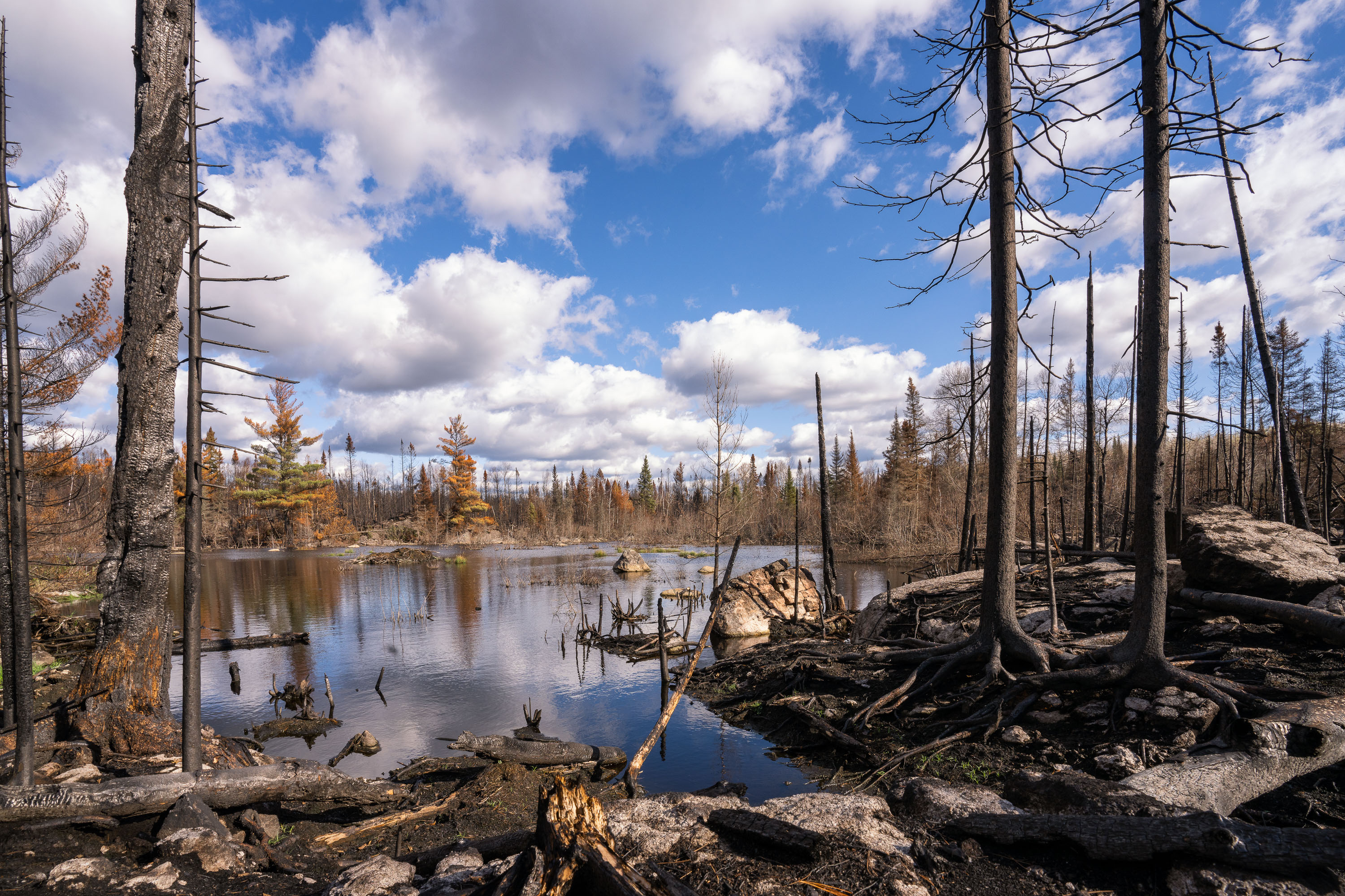
Greenwood Fire damage in Northern Minnesota
Within the closure zone of the Greenwood Fire that burned from August to September near Isabella, Minnesota in the Superior National Forest.

Burned forest after the Greenwood Fire
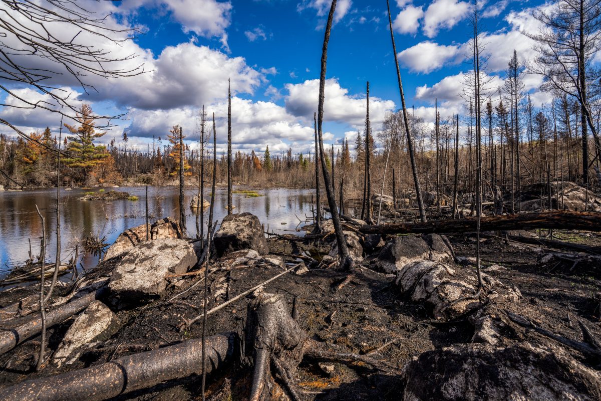
Greenwood Fire damage near Isabella, Minnesota
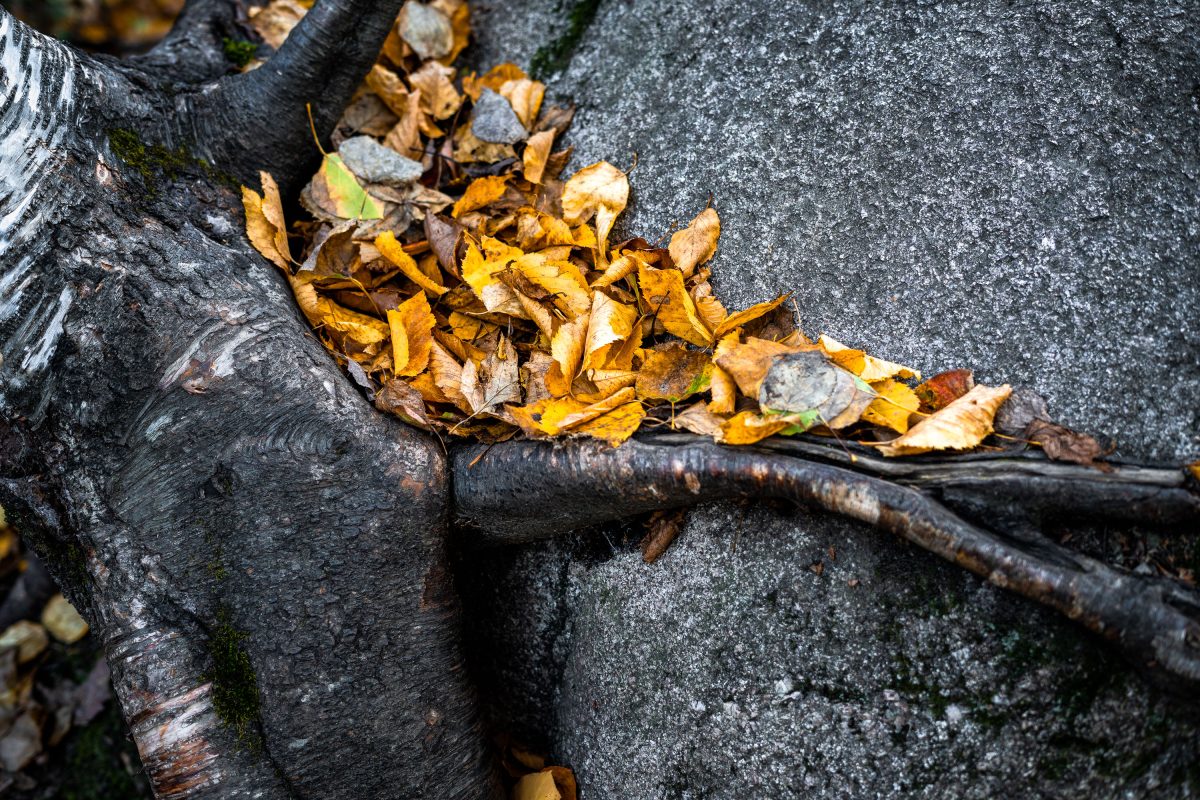
Within the closure zone of the Greenwood Fire that burned from August to September near Isabella, Minnesota in the Superior National Forest.

Greenwood Fire damage near Isabella, Minnesota

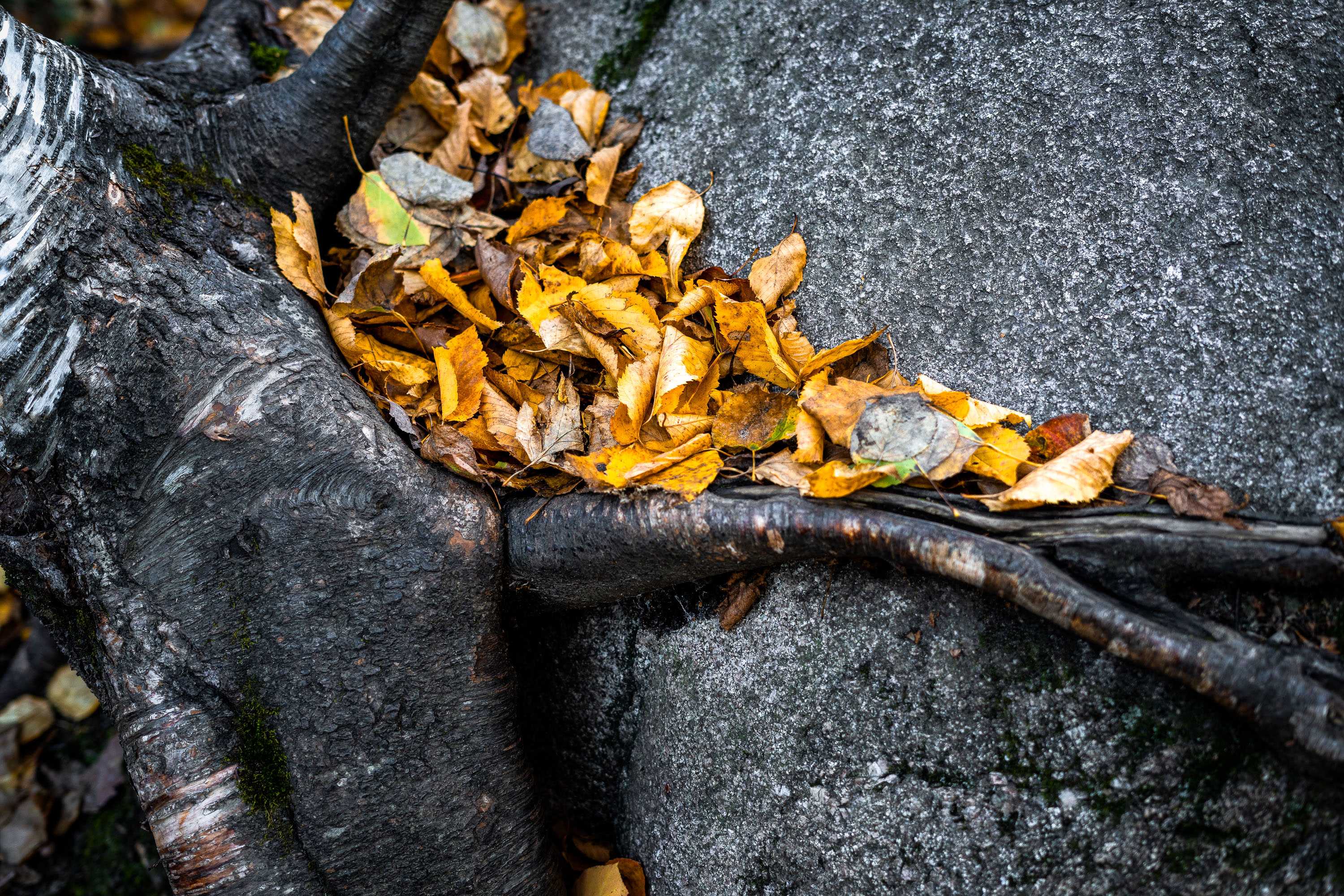
Leaves in the Superior National Forest, Northern Minnesota
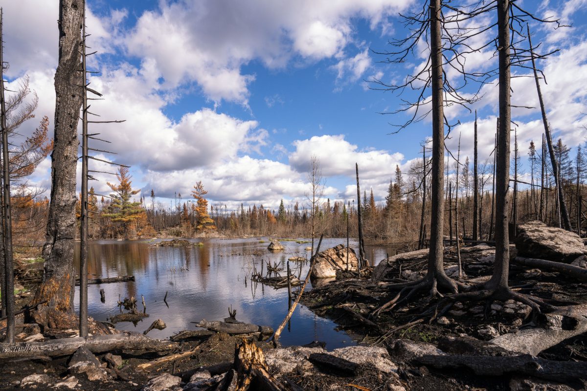
A rock with roots around it with fallen leaves near Ely, Minnesota.

Leaves in the Superior National Forest, Northern Minnesota

Burned trees in the Greenwood fire closure zone
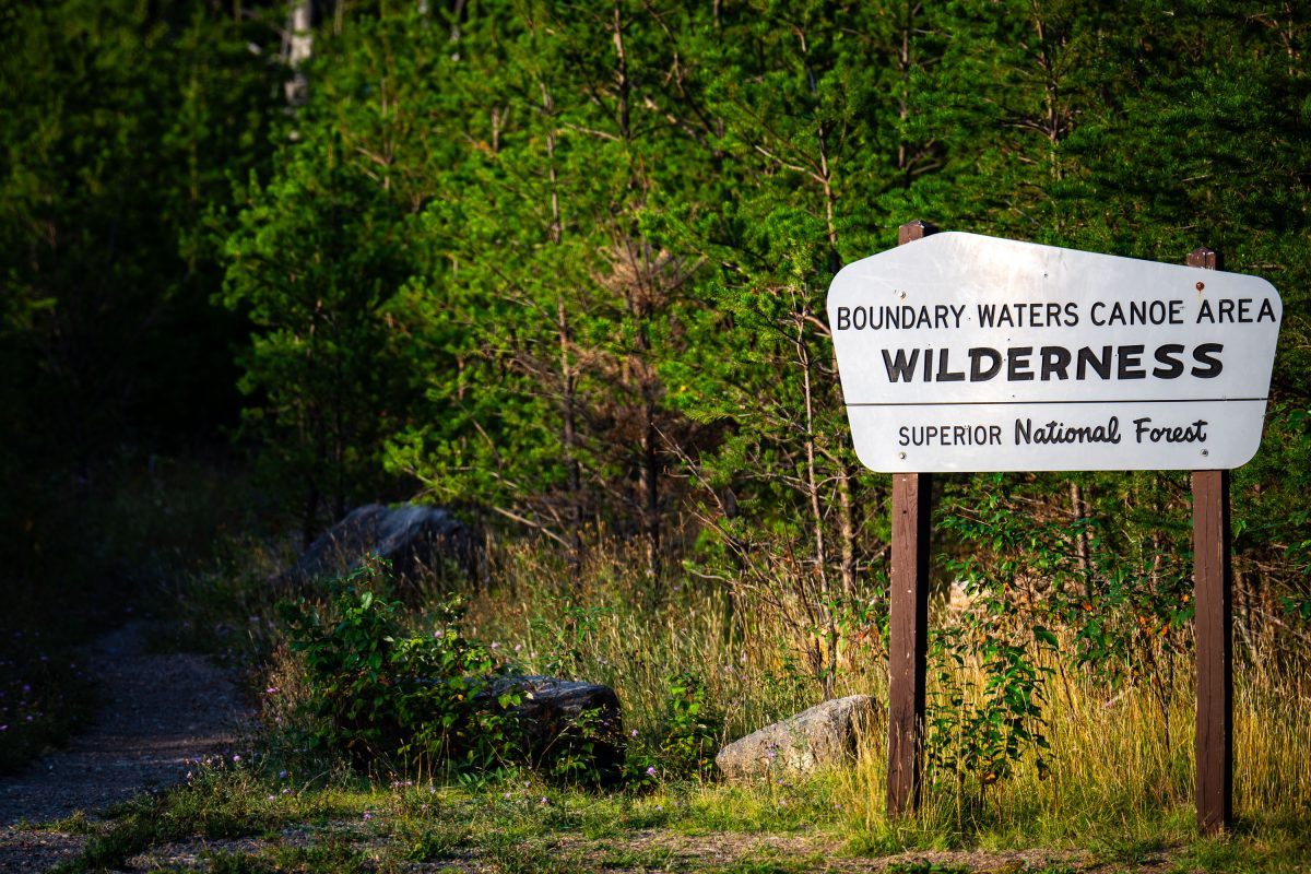
Within the closure zone of the Greenwood Fire that burned from August to September near Isabella, Minnesota in the Superior National Forest.

Burned trees in the Greenwood fire closure zone

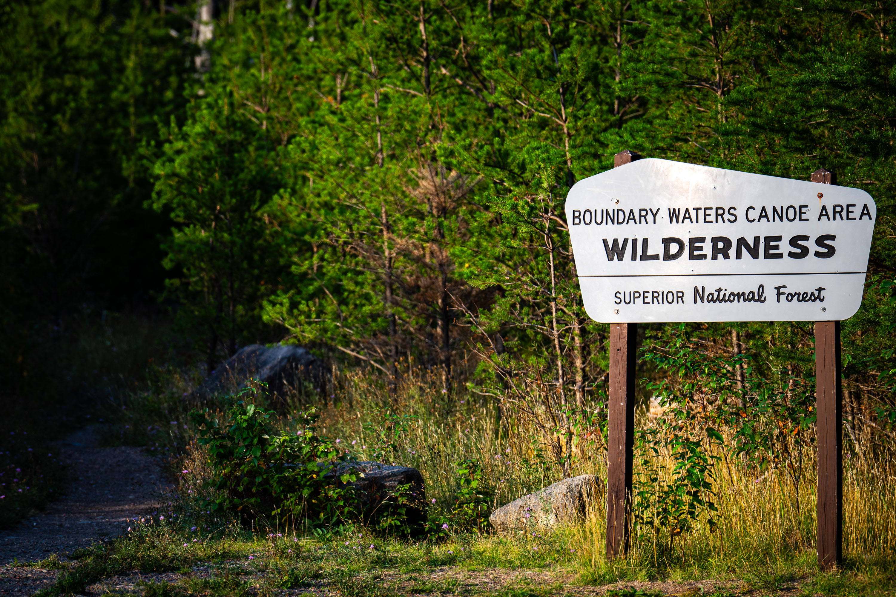
Boundary Waters Canoe Area Wilderness Superior National Forest Sign
A Boundary Waters Canoe Area Wilderness sign in the Superior National Forest.

BWCA SNF Sign in Minnesota

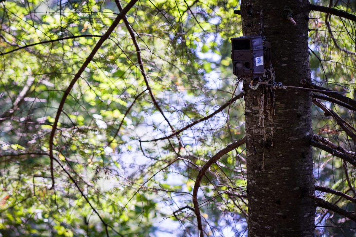
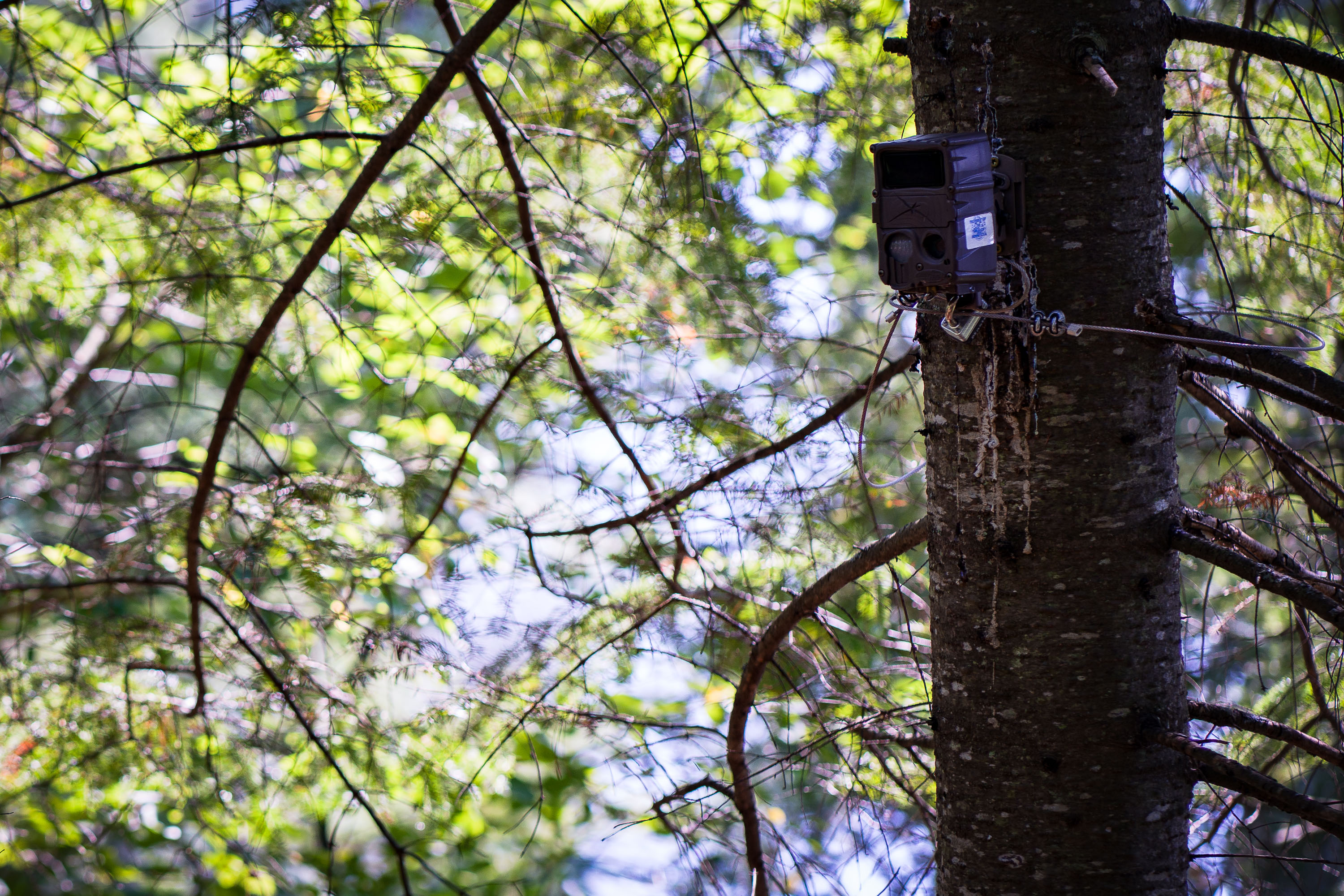
Trail cam in the Superior National Forest, Minnesota
A trail cam found in the Superior National Forest in Northern Minnesota.

Trail cam in the Superior National Forest, Minnesota

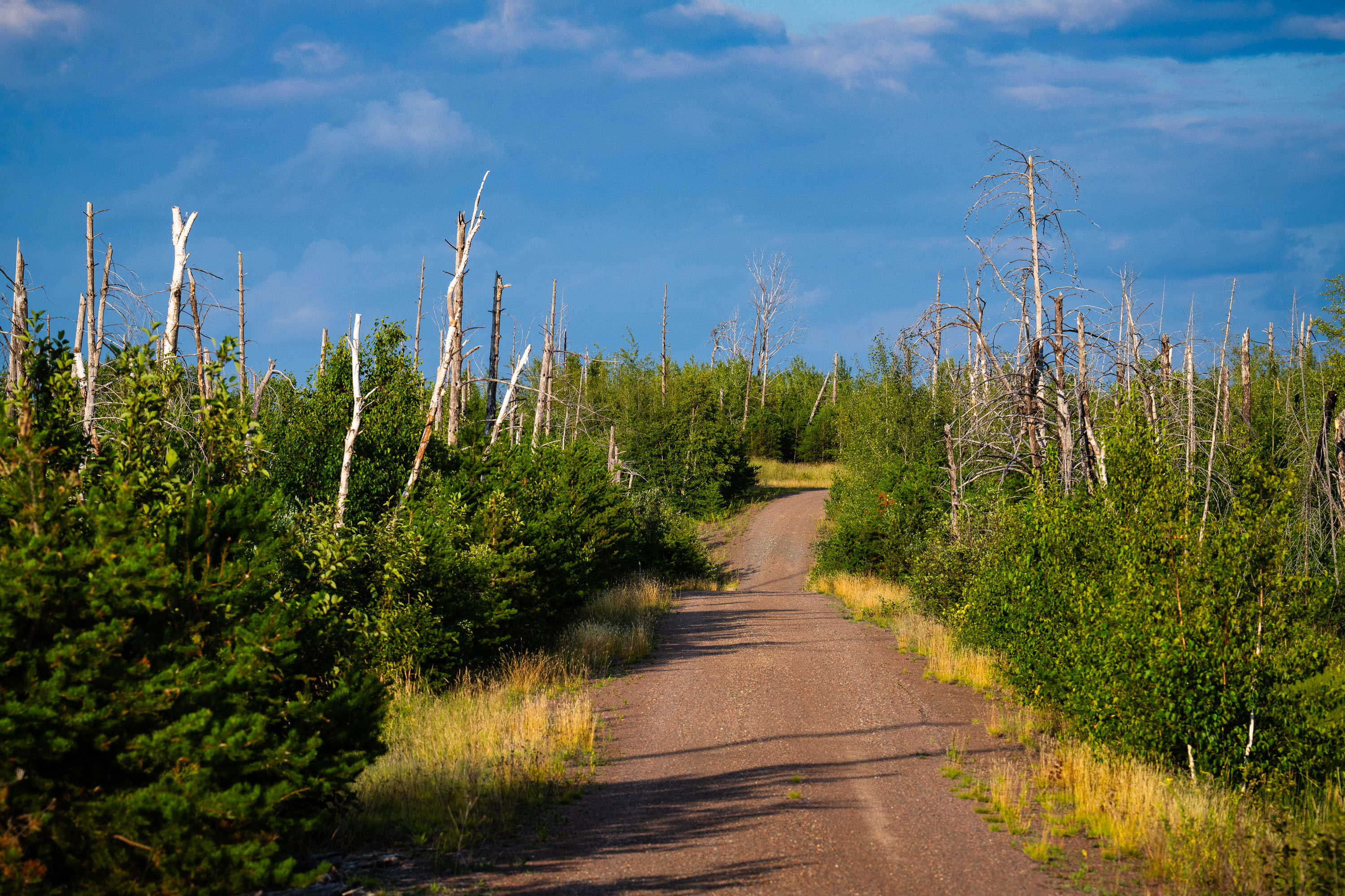
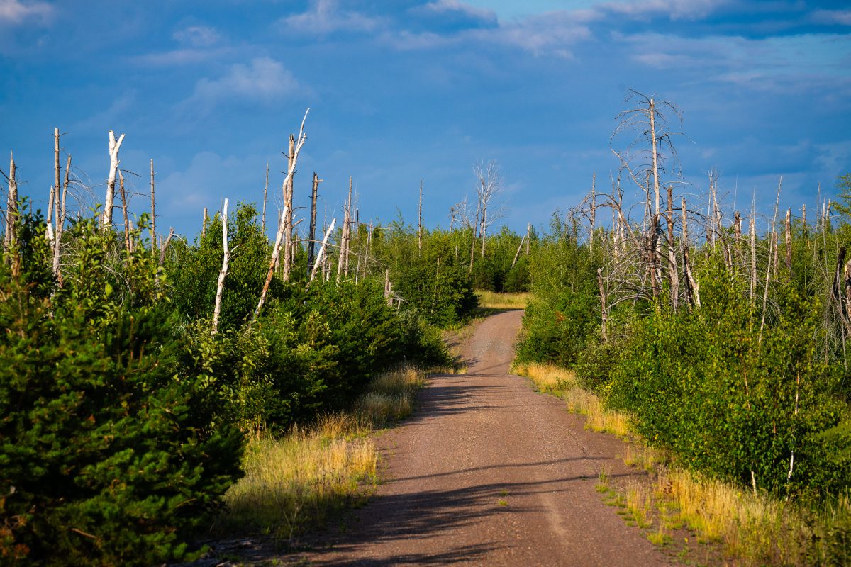
Dirt road through recovering forest with charred tree trunks in Superior National Forest, Minnesota.
Tomahawk Road runs through the Superior National Forest near Isabella, Minnesota, within the area burned by the 2011 Pagami Creek Fire. Lightning sparked the fire in May of that year, and it stayed contained until a windstorm in early September pushed it across more than 36,000 hectares, making it the largest wildfire in Minnesota in over a century. The fire burned into the Boundary Waters Canoe Area Wilderness, killing mature stands of red and white pine. Forest Service crews have since studied the event as a case of extreme fire behavior driven by drought and high winds.

Tomahawk Road, Pagami Creek Burn Area, Superior National Forest
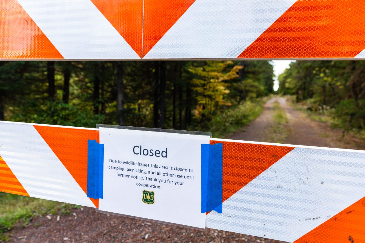
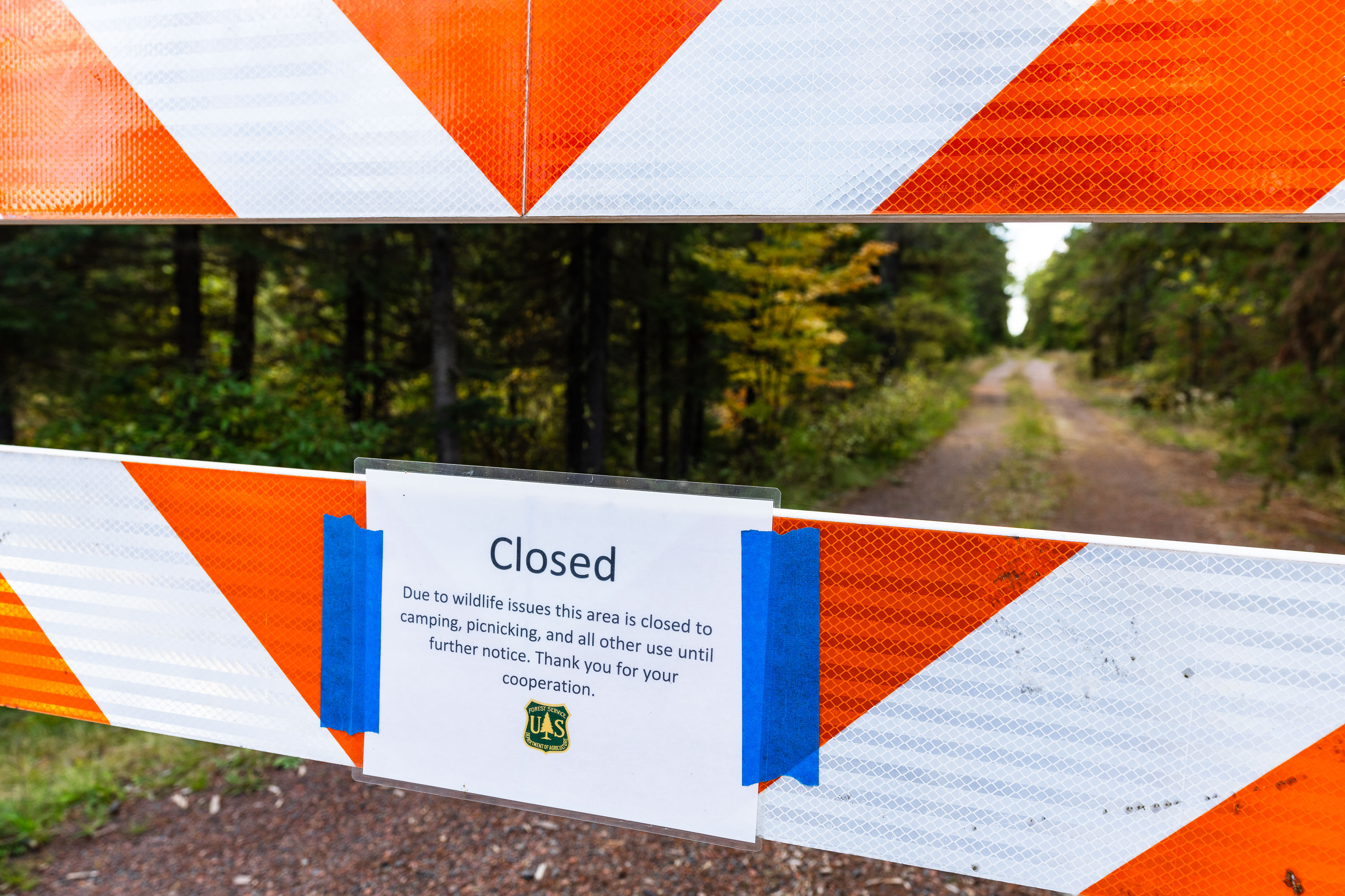
US Forest Service closure notice in Minnesota
"Due to wildlife issues this area is closed to camping, picnicking, and all other use until further notice. Thank you for your cooperation."

Road closure in Superior National Forest, September 2022
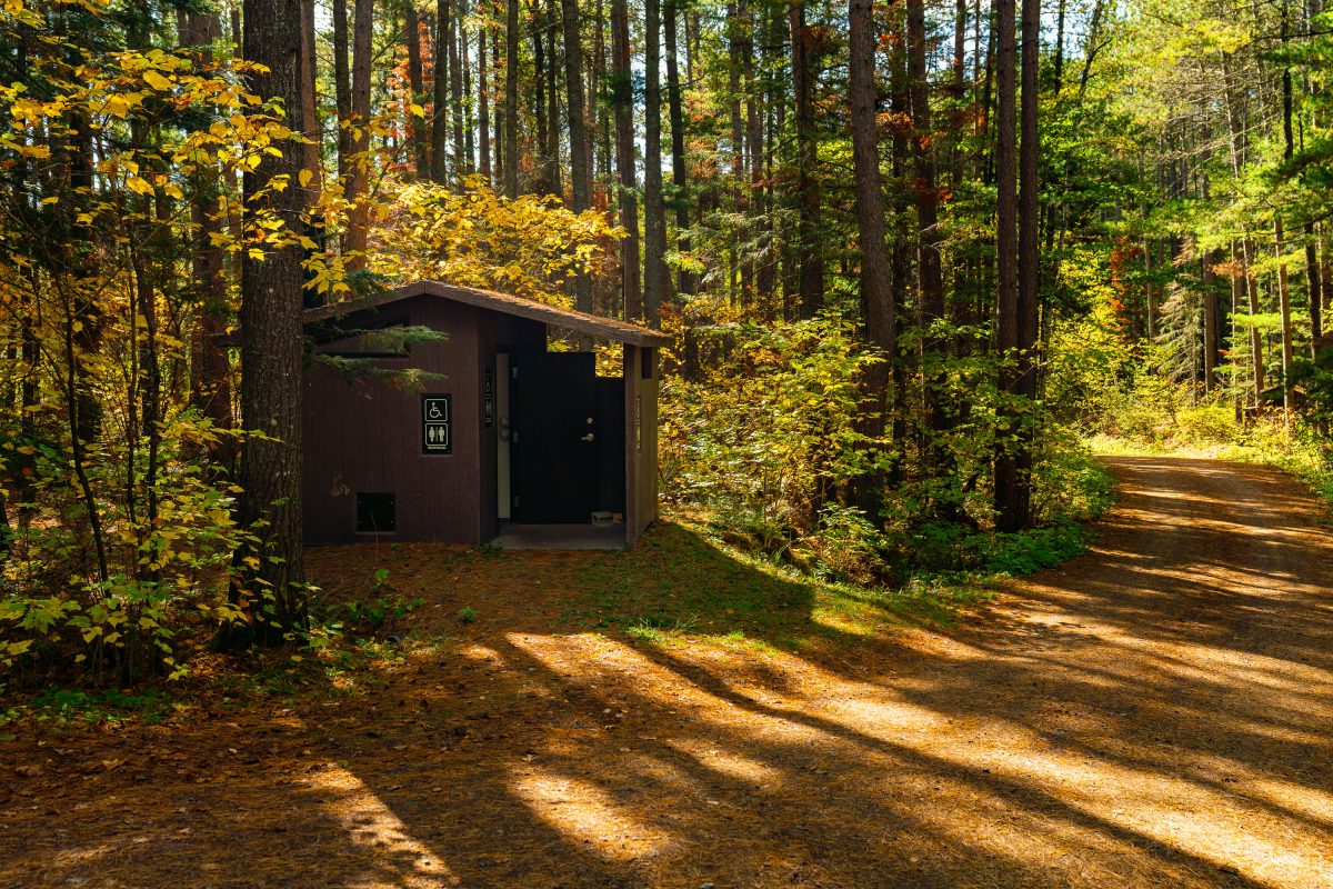
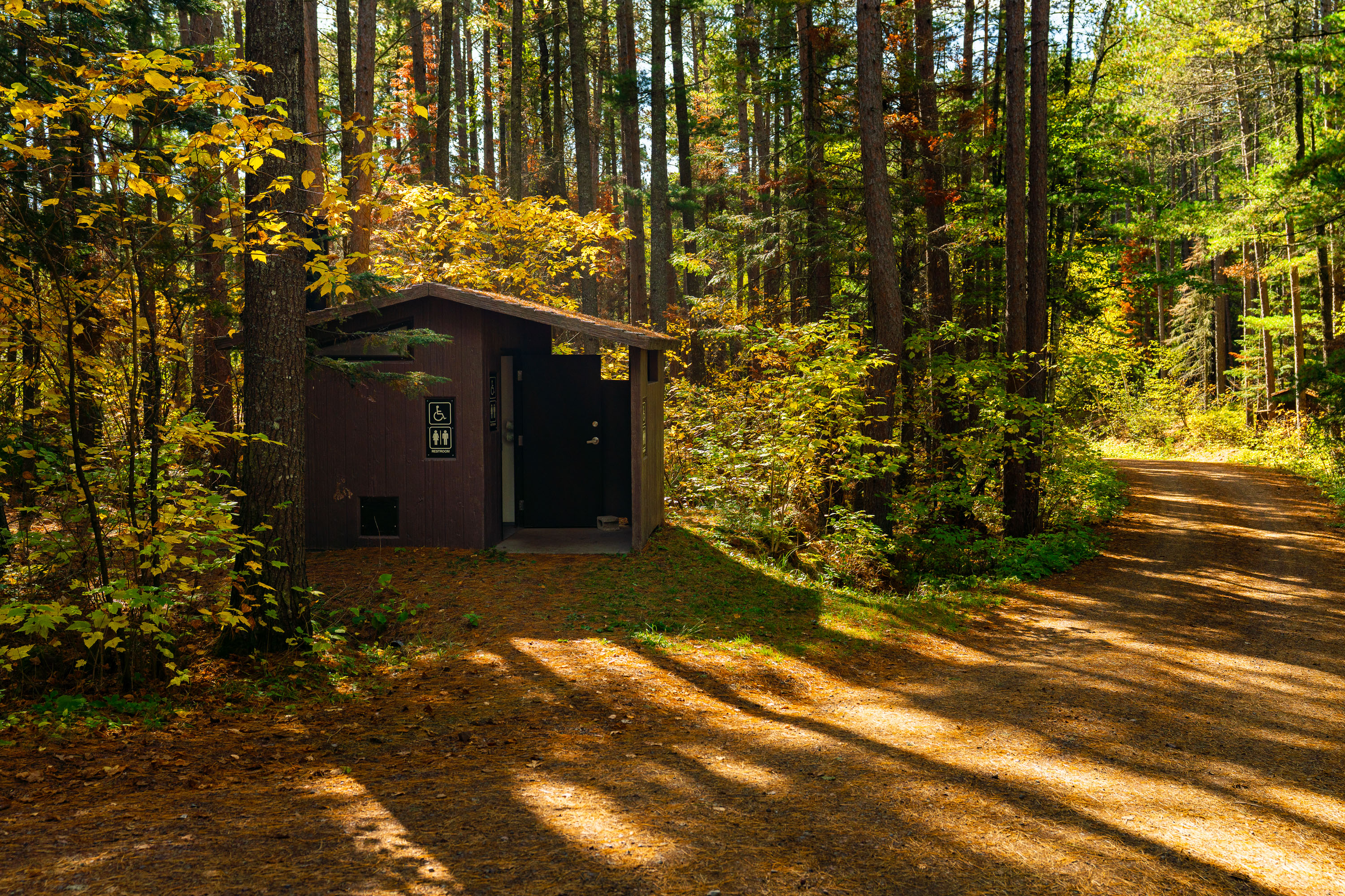
Baker Lake Campground Restrooms in Superior National Foresst
Outhouse at the Baker Lake Campground in the Superior National Forest.

Baker Lake Campground Restrooms in Superior National Foresst

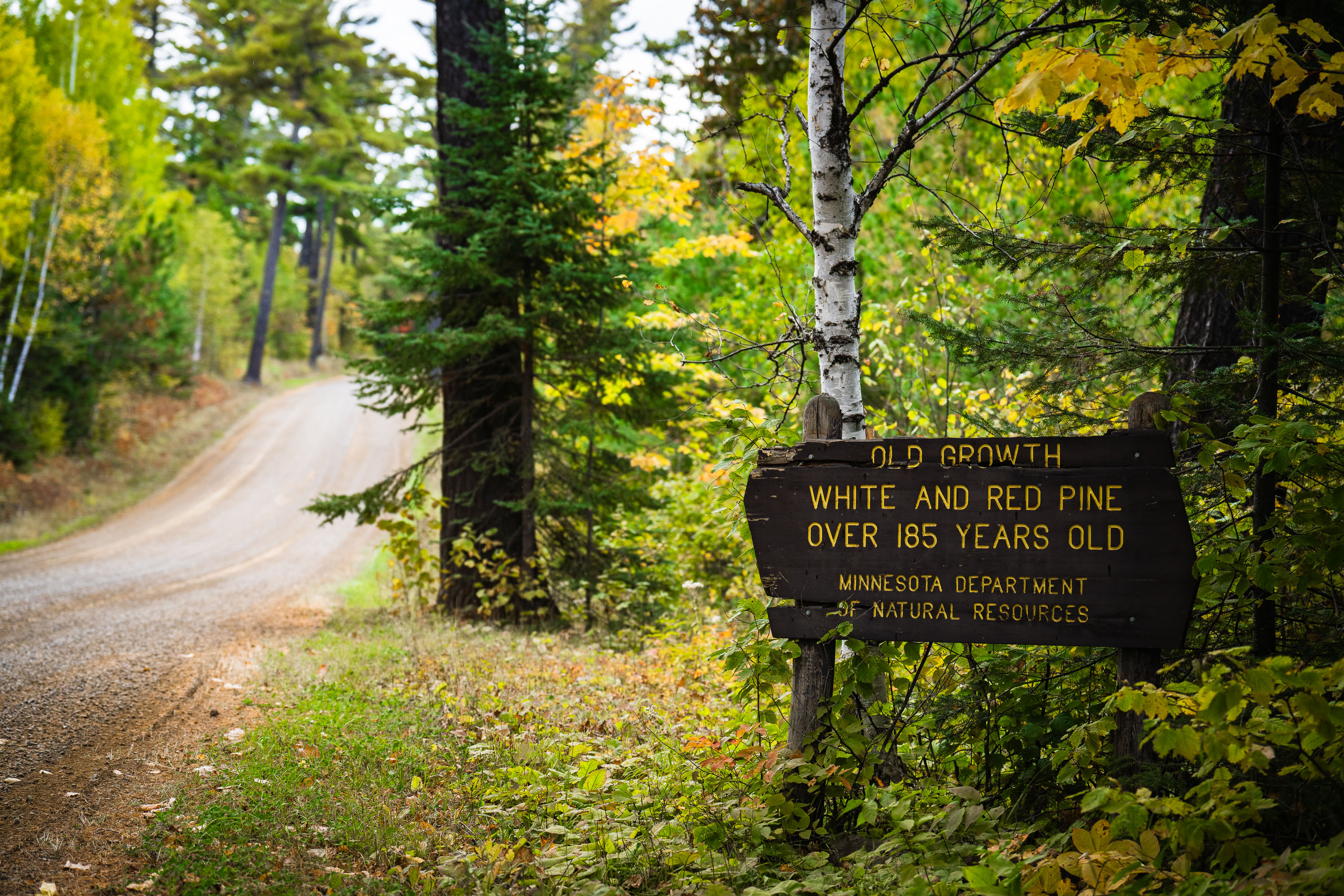
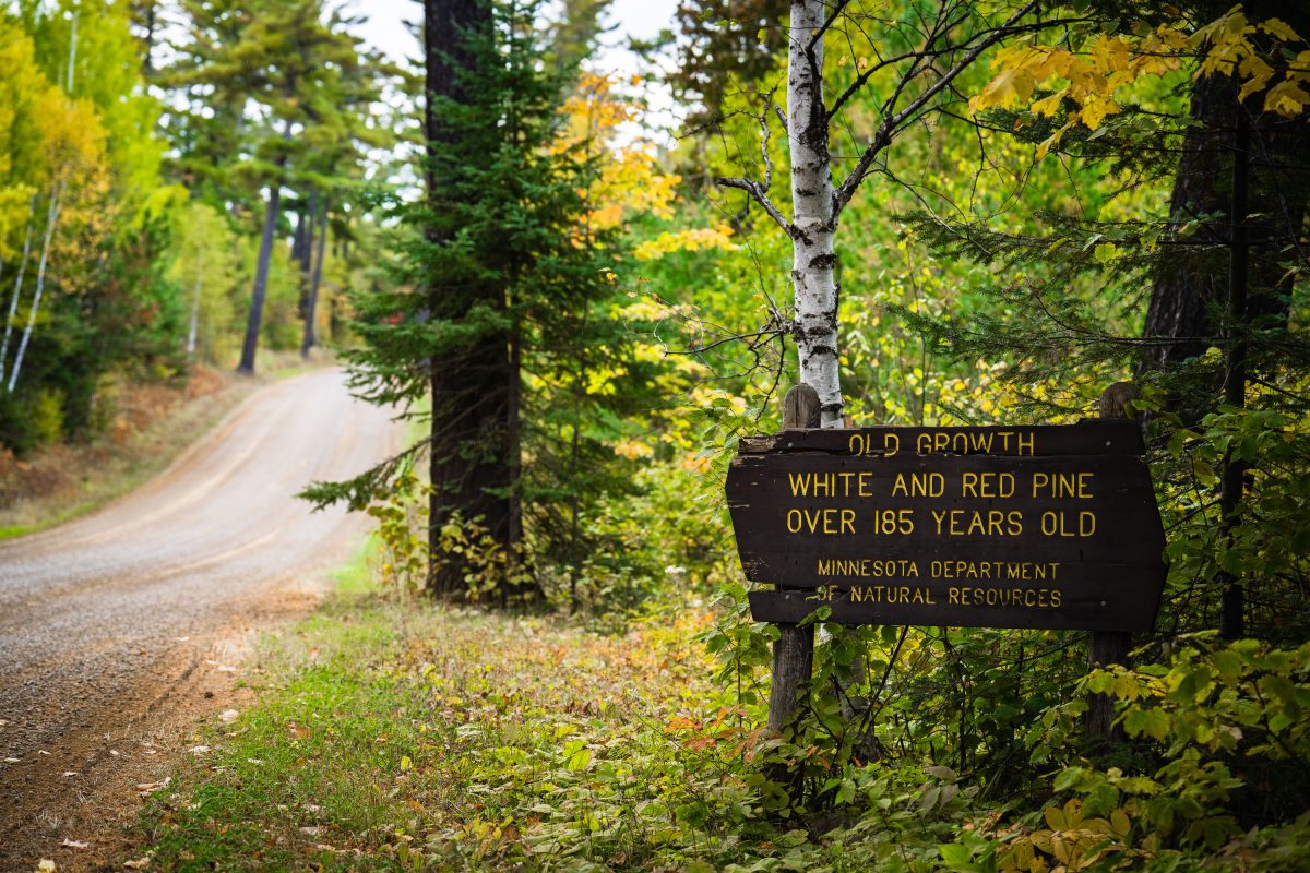
Old growth trees sign from the Minnesota Dept of Natural Resources
"Old growth white and red pine over 185 years old. Minnesota department of natural resources".

Old Growth Trees Sign in Minnesota

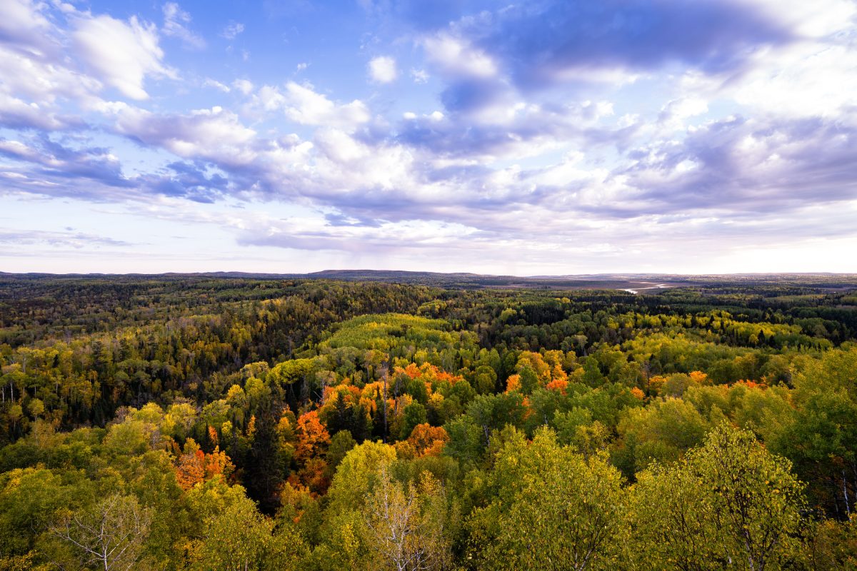
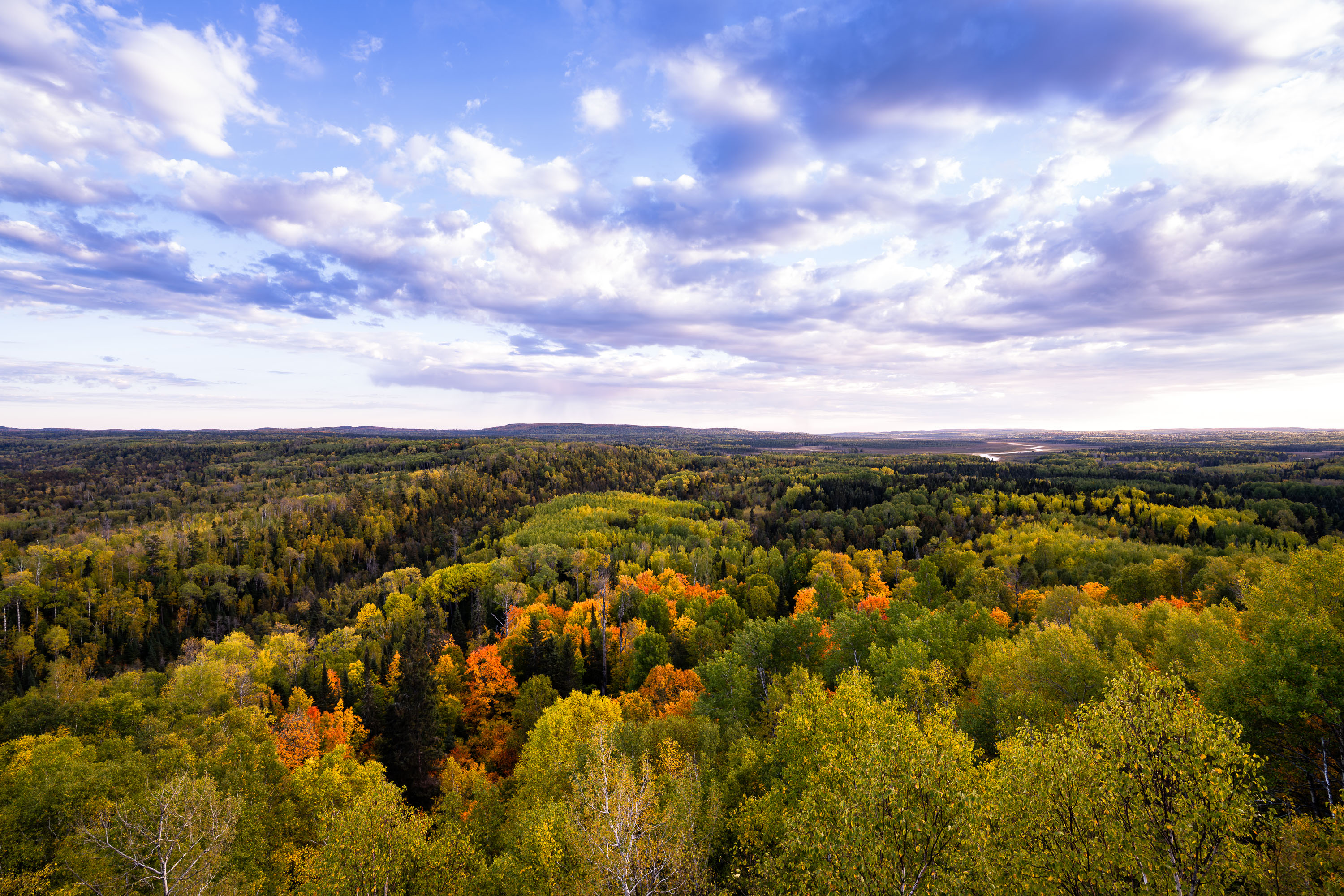
Autumn foliage colors the tree canopy of Superior National Forest in northeastern Minnesota.
Superior National Forest spans roughly 3 million acres across northeastern Minnesota, established in 1909 and managed by the U.S. Forest Service. It encloses the Boundary Waters Canoe Area Wilderness, more than a million acres of interconnected lakes and forest popular with canoeists. Aspen, birch, and pine make up much of its mixed hardwood-conifer cover, turning gold and orange each autumn. The forest holds over 2,000 miles of undeveloped shoreline, among the longest such stretches in the country.

Autumn Colors Over Superior National Forest, Minnesota
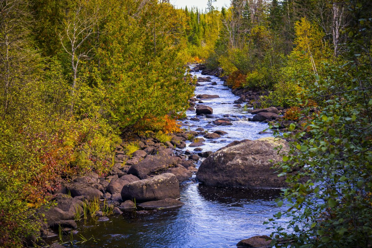
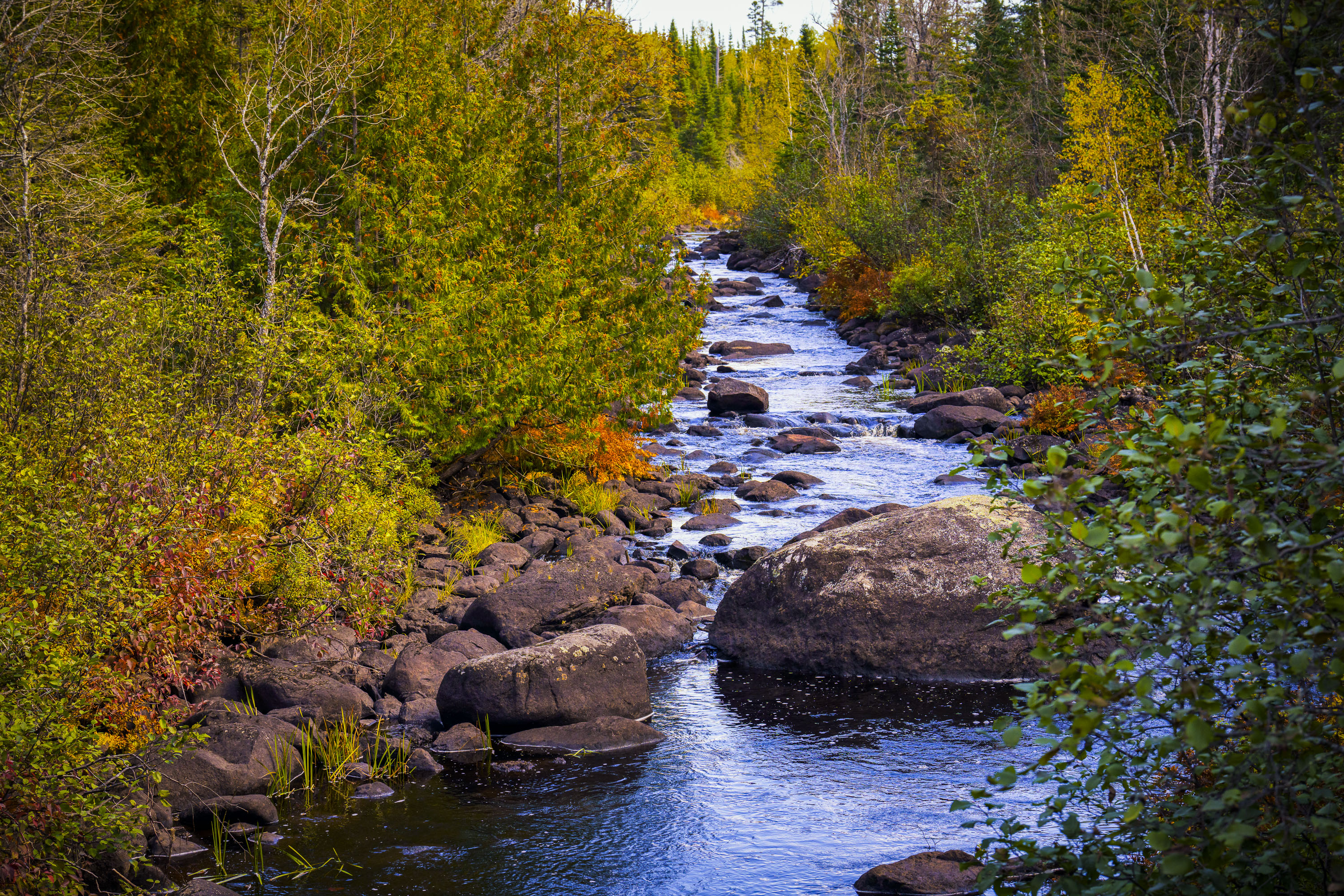
Temperance River flows through golden autumn foliage in Superior National Forest, Minnesota.
The Temperance River runs roughly 22 miles from its origin near the Laurentian Divide to Lake Superior, dropping through a series of potholes and gorges carved into volcanic rock along the way. It's one of the few rivers on Minnesota's North Shore with no sandbar at its mouth, which is how it got its name — early voyageurs who charted the region's rivers by their sandbars, or lack of a "bar," reportedly gave this one a teetotaling nickname. The river and its surrounding old-growth cedar and pine stands sit within the Superior National Forest, which spans nearly three million acres across northeastern Minnesota. Cook County's stretch of the river includes sections popular with anglers seeking steelhead and brook trout during their seasonal runs.

Rocky Stretch of the Temperance River, Superior National Forest
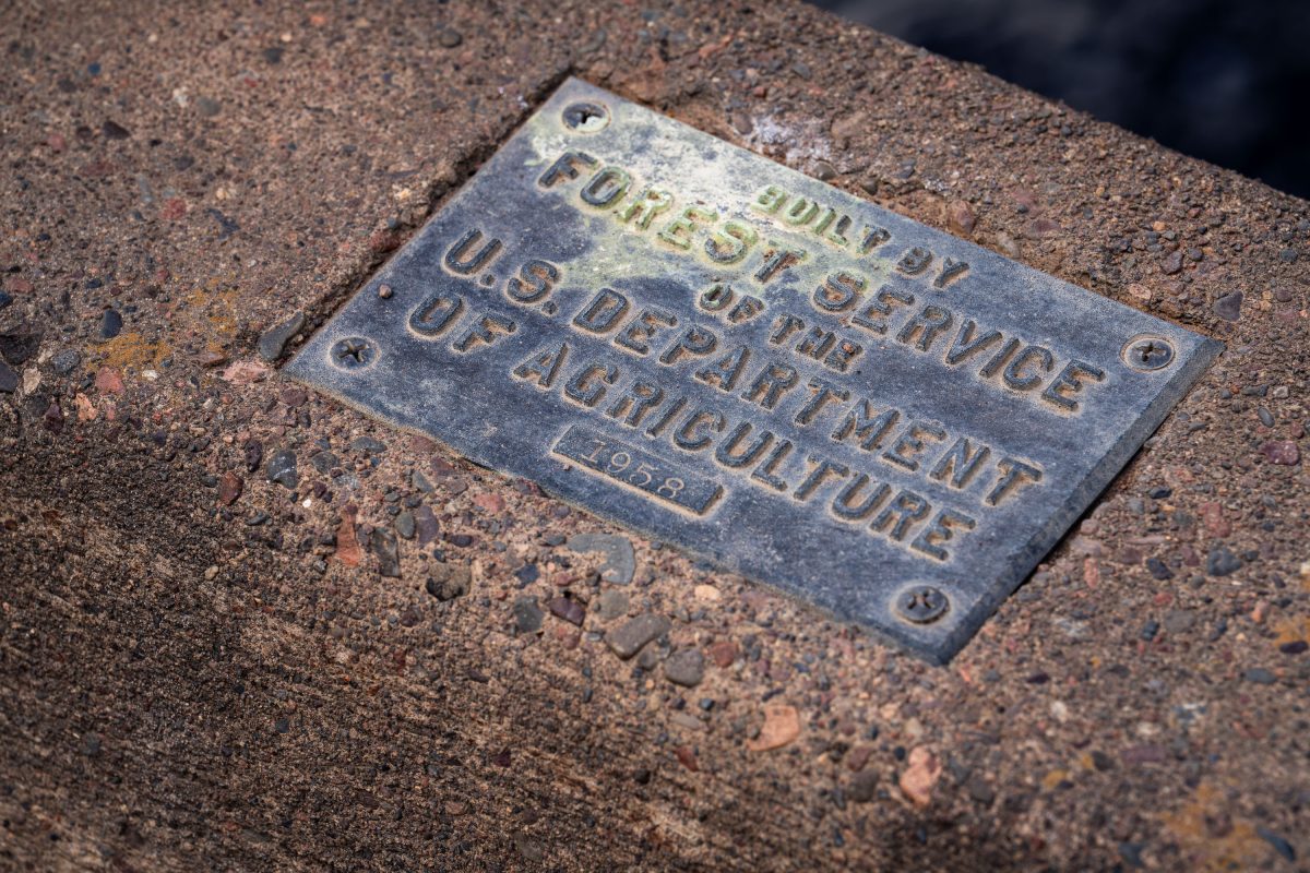
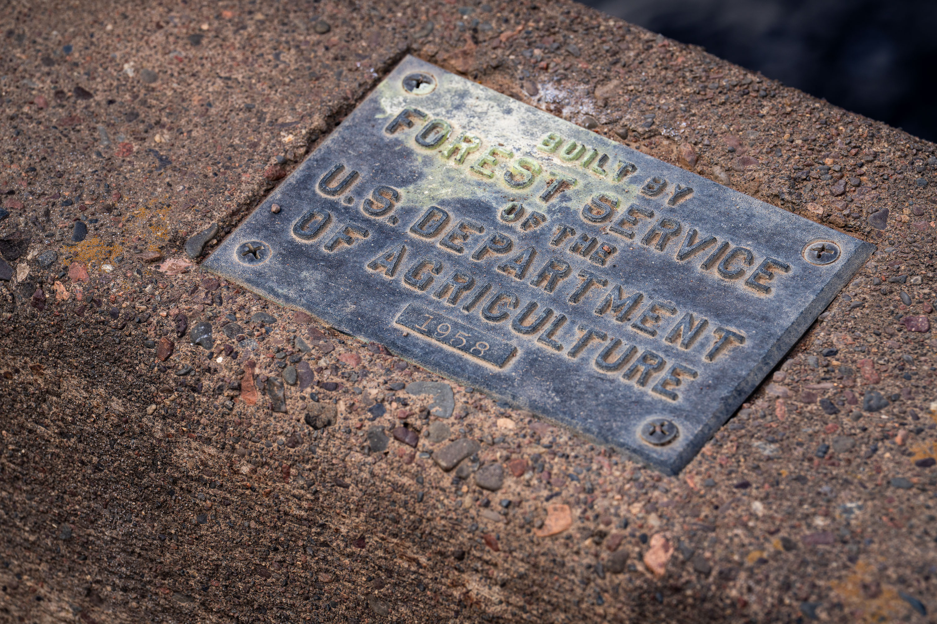
U.S. Forest Service plaque mounted on a bridge in Superior National Forest, Minnesota.
The U.S. Forest Service, part of the Department of Agriculture, builds and maintains bridges, culverts, and other infrastructure across the Superior National Forest in northeastern Minnesota. This plaque, dated 1958, marks one such structure from a decades-long program of forest road and bridge construction tied to logging access, fire management, and recreation. The Superior National Forest itself spans over three million acres and includes the Boundary Waters Canoe Area Wilderness. Forest Service builder's plaques like this one were standard practice for documenting agency construction projects, recording both the responsible agency and the year of completion.

1958 Forest Service Bridge Plaque, Superior National Forest
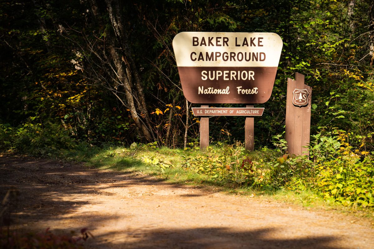
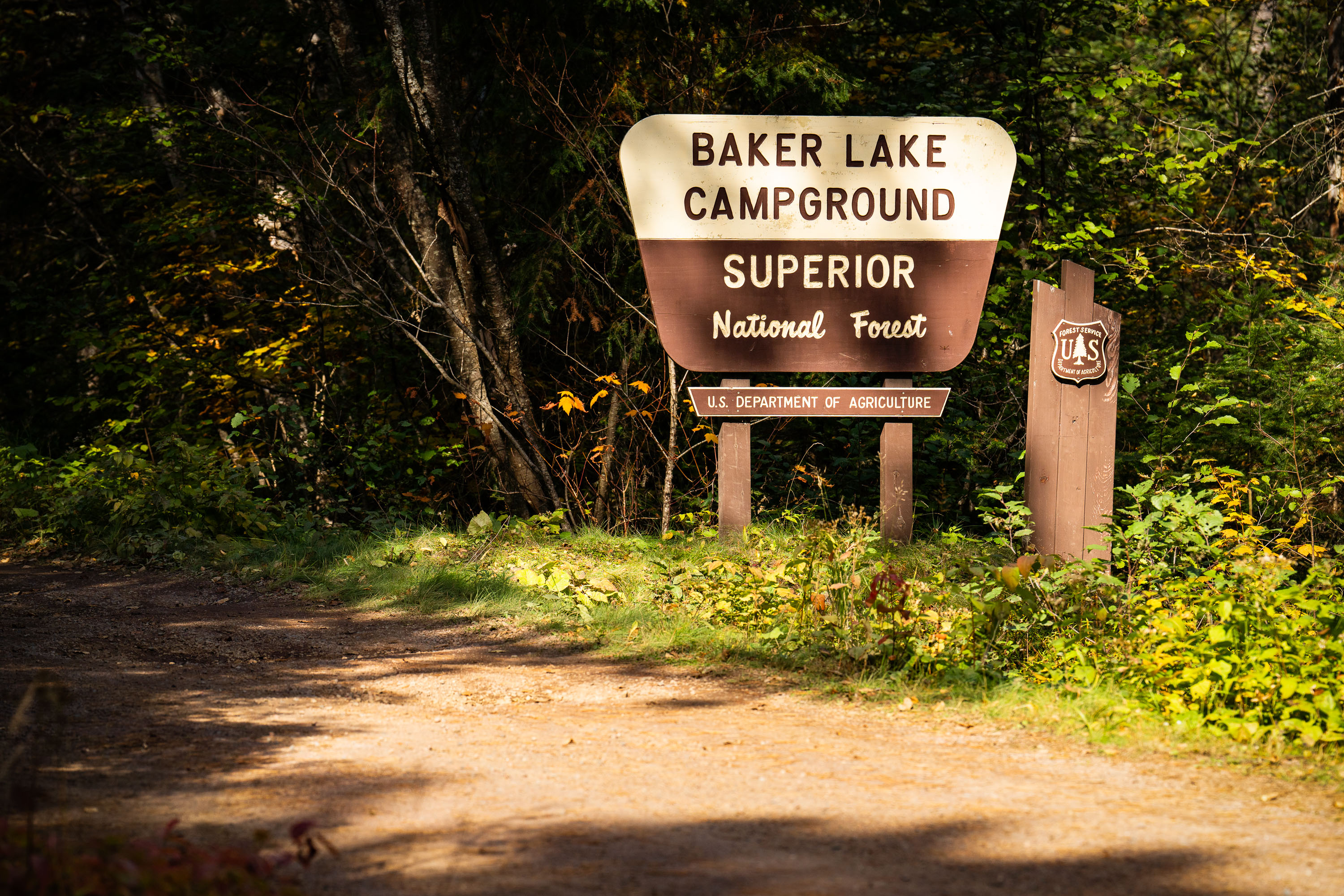
Baker Lake Campground sign in Superior National Forest, Minnesota, surrounded by forest.
Baker Lake Campground sits off the Sawbill Trail in Cook County, part of the Tofte Ranger District within the Superior National Forest. The U.S. Forest Service, an agency of the Department of Agriculture, maintains the site as a small, rustic campground with vault toilets and no electrical hookups. Its boat landing on Baker Lake serves as one of the entry points into the Boundary Waters Canoe Area Wilderness, giving paddlers direct access to the interior lake system. The surrounding forest is managed for multiple use, including timber, recreation, and wildlife habitat, under the Superior National Forest's broader stewardship of more than three million acres in northeastern Minnesota.

Baker Lake Campground Sign, Superior National Forest
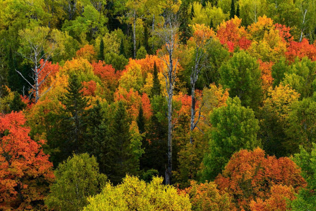
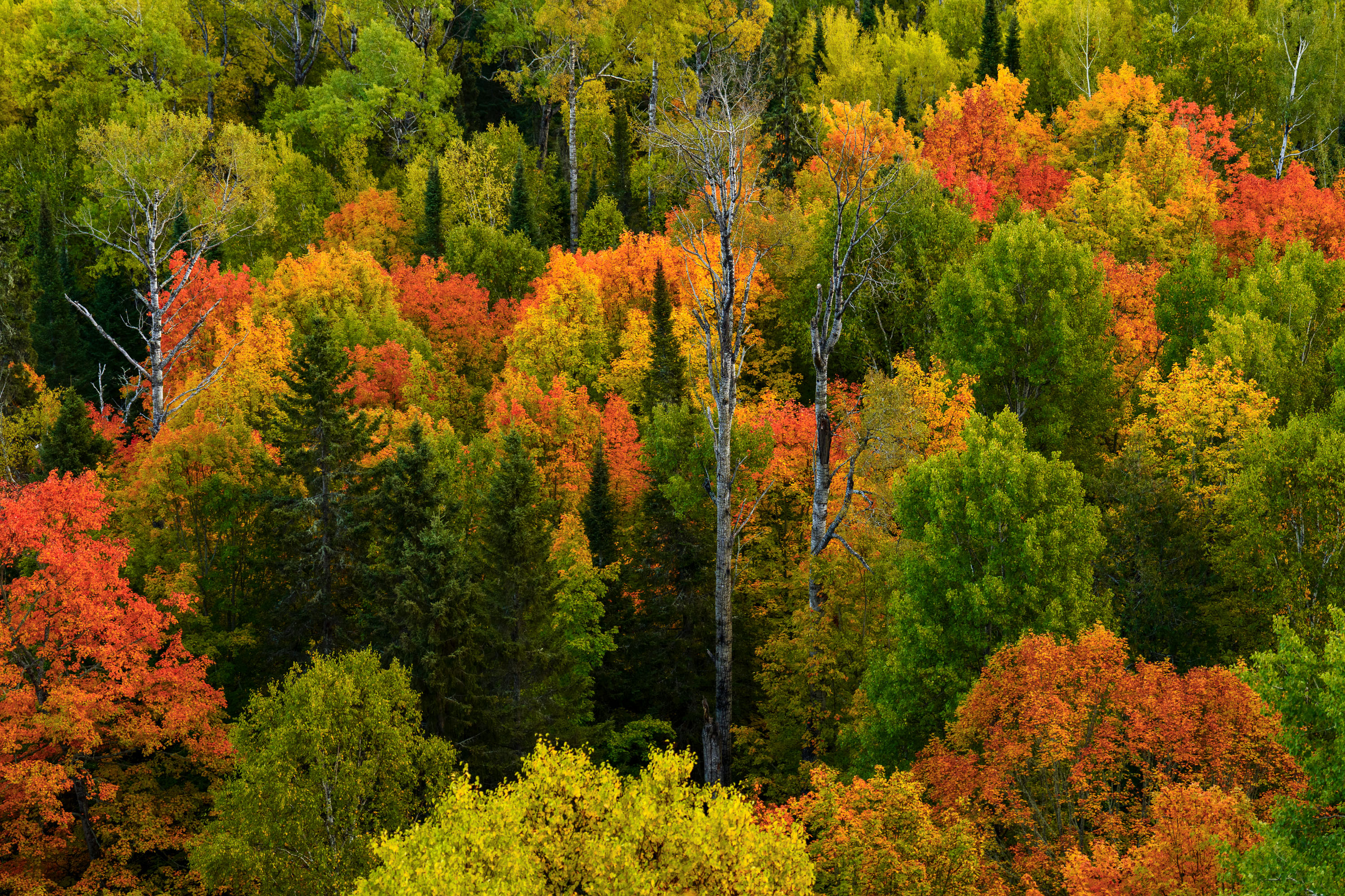
Mixed forest canopy in autumn with red, orange, and yellow deciduous trees among evergreens in Northern Minnesota.
Superior National Forest covers more than three million acres across northeastern Minnesota, including Cook County, and stands as Minnesota's largest national forest. The forest's canopy is a mix of birch, aspen, maple, and conifer species, a combination that produces a wide range of color change each autumn as hardwoods turn while pines and spruce stay green. Birch and aspen typically shift first, often in late September, while maples follow with reds and oranges. The forest is managed by the U.S. Forest Service and includes roughly 445,000 acres of the Boundary Waters Canoe Area Wilderness within its borders.

Mixed Hardwood Forest in Autumn, Superior National Forest
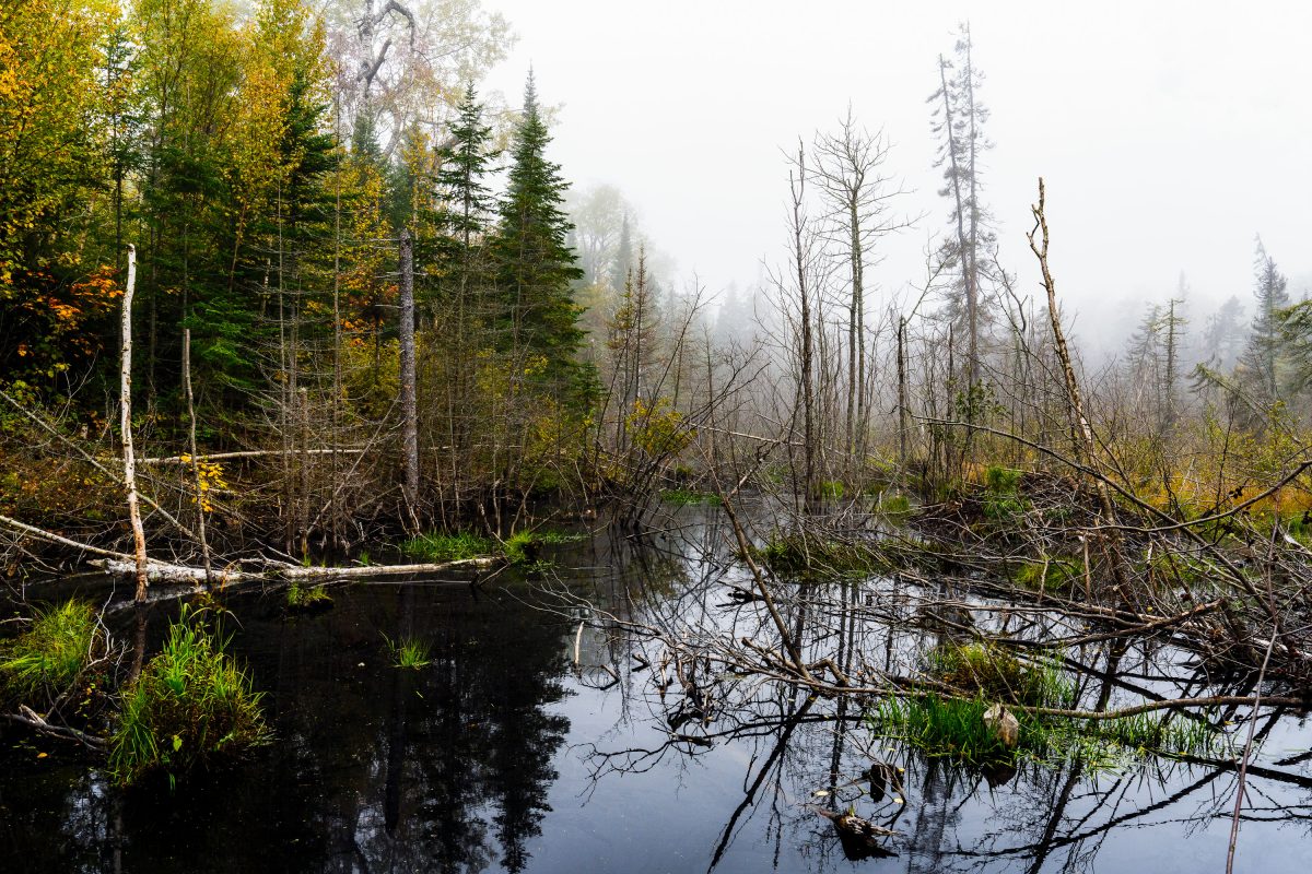
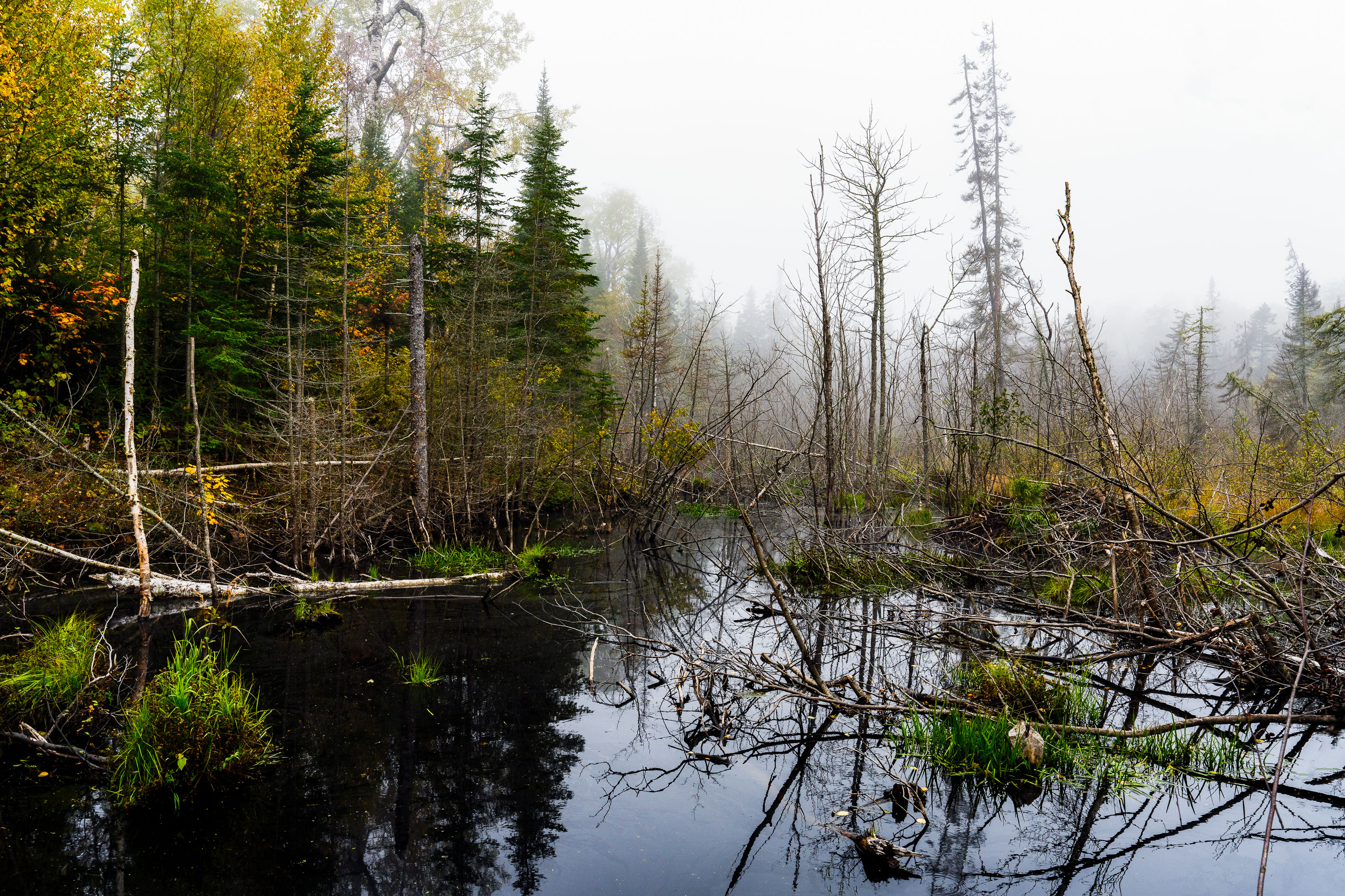
Flooded beaver wetland with standing dead trees near Shoe Lake Road in Superior National Forest, Minnesota.
Shoe Lake Road runs through the Superior National Forest in Cook County, Minnesota, near the edge of the Boundary Waters Canoe Area Wilderness. The surrounding forest is a mix of northern hardwoods and conifers, including birch, spruce, and balsam fir, typical of this part of the Superior National Forest. Beaver activity is common along the region's low-lying wetlands, where dammed water and downed trees create the shallow ponds and standing deadwood found throughout this stretch of forest. The area sits within the Laurentian Divide watershed, which separates drainage toward Lake Superior from waters flowing north toward Hudson Bay.

Beaver Pond Wetland Near Shoe Lake Road, Superior National Forest
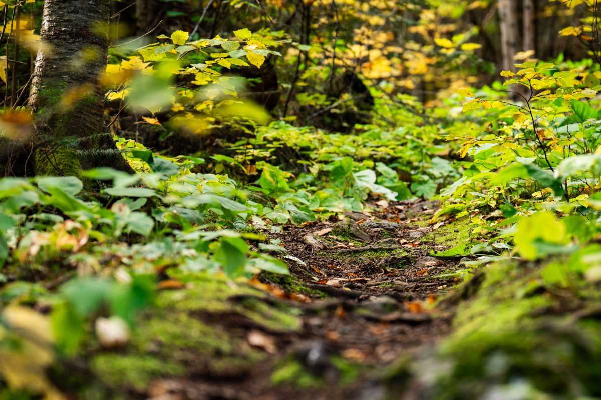
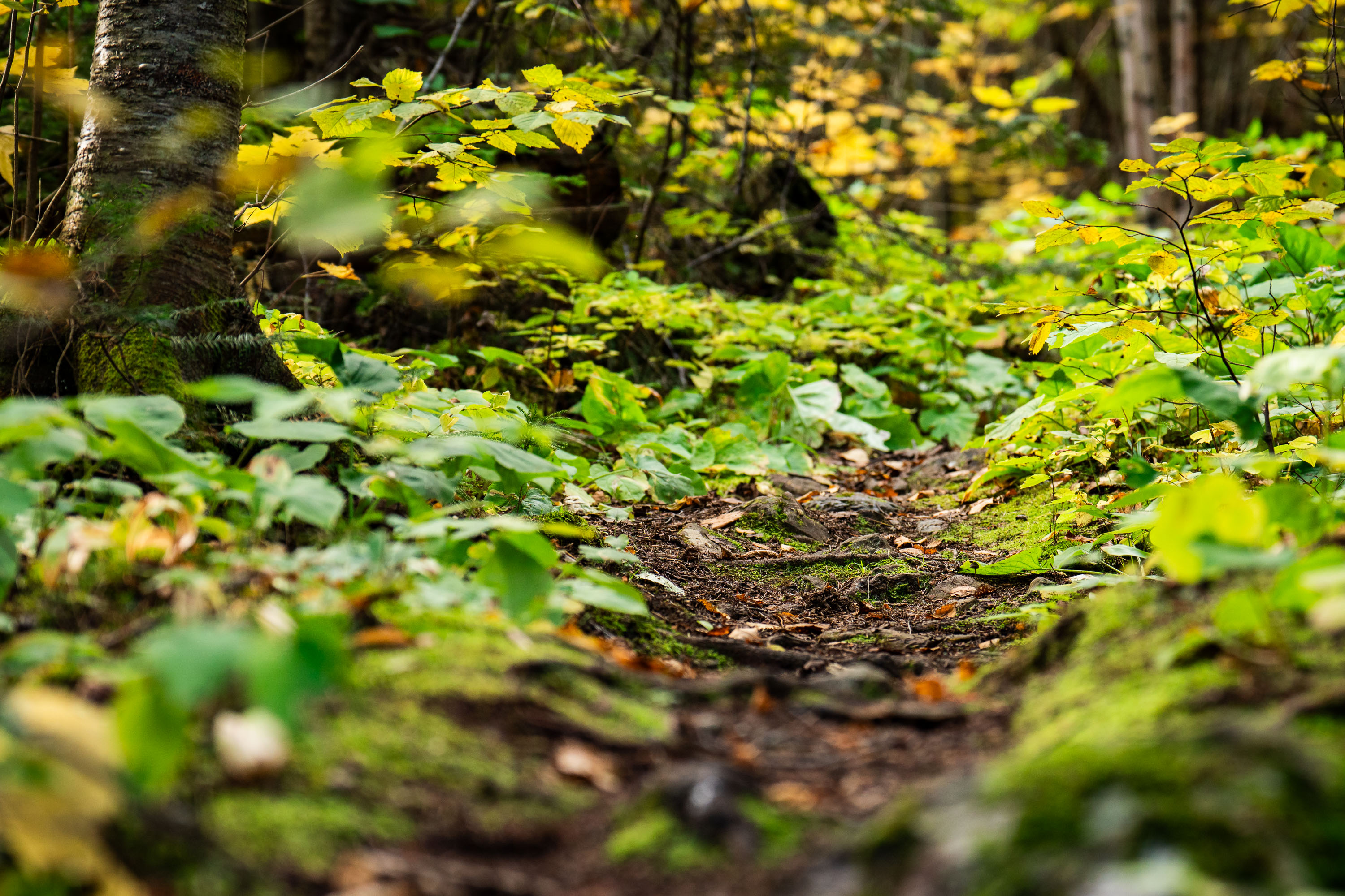
Dirt trail winds through dense underbrush and birch trees in Superior National Forest, Minnesota.
Superior National Forest covers roughly 3.9 million acres in northeastern Minnesota, managed by the U.S. Forest Service. It contains more than a million acres of lakes and streams, including the Boundary Waters Canoe Area Wilderness along its northern edge. The forest is dominated by boreal species such as birch, aspen, and various conifers, with understory plants like wood sorrel and ferns common along its trail systems. Established in 1909, it remains one of the most heavily visited wilderness areas in the country.

Forest Trail, Superior National Forest, Minnesota
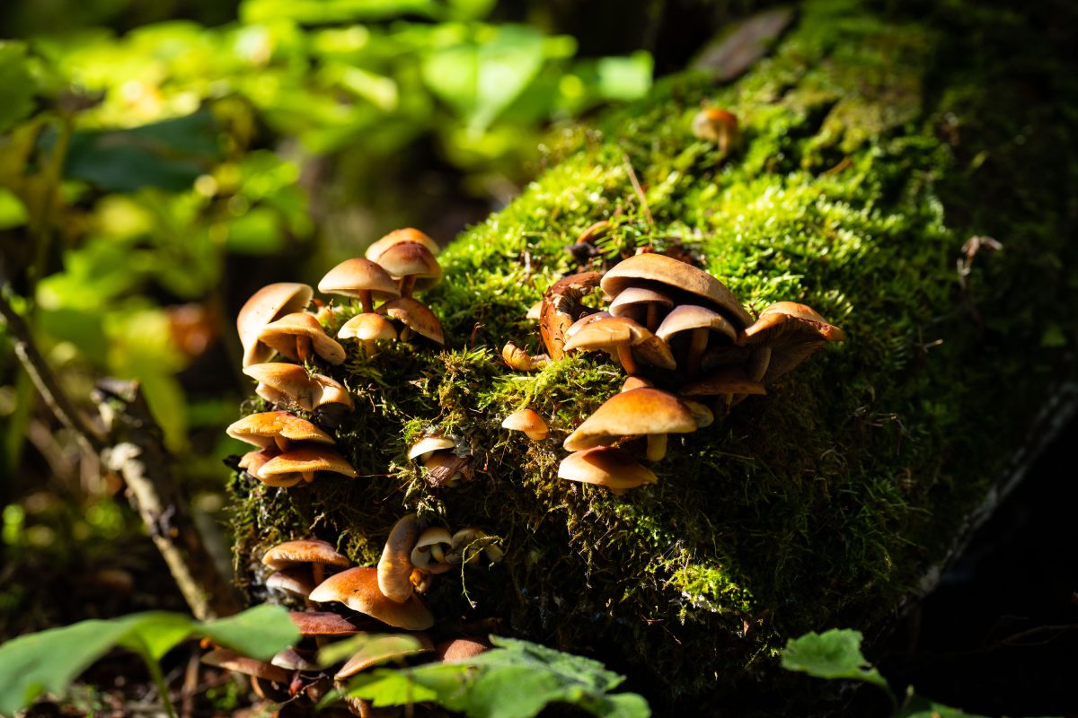
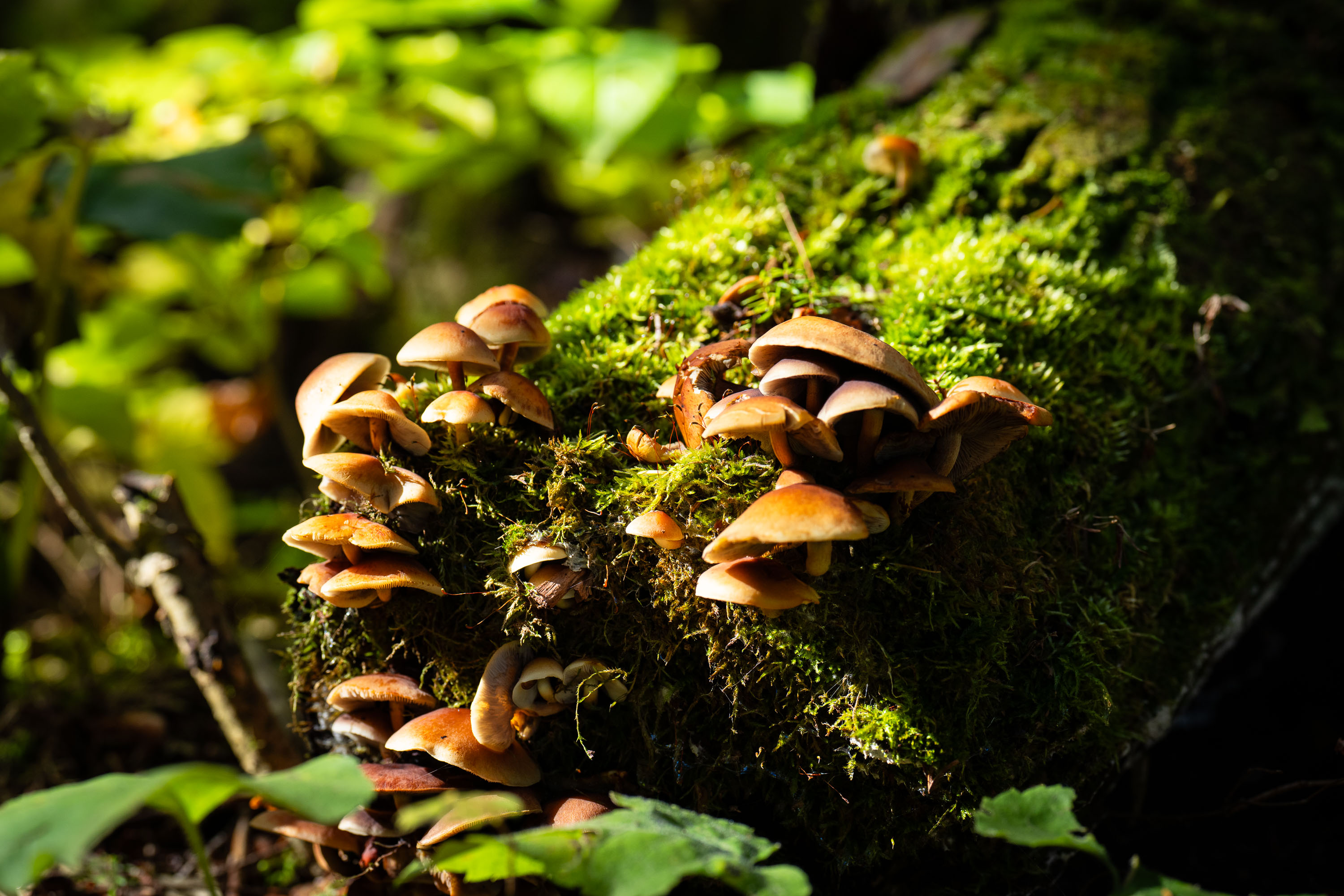
Cluster of gilled mushrooms growing on a moss-covered log in Superior National Forest, Minnesota.
Superior National Forest covers more than three million acres across northeastern Minnesota, bordering Canada along the Boundary Waters Canoe Area Wilderness. Fallen logs and decaying wood throughout the forest support clusters of gilled mushrooms, which break down cellulose and lignin as part of the forest's natural decomposition cycle. These fungi typically appear in fall, often growing in dense groups on moss-covered deadwood.

Wild Mushroom Cluster on Log, Superior National Forest
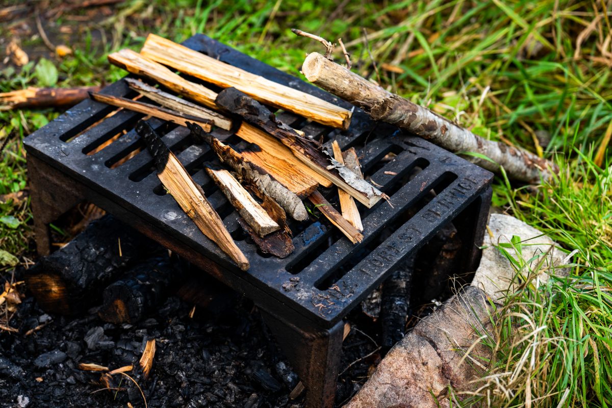
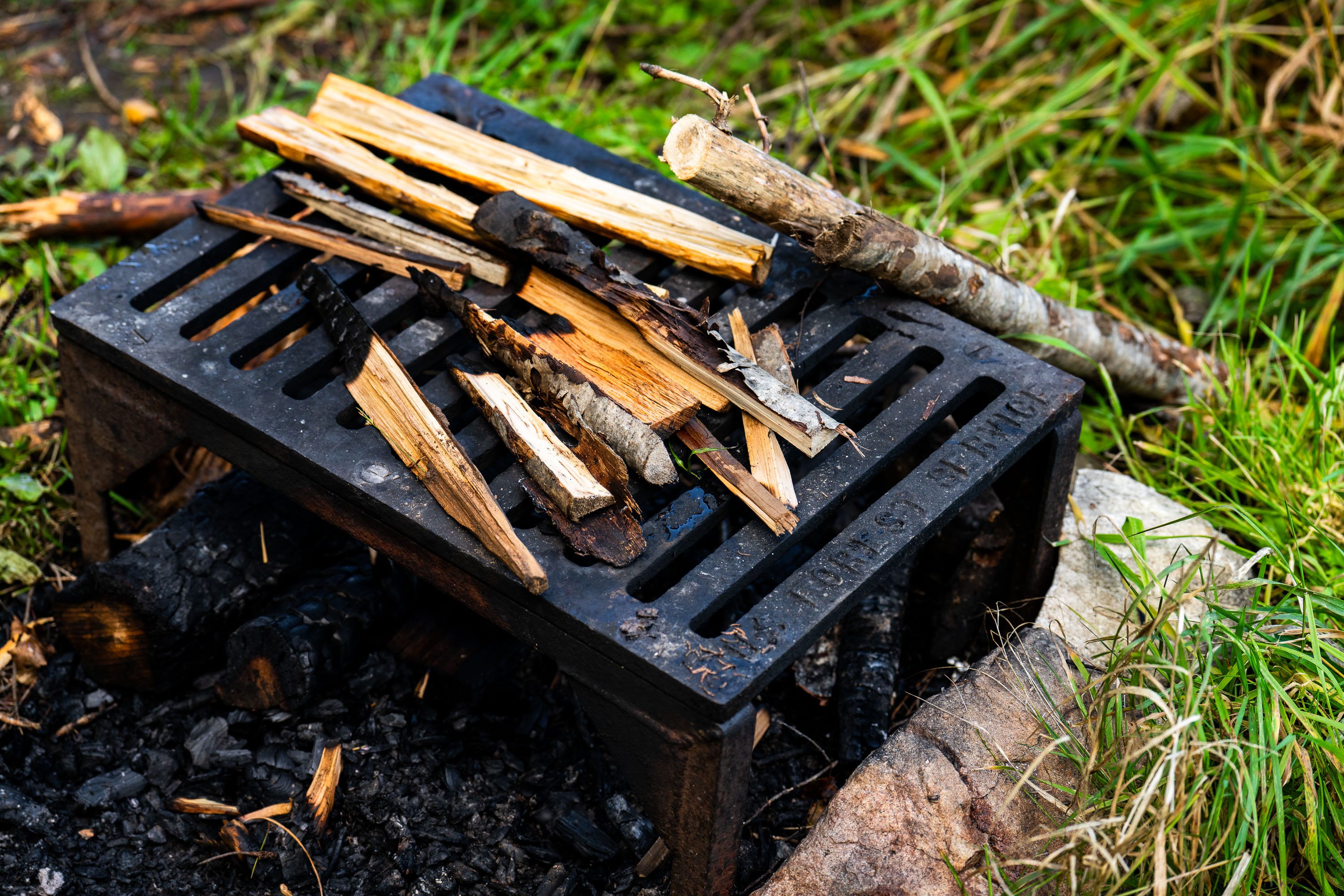
US Forest Service grate
A firepit grate from the US Forest Service seen near the Gunflint Trail in Minnesota.

US Forest Service grate

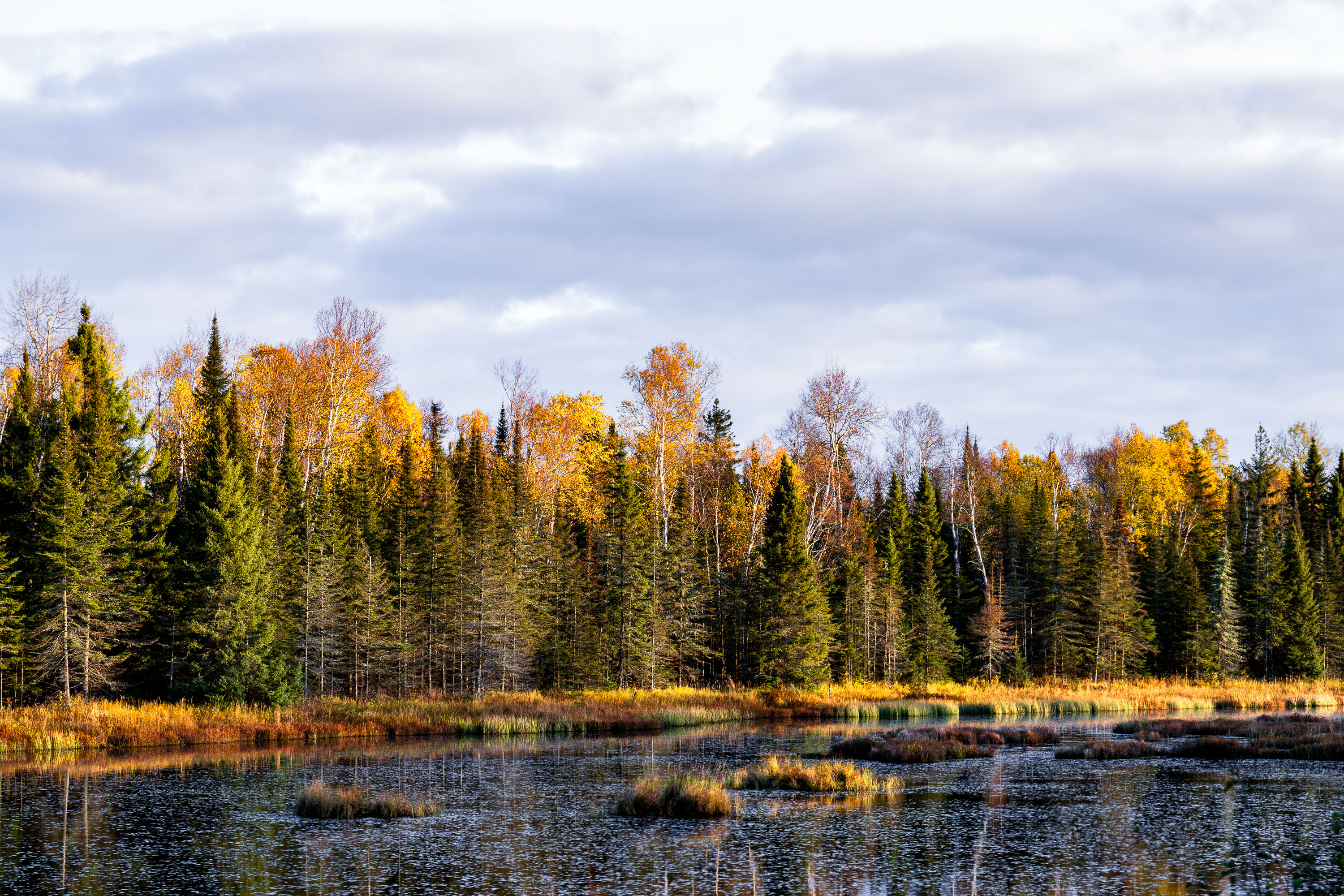
Boreal forest with birch and conifer trees in autumn colors beside a northern Minnesota wetland.
The Superior National Forest covers more than three million acres across northeastern Minnesota, stretching along the Canadian border from near International Falls to Grand Portage. Congress established it in 1909, and the U.S. Forest Service now manages it as one of the most water-rich forests in the country, with roughly 2,000 lakes and hundreds of miles of streams and wetlands like the one pictured here. More than a million acres of the forest fall within the Boundary Waters Canoe Area Wilderness, the most-visited wilderness area in the United States. The forest's mix of birch, aspen, and conifer stands produces some of the region's most reliable fall color displays each October.
Wetland Marsh in Autumn, Superior National Forest, Minnesota

West Baptism River winds through coniferous forest in Superior National Forest, Minnesota.
The West Baptism River flows through the Superior National Forest near Isabella, Minnesota. This waterway is part of the Boundary Waters Canoe Area Wilderness, a protected region known for its pristine lakes and rivers. The forest itself is a significant ecological area, supporting diverse wildlife and showcasing the natural beauty of the North Shore region. The river's name is believed to originate from early European explorers or missionaries who may have performed baptisms in its waters.
West Baptism River, Superior National Forest, Minnesota