Downtown Minneapolis Skyline

8 photos · 2015–2025

8 photographs tagged Downtown Minneapolis Skyline, 2015–2025.
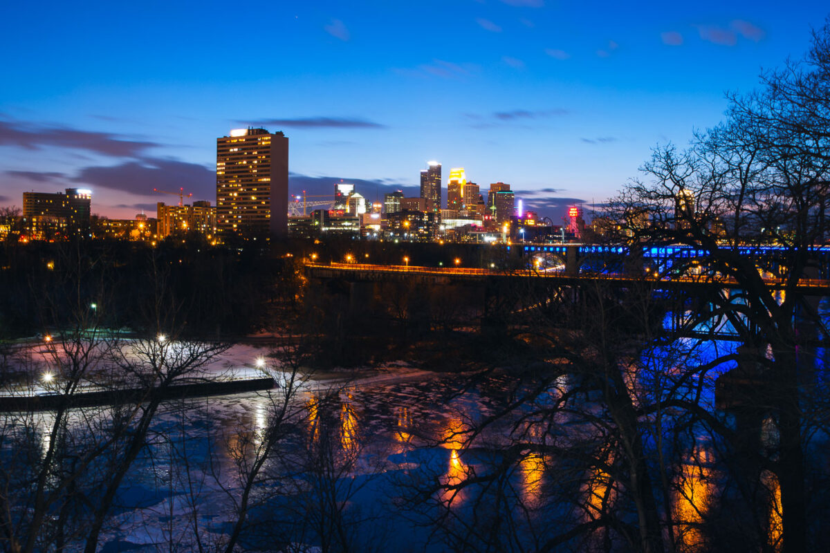
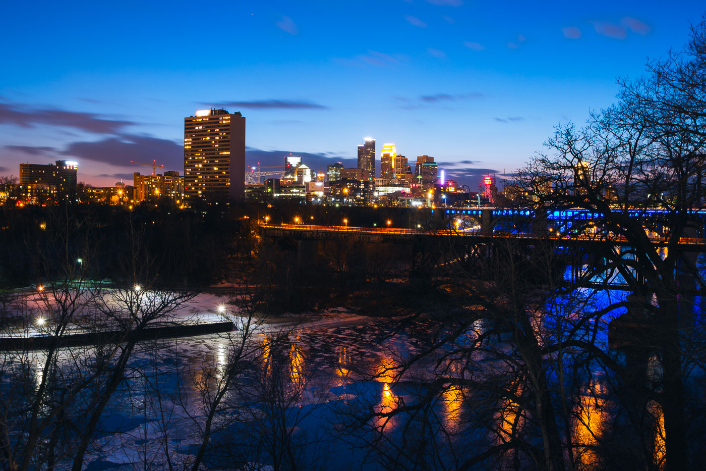
Minneapolis downtown skyline across the Mississippi River at blue hour, with a bridge and partial river ice.
Minneapolis downtown skyline rises across the Mississippi River at blue hour. The city center stands on the east bank of the river, with a bridge carrying traffic and lighting along the waterfront. Partial ice covers the river in the foreground during early March.

Minneapolis Downtown Skyline at Blue Hour Over Mississippi River

Storm clouds and Loring Pond
The downtown Minneapolis skyline rises beyond Loring Park, a significant urban green space established in the late 19th century. From Loring Pond, the city's commercial core is visible, featuring prominent structures like the IDS Center and Capella Tower, which represent a blend of modern glass high-rises and historic brick architecture. As one of Minneapolis's oldest parks, Loring Park provides a natural respite for residents and visitors.

Minneapolis Skyline from Loring Park, Early Spring Storm Clouds
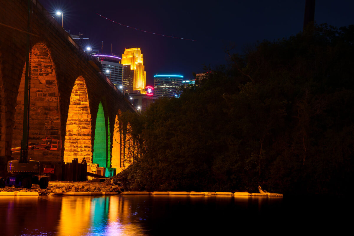
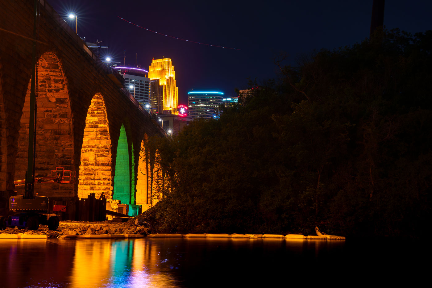
Stone Arch Bridge's illuminated stone arches span the Mississippi River at night with Minneapolis skyline beyond.
The Stone Arch Bridge, a former railroad bridge constructed in 1883, is undergoing repairs. The bridge, which spans the Mississippi River in Minneapolis, is closed to the public for several summers to facilitate this work.

Colorful Arch Lighting During Stone Arch Bridge Construction
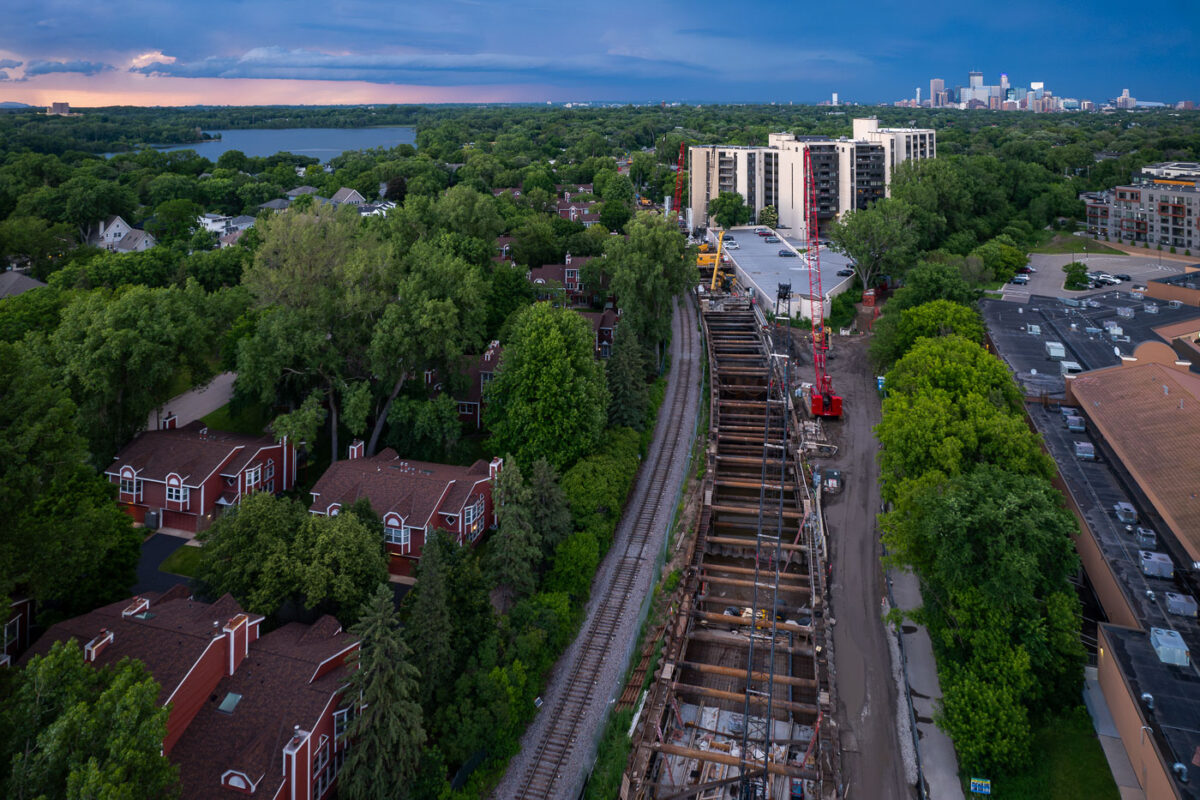
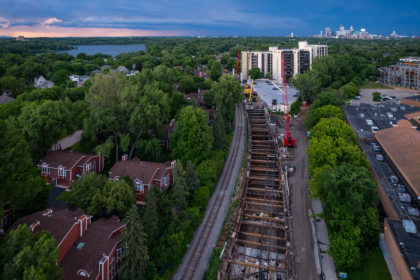
Excavated light rail tunnel construction site with red and white building and Minneapolis skyline in background.
Construction is underway on the Kenilworth LRT Tunnel in Minneapolis, a key component of the Southwest Light Rail Transit (Green Line) extension.

Aerial View of Kenilworth Tunnel Construction Near Downtown Minneapolis

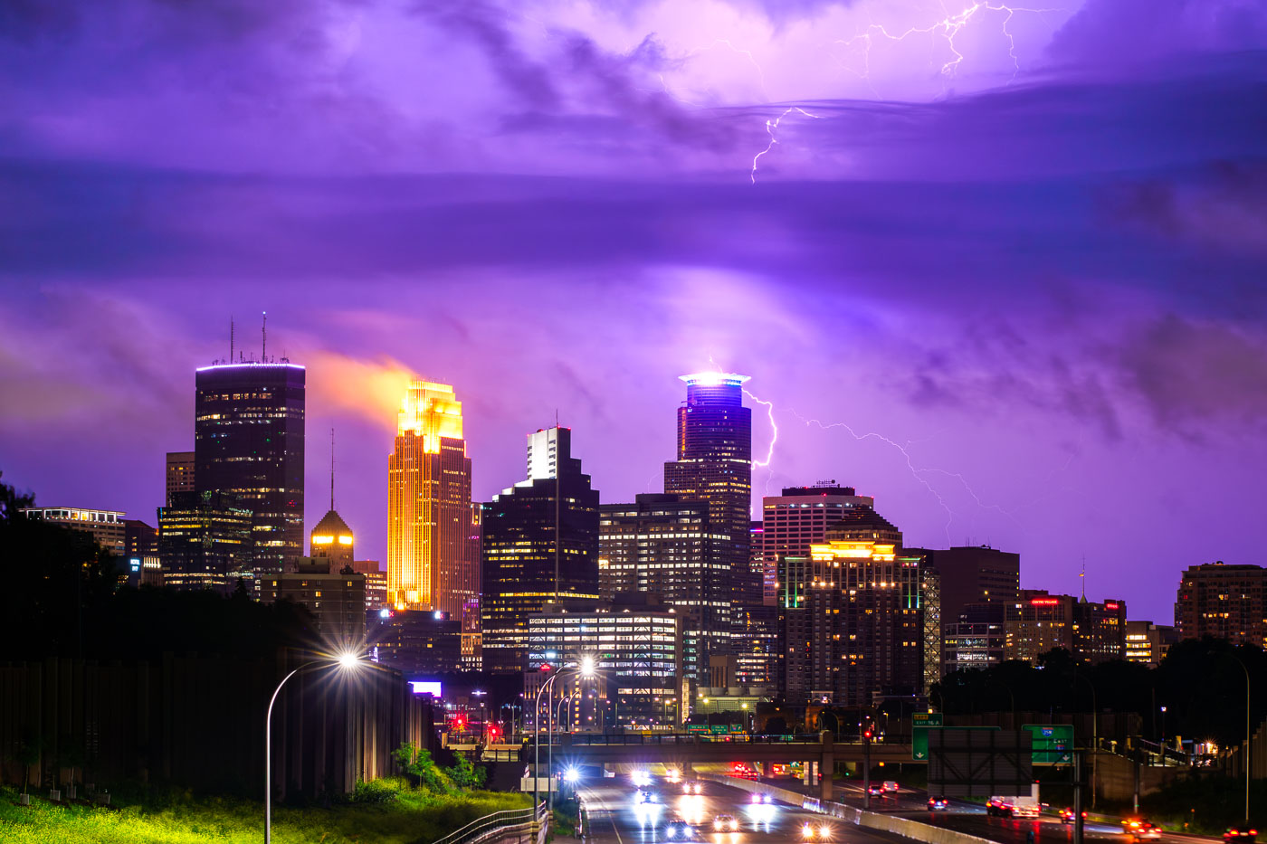
Lightning hits the Capella Tower in downtown Minneapolis
A powerful lightning strike illuminates the downtown Minneapolis skyline during a summer storm in June 2024.

Lightning Strikes Downtown Minneapolis Skyline June 2024
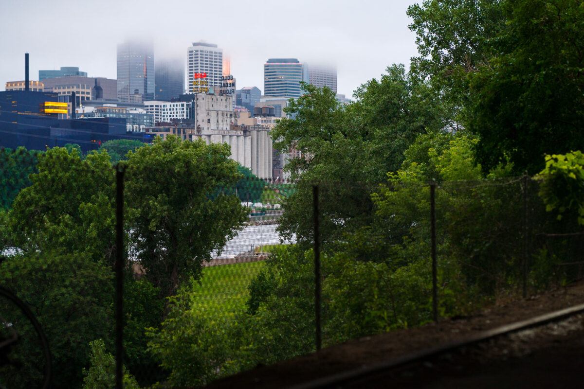
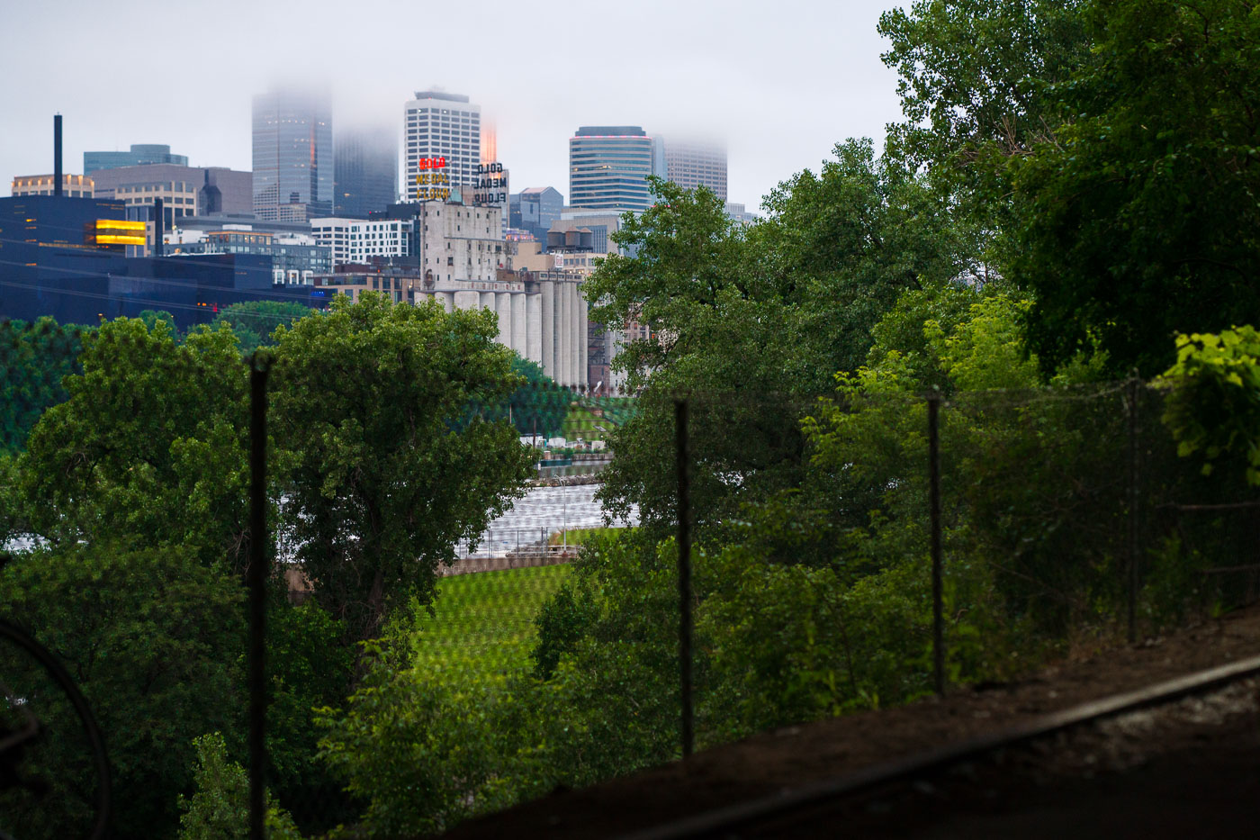
Minneapolis skyline partially obscured by fog and rain, with Grain Belt Brewery silos in the foreground. The city's downtown is situated along the Mississippi River.
The Minneapolis skyline is partially obscured by fog and rain, with the historic Grain Belt Brewery silos visible in the foreground. The city's downtown area, situated along the Mississippi River, has a history rooted in milling and industry, with these silos representing a significant part of that heritage.

Downtown Minneapolis Skyline Behind the Gold Medal Flour Silos in Fog
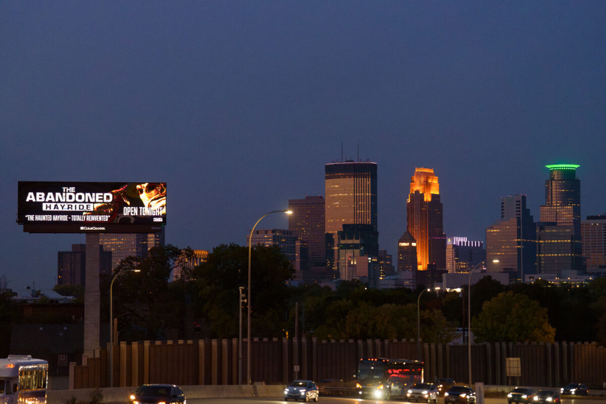
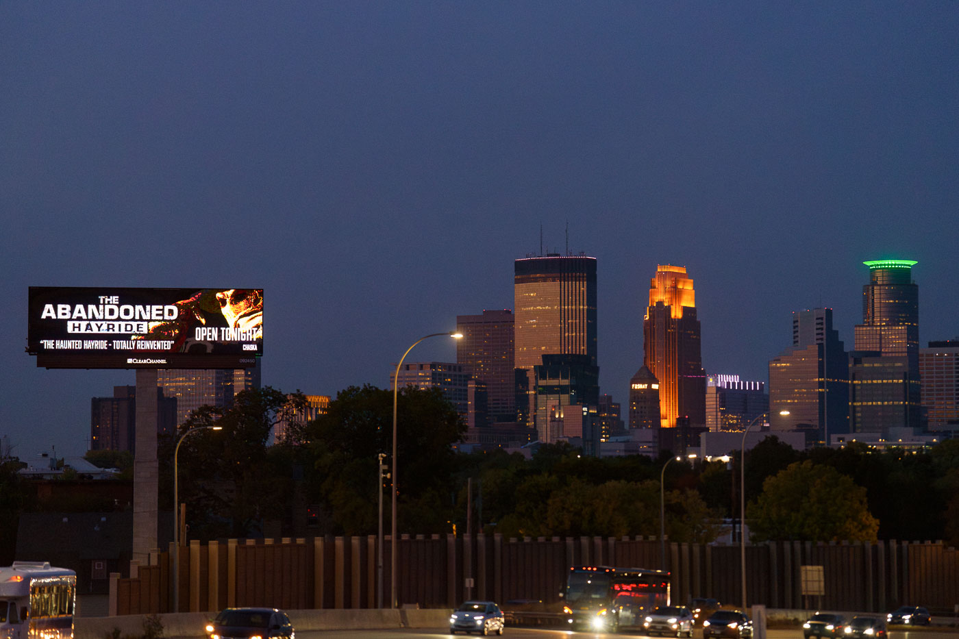
A billboard advertising The Abandoned Hayride haunted attraction stands along Interstate 35W with Minneapolis downtown skyline illuminated at dusk.
A digital billboard along Interstate 35W advertises "The Abandoned Hayride," billed as "The Haunted Hayride, Totally Reinvented" and open that night. The attraction is a seasonal Halloween event held each fall in Chaska, Minnesota, about 20 miles southwest of Minneapolis.

“The Abandoned Hayride” Billboard Near the Minneapolis Skyline

Cyclist in yellow jacket riding on Cedar Lake Trail toward hazy Minneapolis downtown skyline on autumn morning.
Biking towards Downtown Minneapolis on a autumn morning, a foggy haze covers the tops of the buildings.

Autumn Bike Ride on the Cedar Lake Trail Toward a Hazy Skyline