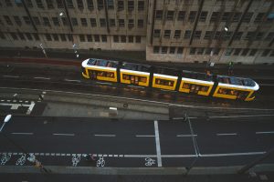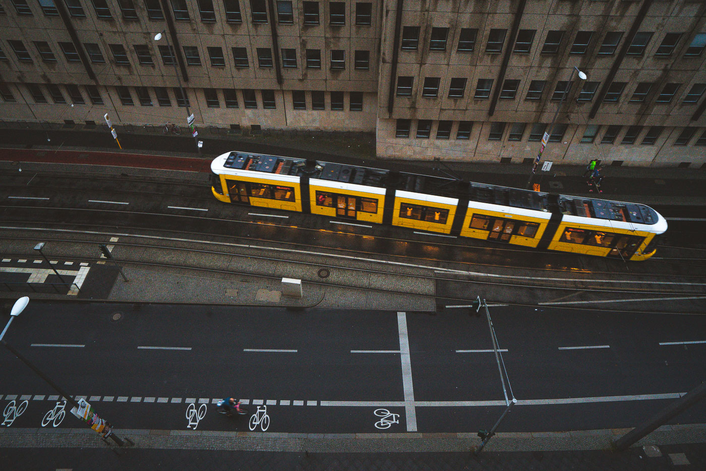
Yellow BVG tram traveling along wet Berlin street with cyclists and office buildings visible from above.

Berlin

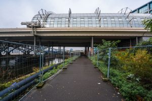
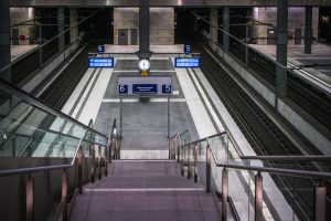
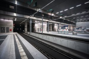
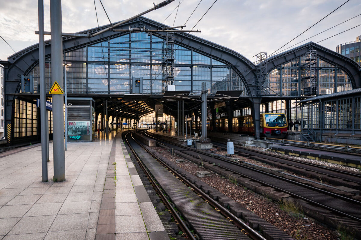
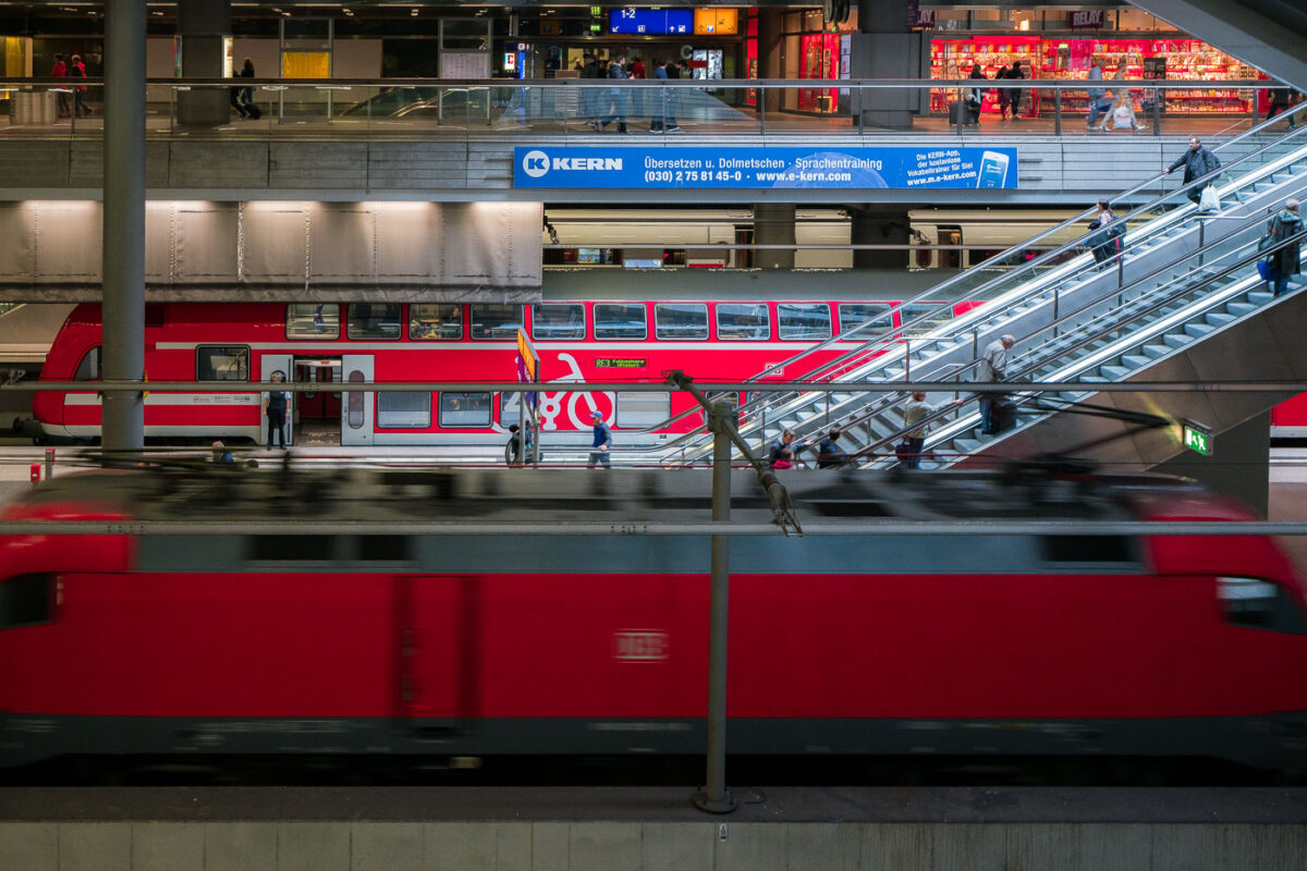
Photography from Berlin documents the city’s extensive public transportation infrastructure, focusing on key sites such as Berlin Hauptbahnhof with its multi-level platforms serving regional and long-distance trains. Images include the functional design of the Wedding U-Bahn station, the U55 shuttle line connecting to the government district, and trams operating on wet city streets amid growing cycling traffic.

Photo sets from Berlin

Photos from Berlin

Photos from Berlin that aren’t part of a photo set.
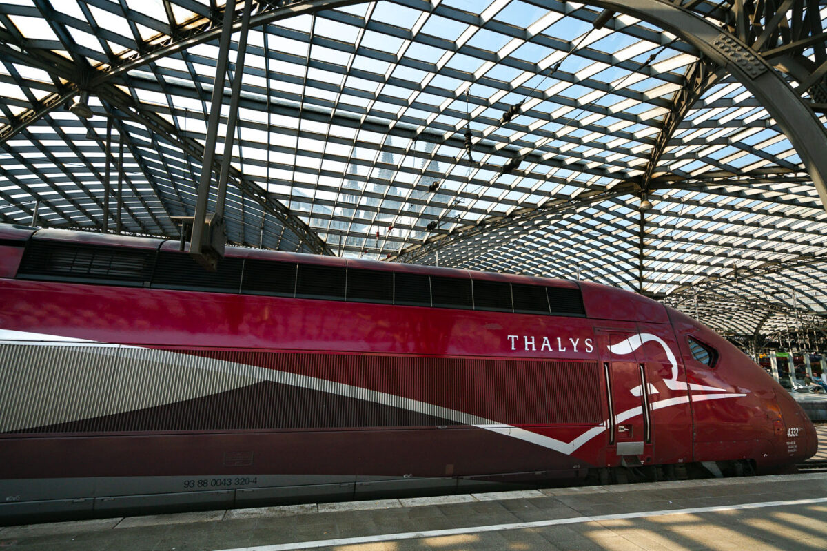
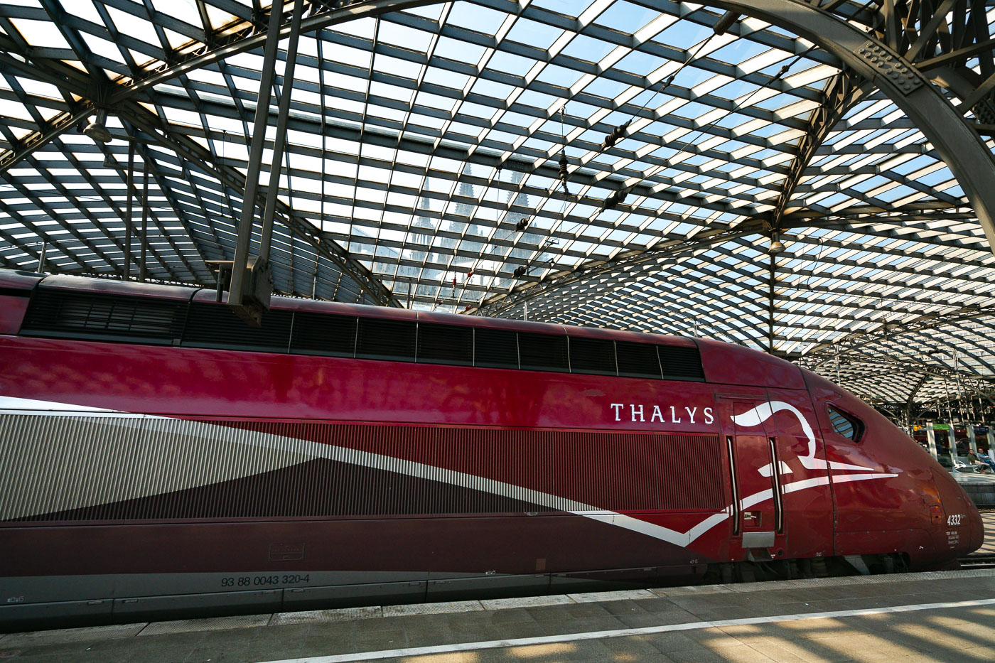
A red and white Thalys train rests under the glass and steel canopy of Köln Hauptbahnhof in Cologne, Germany.
A Thalys train sits under the train shed at Köln Hauptbahnhof in Cologne. Thalys trains have linked Cologne to Paris, Brussels, and Amsterdam since the service began in 1996, running the PBKA route named for its four endpoint cities. The station's current building opened in 1894 next to Cologne Cathedral, and Thalys merged into the Eurostar brand in 2023.
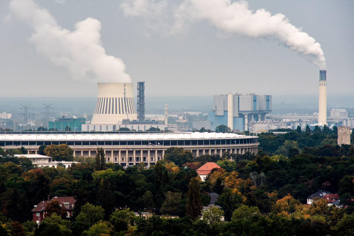
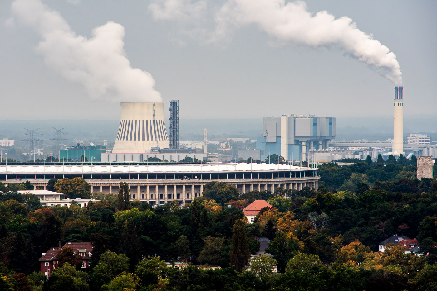
Olympiastadion and Reuter power plant complex in Berlin's Westend district, with the 1936 Olympic stadium and industrial facilities visible.
The Olympiastadion was built for the 1936 Summer Olympics and designed by architect Werner March, replacing an earlier stadium on the same grounds. A 2004 renovation gave the structure a translucent roof and reduced capacity to roughly 74,000 seats; it now serves as the home ground of Hertha BSC and hosts the annual DFB-Pokal final. Behind it, the Reuter West plant generates combined heat and power for western Berlin, operated by Vattenfall on a site in Siemensstadt first developed with the original Kraftwerk Reuter in 1931. Reuter West itself was built in stages between 1987 and 1990 to supply district heating alongside electricity, a dual role reflected in the plant's cooling tower and chimney stack.
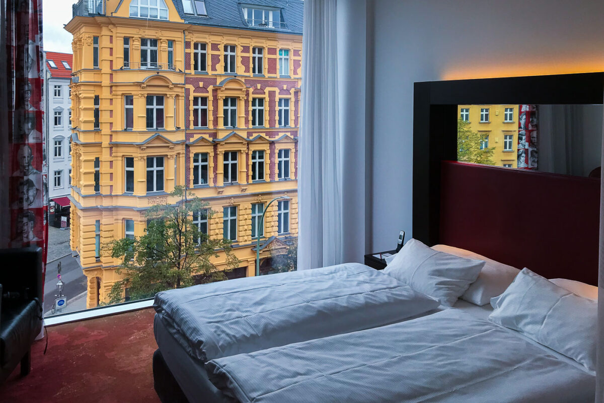
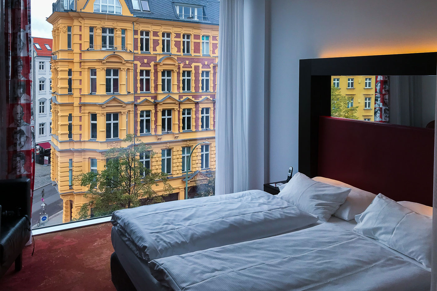
Hotel room bed with view of a yellow Gründerzeit building across the street in Berlin Mitte.
Gründerzeit buildings like this one take their name from Germany's "founders' era," the rapid industrial and urban expansion that followed unification in 1871. Berlin saw entire districts built in this style through the 1880s and 1890s, with stucco facades, bay windows, and brick detailing marking apartment blocks for the city's growing middle class. Many of these buildings in Mitte survived Allied bombing in World War II only to fall into disrepair under East German administration, when maintenance budgets for private housing stock were scarce. Since reunification in 1990, large-scale restoration projects have returned facades across Mitte to something close to their original color schemes and ornamentation, a process that has made the neighborhood one of the most sought-after residential areas in the city.
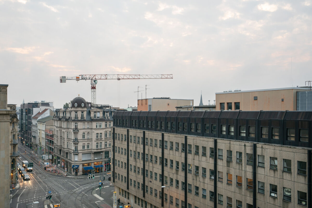
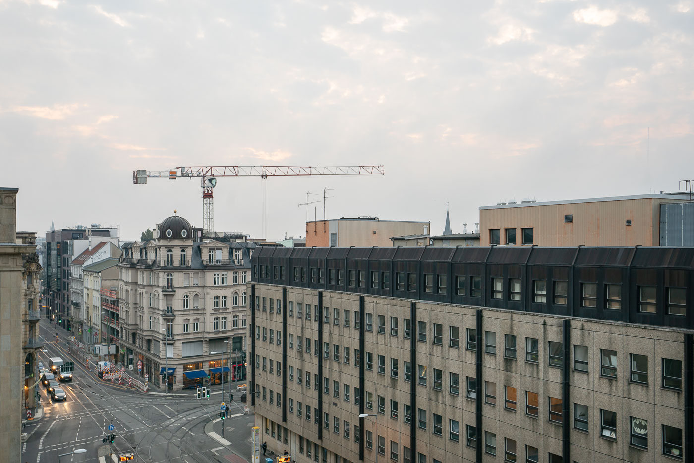
Intersection of Invalidenstraße and Friedrichstraße in Berlin's Mitte district, with postwar apartment blocks and a construction crane above the streets.
Friedrichstraße has anchored Berlin's Mitte district since the late 17th century, when Friedrich I ordered its development as a central thoroughfare. The street became the city's premier shopping and entertainment corridor by the early 20th century, lined with department stores, theaters, and cafés. Cold War division cut Friedrichstraße in two, and Checkpoint Charlie, the former Allied crossing point, sits along its southern stretch. Invalidenstraße takes its name from the Invalidenhaus, a home for disabled soldiers built nearby in the 1700s, and today the street runs east-west through Mitte toward Berlin Hauptbahnhof. Reconstruction has continued in this part of the city since reunification, filling gaps left by wartime destruction and Cold War-era clearance.

More in Germany

© 1996–2026 Chad Davis